
Bonaire - The Cliff
Part of the regional summary: Bonaire
More about this place: Bonaire on Wikipedia
More info
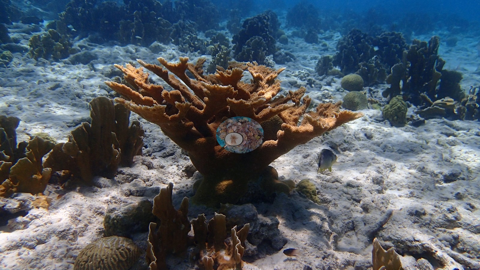
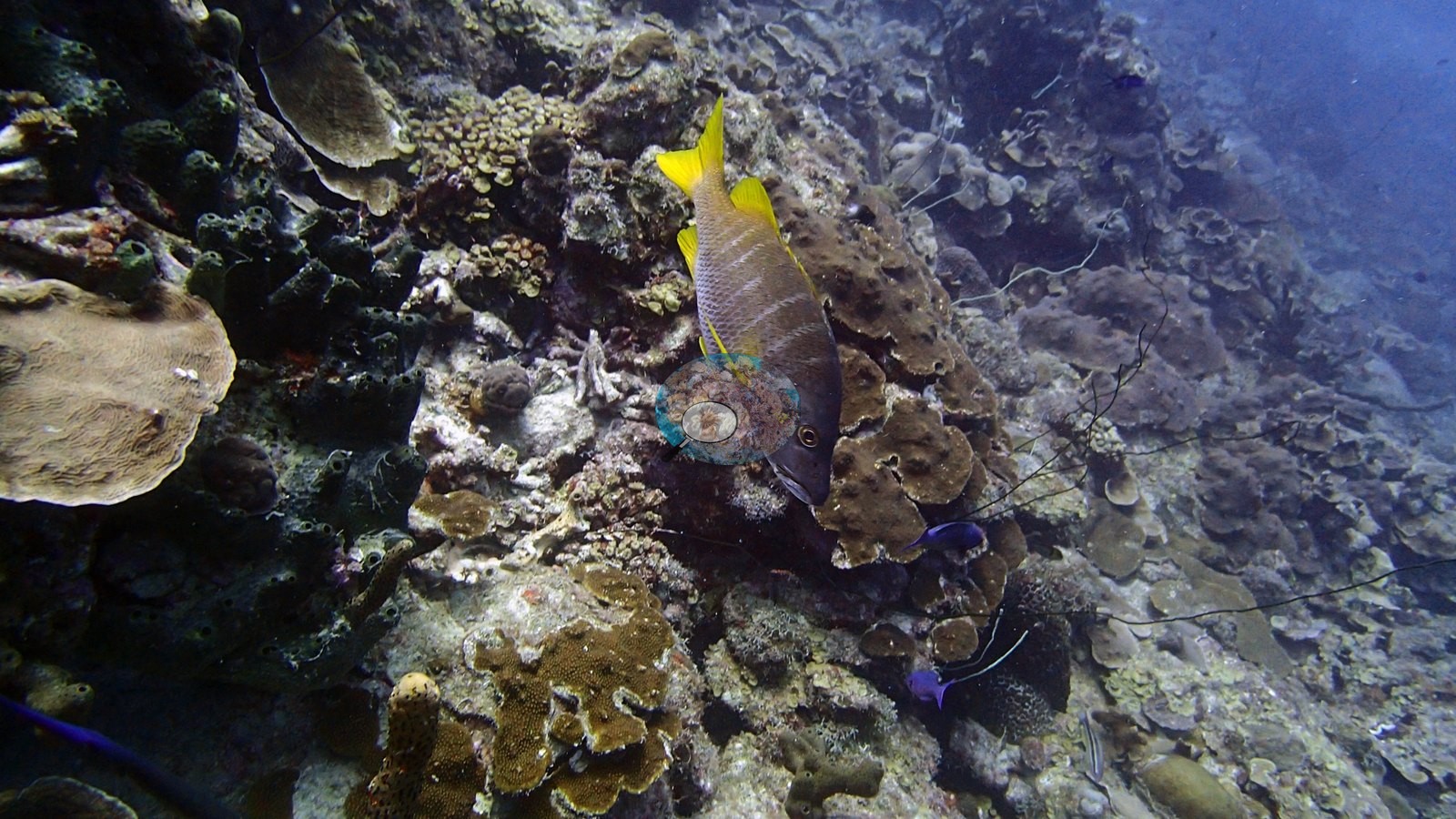
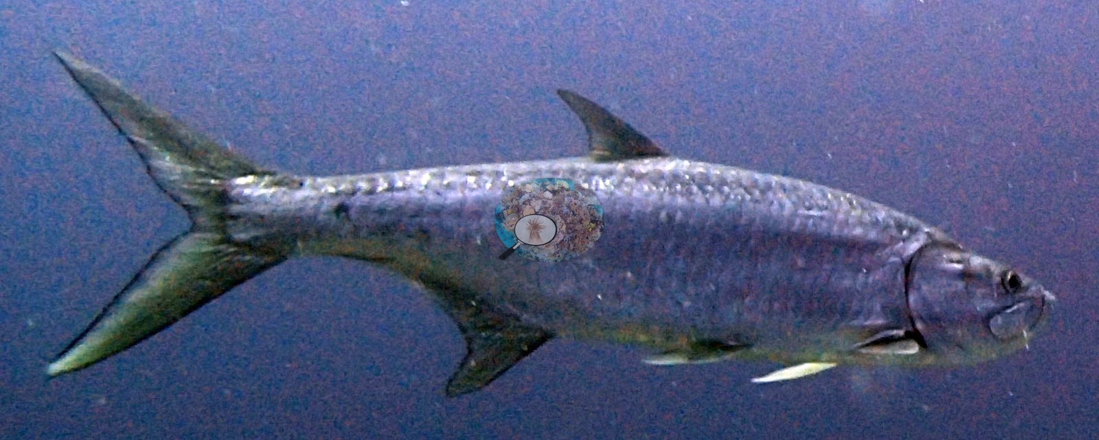
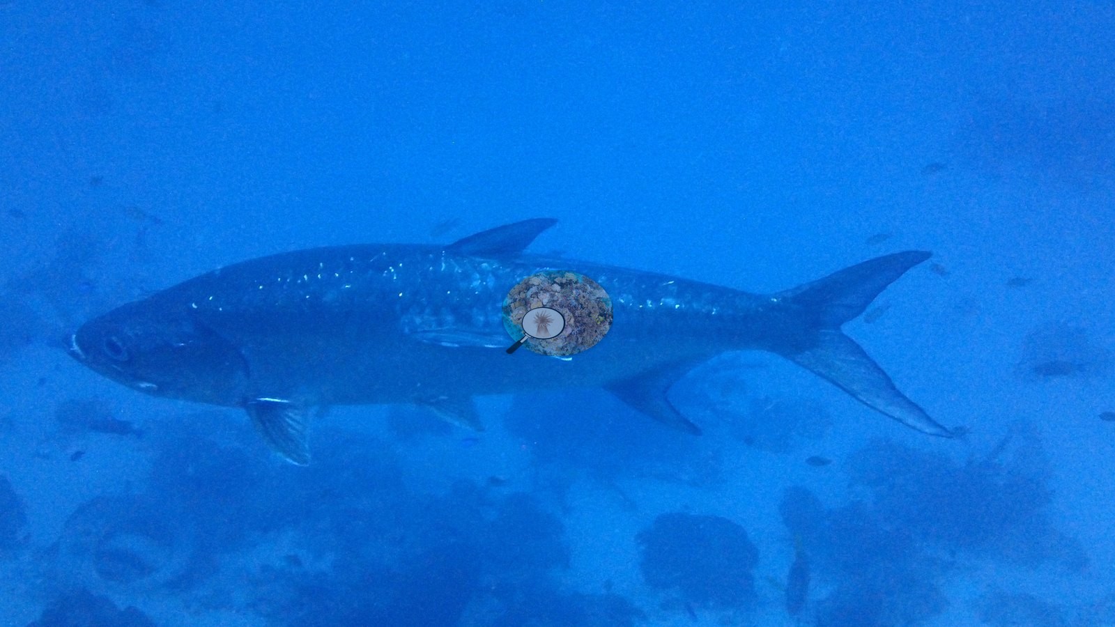
Aruba, Curacao, and Bonaire (NOAA CRW virtual station)The Cliff is one of Bonaire's steep drop-off walls, thickly layered with plate, brain, and star corals, fire coral, and sea rods, with living elkhorn coral in the sandy shallows above. Two enormous tarpon (about 2 m long, Anderson's log), spotted morays, parrotfish, and grunts work the reef, which carries substantial live tissue apart from some old scars on the big colonies.
The Cliff is een van de steile wanden van Bonaire, dik bedekt met plaat-, hersen- en sterkoralen, vuurkoraal en zeestaven, met levend elandsgeweikoraal in het zandige ondiepe water erboven. Twee enorme tarpons (ongeveer 2 m lang, volgens het logboek van Anderson), gevlekte murenen, papegaaivissen en grombaarzen zoeken het rif af, dat veel levend weefsel draagt, afgezien van enkele oude littekens op de grote kolonies.
AI translation of this summary; the English is authoritative.
Fourteen independent survey stations shown with the program’s logo — click one to see how far it is from this site.
Two other CRD dive sites with their own pages within 5 km shown in orange — click a marker to open its page.
9 of the 50 photographs on this page are shown beside the text that discusses them under "Site description" below.
Site description
Setting
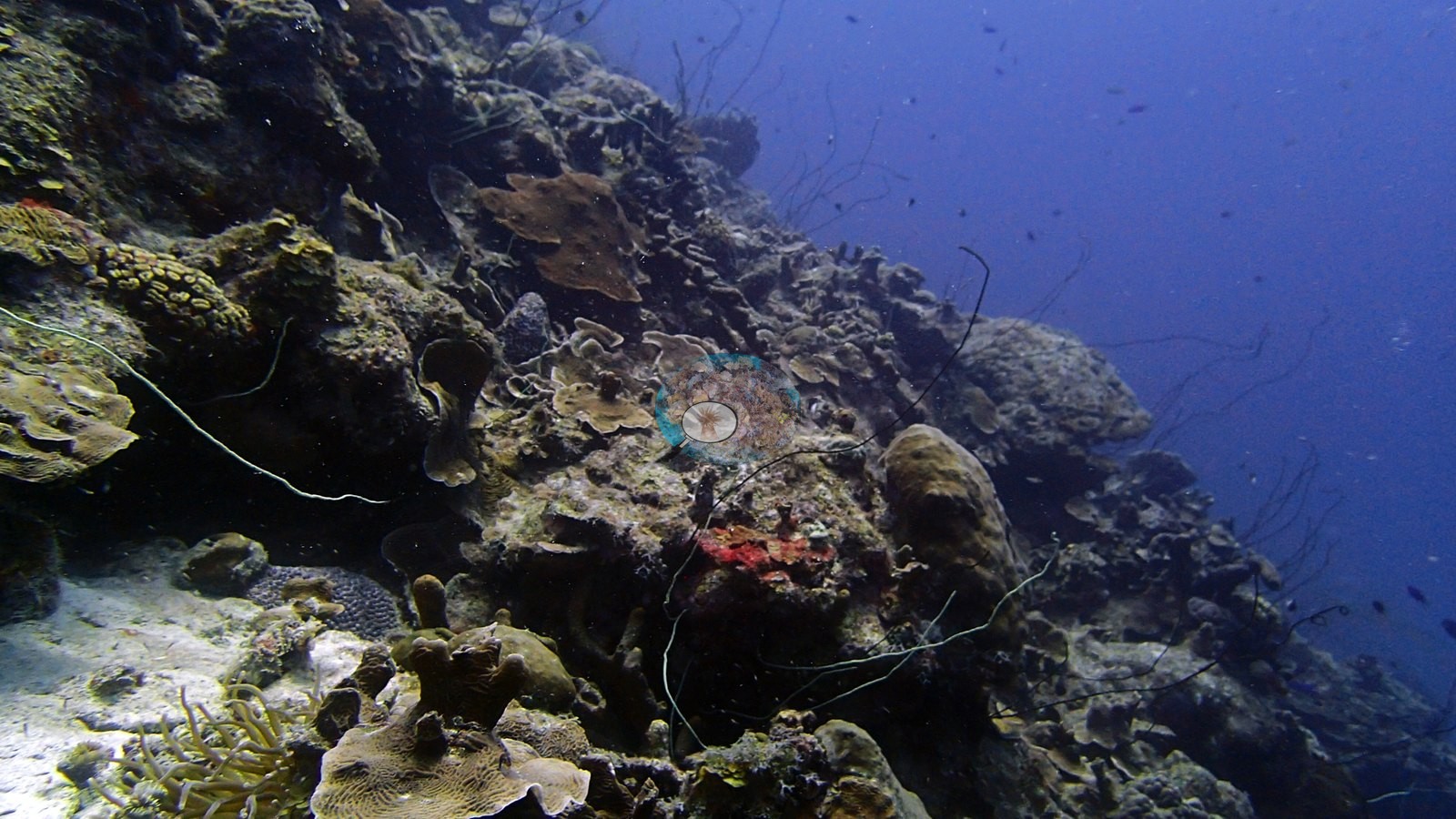
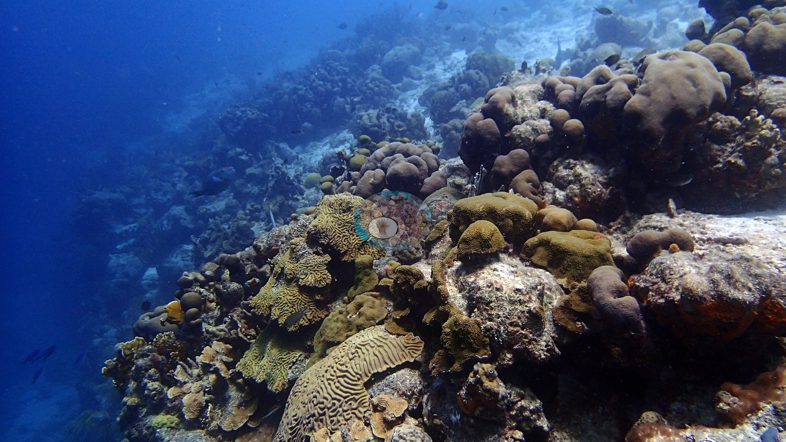
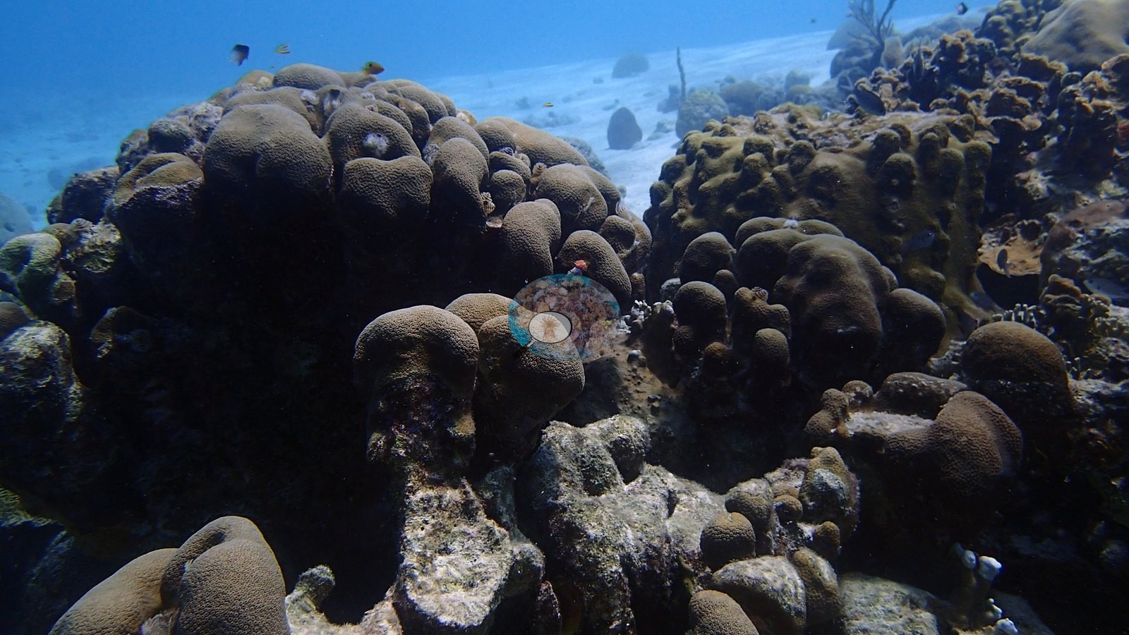
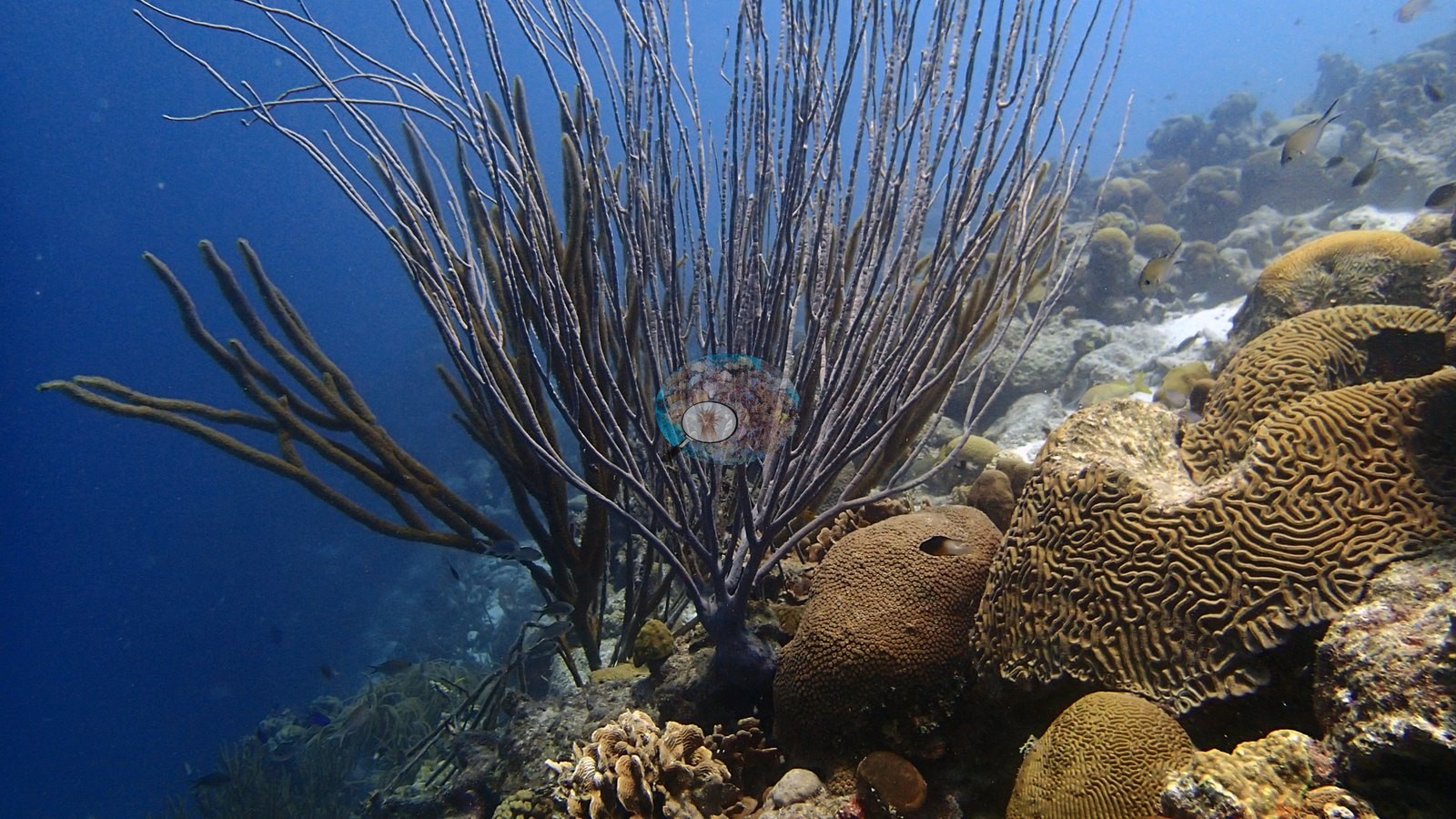
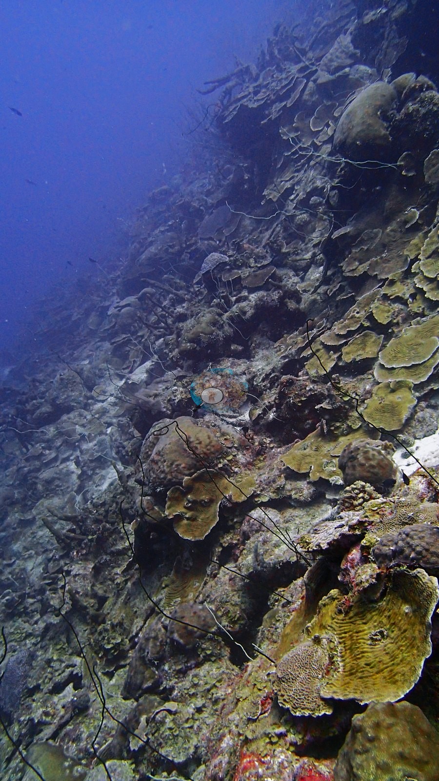
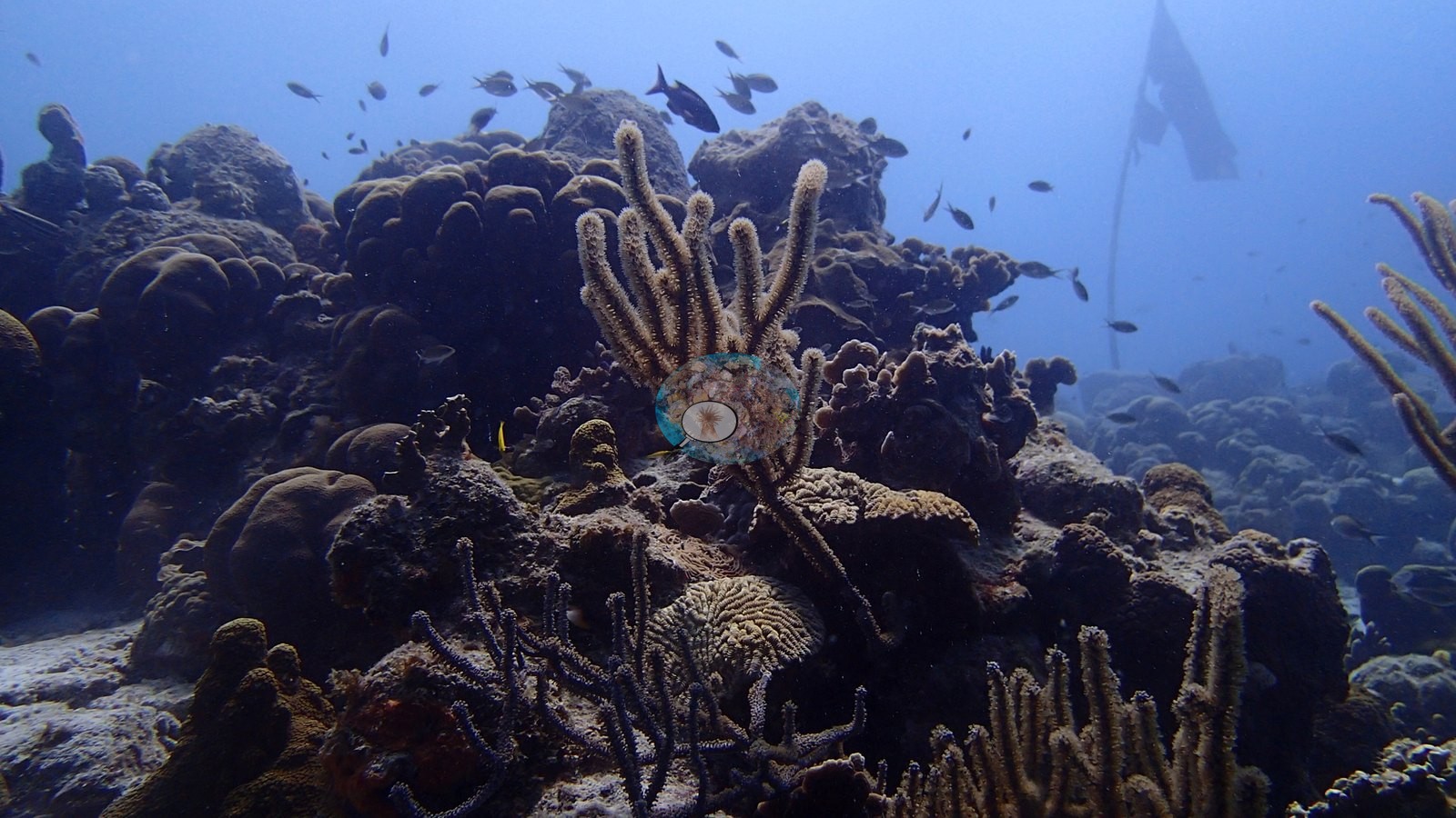
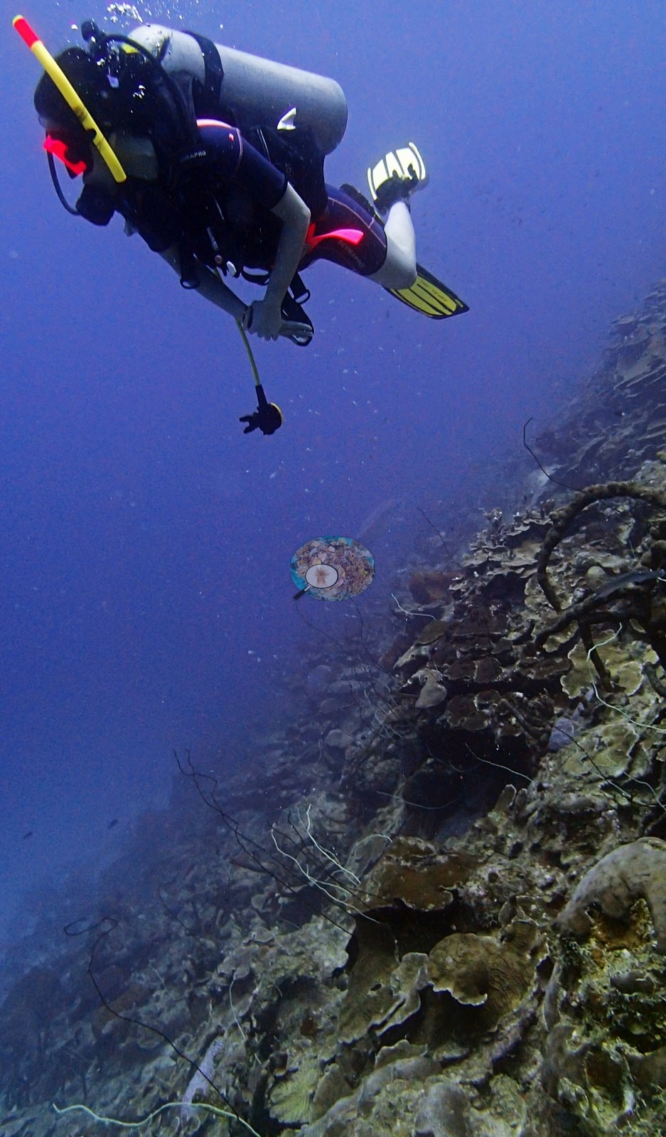
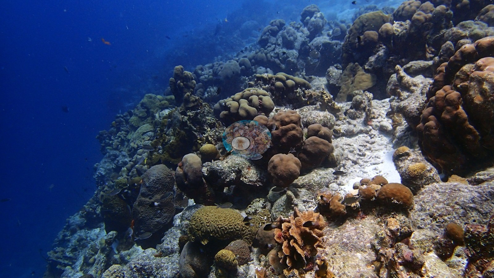
A steep drop-off wall thickly covered in brain, star, and boulder corals interspersed with fire coral, elkhorn coral, and sea rod gorgonians.
General benthic features
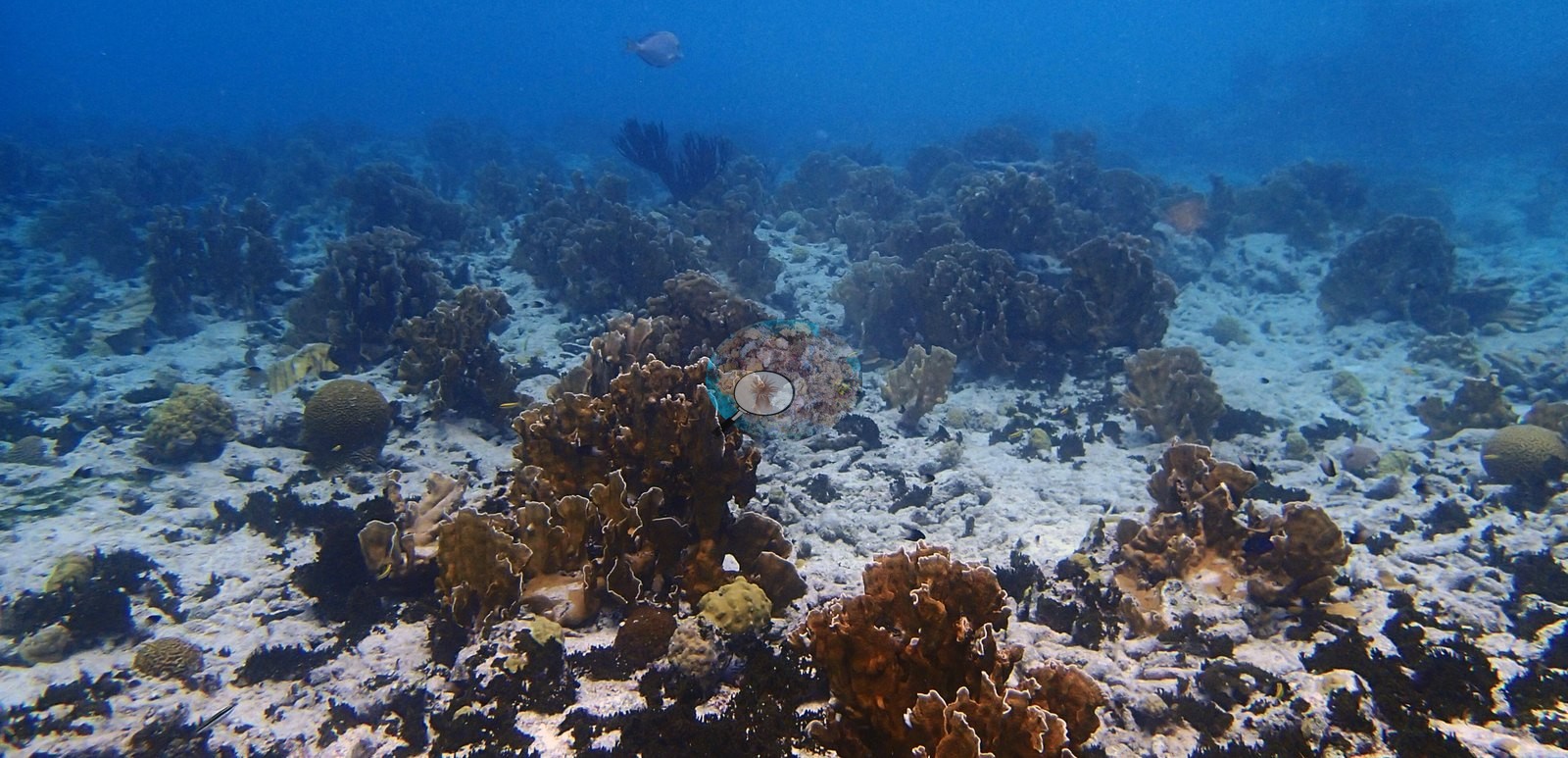
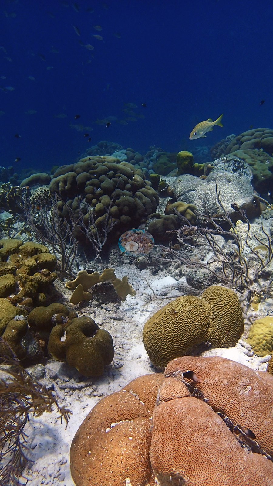
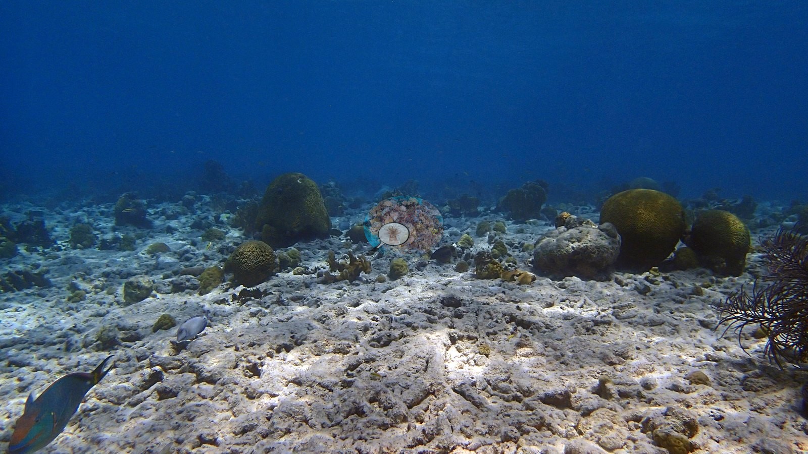
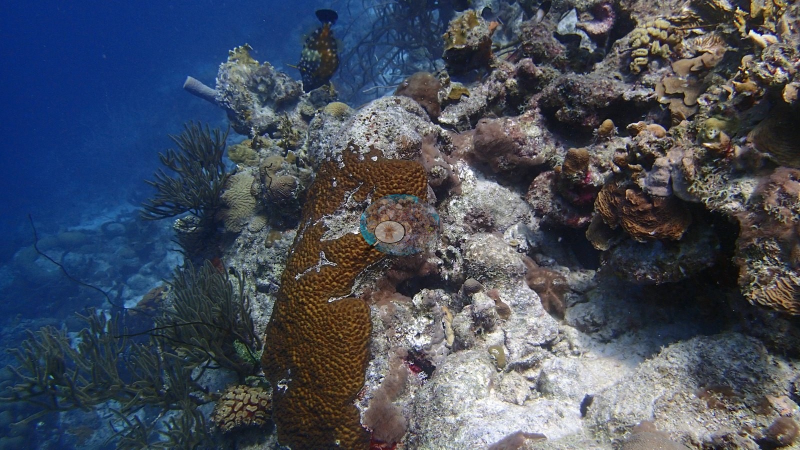
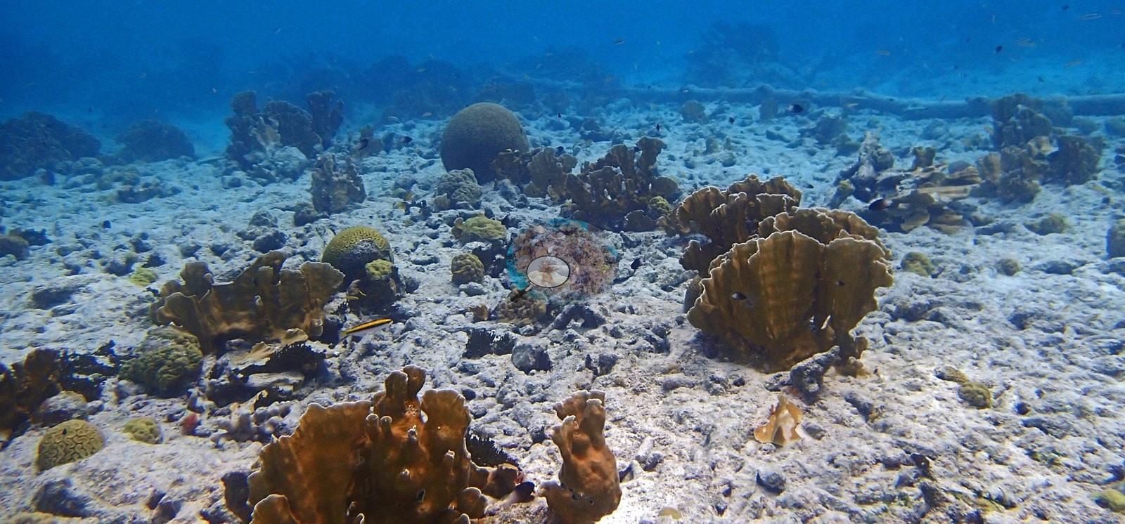
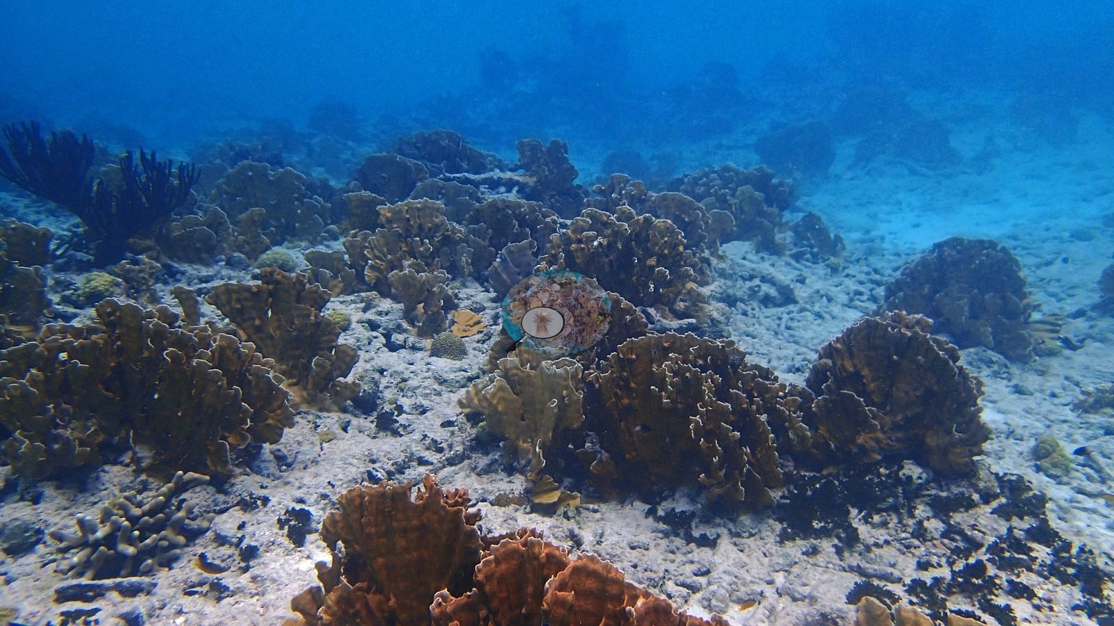
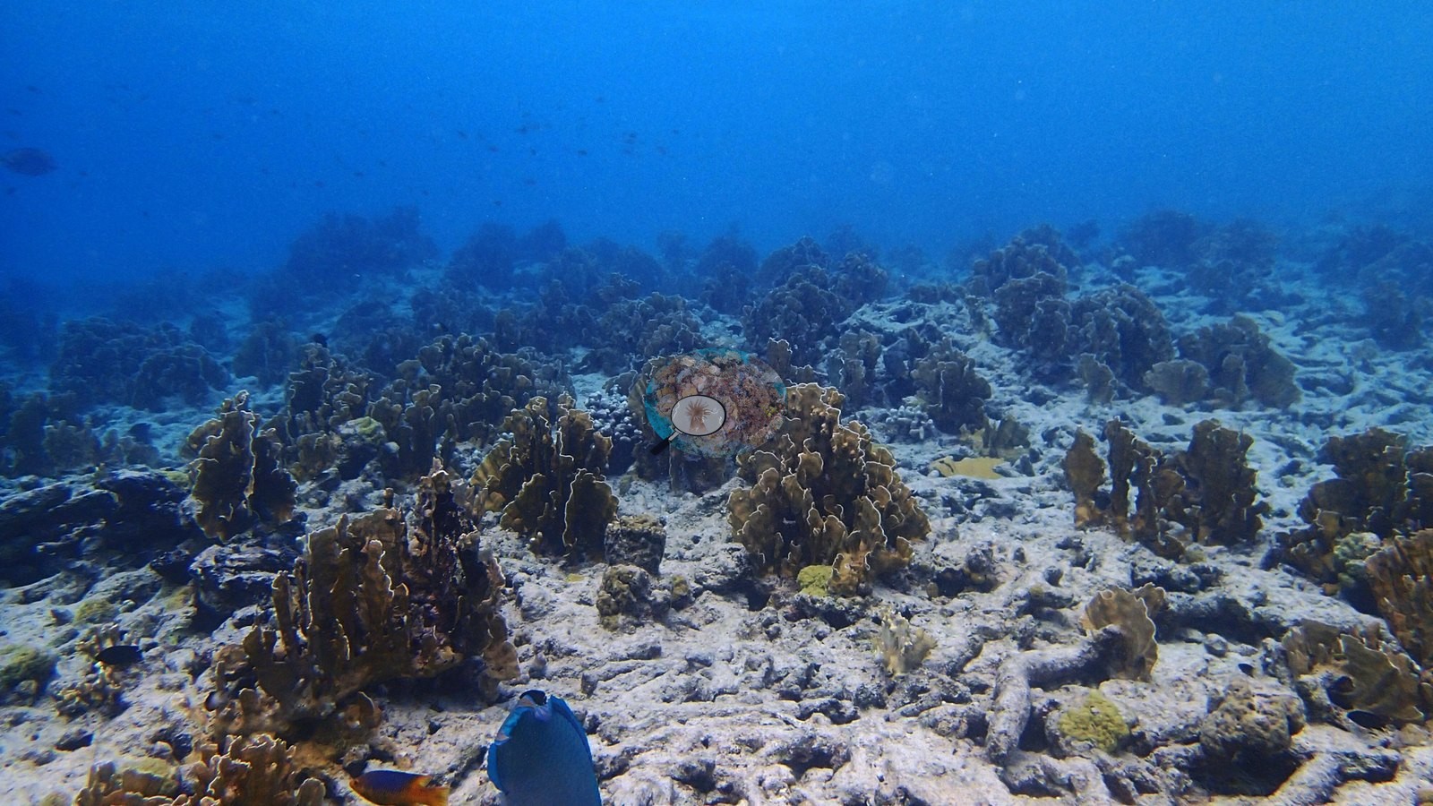
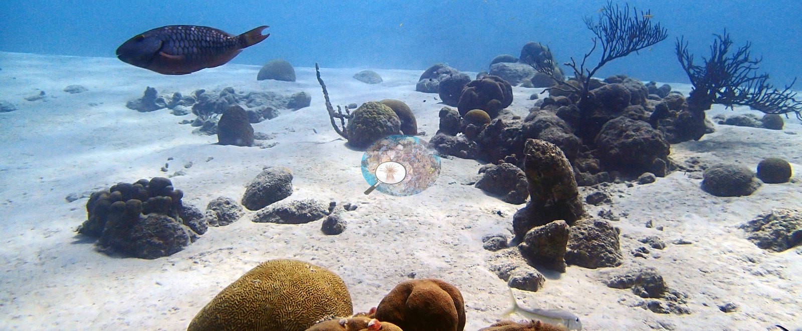
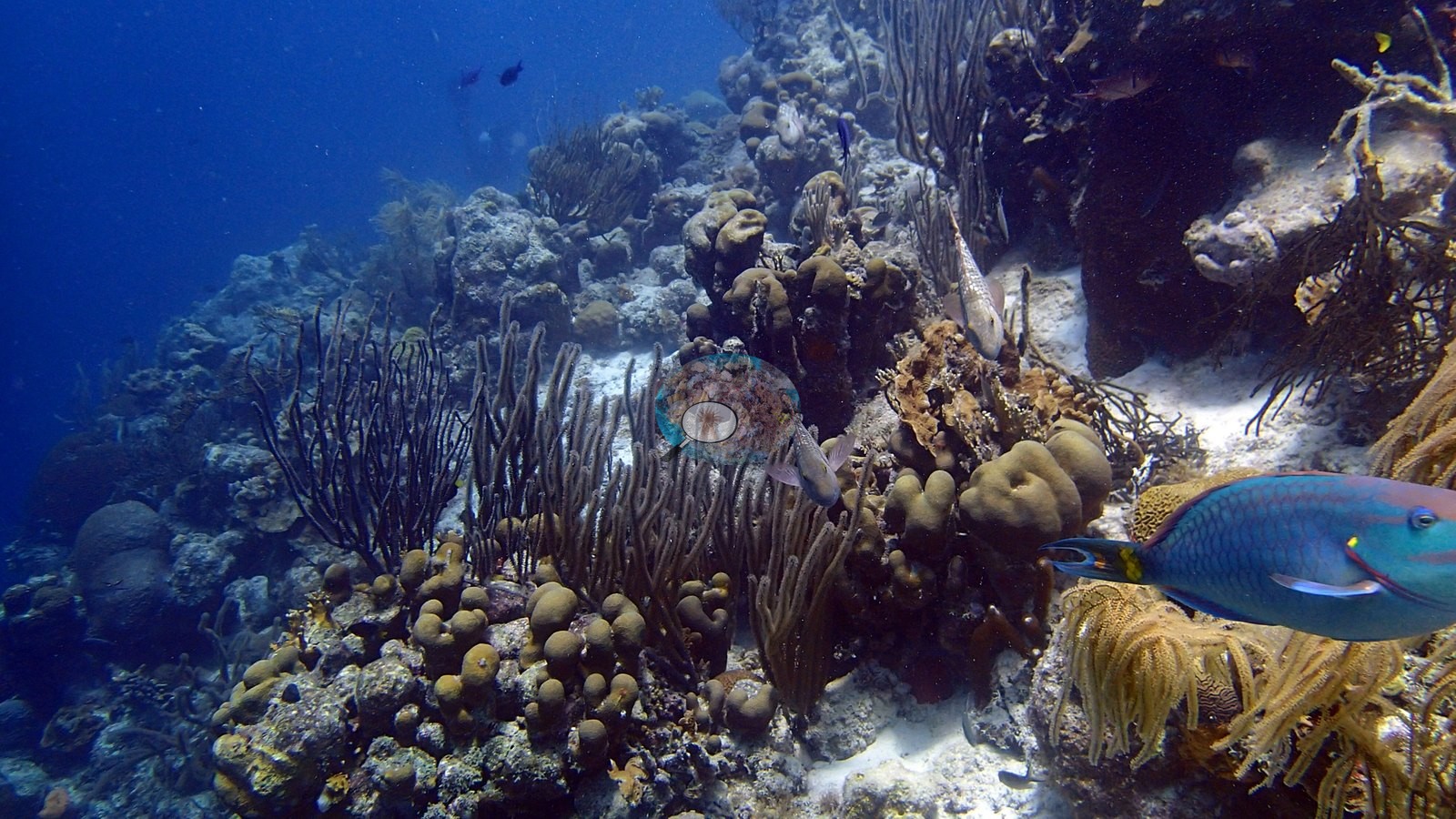
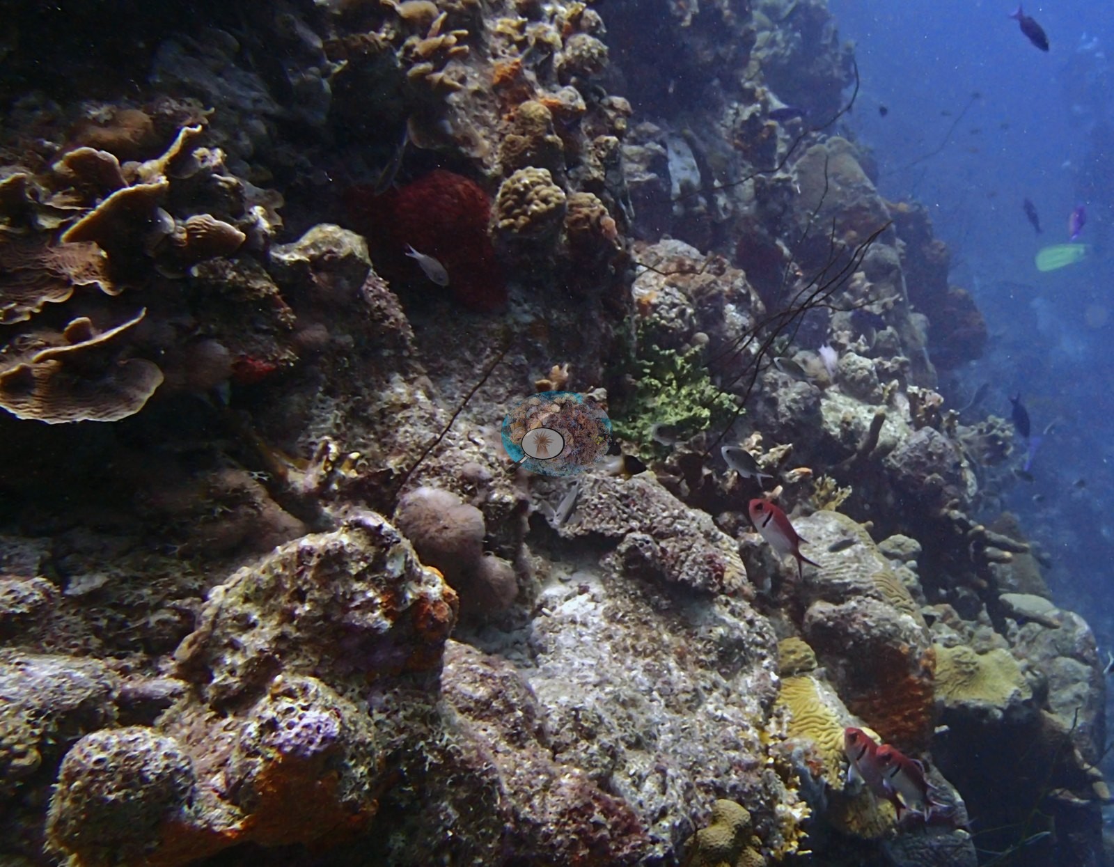
The photographs show a strongly zoned fringing-reef system. The shallowest views are sand- and rubble-dominated, with scattered blade/branching fire coral and at least one substantial live Acropora palmata colony (e.g., Image 1).
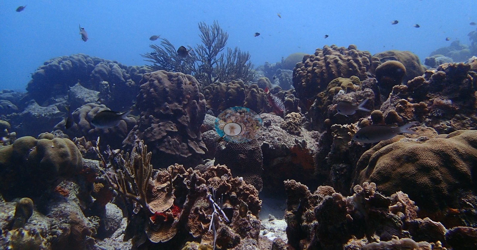
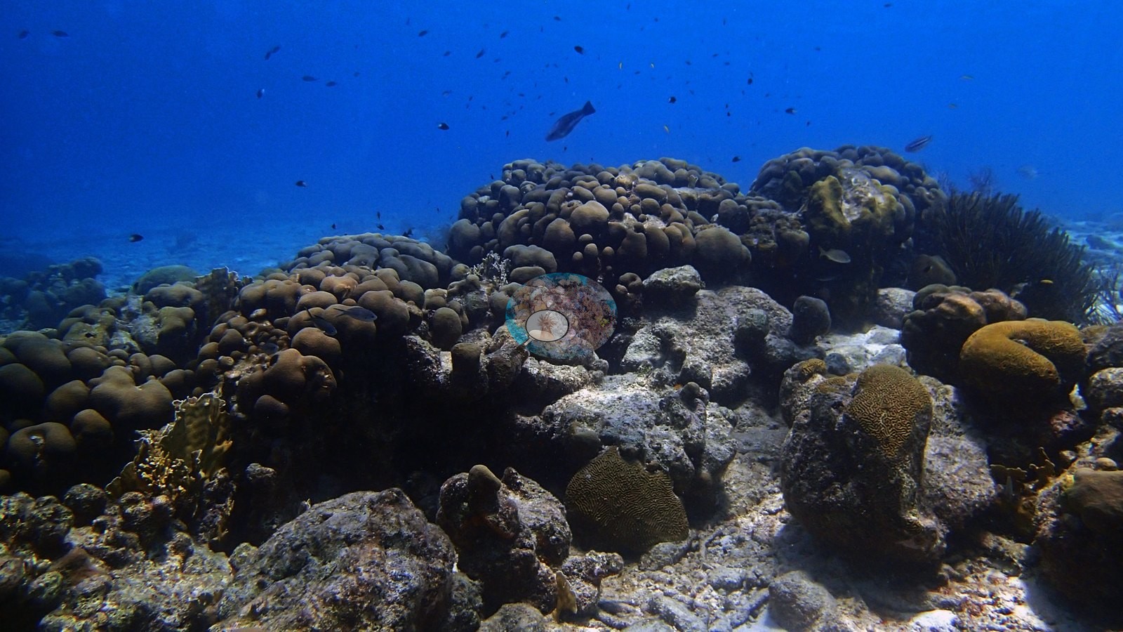
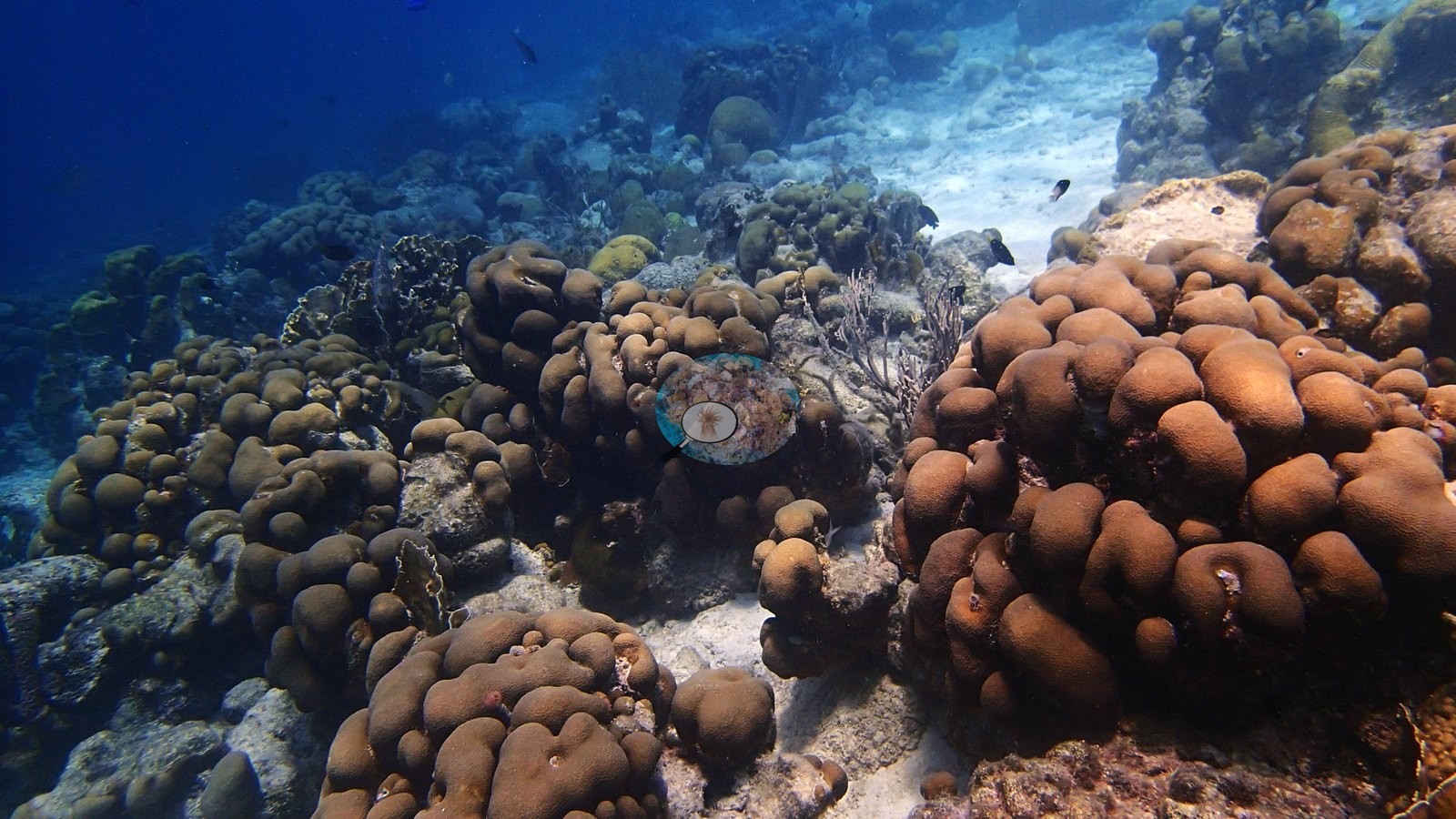
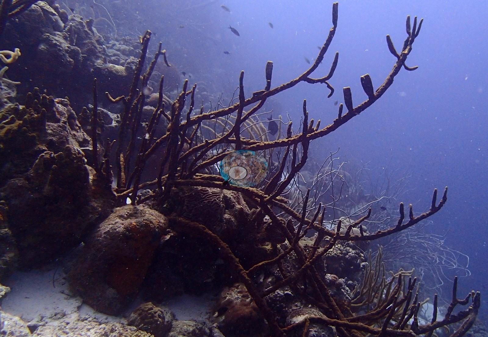
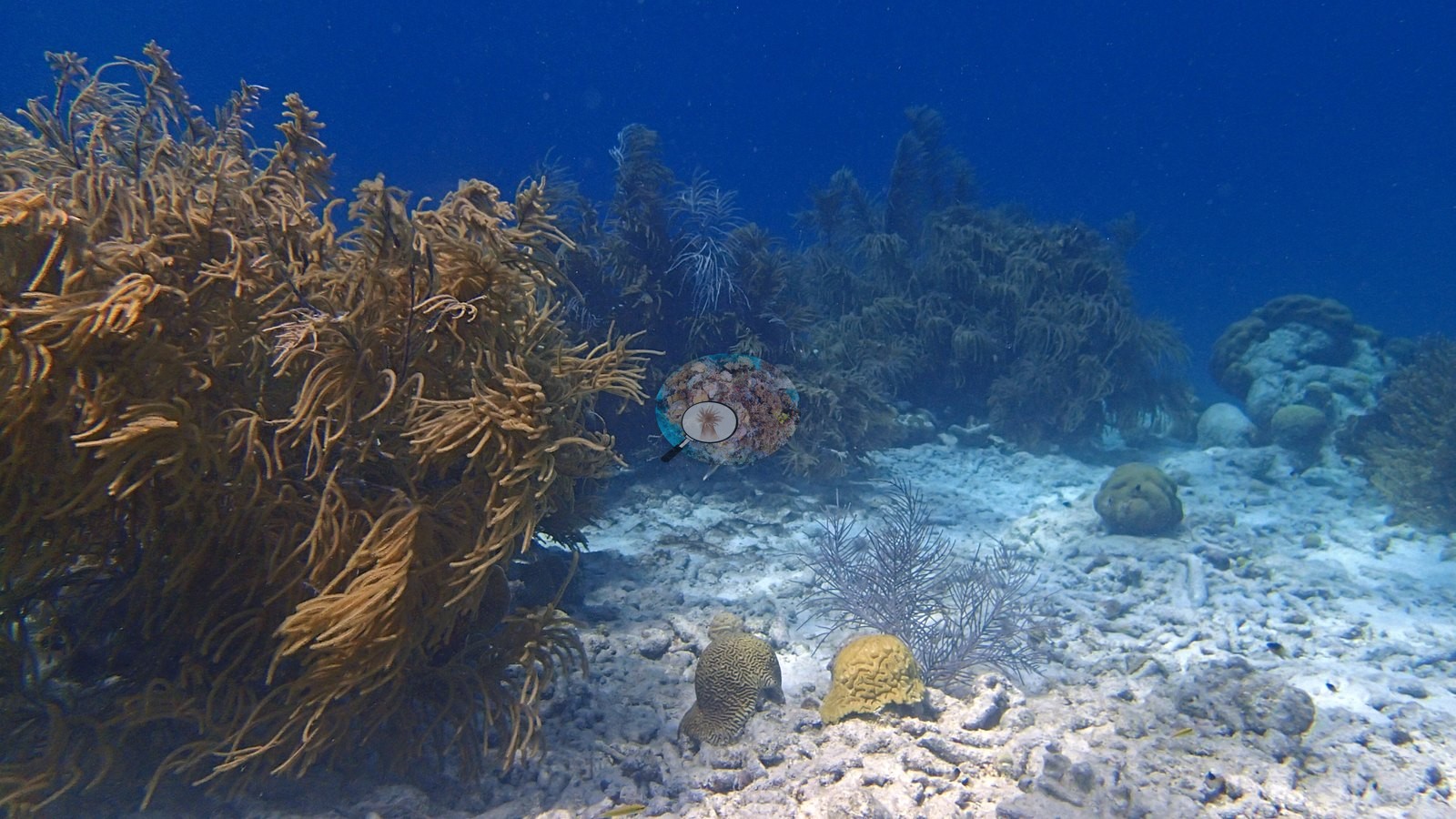
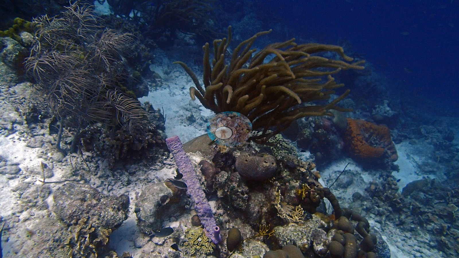
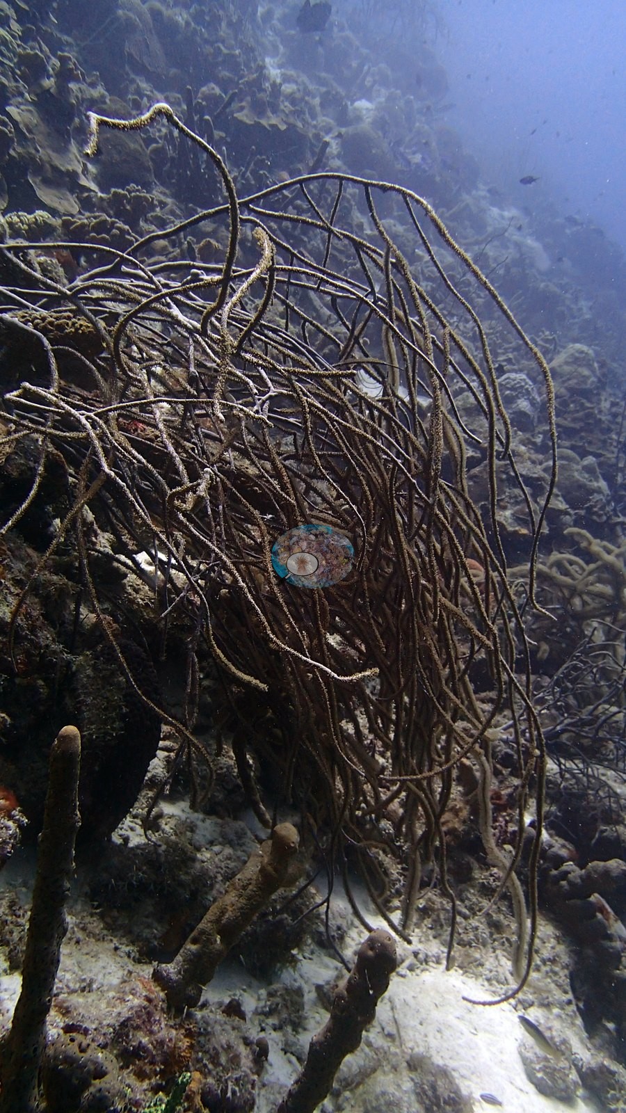
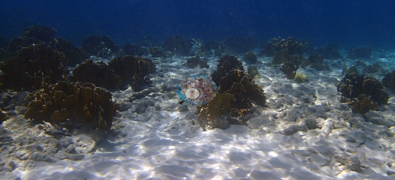
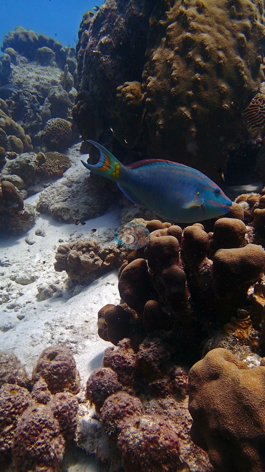
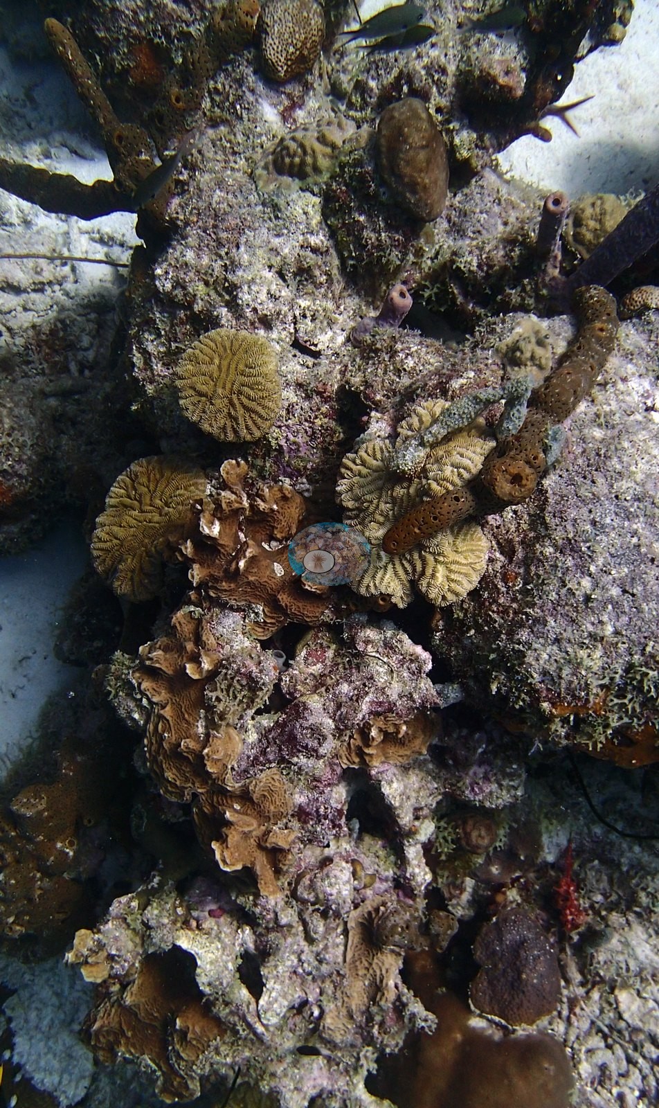
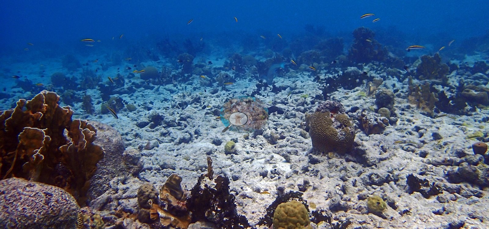
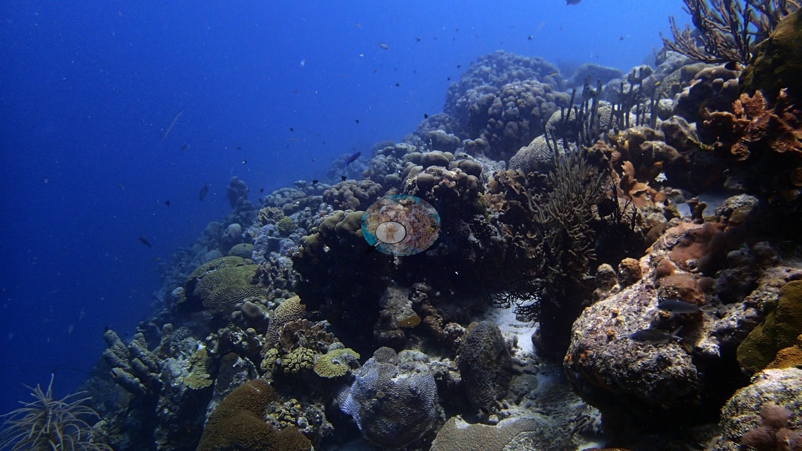
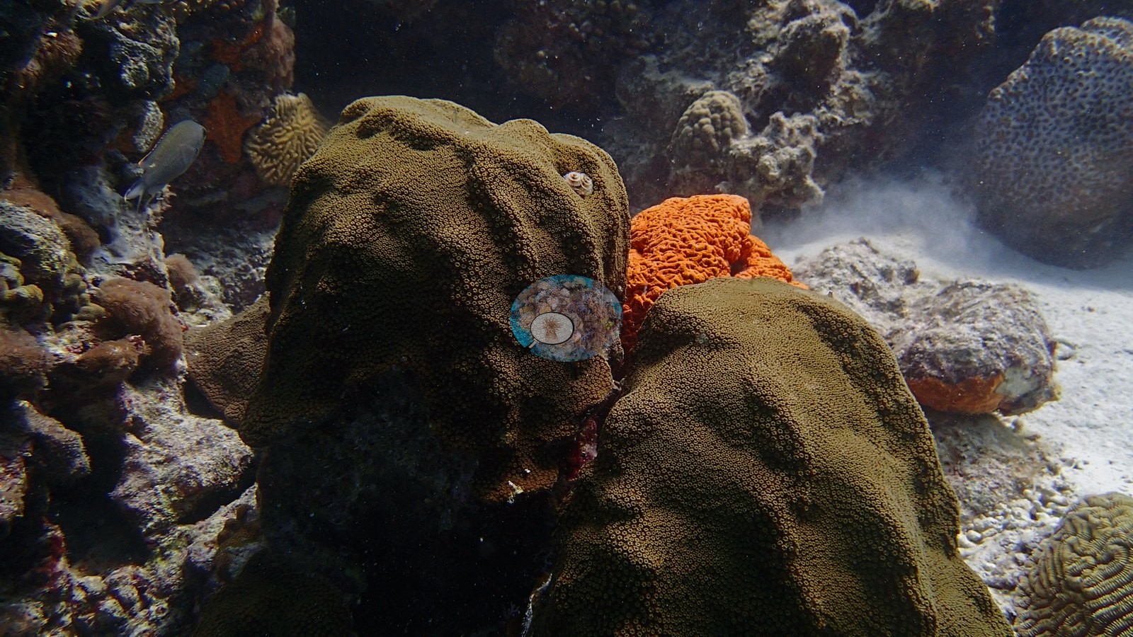
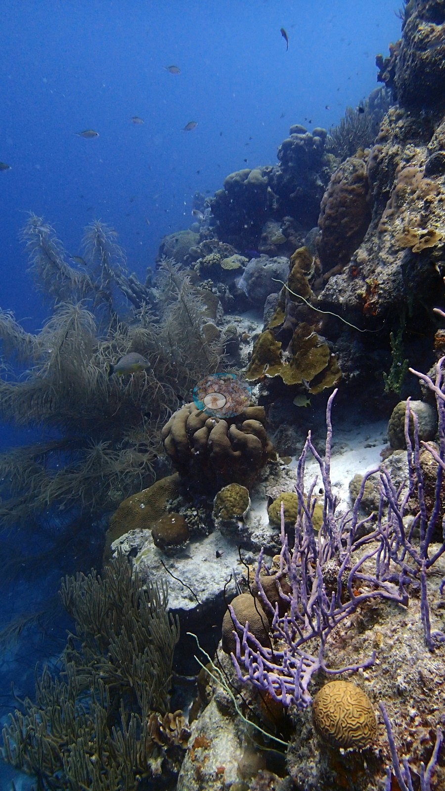
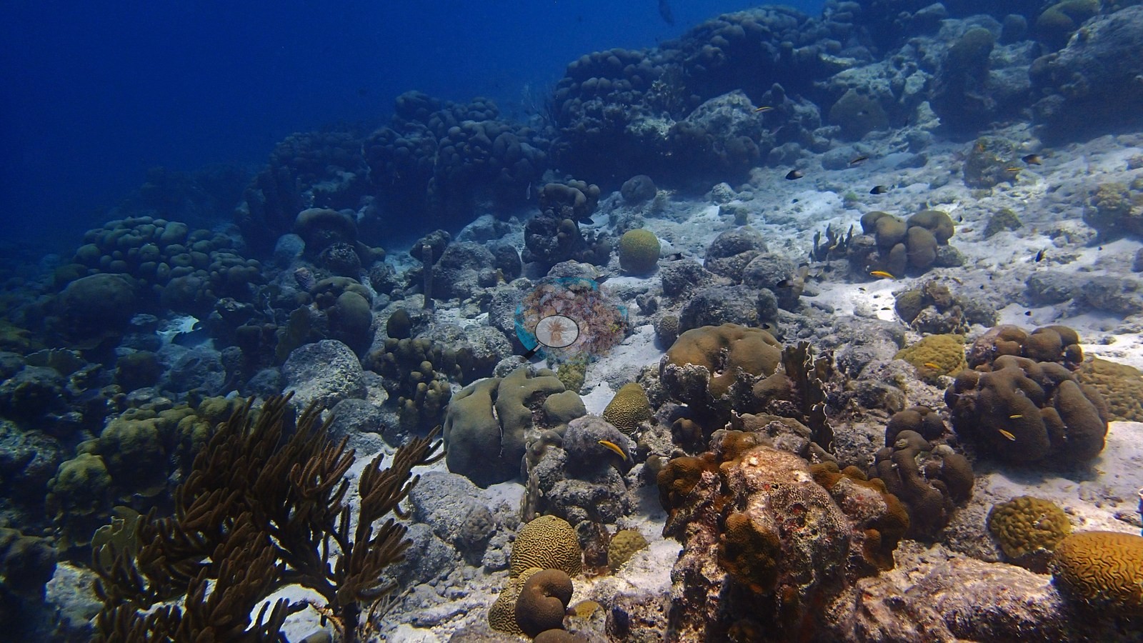
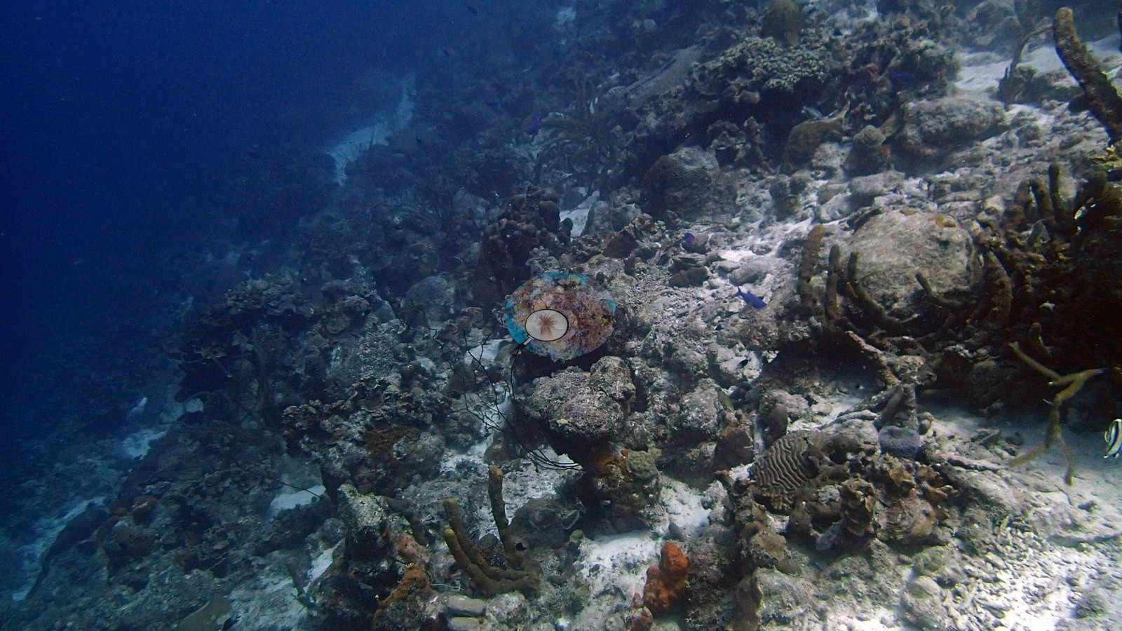
Patch-reef areas contain large lobate and massive star-coral forms, grooved brain corals, sea rods, soft corals, and tube sponges (e.g., Image 2, Image 4).
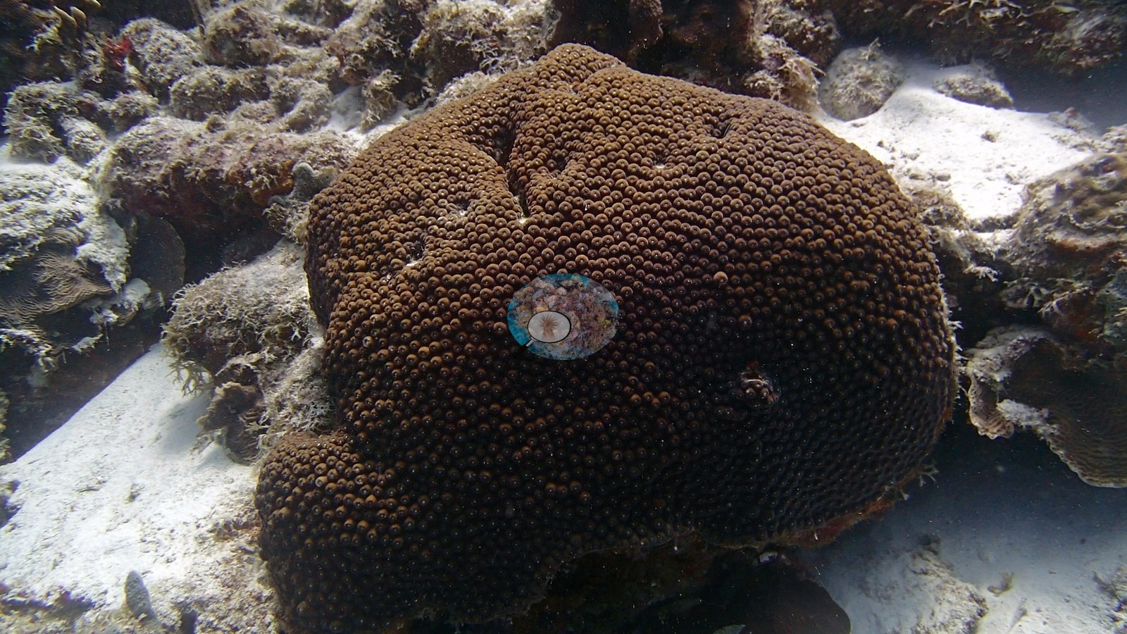
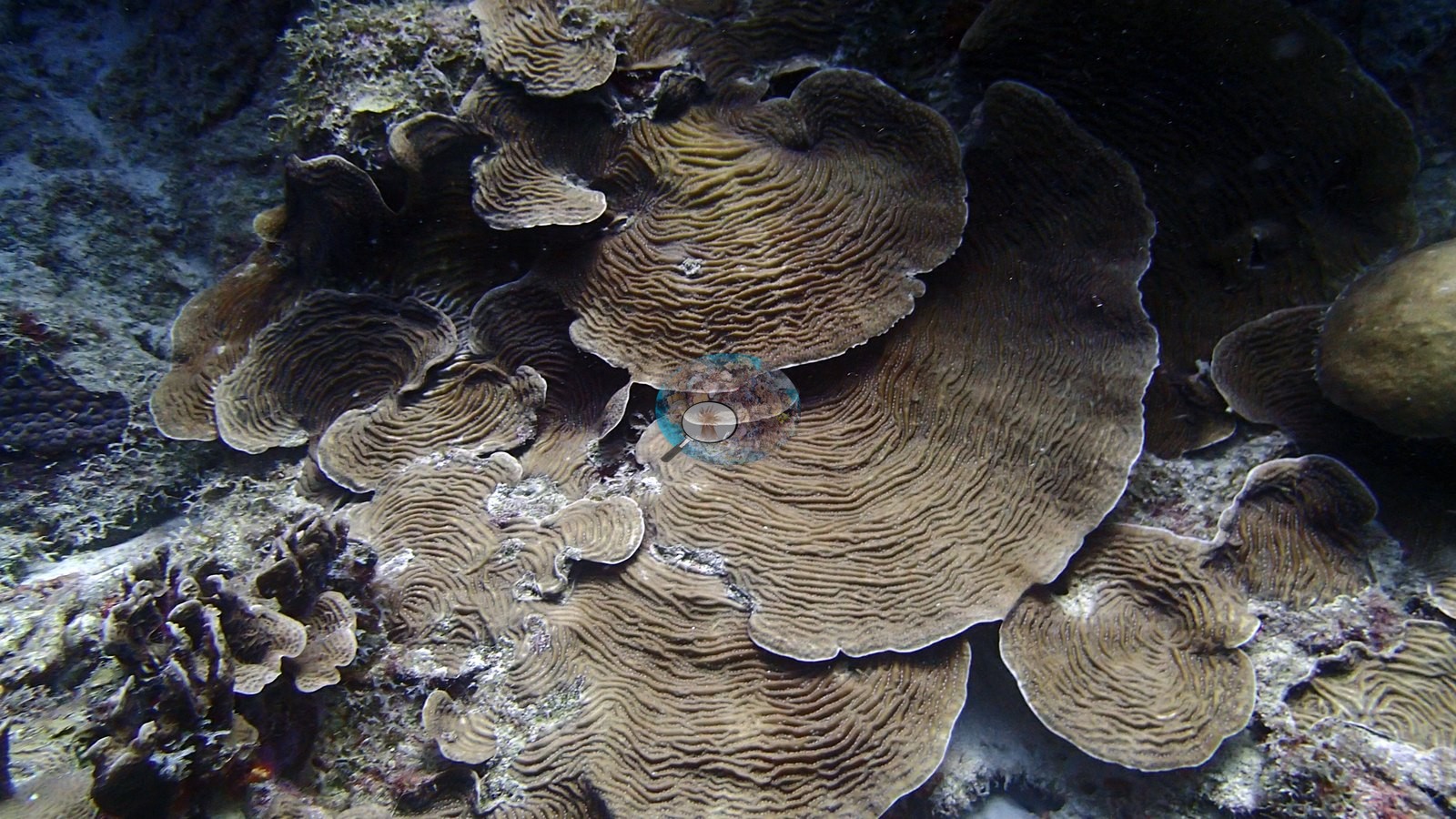
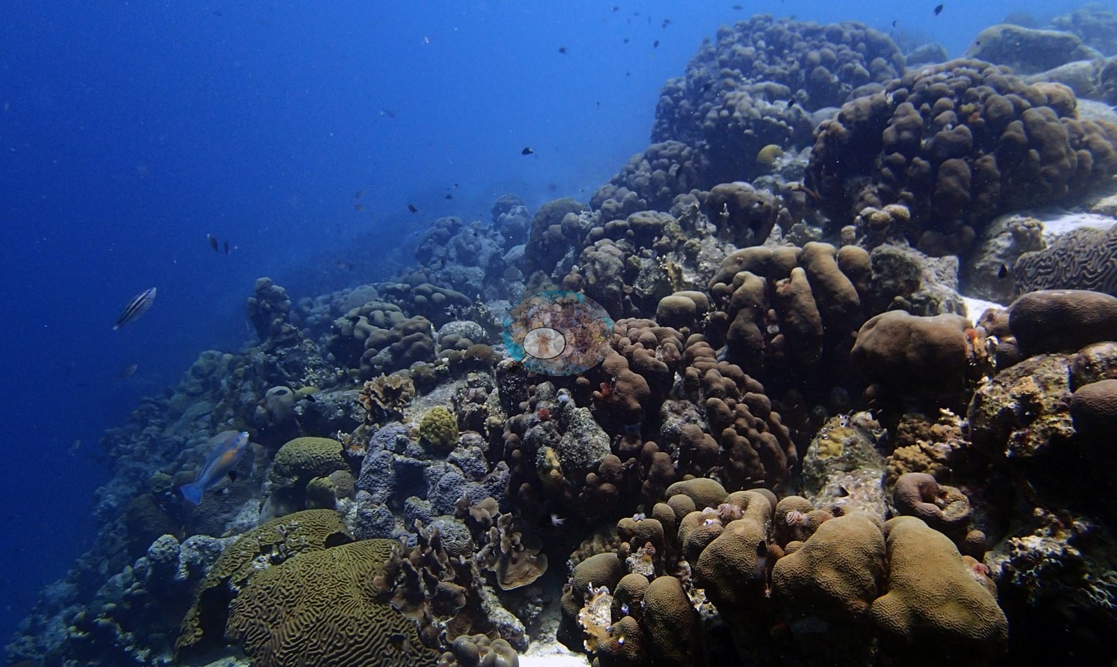
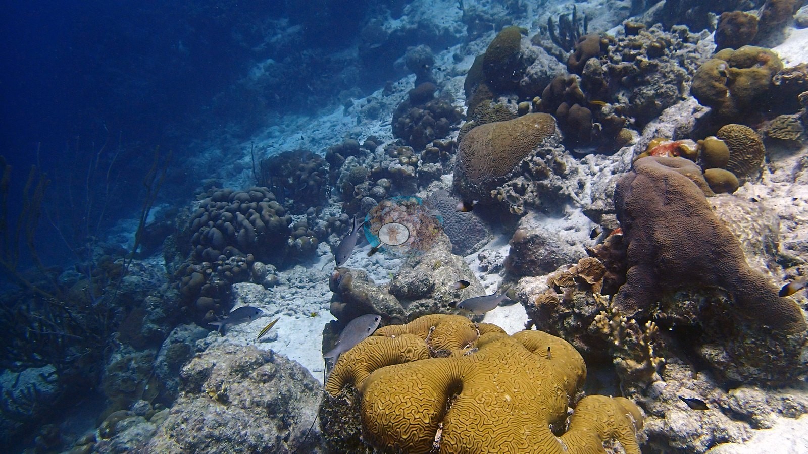
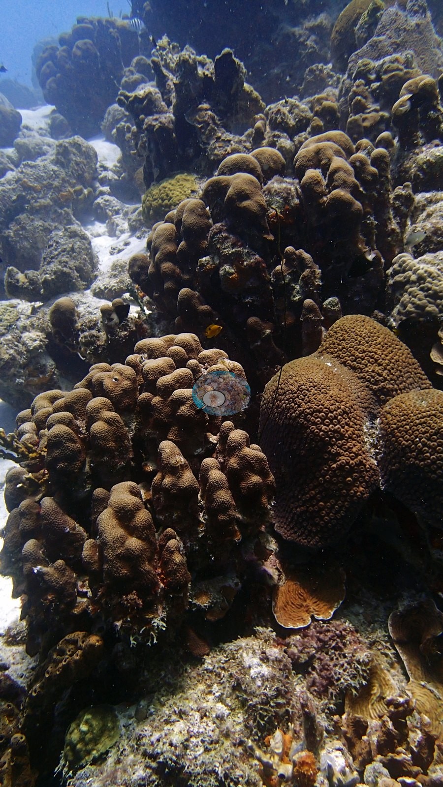
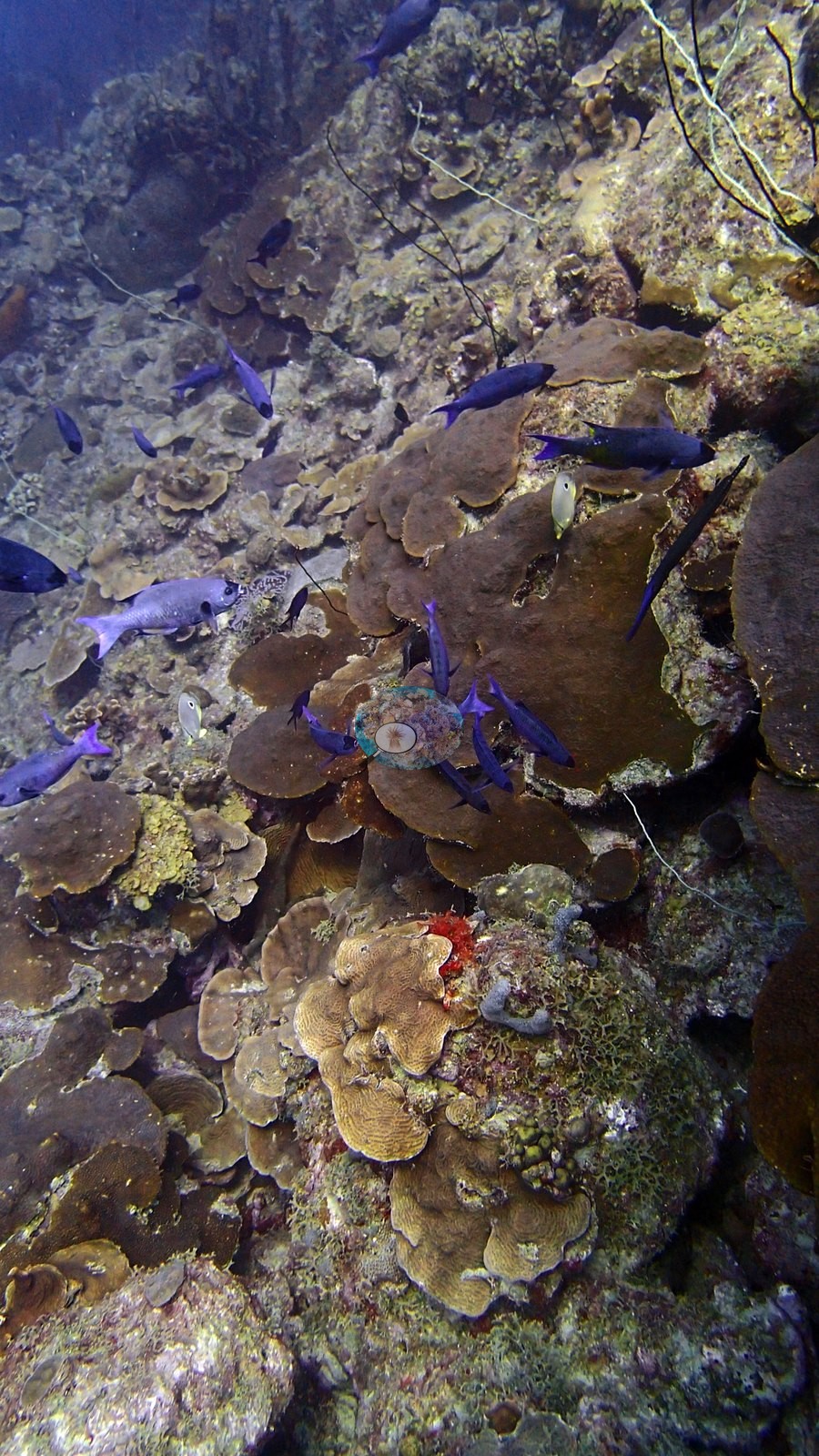
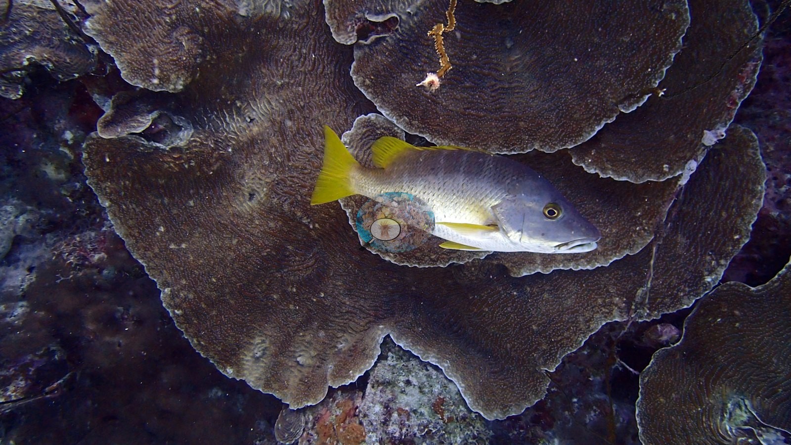
The defining deeper habitat is a steep cliff/drop-off carrying dense overlapping plate or lettuce corals, massive colonies, gorgonians, and sponges (e.g., Image 3).
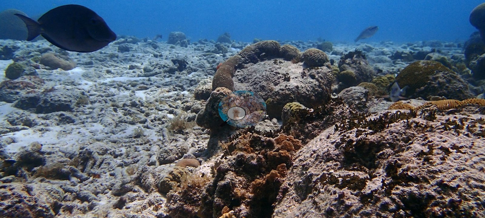
This creates high three-dimensional relief and many crevices, while sand channels and older carbonate framework remain conspicuous between living colonies (e.g., Image 5).
Coral cover
- Reference: Claude CV point count (this site's photos)
- Coral cover: 31% — a blind Claude computer-vision point count of 58 of Anderson's edited photographs (20 points per photo; water, fish, and obstructions excluded). Other computer-vision methods are listed in the method table.
Stressors
The image set does not show a widespread bleaching event, macroalgal takeover, or an unmistakable acute disease outbreak. Most photographed colonies retain normal brown, tan, or green pigmentation and substantial live tissue. Localized old partial mortality, small scars, and encrusted dead skeleton are present on several massive and brain corals—most clearly in one frame—and rubble/open substrate is extensive in the shallow transition. These observations indicate mixed condition rather than a uniformly pristine reef, but single photographs cannot establish whether any lesion is currently progressing. Dark sea rods should not be classified as dead from color alone because species pigmentation and polyp retraction can produce the same appearance. No corallivores were evident.
Fish and other fauna
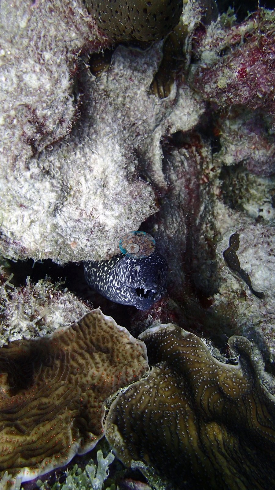
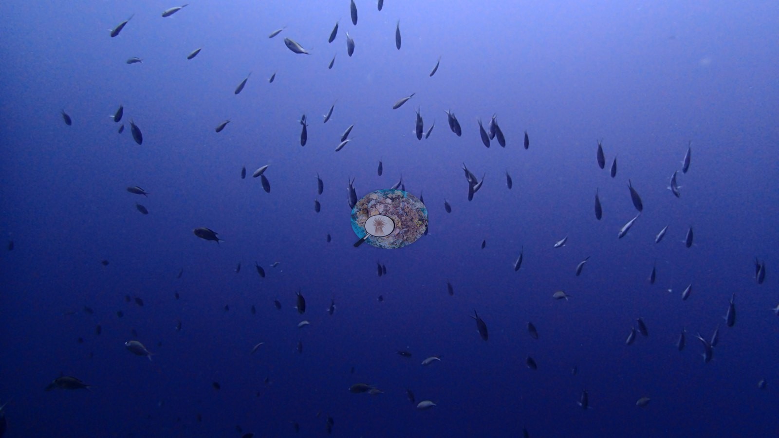
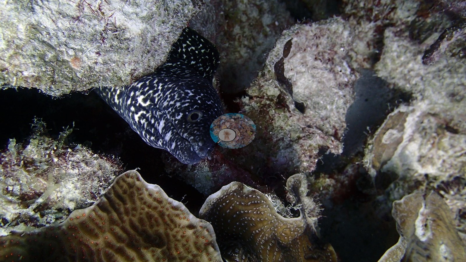
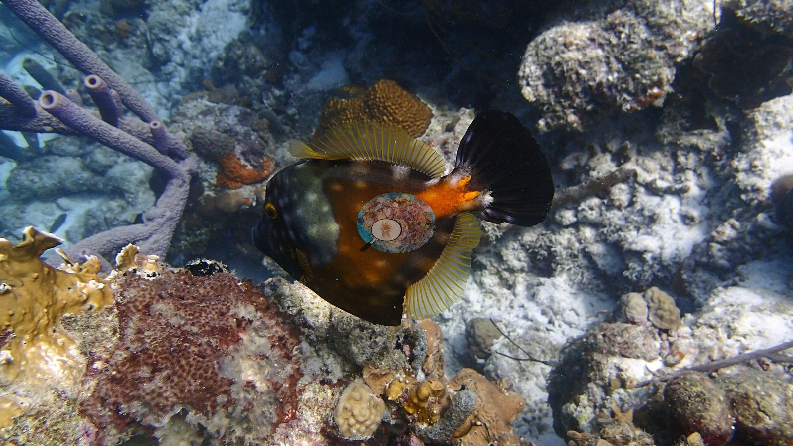
Two enormous tarpon, about 2 m long, cruised past at 25–30 m (Anderson's log) (e.g., Image 27, Image 31), and spotted moray eels peered from crevices, with schooling parrotfish, grunts, and an orange whitespotted filefish working the reef (e.g., Image 16, Image 40).
Comparisons with other data
Stokes et al. (2010) surveyed this site (Cliff) in 2008, 0.17 km from the pin. Within 5 km, fourteen independent stations recorded station-year means of 6.0–49% hard coral cover between 1982 and 2017; the nearest, Stokes et al. 2010 at Cliff [2008 - 10 m], 0.17 km away, read 27% in 2008.
CV model comparison
More info
A few colony-focused photos raise the mean; the median is the typical photo. No computer-vision method yet estimates coral cover accurately on new images, so treat this as indicative rather than a measurement; it is revised as the methods improve.More info
Other rows are for comparison only and are never averaged. No diver transect exists for these photos, so agreement between rows is not accuracy.| Method | Hard coral cover (%) | Photos (n) ± SE |
|---|---|---|
| CoralSCOP edited | 27.8 | n = 61 · SE 2.3 |
| Claude (edited photos) | 30.5 | n = 58 · SE 2.3 |
CoralSCOP (edited photos) reads 27.8%, within 2.7 pp of Claude's blind point count (30.5%).
See a more detailed, stand-alone version of this table.
Independent surveys nearby
| Agency / program | Year(s) | Stations / distance | Link |
|---|---|---|---|
| Handschuh (pers. comm.) 1997, via Stokes et al. 2010 | 1997 | 1 station, 0.17 km | Records ↓ |
| Kobluk & Lysenko 1984 | 1982 | 1 station, 0.17 km | Records ↓ |
| Steneck et al. (2019) | 2004–2017 | 5 stations, 0.38–4.83 km | Records ↓ |
| Stokes et al. 2010 | 2008 | 2 stations, 0.17 km | Records ↓ |
| XL Catlin Seaview Survey | 2013 | 5 stations, 3.20–4.95 km | Records ↓ |
 Coral Reef DiagnosticsYear-average (illustrative only, programs differ)
Within 5 km, 14 independent survey stations recorded hard coral cover in 143 records between 1982 and 2017. Of the 5 stations surveyed in more than one year, 2 declined (by 1.0–8.0 points), 2 increased (by 10–13 points), and 1 changed by less than 1 point between their first and latest surveys. Two stations share the longest span (2004–2017); one, Reef Scientifico (Steneck et al. 2019, 0.38 km away), went from 38% in 2004 (mean of 8 records) to 48% in 2017 (mean of 4 records). The most recent nearby survey is from 2017, so these values predate recent heat stress. This site's own estimate (31%) sits within the range of these station-year means up to 2 km away (27–49%); the methods differ, so the comparison is context, not a like-for-like test.
Collected by other programs using different methods (the XL Catlin Seaview Survey uses photo-transects with automated image annotation), so these are context for the figures above, not a like-for-like comparison. Where a station was surveyed more than once, the cell shows either the range of its values or, as a single value, the mean of surveys made in one year. Station names are not dive-site names.
Show all 143 independent survey records
| Agency | Site / location | Date | Hard coral cover (%) | Distance | Link |
|---|---|---|---|---|---|
| Kobluk & Lysenko 1984 | Cliff (Aquahabitat photomosaic station) [19 m] | 1982 | 40% | 0.17 km | — |
| Handschuh (pers. comm.) 1997, via Stokes et al. 2010 | Cliff [7.6 m] | 1997 | 32% | 0.17 km | — |
| Steneck et al. (2019) | Reef Scientifico | 2004–2017 | 36–49% (range of yearly means; 35 records) | 0.38 km | doi:10.3389/fmars.2019.00265 |
| Steneck et al. (2019) | Barcadera | 2004–2017 | 30–49% (range of yearly means; 40 records) | 2.18 km | doi:10.3389/fmars.2019.00265 |
| Stokes et al. 2010 | Cliff [2008 - 10 m] | 2008 | 27% | 0.17 km | doi:10.5479/si.00775630.582.1 |
| Stokes et al. 2010 | Cliff [2008 - 20 m] | 2008 | 36% | 0.17 km | doi:10.5479/si.00775630.582.1 |
| Steneck et al. (2019) | Oilslick leap | 2009–2017 | 30–47% (range of yearly means; 20 records) | 2.18 km | doi:10.3389/fmars.2019.00265 |
| Steneck et al. (2019) | Front Porch | 2009–2017 | 17–45% (range of yearly means; 19 records) | 3.85 km | doi:10.3389/fmars.2019.00265 |
| Steneck et al. (2019) | Calabas | 2009–2017 | 24–36% (range of yearly means; 20 records) | 4.83 km | doi:10.3389/fmars.2019.00265 |
| XL Catlin Seaview Survey | transect 17045 | 2013 | 16% | 3.20 km | doi:10.14264/uql.2019.930 |
| XL Catlin Seaview Survey | transect 17037 | 2013 | 20% | 3.77 km | doi:10.14264/uql.2019.930 |
| XL Catlin Seaview Survey | transect 17043 | 2013 | 6.0% | 4.29 km | doi:10.14264/uql.2019.930 |
| XL Catlin Seaview Survey | transect 17044 | 2013 | 15% | 4.39 km | doi:10.14264/uql.2019.930 |
| XL Catlin Seaview Survey | transect 17034 | 2013 | 18% | 4.95 km | doi:10.14264/uql.2019.930 |
Data & links
All images from Coral Reef Diagnostics. Data are from Coral Reef Diagnostics and the organizations named in the data sources above.
© Coral Reef Diagnostics.
References
- Kobluk DR, Lysenko MA (1984). Carbonate rocks and coral reefs, Bonaire, Netherlands Antilles. Geological Association of Canada, Field Trip 13 guidebook, Toronto. 67 pp.
- Stokes MD, Leichter JJ, Genovese SJ (2010). Long-term declines in coral cover at Bonaire, Netherlands Antilles. Atoll Research Bulletin 582:1-21. DOI
- Steneck RS, Arnold SN, Boenish R, de León R, Mumby PJ, Rasher DB, et al. (2019). Managing Recovery Resilience in Coral Reefs Against Climate-Induced Bleaching and Hurricanes: A 15 Year Case Study From Bonaire, Dutch Caribbean. Frontiers in Marine Science 6:265. PDF
- Gonzalez-Rivero M, et al. (2019). Seaview Survey photo-quadrat and image classification dataset. The University of Queensland (UQ eSpace) data collection. DOI