
Bonaire - La Dania's Leap

Part of the regional summary: Bonaire
More about this place: Bonaire on Wikipedia
More info
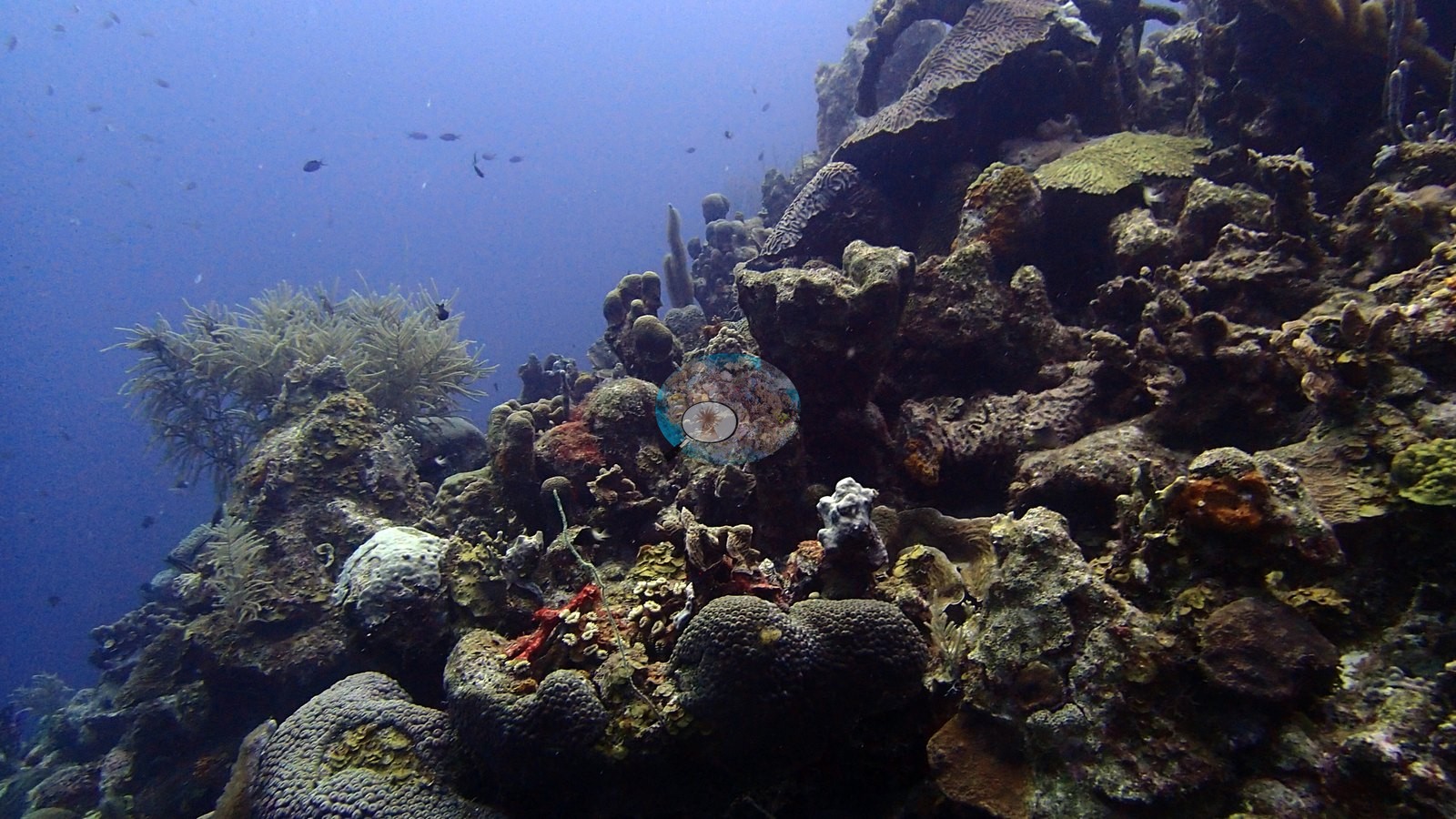
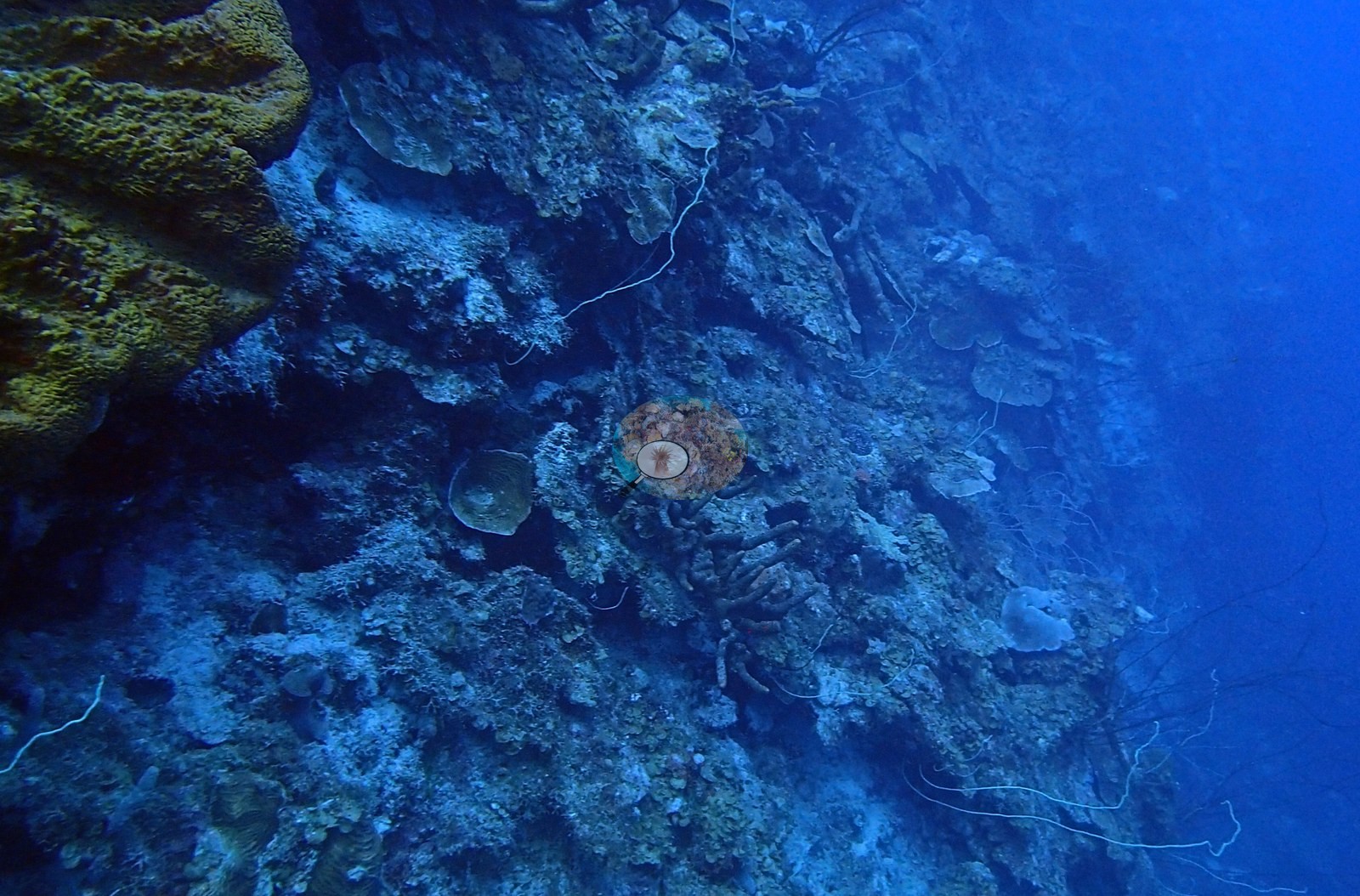
Aruba, Curacao, and Bonaire (NOAA CRW virtual station)La Dania's Leap is a giant-stride shore entry off a limestone ledge straight onto a steep Bonaire wall, with elkhorn coral crowning the shallows and a face packed with plate, brain, and boulder corals, plus orange tube sponges. Schools of reef fish stream along the drop-off; a few brain corals carry large patches of old dead tissue, but most of the reef looks coral-dense.
La Dania's Leap is een kantinstap met een reuzenpas vanaf een kalksteenrichel, direct op een steile wand van Bonaire, met elandsgeweikoraal als kroon op het ondiepe deel en een wand vol plaat-, hersen- en sterkoralen, plus oranje buisponzen. Scholen rifvissen trekken langs de drop-off; enkele hersenkoralen dragen grote plekken oud, dood weefsel, maar het grootste deel van het rif ziet er dicht met koraal begroeid uit.
AI translation of this summary; the English is authoritative.
Eleven independent survey stations shown with the program’s logo — click one to see how far it is from this site.
Three other CRD dive sites with their own pages within 5 km shown in orange — click a marker to open its page.
5 of the 48 photographs on this page are shown beside the text that discusses them under "Site description" below.
Site description
Setting
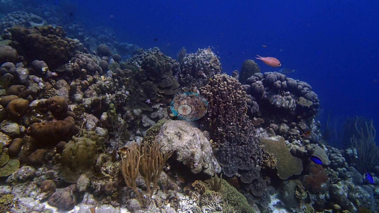
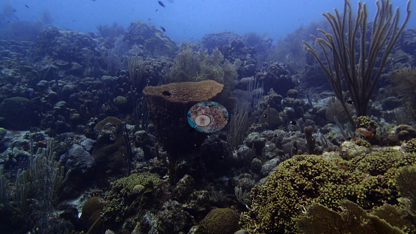
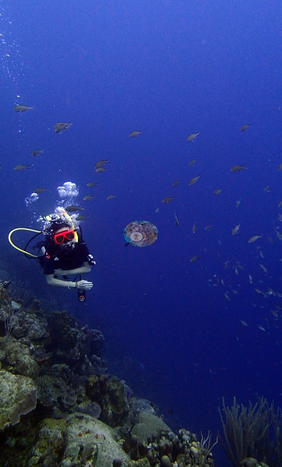
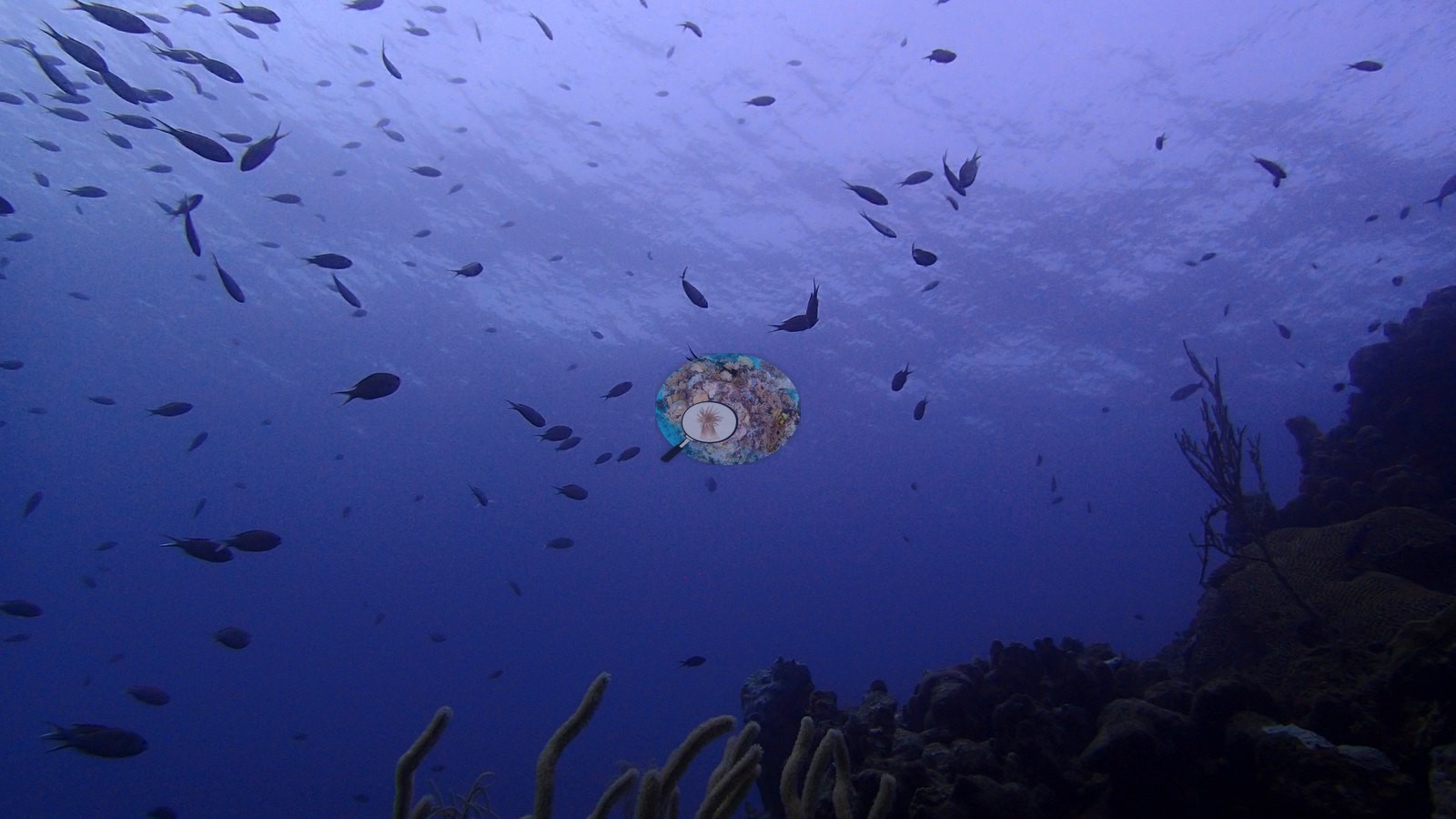
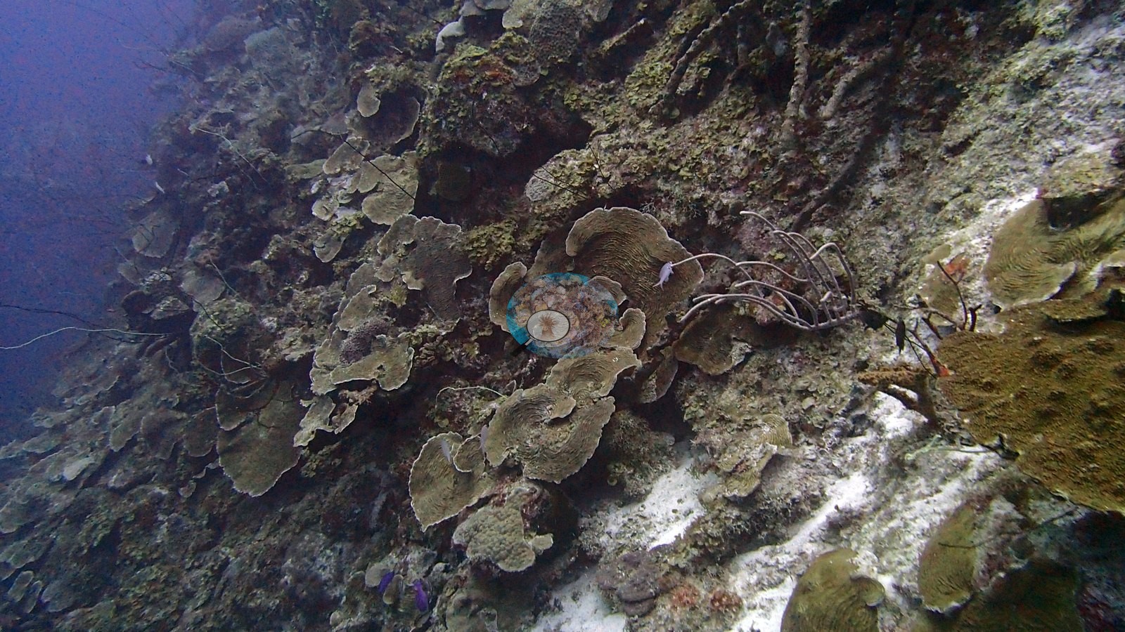
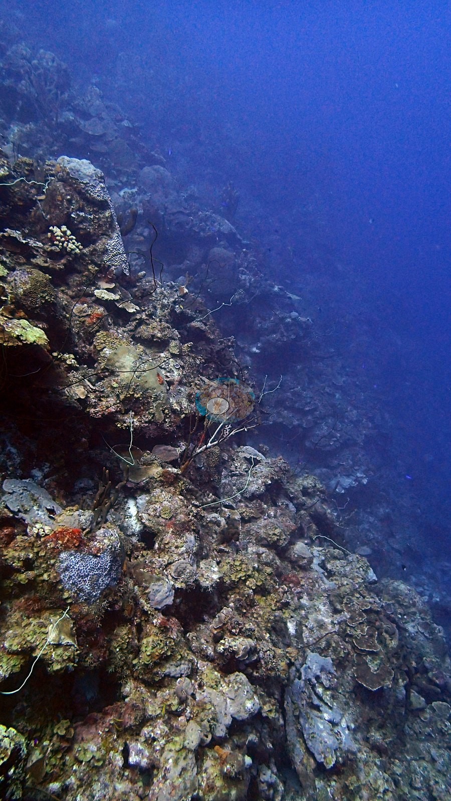
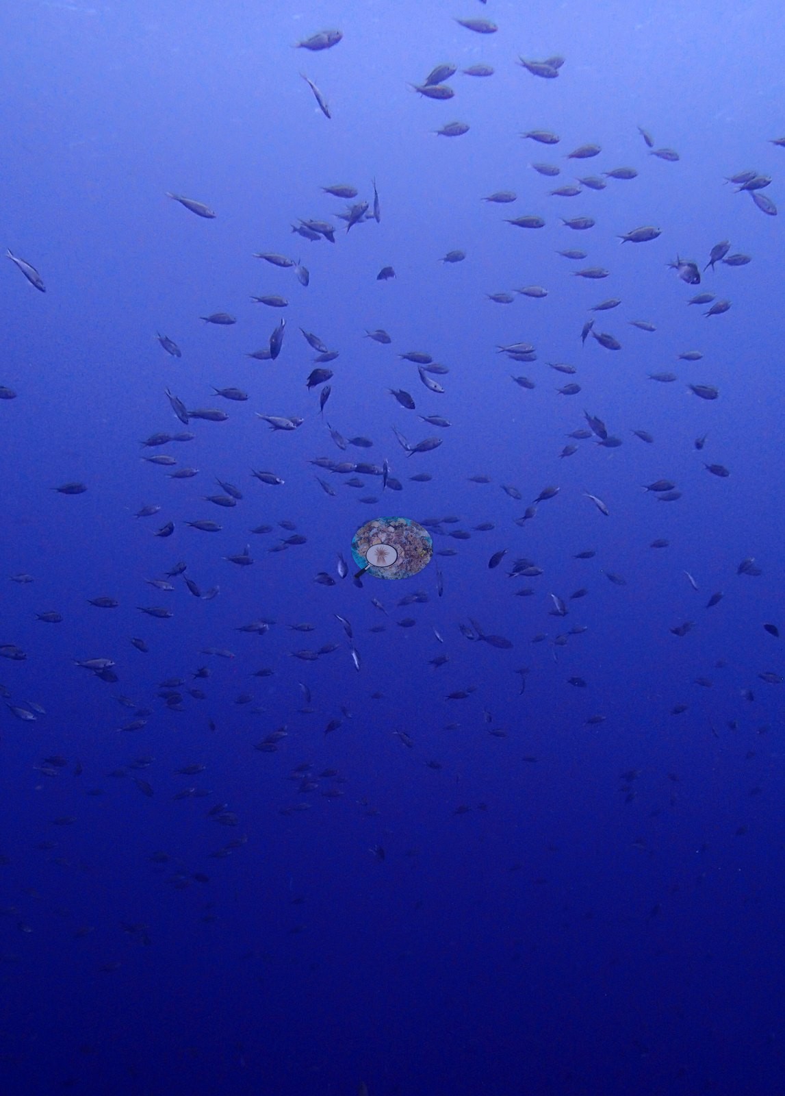
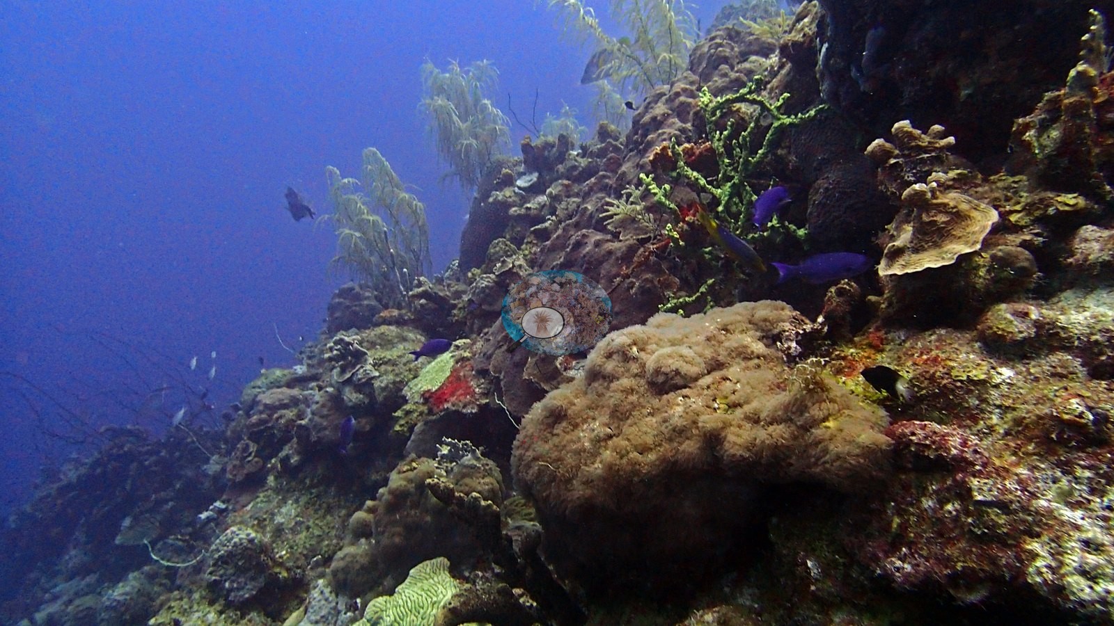
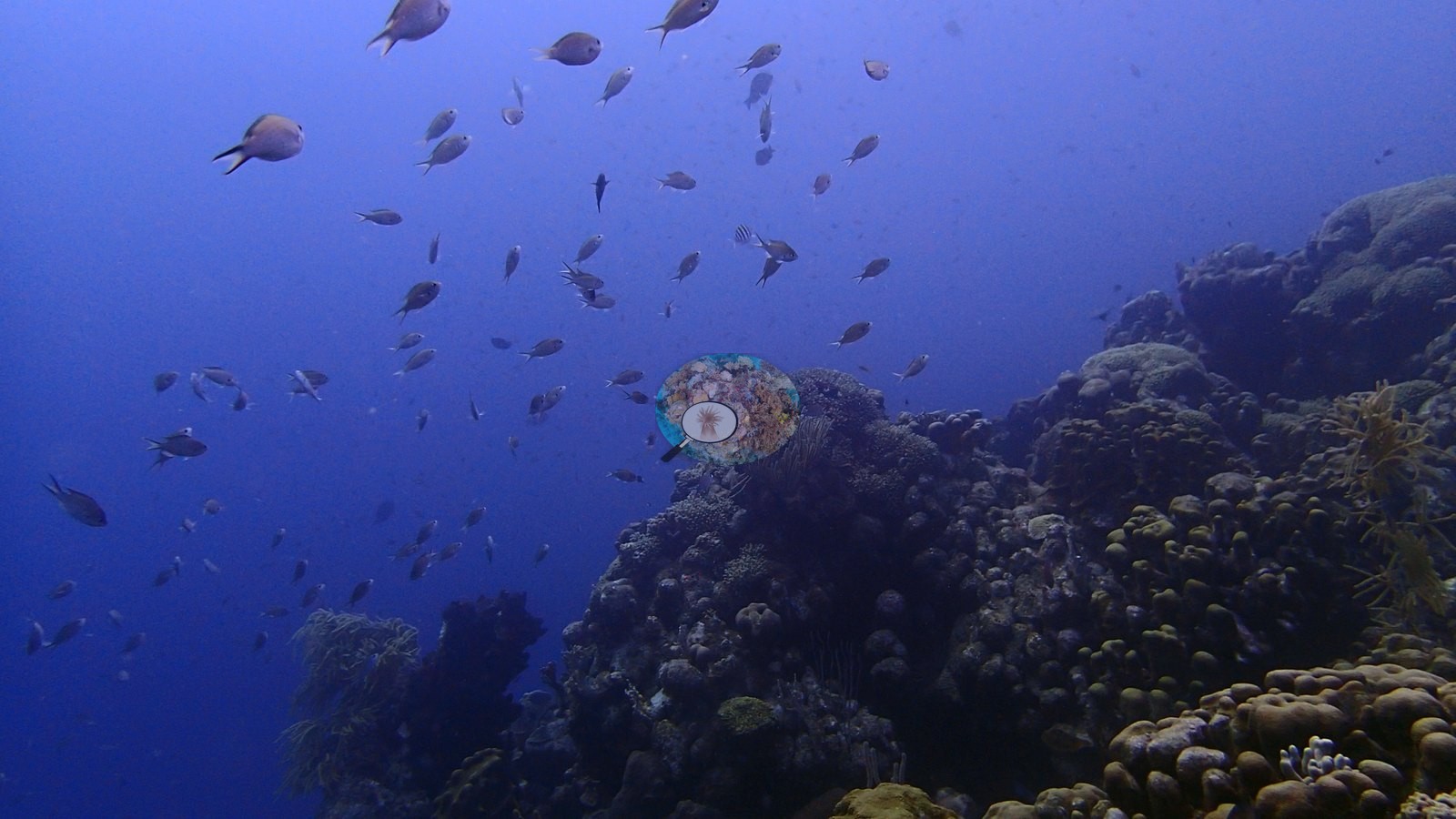
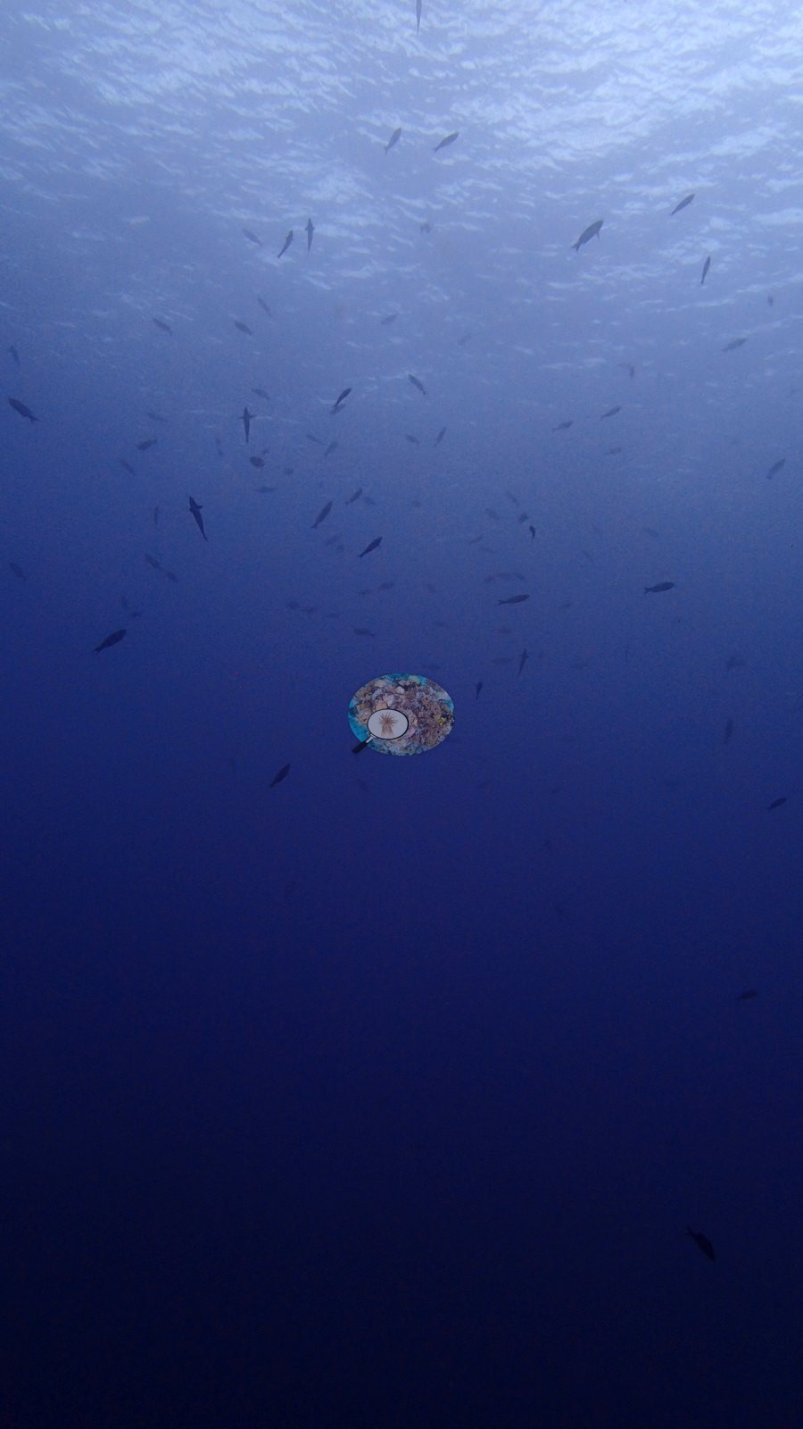
A dramatic shore dive entered by a giant stride off a low limestone ledge into deep water, dropping straight into a steep wall (e.g., Image 2).
General benthic features
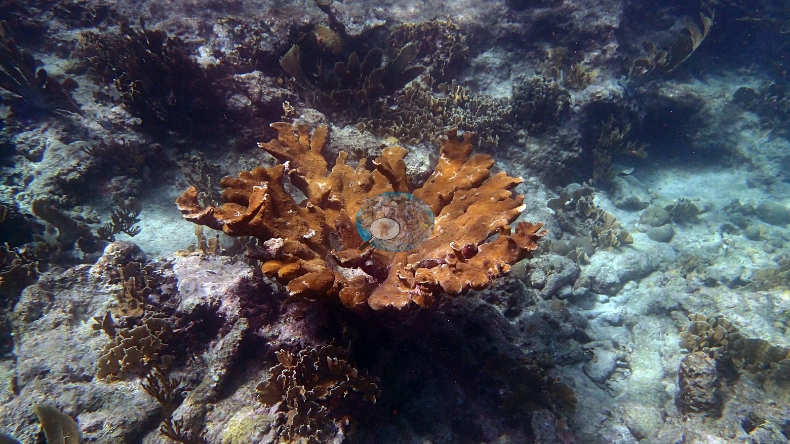
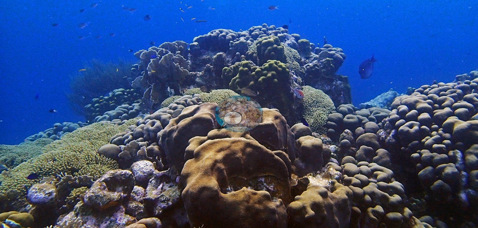
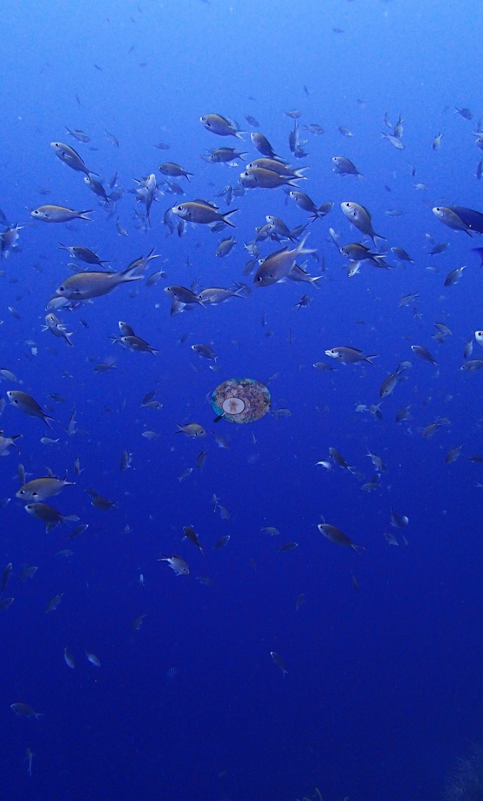
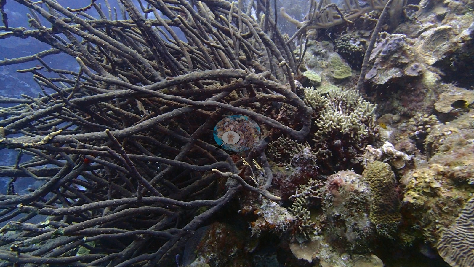
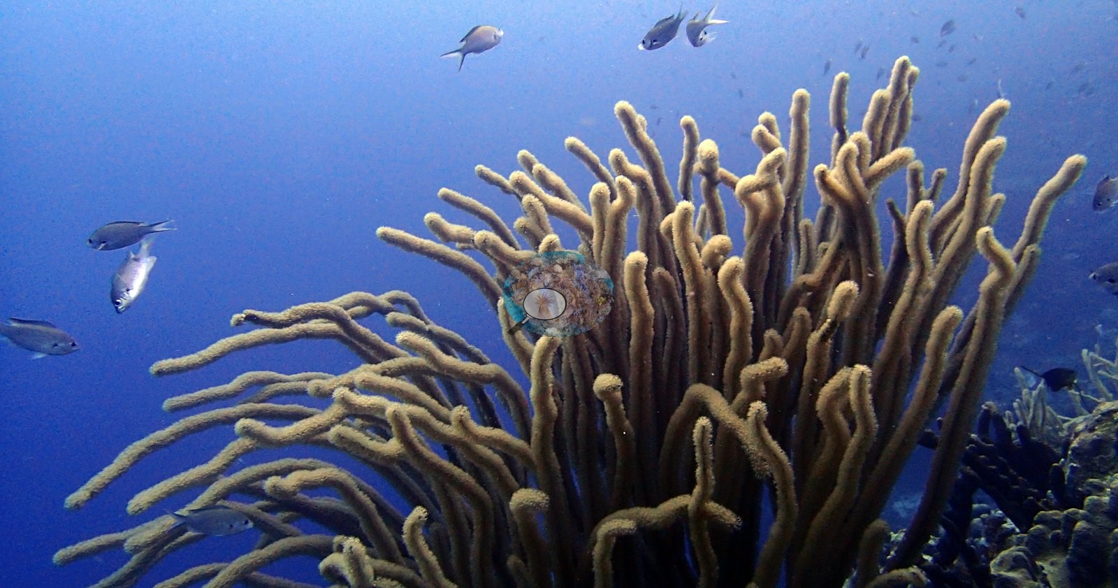
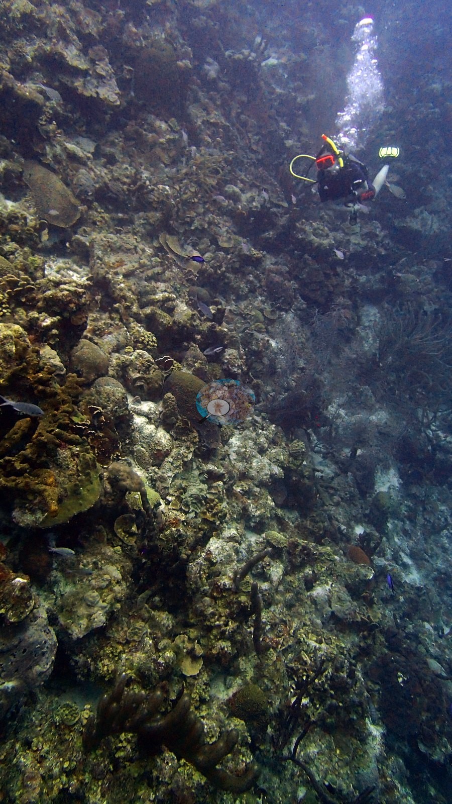
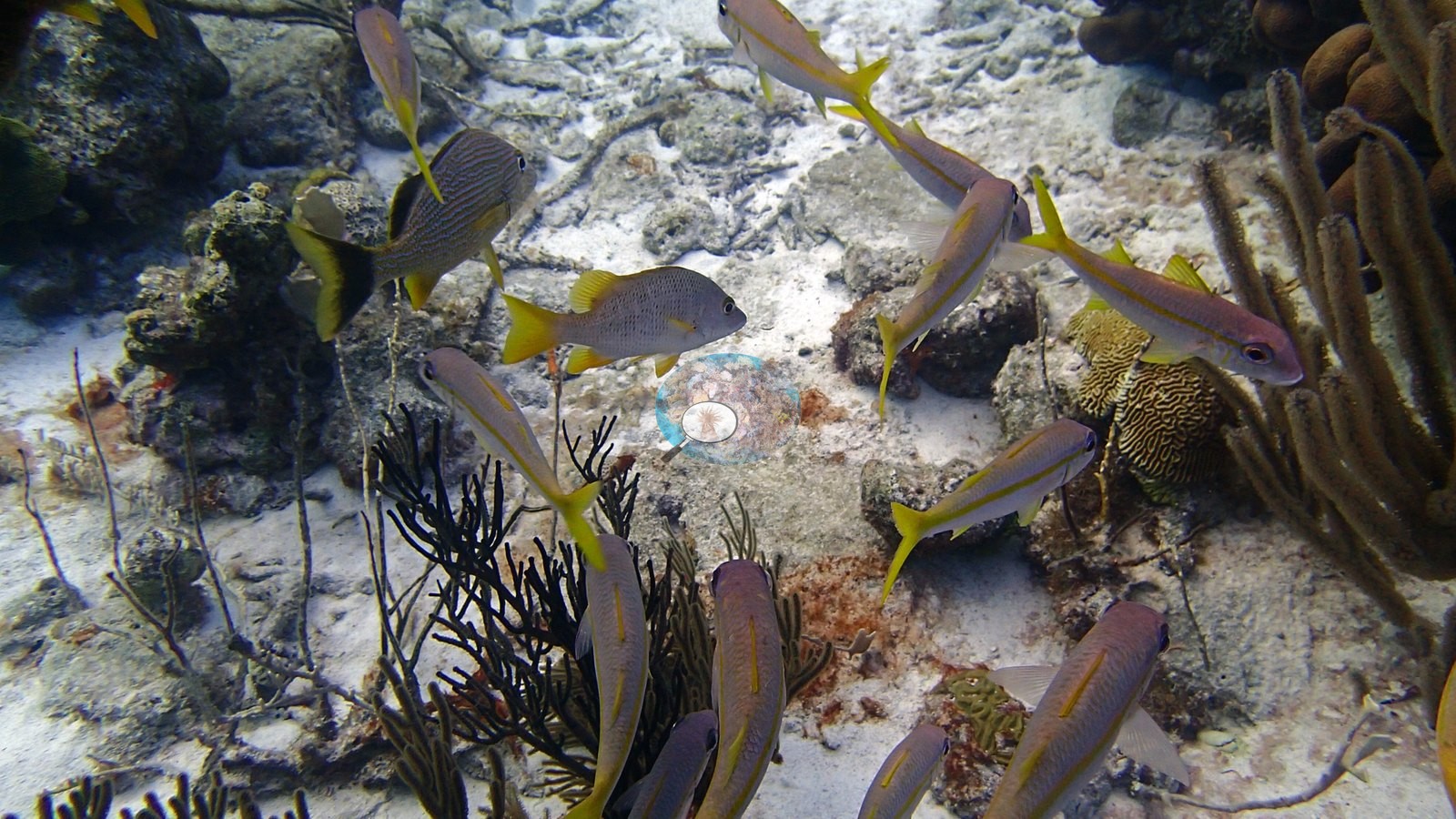
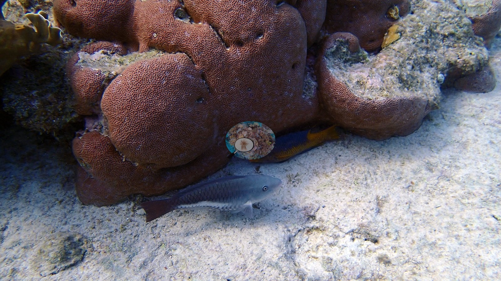
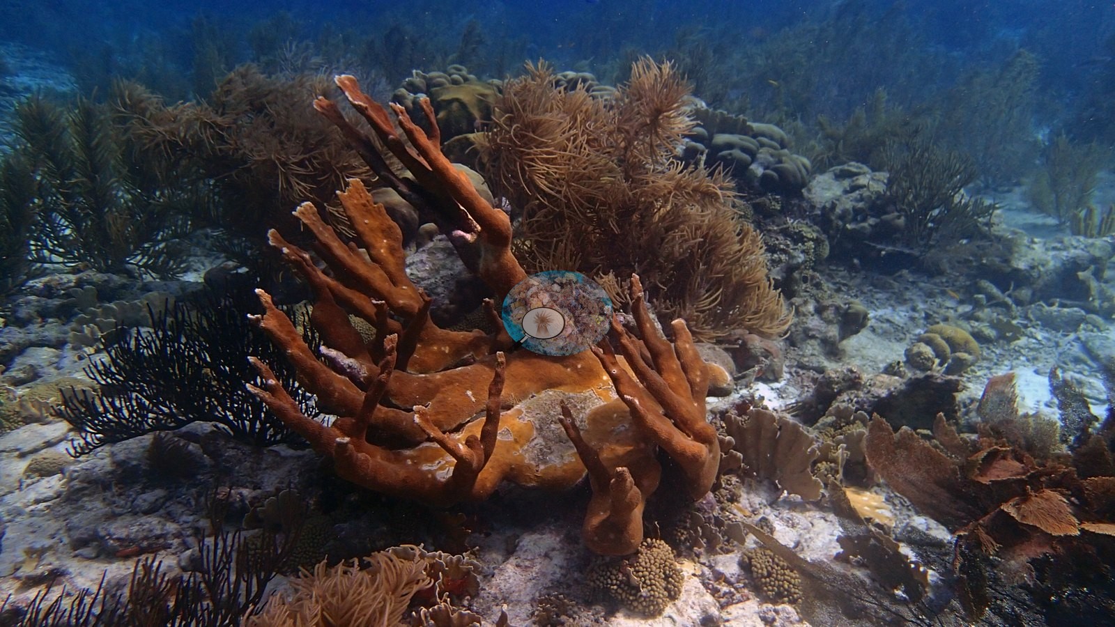
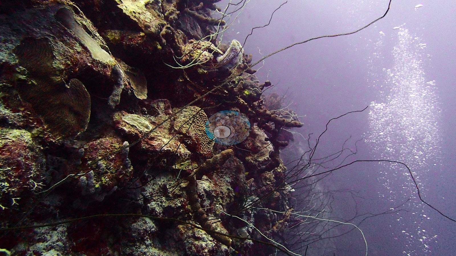
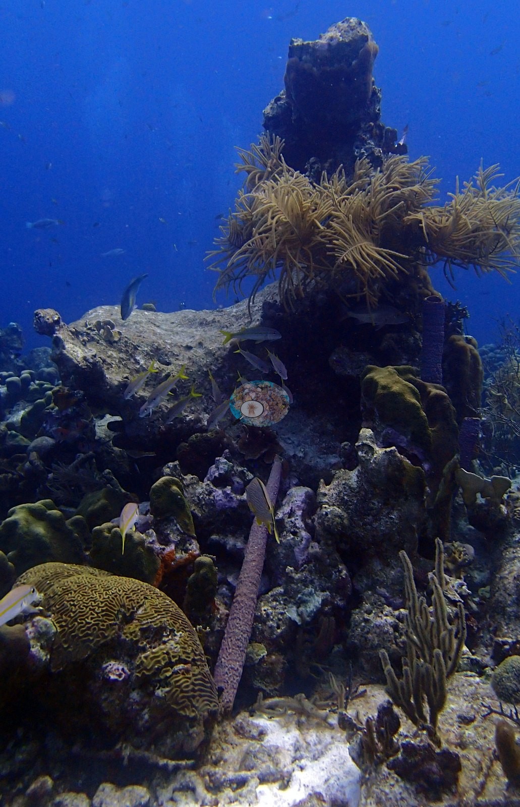
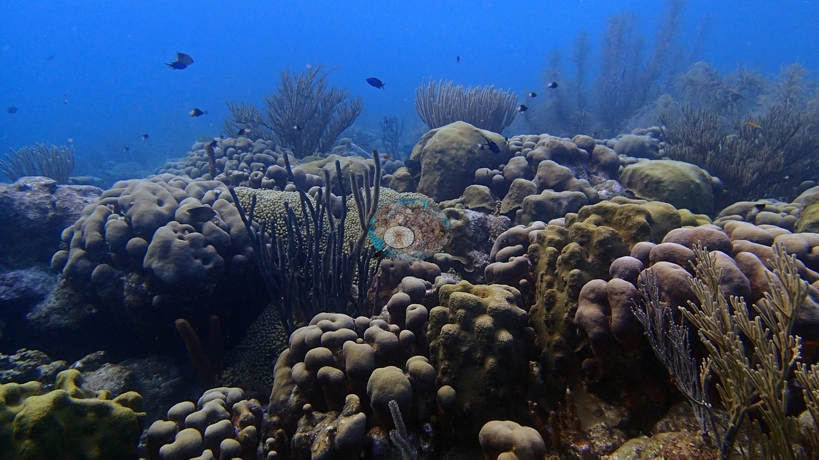
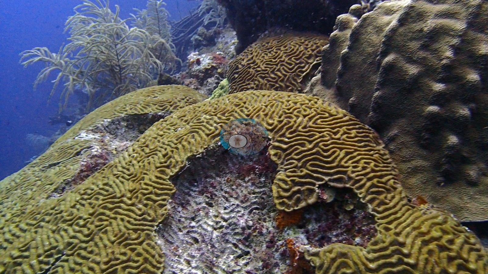
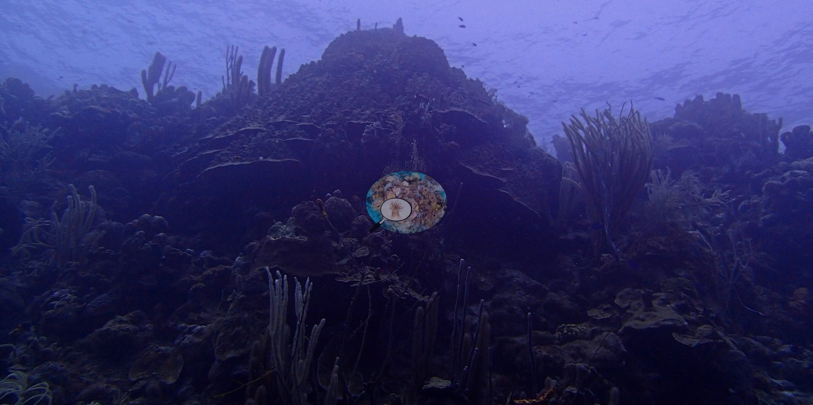
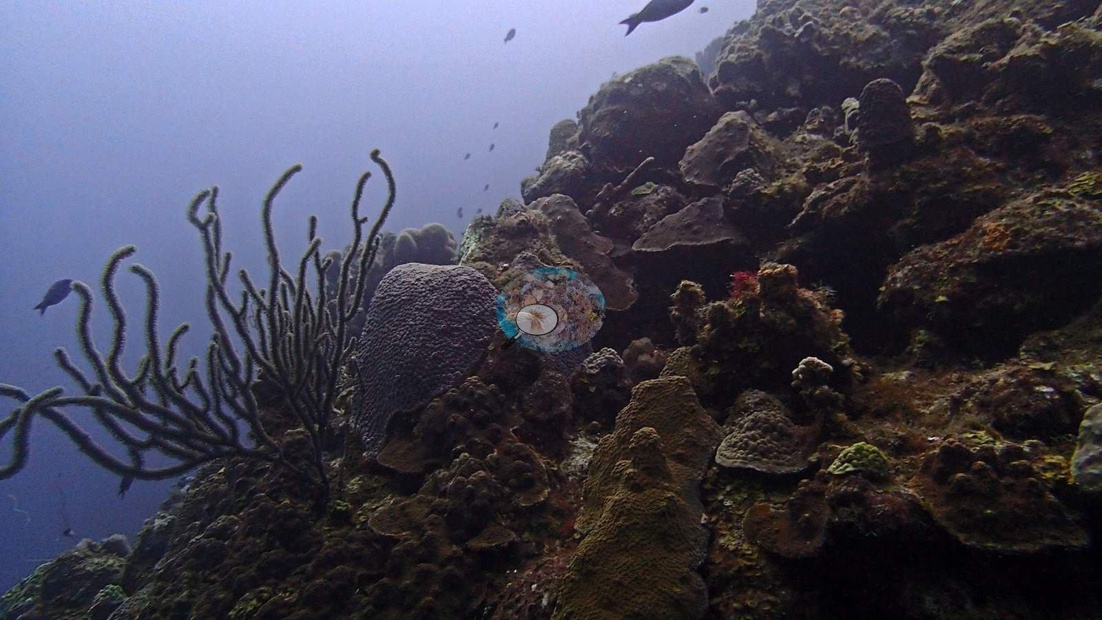
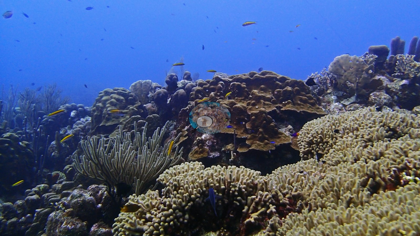
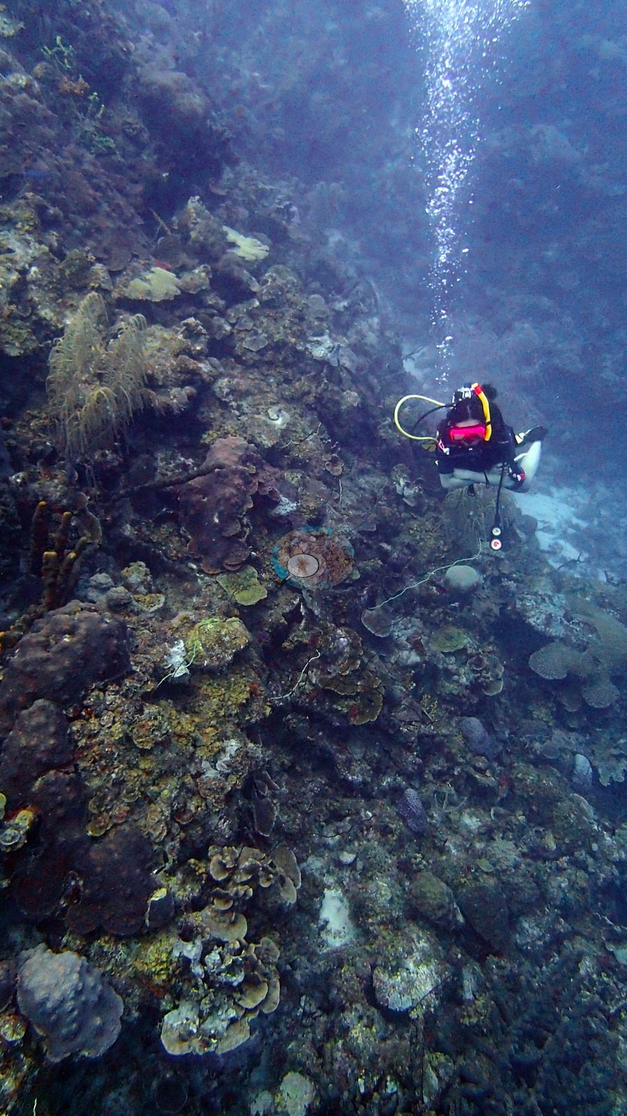
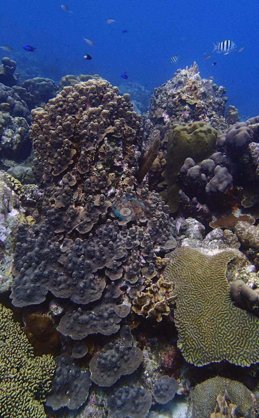
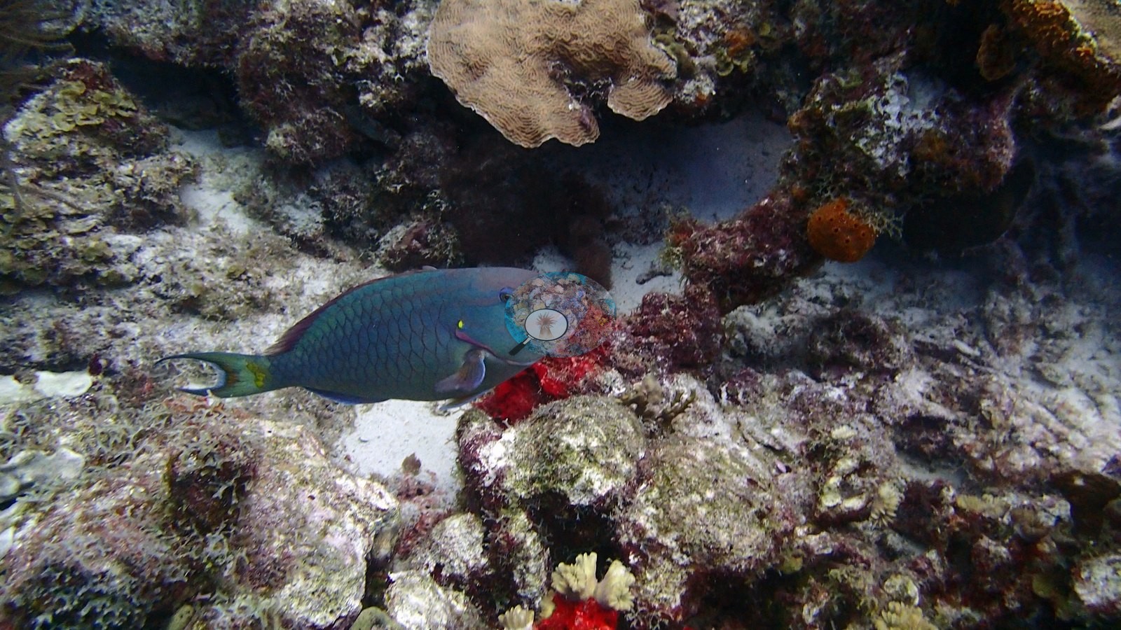
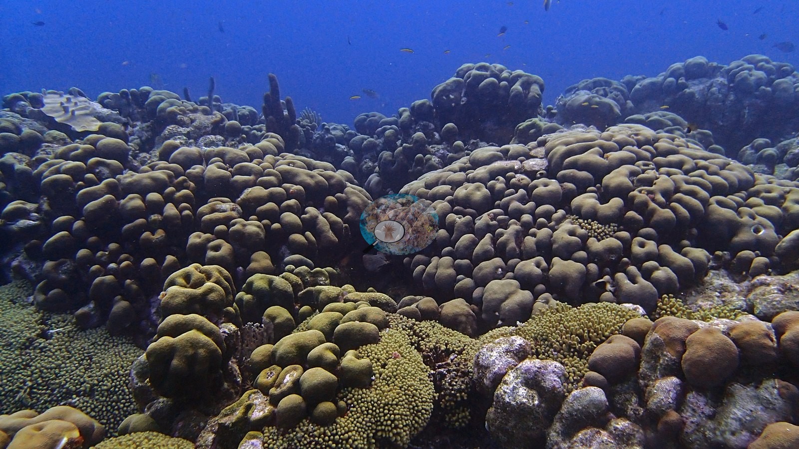
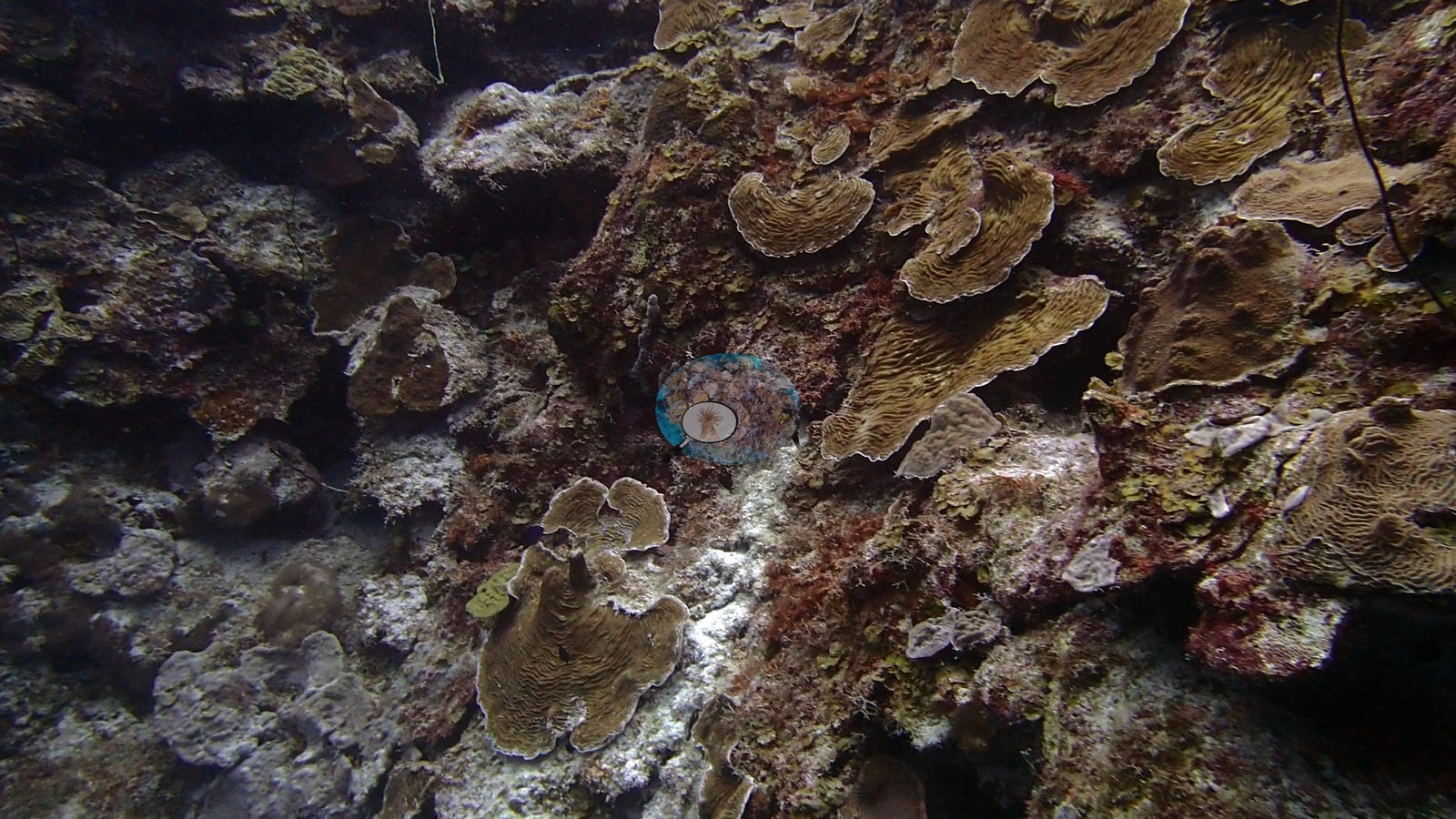
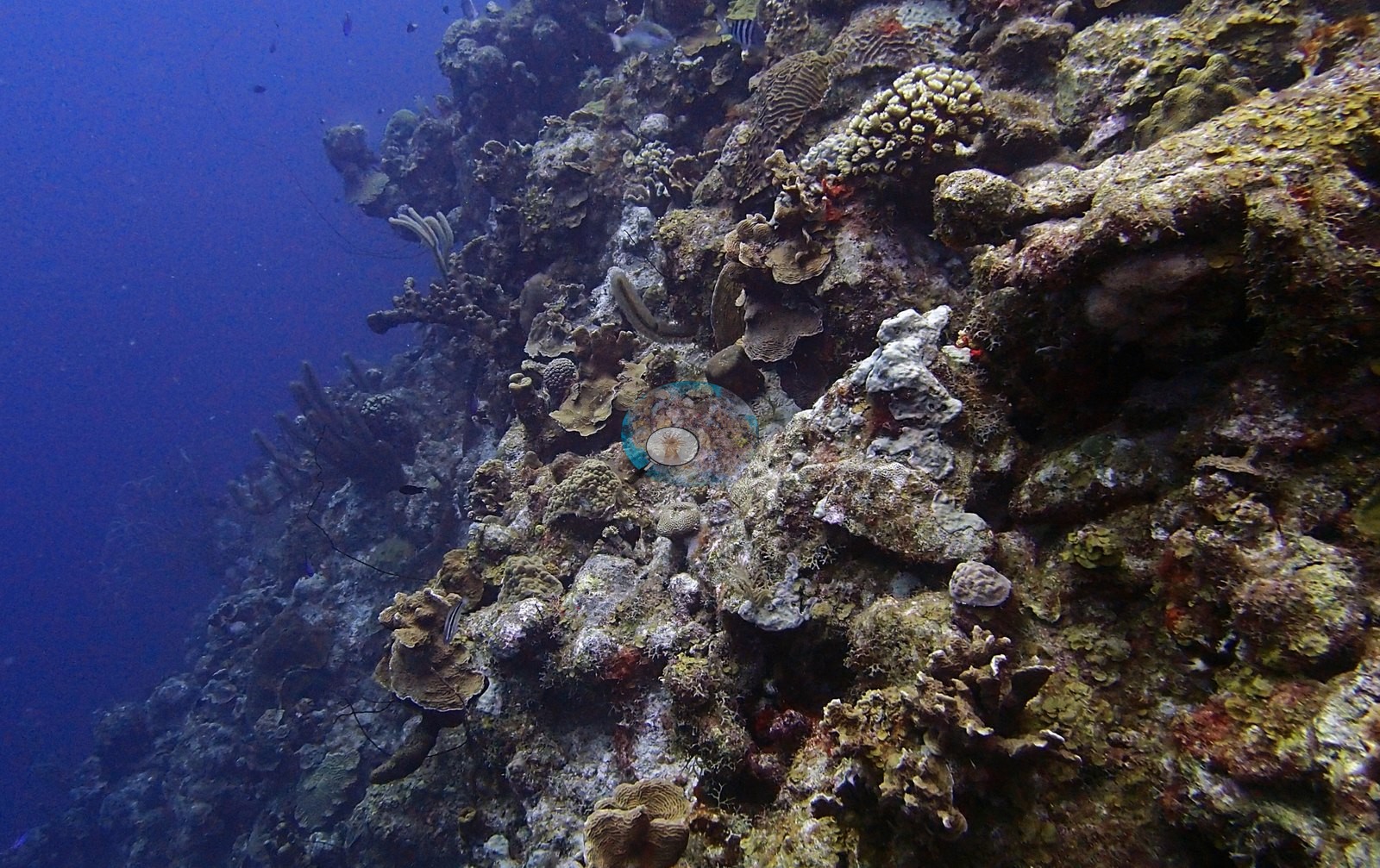
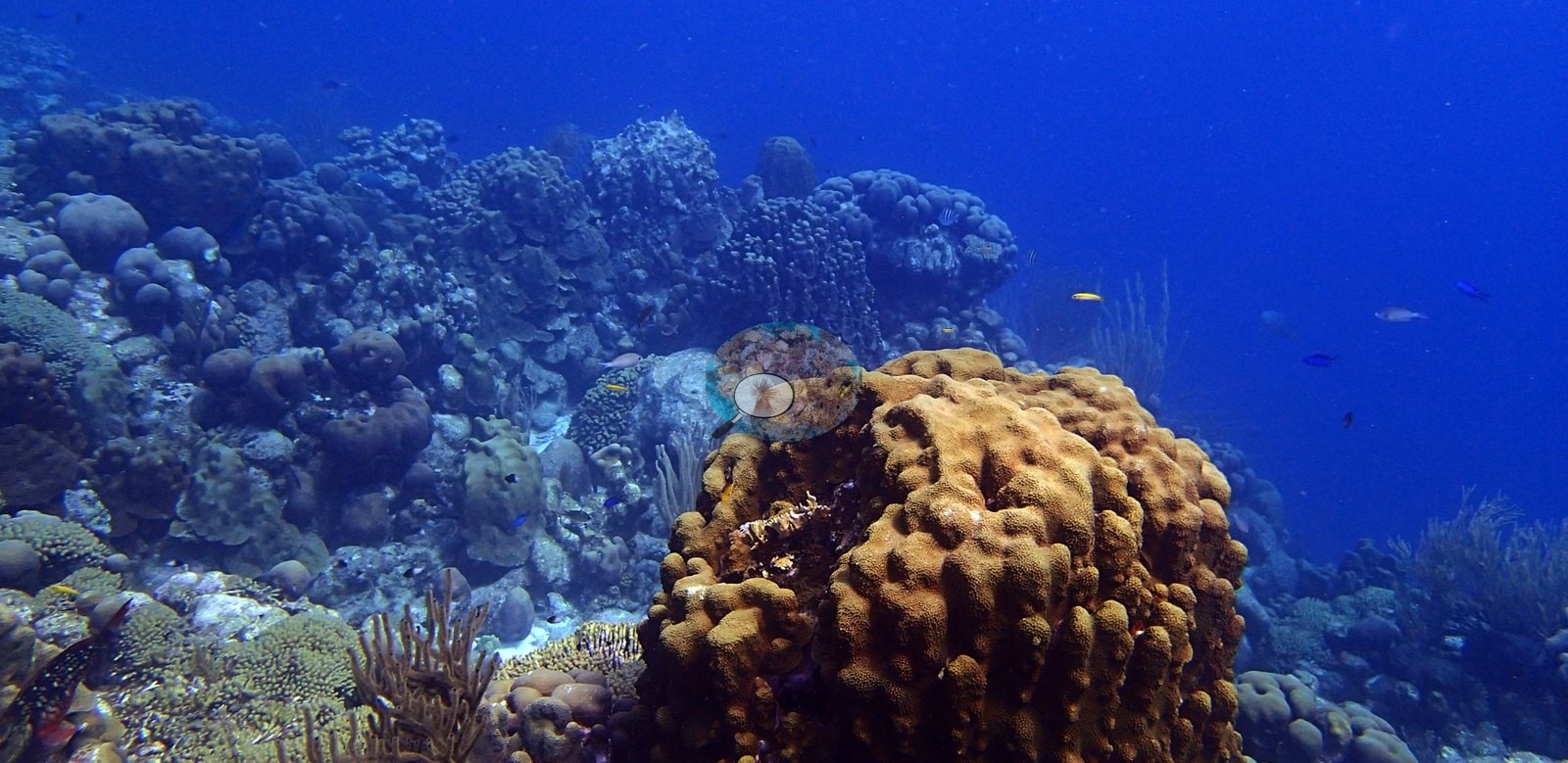
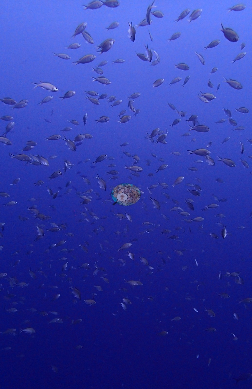
Elkhorn coral crowns the shallows above a wall face packed with large brain and boulder corals and clusters of orange tube sponge, with schools of small reef fish streaming along the drop-off (e.g., Image 1, Image 4).
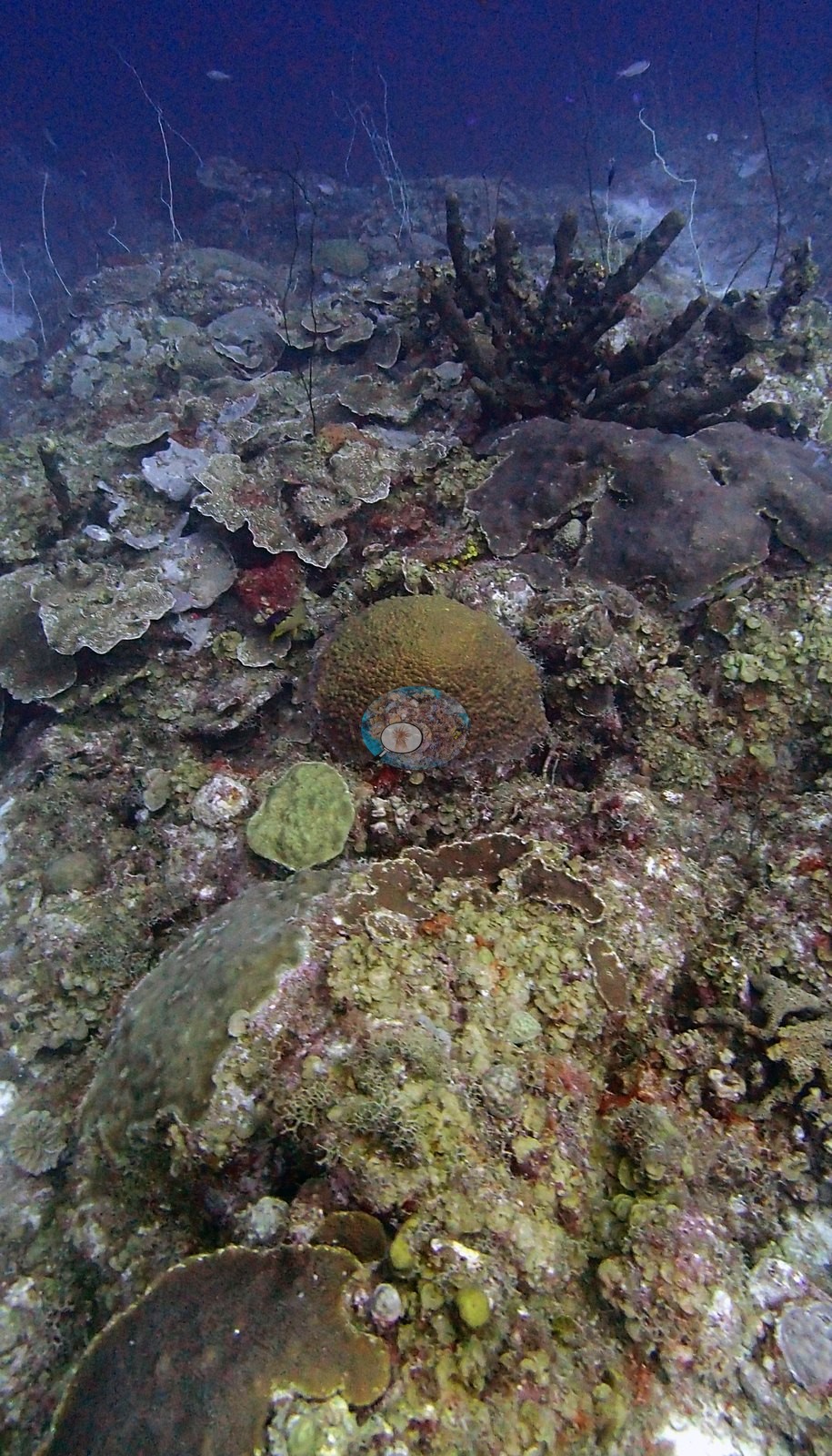
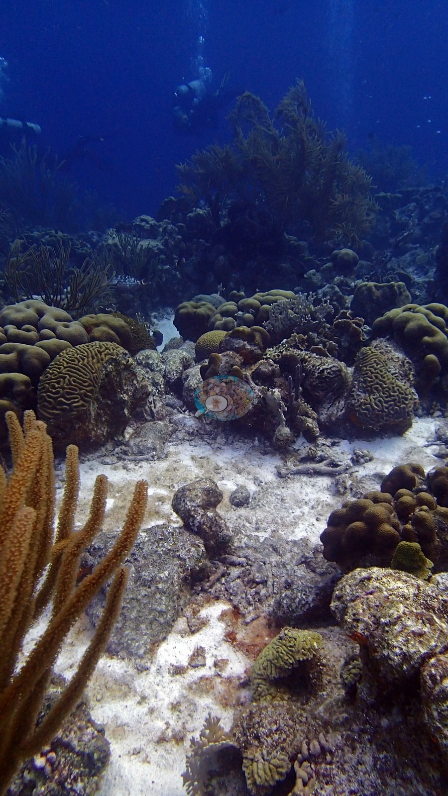
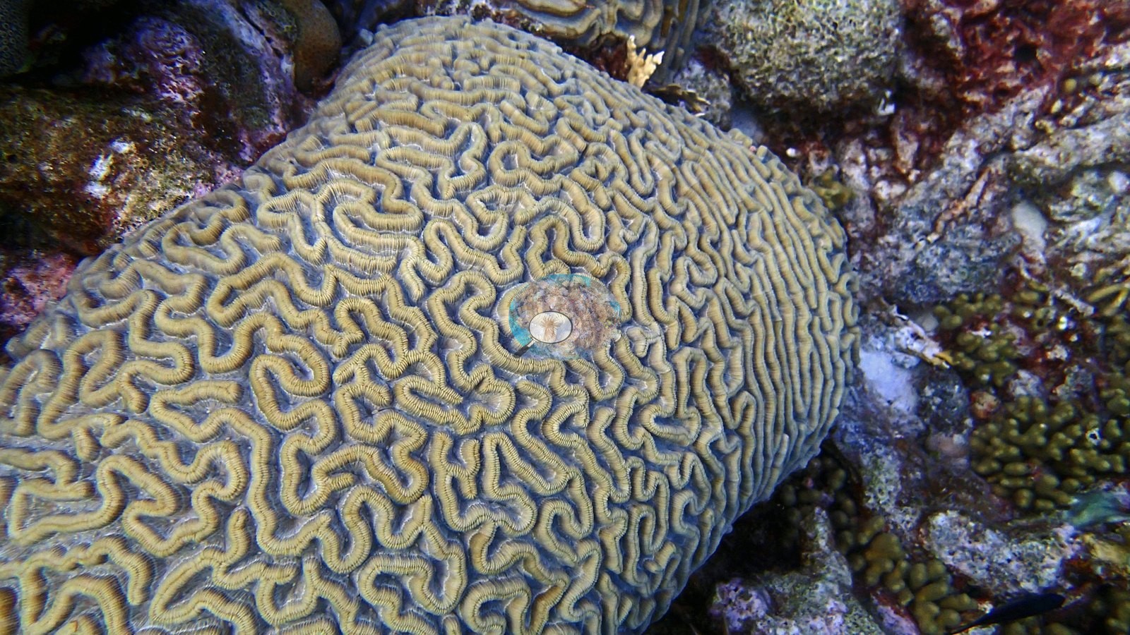
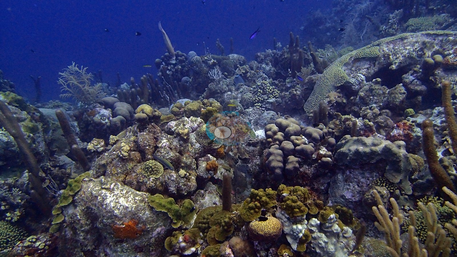
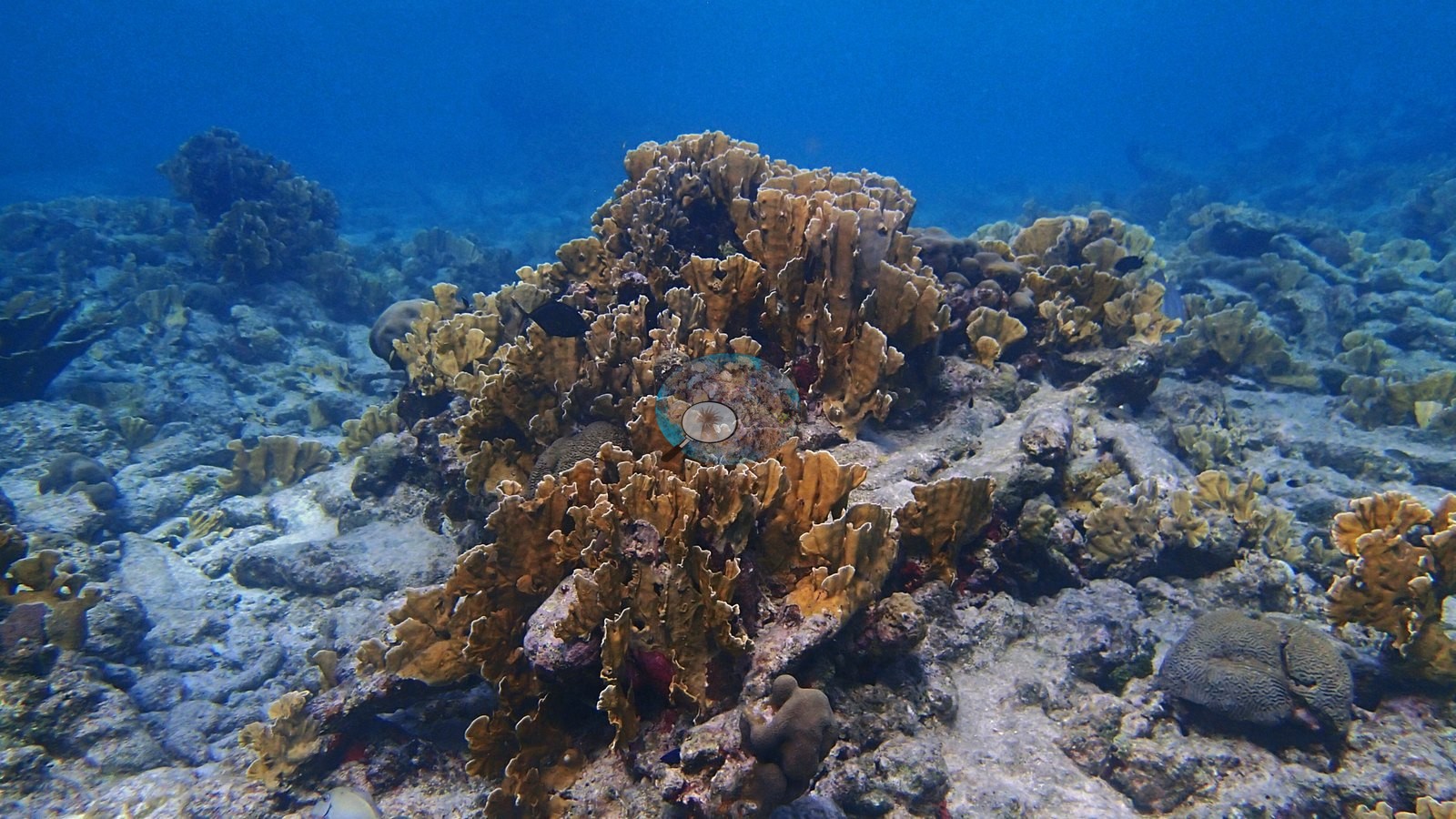
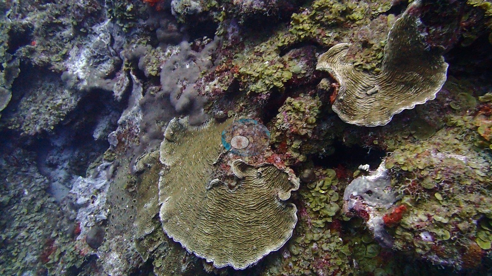
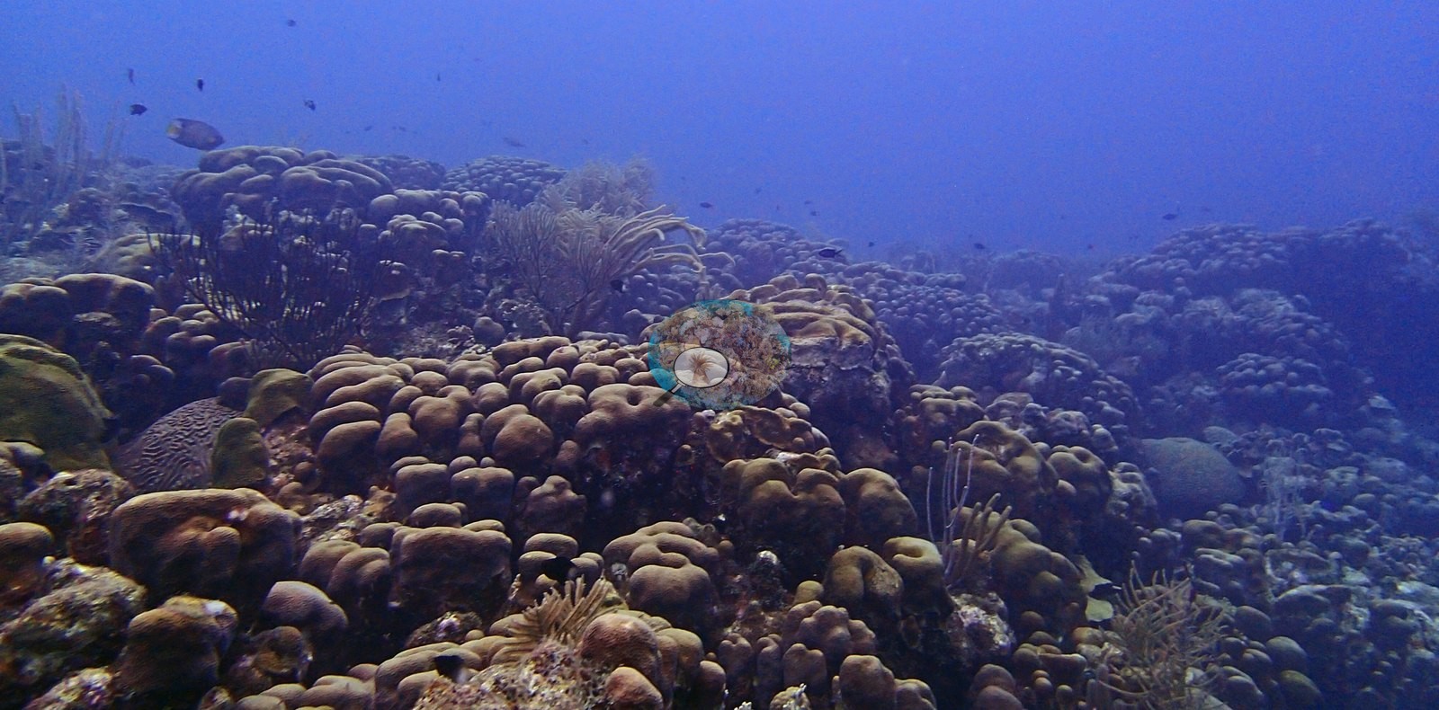
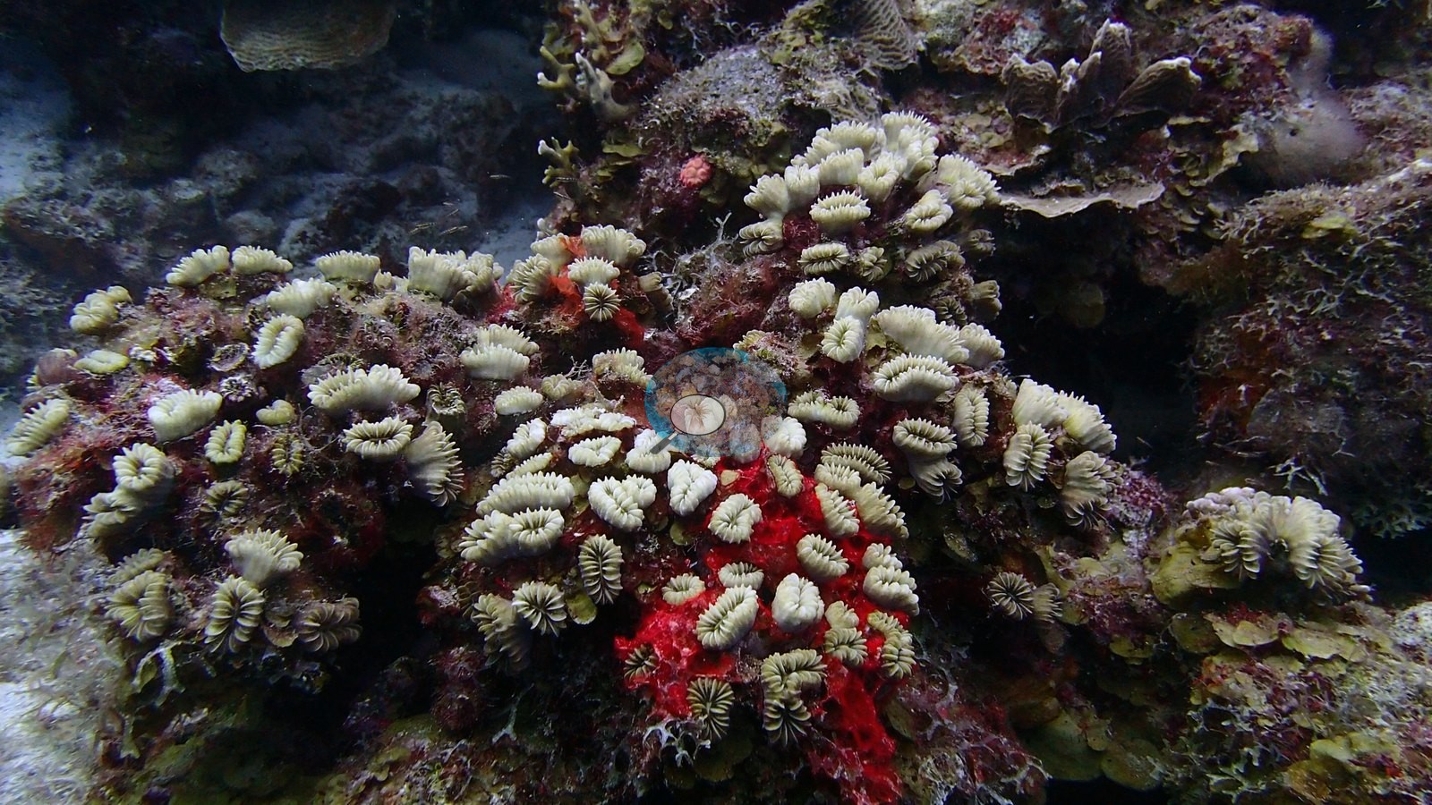
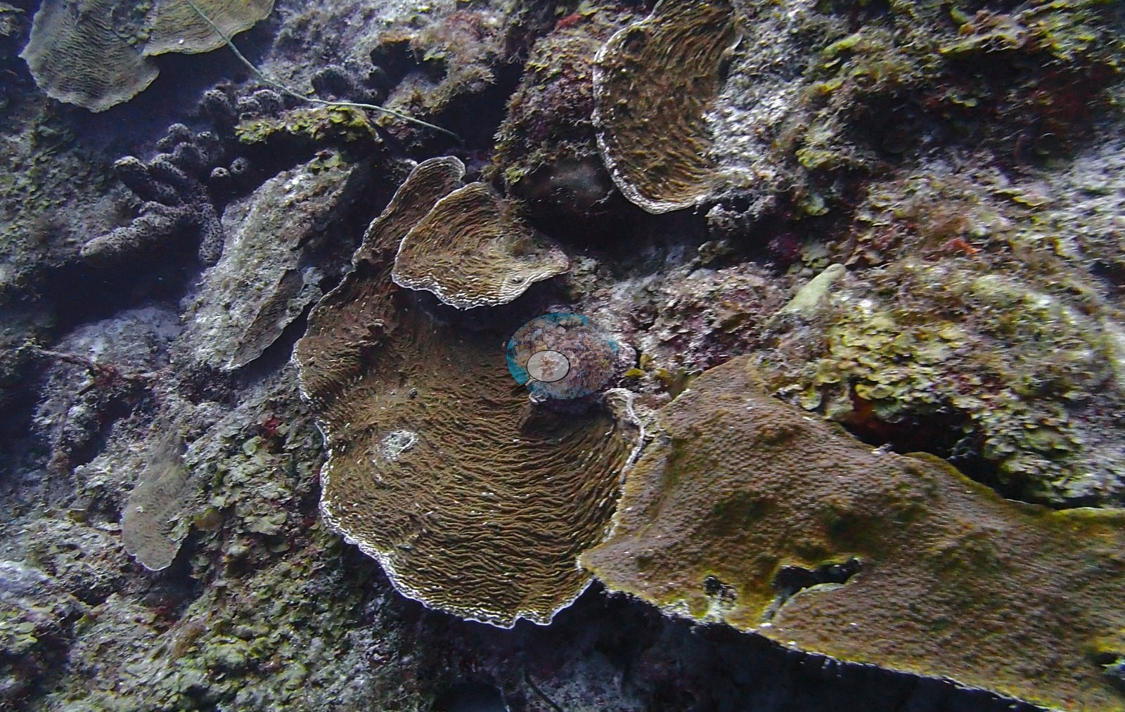
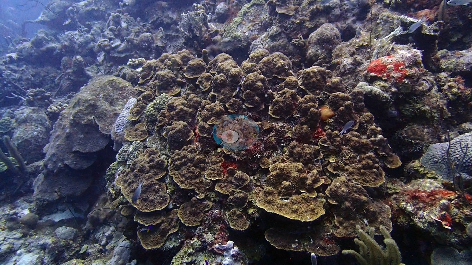
La Dania's Leap combines a steep, plate-coral-dense wall with shallower fields of massive and lobate star-coral forms (e.g., Image 3, Image 5).
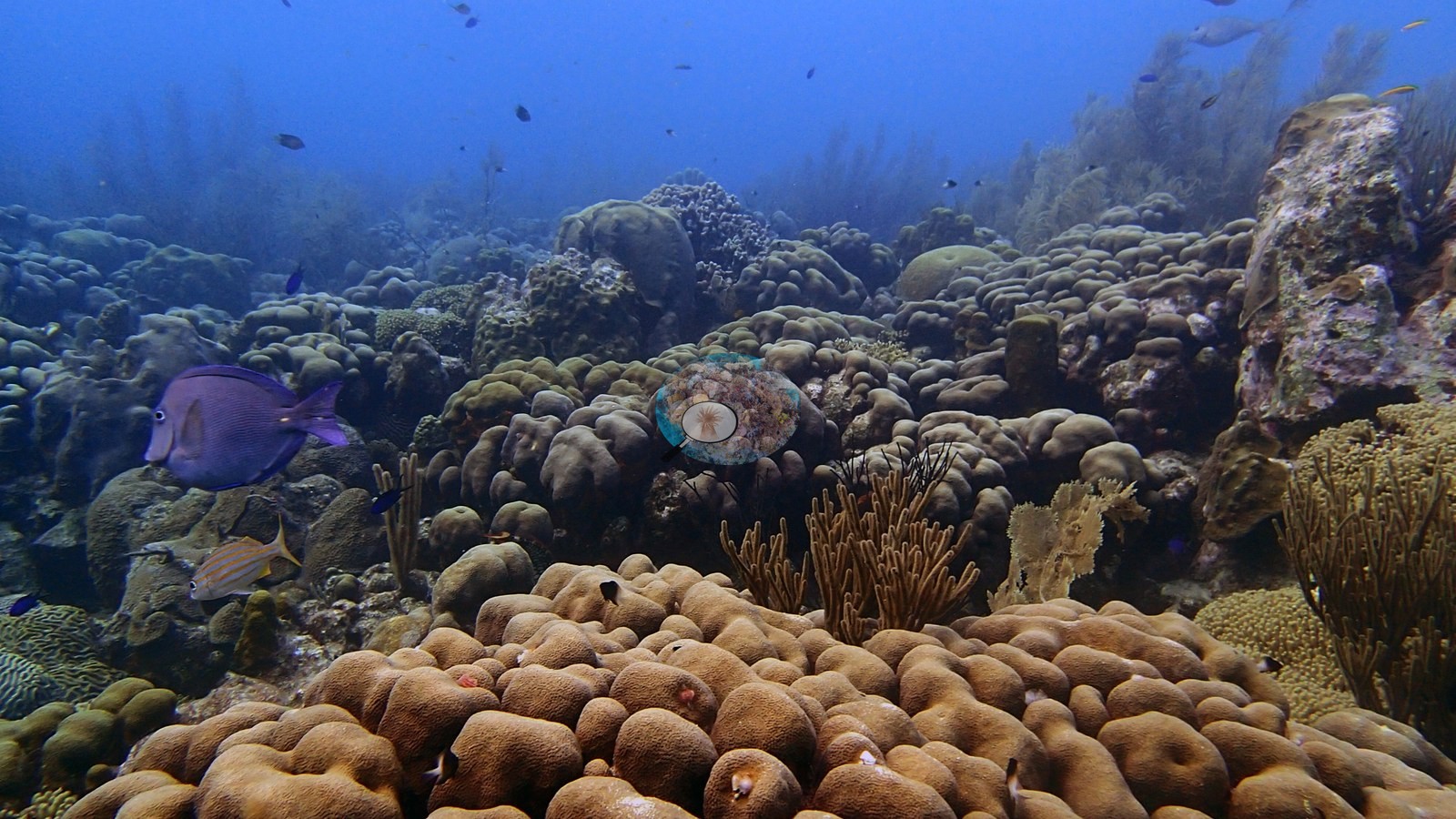
Sea rods, whips, and sponges contribute additional structure, and living Acropora palmata is documented near the top of the sequence (e.g., Image 1).
Coral cover
- Reference: Claude CV point count (this site's photos)
- Coral cover: 25% — a blind Claude computer-vision point count of 56 of Anderson's edited photographs (20 points per photo; water, fish, and obstructions excluded). Other computer-vision methods are listed in the method table.
Stressors
No widespread bleaching pattern is visible. Most wall plates and shallow massive colonies remain pigmented. One frame shows large, clearly old partial-mortality patches on brain corals; the exposed areas are encrusted and do not present as a fresh white disease band. Colony-level damage is therefore present even though the wider reef appears coral-dense. No corallivores were evident.
Fish and other fauna
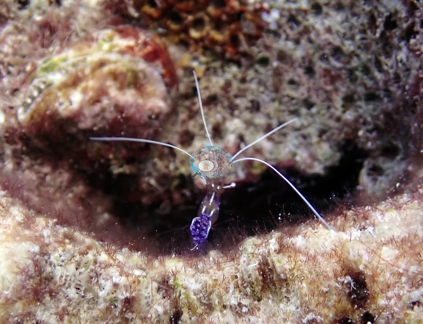
Dense reef-fish aggregations, parrotfish, and cleaner shrimp are also represented.
Comparisons with other data
Coral cover — external cross-reference (Reef Check). Two independent measurements, reported side by side and deliberately not averaged. Anderson Mayfield / CRD: 25% hard coral (2017). Reef Check: 28% at Karpata Reserve, 1.24 km away, in 2003 (yearly means 24–34% across 8 surveys at 3 and 10 m, 2000–2003). The two are 14 years apart (CRD later). Methods differ (CRD photographic/point-count index vs Reef Check point-intercept transect). Reef Check site positions are approximate; at 1.24 km apart the two surveys may have sampled different patches of the same reef, which is the main caveat on this comparison.
CV model comparison
More info
A few colony-focused photos raise the mean; the median is the typical photo. No computer-vision method yet estimates coral cover accurately on new images, so treat this as indicative rather than a measurement; it is revised as the methods improve.More info
Other rows are for comparison only and are never averaged. No diver transect exists for these photos, so agreement between rows is not accuracy.| Method | Hard coral cover (%) | Photos (n) ± SE |
|---|---|---|
| CoralSCOP edited | 27.4 | n = 67 · SE 2.2 |
| Claude (edited photos) | 24.5 | n = 56 · SE 2.7 |
CoralSCOP (edited photos) reads 27.4%, within 2.9 pp of Claude's blind point count (24.5%).
See a more detailed, stand-alone version of this table.
Independent surveys nearby
| Agency / program | Year(s) | Stations / distance | Link |
|---|---|---|---|
| Kramer & Bischof 2003 | 1999 | 1 station, 0.50 km | Records ↓ |
| Reef Check | 2000–2003 | 1 station, 1.24 km | Records ↓ |
| Steneck et al. (2019) | 2004–2017 | 2 stations, 0.28–2.38 km | Records ↓ |
| Stokes et al. 2010 | 2008 | 3 stations, 0.50 km | Records ↓ |
| XL Catlin Seaview Survey | 2013 | 4 stations, 0.43–4.72 km | Records ↓ |
 Coral Reef DiagnosticsYear-average (illustrative only, programs differ)
Within 5 km, 11 independent survey stations recorded hard coral cover in 60 records between 1999 and 2017. Of the 3 stations surveyed in more than one year, 1 declined (by 6.0 points) and 2 increased (by 9.0–14 points) between their first and latest surveys. The longest record, Karpata (Steneck et al. 2019, 0.28 km away), went from 46% in 2004 (mean of 8 records) to 60% in 2017 (mean of 4 records). The most recent nearby survey is from 2017, so these values predate recent heat stress. This site's own estimate (25%) sits within the range of these station-year means up to 2 km away (24–60%); the methods differ, so the comparison is context, not a like-for-like test.
Collected by other programs using different methods (Reef Check uses point-intercept transects; the XL Catlin Seaview Survey uses photo-transects with automated image annotation), so these are context for the figures above, not a like-for-like comparison. Where a station was surveyed more than once, the cell shows either the range of its values or, as a single value, the mean of surveys made in one year. Station names are not dive-site names.
Show all 60 independent survey records
| Agency | Site / location | Date | Hard coral cover (%) | Distance | Link |
|---|---|---|---|---|---|
| Kramer & Bischof 2003 | Karpata [10 m] | 1999 | 44% | 0.50 km | — |
| Reef Check | Karpata Reserve | 2000–2003 | 24–34% (range of yearly means; 8 surveys) | 1.24 km | — |
| Steneck et al. (2019) | Karpata | 2004–2017 | 39–60% (range of yearly means; 32 records) | 0.28 km | doi:10.3389/fmars.2019.00265 |
| Stokes et al. 2010 | Karpata (Bonaire Marine Park mooring) [2008 - 5 m] | 2008 | 36% | 0.50 km | doi:10.5479/si.00775630.582.1 |
| Stokes et al. 2010 | Karpata (Bonaire Marine Park mooring) [2008 - 10 m] | 2008 | 42% | 0.50 km | doi:10.5479/si.00775630.582.1 |
| Stokes et al. 2010 | Karpata (Bonaire Marine Park mooring) [2008 - 15 m] | 2008 | 31% | 0.50 km | doi:10.5479/si.00775630.582.1 |
| XL Catlin Seaview Survey | transect 17039 | 2013 | 25% | 0.43 km | doi:10.14264/uql.2019.930 |
| Steneck et al. (2019) | No-Dive Reserve | 2013–2017 | 45–54% (range of yearly means; 12 records) | 2.38 km | doi:10.3389/fmars.2019.00265 |
| XL Catlin Seaview Survey | transect 17038 | 2013 | 20% | 2.76 km | doi:10.14264/uql.2019.930 |
| XL Catlin Seaview Survey | transect 17037 | 2013 | 20% | 4.59 km | doi:10.14264/uql.2019.930 |
| XL Catlin Seaview Survey | transect 17046 | 2013 | 26% | 4.72 km | doi:10.14264/uql.2019.930 |
Data & links
All images from Coral Reef Diagnostics. Data are from Coral Reef Diagnostics and the organizations named in the data sources above.
© Coral Reef Diagnostics.
References
- Kramer P, Bischof BG (2003). AGRRA Data. Assessment Tables for Abaco, Bahamas (Fishes), Lighthouse Belize(Corals, Algae, Fishes) and Bonaire, Netherlands Antilles (Corals, Algae, Fishes). Atoll Research Bulletin 496:590-597. DOI
- Steneck RS, Arnold SN, Boenish R, de León R, Mumby PJ, Rasher DB, et al. (2019). Managing Recovery Resilience in Coral Reefs Against Climate-Induced Bleaching and Hurricanes: A 15 Year Case Study From Bonaire, Dutch Caribbean. Frontiers in Marine Science 6:265. PDF
- Stokes MD, Leichter JJ, Genovese SJ (2010). Long-term declines in coral cover at Bonaire, Netherlands Antilles. Atoll Research Bulletin 582:1-21. DOI
- Gonzalez-Rivero M, et al. (2019). Seaview Survey photo-quadrat and image classification dataset. The University of Queensland (UQ eSpace) data collection. DOI