
Bonaire - The Chairs
Part of the regional summary: Bonaire
More about this place: Bonaire on Wikipedia
More info
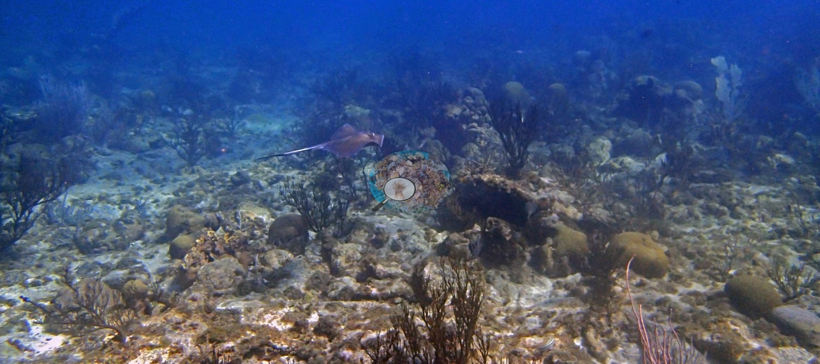
Aruba, Curacao, and Bonaire (NOAA CRW virtual station)The Chairs is a shore dive on Bonaire's arid southern coast where several large, living elkhorn coral colonies stand in the shallows above a slope of boulder and plate corals draped in tall white and purple sea fans. A Caribbean stingray cruises the sand patches; some sea fans look very pale, but there is no widespread coral bleaching.
The Chairs is een kantduik aan de droge zuidkust van Bonaire, waar verscheidene grote, levende kolonies elandsgeweikoraal in het ondiepe water staan boven een helling met ster- en plaatkoralen, behangen met hoge witte en paarse zeewaaiers. Een Caribische pijlstaartrog zwemt over de zandvlakjes; sommige zeewaaiers zien er erg bleek uit, maar er is geen wijdverbreide koraalverbleking.
AI translation of this summary; the English is authoritative.
One independent survey station shown with the program’s logo — click one to see how far it is from this site.
Two other CRD dive sites with their own pages within 5 km shown in orange — click a marker to open its page.
7 of the 50 photographs on this page are shown beside the text that discusses them under "Site description" below.
Site description
Setting
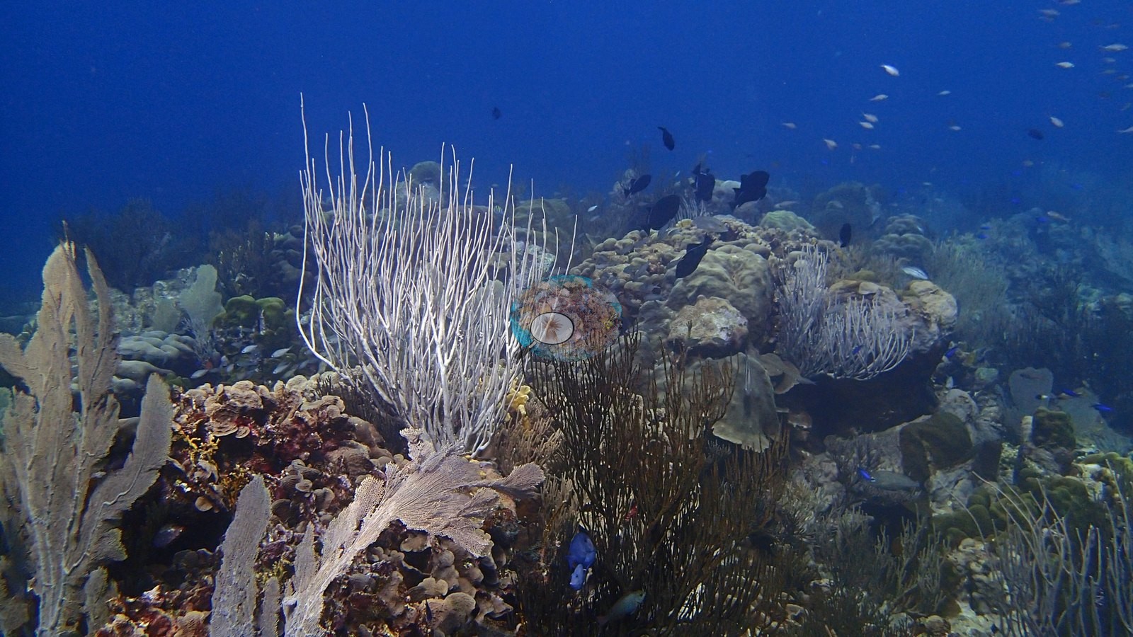
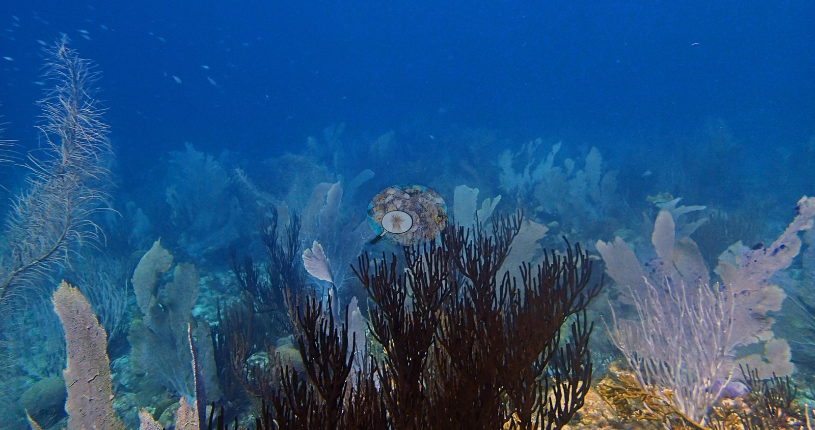
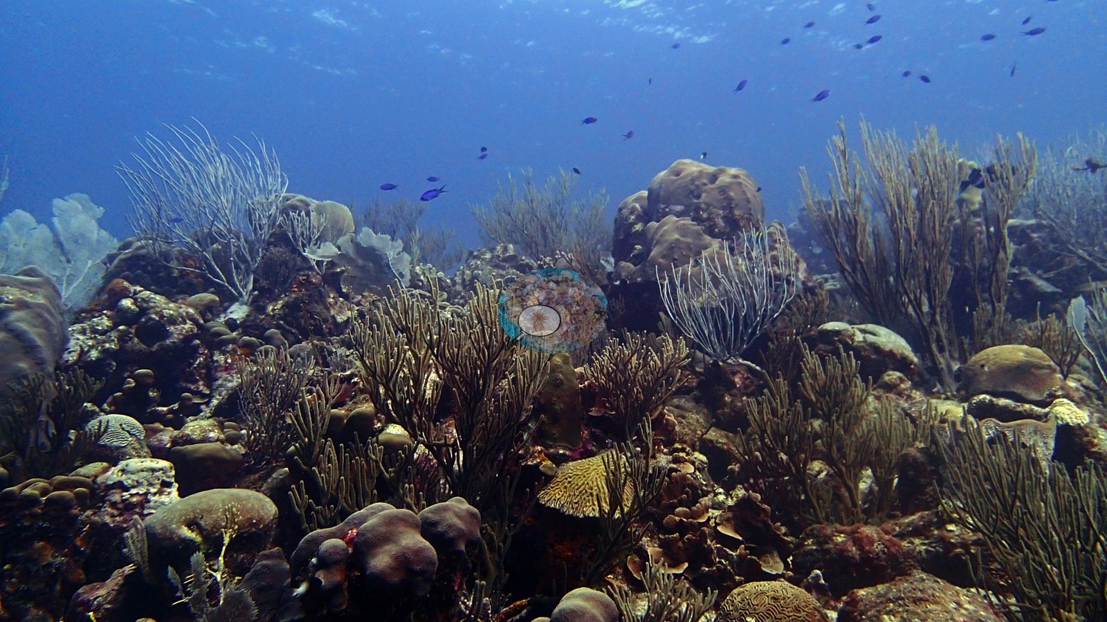
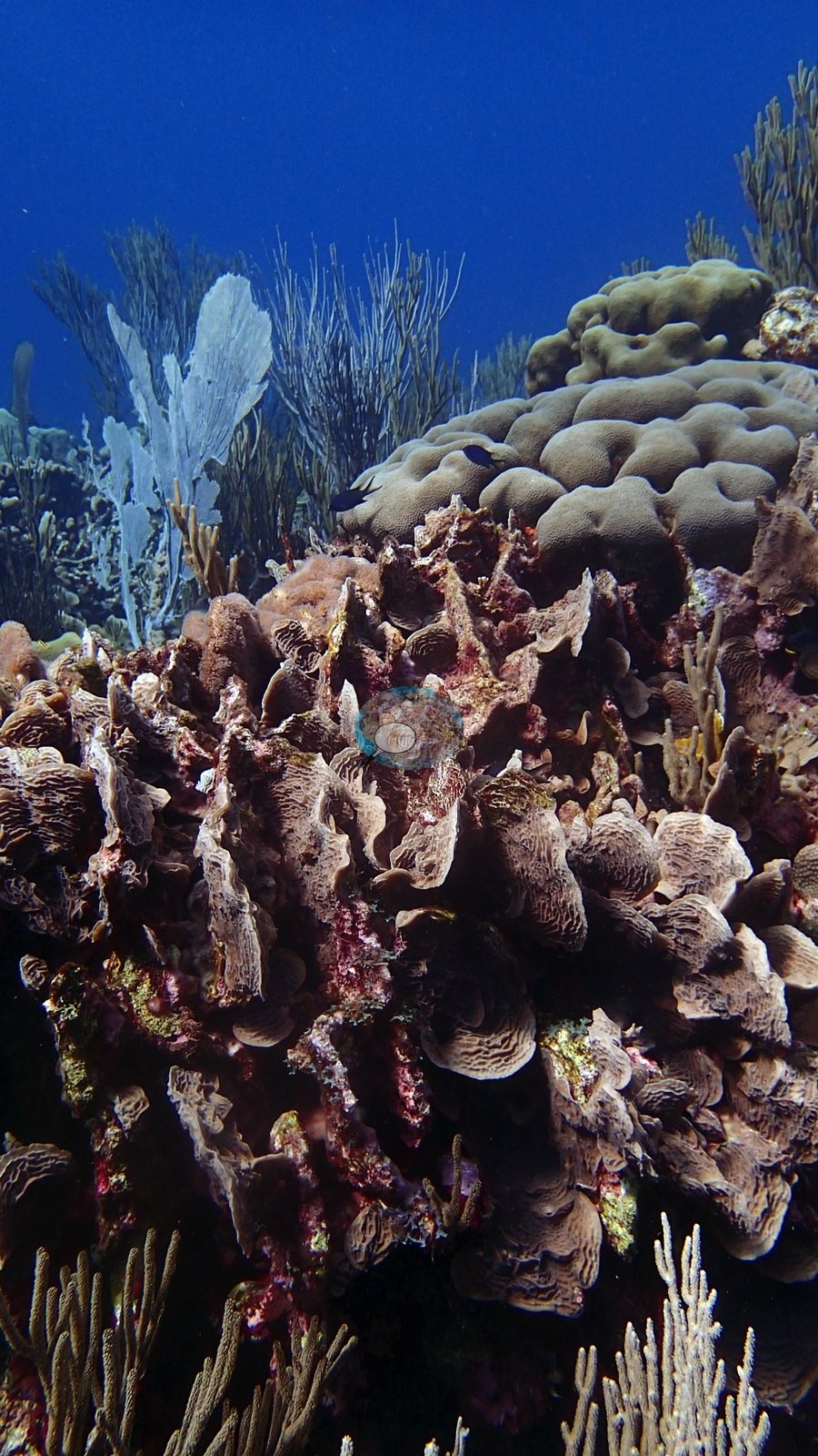
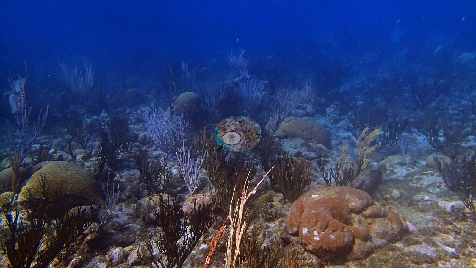
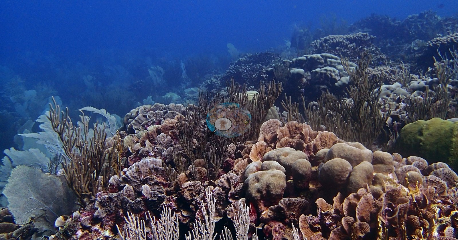
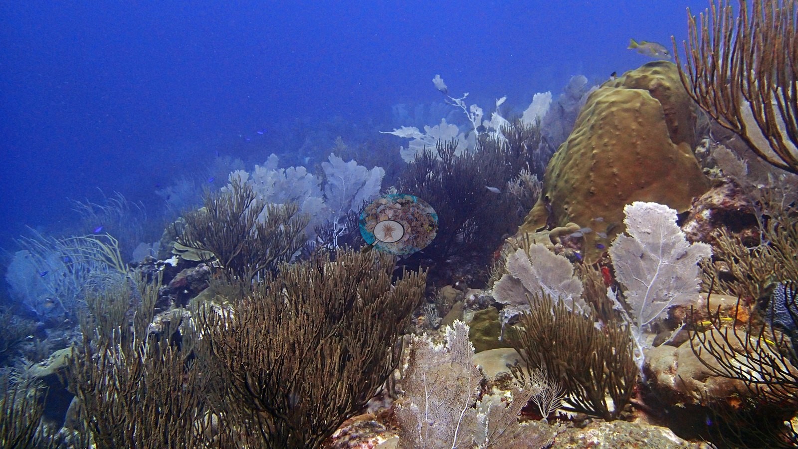
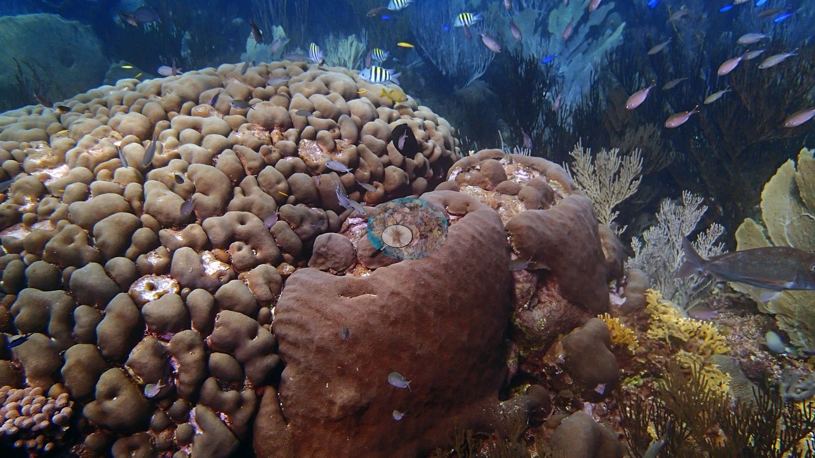
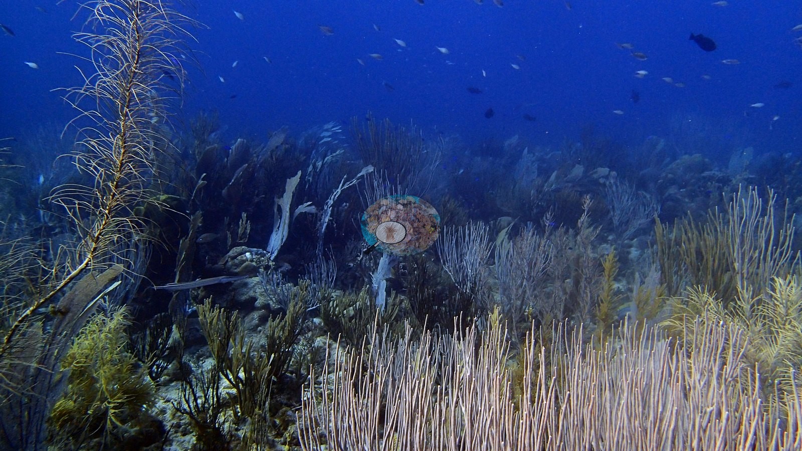
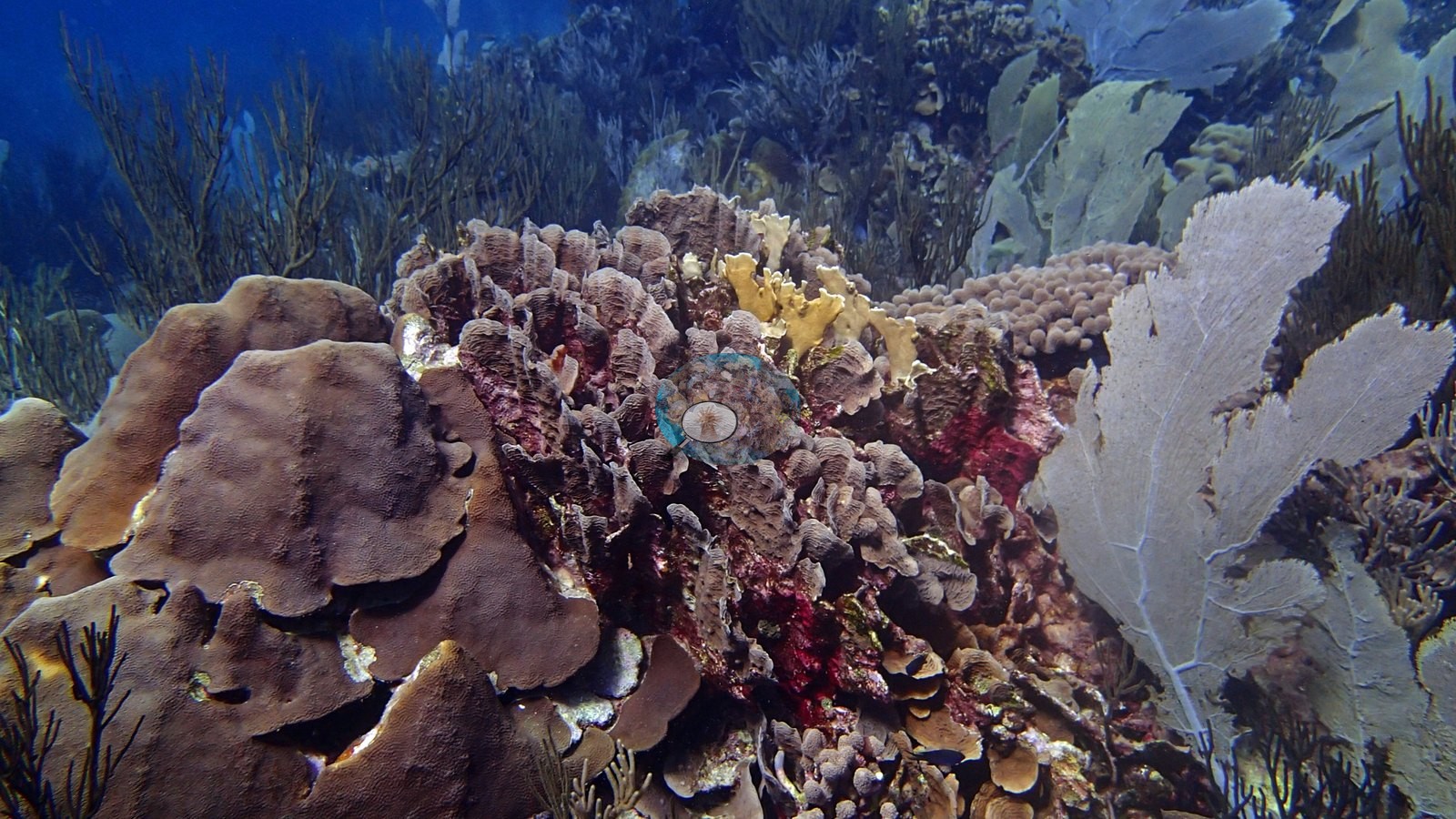
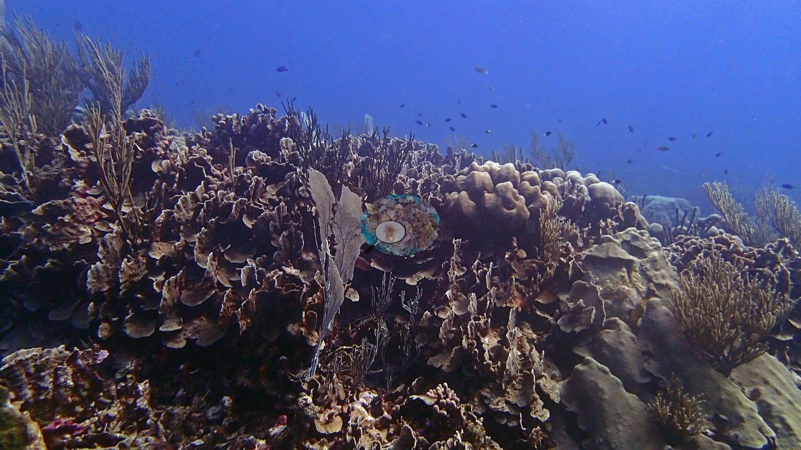
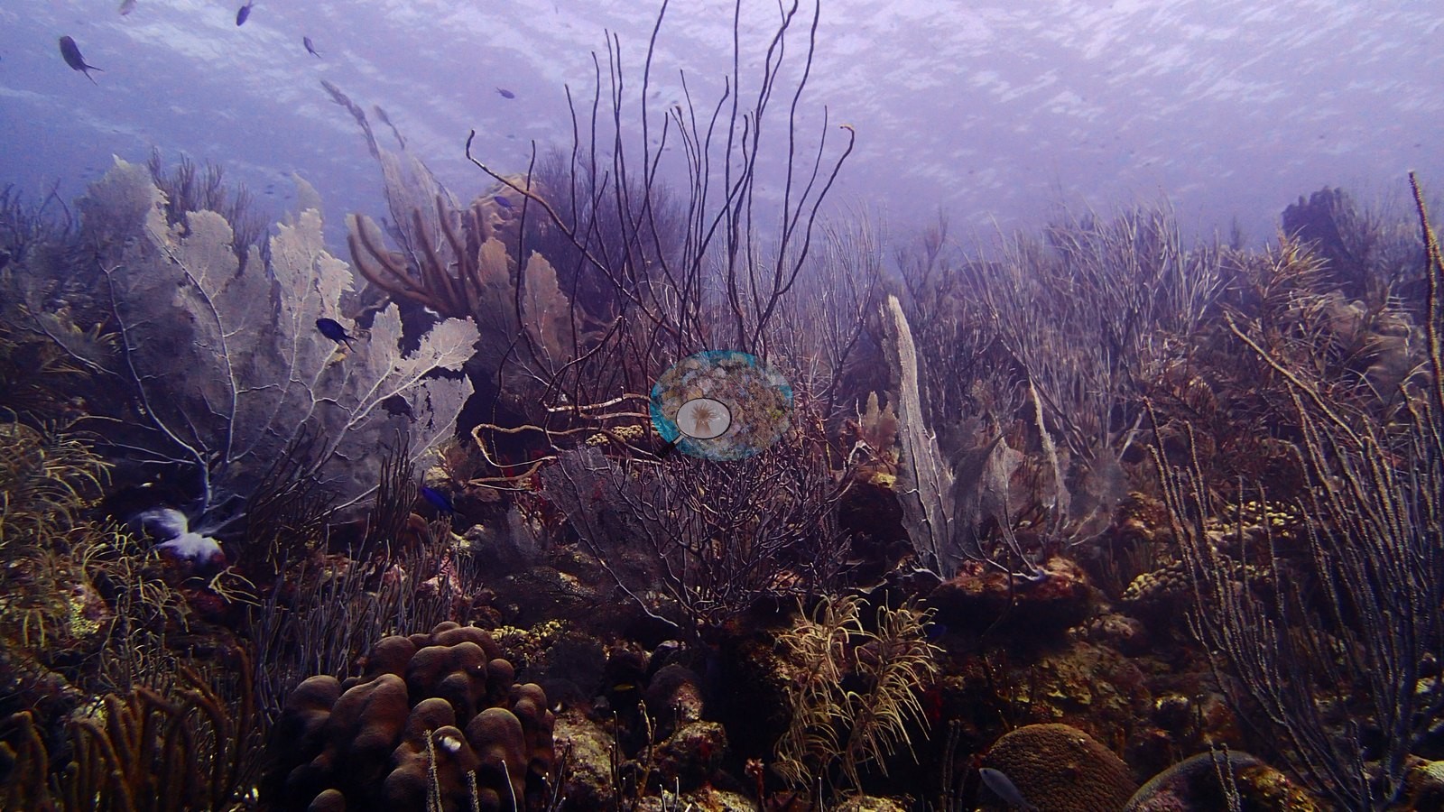
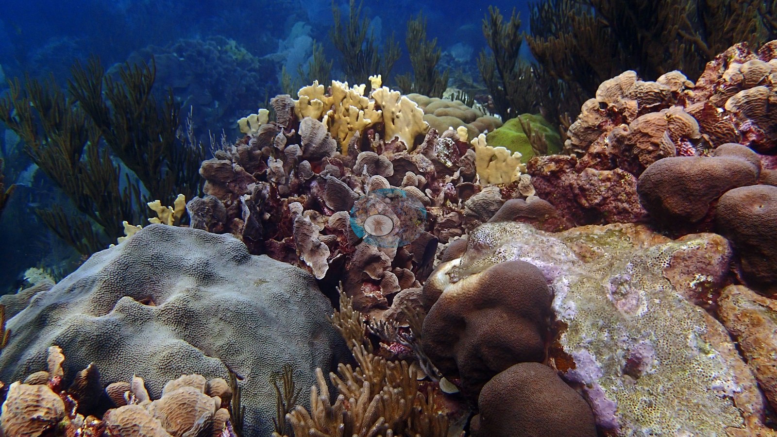
A shore-entry reef on Bonaire's arid southern coast, opening onto stands of elkhorn coral in the shallows and a slope thick with boulder and plate corals draped in tall white and purple sea fans (e.g., Image 5).
The Chairs lies at Bonaire's southern tip, beside the Willemstoren lighthouse and a tall transmission mast; the map position is the GPS fix Anderson's camera logged on shore right after the dive.
General benthic features
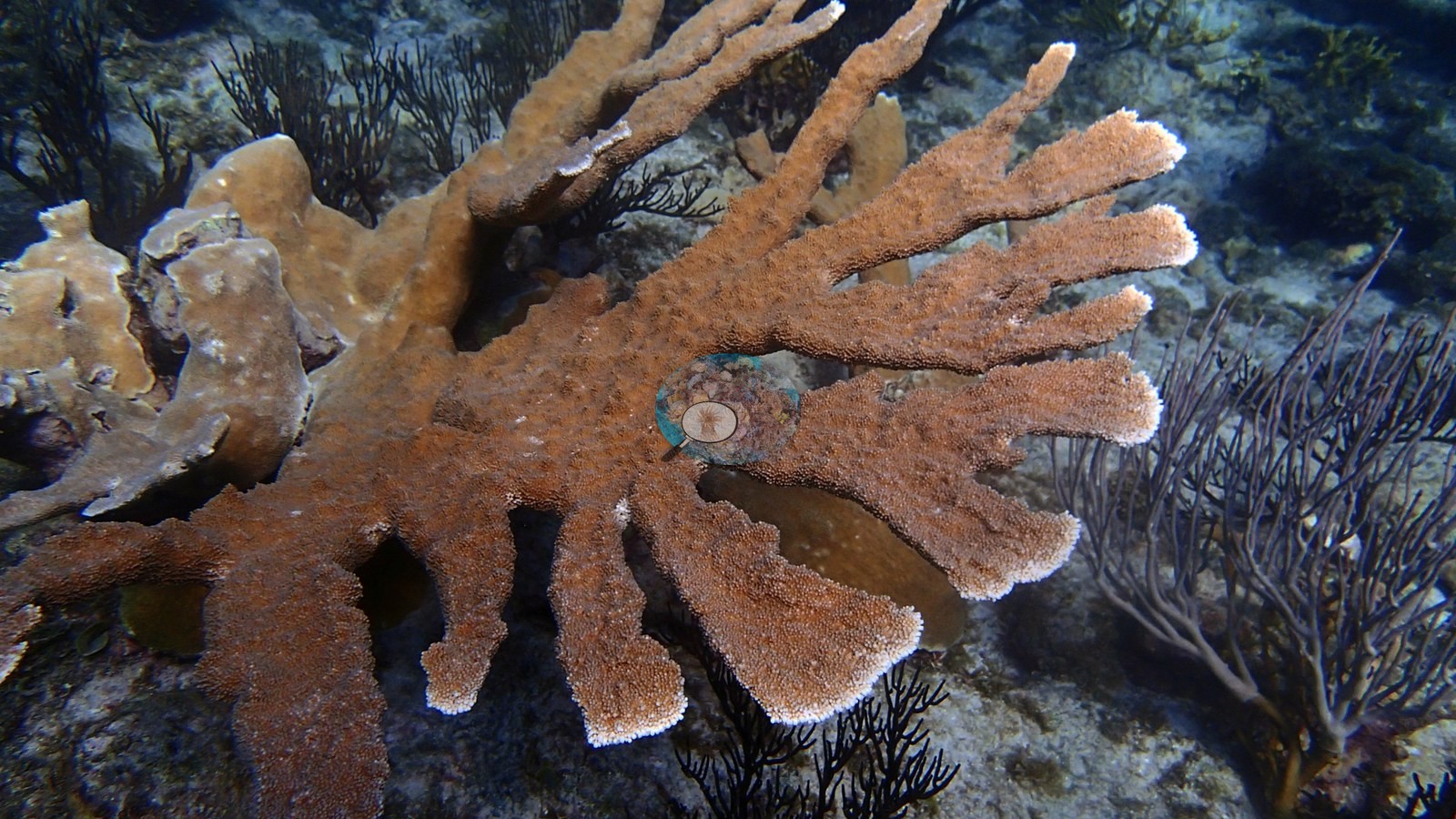
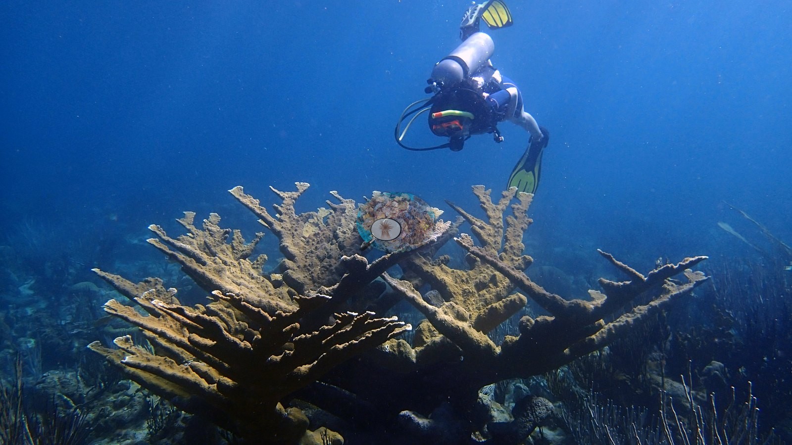
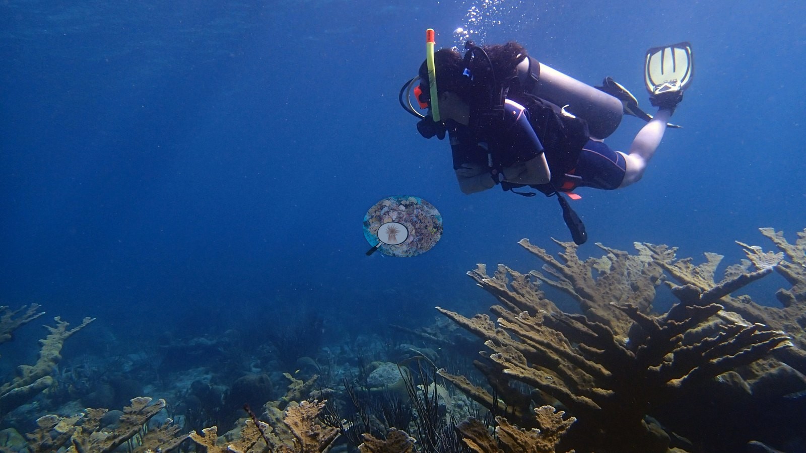
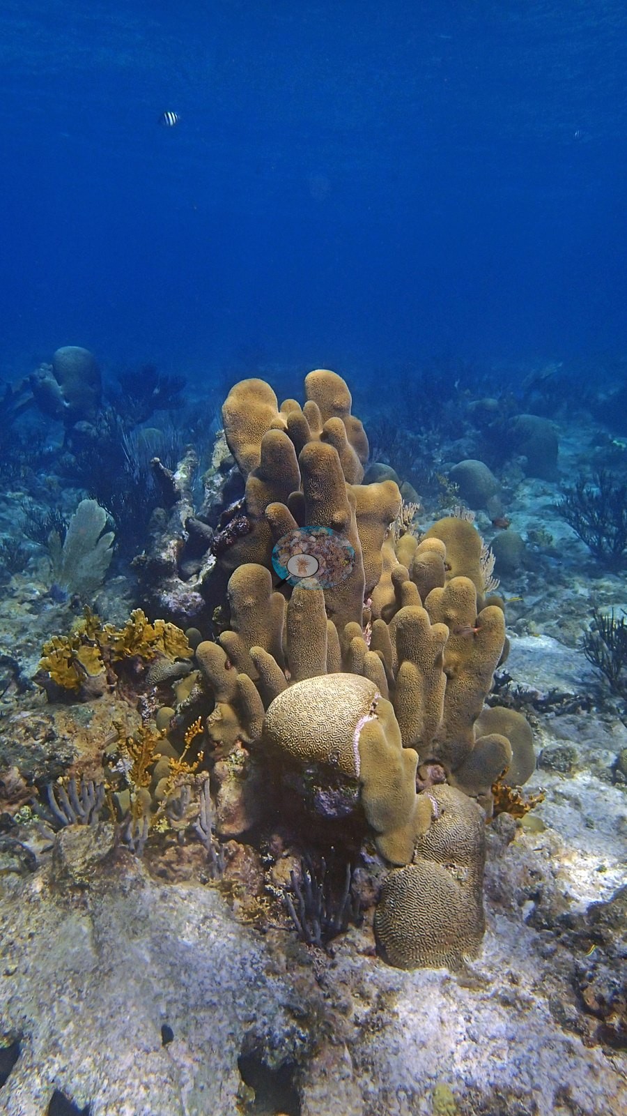
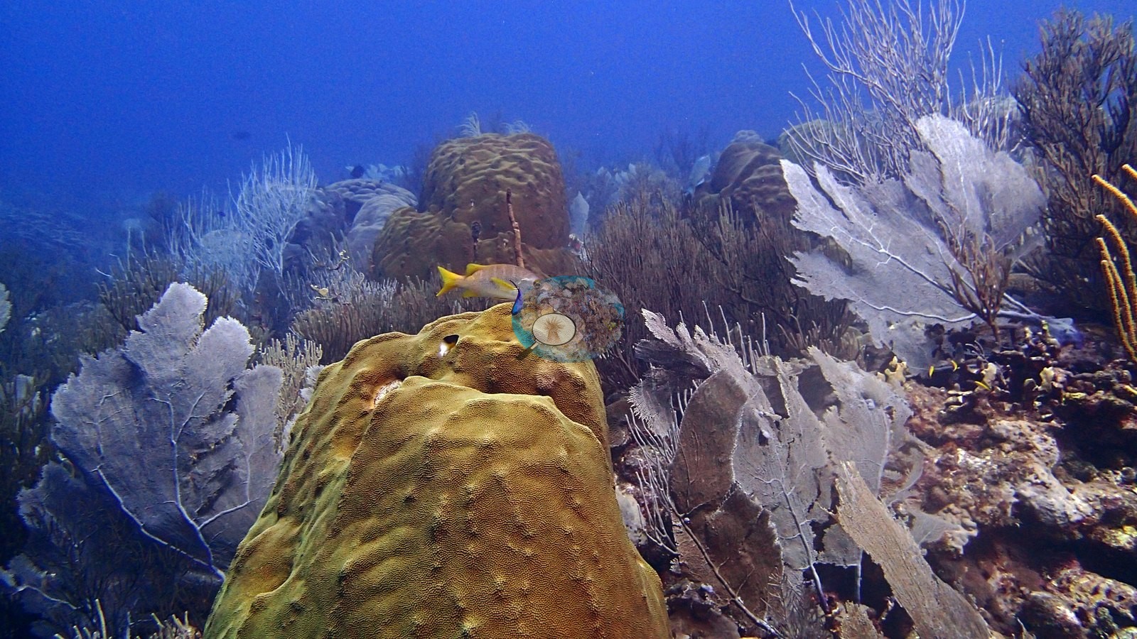
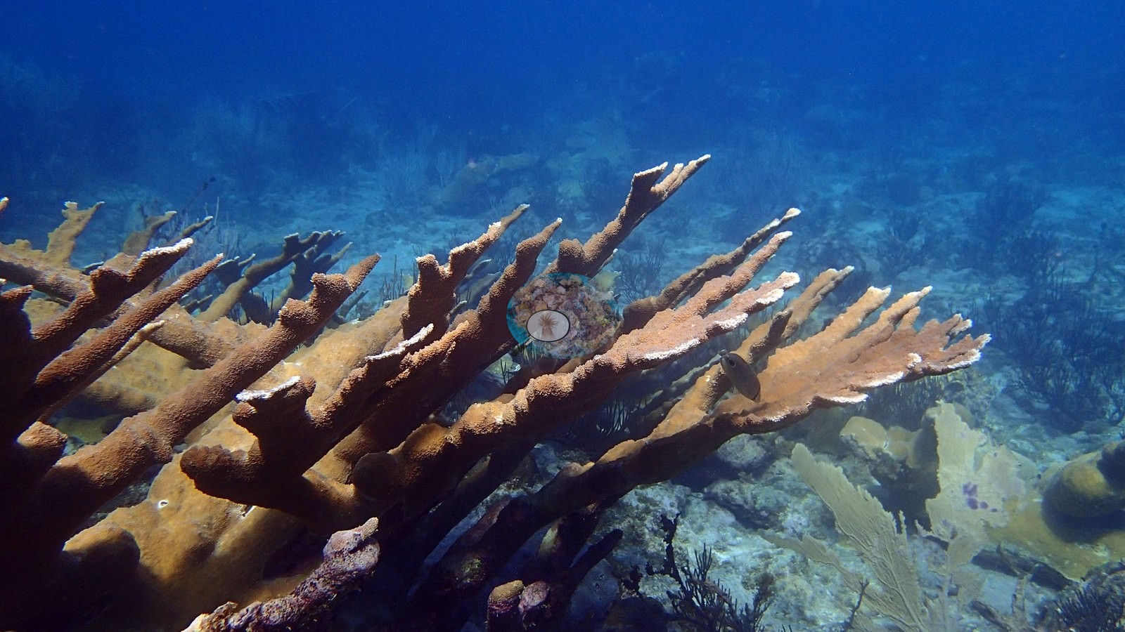
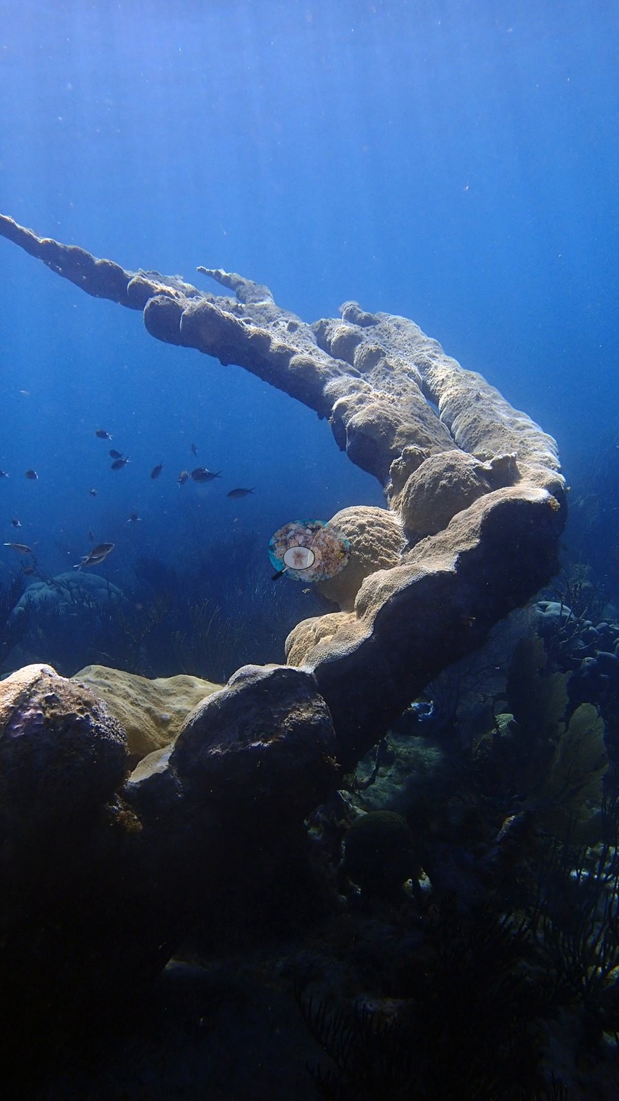
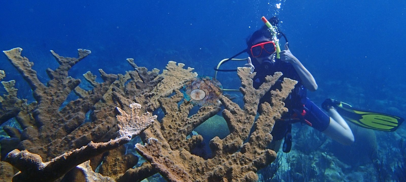
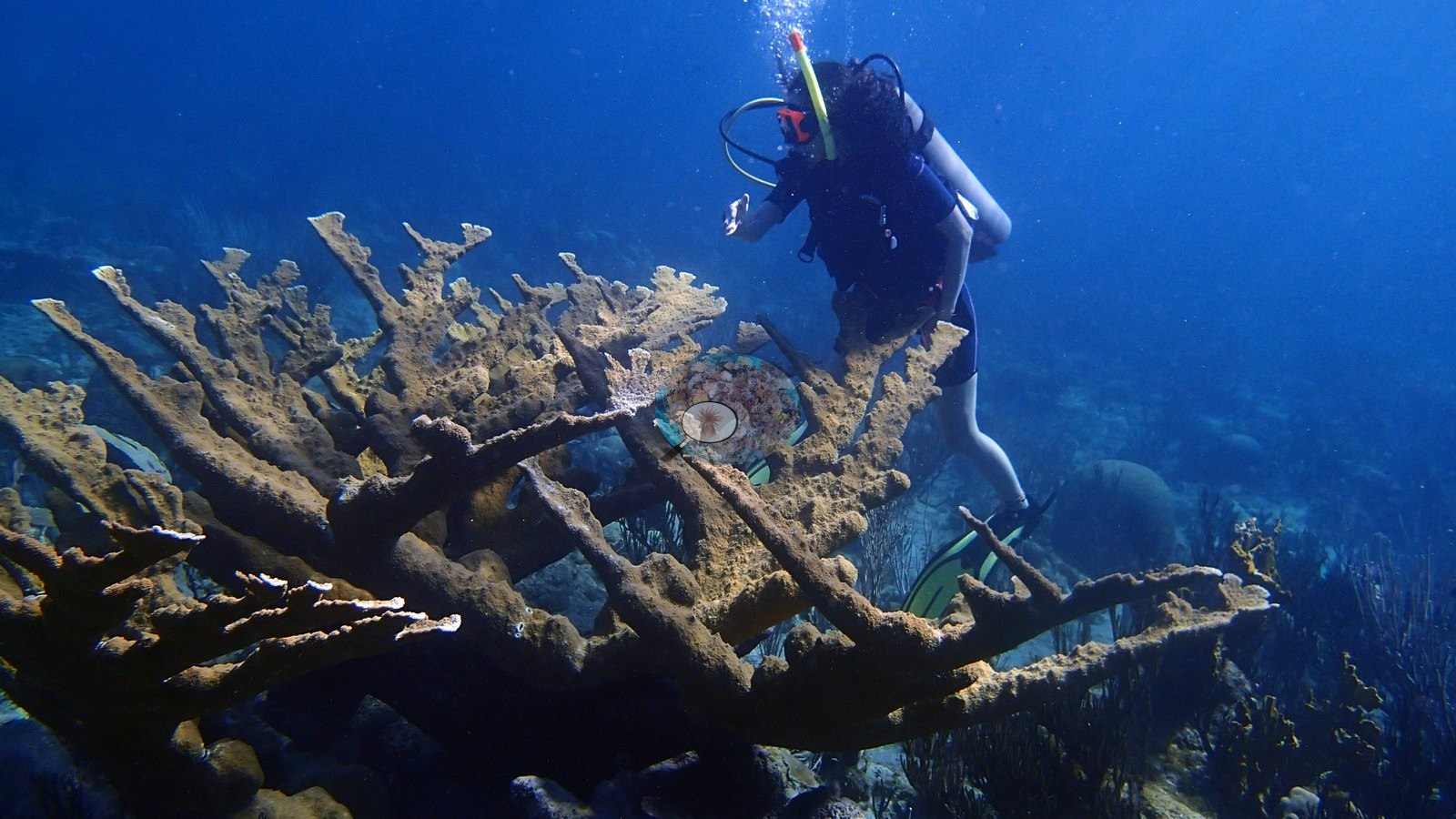
The Chairs is notable for several prominent living Acropora palmata colonies, including large branches with divers for scale (e.g., Image 1, Image 9).
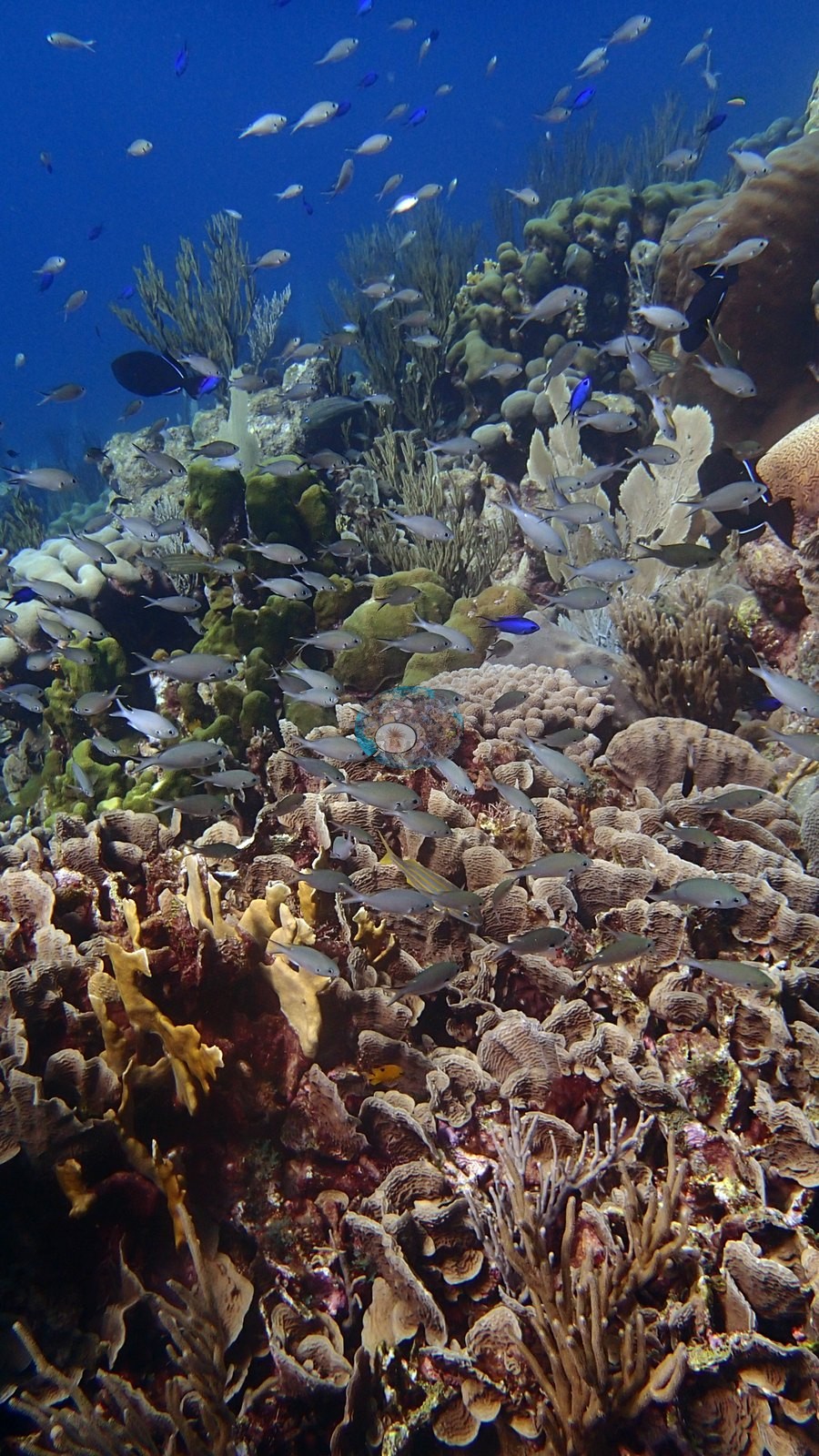
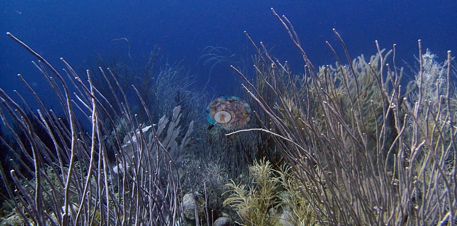
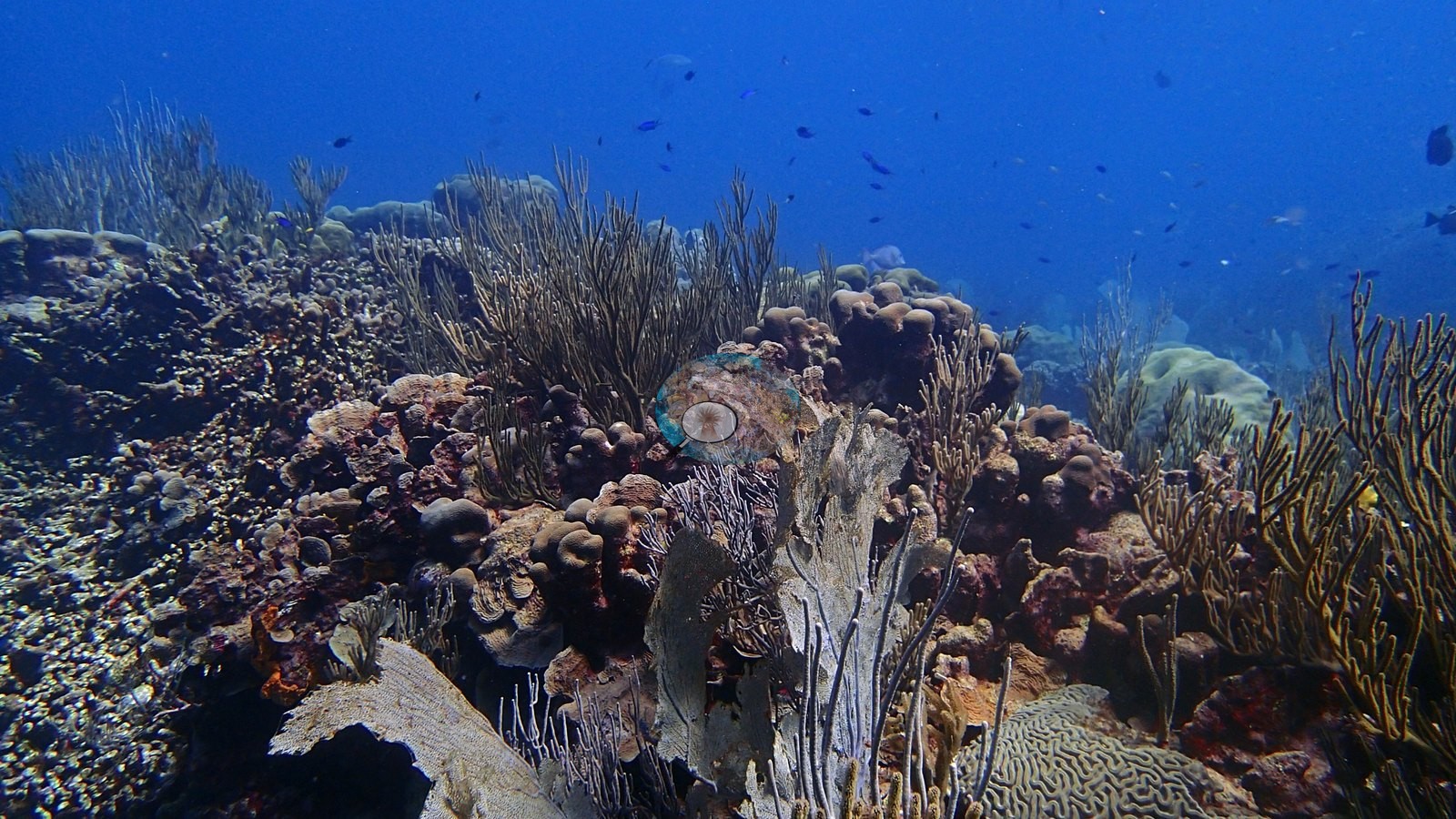
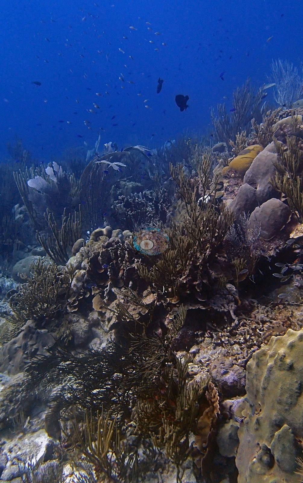
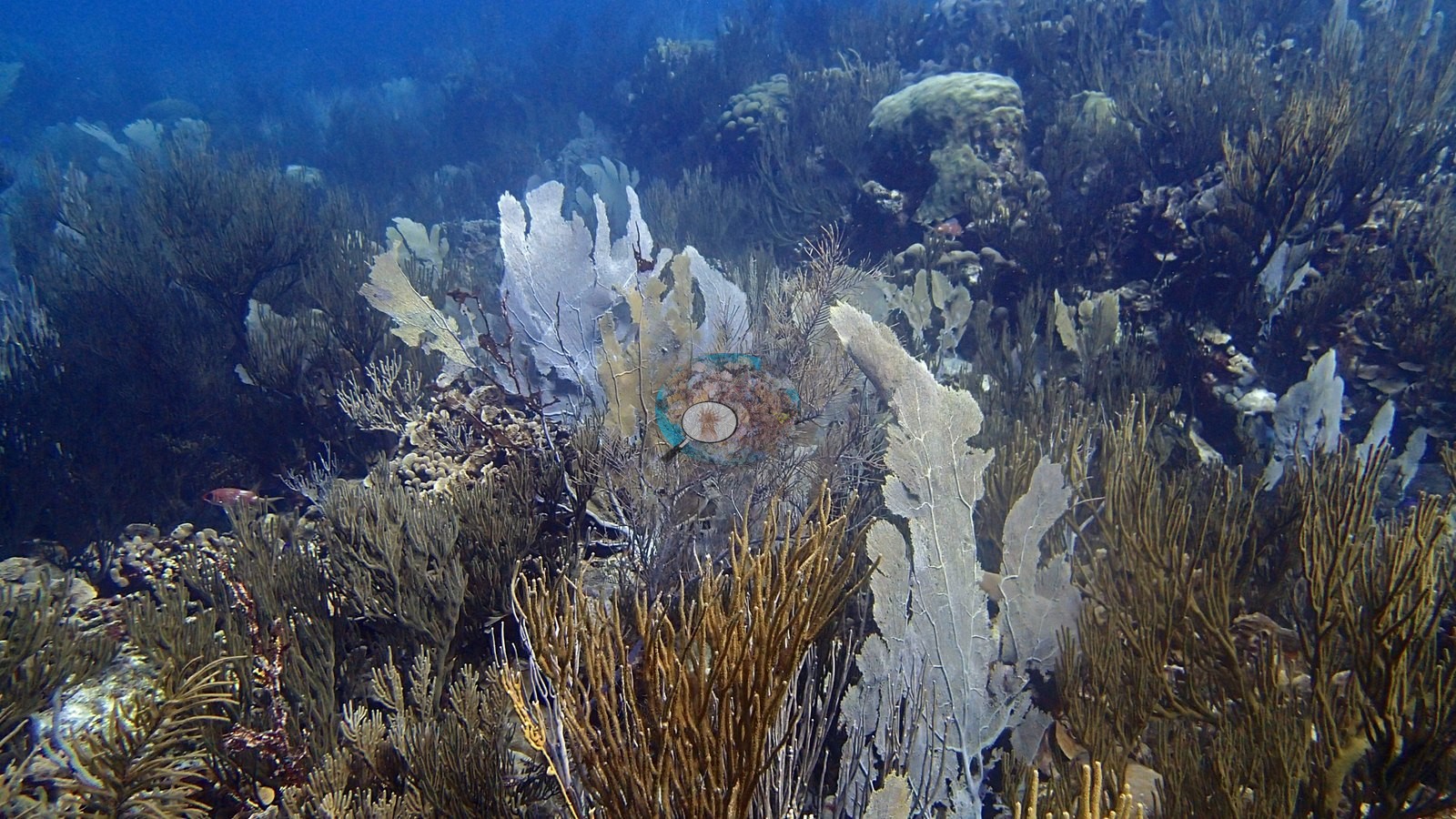
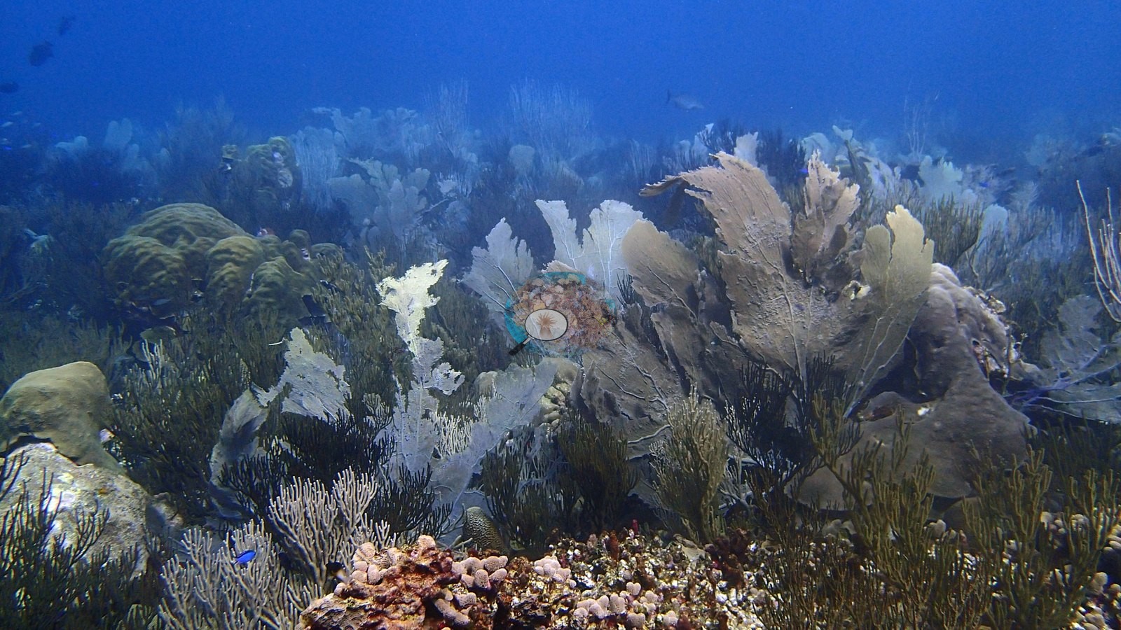
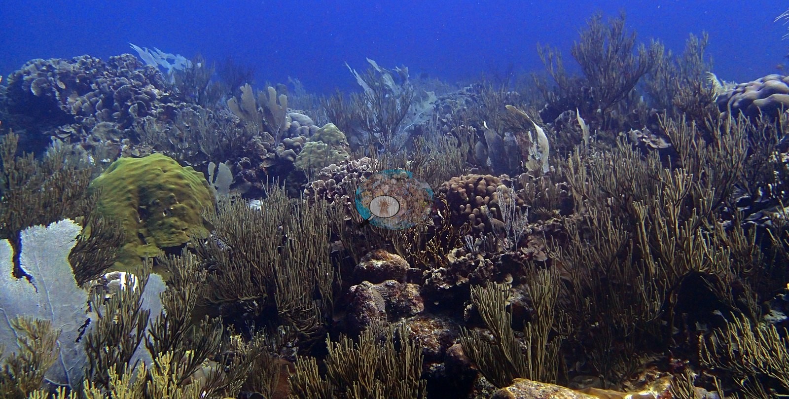
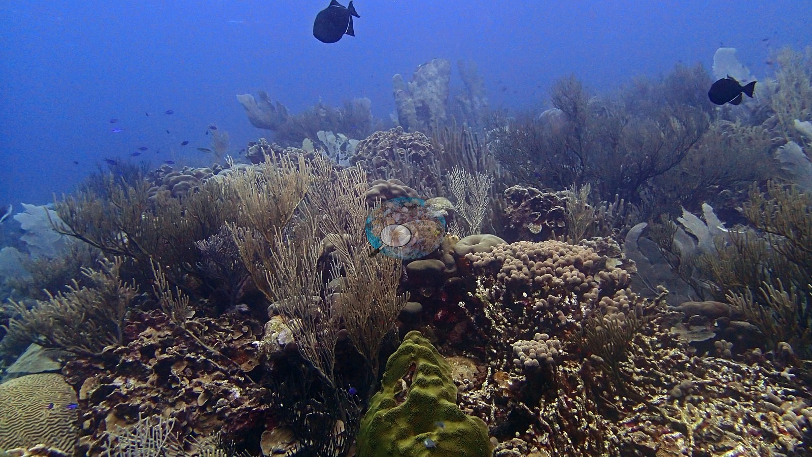
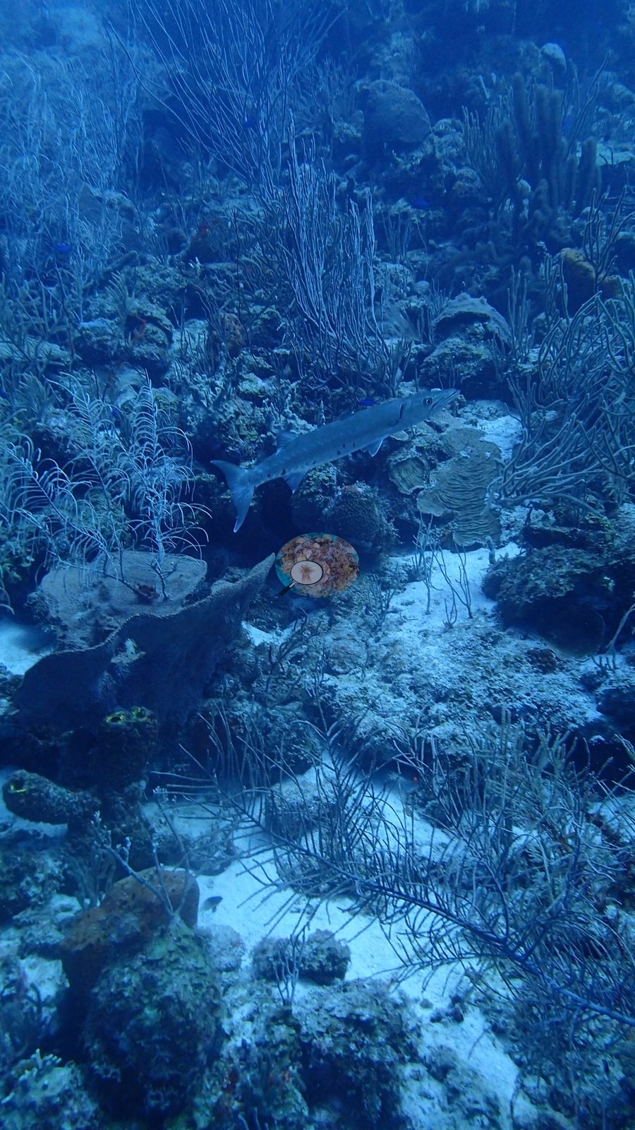
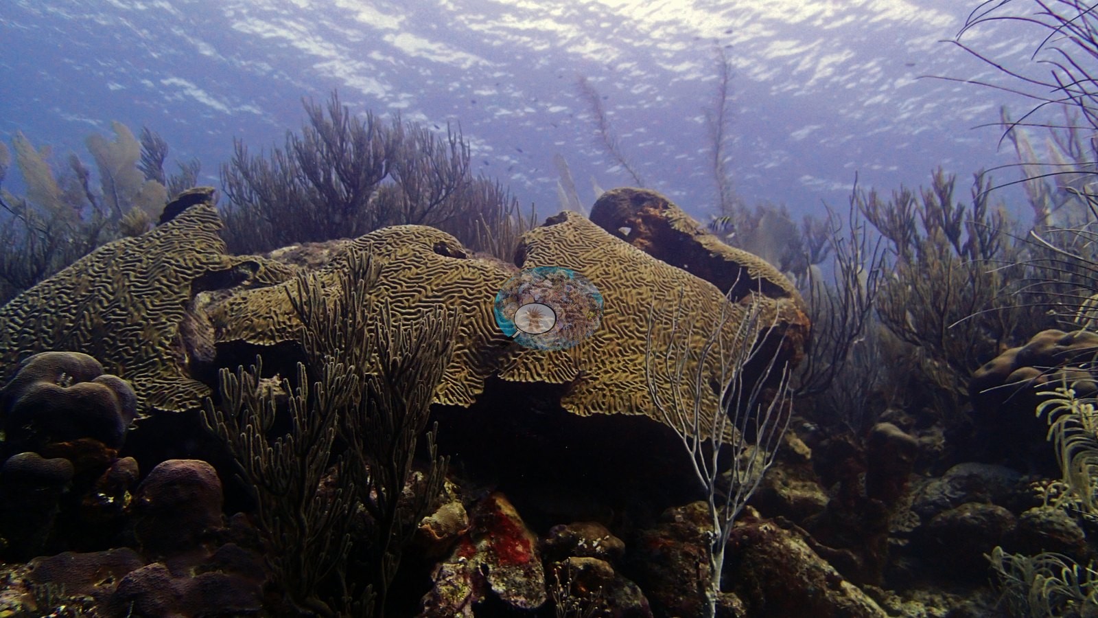
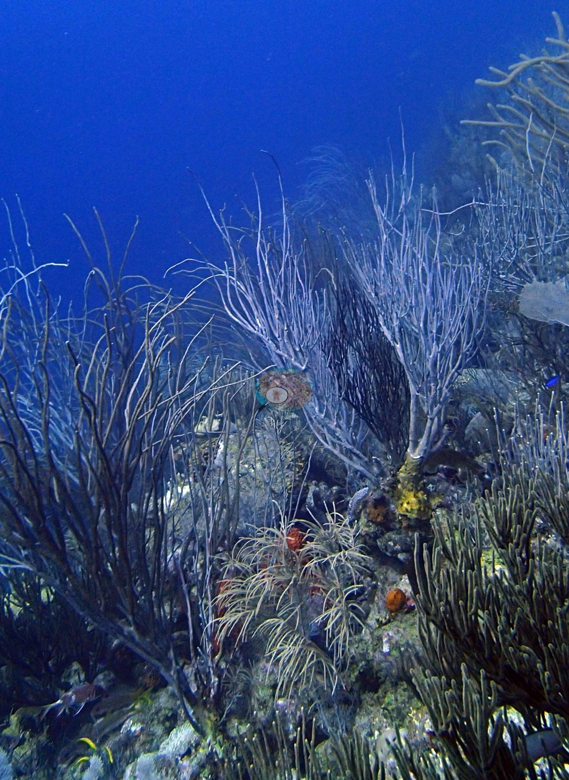
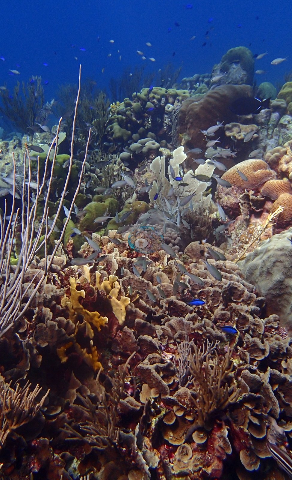
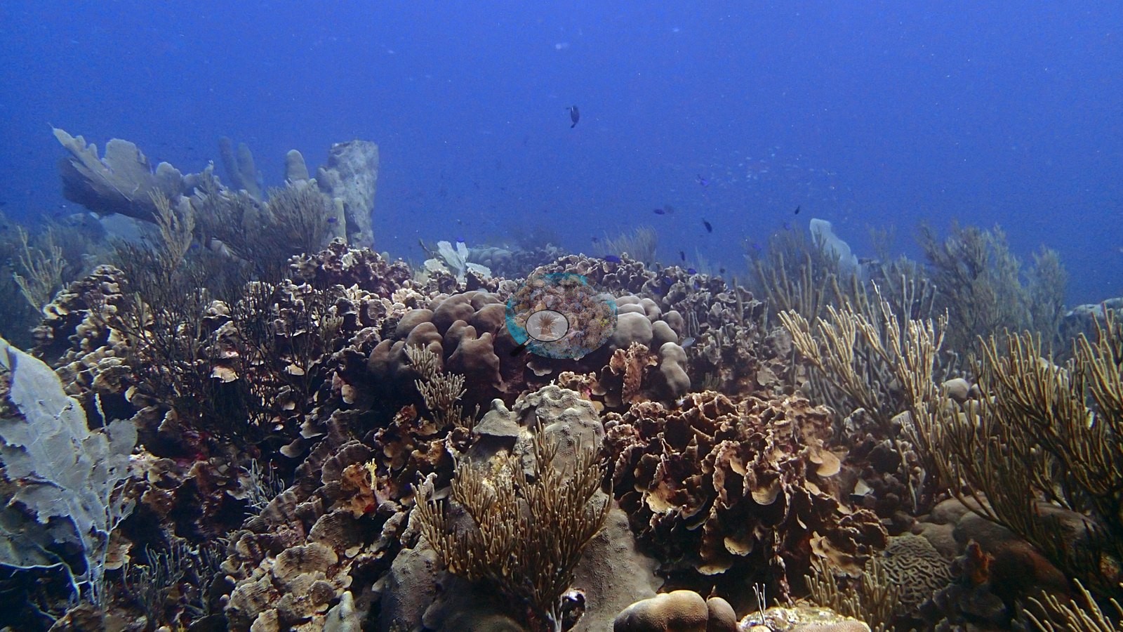
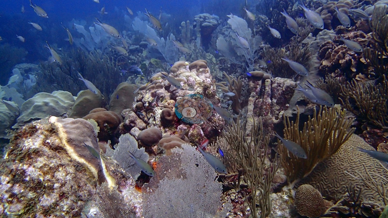
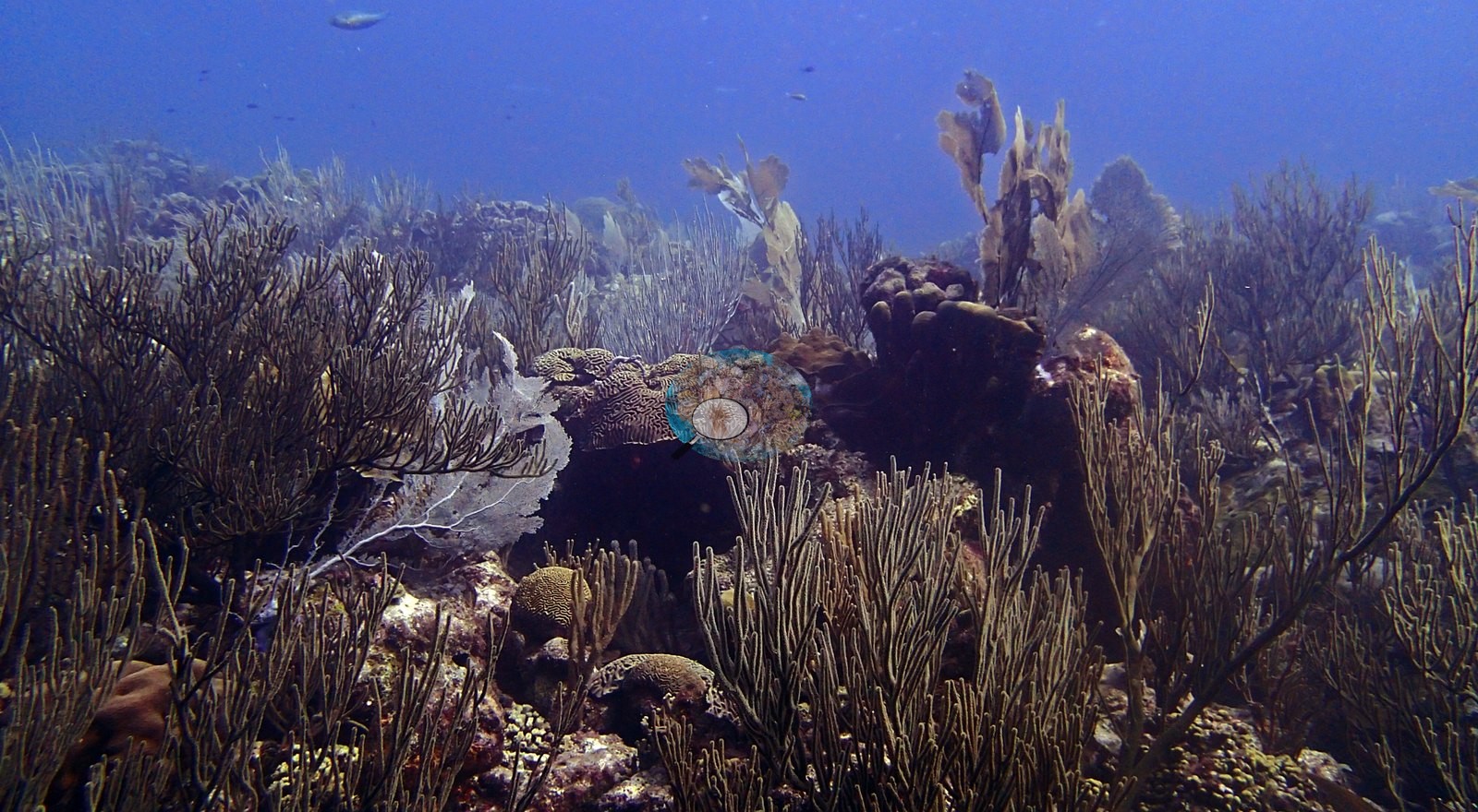
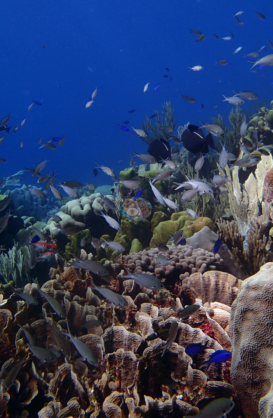
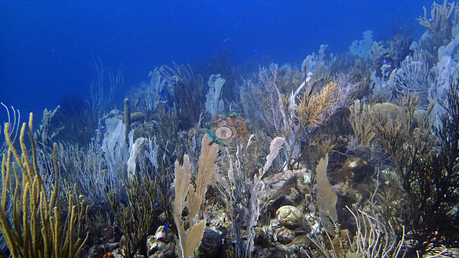
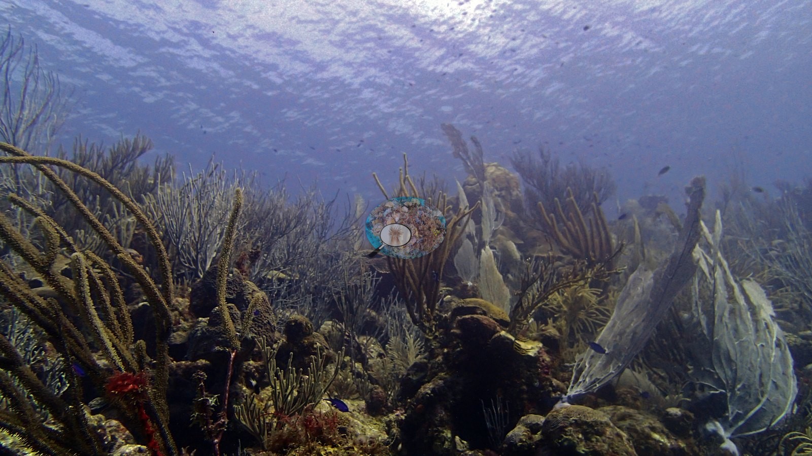
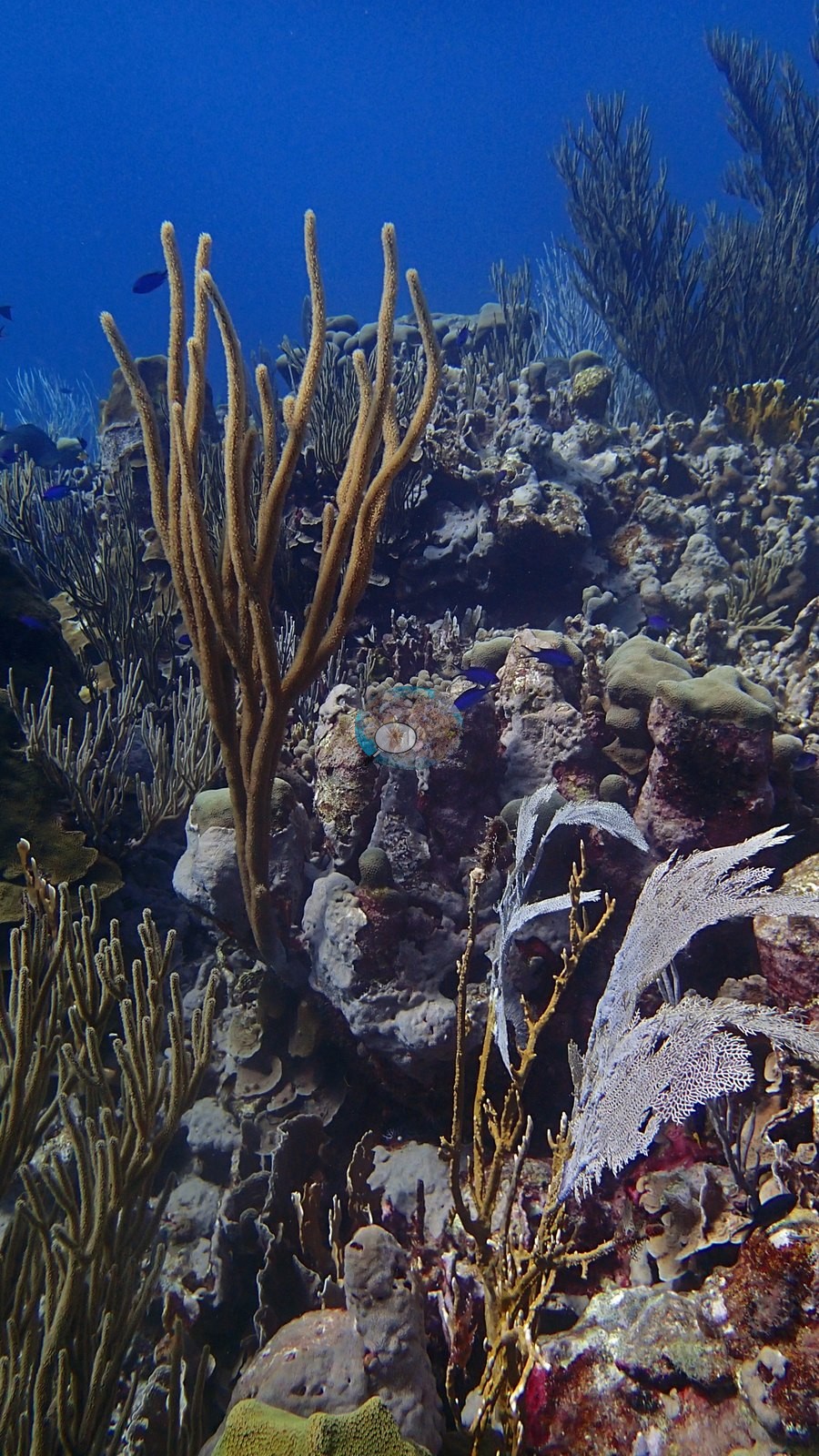
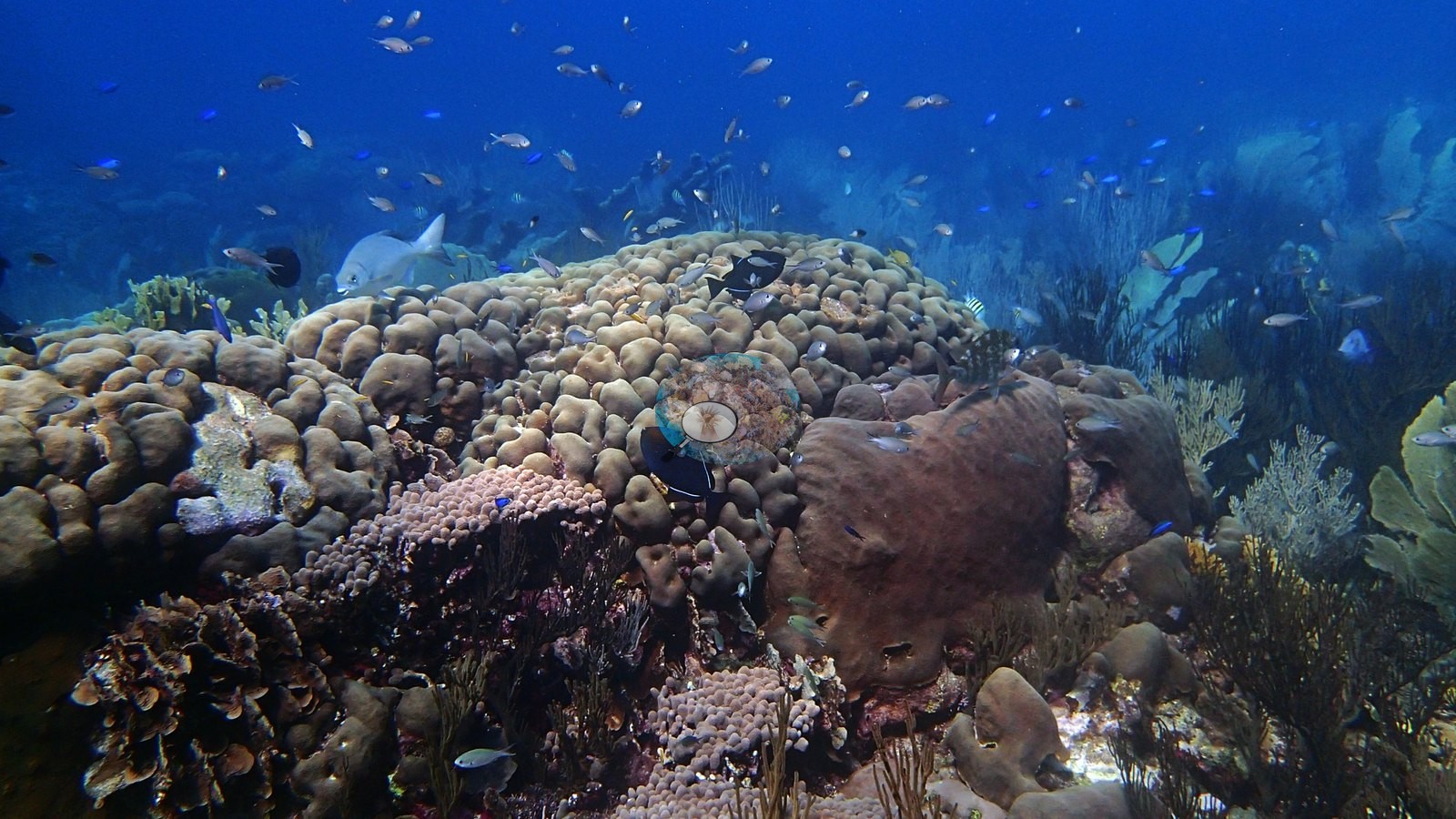
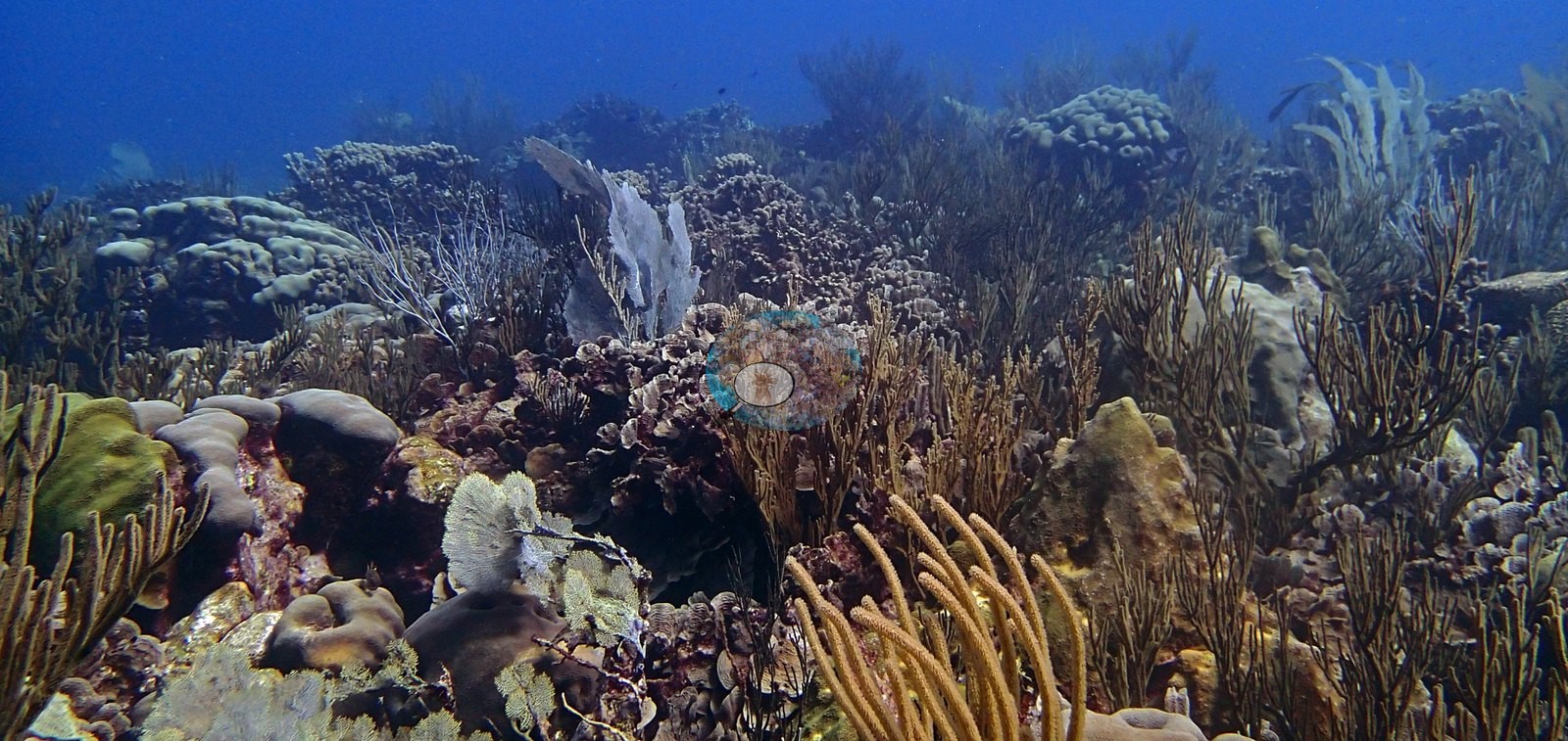
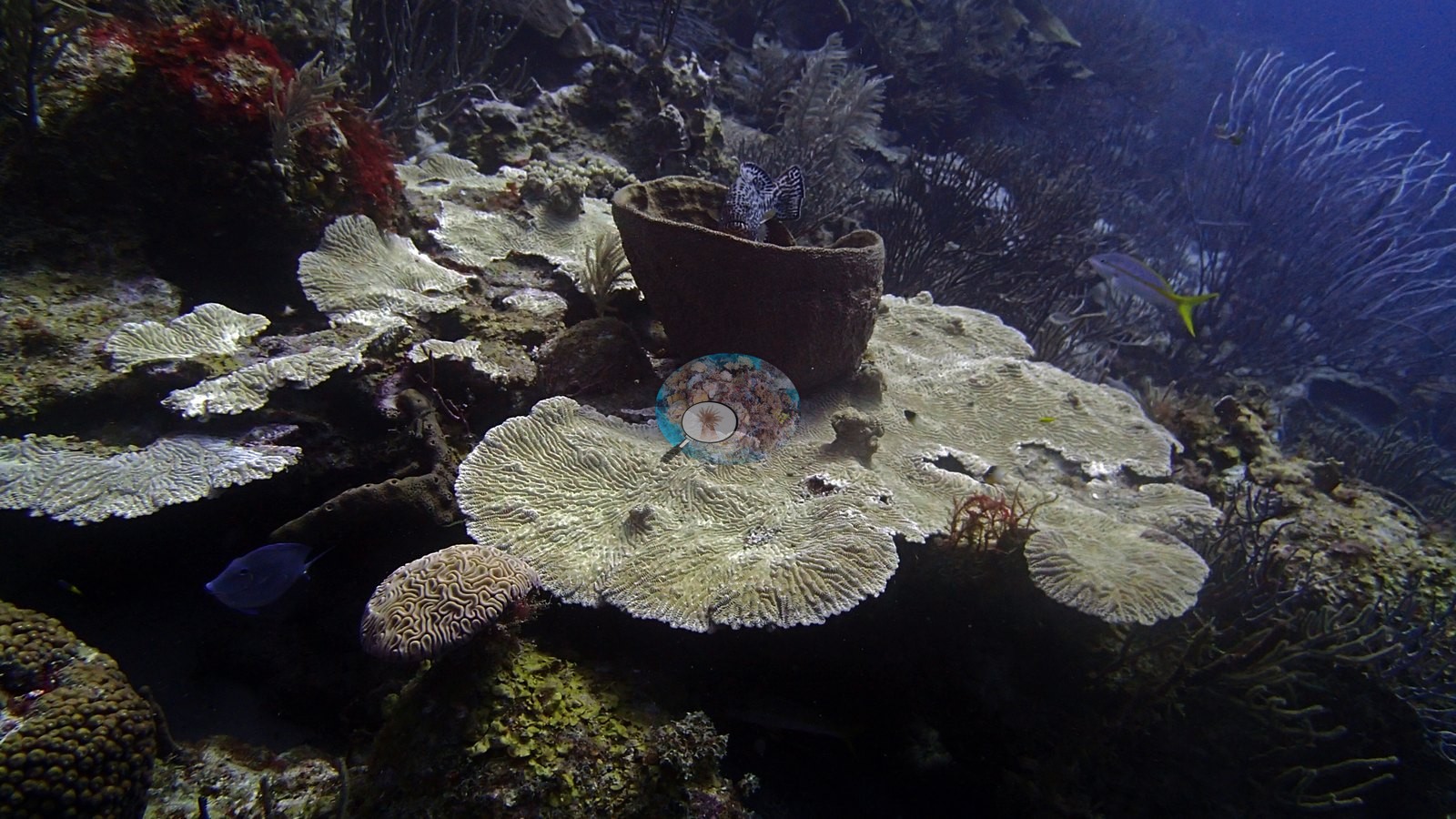
Dense sea fans, rods, and whips fill much of the surrounding reef, together with massive, brain, and plating corals (e.g., Image 2, Image 3, Image 4).
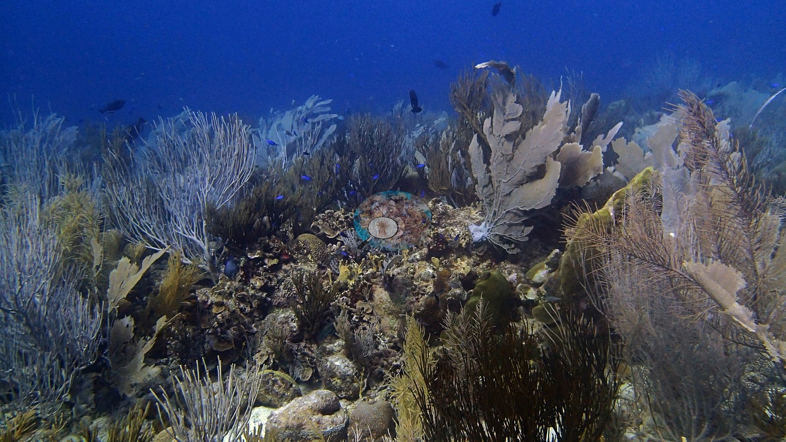
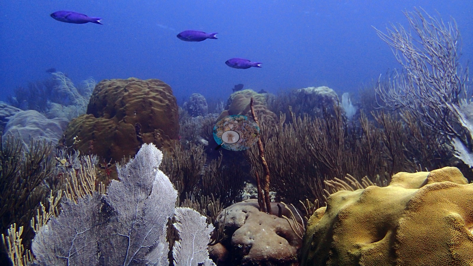
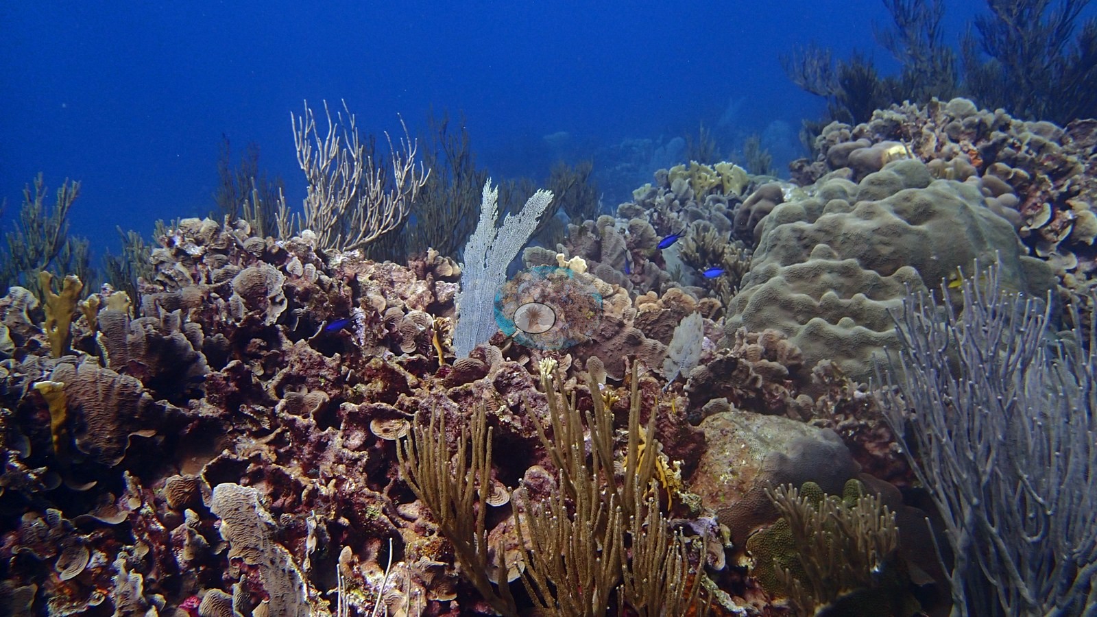
The habitat is visually complex and strongly octocoral-dominated.
Coral cover
- Reference: Claude CV point count (this site's photos)
- Coral cover: 22% — a blind Claude computer-vision point count of 53 of Anderson's edited photographs (20 points per photo; water, fish, and obstructions excluded). Other computer-vision methods are listed in the method table.
Stressors
No widespread hard coral bleaching is visible. Several sea fans are very pale or white, but full-resolution review shows intact fan structure and does not by itself distinguish species color, bleaching, tissue loss, or lighting effects. One old dead elkhorn framework is present among living colonies. These observations warrant caution rather than a diagnosis of site-wide mortality. No corallivores were evident.
Fish and other fauna
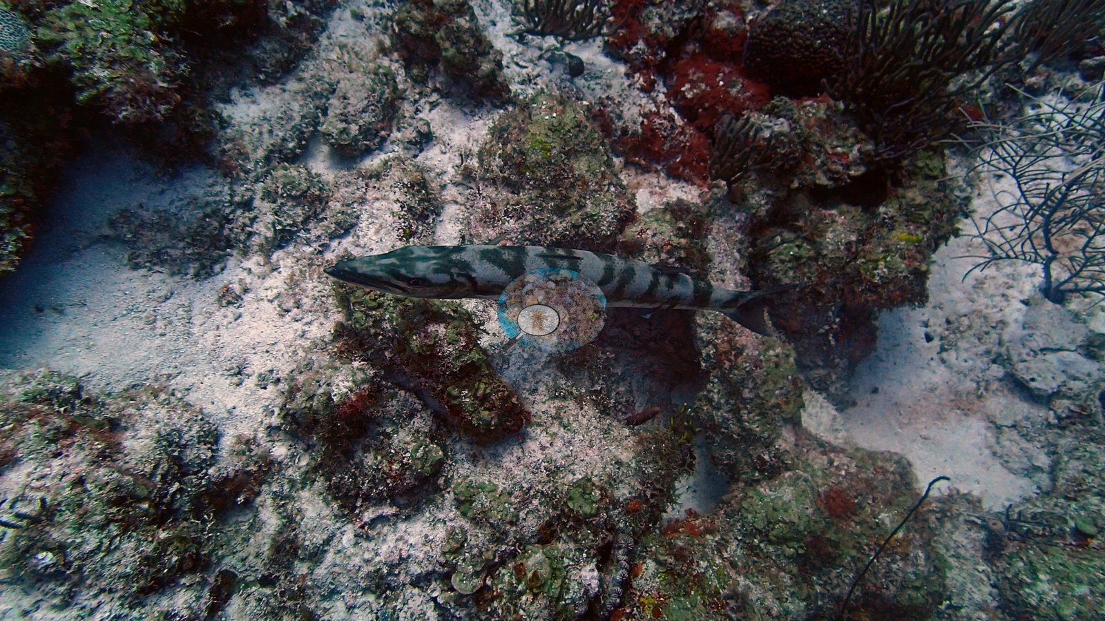
A Caribbean stingray cruised the sandy patches and small reef fish schooled over the dense gorgonian-and-coral cover (e.g., Image 45).
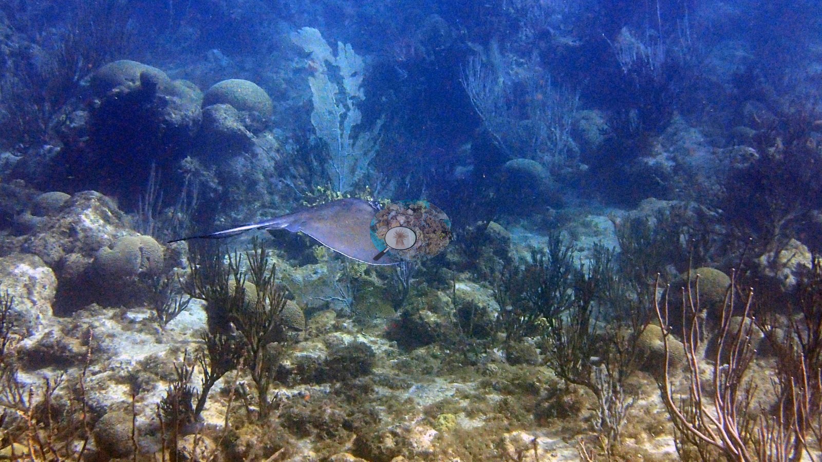
Stingrays, barracuda, and reef fishes are also represented.
Comparisons with other data
de Bakker et al. (2019) surveyed this site (station 132), 0.01 km from the pin. Cover values from that work are not among the survey records shown on this page. Within 5 km, one independent station, XL Catlin Seaview Survey at transect 17040, 3.01 km away, read 12% in 2013.
CV model comparison
More info
A few colony-focused photos raise the mean; the median is the typical photo. No computer-vision method yet estimates coral cover accurately on new images, so treat this as indicative rather than a measurement; it is revised as the methods improve.More info
Other rows are for comparison only and are never averaged. No diver transect exists for these photos, so agreement between rows is not accuracy.| Method | Hard coral cover (%) | Photos (n) ± SE |
|---|---|---|
| CoralSCOP edited | 27.6 | n = 51 · SE 1.9 |
| Claude (edited photos) | 22.1 | n = 53 · SE 2.5 |
CoralSCOP (edited photos) reads 27.6%, within 5.5 pp of Claude's blind point count (22.1%).
See a more detailed, stand-alone version of this table.
Independent surveys nearby
Within 5 km, 1 independent survey station recorded hard coral cover in 2013. The most recent nearby survey is from 2013, so these values predate recent heat stress. This site's own estimate (22%) is not compared with these surveys: none lies within 2 km.
Collected by other programs using different methods (the XL Catlin Seaview Survey uses photo-transects with automated image annotation), so these are context for the figures above, not a like-for-like comparison. Where a station was surveyed more than once, the cell shows either the range of its values or, as a single value, the mean of surveys made in one year. Station names are not dive-site names.
| Agency | Site / location | Date | Hard coral cover (%) | Distance | Link |
|---|---|---|---|---|---|
| XL Catlin Seaview Survey | transect 17040 | 2013 | 12% | 3.01 km | doi:10.14264/uql.2019.930 |
Data & links
All images from Coral Reef Diagnostics. Data are from Coral Reef Diagnostics and the organizations named in the data sources above.
© Coral Reef Diagnostics.
References
- de Bakker DM, van Duyl FC, Perry CT, Meesters EH (2019). Extreme spatial heterogeneity in carbonate accretion potential on a Caribbean fringing reef linked to local human disturbance gradients. Global Change Biology 25:4092-4104. DOI
- Gonzalez-Rivero M, et al. (2019). Seaview Survey photo-quadrat and image classification dataset. The University of Queensland (UQ eSpace) data collection. DOI