
Bonaire - Hilma Hooker
Part of the regional summary: Bonaire
More about this place: Bonaire on Wikipedia
More info
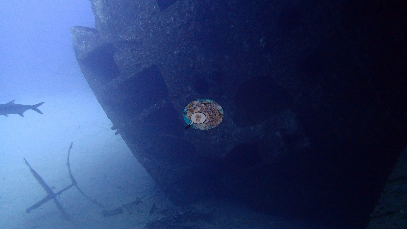
Aruba, Curacao, and Bonaire (NOAA CRW virtual station)The Hilma Hooker wreck lies on its side in about 30 m of water, its hull crusted with sponges (very few, if any, corals grow on the wreck itself) and patrolled by barracuda and grunts, and the neighboring reef adds boulder corals, gorgonians, and extensive staghorn thickets. Context (dive-operator and press sources): the wreck is a 236-foot (72 m) freighter seized for drug smuggling that sank at anchor in 1984 while held as evidence.
Het wrak van de Hilma Hooker ligt op zijn zij op ongeveer 30 m diepte; de romp is bedekt met sponzen (op het wrak zelf groeien maar heel weinig koralen, of geen) en barracuda's en grombaarzen patrouilleren eromheen, terwijl het aangrenzende rif sterkoralen, gorgonen en uitgebreide bosjes hertshoornkoraal toevoegt. Context (bronnen van duikoperators en de pers): het wrak is een vrachtschip van 236 voet (72 m) dat in beslag werd genomen wegens drugssmokkel en in 1984 voor anker zonk terwijl het als bewijsstuk werd vastgehouden.
AI translation of this summary; the English is authoritative.
Ten independent survey stations shown with the program’s logo — click one to see how far it is from this site.
Two other CRD dive sites with their own pages within 5 km shown in orange — click a marker to open its page.
11 of the 42 photographs on this page are shown beside the text that discusses them under "Site description" below.
Site description
Setting
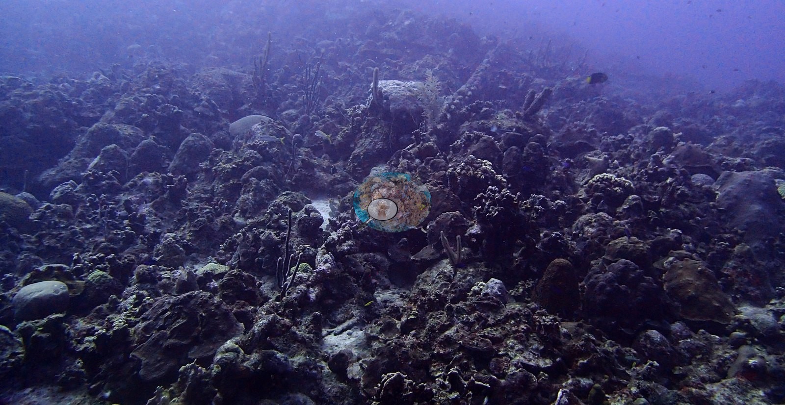
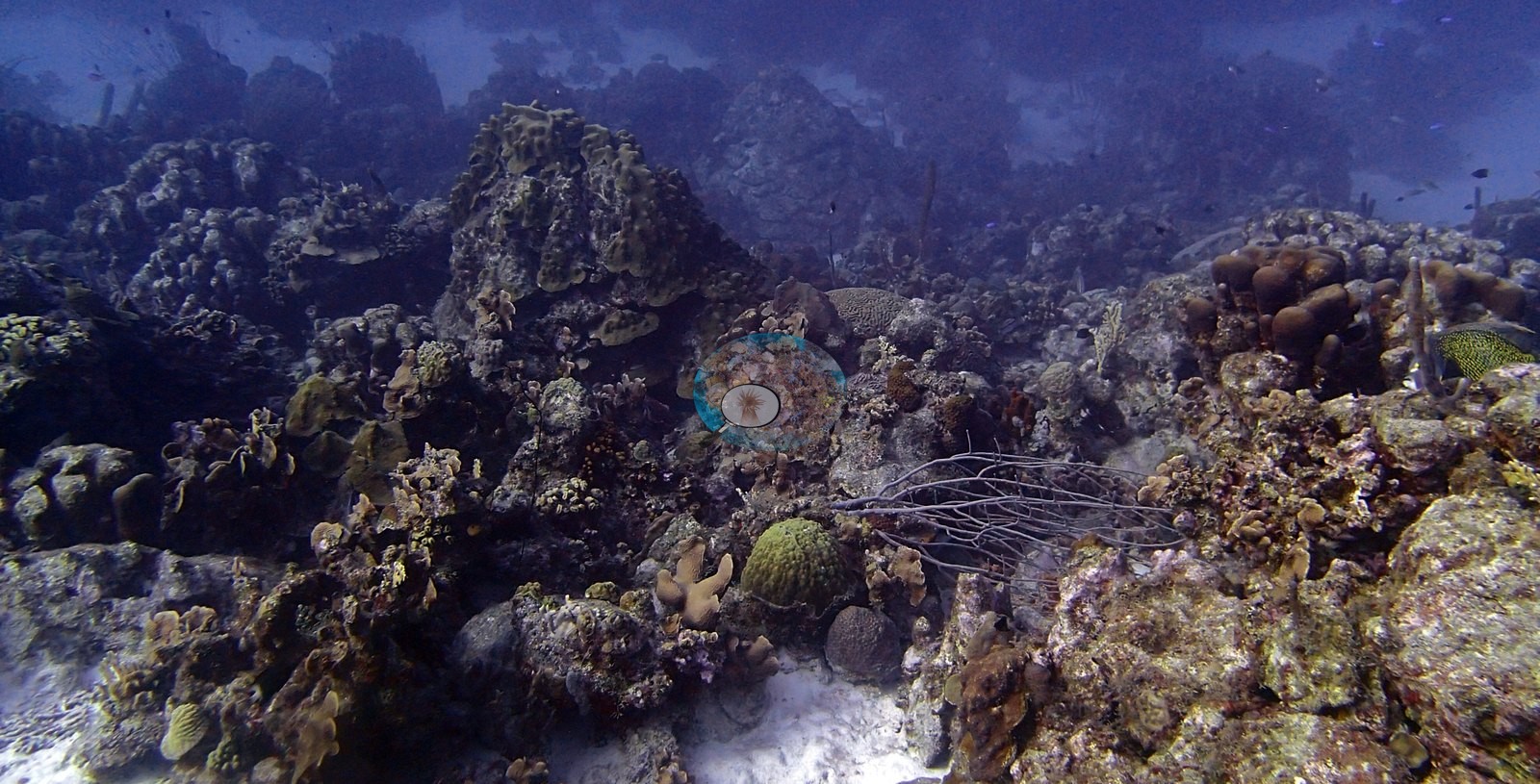
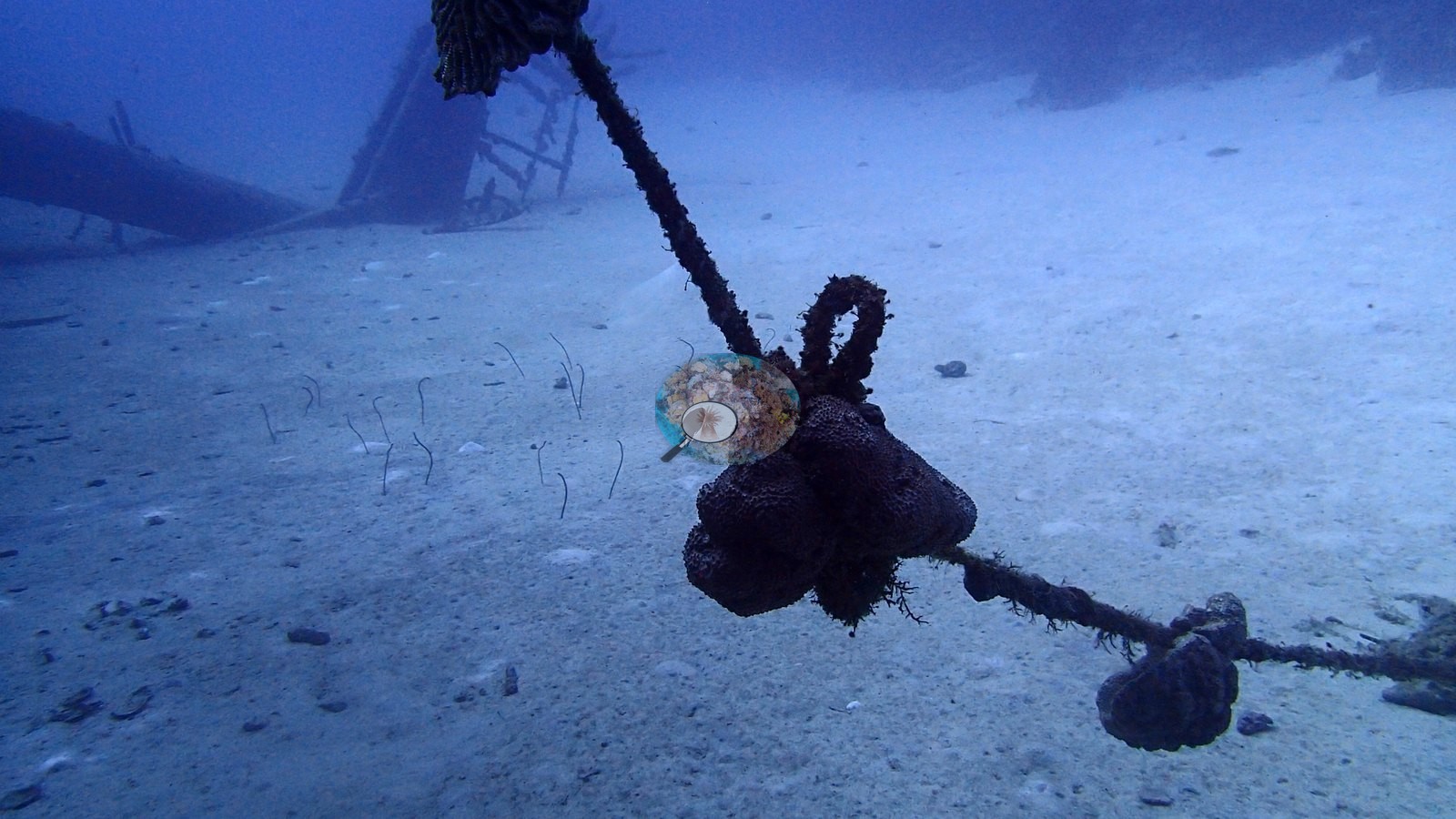
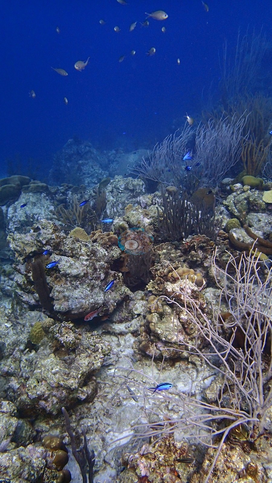
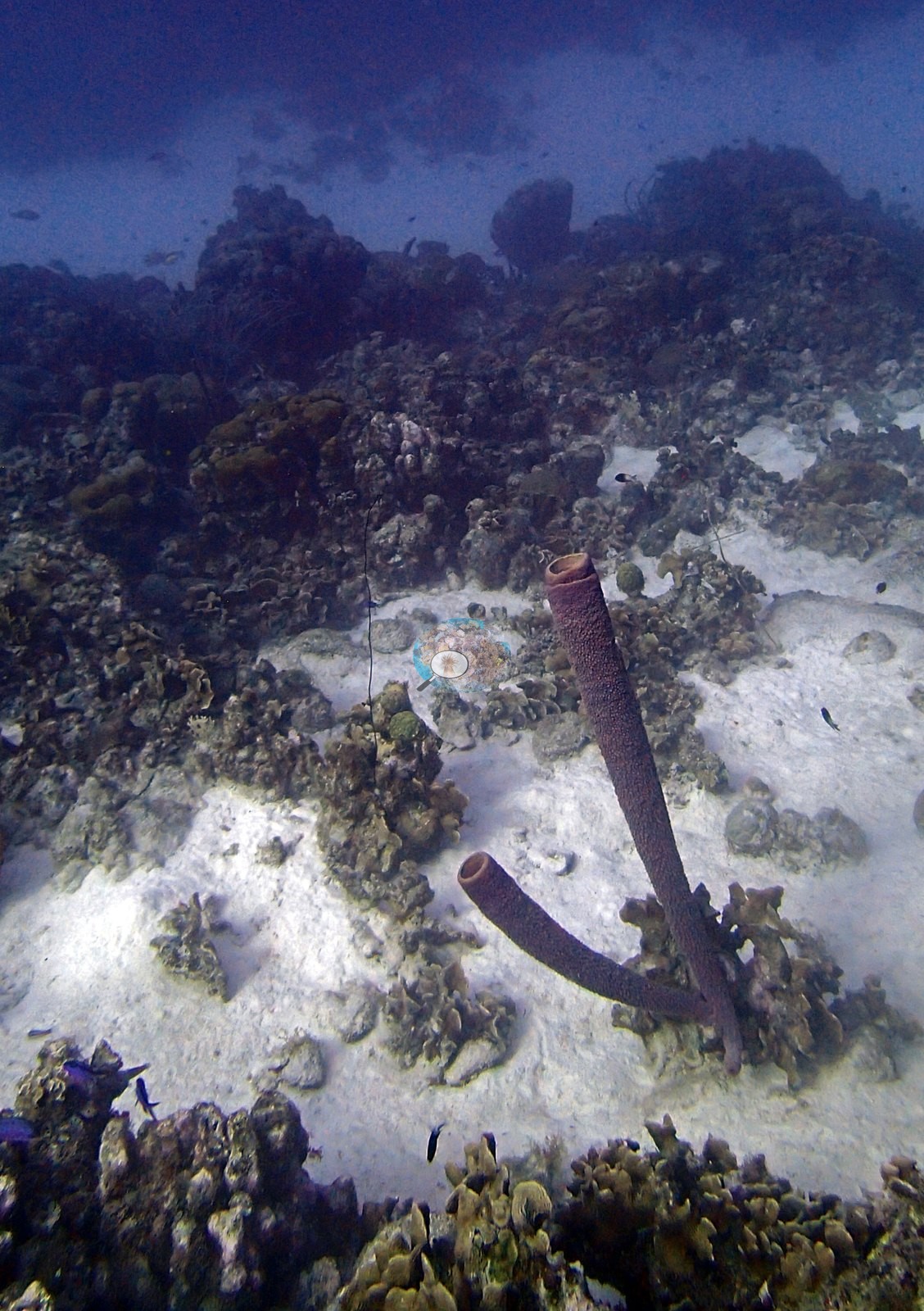
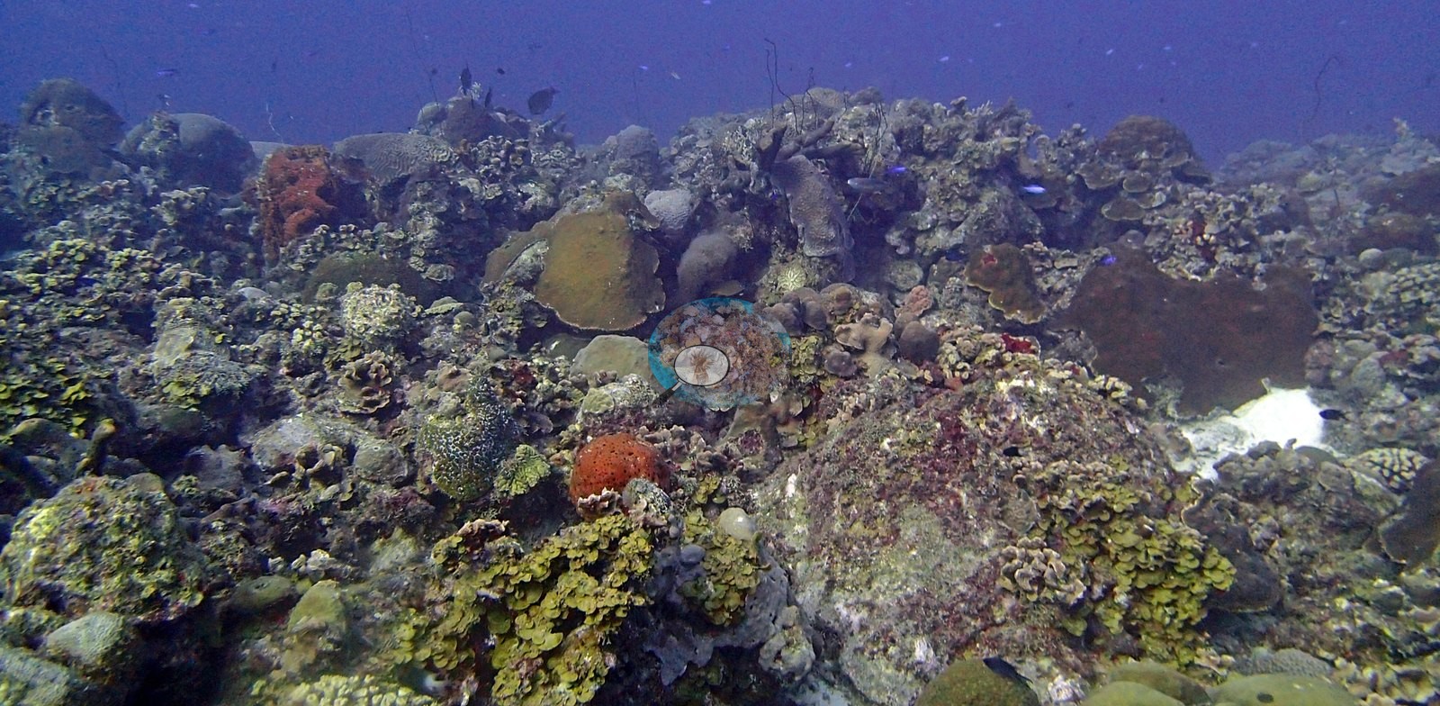
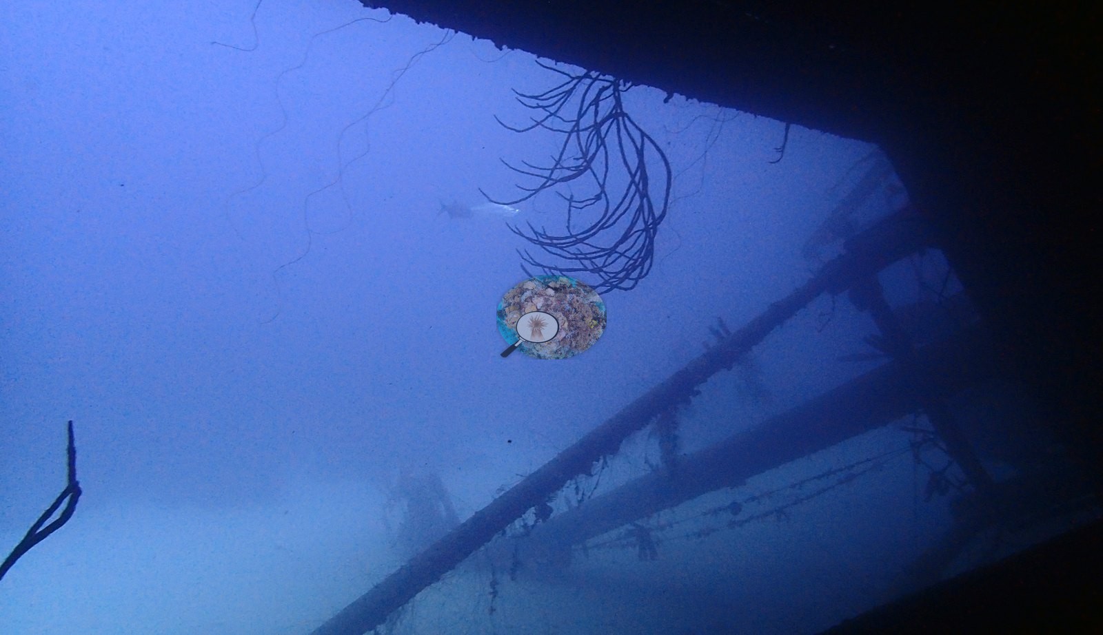
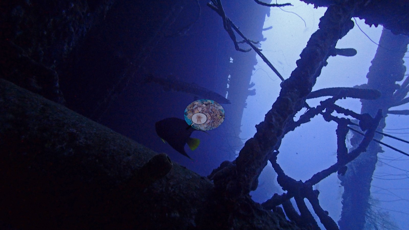
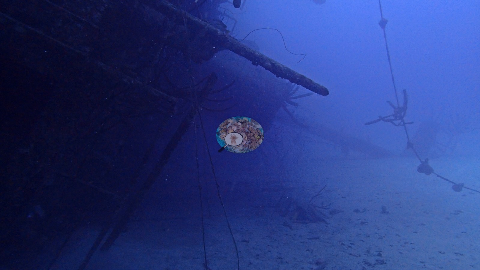
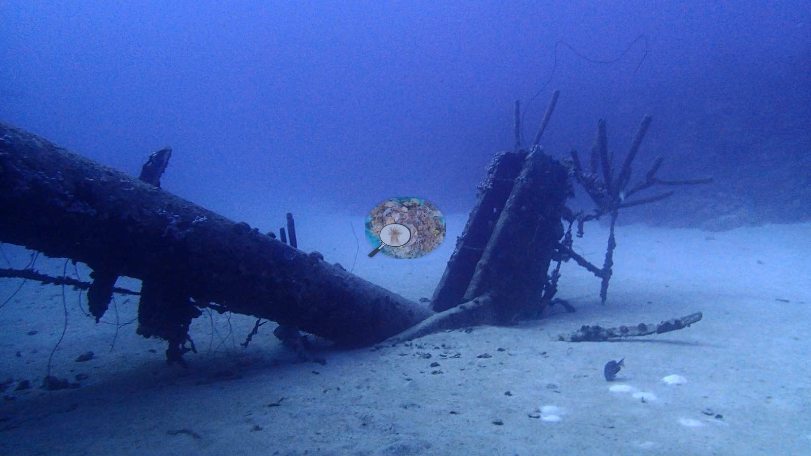
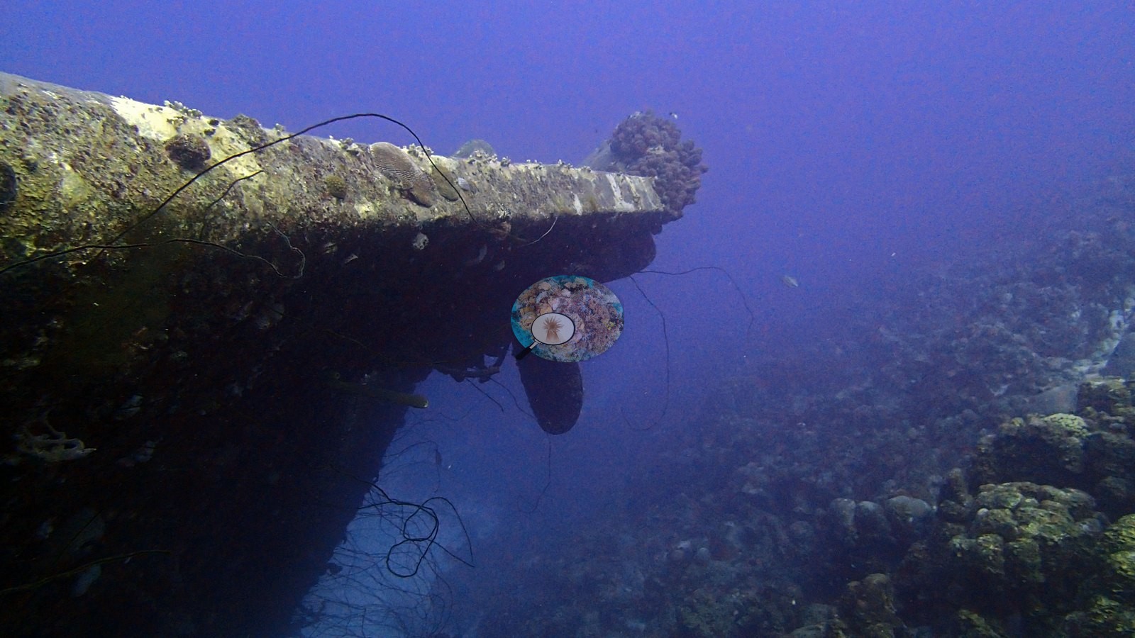
Context (dive-operator and press sources): the Hilma Hooker is a 236-foot (72 m) inter-island freighter, seized as a drug-smuggling vessel in 1984, that took on water and sank at anchor on 12 September 1984 while held as evidence; it now rests on its side in about 100 ft (30 m) of water on a sandy bottom near a coral reef. The Hilma Hooker set covers three linked habitats: the wreck itself, the surrounding sand apron, and the adjacent reef (e.g., Image 2).
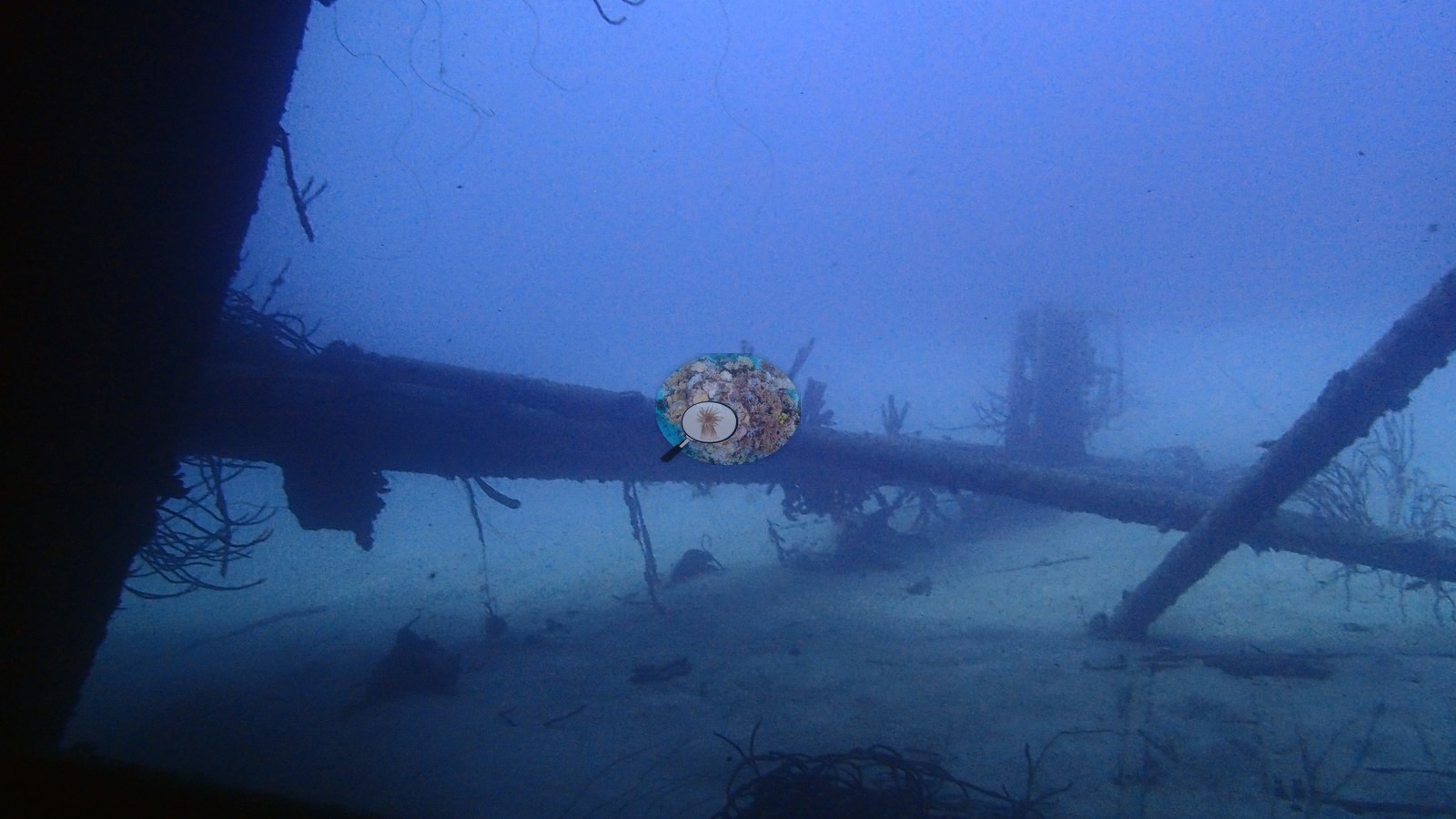
General benthic features
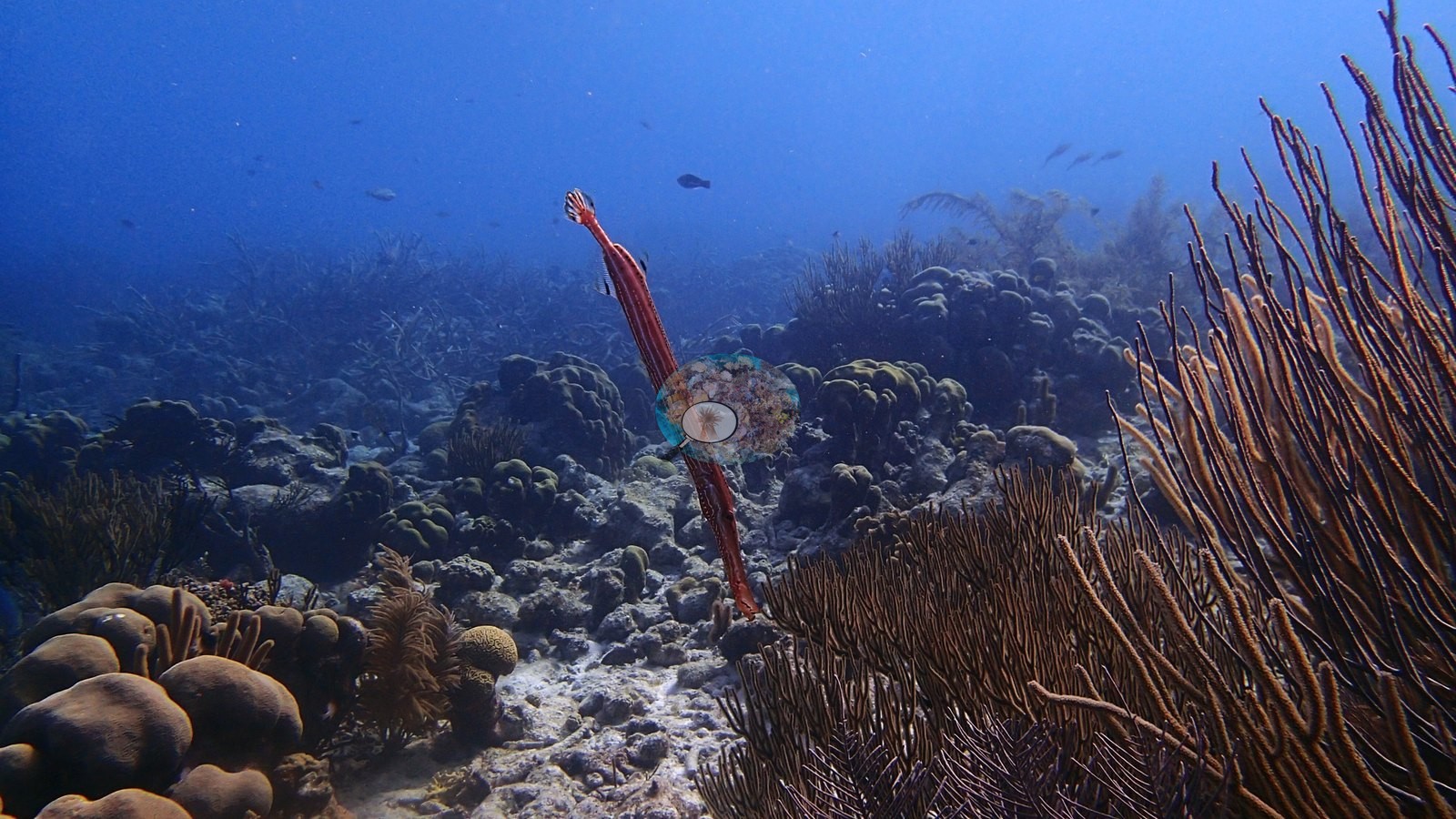
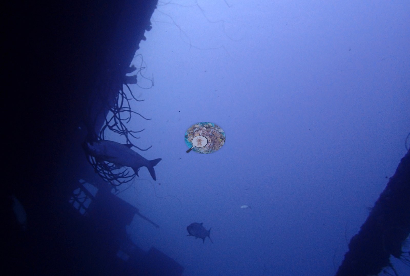
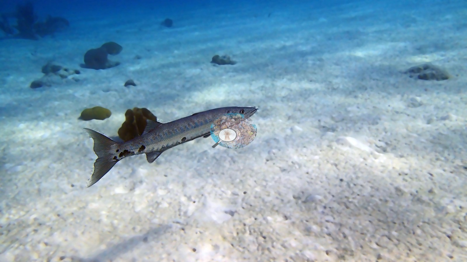
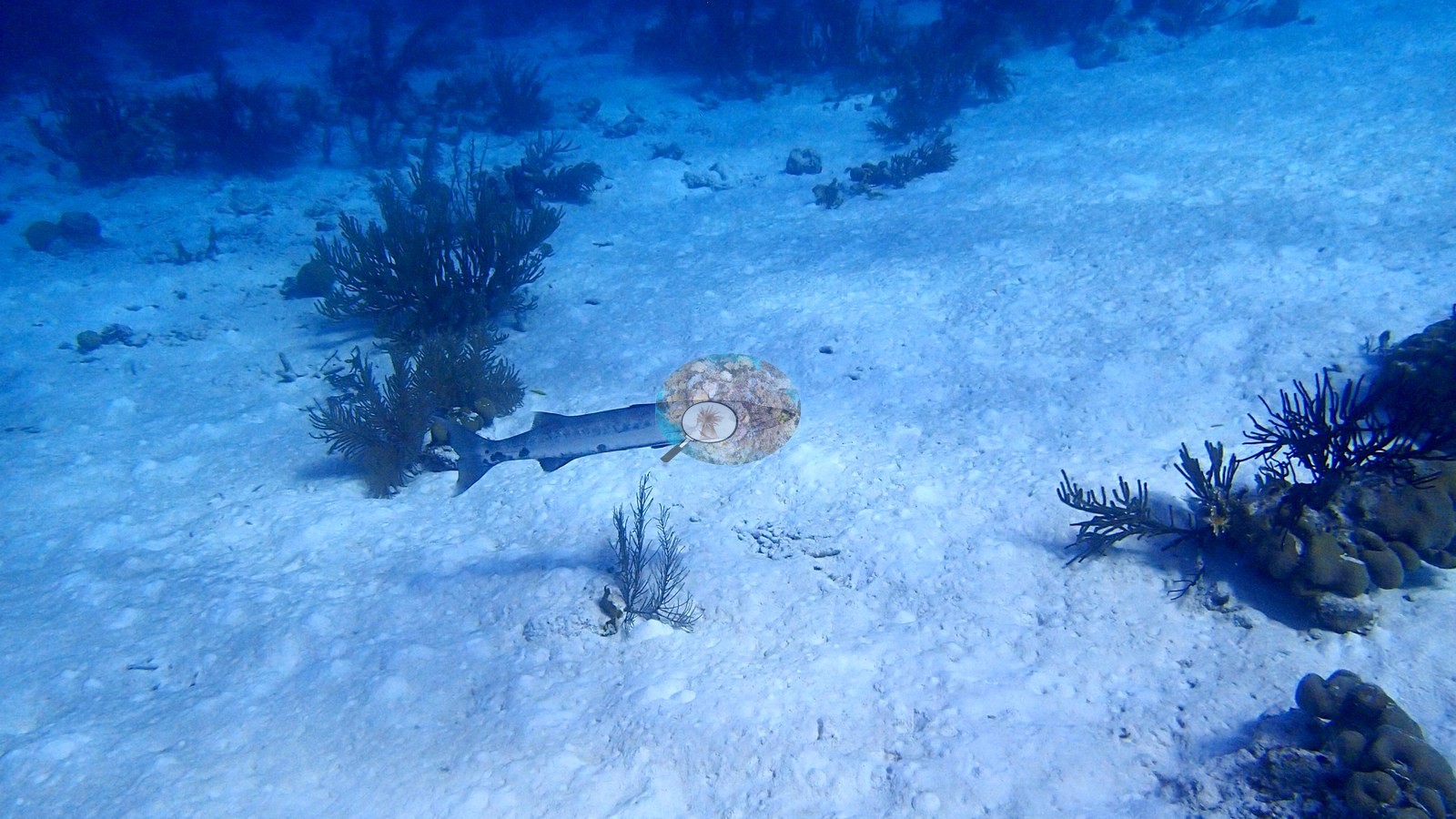
The steel hull and railings are crusted with sponges, with very few (if any) corals growing on the wreck itself, and a memorial plaque lies nearby; the wreck is patrolled by barracuda and schools of grunts, with boulder corals and gorgonians on the adjacent reef (e.g., Image 7, Image 21).
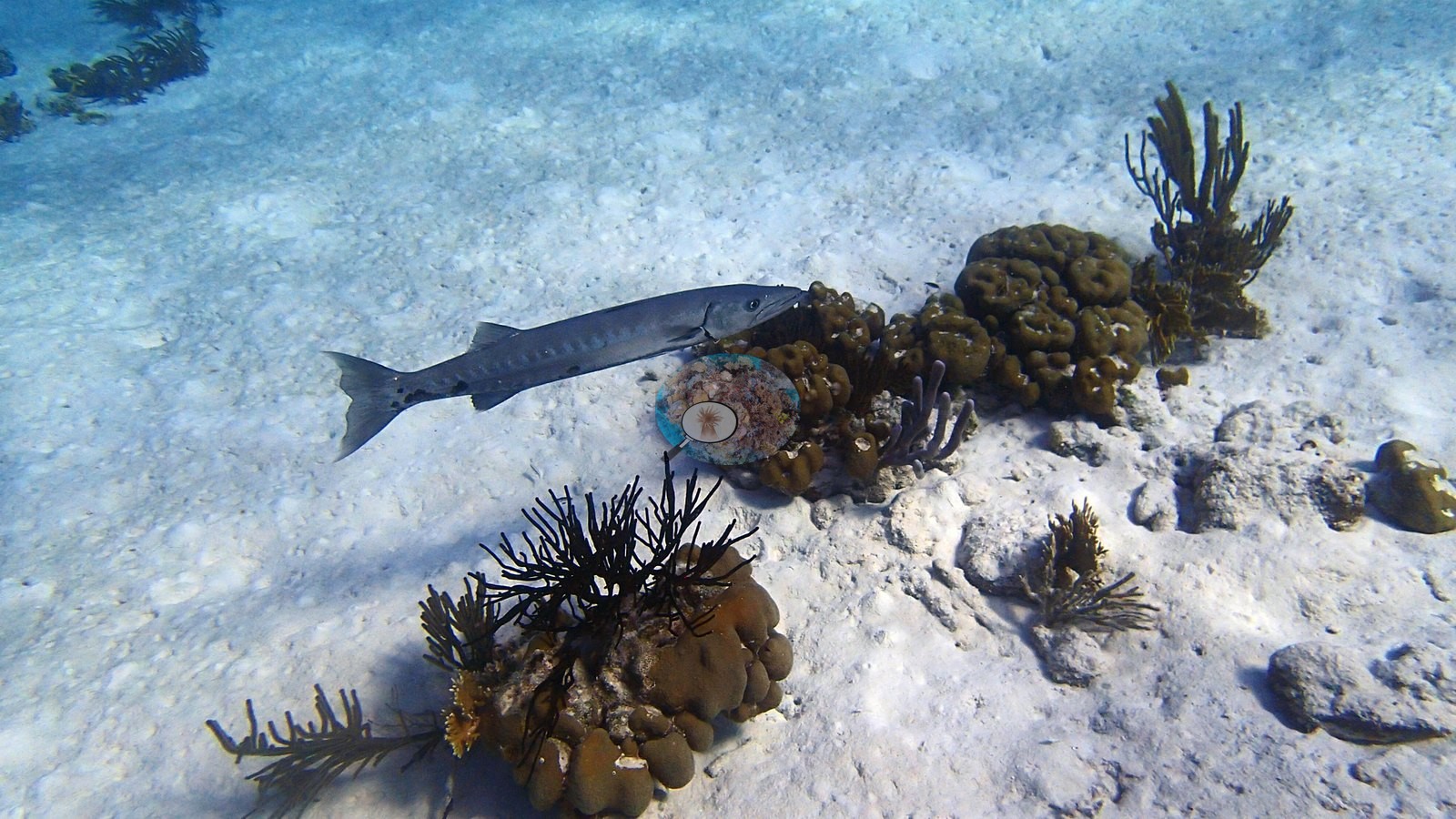
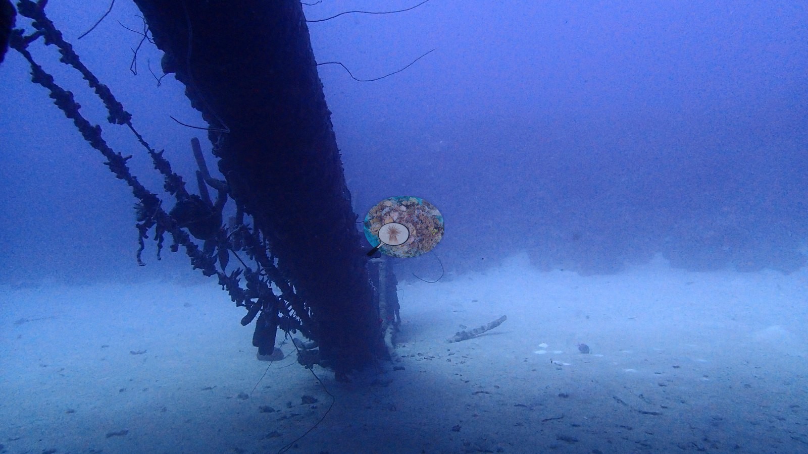
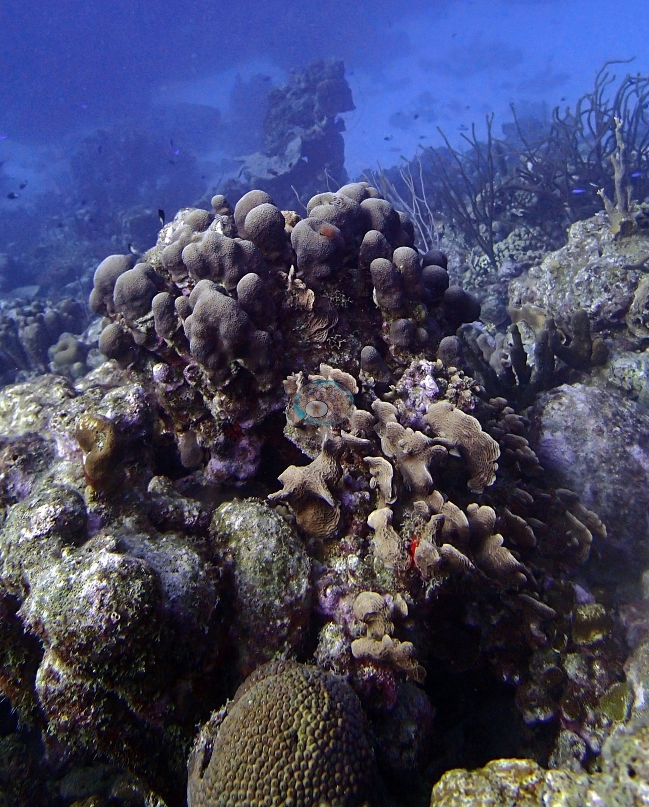
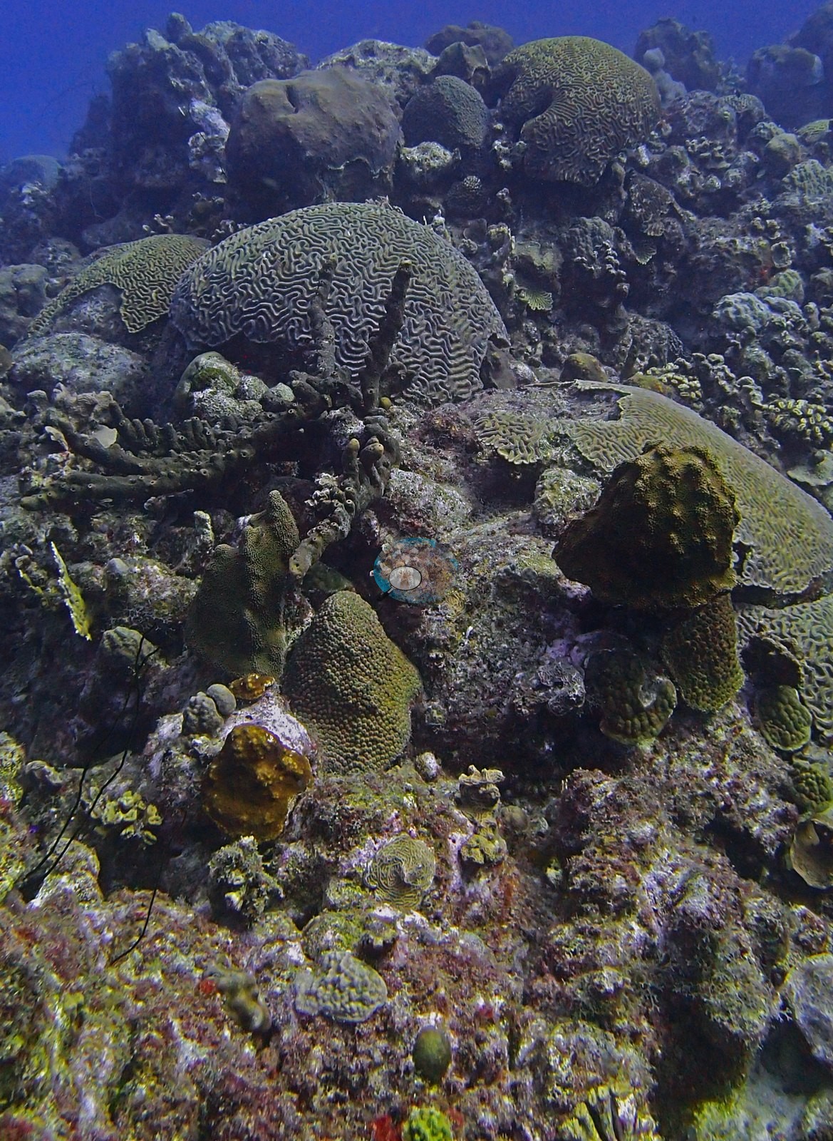
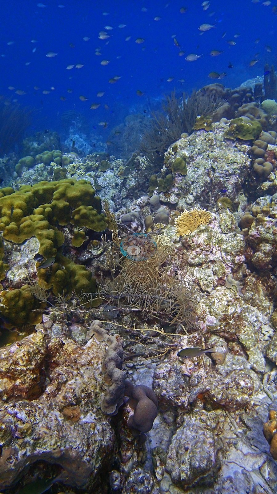
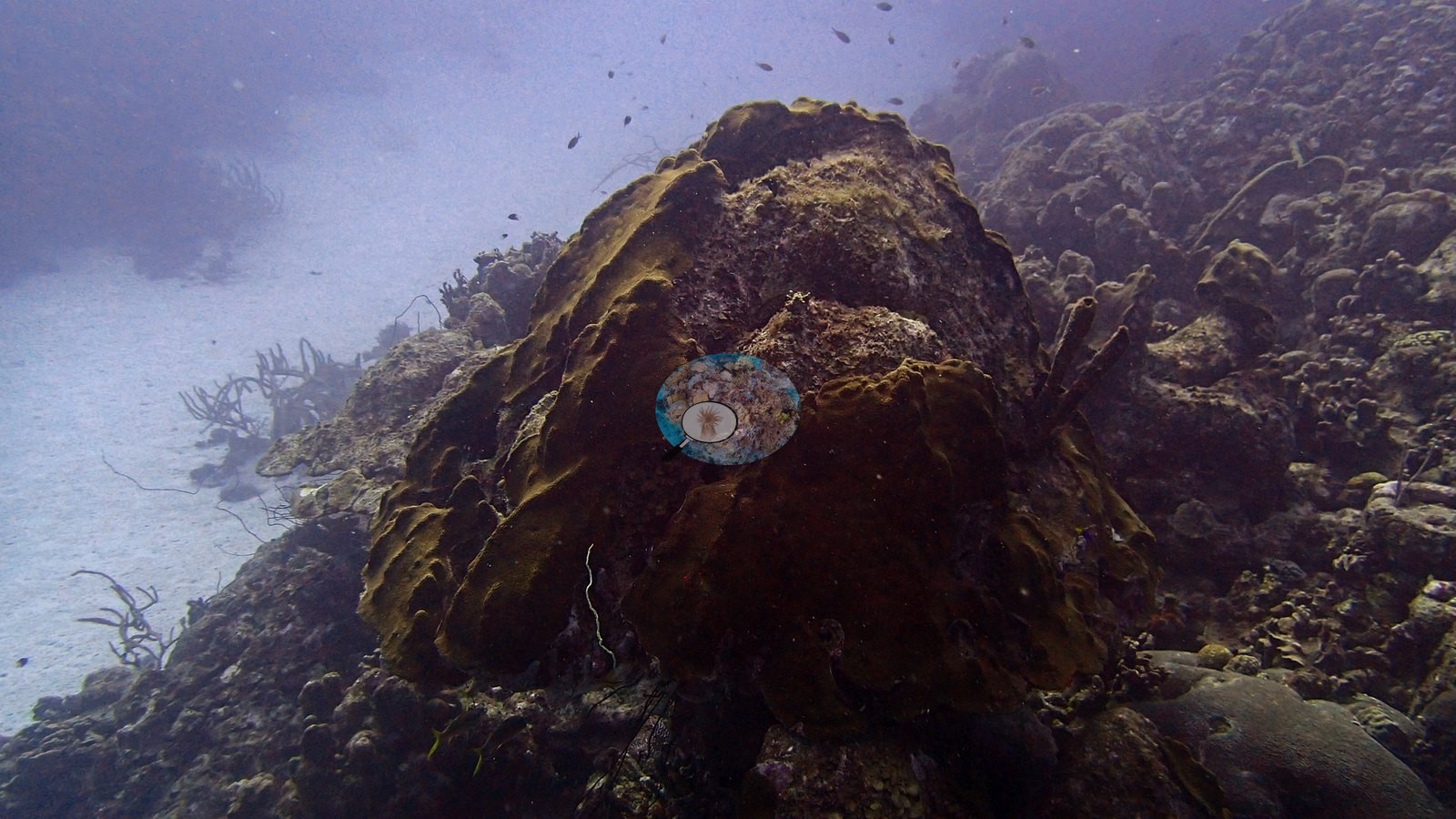
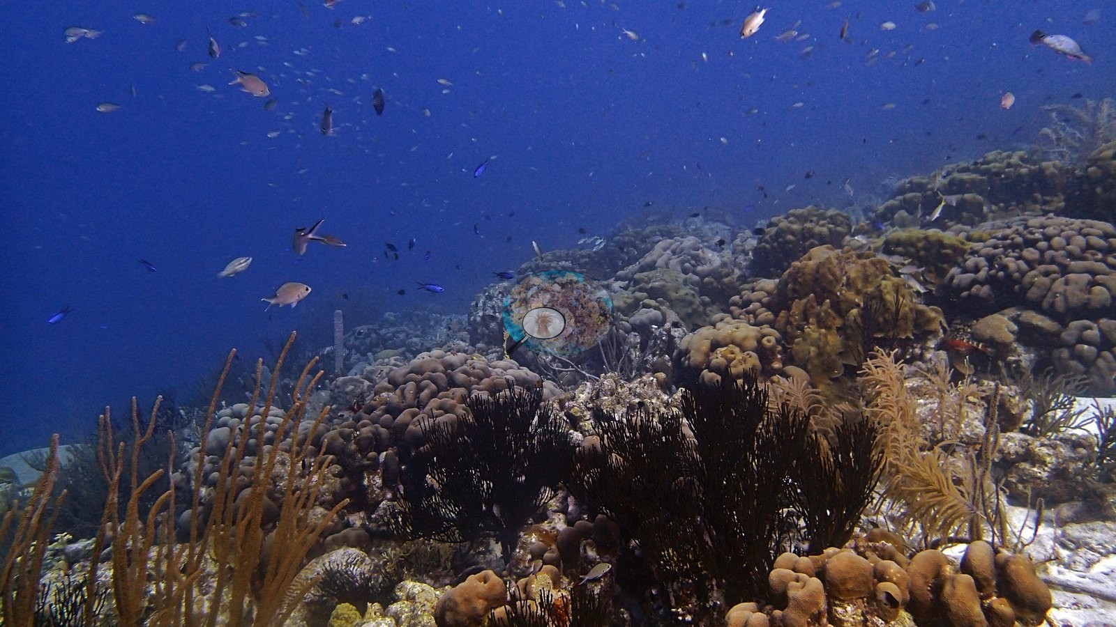
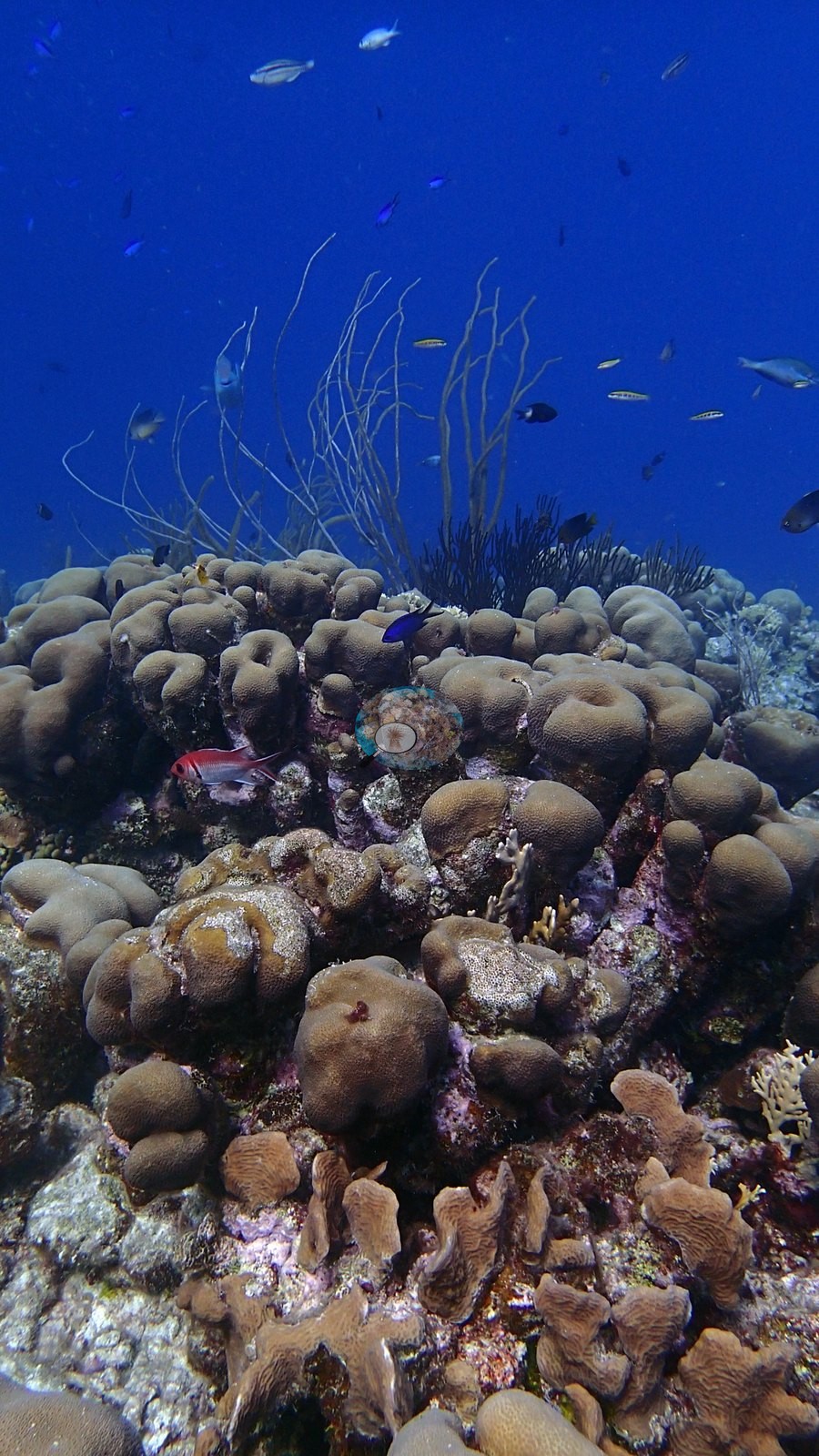
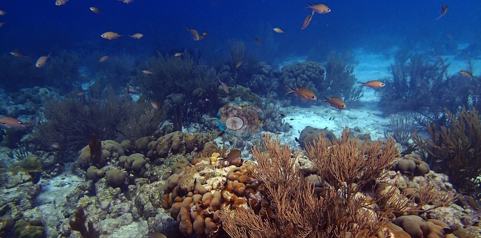
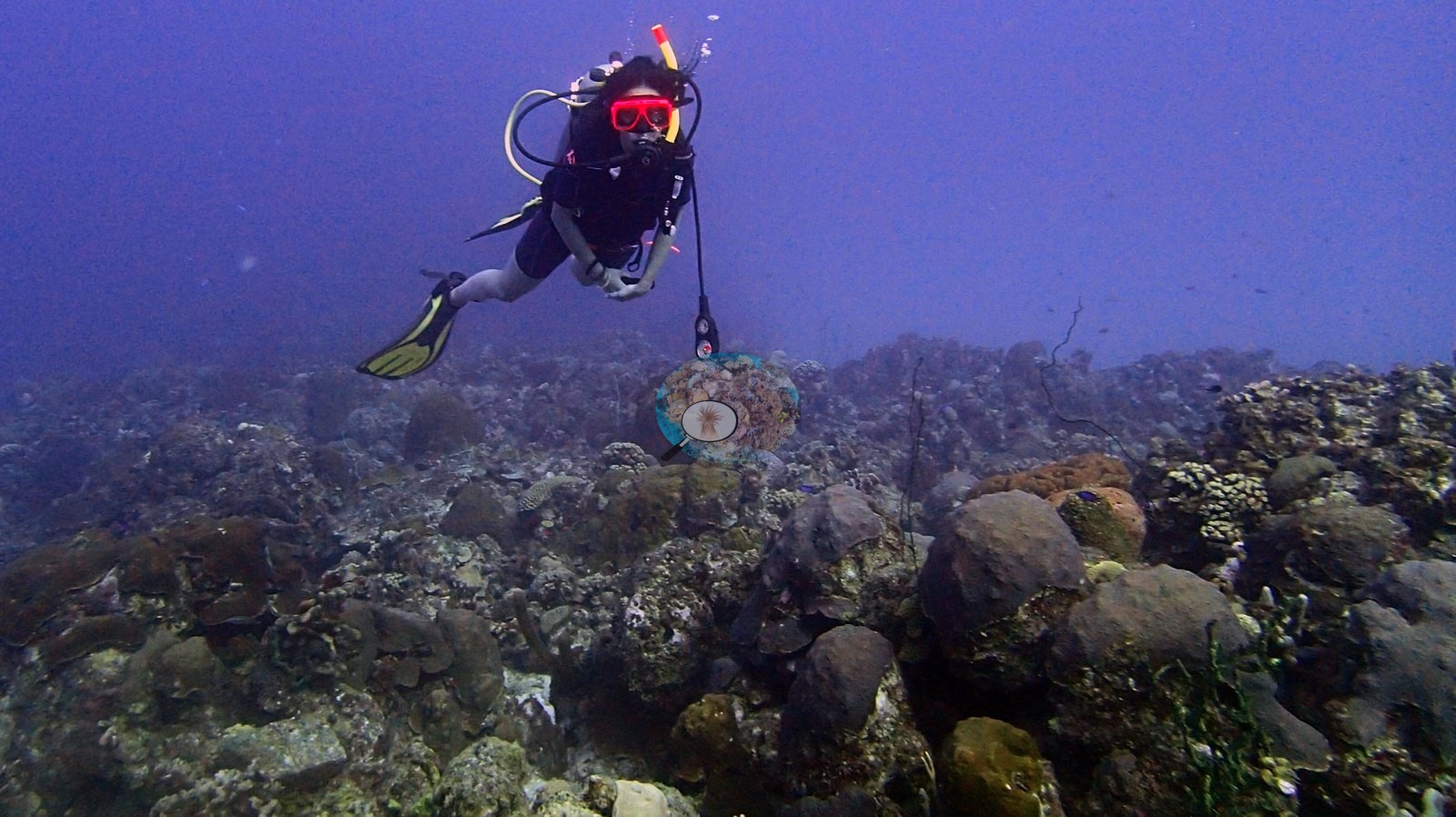
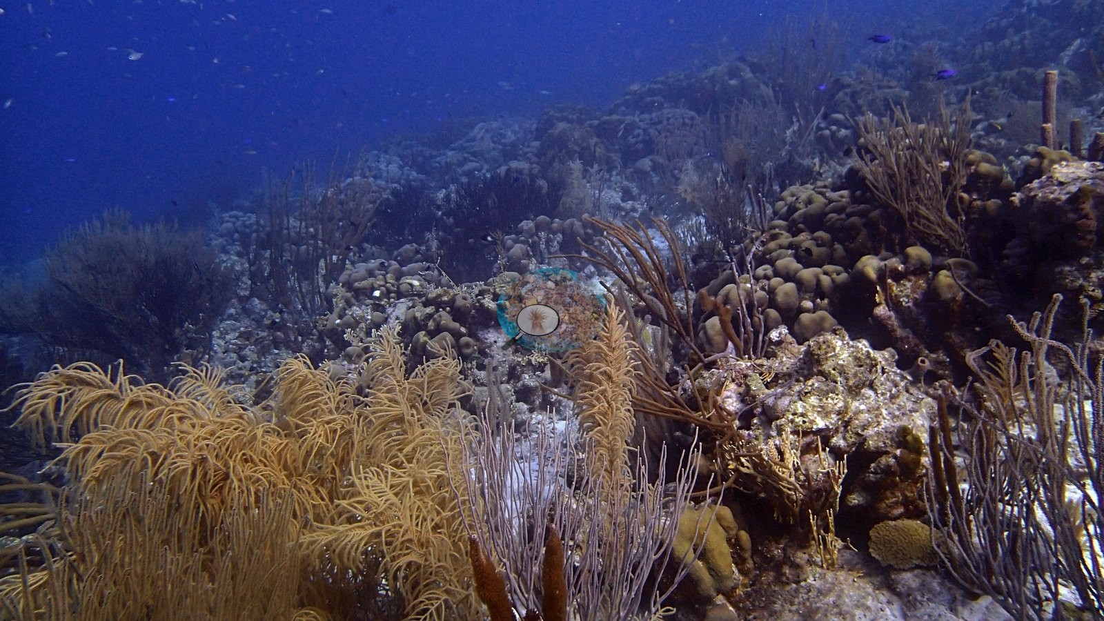
The reef includes massive and lobate corals, brain corals, and octocorals (e.g., Image 3, Image 4), and extensive staghorn-coral thickets (Acropora cervicornis, Anderson's identification) (e.g., Image 22, Image 25).
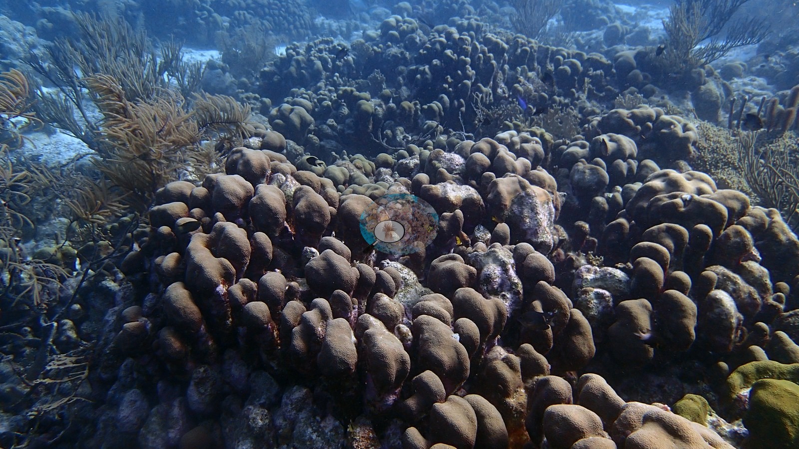
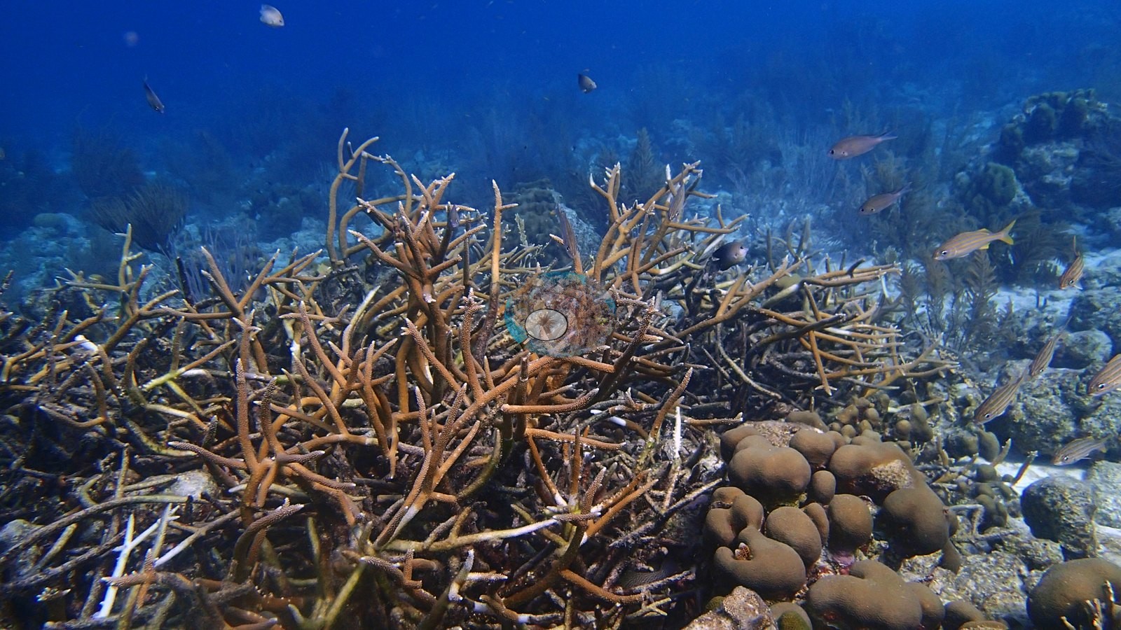
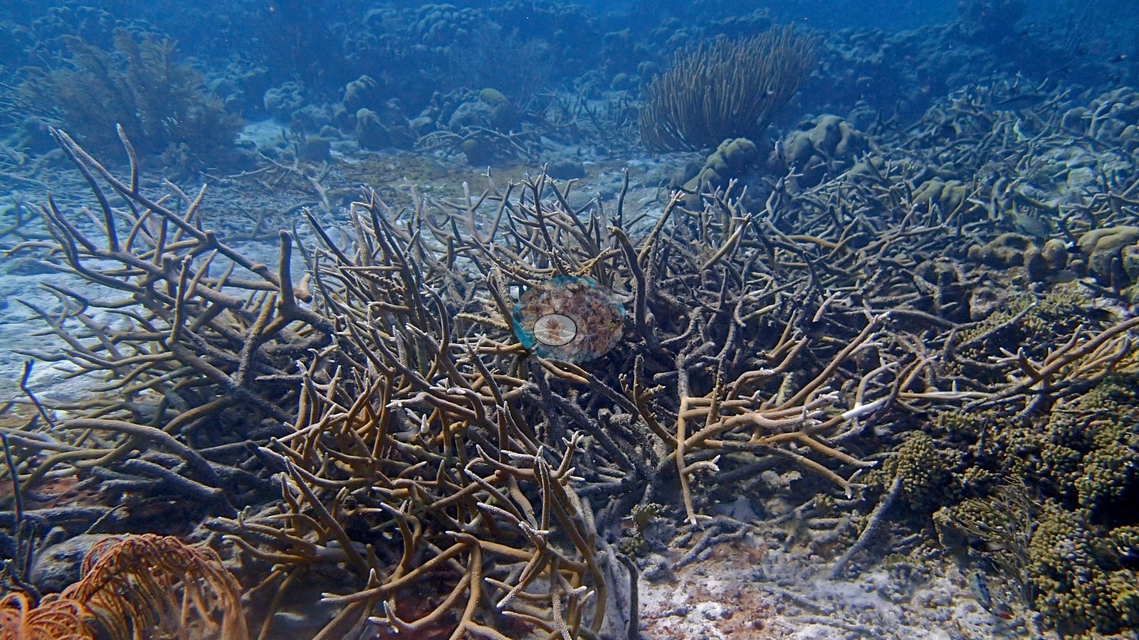
Adjacent reef scenes are patchy but retain substantial live coral and octocoral structure, with no broad bleaching signal. The staghorn thickets contain abundant branch structure; photo review cannot reliably separate every live branch from old dead framework at distance.
Coral cover
- Reference: Claude CV point count (this site's photos)
- Coral cover: 19% on the reef beside the wreck — a blind Claude computer-vision point count of 31 of Anderson's edited reef photographs (20 points per photo; water, fish, and obstructions excluded). The 5 photos of the wreck hull, which scored 0% coral, are left out, so the value describes the reef, not the ship. Other computer-vision methods are listed in the method table.
Stressors
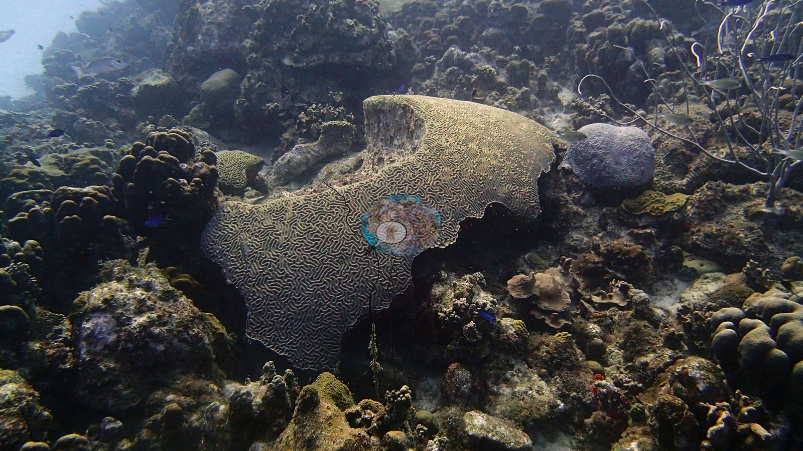
One brain colony on the sand at the reef edge carries several small, clean-white patches of bare skeleton within otherwise pigmented tissue: recent mortality, cause not stated (e.g., Image 17, Image 28).
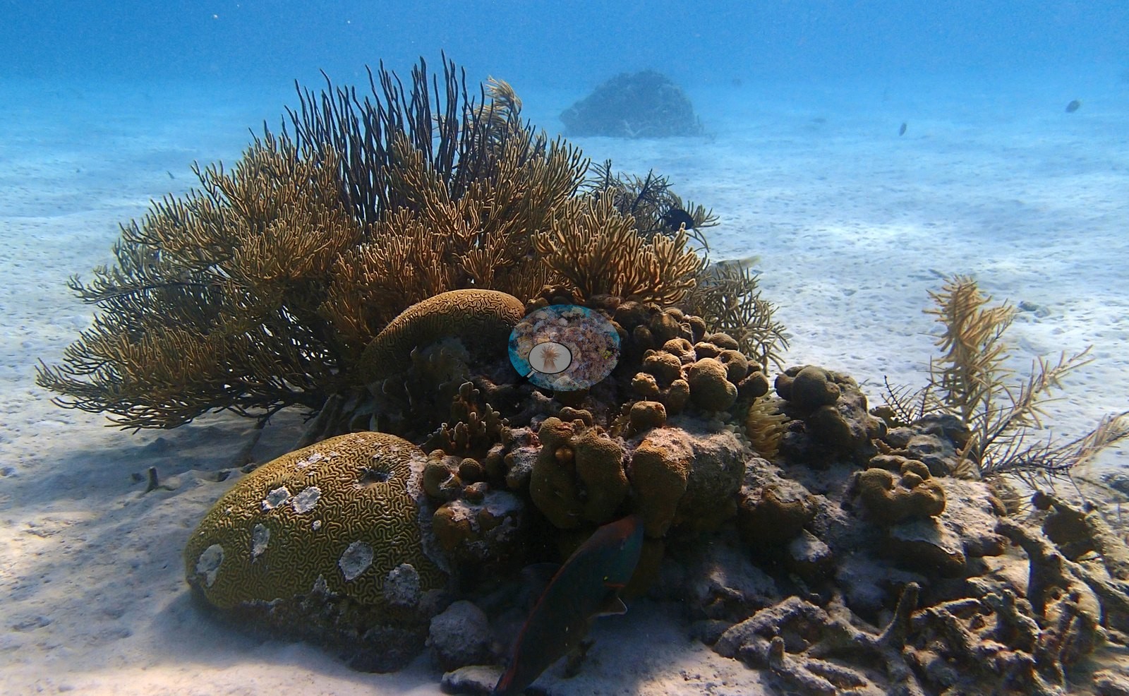
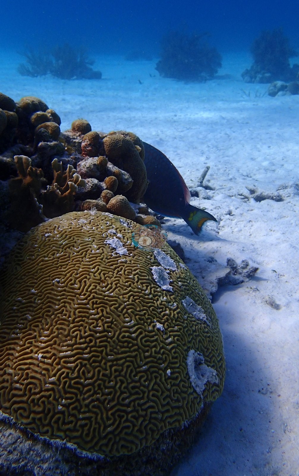
No corallivores were evident.
Fish and other fauna
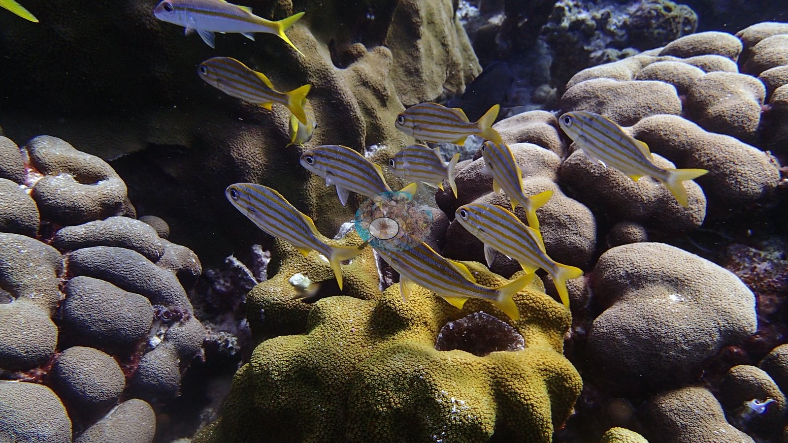
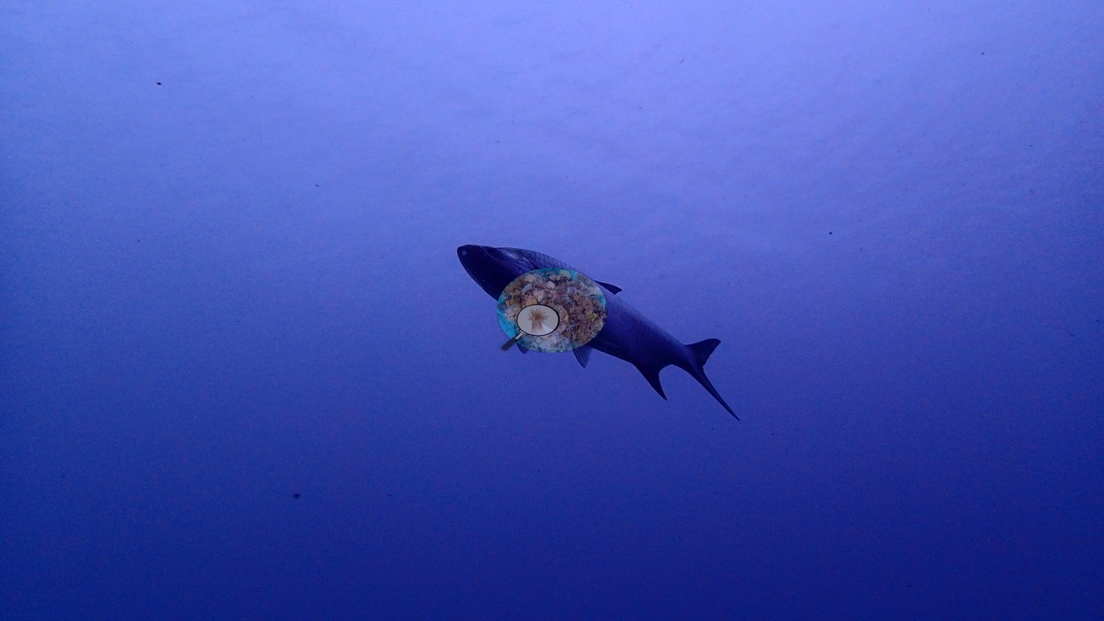
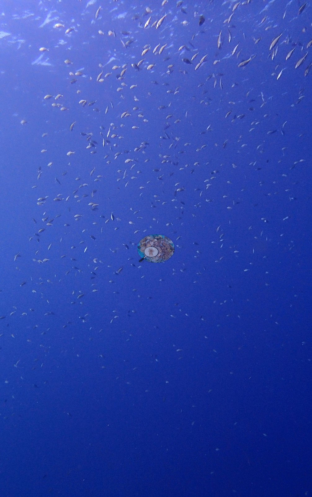
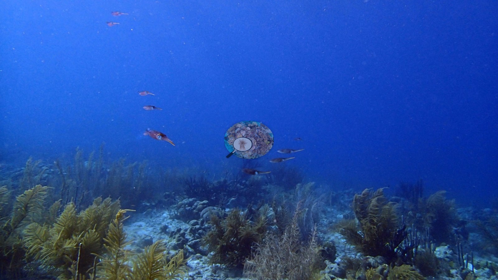
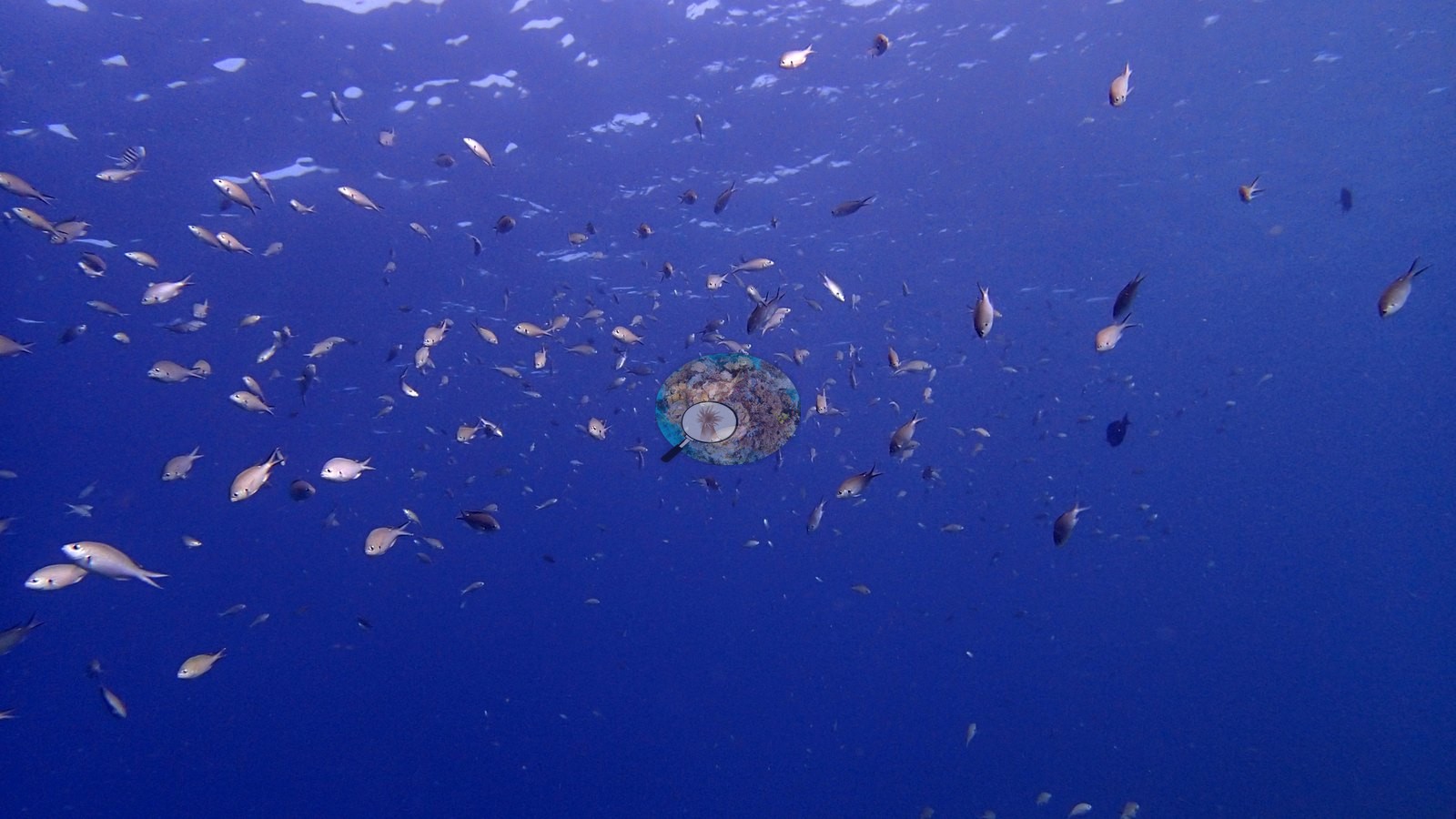
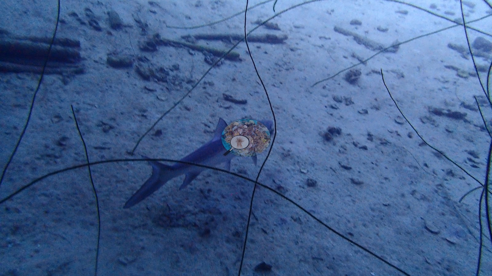
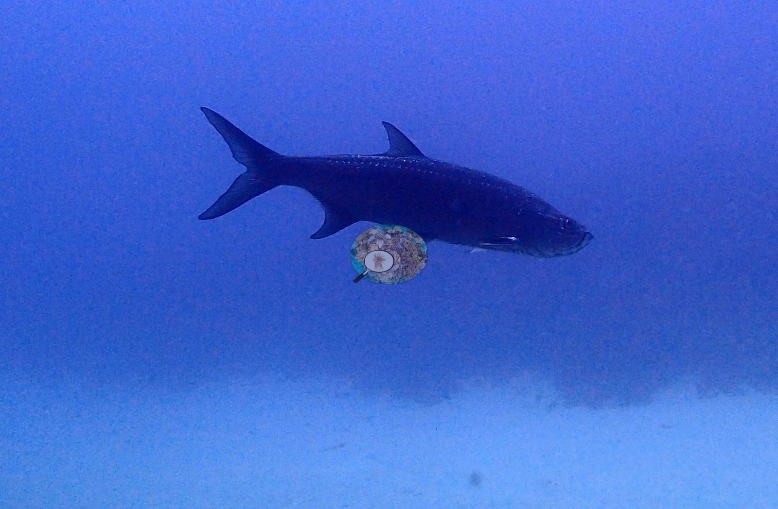
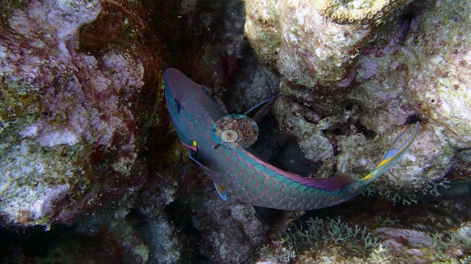
Barracuda, tarpon, parrotfish, and large fish schools use both reef and wreck habitat (e.g., Image 1, Image 5).
Comparisons with other data
de Bakker et al. (2019) surveyed this site (station 21), 0.05 km from the pin. Within 5 km, ten independent stations recorded station-year means of 6.0–51% hard coral cover between 2004 and 2017; the nearest of these, Steneck et al. (2019) at Bachelor's Beach, 0.65 km away, read 32–48% between 2009 and 2017.
Other notes
The wreck frames are not evidence of benthic reef condition.
CV model comparison
More info
A few colony-focused photos raise the mean; the median is the typical photo. No computer-vision method yet estimates coral cover accurately on new images, so treat this as indicative rather than a measurement; it is revised as the methods improve.More info
Other rows are for comparison only and are never averaged. No diver transect exists for these photos, so agreement between rows is not accuracy.| Method | Hard coral cover (%) | Photos (n) ± SE |
|---|---|---|
| CoralSCOP edited | 18.8 | n = 53 · SE 2.4 |
| Claude (edited photos) | 18.6 | n = 31 · SE 2.5 |
CoralSCOP (edited photos) reads 18.8%, within 0.2 pp of Claude's blind point count (18.6%).
See a more detailed, stand-alone version of this table.
Independent surveys nearby
| Agency / program | Year(s) | Stations / distance | Link |
|---|---|---|---|
| Steneck et al. (2019) | 2004–2017 | 5 stations, 0.65–4.04 km | Records ↓ |
| XL Catlin Seaview Survey | 2013 | 5 stations, 1.33–4.86 km | Records ↓ |
 Coral Reef DiagnosticsYear-average (illustrative only, programs differ)
Within 5 km, 10 independent survey stations recorded hard coral cover in 136 records between 2004 and 2017. Of the 5 stations surveyed in more than one year, 1 declined (by 1.0 points), 3 increased (by 11–16 points), and 1 changed by less than 1 point between their first and latest surveys. Two stations share the longest span (2004–2017); one, 18th Palm (Steneck et al. 2019, 1.74 km away), went from 34% in 2004 (mean of 8 records) to 45% in 2017 (mean of 4 records). The most recent nearby survey is from 2017, so these values predate recent heat stress. This site's own estimate (19%) sits within the range of these station-year means up to 2 km away (13–48%); the methods differ, so the comparison is context, not a like-for-like test.
Collected by other programs using different methods (the XL Catlin Seaview Survey uses photo-transects with automated image annotation), so these are context for the figures above, not a like-for-like comparison. Where a station was surveyed more than once, the cell shows either the range of its values or, as a single value, the mean of surveys made in one year. Station names are not dive-site names.
| Agency | Site / location | Date | Hard coral cover (%) | Distance | Link |
|---|---|---|---|---|---|
| Steneck et al. (2019) | 18th Palm | 2004–2017 | 27–45% (range of yearly means; 36 records) | 1.74 km | doi:10.3389/fmars.2019.00265 |
| Steneck et al. (2019) | Windsock | 2004–2017 | 38–51% (range of yearly means; 36 records) | 2.17 km | doi:10.3389/fmars.2019.00265 |
| Steneck et al. (2019) | Bachelor's Beach | 2009–2017 | 32–48% (range of yearly means; 20 records) | 0.65 km | doi:10.3389/fmars.2019.00265 |
| Steneck et al. (2019) | Calabas | 2009–2017 | 24–36% (range of yearly means; 20 records) | 2.84 km | doi:10.3389/fmars.2019.00265 |
| Steneck et al. (2019) | Front Porch | 2009–2017 | 17–45% (range of yearly means; 19 records) | 4.04 km | doi:10.3389/fmars.2019.00265 |
| XL Catlin Seaview Survey | transect 17042 | 2013 | 13% | 1.33 km | doi:10.14264/uql.2019.930 |
| XL Catlin Seaview Survey | transect 17044 | 2013 | 15% | 3.50 km | doi:10.14264/uql.2019.930 |
| XL Catlin Seaview Survey | transect 17043 | 2013 | 6.0% | 3.70 km | doi:10.14264/uql.2019.930 |
| XL Catlin Seaview Survey | transect 17041 | 2013 | 14% | 4.77 km | doi:10.14264/uql.2019.930 |
| XL Catlin Seaview Survey | transect 17045 | 2013 | 16% | 4.86 km | doi:10.14264/uql.2019.930 |
Data & links
All images from Coral Reef Diagnostics. Data are from Coral Reef Diagnostics and the organizations named in the data sources above.
© Coral Reef Diagnostics.
References
- Steneck RS, Arnold SN, Boenish R, de León R, Mumby PJ, Rasher DB, et al. (2019). Managing Recovery Resilience in Coral Reefs Against Climate-Induced Bleaching and Hurricanes: A 15 Year Case Study From Bonaire, Dutch Caribbean. Frontiers in Marine Science 6:265. PDF
- de Bakker DM, van Duyl FC, Perry CT, Meesters EH (2019). Extreme spatial heterogeneity in carbonate accretion potential on a Caribbean fringing reef linked to local human disturbance gradients. Global Change Biology 25:4092-4104. DOI
- Gonzalez-Rivero M, et al. (2019). Seaview Survey photo-quadrat and image classification dataset. The University of Queensland (UQ eSpace) data collection. DOI