
Bonaire - Between Pink Beach and White Slave
Part of the regional summary: Bonaire
More about this place: Bonaire on Wikipedia
More info
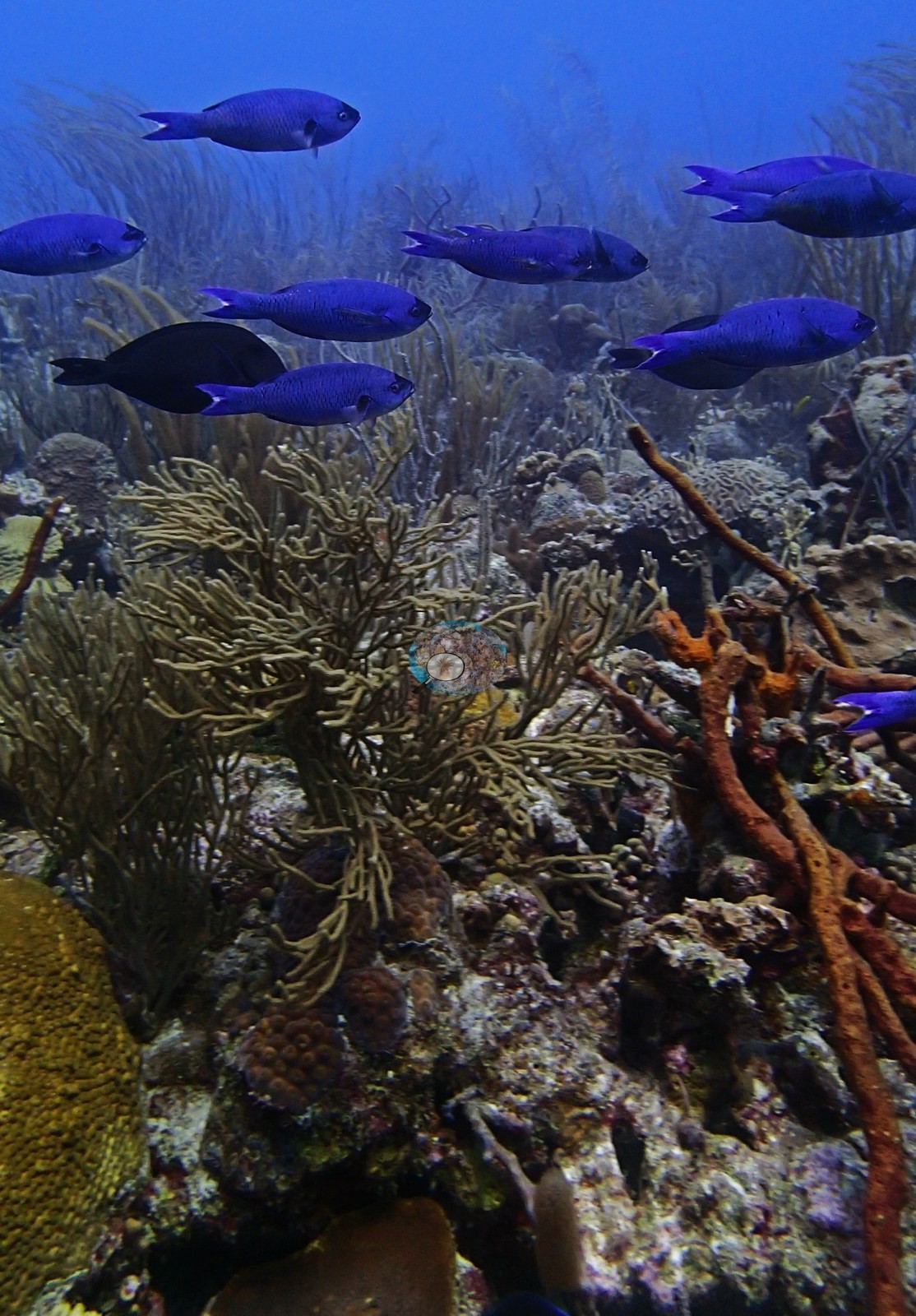
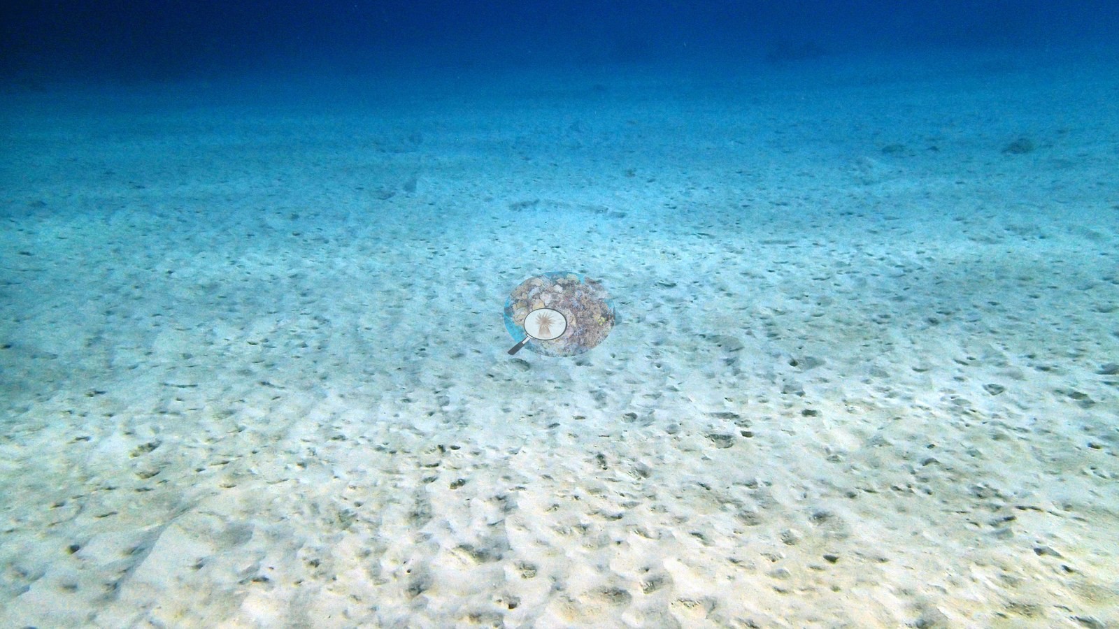
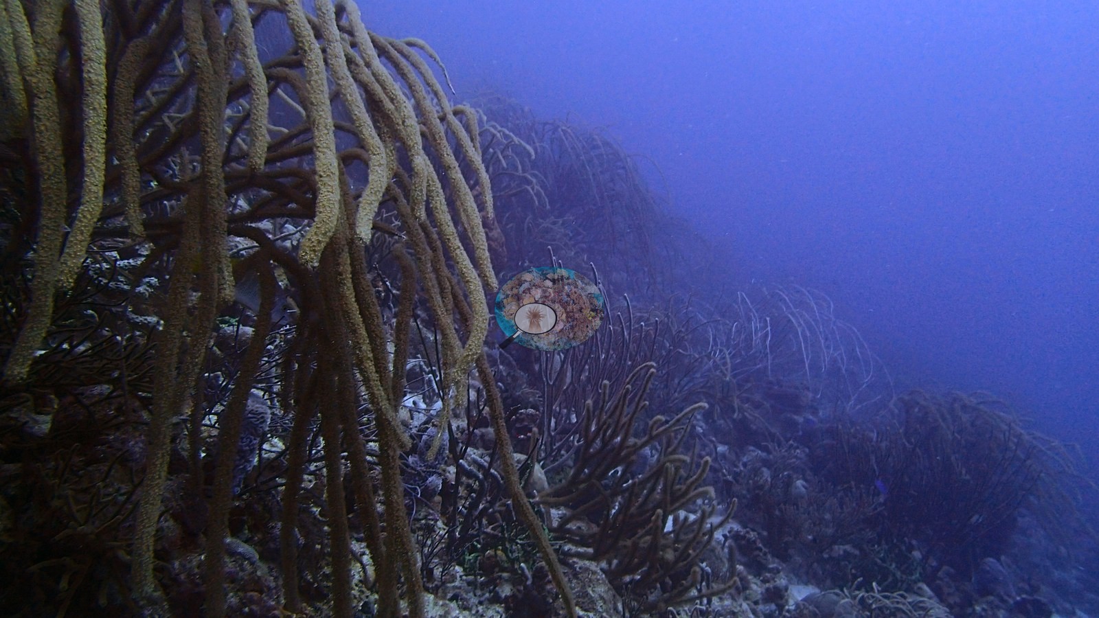
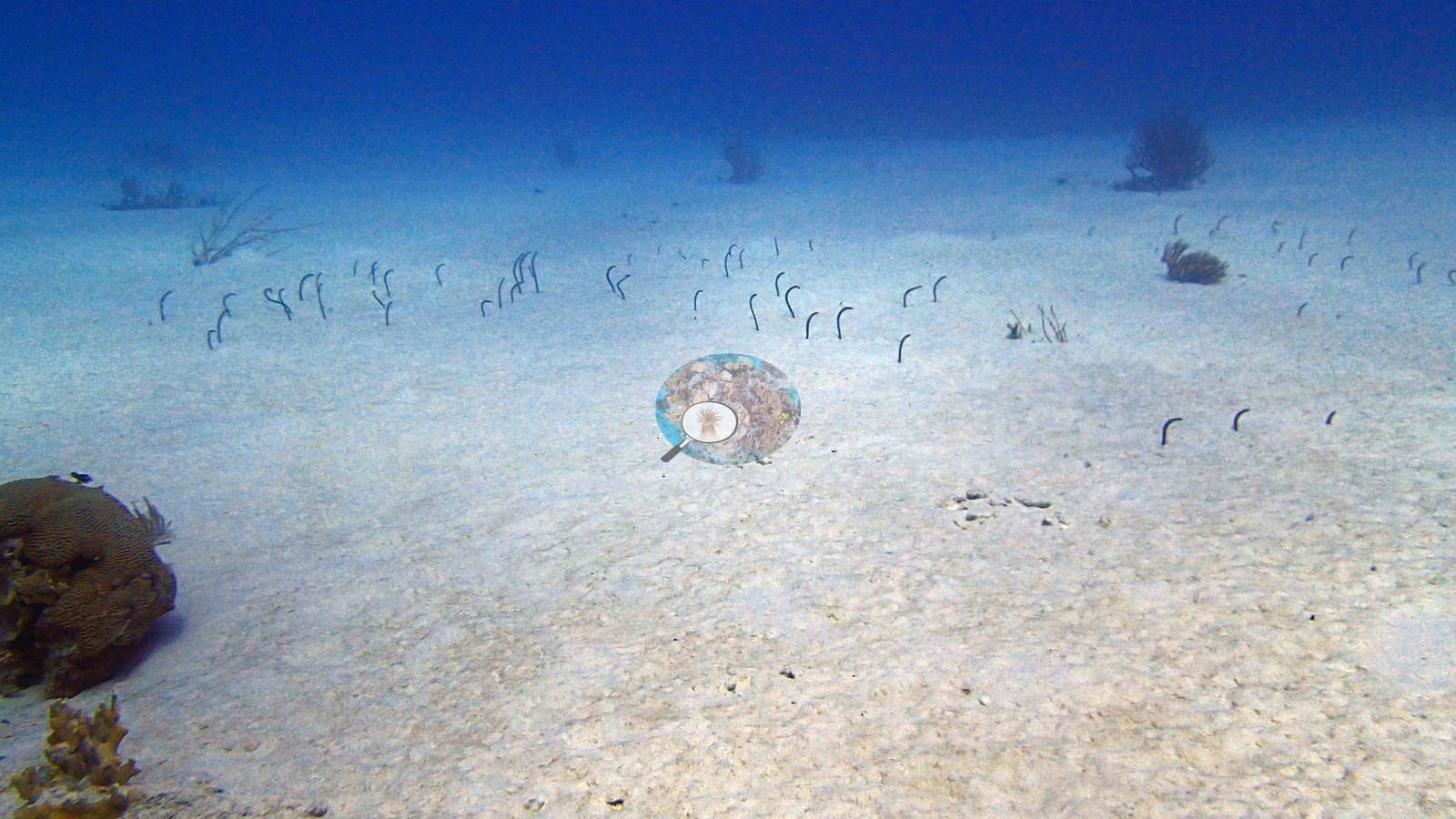
Aruba, Curacao, and Bonaire (NOAA CRW virtual station)This stretch of Bonaire's southwest coast is a patch reef bristling with sea rods, whips, and other soft corals, grading into a broad sand apron where garden eels poke out of the sand. A small turtle, two small reef squid, and schooling surgeonfish add to the scene, with scattered brain and boulder corals and no sign of widespread bleaching.
Dit stuk van de zuidwestkust van Bonaire is een klein, losstaand rif (patch reef) vol zeestaven, zeezwepen en andere zachte koralen, dat overgaat in een brede zandvlakte waar lintalen (garden eels) uit het zand steken. Een kleine schildpad, twee kleine rifinktvissen en scholen doktersvissen maken het beeld compleet, met verspreide hersen- en sterkoralen en geen teken van wijdverbreide verbleking.
AI translation of this summary; the English is authoritative.
Three independent survey stations shown with the program’s logo — click one to see how far it is from this site.
Four other CRD dive sites with their own pages within 5 km shown in orange — click a marker to open its page.
Site description
General benthic features
The photographs show a strongly octocoral-dominated patch reef grading into a broad sand apron (e.g., Image 5).
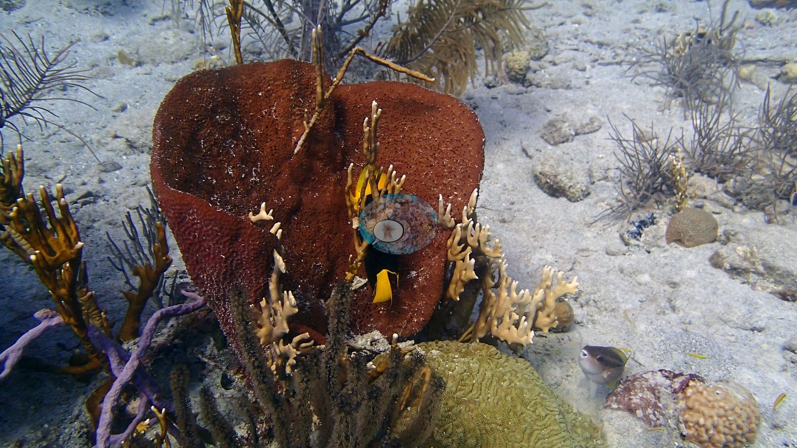
Dense sea rods, whips, and other soft corals create much of the visible vertical structure, while scattered massive and brain corals, sponges, and low coral outcrops occupy consolidated patches (e.g., Image 1, Image 2, Image 3).
Coral cover
- Reference: Claude CV point count (this site's photos)
- Coral cover: 8.6% — a blind Claude computer-vision point count of 34 of Anderson's edited photographs (20 points per photo; water, fish, and obstructions excluded). Other computer-vision methods are listed in the method table.
Stressors
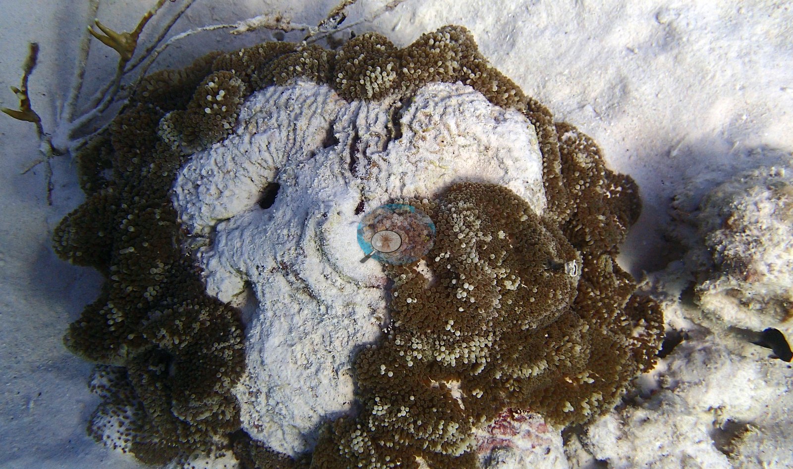
No widespread hard coral bleaching pattern is visible. Most photographed corals and octocorals retain plausible natural pigmentation, although color alone cannot establish octocoral tissue condition. One frame shows a mat of what Anderson identified as anemone polyps ringing and partly overtopping a recently dead brain-type colony (clean, bare white skeleton with no turf; cause not stated) (e.g., Image 6).
Sand and open hardground are common, but the photographs do not show a site-wide acute tissue-loss event. These are qualitative observations only. No corallivores were evident.
Fish and other fauna
Garden eels occur in the sand, and a small turtle, two small Caribbean reef squid, and schooling surgeonfishes add conspicuous fauna (e.g., Image 4).
Comparisons with other data
The XL Catlin Seaview Survey covered a nearby station (transect 17041) in 2013, 0.29 km from the pin. Within 5 km, three XL Catlin Seaview Survey stations recorded station-year means of 12–14% hard coral cover in 2013; the nearest, XL Catlin Seaview Survey at transect 17041, 0.29 km away, read 14% in 2013.
Other notes
The image set samples several habitat components rather than a single uniform reef surface.
CV model comparison
More info
A few colony-focused photos raise the mean; the median is the typical photo. No computer-vision method yet estimates coral cover accurately on new images, so treat this as indicative rather than a measurement; it is revised as the methods improve.More info
Other rows are for comparison only and are never averaged. No diver transect exists for these photos, so agreement between rows is not accuracy.| Method | Hard coral cover (%) | Photos (n) ± SE |
|---|---|---|
| CoralSCOP edited | 22.3 | n = 38 · SE 2.5 |
| Claude (edited photos) | 8.6 | n = 34 · SE 2.9 |
CoralSCOP (edited photos) reads 22.3%, 13.7 pp above Claude's blind point count (8.6%); the headline stays Claude's blind point count because no transect or manual count exists here.
See a more detailed, stand-alone version of this table.
Independent surveys nearby
Within 5 km, 3 independent survey stations recorded hard coral cover in 2013. The most recent nearby survey is from 2013, so these values predate recent heat stress. This site's own estimate (8.6%) sits 5.4 points below the one survey station up to 2 km away (14%), inside the 7-point method-noise floor (inconclusive); the methods differ, so the comparison is context, not a like-for-like test.
Collected by other programs using different methods (the XL Catlin Seaview Survey uses photo-transects with automated image annotation), so these are context for the figures above, not a like-for-like comparison. Where a station was surveyed more than once, the cell shows either the range of its values or, as a single value, the mean of surveys made in one year. Station names are not dive-site names.
| Agency | Site / location | Date | Hard coral cover (%) | Distance | Link |
|---|---|---|---|---|---|
| XL Catlin Seaview Survey | transect 17041 | 2013 | 14% | 0.29 km | doi:10.14264/uql.2019.930 |
| XL Catlin Seaview Survey | transect 17040 | 2013 | 12% | 2.91 km | doi:10.14264/uql.2019.930 |
| XL Catlin Seaview Survey | transect 17042 | 2013 | 13% | 3.64 km | doi:10.14264/uql.2019.930 |
Data & links
All images from Coral Reef Diagnostics. Data are from Coral Reef Diagnostics and the organizations named in the data sources above.
© Coral Reef Diagnostics.