Regional summary of 5 dive sites. Figures are averages across the sites that report them (n = sites with a value); each site's own page has its individual values.
Heat-stress figures: NOAA Coral Reef Watch — West Papua 5-km virtual station. Each pill links its source record and carries the values behind it.
Regional summary
Triton Bay's five sites, dived in October 2018 in turbid, nutrient-rich, high-flow water, are dominated by soft corals, including a naturally white soft-coral forest at Little Komodo. Hard coral clusters in the top few meters, and the only possible bleaching recorded was one small hard coral at Bo Rainbow (one frame).
Heat stress
sea surface temperature (SST) (left axis)DHW under 2DHW 2–3DHW 3–5DHW 5–8DHW 8–10DHW over 10 (🔥 above 12)
Daily SST (line) and weekly maximum Degree Heating Weeks (bars), Jan 2023–Oct 2026, NOAA Coral Reef Watch 5-km West Papua virtual station. Dashed line: bleaching threshold (maximum monthly mean 29.1°C + 1°C). DHW ≥ 4: bleaching likely; ≥ 8: severe bleaching and mortality likely. A bar is drawn only where DHW exceeds zero, so a stretch with no bar is accumulated heat stress of zero, not missing data — the SST line runs the full period.
5 sites in this region — click a marker to open that site.
Read this summary in:
Regional setting
Spalding et al. (2001) do not mention Triton Bay, and they call the coastline of Irian Jaya, on which it lies, very poorly described. Much of that coast is low-lying and takes in heavy river discharge, above all in the south. Along the southeast, reefs give way to mangroves the authors count among the largest in the world, with the forests of Bintuni Bay and the central coast possibly rivaling the Sundarbans in area, while farther west, where the land rises, fringing reefs are reported to be widespread. South of Irian Jaya lies the Arafura Sea, a broad shelf mostly shallower than 100 m whose turbid water contrasts with the clear oceanic conditions elsewhere in eastern Indonesia, and in the Southeast Monsoon winds blow up toward the island's southern shore. Nationally, the authors estimate about 51,020 km² of coral reef in Indonesia, some 18% of the global total, with 443 coral species recorded and 581-602 estimated for its biogeographic region.
Reef Check surveys in 2002-2003 put the Coral Triangle, the area spanning Indonesia, the Philippines, and Papua New Guinea, among the three regions of the world with the least damaged reefs (Wilkinson 2006). The same review singled out Indonesia as a country where clear-felling of tropical forest for timber and oil palm was clearly adding to the sediment reaching reefs. Souter et al. (2021) list siltation and eutrophication from changing land use, overfishing, and the spread of coastal aquaculture among the main pressures across the East Asian Seas, and estimate that the region lost almost 11% of its hard coral, in relative terms, between 2005-2009 and 2015-2019, most of it after the 2010 bleaching event. Bawole et al. (2026) report mean hard coral cover of 17–32% in the no-take zones and 13–18% in the use zones at 24 University of Papua monitoring sites in the Kaimana marine protected area around Triton Bay, surveyed in 2012–2013, 2015–2016, and 2019; cover differed significantly between zones but not over time.
Overview
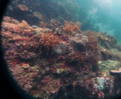
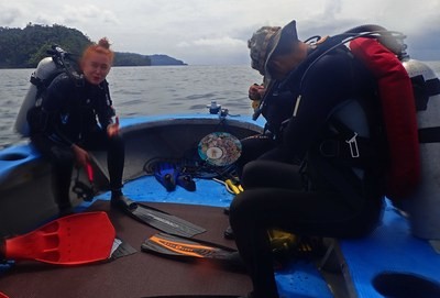
The five Triton Bay sites were dived on 14-15 October 2018. Seruanus and Little Komodo lie on opposite sides of Little Komodo Island, and Anderson found them very different from each other. Last Frontier fringes a steep karst islet with an undercut base and a swim-through. Bo Rainbow is a broad, gently sloping terrace, and Larry Dive Heaven is a depth-zoned slope that levels out at 5 m. The water is turbid and productive, with 2-10 m visibility, cold water intruding to 24°C at Seruanus, and thermoclines at Last Frontier and Larry Dive Heaven. The soft-coral abundance is linked to high flow and nutrient-rich water.
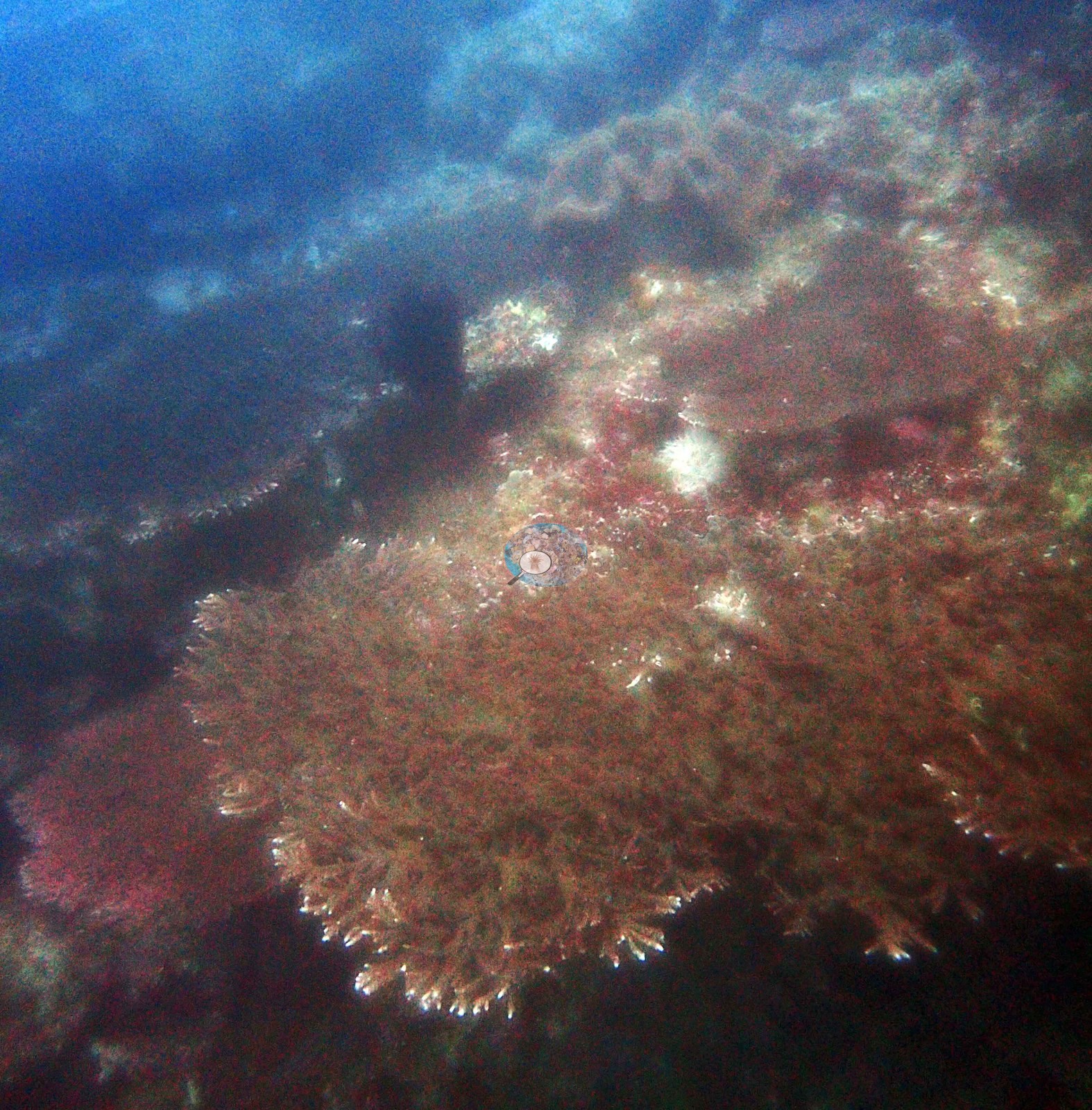
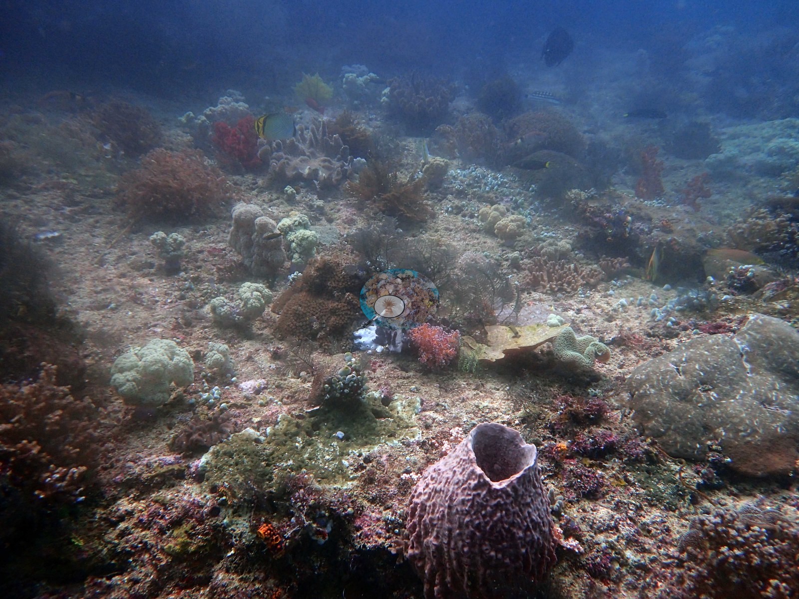
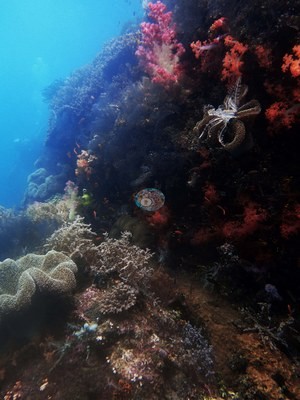
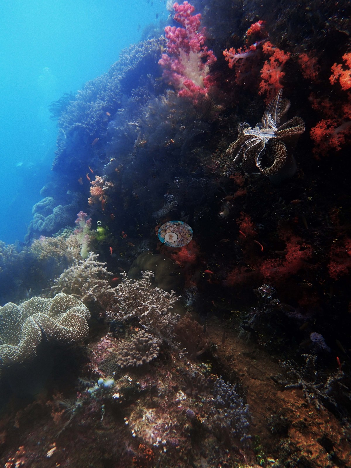
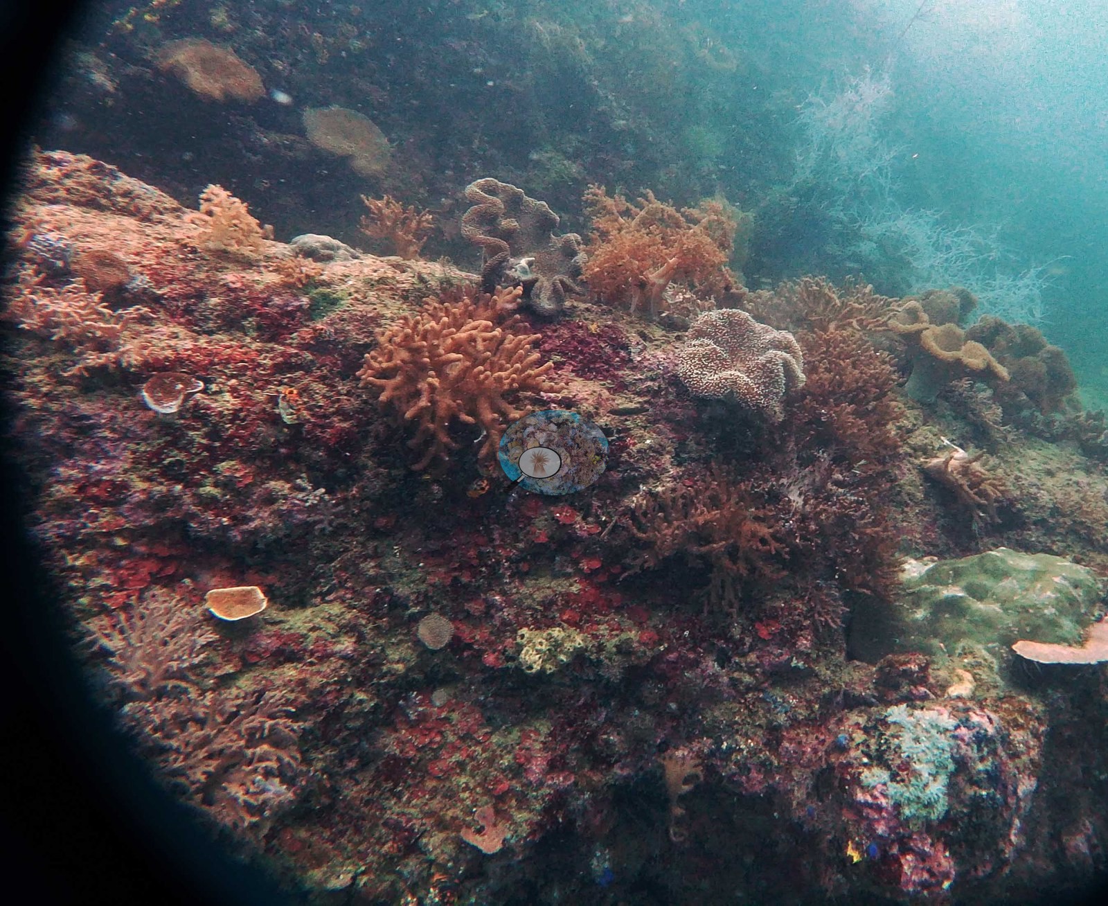
Soft corals dominate every site. Seruanus has tree-form soft corals packed across its slope faces, and Little Komodo a virtually uninterrupted white soft-coral forest at 15-20 m (naturally white, not bleached). Last Frontier carries Sinularia carpets and abundant Sarcophyton, and Bo Rainbow has patches of 100% soft-coral cover. Tubastraea is common at Little Komodo, Last Frontier, and Larry Dive Heaven. Hard coral is concentrated in the top few meters. Acropora grows at 5-7 m around Little Komodo Island, and Last Frontier has a diverse Acropora assemblage at 5-8 m with one table 3-4 m across. Larry Dive Heaven has brain corals at 8-9 m, with Porites bommies and Pocillopora verrucosa above 6 m. Hard coral cover (Claude CV) ranged from 7.8% at Last Frontier to 13% at Bo Rainbow across four sites.
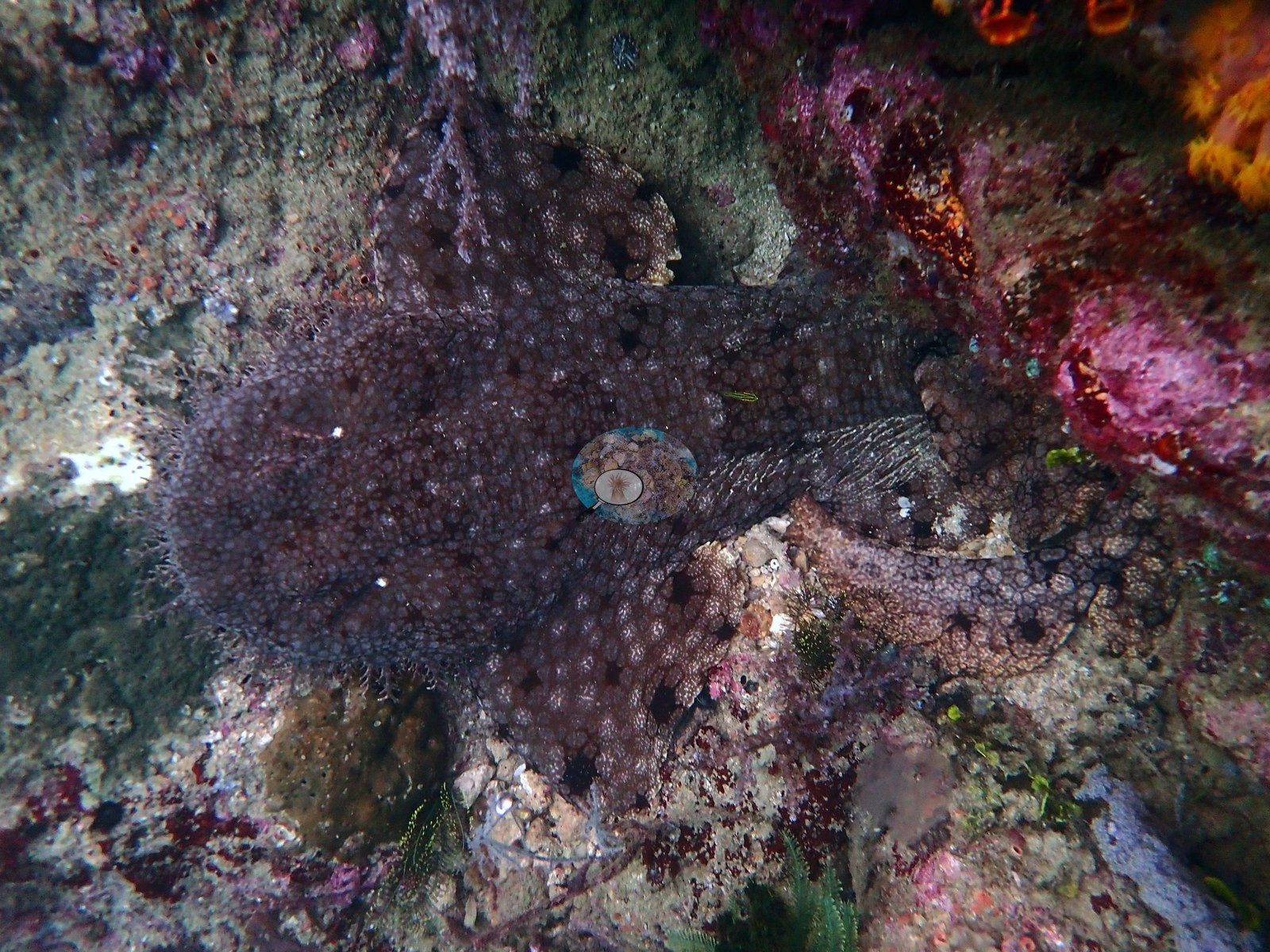
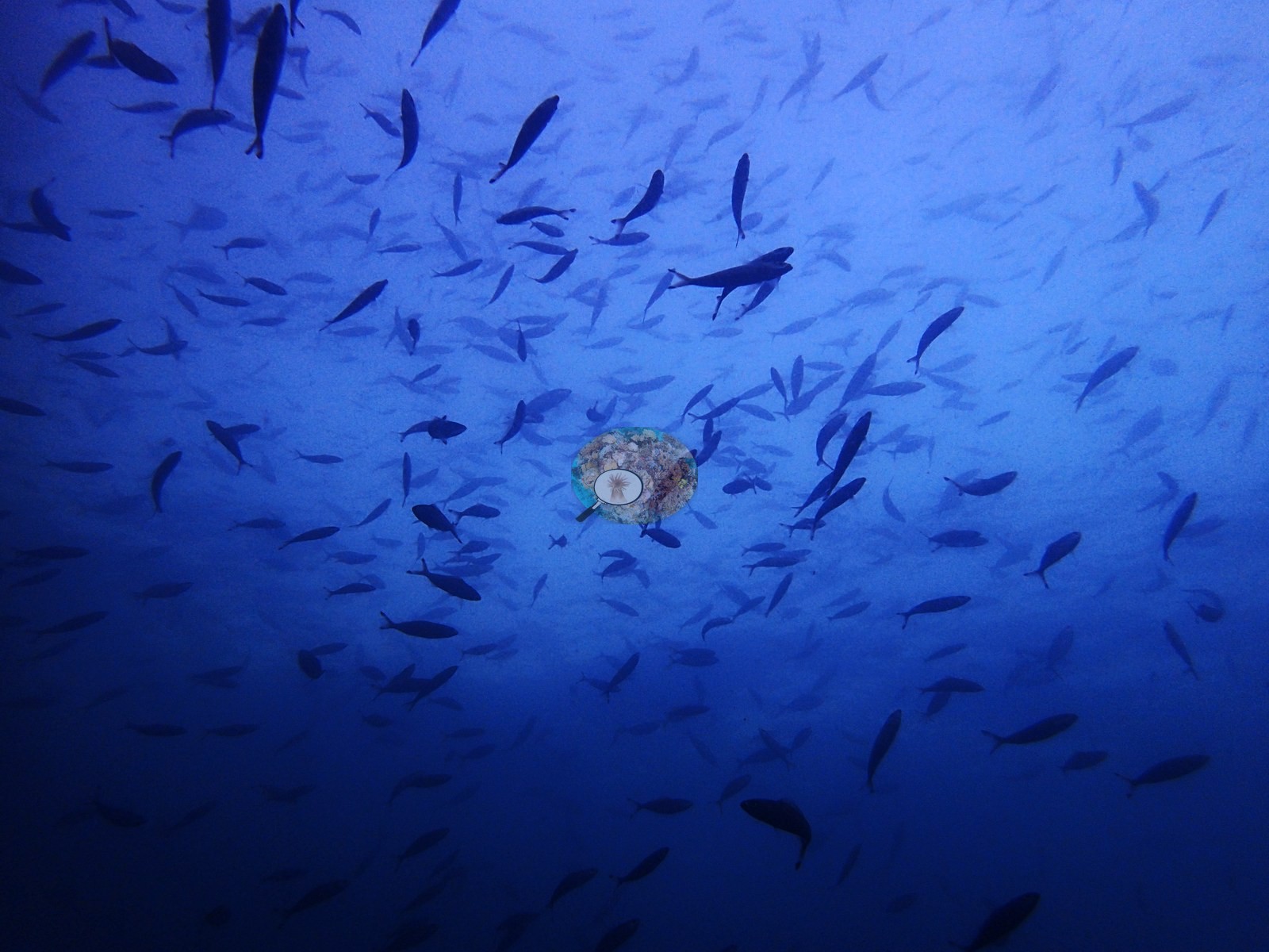
Bleaching was limited to possible bleaching of one small hard coral at Bo Rainbow (one frame) and the bleached lip of a sponge at Seruanus; no reef-wide bleaching was seen. The other condition signals are local: long-dead, coralline-crusted coral below 20 m at Larry Dive Heaven, and a recently dead plating colony and evidence of overfishing at Seruanus. Fish life was still notable. Little Komodo had staggering biomass at 5-7 m, an enormous bumphead parrotfish, and a wobbegong. Larry Dive Heaven had two octopus and the trip's first sea snake, and Last Frontier had bait balls and the trip's first turtle.
Highlights
Soft-coral dominated at all five sites, from the white soft-coral forest at 15-20 m at Little Komodo to 100% soft-coral patches at Bo Rainbowphoto: Triton Bay - Little Komodo
Hard coral concentrated in the shallows: a 3-4 m Acropora table and high Acropora diversity at 5-8 m at Last Frontierphoto: Triton Bay - Last Frontier
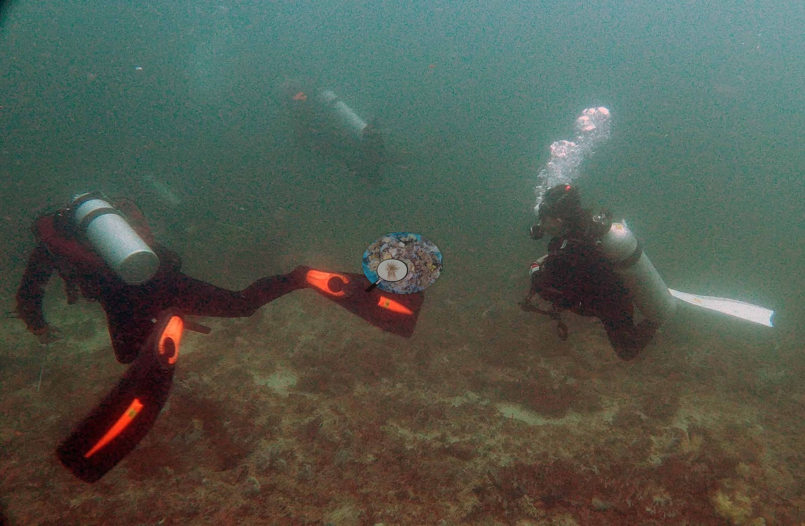
Turbid, high-flow, nutrient-rich water with 2-10 m visibility, cold-water intrusion to 24°C at Seruanus, and multiple thermoclinesphoto: Triton Bay - Seruanus
Little Komodo: staggering fish biomass at 5-7 m, an enormous bumphead parrotfish, and Anderson's first wobbegongphoto: Triton Bay - Little Komodo
Larry Dive Heaven: two octopus, ribbon eels, and the trip's first sea snake; Last Frontier: bait balls and the trip's first turtlephoto: Triton Bay - Larry Dive Heaven
Ini adalah terjemahan mesin dari ringkasan berbahasa Inggris; teks berbahasa Inggris adalah versi yang otoritatif. AI translation of this summary; the English is authoritative.
Regional setting
Spalding et al. (2001) tidak menyebut Teluk Triton (Triton Bay), dan mereka menyebut garis pantai Irian Jaya, tempat teluk itu berada, sangat minim uraiannya. Sebagian besar pantai tersebut berupa dataran rendah dan menerima limpasan sungai yang besar, terutama di selatan. Di sepanjang pantai tenggara, terumbu digantikan oleh hutan bakau yang oleh para penulis digolongkan sebagai salah satu yang terbesar di dunia, dengan hutan Teluk Bintuni (Bintuni Bay) dan pantai tengah yang luasnya mungkin menyaingi Sundarbans, sementara lebih jauh ke barat, tempat daratan meninggi, terumbu tepi dilaporkan tersebar luas. Di selatan Irian Jaya terbentang Laut Arafura (Arafura Sea), paparan luas yang sebagian besar kedalamannya kurang dari 100 m dan airnya yang keruh berbeda dengan kondisi oseanik yang jernih di bagian lain Indonesia timur, dan pada Muson Tenggara angin bertiup ke arah pantai selatan pulau tersebut. Secara nasional, para penulis memperkirakan luas terumbu karang di Indonesia sekitar 51,020 km², sekitar 18% dari total global, dengan 443 spesies karang tercatat dan 581-602 spesies diperkirakan untuk kawasan biogeografisnya.
Survei Reef Check pada 2002-2003 menempatkan Segitiga Terumbu Karang (Coral Triangle), kawasan yang meliputi Indonesia, Filipina, dan Papua Nugini, di antara tiga kawasan di dunia dengan terumbu yang paling sedikit rusak (Wilkinson 2006). Tinjauan yang sama menyoroti Indonesia sebagai negara tempat penebangan habis hutan tropis untuk kayu dan kelapa sawit jelas menambah sedimen yang mencapai terumbu. Souter et al. (2021) mencantumkan pendangkalan dan eutrofikasi akibat perubahan tata guna lahan, penangkapan ikan berlebih, dan meluasnya budidaya perikanan pesisir di antara tekanan utama di seluruh Laut Asia Timur (East Asian Seas), dan memperkirakan bahwa kawasan tersebut kehilangan hampir 11% karang kerasnya, secara relatif, antara 2005-2009 dan 2015-2019, sebagian besar setelah peristiwa pemutihan tahun 2010. Bawole et al. (2026) melaporkan rata-rata tutupan karang keras 17–32% di zona larang ambil dan 13–18% di zona pemanfaatan pada 24 lokasi pemantauan Universitas Papua di kawasan konservasi perairan Kaimana di sekitar Teluk Triton, yang disurvei pada 2012–2013, 2015–2016, dan 2019; tutupan berbeda secara signifikan antarzona, tetapi tidak antarwaktu.
Overview
Kelima lokasi Teluk Triton diselami pada 14-15 Oktober 2018. Seruanus dan Little Komodo terletak di sisi yang berseberangan dari Little Komodo Island, dan menurut Anderson keduanya sangat berbeda satu sama lain. Last Frontier mengelilingi pulau kecil karst yang curam dengan dasar yang tergerus dan sebuah lorong renang (swim-through). Bo Rainbow adalah teras luas yang landai, dan Larry Dive Heaven adalah lereng dengan zonasi kedalaman yang mendatar pada 5 m. Airnya keruh dan subur, dengan jarak pandang 2-10 m, intrusi air dingin hingga 24°C di Seruanus, serta termoklin di Last Frontier dan Larry Dive Heaven. Melimpahnya karang lunak dikaitkan dengan arus yang kuat dan air yang kaya nutrien.
Karang lunak mendominasi setiap lokasi. Seruanus memiliki karang lunak berbentuk pohon yang memadati permukaan lerengnya, dan Little Komodo memiliki hutan karang lunak putih yang nyaris tak terputus pada kedalaman 15-20 m (putih secara alami, bukan memutih). Last Frontier ditumbuhi hamparan Sinularia dan Sarcophyton yang melimpah, dan Bo Rainbow memiliki petak-petak dengan tutupan karang lunak 100%. Tubastraea umum dijumpai di Little Komodo, Last Frontier, dan Larry Dive Heaven. Karang keras terkonsentrasi di beberapa meter teratas. Acropora tumbuh pada kedalaman 5-7 m di sekitar Little Komodo Island, dan Last Frontier memiliki kumpulan Acropora yang beragam pada 5-8 m dengan satu meja selebar 3-4 m. Larry Dive Heaven memiliki karang otak pada 8-9 m, dengan bongkahan Porites dan Pocillopora verrucosa di atas kedalaman 6 m. Tutupan karang keras (Claude CV) berkisar dari 7.8% di Last Frontier hingga 13% di Bo Rainbow di empat lokasi.
Pemutihan terbatas pada kemungkinan pemutihan satu karang keras kecil di Bo Rainbow (satu bingkai) dan bibir spons yang memutih di Seruanus; tidak terlihat pemutihan di seluruh terumbu. Tanda-tanda kondisi lainnya bersifat setempat: karang yang sudah lama mati dan berkerak alga koralin di bawah 20 m di Larry Dive Heaven, serta satu koloni lembaran yang baru mati dan bukti penangkapan ikan berlebih di Seruanus. Kehidupan ikan tetap menonjol. Little Komodo memiliki biomassa yang mencengangkan pada 5-7 m, seekor ikan kakatua kepala benjol (bumphead parrotfish) yang sangat besar, dan seekor hiu wobbegong. Larry Dive Heaven memiliki dua gurita dan ular laut pertama dalam perjalanan ini, dan Last Frontier memiliki gerombolan ikan umpan (bait ball) dan penyu pertama dalam perjalanan ini.
Highlights
Didominasi karang lunak di kelima lokasi, dari hutan karang lunak putih pada 15-20 m di Little Komodo hingga petak-petak karang lunak 100% di Bo Rainbowphoto: Triton Bay - Little Komodo
Karang keras terkonsentrasi di perairan dangkal: meja Acropora selebar 3-4 m dan keanekaragaman Acropora yang tinggi pada 5-8 m di Last Frontierphoto: Triton Bay - Last Frontier
Air yang keruh, berarus kuat, dan kaya nutrien dengan jarak pandang 2-10 m, intrusi air dingin hingga 24°C di Seruanus, dan beberapa termoklinphoto: Triton Bay - Seruanus
Little Komodo: biomassa ikan yang mencengangkan pada 5-7 m, seekor ikan kakatua kepala benjol yang sangat besar, dan wobbegong pertama yang dilihat Andersonphoto: Triton Bay - Little Komodo
Larry Dive Heaven: dua gurita, belut pita, dan ular laut pertama dalam perjalanan ini; Last Frontier: gerombolan ikan umpan dan penyu pertama dalam perjalanan iniphoto: Triton Bay - Larry Dive Heaven
Notable observations
Triton Bay - Seruanus: Evidence of overfishing, though occasionally some large snapper and angelfish
Triton Bay - Bo Rainbow: Possible bleaching (one frame) of one small hard coral in a sandy clearing in the soft-coral meadow (photo not shown)
Triton Bay - Bo Rainbow: Large tracts of coralline-crusted open pavement and sand between the octocoral meadows (habitat structure, not necessarily damage)
Triton Bay - Larry Dive Heaven: Large areas of long-dead coral covered by coralline algae at 20 m and a relatively barren stretch at 15 m; old mortality since consolidated, not fresh damage
* Based on only 10–19 reef-habitat photos; this estimate is less certain.
% coral cover by method
Pooled across 4 dive sites
Method
Mean % coral cover
Std. dev. between dive sites
n dive sites
Note
CoralSCOP (SAM-based mask-sum), edited photos
30%
±11
4
1 of these 4 values rests on 10–19 photographs (*)
Claude CV, blind point count on edited photos
10%
±2.3
4
1 of these 4 values rests on 10–19 photographs (*)
In-house DINOv3 point classifier
18%
±5.8
4
1 of these 4 values rests on 10–19 photographs (*)
The mean is an UNWEIGHTED mean of the dive site values — each dive site counts once, whatever its photo count — which is the convention of the published tables and of every other figure on this page. Each value is the one printed on that dive site's own page; a page that prints no value for a method (fewer than 10 photographs) is left out of that method's mean.
By dive site
Dive site
CoralSCOP (edited)
Claude
DINOv3
Coralscapes v2
Coralscapes v1
Triton Bay - Seruanus
31%
n=66
9.1%
n=66
19%
n=66
42%
n=66
44%
n=66
Triton Bay - Little Komodo
31%
n=75
12%
n=73
23%
n=75
45%
n=72
44%
n=73
Triton Bay - Last Frontier
16%*
n=15
7.8%*
n=14
10%*
n=15
15%*
n=14
17%*
n=14
Triton Bay - Bo Rainbow
42%
n=47
13%
n=47
22%
n=47
62%
n=47
60%
n=47
n under each value is the number of photographs that method scored at that dive site. ⚠ marks a cell that is not an independent check. * marks a value resting on only 10–19 photographs, which is less certain.
Reference: blind Claude computer-vision point count on the author's edited photographs (20 points per photo); no diver transect exists for this trip. Denominator: (HC + BL) / (20 − WATER − FISH − OBST) per photo, UNK kept in the denominator; mean ± SD across photos. Source: Claude computer-vision point counts of the author's edited photographs, October 2018 (sites with complete scoring) Headline: Claude computer vision — a blind point count of this site's own photographs. DINOv3 and CoralSCOP were run on the same photos and are listed for comparison. Coralscapes v2 and v1 are shown for comparison only: the author does not consider Coralscapes reliable for these photos, so they are low confidence and never enter any average or summary. No diver transect exists for this trip, so agreement between the rows is not accuracy, and no computer-vision method yet estimates coral cover accurately on new images; treat every row as indicative. Comparison lines only, Triton Bay (Kaimana), Papua 2018. Claude vs DINOv3 -8.1 pp (MAE 8.1, r 0.89). No transect exists for this trip: this is agreement between methods, not accuracy.
Spalding MD, et al. (2001) World Atlas of Coral Reefs. University of California Press, Berkeley. [PDF]
Wilkinson C (2006) Status of coral reefs of the world: summary of threats and remedial action. In: Côté IM, Reynolds JD (eds) Coral Reef Conservation. Cambridge University Press, Cambridge. [PDF]
Bawole R, Sala R, Wurarah RN, Tebaiy S, Sirfefa I, Kolibongso D, et al. (2026). Integrated assessment of coral reefs and reef fish assemblages in Kaimana Marine Protected Areas, West Papua. Jurnal Teknologi Perikanan dan Kelautan 17(2):243-252. DOI

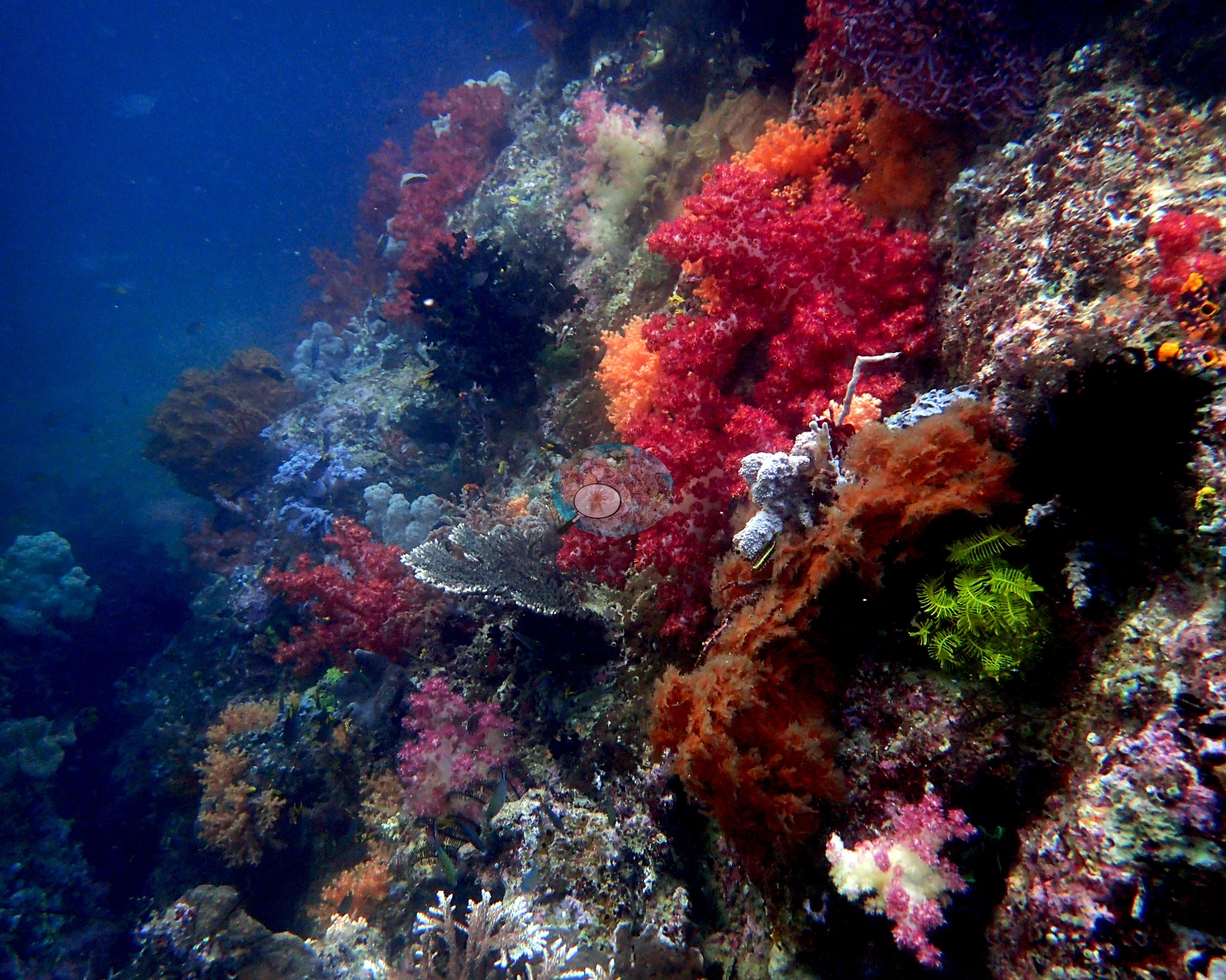

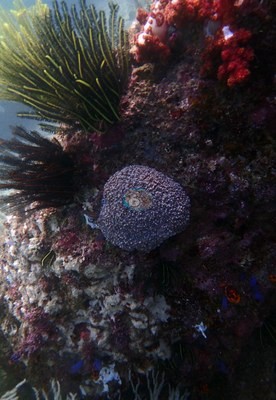 photo: Triton Bay - Little Komodo
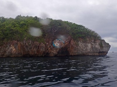 photo: Triton Bay - Last Frontier
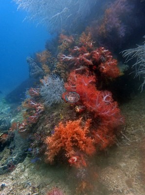 photo: Triton Bay - Seruanus
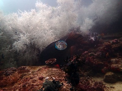 photo: Triton Bay - Little Komodo
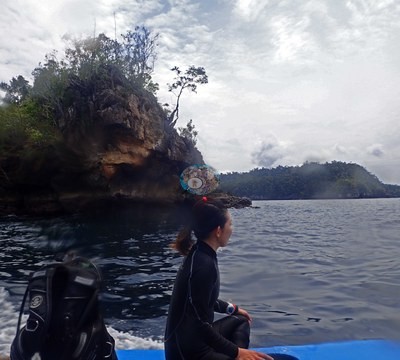 photo: Triton Bay - Larry Dive Heaven
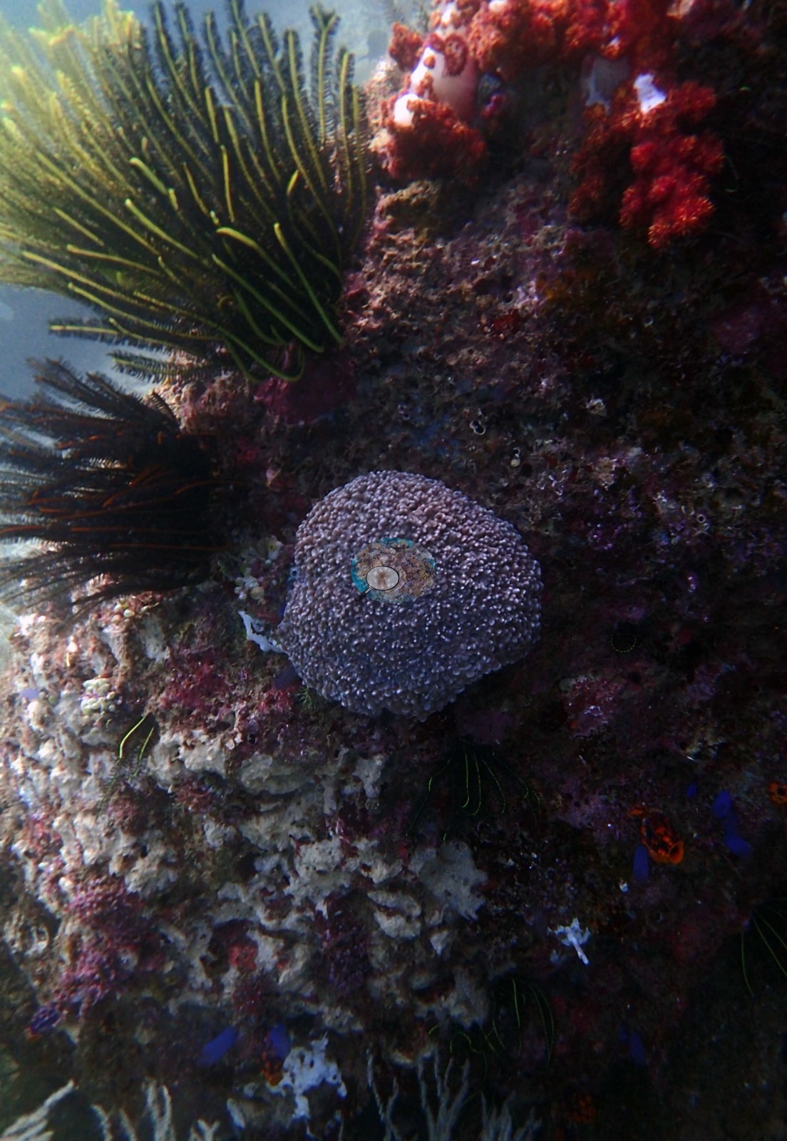
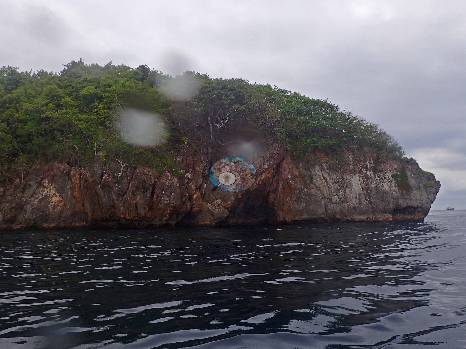
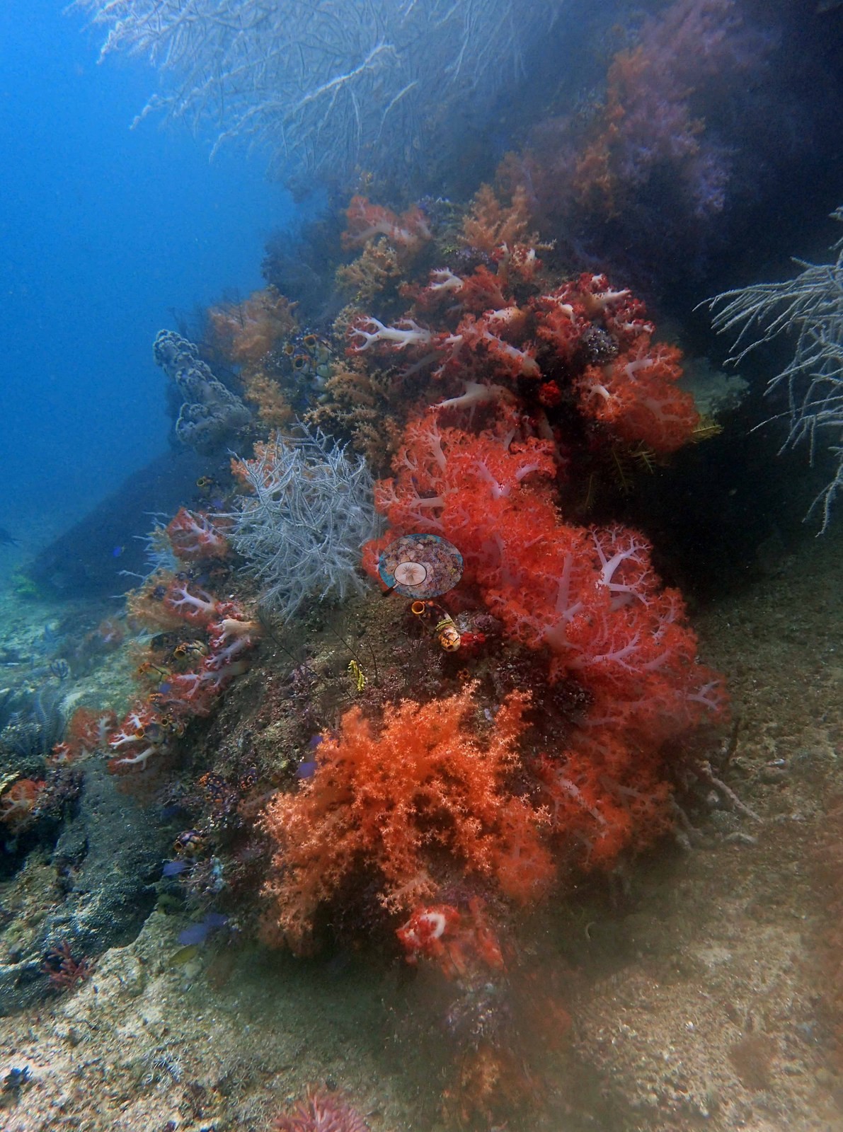
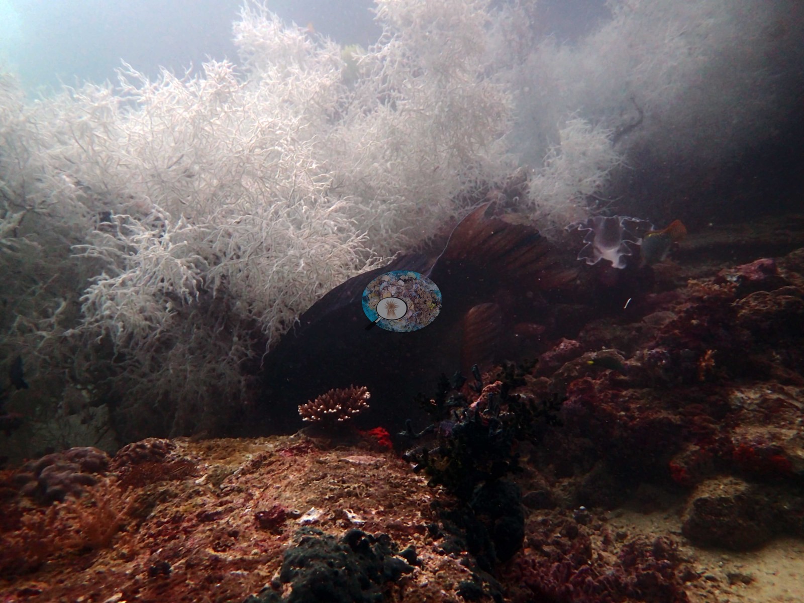
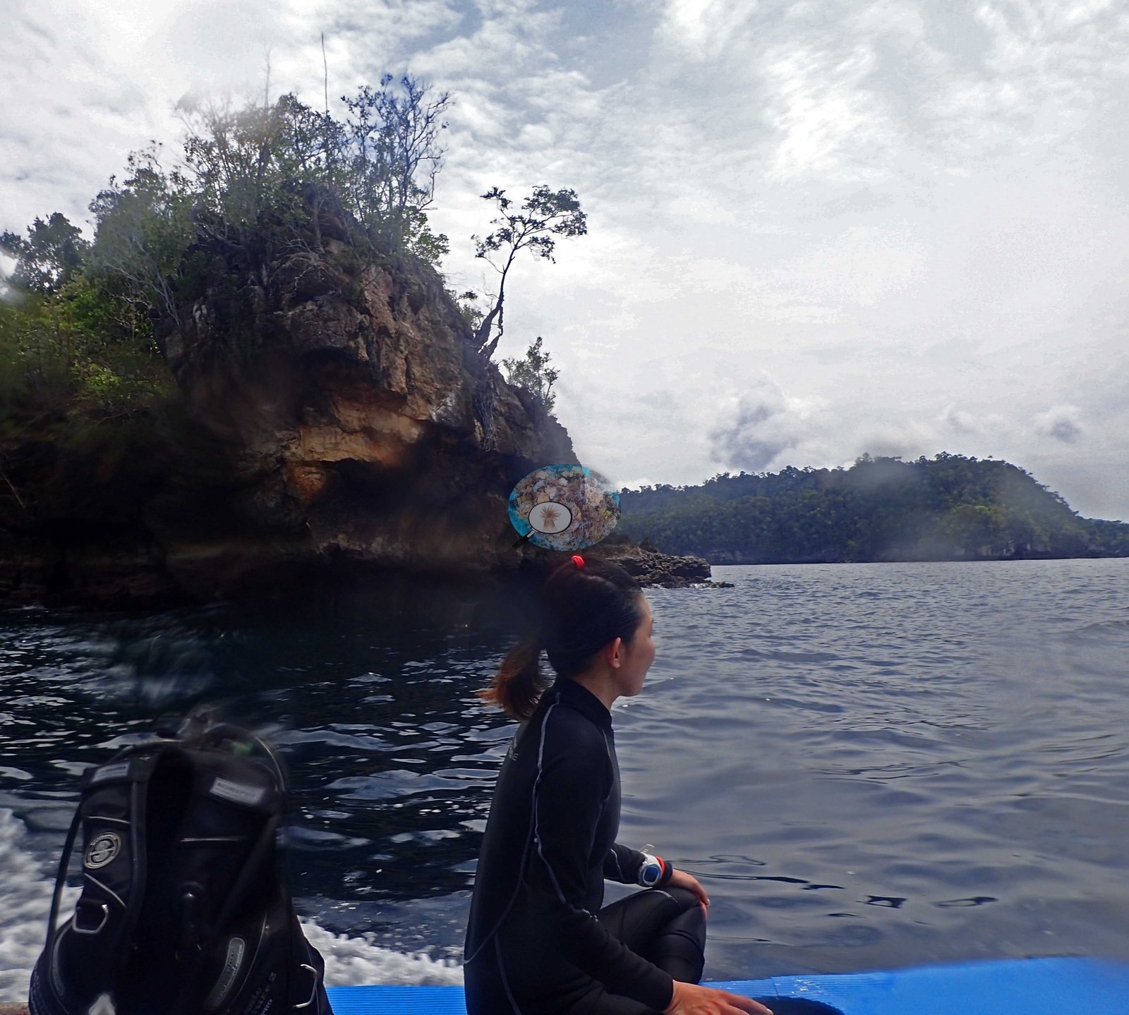
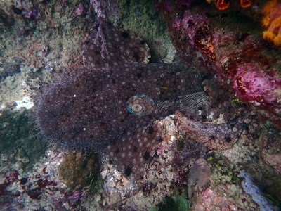 photo: Triton Bay - Little Komodo
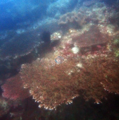 photo: Triton Bay - Last Frontier
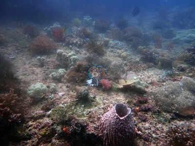 photo: Triton Bay - Seruanus
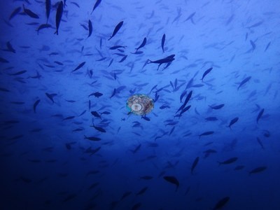 photo: Triton Bay - Little Komodo
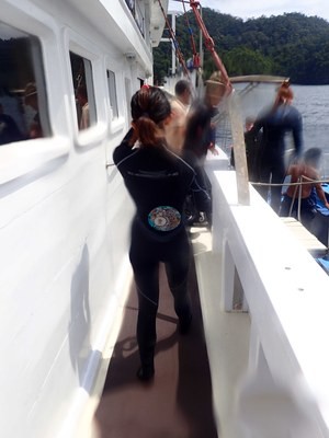 photo: Triton Bay - Larry Dive Heaven
 © Coral Reef Diagnostics.