
Regional summary of 6 dive sites (5 with their own page). Figures are averages across the sites that report them (n = sites with a value); each site's own page has its individual values. Part of the Tonga overview.
⬇ Download this region as a report card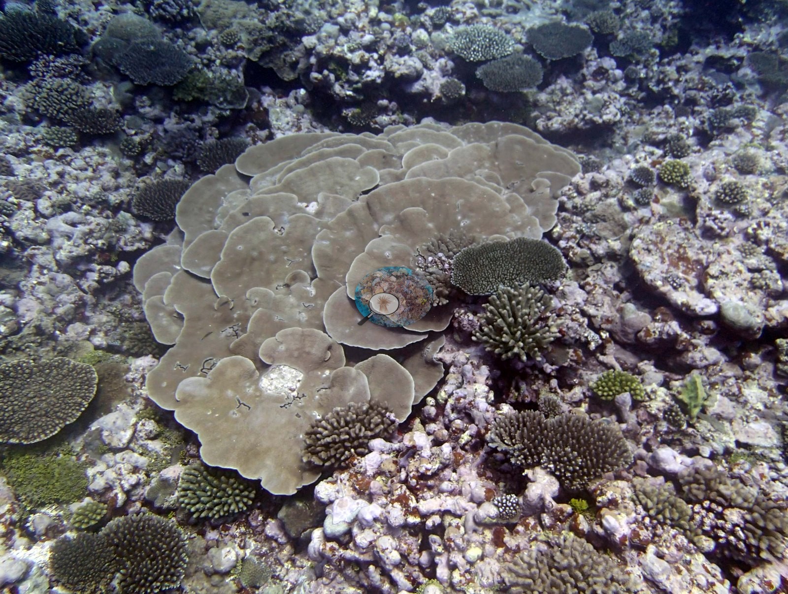

Niuatoputapu's six modest-relief fringing, platform, and barrier reefs, surveyed in September 2013, stand apart from the rest of Tonga because Acropora does not dominate them. Disease in Pocillopora was recorded at five of the six stations, while tsunami rubble on the barrier reef is being recolonized.
Heat stress
Long-term record: 3 years from 1985 through 2025 reached 8 or more °C-weeks at NOAA’s Northern Tonga station. Download the annual DHW data (CSV).
6 sites in this region — click a marker to open that site.
Regional setting
Spalding et al. (2001) treat Tonga's reefs mainly at the national scale and do not describe Niuatoputapu itself; on their map it appears as a separate group in the far north, near Tafahi and the volcanic island of Niuafo'ou. Nationally, they describe two parallel arcs along the convergent margin of the Indo-Australian and Pacific plates. The western Tofua Arc is a chain of high volcanic islands running north to Niuafo'ou, which last erupted in 1942 with further activity in 1985, and tectonic activity there leaves many islands and shoals too unstable for significant reef growth. The eastern arc, made up of the Tongatapu, Ha'apai, and Vava'u groups, consists largely of islands of reef origin, and there reefs are widespread, with fringing reefs around most coasts and platform and barrier-type structures in most groups. The atlas estimates about 1,500 km² of coral reef across Tonga and notes some 192 scleractinian coral species recorded at 11 reefs around Tongatapu, a count the authors regard as an underestimate. As of 2001, it reports periodic cyclone damage, most recently in 1995, 1997, 1999, and 2000, and a major bleaching event in 2000.
The sources say nothing about Niuatoputapu's recent state, and only regional summaries are available. Reviewing the 2004 report on the Polynesia Mana network, which includes Tonga, Wilkinson (2006) considered its reefs mainly healthy and at low immediate risk, since they lie far from large landmasses, but singled out climate change, cyclones, and bleaching as the main threats, with sedimentation, overfishing, dredging, and nutrient pollution of concern around densely settled islands. Souter et al. (2021) show average live hard coral cover across the Pacific declining from about 37% before 1998 to 31% in 2019, largely through bleaching, with El Niño conditions in 2015 and 2016 causing substantial coral mortality.
Overview
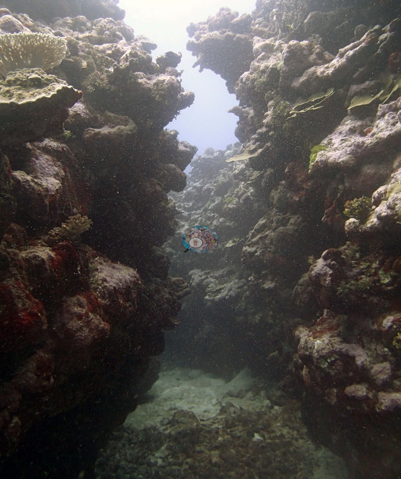
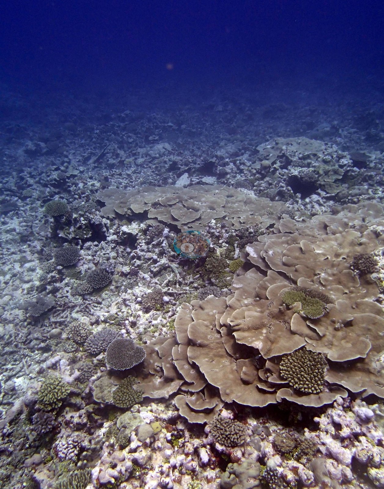
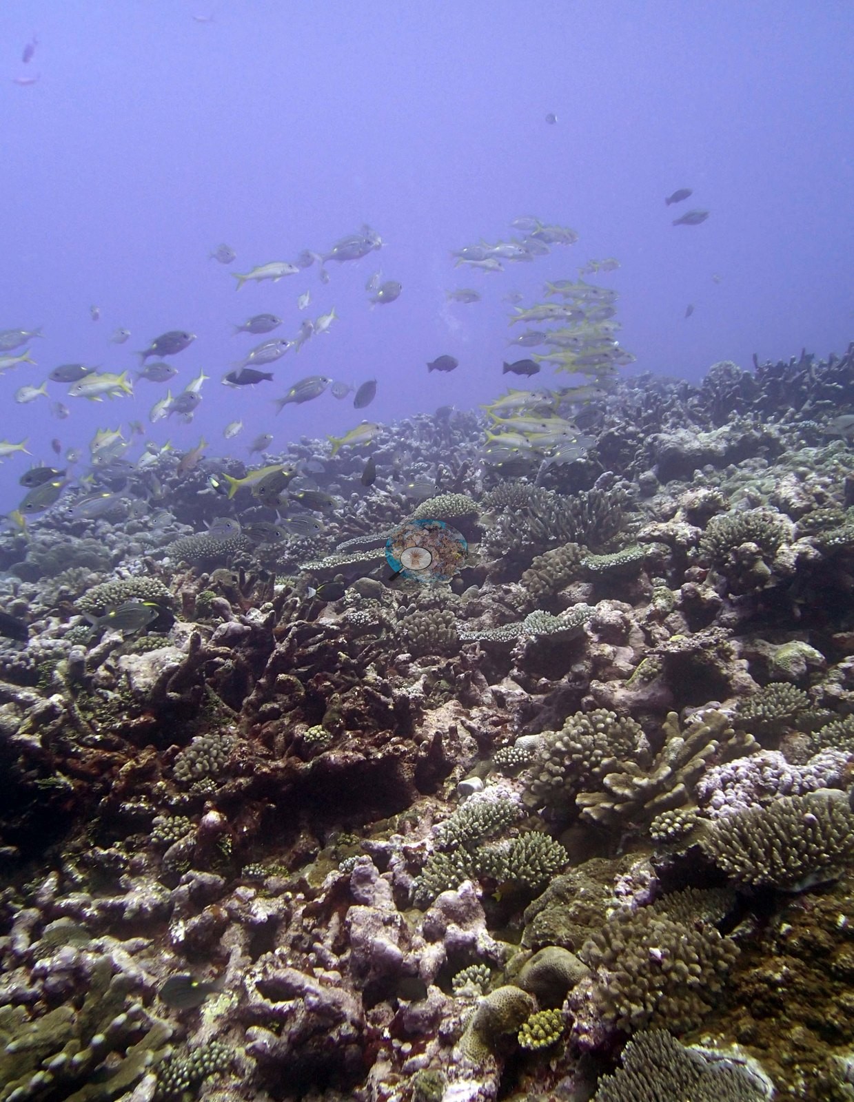
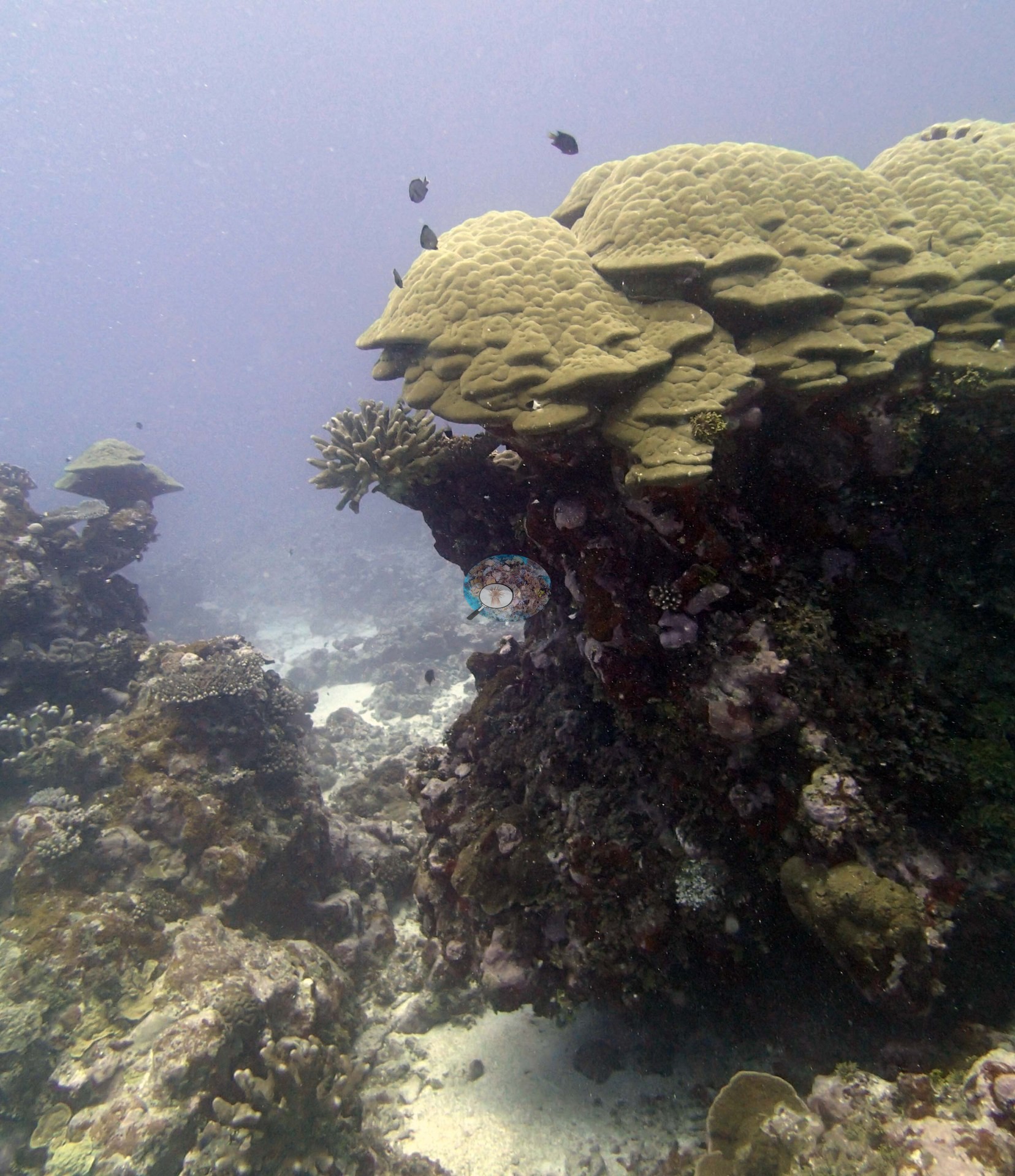
The six Niuatoputapu stations, surveyed on 29 and 30 September 2013 at maximum depths dived from 16.2 m (TONI56) to 32.9 m (TONI54), cover a south-facing fore reef off the southern tip, side-on to the trades (TONI54), a broad gently sloping platform (TONI55), a west-coast fringing ridge (TONI56), the north-coast barrier reef (TONI57 and TONI59), and a sandy submerged fore reef (TONI58). Relief is generally modest: small discontinuous spurs rising from flat rubble plains at TONI54, spurs running hundreds of meters across TONI55, a long ridge 2-3 m wide standing 2 m above sand at TONI56, and narrow channels barely wider than a diver cut through the barrier at TONI57.
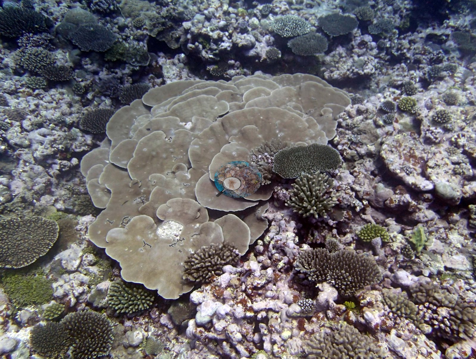
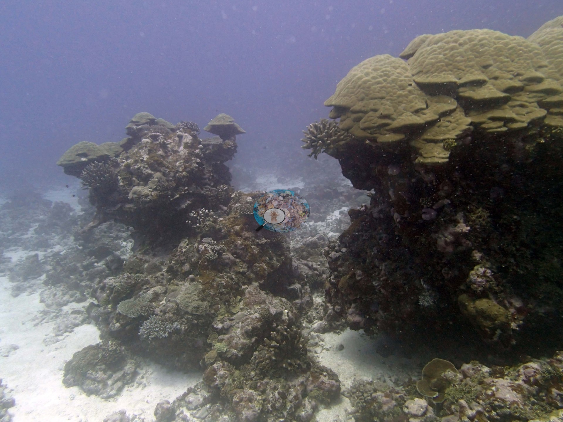
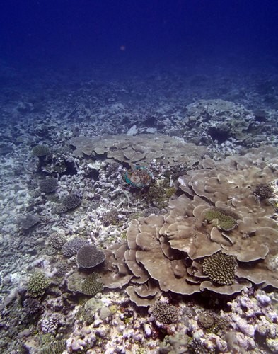
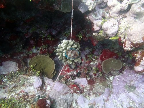
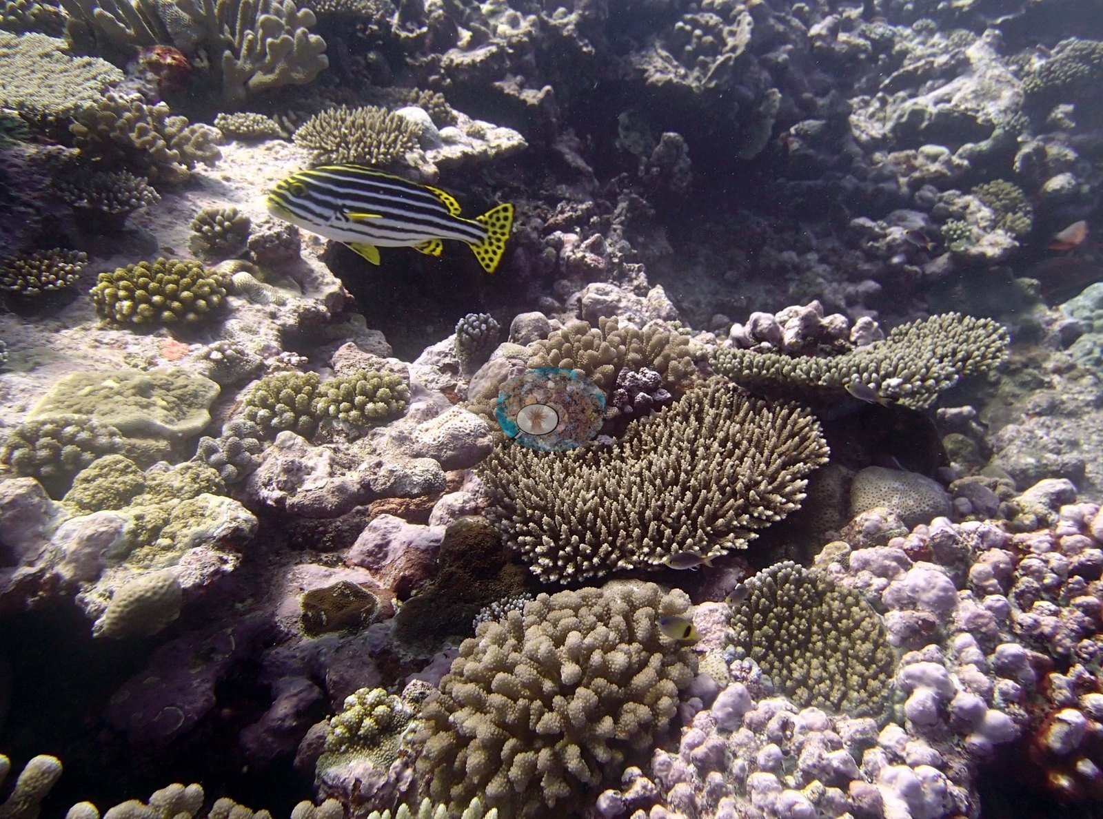
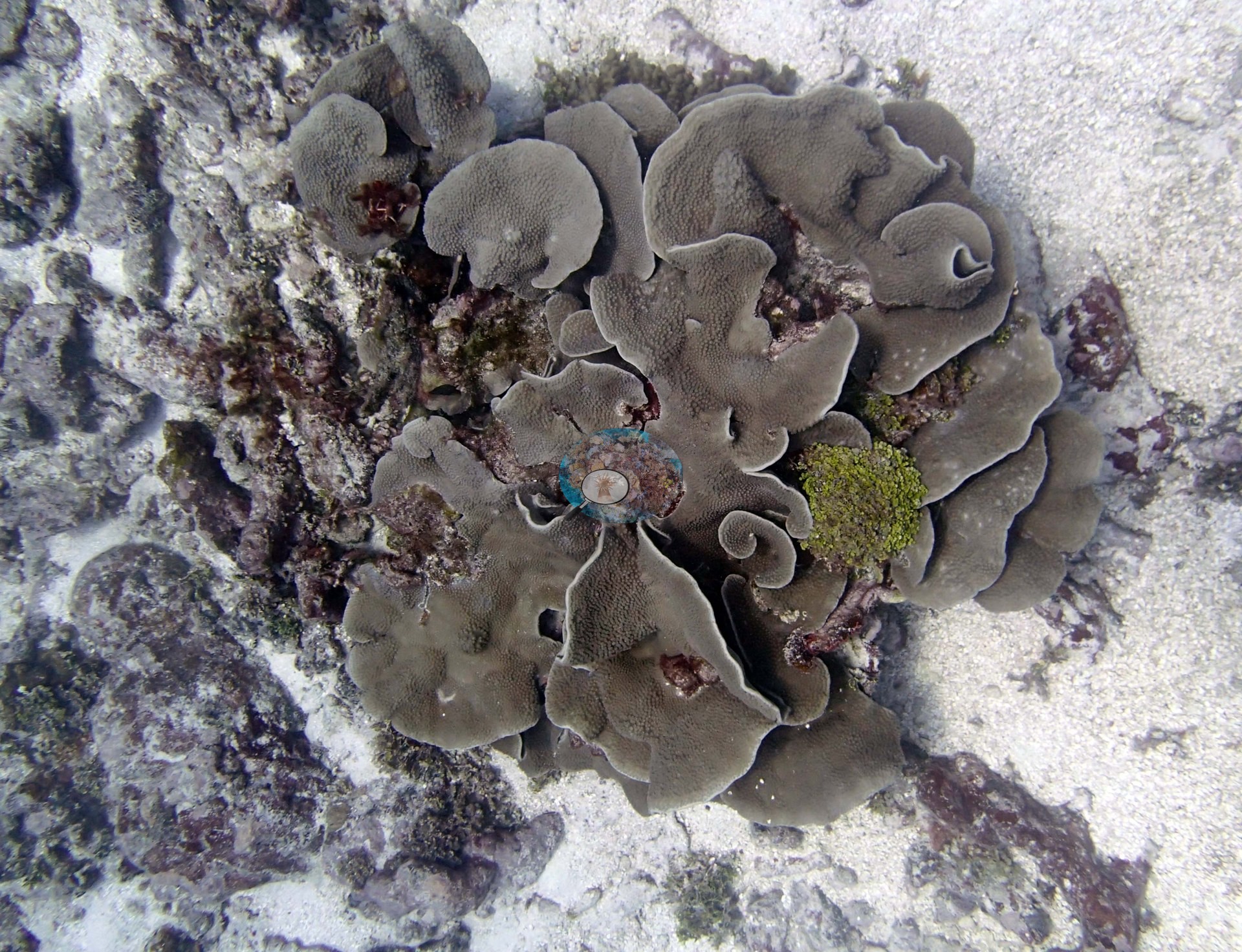
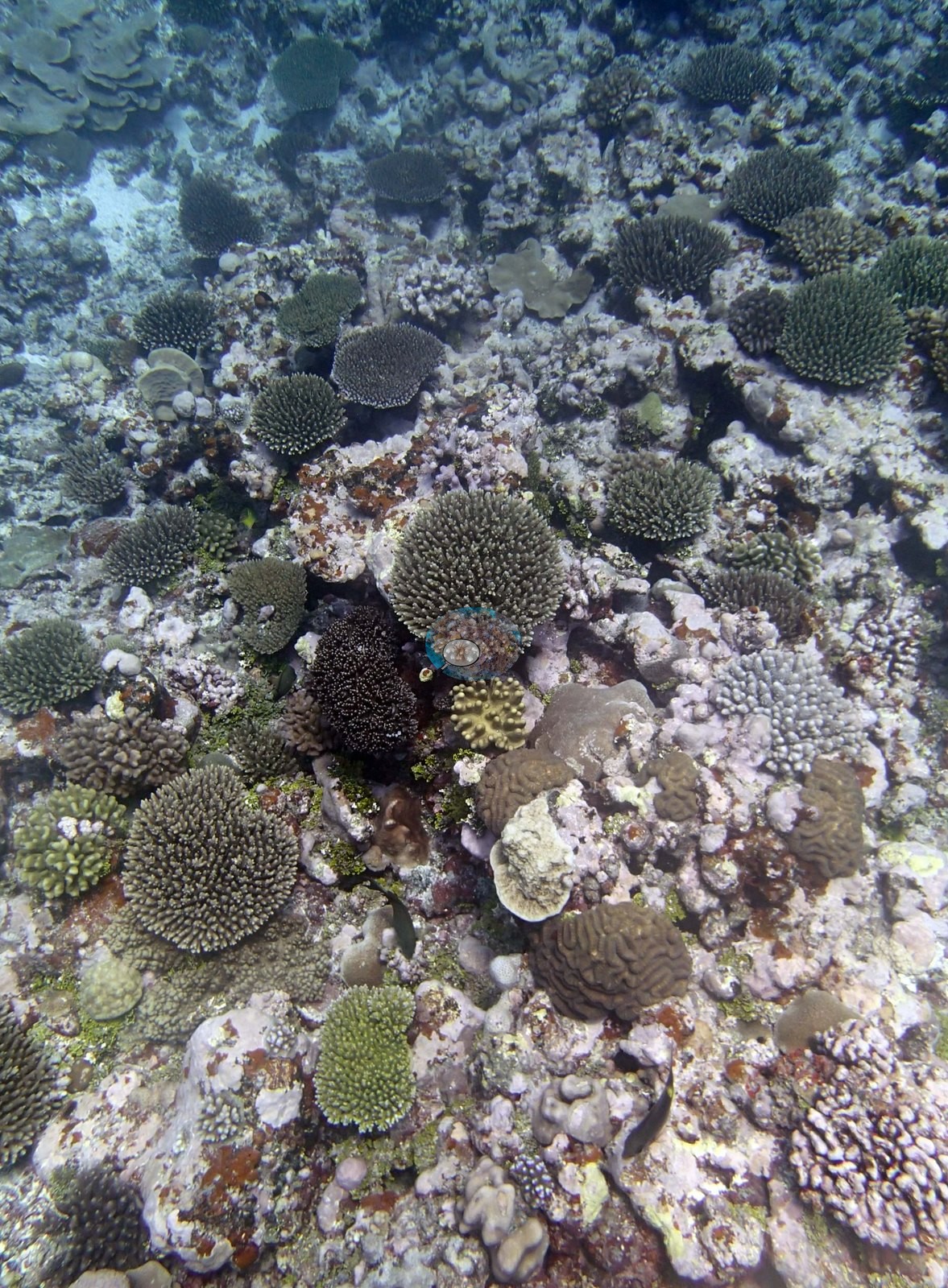
These reefs were not Acropora-dominated. Mounding Astreopora, plating Montipora, large Turbinaria, and Porites carried much of the cover at TONI55 and TONI56, and TONI55 held extensive stands of blade-like fire coral. TONI59 had numerous meter-plus Turbinaria plates at 8-15 m, and TONI58 was defined by mushroom-shaped Porites lobata bommies up to 3 m tall standing over an extensive field of long-dead pillars at 15-18 m. Table acroporids and massive corals together reached 30-50% cover on the larger spurs of TONI54.
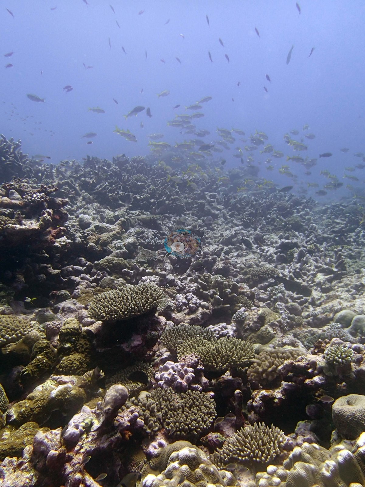
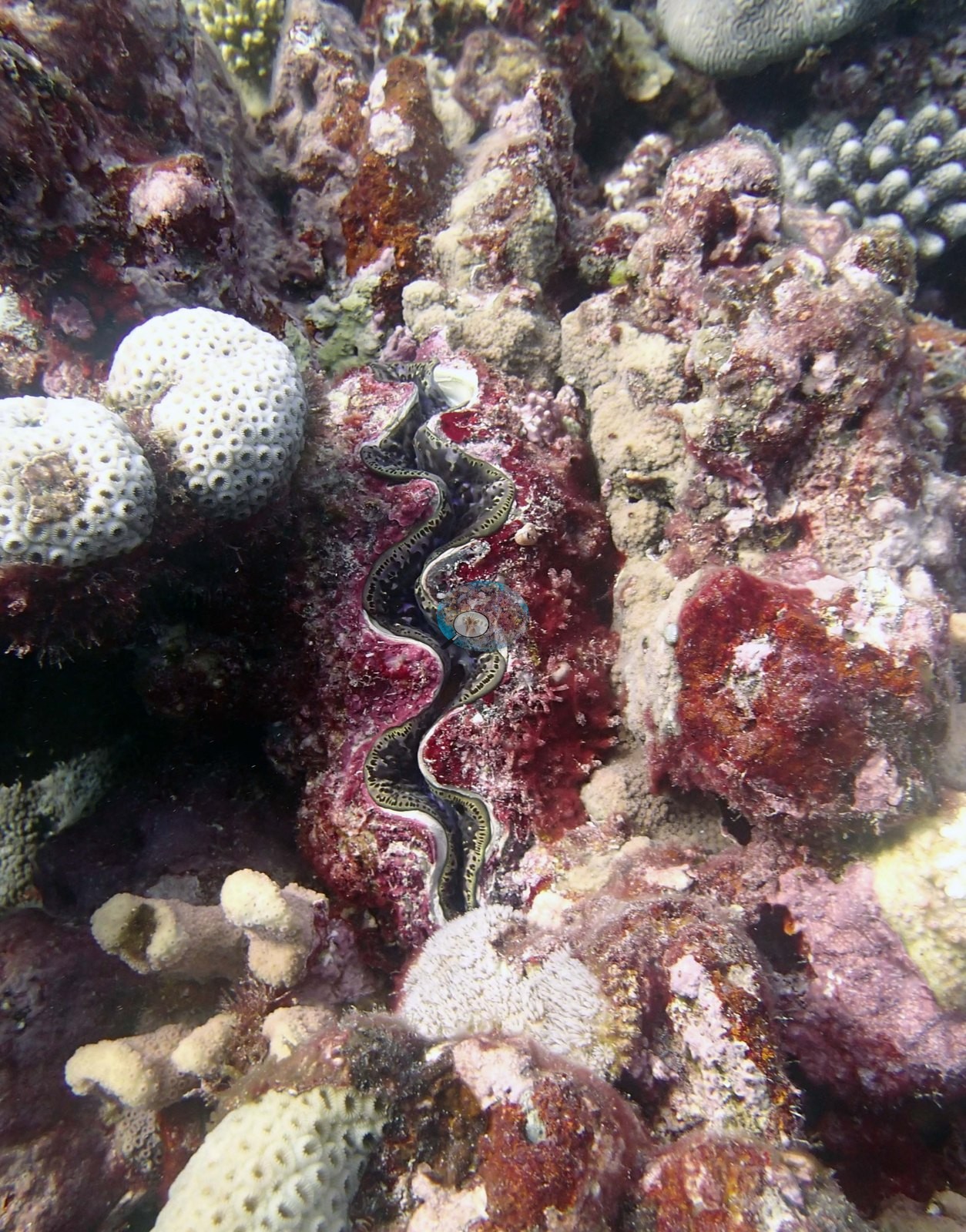
Transect cover ranged from 15% at TONI57, where algae covered 81% of the benthos, to 44% at TONI56, where algae covered 47%. The barrier reef at TONI57 appeared to have suffered extensive tsunami damage, but most of its rubble was cemented by thick crustose coralline algae and being recolonized by thin plating Montipora. Disease in Pocillopora was the recurring condition signal across the group, recorded at five of the six stations, alongside about 30% dead coral at TONI54 and a 10 m Porites at TONI59 that had lost roughly 80% of its tissue. Crown-of-thorns starfish and Culcita were scarce, and giant clams, blue-white sea stars, and dozens of spider conch were abundant at TONI56.
Highlights
- An Acropora-poor platform of mounding Astreopora, plating Montipora, and big Turbinaria, with extensive stands of blade-like fire coral (TONI55).
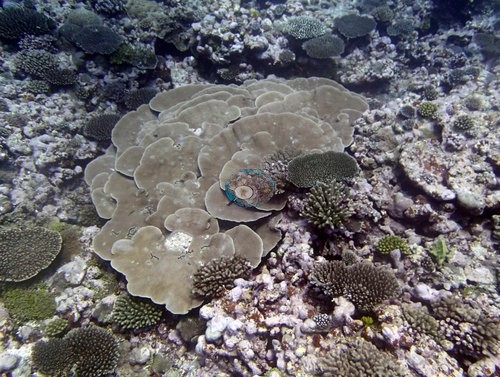
- Table Acropora and massive corals at 30-50% cover on the larger spurs of a south-facing fore reef, side-on to the trades, where about 30% of the corals were dead (TONI54).
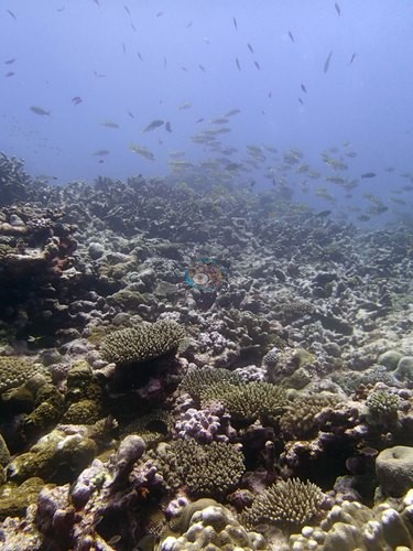
- Porites lobata bommies up to 3 m tall over a field of old dead pillars (TONI58).
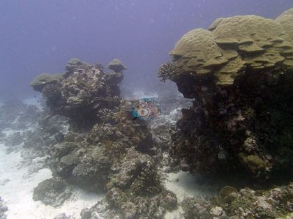
- 15% cover, on a barrier reef whose tsunami rubble is cemented by coralline algae and being recolonized by thin plating Montipora (TONI57).
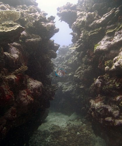
- 44% cover, on a long west-coast ridge with numerous giant clams, blue-white sea stars, and dozens of spider conch (TONI56).
Ko e liliu fakamīsini ʻeni ʻo e fakamatala nounou ʻi he lea faka-Pilitānia; ko e tohi faka-Pilitānia pē ʻa e tatau ʻoku mafai mo fakafalalaʻanga. AI translation of this summary, low confidence and not yet reviewed by a native speaker; the English is authoritative.
Regional setting
ʻOku fakamatalaʻi ʻe Spalding et al. (2001) ʻa e ngaahi hakau ʻo Tonga ʻi he tuʻunga fakafonua pē, pea ʻoku ʻikai te nau fakamatalaʻi ʻa Niuatoputapu tonu; ʻi heʻenau mape ʻoku hā ia ko ha ʻotu motu makehe ʻi he potu tokelau mamaʻo, ofi ki Tafahi mo e motu moʻungaafi ko Niuafo'ou. ʻI he tuʻunga fakafonua, ʻoku nau fakamatalaʻi ha ongo laine (arcs) ʻe ua ʻoku fehoanaki ʻi he kauʻā ʻoku fetaulaki ai ʻa e ongo papa ʻo e māmani (tectonic plates) Indo-Australian mo Pasifiki (Pacific). Ko e Tofua Arc ʻi he hihifo ko ha laine ʻo e ngaahi motu moʻungaafi māʻolunga ʻoku mafola ki he tokelau ʻo aʻu ki Niuafo'ou, ʻa ia naʻe toki pā ai ʻa e moʻungaafi ʻi he 1942 pea toe ngāue ʻi he 1985, pea ko e ngaue ʻa e kelekele ʻi he feituʻu ko ia (tectonic activity) ʻoku ʻikai ai fuʻu tuʻumaʻu feʻunga ʻa e lahi ʻo e ngaahi motu mo e ngaahi feituʻu mamaha ke tupu lahi ai ha hakau. Ko e laine ʻi he hahake, ʻa ia ʻoku kau ai ʻa e ʻotu motu Tongatapu, Ha'apai, mo Vava'u, ko e lahi taha ʻo hono ngaahi motu naʻe tupu mei he hakau, pea ʻoku mafola lahi ai ʻa e ngaahi hakau, mo e ngaahi hakau matafonua (fringing reefs) ʻi he lahi taha ʻo e ngaahi matātahi pea mo e ngaahi hakau fakapapa (platform) mo e hakau fakaā (barrier-type) ʻi he lahi taha ʻo e ngaahi ʻotu motu. ʻOku fakafuofua ʻe he tohi fakafaʻahinga (atlas) ʻoku meimei 1,500 km² ʻa e hakau feo (coral reef) ʻi Tonga kotoa, pea ʻoku ne fakahā naʻe lēkooti ha faʻahinga (species) feo fefeka (scleractinian) ʻe 192 nai ʻi ha hakau ʻe 11 ʻi Tongatapu, ko ha fika ʻoku pehē ʻe he kau faʻu ʻoku siʻi hifo ia ʻi he moʻoni. ʻI he 2001, ʻoku ne lipooti ʻa e maumau mei he ngaahi afā ʻoku hoko ʻi he taimi ki he taimi, ko e ngaahi taʻu fakamuimui taha ko e 1995, 1997, 1999, mo e 2000, mo ha hinehina lahi ʻa e feo (coral bleaching) ʻi he 2000.
ʻOku ʻikai lea ʻa e ngaahi maʻuʻanga ki he tuʻunga ki mui ni ʻo Niuatoputapu, pea ko e ngaahi fakamatala fakavāhenga pē ʻoku maʻu. ʻI hono vakaiʻi ʻo e lipooti ʻo e 2004 ki he kupenga (network) Polynesia Mana, ʻa ia ʻoku kau ai ʻa Tonga, naʻe pehē ʻe Wilkinson (2006) ko hono ngaahi hakau naʻe moʻui lelei lahi pea siʻi ʻa e fakatuʻutāmaki ʻi he taimi ni, he ʻoku nau mamaʻo mei he ngaahi fonua lalahi, ka naʻa ne fakahingoa ʻa e feliuliuaki ʻo e ʻea (climate change), ngaahi afā, mo e hinehina ʻa e feo ko e ngaahi fakatuʻutāmaki tefito, pea ʻoku hohaʻa ki he fakafonu ʻe he kelekele (sedimentation), toutai lahi fau, keli ʻo e takele tahi (dredging), mo e ʻuliʻi ʻaki ʻa e ngaahi meʻa fakatupu (nutrient pollution) ʻi he ngaahi motu ʻoku tokolahi ai ʻa e kakai. ʻOku fakahā ʻe Souter et al. (2021) ʻa e holo ʻa e ʻavalisi ʻo e ʻufiʻufi ʻe he feo fefeka moʻui (live hard coral cover) ʻi he Pasifiki kotoa mei he meimei 37% ki muʻa ʻi he 1998 ki he 31% ʻi he 2019, tautautefito koeʻuhi ko e hinehina ʻa e feo, pea naʻe fakatupu ʻe he tuʻunga El Niño ʻi he 2015 mo e 2016 ha mate lahi ʻa e feo.
Overview
Ko e potu (stations) ʻe ono ʻi Niuatoputapu, naʻe savea ʻi he 29 mo e 30 Sepitema 2013 ʻi he loloto taha naʻe uku ki ai mei he 16.2 m (TONI56) ki he 32.9 m (TONI54), ʻoku kau ai ha hakau matafonua ʻoku hanga ki he tonga ʻi he muiʻi potu tonga, ʻoku fehangai fakatafaʻaki mo e matangi tuʻumaʻu (trade winds) (TONI54), ha tuʻunga fakapapa fālahi ʻoku hifo mālie (TONI55), ha hakau matafonua fakatuʻasivi ʻi he matātahi hihifo (TONI56), ʻa e hakau fakaā (barrier reef) ʻi he matātahi tokelau (TONI57 mo TONI59), mo ha tafaʻaki tuʻa ʻo e hakau (fore reef) ʻoneʻone kuo ngalo ʻi lalo tahi (TONI58). ʻOku faʻa siʻisiʻi pē hono māʻolunga mo e maʻulalo: ngaahi kiʻi spurs motumotu ʻoku tupu hake mei ha ngaahi tokaʻanga lafalafa ʻo e maka momoa (rubble) ʻi TONI54, ngaahi spurs ʻoku mafola ʻo mita ʻe ngaahi teau ʻi TONI55, ha tuʻasivi loloa ʻoku fālahi ʻaki ʻa e 2-3 m pea māʻolunga ʻaki ʻa e 2 m ʻi he ʻoneʻone ʻi TONI56, mo e ngaahi hala vai fāsiʻi ʻoku meimei tatau pē hono fālahi mo ha tokotaha uku naʻe tuʻusi ʻi he hakau fakaā ʻi TONI57.
Naʻe ʻikai puleʻi ʻa e ngaahi hakau ni ʻe he Acropora. Ko e Astreopora fakapuke, Montipora fakapaleti, Turbinaria lalahi mo e Porites naʻa nau fua ʻa e konga lahi ʻo e ʻufiʻufi ʻi TONI55 mo TONI56, pea naʻe ʻi TONI55 ʻa e ngaahi tuʻunga mafola ʻo e feo afi (fire coral) fakahele. Naʻe ʻi TONI59 ha ngaahi paleti Turbinaria lahi ʻoku laka hake ʻi he mita ʻi he 8-15 m, pea naʻe hā ʻa TONI58 ʻi he ngaahi bommies Porites lobata ʻoku hangē ha fuʻu limu fakamalu ʻo aʻu ʻo māʻolunga ʻaki ʻa e 3 m ʻoku tuʻu ʻi ʻolunga ʻi ha tokaʻanga lahi ʻo e ngaahi pou kuo mate fuoloa ʻi he 15-18 m. Naʻe aʻu fakataha ʻa e Acropora fakatēpile mo e feo lalahi ki he 30-50% ʻo e ʻufiʻufi ʻi he ngaahi spurs lalahi ange ʻo TONI54.
Naʻe kehekehe ʻa e ʻufiʻufi ʻe he feo ʻi he transect mei he 15% ʻi TONI57, ʻa ia naʻe ʻufiʻufi ai ʻe he limu ʻa e 81% ʻo e kelekele ʻi lalo, ki he 44% ʻi TONI56, ʻa ia naʻe ʻufiʻufi ai ʻe he limu ʻa e 47%. Naʻe hā ngali kuo maumauʻi lahi ʻe he peau kula (tsunami) ʻa e hakau fakaā ʻi TONI57, ka ko e lahi taha ʻo hono maka momoa kuo fakapipiki ʻe he crustose coralline algae matolu pea ʻoku toe nofoʻi ia ʻe he Montipora fakapaleti manifi. Ko e mahaki ʻi he Pocillopora ko e fakaʻilonga ia ʻoku toutou hā ʻi he kulupu, naʻe lēkooti ʻi he potu ʻe fā ʻi he ono, fakataha mo e feo kuo mate ʻo meimei 30% ʻi TONI54 mo ha Porites ʻo e 10 m ʻi TONI59 kuo mole ai ʻa e meimei 80% ʻo hono kakano. Naʻe siʻisiʻi ʻa e ʻalamea (crown-of-thorns starfish) mo e Culcita, pea naʻe lahi ʻa e vasuva lalahi (giant clams), fetuʻu tahi pulū-hinehina, mo e ngaahi tasini ʻo e kalea (spider conch) ʻi TONI56.
Highlights
- Ko ha tuʻunga ʻoku siʻisiʻi ai ʻa e Acropora, ʻo e Astreopora fakapuke, Montipora fakapaleti mo e Turbinaria lalahi, mo e ngaahi tuʻunga mafola ʻo e feo afi fakahele (TONI55).
- Acropora fakatēpile mo e feo lalahi (massive corals) ʻi he 30-50% ʻo e ʻufiʻufi ʻi he ngaahi spurs lalahi ange ʻo ha hakau matafonua ʻoku hanga ki he tonga, ʻoku fehangai fakatafaʻaki mo e matangi tuʻumaʻu (trade winds), ʻa ia naʻe mate ai ʻa e meimei 30% ʻo e feo (TONI54).
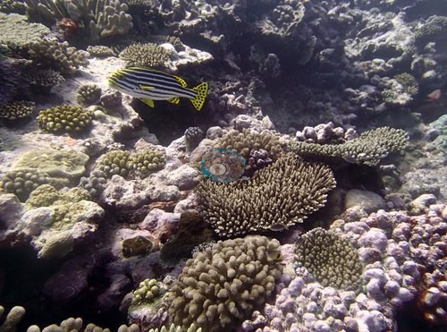
- Ngaahi bommies Porites lobata ʻo aʻu ʻo māʻolunga ʻaki ʻa e 3 m ʻi ʻolunga ʻi ha tokaʻanga ʻo e ngaahi pou motuʻa kuo mate (TONI58).
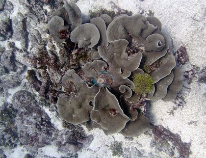
- Ko e ʻufiʻufi siʻisiʻi taha ʻo e kulupu, 15%, ʻi ha hakau fakaā ʻoku fakapipiki hono maka momoa mei he tsunami ʻe he coralline algae pea ʻoku toe nofoʻi ʻe he Montipora fakapaleti manifi (TONI57).
- Ko e ʻufiʻufi lahi taha, 44%, ʻi ha tuʻasivi loloa ʻi he matātahi hihifo ʻoku lahi ai ʻa e vasuva lalahi, fetuʻu tahi pulū-hinehina mo e ngaahi tasini ʻo e kalea (TONI56).
Notable observations
- Tonga - Niua (TONI54): High numbers of diseased Pocillopora; about 30% dead corals, including a large dead stand of thick-branched staghorn at 15 m; one massive/encrusting colony with several rounded lesions
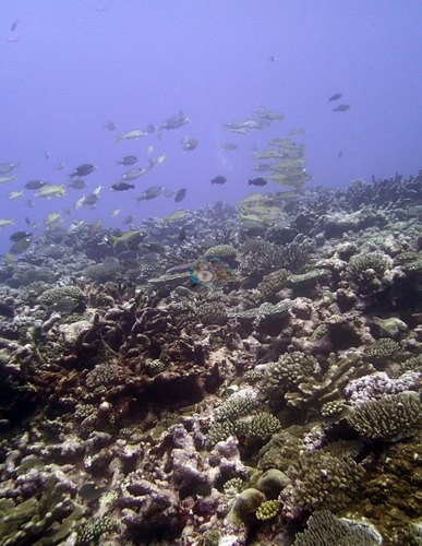
- Tonga - Niua (TONI55): About 20-30% of the Pocillopora had recent mortality and old dead patches caused by disease; a few Culcita and recently dead corals
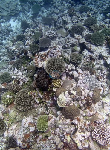
- Tonga - Niua (TONI56): 10-20% of the Pocillopora were sick; many Astreopora with small dead areas forming chimneys with tufts of red algae
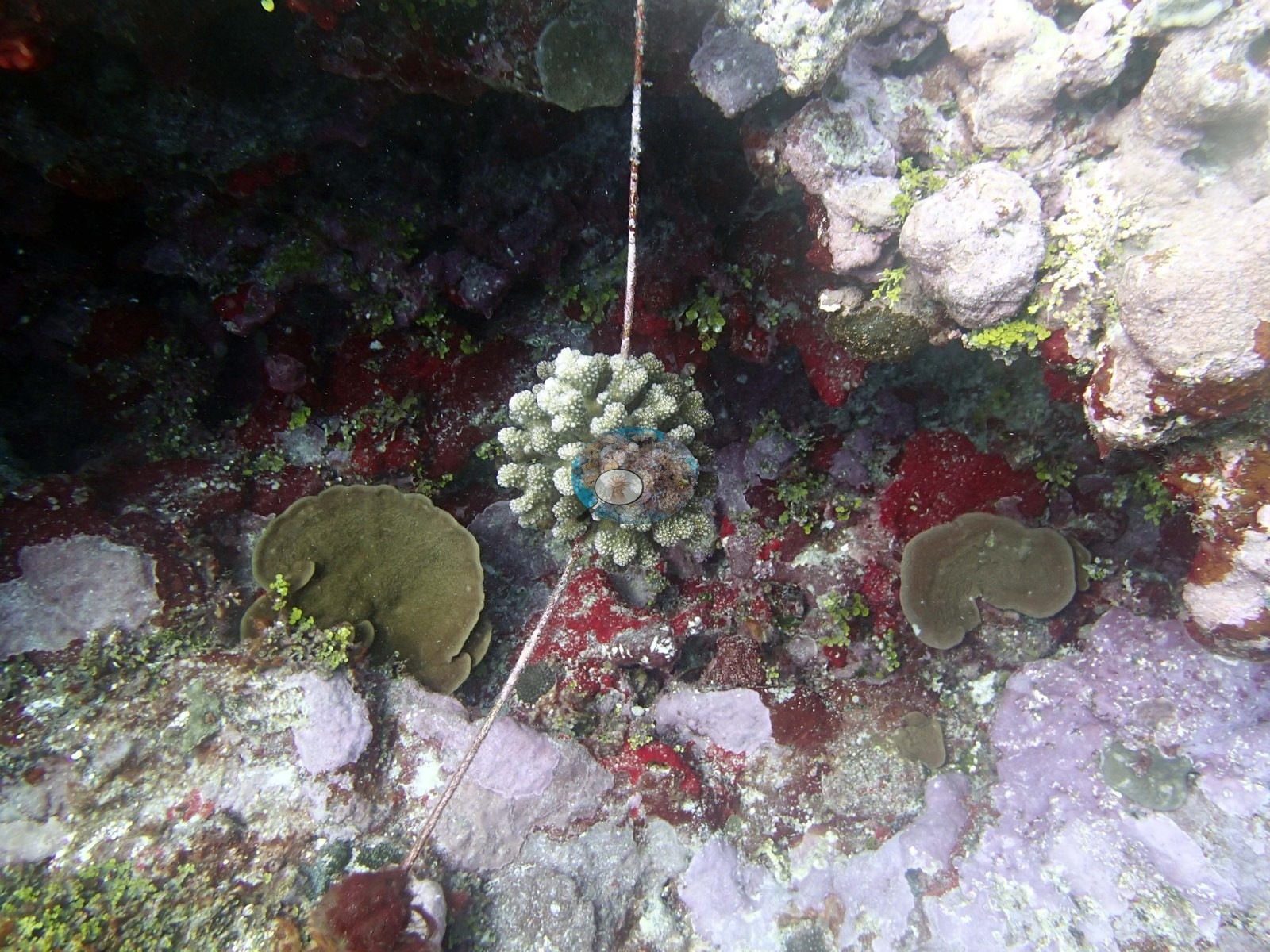
- Tonga - Niua (TONI57): Many of the Pocillopora colonies have disease; large patches of cyanobacteria; extensive apparent tsunami damage; an old rope across the reef, colonized by a branching coral
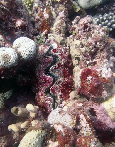
- Tonga - Niua (TONI58): Extensive field of dead, easily broken pillars at 15-18 m (old mortality)
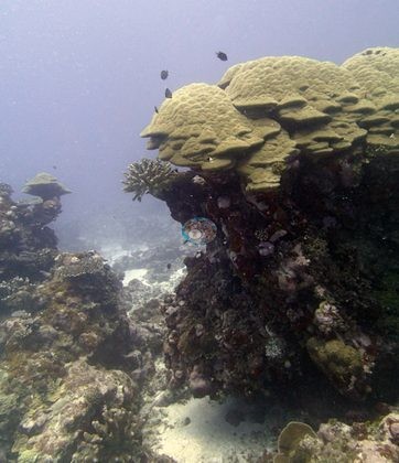
- Tonga - Niua (TONI59): No snails, crown-of-thorns starfish (COTS), or Culcita seen but high numbers of diseased Pocillopora; a ~10 m Porites had lost roughly 80% of its tissue
Sites in this region
- Tonga - Niua (TONI54) — 34% coral cover
- Tonga - Niua (TONI55) — 33% coral cover
- Tonga - Niua (TONI56) — 44% coral cover
- Tonga - Niua (TONI57) — 15% coral cover
- Tonga - Niua (TONI58) — 18% coral cover
- Tonga - Niua (TONI59) — 34% coral cover
% coral cover by method
Pooled across 2 dive sites
| Method | Mean % coral cover | Std. dev. between dive sites | n dive sites | Note |
|---|---|---|---|---|
| CoralSCOP (SAM-based mask-sum), unedited photos | 34% | ±0.5 | 2 | — |
| Claude (Anthropic), blind point count | 27% | ±10 | 2 | — |
| In-water diver transect (line/point intercept) | 34% | ±1.1 | 2 | — |
The mean is an UNWEIGHTED mean of the dive site values — each dive site counts once, whatever its photo count — which is the convention of the published tables and of every other figure on this page. Each value is the one printed on that dive site's own page; a page that prints no value for a method (fewer than 10 photographs) is left out of that method's mean.
This table pools only the 2 dive sites in this unit that have a method comparison; the table for all 22 dive sites is on the Tonga page.
Deviation from the reference
Over the dive sites where an independent reference exists, Claude (Anthropic), blind point count has a mean absolute deviation of 8.0 pp from it across 2 dive sites. Not in this ranking: CoralSCOP (unedited), which is not comparable with this reference. A mean absolute deviation is not an accuracy score: a model with a consistent offset is correctable, while one with the same deviation scattered in both directions is not.
By dive site
| Dive site | CoralSCOP (unedited) | Claude | Diver transect |
|---|---|---|---|
| TONI54 | 34% n=13 | 20% n=13 | 34% |
| TONI55 | 34% n=15 | 35% n=15 | 33% |
n under each value is the number of photographs that method scored at that dive site. ⚠ marks a cell that is not an independent check.
Reference: Living Oceans Foundation (LOF) Global Reef Expedition in-water transects (mean of all the station's transects, Living Oceans Foundation per-transect benthic data). Denominator: line/point intercept along the transect; not a photo-point denominator. Source: LOF Global Reef Expedition 2013, per-transect benthic data ('GRE data-full benthic'): the mean of all of each station's transects For all 22 dive sites in the comparison: The transect is THE coral-cover value at every site; the Claude photo estimate is a methods comparison only, never averaged with the transect and never a headline. Site-level only: the photos come from the survey dives, not from the transect points. Accuracy, Claude vs transect, the 22 sites with 10 or more reef-habitat photos (sampled-colony close-ups left out; sites with fewer than 10 have no Claude row): mean difference -4.2 pp (95% CI -8.8 to +0.5), mean absolute difference 8.4 pp, r 0.43. Claude tracks the transect only weakly from site to site in Tonga. This is a methods comparison, not a ranking.
All images from Coral Reef Diagnostics. Data are from the Khaled bin Sultan Living Oceans Foundation Global Reef Expedition and Coral Reef Diagnostics.
 © Coral Reef Diagnostics.
References
- Souter D, et al. (eds) (2021) Status of Coral Reefs of the World: 2020. International Coral Reef Initiative / Global Coral Reef Monitoring Network. [PDF]
- Spalding MD, et al. (2001) World Atlas of Coral Reefs. University of California Press, Berkeley. [PDF]
- Wilkinson C (2006) Status of coral reefs of the world: summary of threats and remedial action. In: Côté IM, Reynolds JD (eds) Coral Reef Conservation. Cambridge University Press, Cambridge. [PDF]