
Part of the regional summaries: Tonga - Niuatoputapu and Tonga
More info
Northern Tonga (NOAA CRW virtual station)A broad, gently sloping platform off Niuatoputapu with spurs running hundreds of meters and the first extensive stands of blade-like fire coral on the expedition; the survey team's notes describe very little Acropora, but the point-count transect counted Acropora as the leading genus. About 20-30% of the Pocillopora showed recent mortality or old dead patches from disease. Surveyed on the Living Oceans Foundation's Global Reef Expedition.
Ko ha tuʻunga fālahi ʻoku hifo māmālie ʻi Niuatoputapu mo e ngaahi spurs ʻoku loloa ʻaki ʻa e mita ʻe ngaahi teau pea mo e ngaahi vao lalahi ʻuluaki ʻo e feo afi fakalaʻā (blade-like fire coral) ʻi he ʻekisipeteni; ʻoku fakamatalaʻi ʻe he ngaahi nouti ʻa e timi savea ʻoku siʻisiʻi ʻaupito ʻa e Acropora, ka naʻe lau ʻe he transect lau-poini (point-count transect) ʻa e Acropora ko e genus taki. Naʻe hā ʻi he meimei 20-30% ʻo e Pocillopora ʻa e mate foʻou pe ngaahi konga mate motuʻa mei he mahaki.
AI translation of this summary; the English is authoritative. (low confidence)
CTD-cast midpoint of 27.7–27.8°C
More info
Anderson's dive computer read 26.7°C (a single reading, probably a dive mean).Three other CRD dive sites with their own pages within 5 km shown in orange — click a marker to open its page.
14 of the 16 photographs on this page are shown beside the text that discusses them under "Site description" below.
Site description
Setting
Leeward (southwest) fore reef off the northwest tip. Extensive shallow water platform that ranges from 8-20 m depth.
General benthic features
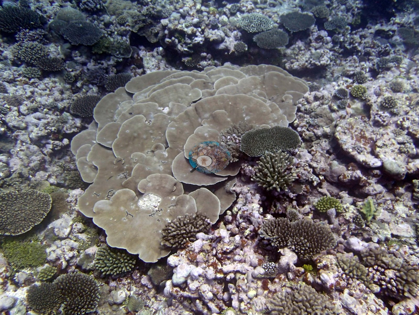
Nine of the sixteen (e.g., Image 1, Image 2, Image 3, Image 9, Image 10) are wide or mid-range reef views; the remaining seven are close-ups of particular subjects — a Turbinaria (Anderson's identification), a corallite macro, a giant clam, and four frames of an octopus.
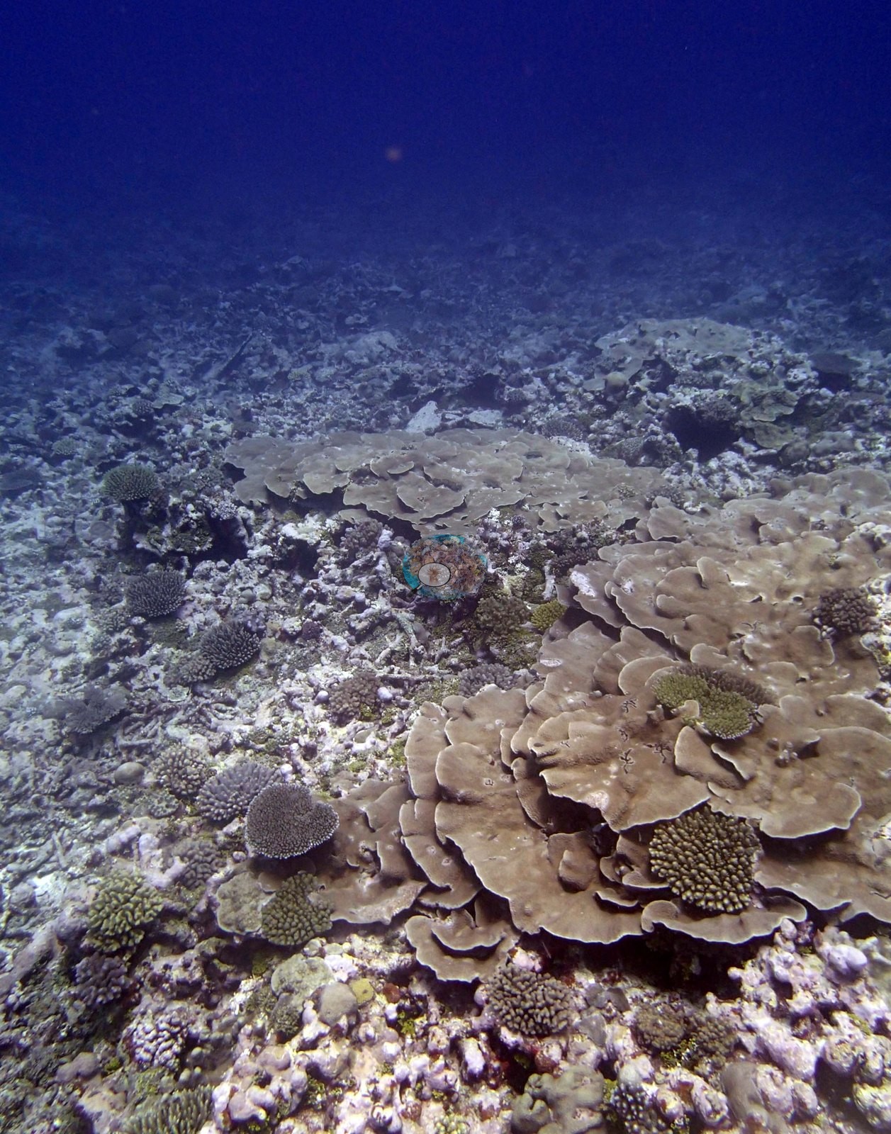
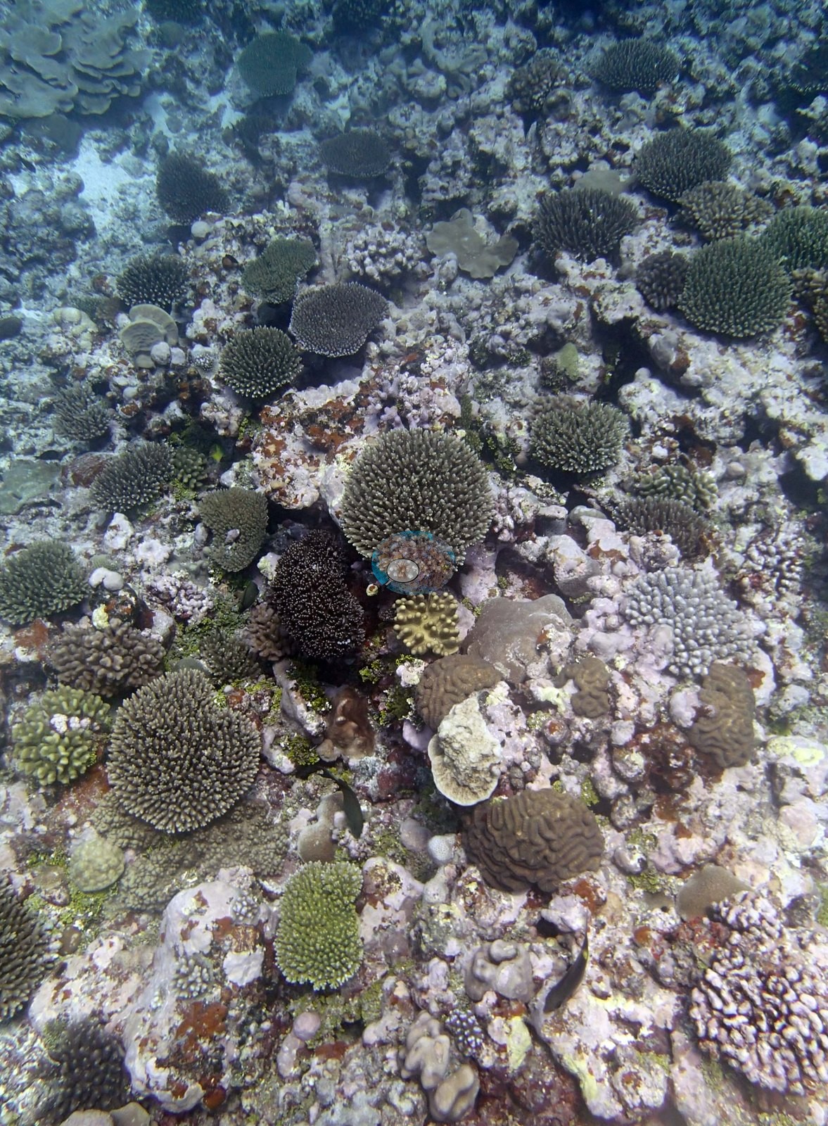
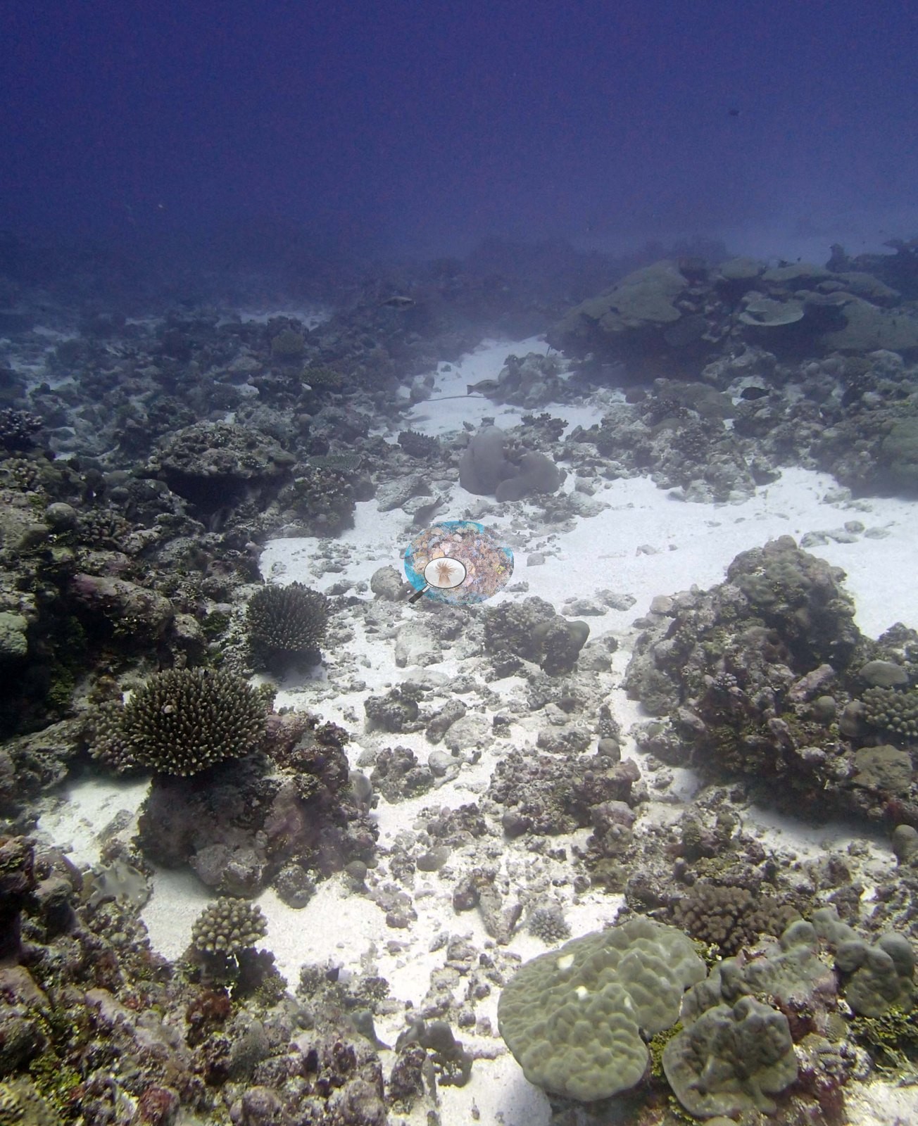
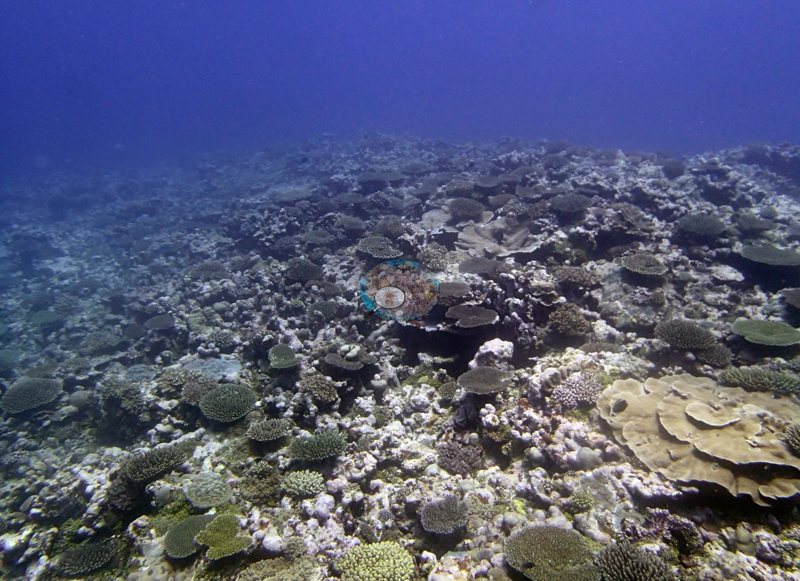
The wide frames are consistent with the gently sloping, low-relief spur-and-sand platform the surveyors described. They look across broad, near-horizontal reef surfaces of modest vertical relief, with no wall, no steep drop, and no high framework anywhere in the set (e.g., Image 2, Image 3, Image 6, Image 10, Image 17); Image 9 looks along a clean white sand channel cutting between two low coral-covered banks, and Image 7 has a diver hanging in mid-water well above the bottom, which is itself a fair indication of how open and shallow-angled this reef is.
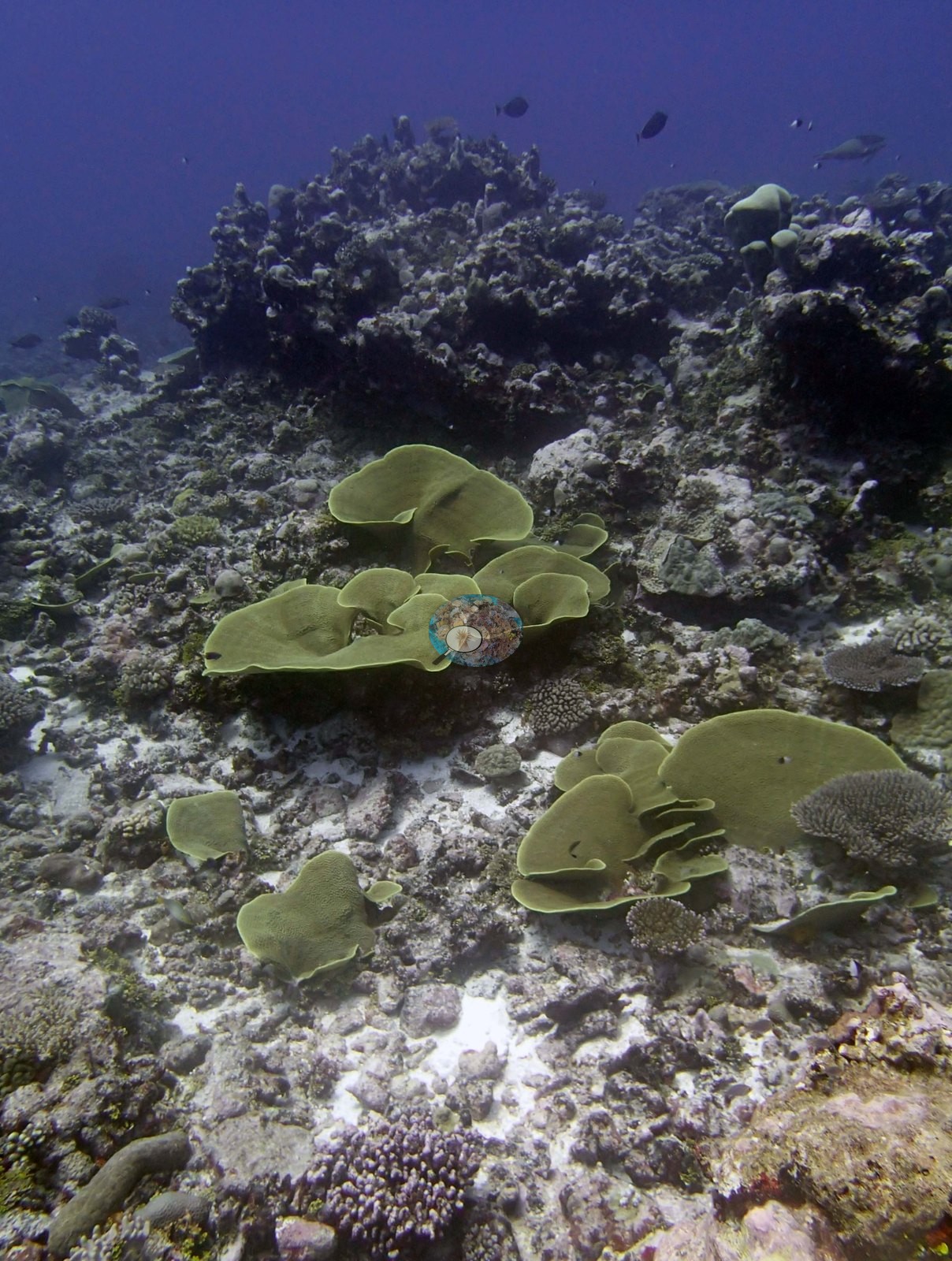
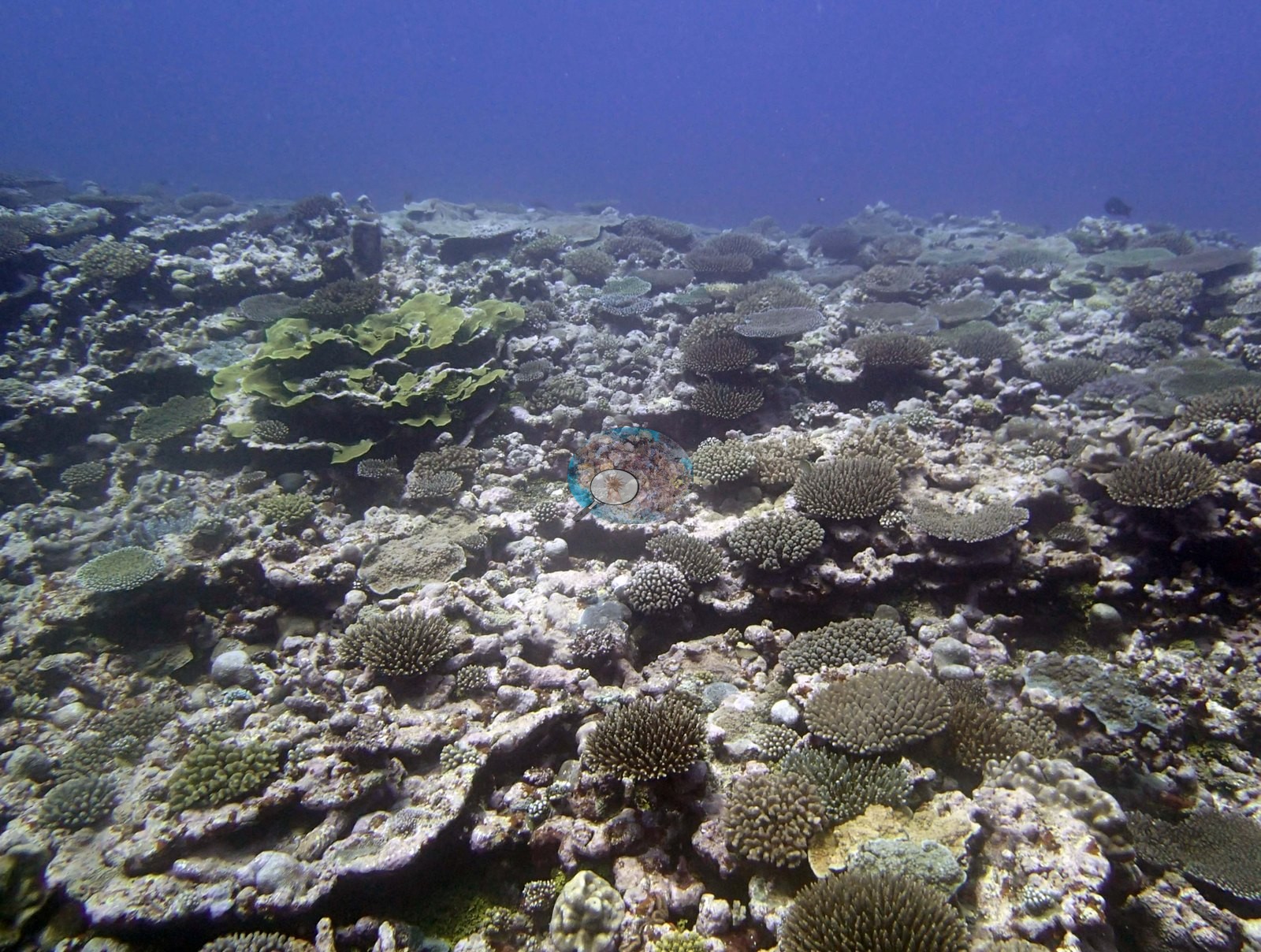
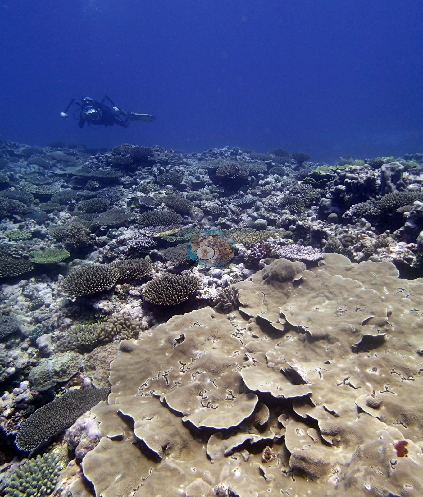
The most striking thing in the photographs is a foliose, plating growth form that recurs across frame after frame: stacked, tiered, overlapping gray-brown to fawn whorls, often a meter or more across as a colony group, sitting proud of the surrounding pavement. It carries the frame in Image 1, Image 2, Image 7, and Image 18, appears again in Image 10, and is the sole subject of Image 20, which Anderson identified as Turbinaria. Image 6 shows the same growth form in a vivid yellow-green, a cluster of large upright plates and whorls against pale rubble.
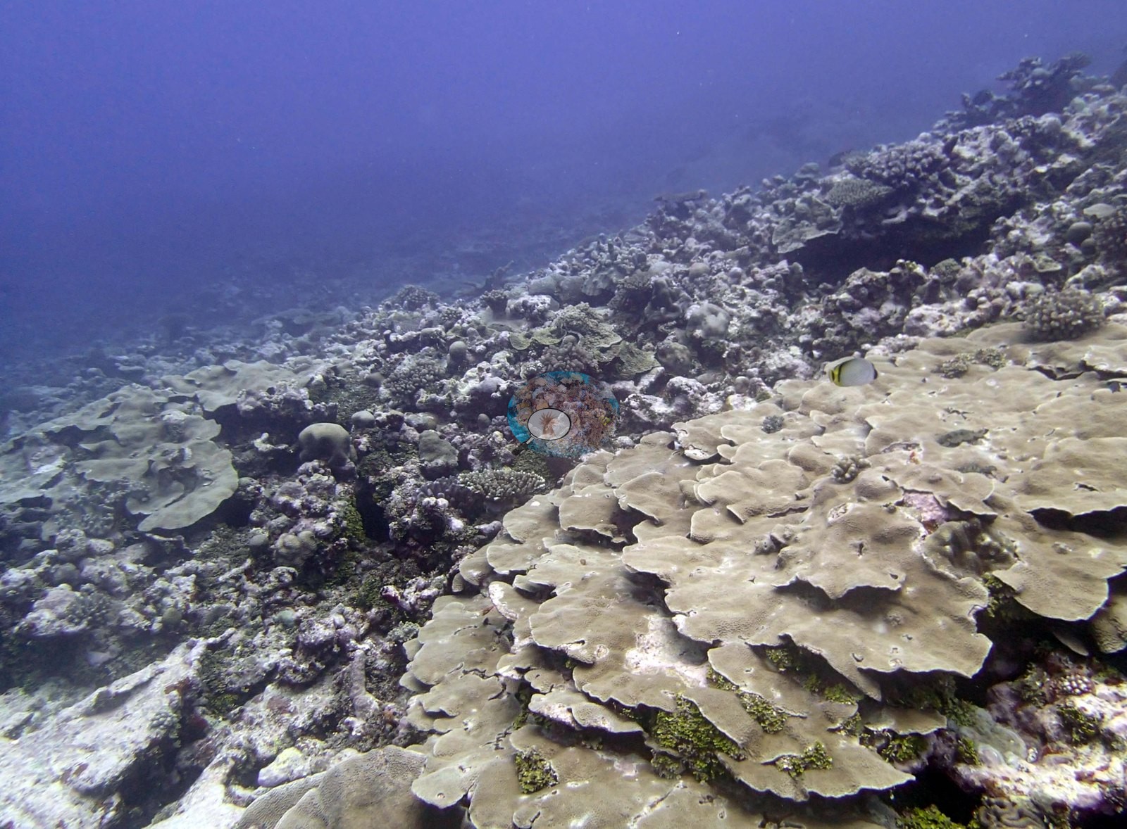
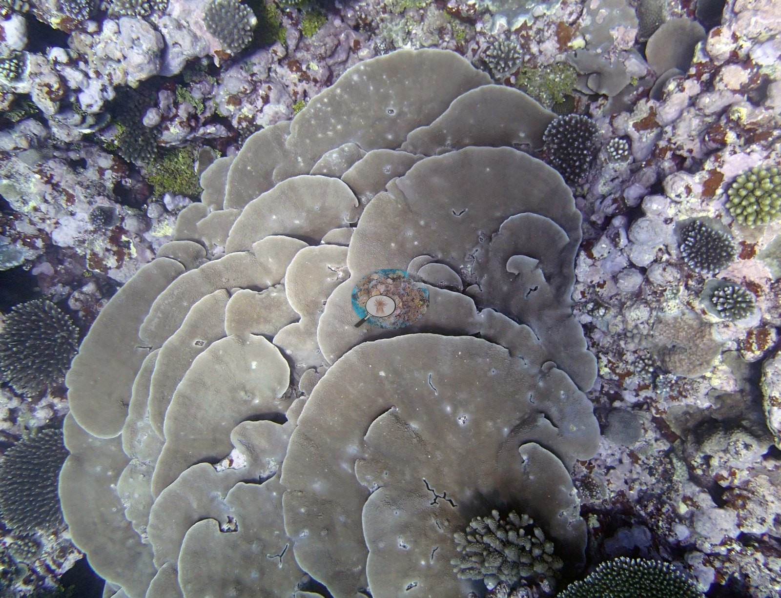
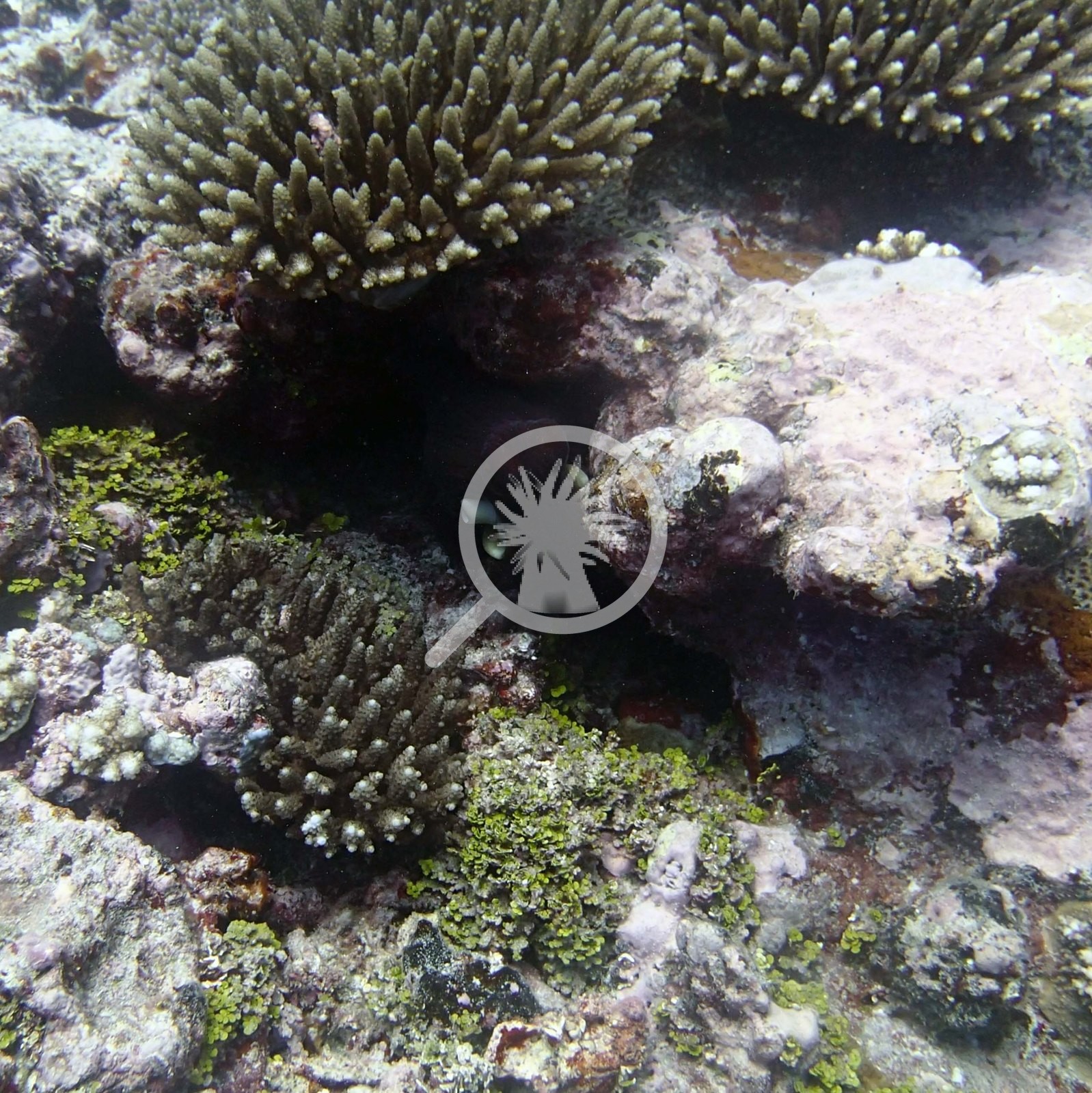
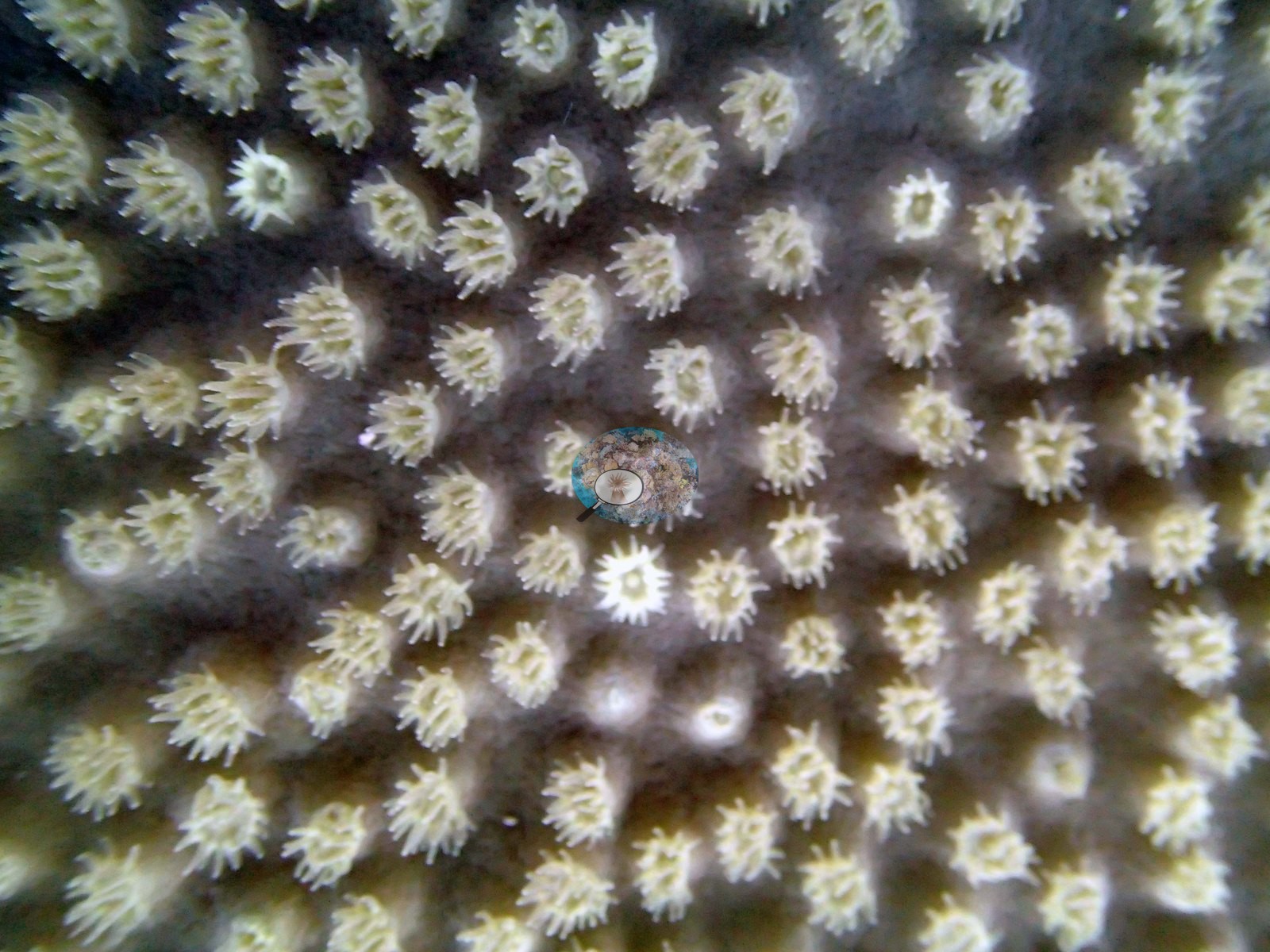
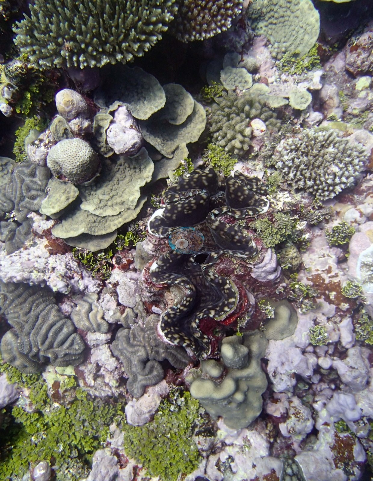
Between and around these plates the community is smaller and more mixed: corymbose and digitate branching heads, low mounding and dome-shaped massives, a small meandroid brain colony in Image 3, encrusting sheets, and pale carbonate pavement and rubble with pink coralline crusts. Image 3 is the densest and most varied of the wide views; Image 10, Image 2, and Image 9 show the sparser end, with wide expanses of pale pavement, rubble, and sand between colonies. Non-coral subjects were photographed on purpose. Image 8 is an extreme macro of a coral surface with expanded, pale, tentacled polyps set in regular ranks across a smooth skeleton. Image 4 is a giant clam with its mottled dark-and-white mantle open, wedged between plating colonies and a meandroid brain colony.
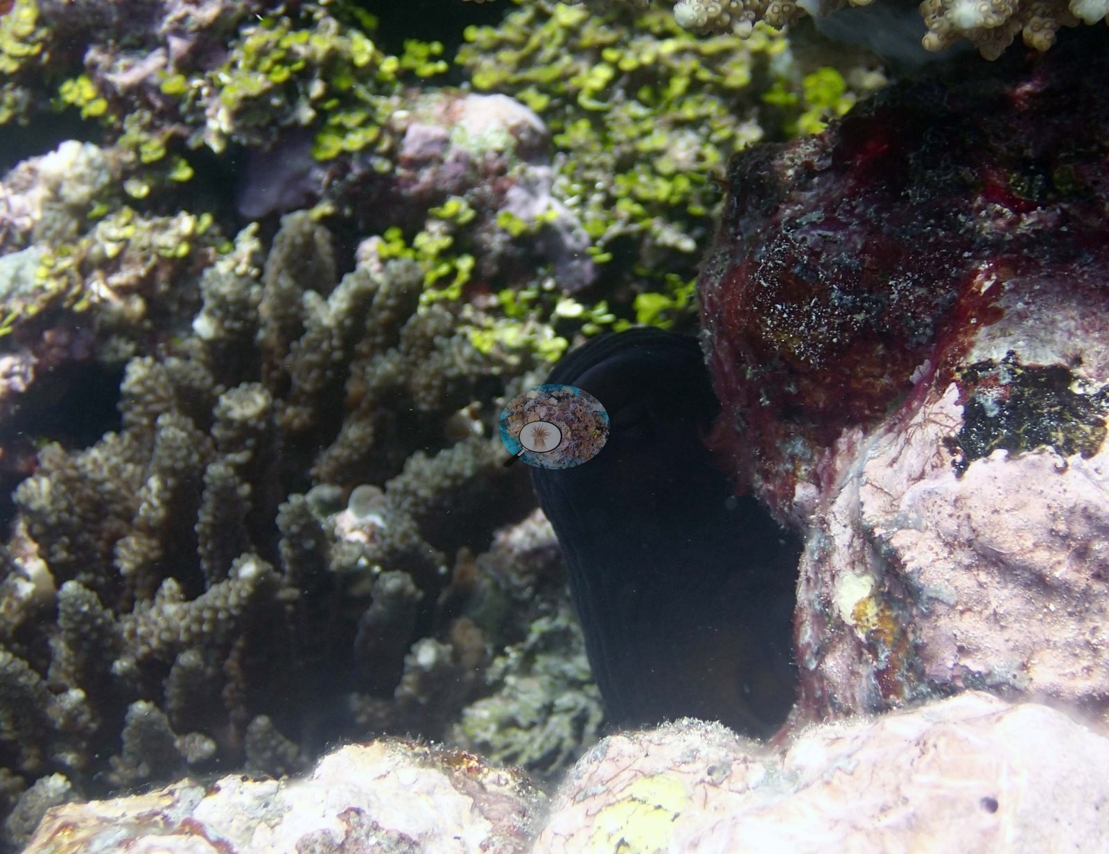
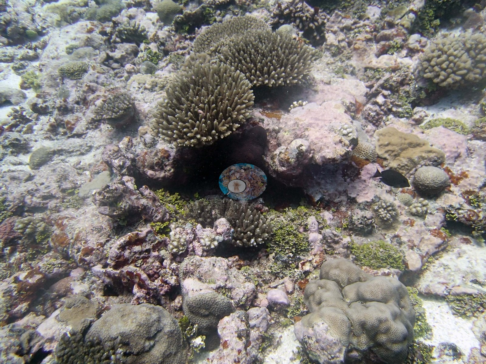
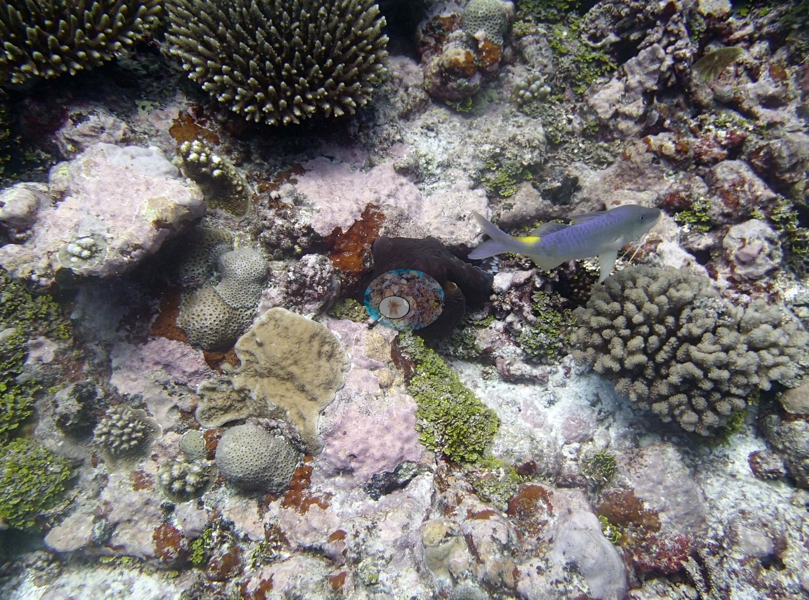
Four of Anderson's frames show an octopus found tucked into the reef surface, dark-skinned against pale rubble and green algal turf (e.g., Image 5, Image 16), with a small wrasse hanging beside it in Image 16.
Coral cover
- Reference: Khaled bin Sultan Living Oceans Foundation, Global Reef Expedition (in situ transect)
- 33%, from the Khaled bin Sultan Living Oceans Foundation's in situ transect survey (Global Reef Expedition site data); the photographs illustrate the site.
- Transect mean 33 ± 9.0% SE (n = 4 transects; Living Oceans Foundation per-transect benthic data); the headline above is this all-transect mean.
Stressors
The photographs cannot confirm the surveyors' more specific findings: the very high abundance of blade-like Millepora, the recent and old disease-caused mortality on 20-30% of the Pocillopora, or the scarcity of Acropora across the reef system — a number of small branching colonies in these frames are acroporid in growth form, but growth form alone is not an identification. No bleaching is claimed from any frame; the pale colors in the sunlit shallow views are not separable from natural pigmentation, glare, and water-column attenuation at these ranges. About 20-30% of the Pocillopora had recent mortality and old dead patches caused by disease. Typical recent thermal stress: mean annual maximum of 5.2°C-weeks (Degree Heating Weeks, 2021-2025, NOAA CRW; Northern Tonga virtual station). The 2013 survey notes for this site record snails at low density and a few Culcita cushion stars beside recently dead corals (Khaled bin Sultan Living Oceans Foundation expedition site notes, 2013; regional summary in Bruckner 2014). The Living Oceans Foundation transects here recorded 1.0% cyanobacteria and no recently dead coral on the transect lines.
Fish and other fauna
Few sea cucumbers; most the black variety.
Comparisons with other data
TONI55 (Niuatoputapu) was surveyed on 29 September 2013 during the Khaled bin Sultan Living Oceans Foundation Global Reef Expedition. The reef spurs extend for hundreds of meters, sloping very gently. These are surrounded by sand patches, some with large boulders and others with little rubble. The survey team's notes record very little Acropora throughout the reef system. In those notes the benthos has 10-40% live coral, dominated by large mounding Astreopora, encrusting and plating Montipora, small to medium Porites (most low relief, up to 30-40 cm tall and less than 1 m diameter), numerous small to medium Pocillopora, Montastrea, and patches with medium to large Turbinaria (some areas had 6-8 foliaceous Turbinaria colonies over 1 m in diameter). The point-count transect lists Acropora (25%), Pocillopora (18%), and Montipora (13%) as the leading genera of live coral. The Porites was a dominant coral below 15 m and was much less common in shallow water. The Turbinaria included the yellow green T. mesenterina and T. stellata. There also was a very high abundance of blade-like Millepora, with colonies from 30-60 cm diameter and up to 40 cm tall. This is the first location with extensive blade-like Millepora. Relief on the spurs was moderately low, with some coral heads up to 80 cm tall, but mostly 30-60 cm. Moderately good cover of CCA, sparse turf, and little macroalgae (a few tufts of Cladophora); about 5.0% cover Halimeda and little cyanobacteria (1.0–2.0% cover in places).
Other notes
Sixteen habitat frames survive from the Niuatoputapu dive of 29 Sep 2013, and no sampled-colony frames. Anderson noted that none of the Pocillopora the colony-sampling program targeted ('no Pdam') was found here to sample. That is why the site has habitat photography and no colony photography, and it is an observation about the site in its own right. There is no scale object, quadrat, or transect tape in any image and no depth information, so no colony dimension can be read from them, and the survey's finding that Porites dominates below 15 m while being scarce in the shallows cannot be tested here.
CV model comparison
More info
The photo row below is a methods comparison only: it is never averaged with the transect and never used as the headline. It compares site means only: the photos come from the same survey dive as the transect but not from the same points.| Method | Hard coral cover (%) | Photos (n) ± SE |
|---|---|---|
| Transect mean (all transects) | 32.7 | |
| CoralSCOP unedited | 33.5* | n = 15 · SE 4.1 |
| Claude (edited photos) | 34.6* | n = 15 · SE 4.1 |
The two computer-vision methods agree within 1.1 pp (33.5–34.6%) and read within 1.9 pp of the in-water transect (32.7%).
*Based on only 15 reef-habitat photos; this estimate is less certain.
See a more detailed, stand-alone version of this table.
Data & links
- Download benthic survey data (CSV) ↗
- Download all LOF-GRE data (933 sites) ↗
- Photo portfolio ↗
- Coral Reef Diagnostics region page ↗
All images from Coral Reef Diagnostics. Data are from the Khaled bin Sultan Living Oceans Foundation Global Reef Expedition and Coral Reef Diagnostics.
 © Coral Reef Diagnostics.