
Indonesia - Ambon

Regional summary of 3 dive sites. Figures are averages across the sites that report them (n = sites with a value); each site's own page has its individual values. Part of the Indonesia - Maluku overview.
⬇ Download this region as a report card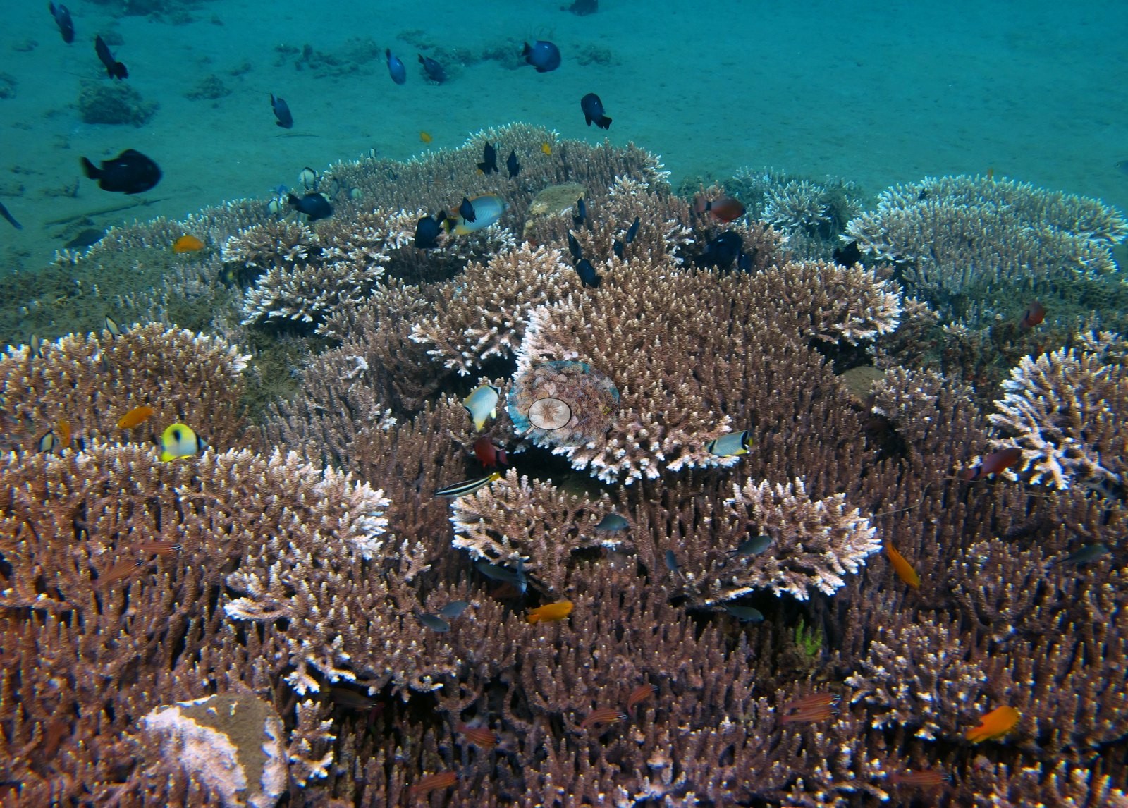

Ambon's pins are mostly muck dives on sand, silt, and rubble near Laha, dived in April 2018, where coral grows in patches, such as the near-continuous carpets on bommie tops at Air Manis. The macro life stands out, including a Rhinopias, frogfish, seahorses, and harlequin shrimp.
Heat stress
Long-term record: 9 years since 1985 reached 8 or more °C-weeks at NOAA’s Maluku station. Download the annual DHW data (CSV).
3 sites in this region — click a marker to open that site.
Regional setting
Ambon lies in the Moluccas, which Spalding et al. (2001) group with Irian Jaya as the last of Indonesia's sub-regions. They describe an area of complex bathymetry and very deep water, where islands only tens of kilometers apart may be separated by more than 1,000 m and the sea is mostly clear and oceanic. Winds shift with the monsoons, blowing from the northwest across most of the sub-region in the Northeast Monsoon and from the southeast toward the southern Moluccas in the Southeast Monsoon, and surface currents are mixed. The authors give no account of Ambon's shores. For Indonesia as a whole, they estimate about 51,020 km² of coral reef, 18% of the world total, and describe the country as spanning the region with the highest reef biodiversity on Earth.
At the regional scale, Souter et al. (2021) identify overfishing, the growth of coastal aquaculture, and siltation and eutrophication driven by land-use change as the main pressures on East Asian Seas reefs, alongside marine plastic litter, and attribute the region's coral losses after 2010 and 2016 to mass bleaching. Wilkinson (2006) reported that, as of 2004, Indonesian reefs showed some signs of recovery even as reef condition elsewhere in Southeast Asia continued to decline.
Overview
Three of the four Ambon pins are muck dives near Laha on Ambon's south coast, all made on 22 April 2018: Air Manis, Rhino City, and Laha-2. They reached maximum depths of 18.3 m, 24.7 m, and 26.2 m. The bottom at all three is sand, silt, and rubble, and visibility ran moderate to good over the coral and hazier and greener over the muck. The fourth pin, Ambon / Seram, has no photographs or survey of its own.
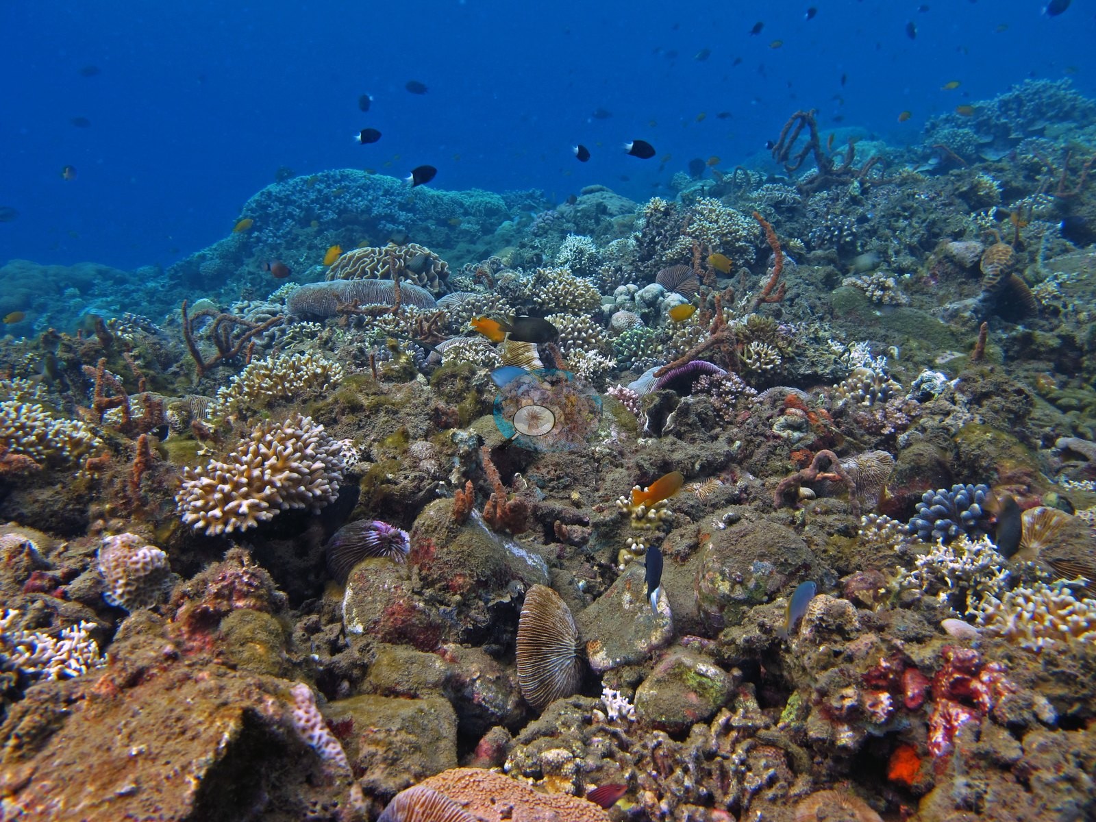
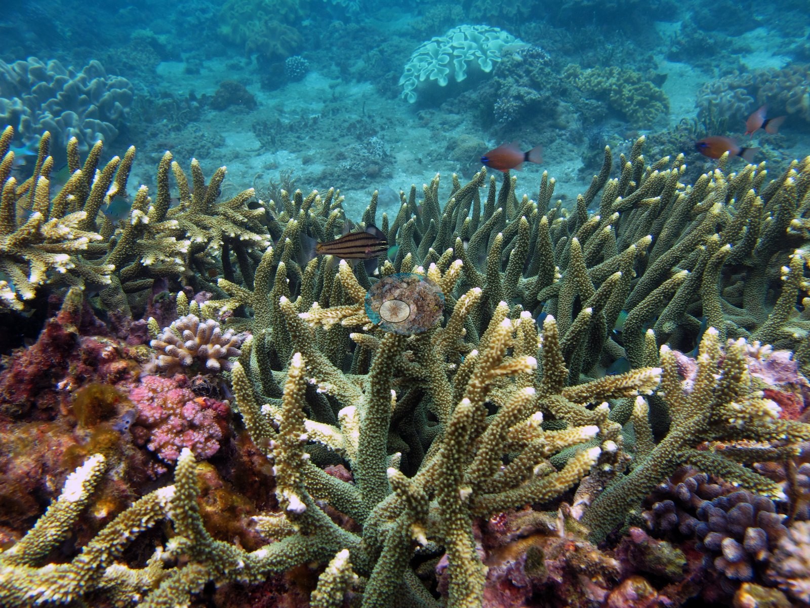
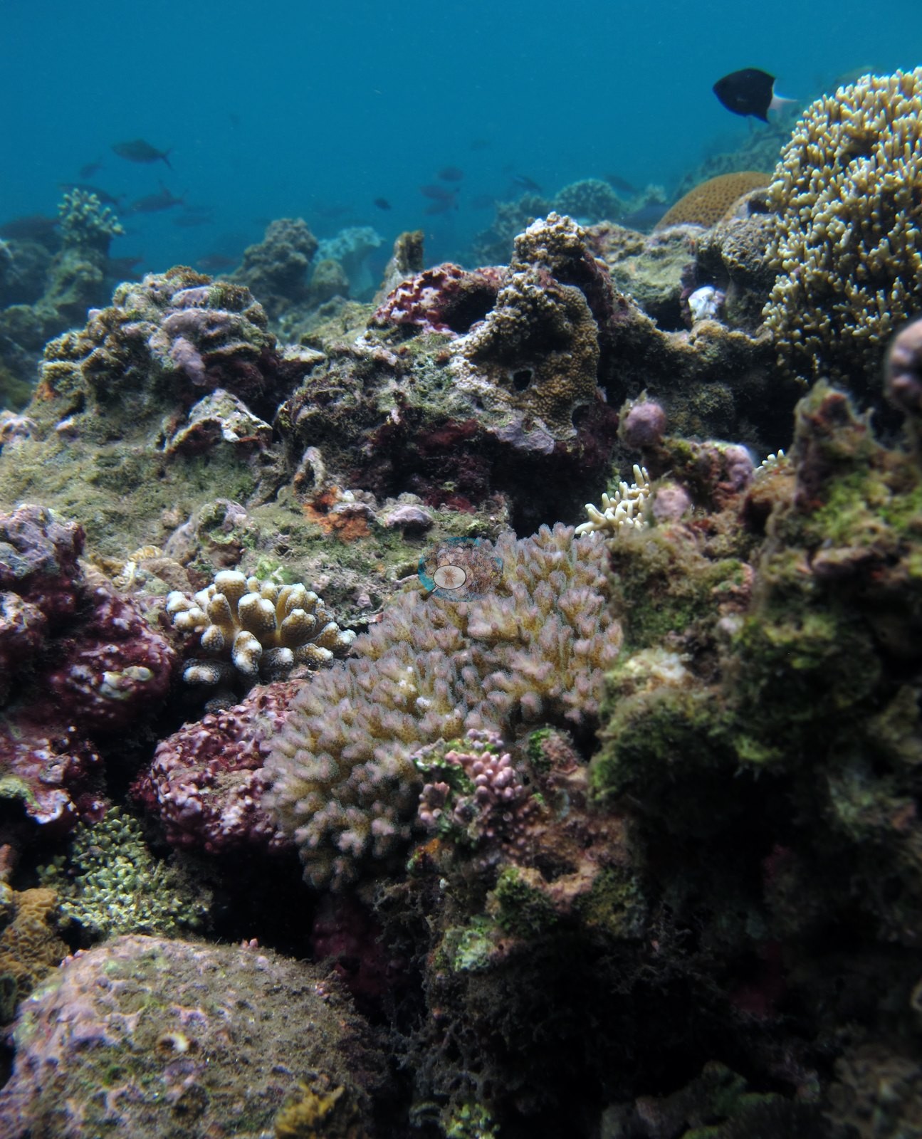
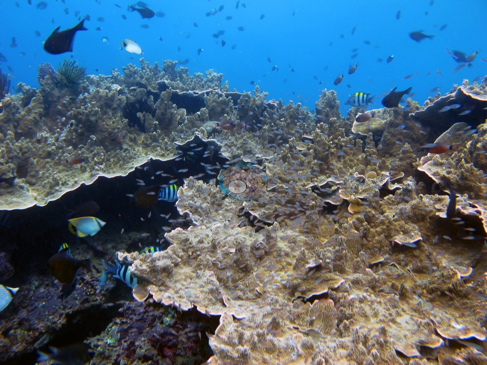
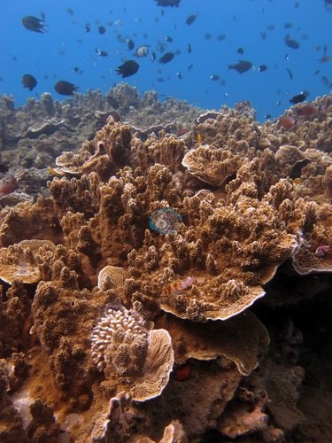
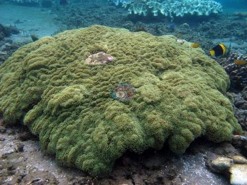
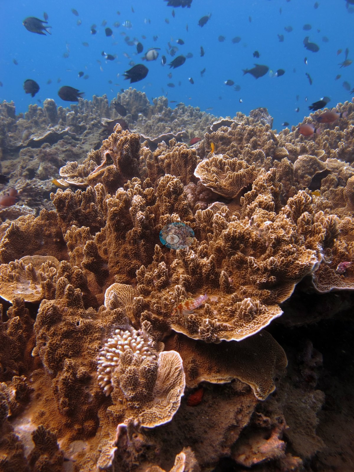
Coral occurs in patches within the muck, and the three dives differ sharply. At Air Manis, raised bommies and low ridges carry near-100% Acropora and Porites carpets on their tops, against bare sand between them. The coral there includes table and staghorn Acropora, Montipora, Euphyllia, Seriatopora caliendrum, Pocillopora meandrina, brain corals, and fire coral. Rhino City splits into sandy muck with isolated soft-coral trees and gorgonian fans, and a dense, healthy reef-flat section of staghorn and table Acropora thickets with a large Diploastrea heliopora. Laha-2 is overwhelmingly sand-silt and dead shell middens, with almost no coherent reef structure and only two frames showing coral at all. Photo-derived cover was 30.6% at Air Manis and 33.3% at Rhino City. The Laha-2 figure was rejected because its frames are mostly non-coral subjects.
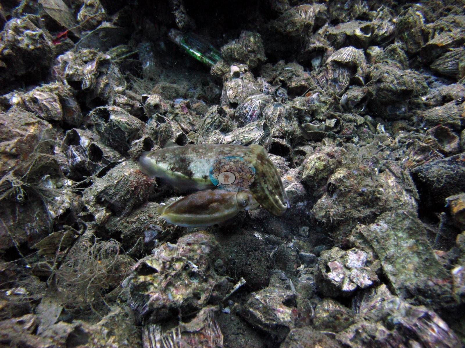
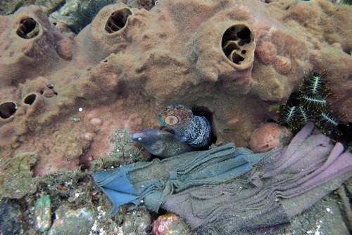
Human impacts were photographed at two sites. A fine monofilament gillnet with small fish trapped in it was draped across bommies at Air Manis, and glass bottles, fishing line, and PVC debris were woven into the rubble at Laha-2. No crown-of-thorns or disease was seen at any of the three. The macro life is the standout: a Rhinopias, a likely ornate ghost pipefish, and a ribbon eel at Rhino City, and harlequin shrimp, a shell-carrying octopus, four frogfish, and two seahorses at Laha-2. For Ambon / Seram, the nearest Reef Check stations, about 31-34 km away, recorded 34-57% hard coral in 1997. That is a regional baseline, not a measure of the pin.
Highlights
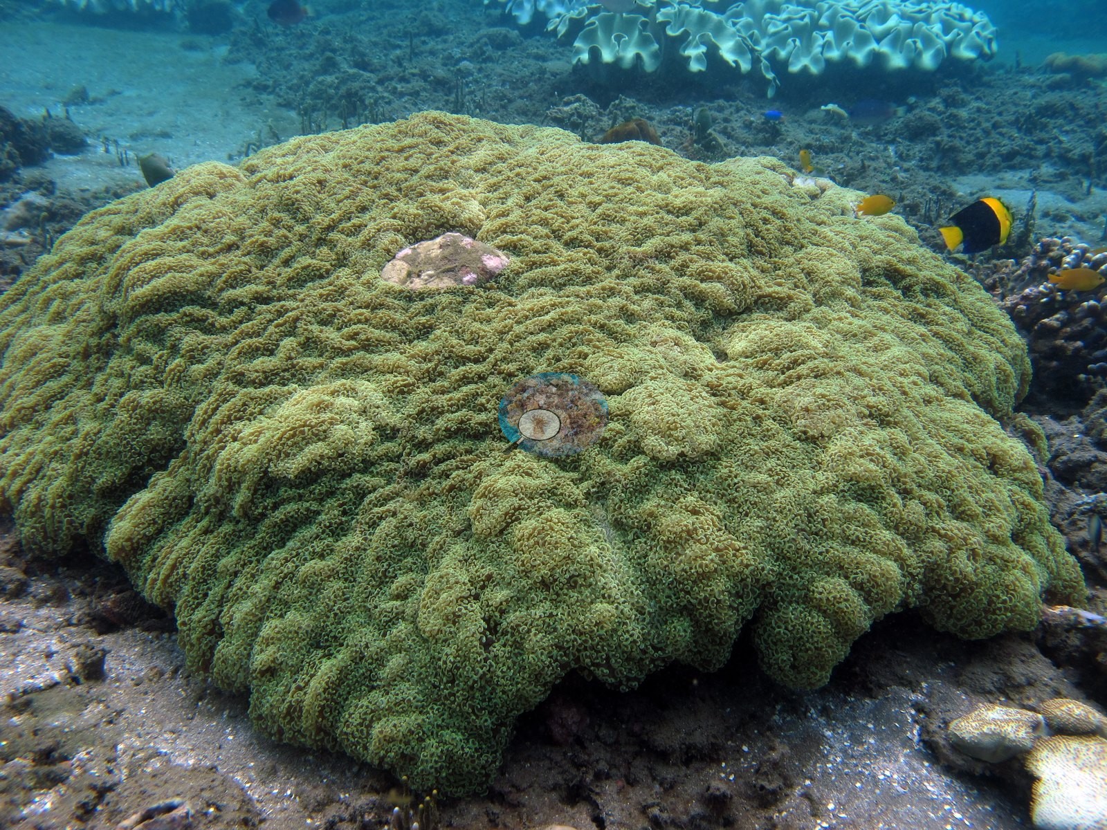
- Air Manis: bommie tops with near-100% Acropora and Porites carpets against bare sand
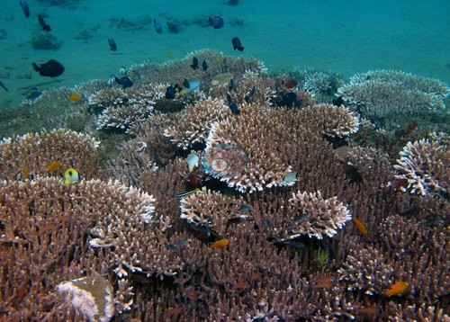 photo: Indonesia - Ambon: Air Manis (Laha)
 - Rhino City: a dense, healthy staghorn and table Acropora reef-flat section beside sandy muck
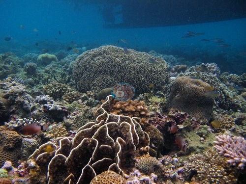 photo: Indonesia - Ambon: Rhino City (Laha)
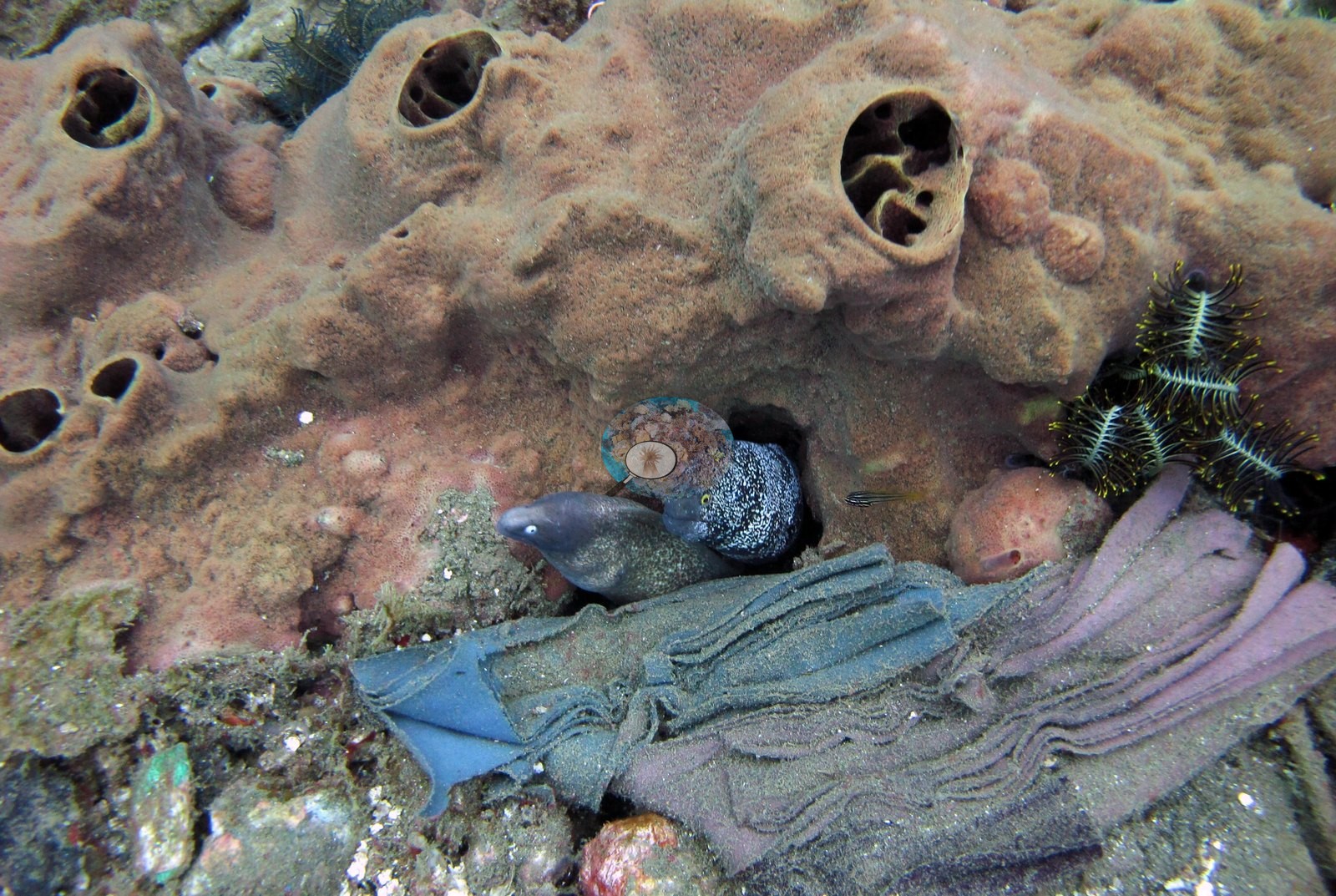
 - Rhino City: a Rhinopias, a likely ornate ghost pipefish, and a ribbon eel in threat display
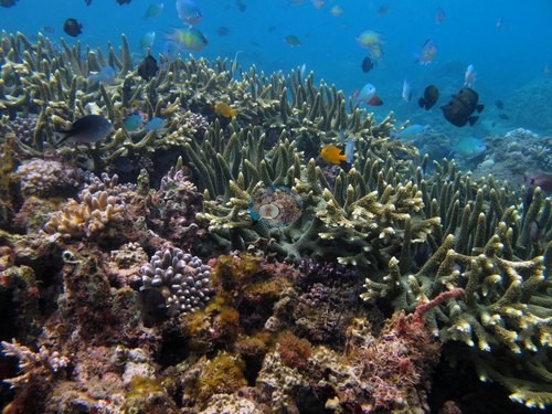 photo: Indonesia - Ambon: Rhino City (Laha)
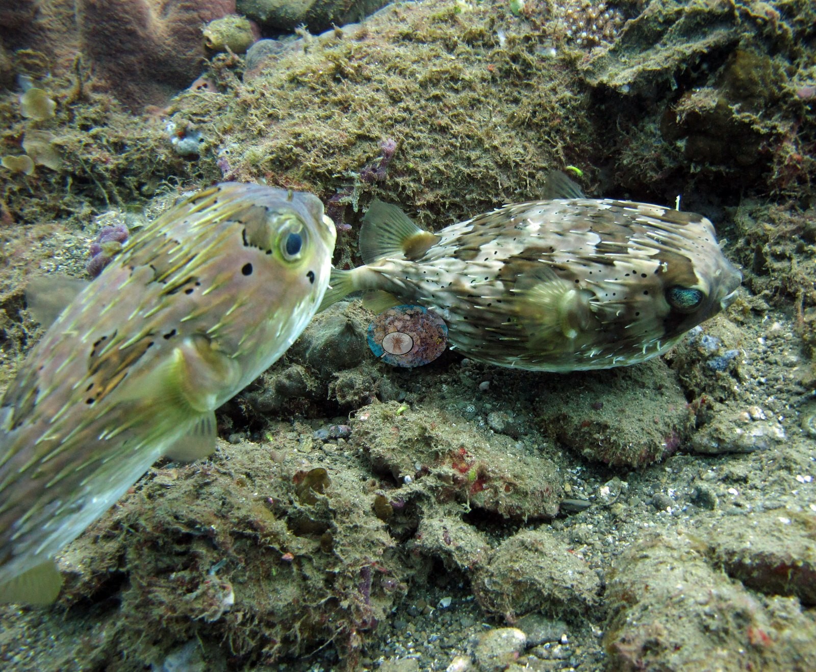
 - Laha-2: harlequin shrimp, a shell-armored octopus, four frogfish, and two seahorses on sand and shell rubble
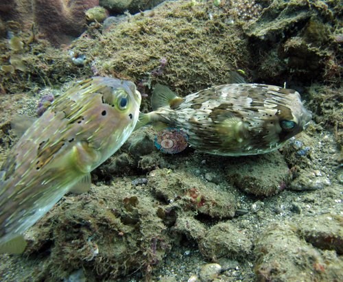 photo: Indonesia - Ambon: Laha-2
 - Gillnet and debris photographed at Air Manis and Laha-2
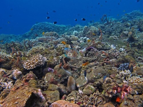 photo: Indonesia - Ambon: Air Manis (Laha)
Ini adalah terjemahan mesin dari ringkasan berbahasa Inggris; teks berbahasa Inggris adalah versi yang otoritatif. AI translation of this summary; the English is authoritative.
Regional setting
Ambon terletak di Maluku (Moluccas), yang oleh Spalding et al. (2001) dikelompokkan bersama Irian Jaya sebagai subkawasan terakhir Indonesia. Mereka menggambarkan kawasan dengan batimetri yang kompleks dan perairan yang sangat dalam, tempat pulau-pulau yang hanya berjarak puluhan kilometer dapat dipisahkan oleh kedalaman lebih dari 1,000 m, dan lautnya sebagian besar jernih dan bersifat oseanik. Angin berganti arah mengikuti musim, bertiup dari barat laut di sebagian besar subkawasan pada Muson Timur Laut dan dari tenggara ke arah Maluku bagian selatan pada Muson Tenggara, sedangkan arus permukaannya bercampur. Para penulis tidak memberikan uraian tentang pesisir Ambon. Untuk Indonesia secara keseluruhan, mereka memperkirakan luas terumbu karang sekitar 51,020 km², 18% dari total dunia, dan menggambarkan negara ini membentang di kawasan dengan keanekaragaman hayati terumbu tertinggi di Bumi.
Pada skala kawasan, Souter et al. (2021) mengidentifikasi penangkapan ikan berlebih, pertumbuhan budidaya perikanan pesisir, serta pendangkalan dan eutrofikasi akibat perubahan tata guna lahan sebagai tekanan utama terhadap terumbu di Laut Asia Timur (East Asian Seas), di samping sampah plastik laut, dan mengaitkan hilangnya karang di kawasan tersebut setelah tahun 2010 dan 2016 dengan pemutihan massal. Wilkinson (2006) melaporkan bahwa, per tahun 2004, terumbu Indonesia menunjukkan beberapa tanda pemulihan, sementara kondisi terumbu di bagian lain Asia Tenggara terus menurun.
Overview
Tiga dari empat titik (pin) Ambon merupakan penyelaman muck di dekat Laha di pantai selatan Ambon, semuanya dilakukan pada 22 April 2018: Air Manis, Rhino City, dan Laha-2. Kedalaman maksimumnya 18.3 m, 24.7 m, dan 26.2 m. Dasar perairan di ketiganya berupa pasir, lumpur halus, dan pecahan karang, dengan jarak pandang sedang hingga baik di atas karang serta lebih keruh dan kehijauan di atas area muck. Titik keempat, Ambon / Seram, tidak memiliki foto maupun survei sendiri.
Karang tumbuh berkelompok di dalam area muck, dan ketiga penyelaman sangat berbeda satu sama lain. Di Air Manis, bongkahan karang (bommie) dan punggungan rendah yang menonjol memiliki hamparan Acropora dan Porites dengan tutupan hampir 100% di bagian puncaknya, berlatar pasir gundul di antaranya. Karang di sana meliputi Acropora meja dan tanduk rusa, Montipora, Euphyllia, Seriatopora caliendrum, Pocillopora meandrina, karang otak, dan karang api. Rhino City terbagi menjadi area muck berpasir dengan pohon karang lunak dan kipas gorgonian yang terpencar, serta bagian rataan terumbu yang padat dan sehat berupa semak Acropora tanduk rusa dan meja dengan satu koloni besar Diploastrea heliopora. Laha-2 sebagian besar berupa pasir-lumpur dan timbunan cangkang mati, hampir tanpa struktur terumbu yang utuh, dan hanya dua bingkai foto yang memperlihatkan karang. Tutupan berbasis foto adalah 30.6% di Air Manis dan 33.3% di Rhino City. Angka untuk Laha-2 ditolak karena bingkai fotonya sebagian besar bukan subjek karang.
Dampak manusia difoto di dua lokasi. Jaring insang monofilamen halus dengan ikan-ikan kecil yang terperangkap di dalamnya terbentang di atas bongkahan karang di Air Manis, dan botol kaca, tali pancing, serta serpihan PVC terjalin di antara pecahan karang di Laha-2. Tidak terlihat bintang laut mahkota duri maupun penyakit karang di ketiga lokasi. Kehidupan makro adalah daya tarik utamanya: seekor Rhinopias, kemungkinan seekor ikan pipa hantu hias (ornate ghost pipefish), dan seekor belut pita di Rhino City, serta udang harlequin, gurita pembawa cangkang, empat ikan kodok, dan dua kuda laut di Laha-2. Untuk Ambon / Seram, stasiun Reef Check terdekat, sekitar 31-34 km jauhnya, mencatat 34-57% karang keras pada tahun 1997. Itu adalah data rona awal (baseline) kawasan, bukan ukuran untuk titik tersebut.
Highlights
- Air Manis: puncak bongkahan karang dengan hamparan Acropora dan Porites bertutupan hampir 100% berlatar pasir gundul
 photo: Indonesia - Ambon: Air Manis (Laha)
 - Rhino City: bagian rataan terumbu berupa Acropora tanduk rusa dan meja yang padat dan sehat di samping area muck berpasir
 photo: Indonesia - Ambon: Rhino City (Laha)
 - Rhino City: seekor Rhinopias, kemungkinan seekor ikan pipa hantu hias, dan seekor belut pita dalam posisi mengancam
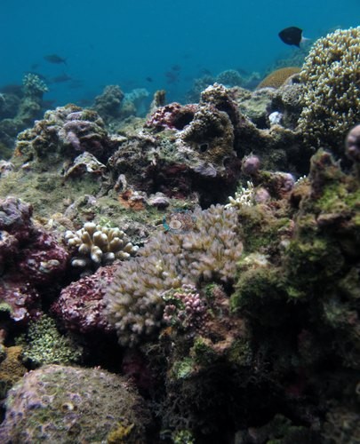 photo: Indonesia - Ambon: Rhino City (Laha)
 - Laha-2: udang harlequin, gurita berperisai cangkang, empat ikan kodok, dan dua kuda laut di atas pasir dan pecahan cangkang
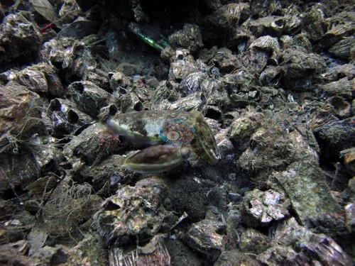 photo: Indonesia - Ambon: Laha-2
 - Jaring insang dan sampah difoto di Air Manis dan Laha-2
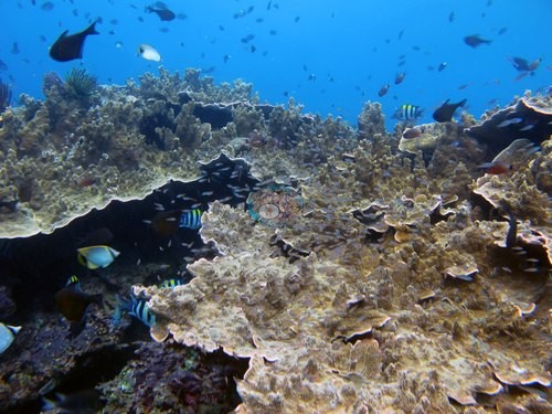 photo: Indonesia - Ambon: Air Manis (Laha)
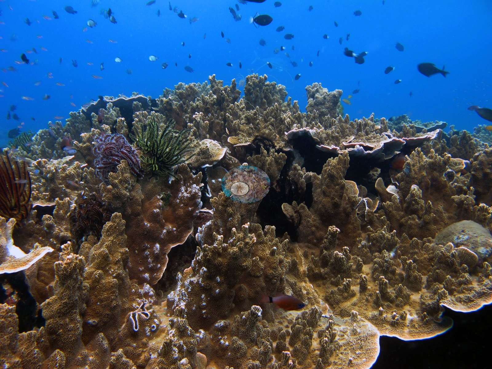
Notable observations
- Indonesia - Ambon: Air Manis (Laha): Fishing gear and localized bleaching: at least five frames show a fine monofilament gillnet draped across coral bommies and the water column, with small fish visibly trapped in it (active or recently set gear smothering part of the site). Separately, one leather coral colony has a single lobe sharply bleached bright white against otherwise healthy tissue, a single-colony event, not site-wide. No crown-of-thorns starfish or disease seen.
- Indonesia - Ambon: Laha-2: A glass bottle and jar embedded in the shell rubble, tangled monofilament fishing line through several frames, a PVC pipe fragment, and a fabric scrap: debris woven into the substrate used as habitat. No bleaching, disease, or crown-of-thorns starfish seen, though with almost no live coral present that check has limited scope.
- Indonesia - Ambon: Rhino City (Laha): Unusual coloration: one colony with a sharp two-tone red/cream pattern and fully extended, healthy-looking polyps; the pin reads it as natural pigmentation rather than bleaching but marks it worth a second look. No crown-of-thorns starfish or disease observed.
Sites in this region
- Indonesia - Ambon: Air Manis (Laha) — 31% coral cover
- Indonesia - Ambon: Laha-2 — 24% coral cover
- Indonesia - Ambon: Rhino City (Laha) — 33% coral cover
All images from Coral Reef Diagnostics. Data are from Coral Reef Diagnostics and Reef Check Foundation.
© Coral Reef Diagnostics.
References
- Souter D, et al. (eds) (2021) Status of Coral Reefs of the World: 2020. International Coral Reef Initiative / Global Coral Reef Monitoring Network. [PDF]
- Spalding MD, et al. (2001) World Atlas of Coral Reefs. University of California Press, Berkeley. [PDF]
- Wilkinson C (2006) Status of coral reefs of the world: summary of threats and remedial action. In: Côté IM, Reynolds JD (eds) Coral Reef Conservation. Cambridge University Press, Cambridge. [PDF]