
Saudi Red Sea - Chicken Wreck (Jeddah)
Part of the regional summaries: Saudi Arabia - Jeddah / KAUST (Thuwal) / Rabigh, Saudi Arabia, and Red Sea
2024-08-10
2024-08-17
More info
Makkah-Madine Saudi Arabia (NOAA CRW virtual station) · Northern and Central Red Sea ecoregion mean=12.2°C-heating weeksChicken Wreck pairs a large steel shipwreck, only thinly colonized by scattered small corals, with an adjacent natural reef and a broad silty-sand slope; three August 2024 visits found cover ranging from 6.2% to 18.7%, a spread that likely reflects which part of this heterogeneous site got photographed each day rather than real change. This is the one Red Sea site here with clear disease evidence: a large colony showing a classic advancing white-band lesion (a clean white ring of freshly killed skeleton with algae already colonizing behind it), plus a separate Favites colony bleached white and dying from the crown down.
يجمع موقع حطام الدجاج بين حطام سفينة فولاذية كبيرة لم تستوطنها سوى مرجانيات صغيرة متفرقة، وشعبة طبيعية مجاورة ومنحدر رملي طيني عريض؛ وجدت ثلاث زيارات في أغسطس 2024 غطاءً يتراوح بين 6.2% و18.7%، وهو تباين يعكس على الأرجح أي جزء من هذا الموقع غير المتجانس صُوِّر في كل يوم، لا تغيراً حقيقياً.
ترجمة هذا الملخص بالذكاء الاصطناعي؛ النص الإنجليزي هو المعتمد. Translated from the site’s shorter map summary.
One independent survey station shown with the program’s logo — click one to see how far it is from this site.
One other CRD dive site within 5 km shown in orange — click a marker to open its page.
6 of these 9 photographs are shown beside the text that discusses them under "Site description" below.
Site description
Setting
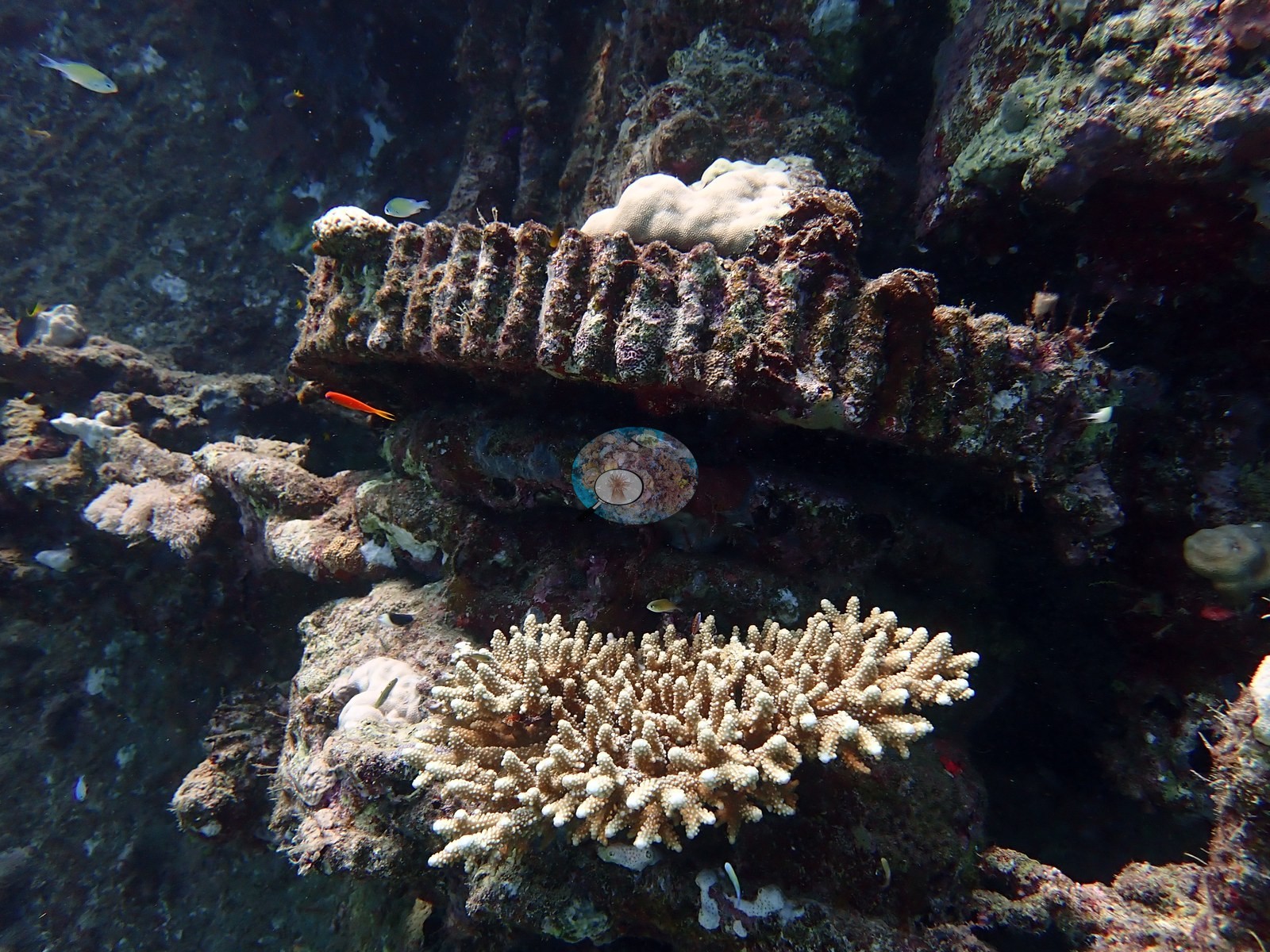
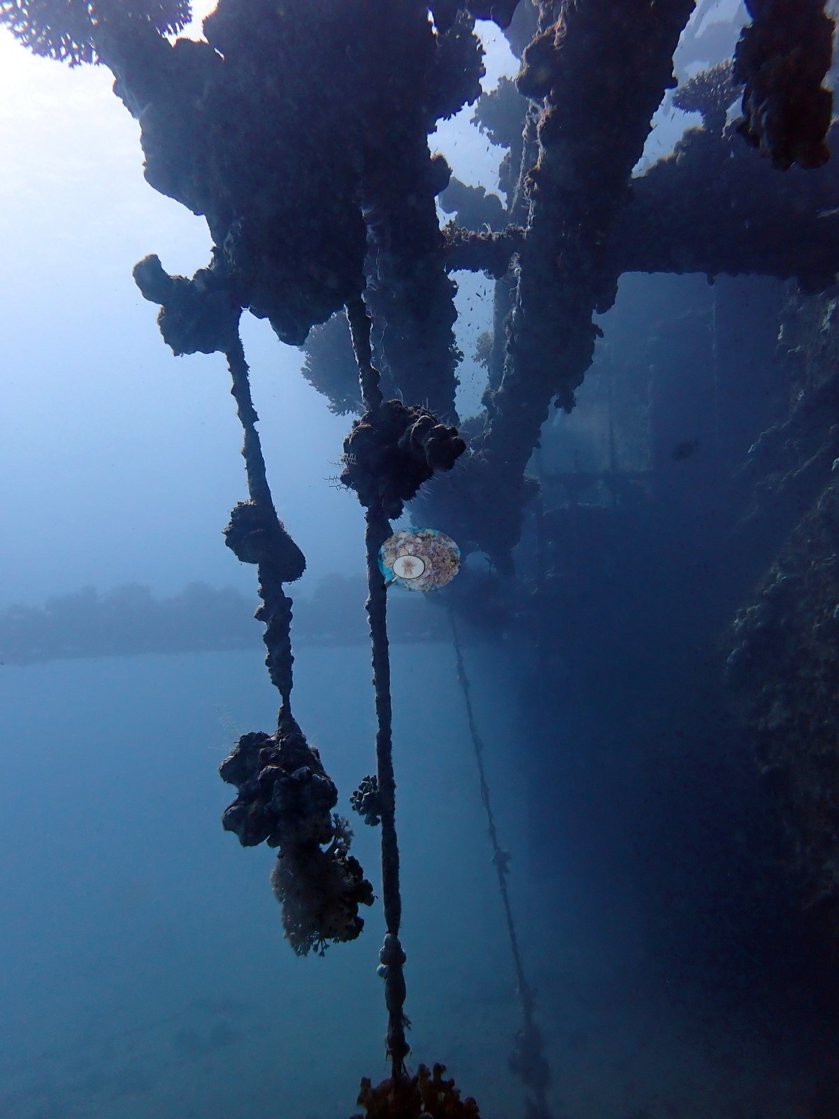
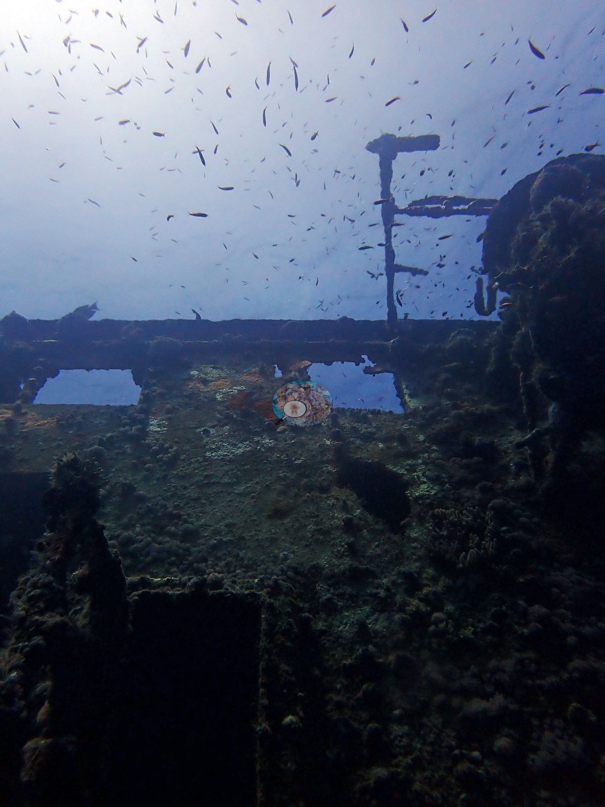
A large steel shipwreck off Jeddah, dived three times across August 2024 with Al-Haddad SCUBA and Saudia SCUBA, and one of the sites carrying a per-visit series in the site record. The wreck is substantial: a long hull lying over on a silty seabed, a swept run of deck plating you can swim along, an open lattice of pipework and framing standing clear of the structure, and interior spaces you can look out of (e.g., Image 2, Image 6).
General benthic features
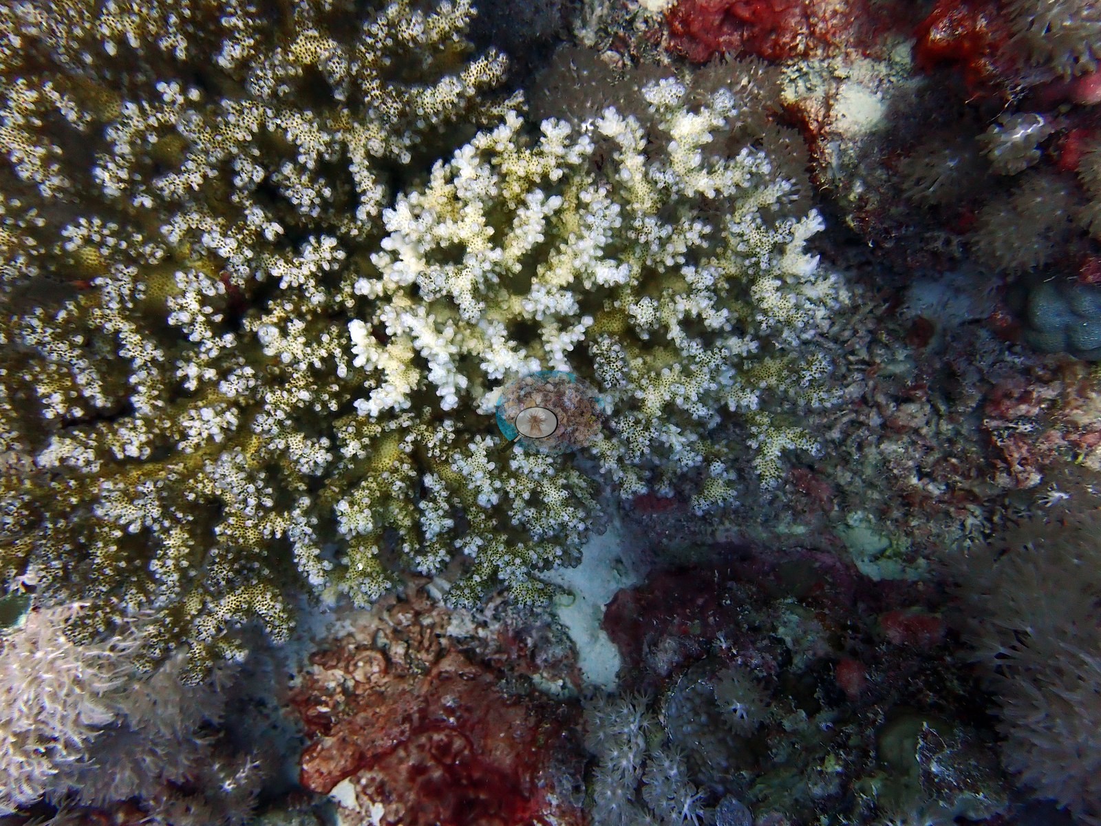
Coral has settled on all of it but thinly — small pocilloporids, corymbose Acropora, faviids, and encrusting sponges dotted at wide spacing over silt-filmed steel, a scatter rather than a crust (e.g., Image 5).
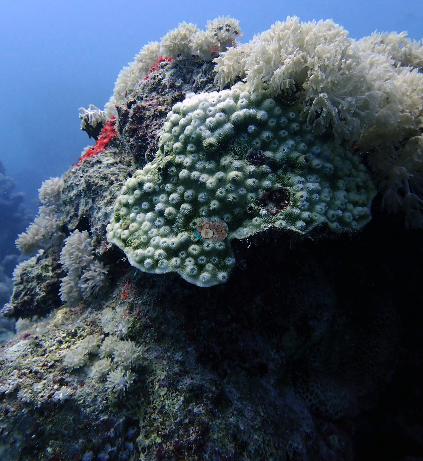
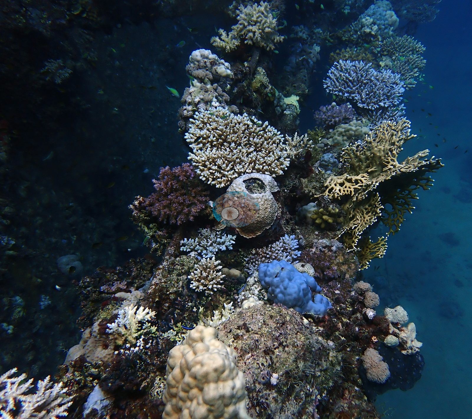
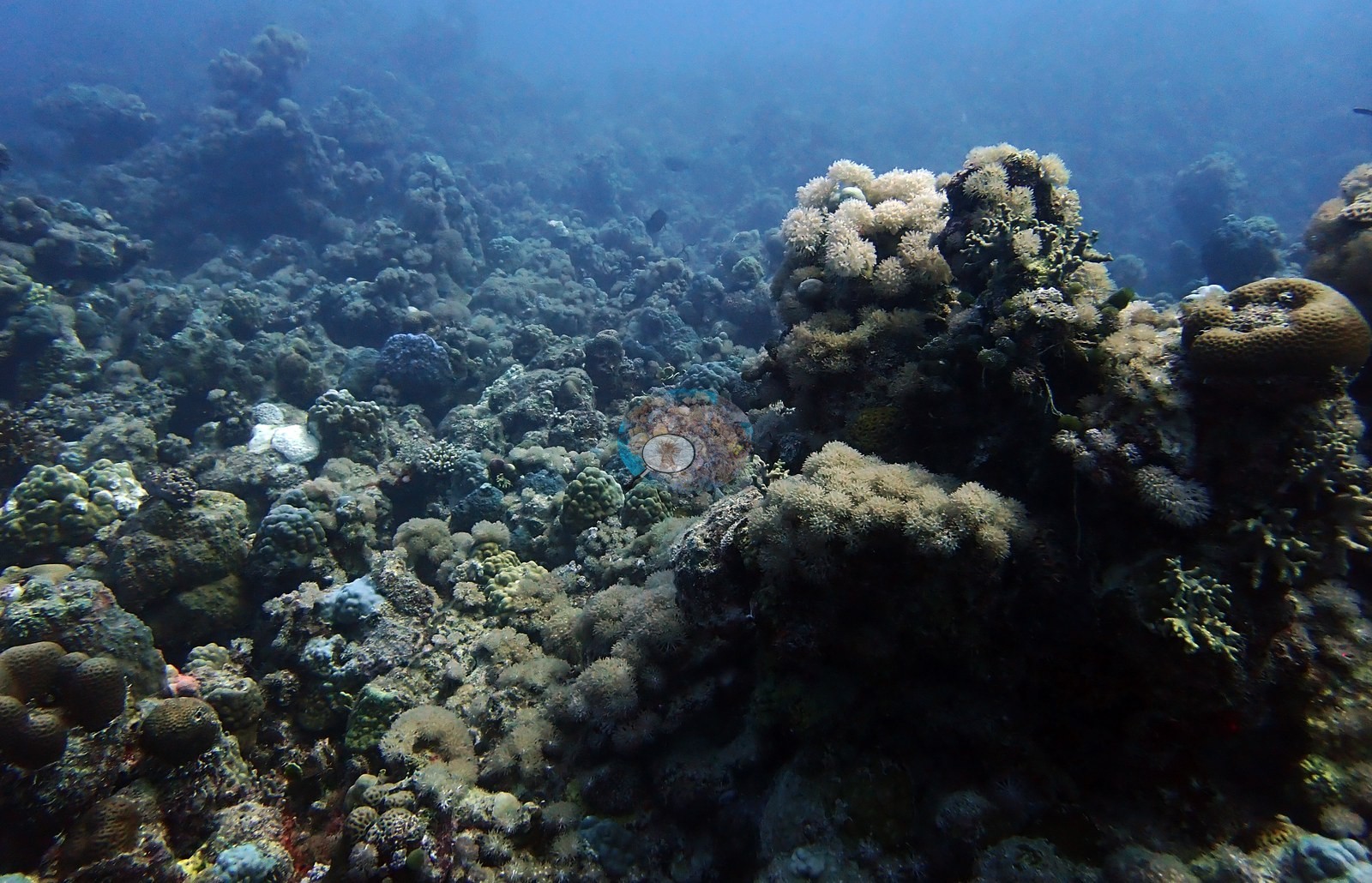
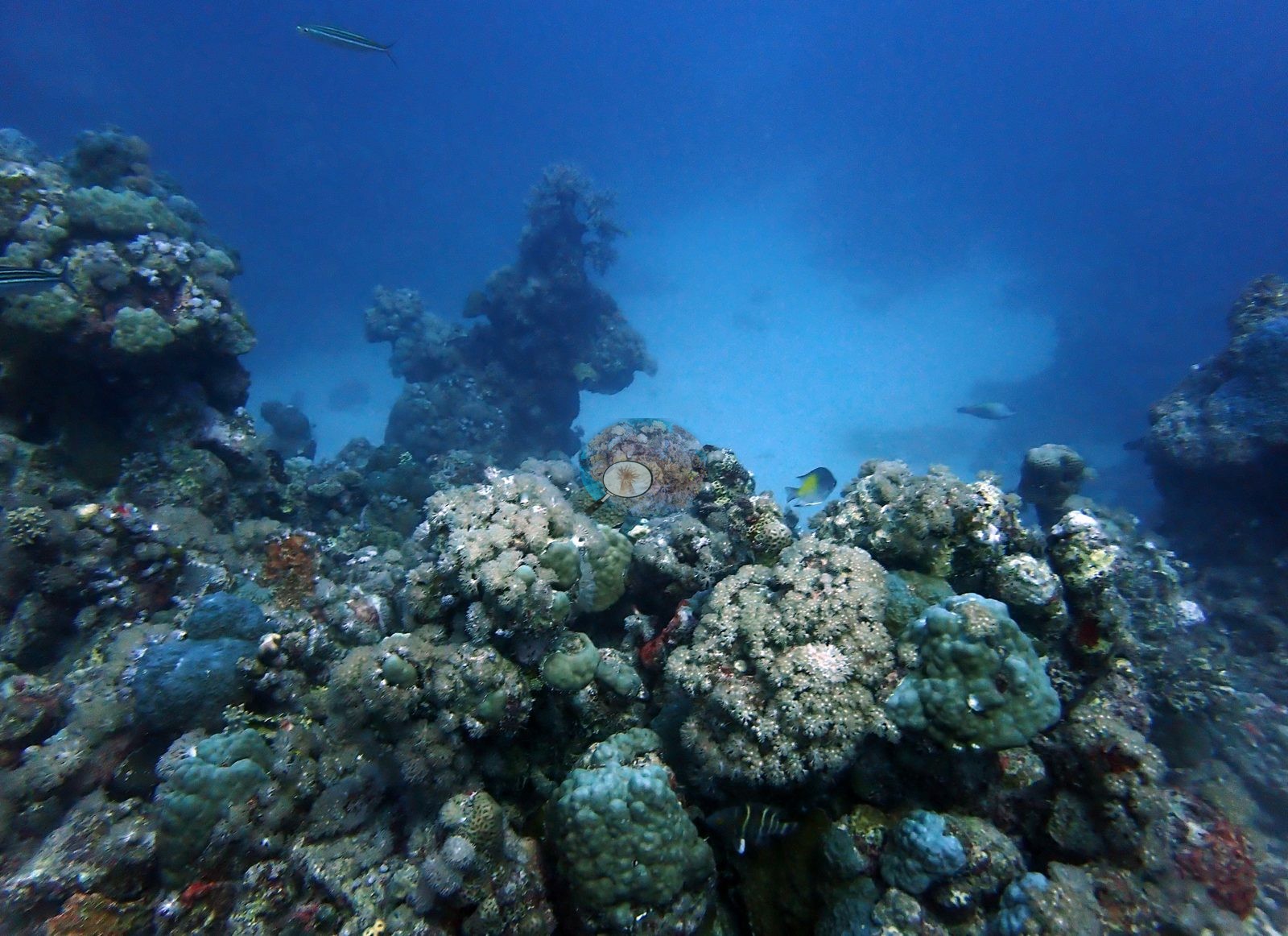
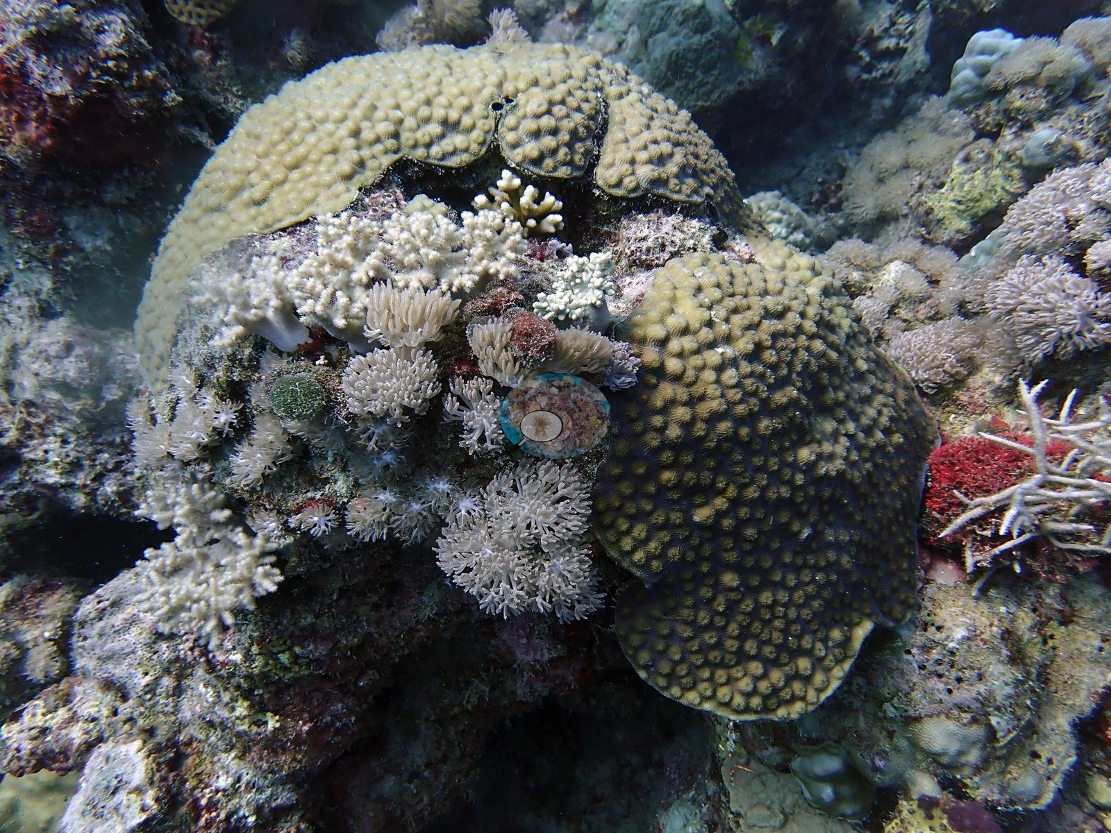
Off the wreck, a broad silty-sand slope carries widely spaced small bommies and one or two large brain corals, and a shallower natural reef rises alongside with xeniid pulse corals, red encrusting sponge, and faviid heads (e.g., Image 3, Image 7, Image 9).
Coral cover
Site-level coral cover is 16.6% ± 16.0 across 251 photographs, quoted verbatim from Mayfield, A.B. (2025) Environments 12:248 — Red Sea 2023-24 bleaching; CoralNet point annotation, Appendix A — a manual, diver-annotated CoralNet point count from Anderson's own published work, not a computer vision output and not recomputed here. The three visits ran 6.2% cover / 20.3% bleaching on 2 August (DHW 11.5, 33°C), 16.3% / 28.0% on 10 August (DHW 14.6, 31°C), and 18.7% / 28.3% on 17 August (DHW 17.2, 33°C) — a threefold spread in cover across fifteen days, which almost certainly reflects which part of a very heterogeneous site was photographed on each dive rather than any real change in the reef.
Stressors
The condition record here is the most specific in the Saudi set: Anderson captioned one frame "disease" and another "dying Favites", and both stand up to inspection.
Comparisons with other data
No independent survey was made at this exact site; the nearest ones are listed in the table below.
Other notes
See flags.
Survey summary
Chicken Wreck: surveyed 3 times, Aug 2024–Aug 2024 (CoralNet point counts; Mayfield 2025, Environments 12:248). Surveyed in partnership with Al-Haddad SCUBA / Saudia SCUBA.
CV model comparison
More info
The reference row is this dive site's own published value (Mayfield 2025, Appendix A, 251 photos); the other rows are AREA-level (Jeddah) comparisons, not run on this site's frames. ⚠ The comparison rows are REGIONS, not dive sites: the paper's main tables report cover by region, and this site's own value comes from its Appendix A. ⚠ The manual column and the CV columns are on DIFFERENT FRAME SETS. The published cover spans the region's full photo set (173–2,567 frames, most of them CoralNet robot-labeled); the CV arms ran only on the hand-scored reference subset, which is 6 frames at Thuwal, 274 at Jeddah and 173 at Rabigh. Read Thuwal's model columns as indicative only. CoralNet is n/a by design: the reference set IS the hand-scored set, so those frames carry no independent robot label to compare against. DINOv3 is restricted to frames it never saw, and reads roughly double the published cover at every Red Sea region. ⚠ 'unassigned region' is not a place: 135 frames carry no region label in the CoralNet metadata and map to no published row. It has no manual value and is excluded from the pooled reference. CoralNet automated point classifier: n/a — the reference set IS the hand-scored set; these frames carry no independent CoralNet robot label to compare against CoralSCOP (SAM-based mask-sum), unedited photos: pending — CoralSCOP run: 370/747 images scored at build time CoralSCOP (SAM-based mask-sum), edited photos: pending — CoralSCOP run: 370/747 images scored at build time| Method | Hard-coral cover (%) |
|---|---|
| Manual (published) | 16.6 |
| In-house DINOv3 | 34.9 |
| Claude | 27.3 |
Dive history
Coral bleached: computer-vision (CoralNet) estimate from the survey images, per dive, as published in Mayfield (2025, Environments 12:248), Supplementary File S1.
| Date | Time in | Max depth (m) | Bottom time (min) | Coral bleached (%) |
|---|---|---|---|---|
| 2024-08-02 | — | — | — | 20.3 |
| 2024-08-10 | — | — | — | 28.0 |
| 2024-08-17 | — | — | — | 28.3 |
Independent surveys nearby
Within 5 km, 1 independent survey station recorded hard coral cover in 2025. One survey since 2021 recorded 23%. This site's own estimate (17%) is indistinguishable from the recent value (23%): the 5.9-point gap is inside the ±7 percentage-point noise between methods; the methods differ, so the comparison is context, not a like-for-like test.
Collected by other programs using different methods, so these are context for the figures above, not a like-for-like comparison. Where a station was surveyed more than once the range is shown. Station names are not dive-site names.
| Agency | Site / location | Date | Hard coral cover (%) | Distance | Link |
|---|---|---|---|---|---|
| Coral Vita | Coral Vita 1 | 2025 | 23% | 3.70 km | Bean T, Matouk A, Re E. 2025. JCDC Coral Restoration Program. MERMAID |
Data & links
- CoralNet image repository for this region ↗
- Photo portfolio ↗
- Photo portfolio ↗
- Photo portfolio ↗
- Coral Reef Diagnostics country page ↗
All images from Coral Reef Diagnostics. Data are from Coral Reef Diagnostics and the organizations named in the data-sources table above.
© Coral Reef Diagnostics.