Regional summary of 4 dive sites. Figures are averages across the sites that report them (n = sites with a value); each site's own page has its individual values.
Only one of Anguilla's four dive sites is natural reef, a low hardbottom of coral-rock knolls and sand lanes sheeted in red coralline algae. The other three, a shipwreck, a concrete conduit, and a jumble of rings and pilings, are artificial structures colonized by corals, sponges, and sheltering spiny lobsters.
Heat stress
sea surface temperature (SST) (left axis)DHW under 2DHW 2–3DHW 3–5DHW 5–8DHW 8–10DHW over 10 (🔥 above 12)
Daily SST (line) and weekly maximum Degree Heating Weeks (bars), Jan 2023–Sep 2026, NOAA Coral Reef Watch 5-km Leeward Caribbean Islands virtual station. Dashed line: bleaching threshold (maximum monthly mean 28.3°C + 1°C). DHW ≥ 4: bleaching likely; ≥ 8: severe bleaching and mortality likely. A bar is drawn only where DHW exceeds zero, so a stretch with no bar is accumulated heat stress of zero, not missing data — the SST line runs the full period.
4 sites in this region — click a marker to open that site.
Regional setting
Anguilla is the northernmost of the Leeward Islands, a low island of limestone and marl laid down over older volcanic rock, with no surface streams and very little runoff (Wells 1988). It sits on a submarine shelf that it shares with Saint Martin/Sint Maarten and St. Barthélemy. Because the water is still 23–45 m deep within a kilometer of shore, no bank-barrier reef has formed against the main island. Living reefs instead line the south coast, and a reef ridge dominated by Acropora palmata runs about 15 km from the northeastern tip to Prickly Pear Cays, with the Seal Island bank barrier reef extending east from there. Apart from a 16-day survey by Salm in 1980 and a French expedition in 1986, little research had been done when Wells (1988) was compiled. Salm's survey found the northern reefs rich in live coral, with broad, undamaged stands of both elkhorn and staghorn (A. palmata and A. cervicornis). The southern reefs, more exposed to hurricane waves, had lower diversity, more dead, and broken coral, and fore-reef slopes of elkhorn rubble, and the account also records damage from anchors, fish traps, and black-line disease near Shoal Bay and Island Harbour. Spalding et al. (2001) describe fringing reefs as widespread, particularly on the south coast, judge Anguilla less affected than most islands in the region, and estimate the territory's coral reef area at less than 50 km².
Souter et al. (2021) report recent trends only for the Eastern and Southern Caribbean as a whole, a subregion that groups the Lesser Antilles with Trinidad and Tobago, Aruba, Bonaire, Curaçao, and Venezuela. Across it, mean hard coral cover fell from about 26.2% in 1999 to 14.5% in 2019, the largest decline among the five Caribbean subregions, while algal cover nearly tripled between 1987 and 2019 to reach 48.3%. For the Caribbean as a whole, the same report links these losses to the 2005 mass bleaching, hurricanes, polluted, and nutrient-enriched coastal water, and overfishing of herbivores such as parrotfishes, and it names invasive lionfish, Sargassum influxes since 2011, and stony coral tissue loss disease (SCTLD) as newer threats; SCTLD, first seen in Florida in 2014, had been confirmed in 19 Caribbean countries and territories by October 2021. Earlier, Wilkinson (2006), drawing on the 2004 Caribbean Reefs at Risk assessment, placed the Lesser Antilles among the areas where coastal development posed the greatest threat.
Overview
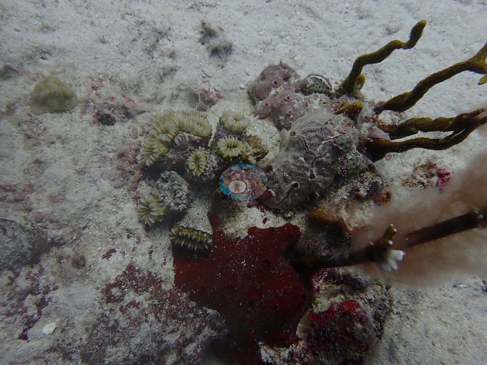
The four Anguilla sites were dived on 28 February and 2 March 2026, at depths from 10.5 m at The Pipe to 23.6 m at the Oosterdiep Wreck. Only one is natural reef; the other three are human-made structures on sand that have been colonized over time. Deep South is a low-relief hardbottom of eroded limestone and old coral-rock knolls, roughly half a meter to a meter and a half high, separated by lanes of white carbonate sand and sheeted in pink and deep-red crustose coralline algae. Scattered boulder and brain coral heads and mustard hill coral grow on the knolls. Tube, elephant-ear, and rope sponges and sea rods give the reef its vertical texture, densest where the hardbottom meets the open sand plain. There is no wall or spur-and-groove structure.
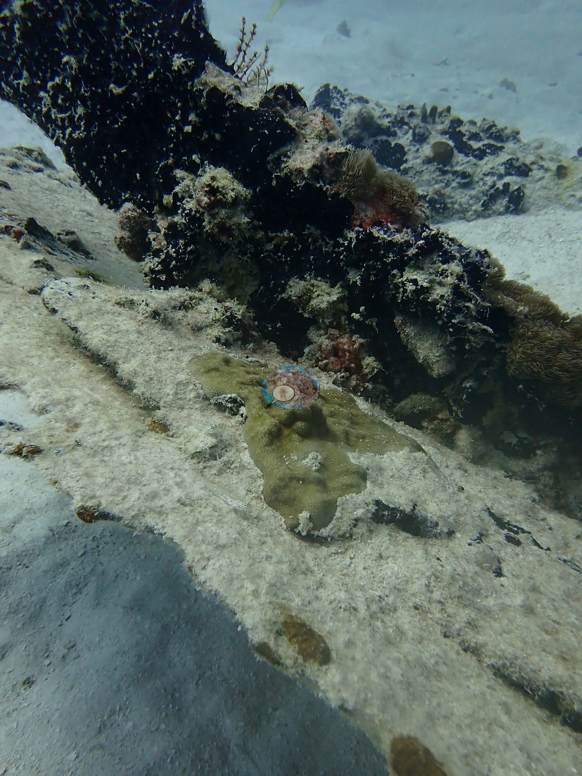
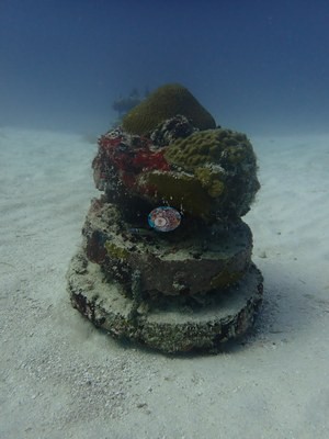
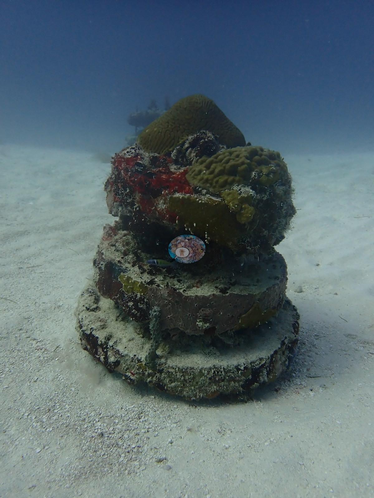
The Oosterdiep Wreck is a steel hull and deck-house resting on sand. Its rails, beam edges, and shaded undersides are crusted with coralline algae, encrusting and tube sponges, and small boulder and brain corals, while its flat, silted deck plating carries only scattered recruits. Catheley H is a patchwork of rock and rubble strewn with derelict fish traps, stacked concrete rings, and upright pilings, with brain, and boulder corals capping several of the structures. The Pipe is a long concrete conduit and its junction boxes, where the largest corals sit at the corners and edges and much of the barrel remains bare under a sediment veneer.
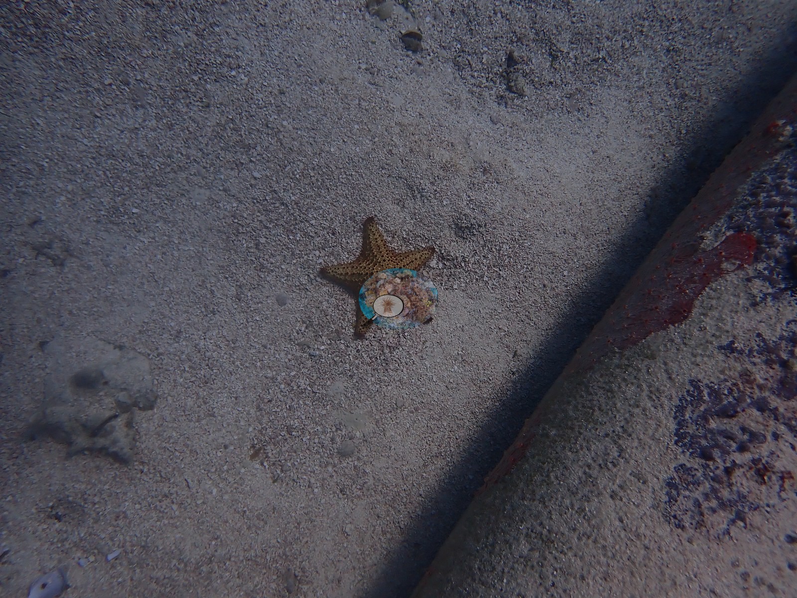
Spiny lobsters shelter in groups under the wreck overhangs and at Deep South. Other animals recorded include a nurse shark in a swim-through at Catheley H, a queen conch and porcupinefish at The Pipe, and invasive lionfish at Deep South and Catheley H. Hard coral cover (Claude CV) ranged from 3.4% at the Oosterdiep Wreck to 6.6% at Deep South and The Pipe. On three of the four sites these values measure growth on artificial substrate rather than reef. No site showed bleaching or diagnosable disease. At Deep South most of the relief is old, coralline-bound dead framework with small, scattered live colonies, algal plates, and sponges press against live coral margins, and several gorgonians stand stripped of tissue. The brain corals on Catheley H and The Pipe were intact to the substrate, and small branching Porites-type colonies were settling on the concrete at The Pipe. At Catheley H a bearded fireworm was the only coral predator logged, and one of the two lionfish sat inside a derelict fish trap.
Highlights
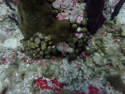
Deep South: the only natural reef, low-relief coral-rock knolls and sand grooves carpeted in red coralline algaephoto: Anguilla - Deep South
Three colonized structures: the Oosterdiep Wreck, Catheley H (concrete rings, pilings, derelict traps), and The Pipephoto: Anguilla - Oosterdiep Wreck
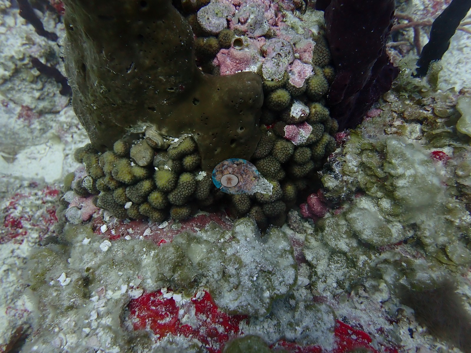
Young branching Porites-type colonies settling directly on the concrete at The Pipephoto: Anguilla - The Pipe
Intact, hemispherical brain corals on the rings and pilings of Catheley Hphoto: Anguilla - Catheley H
Spiny lobsters clustered under overhangs; a nurse shark at Catheley Hphoto: Anguilla - Catheley H
Notable observations
Anguilla - Catheley H: Derelict fishing gear: abandoned fish traps and wire frames lie on the bottom, described as ghost gear that continues to fish; one of two lionfish (invasive) sat inside a trap. A bearded fireworm, a native corallivore, was the only coral predation logged. No bleaching or diagnosable disease.
Anguilla - Deep South: Old mortality: most of the relief is old dead framework fully bound by coralline algae and turf, with no freshly exposed skeleton; several gorgonians stand as bare axes stripped of tissue, and a narrow pale band at the base of one massive colony cannot be separated from coralline encroachment in the photos. A lionfish (invasive) rested near the sponges. No bleaching.
Spalding MD, et al. (2001) World Atlas of Coral Reefs. University of California Press, Berkeley. [PDF]
Wells SM (ed.) (1988) Coral Reefs of the World. Volume 1: Atlantic and Eastern Pacific. UNEP/IUCN, Cambridge. [PDF]
Wilkinson C (2006) Status of coral reefs of the world: summary of threats and remedial action. In: Côté IM, Reynolds JD (eds) Coral Reef Conservation. Cambridge University Press, Cambridge. [PDF]

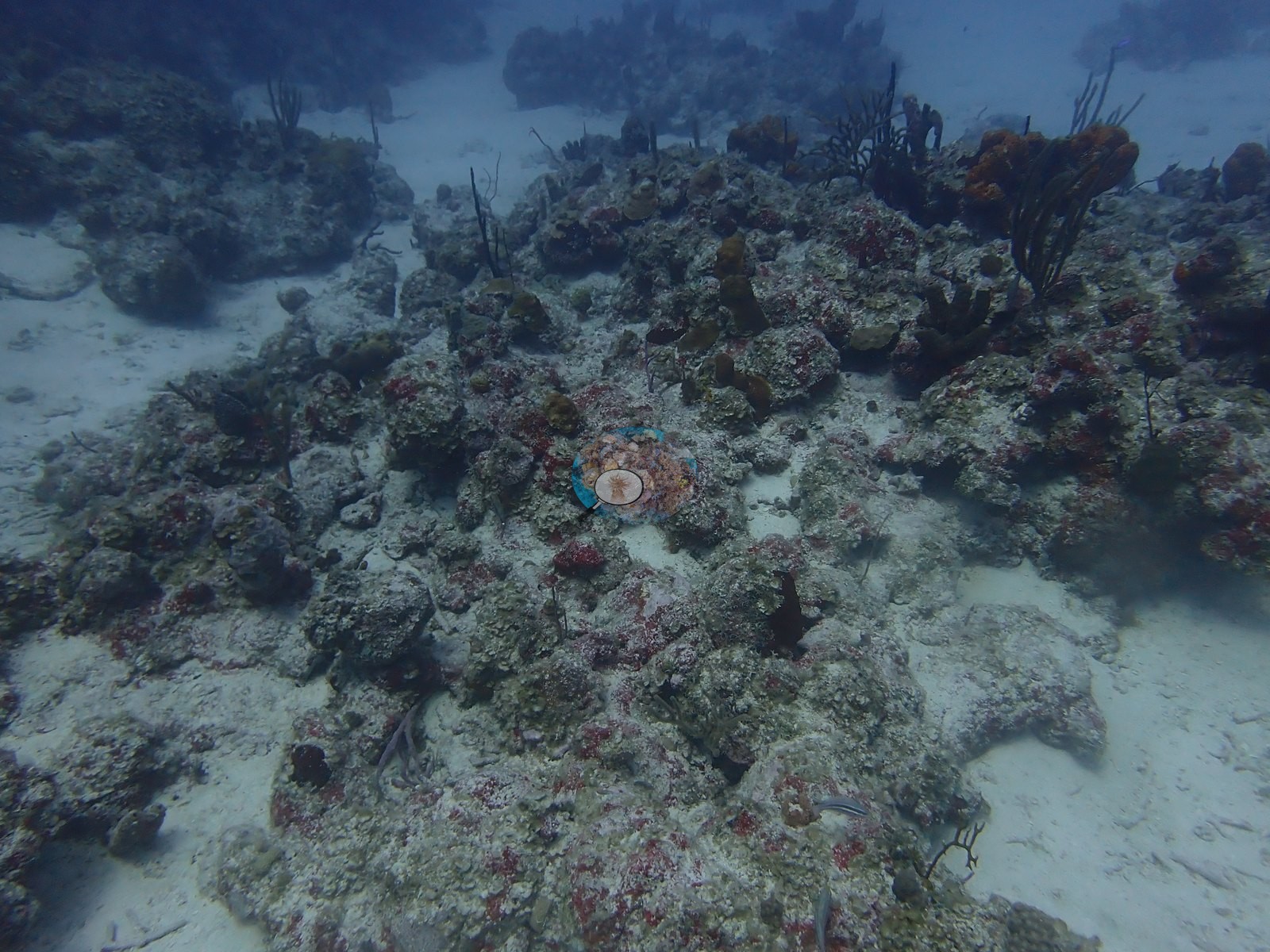

 photo: Anguilla - Deep South
 photo: Anguilla - Oosterdiep Wreck
 photo: Anguilla - The Pipe
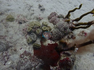 photo: Anguilla - Catheley H
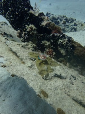 photo: Anguilla - Catheley H
 © Coral Reef Diagnostics.