
Philippines - Port Barton, Palawan: Reef 1 (bay snorkel)
Part of the regional summaries: Philippines - Palawan and Philippines
More info
Western Philippines (NOAA CRW virtual station) · Palawan/North Borneo ecoregion mean=4.0°C-heating weeksReef 1 is a shallow bay snorkel site near Port Barton town with a visibly mixed condition - one frame captioned pollution damaged reef beside another labeled unharmed patch - and staghorn thickets showing active juvenile recruitment alongside standing dead branches. Cover estimates disagree substantially, roughly 29-48%.
Two other CRD dive sites within 5 km shown in orange — click a marker to open its page.
Site description
Setting
A shallow inshore snorkel site in the bay near Port Barton town, logged as "Reef 1" and snorkeled 2017-01-20 (08:54-09:00) ahead of the day's dives.
General benthic features
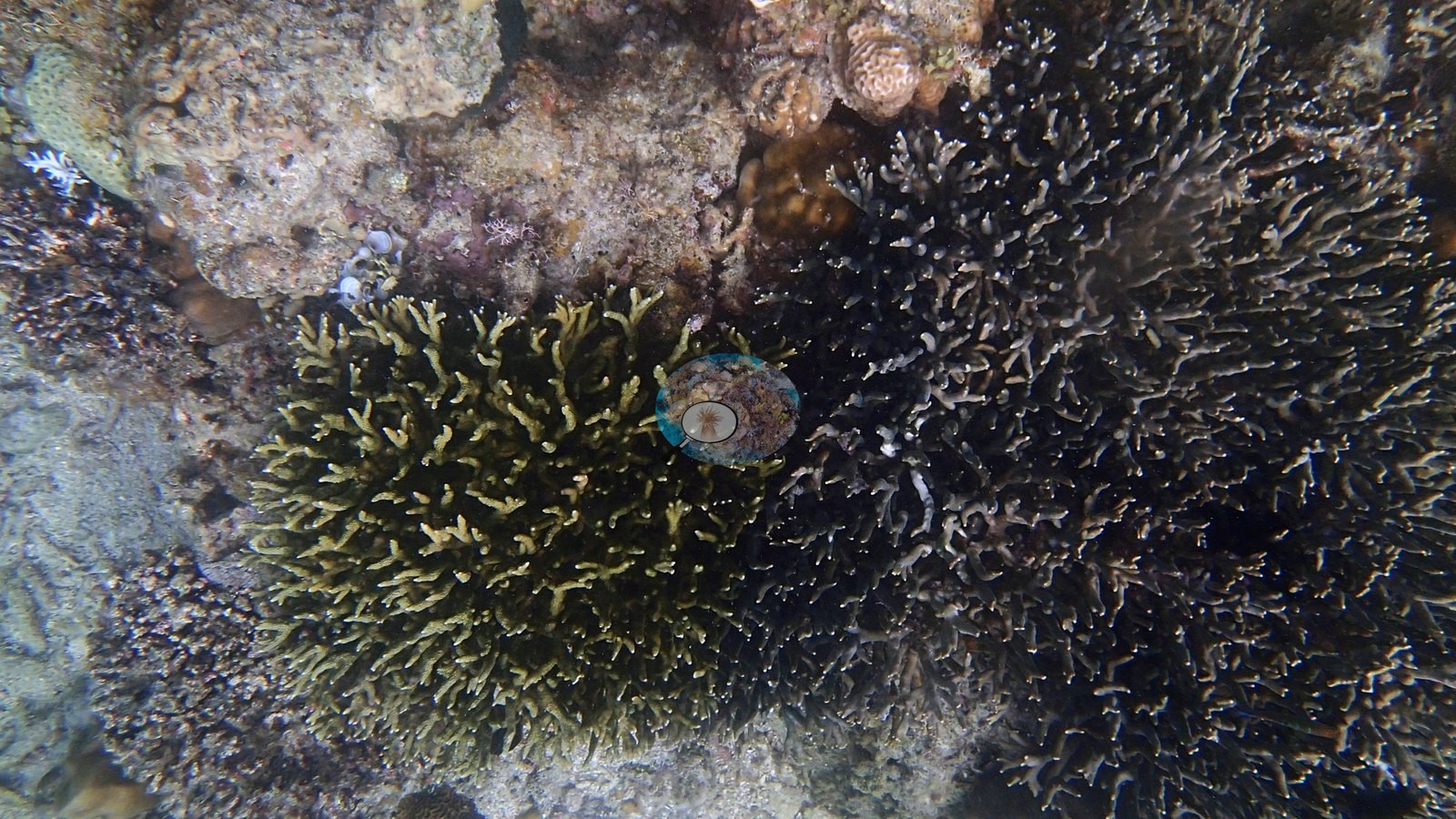
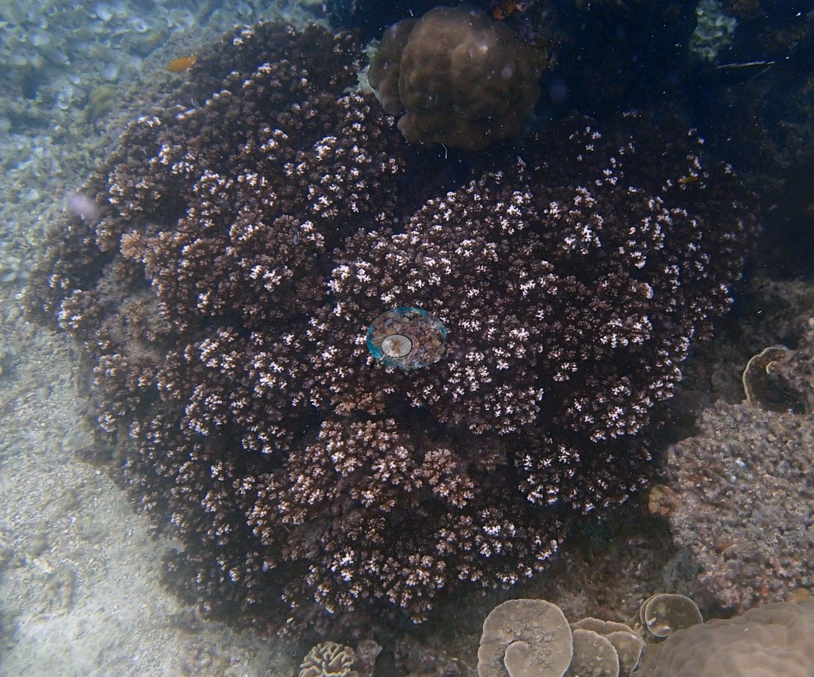
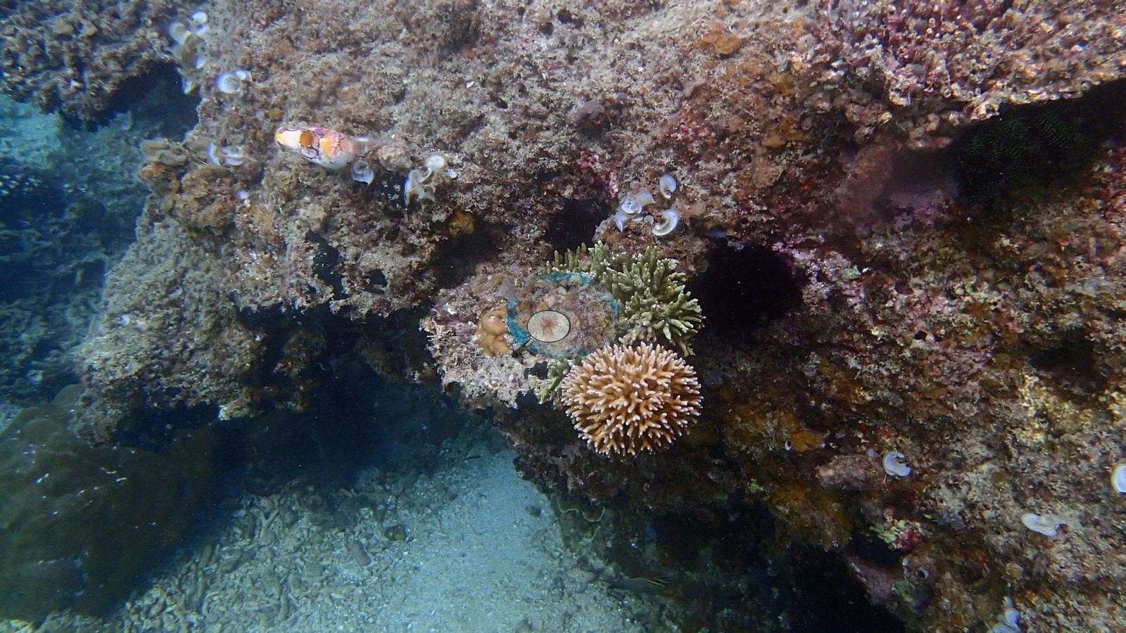
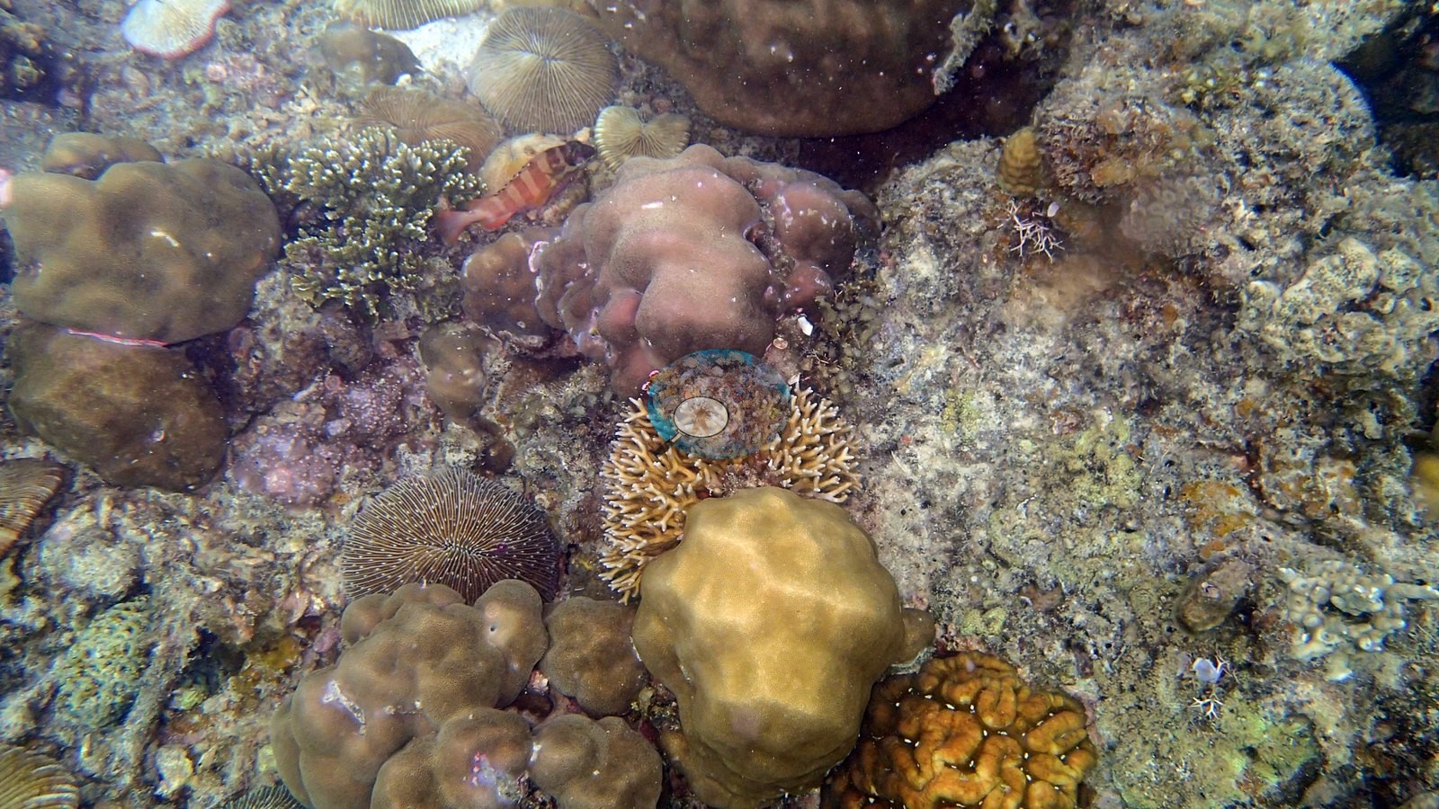
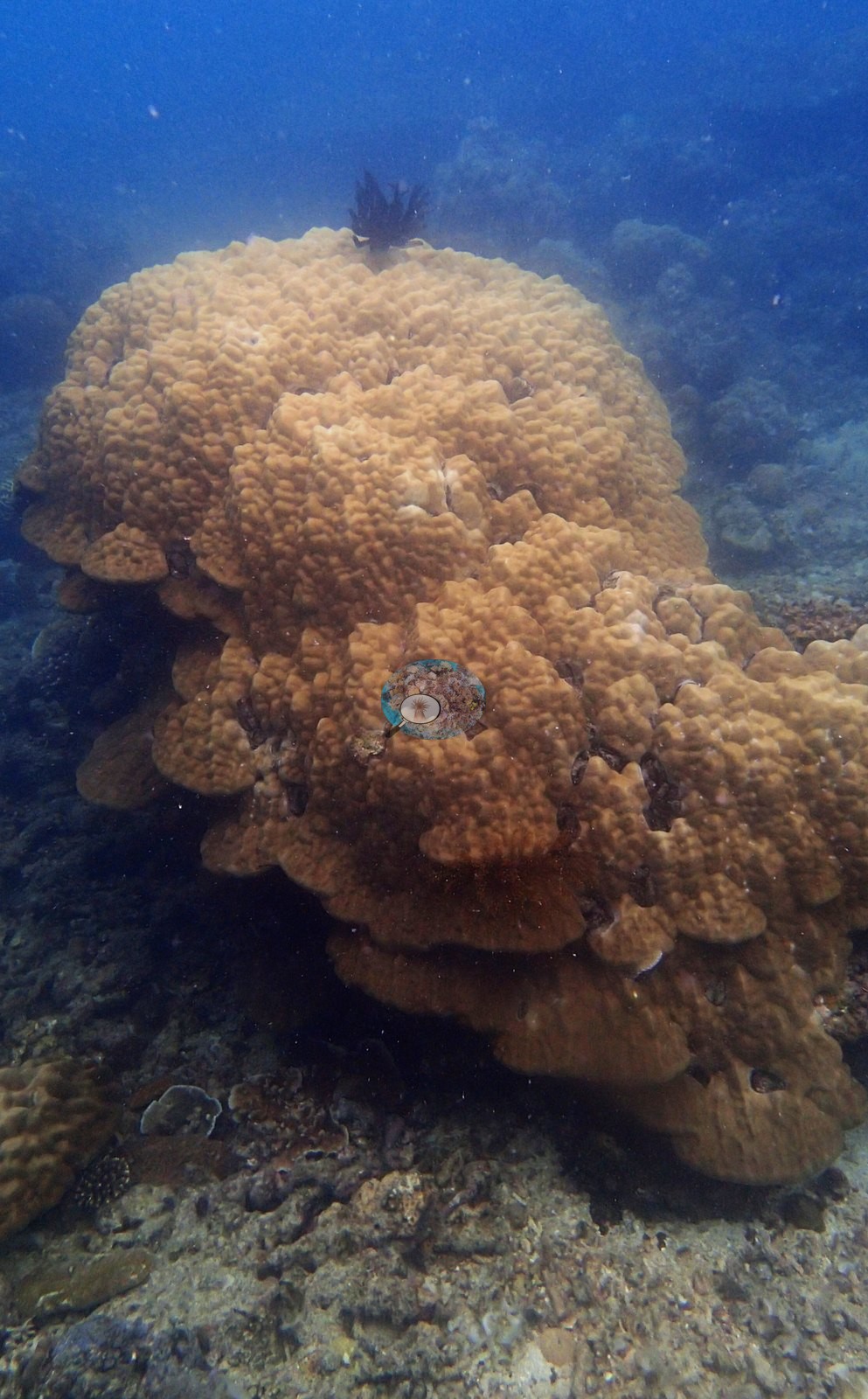
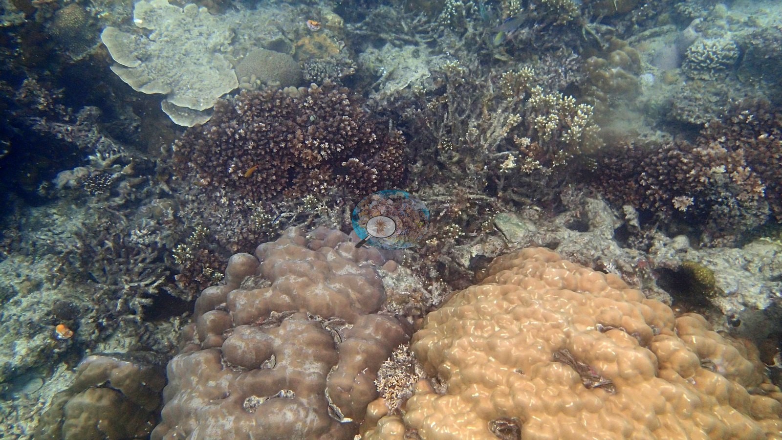
Staghorn and Pocillopora thickets carry active juvenile recruitment alongside a visibly mixed-condition fringing reef -- one frame captioned "pollution damaged reef" sits beside another labeled "unharmed patch", a contrast consistent with the site's proximity to town (e.g., Image 1, Image 2, Image 5, Image 6, Image 7, Image 8).
Coral cover
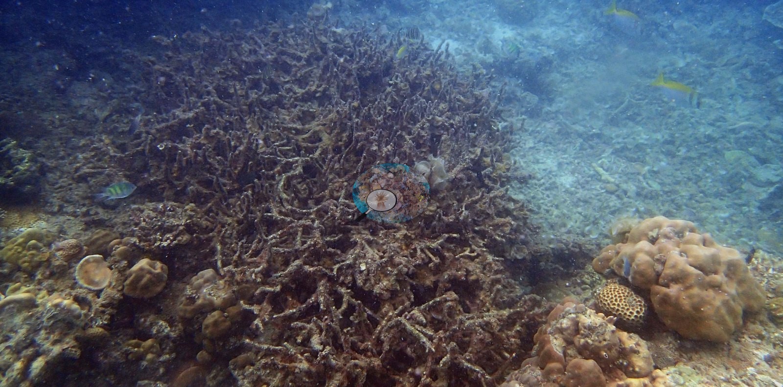
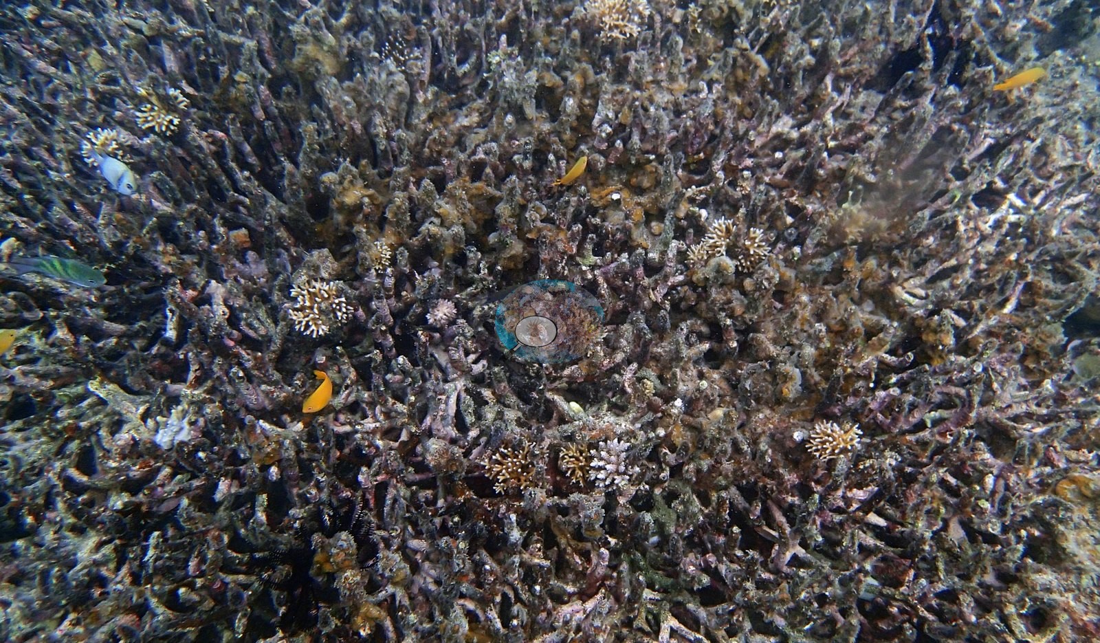
This 8-frame set produced the largest CV method disagreement anywhere in the Palawan collection: DINOv3 reads 29.1% coral cover, CoralSCOP computer vision 47.8% -- an 18.7-point spread. The frames explain why: much of the reef is standing dead branching Acropora carrying a turf-algae coat, and CoralSCOP's computer vision counts that dead framework as coral (93.9% on the close-range "Hydnophora" frame, 82.7% on "unharmed patch") (e.g., Image 3, Image 4).
With only 8 frames, DINOv3's own normal-approximation interval is wide (roughly 21-38%). This CoralSCOP and DINOv3 estimate is a placeholder while Anderson searches for a stronger coral-cover model; expect it to be updated if he finds one.
Stressors
No crown-of-thorns starfish (COTS) or other corallivores evident.
Comparisons with other data
No prior survey data from this site. If you would like to share yours, please email us.
CV model comparison
More info
As of September 2026 no computer-vision method estimates coral cover accurately on new images, so treat this as indicative rather than a measurement; it is revised as the methods improve.More info
The published figure is the mean of the two methods.| Method | Hard-coral cover (%) |
|---|---|
| In-house DINOv3 | 29.1 |
| CoralSCOP | 47.8 |
| Mean (± SD) | 38.5 ± 13 |
| Range | 29.1–47.8 |
Mean ± SD and range are across the computer-vision methods shown.
Data & links
All images from Coral Reef Diagnostics. Data are from Coral Reef Diagnostics.
© Coral Reef Diagnostics.