
Philippines - Port Barton, Palawan: island-hopping stop 1 (San Miguel area)
Part of the regional summaries: Philippines - Palawan and Philippines
More info
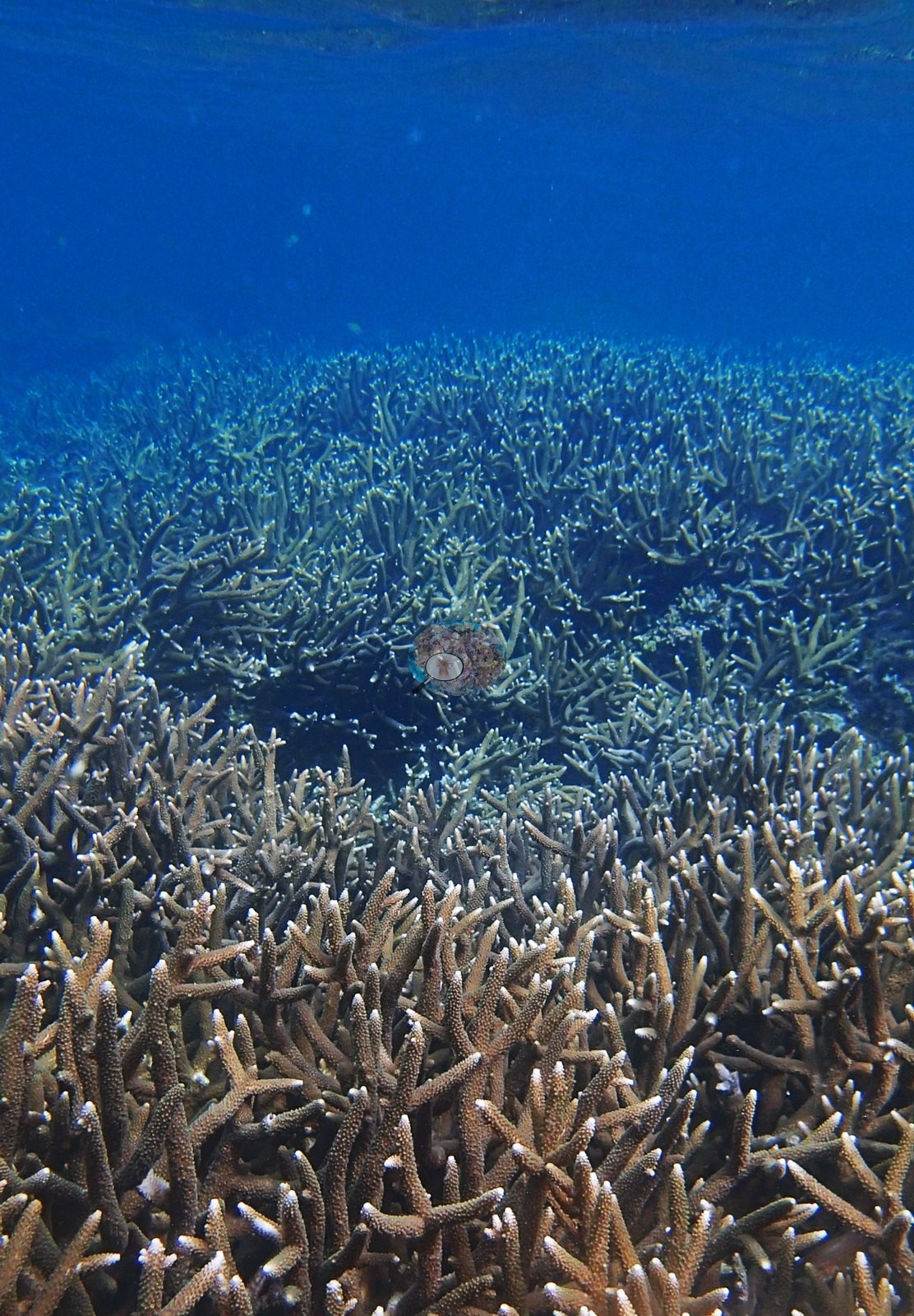
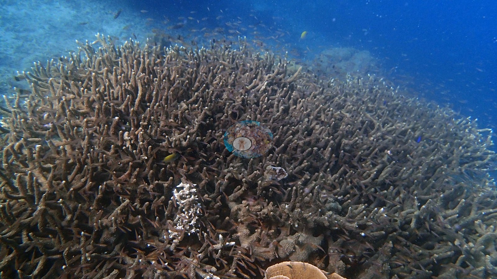
Western Philippines (NOAA CRW virtual station) · Palawan/North Borneo ecoregion mean=4.0°C-heating weeksThis is the standout reef of the Port Barton circuit - vast monospecific Acropora staghorn and tabulate thickets alongside an unbroken pavement of violet-edged foliose plating coral, with massive Porites bommies between them. No disease, crown-of-thorns starfish (COTS), or bleaching seen. A photo-derived index puts cover around 38%, likely an understatement given how much of the reef is solid living coral.
Two other CRD dive sites within 5 km shown in orange — click a marker to open its page.
Site description
Setting
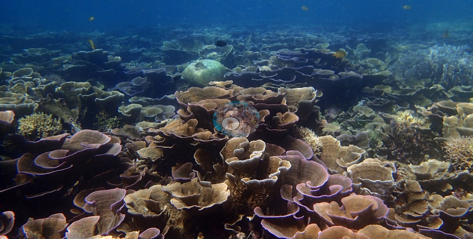
The sea surface is visible in one frame, so at least part of this is snorkel depth over the reef flat, dropping into deep blue in the wider views (e.g., Image 13).
Visibility is good and the water is clean blue - a different world from the Alberguin wreck the day before.
General benthic features
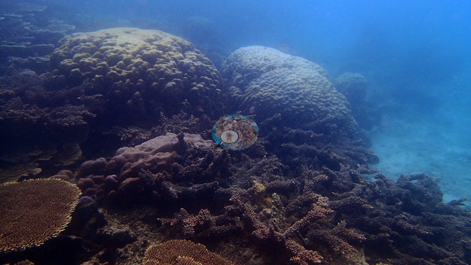
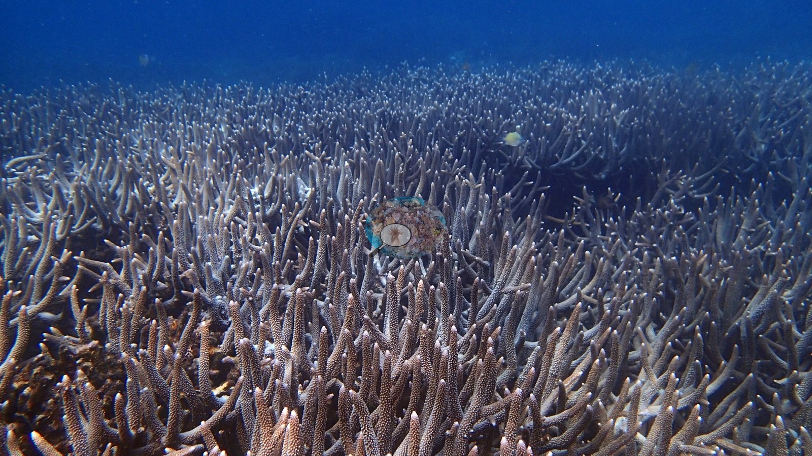
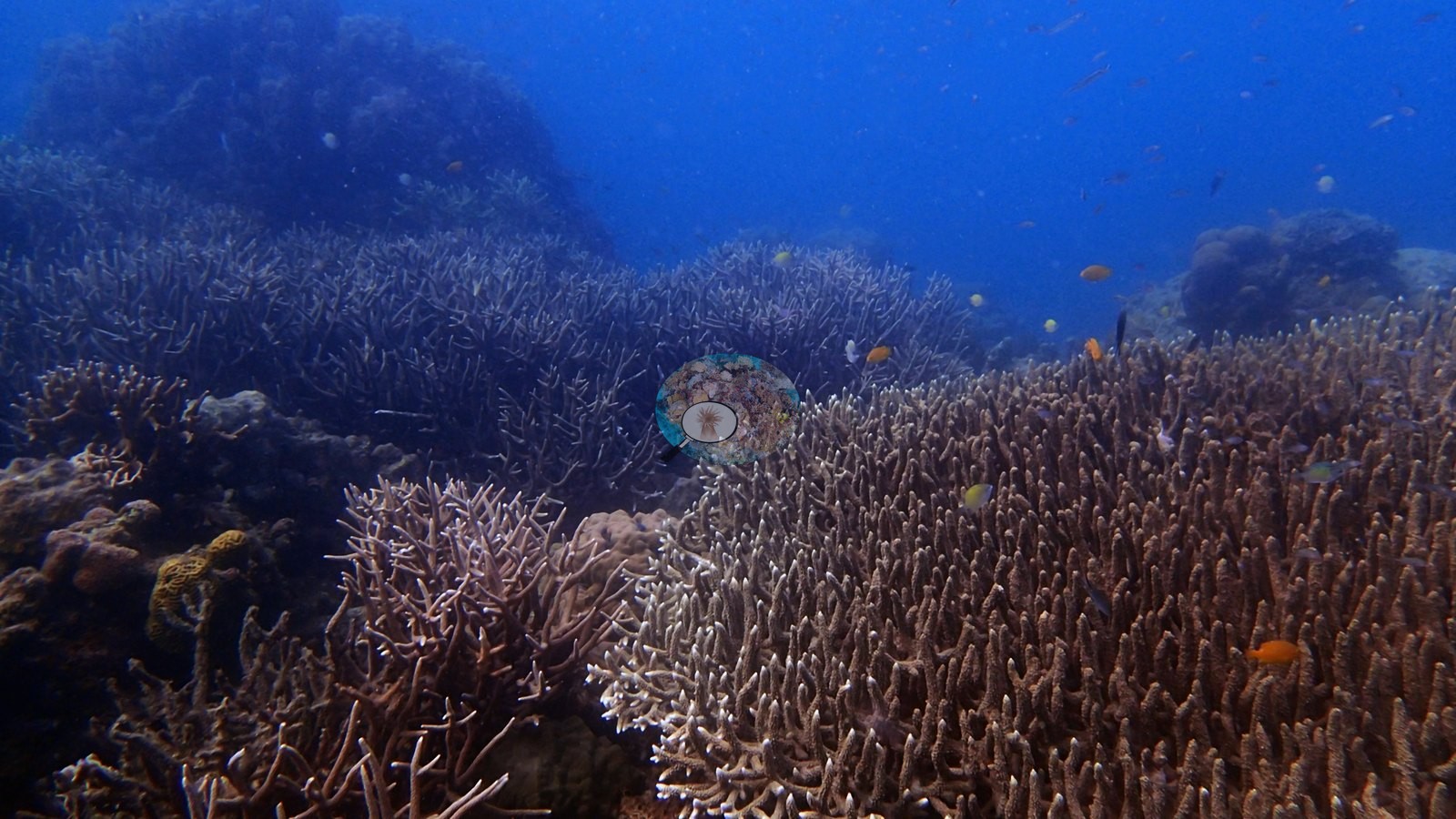
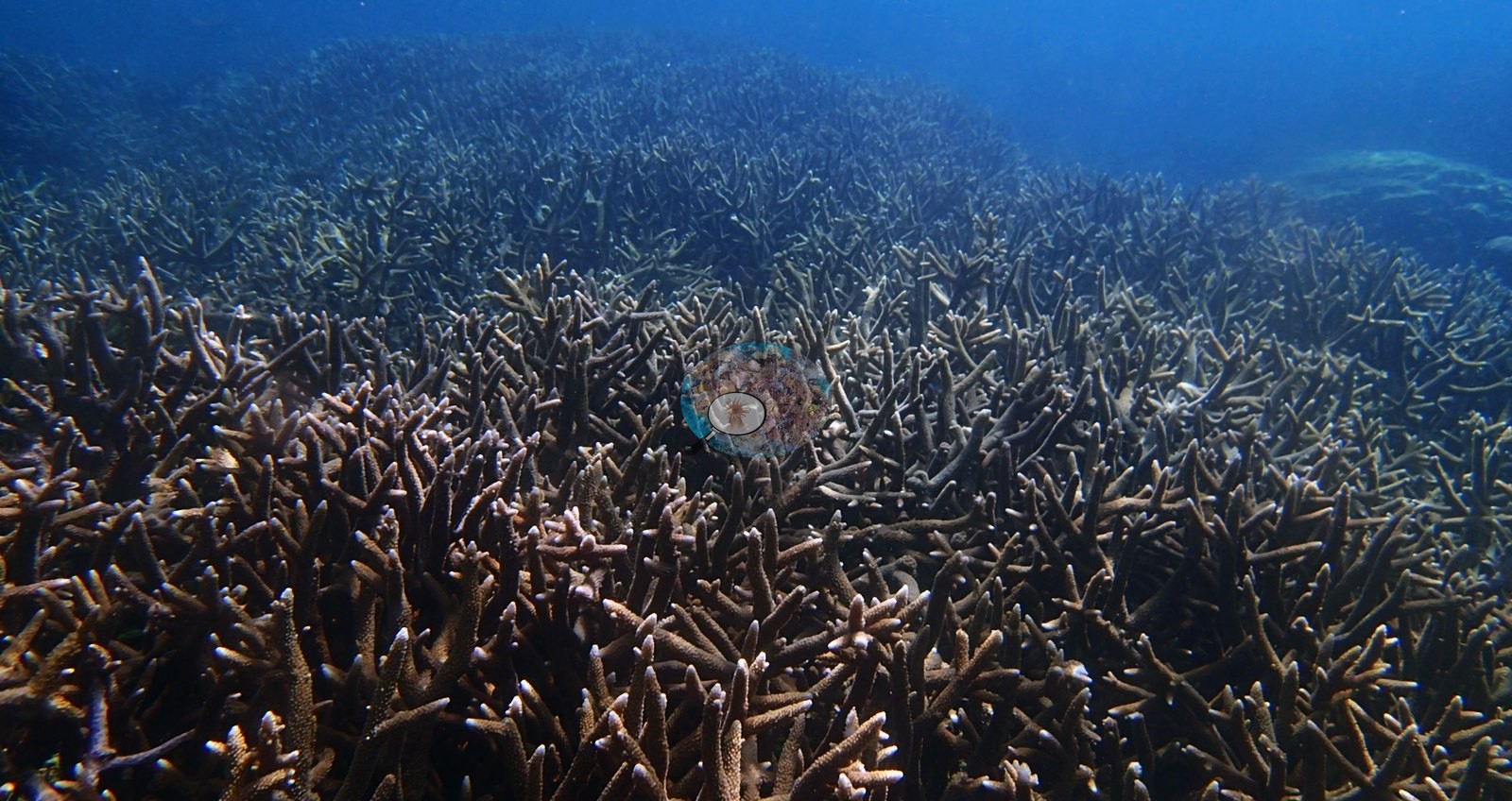
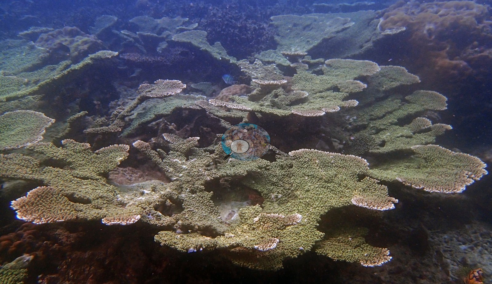
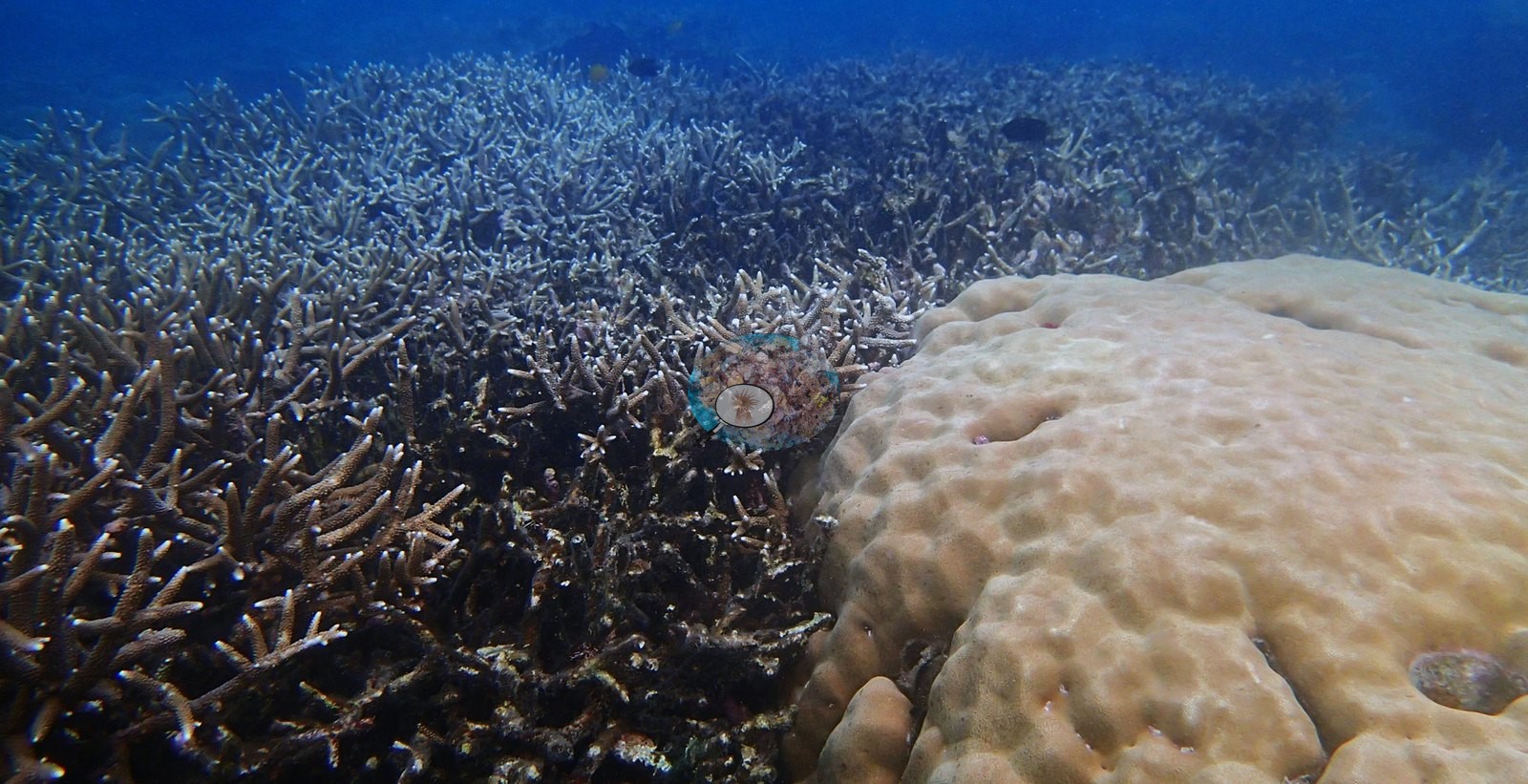
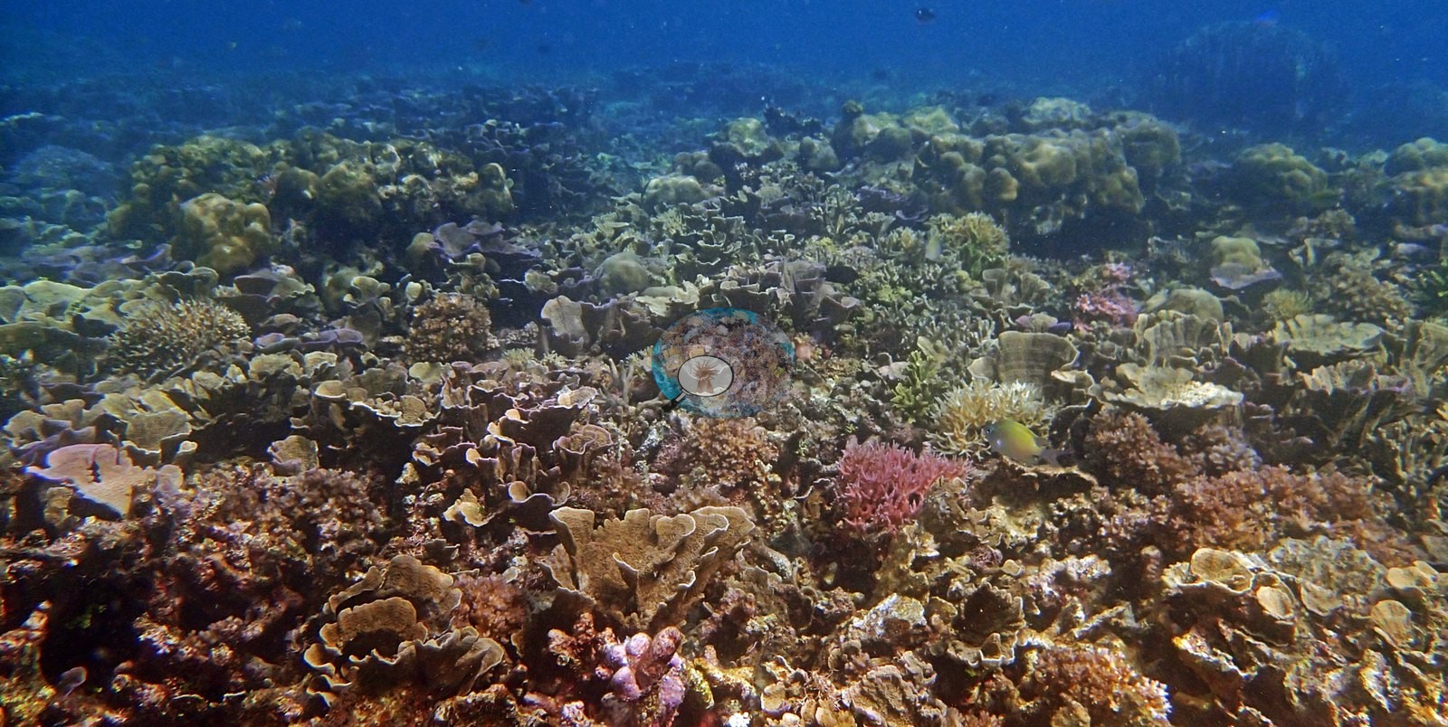
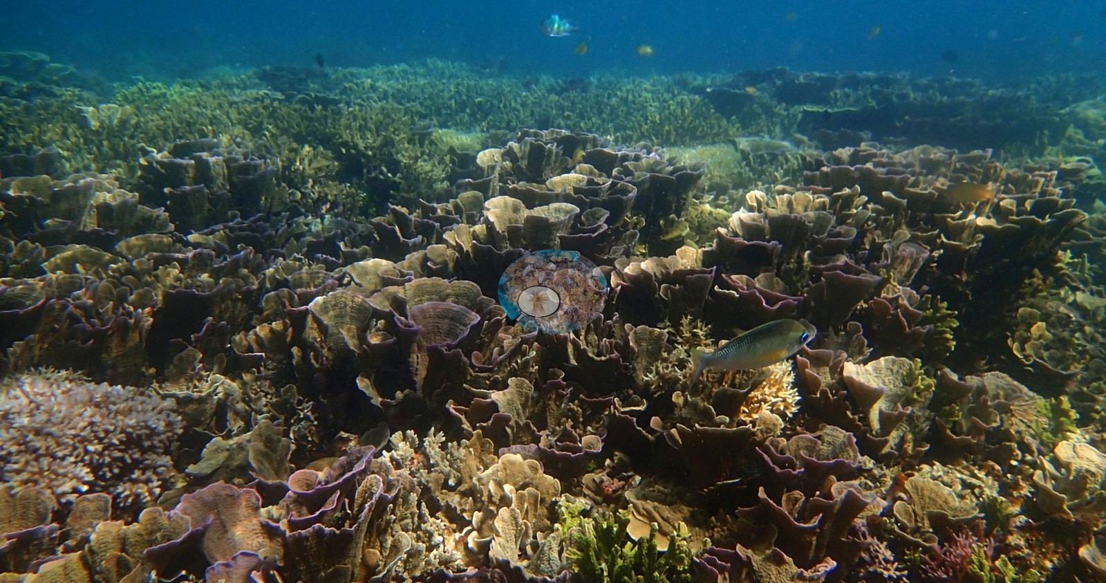
This is the standout reef of the queue and the photographs justify the site record's word "spectacular". Two habitats dominate, and each fills multiple frames edge to edge with no visible substrate at all. The first is Acropora: monospecific staghorn thickets running to the limit of visibility across four separate frames, mauve-brown and cream morphs abutting one another, branch tips pale and intact; and fields of tabulate Acropora plates tiled over each other, olive-green with bright white growing margins (e.g., Image 2, Image 3, Image 5, Image 8, Image 11, Image 12, Image 14).
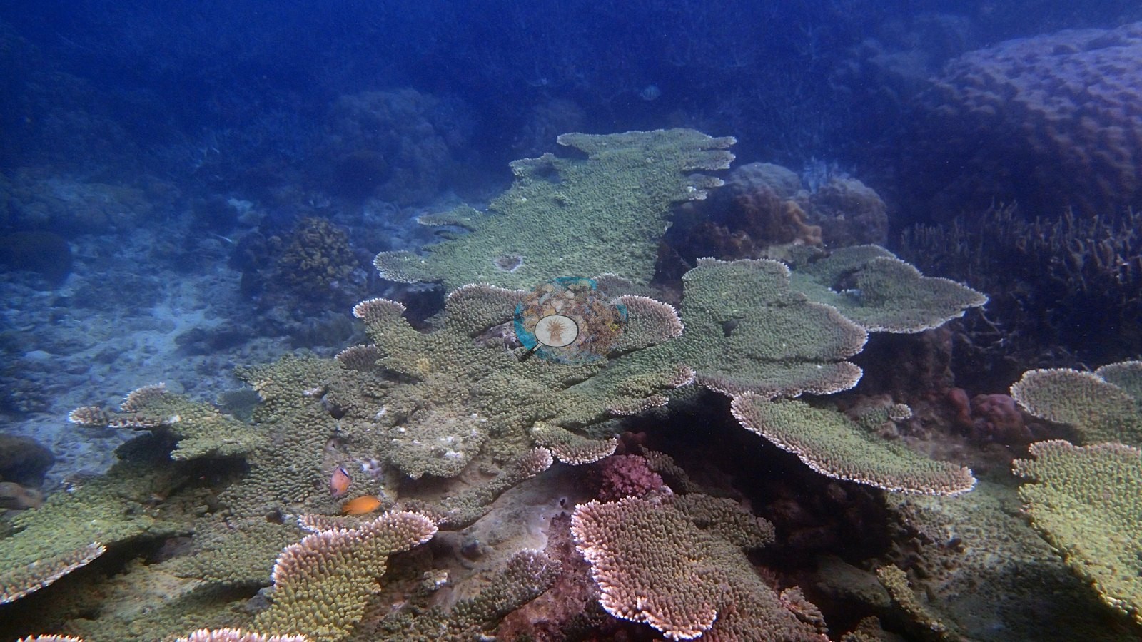
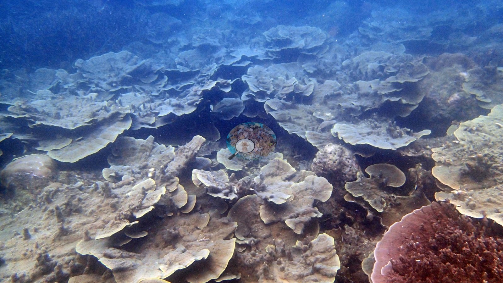
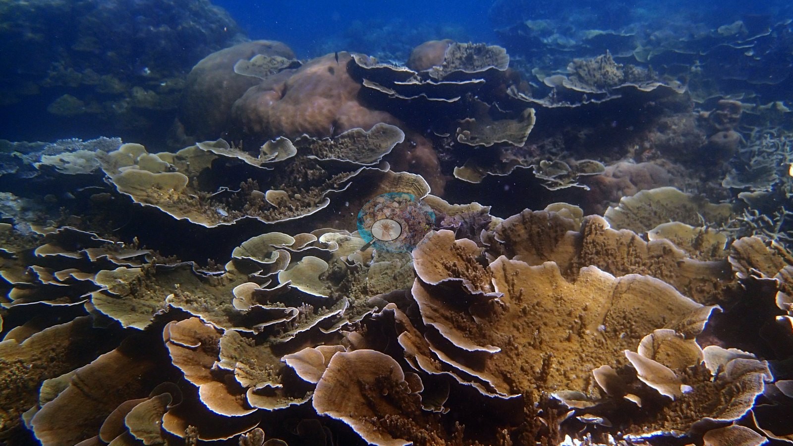
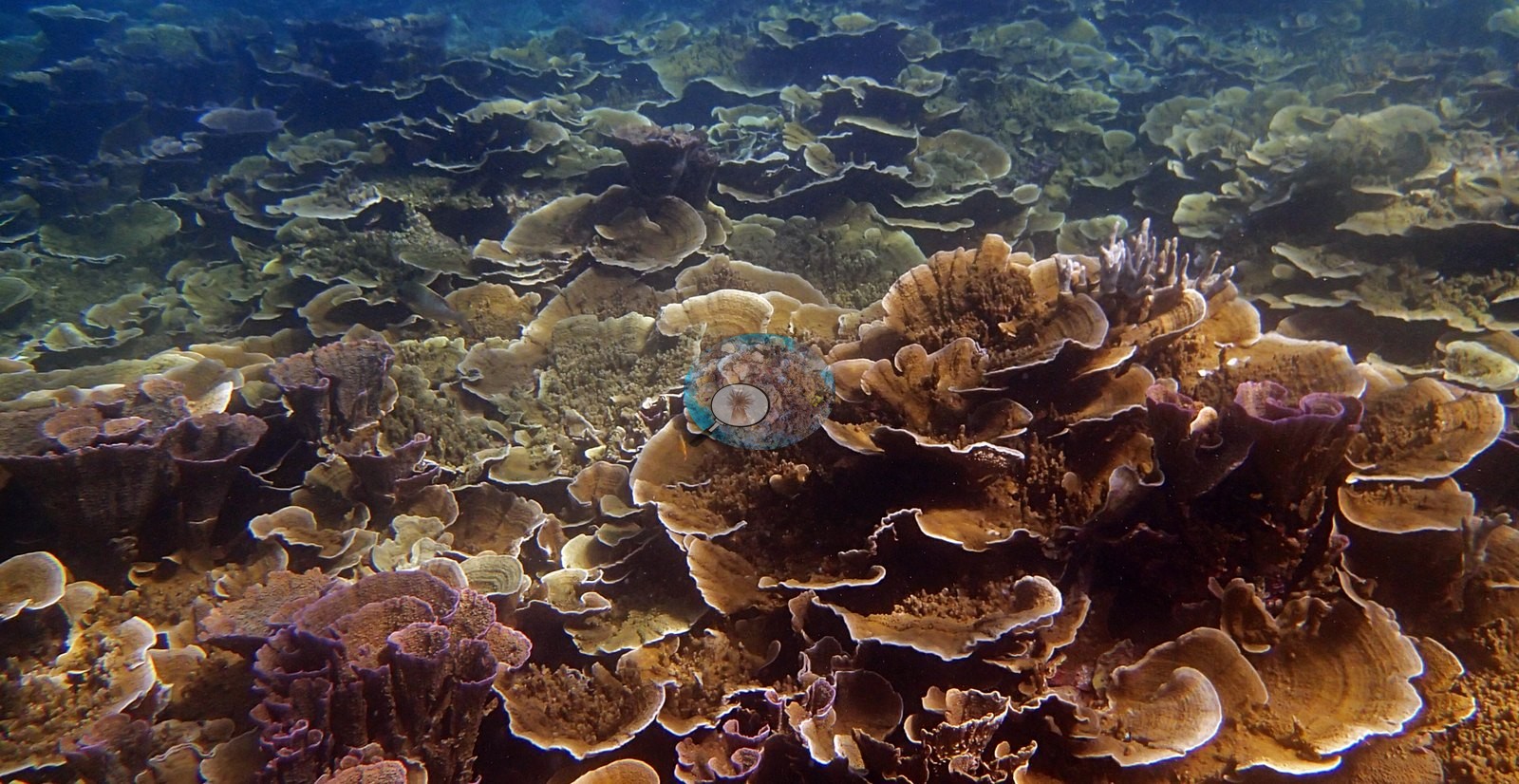
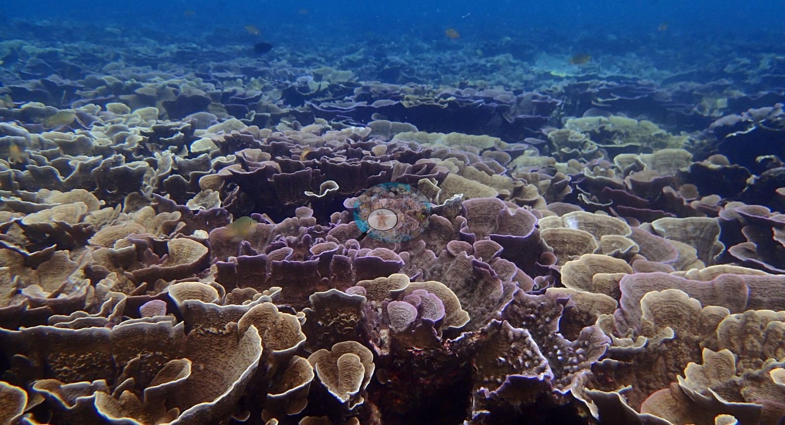
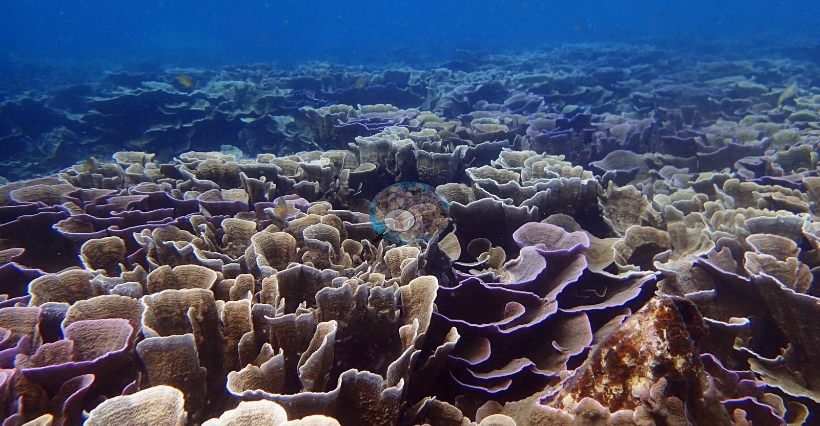
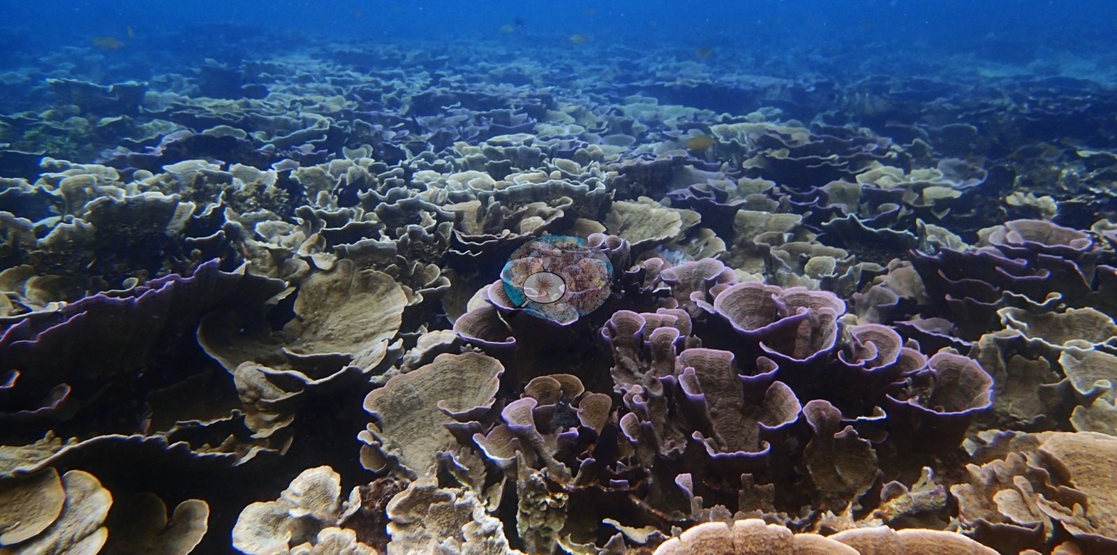
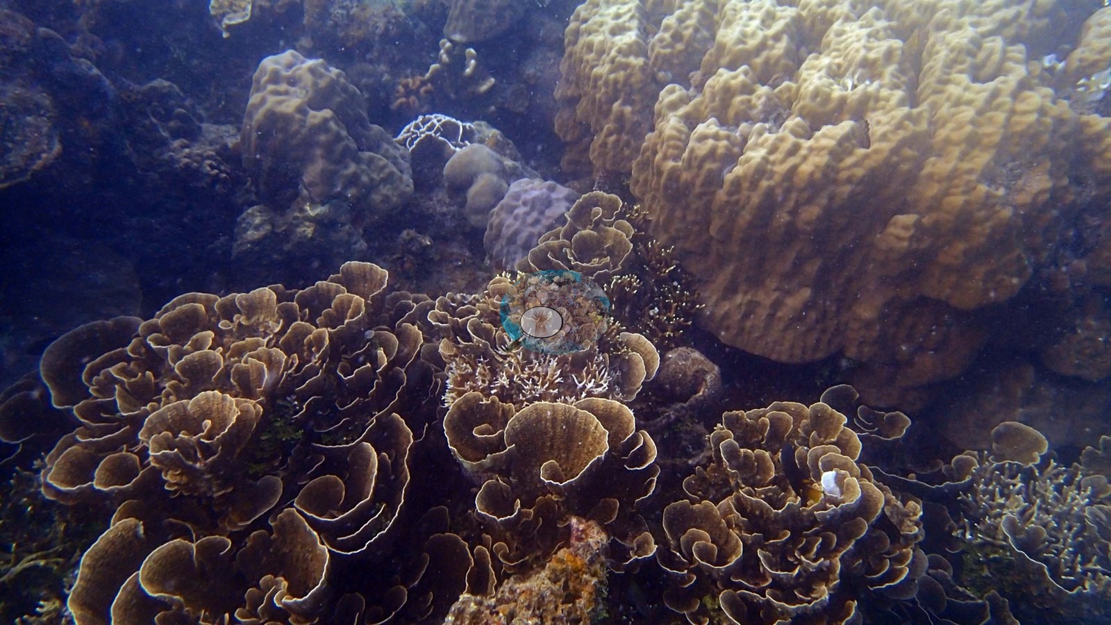
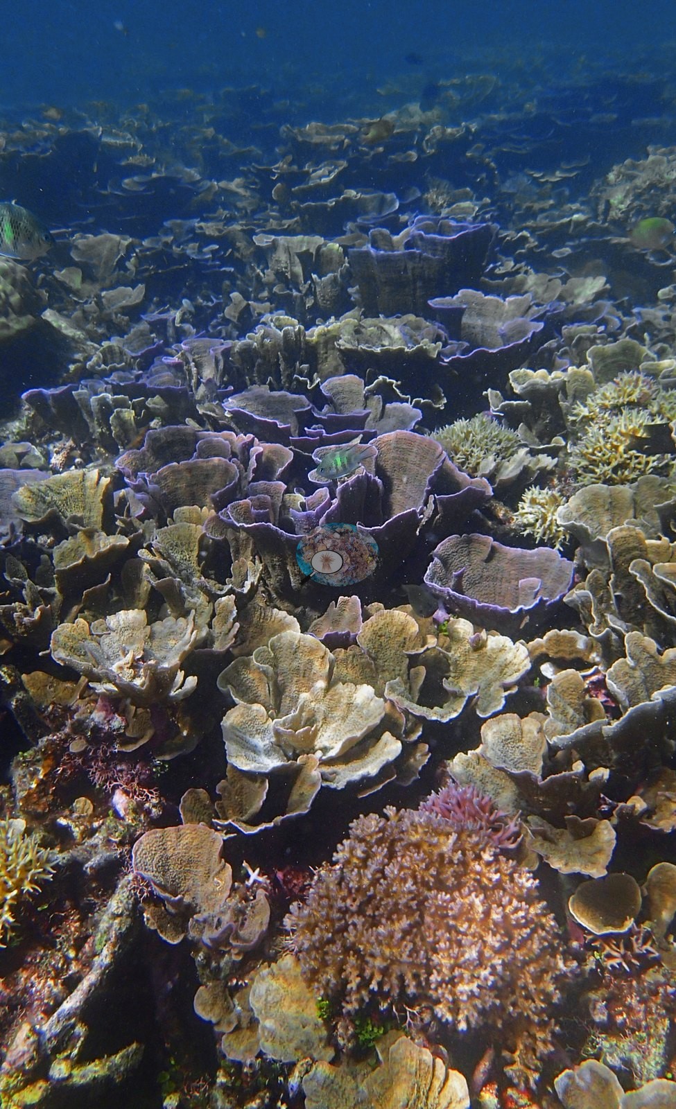
The second is foliose plating coral - almost certainly Montipora - in whorled, vase-like tiers with startling violet and lilac growing edges, filling six or seven frames as an unbroken pavement of living plates (e.g., Image 7, Image 16, Image 17, Image 18, Image 19, Image 20, Image 22).
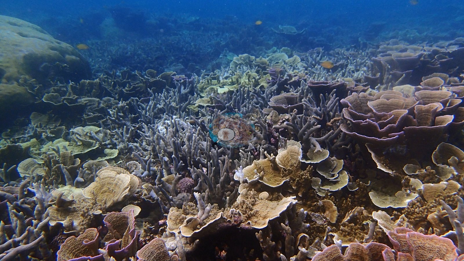

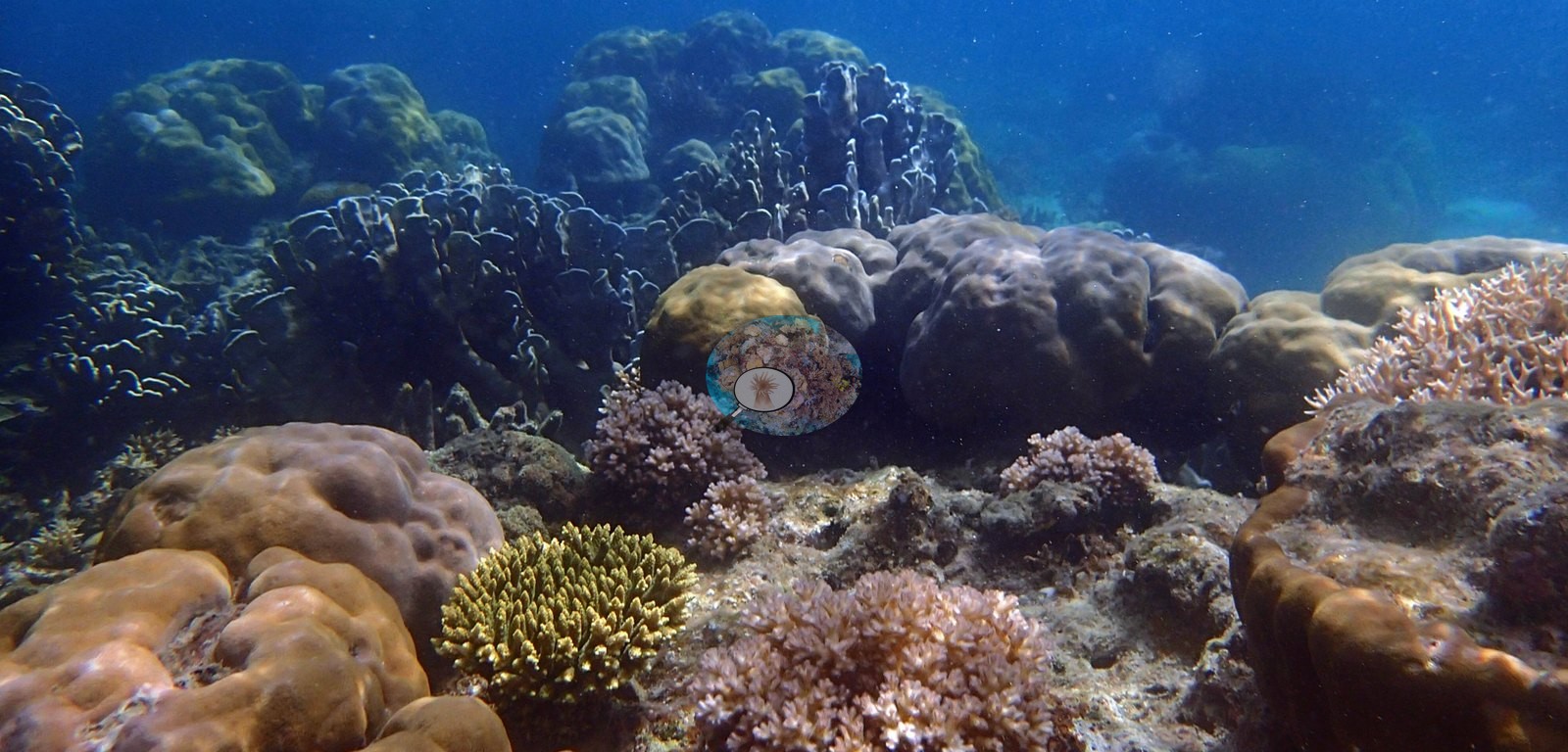
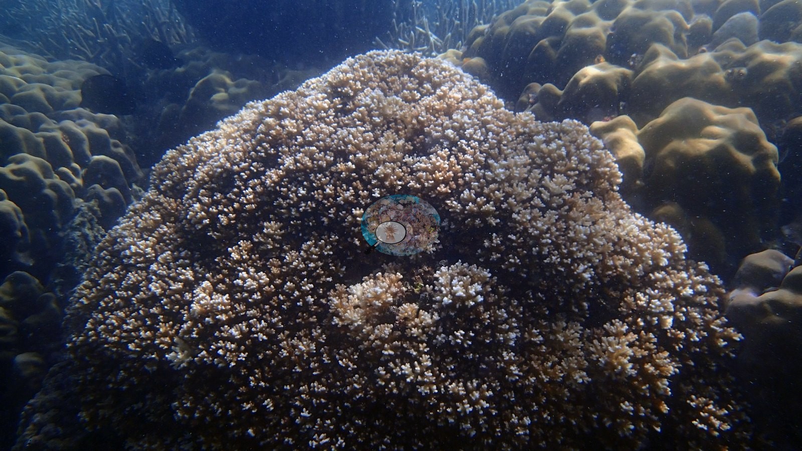
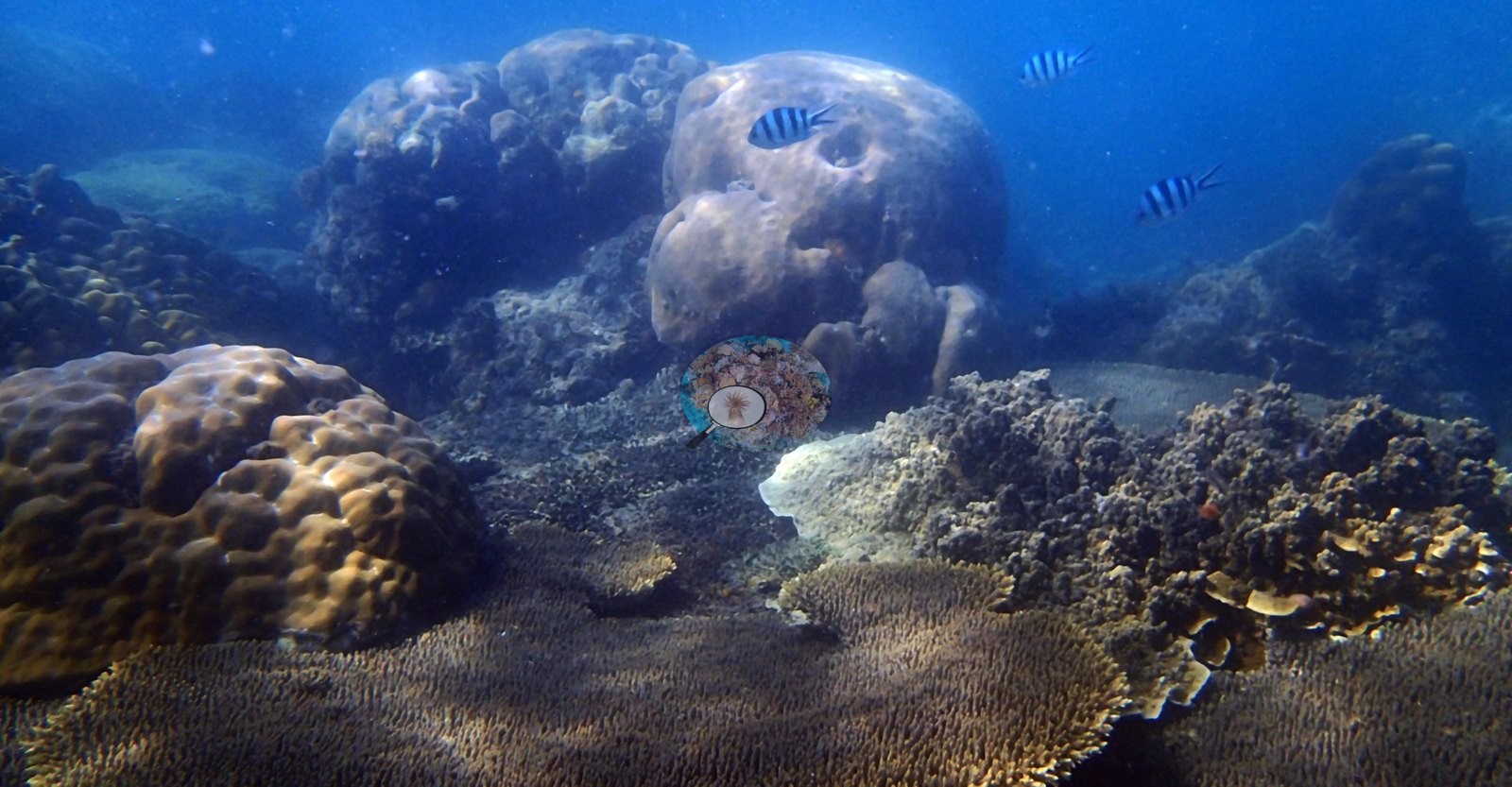
Between them sit the massives: enormous smooth Porites bommies, cream to golden-brown, some blistered and bore-holed, one abutting a staghorn bed directly; knobbly ridged Porites stands; gray-brown digitate/columnar stands; pink-mauve Pocillopora clusters; and one handsome tan corymbose Acropora dome with white branch tips (e.g., Image 1, Image 6, Image 9, Image 15, Image 21, Image 25).
Coral cover
Coral cover for this site is published as 37.9% from CoralSCOP computer vision over 37 frames - a single-method photographic index, not a diver transect. Worth flagging for anyone reading it: CoralSCOP is known to under-read high-cover Indo-Pacific reefs, and these frames show near-continuous living coral over large areas (e.g., Image 23, Image 24).
Also on record for this site: This stop's photos were pooled with the second stop and topside shots in the original CV pass, so no clean per-site cover percentage exists for this location specifically -- the qualitative photo record is the record here. CoralSCOP sums retained mask fractions with overlaps possible and segments coral- shaped objects rather than living tissue, so it scores standing dead skeleton as coral and does not measure cover the way a transect does. Against independent point-count surveys it reads high, and the bias is ADDITIVE rather than multiplicative: against 273,968 Catlin Seaview photoquadrats within 2 km of these pins, the relationship is close to his value = their value + about 18 percentage points, with the index appearing to have a floor near 15-20% - it does not report near-zero even where a 50-point count finds 1.0-3.0%. Read a low figure here as an upper bound and a near-zero reef as unresolved, not as the number shown.
Stressors
Condition: no disease lesions, no crown-of-thorns, and no bleaching anywhere in the set. Two frames contain a small bright-white patch that reads as a recently broken or recently dead branch cluster, not a bleaching event (e.g., Image 10).
Nothing man-made appears in any frame.
Fish and other fauna
Fish are unobtrusive - orange anthias, sergeant majors, chromis clouds over the staghorn, damsels, and a wrasse (e.g., Image 4).
Comparisons with other data
No prior survey data from this site. If you would like to share yours, please email us.
Dive record
All 25 frames reviewed (2017-01-21 island-hopping circuit).
Other notes
Every single frame is in-water reef; there is not one topside, gear, or diver shot in the set.
Coral cover: method notes
Data & links
All images from Coral Reef Diagnostics. Data are from Coral Reef Diagnostics.
© Coral Reef Diagnostics.