
Philippines - Port Barton, Palawan: Alberguin wreck

Part of the regional summaries: Philippines - Palawan and Philippines
More info
Western Philippines (NOAA CRW virtual station) · Palawan/North Borneo ecoregion mean=4.0°C-heating weeksThe Alberguin wreck lies on silty sand in poor, green-gray visibility, its metal colonized by scroll-like Turbinaria, bubble coral, and soft corals rather than the branching Acropora that's notably rare here. Several colonies look conspicuously pale, though no lesions or crown-of-thorns starfish (COTS) were seen. Cover estimates disagree substantially (21-38%), and on a wreck both index hull colonization rather than reef cover.
Six independent survey stations shown with the program’s logo — click one to see how far it is from this site.
22 of these 25 photographs are shown beside the text that discusses them under "Site description" below.
Site description
Setting
The wreck is unmistakable: hull spars and pipework on gray silty sand, a bollard-like fitting, a curved painted metal ring, and a thin steel cable arcing off a mast stub (e.g., Image 22).
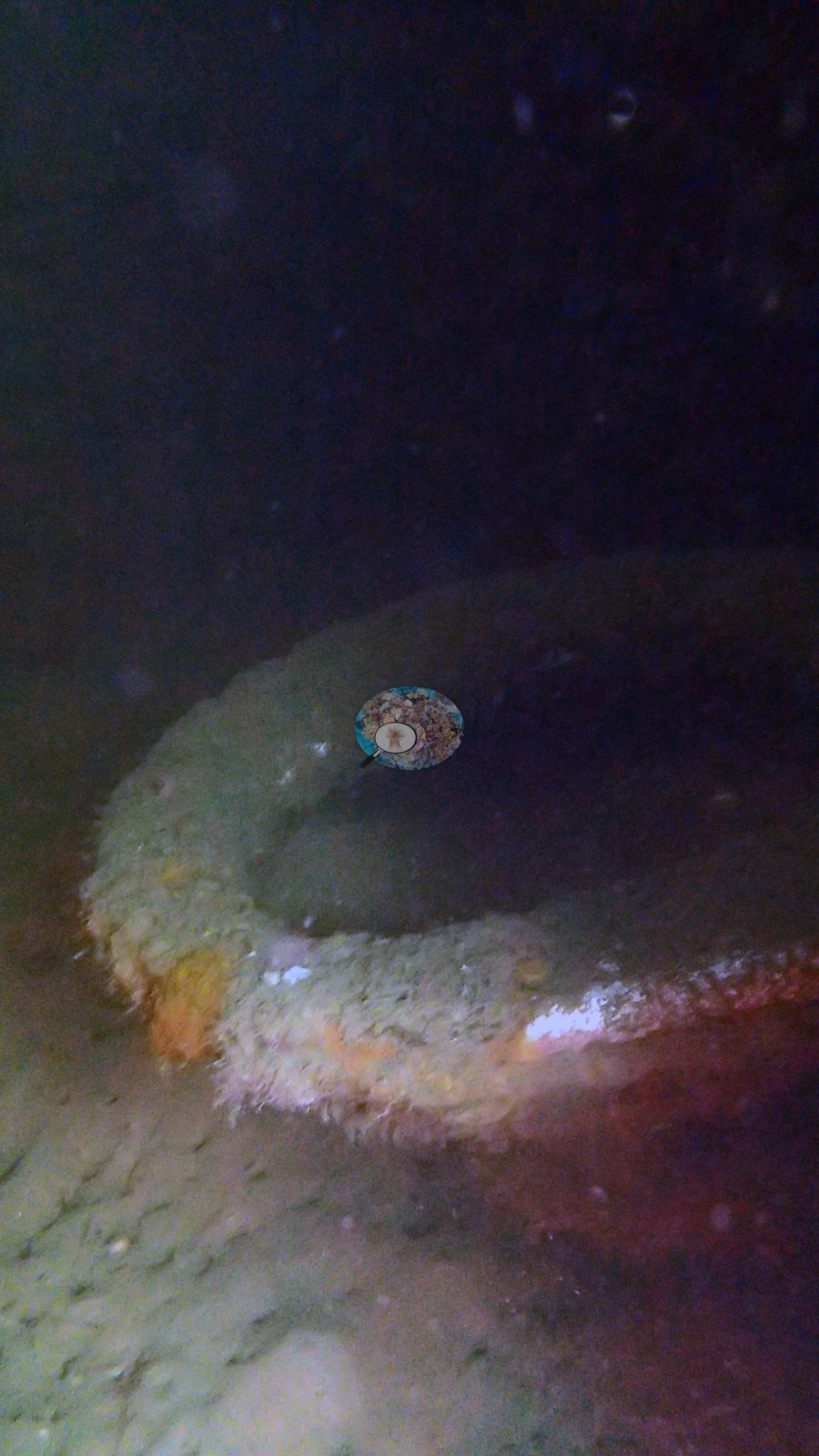
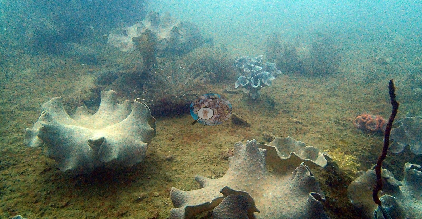
The water is green-gray and turbid in every wide frame, silt filmed over almost every horizontal surface - visibility was poor (e.g., Image 13).
General benthic features
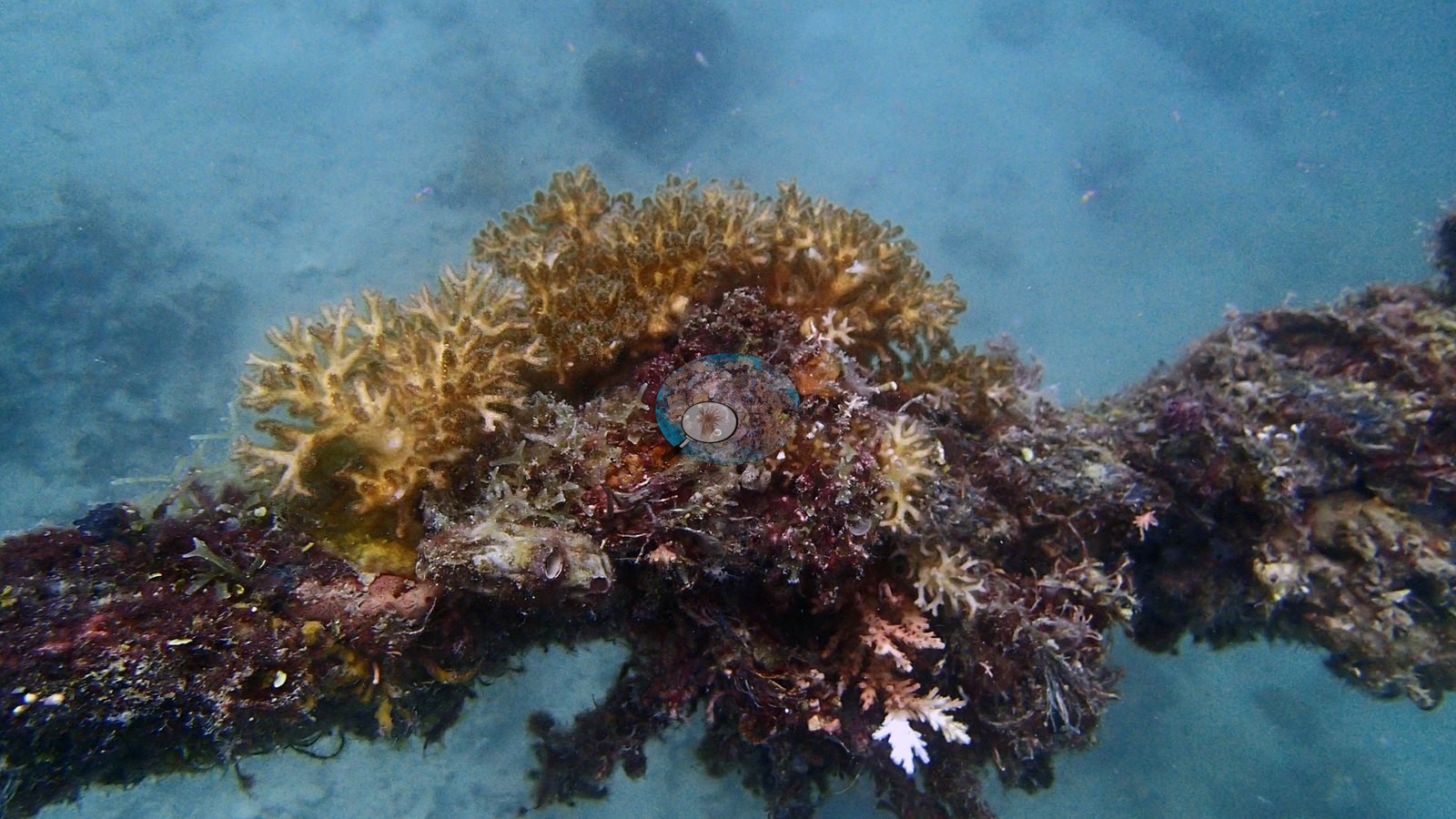
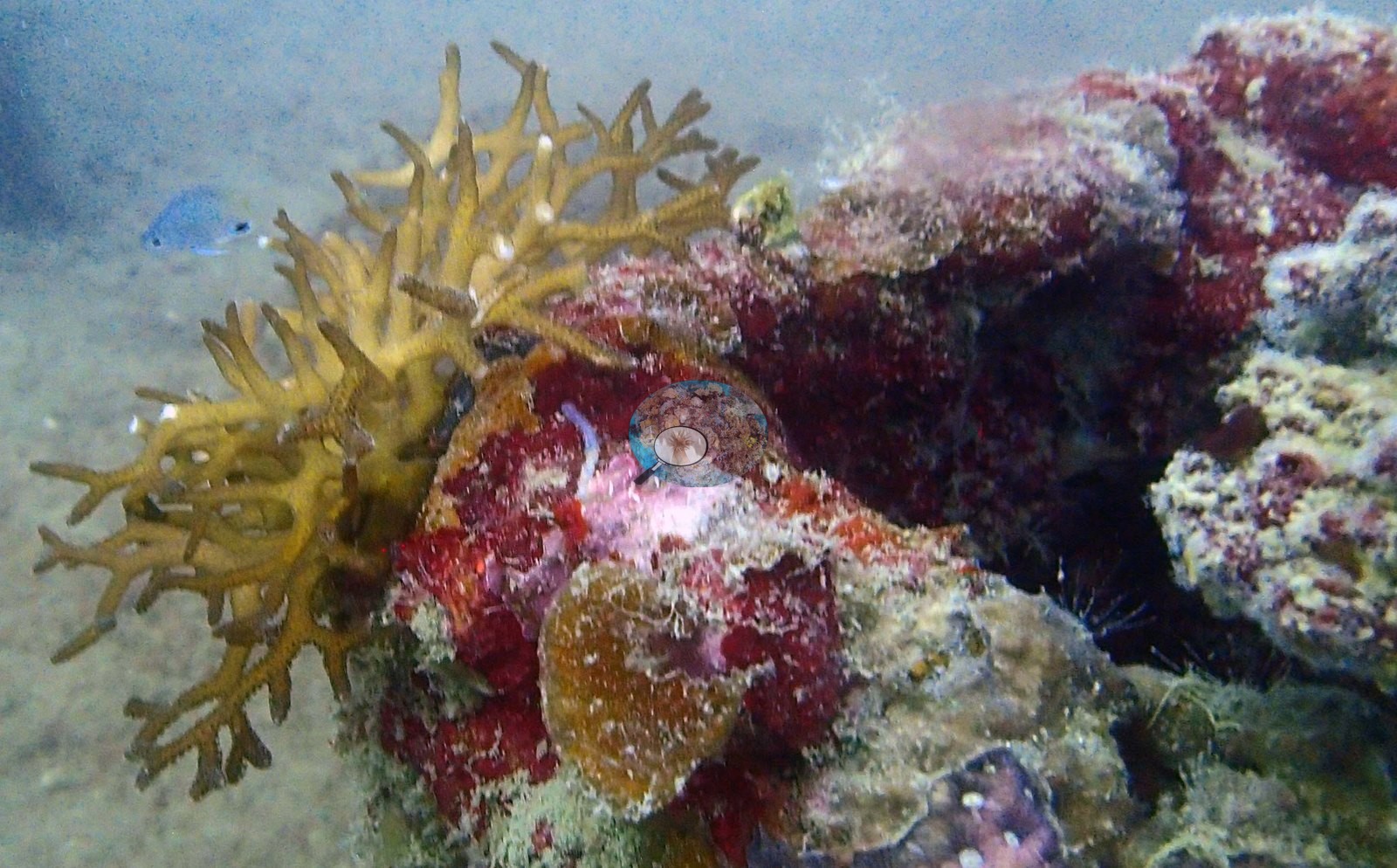
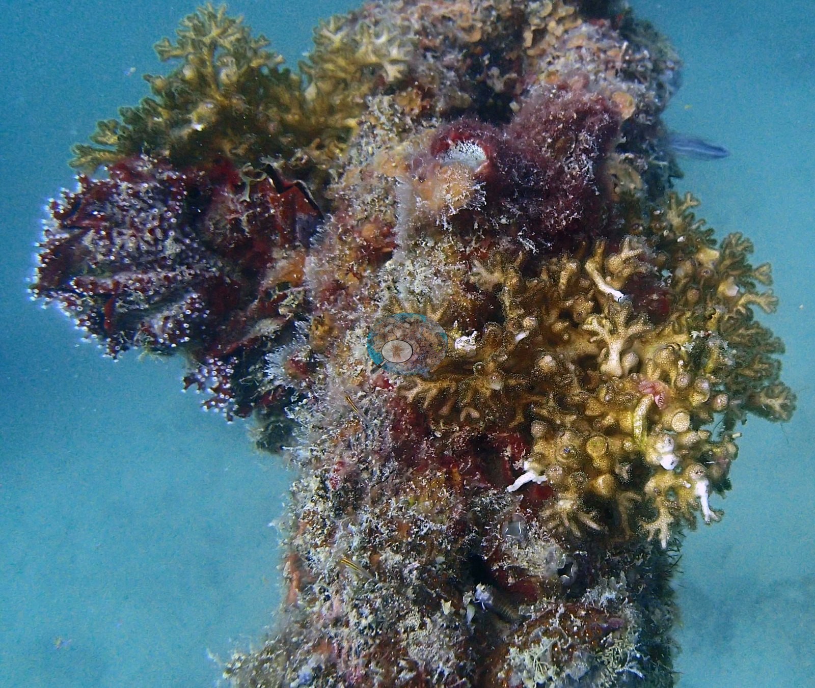
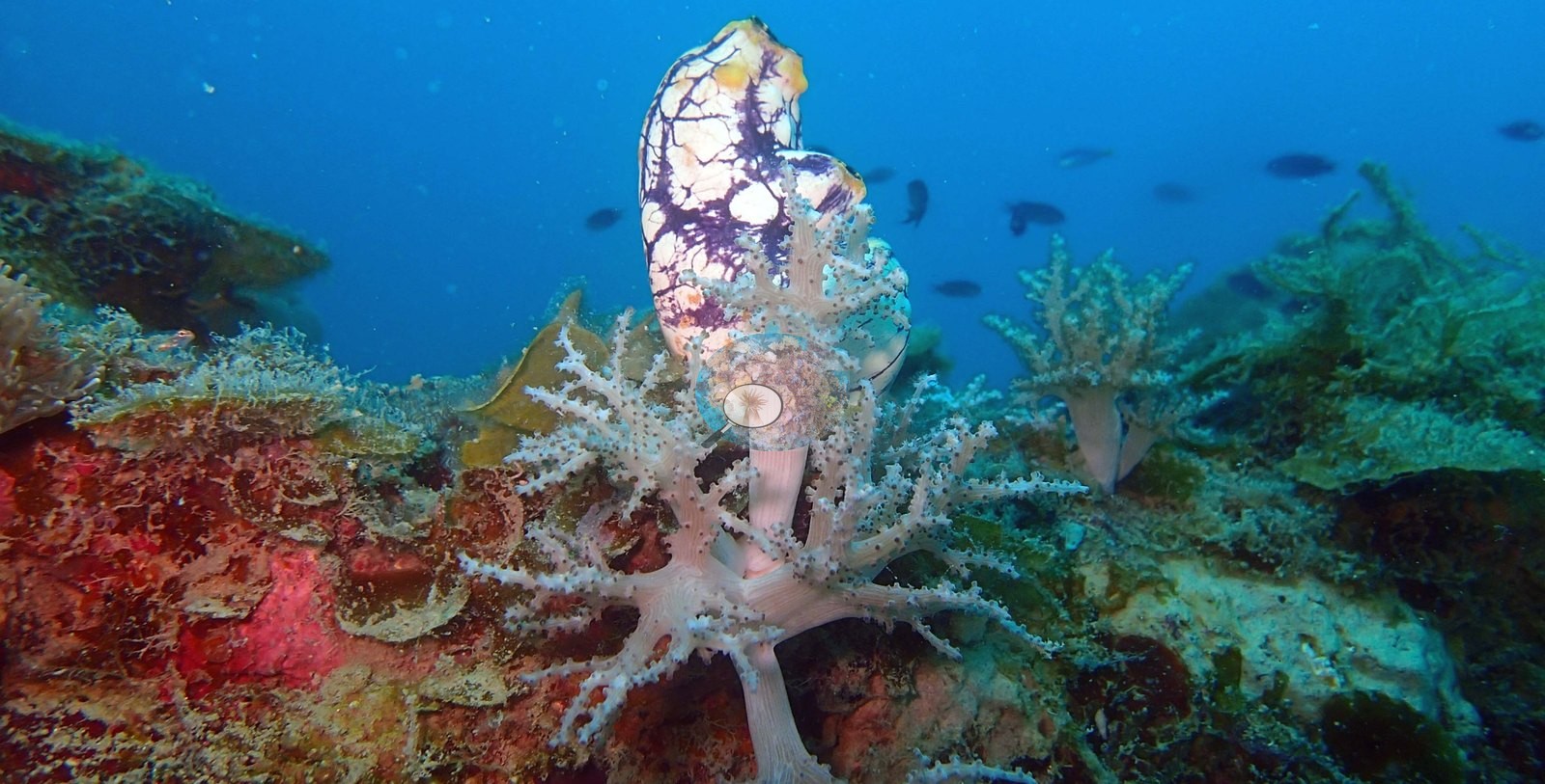
Colonization of the metal is the story. One frame follows a turf-covered line carrying a small golden branching pocilloporid; another shows a hull strut with several golden-brown branching colonies and tunicates among maroon and green macroalgae (e.g., Image 1, Image 20).
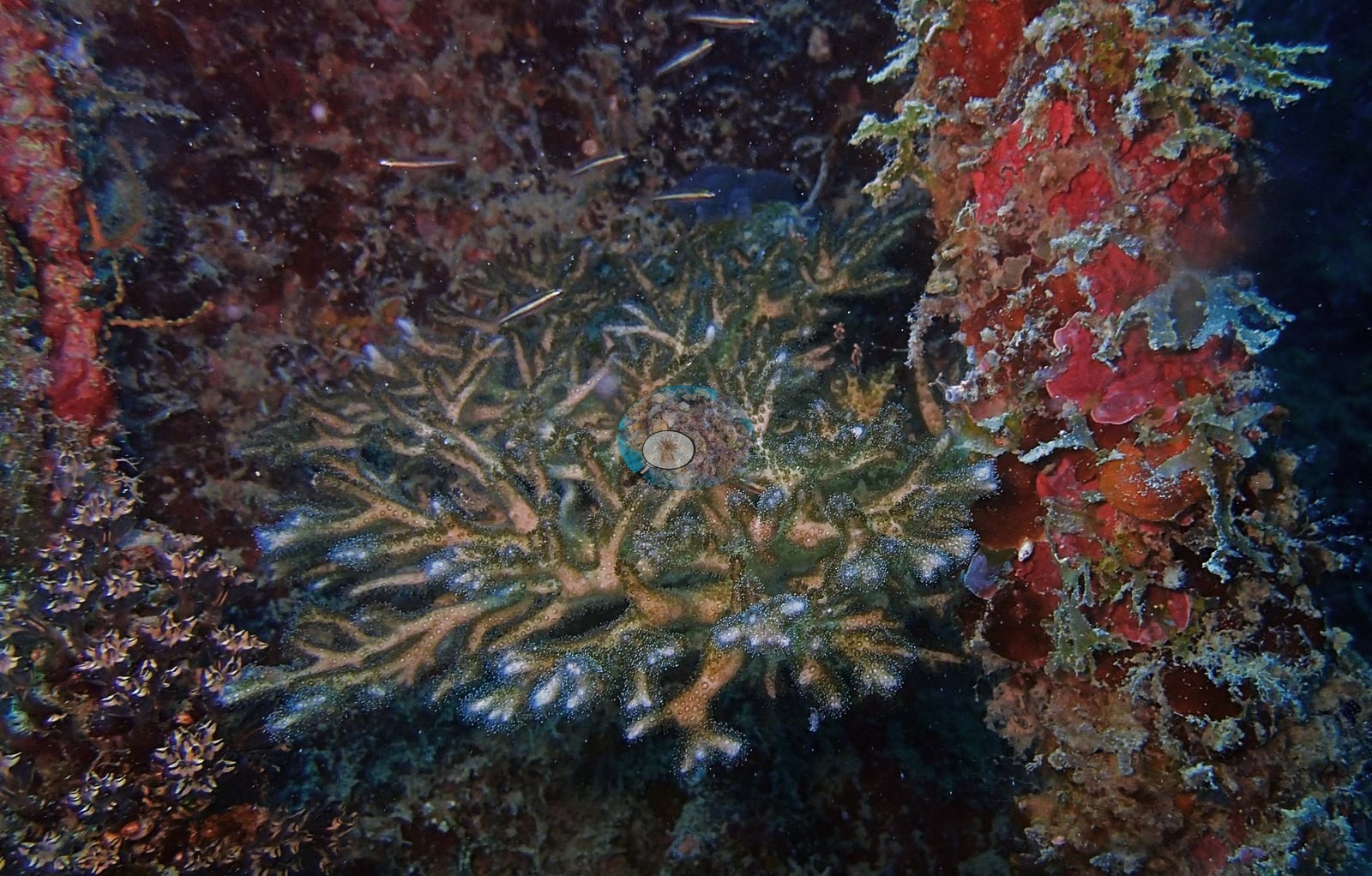
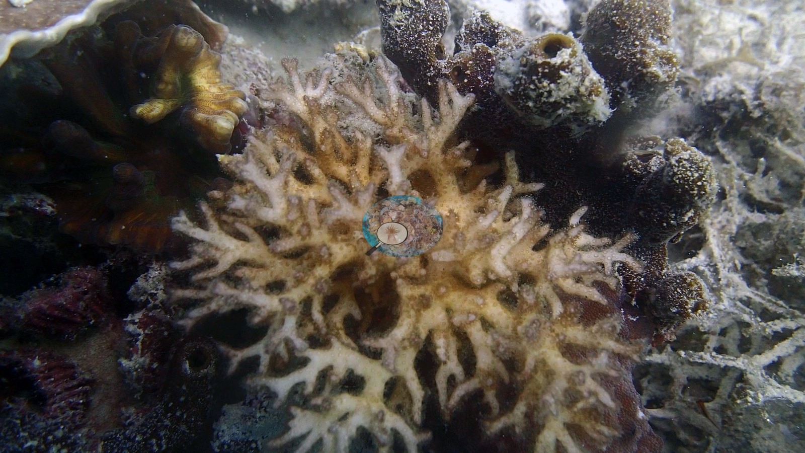
A plate-shaped Acropora has taken hold inside a hull opening (e.g., Image 2).
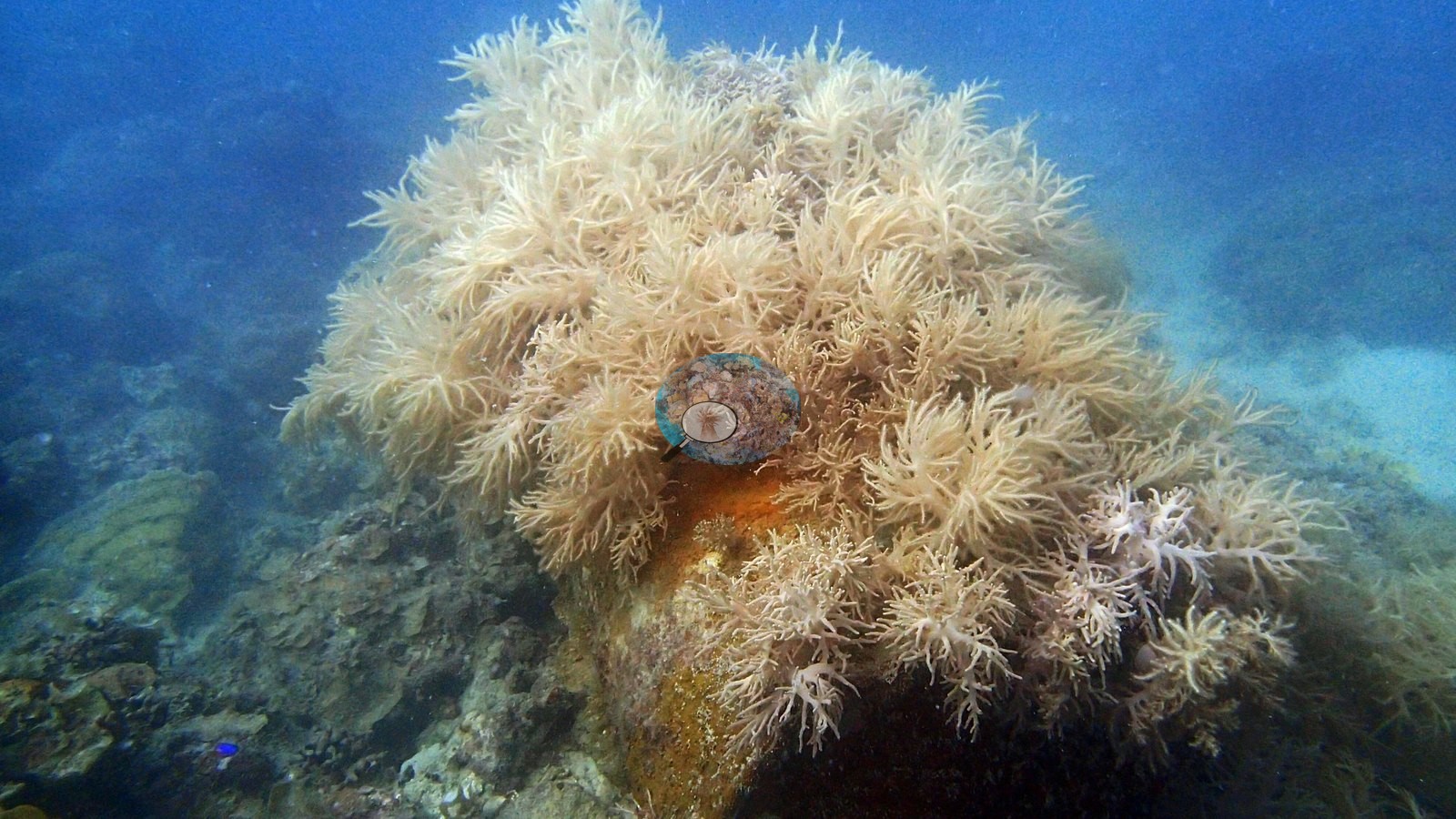
Soft corals are prominent: a fluffy cream Nephthea-type colony draped over a fitting, and pale pink Dendronephthya-type trees on rubble (e.g., Image 3, Image 19).
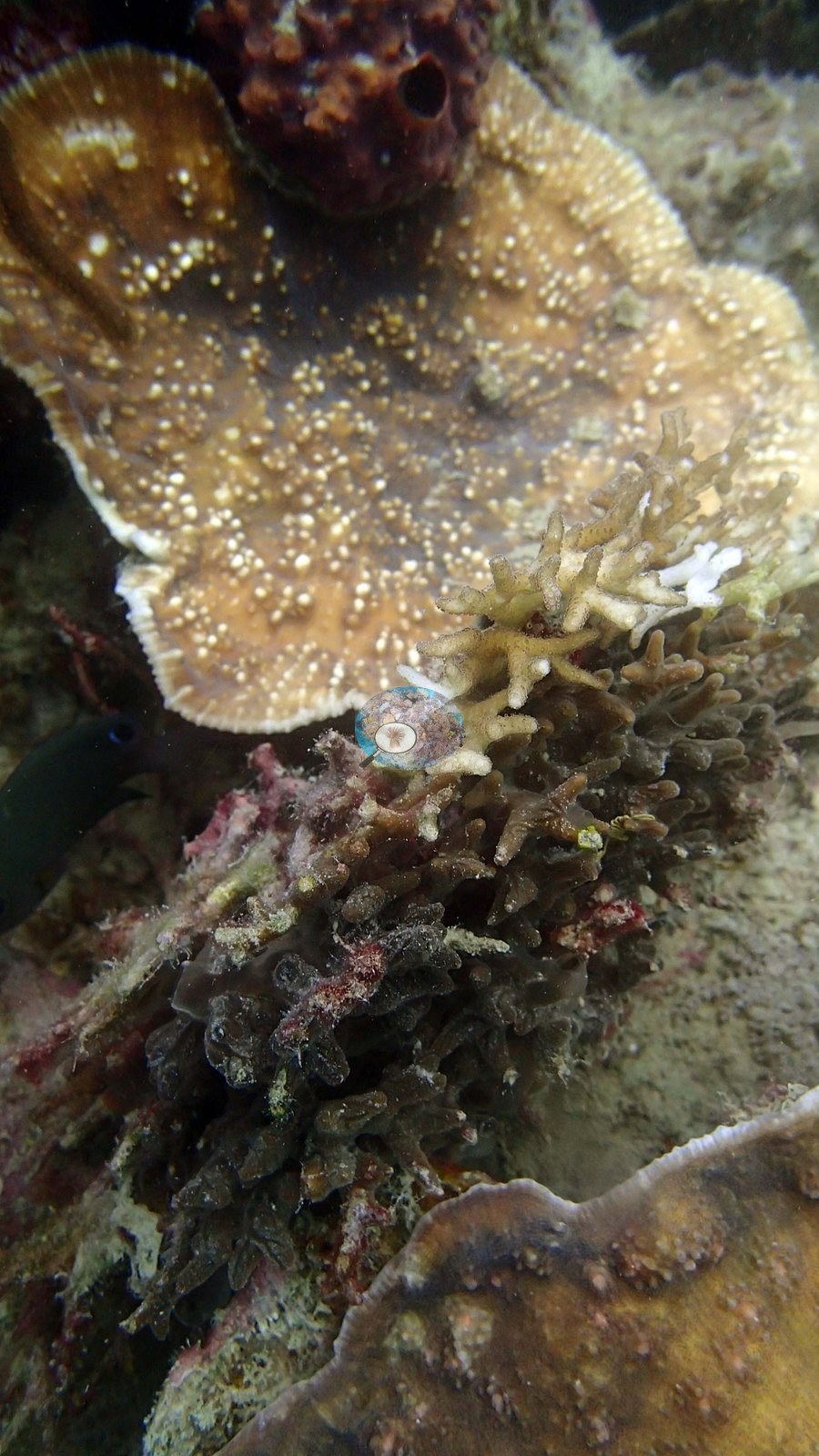
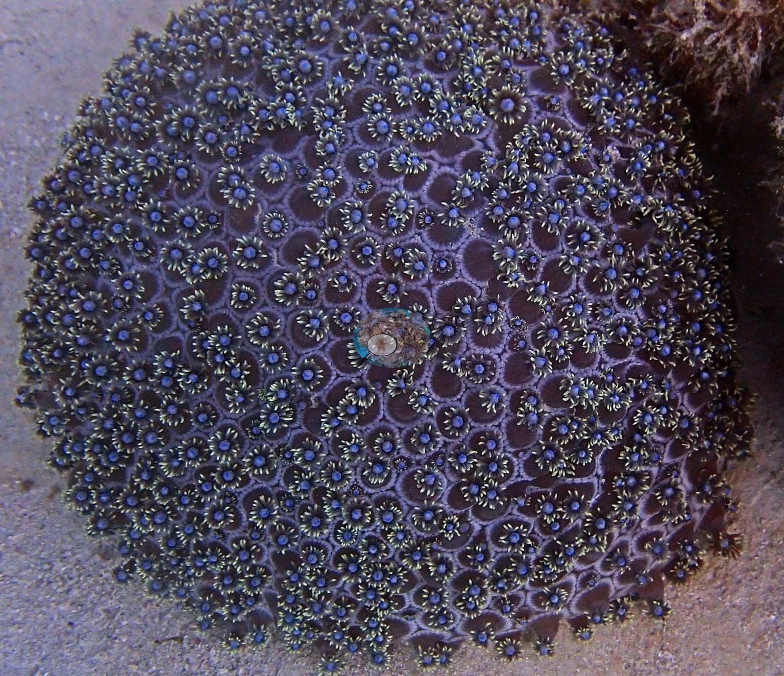
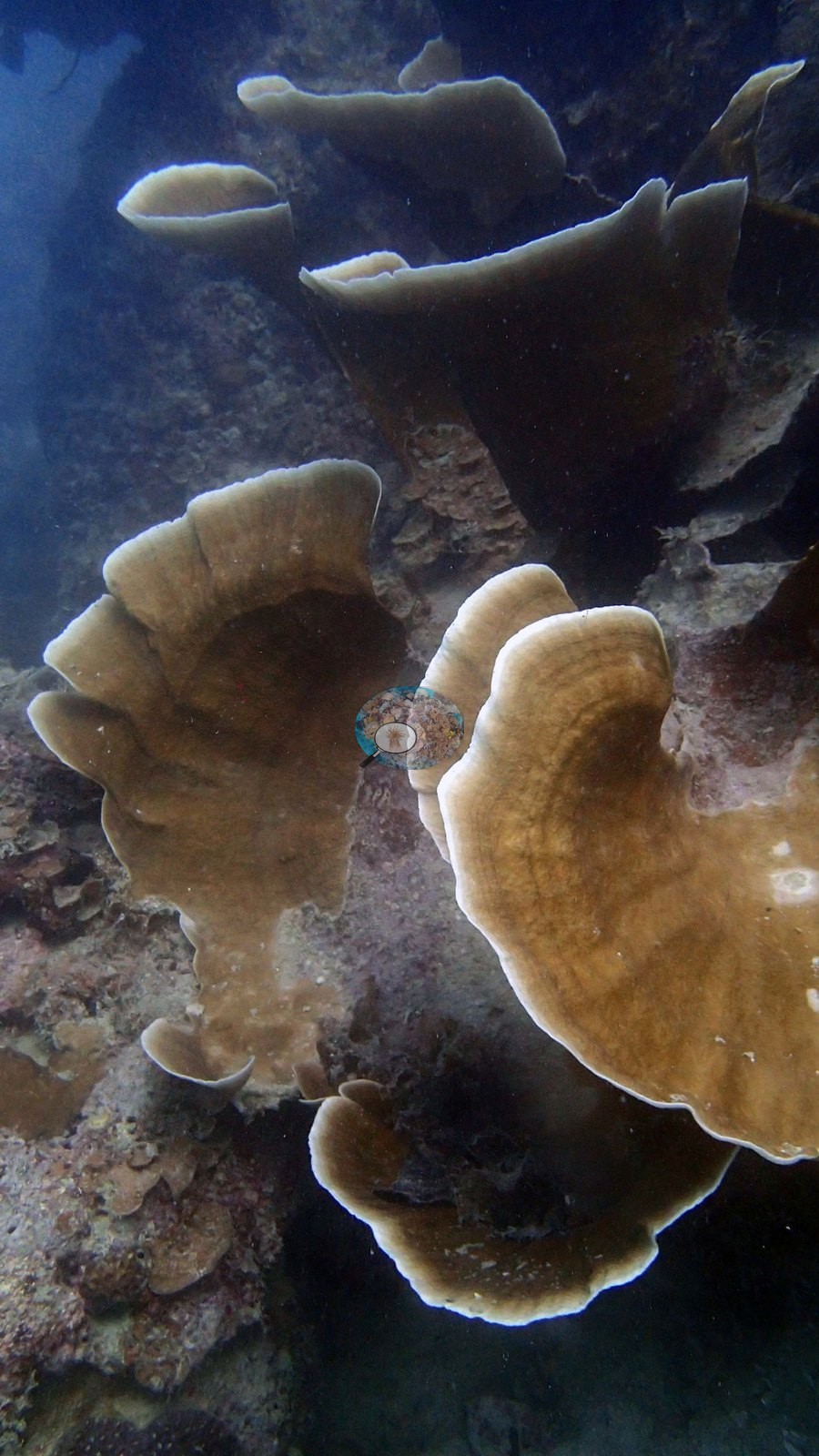
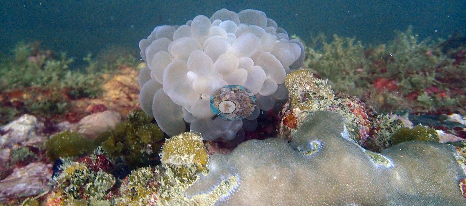
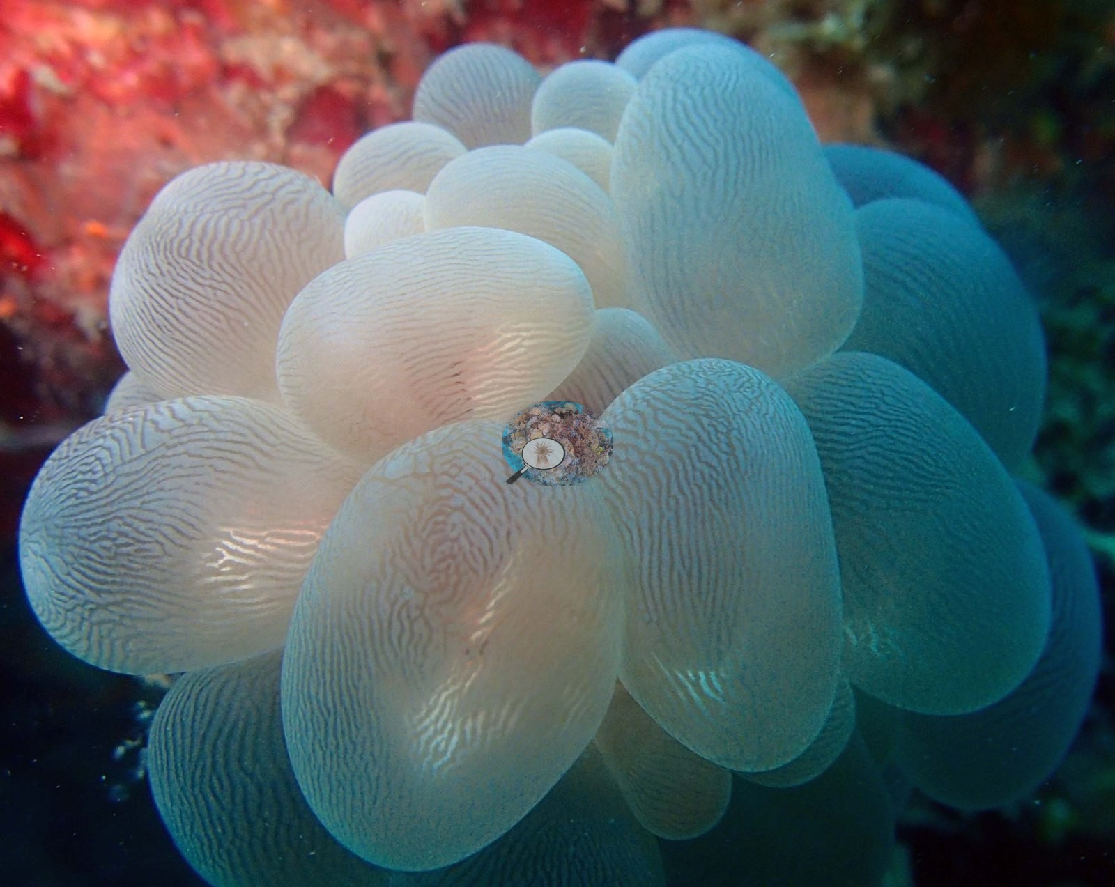
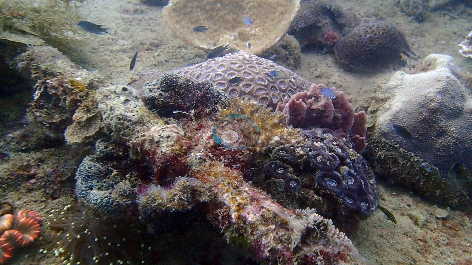
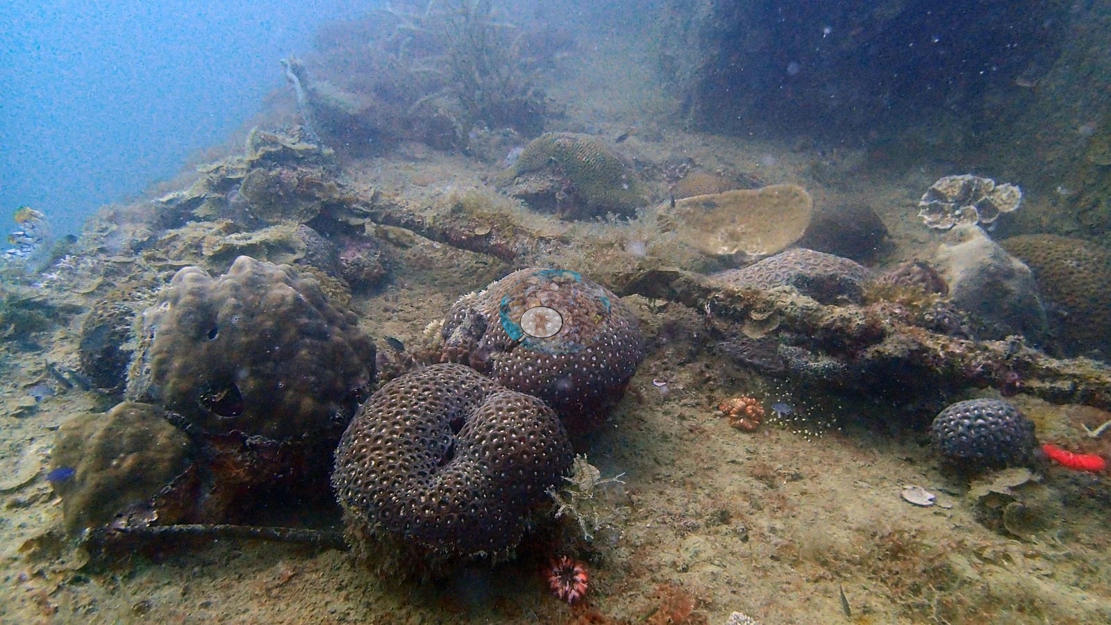
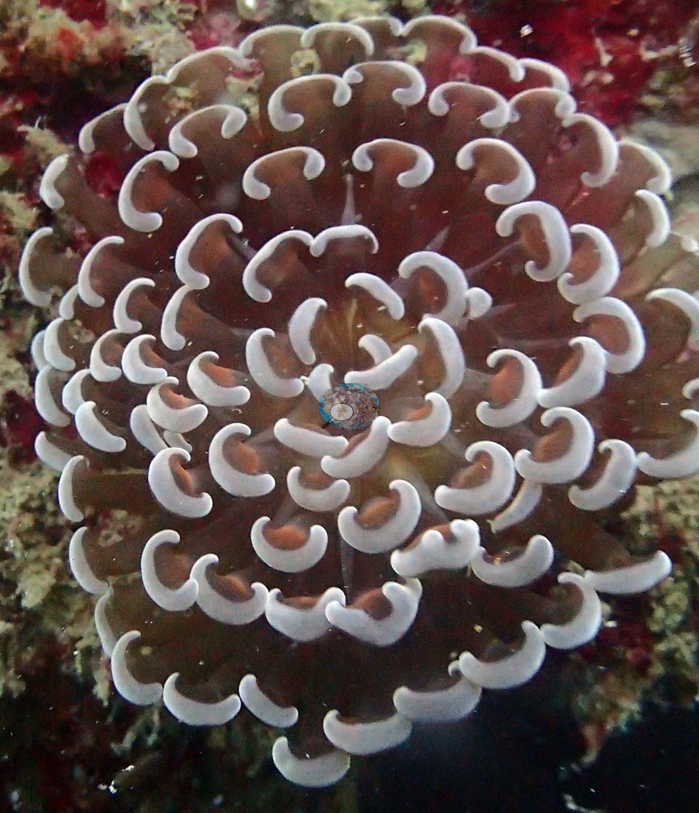
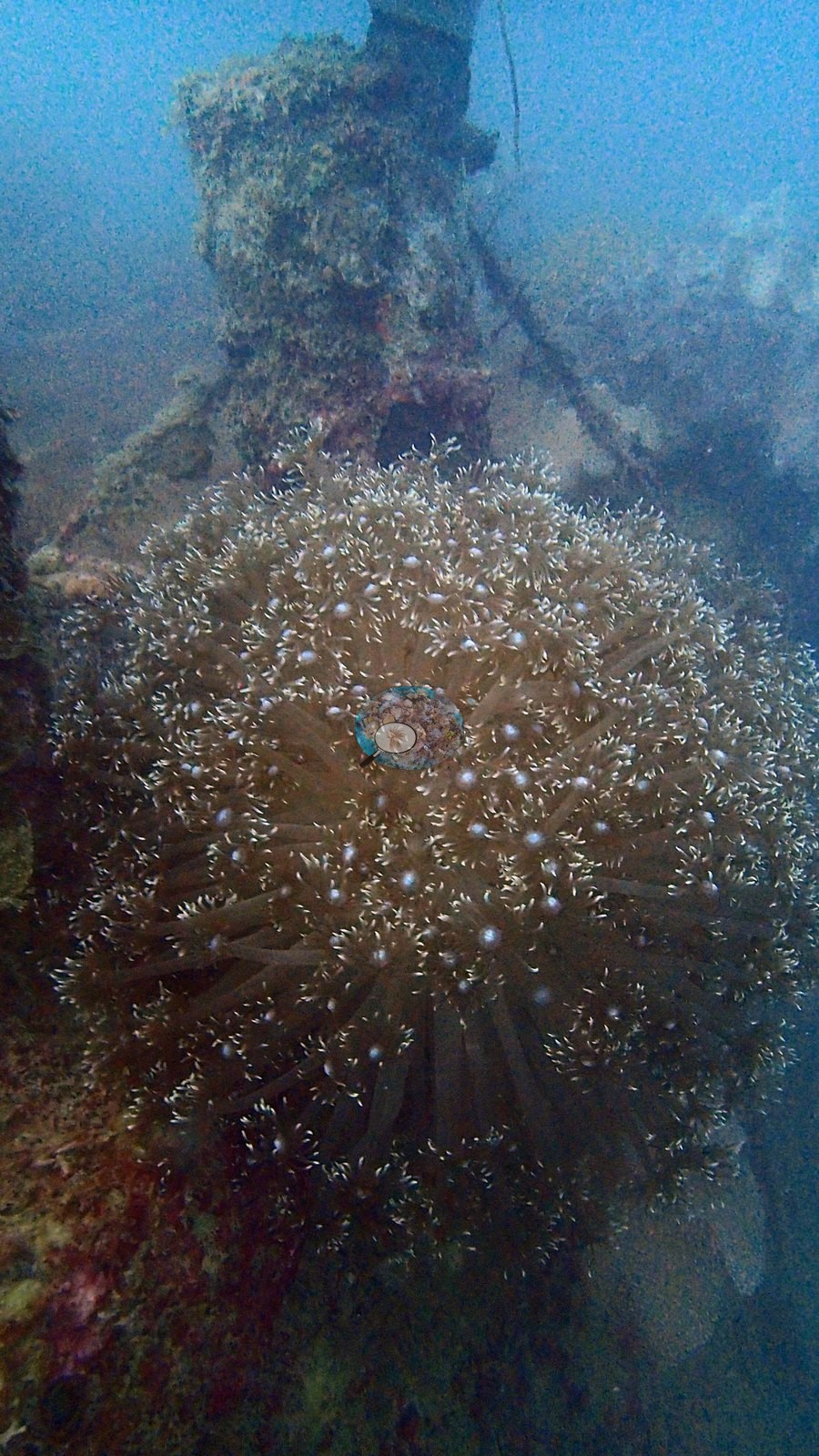
Hard coral highlights: tiered scroll-like Turbinaria plates with pale margins - the best structural coral in the set; Favia/Favites domes with ring-shaped corallites sitting on the wreck debris; Plerogyra sinuosa bubble coral, twice, once as a full-frame macro of pale vesicles against red sponge; a euphylliid hammer coral in close-up, maroon tentacles tipped with white anchor-shaped knobs; a domed flowerpot-type coral whose polyps each show a bright blue oral disc; and a Goniopora-like dome of long white-tipped polyps on the superstructure (e.g., Image 6, Image 8, Image 11, Image 14, Image 15, Image 21, Image 24, Image 25).
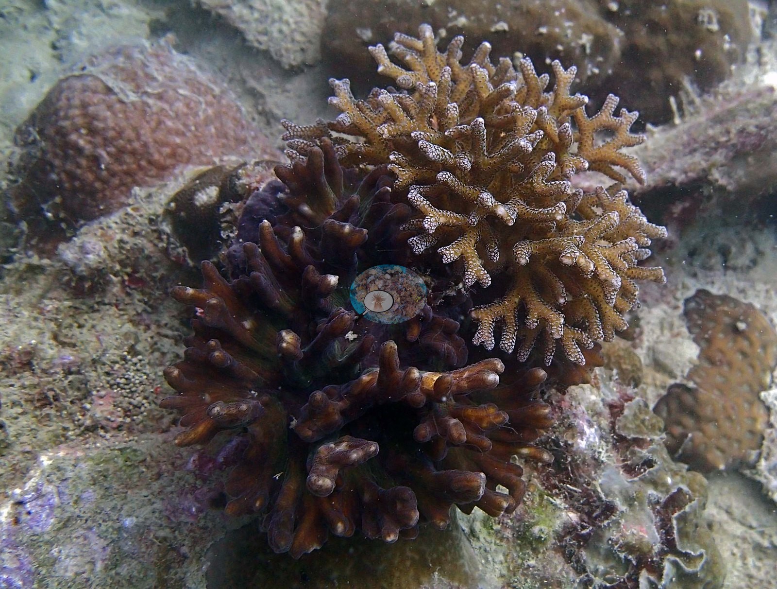
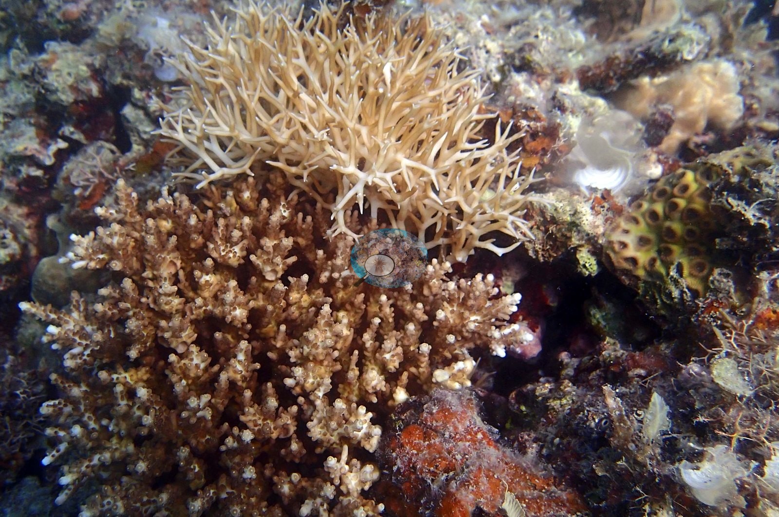
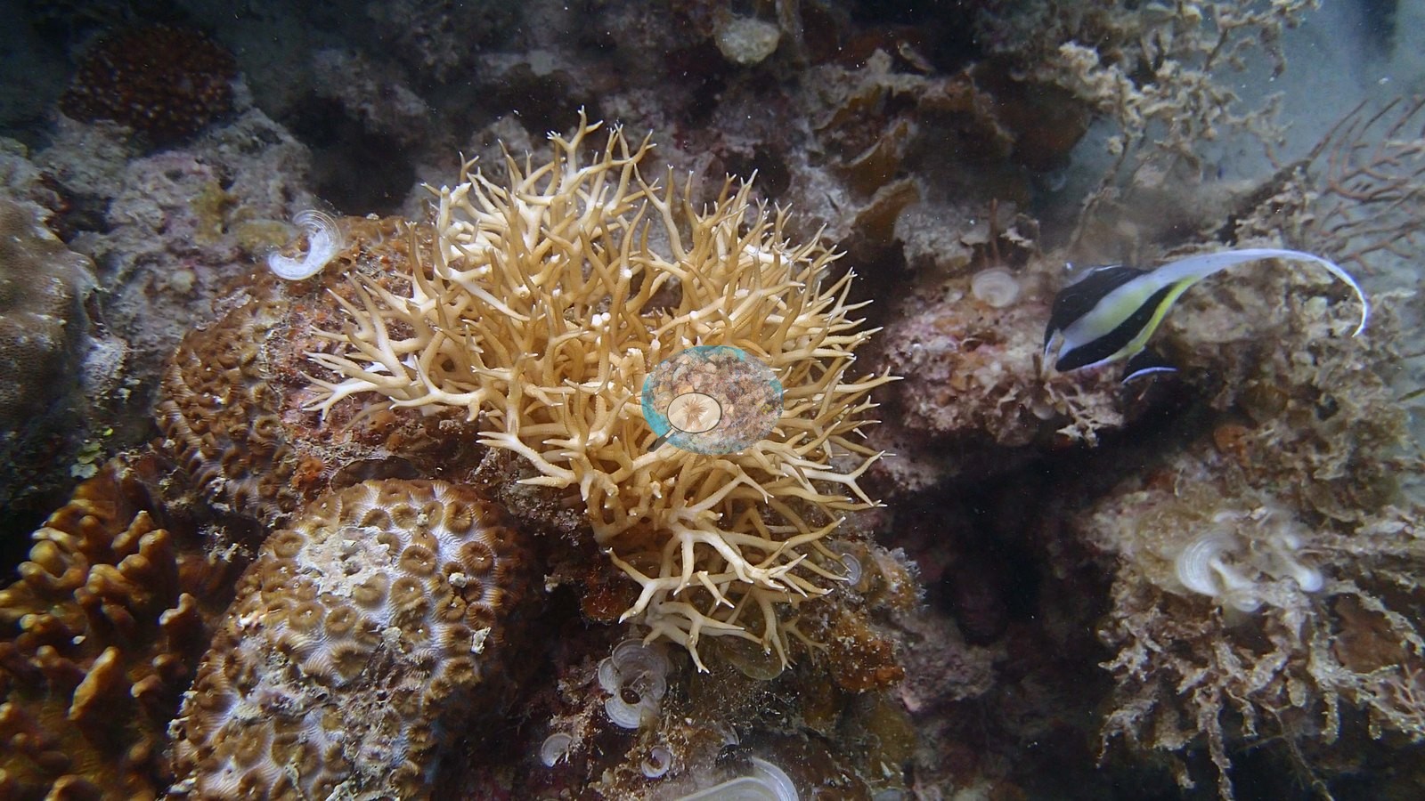
Corymbose and bushy Acropora appear only as small colonies - the filenames' verdict that acroporids are rare here holds up (e.g., Image 9, Image 10, Image 23).
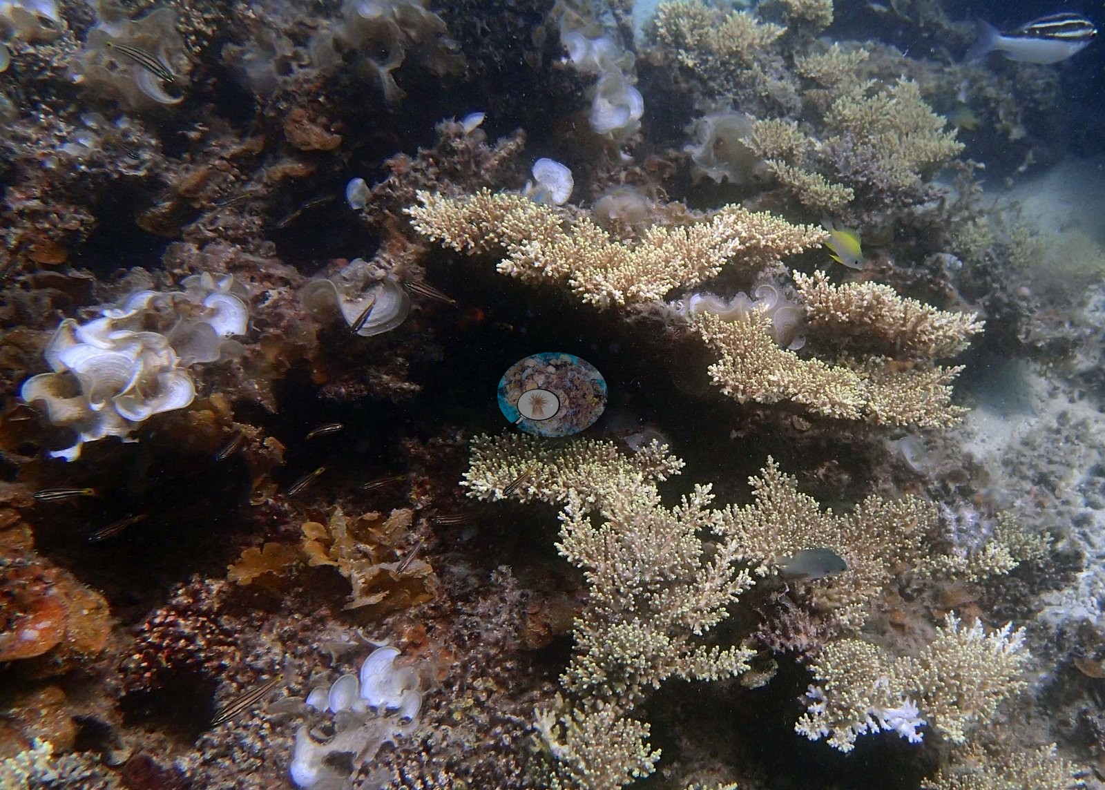
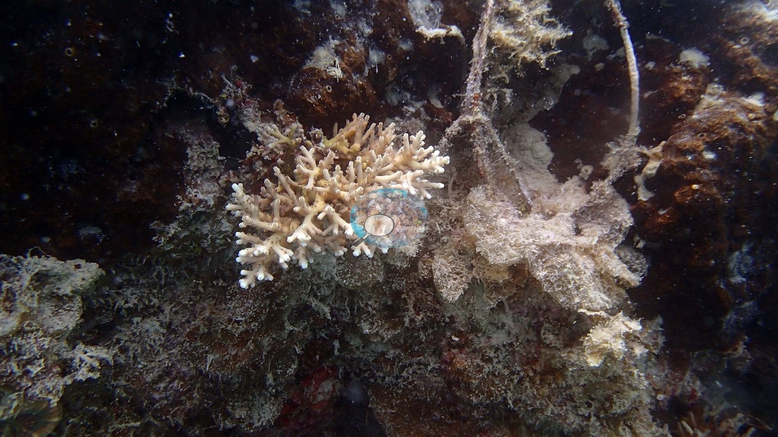
Algae are heavy throughout, matching the second filename verdict.
Coral cover
The site record's published 29% is the mean of two computer vision passes over Anderson's own frames: a DINOv3 figure of 21% and CoralSCOP's 38%, taken over the 19 frames that returned masks - a 16.8-point spread. (Over all 20 frames CoralSCOP scored, including the one that returned no mask, it reads 36%; 29 is the number of photographs in the folder, not the number scored.) Neither is a diver survey, and on a wreck both are indexing hull colonization rather than reef cover.
Stressors
Several colonies are conspicuously pale - a cream pocilloporid, a whitish Acropora, a pale Favites - but no lesions, no tissue-loss margins, and no crown-of-thorns appear anywhere (e.g., Image 7).
Fish and other fauna
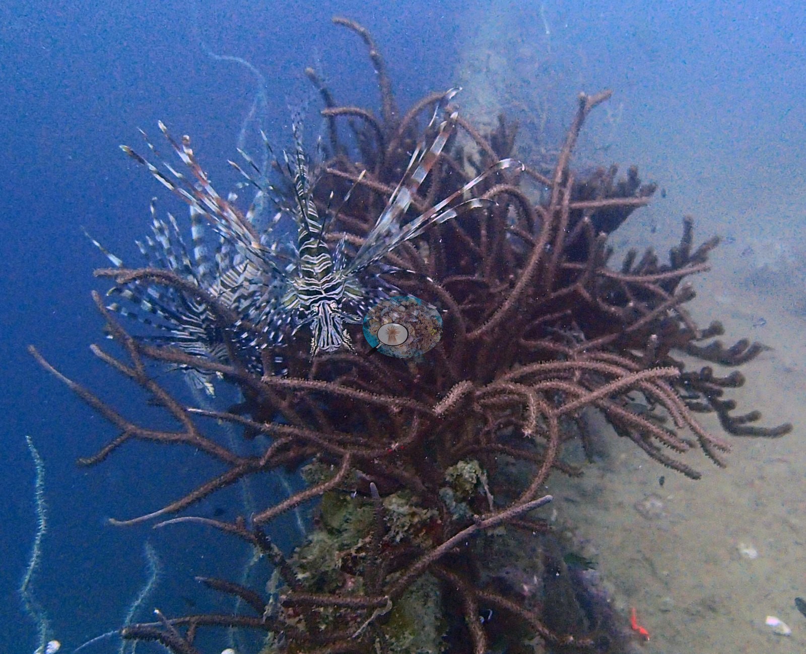
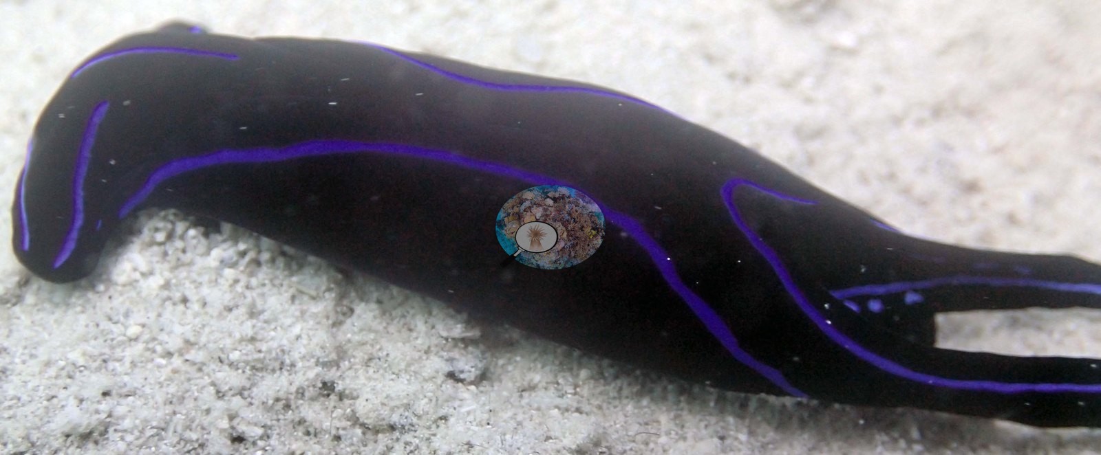
Fauna: a lionfish over a dark whip/black-coral bush, a black headshield slug with electric-violet lines and a forked tail, cardinalfish, blue-green damsels, a Moorish idol, and cup sponges on the silt (e.g., Image 16, Image 17, Image 18).
Comparisons with other data
Also on record for this site: The Alberguin wreck, a hull resting on silty sand off Port Barton, dived 2017-01-20 (23.8 m max, 14.3 m mean, 27.2 C). A lionfish hangs over a black-coral bush and a ribbon-patterned nudibranch or flatworm works the sand nearby. That gap is expected on a wreck: these methods describe hull colonization, not natural reef cover, and CoralSCOP scored as high as 79.5% on a close-range red-Euphyllia macro shot against 0% on a nudibranch frame. Anderson keeps an eye out for newer CV models and will refresh this CoralSCOP and DINOv3 figure once a more trustworthy option is available.
Dive record
All 25 frames reviewed (dived 2017-01-20, 23.8 m max / 14.3 m mean).
Other notes
Hard-coral highlights: tiered scroll-like Turbinaria plates with pale margins - the best structural coral in the set; Favia/Favites domes with ring-shaped corallites sitting on the wreck debris; Plerogyra sinuosa bubble coral, twice, once as a full-frame macro of pale vesicles against red sponge; a euphylliid hammer coral in close-up, maroon tentacles tipped with white anchor-shaped knobs; a domed flowerpot-type coral whose polyps each show a bright blue oral disc; and a Goniopora-like dome of long white-tipped polyps on the superstructure (e.g., Image 6, Image 8, Image 11, Image 14, Image 15, Image 21, Image 24, Image 25). (Over all 20 frames CoralSCOP scored, including the one that returned no mask, it reads 36%; 29 is the number of photographs in the folder, not the number scored.) Neither is a diver survey, and on a wreck both are indexing hull colonization rather than reef cover.
Also on record for this site: The Alberguin wreck, a hull resting on silty sand off Port Barton, dived 2017-01-20 (23.8 m max, 14.3 m mean, 27.2 C).
CV model comparison
More info
As of September 2026 no computer-vision method estimates coral cover accurately on new images, so treat this as indicative rather than a measurement; it is revised as the methods improve.More info
The published figure is the mean of the two methods.| Method | Hard-coral cover (%) |
|---|---|
| In-house DINOv3 | 20.9 |
| CoralSCOP | 37.7 |
| Mean (± SD) | 29.3 ± 12 |
| Range | 20.9–37.7 |
Mean ± SD and range are across the computer-vision methods shown.
Independent surveys nearby
 Dr. Coral (CRD)
Within 5 km, 6 independent survey stations recorded hard coral cover in 12 surveys between 1998 and 2019. The most recent nearby survey is from 2019, so these values predate recent heat stress. This site's own estimate (29%) sits within the range of these surveys (16–34%); the methods differ, so the comparison is context, not a like-for-like test.
Collected by other programs using different methods (Reef Check uses point-intercept transects), so these are context for the figures above, not a like-for-like comparison. Where a station was surveyed more than once the range is shown. Station names are not dive-site names.
| Agency | Site / location | Date | Hard coral cover (%) | Distance | Link |
|---|---|---|---|---|---|
| Reef Check | Paraiso Reef | 1998 | 31% | 0.88 km | — |
| Reef Check | Albaguen Island | 1998 | 24% (2 surveys) | 1.40 km | — |
| Reef Check | Mantaray Reef | 1998 | 34% | 3.91 km | — |
| Reef Check | Riddle Point | 2018 | 22% (2 surveys) | 1.24 km | — |
| Reef Check | Exotic Island | 2019 | 33% (4 surveys) | 0.90 km | — |
| Reef Check | German Island | 2019 | 16% (2 surveys) | 4.05 km | — |
Data & links
All images from Coral Reef Diagnostics. Data are from Coral Reef Diagnostics and the organizations named in the data-sources table above.
© Coral Reef Diagnostics.