
Philippines - Anilao: Anilao Scuba Dive Center house reef (night dive)

Part of the regional summaries: Philippines - Luzon and Philippines
More info
Central Philippines (NOAA CRW virtual station) · Eastern Philippines ecoregion mean=7.5°C-heating weeksA classic Anilao muck night dive over silty sand and rubble rather than reef framework, the highlight a banded sea krait foraging across the bottom alongside urchins, dorid nudibranchs, and a possible frogfish. No coral-cover figure applies - this is sediment habitat, not reef, and none was computed.
Isang klasikong muck night dive sa Anilao sa ibabaw ng maputik na buhangin at durog na koral sa halip na balangkas ng bahura; ang pinakatampok ay isang walo-walo (banded sea krait) na naghahanap ng pagkain sa sahig ng dagat kasama ang mga tuyom, dorid na nudibranch, at isang posibleng frogfish. Walang naaangkop na bilang ng saklaw ng koral - tirahang sedimento ito, hindi bahura, at wala ring kinalkula.
Salin ng buod na ito gamit ang AI; ang Ingles ang opisyal na bersyon.
Nine independent survey stations shown with the program’s logo — click one to see how far it is from this site.
Four other CRD dive sites within 5 km shown in orange — click a marker to open its page.
21 of these 50 photographs are shown beside the text that discusses them under "Site description" below.
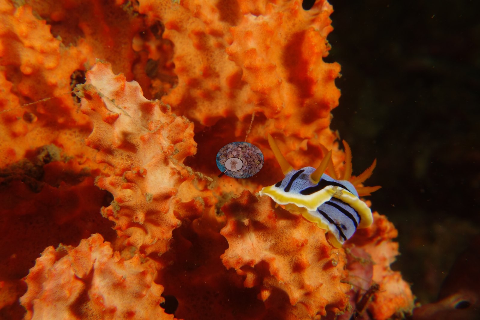
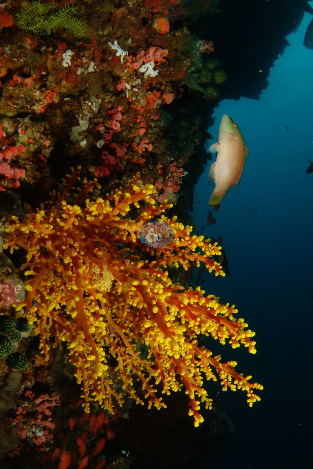
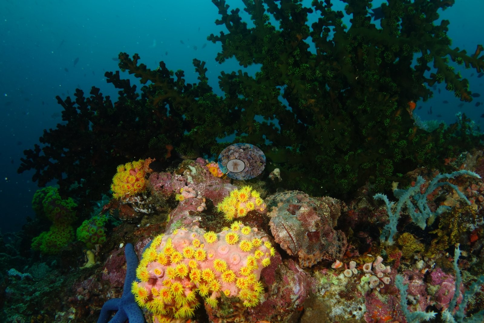
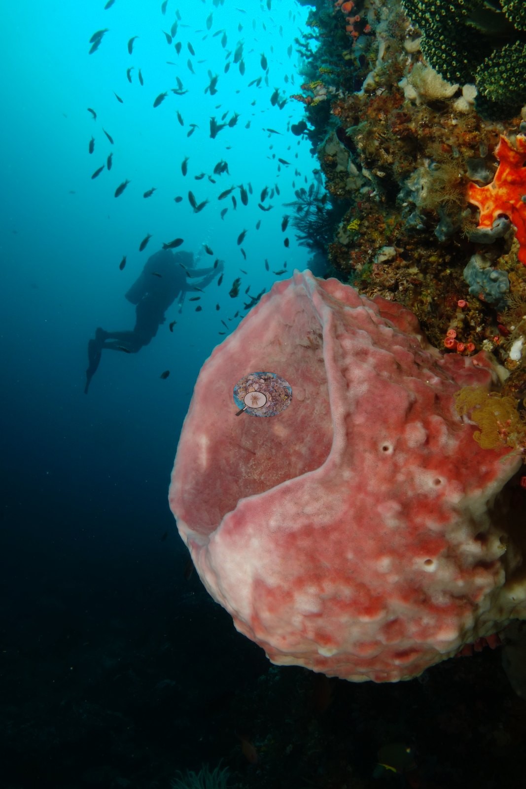
Site description
General benthic features
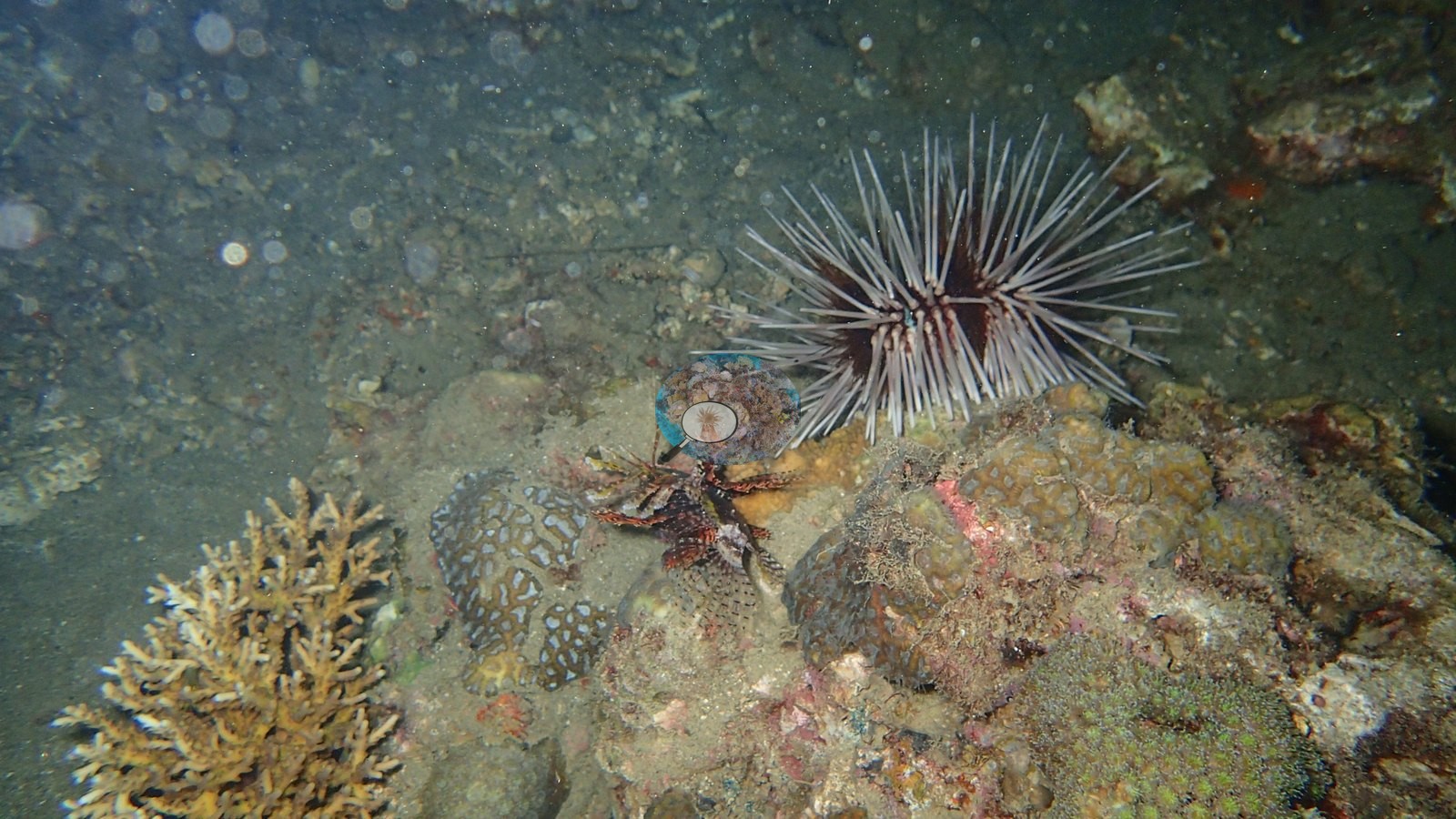
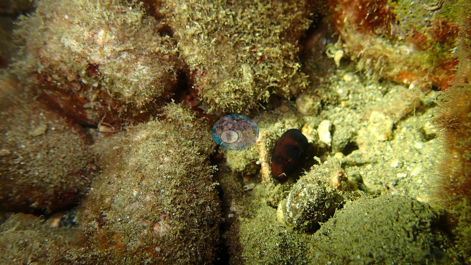
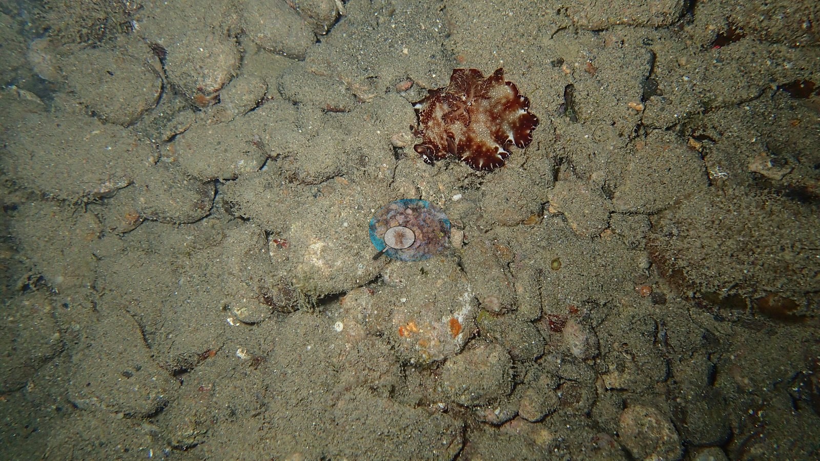
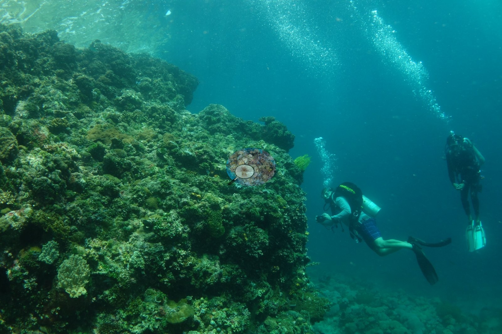
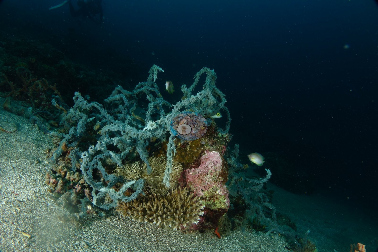
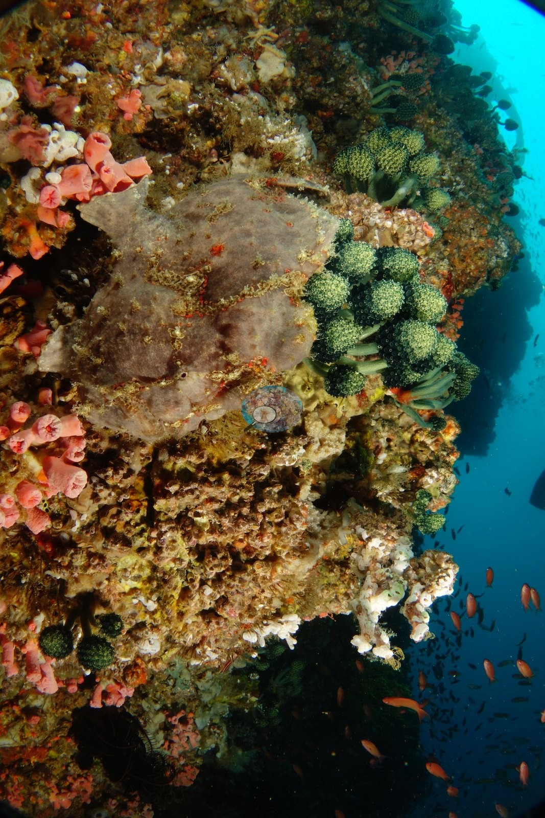
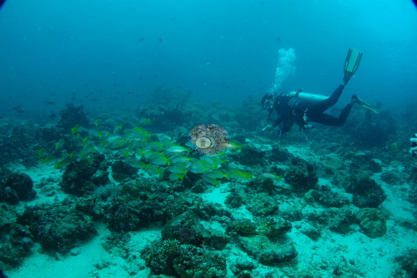
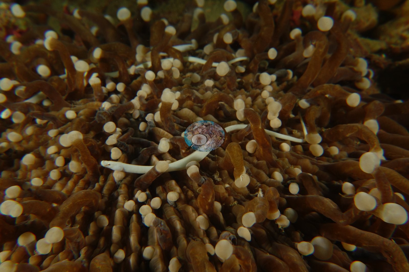
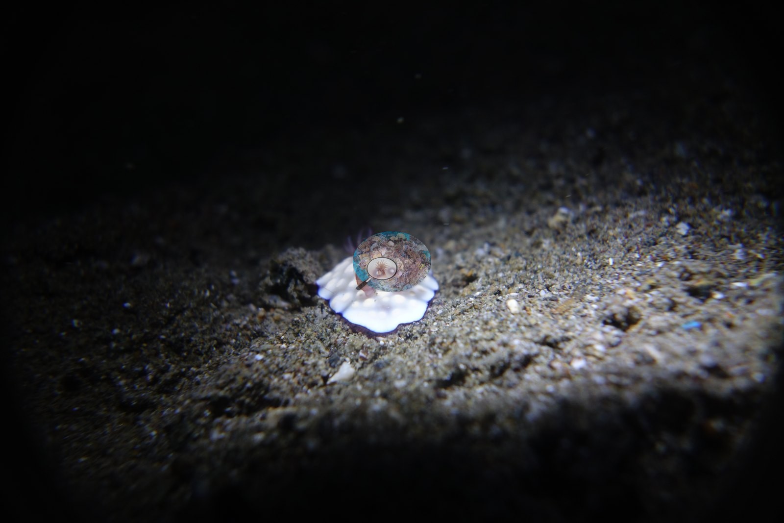
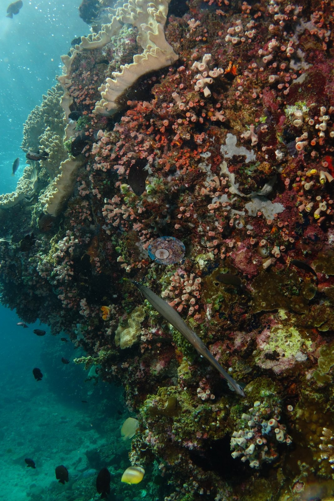
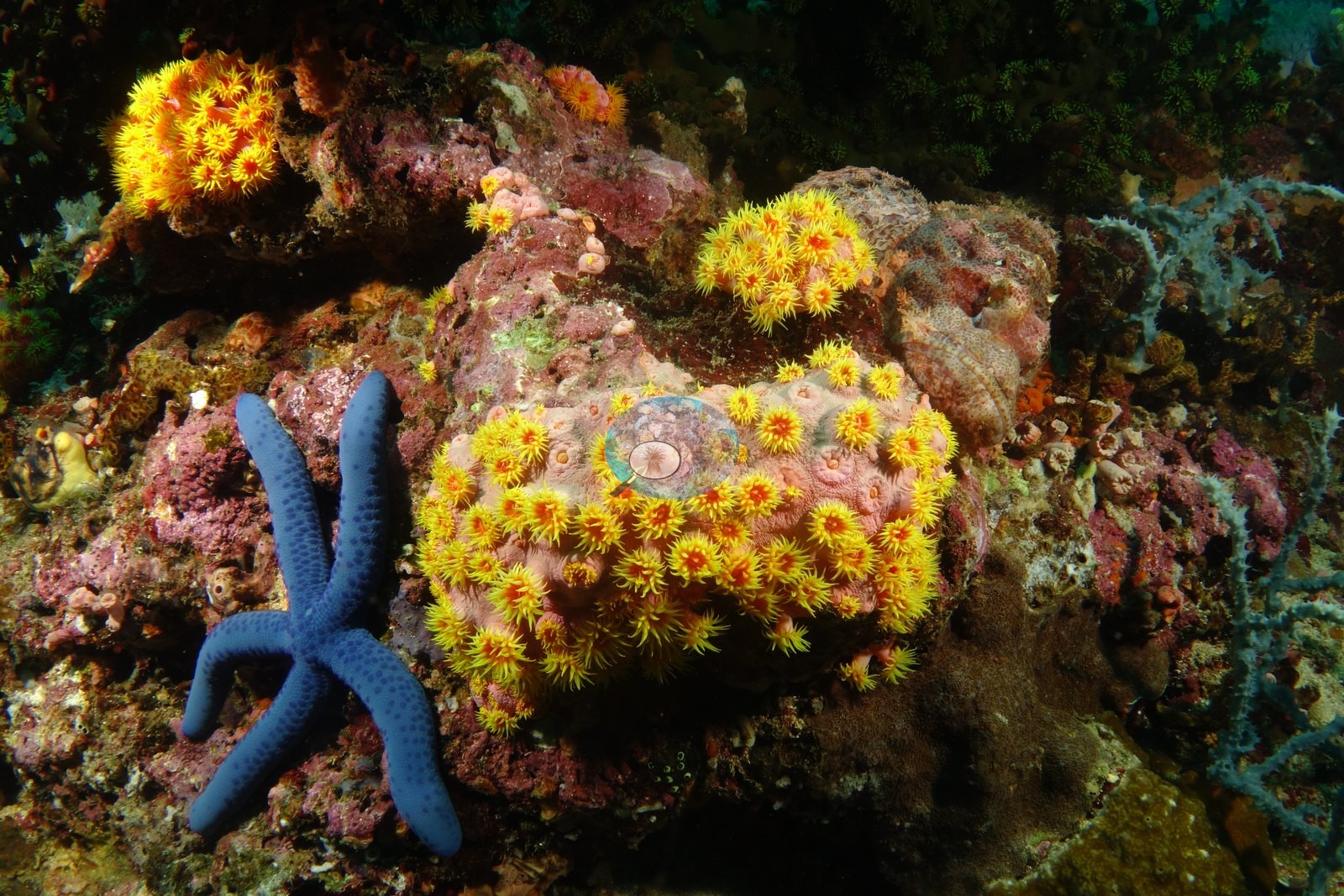
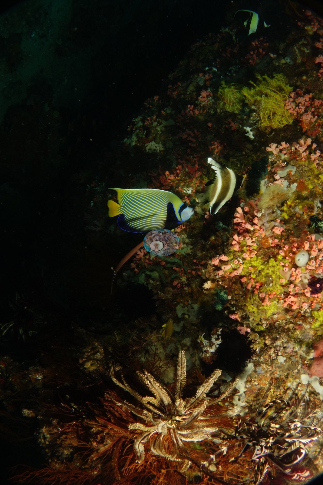
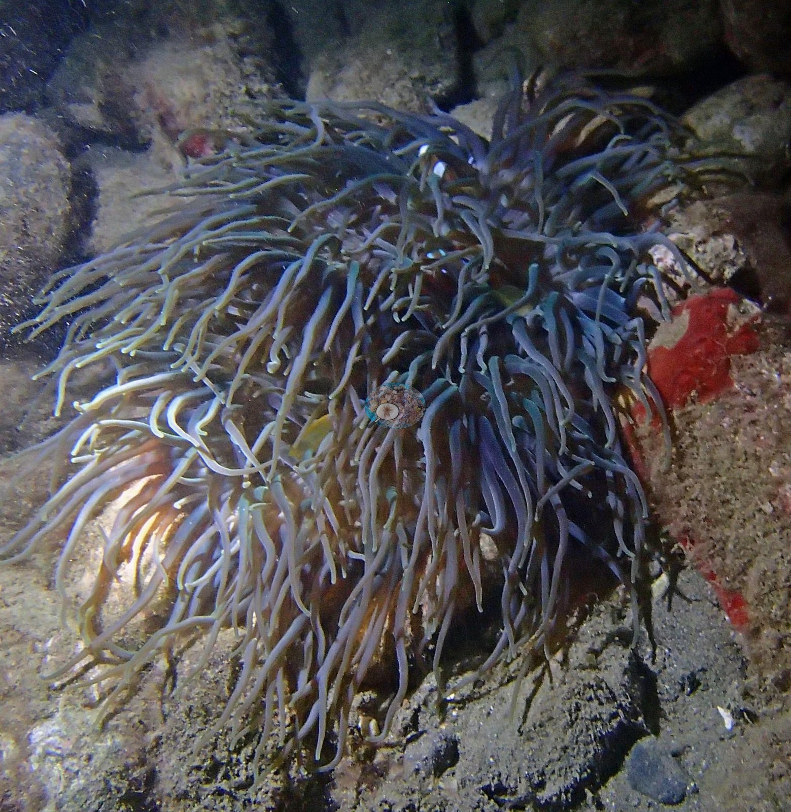
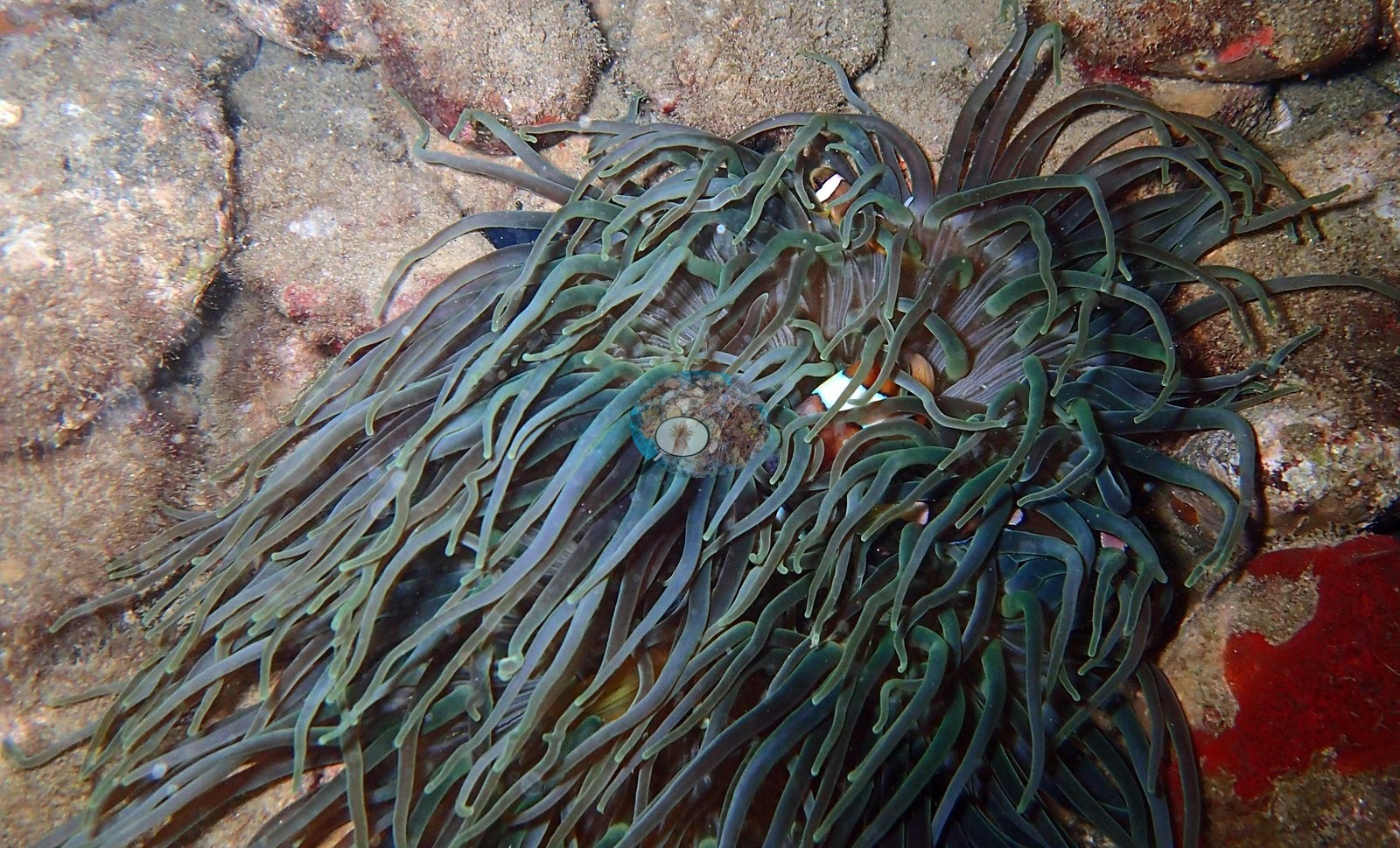
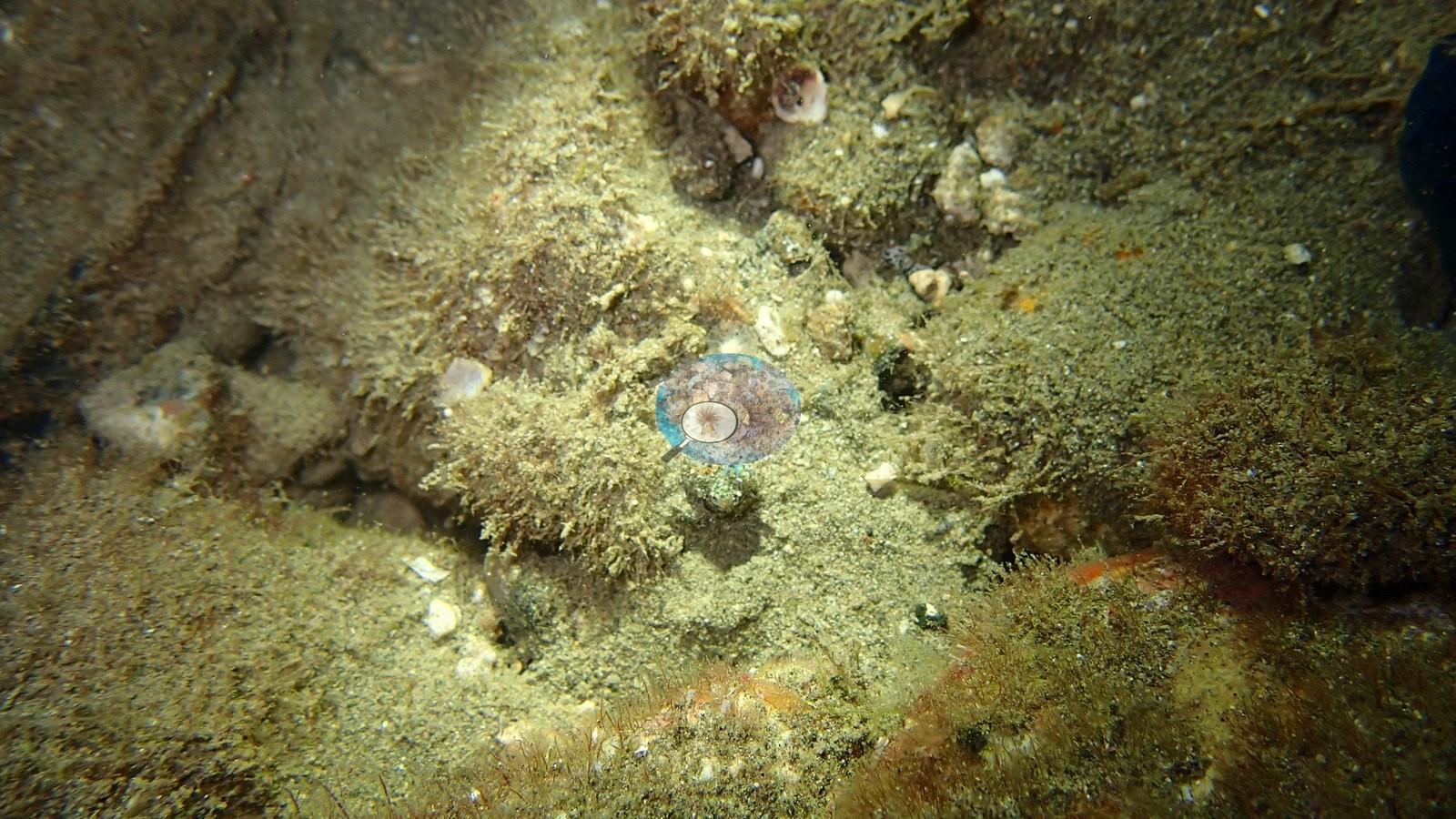
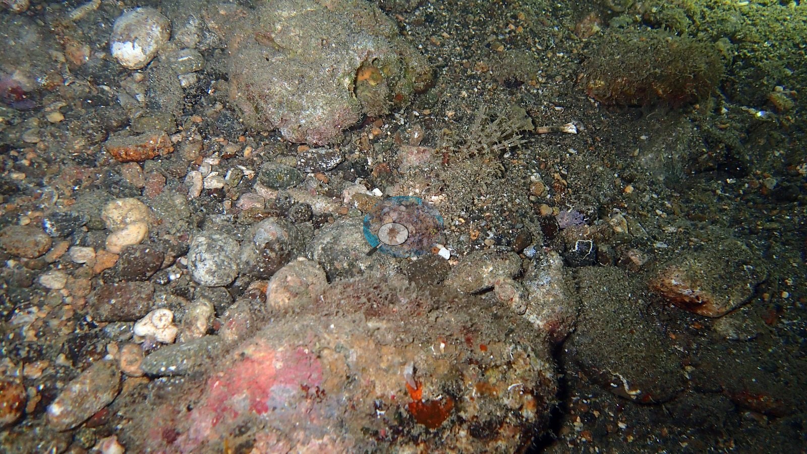
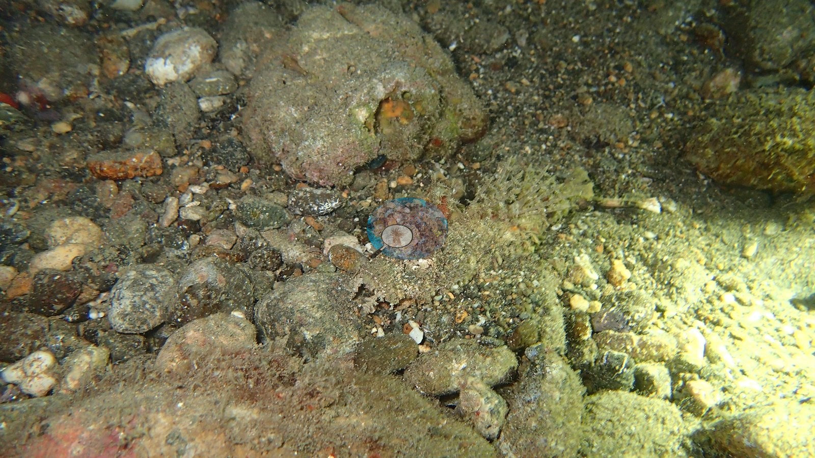
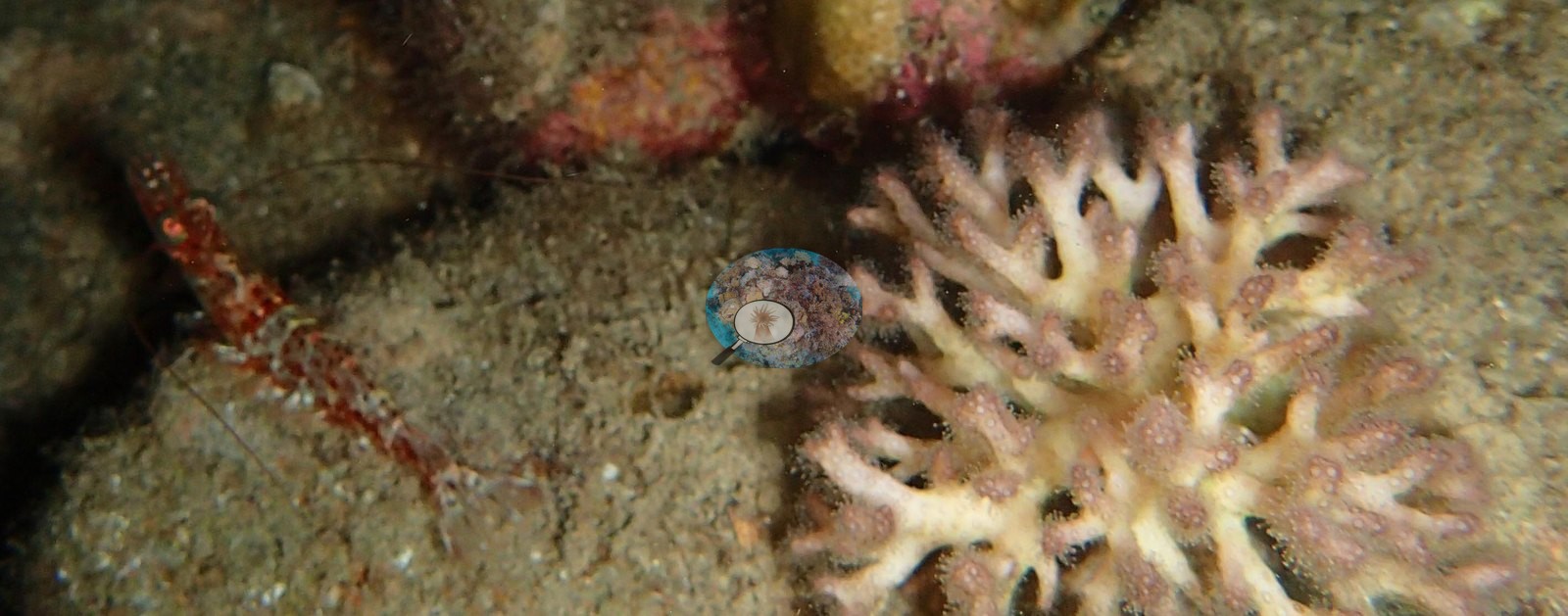
The bottom is low-relief silty sand, pebble, and rubble flats scattered with sunken timber and branch debris; attached structure is sparse, limited to small anemones, isolated soft-coral colonies, and turf-covered rock, and no reef framework is visible in any frame (e.g., Image 1, Image 2, Image 5, Image 18, Image 19, Image 20).
Coral cover
There is no coral cover figure for this site and none should be published: it is a night dive over sediment, a benthic cover figure here would be meaningless, and both computer vision runs excluded night dives by design, so neither DINOv3 nor CoralSCOP produced a number for these 37 frames. That absence is deliberate, not a gap to be filled. It does need guarding, because a separate photo collection - a pooled two-day set of fun-dive frames shot on a different camera on 30 September and 1 October - was provisionally proposed for this site at medium confidence, and it carries CV numbers of its own (DINOv3 22.5%, CoralSCOP 21.6%). Those numbers belong to unidentified reef dives elsewhere in Anilao, not to this muck site, and must never be attached to this record. Where CV cover does exist elsewhere in this group it is reported from two models with documented and different weaknesses: CoralSCOP computer vision reads high on low-cover reefs, a median=1.68 times a co-located Reef Check diver survey and 4.6 times at worst, while DINOv3 is strong in-domain (6-class macro-F1 0.62, hard coral recall 0.82) but collapses off-domain, with cross-domain point accuracy of 0.17-0.25 and a ceiling near 35-50%. Neither is a diver survey or a transect. On this dive neither was run at all, and the honest entry for coral cover is that none was collected.
Fish and other fauna
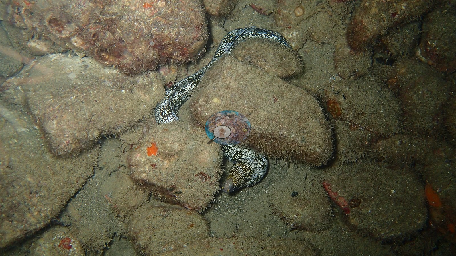
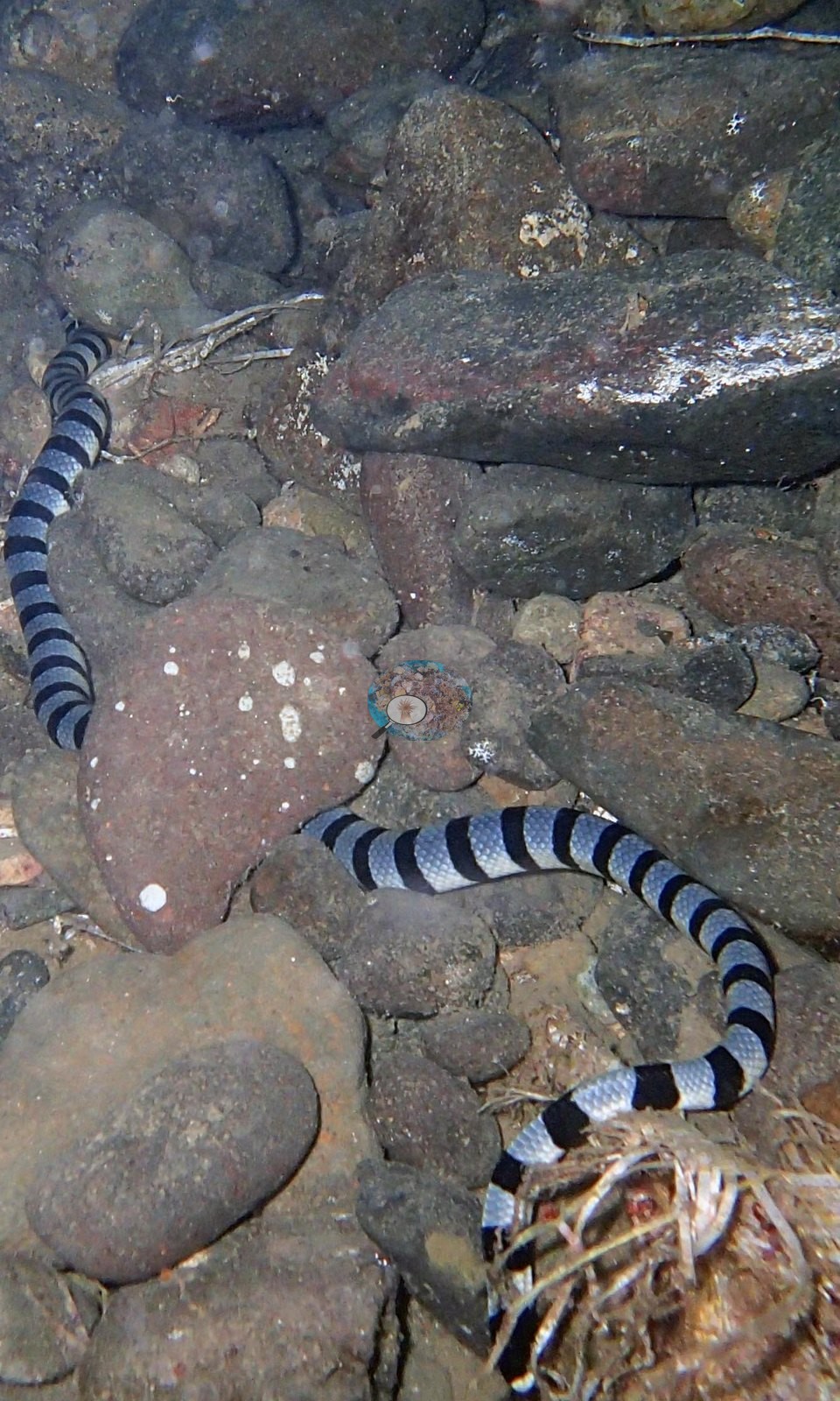
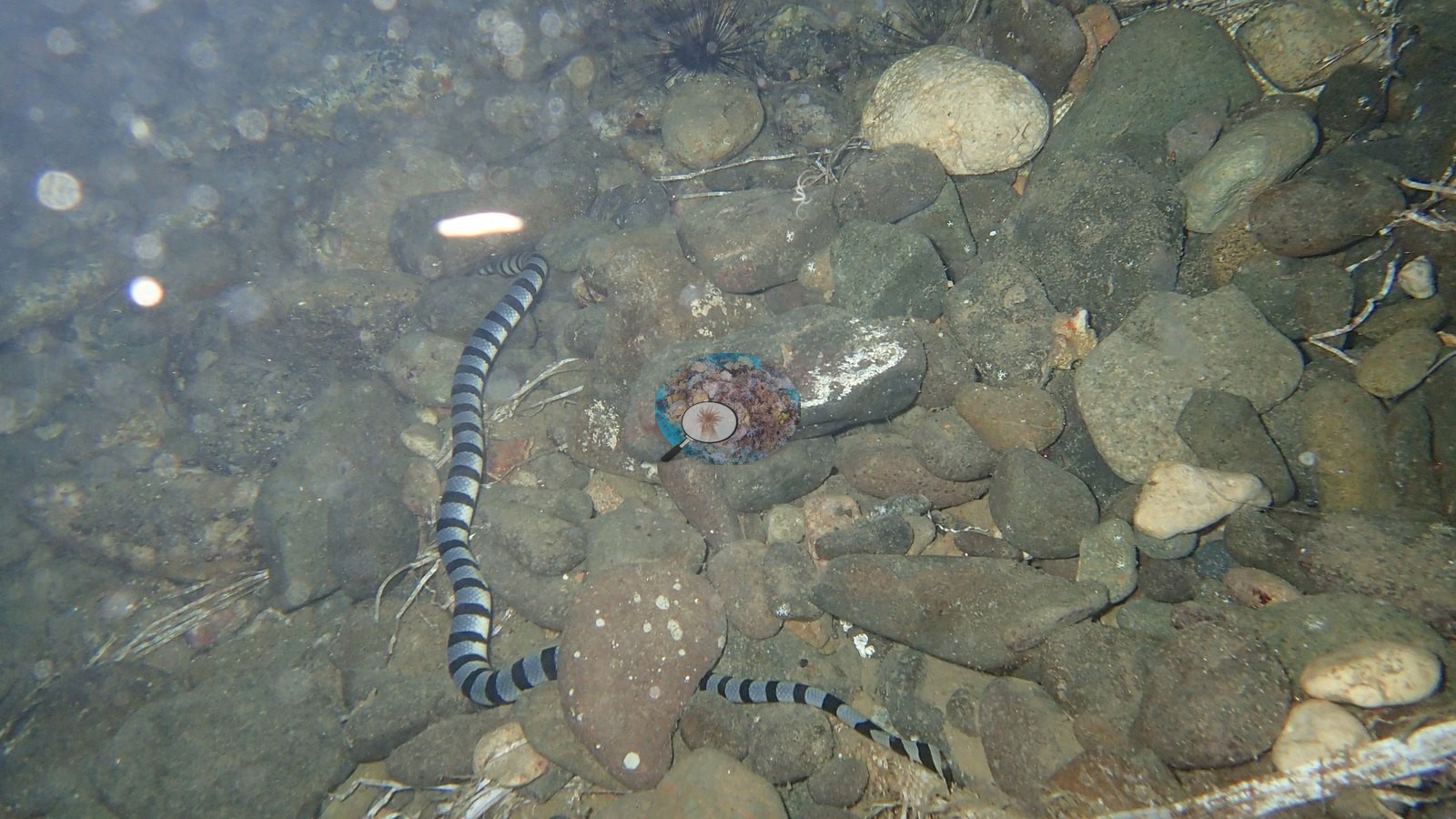
The fauna is the entire point. A banded sea krait (Laticauda colubrina) was photographed foraging across the rubble in several frames, the standout observation of the dive (e.g., Image 14, Image 15).
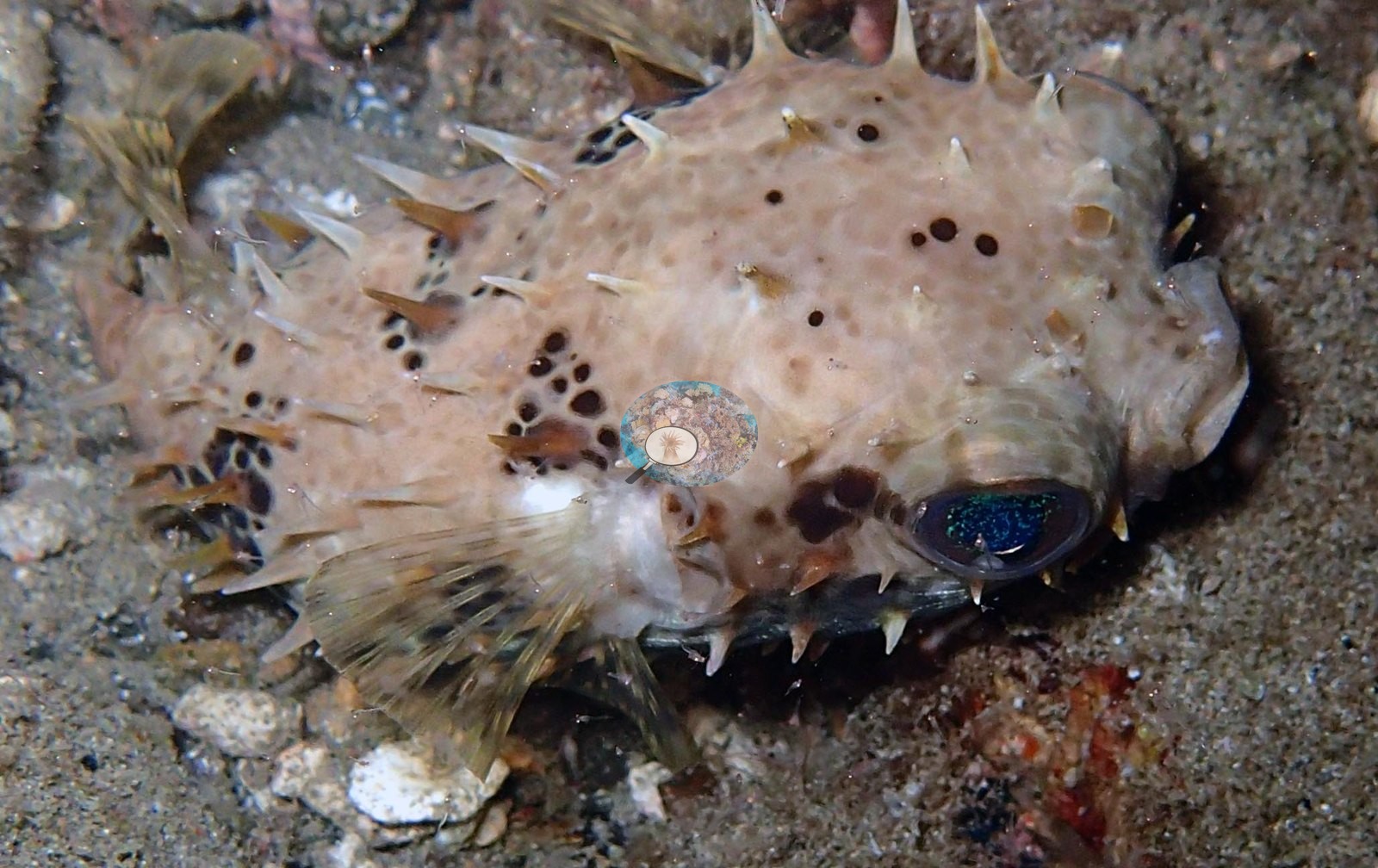
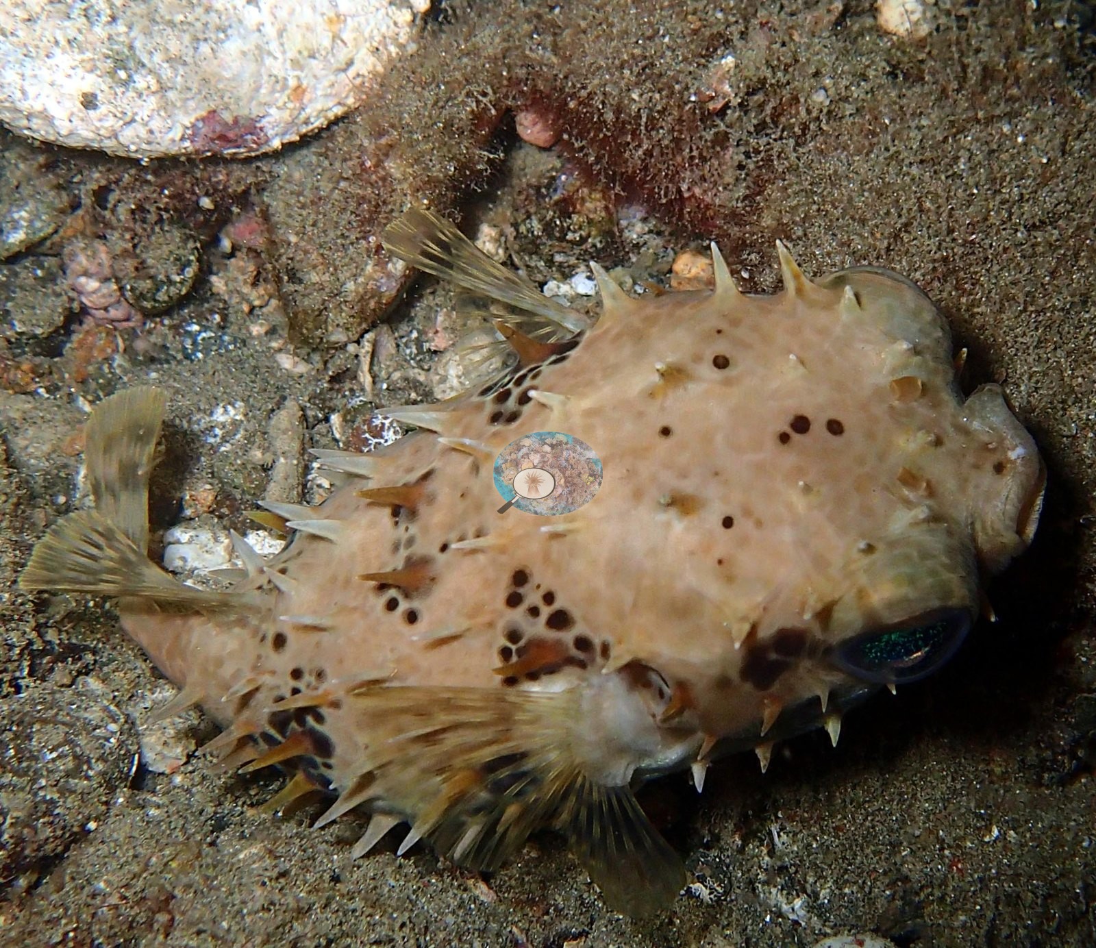
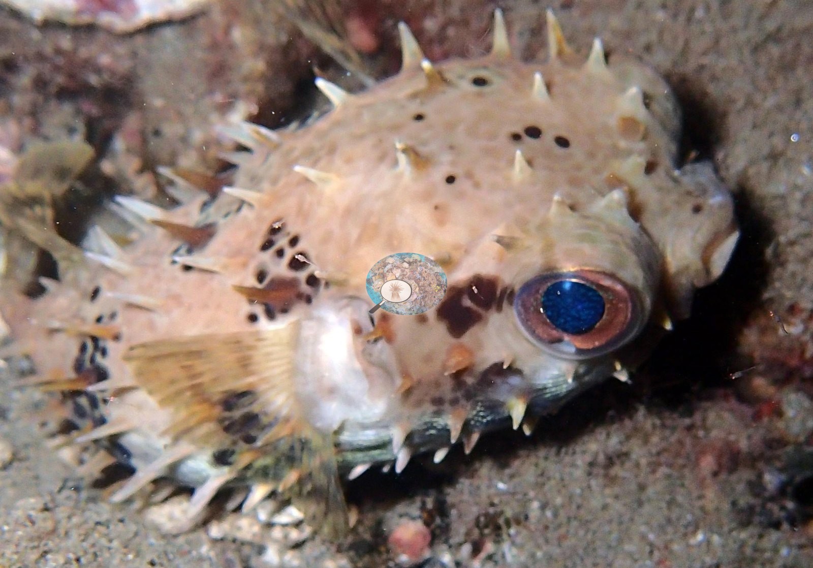
Porcupinefish rest fully spined on open sand (e.g., Image 6, Image 7, Image 8).
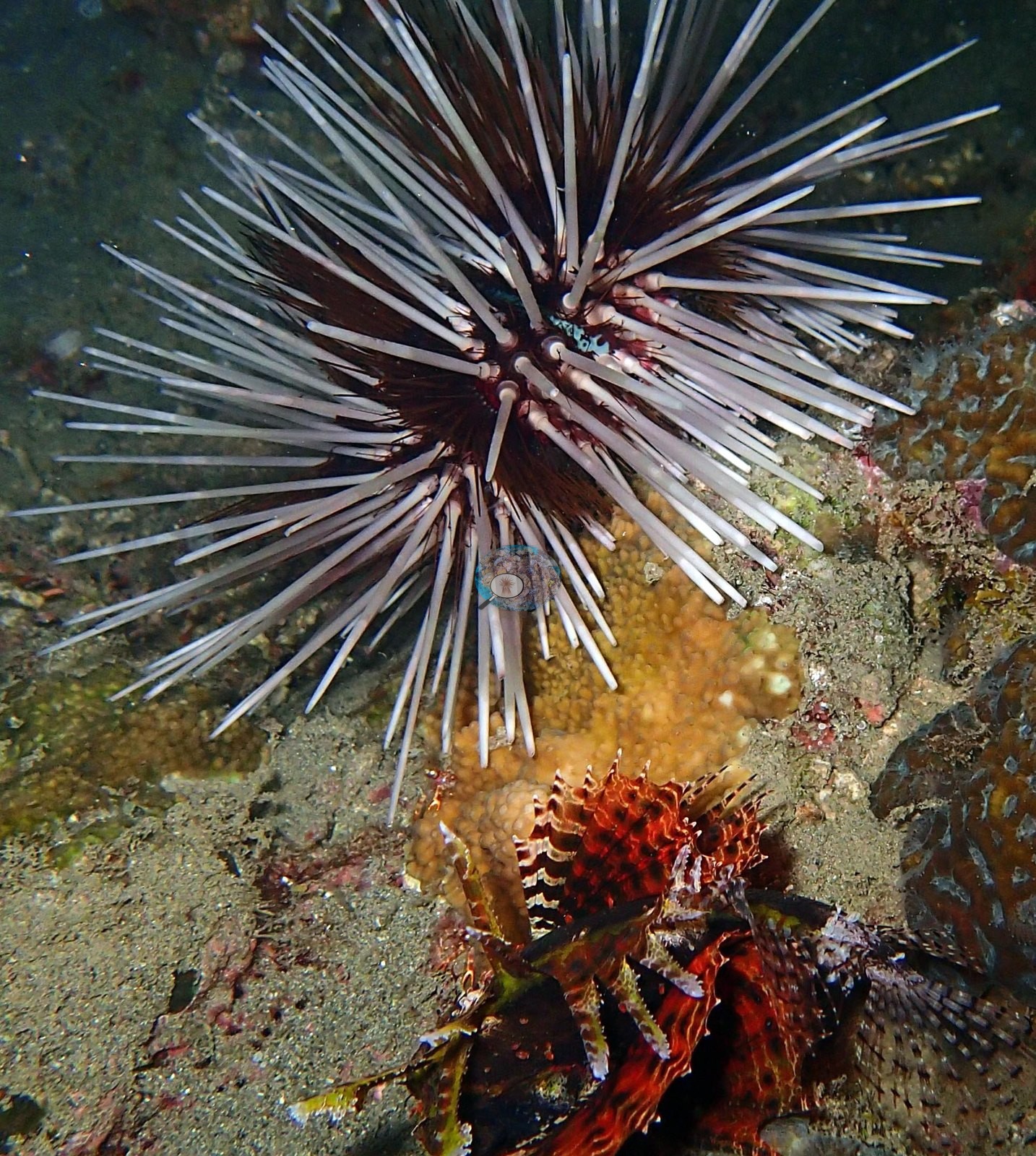
Long-spined Astropyga and Diadema urchins each carry commensal partners, and a decorator or hermit crab works the sediment (e.g., Image 3, Image 4).
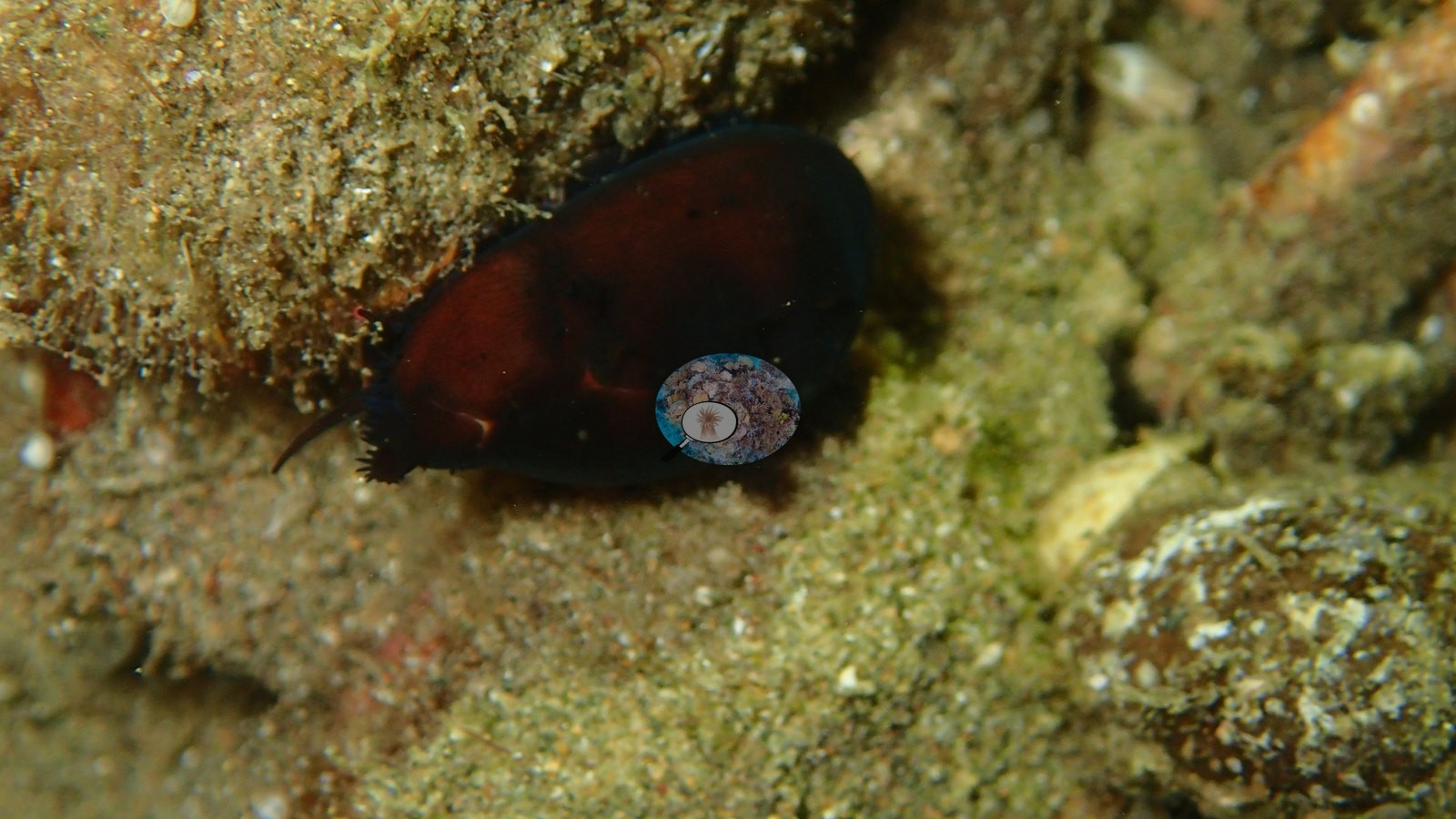
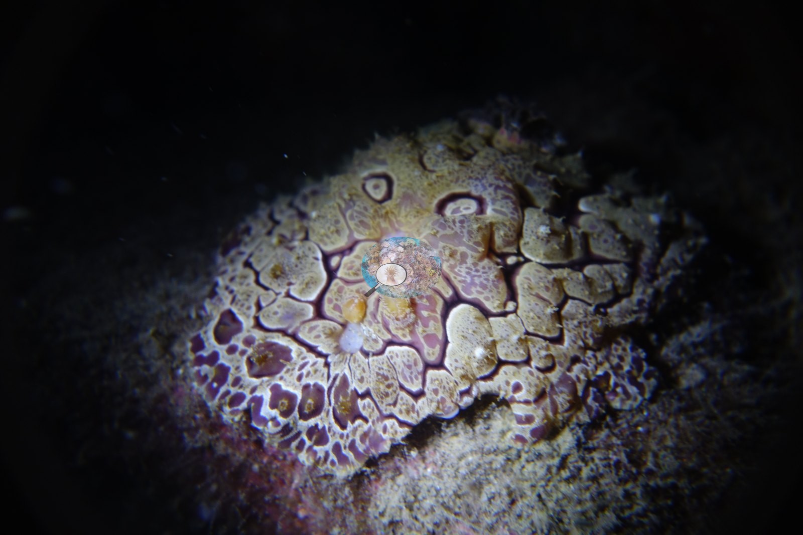
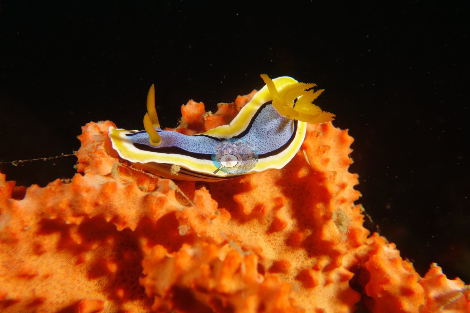
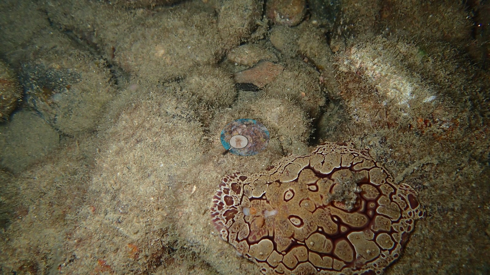
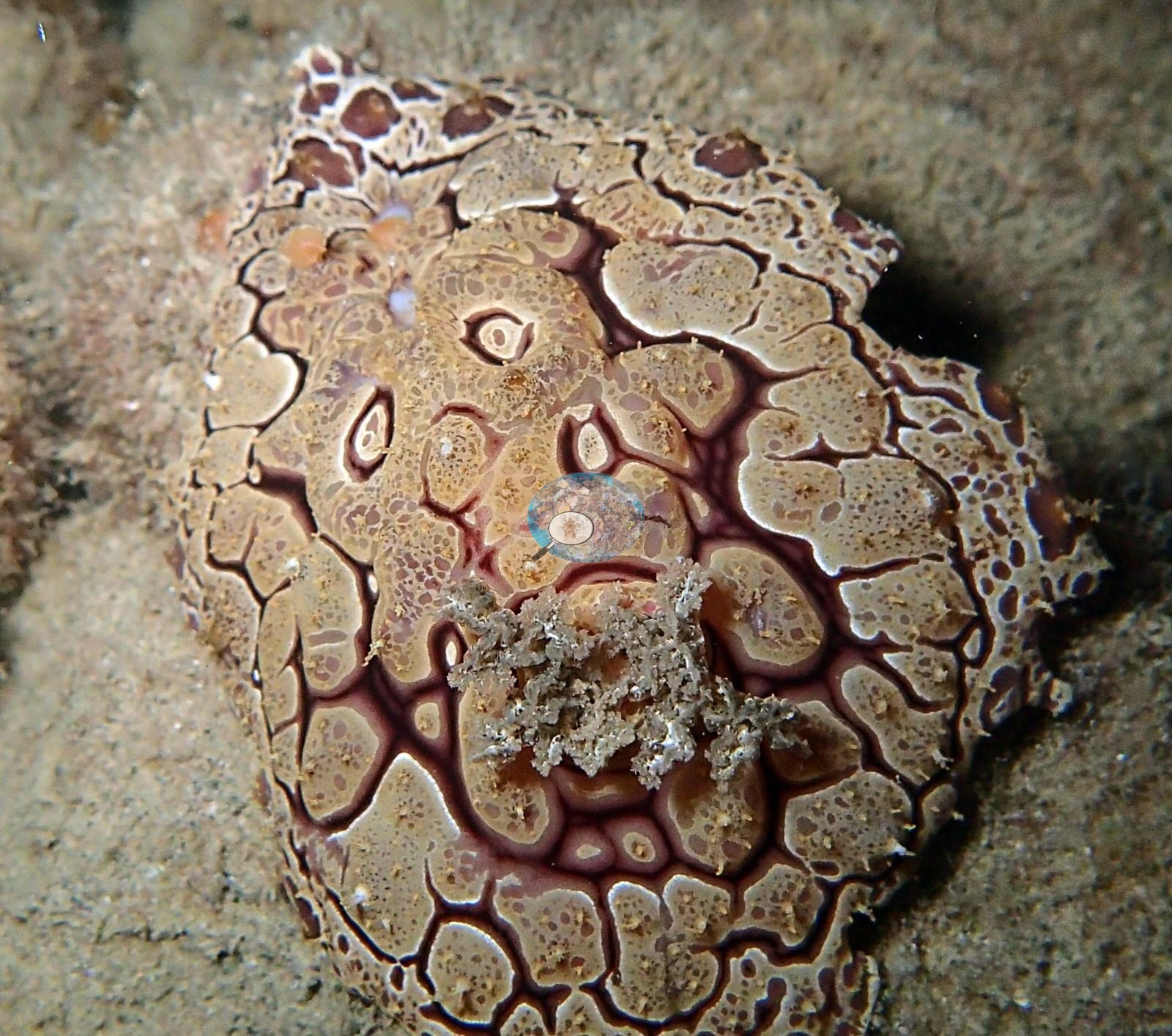
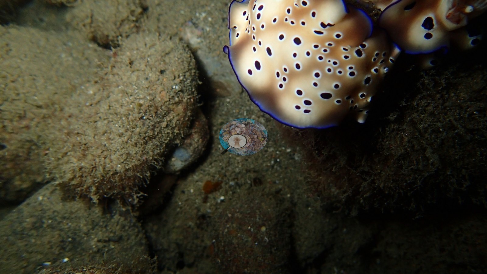
The sea-slug showing is strong: large cream dorids patterned with dark maroon reticulate networks, and a pair of spotted dorids with violet mantle margins together in one frame (e.g., Image 21, Image 22, Image 23).
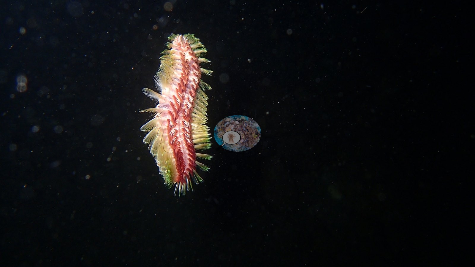
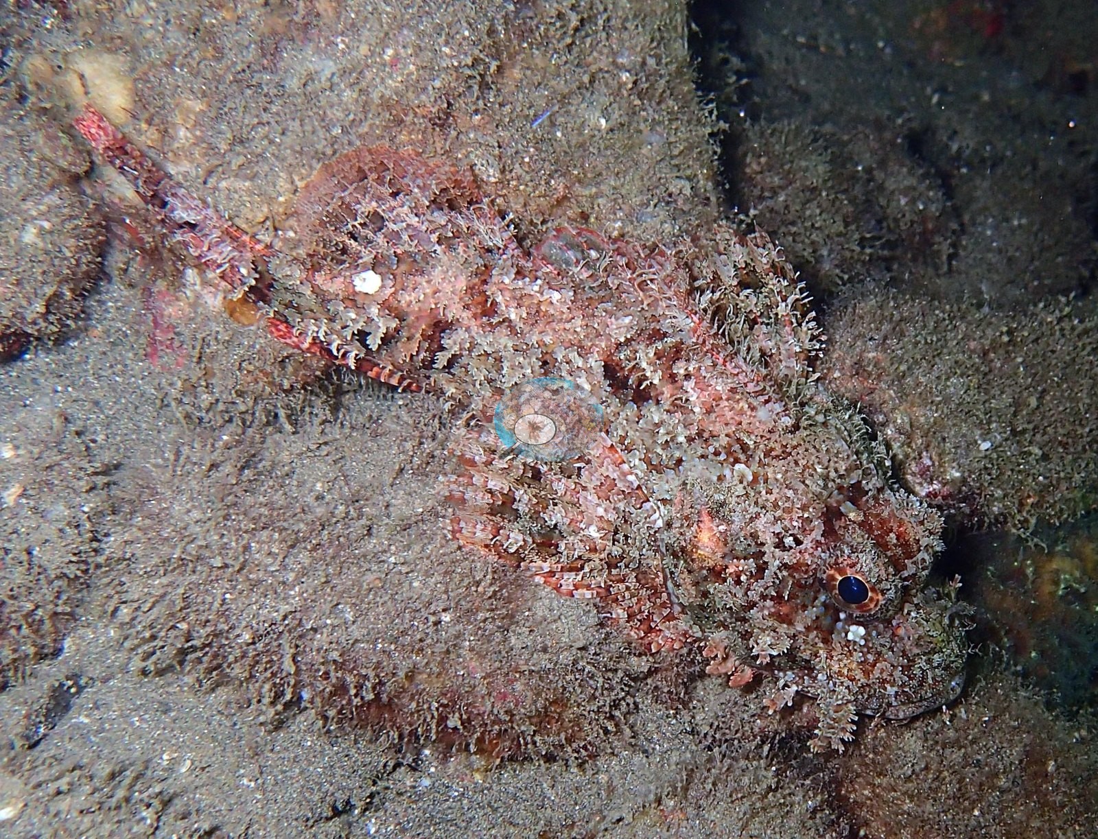
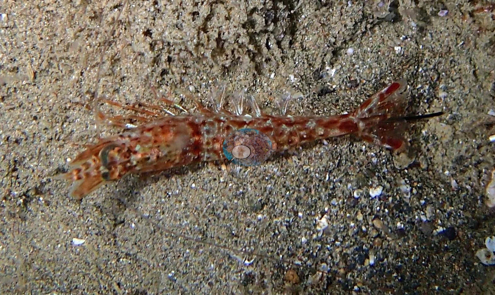
Marbled Saron-type shrimp cross the open sand, a scorpionfish lies buried against the sediment, and a Chloeia fireworm swims free against black water (e.g., Image 16, Image 17, Image 25).
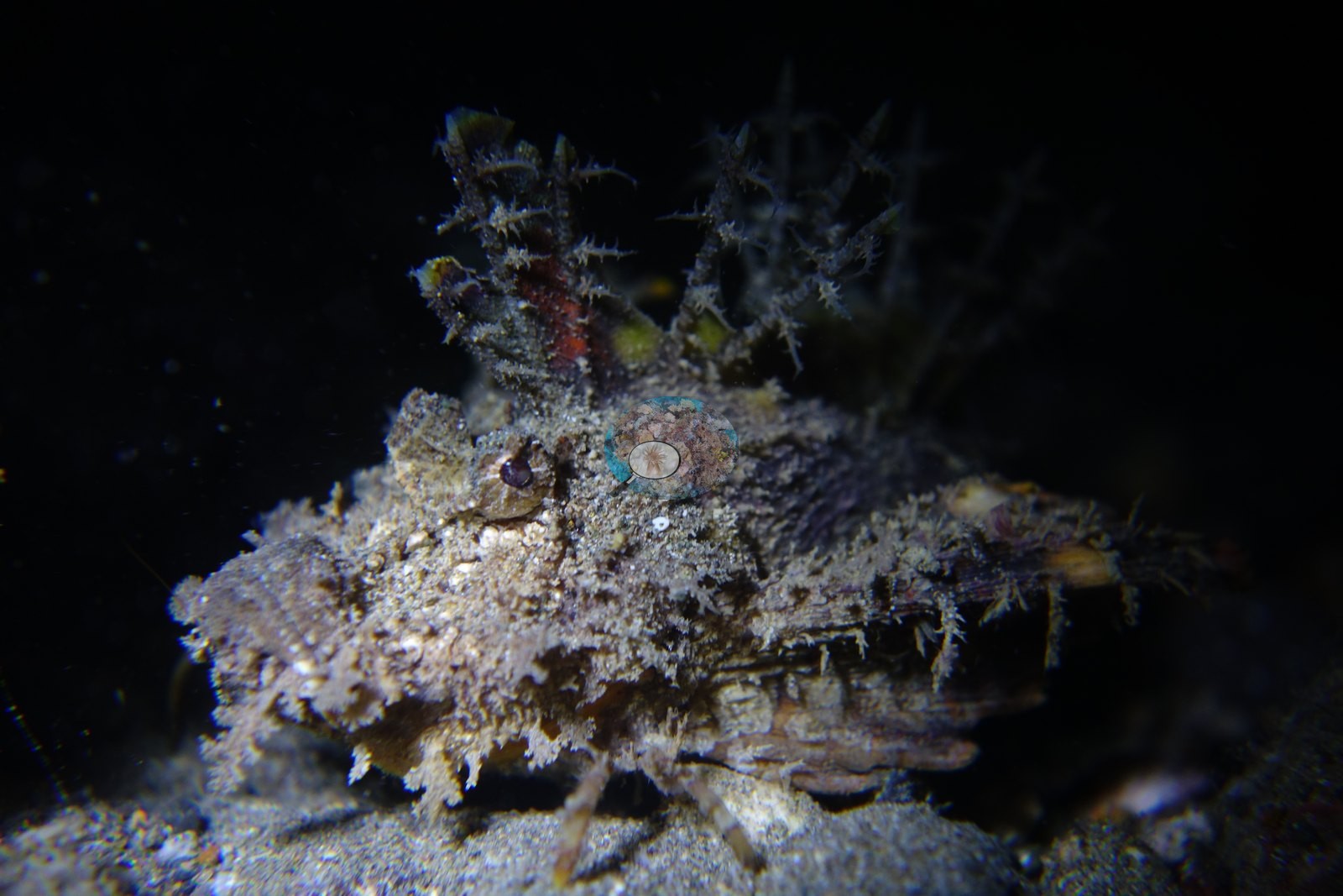
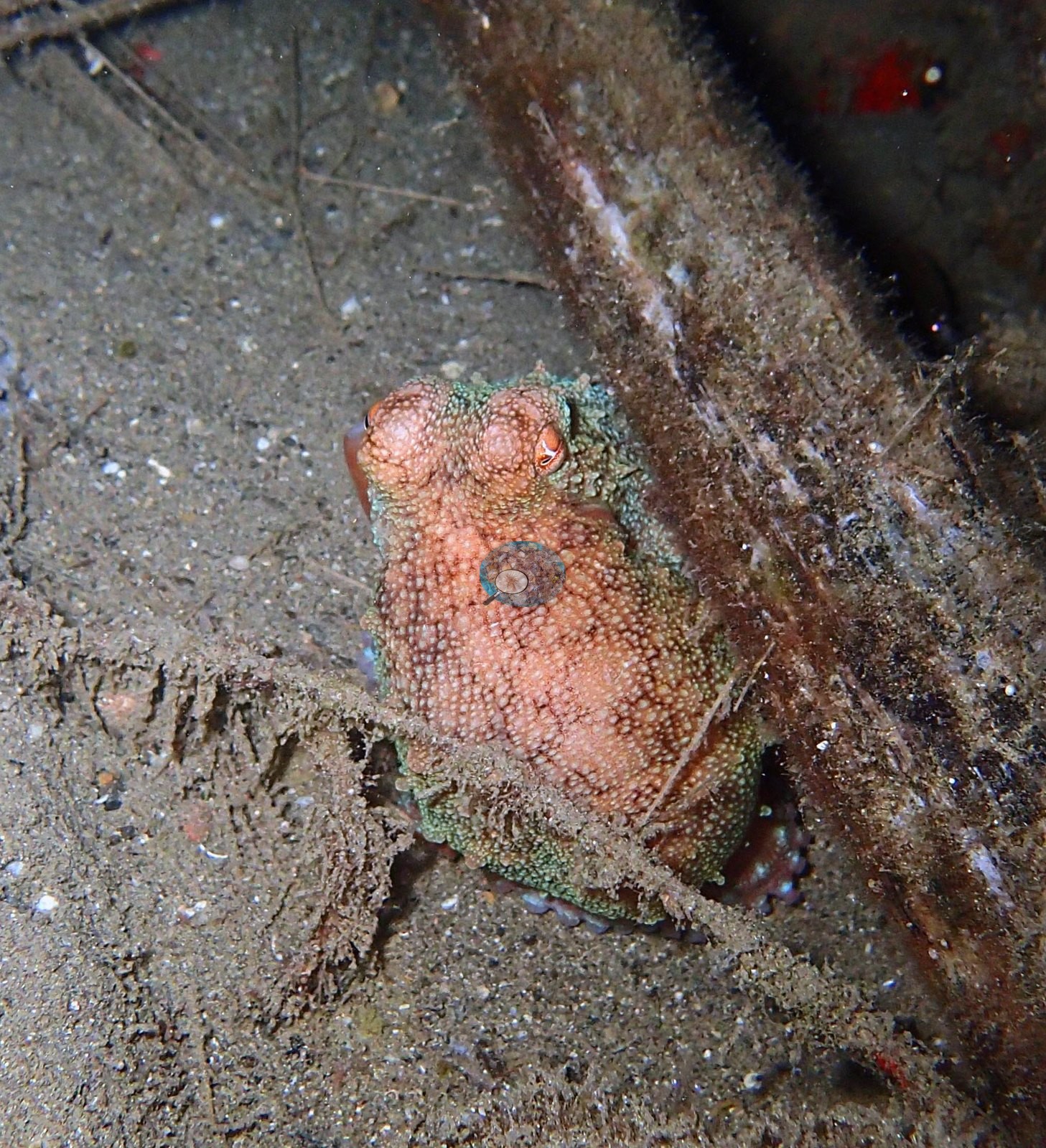
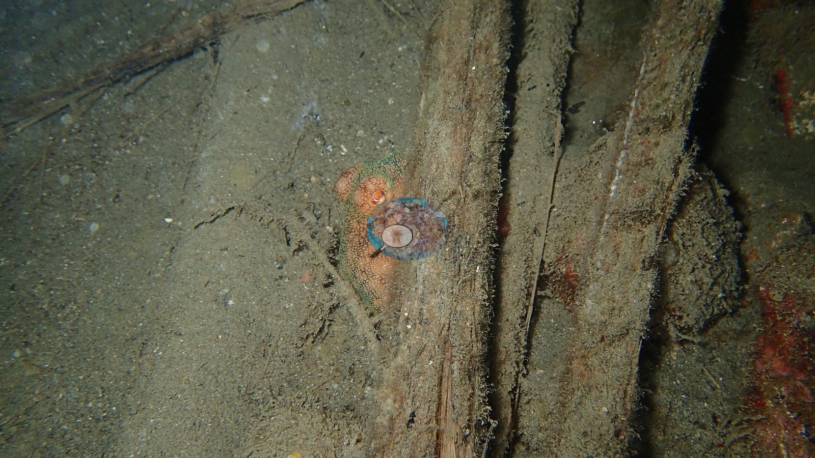
Two frames show a pink-orange animal on sunken timber that cannot be separated between frogfish and sponge at this resolution and still needs a full-resolution check (e.g., Image 12, Image 13).
Comparisons with other data
At that distance both describe the reef slopes of this stretch of the Calumpan Peninsula rather than the sediment flat dived here, and they are independent Reef Check diver measurements, not CRD surveys of this site.
Dive record
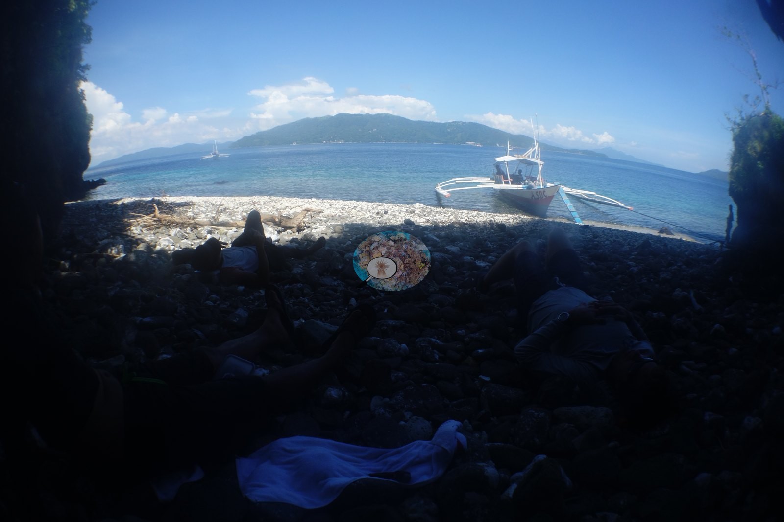
The fourth dive of 30 September 2016, entering at 18:21 from the Anilao Scuba Dive Center house reef - a classic Anilao muck night dive rather than a coral-reef dive.
Other notes
All 37 available frames were reviewed.
Independent surveys nearby
Within 5 km, 9 independent survey stations recorded hard coral cover in 24 surveys between 2010 and 2017. Of the 3 stations surveyed in more than one year, 2 declined and 1 changed by less than 5 percentage points between their first and latest surveys. The longest record, Koala, Bagalangit (Reef Check, 2.78 km away), went from 70% in 2010 to 39% in 2017. The most recent nearby survey is from 2017, so these values predate recent heat stress.
Collected by other programs using different methods (Reef Check uses point-intercept transects), so these are context for the figures above, not a like-for-like comparison. Where a station was surveyed more than once the range is shown. Station names are not dive-site names. Values marked best patch exceed 70%: surveyors usually chose the richest area, so they are not site means.
| Agency | Site / location | Date | Hard coral cover (%) | Distance | Link |
|---|---|---|---|---|---|
| Reef Check | San Teodoro | 2010 | 27% | 1.80 km | — |
| Reef Check | Bagalangit Koala | 2010 | 70% | 2.38 km | — |
| Reef Check | Koala, Bagalangit | 2010–2017 | 39–72% (9 surveys) best patch | 2.78 km | — |
| Reef Check | Twin Rocks | 2010–2017 | 19–34% (4 surveys) | 2.96 km | — |
| Reef Check | Acacia Resort and Dive Center | 2010–2017 | 49–58% (4 surveys) | 4.38 km | — |
| Reef Check | Arthur's Rock | 2013 | 36% (2 surveys) | 1.96 km | — |
| Reef Check | Inner Layag Layag Reef | 2014 | 64% | 2.36 km | — |
| Reef Check | Tingloy - Poblacion Reef | 2014 | 89% best patch | 3.50 km | — |
| Reef Check | Ligaya Bantong Buhay MPA | 2017 | 56% | 3.83 km | — |
Data & links
All images from Coral Reef Diagnostics. Data on this page are from the organizations named in the data-sources table above, not Coral Reef Diagnostics; Coral Reef Diagnostics has no survey of its own at this site.
© Coral Reef Diagnostics.