

Indonesia - Banda Islands: Shark Point (Pulau Ai)

Part of the regional summaries: Indonesia - Banda and Indonesia - Maluku
More info
Maluku (NOAA CRW virtual station) · Banda Sea ecoregion mean=7.3°C-heating weeksShark Point runs from a deep sponge- and gorgonian-draped wall through a leather-coral and hydrocoral shoulder into a near-continuous Acropora carpet at its back terrace, with a hawksbill turtle threading through the mixed sections. Condition is uniformly good with no bleaching, disease, or crown-of-thorns starfish (COTS). A blind Claude computer-vision point count puts coral cover around 33%.
Shark Point membentang dari dinding dalam yang berselimut spons dan gorgonia, melewati bahu berisi karang kulit dan karang api, menuju hamparan Acropora yang hampir menyambung di teras belakangnya, dengan seekor penyu sisik menyusuri bagian-bagian campurannya. Kondisinya seragam baik, tanpa pemutihan, penyakit, maupun bintang laut mahkota duri. Penghitungan titik buta visi komputer Claude memperkirakan tutupan karang sekitar 33%.
Terjemahan ringkasan ini oleh AI; versi bahasa Inggris yang berlaku.
Ten independent survey stations shown with the program’s logo — click one to see how far it is from this site.
One other CRD dive site within 5 km shown in orange — click a marker to open its page.
6 of these 7 photographs are shown beside the text that discusses them under "Site description" below.
Site description
Setting
Shark Point sits on the east side of Pulau Ai, in the Banda Islands of Maluku, and Anderson dived it once, on 27 April 2018, entering at 10:05 and running 65 minutes to a maximum of 30.2 m with an average depth of 13.11 m in 30.0°C water. Visibility was good and the water was open blue, so the profile is readable frame by frame: a deep sponge wall at the start, a long soft-coral and hydrocoral shoulder through the middle, and an Acropora-dominated back terrace at the end.
General benthic features
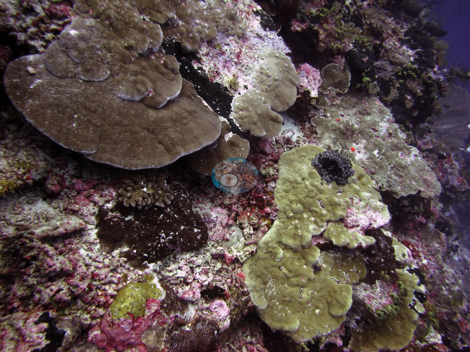
The opening wall (26 frames) drops steeply into blue water and is held by filter feeders rather than stony coral: meter-tall barrel sponges consistent with Xestospongia testudinaria, a large crimson vase sponge, black-coral bushes silhouetted off the lip, lacy gorgonians, and pink and mauve Dendronephthya-type soft corals set on a pavement of pink crustose coralline algae (e.g., Image 1, Image 4, Image 5).
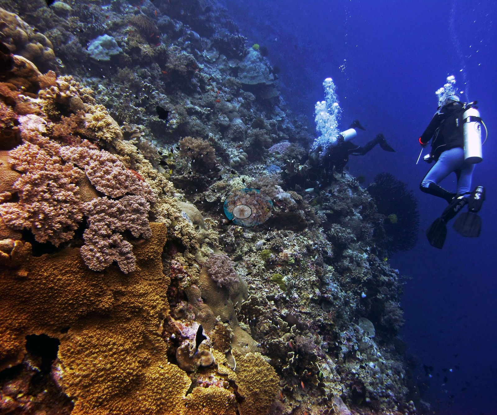
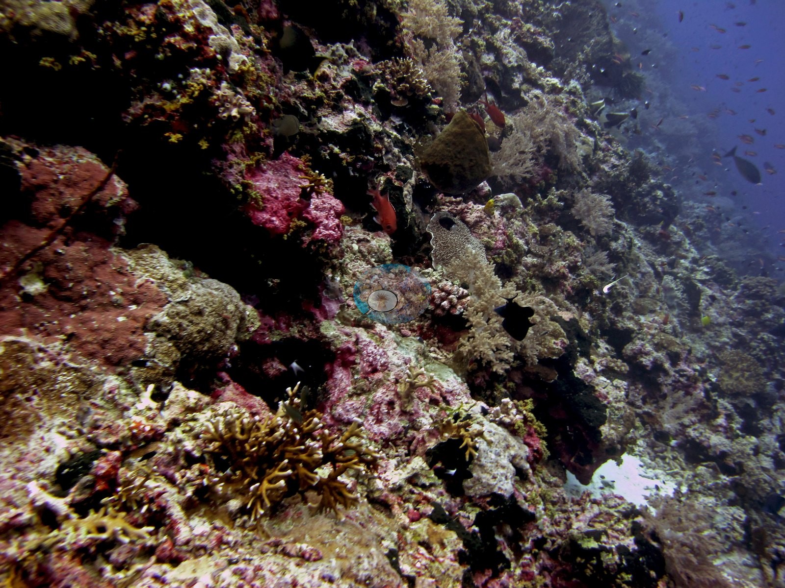
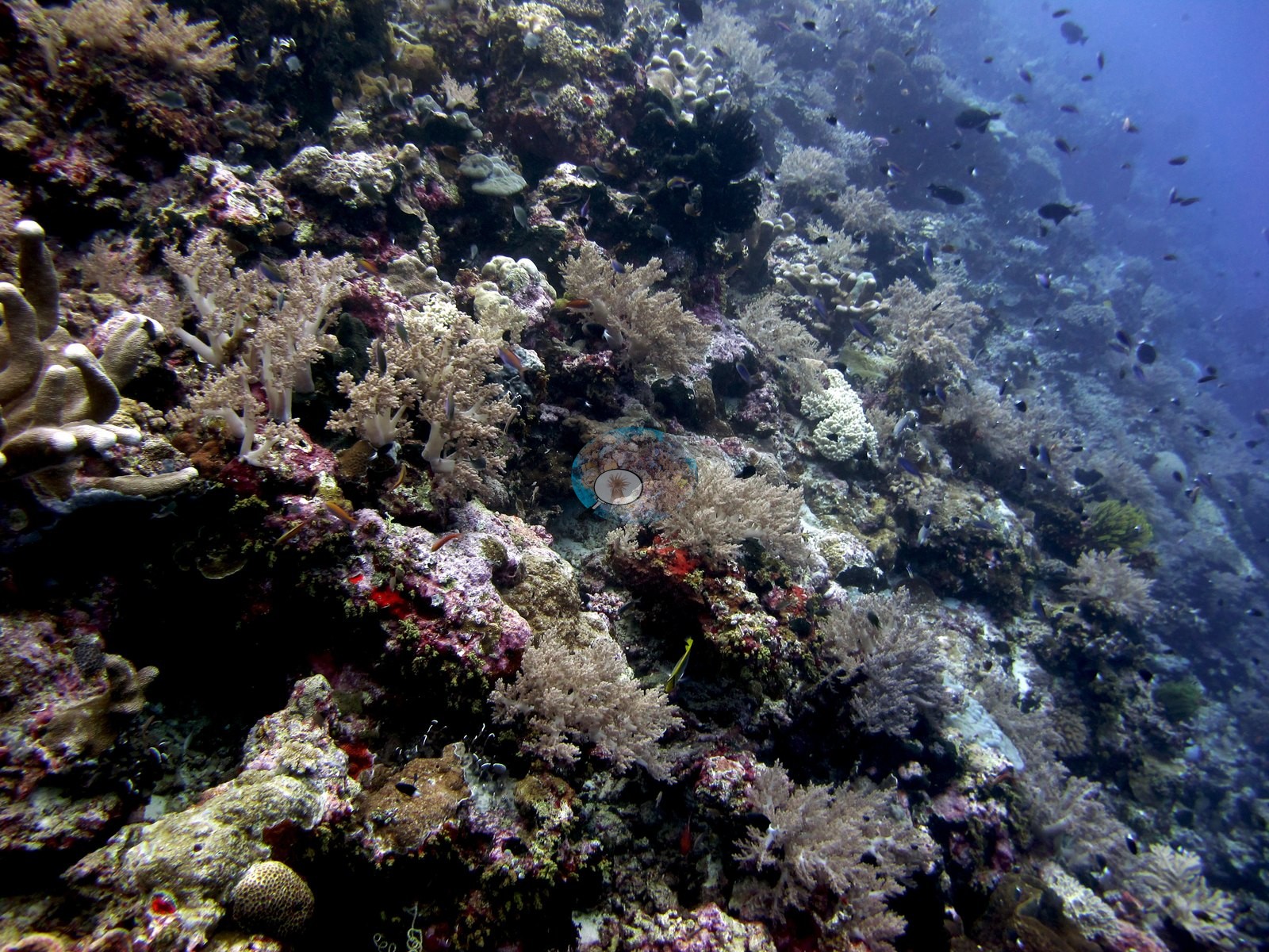
Stony coral is scattered through it — large tan massive colonies consistent with Porites and Astreopora, gray-brown and pale yellow-green laminar plates (Echinopora- and Montipora-type), meandroid brains, and small Acropora and Pocillopora thickets (e.g., Image 3).
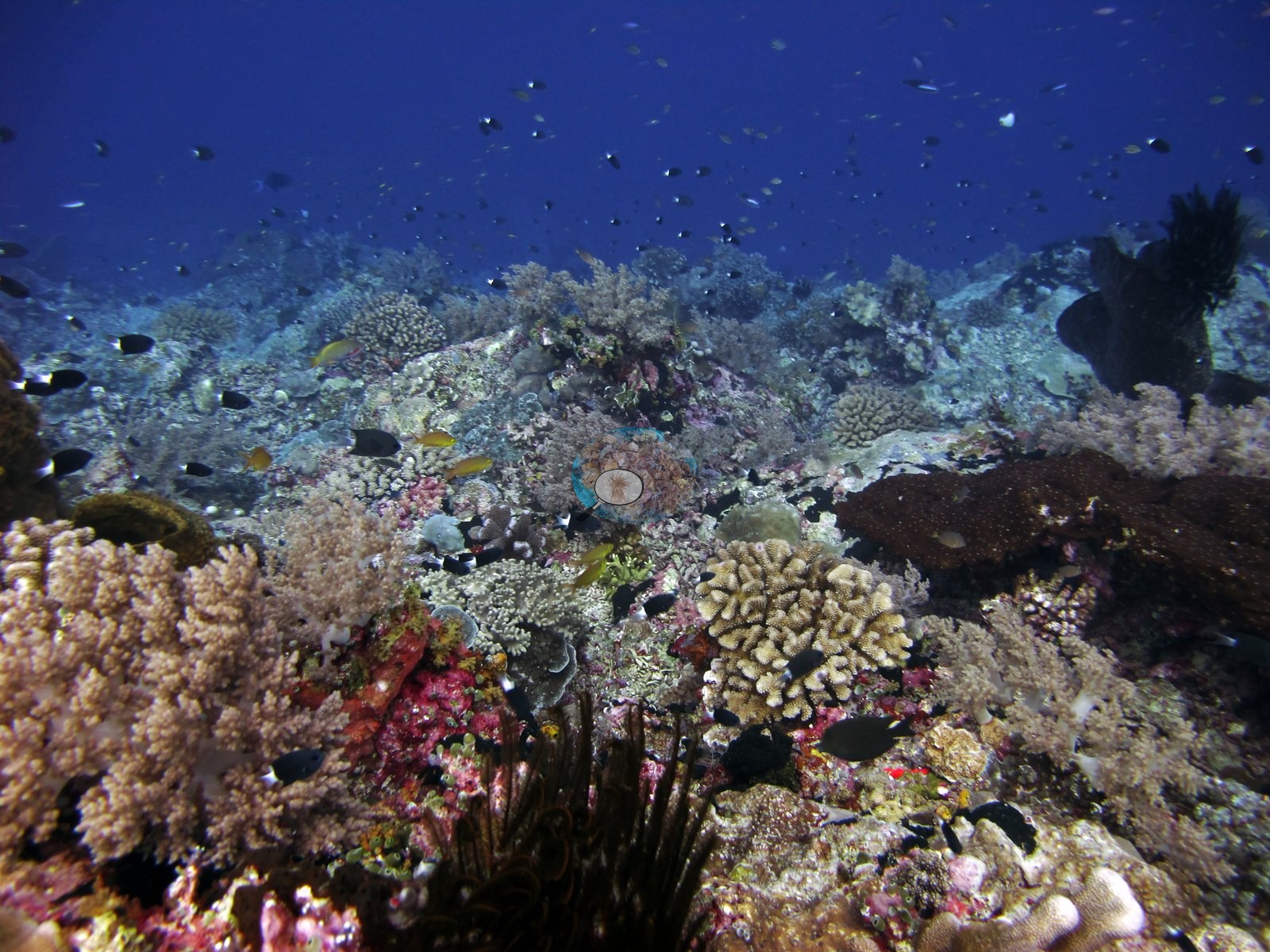
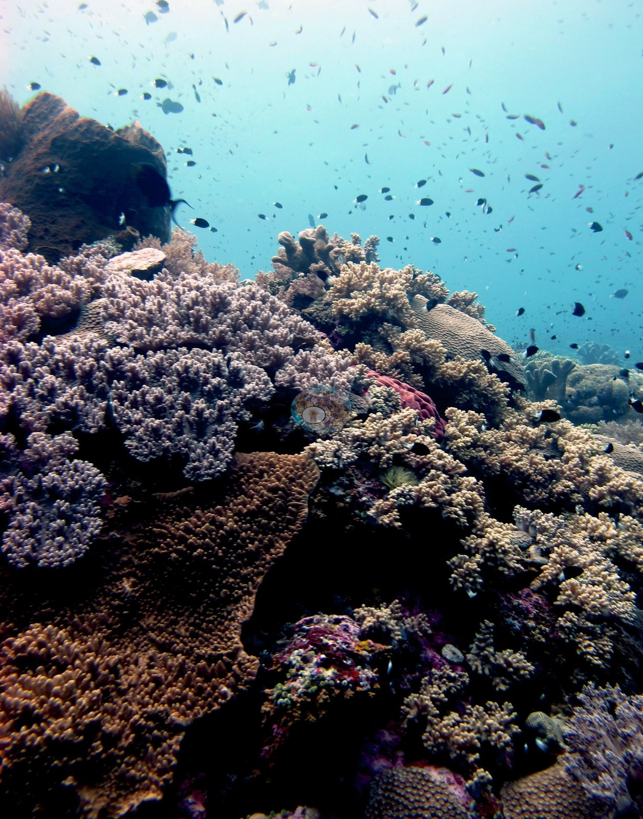
A leather-coral and fire-coral shoulder follows (18 frames), and it is the most distinctive ground on the dive: thick-lobed, white-tipped Sinularia and Lobophytum leather corals carpet the slope almost continuously, with cream Sarcophyton toadstools among them, golden-brown Millepora-type hydrocoral blades and bushes, cream ruffled Turbinaria vases, and a Diploastrea-type dome (e.g., Image 2).
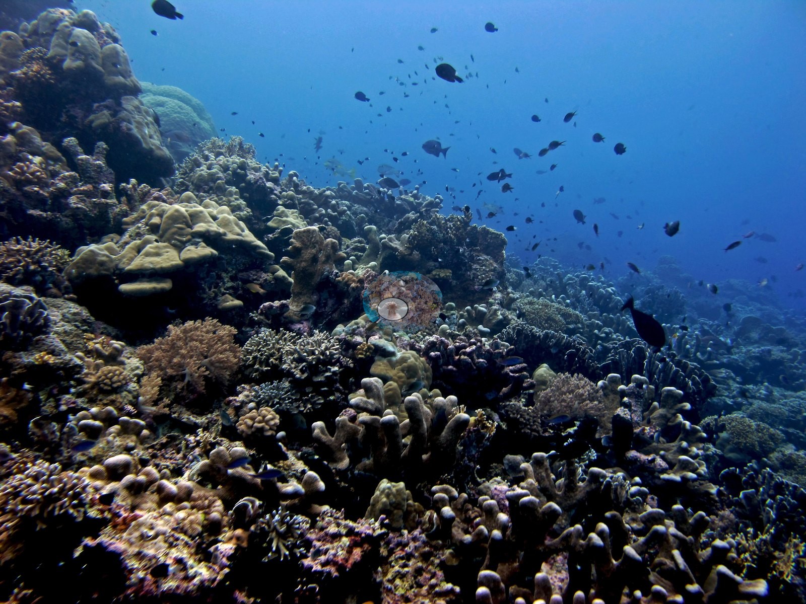
A macro frame settles the identification: the thick fingers are octocoral tissue, not Porites. Five frames follow a hawksbill turtle across foliose plates and an orange-tan meandroid brain, and 19 more cross a mixed bommie shoulder of tabulate Acropora plates roughly a meter across, dense orange-brown fine-branched bushes, and further Sinularia fields. The back terrace (19 frames) is this site's signature and the best coral on the dive: branching, corymbose, and tabulate Acropora, orange-brown fine-branched thickets, digitate colonies, and Millepora running unbroken to the limit of visibility, with Pocillopora, red-brown Dendronephthya, purple, and lavender encrusting colonies, and a pale lime-green massive Porites set into it (e.g., Image 7).
Two ambient-light frames over sand beneath a sponge-covered overhang close the dive.
Coral cover
Coral cover: 33% — a blind Claude computer-vision point count of 88 of Anderson's edited photographs (20 points per photo; water, fish, and obstructions excluded). Other computer-vision methods are listed in the method table. Anderson is still comparing computer-vision models, and these figures will be updated as the methods improve.
Stressors
Condition was uniformly good: color ran tan to brown throughout and no bleaching, no disease, no crown-of-thorns, and no predation scars were seen in any of the 90 frames. Every pale colony was crop-checked and resolved to living pigmented tissue or naturally cream octocoral — the lavender-gray colony in one frame has expanded polyps and is consistent with Galaxea, and the whitened branching colonies beside it are cream Sinularia. One staghorn thicket stands on a turfed dead base, the one clear sign of older breakage.
Fish and other fauna
Fauna: the hawksbill, a pink-and-white scorpionfish consistent with Scorpaenopsis perched on a leather coral, a ghost pipefish consistent with Solenostomus over sand, a squirrelfish sheltering inside a barrel sponge, fusilier and anthias clouds, chromis, a Moorish idol, bannerfish, black crinoids, and a Diadema-type urchin — but no shark, despite the name.
Comparisons with other data
No independent survey was made at this exact site; the nearest ones are listed in the table below.
Other notes
Ninety frames survive, shot on a single Canon PowerShot G11 body between 10:06:59 and 11:05:15, and every one of them was reviewed.
CV model comparison
More info
DINOv3 and CoralSCOP were run on the same photos and are listed for comparison. Coralscapes v2 and v1 were also run but are not shown: Anderson does not consider Coralscapes reliable for these photos. No diver transect exists for this trip, so agreement between the rows is not accuracy, and as of September 2026 no computer-vision method estimates coral cover accurately on new images; treat every row as indicative.| Method | Hard-coral cover (%) |
|---|---|
| In-house DINOv3 | 30.1 |
| CoralSCOP edited | 34.0 |
| Claude (edited photos) | 33.4 |
Independent surveys nearby
| Agency / program | Year(s) | Stations / distance | Link |
|---|---|---|---|
| Coral Triangle Center (CTC) | 2012–2019 | 6 stations, 0.32–1.98 km | Records ↓ |
| Reef Check | 2015–2025 | 4 stations, 1.27–2.05 km | Records ↓ |
 Dr. Coral (CRD)
Within 5 km, 10 independent survey stations recorded hard coral cover in 59 surveys between 2012 and 2025. Of the 5 stations surveyed in more than one year, 1 declined, 2 increased, and 2 changed by less than 5 percentage points between their first and latest surveys. The longest record, Pulau Ay, Lubang Kambing (Reef Check, 1.27 km away), went from 23% in 2015 to 51% in 2025. Surveys since 2021 average 48% (range 44–51%, n=4). This site's own estimate (33%) sits 11.0 points below the recent range (44–51%); the methods differ, so the comparison is context, not a like-for-like test.
Collected by other programs using different methods (Reef Check uses point-intercept transects), so these are context for the figures above, not a like-for-like comparison. Where a station was surveyed more than once the range is shown. Station names are not dive-site names.
Data & links
All images from Coral Reef Diagnostics. Data are from Coral Reef Diagnostics and the organizations named in the data-sources table above.
© Coral Reef Diagnostics.