

Indonesia - Banda Islands: Airport (Banda Ara)

Part of the regional summaries: Indonesia - Banda and Indonesia - Maluku
More info
Maluku (NOAA CRW virtual station) · Banda Sea ecoregion mean=7.3°C-heating weeksAirport runs from a deep sand apron up a genus-rich, soft-coral-heavy slope to a near-continuous plate-coral thicket at its shallow top. Localized stressors include a Stylophora colony half bleached pale green-white, a two-meter Acropora table with a clean-edged bare patch consistent with white syndrome or a healed predation scar, and similar lesion bands on two smaller colonies - none reef-wide. A blind Claude computer-vision point count puts coral cover around 38%.
Airport membentang dari hamparan pasir dalam, naik melalui lereng yang kaya genus dan padat karang lunak, menuju rumpun karang lembaran yang hampir menyambung di puncaknya yang dangkal. Pemicu tekanan setempat mencakup koloni Stylophora yang separuhnya memutih hijau-putih pucat, meja Acropora selebar dua meter dengan bercak gundul bertepi bersih yang konsisten dengan sindrom putih atau bekas pemangsaan yang telah sembuh, serta pita luka serupa pada dua koloni yang lebih kecil — tidak satu pun mencakup seluruh terumbu.
Terjemahan ringkasan ini oleh AI; versi bahasa Inggris yang berlaku. Translated from the site’s shorter map summary.
Sixteen independent survey stations shown with the program’s logo — click one to see how far it is from this site.
Four other CRD dive sites within 5 km shown in orange — click a marker to open its page.
24 of these 25 photographs are shown beside the text that discusses them under "Site description" below.
Site description
Setting
The site runs from a deep sand apron up a genus-rich slope to a shallow reef top, with one long stretch of monospecific plate thicket in between.
General benthic features
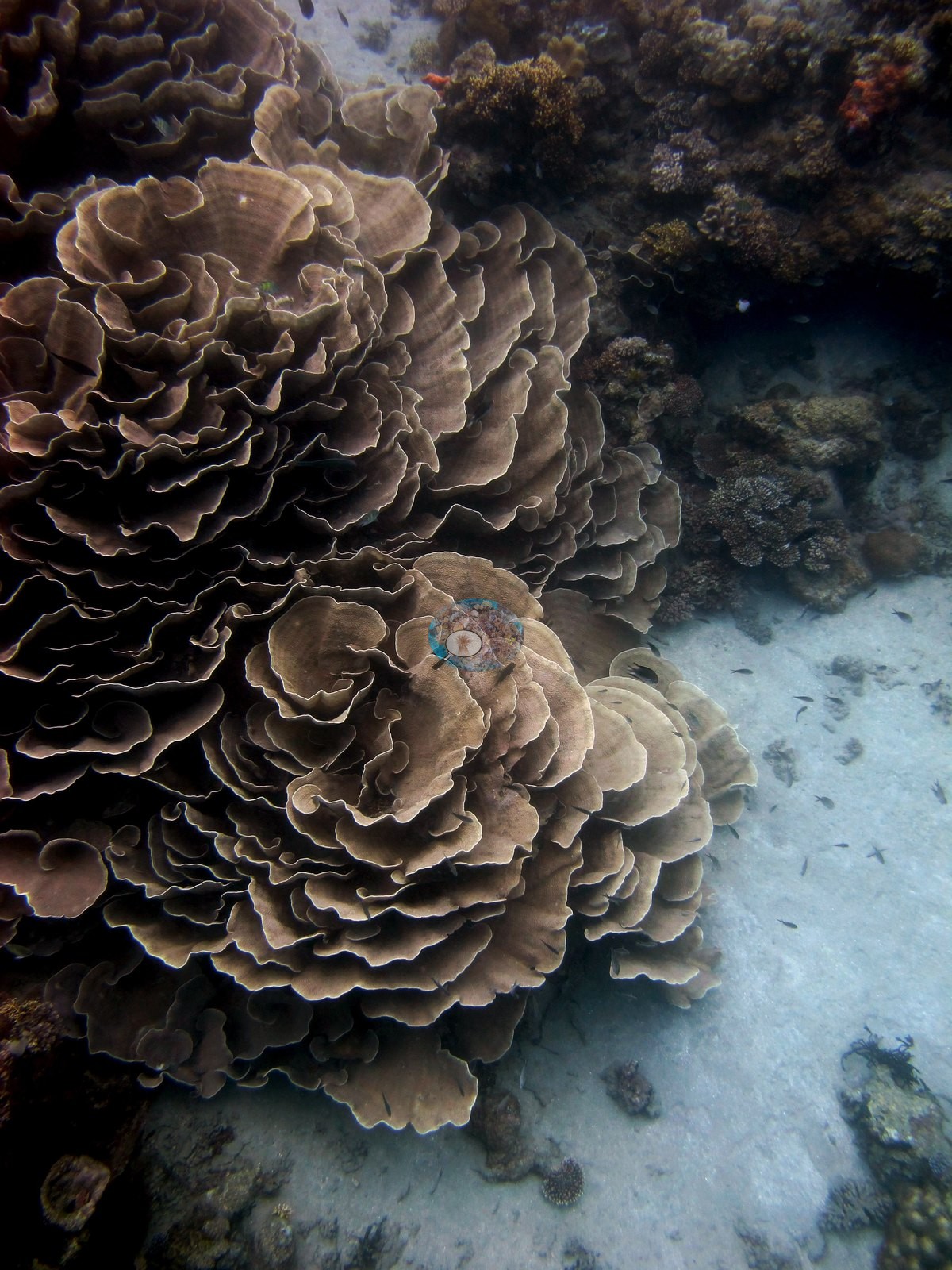
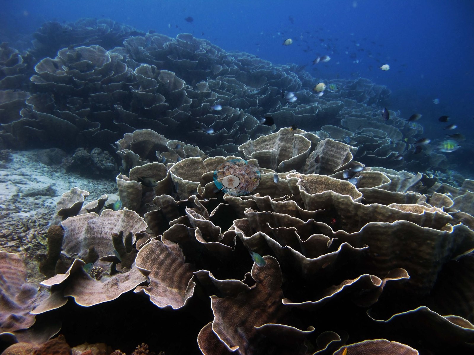
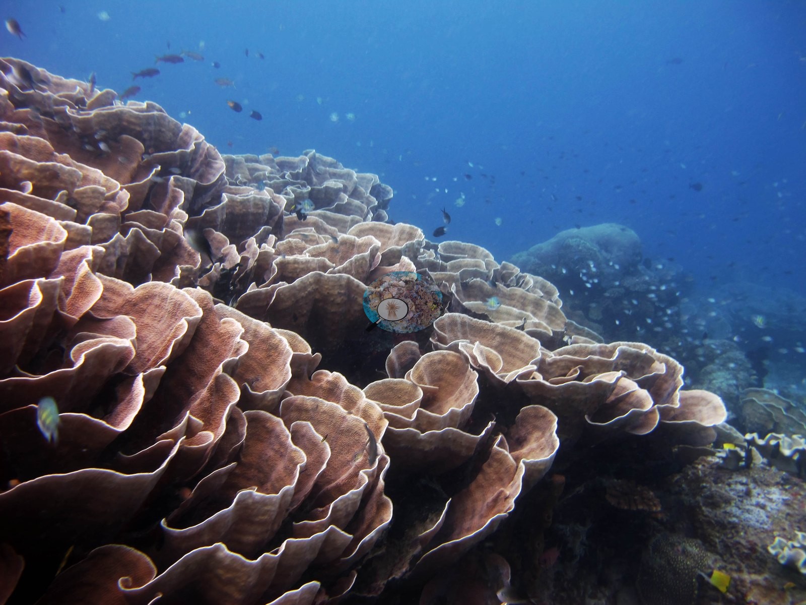
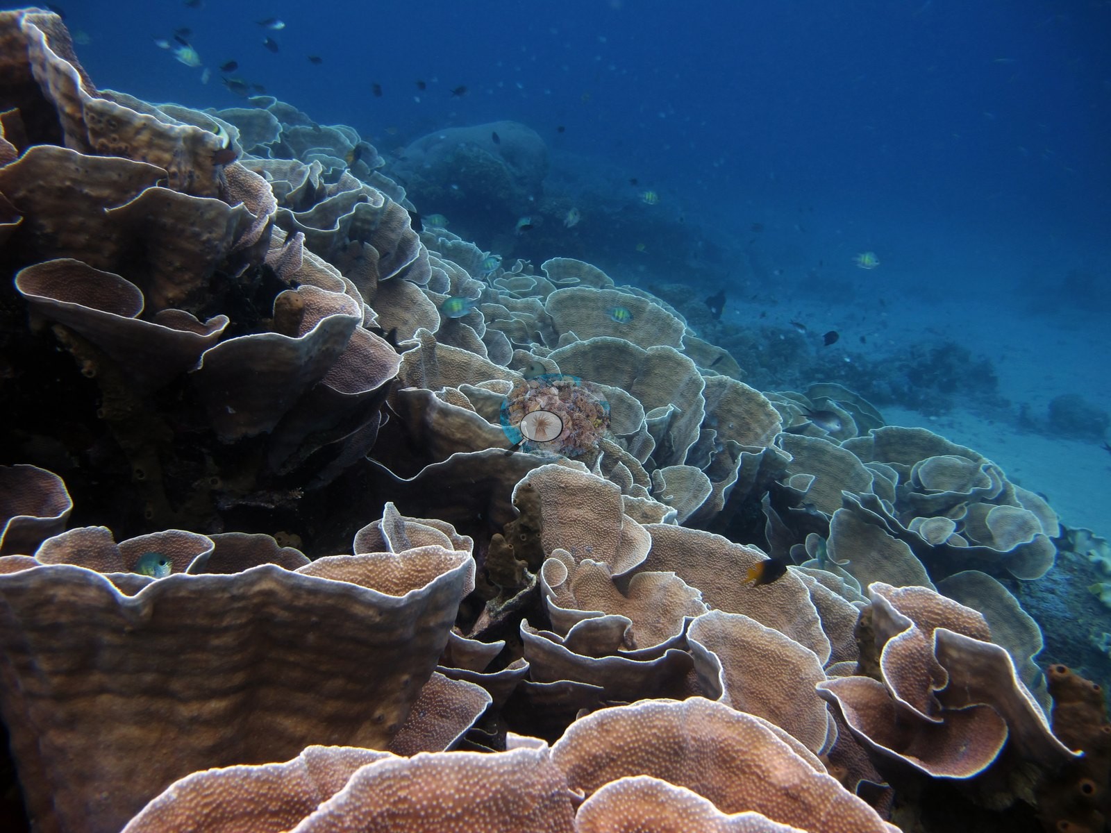
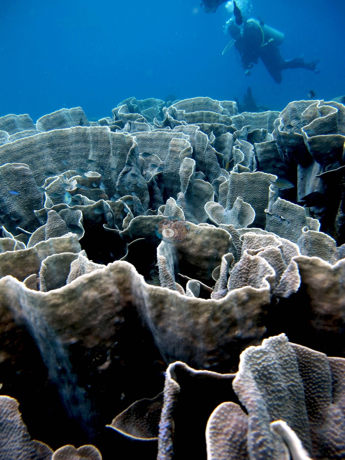
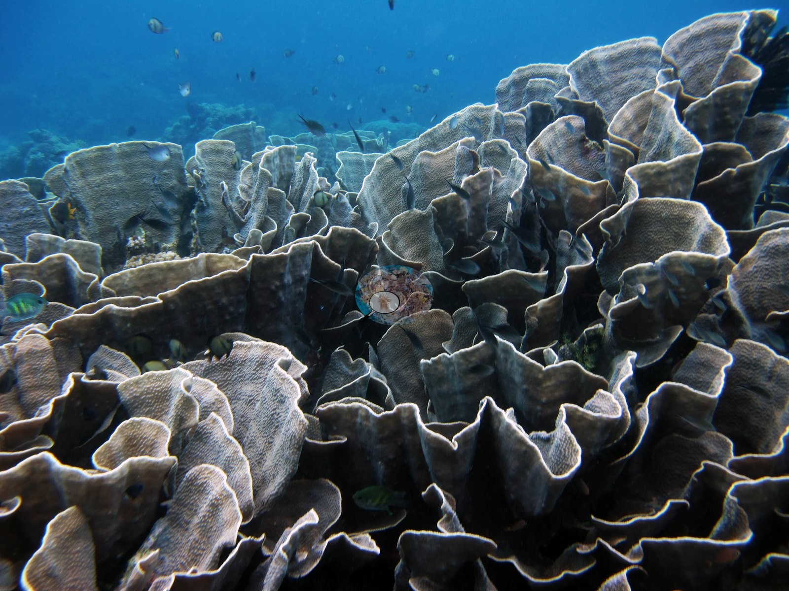
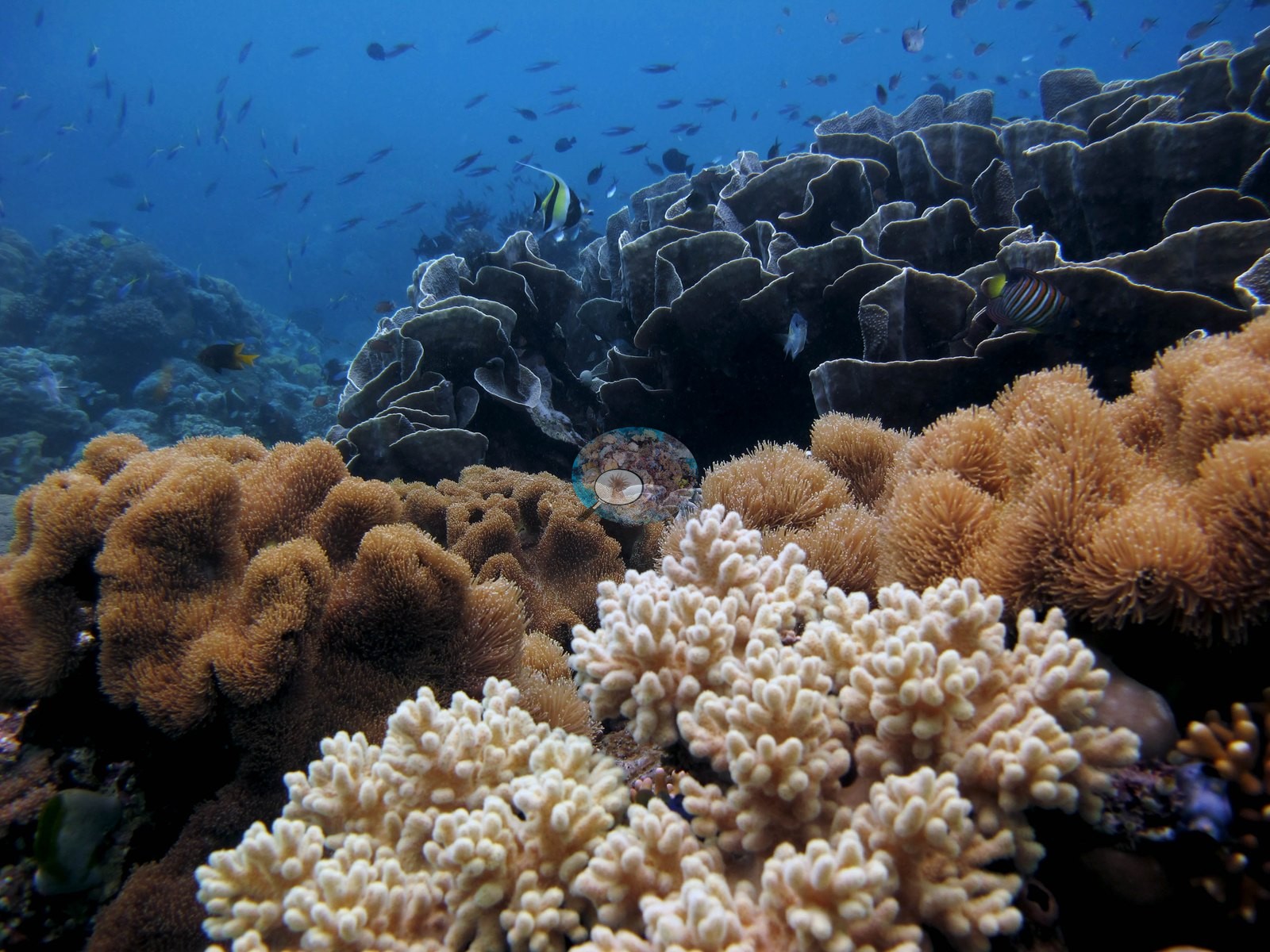
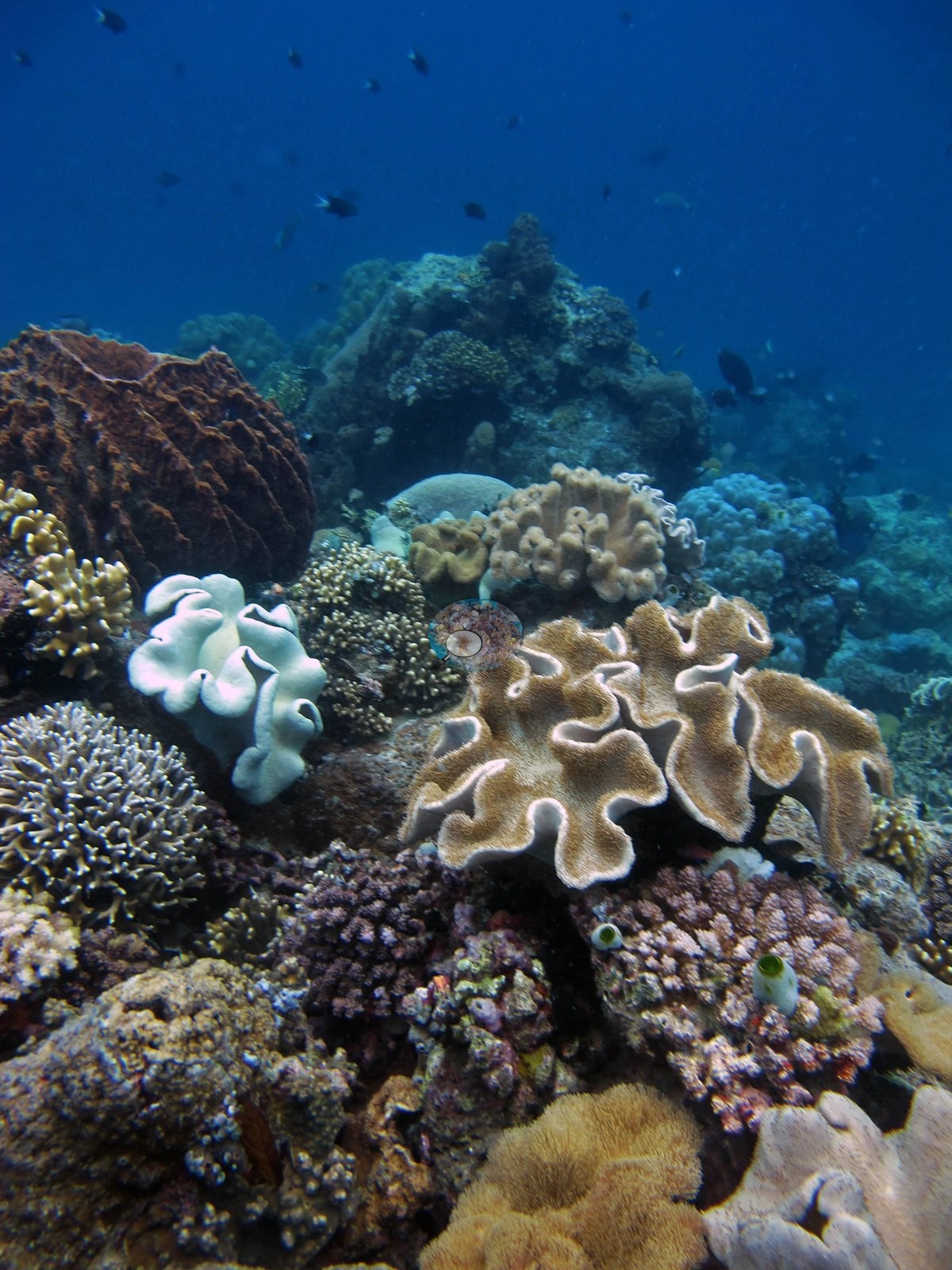
The habitat zones. The plate thicket (20 frames) is near-continuous laminar and vase coral, Turbinaria- and Pachyseris-type, ruffled whorls in tan-brown and gray-blue running to the visibility limit with damselfish and butterflyfish through them — essentially wall-to-wall living coral (e.g., Image 1, Image 4, Image 5, Image 6, Image 13, Image 14).
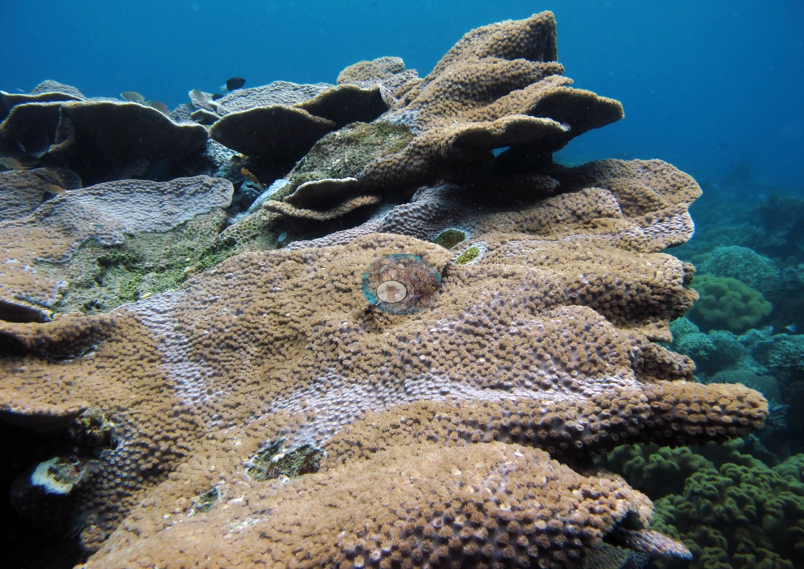
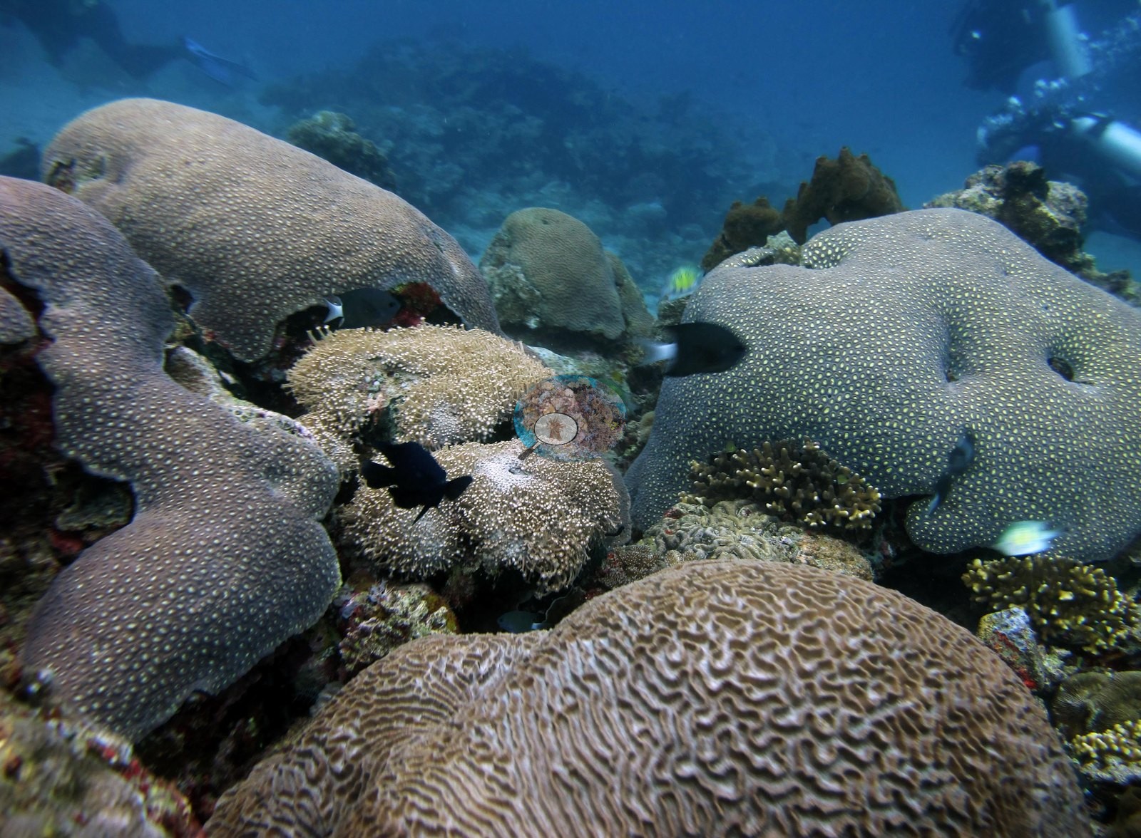
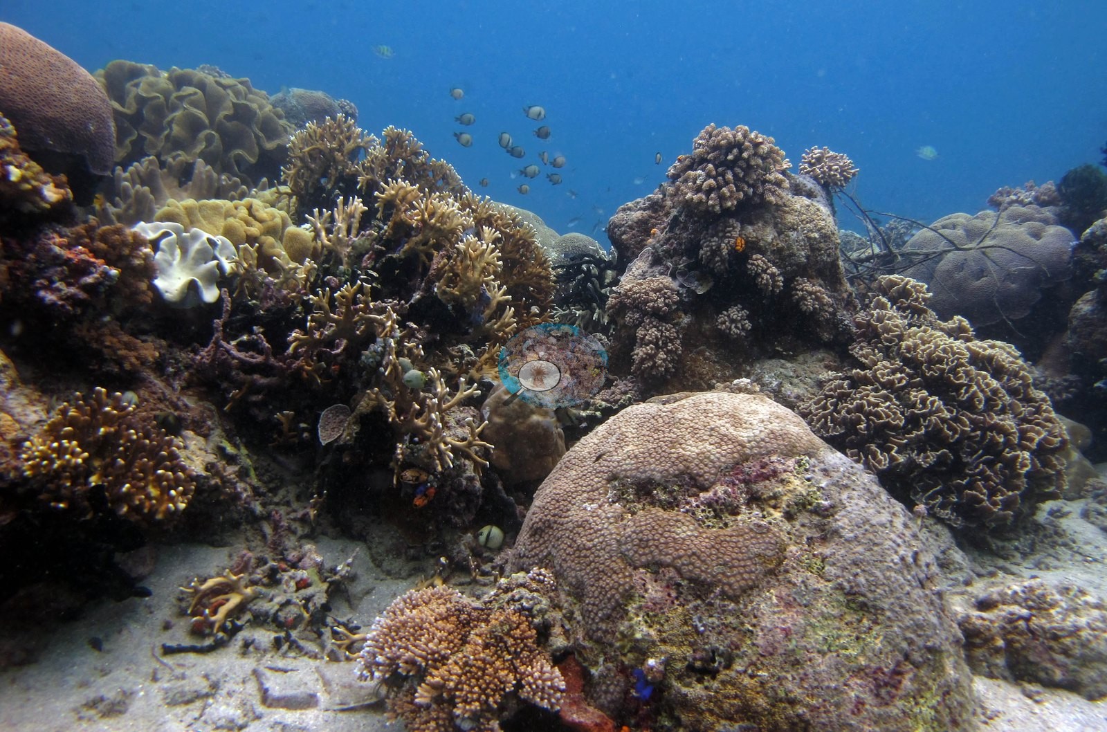
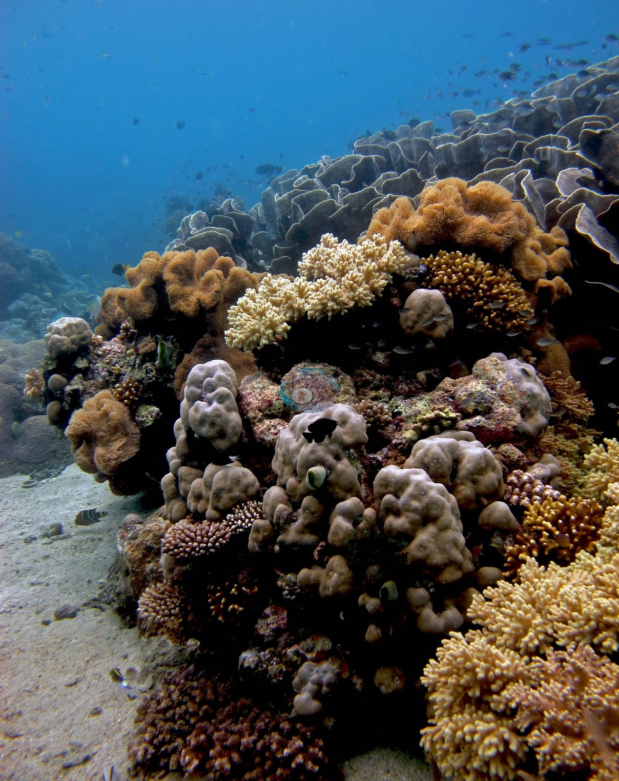
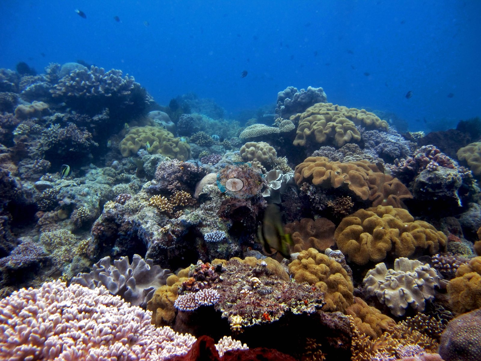
The mixed slope (46 frames) is the bulk of the dive and the genus-rich part of it: tan and olive Sarcophyton and Lobophytum toadstool leathers in dense stands, mauve and pale-pink Sinularia bushes, Dendronephthya, tabulate, and corymbose Acropora, Pocillopora, columnar, and massive Porites, meandroid brains, and one very large plocoid dome consistent with Diploastrea heliopora, with gorgonian sea fans, black coral, and pink-mauve barrel sponges through it (e.g., Image 2, Image 3, Image 7, Image 8, Image 9, Image 10, Image 11, Image 12, Image 15, Image 16, Image 17, Image 19, Image 23, Image 24, Image 25).
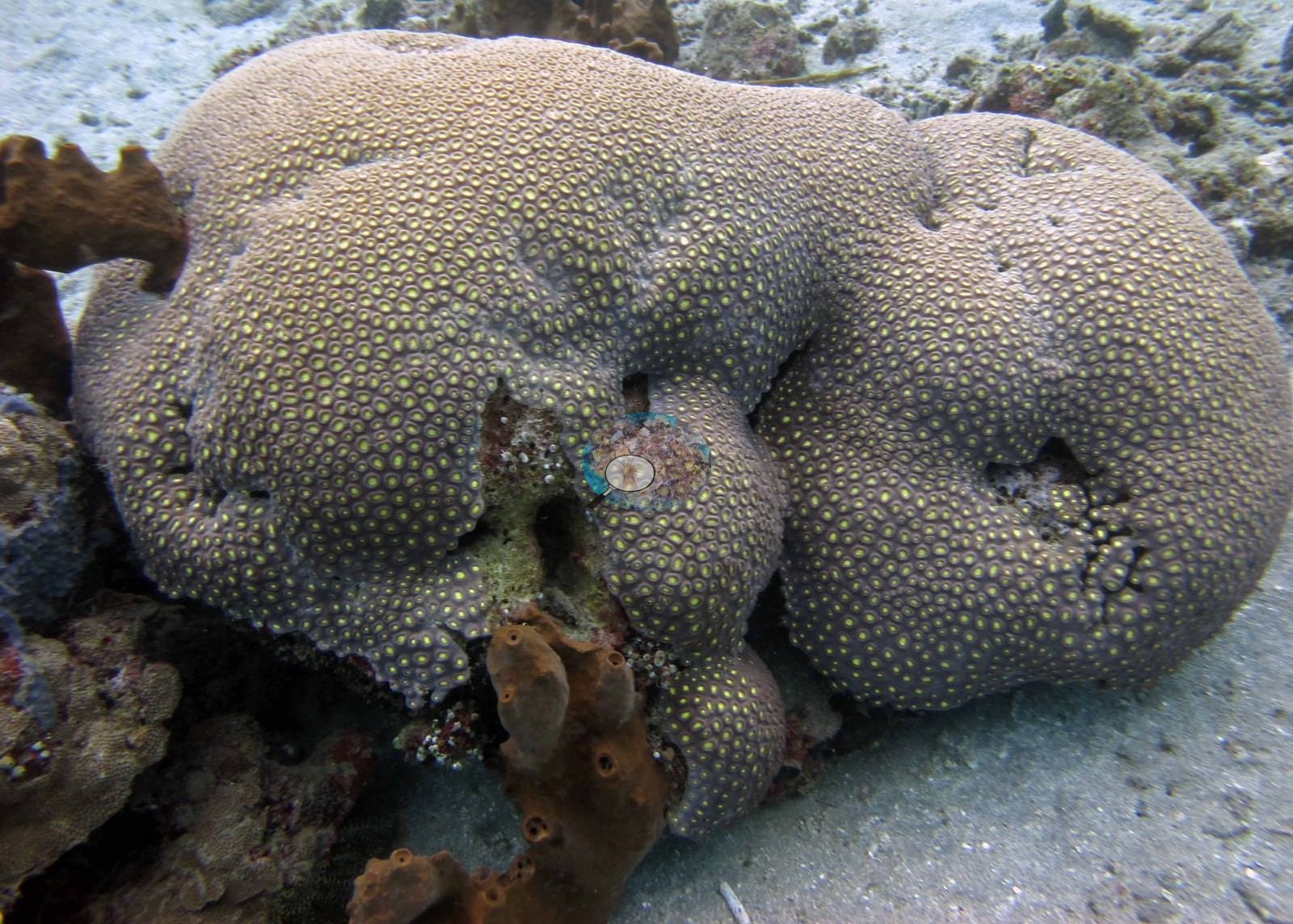
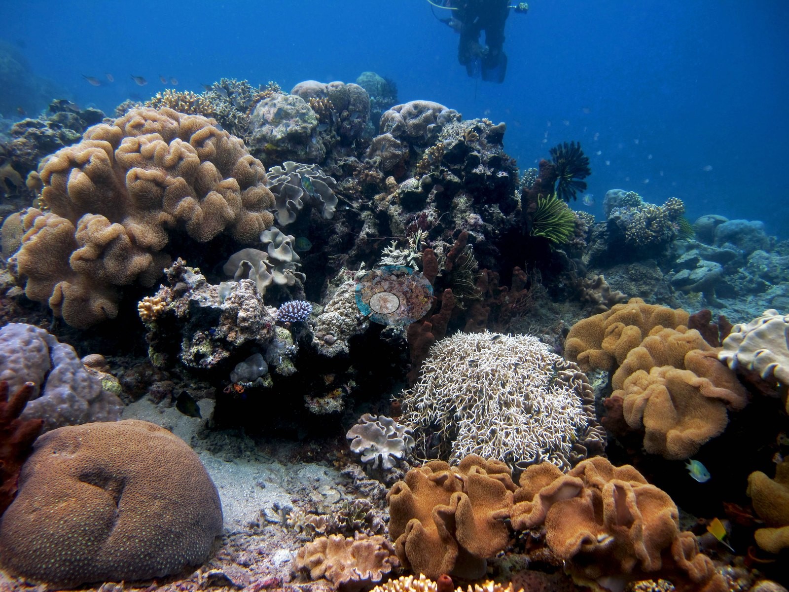
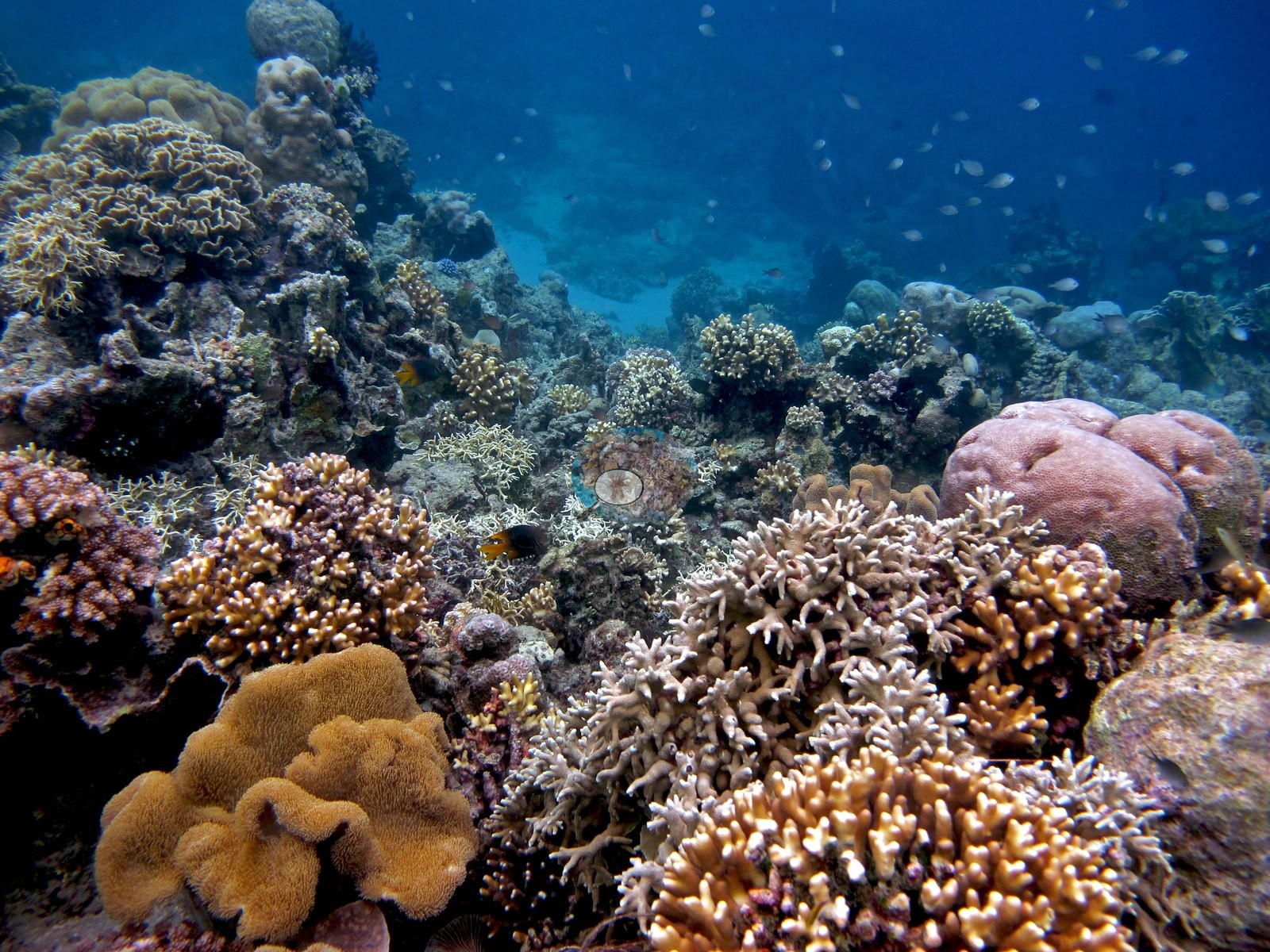
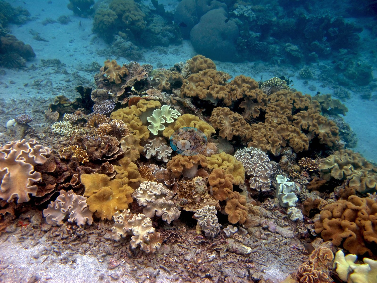
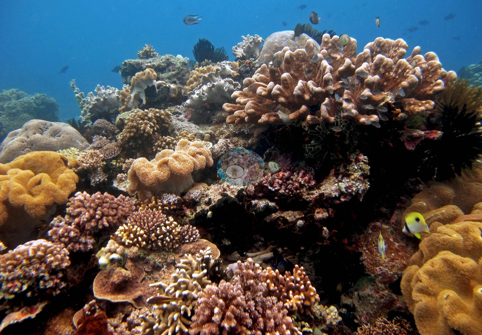
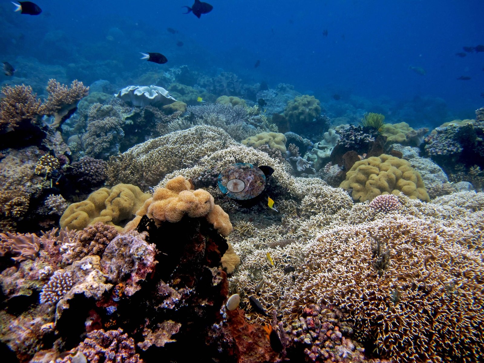
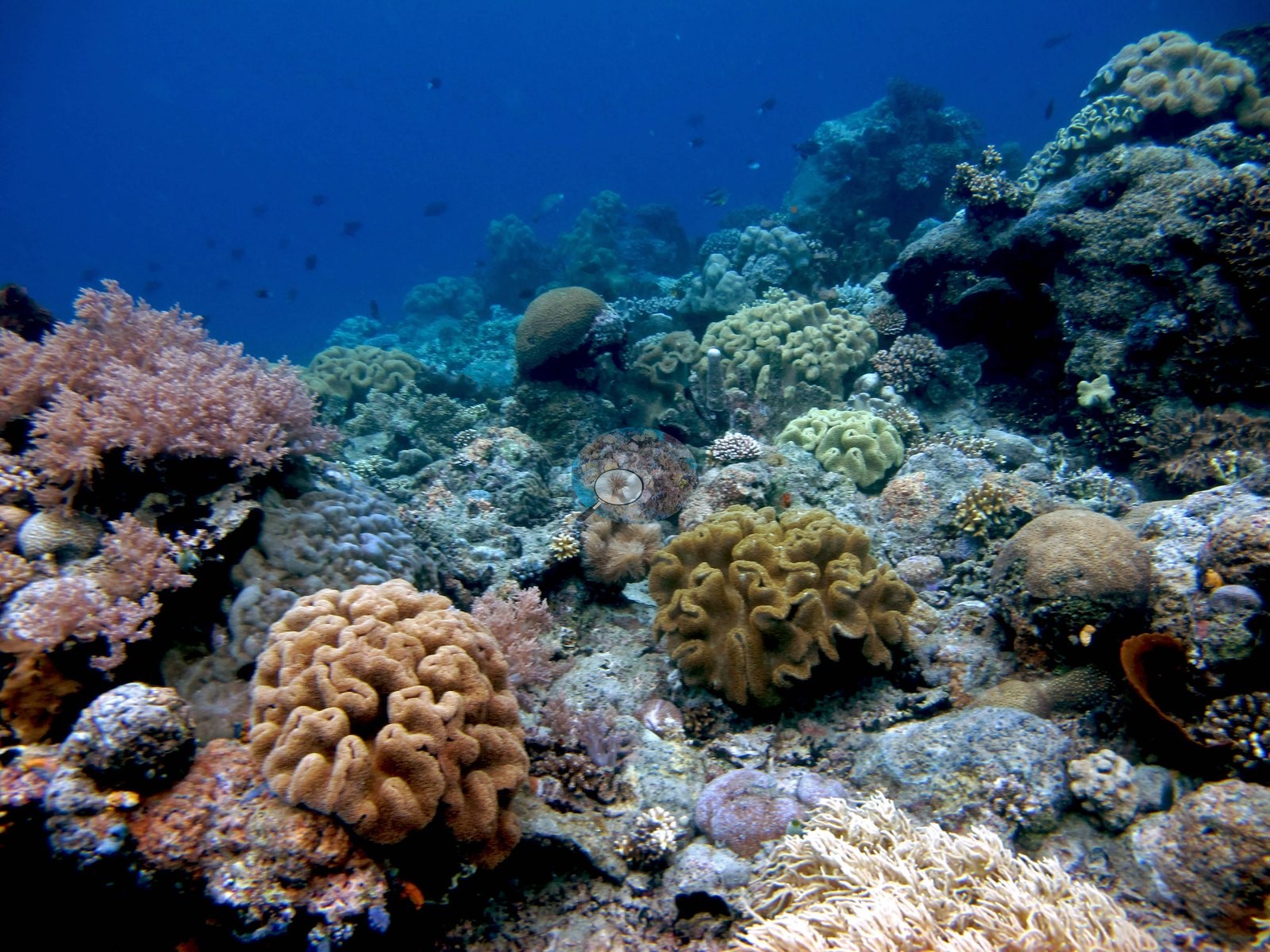
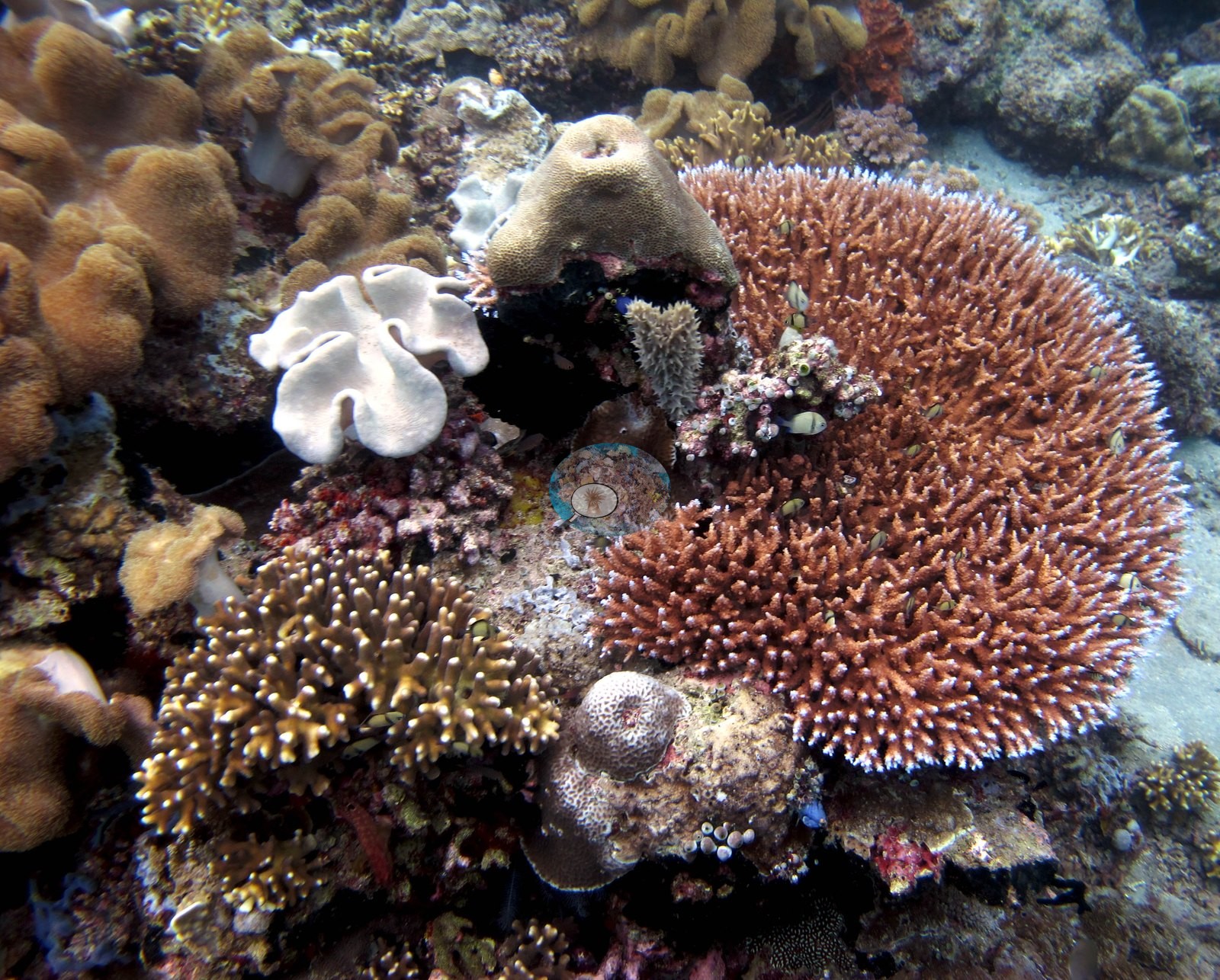
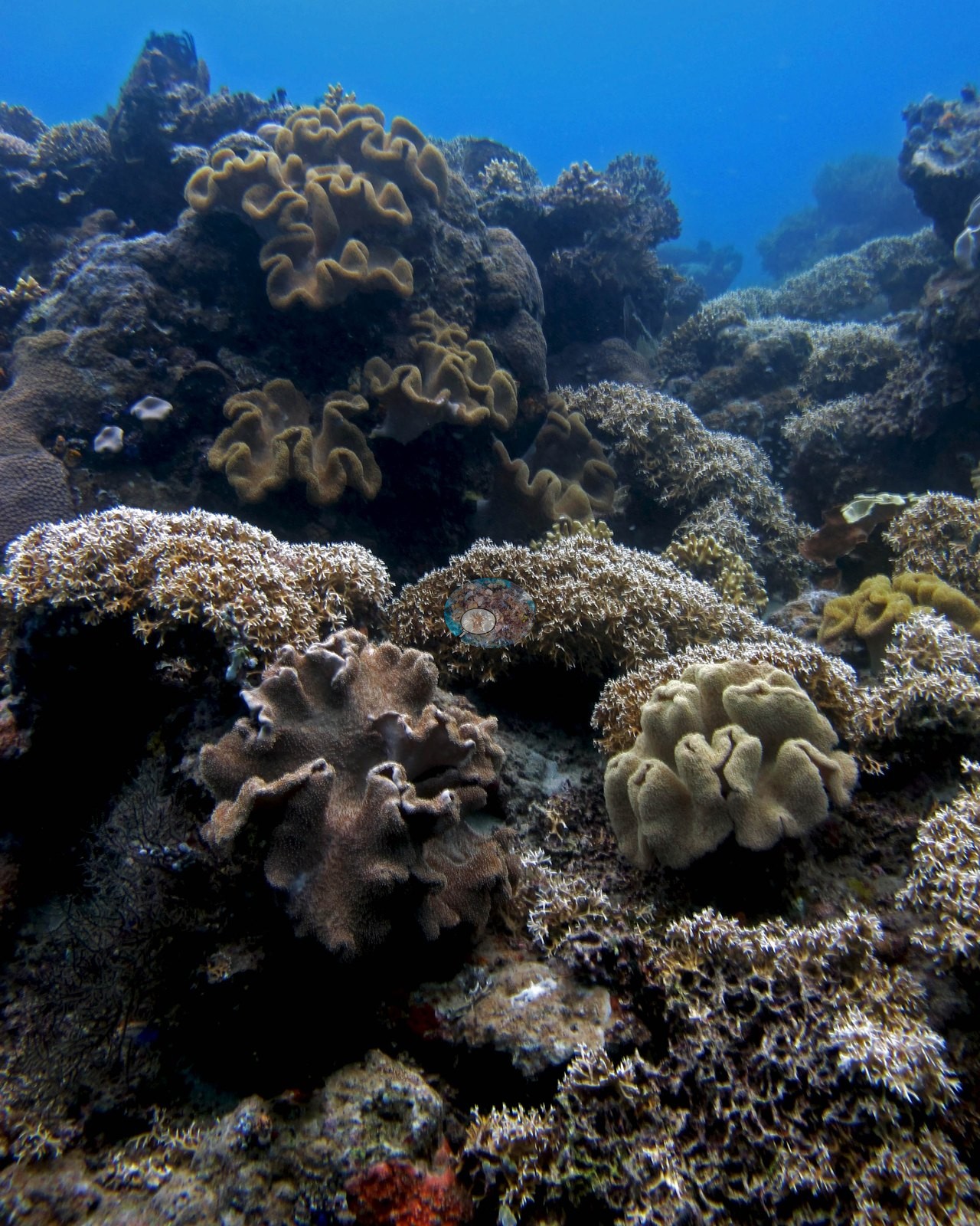
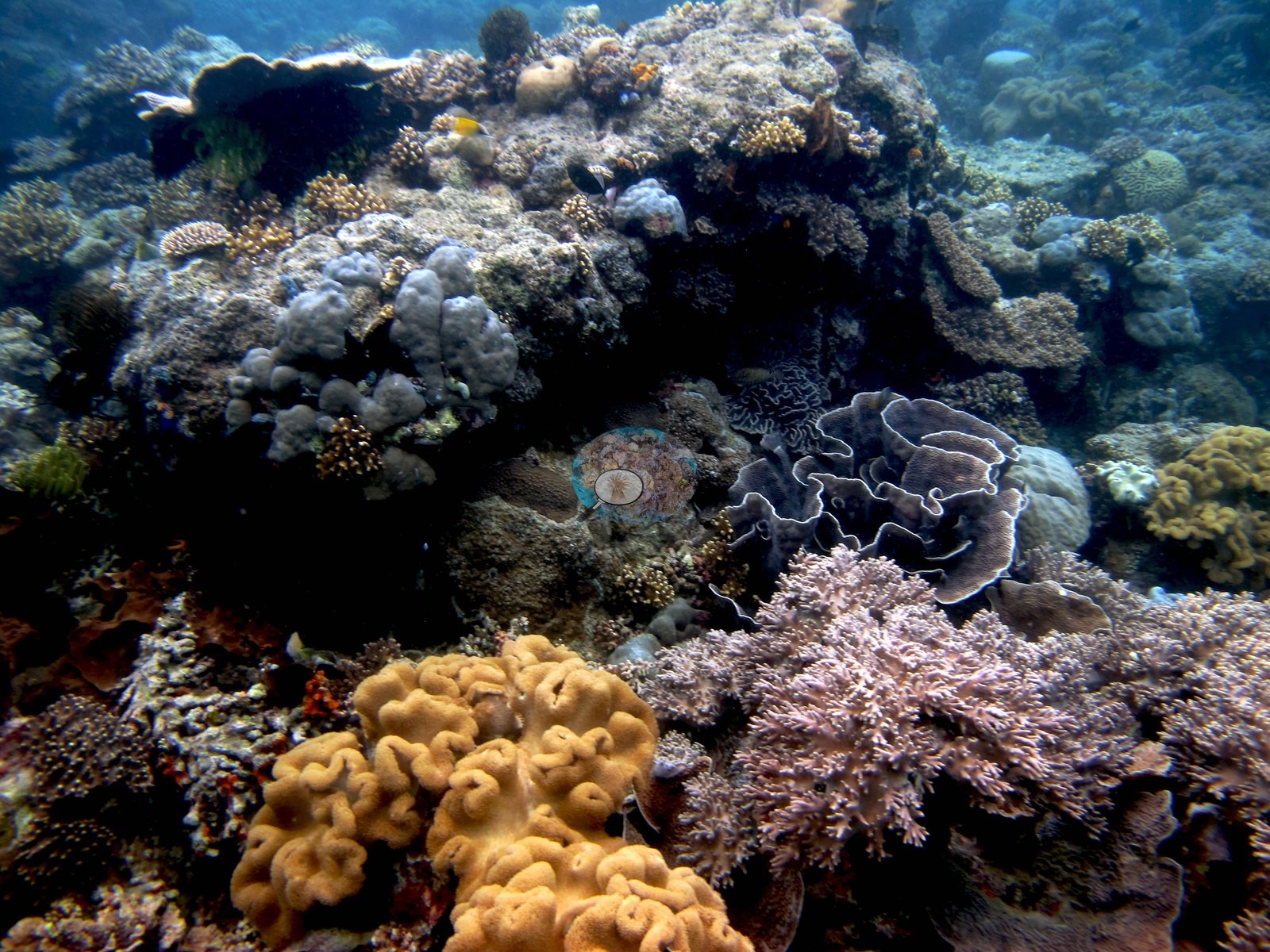
A sand apron (9 frames) at depth holds isolated bommies, a sea pen standing alone on open rubble, and a series of single-colony close-ups.
Coral cover
Coral cover. Coral cover: 38% — a blind Claude computer-vision point count of 72 of Anderson's edited photographs (20 points per photo; water, fish, and obstructions excluded). Other computer-vision methods are listed in the method table. This is the figure published here. Anderson is still comparing computer-vision models, and these figures will be updated as the methods improve.
Stressors
Condition. Three things stand out and none is reef-wide. One branching colony consistent with Stylophora is stark white to pale green across roughly half its surface with normal tan pigment on the rest — unambiguous partial bleaching of a single colony. A tabulate Acropora table about two meters across carries a sharply bounded patch of bare white skeleton at its center, clean-margined against healthy tissue: recent tissue loss, consistent with white syndrome or a healed-over predation scar, which the photograph cannot separate. A small massive colony on sand carries similar white lesion bands along its margins, and a plocoid faviid a smaller white patch. A large Turbinaria-type plate shows notched margins and a clean-edged through-hole, consistent with grazing or boring damage rather than disease. No crown-of-thorns was seen. Stark white Sarcophyton leather corals recur across eight frames of the reef top, but they sit among tan, olive, cream, and mauve leathers of the same growth form in the same frames, so this reads as the ordinary color range of the genus and is not scored as bleaching (e.g., Image 18, Image 20, Image 21).
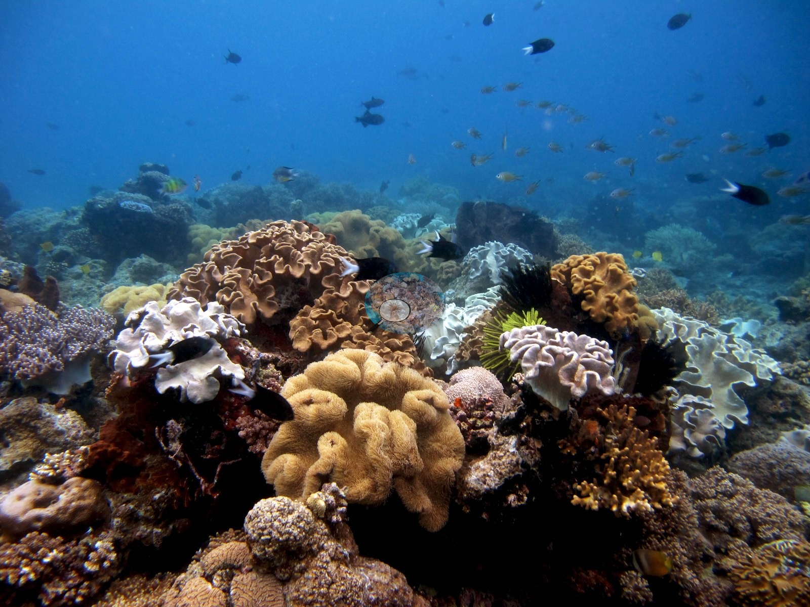
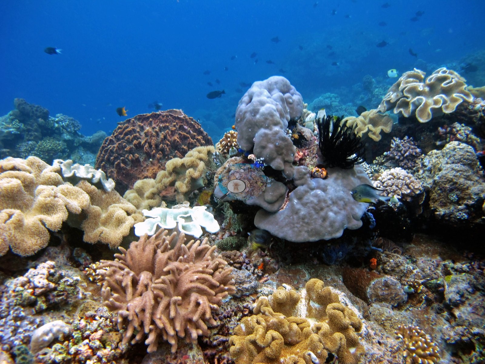
Fish and other fauna
Fauna. Chromis, damselfish, fusiliers, butterflyfish, and a batfish over the reef top; crinoids, gorgonian sea fans, black coral bushes, and a large fish sheltering under a fallen barrel sponge.
Comparisons with other data
Different station, different observers: a near-concurrent cross-check, not a repeat of this site.
Dive record
Airport (Banda Ara) was dive 5 of the 2018 Banda trip, on the morning of 26 April 2018: in at 09:43 for 61 minutes, to a maximum of 30.5 m and an average of 14.63 m at 29.44°C, in clear water throughout.
CV model comparison
More info
DINOv3 and CoralSCOP were run on the same photos and are listed for comparison. Coralscapes v2 and v1 were also run but are not shown: Anderson does not consider Coralscapes reliable for these photos. No diver transect exists for this trip, so agreement between the rows is not accuracy, and as of September 2026 no computer-vision method estimates coral cover accurately on new images; treat every row as indicative.| Method | Hard-coral cover (%) |
|---|---|
| In-house DINOv3 | 35.6 |
| CoralSCOP edited | 45.3 |
| Claude (edited photos) | 38.2 |
Independent surveys nearby
| Agency / program | Year(s) | Stations / distance | Link |
|---|---|---|---|
| Coral Triangle Center (CTC) | 2014–2019 | 8 stations, 1.35–4.98 km | Records ↓ |
| Reef Check | 2015–2025 | 8 stations, 1.08–4.93 km | Records ↓ |
 Dr. Coral (CRD)
Within 5 km, 16 independent survey stations recorded hard coral cover in 97 surveys between 2014 and 2025. Of the 7 stations surveyed in more than one year, 1 declined, 4 increased, and 2 changed by less than 5 percentage points between their first and latest surveys. The longest record, Lava Flow (Reef Check, 1.65 km away), went from 76% (best patch) in 2015 to 88% (best patch) in 2025. Surveys since 2021 average 53% (range 50–56%, n=2); 2 best-patch values above 70% are left out, as they are not site means. This site's own estimate (38%) sits 11.8 points below the recent range (50–56%); the methods differ, so the comparison is context, not a like-for-like test.
Collected by other programs using different methods (Reef Check uses point-intercept transects), so these are context for the figures above, not a like-for-like comparison. Where a station was surveyed more than once the range is shown. Station names are not dive-site names. Values marked best patch exceed 70%: surveyors usually chose the richest area, so they are not site means.
Show all 16 independent survey records
Data & links
All images from Coral Reef Diagnostics. Data are from Coral Reef Diagnostics and the organizations named in the data-sources table above.
© Coral Reef Diagnostics.