
Part of the regional summaries: Australia (GBR) - Far North: Green stations (no-take reefs) and Australia (GBR)
More info
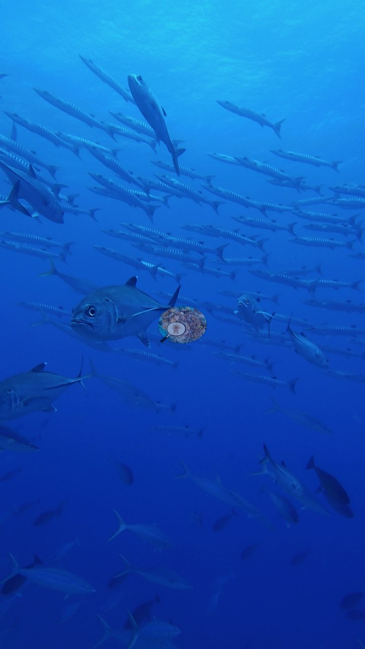
Far Northern GBR (NOAA CRW virtual station)Wood Reef's second dive crossed a wall of shingled tabular Acropora plates overlapping edge to edge, engulfed by hundreds of jacks, barracuda, wahoo, and gray reef sharks in crystal-clear water. Cover is 61%, and the needle coral Seriatopora looked healthy here. Surveyed on the Living Oceans Foundation's Global Reef Expedition.
One independent survey station shown with the program’s logo — click one to see how far it is from this site.
Three other CRD dive sites within 5 km shown in orange — click a marker to open its page.
🗺 Detailed map of the Global Reef Expedition dive sites, Wood and Yule Detached Reefs, northern Great Barrier Reef (Khaled bin Sultan Living Oceans Foundation; opens in a new window)
Site description
Setting
Visibility was excellent throughout, with reef structure resolvable well past the foreground in nearly every wide frame. Anderson and his dive partner descended through crystal-clear water to about 15-20 m and were immediately engulfed by hundreds of jacks, barracuda, wahoo, and gray reef sharks. A 2-knot current permitted just one deep transect before a 10-15-minute upcurrent swim to a second wall.
General benthic features
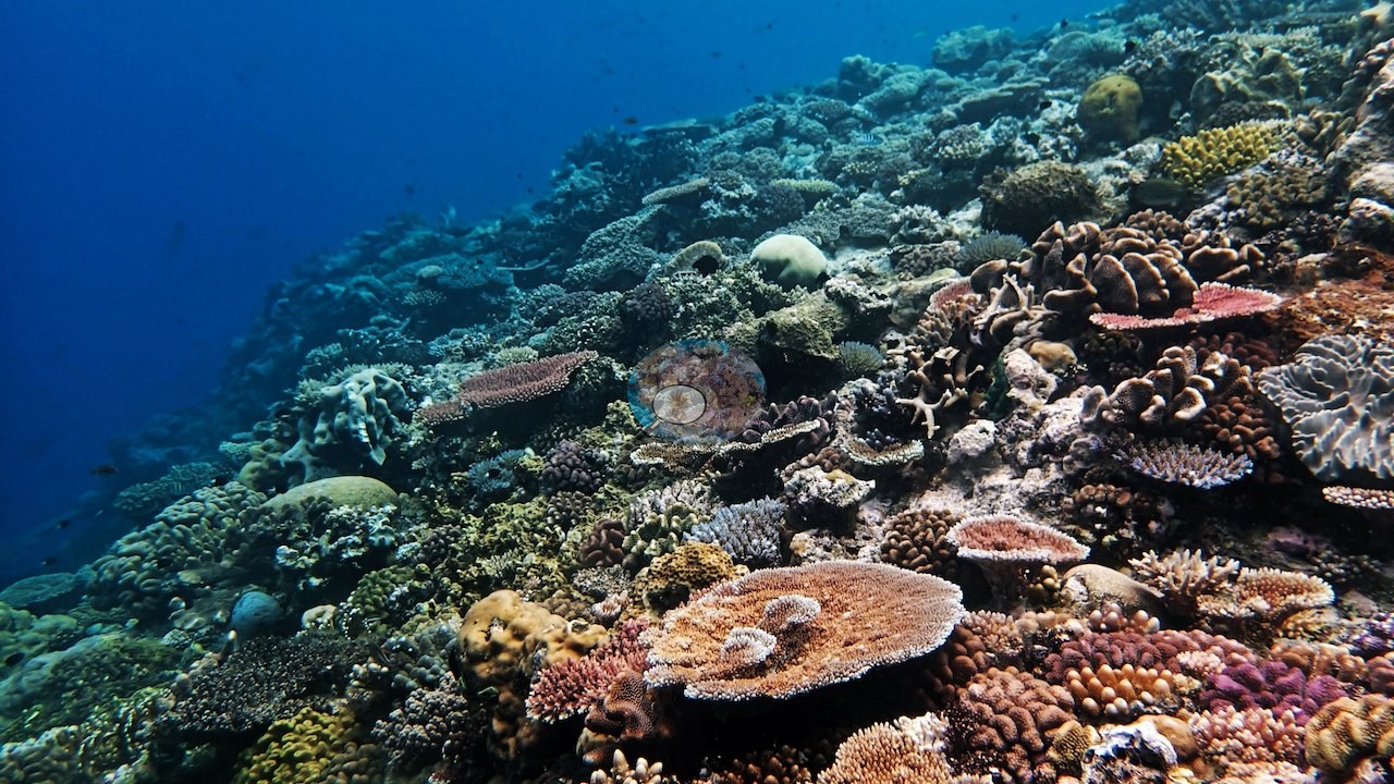
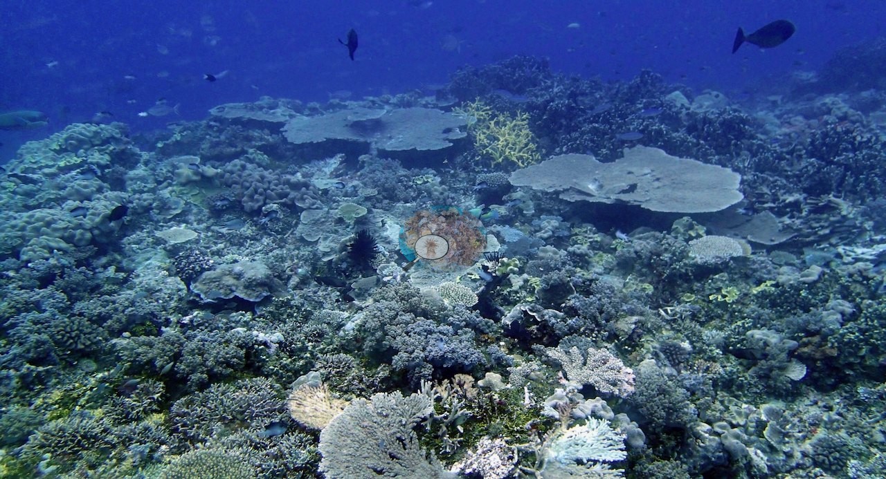
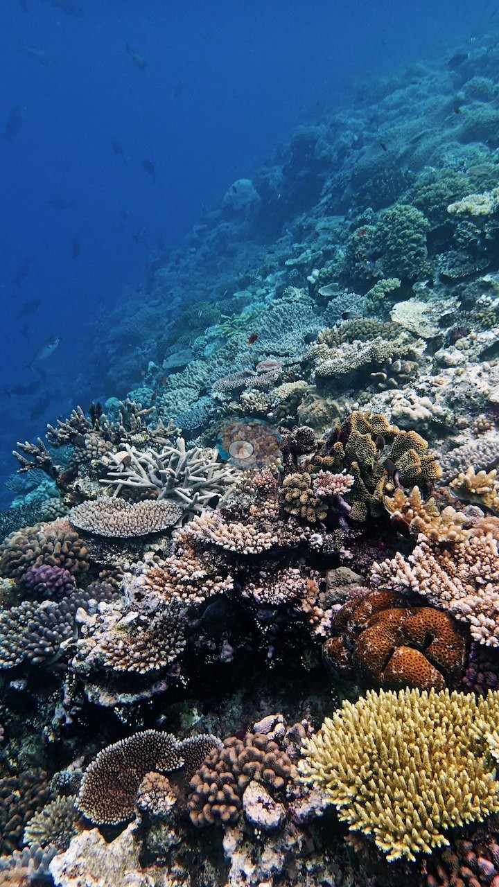
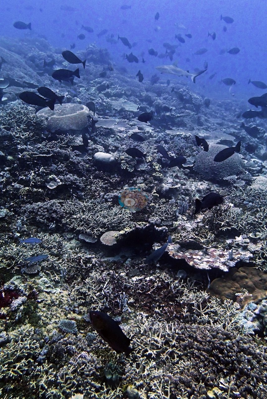
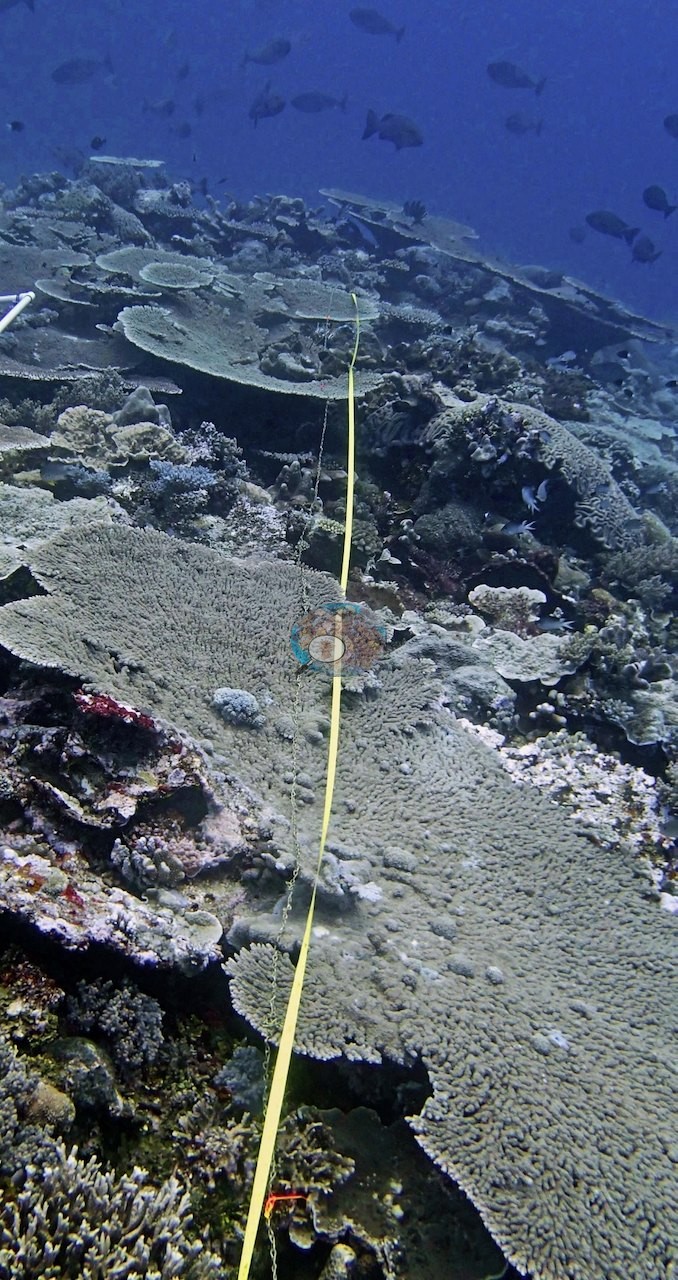
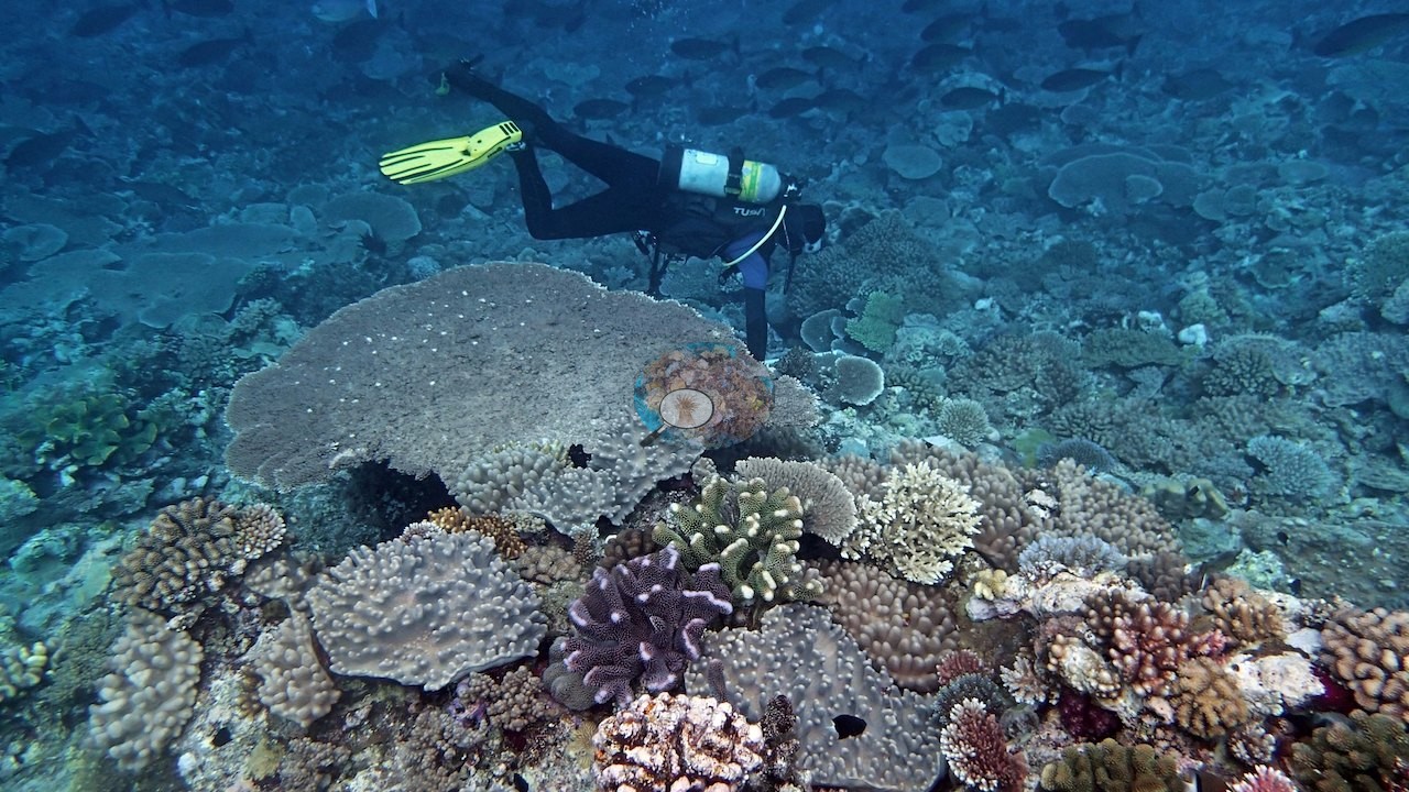
The second half of the 59 frames shows the reef, and it is the substance of the set. At depth the terrain is a broad, gently rolling pavement built almost entirely of shingled tabular Acropora: plates well over a meter across overlapping one another edge to edge for the whole visible distance (e.g., Image 26, Image 27, Image 31), with staghorn and corymbose thickets filling the gaps and foliose scrolls tucked between (e.g., Image 32, Image 34).
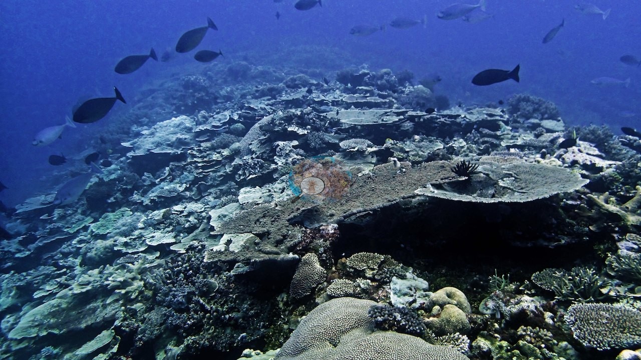
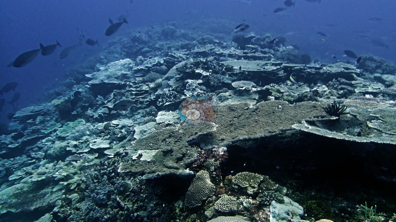
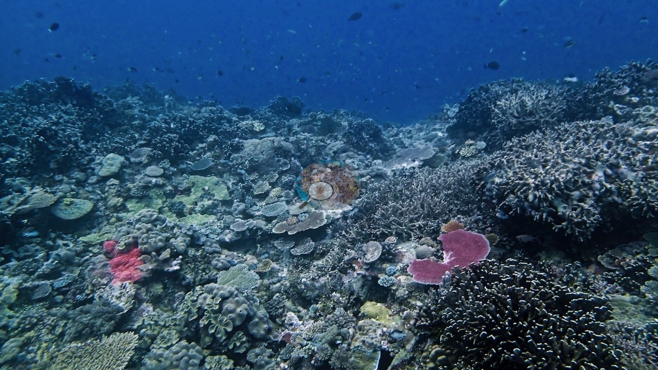
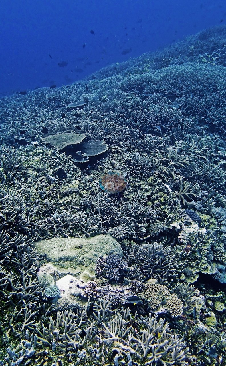
Down the slope the tables step down in tiers over plate and brain colonies, one with a feather star perched on its rim (e.g., Image 17, Image 19, Image 20, Image 38).
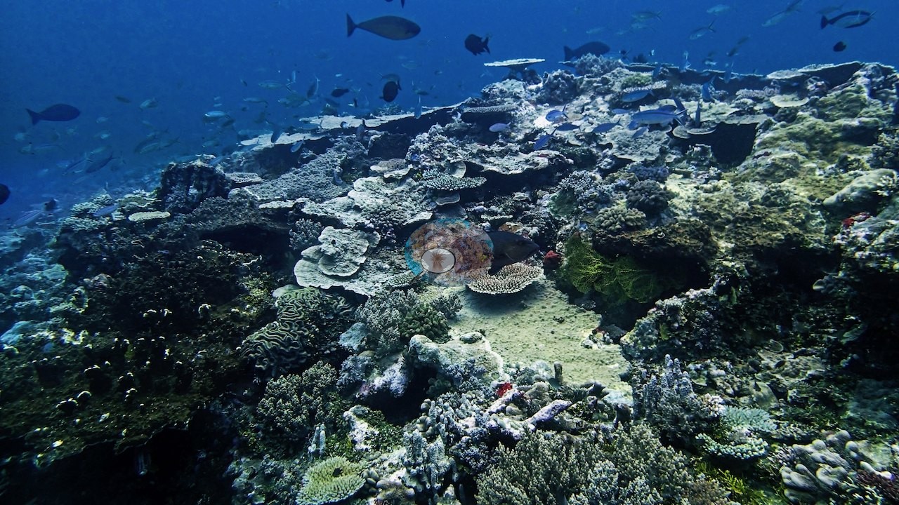
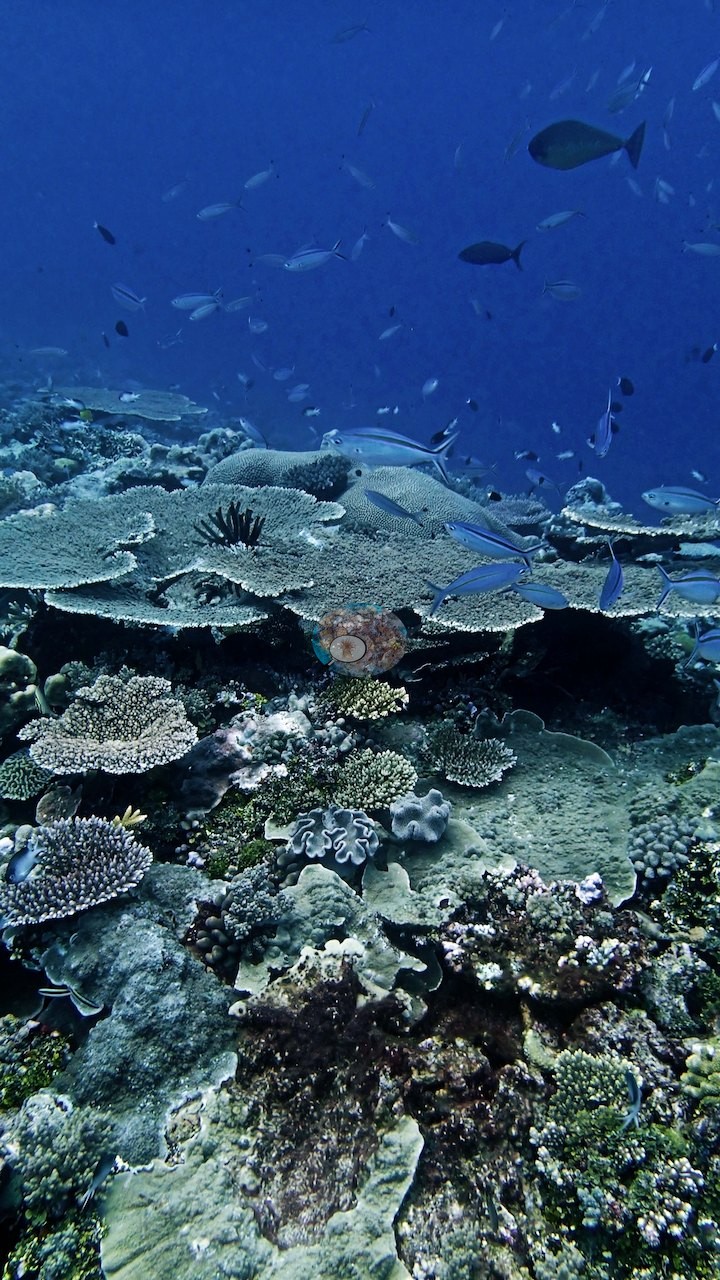
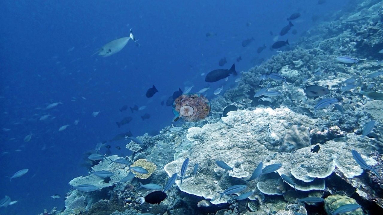
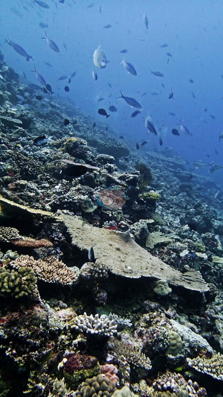
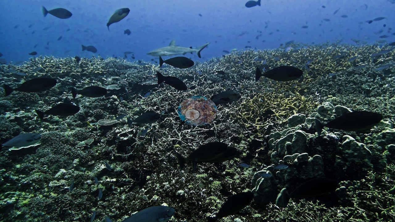
Staghorn thickets carpet whole stretches, in places blanketing the bottom edge to edge (e.g., Image 16, Image 30, Image 33), elsewhere mixing with tables, corymbose colonies, and a bright red corymbose colony (e.g., Image 25, Image 29), with bannerfish and butterflyfish working the branches (e.g., Image 40, Image 41).
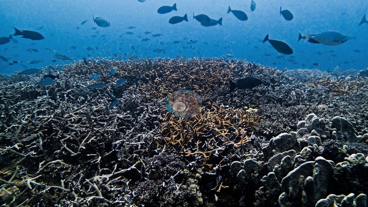
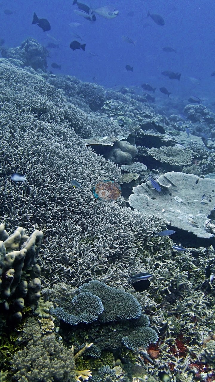
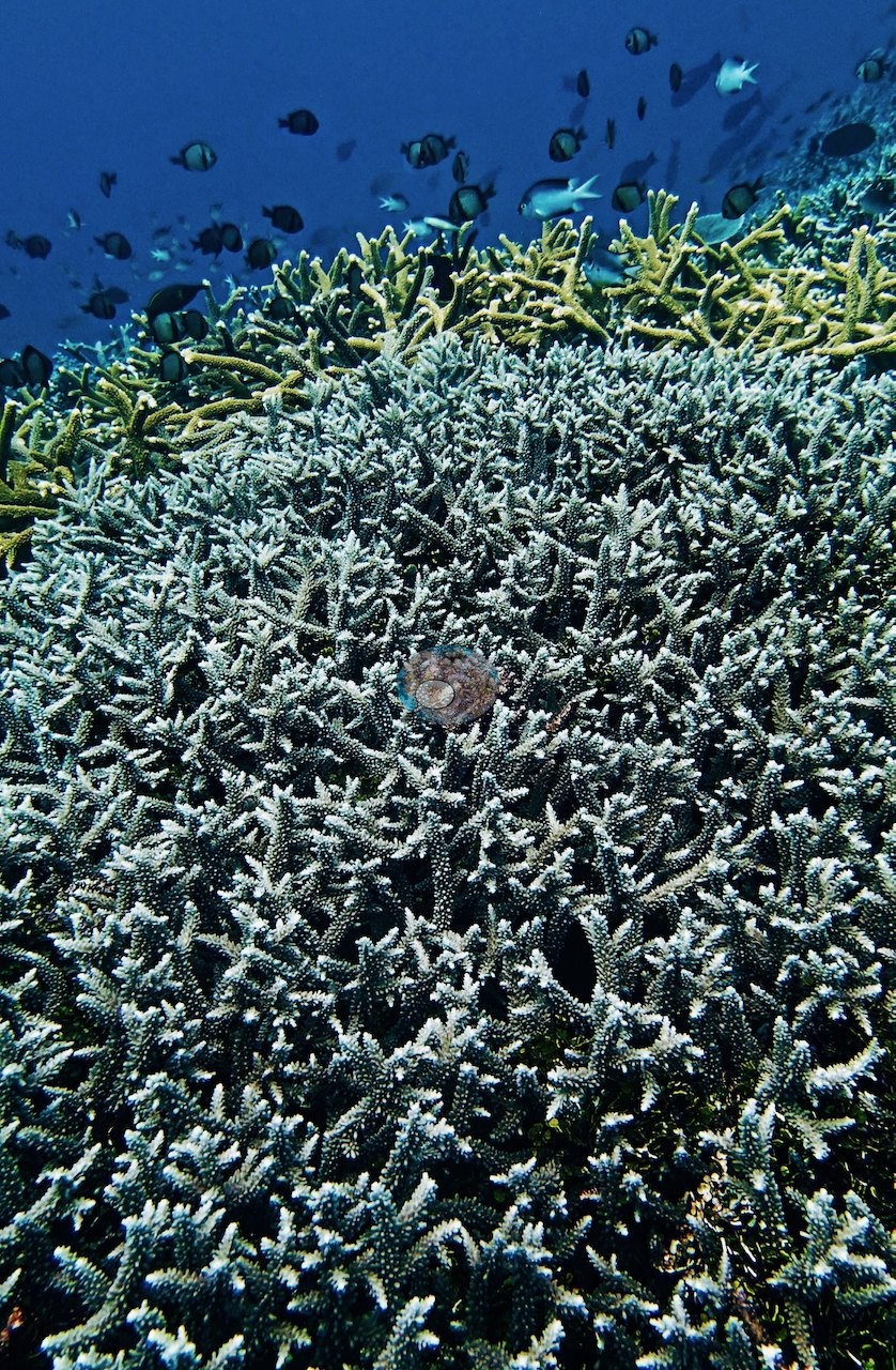
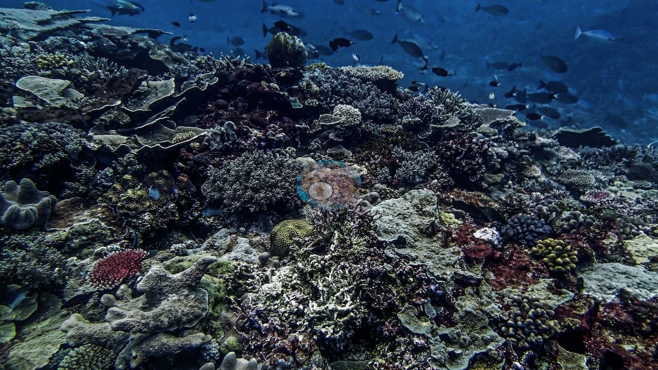
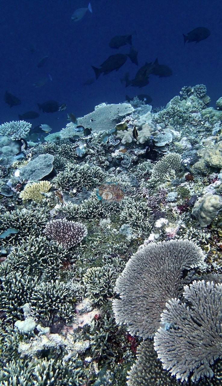
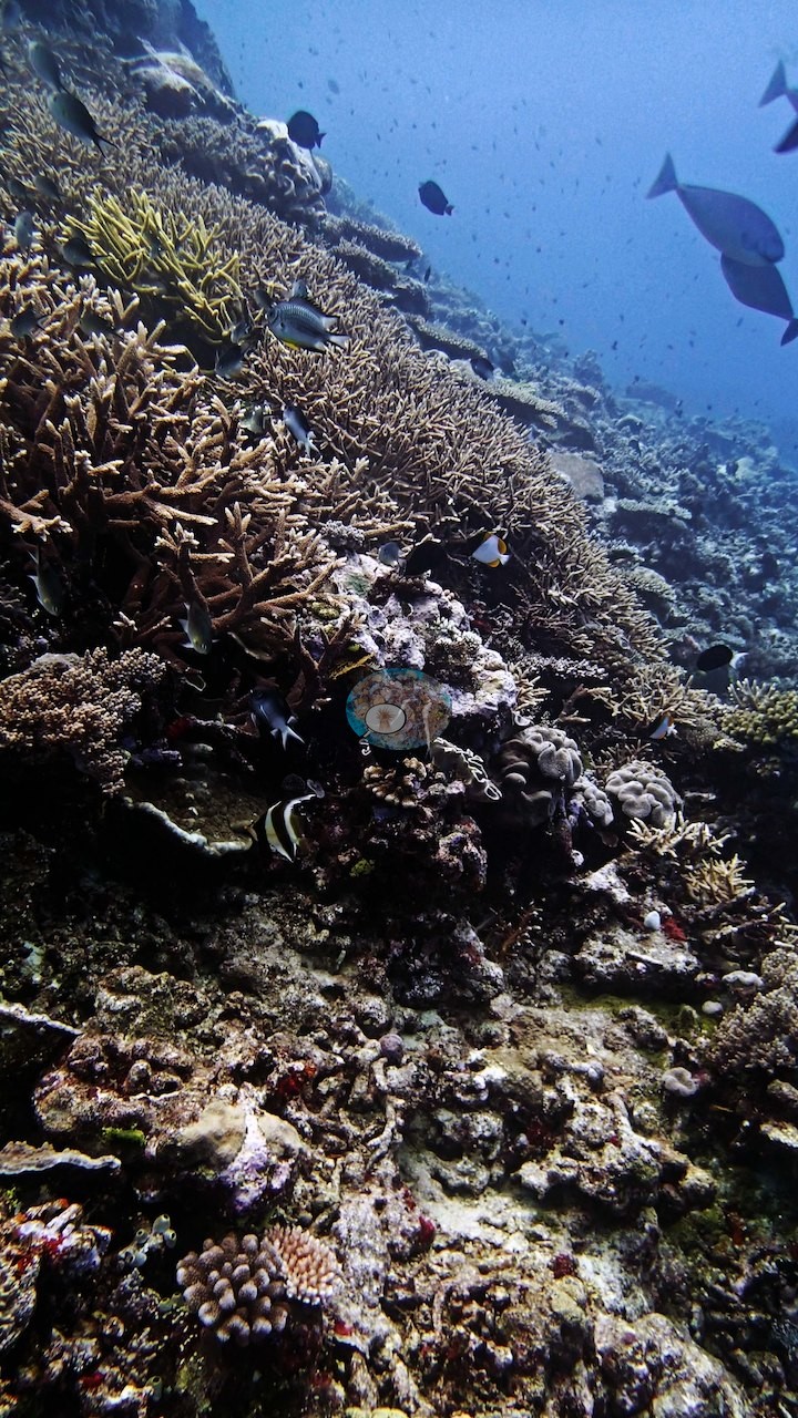
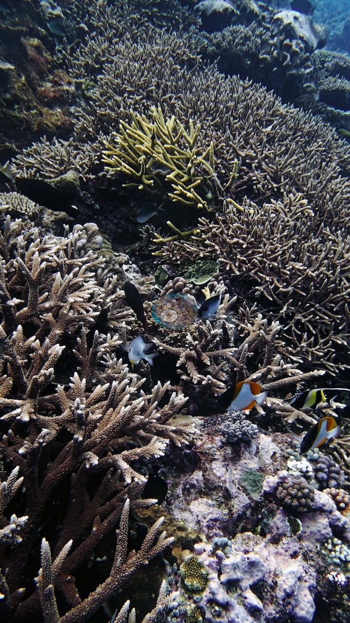
Two vivid magenta-pink encrusting colonies stand out against the gray-blue of the deep frames (e.g., Image 32), and a salmon-pink plate and a rose-colored colony appear again on the upslope frames (e.g., Image 23, Image 45, Image 48).
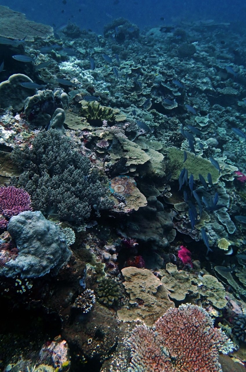
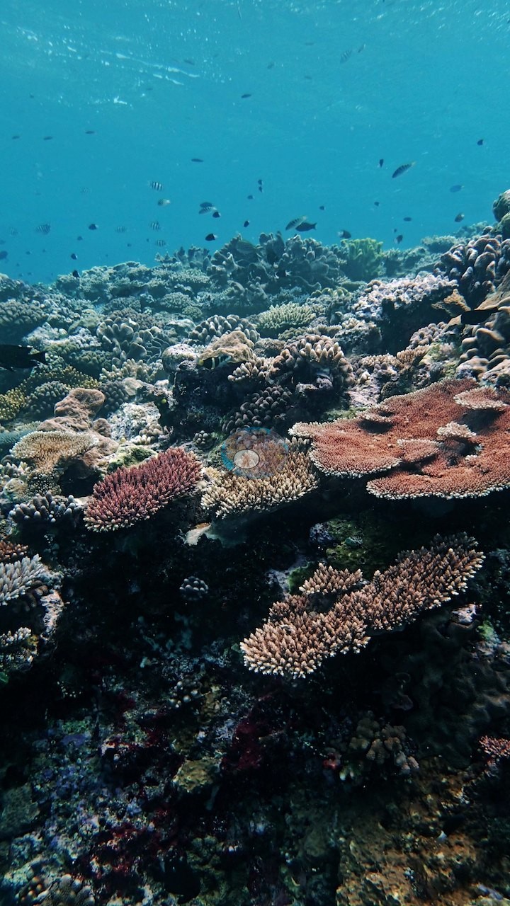
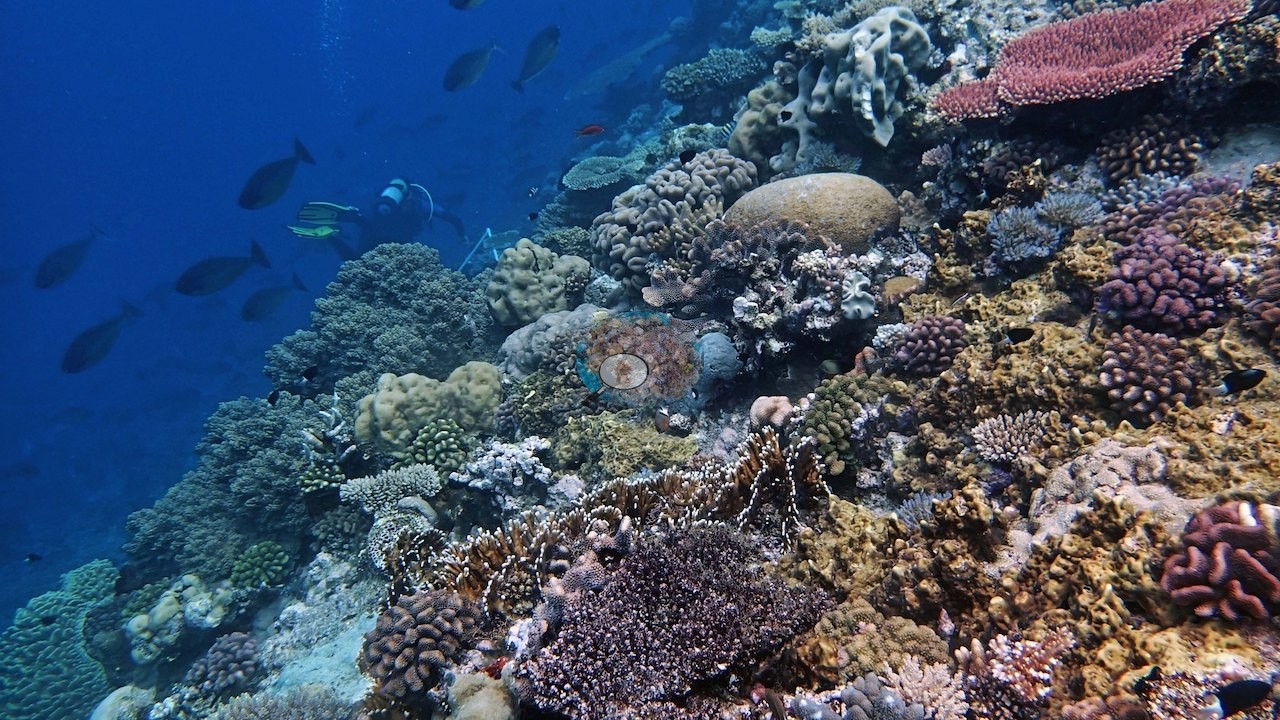
Other stretches of the slope are dominated instead by gray foliose and plating colonies (e.g., Image 18, Image 21, Image 24), and two frames show whole hillsides of ruffled, lettuce-like foliose colonies beside a large tan colony of the same ruffled form (e.g., Image 55, Image 56).
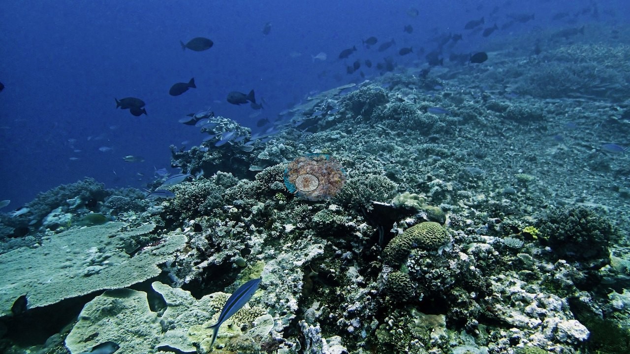
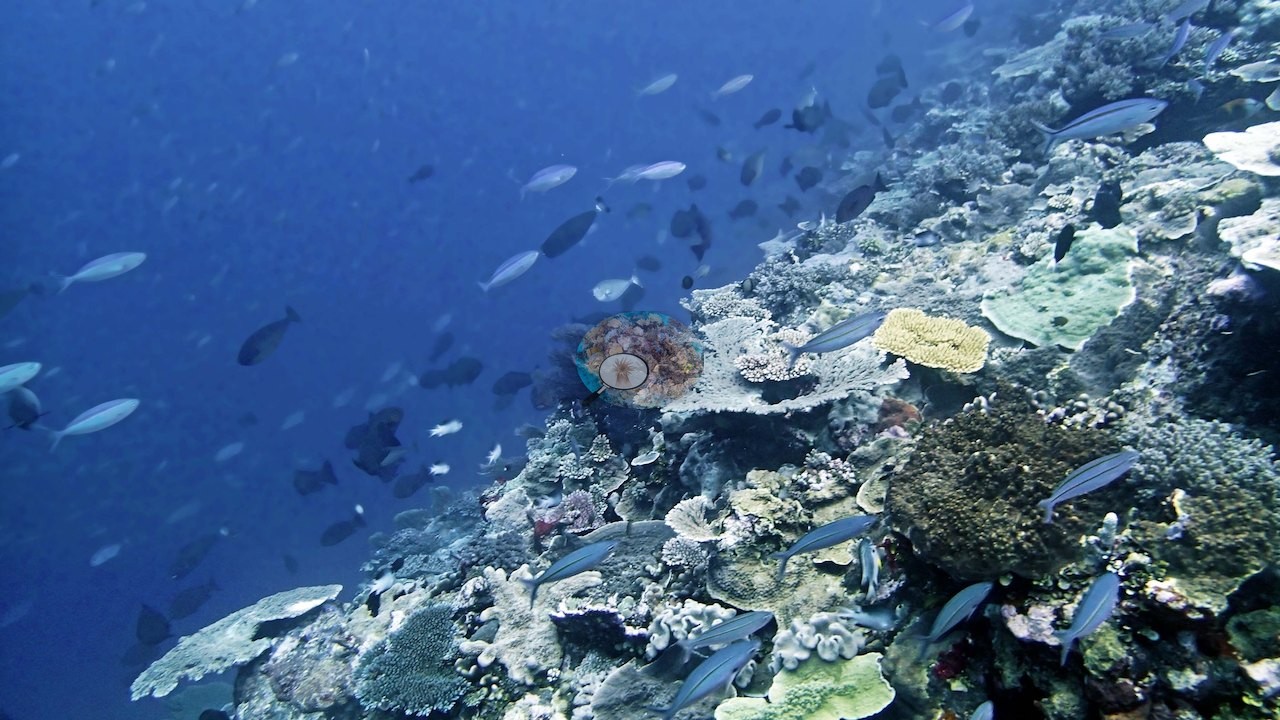
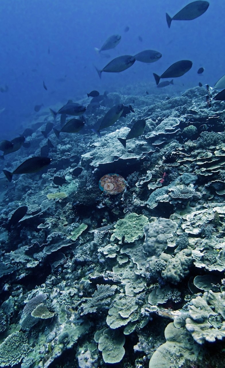
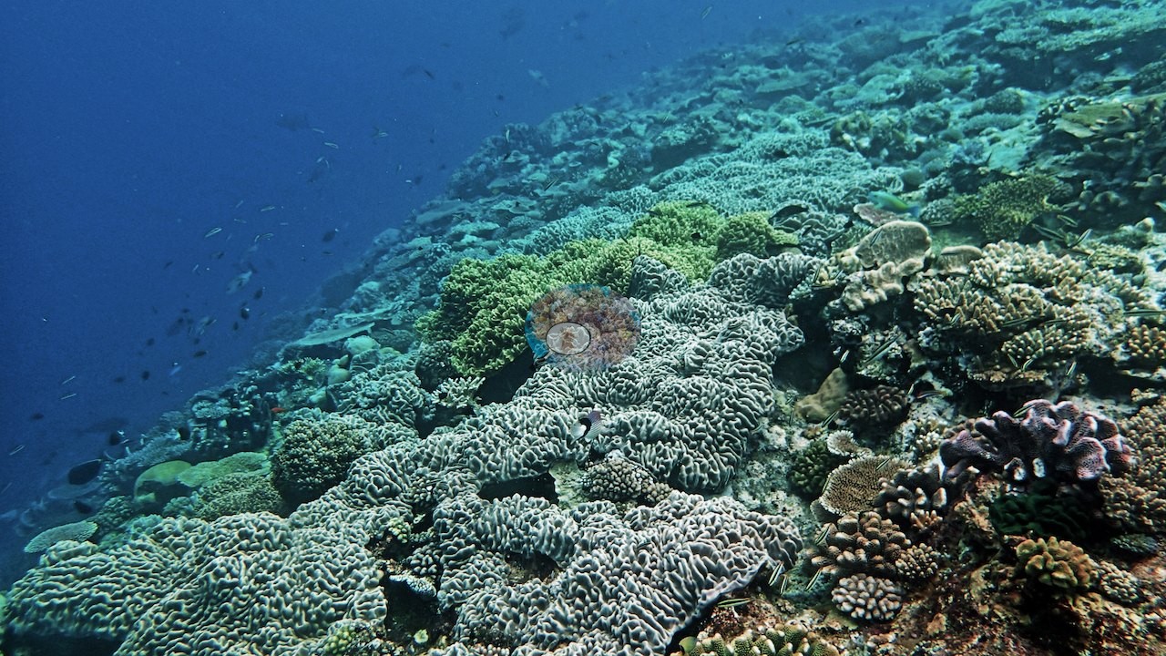
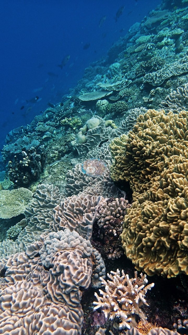
Shallower and in better light the community broadens sharply. Seven frames are crowded corner to corner with growth forms in full color: mustard and lime corymbose Acropora, cream and tan tabular plates, knobby and smooth massives, brain-textured heads with meandering valleys, blue-tipped digitate colonies, olive branching thickets, encrusting sheets, and a pink barrel-form sponge (e.g., Image 42, Image 47, Image 49, Image 52, Image 53, Image 58, Image 59).
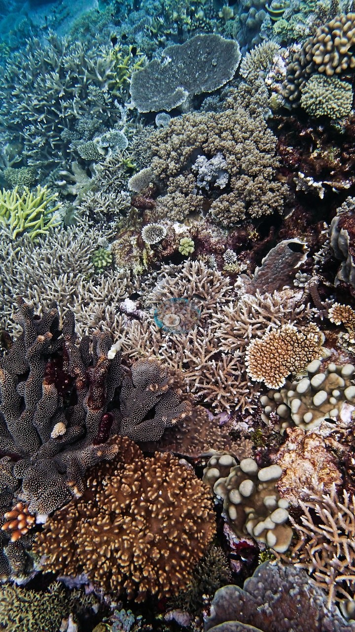
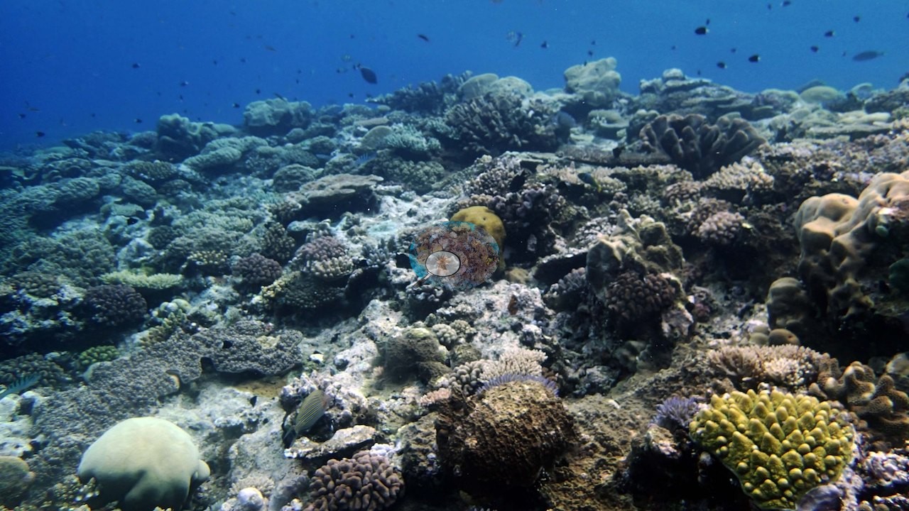
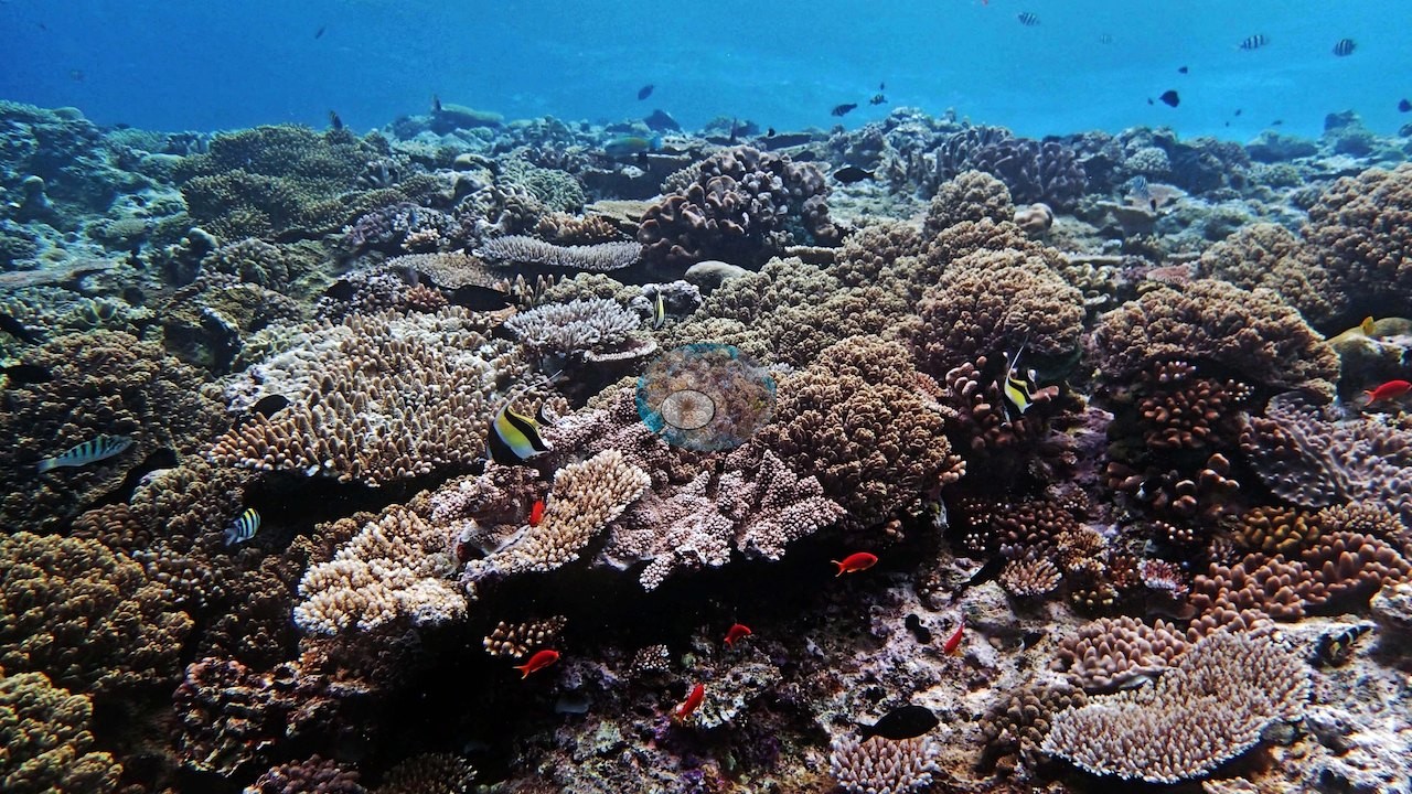
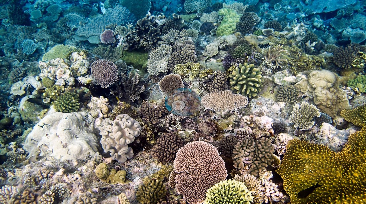
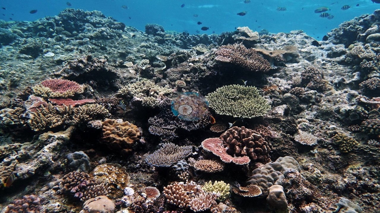
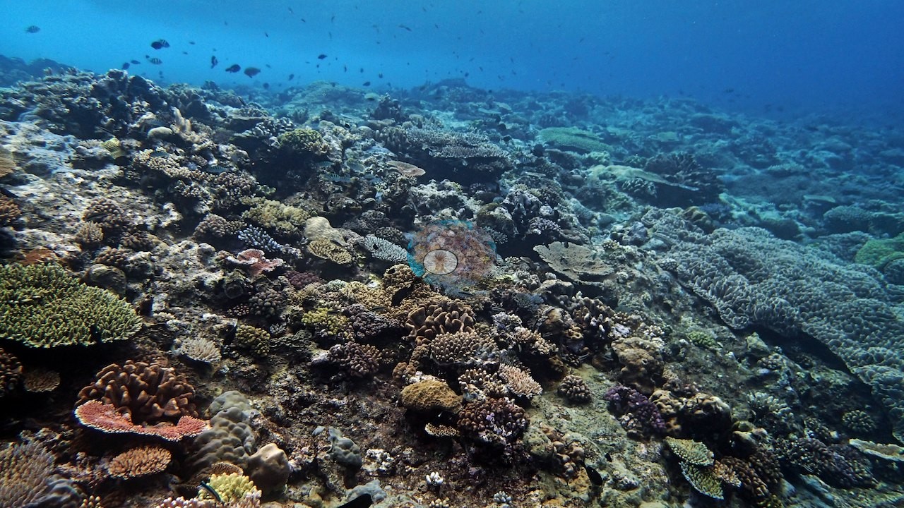
A lobed leathery soft coral sits among massive and plating colonies in one upper-slope frame (e.g., Image 43), and another pairs a bright yellow corymbose Acropora with an orange meandroid brain colony (e.g., Image 50).
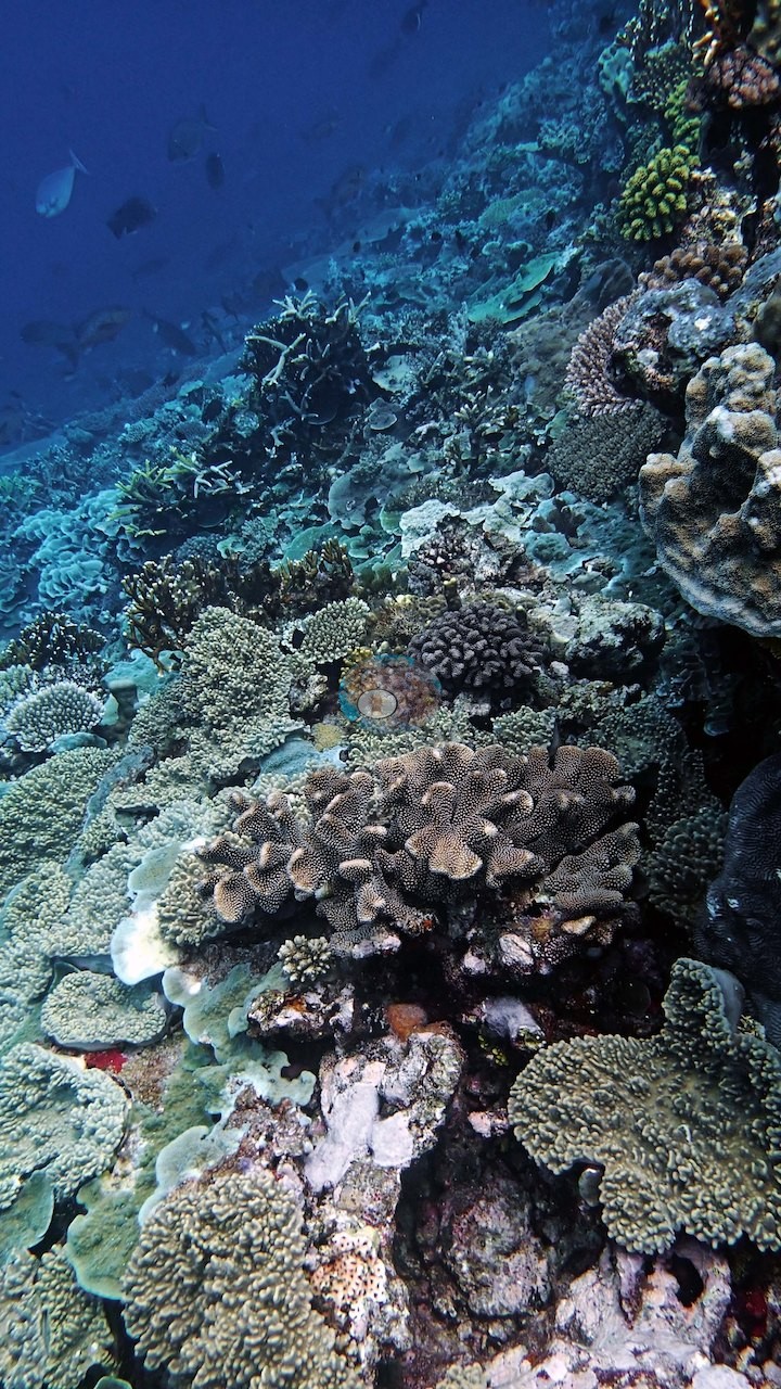
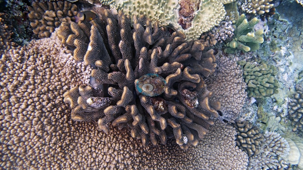
Two close-in frames carry the best colony detail: a large dark-olive coral of blunt, contorted, finely porous lobes with pale growing tips, wedged among gray foliose plates and digitate Acropora (e.g., Image 22); and a second of the same growth form pressed against a big tan colony with prominent conical surface bumps, with green corymbose Acropora and a brain-textured head at the edge of frame (e.g., Image 54) — both compatible with a branching Porites, but the photographs alone cannot settle the genus.
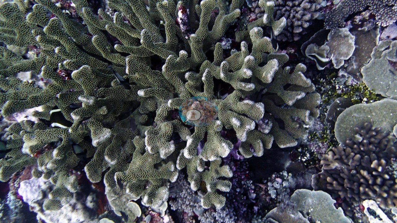
Fresh white growing margins are visible on many tables and staghorn tips.
Coral cover
- Reference: Khaled bin Sultan Living Oceans Foundation, Global Reef Expedition (in situ transect)
- The frames cannot resolve the site's Seriatopora, which the dive account singles out, nor can they be read as a cover estimate — no cover figure is derived here from the photographs.
- On the second Wood Reef dive, the LOF transects recorded 61% live coral by point-count.
- Colors flatten toward blue in the ambient light at depth, but the structure is unmistakable, and Anderson's notes put his first transect, at 19.5 m, at 80-90% live cover amid dozens if not hundreds of species.
- Transect mean 61 ± 16% SE (n = 3 transects; Living Oceans Foundation per-transect benthic data); the headline above is the expedition's station value.
Stressors
No bleaching, no disease lesions, and no crown-of-thorns feeding scars are visible anywhere in the 59 frames; the pale patches that occur are the flattened blue-gray rendering of ambient light at depth rather than tissue loss. Anderson's notes record the needle coral Seriatopora hystrix on his 20 m transect as healthy.
Fish and other fauna
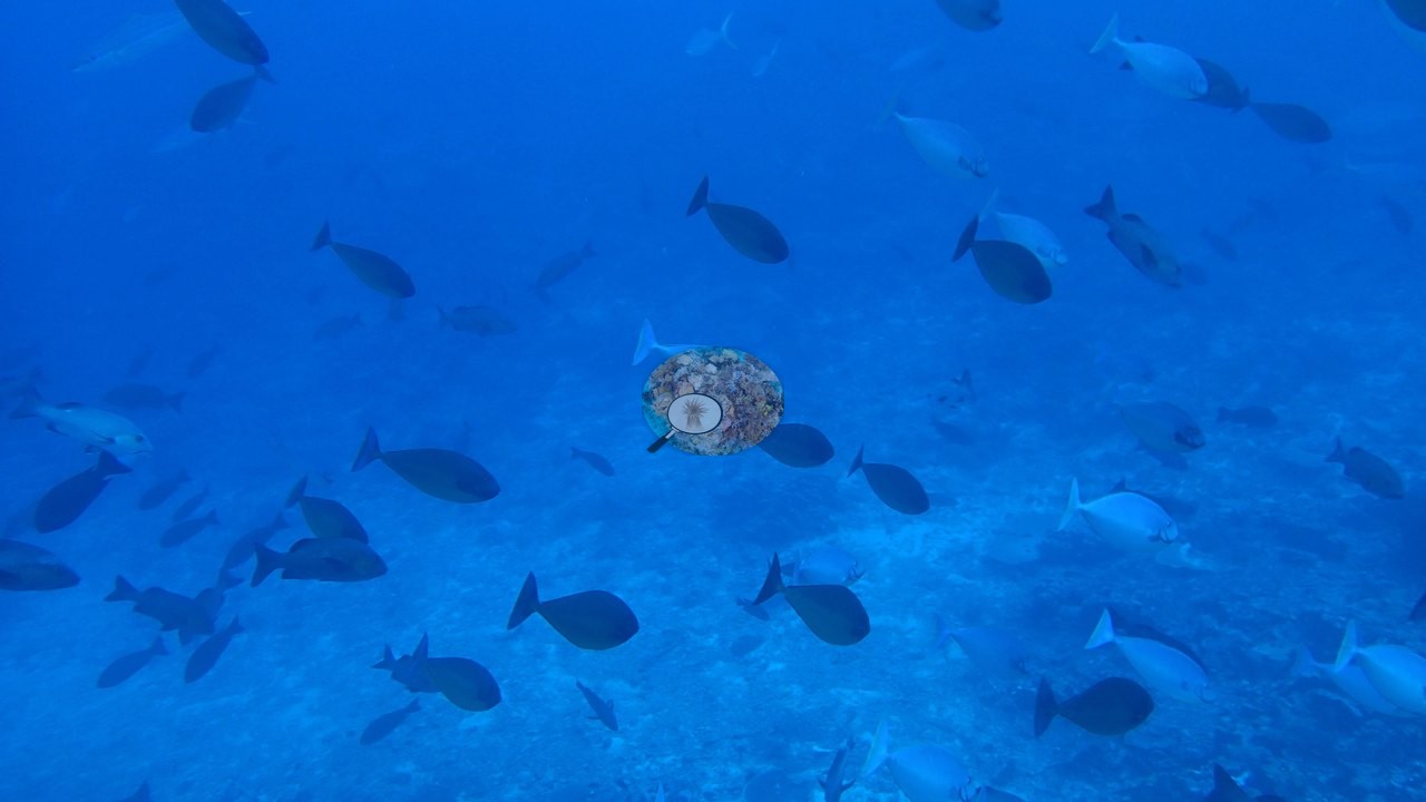
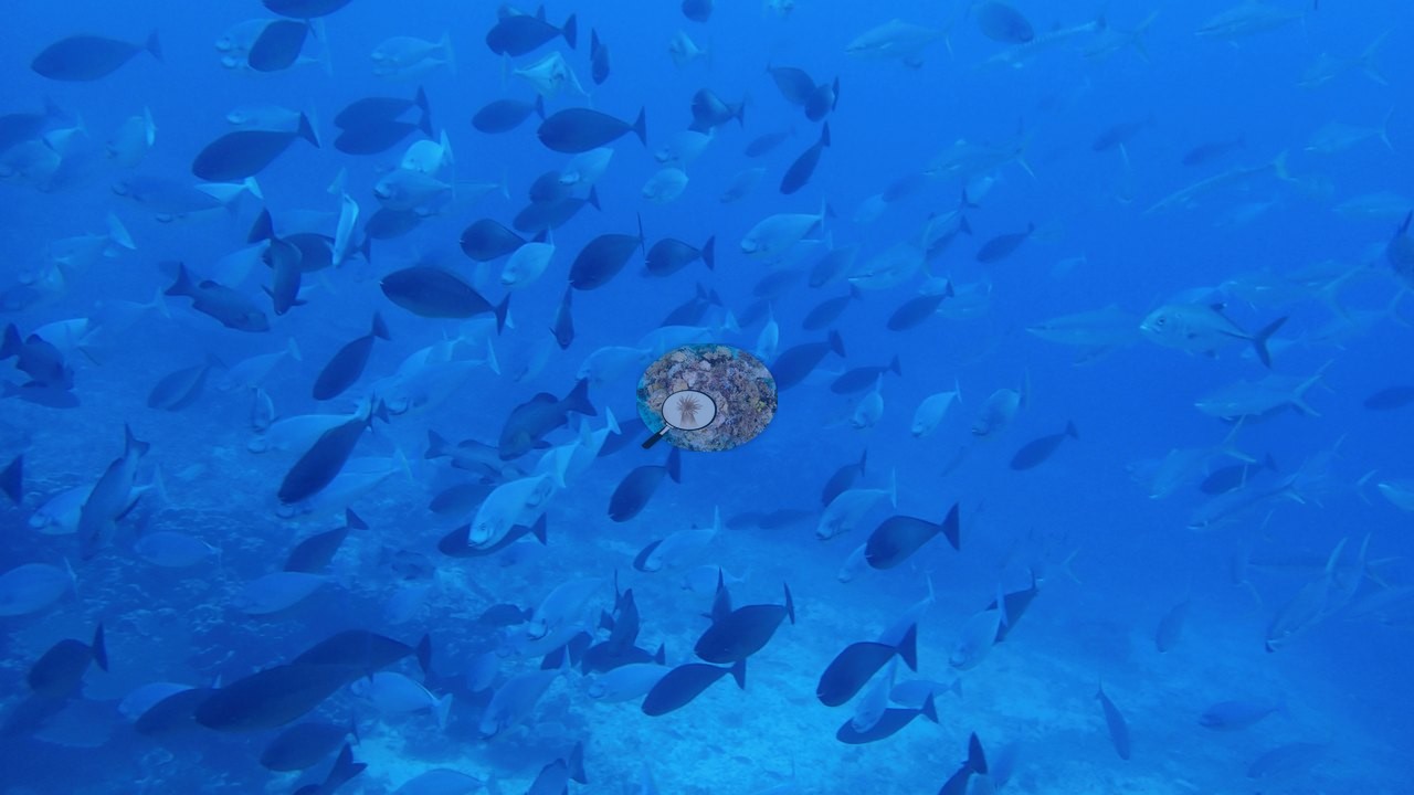
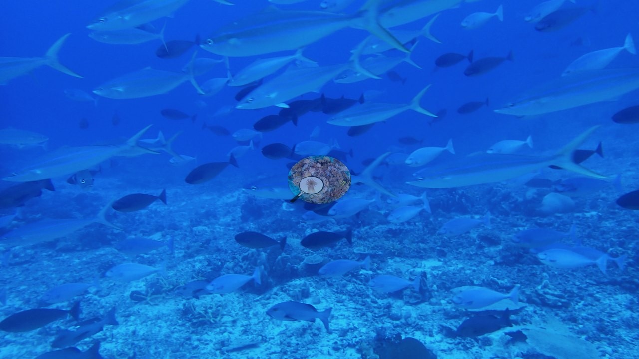
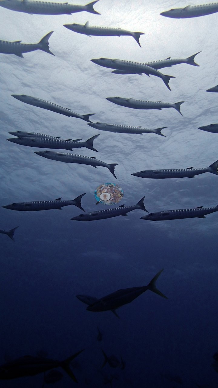
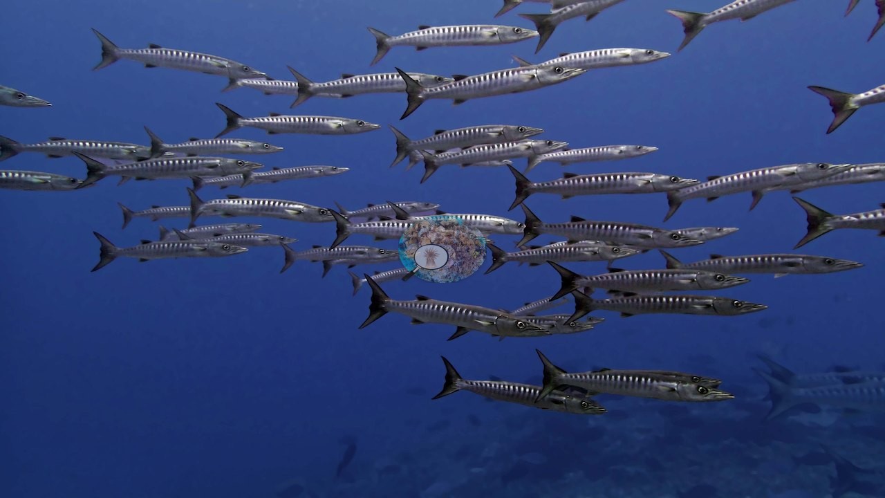
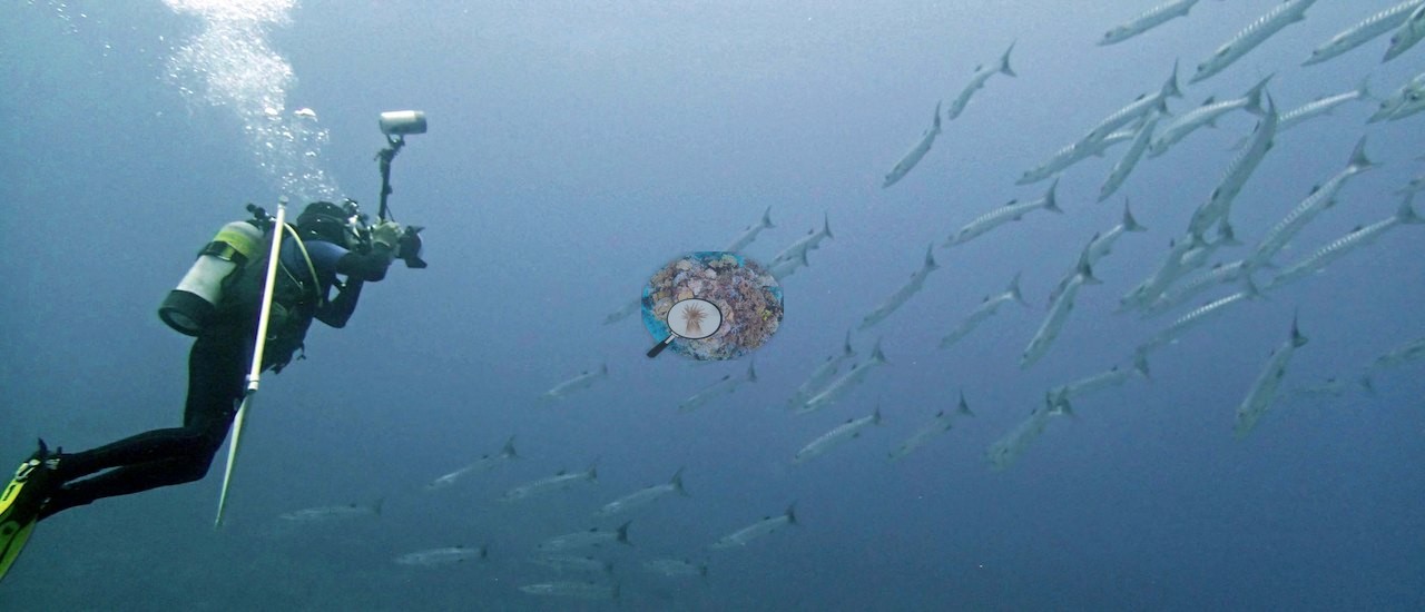
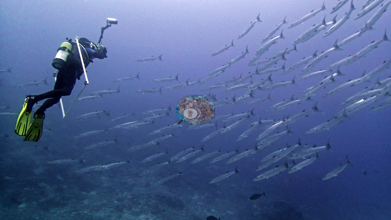
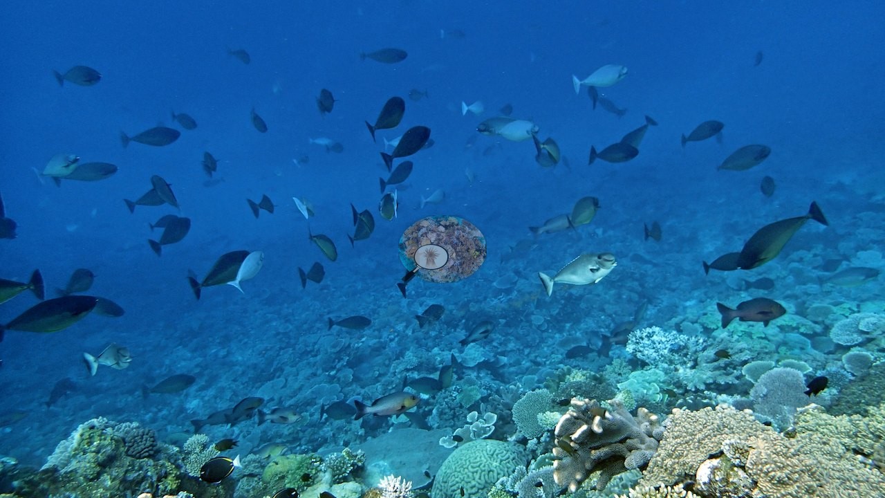
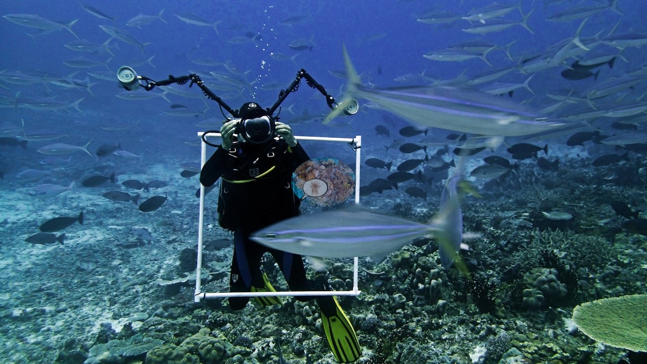
The first half of the set is pelagic: dense schools of jacks and fusiliers hanging over the drop (e.g., Image 1, Image 2, Image 3, Image 5, Image 6, Image 10), chevron barracuda stacked in ranks against the surface glare (e.g., Image 4, Image 8, Image 14, Image 35, Image 36, Image 37), rainbow runners and mackerel scad streaming past (e.g., Image 9), and two frames of the survey photographers themselves working inside a barracuda school with strobe-armed camera rigs (e.g., Image 11, Image 12).
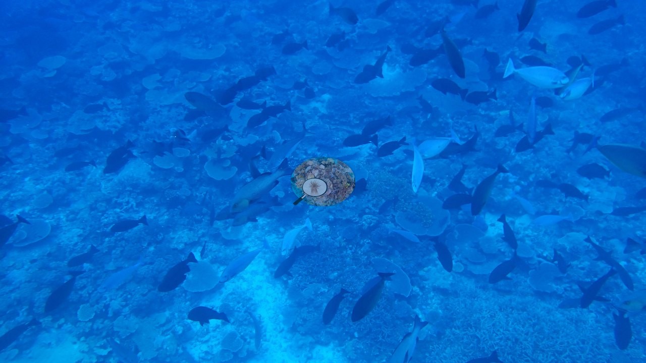
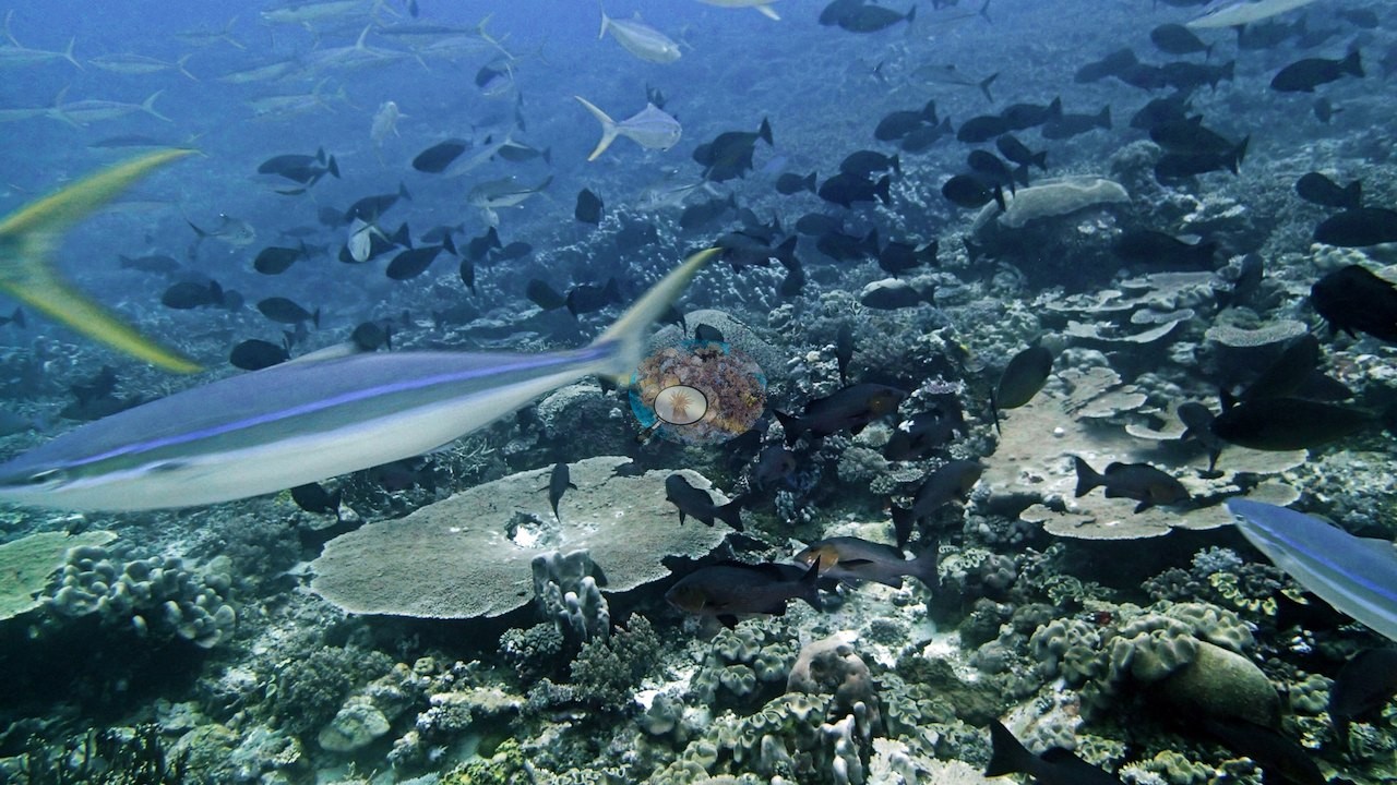
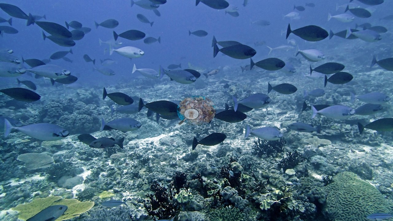
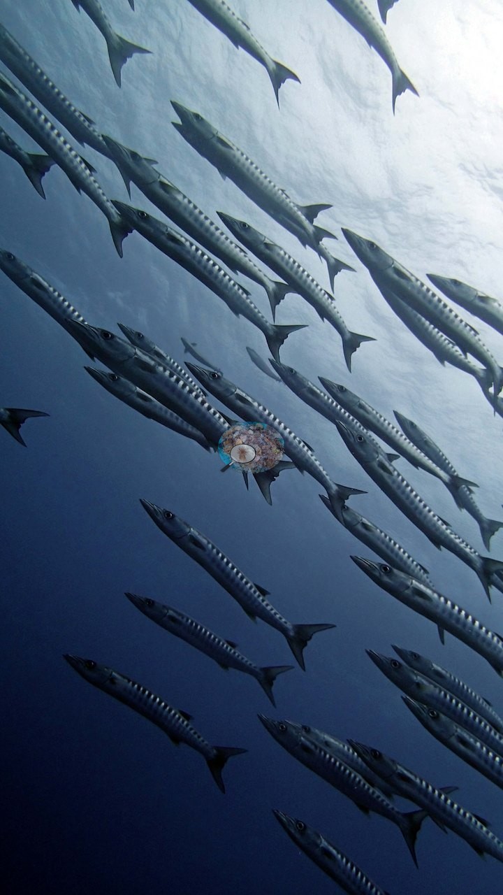
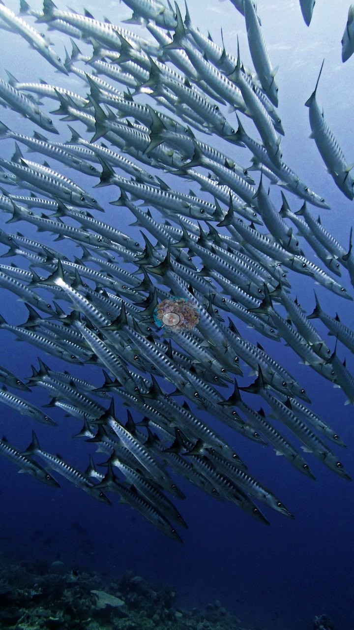
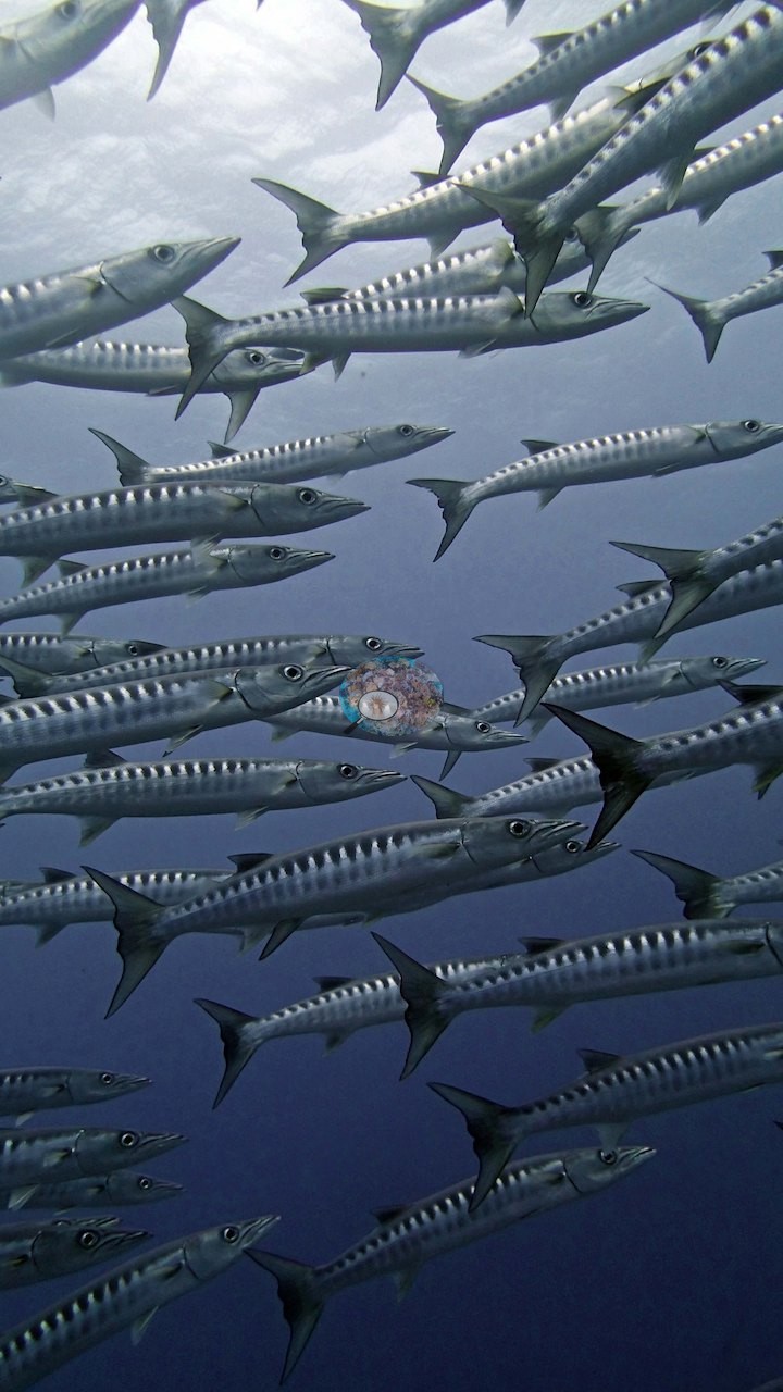
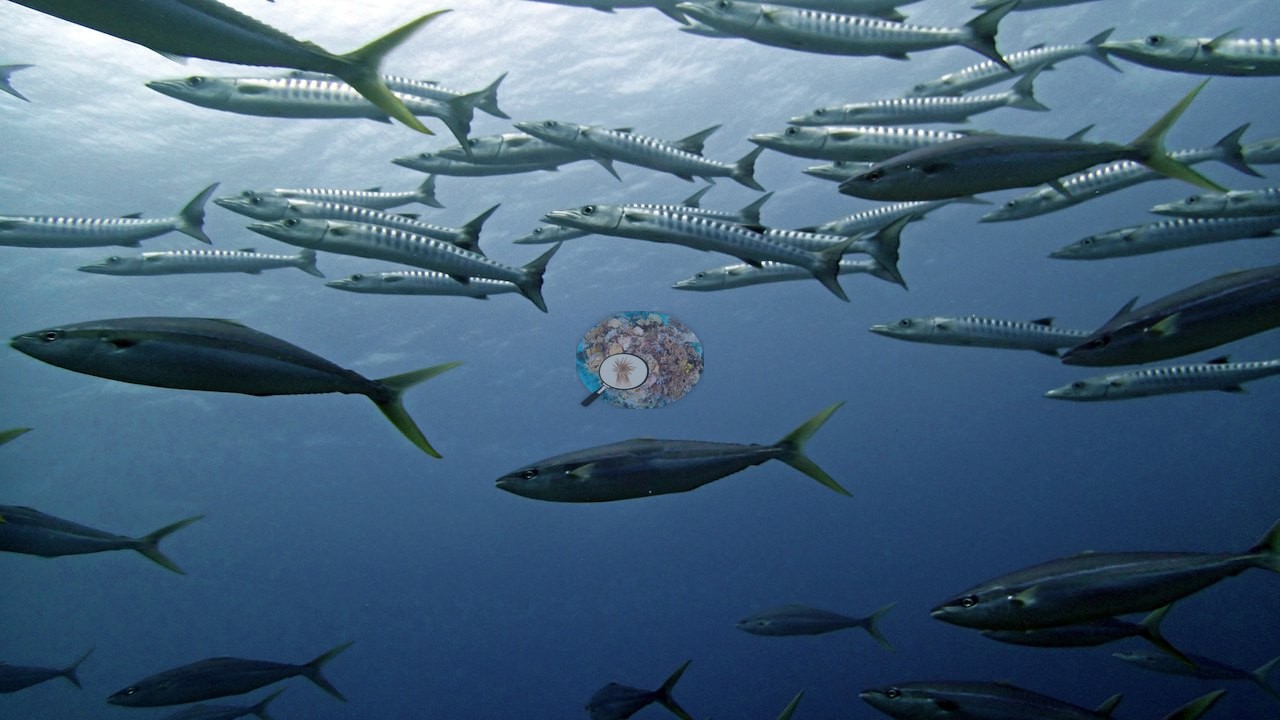
Reef sharks and schools of dark surgeonfish cruise low over the deep thickets and tables in several frames (e.g., Image 13, Image 15, Image 57).
Comparisons with other data
No other surveys have been conducted at this site to date. Within 5 km, one independent station, XL Catlin Seaview Survey at transect 15001, 4.74 km away, read 20–22% between 2014 and 2017.
Other notes
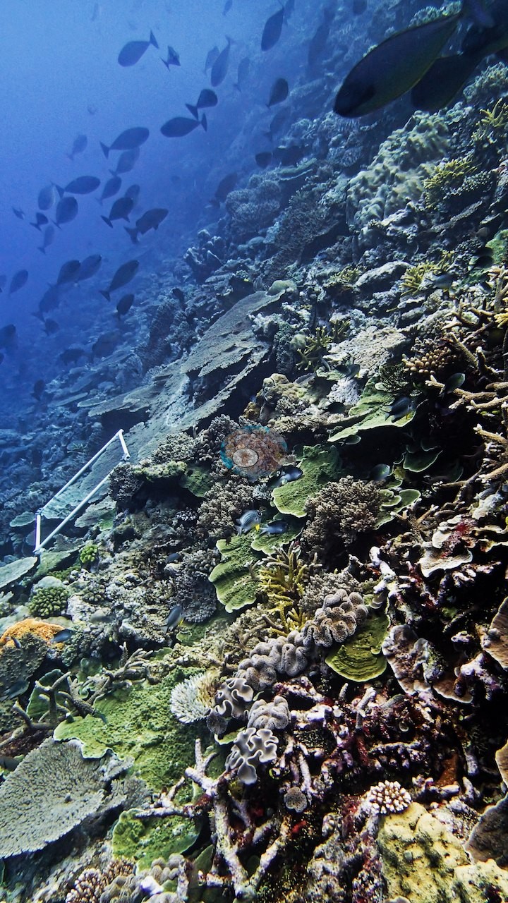
Fifty-nine frames, and they document two distinct halves of the dive. One frame shows the survey transect tape running straight down that tabulate pavement, the yellow line crossing four or five separate plates in a single shot (e.g., Image 28) — the clearest picture in the set of what the transect was actually laid over.
Divers appear in three reef frames, twice holding a white PVC survey framer over the substrate (e.g., Image 7, Image 44) and once finning over a meter-scale plate colony (e.g., Image 51), which give useful scale.
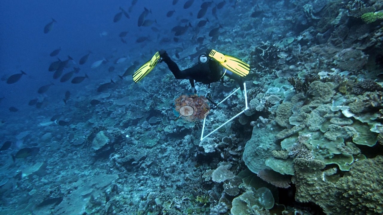
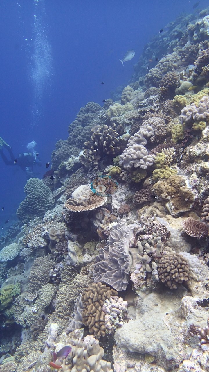
Two more frames add scale: a diver in open water beyond a steep face of massive and foliose colonies (e.g., Image 46), and a white PVC framer resting on the slope among plates and foliose colonies (e.g., Image 39).
CV model comparison
More info
The photo row below is a methods comparison only: it is never averaged with the transect and never used as the headline. It compares site means only: the photos come from the same survey dive as the transect but not from the same points.| Method | Hard-coral cover (%) | Photos (n) ± SE |
|---|---|---|
| Transect (published) | 60.7 | |
| CoralSCOP edited | 30.7 | n = 42 · SE 2.5 |
| Claude (edited photos) | 39.1 | n = 42 · SE 3.1 |
The two computer-vision methods differ by 8.4 pp (31–39%) and read 21.6–30.0 pp below the in-water transect (61%); the headline is the in-water transect because a diver transect is independent of the photographs.
Independent surveys nearby
Within 5 km, 1 independent survey station recorded hard coral cover in 2 surveys between 2014 and 2017. The one station surveyed in more than one year changed by 7 points or less between its first and latest surveys, inside the 7-point method-noise floor (inconclusive). The longest record, transect 15001 (XL Catlin Seaview Survey, 4.74 km away), went from 22% in 2014 to 20% in 2017. The most recent nearby survey is from 2017, so these values predate recent heat stress. This site's own estimate (61%) is not compared with these surveys: none lies within 2 km.
Collected by other programs using different methods (the XL Catlin Seaview Survey uses photo-transects with automated image annotation), so these are context for the figures above, not a like-for-like comparison. Where a station was surveyed more than once, the cell shows either the range of its values or, as a single value, the mean of surveys made in one year. Station names are not dive-site names.
| Agency | Site / location | Date | Hard coral cover (%) | Distance | Link |
|---|---|---|---|---|---|
| XL Catlin Seaview Survey | transect 15001 | 2014–2017 | 20–22% (2 surveys) | 4.74 km | doi:10.14264/uql.2019.930 |
Data & links
- Download benthic survey data (CSV) ↗
- Download all LOF-GRE data (933 sites) ↗
- Photo portfolio ↗
- Coral Reef Diagnostics country page ↗
All images from Coral Reef Diagnostics. Data are from the Khaled bin Sultan Living Oceans Foundation Global Reef Expedition, Coral Reef Diagnostics, and the organizations named in the data sources above.
 © Coral Reef Diagnostics.