
Part of the regional summaries: Australia (GBR) - Far North: Green stations (no-take reefs) and Australia (GBR)
More info
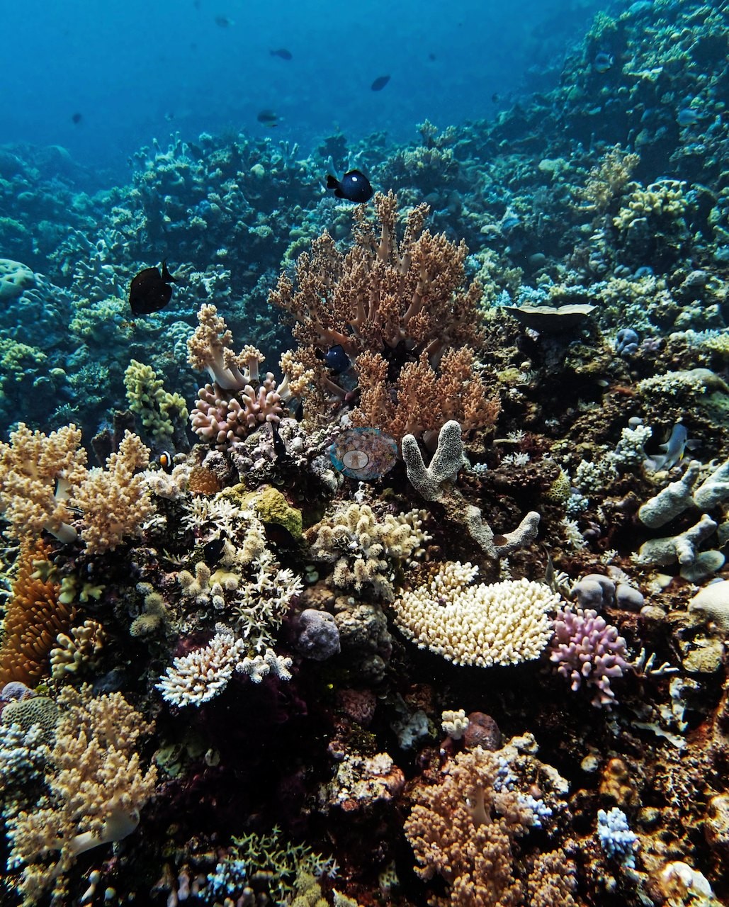
Far Northern GBR (NOAA CRW virtual station)AUWO103 is a bommie field of isolated coral heads and low ridges rising off white sand, with a mixed community of needle corals, plating and massive colonies plus a giant clam. The fine-branched Seriatopora here was badly bleached, about 95% of colonies by Anderson's own field estimate, though most of them were still alive, while other growth forms nearby stayed pigmented. Surveyed on the Living Oceans Foundation's Global Reef Expedition.
Two independent survey stations shown with the program’s logo — click one to see how far it is from this site.
Three other CRD dive sites within 5 km shown in orange — click a marker to open its page.
🗺 Detailed map of the Global Reef Expedition dive sites, Wood and Yule Detached Reefs, northern Great Barrier Reef (Khaled bin Sultan Living Oceans Foundation; opens in a new window)
Site description
Setting
The wide frames match Anderson's own field note of a bommie field: repeated shots of isolated coral heads and low ridges standing off white carbonate sand, some framed against open blue water with the sand plain running away beneath (e.g., Image 2, Image 13, Image 18, Image 19, Image 22), and others taken across the reef top where the structure is continuous, mounded, and crowded to the frame edge (e.g., Image 11, Image 17, Image 20, Image 21, Image 30).
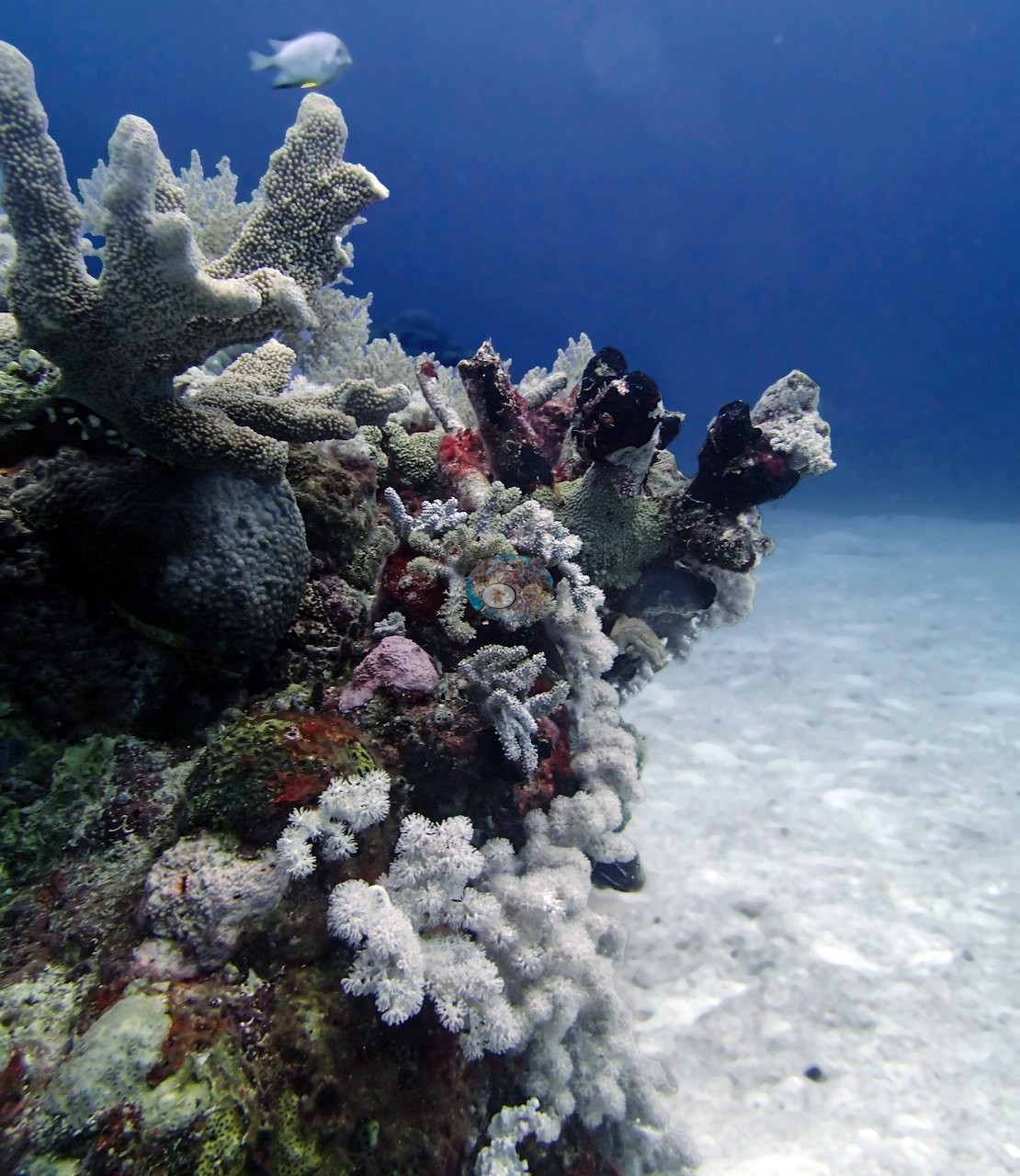
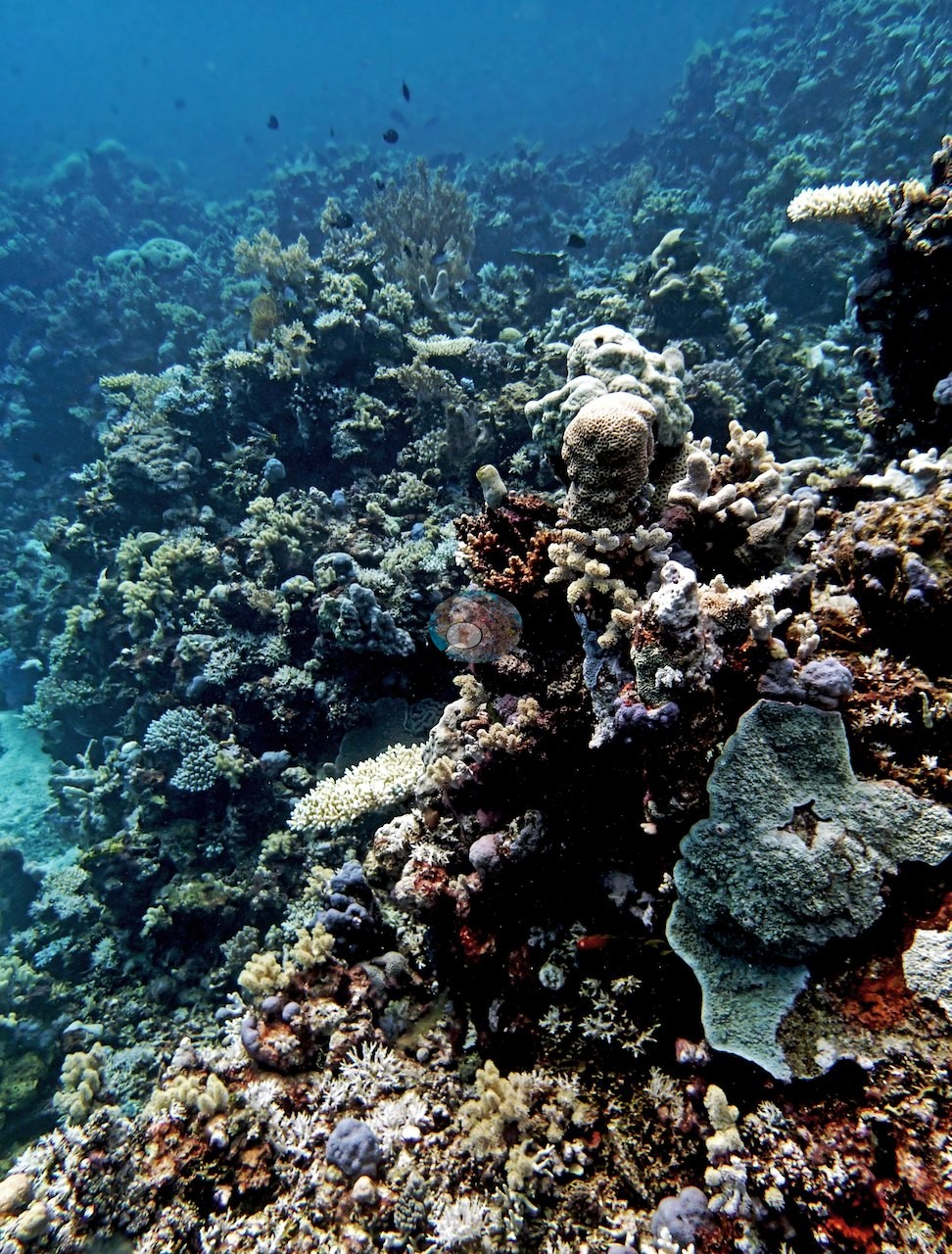
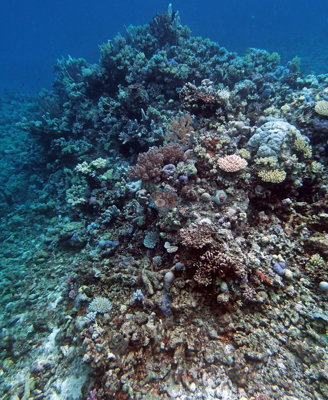
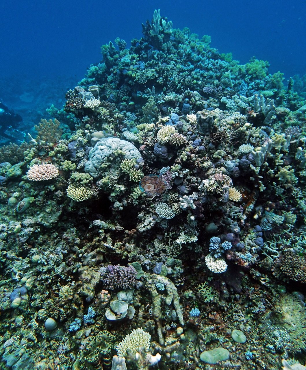
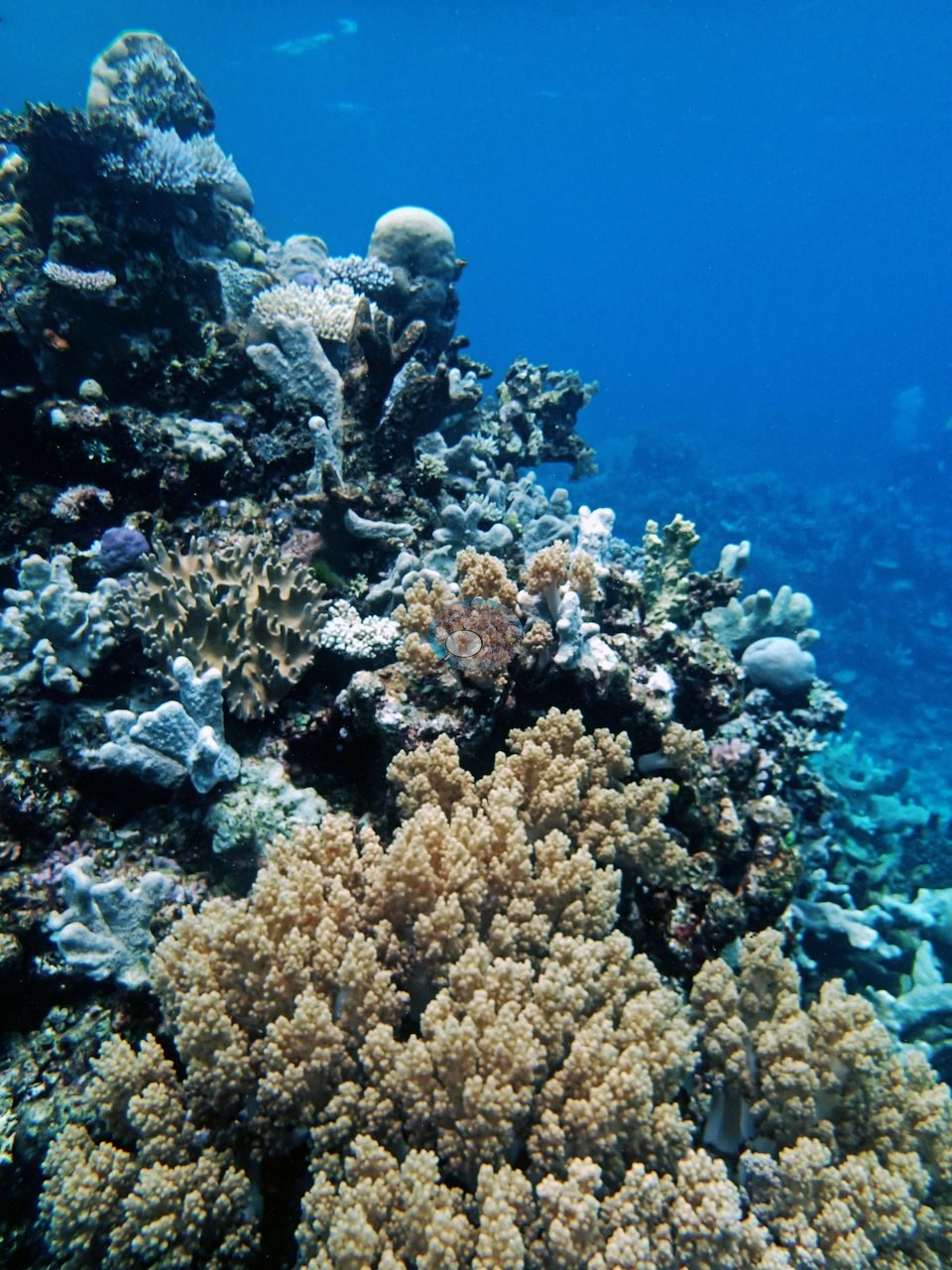
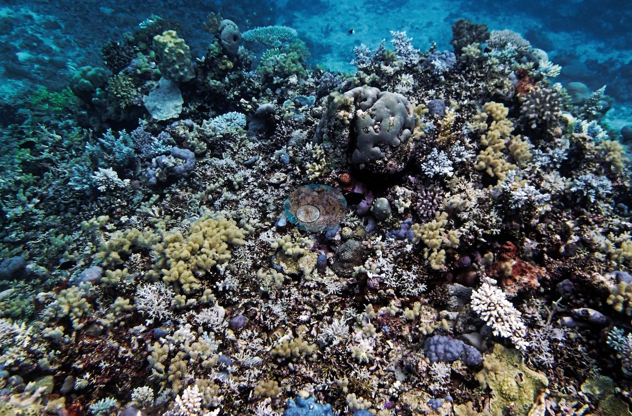
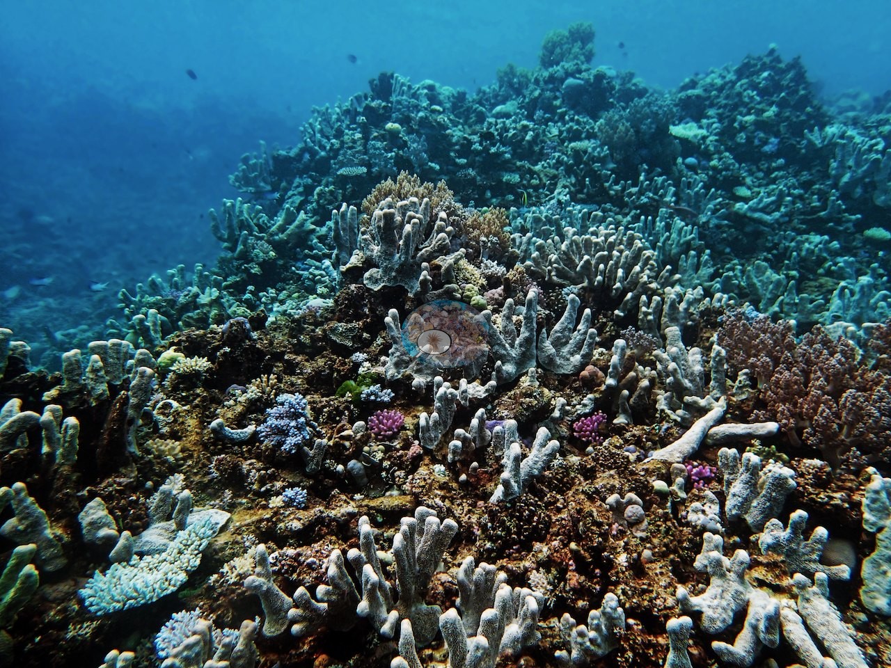
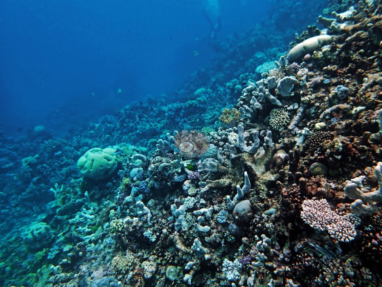
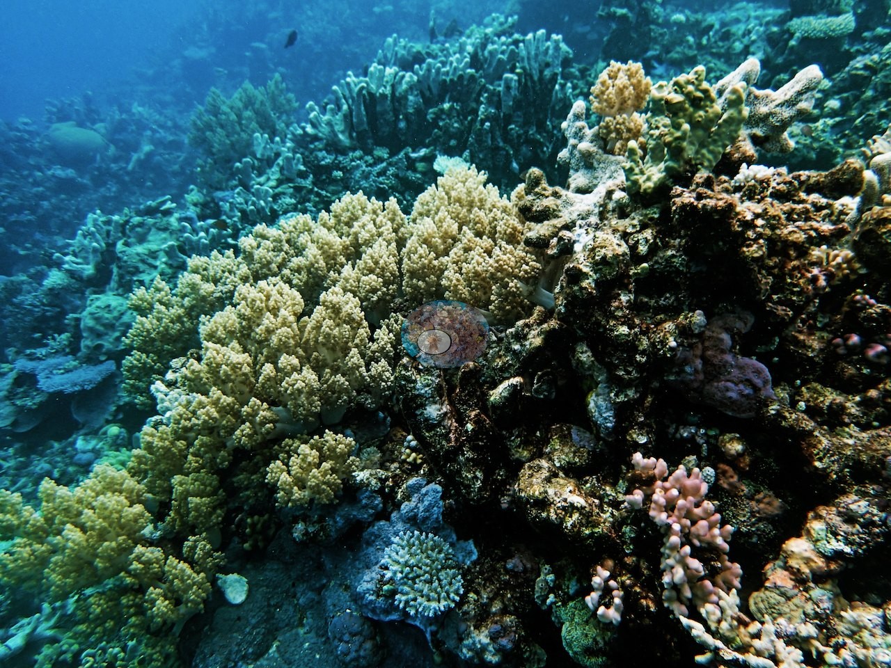
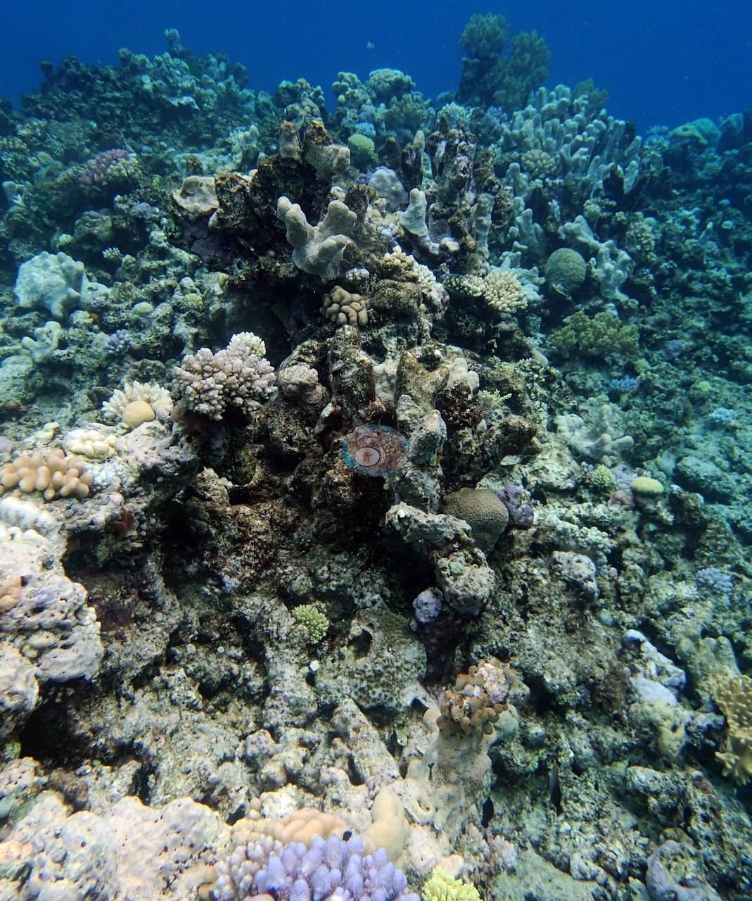
Near the crest, that reef top rose toward the surface as a wall of mixed colonies, pink and cream corymbose, lilac branching, and small massive and encrusting forms (e.g., Image 27, Image 29), and the survey tape ran across one such mixed patch with sand channels winding between the heads beyond it (e.g., Image 12).
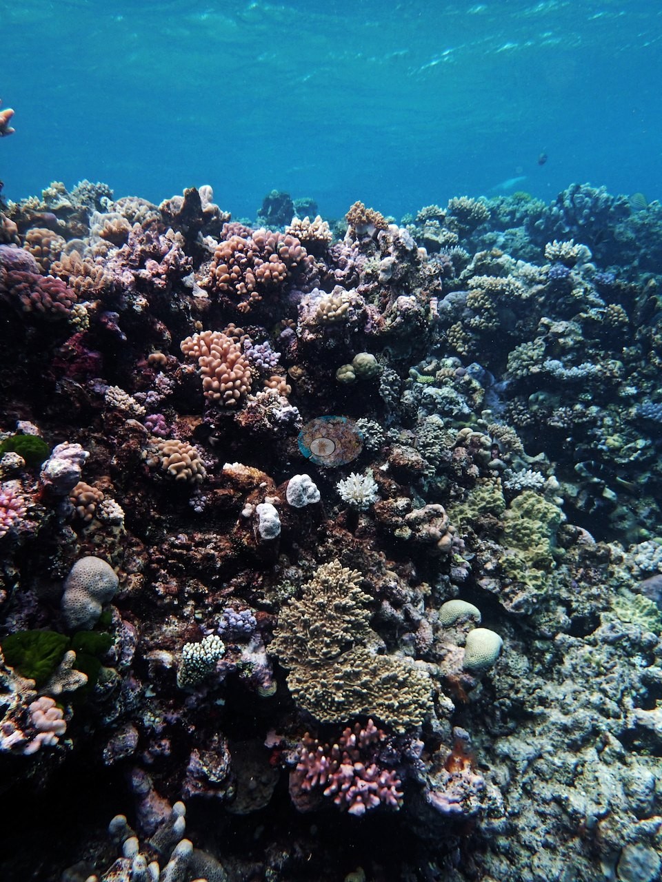
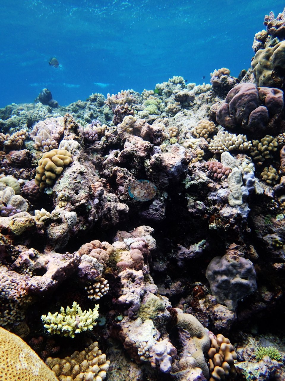
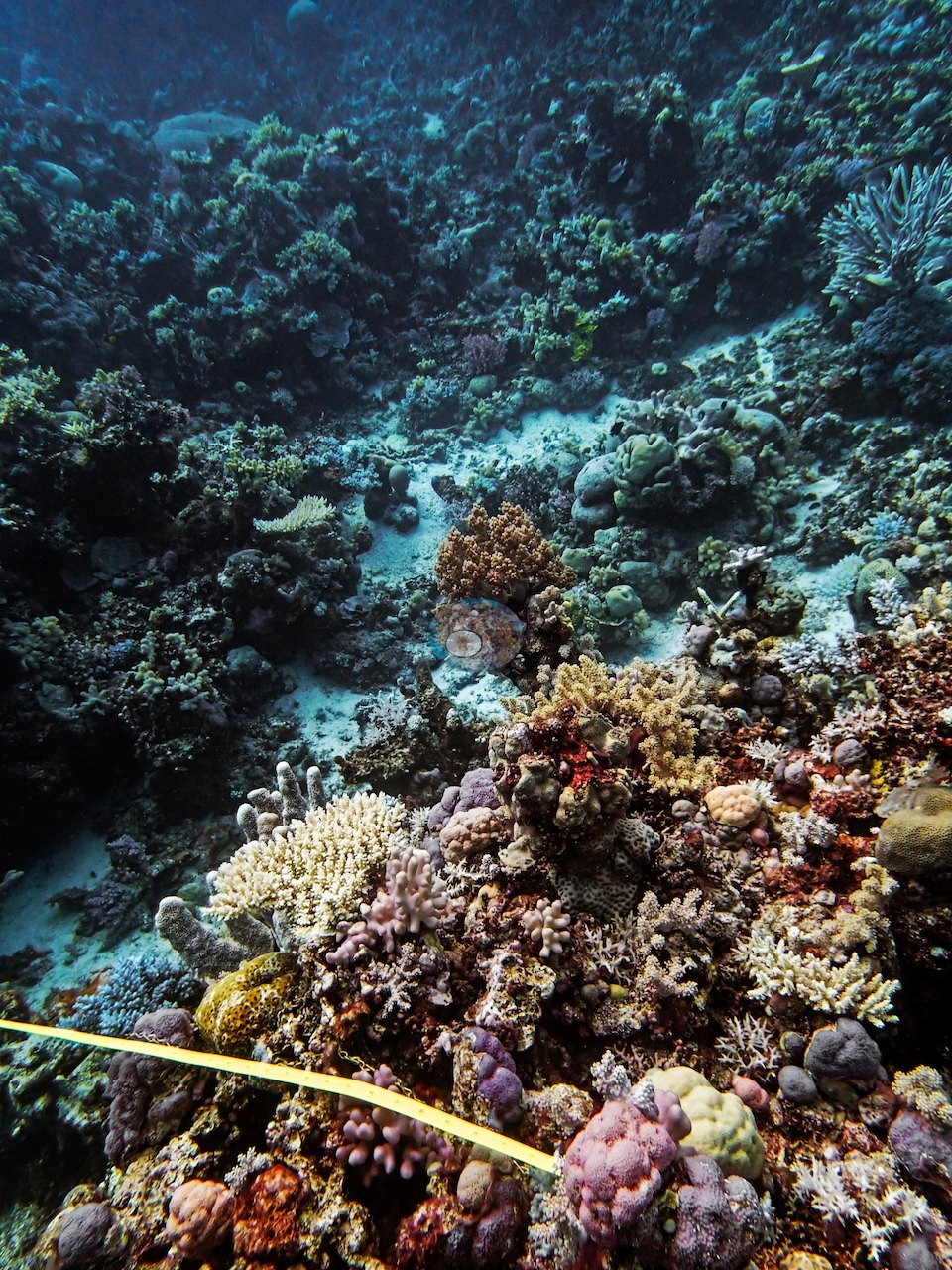
Visibility is excellent throughout — distant bommies stay resolved to the far edge of the frame — which is what lets this set carry more detail than the published subset.
General benthic features
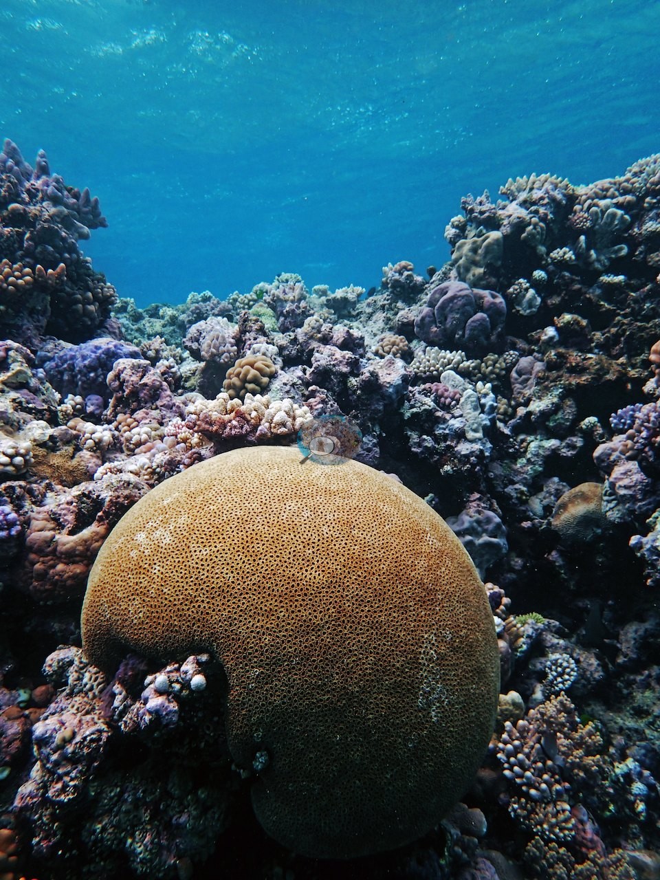
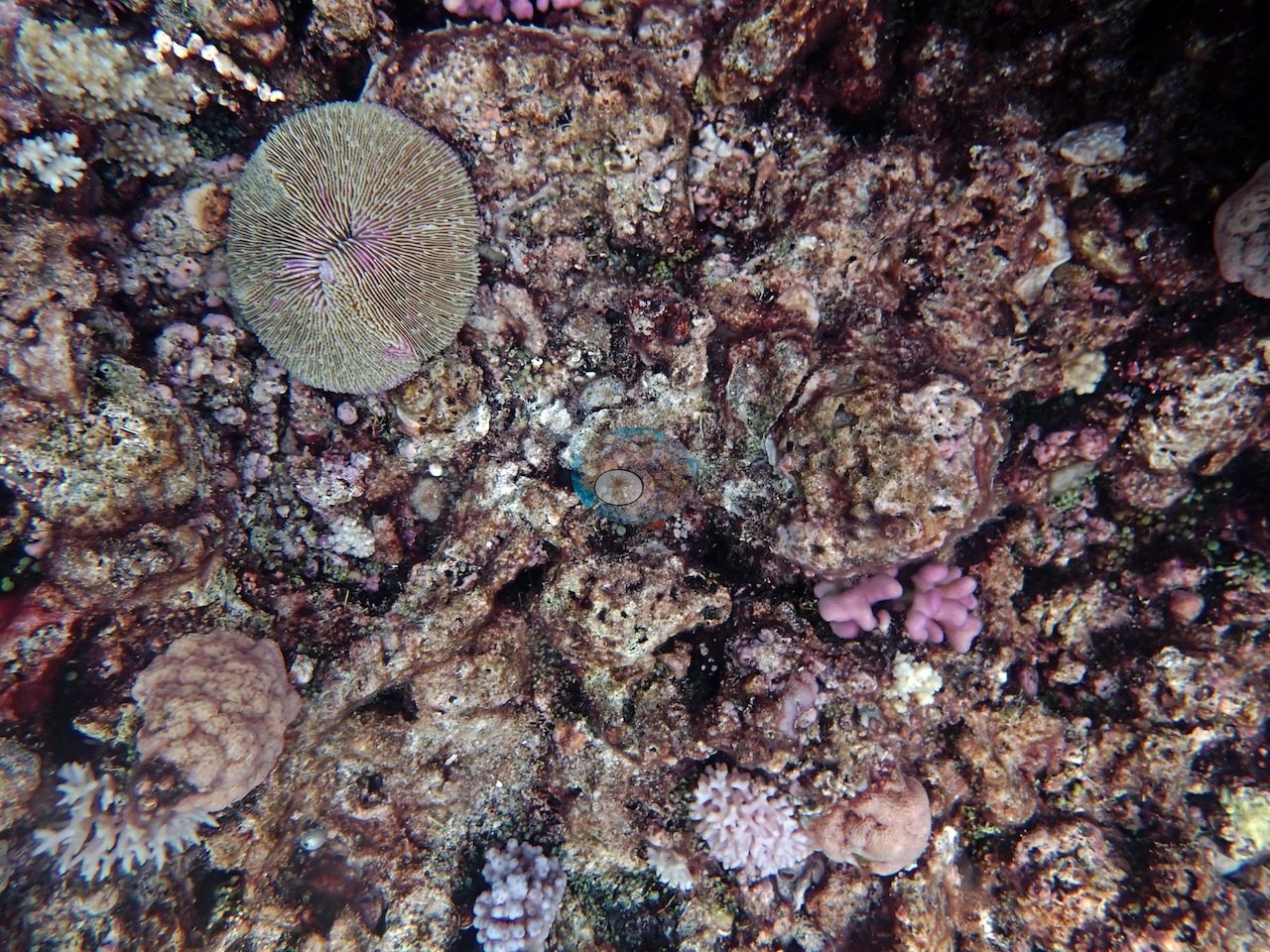
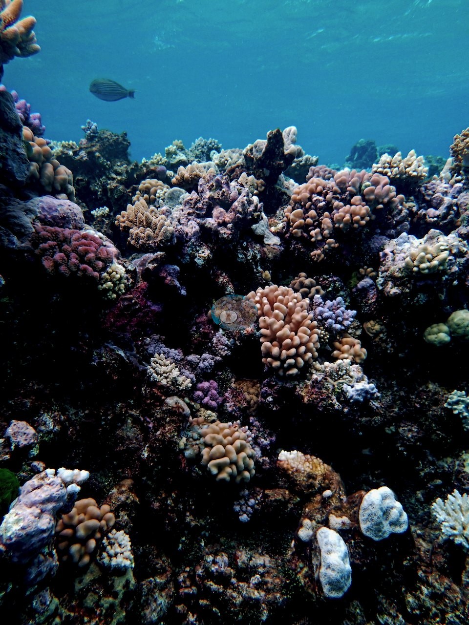
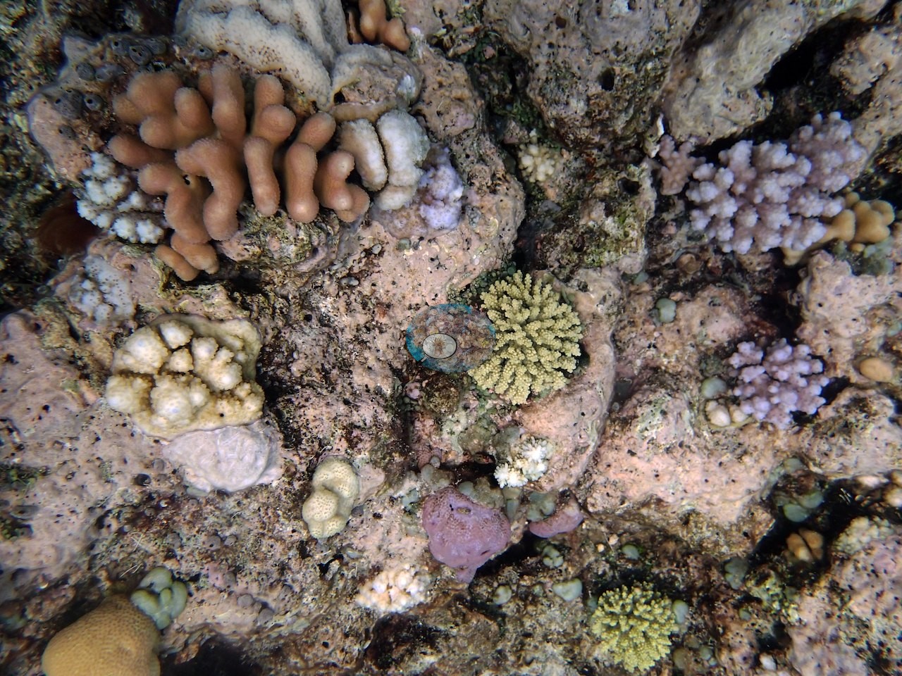
The assemblage is mixed and finely divided: dense thickets of fine-branched needle-coral (Seriatopora-type) in mauve, salmon, and cream (e.g., Image 10, Image 14, Image 23, Image 32); short digitate and columnar colonies; low tables and irregular plates; encrusting and submassive colonies in olive, purple, and pink; scattered rounded Porites-type domes, one large smooth head sitting alone at a bommie base (e.g., Image 26); occasional foliose and mushroom-shaped corals, including a single circular fungiid disc lying on pink crustose coralline pavement (e.g., Image 24); and blue-tipped digitate Acropora among purple-gray pocilloporids (e.g., Image 28, Image 31).
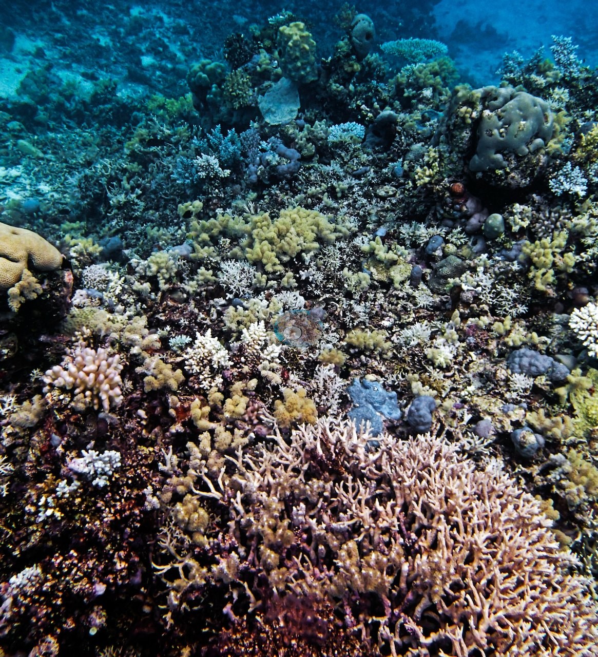
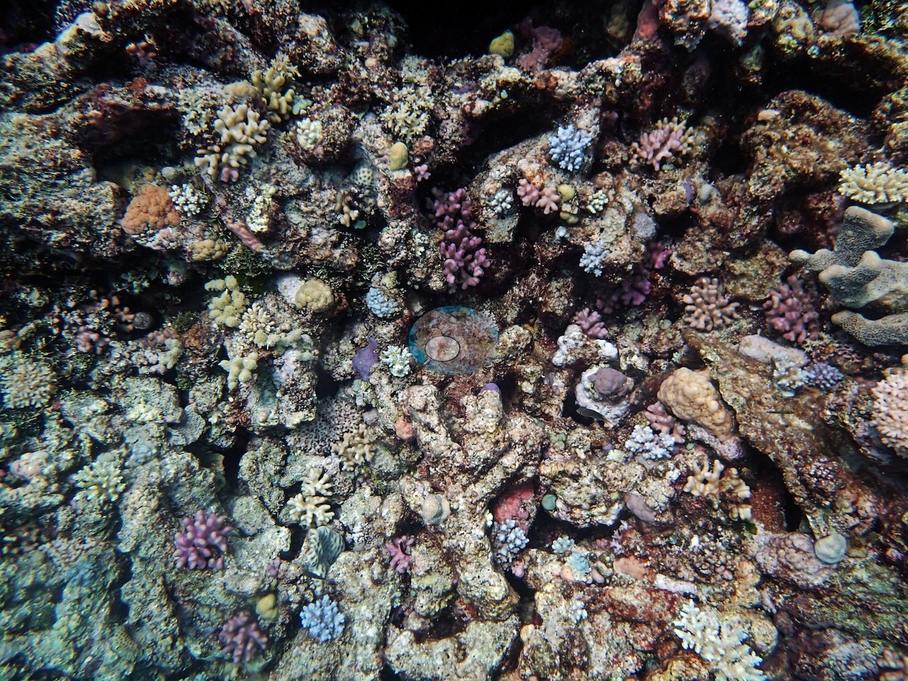
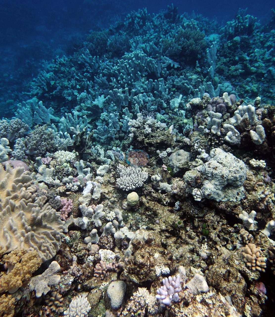
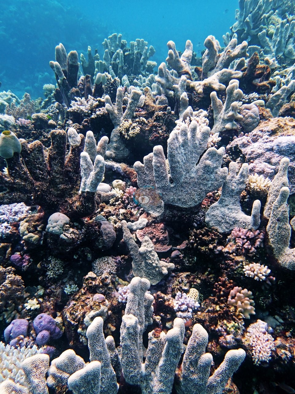
One frame captures the shallow community exactly as his earlier note put it: pale gray bladed and columnar Isopora-type colonies standing up from the reef like fingers, ringed by pink and mauve pocilloporids (e.g., Image 16).
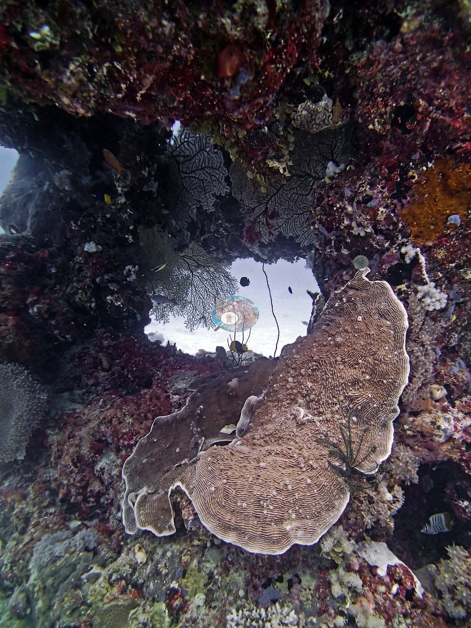
Under one overhang, a swim-through framed open sand beyond, its walls hung with dark sea fans and a broad plating colony with concentric ridges, a feather star perched on its edge (e.g., Image 3).
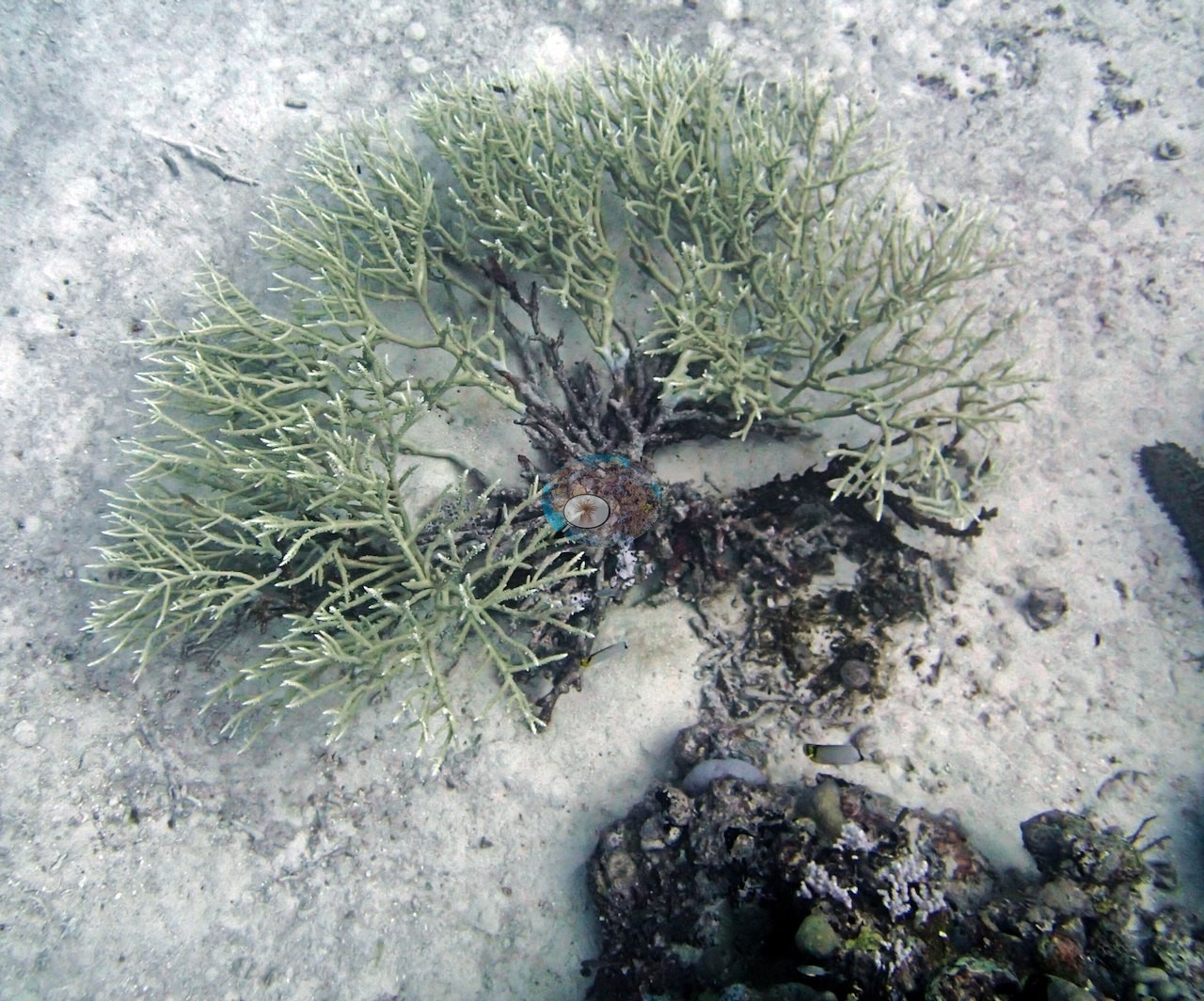
Pink and mauve crustose coralline algae coat a great deal of the hard substrate between colonies (e.g., Image 23, Image 24, Image 31); one frame shows a bushy green algal clump growing over a dead branching skeleton on open sand, where the photograph cannot separate a recently dead colony from an algal-turf-bound one (e.g., Image 9).
Coral cover
- Reference: Khaled bin Sultan Living Oceans Foundation, Global Reef Expedition (in situ transect)
- The LOF transects recorded 36% live coral cover at this survey point; Anderson's own by-eye estimates on his three transects were 20-40%. No percentage is derived here from the photographs.
- Transect mean 36 ± 14% SE (n = 3 transects; Living Oceans Foundation per-transect benthic data); the headline above is the expedition's station value.
Stressors
Anderson's own record: about 95% of the Seriatopora was badly bleached. The bleaching Anderson recorded here is directly visible. Three close views show fine-branched colonies that are chalk-white to lilac-white over their entire surface, tissue still present, with pigmented neighbors immediately alongside (e.g., Image 1, Image 4, Image 5); further white colonies of the same fine-branched growth form appear scattered through the wide frames (e.g., Image 11, Image 14, Image 15, Image 20, Image 23, Image 32).
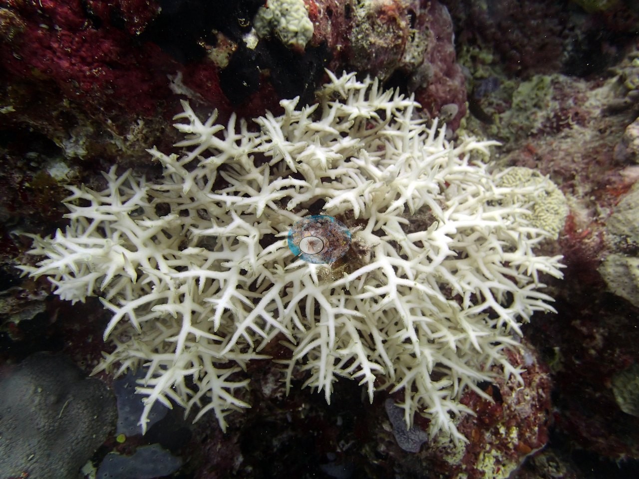
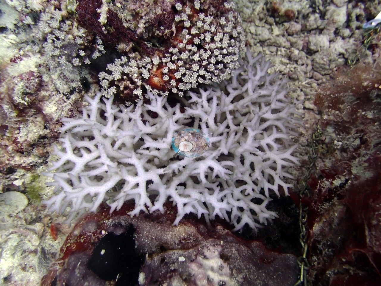
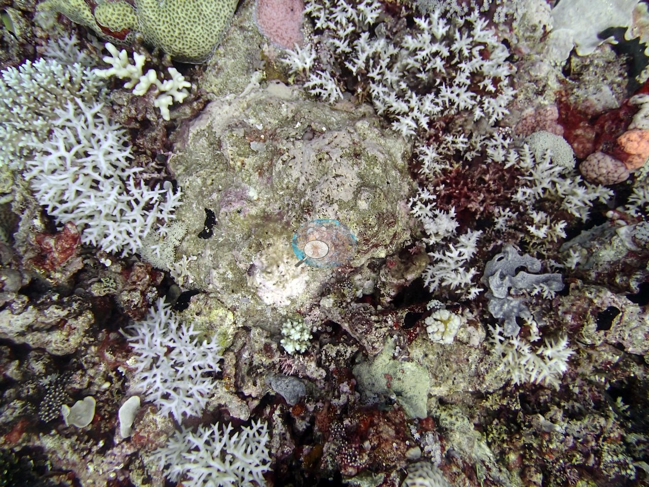
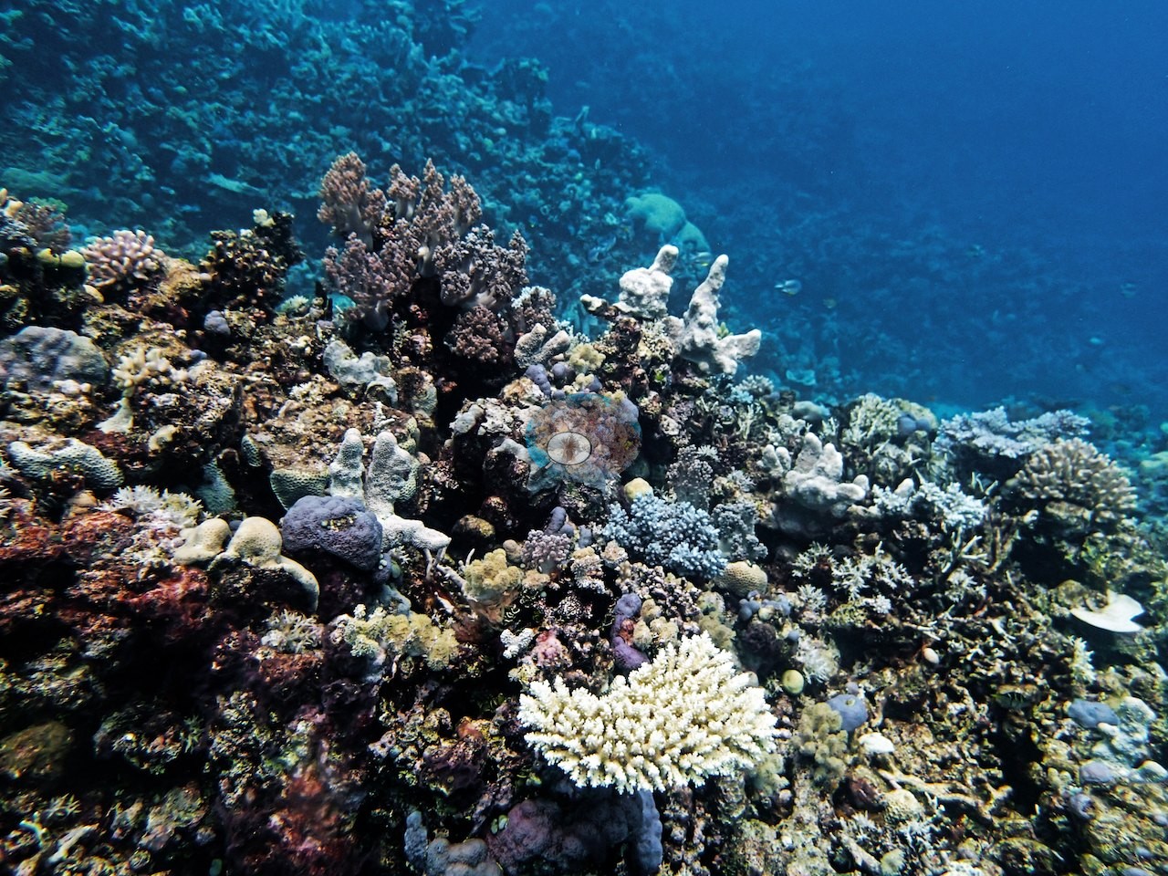
The affected colonies are consistently the fine-branched needle corals, not the massives or the plates, which is consistent with his written observation that the needle coral was the coral in trouble. Beyond bleaching, the frames show no disease lesions and no crown-of-thorns feeding scars.
Fish and other fauna
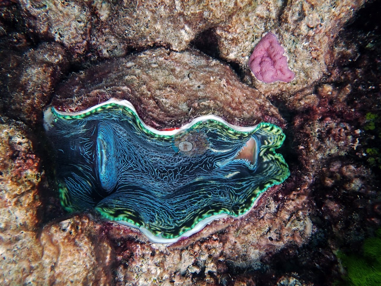
A large fluted giant clam (Tridacna) is set into the pavement with its mantle open, patterned in electric blue-green (e.g., Image 25).
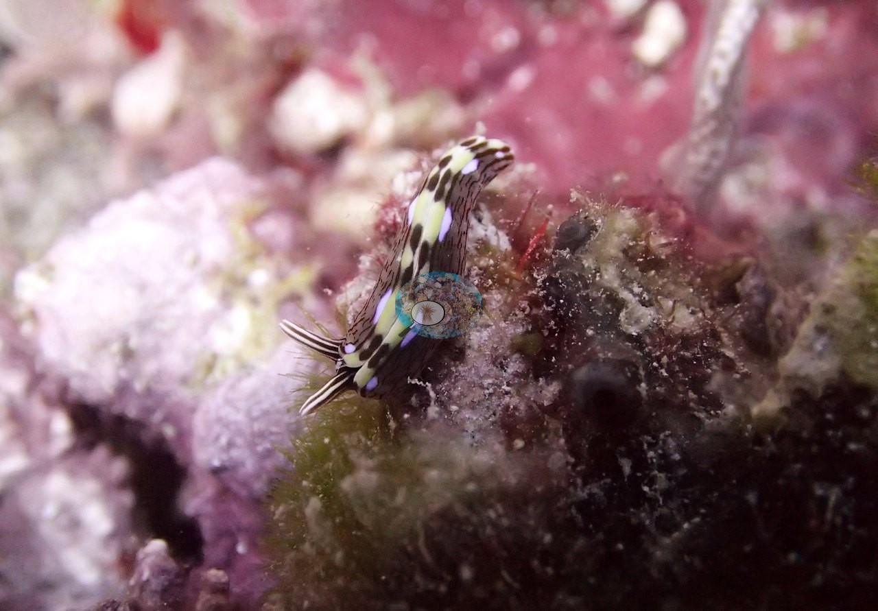
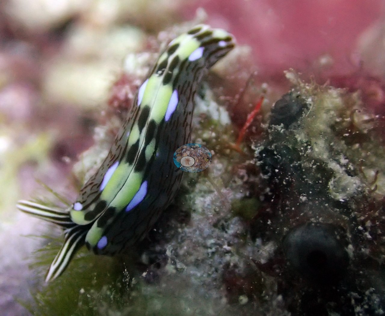
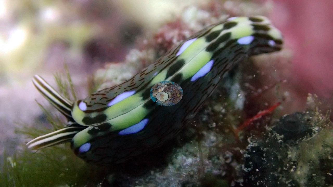
A black, lime-green, and blue-spotted sea slug with two long black-and-white striped rhinophores crawled over algae-covered rubble in three close frames (e.g., Image 6, Image 7, Image 8).
Comparisons with other data
No other surveys have been conducted at this site to date. Within 5 km, two XL Catlin Seaview Survey stations recorded 25–34% hard coral cover in 2012; the nearest, XL Catlin Seaview Survey at transect 15002, 1.72 km away, read 25% in 2012.
Other notes
Anderson's field notes for this dive list a "beautiful flatworm (see pic.)"; the three frames show a sea slug (a thick body with folded flanks and two striped rhinophores), not a flat polyclad flatworm, so the page follows the frames.
CV model comparison
More info
The photo row below is a methods comparison only: it is never averaged with the transect and never used as the headline. It compares site means only: the photos come from the same survey dive as the transect but not from the same points.| Method | Hard-coral cover (%) | Photos (n) ± SE |
|---|---|---|
| Transect (published) | 36.0 | |
| CoralSCOP edited | 30.4 | n = 25 · SE 1.9 |
| Claude (edited photos) | 19.6 | n = 25 · SE 3.0 |
The two computer-vision methods disagree by 10.8 pp (20–30%) and read 5.6–16.4 pp below the in-water transect (36%); the headline is the in-water transect because a diver transect is independent of the photographs.
Independent surveys nearby
Within 5 km, 2 independent survey stations recorded hard coral cover in 2012. The most recent nearby survey is from 2012, so these values predate recent heat stress. This site's own estimate (36%) sits 11 points above the single value of this survey up to 2 km away (25%); the methods differ, so the comparison is context, not a like-for-like test.
Collected by other programs using different methods (the XL Catlin Seaview Survey uses photo-transects with automated image annotation), so these are context for the figures above, not a like-for-like comparison. Where a station was surveyed more than once, the cell shows either the range of its values or, as a single value, the mean of surveys made in one year. Station names are not dive-site names.
| Agency | Site / location | Date | Hard coral cover (%) | Distance | Link |
|---|---|---|---|---|---|
| XL Catlin Seaview Survey | transect 15002 | 2012 | 25% | 1.72 km | doi:10.14264/uql.2019.930 |
| XL Catlin Seaview Survey | transect 15005 | 2012 | 34% | 4.26 km | doi:10.14264/uql.2019.930 |
Data & links
- Download benthic survey data (CSV) ↗
- Download all LOF-GRE data (933 sites) ↗
- Photo portfolio ↗
- Coral Reef Diagnostics country page ↗
All images from Coral Reef Diagnostics. Data are from the Khaled bin Sultan Living Oceans Foundation Global Reef Expedition, Coral Reef Diagnostics, and the organizations named in the data sources above.
 © Coral Reef Diagnostics.