
Part of the regional summaries: Australia (GBR) - Far North: Green stations (no-take reefs) and Australia (GBR)
More info
Northern GBR (NOAA CRW virtual station)A mostly low-cover Lark Reef site (19%) of turf-filmed pavement, dead branch rubble, and sand aprons, broken by locally good patches of table and branching Acropora, a big brain coral, and Porites rus. His notes record heavy partial mortality on Porites rus and crown-of-thorns starfish, and do not mention bleaching. Surveyed on the Living Oceans Foundation's Global Reef Expedition.
Three other CRD dive sites within 5 km shown in orange — click a marker to open its page.
🗺 Detailed map of the Global Reef Expedition dive sites, Lark, Williamson, and unnamed reef 15-043, northern Great Barrier Reef (Khaled bin Sultan Living Oceans Foundation; opens in a new window)
Site description
Setting
This is a no-take Green Zone.
General benthic features
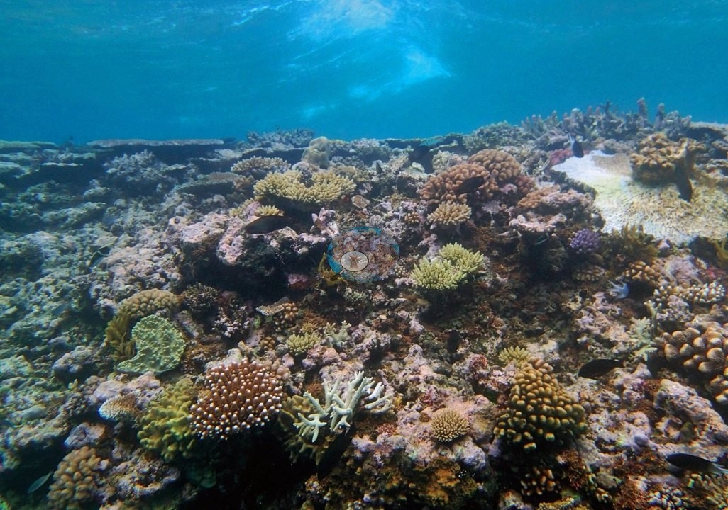
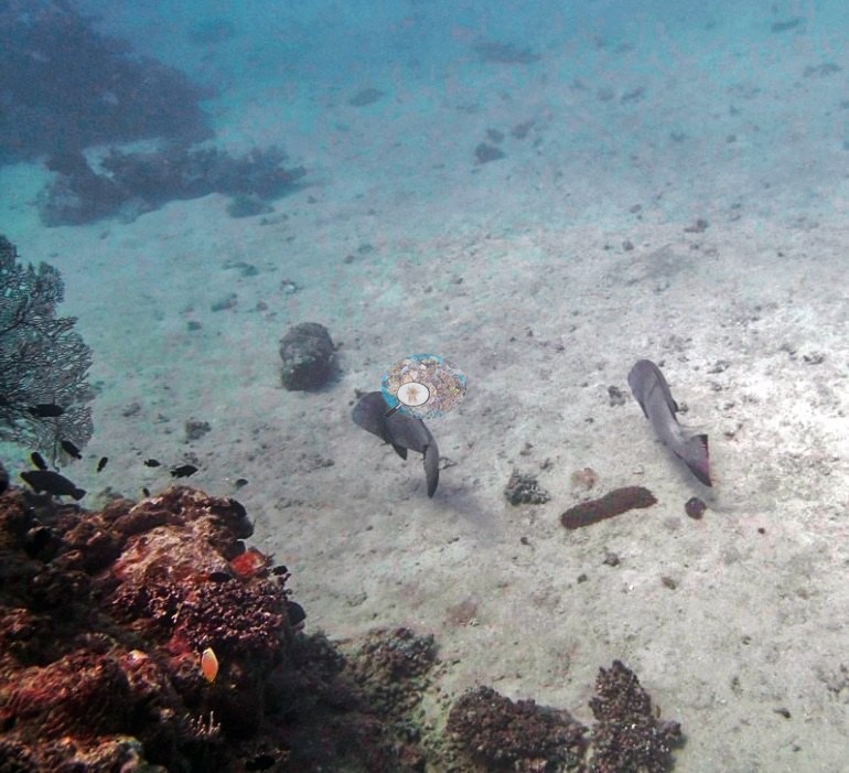
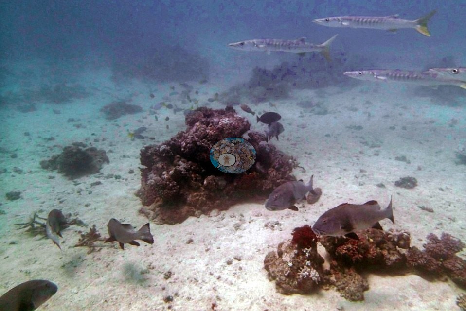
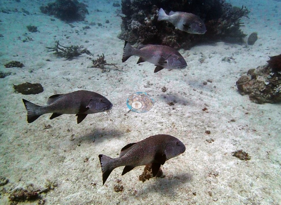
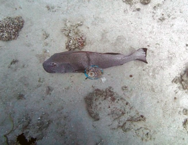
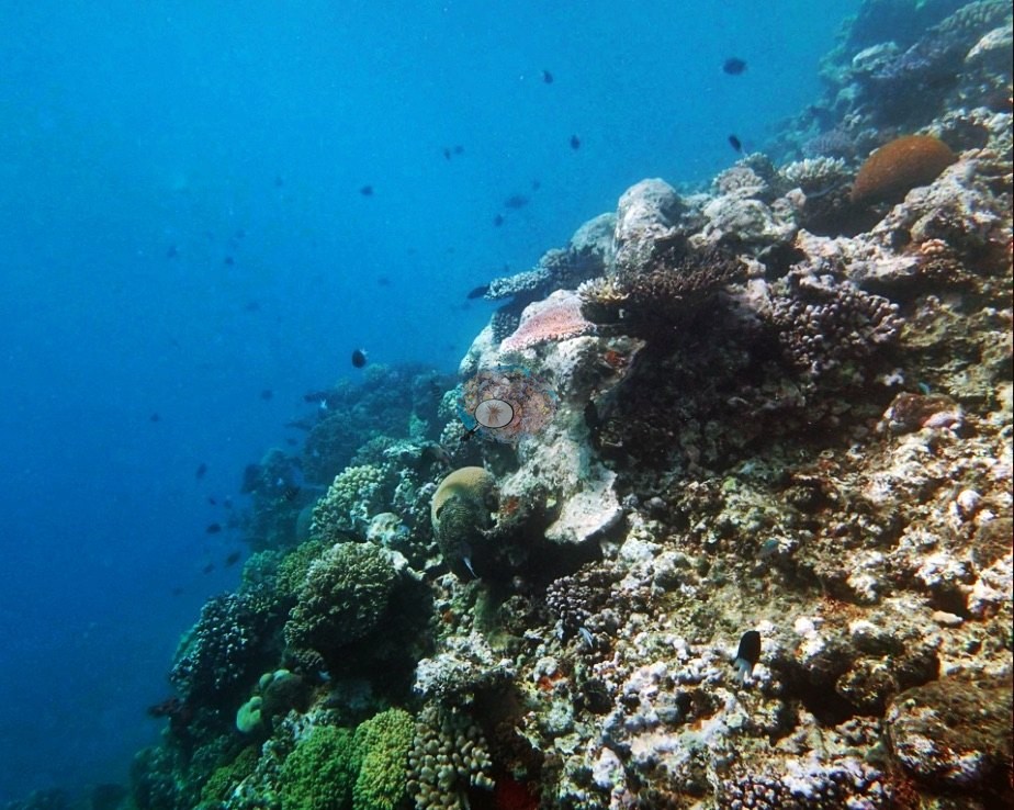
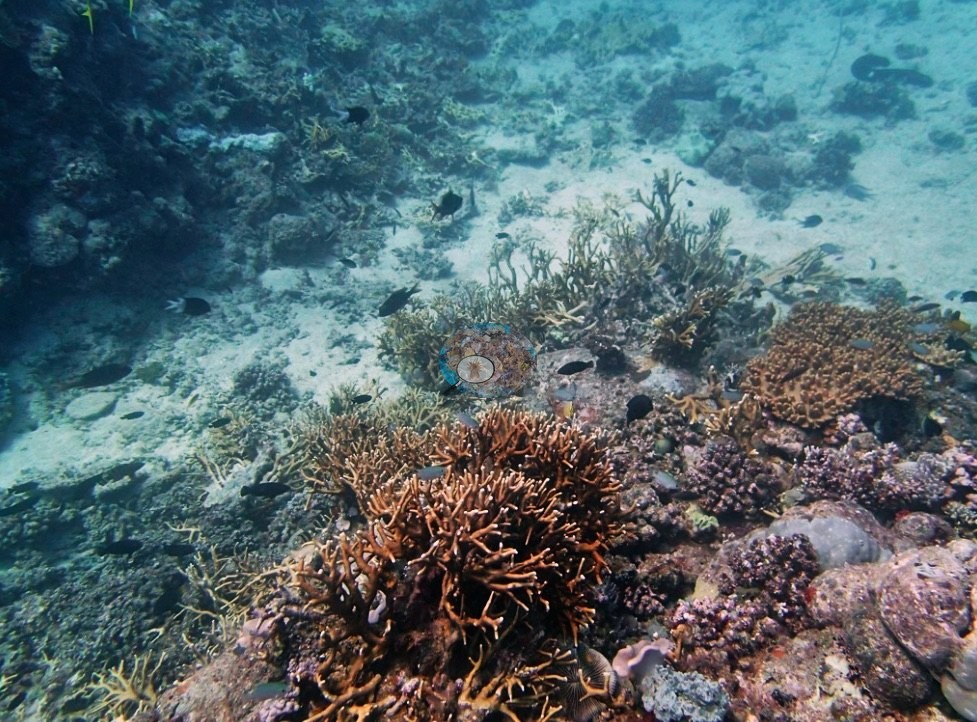
Thirty-four frames from this Green Zone dive split into three stories. The first is the low-cover matrix the survey figure describes: repeated wide frames of broad, low-relief pavement and dead branch rubble under a rust-and-olive turf film, running off into blue with only isolated heads breaking the plane (e.g., Image 12, Image 24, Image 15, Image 18, Image 13), and large aprons of clean carbonate sand between bommies (e.g., Image 2, Image 4, Image 6, Image 1).
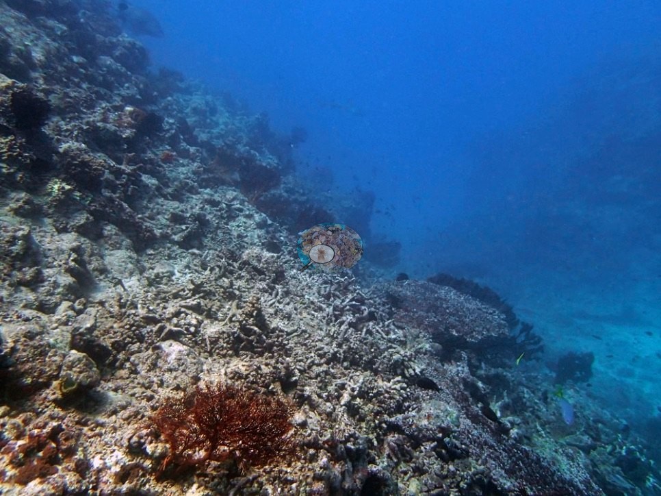
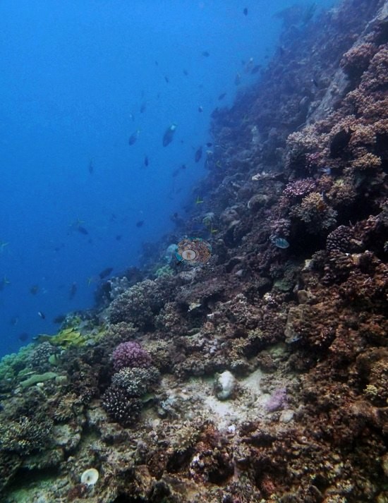
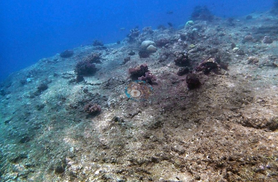
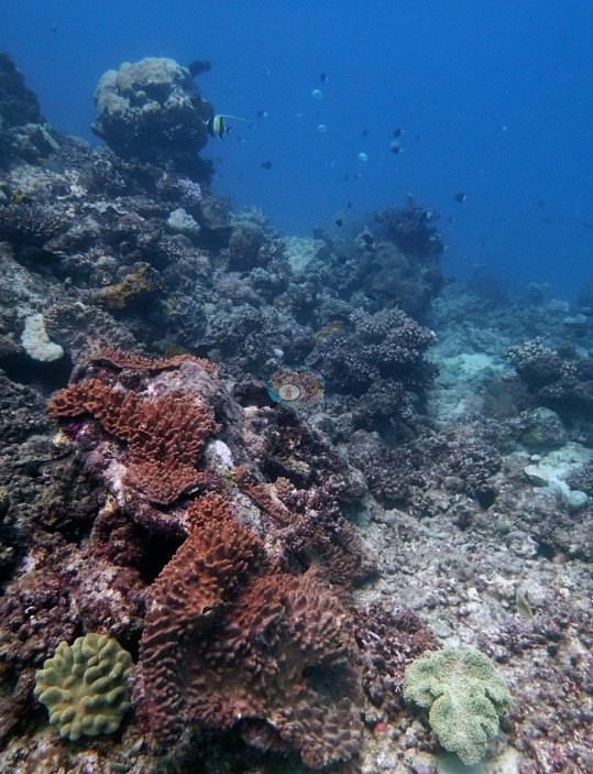
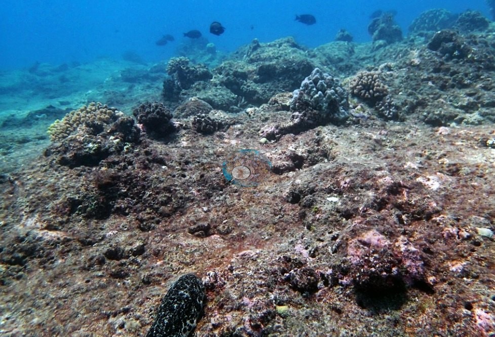
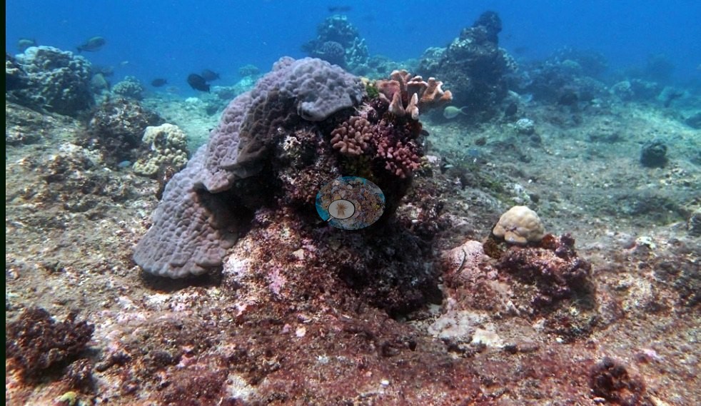
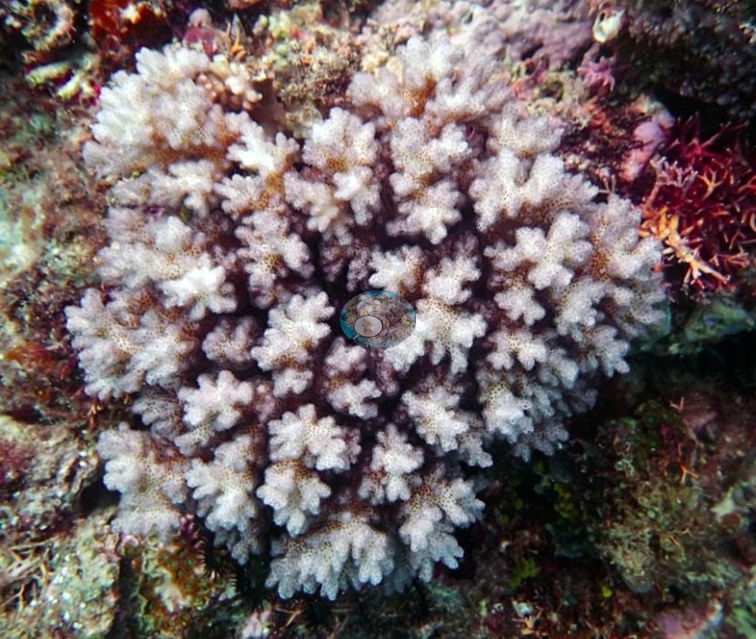
Where heads did break the plane, they carried lobed lilac-gray massive and plating colonies with small pink-brown Pocillopora tucked among them, over turf-covered pavement (e.g., Image 14).
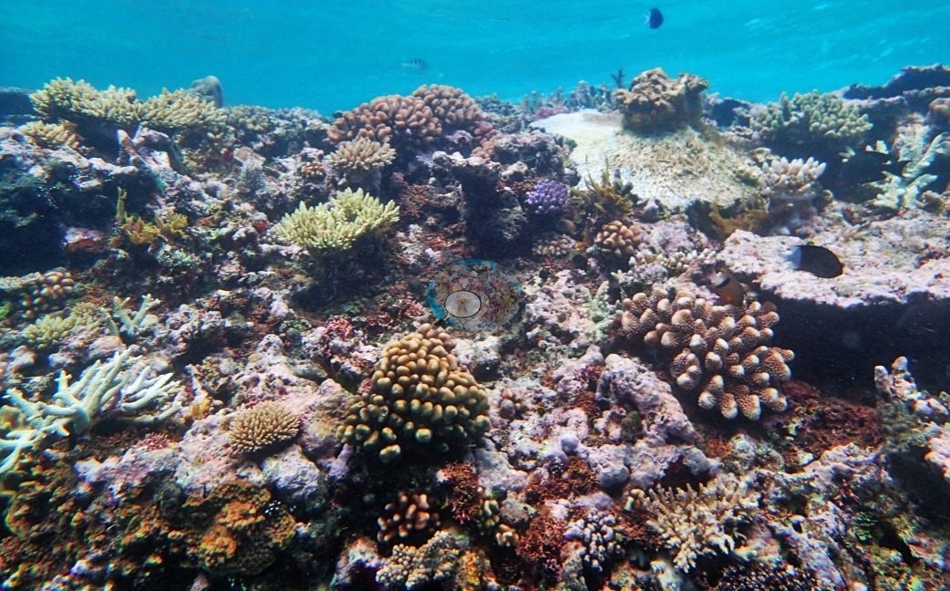
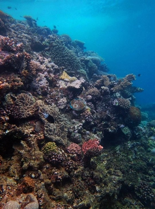
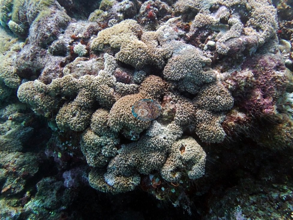
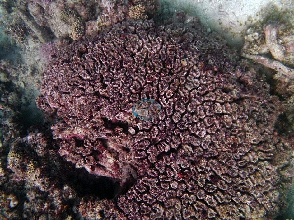
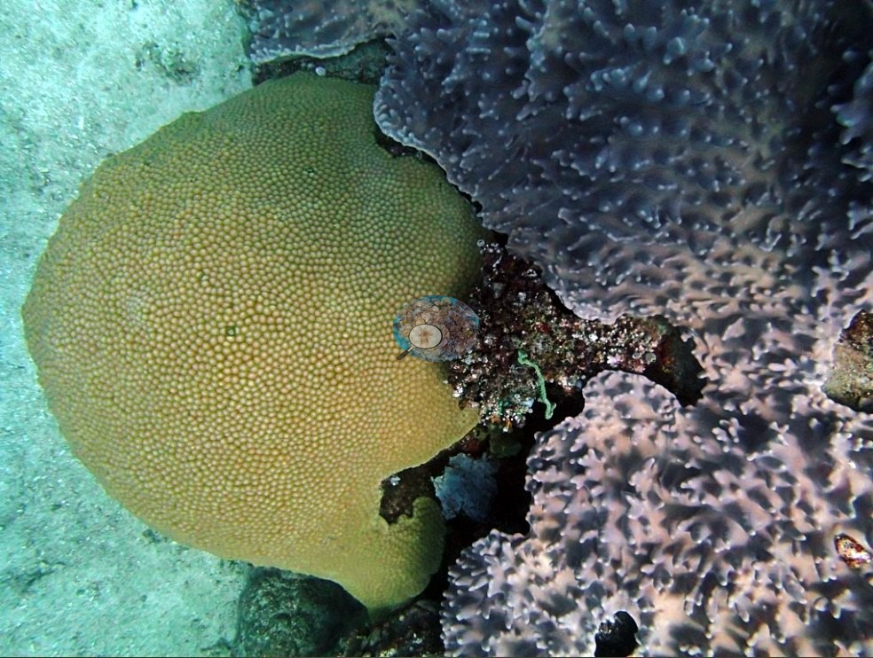
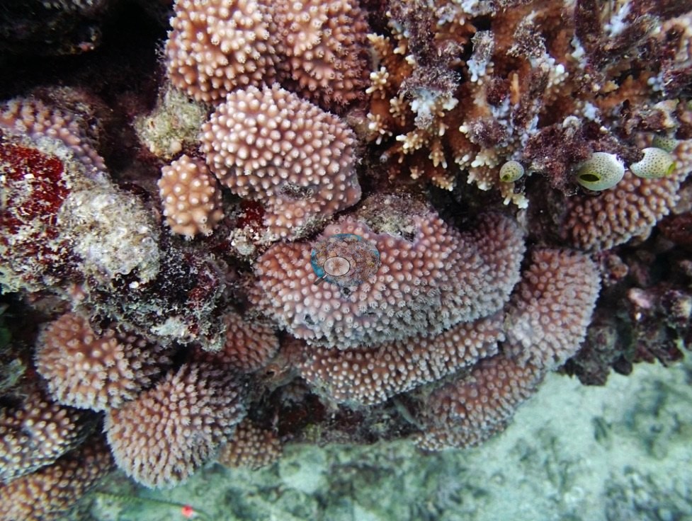
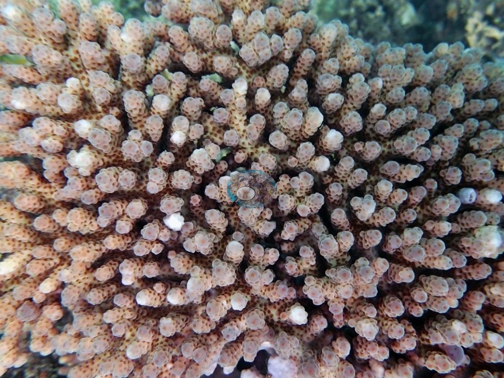
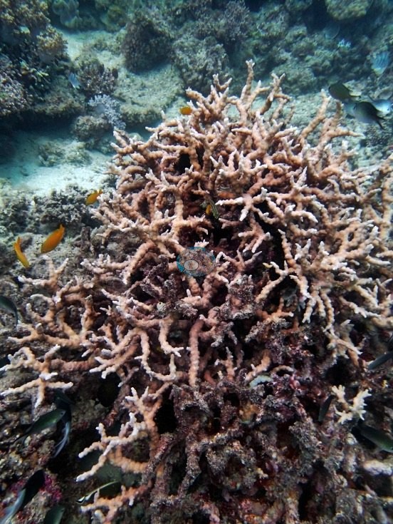
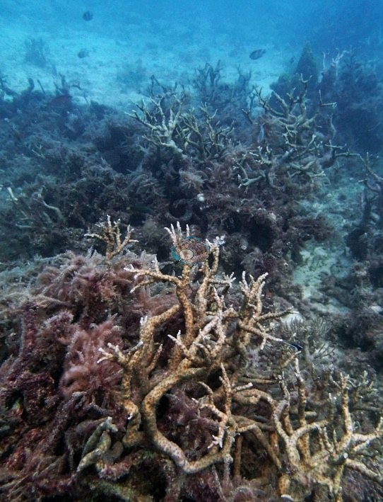
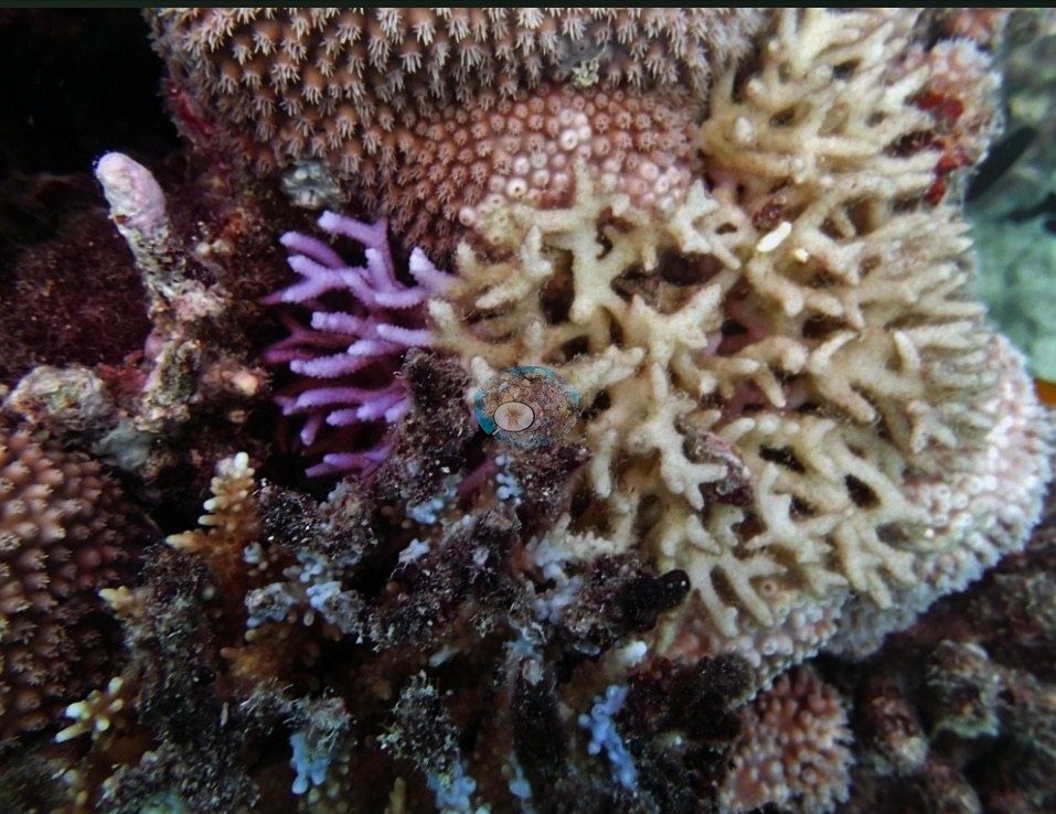
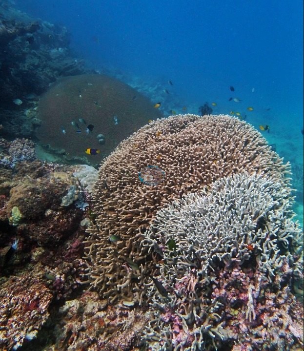
The second is that the coral that is present is patchy but locally good: a shallow crest under a rippled surface carrying a genuinely mixed assemblage of tabulate and corymbose acroporids, encrusting and foliose colonies, and pink coralline rock (e.g., Image 34, Image 32, Image 33, Image 31); a mound of stacked knobby massives with soft corals between them (e.g., Image 10); a large meandroid brain colony filling one frame (e.g., Image 23); a green, fine-pored massive dome pressed against a lilac-gray plating colony (e.g., Image 11); healthy pink-brown Pocillopora and corymbose Acropora clusters (e.g., Image 21, Image 25); staghorn thickets, one of them growing straight out of a mat of dark red macroalgae with standing dead branches behind it (e.g., Image 26, Image 22, Image 9); and the cream reticulated Porites rus branches with a violet finger colony beside them (e.g., Image 20).
Coral cover
- Reference: Khaled bin Sultan Living Oceans Foundation, Global Reef Expedition (in situ transect)
- Coral cover 19%, from the LOF-GRE in situ point-count transects (Global Reef Expedition site data, 933 sites).
- Transect mean 19 ± 2.3% SE (n = 4 transects; Living Oceans Foundation per-transect benthic data); the headline above is the expedition's station value.
Stressors
The third story is bleaching: several colonies are stark white with polyp structure still intact and no algal film. A knobby massive head is tan over its upper two-thirds and bone-white across the lower third (e.g., Image 8); a meter-wide digitate Acropora is divided almost down the middle, tan on one side and white on the other (e.g., Image 27); and two cauliflower-form Pocillopora colonies are white throughout, one of them sitting directly beside an evenly pigmented tan Porites that shows the contrast plainly (e.g., Image 28, Image 3).
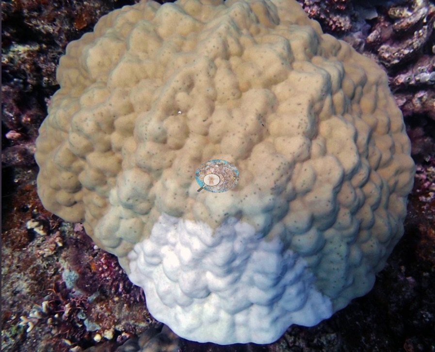
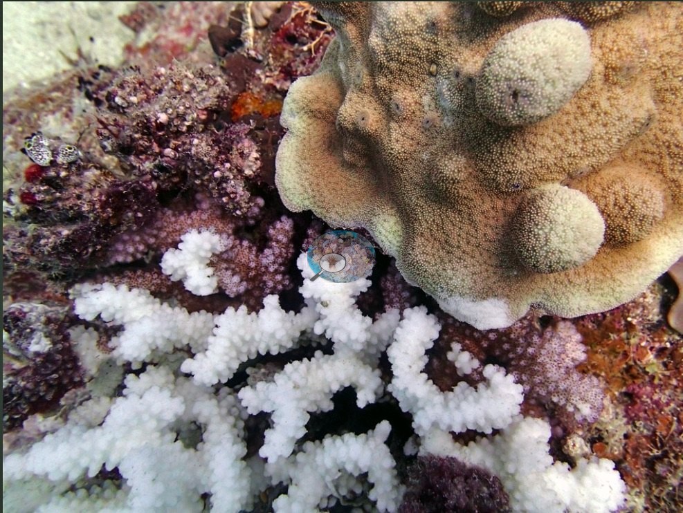
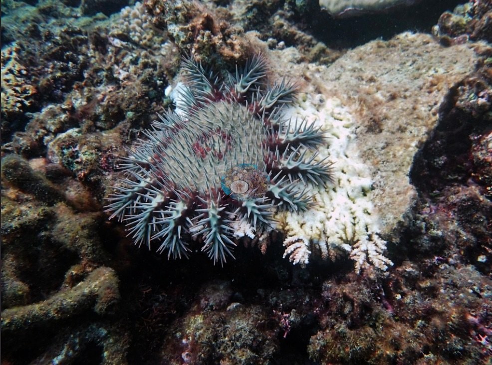
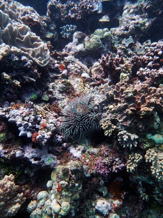
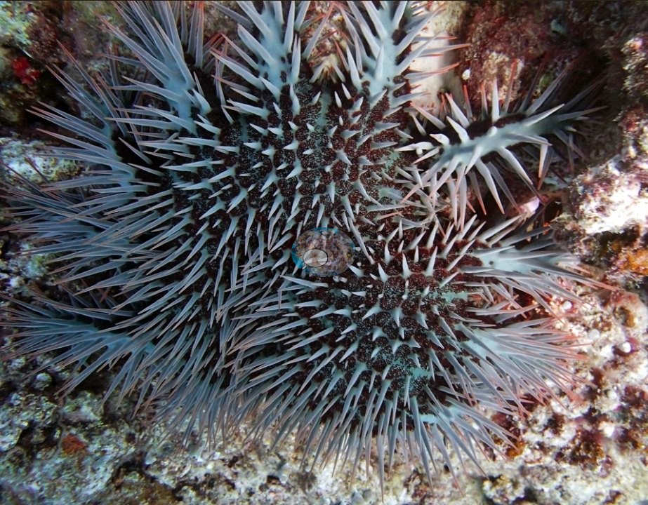
That is a description of the frames, not a bleaching estimate, and the set is far too small a sample to say how widespread it was. Crown-of-thorns starfish appear in three separate frames, one of them sprawled over a patch of freshly bared white skeleton (e.g., Image 29, Image 30, Image 7).
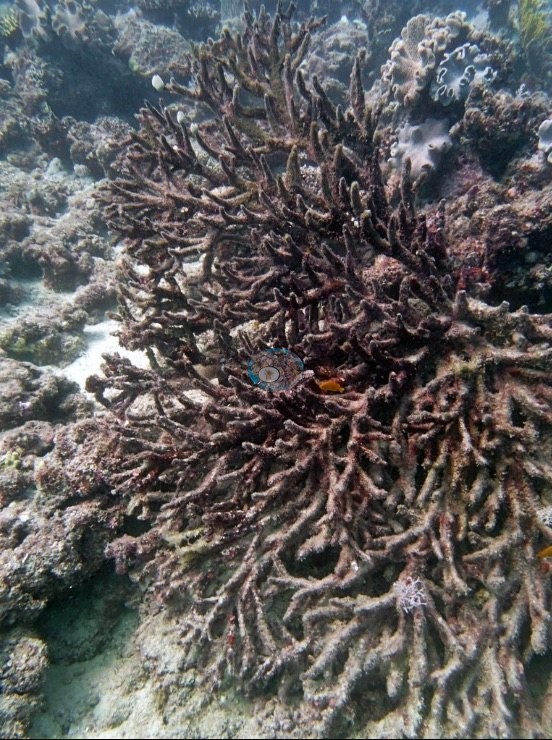
One large branching colony stood entirely dead, every branch furred in maroon turf, with no starfish in view (e.g., Image 19).
The 2014 dive notes also record crown-of-thorns starfish here: one seen by the note-taker and several more by another diver (Anderson's GBR field notes, 2014).
Fish and other fauna
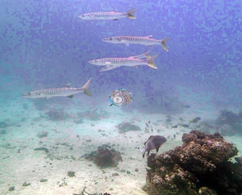
Fish life is conspicuous: big dark sweetlips loafing over the sand (e.g., Image 2, Image 6, Image 1) and barracuda hanging in the blue above it (e.g., Image 4, Image 5).
Comparisons with other data
No prior survey data from this site. If you would like to share yours, please email us.
Nearby citizen-science imagery within 2 km (not a survey of this site, and not total coral cover):
- Great Reef Census (citizen science, AI + volunteer image analysis): branching Acropora 1.6%, plating Acropora 1.6%, massive corals 14% of colonizable substrate, 49 images, 2023-10-13, 1.21 km.
The Great Reef Census scores three coral shapes only, so every other coral is left out, and its denominator is colonizable substrate (sand, water, and shadow excluded): these values are not hard coral cover and should not be added together or compared with the cover figures on this page. The photographs are taken by volunteer snorkelers 3–5 m above the reef. In the program's own validation (Lawson et al. 2025, Environmental Monitoring and Assessment 197:814, doi:10.1007/s10661-025-14261-6, open access), each analysis method on its own differed from expert estimates by up to about 9.5 percentage points on average for these coral types (AI alone: plating Acropora −9.1 points; AI plus volunteers: branching Acropora +9.5 points); the program's “~99% accurate” figure is the average over about 8,000 images after choosing the better method for each coral type, and site values from fewer images carry more error. Source: Great Reef Census / Citizens of the Great Barrier Reef; Lawson et al. 2026, Limnology & Oceanography Letters, doi:10.1002/lol2.70168 (data CC BY-NC 4.0, doi:10.7910/DVN/KCULSD).
Other notes
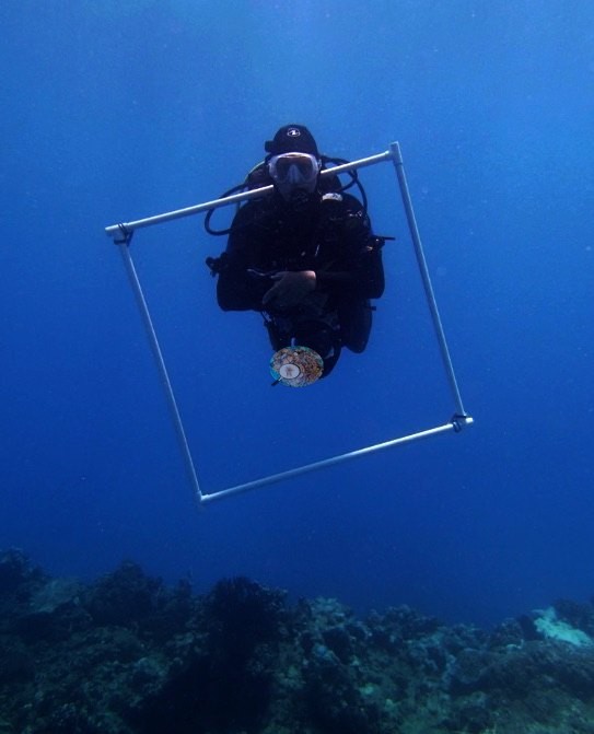
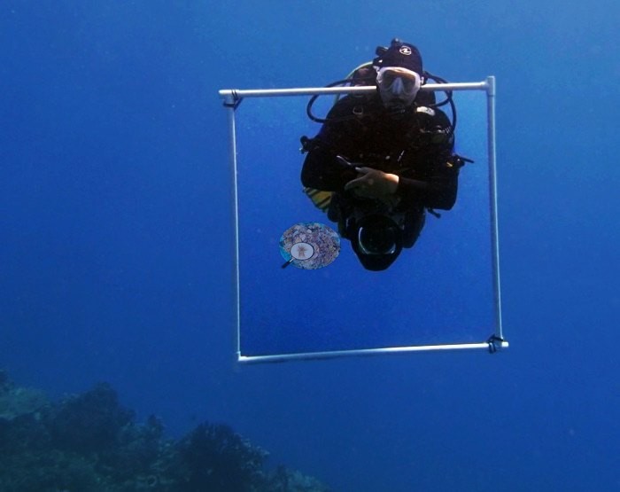
Two frames are method shots of a diver holding a large square survey frame in open water (e.g., Image 16, Image 17).
The field report's station table lists this position under AUR518; its rows for 5-6 September 2014 are shifted by two stations, and the 933-site table and Anderson's notes place AUR518 on Ribbon Reef 5.
Data & links
- Download benthic survey data (CSV) ↗
- Download all LOF-GRE data (933 sites) ↗
- Photo portfolio ↗
- Coral Reef Diagnostics country page ↗
All images from Coral Reef Diagnostics. Data are from the Khaled bin Sultan Living Oceans Foundation Global Reef Expedition and Coral Reef Diagnostics.
 © Coral Reef Diagnostics.