
Part of the regional summaries: Australia (GBR) - Far North: Green stations (no-take reefs) and Australia (GBR)
More info
Far Northern GBR (NOAA CRW virtual station)A well-developed reef on Unnamed Reef 74 (his sheet: Unnamed Reef 166) running to 25 m in murky water, extremely patchy, with some patches carpeted at near 100% by branching Porites and bottlebrush Acropora while this survey point read 35%. Anderson recorded crown-of-thorns damage to multiple colonies at 14 m, plus sickly needle coral; two huge Malabar groupers appeared. Surveyed on the Living Oceans Foundation's Global Reef Expedition.
Three independent survey stations shown with the program’s logo — click one to see how far it is from this site.
Eight other CRD dive sites within 5 km shown in orange — click a marker to open its page.
🗺 Detailed map of the Global Reef Expedition dive sites, Five Reefs and unnamed reef 11-238, northern Great Barrier Reef (Khaled bin Sultan Living Oceans Foundation; opens in a new window)
Site description
Setting
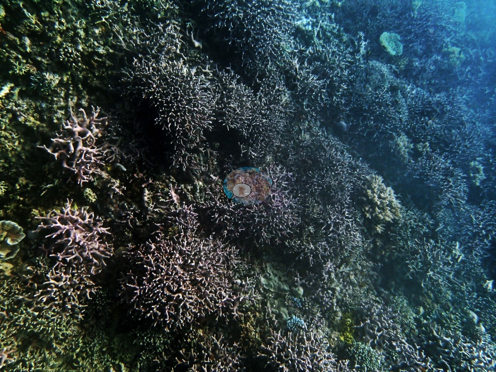
The final dive of the day at Unnamed Reef 74 (his sheet: Unnamed Reef 166) covered a well-developed reef running to 25 m despite murky (~5 m) water, with live coral cover measuring 35% at this point within a site where several transects reached 60-80% cover, built on branching Porites and bottlebrush Acropora that carpeted patches at 100% cover (e.g., Image 1, Image 4).
General benthic features
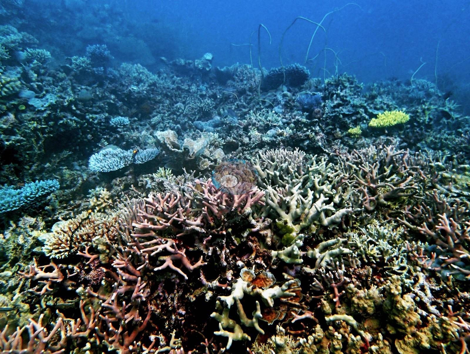
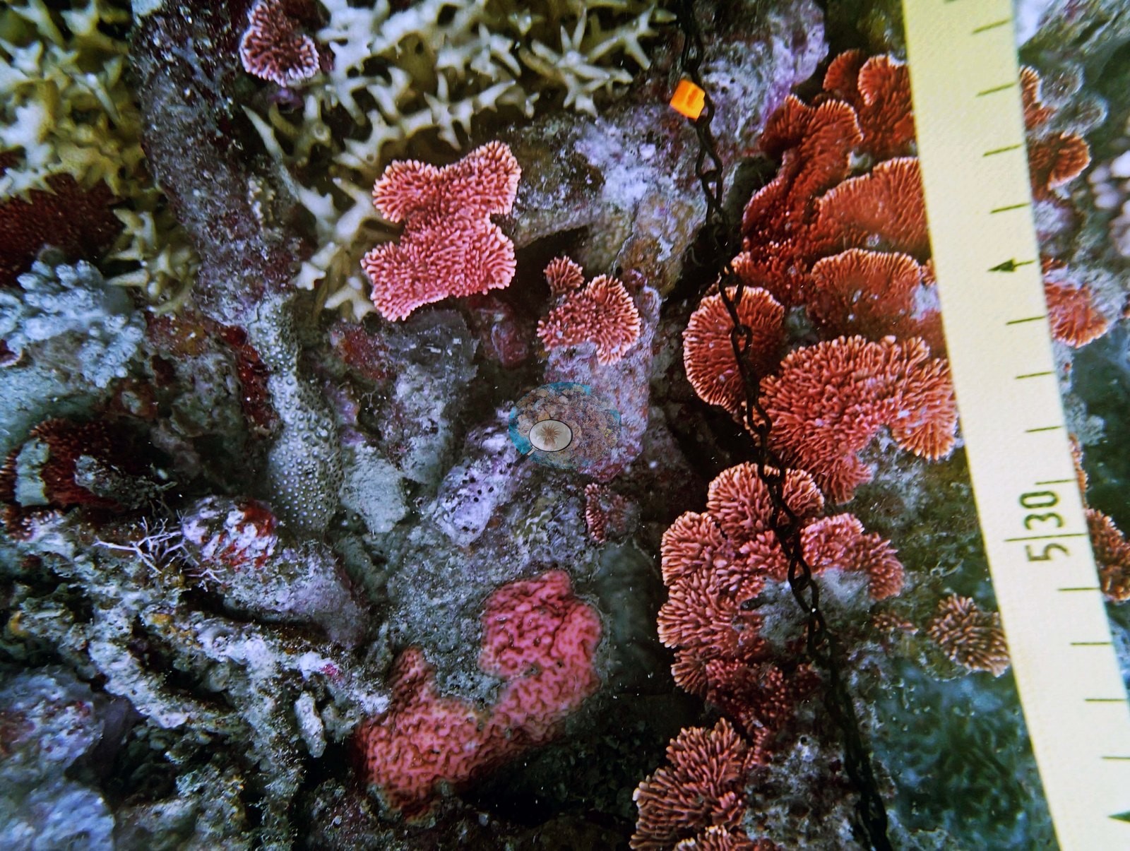
Along the survey tape, lilac branching colonies and tan foliose plates grew over a pavement of small corymbose colonies, rubble, and pink crustose coralline algae, with the reef sloping away into blue water (e.g., Image 5).
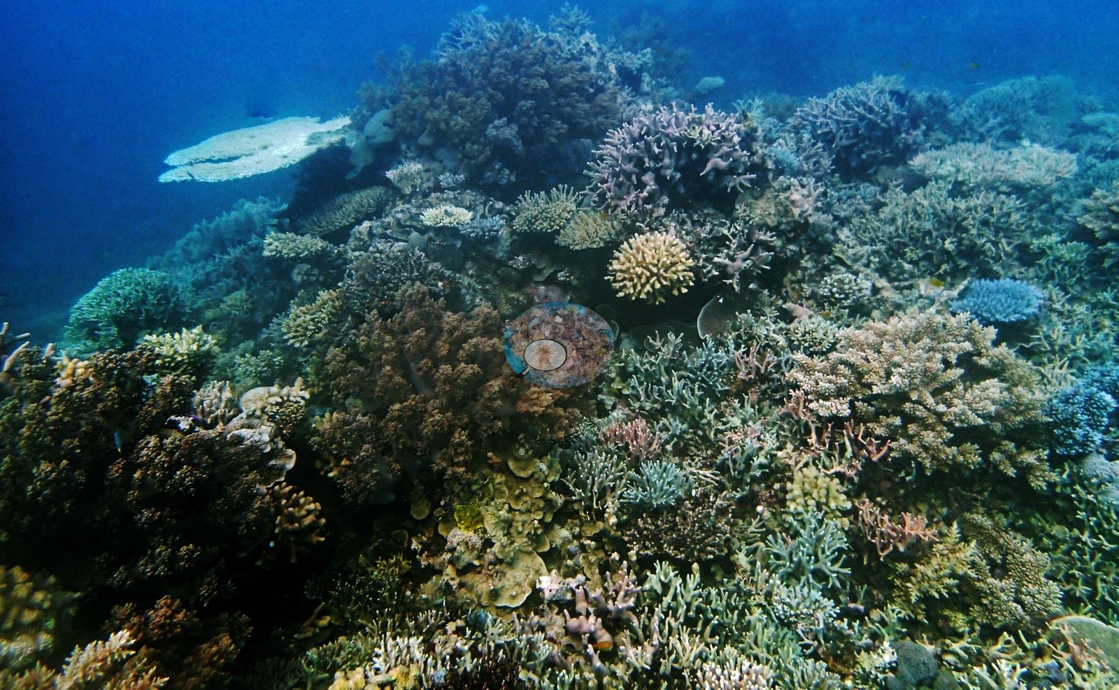
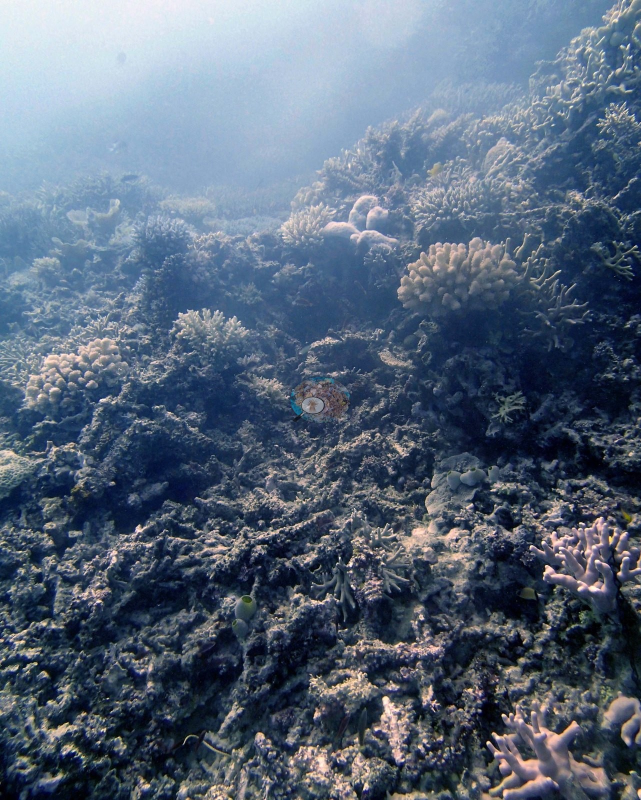
Elsewhere the slope was a dense mix of bottlebrush, corymbose, and tabular colonies, small massive heads, and branching thickets running out to the limit of visibility (e.g., Image 7).
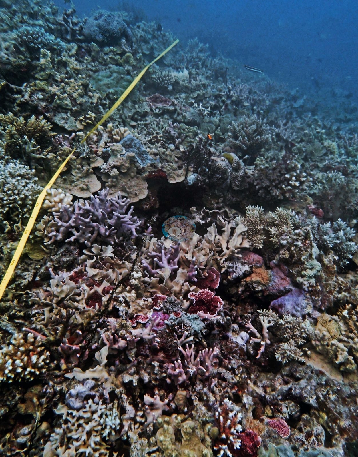
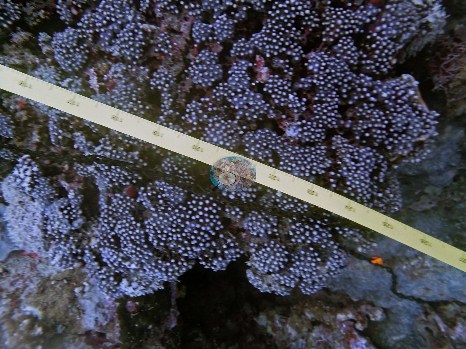
On the tape, a knobby lilac colony studded with small white polyps filled the frame (e.g., Image 6).
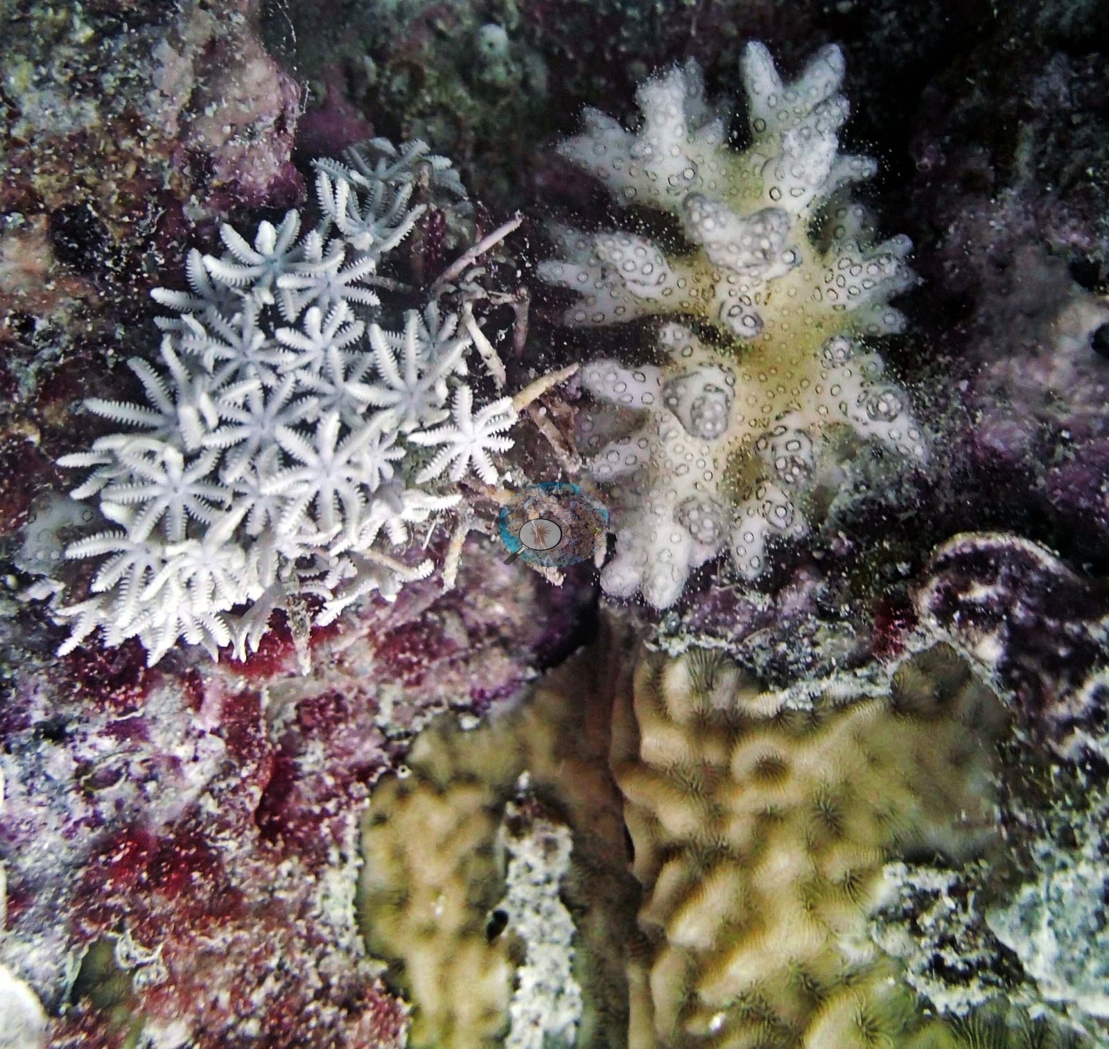
Close in, white eight-armed octocoral polyps and a cream lobed soft coral grew beside a brown massive colony on rock crusted with red and purple coralline algae (e.g., Image 8).
Coral cover
- Reference: Khaled bin Sultan Living Oceans Foundation, Global Reef Expedition (in situ transect)
- The expedition's in situ point-count transects at this station recorded 35% live coral cover against 20% total algal cover.
- Transect mean 35 ± 3.2% SE (n = 6 transects; Living Oceans Foundation per-transect benthic data); the headline above is the expedition's station value (the headline weights each depth equally; one depth had a single transect).
Stressors
Anderson recorded COTS damage from multiple colonies at 14 m, even as much of the surrounding reef stayed lush. Sickly and dying Seriatopora hystrix also turned up on several transects, alongside, not in place of, the COTS activity (e.g., Image 2).
One hazy shallow frame shows broad fields of dead, algal-filmed branching skeleton and rubble, with live corymbose and branching colonies persisting as islands within it; the photograph itself cannot assign a cause to that mortality (e.g., Image 3).
Fish and other fauna
Two huge Malabar groupers made an appearance.
Comparisons with other data
No other surveys have been conducted at this site to date. Within 5 km, three XL Catlin Seaview Survey stations recorded 16–32% hard coral cover between 2012 and 2016; the nearest, XL Catlin Seaview Survey at transect 15022, 2.75 km away, read 17–32% between 2012 and 2016.
Nearby citizen-science imagery within 2 km (not a survey of this site, and not total coral cover):
- Great Reef Census (citizen science, AI + volunteer image analysis): branching Acropora 3.6%, plating Acropora 7.2%, massive corals 9.1% of colonizable substrate, 29 images, 2022-11-26, 0.06 km.
- Great Reef Census (citizen science, AI + volunteer image analysis): branching Acropora 8.0%, plating Acropora 24%, massive corals 18% of colonizable substrate, 22 images, 2024-11-20, 1.49 km.
The Great Reef Census scores three coral shapes only, so every other coral is left out, and its denominator is colonizable substrate (sand, water, and shadow excluded): these values are not hard coral cover and should not be added together or compared with the cover figures on this page. The photographs are taken by volunteer snorkelers 3–5 m above the reef. In the program's own validation (Lawson et al. 2025, Environmental Monitoring and Assessment 197:814, doi:10.1007/s10661-025-14261-6, open access), each analysis method on its own differed from expert estimates by up to about 9.5 percentage points on average for these coral types (AI alone: plating Acropora −9.1 points; AI plus volunteers: branching Acropora +9.5 points); the program's “~99% accurate” figure is the average over about 8,000 images after choosing the better method for each coral type, and site values from fewer images carry more error. Sites with fewer than 40 images have fewer images than the 40–80 the method needs to estimate site-level values to within 5 percentage points. Source: Great Reef Census / Citizens of the Great Barrier Reef; Lawson et al. 2026, Limnology & Oceanography Letters, doi:10.1002/lol2.70168 (data CC BY-NC 4.0, doi:10.7910/DVN/KCULSD).
Other notes
Reef name: Anderson's sheet logs this station as AU166151 on 'Unnamed Reef 166' (his field notes head the dive 'Unnamed Reef Leisure Cat dive 3 (AU166151)'); the station code AU74151 and his sheet's two earlier stations that day (AU74147, AU74149) use Unnamed Reef 74, and the field report's final schedule lists UN Reef (13-116) for 29 September 2014. The pin keeps its station code. The page leads with Unnamed Reef 74: the station lies 179 m from AU74147, which his notes place on Unnamed Reef 74, and the expedition's station table codes it AU74151; his sheet's code for it is AU166151 ('Unnamed Reef 166').
Independent surveys nearby
 LOF Global Reef ExpeditionYear-average (illustrative only, programs differ)
Within 5 km, 3 independent survey stations recorded hard coral cover in 6 surveys between 2012 and 2016. Of the 3 stations surveyed in more than one year, 1 declined by more than 7 points between their first and latest surveys; 2 changed by 7 points or less, inside the 7-point method-noise floor (inconclusive). Three stations share the longest span (2012–2016); one, transect 15022 (XL Catlin Seaview Survey, 2.75 km away), went from 32% in 2012 to 17% in 2016. The most recent nearby survey is from 2016, so these values predate recent heat stress. This site's own estimate (35%) is not compared with these surveys: none lies within 2 km.
Collected by other programs using different methods (the XL Catlin Seaview Survey uses photo-transects with automated image annotation), so these are context for the figures above, not a like-for-like comparison. Where a station was surveyed more than once, the cell shows either the range of its values or, as a single value, the mean of surveys made in one year. Station names are not dive-site names.
| Agency | Site / location | Date | Hard coral cover (%) | Distance | Link |
|---|---|---|---|---|---|
| XL Catlin Seaview Survey | transect 15022 | 2012–2016 | 17–32% (2 surveys) | 2.75 km | doi:10.14264/uql.2019.930 |
| XL Catlin Seaview Survey | transect 15023 | 2012–2016 | 26–32% (2 surveys) | 4.02 km | doi:10.14264/uql.2019.930 |
| XL Catlin Seaview Survey | transect 15024 | 2012–2016 | 16% (2 surveys) | 4.62 km | doi:10.14264/uql.2019.930 |
Data & links
- Download benthic survey data (CSV) ↗
- Download all LOF-GRE data (933 sites) ↗
- Photo portfolio ↗
- Coral Reef Diagnostics country page ↗
All images from Coral Reef Diagnostics. Data are from the Khaled bin Sultan Living Oceans Foundation Global Reef Expedition, Coral Reef Diagnostics, and the organizations named in the data sources above.
 © Coral Reef Diagnostics.