
Part of the regional summaries: Australia (GBR) - Far North: Green stations (no-take reefs) and Australia (GBR)
More info
Far Northern GBR (NOAA CRW virtual station)A silt-laden reef in 4-5 m visibility, with dense coral only in the shallows, where fire coral and Porites thickets reached an estimated 60-70% cover; by 10 m the bottom was mostly rubble under clay silt and fleshy algae. A notably aggressive gray reef shark was logged, and the recorded problems were sediment and partial die-off on staghorn rather than bleaching. Surveyed on the Living Oceans Foundation's Global Reef Expedition.
Four other CRD dive sites within 5 km shown in orange — click a marker to open its page.
🗺 Detailed map of the Global Reef Expedition dive sites, Milman and Alpin Reefs, northern Great Barrier Reef (Khaled bin Sultan Living Oceans Foundation; opens in a new window)
Site description
Setting
Global Reef Expedition station AU3479 on Unnamed Reef 34, far northern Great Barrier Reef (-11.1548, 143.0872), the first of Anderson's three dives there on 17 September 2014, in a no-take Marine National Park (Green) Zone. His notes describe a very murky site (4-5 m visibility, "possibly less") on a gently sloping sand slope; corals appeared to be absent below 12 m, so he ran his five transects at 8.5-10 m.
General benthic features
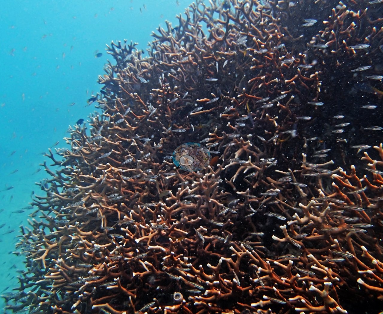
His notes describe shallows characterized by huge thickets of Millepora fire coral, Porites cylindrica, and P. lobata or other massive poritids, with live coral cover reaching 60-70% in many areas but only four or five species. On his transects he listed soft corals, fungiids, Lobophyllia, Caulastrea, large Pachyseris, Pocillopora acuta, large massive Porites, Acropora, Isopora, several favid species, blue coral, and encrusting sponges; a well-developed patch, at the base of the reef system (9.7 m), held 10-15 species. The 21 posted frames are from the shallow reef. Dense thickets of upright branching colonies, brown with pale tips, fill the first eight and rise toward the surface under schools of damselfish (e.g., Image 1, Image 2, Image 3, Image 4, Image 5, Image 6, Image 7, Image 8), and in two more a thicket runs in front of a very large, evenly pale massive dome (e.g., Image 9, Image 10).
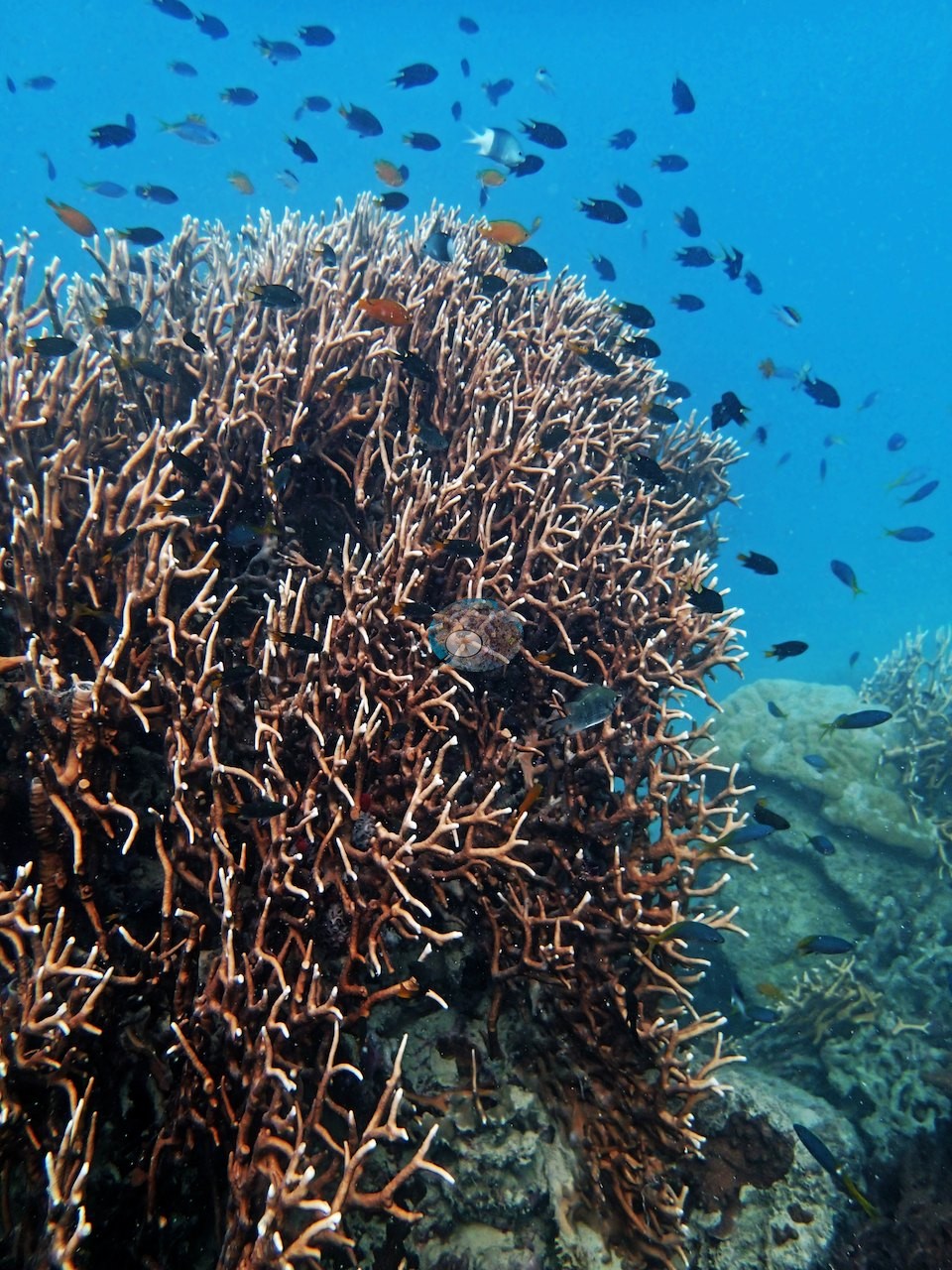
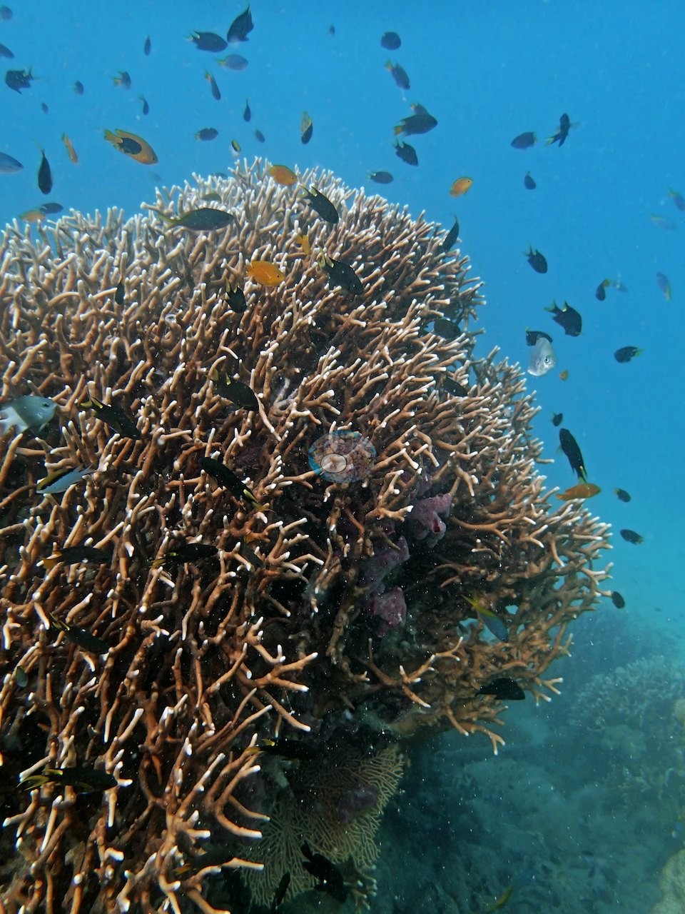
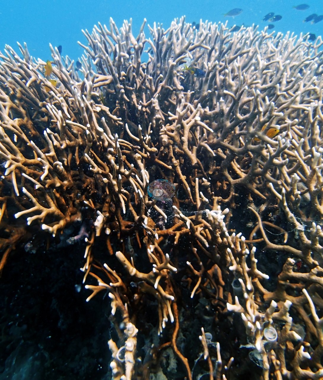
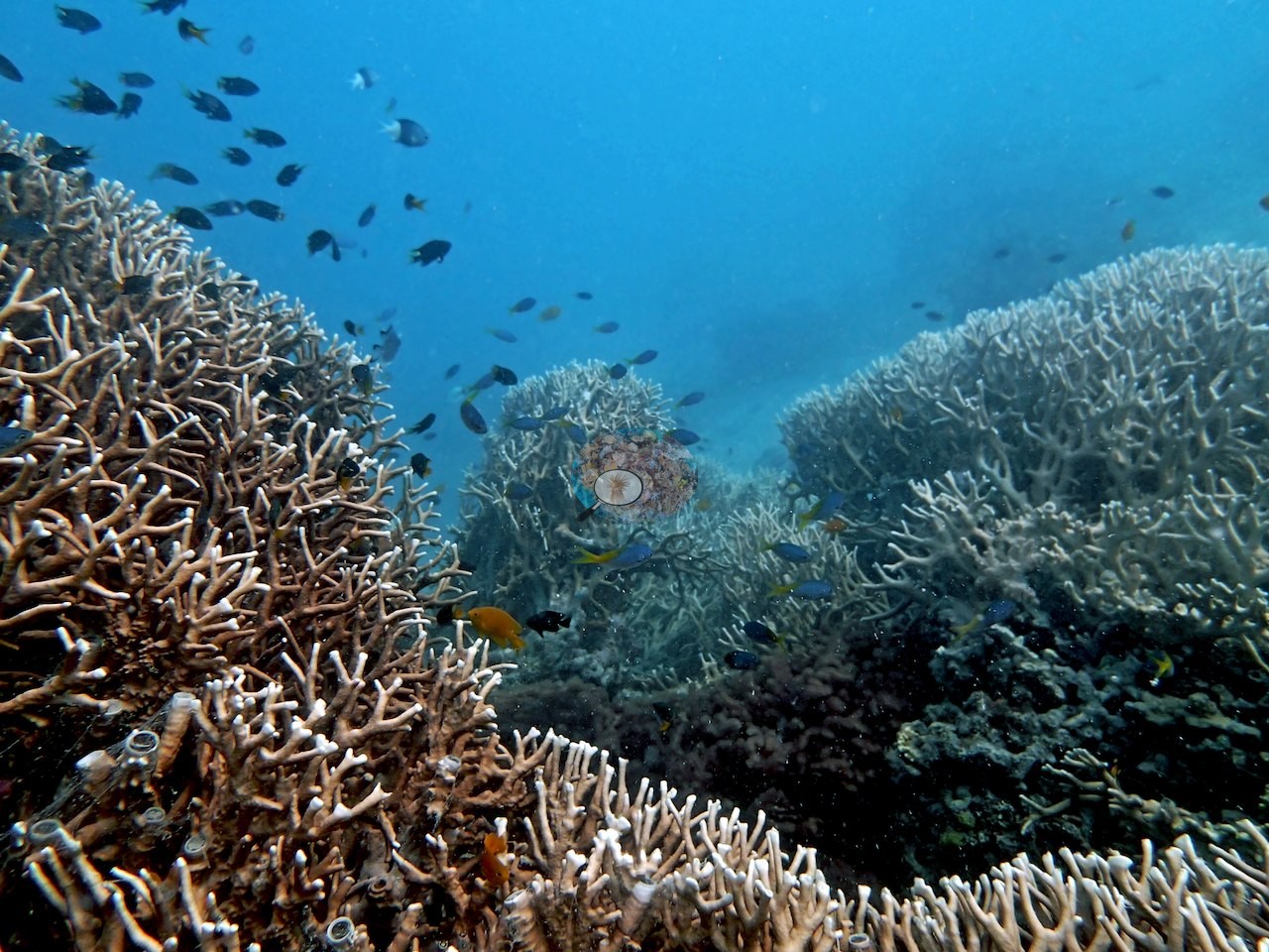
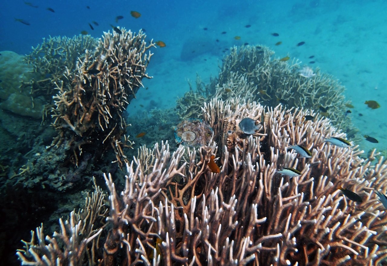
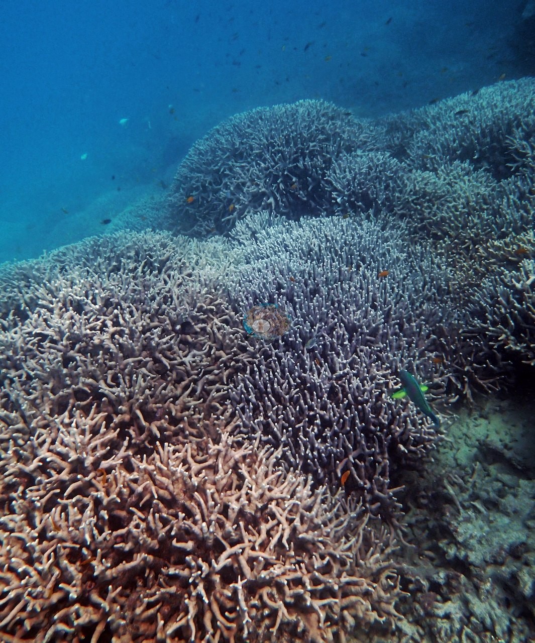
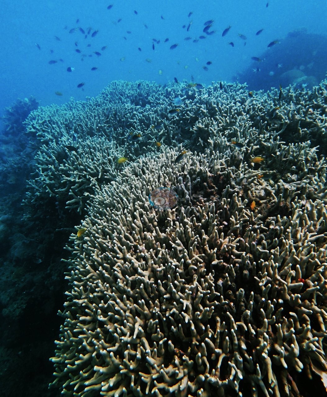
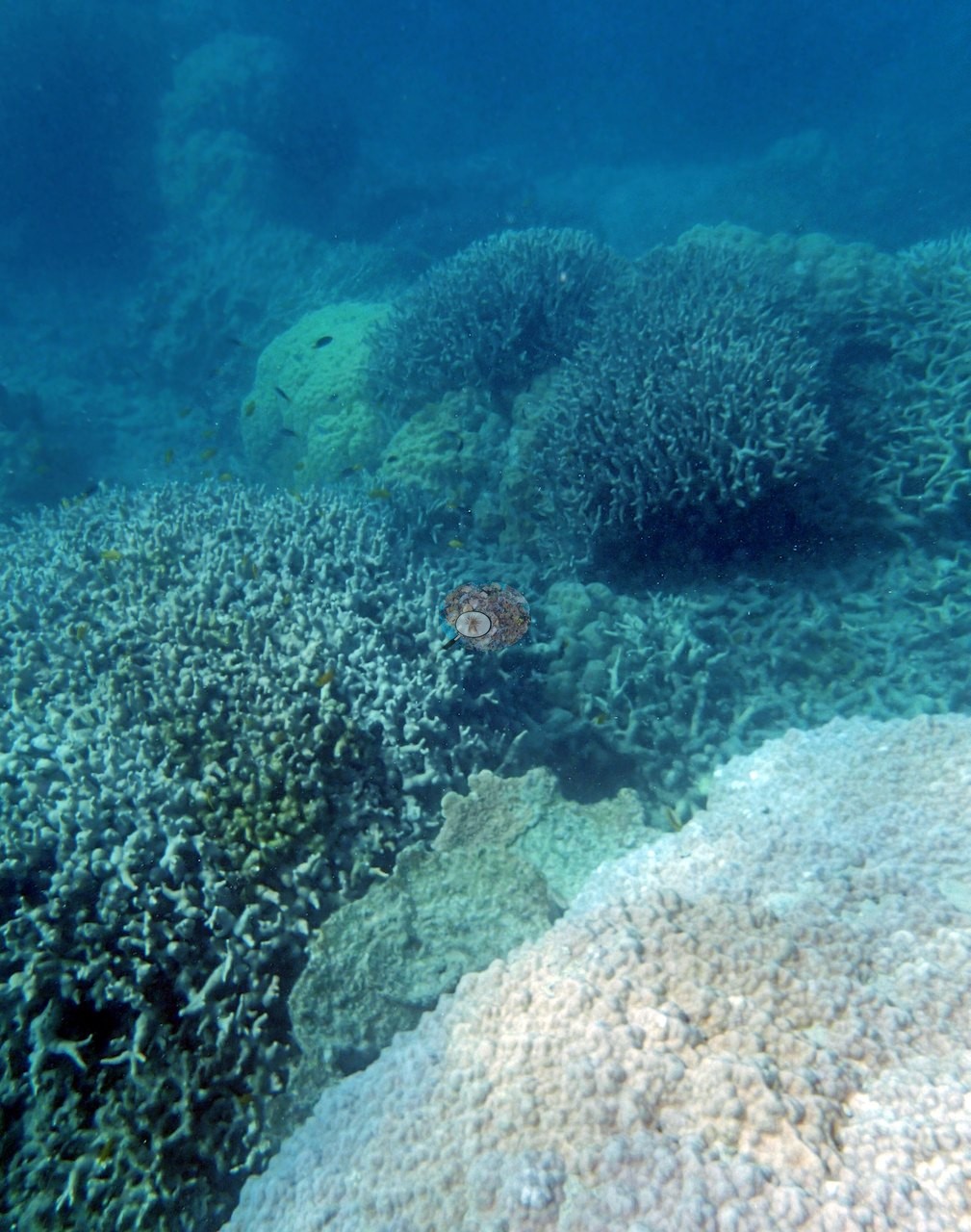
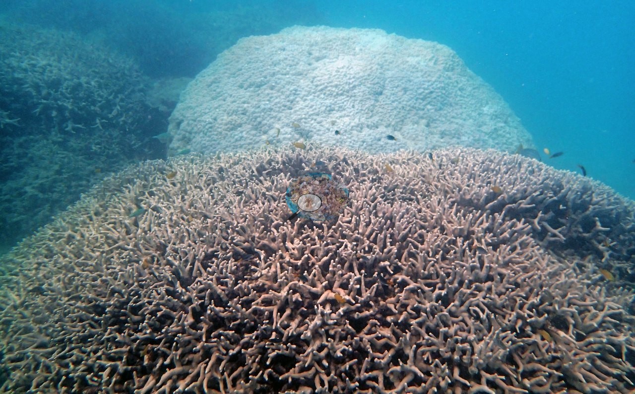
Other frames show large massive and encrusting colony mounds and a steep face of massive colonies pocked with boring holes (e.g., Image 11, Image 12, Image 13), a big brown dome (e.g., Image 14), a mix of massive and branching colonies (e.g., Image 15), a rounded knobby massive colony beside a long-spined sea urchin (e.g., Image 16), pink-orange lobed colonies (e.g., Image 17), and a branching colony over a brown massive colony (e.g., Image 18).
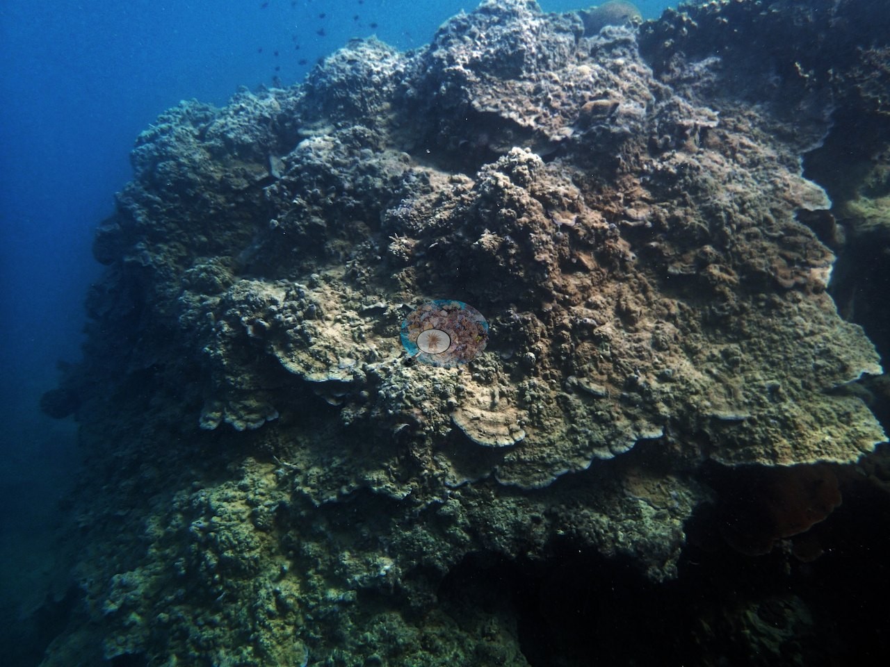
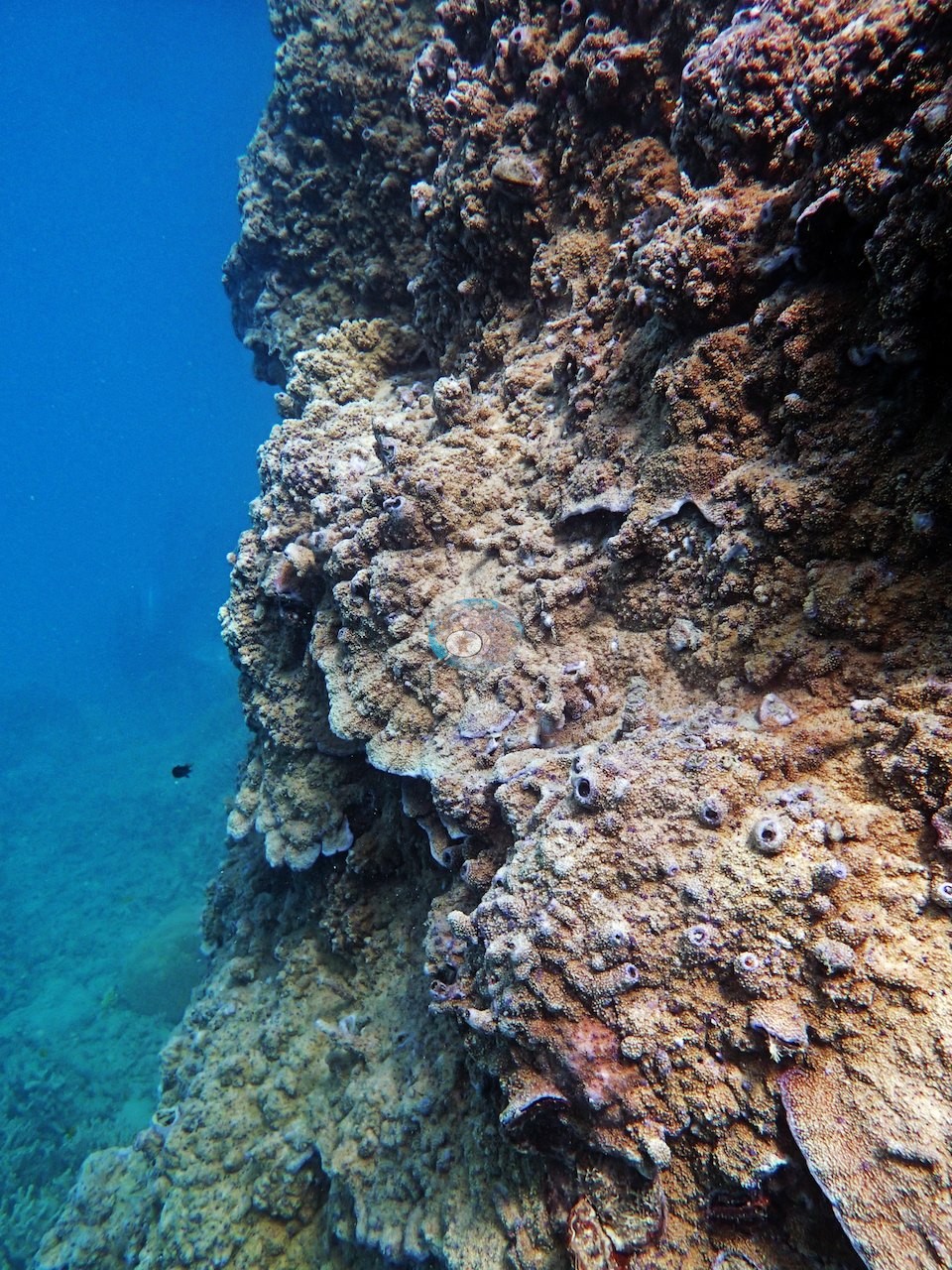
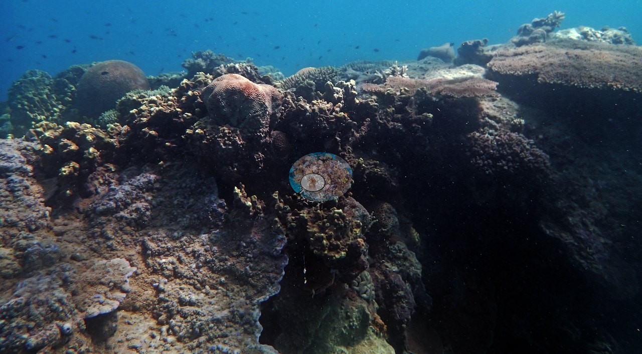
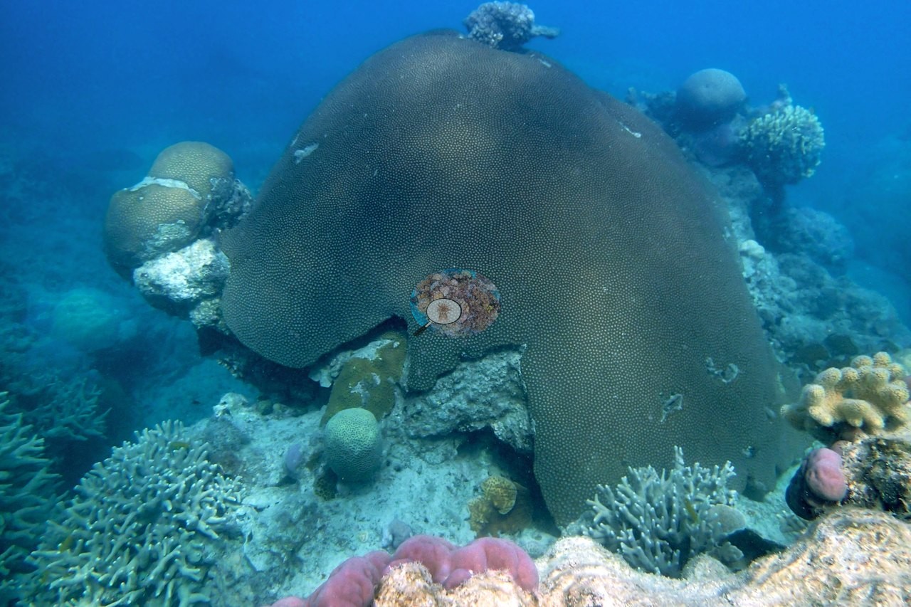
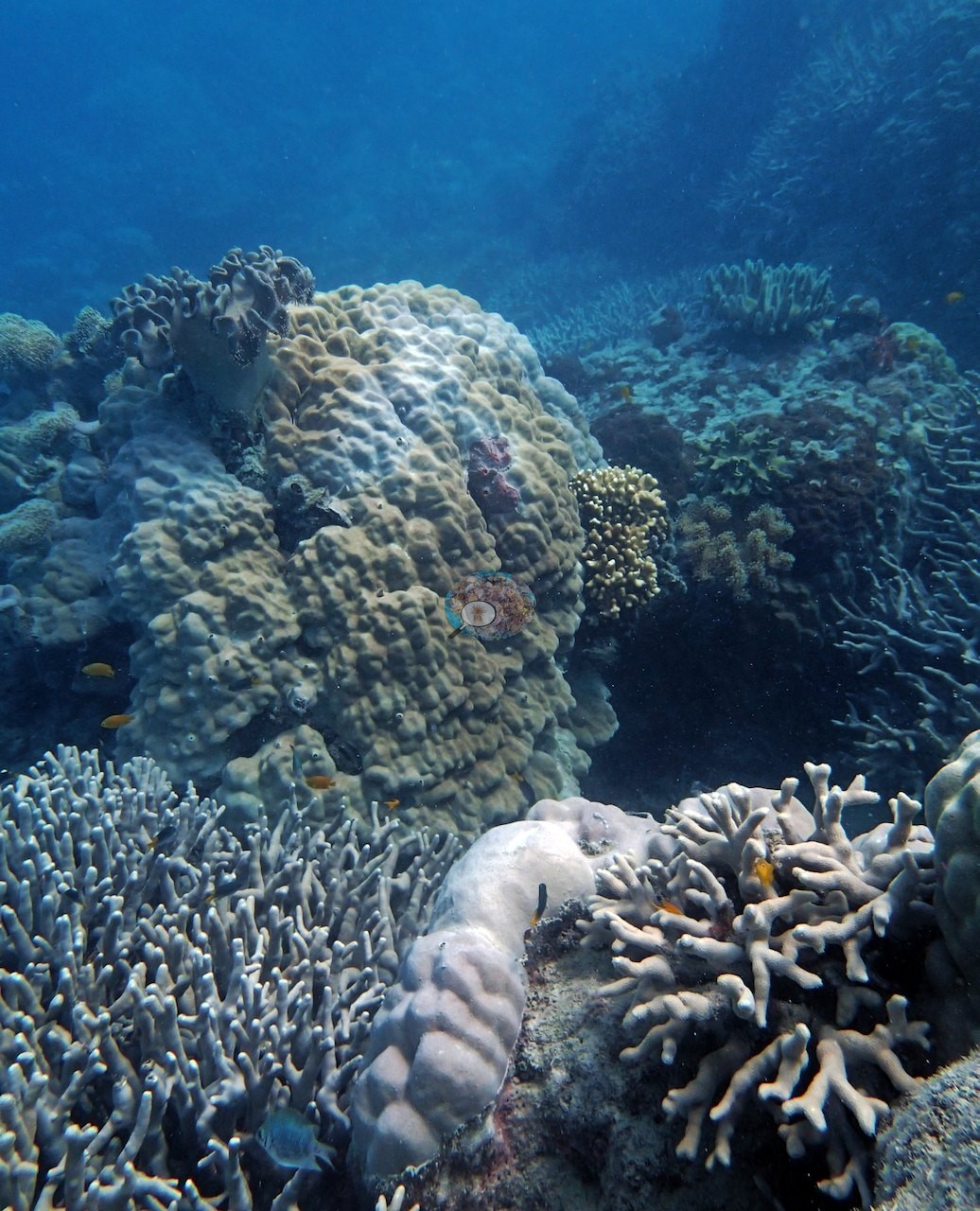
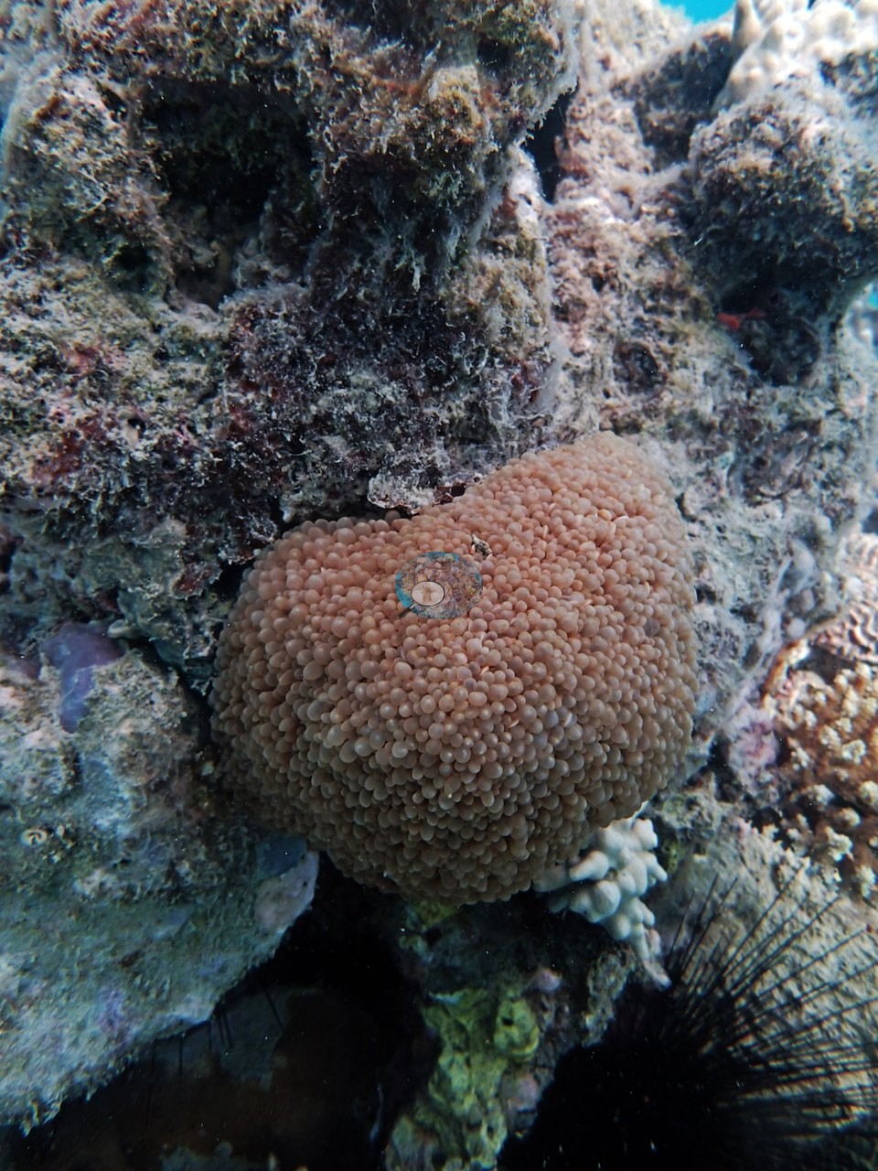
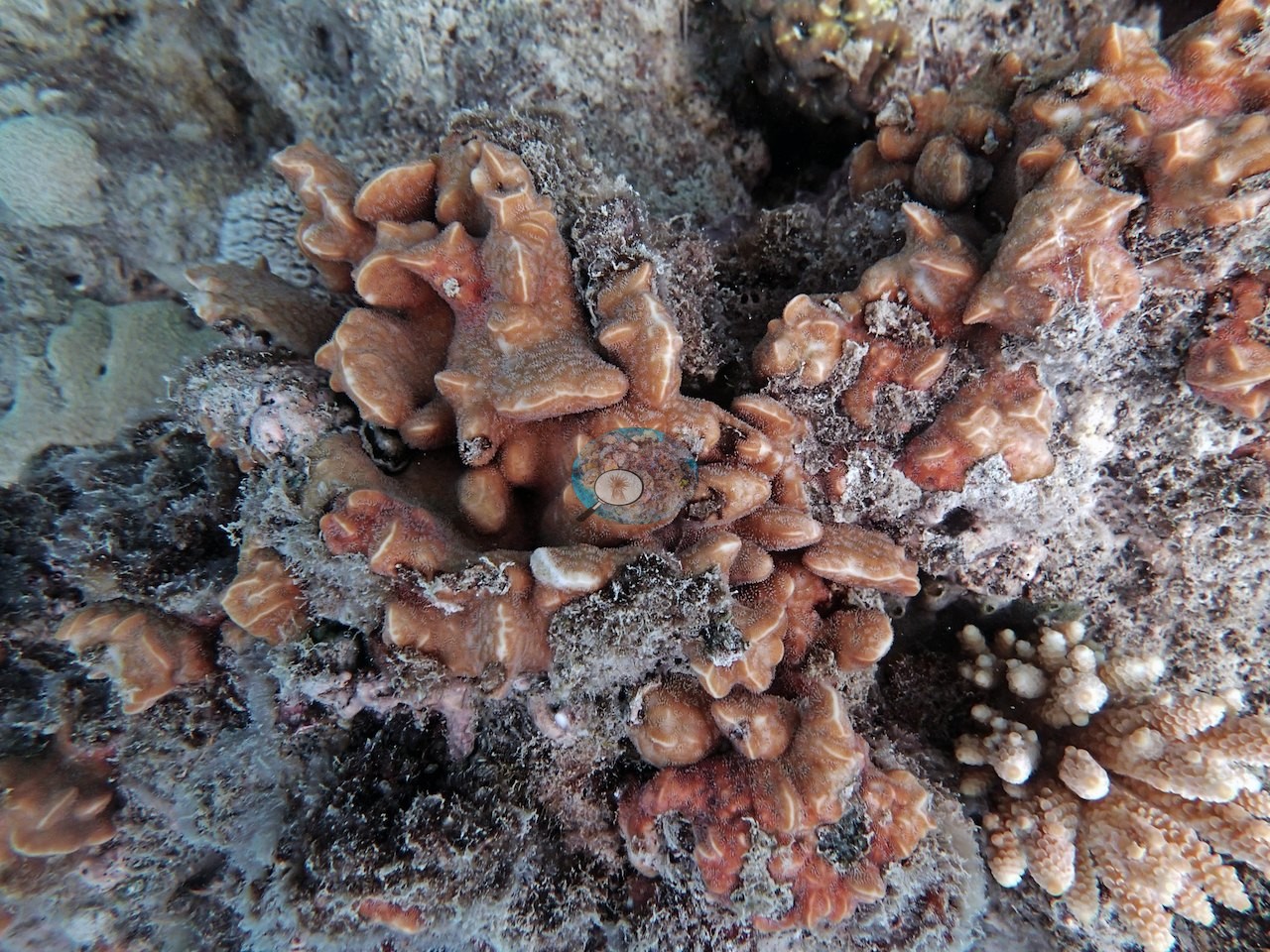
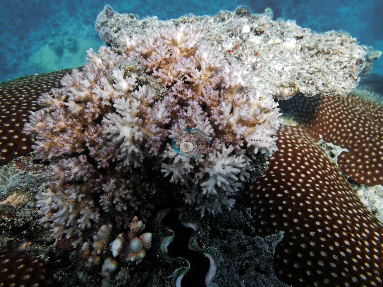
Porites was the most common coral genus on this station's transects (18% of the benthos), followed by Montipora (7.3%), Favites (2.7%), Goniopora (2.3%), Pavona (1.7%), and Lobophyllia, Pectinia, and Platygyra (1.3% each); bare substrate covered 30%, the largest non-coral class. Among the algal classes on this station's transects, sediment-laden turf (17%) led, followed by turf (3.3%) and macroalgae (0.7%).
Coral cover
- Reference: Khaled bin Sultan Living Oceans Foundation, Global Reef Expedition (in situ transect)
- His by-eye estimates on the five transects were 5% and under 5% at 10 m, 10-15% at 9.7 m, 15-20% at 9 m, and 20-25% at 8.5 m, well below the 60-70% he estimated in the shallow thickets.
- The expedition's in situ point-count transects at this station recorded 46% live coral cover against 21% total algal cover.
- Transect mean 46 ± 2.9% SE (n = 3 transects; Living Oceans Foundation per-transect benthic data); the headline above is the expedition's station value.
Stressors
At 10 m much of the hard bottom was coral rubble blanketed in clay silt and overgrown by fleshy macroalgae; his notes describe it as "coral rubble covered by clay silt and fleshy macroalgae," with some living hard coral still present at 10 m and much more at 8-9 m. On his 9 m transect the rubble was poorly cemented and silt-covered, and staghorn strands showed partial mortality. His notes for this dive do not mention bleaching, disease, or crown-of-thorns starfish.
Fish and other fauna
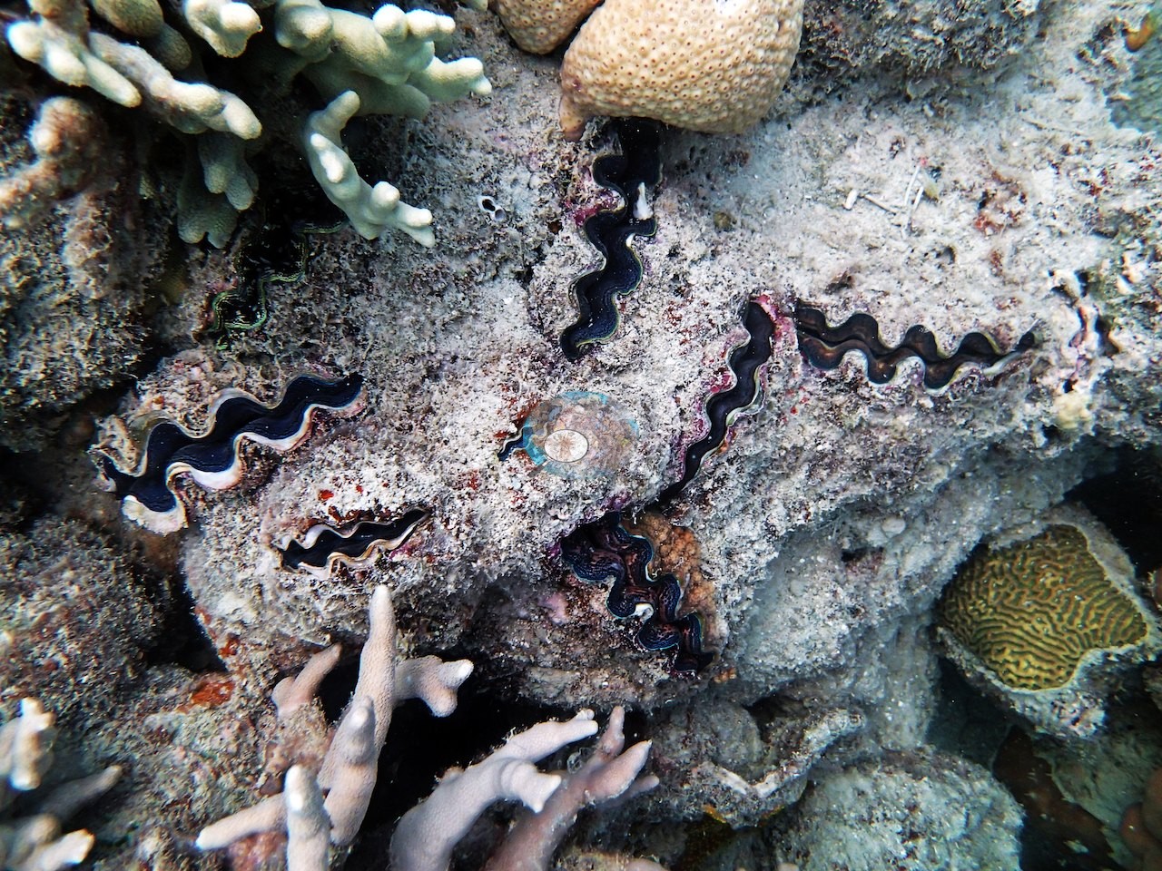
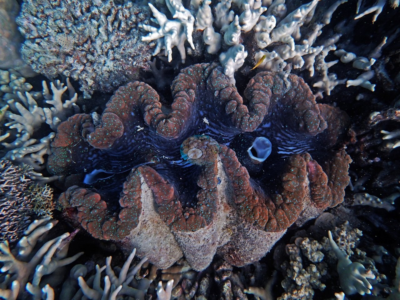
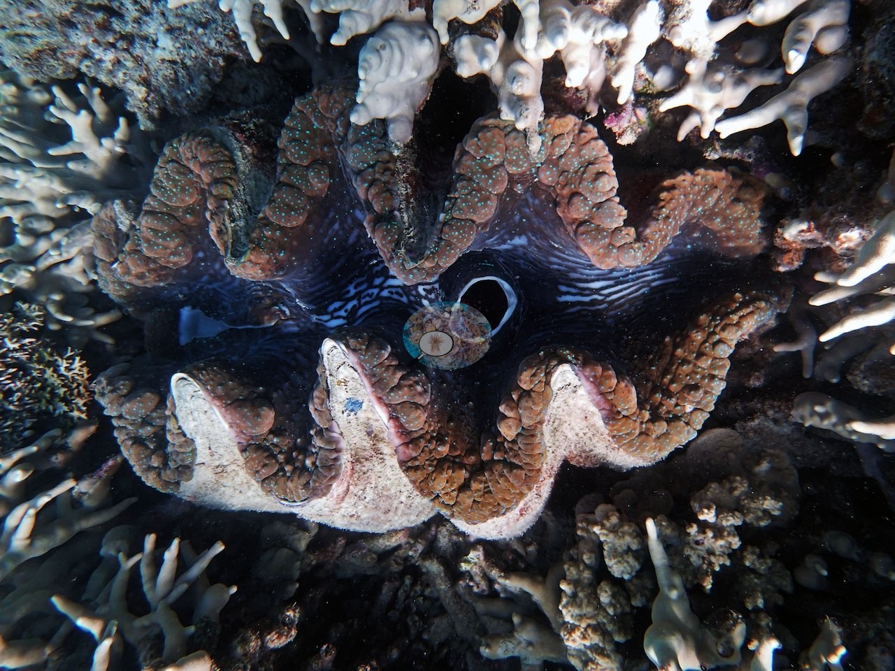
His notes log an aggressive, large (2 m) gray reef shark and one cushion star (Culcita) as a sighting, with feeding not recorded; neither is in the posted frames. Giant clams sit among the corals in one frame (e.g., Image 19), and two close views show a clam's folded, patterned mantle (e.g., Image 20, Image 21).
Comparisons with other data
No prior survey data from this site. If you would like to share yours, please email us.
Nearby citizen-science imagery within 2 km (not a survey of this site, and not total coral cover):
- Great Reef Census (citizen science, AI + volunteer image analysis): branching Acropora 4.4%, plating Acropora 3.2%, massive corals 29% of colonizable substrate, 23 images, 2022-11-19, 1.27 km.
The Great Reef Census scores three coral shapes only, so every other coral is left out, and its denominator is colonizable substrate (sand, water, and shadow excluded): these values are not hard coral cover and should not be added together or compared with the cover figures on this page. The photographs are taken by volunteer snorkelers 3–5 m above the reef. In the program's own validation (Lawson et al. 2025, Environmental Monitoring and Assessment 197:814, doi:10.1007/s10661-025-14261-6, open access), each analysis method on its own differed from expert estimates by up to about 9.5 percentage points on average for these coral types (AI alone: plating Acropora −9.1 points; AI plus volunteers: branching Acropora +9.5 points); the program's “~99% accurate” figure is the average over about 8,000 images after choosing the better method for each coral type, and site values from fewer images carry more error. Sites with fewer than 40 images have fewer images than the 40–80 the method needs to estimate site-level values to within 5 percentage points. Source: Great Reef Census / Citizens of the Great Barrier Reef; Lawson et al. 2026, Limnology & Oceanography Letters, doi:10.1002/lol2.70168 (data CC BY-NC 4.0, doi:10.7910/DVN/KCULSD).
Other notes
By their capture times, the 21 downward photo-quadrats matched to this reef by boat GPS position and date were taken on the second dive here (AU3481), and that page shows them.
Data & links
- Download benthic survey data (CSV) ↗
- Download all LOF-GRE data (933 sites) ↗
- Photo portfolio ↗
- Coral Reef Diagnostics country page ↗
All images from Coral Reef Diagnostics. Data are from the Khaled bin Sultan Living Oceans Foundation Global Reef Expedition and Coral Reef Diagnostics.
 © Coral Reef Diagnostics.