
Part of the regional summaries: Fiji - Moala, Fiji - Moala Group (Moala / Totoya / Matuku), and Fiji - Lau
More info
Fiji (NOAA CRW virtual station)A fore-reef slope station on Moala's east side whose few wide frames show a coralline-crusted reef top carpeted with small branching, digitate, and encrusting colonies, at 29% cover. Nine of Anderson's 19 frames from the dive document the colonies Joao sampled. Surveyed on the Living Oceans Foundation's Global Reef Expedition.
E dua na vanua ni vakadidike ena baba ni yasana i tuba ni cakau (fore-reef slope) ena yasana i tokalau i Moala, ka na vica ga na itaba raraba e vakaraitaka e dua na dakuna ni cakau e ubi ena lumi vakalase (coralline) ka vonu ena lase lalai vakatabataba, vakaiqaqalo (digitate), kei na lase e kabita na vatu (encrusting), ka 29% na ubi ni lase (coral cover). E ciwa vei ira na 19 na itaba nei Anderson mai na nunu oqo e vakaraitaka na lase a taura kina na ivakaraitaki ko Joao.
AI translation of this summary; the English is authoritative. (low confidence)
CTD-cast midpoint; the cast read 27.0°C throughout
Two other CRD dive sites with their own pages within 5 km shown in orange — click a marker to open its page.
🗺 Detailed map of the Global Reef Expedition dive sites, Moala, Fiji (Khaled bin Sultan Living Oceans Foundation; opens in a new window)
Site description
Setting
Nineteen frames survive from FJML22 (Moala, Lau Archipelago, 10 Jun 2013); seven are wrist shots of Anderson's dive computer (a Suunto), one of which reads 28.9 m with a water temperature of 27.1°C, and they are not shown on this page. The survey team's notes place FJML22 among the east-side stations (FJML23, FJML15, FJML22, FJML16), on the fore reef slope.
General benthic features
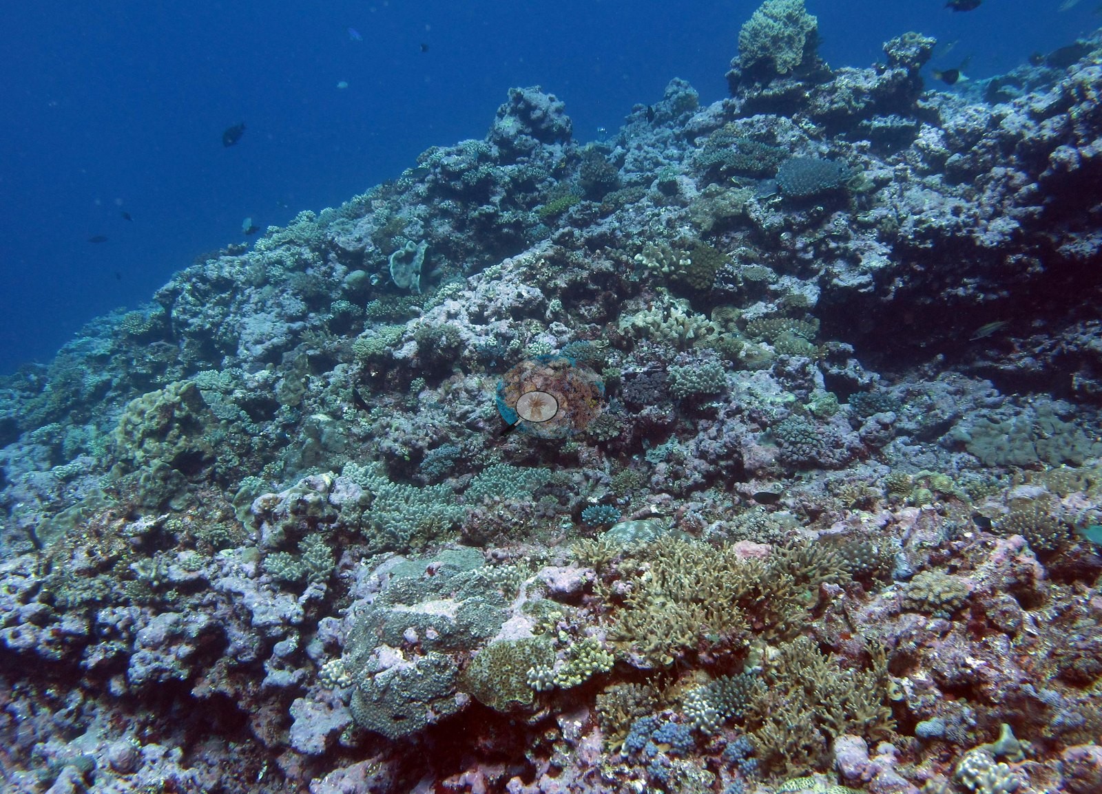
This is a sampling record, not a photographic survey. Seven of the nineteen are wrist shots of Anderson's dive computer, and nine more are hand-held numbered-tag frames composed tightly on one colony each; only three are wide views of the reef: Image 1, Image 2, and Image 3.
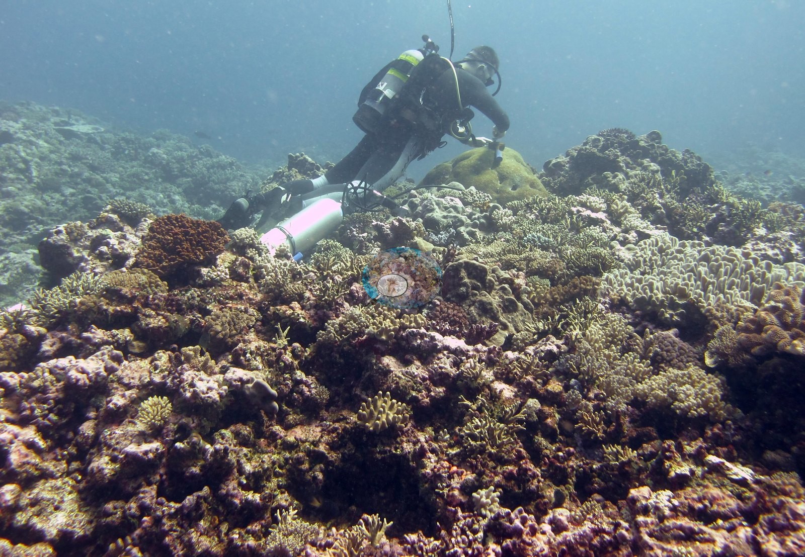
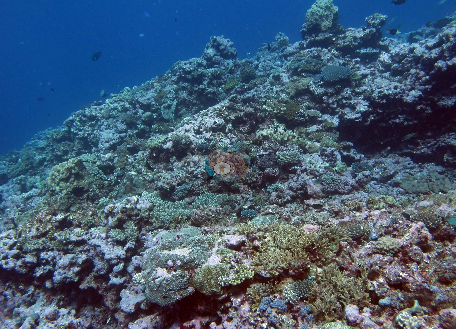
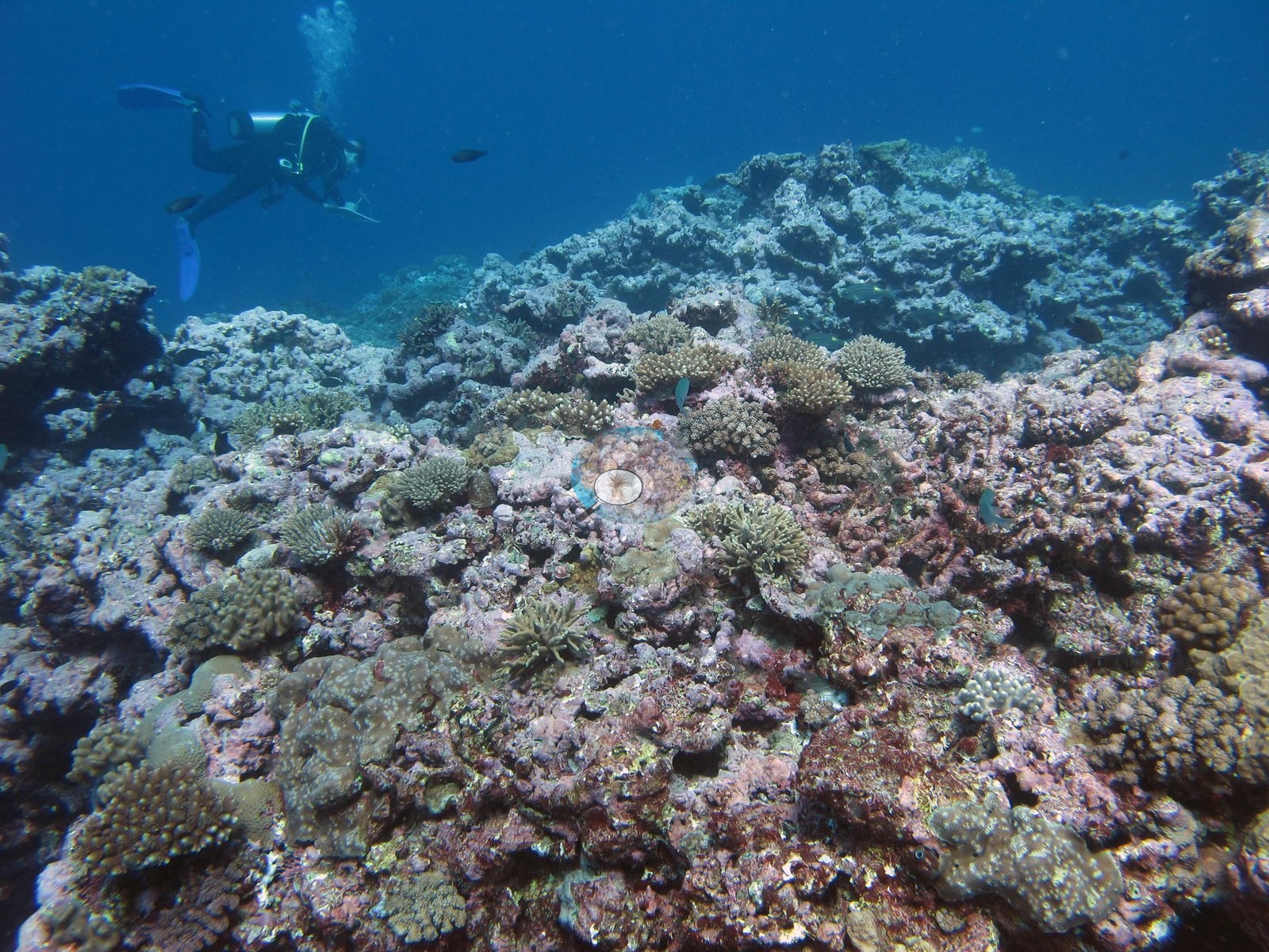
The tag frames document the colonies Joao sampled. Nothing in the set was shot to characterize habitat, and it should not be read as though it were. The three wide frames show a coralline-crusted, coral-veneered reef top of low to moderate relief. Image 1 looks across a bottom carpeted almost continuously with small colonies — short branching and digitate heads, olive and tan encrusting and knobby forms, a dark red-brown massive at left and a smooth olive dome at center — with a diver working over it and a pink-and-white sampling cylinder resting on the substrate. Image 2 is an oblique view up a coral-built ridge whose surface is a mosaic of small branching, digitate, and encrusting colonies over pavement, falling away into blue on the left. Image 3 is the widest and cleanest of the three: a low, rubbly, coralline-crusted pavement carrying well-spaced small branching and corymbose colonies, tan and olive knobby heads, and scattered tabular plates, with a diver in the blue above. The tag frames are the substance of the set, and they are sampling documentation. Each shows a gloved or bare hand holding a numbered tag against a single colony: Image 4, Image 5, Image 6, Image 8, Image 9, Image 12, Image 13, and Image 15.
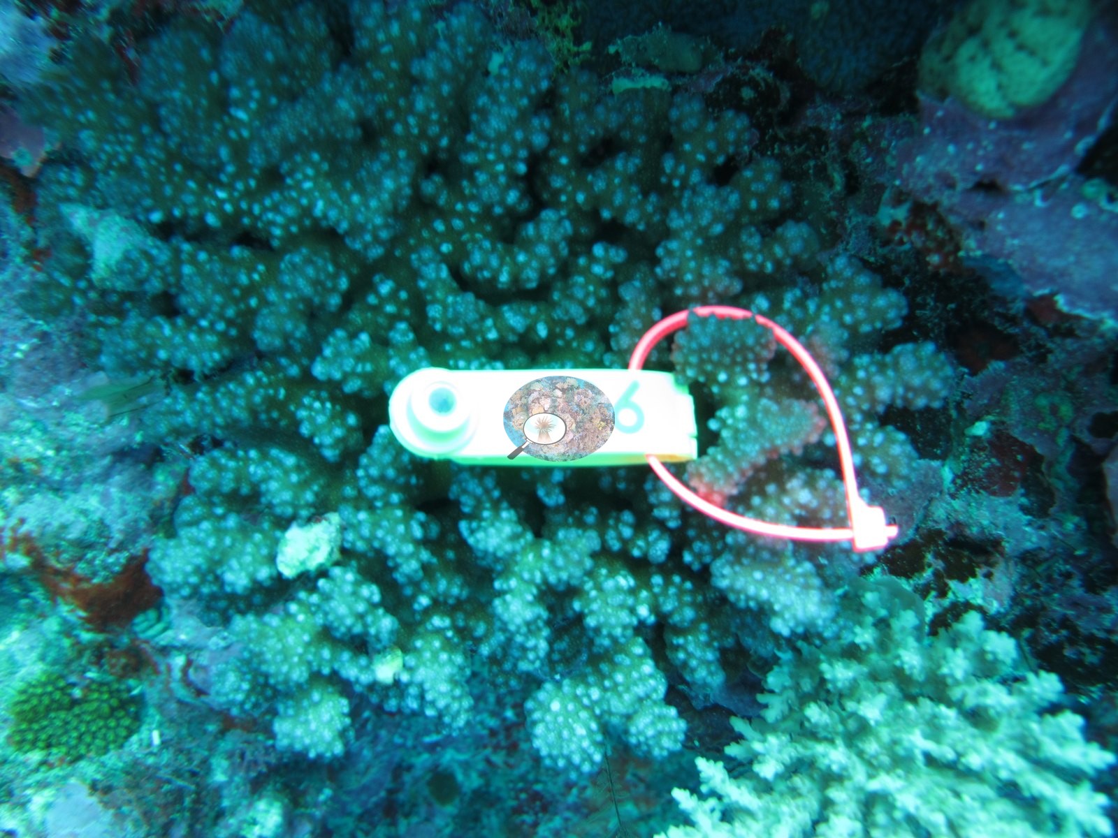
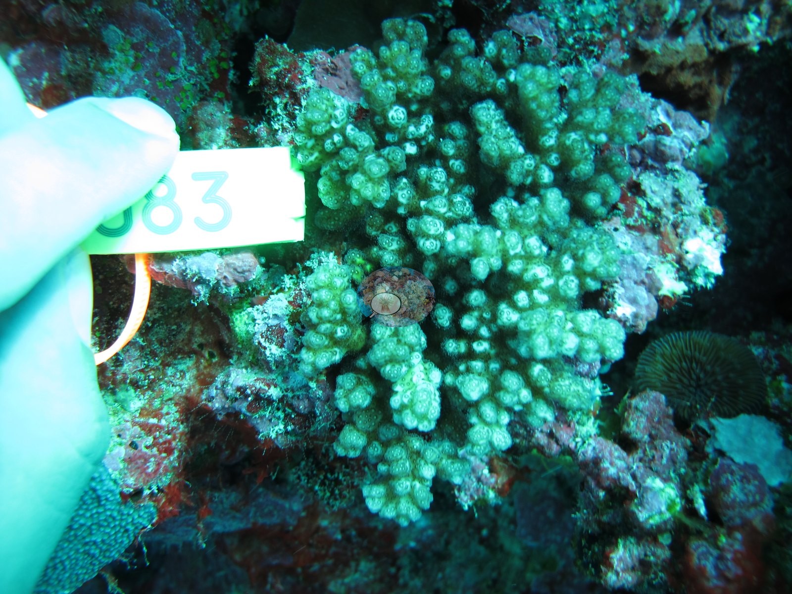
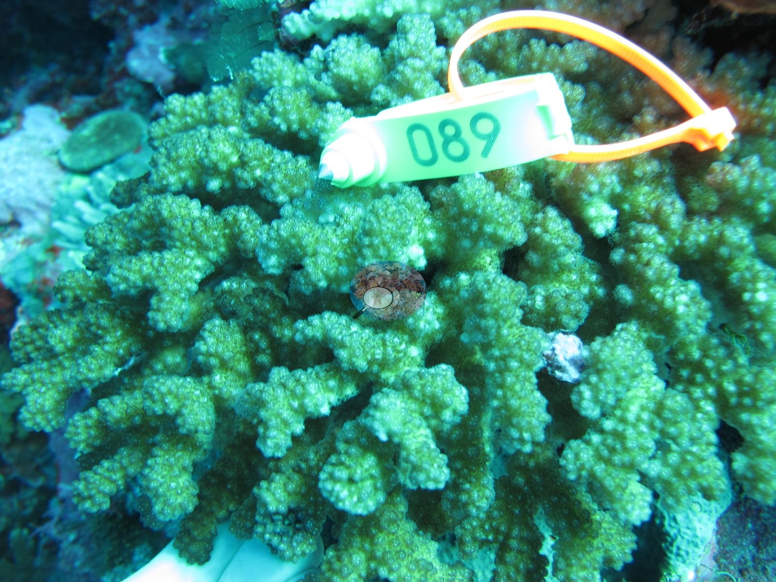
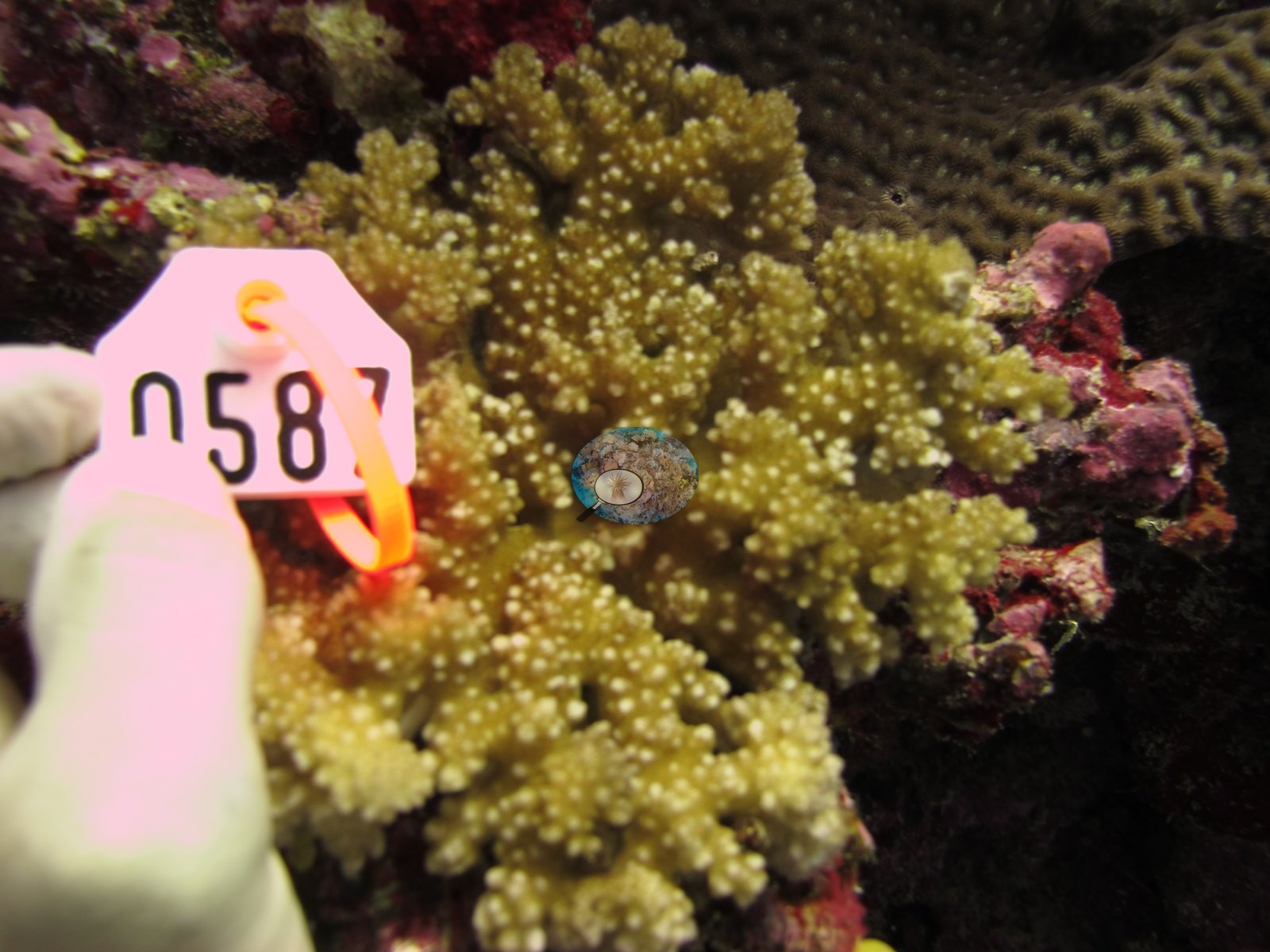
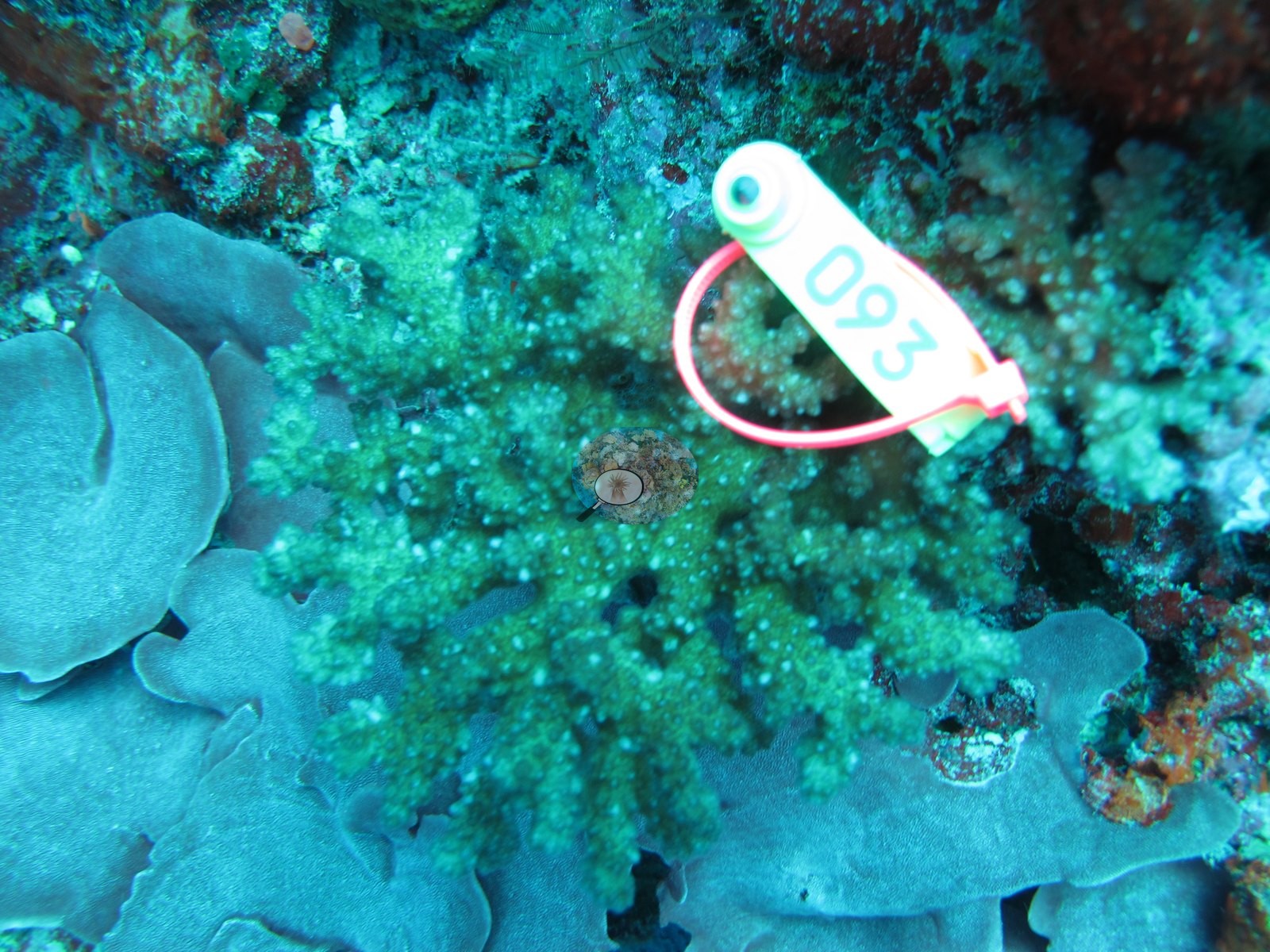
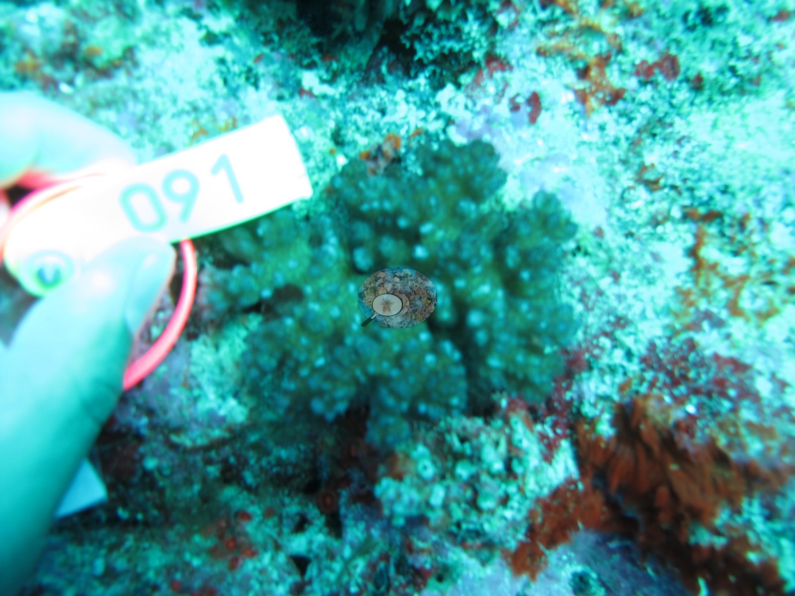
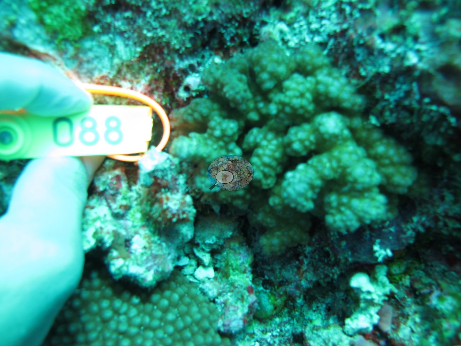
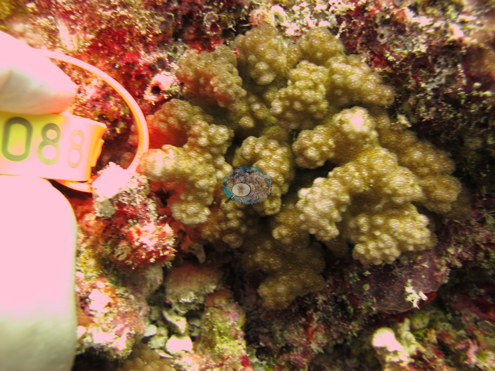
Where the strobe reached the subject the colonies are legible — Image 8 and Image 15 are the best images at the site, both showing a compact, heavily verrucose olive-to-mustard branching colony set on vivid pink and crimson crustose coralline algae, compatible with a pocilloporid; Image 6 and Image 4 show finer, more openly branched knobby colonies compatible with Acropora; Image 9 sets a fine green branching colony among broad blue-gray foliose plates; Image 13 places a branching colony directly on a massive whose finely pitted surface is compatible with Porites. These are frame-level identifications offered as 'compatible with' only. There is no scale reference in any frame, so no colony dimension in this set is measured.
Survey team's notes for the east-side stations. Large colonies of Porites and Diploastrea were common on the sides of the slope. Small colonies of Platygyra, Lobophyllia, and Echinopora were common.
Coral cover
- Reference: Khaled bin Sultan Living Oceans Foundation, Global Reef Expedition (in situ transect)
- 29%, from the Khaled bin Sultan Living Oceans Foundation's in situ transect survey (Global Reef Expedition site data); the photographs illustrate the site.
- Read together, these are consistent with the surveyors' account of a fore-reef slope with build-ups on massive framework rather than a continuous coral carpet, though three frames cannot establish zonation, relief, or community proportions.
- On the east side, coming up the slope from 32 m, coral cover was not very high, but CCA was common.
- Transect mean 29 ± 3.4% SE (n = 5 transects; Living Oceans Foundation per-transect benthic data); the headline above is this all-transect mean.
Stressors
On condition, the frames settle very little and should not be pressed. No bleached colony is identifiable anywhere in the set, but with sixteen of nineteen frames strongly color-cast and only three showing the reef at all, that is a statement about the imagery and not about the coral population; no bleaching percentage was read off it. No disease lesion or predation scar resolves either, so the Culcita feeding damage the surveyors recorded on table and plating corals at other Moala stations is neither confirmed nor contradicted here. The Living Oceans Foundation transects here recorded 3.4% cyanobacteria and no recently dead coral; they carry no bleaching, disease, or crown-of-thorns field. Typical recent thermal stress: mean annual maximum of 8.9°C-weeks (Degree Heating Weeks, 2021-2025, NOAA CRW; Fiji virtual station).
Comparisons with other data
Apart from the Living Oceans Foundation survey shown here, we found no other surveys at this site as of 2026. If you would like to share yours, please email us.
Dive record
FJML22 (Moala, Lau Archipelago): surveyed 10 Jun 2013 during the Khaled bin Sultan Living Oceans Foundation Global Reef Expedition.
Data & links
- Download benthic survey data (CSV) ↗
- Download all LOF-GRE data (933 sites) ↗
- Photo portfolio ↗
- Coral Reef Diagnostics page for this area ↗
All images from Coral Reef Diagnostics. Data are from the Khaled bin Sultan Living Oceans Foundation Global Reef Expedition and Coral Reef Diagnostics.
 © Coral Reef Diagnostics.