
Part of the regional summaries: Fiji - Moala, Fiji - Moala Group (Moala / Totoya / Matuku), and Fiji - Lau
More info
Fiji (NOAA CRW virtual station)A Moala fore-reef station whose narrow crevices and coral-covered ridges on the island's northwest side are carpeted with acroporids, foliose plates, and coralline crusts, at 40% cover. Of the four coral colonies here with an outlier score, one was flagged as a physiological outlier. Surveyed on the Living Oceans Foundation's Global Reef Expedition.
E dua na vanua ni vakadidike ena yasana i tuba ni cakau (fore reef) e Moala, ka na kena qara lalai kei na dela e ubi ena lase ena yasana i vualiku-i-ra ni yanuyanu e vonu ena acroporid, na lase vakaiteba vakadrau ni kau (foliose plates), kei na lumi vakalase (coralline crusts), ka 40% na ubi ni lase (coral cover). Ena loma ni va na lase eke e tiko na nodra naba ni duidui (outlier score), e dua e vakaraitaki me duatani vakayago (physiological outlier).
AI translation of this summary; the English is authoritative. (low confidence)
CTD-cast midpoint of 27.1–27.2°C
Two other CRD dive sites with their own pages within 5 km shown in orange — click a marker to open its page.
🗺 Detailed map of the Global Reef Expedition dive sites, Moala, Fiji (Khaled bin Sultan Living Oceans Foundation; opens in a new window)
11 of the 20 photographs on this page are shown beside the text that discusses them under "Site description" below.
Site description
Setting
Survey team's Moala notes (island-wide, mostly other stations): FJML19 and FJML20 were located on the west side of the island. Both sites were on the fore reef slope, with slope and coral cover continuing beyond 40 m off the fore reef terrace. FJML18 and FJML17 are on the north western side of the island. Both sites are located near fore reef sand flats and on top of shallow fore reef terraces. On the east side of the island (FJML23, FJML15, FJML22, FJML16) sites were on the fore reef slope.
General benthic features
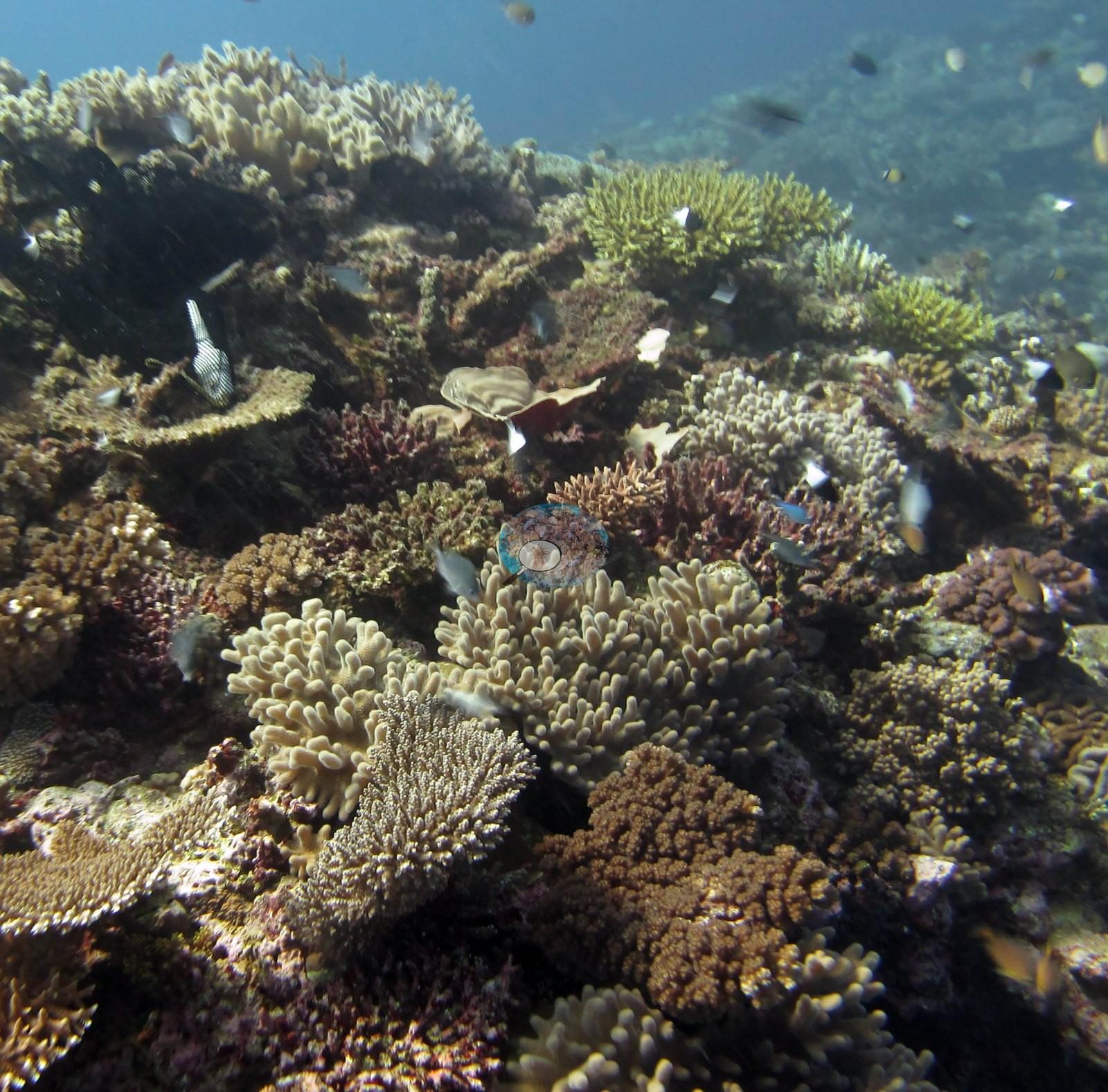
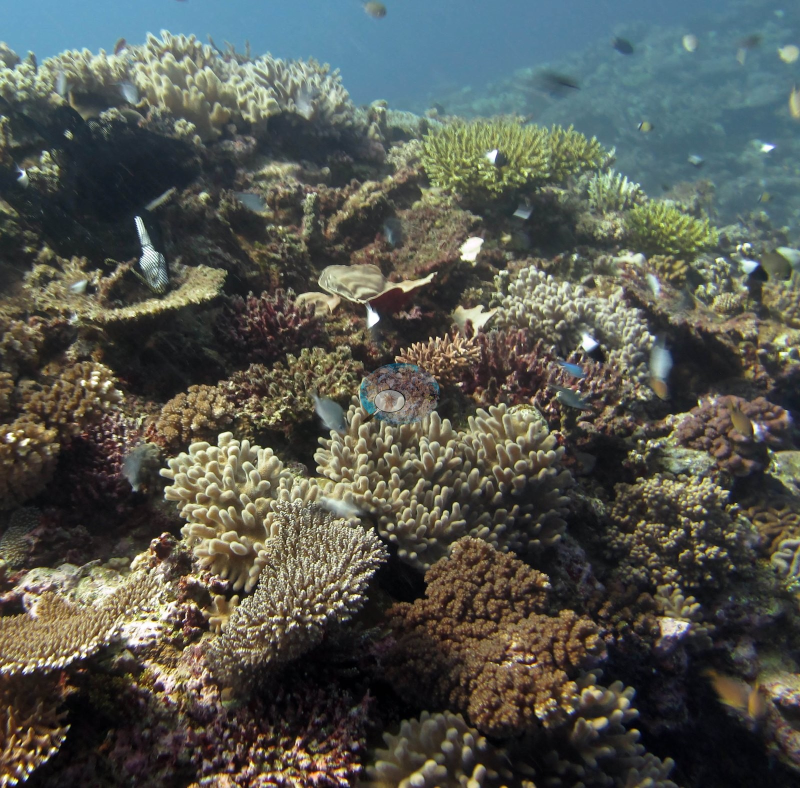
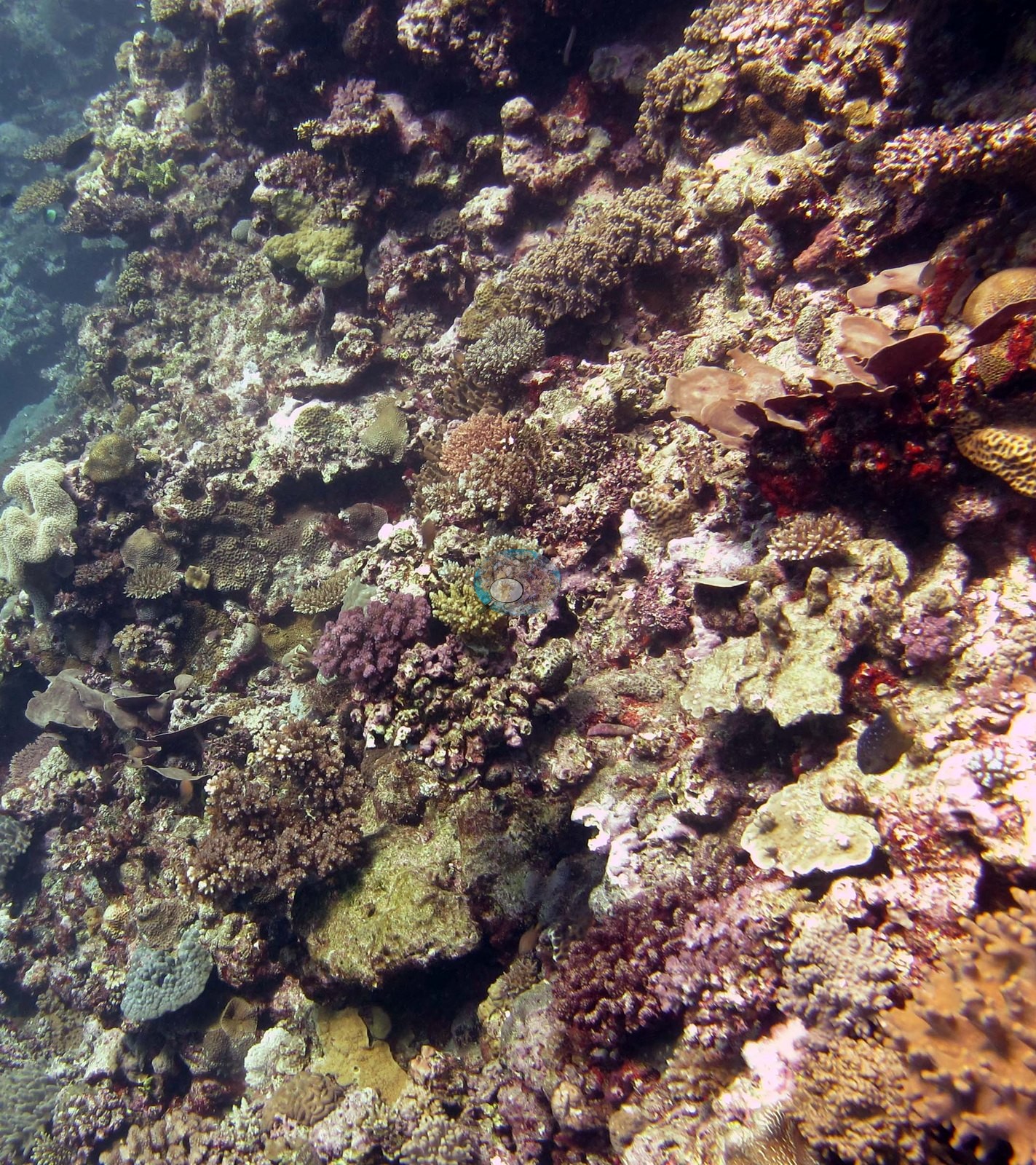
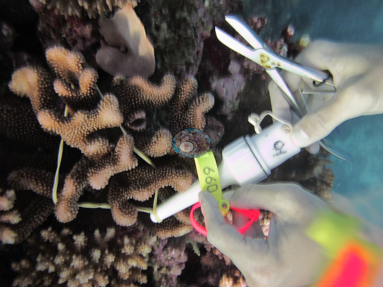
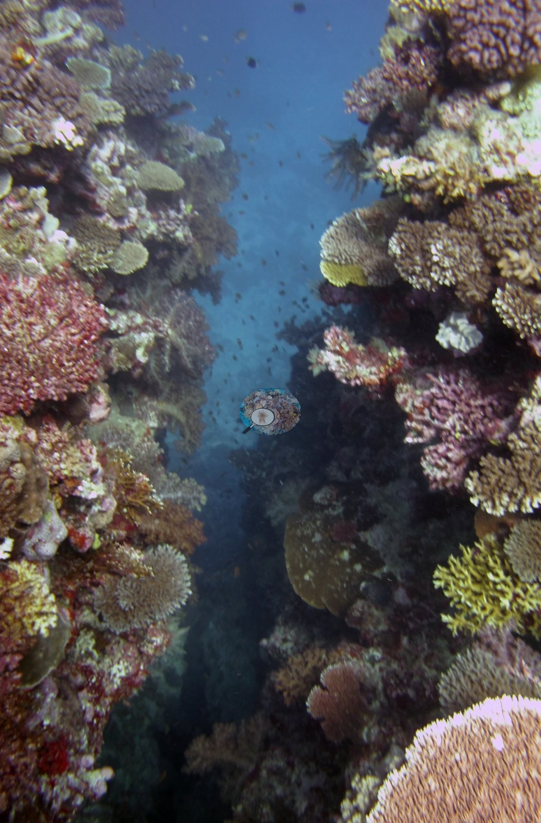
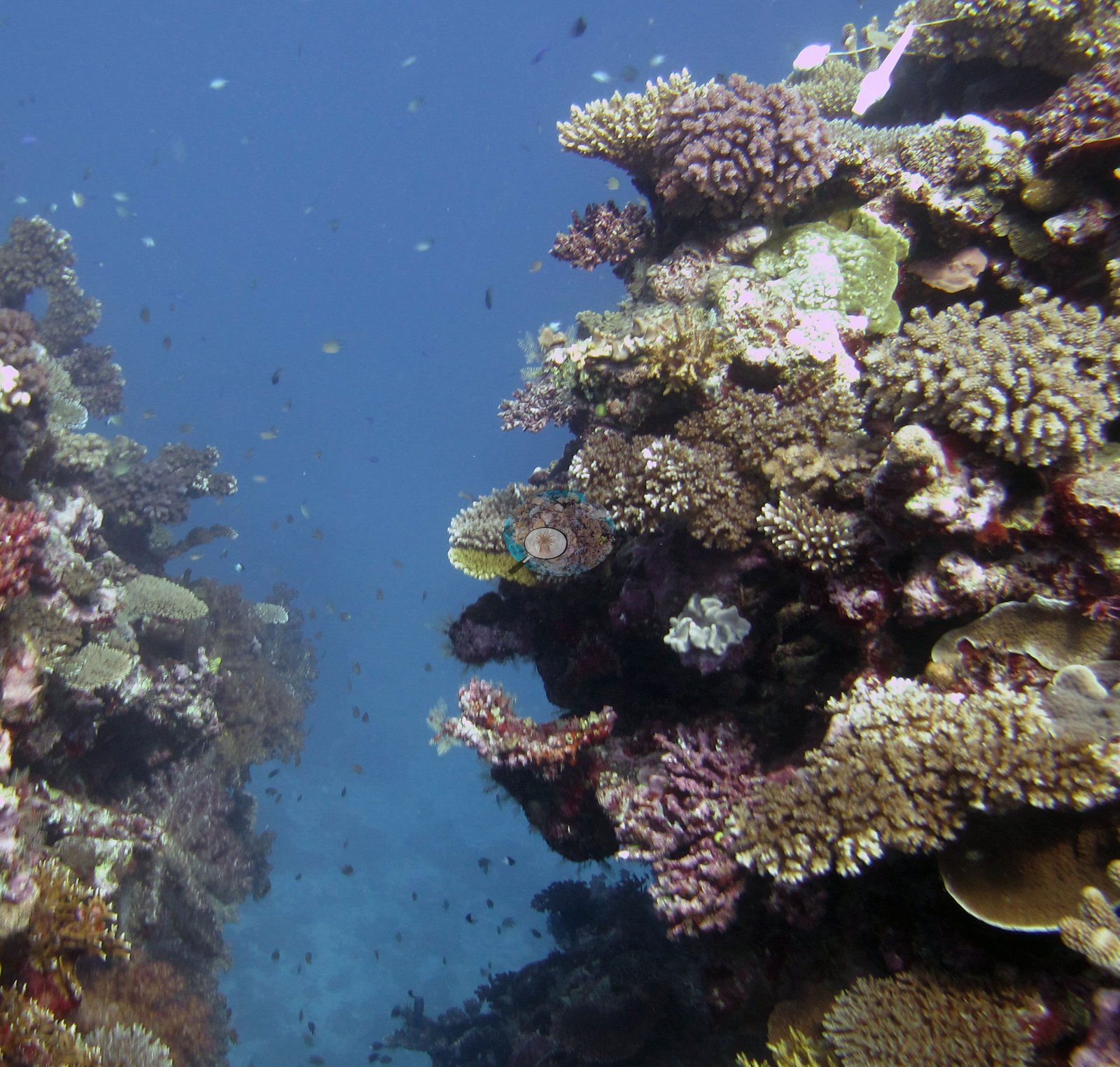
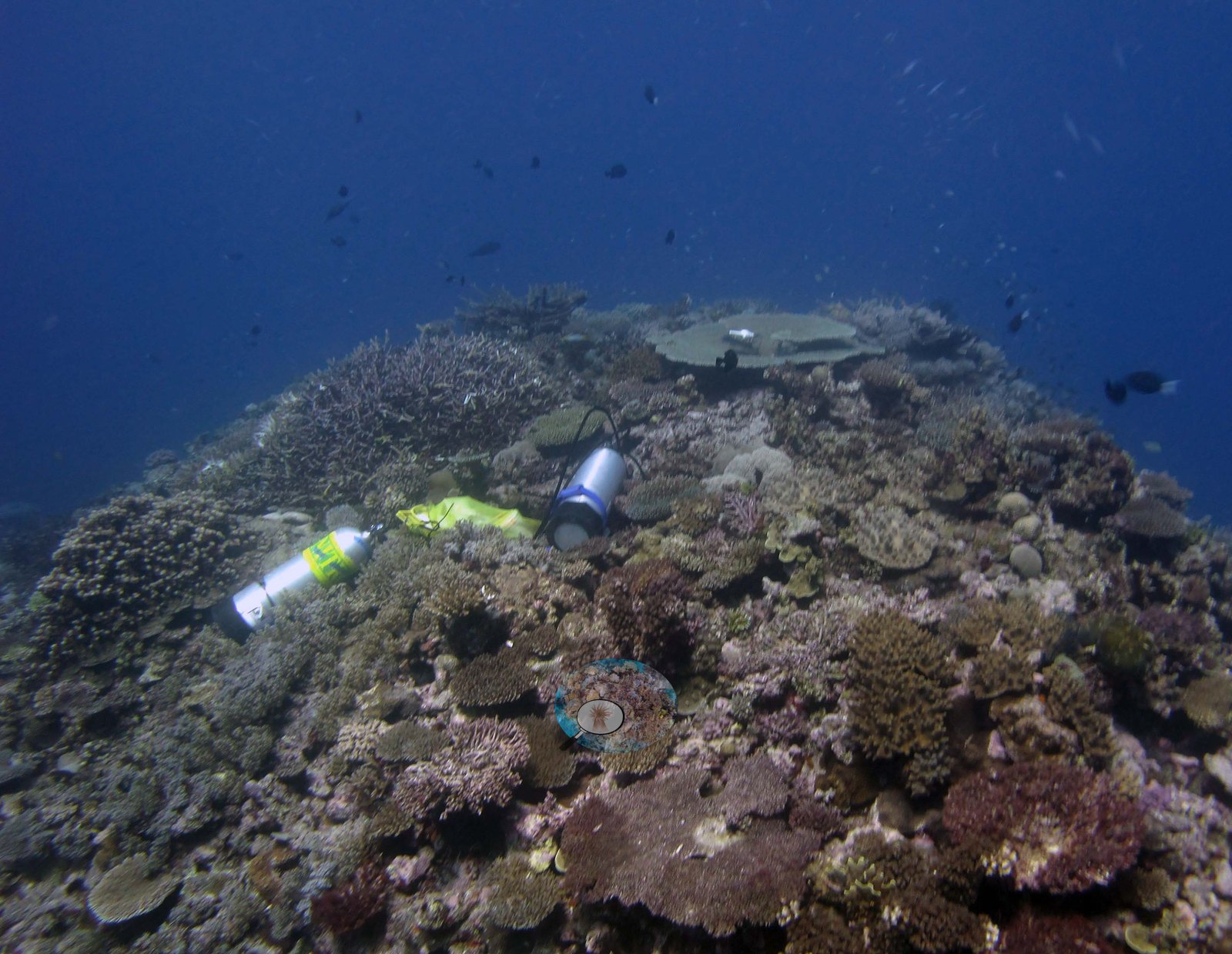
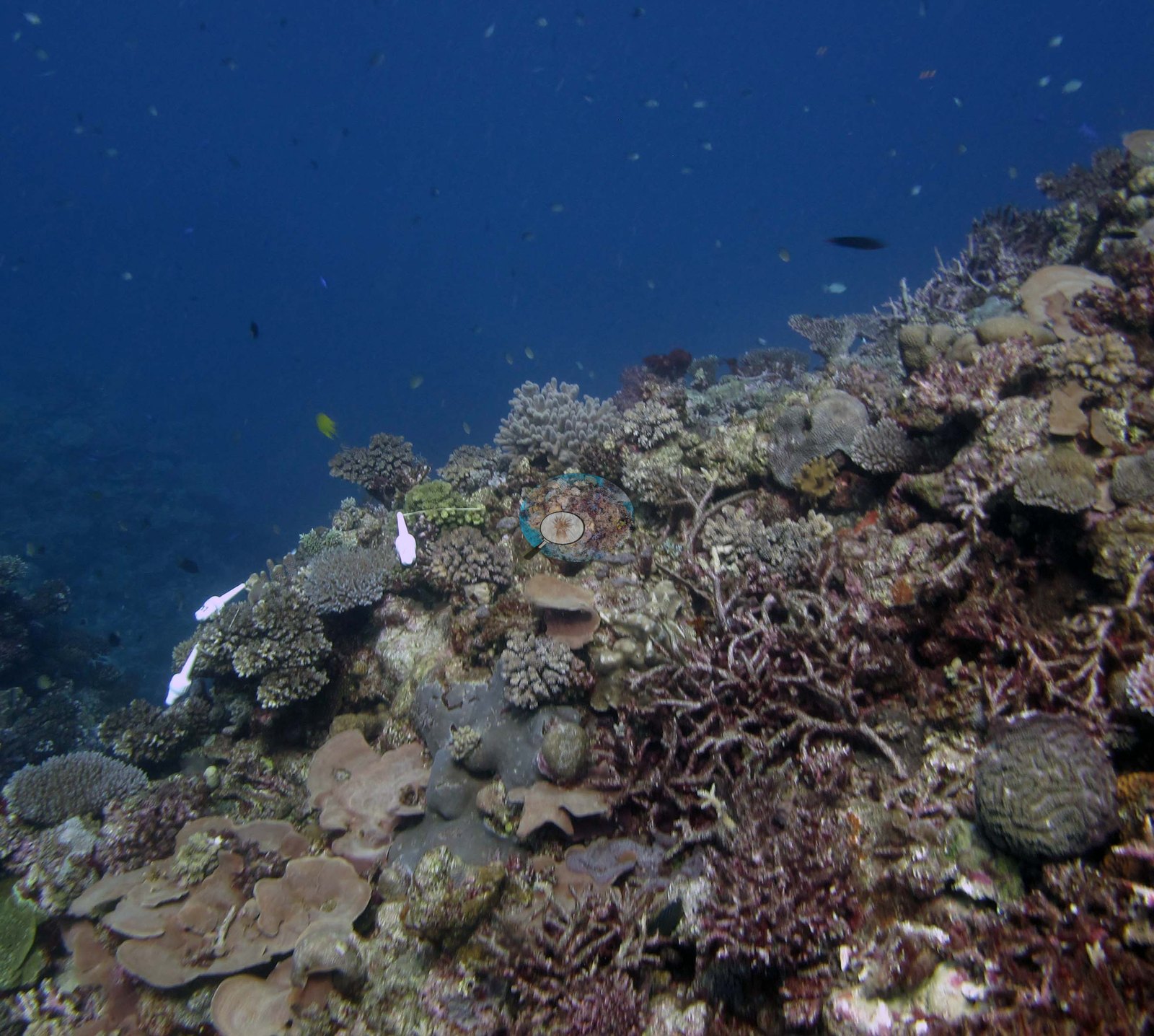
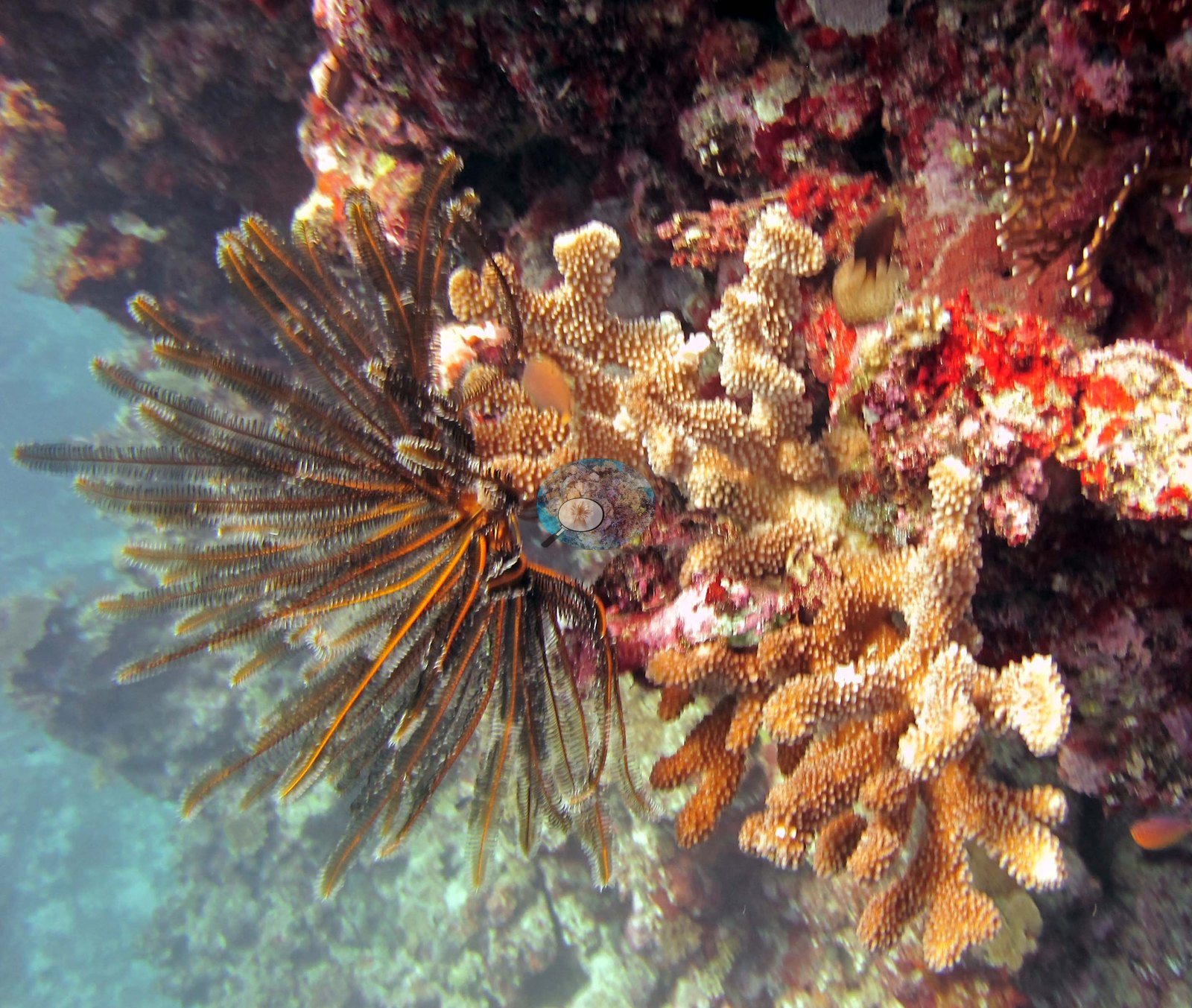
Photo review of 22 frames in the habitat pool plus 7 sampled-colony close-ups from the 9 June 2013 dive at FJML18 (Moala, Lau Archipelago). Only 14 of the 22 are habitat photographs — eight are macro sampling shots of individual tagged colonies with clippers and vials in frame, and they contribute nothing to the account of the reef. The site's architecture is the striking part: Image 3 and Image 15 both look straight into narrow vertical crevices cut between coral-encrusted walls that fall away into open blue, the walls carpeted from rim to base with corymbose and digitate acroporids, tan foliose and laminar plates, and pink coralline crusts; Image 4 looks up onto a broad reef ridge or bommie, its whole convex crown under continuous coral, with a set of dive tanks parked on it for scale of a sort; Image 16 runs up the flank of a ridge into deep blue with the community thinning only near the crest.
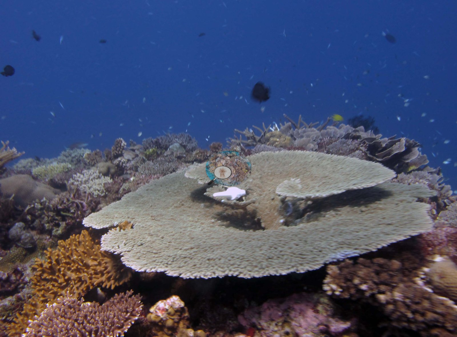
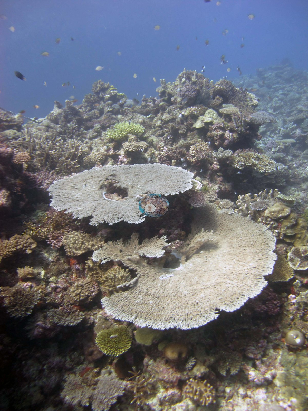
Compositionally the frames read as acroporid-led but genuinely mixed: bushy and arborescent branching colonies, corymbose and digitate Acropora in cream, gold, chartreuse, and pale mauve, large thin tabular acroporids — Image 13 shows a meter-class cream table on the reef edge with a dead patch at its center, and Image 17 places two more pale tables side by side, both showing central mortality colonized by algae — alongside tan and brown foliose and laminar plate colonies, small massives, meandroid brain colonies, and pink-brown and mauve pocilloporid clusters, one of which Anderson identified as P. eydouxi in Image 14, the field call and the one used here.
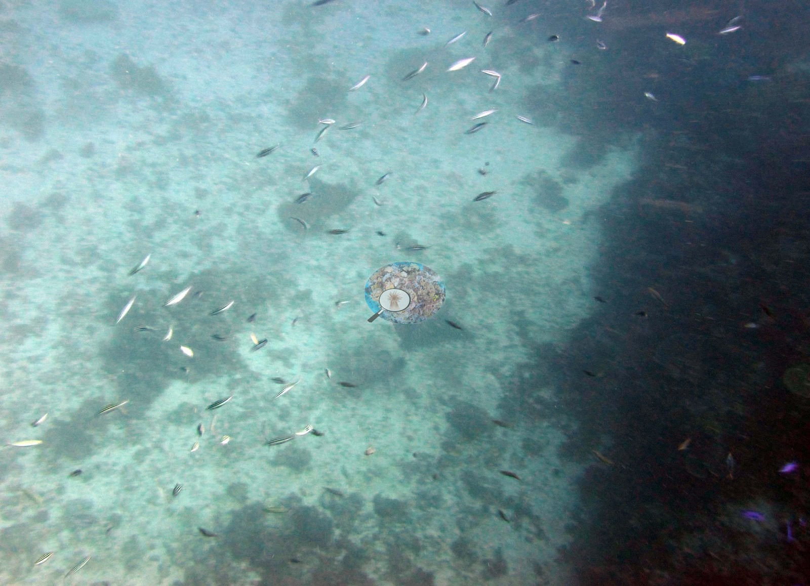
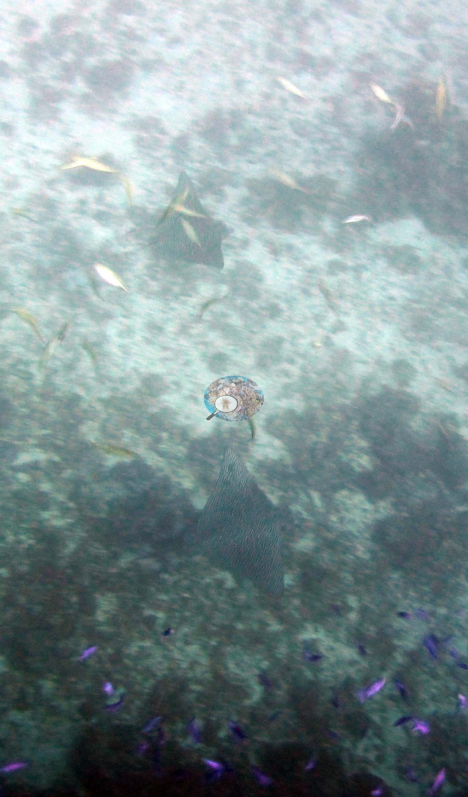
Away from the coral-covered structure, Image 5 and Image 20 catch open bottom: hazy views across pale rubble and sand where cover drops off sharply, each with a ray — Anderson identified one as a spotted eagle ray — and purple anthias along the bottom edge of one.
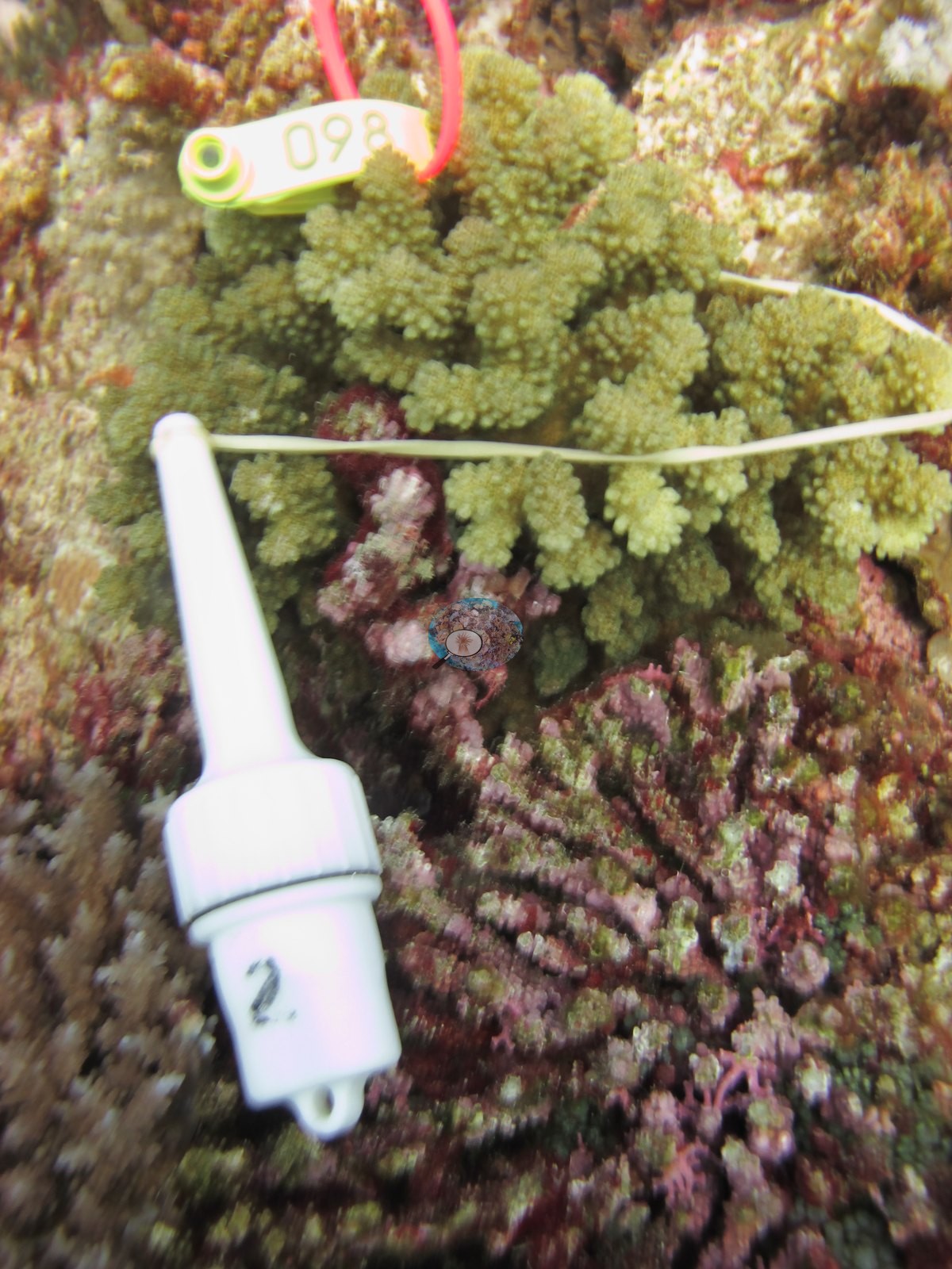
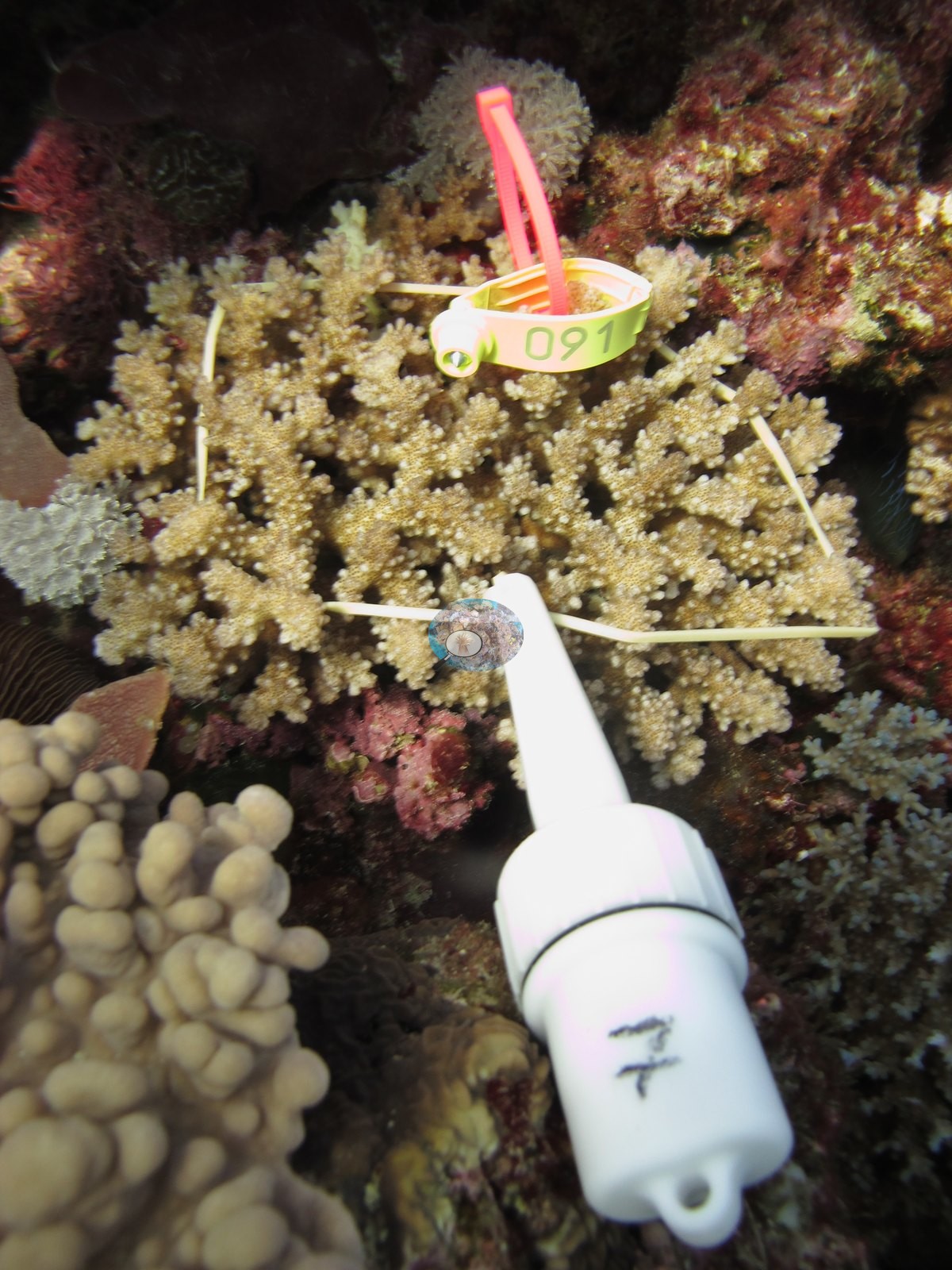
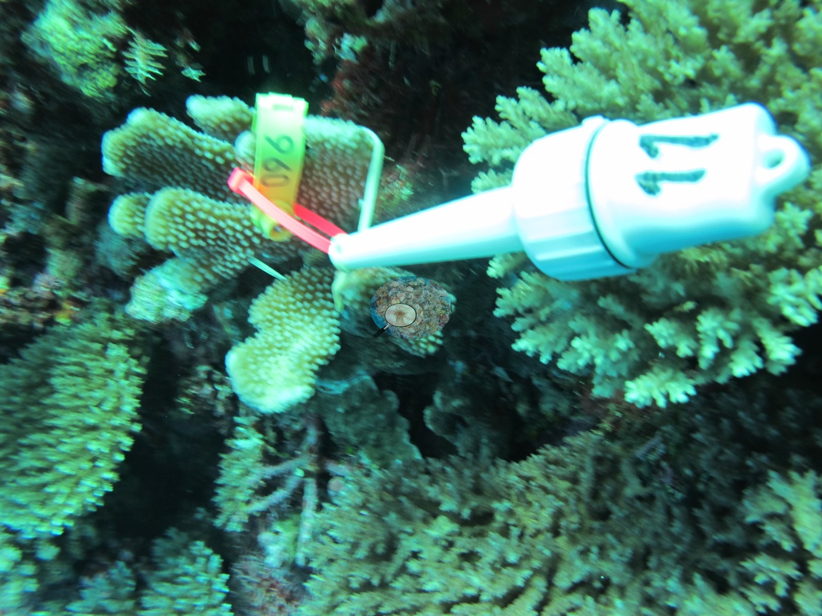
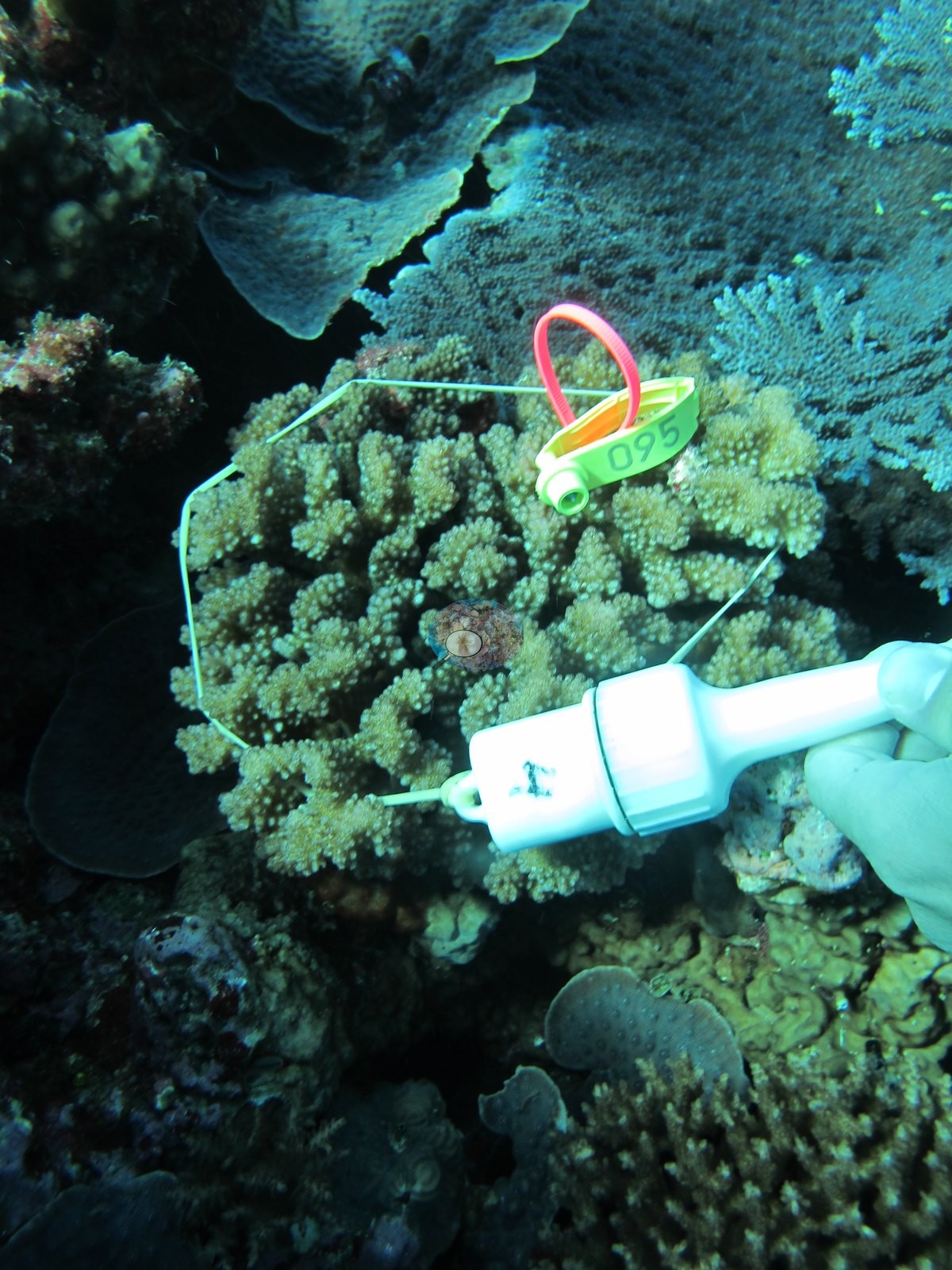
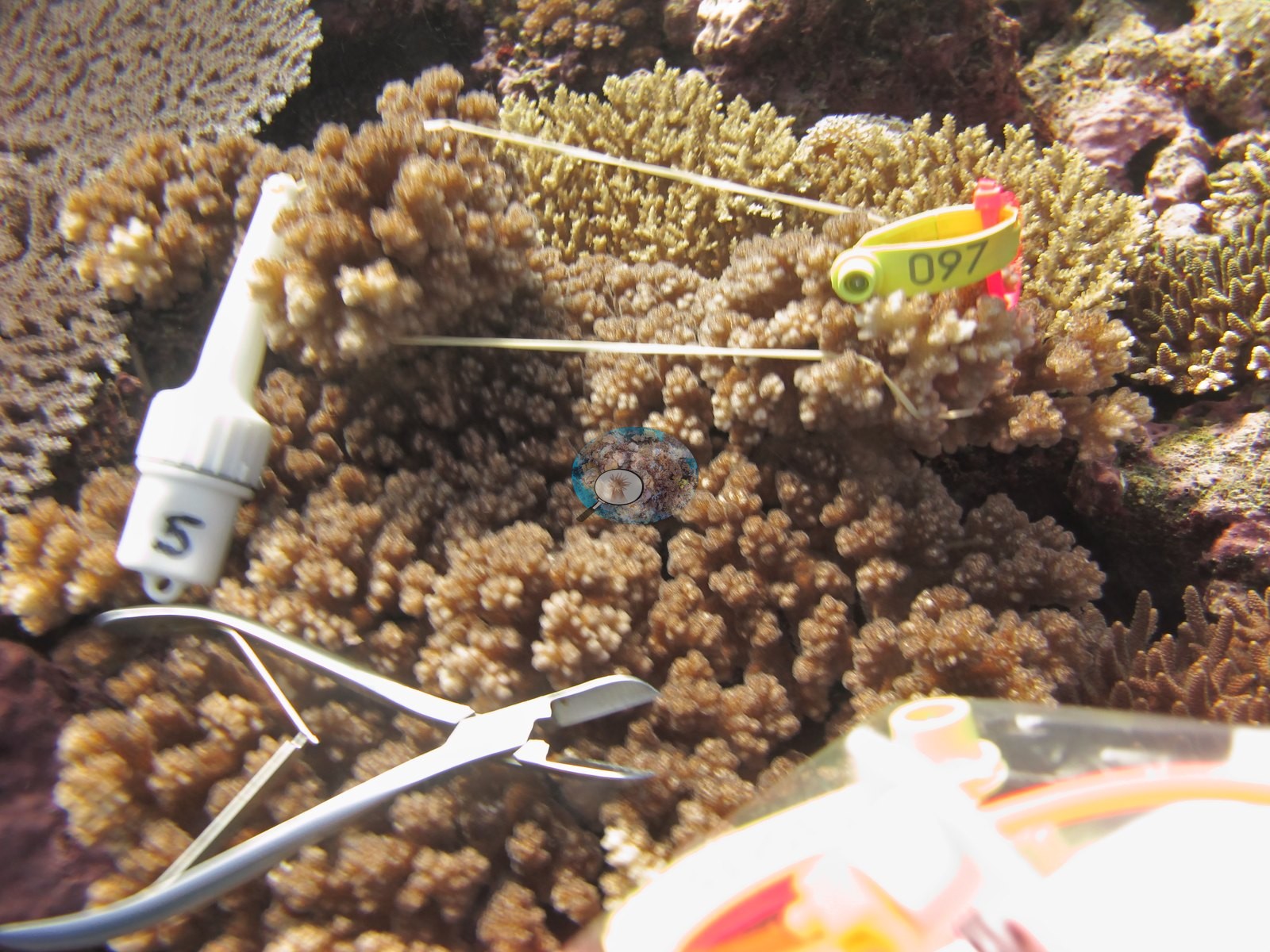
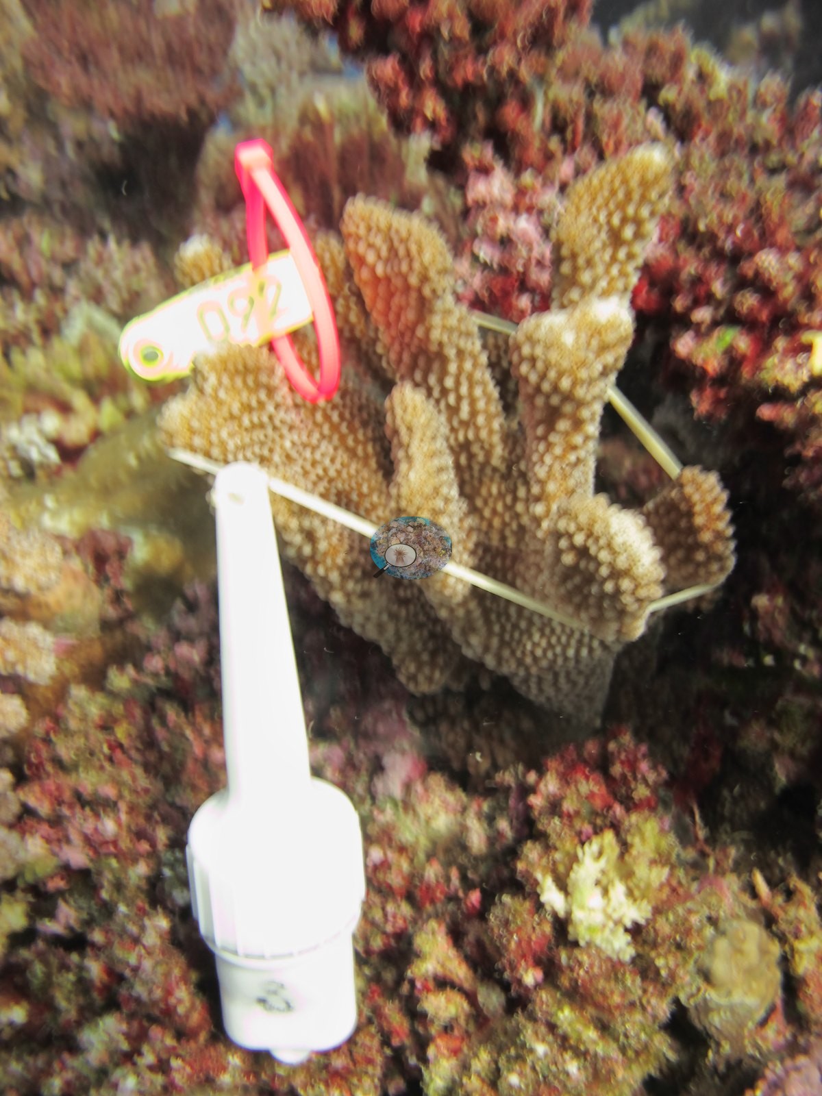
Five Pocillopora colonies were tagged and sampled at FJML18 (F37, F38, F39, F40, and F41); F37, F39, F40, and F41 are labeled P. verrucosa in Anderson's own field folders, and F38, unlabeled in the folders, is recorded on the sampling sheet as P. damicornis. The seven colony close-ups are tag, scale, and clipper shots of those colonies and describe the colonies, not the reef.
Survey team's Moala notes (written for the island's station groups, mostly other stations; not observations from this station's imagery): up on the terrace, coral build ups on top of massive framework were common. Down the slope, P. rus plates were common as well as stands of staghorn acroporids. Most of the corals were smaller in size around 45–60 cm in diameter. Large colonies of Porites and Diploastrea were common on the sides of the slope. Small colonies of Platygyra, Lobophyllia, and Echinopora were common.
Coral cover
- Reference: Khaled bin Sultan Living Oceans Foundation, Global Reef Expedition (in situ transect)
- What the genuine wide frames show is a structurally dramatic, high-cover fore-reef.
- 40%, from the Khaled bin Sultan Living Oceans Foundation's in situ transect survey (Global Reef Expedition site data); the photographs illustrate the site.
- Of the four coral colonies from this site with an outlier score, one (25%) was flagged as a physiological outlier (Mayfield et al. 2017, PLoS ONE).
- The survey team's Moala notes add, for the island's station groups rather than this station alone, that moderate to high coral cover was found on the tops of the build ups.
- At the terrace level, less coral cover and higher turf and CCA coverage.
- On the island's east side, coming up the slope from 32 m, coral cover was not very high, but CCA was common.
- Transect mean 40 ± 4.7% SE (n = 5 transects; Living Oceans Foundation per-transect benthic data); the headline above is this all-transect mean.
Stressors
On condition, the frames can settle little. The two large tables in Image 17 and the one in Image 13 carry clear central dead patches, which is old partial mortality rather than anything active, and the survey record retained below notes feeding scars from Culcita elsewhere on the island; nothing in these frames resolves as bleaching (Anderson's sampling sheet describes all five colonies sampled here as healthy, four with small pale spots or tips of 5–10%), and no disease lesion or predation scar is identifiable with confidence at these ranges. The survey team's notes record some feeding scars on table and plating corals at FJML19 and FJML20, elsewhere on Moala, likely due to an increase in Culcita sea stars there. The survey team's notes for FJML17 and FJML18 add that on the fore reef terraces, a prominent spur and groove morphology was populated by small branching coral colonies with old mortality colonized by CCA, and that Porites rus colonies populated the edges of the overhangs where large sand flats were located, often with old coral rubble that could be evidence of a storm surge event. The Living Oceans Foundation transects here recorded 6.0% cyanobacteria and no recently dead coral; they carry no bleaching, disease, or crown-of-thorns field. Typical recent thermal stress: mean annual maximum of 8.9°C-weeks (Degree Heating Weeks, 2021-2025, NOAA CRW; Fiji virtual station).
Fish and other fauna
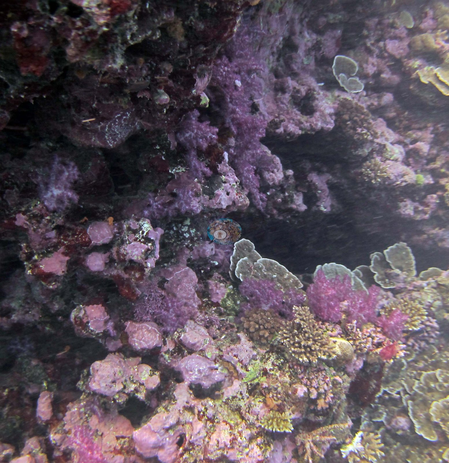
Image 18 is the site's color set-piece: a shaded wall and overhang under a near-continuous magenta and mauve wash of crustose coralline algae, soft corals, and encrusting sponges, with pale foliose plates growing out of it.
Fish life is otherwise conspicuous rather than dominant: a dense cloud of small silvery planktivores over the reef edge in Image 19, damselfishes, chromis, and a bannerfish through the shallow frames, and small planktivores throughout.
Comparisons with other data
Apart from the Living Oceans Foundation survey shown here, we found no other surveys at this site as of 2026. If you would like to share yours, please email us.
Dive record
FJML18 (Moala, Lau Archipelago): surveyed 9 Jun 2013 during the Khaled bin Sultan Living Oceans Foundation Global Reef Expedition.
CV model comparison
More info
The photo row below is a methods comparison only: it is never averaged with the transect and never used as the headline. It compares site means only: the photos come from the same survey dive as the transect but not from the same points.| Method | Hard coral cover (%) | Photos (n) ± SE |
|---|---|---|
| Transect mean (all transects) | 40.4 | |
| CoralSCOP edited | 37.9* | n = 10 · SE 3.7 |
| Claude (edited photos) | 23.7* | n = 10 · SE 4.4 |
The two computer-vision methods disagree by 14.2 pp (23.7–37.9%) and read 2.5–16.7 pp below the in-water transect (40.4%); the headline is the in-water transect because a diver transect is independent of the photographs.
*Based on only 10 reef-habitat photos; this estimate is less certain.
See a more detailed, stand-alone version of this table.
Data & links
- Download benthic survey data (CSV) ↗
- Download all LOF-GRE data (933 sites) ↗
- Photo portfolio ↗
- Coral Reef Diagnostics page for this area ↗
All images from Coral Reef Diagnostics. Data are from the Khaled bin Sultan Living Oceans Foundation Global Reef Expedition and Coral Reef Diagnostics.
 © Coral Reef Diagnostics.