

Part of the regional summaries: Fiji - Cicia, Fiji - Northern Lau (Vanua Balavu / Cicia / Nayau), and Fiji - Lau
More info
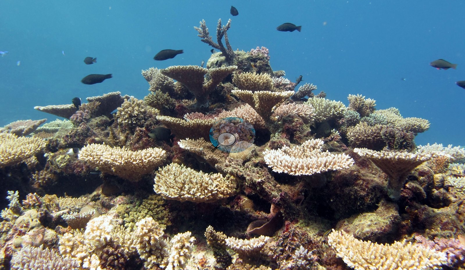
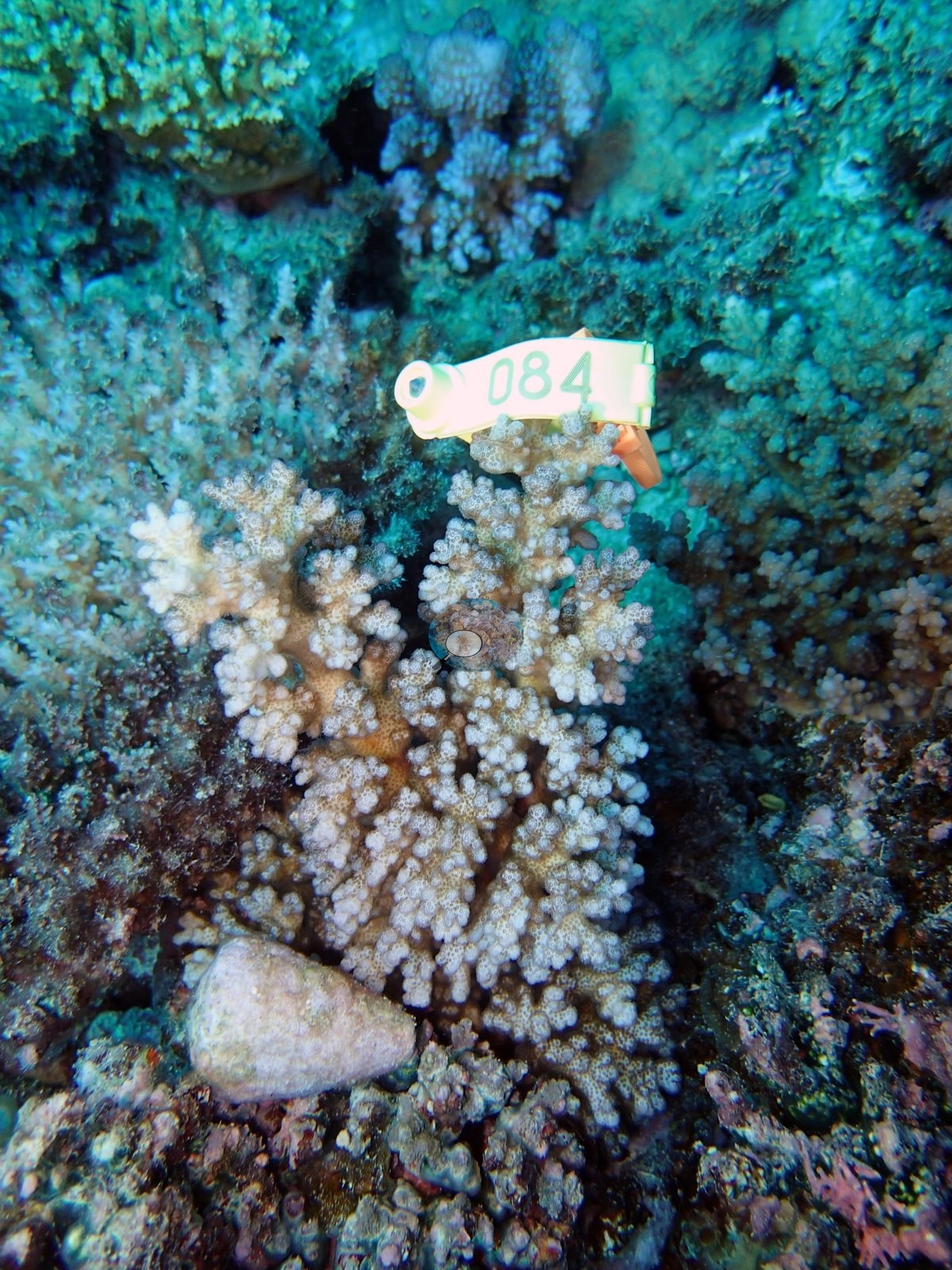
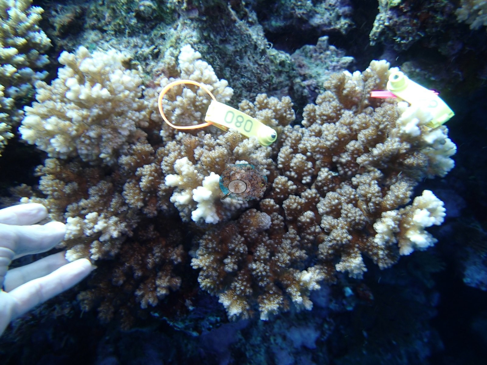
Fiji (NOAA CRW virtual station)A structurally complex reef off Cicia in Fiji's Lau group, led by Acropora, with large tables, staghorn thickets, and bushy branching colonies on a stepped slope. Several frames document coral tissue sampling, and the site has 42% coral cover. Surveyed on the Living Oceans Foundation's Global Reef Expedition.
E dua na cakau e veibuli vakalevu (structurally complex) mai Cicia ena yatu Lau i Viti, e liu kina na Acropora, kei na lase tepeli (table) levu, na veikau ni staghorn, kei na lase vakatabataba e vaka na veikau lalai, ena dua na baba e vakaikabakaba. E vica na itaba e vakaraitaka na kena taura na ivakaraitaki ni yago ni lase, ka 42% na ubi ni lase (coral cover).
AI translation of this summary; the English is authoritative. (low confidence)
CTD-cast midpoint of 27.0–27.1°C
One independent survey station shown with the program’s logo — click one to see how far it is from this site.
Two other CRD dive sites with their own pages within 5 km shown in orange — click a marker to open its page.
🗺 Detailed map of the Global Reef Expedition dive sites, Cicia, Fiji (Khaled bin Sultan Living Oceans Foundation; opens in a new window)
6 of the 31 photographs on this page are shown beside the text that discusses them under "Site description" below.
Site description
General benthic features
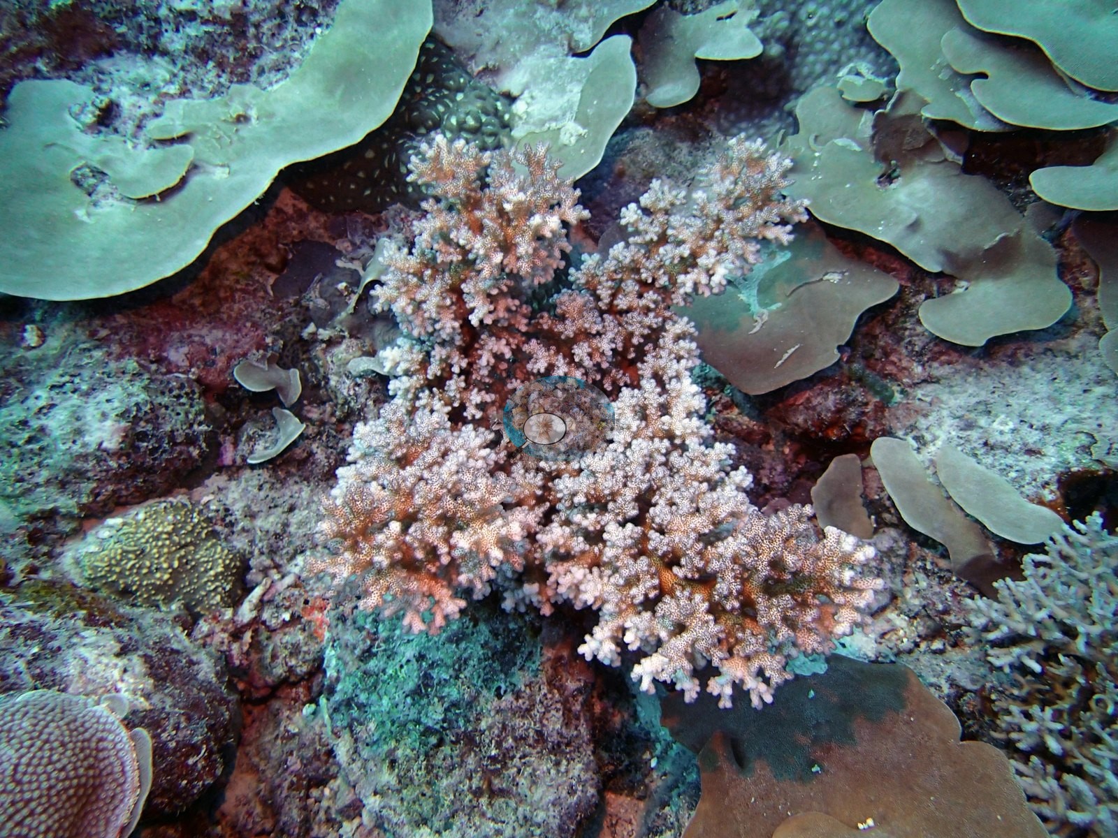
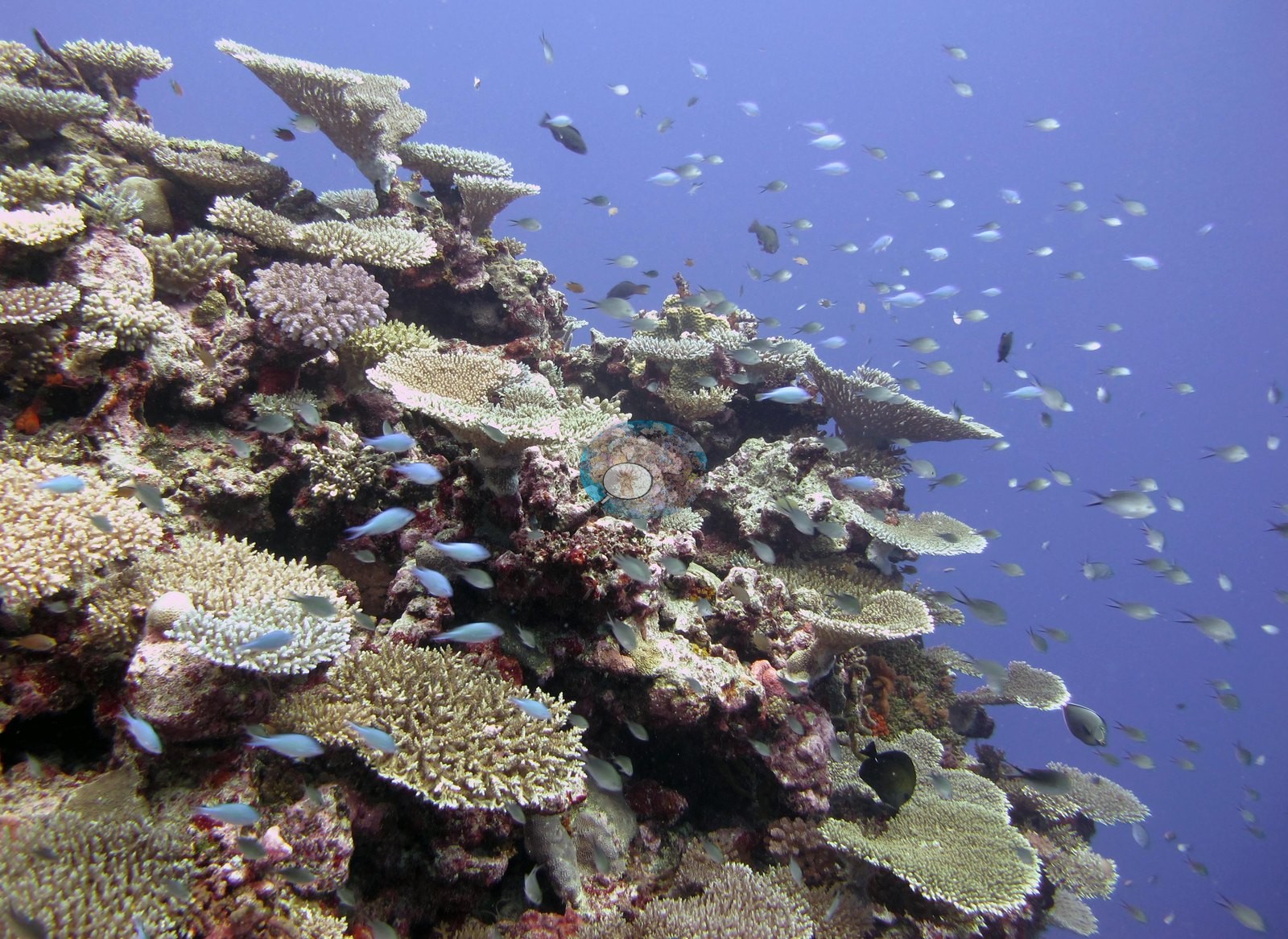
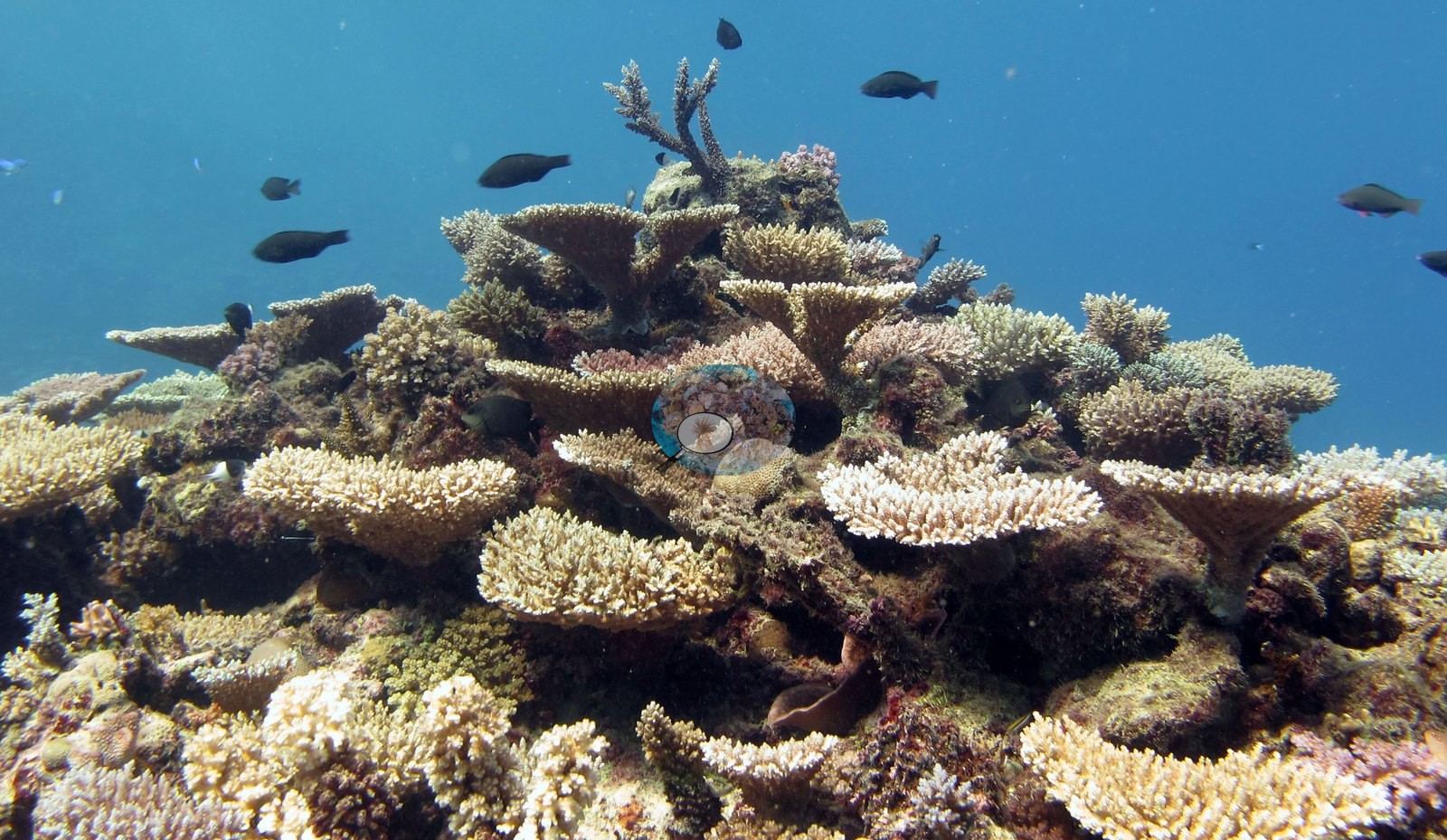
Nine usable wide-angle frames agree with one another on an Acropora-dominated, structurally complex reef. The clearest of them looks along a coral-covered promontory dropping away into open blue: the upper face is a stack of tabulate and corymbose Acropora, with pink and mauve crustose coralline algae binding the framework between colonies and a haze of small damselfish over the crest (e.g., Image 5).
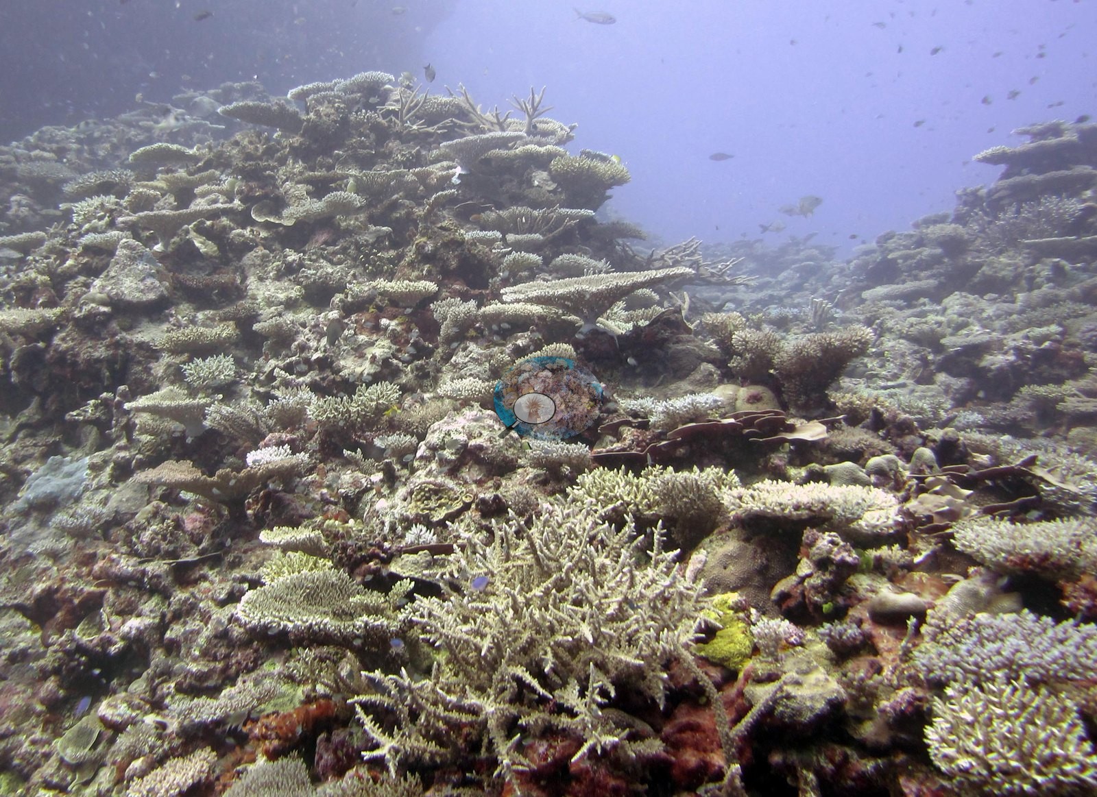
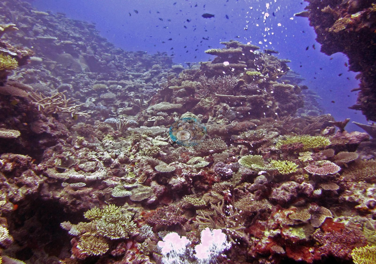
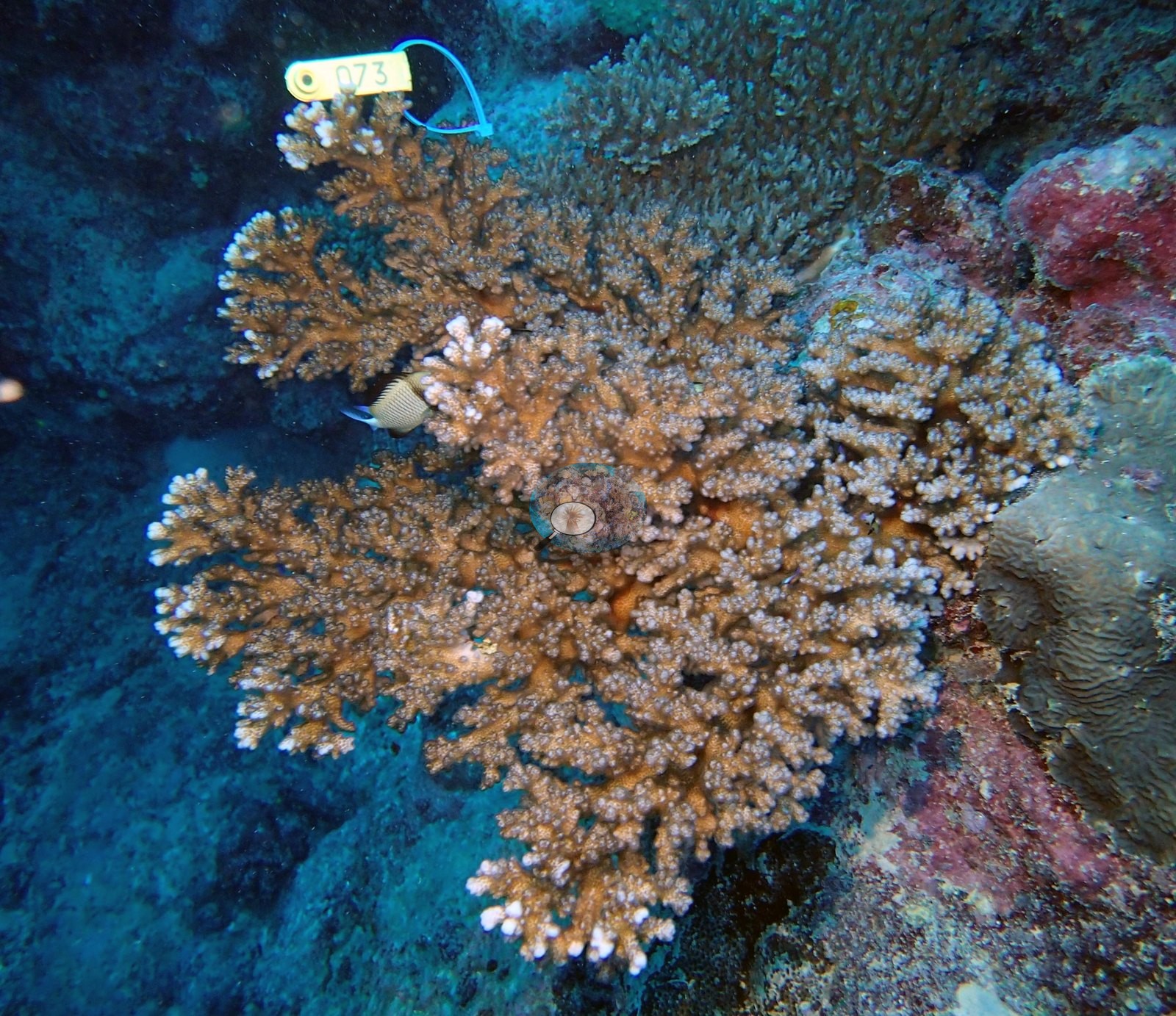
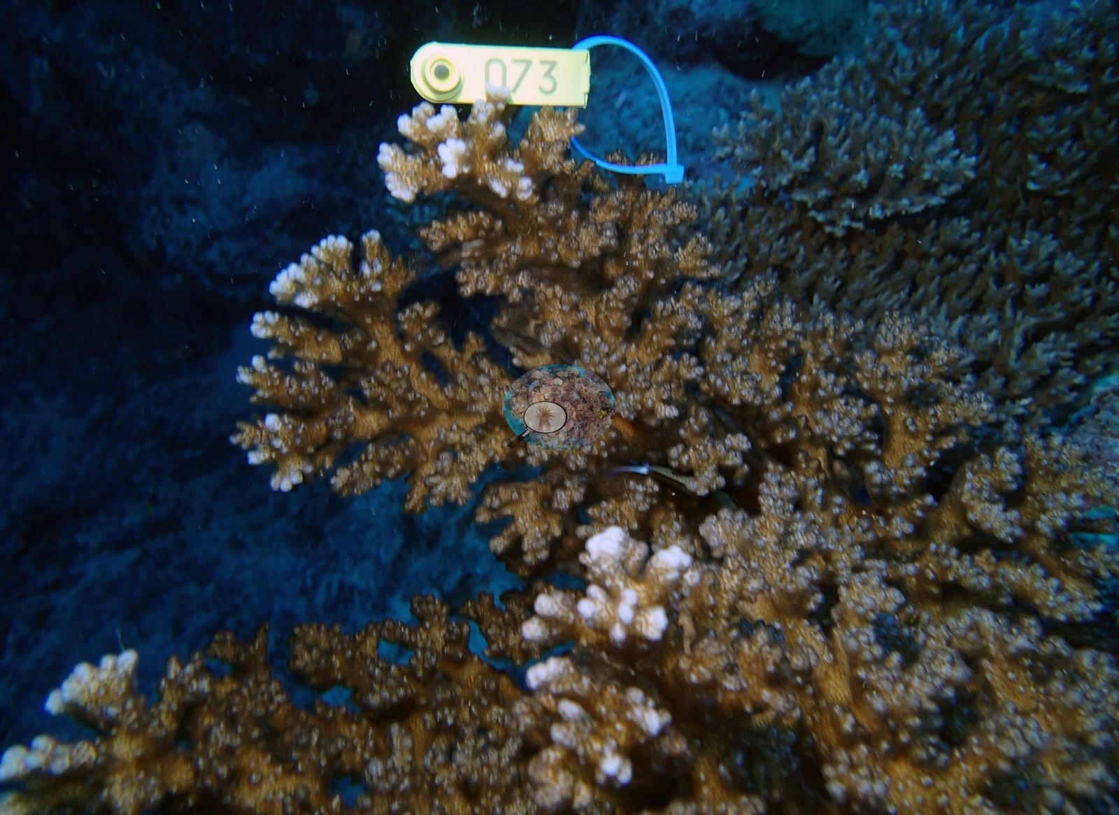
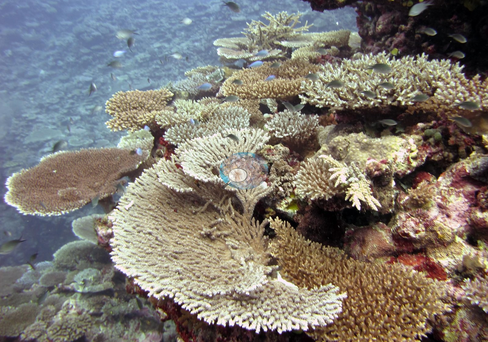
A second wide frame, which Anderson described as an Acropora garden, shows overlapping Acropora tables and branching thickets set on CCA-encrusted pavement, and a third, shot over a shallow rise, shows a mound built almost entirely of tables, corymbose colonies, and staghorn with fish schooling above it (e.g., Image 4, Image 7).
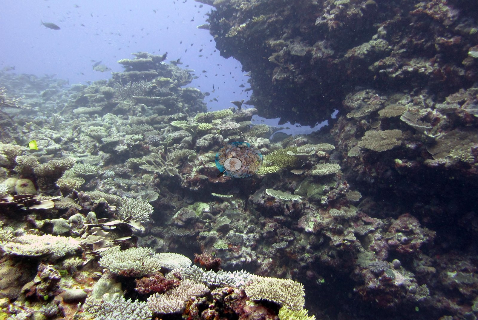
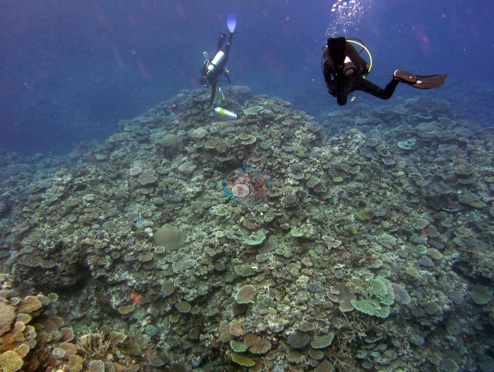
A fourth wide frame, with two divers in it at the end of the dive, looks across a broad low-angle slope carpeted instead in plating and foliose corals; the frames do not settle whether this is a deeper zone of the same slope or a separate part of the dive (e.g., Image 9).
Two hazier, low-contrast frames from the same dive show the same mixed branching-and-tabulate cover under poorer visibility. A large giant clam (Tridacna) is set into the reef framework in one frame, and a large gorgonian sea fan occupies another, with foliose corals, encrusting sponge, and CCA on the substrate behind it (e.g., Image 6, Image 13).
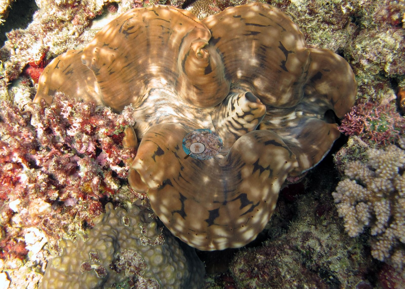
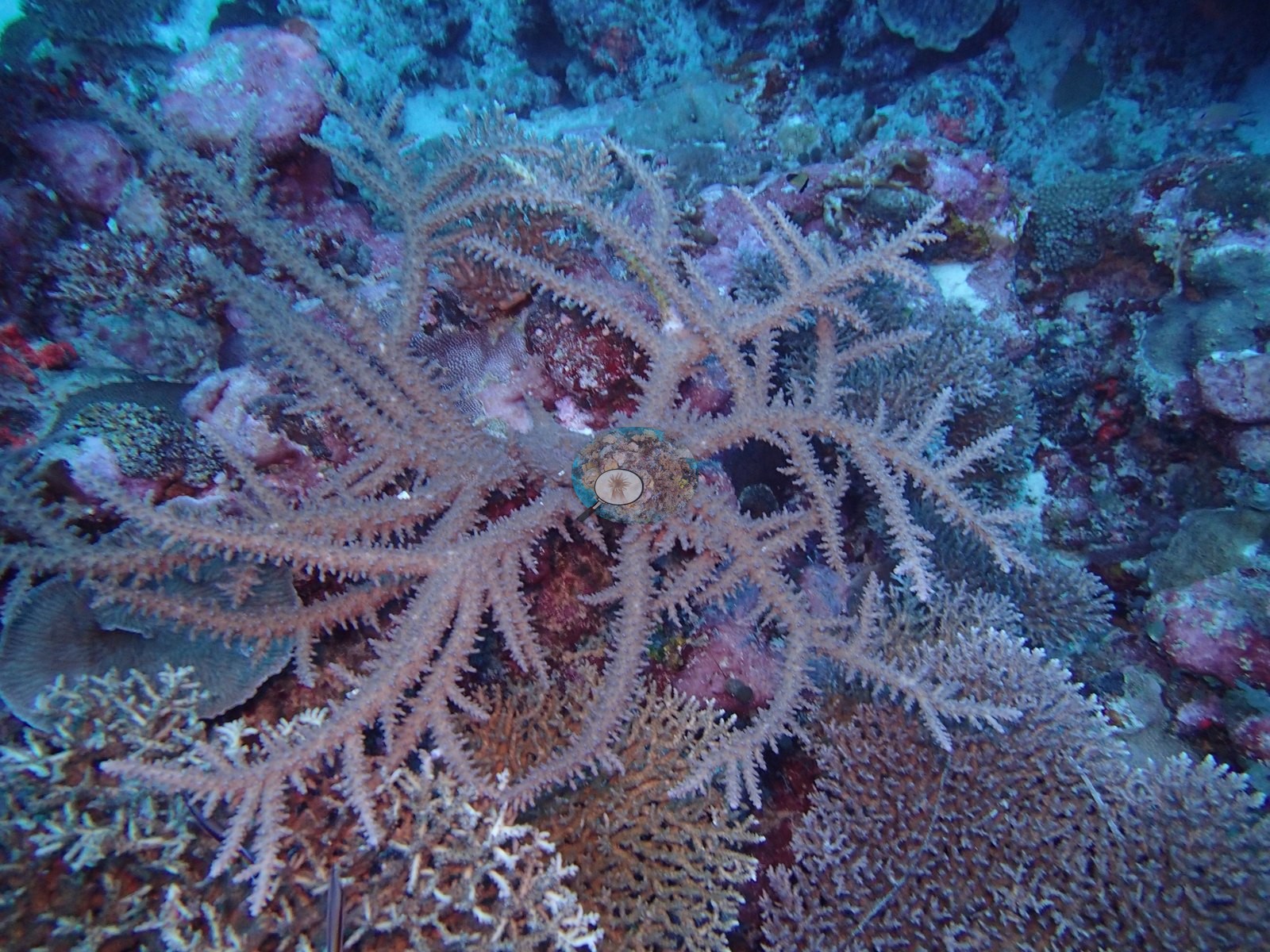
Taken together the frames describe high structural complexity — tables, branching thickets, plate fields, and CCA-cemented dead framework — with massive corals present but scattered rather than dominant. Expedition habitat notes for Cicia: the benthic community is highly diverse and coral-dominated, often with a substantial macroalgal component, with environment and disturbance regime governing community structure; the edge of the shallow slope is often dominated by large Pocillopora eydouxi colonies, thick-branched and elkhorn-like Isopora sp. and unusually large Favia stelligera and/or Pavona maldivensis stands, while the shallower reef flat is dominated by CCA and exposed at lower tides.
Coral cover
- Reference: Khaled bin Sultan Living Oceans Foundation, Global Reef Expedition (in situ transect)
- Coral cover 42%, from the LOF-GRE in situ transect — a diver transect measurement and the authoritative figure for this site.
- It is not derived from these photographs; the survey data carries the quantitative claims, the photographs only the qualitative account.
- Transect mean 42 ± 6.4% SE (n = 5 transects; Living Oceans Foundation per-transect benthic data); the headline above is this all-transect mean.
Stressors
No bleaching, disease lesions or crown-of-thorns feeding scars are visible in the habitat frames, but nine uneven frames cannot settle site-wide condition, and Anderson's own sampling record for this dive records two of the colonies sampled on this dive as 80% and 50% bleached, and several others as 5–15% pale. The expedition's 2013 field report records 212 crown-of-thorns starfish removed from one shallow outbreak reef elsewhere on Cicia, not tied to this station. The Living Oceans Foundation transects here recorded 5.0% cyanobacteria and no recently dead coral; they carry no bleaching, disease, or crown-of-thorns field. Typical recent thermal stress: mean annual maximum of 8.9°C-weeks (Degree Heating Weeks, 2021-2025, NOAA CRW; Fiji virtual station).
Comparisons with other data
Apart from the Living Oceans Foundation survey shown here, we found no other surveys at this site as of 2026. Within 5 km, one independent station, Reef Check at Barracuda Point, 4.99 km away, read 59% in 2006.
Dive record
FJCC44 (Cicia, Lau Archipelago) was surveyed on 18 June 2013 during the Khaled bin Sultan Living Oceans Foundation's Global Reef Expedition.
Other notes
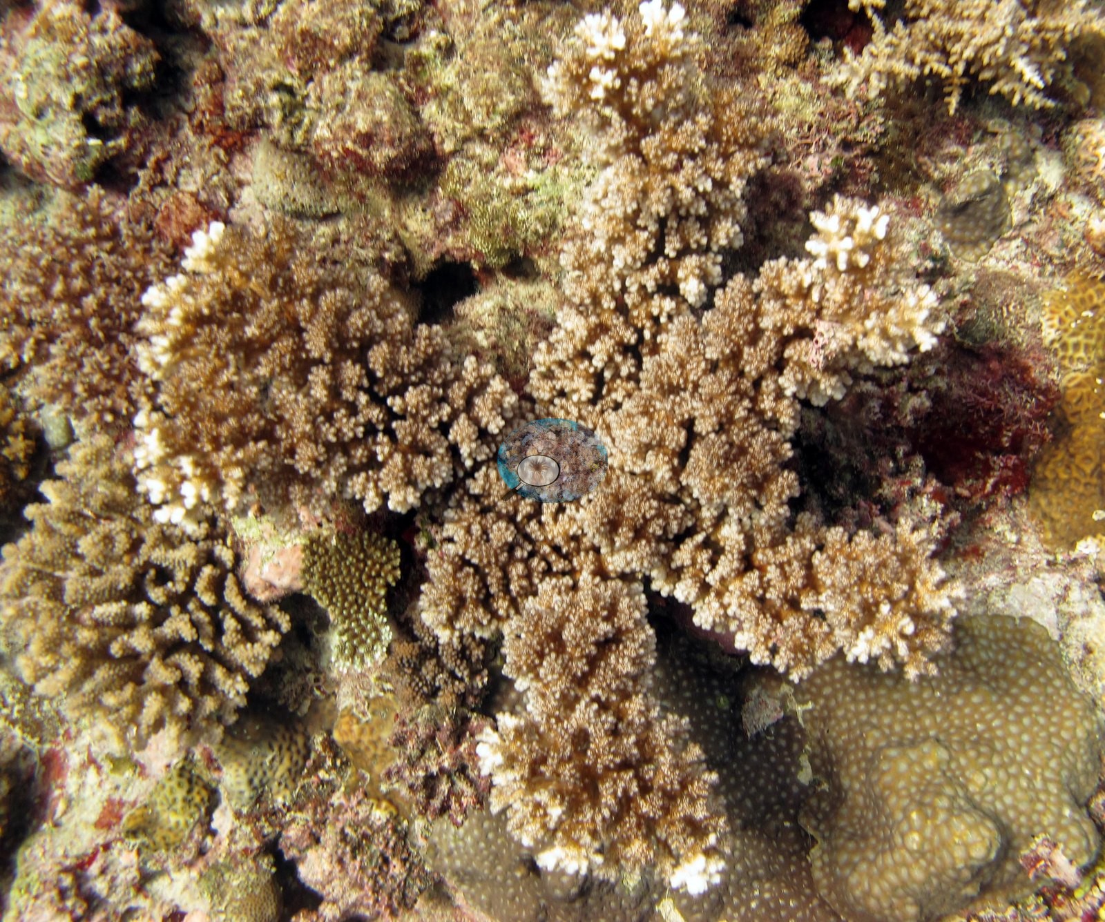
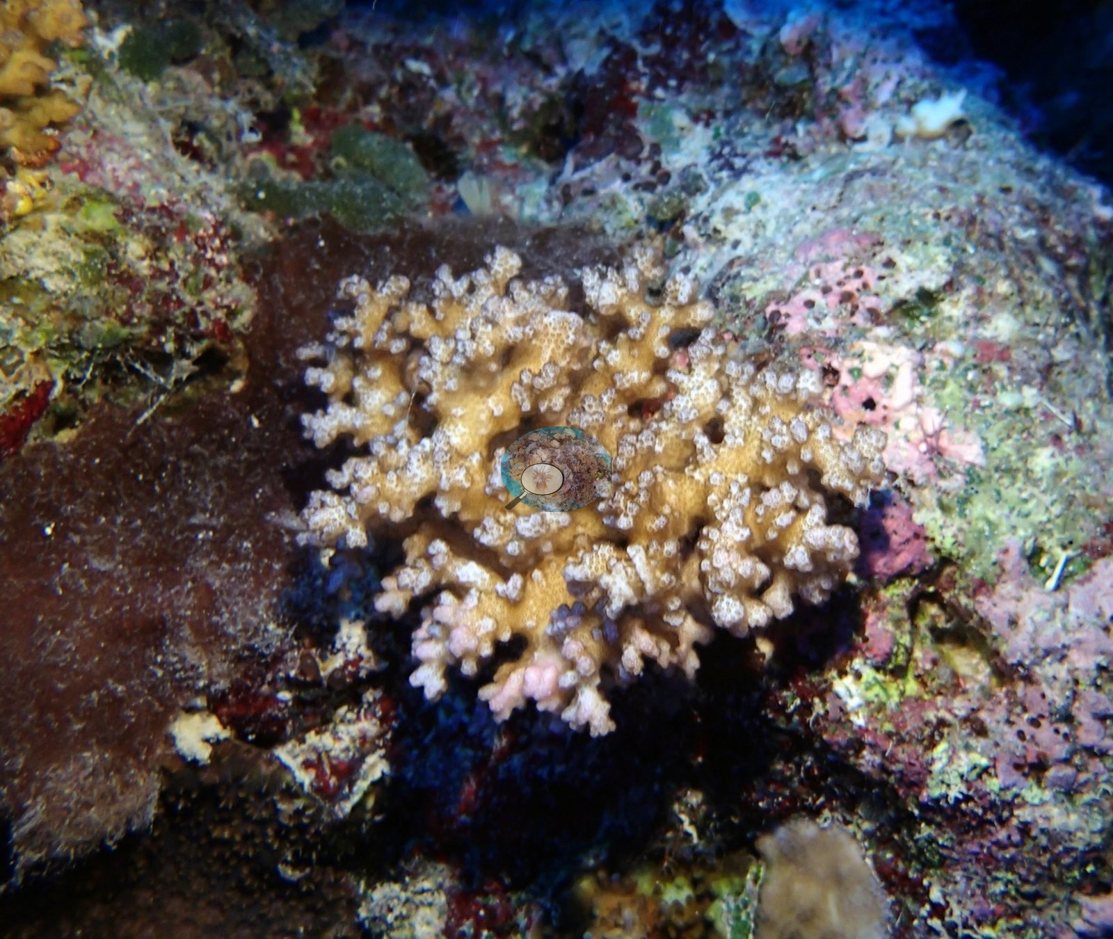
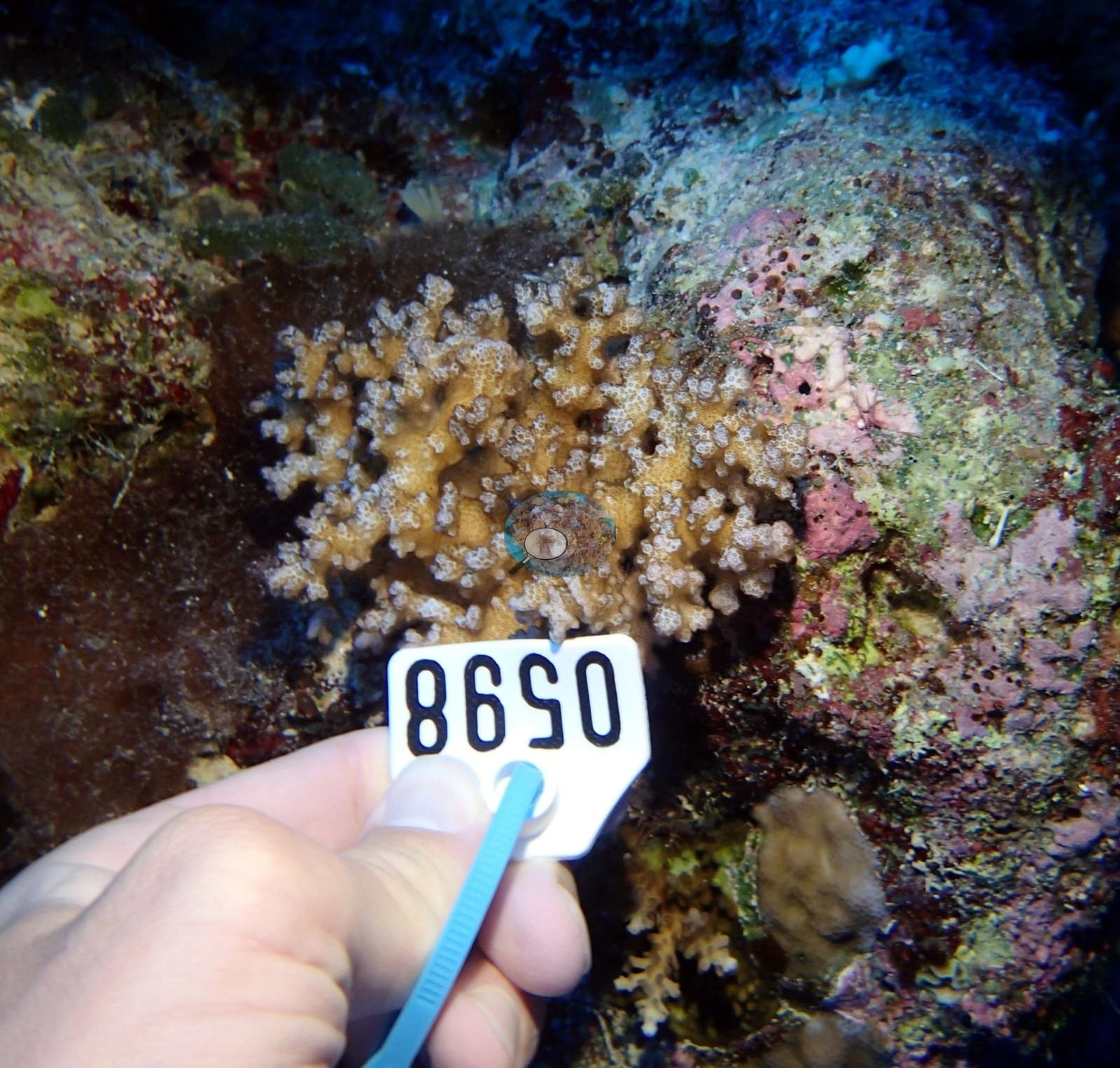
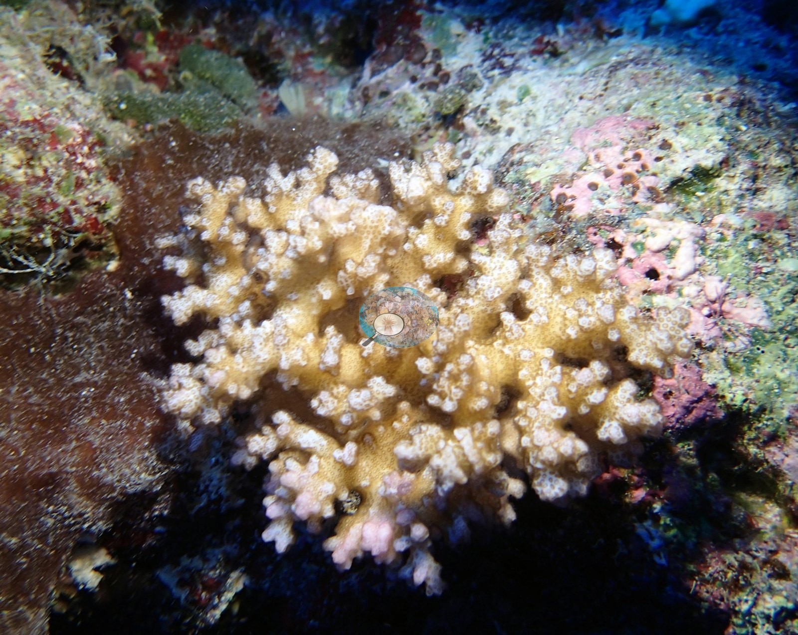
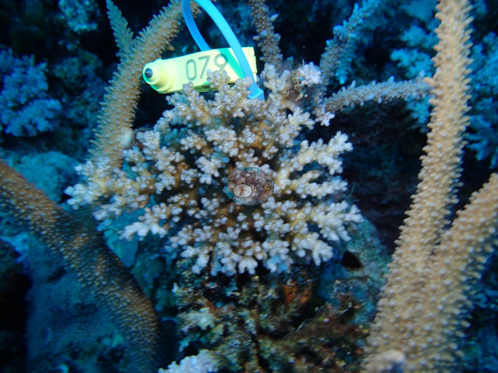
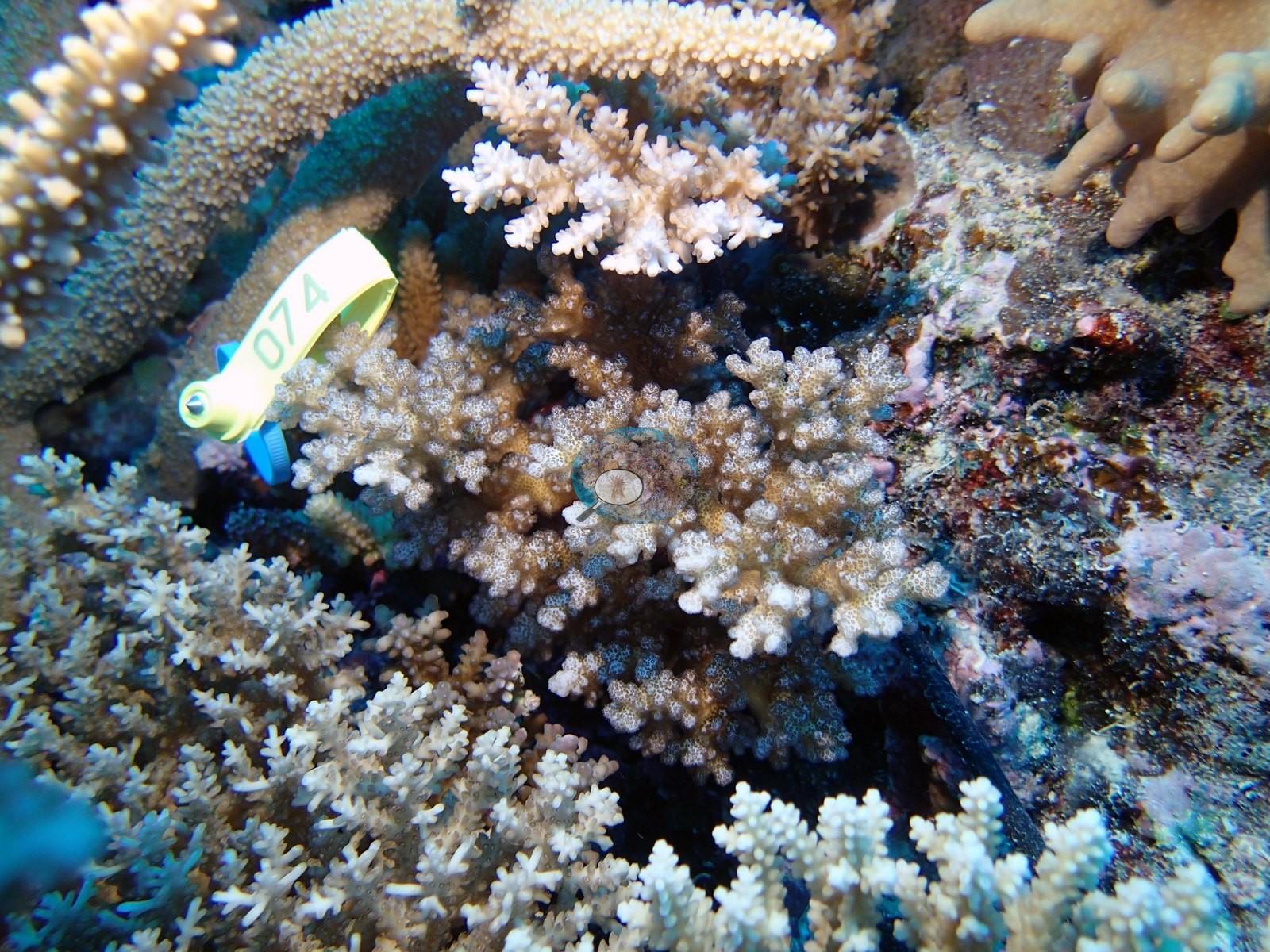
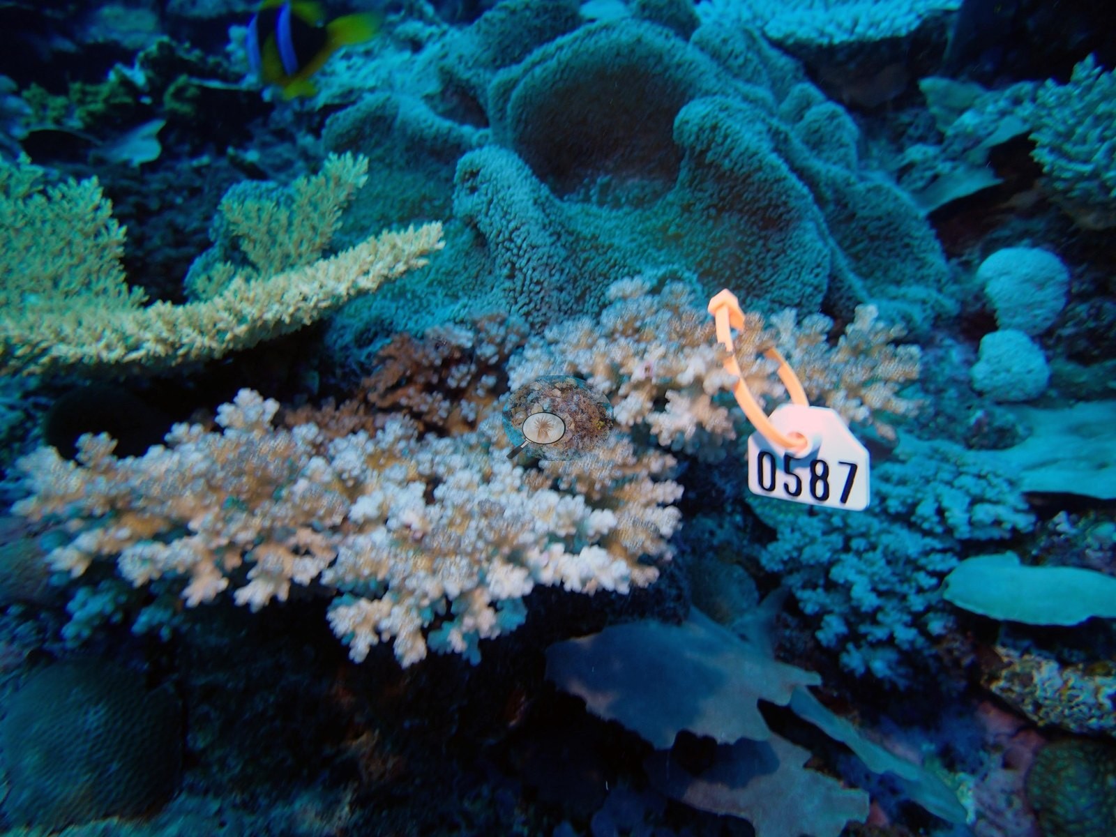
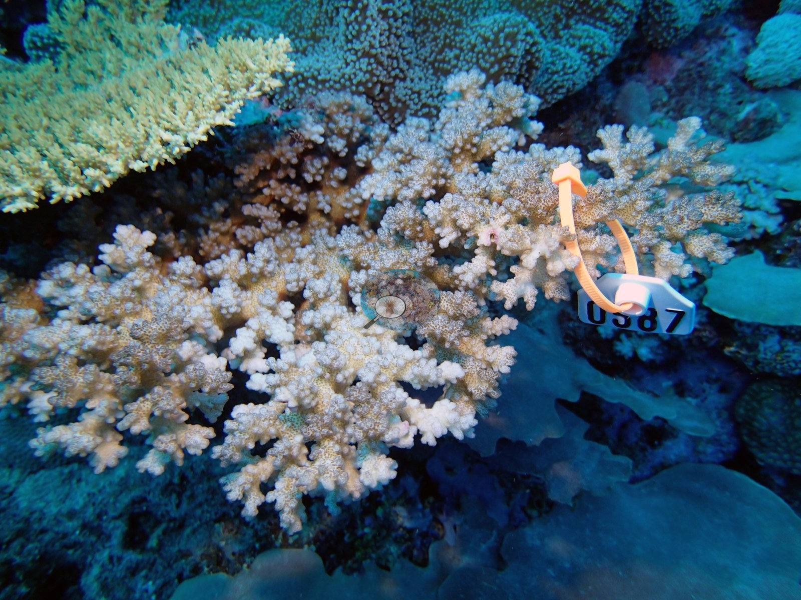
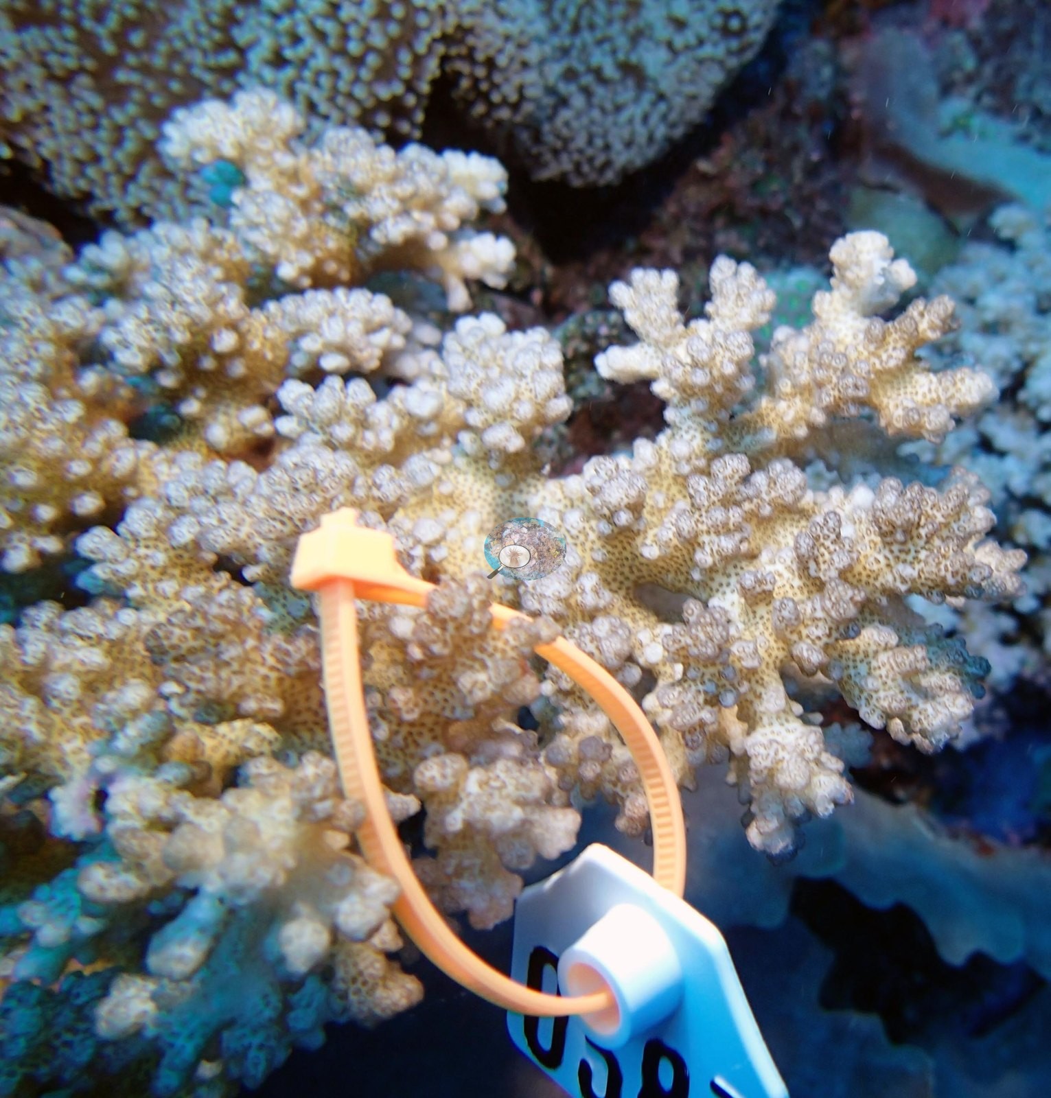
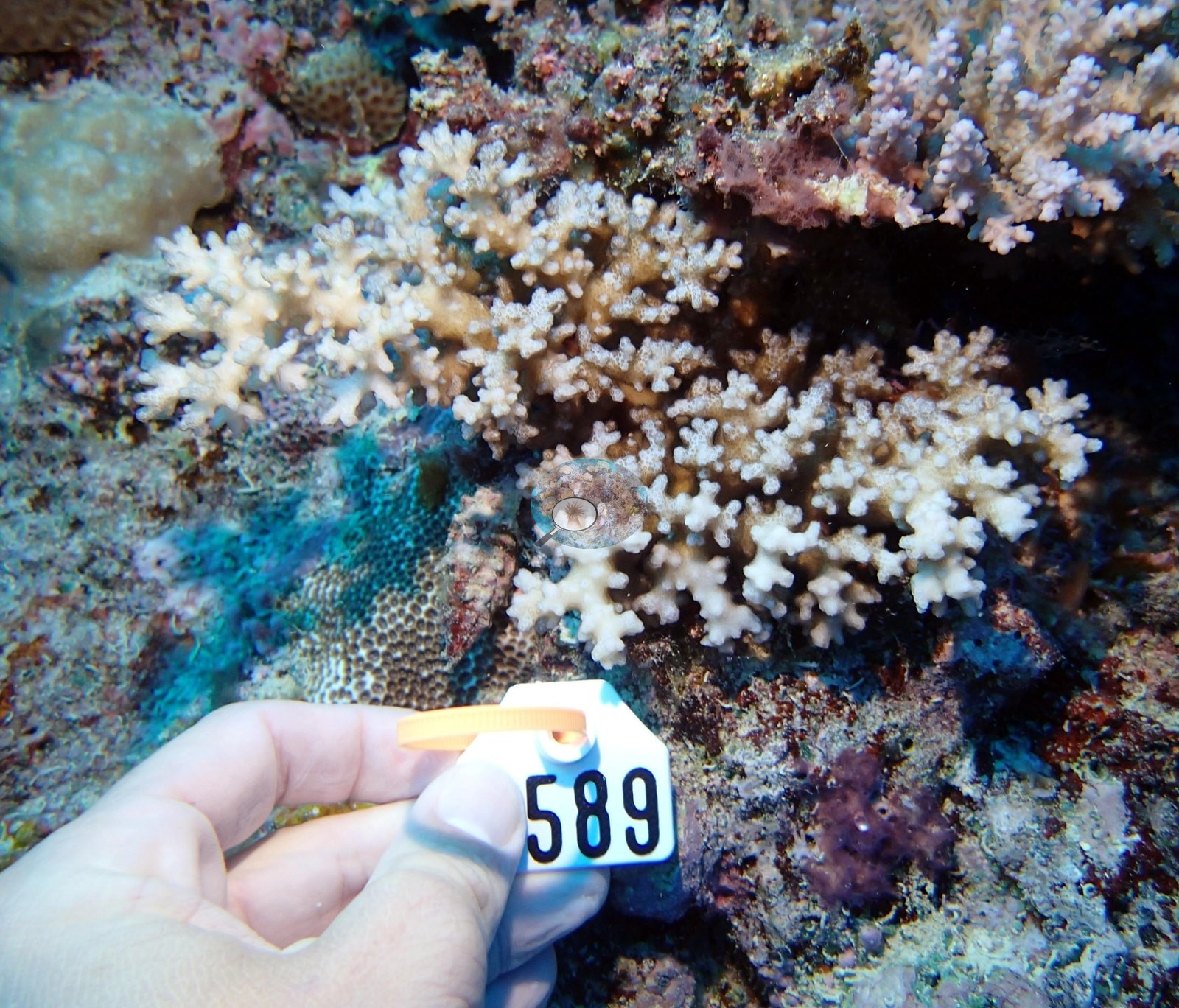
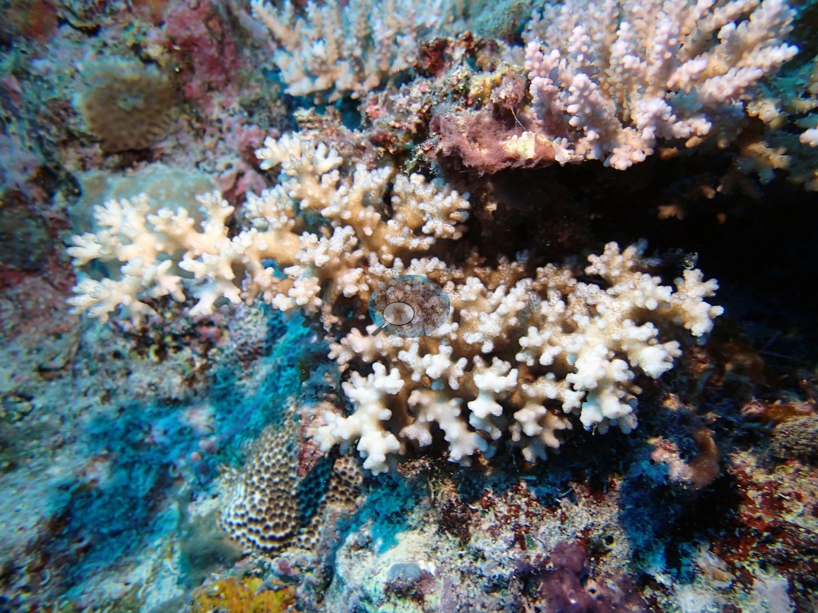
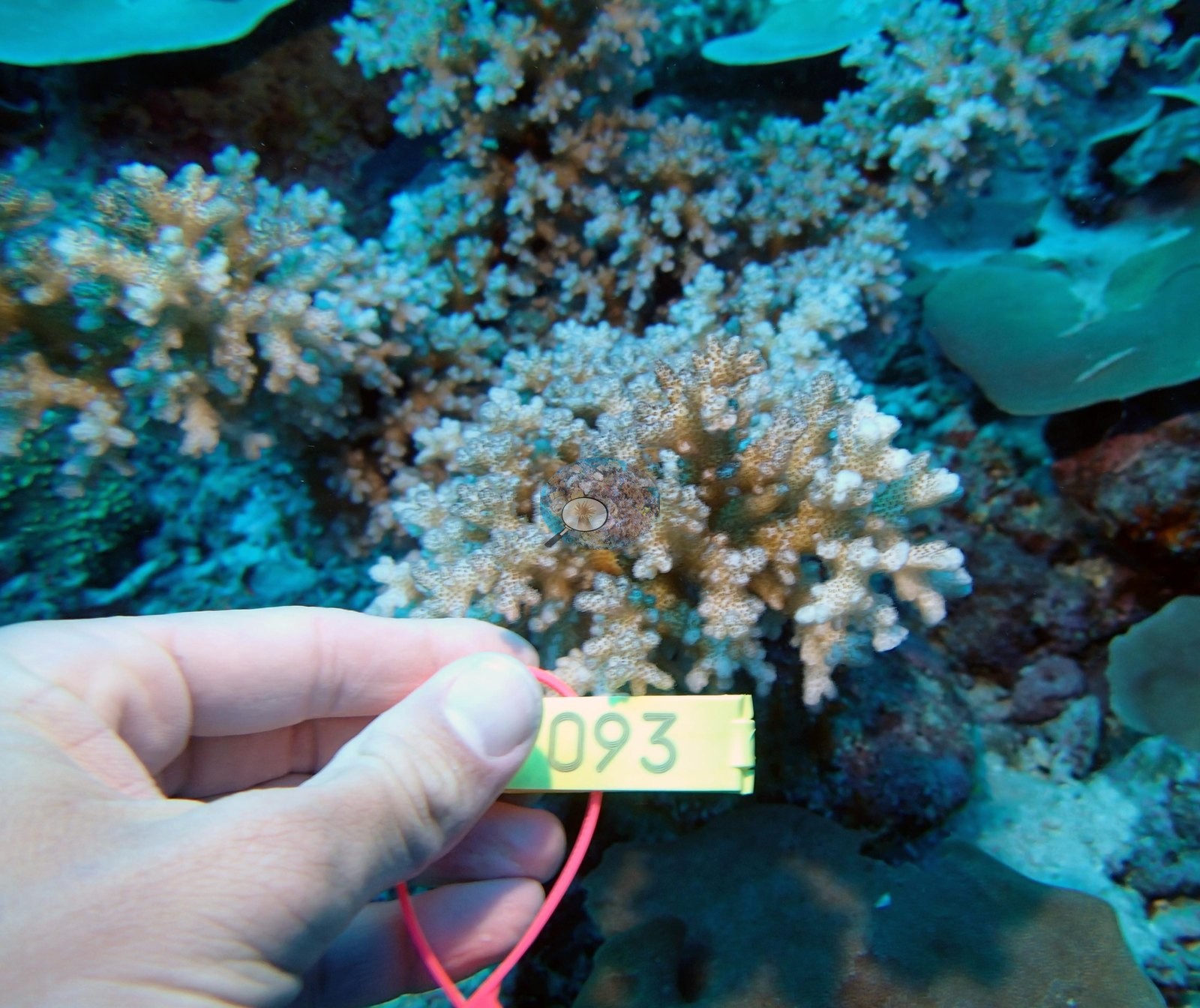
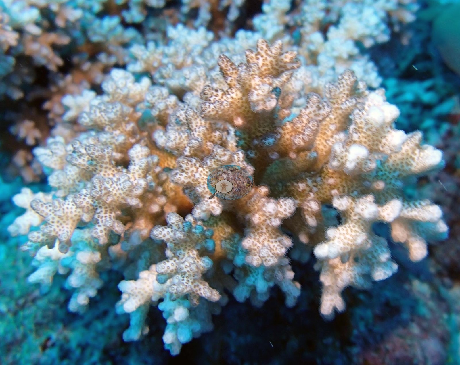
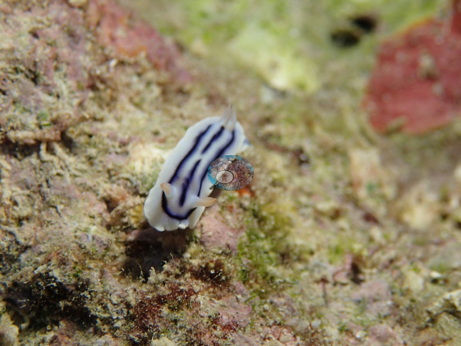
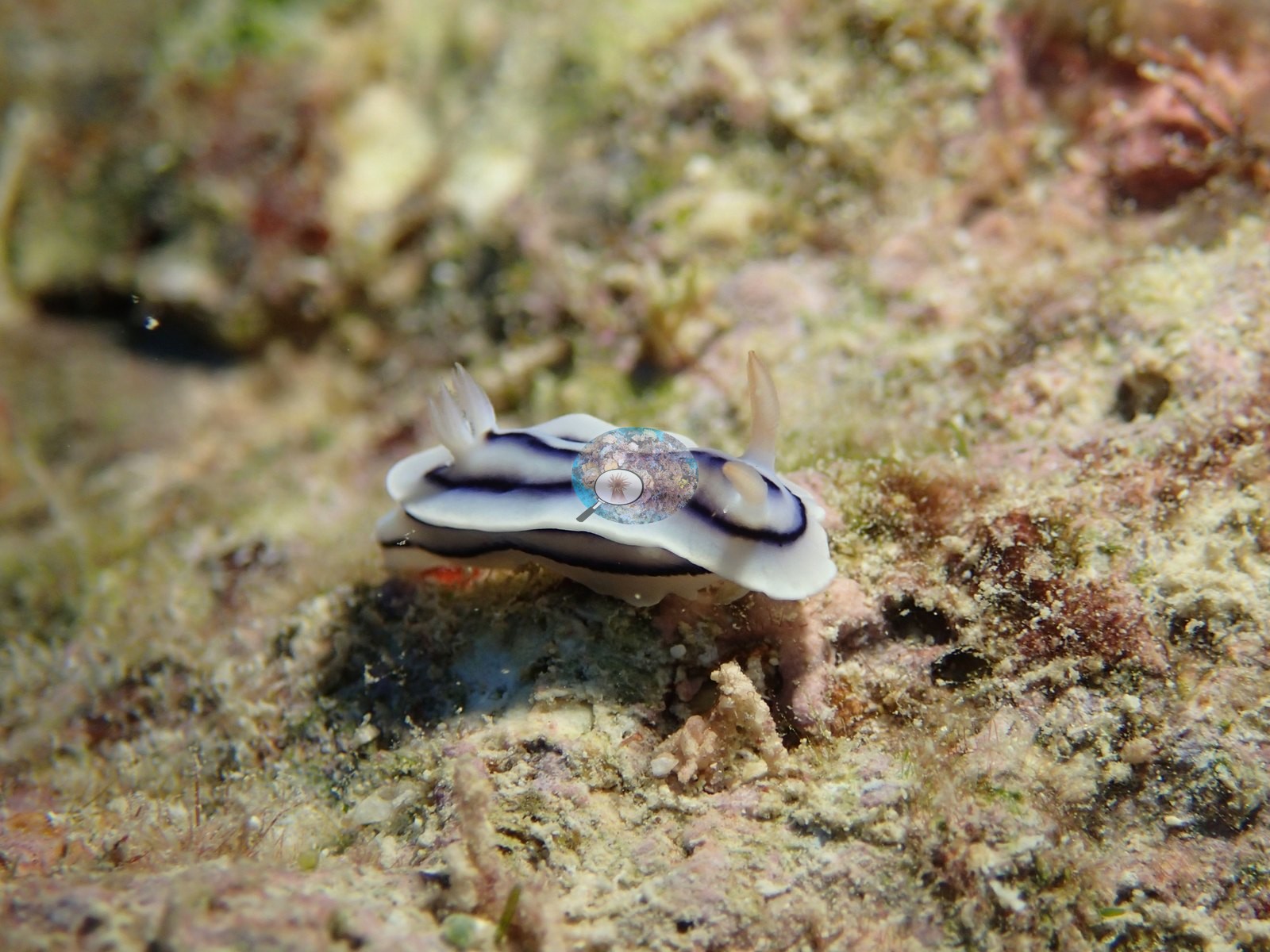
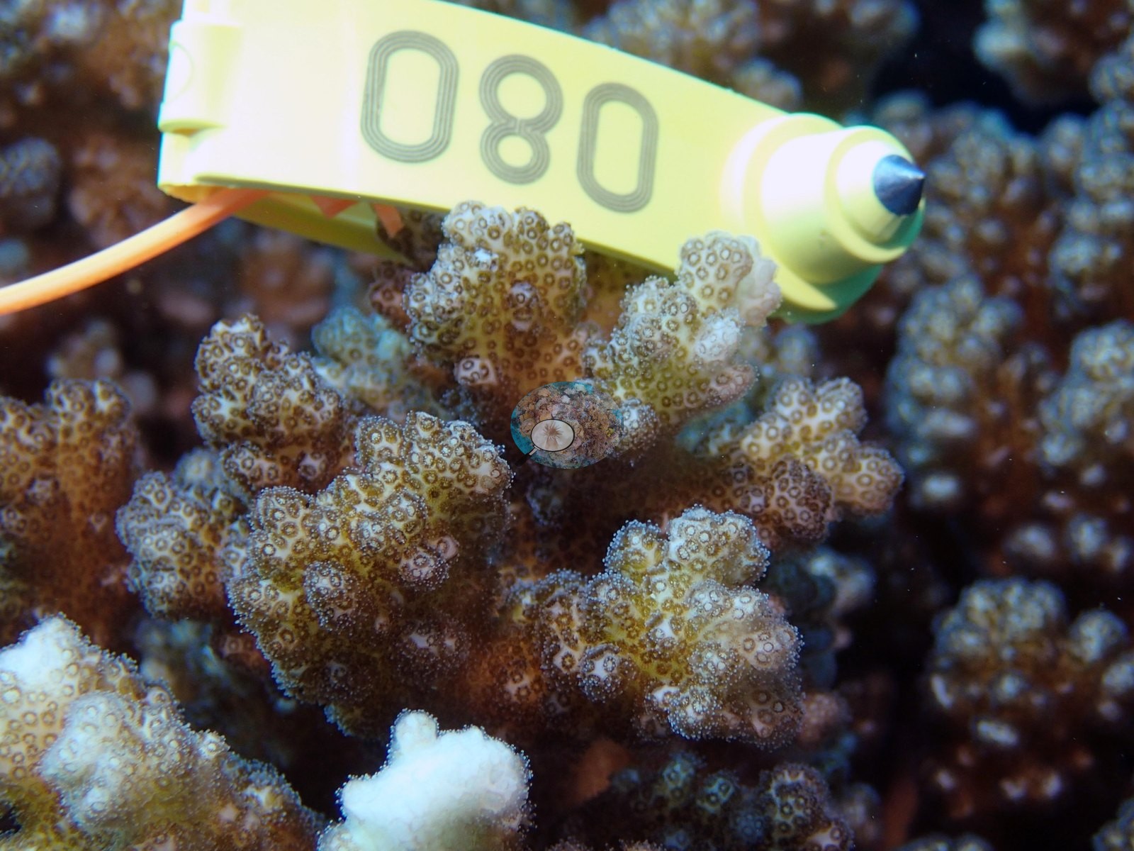
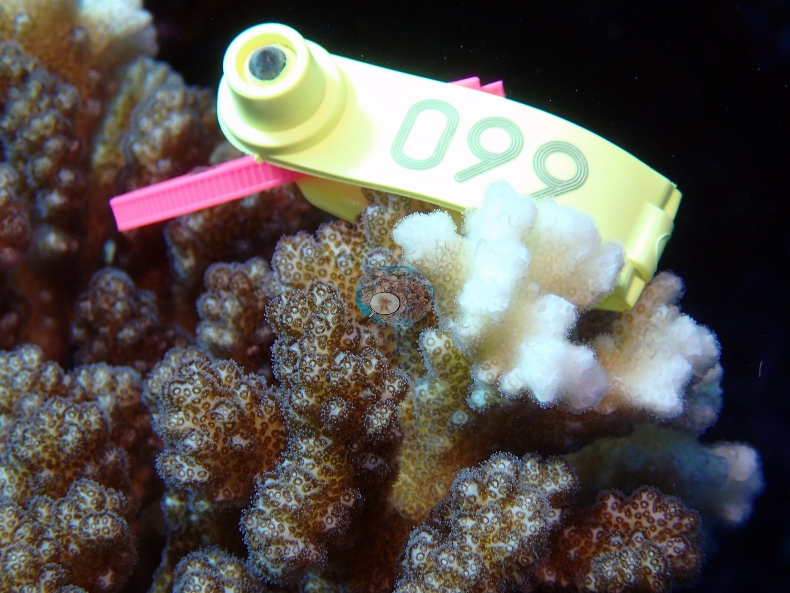
What follows is written from the site's habitat photographs; the close-ups of the individually sampled Pocillopora colonies were reviewed separately and are not used to describe the reef. The frames carry no scale, so colony sizes and relief are not claimed here.
Independent surveys nearby
Within 5 km, 1 independent survey station recorded hard coral cover in 2006. The most recent nearby survey is from 2006, so these values predate recent heat stress. This site's own estimate (42%) is not compared with these surveys: none lies within 2 km.
Collected by other programs using different methods (Reef Check uses point-intercept transects), so these are context for the figures above, not a like-for-like comparison. Where a station was surveyed more than once, the cell shows either the range of its values or, as a single value, the mean of surveys made in one year. Station names are not dive-site names.
| Agency | Site / location | Date | Hard coral cover (%) | Distance |
|---|---|---|---|---|
| Reef Check | Barracuda Point | 2006 | 59% | 4.99 km |
Data & links
- Download benthic survey data (CSV) ↗
- Download all LOF-GRE data (933 sites) ↗
- Photo portfolio ↗
- Coral Reef Diagnostics page for this area ↗
All images from Coral Reef Diagnostics. Data are from the Khaled bin Sultan Living Oceans Foundation Global Reef Expedition, Coral Reef Diagnostics, and the organizations named in the data sources above.
 © Coral Reef Diagnostics.