
Part of the regional summaries: Chagos Archipelago - Peros Banhos and Chagos Archipelago
More info
Chagos (NOAA CRW virtual station)A low-cover, algae-dominated channel forereef on the windward rim of Peros Banhos, with just 20% coral against 50% algae and the second-highest turf cover of all 109 Chagos sites. Its slopes carry dense stands of large yellow-green sea fans and whip corals, which the coral transects never recorded. Surveyed on the Living Oceans Foundation's Global Reef Expedition.
Three independent survey stations shown with the program’s logo — click one to see how far it is from this site.
Two other CRD dive sites within 5 km shown in orange — click a marker to open its page.
🗺 Detailed map of the Global Reef Expedition dive sites, Peros Banhos, Chagos (Khaled bin Sultan Living Oceans Foundation; opens in a new window)
18 of these 28 photographs are shown beside the text that discusses them under "Site description" below.
Site description
Setting
BIPB61 is a low-cover, algal-dominated channel forereef on the windward rim of Peros Banhos, and the numbers that distinguish it are not the coral ones.
General benthic features
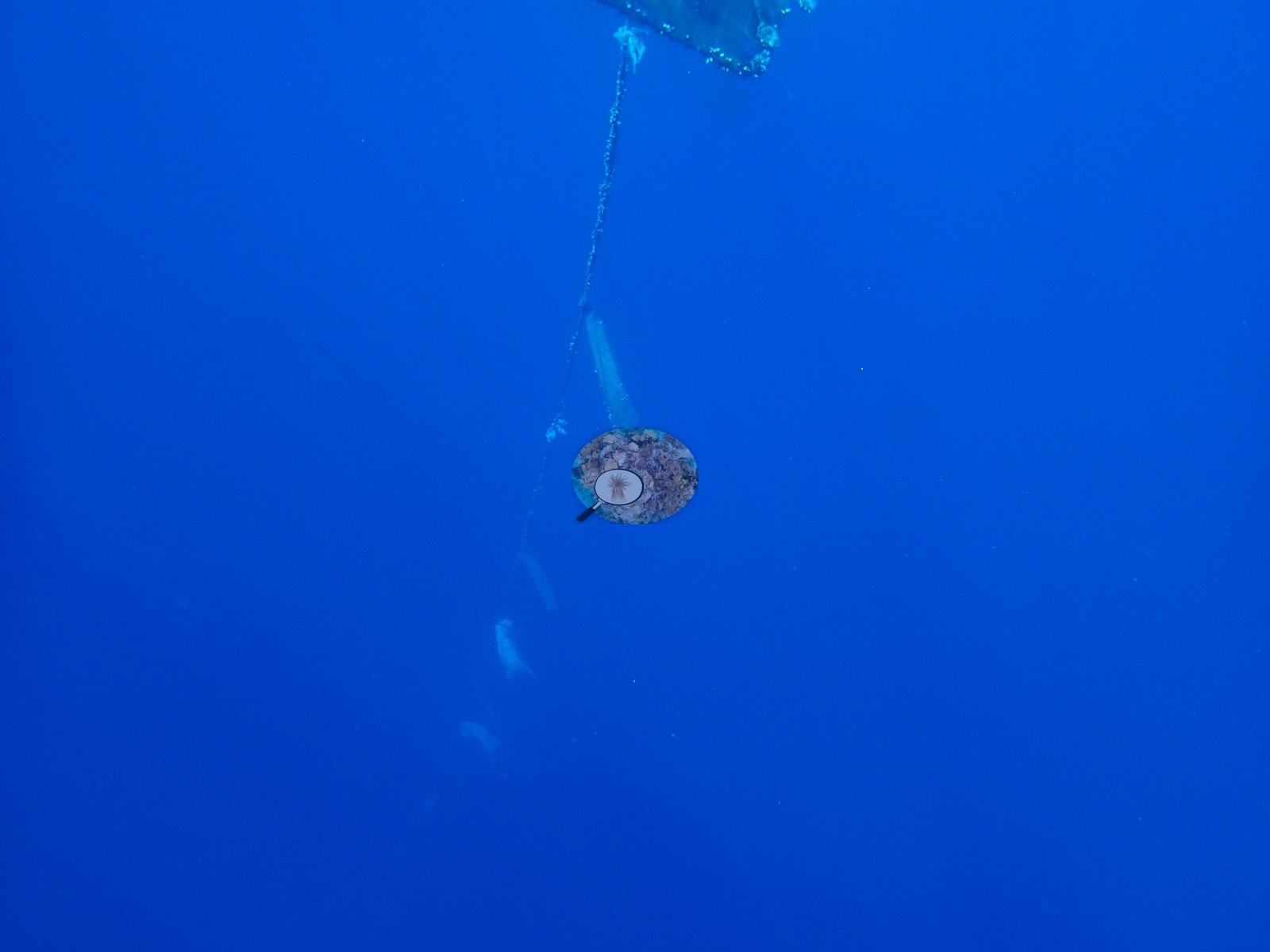
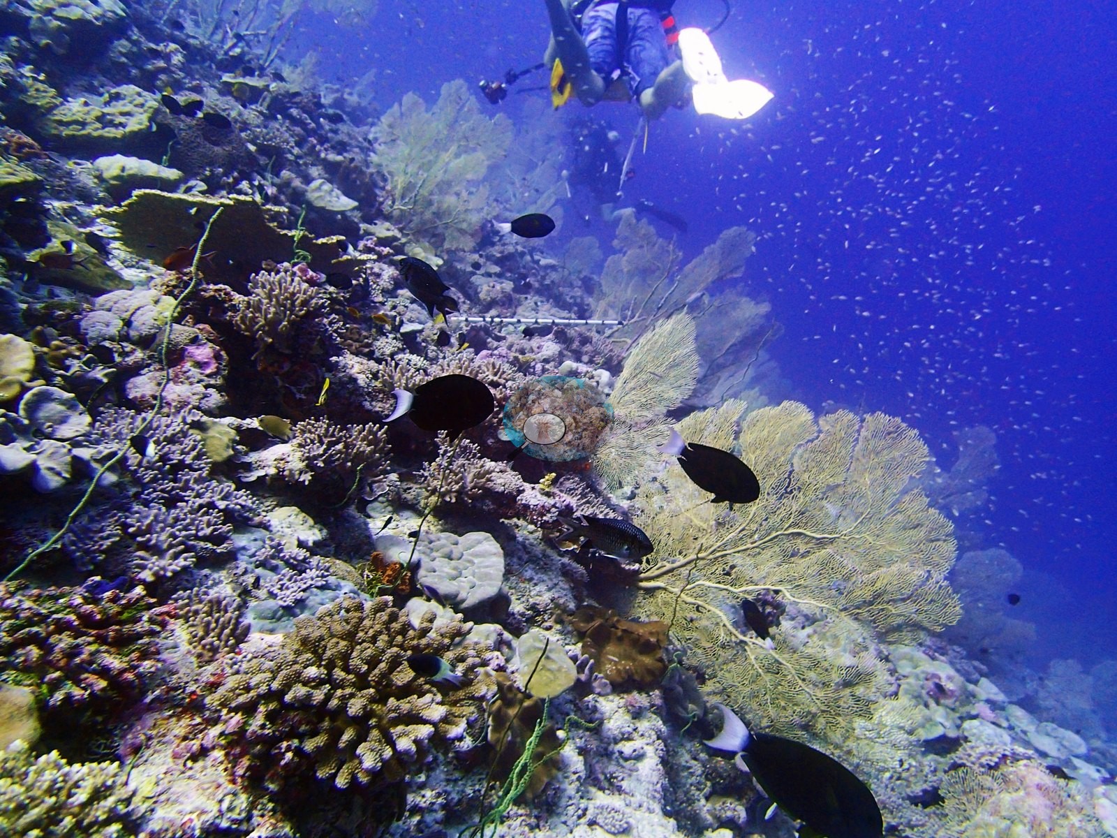
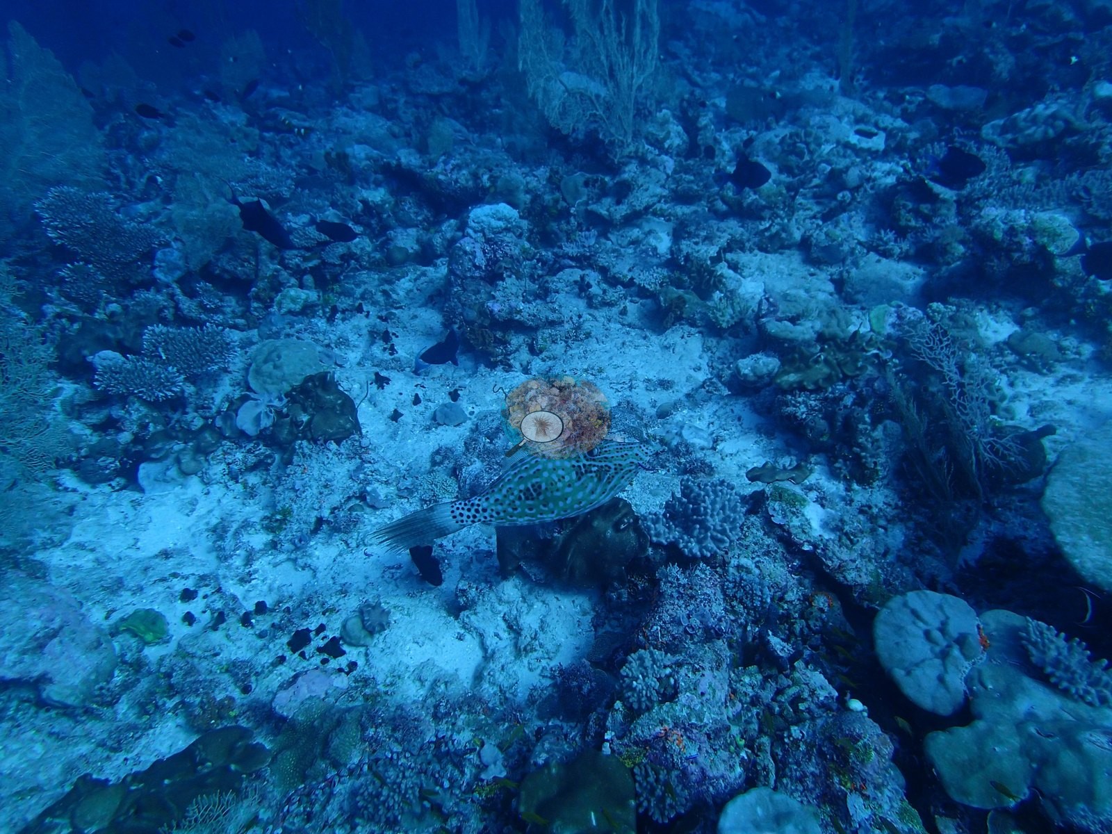
The single most unusual figure is turf: 22.3% of the benthos, the second-highest turf value in the entire 109-site set (only BIBL86, at 22.6%, exceeds it). Non-coral invertebrates take another 22.4%, ranking 13th of 109. Crustose coralline algae hold 15.4%, bare substrate 7.6%, turf-with-sediment 6.3%, erect algae 4.3%, and macroalgae 1.7%. This is a reef whose surface is largely turf, sessile invertebrates, and coralline pavement, with coral as the minority occupant. The coral that is present is a Porites assemblage with a thin tail. Porites alone holds 8.99% of the benthos — 45% of all coral recorded — followed by Acropora 4.54%, Pocillopora 2.44%, and Montipora 1.59%. Below that the list falls away fast: Leptastrea 0.54%, Astreopora 0.38%, Favites 0.31%, Pavona 0.29%, Favia 0.23%, Montastrea 0.20%, Gardineroseris 0.11%, Symphyllia 0.10%, then Acanthastrea and Millepora at 0.07%, Goniastrea at 0.04%, and a seven-genus floor at 0.017% each — Coscinaraea, Fungia, Galaxea, Heliopora, Oxypora, Scolymia, and Stylophora. Twenty-two genera are non-zero, but sixteen of them together account for under 2.5% of the benthos. The depth pattern is a shallow-to-deep genus handover, and the middle band is the poorest. D2 carries 24.2% coral and is the only band Acropora leads — 8.00% against Porites' 7.40%, with Pocillopora unusually strong at 4.80%. D3 drops to 15.2%, the site's minimum, and the order inverts hard: Porites 8.97% against Acropora 2.57%. D4 recovers to 20.7% with Porites at its site maximum of 10.60% and Acropora at 3.05%. Genus richness runs the other way from cover — 9 genera at D2, 11 at D3, 18 at D4 — so the deepest band is the poorest in Acropora and the most genus-diverse. Algal cover is high in all three bands (50.4%, 52.6%, 47.0%) and barely varies, which is the clearest signal that the algal dominance here is a site property rather than a depth effect. The photographs match that description closely, and they explain the invertebrate figure that the transect list cannot. Gorgonian sea fans are the most conspicuous non-scleractinian element of this reef. The defining frame shows a slope falling into blue water carrying a dense stand of large yellow-green gorgonians and whip corals, with a haze of small planktivores above and only pale, sparsely colonized pavement beneath (e.g., Image 31).
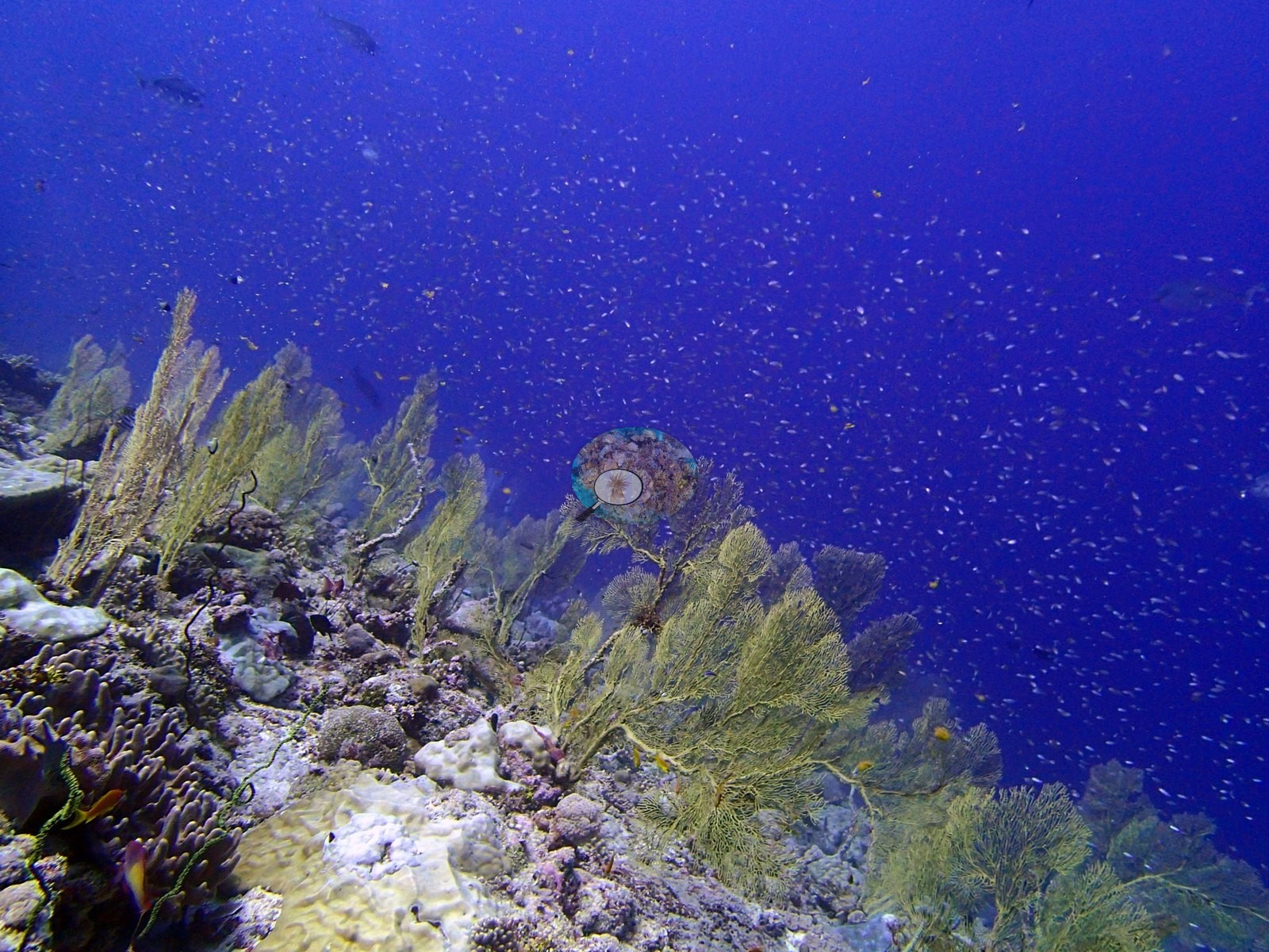
Two frames show the same fans and dark whip corals along the slope, another catches them beside a deployed transect tape with a diver working above, and a fourth places them across a broad, low-relief mixed bottom of small massive domes, digitate colonies, foliose plates, and black finger sponges (e.g., Image 12, Image 17, Image 20).
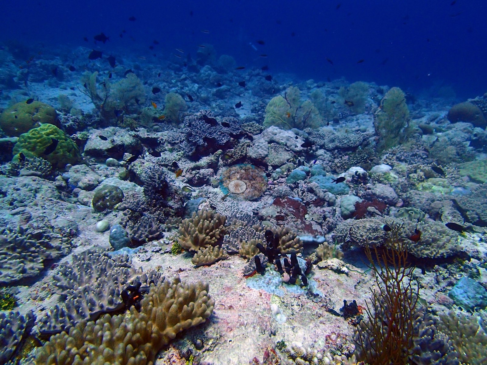
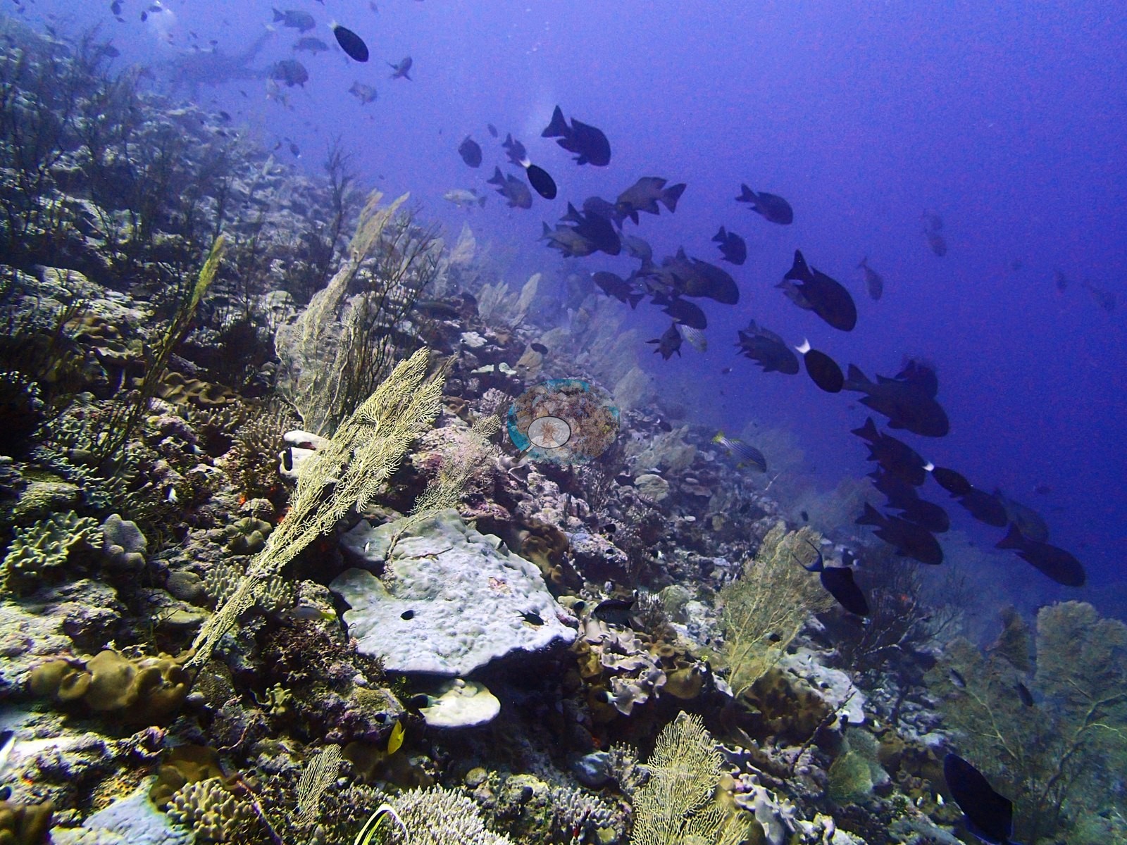
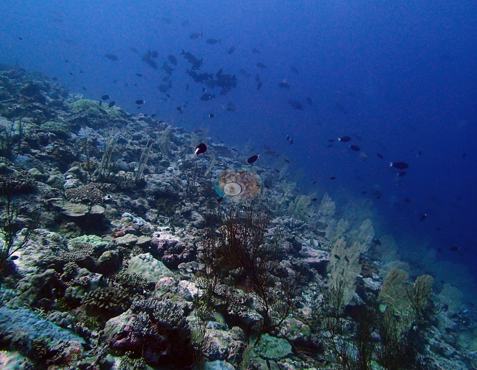
None of these octocorals appear anywhere in the transect data, which records only scleractinians plus Millepora and Heliopora — so the 22.4% non-coral invertebrate figure is the only place they are counted, and their contribution is not resolved to taxon. Where coral does concentrate, it is Acropora in the shallows (e.g., Image 1, Image 2).
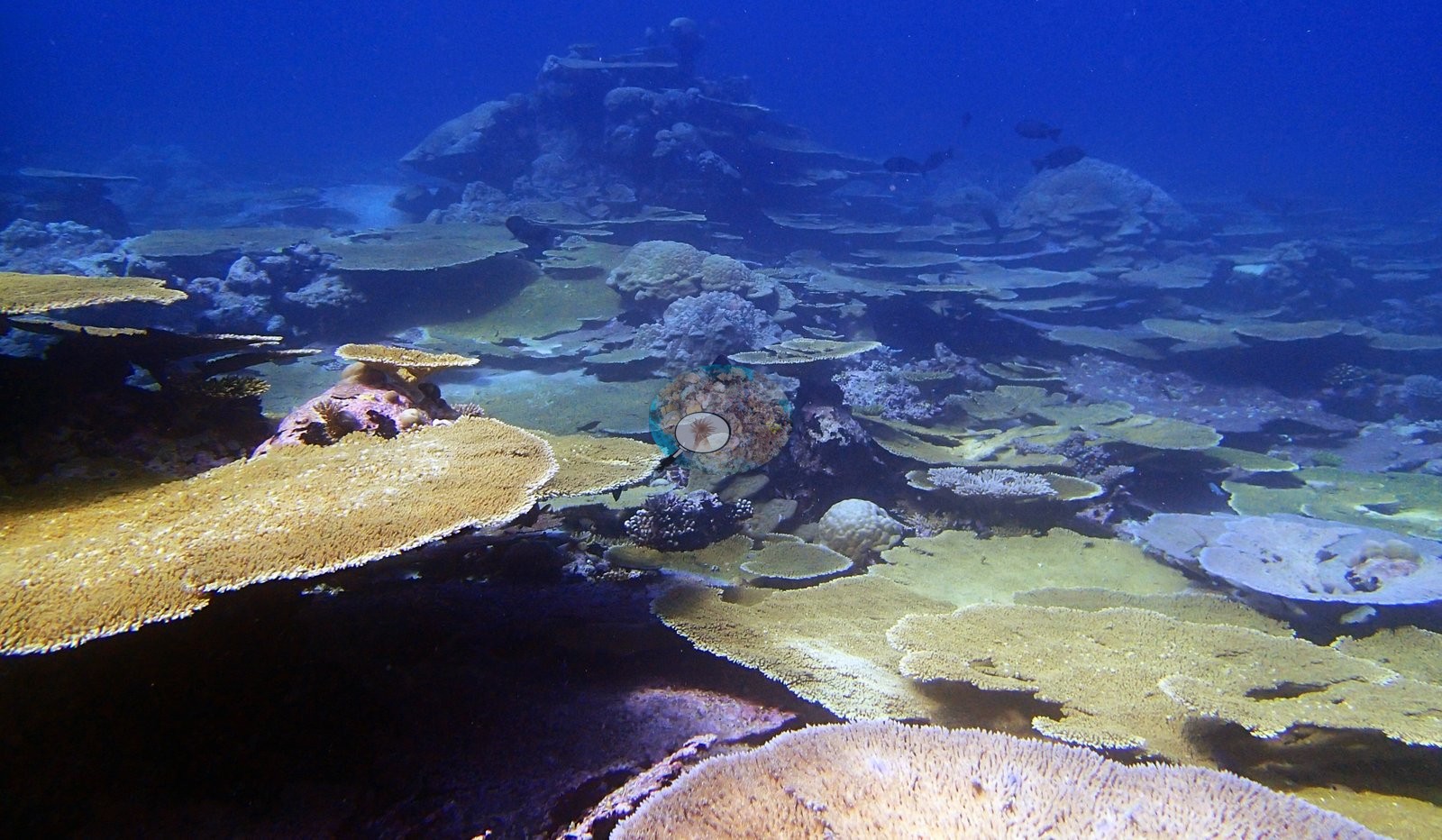
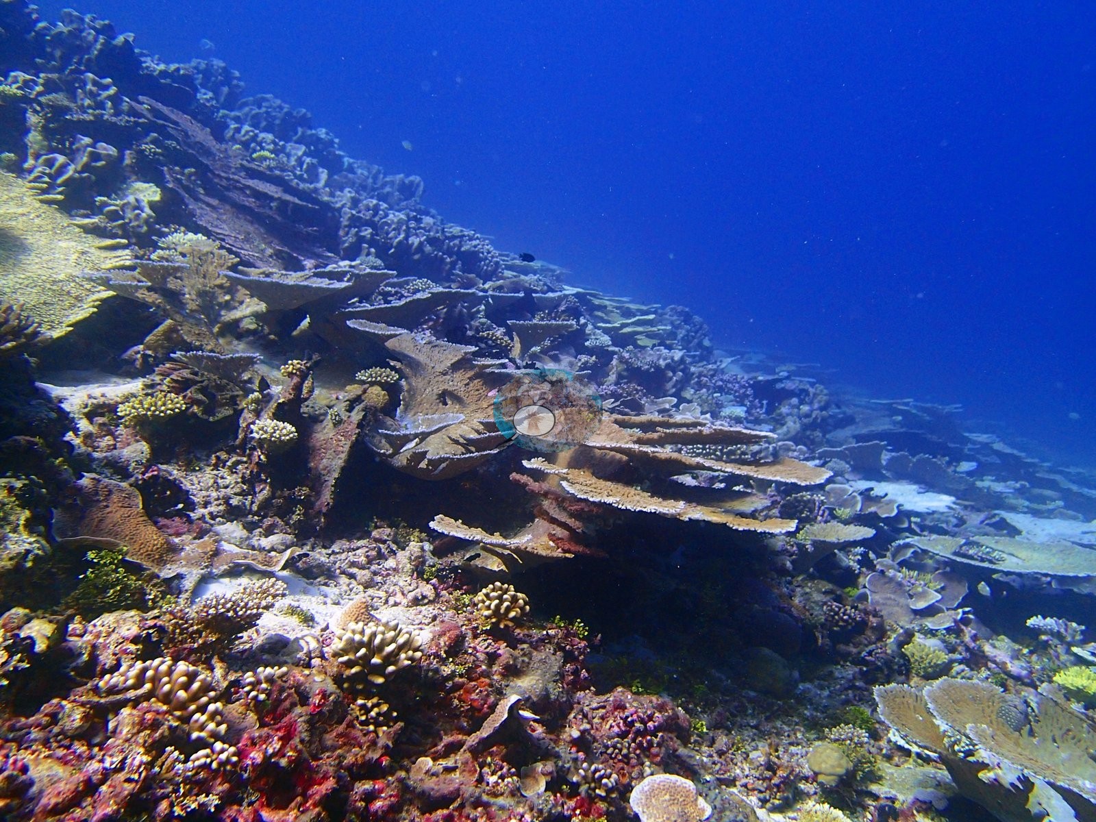
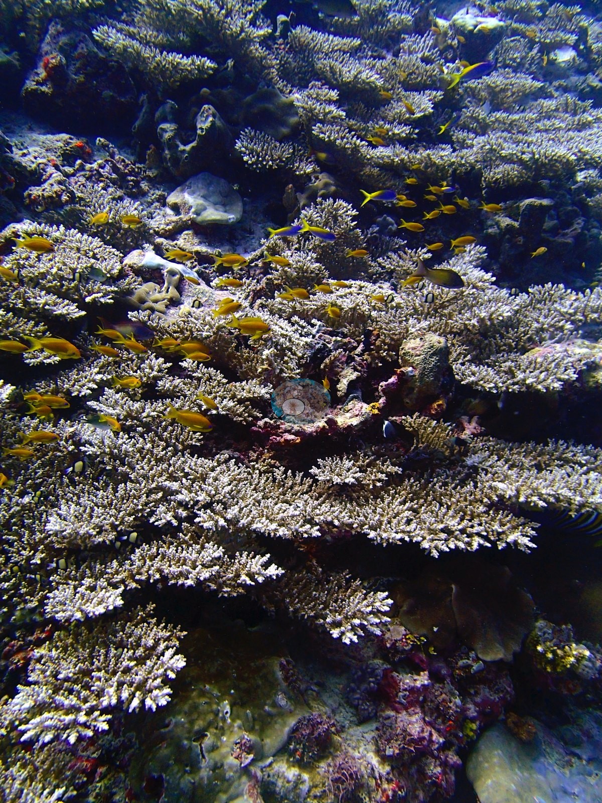
Two frames show near-continuous corymbose and tabular Acropora thickets working with sergeant majors, black triggerfish, humbug damsels, and dense orange anthias — the photographic match to the 8.00%-Acropora D2 transect (e.g., Image 21, Image 29).
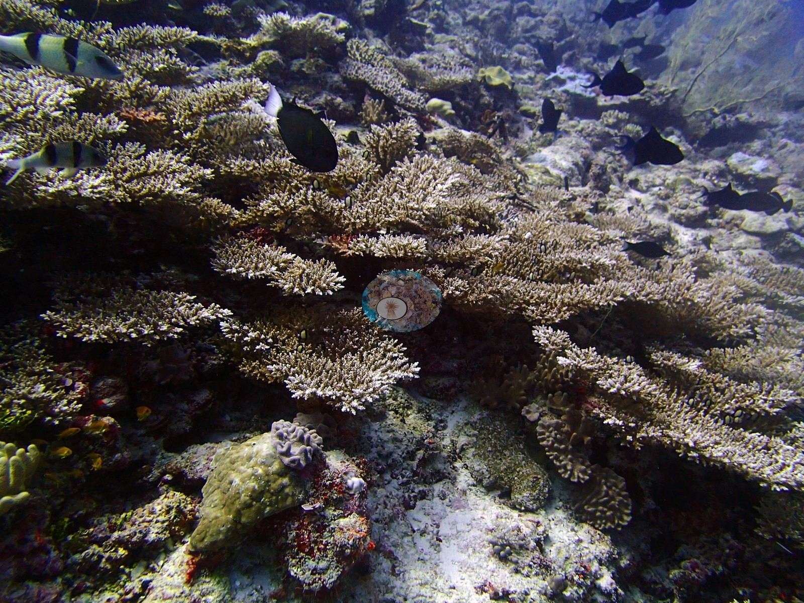
Away from those patches the ground is exactly what the cover figure implies: two frames show wide pale pavement and rubble carrying widely spaced small massive domes and ruffled foliose colonies, and a third shows the same at depth with a scrawled filefish over largely bare substrate (e.g., Image 7, Image 11, Image 16).
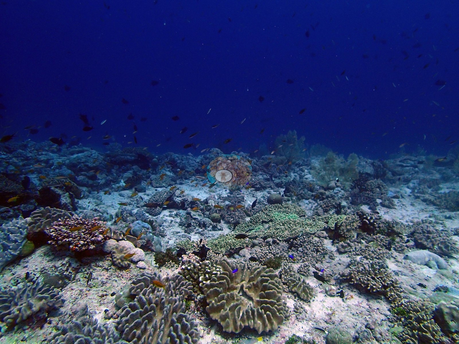
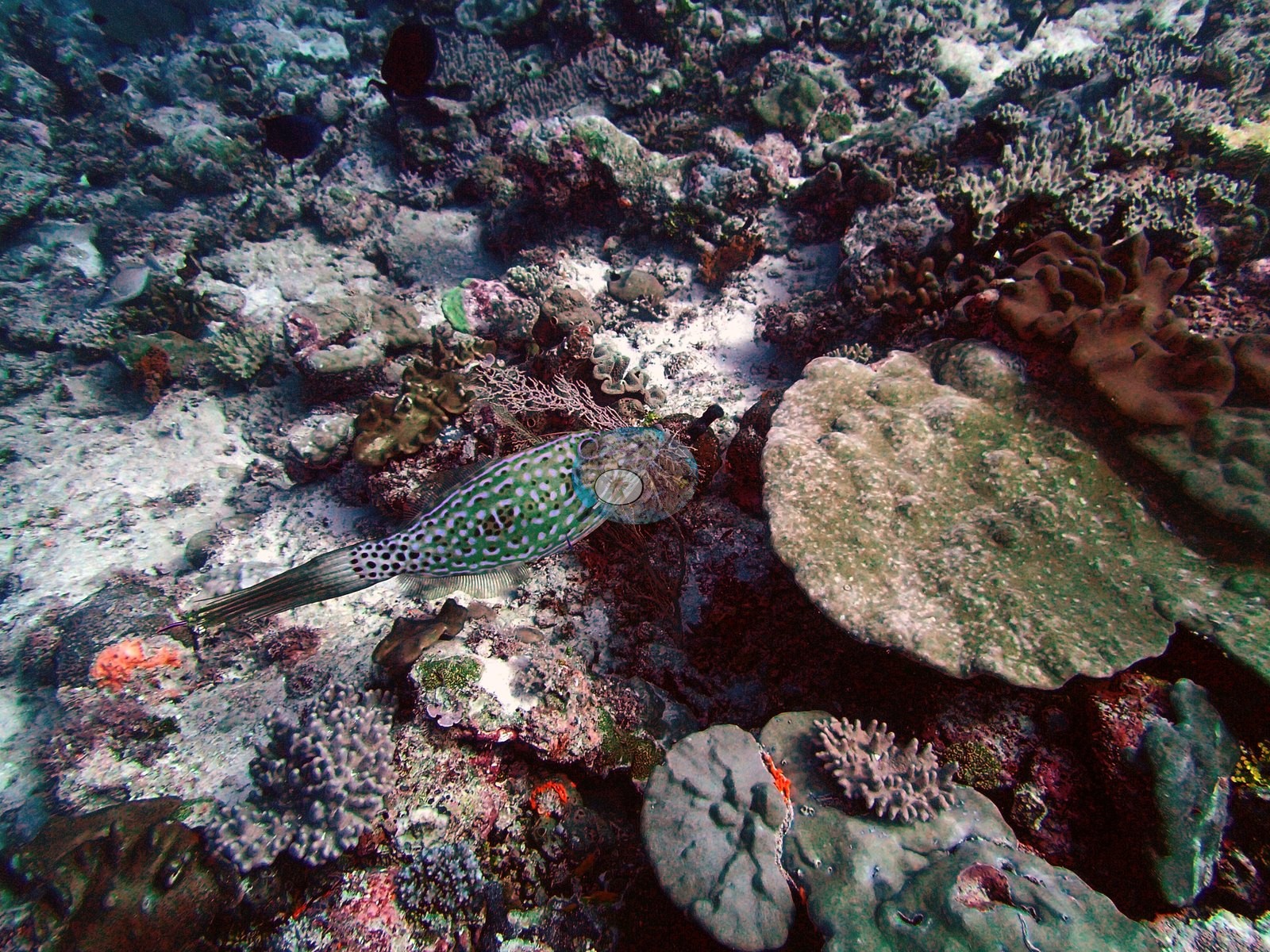
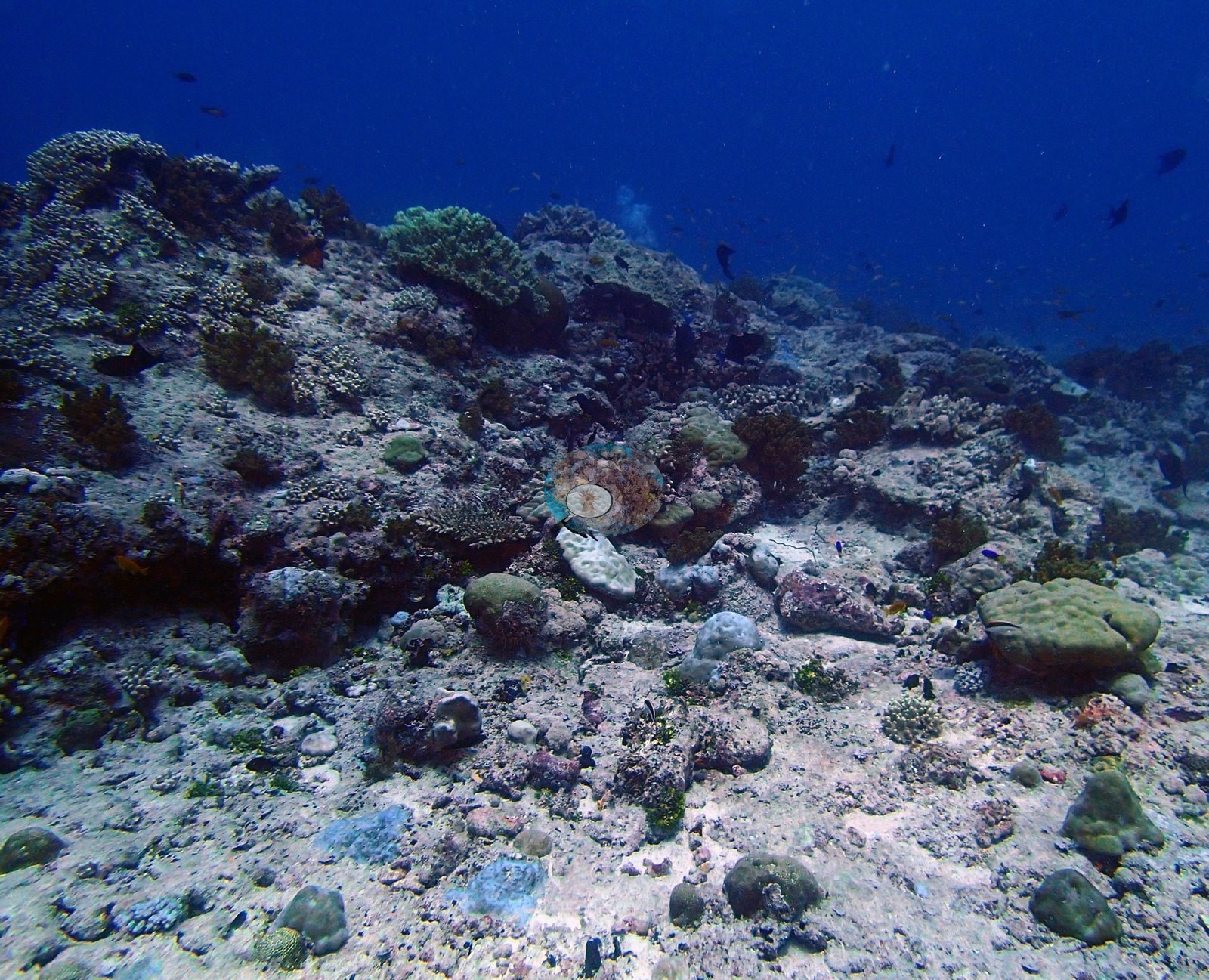
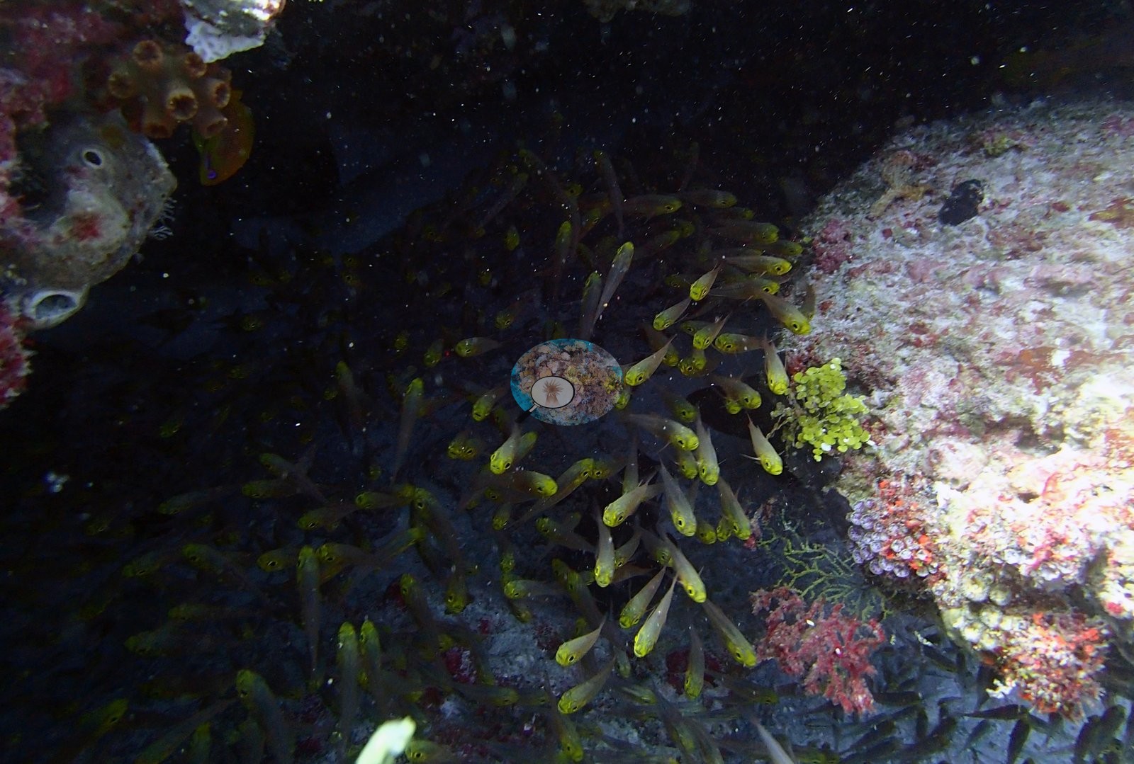
The best single frame for genus variety shows a large massive Porites dome, encrusting and foliose plates, a clearly meandroid brain coral, small branching Acropora, orange sponges, red encrusting algae, and a pink sea whip in one downward view. The site's other habitat is cryptic. Three frames are a sequence under a ledge or overhang holding a large aggregation of golden sweepers, with the ceiling carrying red and maroon encrusting algae and sponges, yellow encrusting sponges, ascidians, and green Halimeda; orange anthias, a reddish soldierfish or bigeye, and several larger silvery fish share the shelter (e.g., Image 4, Image 5, Image 8, Image 25).
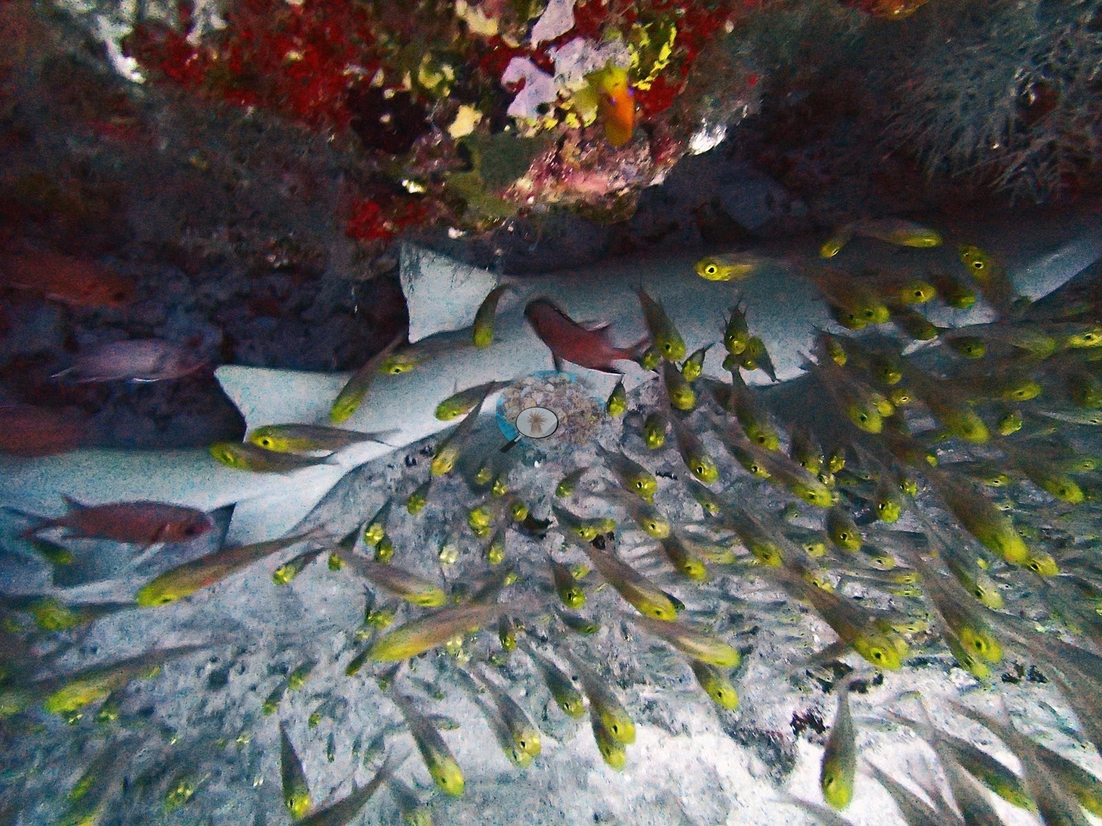
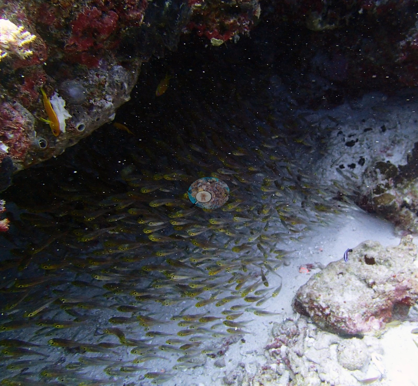
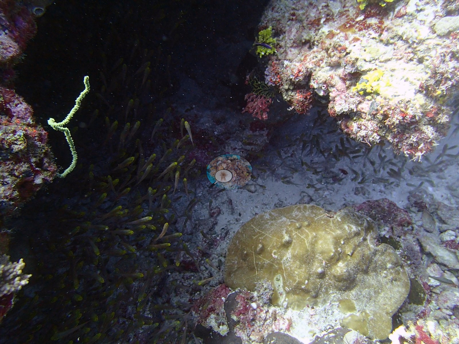
Another frame covers the same habitat with a yellow-green whip coral and a scarred massive Porites dome on the sand at the overhang mouth (e.g., Image 22).
Assemblage composition. Formal surveys give 20.0% coral, 50.0% algae, and 22.4% non-coral invertebrates, the coral 45% Porites and led by Acropora only in the shallowest band. The photographs contribute what the transects cannot: a substantial gorgonian and whip-coral stand, a sponge- and ascidian-dominated cryptic habitat, dense Acropora patches that are real but local, and at least one fully bleached massive colony.
Coral cover
At 20.0% transect coral cover it ranks 94th of the 109 Chagos sites — the 16th lowest in the archipelago — against 50.0% algal cover. None of these frames carry usable benthic cover, but together they document the sponge-and-ascidian load that the 22.4% invertebrate figure records.
Stressors
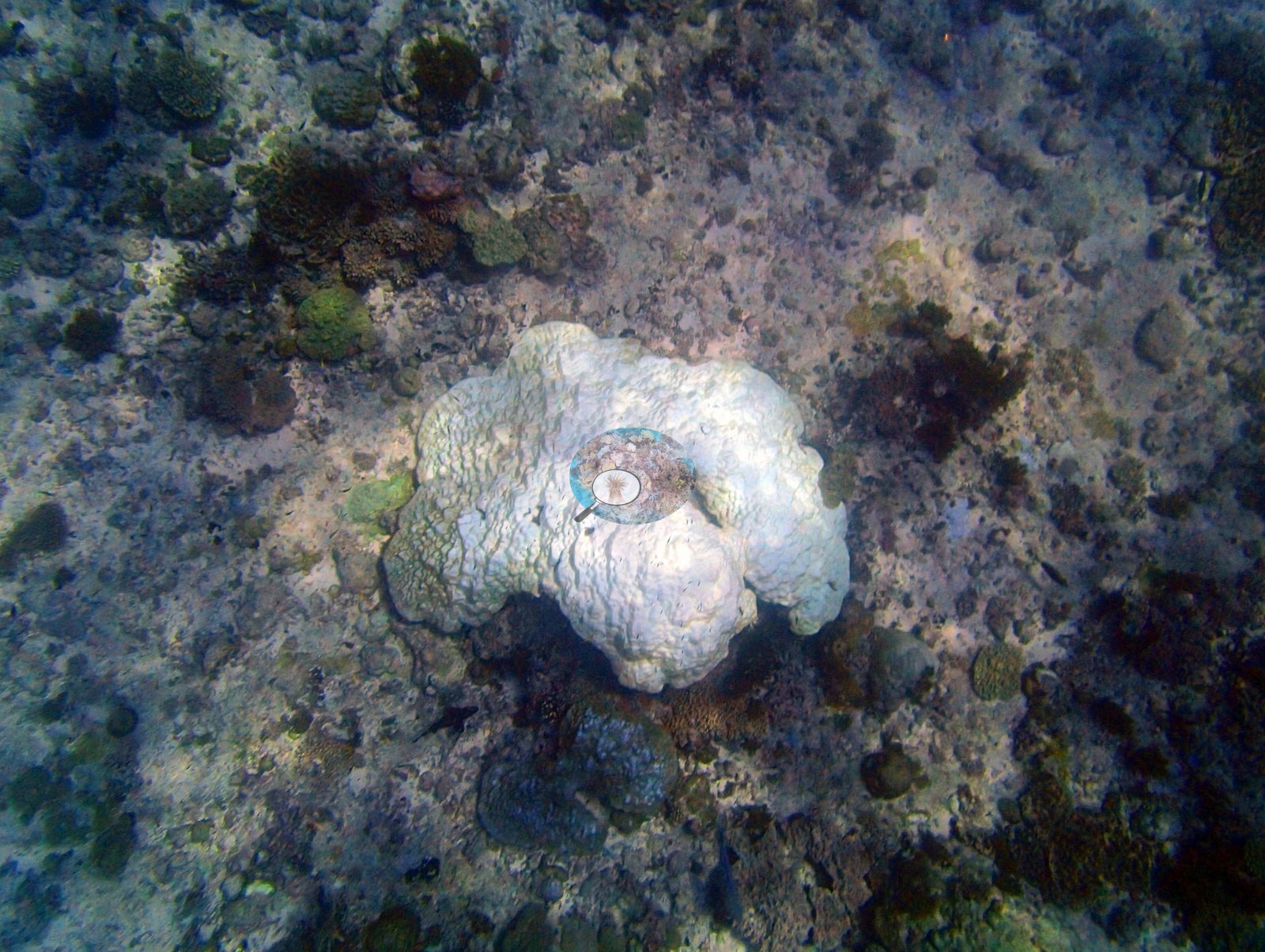
Bleaching is real here and is documented photographically. The published image-based figure is 12.9%, which ranks 16th of the 98 Chagos sites carrying a bleaching value — high for this archipelago. One image is unambiguous: a top-down frame of a single large, entirely white massive colony, its lobed surface fully pigment-free, sitting on dark turf-covered pavement among small unbleached colonies (e.g., Image 30).
One frame holds a white digitate colony on the pavement beside a pale cream soft coral, and two others each contain broad pale-to-white massive and plating colonies on the slope (e.g., Image 32).
These are consistent with a site-level figure in the low teens and were not used to compute it. No crown-of-thorns starfish (COTS) or other corallivores evident.
Fish and other fauna
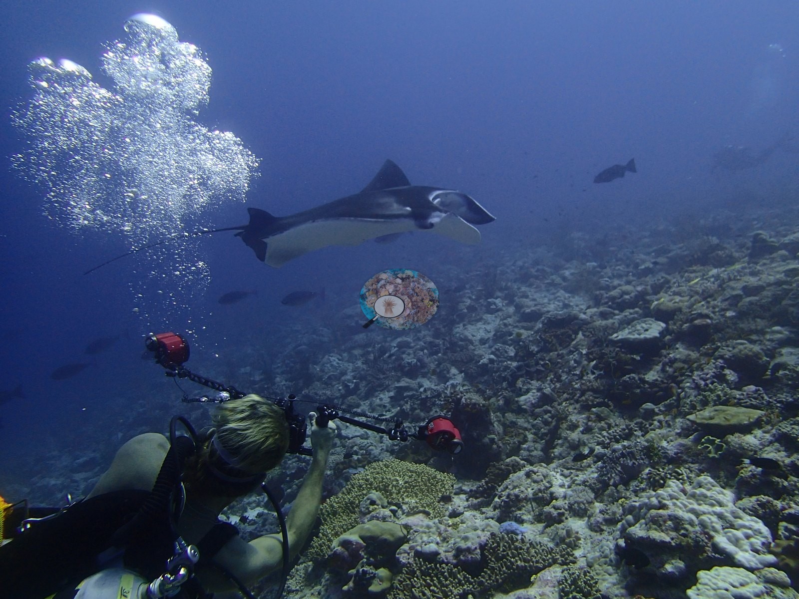
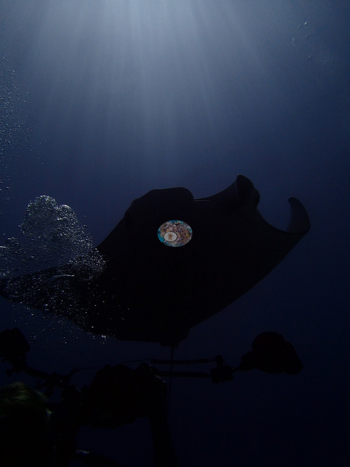
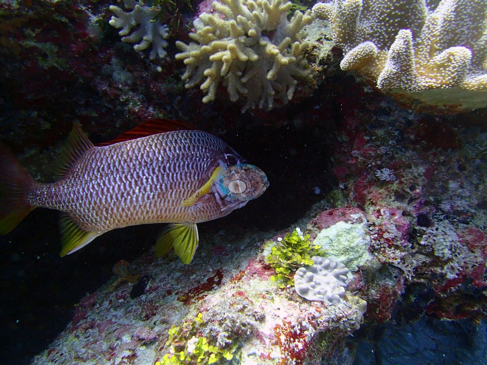
One frame adds a large emperor or snapper at close range.
Comparisons with other data
No independent survey was made at this exact site; the nearest ones are listed in the table below.
CV model comparison
More info
Those are point counts on the photographs; this is a diver swimming a transect. The models and the reference never saw the same thing. ⚠ SITE-LEVEL ONLY. The 2,500 frames were not associated with any transect taken within 200 m of them, so transect-vs-image comparisons are site means, never frames. The transect value is already in the pin `cover` field (109 of 112 pins, sourced to the paper's suppl. S1) and is read from there, never re-imported. The transect is THE coral-cover value for this site and stands alone. The rows below it are a methods comparison only: no computer-vision value is averaged with it, feeds the headline, or carries over to the site's cover figure (Anderson, 2026-09-22).| Method | Hard-coral cover (%) |
|---|---|
| Transect (published) | 20.0 |
| In-house DINOv3 | 22.1 |
| CoralSCOP edited | 32.5 |
| Claude | 17.0 |
Independent surveys nearby
| Agency / program | Year(s) | Stations / distance | Link |
|---|---|---|---|
| Sheppard et al. (2008) | 2006 | 1 station, 3.20 km | Records ↓ |
| Spalding et al. 2025 (Chagos 2024 bleaching report) | 2024 | 2 stations, 2.90 km | Records ↓ |
 Dr. Coral (CRD)Year-average (no detectable trend)
Within 5 km, 3 independent survey stations recorded hard coral cover in 7 surveys between 2006 and 2024. One survey since 2021 recorded 70%; 1 best-patch value above 70% is left out, as they are not site means. This site's own estimate (20%) sits 50.0 points below the recent value (70%); the methods differ, so the comparison is context, not a like-for-like test.
Collected by other programs using different methods, so these are context for the figures above, not a like-for-like comparison. Where a station was surveyed more than once the range is shown. Station names are not dive-site names. Values marked best patch exceed 70%: surveyors usually chose the richest area, so they are not site means.
| Agency | Site / location | Date | Hard coral cover (%) | Distance | Link |
|---|---|---|---|---|---|
| Sheppard et al. (2008) | Peros Banhos | 2006 | 44% (5 surveys) | 3.20 km | HeatCRD database |
| Spalding et al. 2025 (Chagos 2024 bleaching report) | Peros Banhos - lagoon Knoll (N, 9-12 m) | 2024 | 80% best patch | 2.90 km | — |
| Spalding et al. 2025 (Chagos 2024 bleaching report) | Peros Banhos - lagoon Knoll (N, 6-9 m) | 2024 | 70% | 2.90 km | — |
Data & links
- Read the full site report ↗
- Download benthic survey data (CSV) ↗
- Download all LOF-GRE data (933 sites) ↗
- CoralNet image repository for this region ↗
- HeatCRD database ↗
- (reference) ↗
- Photo portfolio ↗
- Coral Reef Diagnostics page for this area ↗
All images from Coral Reef Diagnostics. Data are from Coral Reef Diagnostics and the organizations named in the data-sources table above.
 © Coral Reef Diagnostics.
References
- Mayfield AB, Dempsey AC (2026). Using tourist diver images to estimate coral cover and bleaching prevalence in a remote Indian Ocean coral reef system. Oceans 7(1):1. PDF
- Sheppard C, Harris A, Sheppard A (2008). Archipelago-wide coral recovery patterns since 1998 in the Chagos Archipelago, central Indian Ocean. Marine Ecology Progress Series 362:109-117. PDF
- Spalding M, Bourasseau M, et al. (2025). Coral bleaching and mortality in the Chagos Archipelago, 2024. British Indian Ocean Territory Administration report (gray literature). PDF