
Part of the regional summaries: Chagos Archipelago - Peros Banhos and Chagos Archipelago
More info
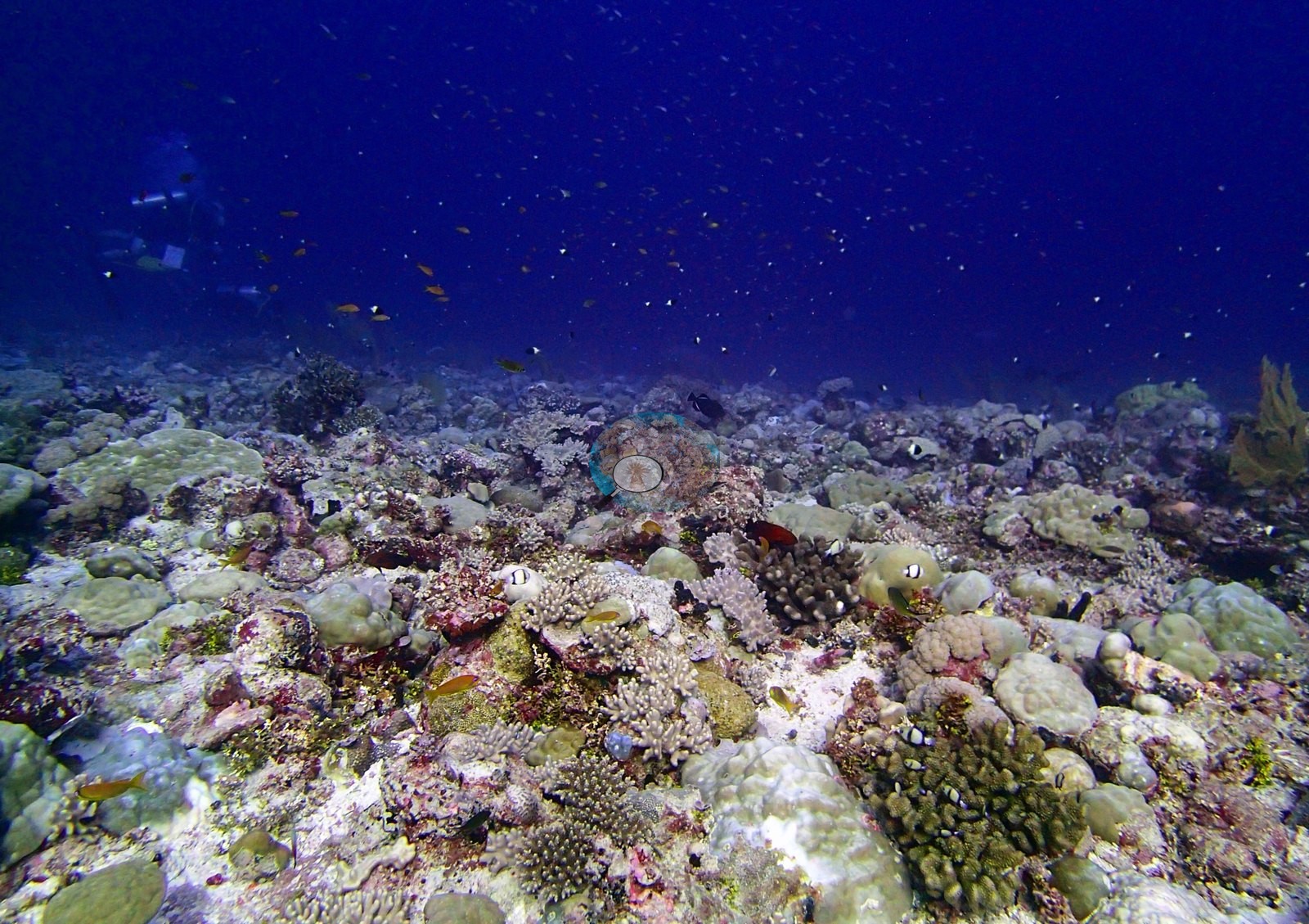
Chagos (NOAA CRW virtual station)An outer-rim Peros Banhos forereef with 18 coral genera and 42% cover, Acropora-fronted in the shallows and Porites-built below 8 m, with bleaching (11.8%) above most of its neighbors. The few photos show only a big school of surgeonfish over sea fans and whip corals, plus a phyllidiid nudibranch. Surveyed on the Living Oceans Foundation's Global Reef Expedition.
Two independent survey stations shown with the program’s logo — click one to see how far it is from this site.
Two other CRD dive sites within 5 km shown in orange — click a marker to open its page.
🗺 Detailed map of the Global Reef Expedition dive sites, Peros Banhos, Chagos (Khaled bin Sultan Living Oceans Foundation; opens in a new window)
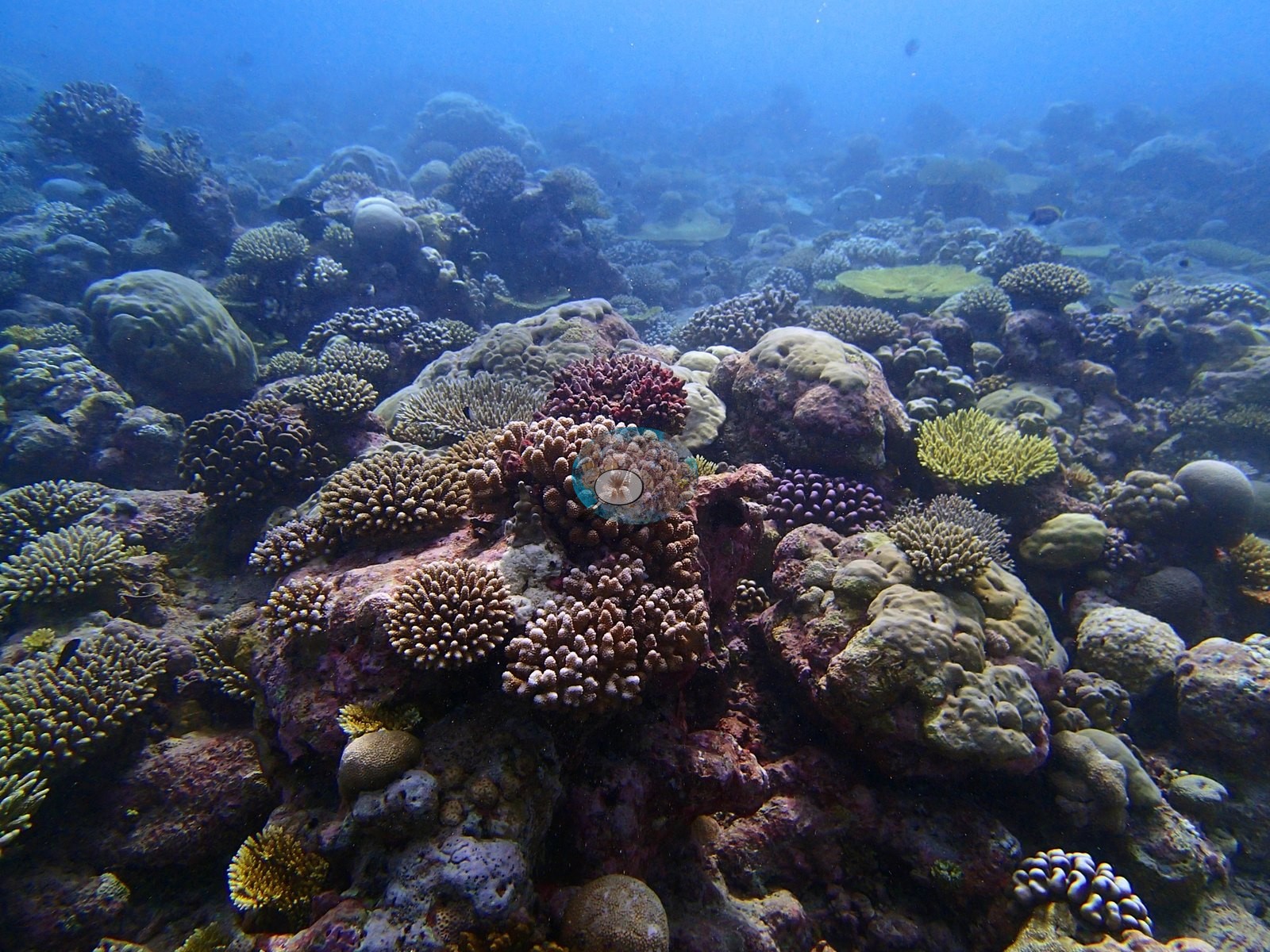
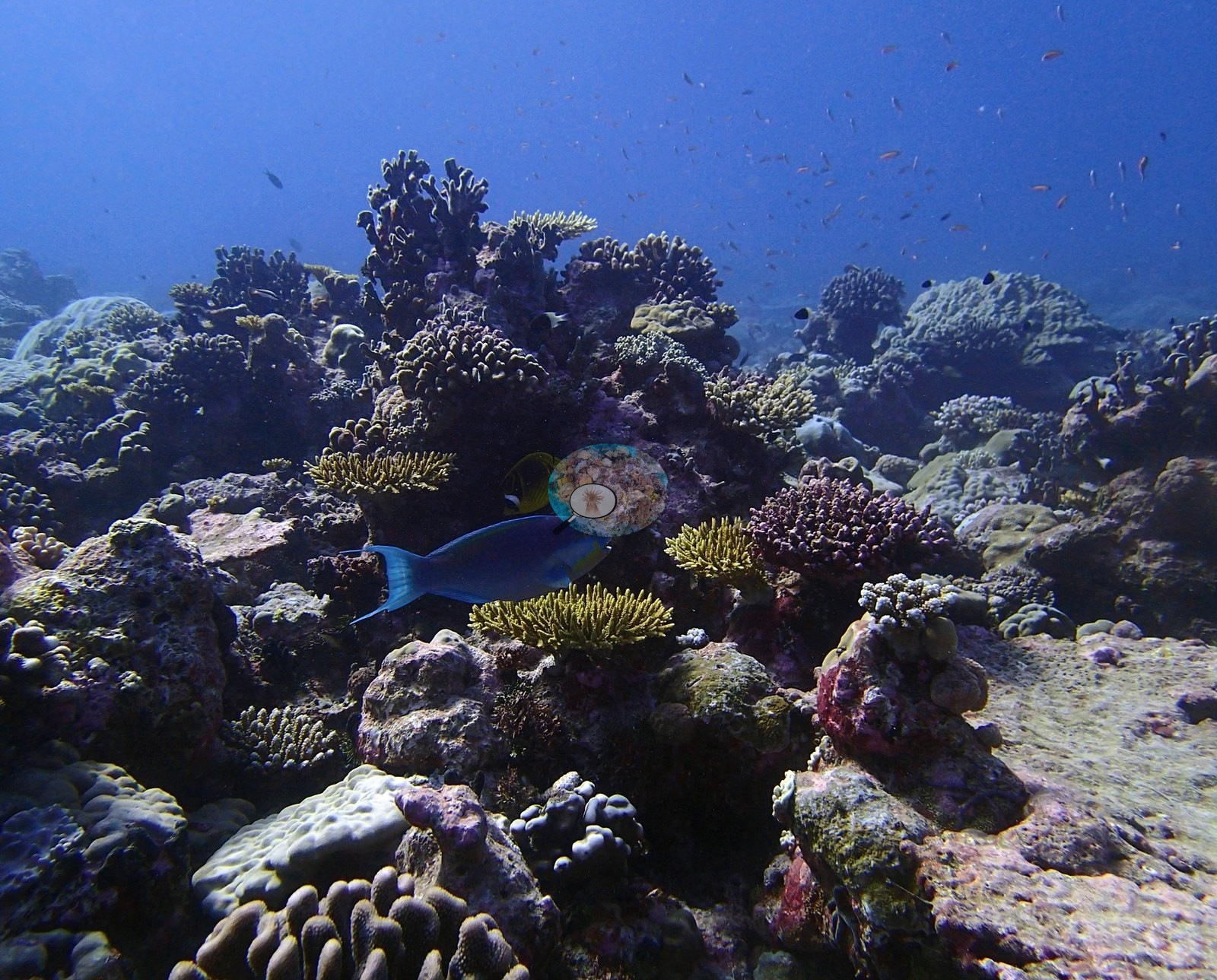
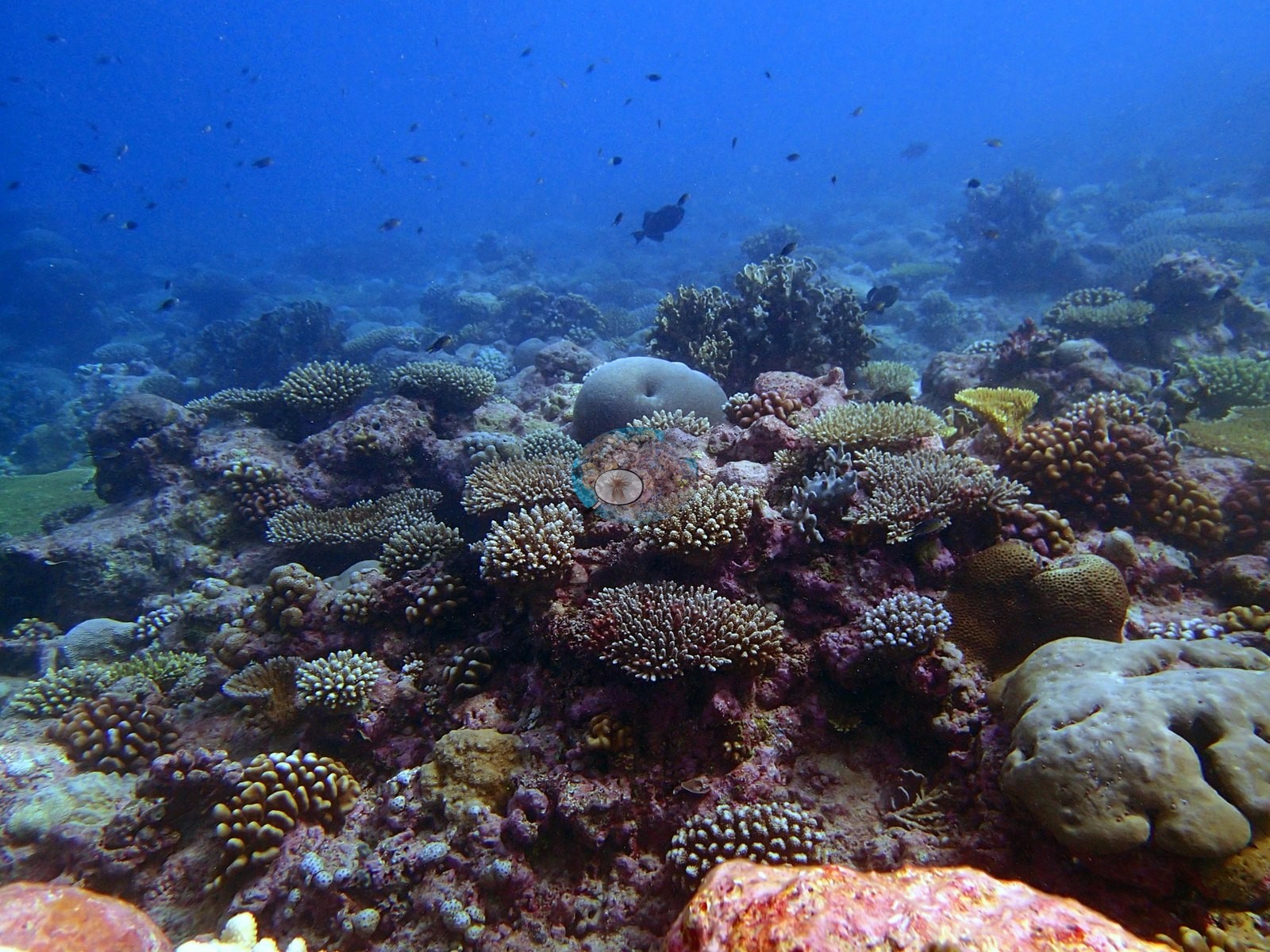
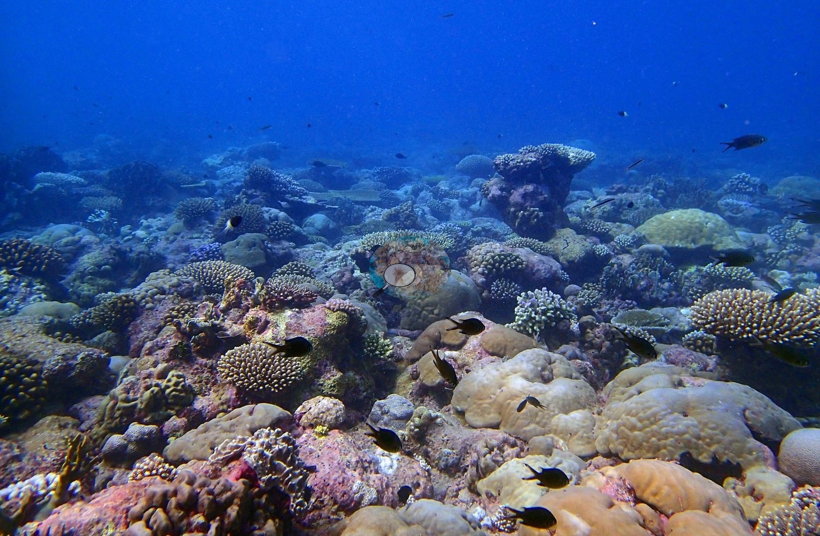
13 of these 44 photographs are shown beside the text that discusses them under "Site description" below.
Site description
Setting
BIPB60 is a middling-cover, high-diversity fringing forereef on the outer rim of Peros Banhos: 42% coral cover ranks 39th of the 98 Chagos sites with a cover figure, but the assemblage carries 18 non-zero coral genera, against seven at a site like BITB58.
General benthic features
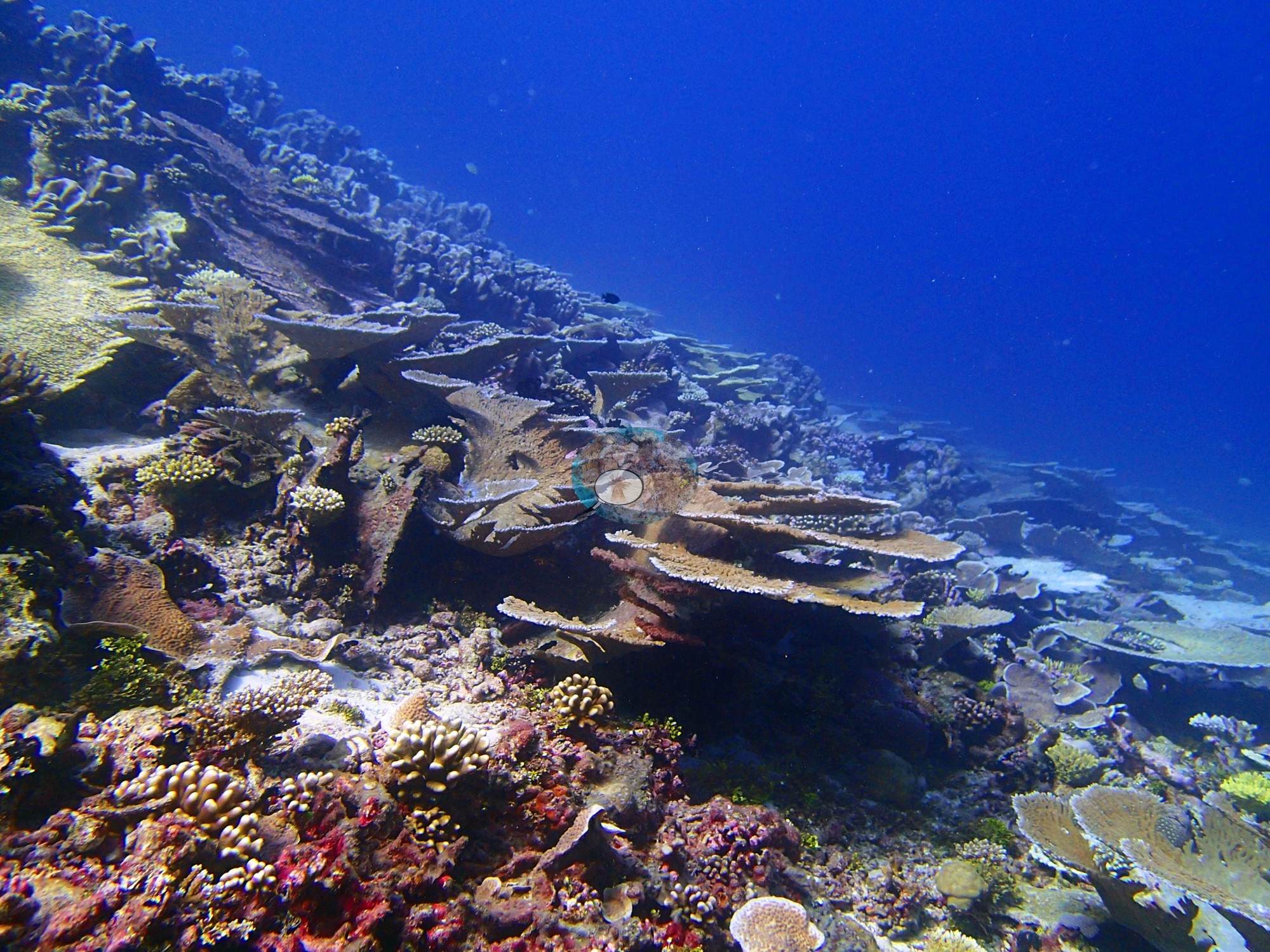
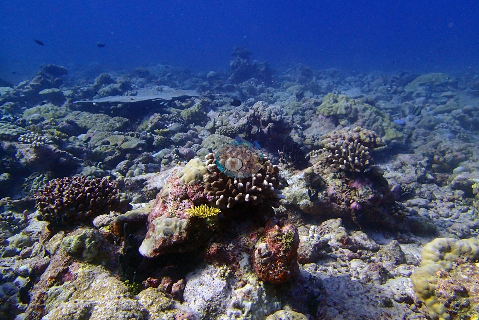
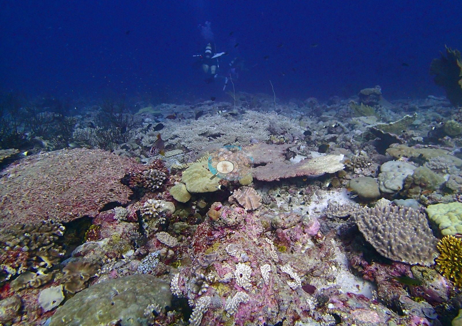
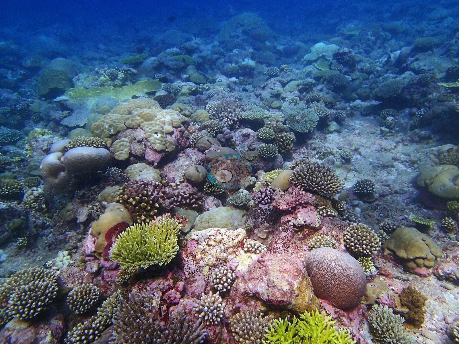
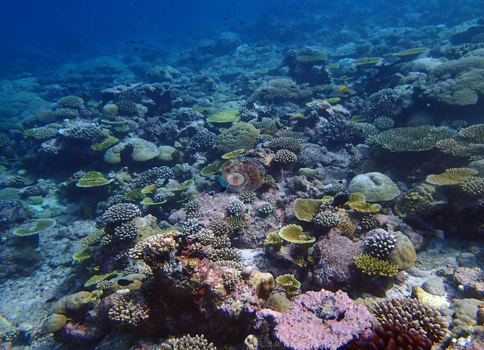
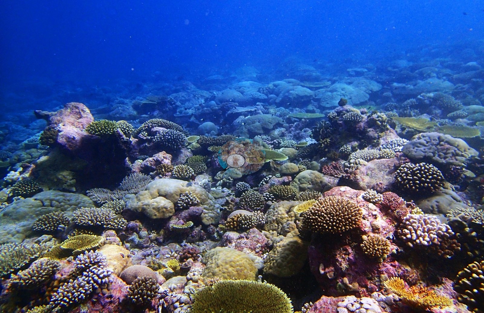
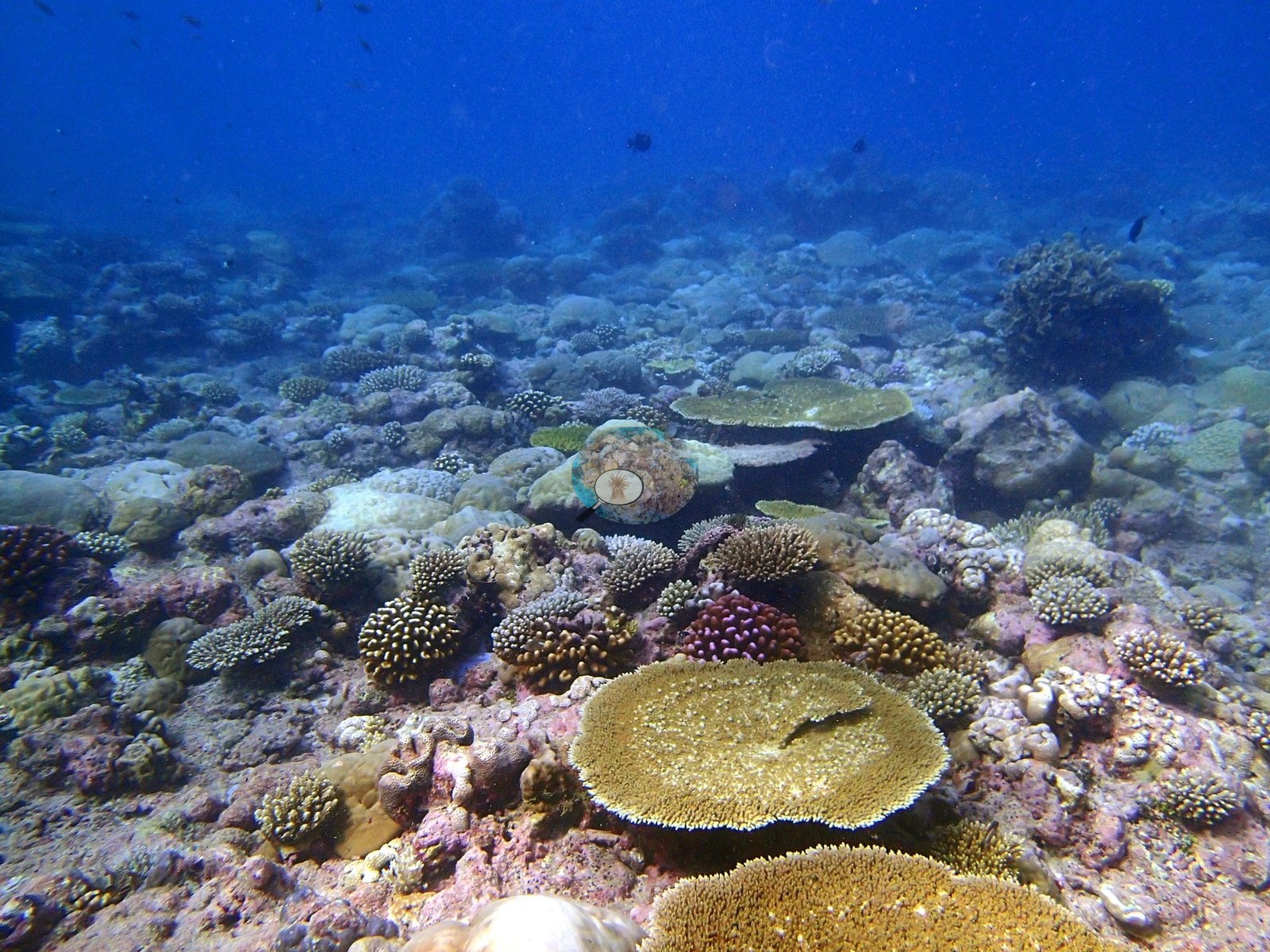
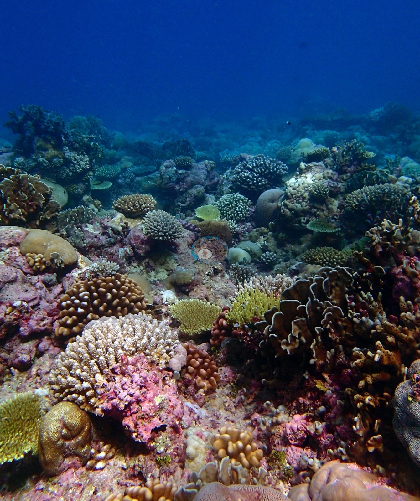
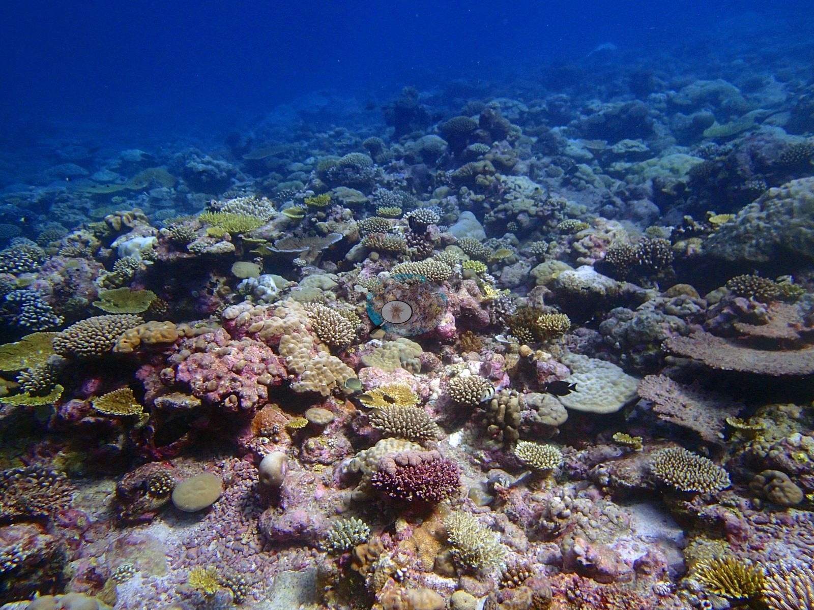
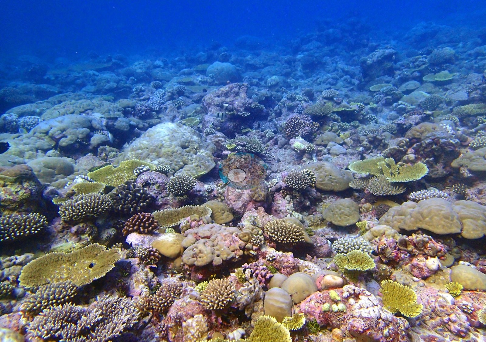
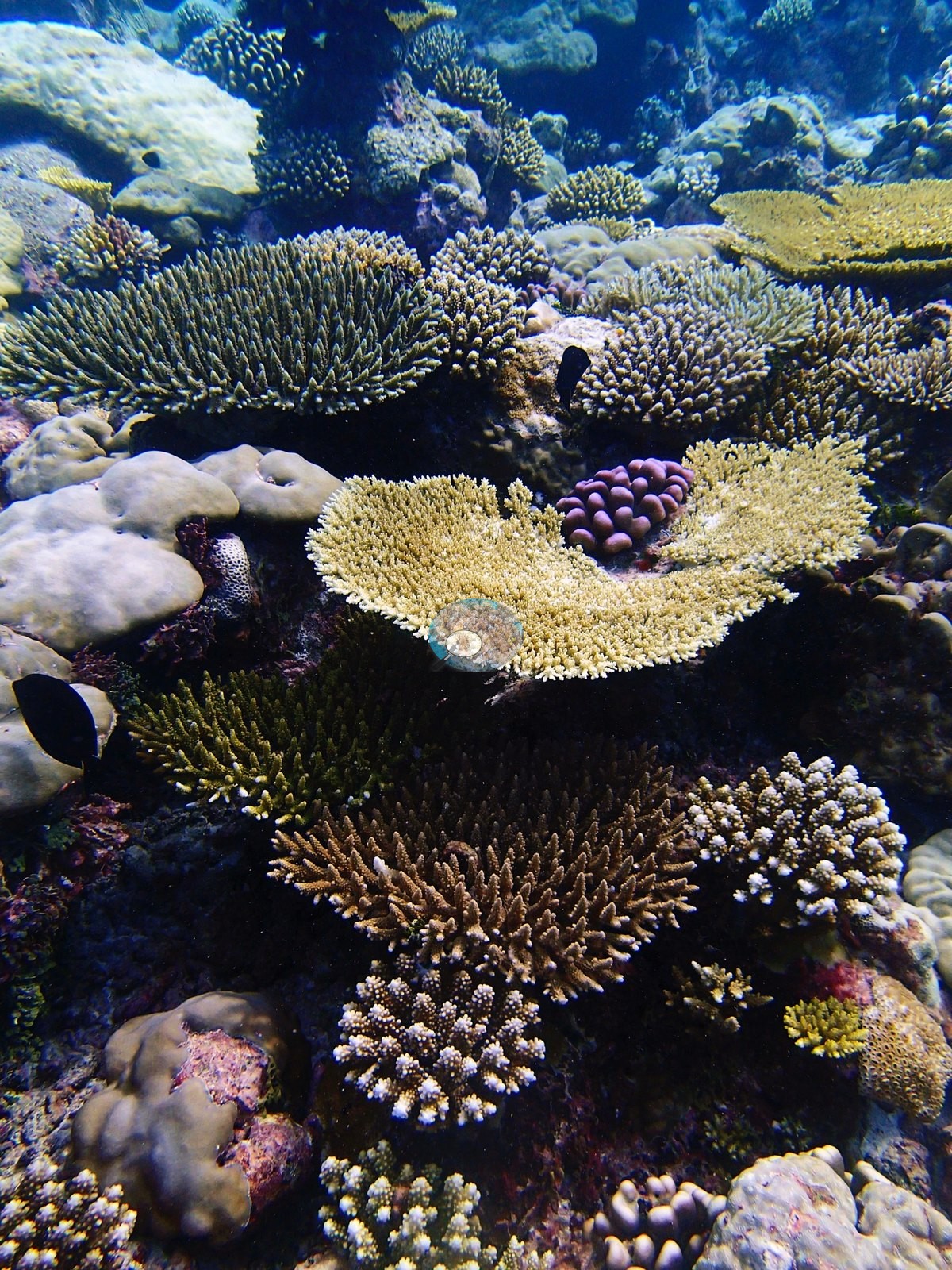
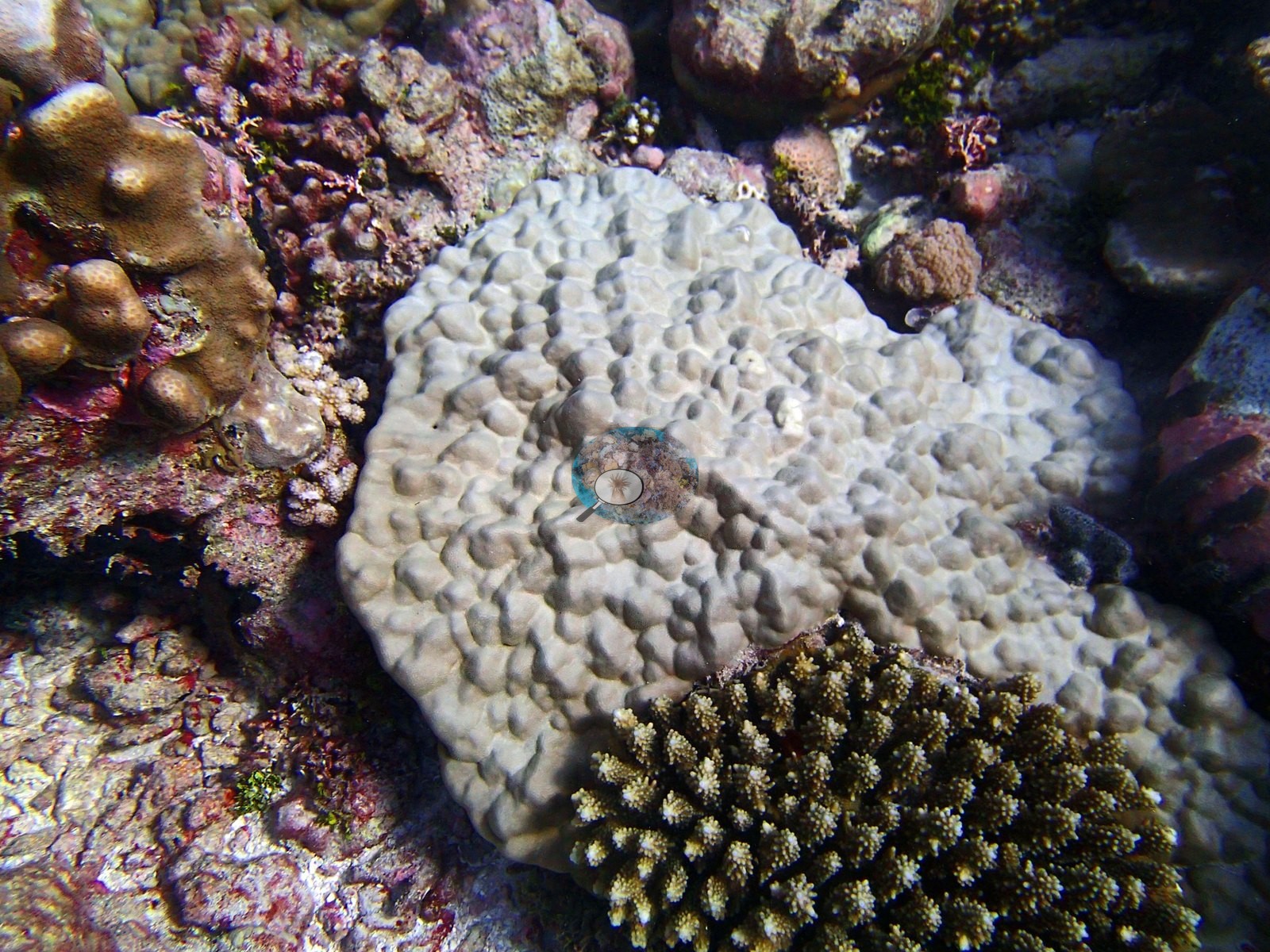
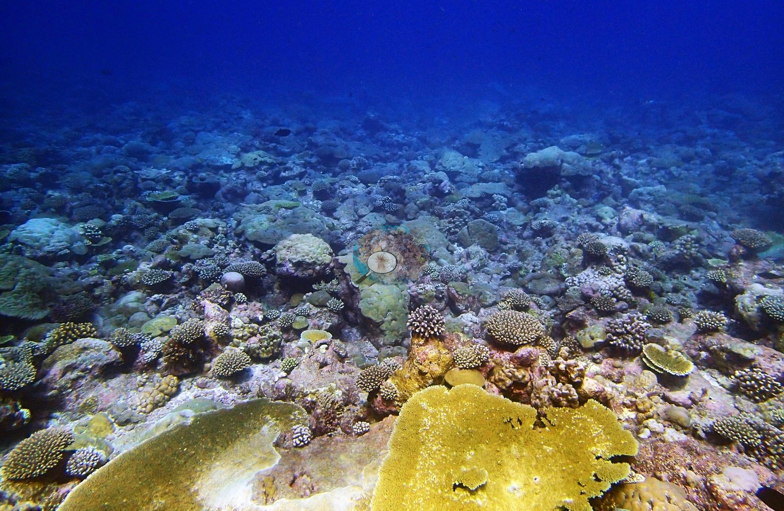
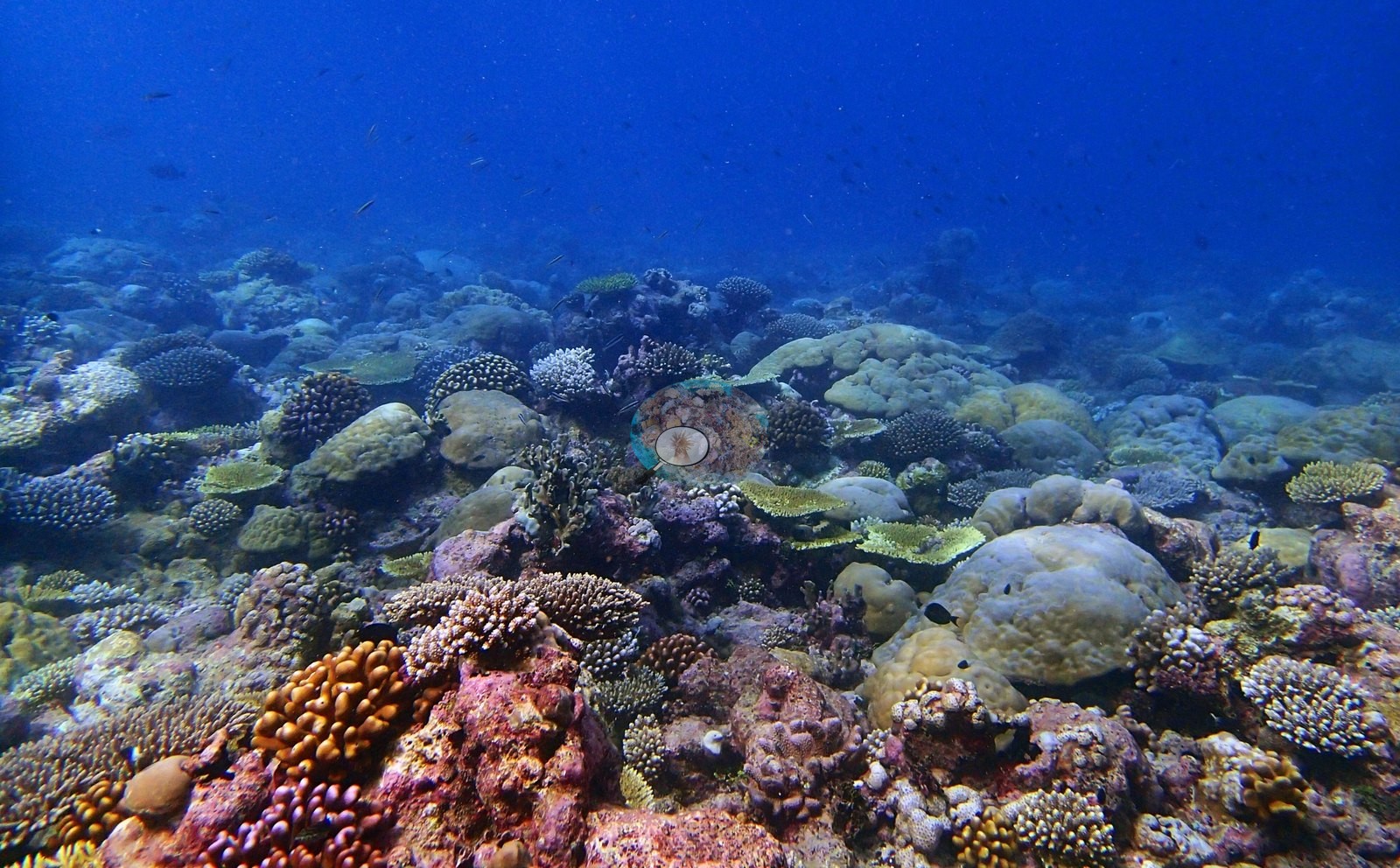
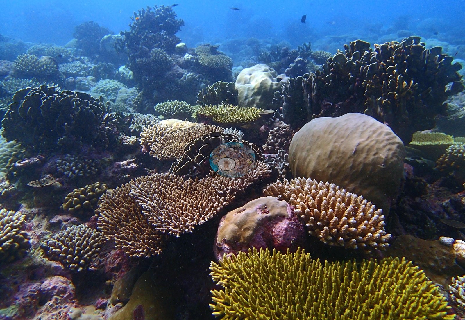
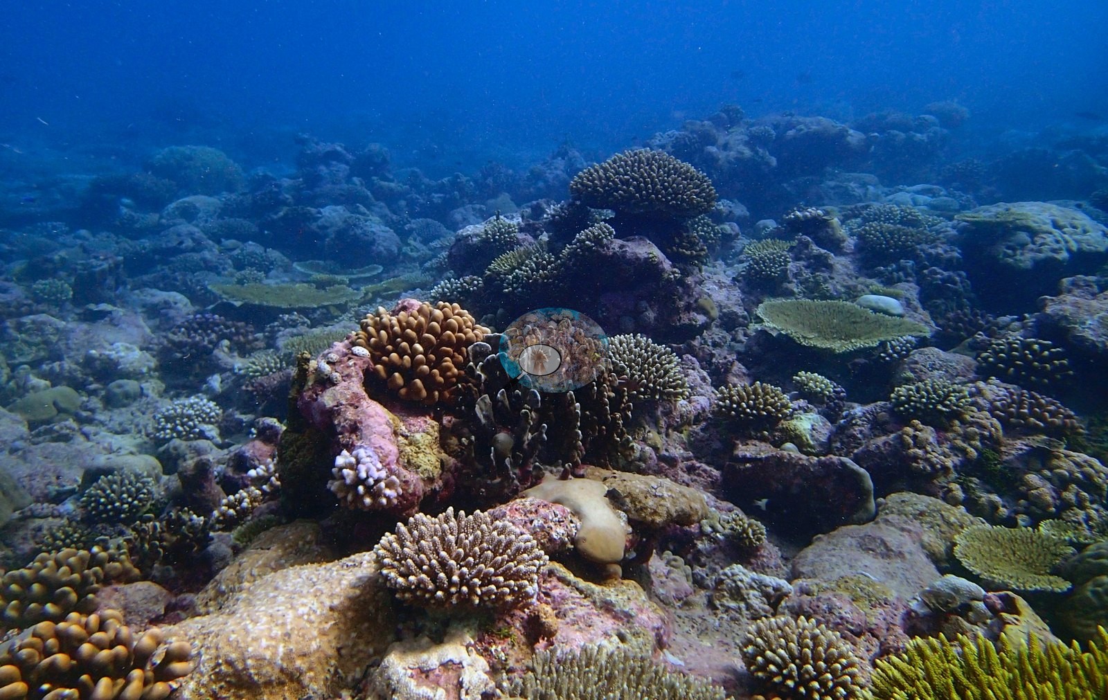
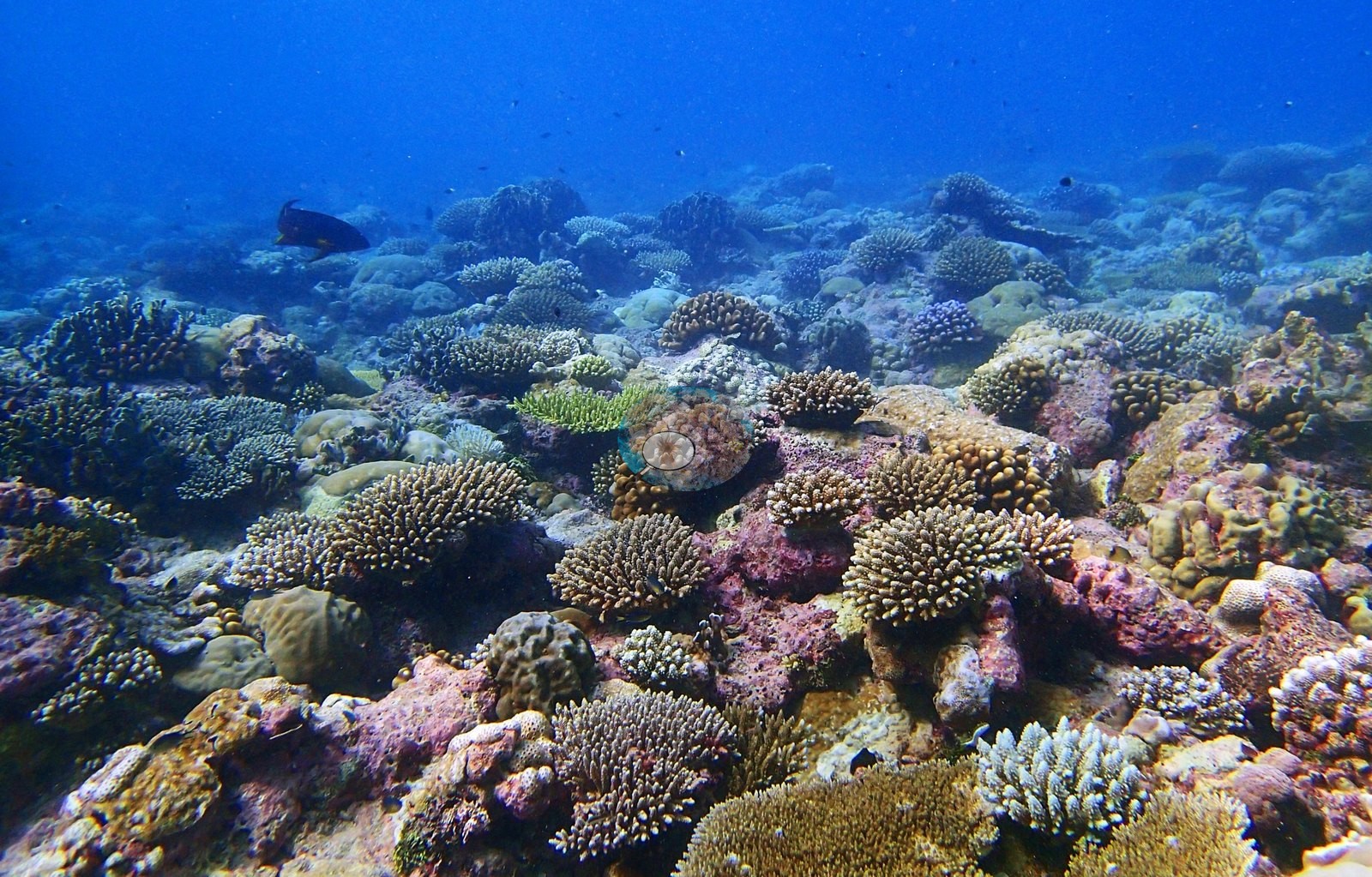
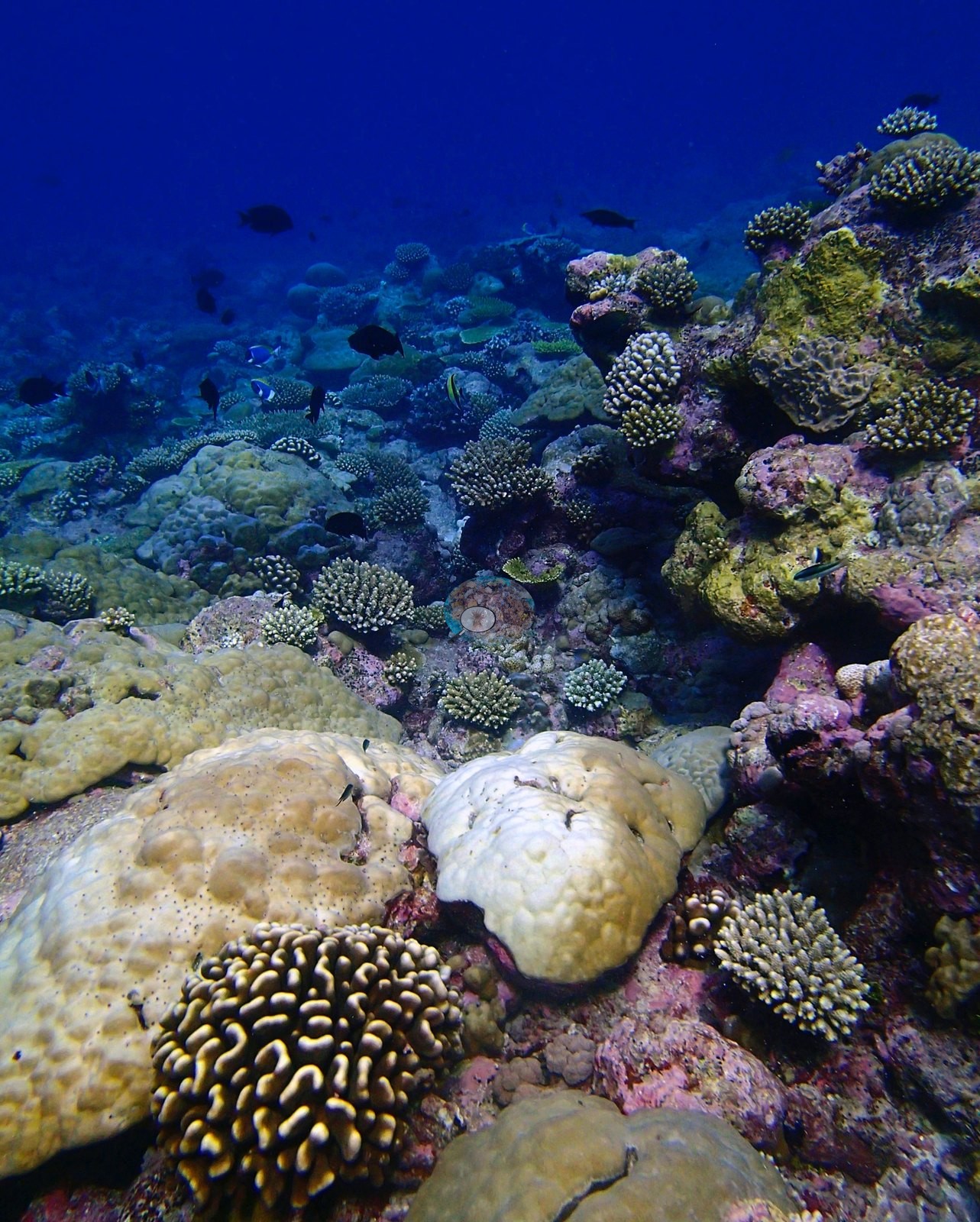
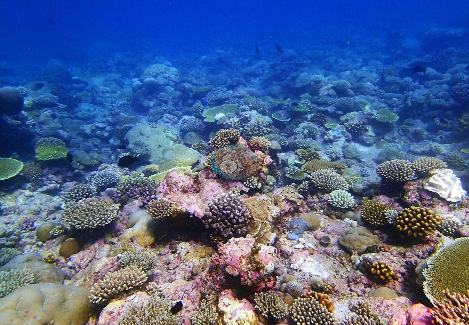
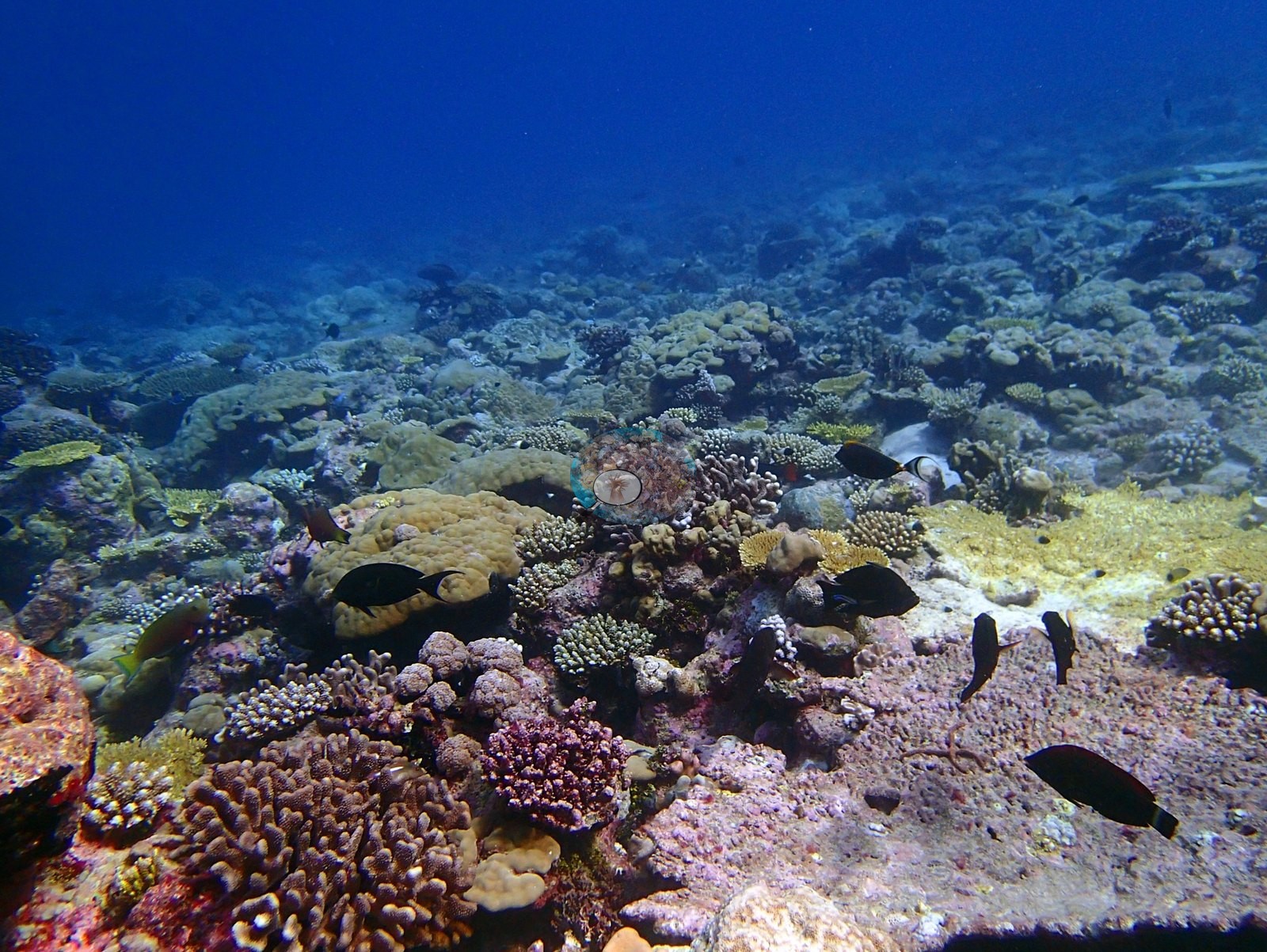
It is emphatically a Porites reef. Porites alone holds 22.83% of the benthos — 54% of all coral recorded — with Acropora a distant second at 8.39%, then Montipora 3.14% and Pocillopora 3.12%, and a fourteen-genus tail below 0.7%: Millepora, Heliopora, Stylophora, Pavona, Leptastrea, Goniastrea, Montastrea, Astreopora, Goniopora, Favia, Favites, Galaxea, Cyphastrea, and Gardineroseris. Crustose coralline algae hold 21.21% of the benthos, turf 11.61%, bare substrate 9.23%, non-coral invertebrates 9.02%, erect algae 3.62%, and macroalgae 1.32% (e.g., Image 26, Image 44).
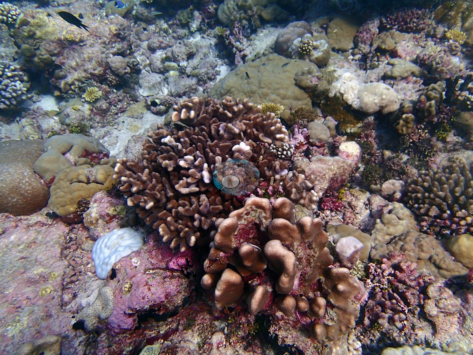
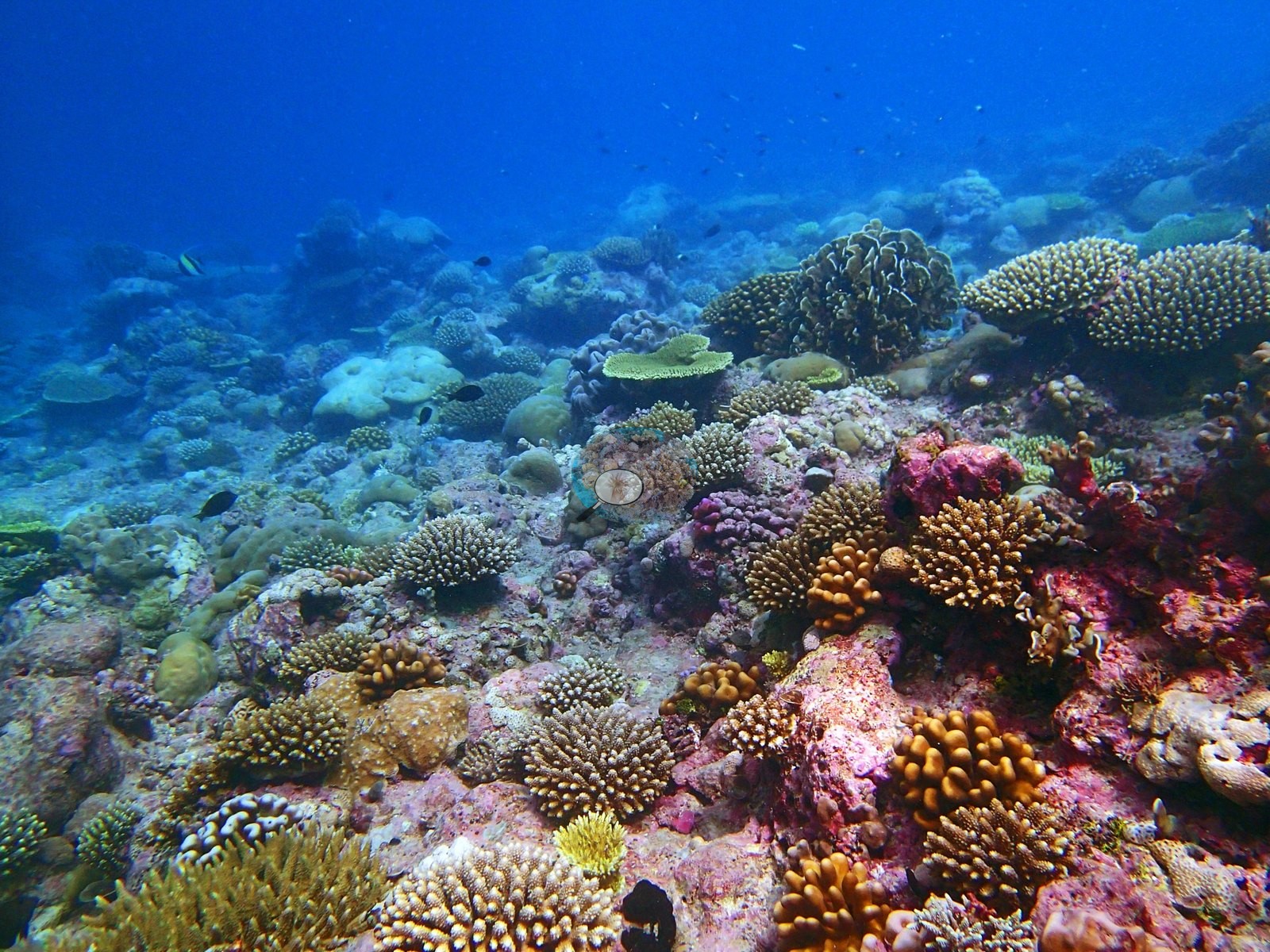
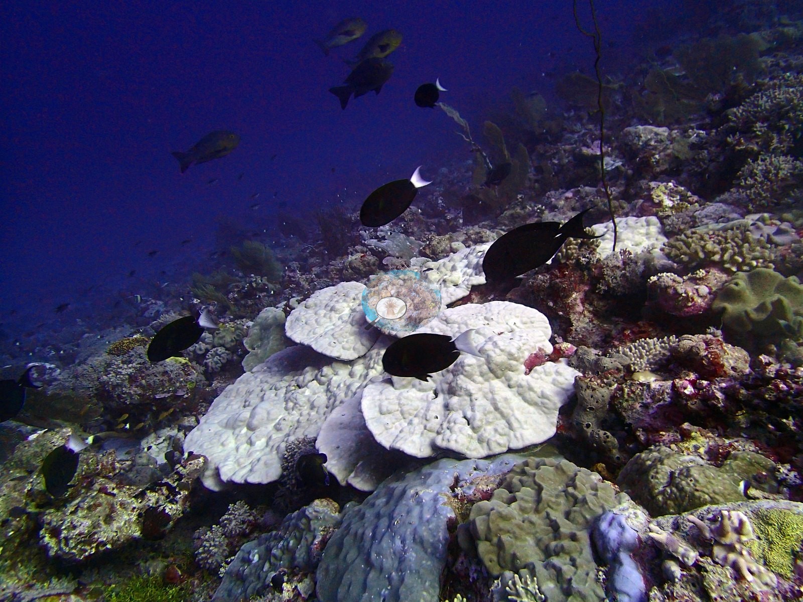
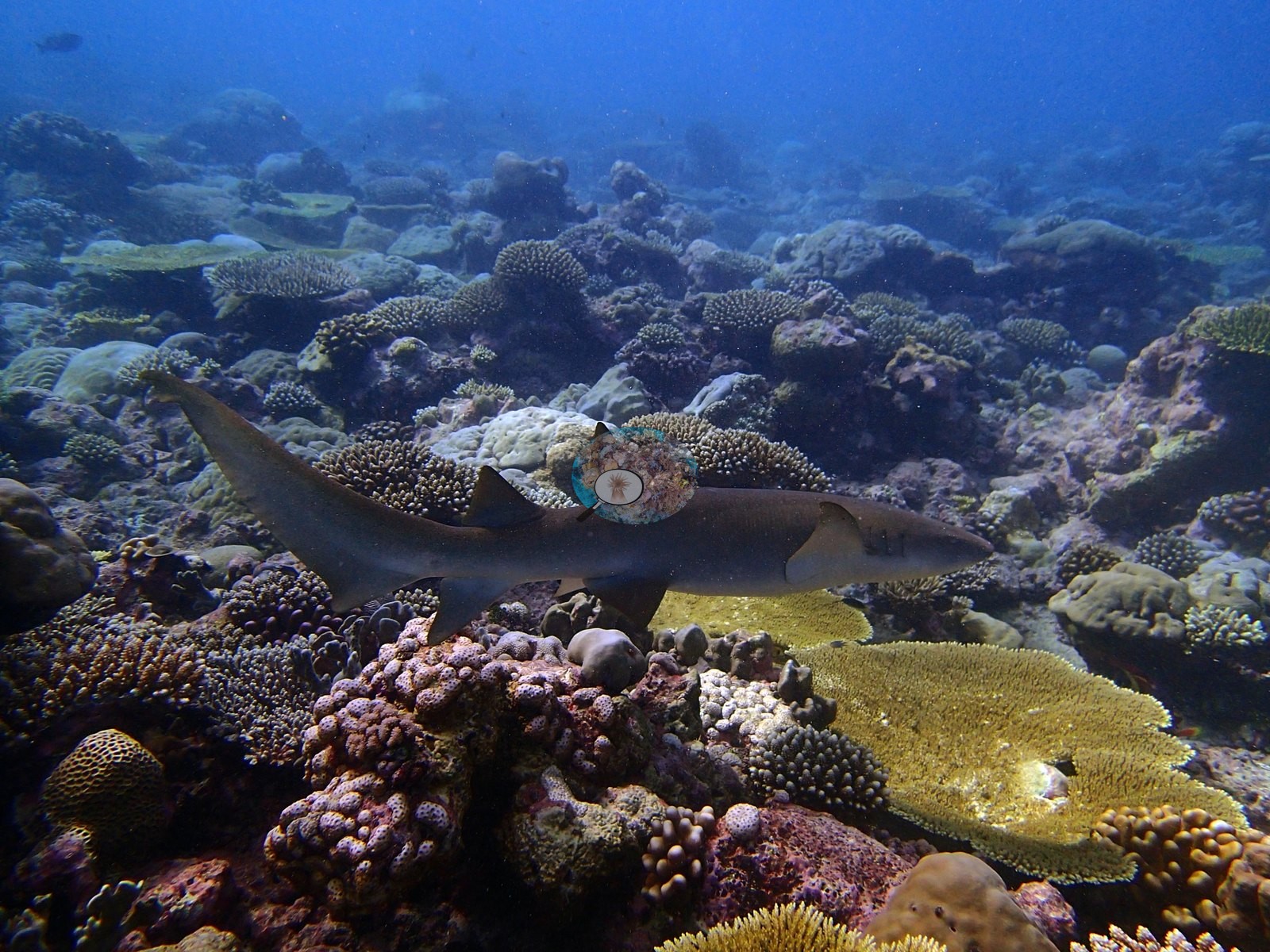
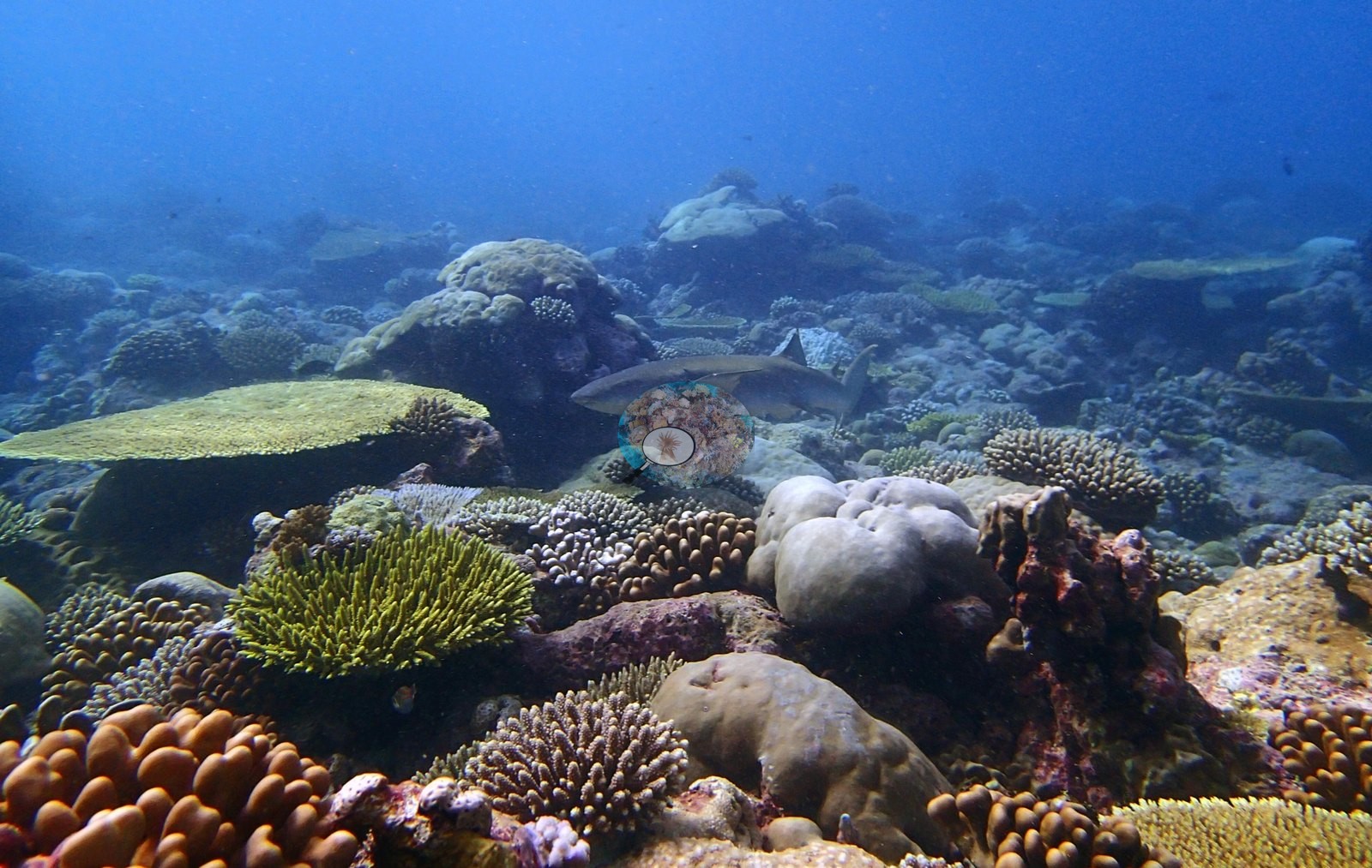
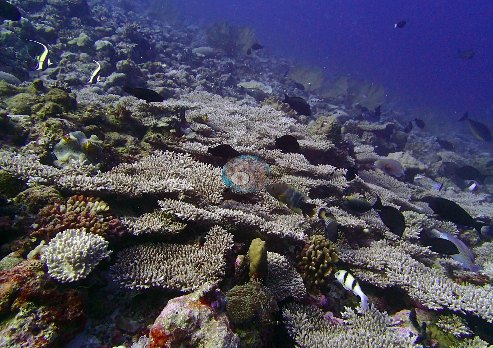
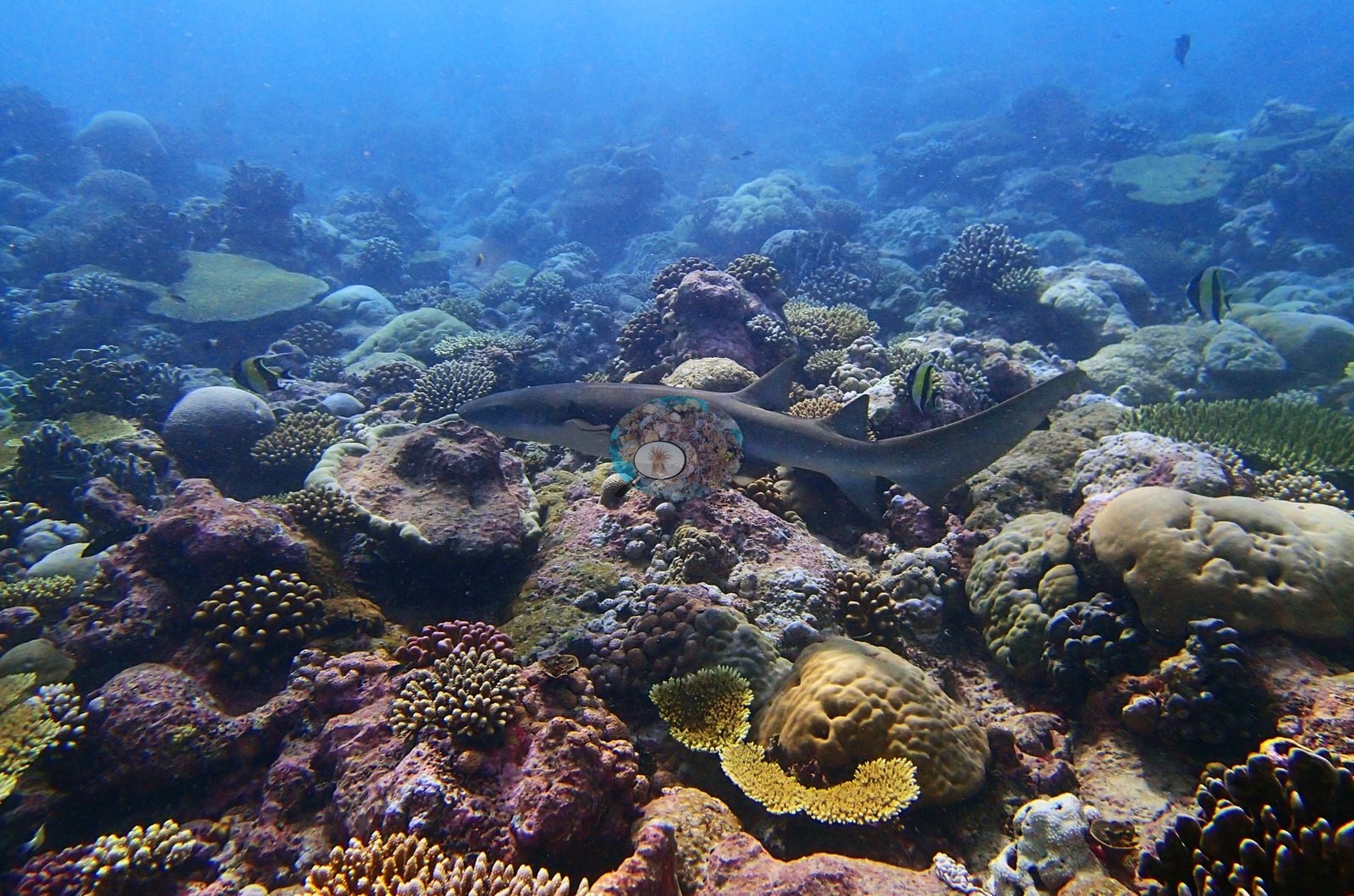
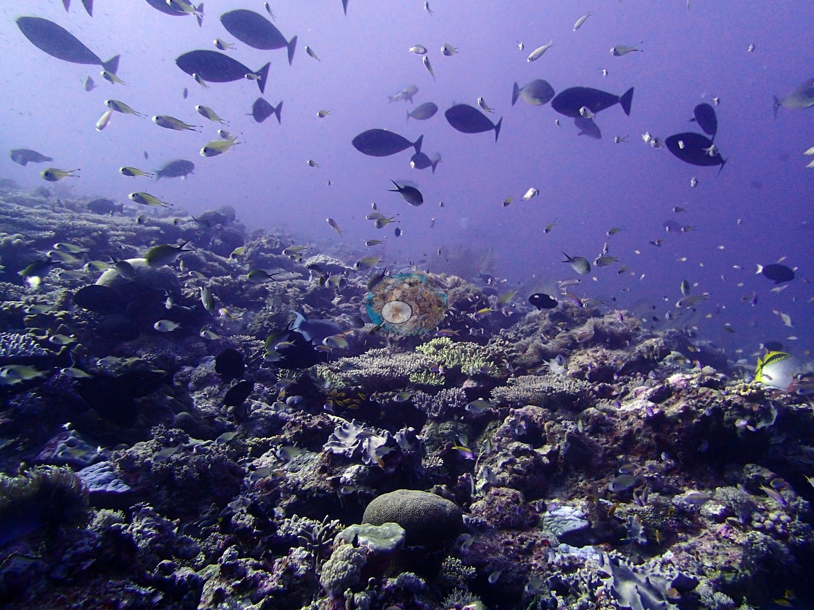
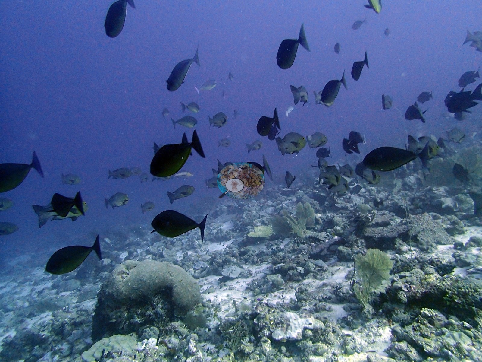
The depth structure is a clean genus handover. The compositional shift across that peak is the real story: above 8 m, Acropora leads at 19.0% of the benthos with Porites second at 12.8%. From 8 m down the order inverts and never recovers — Porites takes 33.0% at 8–12 m against Acropora's 6.5%, then 25.6% versus 5.2% at 12–18 m, and 19.9% versus 4.8% at 18–25 m. The site-level figure of 22.8% Porites is therefore not a uniform value but the average of a reef that is Acropora-fronted in the shallows and Porites-built below them. Algal cover runs inversely, highest in the shallows (47.5%) and lowest at depth (28.7%). Those six photographs are accounted for as follows: two are wide silhouette shots taken into the surface light, showing a school of large unicornfish or surgeonfish over a reef whose bottom is entirely in shadow — legible only as profile, and revealing gorgonian sea fans and thin whip or wire corals standing off the substrate, neither of which appears in the transect genus list (e.g., Image 1, Image 25).
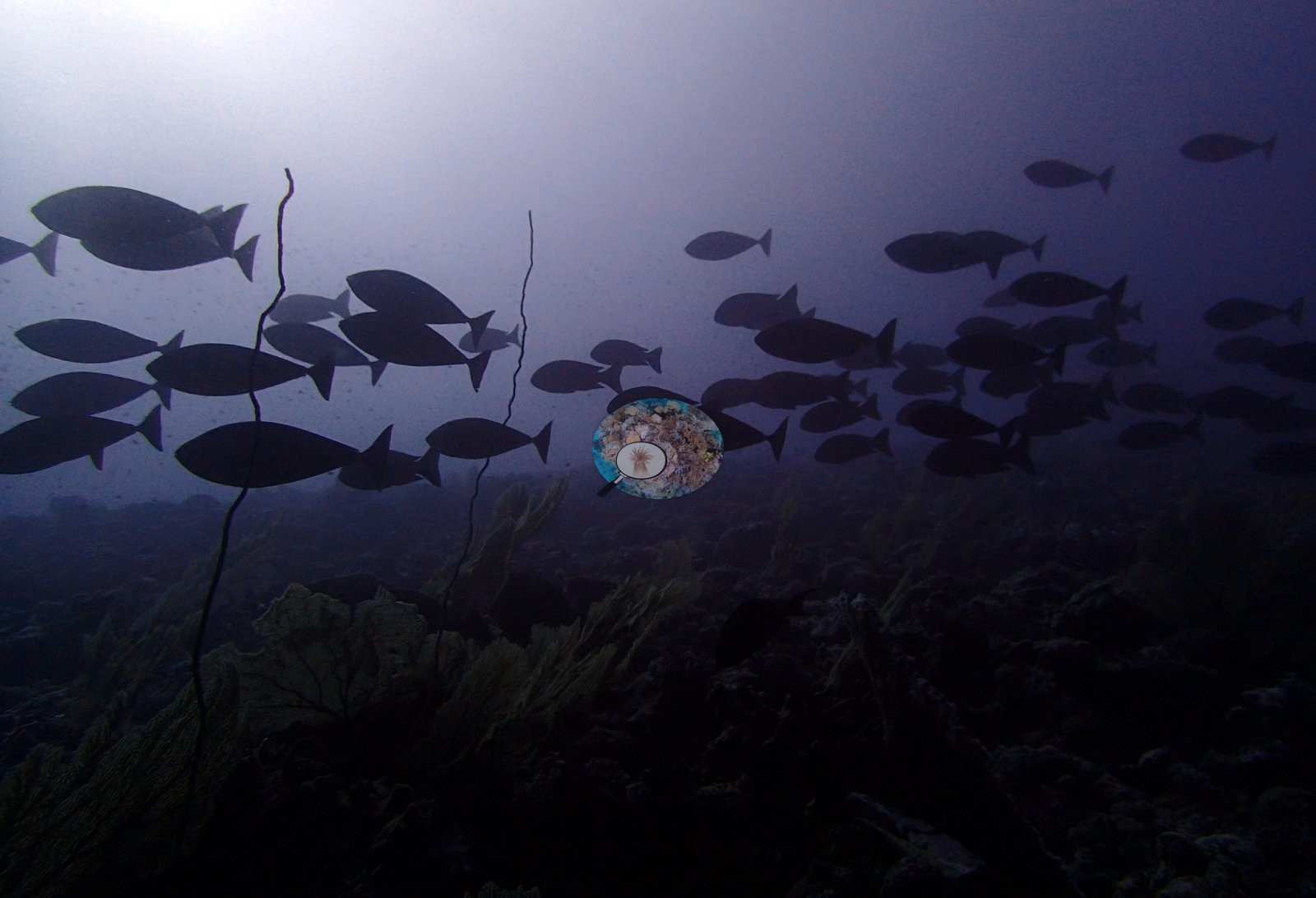
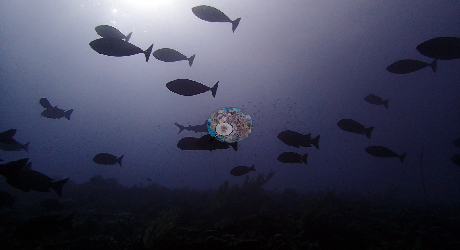
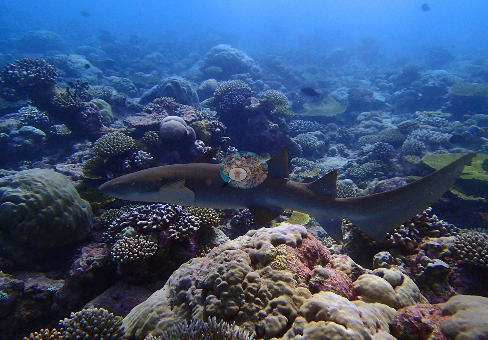
Assemblage composition. Formal surveys give 42.2% coral, 39.5% algae, and 9.0% non-coral invertebrates, the coral dominated by Porites below 8 m and Acropora above it. The photographs contribute three facts and no cover information: gorgonians and whip corals are present, a substantial surgeonfish aggregation was working the site, and at least one phyllidiid nudibranch was on the pavement (e.g., Image 43, Image 45).
Coral cover
Coral cover peaks in the 8–12 m band at 49.3%, then declines steadily — 39.1% at 12–18 m, 36.3% at 18–25 m — while the shallowest band holds 44.3%.
Stressors
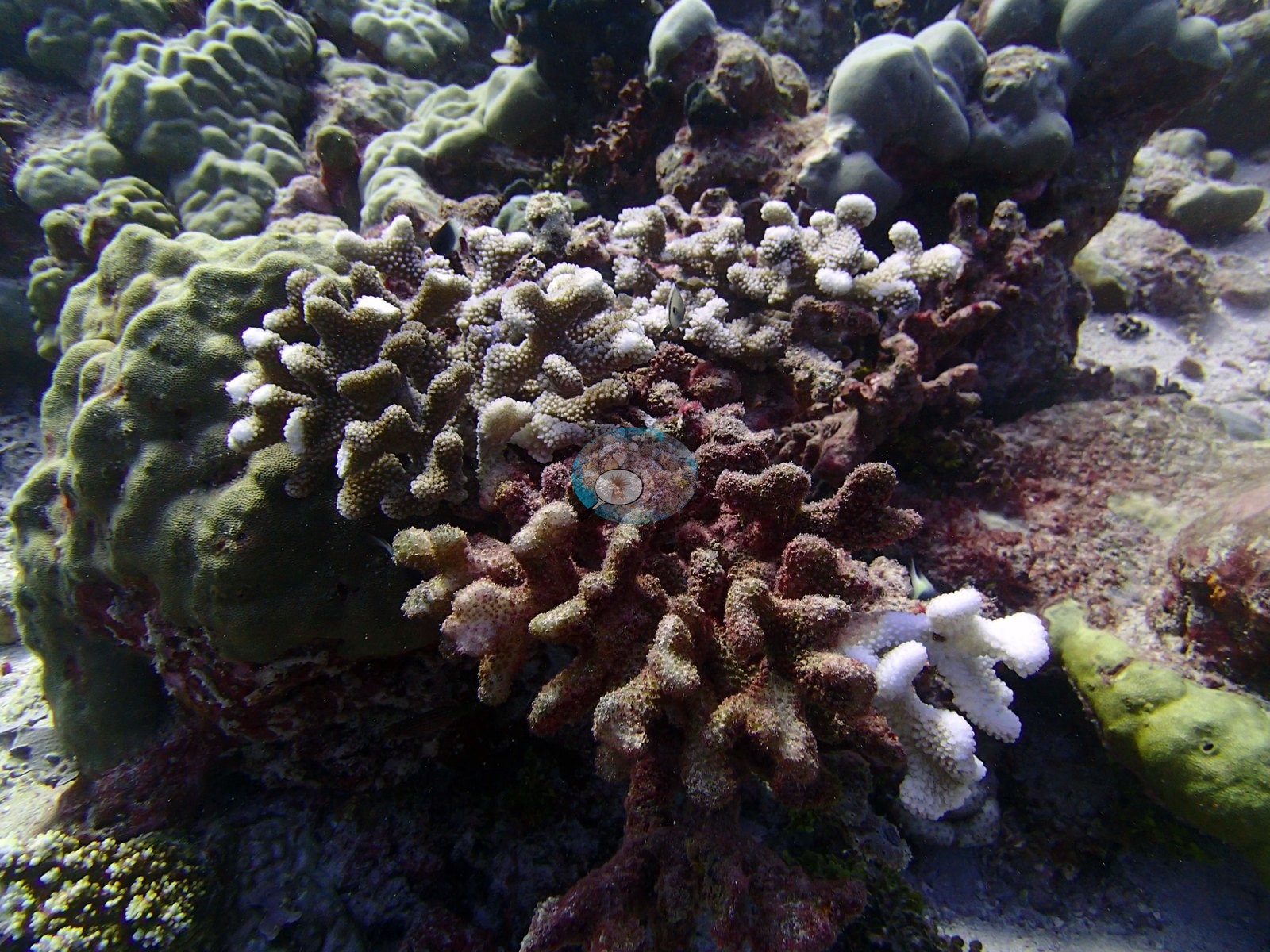
Condition is the weakest element. The published image-based bleaching figure is 11.8%, which ranks 31st of 109 Chagos sites — an order of magnitude above sites like BITB58 (0.8%) and well above the archipelago's low-bleaching majority (e.g., Image 27, Image 36, Image 40).
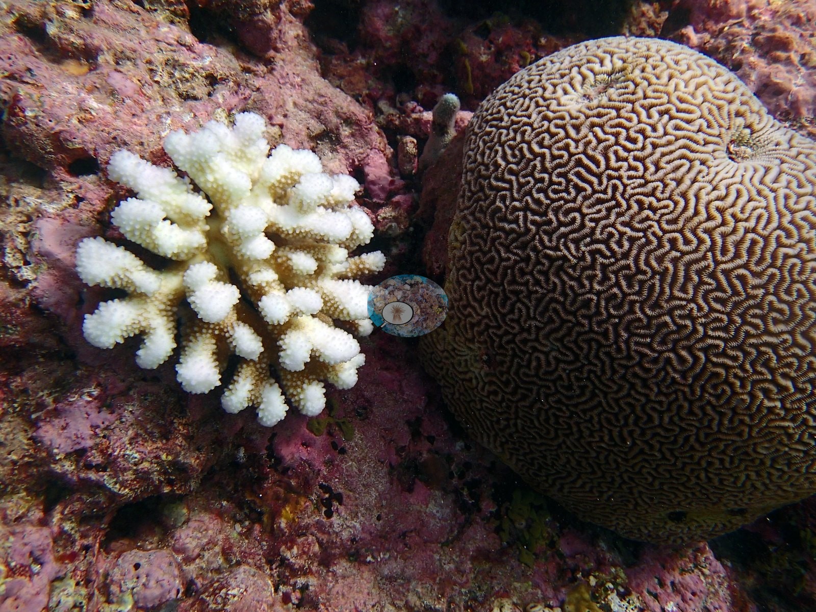
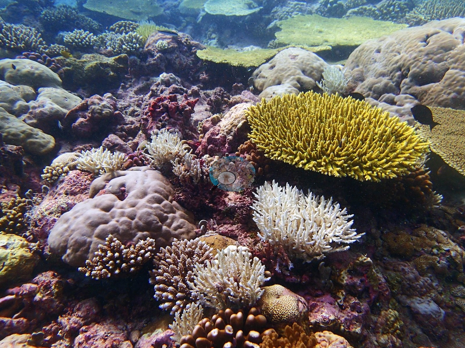
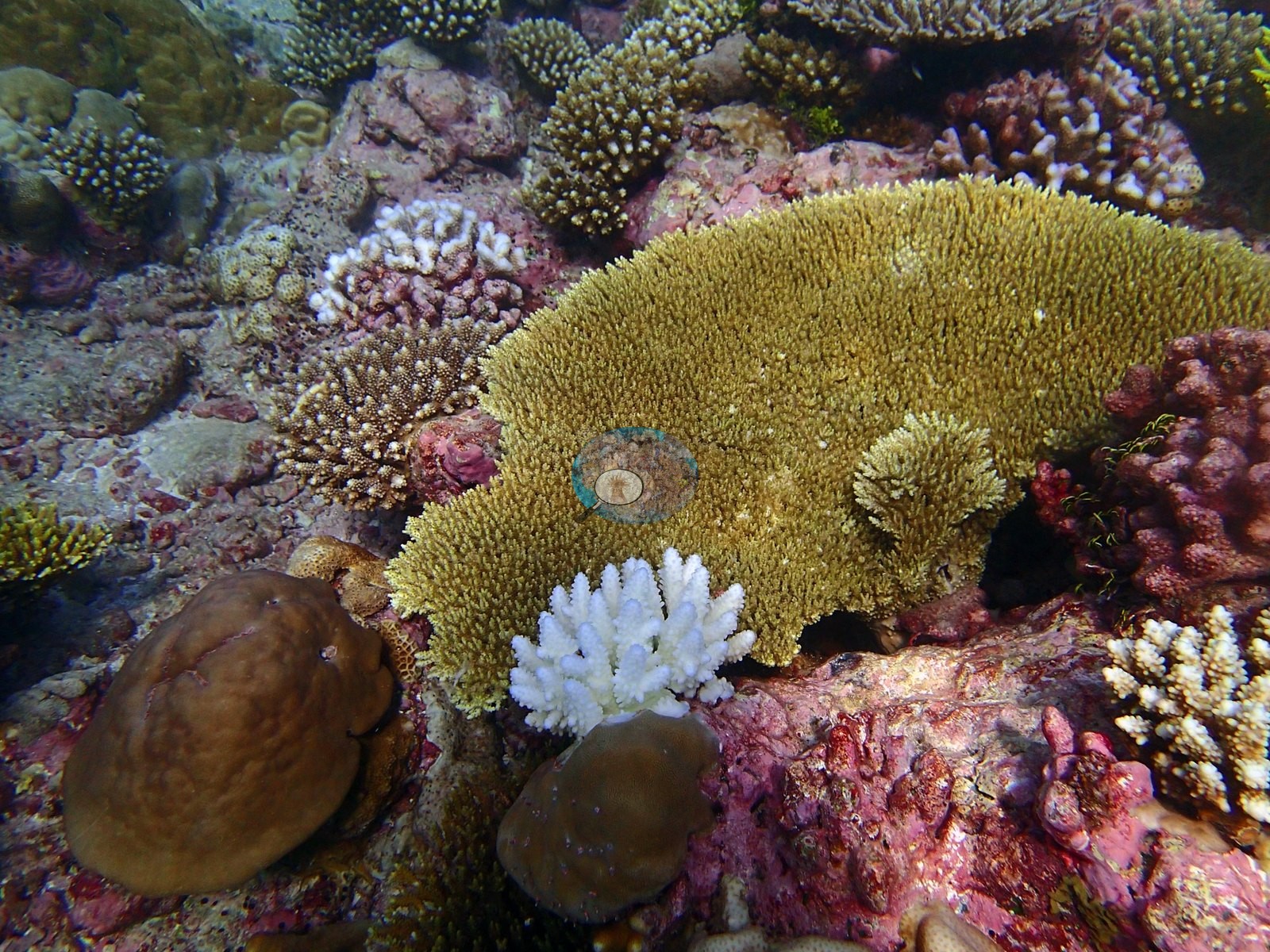
Combined with 39.5% algal cover and only 42.2% coral, this reads as a reef under more pressure than its Peros Banhos neighbors, though nothing in those six photographs bears on that either way. No crown-of-thorns starfish (COTS) or other corallivores evident.
Fish and other fauna
One elongate fish in one of the silhouette shots may be a small shark or a barracuda; the silhouette does not permit a call. The remaining four of them are a macro sequence of a single phyllidiid nudibranch — black ground, pale blue-white ridges, yellow-orange tipped tubercles, photographed from four angles on coralline-crusted pavement (e.g., Image 2, Image 3, Image 4, Image 8).
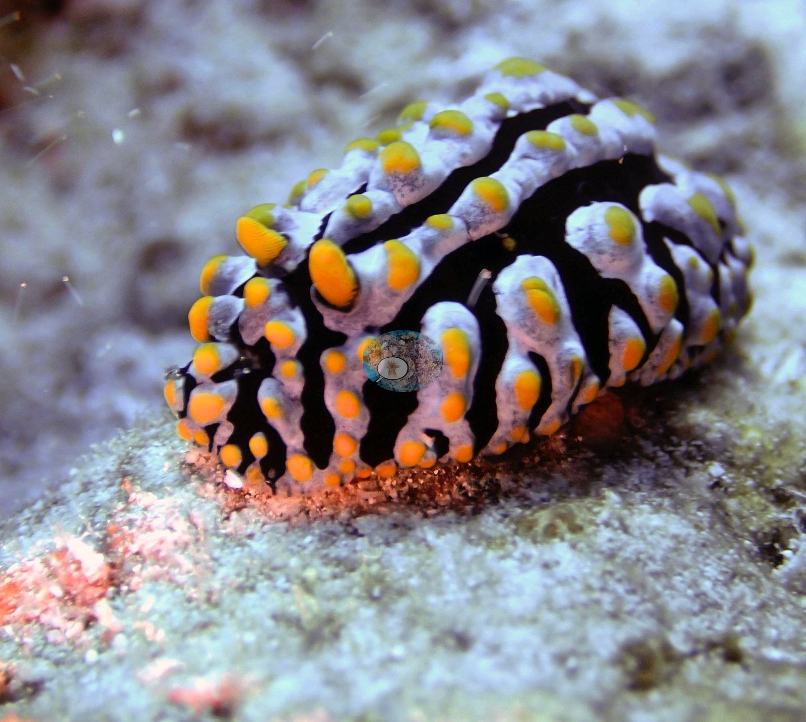
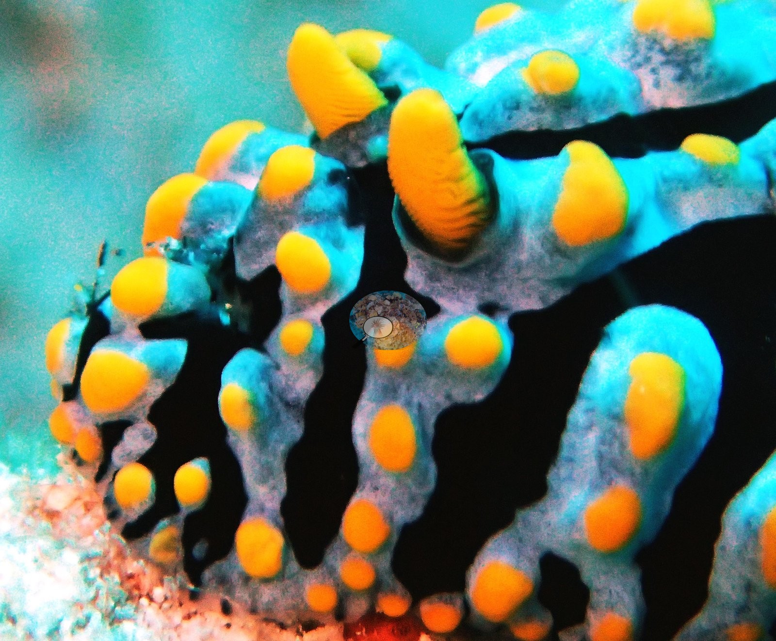
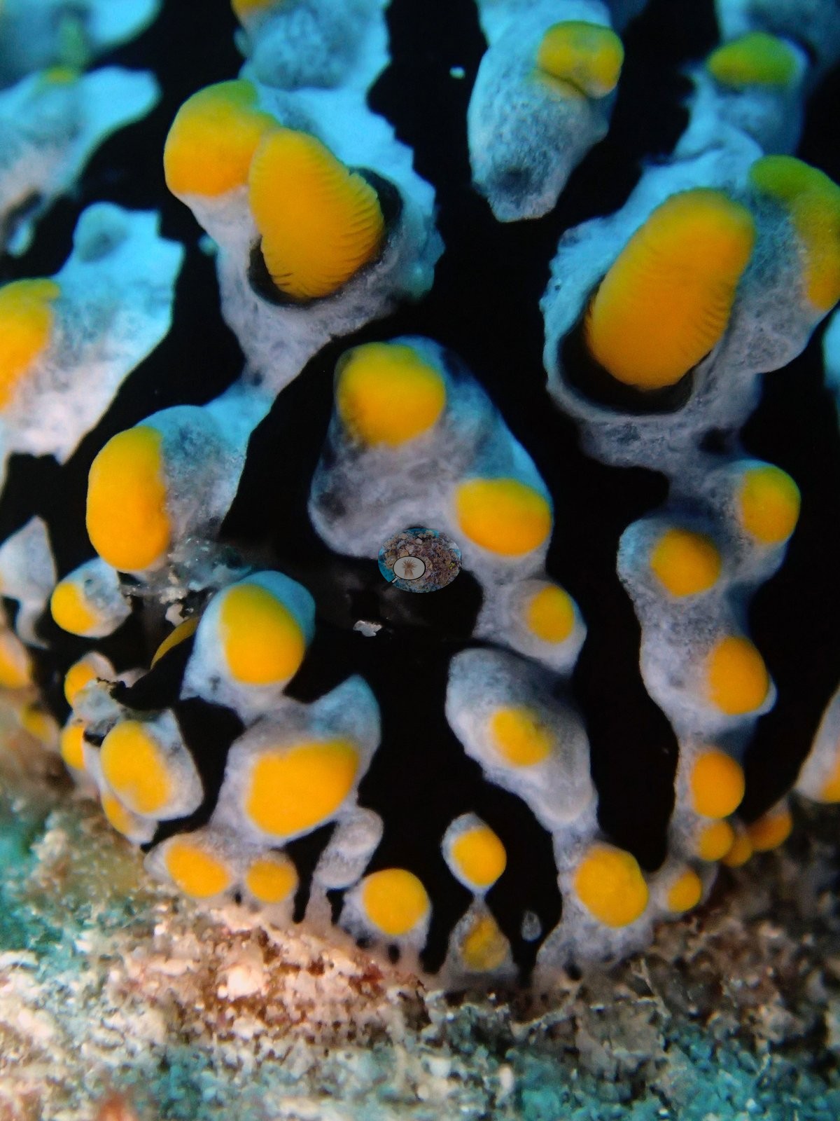
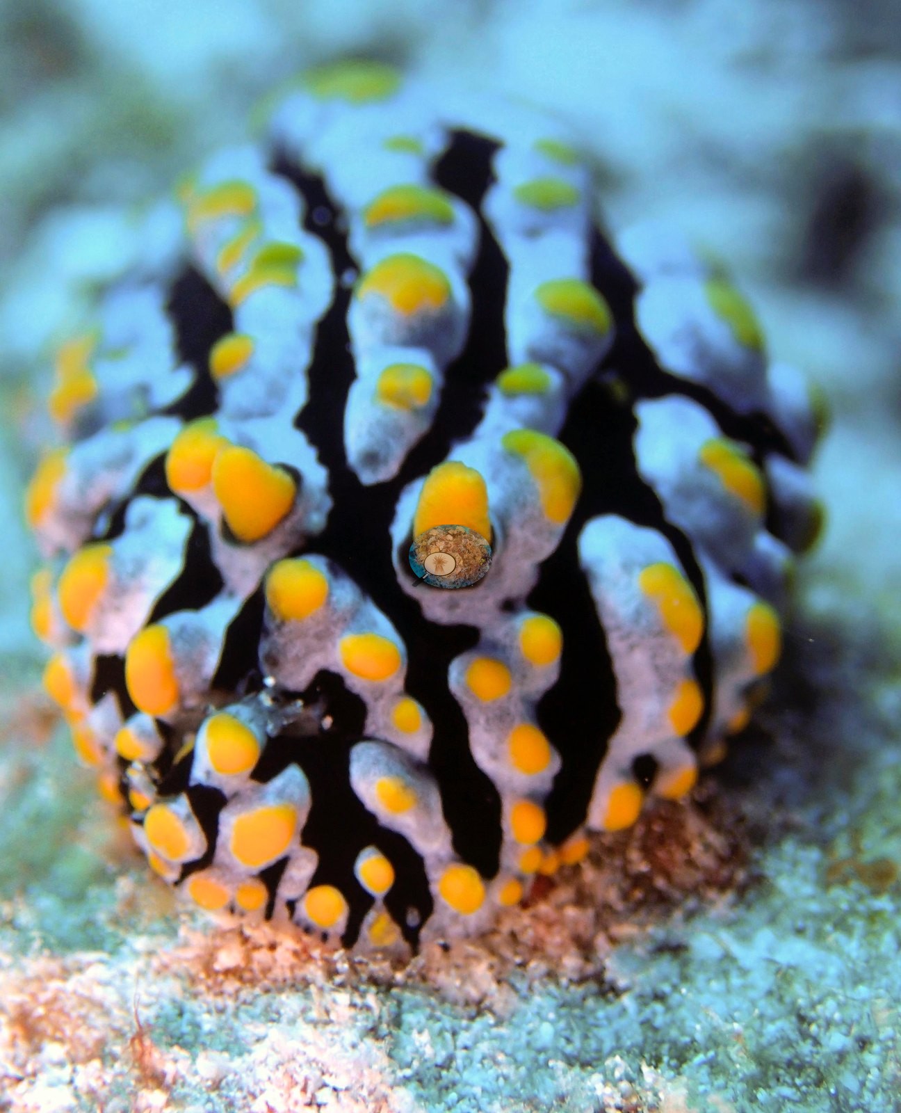
Genus is Phyllidia-type; species is not resolvable from these images alone.
Comparisons with other data
No independent survey was made at this exact site; the nearest ones are listed in the table below.
Other notes
The six photographs this account was written from cannot describe this reef.
CV model comparison
More info
Those are point counts on the photographs; this is a diver swimming a transect. The models and the reference never saw the same thing. ⚠ SITE-LEVEL ONLY. The 2,500 frames were not associated with any transect taken within 200 m of them, so transect-vs-image comparisons are site means, never frames. The transect value is already in the pin `cover` field (109 of 112 pins, sourced to the paper's suppl. S1) and is read from there, never re-imported. The transect is THE coral-cover value for this site and stands alone. The rows below it are a methods comparison only: no computer-vision value is averaged with it, feeds the headline, or carries over to the site's cover figure (Anderson, 2026-09-22).| Method | Hard-coral cover (%) |
|---|---|
| Transect (published) | 42.2 |
| In-house DINOv3 | 33.4 |
| CoralSCOP edited | 41.9 |
| Claude | 29.5 |
Independent surveys nearby
| Agency / program | Year(s) | Stations / distance | Link |
|---|---|---|---|
| Sheppard et al. (2008) | 2006 | 1 station, 2.60 km | Records ↓ |
| XL Catlin Seaview Survey | 2015 | 1 station, 3.97 km | Records ↓ |
Within 5 km, 2 independent survey stations recorded hard coral cover in 6 records between 2006 and 2015. The most recent nearby survey is from 2015, so these values predate recent heat stress. This site's own estimate (42%) sits within the range of these surveys (27–44%); the methods differ, so the comparison is context, not a like-for-like test.
Collected by other programs using different methods (the XL Catlin Seaview Survey uses photo-transects with automated image annotation), so these are context for the figures above, not a like-for-like comparison. Where a station was surveyed more than once the range is shown. Station names are not dive-site names.
| Agency | Site / location | Date | Hard coral cover (%) | Distance | Link |
|---|---|---|---|---|---|
| Sheppard et al. (2008) | Peros Banhos | 2006 | 44% (5 surveys) | 2.60 km | HeatCRD database |
| XL Catlin Seaview Survey | transect 36006 | 2015 | 27% | 3.97 km | — |
Data & links
- Read the full site report ↗
- Download benthic survey data (CSV) ↗
- Download all LOF-GRE data (933 sites) ↗
- CoralNet image repository for this region ↗
- HeatCRD database ↗
- (reference) ↗
- Photo portfolio ↗
- Coral Reef Diagnostics page for this area ↗
All images from Coral Reef Diagnostics. Data are from Coral Reef Diagnostics and the organizations named in the data-sources table above.
 © Coral Reef Diagnostics.
References
- Mayfield AB, Dempsey AC (2026). Using tourist diver images to estimate coral cover and bleaching prevalence in a remote Indian Ocean coral reef system. Oceans 7(1):1. PDF
- Sheppard C, Harris A, Sheppard A (2008). Archipelago-wide coral recovery patterns since 1998 in the Chagos Archipelago, central Indian Ocean. Marine Ecology Progress Series 362:109-117. PDF