
Part of the regional summaries: Chagos Archipelago - Great Chagos Bank West / Brothers / Eagle and Chagos Archipelago
More info
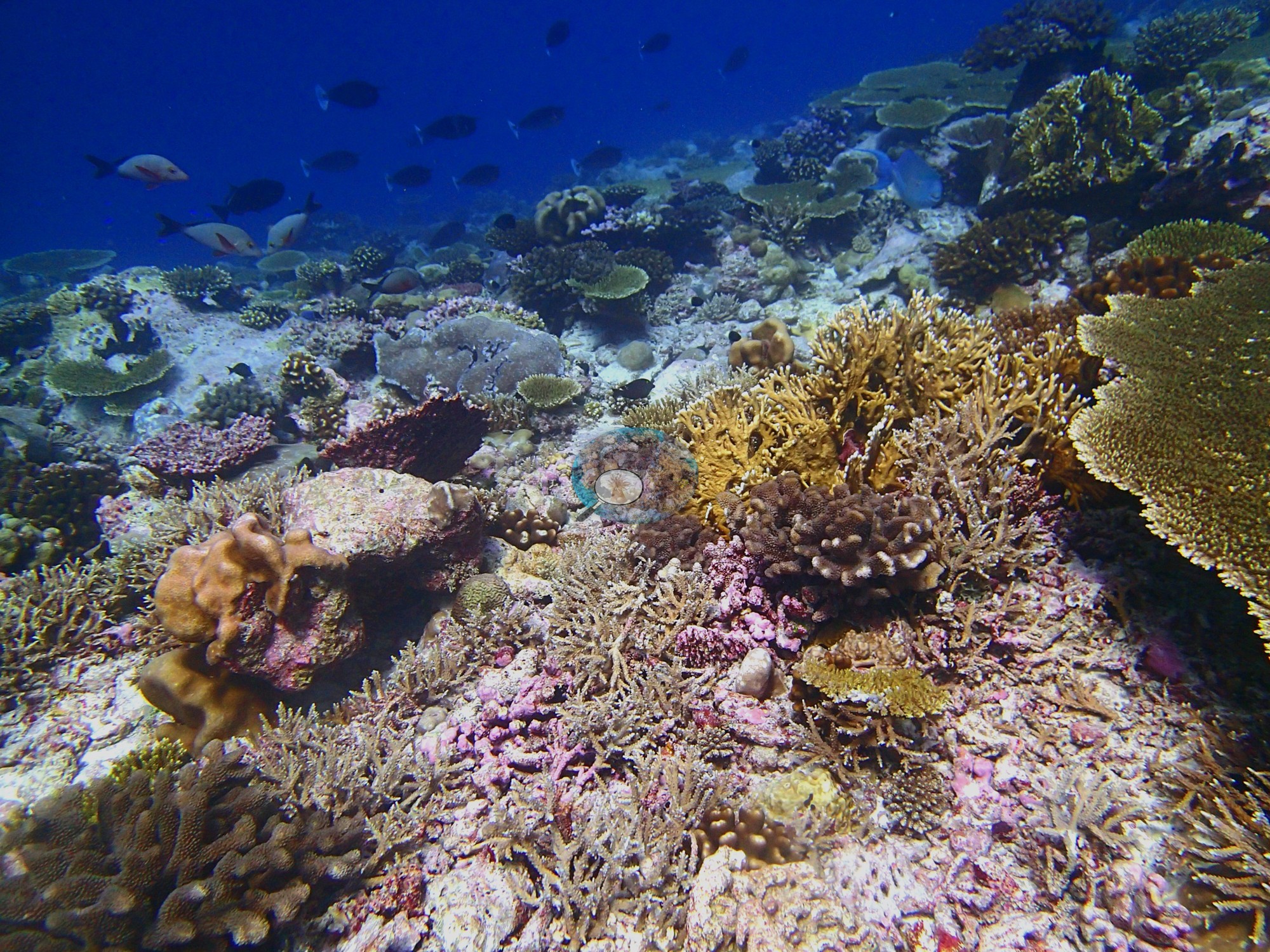
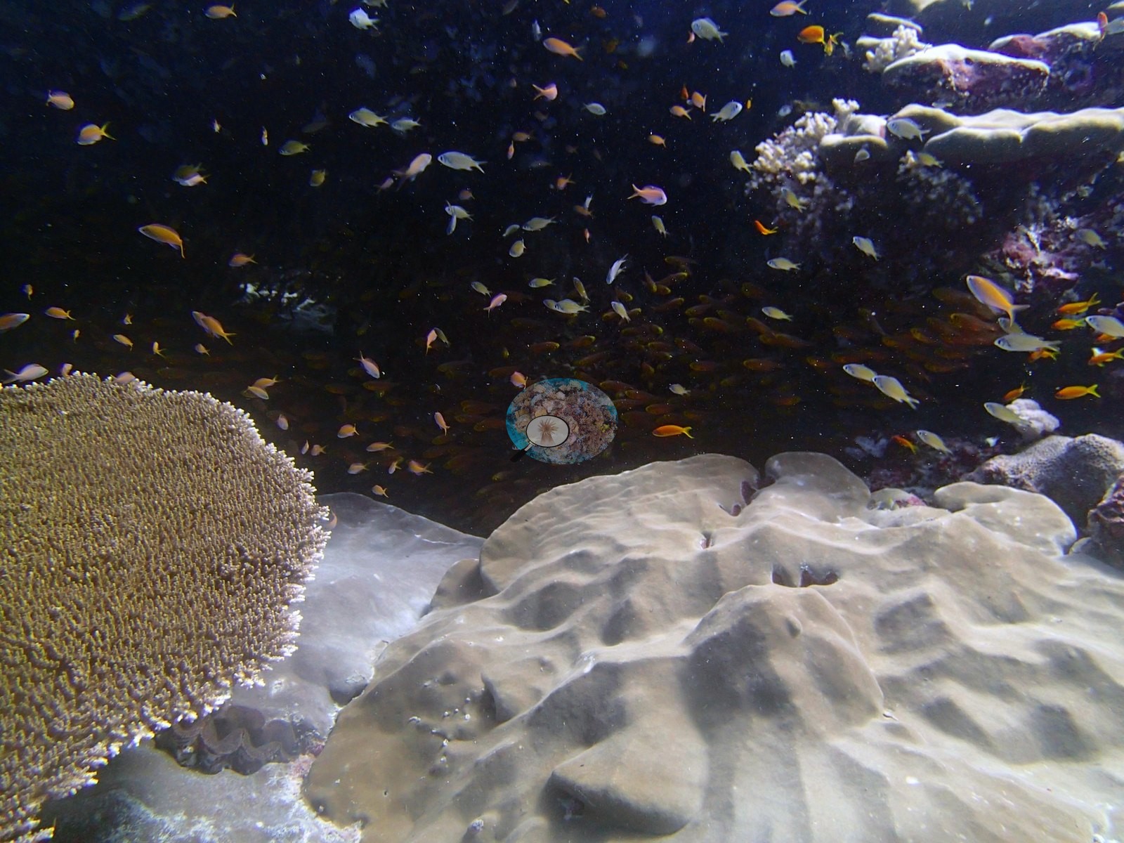
Chagos (NOAA CRW virtual station)A leeward channel reef on the western Great Chagos Bank built mainly on massive Porites domes, with Acropora tables and branching colonies in between. The standout image is an overhang packed with orange anthias above a wedged-in giant clam. Surveyed on the Living Oceans Foundation's Global Reef Expedition.
Three independent survey stations shown with the program’s logo — click one to see how far it is from this site.
Twelve other CRD dive sites within 5 km shown in orange — click a marker to open its page.
🗺 Detailed map of the Global Reef Expedition dive sites, Three Brothers, Chagos (Khaled bin Sultan Living Oceans Foundation; opens in a new window)

Site description
Setting
Reef type: channel reef, intermediate exposure — the CRD site page calls it a leeward channel reef.
General benthic features
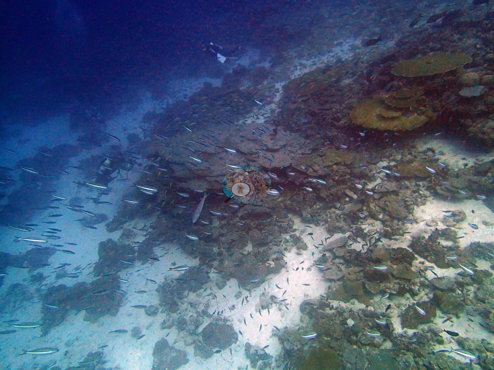
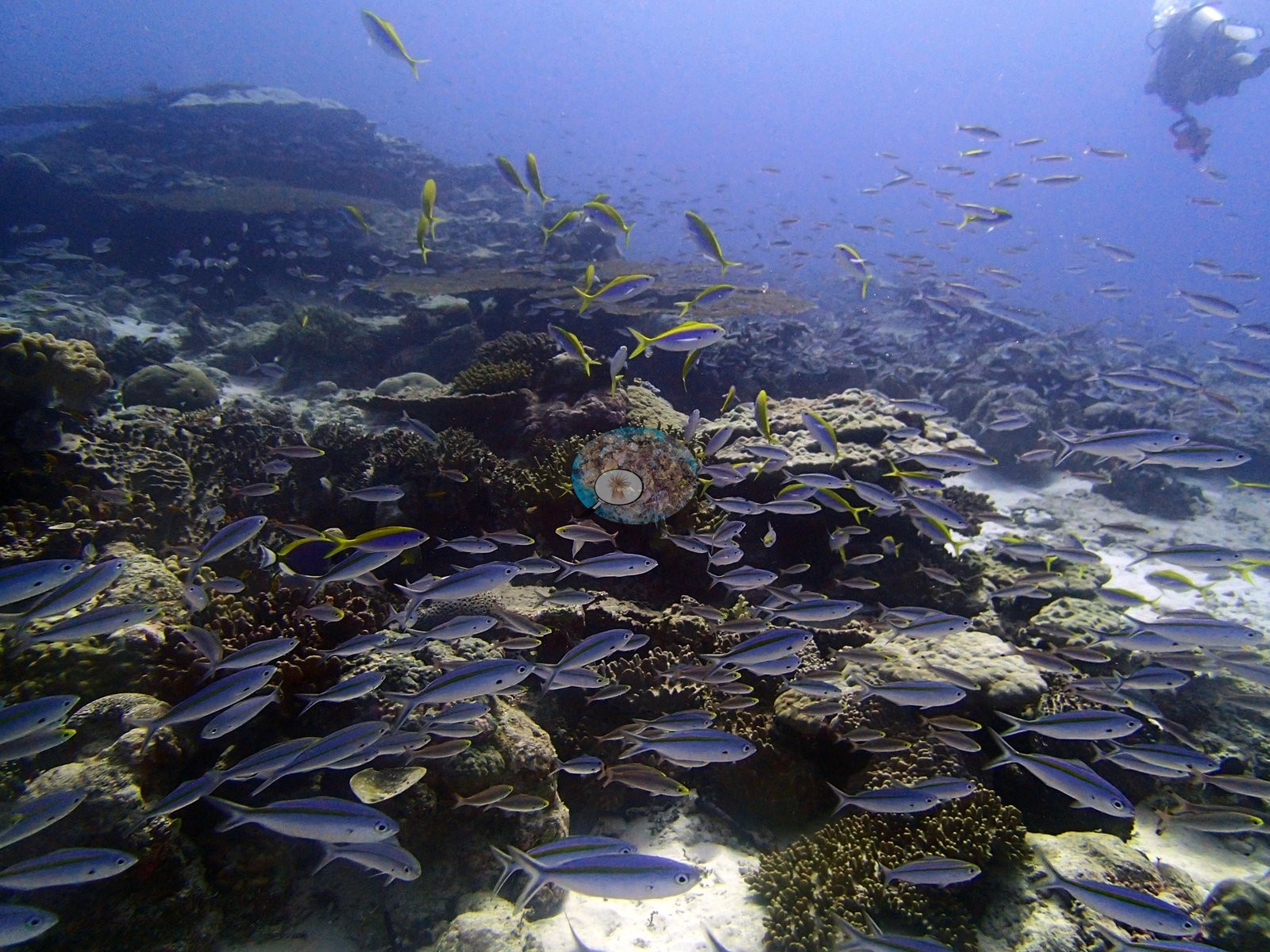
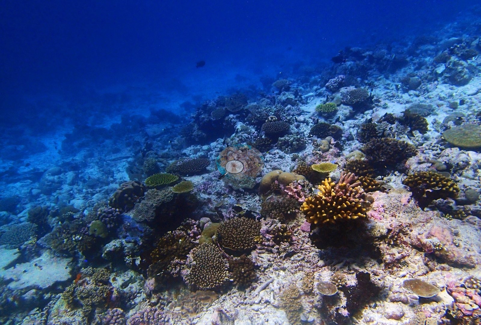
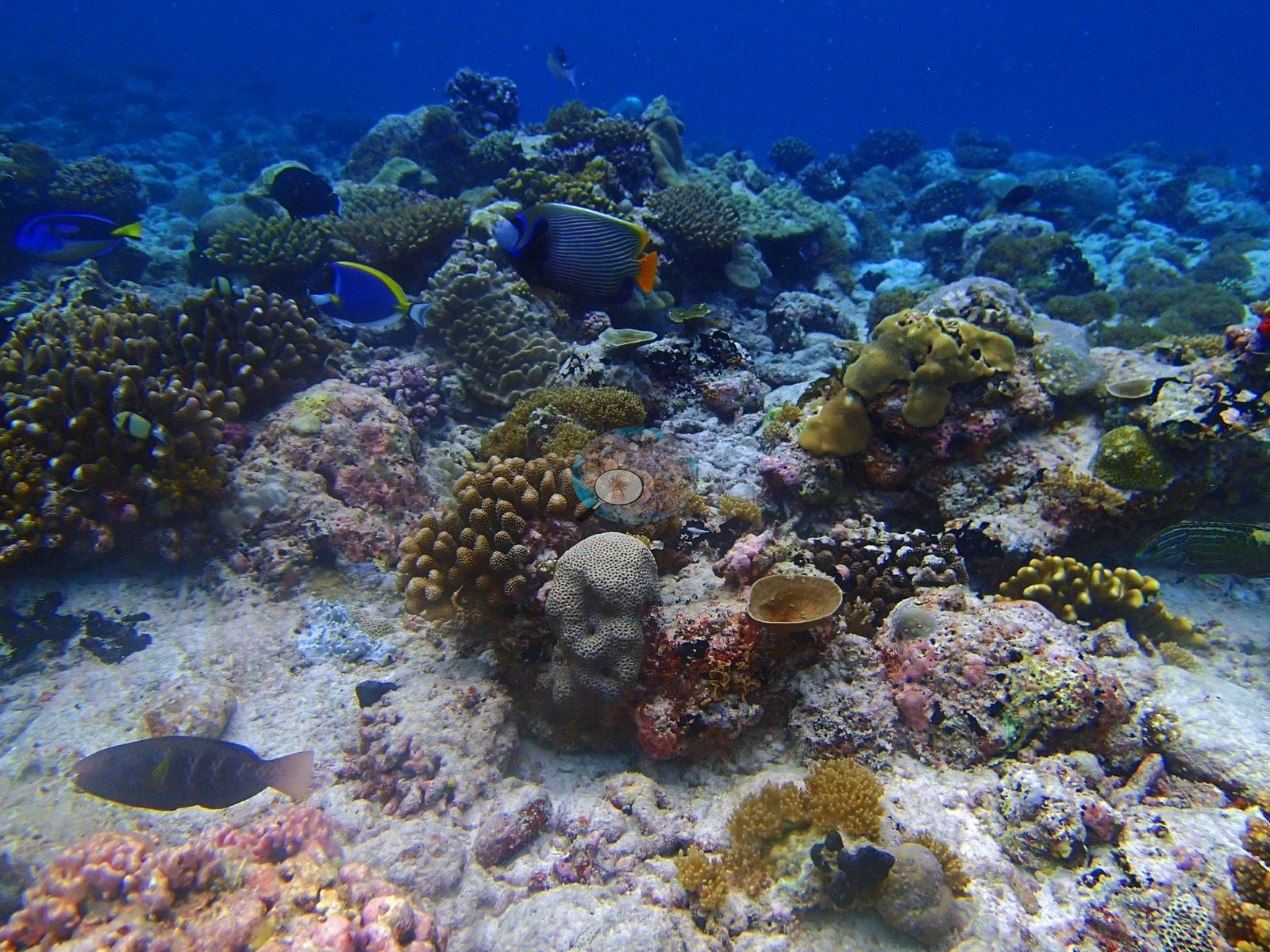
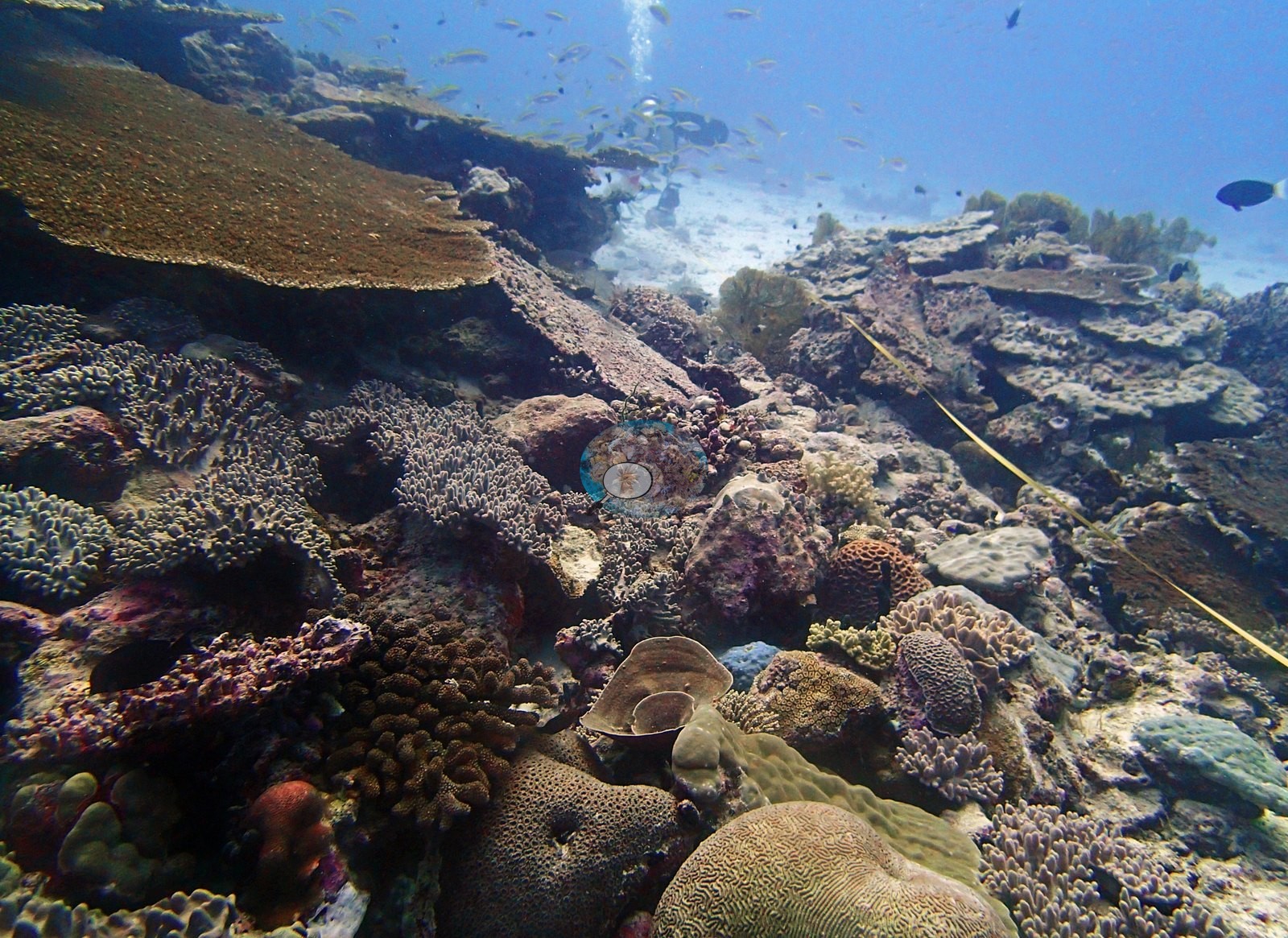
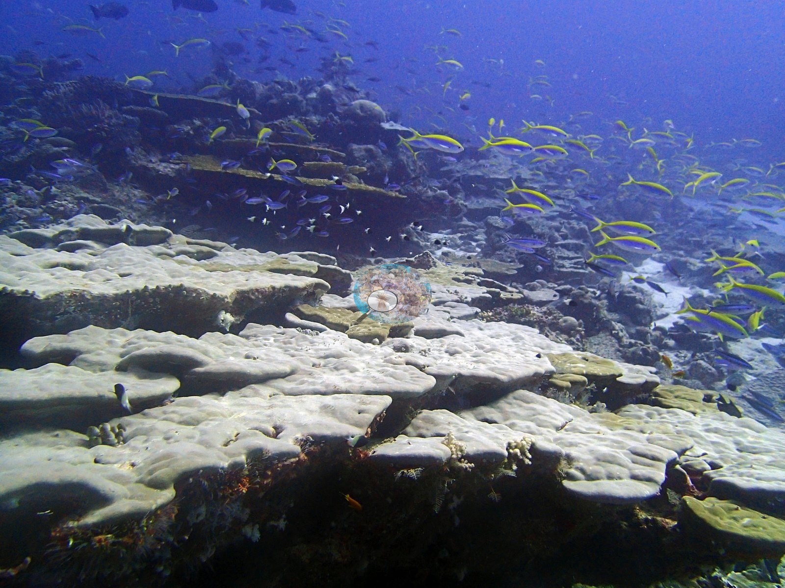
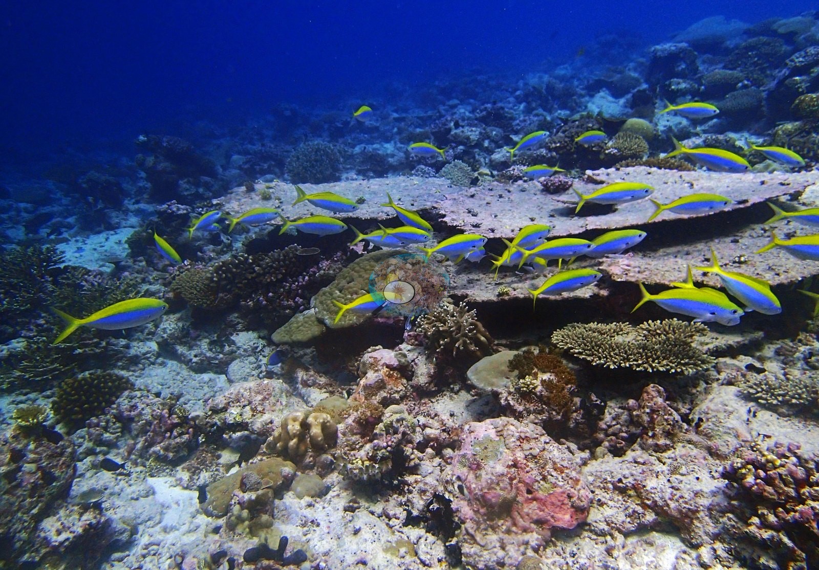
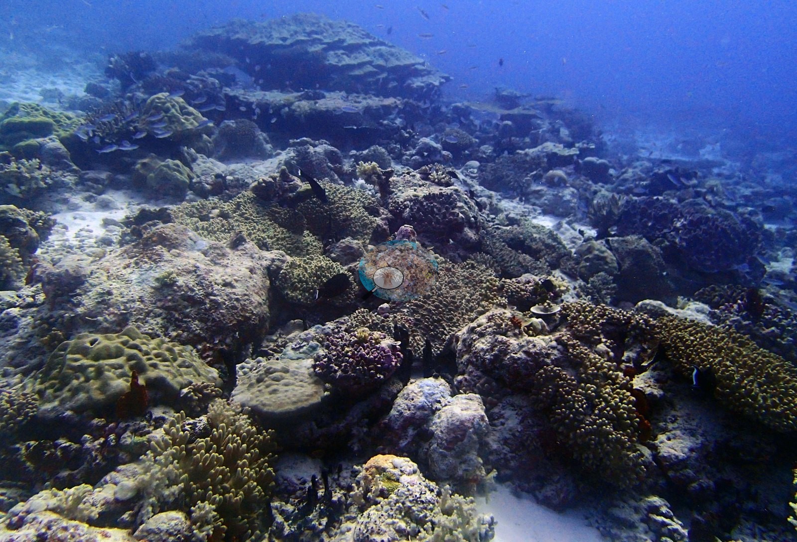
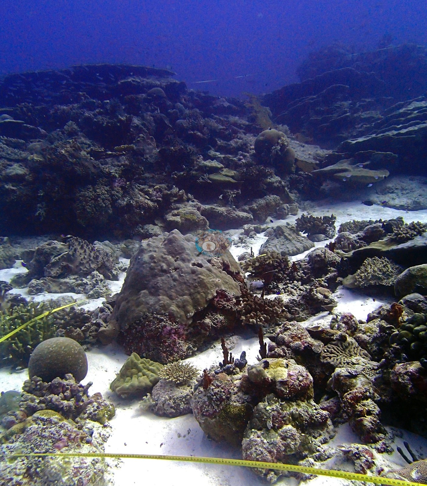
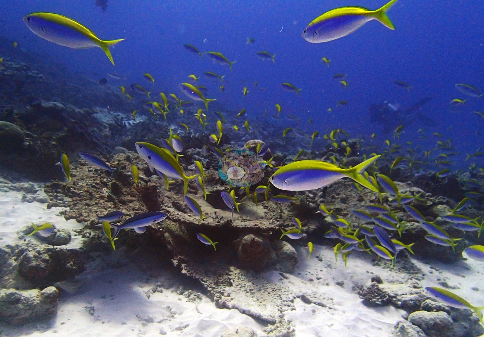
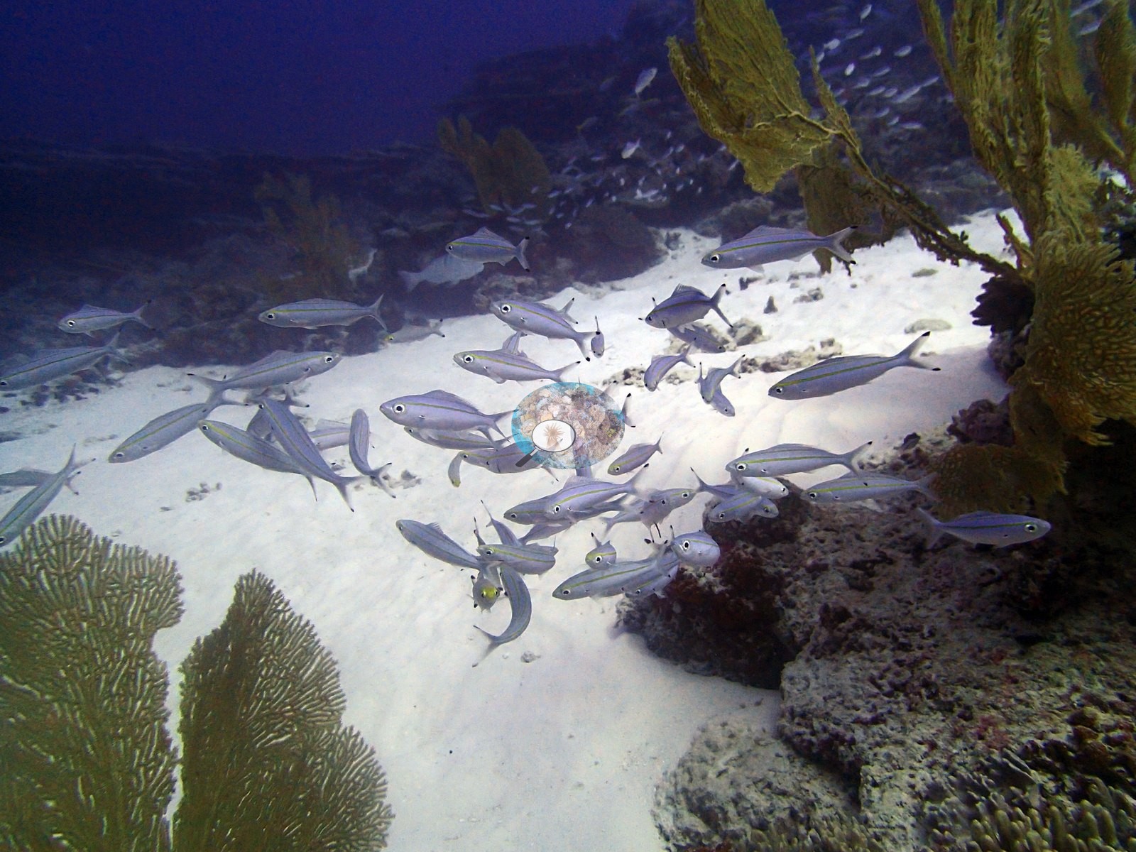
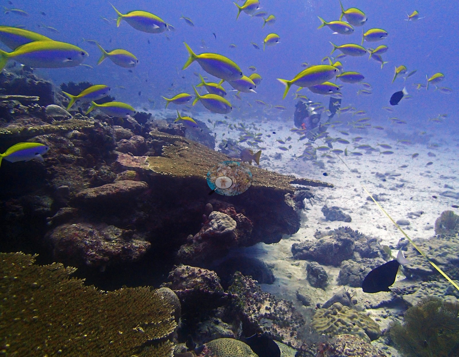
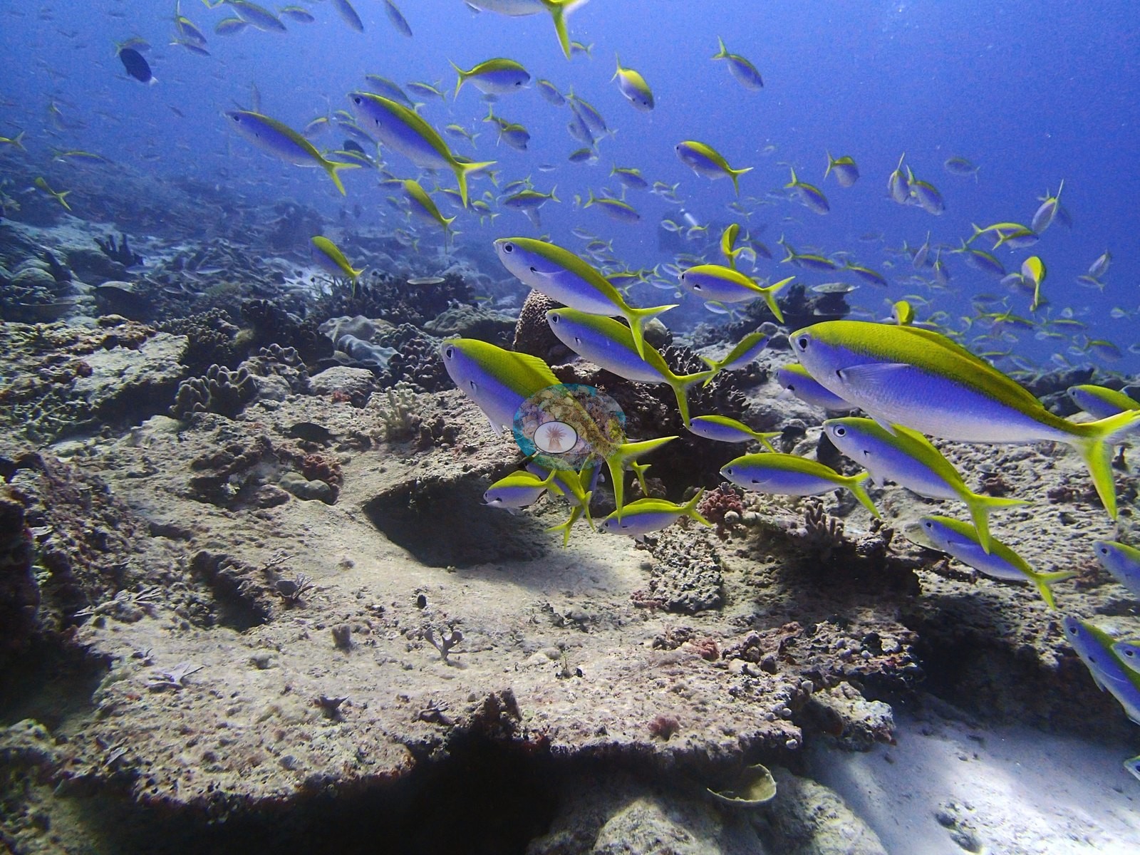
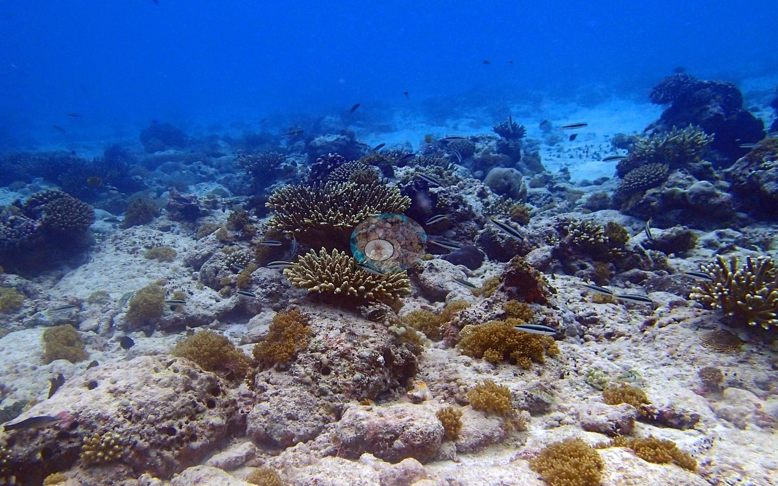
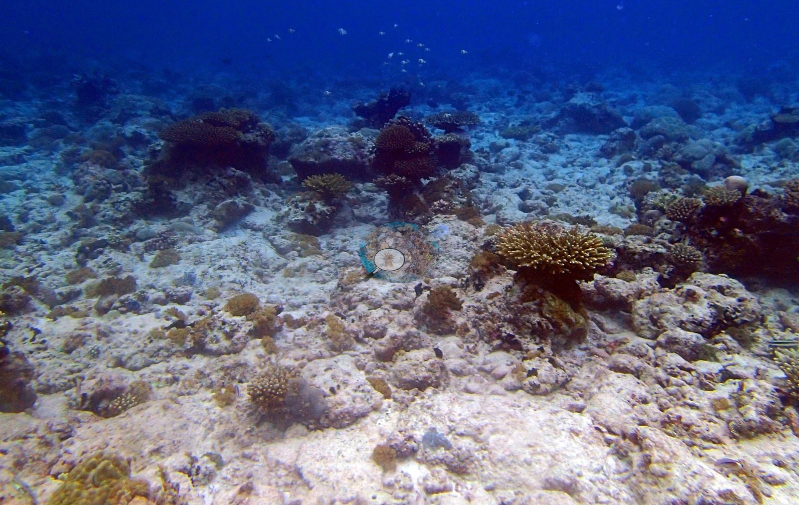
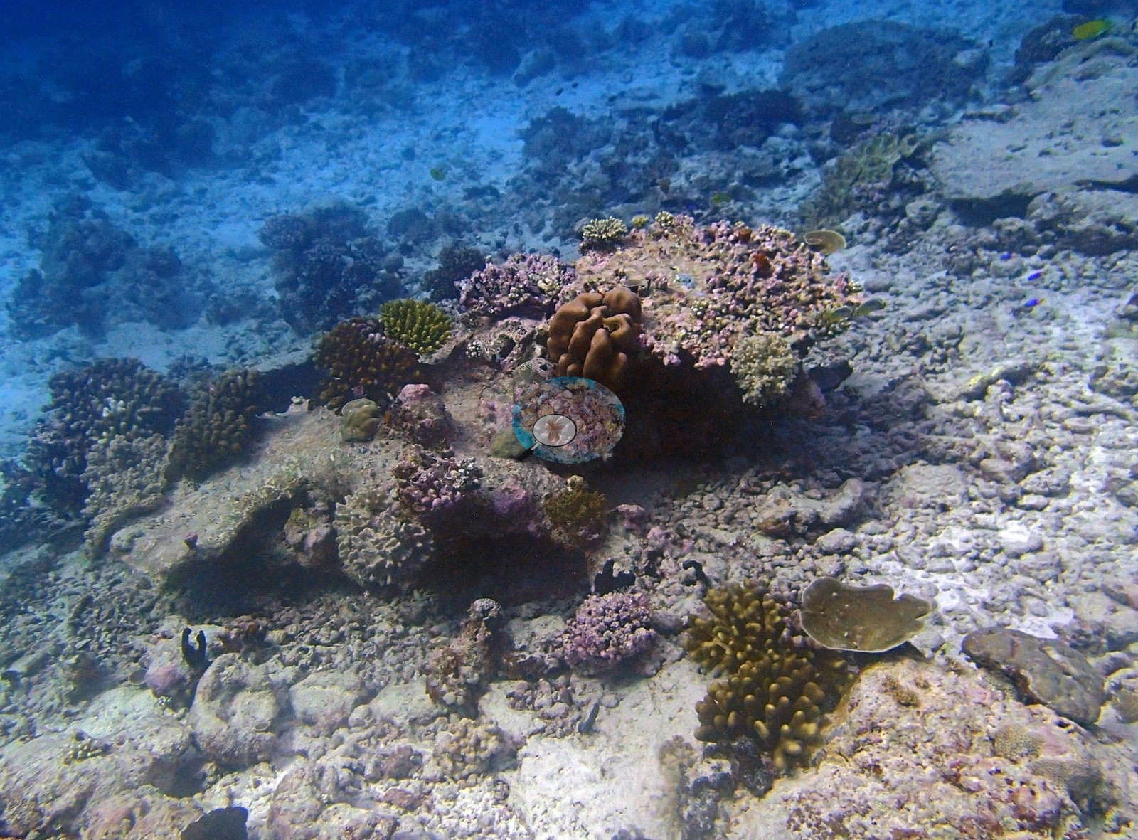
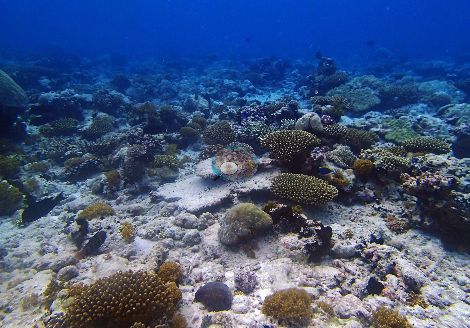
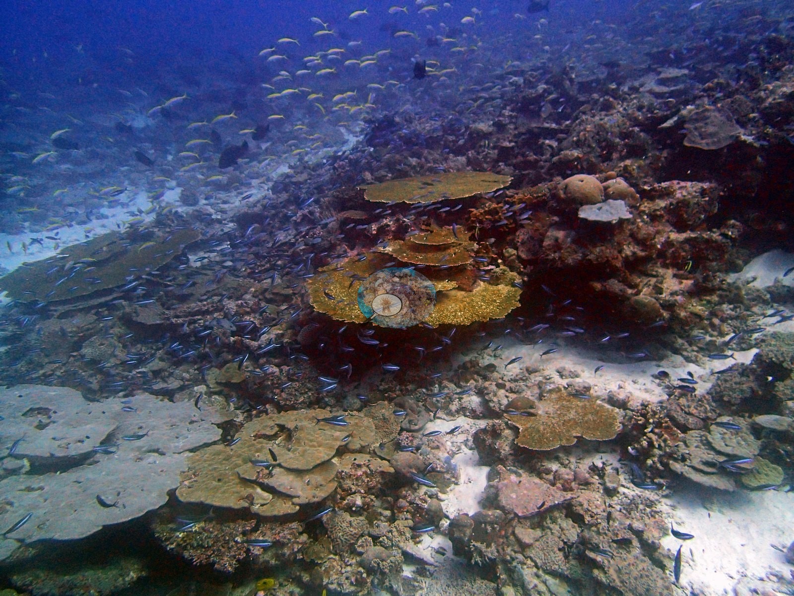
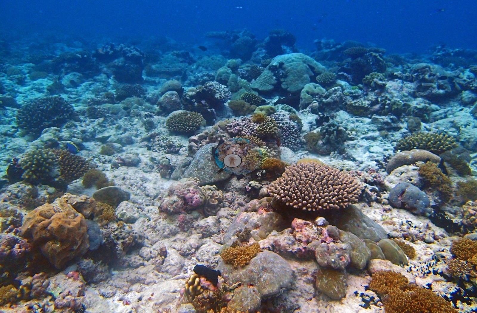
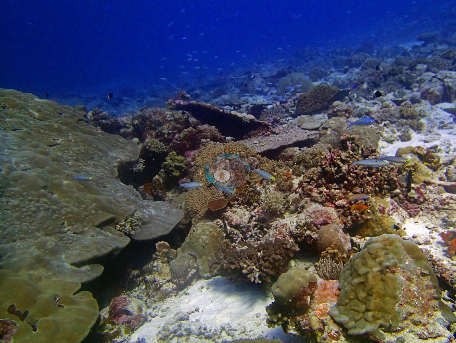
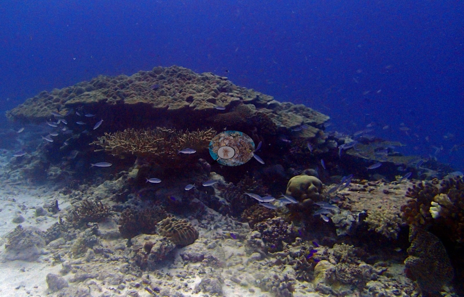
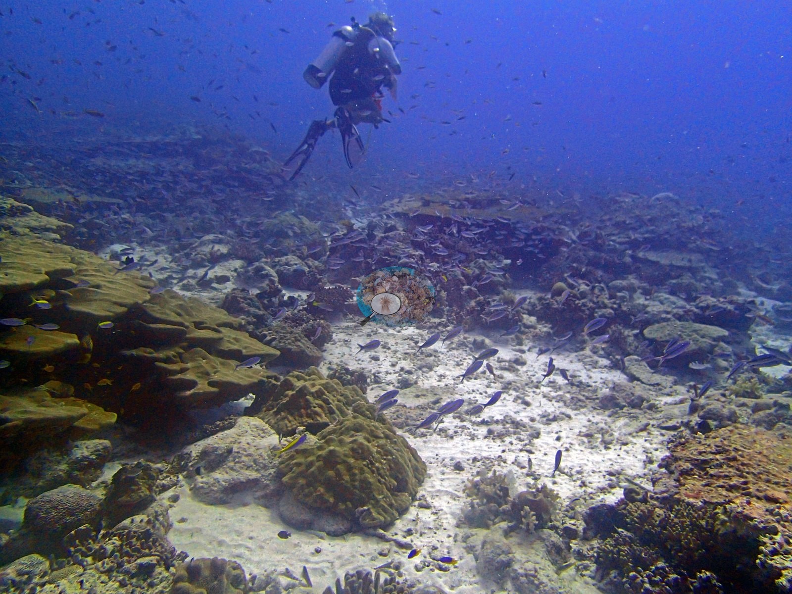
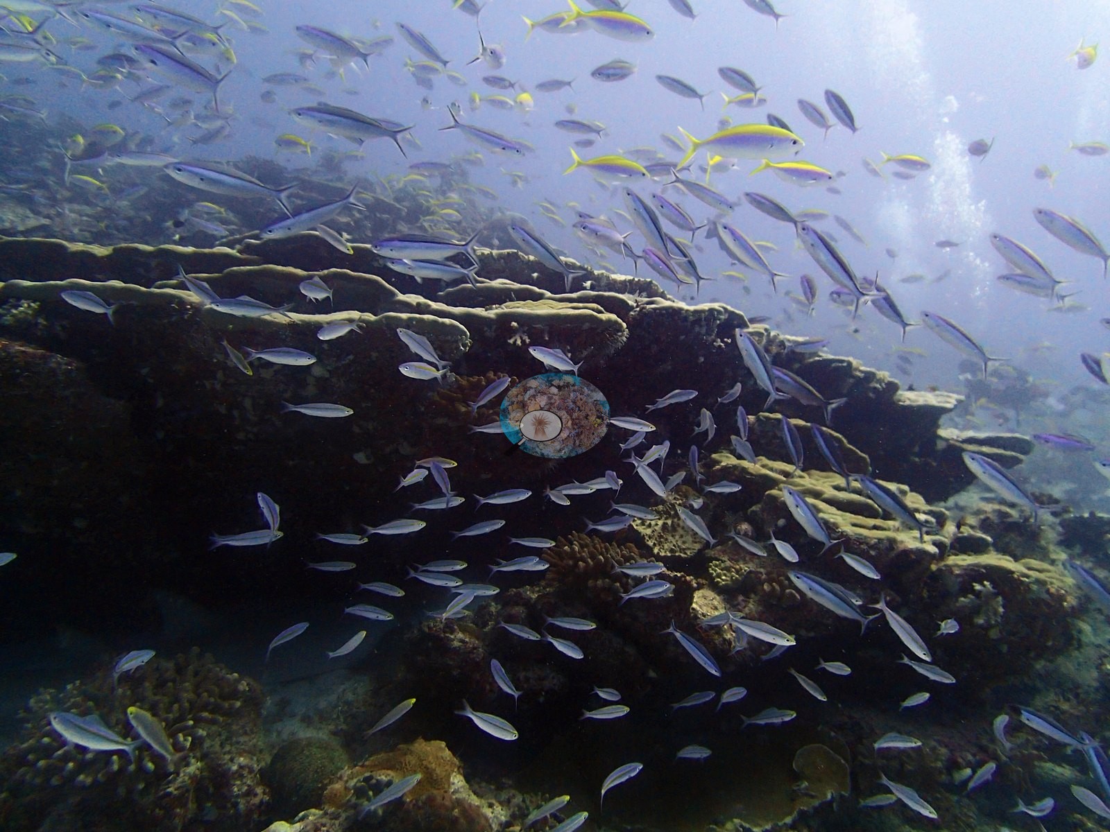
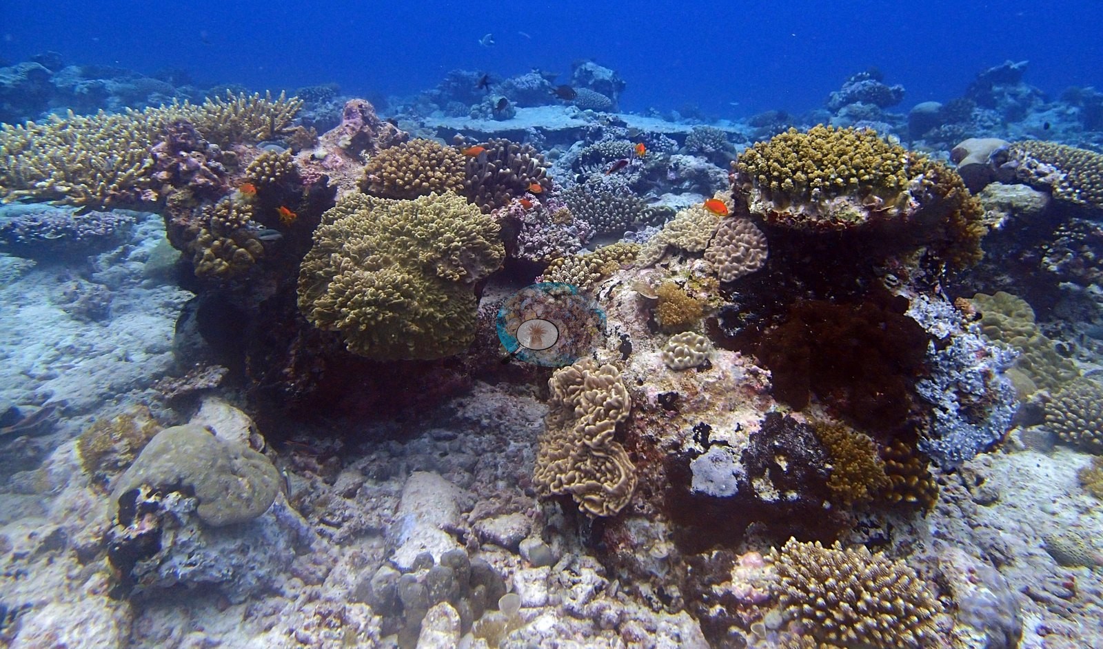
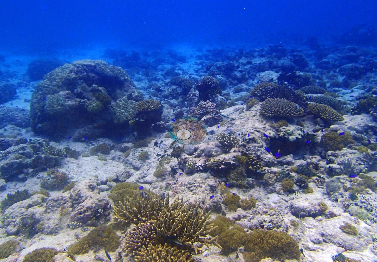
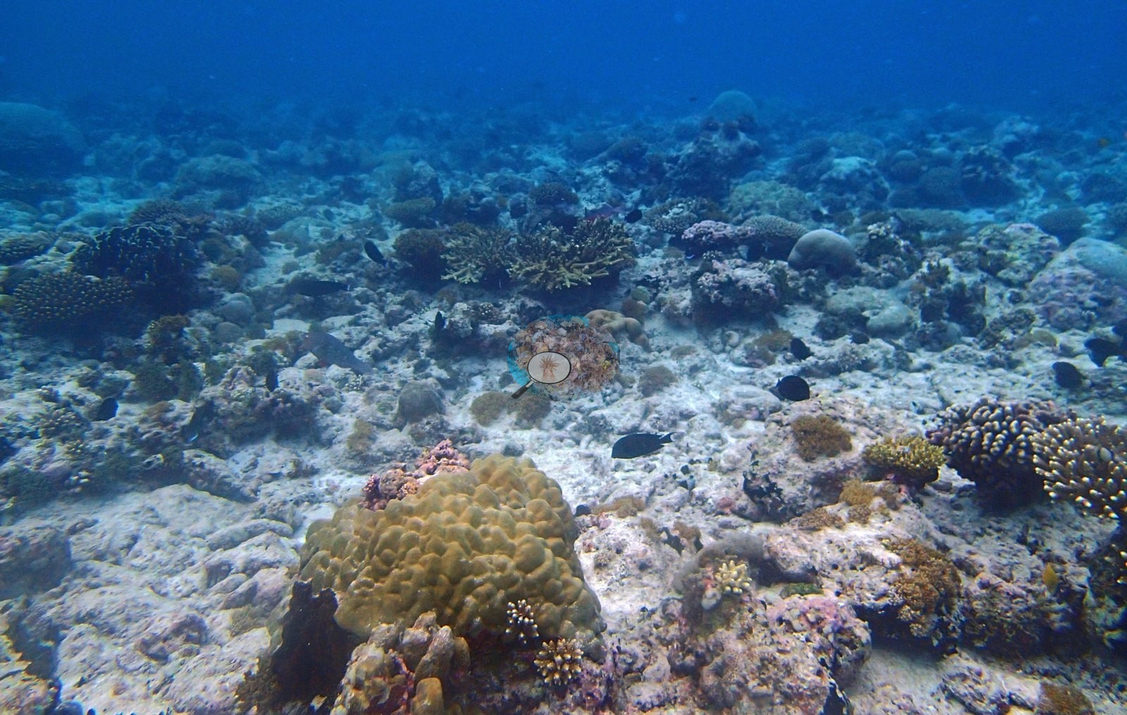
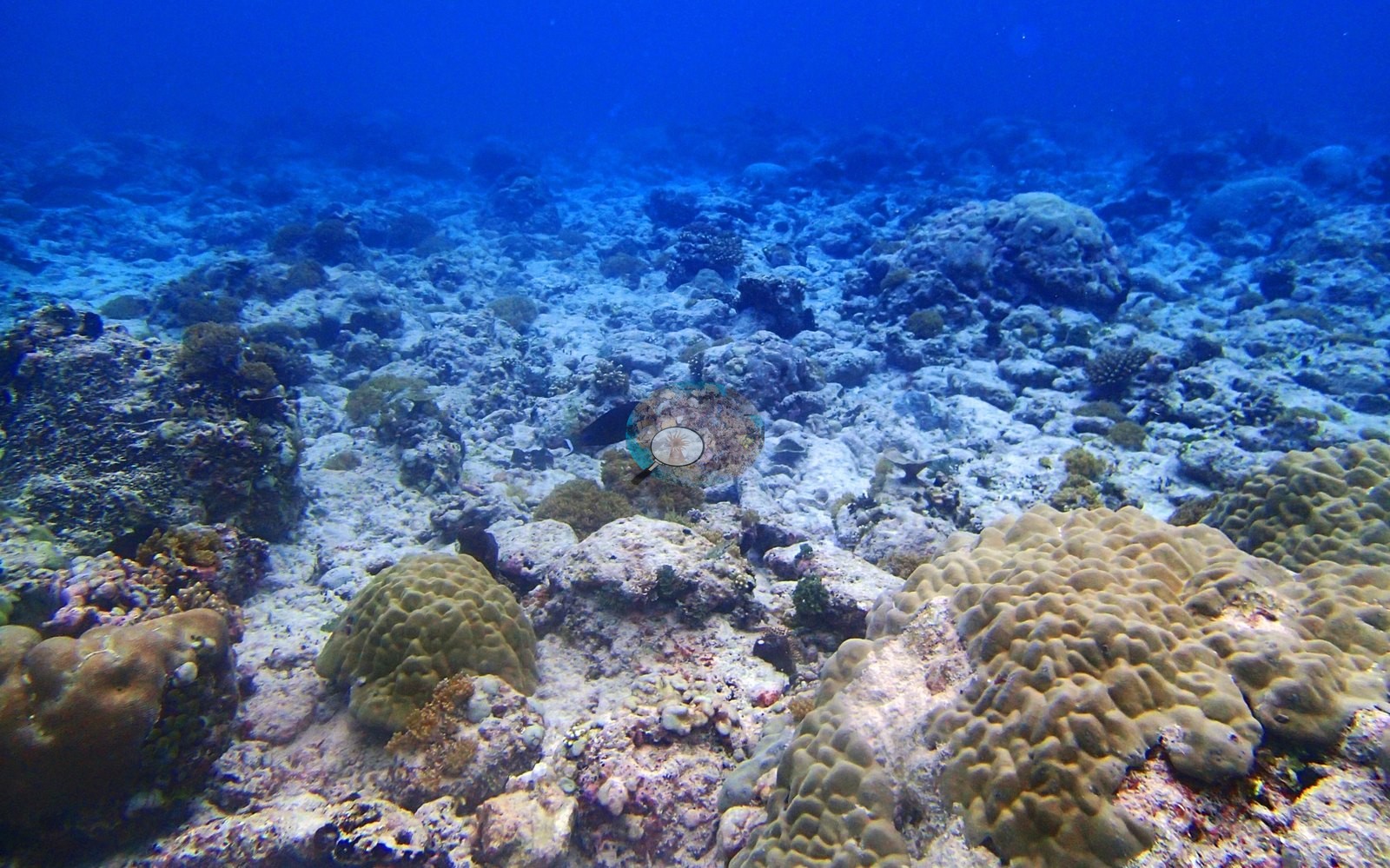
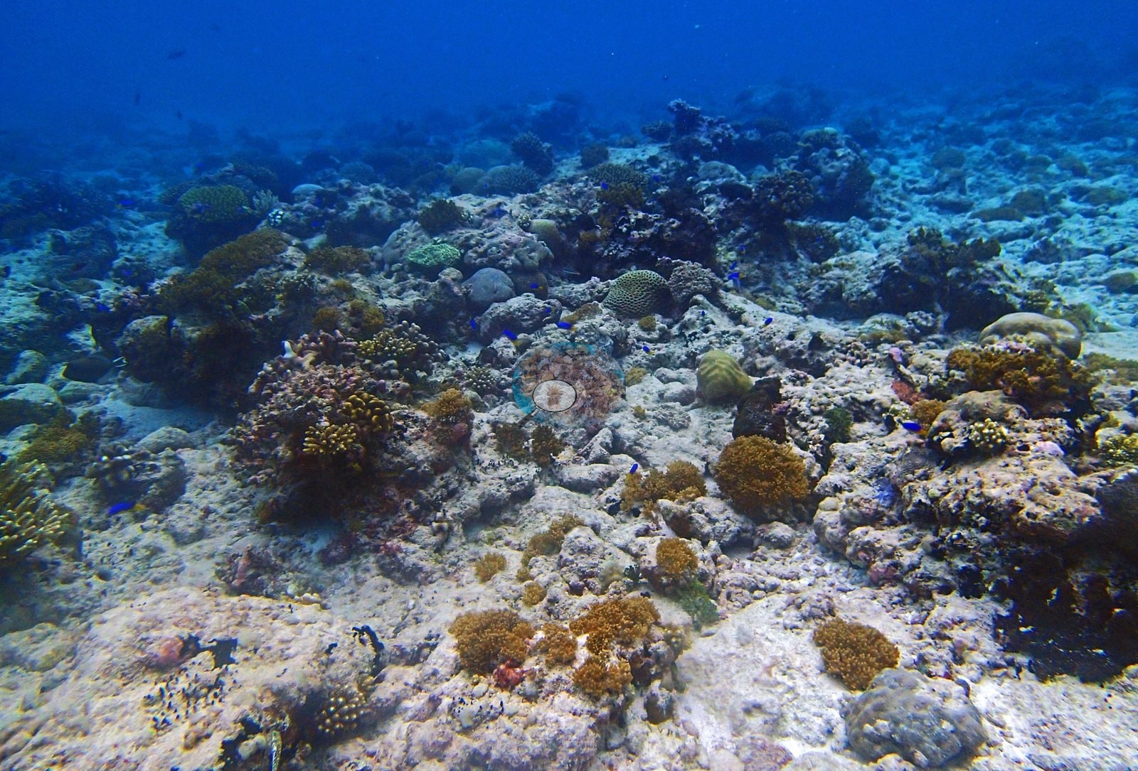
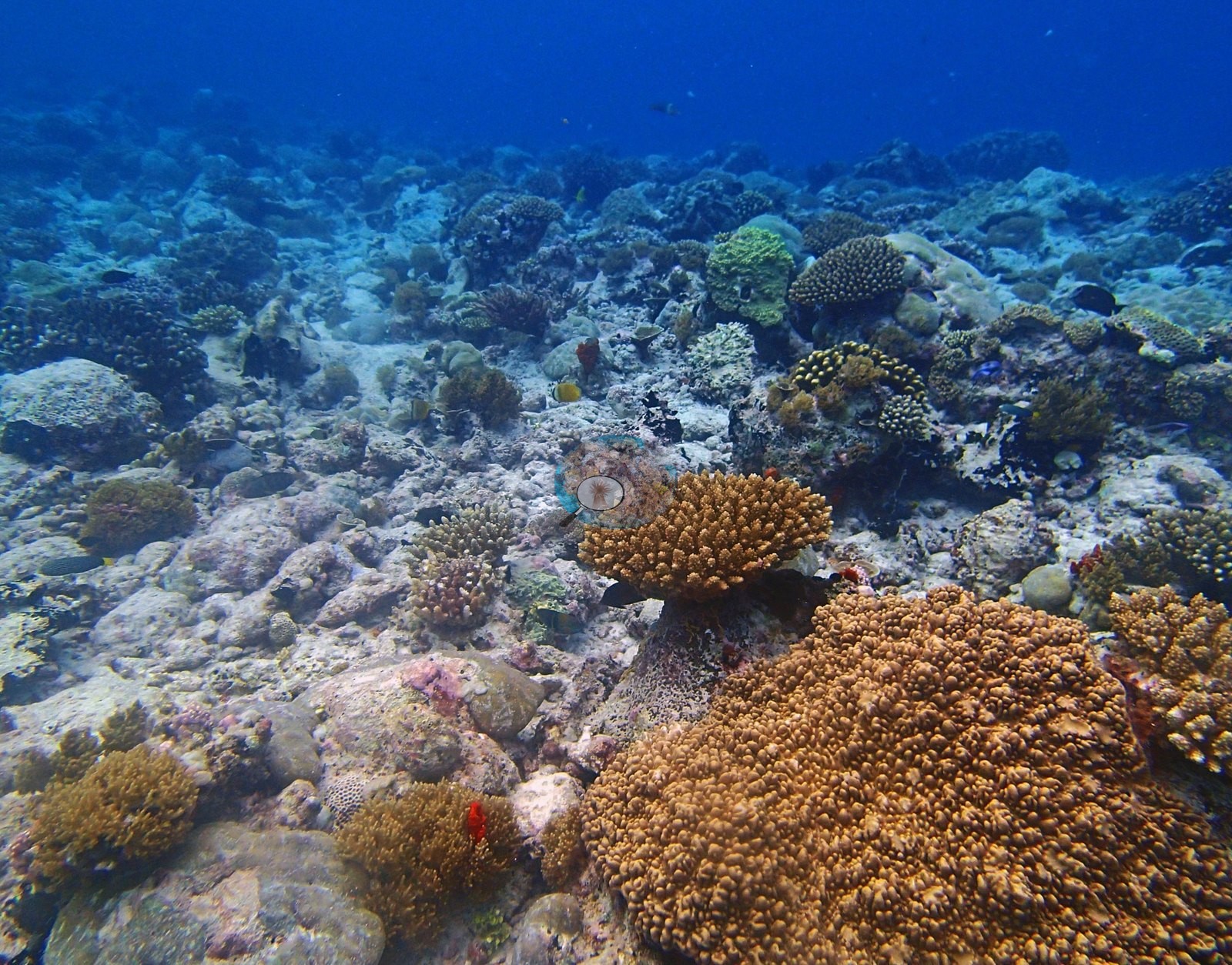
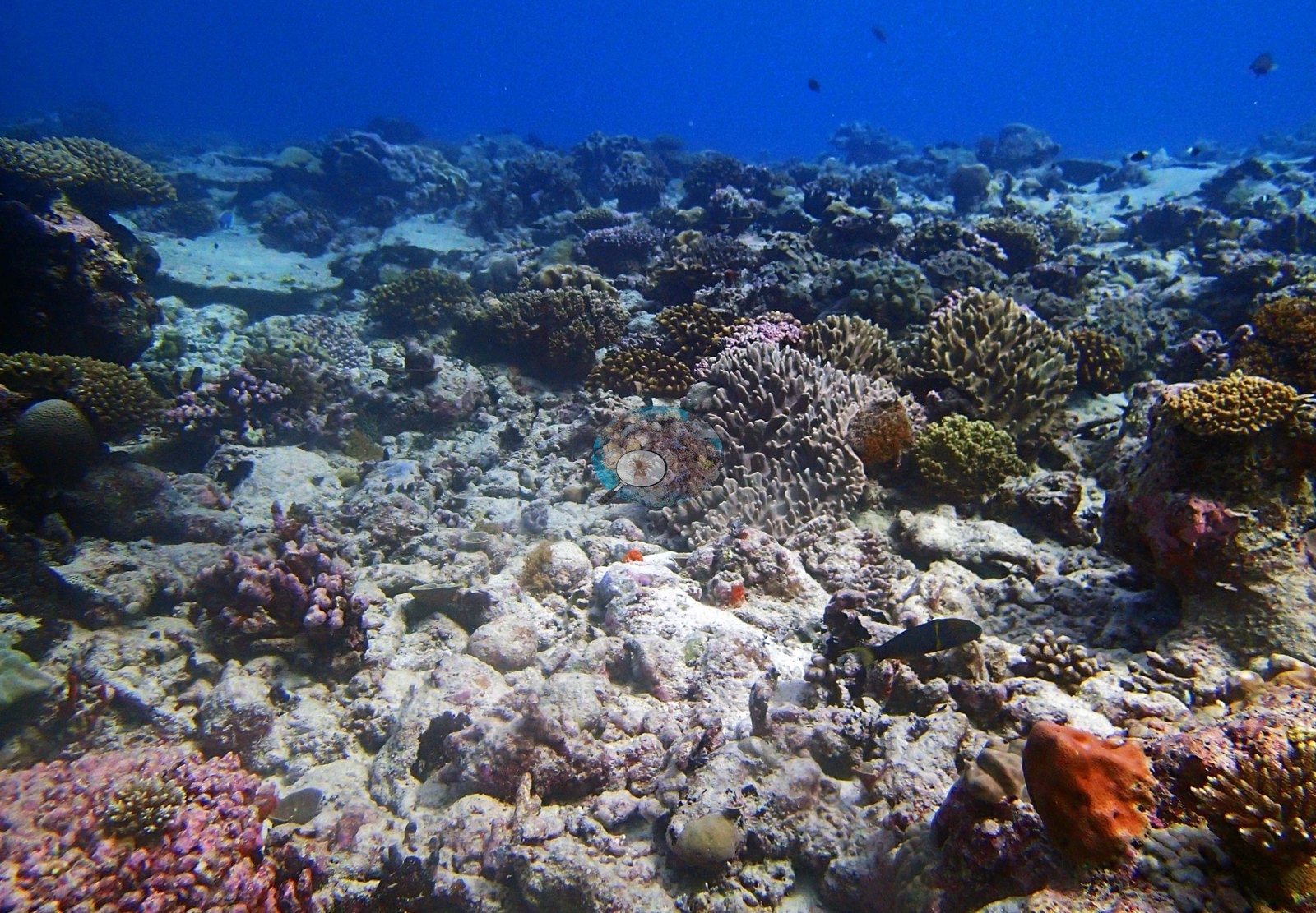
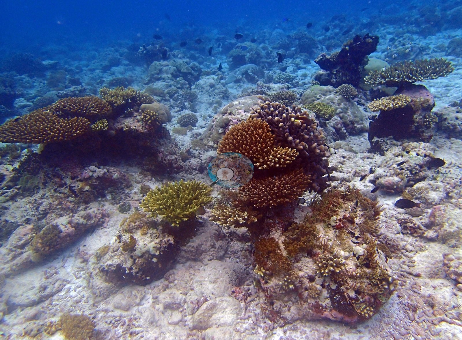
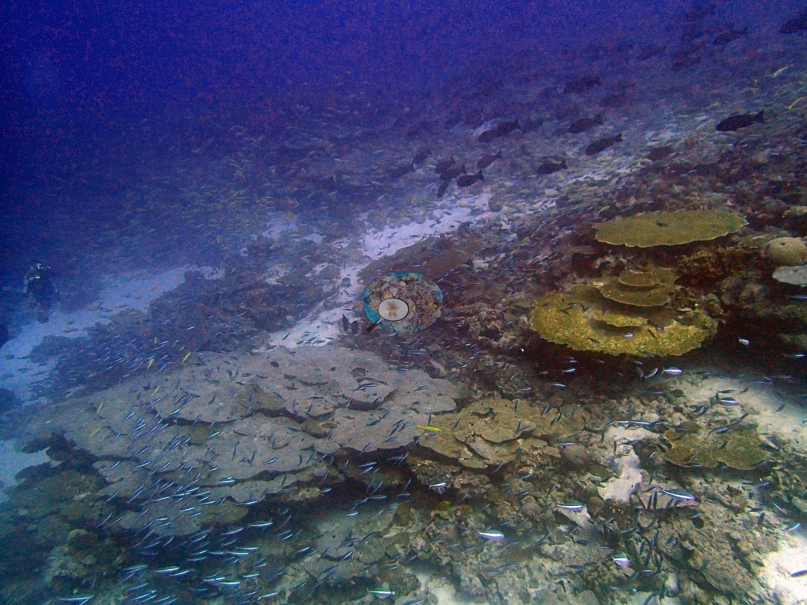
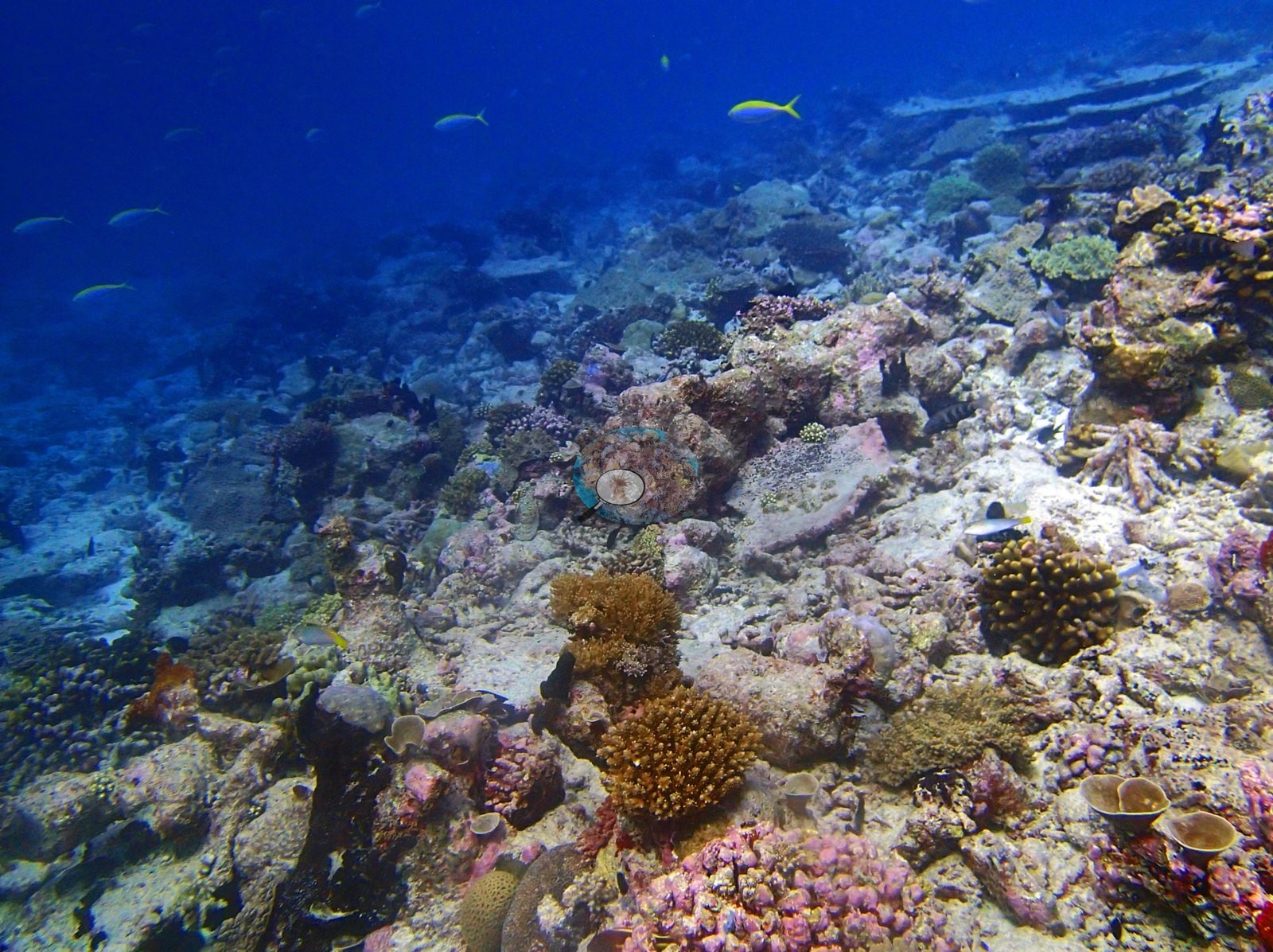
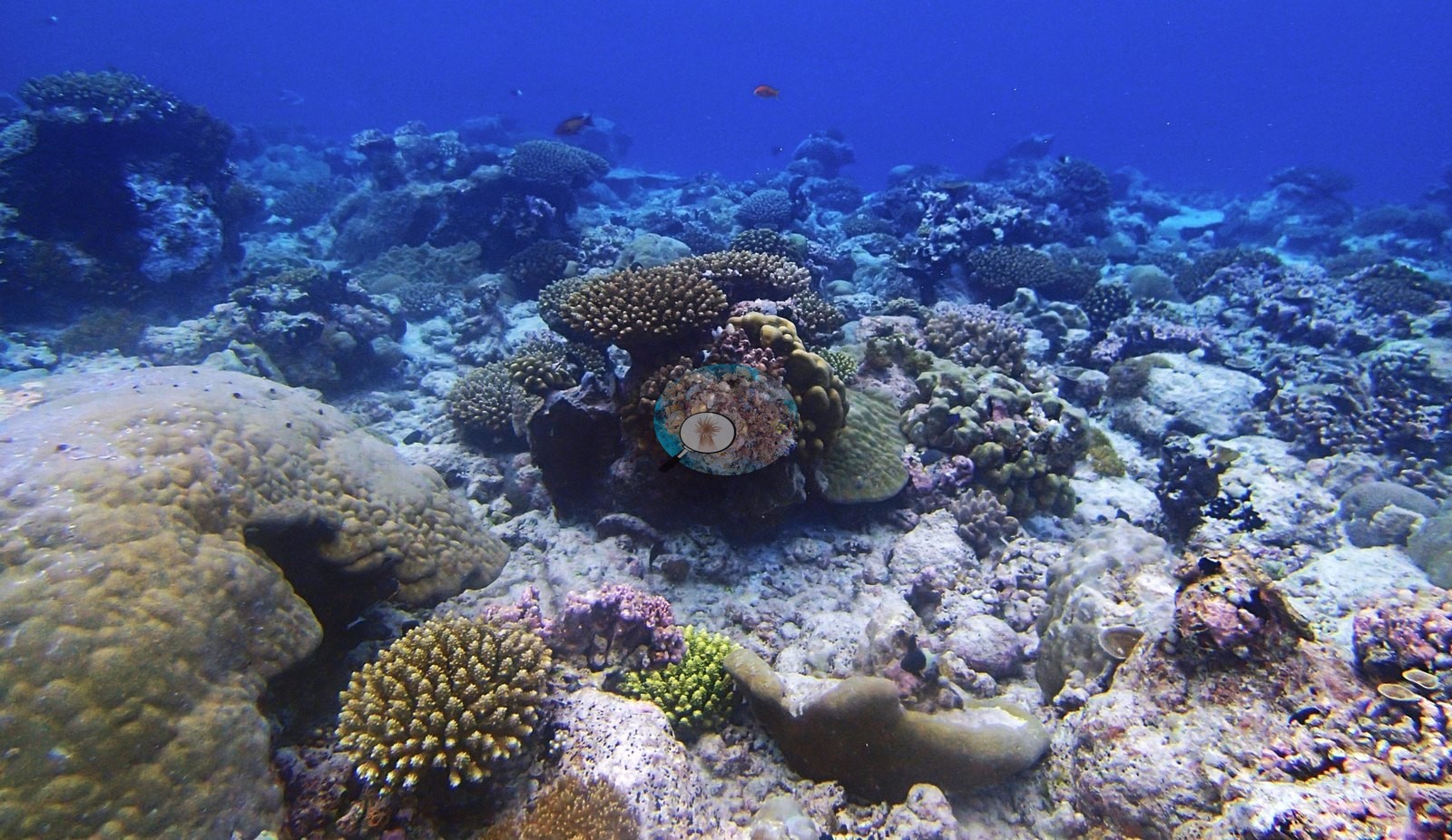
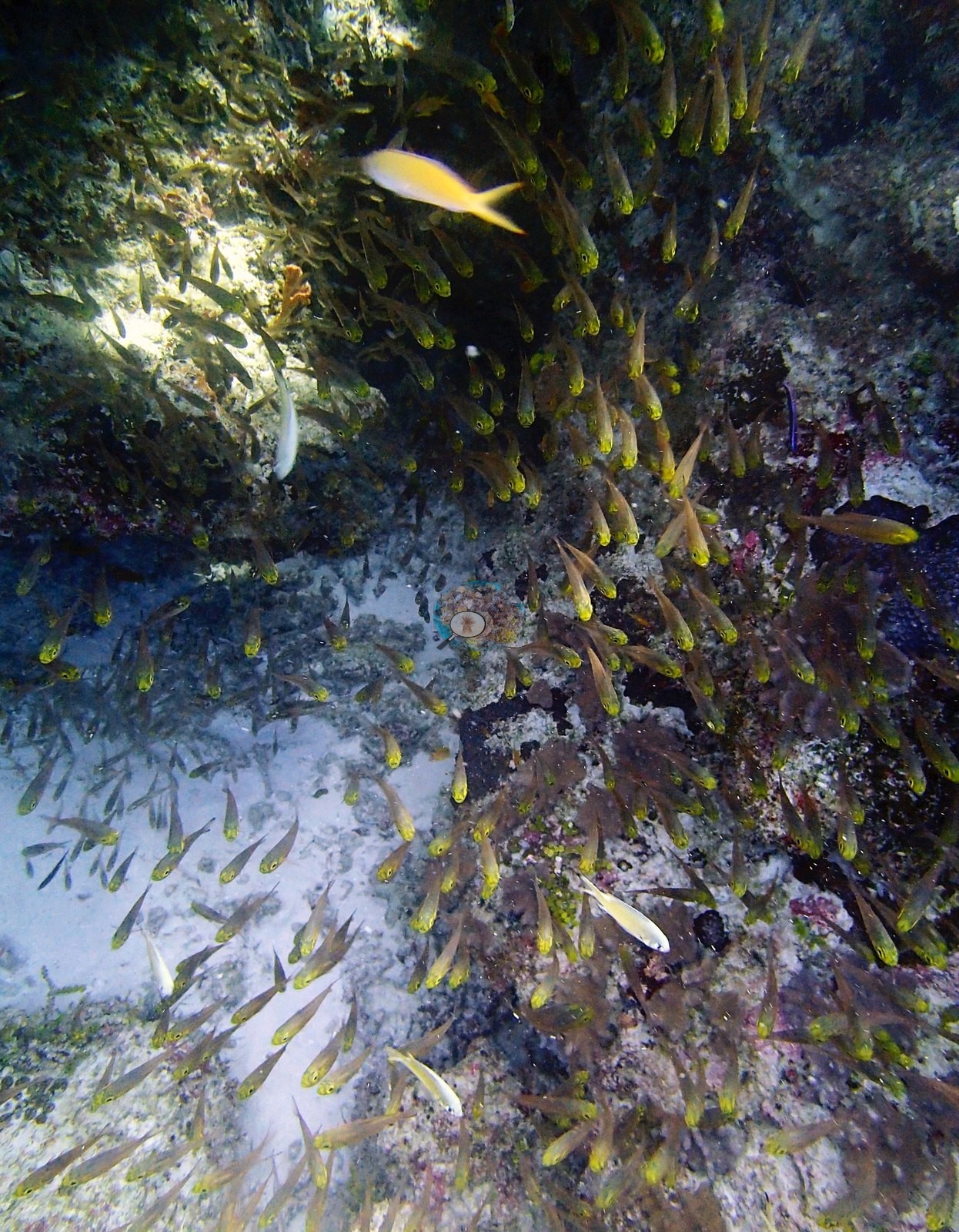
The transect genus list is the richest of this batch — 29 genera — and it is Porites-led (LOF BIOT-1 survey, supplemental file S1): Porites 12.87%, Acropora 4.58%, Pocillopora 1.80%, Stylophora 1.20%, Pachyseris 1.18%, Favia 1.16%, Montipora 1.14%, Gardineroseris 0.83%, Platygyra 0.61%, Leptastrea 0.60%, Favites 0.54%, Echinopora 0.40%, Montastrea 0.32%, Pavona 0.27%, Mycedium 0.25%, Symphyllia 0.15%, Echinophyllia 0.13%, Alveopora 0.08%, Hydnophora 0.06%, Leptoseris 0.06%, and Ctenella, Galaxea, Psammocora, Fungia, Cyphastrea, Seriatopora, Acanthastrea, Goniastrea, and Heliopora each at 0.04% or less. The blue coral is Anderson's own determination: the LOF codebook reads the HELI code as Heliofungia, but the field data are Heliopora, determined by A. Mayfield (expedition coral-physiology lead) on 2026-08-25 — HELI reaches 93% cover on one GRE transect, impossible for a solitary free-living mushroom coral, while HEFU, the Heliopora code, has only three records across all 3,067 GRE transects. The substrate and algal categories run crustose coralline algae 18.27%, bare substrate 14.08%, turf 12.50%, sediment-laden turf 11.93%, non-coral invertebrates 11.28%, macroalgae 2.80%, erect algae 0.35% and cyanobacteria 0.33%. Where BITB27 one day earlier was a single continuous Acropora plate reef, North Brother's leeward channel is a patchwork: tiered gold tabular Acropora in the first minutes, then white sand aprons, bare CCA-crusted pavement, dense mauve-and-gold coral gardens, then more sand. More than half the wide frames — P3180389, P3180390, P3180421, P3180423, P3180446, P3180448, P3180450, P3180451, P3180452, P3180454, P3180458, P3180460, P3180461 — show pale carbonate rock and rubble with turf film, sand pockets and colonies distributed across the ground rather than covering it. P3180392 is the best image of the good end — tiered stacks of golden tabular Acropora running into the blue under fusiliers and a school of yellow snapper, with P3180390 and P3180389 repeating it with a diver silhouetted over the plates. P3180452 is the other end: a bare pale carbonate plain carrying perhaps five small tables in the whole field. The highest-cover ground is in the second half of the dive. P3180408 is the best benthic frame and the highest-cover scored one (43.3% by points, 33.4% by Coralscapes) — gray-lilac digitate Acropora, brown Pocillopora-type knobs, sheets compatible with Montipora, a meandroid brain and a bivalve compatible with Tridacna, all under a broad tabular plate, with the transect tape running down the right edge. P3180431 is its equal and the site maximum by points (46.7%): pale plate-form Porites left, ridged foliose colonies center, branching Acropora and Porites domes right. P3180440 and P3180461, both unscored, are as good, and P3180447, P3180453, and P3180459 belong with them. P3180424 is the most atmospheric image — a gold plate and a pale Porites dome framing an overhang packed with orange anthias, a giant clam (Tridacna) wedged beneath — and a second clam with its fluted mantle open sits among pink-lilac pocilloporid colonies in P3180440. P3180433 holds a single very large table standing clear of the pavement over a sand-floored undercut, with branching colonies and damselfish sheltering beneath it. Massive Porites is the structural backbone, and both the transect and the point set say so: domes anchor P3180448, P3180454, P3180457, P3180459, and P3180461, and pale encrusting plates fill the foreground of P3180395. The difference from BITB27 is not a scoring artifact — Porites is just as dominant in the unscored imagery, and the transect puts it at 12.87% against Acropora's 4.58%. A taxonomic note carries over from the CRD site page, which records that neither Seriatopora spp. nor P. acuta/P. damicornis were present at this leeward channel reef, and that other pocilloporids were collected here for a collaborator. The imagery is consistent: pocilloporid material in P3180408, P3180440 and P3180446 is blunt and knobby, compatible with a P. verrucosa-type habit, nothing reads as Seriatopora, and the point set puts Pocillopora at only 2.3% of live coral. A hedged photographic impression, not a survey result. P3180430 is a cave mouth filled with golden sweepers or cardinalfish, and orange anthias swarm the overhang in P3180424 as well as P3180459 and P3180460. Fusiliers compatible with Caesio and Pterocaesio work the water column in ten frames (P3180389, P3180390, P3180392, P3180395, P3180397, P3180409, P3180420, P3180421, P3180422, P3180445). P3180398 holds olive-yellow gorgonian sea fans over sand — octocorals are structurally present here and invisible to a hard-coral point scheme.
Coral cover
The measurement at BITB28 is the LOF BIOT-1 benthic transect survey. Coral cover 29%, from LOF BIOT-1 in situ transects (Mayfield & Dempsey 2026, Oceans, suppl. S1) — a diver transect measurement, published by Anderson himself, and the authoritative record of cover and community at this site. Against it the transects put algal cover at 46.2% of the benthos. Anderson's published percentage bleached for this site is 11.26% (Mayfield & Dempsey 2026, Oceans) — by far the highest figure in Three Brothers, against BITB27's 0.35% one day and about 2 km away. Everything below supplements that transect; no cover value may be read off any photograph, and where imagery and transect appear to differ, the transect governs. The computer-vision comparison, and a filename collision that costs half the frames. All 43 photographs are on disk and all 43 were reviewed by eye, but only 22 of them carry CV data, so every image-method number here rests on those 22. It is the same failure mode as BITB27 with a different partner folder. Across those 22 frames the Coralscapes masks put live hard coral at 13.8% of image area and the 30-point annotation (660 points) at 19.5% of all points, against the transect's 28.5% — deviations of −14.7 and −9.0 pp, mean of three methods 20.6% ± 7.4. Unlike BITB27, that gap is not a sampling artifact. The 21 unscored frames are neither systematically richer nor poorer than the 22 scored ones: they span the full range in both directions, from frames as good as the best scored ones (P3180440, P3180461, P3180424, P3180394, P3180396, P3180462, P3180447) to frames as poor as the worst (P3180398, P3180452, P3180421, and the two P3180443/P3180444 macros), so the scored subset is not biased high or low. The arithmetic agrees: dropping the two non-benthic frames lifts Coralscapes only 13.8→15.0 and the points 19.5→20.5, and dropping the five lowest-scoring frames reaches only 17.4 and 22.4. Blue-water dilution is not the explanation either: only 2 of the 22 scored frames are ≥40% water (P3180395 at 40.0% and P3180420 at 43.3%; site mean 20.3% against BITB27's 26.0%), and under that filter the gap narrows by under a point without flipping — Coralscapes 13.77→13.89, points 19.55→20.17 — while a <25%-water filter reaches 16.7 and 24.6. The dominant lever here is the Unknown pool rather than water: 32.3% of all points are Unknown (6.7–56.7% by frame), and renormalising live coral over labeled benthic points gives 42.2%. Methodology imagery is present but biases nothing: P3180406 carries a yellow transect tape with a second line at left, P3180408 a tape down the right edge, and P3180409 a tape plus a diver and camera housing — 14% of the CV sample against BITB27's 38% — and because P3180408 is the second-highest-cover scored frame, dropping all three makes the gap worse (13.8→12.8 and 19.5→18.4). These are image products with their own footprints, denominators and class schemes, reported as a method comparison; the transect's 28.5% is unaffected. In composition, Coralscapes gives massive and meandroid forms much the largest share of live area at 47.4%, then non-tabular Acropora 16.5%, other hard coral 16.5% and tabular Acropora 12.7%; the point set apportions live coral Porites 45.0%, Acropora 37.2%, other hard coral 15.5% and Pocillopora 2.3% — a Porites-led image assemblage, the inverse of BITB27's Acropora-dominated 87.4%, and in the same direction as the transect's own Porites-led genus list. Non-coral cover is turf 20.5% and crustose coralline algae 3.5% of all points; structural loss registers as dead coral 2.80% of image area and rubble 5.55%. Frame-to-frame live cover runs 0% to 46.7% by points (P3180431 highest, P3180430 poorest) and 0.0% to 33.4% by Coralscapes (P3180408 highest, P3180420 poorest). Live hard coral measured on the in situ benthic transects of the LOF BIOT-1 expedition (Mayfield & Dempsey 2026, Oceans, supplemental S1), against algal cover of 46.2% of the benthos. The transect figure is this site's authoritative cover value; no image-derived product overrides it. Across methods the same reef reads: transects 28.5% · CoralNet points 19.5% · Coralscapes masks 13.8% (22 frames). These products have different sampling footprints and denominators and should not be averaged.
Stressors
Mortality is present, old, and concentrated in the tables. P3180445 is the clearest frame — two broad Acropora tables reduced to bare pink-white CCA-plated slabs with no live tissue, living tables and Porites domes alongside; Coralscapes reads 8.92% dead there and 23.3% of its points are CCA. P3180421 shows the same thing: a broad, flat, turf-, and coralline-filmed slab with the outline of the plate intact and no live tissue remaining. Condition and bleaching. Anderson's published per-site percentage bleached, 11.26% (Mayfield & Dempsey 2026), is this site's authoritative bleaching figure, and no bleached fraction is derived from the photographs. What the frames show is limited and is reported as such: P3180440 holds the only stark-white colony in the collection, unscored and not resolvable as bleaching versus recent death; P3180395 is a wide expanse of cream-pale encrusting and plate-form colonies whose color at that range and in that light cannot be separated into bleaching, recent mortality or a naturally pale morph, and P3180394 carries a similar broad pale-cream tabular plate above the ledge. The image products' own bleaching outputs are method outputs only, and one of them is plainly unsound: the point set puts bleaching at 2.58% of annotated points, but 11 of those 17 points sit on P3180407, essentially bare white sand with no coral in the foreground, where Coralscapes reads 0.03% live and 0.00% bleached while the point set reads 20% live and 36.7% bleached Acropora. That is the clearest annotation-provenance artifact in the Chagos set so far (roughly 76% of these annotations are unconfirmed CoralNet robot output); removing that one frame drops the point-set figure to 0.91%, and P3180420 and P3180430 are weaker versions of the same problem. Coralscapes reads 0.00% bleached across all 22 frames. Whether and how these image products can be compared with the published 11.26% at all is Anderson's judgment, not something the imagery settles. No disease lesion or predation scar resolves in any of the 43 frames, and no crown-of-thorns is identifiable.
Fish and other fauna
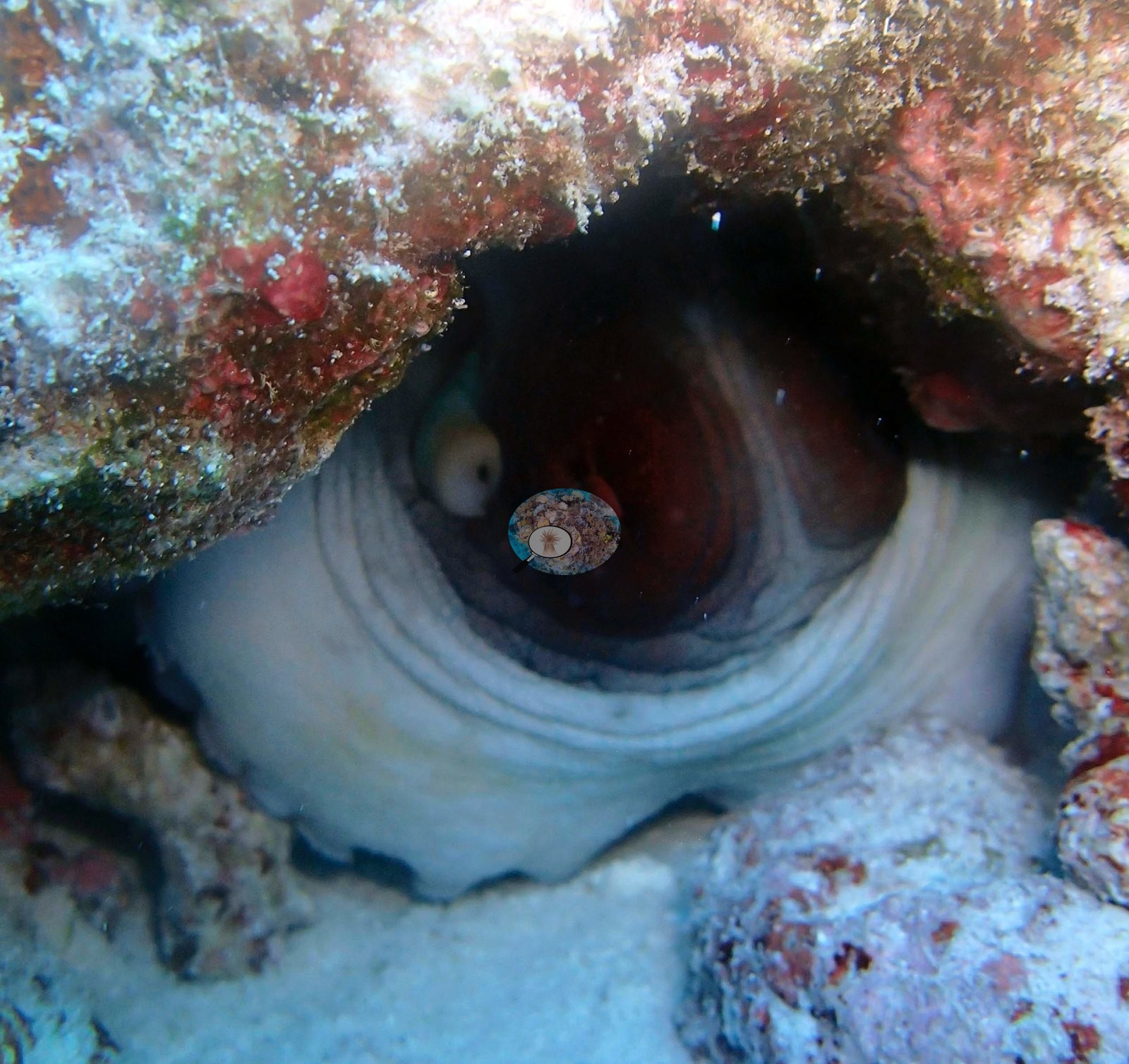
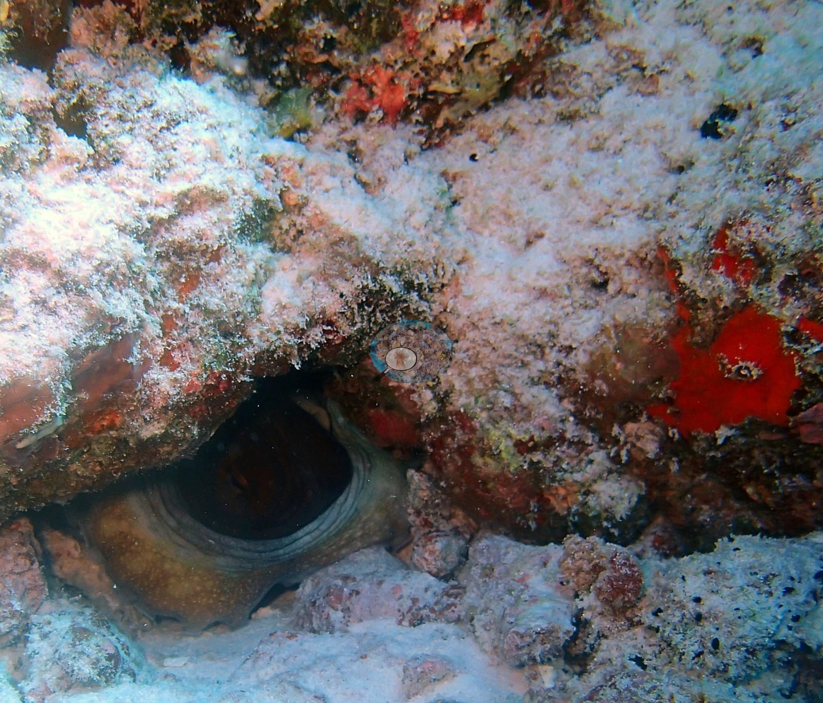
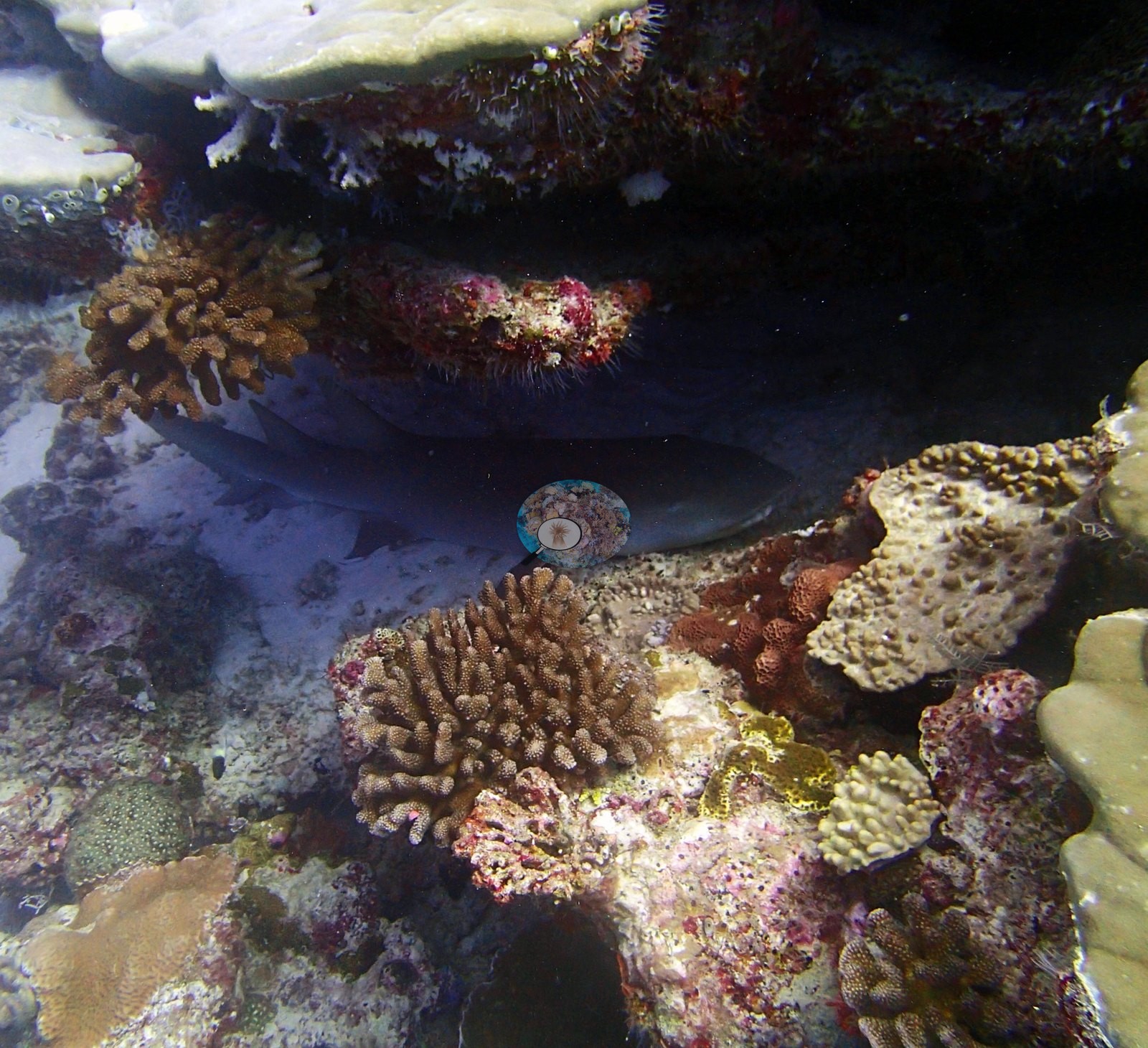
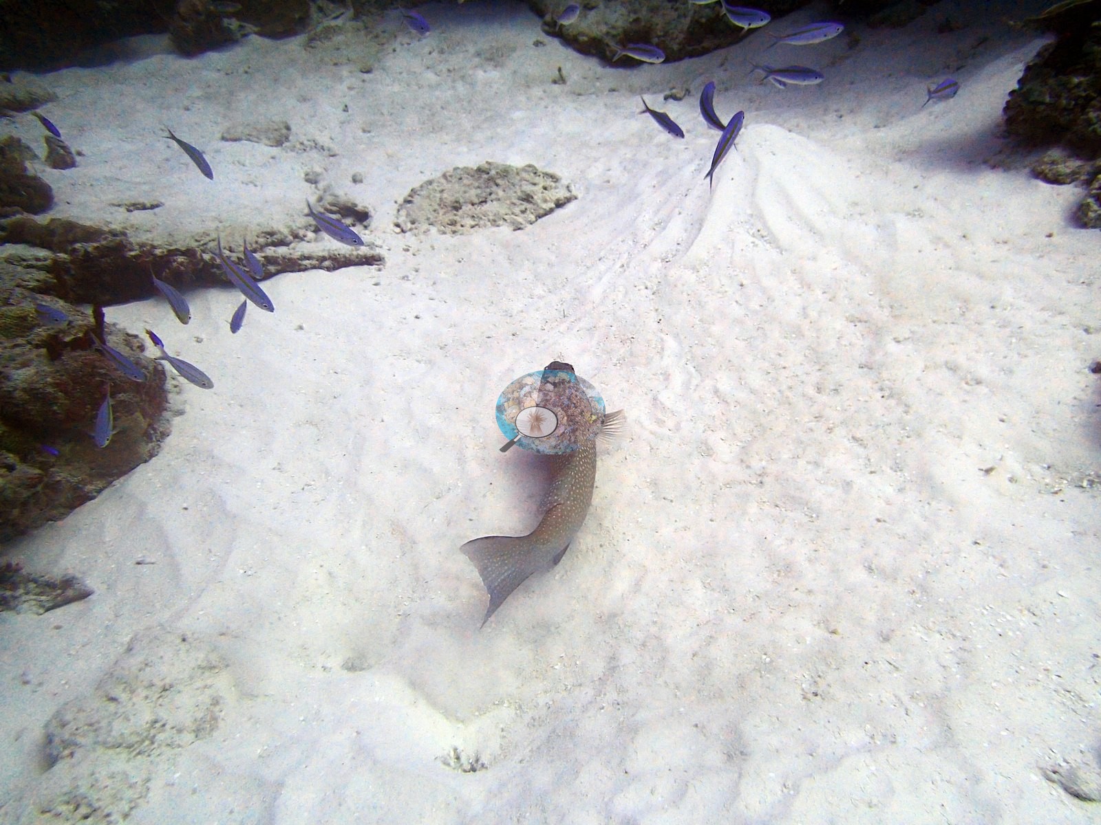
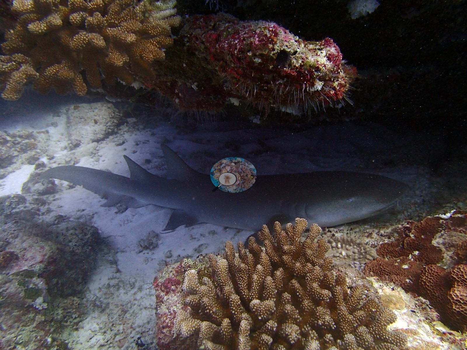
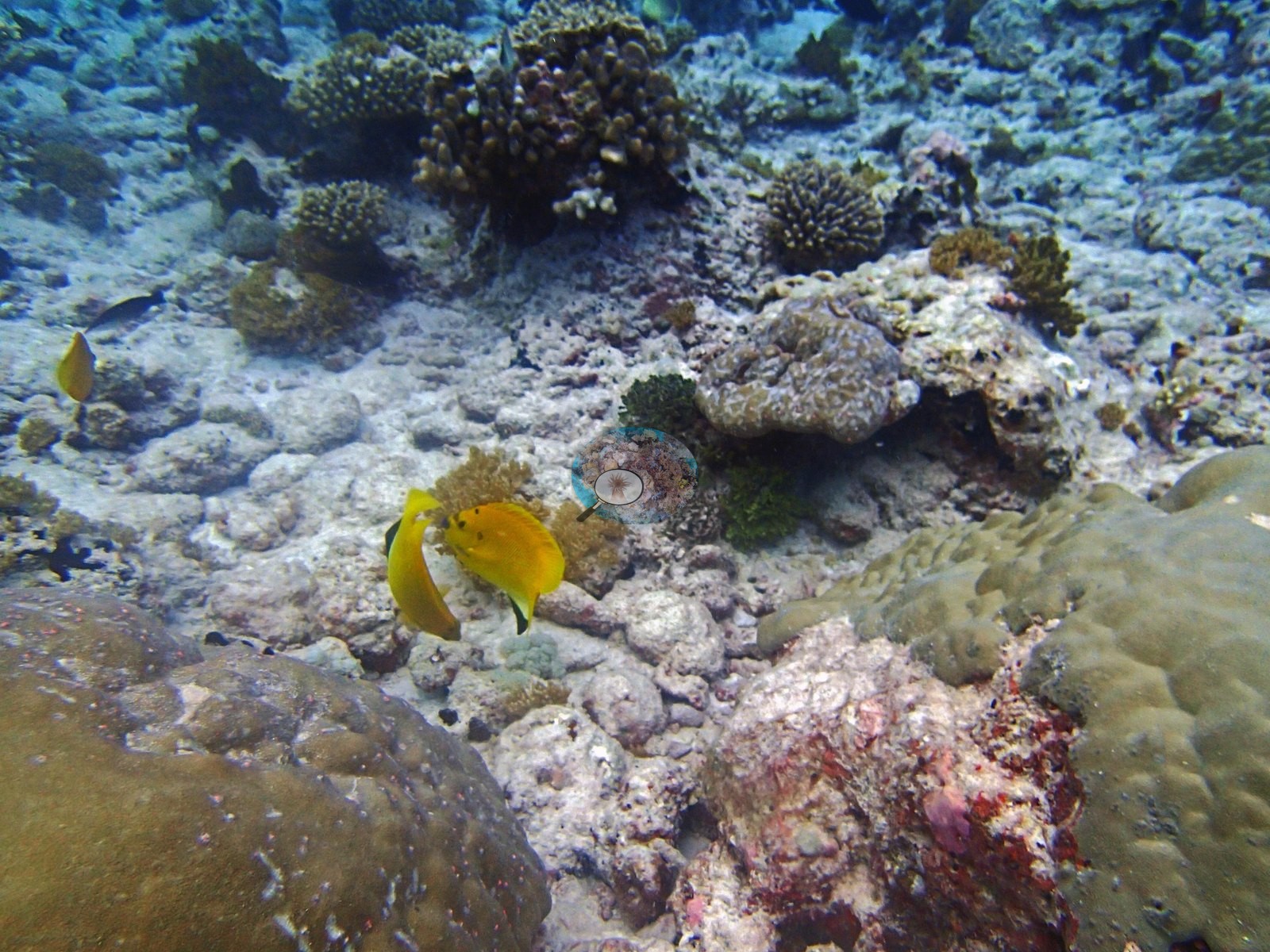
Sponges appear in 17 frames, sea cucumbers in 4, giant clams in 1, urchins in 1 and anemones in 1. P3180455 carries the site's highest dead reading, 11.09%, over pale turf- and CCA-covered pavement with a pair of yellow-bodied fish above it (read as rabbitfish, Siganus sp., in one review and as a surgeonfish in the other; the frame does not settle it here). The fauna is the best in Three Brothers so far. P3180394 and P3180396 hold a shark resting on sand beneath a ledge — blunt-headed and brown-gray, close and sharply lit in P3180396 — recorded as a whitetip reef shark (Triaenodon obesus), which the frames are consistent with. P3180462 is the single best fauna frame of the redo: an adult emperor angelfish (Pomacanthus imperator), two powder-blue surgeonfish (Acanthurus leucosternon), a palette surgeonfish (Paracanthurus hepatus), an anemonefish (Amphiprion sp.) and a parrotfish in one field over well-covered ground. P3180443 and P3180444 are close portraits of an octopus in its den — a pale mantle and webbed arm curtain filling the ledge mouth, one eye with its horizontal slit pupil clearly resolved in P3180444, a dark maroon central mass behind, framed by red encrusting sponge and pink coralline crusts. (An earlier description called these two frames macro portraits of a moray, Gymnothorax sp.; P3180444 was cropped and enlarged for this review and shows no eel head, jaw or tubular nostril. P3180407 is a sand plain carrying a single mottled bottom-resting fish that the frame does not resolve to family.
Comparisons with other data
Also on record for this site: Coral cover: 29%.
Dive record
Survey conditions on 18 Mar 2015 at 6.1384°S, 71.5091°E: in situ temperature 29.4°C, salinity 34.4.
Other notes
No depth-stratified (D1–D4) breakdown is carried for this site in the pin material. The reason is a keying failure, not an eviction: the CV CSVs key on the bare lowercase filename with no site qualifier, and exactly 21 of BITB28's filenames also occur in the BiTb30-finished folder — precisely the unscored ones. All 21 collided rows carry model_folder = BiTb30-finished, so they describe BITB30's pixels; the 22 scored frames are unique to this folder, so nothing is cross-contaminated, but a re-key recovers nothing. Image-by-image: a mosaic site, and that is its defining property. All 43 habitat frames from Anderson's folder BiTb28-finished were reviewed (dive window 08:21:49–09:18:02 from DateTimeOriginal EXIF, in four bursts: 08:21–08:23, 08:28–08:33, 08:42–08:48 and 08:55–09:18 — the morning dive of the 18th, the day after BITB27 at Middle Brother). There are no sampled-colony frames and no scale object anywhere in the set. Corrected.)
CV model comparison
More info
Those are point counts on the photographs; this is a diver swimming a transect. The models and the reference never saw the same thing. ⚠ SITE-LEVEL ONLY. The 2,500 frames were not associated with any transect taken within 200 m of them, so transect-vs-image comparisons are site means, never frames. The transect value is already in the pin `cover` field (109 of 112 pins, sourced to the paper's suppl. S1) and is read from there, never re-imported. The transect is THE coral-cover value for this site and stands alone. The rows below it are a methods comparison only: no computer-vision value is averaged with it, feeds the headline, or carries over to the site's cover figure (Anderson, 2026-09-22).| Method | Hard-coral cover (%) |
|---|---|
| Transect (published) | 28.5 |
| CoralNet | 26.9 |
| In-house DINOv3 | 20.2 |
| CoralSCOP edited | 29.0 |
| Claude | 18.5 |
Independent surveys nearby
| Agency / program | Year(s) | Stations / distance | Link |
|---|---|---|---|
| Sheppard et al. (2008) | 2006 | 1 station, 2.40 km | Records ↓ |
| Spalding et al. 2025 (Chagos 2024 bleaching report) | 2024 | 1 station, 2.36 km | Records ↓ |
| XL Catlin Seaview Survey | 2015 | 1 station, 2.44 km | Records ↓ |
 Dr. Coral (CRD)Year-average (no detectable trend)
Within 5 km, 3 independent survey stations recorded hard coral cover in 7 records between 2006 and 2024. One survey since 2021 recorded 50%. This site's own estimate (29%) sits 21.5 points below the recent value (50%); the methods differ, so the comparison is context, not a like-for-like test.
Collected by other programs using different methods (the XL Catlin Seaview Survey uses photo-transects with automated image annotation), so these are context for the figures above, not a like-for-like comparison. Where a station was surveyed more than once the range is shown. Station names are not dive-site names.
| Agency | Site / location | Date | Hard coral cover (%) | Distance | Link |
|---|---|---|---|---|---|
| Sheppard et al. (2008) | Great Chagos Bank | 2006 | 41% (5 surveys) | 2.40 km | HeatCRD database |
| XL Catlin Seaview Survey | transect 36004 | 2015 | 21% | 2.44 km | — |
| Spalding et al. 2025 (Chagos 2024 bleaching report) | Great Chagos Bank - Middle Brother, lagoon (E aspect, 1-3 m) | 2024 | 50% | 2.36 km | — |
Data & links
- Read the full site report ↗
- Download benthic survey data (CSV) ↗
- Download all LOF-GRE data (933 sites) ↗
- CoralNet image repository for this region ↗
- HeatCRD database ↗
- (reference) ↗
- Photo portfolio ↗
- Coral Reef Diagnostics page for this area ↗
All images from Coral Reef Diagnostics. Data are from Coral Reef Diagnostics and the organizations named in the data-sources table above.
 © Coral Reef Diagnostics.
References
- Mayfield AB, Dempsey AC (2026). Using tourist diver images to estimate coral cover and bleaching prevalence in a remote Indian Ocean coral reef system. Oceans 7(1):1. PDF
- Sheppard C, Harris A, Sheppard A (2008). Archipelago-wide coral recovery patterns since 1998 in the Chagos Archipelago, central Indian Ocean. Marine Ecology Progress Series 362:109-117. PDF
- Spalding M, Bourasseau M, et al. (2025). Coral bleaching and mortality in the Chagos Archipelago, 2024. British Indian Ocean Territory Administration report (gray literature). PDF