
Part of the regional summaries: Chagos Archipelago - Great Chagos Bank West / Brothers / Eagle and Chagos Archipelago
More info
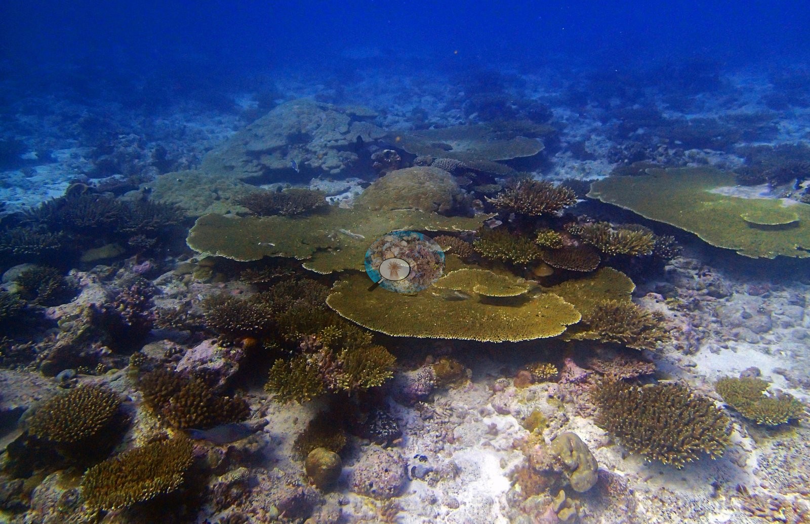
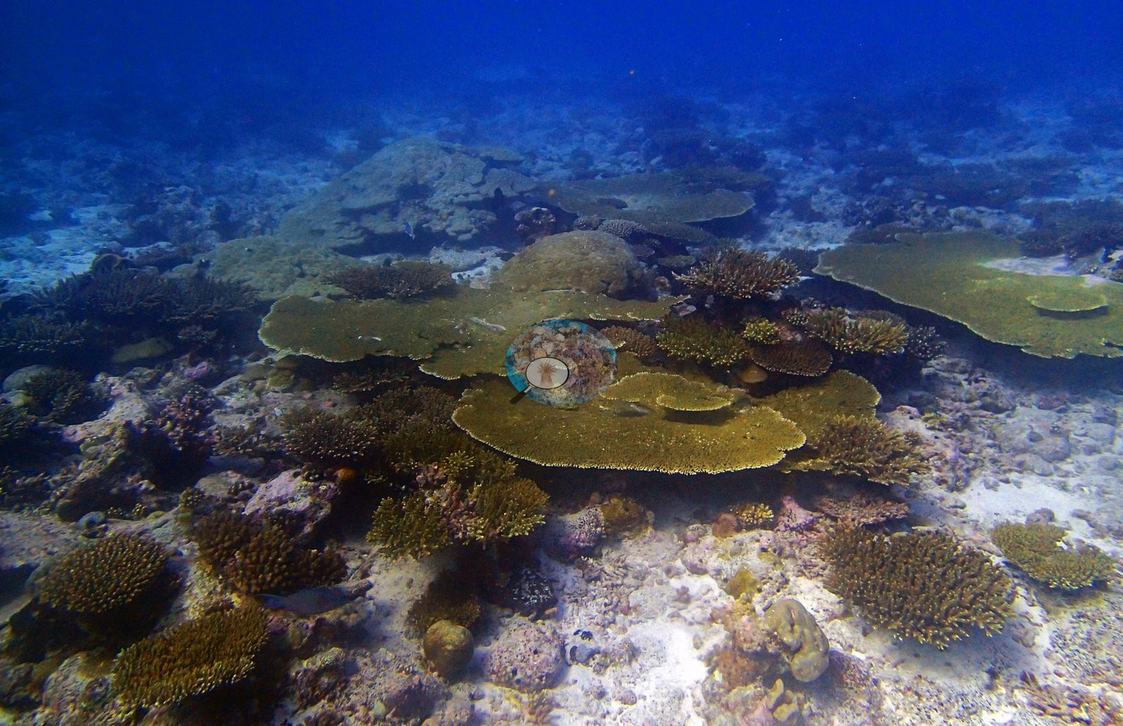
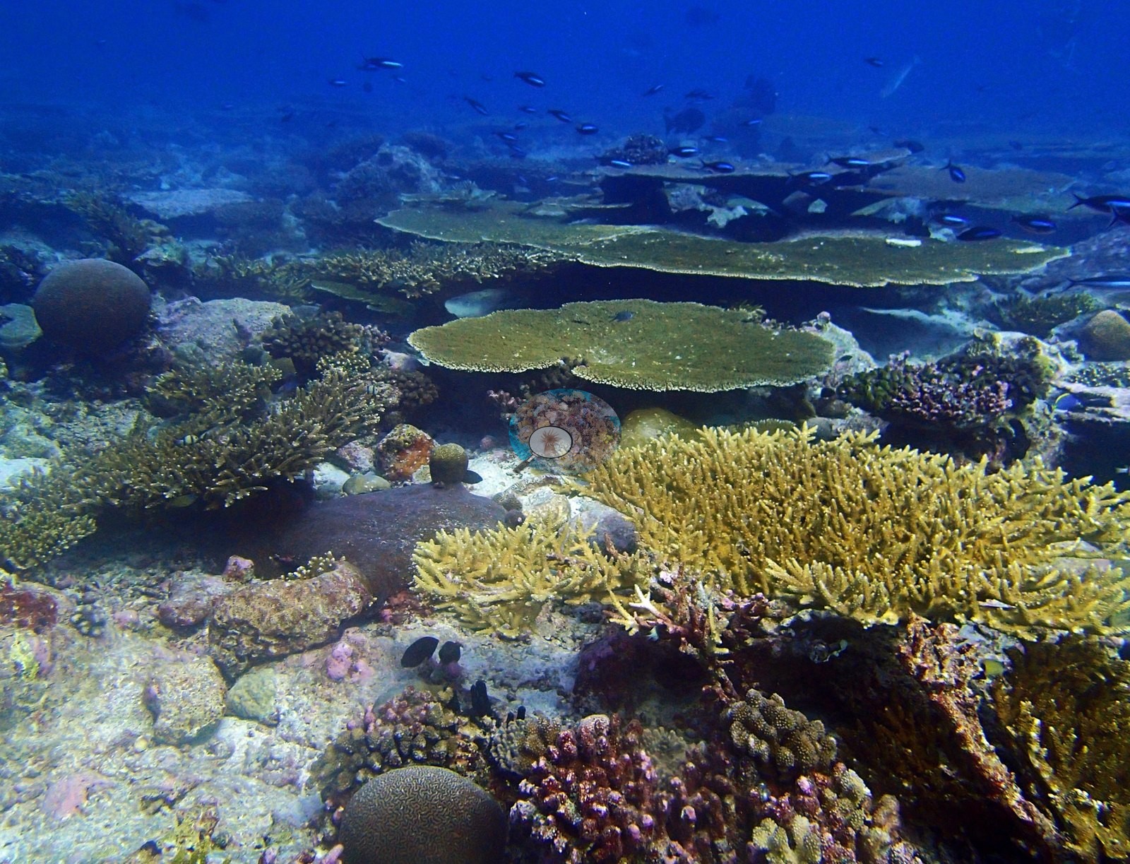
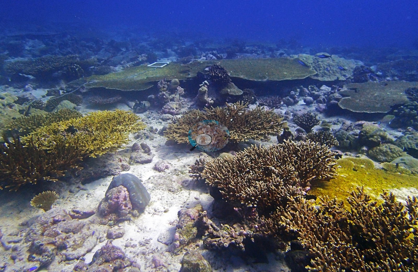
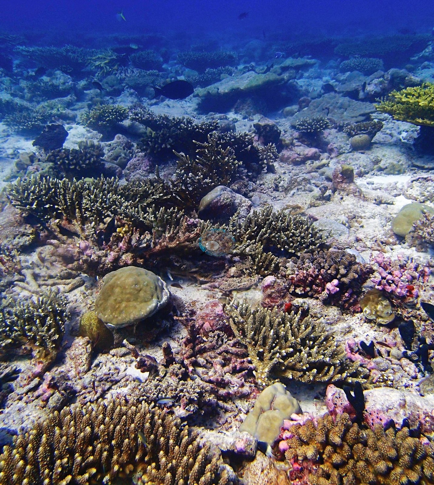
Chagos (NOAA CRW virtual station)A densely branched Great Chagos Bank reef where golden-tan Acropora thickets and tables fill whole frames, including a striking large purple-mauve branching colony, with brain corals tucked at their base. Health is genuinely good: the little dead coral present is old skeleton already resurfaced in pink coralline algae. Surveyed on the Living Oceans Foundation's Global Reef Expedition.
Three independent survey stations shown with the program’s logo — click one to see how far it is from this site.
Fourteen other CRD dive sites within 5 km shown in orange — click a marker to open its page.
🗺 Detailed map of the Global Reef Expedition dive sites, Three Brothers, Chagos (Khaled bin Sultan Living Oceans Foundation; opens in a new window)
19 of these 45 photographs are shown beside the text that discusses them under "Site description" below.
Site description
General benthic features
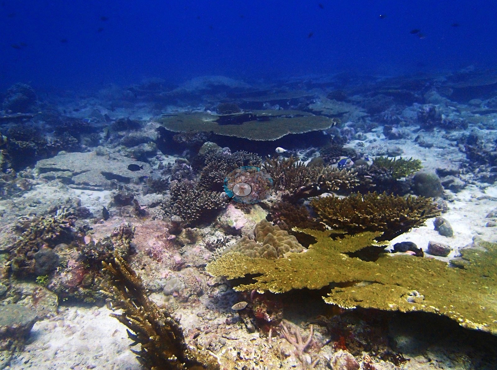
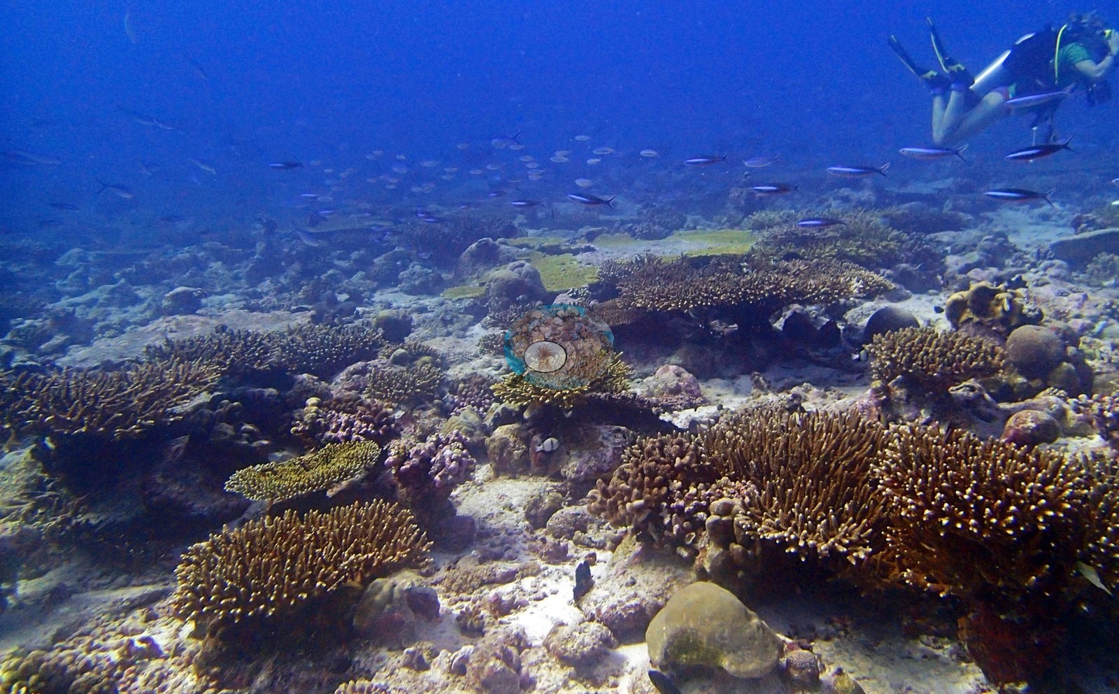
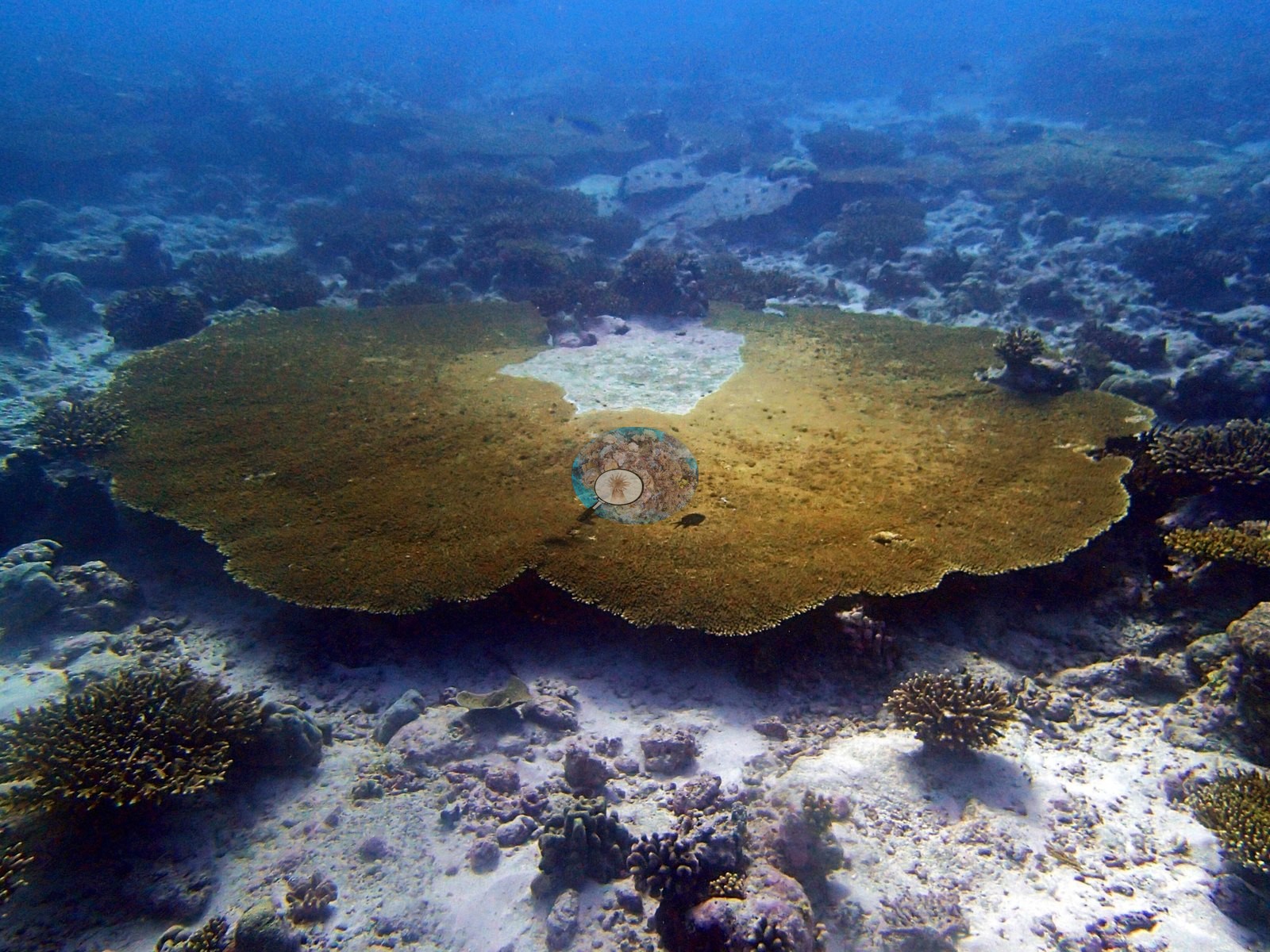
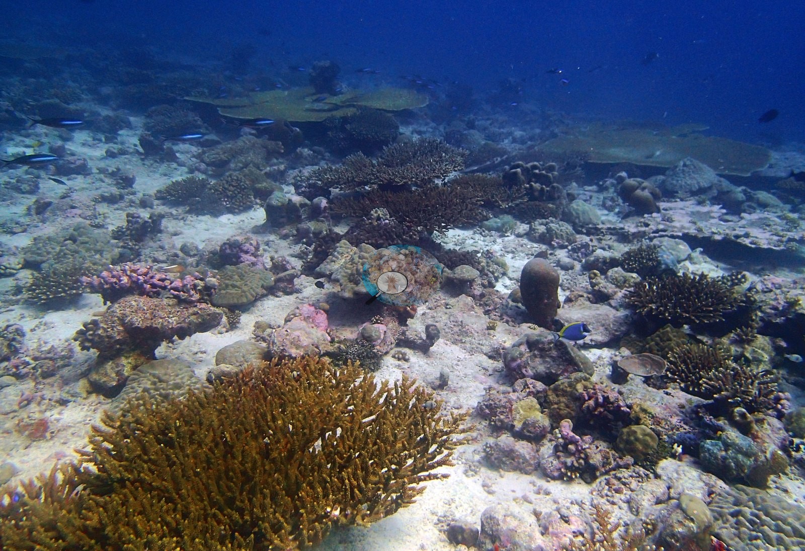
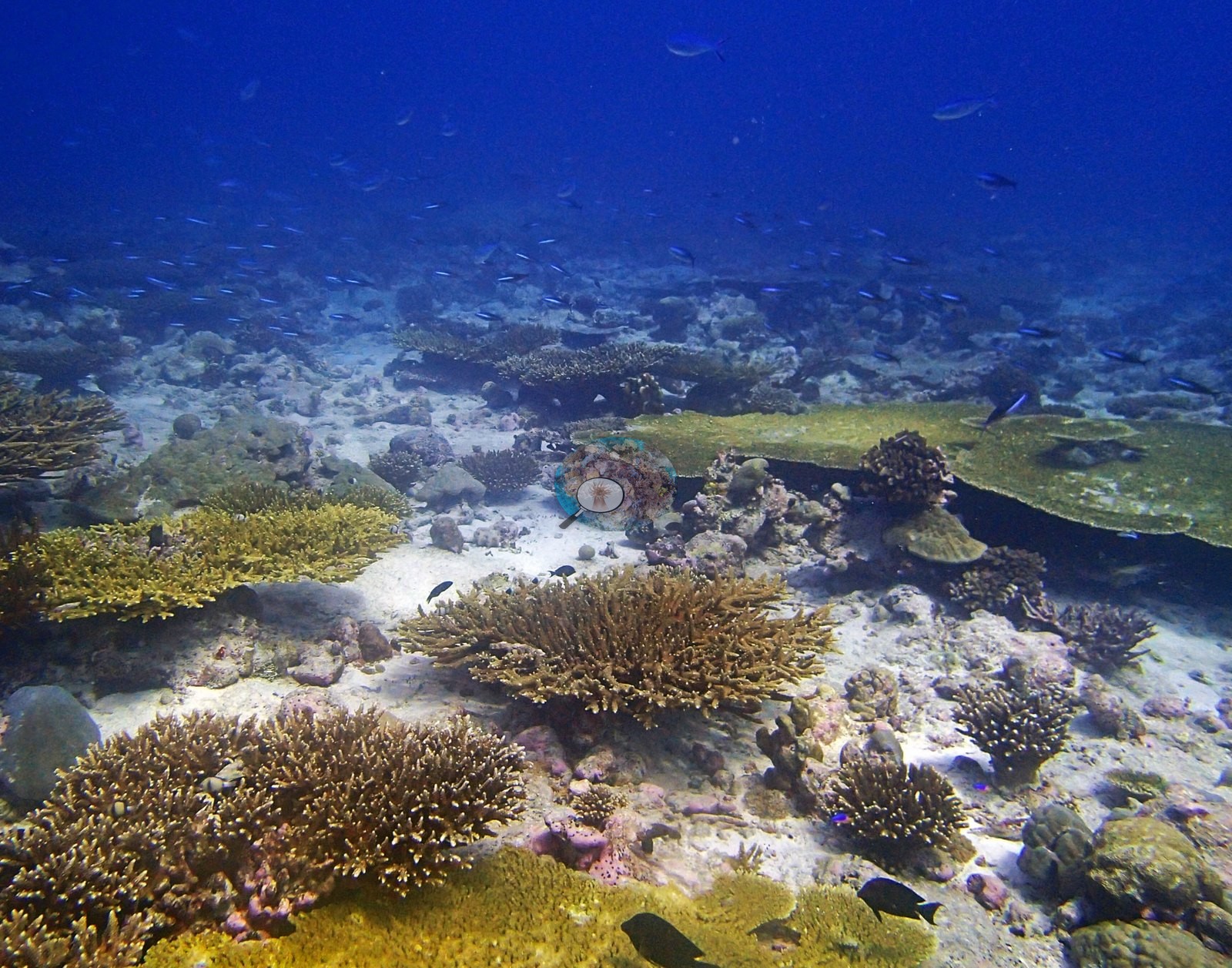
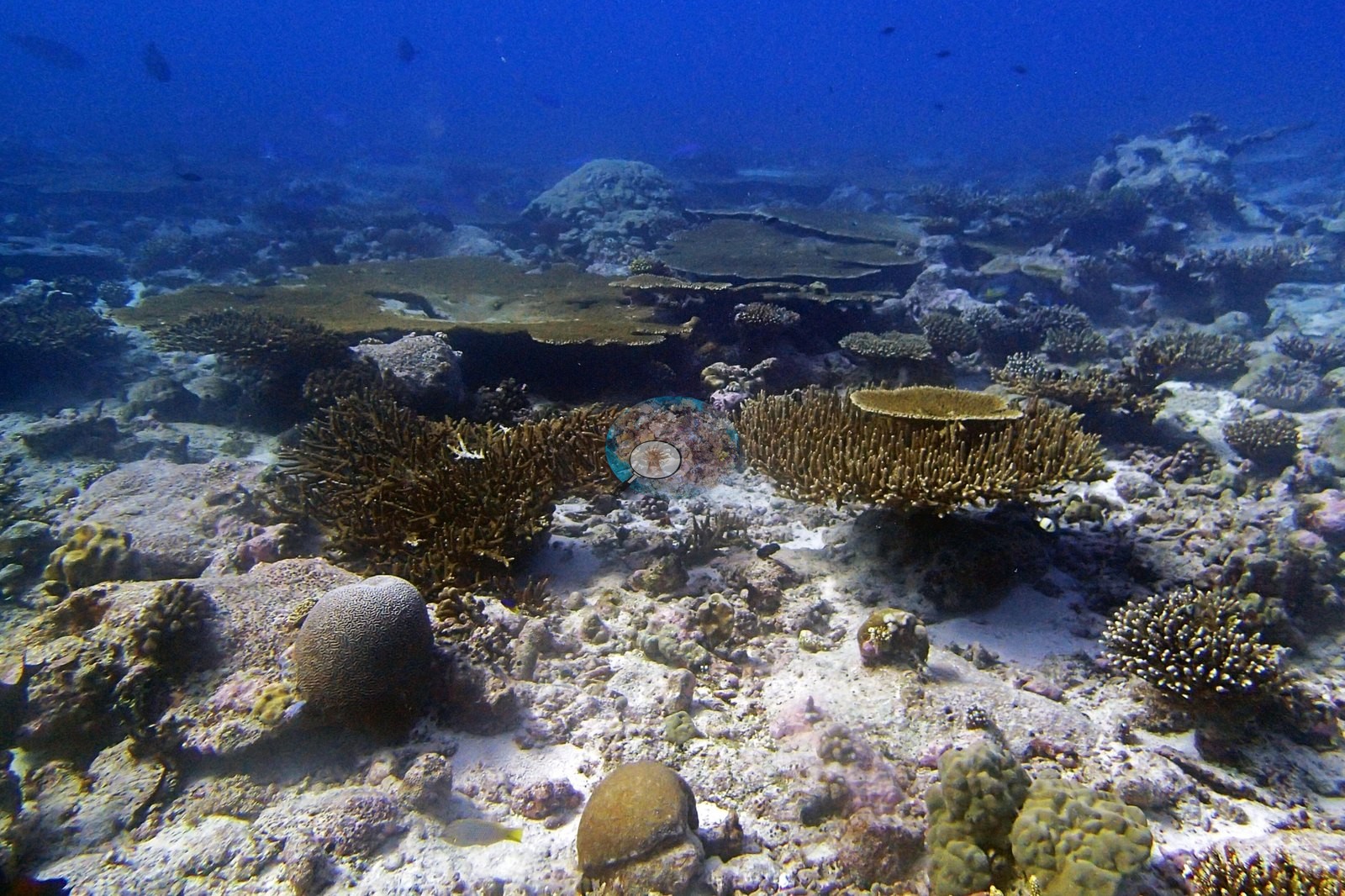
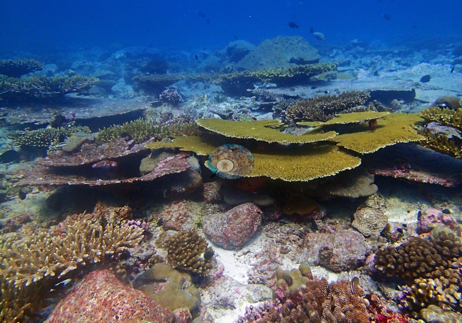
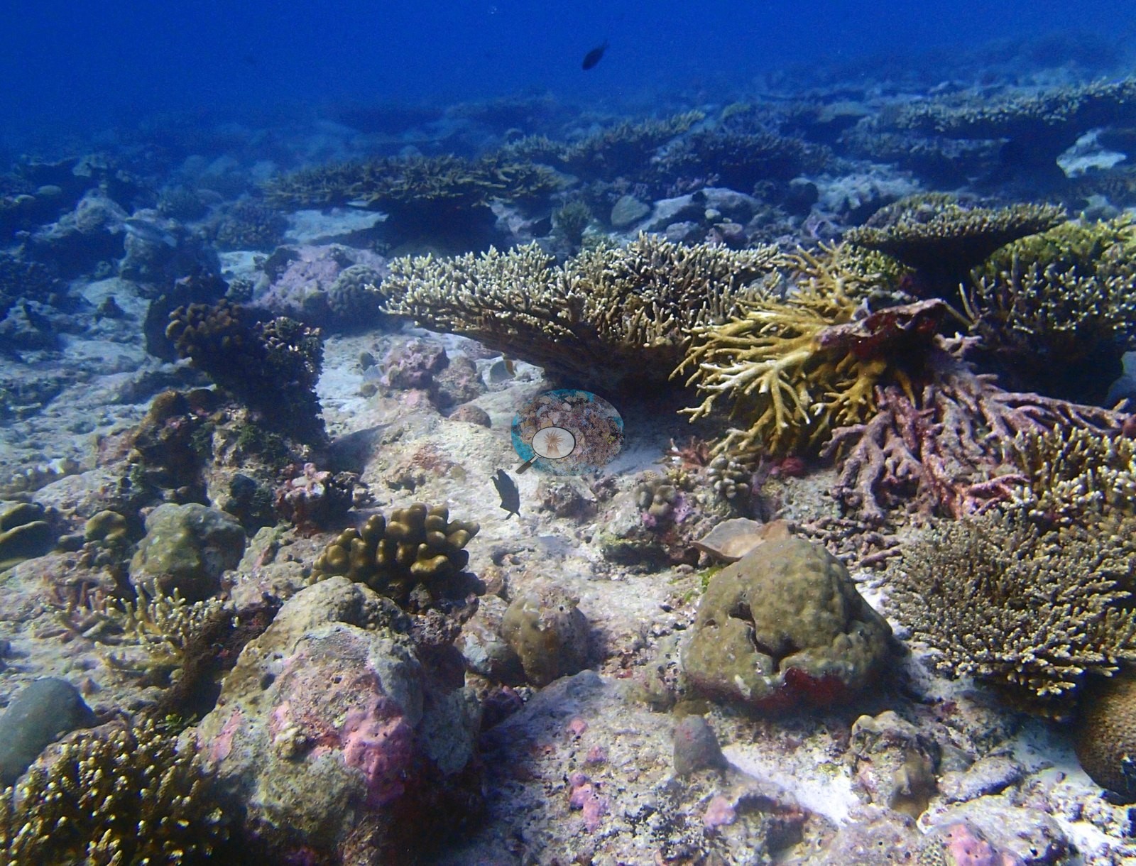
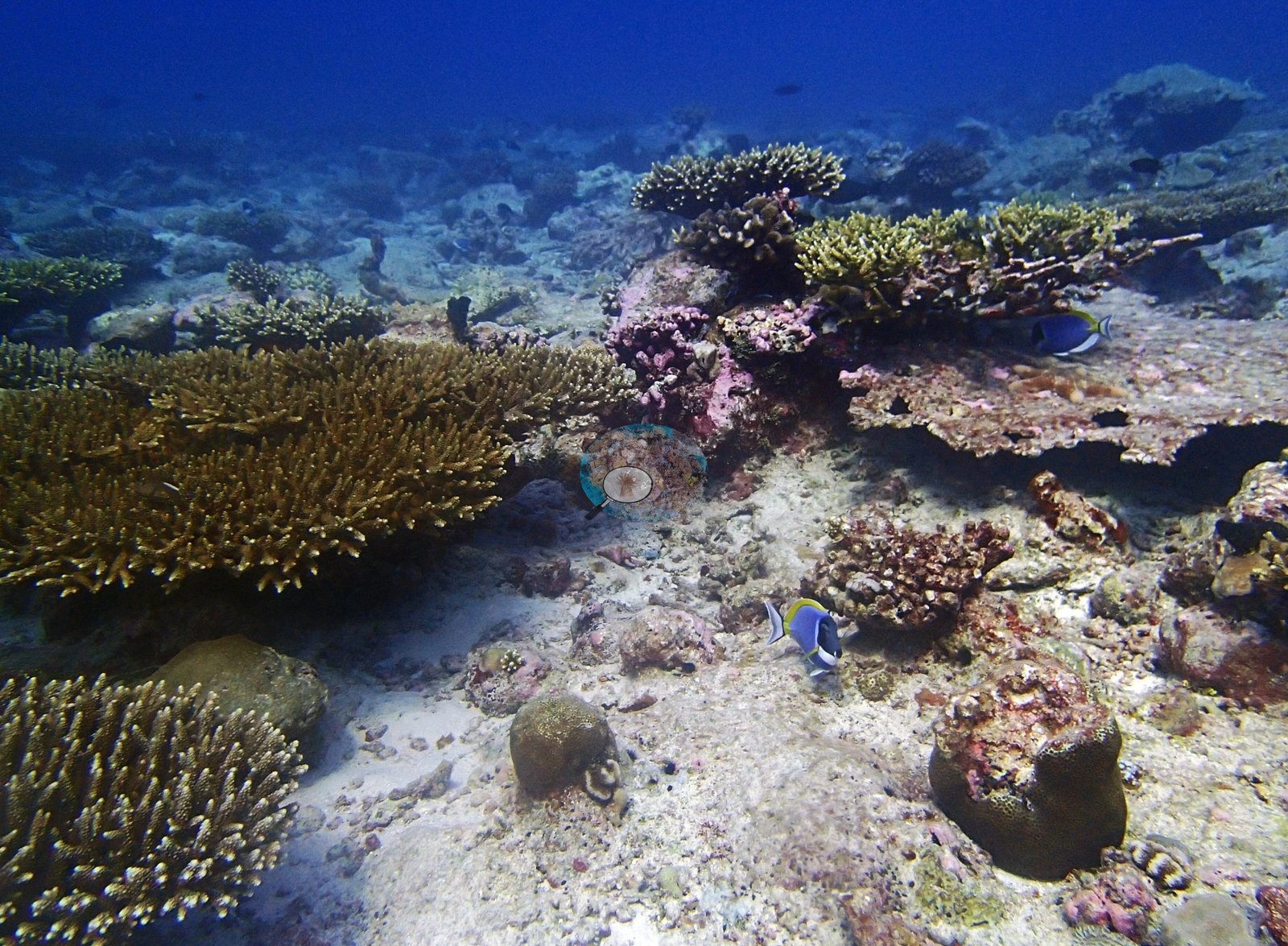
Where the reef is not plated it is branched, and densely so (e.g., Image 14, Image 44).
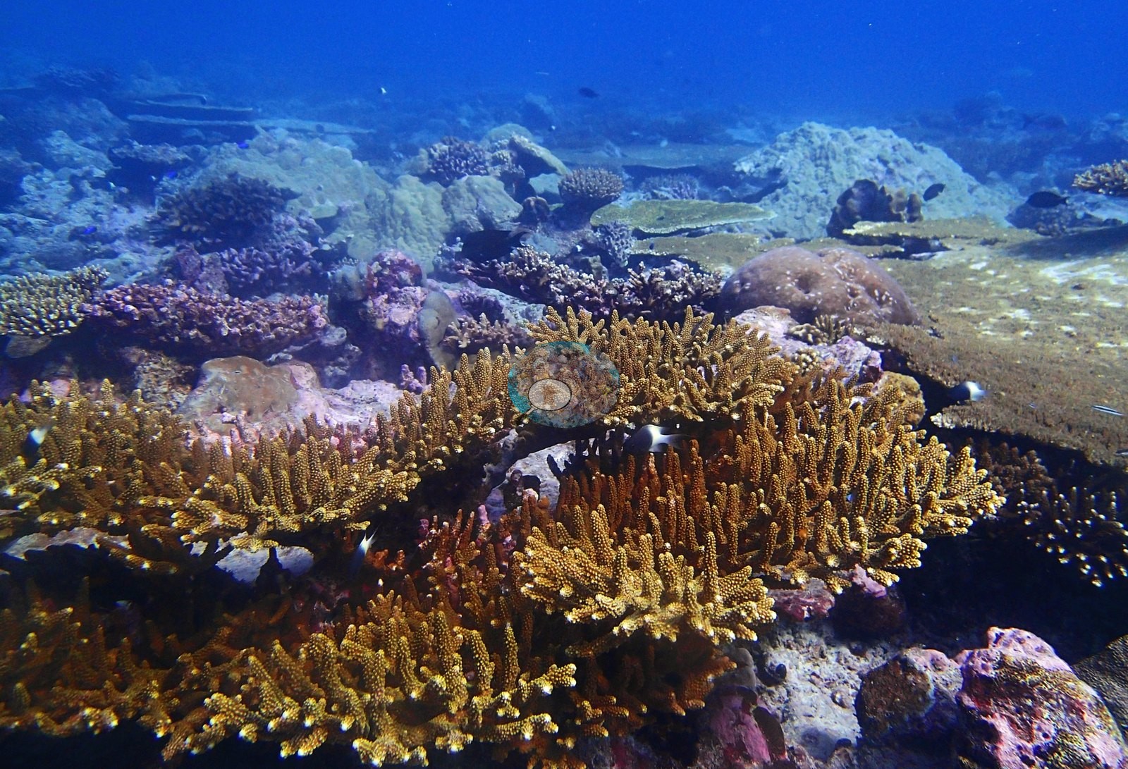
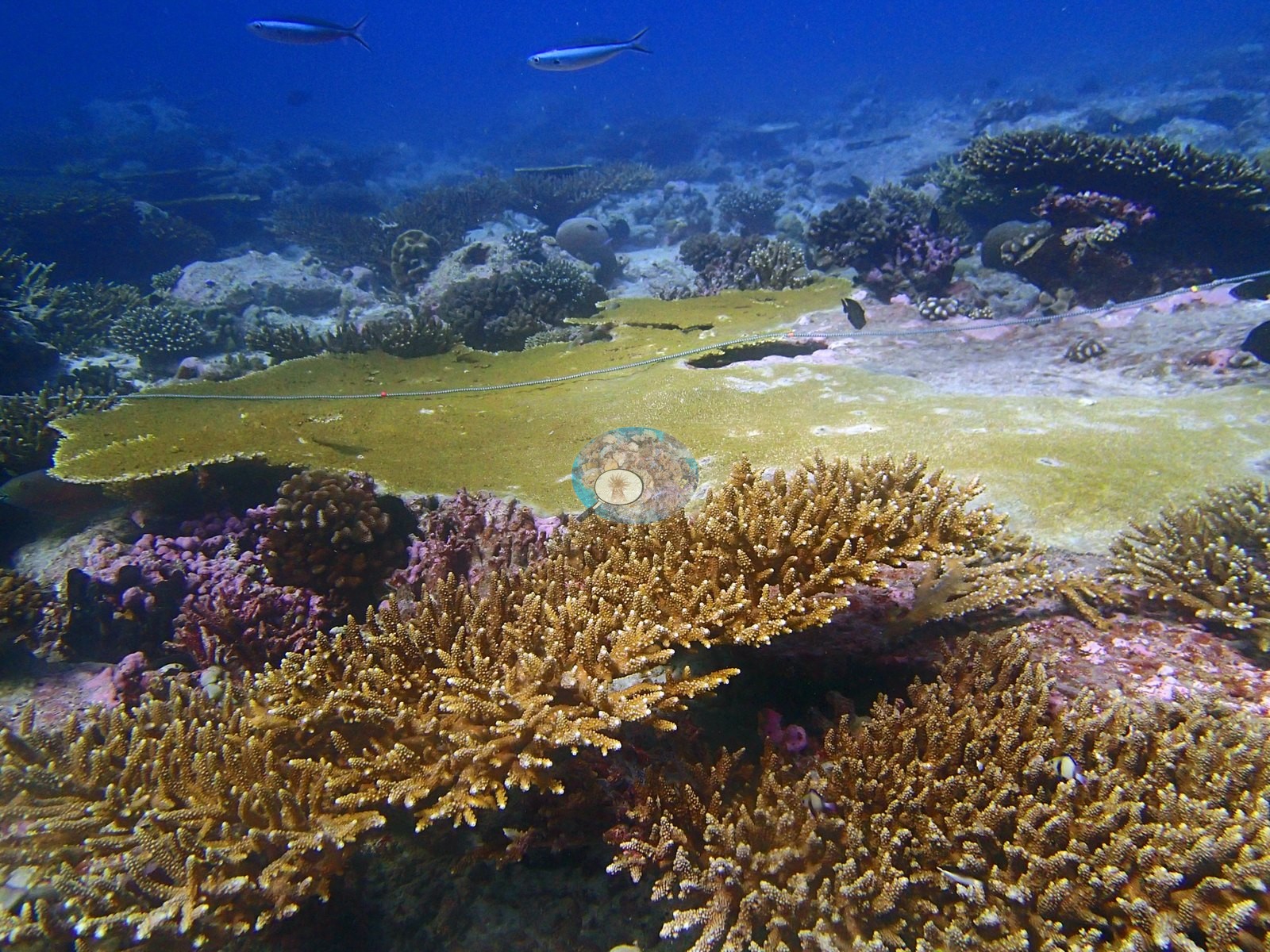
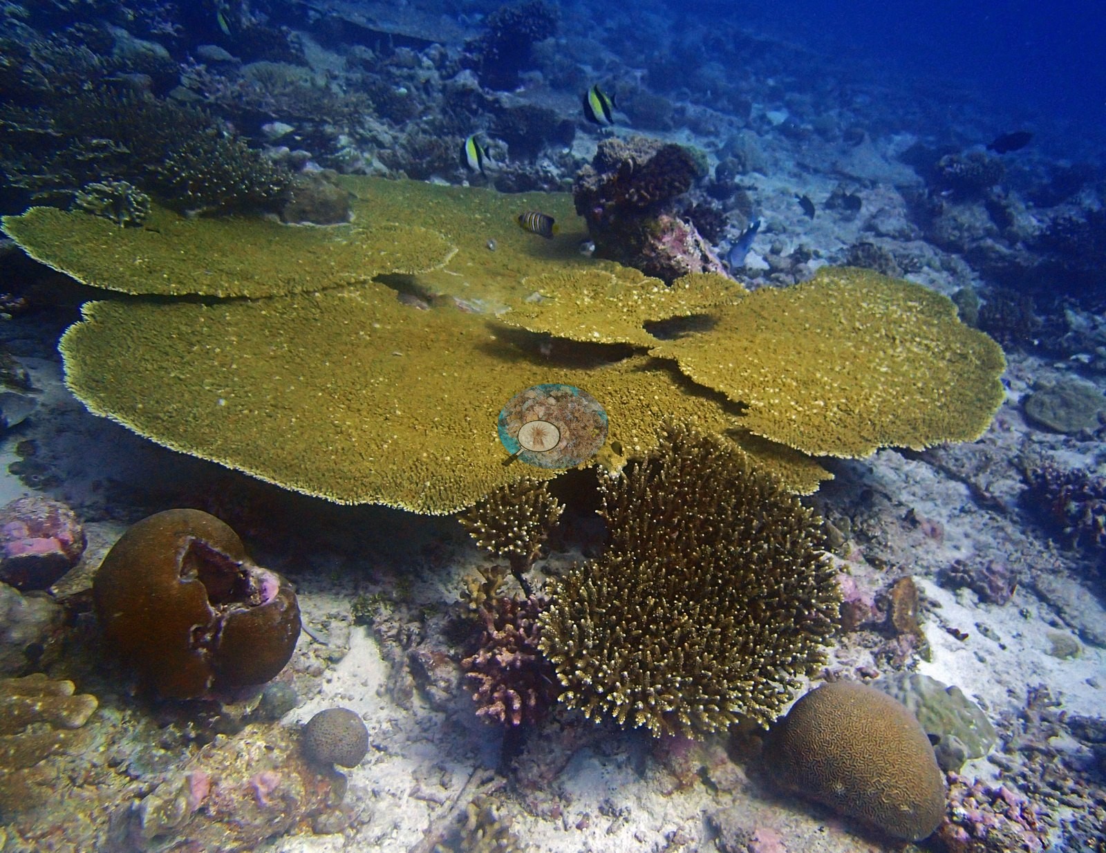
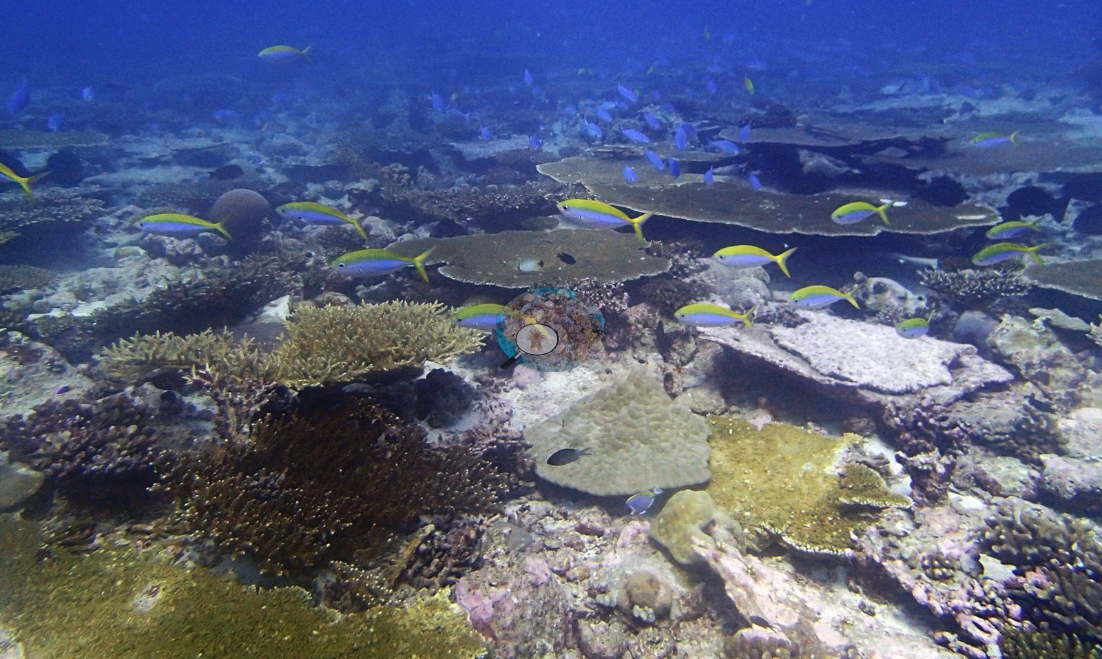
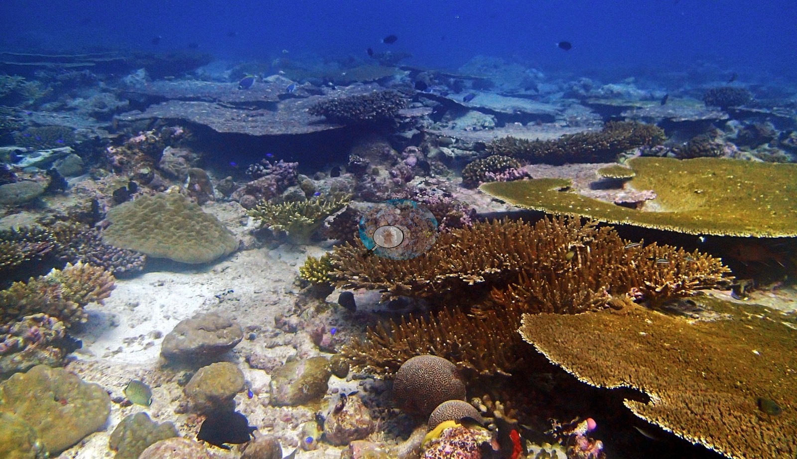
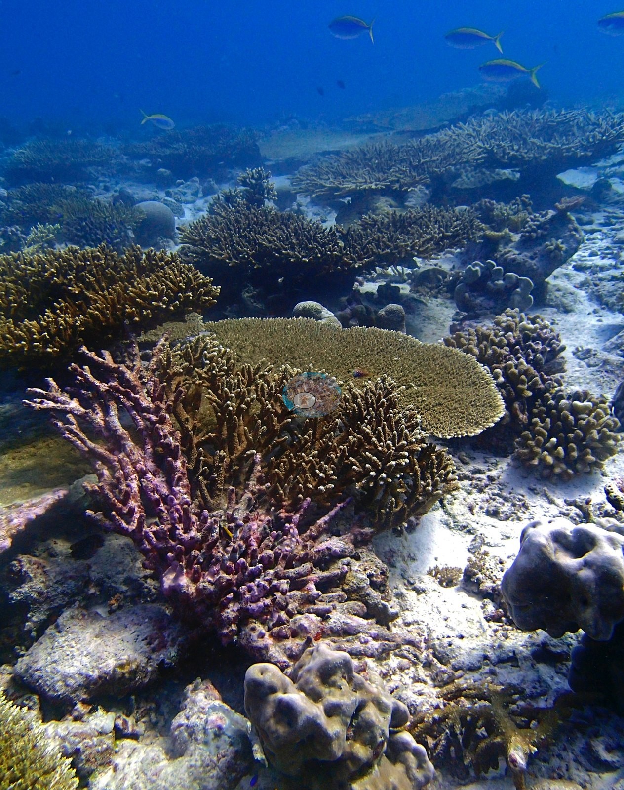
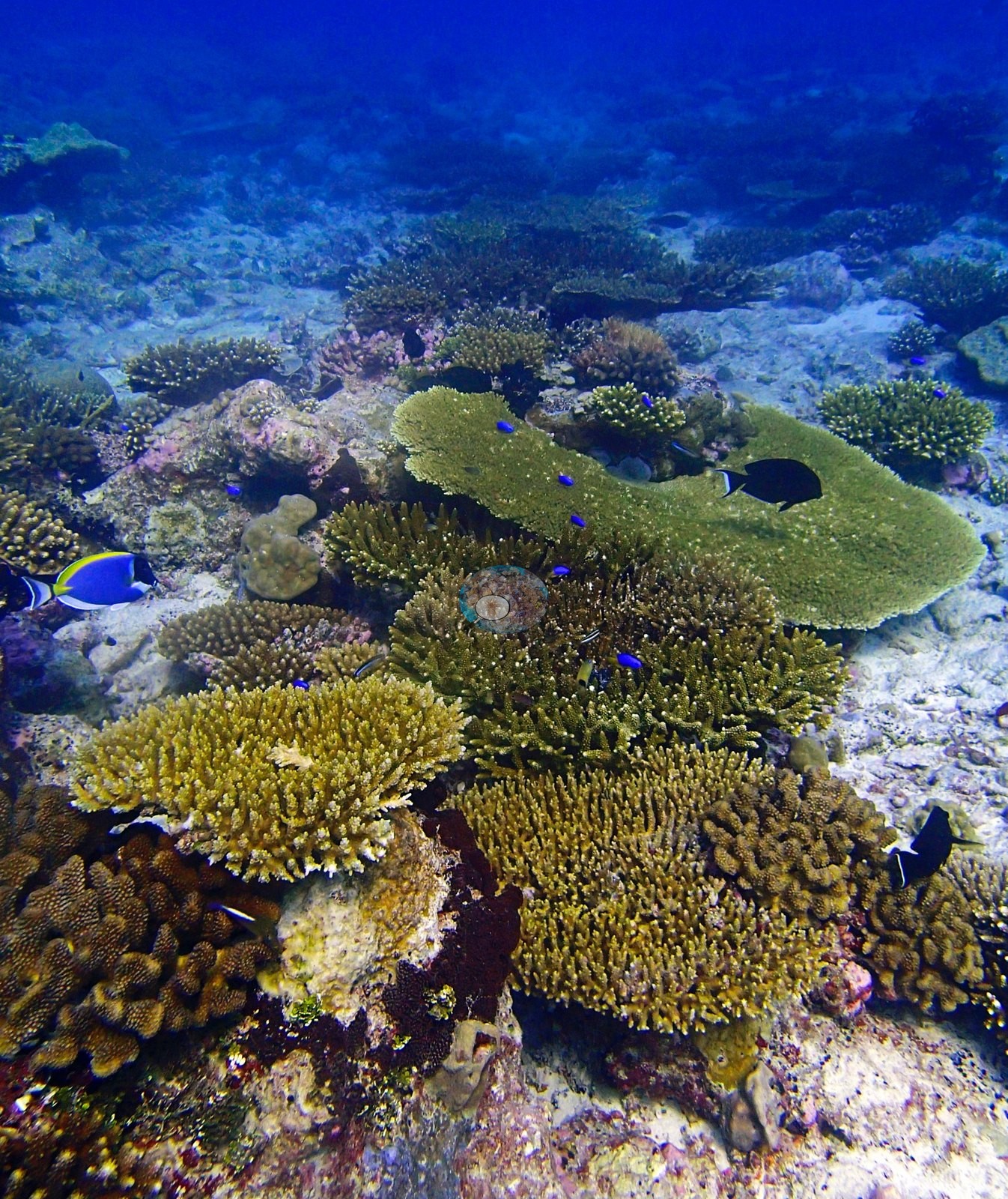
One frame is the highest-cover branching frame — golden-tan corymbose and digitate Acropora filling the entire field with a single Porites dome pushing through. One frame holds arborescent staghorn thickets with bright pink encrusting sponges and dark gaping bivalves set into the framework; another carries the site's most distinctive colony, a large purple-mauve branching Acropora beside a tan tabular plate; a third is a mixed stand of at least four Acropora forms with knobby brown Pocillopora-type clumps at its base; and five frames all carry meandroid brains compatible with Platygyra tucked at the foot of the plates (e.g., Image 16).
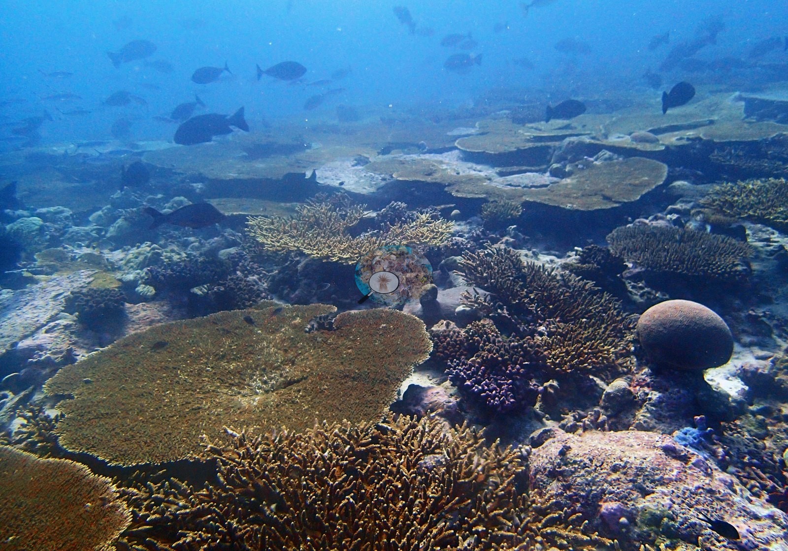
Massive Porites is constant but never dominant — domes in four frames, and a knobby-lobed sheet across the foreground of another (e.g., Image 39, Image 40).
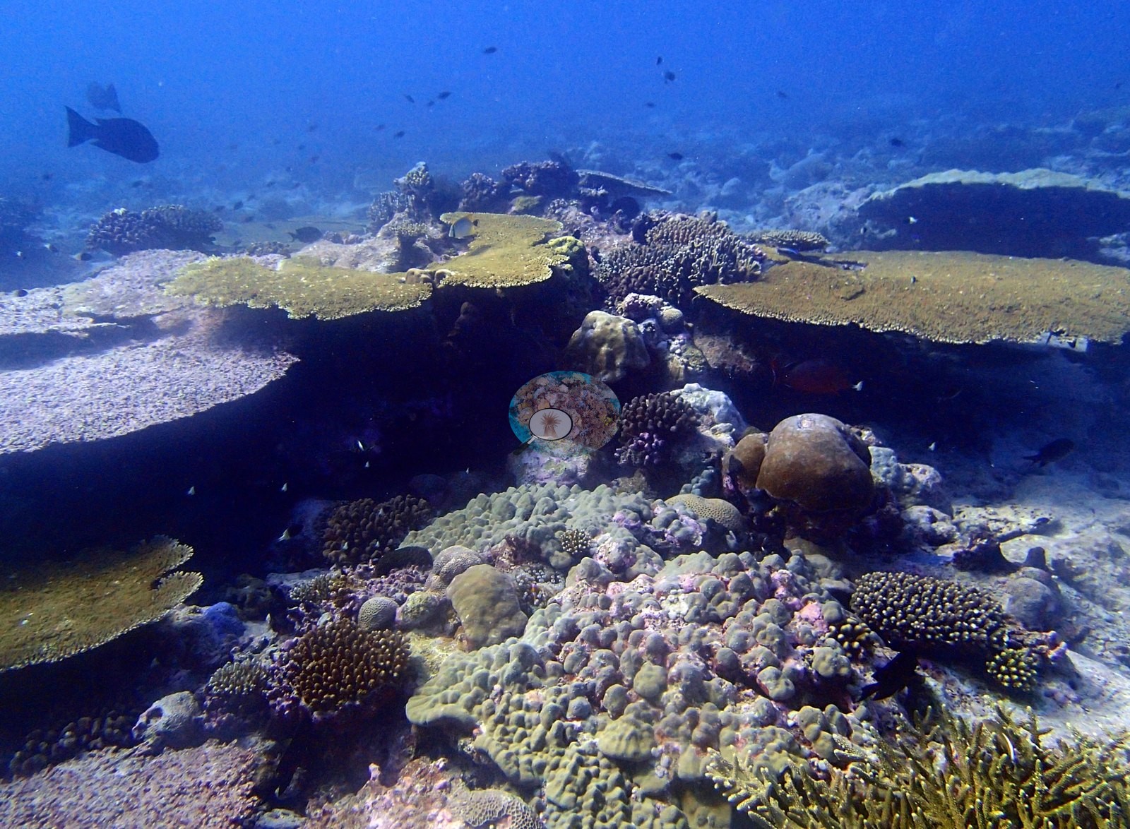
One taxonomic note needs recording. The CRD site page states that neither Seriatopora spp. nor P. acuta/P. damicornis were present here, and that other pocilloporids were collected instead for a collaborator. The frames are consistent with that — the pocilloporid material visible in three frames is blunt and knobby, compatible with a P. verrucosa-type habit rather than the fine compact damicornis/acuta form, and nothing reads as Seriatopora. This is a hedged photographic impression, not a survey result. Assemblage composition. This paragraph rests on 16 of the site's 45 frames. Across those 16 the Coralscapes masks put live hard coral at 22.3% of image area, of which tabular Acropora is overwhelmingly the largest component at 55.0%; the rest breaks down as Acropora (non-tabular) 27.0% and massive and meandroid 7.4% of live cover. The independent 30-point annotation of the same frames (480 points) gives live hard coral as 24.8% of all points and apportions it Acropora 87.4%, Porites 5.0%, other hard coral 5.0%, Pocillopora 2.5% of live coral — the most Acropora-dominated assemblage of any site in the redo. Non-coral cover is dominated by turf 15.0% and crustose coralline algae 5.2% of all points.
Coral cover
Frame-to-frame live cover runs 3.3% to 56.7% by point count. Coral cover: 37%. Live hard coral measured on the in situ benthic transects of the LOF BIOT-1 expedition (Mayfield & Dempsey 2026, Oceans, supplemental S1), against algal cover of 46.4% of the benthos. The transect figure is this site's authoritative cover value; no image-derived product overrides it. Across methods the same reef reads: transects 36.6% · CoralNet points 24.8% · Coralscapes masks 22.3% (16 frames). These products have different sampling footprints and denominators and should not be averaged.
Stressors
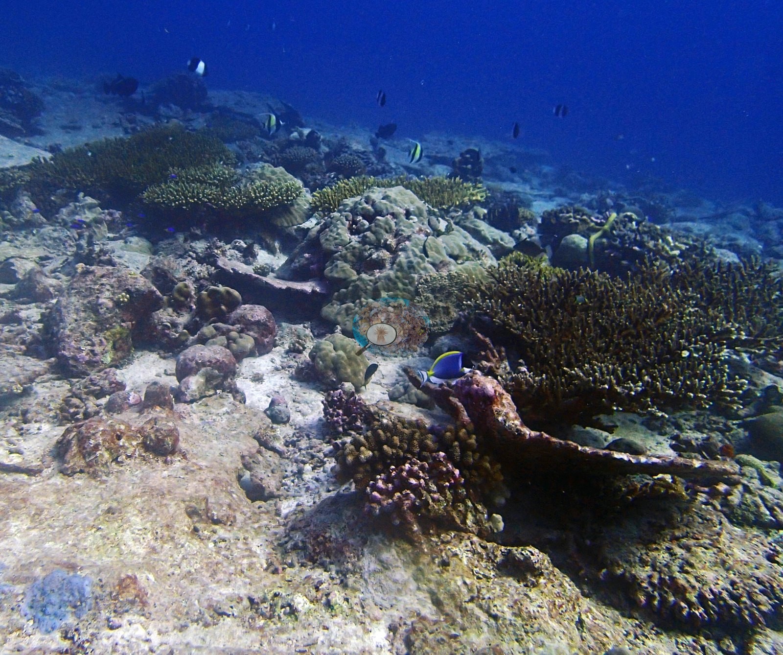
Health is genuinely good, and the little mortality present is old. The dominant structural loss is long-dead skeleton already resurfaced in pink and mauve CCA — maroon-crusted branching frameworks in two frames, a CCA-plated dead table in another, algal-toned plates in two more (e.g., Image 11).
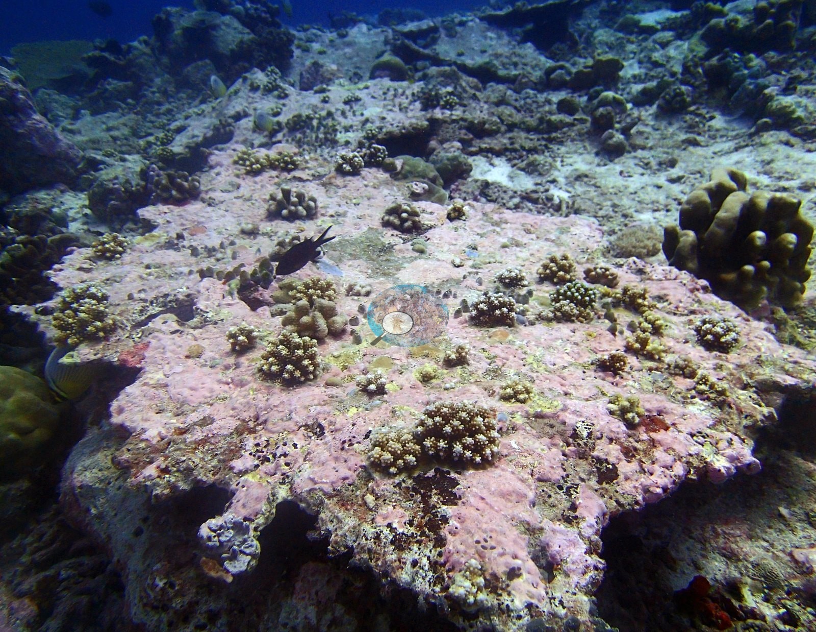
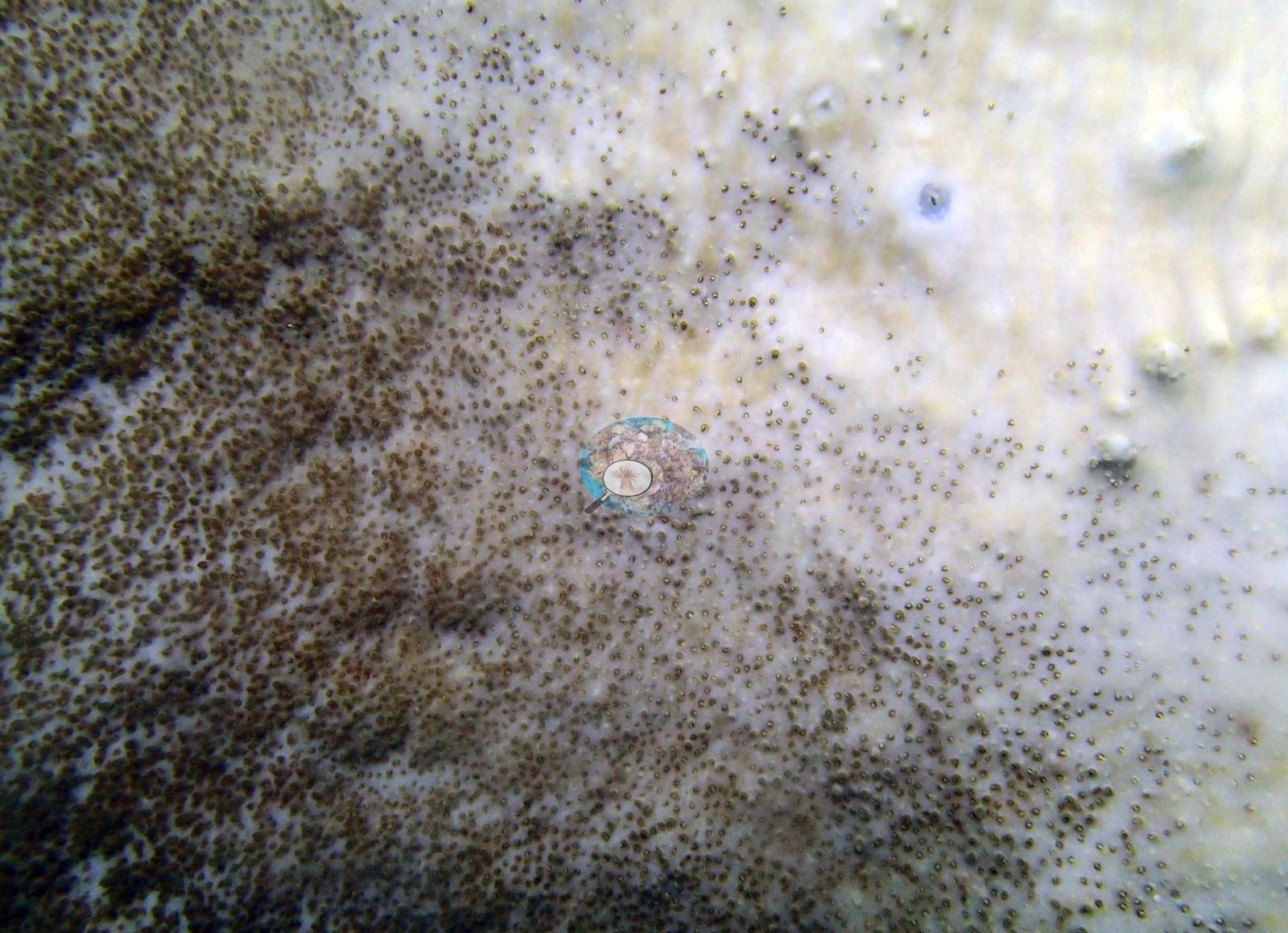
That is ordinary plate-reef turnover, not an event. Two frames need separate attention and both are unscored. One is a macro of a massive Porites-type surface caught mid-paling — pigmented brown polyps still standing out against a coenosarc gone stark white across the right two-thirds of the frame, with normal tan tissue at the left edge. The other shows a cream-white massive dome among normally-pigmented neighbors. Neither is resolvable photographically as bleaching versus a pale morph versus recent partial mortality, and neither carries a CV score, so the 0.35% transect figure remains this site's only quantitative bleaching statement. Structural loss registers as dead coral 2.61% of image area and rubble 4.96%. Bleaching stands at 0.21% of annotated points — a single point, on Acropora — against the 0.35% transect figure. No crown-of-thorns starfish (COTS) or other corallivores evident.
Fish and other fauna
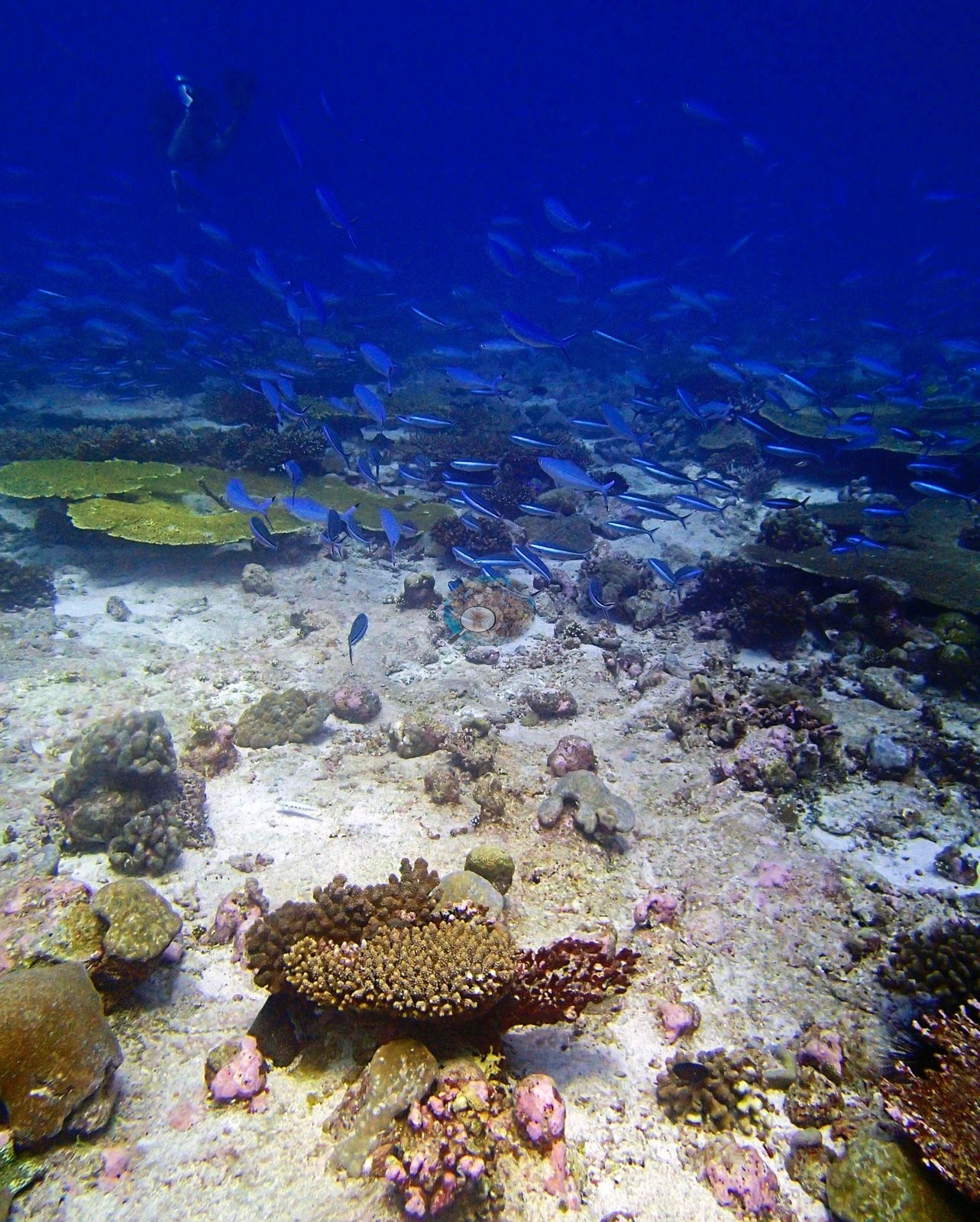
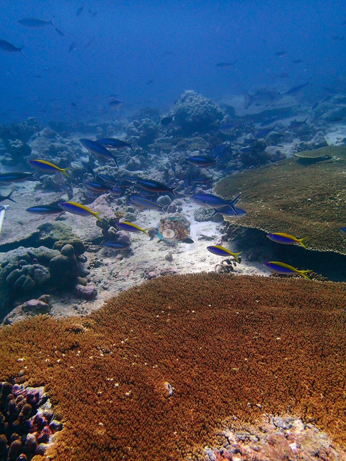
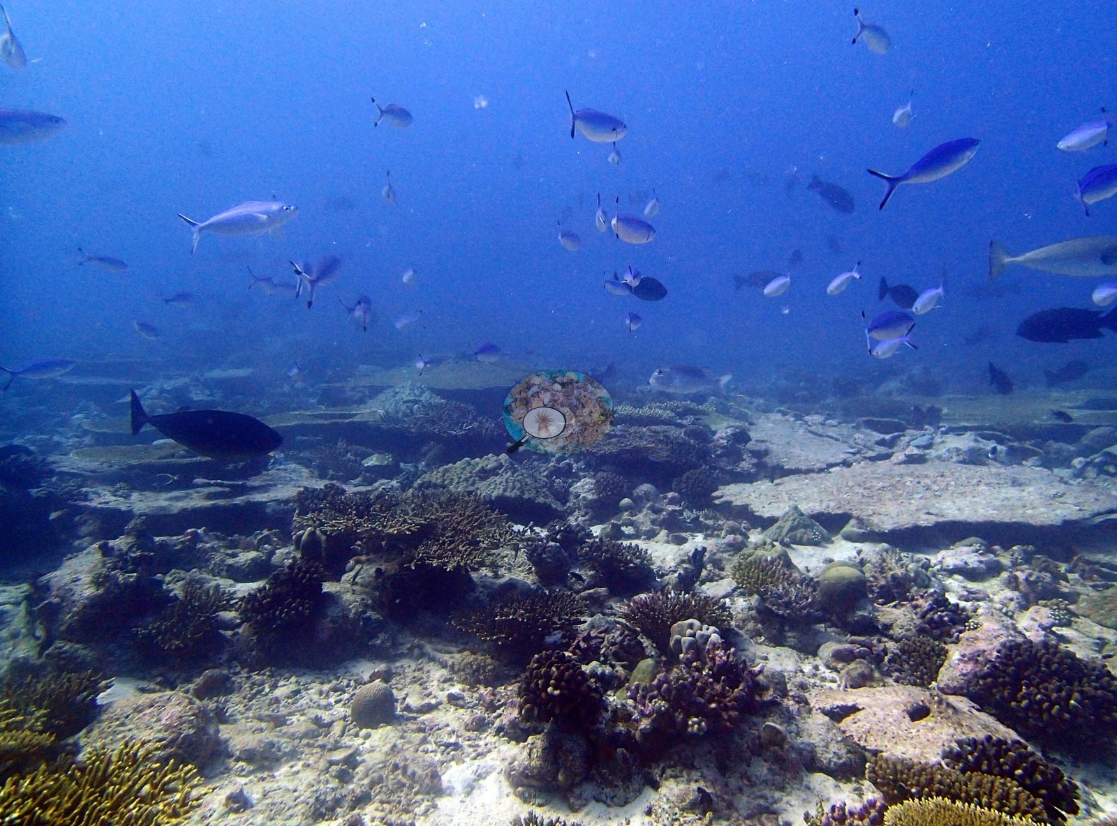
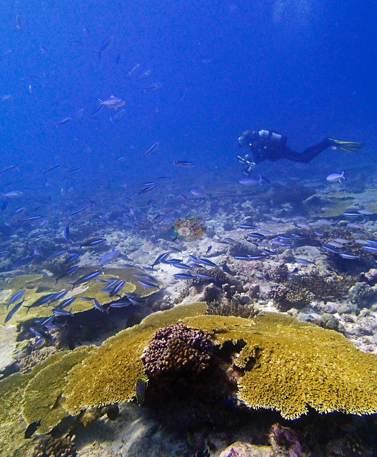
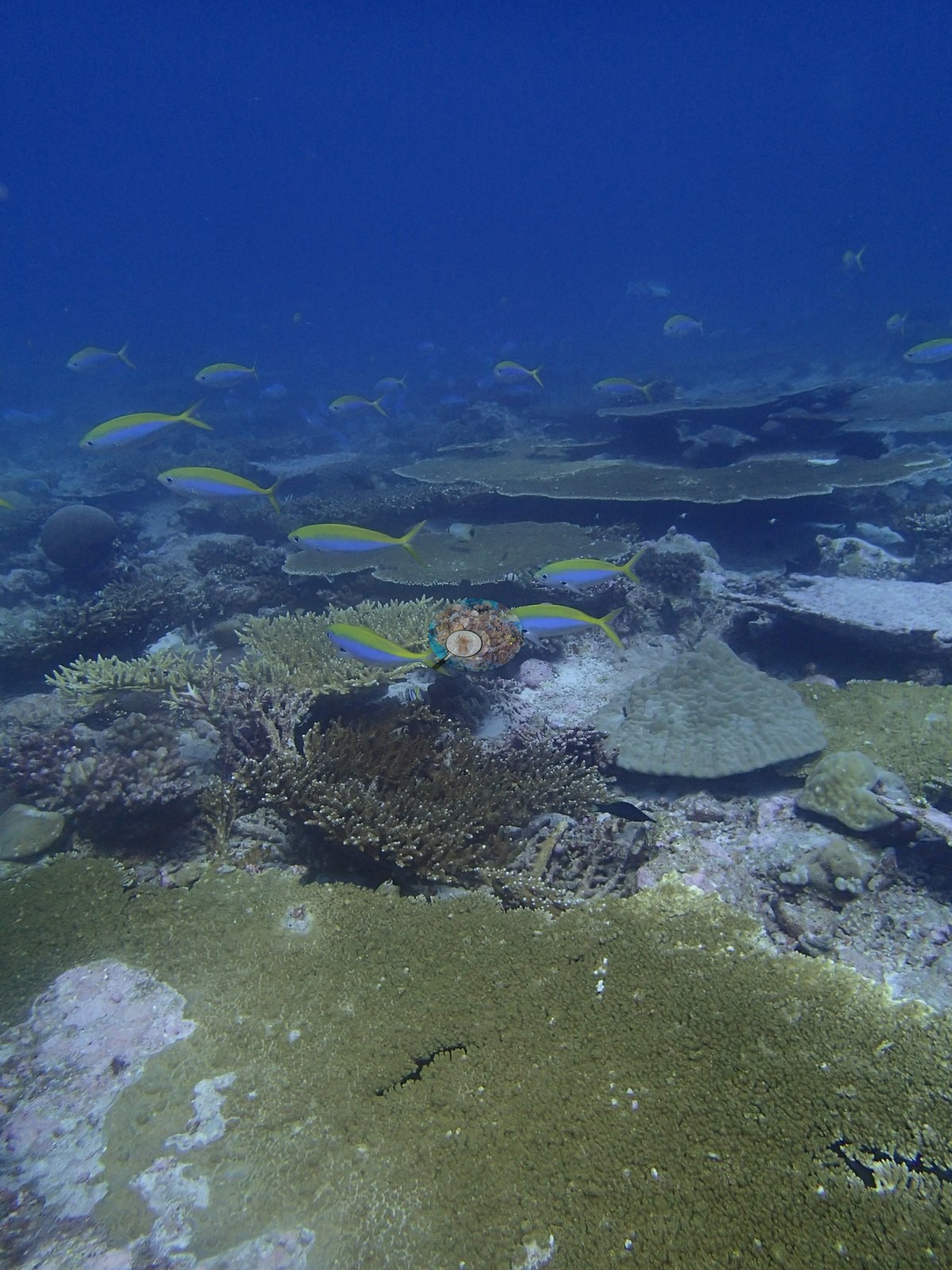
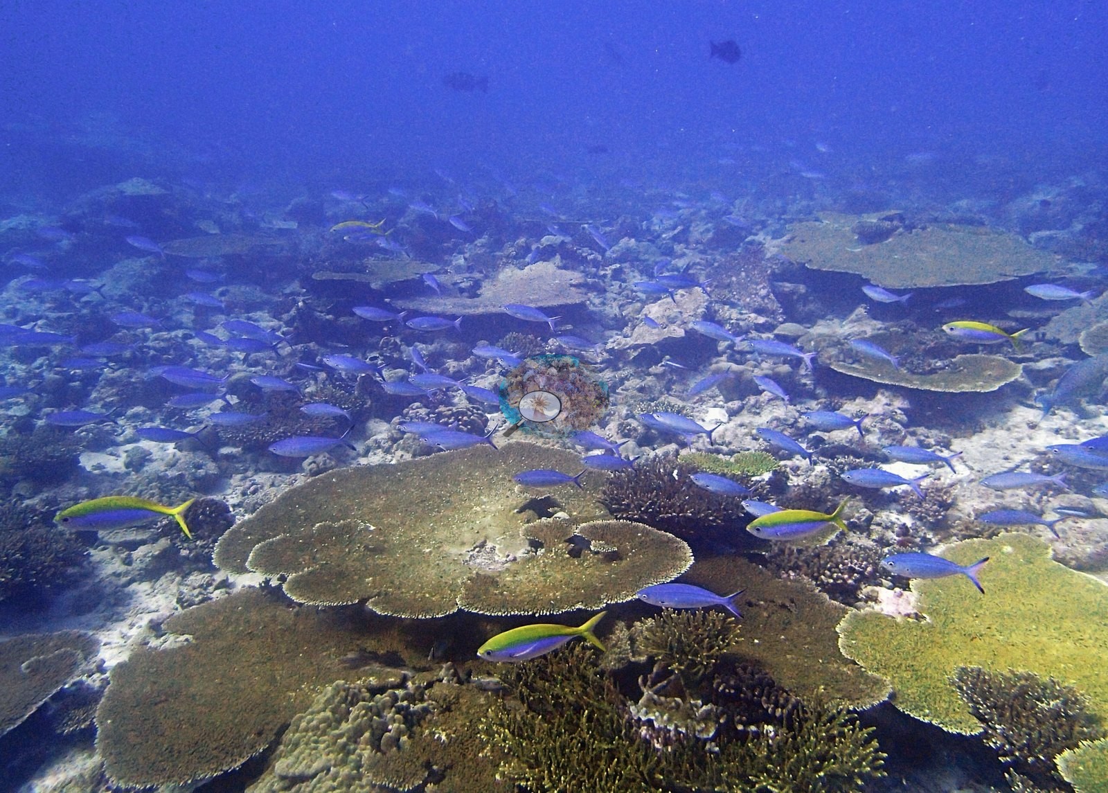
The fauna is good but not the story. The water column is worked continuously by fusiliers compatible with Caesio/Pterocaesio (six frames) and by schools of dark surgeonfish and rudderfish (four frames) (e.g., Image 3, Image 9, Image 20, Image 21, Image 29, Image 30, Image 37, Image 48).
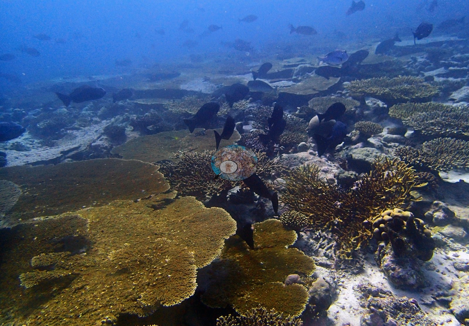
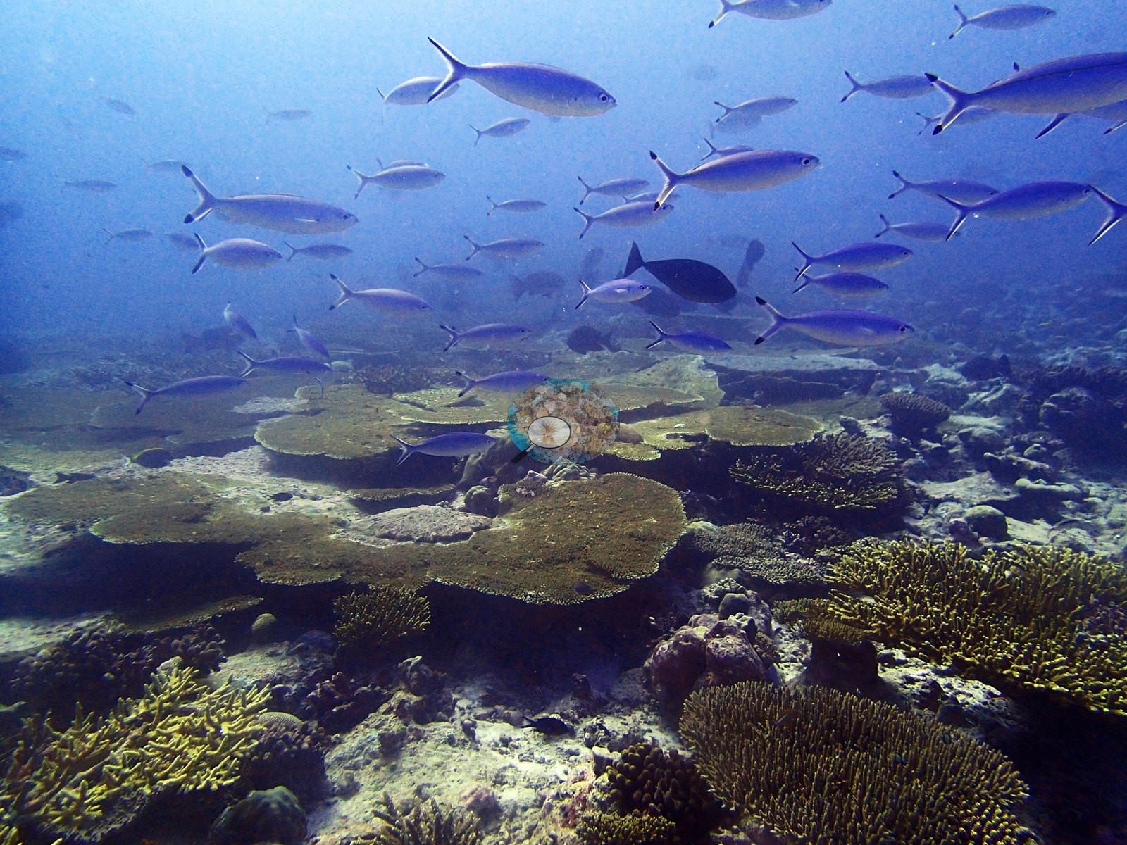
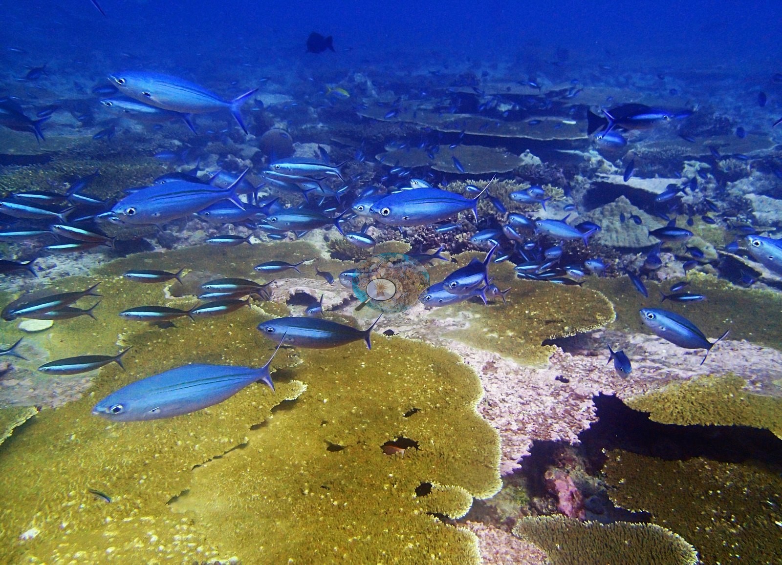
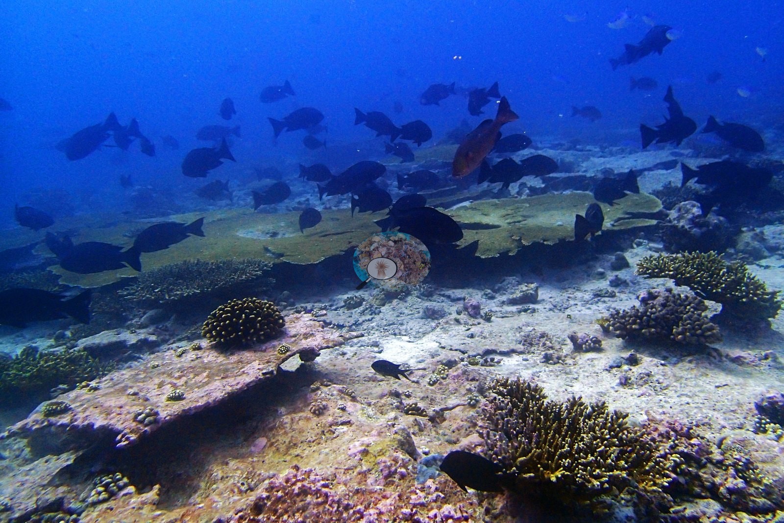
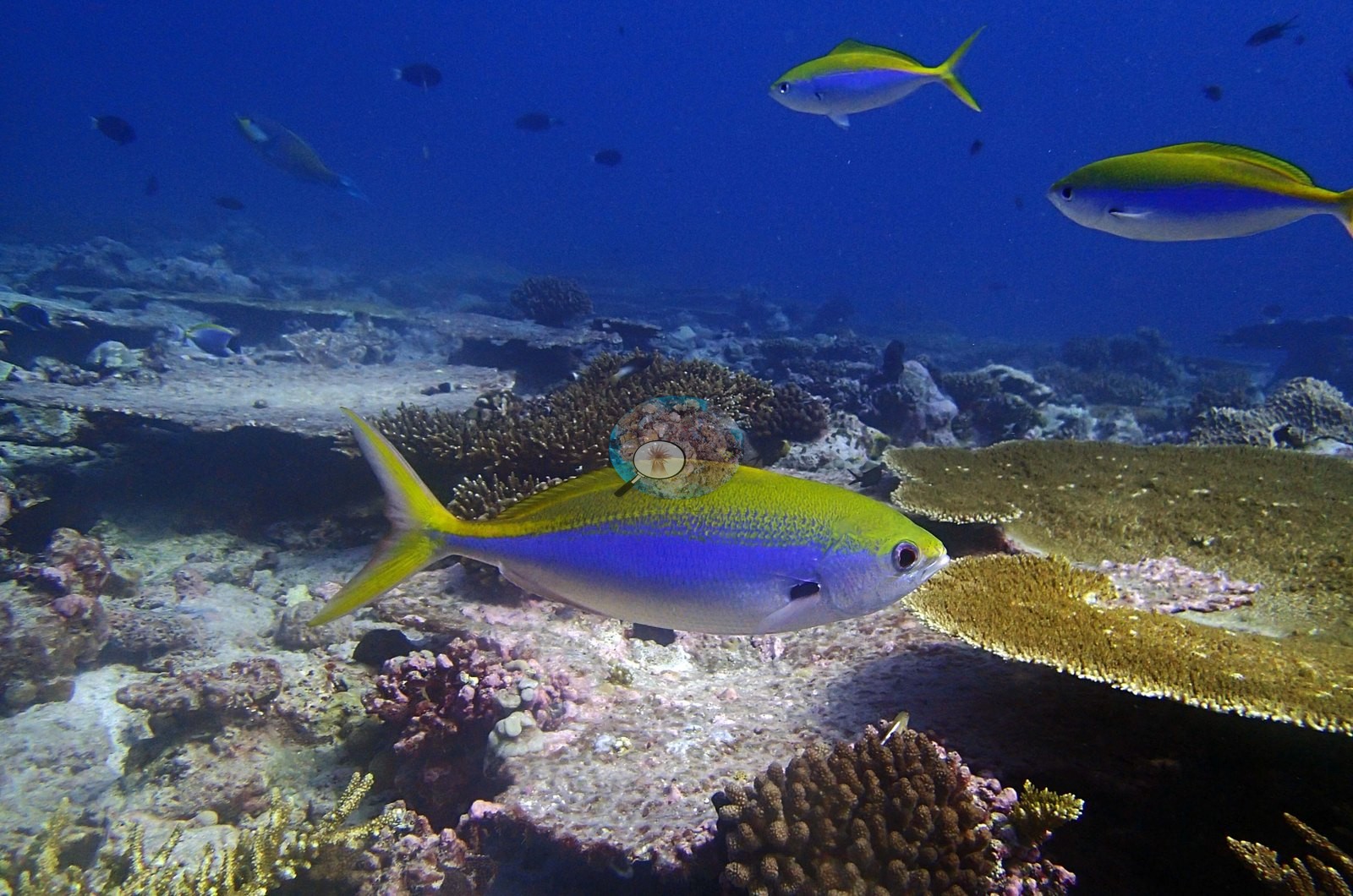
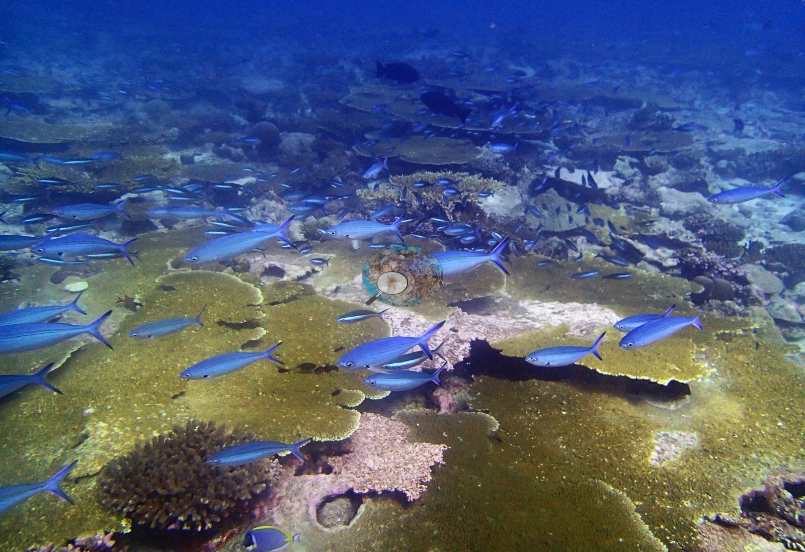
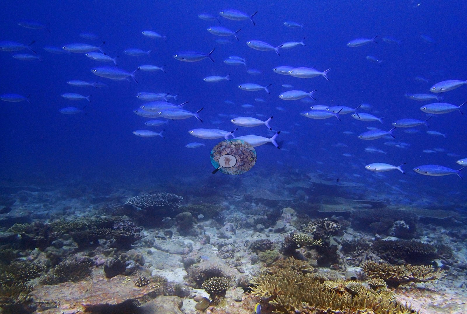
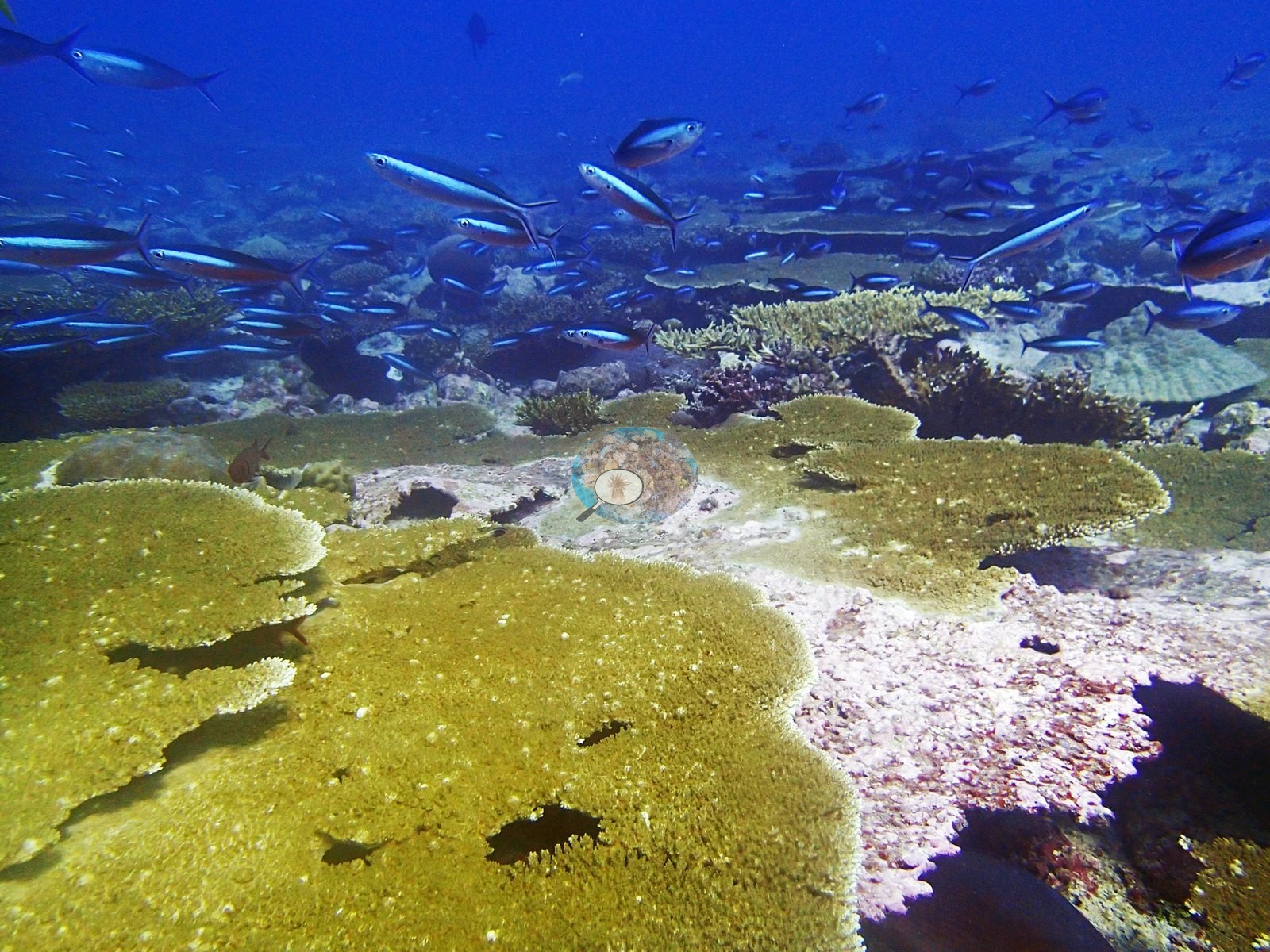
On the reef itself: powder-blue surgeonfish (Acanthurus leucosternon) in five frames; moorish idols (Zanclus cornutus) in two frames; red soldierfish compatible with Myripristis under plates in two frames; blue chromis, cleaner wrasse, and butterflyfish throughout (e.g., Image 28, Image 42).
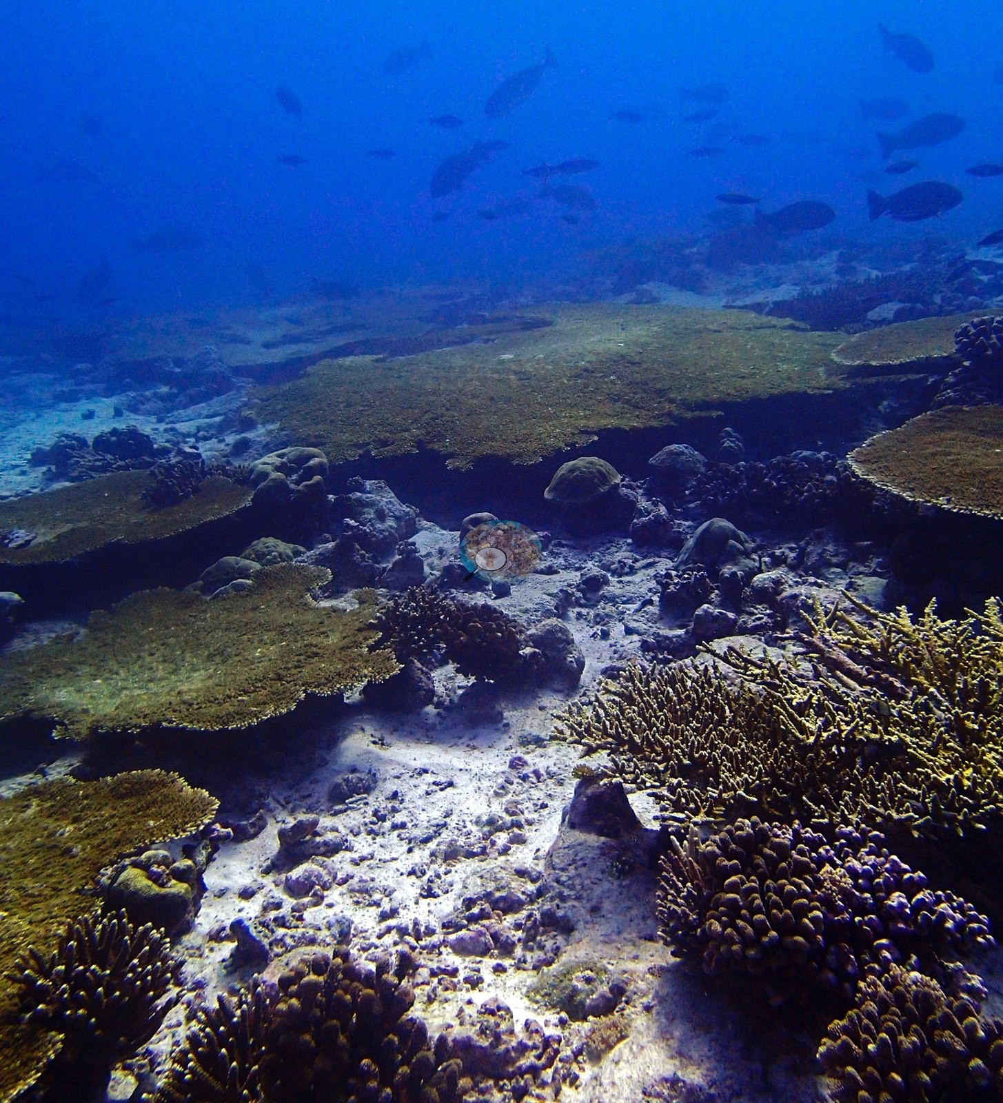
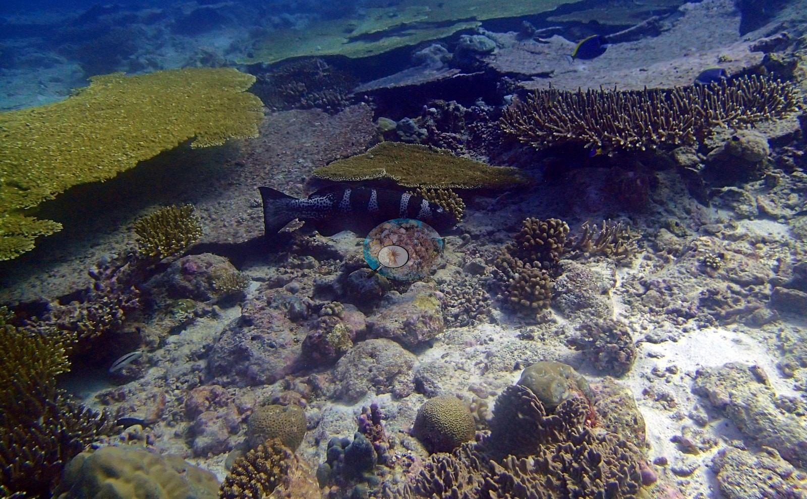
The best macrofauna frame holds a large dark grouper, white-spotted with pale saddle bars, resting on pavement beside a tabular plate, compatible with a dark-phase blacksaddled coralgrouper (Plectropomus laevis) but not callable from this frame (e.g., Image 41).
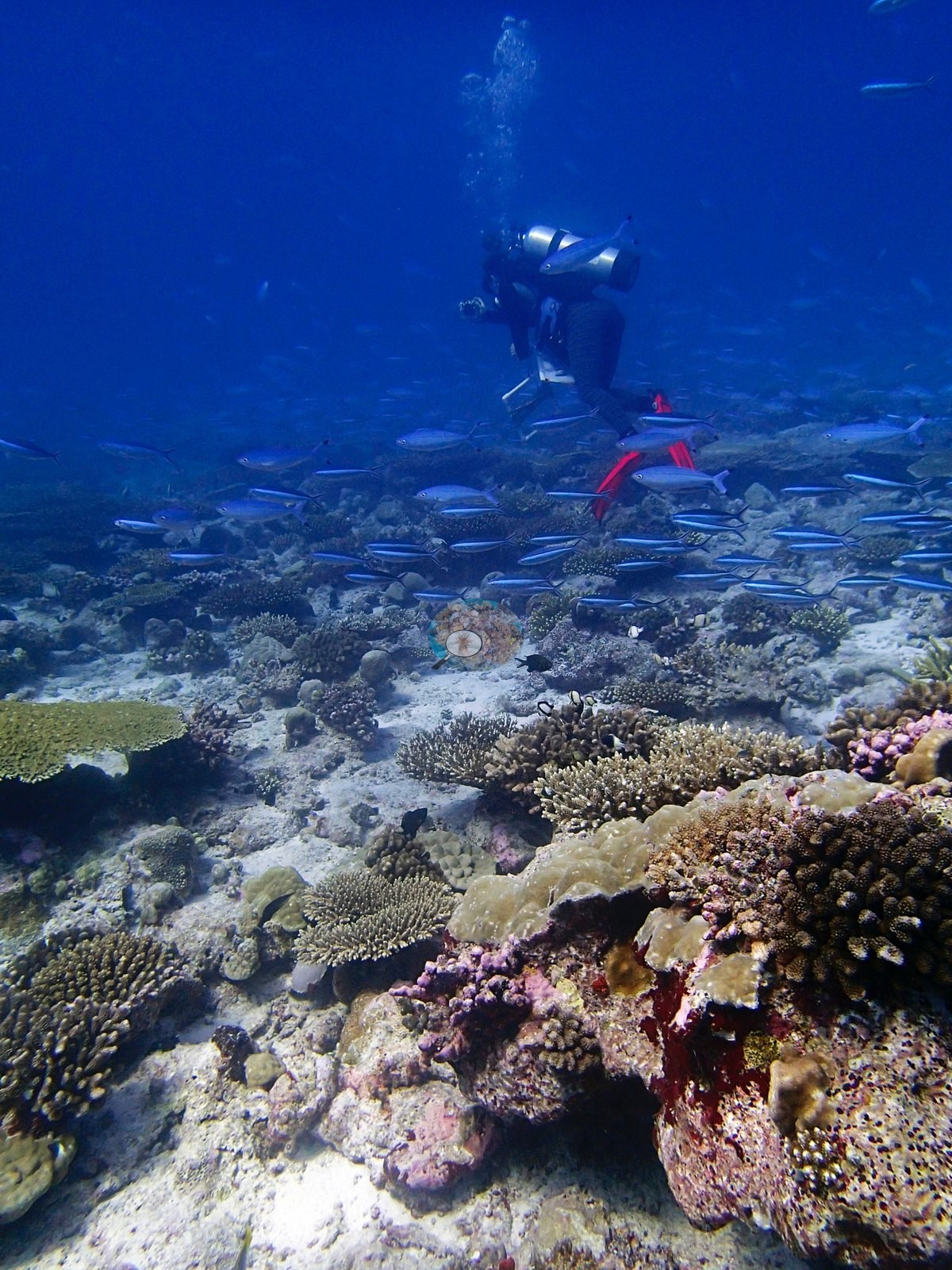
Conspicuous fauna and sessile invertebrates appear as sponges in 12 frames, giant clams in 1 frame, sea cucumbers in 1 frame, survey apparatus/debris in 2 frames.
Comparisons with other data
No independent survey was made at this exact site; the nearest ones are listed in the table below.
Other notes
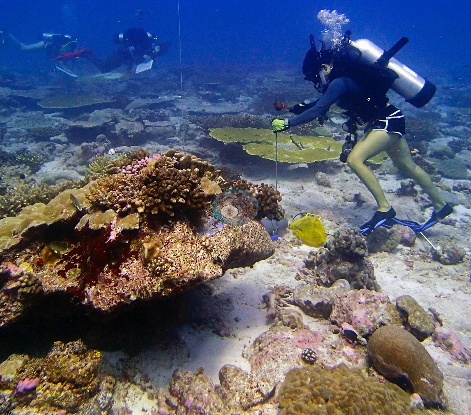
The folder name "meter spot" is earned, but by only six of the 45 frames. One carries a transect line running diagonally across a tabular plate; another a small white rectangular frame on a plate in the mid-background; a third a large white PVC quadrat frame in the immediate foreground over sparse pavement; a fourth is the collection frame — a diver with a punch/hammer and a yellow mesh collecting bag, a slate diver behind, and a vertical downline; and the last two are close-up "spot" frames, pavement patches of pink CCA and small recruits composed for settlement or size measurement rather than cover (e.g., Image 8, Image 15).
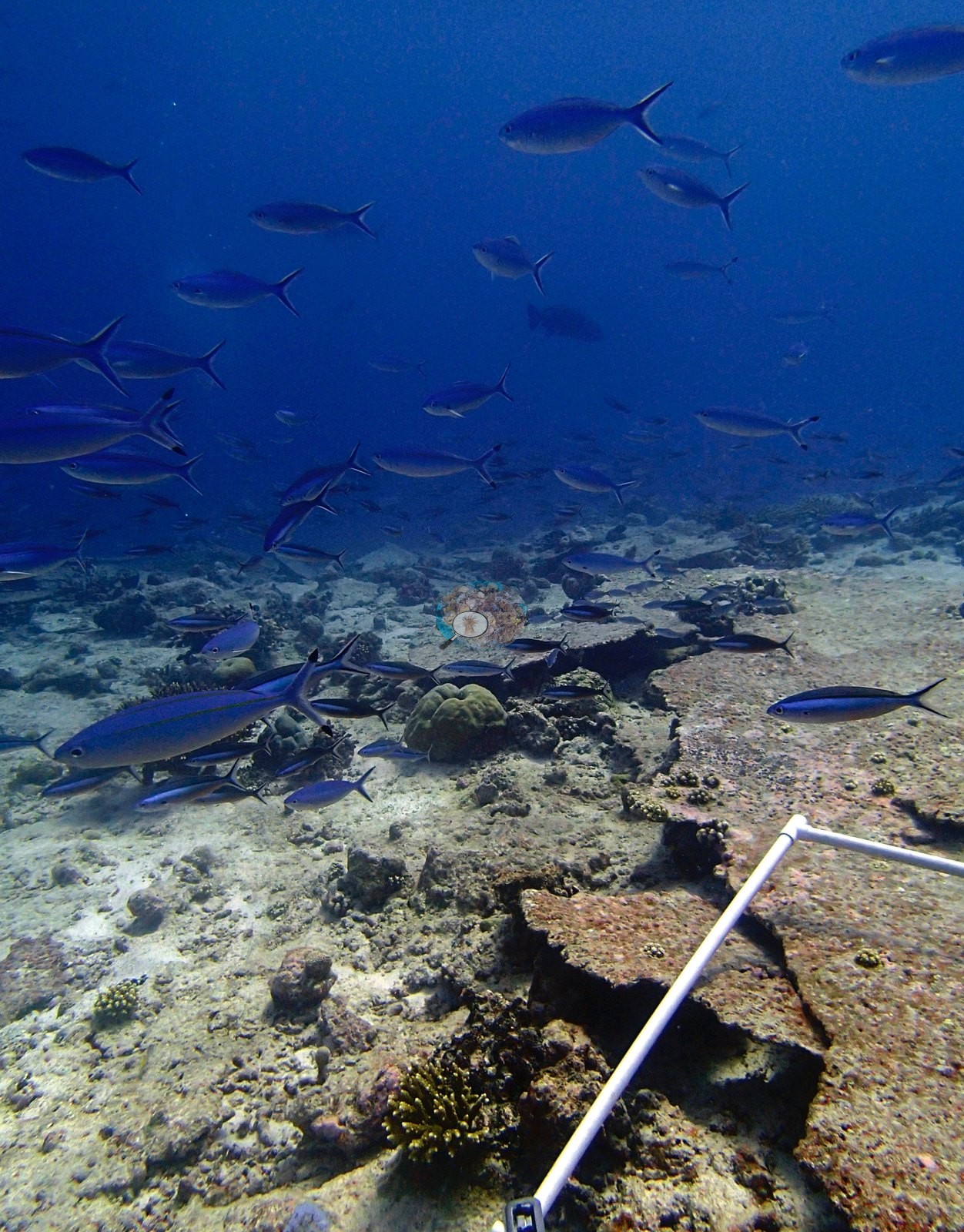
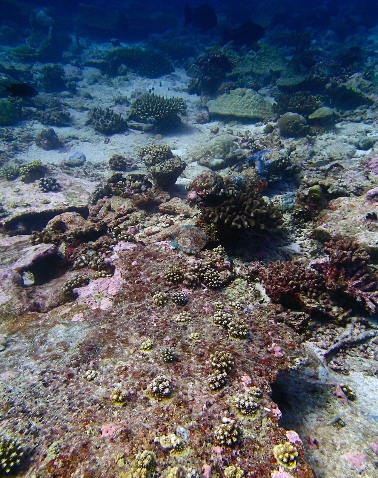
The other 39 frames are ordinary wide-angle survey imagery. The problem is not that the folder is measurement-oriented — it is that all six measurement frames fell inside the 16 that got scored.
CV model comparison
More info
Those are point counts on the photographs; this is a diver swimming a transect. The models and the reference never saw the same thing. ⚠ SITE-LEVEL ONLY. The 2,500 frames were not associated with any transect taken within 200 m of them, so transect-vs-image comparisons are site means, never frames. The transect value is already in the pin `cover` field (109 of 112 pins, sourced to the paper's suppl. S1) and is read from there, never re-imported. The transect is THE coral-cover value for this site and stands alone. The rows below it are a methods comparison only: no computer-vision value is averaged with it, feeds the headline, or carries over to the site's cover figure (Anderson, 2026-09-22).| Method | Hard-coral cover (%) |
|---|---|
| Transect (published) | 36.6 |
| CoralNet | 34.5 |
| In-house DINOv3 | 24.4 |
| CoralSCOP edited | 37.5 |
| Claude | 23.8 |
Independent surveys nearby
| Agency / program | Year(s) | Stations / distance | Link |
|---|---|---|---|
| Sheppard et al. (2008) | 2006 | 1 station, 0.42 km | Records ↓ |
| Spalding et al. 2025 (Chagos 2024 bleaching report) | 2024 | 1 station, 1.22 km | Records ↓ |
| XL Catlin Seaview Survey | 2015 | 1 station, 2.07 km | Records ↓ |
 Dr. Coral (CRD)Year-average (no detectable trend)
Within 5 km, 3 independent survey stations recorded hard coral cover in 7 records between 2006 and 2024. One survey since 2021 recorded 50%. This site's own estimate (37%) sits 13.4 points below the recent value (50%); the methods differ, so the comparison is context, not a like-for-like test.
Collected by other programs using different methods (the XL Catlin Seaview Survey uses photo-transects with automated image annotation), so these are context for the figures above, not a like-for-like comparison. Where a station was surveyed more than once the range is shown. Station names are not dive-site names.
| Agency | Site / location | Date | Hard coral cover (%) | Distance | Link |
|---|---|---|---|---|---|
| Sheppard et al. (2008) | Great Chagos Bank | 2006 | 41% (5 surveys) | 0.42 km | HeatCRD database |
| XL Catlin Seaview Survey | transect 36004 | 2015 | 21% | 2.07 km | — |
| Spalding et al. 2025 (Chagos 2024 bleaching report) | Great Chagos Bank - Middle Brother, lagoon (E aspect, 1-3 m) | 2024 | 50% | 1.22 km | — |
Data & links
- Read the full site report ↗
- Download benthic survey data (CSV) ↗
- Download all LOF-GRE data (933 sites) ↗
- CoralNet image repository for this region ↗
- HeatCRD database ↗
- (reference) ↗
- Photo portfolio ↗
- Coral Reef Diagnostics page for this area ↗
All images from Coral Reef Diagnostics. Data are from Coral Reef Diagnostics and the organizations named in the data-sources table above.
 © Coral Reef Diagnostics.
References
- Mayfield AB, Dempsey AC (2026). Using tourist diver images to estimate coral cover and bleaching prevalence in a remote Indian Ocean coral reef system. Oceans 7(1):1. PDF
- Sheppard C, Harris A, Sheppard A (2008). Archipelago-wide coral recovery patterns since 1998 in the Chagos Archipelago, central Indian Ocean. Marine Ecology Progress Series 362:109-117. PDF
- Spalding M, Bourasseau M, et al. (2025). Coral bleaching and mortality in the Chagos Archipelago, 2024. British Indian Ocean Territory Administration report (gray literature). PDF