
Part of the regional summaries: Chagos Archipelago - Great Chagos Bank West / Brothers / Eagle and Chagos Archipelago
More info
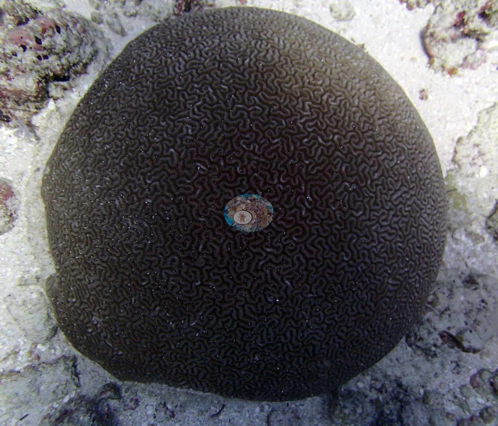
Chagos (NOAA CRW virtual station)BIDI16, at Danger Island, has 30% coral cover and is known for near-spherical, dark chocolate-brown brain corals sitting isolated on clean white sand. Though logged at 0.0% bleached, a couple of small bright-white branching colonies are visible in the photographs, so a handful of bleached colonies likely went undetected by the point-count method rather than being genuinely absent. Surveyed on the Living Oceans Foundation's Global Reef Expedition.
One independent survey station shown with the program’s logo — click one to see how far it is from this site.
Three other CRD dive sites within 5 km shown in orange — click a marker to open its page.
🗺 Detailed map of the Global Reef Expedition dive sites, Danger Island, Chagos (Khaled bin Sultan Living Oceans Foundation; opens in a new window)
Site description
Setting
S1) — Anderson's own published value, surveyed 14 March 2015 at Danger Island on the western Great Chagos Bank (6.34088°S, 71.25667°E; in situ temperature 29.2°C, salinity 34.3).
General benthic features
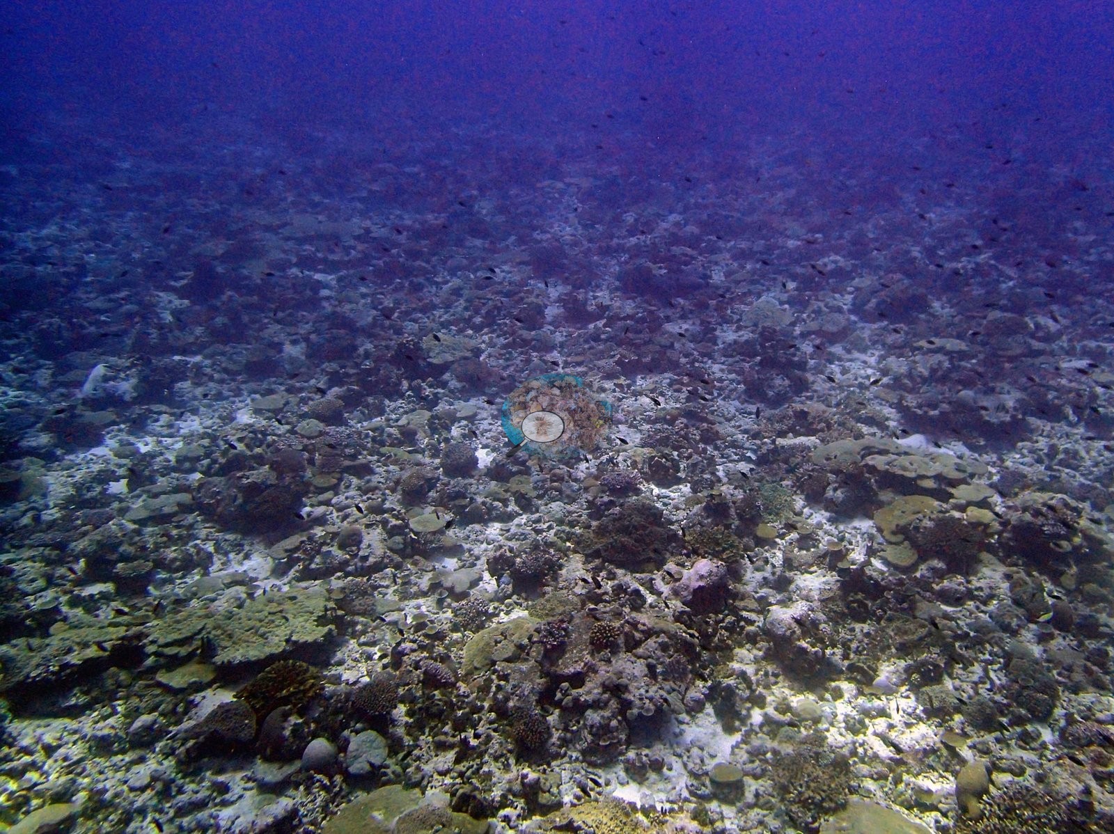
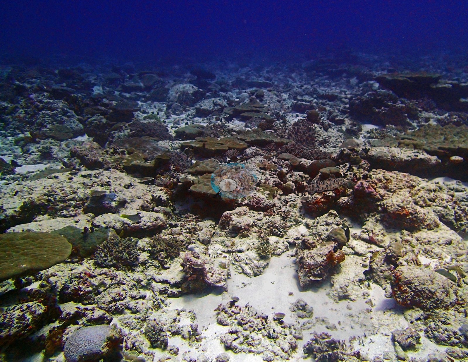
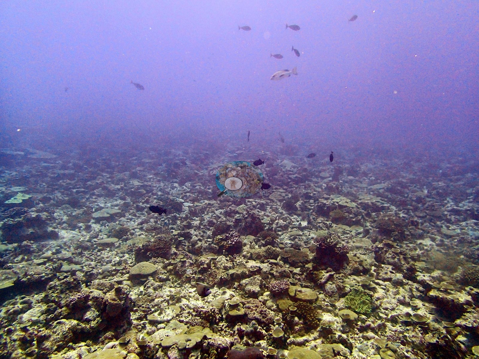
This is the most single-genus-dominated assemblage of the Danger Island sites: Porites alone holds 21.57% of the benthos, which is 71% of all live coral on the transects. Pocillopora is a distant second at 4.67%, then Leptastrea 1.55%, Acropora only 0.78%, Montipora 0.50%, Ctenella 0.27% (the Chagos-endemic monotypic genus, not Cynarina), Stylophora 0.25%, Pavona 0.15%, Favia 0.15%, Favites 0.11%, Cantharellus 0.067%, Goniastrea 0.06%, Galaxea 0.047%, Millepora 0.04%, Alveopora, Goniopora and Turbinaria 0.033% each, Astreopora 0.027%, Pachyseris 0.02%, Fungia and Lobophyllia 0.013% each, and Cyphastrea, Echinophyllia, and Platygyra at 0.0067%. The substrate is dominated by bare substrate at 24.12% — the highest of the Danger Island sites — then turf-with-sediment 13.64%, crustose coralline algae 10.75%, non-coral invertebrates 8.02%, erect algae 6.49%, turf 4.21%, macroalgae 2.17% and cyanobacteria 0.20%. That profile — one massive genus carrying seven-tenths of the coral, almost no Acropora, and a quarter of the bottom bare — is a back-reef signature, and it is the transect's own account of the site. It is worth holding alongside the photographs, because the two most striking photographic subjects at BIDI16 are meandroid brain corals and Platygyra is one of the rarest genera on the transects here: photographic salience and transect abundance are different quantities, and the transect is the one that measures the reef. Quality is good for a flat reef: P3140295, P3140312, P3140313, P3140318, and P3140319 are wide views (P3140313 the richest), P3140315 and P3140317 are close down-views of the substrate, P3140297, P3140298, and P3140311 are close single-colony subjects, P3140316 is hazy and strongly purple-cast with little usable benthic content, and P3140319 is distant and color-shifted. No scale object, quadrat or transect line appears anywhere in the set.
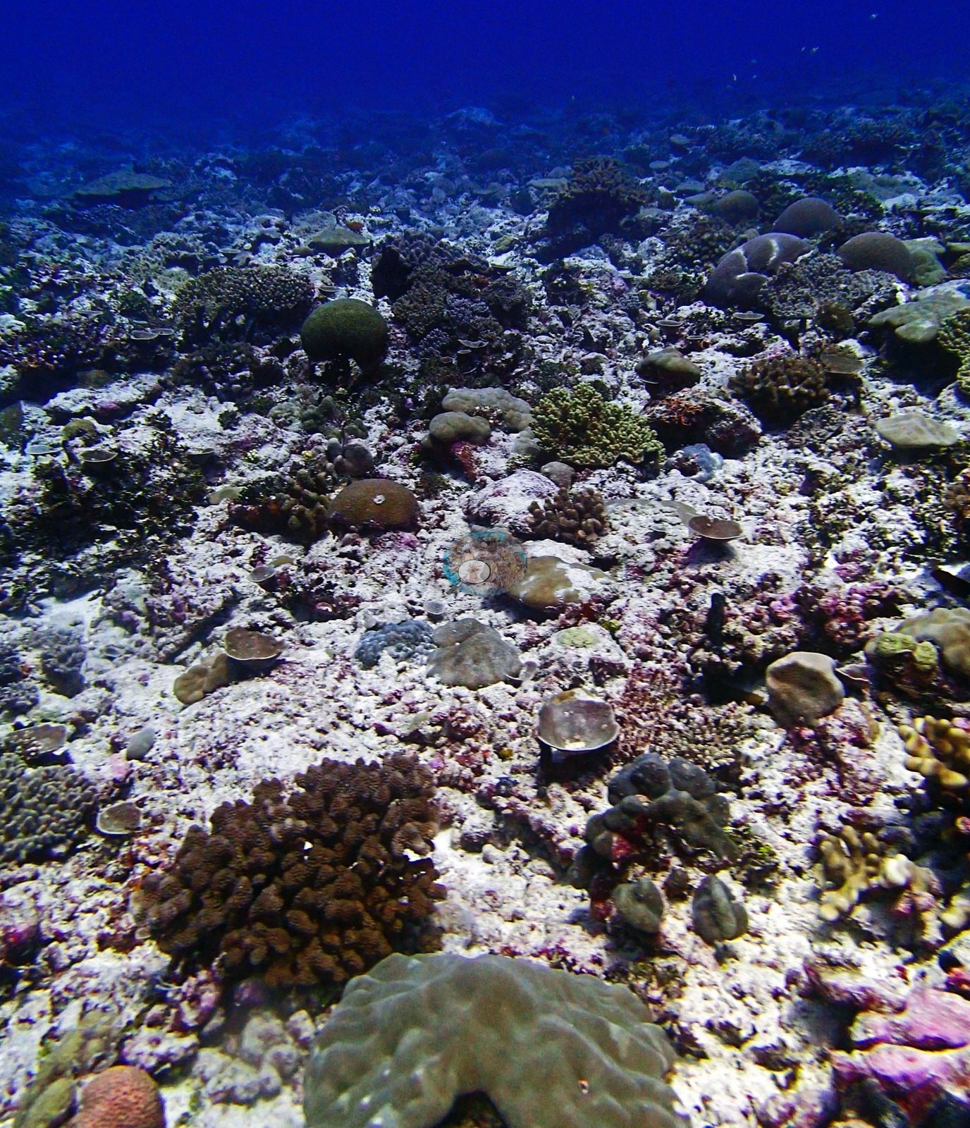
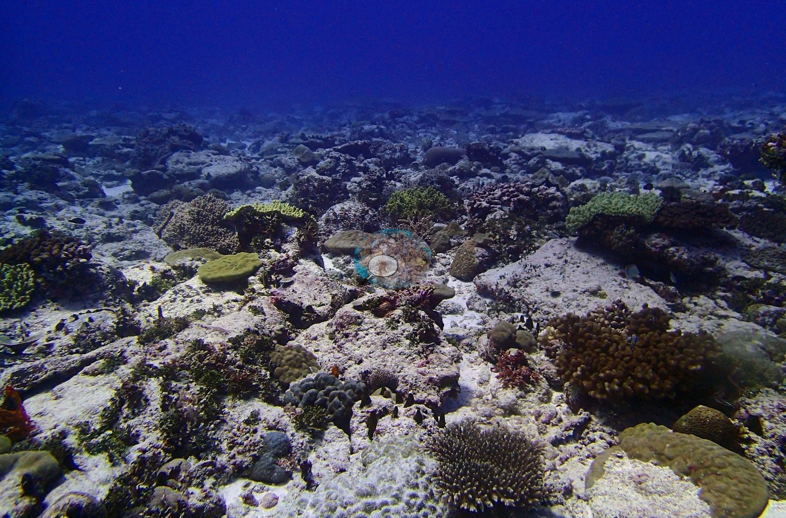
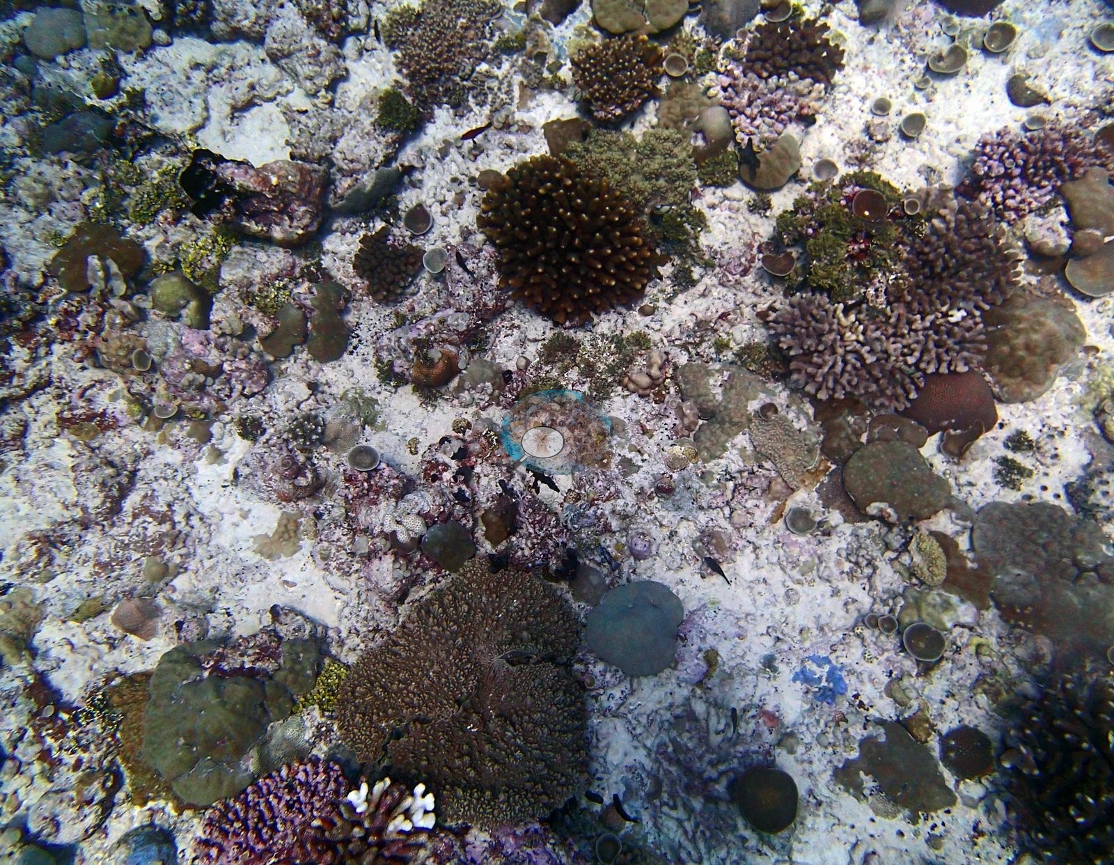
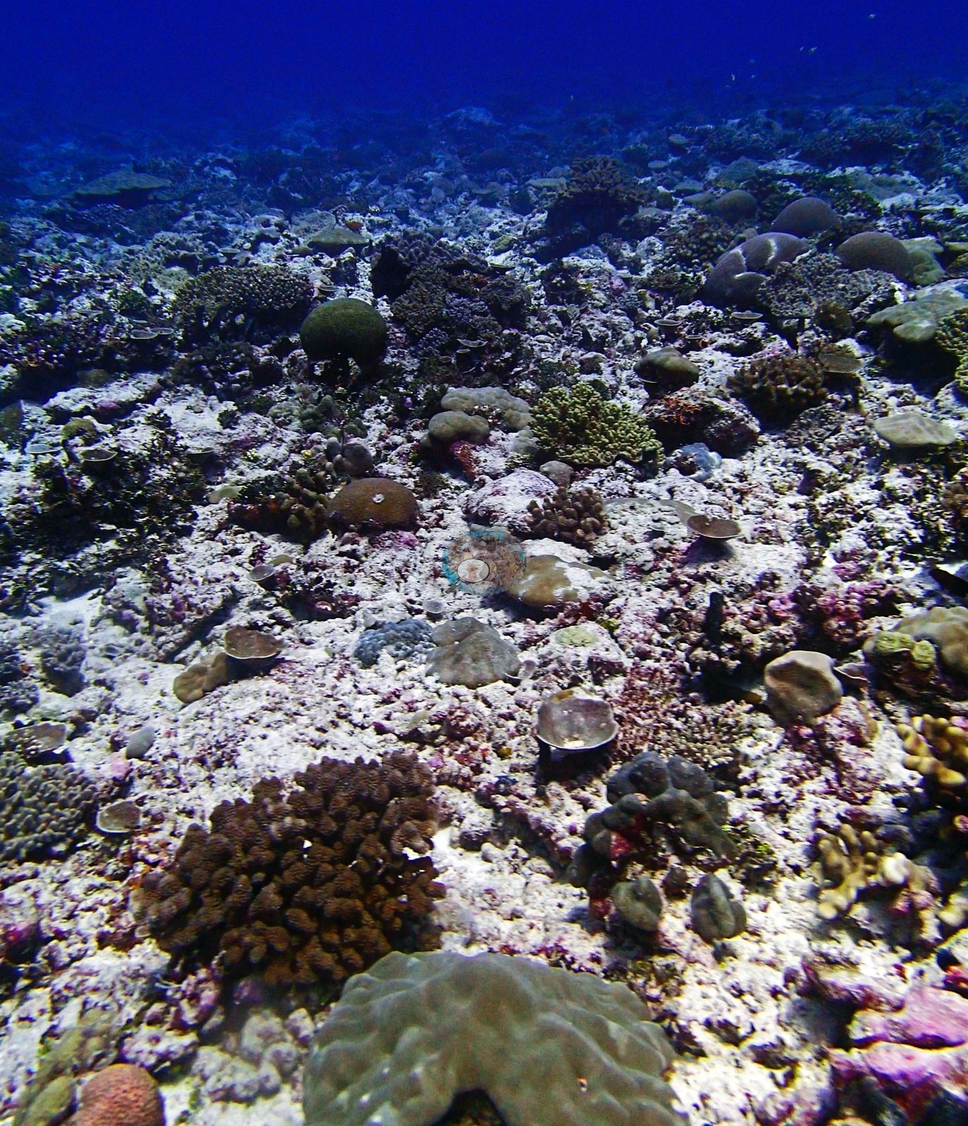
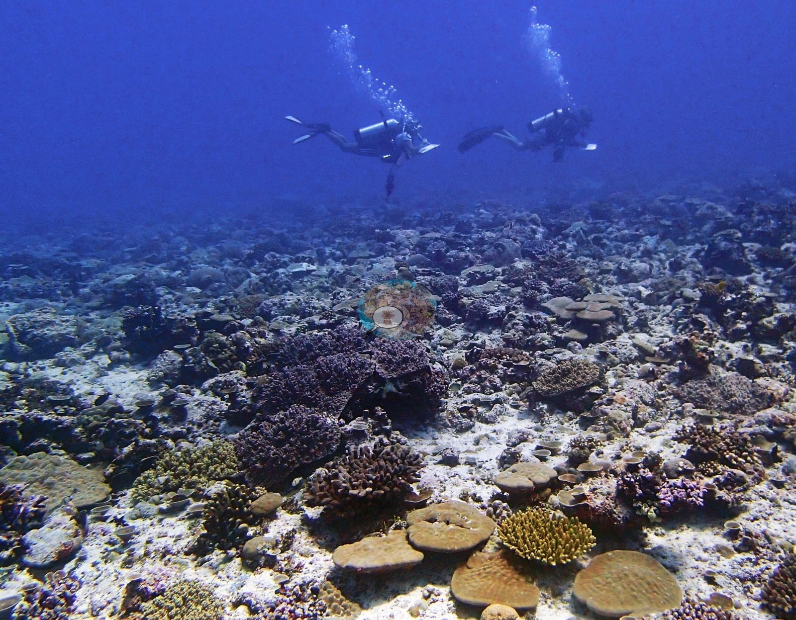
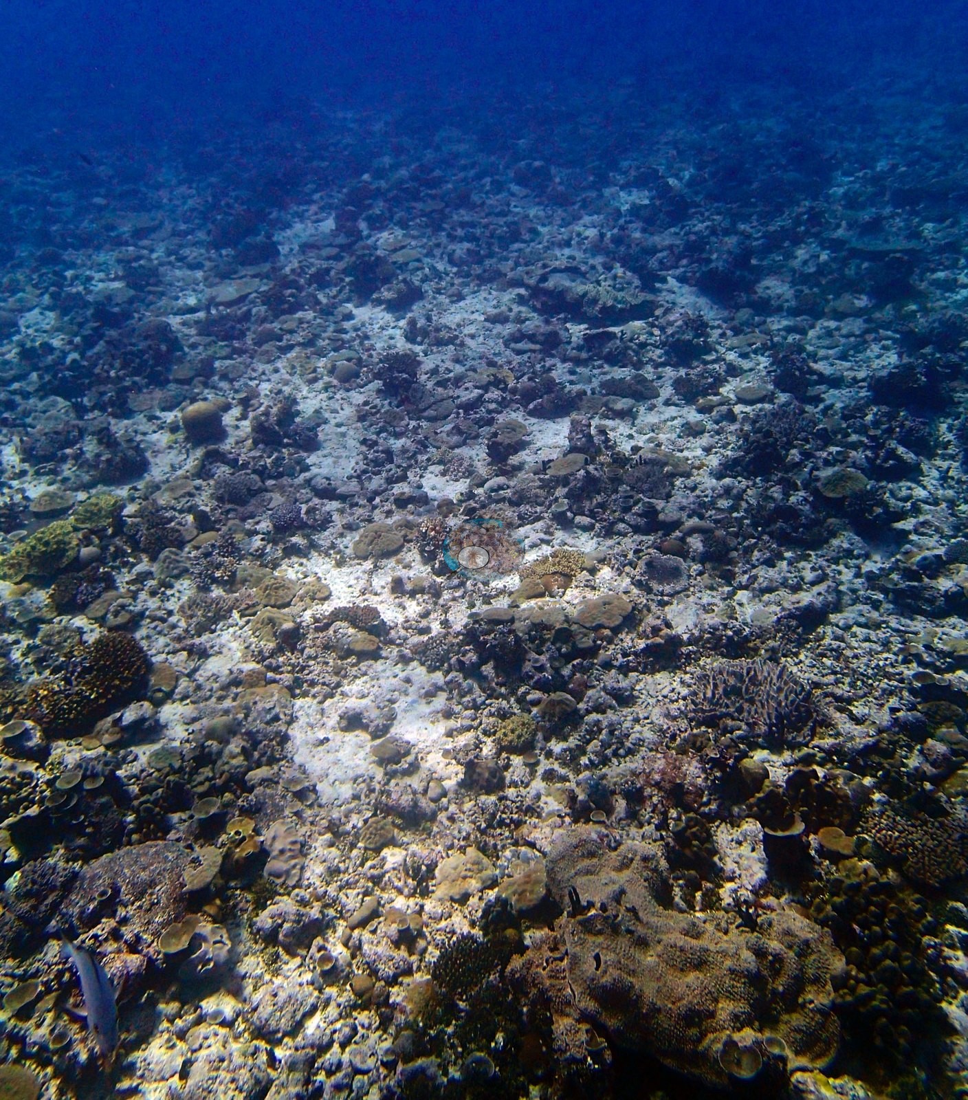
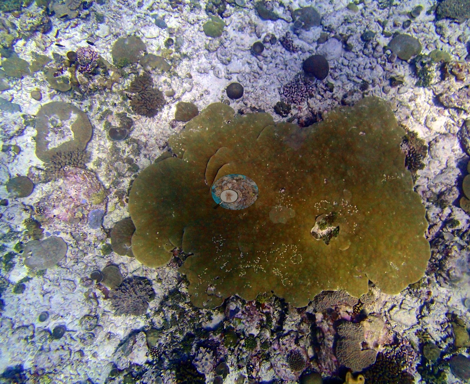
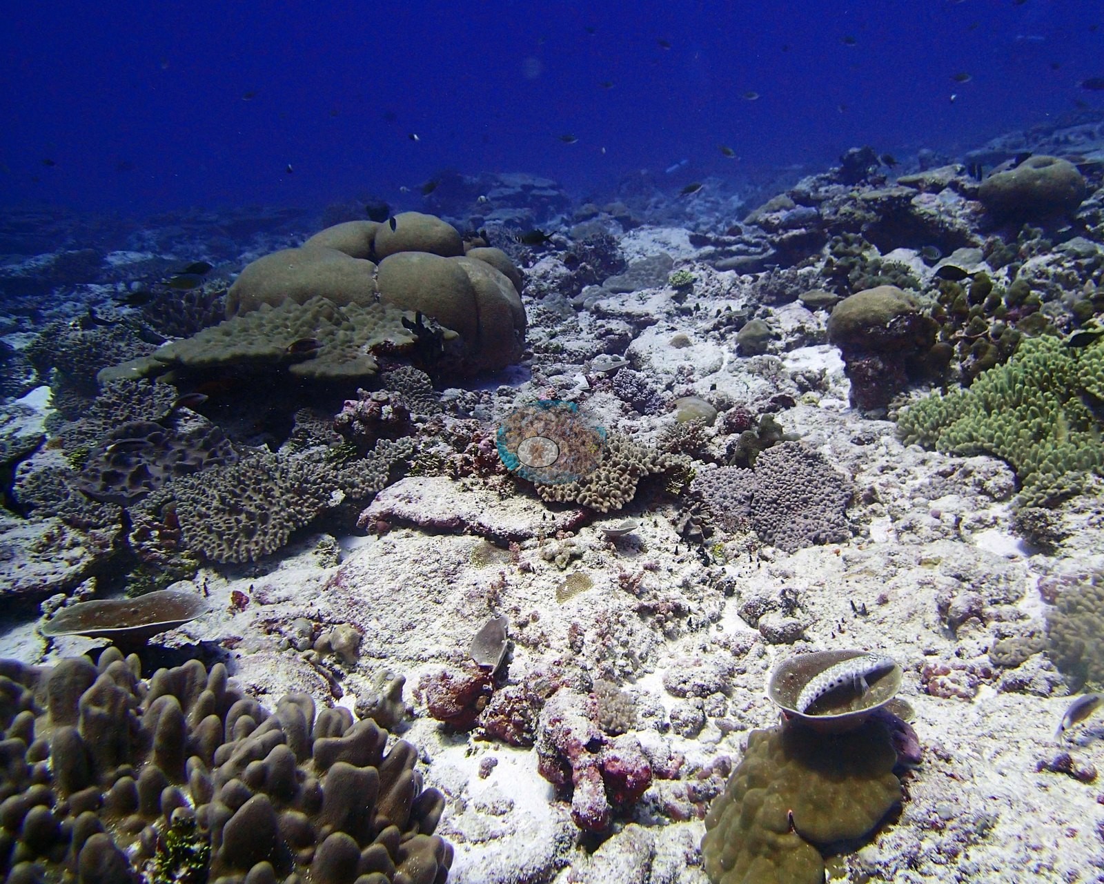
The reef in these frames is flat, open and built of small discrete colonies rather than framework. P3140295, P3140312, P3140313, P3140318, and P3140319 all look across a broad, near-horizontal bottom of consolidated white carbonate pavement, coralline rubble and clean sand, crusted pink and mauve, carrying scattered to moderately dense small colonies — corymbose and branching Acropora, brown Pocillopora, olive plating Montipora or Porites, domal Porites, cup corals, low foliose plates, dark green, and olive encrusting sheets, and free-living discs lying loose on the substrate — each colony separated from the next by bare crusted rock rather than merging into continuous framework. Relief is minimal: almost nothing in the set rises more than a colony's height above the bottom, and P3140319 shows the plain running away flat to the limit of visibility. P3140315 is the best single illustration — a downward view resolving perhaps forty distinct colonies of a dozen growth forms in one frame, individually separated by bare pavement, and a useful image for any colony-density, colony-size or recruitment analysis. P3140317 is the same substrate seen close, and P3140296 adds large lobed and columnar Porites — the genus the transects say carries 71% of the coral here. P3140317 also holds a close study of a broad olive-green encrusting-to-submassive sheet with polyp detail visible and a small dead patch at its center.
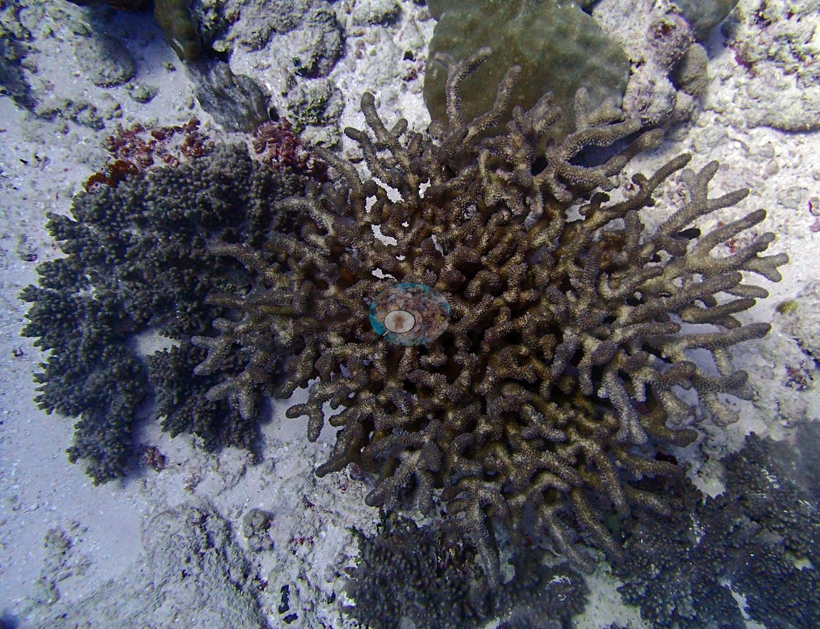
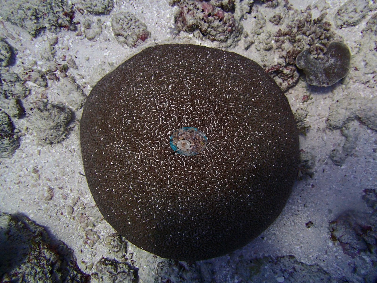
The site's outstanding photographic subjects are its brain corals. P3140297 and P3140298 are near-spherical meandroid colonies compatible with Platygyra or Leptoria, dark chocolate-brown with tightly and evenly sinuous valleys, each sitting isolated on clean white sand and photographed from close to directly above. The pale substrate acts as a natural backdrop and these are the two cleanest coral specimen images in the whole Chagos collection — with the BIDI15 macros they make Danger Island the archipelago's brain-coral locality, and they are flagged for illustrative use. Two other single-colony subjects stand out: P3140311, an open-branched brown acroporid photographed from above beside a dark green corymbose colony, and the large olive-green encrusting-to-submassive lobate colony spreading across the pavement in P3140317.
Coral cover
The measurement at BIDI16 is the benthic transect survey. Coral cover 30%, from LOF BIOT-1 in situ transects (Mayfield & Dempsey 2026, Oceans, suppl. That diver transect figure is the authoritative record of cover and community here. The photographs described below supplement it; they are qualitative only, no cover value may be read off any of them, and where a frame and the transect appear to disagree the transect governs.
What the transects recorded. Live hard coral 30.4% against algal cover 37.5% of the benthos, across 23 scleractinian genera plus the hydrocoral Millepora.
Computer-vision comparison — method against method, not against the transect. All 13 frames carry both products, so the paired-frame count is n = 13. CoralNet point annotation returns 23.6% live hard coral and Coralscapes mask segmentation 24.2% of image area, against the transect's 30.4%: deviation −6.8 to −6.2 pp, mean of the three methods 26.1% ± 3.8. The two image methods agree with each other to within 0.6 pp — the closest human-model agreement at Danger Island — while both sit ~6.5 pp below the transect. That is a small, consistent, shared offset of exactly the kind expected where coral is low-relief and discrete, and it contrasts sharply with BIDI08's tabular −25 pp: a horizontal table foreshortens badly in an oblique frame and a mask model loses it, whereas many small colonies on open pavement are close to the ideal case for both photographic methods, which is why they converge here. Both remain image products with their own sampling footprints and denominators; neither corrects the transect and they must not be averaged with it. No percentage is derived from either observation, and neither qualifies this site's published bleached fraction, which is a separate, authoritative number from Anderson's own point-annotation record and is not revised by a photograph. Elsewhere the small white cup-shaped objects recurring on the pavement in P3140296, P3140315 and P3140317 are unresolved — cup corals, ascidians or foraminifera — and should not be scored as scleractinian cover, or as whitening, without closer inspection. Coral cover 30%, measured on the in situ benthic transects of the LOF BIOT-1 expedition (Mayfield & Dempsey 2026, Oceans, supplemental S1) — a diver transect measurement, not a photographic or computer-vision estimate.
Also on record for this site: Assemblage composition. The cover line carries the numbers. BIDI16 is a further confirmation of the pattern established across this atoll: CoralNet 23.6% and Coralscapes 24.2% agree to within 0.6 pp — the closest human-model agreement at Danger Island — while both sit ~6.5 pp below the transect. That is a small, consistent, shared offset of exactly the kind expected where coral is low-relief and discrete, and it contrasts sharply with BIDI08's tabular −25 pp. Notably, this site's architecture — many small colonies on open pavement — is close to ideal for both photographic methods, which is why they converge here. Coral cover: 30%. Live hard coral measured on the in situ benthic transects of the LOF BIOT-1 expedition (Mayfield & Dempsey 2026, Oceans, supplemental S1), against algal cover of 37.5% of the benthos. The transect figure is this site's authoritative cover value; no image-derived product overrides it. Across methods the same reef reads: transects 30.4% · CoralNet points 23.6% · Coralscapes masks 24.2% (13 frames). These products have different sampling footprints and denominators and should not be averaged.
Stressors
Condition. P3140315 contains, at lower center, a small bright bone-white branching colony sitting on the pavement among fully pigmented neighbors, unmistakable against them. P3140311 shows an acroporid whose branches read as uniformly brown with a few small white flecks and patches on the branch surfaces. Both are recorded as seen. No storm rubble, no cyanobacterial mat and no crown-of-thorns scar appears in the set.
Fish and other fauna
Fauna. The site is quiet, consistent with a sheltered back-reef. Snappers or rudderfish compatible with Macolor or Kyphosus hang in mid-water in the hazy, purple-cast P3140316 alongside an angelfish; damselfishes, Chromis and small dark planktivores work the colonies in P3140296 and P3140315; and a spotted holothurian compatible with Bohadschia lies on the pavement in P3140312. There are no large aggregations of the kind that dominate BIDI08–BIDI10.
Comparisons with other data
No independent survey was made at this exact site; the nearest ones are listed in the table below.
Other notes
Image-by-image. Thirteen habitat frames from the 14 March dive, all from Anderson's own folder BiDi16-finished; no sampled-colony frames exist for this site, so this is a habitat account throughout. Two divers with bubble trails cross the blue in P3140314 above the same flat pavement.
What the frames cannot settle. There is no scale object, quadrat or transect line in any frame, so no colony dimension here is measured. P3140316 is hazy enough that its bottom carries little usable benthic information and P3140319's distance and color cast make condition unreadable beyond the foreground. The frames cannot establish depth zonation, cannot be used to check the algal fraction, and cannot substitute for the transect in any respect.
CV model comparison
More info
Those are point counts on the photographs; this is a diver swimming a transect. The models and the reference never saw the same thing. ⚠ SITE-LEVEL ONLY. The 2,500 frames were not associated with any transect taken within 200 m of them, so transect-vs-image comparisons are site means, never frames. The transect value is already in the pin `cover` field (109 of 112 pins, sourced to the paper's suppl. S1) and is read from there, never re-imported. The transect is THE coral-cover value for this site and stands alone. The rows below it are a methods comparison only: no computer-vision value is averaged with it, feeds the headline, or carries over to the site's cover figure (Anderson, 2026-09-22).| Method | Hard-coral cover (%) |
|---|---|
| Transect (published) | 30.4 |
| CoralNet | 25.6 |
| In-house DINOv3 | 22.3 |
| CoralSCOP edited | 30.9 |
| Claude | 24.4 |
Independent surveys nearby
Within 5 km, 1 independent survey station recorded hard coral cover in 2015. The most recent nearby survey is from 2015, so these values predate recent heat stress. This site's own estimate (30%) is indistinguishable from the range of these surveys (25%): the 5.5-point gap is inside the ±7 percentage-point noise between methods; the methods differ, so the comparison is context, not a like-for-like test.
Collected by other programs using different methods (the XL Catlin Seaview Survey uses photo-transects with automated image annotation), so these are context for the figures above, not a like-for-like comparison. Where a station was surveyed more than once the range is shown. Station names are not dive-site names.
| Agency | Site / location | Date | Hard coral cover (%) | Distance | Link |
|---|---|---|---|---|---|
| XL Catlin Seaview Survey | transect 36002 | 2015 | 25% | 4.98 km | — |
Data & links
- Read the full site report ↗
- Download benthic survey data (CSV) ↗
- Download all LOF-GRE data (933 sites) ↗
- CoralNet image repository for this region ↗
- Photo portfolio ↗
- Coral Reef Diagnostics page for this area ↗
All images from Coral Reef Diagnostics. Data are from Coral Reef Diagnostics and the organizations named in the data-sources table above.
 © Coral Reef Diagnostics.