
Part of the regional summaries: Chagos Archipelago - Great Chagos Bank West / Brothers / Eagle and Chagos Archipelago
More info
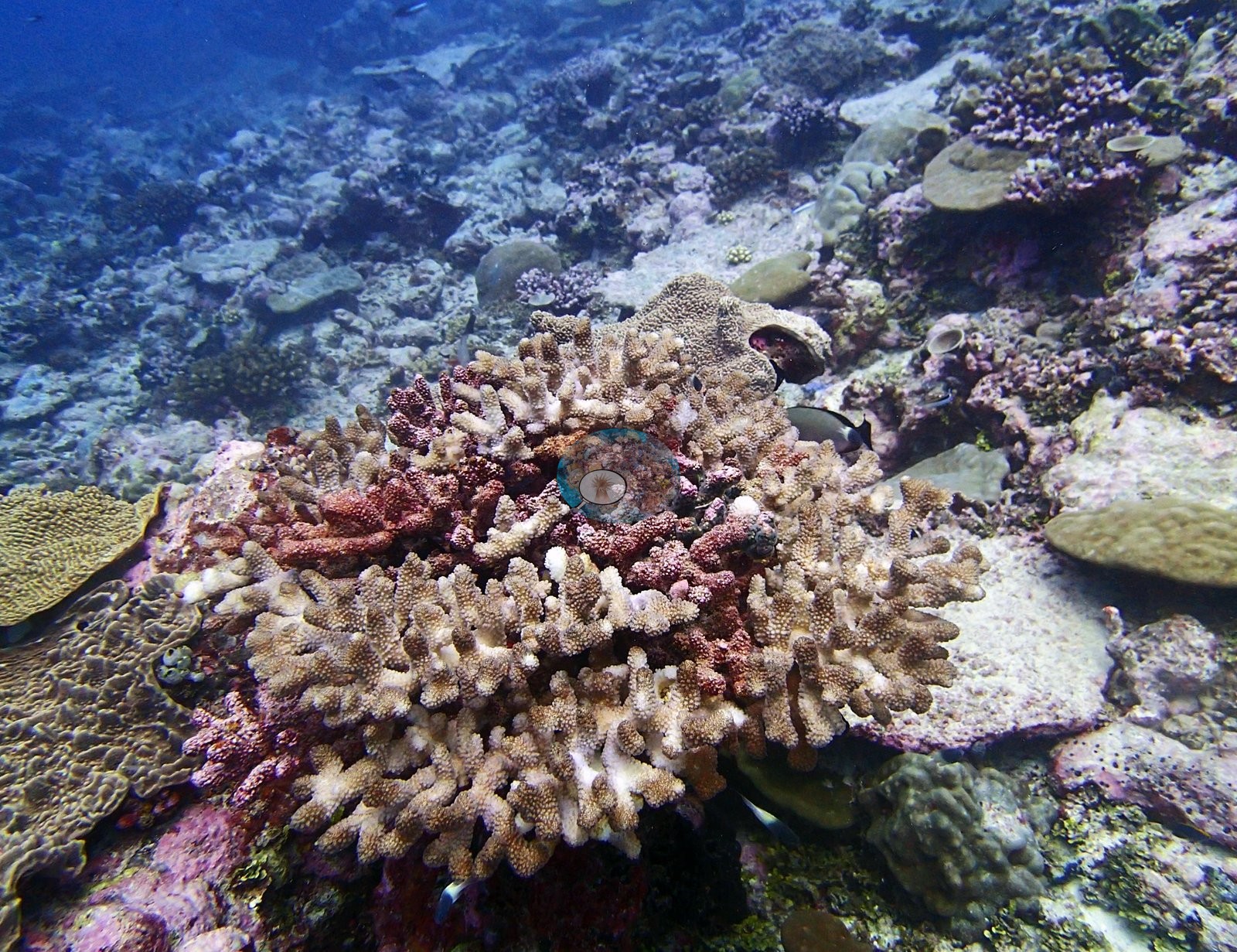
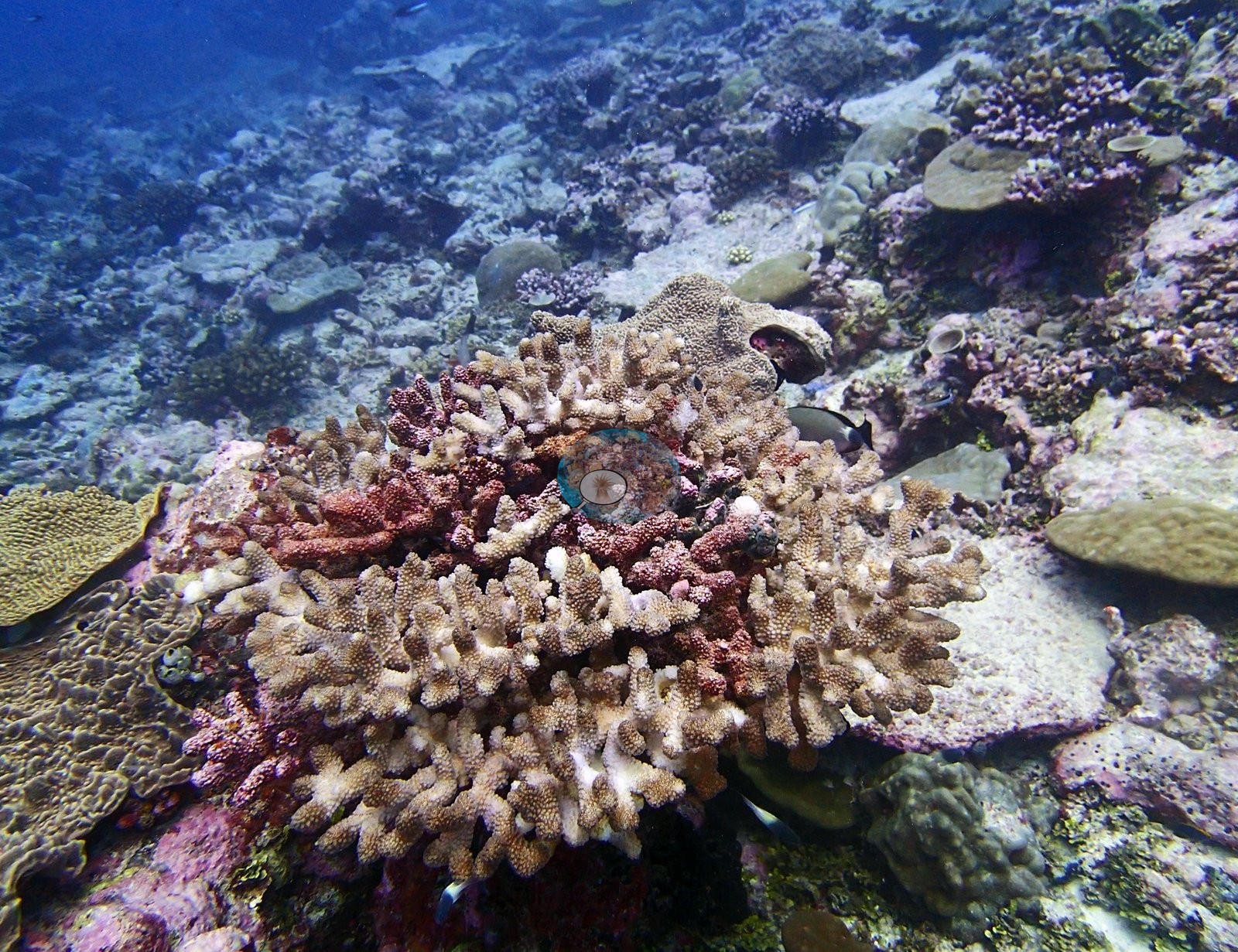
Chagos (NOAA CRW virtual station)BIDI14, at Danger Island, has 15% coral cover and the second-highest bleaching figure recorded there (9.8%), visible as cream-white branch tips extending well down otherwise dark Acropora colonies. A lesioned brain coral was also noted - the third such find in the Danger Island group - alongside emperor and fusilier schools and a passing gray reef shark. Surveyed on the Living Oceans Foundation's Global Reef Expedition.
Two independent survey stations shown with the program’s logo — click one to see how far it is from this site.
Three other CRD dive sites within 5 km shown in orange — click a marker to open its page.
🗺 Detailed map of the Global Reef Expedition dive sites, Danger Island, Chagos (Khaled bin Sultan Living Oceans Foundation; opens in a new window)
Site description
Setting
Setting: protected patch reef in the Danger Island group, 6.40987°S, 71.25622°E · 29.4°C · salinity 34.1.
General benthic features
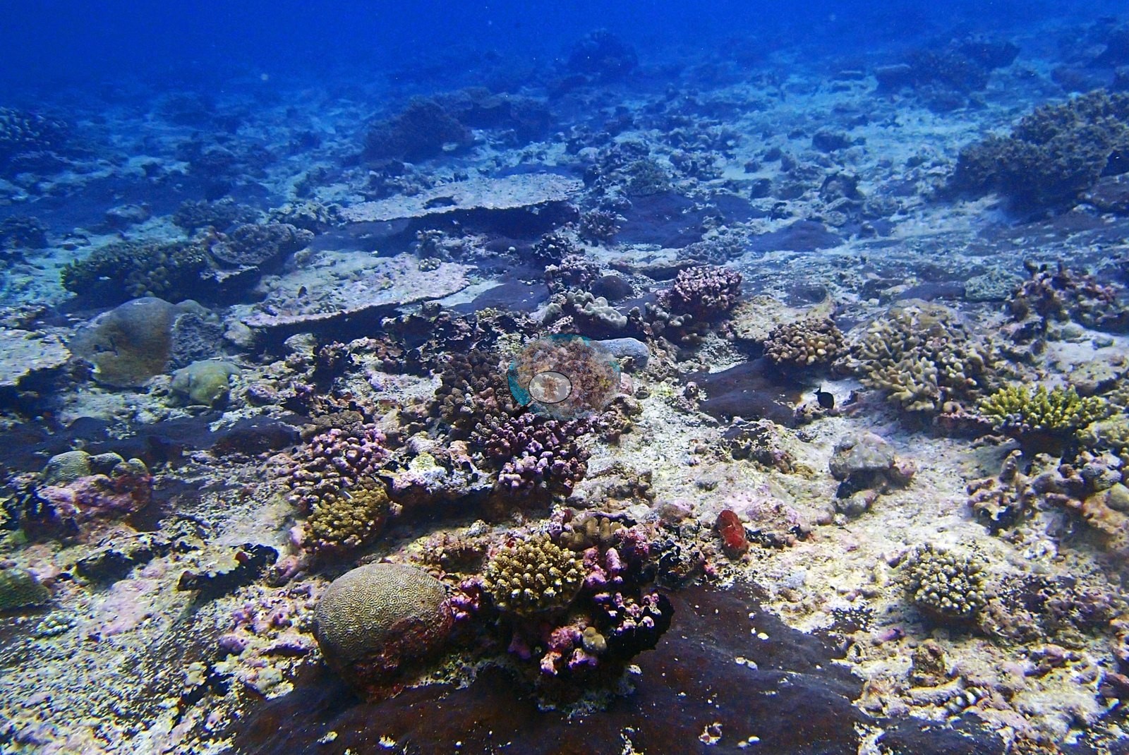
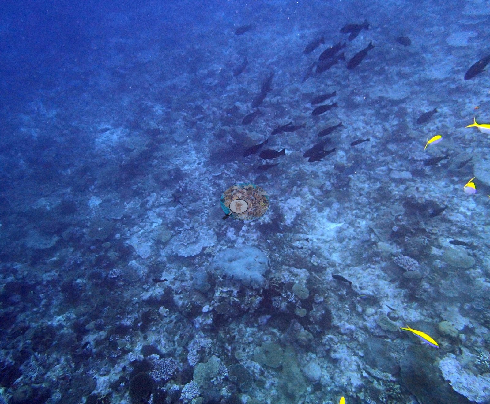
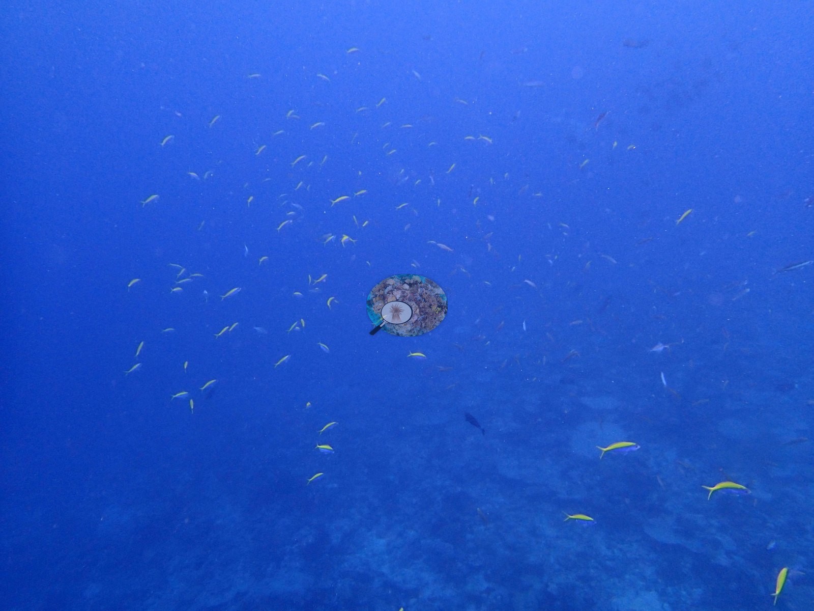
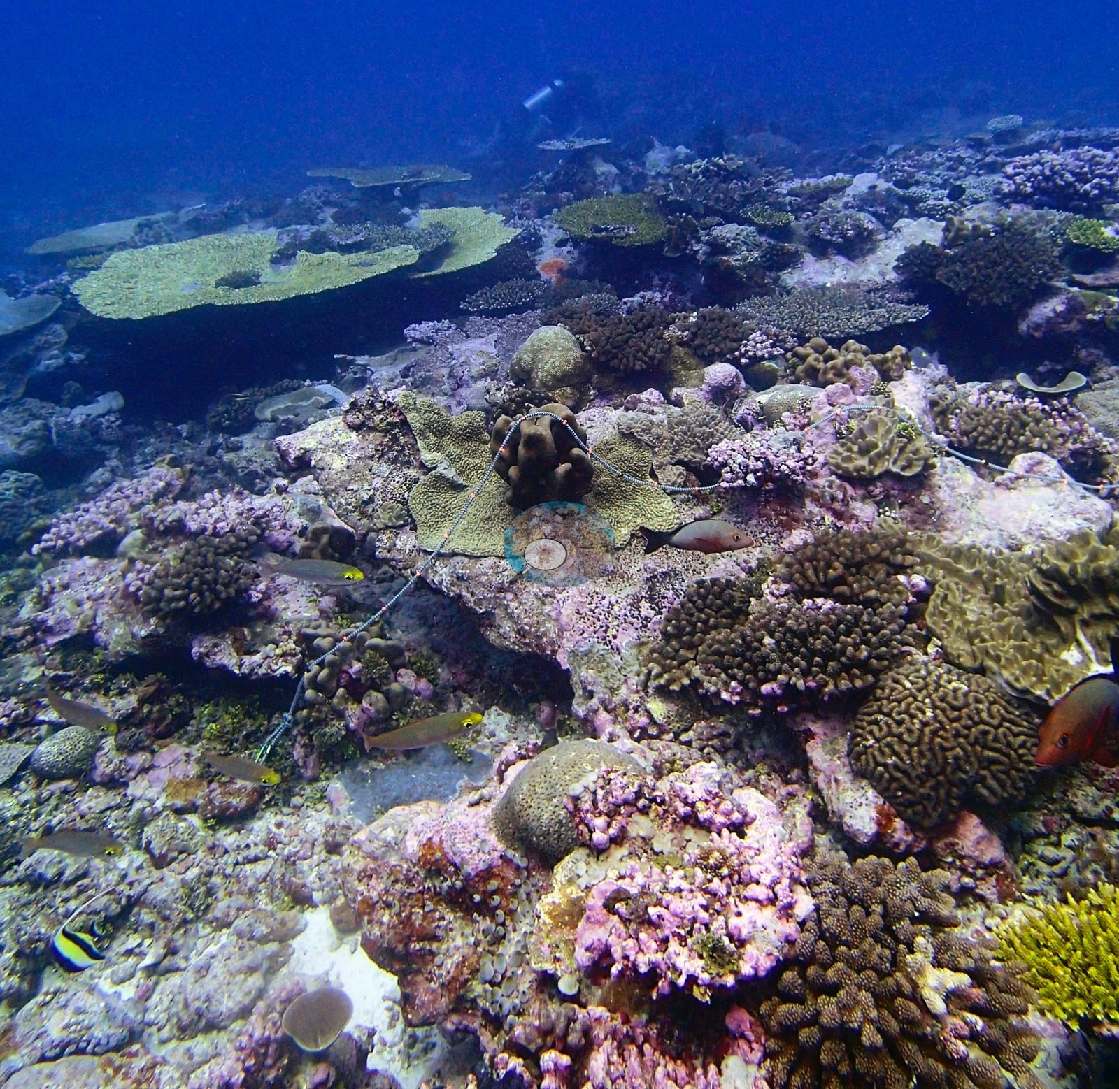
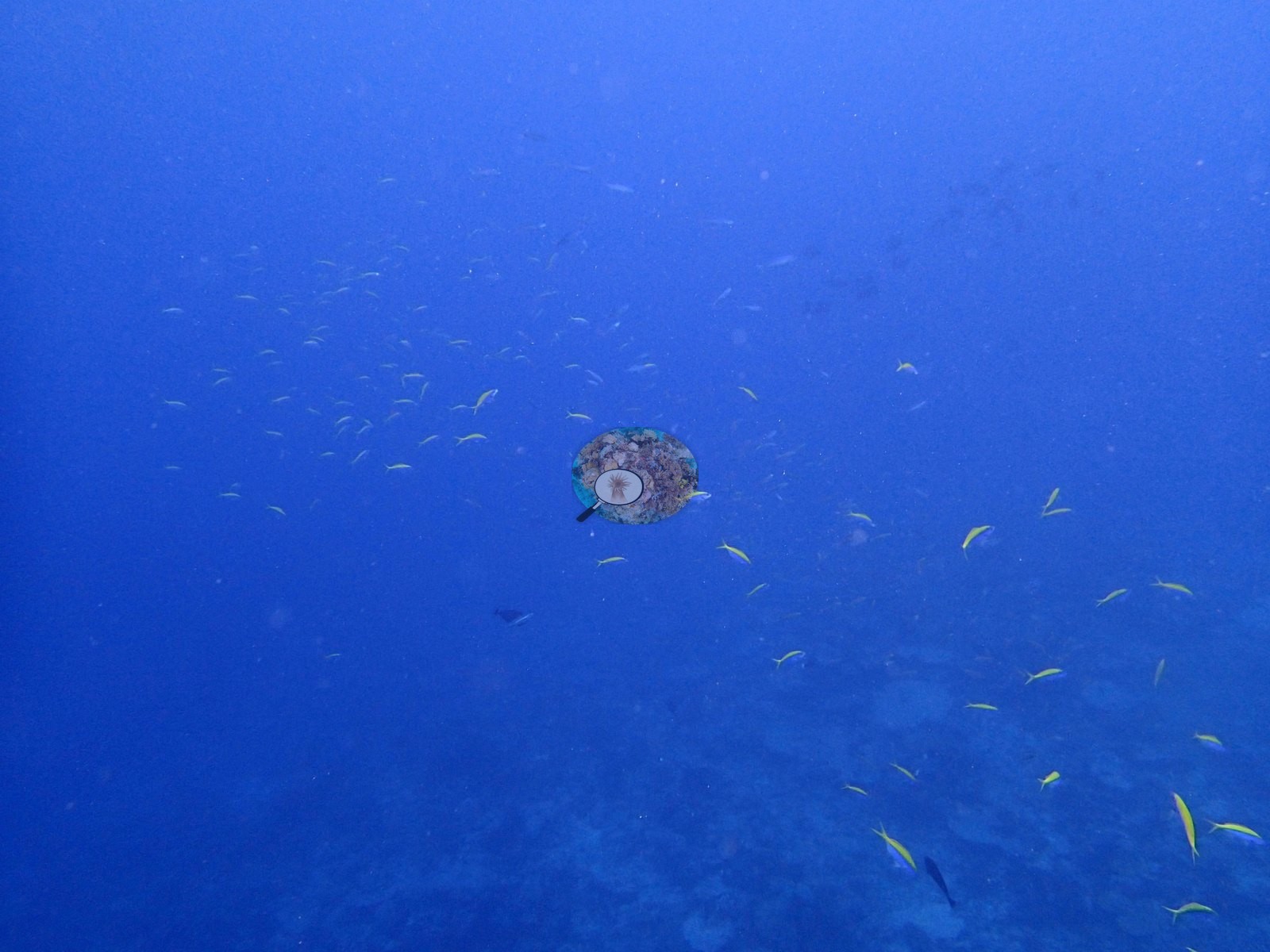
Assemblage composition from transect data. Nineteen scleractinian genera are non-zero, and the reef is led by massive and small branching taxa rather than by tables: Porites 6.03% of the benthos, Pocillopora 3.74%, Acropora 2.35% — those three alone carry 12.1 of the 15.2 percentage points of live coral. The tail runs Favia 0.96%, Montipora 0.61%, Stylophora 0.40%, Galaxea 0.22%, Platygyra 0.20%, Astreopora 0.12%, Goniastrea 0.10%, Ctenella 0.08% (the Chagos-endemic monotypic genus), Echinopora 0.06%, Cyphastrea 0.05%, Favites 0.05%, Pavona 0.05%, Symphyllia 0.04%, and Coscinarea, Leptoseris and Pachyseris at 0.03% each. The substrate side of the same transects is dominated by crustose coralline algae at 31.83% — the single largest benthic category at this site, well ahead of the coral — with non-coral invertebrates 18.18%, turf 11.34%, bare substrate 7.15%, sediment-laden turf 5.68%, erect algae 5.47%, macroalgae 5.09% and cyanobacteria 0.10%. A heavily coralline-encrusted hardground carrying widely spaced colonies is what the transect describes, and it is exactly what the photographs show. Ten of the thirteen are reef frames; three (P3130268, P3130269, P3130272) are water-column images of open blue with fish in it and contribute nothing benthic. The photographic genus inventory runs to seven scleractinian groups plus one hydrocoral — Acropora (digitate/corymbose and plating), Pocillopora, Porites (massive domes), Platygyra/Leptoria, Favites/Goniastrea, Montipora (encrusting), Astreopora, and yellow Millepora — all growth-form calls from photographs, given as “compatible with”.
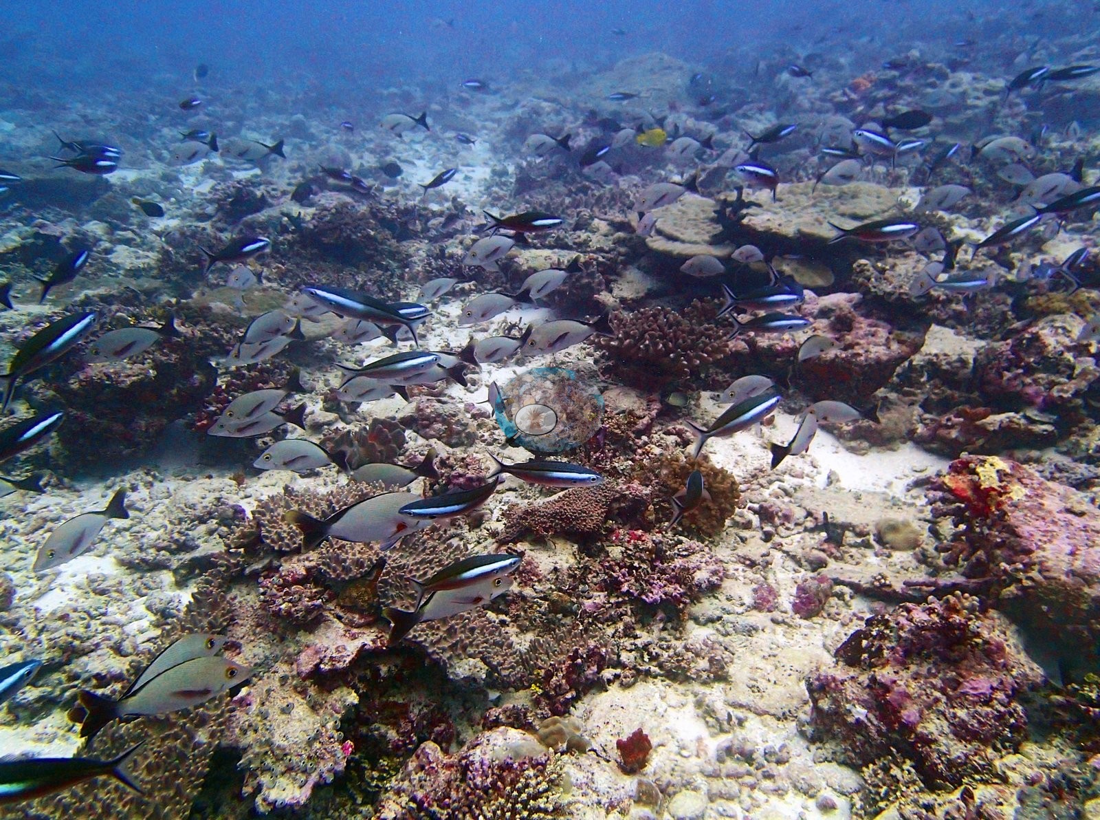
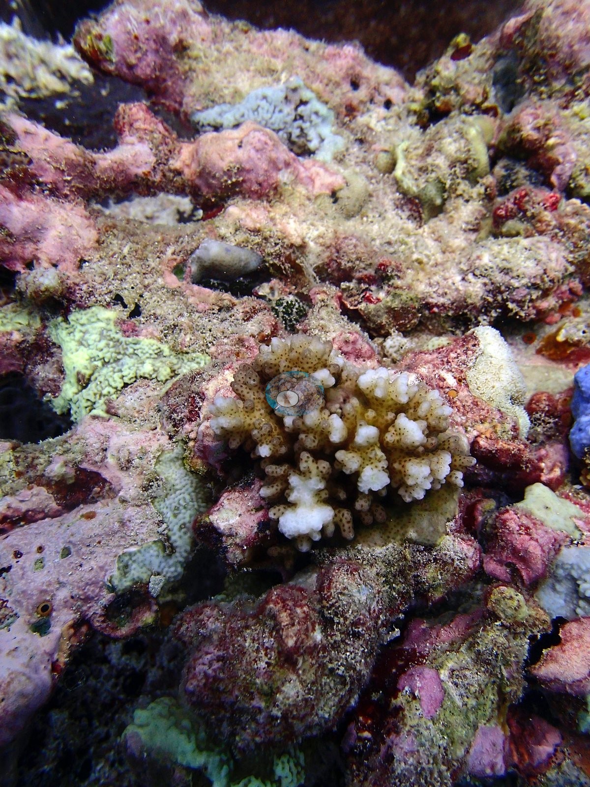
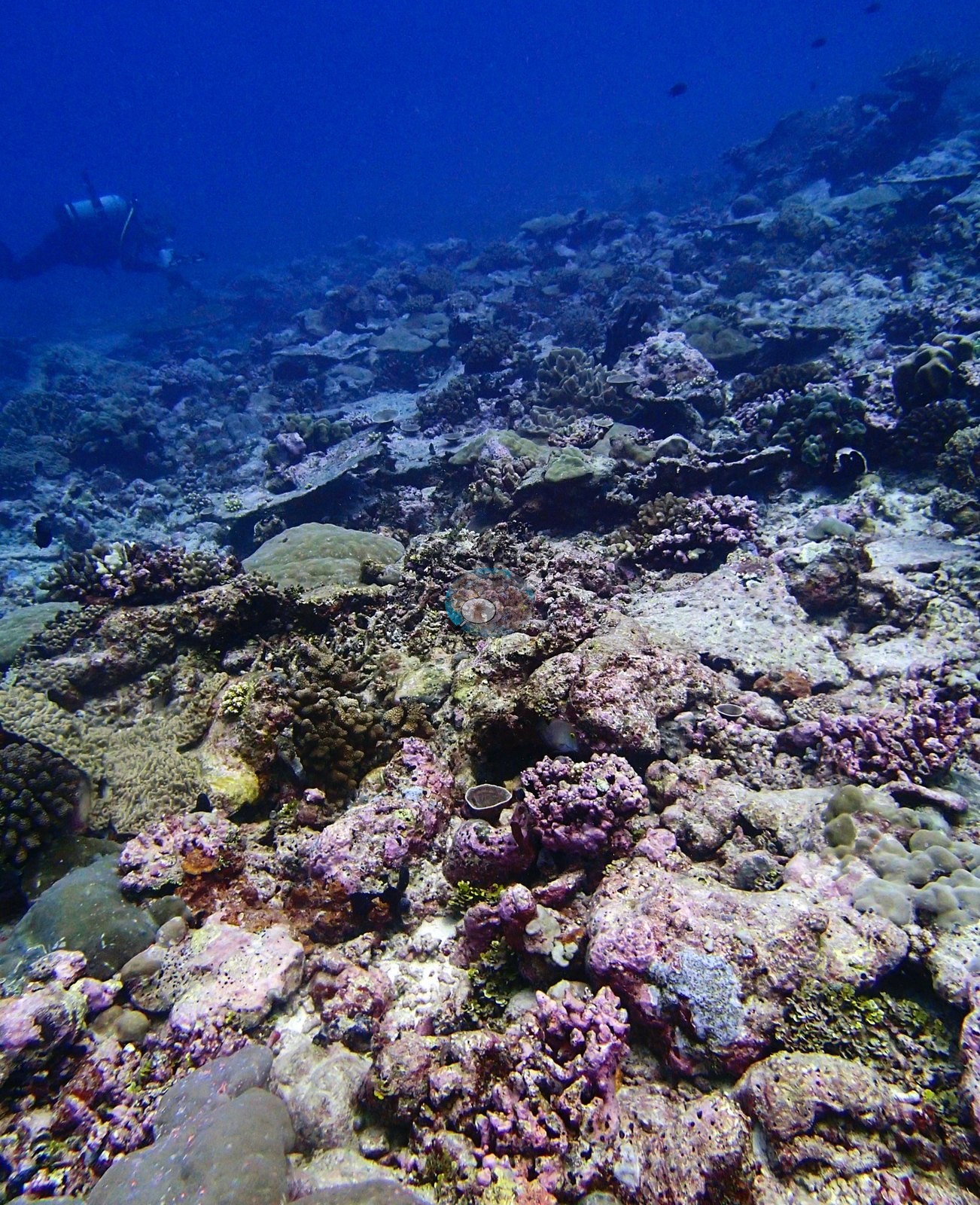
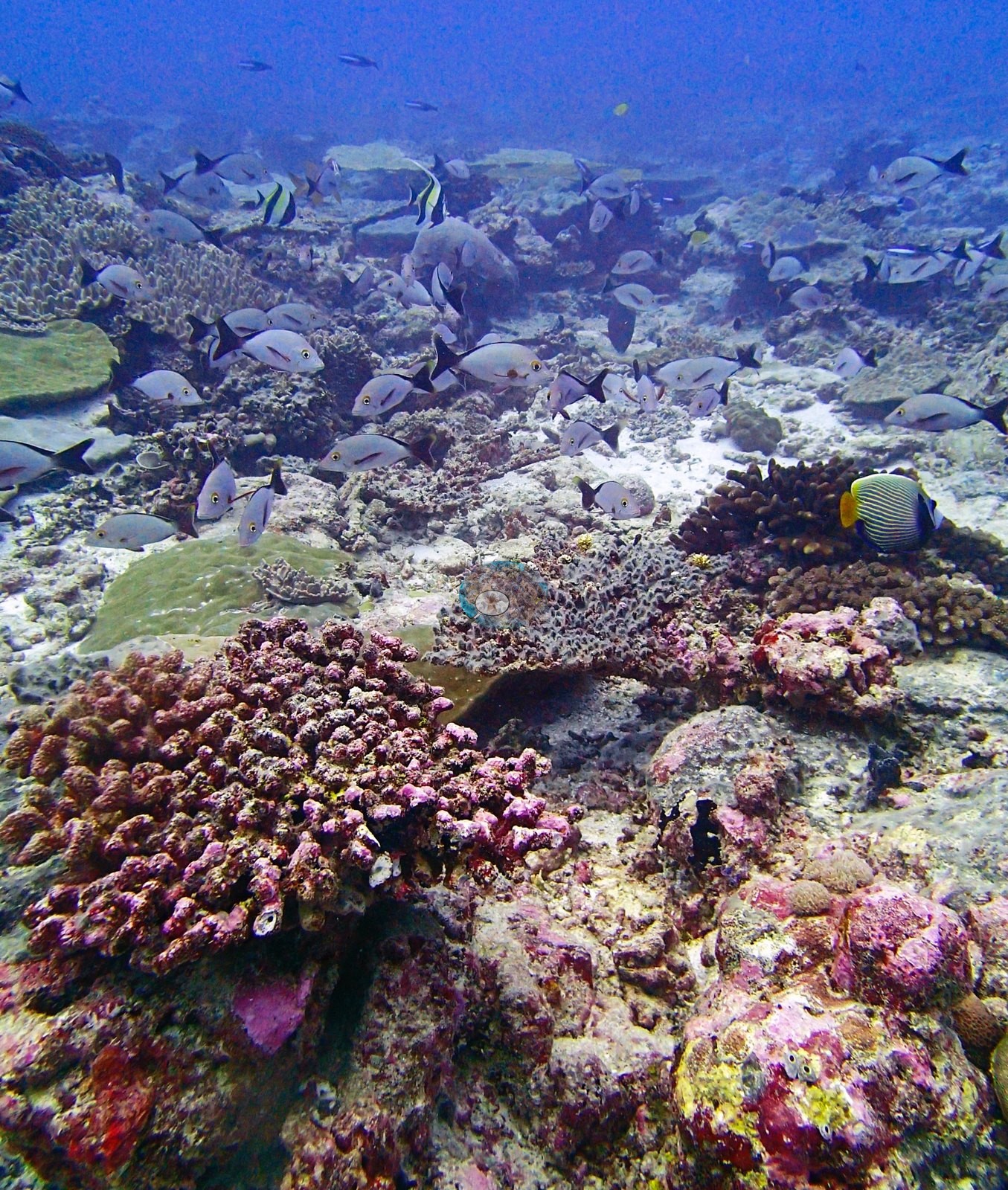
The substrate through P3130246, P3130256, P3130259, and P3130270 is a pink and mauve crustose-coralline hardground strewn with rubble, carrying widely spaced digitate and corymbose Acropora, small Pocillopora, domal Porites, meandroid brains compatible with Platygyra or Leptoria, encrusting Montipora and occasional yellow Millepora. Nothing here forms continuous framework; the reef reads as a mosaic of individual colonies on consolidated pavement, relief a matter of tens of centimeters, with no spur, wall or coral-built ridge anywhere in the set. P3130247 is the most diverse single frame — pink-purple knobby and encrusting colonies, massive Porites, tan encrusting sheets, and dense coralline, a large mauve-brown corymbose colony in the foreground, and a regal angelfish (Pygoplites diacanthus) in the corner. P3130257 and P3130260 each center on a substantial branching Acropora-type colony with cream-pale branch tips over darker olive-brown to red-brown bases. P3130267 is a close, sediment-dusted view of coralline-crusted pavement carrying one small bushy colony among fully pigmented yellow-green and pink encrusting neighbors.
P3130258 is the site's methodology frame and one of the best in the collection: a transect line runs clearly across the reef with a diver working in the background, and the same frame happens to hold a regal angelfish, a red-orange coral hind compatible with Cephalopholis, a meandroid brain, yellow Millepora and a large domal Porites — the survey and the assemblage in one image.
Coral cover
The transect is this site's measurement. Coral cover 15%, from LOF BIOT-1 in situ transects (Mayfield & Dempsey 2026, Oceans, suppl. S1) — diver transects run across the site on 13 March 2015, and the authoritative record of cover and community here. Against that, algal cover is 59.5% of the benthos. Everything photographic and model-derived below supplements the transect; none of it qualifies, softens or disputes it.
Computer-vision method comparison. Across the 13 paired frames the same reef reads transect 15.2% · CoralNet points 16.2% · Coralscapes masks 12.4% — deviation −2.8 to +1.0 pp, mean of 3: 14.6% ± 2.0, the second-tightest agreement in the archipelago after BIDI10, and for the same reason: low cover on low-relief substrate. This is a method comparison, not a check on the transect; the three products have different sampling footprints and denominators and must not be averaged. BIDI14 is a second clean confirmation of the growth-form argument developed at BIDI08/BIDI10: methods agree where relief is low and disagree where cover is carried by horizontal plates. Together with BIDI10 (±1.0) and against BIDI08 (−25 pp, tabular), the pattern is now supported by three independent Danger Island sites — a reef whose coral is discrete and lies essentially in the plane of the substrate presents both a point grid and a mask with the same simple scene, while a tabular reef does not. The small white cup-shaped objects on the pavement in P3130256 are unresolved (bleached recruits, ascidians or molluscs) and are not scored as coral.
Condition and bleaching. Anderson's published per-site figure — 9.8% of coral bleached (CoralNet analysis of informal survey images; Mayfield & Dempsey 2026, Oceans), the second-highest figure at Danger Island — is the authoritative statement of how much of this reef was affected. Nothing below is converted into a percentage, and no frame count stands in for that figure. Here transect (15.2%), CoralNet (16.2%) and Coralscapes (12.4%) all fall within 4 pp of one another — ±2.0, the second-tightest spread in the archipelago — on a reef whose coral is low-relief, discrete and lying essentially in the plane of the substrate. Together with BIDI10 (±1.0) and against BIDI08 (−25 pp, tabular), the pattern is now supported by three independent Danger Island sites: methods agree where relief is low and disagree where cover is carried by horizontal plates. Coral cover: 15%. Live hard coral measured on the in situ benthic transects of the LOF BIOT-1 expedition (Mayfield & Dempsey 2026, Oceans, supplemental S1), against algal cover of 59.5% of the benthos. The transect figure is this site's authoritative cover value; no image-derived product overrides it. Across methods the same reef reads: transects 15.2% · CoralNet points 16.2% · Coralscapes masks 12.4% (13 frames). These products have different sampling footprints and denominators and should not be averaged.
Stressors
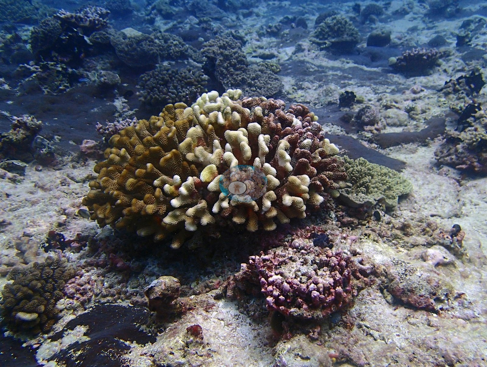
Qualitatively, three frames carry the signal clearly. P3130267 is unambiguous — a small Pocillopora-type colony bleached wholly cream-white, sitting on CCA-crusted pavement among fully pigmented yellow-green and pink encrusting neighbors. P3130257 and P3130260 both show larger branching Acropora colonies with cream-white branch tips over dark red-brown bases — an extensive apical paling that goes well beyond the few-millimeter growth margin seen at BIEG04, on colonies whose lower branches are simultaneously darkening. That reads as genuine early thermal paling rather than growth tips, though a single-visit photograph cannot fully separate the two.
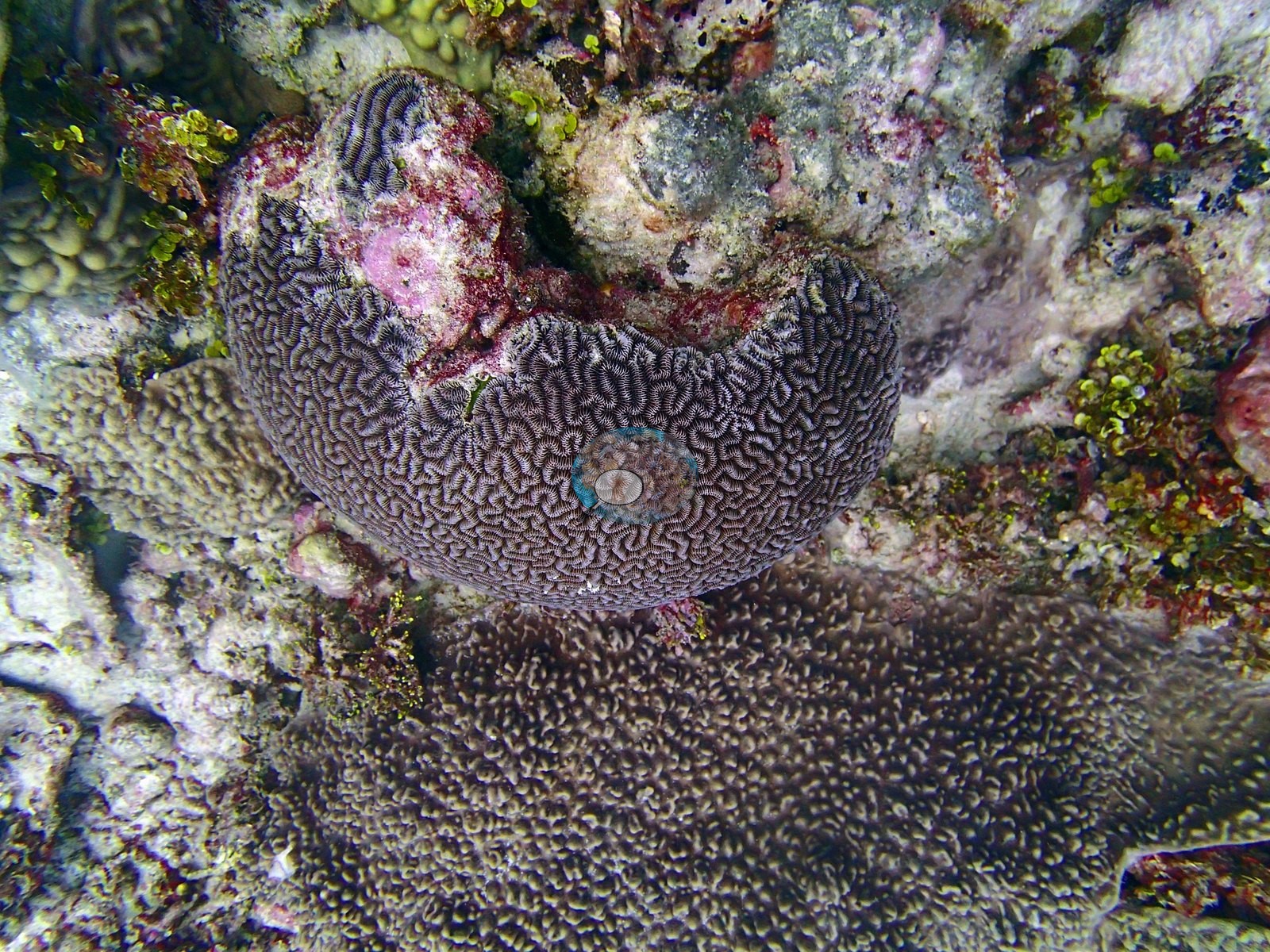
A second condition signal is independent of bleaching: P3130255 shows a gray-purple meandroid brain coral with a distinct pink-and-white lesion patch on its upper surface — bare skeleton with a pigmented margin, adjacent to healthy tissue. This is the third lesioned massive coral found in the Danger Island group (with BIDI10/P3120278 and BIDI13/P3130381), and the recurrence across three sites is worth noting even though none can be diagnosed from imagery. No crown-of-thorns and no predation scar resolves anywhere in the set.
Assemblage composition. The cover line carries the numbers, and BIDI14 is a second clean confirmation of the growth-form argument developed at BIDI08/BIDI10.
Fish and other fauna
A second diver appears in P3130256.
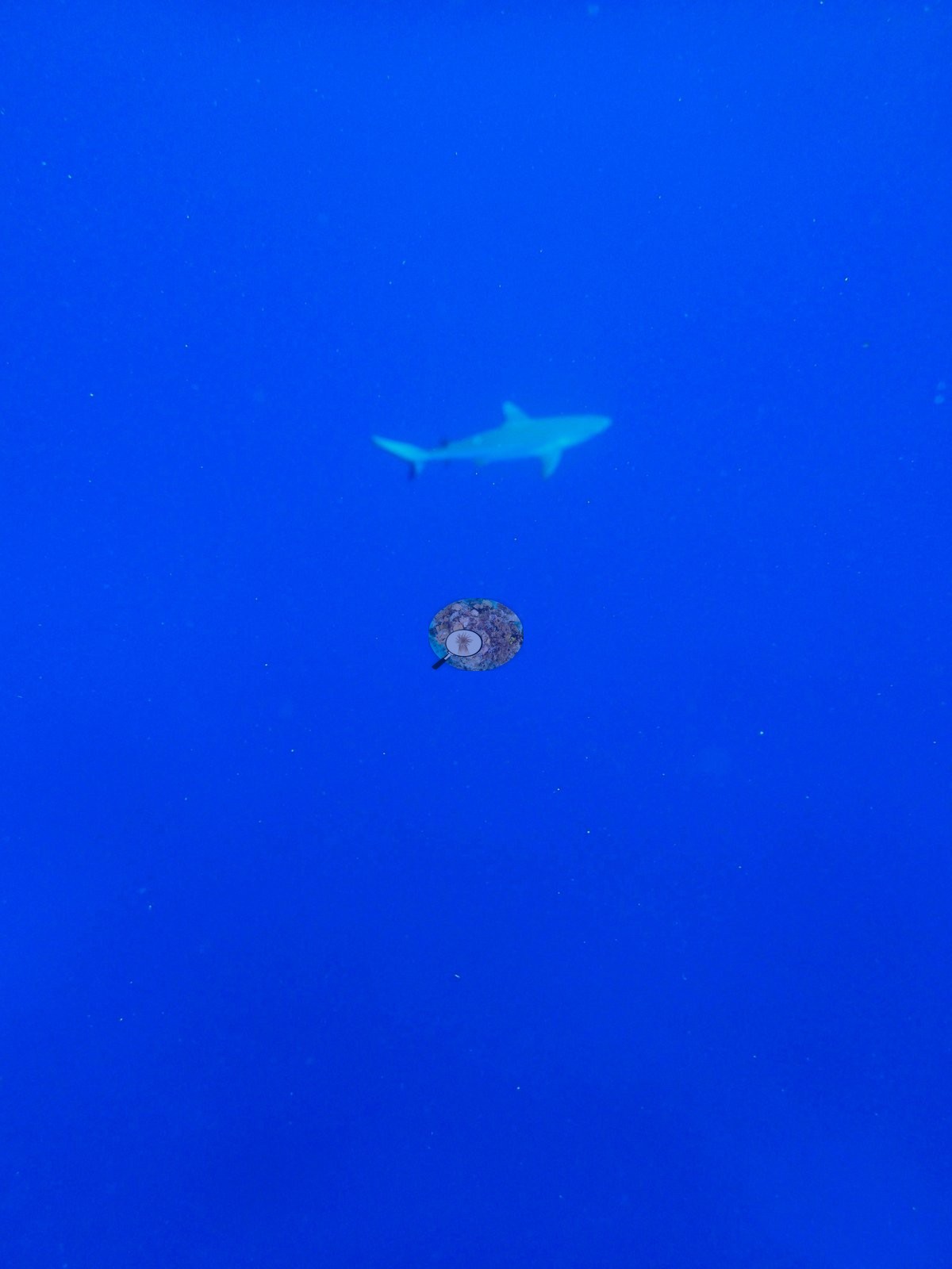
Faunally the dive is dominated by schooling planktivores and mid-water predators. Emperors or breams compatible with Monotaxis grandoculis — silvery with the characteristic large yellow-rimmed eye — school over the reef in P3130246 and P3130247. Blue-and-yellow fusiliers compatible with Pterocaesio or Caesio fill P3130268, P3130269 and P3130270, and dark-bodied snappers or rudderfish compatible with Macolor or Kyphosus run along the deeper slope in P3130270. A gray reef shark compatible with Carcharhinus amblyrhynchos crosses the blue in P3130272. Reef fish include the two regal angelfish noted above, Moorish idols, surgeonfishes, and the coral hind.
Comparisons with other data
No independent survey was made at this exact site; the nearest ones are listed in the table below.
Other notes
Image-by-image analysis. Thirteen habitat frames survive, filed by Anderson under BiDi14-finished — his processing label for the edited website set. There are no sampled-colony photographs.
Frame quality and limits. P3130246, P3130247, P3130255, P3130257, P3130258, P3130260, and P3130267 are sharp close or mid-range views; P3130256, P3130259 and P3130270 are dim and blue-cast, P3130270 hazy enough at range that condition cannot be read on its substrate. No scale object or quadrat appears in any frame — the transect line in P3130258 is not a scale bar — so colony dimensions are not measurable, and with no depth stamps the frames cannot establish the site's depth zonation.
CV model comparison
More info
Those are point counts on the photographs; this is a diver swimming a transect. The models and the reference never saw the same thing. ⚠ SITE-LEVEL ONLY. The 2,500 frames were not associated with any transect taken within 200 m of them, so transect-vs-image comparisons are site means, never frames. The transect value is already in the pin `cover` field (109 of 112 pins, sourced to the paper's suppl. S1) and is read from there, never re-imported. The transect is THE coral-cover value for this site and stands alone. The rows below it are a methods comparison only: no computer-vision value is averaged with it, feeds the headline, or carries over to the site's cover figure (Anderson, 2026-09-22).| Method | Hard-coral cover (%) |
|---|---|
| Transect (published) | 15.2 |
| CoralNet | 23.5 |
| In-house DINOv3 | 21.9 |
| CoralSCOP edited | 30.3 |
| Claude | 19.2 |
Independent surveys nearby
Within 5 km, 2 independent survey stations recorded hard coral cover in 2015. The most recent nearby survey is from 2015, so these values predate recent heat stress. This site's own estimate (15%) sits within the range of these surveys (6.3–25%); the methods differ, so the comparison is context, not a like-for-like test.
Collected by other programs using different methods (the XL Catlin Seaview Survey uses photo-transects with automated image annotation), so these are context for the figures above, not a like-for-like comparison. Where a station was surveyed more than once the range is shown. Station names are not dive-site names.
| Agency | Site / location | Date | Hard coral cover (%) | Distance | Link |
|---|---|---|---|---|---|
| XL Catlin Seaview Survey | transect 36001 | 2015 | 6.3% | 1.05 km | — |
| XL Catlin Seaview Survey | transect 36002 | 2015 | 25% | 3.99 km | — |
Data & links
- Read the full site report ↗
- Download benthic survey data (CSV) ↗
- Download all LOF-GRE data (933 sites) ↗
- CoralNet image repository for this region ↗
- HeatCRD database ↗
- (reference) ↗
- Photo portfolio ↗
- Coral Reef Diagnostics page for this area ↗
All images from Coral Reef Diagnostics. Data are from Coral Reef Diagnostics and the organizations named in the data-sources table above.
 © Coral Reef Diagnostics.