
Part of the regional summaries: Chagos Archipelago - Great Chagos Bank West / Brothers / Eagle and Chagos Archipelago
More info
Chagos (NOAA CRW virtual station)BIDI10, at Danger Island, carries 23% coral cover in a diverse, low-relief mosaic of digitate Acropora, Pocillopora, massive, and plating Porites, and foliose corals. Bleaching was essentially absent, though a lesion was noted on one brain coral, and long-spined Diadema urchins were unusually abundant on the reef pavement. Surveyed on the Living Oceans Foundation's Global Reef Expedition.
Two independent survey stations shown with the program’s logo — click one to see how far it is from this site.
Four other CRD dive sites within 5 km shown in orange — click a marker to open its page.
🗺 Detailed map of the Global Reef Expedition dive sites, Danger Island, Chagos (Khaled bin Sultan Living Oceans Foundation; opens in a new window)
Site description
Setting
The site sits on the western Great Chagos Bank off Danger Island and was worked once, on 12 March 2015.
The reef reads as two different bottoms.
General benthic features
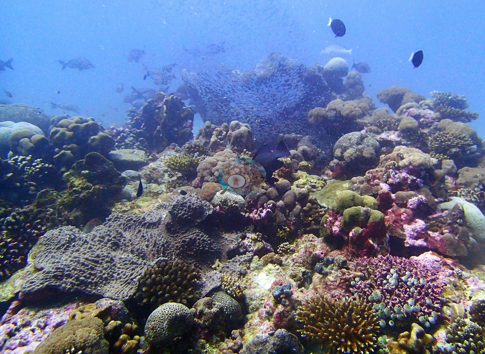
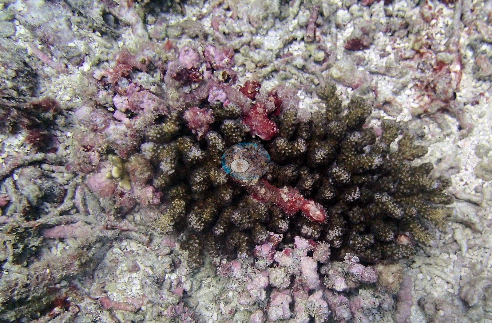
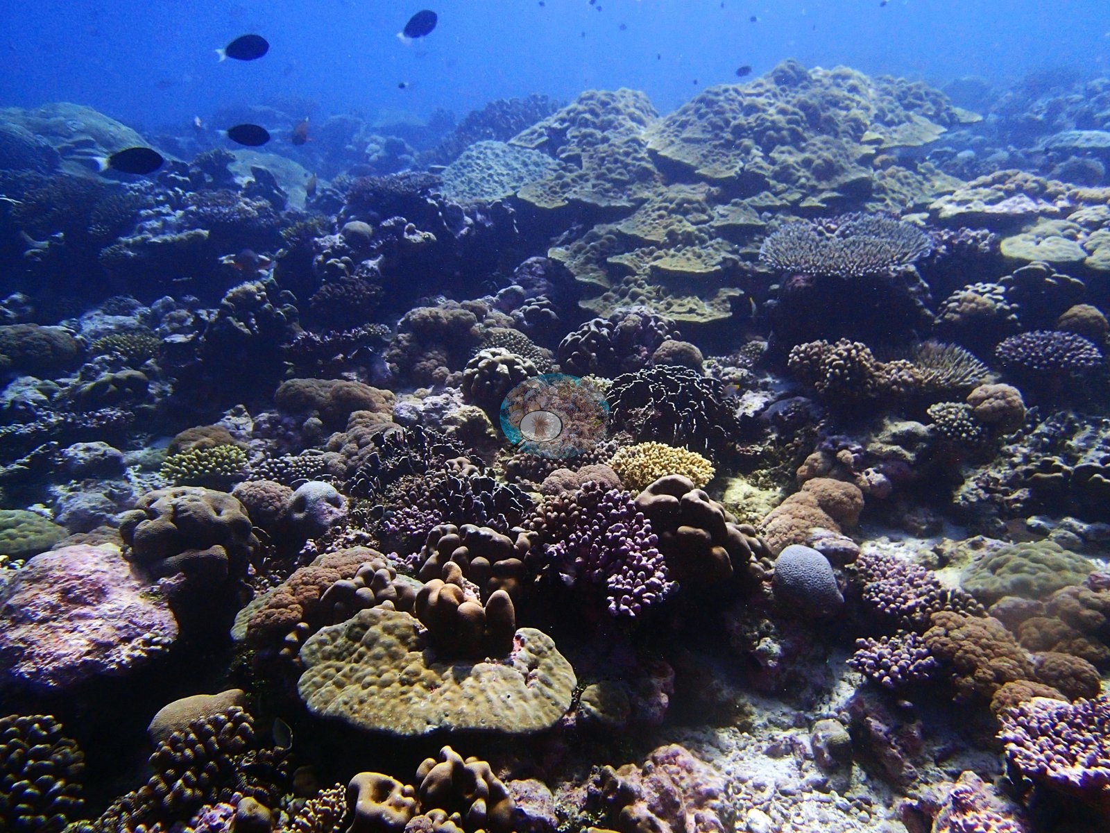
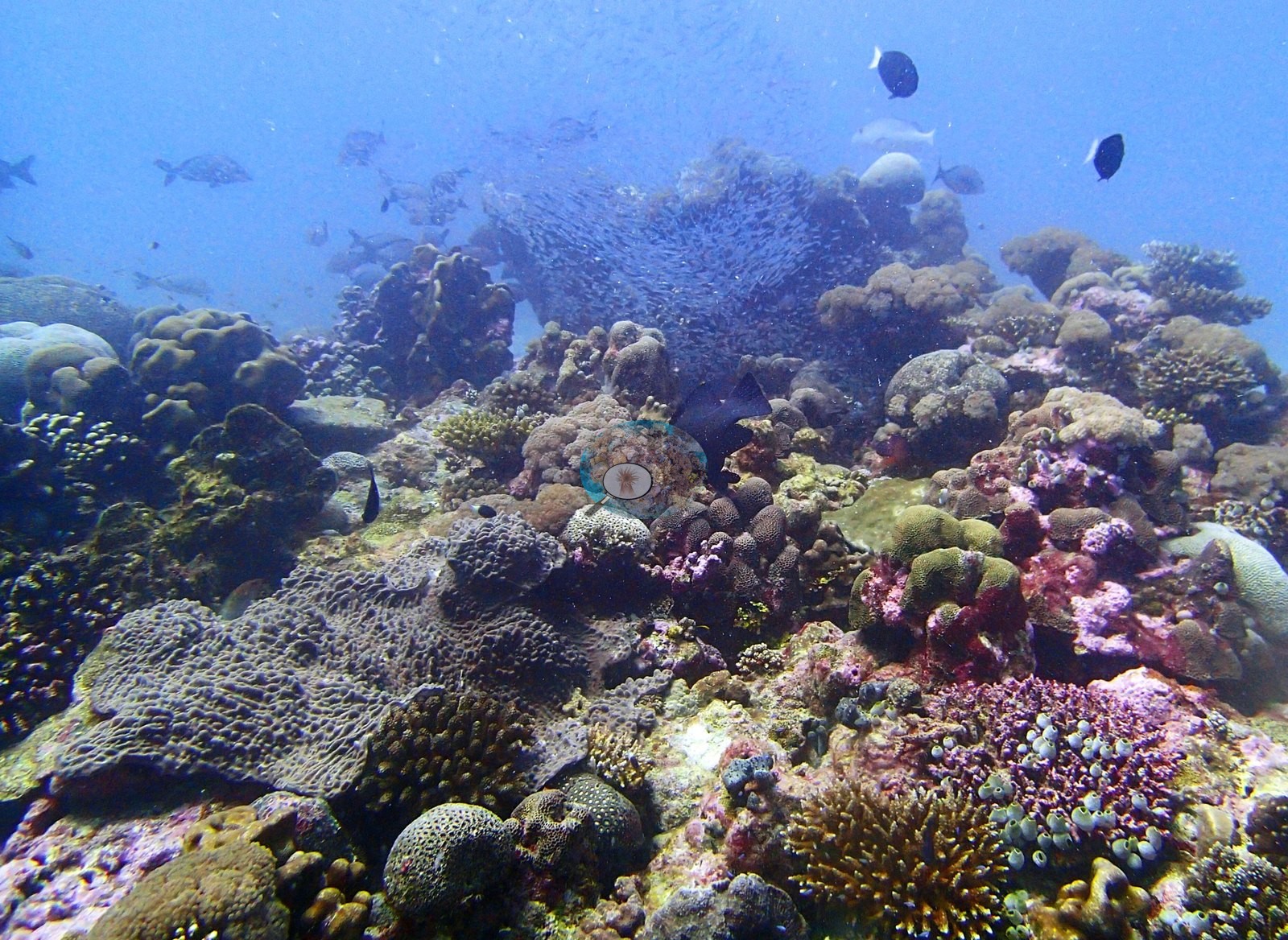
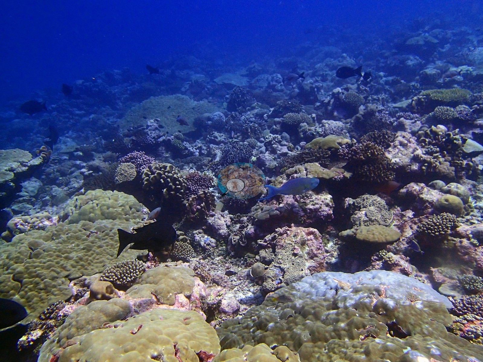
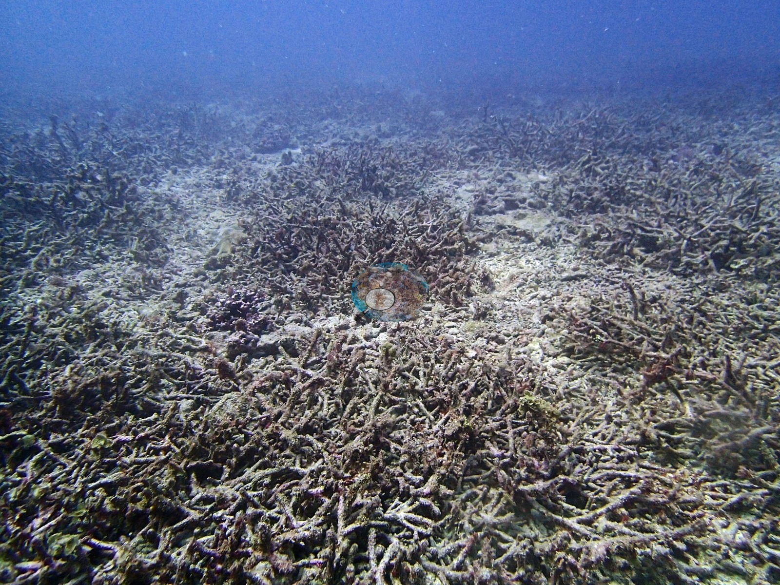
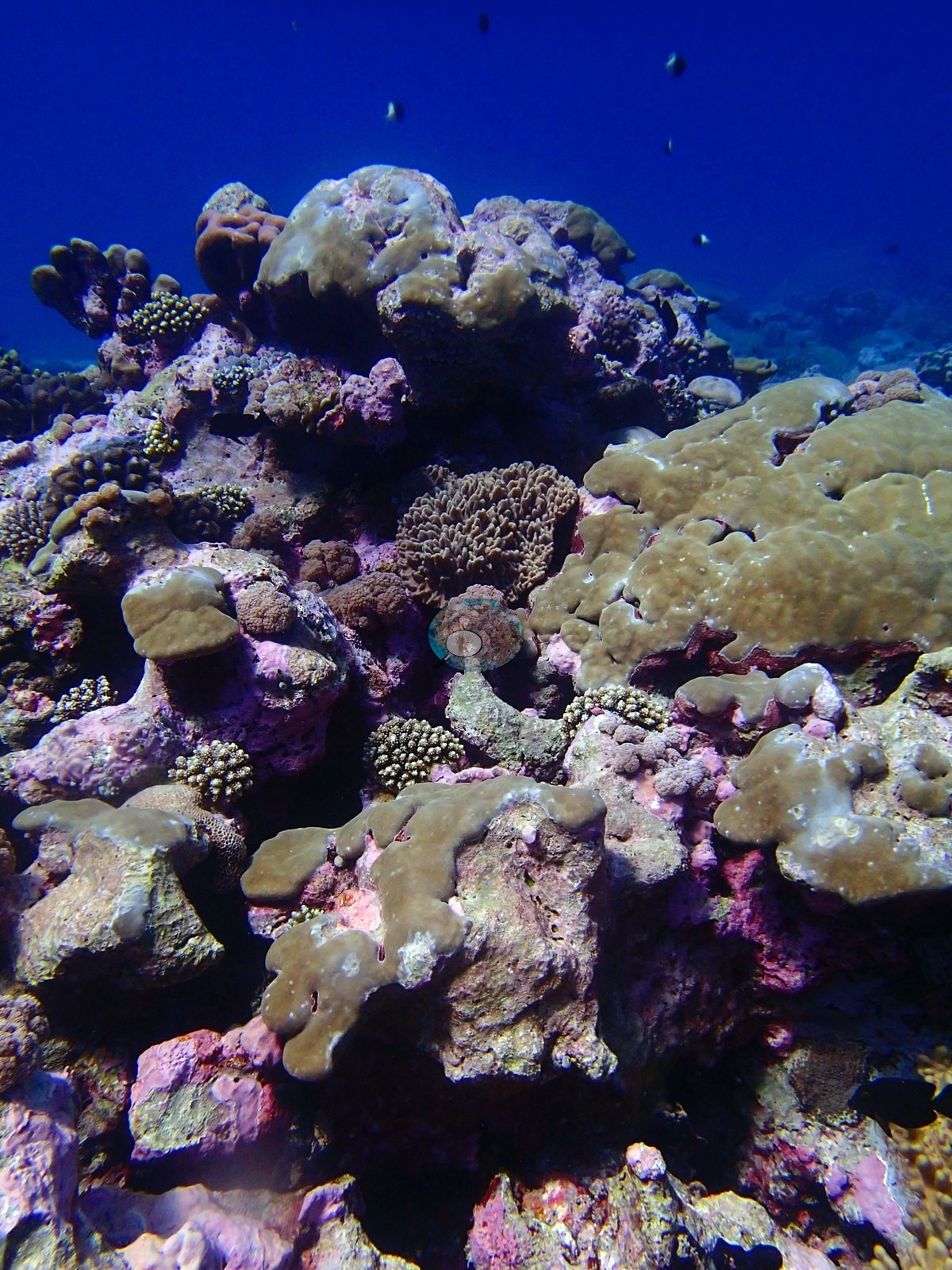
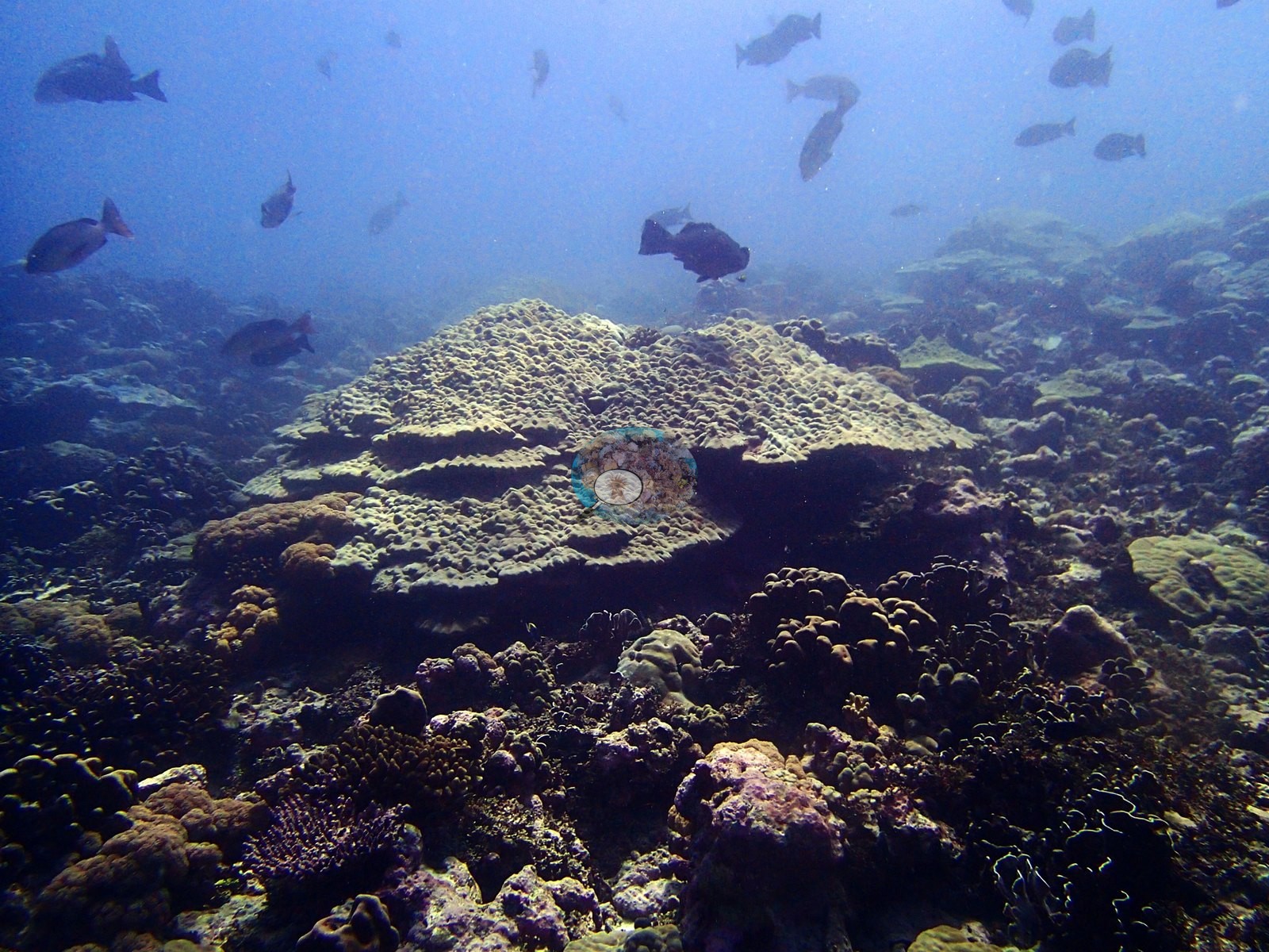
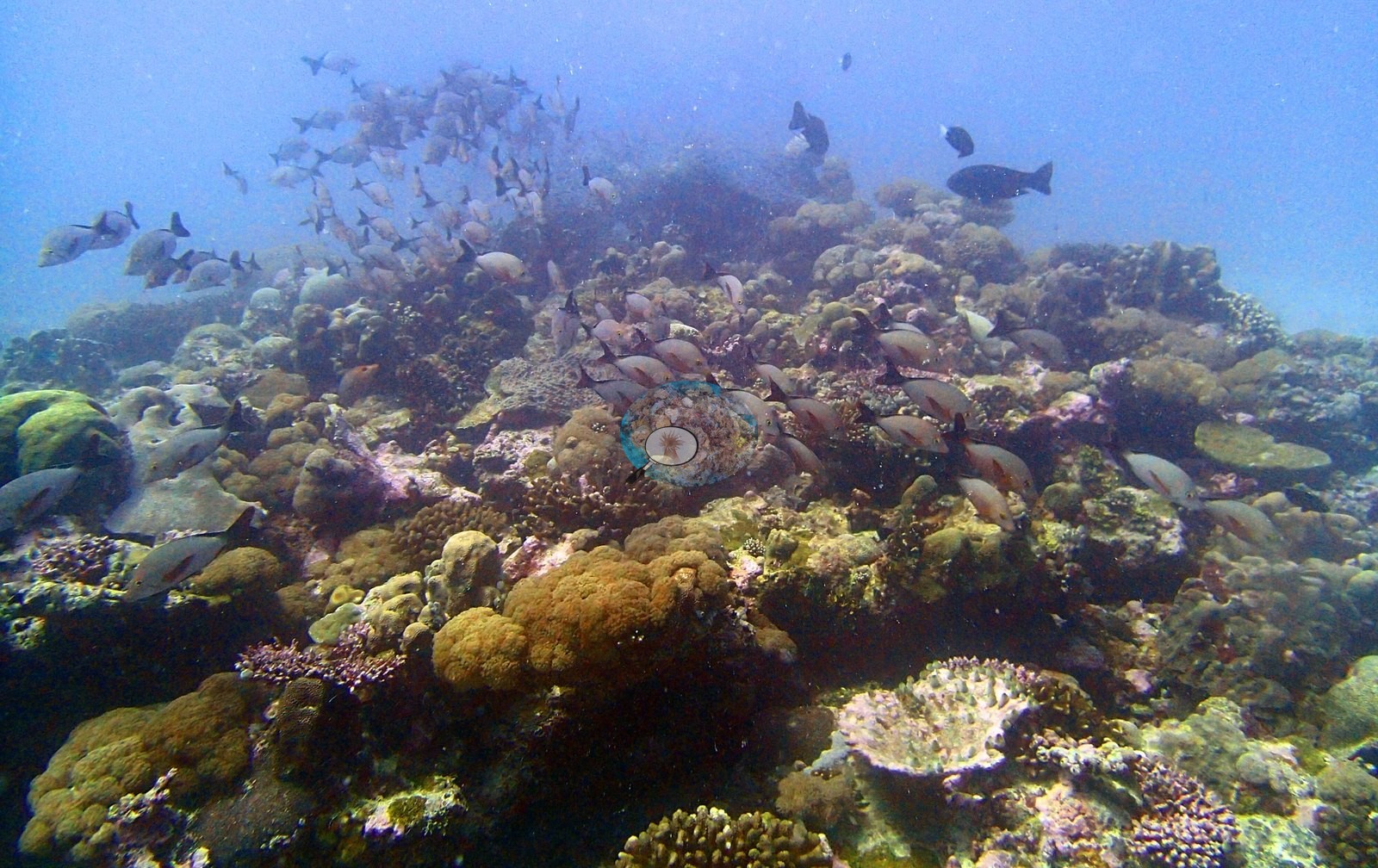
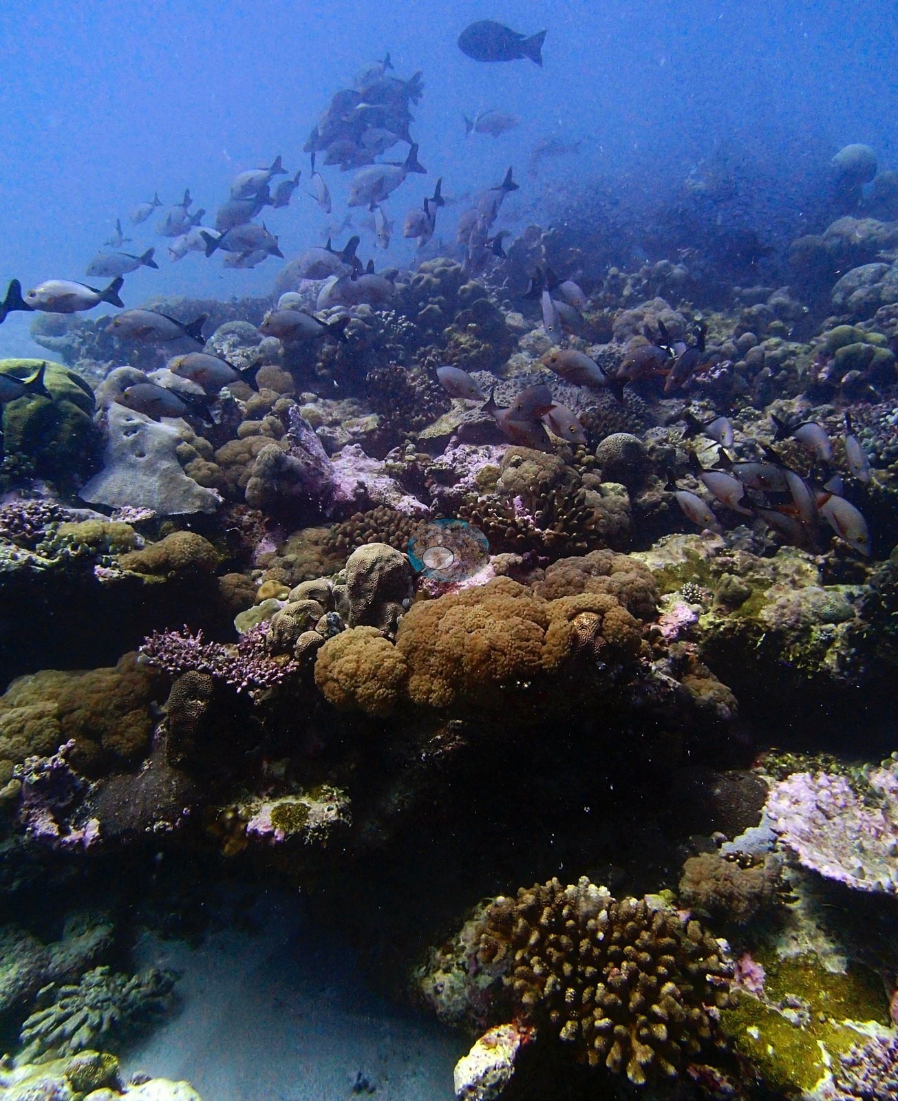
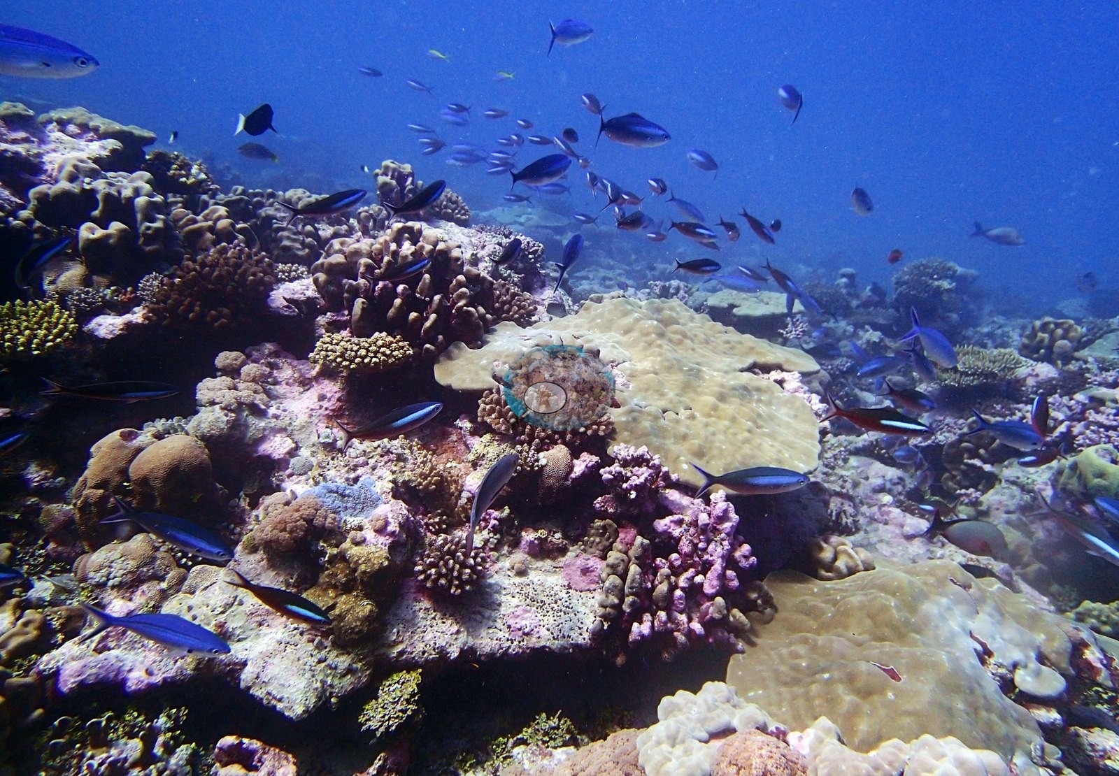
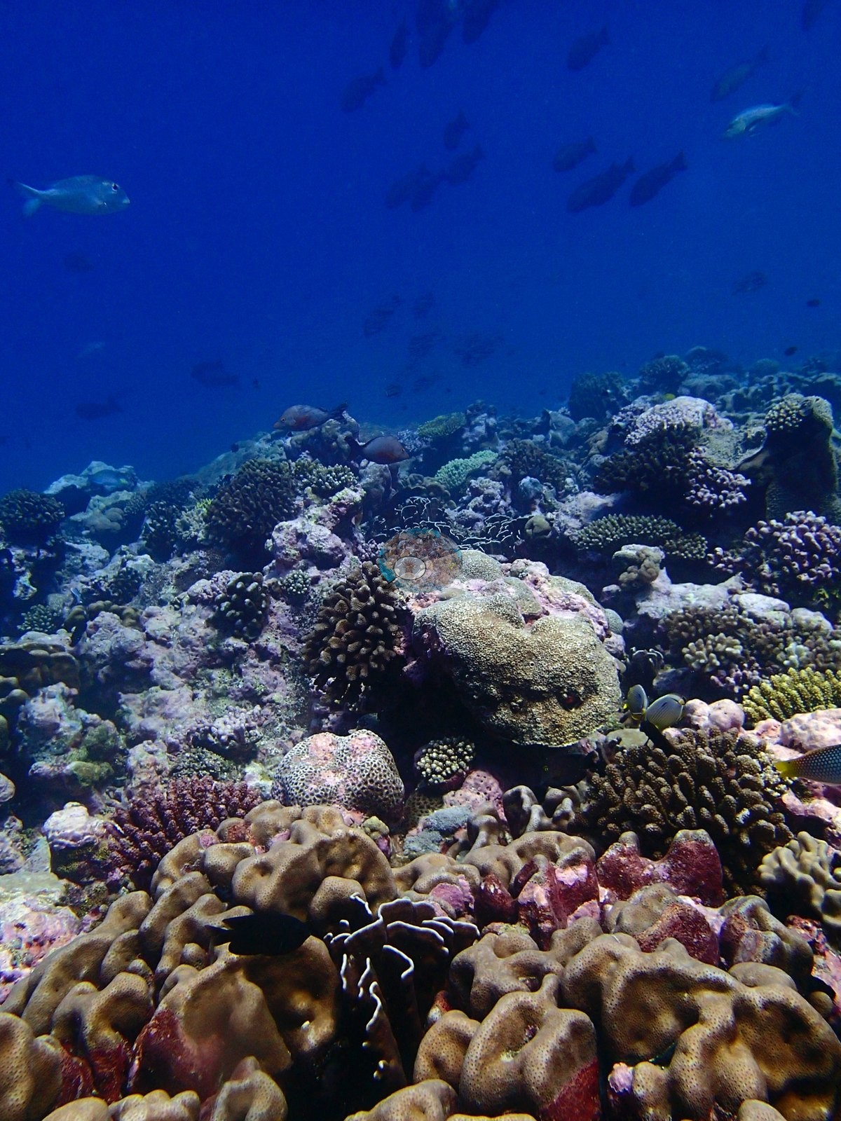
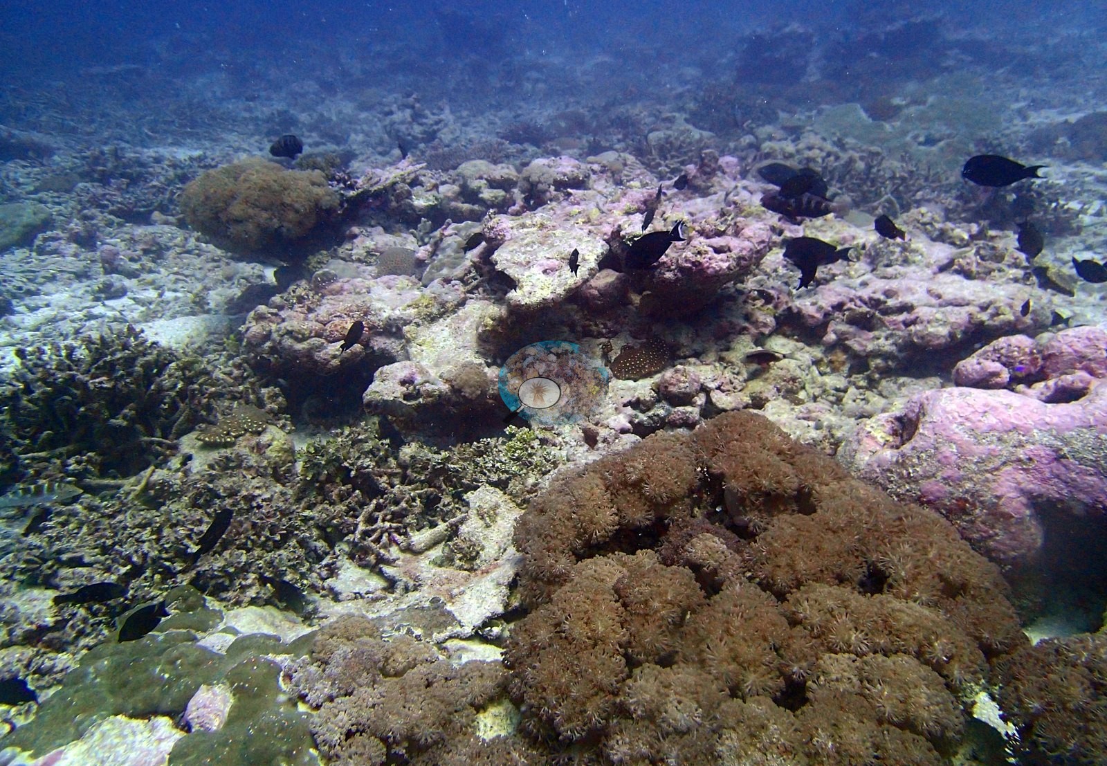
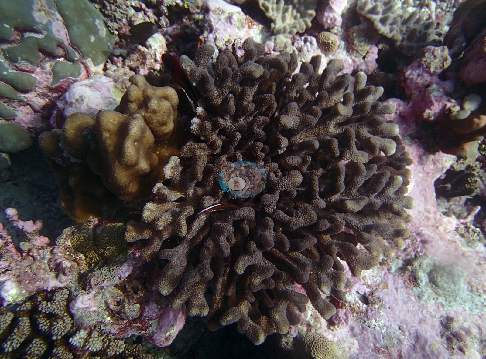
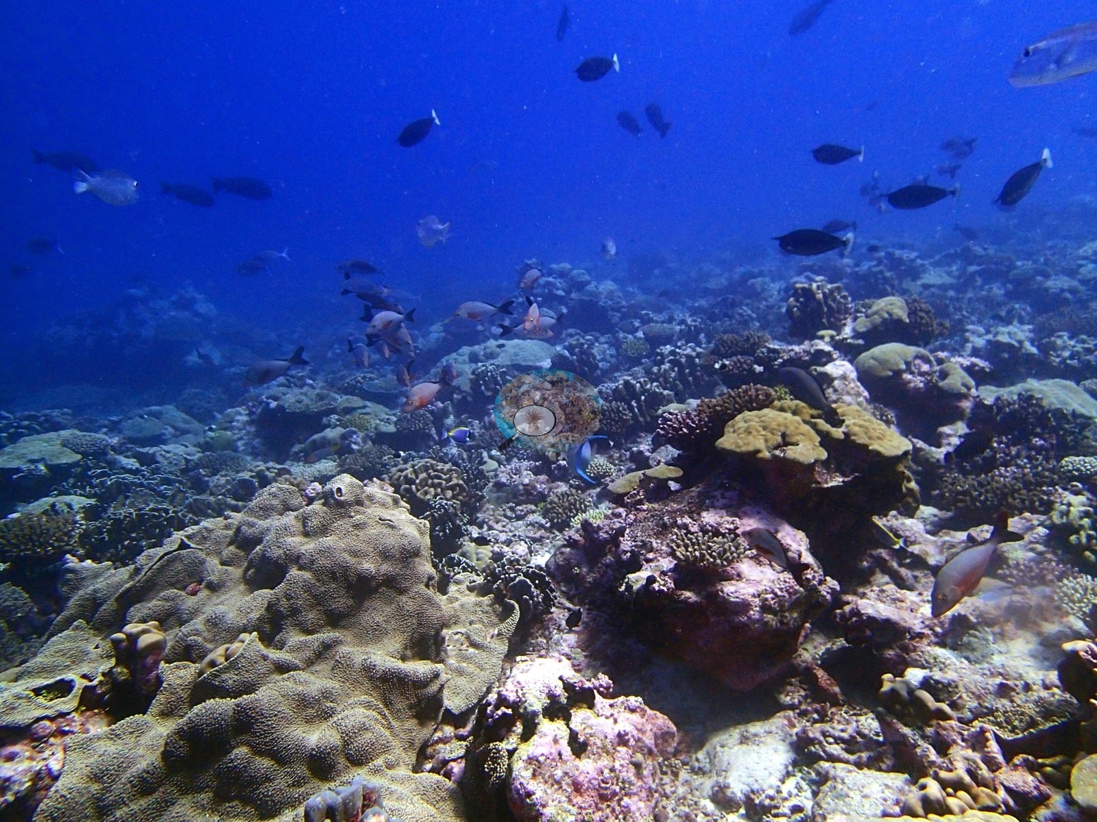
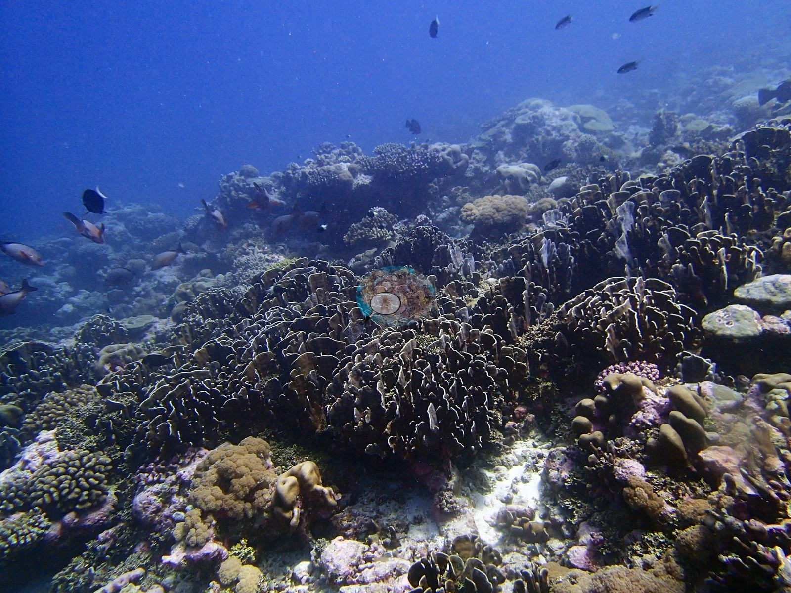
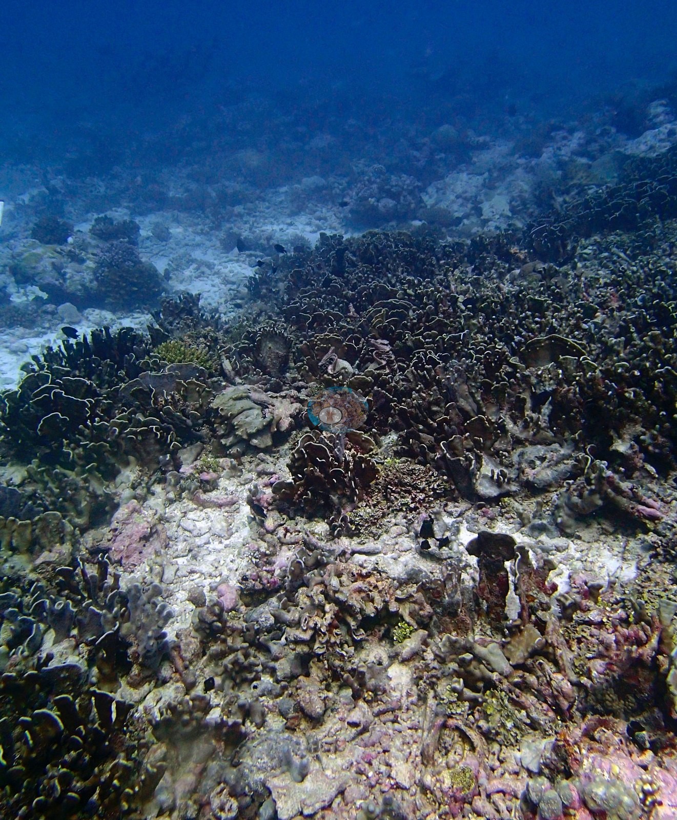
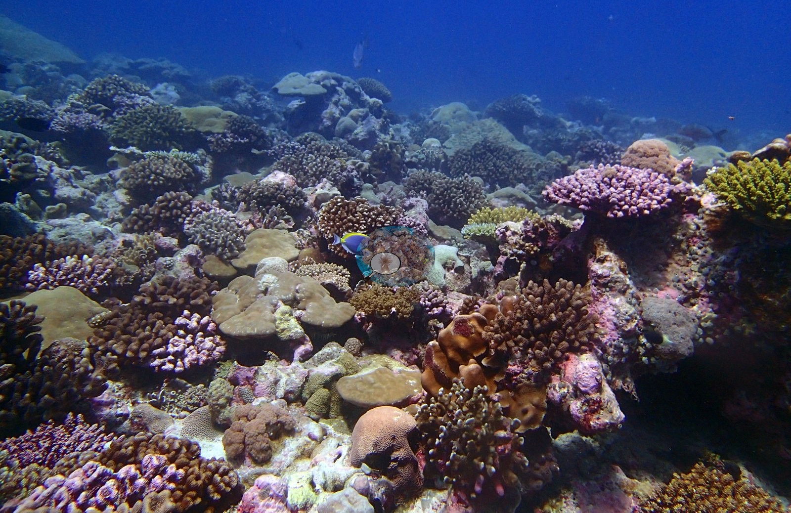
One is structural loss: P3120248 is a broad field of standing dead branching skeleton — a collapsed staghorn framework, every branch turf-covered and gray-brown, running out of frame in every direction — with pale rubble-and-pavement patches recurring through P3120249, P3120256 and P3120277. The other is a dense, diverse and healthy living mosaic, and it takes forms the tabular sites on this bank lack. P3120276 and P3120270 are the best benthic frames — dense mosaics of lilac and purple digitate Acropora, brown Pocillopora, massive, and plating Porites, dark foliose Echinopora or Pavona, yellow-green tabular Acropora and pink crustose coralline algae packed together at low relief, with almost no bare rock between them. P3120275 and P3120252 are comparable: low-relief pavement packed edge to edge with pink, lilac and brown digitate colonies, small corymbose tables, mustard, and olive massive and lobed mounds, dark ruffled foliose plates and heavy pink CCA crusts.
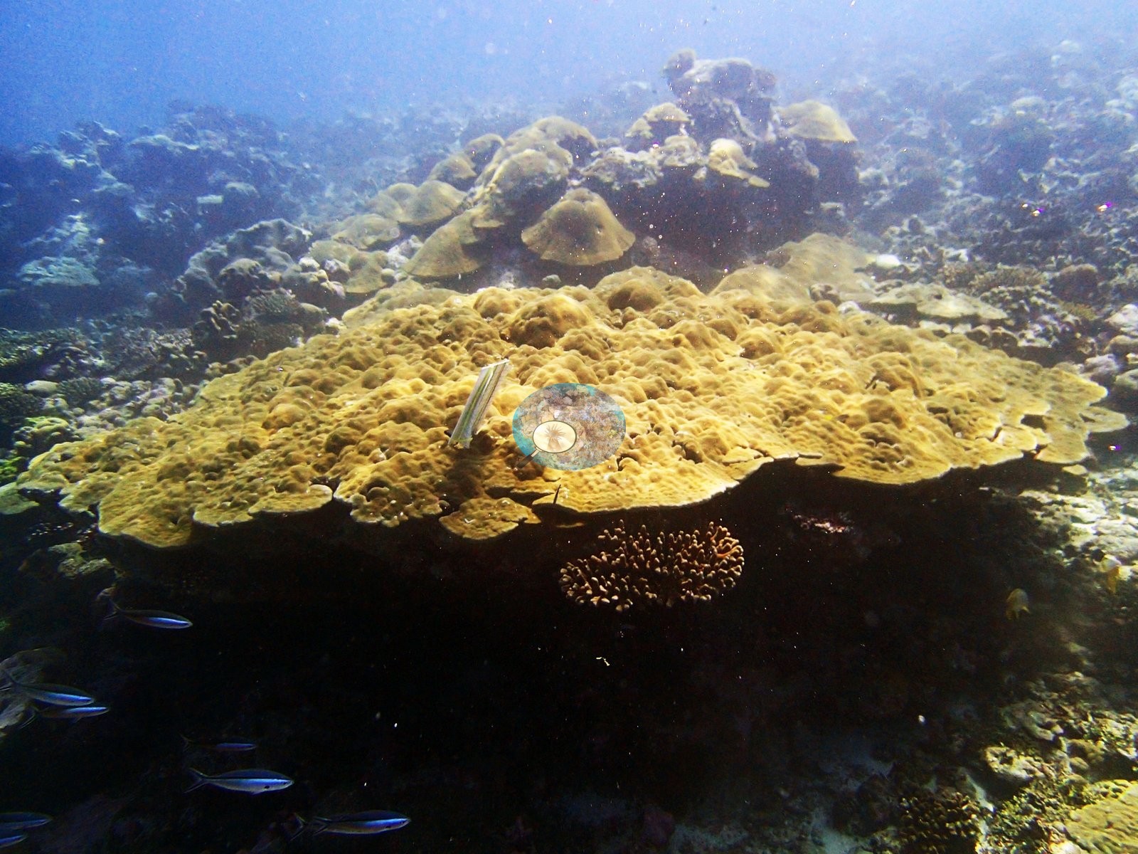
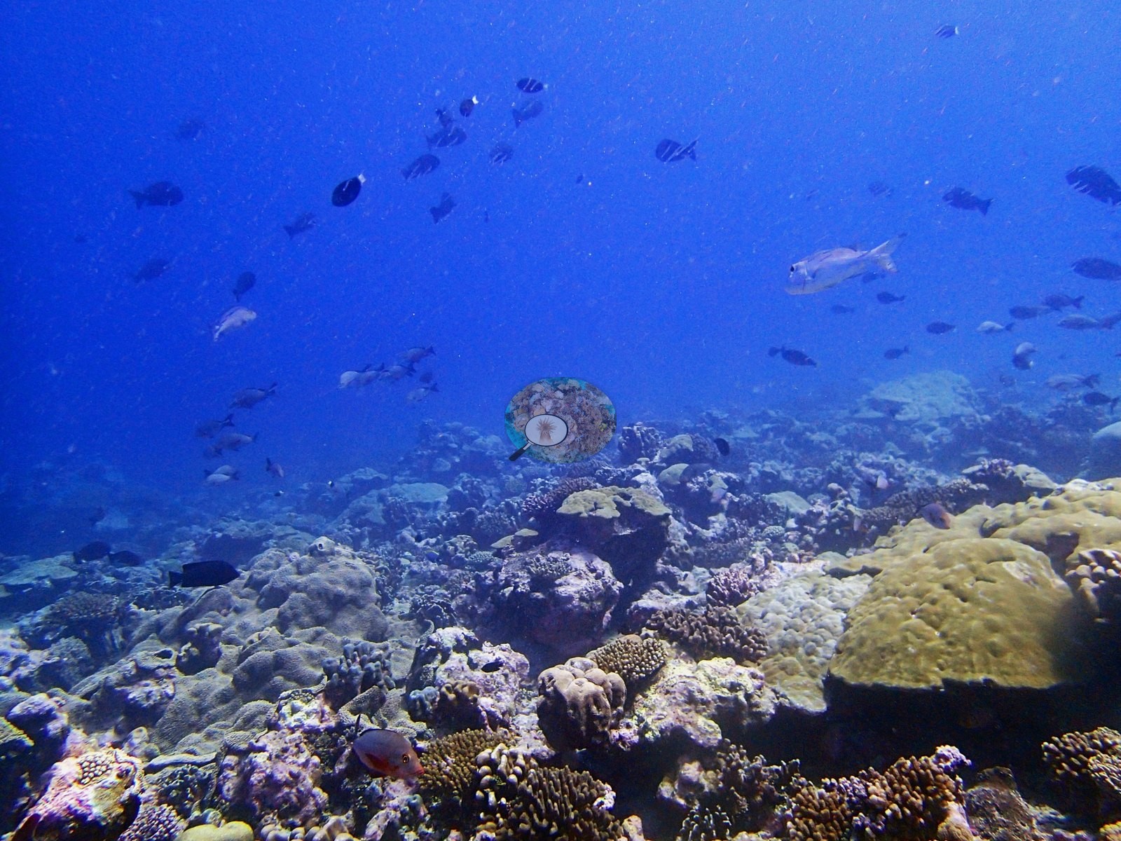
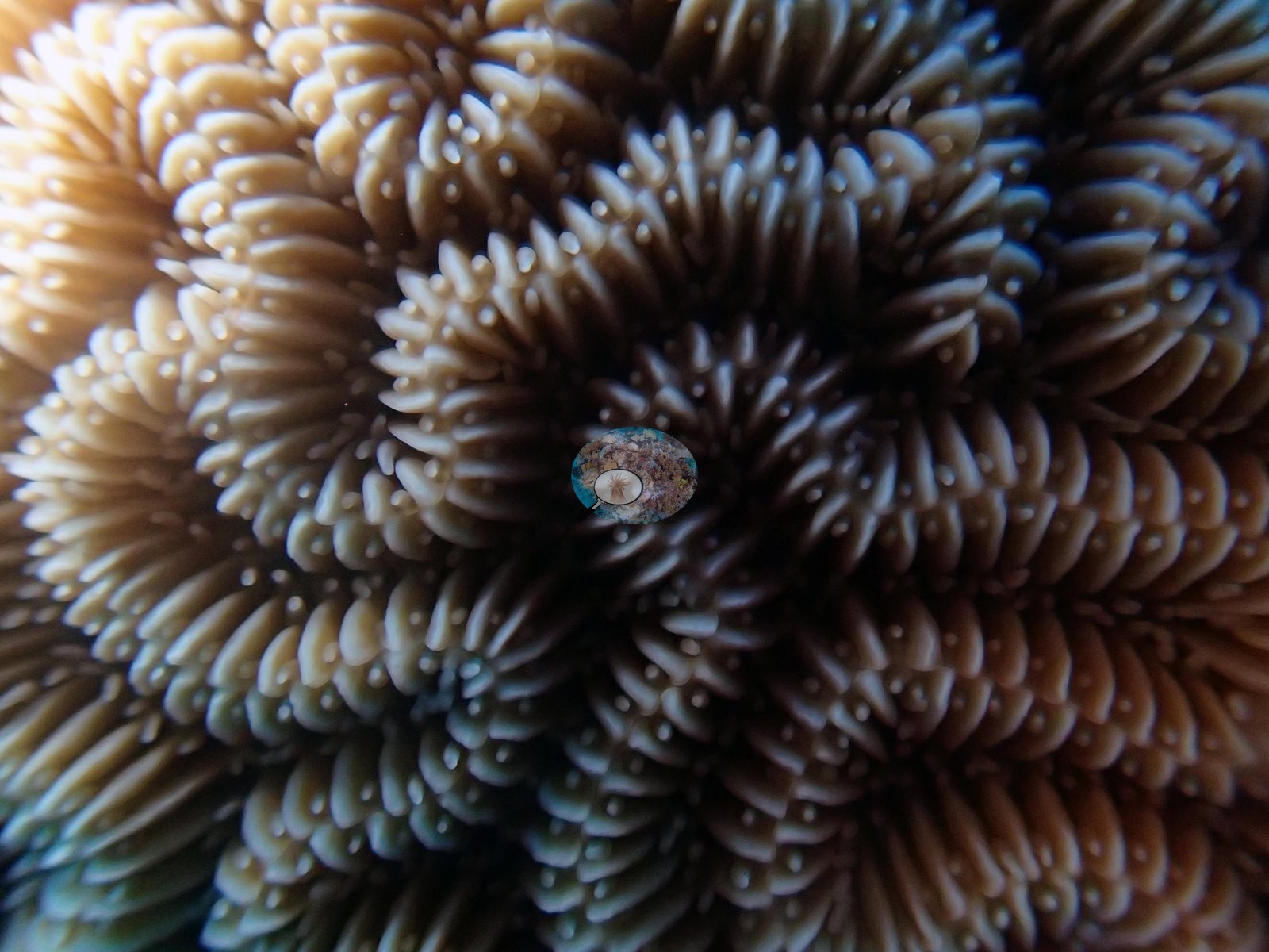
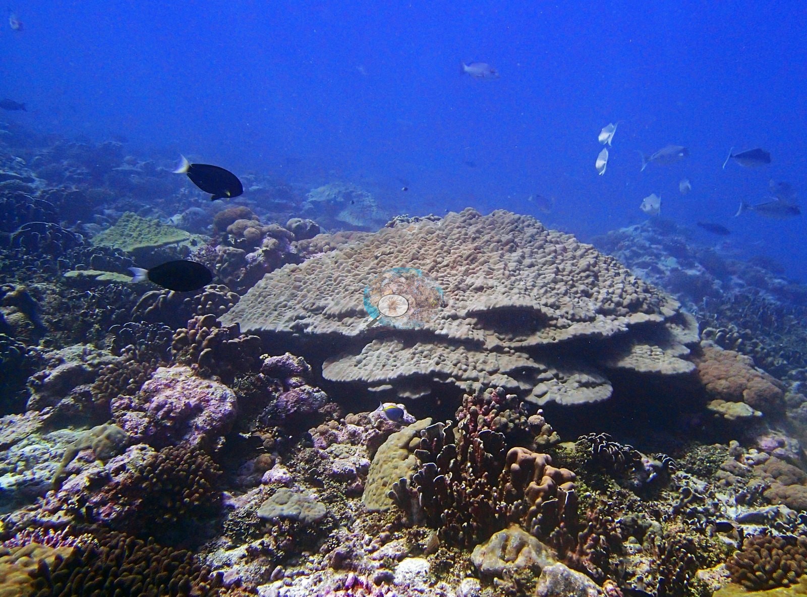
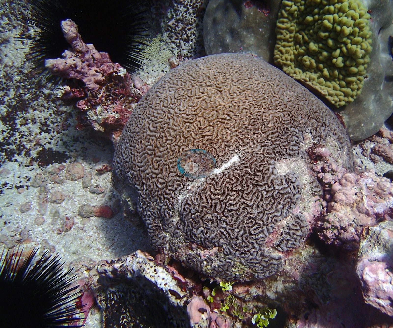
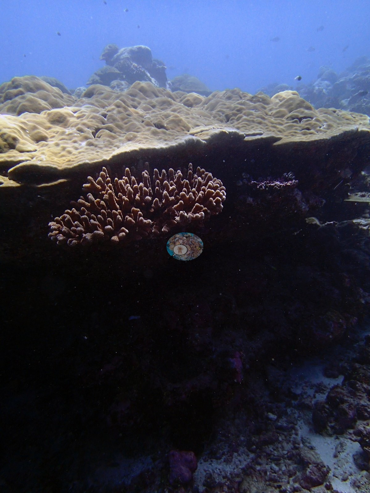
Two zones stand apart. P3120256 and P3120269 record a distinctly foliose-dominated zone — gray-brown ruffled leafy plates covering large areas. P3120259 and P3120261 show enormous yellow-gold plating Porites forming tiered ledges and overhangs several meters across, big enough to shelter fish beneath the plate margin; P3120257 belongs with them and adds a third frame to that gold-plating series. Macro detail is limited to two frames: P3120280, an extreme close-up of coral polyps with white-tipped nematocyst batteries clearly resolved, and P3120268, a large brown branching colony filling the frame. P3120278 is a large brown meandroid brain compatible with Platygyra or Leptoria.
Coral cover
Coral cover: 23%. Live hard coral measured on the in situ benthic transects of the LOF BIOT-1 expedition (Mayfield & Dempsey 2026, Oceans, supplemental S1). The transect is this site's measurement — the authoritative record of both cover and community at BIDI10 — and everything that follows supplements it. The LOF-GRE benthic survey returns a site mean of 23.0% live hard coral here; this pin carries no depth-stratified (D1–D4) transect breakdown, so the site mean is the whole of the transect record for BIDI10. No cover value is read off any photograph below, and none may be.
Assemblage composition. The cover line above carries the headline result, and it deserves emphasis: transect 23.0%, CoralNet 21.0%, Coralscapes 22.4% — a spread of 2.0 pp, against gaps of -14 pp at BIDI09 and -25 pp at BIDI08 on the same bank in the same week. The frames explain the difference exactly. BIDI08's cover is carried by large horizontal tabular plates that photographs foreshorten; BIDI10's is carried by low-relief encrusting, massive and digitate colonies lying essentially in the plane of the substrate, which a downward photograph and a point-count see the same way a transect tape does. This is the cleanest natural experiment in the Chagos dataset for the claim that the photo-vs-transect gap is driven by growth form and relief, not by model error — three sites, one bank, one week, cover from 23% to 59%, and the disagreement scaling with the amount of tabular framework rather than with anything about the methods themselves. Both image methods are being compared here to the transect, not against it: the transect value stands, and the near-agreement at BIDI10 is a statement about this reef's growth forms rather than about the accuracy of the survey.
Stressors
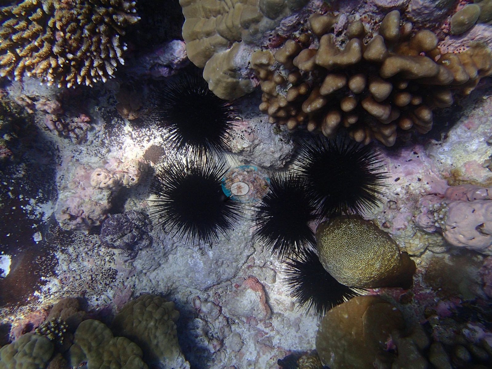
Condition. Bleaching is not a feature of this frame set: no colony in any of the 31 habitat frames resolves confidently as bleached. Anderson's published per-site % bleached for BIDI10 (2.3%) is the authoritative statement of this site's bleaching status; it comes from the field record, not from these photographs, and nothing here is offered as a test of it. The pale surfaces that do appear — P3120256, P3120271, P3120277, and the large pale, tiered plating colony in P3120263 — read as coralline-crusted pavement or older mortality rather than recent whitening, and the frames cannot settle that distinction at these ranges. Two other condition signals are logged. P3120278 shows a clean white lesion running across the surface of the brain coral — a band of exposed skeleton with live tissue either side, consistent with disease, predation scarring or physical damage and not separable from a single frame; it should not be logged as a disease record on this evidence alone. Given the dead standing framework in P3120248 and the rubble fields, that urchin density is worth recording: these are bioeroders and grazers, and their abundance is a variable in how this reef's framework is being reworked.
Fish and other fauna
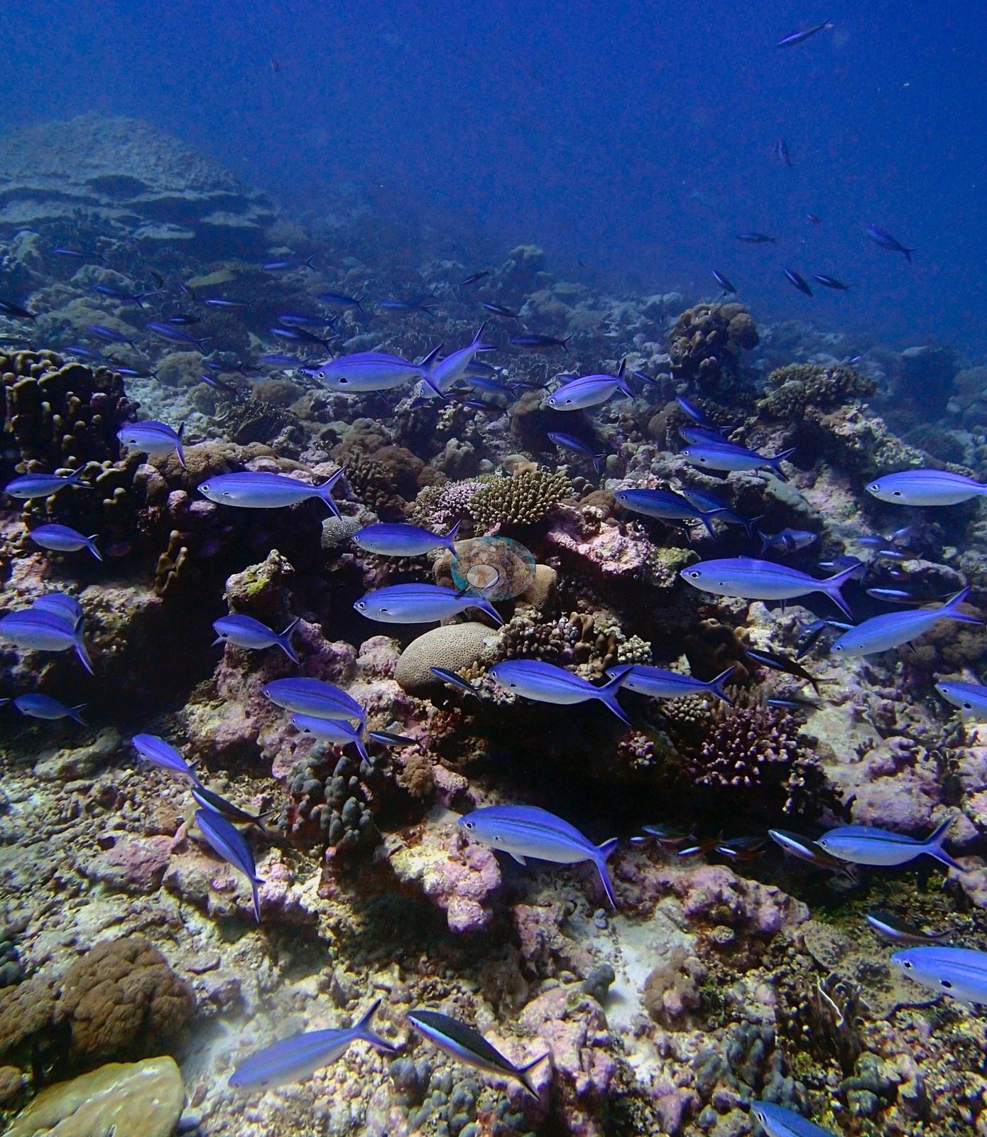
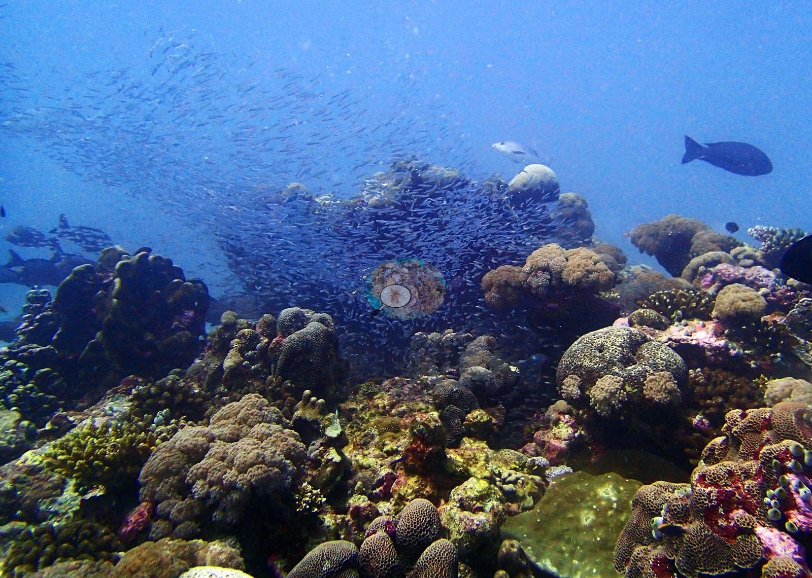
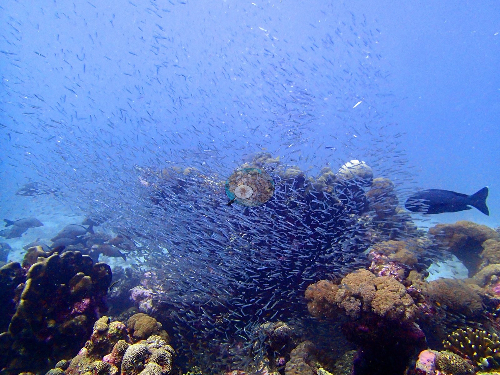
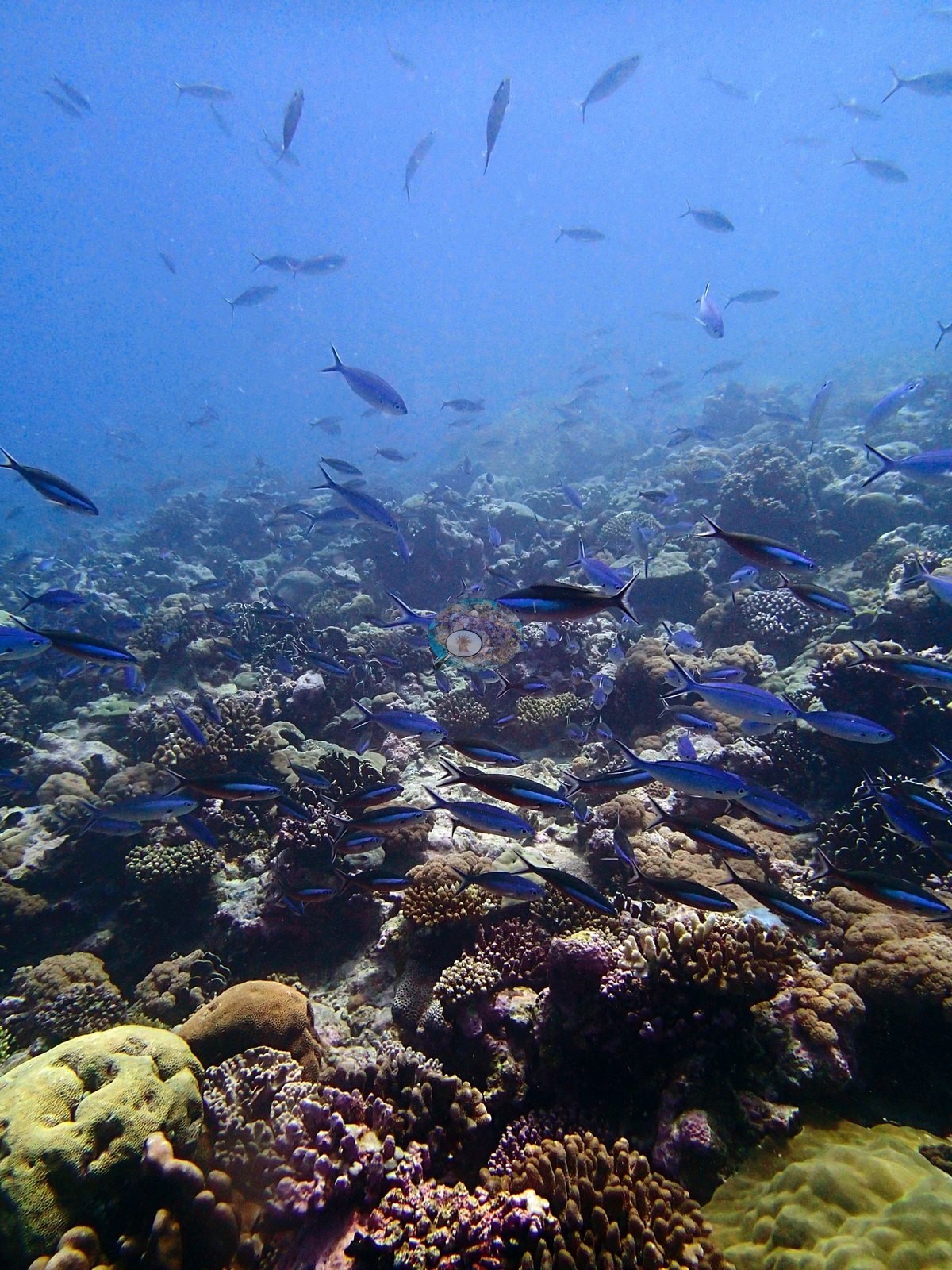
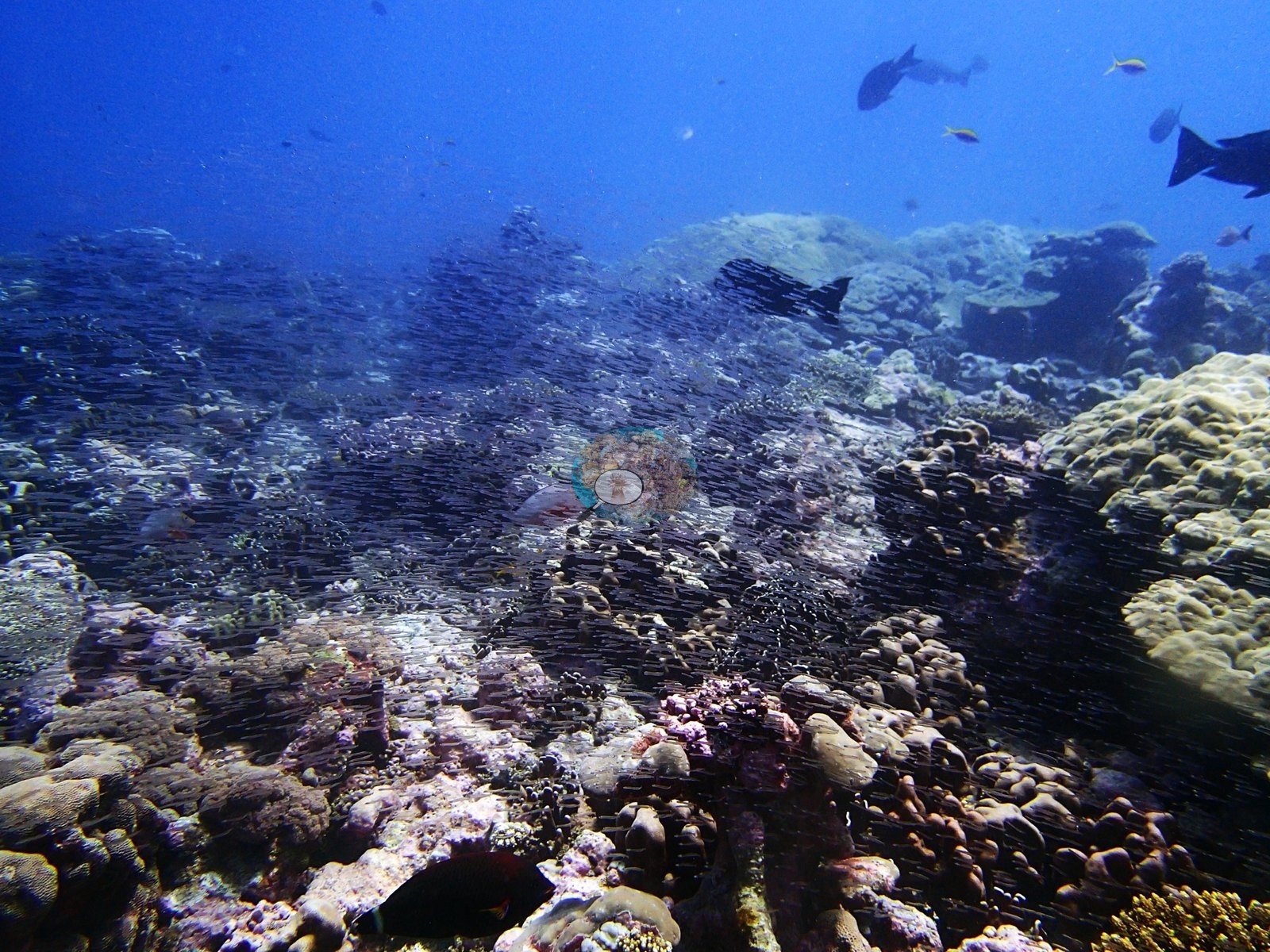
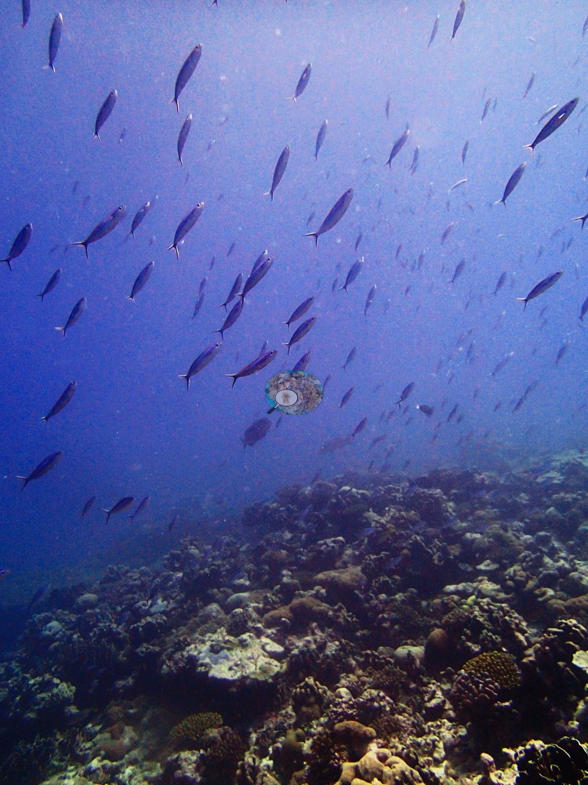
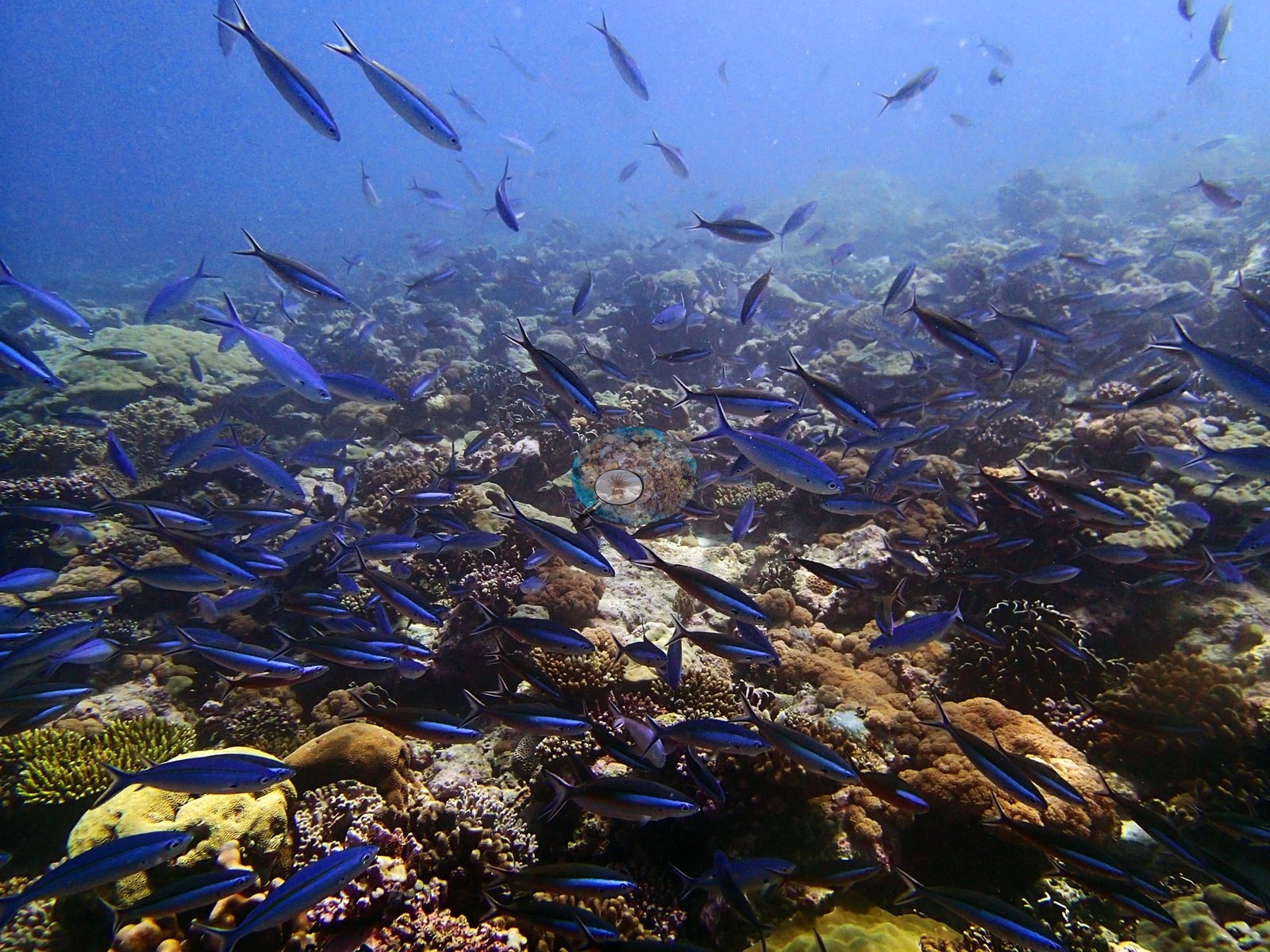
Faunally the site is dominated by planktivores and their predators. P3120274 is the dive's spectacle: a dense wall of tiny silver baitfish — cardinalfishes or silversides — streaming across the reef with dark snappers and a large jack cutting through them, with comparable swarms in P3120253 and P3120254. Blue fusiliers compatible with Caesio or Pterocaesio fill P3120262 through P3120267. Emperors and snappers compatible with Monotaxis, Lutjanus or Macolor school through P3120250, P3120251, P3120272, and P3120273. Reef fish include powder-blue surgeonfish compatible with Acanthurus leucosternon (P3120273, P3120276), parrotfishes compatible with Scarus (P3120271), butterflyfishes, and red squirrelfishes and bigeyes compatible with Sargocentron or Priacanthus. And long-spined urchins compatible with Diadema are conspicuous — five or more together on open pavement in P3120288, and again around the lesioned brain in P3120278.
Comparisons with other data
No independent survey was made at this exact site; the nearest ones are listed in the table below.
Other notes
Image-by-image account. Thirty-one habitat frames exist for BIDI10, all from Anderson's own site folder 'BiDi10-finished' (P312xxxx, 12 March 2015); there are no sampled-colony frames. Three frames are not benthic accounts — P3120264 is essentially open water with fusiliers, P3120272 is mostly blue water over distant reef, and P3120280 is an extreme macro — leaving 28 with substrate, of which roughly 22 are genuinely usable for community description. No quadrat, tape or scale object appears in any frame, so no colony dimension can be measured from them.
CV model comparison
More info
Those are point counts on the photographs; this is a diver swimming a transect. The models and the reference never saw the same thing. ⚠ SITE-LEVEL ONLY. The 2,500 frames were not associated with any transect taken within 200 m of them, so transect-vs-image comparisons are site means, never frames. The transect value is already in the pin `cover` field (109 of 112 pins, sourced to the paper's suppl. S1) and is read from there, never re-imported. The transect is THE coral-cover value for this site and stands alone. The rows below it are a methods comparison only: no computer-vision value is averaged with it, feeds the headline, or carries over to the site's cover figure (Anderson, 2026-09-22).| Method | Hard-coral cover (%) |
|---|---|
| Transect (published) | 23.0 |
| CoralNet | 27.1 |
| In-house DINOv3 | 16.2 |
| CoralSCOP edited | 32.9 |
| Claude | 22.5 |
Independent surveys nearby
Within 5 km, 2 independent survey stations recorded hard coral cover in 2015. The most recent nearby survey is from 2015, so these values predate recent heat stress. This site's own estimate (23%) sits within the range of these surveys (6.3–25%); the methods differ, so the comparison is context, not a like-for-like test.
Collected by other programs using different methods (the XL Catlin Seaview Survey uses photo-transects with automated image annotation), so these are context for the figures above, not a like-for-like comparison. Where a station was surveyed more than once the range is shown. Station names are not dive-site names.
| Agency | Site / location | Date | Hard coral cover (%) | Distance | Link |
|---|---|---|---|---|---|
| XL Catlin Seaview Survey | transect 36002 | 2015 | 25% | 1.64 km | — |
| XL Catlin Seaview Survey | transect 36001 | 2015 | 6.3% | 1.78 km | — |
Data & links
- Read the full site report ↗
- Download benthic survey data (CSV) ↗
- Download all LOF-GRE data (933 sites) ↗
- CoralNet image repository for this region ↗
- Photo portfolio ↗
- Coral Reef Diagnostics page for this area ↗
All images from Coral Reef Diagnostics. Data are from Coral Reef Diagnostics and the organizations named in the data-sources table above.
 © Coral Reef Diagnostics.