
Part of the regional summaries: Chagos Archipelago - Victory Bank / Great Chagos Bank North and Chagos Archipelago
More info
Chagos (NOAA CRW virtual station)A low-cover (19%) Nelson Island reef whose standout feature is an unusually high load of sponges and other invertebrates, including a pale blue-gray encrusting sponge that easily passes for bleached coral. Its published 11.6% bleaching figure is driven largely by misread frames (pale growing tips and that sponge), while the frames with genuinely white coral scored no bleaching at all. Surveyed on the Living Oceans Foundation's Global Reef Expedition.
One independent survey station shown with the program’s logo — click one to see how far it is from this site.
🗺 Detailed map of the Global Reef Expedition dive sites, Nelson Island, Chagos (Khaled bin Sultan Living Oceans Foundation; opens in a new window)
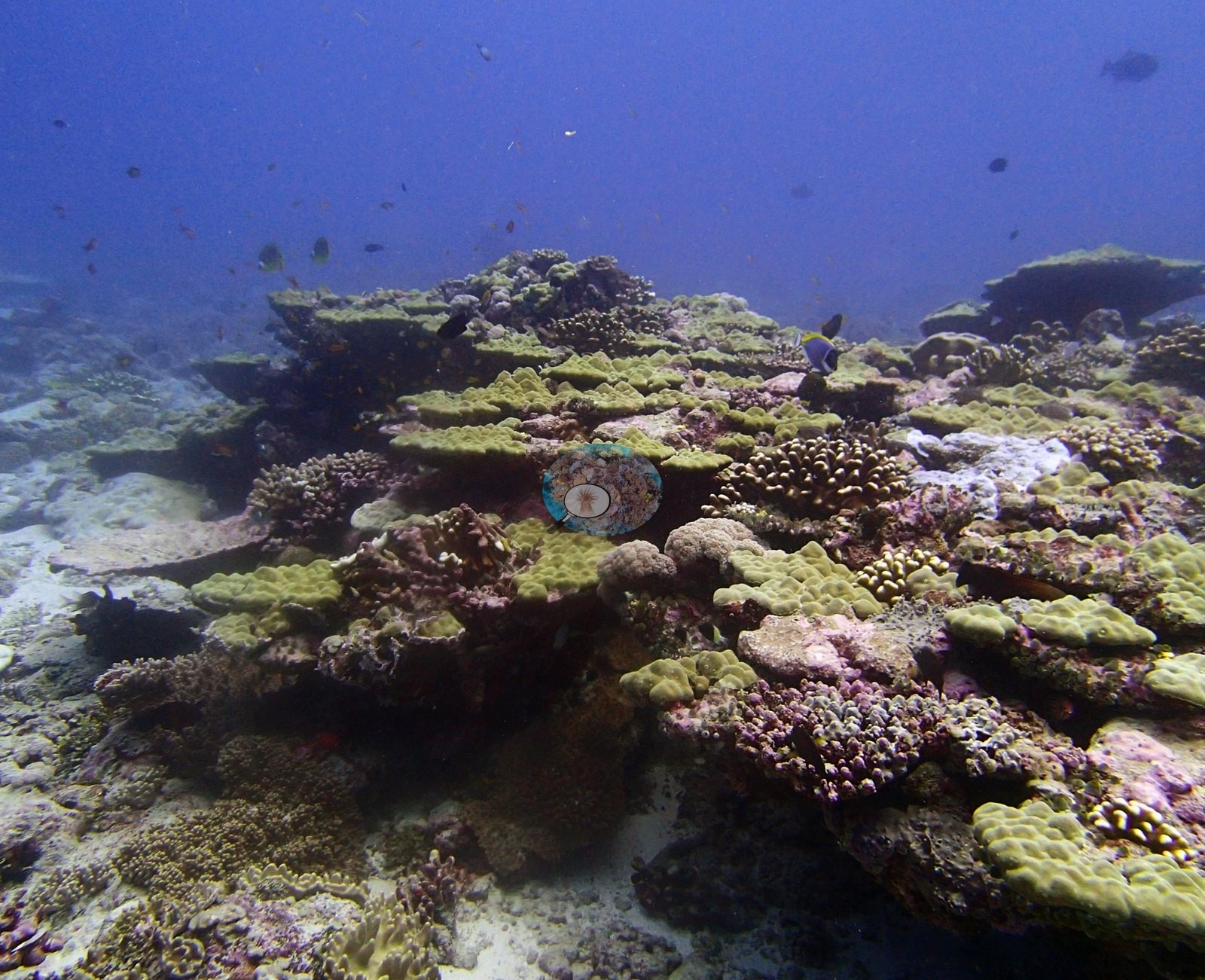
Site description
General benthic features
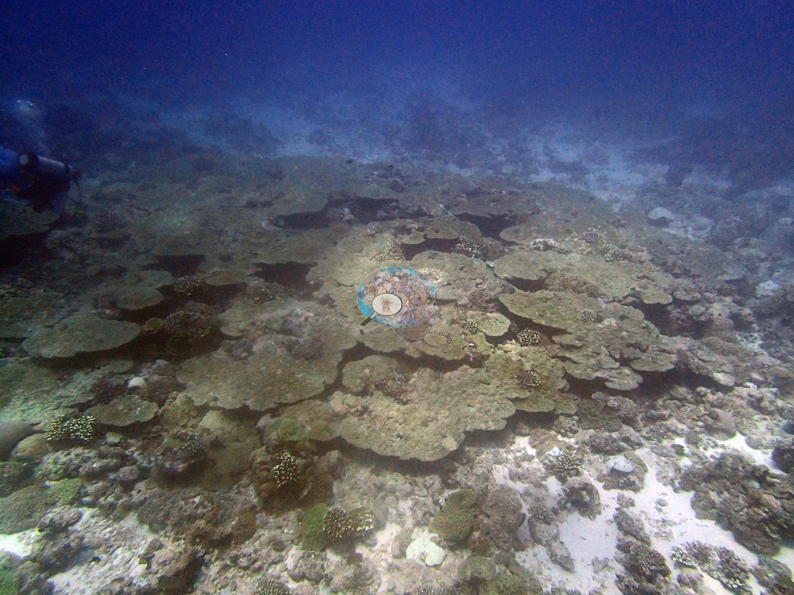
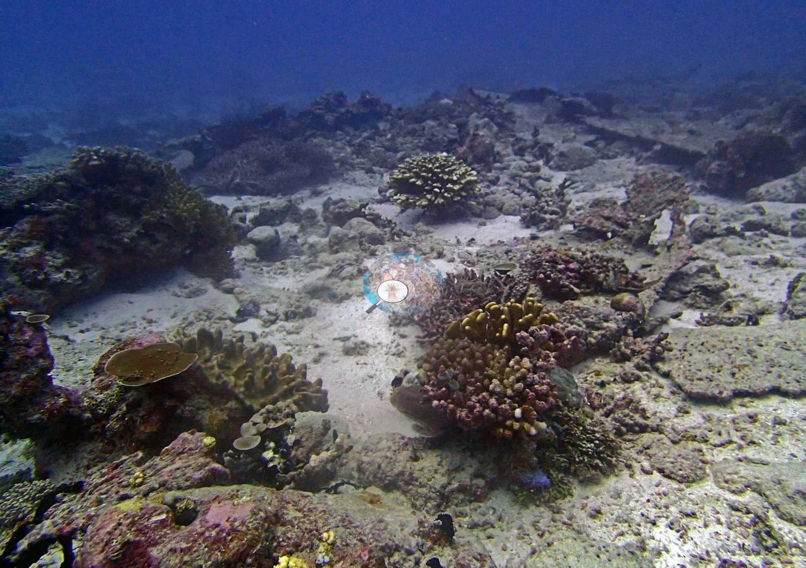
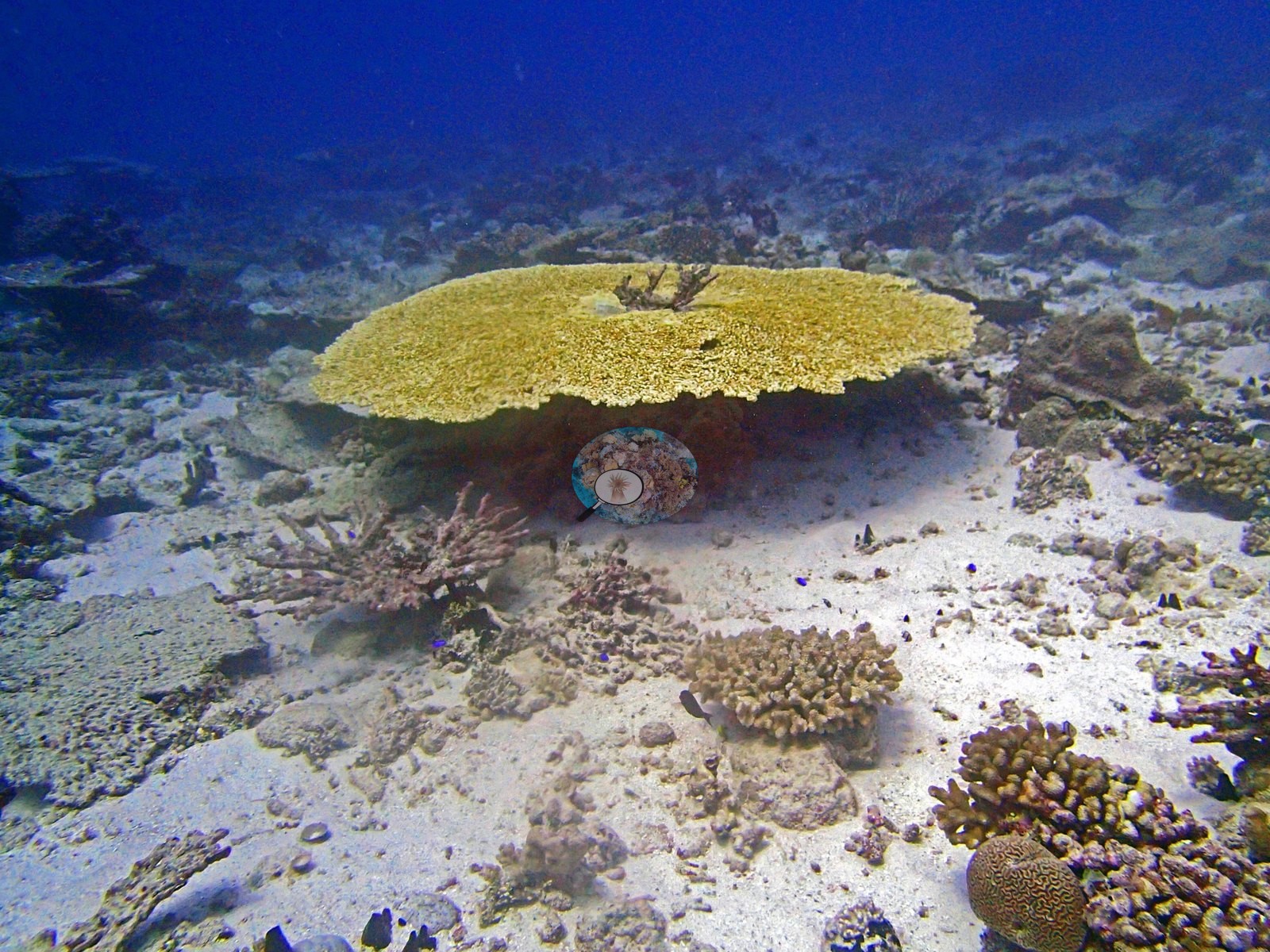
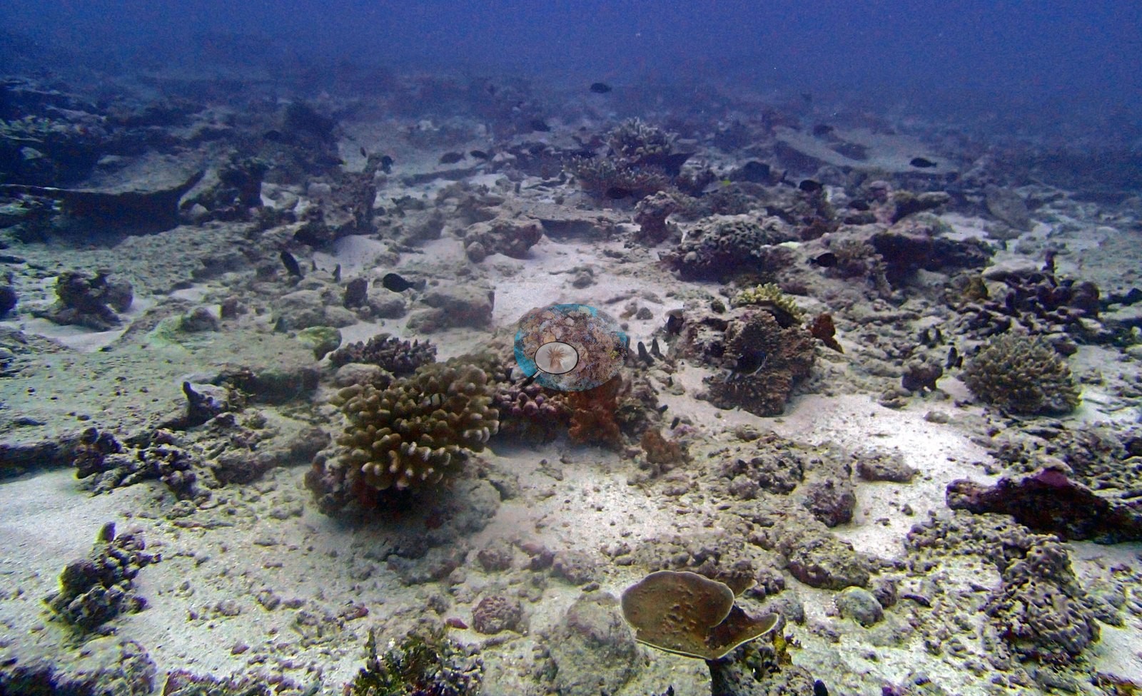
The point set does not use its SAND label anywhere at this site. Across all 480 points in 16 frames, zero are labeled SAND, in a folder where pale carbonate sand and rubble channels are a dominant substrate. P4200900 (a large intact tabular Acropora over white sand: 13 Turf points on bare sand), P4200920 (23.3% Turf, 0% sand, over obvious sand channels) and P4200930 (bright sand patches bottom-right, 0% sand) are the clearest cases. The imagery identifies the likely driver: a pale blue-gray encrusting sponge that sheets over dead pavement, conspicuous in P4200904 and P4200905. Frame by frame, against the pixels:
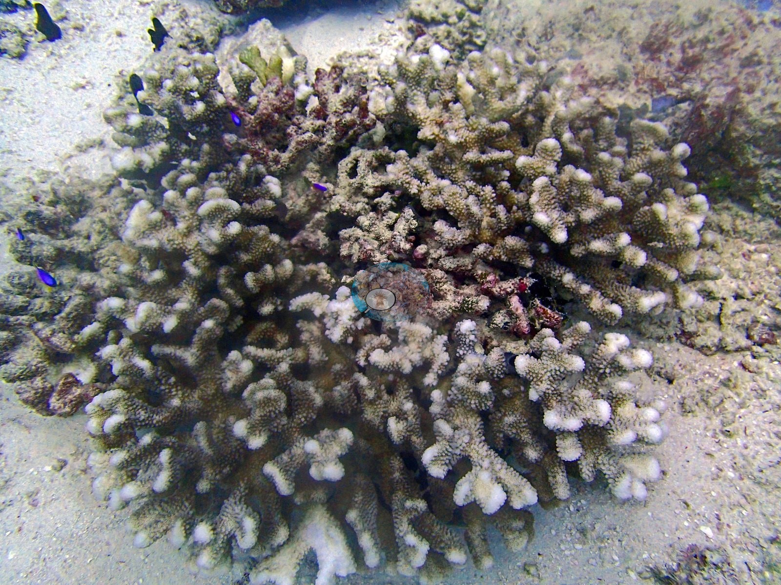
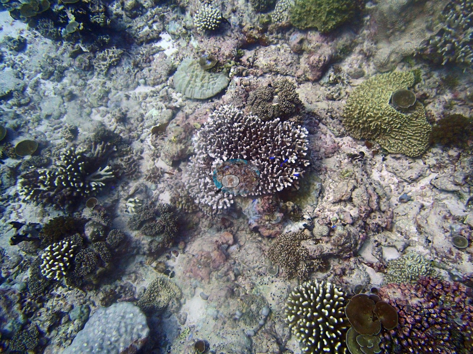
• P4200899 is a pigmented Acropora colony with pale growing tips.
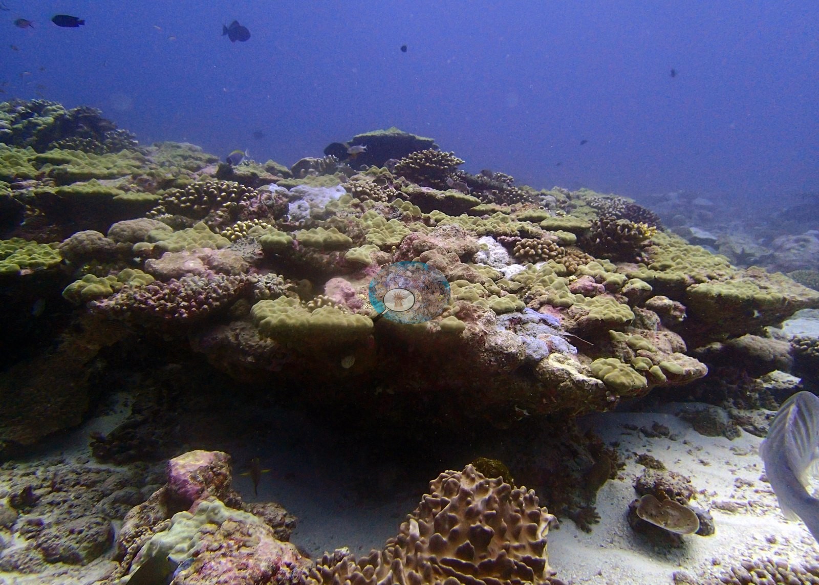
• P4200905 and P4200904 are the encrusting sponge described above. It is a reason not to build any site statistic out of per-frame ratios on this kind of imagery. The usable frames are P4200899, P4200900, P4200901, P4200902, P4200904, P4200905, P4200913, and P4200928, of which P4200928 is the only close downward-facing frame with no water column and is the site's best structural portrait.
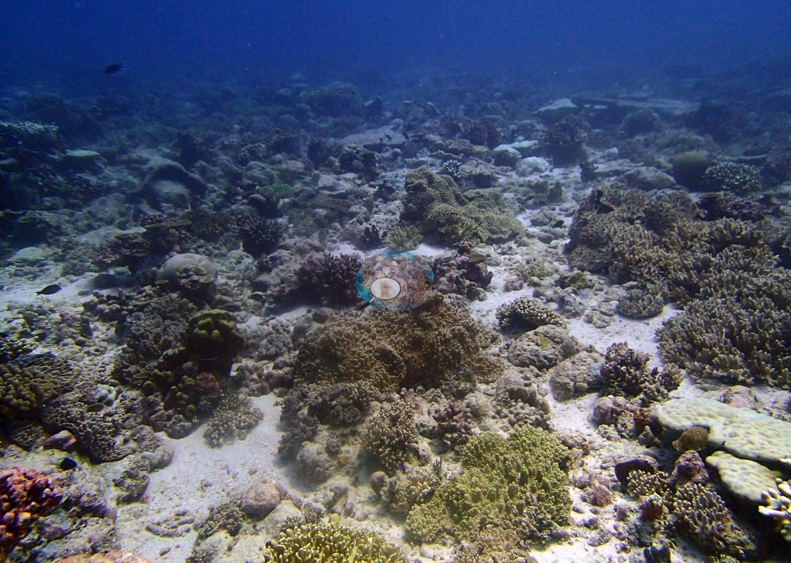
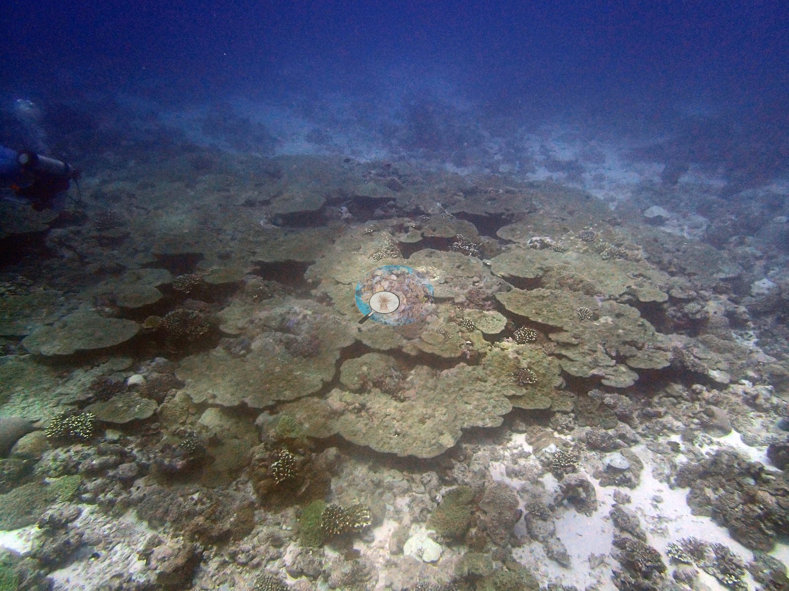
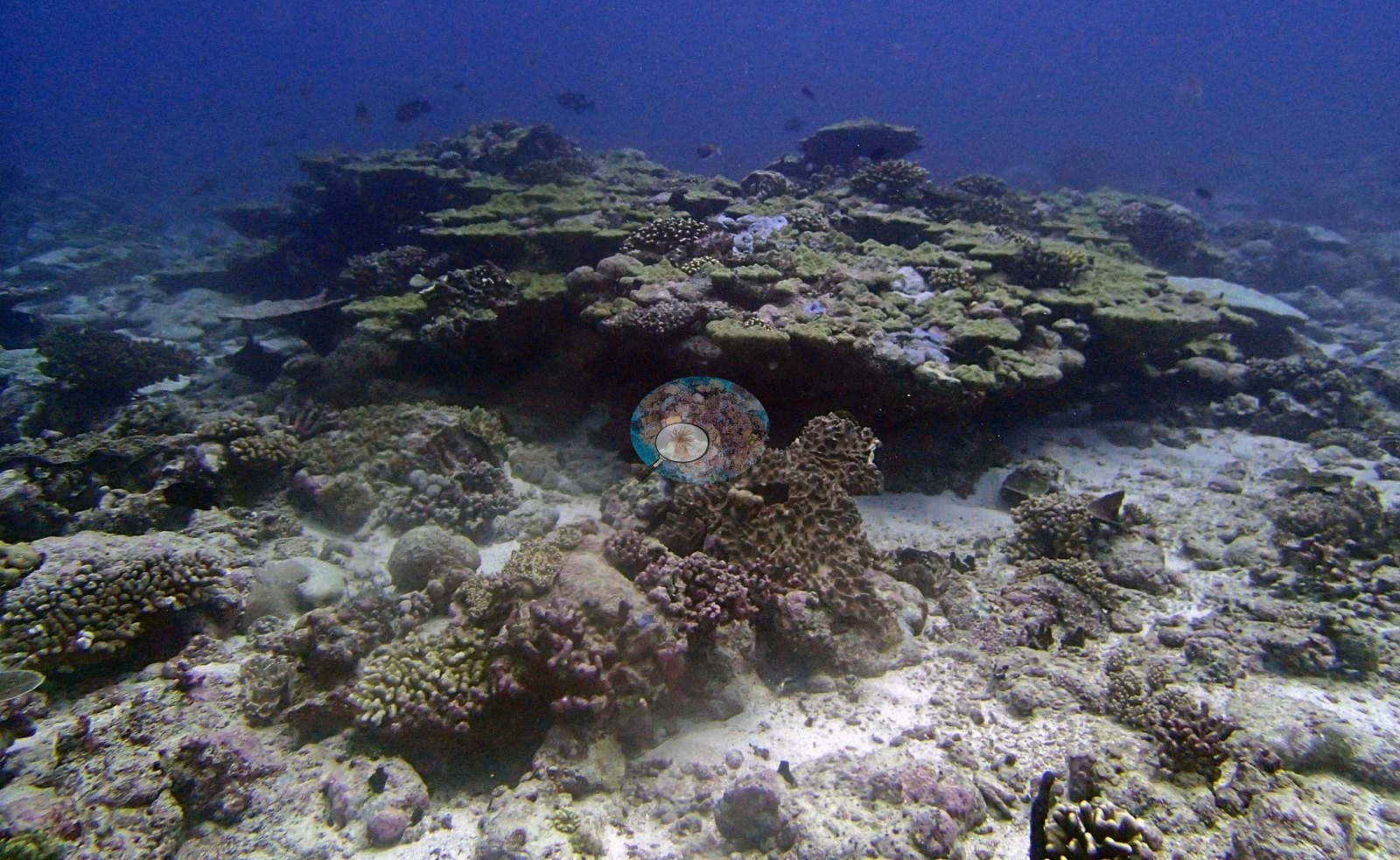
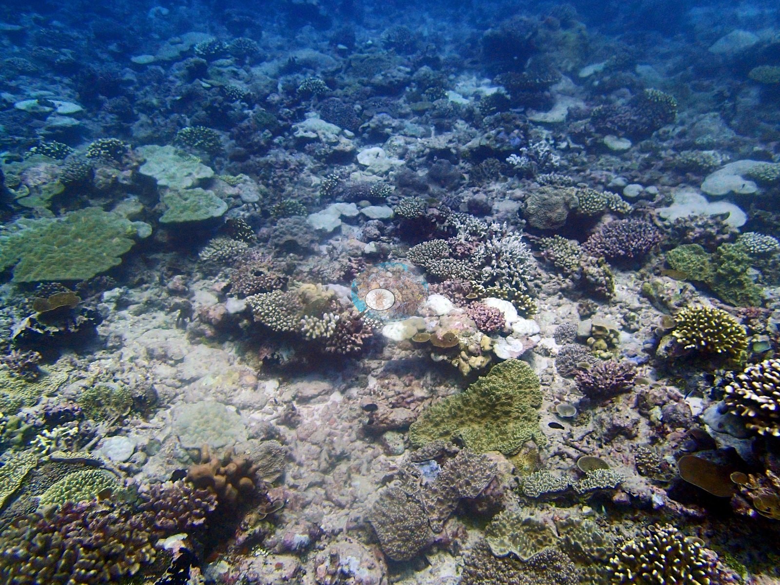
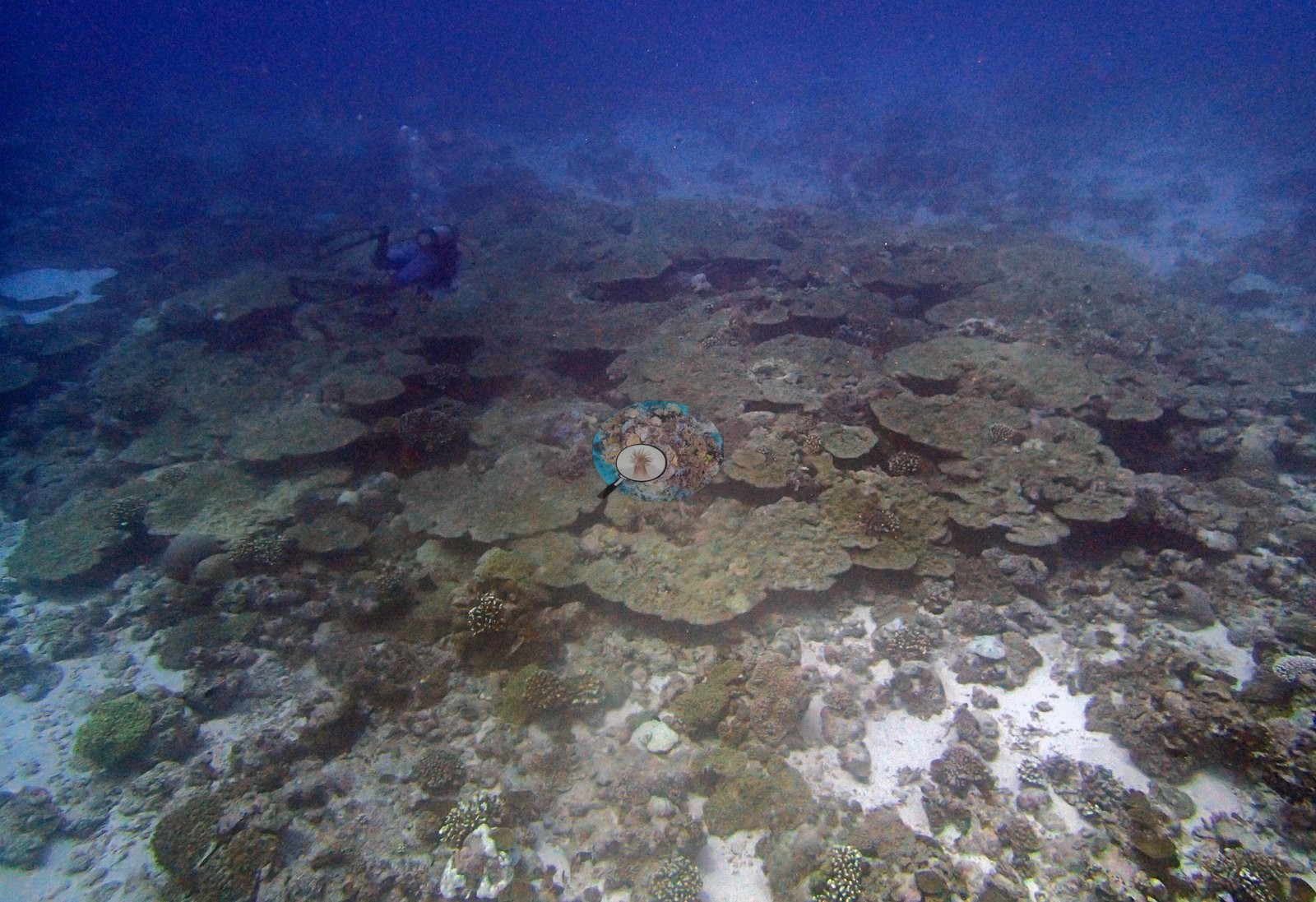
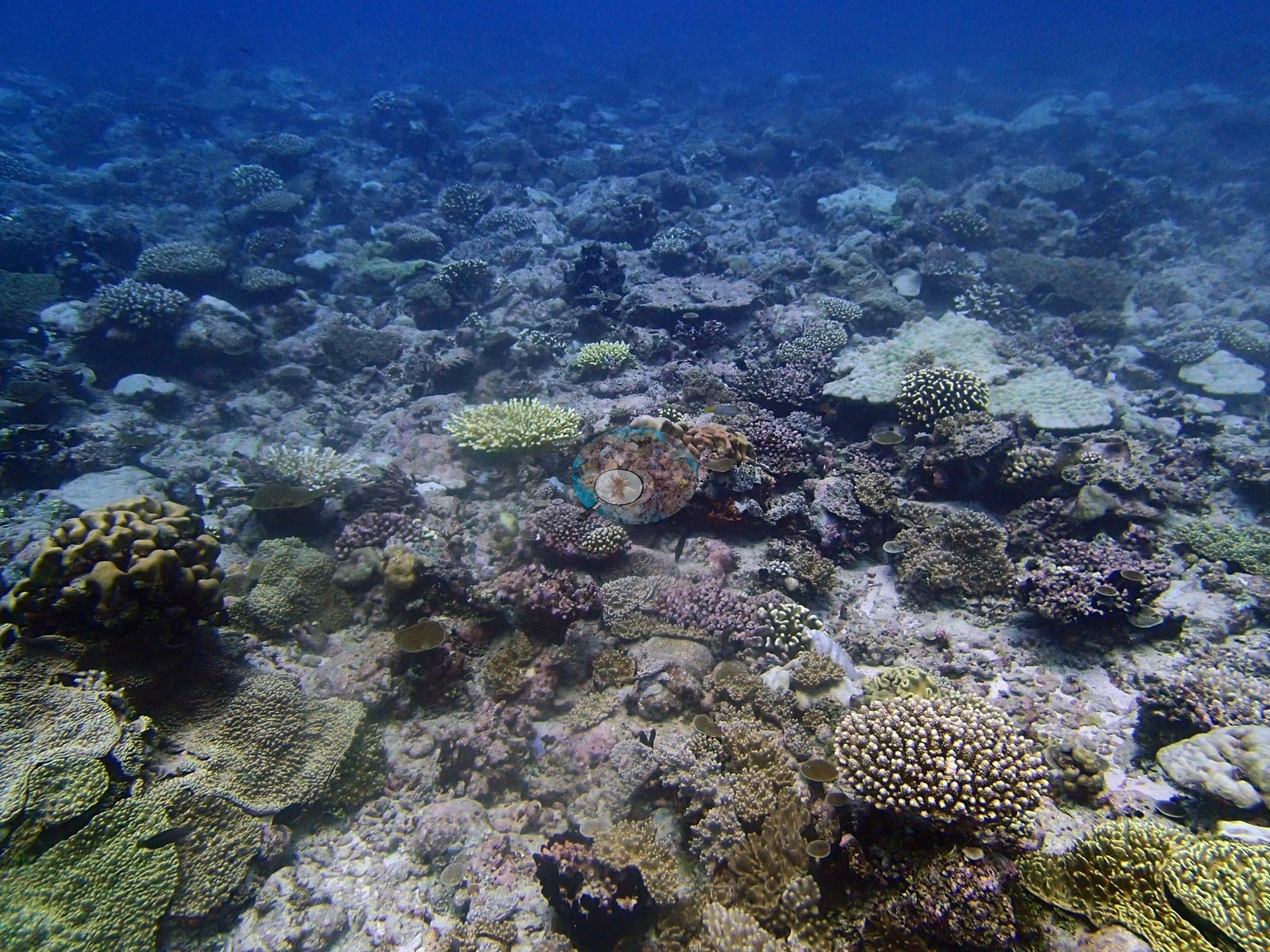
What the usable frames show is a low-relief, sediment-influenced reef. The wide views open on broad pale carbonate pavement and sand – P4200892 and P4200893 are largely sand and rubble with small colonies scattered singly across them, and bright open sand patches recur through P4200900, P4200920 and P4200930 – with the harder ground crusted pink and mauve by coralline algae and filmed with olive turf. Relief is low throughout; nothing in the set shows a wall, a spur or a tall build-up. The corals present are mixed in form rather than dominated by one growth form: pale yellow-tan tabular plates lying almost in the plane of the substrate (a large intact one in P4200900, broad overlapping fields of duller plates in P4200929 and P4200930), overlapping olive-green foliose and plating colonies stacked into a low mound in P4200905, olive-yellow ruffled foliose colonies and pale green massive discs in P4200928, domal massives, and branching and digitate colonies throughout.
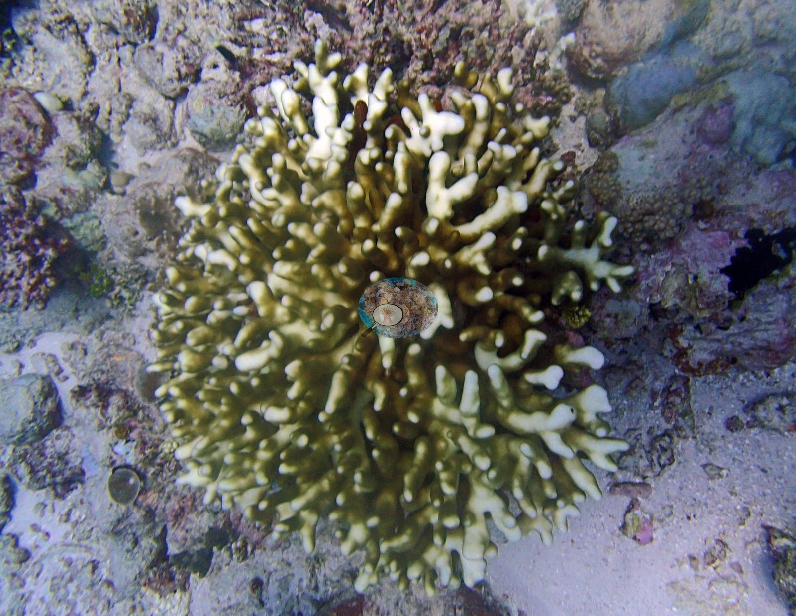
P4200928 is the best structural frame in the folder – close, downward-facing, no water column in it at all. It shows a large dark purple-brown digitate Acropora with white growing tips ringing its margin, an olive-yellow ruffled foliose colony compatible with Echinopora or Pachyseris at upper right, white-tipped corymbose Acropora at left and bottom, pale green massive discs, and blue chromis over the central colony. P4200899 is the other sharp close view: a large pigmented branching Acropora filling the frame, pale cream at the branch tips over olive and mauve bases. P4200913 is a single digitate colony, olive-yellow with cream-white tips.
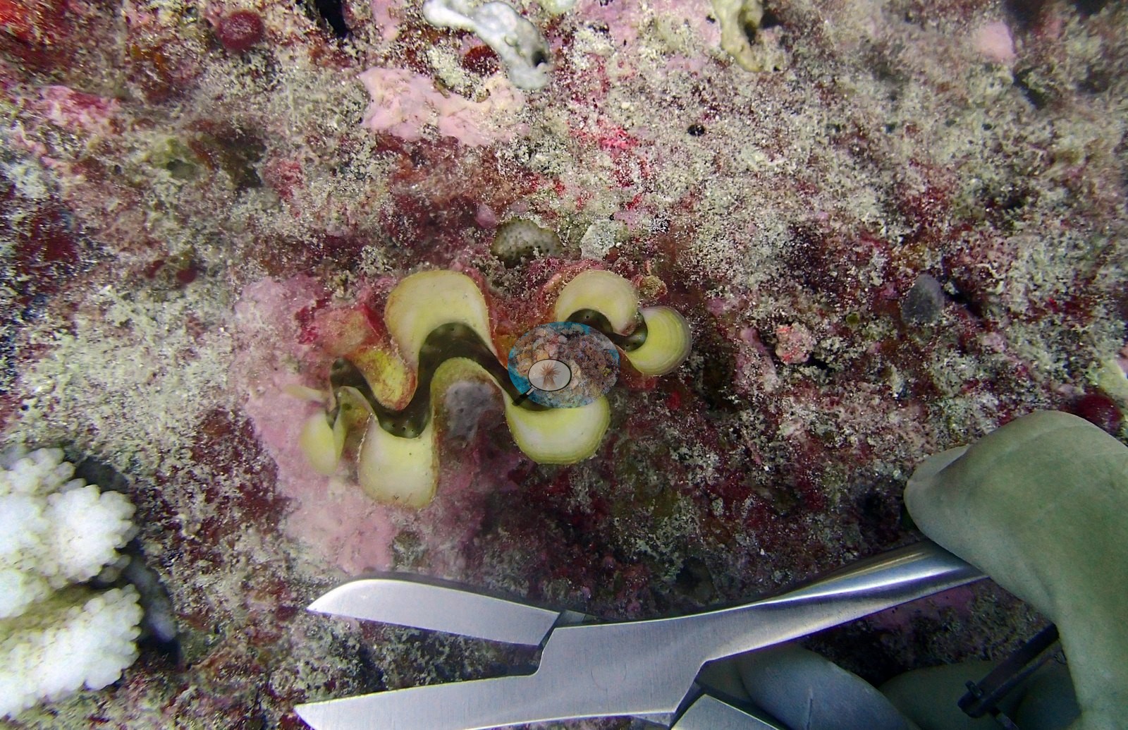
Two frames record activity rather than habitat. P4200901 is a sampling frame: a close view of a giant clam with a yellow-and-olive wavy mantle set into coralline-crusted pavement, with a gloved hand and a pair of stainless bone clippers in the frame – sampling was under way on this dive – and a small wholly white branching colony in the lower left corner. A diver appears upslope in P4200929 and P4200930. And a third pale thing in these frames is not coral at all: the pale blue-gray encrusting sponge sheeting over dead pavement in P4200904 and P4200905.
Coral cover
The LOF benthic transect is this site's measurement. Coral cover at BINI78 (Nelson's Island area, Great Chagos Bank north, dived 20 April 2015) is 19.1% live hard coral, from the LOF BIOT-1 in situ transects (Mayfield & Dempsey 2026, Oceans, suppl. S1), against algal cover of 47.7% of the benthos. Those are diver transects run across the site, and they are the authoritative record of cover and community here. That matters more at BINI78 than almost anywhere else in the Chagos series, because the photography at this site is weak and the computer-vision products built on it are demonstrably noisy. Anderson filed the folder as BiNi78-no good pics-finished – his own field verdict on the set, and the review bears it out. Everything below supplements the transect. No cover value may be read off a photograph, no image-derived product overrides the transect, and nothing in the imagery qualifies or revises it.
Method comparison – transects, points and masks. This site is the most instructive multimethod case in the Chagos set, and its headline finding is a warning rather than a reassurance. Across methods the same reef reads transects 19.107% · CoralNet points 17.708% · Coralscapes masks 18.428% (16 frames). The three land within 1.4 percentage points of one another – the 6th tightest agreement of 98 sites.
THE HEADLINE METHODOLOGICAL FINDING: BINI78's excellent site-level agreement is cancellation, not per-frame accuracy. Per frame, the point set and the mask disagree by a mean absolute 8.04 pp, with a range of −31.5 to +24.5 pp, and 5 of 16 frames disagree by more than 8 pp (Pearson r = 0.701). The two largest errors point in opposite directions and very nearly annihilate: P4200899 is −31.5 pp (points 13.3, mask 44.8 – the pale-tipped colony the point set scored as bleached Pocillopora rather than as live Acropora) and P4200930 is +24.5 pp (points 30.0, the site's highest live reading, against a mask value of 5.5 on a hazy field of dull tabular plates the model largely declined to call coral). A site-level number this good, built from per-frame errors this large, is a warning about how the corpus-wide multimethod comparison should be read – agreement at n=16 aggregation says little about whether either method is right on any given frame, and CHAGOS_MULTIMETHOD_README.md's site-level statistics will contain an unknown amount of this cancellation. It says nothing about the transect, which is an independent in situ measurement and is not part of this cancellation at all.
The best-agreeing frame tells you what drives the divergence: blue water. P4200928 is the only close-range, downward-facing frame in the folder with no water column in it at all – and it is the tightest human/model pair at the site (points 23.3%, mask 27.1%, −3.7 pp) on the lowest Unknown fraction (10.0%). Its Coralscapes background-dark share is 2.6%; every wide frame in the folder runs 46–54%. Across the 16 frames, the frames with large blue-water fractions are the frames where the two methods part company. Site-wide Unknown is 23.13% and peaks at 50.0% (P4200927) and 46.7% (P4200904 and P4200926).
The Unknown-denominator artifact behaves exactly as predicted for a high-reading site – this is the 10th confirming site. Dropping Unknown from the denominator lifts the point set from 17.708% to 22.365% against the 19.107% transect: an overshoot of +3.26 pp. Per RESUME_CHAGOS.md §3.5 the correction lands on the transect at low-reading sites (BIEA26, BITB27, BITB28, BITB29) and overshoots at high-reading ones (BIEA20, BIEA22, BIEA23, BIEA24, BIEA25). BINI78 reads high (ratio 0.927 against a corpus median of 0.650) and overshoots. It is the sixth high-reading site to do so and the tenth site overall to fit the pattern, with no exceptions yet recorded. Here the transect is the reference standard against which the image correction is judged, not the other way round.
The invertebrate fraction is the site's most distinctive number, and it explains two false bleaching calls in the point set. Total invertebrate cover is 25.43% – the 93rd percentile of the Chagos set, more than three times BITB33's 8.27%, and it is the single largest non-algal component after coral. It carries one bleached point out of 30 – but it also carries only four live-coral points, so the frame's own bleached/(live+bleached) ratio is 1/(4+1) = 20.0%, while the Coralscapes mask puts the frame at 0.0022% bleached. This is the leverage problem in that per-frame metric stated plainly: the denominator is the frame's own coral points, so on a coral-poor frame a single point swings the frame value by twenty points. Both are scored 0.0% bleached by the point set. The Coralscapes mask does see something at P4200927 (1.13%, the highest model bleaching value at the site), which is the correct direction.
Also on record for this site: Coral cover: 19%. Live hard coral measured on the in situ benthic transects of the LOF BIOT-1 expedition (Mayfield & Dempsey 2026, Oceans, supplemental S1), against algal cover of 47.7% of the benthos. The transect figure is this site's authoritative cover value; no image-derived product overrides it. Across methods the same reef reads: transects 19.1% · CoralNet points 17.7% · Coralscapes masks 18.4% (16 frames). These products have different sampling footprints and denominators and should not be averaged.
Stressors
In both frames it reads at a glance as coral tissue that has lost pigment, and at P4200905 it sits under a bleached point call. It is not bleaching. This is a site where the substrate's dominant secondary occupant is an organism that mimics paling, and any automated or rapid-visual assessment here will over-call for that reason alone.
The point annotation's bleached calls at this site do not fall where the white coral is, and that is a property of the annotation, not a statement about the reef. The Chagos point set is predominantly unconfirmed robot output, and BINI78 is the clearest place in the series to see how it fails. It draws 13 bleached-Pocillopora points and one bleached-Acropora point – the genus and the condition are both wrong – while the Coralscapes mask reads it at 0.95% bleached. Pale apical tips are normal Acropora growth, not pigment loss.
• P4200913 is the same error on a different colony: a smooth digitate colony (Millepora- or branching-Porites-type) with pale tips over pigmented bases, 4 bleached points.
• P4200929 is the clearest single-point artifact at the site. It is a broad field of uniformly dull olive-brown tabular Acropora with a diver upslope; nothing in it is white.
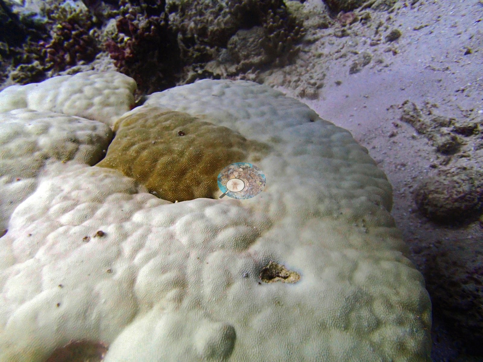
• P4200902 is the only defensible paling at BINI78 – a massive Porites-type colony, cream over most of its surface with one retained tan pigmented sector, the classic partial-paling morphology. It receives one bleached point.
• And the two frames that do contain unambiguous bone-white coral score zero bleached points. P4200927 carries a distinct cluster of stark white colonies just right of center – white corymbose Acropora, white encrusting patches, white massive fragments – and P4200926 carries a bright white branching colony left of center plus several very pale plates on the right.
P4200928 is the control that shows the P4200899 error is inconsistent rather than systematic. The same white-tipped digitate morphology appears there and draws zero bleached points – the correct call on the same subject the point set misread at P4200899.
Condition. Pale and white coral is present in these frames and is of several different kinds, which is exactly why the published figure and not a photograph is the number to cite. Anderson's own published per-site percentage bleached is the authoritative record of how much of this reef was affected; none is estimated here, and nothing in this account is offered as a test of it. What the frames can be made to say, colony by colony, is this. P4200902 is an unambiguous partial paling: a massive dome cream-white over most of its surface with a single retained tan pigmented sector. P4200926 carries a bright white branching colony left of center and several very pale plates on the right; P4200927 carries a distinct cluster of stark white colonies just right of center; whether those are bleached or recently dead cannot be settled at that range – a clean white skeleton and a fully bleached colony are not separable in a wide-angle frame without a tissue check – and it is not settled here. A small wholly white branching colony sits in the lower left corner of P4200901. Against all that, the pale cream branch tips in P4200899, P4200913 and P4200928 sit over fully pigmented bases and are the normal apical growth margin of a branching colony, not pigment loss.
BLEACHING TIMING – an open question, recorded and not resolved here. BINI78 was surveyed 20 April 2015, inside the window in which Anderson's own field recollection is of no bleaching at all – only May. That recollection is his field record and stands as such. The frame-level observations above are about the quality of the point annotation, not about the published site figure, and they are consistent with the annotation problems logged at the other March and April sites. No crown-of-thorns starfish (COTS) or other corallivores evident.
Comparisons with other data
No independent survey was made at this exact site; the nearest ones are listed in the table below.
Other notes
The sand is being absorbed into Turf and Unknown.
Image-by-image. Sixteen habitat frames survive from the dive, P4200892 to P4200930, and there are no sampled-colony photographs. Six of the sixteen (P4200903, P4200920, P4200926, P4200927, P4200929, P4200930) are dim, blue-cast or outright hazy wide views in which condition cannot be read at range, and the two haziest are little more than a soft brown field of plates with a diver upslope. No scale object, quadrat, transect line or depth stamp appears anywhere, so no colony dimension is measured and no depth zonation can be established from the imagery. The open question in RESUME_CHAGOS.md §6.1 stands and is his to resolve against his own records – not from these photographs.
CV model comparison
More info
Those are point counts on the photographs; this is a diver swimming a transect. The models and the reference never saw the same thing. ⚠ SITE-LEVEL ONLY. The 2,500 frames were not associated with any transect taken within 200 m of them, so transect-vs-image comparisons are site means, never frames. The transect value is already in the pin `cover` field (109 of 112 pins, sourced to the paper's suppl. S1) and is read from there, never re-imported. The transect is THE coral-cover value for this site and stands alone. The rows below it are a methods comparison only: no computer-vision value is averaged with it, feeds the headline, or carries over to the site's cover figure (Anderson, 2026-09-22).| Method | Hard-coral cover (%) |
|---|---|
| Transect (published) | 19.1 |
| CoralNet | 24.4 |
| In-house DINOv3 | 29.0 |
| CoralSCOP edited | 28.4 |
| Claude | 24.8 |
Independent surveys nearby
Within 5 km, 1 independent survey station recorded hard coral cover in 2015. The most recent nearby survey is from 2015, so these values predate recent heat stress. This site's own estimate (19%) is indistinguishable from the range of these surveys (15%): the 4.6-point gap is inside the ±7 percentage-point noise between methods; the methods differ, so the comparison is context, not a like-for-like test.
Collected by other programs using different methods (the XL Catlin Seaview Survey uses photo-transects with automated image annotation), so these are context for the figures above, not a like-for-like comparison. Where a station was surveyed more than once the range is shown. Station names are not dive-site names.
| Agency | Site / location | Date | Hard coral cover (%) | Distance | Link |
|---|---|---|---|---|---|
| XL Catlin Seaview Survey | transect 36027 | 2015 | 15% | 1.76 km | — |
Data & links
- Read the full site report ↗
- Download benthic survey data (CSV) ↗
- Download all LOF-GRE data (933 sites) ↗
- CoralNet image repository for this region ↗
- HeatCRD database ↗
- (reference) ↗
- Photo portfolio ↗
- Coral Reef Diagnostics page for this area ↗
All images from Coral Reef Diagnostics. Data are from Coral Reef Diagnostics and the organizations named in the data-sources table above.
 © Coral Reef Diagnostics.