
Dongsha Atoll - Site 7 (branching)
Part of the regional summaries: Taiwan - Dongsha and Taiwan
More info
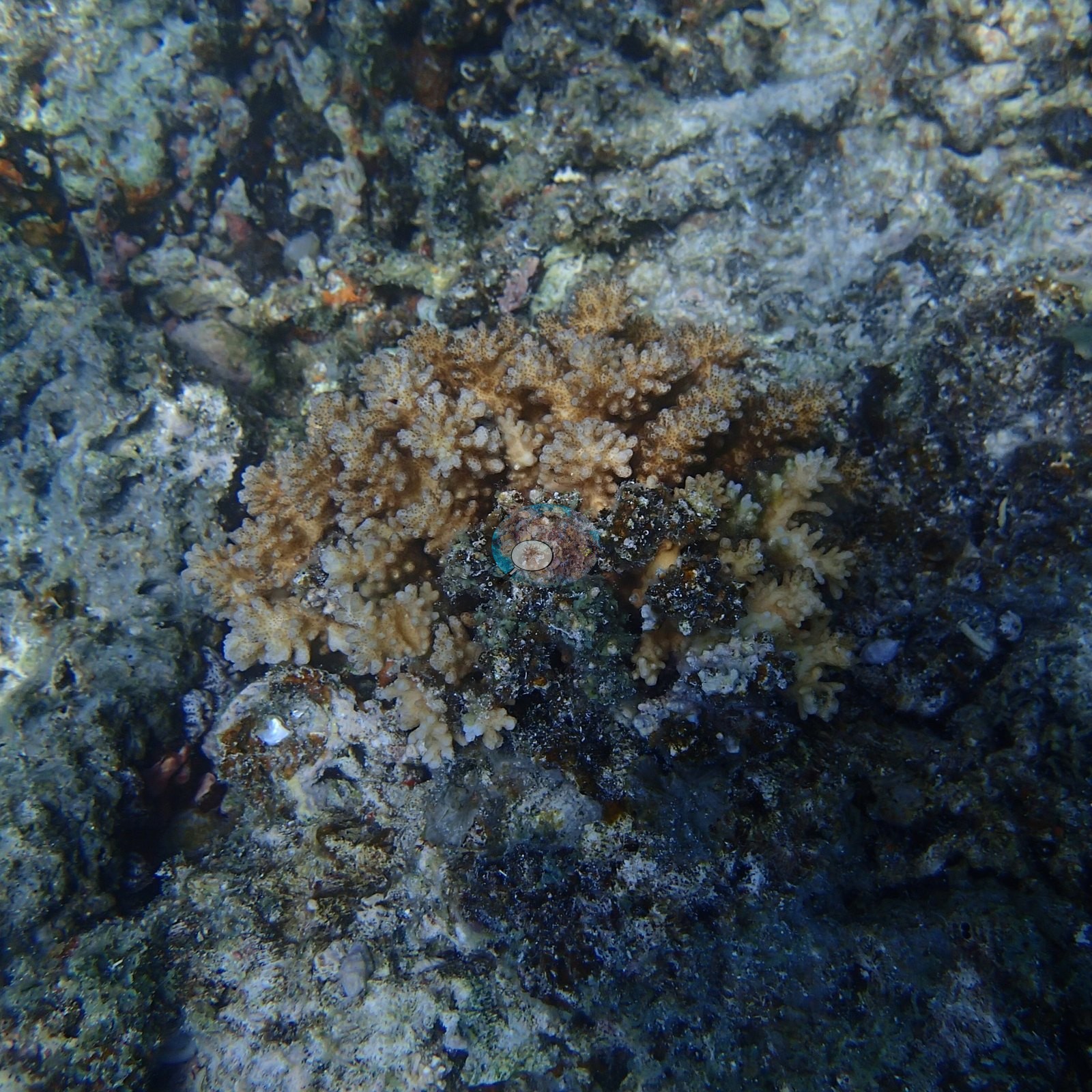
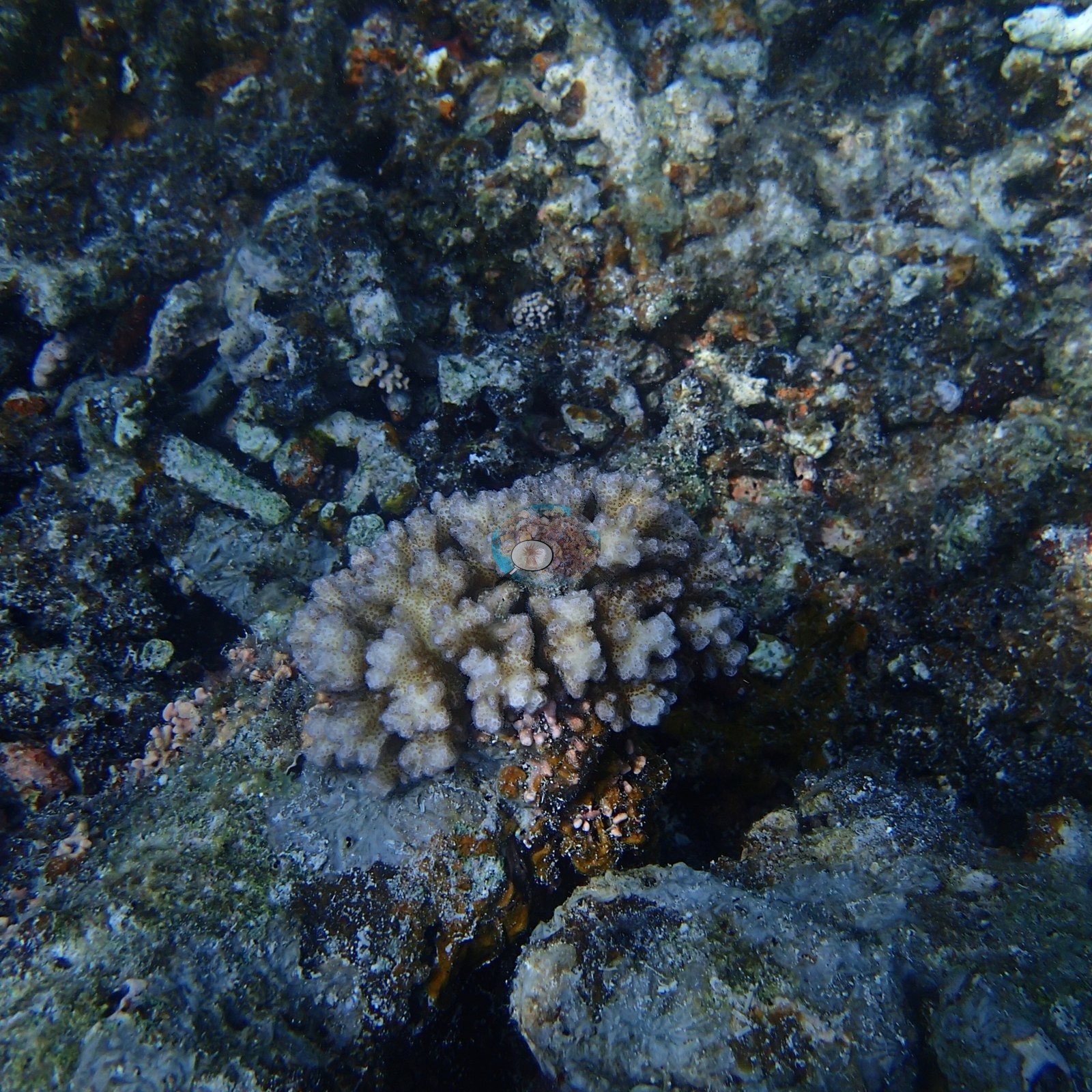
Dongsha, Taiwan (NOAA CRW virtual station)Site 7 at Dongsha Atoll is a patchwork of dense living coral banks and broad stretches of older dead rubble and pavement. Anderson's sample sheet records seven of the eight branching colonies sampled here on 5 April 2016 as healthy and one as lightly pigmented.
東沙環礁第7站是由茂密的活珊瑚丘與大片較老的死珊瑚碎屑和礁盤拼接而成。Anderson 的採樣紀錄表記載,2016年4月5日在這裡採樣的八株枝狀珊瑚群體中,七株為健康,一株色素略淡。
本摘要由 AI 翻譯;以英文版本為準。
One other CRD dive site with its own page within 5 km shown in orange — click a marker to open its page.
27 of the 47 photographs on this page are shown beside the text that discusses them under "Site description" below.
Site description
General benthic features
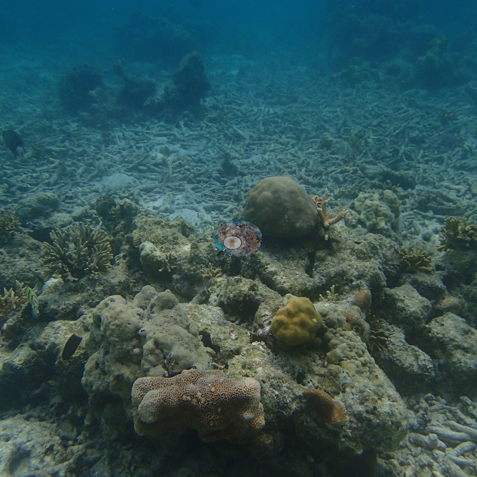
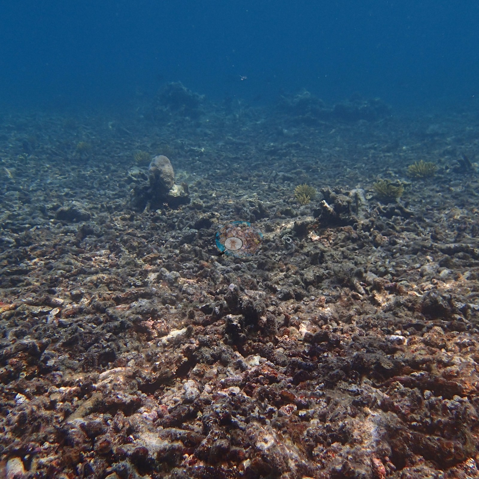
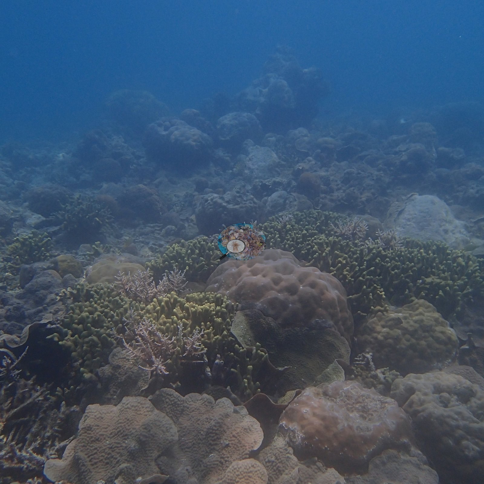
Site 7 is not a uniform, low-relief rubble flat; it is a mosaic. Some wide frames do show exactly that degraded surface: low consolidated rubble and cemented pavement crusted with turf, pink and red coralline algae, and orange and maroon encrusting growth, carrying only small, widely separated colonies (e.g., Image 1, Image 2, Image 3, Image 7, Image 12, Image 43), and one frame is an unbroken carpet of loose, algae-dusted branch fragments running to the limit of visibility (e.g., Image 37).
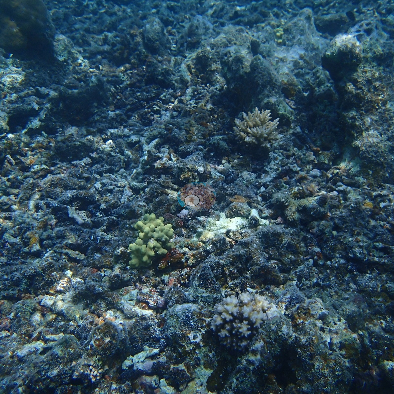
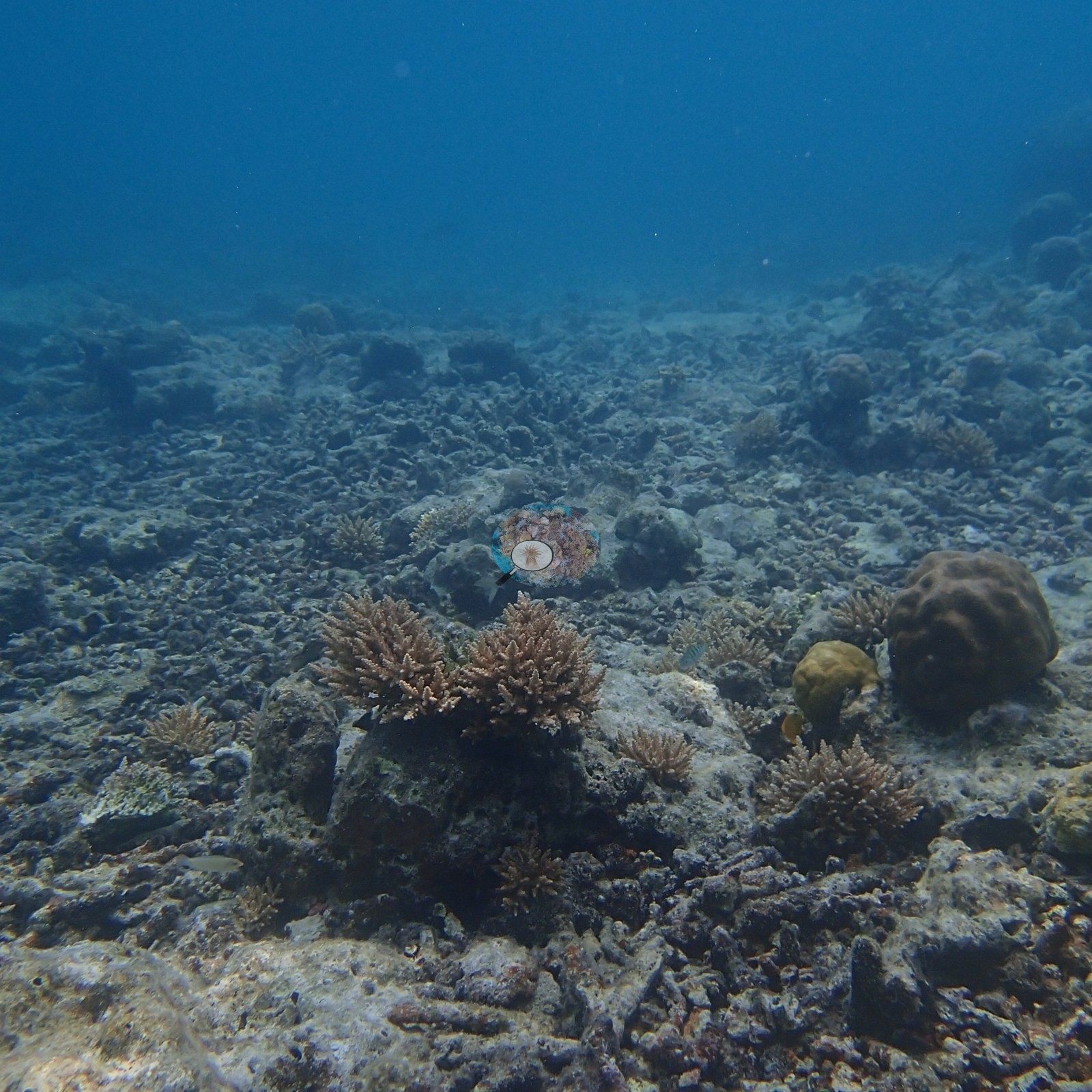
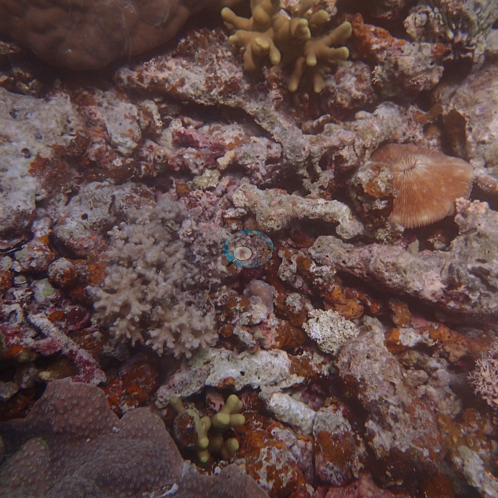
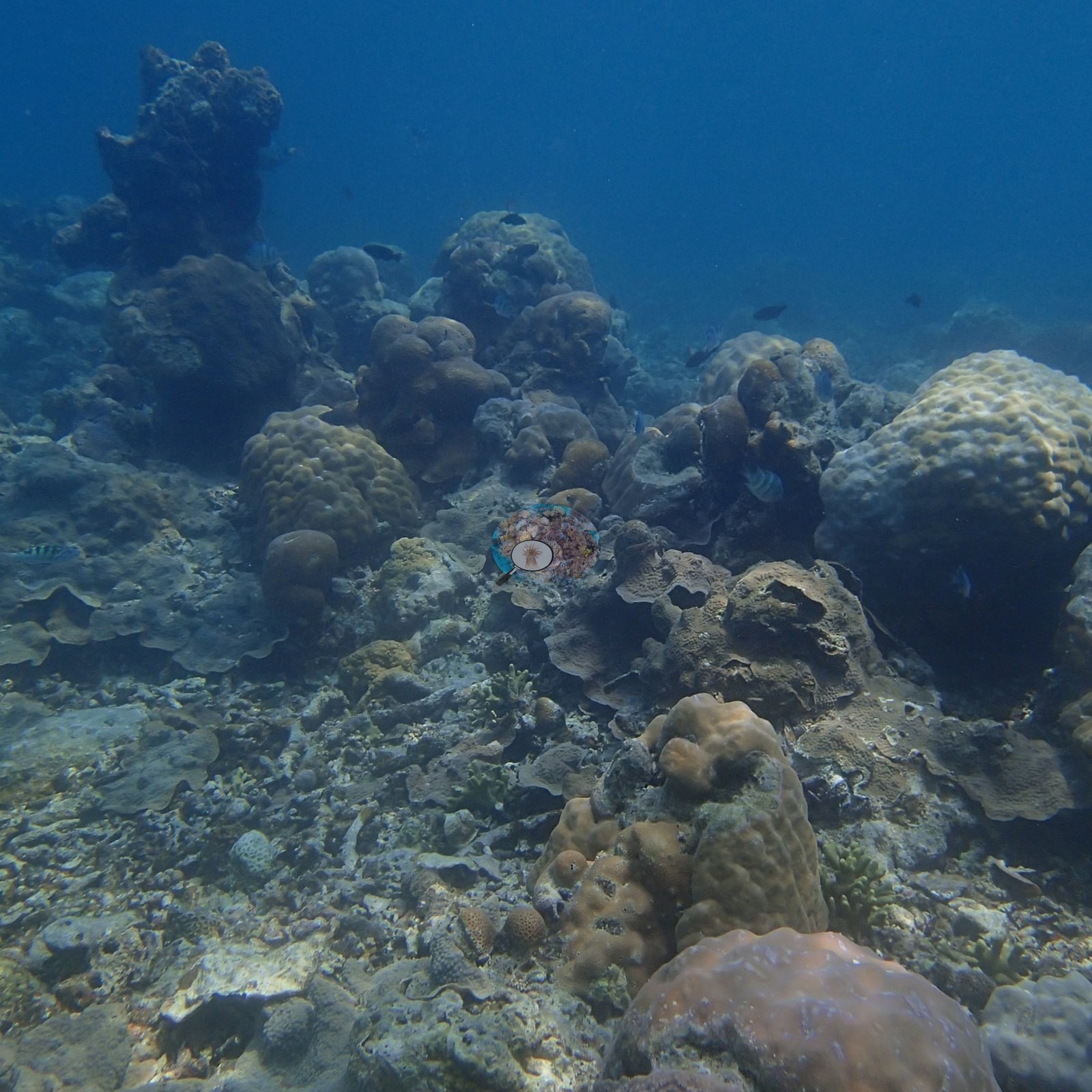
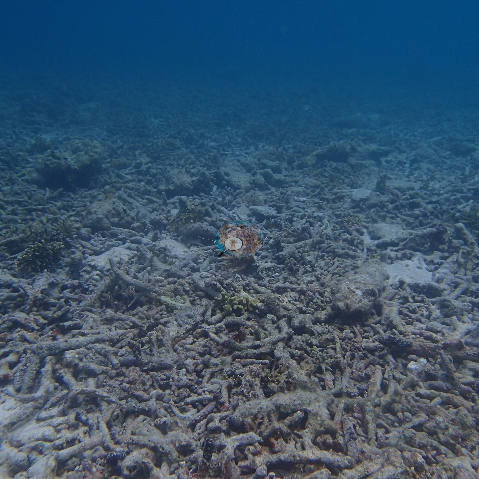
But other wide frames from the same dive show substantial living reef. One is a densely packed assemblage of foliose plates, mauve encrusting sheets, massive heads, and a standing bushy branching colony with almost no open substrate in it (e.g., Image 5).
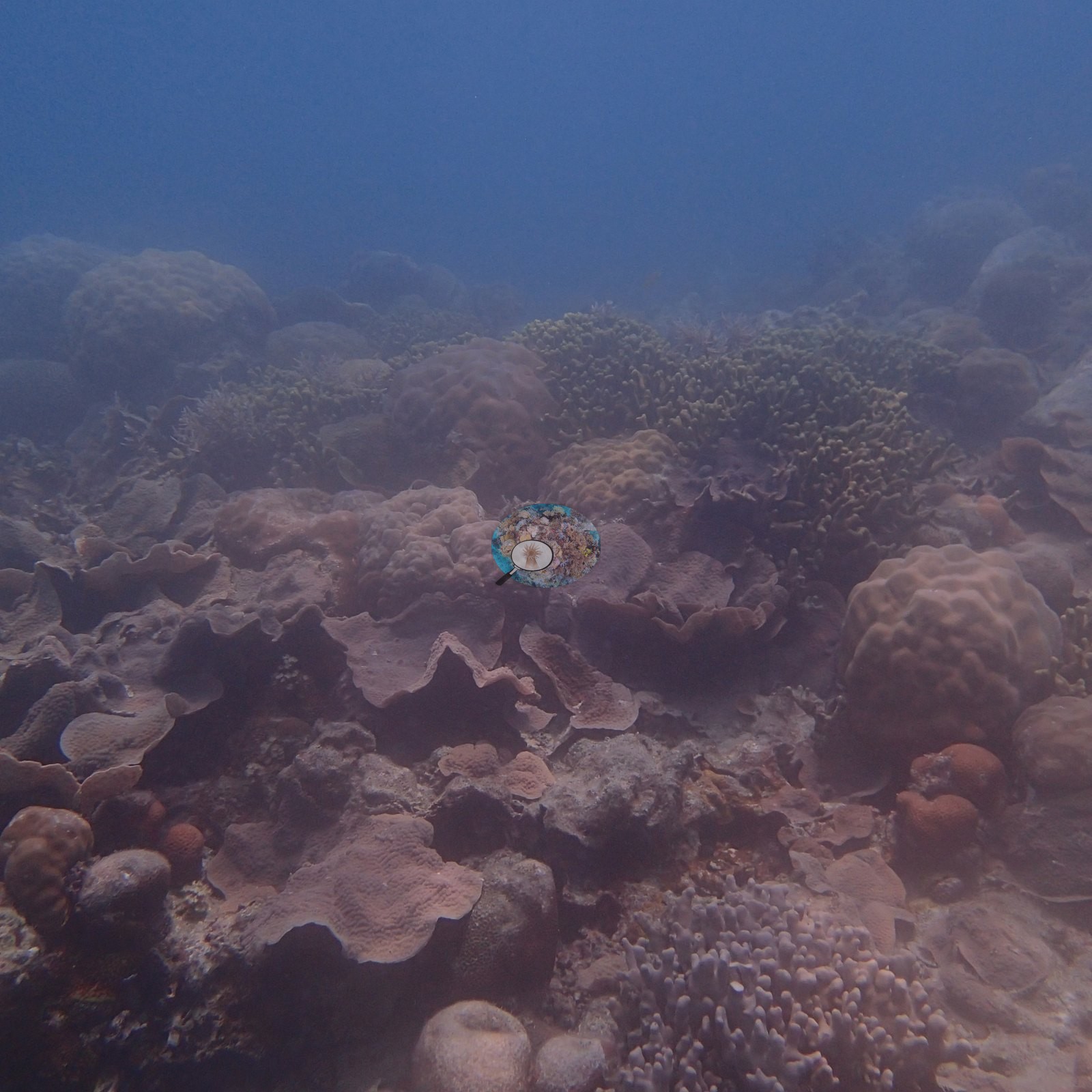
Another is an olive-green digitate and branching stand set among massive Porites-type domes and foliose plates (e.g., Image 6).
A third is a dense yellow-green digitate coral bank with humbug damselfish hanging over it (e.g., Image 13).
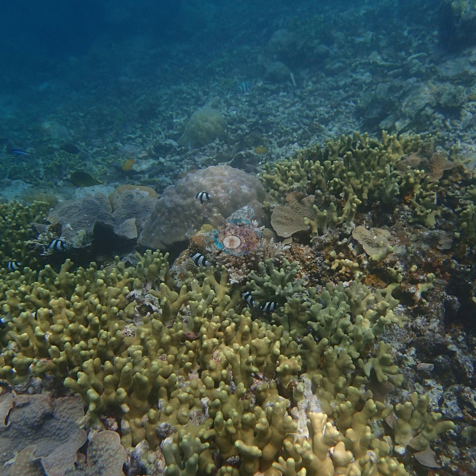
Overall the station is patches of living framework separated by broad, older dead pavement, not a station-wide flat.
Coral cover
- Reference: Claude CV point count (this site's photos)
- Coral cover: 30% — a blind Claude computer-vision point count of 16 of Anderson's unedited photographs (20 points per photo; water, fish, and obstructions excluded). Other computer-vision methods are listed in the method table.
Stressors
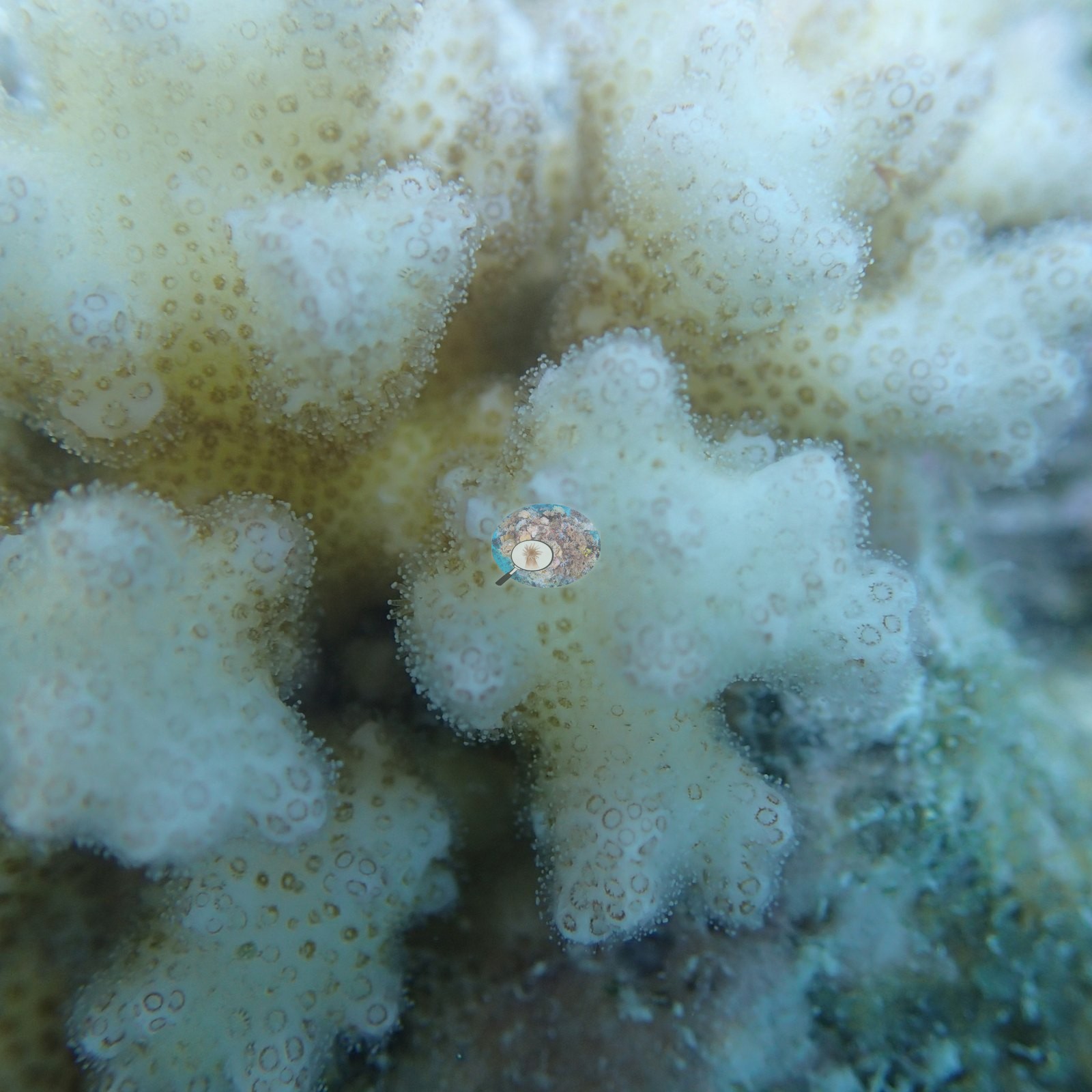
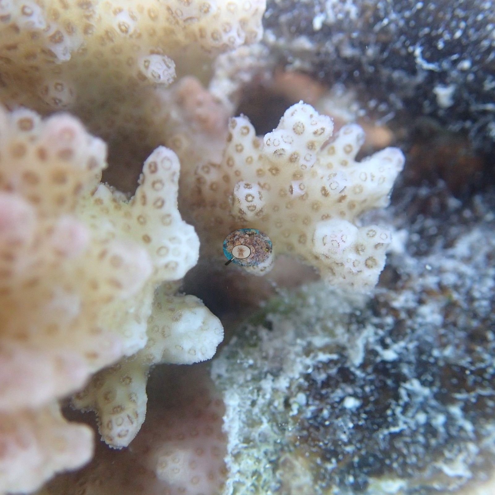
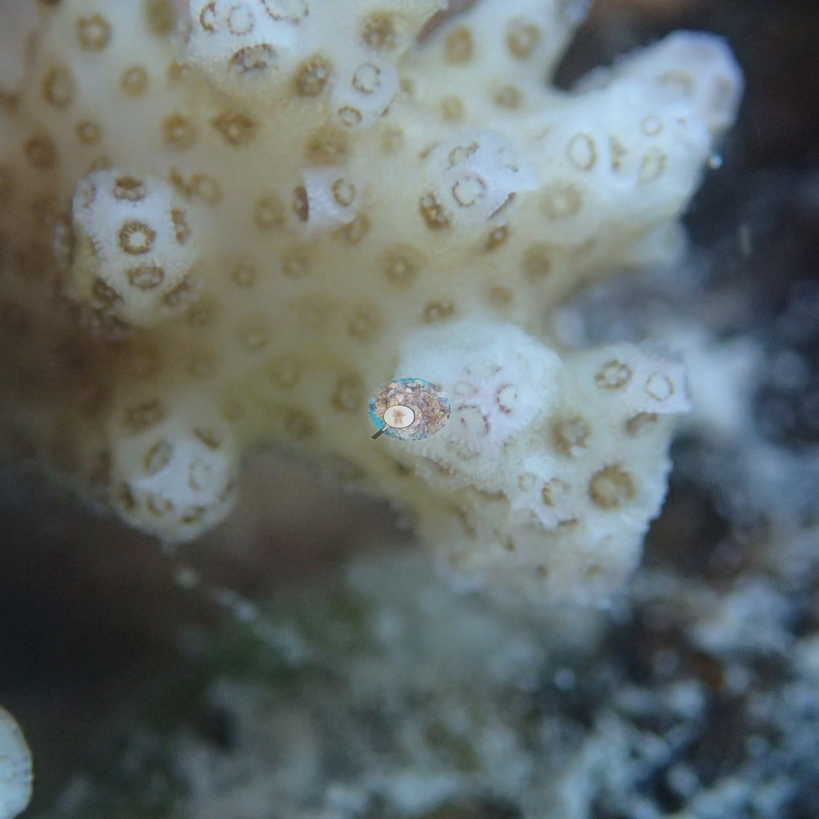
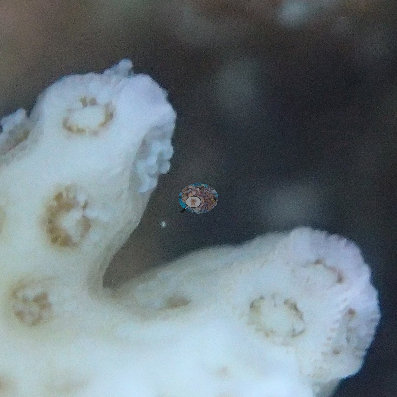
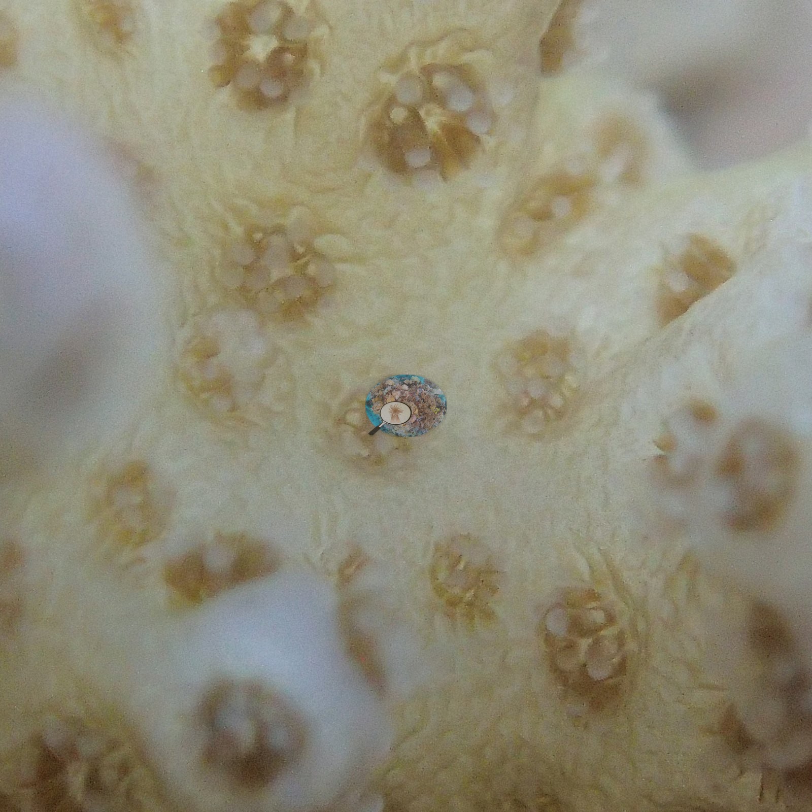
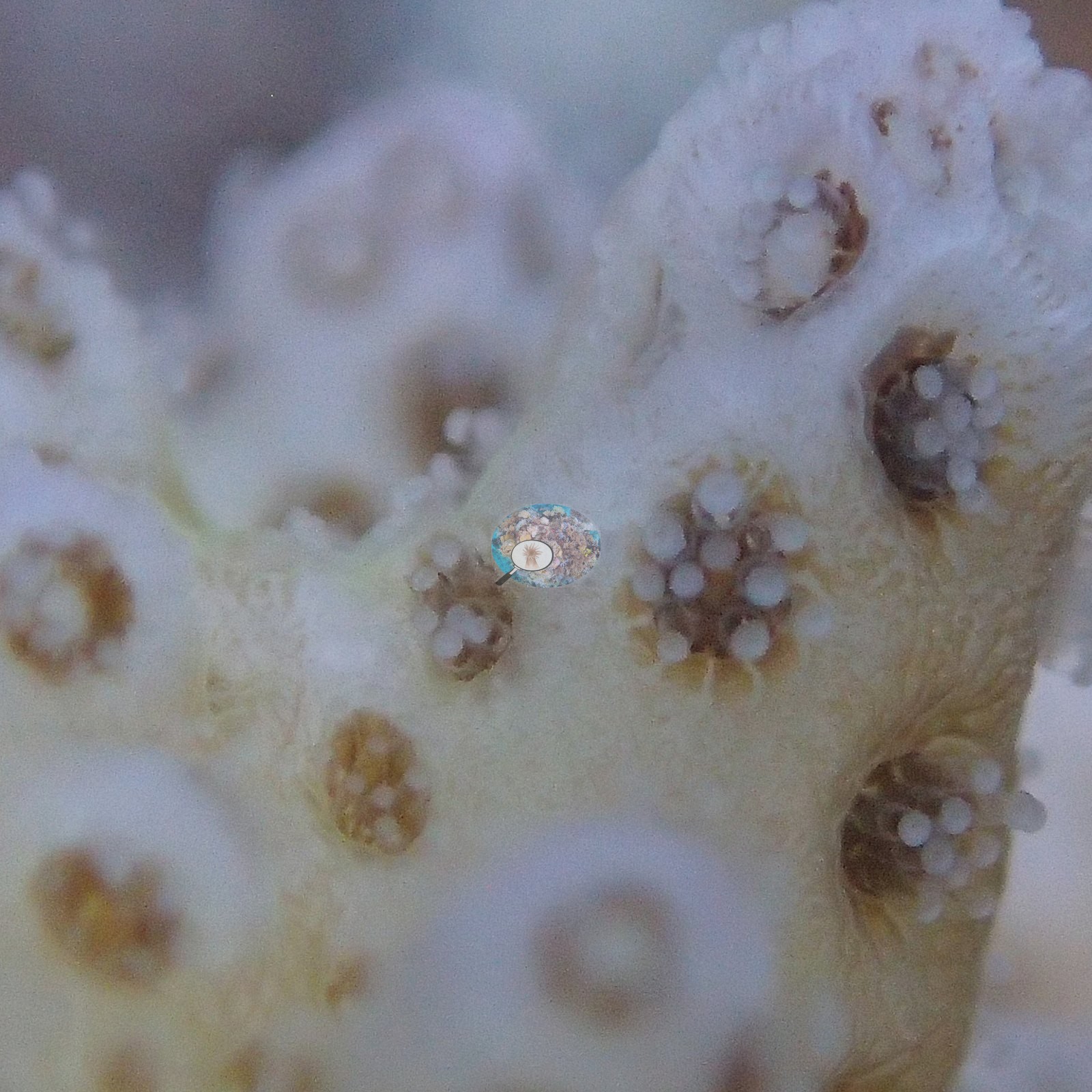
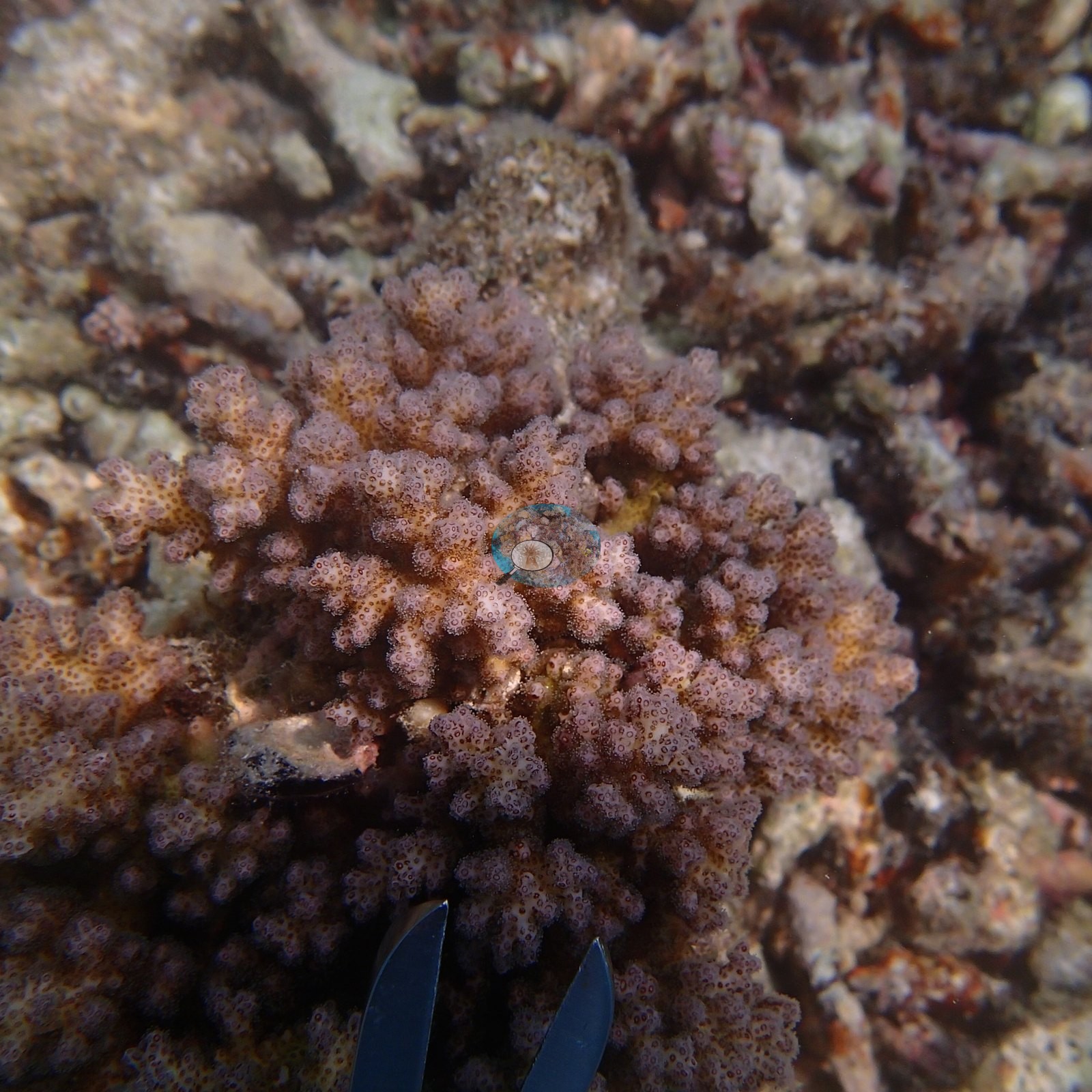
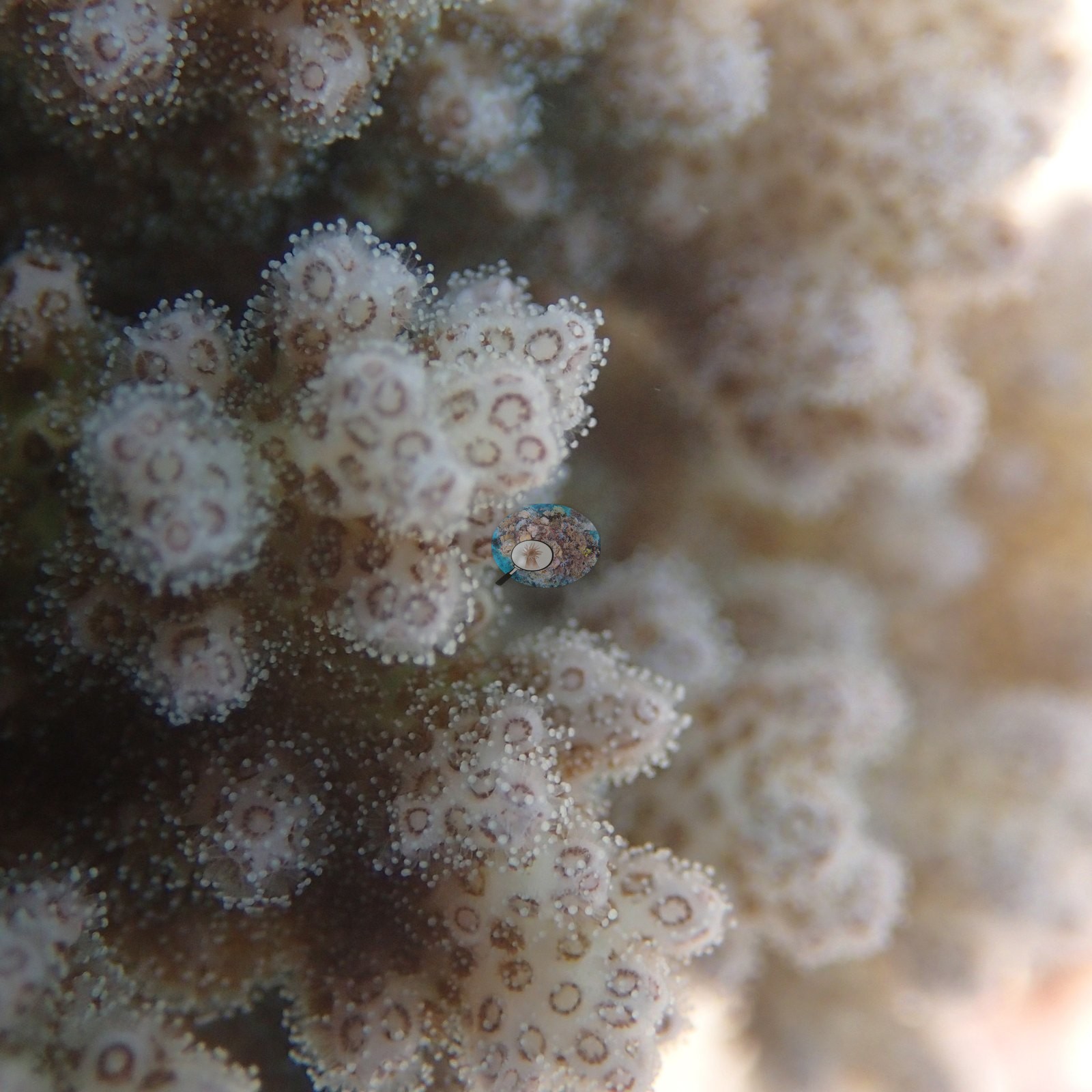
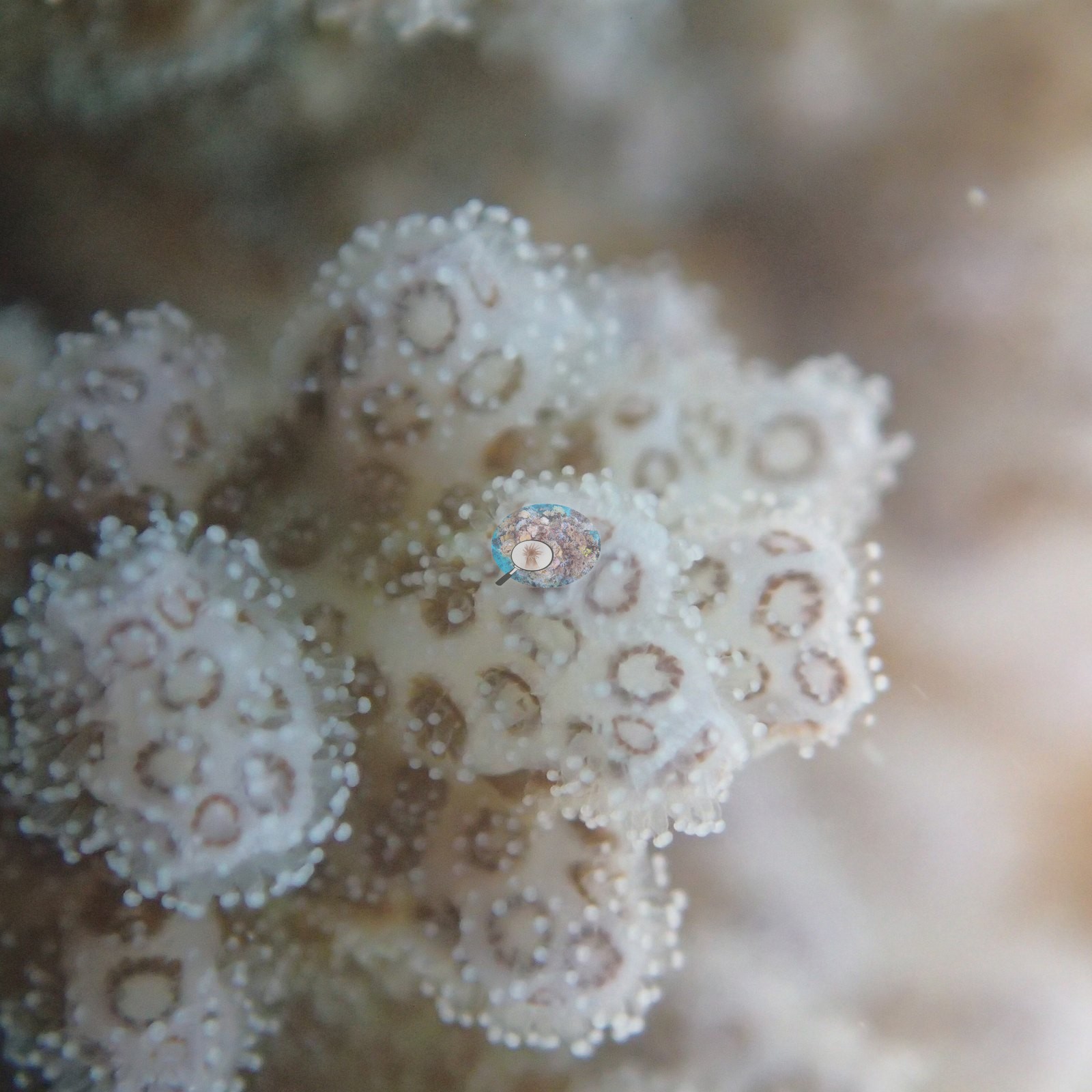
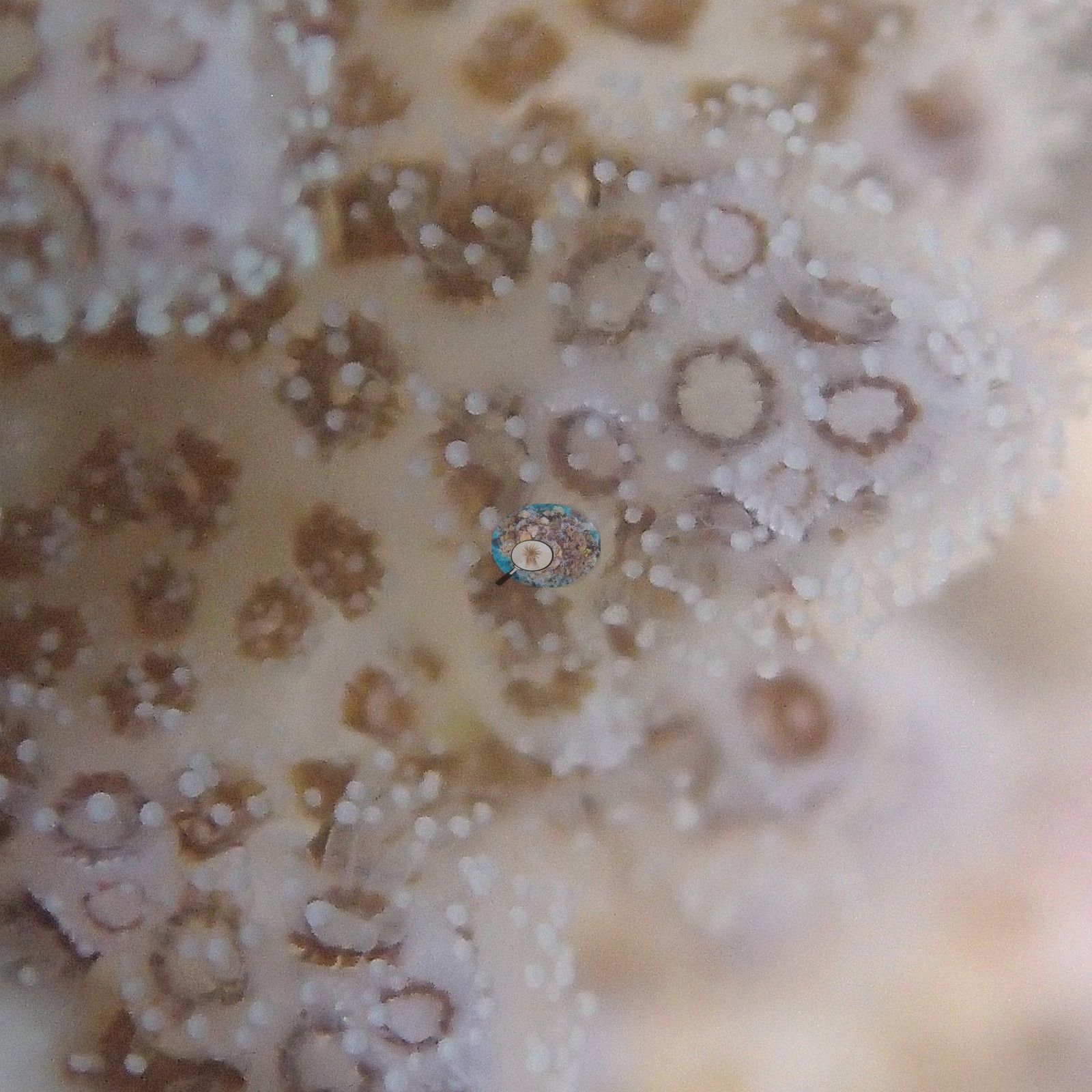
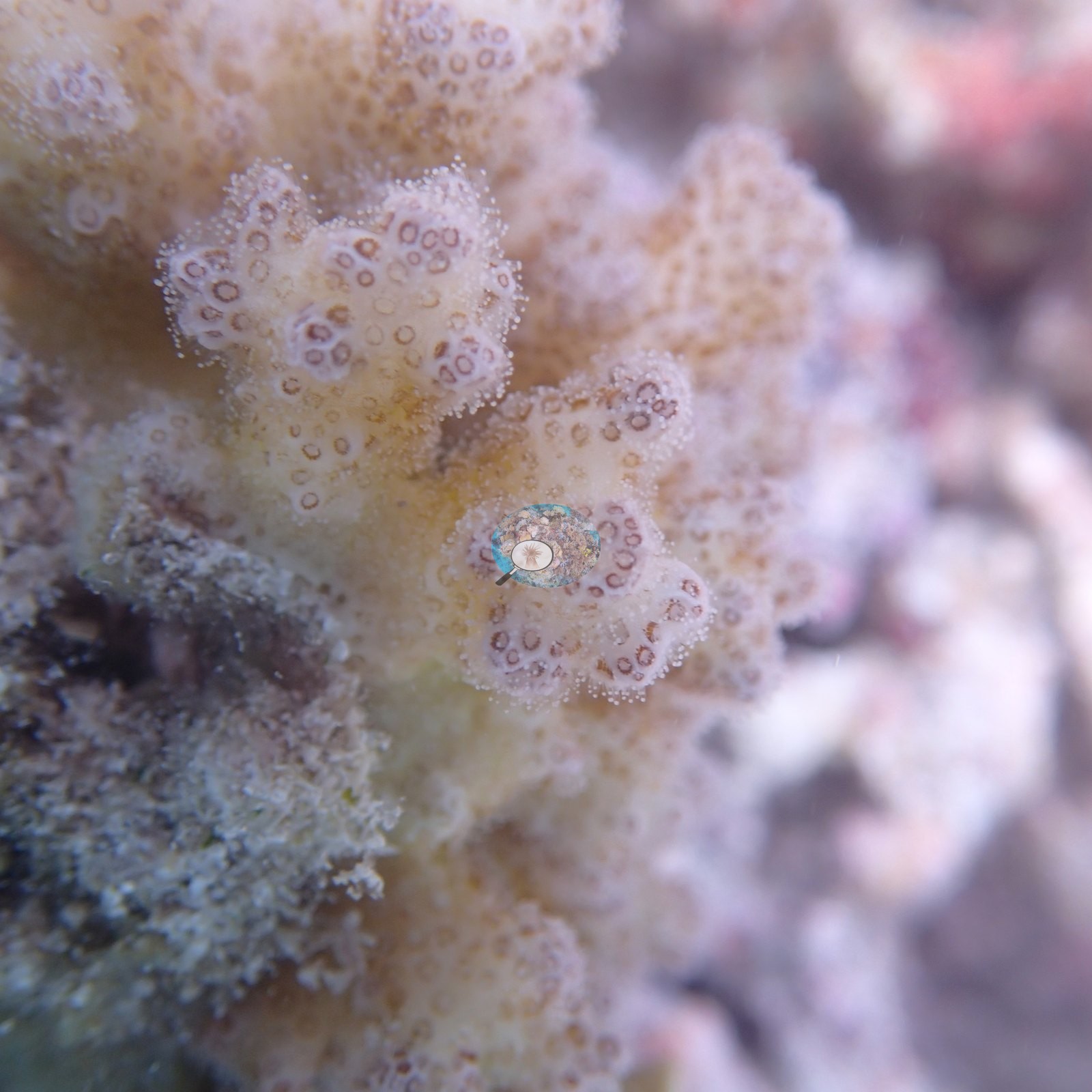
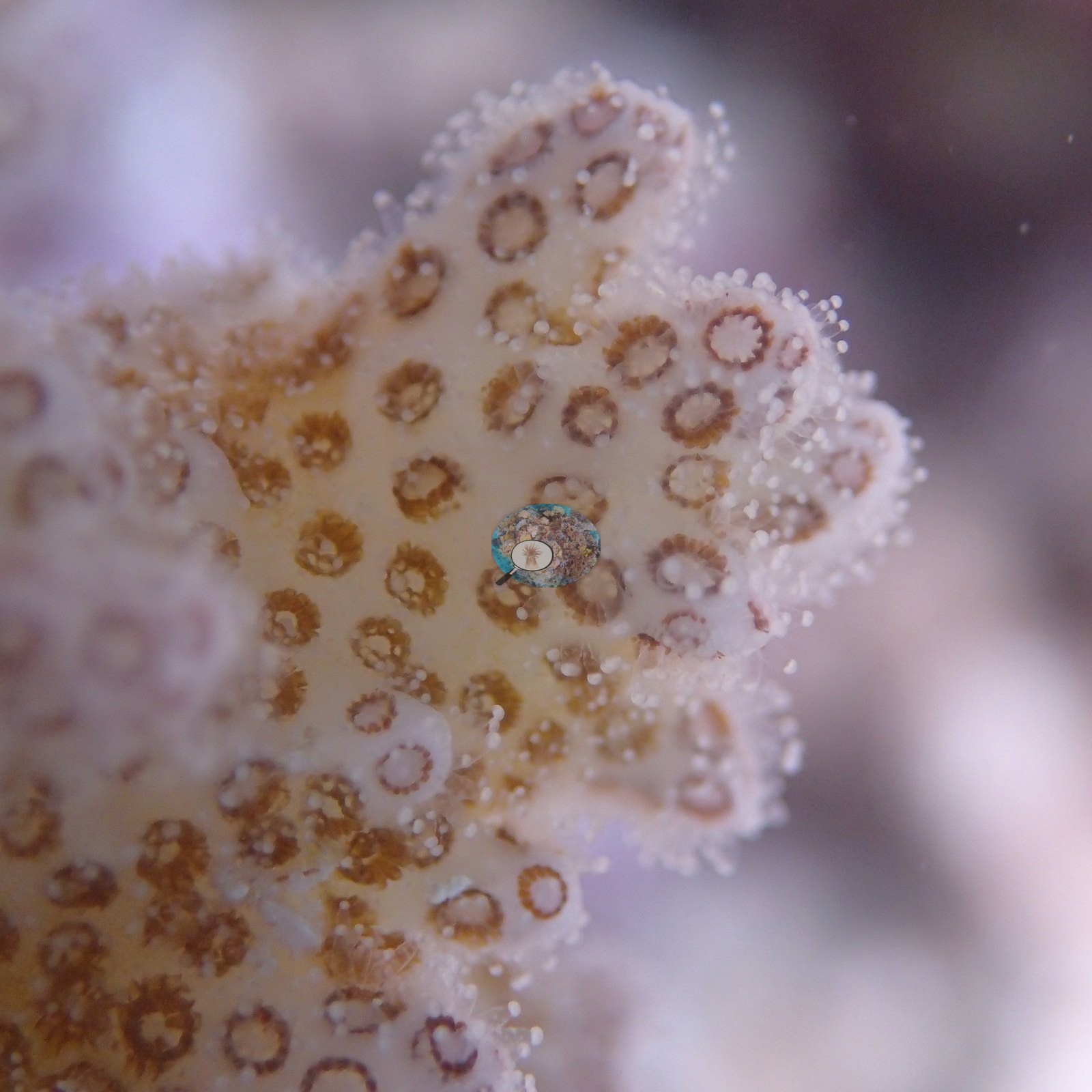
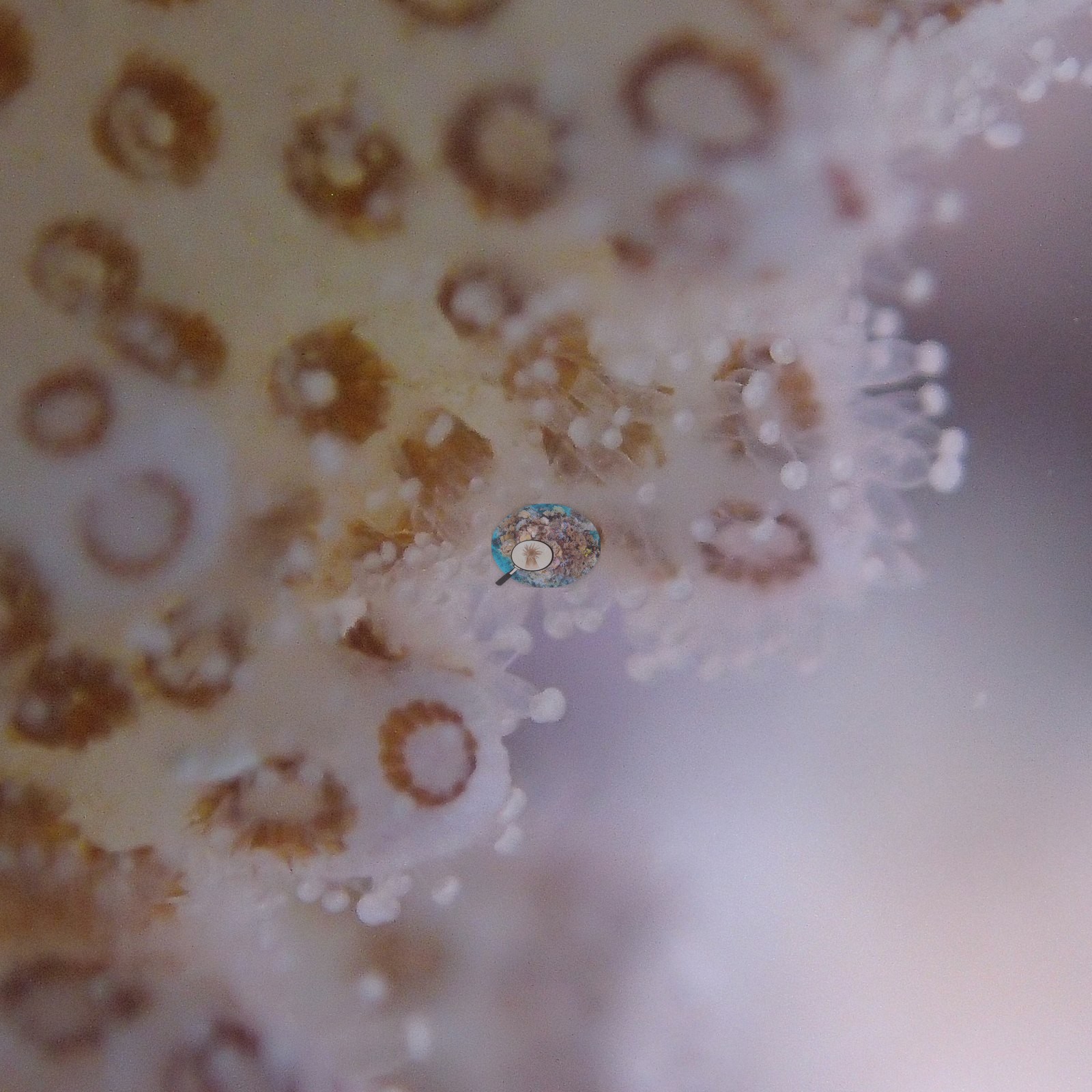
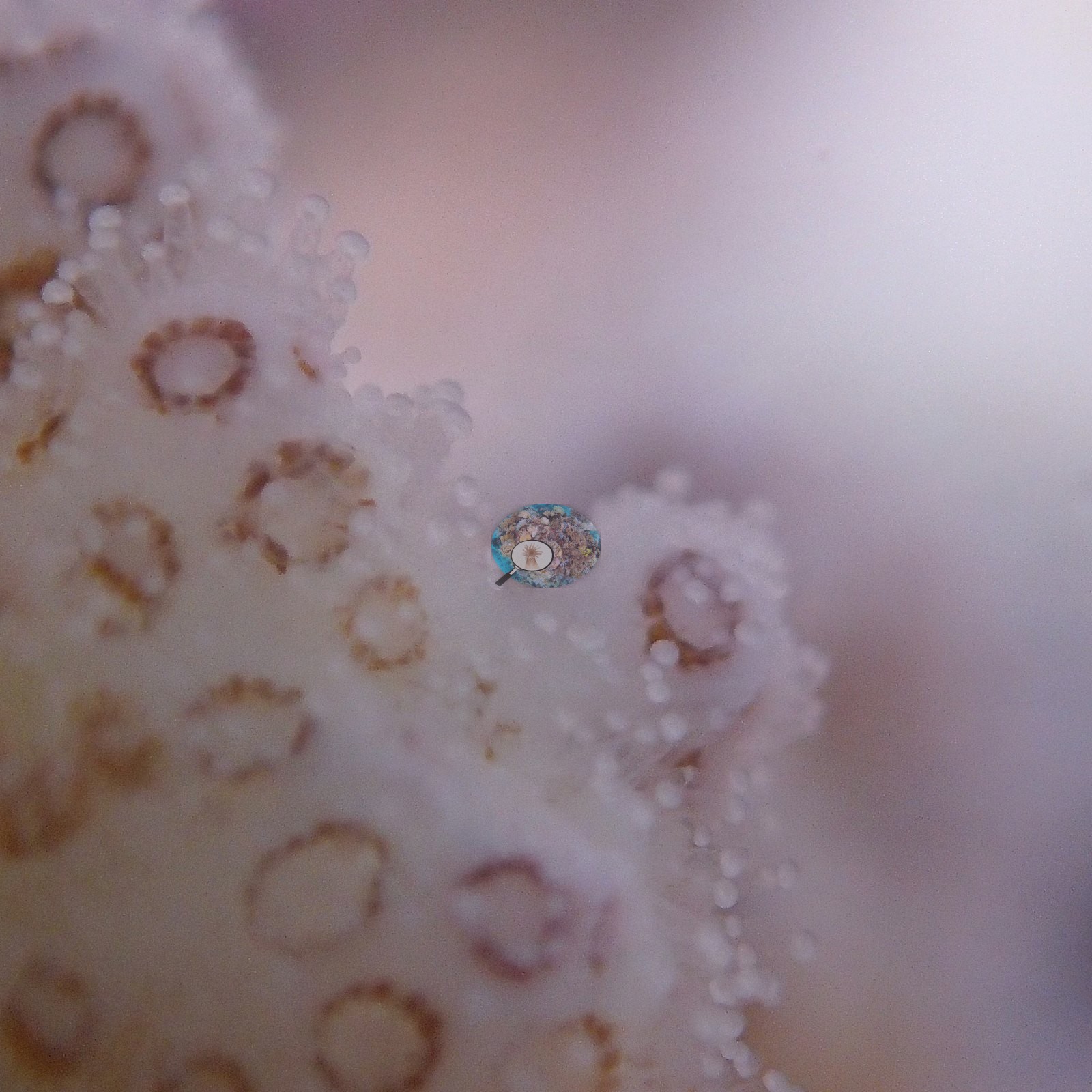
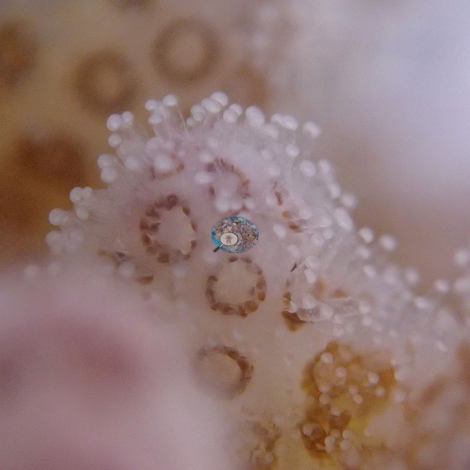
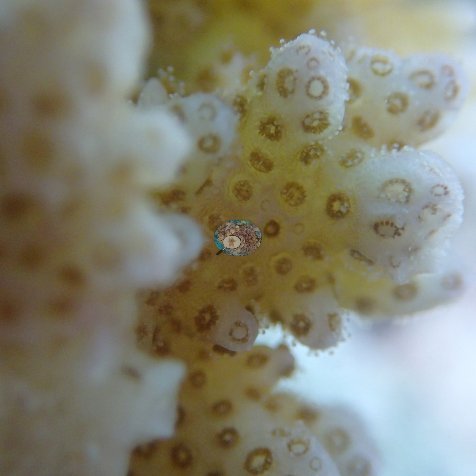
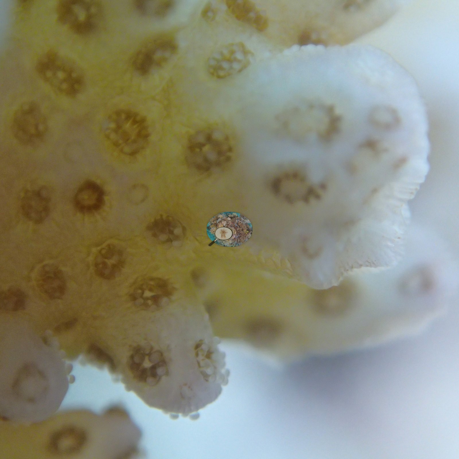
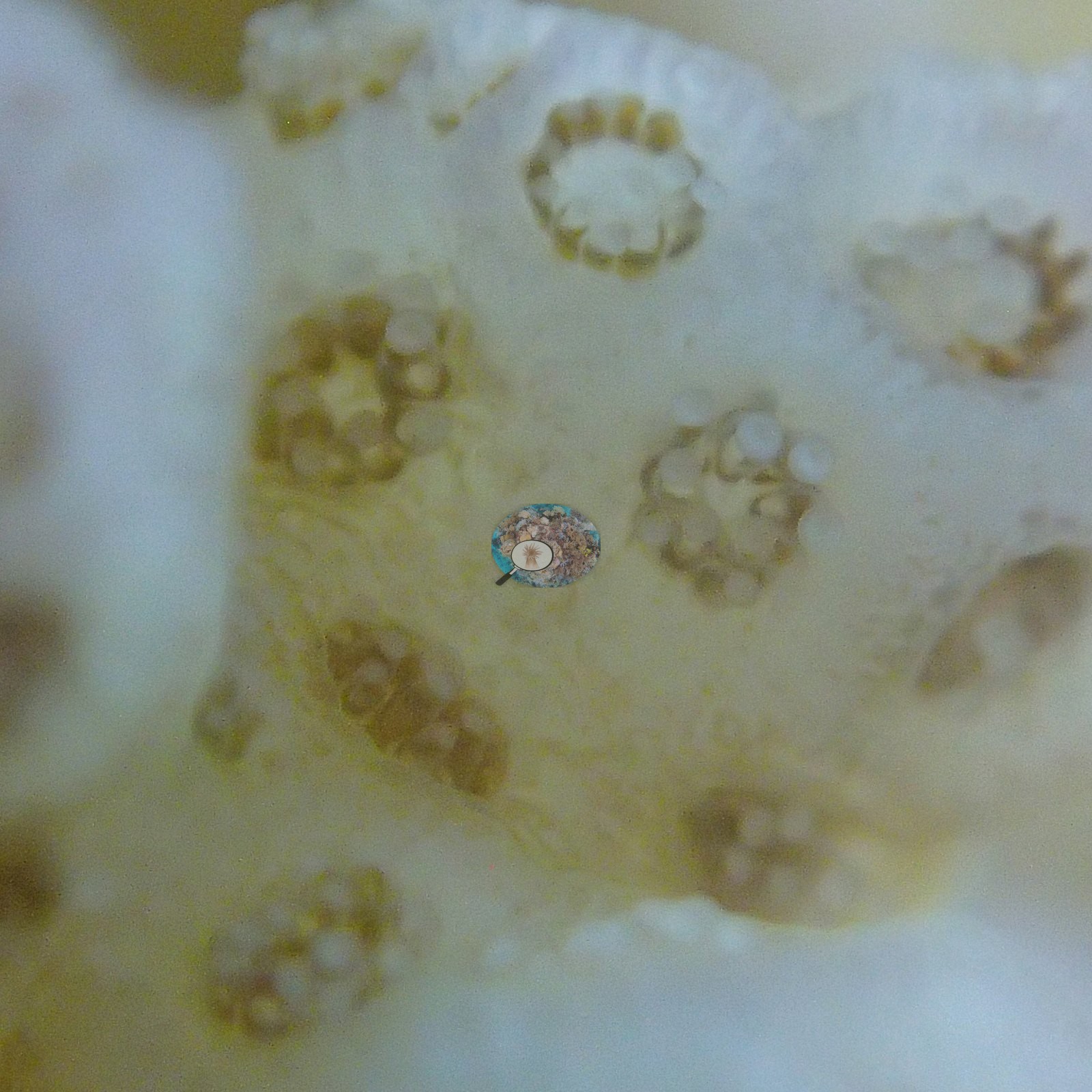
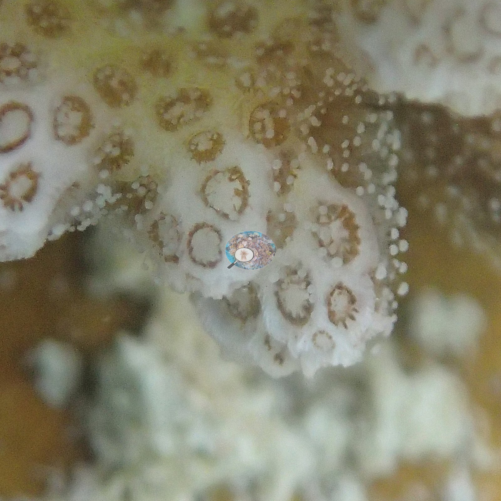
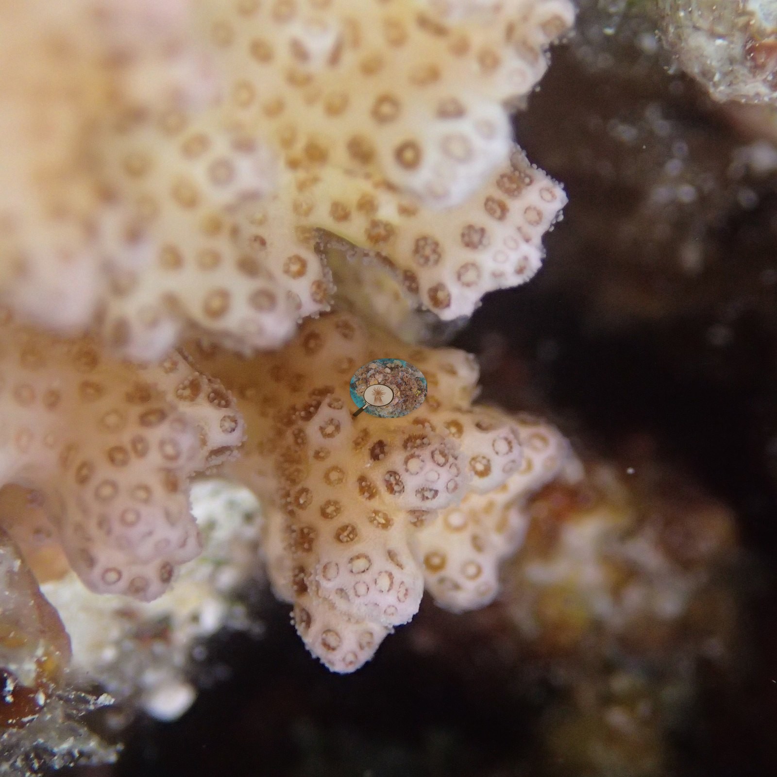
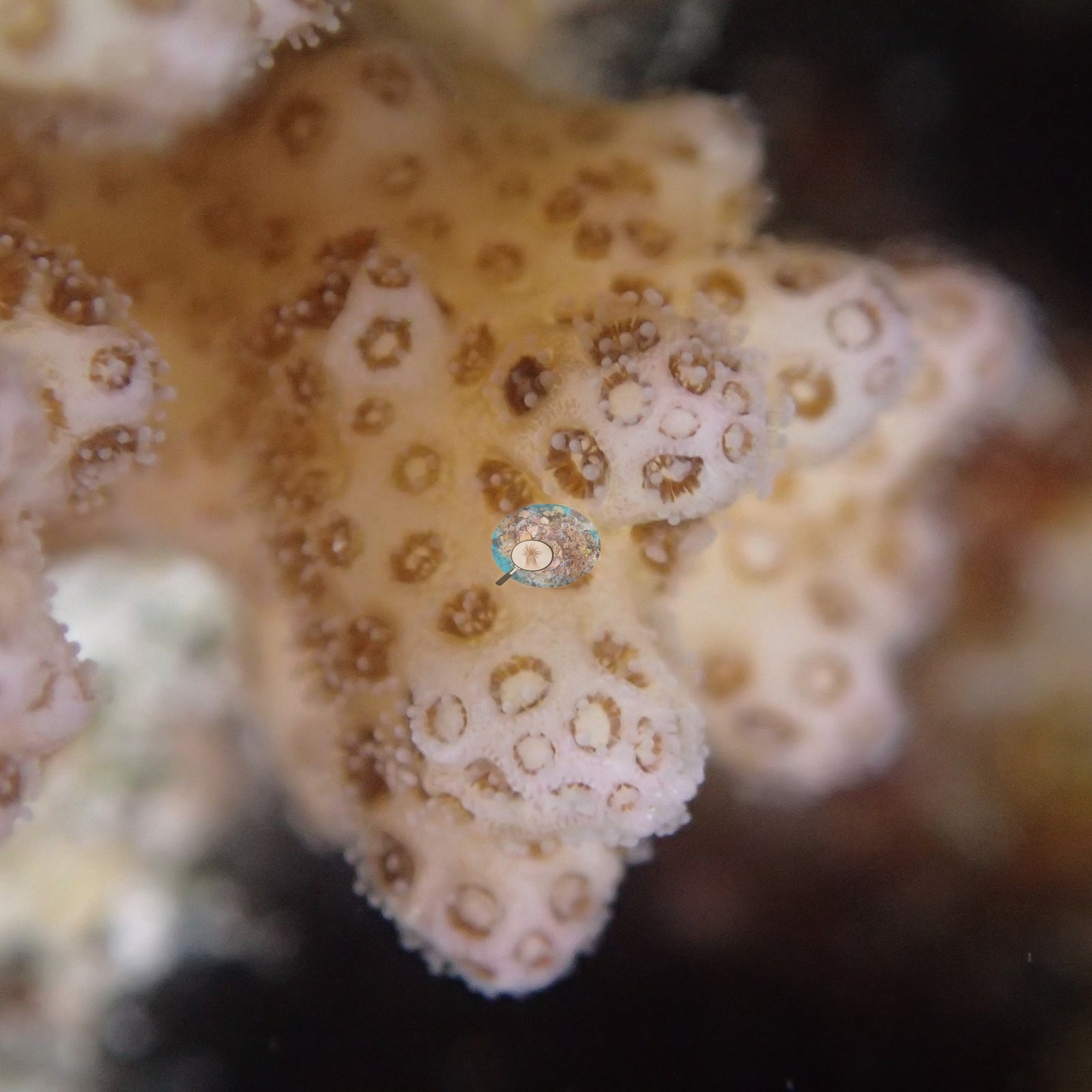
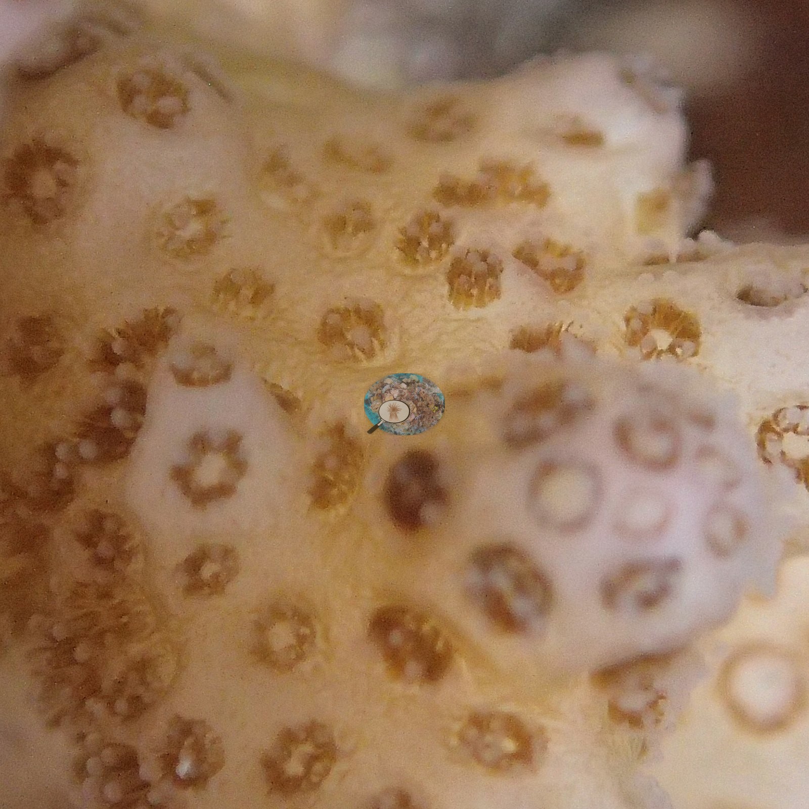
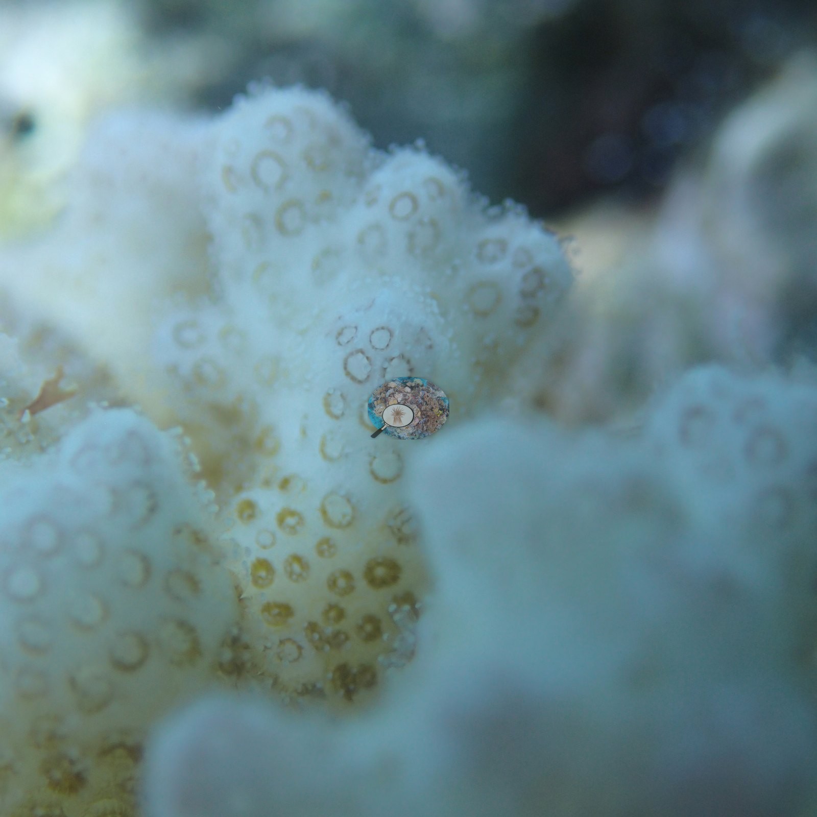
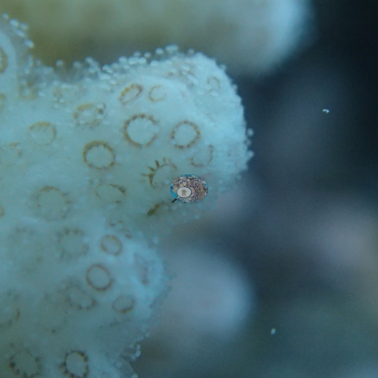
Anderson's sample sheet describes seven of the eight Pocillopora colonies sampled here as healthy (one with old mortality) and one small colony in a low-cover area as lightly pigmented (e.g., Image 9, Image 10, Image 11, Image 14, Image 15, Image 16, Image 17, Image 18, Image 19, Image 20).
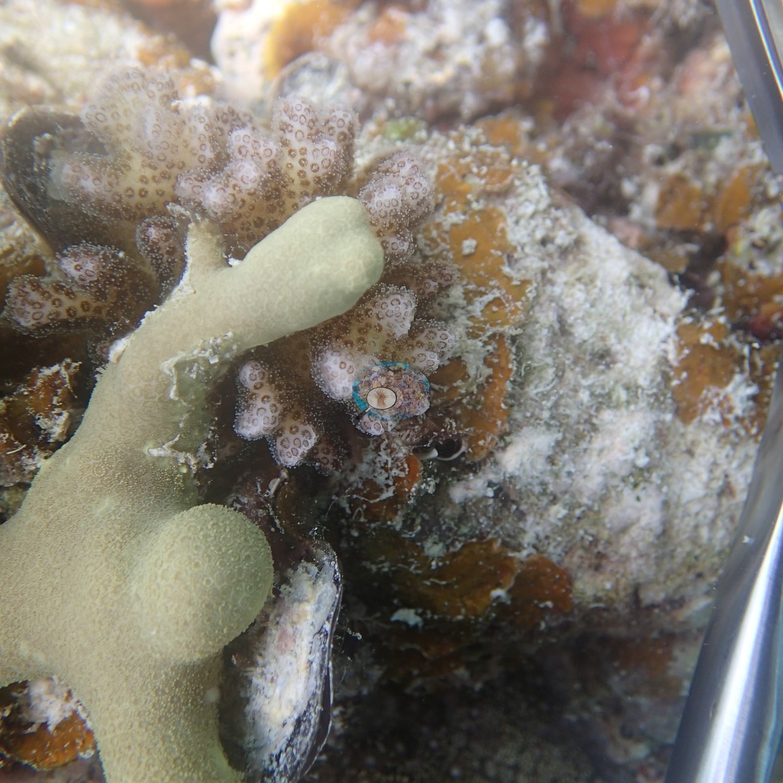
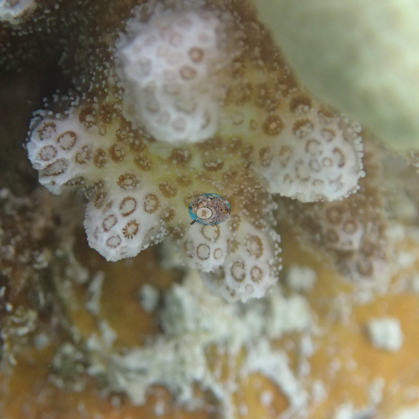
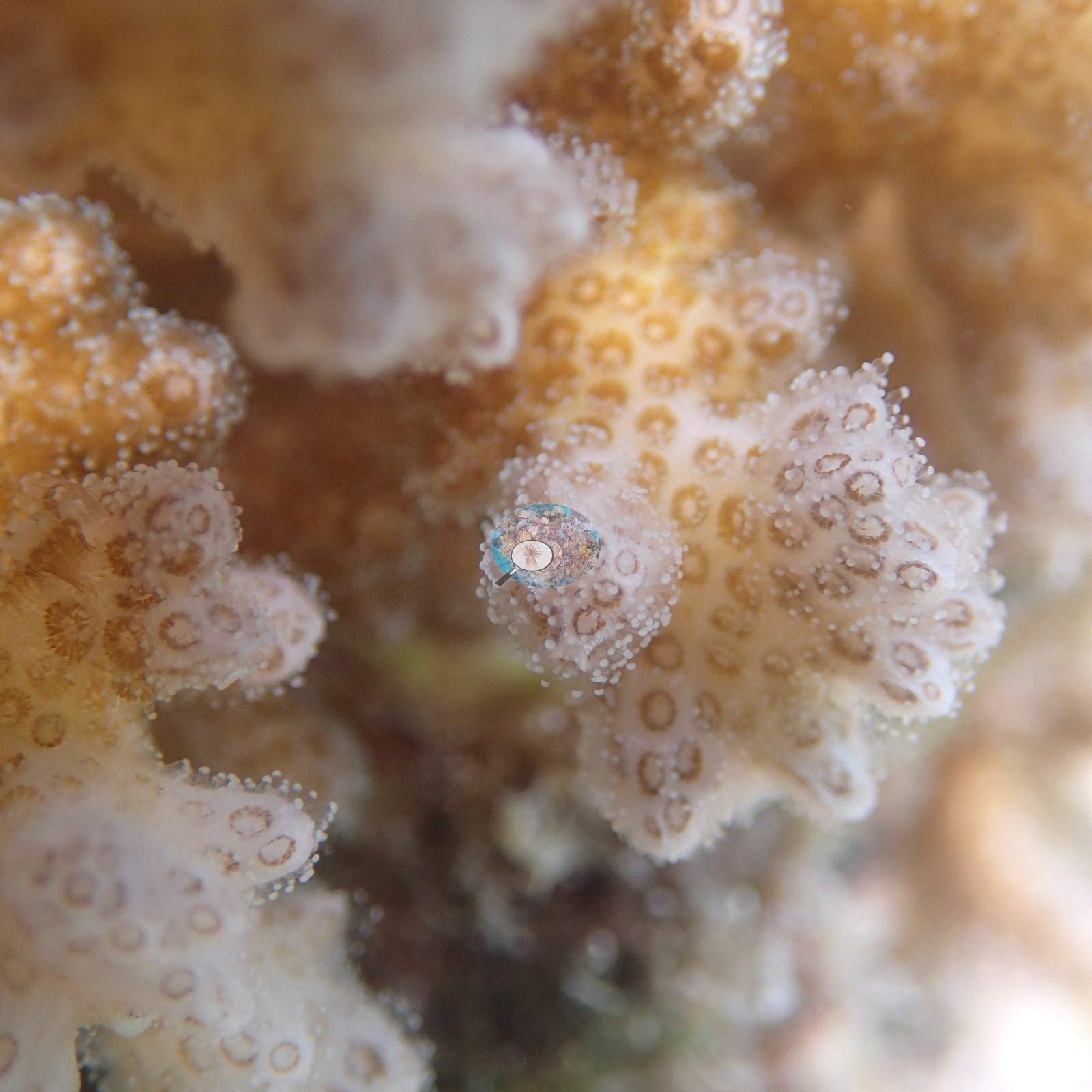
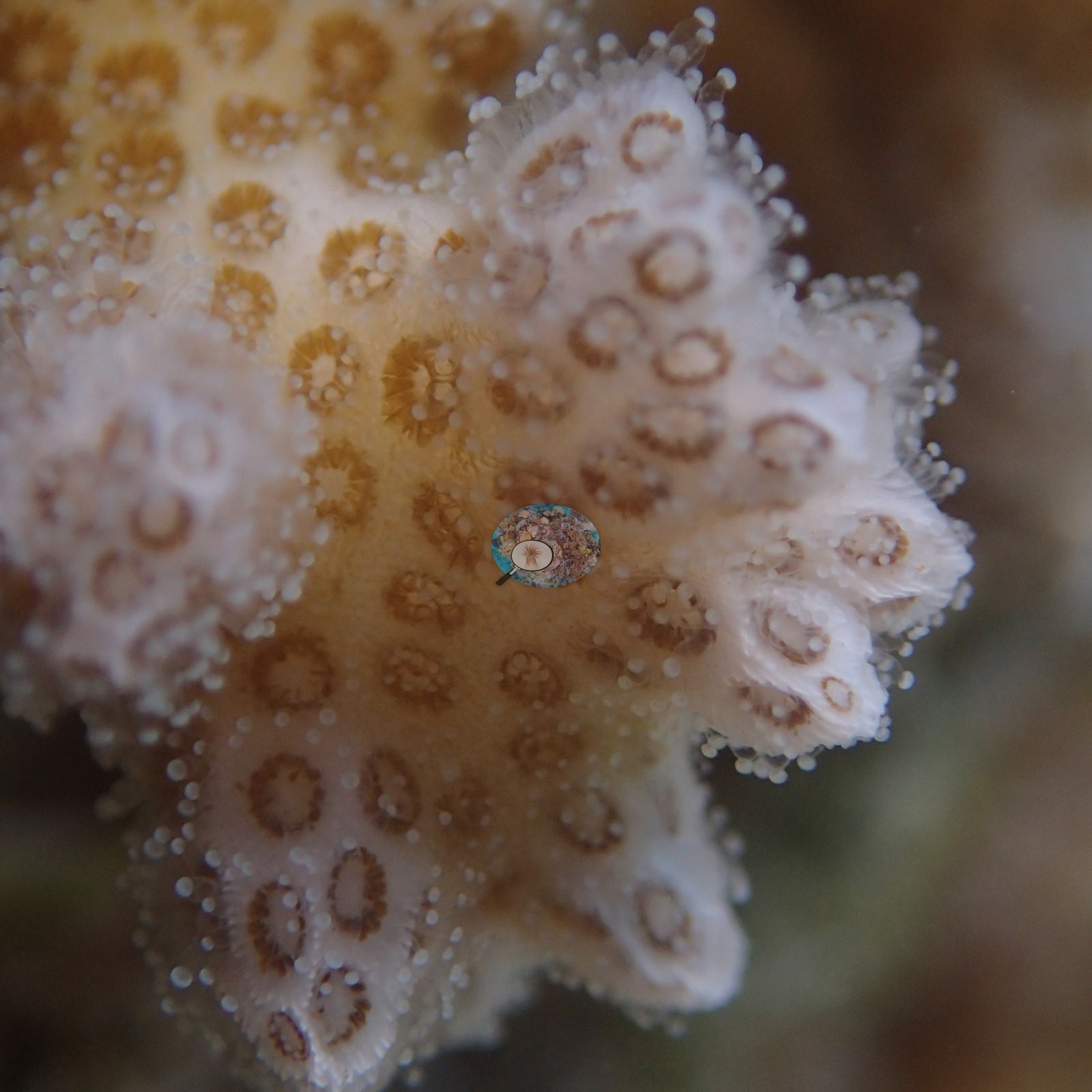
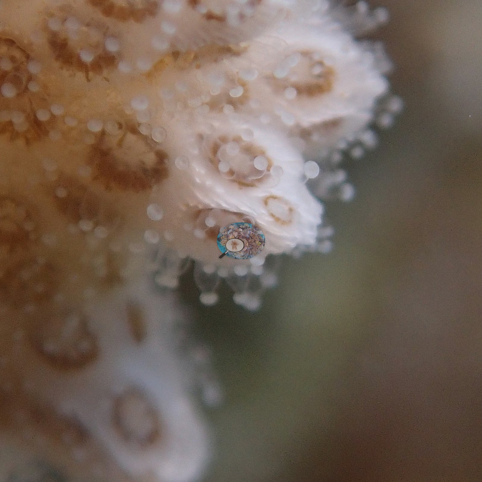
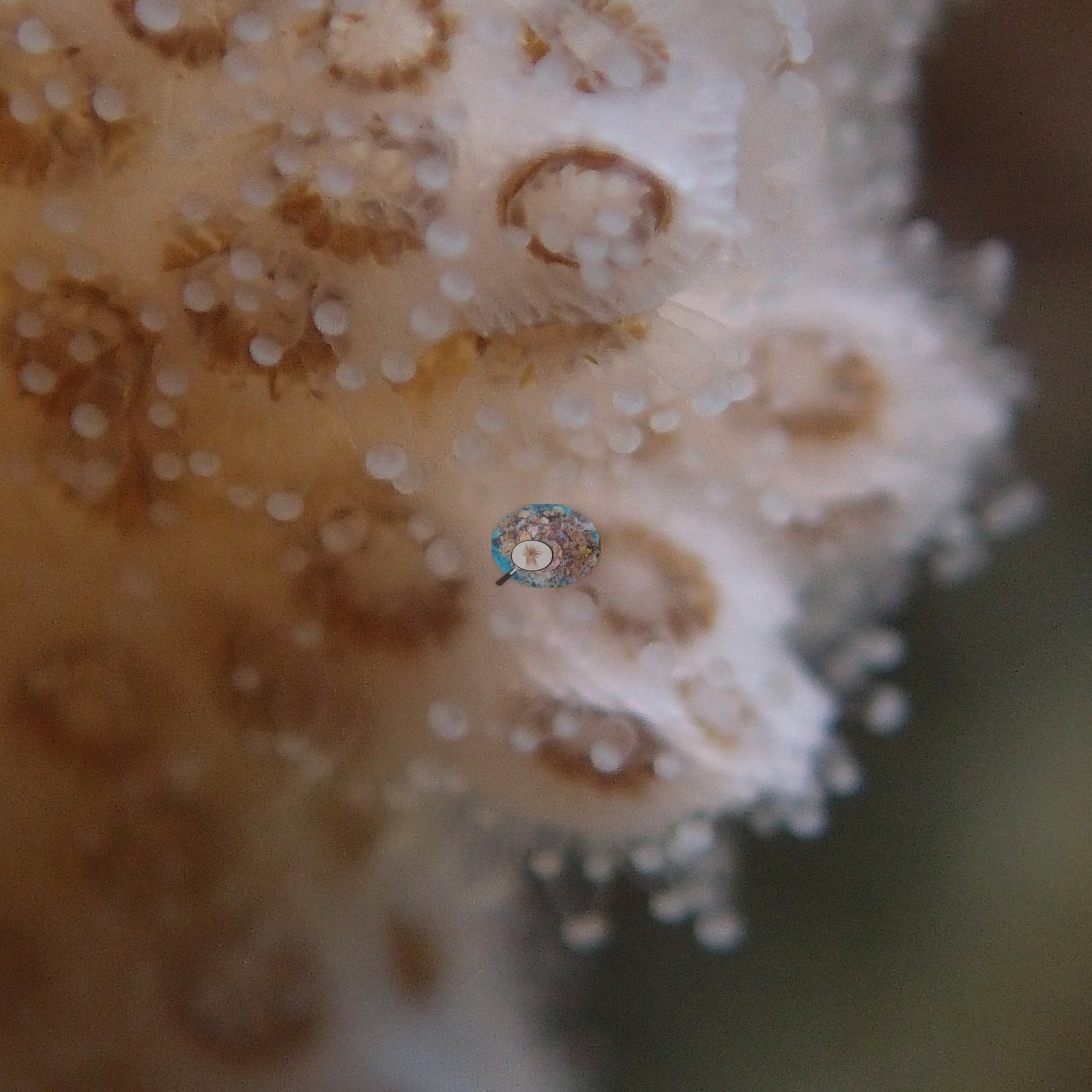
No crown-of-thorns starfish (COTS) or other corallivores were evident.
Comparisons with other data
We found no other surveys at this site as of 2026. If you would like to share yours, please email us.
Dive record
Site 7 was dived on the afternoon of 5 April 2016: in at 12:54 for 44 minutes, to a maximum depth of 8.1 m, in 21-22°C water with about 3 m of visibility (Anderson's sample sheet, which notes 'very bad visibility'); the eight colonies were sampled at 1.6-3.6 m between 13:02 and 13:38. Anderson's photographs span 12:59-13:37, about two hours after the Site 6 morning dive ended and in the same camera file sequence.
Other notes
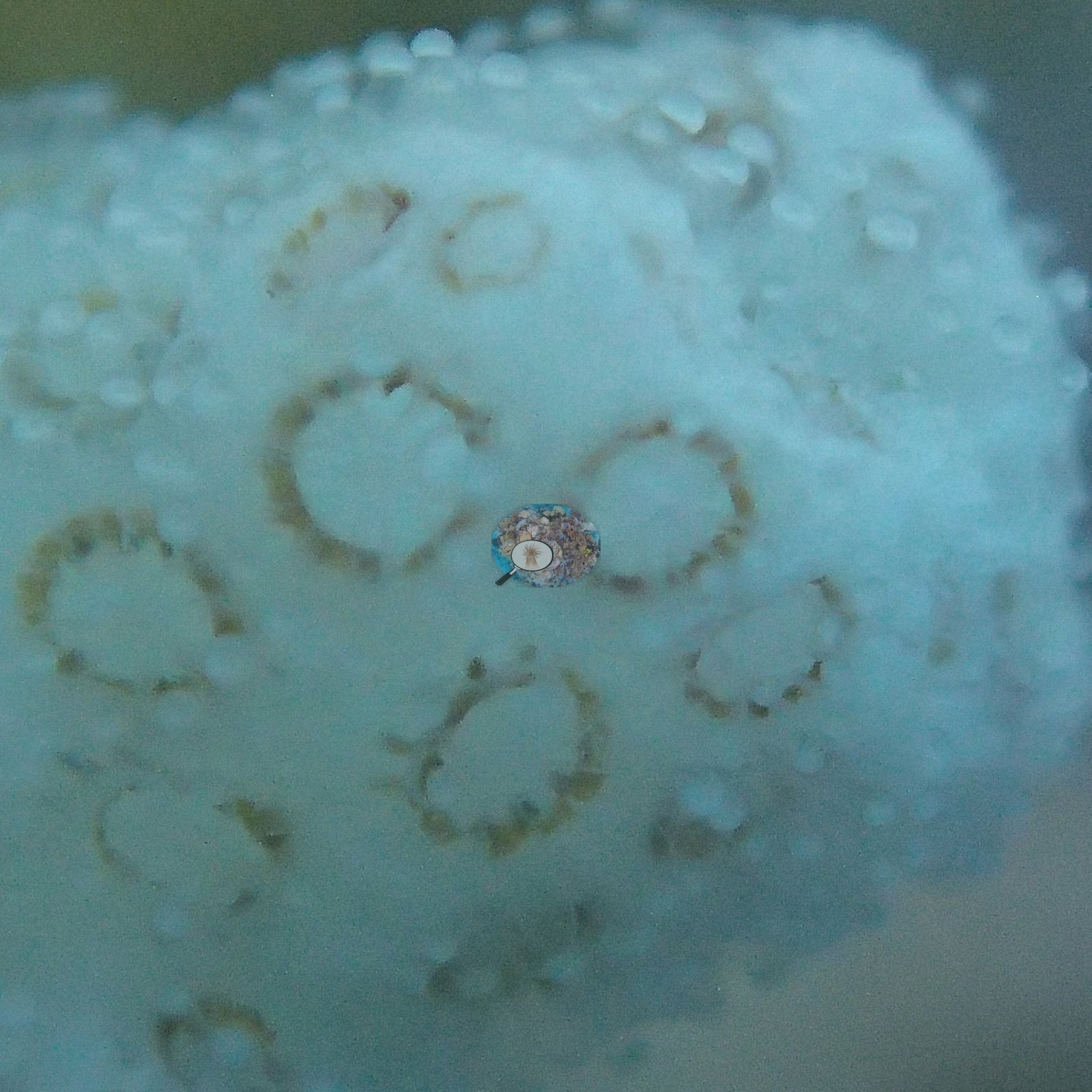
Roughly two thirds of the photo set — about 32 of the 47 frames — is high-magnification, strobe-lit macro of individual small branching colonies, the colonies this atoll was visited to sample (e.g., Image 21, Image 22, Image 24, Image 25, Image 27).
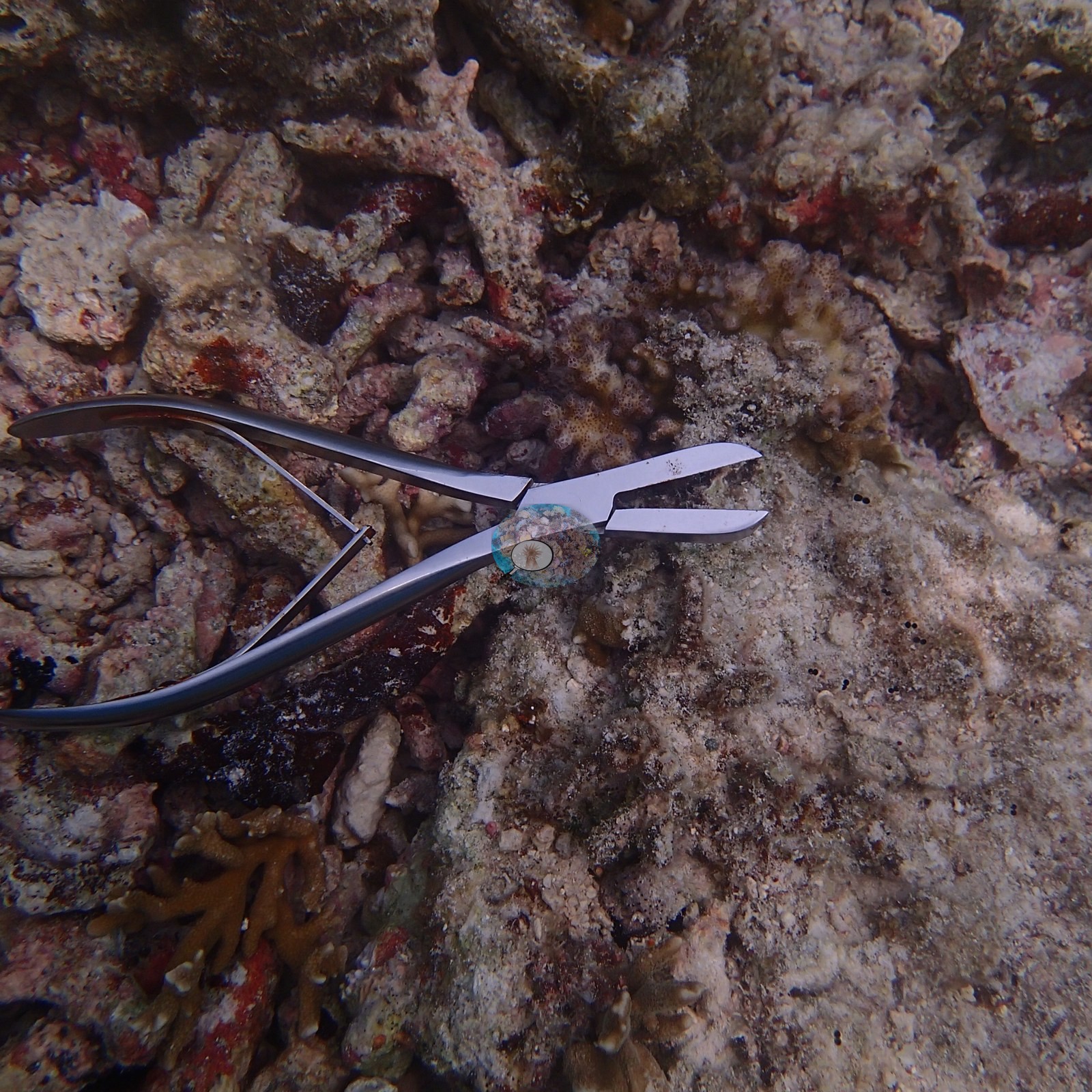
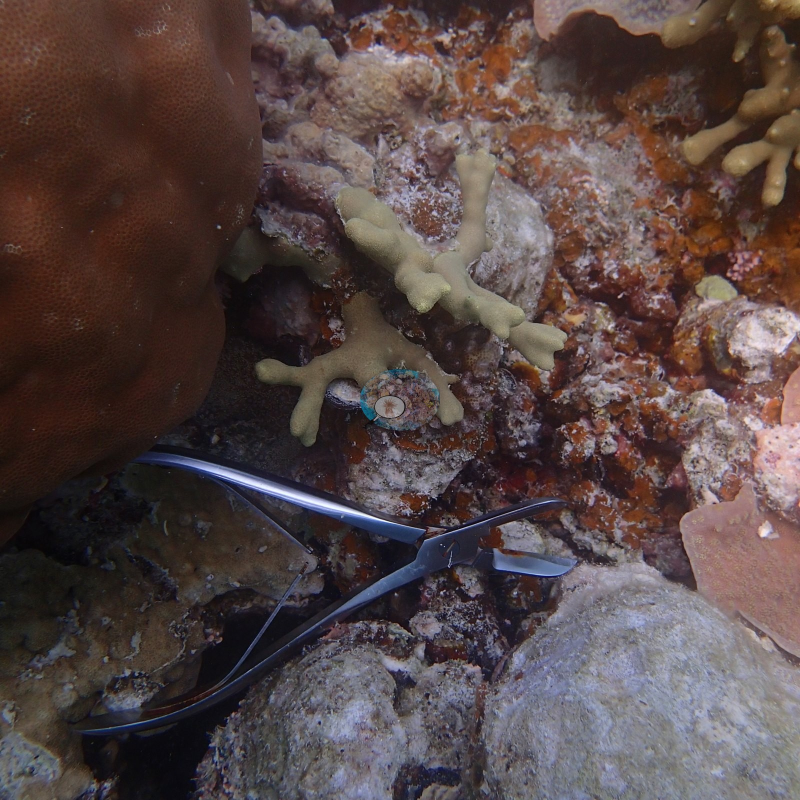
Two frames catch the sampling itself: a pair of open stainless bone-cutting forceps lying on the pavement, once beside a live colony and once on bare crust (e.g., Image 4, Image 8).
CV model comparison
More info
A few colony-focused photos raise the mean; the median is the typical photo. No computer-vision method yet estimates coral cover accurately on new images, so treat this as indicative rather than a measurement; it is revised as the methods improve.More info
Other rows are for comparison only and are never averaged. No diver transect exists for this trip, so agreement between rows is not accuracy.| Method | Hard coral cover (%) | Photos (n) ± SE |
|---|---|---|
| CoralSCOP unedited | 25.2* | n = 16 · SE 4.8 |
| Claude | 30.2* | n = 16 · SE 7.0 |
CoralSCOP (unedited photos) reads 25.2%, within 5.0 pp of Claude's blind point count (30.2%).
*Based on only 16 reef-habitat photos; this estimate is less certain.
See a more detailed, stand-alone version of this table.
Data & links
All images from Coral Reef Diagnostics. Data are from Coral Reef Diagnostics.
© Coral Reef Diagnostics.