
Dongsha Atoll - Site 12
Part of the regional summaries: Taiwan - Dongsha and Taiwan
More info
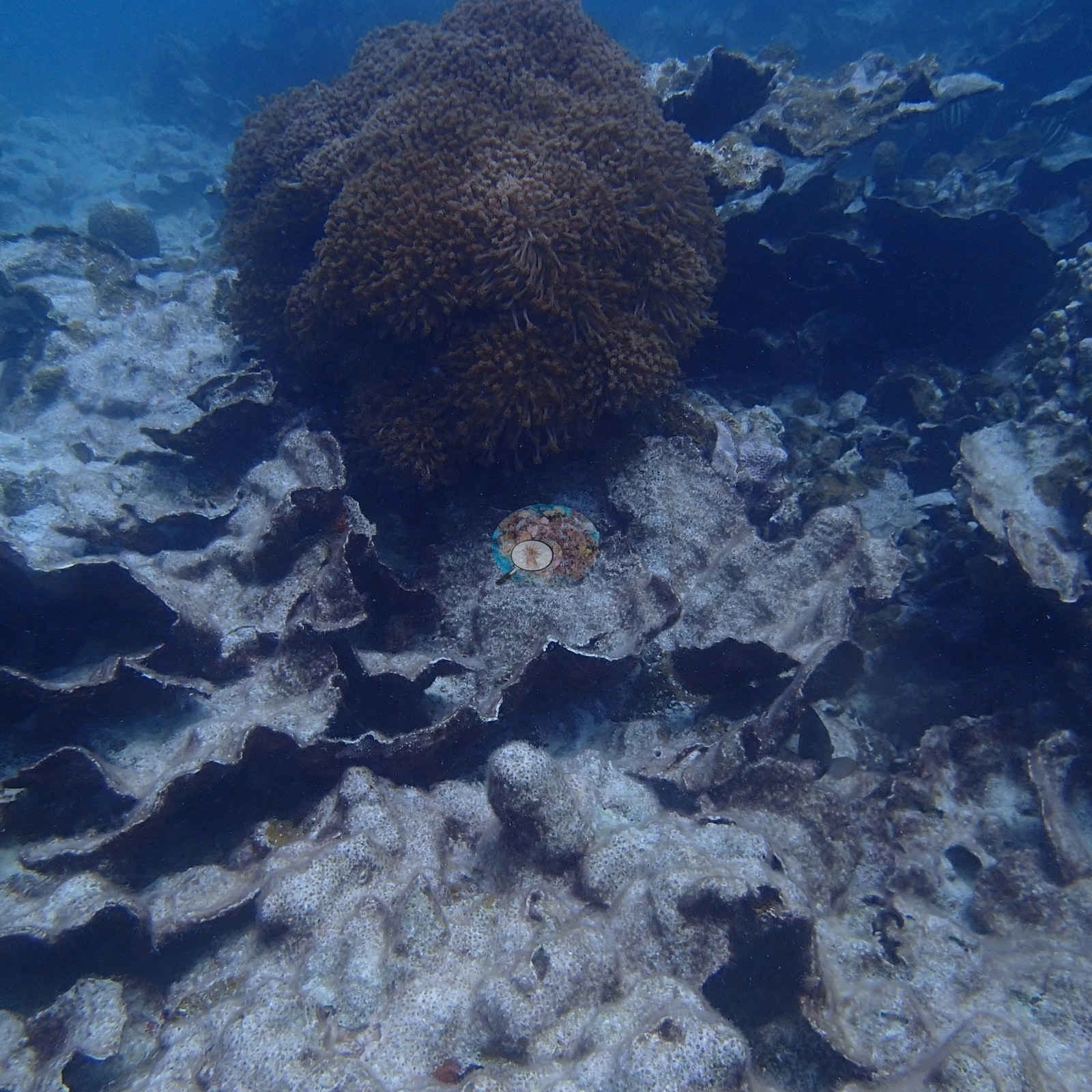
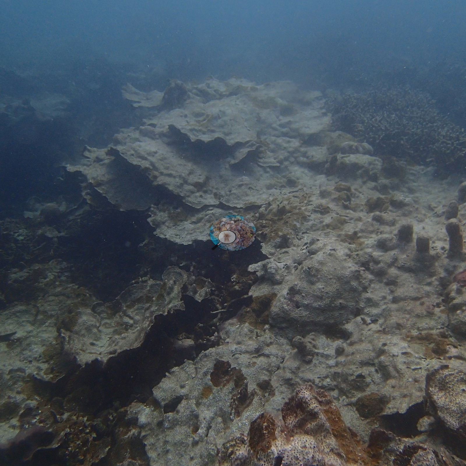
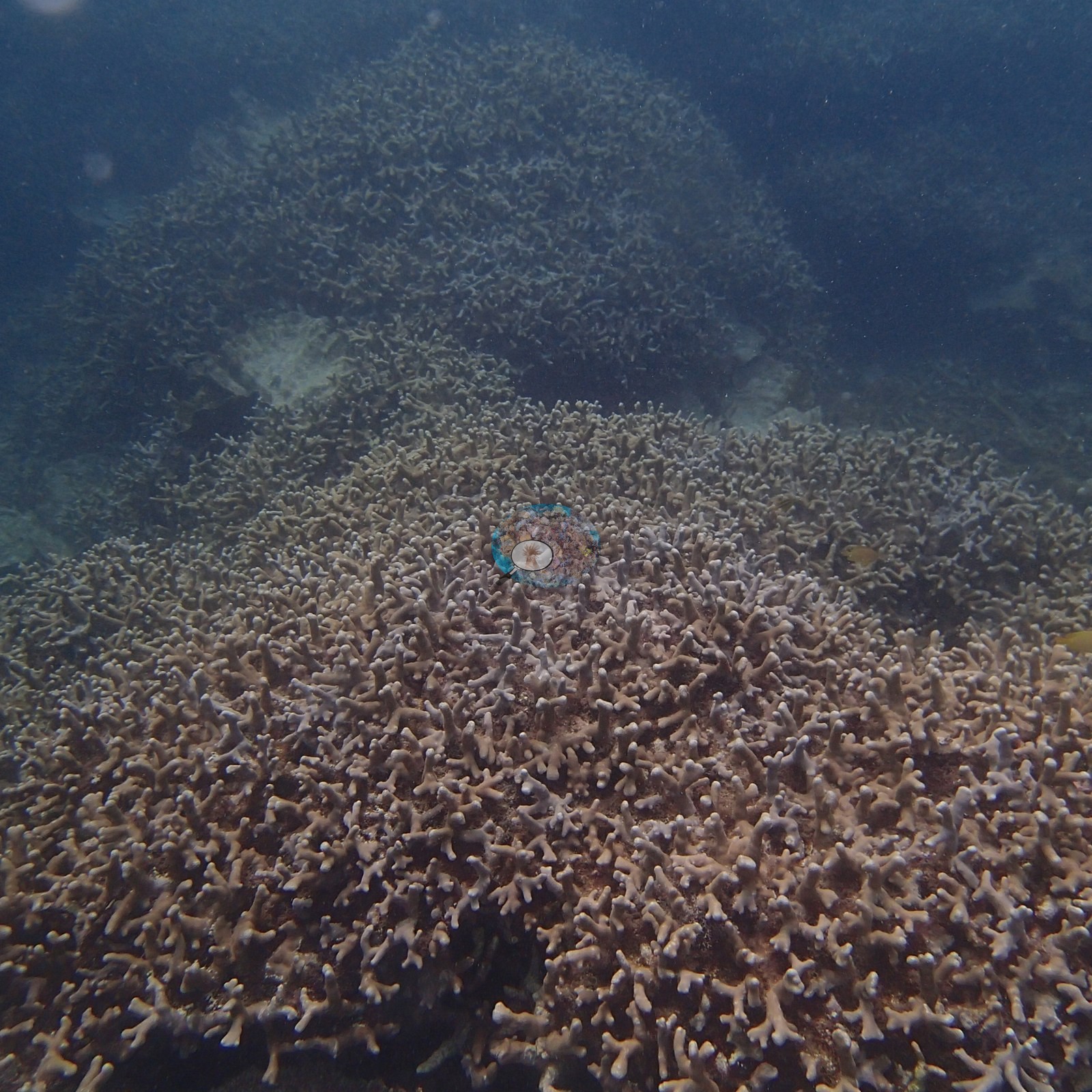
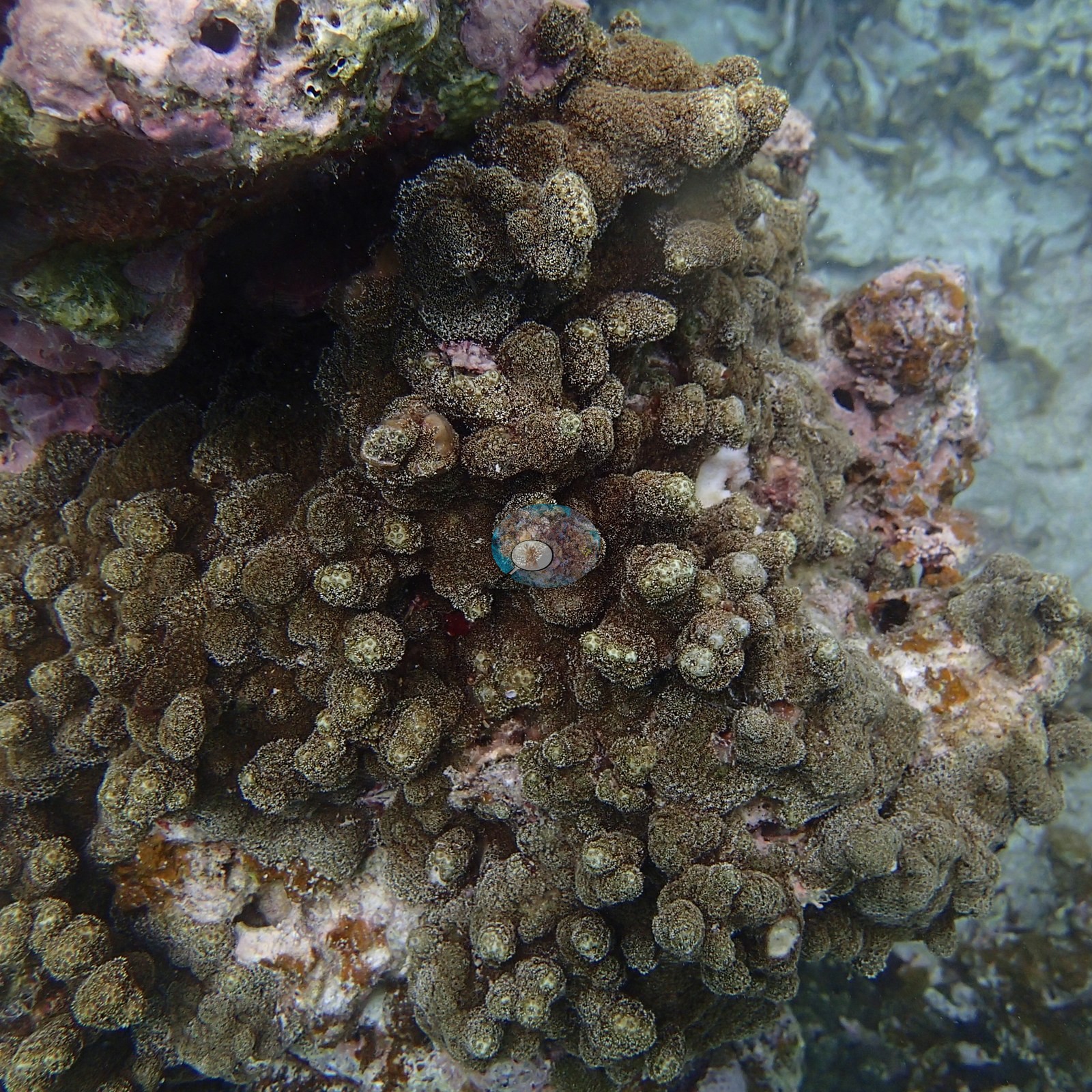
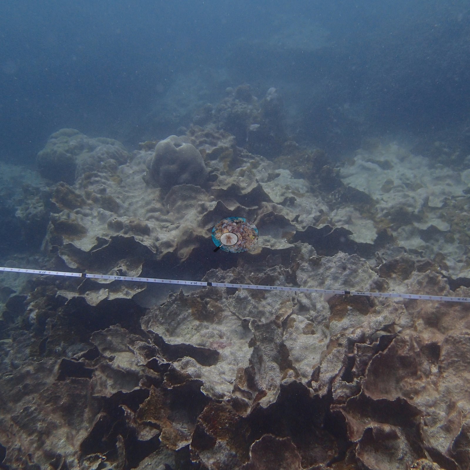
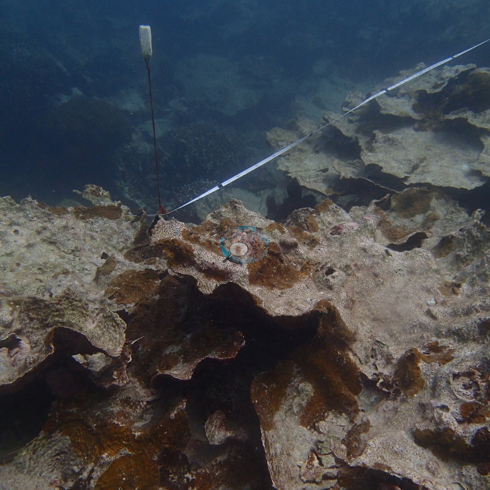
Dongsha, Taiwan (NOAA CRW virtual station)Site 12 at Dongsha Atoll is a field of thin, tiered plate corals, many of them dead and silt-covered (Anderson's field sheet: mostly Echinopora rubble, low live cover), broken up by a dense thicket of living branching coral. A transect tape runs across two of the frames, though that survey's results are not on the map.
東沙環礁 12 號測站是一片薄而層疊的片狀珊瑚,其中不少已死亡並覆有沉積物(Anderson 的野外紀錄表:大多為 Echinopora 碎屑,活珊瑚覆蓋率低),中間穿插一叢密集的活分枝狀珊瑚。其中兩張照片可見一條穿越線捲尺,惟該調查結果並未呈現於本地圖。
本摘要由 AI 翻譯;以英文版本為準。
Site description
General benthic features
The habitat is a foliose plate-coral field. Broad, thin, whorled plates (Echinopora, Anderson's field call; the sheet calls the site mostly Echinopora rubble with low live cover) are stacked across the substrate in overlapping tiers; across most of the frame area they are dead, dull gray-white, and coated with silt and fine turf, with a scatter of dark brown plates that still look pigmented among them (e.g., Image 1, Image 7).
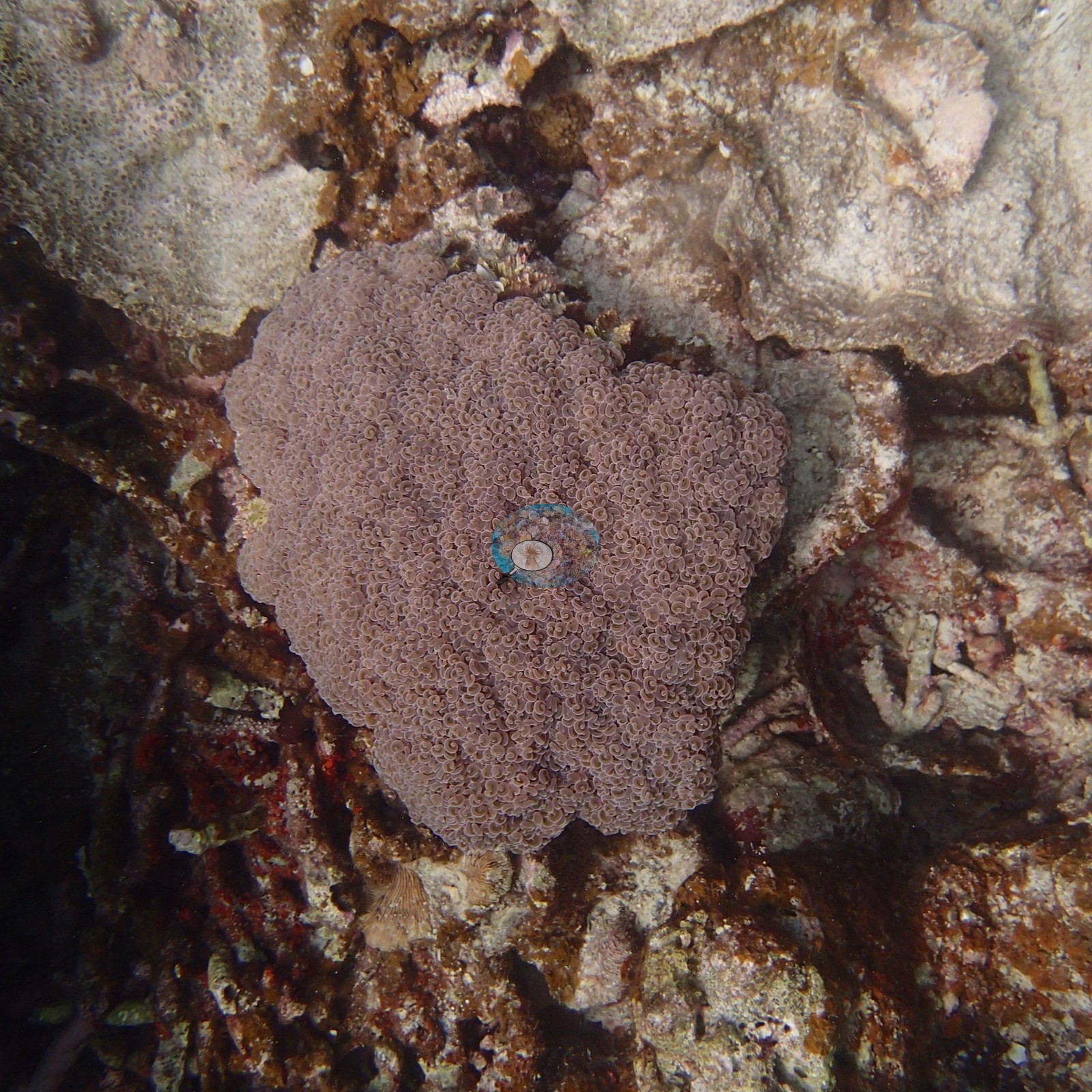
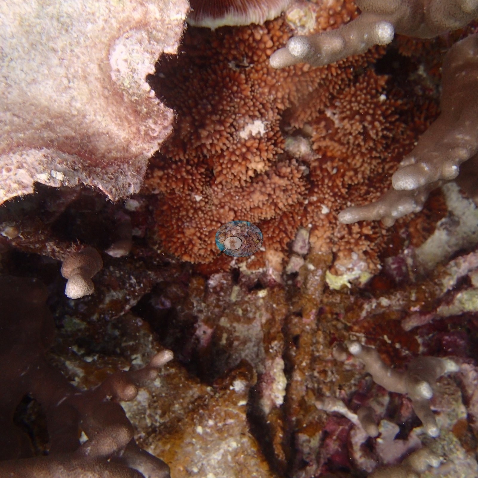
Against that background sit two conspicuous exceptions: a dense standing thicket of brown-pink digitate branching coral that fills one frame edge to edge, and, in the close-up frames, a mauve-pink encrusting plate, a bright orange-red colony with dense fine polyps, and a healthy-looking olive knobby colony (e.g., Image 2, Image 3, Image 4, Image 8).
Coral cover
- No coral cover figure is reported for this site.
- A transect tape appears in two of the photographs (see Other notes), but no cover value from that survey is published here, and the eight photographs are a site record, not the survey result.
Stressors
Anderson's Dongsha sample sheet describes Site 12 (Dive 3, 4 April 2016) as mostly Echinopora rubble with low live cover; it does not name a cause. The sheet files no colony under Site 12 (all 12 rows from that day are Site 13), so it records no bleaching or disease here but cannot show that none occurred. No crown-of-thorns starfish (COTS) or other corallivores were evident.
Comparisons with other data
We found no other surveys at this site as of 2026. If you would like to share yours, please email us.
Dive record
Anderson's Dongsha sample sheet logs the dive here as Dive 3 on 4 April 2016: in at 13:55, 43 minutes, maximum depth 8.3 m (the camera's frames run 13:56–14:06). No water temperature was recorded for this site.
Other notes
Site 12's folder holds 8 frames, all reviewed; a fiberglass transect tape runs across two of them, anchored at a marked stake (e.g., Image 5, Image 6).
The eight frames are a small sample and the station is not otherwise characterized on this site, so nothing beyond what is in them is asserted here. Approximate position: no GPS was recorded for this dive (Dive 3, 4 April 2016, 13:55); the coordinate embedded in Anderson's camera's frames is a stale fix from the morning's Site 13 dive, so it is not used.
Data & links
All images from Coral Reef Diagnostics.
© Coral Reef Diagnostics.