
BVI - Necker Island snorkel

More about this place: Necker Island (Virgin Limited Edition)
2026-07-02
More info
Virgin Islands (NOAA CRW virtual station) · Eastern Caribbean ecoregion mean=13.1°C-heating weeksA shallow fringing reef snorkeled around Necker Island, where elkhorn coral still forms living stands at Red Dock and Turtle Beach but standing dead elkhorn and staghorn rubble are just as common. Fire coral, brain corals, and gorgonians fill in, and a spotted eagle ray, spiny lobsters, and a small shark were seen.
More info
20260921Four sites at this location are mapped in teal — click a pin to open that site’s page.
Four other CRD dive sites within 5 km shown in orange — click a marker to open its page.
32 of these 50 photographs are shown beside the text that discusses them under "Site description" below.
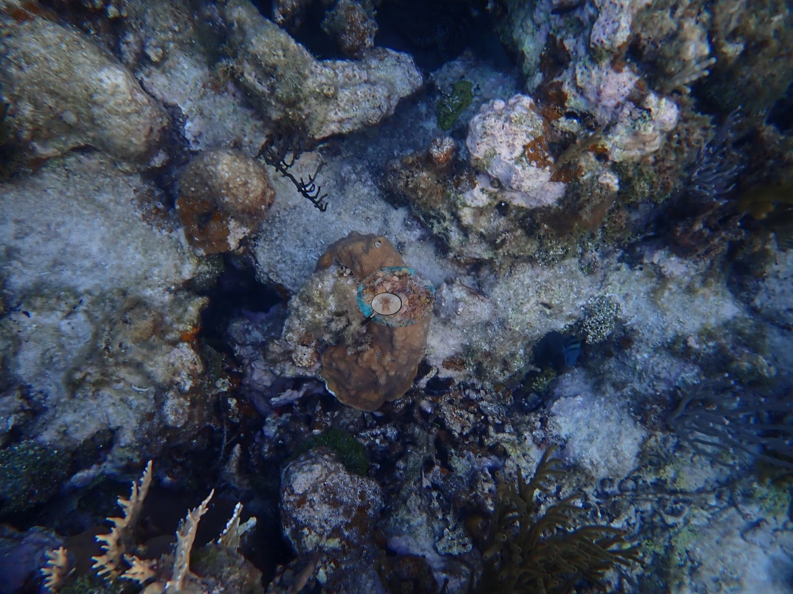
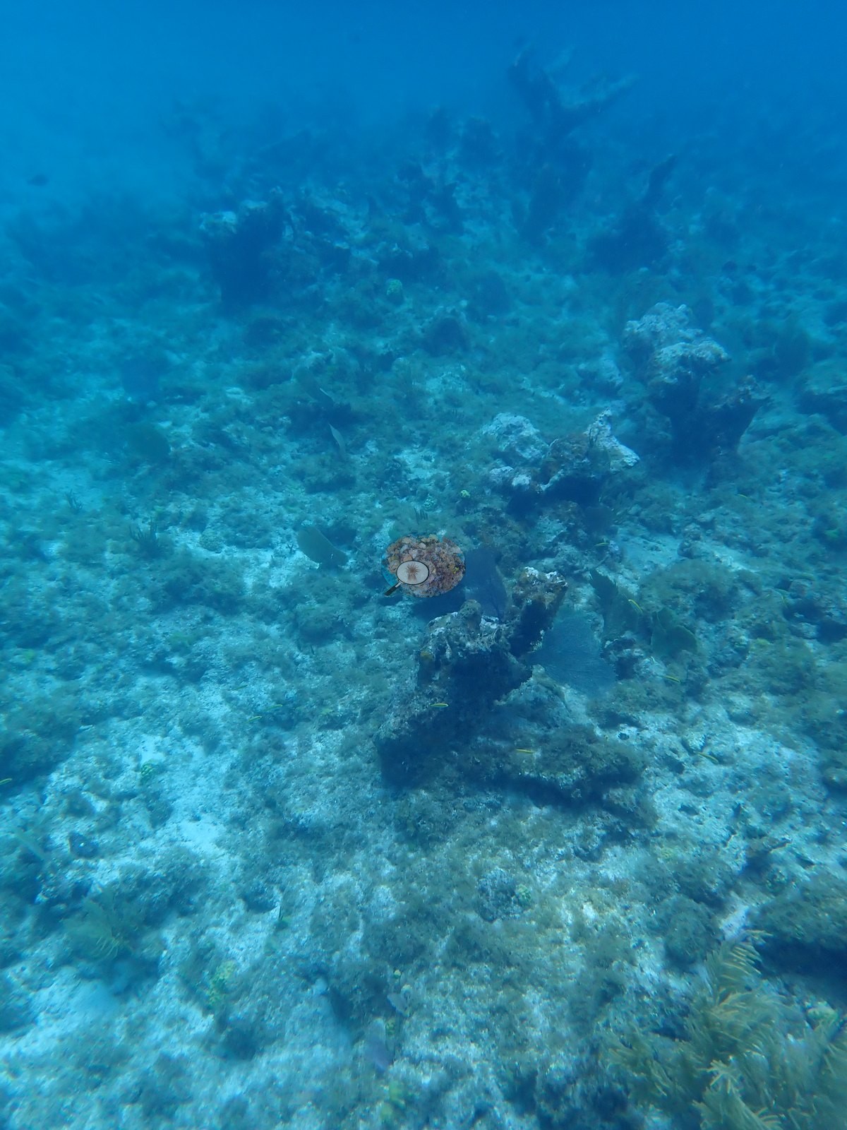
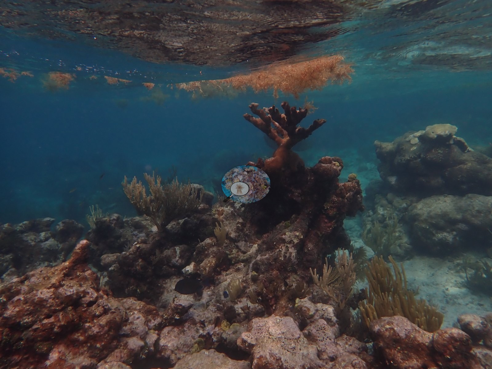
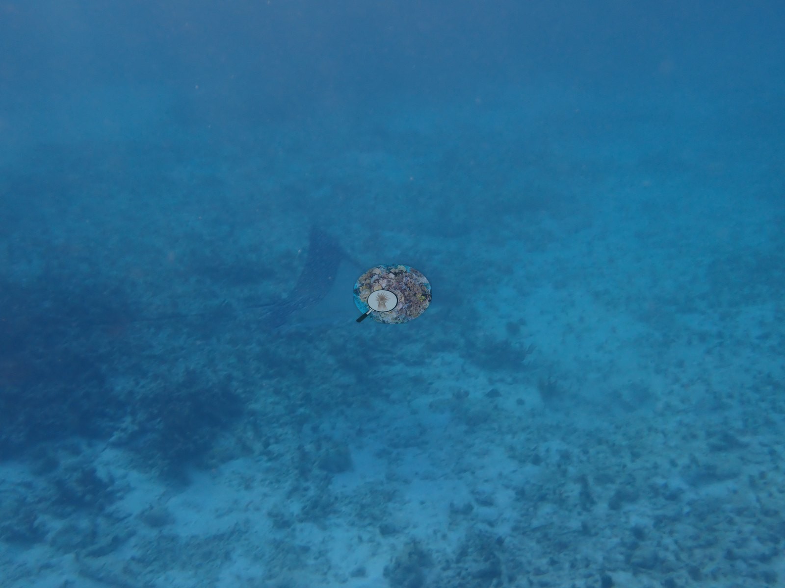
Site description
Setting
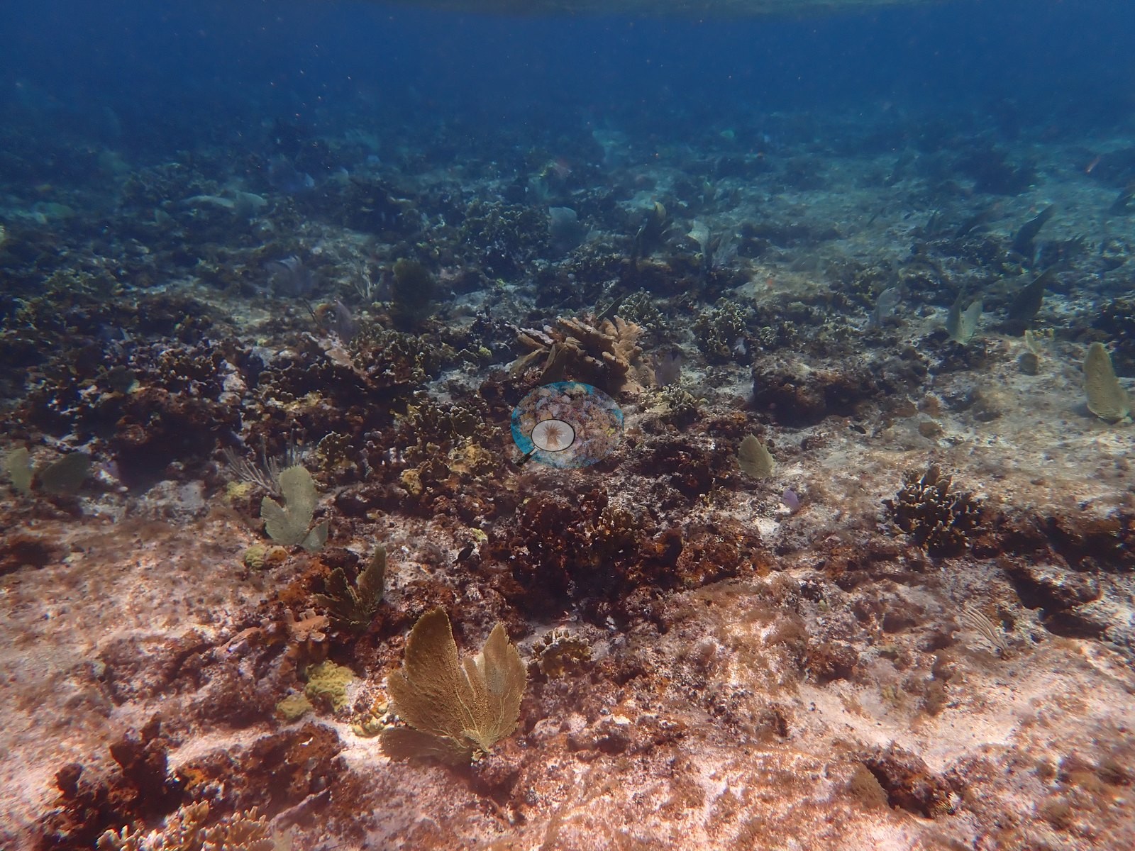
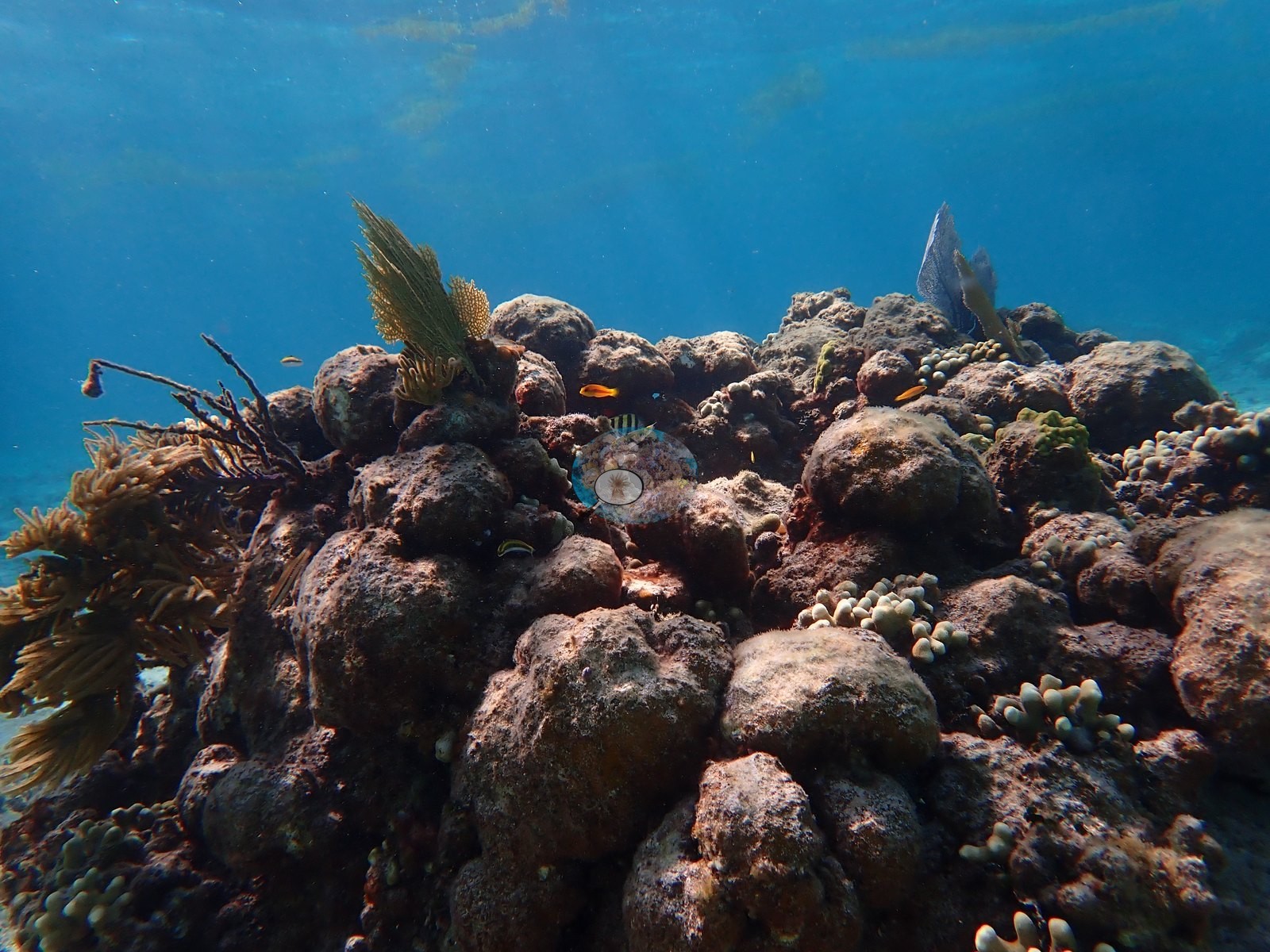
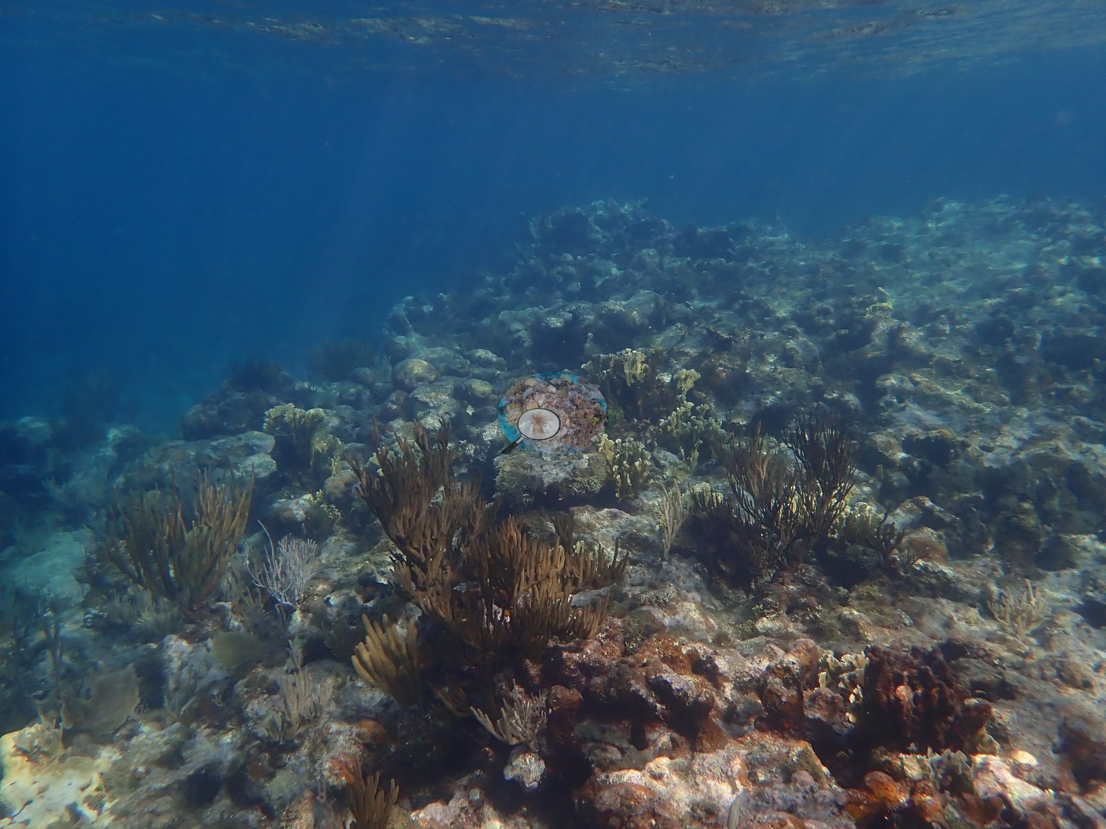
The 43 in-water frames are shallow snorkeling - the surface is in shot repeatedly, so most of this is roughly 1-5 m (e.g., Image 7, Image 12).
General benthic features
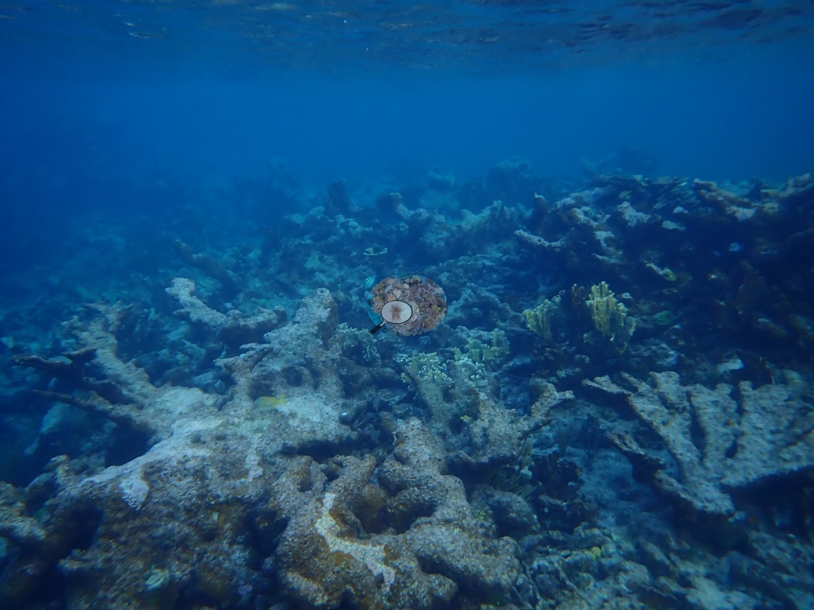
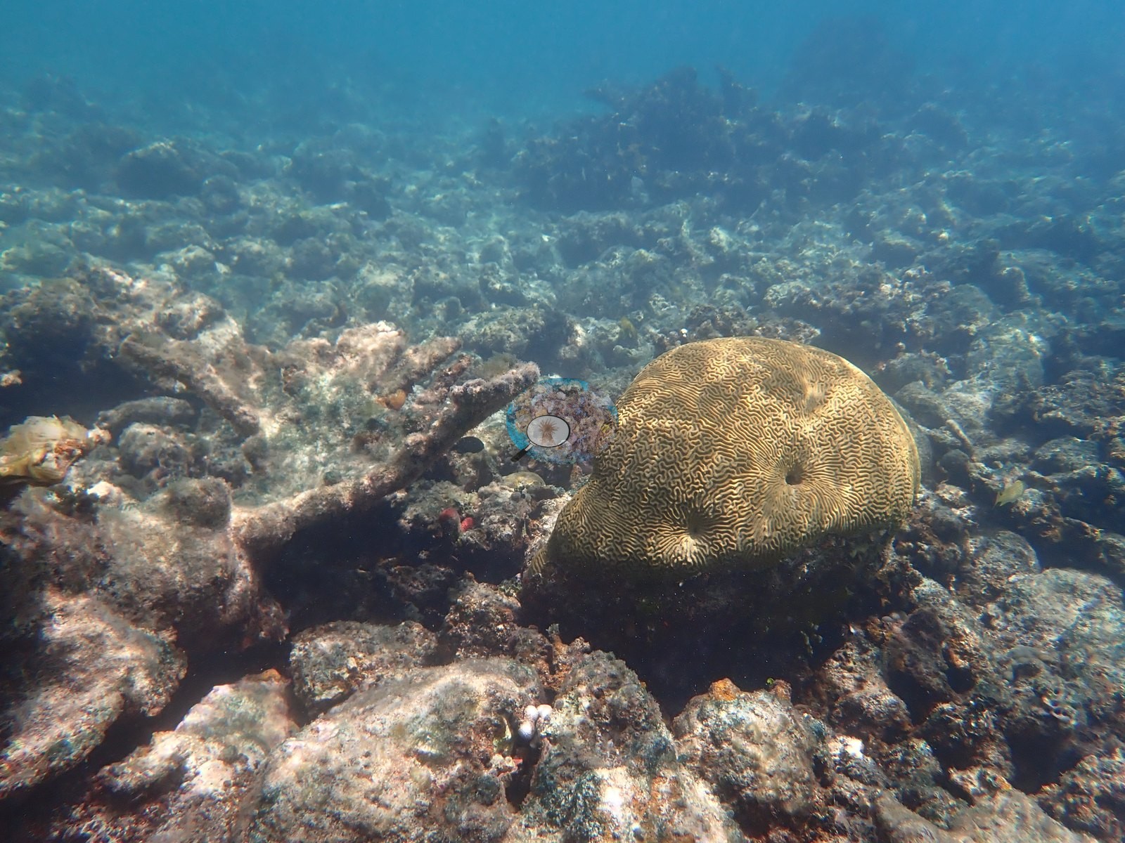
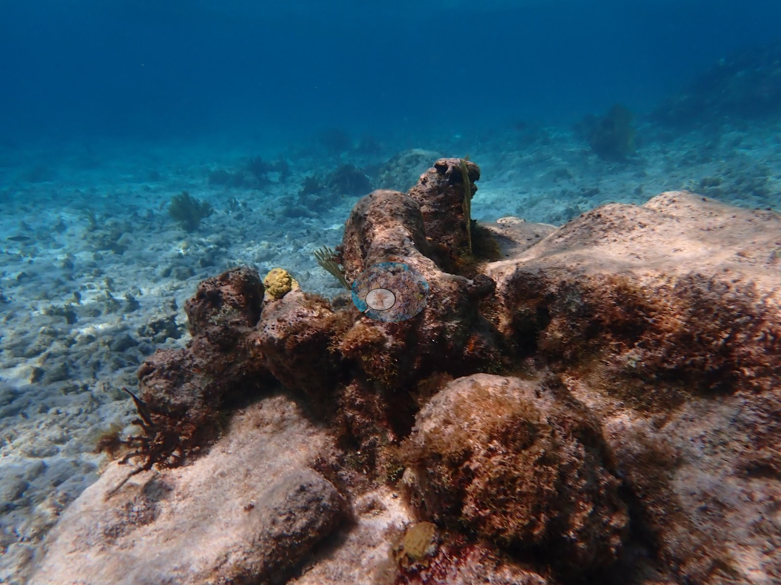
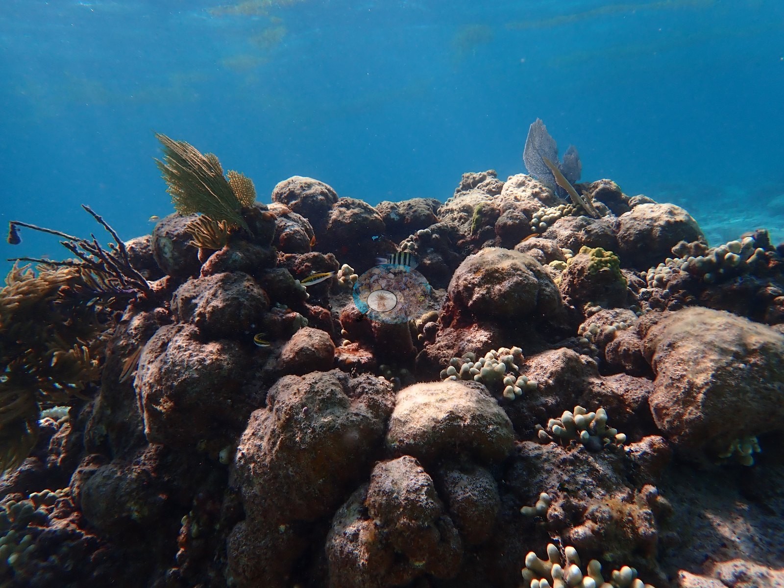
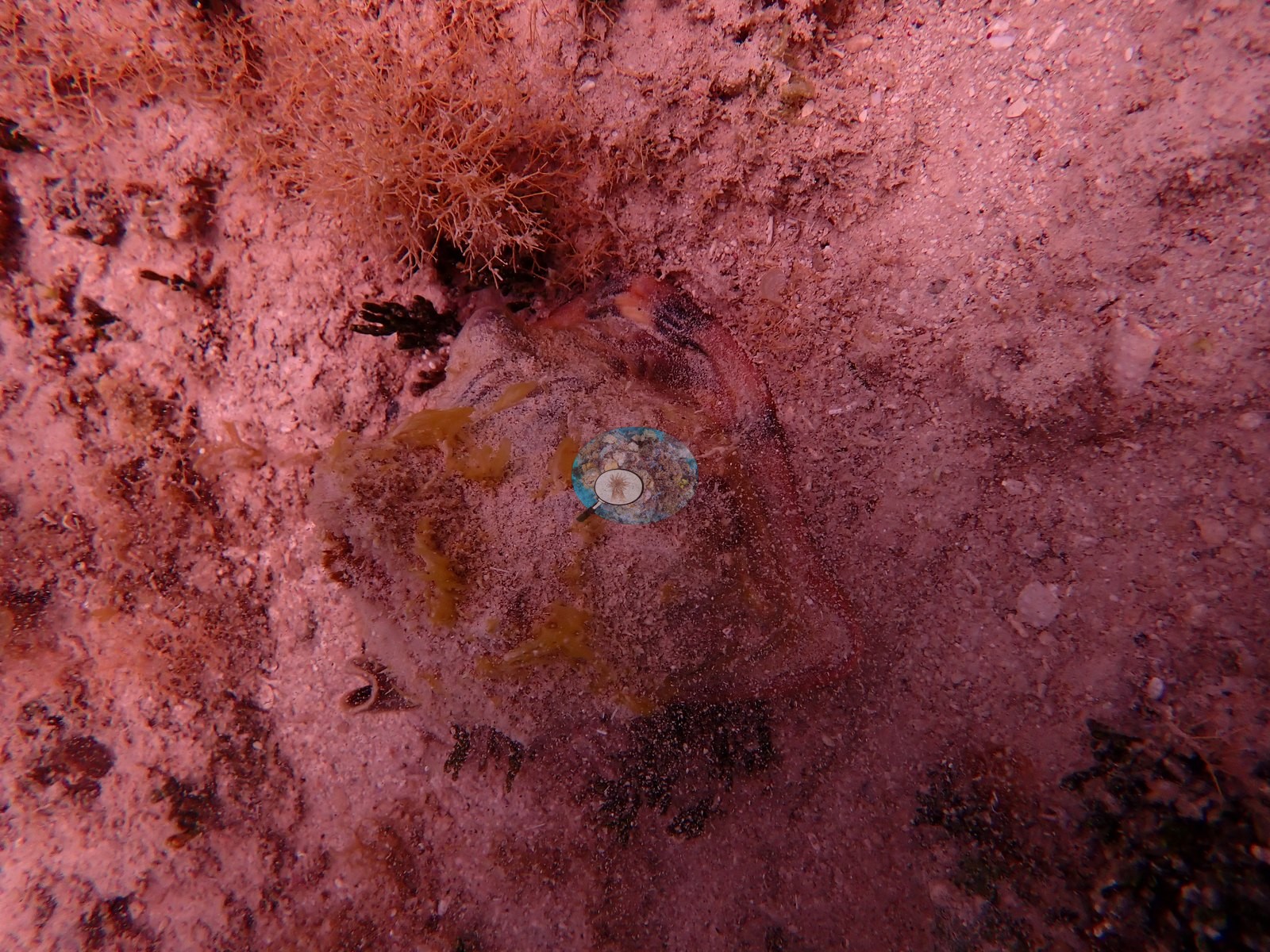
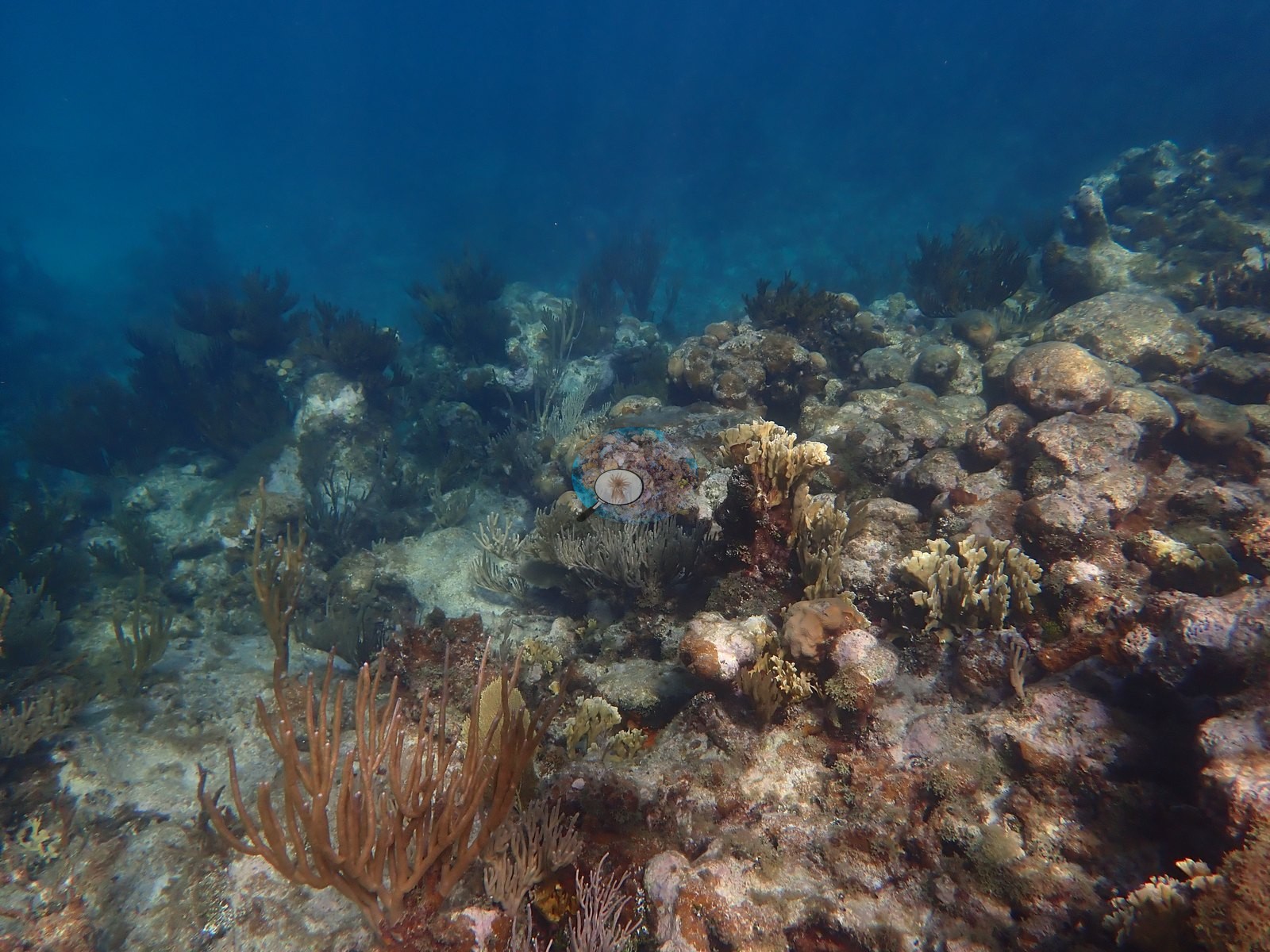
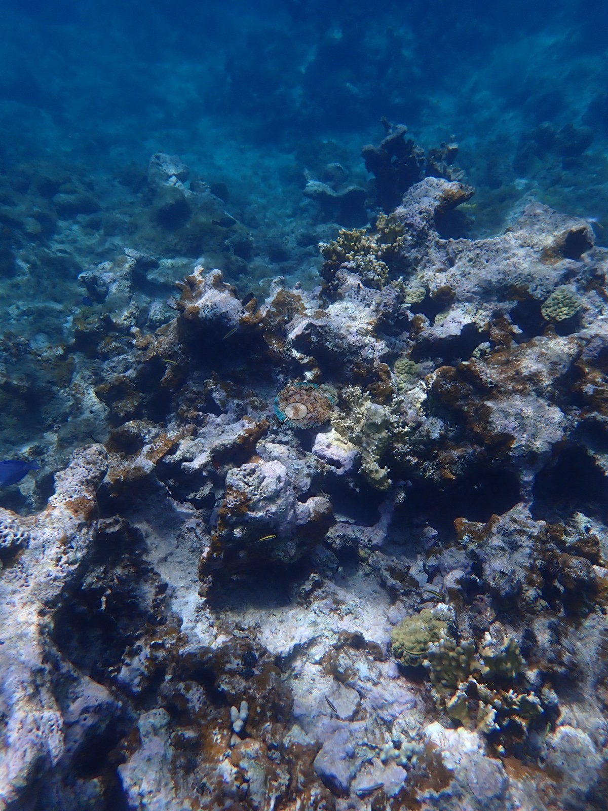
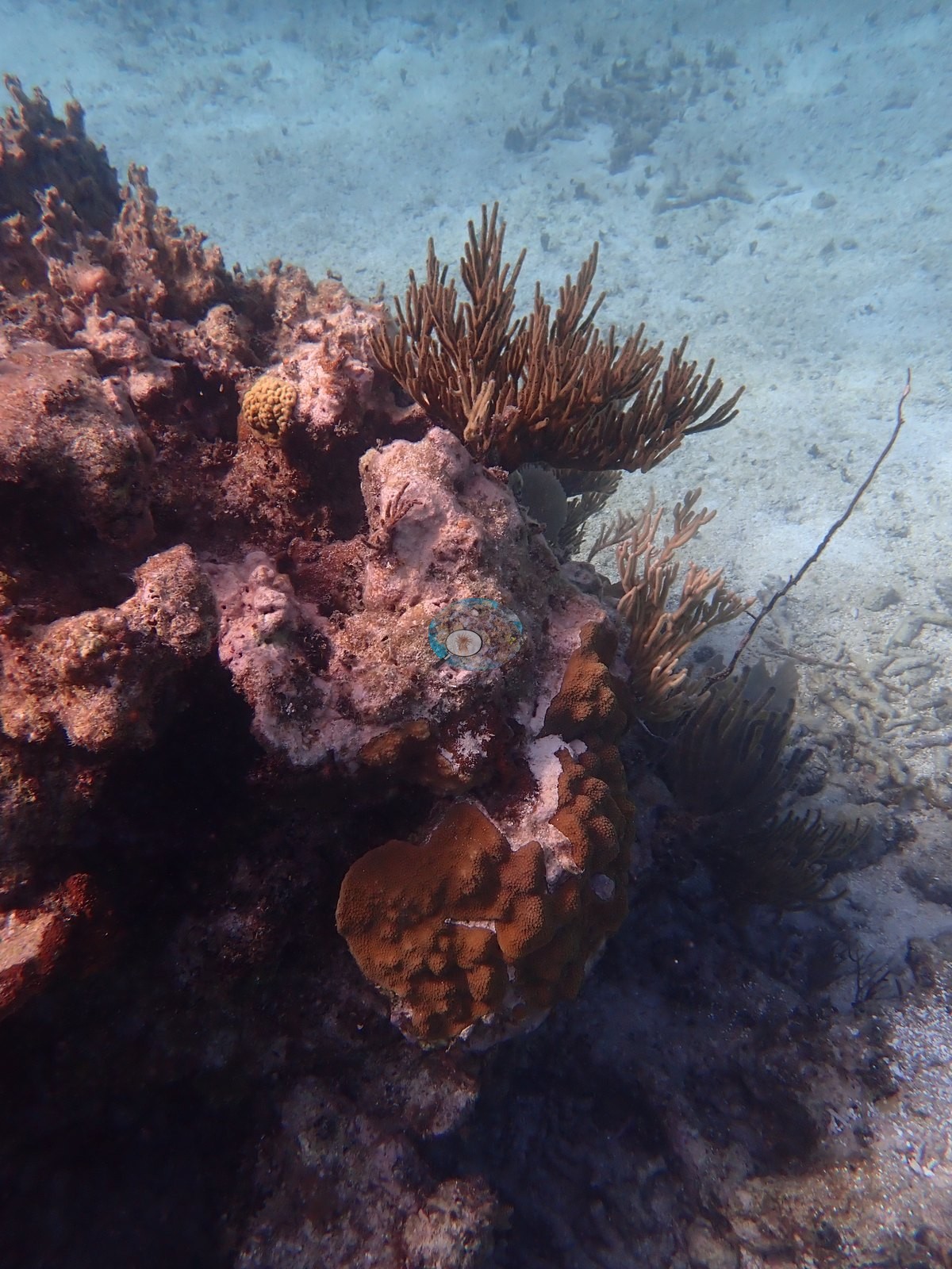
The dominant impression is structure without much live tissue. Frame after frame shows standing dead acroporid framework: whole elkhorn (Acropora palmata) thickets and staghorn (A. cervicornis) rubble fields, gray and algae-filmed, over pavement coated in red turf, crustose coralline algae, and Dictyota-type brown macroalgae (e.g., Image 10, Image 17, Image 23, Image 24, Image 27).
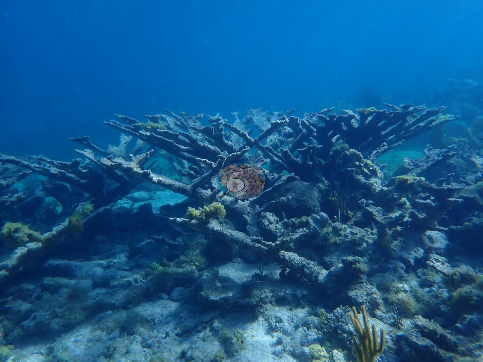
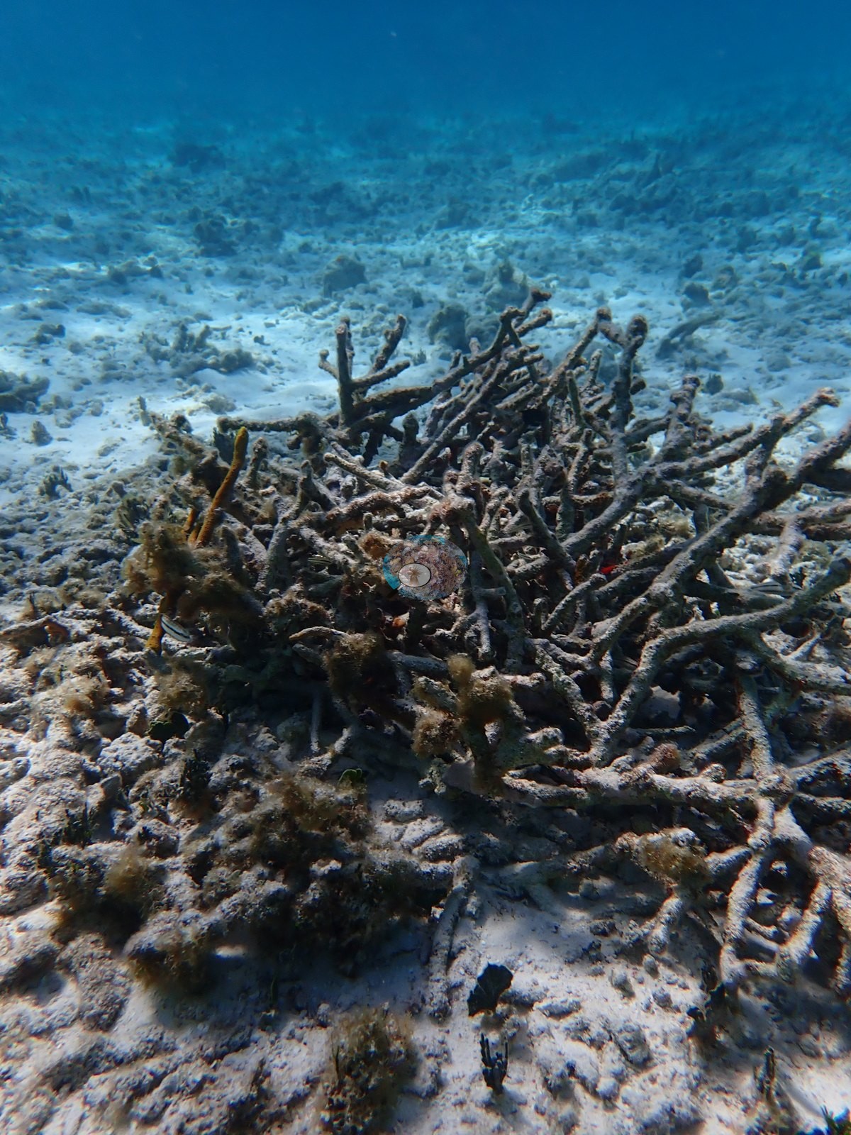
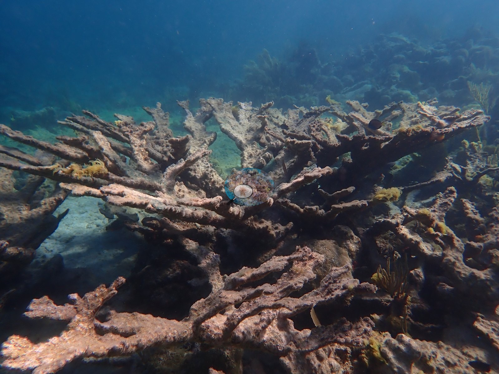
Several wide shots hold no live stony coral at all (e.g., Image 22, Image 44).
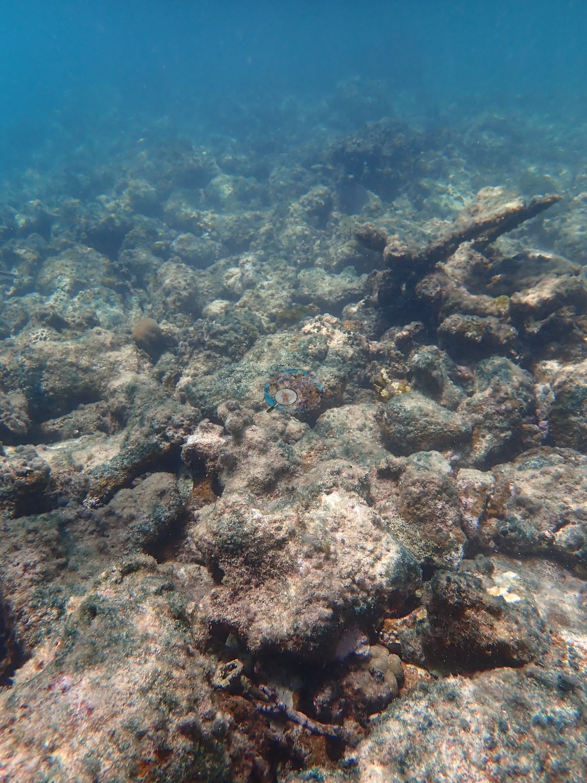
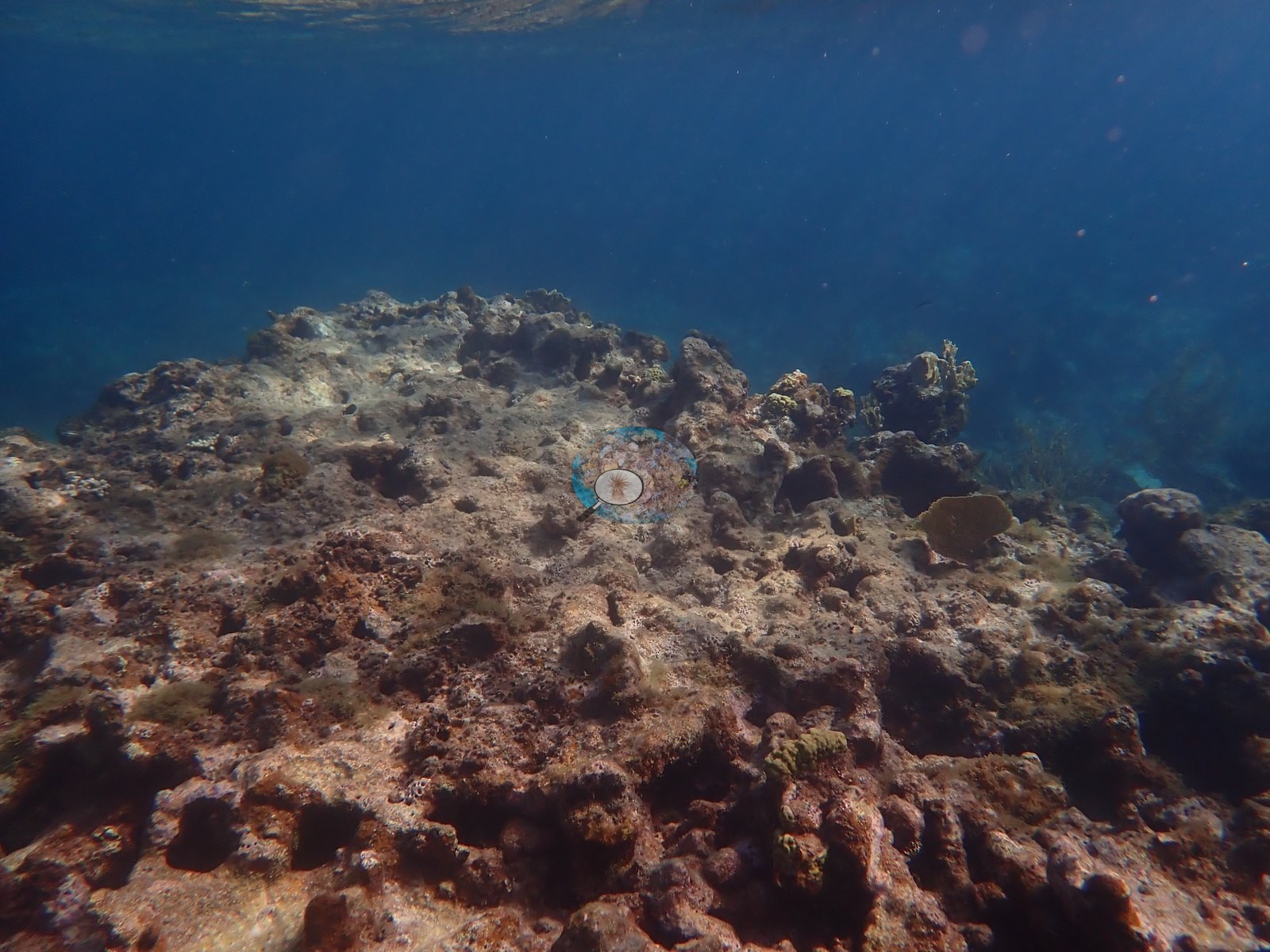
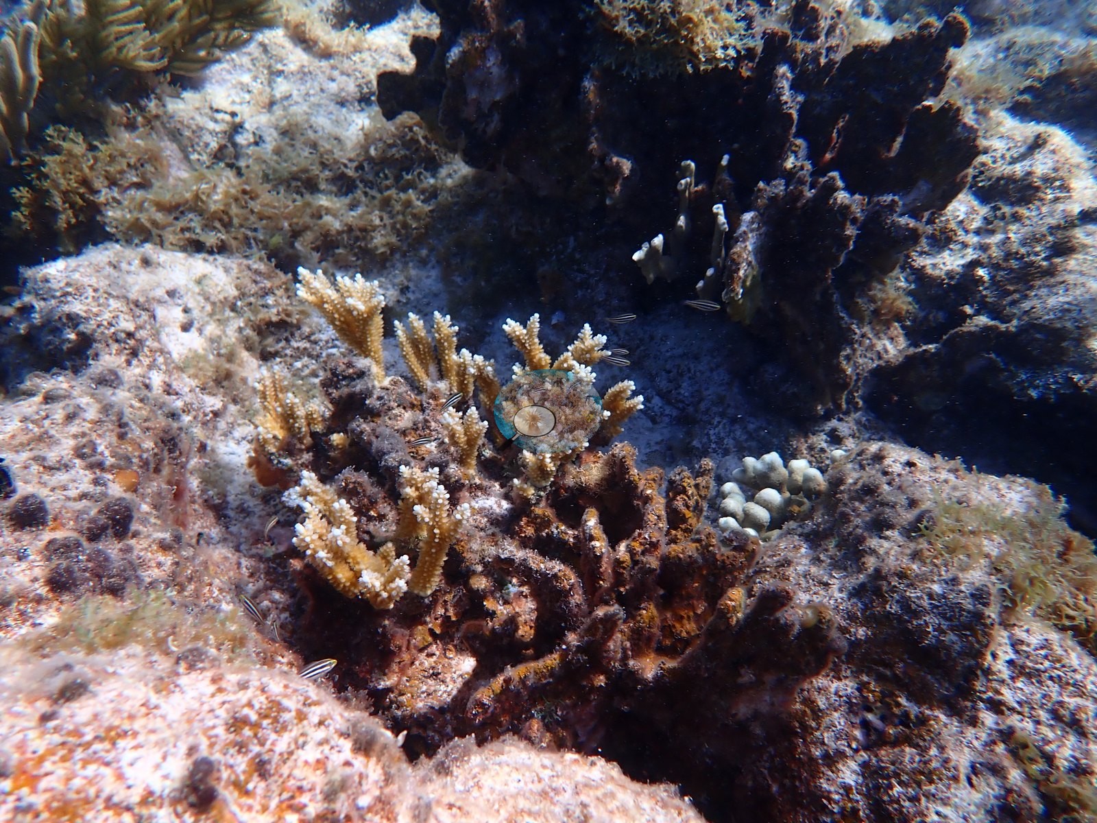
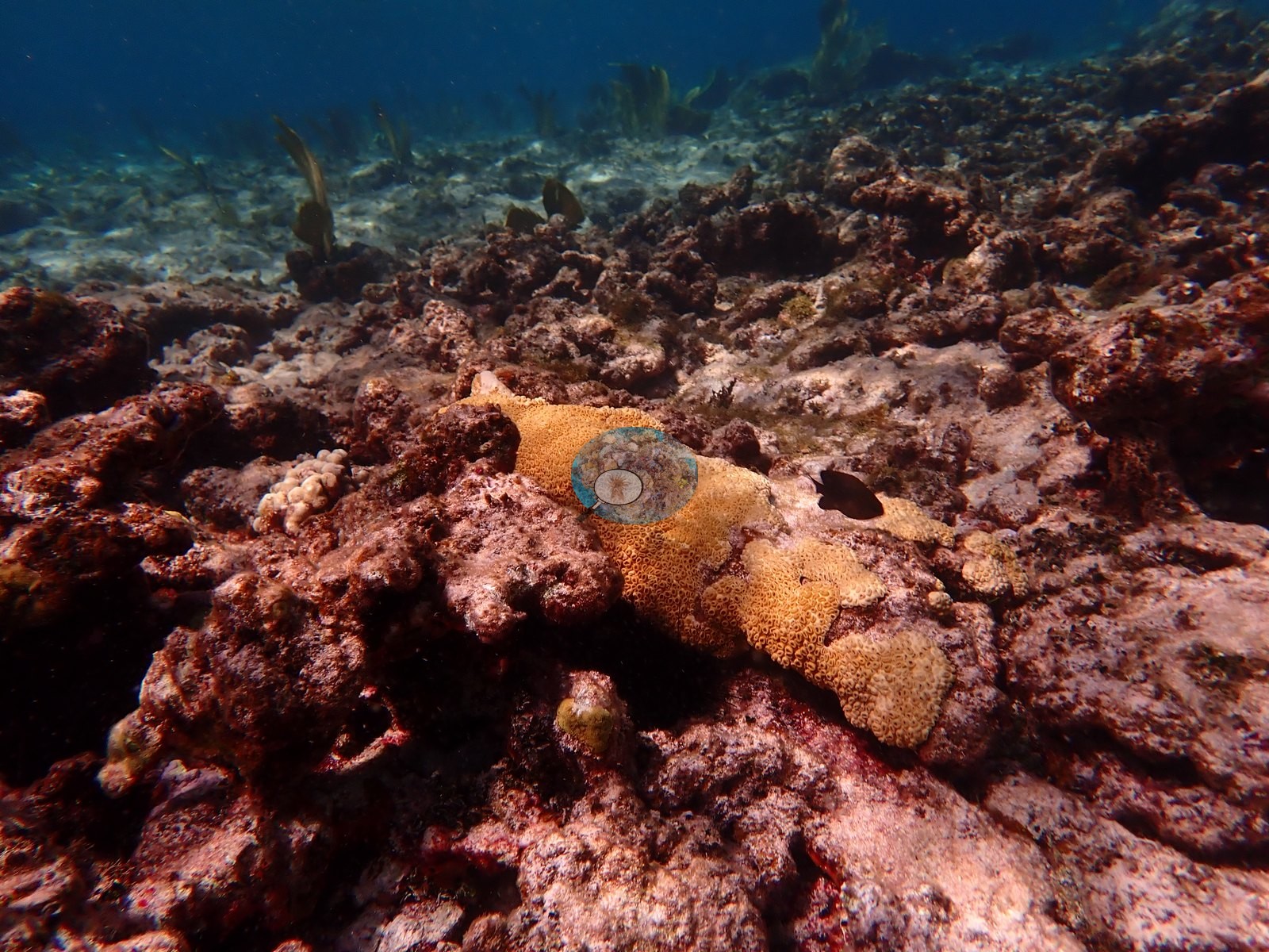
Live cover is real but patchy and small-bodied. Two frames hold live Acropora - a golden A. cervicornis thicket with white growing tips, and one substantial live A. palmata table standing alone on dead pavement (e.g., Image 25).
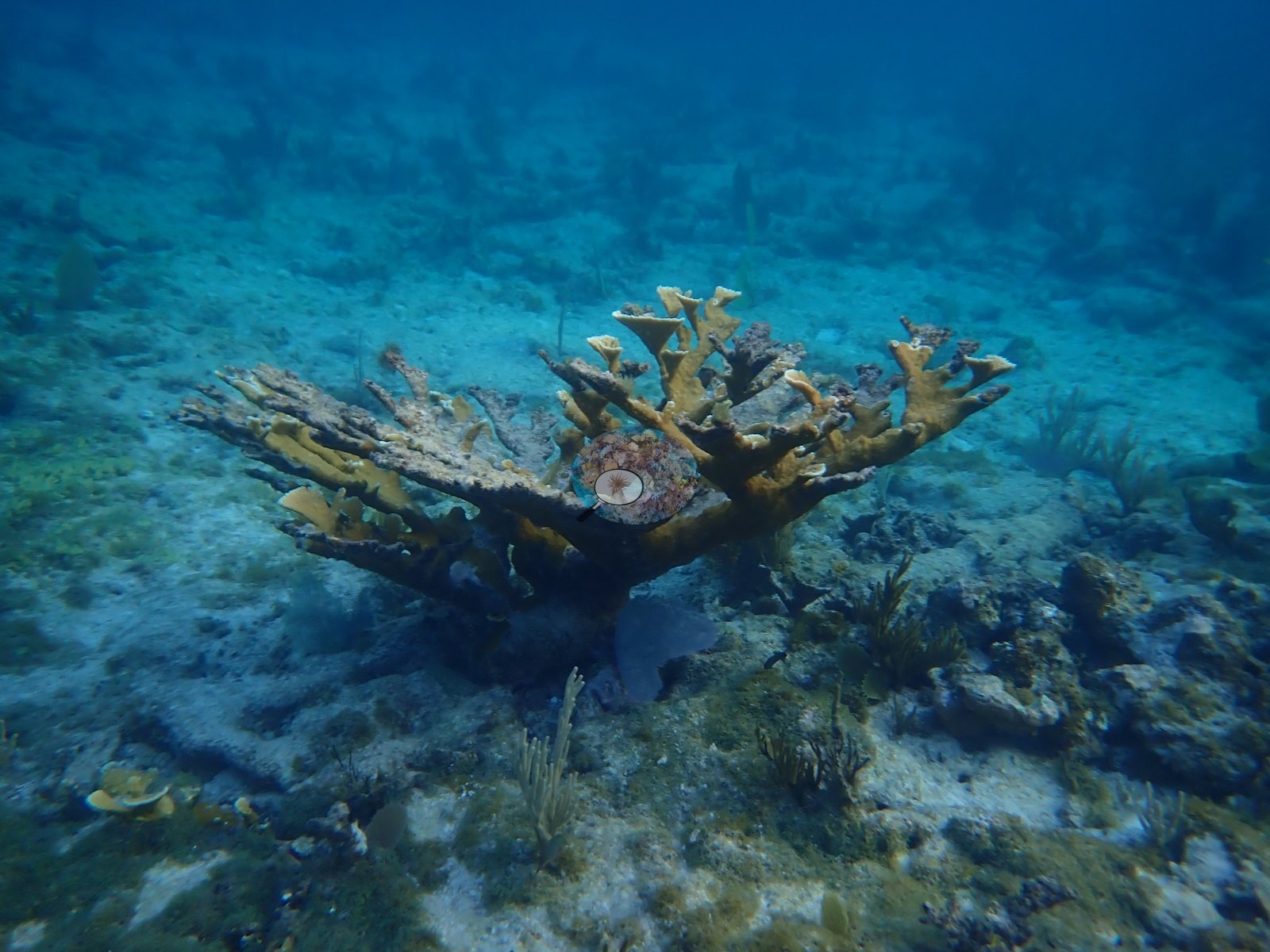
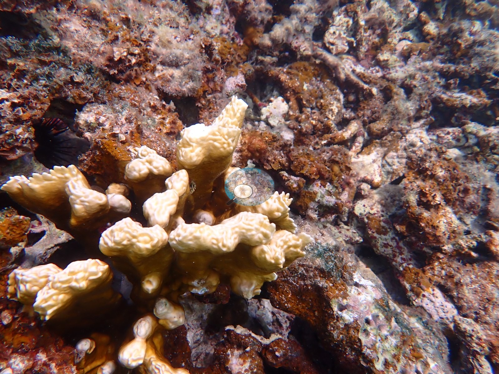
Fire coral is the most conspicuous live element - bladed Millepora complanata with white margins, and encrusting M. alcicornis sheeting over dead framework (e.g., Image 29, Image 33, Image 38, Image 42).
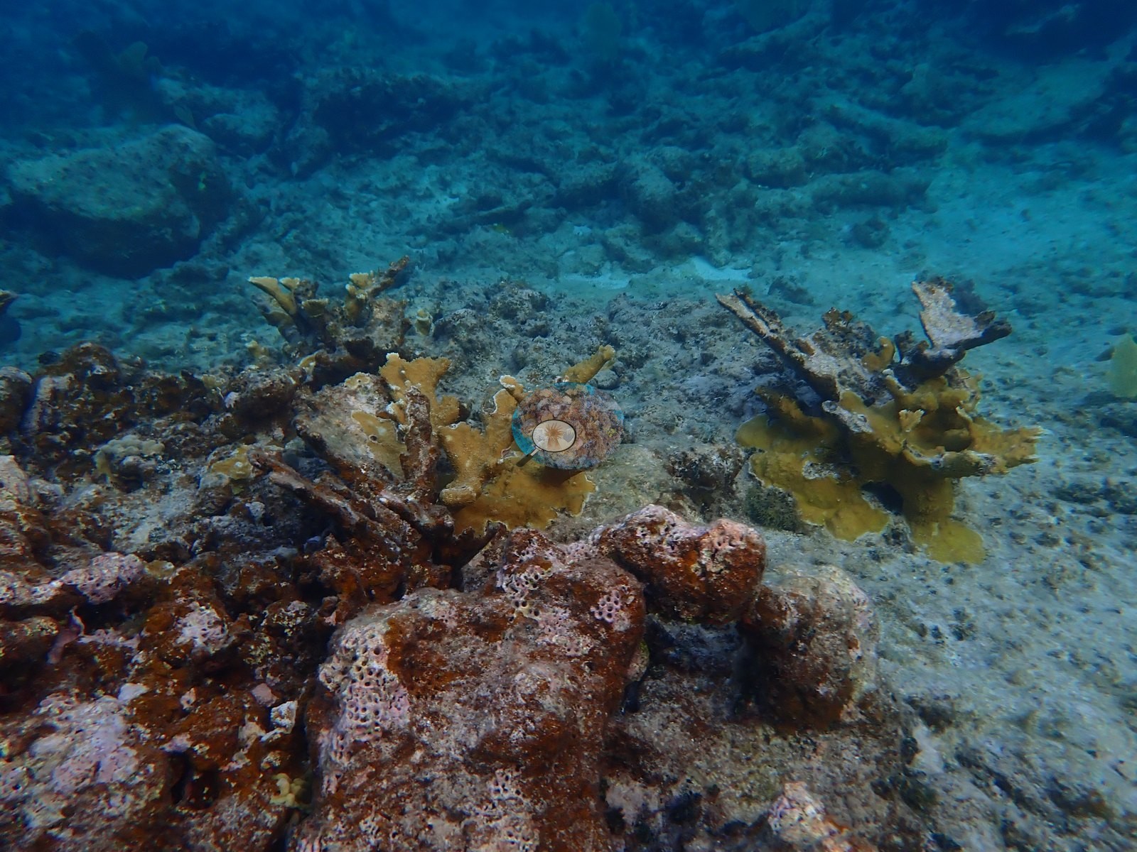
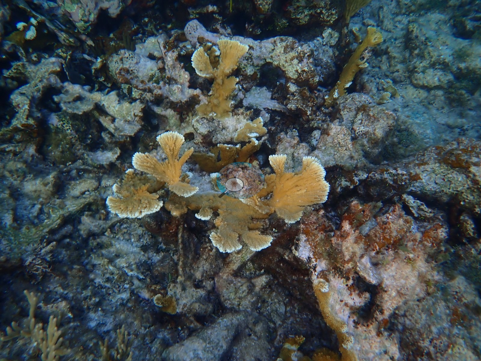
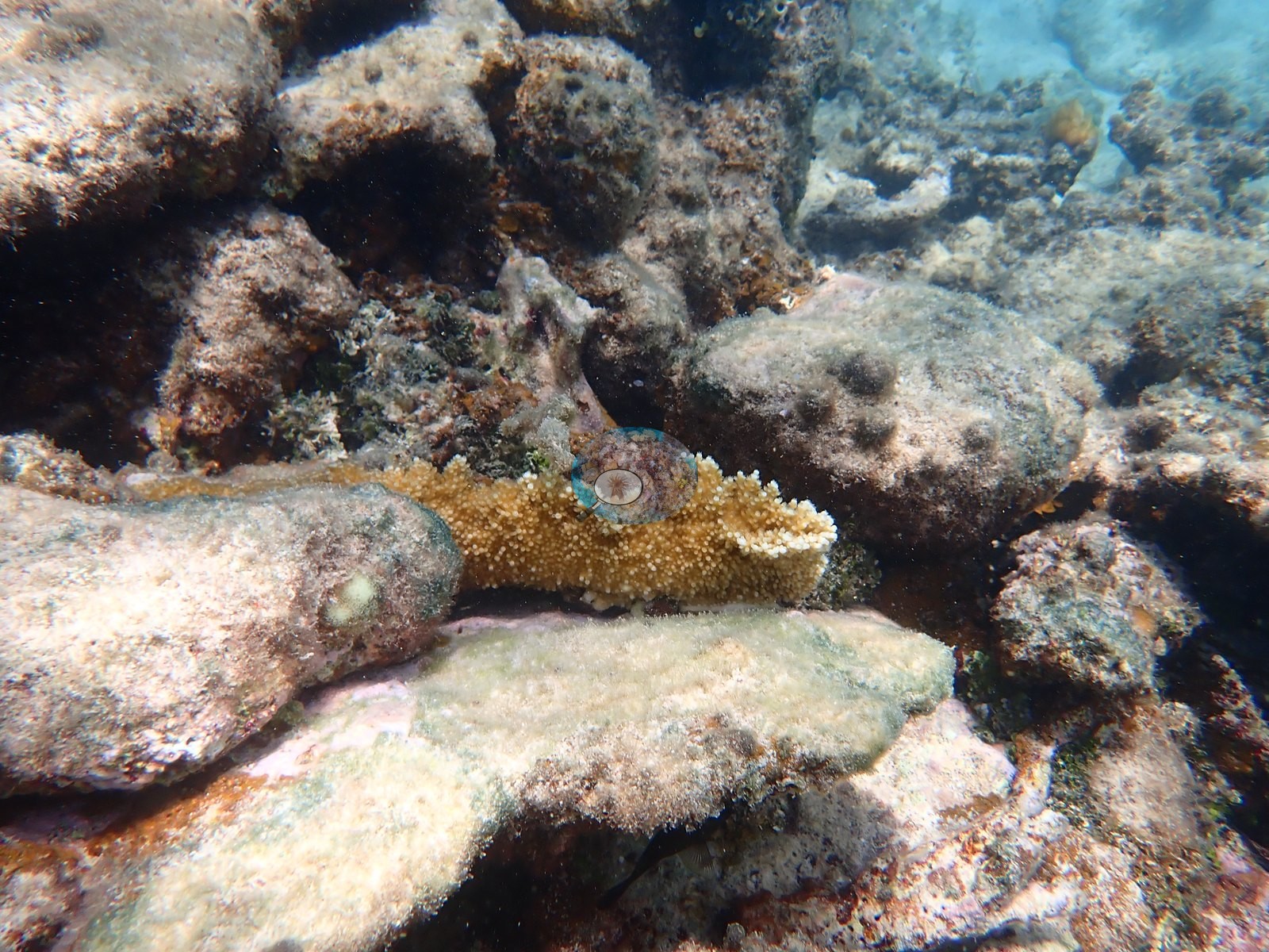
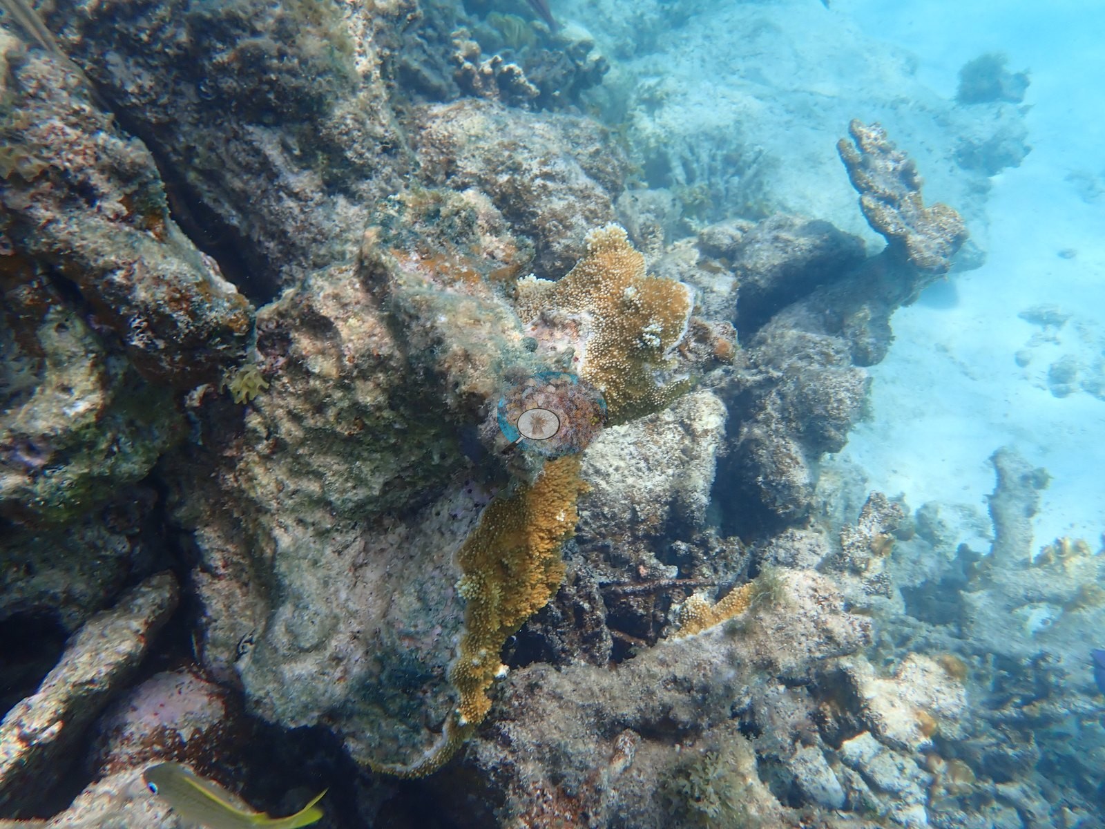
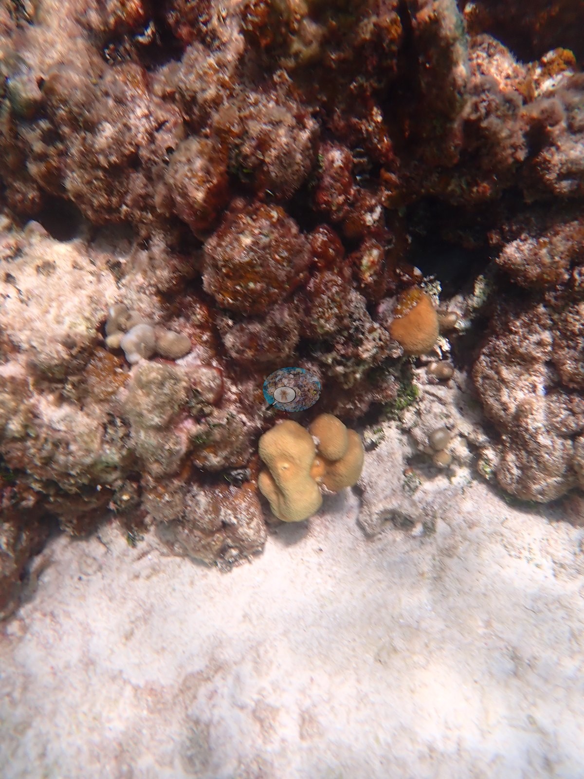
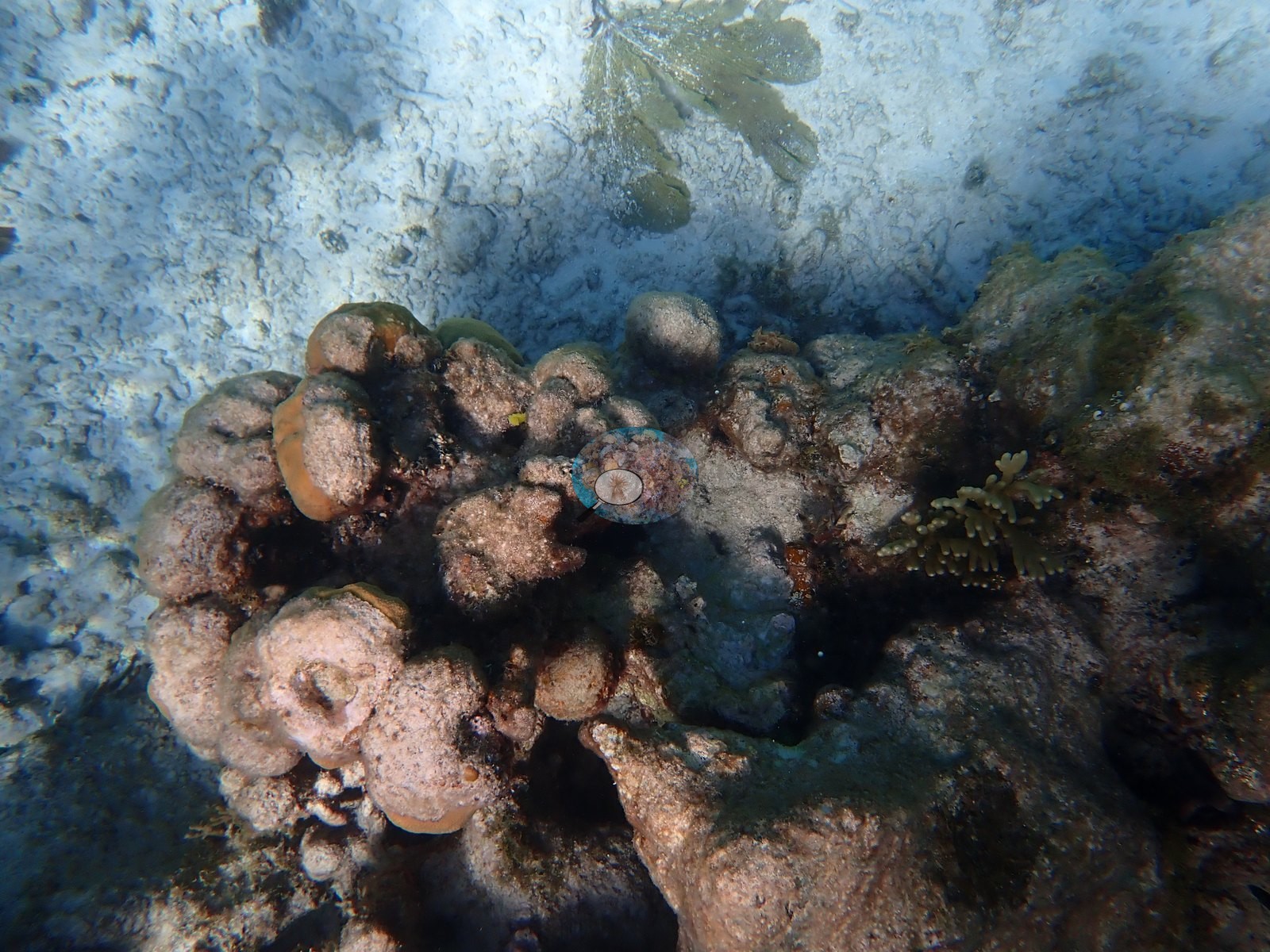
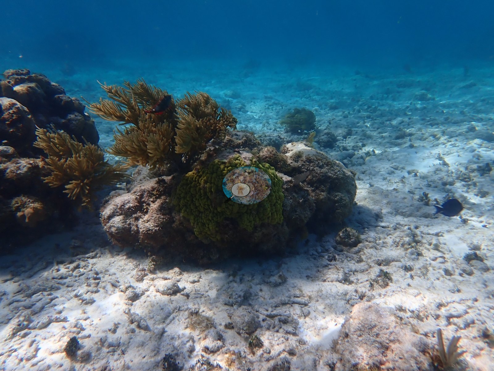
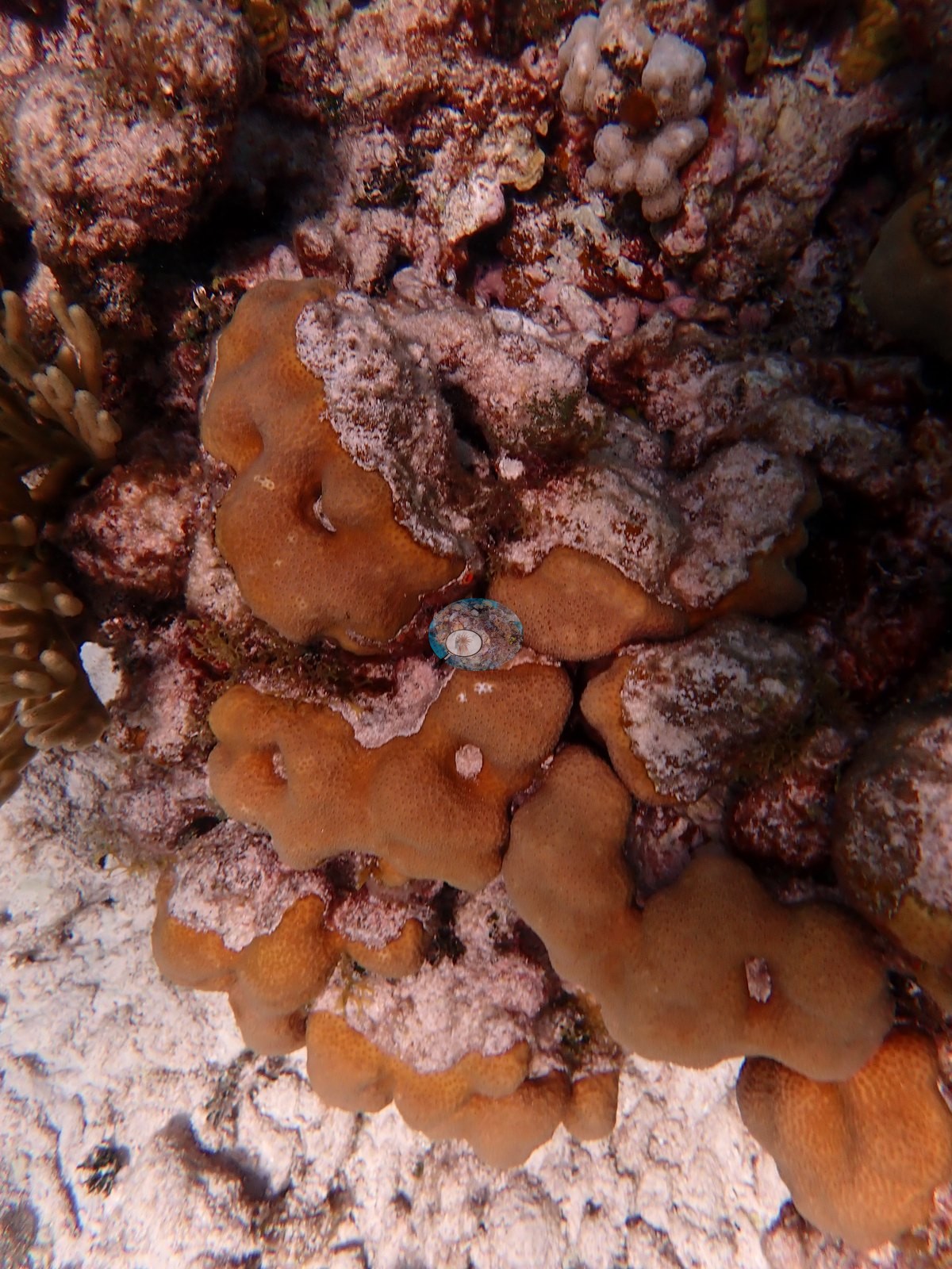
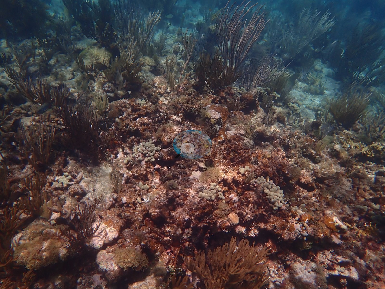
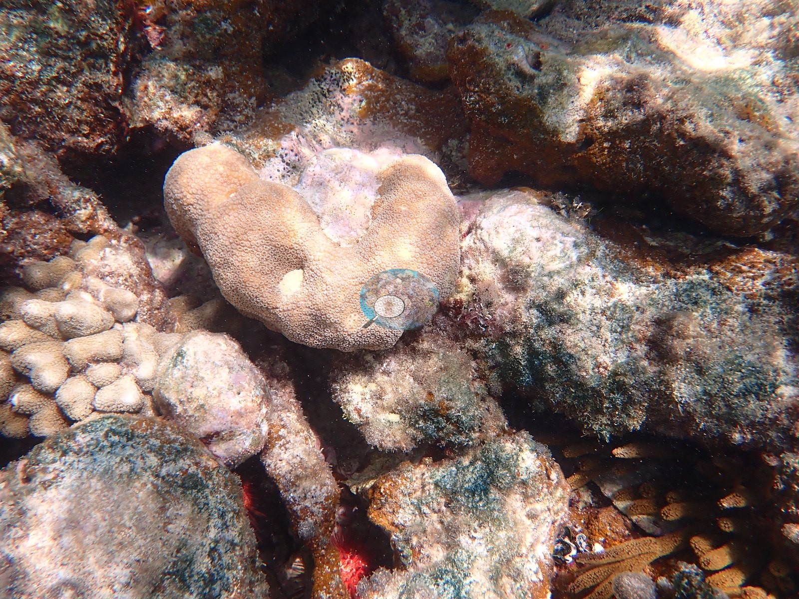
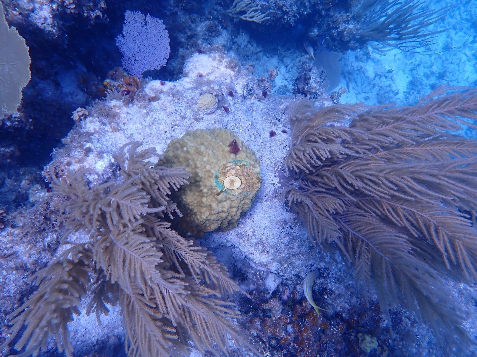
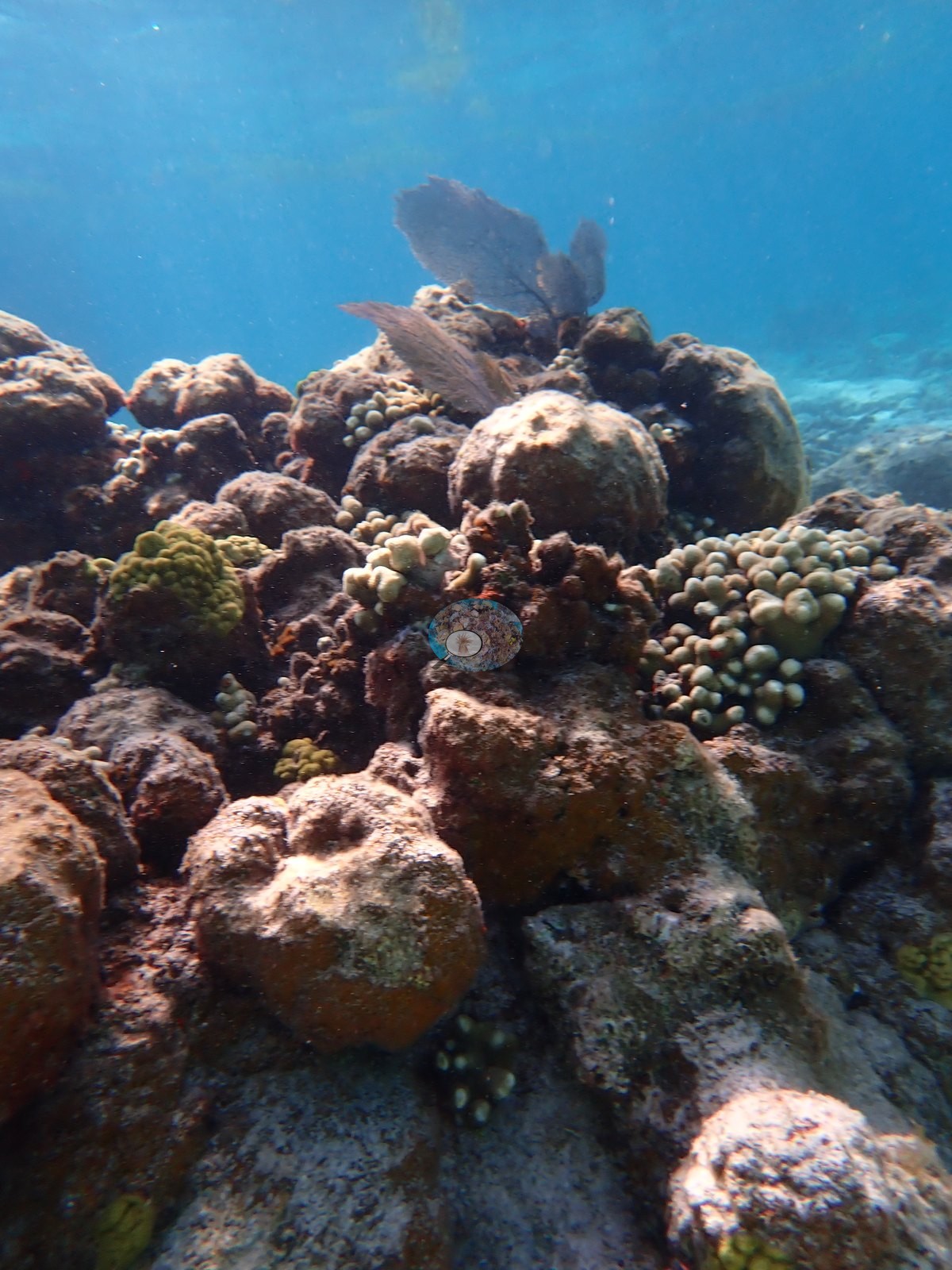
Pale cream Porites porites finger clumps sprout from turf-covered massive mounds; mustard-yellow Porites astreoides lobes recur, repeatedly with pink coralline algae overgrowing dead margins (e.g., Image 13, Image 16, Image 26, Image 34).
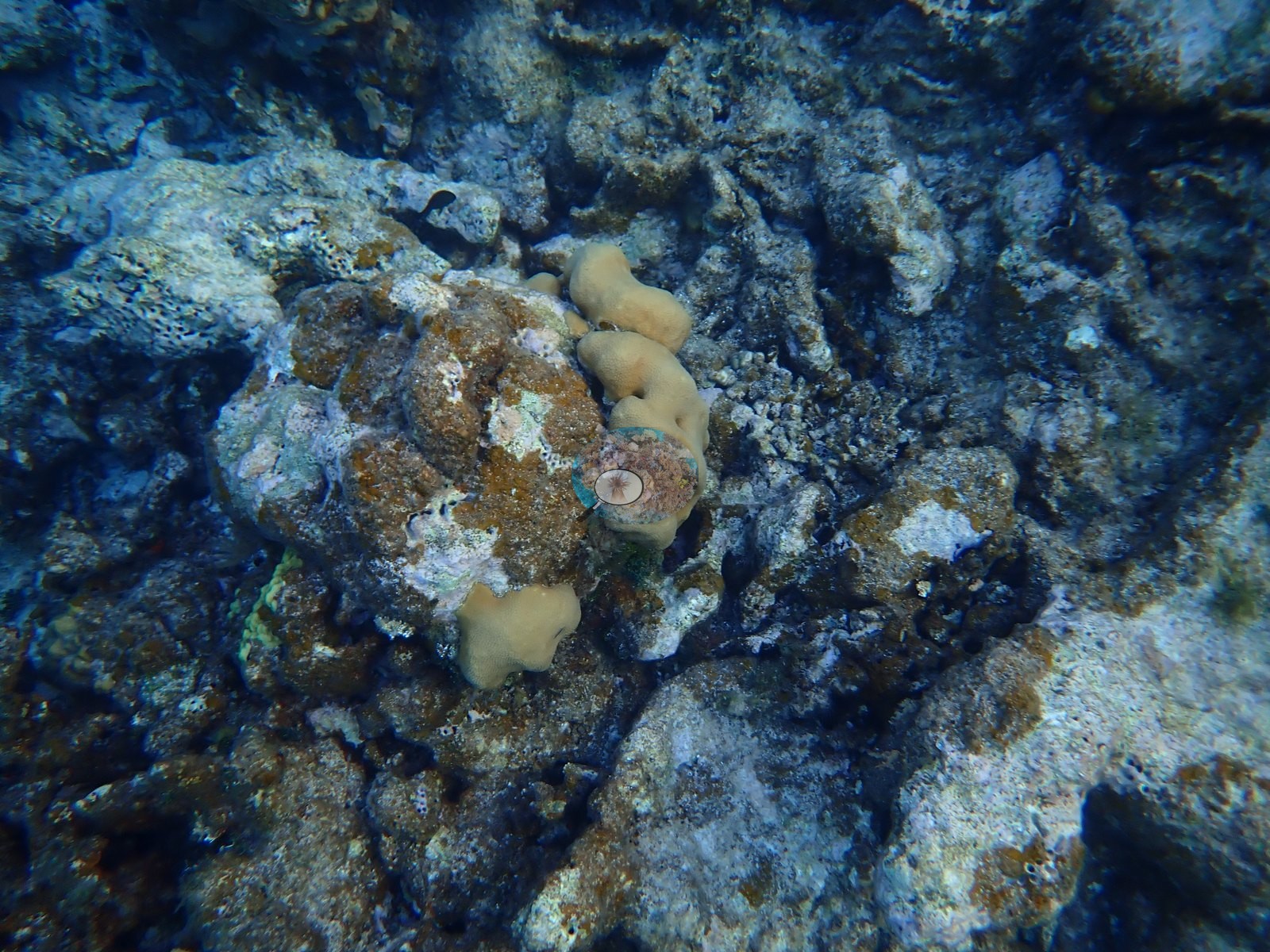
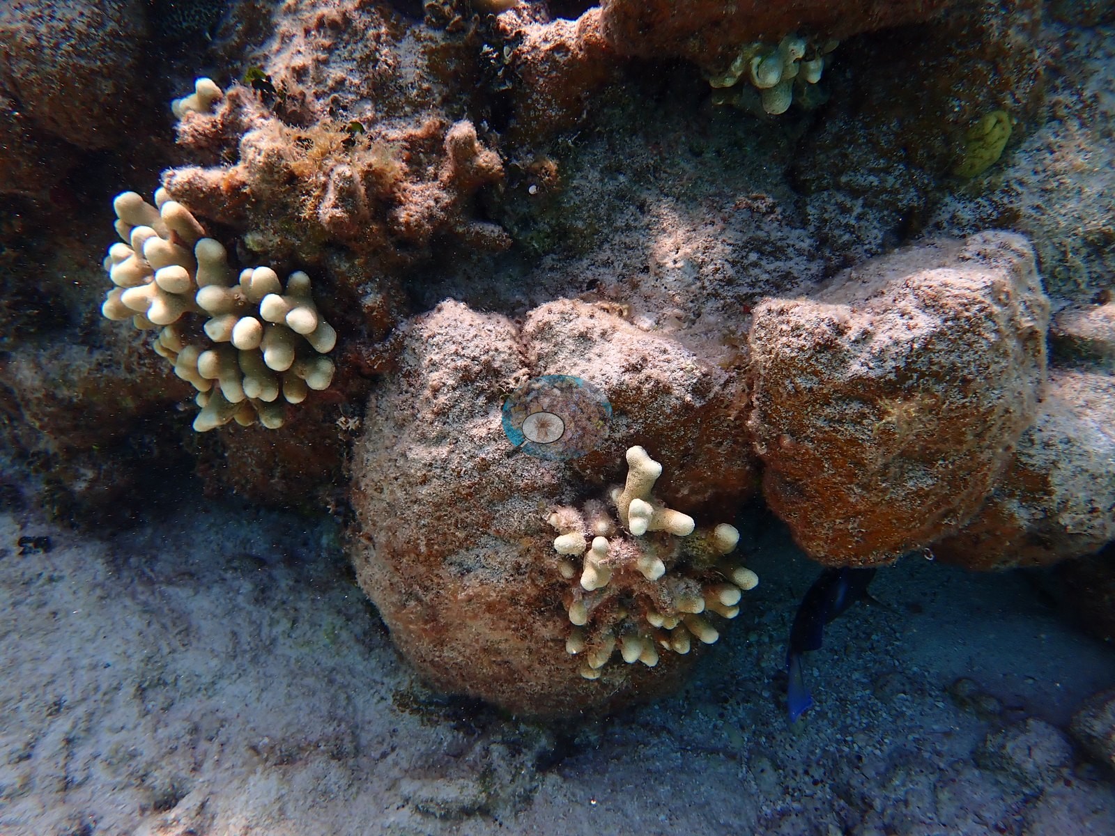
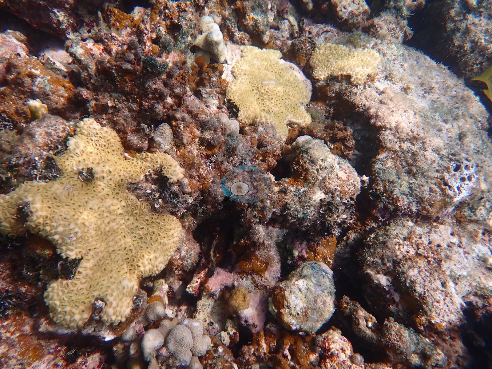
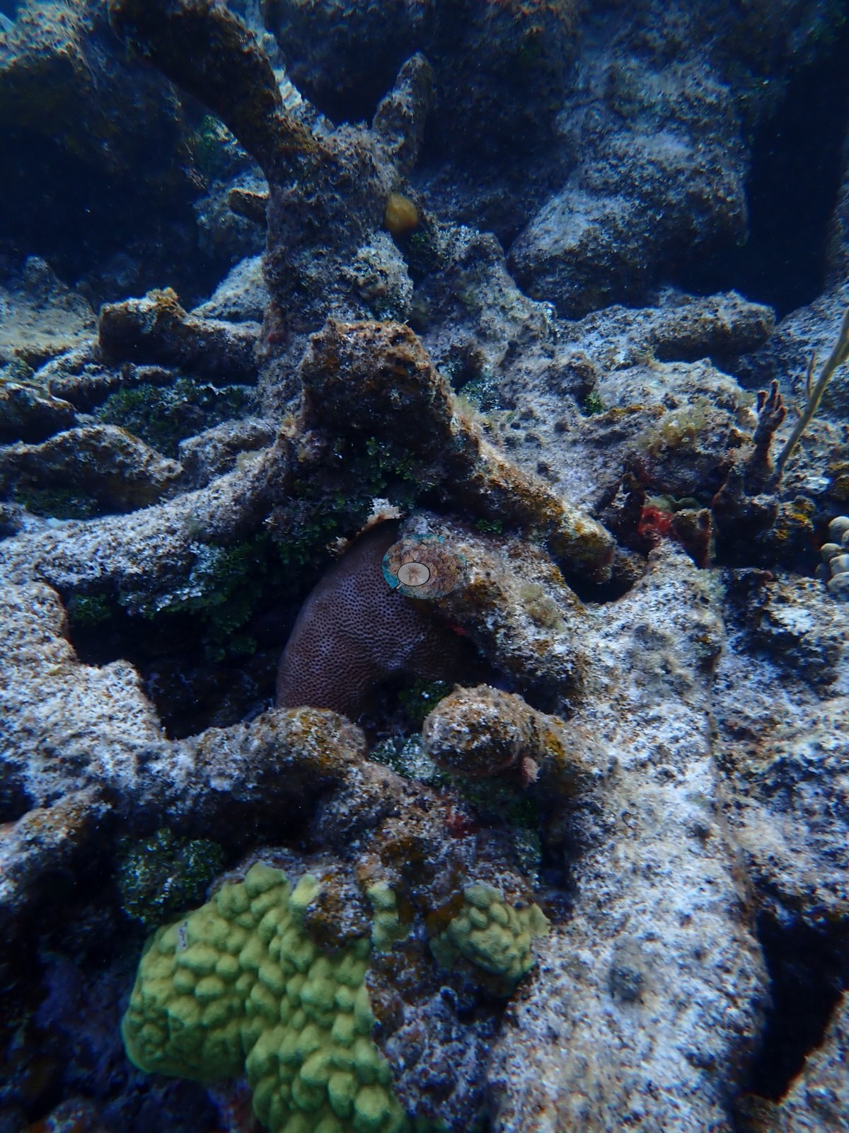
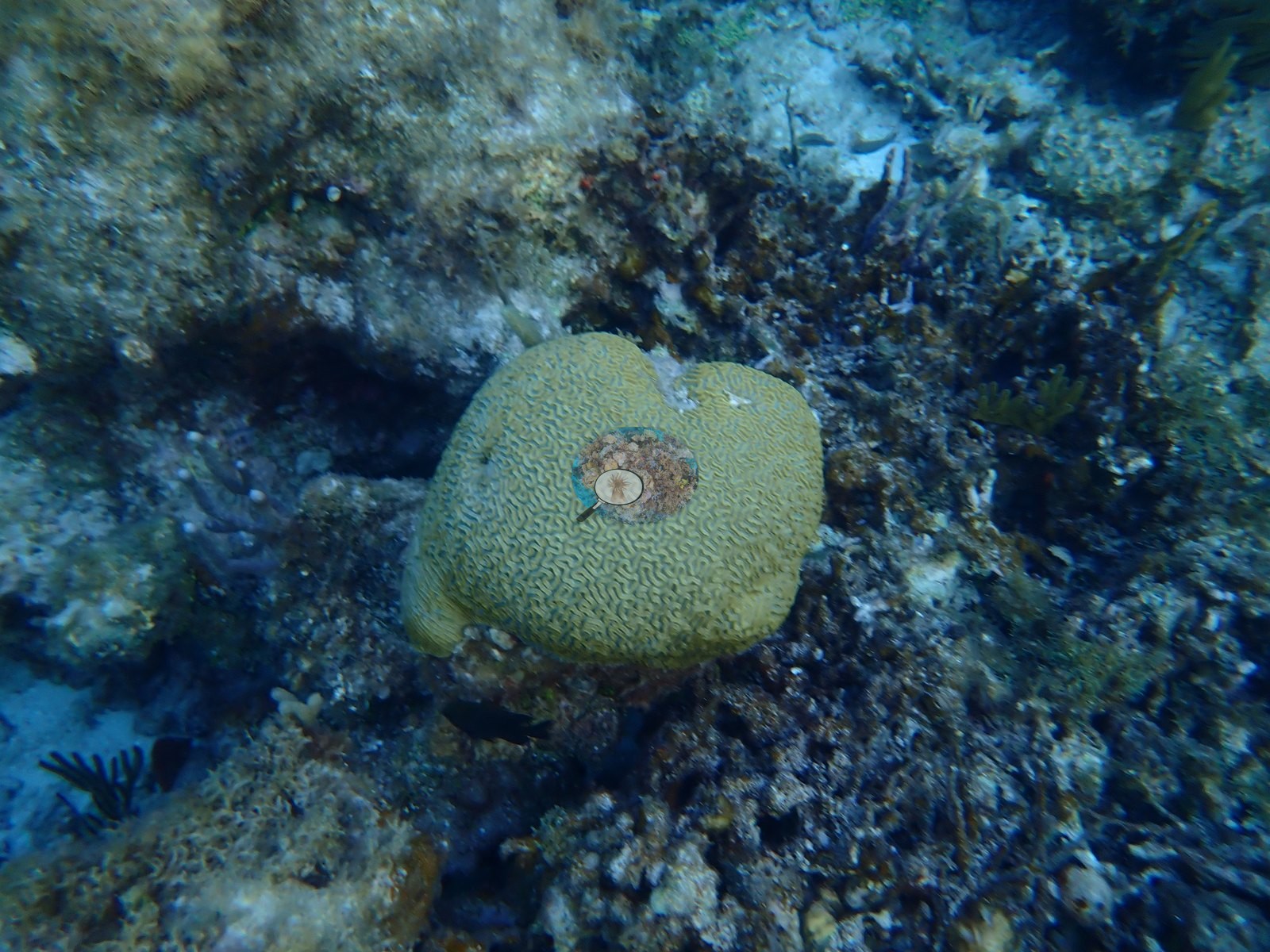
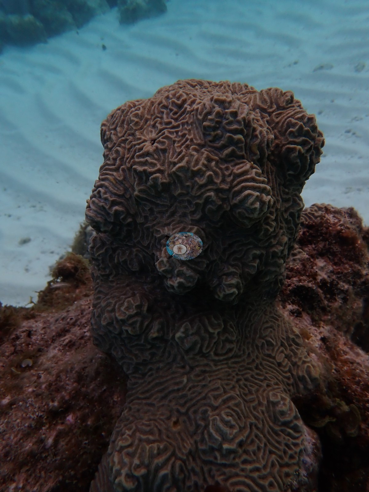
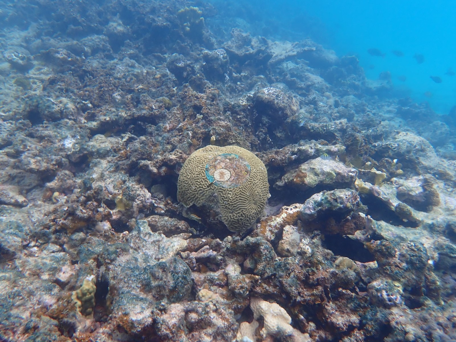
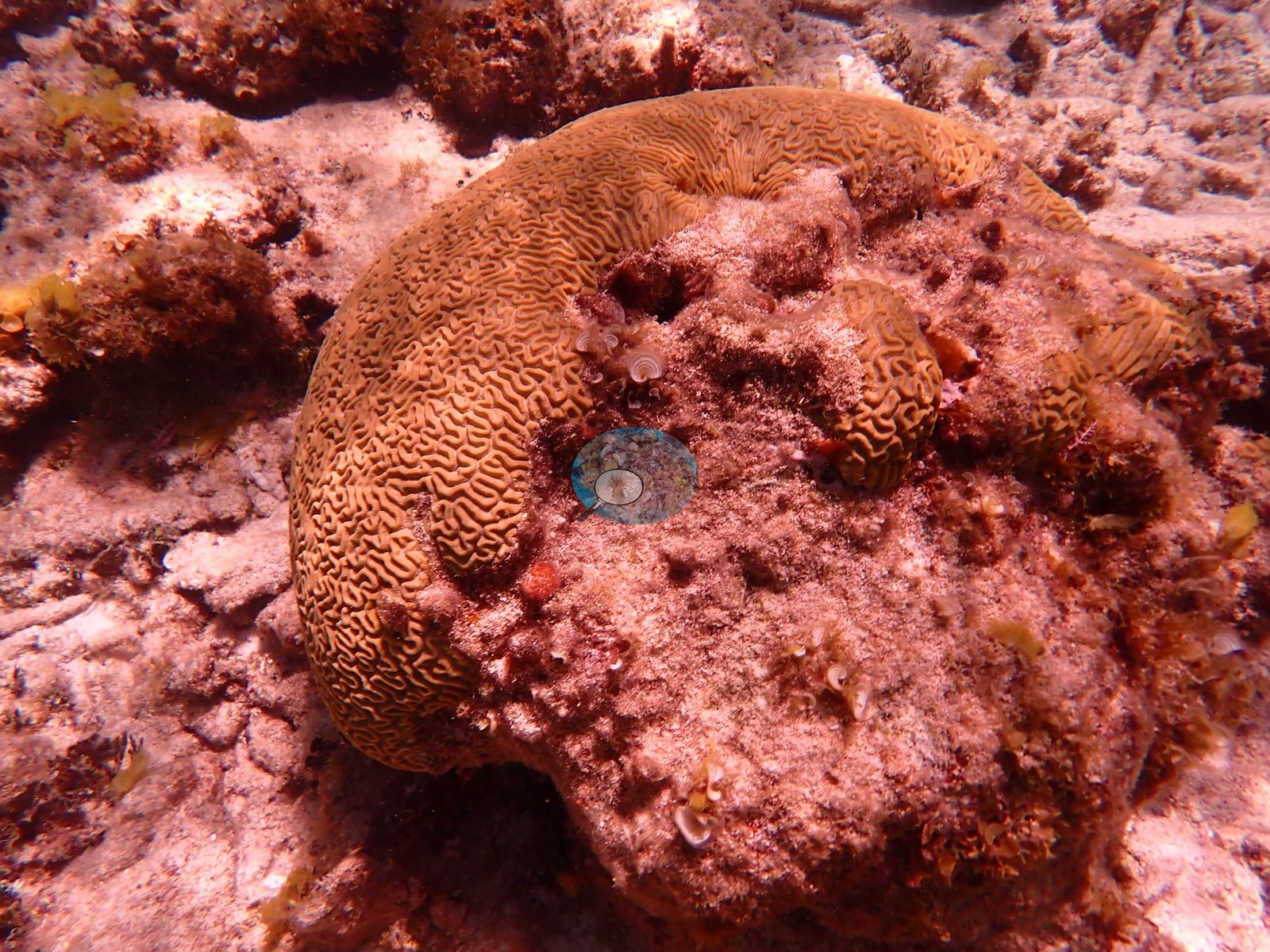
Grooved brain corals (Pseudodiploria strigosa) appear in five frames, mostly intact - but one has half the colony dead and red-turfed, and one pale massive colony carries a large bleached-white patch (e.g., Image 2, Image 18, Image 30, Image 43).
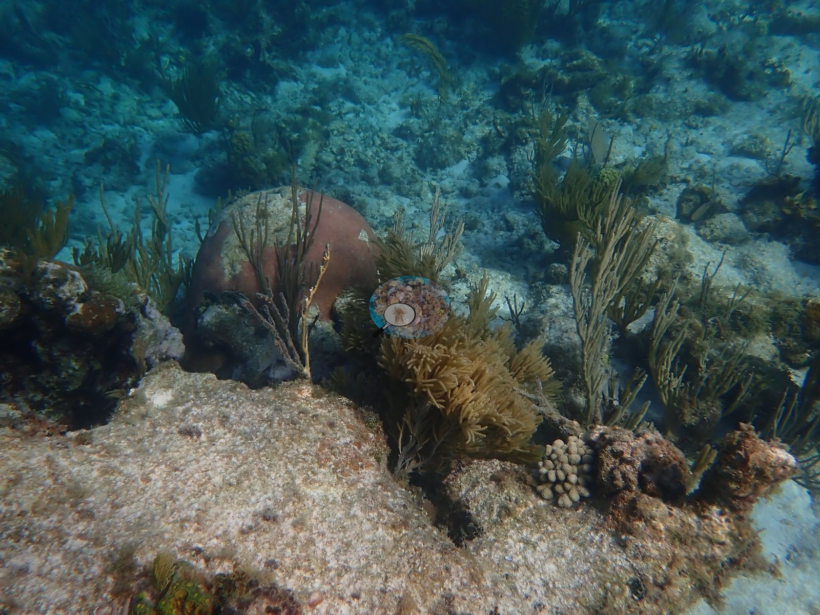
Gorgonians carry the relief where coral does not: sea rods, sea plumes, and purple Gorgonia sea fans (e.g., Image 6, Image 31, Image 35, Image 39).
Coral cover
Coral cover for this site is 14.3% - a CoralSCOP computer vision photographic index over 121 frames, not a diver transect, and worth weighing against what the frames show: this reef is full of coral-shaped dead skeleton (e.g., Image 4, Image 5, Image 20).
Against independent point-count surveys it reads high, and the bias is ADDITIVE rather than multiplicative: against 273,968 Catlin Seaview photoquadrats within 2 km of these pins, the relationship is close to his value = their value + about 18 percentage points, with the index appearing to have a floor near 15-20% - it does not report near-zero even where a 50-point count finds 1.0-3.0%. Read a low figure here as an upper bound and a near-zero reef as unresolved, not as the number shown. Read this as a provisional photo-derived index, not a diver survey. Anderson is actively trying out other CV models and intends to redo this CoralSCOP-based figure once something more dependable comes along.
Stressors
No tissue-loss lesions of the SCTLD kind were identifiable in any frame.
Fish and other fauna
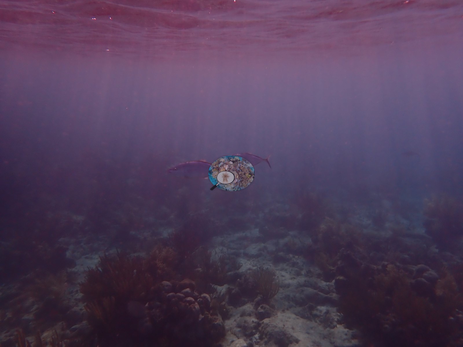
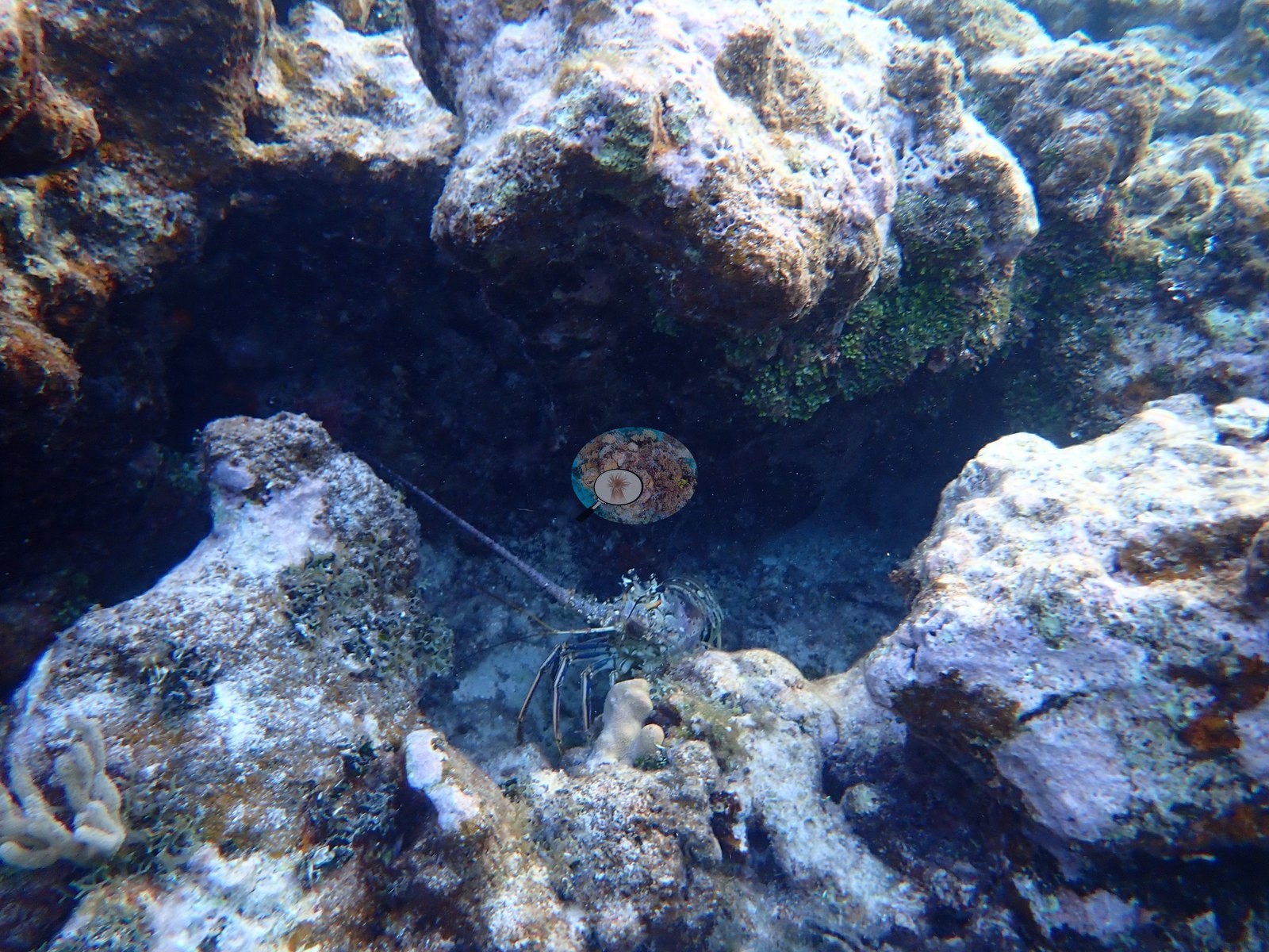
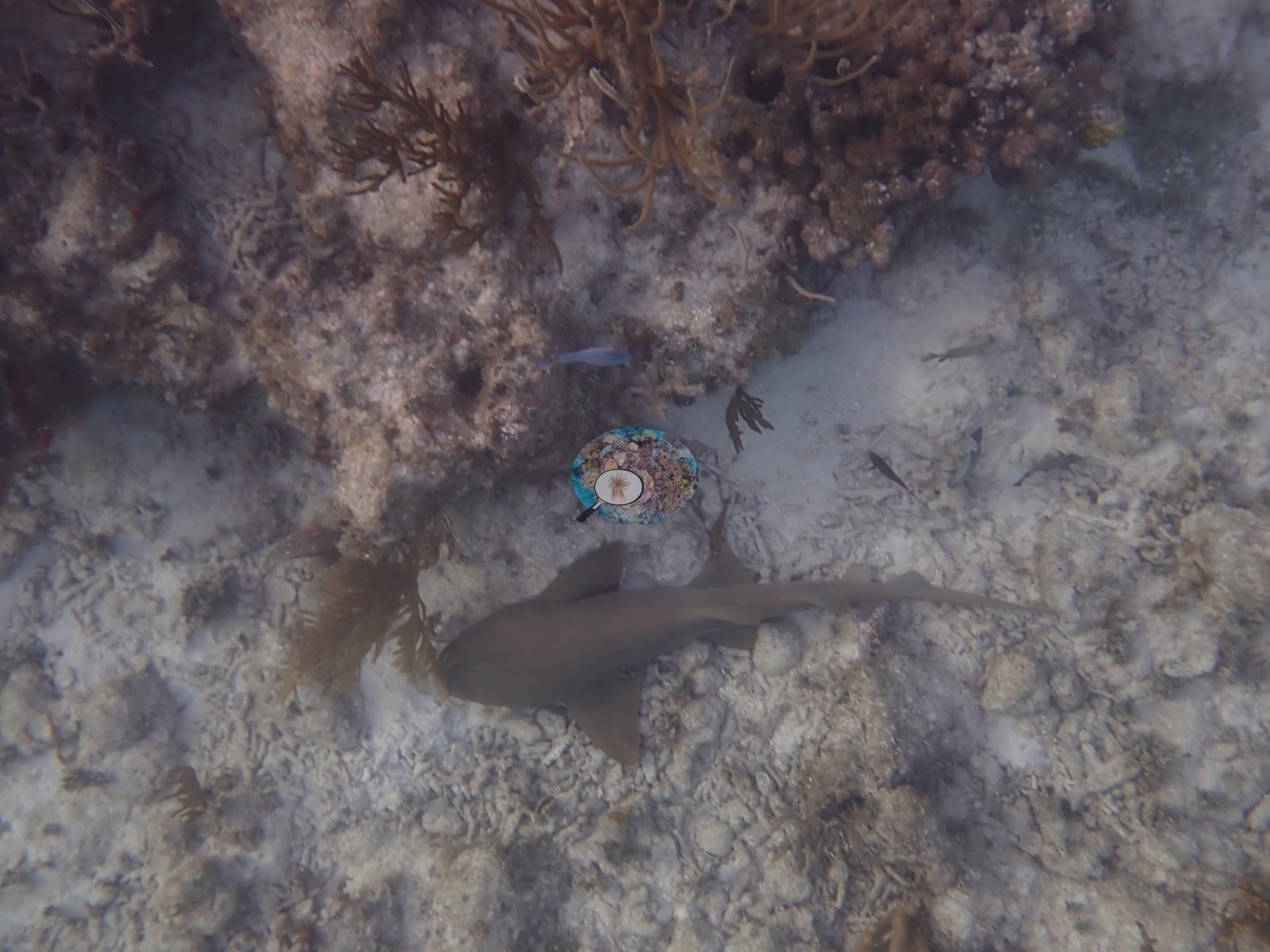
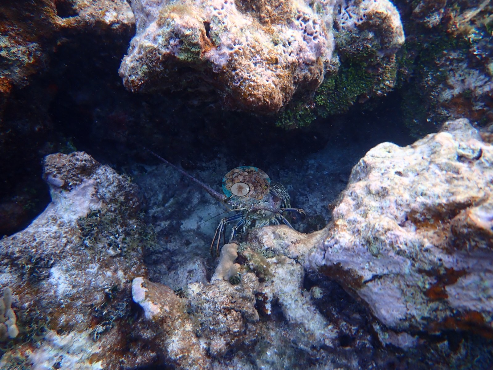
Fauna: a juvenile requiem shark on sand, two Caribbean spiny lobsters under ledges, a dark long-spined urchin, blue tangs, sergeant majors, bar jacks, brown chromis, and a maroon ball sponge (e.g., Image 3, Image 11, Image 21).
Comparisons with other data
Also on record for this site: Necker Island, BVI — circumnavigated over six dives/swims, 1-2 Jul 2026: Red Dock, Turtle Beach (×3 visits), Bali Hai-to-Turtle-Beach and Watersport-Beach-to-Bali-Hai transects. Click to expand individual sites (positions approximate, refined GPS to come).
Other notes
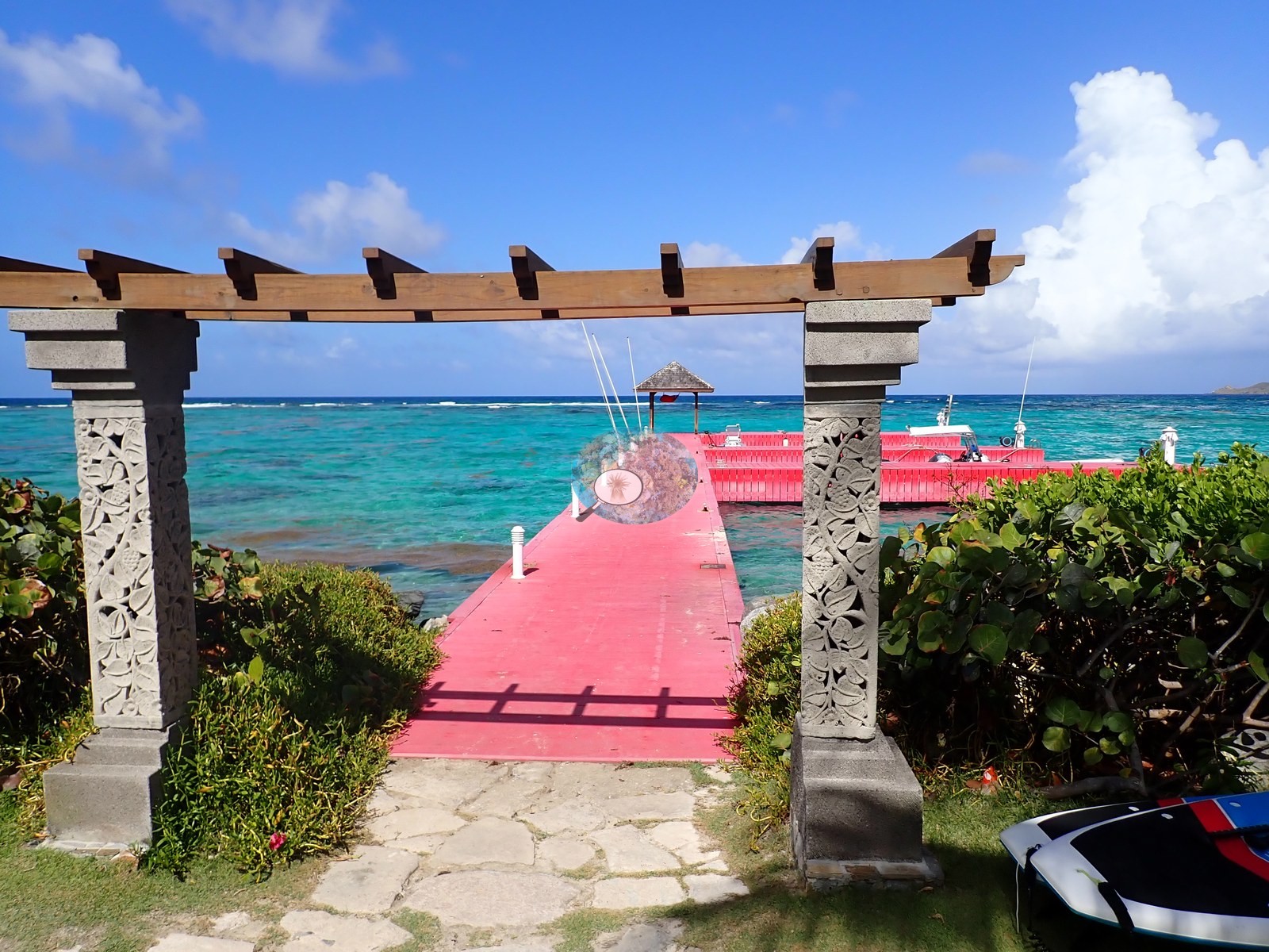
Reviewed all 55 frames. Twelve are topside or at-surface: the Red Dock pergola and pink jetty, the catamaran beach under a thick sargassum wrack line, Turtle Beach, and sand spits looking across to Virgin Gorda. Pale cream Porites finger clumps sprout from turf-covered massive mounds; mustard-yellow Porites astreoides lobes recur, repeatedly with pink coralline algae overgrowing dead margins (e.g., Image 13, Image 16, Image 26, Image 34). Coral cover for this site is 14.3% - a CoralSCOP computer vision photographic index over 121 frames, not a diver transect, and worth weighing against what the frames show: this reef is full of coral-shaped dead skeleton (e.g., Image 4, Image 5, Image 20).
Also on record for this site: Necker Island, BVI — circumnavigated over six dives/swims, 1-2 Jul 2026: Red Dock, Turtle Beach (×3 visits), Bali Hai-to-Turtle-Beach and Watersport-Beach-to-Bali-Hai transects.
Coral cover: method notes
% coral cover by site/region
| Area | % coral cover | Std. dev. | Frames used | Frames available |
|---|---|---|---|---|
| Red Dock | 20.8% | ±17 | 93 | 93 |
| Turtle Beach 2026-07-01, 2026-07-02 | 16.9% | ±13 | 91 | 91 |
| Bali Hai (turtle) | 12.1% | ±8.1 | 89 | 89 |
| Watersports / Bali Hai | 12.3% | ±9.7 | 51 | 51 |
| All sites (n=4) | 16% | ±4.2 | 324 | 324 |
Data & links
All images from Coral Reef Diagnostics. Data are from Coral Reef Diagnostics.
© Coral Reef Diagnostics.