
Bali Hai to Turtle Beach

More about this place: Necker Island (Virgin Limited Edition)
2026-07-02
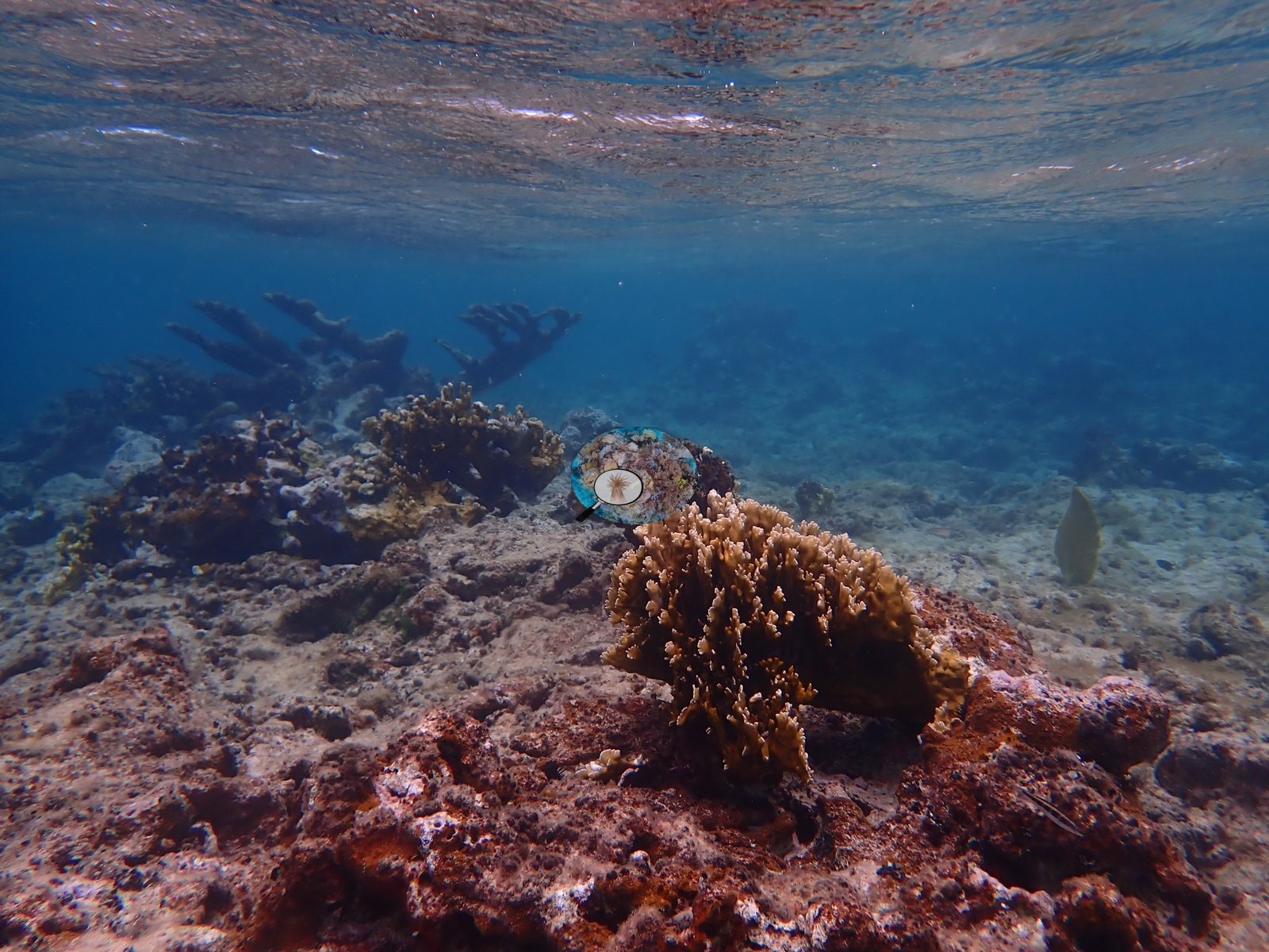
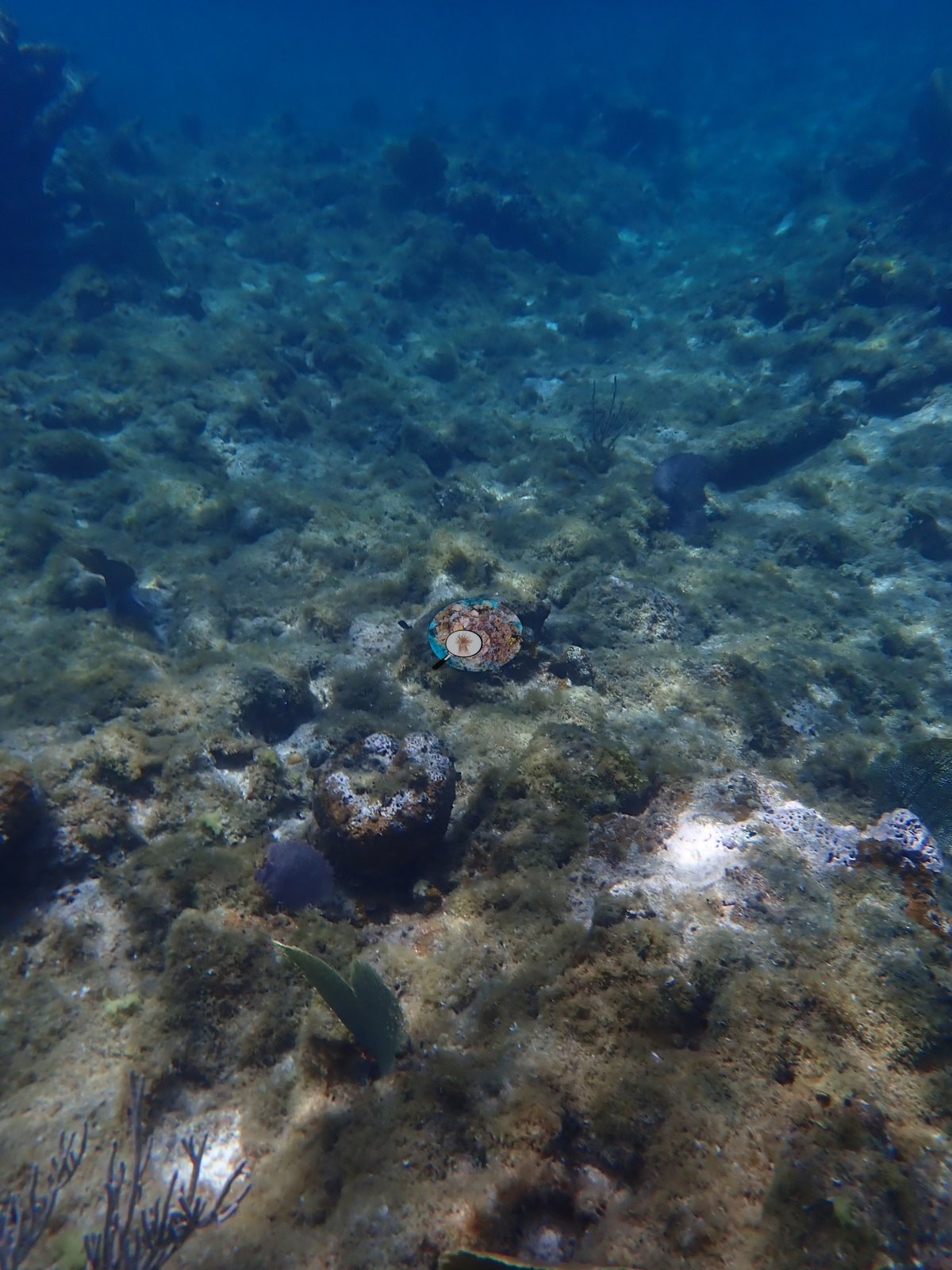
A shallow snorkel from Bali Hai beach to Turtle Beach over coral rock, sand, and algae flats. Living elkhorn coral grows in small groups, but a large stand of dead elkhorn fills the middle of the route. The richest reef, with big boulder corals and sea fans, lies near Turtle Beach, and schools of blue tang are common.
The white line is this site’s dive track — the white dot marks where it started and the red “End” marker where it ended.
Three other CRD dive sites within 5 km shown in orange — click a marker to open its page.
58 of these 89 photographs are shown beside the text that discusses them under "Site description" below.
Site description
Setting
- This transect follows a roughly 557 m snorkel route on Necker Island, British Virgin Islands, running from Bali Hai beach toward Turtle Beach, and the 89 photographs are treated in file order as the sequence of the swim.
Benthos
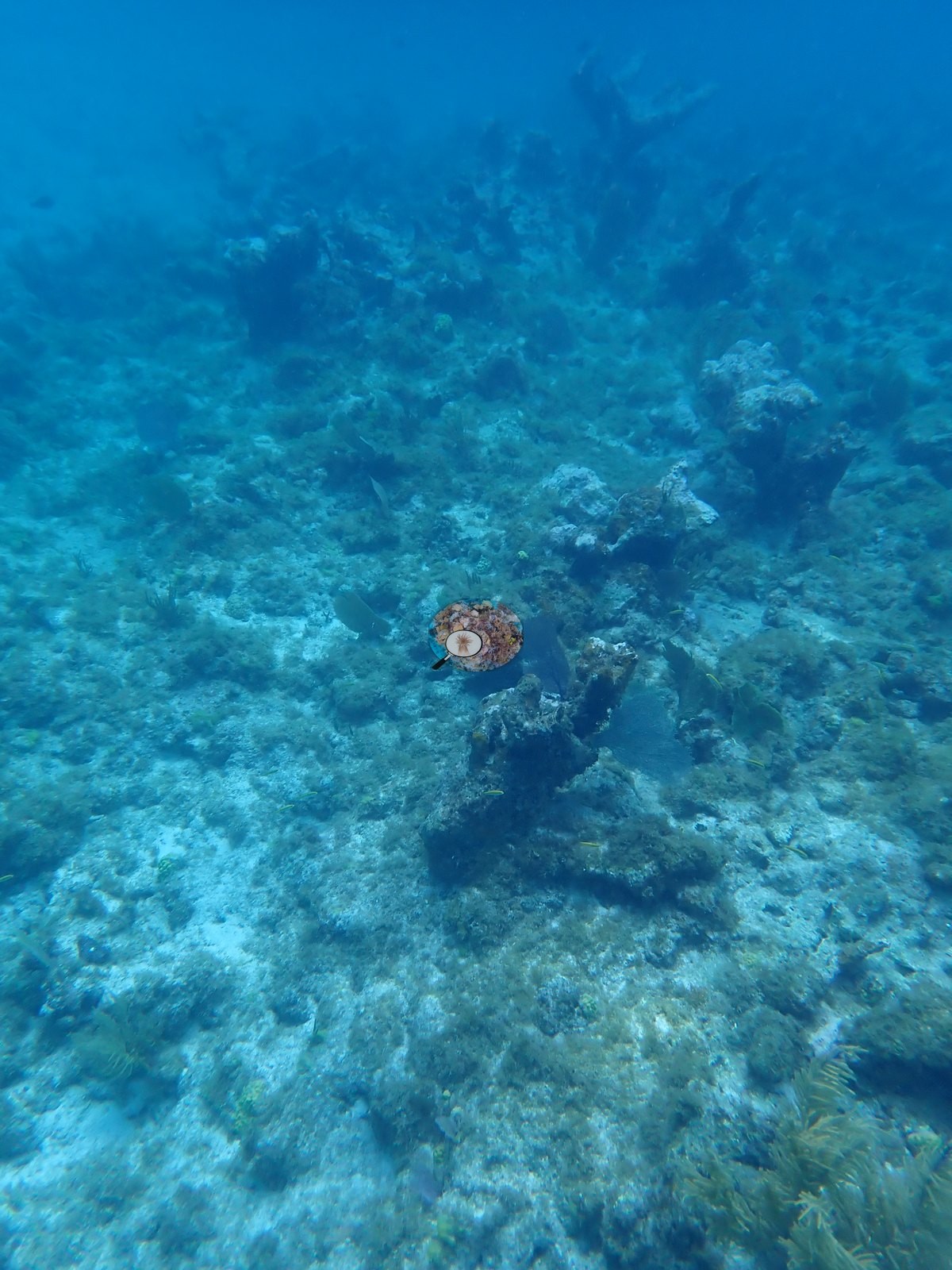
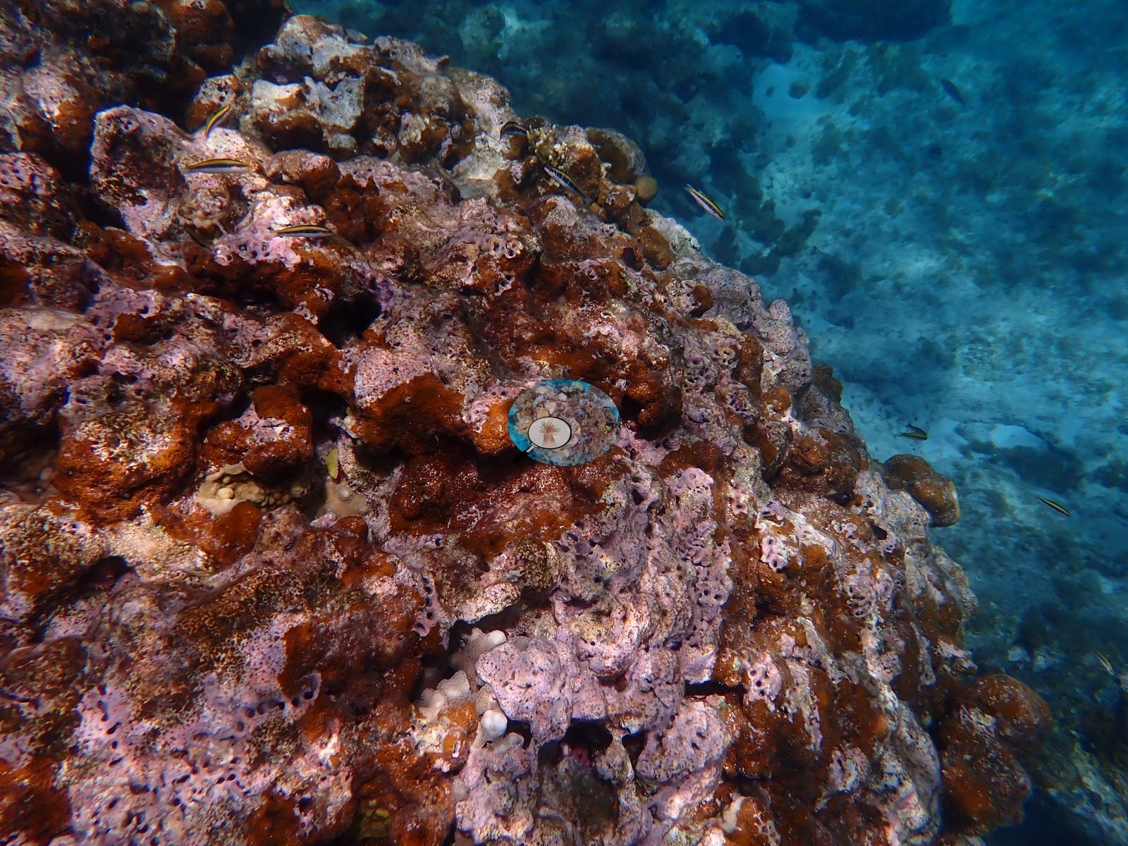
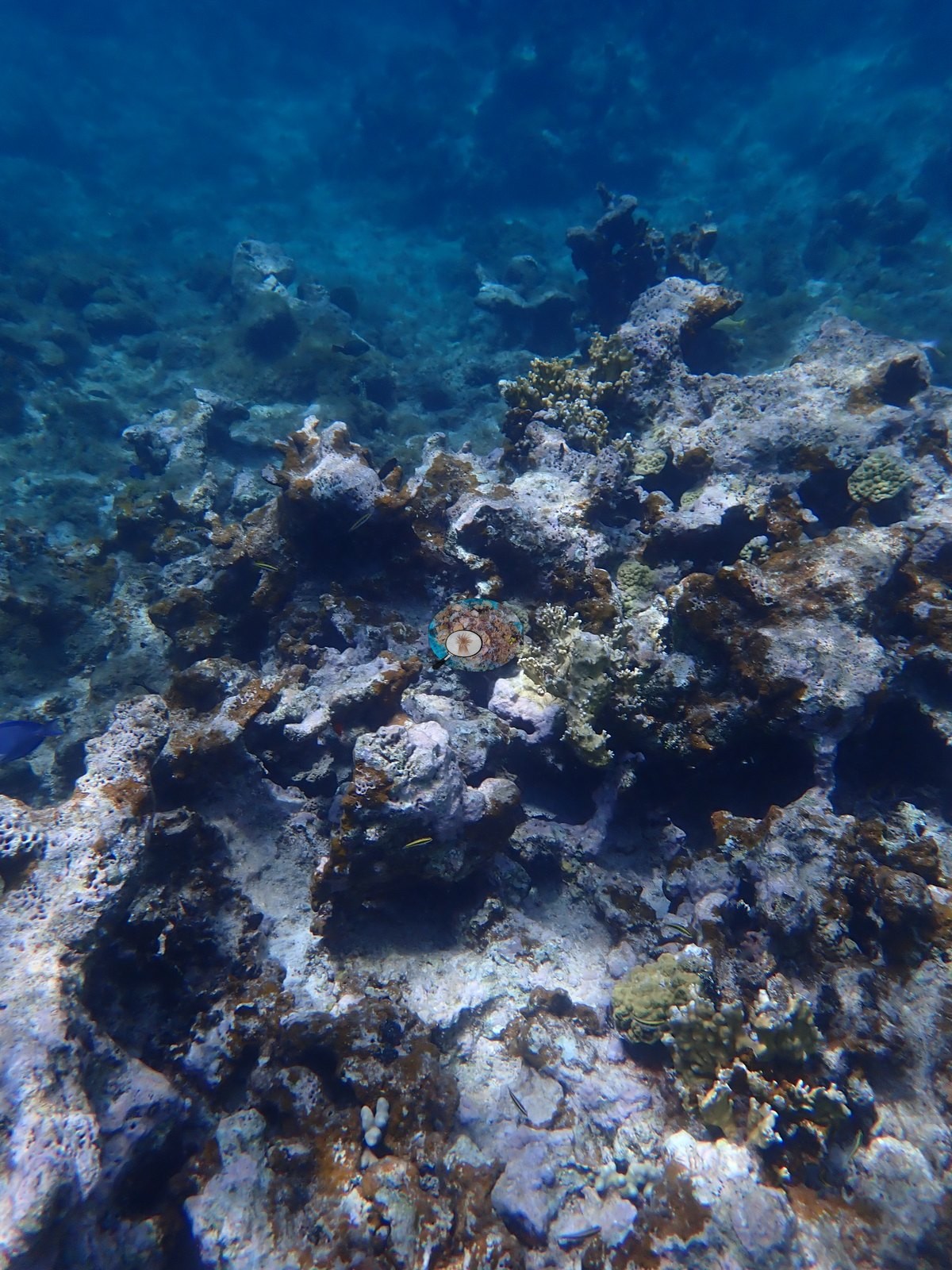
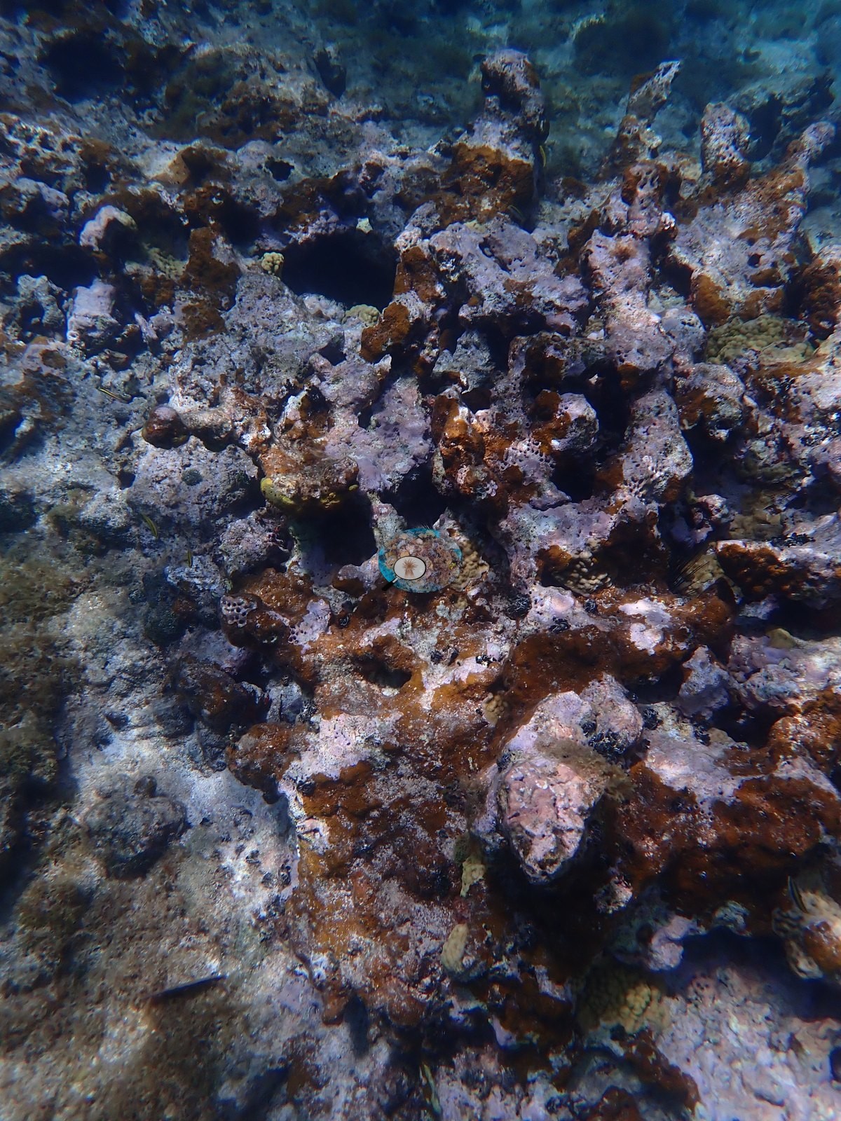
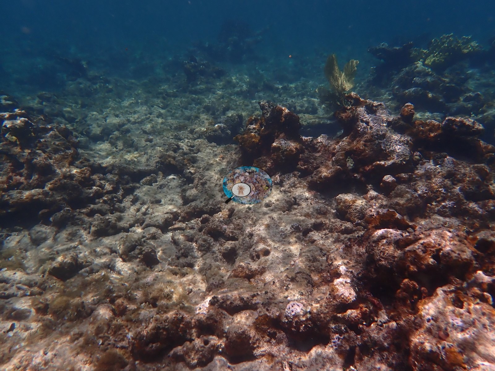
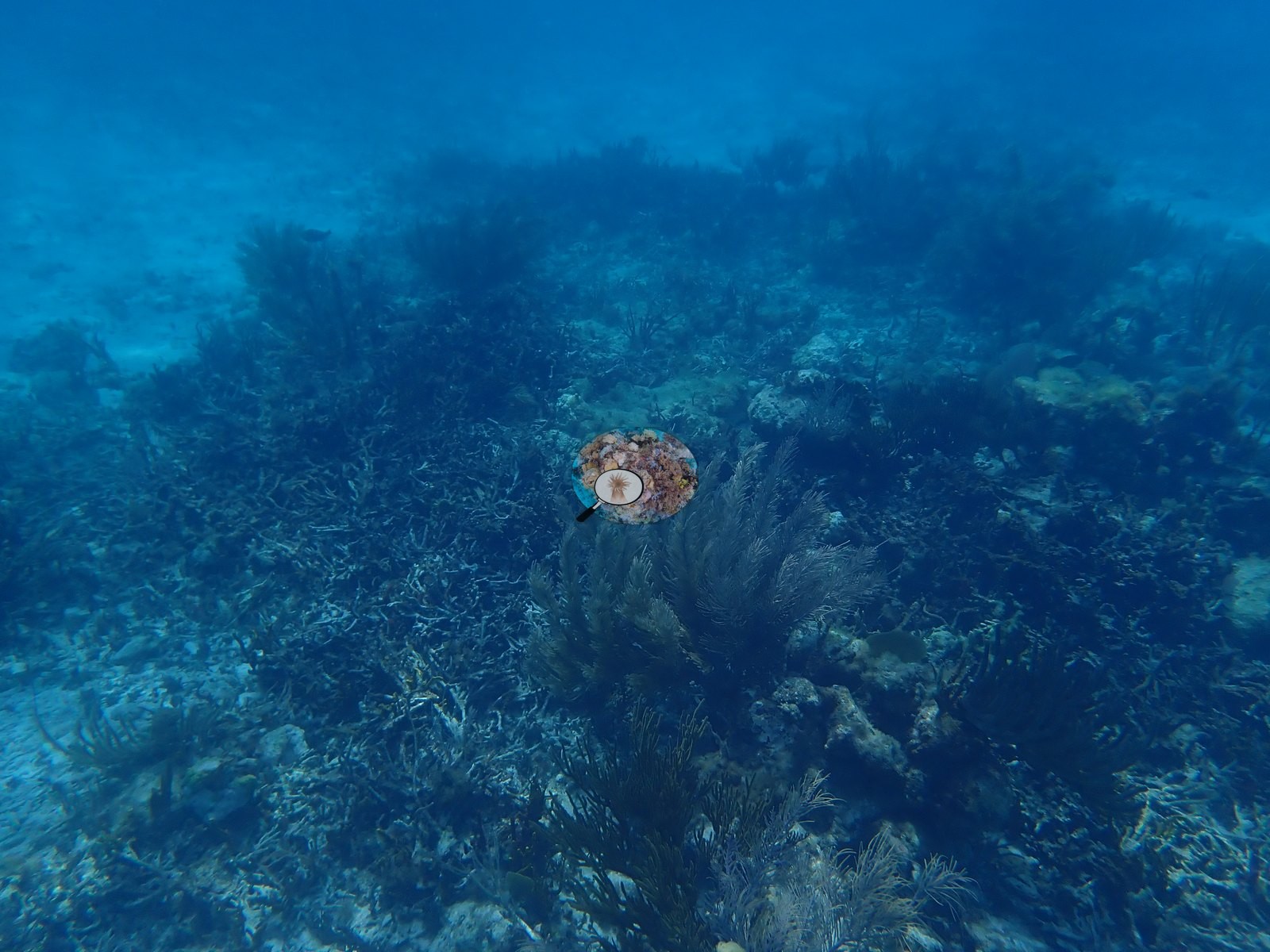
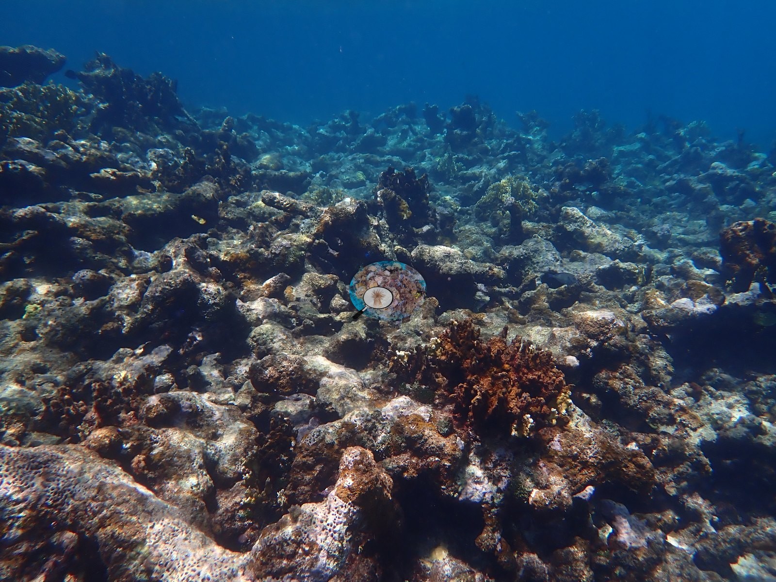
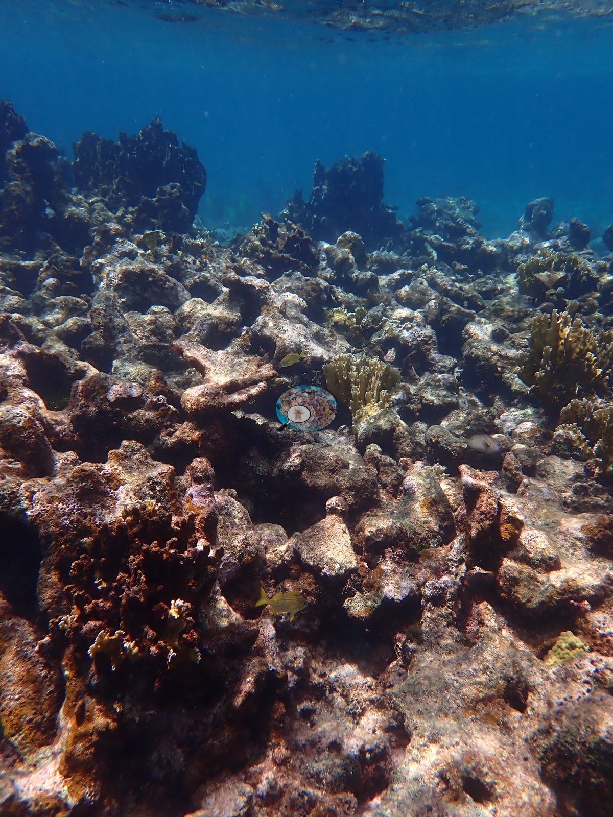
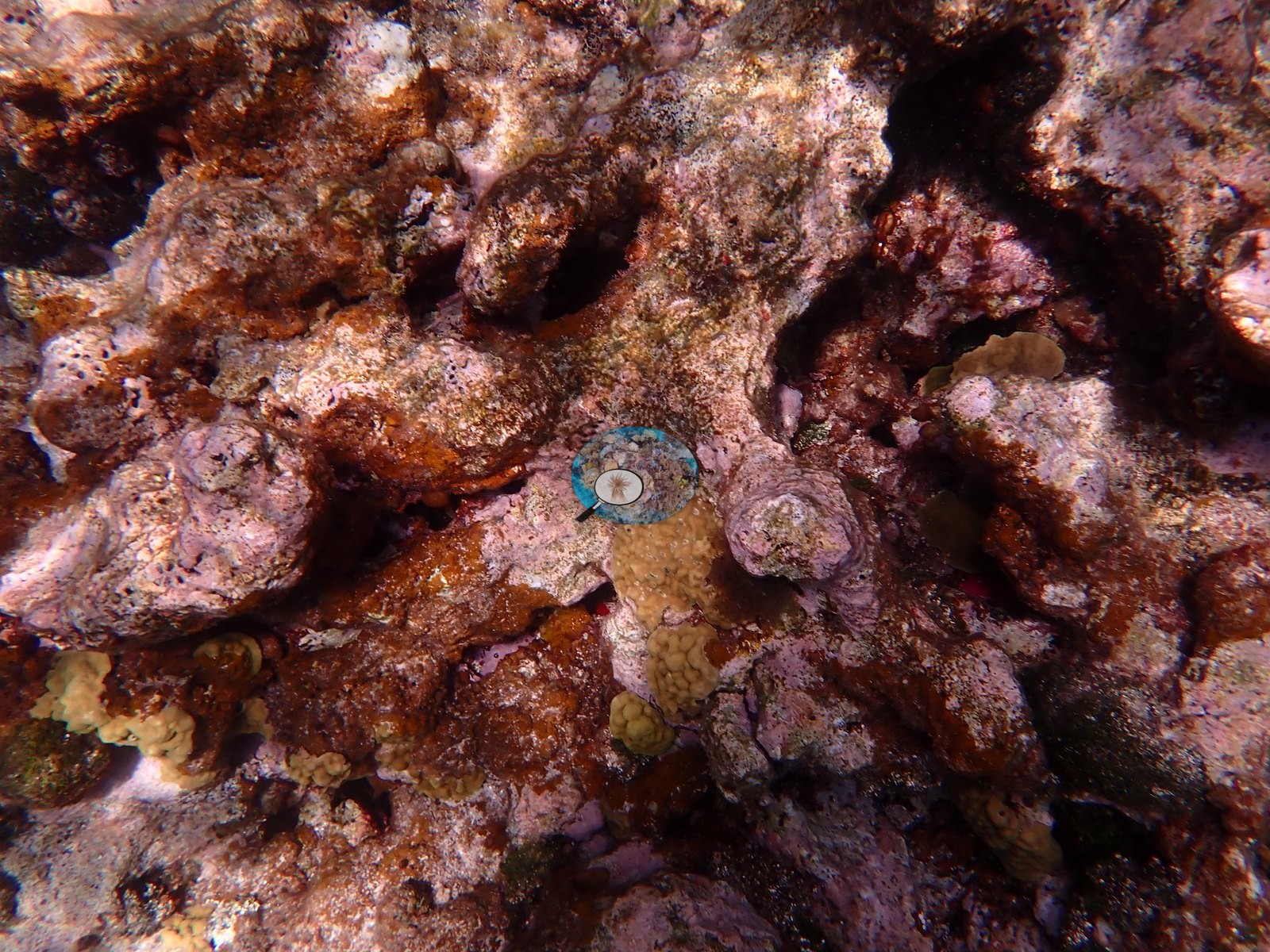
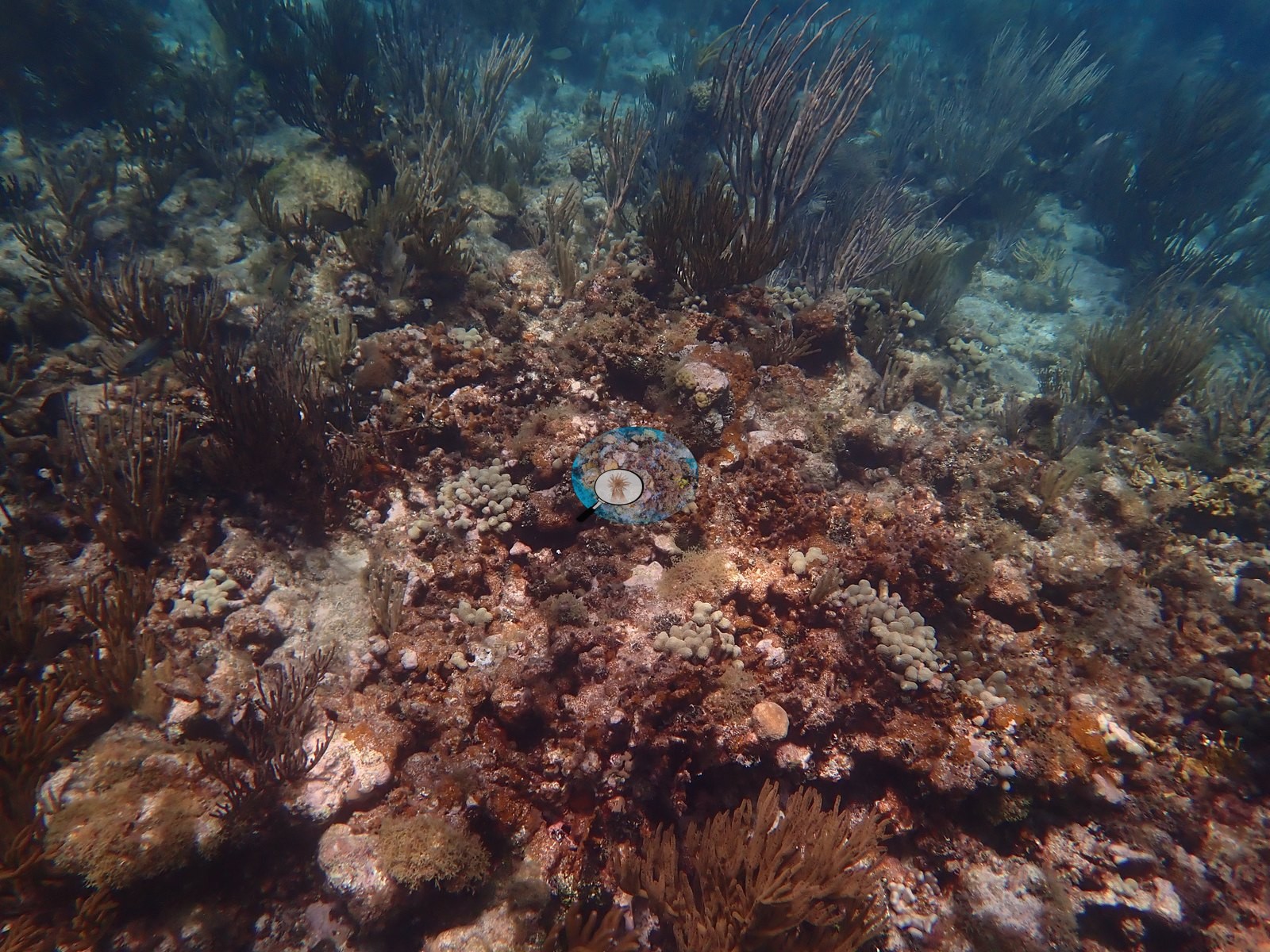
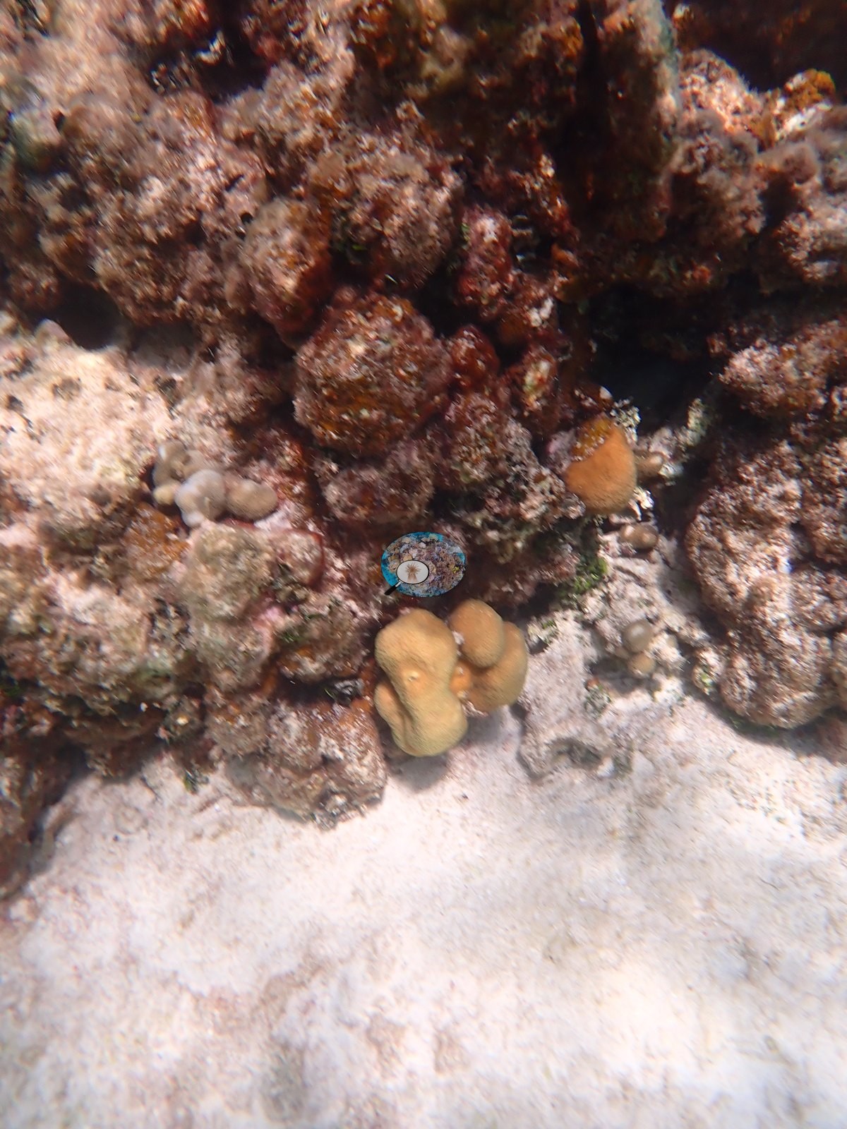
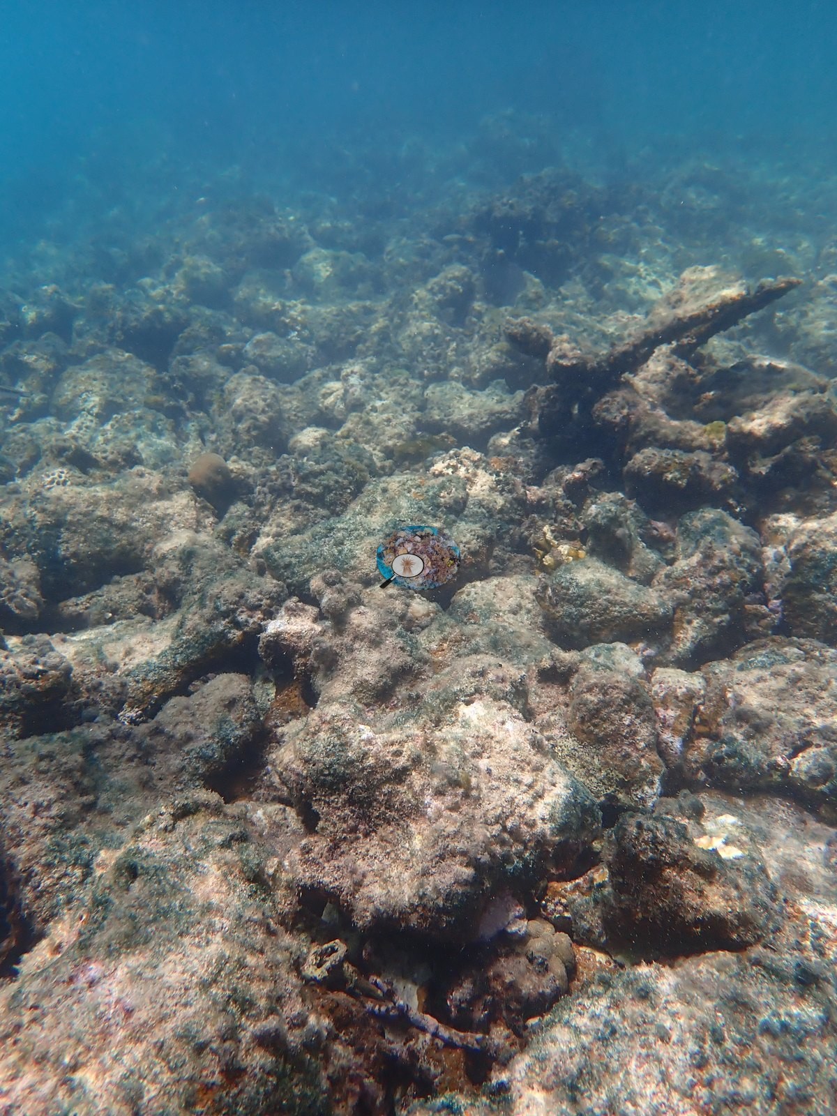
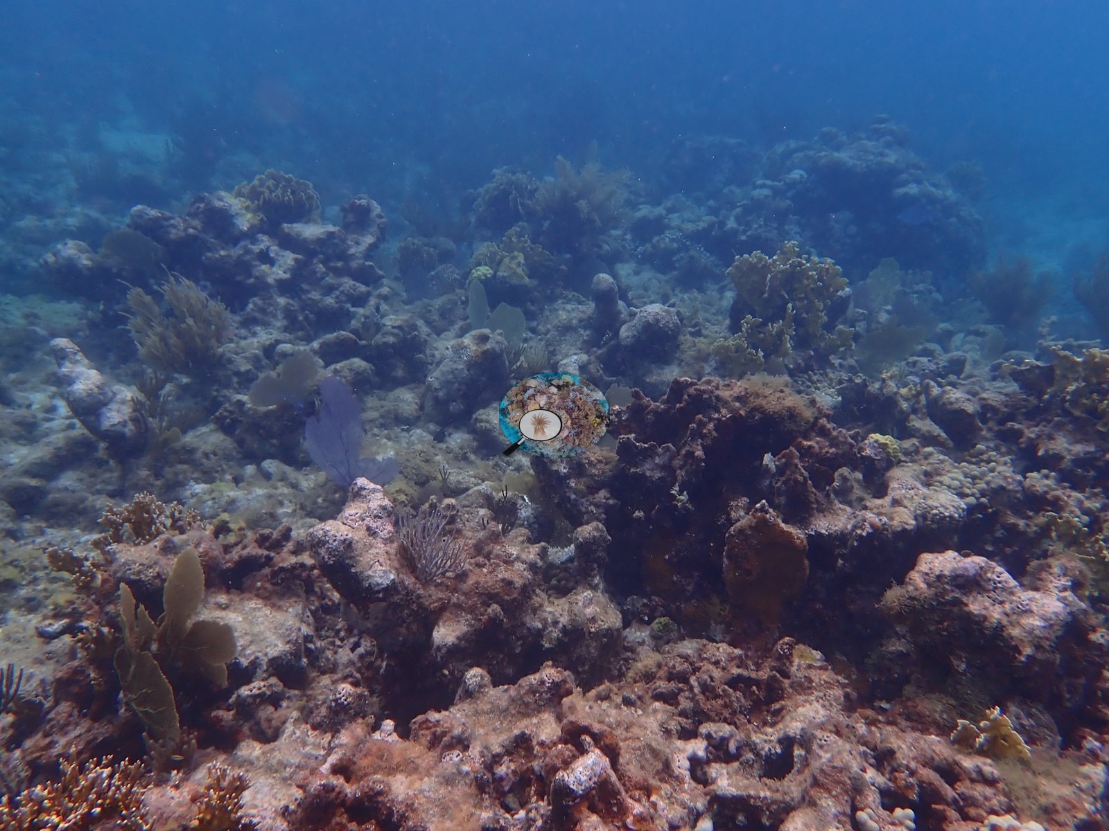
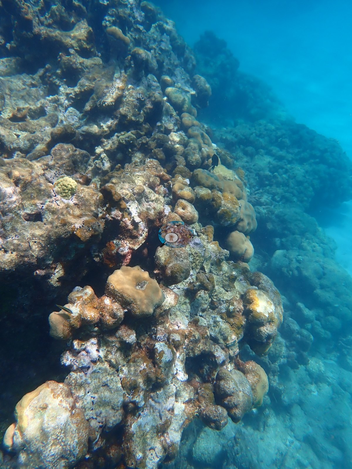
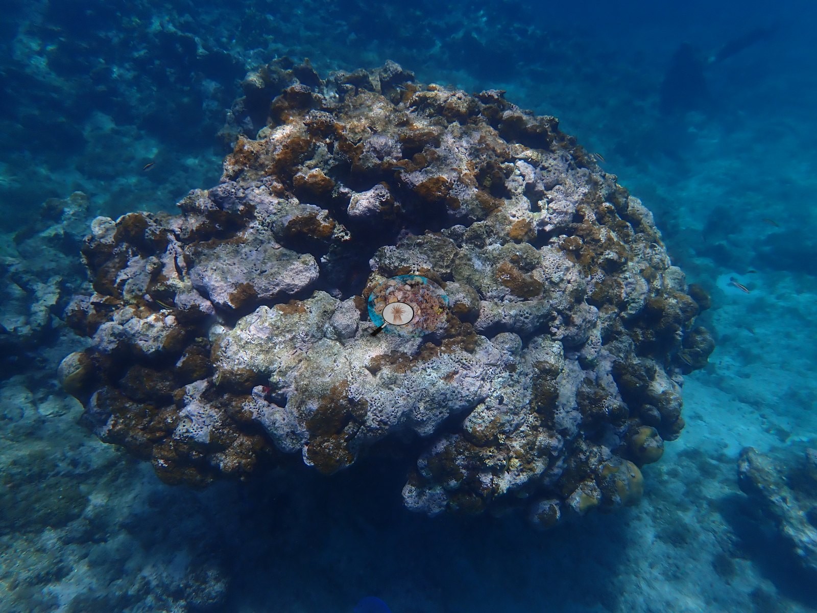
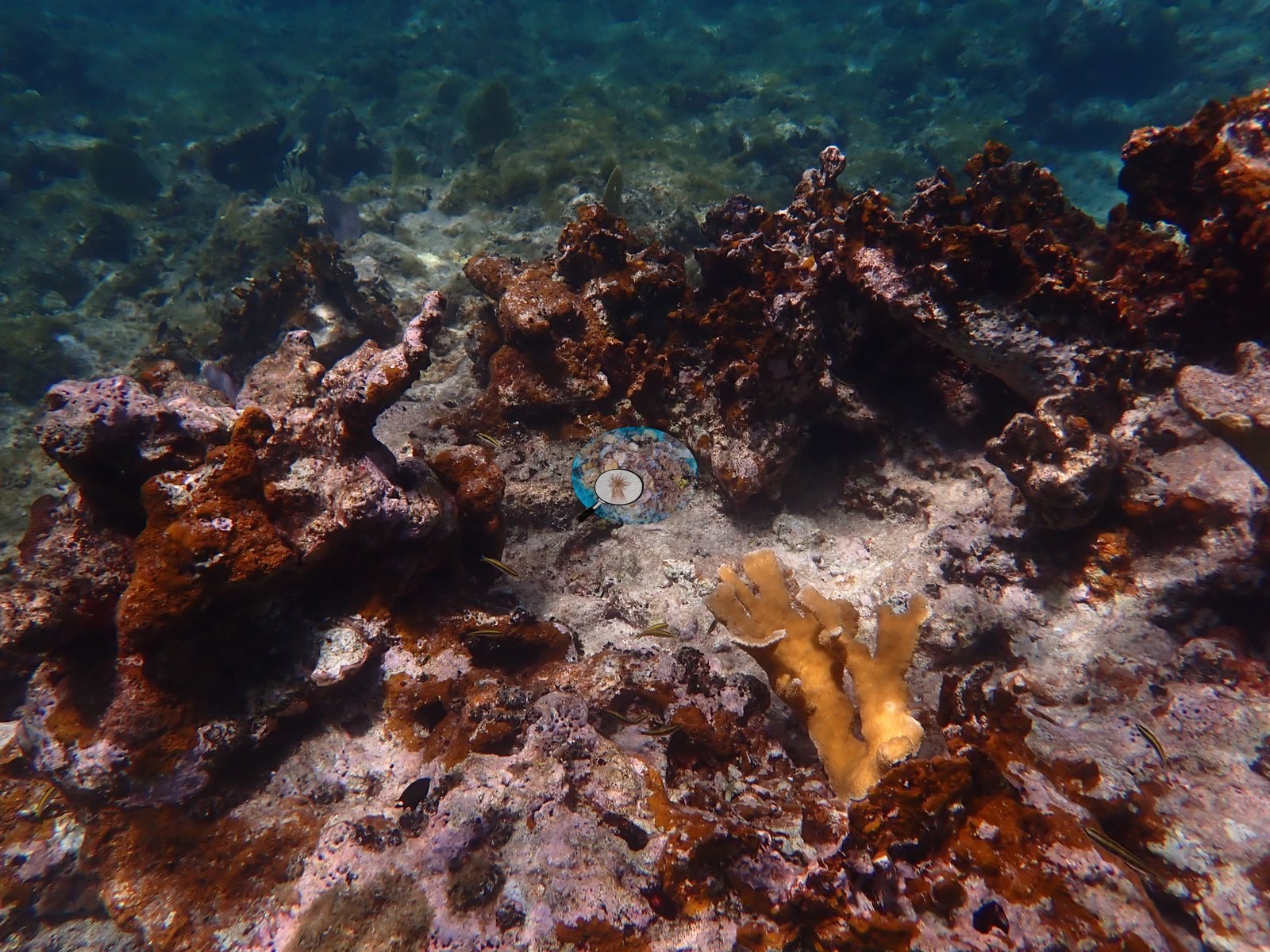
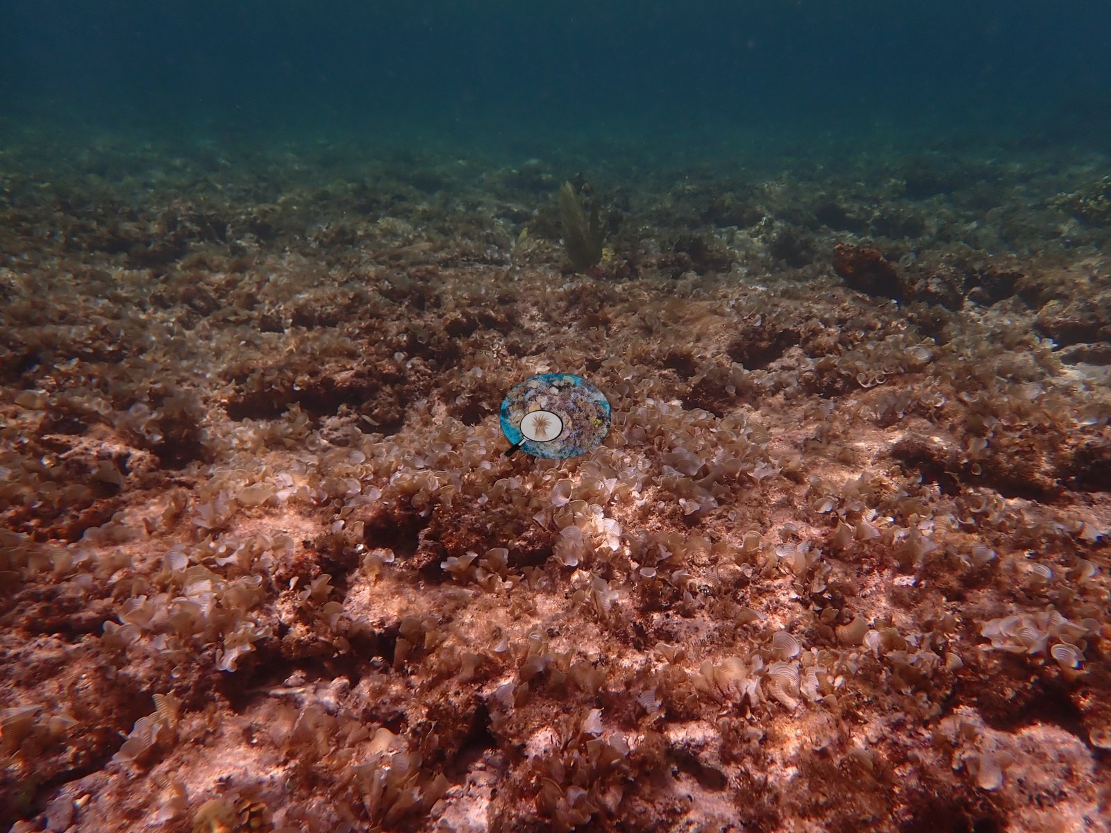
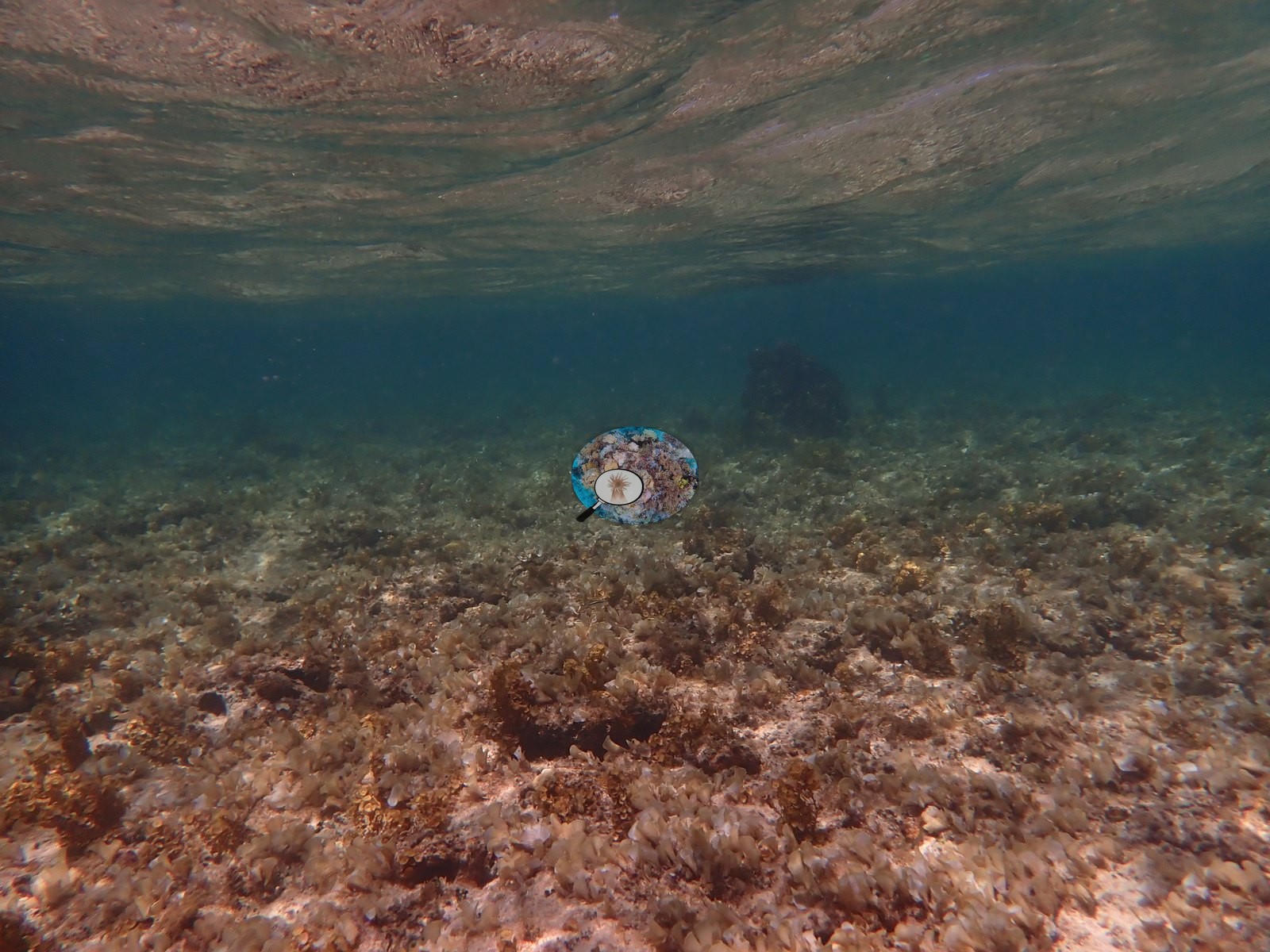
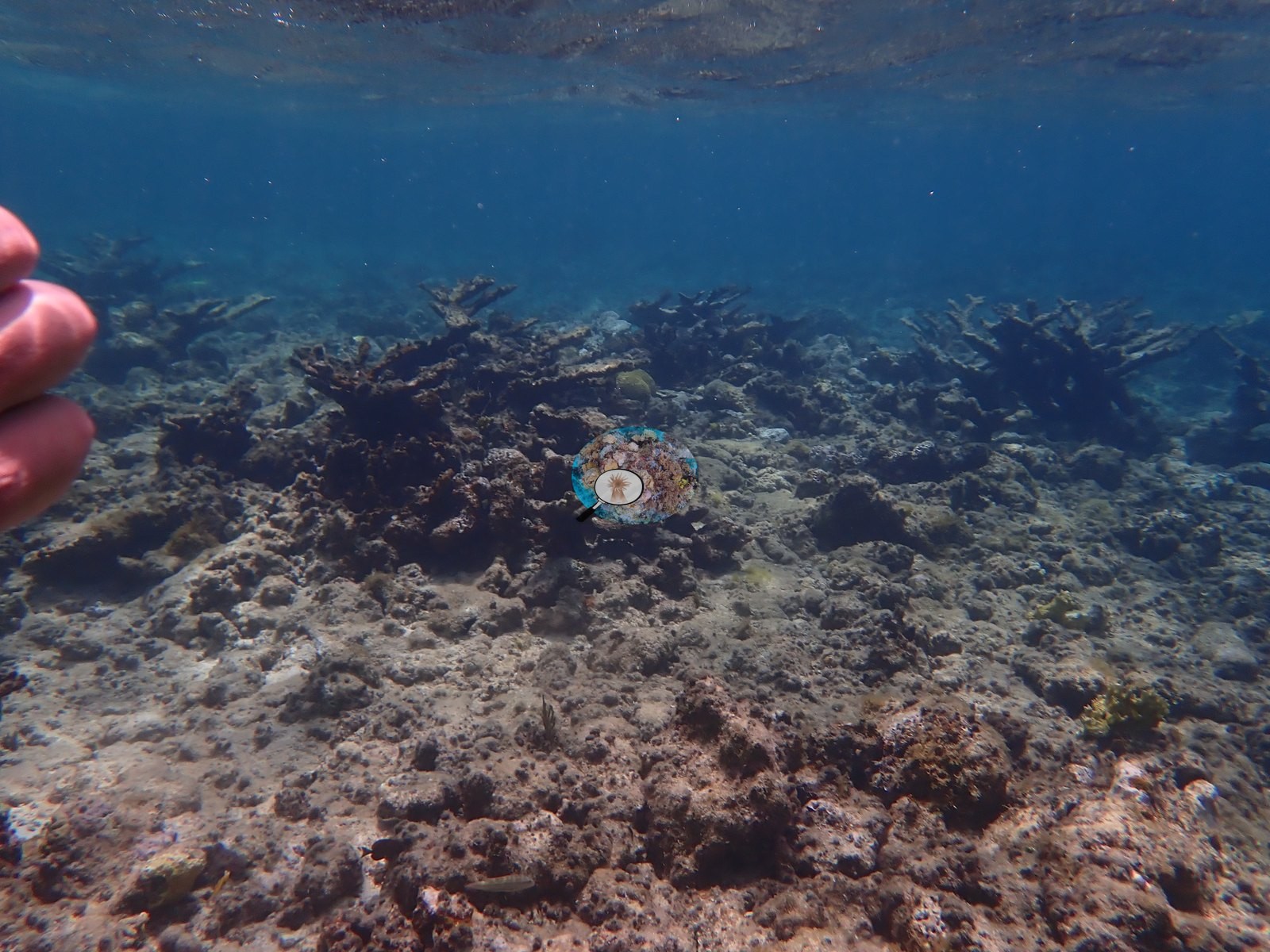
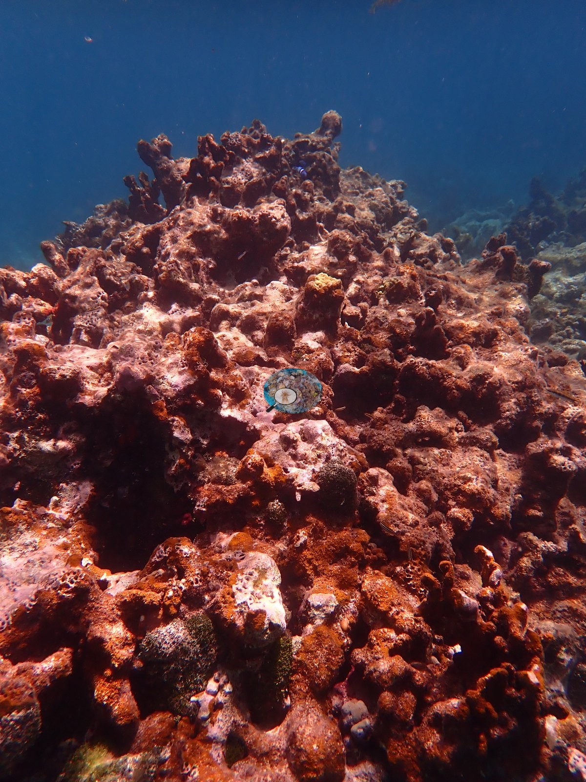
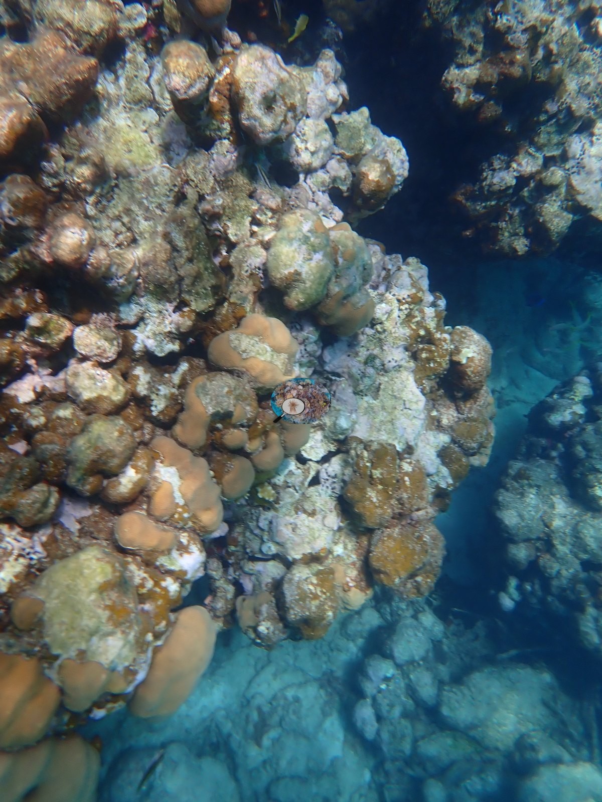
- Substrate throughout the transect is a low-to-moderate relief limestone hardground and rubble pavement, colonized predominantly by turf algae and crustose coralline algae, with sand patches and rubble openings recurring along the whole route (e.g., Image 2, Image 5, Image 17); no extensive fleshy macroalgae stands were observed.
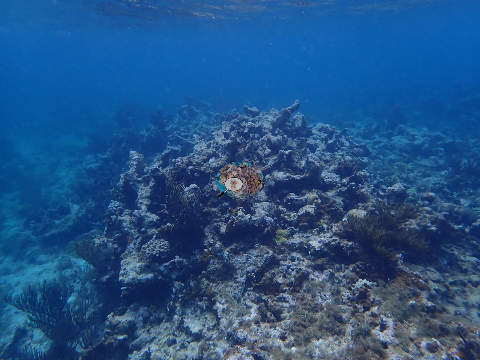
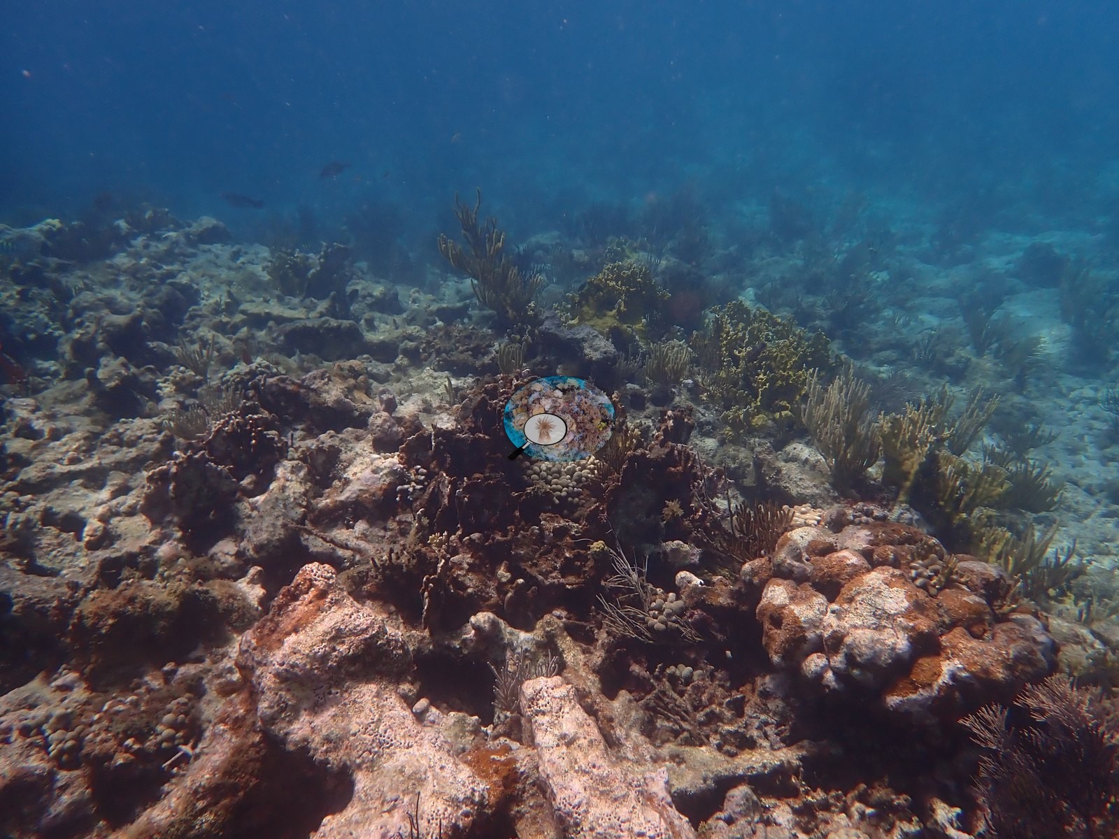
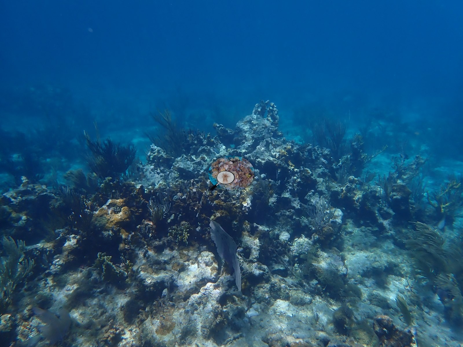
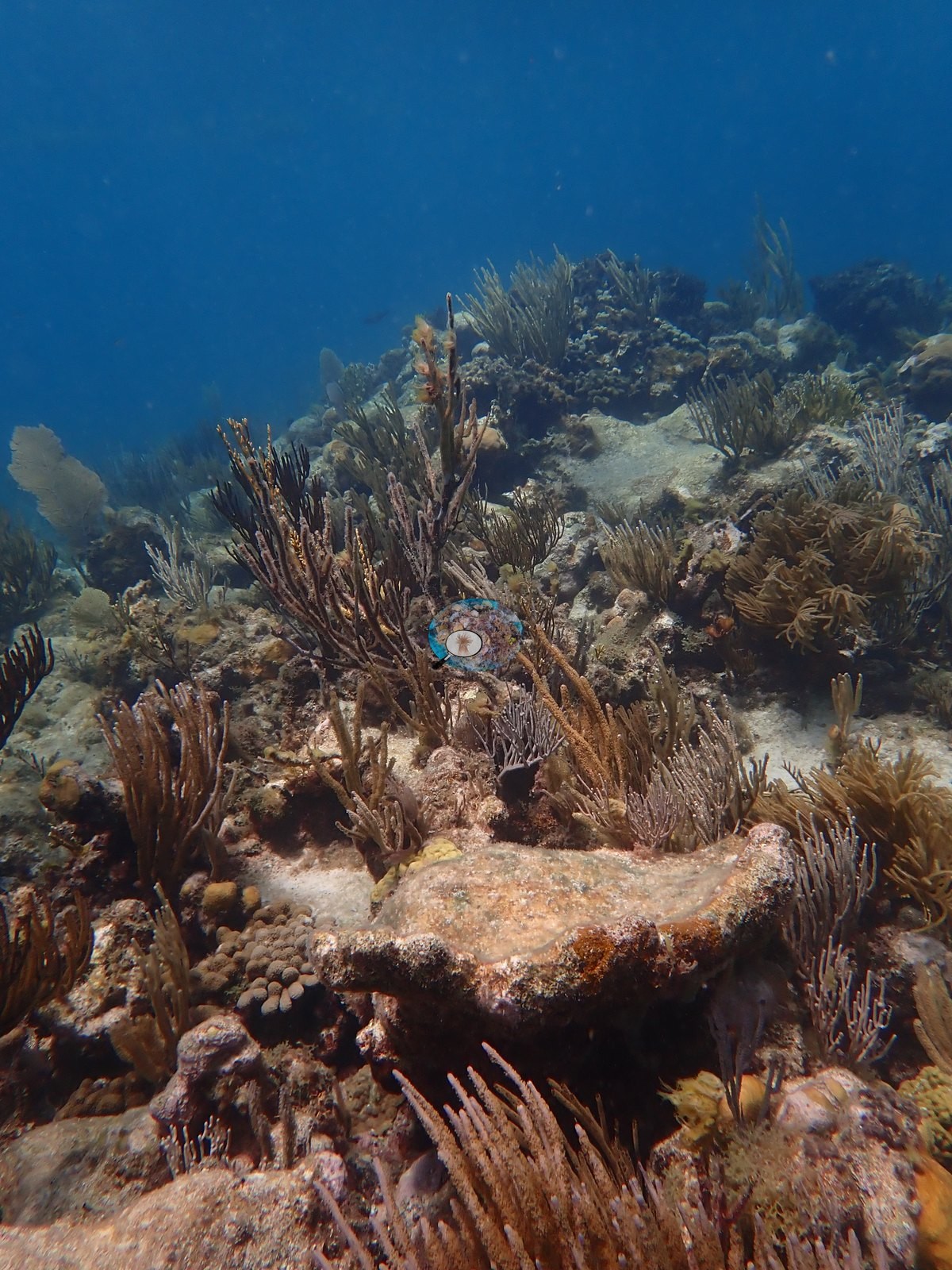
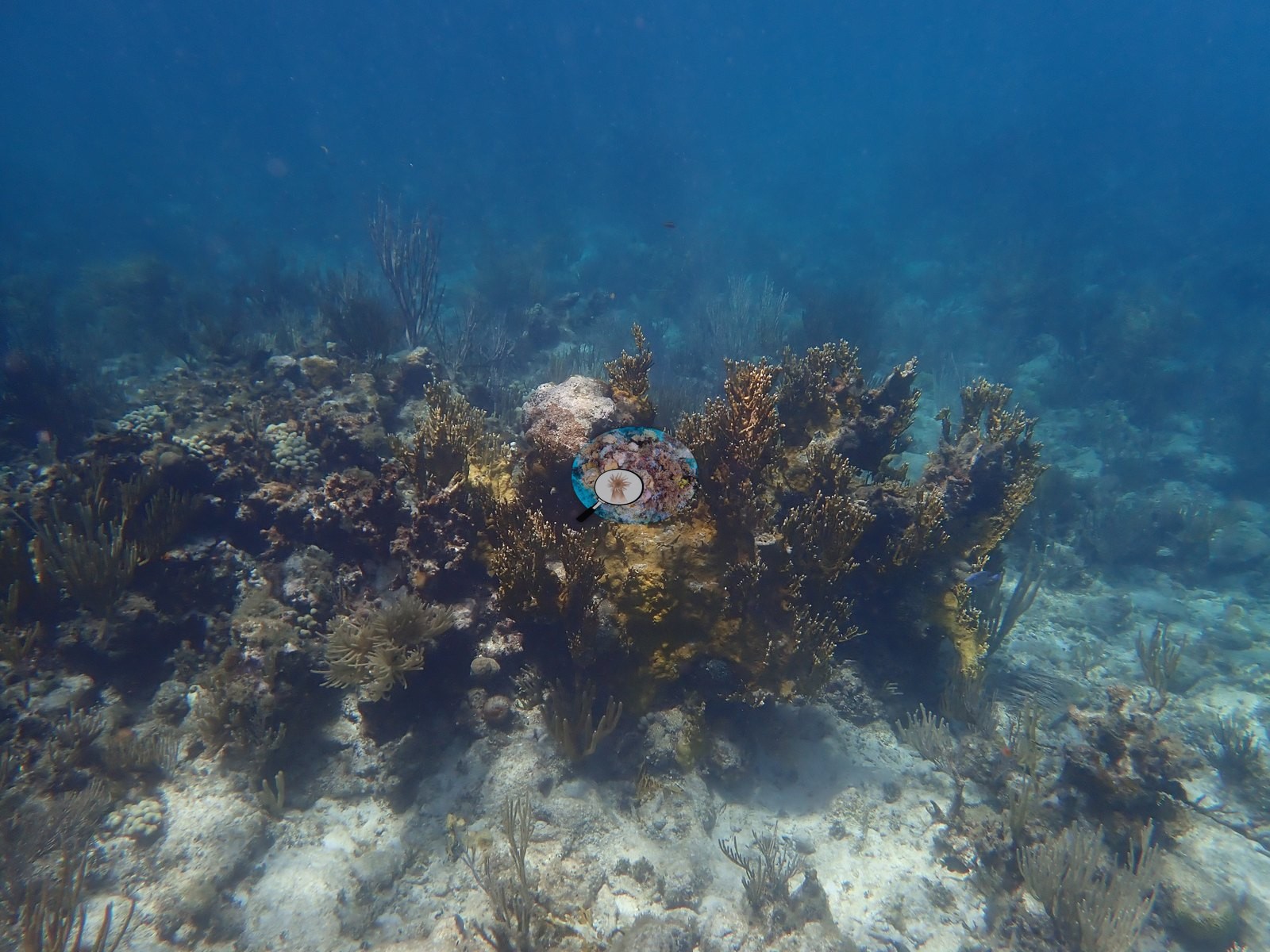
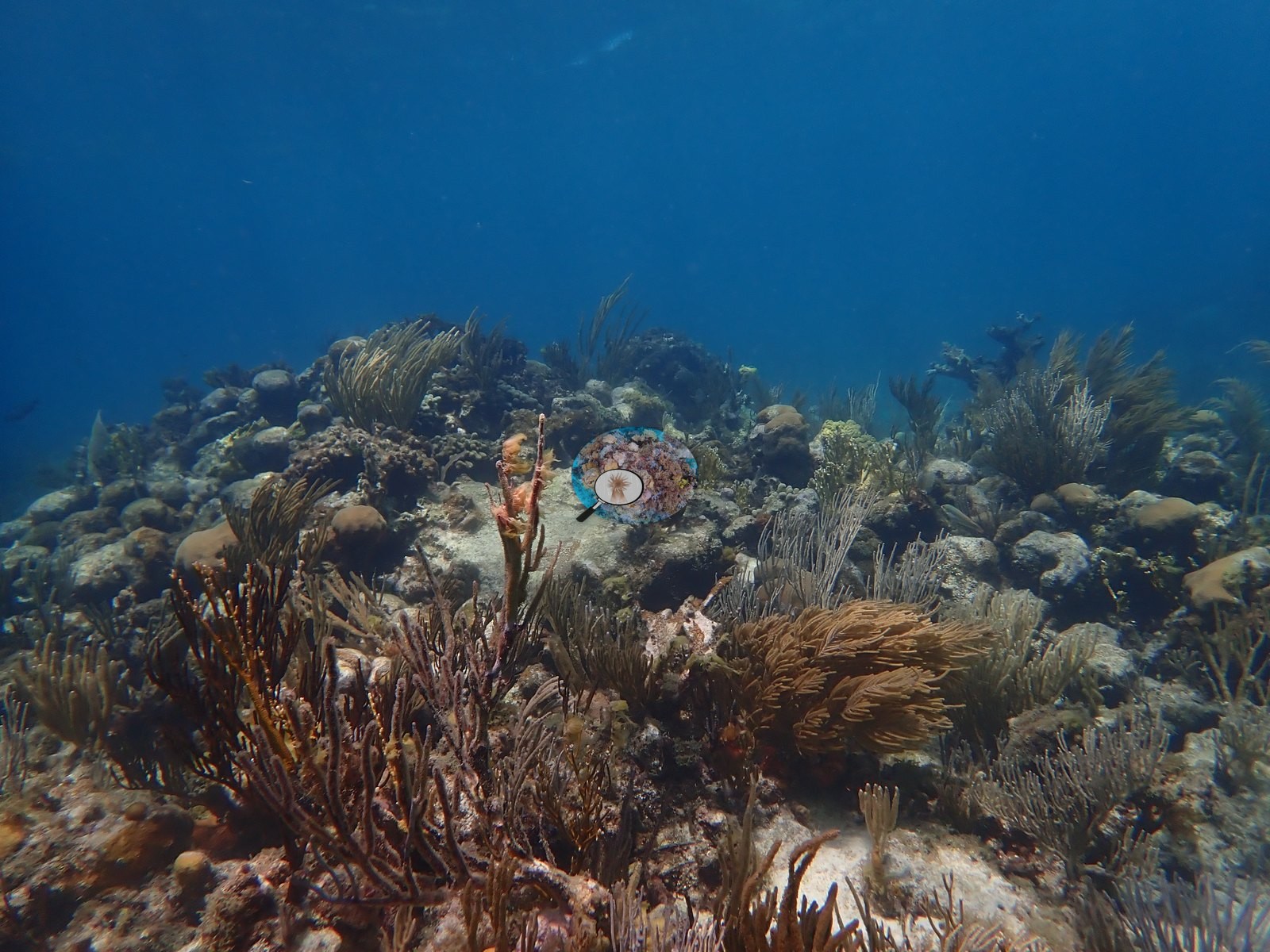
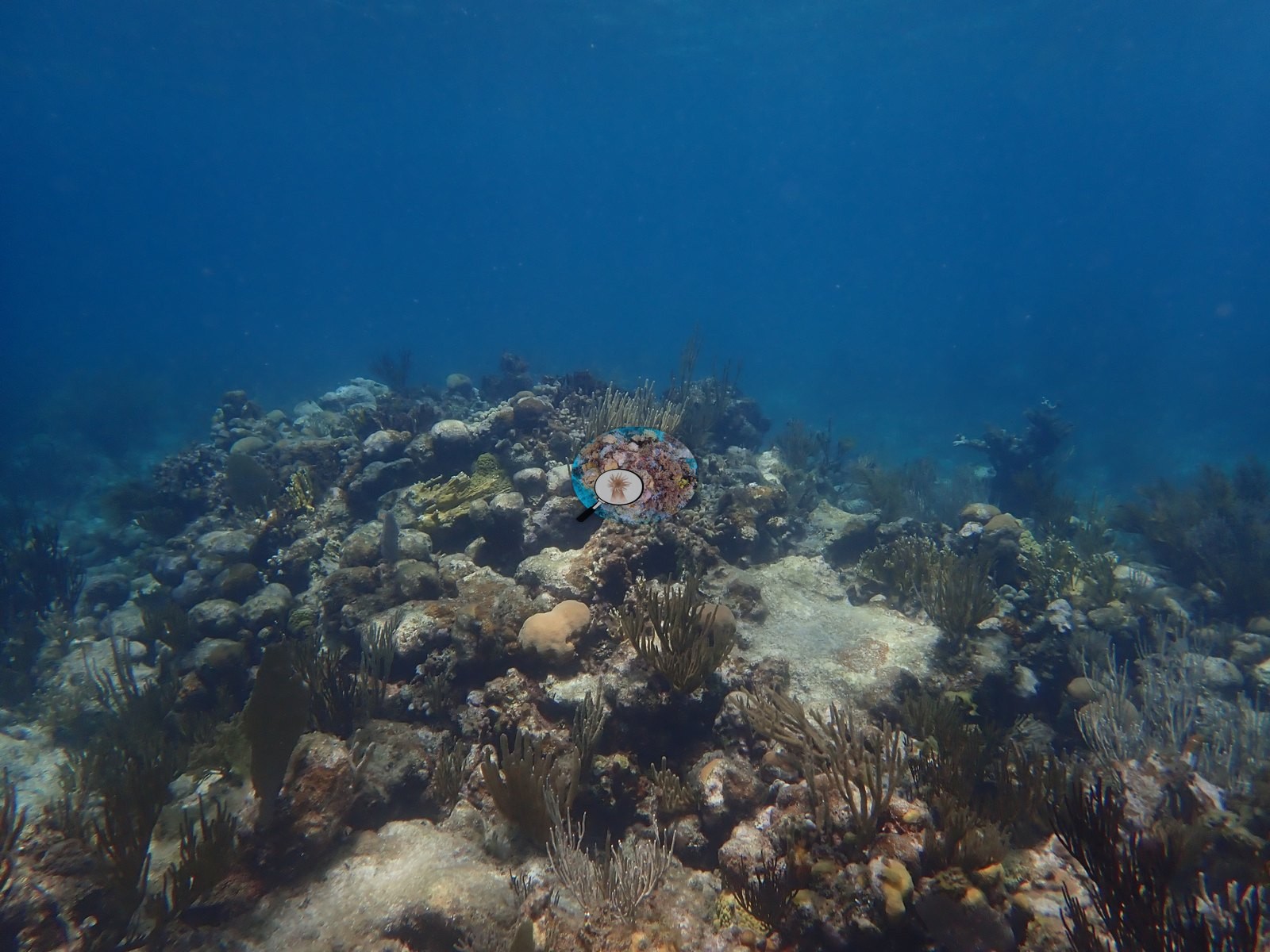
- Stony coral cover is patchy and concentrated on scattered heads, ridges, and thickets rather than forming a continuous reef framework, with octocorals (sea rods, sea plumes, and sea fans) present at moderate density through the deeper, higher-relief stretches (e.g., Image 71, Image 73, Image 80).
Along the transect
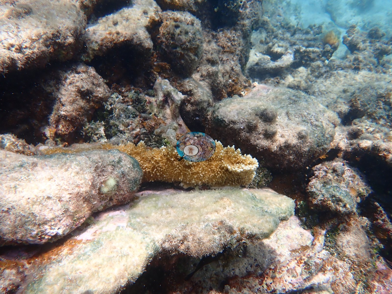
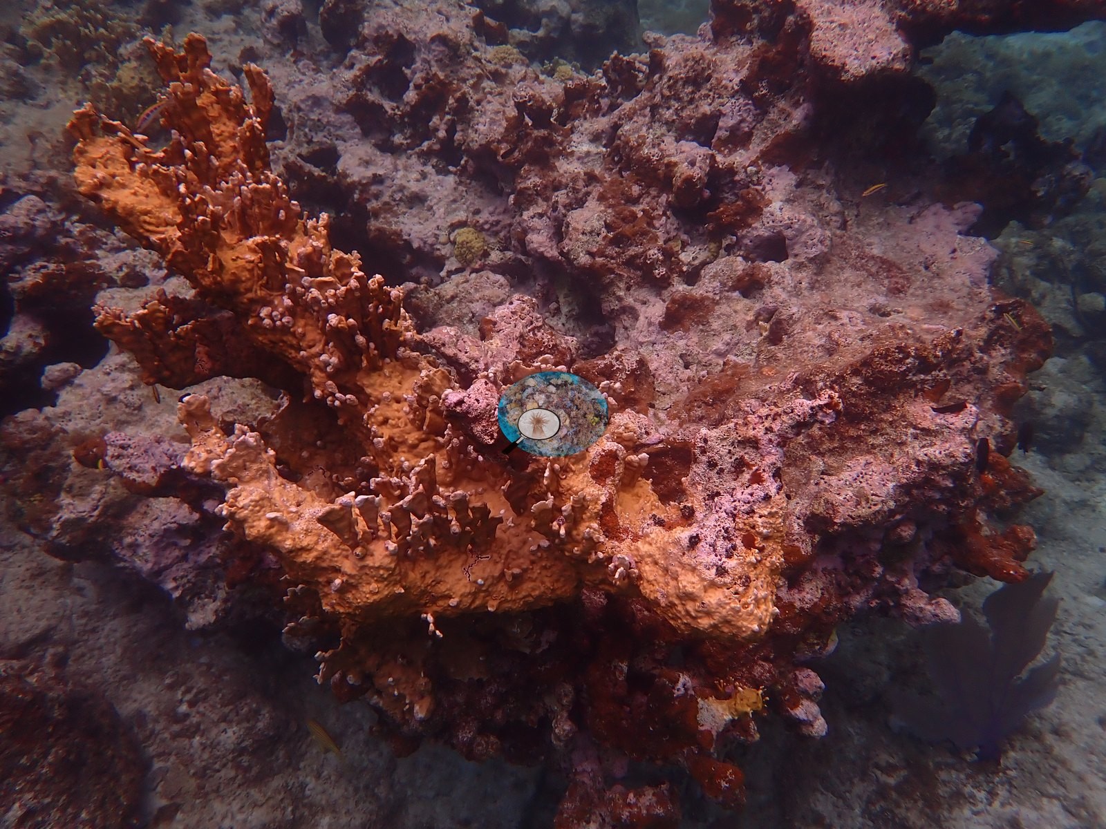
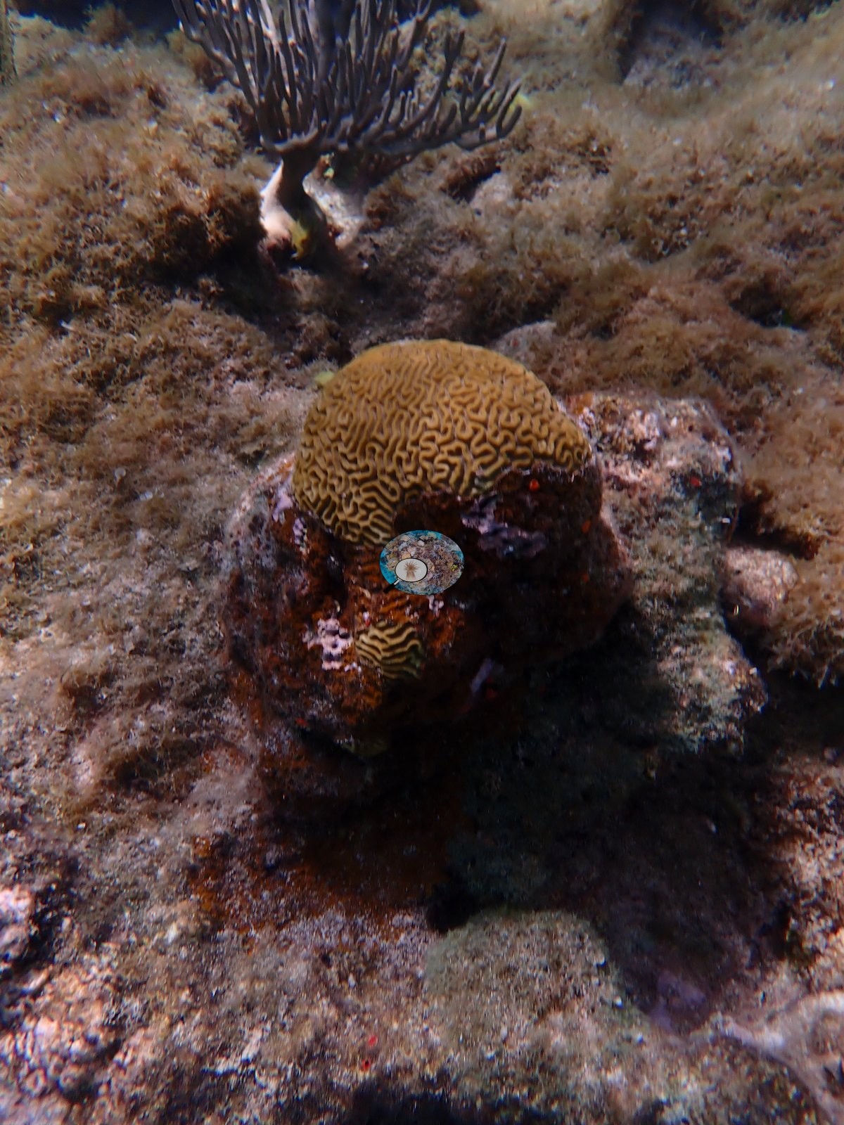
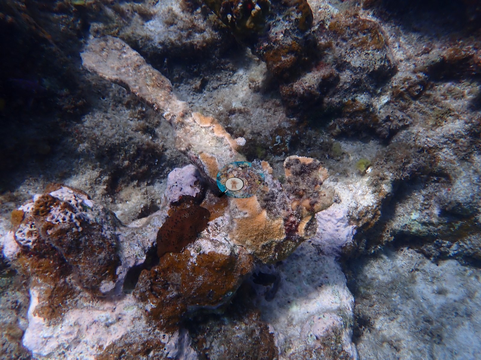
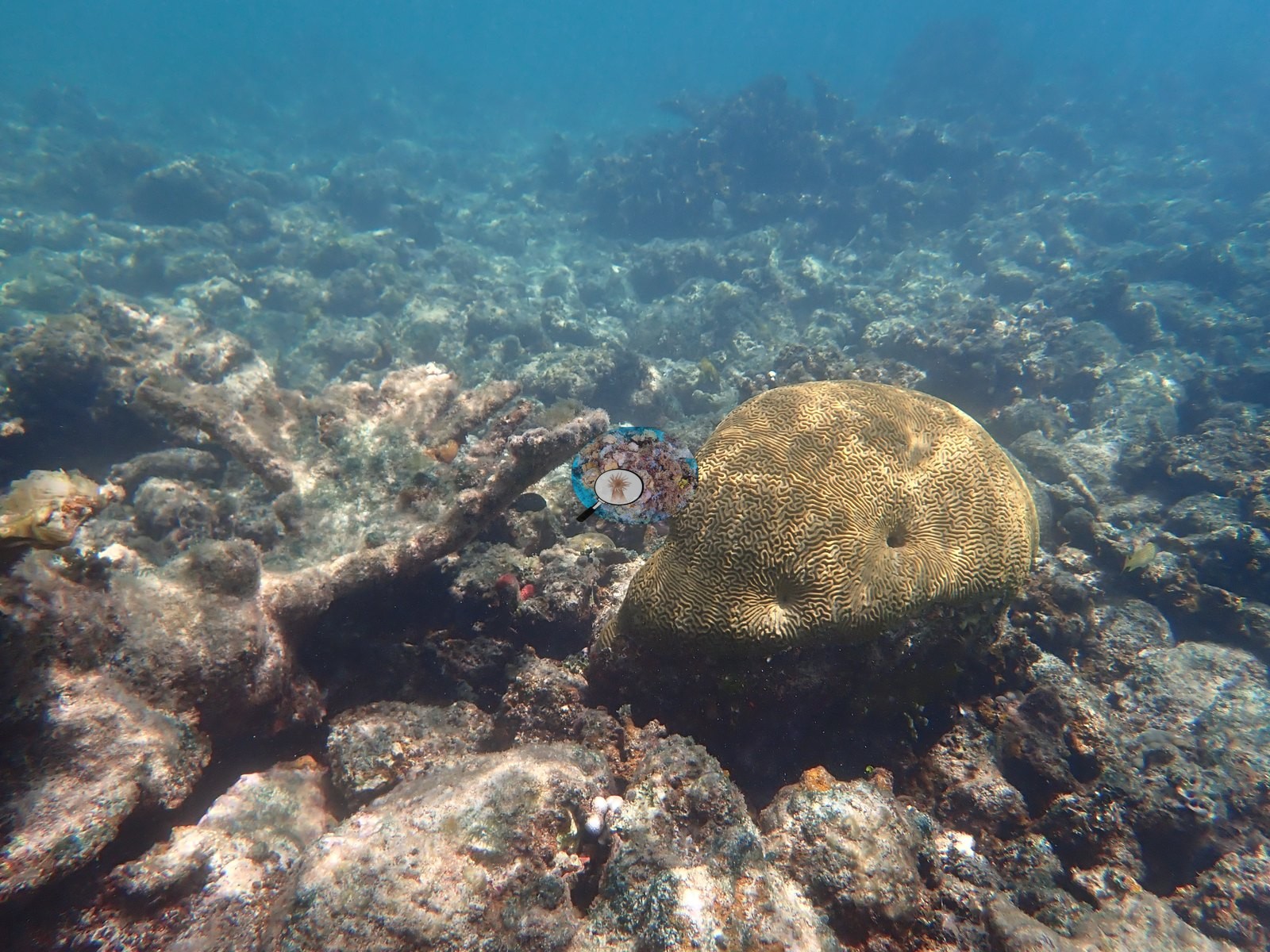
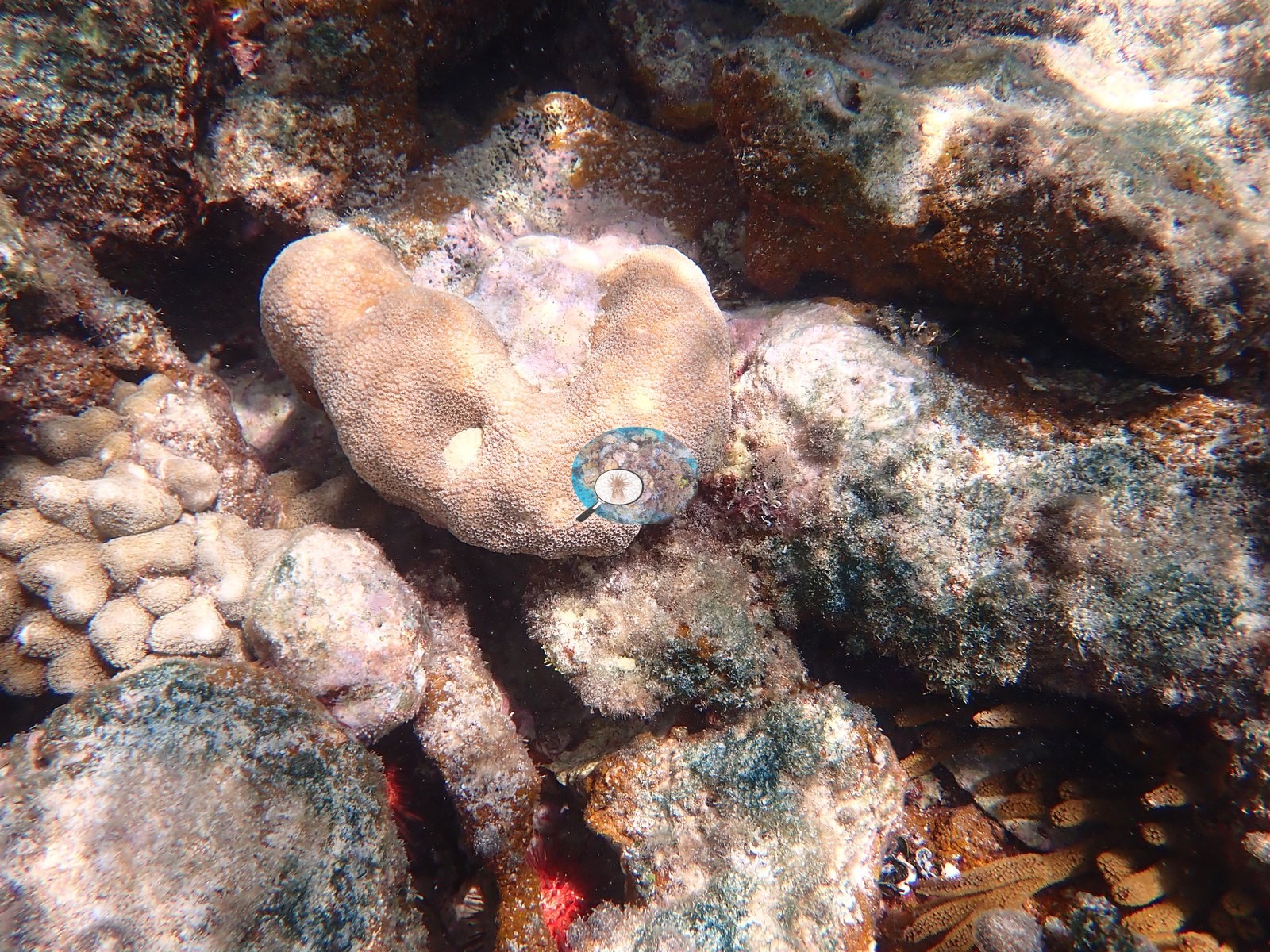
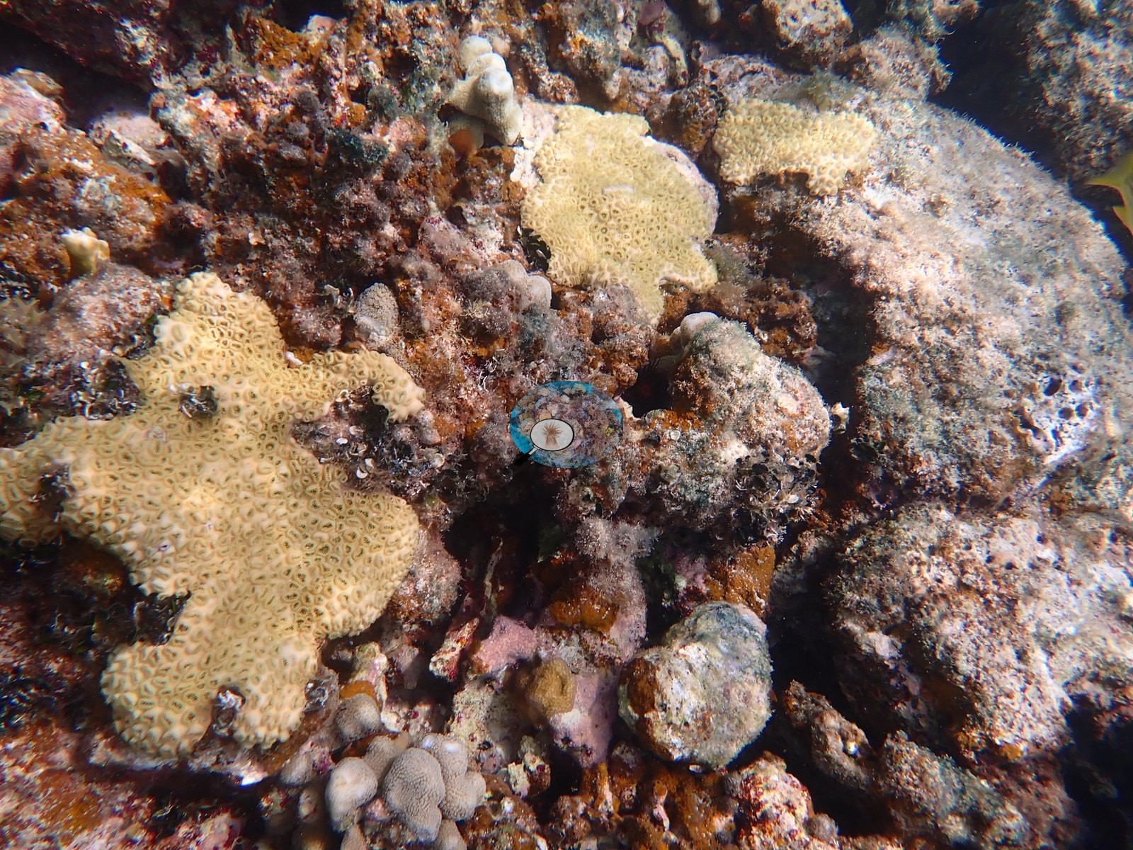
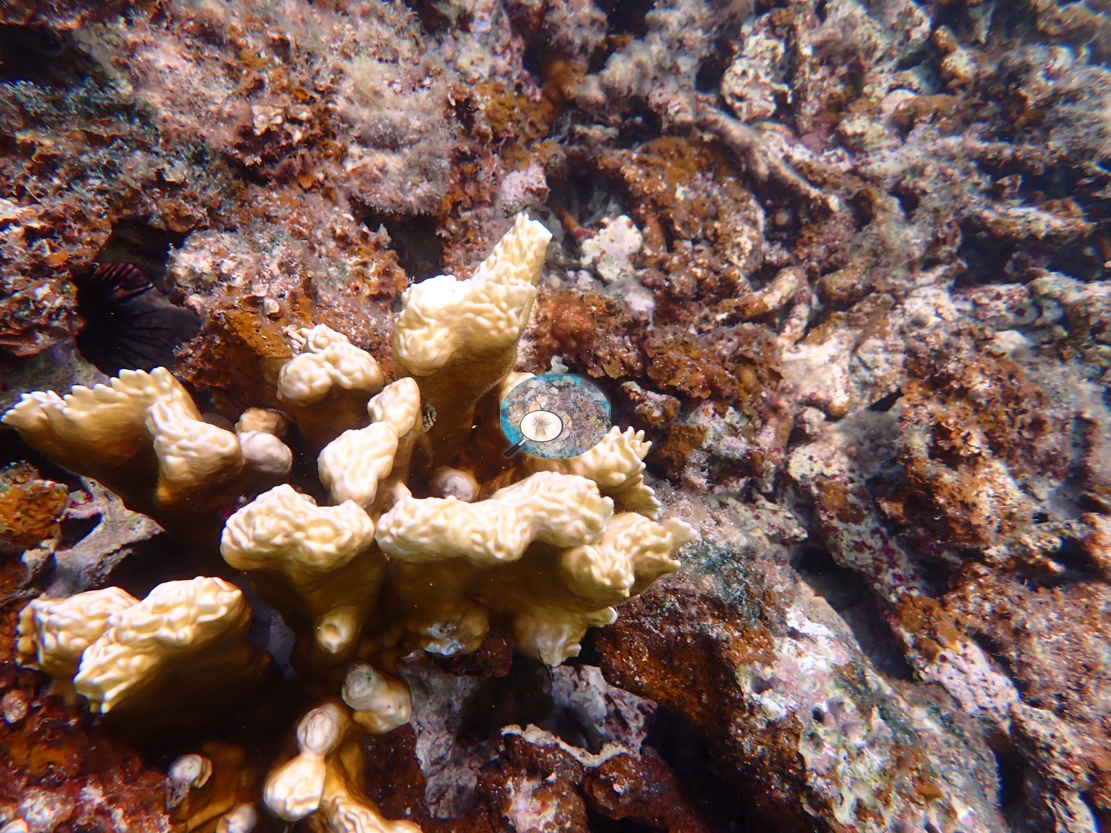
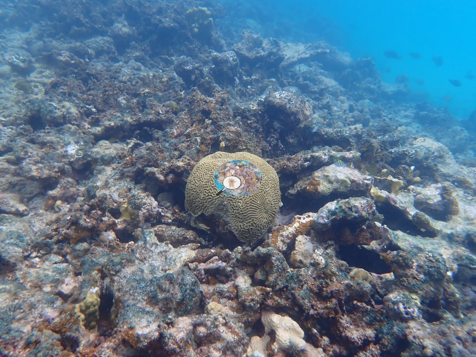
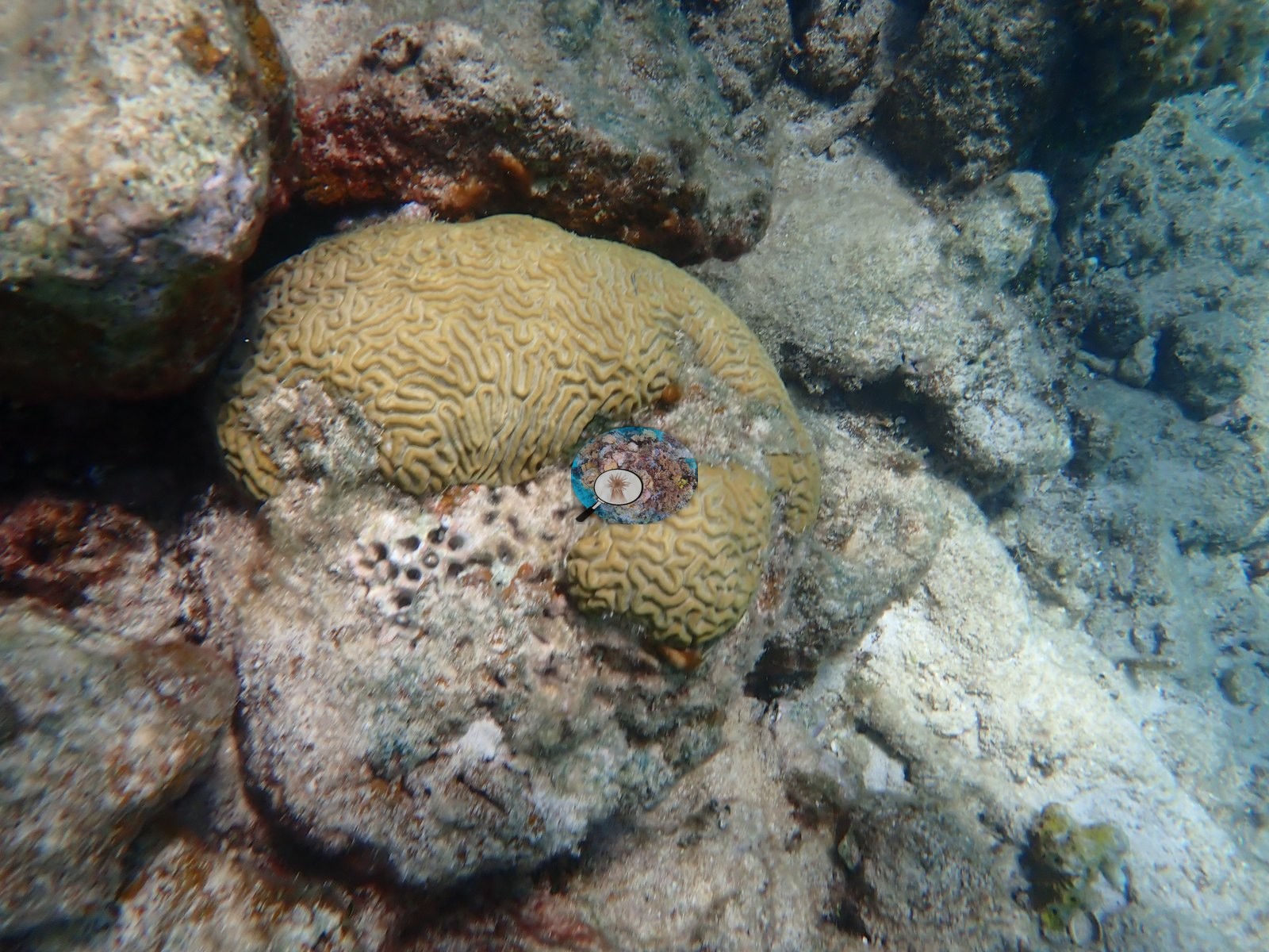
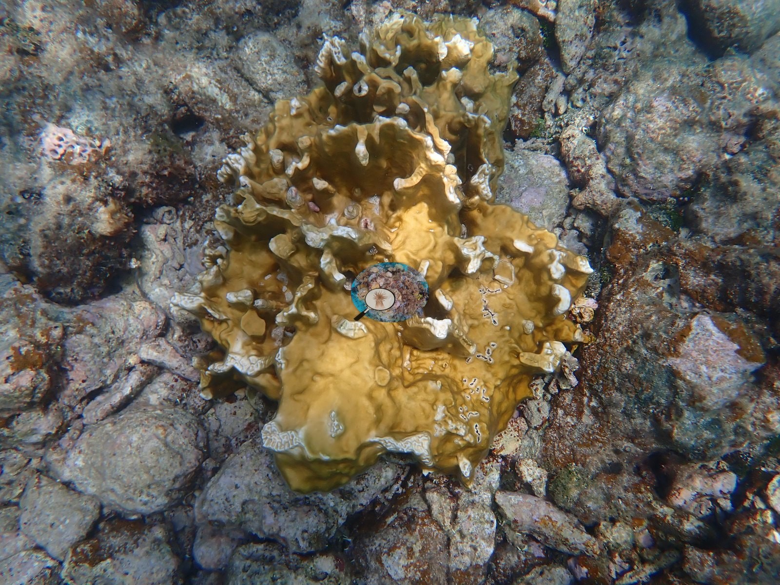
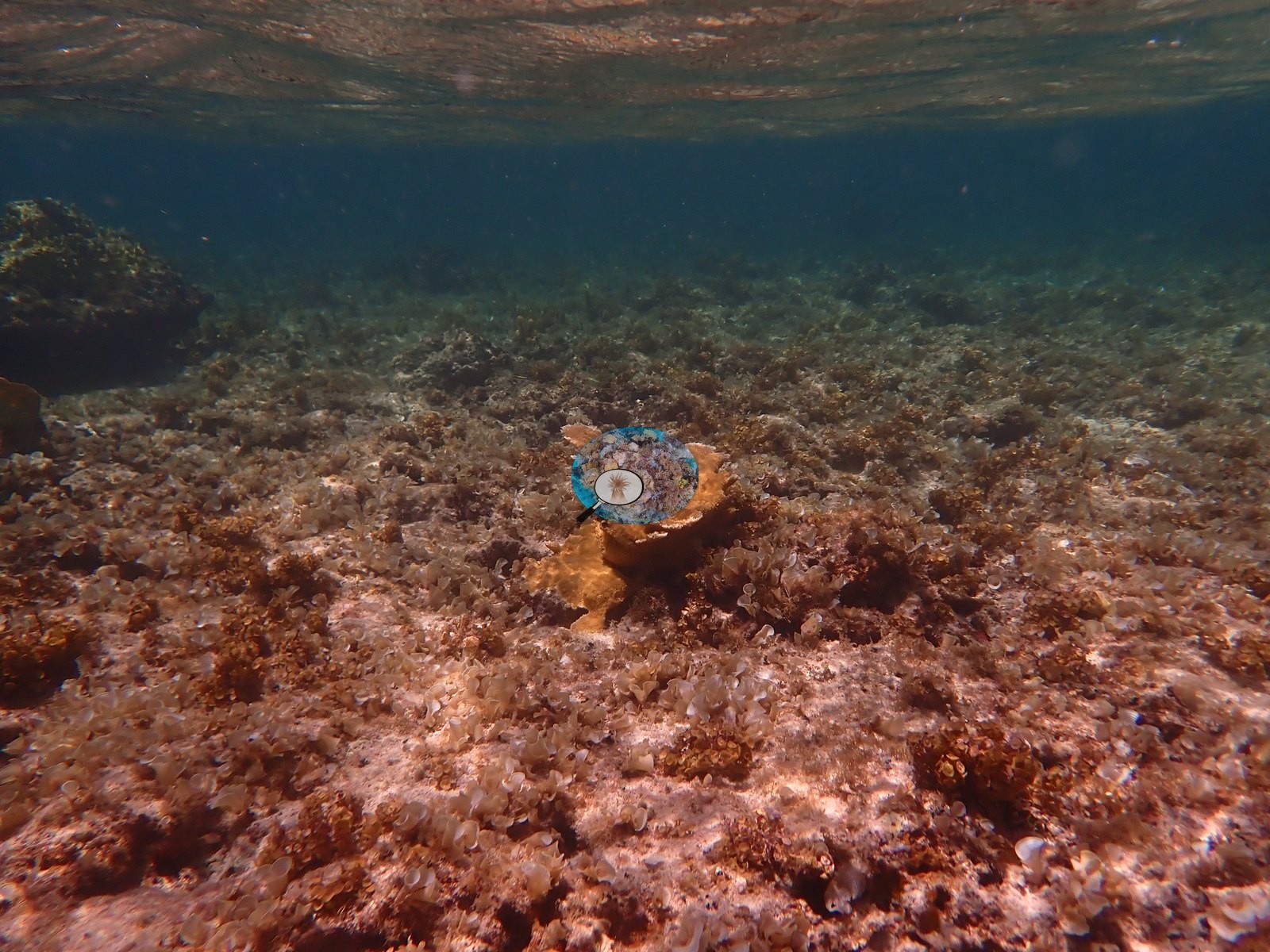
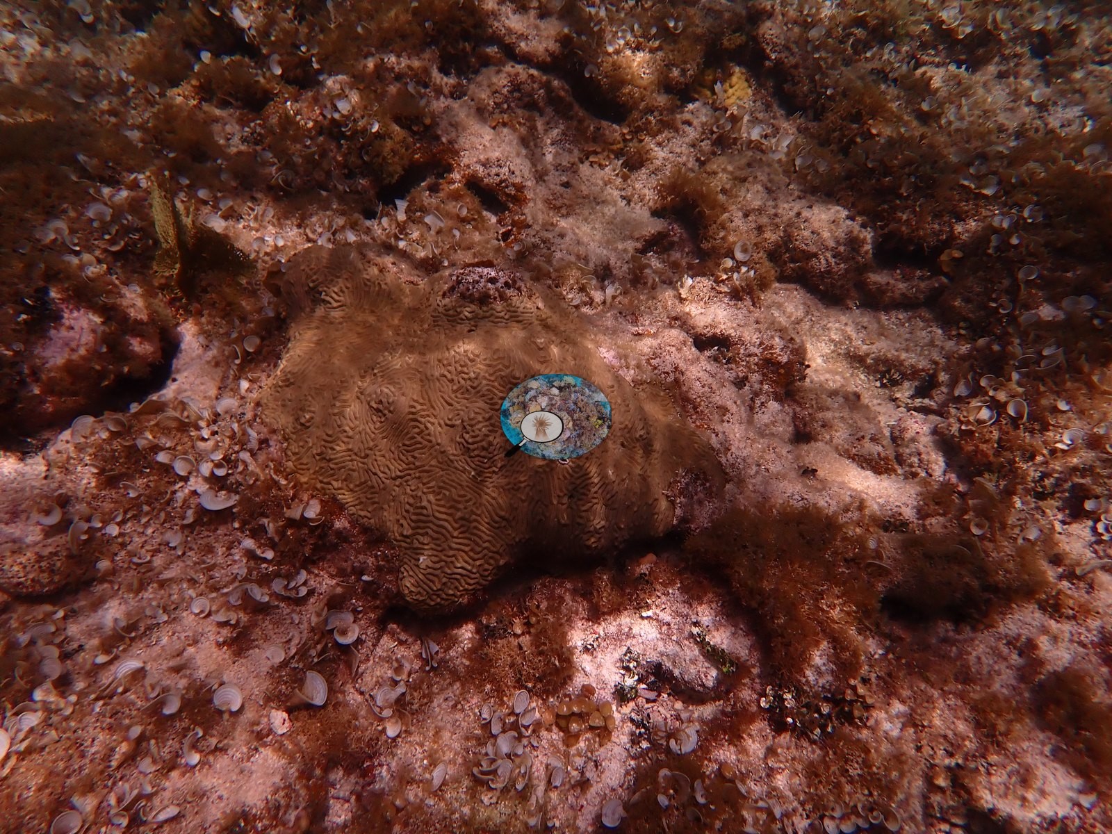
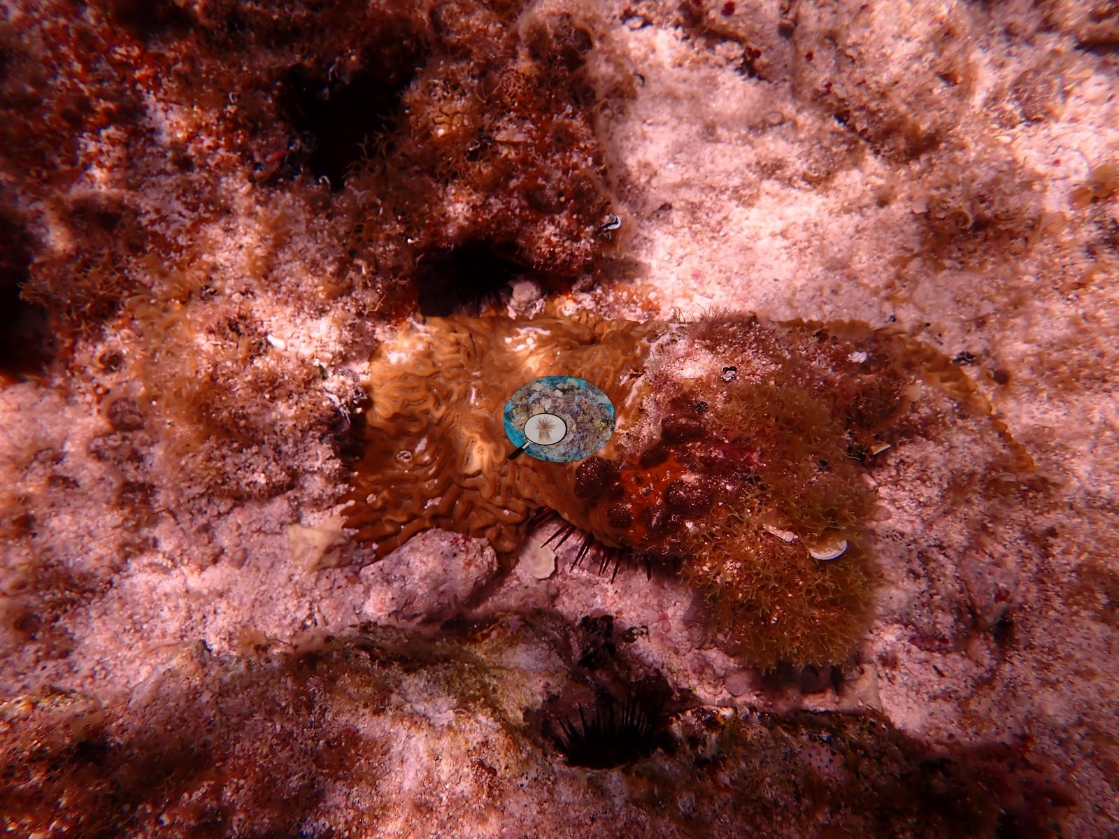
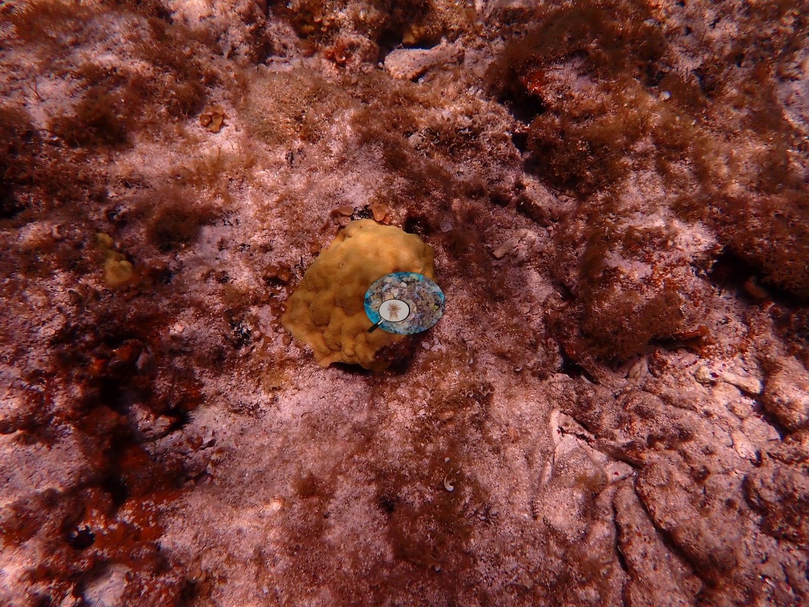
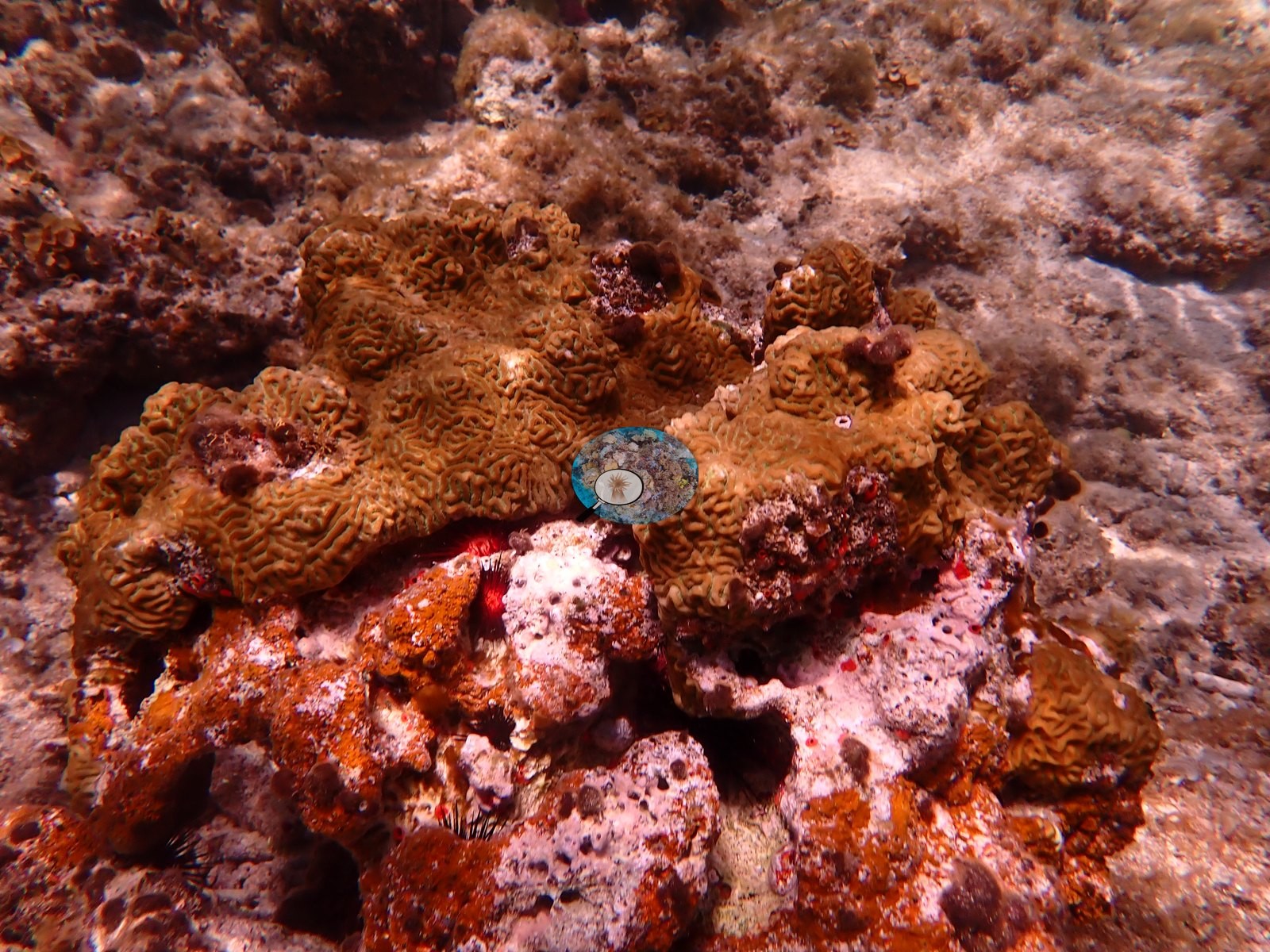
- Close to the Bali Hai start, the reef is a shallow hardground with scattered boulder and brain-type coral colonies, including a meandroid brain coral (e.g., Image 3) and small pale boulder heads (cf. Porites) (e.g., Image 2, Image 4), along with clusters of upright digitate finger coral (cf. Porites porites) (e.g., Image 6, Image 8). This same early stretch carries two further brain-type colonies (cf. Diploria/Pseudodiploria-complex) (e.g., Image 7, Image 11), a smaller mounding head with meandering ridges (cf. Pseudodiploria-complex) (e.g., Image 12), a small encrusting coral tucked into a crevice (e.g., Image 13), and a low live elkhorn-type colony with a long-spined urchin (cf. Diadema) at its base (e.g., Image 15).
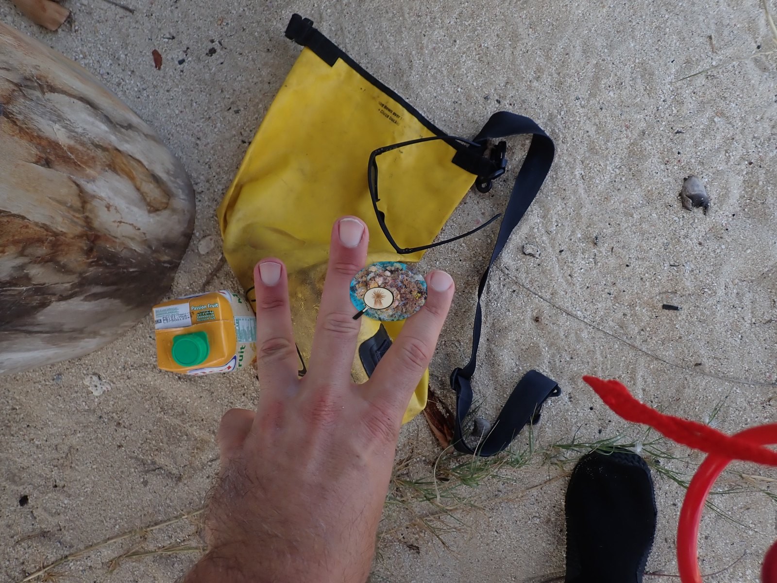
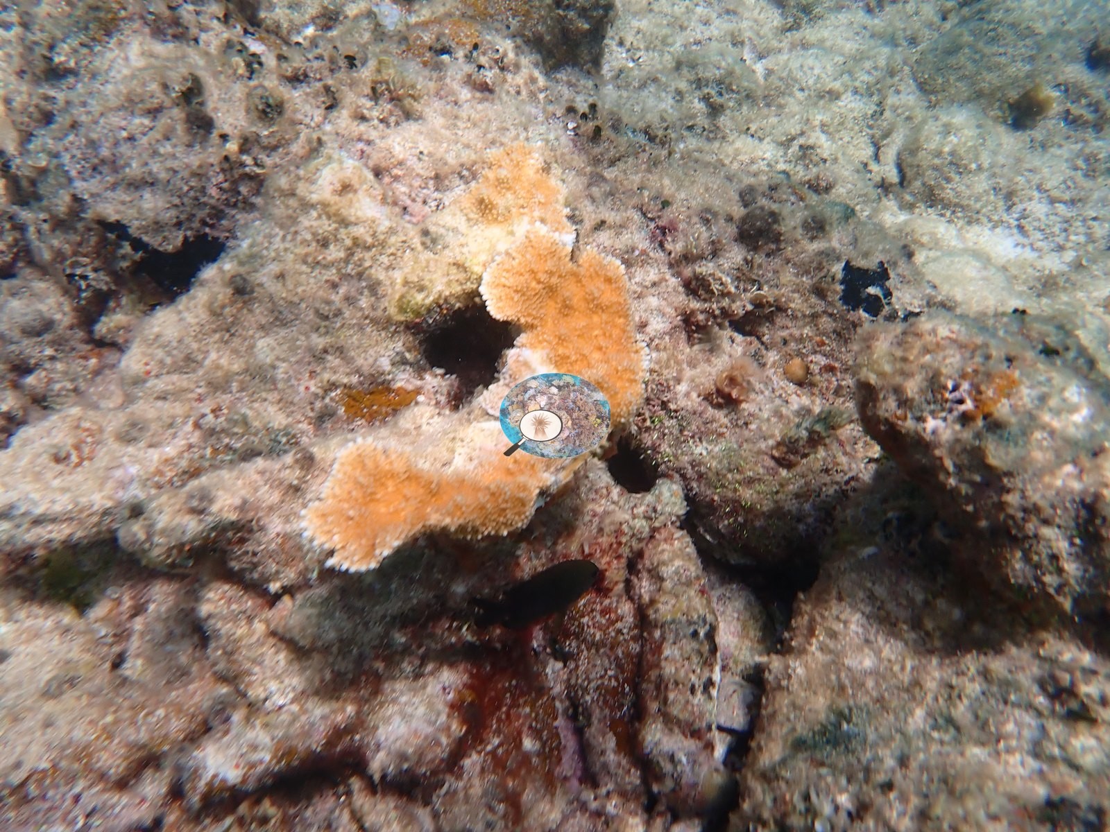
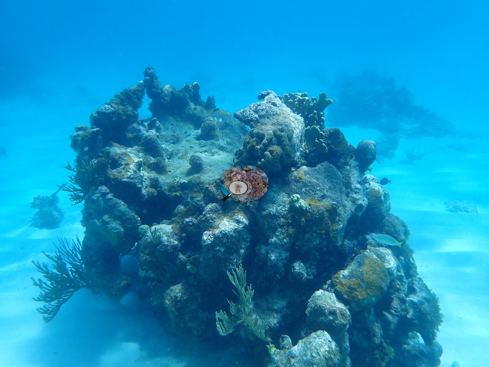
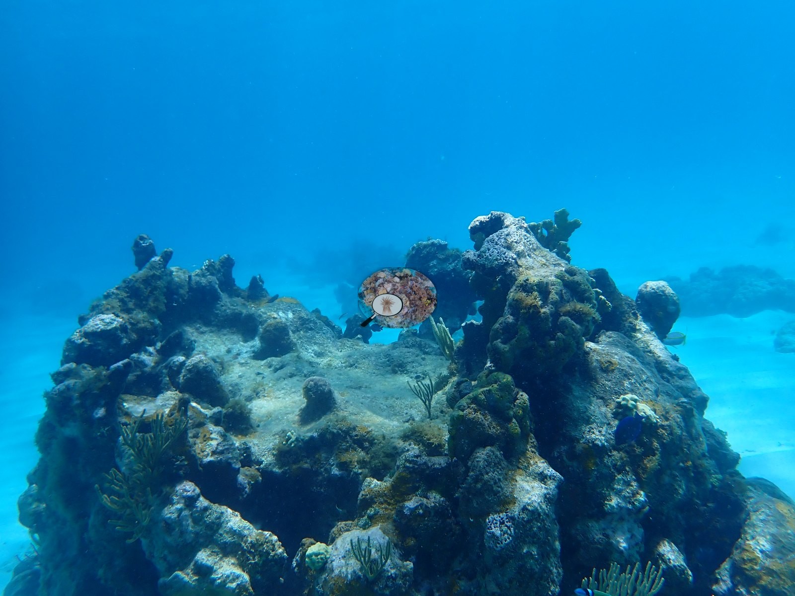
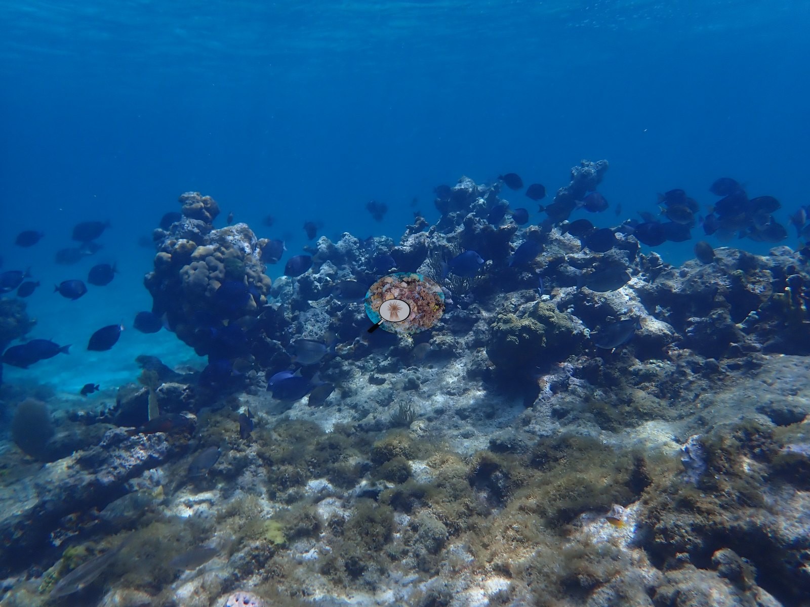
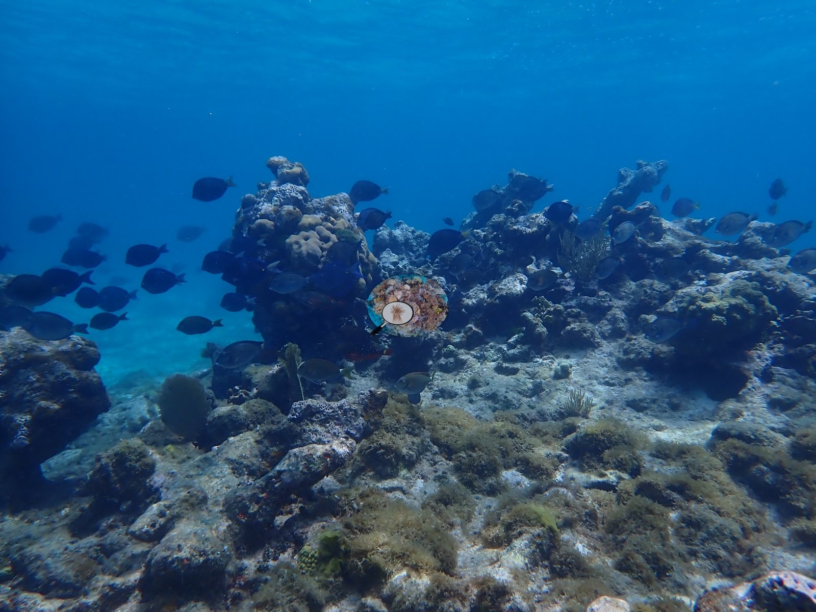
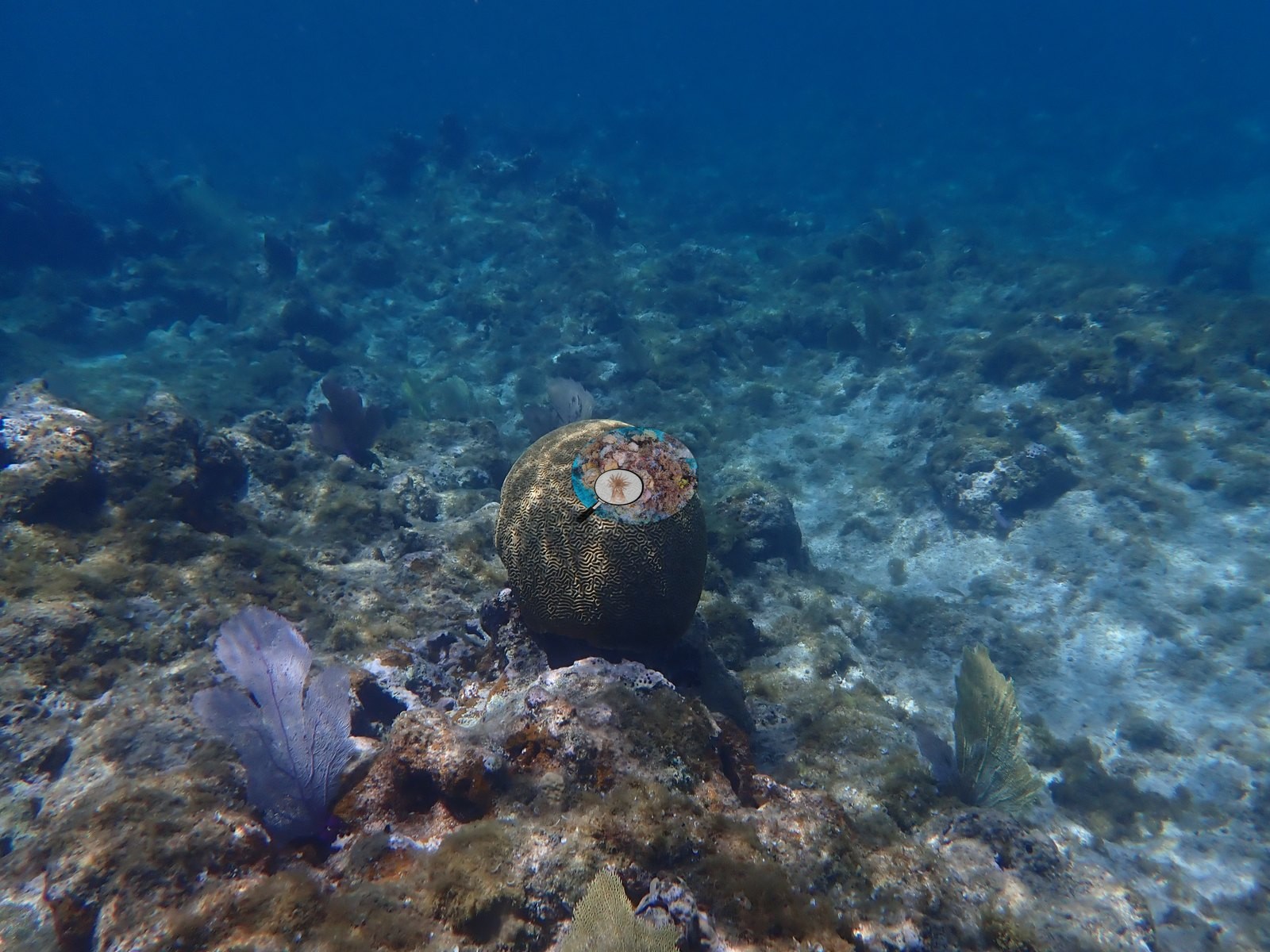
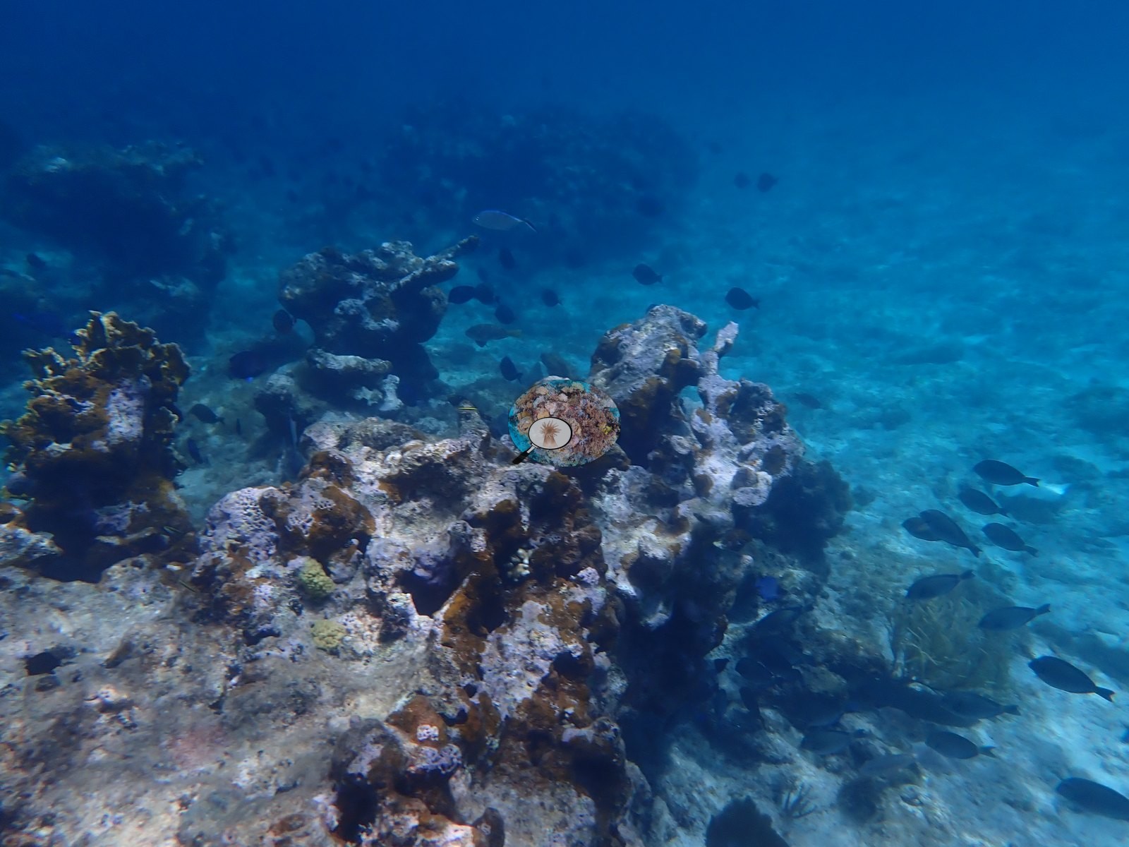
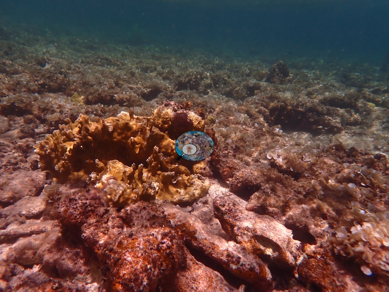
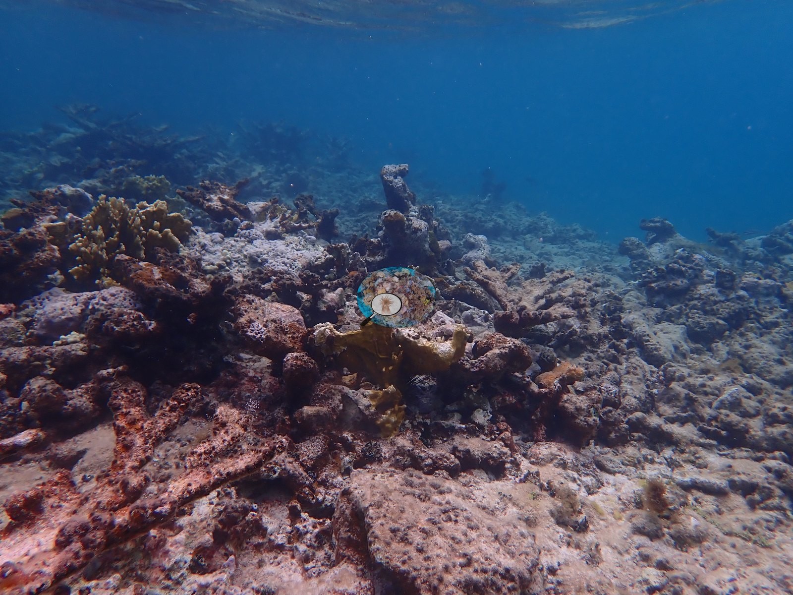
- Through the next stretch the substrate becomes more turf-and-rubble dominated, with dead coral branch fragments recurring against a backdrop of low stony coral cover, though scattered clusters of small boulder corals (e.g., Image 19, Image 20) and one elkhorn-type colony (cf. Acropora palmata) (e.g., Image 14) persist. A series of higher-relief rock pinnacles and bommies rises off the sand partway through this stretch, several ringed by dense schools of blue tang and other reef fish and carrying small live coral colonies of their own (e.g., Image 24, Image 25, Image 29, Image 38, Image 39). A prominent, freestanding brain coral head on a rock pedestal, with purple sea fans at its base, stands out further along (e.g., Image 37), and a large plate or elkhorn-type colony (photographed with a diver's hand for scale) appears nearby (e.g., Image 41).
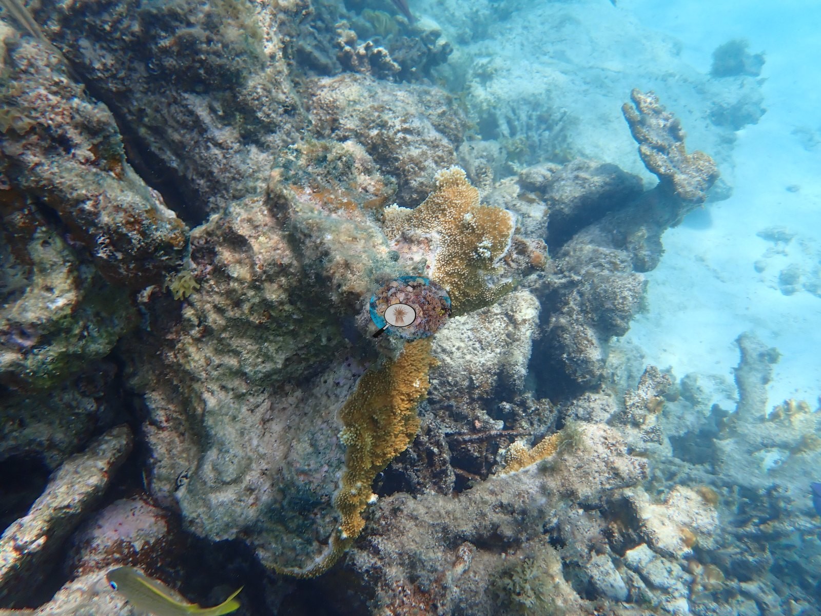
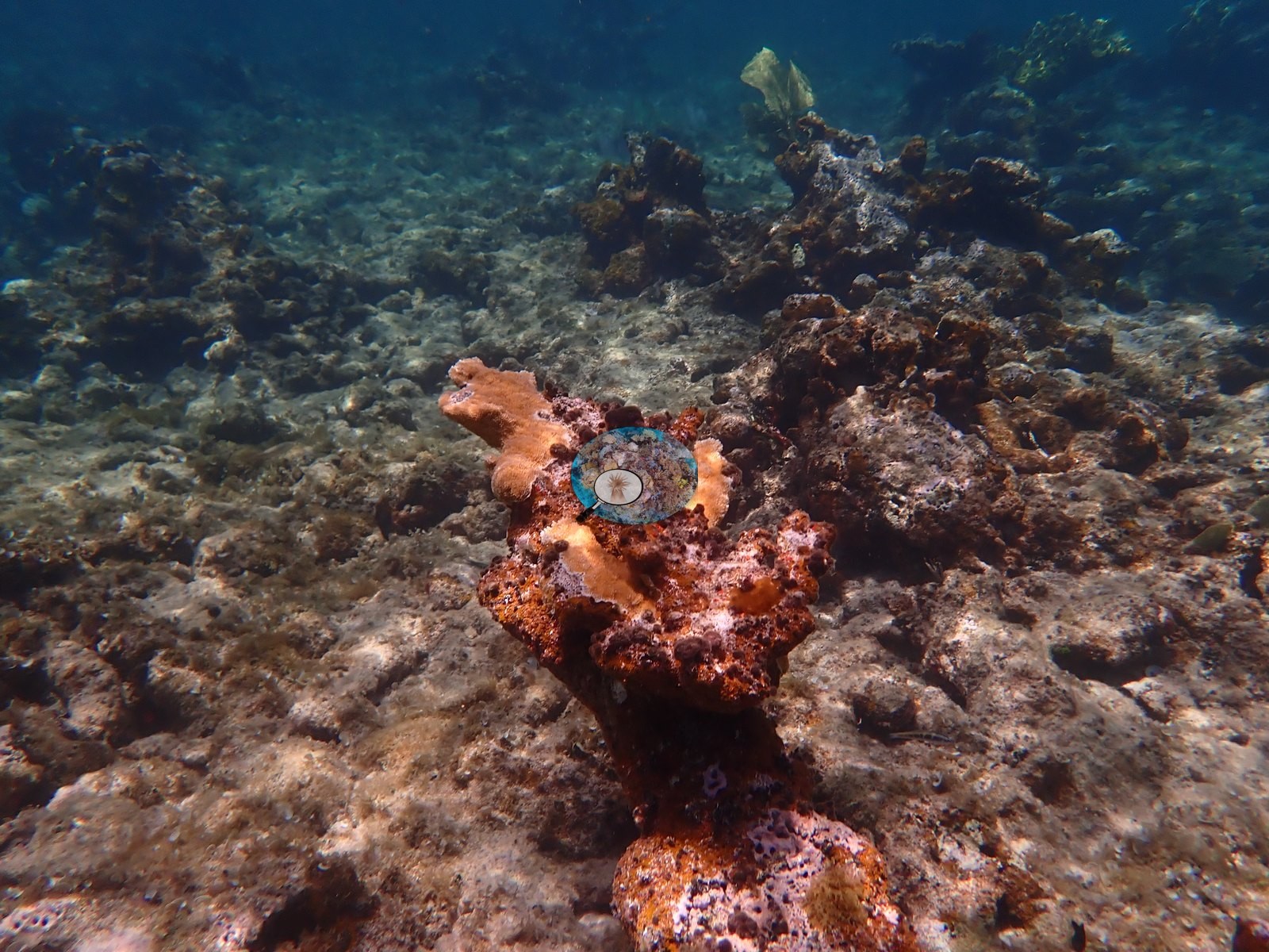
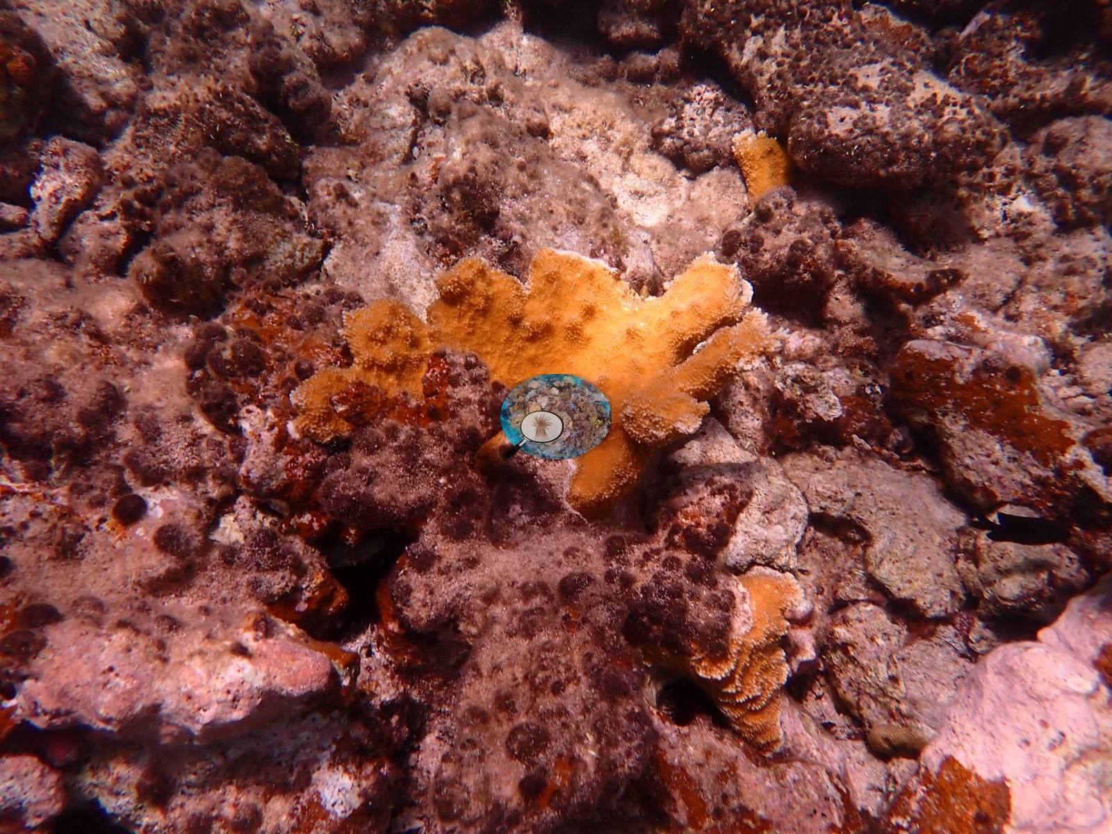
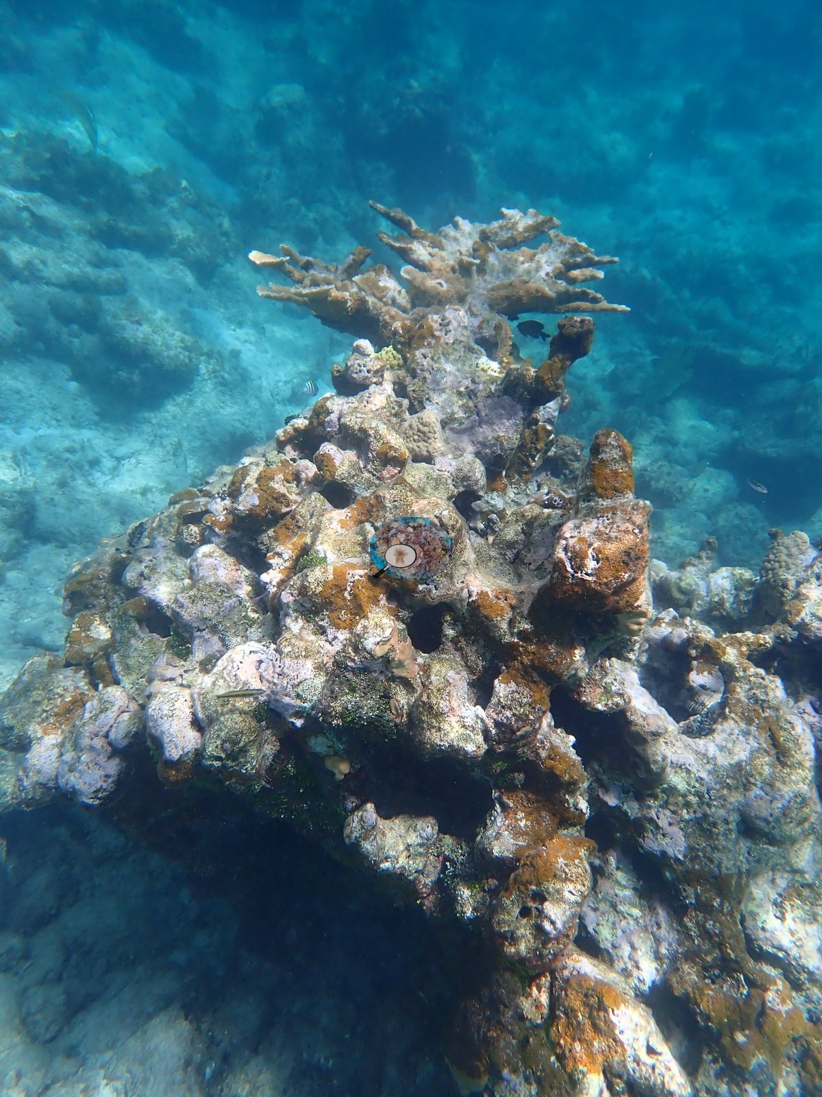
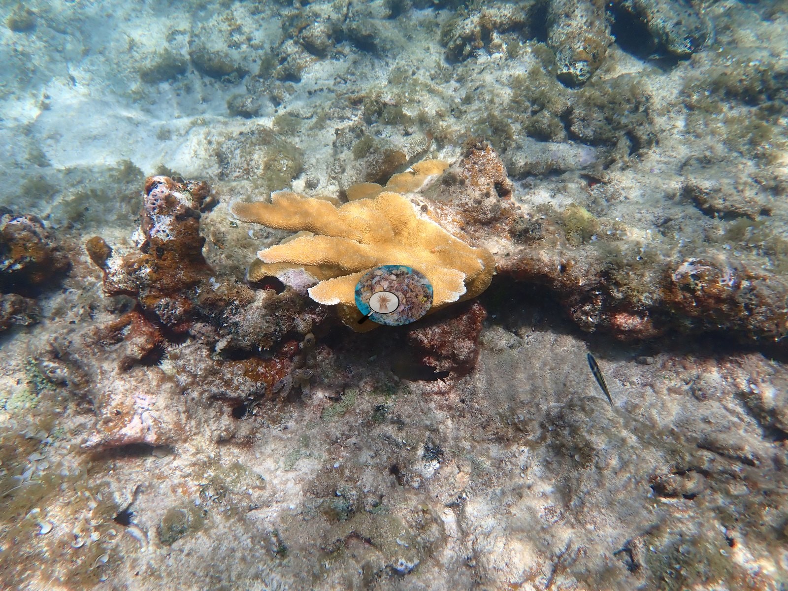
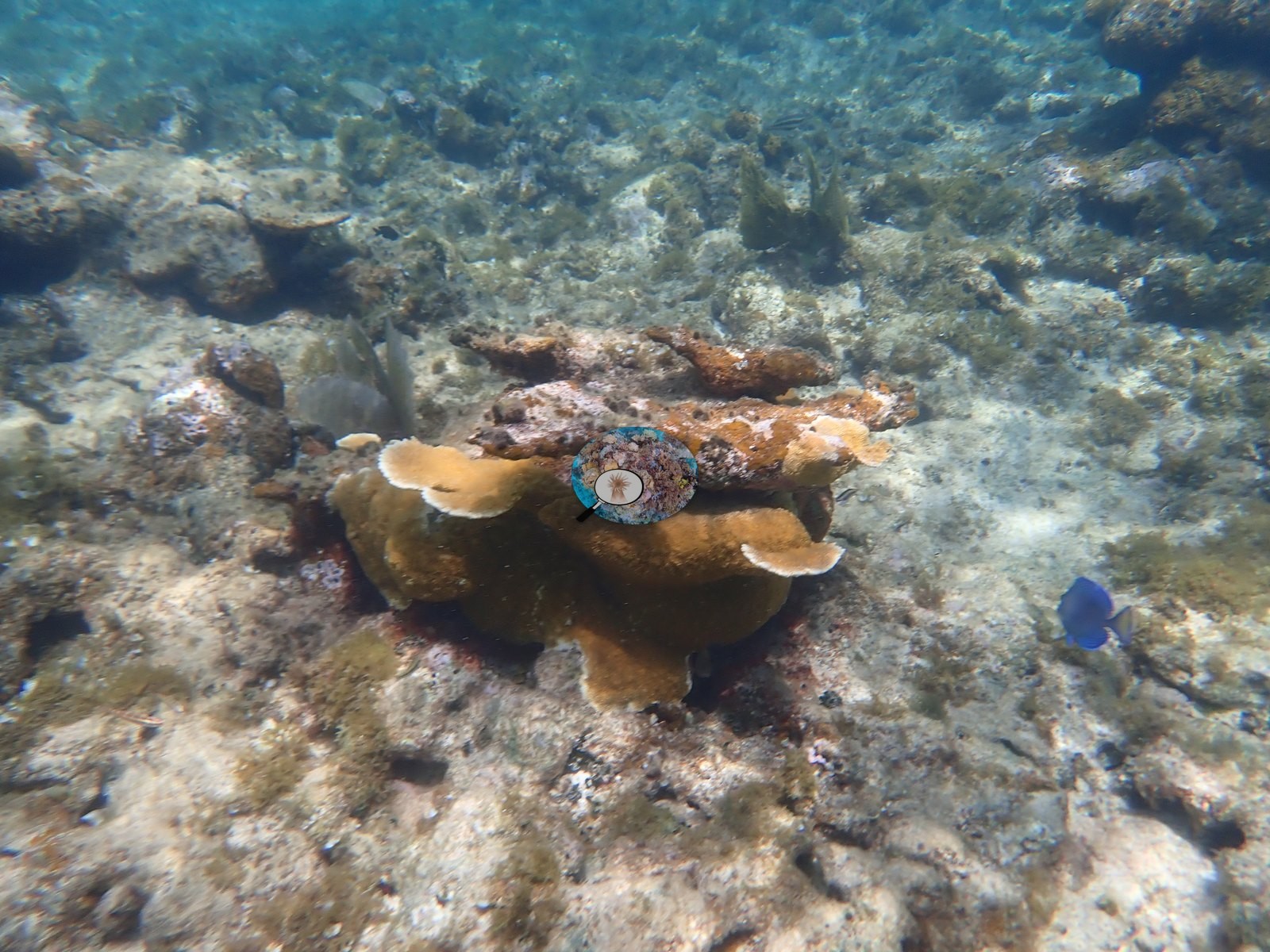
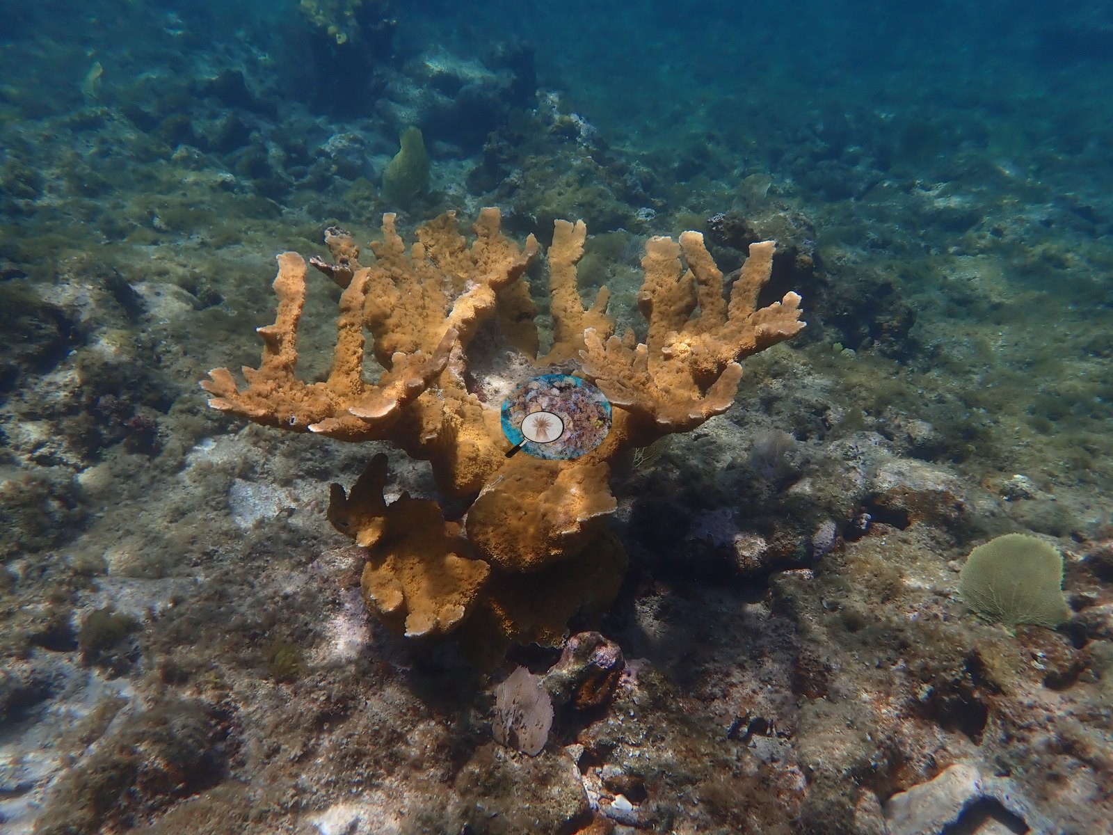
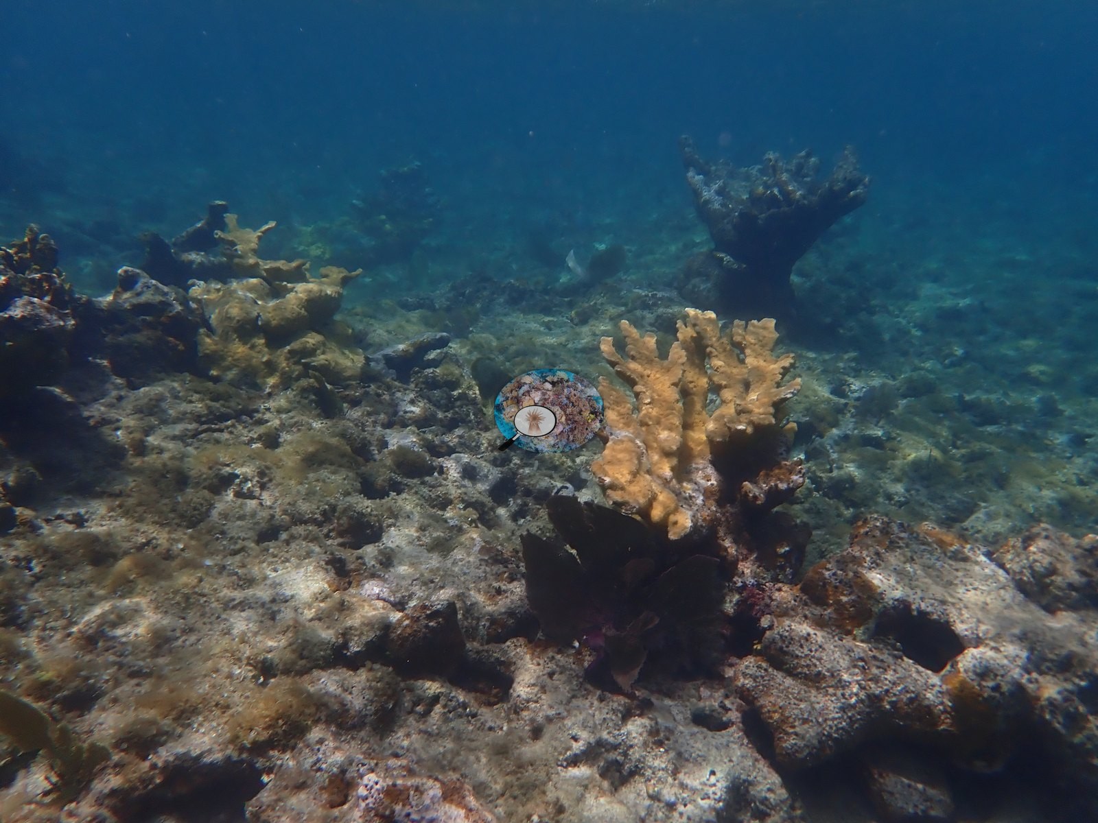
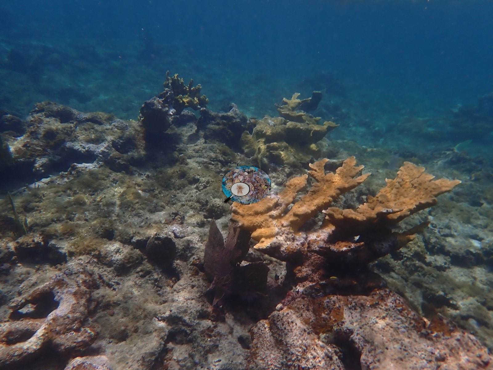
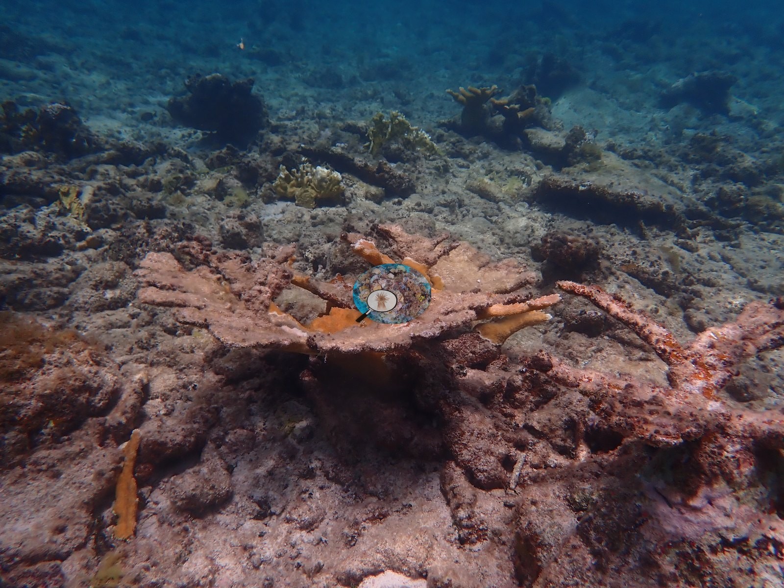
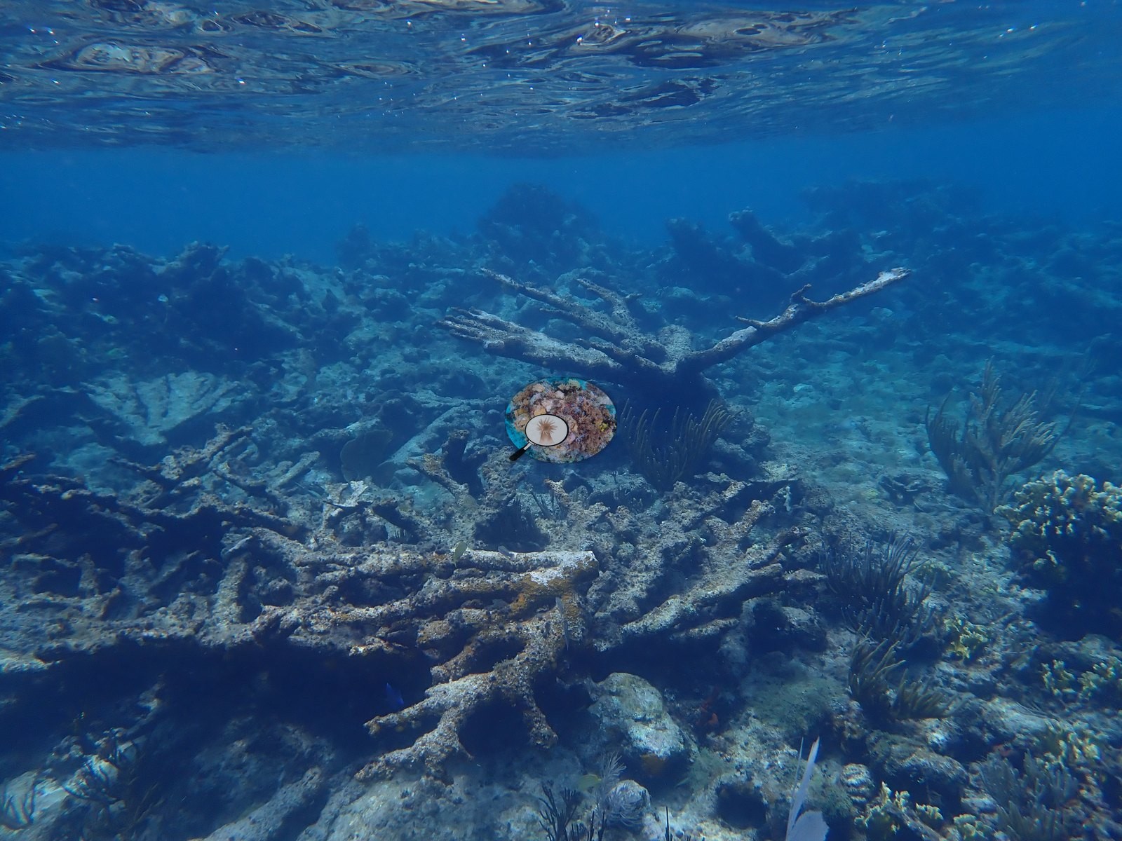
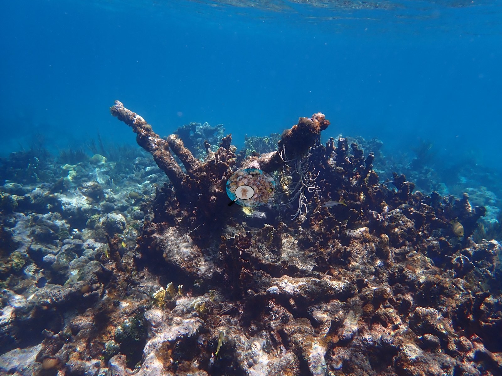
- By the midpoint the route enters a stand of elkhorn coral, a mix of live upright colonies (e.g., Image 42, Image 43, Image 44, Image 45, Image 78) and darker or bare skeletons, including one broken but still-living fragment resting on the substrate (e.g., Image 40).
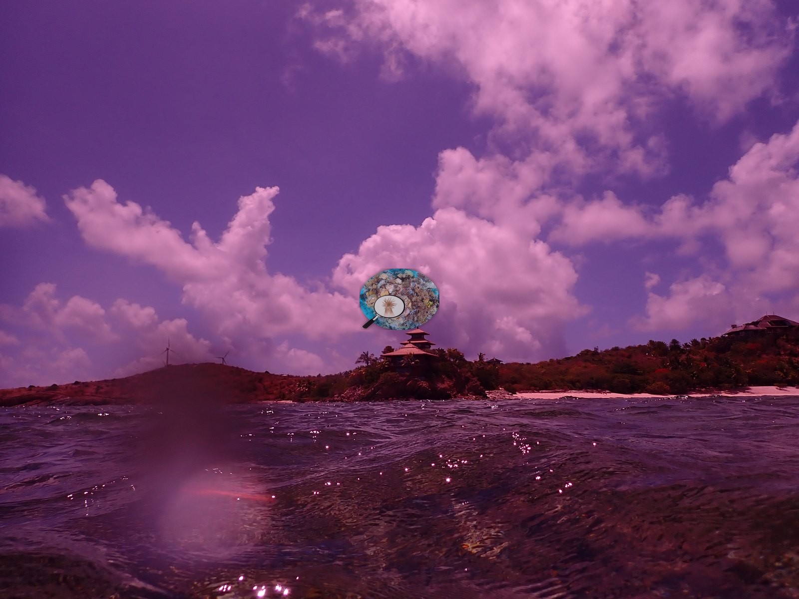
- The transect then shoals into a shallow, shell-hash-covered zone (e.g., Image 49, Image 51, Image 52) with a few isolated coral colonies persisting (e.g., Image 48, Image 50, Image 54, Image 55), briefly surfacing near a view of the island's pagoda building (e.g., Image 53) before continuing underwater.
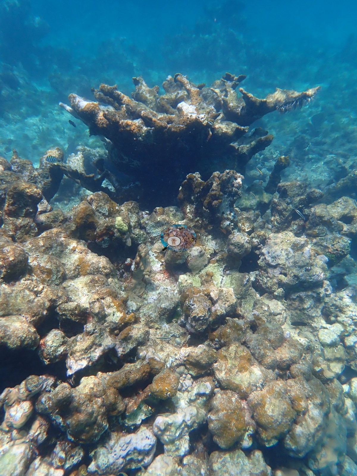
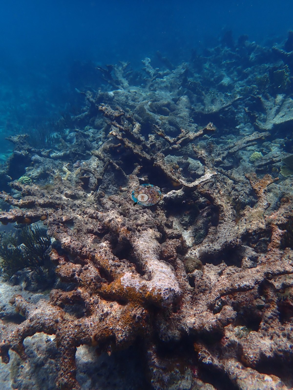
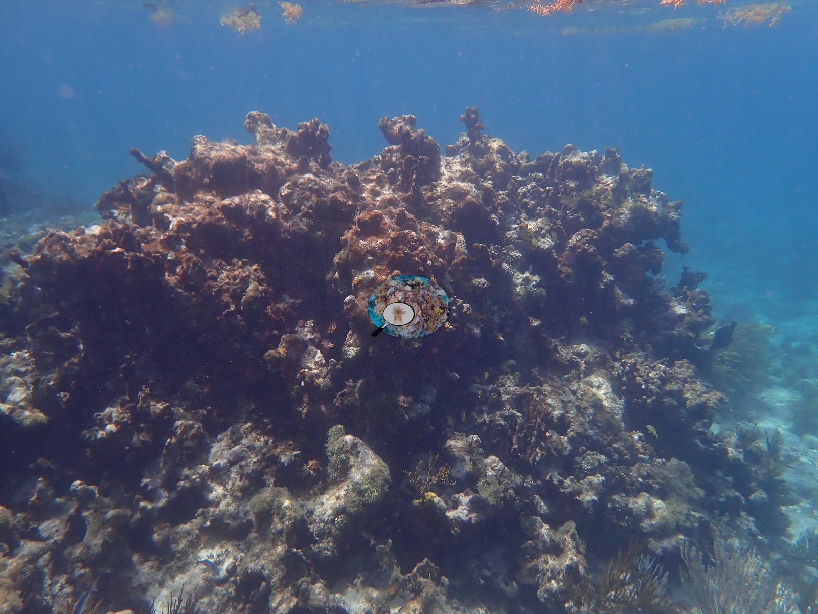
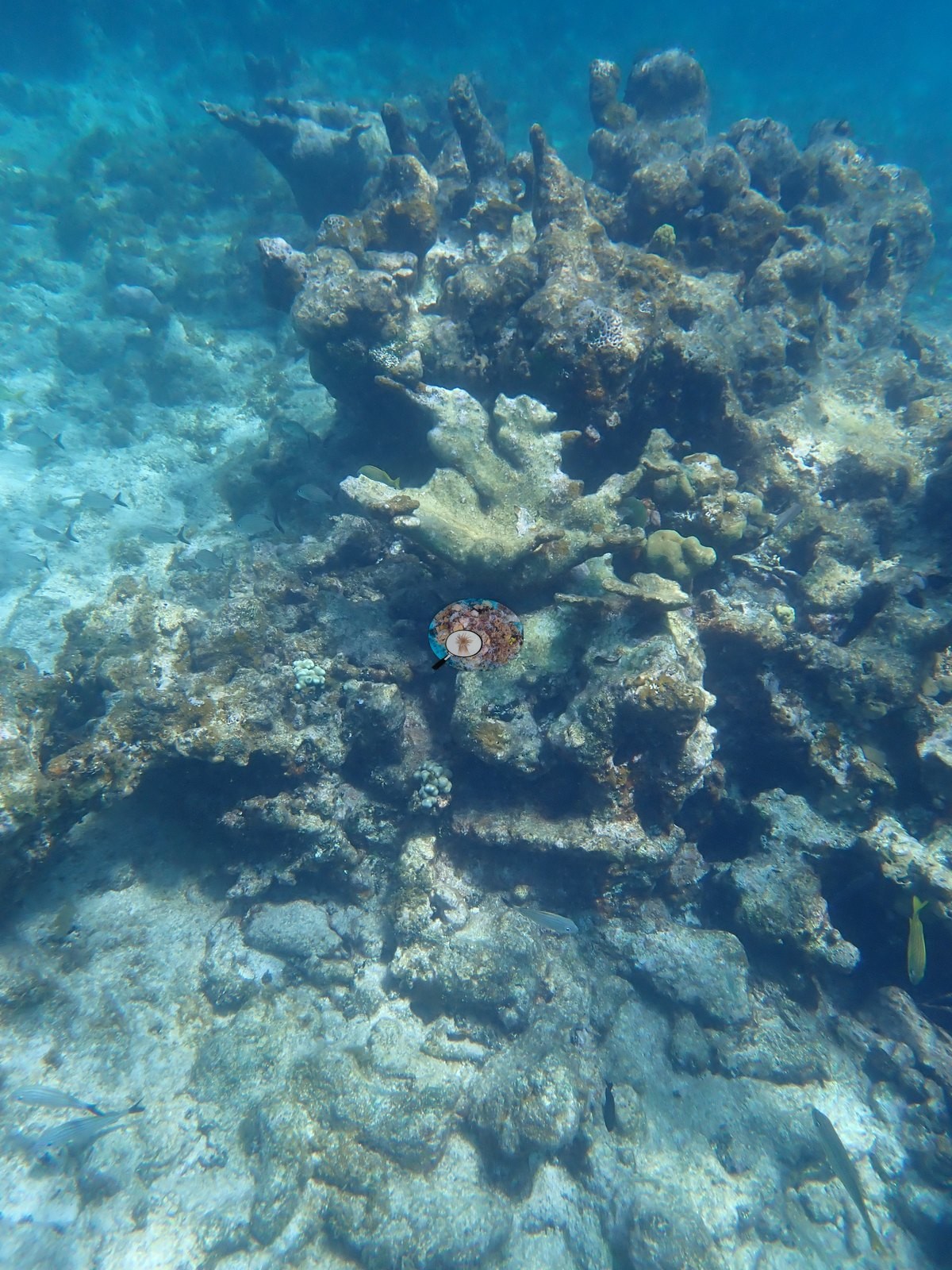
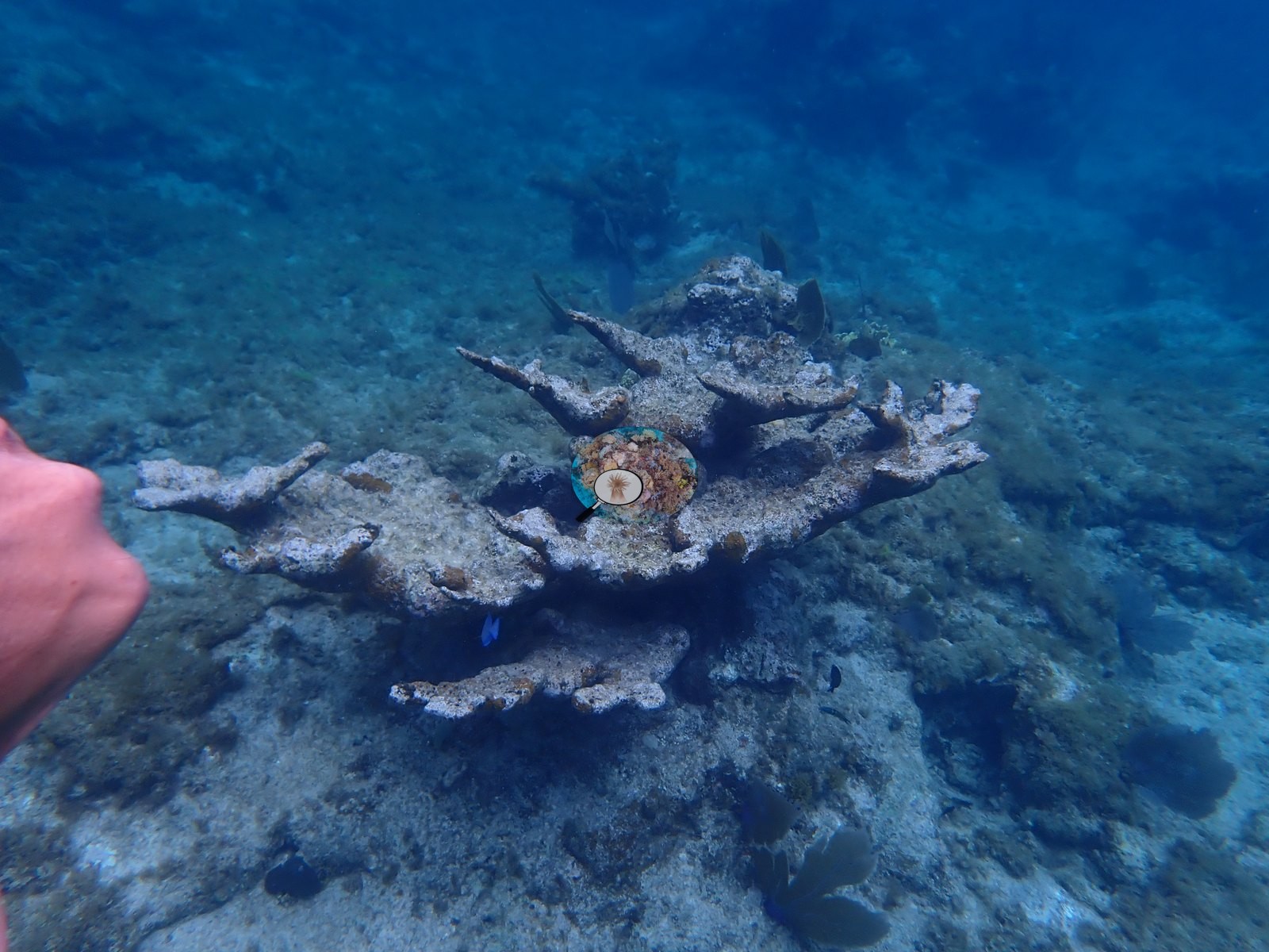
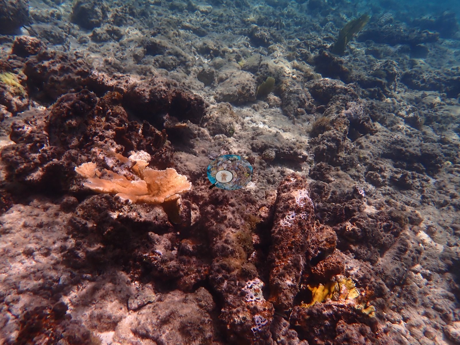
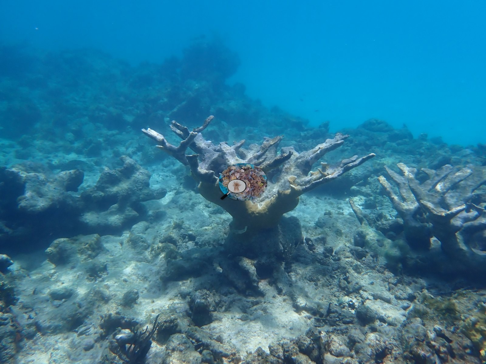
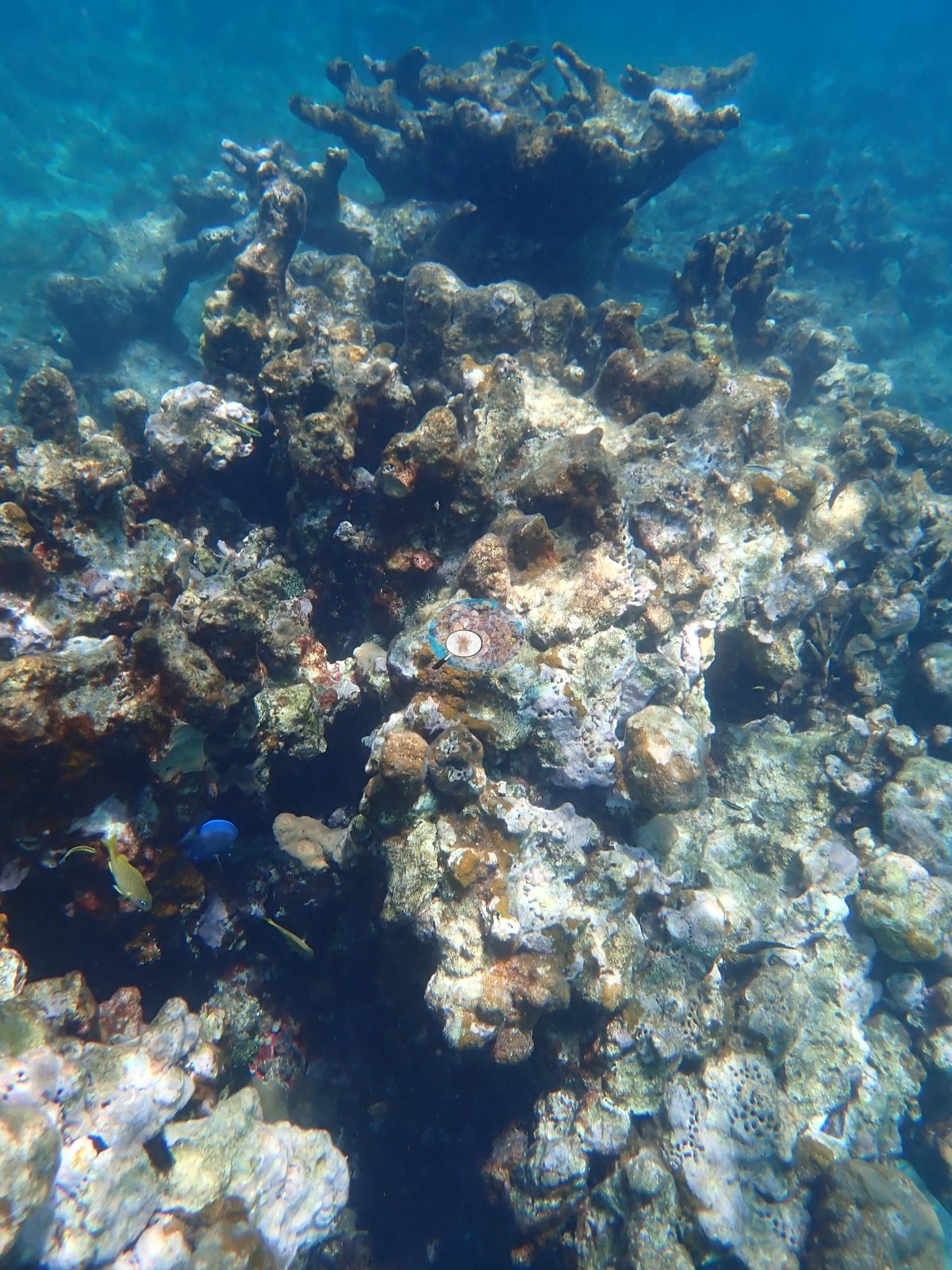
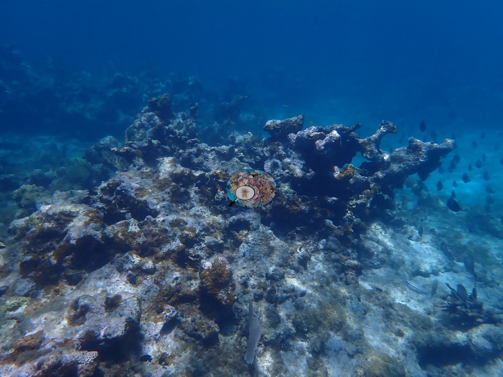
- The most extensive mortality signal in the transect follows: a broad stand of standing dead elkhorn coral skeleton, bare or turf-colonized branches spanning multiple frames (e.g., Image 57, Image 59, Image 61, Image 65), with only a handful of live elkhorn and brain colonies interspersed (e.g., Image 56, Image 58, Image 62).
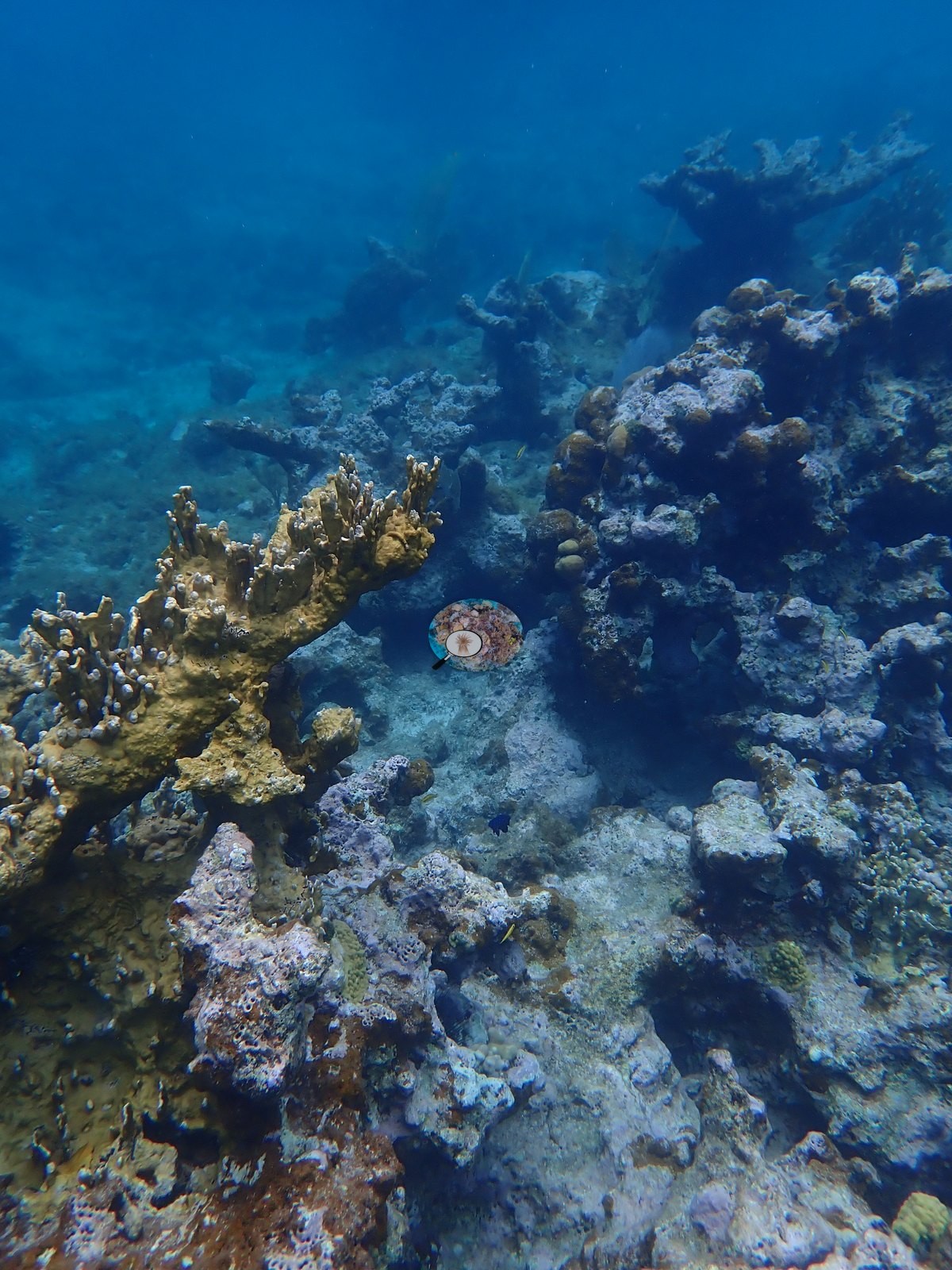
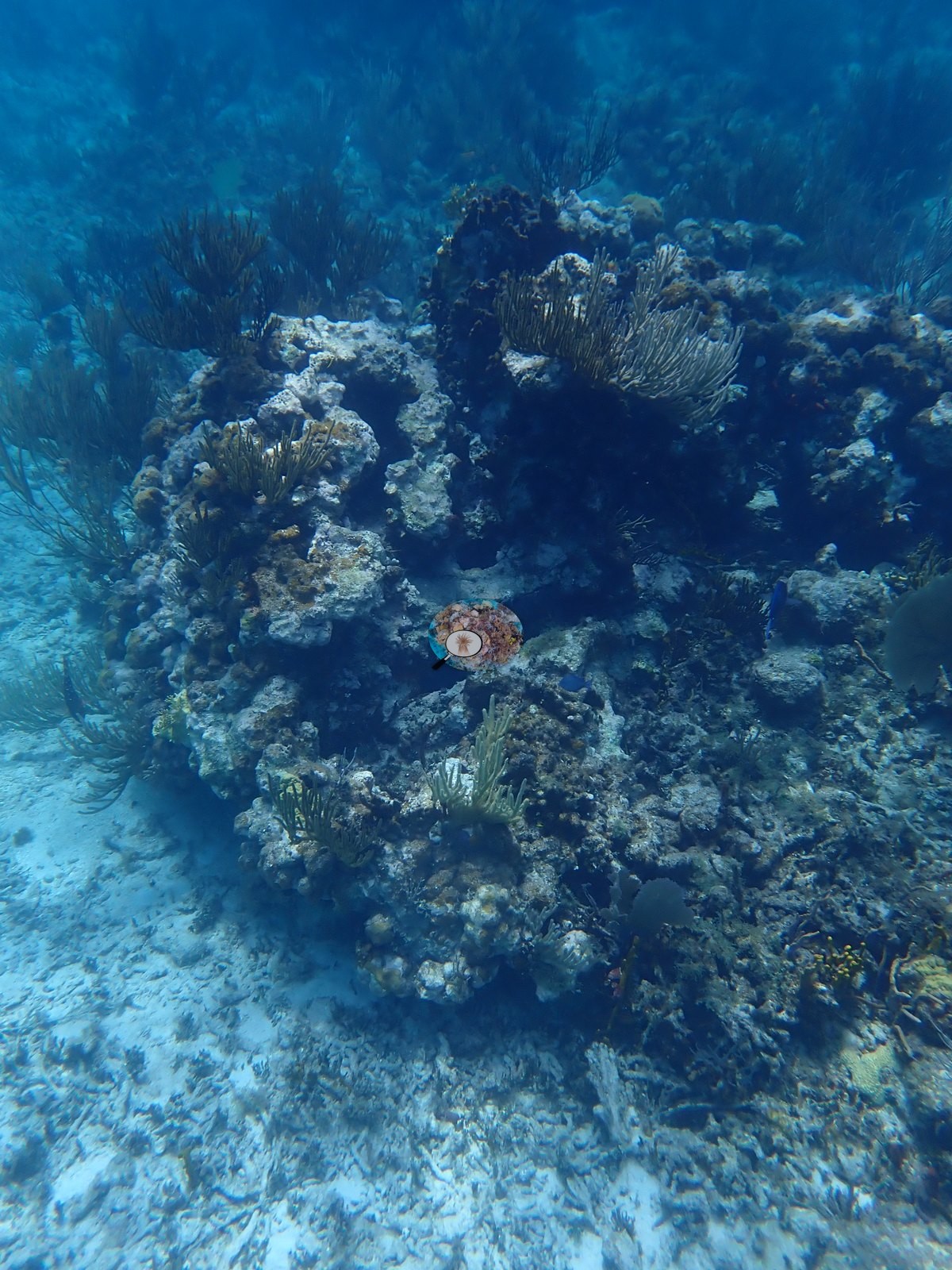
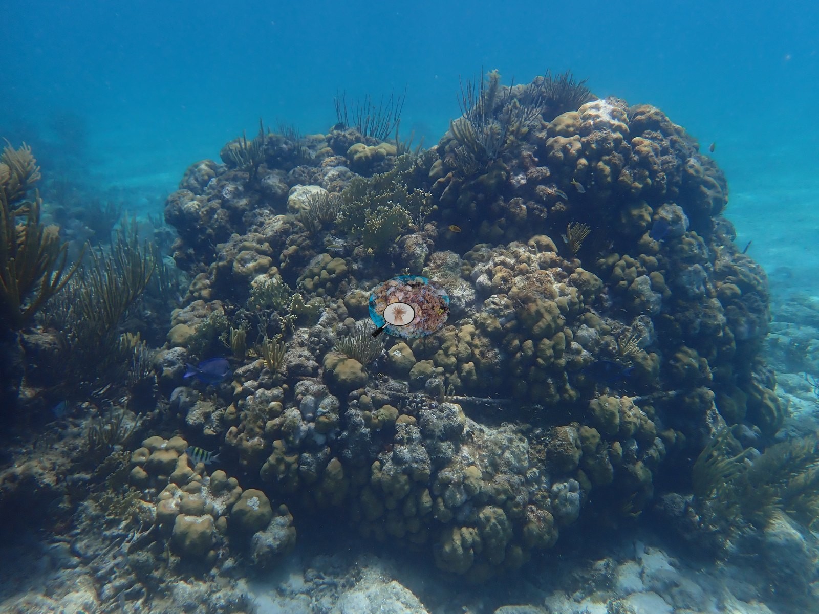
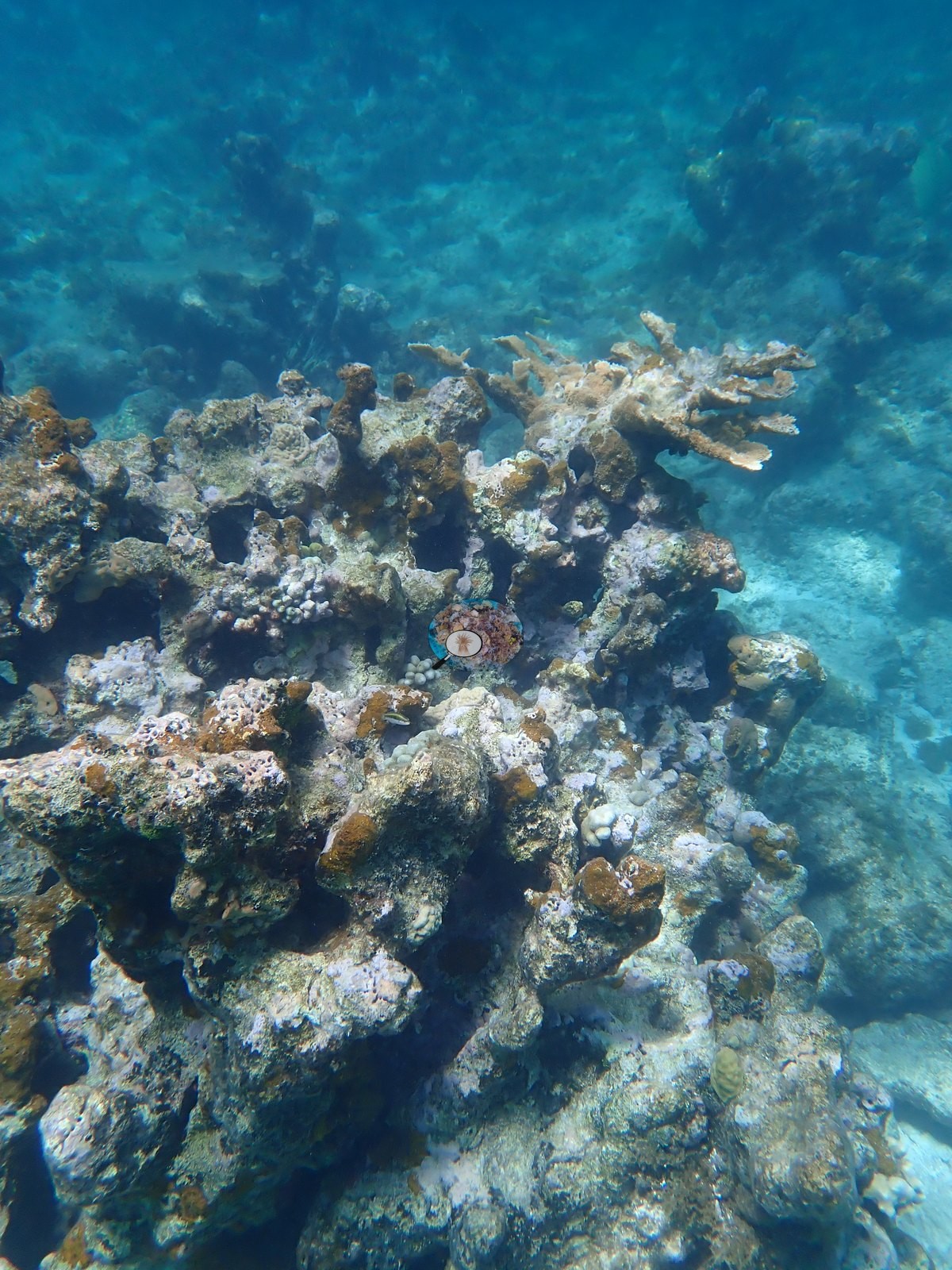
- In the final third of the underwater route, relief increases again over coral/rock mounds with denser small coral colonies and heavier gorgonian growth (e.g., Image 73, Image 81, Image 82, Image 83), including scattered clusters of small pale mounding colonies (cf. Porites/Siderastrea-type) set among the gorgonians (e.g., Image 75, Image 77), and the last frames before exiting the water near Turtle Beach show one of the higher apparent live-cover patches of the transect, a mound covered in small star-coral-type colonies with a live elkhorn head nearby (e.g., Image 78, Image 83).
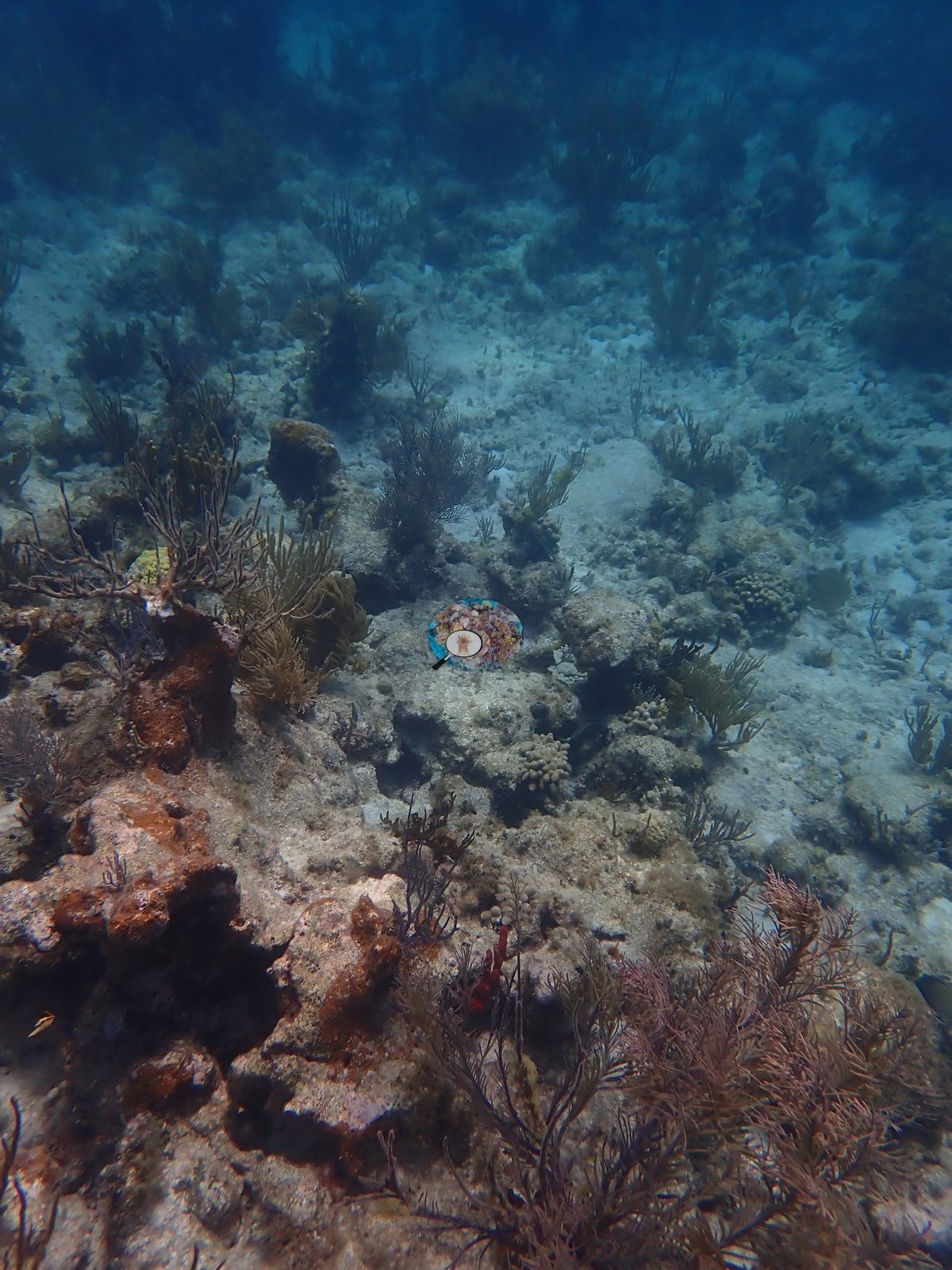
Condition
- Mortality is visible at several points along the route, most prominently the standing dead elkhorn (cf. Acropora palmata) skeletons in the mid-transect stand (e.g., Image 57, Image 59, Image 61, Image 65) and isolated dead branch fragments elsewhere (e.g., Image 16, Image 17, Image 18, Image 21, Image 22, Image 36, Image 69).
- No signs of active coral bleaching or disease (recent tissue loss margins, lesions) were observed on any live colony; the standing dead structures are old, eroded skeleton already colonized by turf, consistent with historic dieback rather than a recent event.
- A long-spined urchin (cf. Diadema) was noted at one brain-coral head (e.g., Image 56), and encrusting sponges and a feather-duster worm occupied shaded crevices at several points (e.g., Image 33).
- No corallivores evident.
% cover
- CoralSCOP's photographic mask-sum index puts coral cover for this site at 12.1% across the 89 frames (SD 8.1).
- This is a mask-sum photographic index, not a diver point-count survey, and it runs high against manual annotation: on the same images, Anderson's manual counts differed from CoralSCOP by -4.1 to +27.8 percentage points (mean +7.5), and at Necker's Red Dock site 31 manually annotated frames gave 7.8% hard coral against CoralSCOP's 16.8% on the identical frames, roughly two times high.
- Applying that same order of overestimate here, true hard coral cover along the Bali Hai to Turtle Beach route is likely closer to the mid-single digits than the reported 12.1%, consistent with the low, patchy live coral density visible through most of the transect and the substantial stand of dead elkhorn skeleton encountered at its midpoint.
All images from Coral Reef Diagnostics. Data are from Coral Reef Diagnostics.
© Coral Reef Diagnostics.