
United Caribbean (wreck, Fort Lauderdale)

Part of the regional summary: USA - Southeast Florida
More info
Southeast Florida (NOAA CRW virtual station)The United Caribbean is a shipwreck dived on a Fort Lauderdale-area day, standing on a sand and low-relief hardbottom plain. Anderson's photographs show the wreck: a shipwreck whose columns, girders, and hull plating are overgrown with sponges, coralline algae, and hydroids. On a wreck, low coral cover is expected. Visibility was poor, and the only coral identified is a massive colony consistent with great star coral on the surrounding hardbottom.
25 independent survey stations shown with the program’s logo — click one to see how far it is from this site.
Site description
The United Caribbean was dived 8 April 2022 as dive 1 of a two-dive Fort Lauderdale-area day (dive 2 was Rabbit Ears off Pompano Beach). The set is small and the water was poor, and what the frames actually show is a site dominated by large engineered structure standing on a sand and low-relief hardbottom plain — not a coral reef framework.
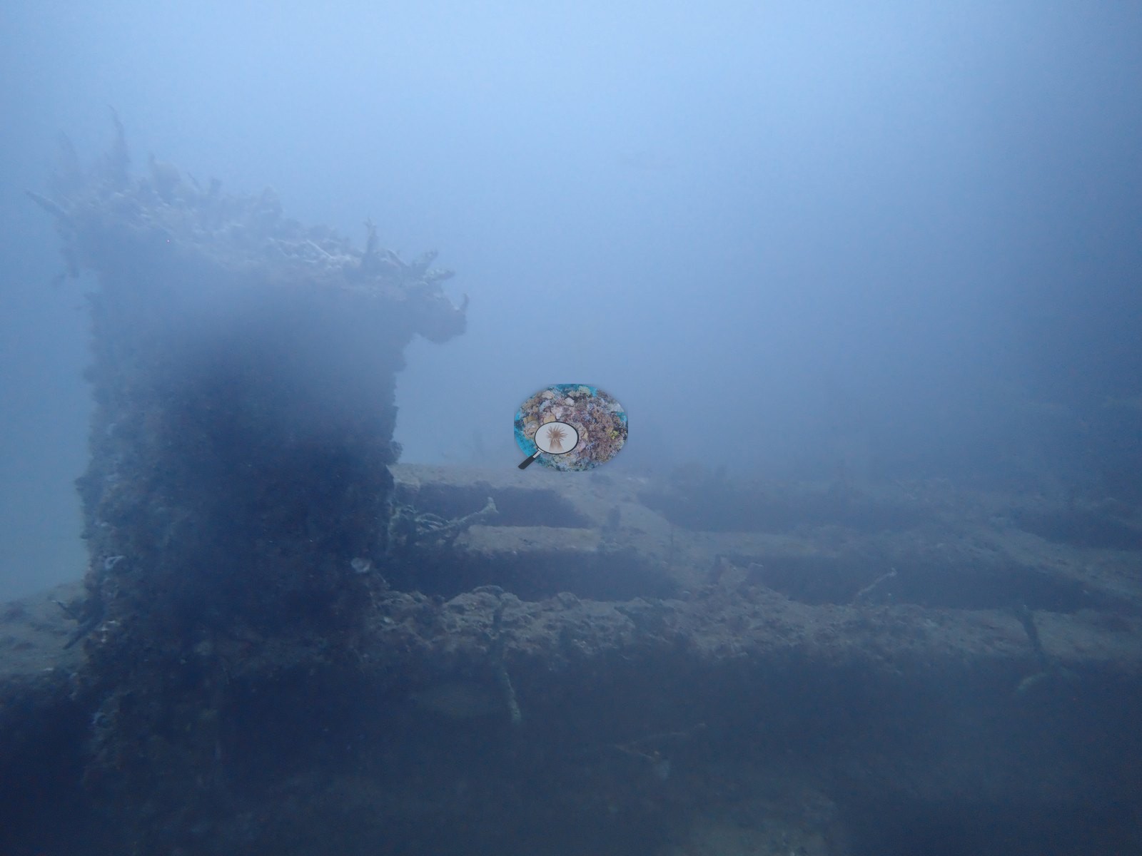
Structure is the subject of roughly two-thirds of the set. Image 6 is the clearest single frame: two heavily fouled vertical columns joined by a horizontal cross-member, standing intact and upright on sand — an engineered span, not reef rock (e.g., Image 6).
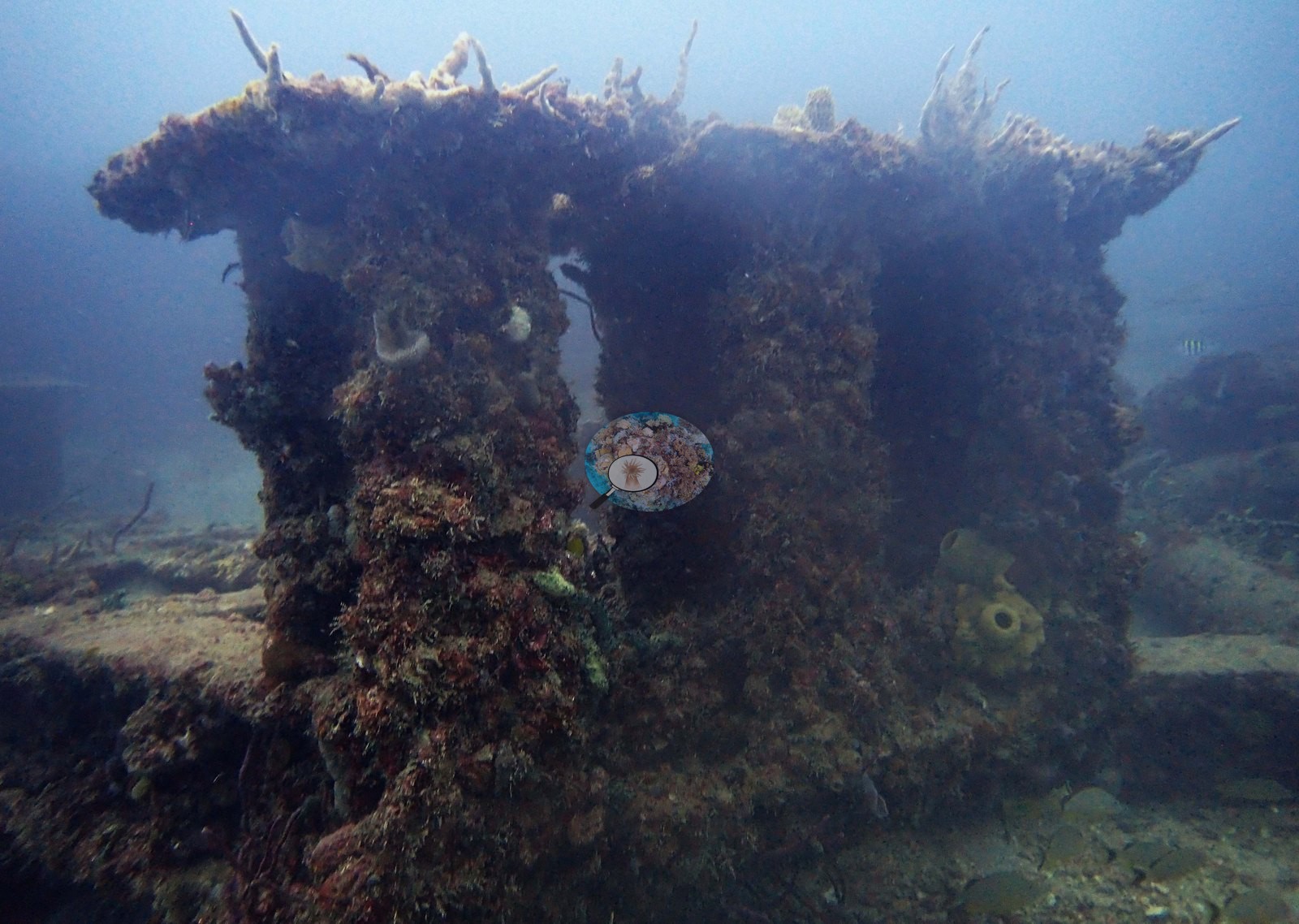
Image 3 shows a single upright post or stanchion rising off the bottom in green water (e.g., Image 3).
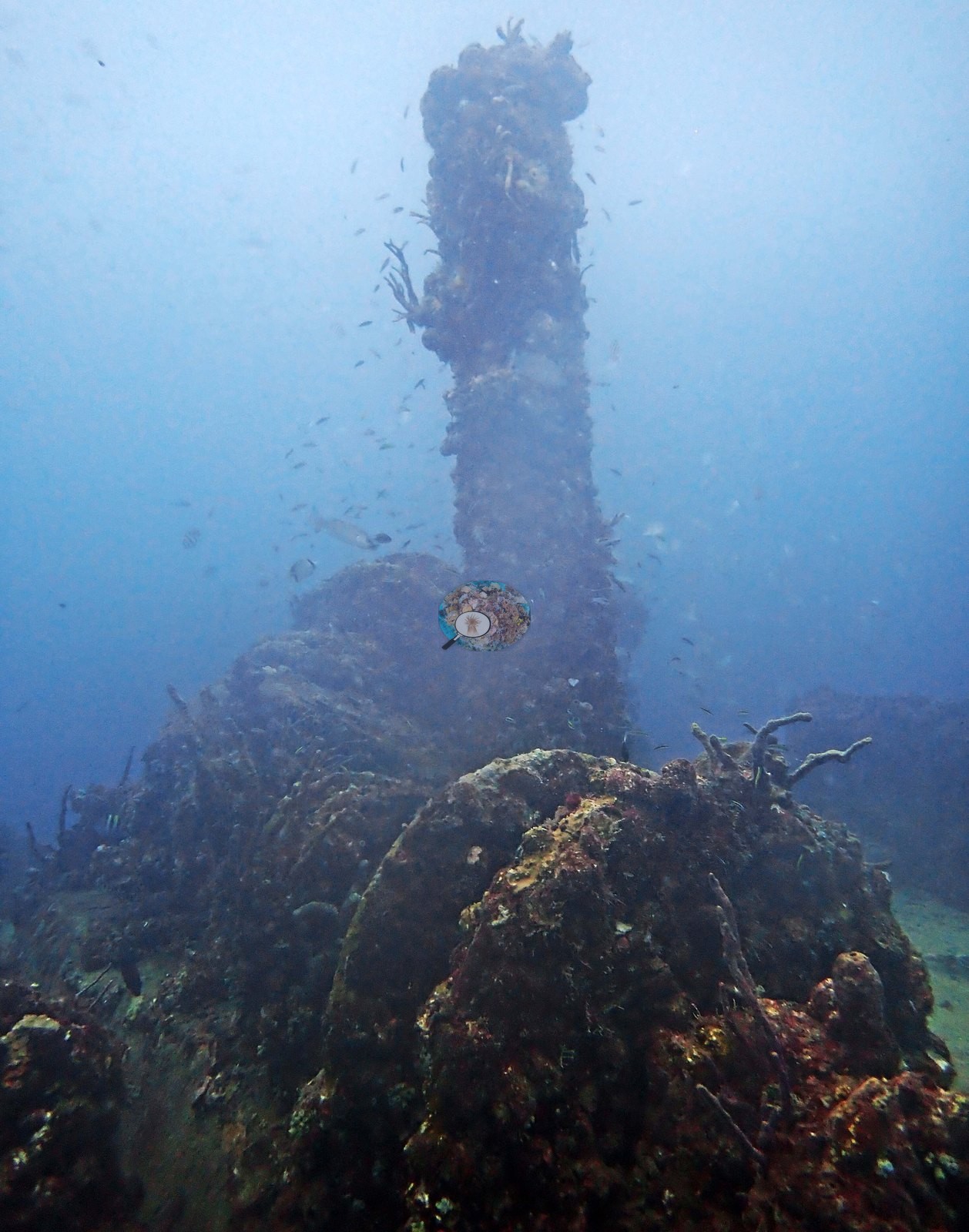
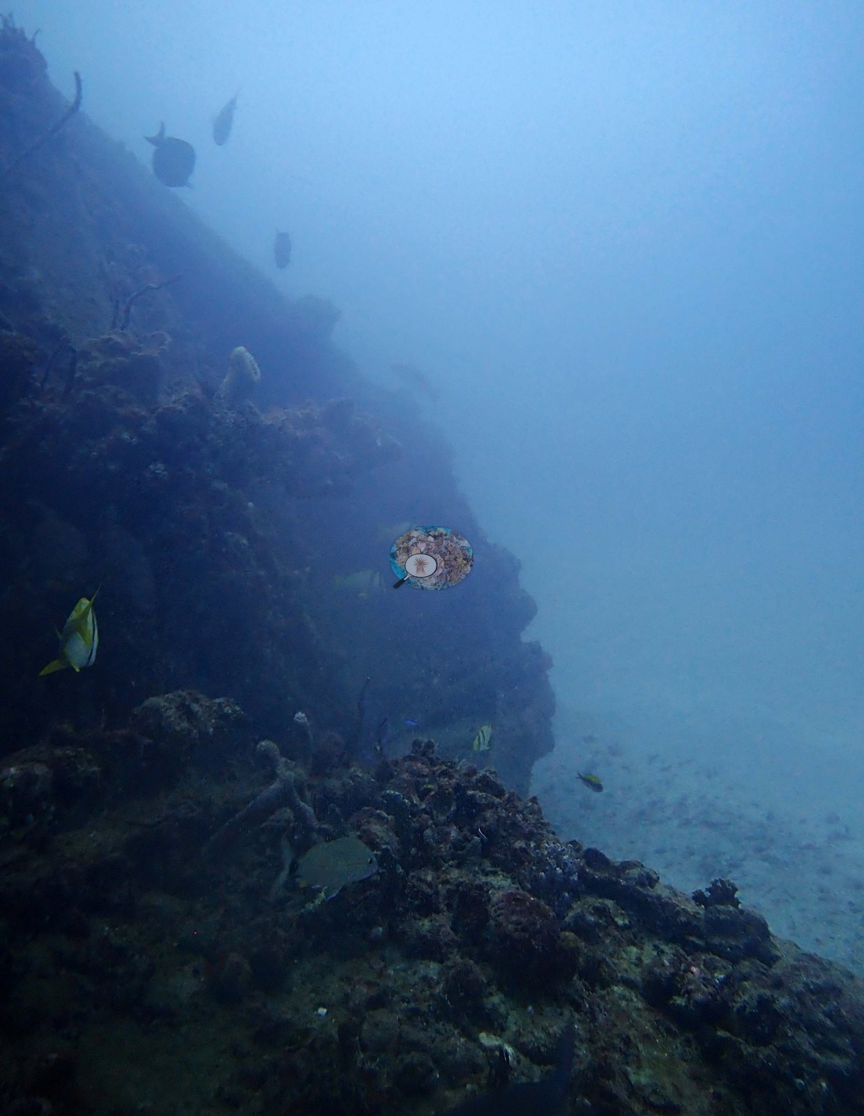
Image 1, shot in portrait, follows a thin encrusted linear member — a chain, cable, or slender rail — up through the water column, its whole length carpeted in fouling growth (e.g., Image 1).
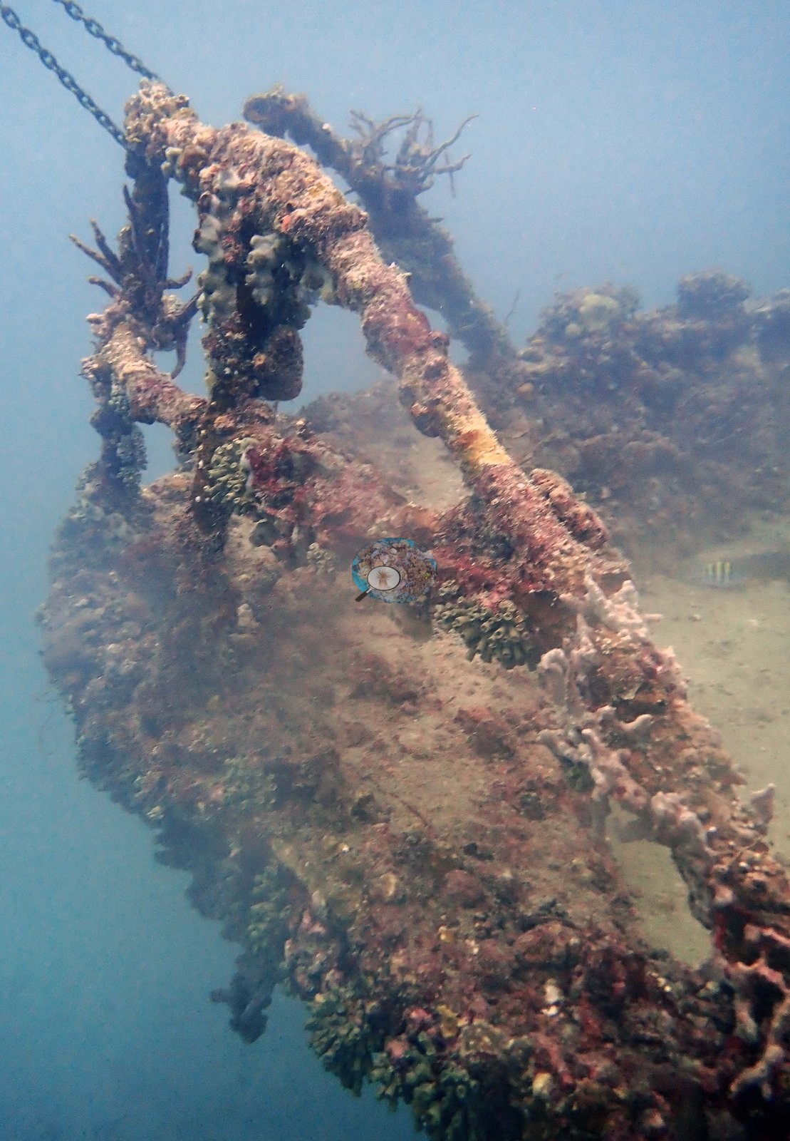
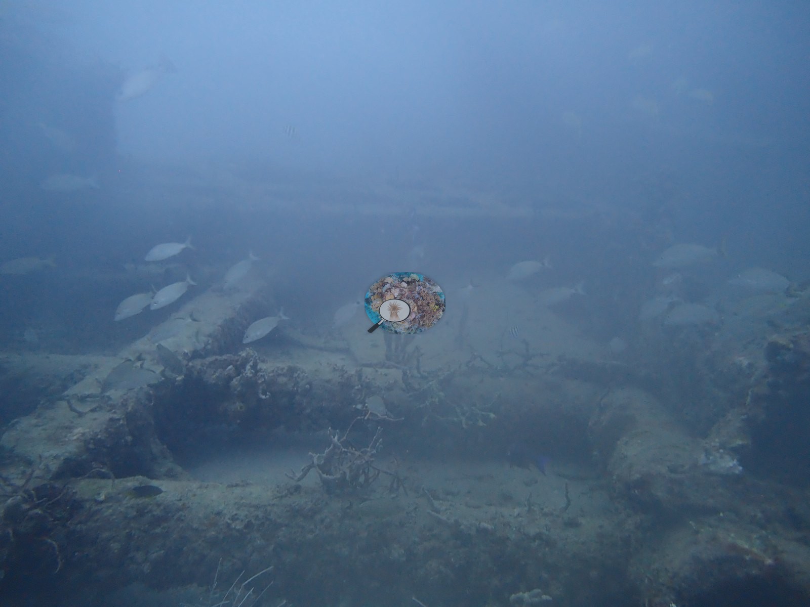
Image 5 looks along a long straight girder or hull edge receding away over a sand plain into the haze (e.g., Image 5).
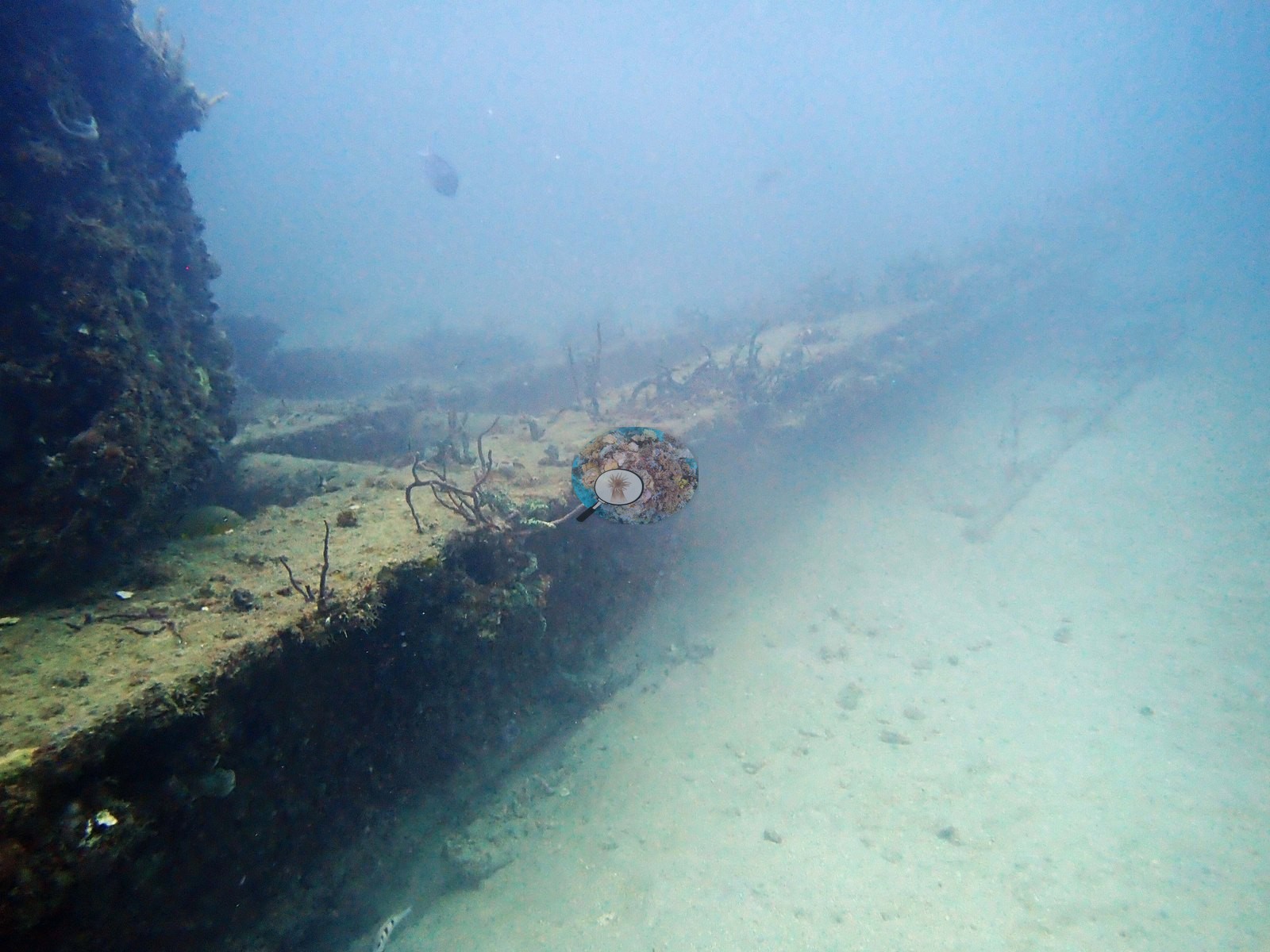
Image 10 shows large flat, uniformly fouled panels — hull plating or a similarly broad continuous surface — meeting sand at their base, with no relief or texture beyond the fouling layer (e.g., Image 10).
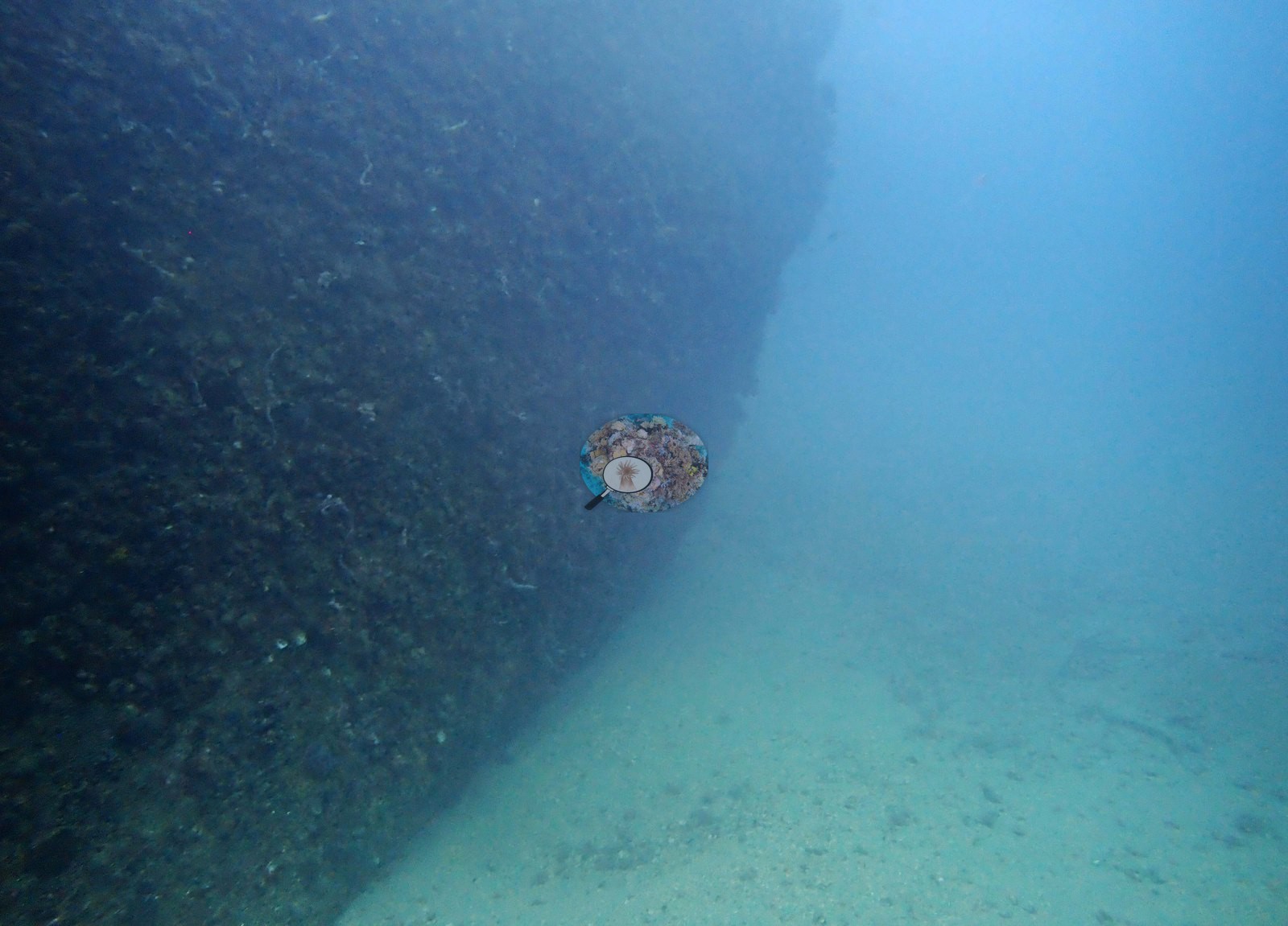
Image 12 looks up under a beam framing more fouled structure (e.g., Image 12).
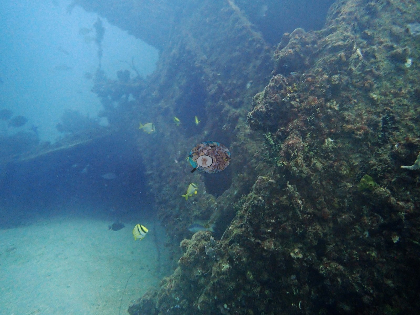
Image 13 is a wide silhouette of a large angular collapsed mass, apparently a fallen superstructure or A-frame, seen at the edge of visibility (e.g., Image 13).
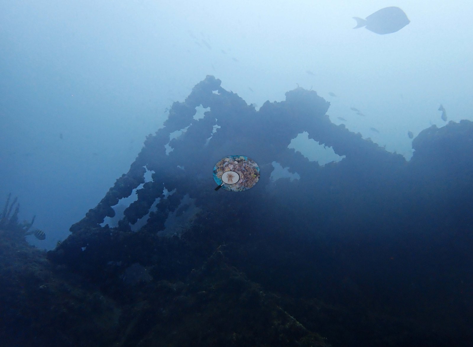
Image 14 shows another fouled structural mound rising in green water, Image 15 fish over a debris field, and Image 16 another fouled structure (e.g., Image 14).
Together these frames describe an artificial-substrate community: what has grown onto the structure, and fish using its relief.
What has recruited onto that structure is best seen in Image 2, the sharpest frame in the set: the exposed edge of an encrusted member carrying dense orange-to-mustard encrusting growth (encrusting sponges and/or colonial tunicates — the frame does not separate them), pink and red crustose coralline algae, red encrusting sponge, and small pale branching tufts consistent with hydroids or fine branching bryozoan, with a sergeant major hanging just off the edge (e.g., Image 2).
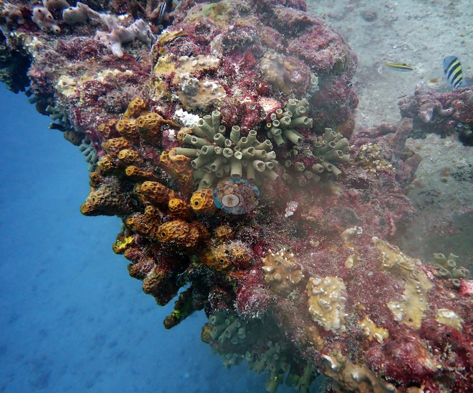
This is a mature fouling assemblage, thick enough to obscure the underlying substrate entirely. Nowhere in the structural frames is bare metal or bare concrete visible; every engineered surface in this set is fully overgrown.
The natural bottom around and between the structure appears in four frames and is low-relief sand-veneered hardbottom rather than reef. Image 4 is a down-look over sand-dusted rock carrying small compact brown-yellow coral colonies — domed and only a few centimeters across, consistent with Siderastrea or a small Porites but not separable at this resolution, so neither is asserted — alongside green encrusting growth and pink coralline (e.g., Image 4).
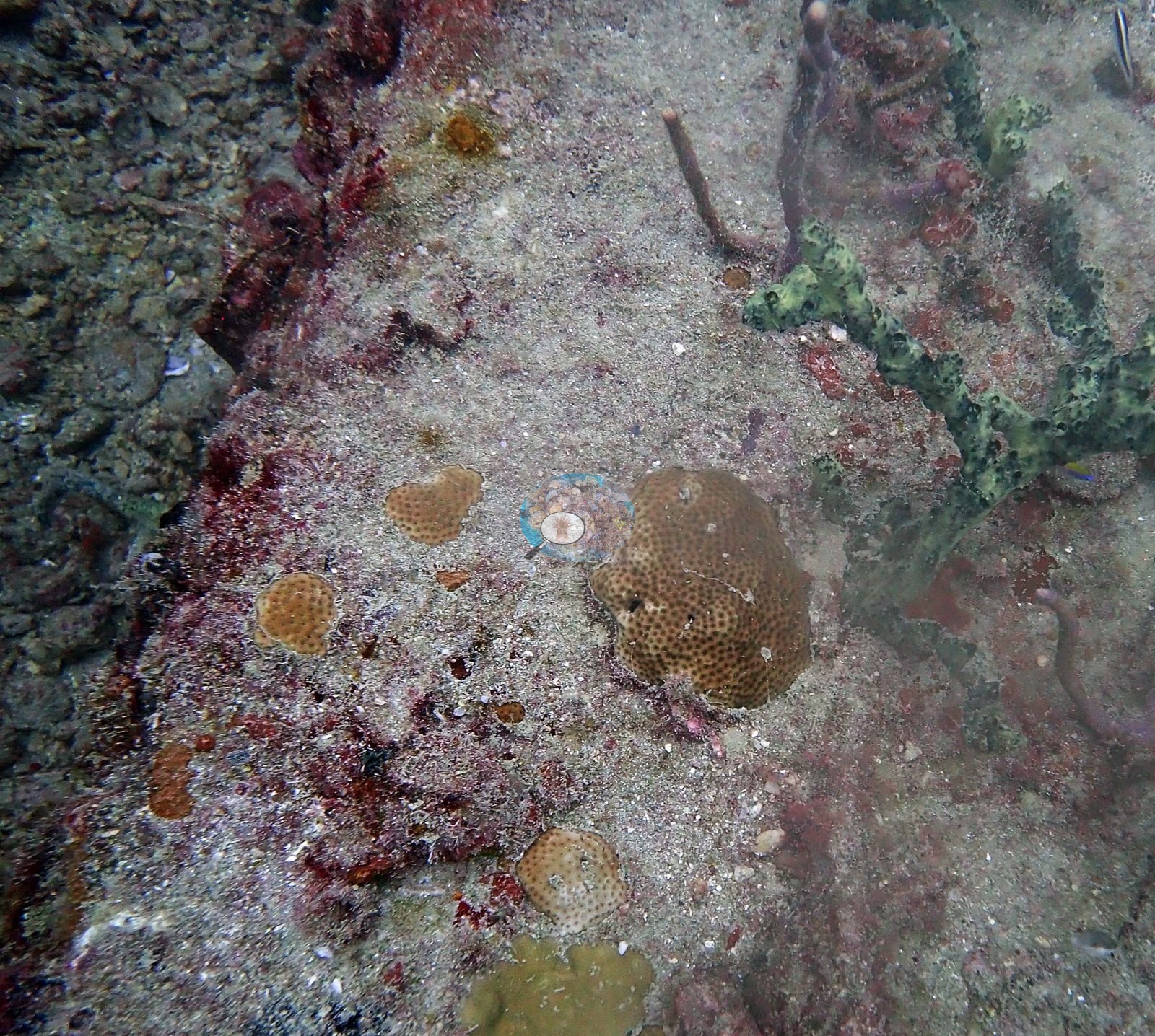
Image 7 is a close frame of the same kind of bottom: pink-red coralline and encrusting sponges, one small brown massive coral, a white sponge, and one small colony with white blotches, cause unclear (partial bleaching or tissue loss) (e.g., Image 7).
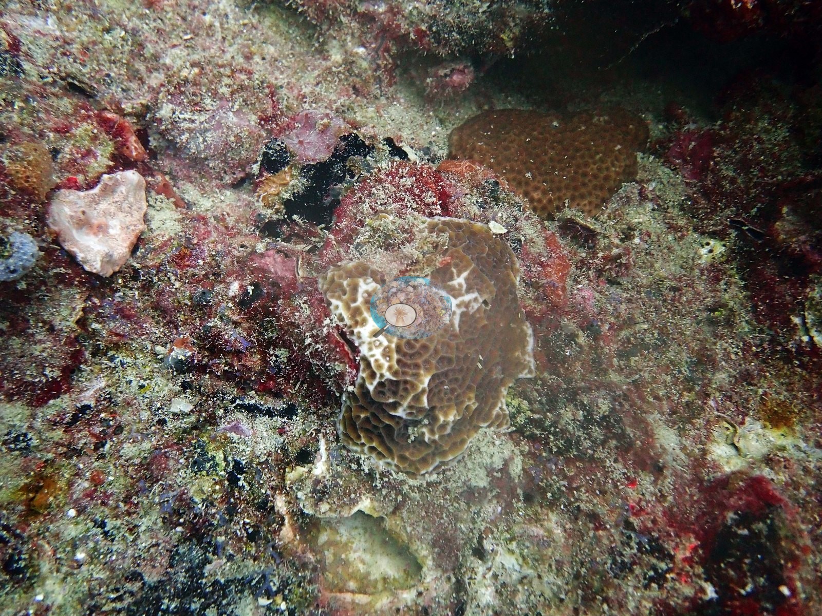
Image 8 is the best benthic frame of the dive and the only confident coral identification in the set: a rounded orange-brown massive colony with large, widely separated, clearly resolved corallites, consistent with Montastraea cavernosa, sitting on sand-dusted hardbottom with a pink coralline rim and apparently intact tissue across the whole colony surface (e.g., Image 8).
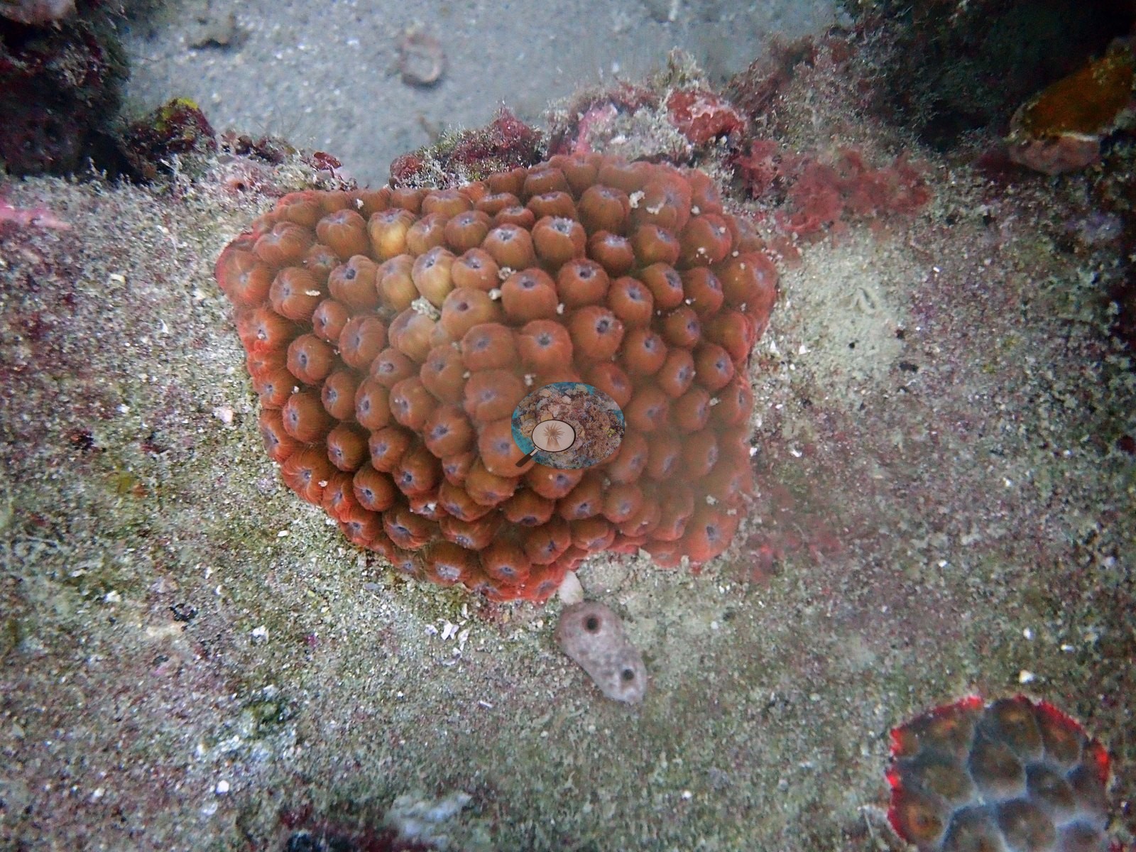
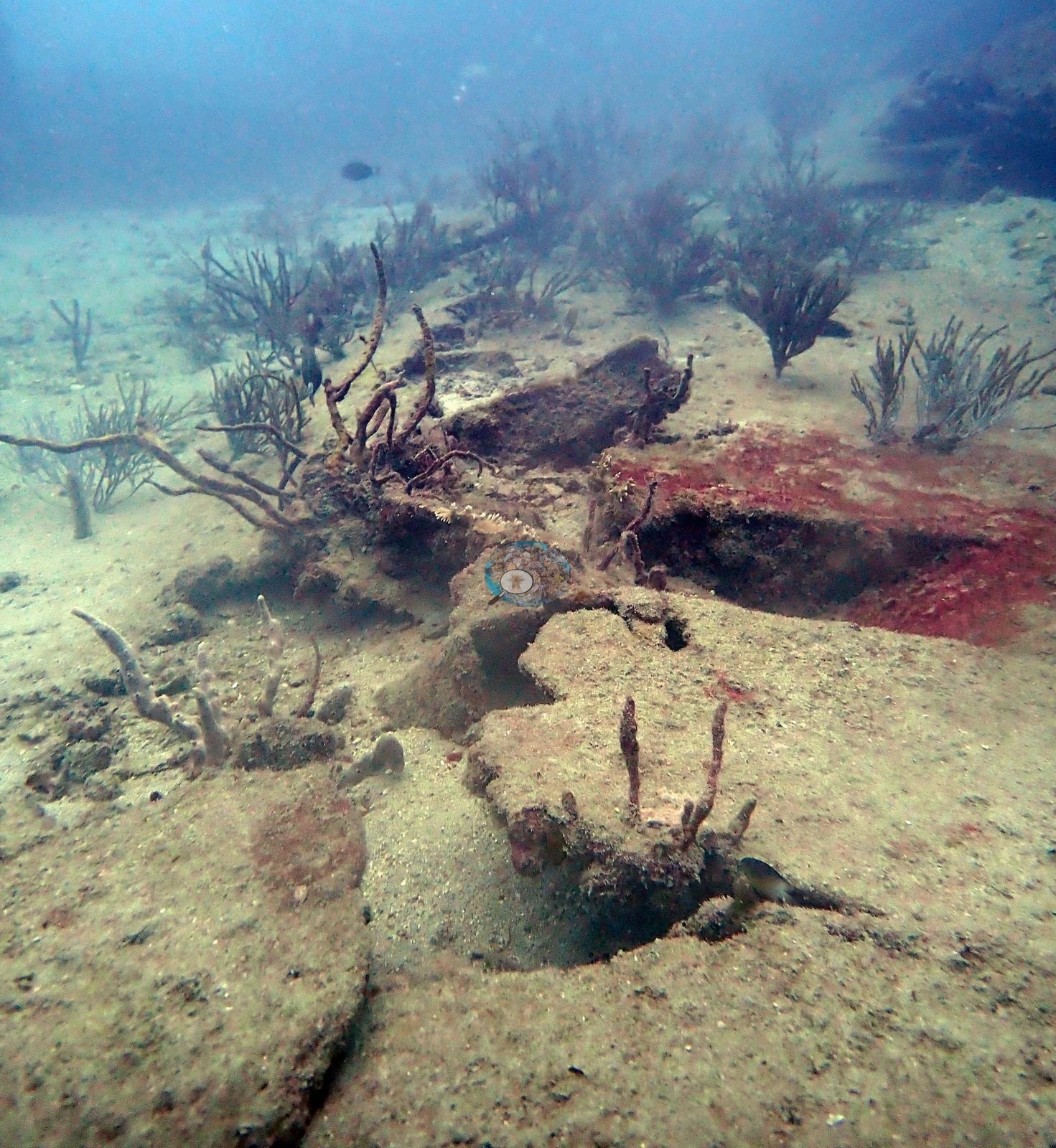
Image 9, in portrait, shows the sparse margin of this habitat — open sand, a low rock lip carrying red-orange encrusting sponge, and a handful of gorgonians and sea whips (e.g., Image 9).
There is no Acropora, no thicket-forming coral, and no continuous reef framework anywhere in Anderson's 16 frames from this wreck.
Fish are present but the visibility keeps them incidental: a sergeant major on the structure edge in Image 2, a small butterflyfish under the beam in Image 12, an unidentified fish in midwater in Image 13, and a small yellow fish alongside the structure in Image 14. No divers, mooring lines, boats, fishing gear, or debris appear in any frame. One small colony in Image 7 carries white blotches, cause unclear (partial bleaching or tissue loss); it is a single colony in a single frame and is recorded qualitatively, with no bleaching or mortality figure attached and no event inferred. Coral cover: 3.8% — a blind Claude computer-vision point count of 14 of Anderson's edited photographs (20 points per photo; water, fish, and obstructions excluded). Other computer-vision methods are listed in the method table. On a wreck, low coral cover is expected.
CV model comparison
More info
A few colony-focused photos raise the mean; the median is the typical photo. No computer-vision method yet estimates coral cover accurately on new images, so treat this as indicative rather than a measurement; it is revised as the methods improve.More info
Other rows are for comparison only and are never averaged. No diver transect exists for these photos, so agreement between rows is not accuracy.| Method | Hard coral cover (%) | Photos (n) ± SE |
|---|---|---|
| CoralSCOP edited | 18.9* | n = 14 |
| Claude (edited photos) | 3.8* | n = 14 · SE 1.5 |
CoralSCOP (edited photos) reads 18.9%, 15.1 pp above Claude's blind point count (3.8%); the headline stays Claude's blind point count because no transect or manual count exists here.
*Based on only 14 reef-habitat photos; this estimate is less certain.
See a more detailed, stand-alone version of this table.
Independent surveys nearby
| Agency / program | Year(s) | Stations / distance | Link |
|---|---|---|---|
| FWC CREMP (Southeast Florida, SECREMP) | 2013–2024 | 8 stations, 2.24–2.33 km | Records ↓ |
| NOAA NCRMP | 2016 | 6 stations, 0.99–4.57 km | Records ↓ |
| NOAA NCRMP Florida | 2024 | 5 stations, 0.60–3.16 km | Records ↓ |
| Reef Check | 2011–2014 | 6 stations, 0.72–4.42 km | Records ↓ |
 Coral Reef DiagnosticsYear-average (illustrative only, programs differ)
Within 5 km, 25 independent survey stations recorded hard coral cover in 113 records between 2011 and 2024. Of the 8 stations surveyed in more than one year, 7 declined (by 0.1–1.8 points) and 1 increased (by 0.1 points) between their first and latest surveys. 8 stations share the longest span (2013–2024); one, Broward County 6 #31 (FWC CREMP (Southeast Florida, SECREMP), 2.24 km away), went from 1.3% in 2013 to 1.1% in 2024. Since 2021, station-year means average 0.4% (range 0.0–1.3%; n = 37 station-years from 37 records). This site's own estimate (3.8%) sits 2.8 points above the recent range of station-year means up to 2 km away (0.0–1.0%), inside the 7-point method-noise floor (inconclusive); the methods differ, so the comparison is context, not a like-for-like test.
Collected by other programs using different methods (Reef Check uses point-intercept transects; NOAA rows come from NOAA monitoring programs (NCRMP, PIFSC, NCCOS), and each row's method is in its hover text; FWC-FWRI uses fixed-station point counts), so these are context for the figures above, not a like-for-like comparison. Where a station was surveyed more than once, the cell shows either the range of its values or, as a single value, the mean of surveys made in one year. Station names are not dive-site names.
Show all 113 independent survey records
| Agency | Site / location | Date | Hard coral cover (%) | Distance | Link |
|---|---|---|---|---|---|
| Reef Check | Boca Artificial Reef Ledge | 2011 | 2.5% | 0.72 km | — |
| Reef Check | Separated Reefs | 2011 | 8.1% | 0.93 km | — |
| Reef Check | Boca Patch Reef | 2011 | 0.6% | 1.01 km | — |
| Reef Check | Sanctuary Reef- Pompano Beach | 2011 | 1.3% | 2.08 km | — |
| Reef Check | Honeycomb Reef | 2011 | 1.3% | 4.42 km | — |
| FWC CREMP (Southeast Florida, SECREMP) | Broward County 6 #31 | 2013–2024 | 0.2–1.3% (12 surveys) | 2.24 km | — |
| FWC CREMP (Southeast Florida, SECREMP) | Broward County 6 #32 | 2013–2024 | 0.2–0.5% (12 surveys) | 2.24 km | — |
| FWC CREMP (Southeast Florida, SECREMP) | Broward County 6 #33 | 2013–2024 | 0.1–0.9% (12 surveys) | 2.24 km | — |
| FWC CREMP (Southeast Florida, SECREMP) | Broward County 6 #34 | 2013–2024 | 0.0–0.8% (12 surveys) | 2.24 km | — |
| FWC CREMP (Southeast Florida, SECREMP) | Broward County 5 #21 | 2013–2024 | 0.0–2.4% (12 surveys) | 2.33 km | — |
| FWC CREMP (Southeast Florida, SECREMP) | Broward County 5 #22 | 2013–2024 | 0.1–1.8% (12 surveys) | 2.33 km | — |
| FWC CREMP (Southeast Florida, SECREMP) | Broward County 5 #23 | 2013–2024 | 0.0–1.7% (12 surveys) | 2.33 km | — |
| FWC CREMP (Southeast Florida, SECREMP) | Broward County 5 #24 | 2013–2024 | 0.1–1.8% (12 surveys) | 2.33 km | — |
| Reef Check | Boca Artificial Reef | 2014 | 0.6% | 0.90 km | — |
| NOAA NCRMP | SEFCRI-137 | 2016 | 4.0% | 0.99 km | — |
| NOAA NCRMP | SEFCRI-139 | 2016 | 1.0% | 1.48 km | — |
| NOAA NCRMP | SEFCRI-127 | 2016 | 4.0% | 1.65 km | — |
| NOAA NCRMP | SEFCRI-138 | 2016 | 1.0% | 2.35 km | — |
| NOAA NCRMP | SEFCRI-141 | 2016 | 3.0% | 2.59 km | — |
| NOAA NCRMP | SEFCRI-140 | 2016 | 7.0% | 4.57 km | — |
| NOAA NCRMP Florida | SEFCRI PSU 3244-1 | 2024 | 0.0% | 0.60 km | NCEI 0306238 |
| NOAA NCRMP Florida | SEFCRI PSU 3151-1 | 2024 | 1.0% | 0.85 km | NCEI 0306238 |
| NOAA NCRMP Florida | SEFCRI PSU 3117-1 | 2024 | 0.0% | 1.40 km | NCEI 0306238 |
| NOAA NCRMP Florida | SEFCRI PSU 3201-1 | 2024 | 0.0% | 2.46 km | NCEI 0306238 |
| NOAA NCRMP Florida | SEFCRI PSU 3289-1 | 2024 | 0.0% | 3.16 km | NCEI 0306238 |
Data & links
All images from Coral Reef Diagnostics. Data are from Coral Reef Diagnostics and the organizations named in the data sources above.
© Coral Reef Diagnostics.