
Turks and Caicos - The Gully

Part of the regional summary: Turks and Caicos Islands
More info
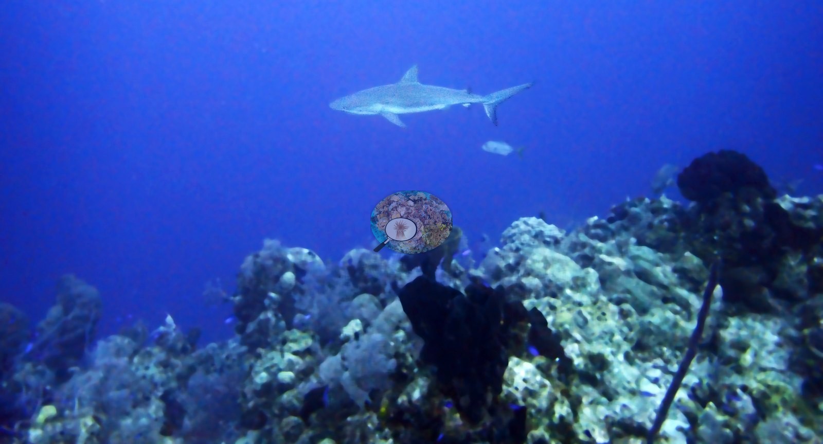
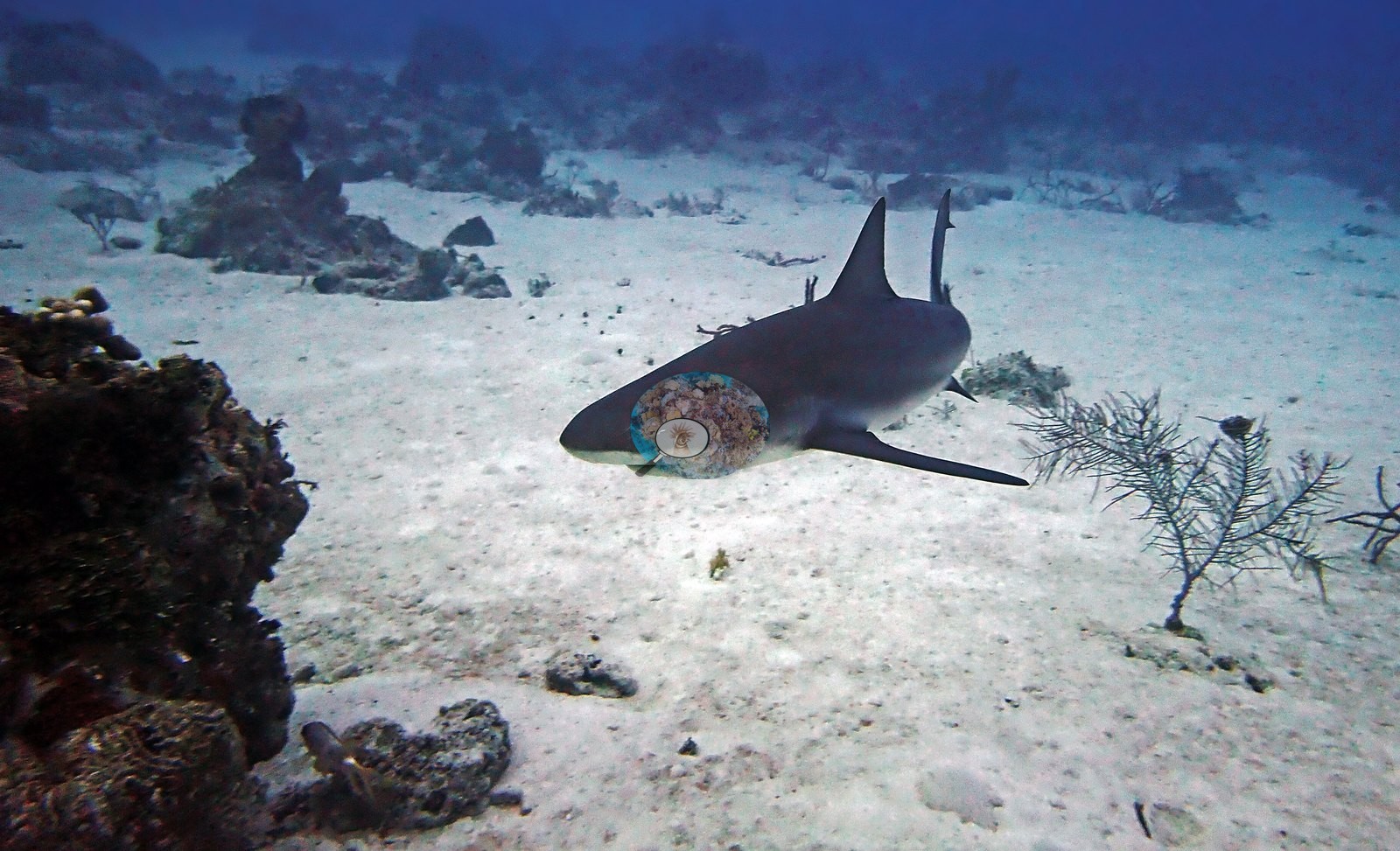
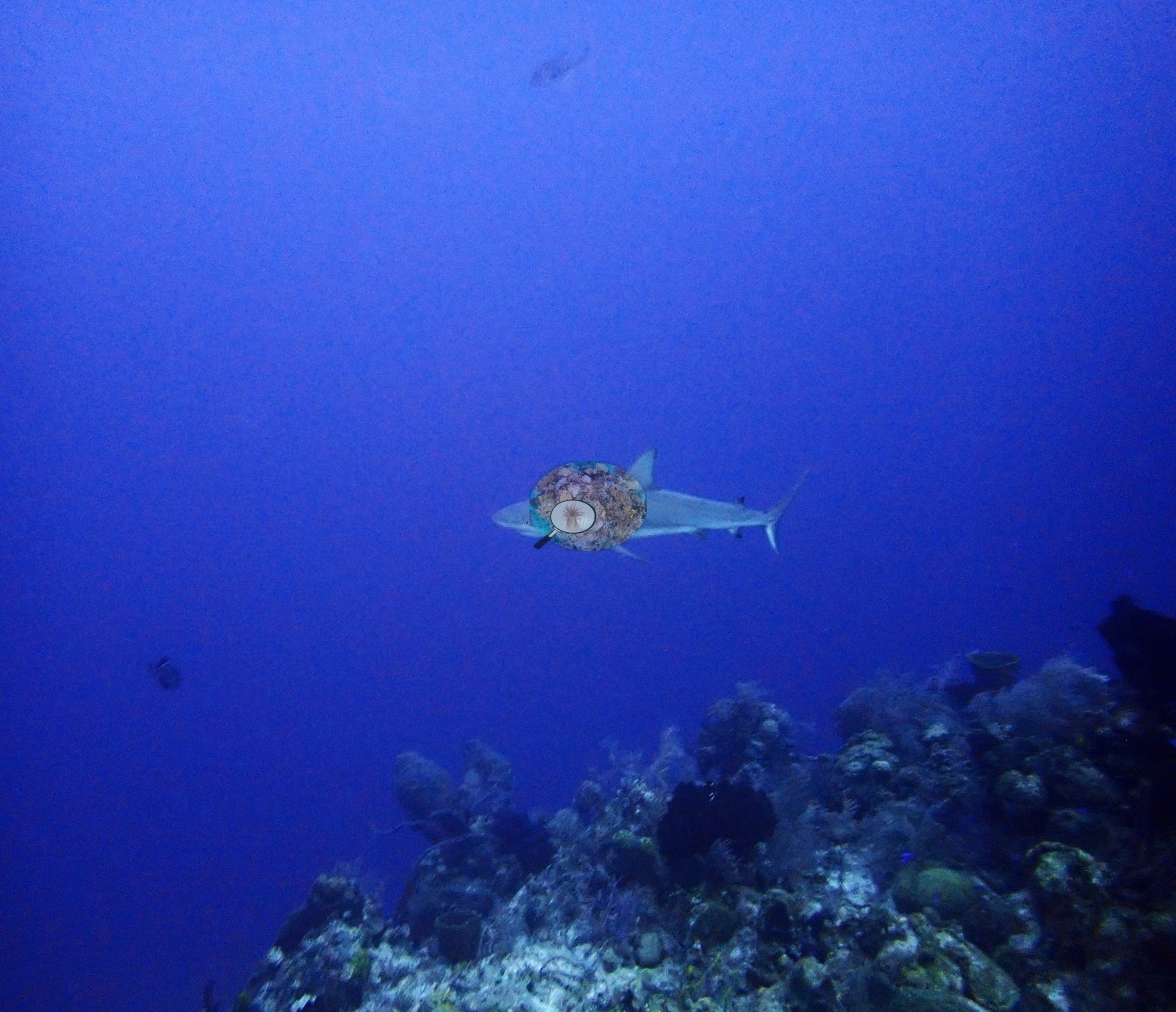
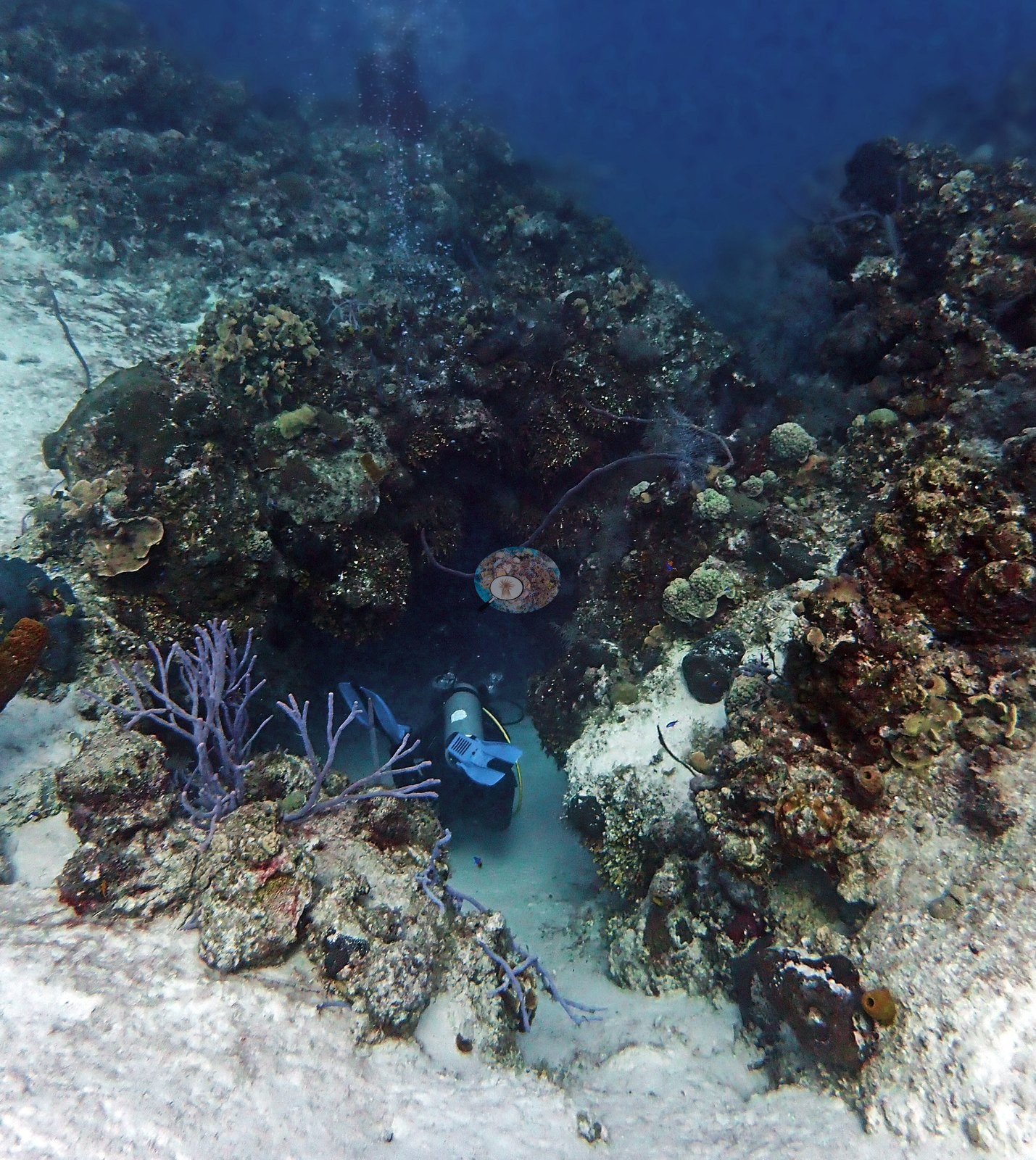
Turks and Caicos (NOAA CRW virtual station) · Bahamian ecoregion mean: 9.1 degree heating weeksThe Gully, off West Caicos, is a swim-through cut from about 45 to 75 feet with steep undercut walls lined with corals and big sponges, and schooling fish streaming through it. Caribbean reef sharks, a southern stingray, and spiny lobsters were out at dawn; old dead coral is conspicuous but no bleaching was seen.
Four independent survey stations shown with the program’s logo — click one to see how far it is from this site.
Three other CRD dive sites within 5 km shown in orange — click a marker to open its page.
26 of the 50 photographs on this page are shown beside the text that discusses them under "Site description" below.
Site description
Setting
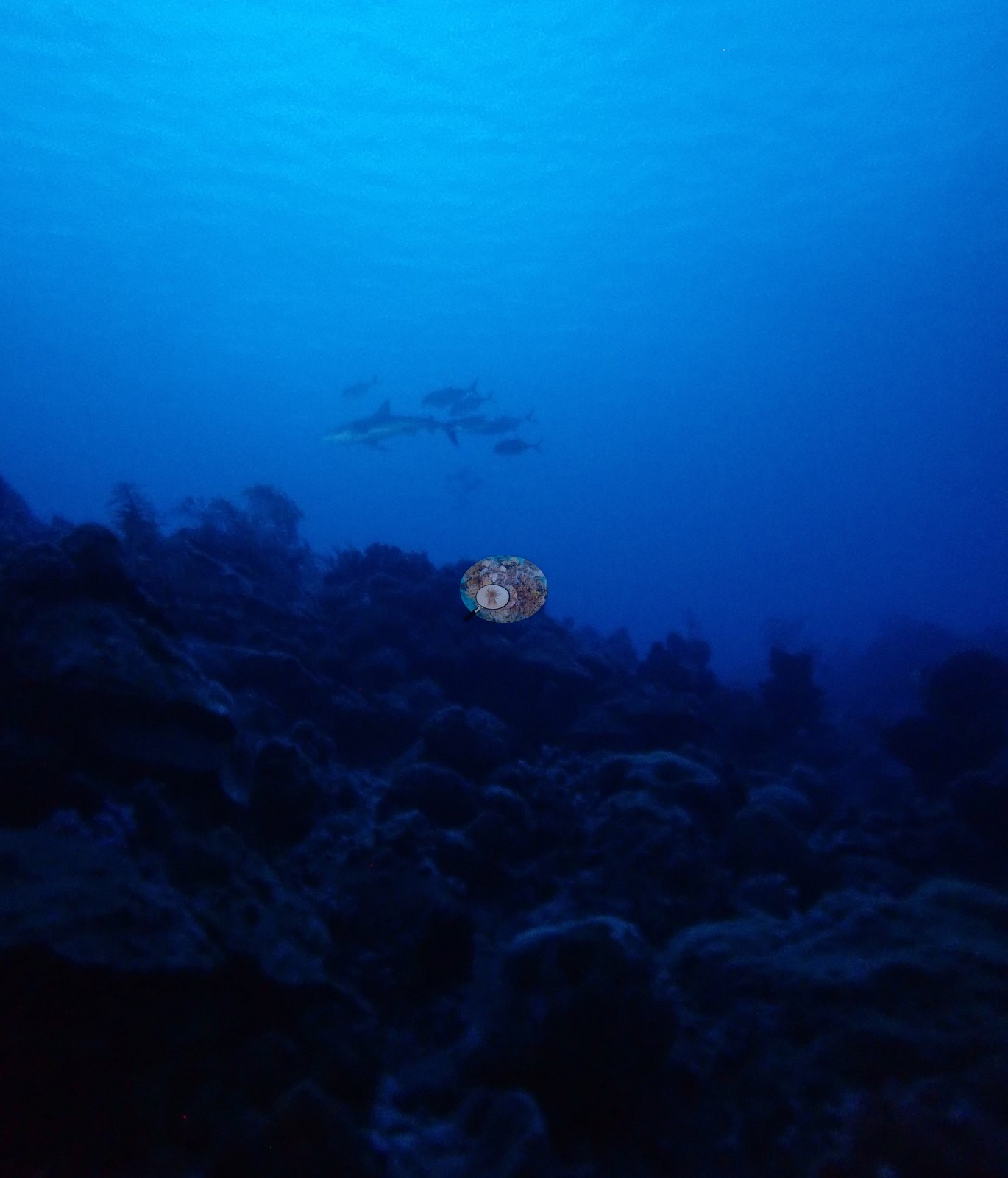
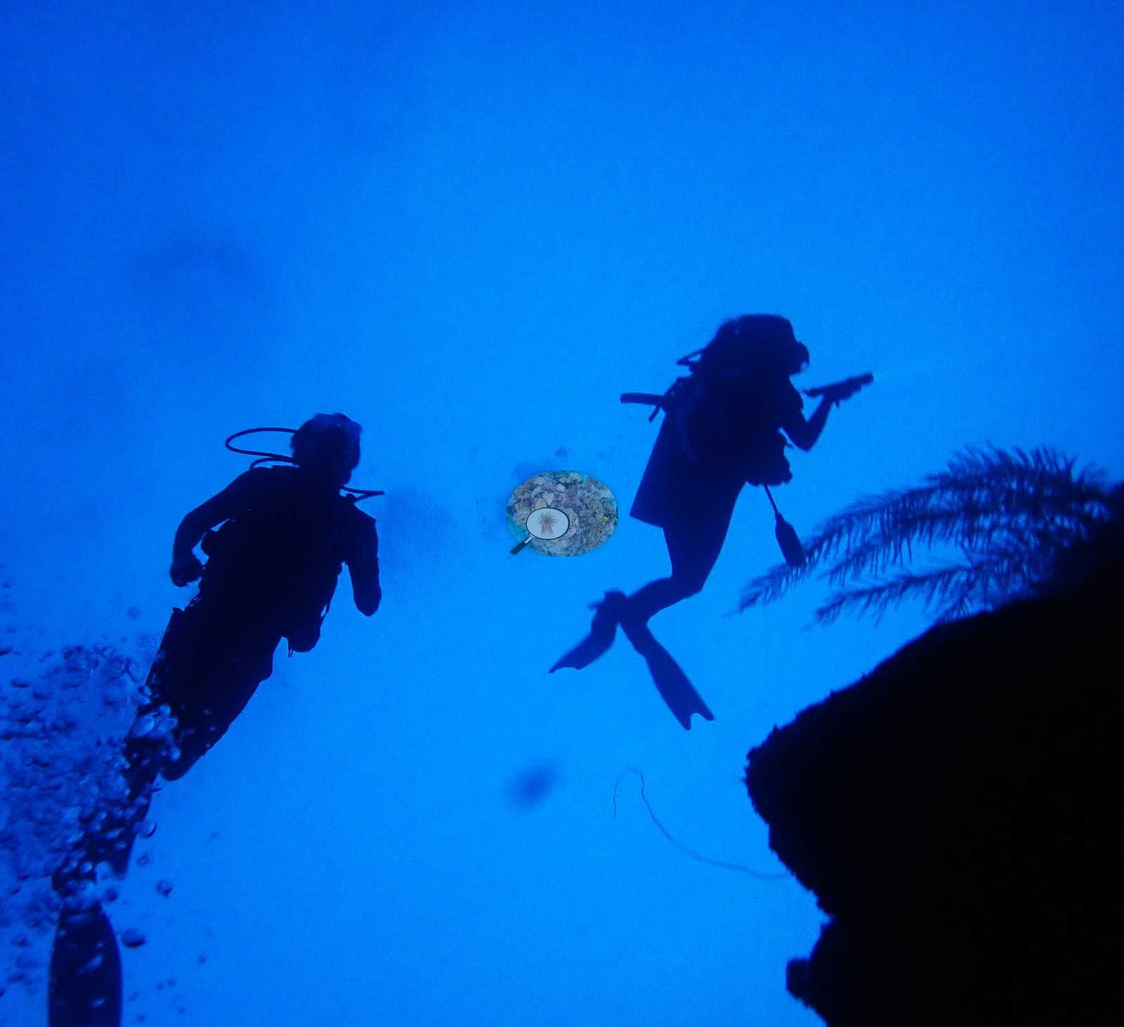
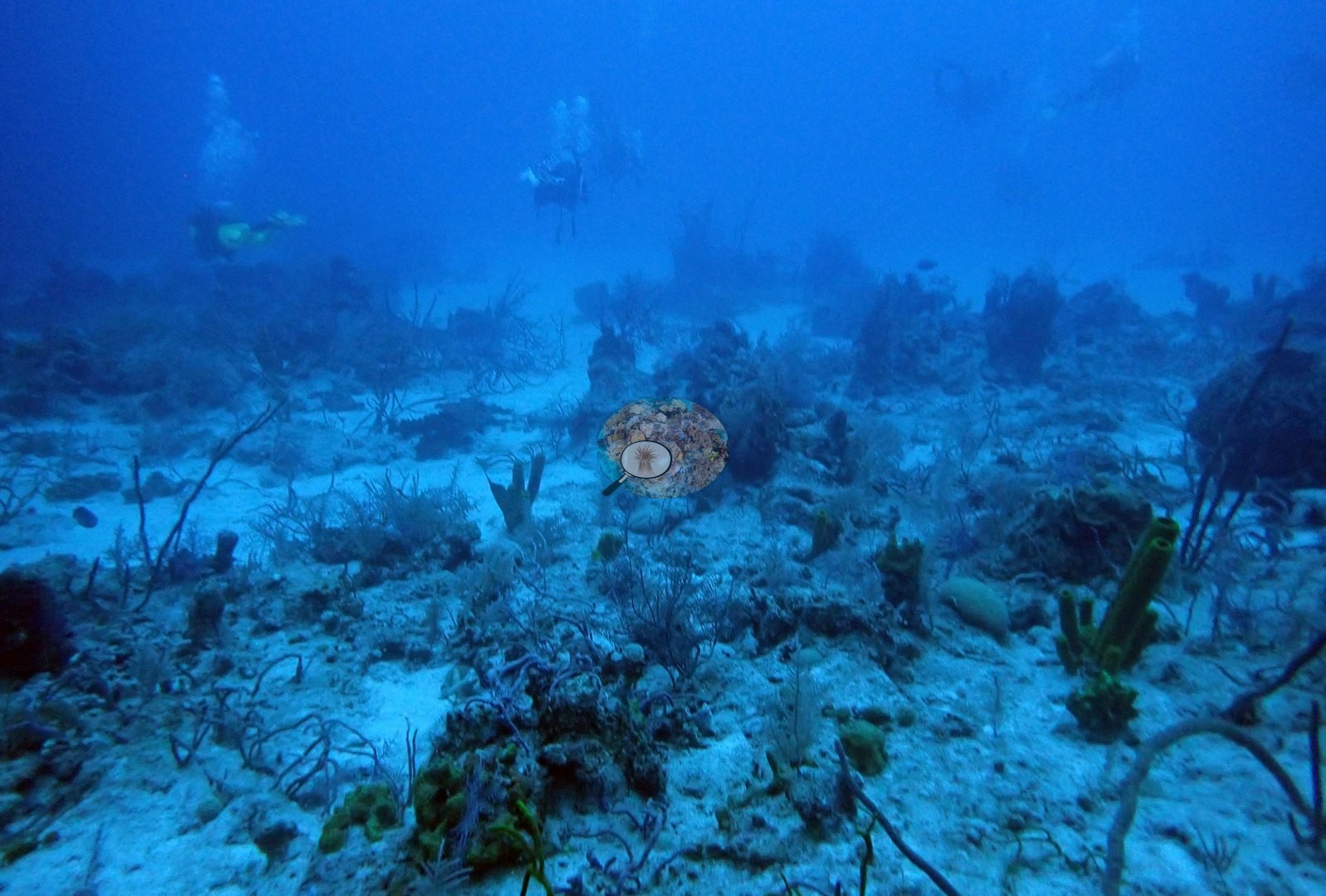
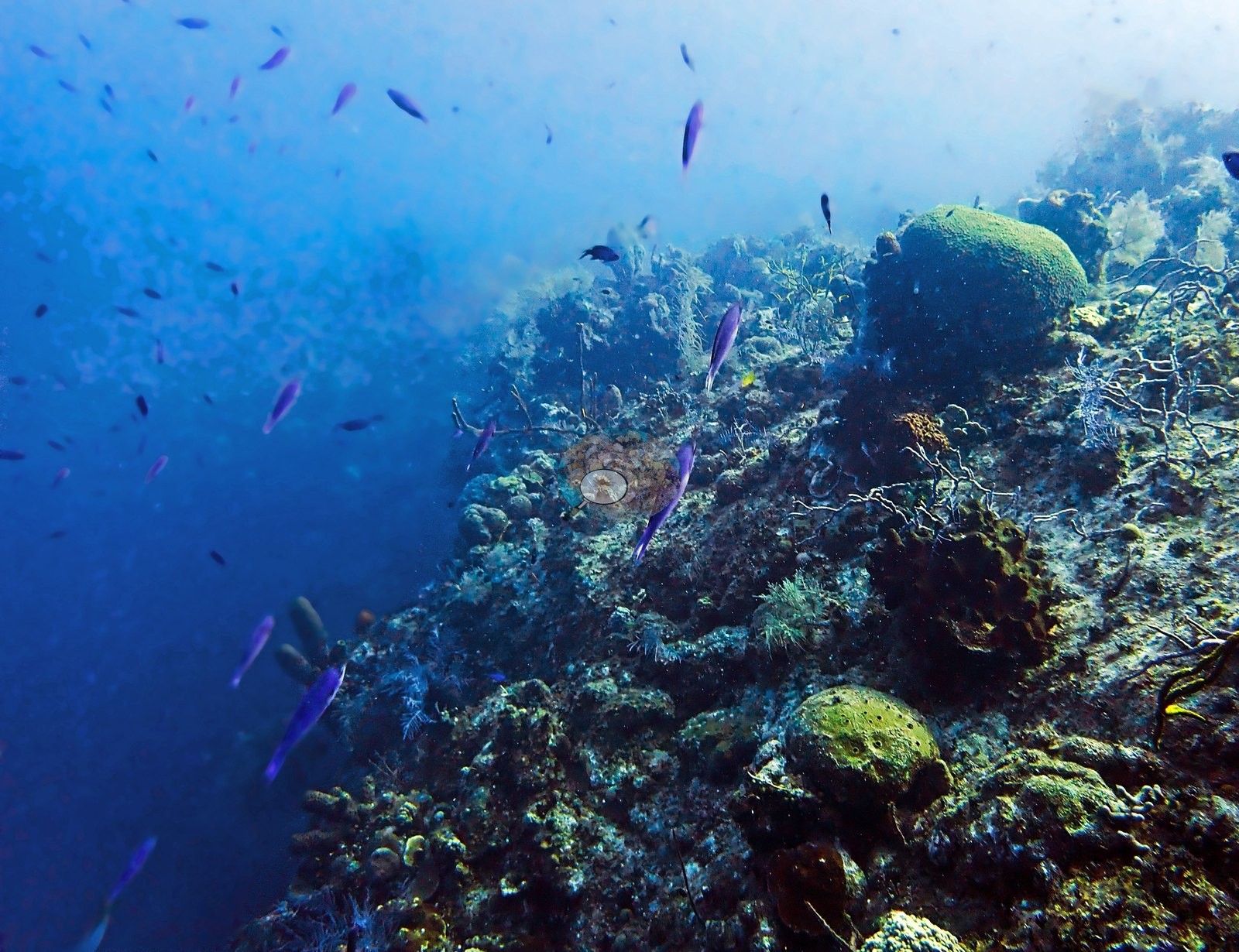
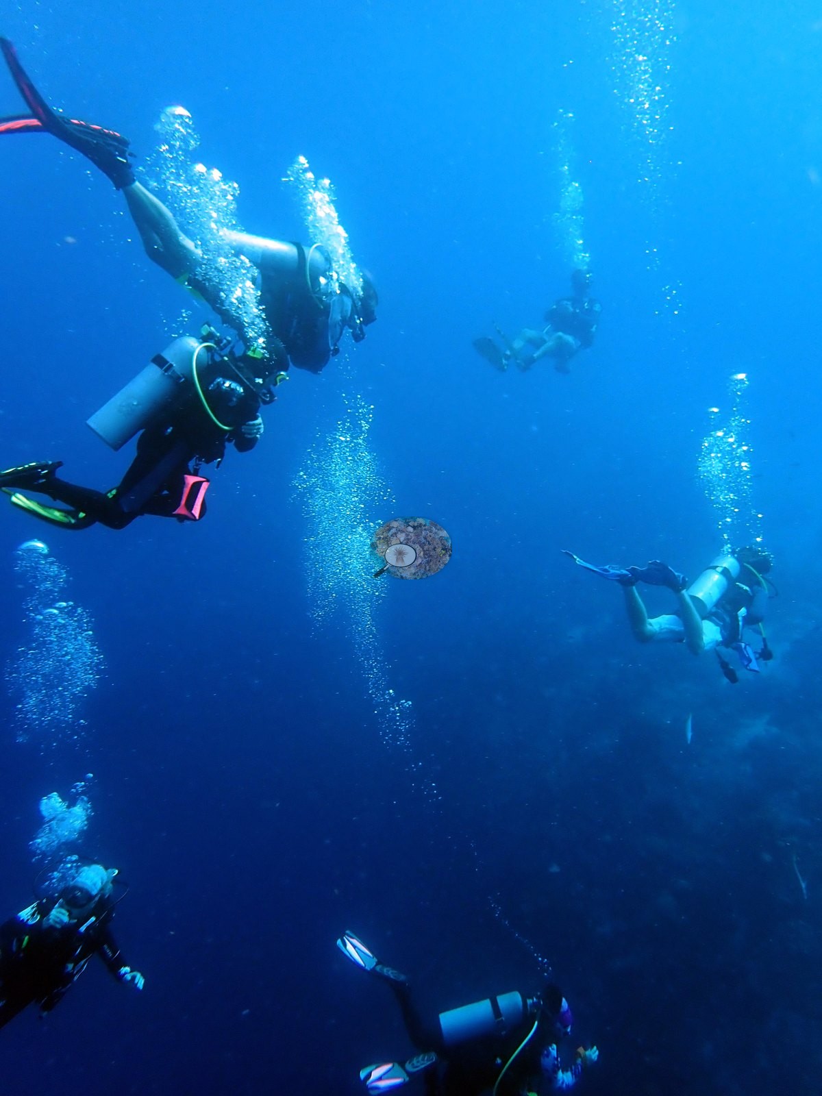
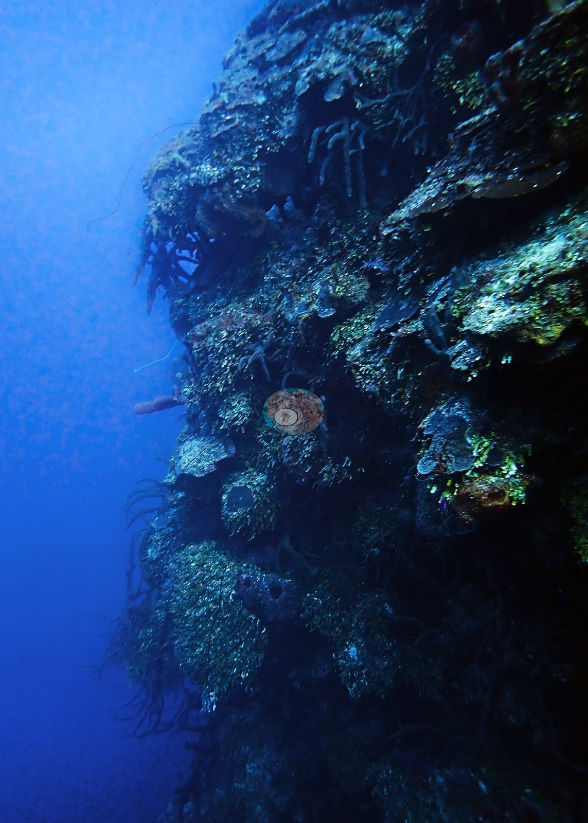
Dive 1 (dawn): opens on a swim-through gully cutting across a pinnacle/wall system, divers visible mid-water against a blue haze, schooling silvery planktivores streaming over the structure (e.g., Image 1, Image 2).
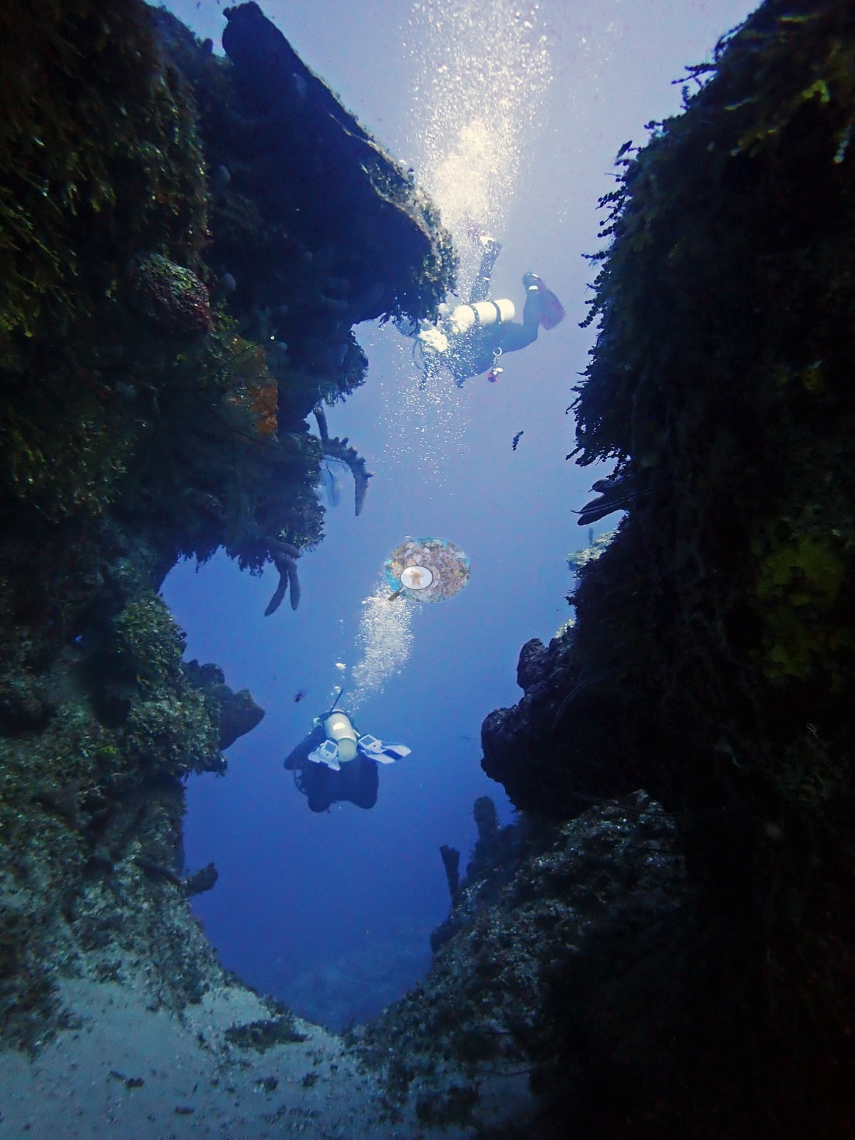
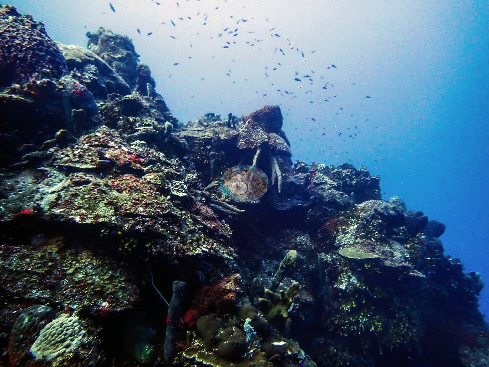
Visibility ranged from hazy blue-particulate water in mid-water shots to clear close-range framing on the reef structure itself.
General benthic features
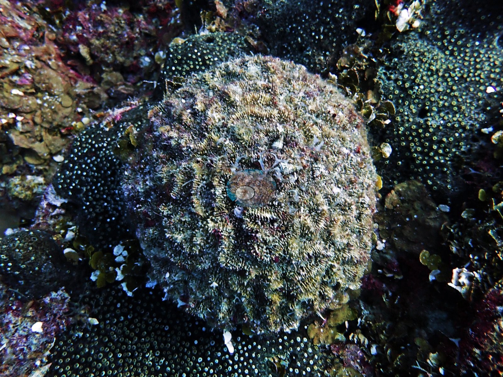
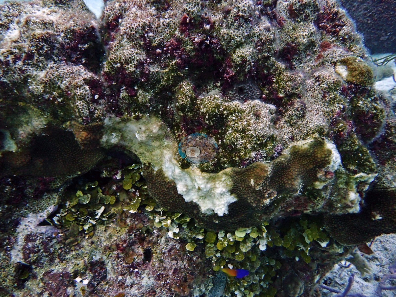
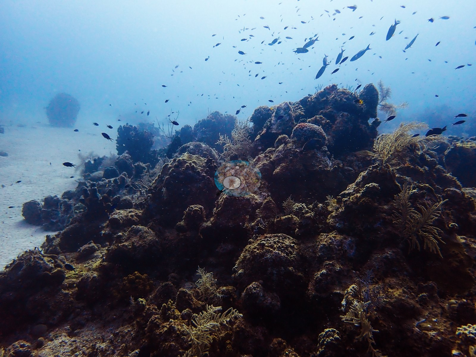
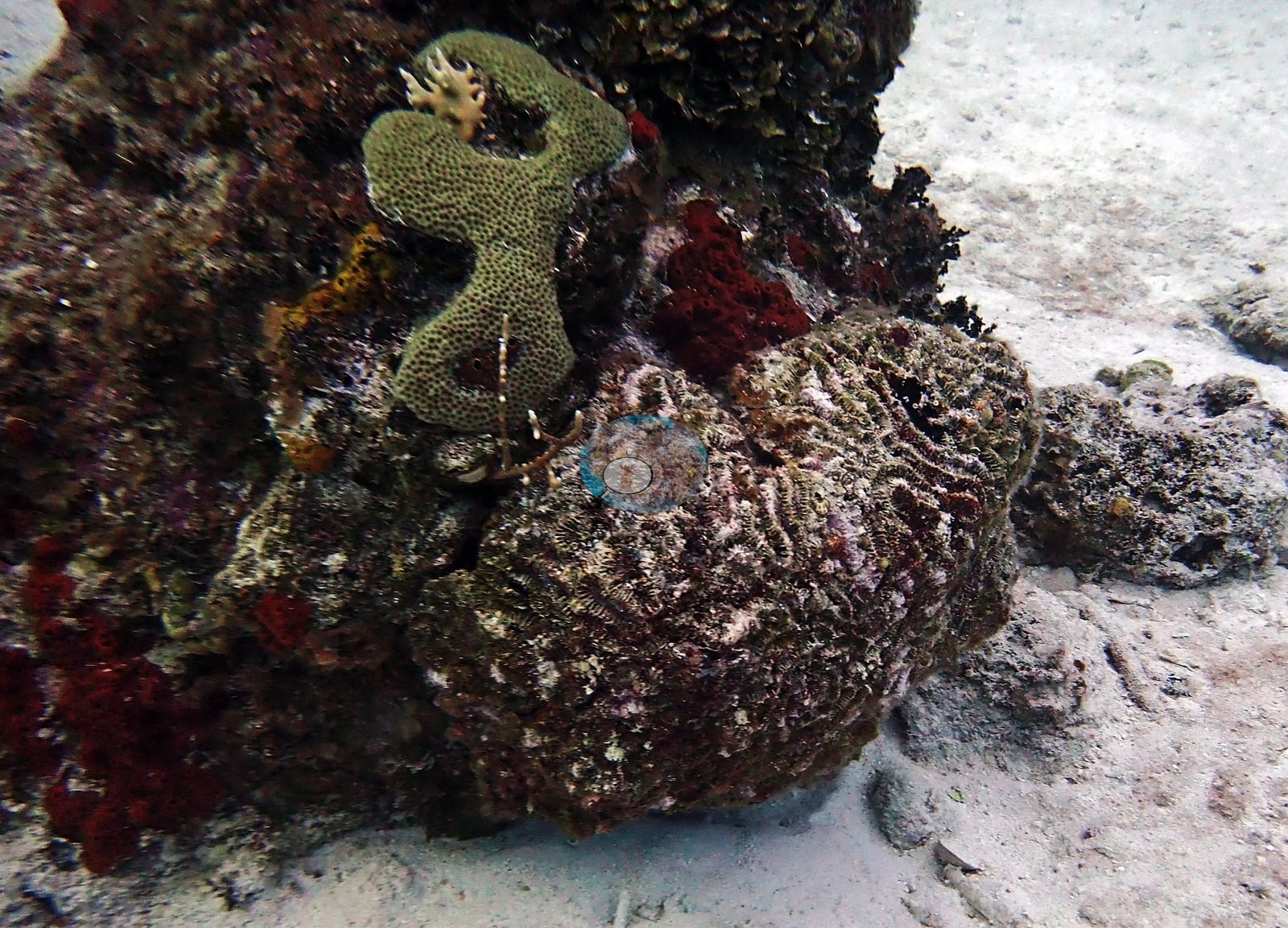
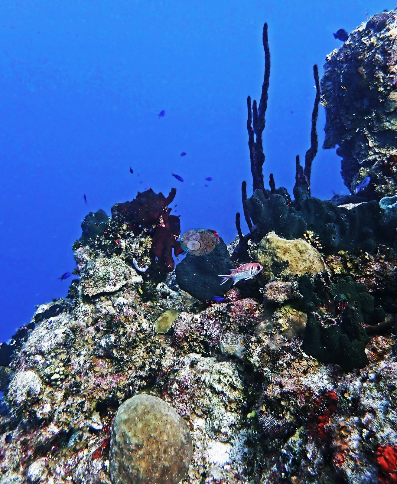
Encrusting and massive coral heads (boulder/starlet corals consistent with Orbicella or Montastraea, and Porites astreoides) cap the pinnacles, several colonized by a large red-orange encrusting sponge and a smaller gray barrel/vase sponge; one frame shows a diver inspecting a colony at close range (e.g., Image 3, Image 5, Image 14, Image 16, Image 30, Image 37).
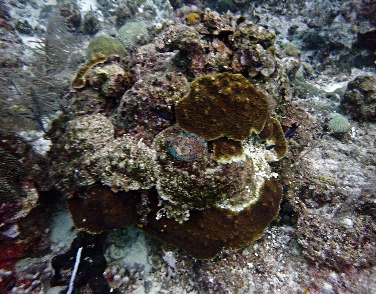
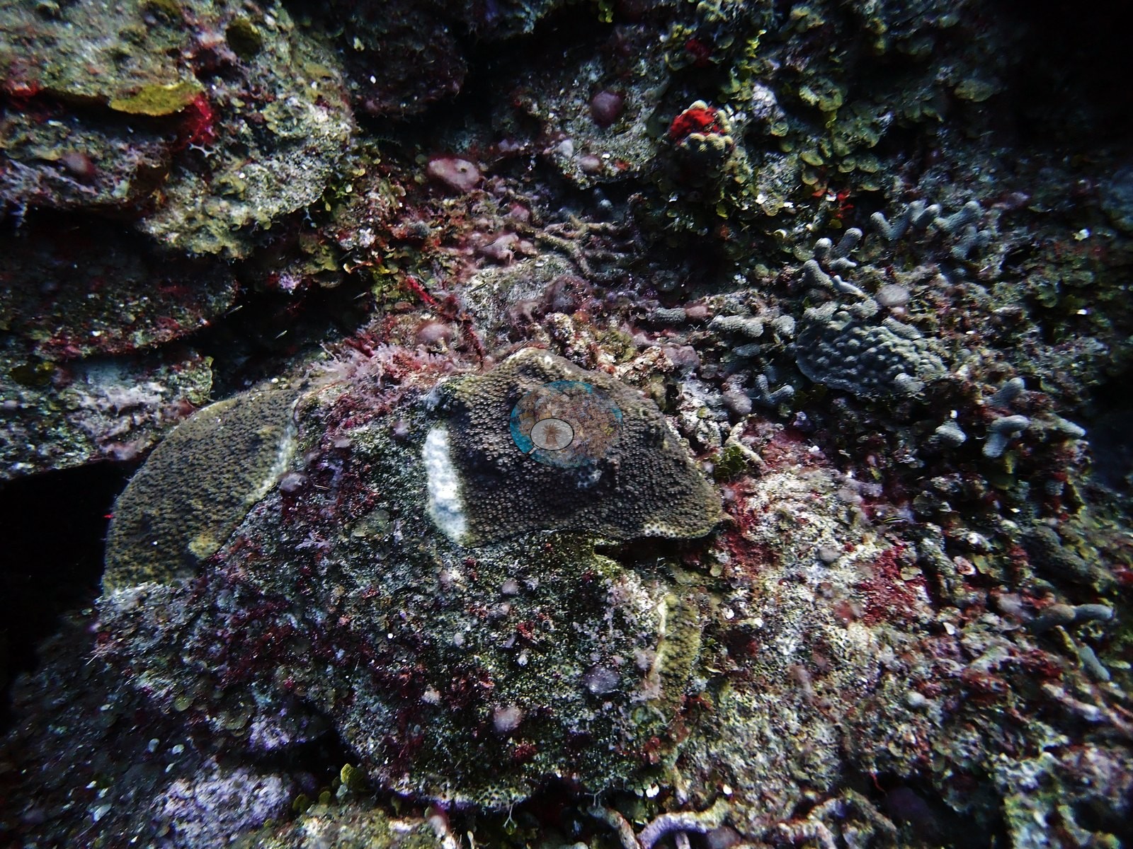
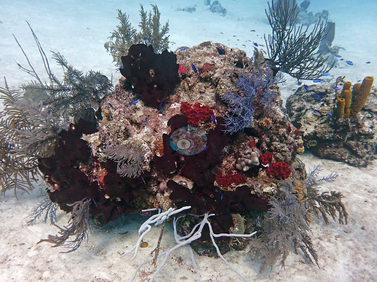
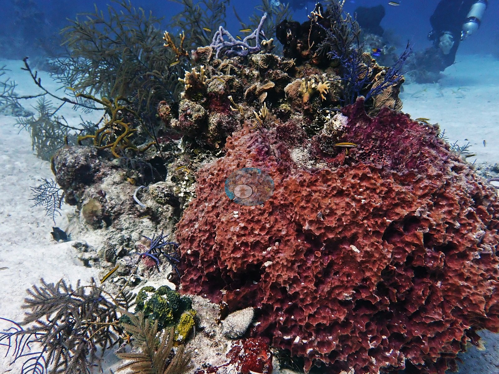
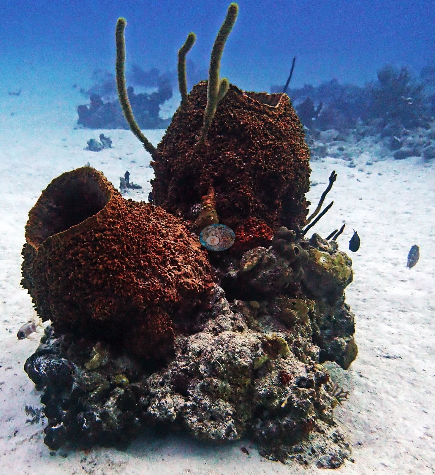
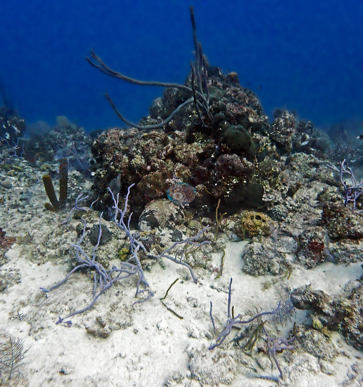
Reef faces carry sea plumes and sea rods (Pseudopterogorgia/Pterogorgia-type gorgonians), a pale rope sponge draped over dead framework, and turf algae over most hard substrate (e.g., Image 6, Image 48).
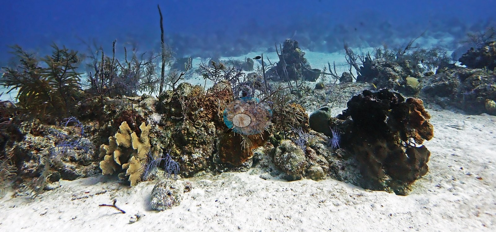
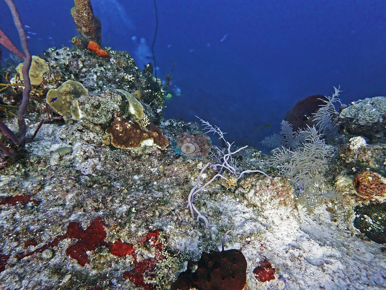
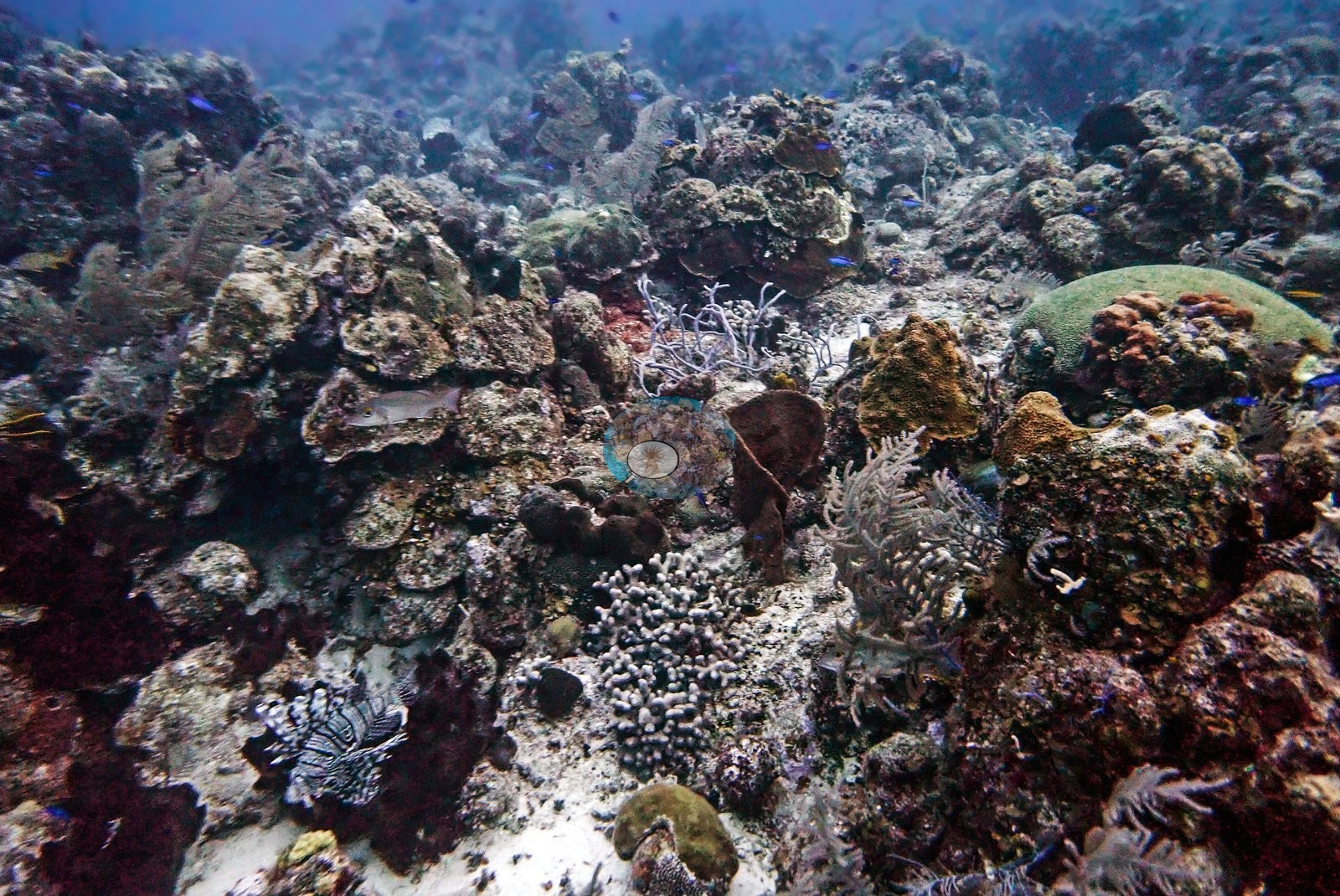
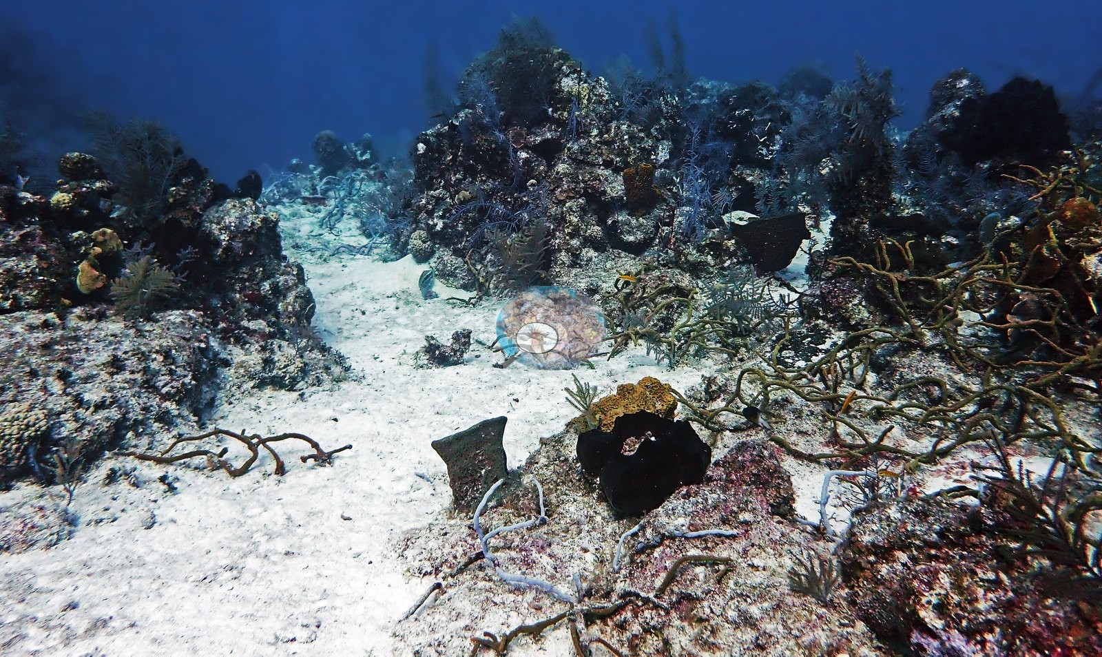
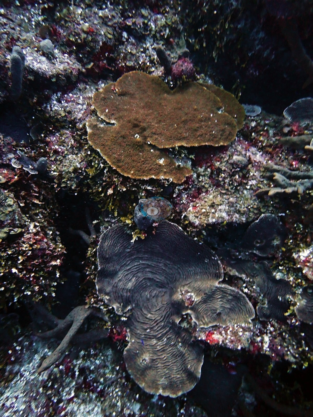
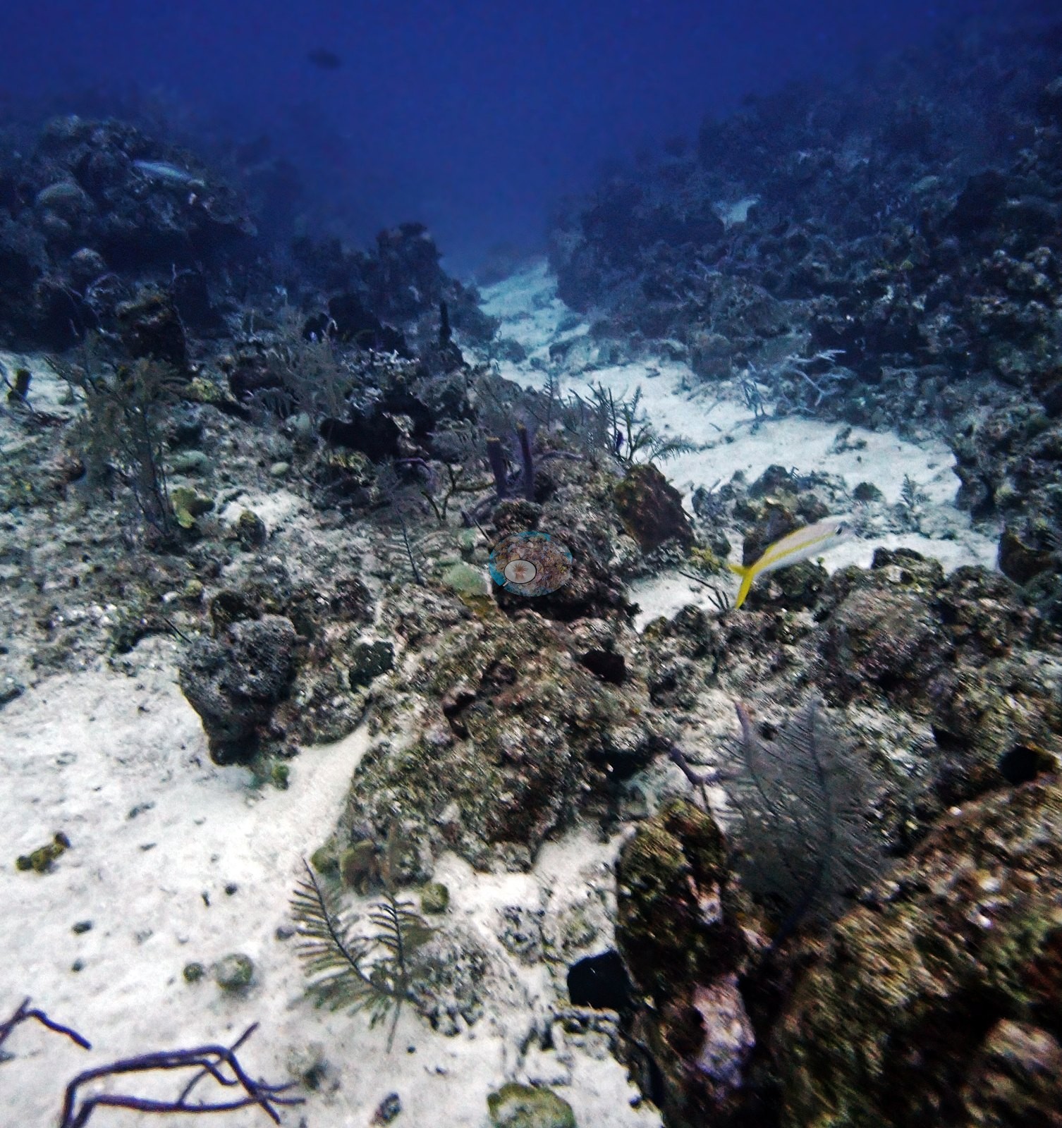
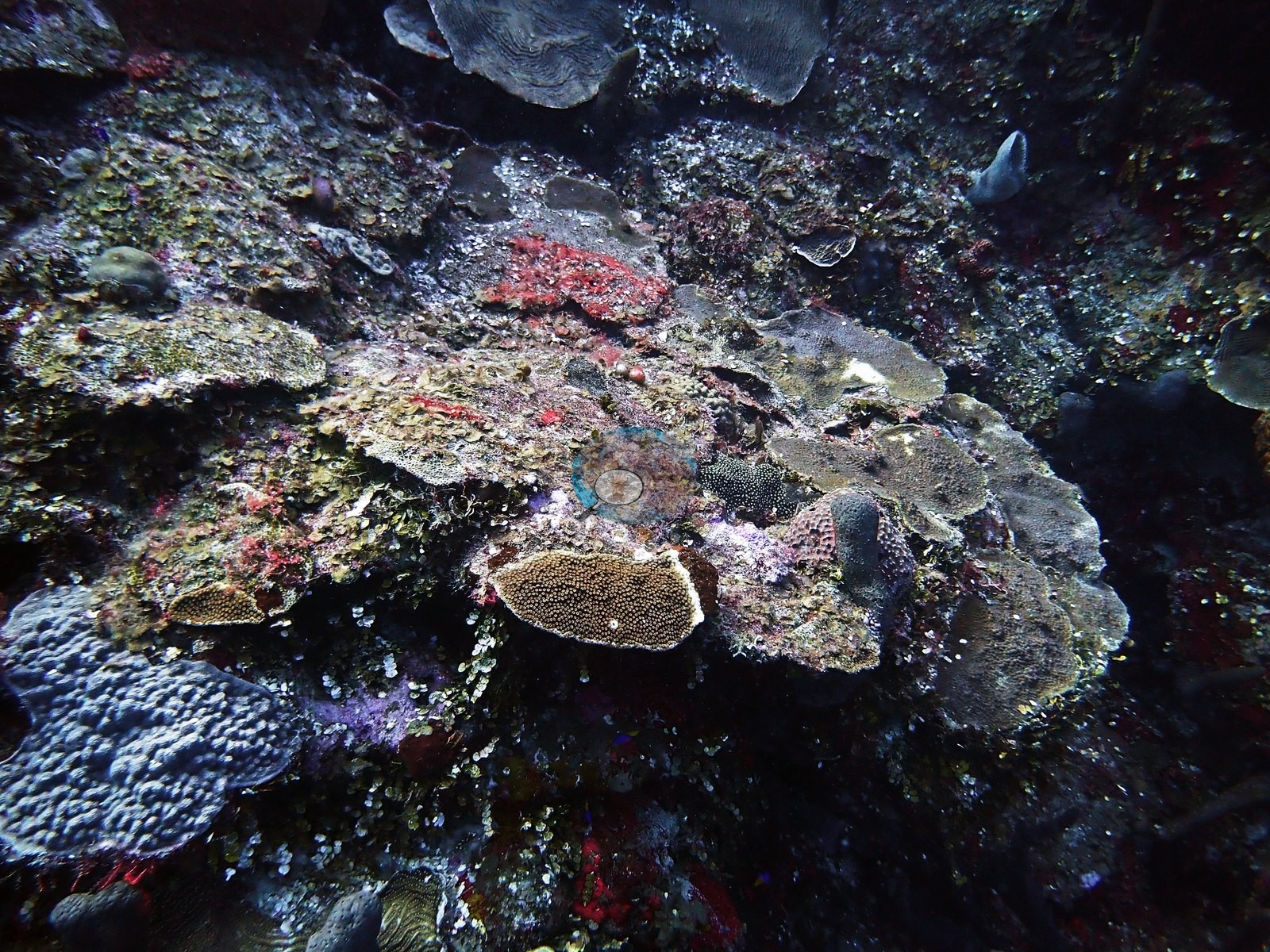
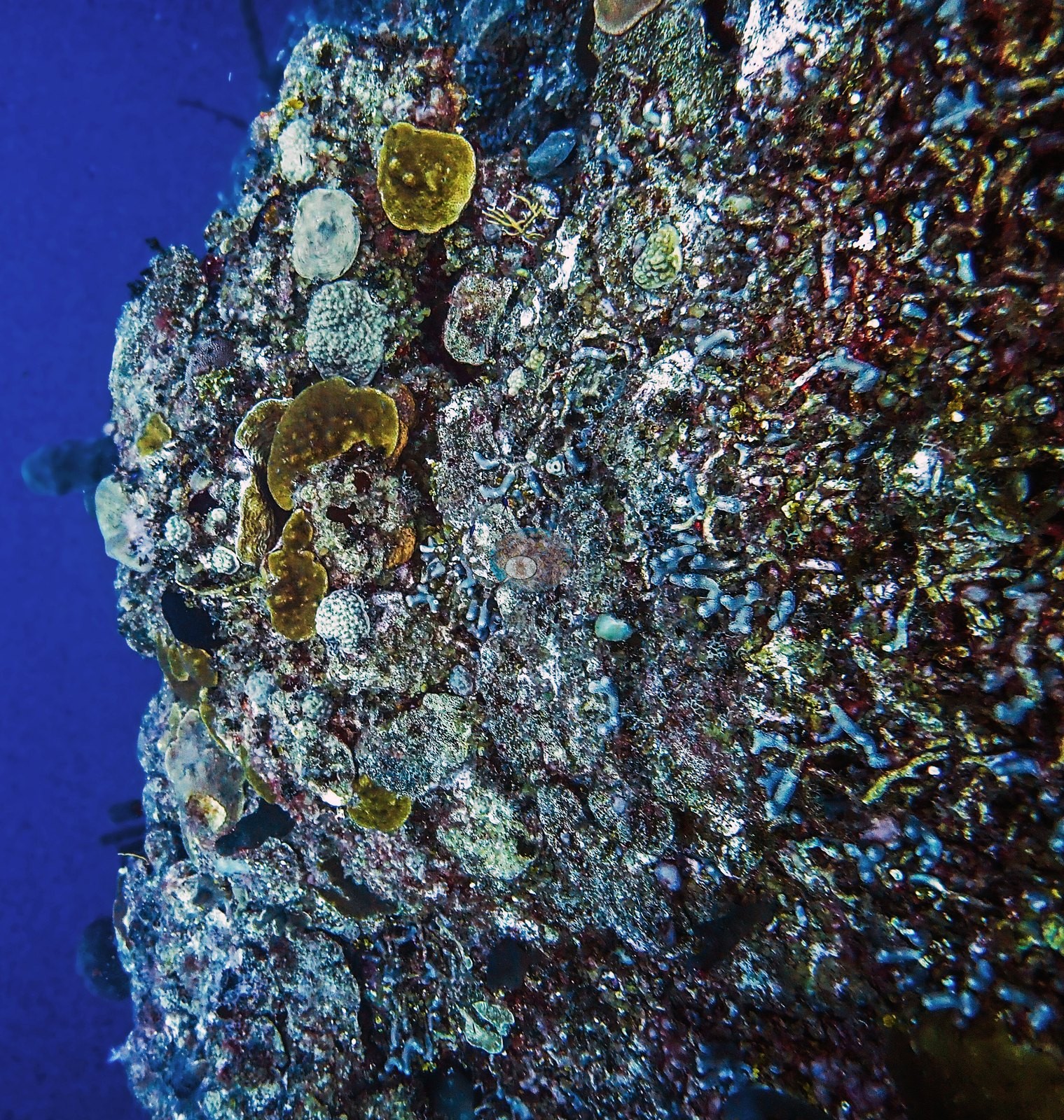
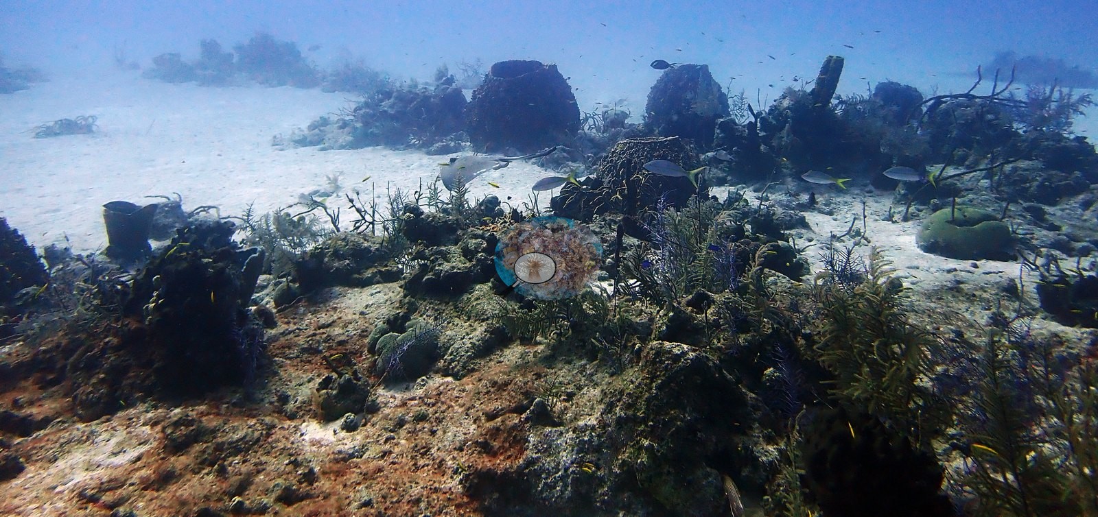
Dive 2 (last dive): similar pinnacle-and-sand terrain — massive starlet corals, low finger-coral thickets consistent with Porites porites, and stacked plate/foliose corals in shaded ledges, one dense mound of cf. Porites astreoides patrolled by damselfish (e.g., Image 10, Image 19, Image 20, Image 22, Image 40, Image 42, Image 46).
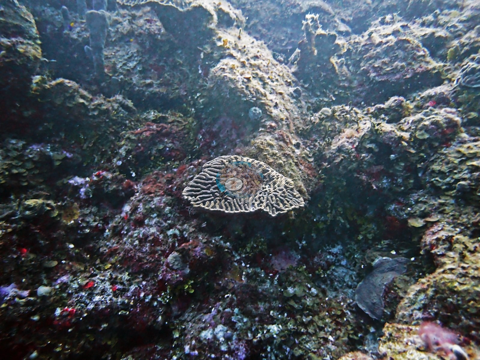
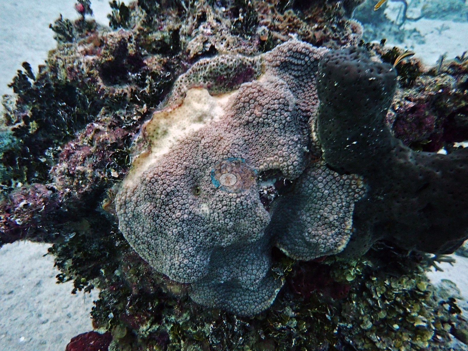
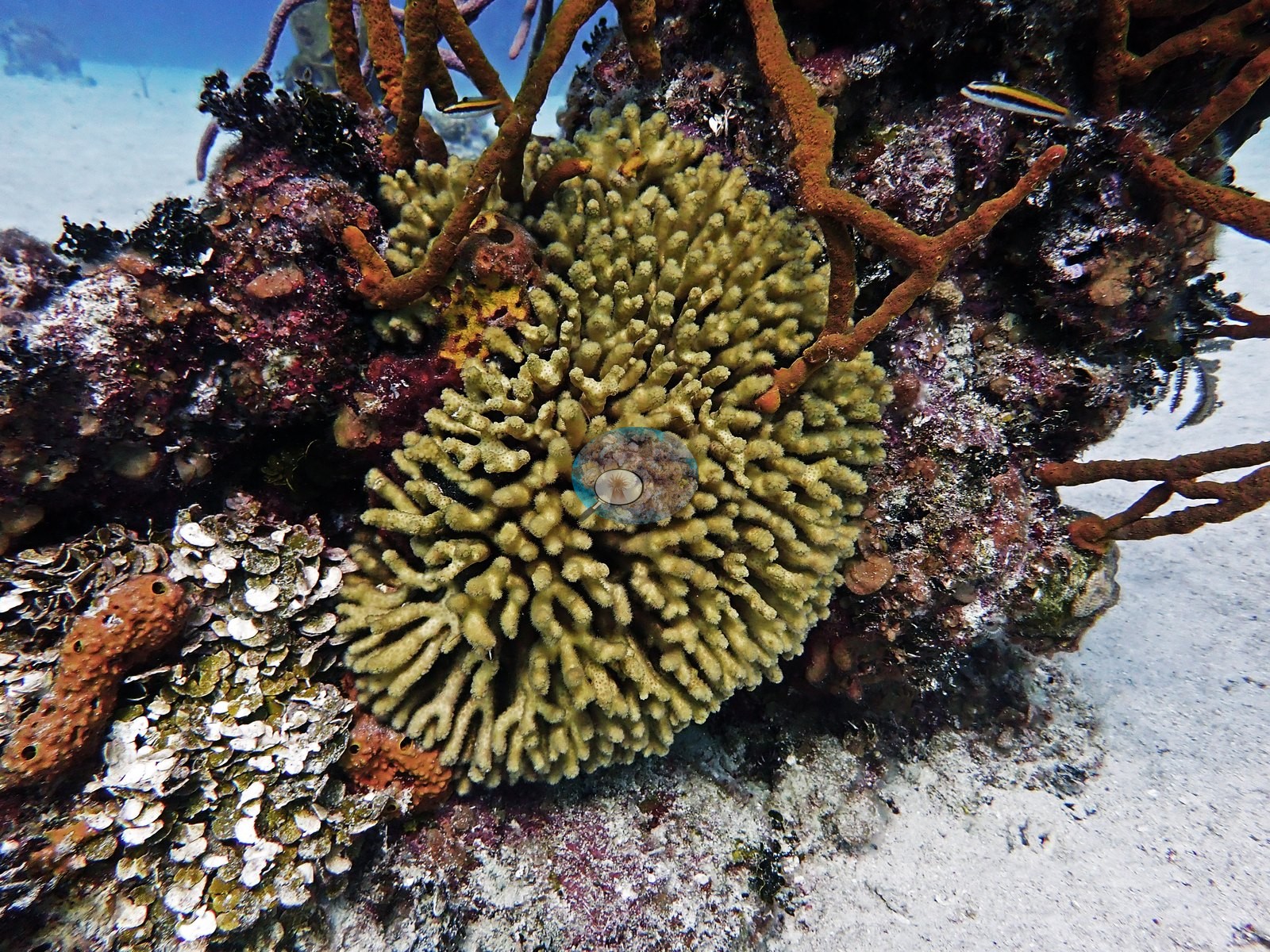
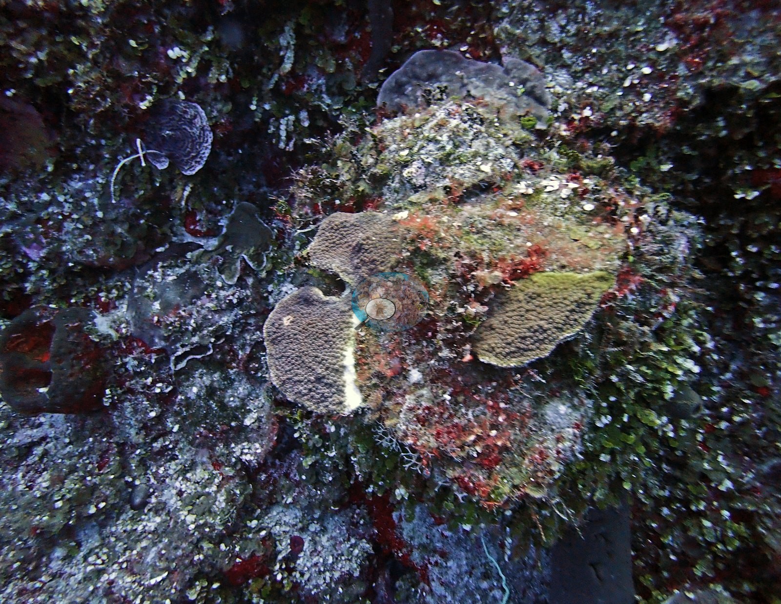
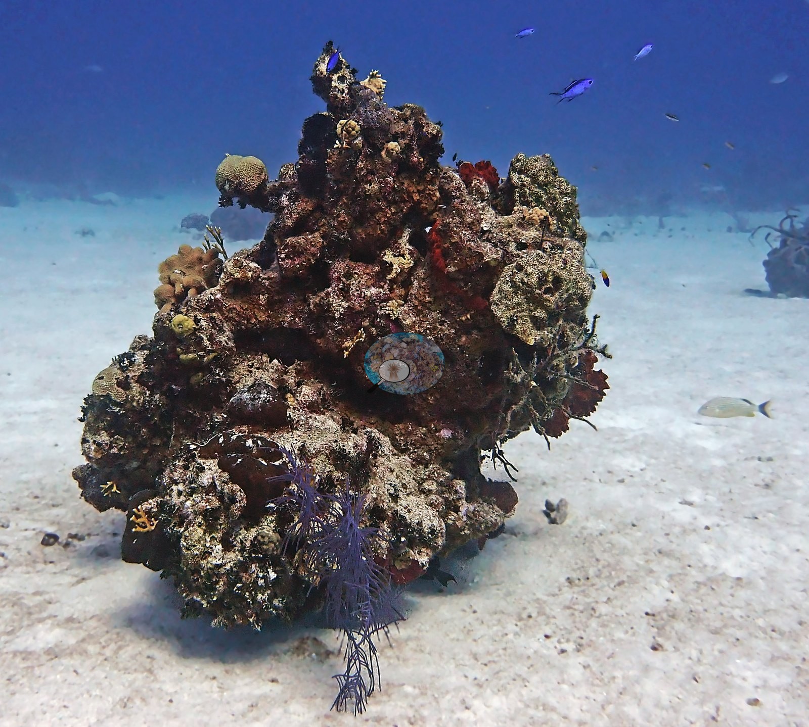
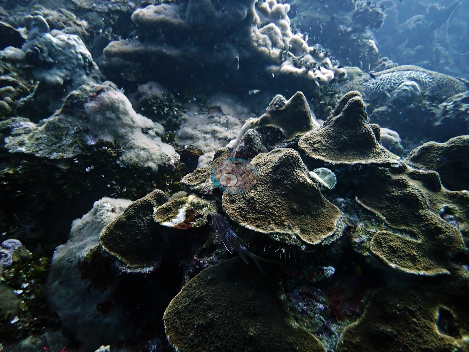
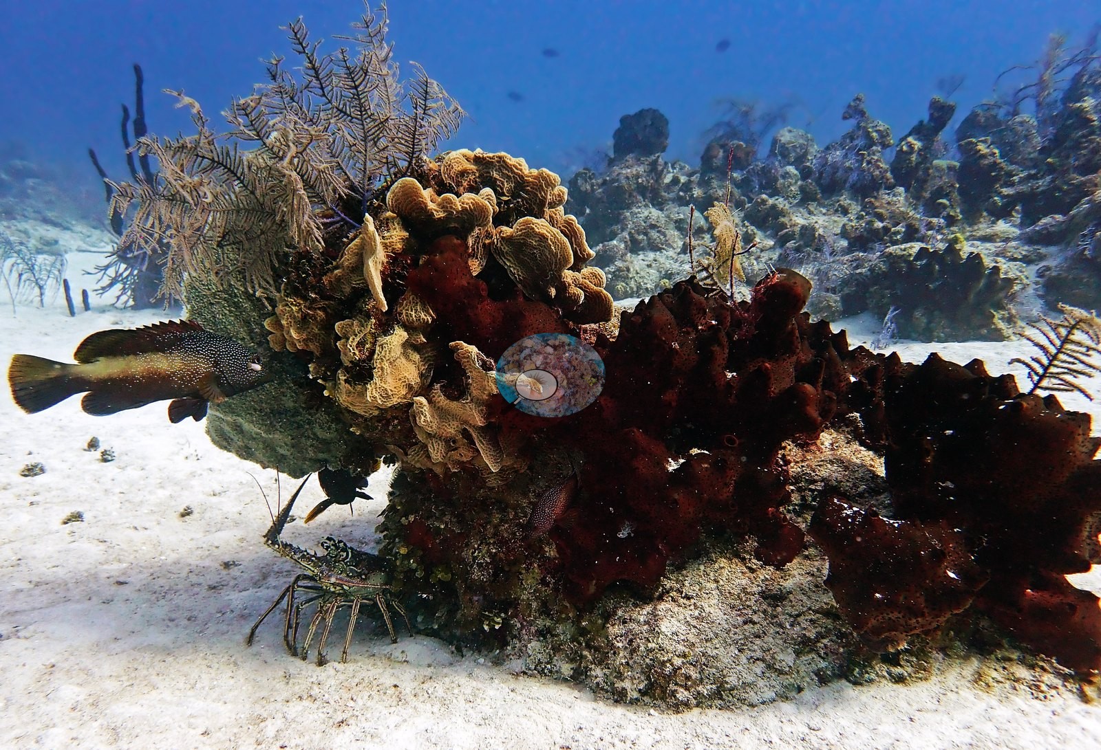
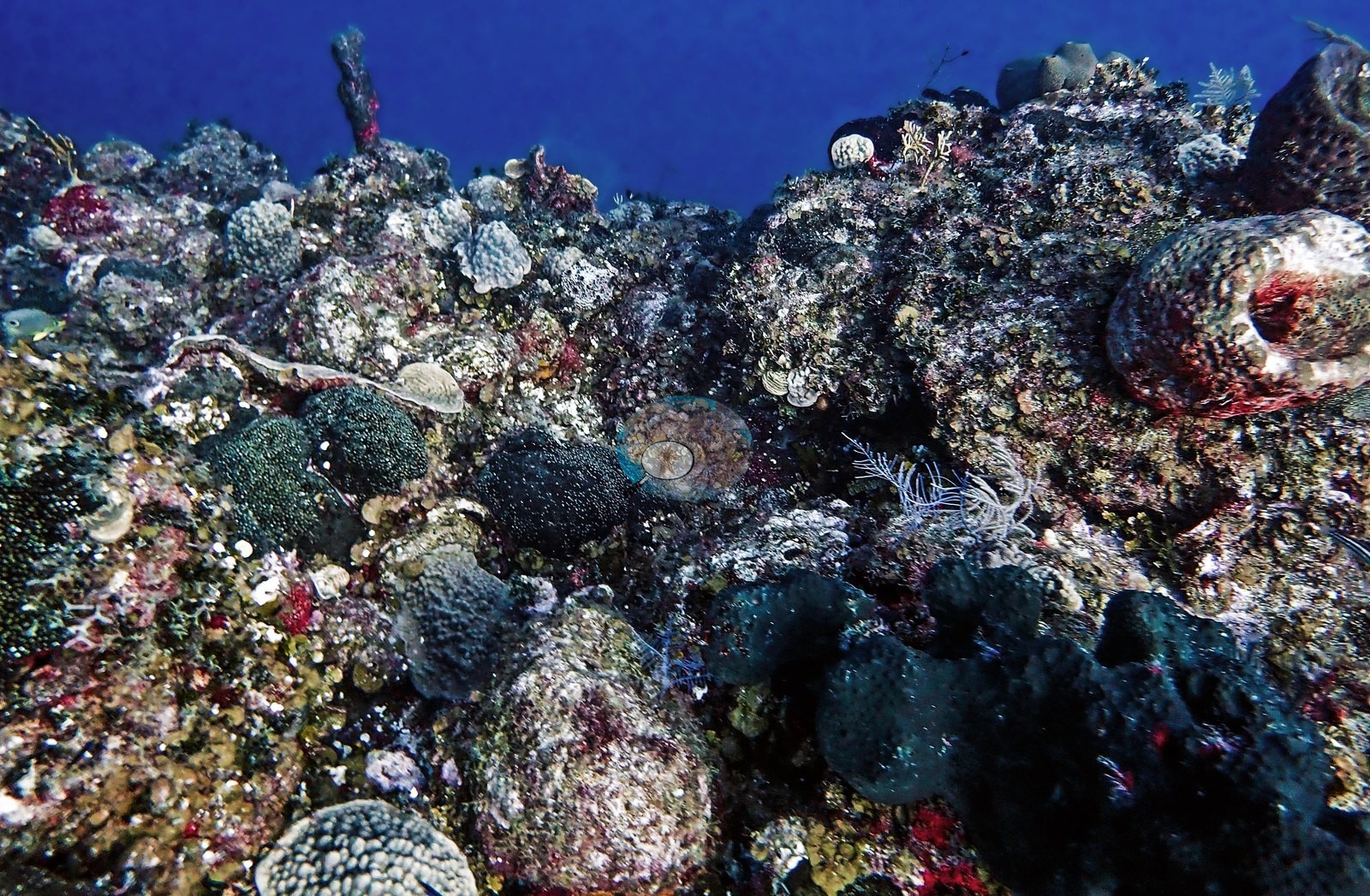
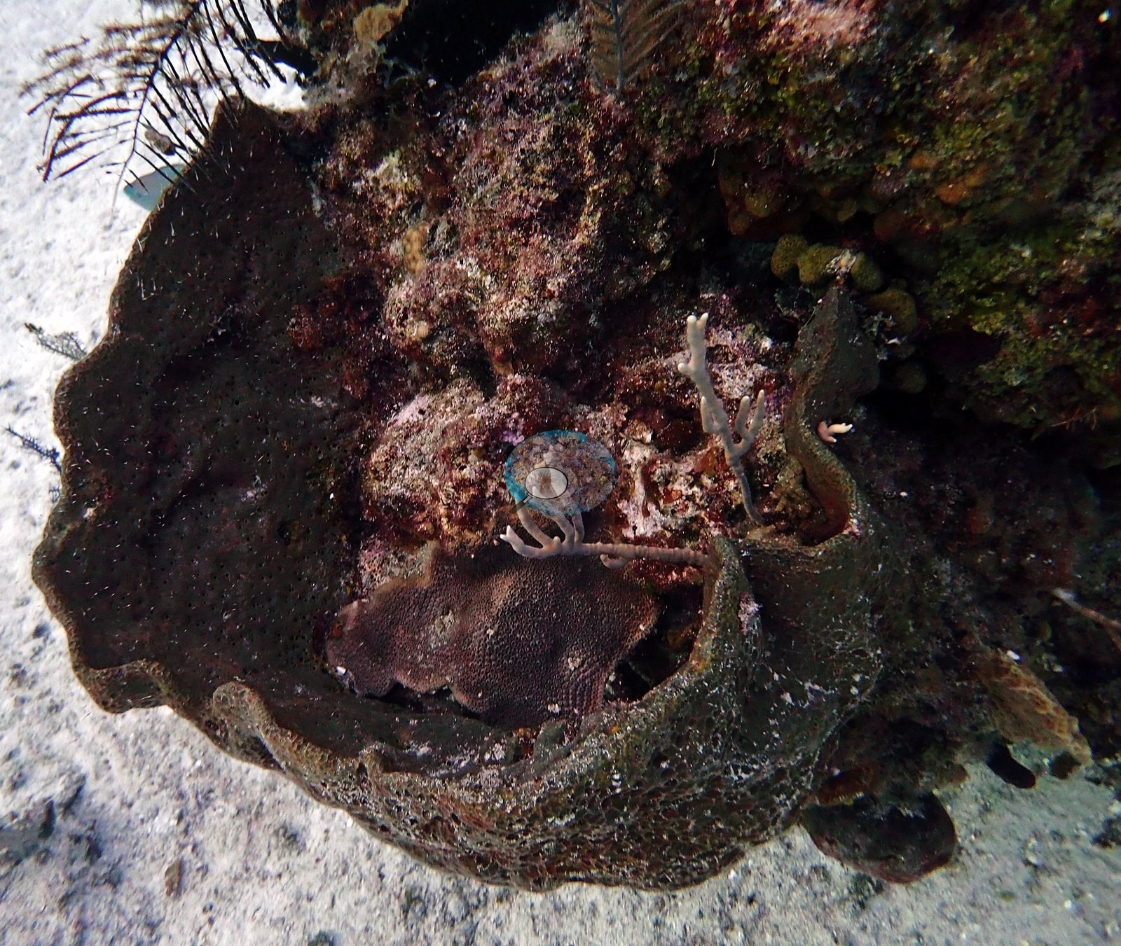
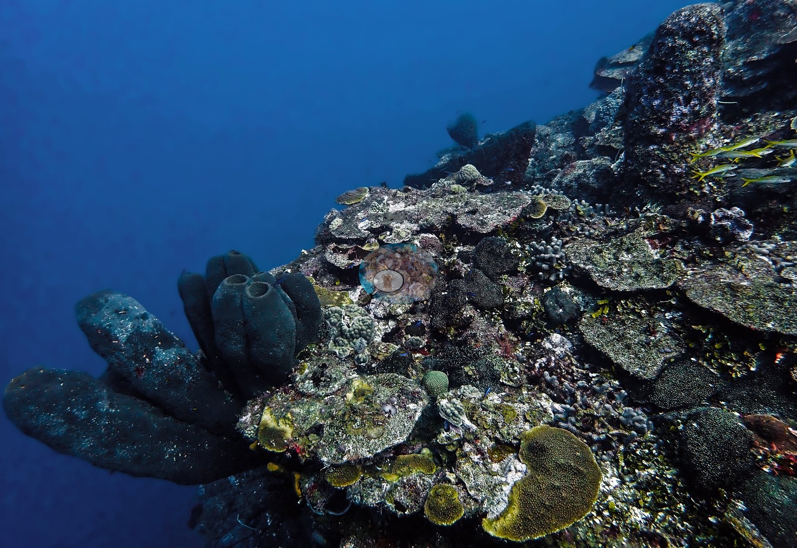
Multiple frames show orange-red encrusting sponges, dark barrel sponges, and gray tube/rope sponges on the rock face (e.g., Image 34, Image 35, Image 38, Image 51).

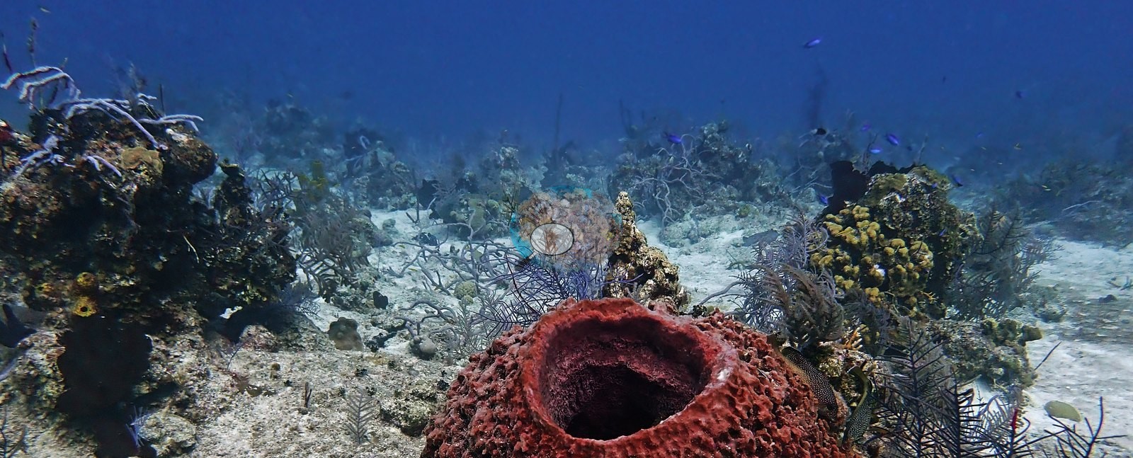
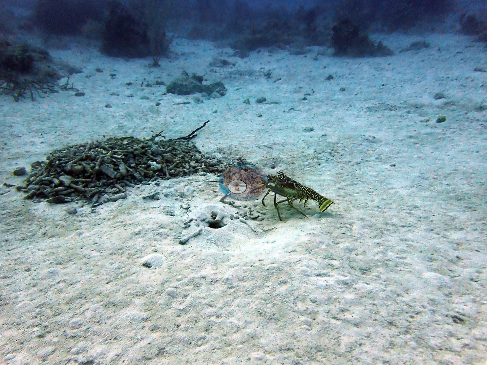
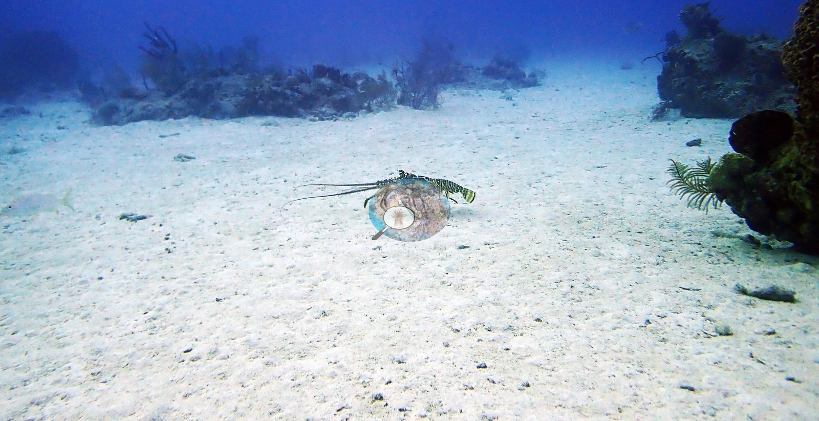
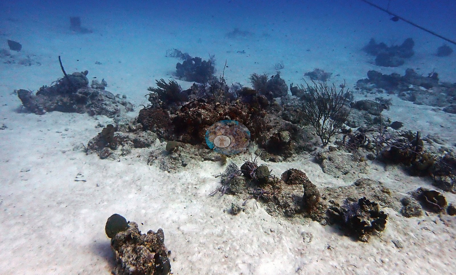
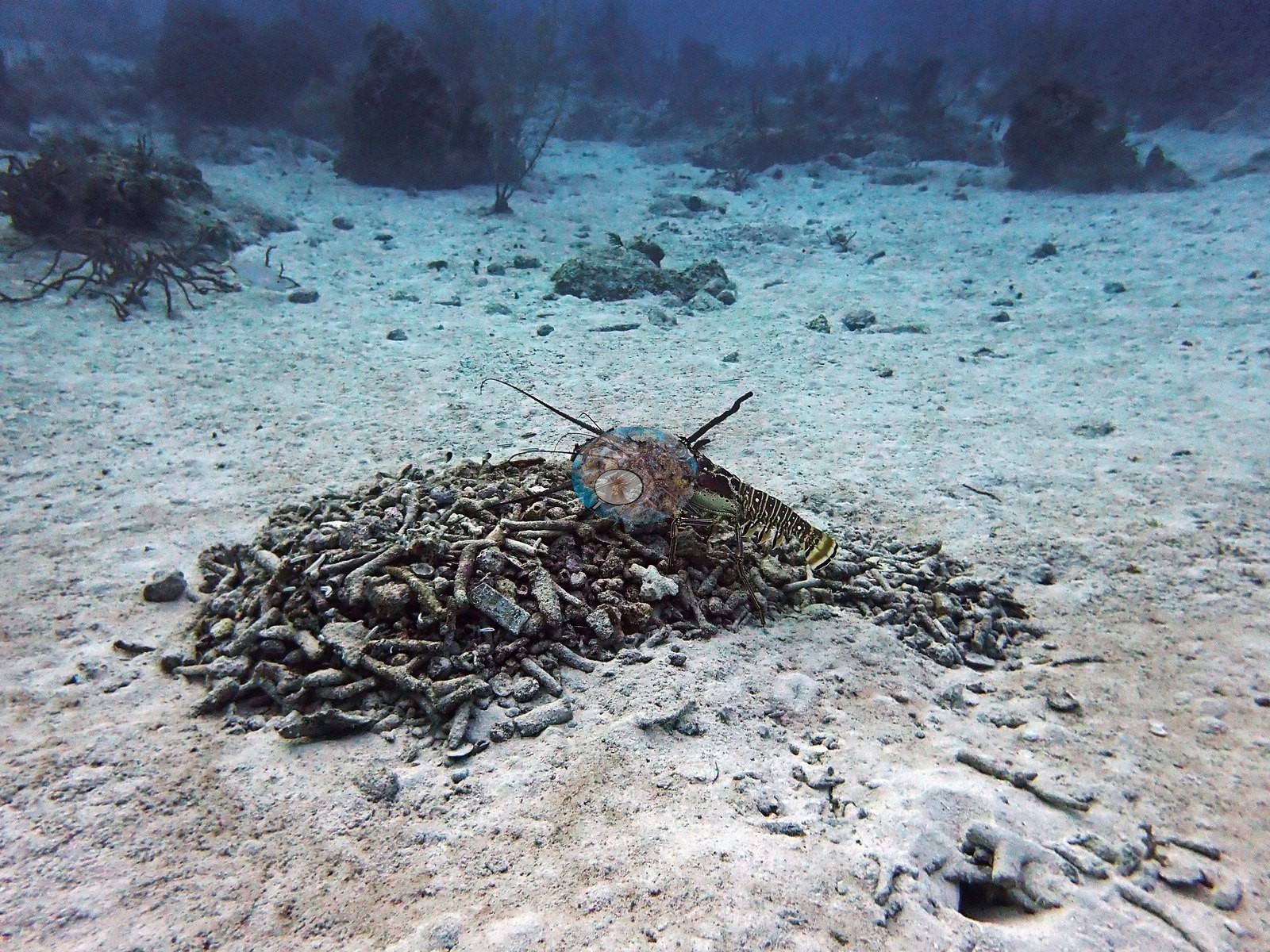
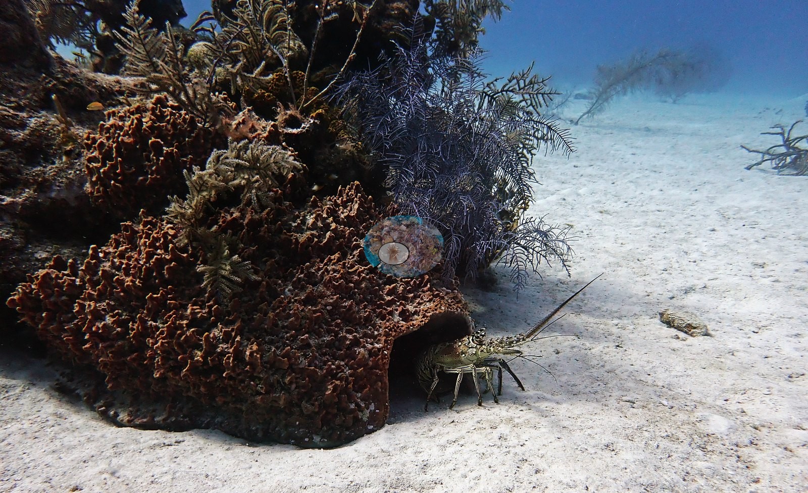
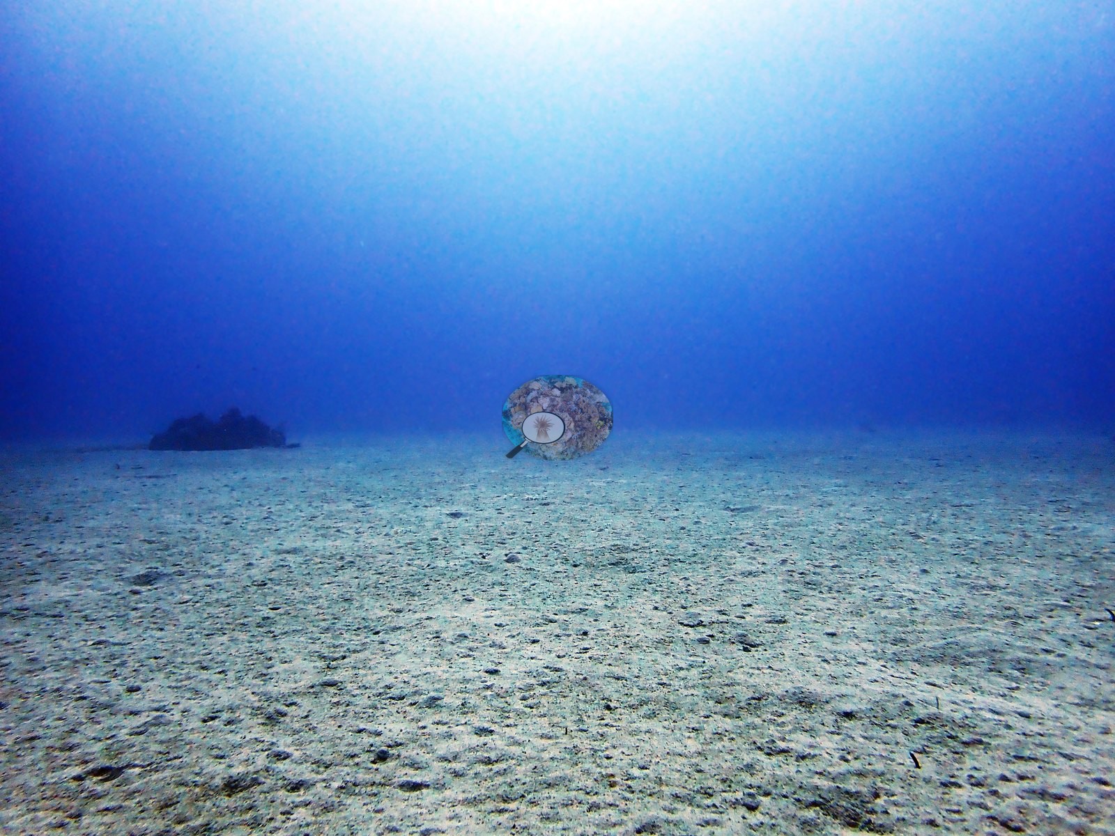
Moving seaward, the habitat opens onto flat white sand with isolated coral/sponge outcrops and sparse sea-whip gorgonians; a southern stingray was photographed resting on open sand, and a spiny lobster was photographed twice at the base of a sponge-coral mound, once alongside a foraging grouper- or hind-type fish (e.g., Image 9, Image 26, Image 28, Image 36, Image 43).
Coral cover
- Reference: Claude CV point count (this site's photos)
- Coral cover: 7.1% — a blind Claude computer-vision point count of 74 of Anderson's edited photographs (the mean of the two dives' means; 20 points per photo; water, fish, and obstructions excluded). Other computer-vision methods are listed in the method table.
Stressors
No bleaching, disease, or corallivores were seen in the frames reviewed.
Comparisons with other data
No other surveys have been conducted at this site to date. Within 5 km, four independent stations (Reef Check and XL Catlin Seaview Survey) recorded 1.9–20% hard coral cover between 2007 and 2013; the nearest, Reef Check at Boat Cove, 0.42 km away, read 17% in 2007.
Dive record
West Caicos, The Gully — two dives on 2022-08-05 from the Turks & Caicos Explorer II liveaboard (dawn dive plus the last dive of the trip).
Other notes
No wreck, mooring, tag, or transect gear was visible; the only man-made objects in frame are the divers themselves. Dive 2 (last dive): similar pinnacle-and-sand terrain — massive starlet corals, low finger-coral thickets consistent with Porites, and stacked plate/foliose corals in shaded ledges, one dense mound of cf.
CV model comparison
More info
A few colony-focused photos raise the mean; the median is the typical photo. No computer-vision method yet estimates coral cover accurately on new images, so treat this as indicative rather than a measurement; it is revised as the methods improve.More info
Other rows are for comparison only and are never averaged. No diver transect exists for this trip, so agreement between rows is not accuracy.| Method | Hard-coral cover (%) |
|---|---|
| CoralSCOP edited | 18.3 |
| Claude (edited photos) | 7.1 |
See a more detailed, stand-alone version of this table.
Dive history
| Date | Time in | Max depth (m) | Bottom time (min) |
|---|---|---|---|
| 2022-08-05 | 05:59 | 31.7 | 64 |
| 2022-08-05 | 08:37 | 32.3 | 62 |
Independent surveys nearby
| Agency / program | Year(s) | Stations / distance | Link |
|---|---|---|---|
| Reef Check | 2007 | 3 stations, 0.42–3.53 km | Records ↓ |
| XL Catlin Seaview Survey | 2013 | 1 station, 2.87 km | Records ↓ |
 Coral Reef Diagnostics
Within 5 km, 4 independent survey stations recorded hard coral cover in 4 records between 2007 and 2013. The most recent nearby survey is from 2013, so these values predate recent heat stress. This site's own estimate (7.1%) sits within the range of these surveys (1.9–20%); the methods differ, so the comparison is context, not a like-for-like test.
Collected by other programs using different methods (Reef Check uses point-intercept transects; the XL Catlin Seaview Survey uses photo-transects with automated image annotation), so these are context for the figures above, not a like-for-like comparison. Where a station was surveyed more than once the range is shown. Station names are not dive-site names.
| Agency | Site / location | Date | Hard coral cover (%) | Distance | Link |
|---|---|---|---|---|---|
| Reef Check | Boat Cove | 2007 | 17% | 0.42 km | — |
| Reef Check | Elephant Ear Canyon | 2007 | 19% | 0.76 km | — |
| Reef Check | Spanish Anchor | 2007 | 20% | 3.53 km | — |
| XL Catlin Seaview Survey | transect 24039 | 2013 | 1.9% | 2.87 km | doi:10.14264/uql.2019.930 |
Data & links
All images from Coral Reef Diagnostics. Data are from Coral Reef Diagnostics and the organizations named in the data sources above.
© Coral Reef Diagnostics.