
Turks and Caicos - The Amphitheatre

Part of the regional summary: Turks and Caicos Islands
More info
Turks and Caicos (NOAA CRW virtual station) · Bahamian ecoregion mean: 9.1 degree heating weeksThe Amphitheatre is a wall off Northwest Point, Providenciales, named for a 30-foot-wide bowl undercut into the wall at 75-85 feet, its rim draped in elephant-ear and rope sponges, with Caribbean reef sharks cruising the blue in front of it. The most important finding was active tissue loss: several corals show bands of stark-white, freshly exposed skeleton, consistent with the tissue-loss diseases then active in the Caribbean.
Five independent survey stations shown with the program’s logo — click one to see how far it is from this site.
Four other CRD dive sites within 5 km shown in orange — click a marker to open its page.
This page shows 50 of the 53 photographs from this site, including every one the text cites.
36 of the 50 photographs on this page are shown beside the text that discusses them under "Site description" below.
Site description
Setting
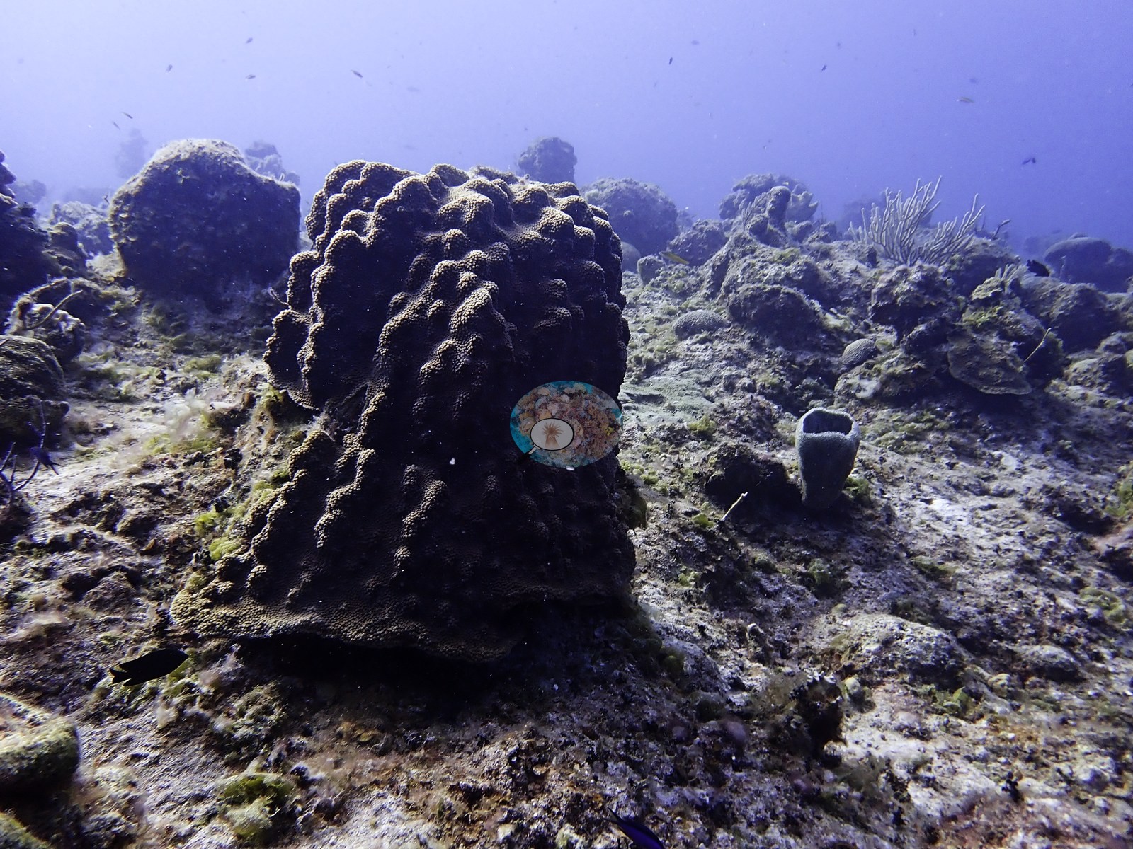
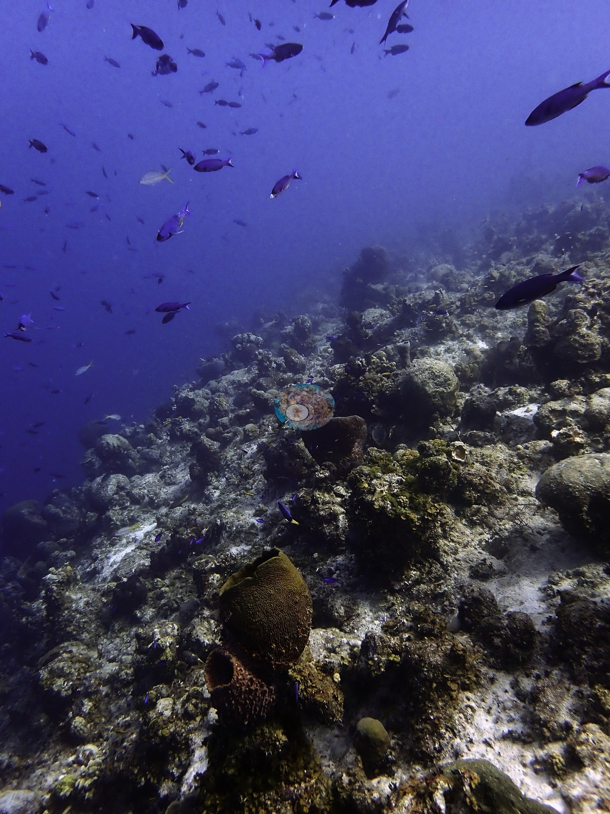
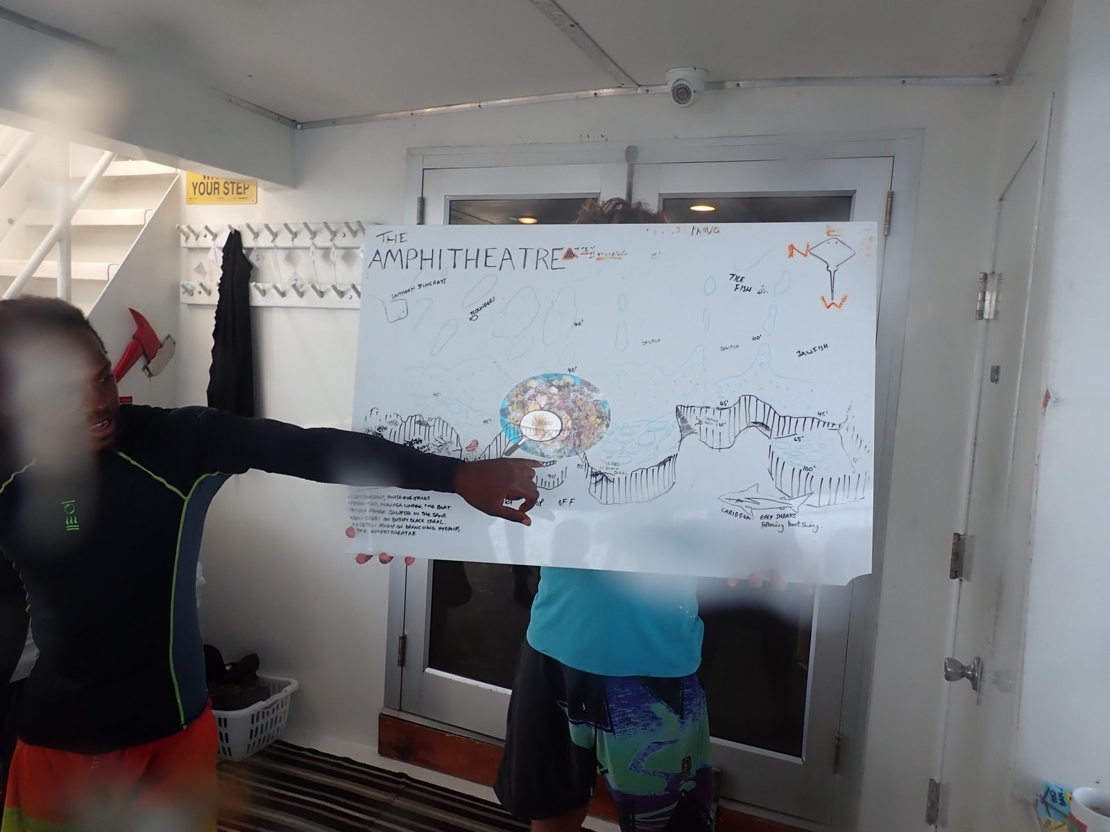
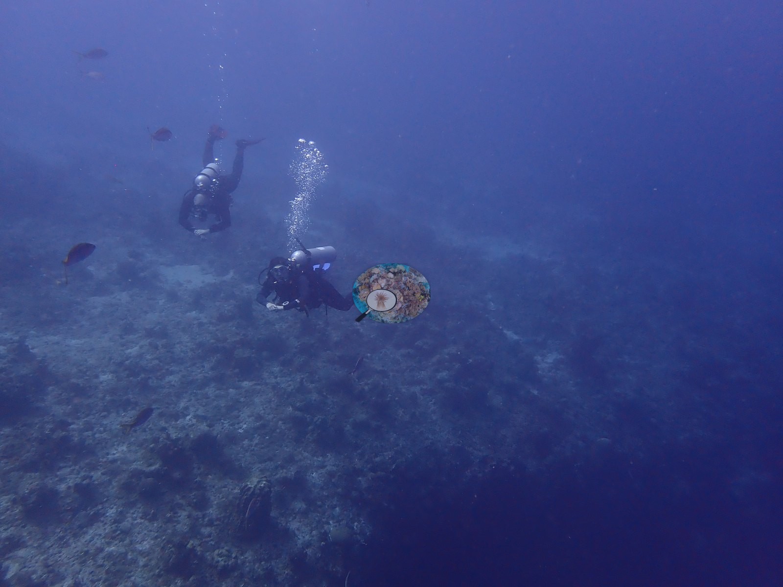
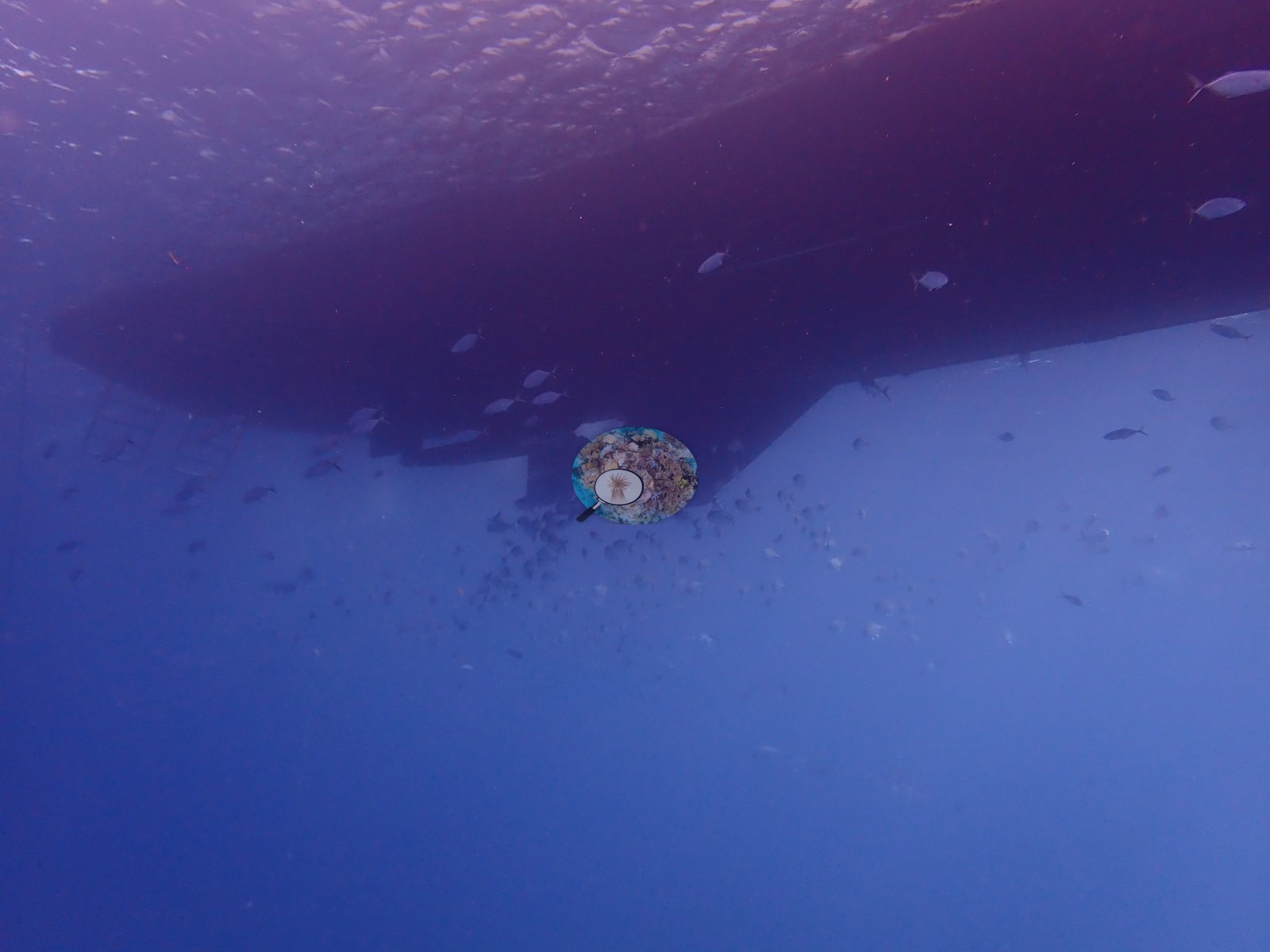
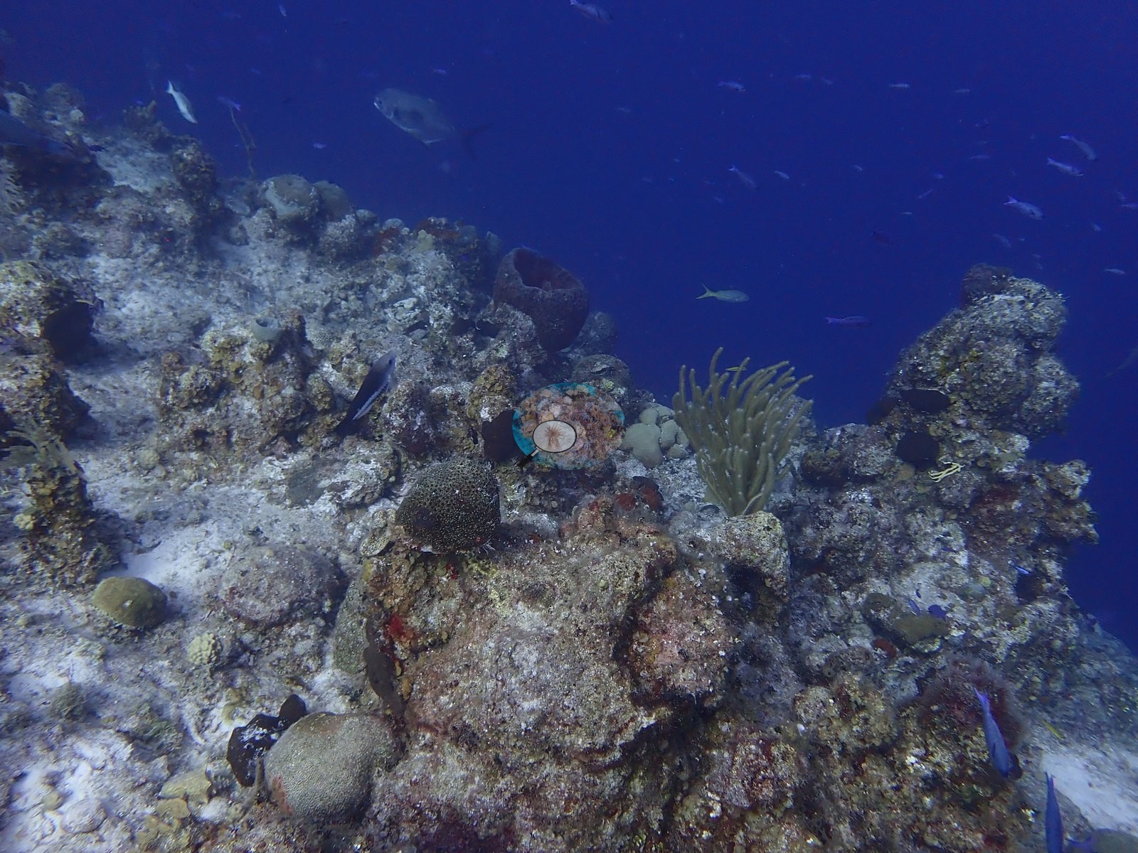
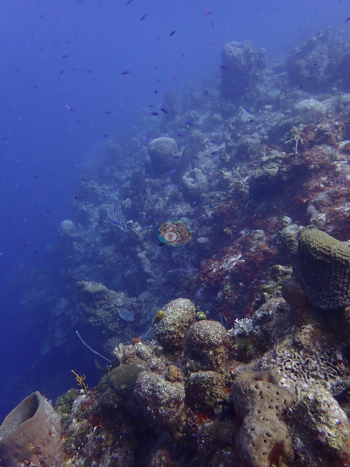
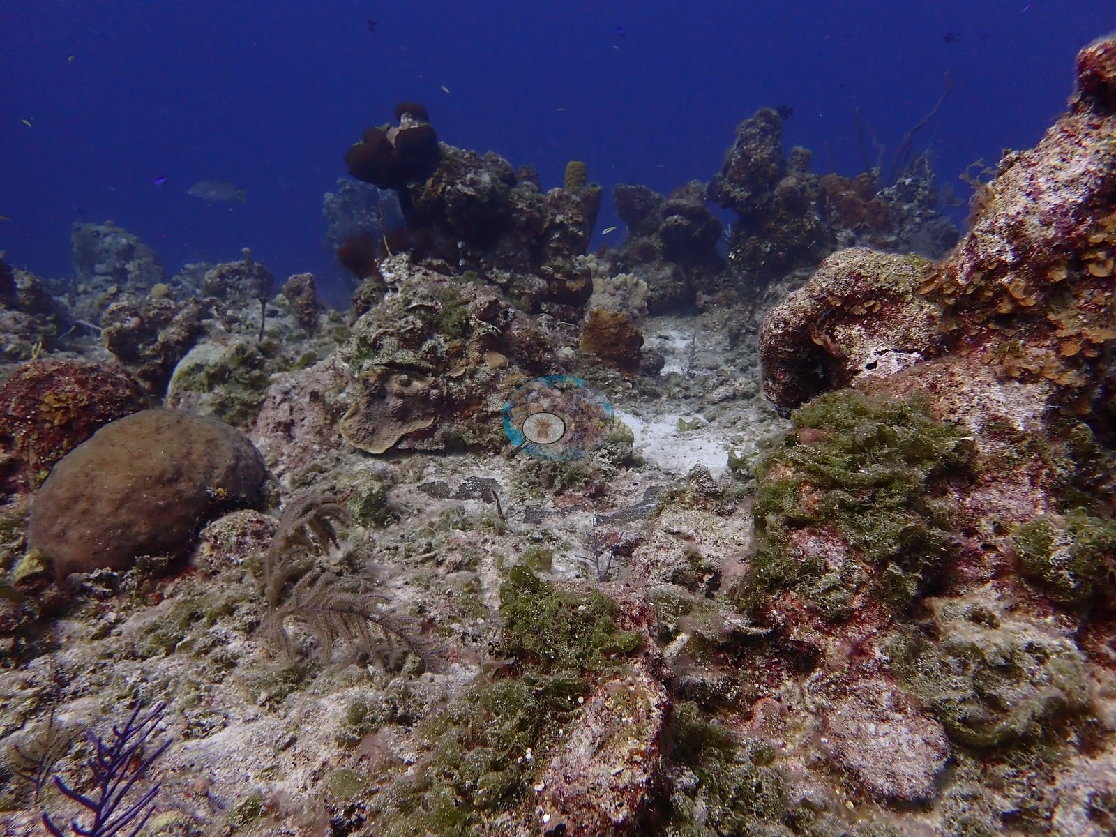
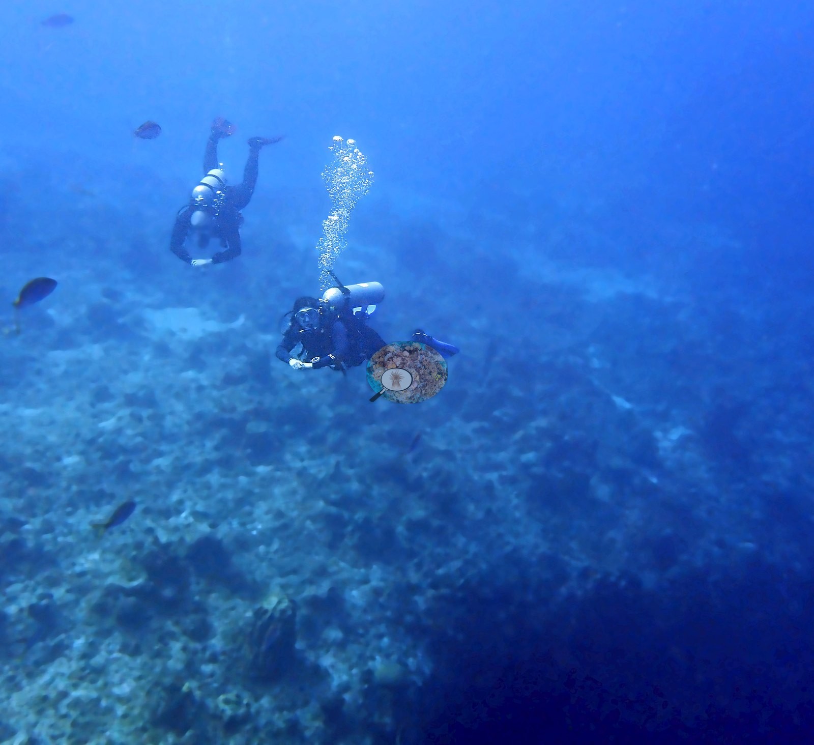
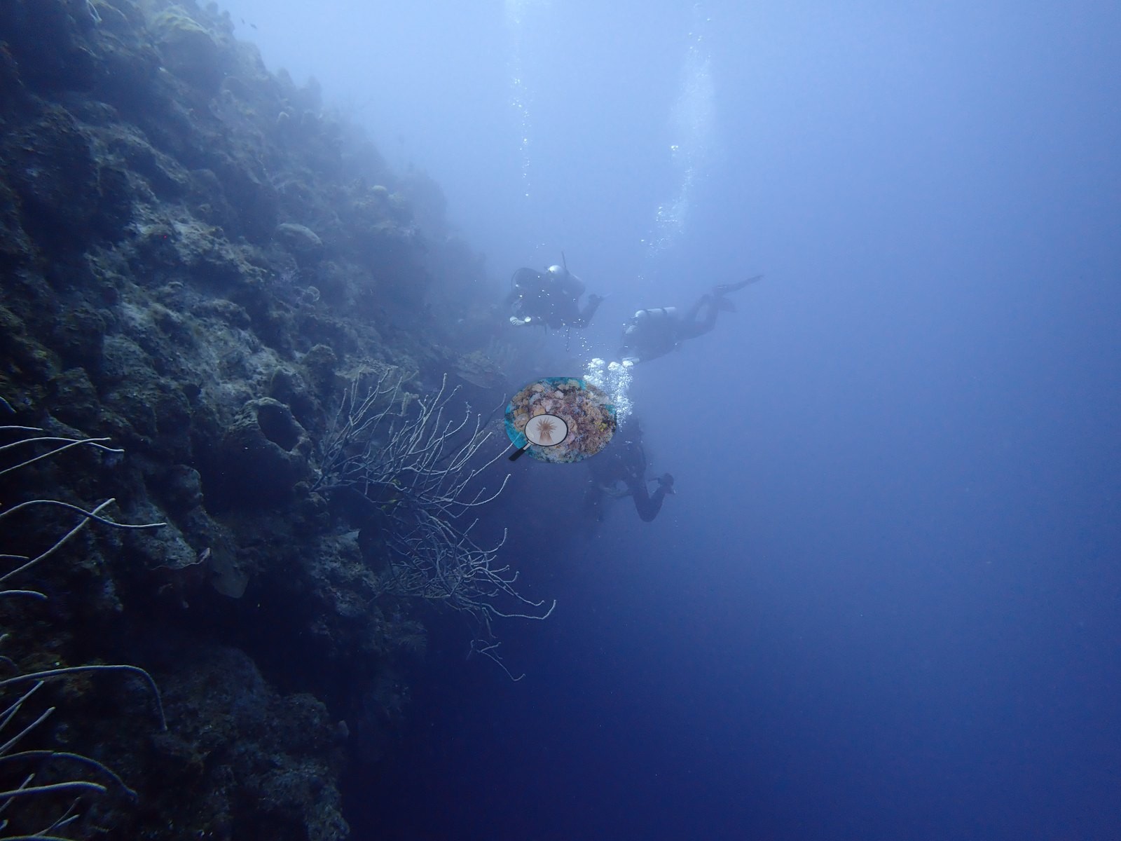
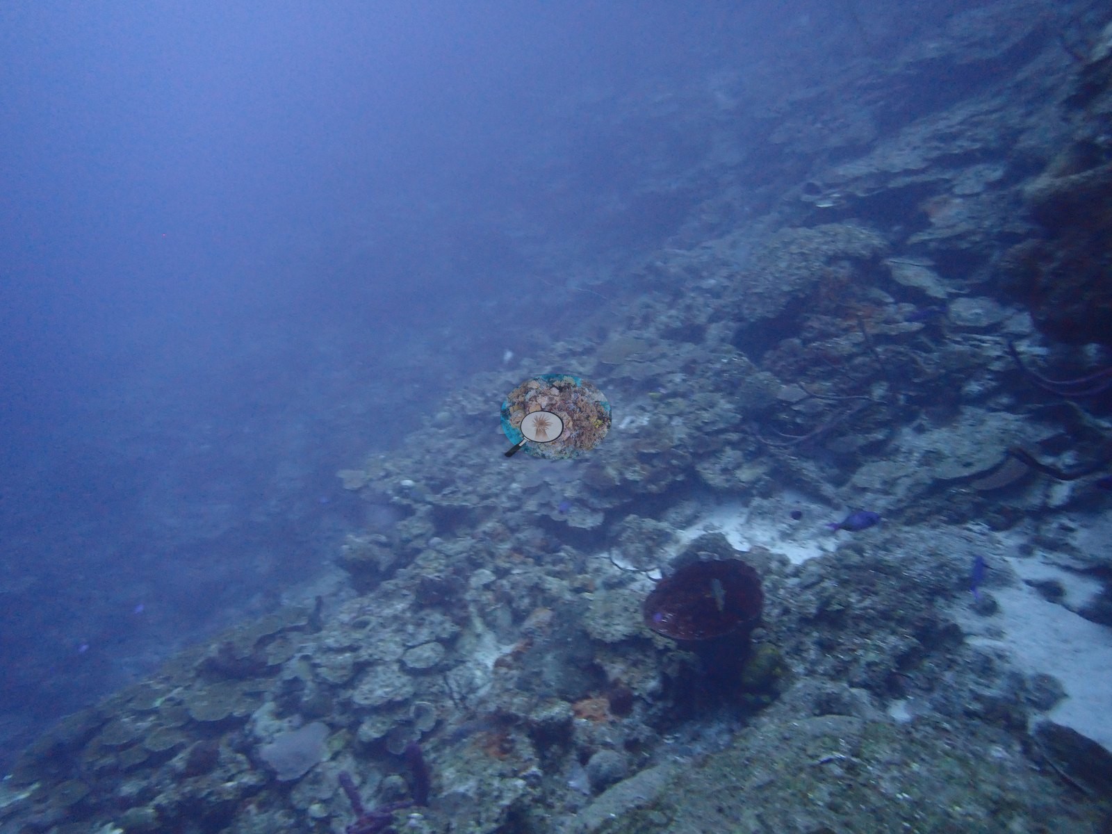
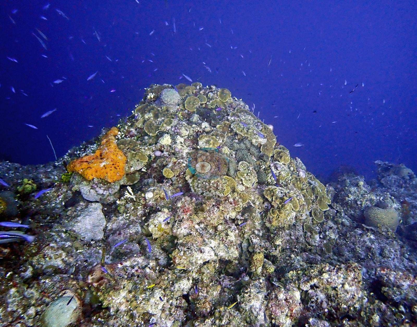
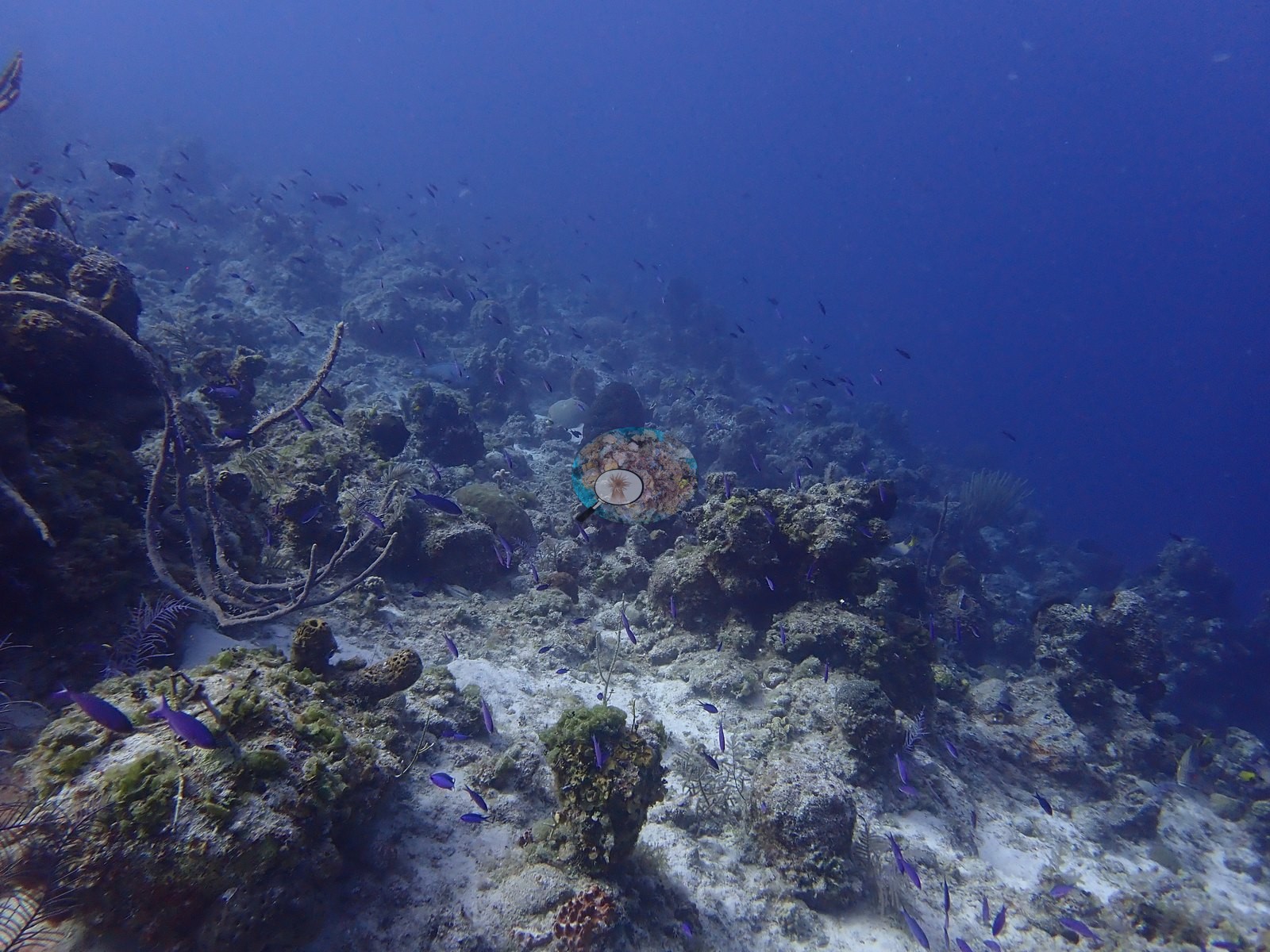
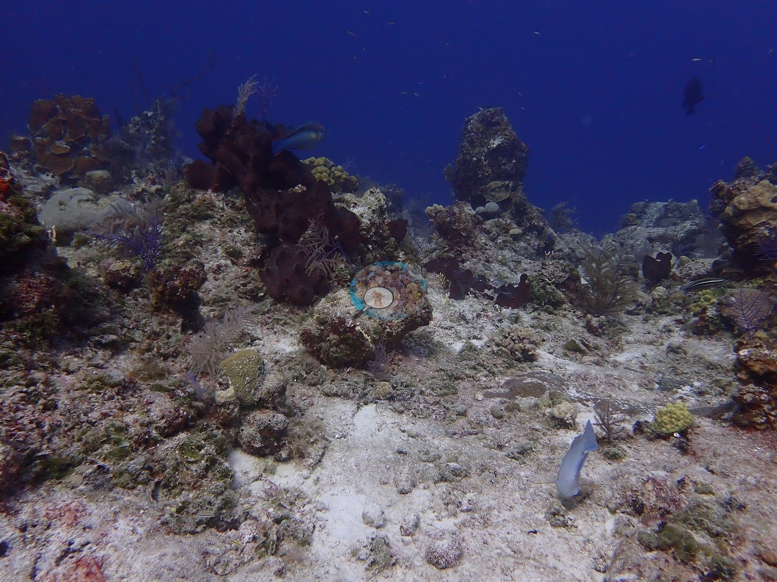
The Amphitheatre is a wall site off Northwest Point, Providenciales, in the Columbus Landfall Marine Park, Turks and Caicos, dived twice from the Turks & Caicos Explorer II liveaboard on 1 August 2022 (dives 6 and 7). Its namesake is a roughly 30-foot-wide bowl undercut into the wall at 75-85 feet, its rim draped in elephant-ear and orange rope sponges with black coral and boulder star corals. The photographs show two zones: a gently sloping, low-relief reef top of hummocks and sand patches, and spurs and a steep wall face that fall away into open blue water (e.g., Image 1, Image 49).
General benthic features
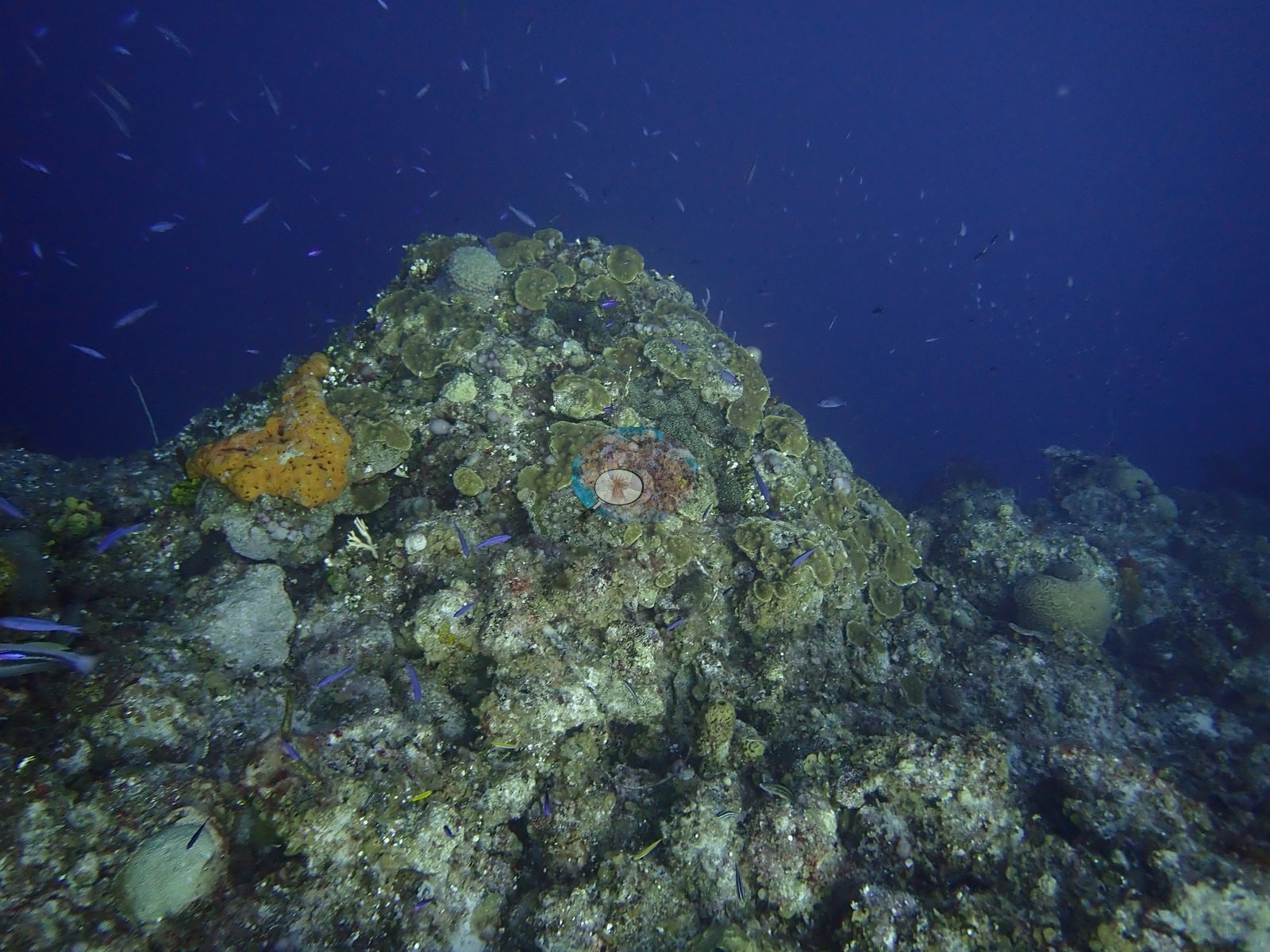
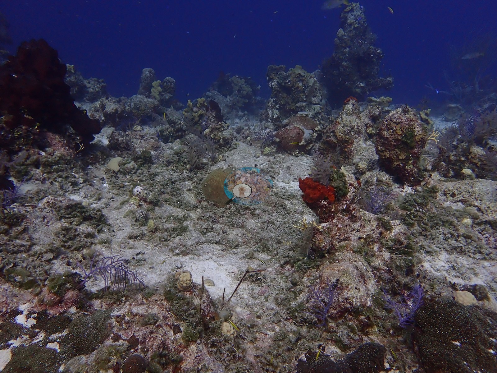
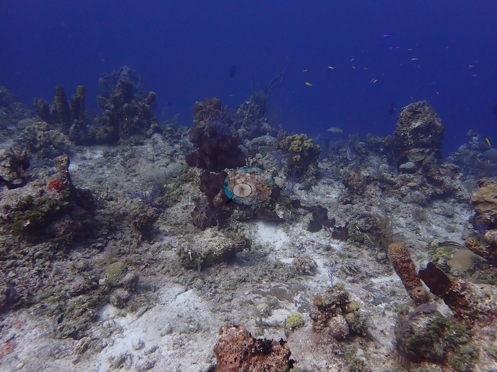
Across the reef top, most of the visible bottom was consolidated pavement, rubble, and sand, with living coral scattered as discrete colonies rather than a continuous framework (e.g., Image 6, Image 50).
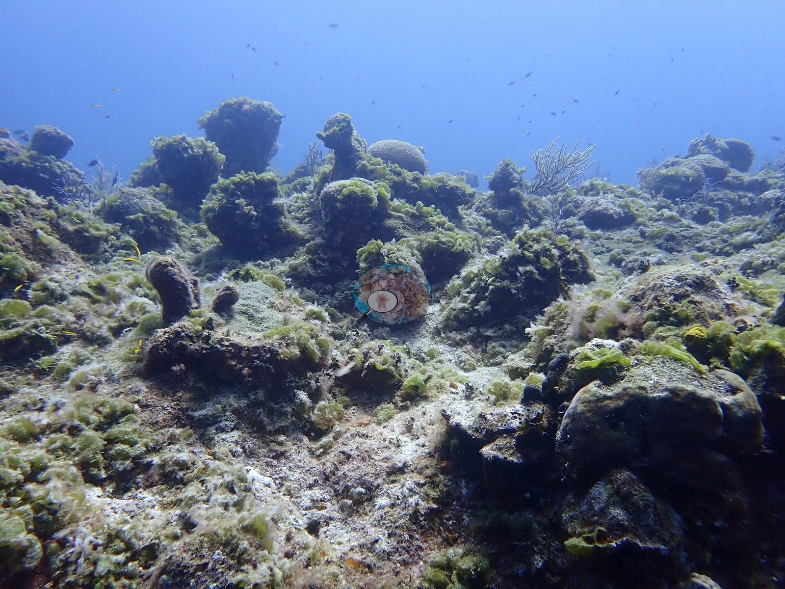
In places the hummocks were blanketed in green turf and fleshy macroalgae that left the underlying colonies largely hidden (e.g., Image 13).
Massive corals formed the largest colonies, including a tall, lobed head standing alone on the pavement and a pillar-form colony speckled with small white flecks beside an olive mounding colony (e.g., Image 4, Image 41).

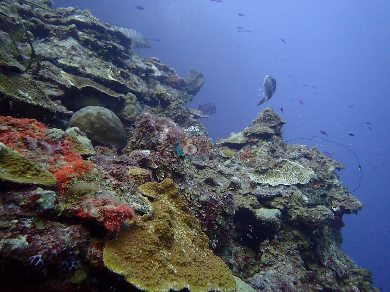
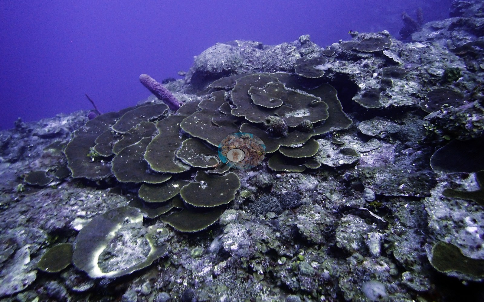
Plating corals were common on the upper wall, from a broad rosette of stacked dark plates to ridged, cream-and-olive plates and tiers of shingled colonies along the slope (e.g., Image 2, Image 18, Image 52).
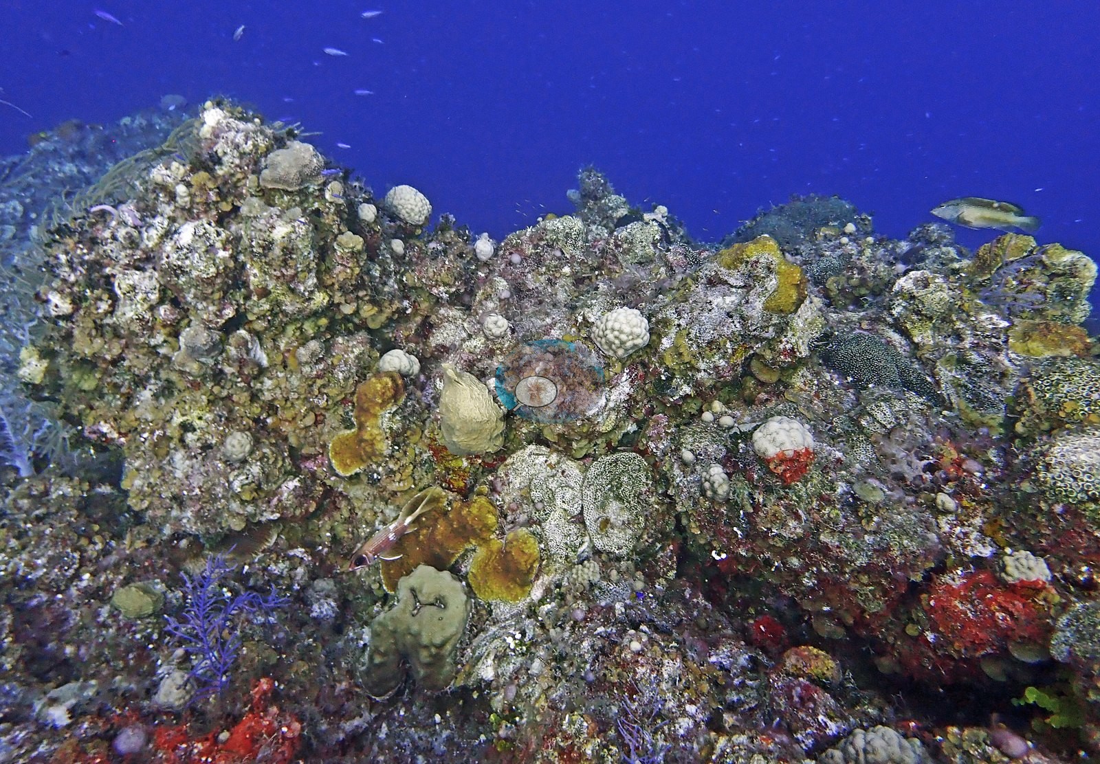
Knolls along the reef edge were crusted with dozens of small encrusting and mounding colonies, interspersed with orange and red encrusting sponges and purple gorgonians (e.g., Image 27, Image 34).
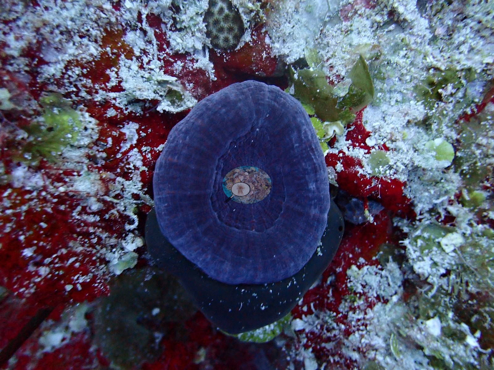
A deep-purple, disc-shaped coral with concentric ridges was photographed on a patch of red encrusting growth (e.g., Image 20).
Sponges were among the most conspicuous benthos, with purple rope sponges and tube sponges festooning the wall face and one large barrel-shaped sponge crimson on one flank and pale cream on the other (e.g., Image 7, Image 9).
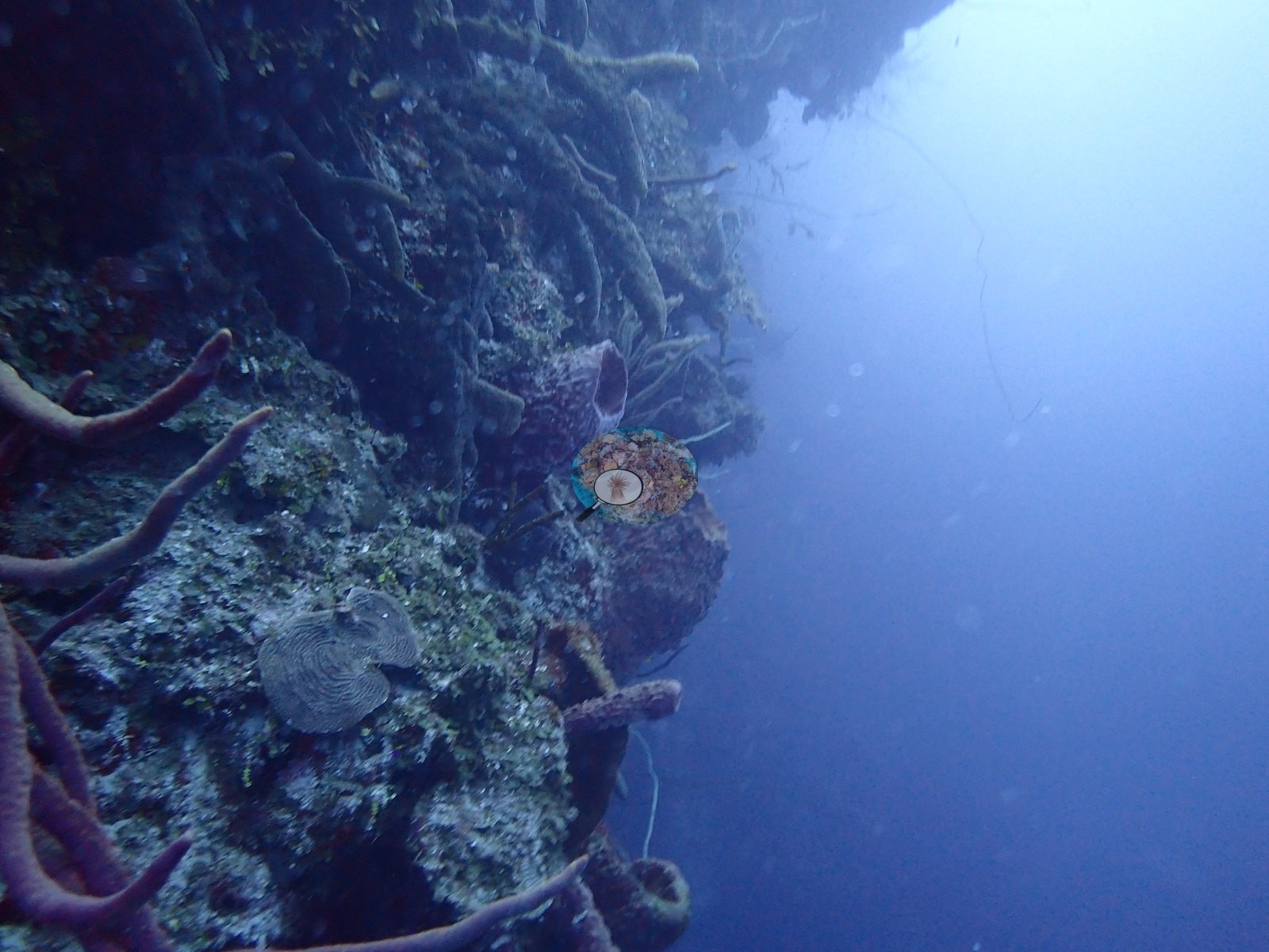
Sea plumes, sea fans, and single-strand wire corals rose from the hardground on the deeper slope (e.g., Image 5, Image 40).
Coral cover
- Reference: Claude CV point count (this site's photos)
- Coral cover: 12% — a blind Claude computer-vision point count of 55 of Anderson's edited photographs (the mean of the two dives' means; 20 points per photo; water, fish, and obstructions excluded). Other computer-vision methods are listed in the method table.
Stressors
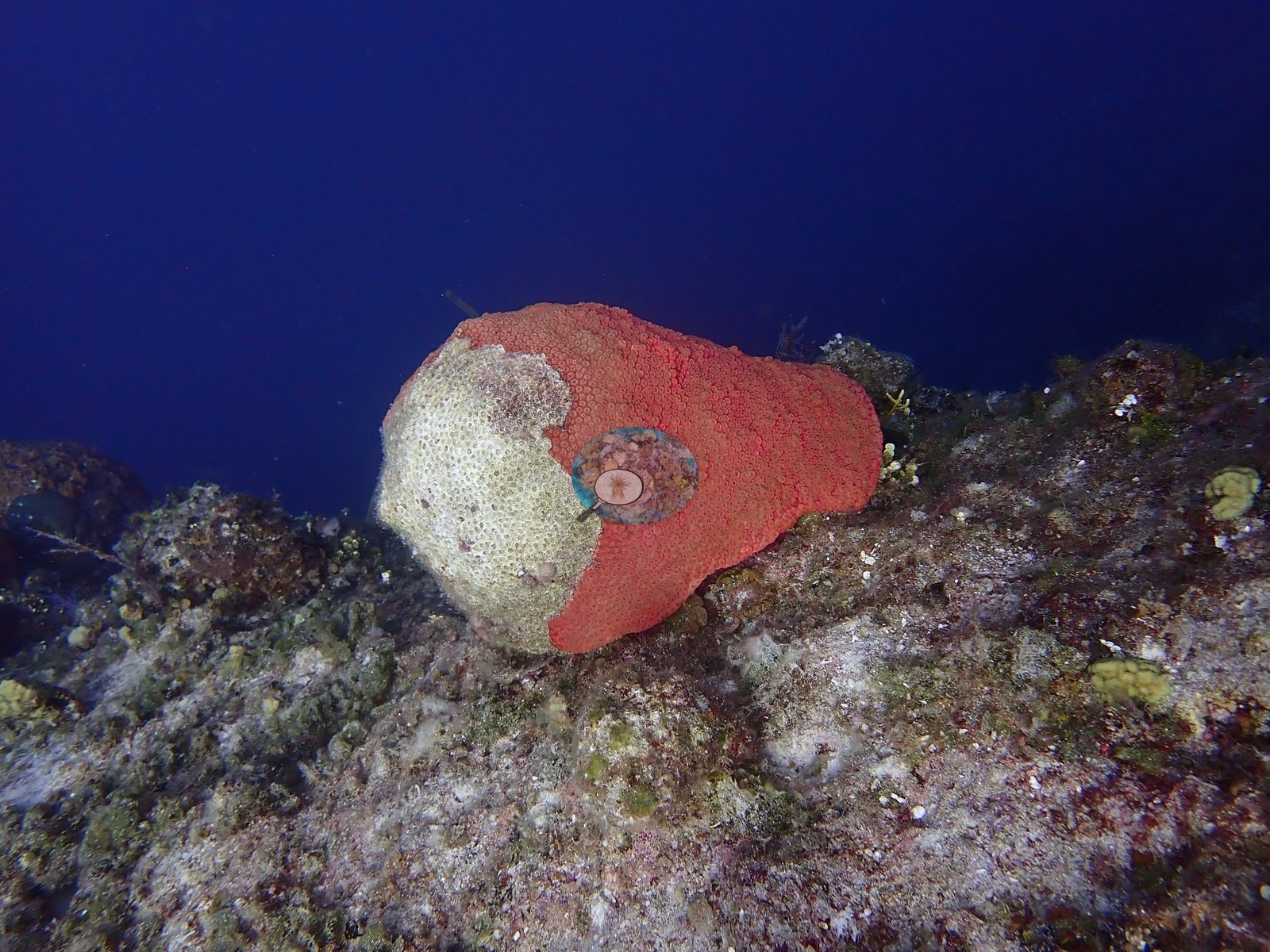
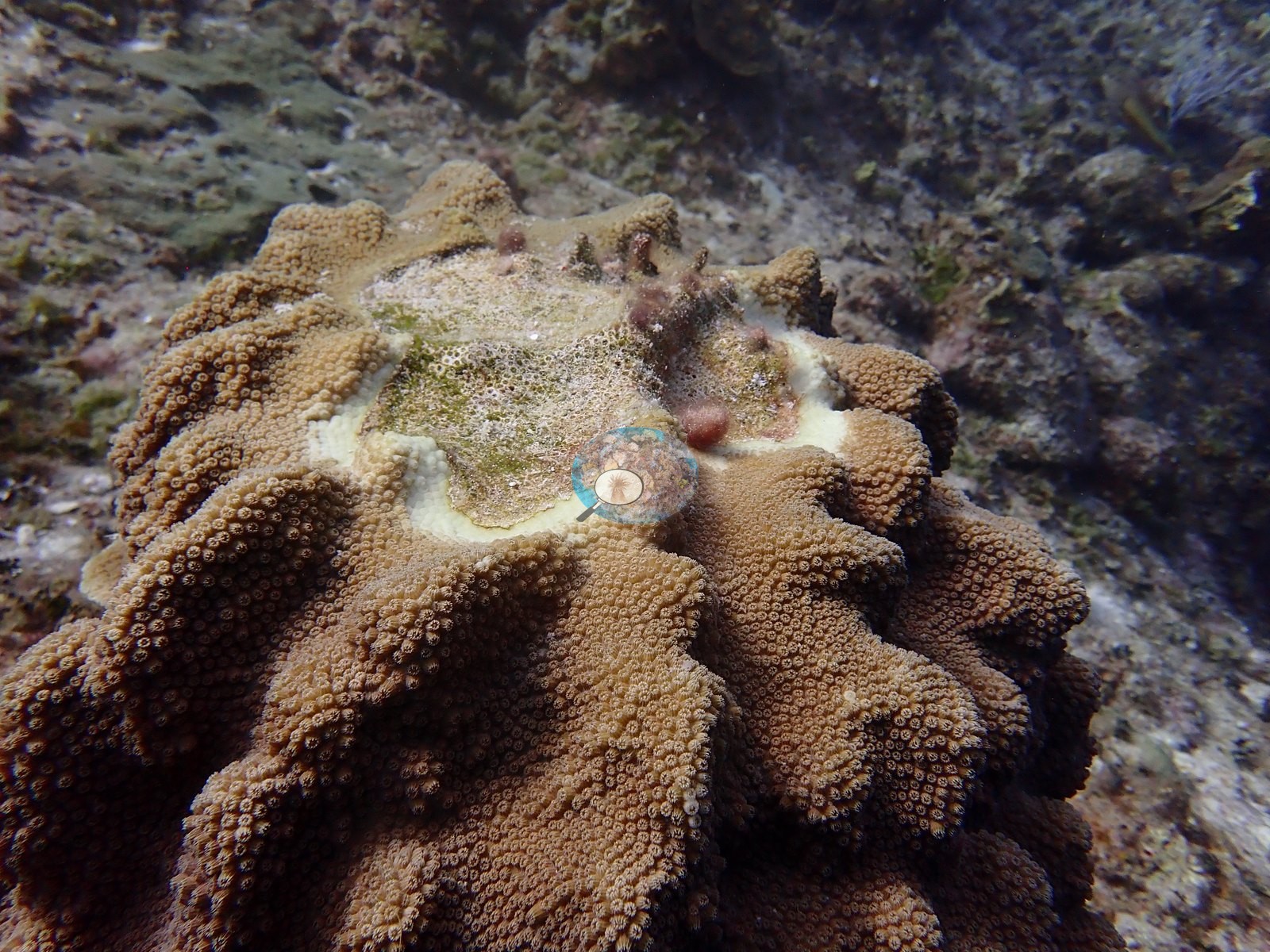
Active tissue loss was the most important finding in the photo set. Several massive, lobed colonies carried a band of stark-white, freshly exposed skeleton between living brown tissue and an older, turf-covered dead center (e.g., Image 21, Image 36).
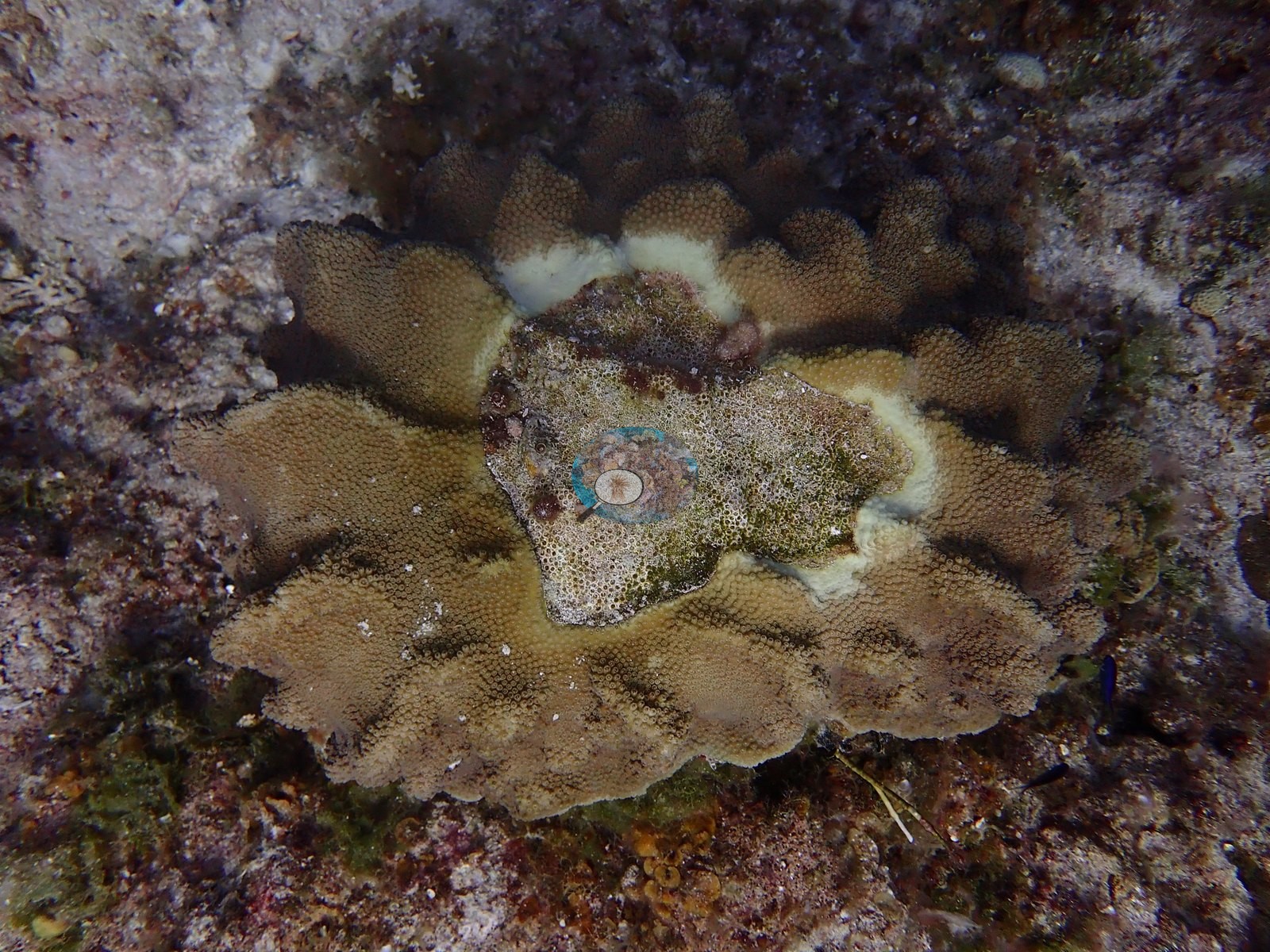
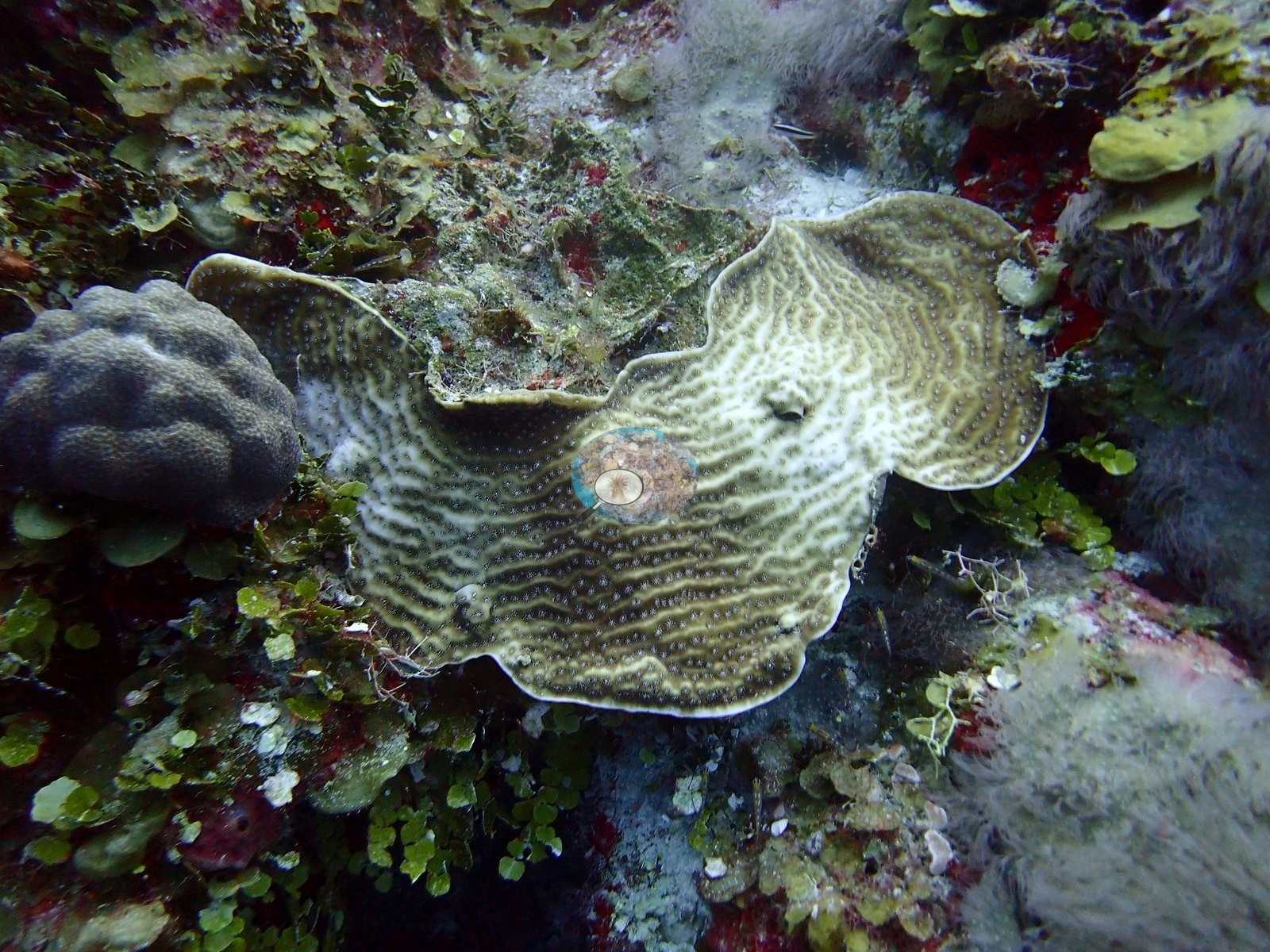
Plating and encrusting colonies showed the same sharp white front, either along a margin or as a broad white patch mid-colony (e.g., Image 22, Image 39, Image 42).
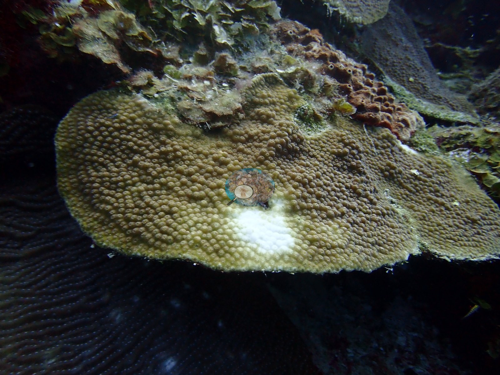
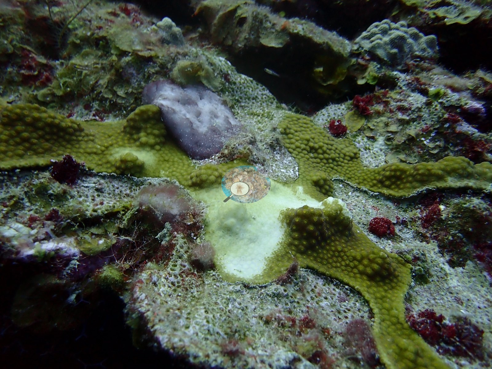
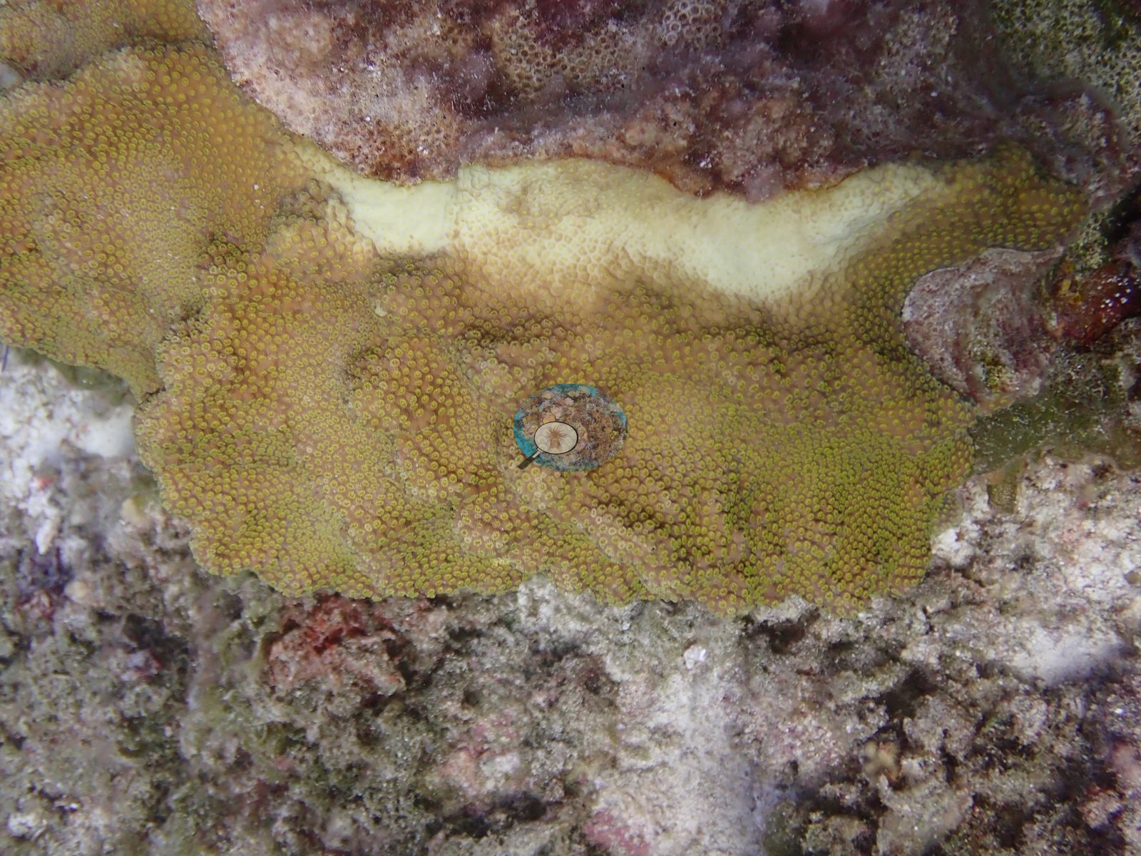
A mounding colony had a white band along its margin, and a mottled olive colony on the wall carried irregular white patches that could be either fresh lesions or bleached tissue (e.g., Image 10, Image 23).
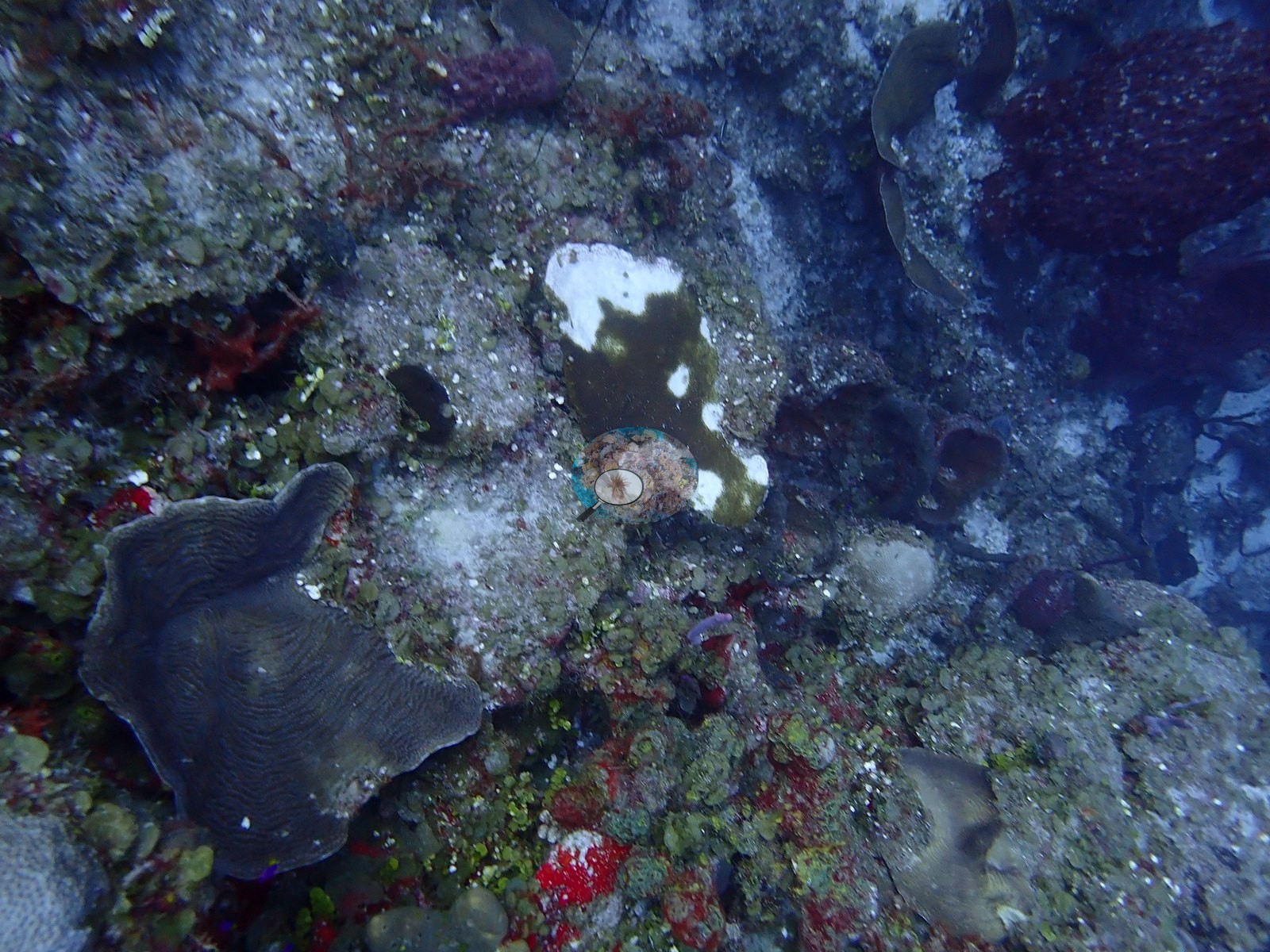
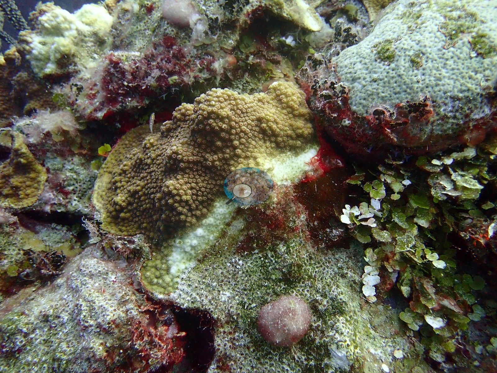
Older mortality was visible too, with dead, turf-coated plates beside living tiers and a clean white lesion front on one of the living plates (e.g., Image 30).
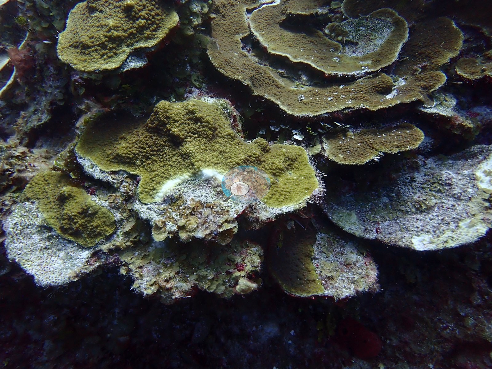
The pattern is consistent with the tissue-loss diseases active in the Caribbean at the time, but a diagnosis cannot be made from photographs, and bleaching-related mortality and other white syndromes can look similar. Away from the lesion margins, the corals mostly held normal olive, mustard, and brown pigmentation, and site-wide bleaching was not evident. Typical recent thermal stress in the Bahamian ecoregion is a mean annual maximum of 9.1°C-weeks (Degree Heating Weeks, 2021-2025, NOAA Coral Reef Watch). No corallivores evident.
Fish and other fauna
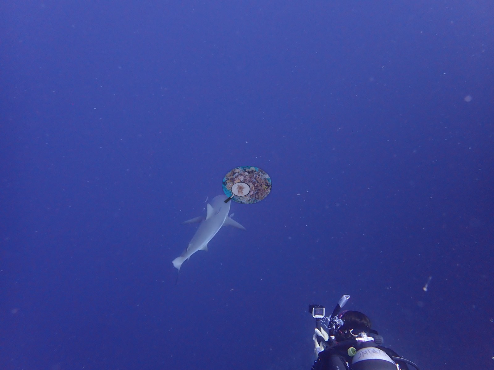
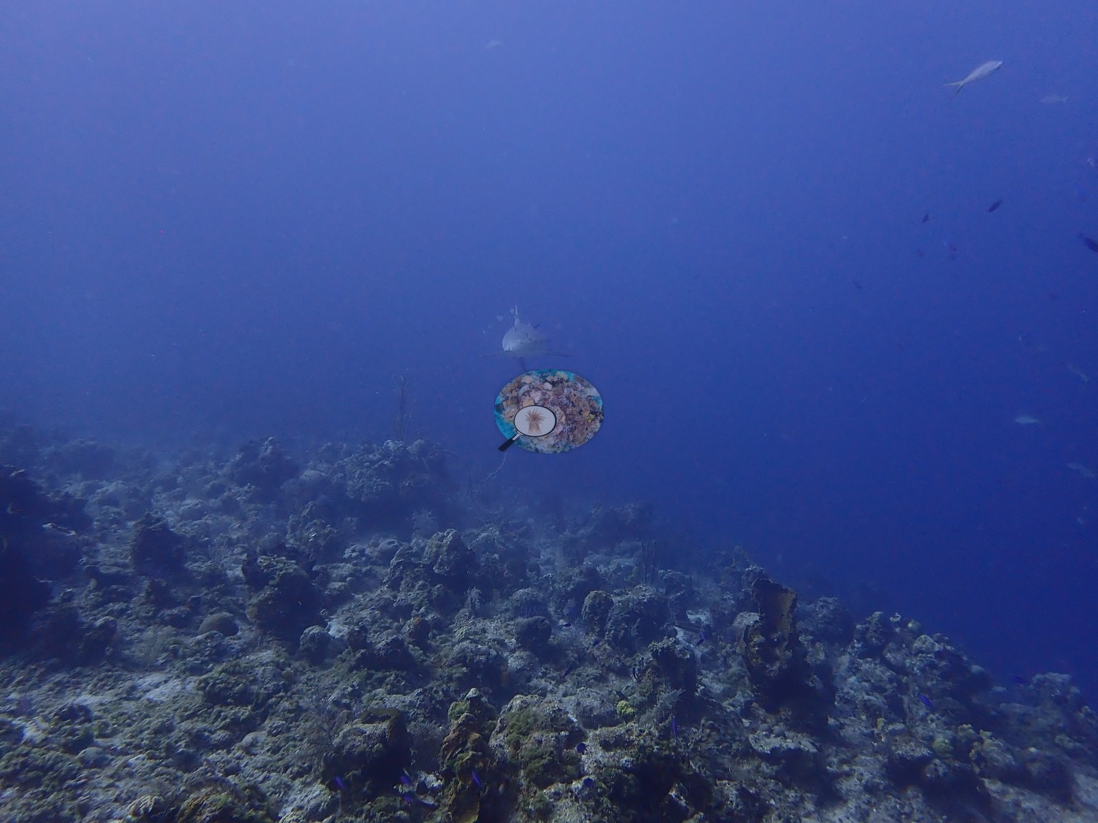
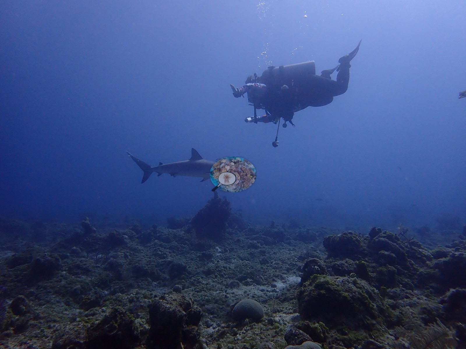
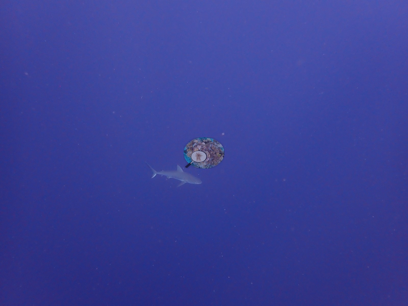
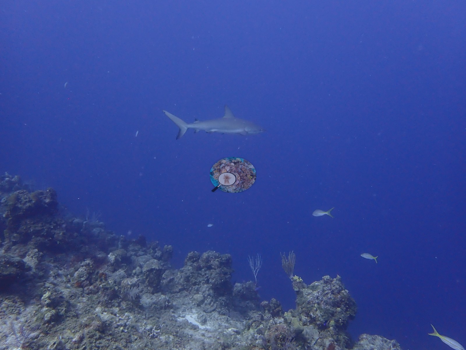
Caribbean reef sharks pass through the open water in front of the bowl and were photographed repeatedly, cruising low over the reef top and circling in the blue (e.g., Image 14, Image 33, Image 43, Image 47).
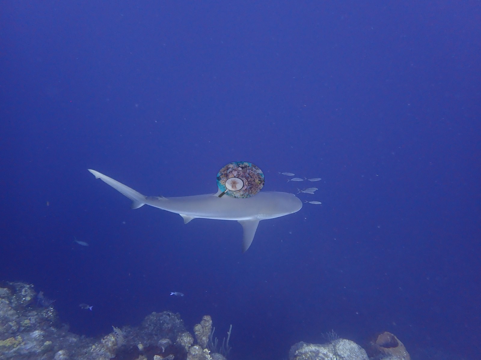
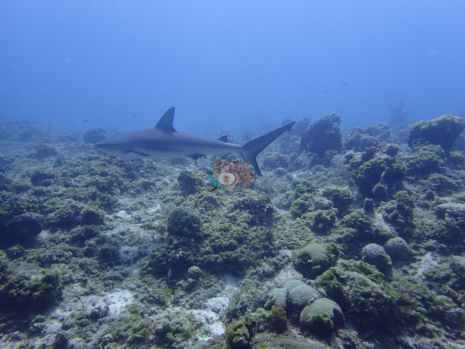
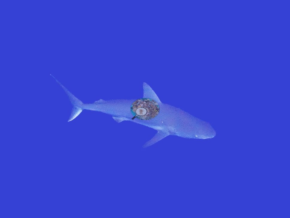
One cruised behind a loose school of yellowtail snapper and small planktivores over the reef top (e.g., Image 54).
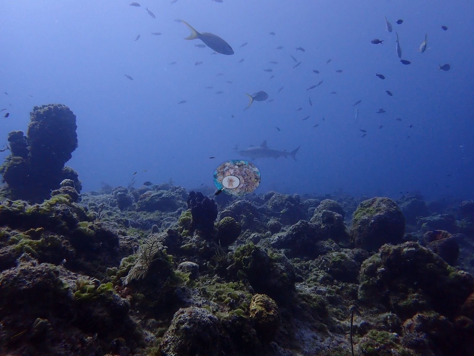
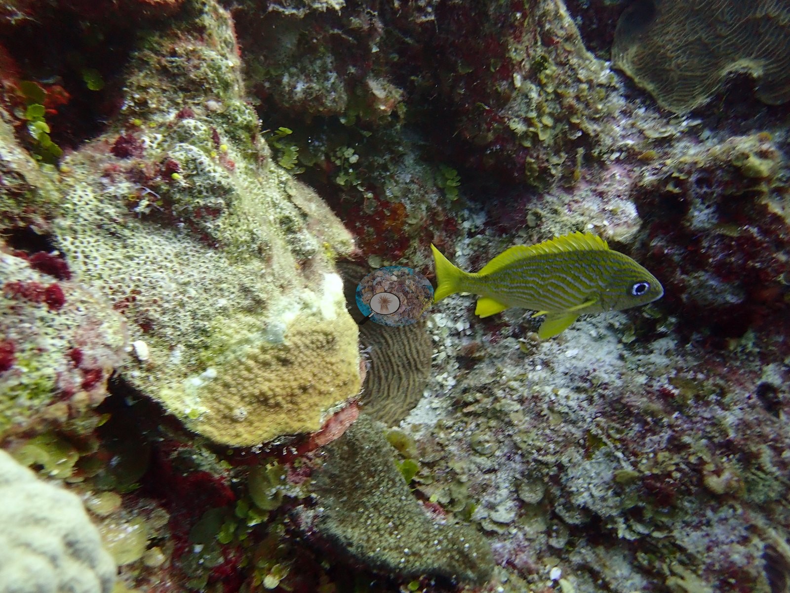
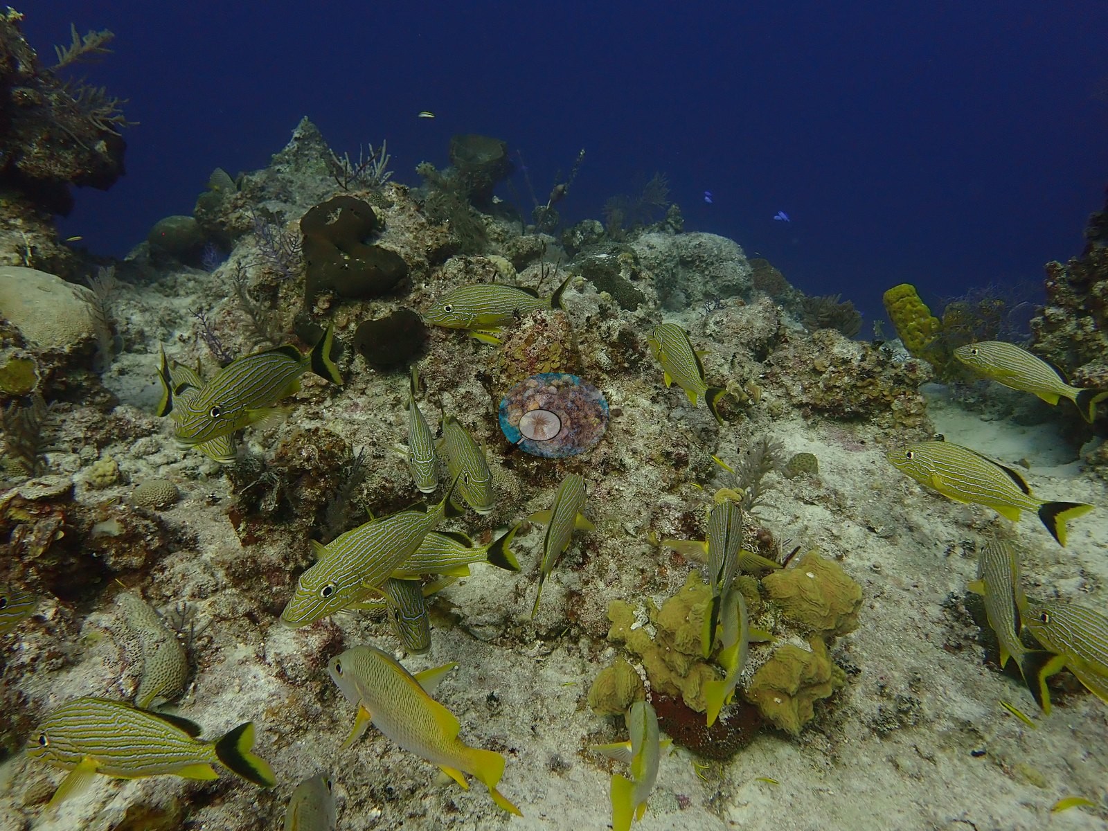
Horse-eye jacks pass through the same open water, with grouper and banded coney tucked into the recesses. Loose schools of yellow-striped grunts worked the pavement between tube sponges, and a single blue-striped grunt sheltered beside an encrusting colony (e.g., Image 8, Image 16, Image 44).
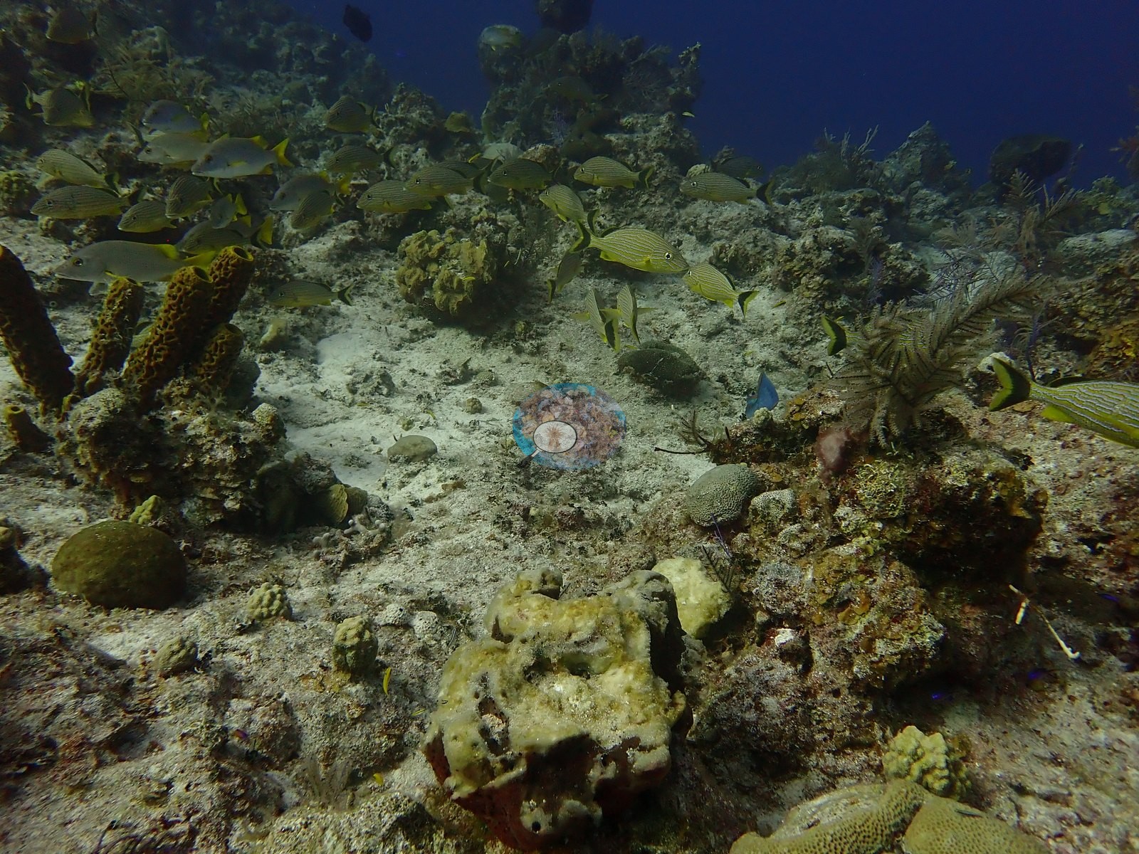
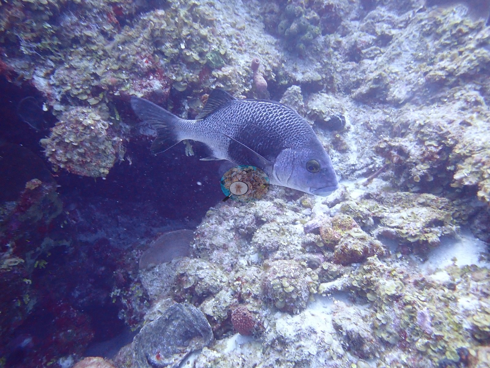
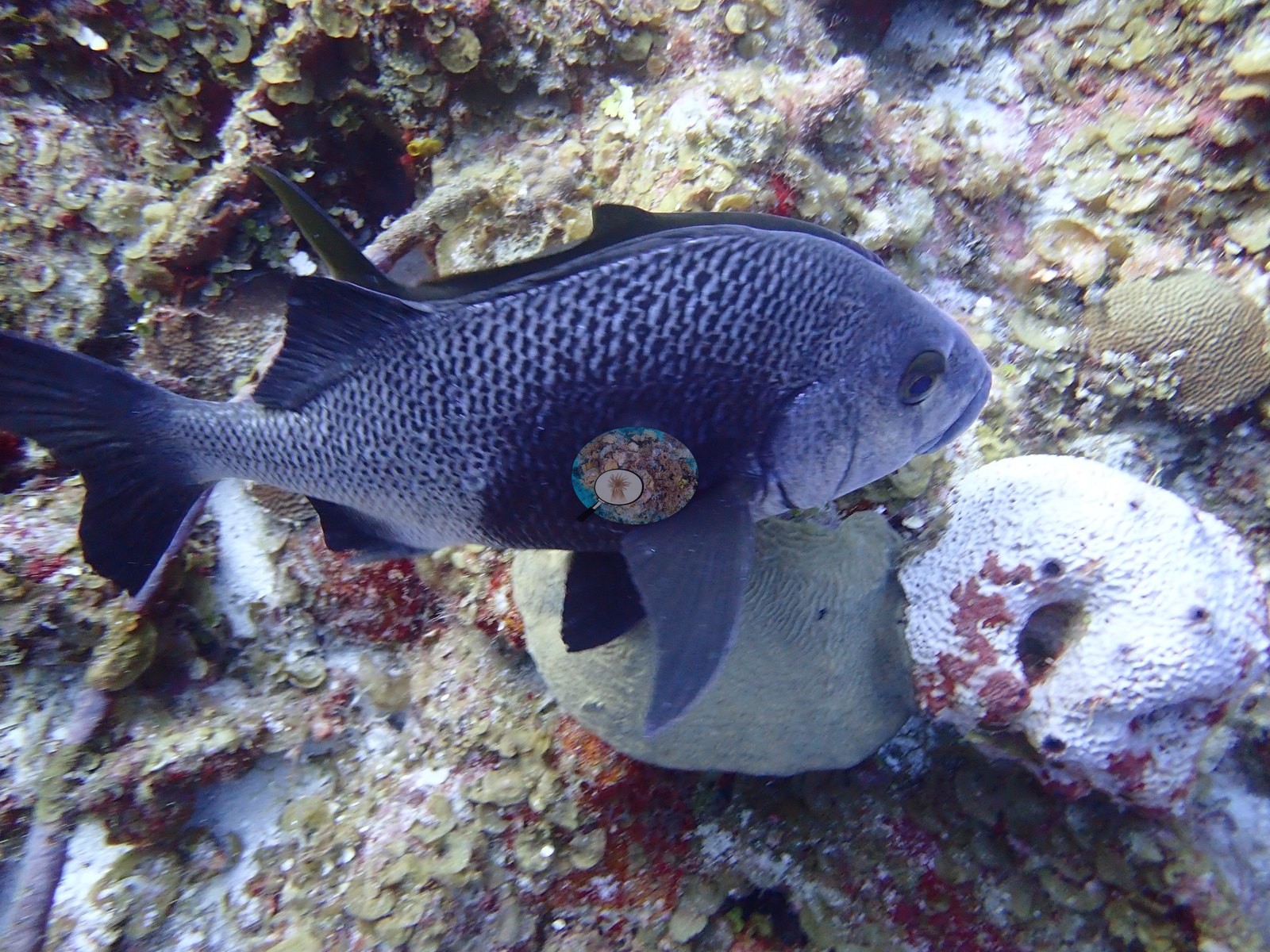
A large, dark-bodied, speckled grunt-type fish was photographed at close range beside a white sponge blotched with red (e.g., Image 37).
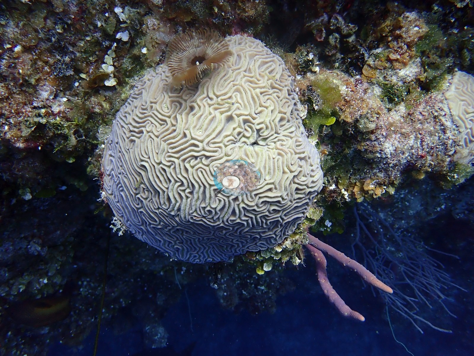
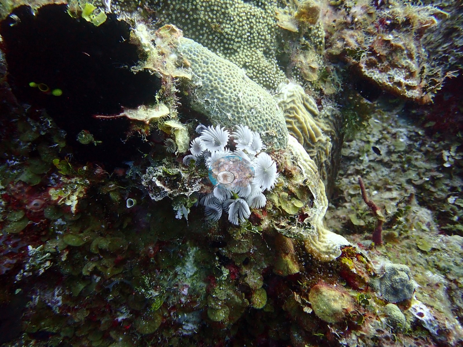
A cluster of white feather-duster worms grew on the reef top, and a brown fan-worm crown was embedded in a grooved brain coral beside a pink rope sponge (e.g., Image 45, Image 48).
Comparisons with other data
The nearest earlier survey, at Reef Check's Eel Garden station 0.09 km away, recorded 16.9% hard coral in August 2007, 4.7 percentage points above this site's figure.
Dive record
The first dive entered the water at 08:33 and reached 32.0 m over 61 minutes, and the second entered at 11:04 and reached 27.7 m over 60 minutes, with the water at 28.3°C.
CV model comparison
More info
A few colony-focused photos raise the mean; the median is the typical photo. No computer-vision method yet estimates coral cover accurately on new images, so treat this as indicative rather than a measurement; it is revised as the methods improve.More info
Other rows are for comparison only and are never averaged. No diver transect exists for this trip, so agreement between rows is not accuracy.| Method | Hard-coral cover (%) |
|---|---|
| CoralSCOP edited | 24.4 |
| Claude (edited photos) | 12.2 |
| Reef Check 2007 (same site) | 16.9 |
See a more detailed, stand-alone version of this table.
Dive history
| Date | Time in | Max depth (m) | Bottom time (min) |
|---|---|---|---|
| 2022-08-01 | 08:33 | 32.0 | 61 |
| 2022-08-01 | 11:04 | 27.7 | 60 |
Independent surveys nearby
| Agency / program | Year(s) | Stations / distance | Link |
|---|---|---|---|
| Reef Check | 2005–2007 | 4 stations, 0.09–1.15 km | Records ↓ |
| XL Catlin Seaview Survey | 2013 | 1 station, 1.26 km | Records ↓ |
 Coral Reef Diagnostics
Within 5 km, 5 independent survey stations recorded hard coral cover in 5 records between 2005 and 2013. The most recent nearby survey is from 2013, so these values predate recent heat stress. This site's own estimate (12%) sits within the range of these surveys (2.9–17%); the methods differ, so the comparison is context, not a like-for-like test.
Collected by other programs using different methods (Reef Check uses point-intercept transects; the XL Catlin Seaview Survey uses photo-transects with automated image annotation), so these are context for the figures above, not a like-for-like comparison. Where a station was surveyed more than once the range is shown. Station names are not dive-site names.
| Agency | Site / location | Date | Hard coral cover (%) | Distance | Link |
|---|---|---|---|---|---|
| Reef Check | Chimney | 2005 | 6.2% | 0.47 km | — |
| Reef Check | Black Coral Forest | 2005 | 5.6% | 0.90 km | — |
| Reef Check | Eel Garden | 2007 | 17% | 0.09 km | — |
| Reef Check | Shark Hotel | 2007 | 10% | 1.15 km | — |
| XL Catlin Seaview Survey | transect 24044 | 2013 | 2.9% | 1.26 km | doi:10.14264/uql.2019.930 |
Data & links
All images from Coral Reef Diagnostics. Data are from Coral Reef Diagnostics and the organizations named in the data sources above.
© Coral Reef Diagnostics.