
Turks and Caicos - Spanish Anchor

Part of the regional summary: Turks and Caicos Islands
More info
Turks and Caicos (NOAA CRW virtual station) · Bahamian ecoregion mean: 9.1 degree heating weeksSpanish Anchor, in West Caicos Marine National Park, is a wall named for a coral-encrusted 1600s ship's anchor at its edge, with sand chutes cutting between spurs and a face dropping past 150 feet. Sponges dominate much of the reef top, and many plating and brain corals show fresh white tissue-loss margins or are dead under turf, in a region within the documented range of stony coral tissue loss disease by 2022.
Four independent survey stations shown with the program’s logo — click one to see how far it is from this site.
Three other CRD dive sites within 5 km shown in orange — click a marker to open its page.
This page shows 50 of the 52 photographs from this site, including every one the text cites.
30 of the 50 photographs on this page are shown beside the text that discusses them under "Site description" below.
Site description
Setting
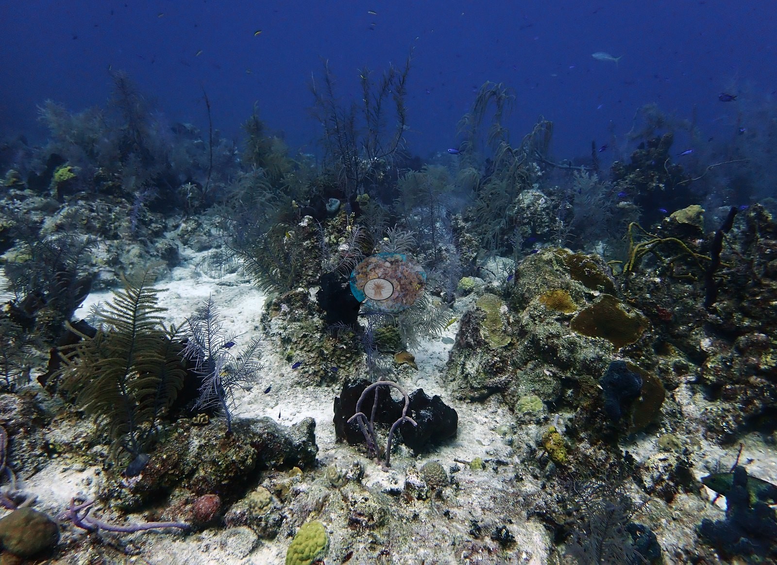
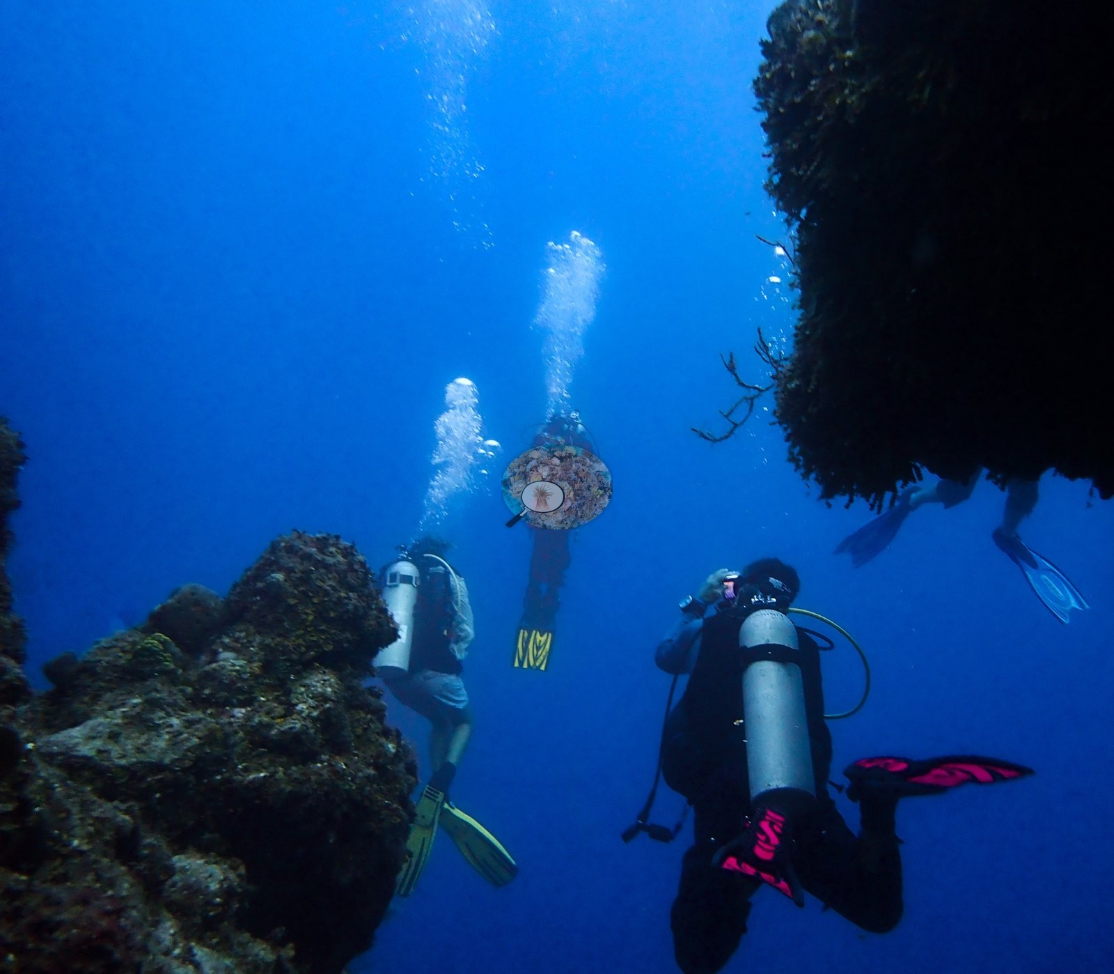
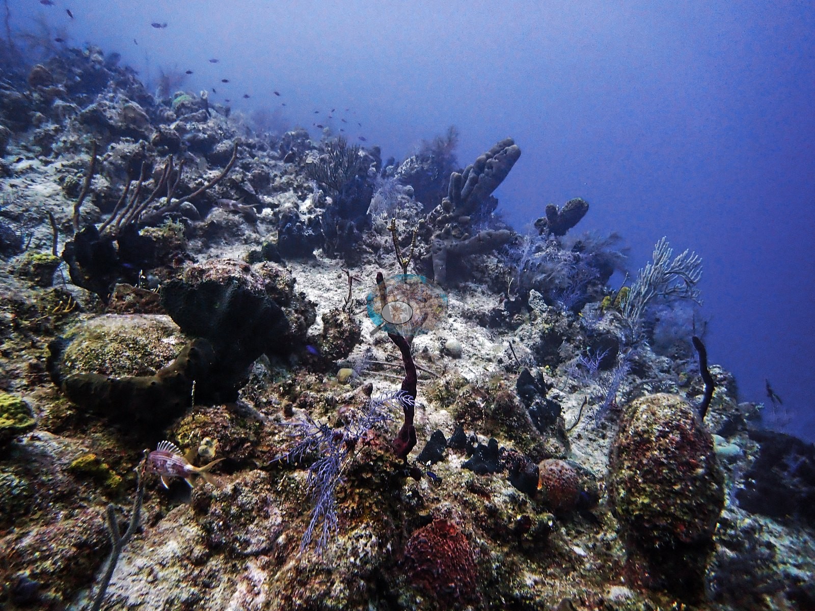
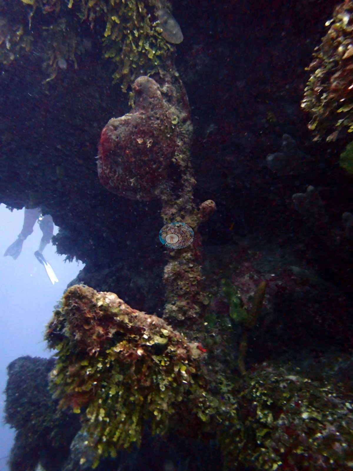
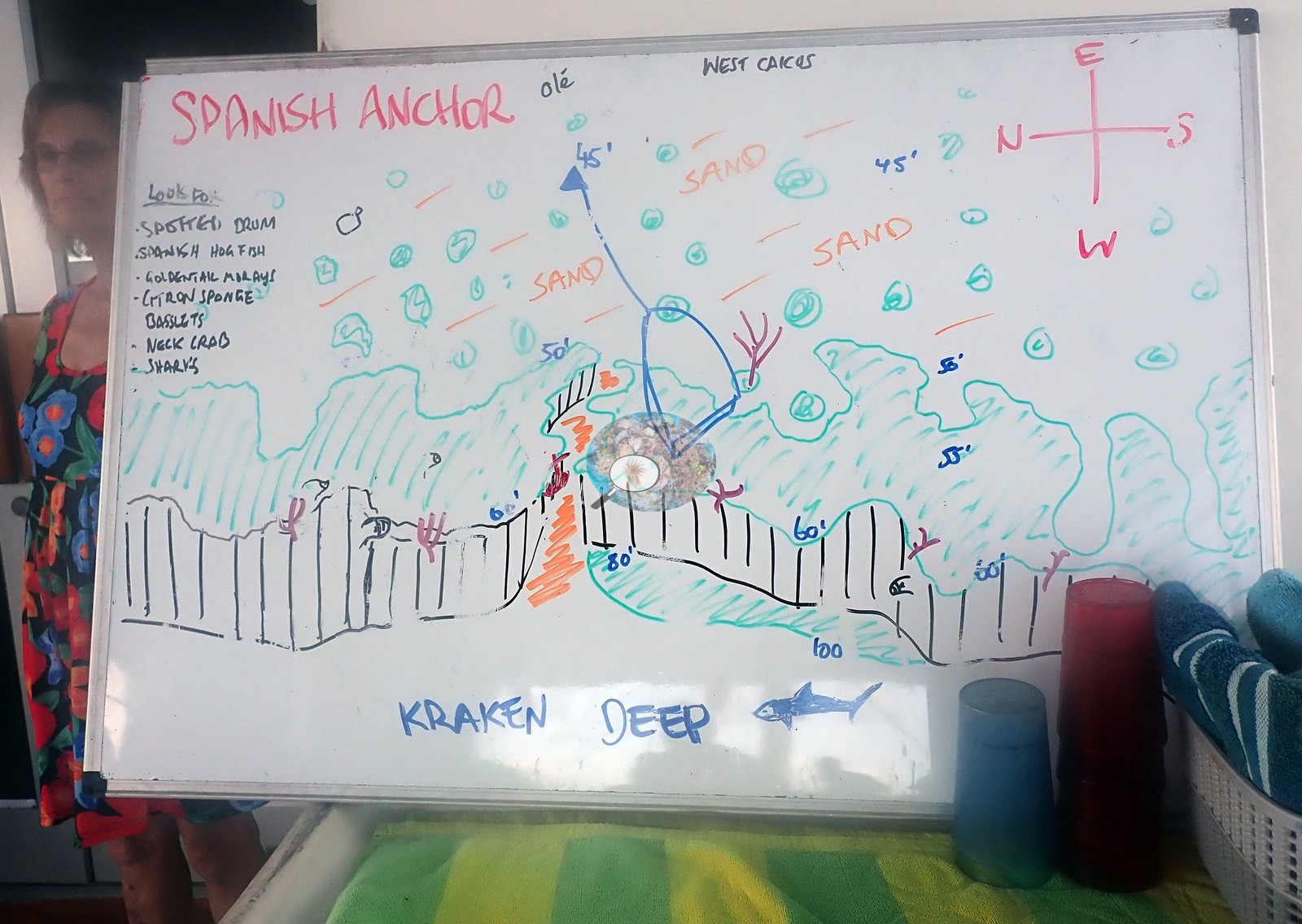
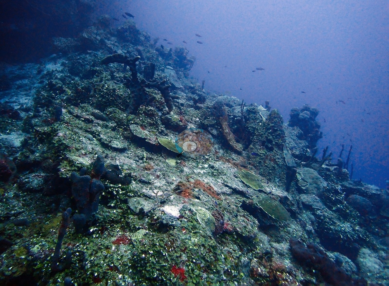
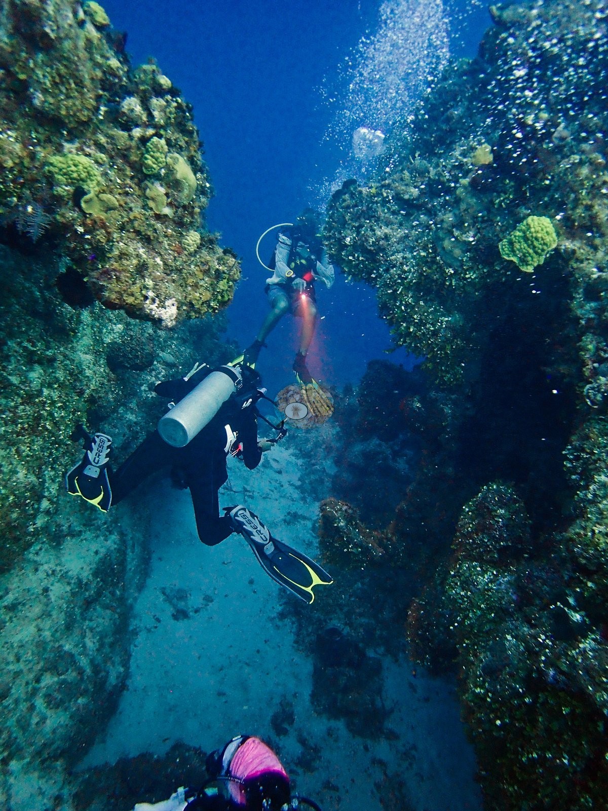
Spanish Anchor is a wall site on West Caicos inside West Caicos Marine National Park, named for a 1600s ship's anchor, encrusted in coral and sponge, that sits at the wall's edge; the anchor itself does not appear in this gallery, and the mapped position is approximate. The reef top lies at roughly 45-55 ft (14-17 m), with the mooring and the anchor near 60 ft, before the wall drops away past 150 ft. White sand chutes cut between the spurs, one running as a narrow canyon with coral- and sponge-covered walls on both sides (e.g., Image 12).
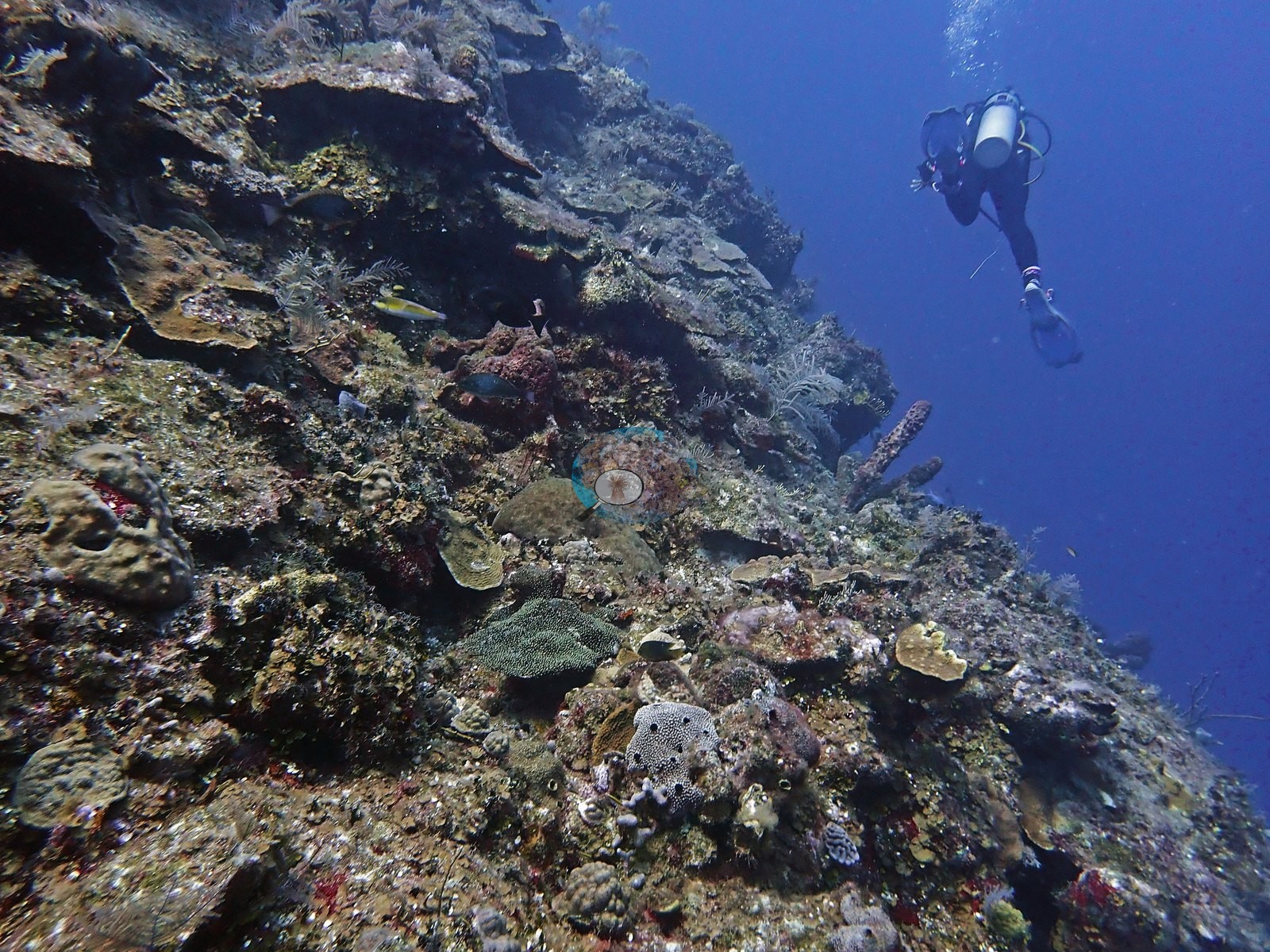
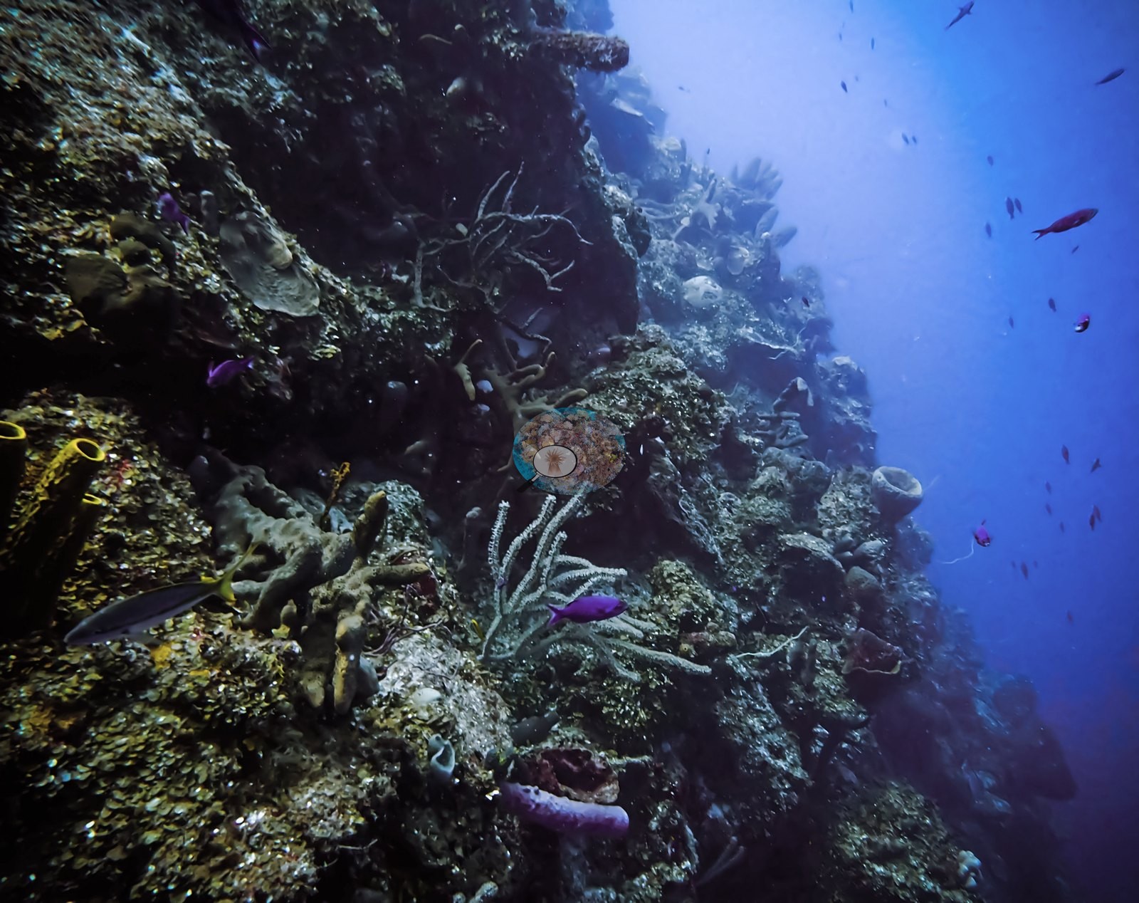
Below the lip, the wall face falls steeply into blue water, lined with plating corals, sponges, and massive colonies (e.g., Image 28).
General benthic features
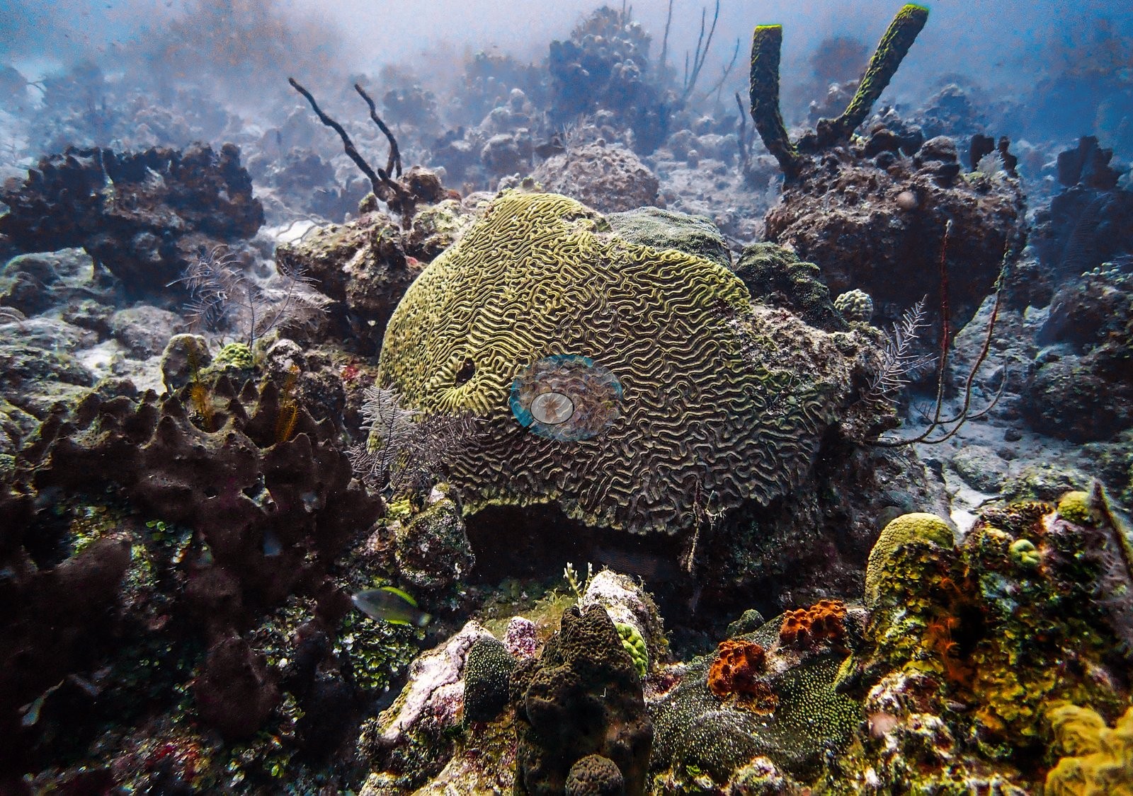
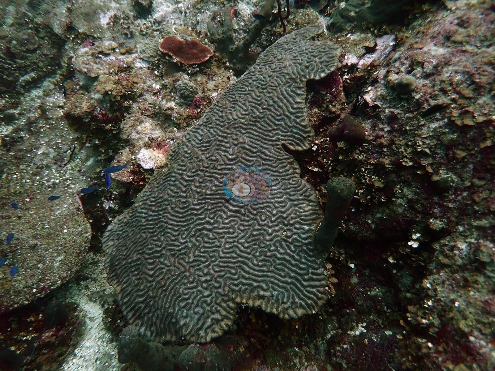
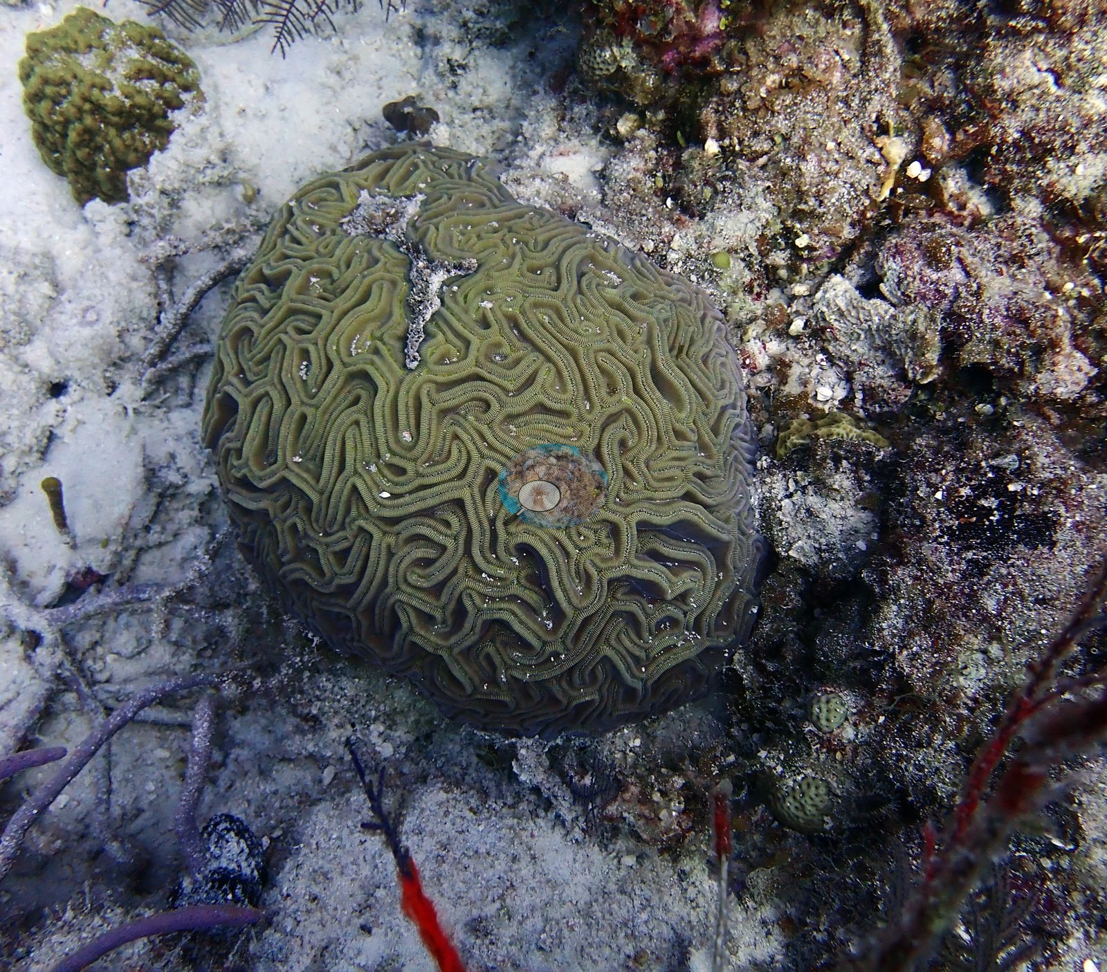
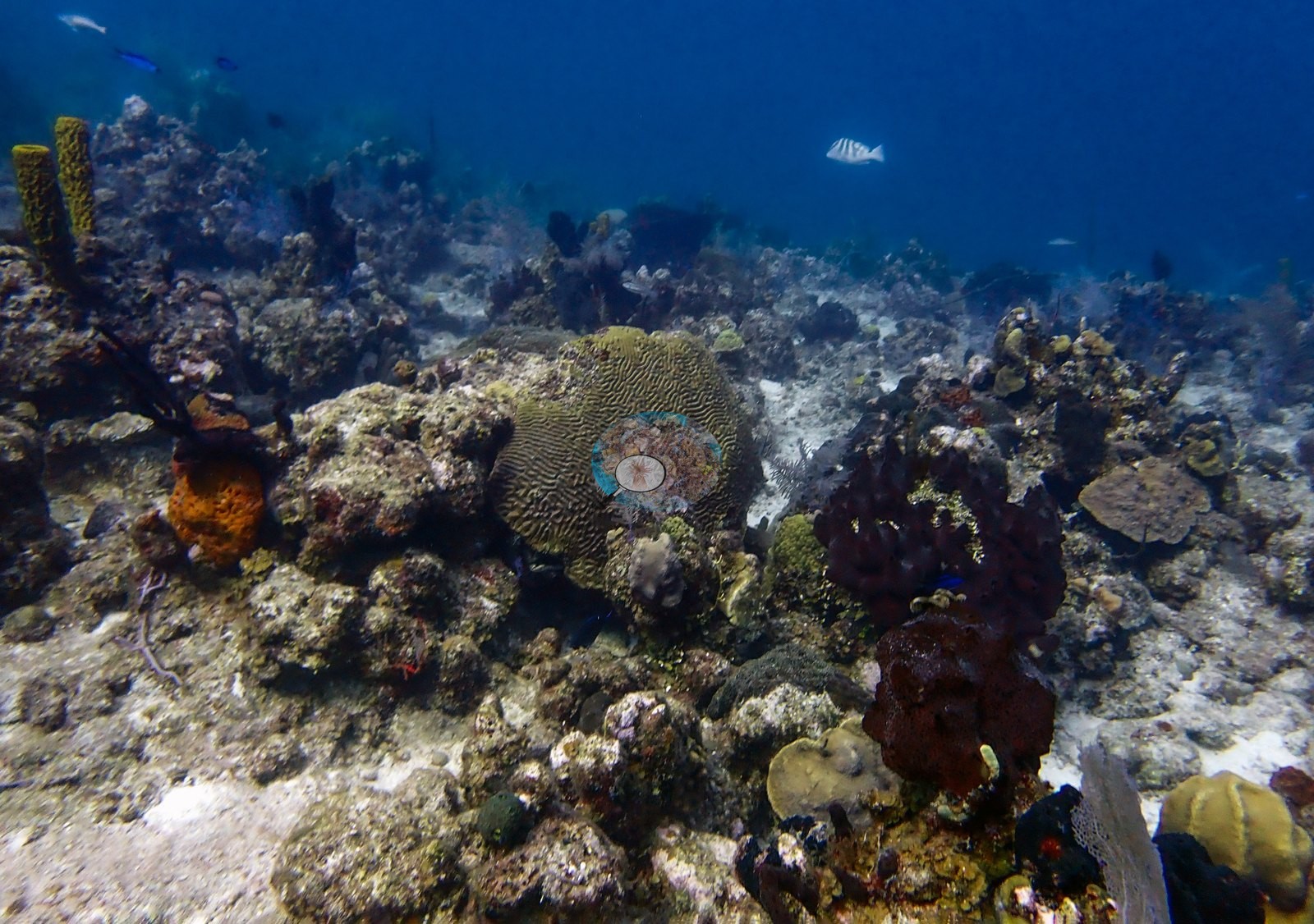
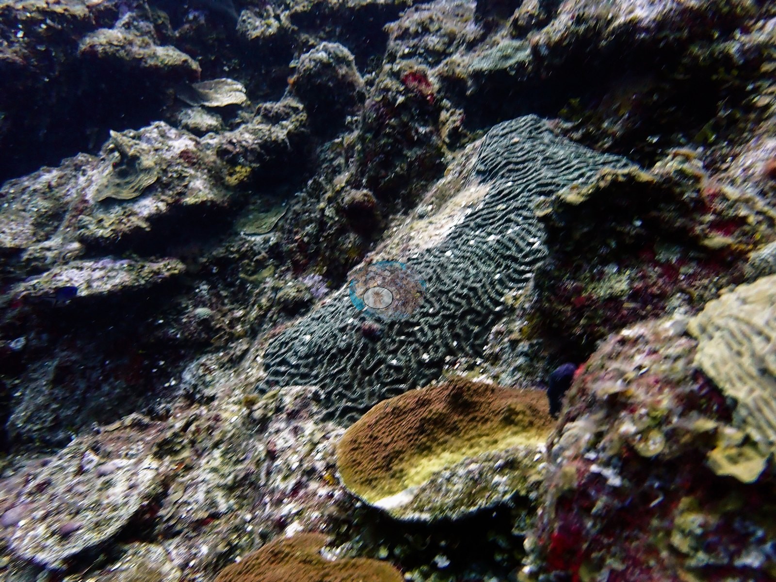
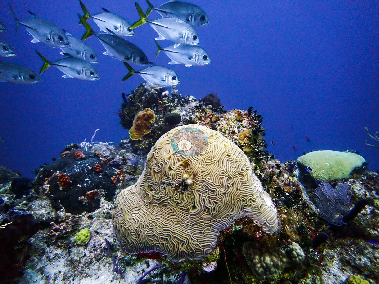
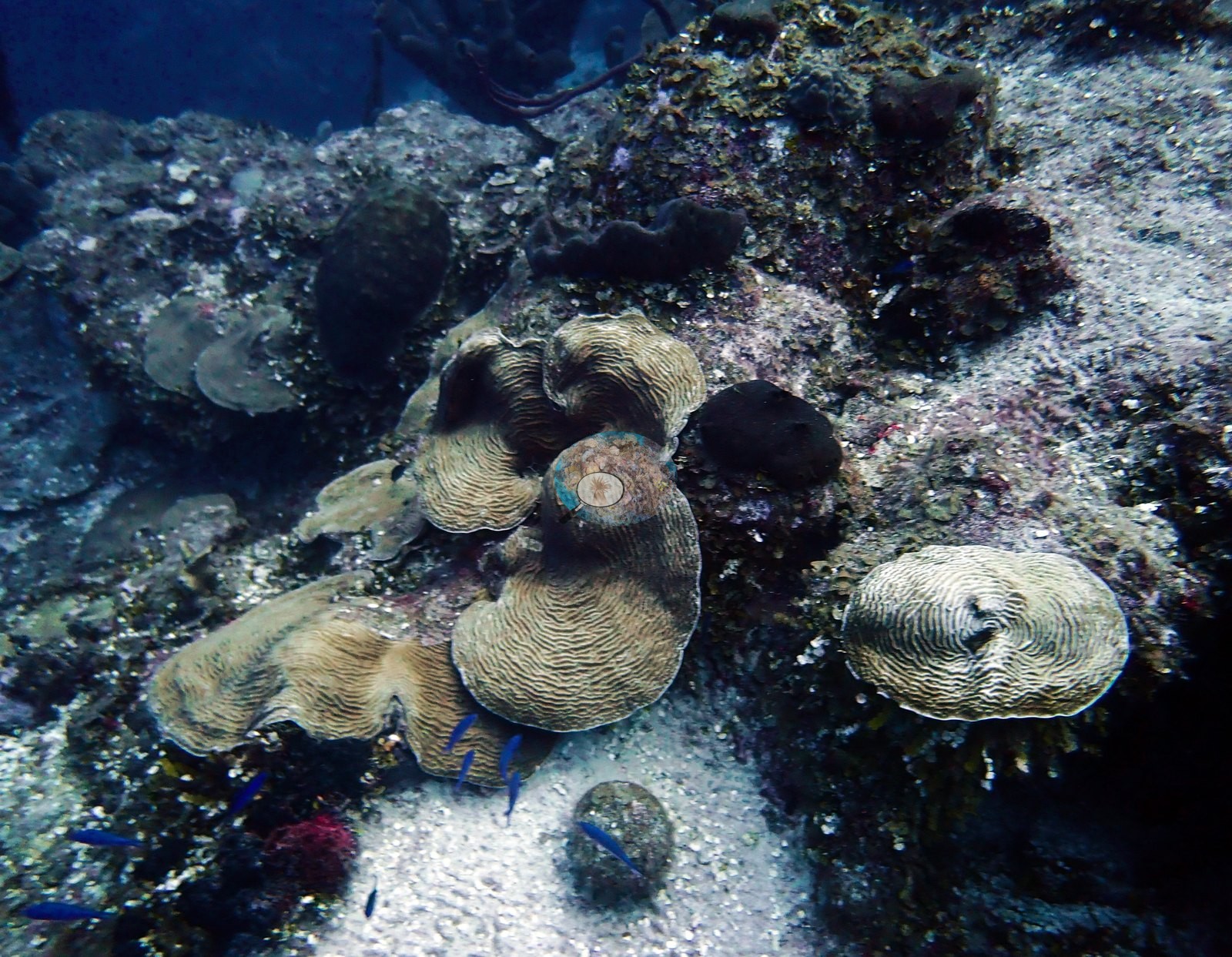
Brain corals were the most conspicuous hard corals, with large grooved meandroid domes sitting singly on sand and pavement and stacking toward the drop-off (e.g., Image 2).
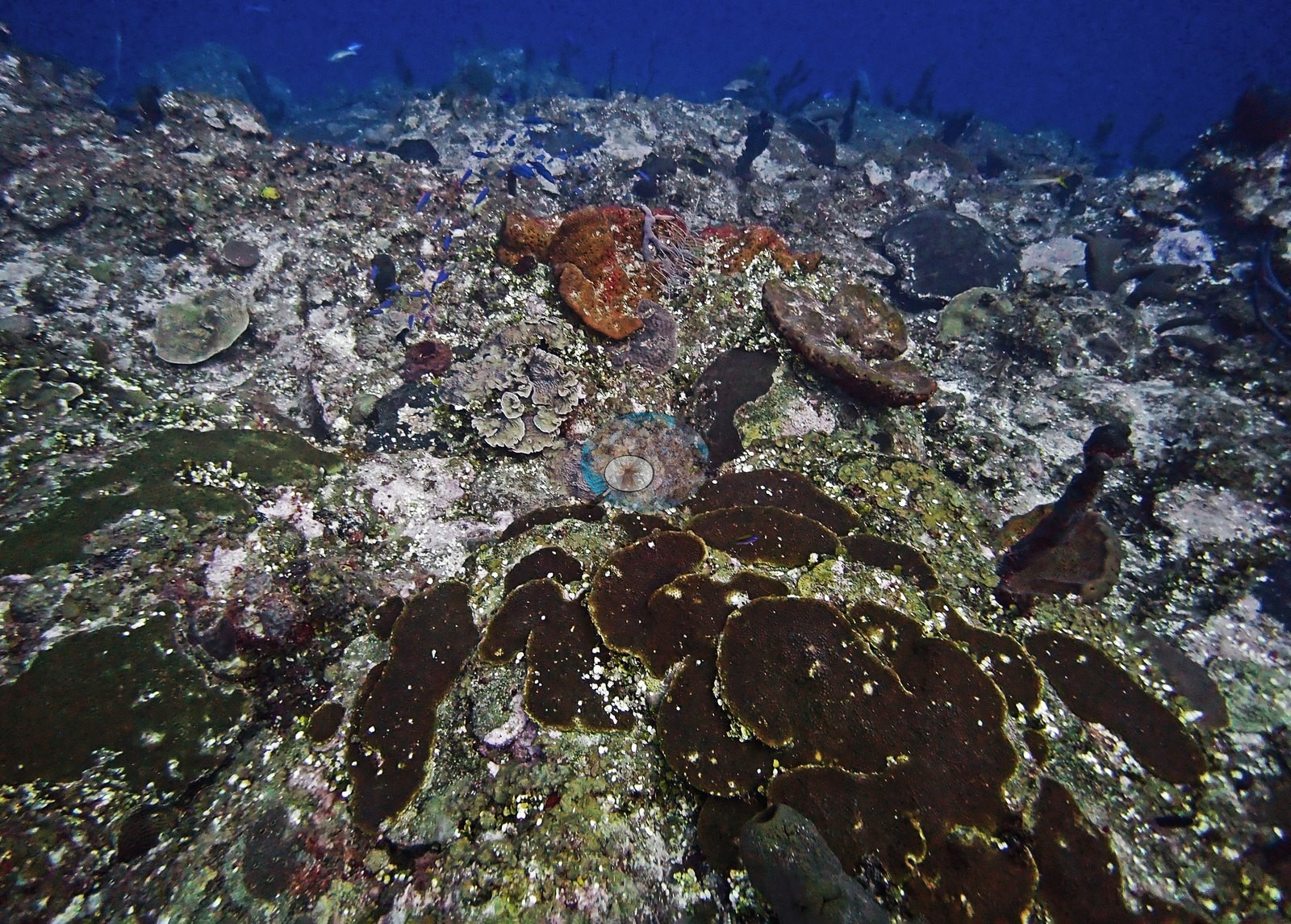
Tan, gold, and olive plating colonies stacked in overlapping tiers on the spur faces and wall lip (e.g., Image 16).
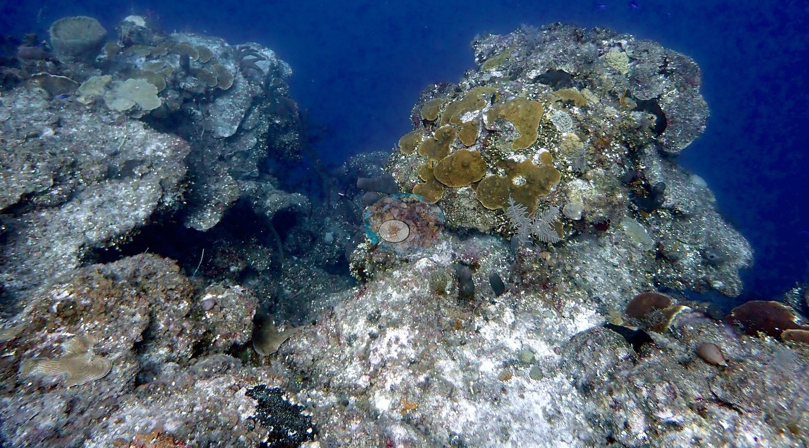
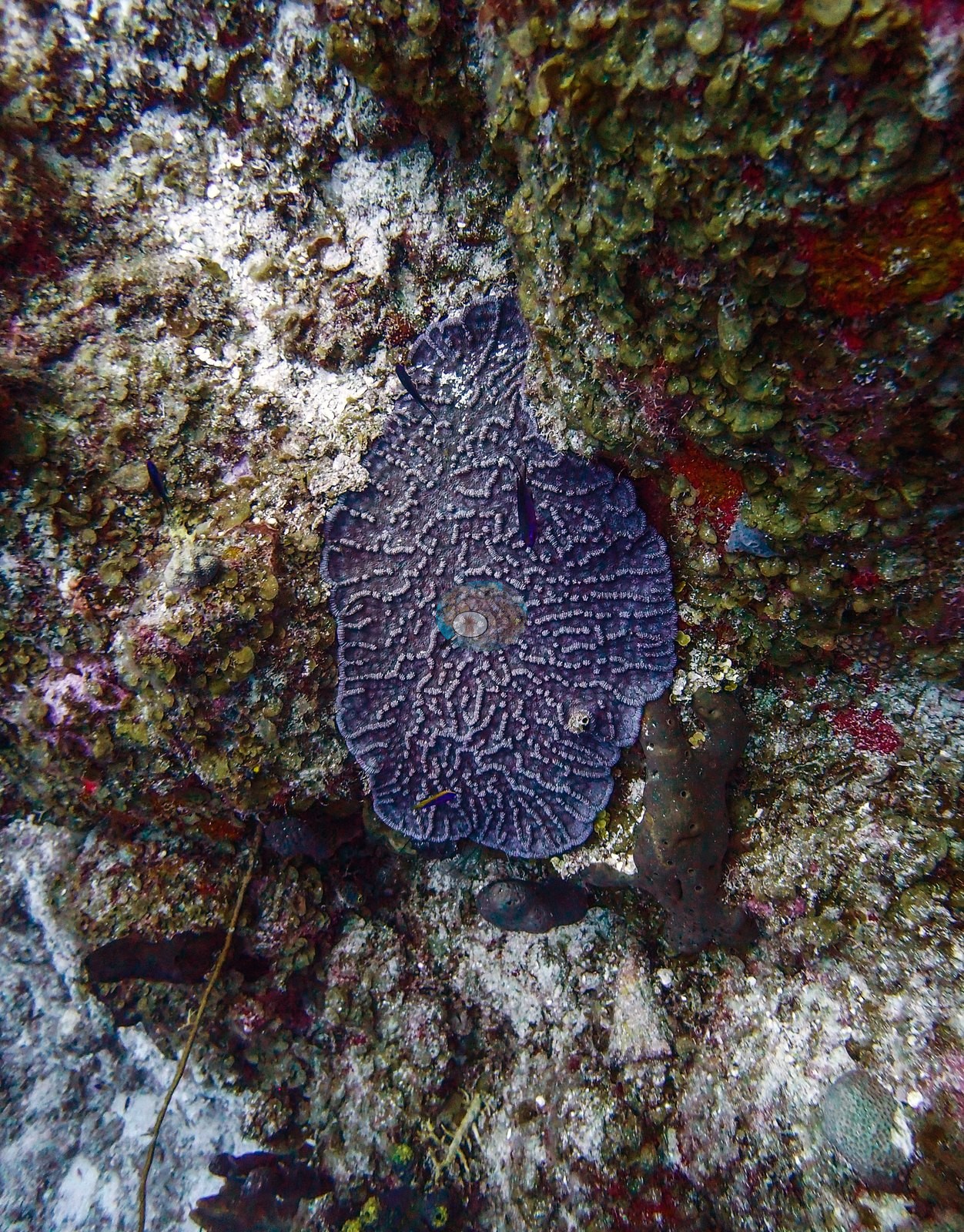
Other colonies included a lavender meandroid colony that stood out against the surrounding turf (e.g., Image 39), a broad gray meandroid plate spread over a rock face, yellow finger-like branching colonies tangled in lavender rope sponge (e.g., Image 50), and a large mound of mustard-orange lobed massive colonies on open sand (e.g., Image 54).
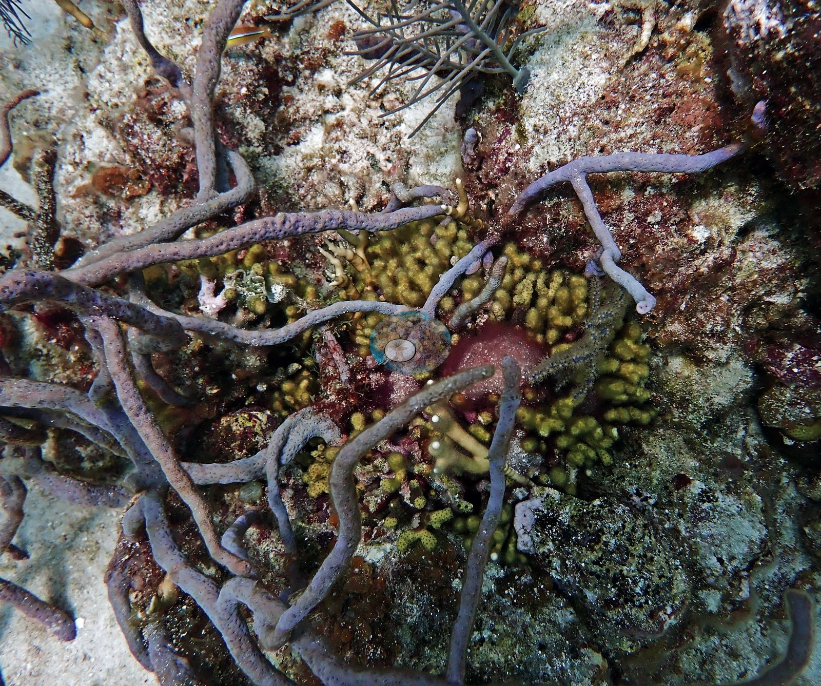
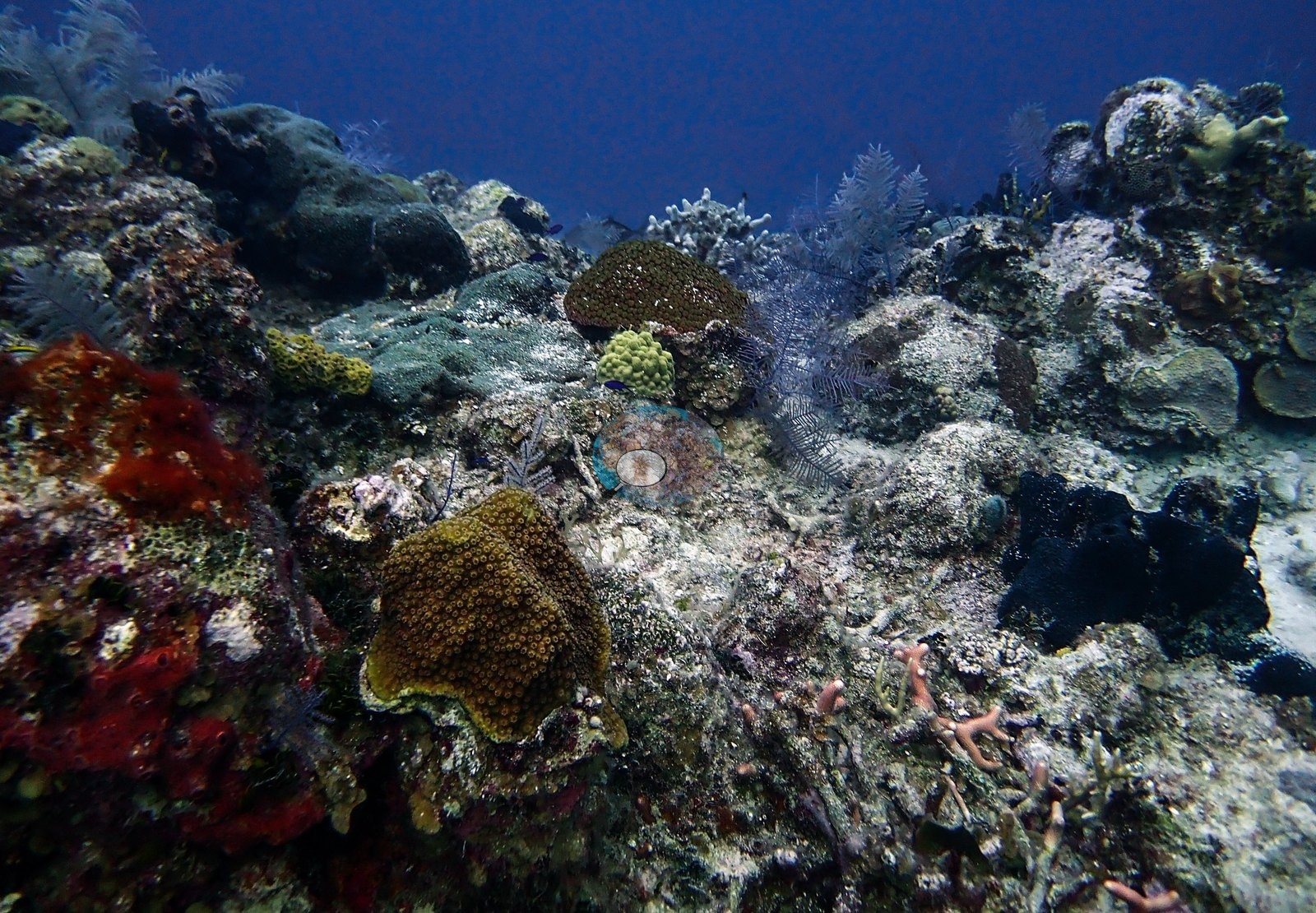
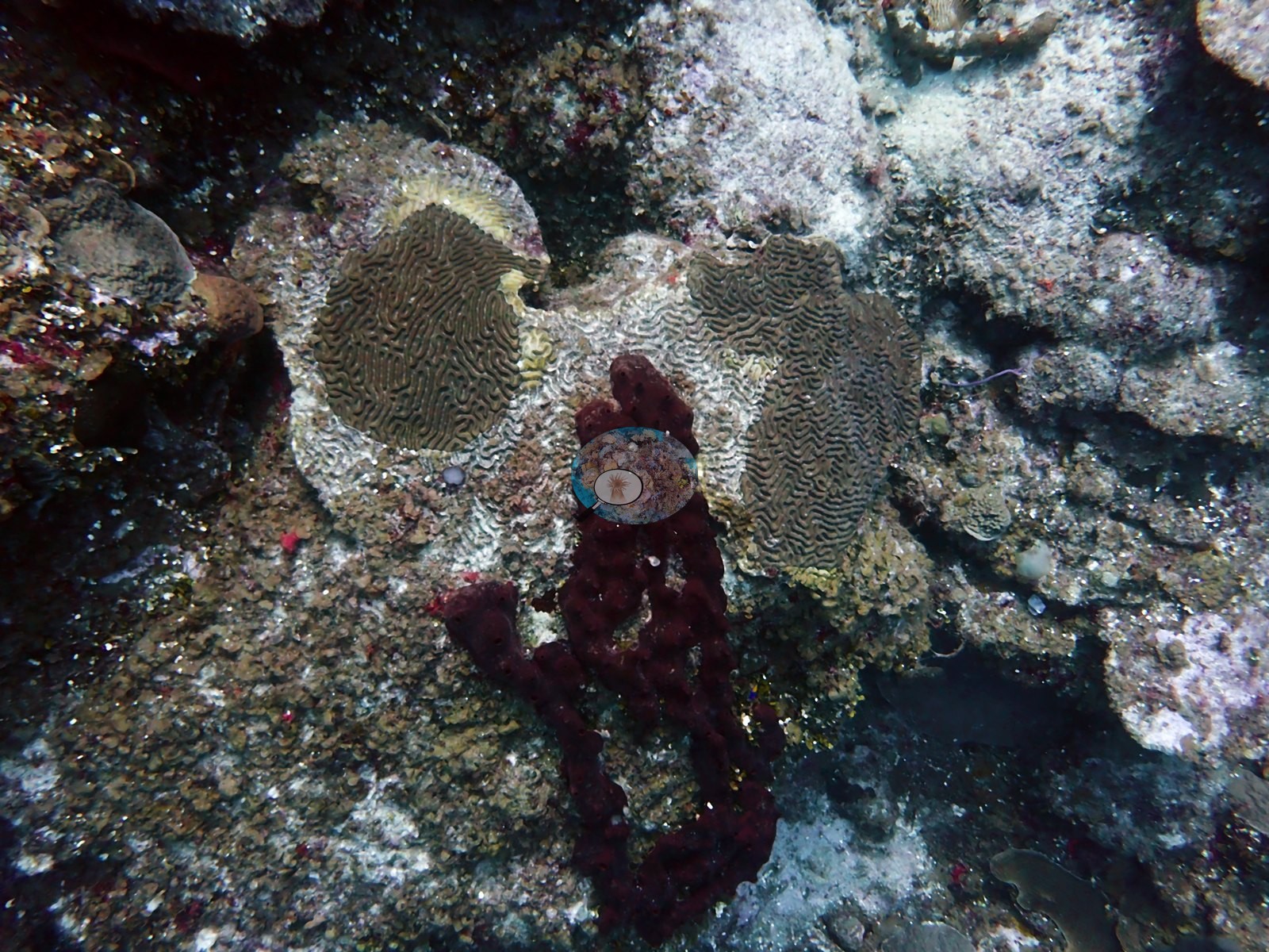
Sponges dominated the visual structure across most of the site: maroon and rust-red barrel and elephant-ear sponges stood on the sand (e.g., Image 46), brown branching tube sponges and yellow tube sponges lined the reef edge (e.g., Image 4), lavender rope sponges tangled across the pavement (e.g., Image 23), and purple vase sponges and red and orange encrusting sheets filled in between.
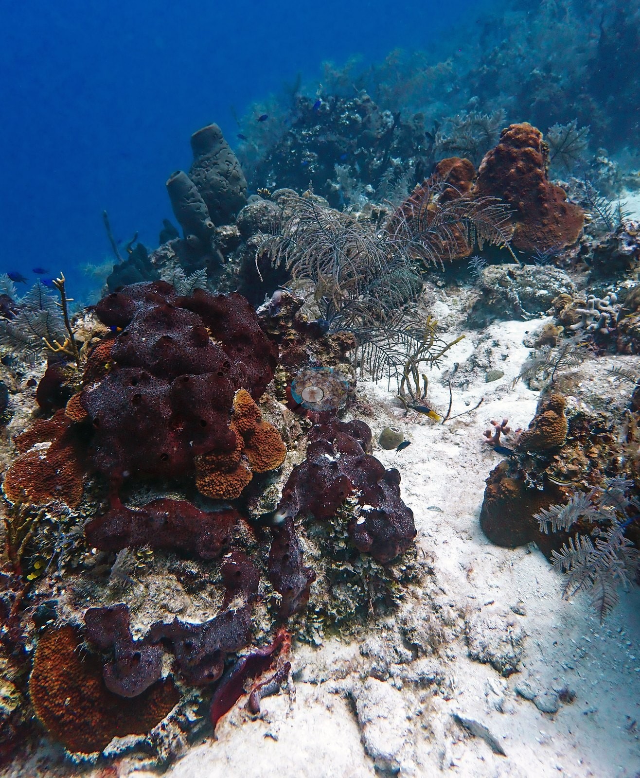
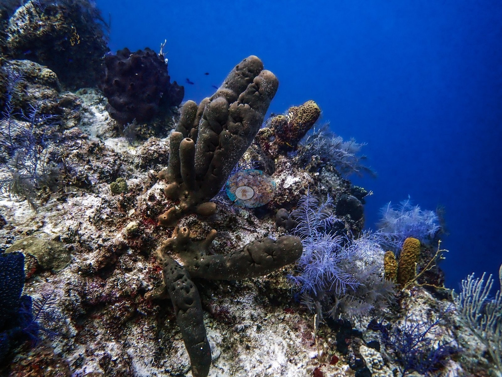
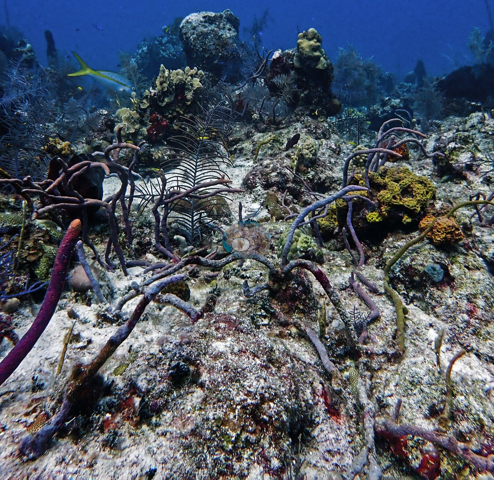
Gorgonians were abundant on the reef top, with dense thickets of purple sea rods and sea plumes rooted in hardground (e.g., Image 8), large sea fans silhouetted on the wall face (e.g., Image 30), and black coral bushes on the shaded overhangs.
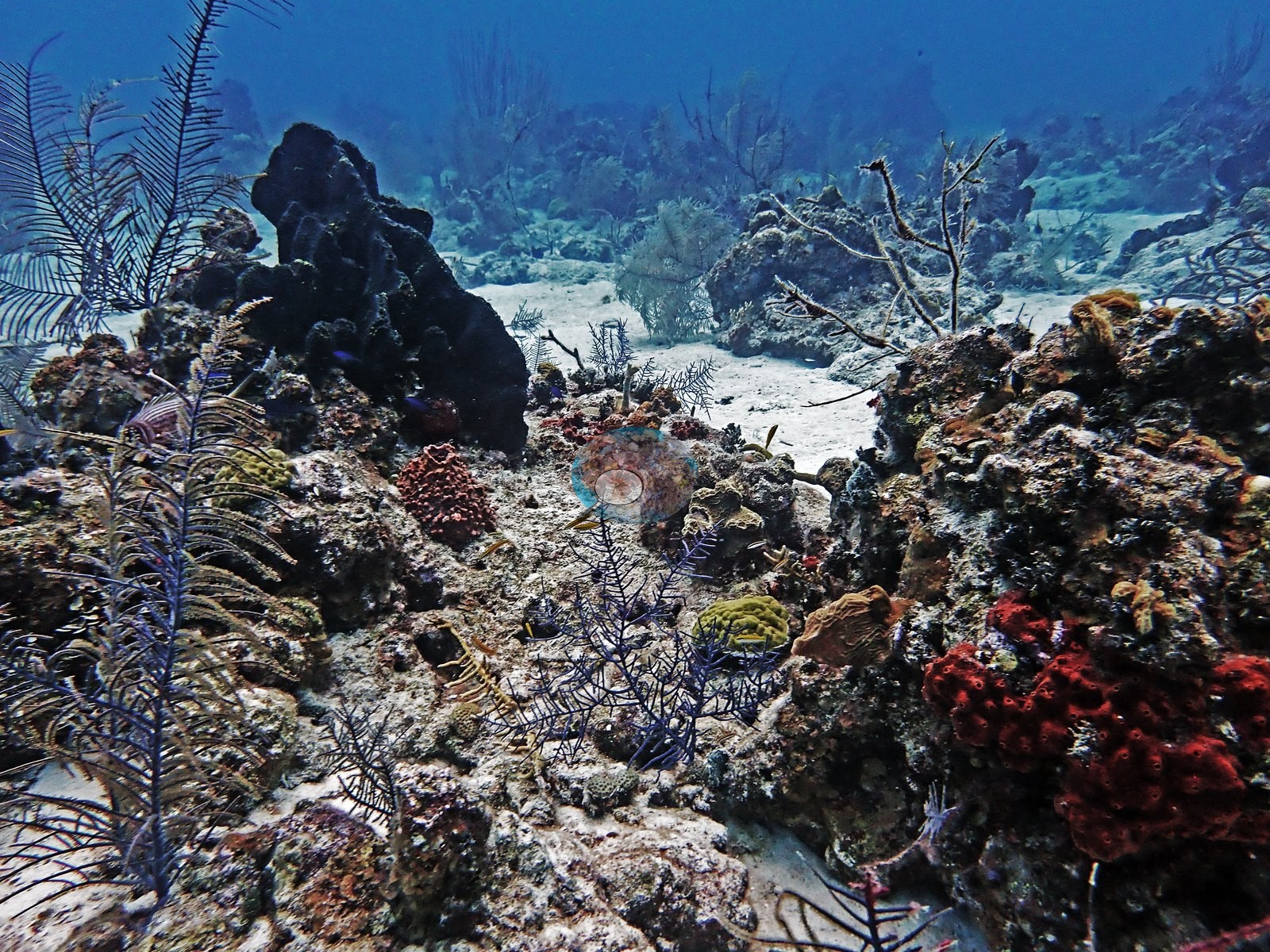
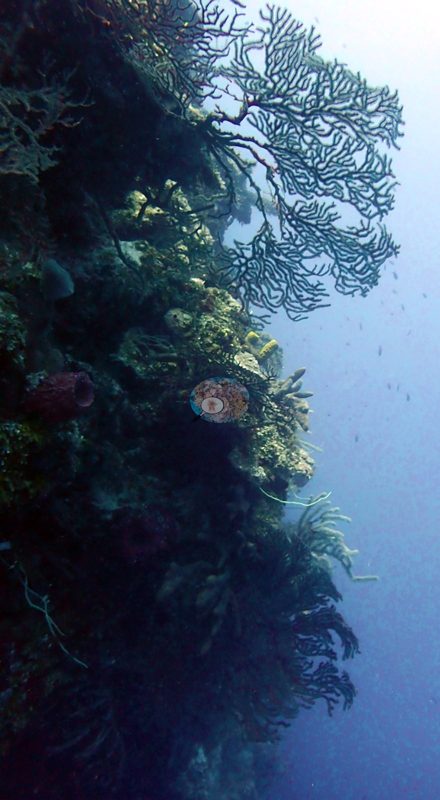
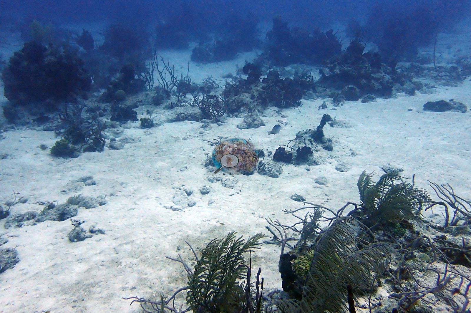
Between the corals, large stretches of the reef top were pale, turf-covered, sediment-dusted pavement, and rubble with almost no living stony coral, and some frames show a near-featureless gray flat (e.g., Image 10).
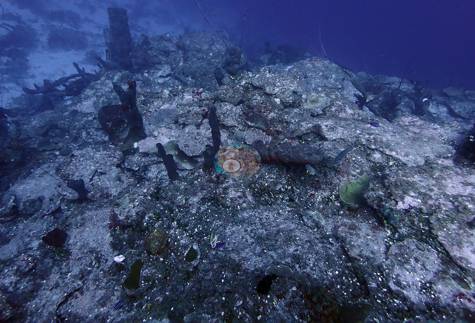
Sand plains held only scattered small coral heads and sea plumes. Small white calcareous algal segments were scattered densely over the rock in the close-up frames, and crinoids and white, feather-like hydroids studded the reef top.
Coral cover
- Reference: Claude CV point count (this site's photos)
- Coral cover: 8.1% — a blind Claude computer-vision point count of 88 of Anderson's edited photographs (the mean of the two dives' means; 20 points per photo; water, fish, and obstructions excluded). Other computer-vision methods are listed in the method table.
Stressors
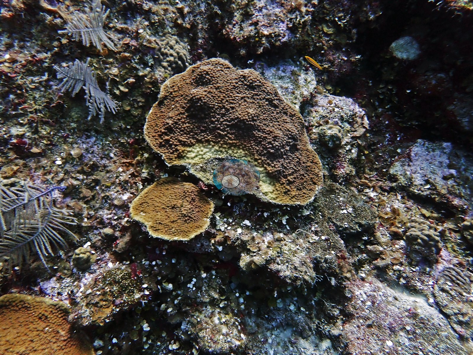
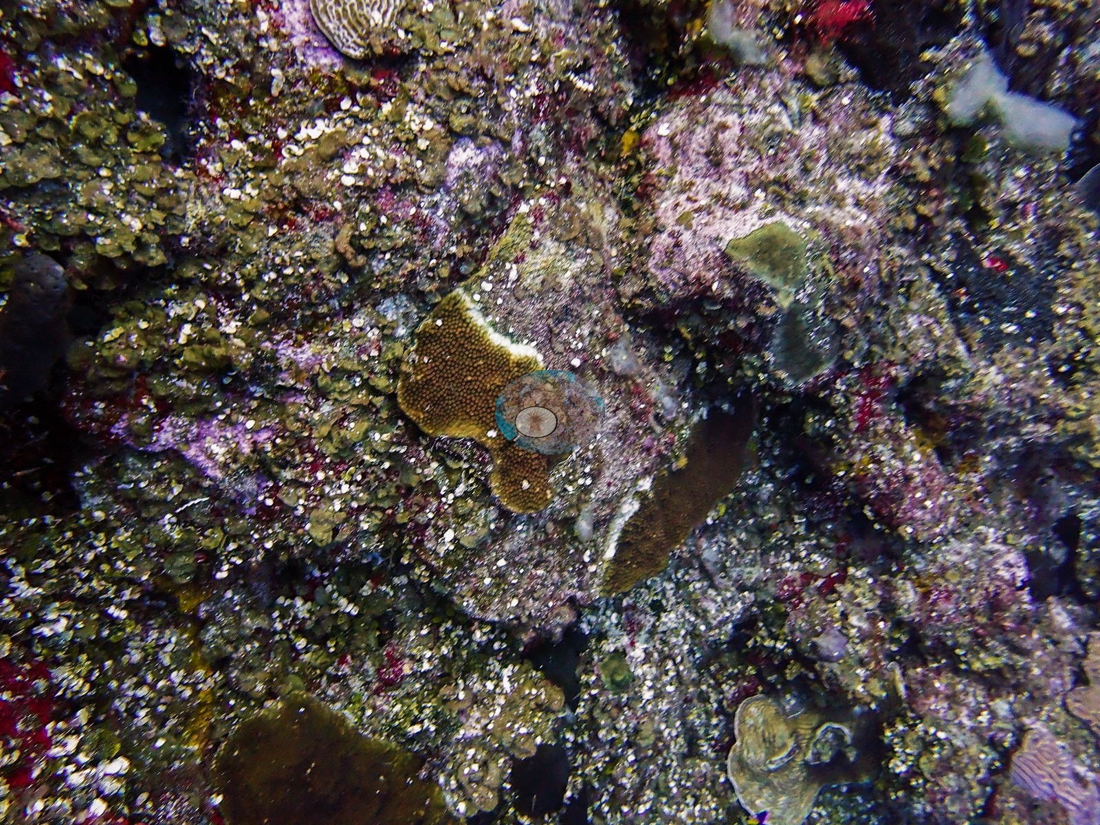
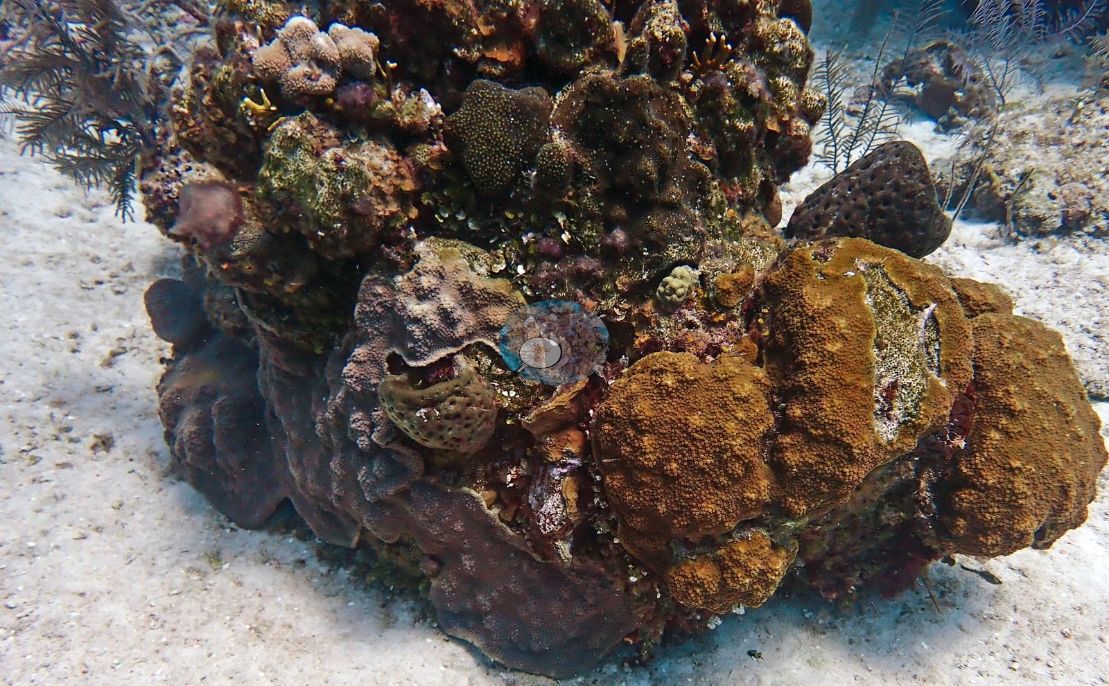
Partial mortality and recent tissue loss were the clearest condition signal in this gallery. Several plating and encrusting colonies carried sharp, bright-white bands or patches of freshly exposed skeleton at the tissue margin, with gray-green, algae-colonized dead skeleton behind them (e.g., Image 3, Image 14, Image 18, Image 20).
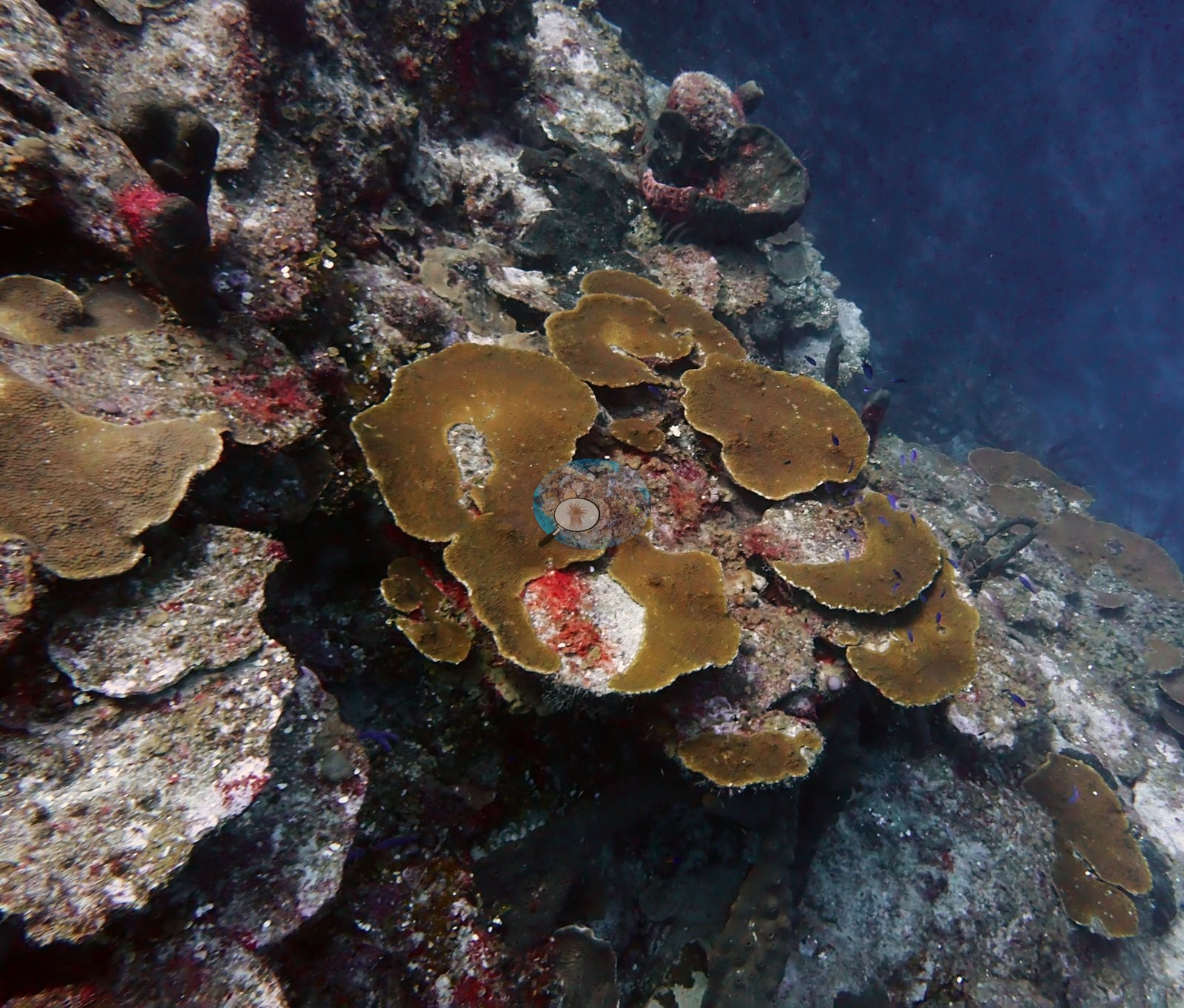
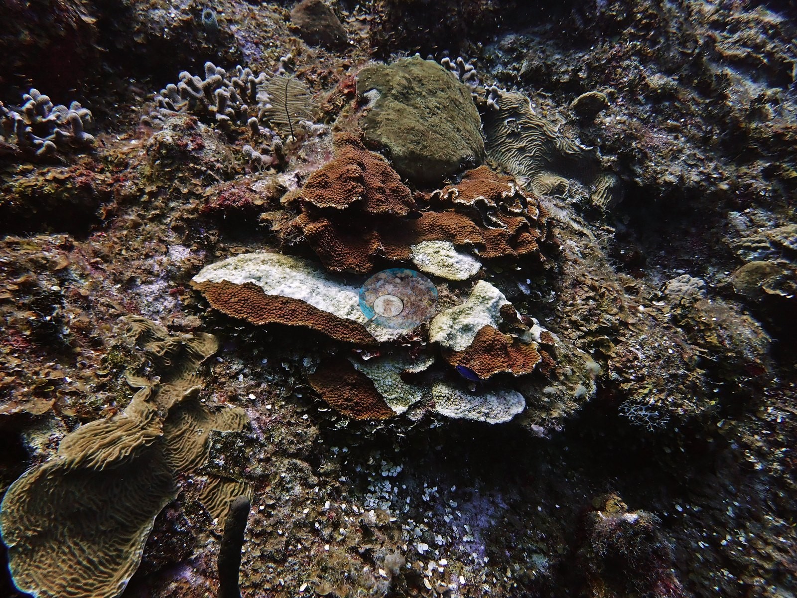
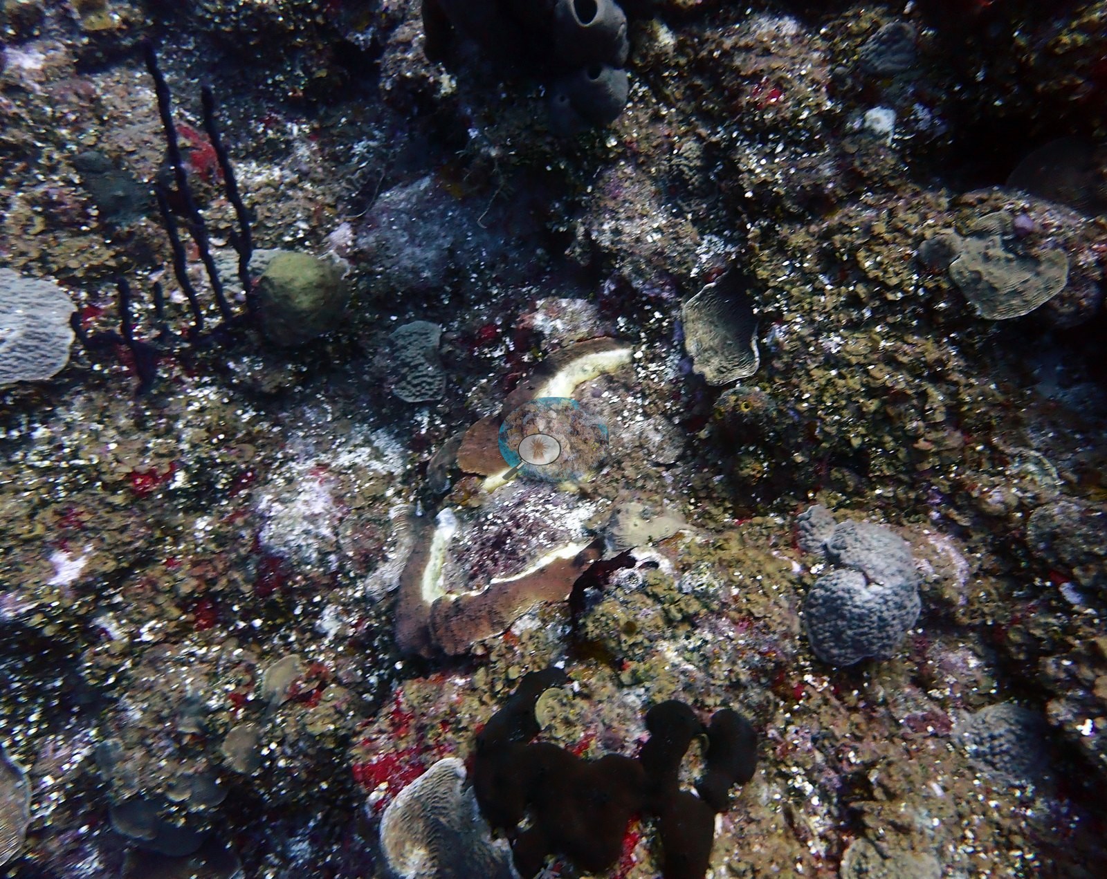
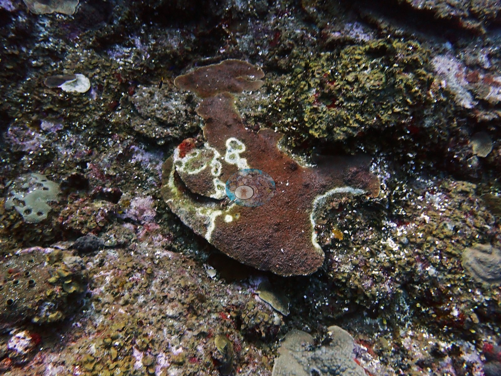
In one colony only a ring of living yellow-olive lobes remained around a dead, turf-covered center (e.g., Image 22), and on a nearby boulder living plates rimmed a turfed-over top (e.g., Image 35).
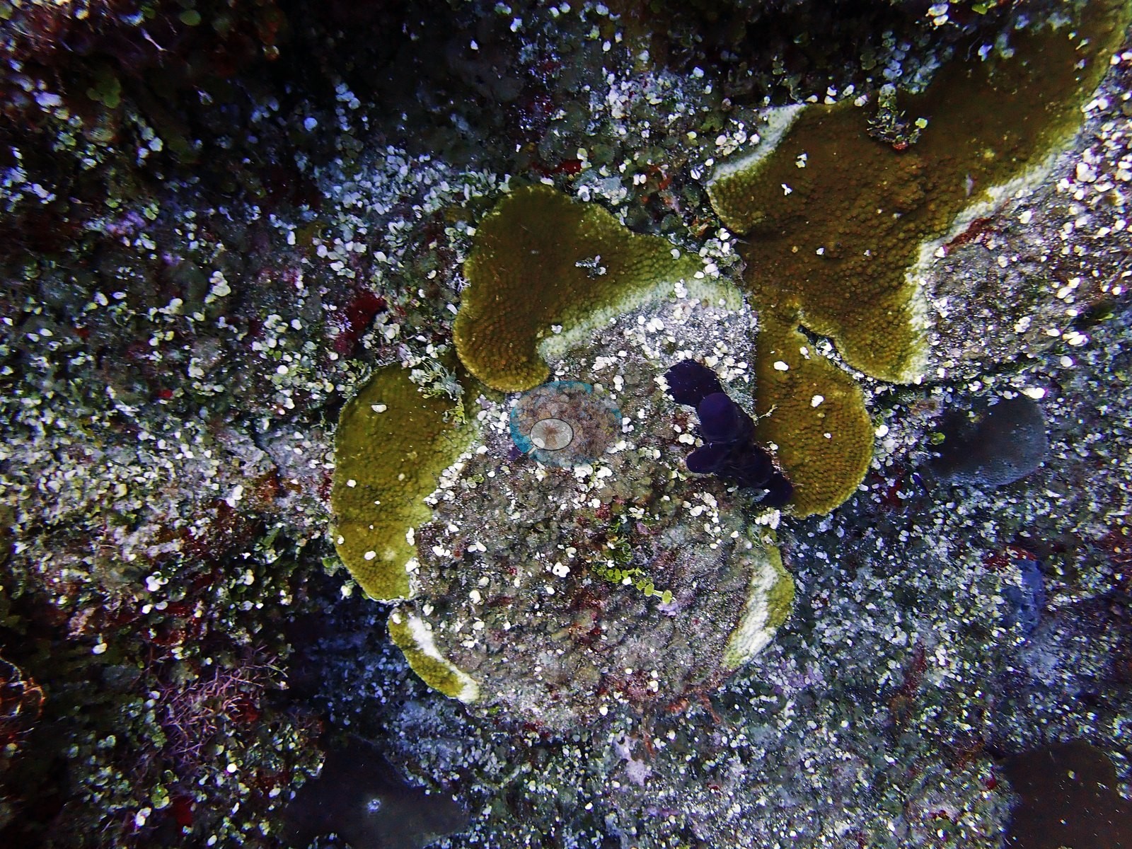
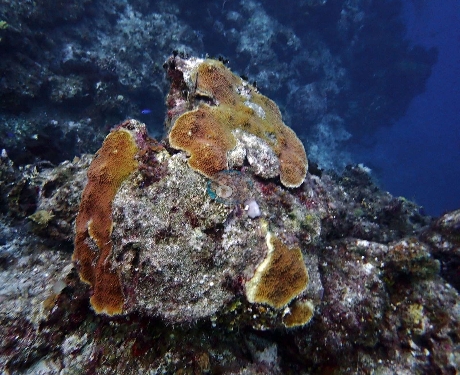
Other damage was older: massive heads carried living caps above turf-covered flanks (e.g., Image 29), and at least one brain coral kept its ridge pattern under a complete cover of algal turf, long dead but still coral-shaped (e.g., Image 25).
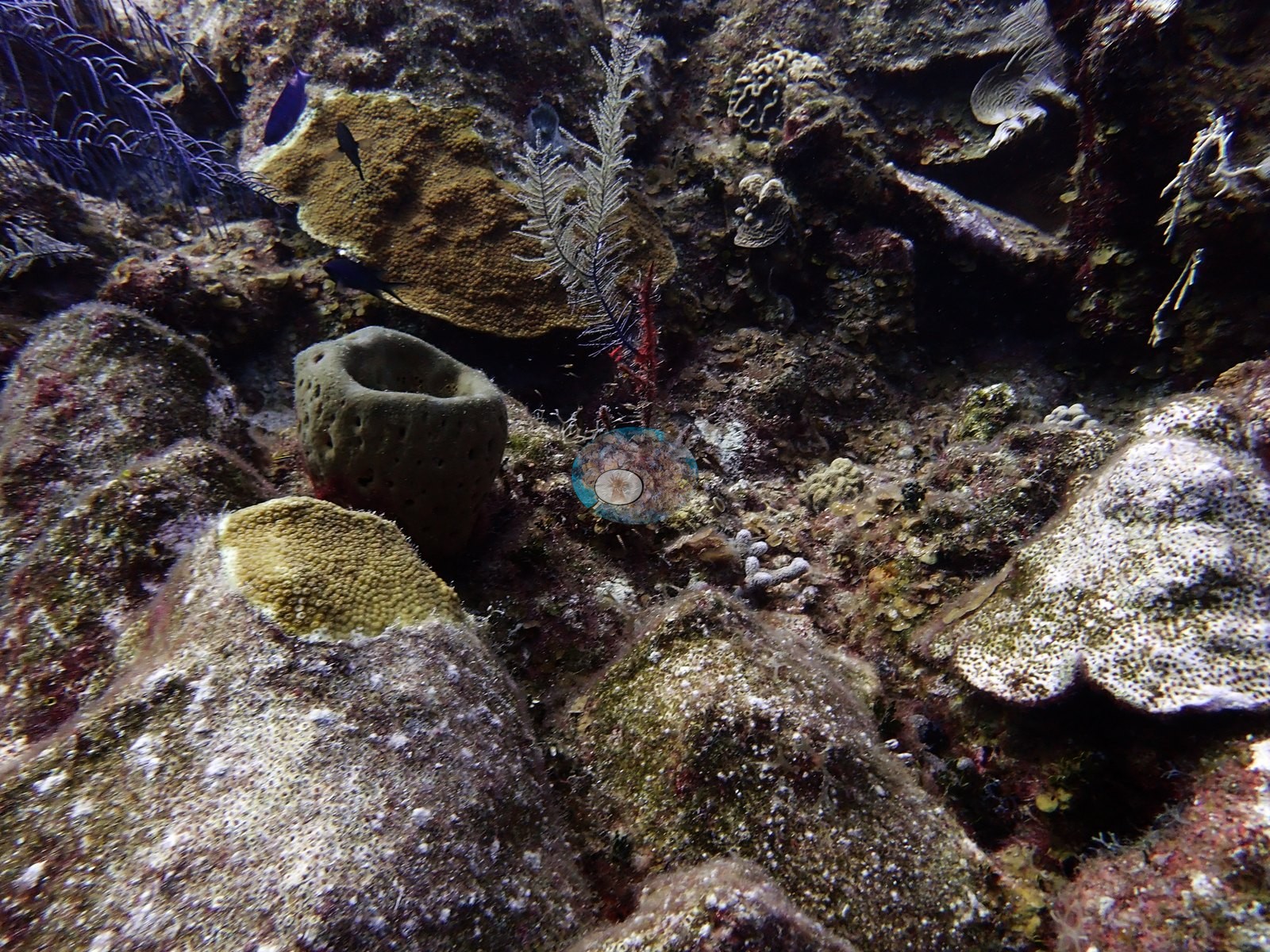
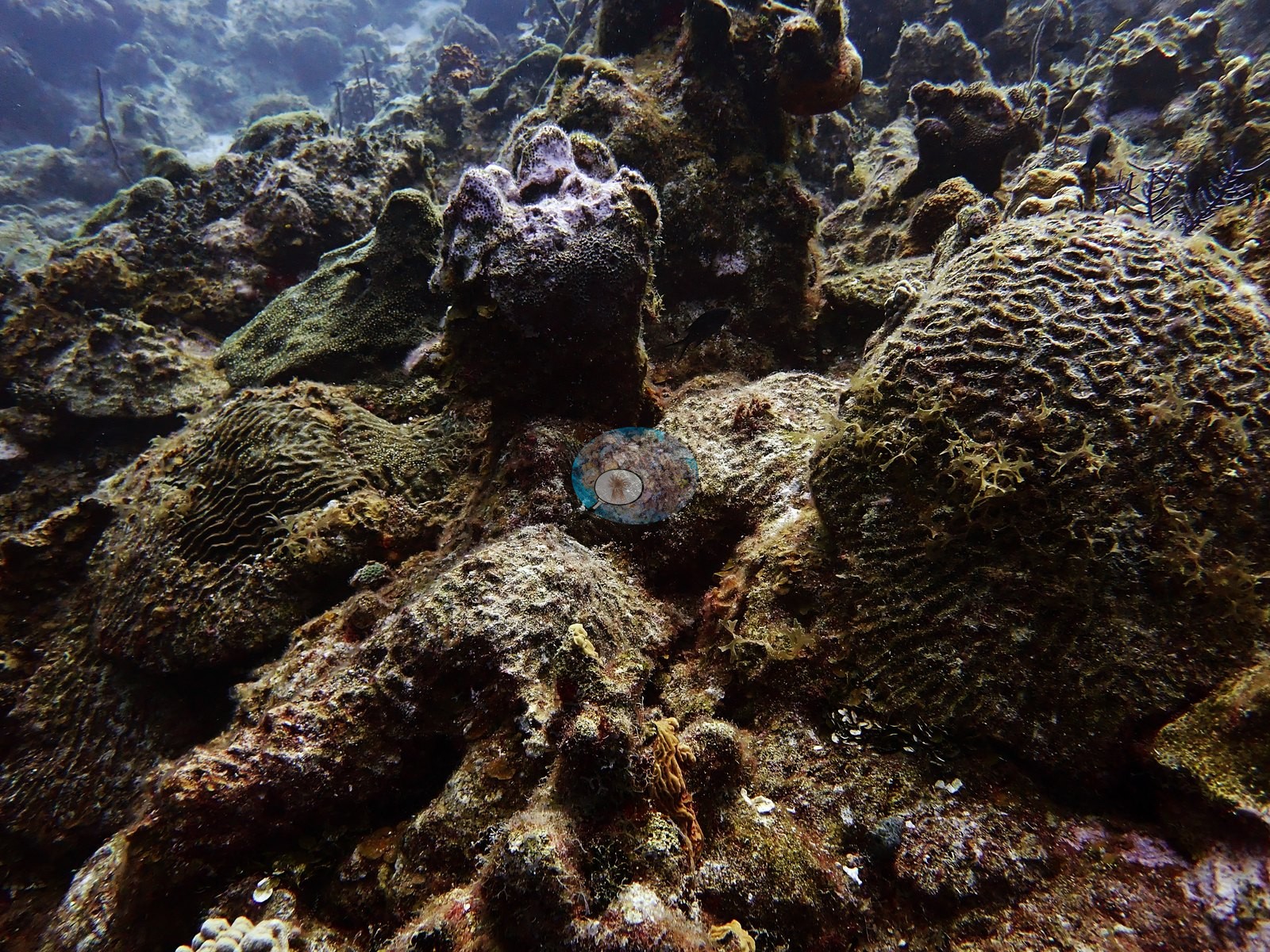
One meandroid colony on the wall sat within a pale, bare zone of recently exposed or sediment-covered skeleton (e.g., Image 34).
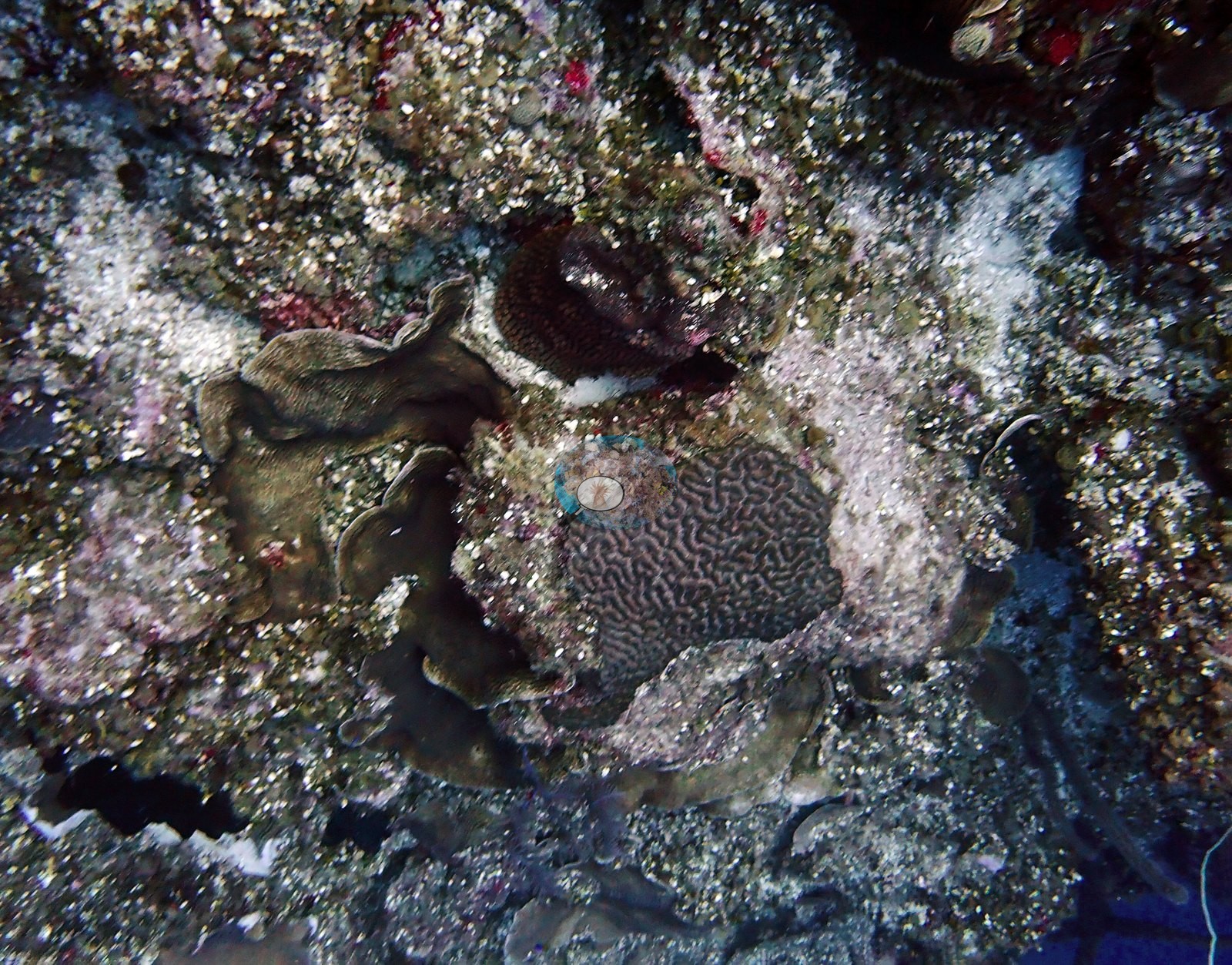
These lesions are consistent with active tissue loss, and Turks and Caicos was within the documented range of stony coral tissue loss disease by 2022, but no disease can be confirmed from a photograph. No clear bleaching was seen; living tissue generally held full tan, olive, gold, and gray-green pigmentation. Algal turf and cyanobacterial film covered the dead pavement across much of the reef top. A long, pale looping line draped over the wall face could be either a wire coral or discarded fishing line (e.g., Image 48).
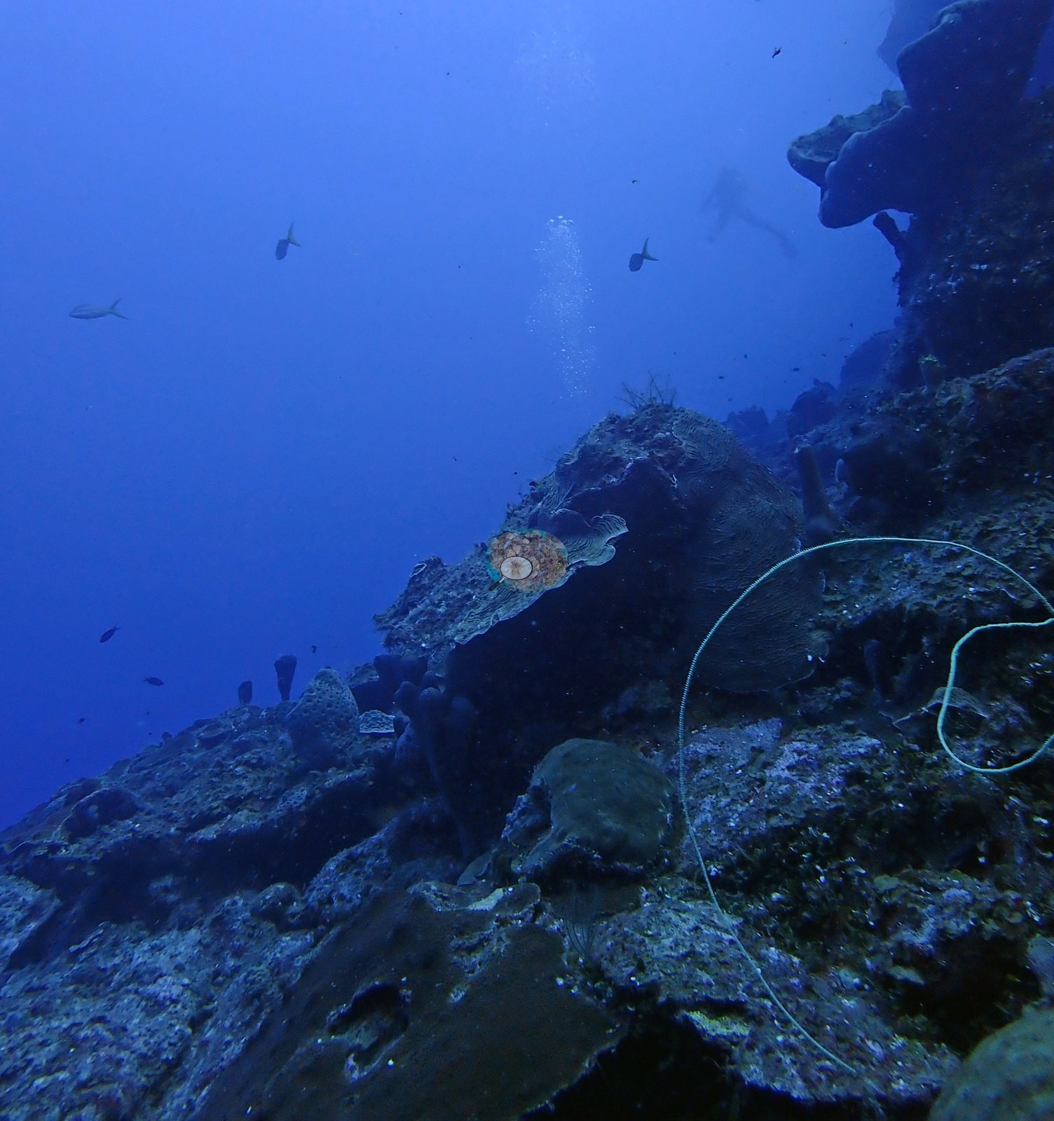
The five-year mean annual maximum heat stress for this Bahamian ecoregion is 9.1 degree heating weeks (NOAA Coral Reef Watch). No corallivores evident.
Fish and other fauna
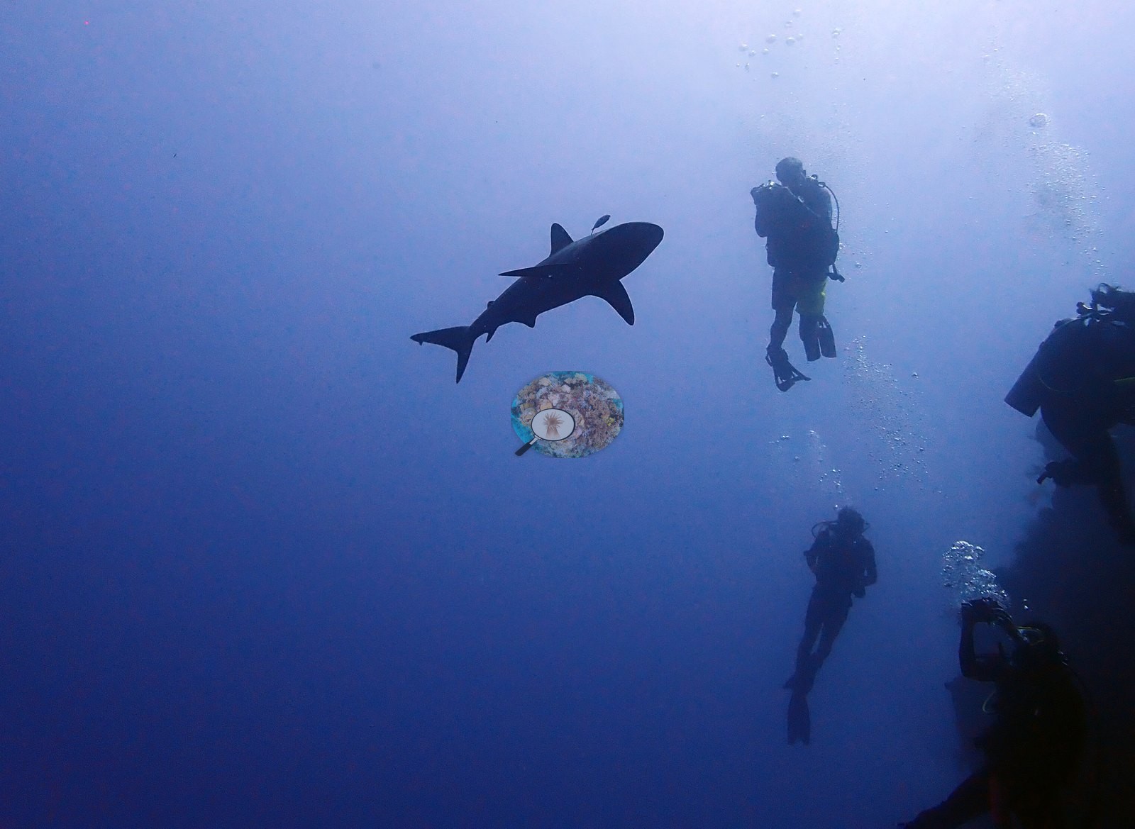
Reef sharks patrolled the blue water off the wall (e.g., Image 6).
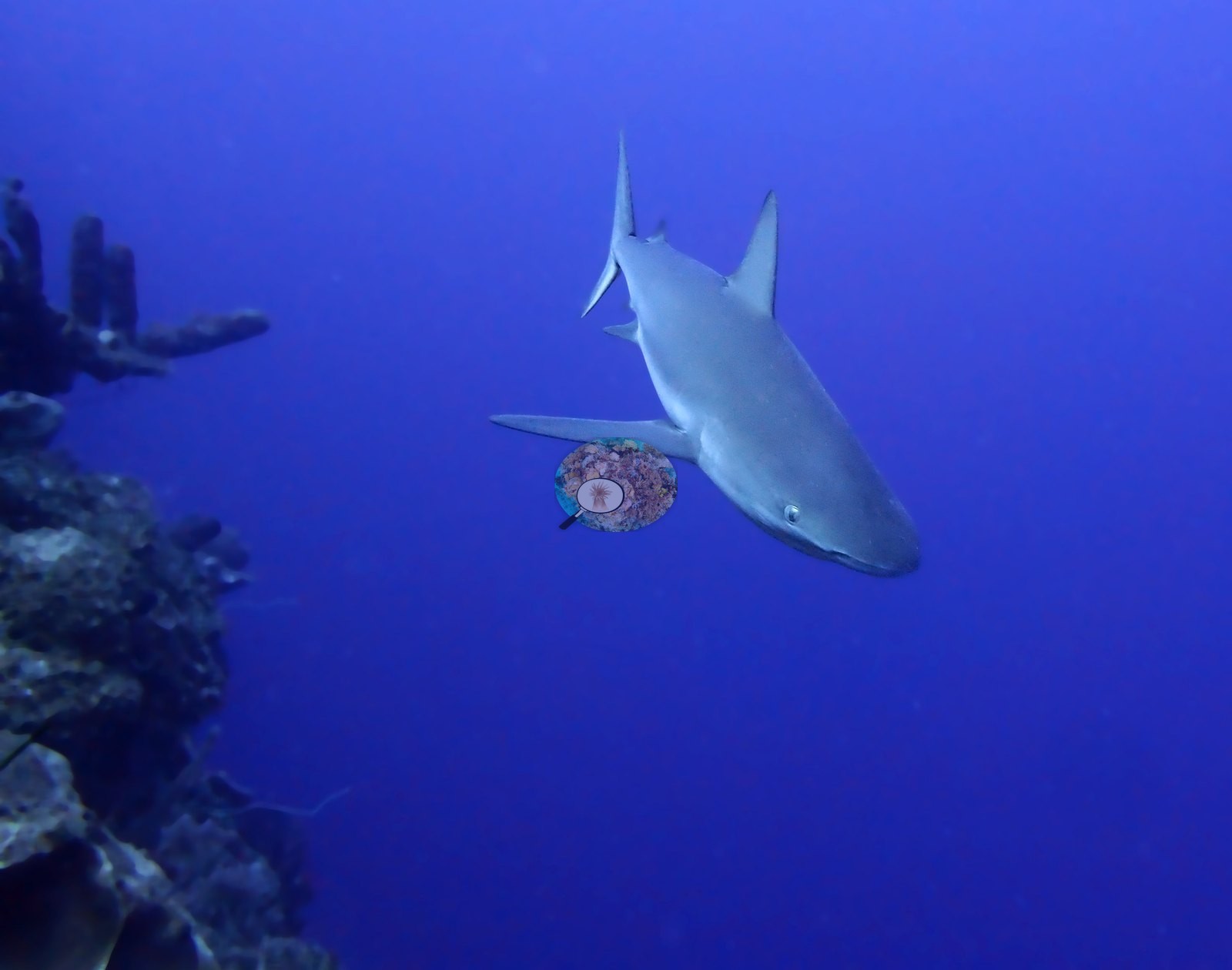
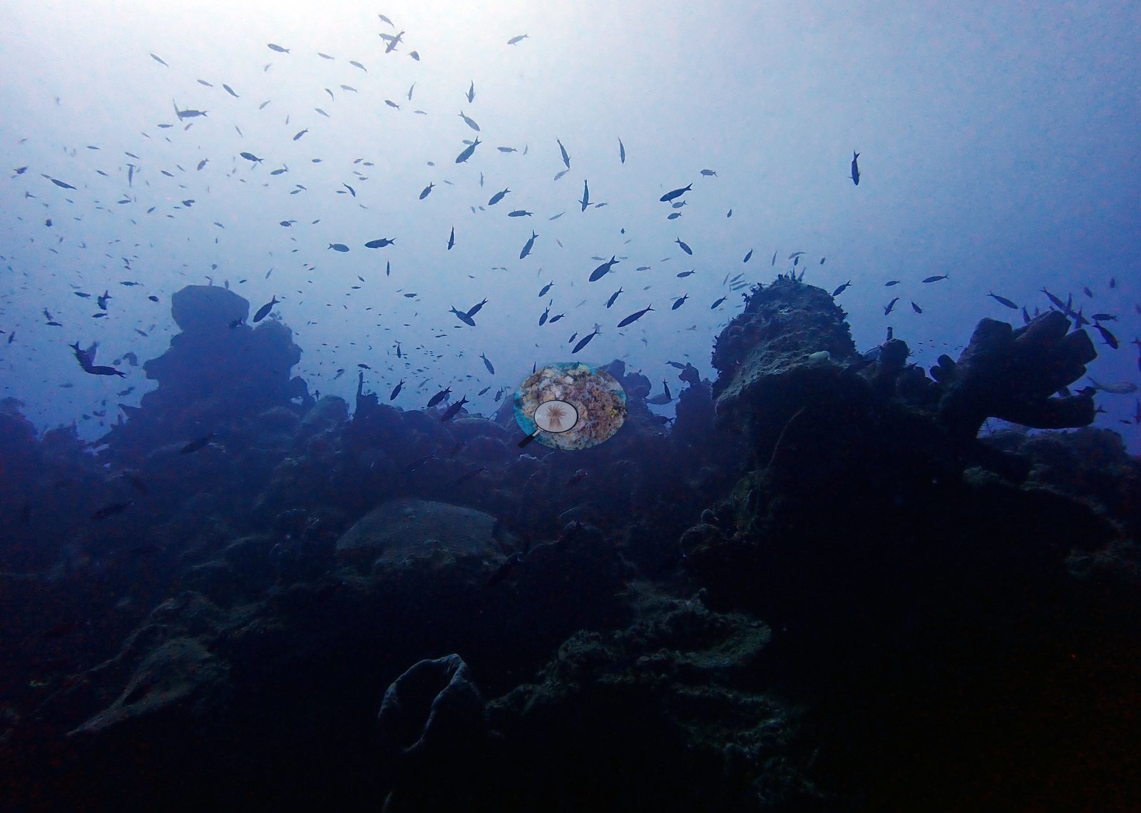
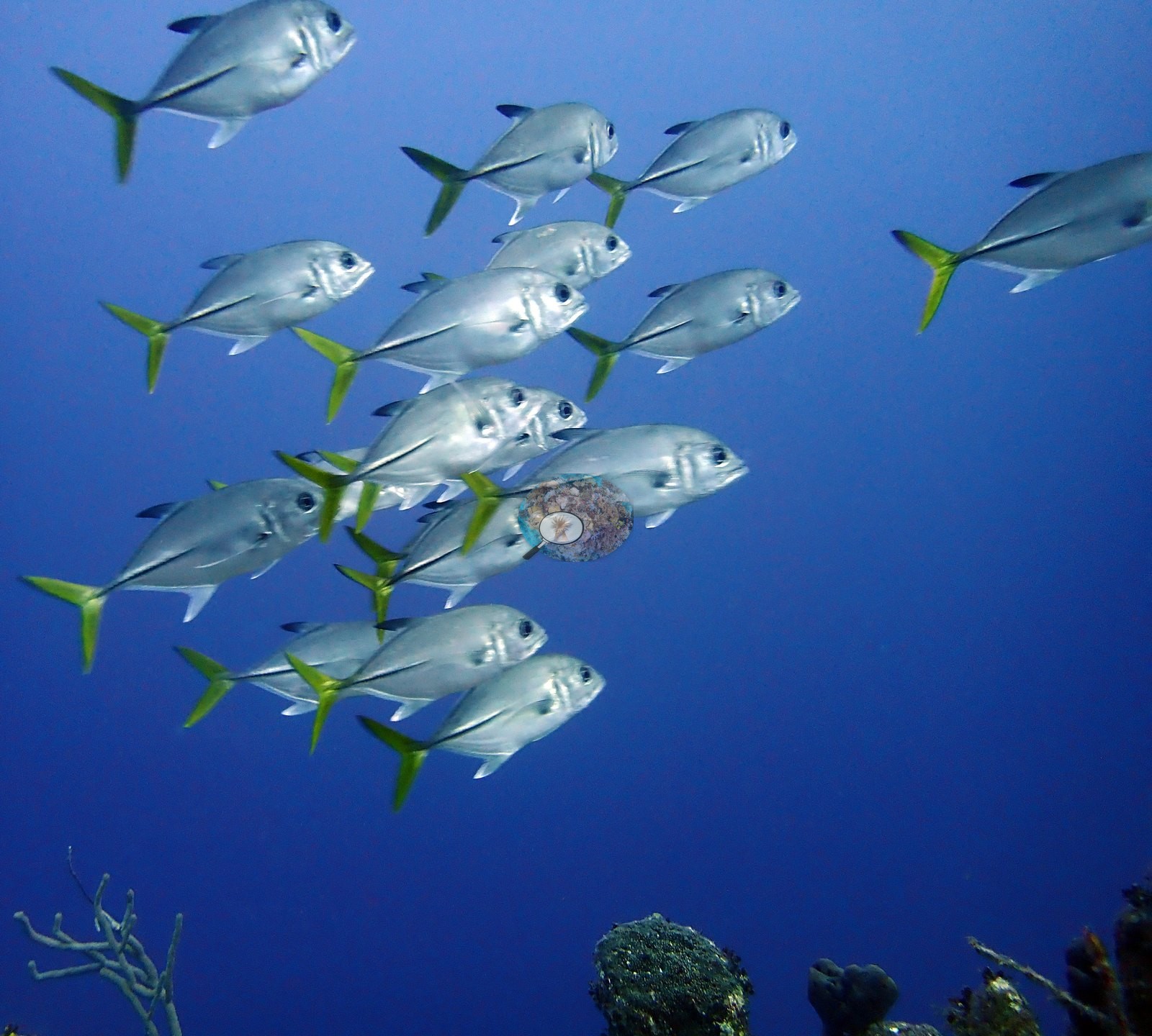
Schooling jacks hung in the blue (e.g., Image 7), and one tight school passed directly above a cream-colored brain coral at the wall lip (e.g., Image 41).
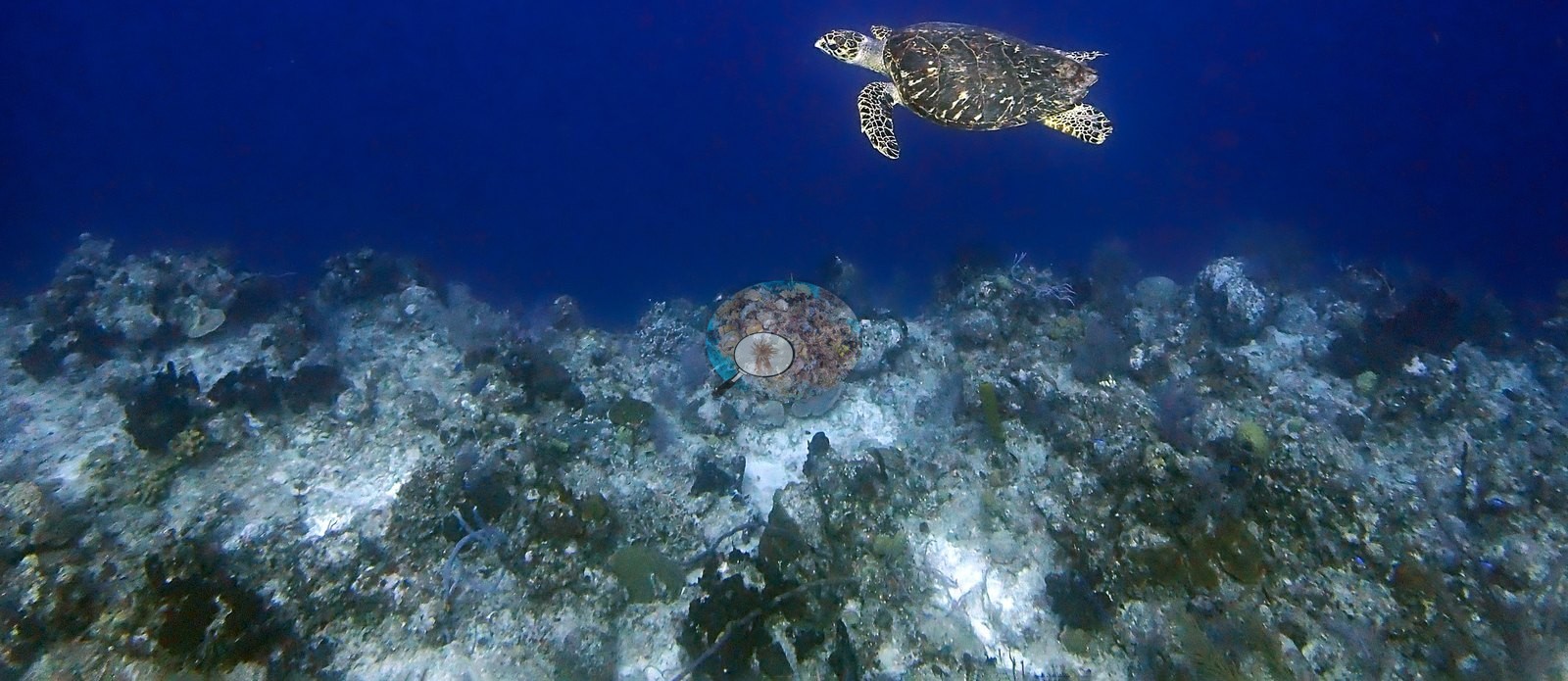
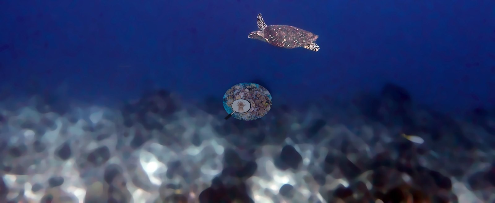
Turtles consistent with hawksbills glided over the reef flat on two occasions (e.g., Image 11).
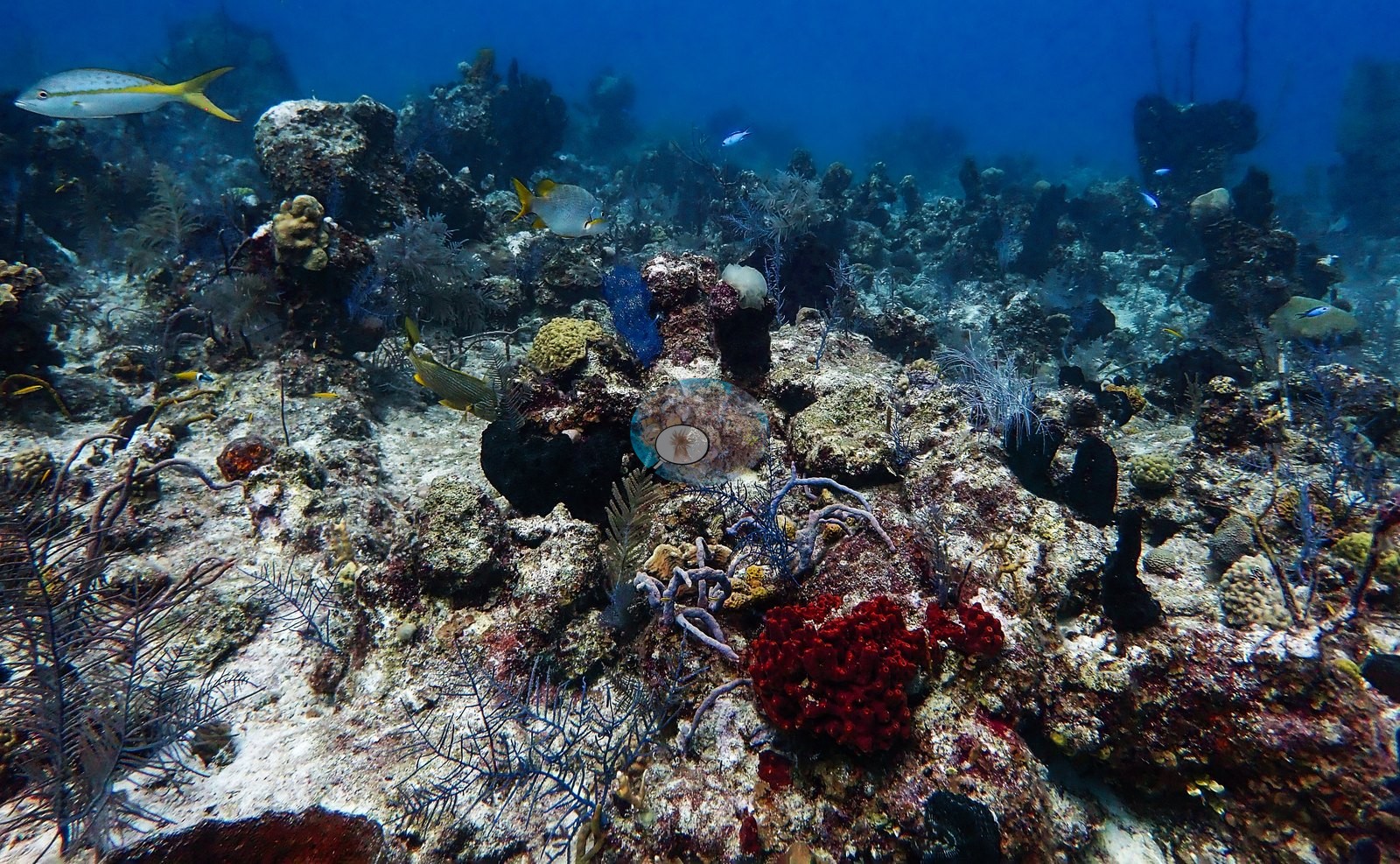
Yellowtail snapper cruised over the rubble (e.g., Image 53), blue chromis hovered over the plating colonies (e.g., Image 45), and purple planktivores consistent with creole wrasse gathered with clouds of smaller fish over the deeper reef (e.g., Image 32).
Southern stingrays were also recorded resting on the sand, although none appears in this gallery.
Comparisons with other data
No other surveys have been conducted at this site to date. Within 5 km, four independent stations (Reef Check and XL Catlin Seaview Survey) recorded 1.9–20% hard coral cover between 2007 and 2013; the nearest, Reef Check at Boat Cove, 0.91 km away, read 17% in 2007.
Dive record
Spanish Anchor was dived twice from the Turks & Caicos Explorer II liveaboard on 4 August 2022 as trip dives 21 and 22 of the West Caicos (round 2) leg, entering at 08:38 for 62 minutes (maximum 32.3 m, average 18.3 m) and at 11:04 for 54 minutes (maximum 31.4 m, average 18.9 m), both at 28.3°C.
CV model comparison
More info
A few colony-focused photos raise the mean; the median is the typical photo. No computer-vision method yet estimates coral cover accurately on new images, so treat this as indicative rather than a measurement; it is revised as the methods improve.More info
Other rows are for comparison only and are never averaged. No diver transect exists for this trip, so agreement between rows is not accuracy.| Method | Hard-coral cover (%) |
|---|---|
| CoralSCOP edited | 20.1 |
| Claude (edited photos) | 8.1 |
See a more detailed, stand-alone version of this table.
Dive history
| Date | Time in | Max depth (m) | Bottom time (min) |
|---|---|---|---|
| 2022-08-04 | 08:38 | 32.3 | 62 |
| 2022-08-04 | 11:04 | 31.4 | 54 |
Independent surveys nearby
| Agency / program | Year(s) | Stations / distance | Link |
|---|---|---|---|
| Reef Check | 2007 | 3 stations, 0.91–2.22 km | Records ↓ |
| XL Catlin Seaview Survey | 2013 | 1 station, 1.55 km | Records ↓ |
 Coral Reef Diagnostics
Within 5 km, 4 independent survey stations recorded hard coral cover in 4 records between 2007 and 2013. The most recent nearby survey is from 2013, so these values predate recent heat stress. This site's own estimate (8.1%) sits within the range of these surveys (1.9–20%); the methods differ, so the comparison is context, not a like-for-like test.
Collected by other programs using different methods (Reef Check uses point-intercept transects; the XL Catlin Seaview Survey uses photo-transects with automated image annotation), so these are context for the figures above, not a like-for-like comparison. Where a station was surveyed more than once the range is shown. Station names are not dive-site names.
| Agency | Site / location | Date | Hard coral cover (%) | Distance | Link |
|---|---|---|---|---|---|
| Reef Check | Boat Cove | 2007 | 17% | 0.91 km | — |
| Reef Check | Elephant Ear Canyon | 2007 | 19% | 2.09 km | — |
| Reef Check | Spanish Anchor | 2007 | 20% | 2.22 km | — |
| XL Catlin Seaview Survey | transect 24039 | 2013 | 1.9% | 1.55 km | doi:10.14264/uql.2019.930 |
Data & links
All images from Coral Reef Diagnostics. Data are from Coral Reef Diagnostics and the organizations named in the data sources above.
© Coral Reef Diagnostics.