
Turks and Caicos - G Spot
Part of the regional summary: Turks and Caicos Islands
More info
Turks and Caicos (NOAA CRW virtual station) · Bahamian ecoregion mean: 9.1 degree heating weeksG Spot at French Cay is a low, gorgonian-and-sponge plateau that drops into a steep V-shaped wall notch, with the lowest coral cover of the 11 Turks and Caicos sites scored. It is a nurse-shark hotspot, with sharks packed along the reef at night, and several corals show recent tissue loss.
One other CRD dive site within 5 km shown in orange — click a marker to open its page.
This page shows 50 of the 53 photographs from this site, including every one the text cites.
28 of the 50 photographs on this page are shown beside the text that discusses them under "Site description" below.
Site description
Setting
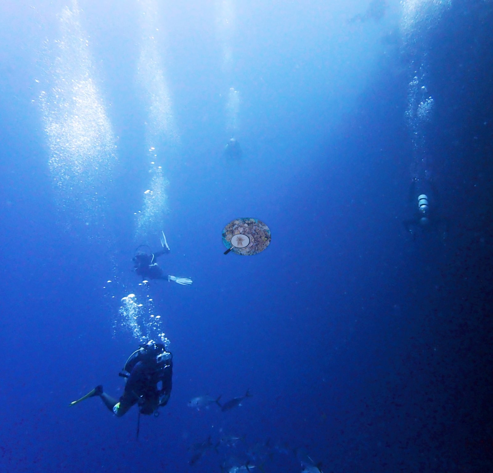
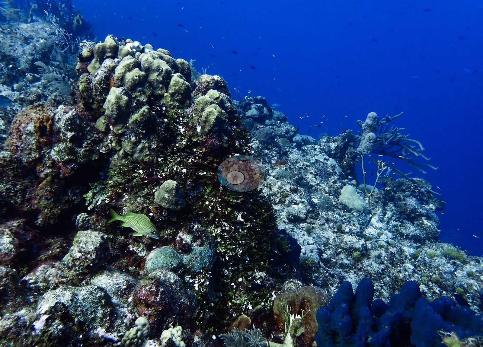
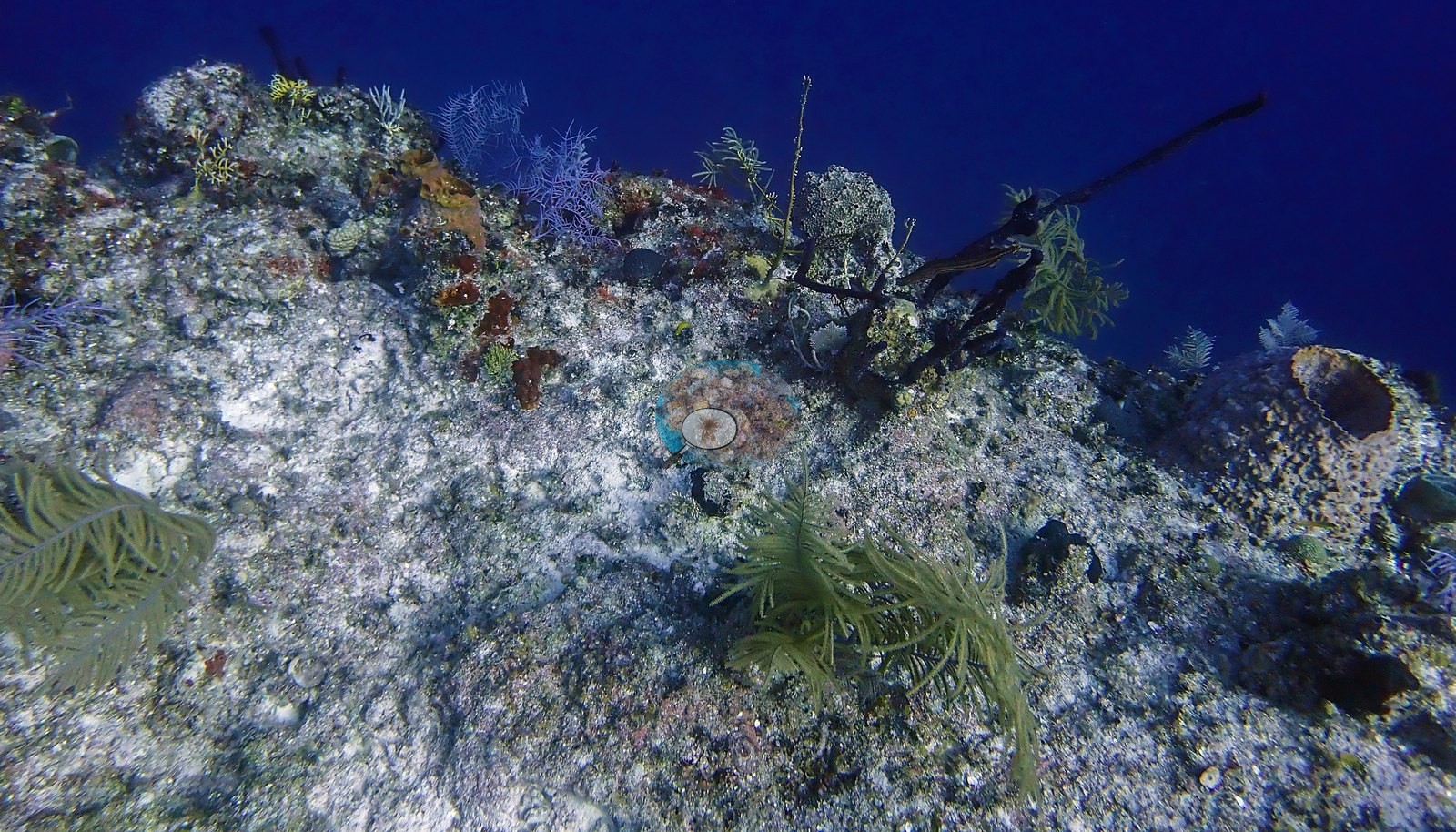
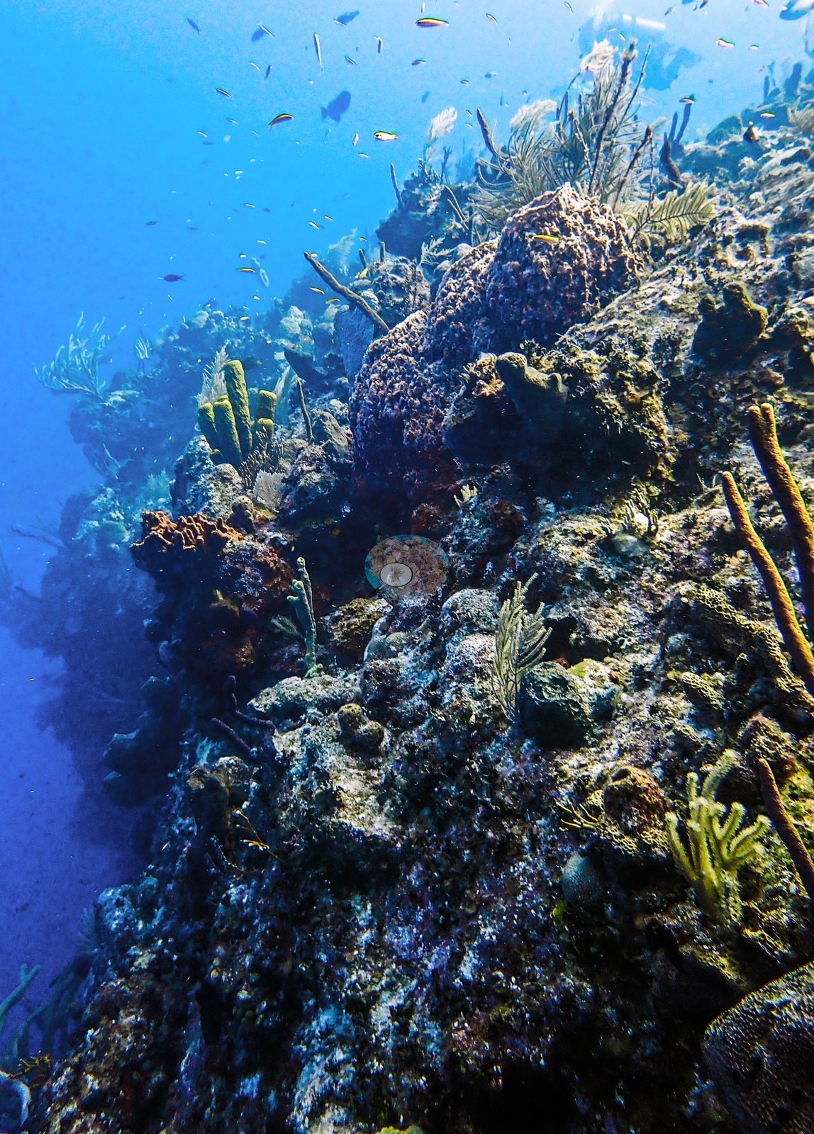
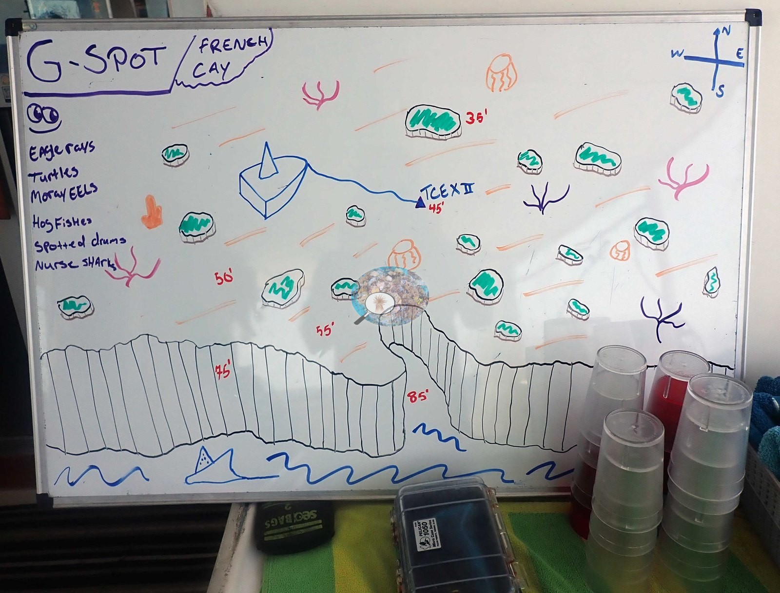
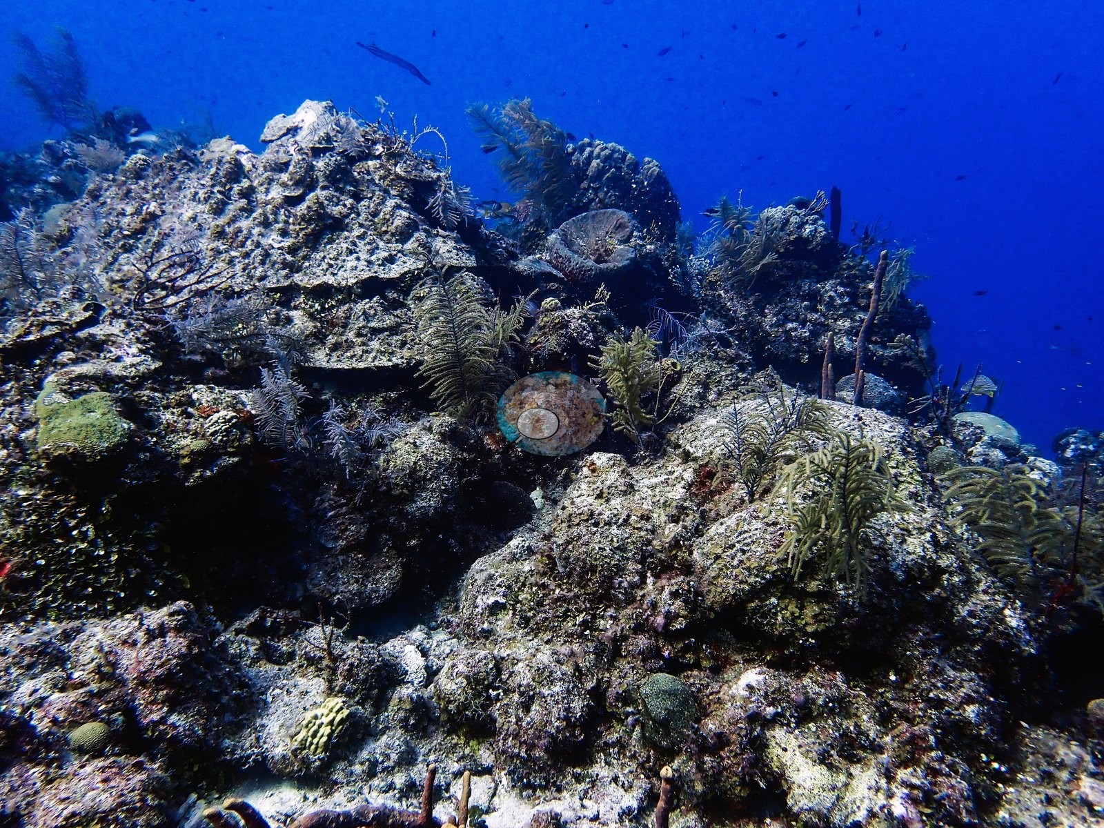
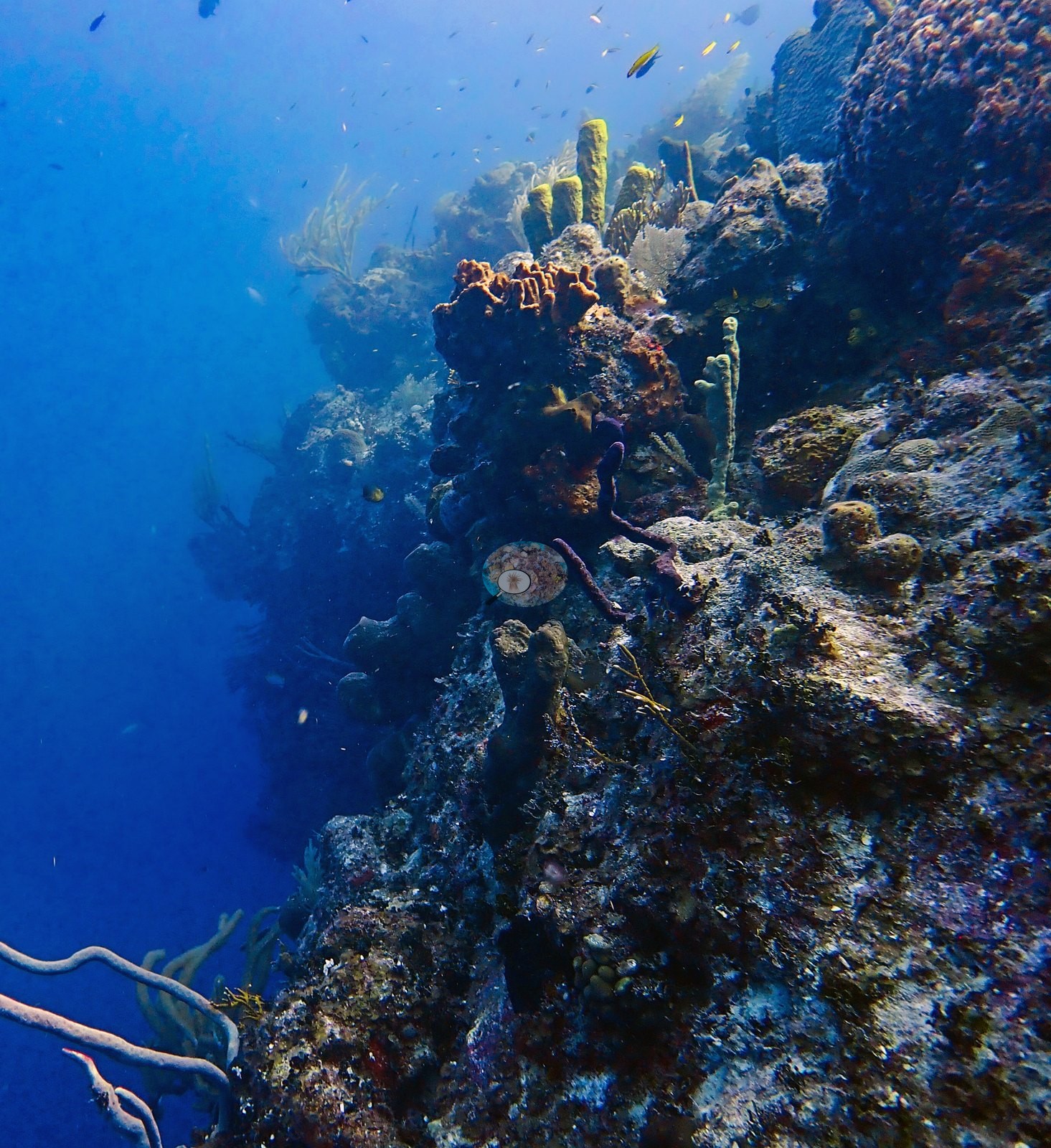
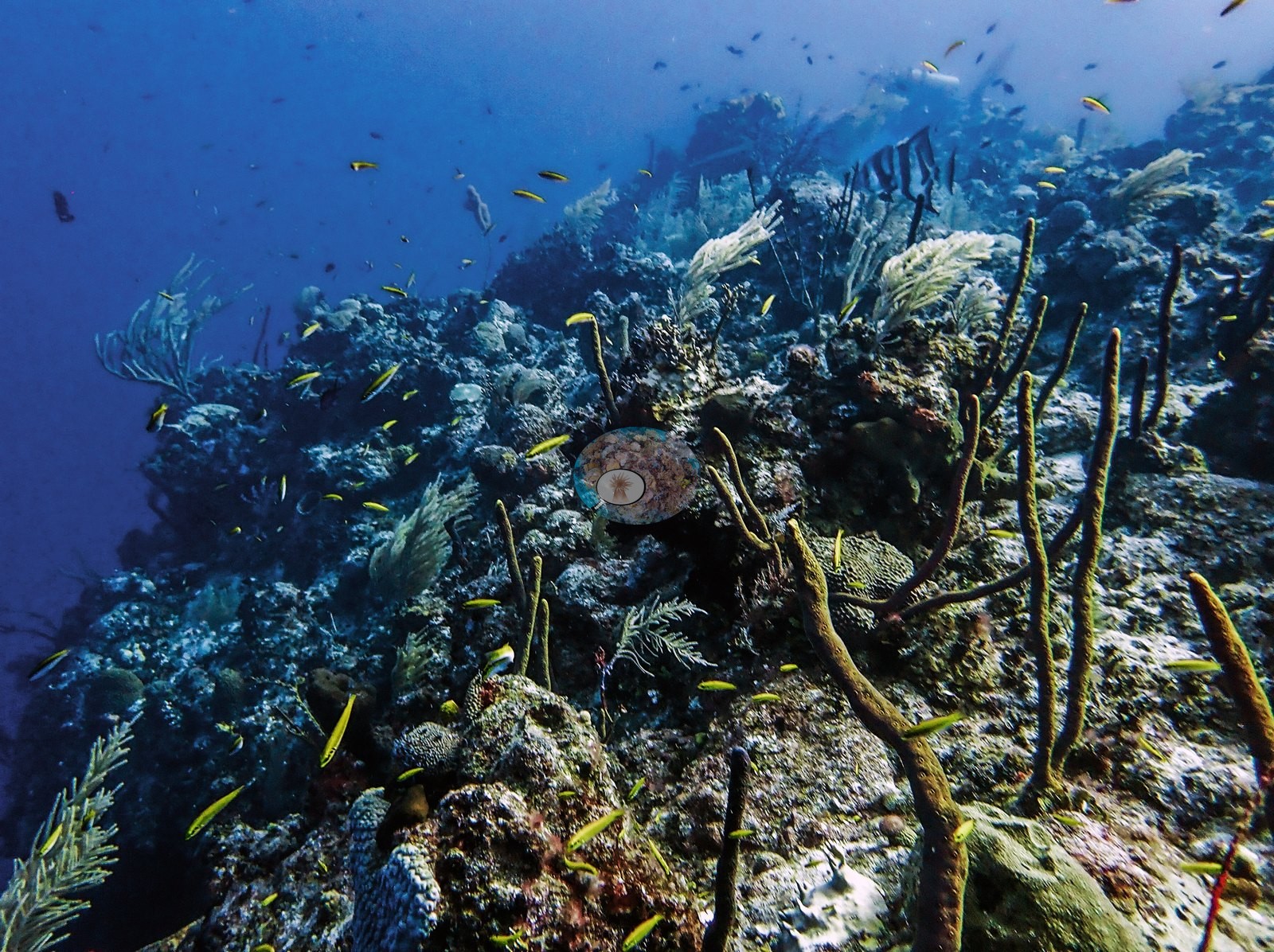
G Spot lies at French Cay in the Turks and Caicos, where a reef plateau at roughly 35-55 ft (about 11-17 m) gives way to a steep, V-shaped wall that drops past 85 ft through a distinct notch. Along the plateau edge, sponge-covered buttresses rise off the reef into blue water (e.g., Image 44).
General benthic features
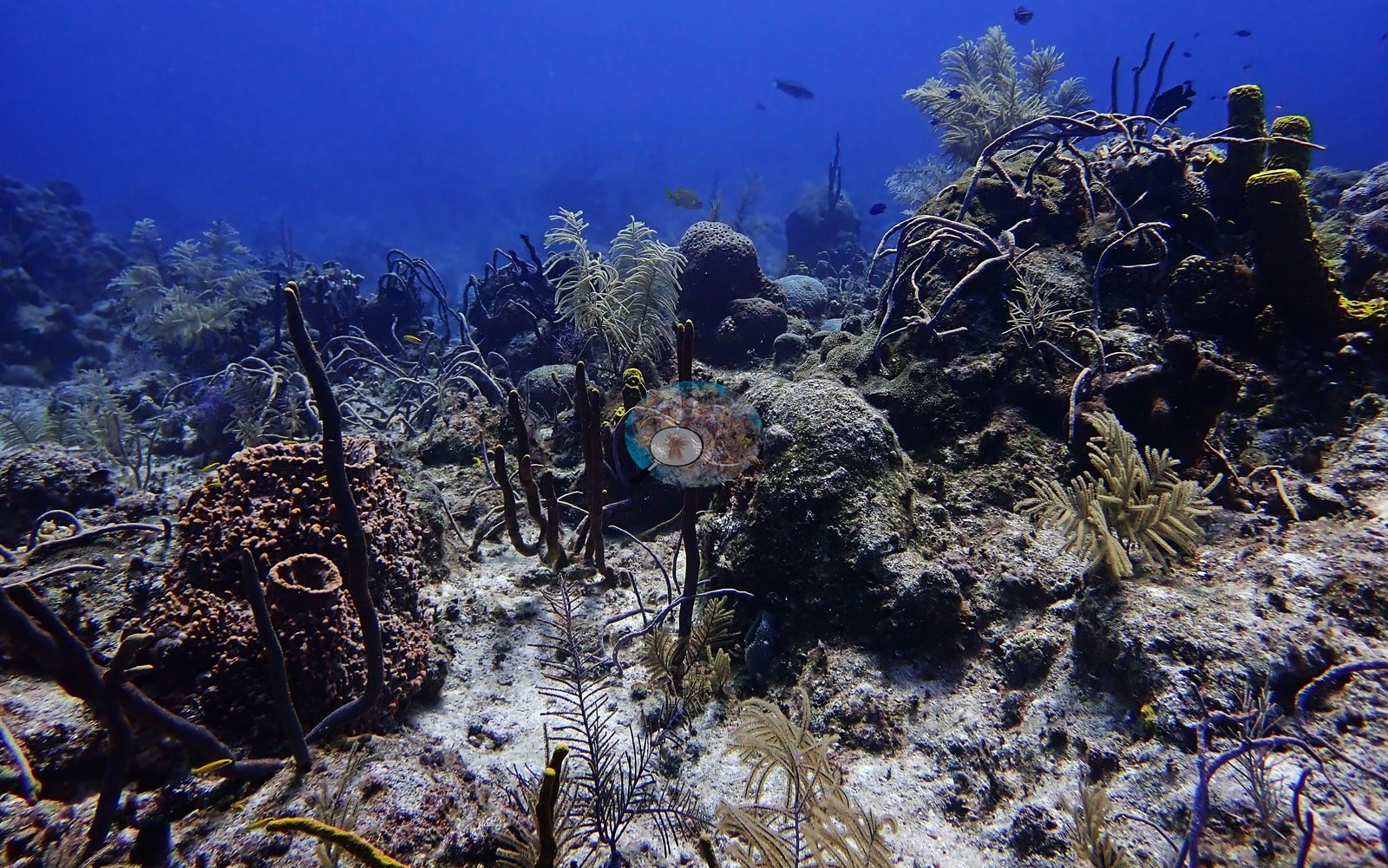
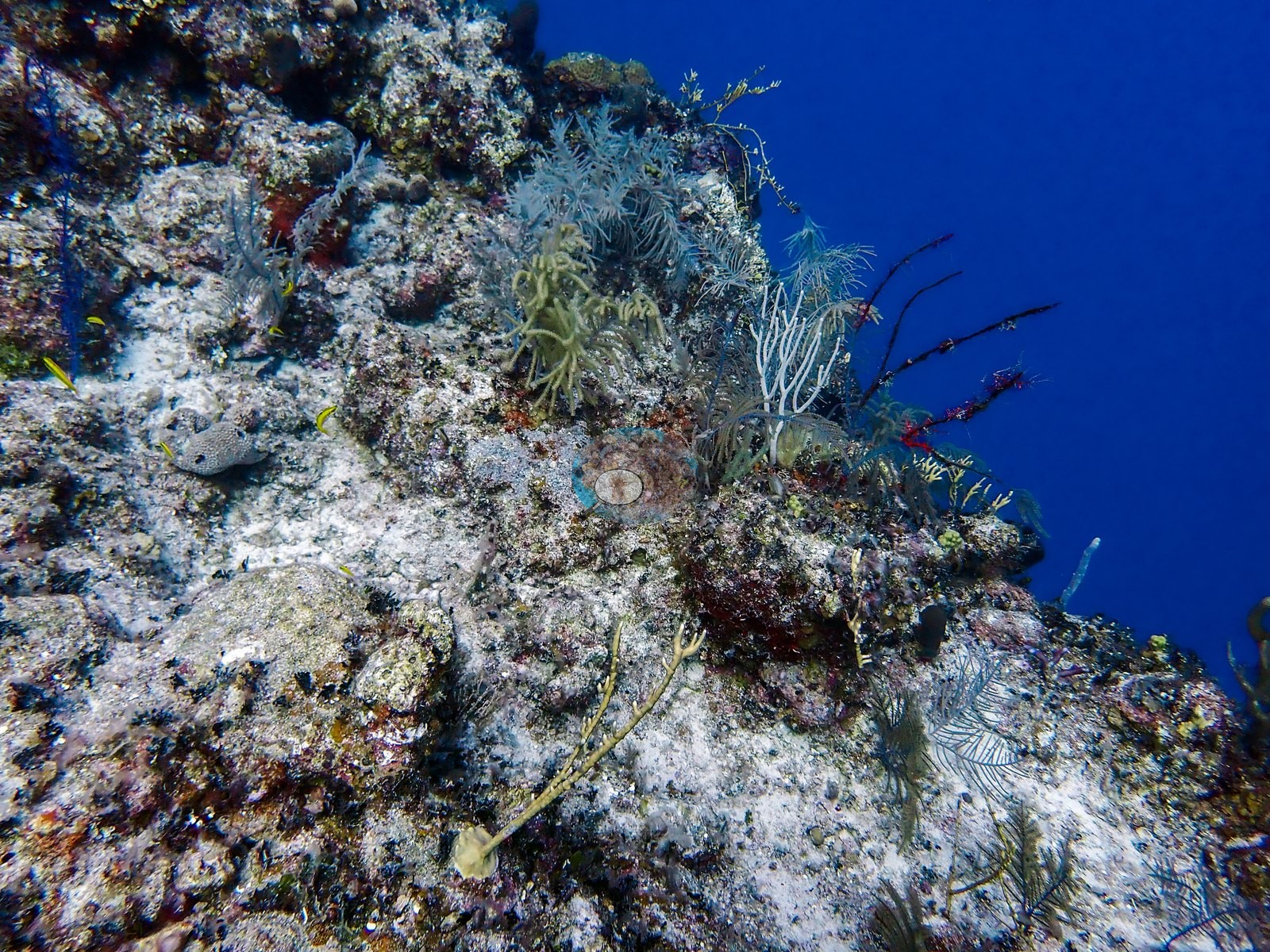
The plateau was low-relief, largely bare hardground of pale coralline-crusted pavement, rubble, and open white sand, with living coral scattered as isolated heads rather than continuous framework (e.g., Image 49).
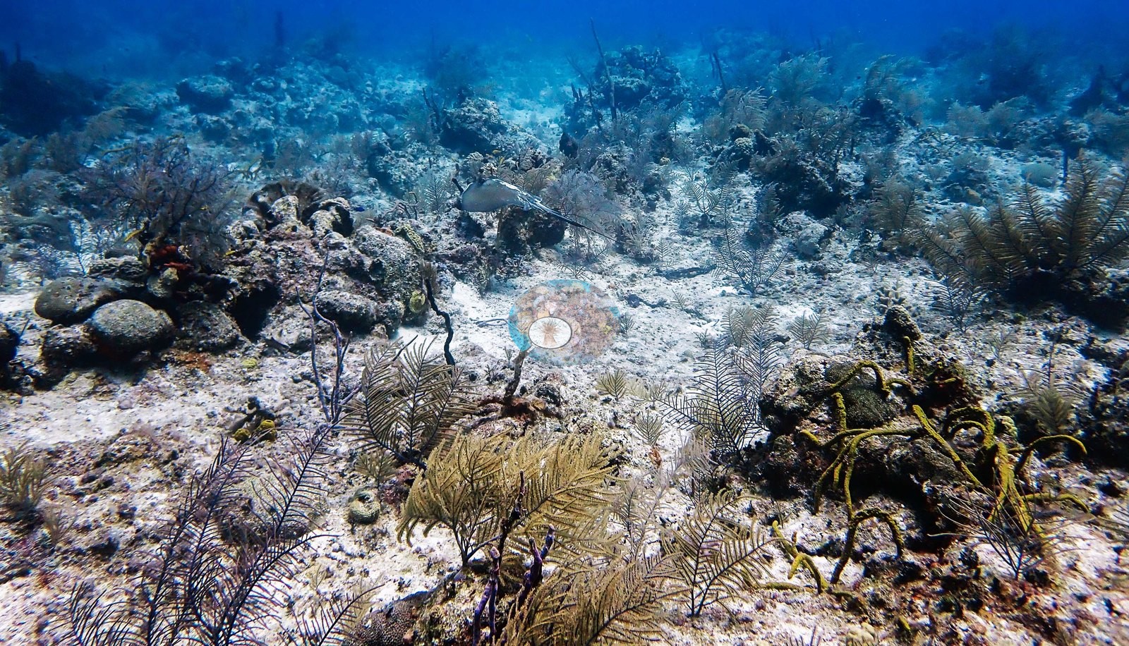
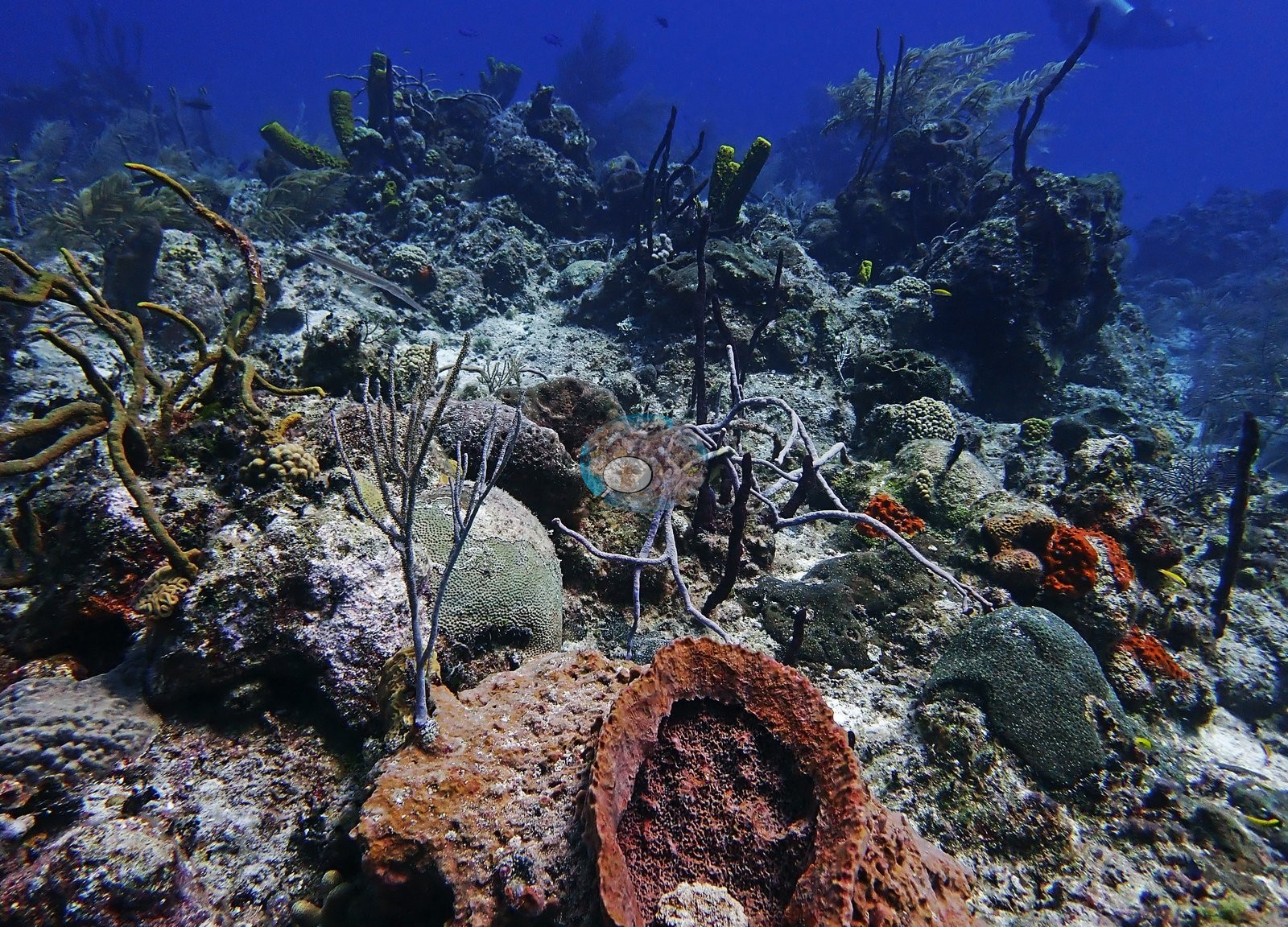
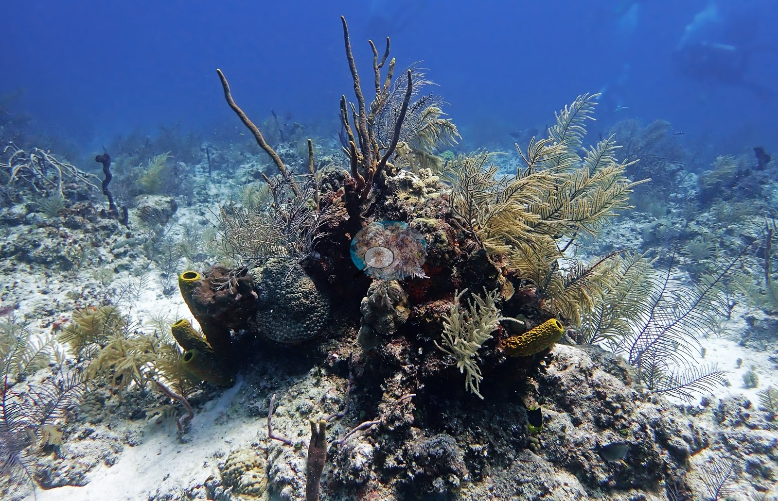
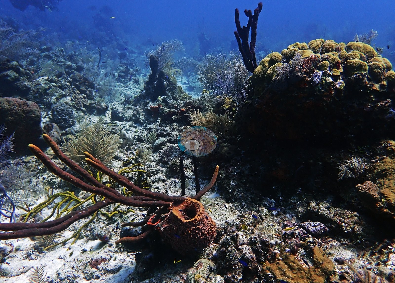
Sea plumes and sea rods stood in fields across it (e.g., Image 27), lavender rope sponges snaked over the rock (e.g., Image 11), and giant barrel sponges, brown branching tube sponges, and yellow tube sponges supplied most of the vertical structure (e.g., Image 2).
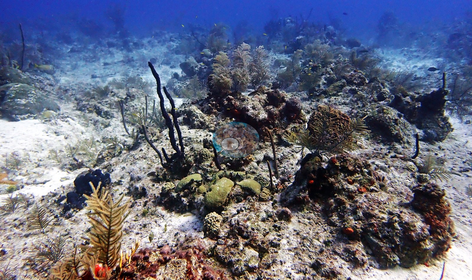
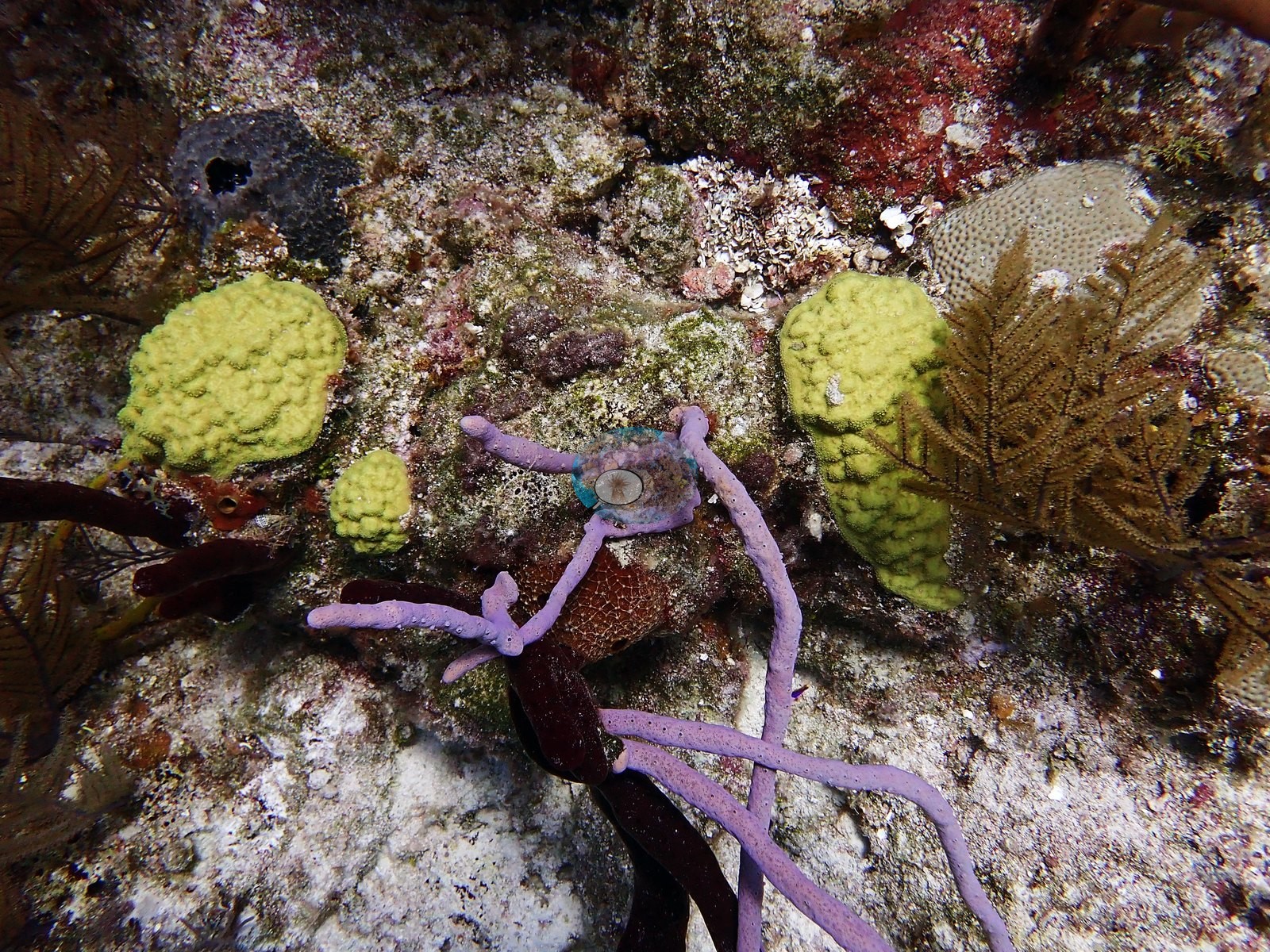
Hard corals included clusters of knobby, yellow-green mounding colonies (e.g., Image 4), a large symmetrical grooved brain coral in good condition (e.g., Image 39), massive heads carrying smaller brain colonies and yellow tube sponges (e.g., Image 3), large-corallite reddish massive colonies, and tiered golden-brown plating colonies.
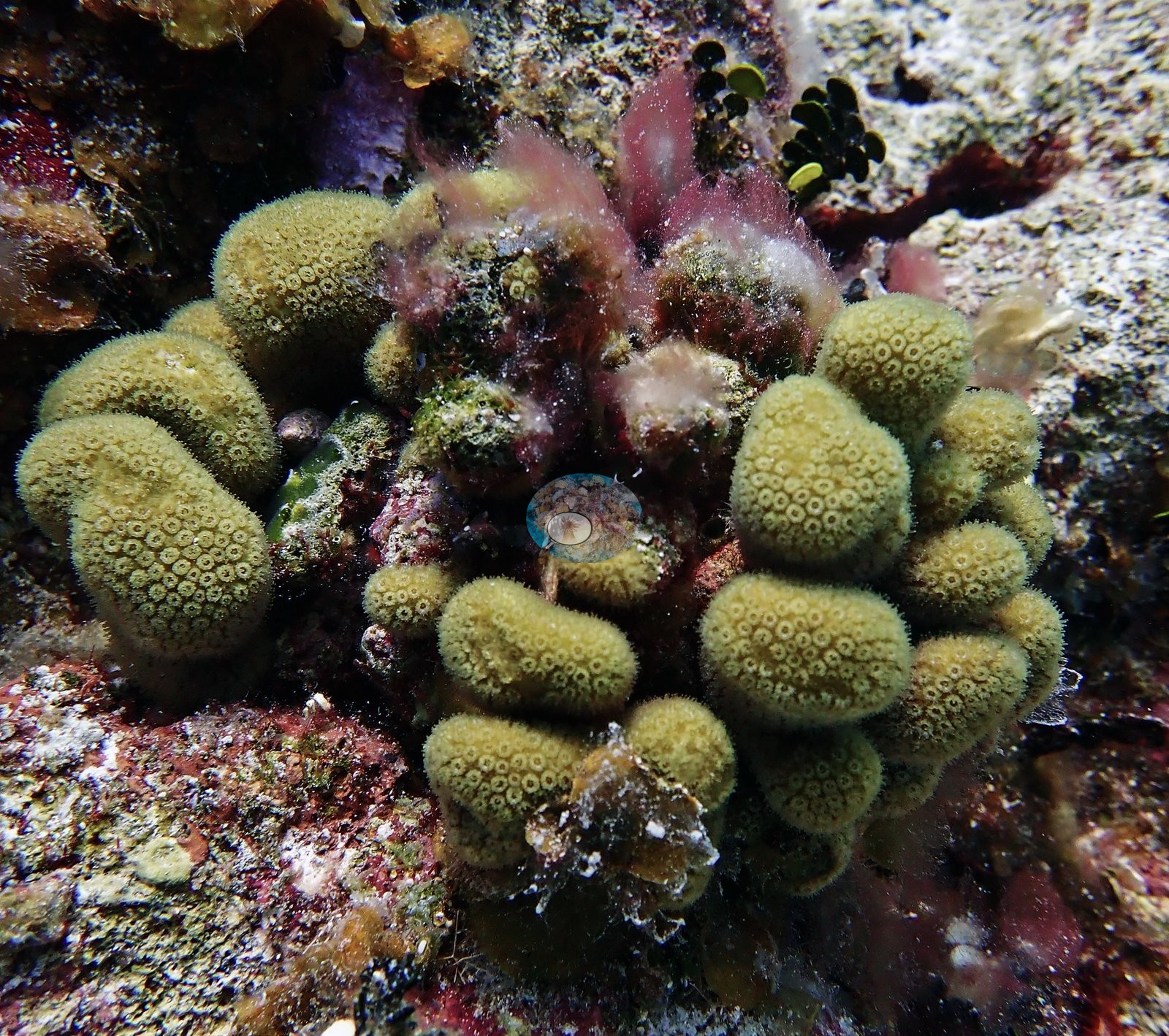
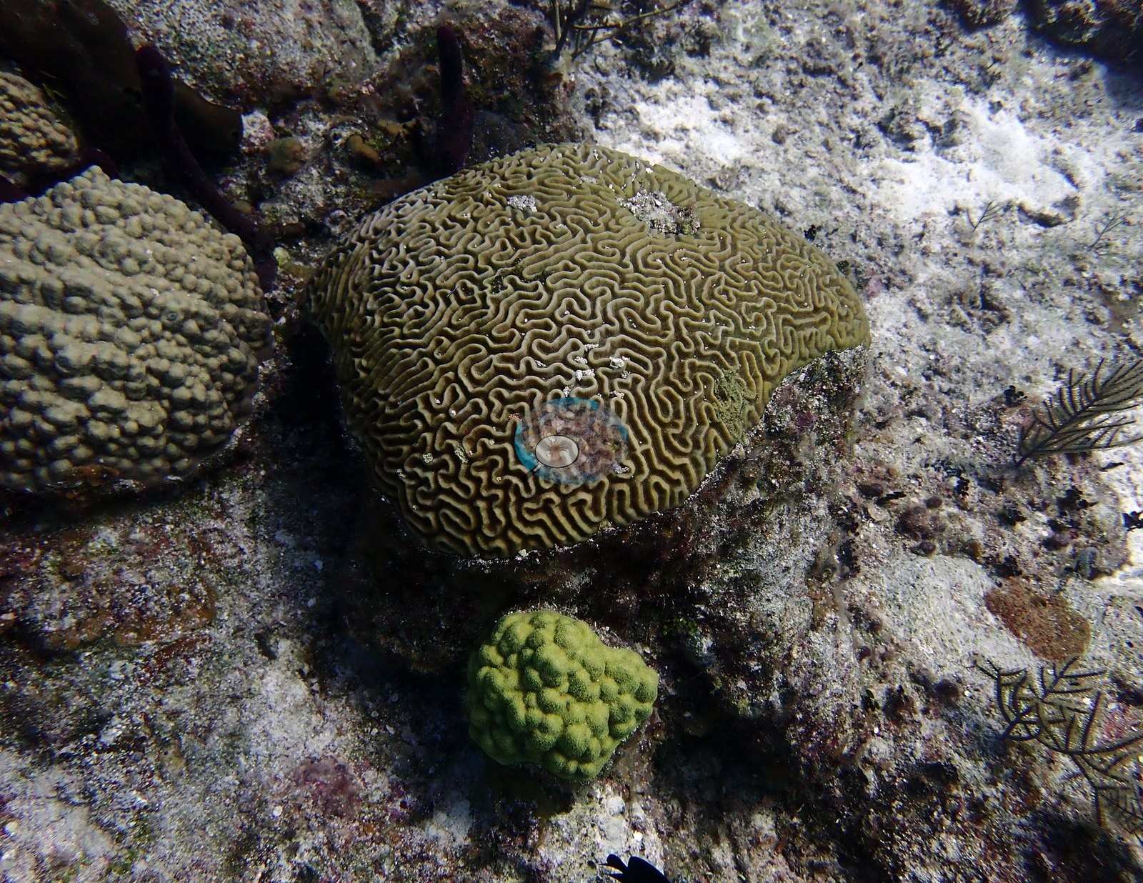
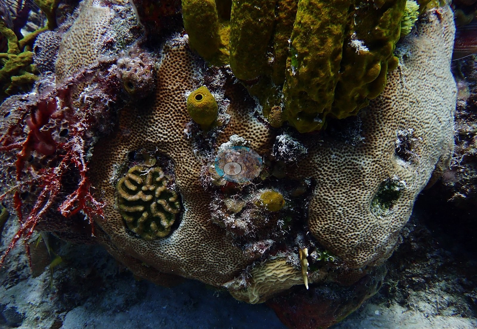
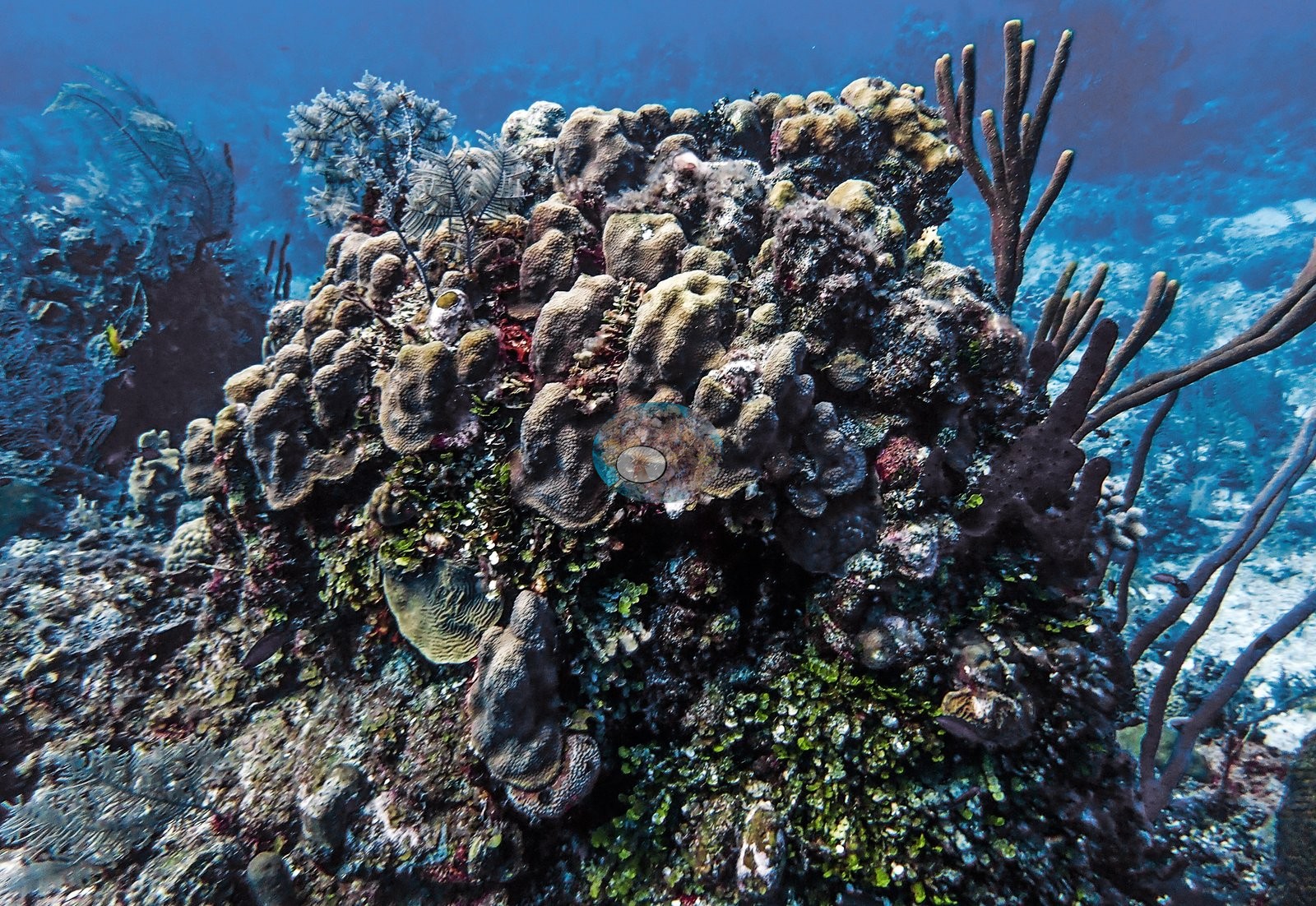
The best coral development was on discrete mounds, one of them a knoll packed with lobed and plating colonies (e.g., Image 1), but those mounds were the exception across the dive.
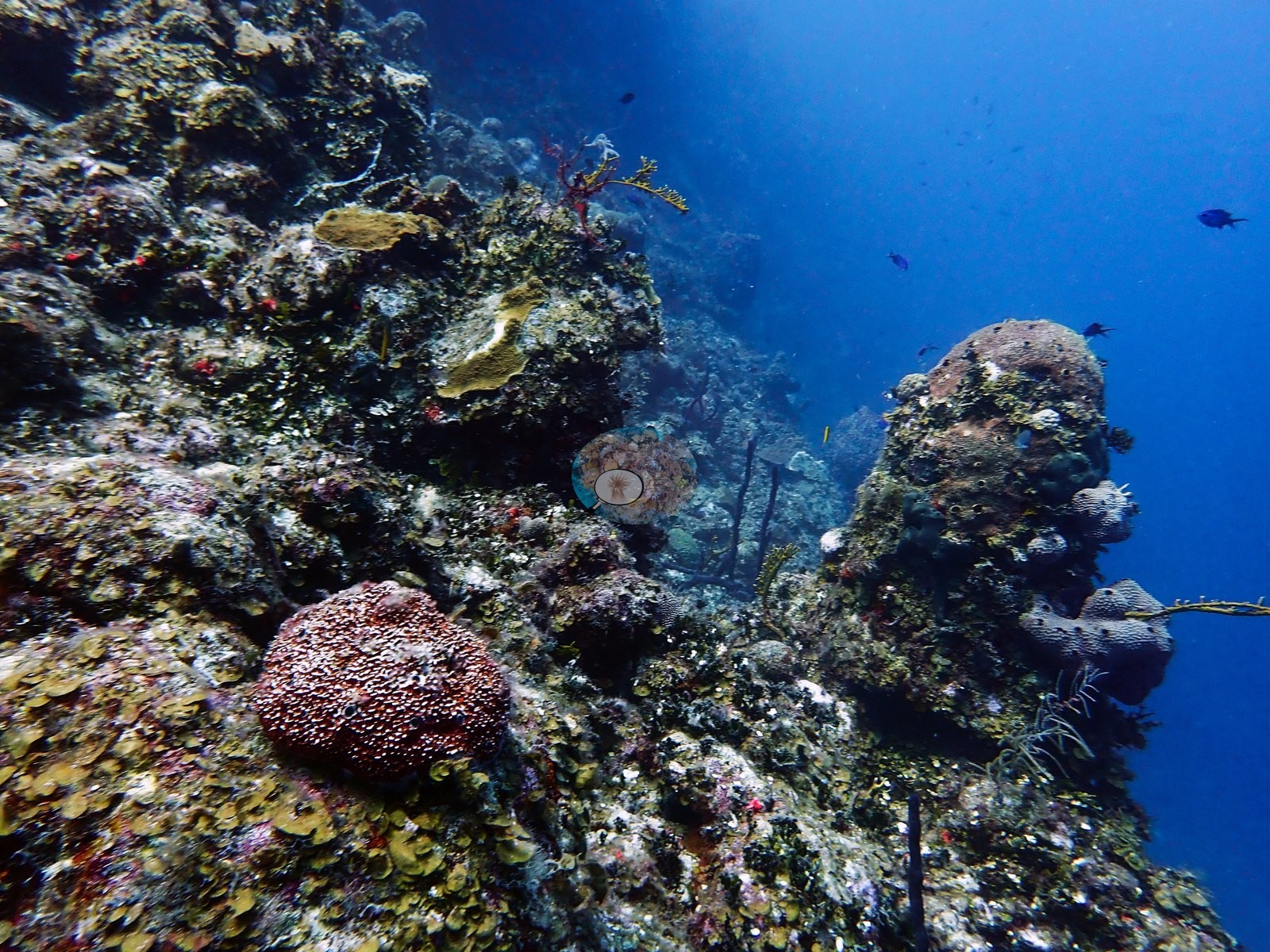
The wall lip and face were lined with black wire coral, branching antipatharians, sea whips, and encrusting sponges over rock that was predominantly turf- and coralline-covered rather than coral-covered (e.g., Image 12).
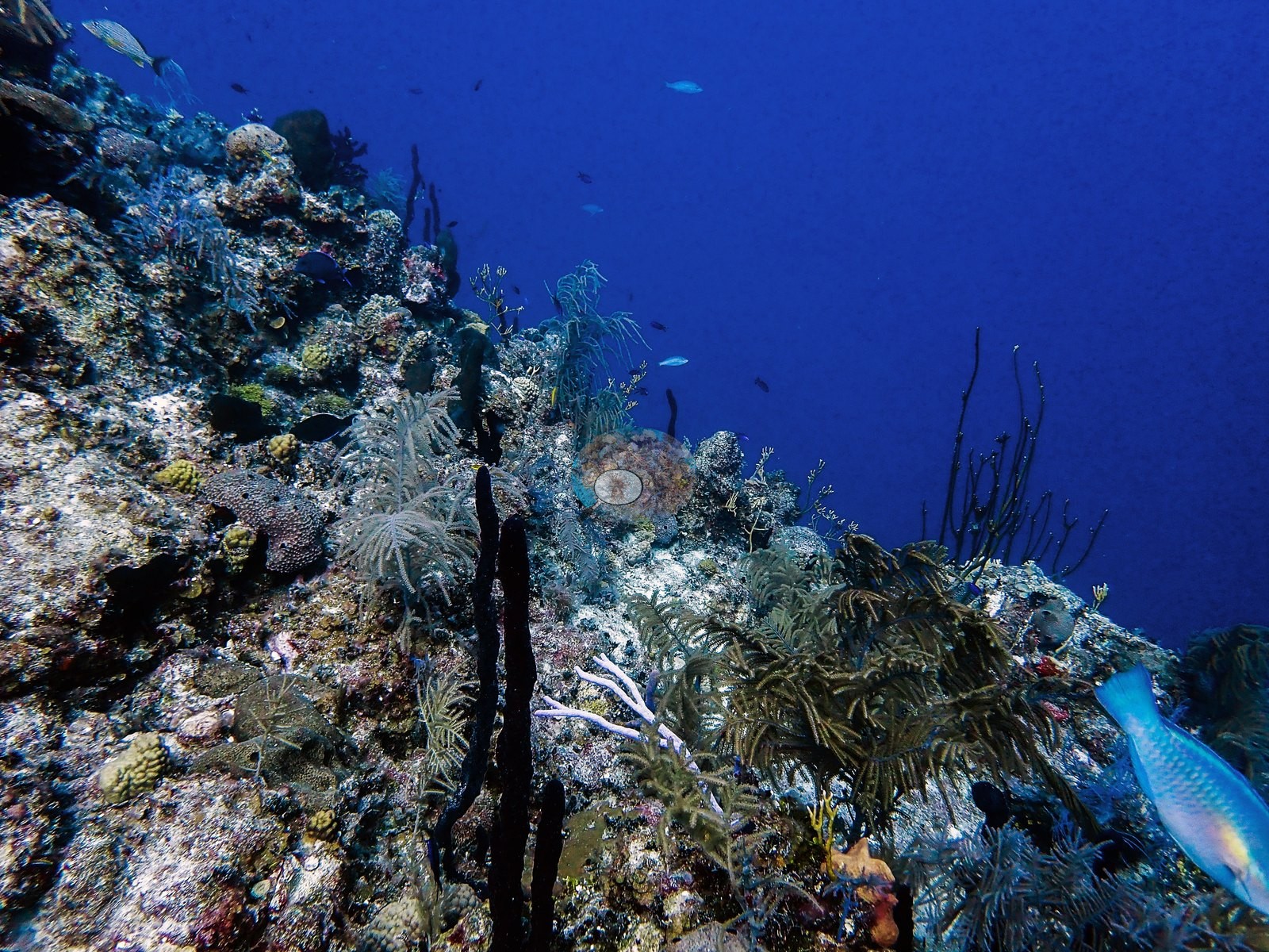
Clusters of golden cup coral also grew on the wall. Green calcareous algae and algal turf filled much of the space between colonies, and on several reef mounds the algae-and-turf mosaic was the dominant cover. Several wide frames across the plateau contained almost no live coral.
Coral cover
- Reference: Claude CV point count (this site's photos)
- Coral cover: 4.6% — a blind Claude computer-vision point count of 47 of Anderson's edited photographs (the mean of the two dives' means; 20 points per photo; water, fish, and obstructions excluded). Other computer-vision methods are listed in the method table.
Stressors
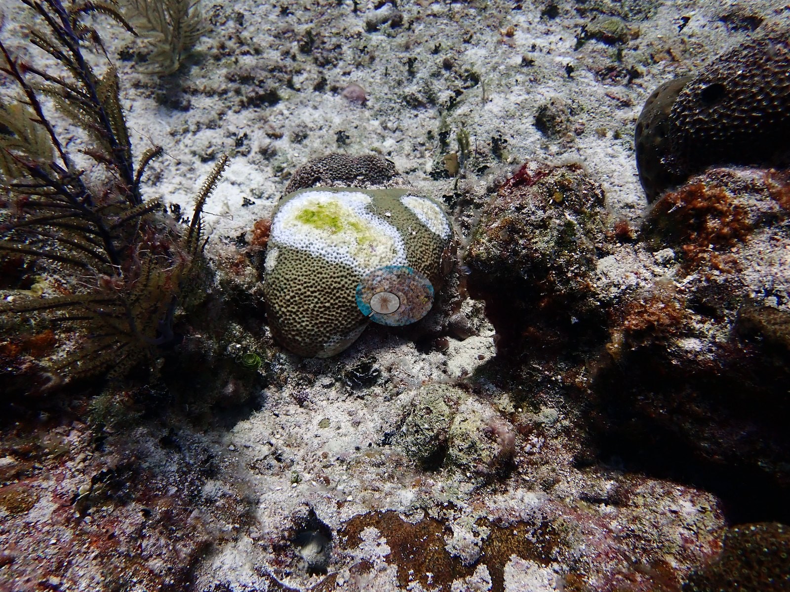
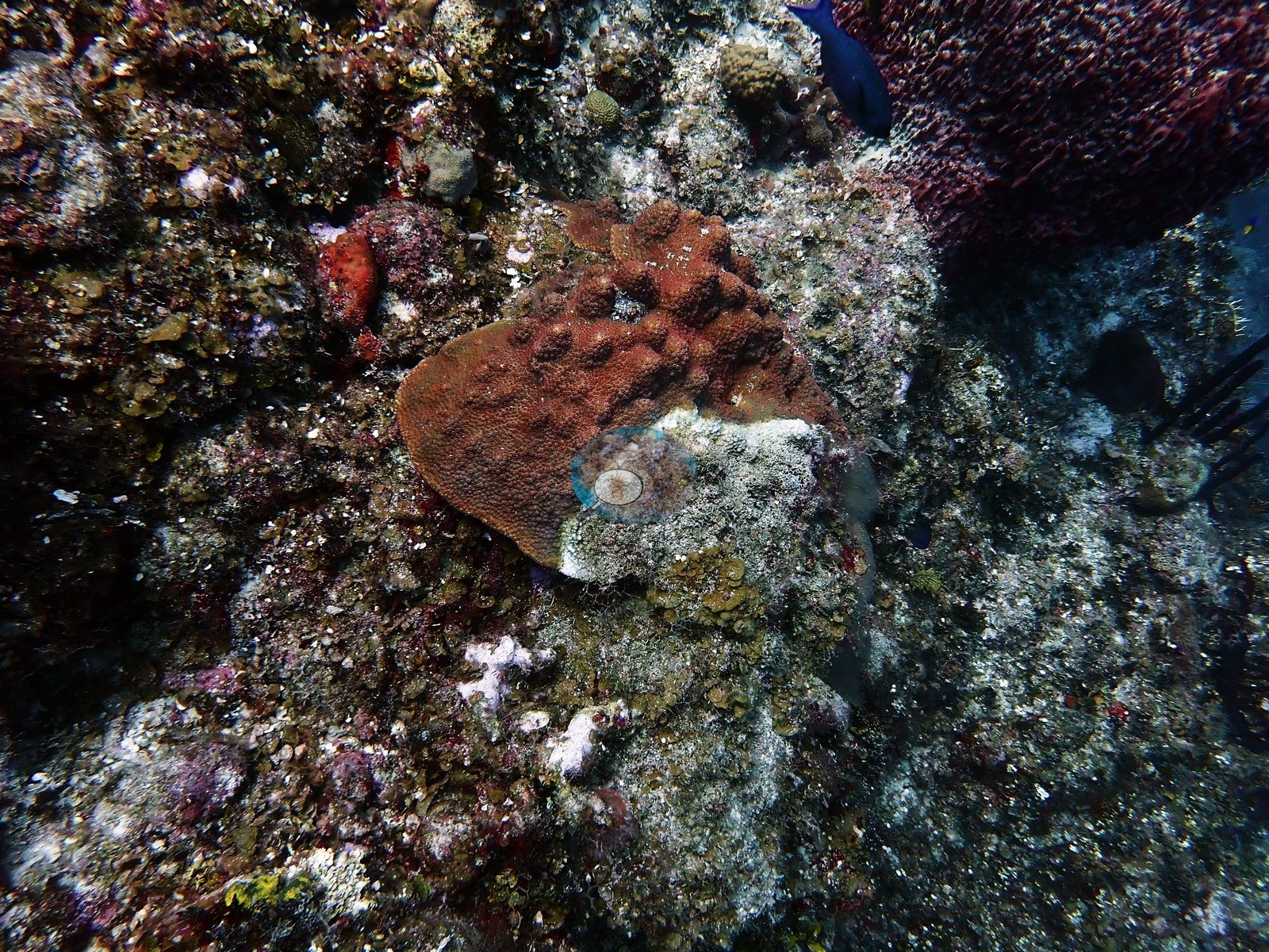
Recent tissue loss was the clearest condition signal in the set. A small massive head carried a large white patch of freshly exposed skeleton already greening with algae (e.g., Image 33), and a reddish massive colony showed a sharp lesion front with bare white skeleton along its lower margin (e.g., Image 31).
Two frames of the same tiered plating colony showed a white patch of recently dead skeleton mid-colony (e.g., Image 24, Image 25).
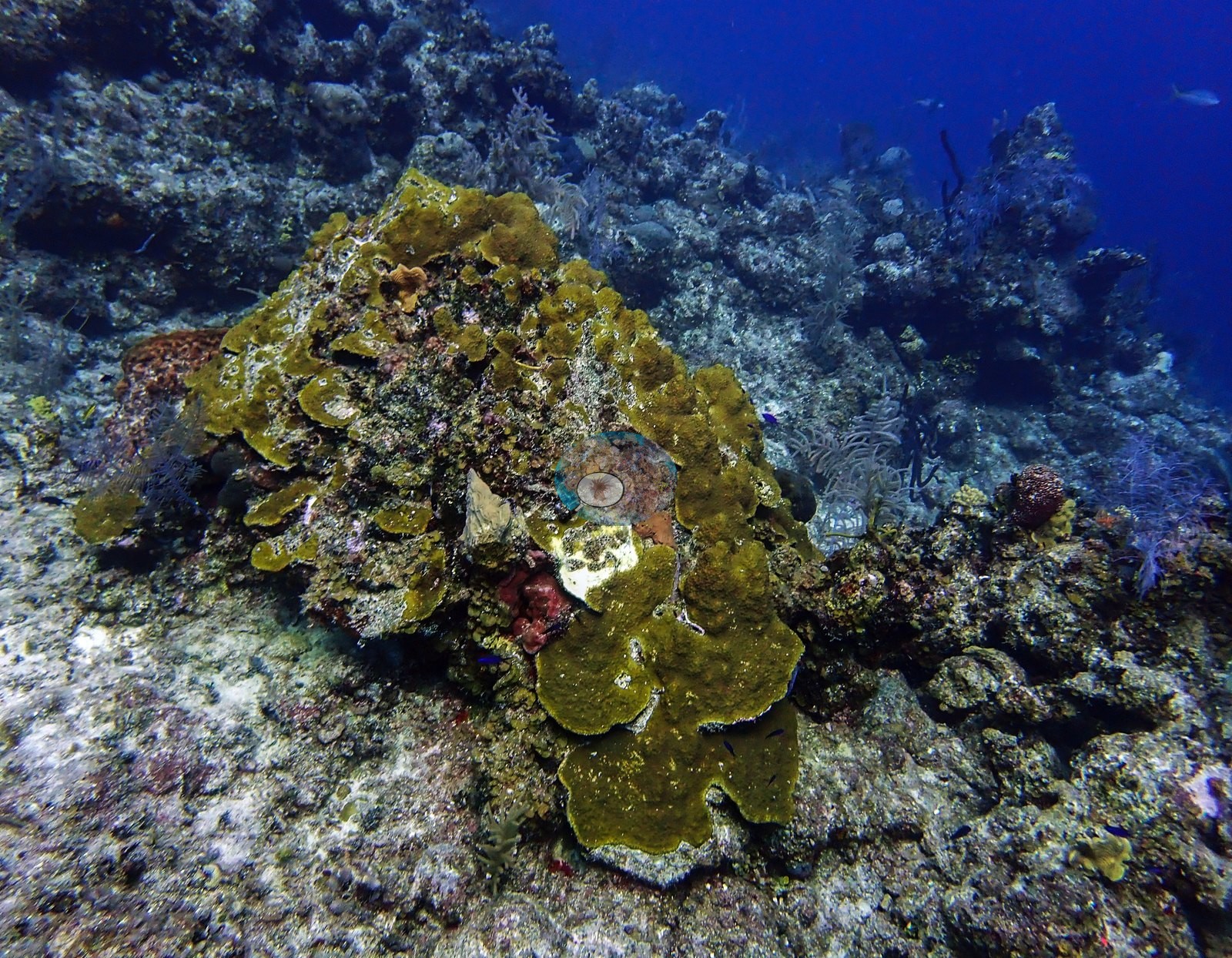
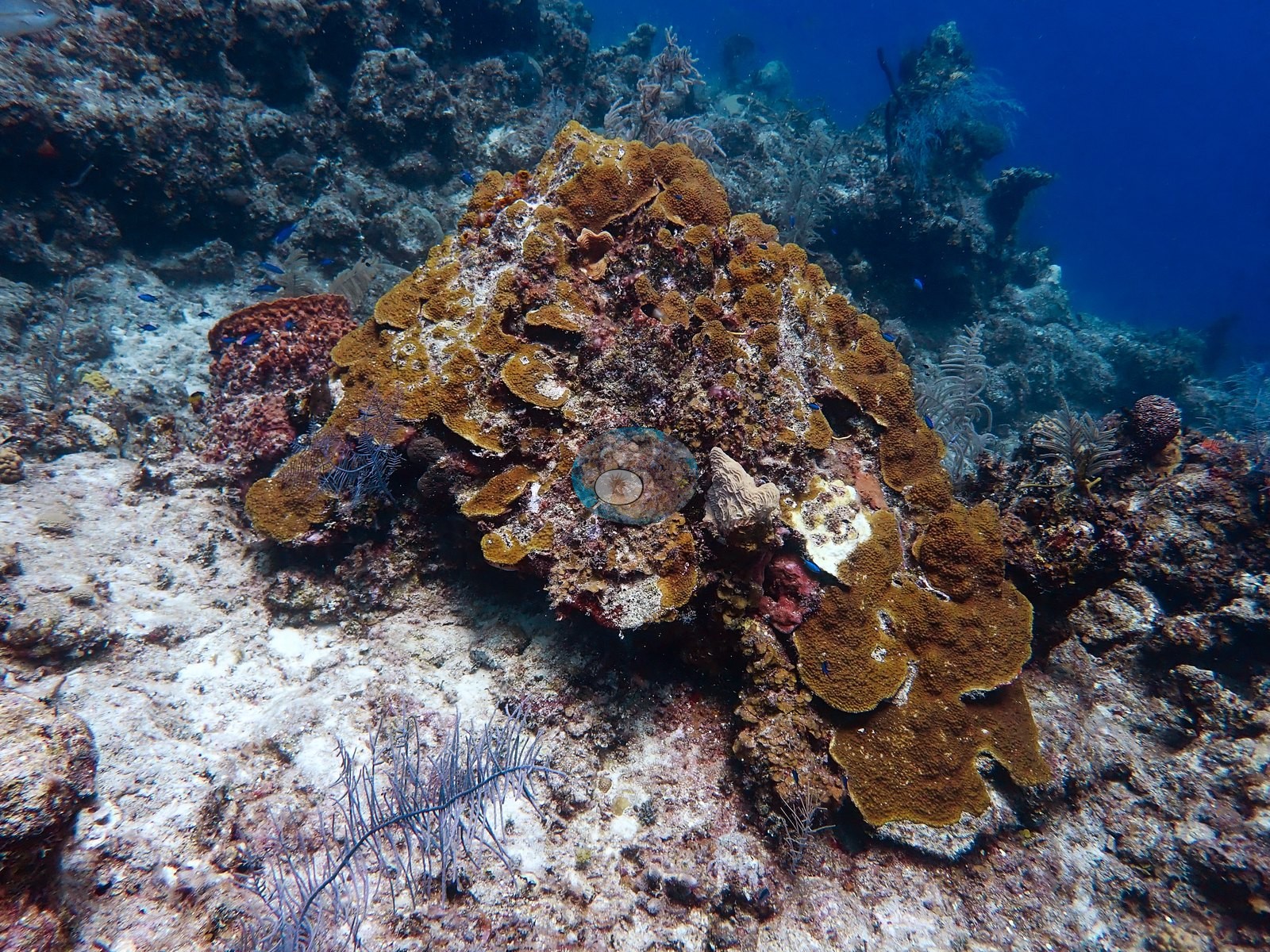
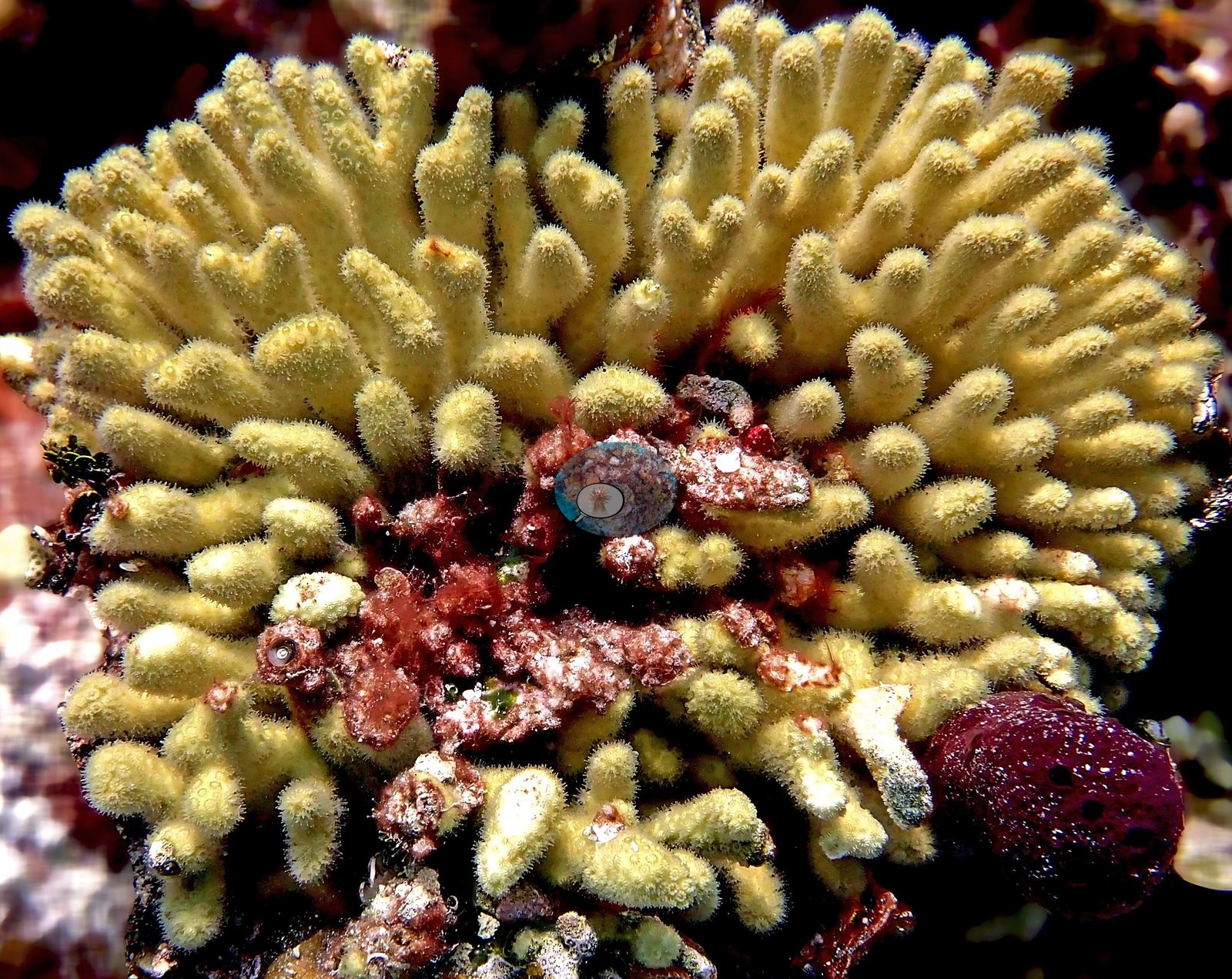
These lesions are consistent with a tissue-loss disease, but no disease can be diagnosed from a photograph. A finger-like branching colony showed partial mortality, with a living, polyp-extended crown over lower branches that were dead and colonized by red algae and crustose coralline algae (e.g., Image 7).
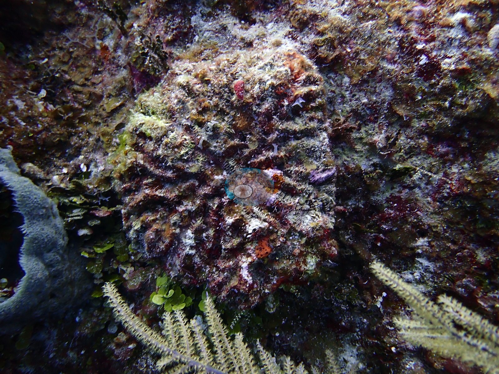
A large ridged massive colony on the wall was largely overgrown by turf and red algae (e.g., Image 42).
No bleaching was evident; the living corals were normally pigmented. The broader signature was extensive old framework carrying turf, algae, and sponges instead of coral. The five-year mean annual maximum heat stress for this Bahamian ecoregion is 9.1 degree heating weeks (NOAA Coral Reef Watch). No corallivores evident.
Fish and other fauna
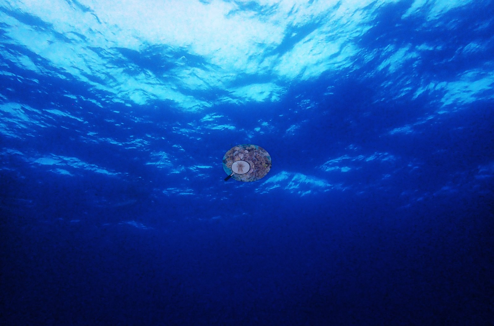
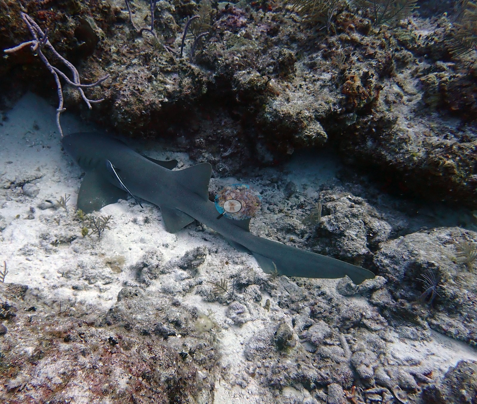
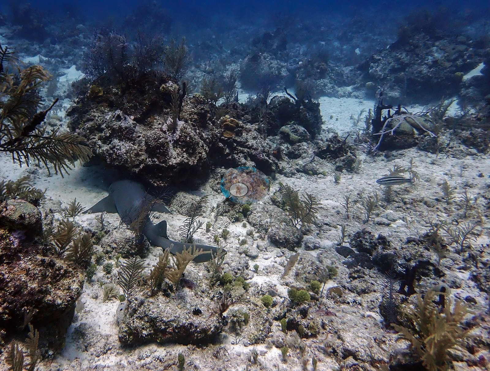
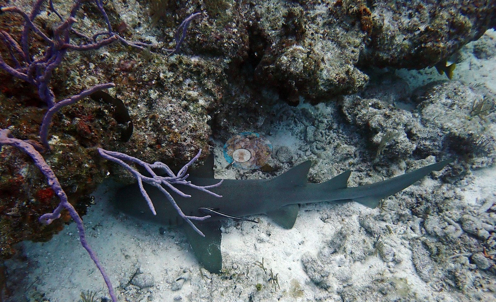
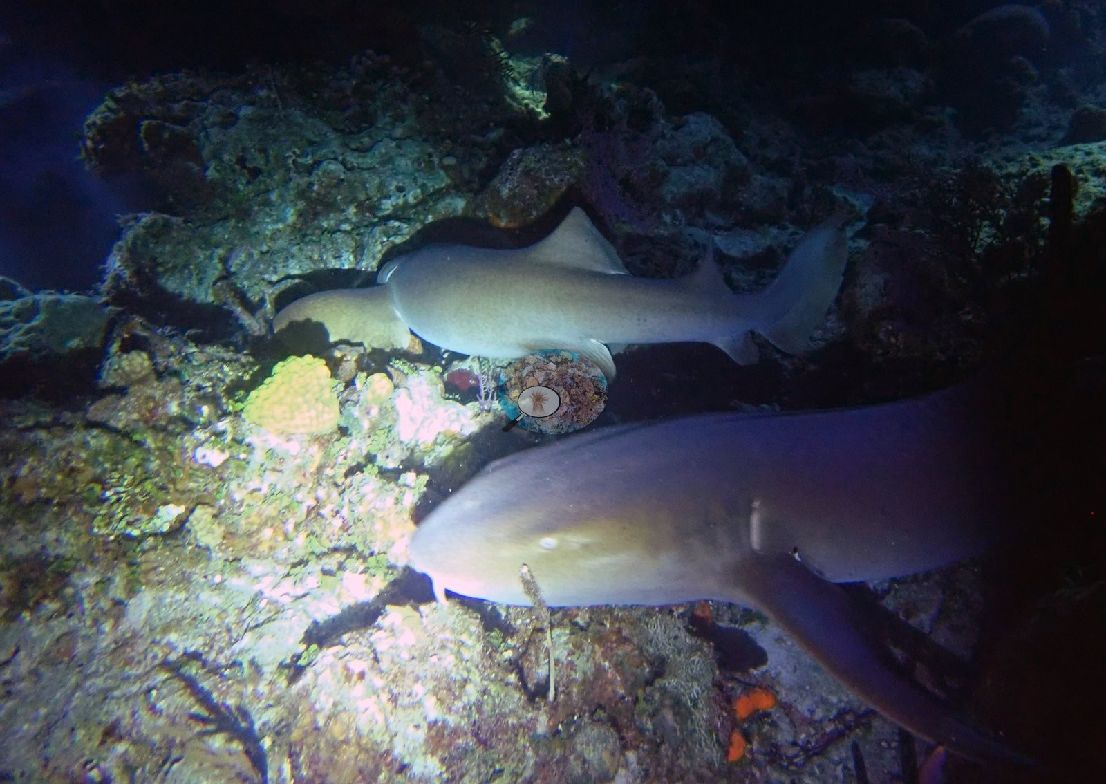
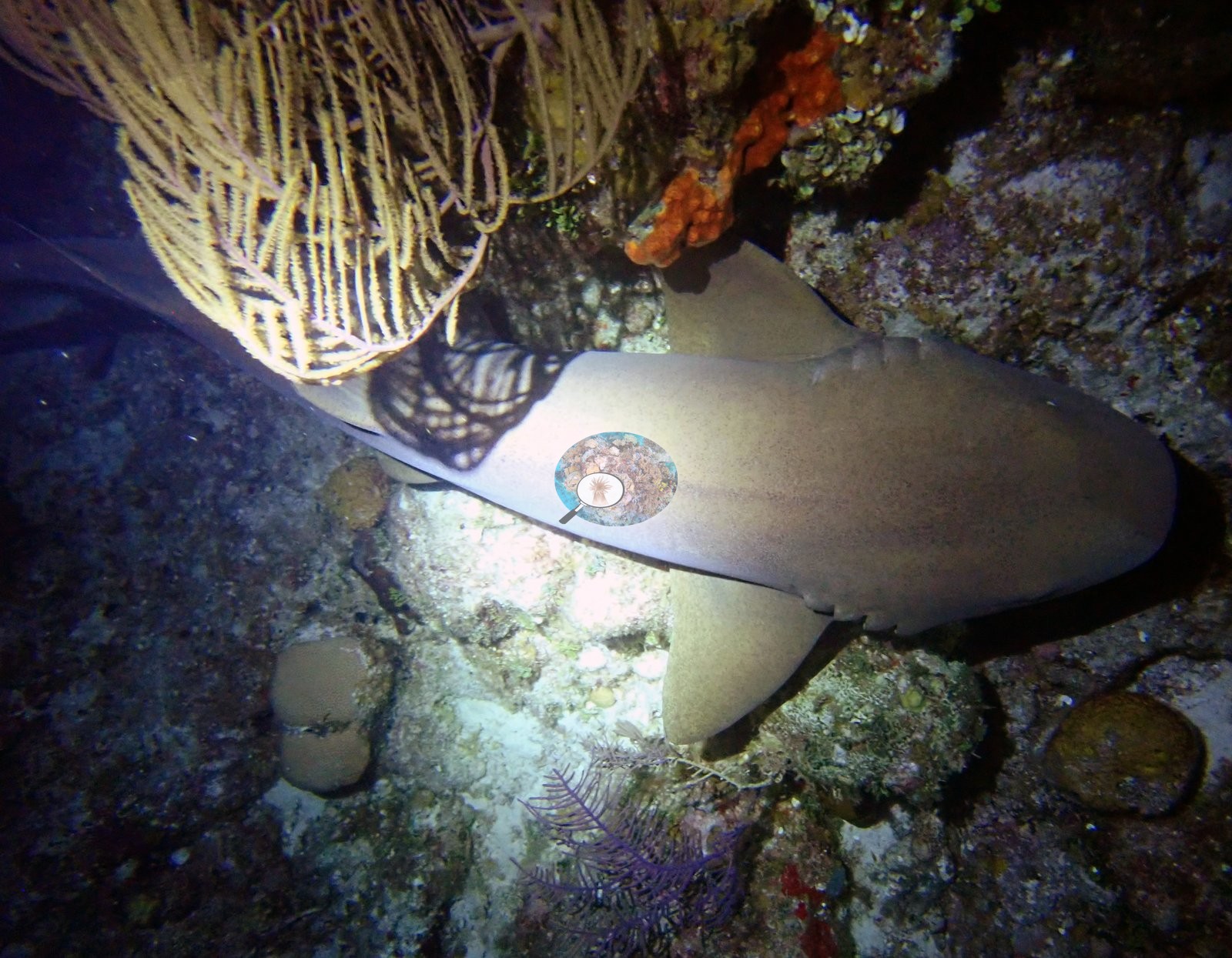
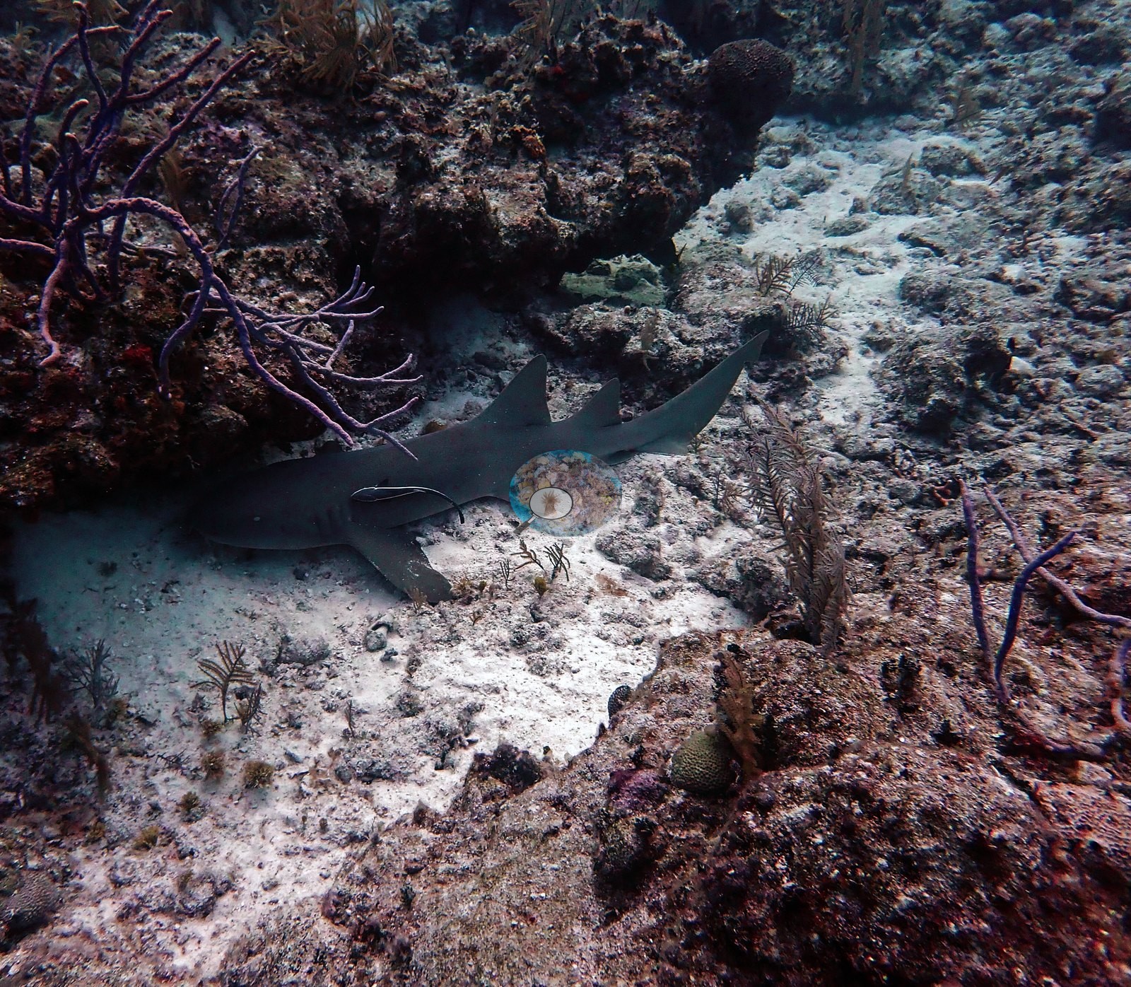
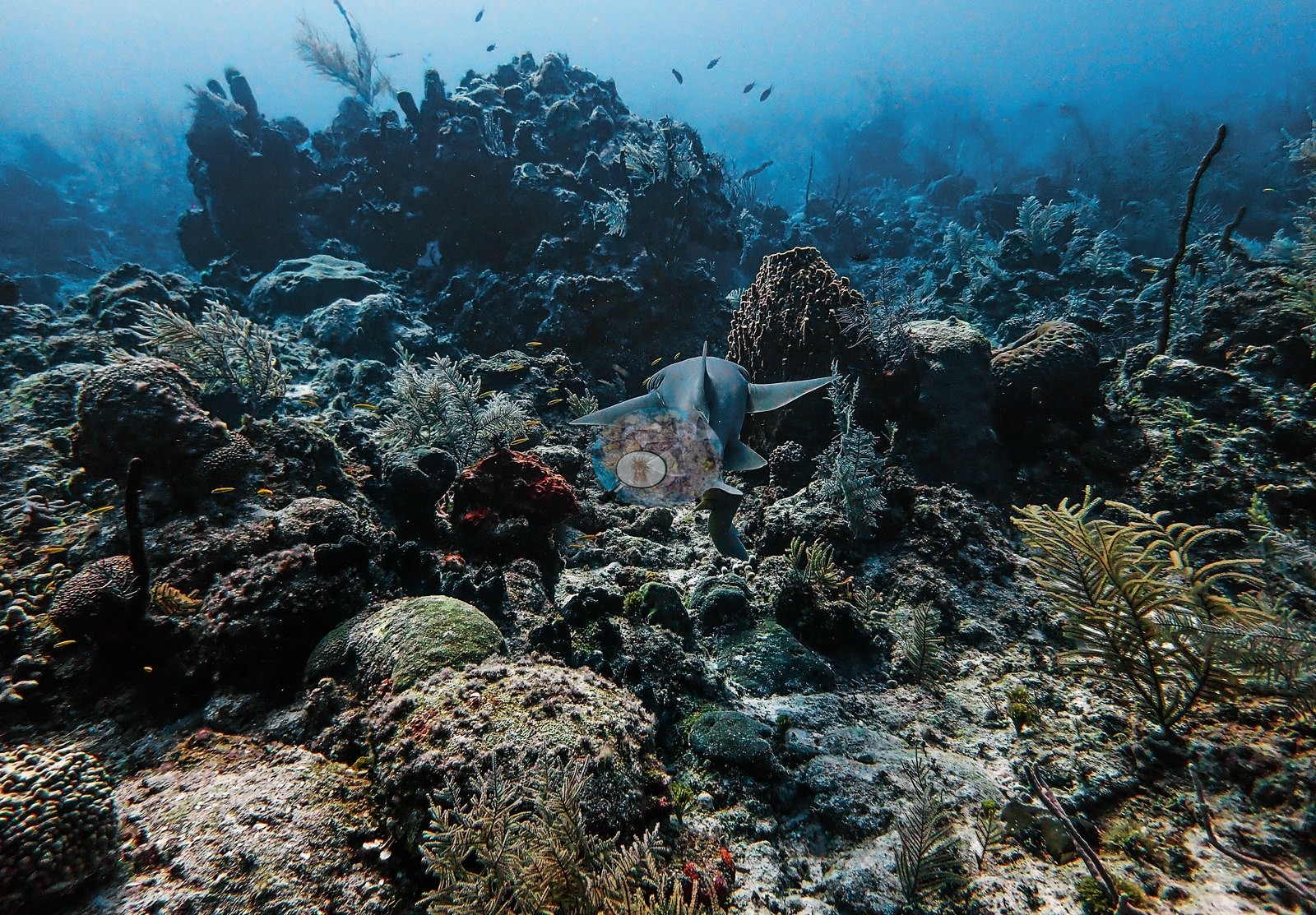
Nurse sharks were especially abundant: on the night dive they were densely packed along the reef, two lying flank to flank under a ledge (e.g., Image 6) and another working beneath a gorgonian (e.g., Image 5), and by day they rested in sand channels under ledges (e.g., Image 18) and cruised over the reef (e.g., Image 40).
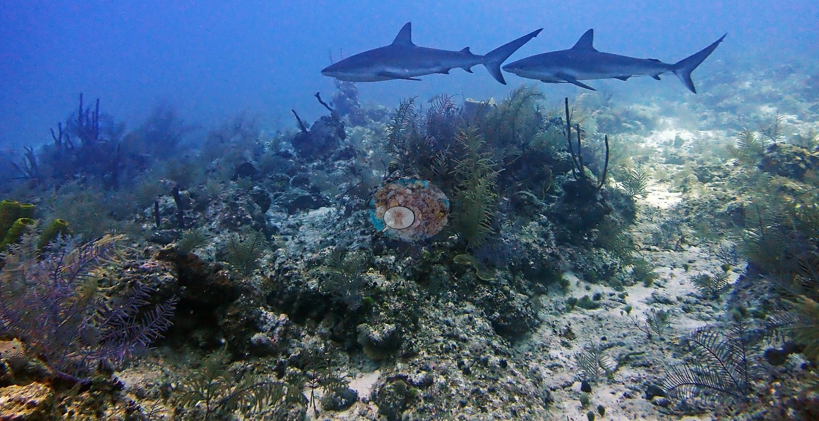
A pair of reef sharks cruised in formation just above the plateau (e.g., Image 47).
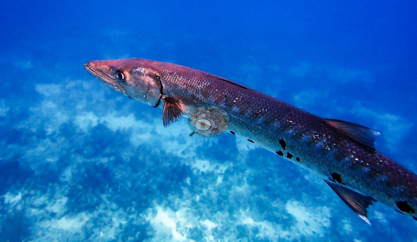
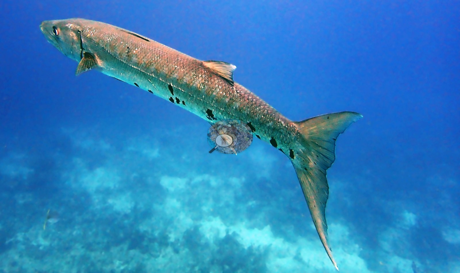
Barracuda hung over the plateau and were photographed twice at close range (e.g., Image 8).
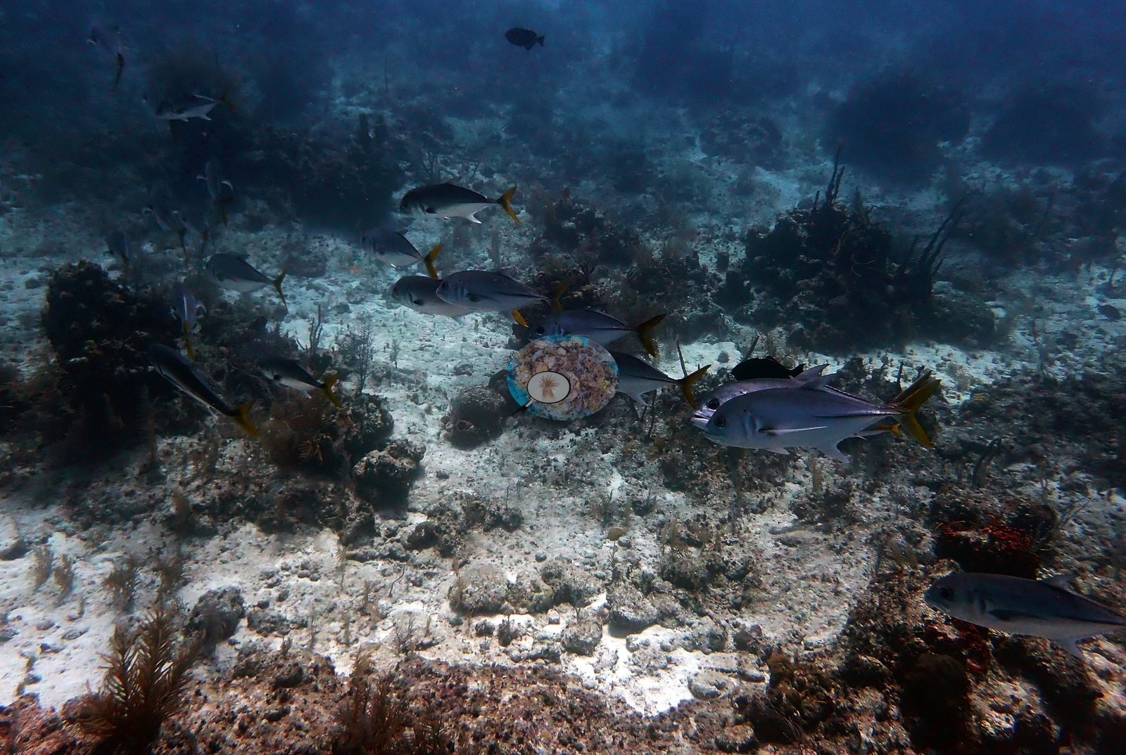
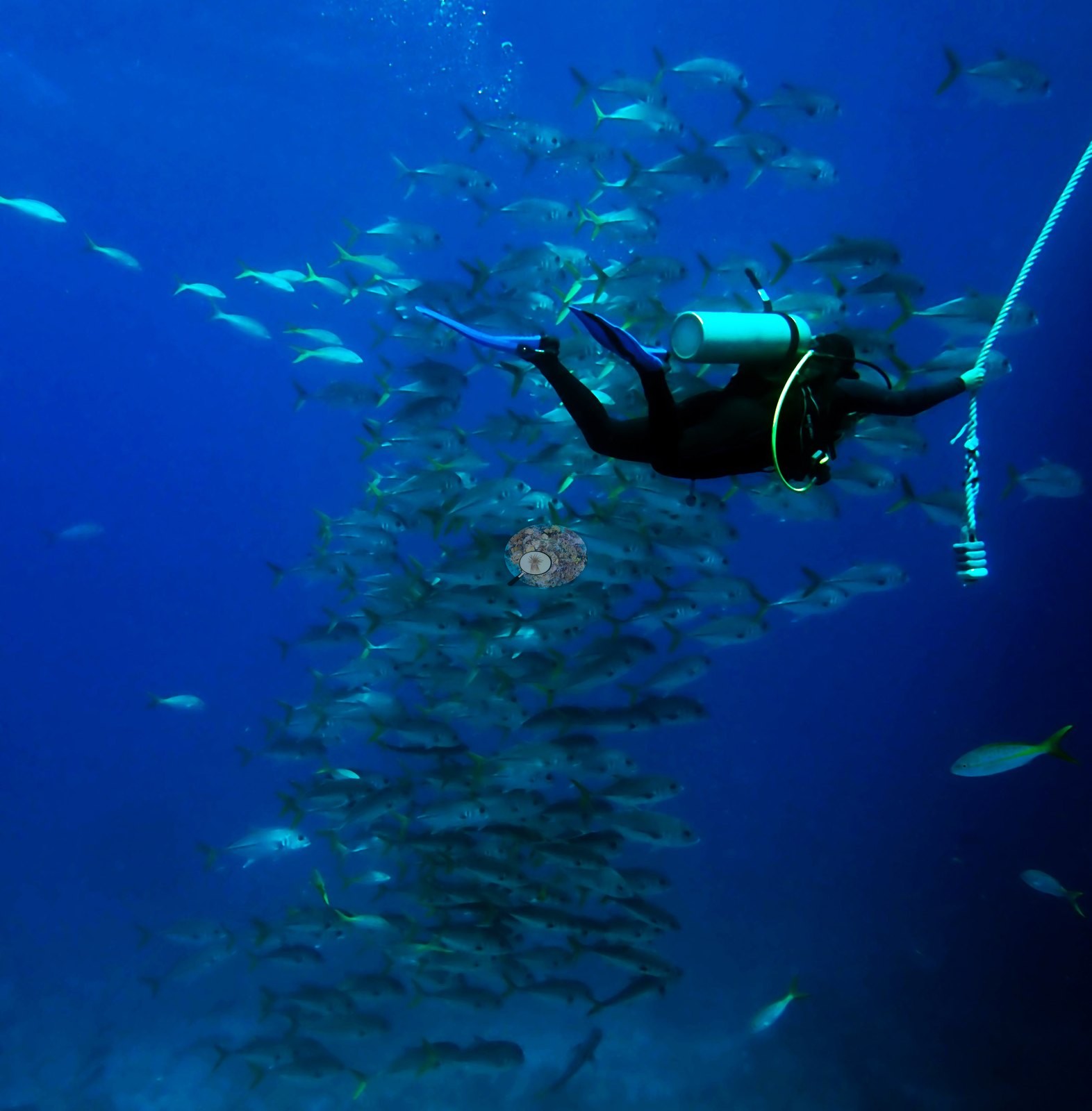
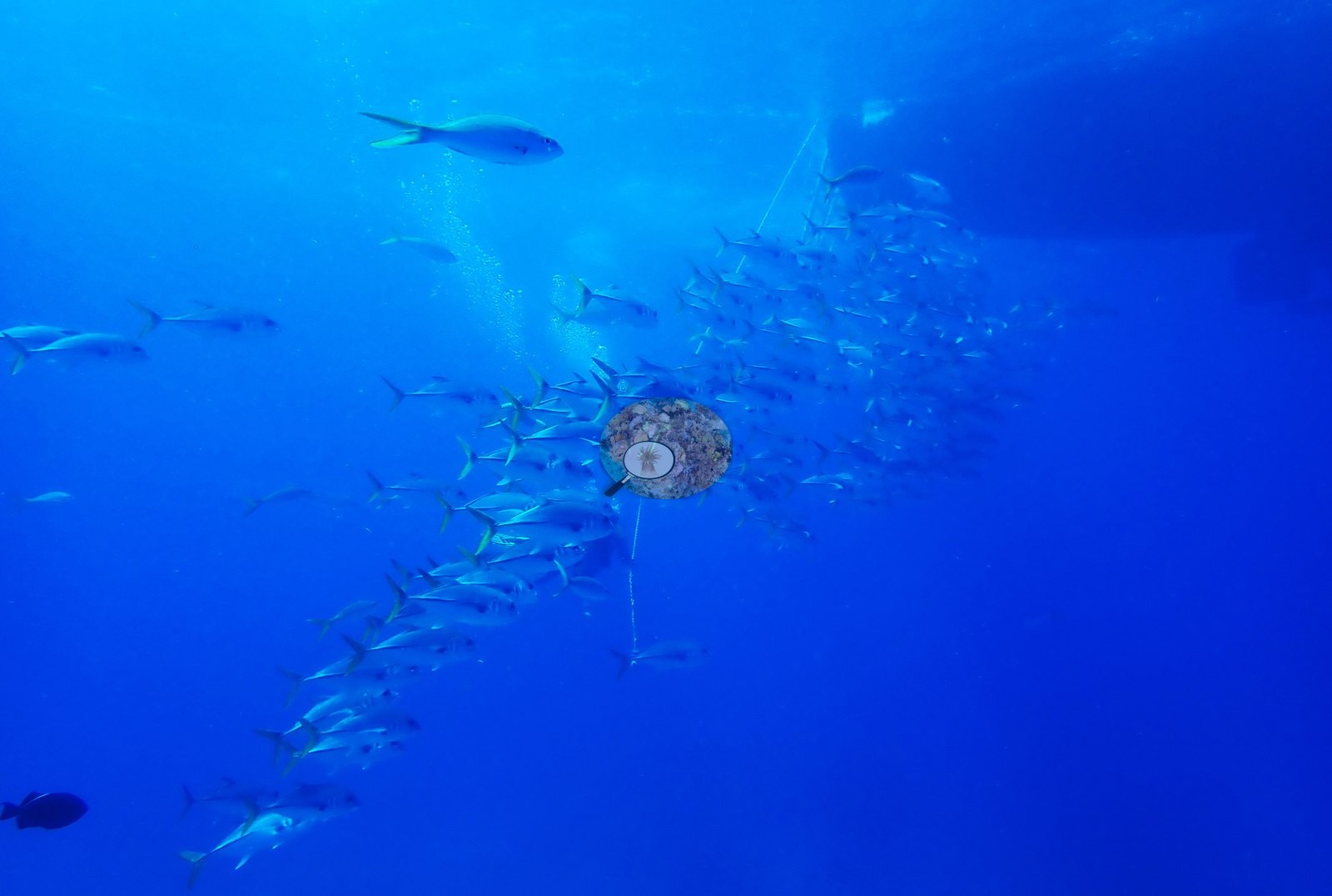
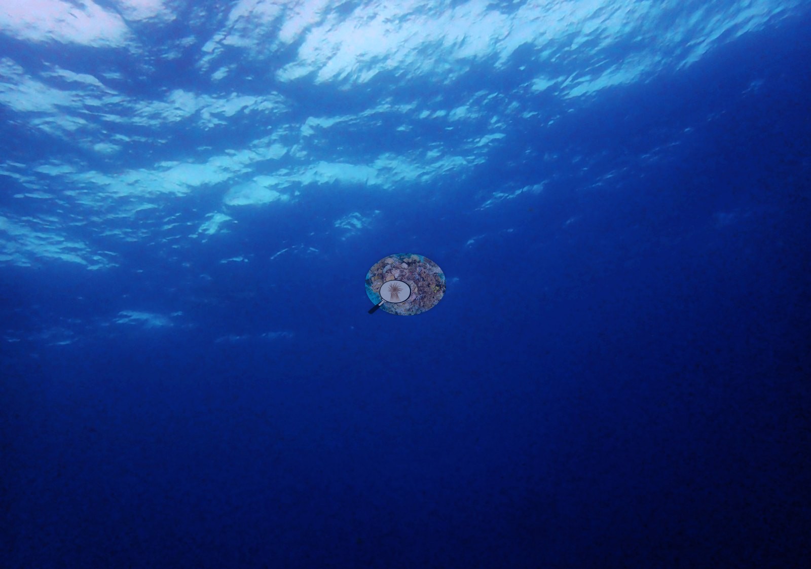
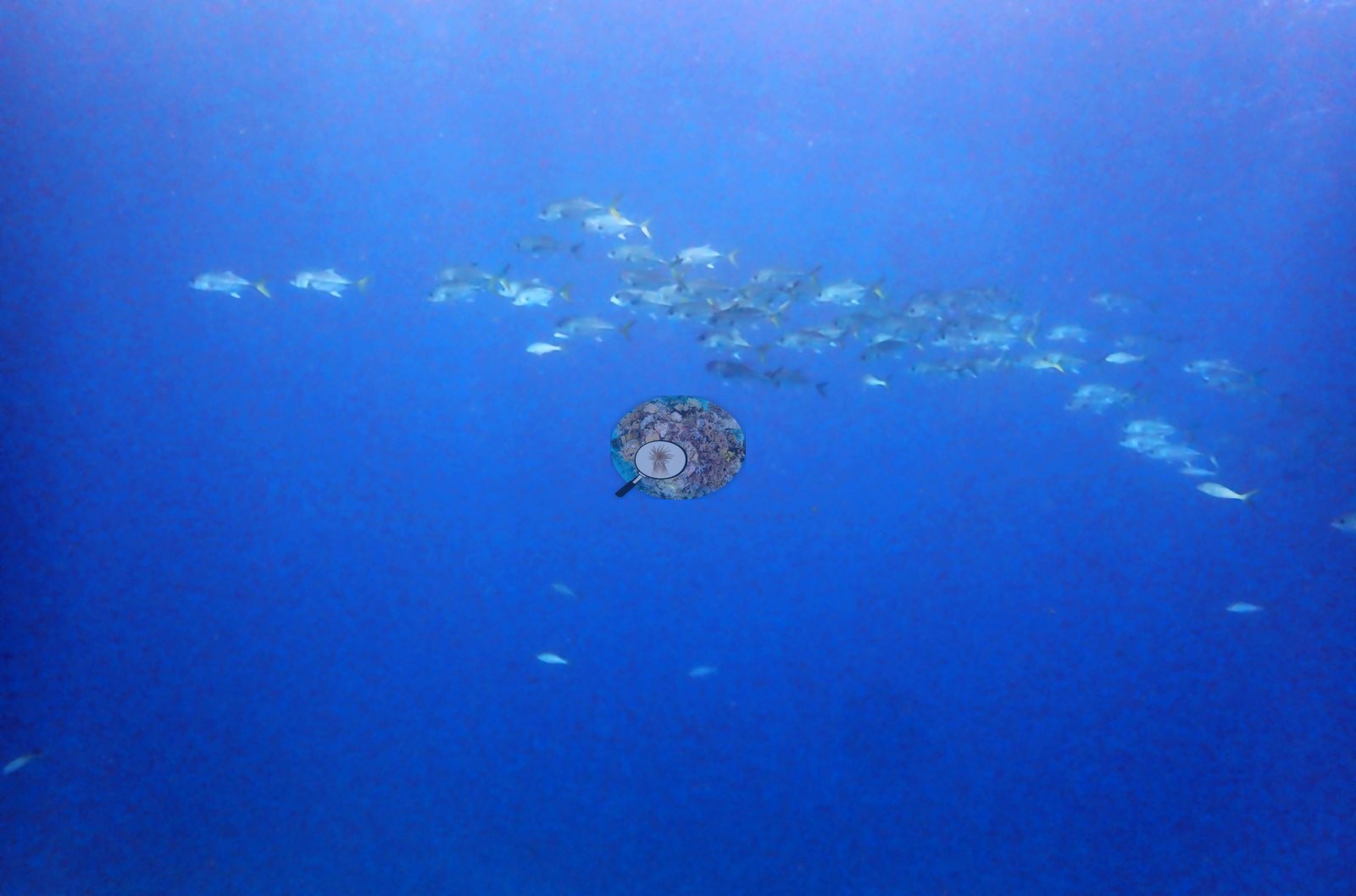
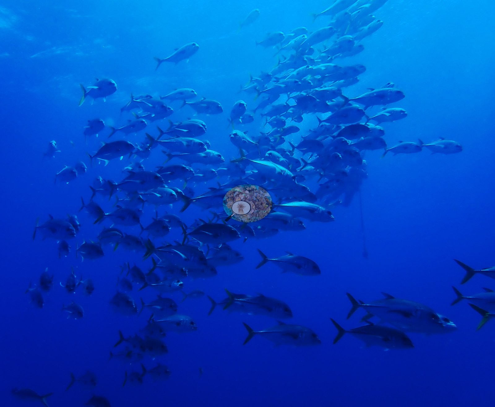
Large schools of jacks stacked over the reef and massed in open water around the mooring line and beneath the boat (e.g., Image 17), with yellowtail snapper along the wall (e.g., Image 34).
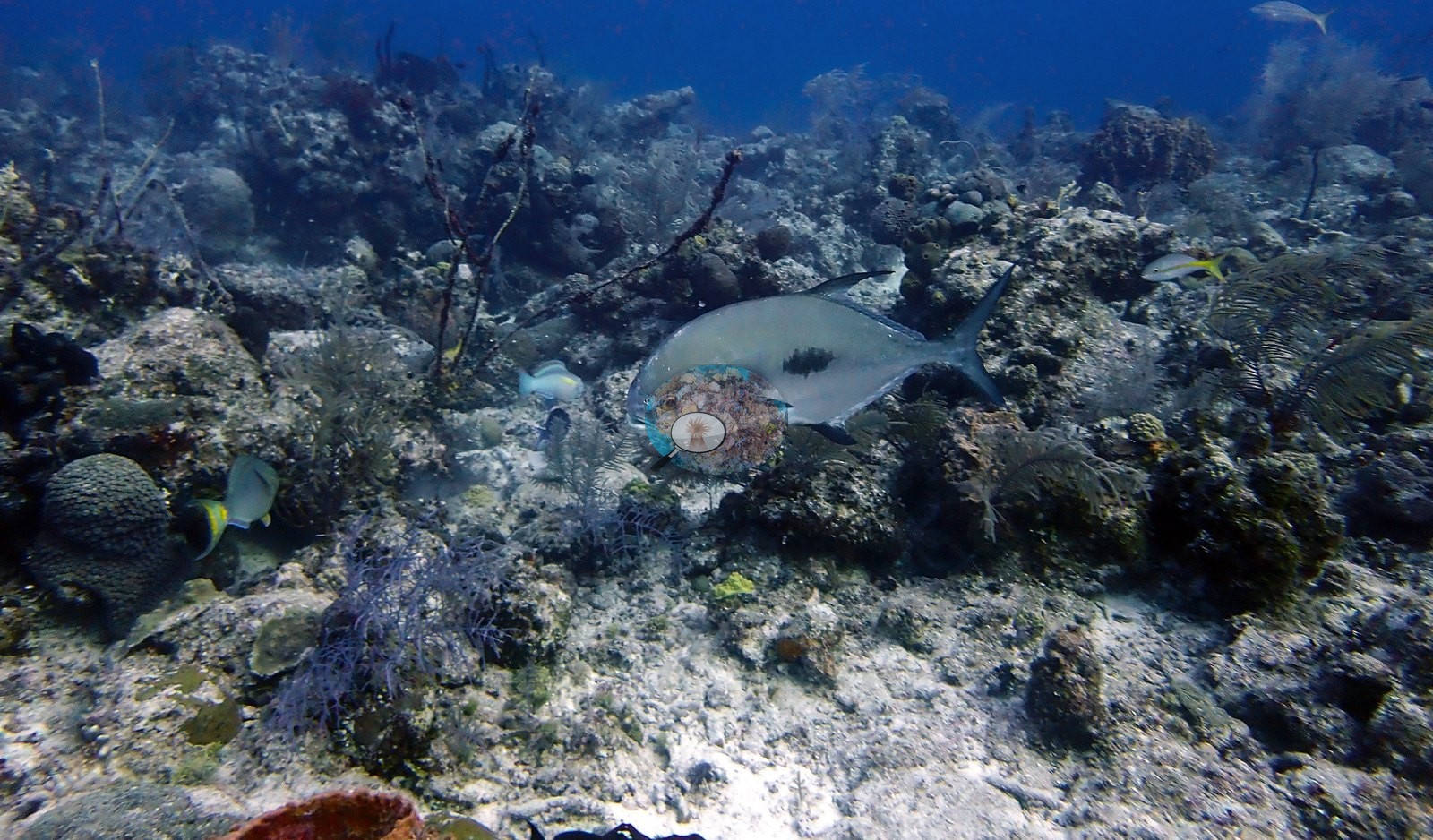
A large, deep-bodied silver jack cruised low over the reef among parrotfish and an angelfish (e.g., Image 20).
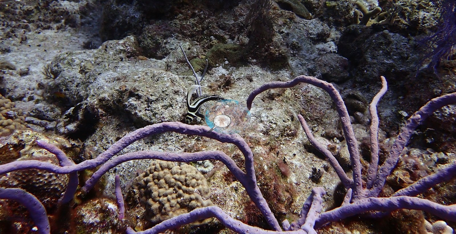
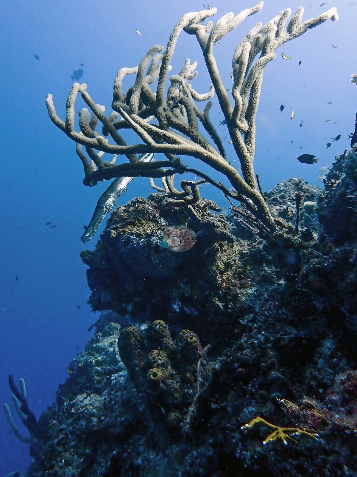
A juvenile spotted drum with its trailing dorsal filament sheltered among purple sea rods (e.g., Image 37), a trumpetfish-shaped fish hung beside a candelabra-shaped gorgonian (e.g., Image 38), and clouds of small fish gathered along the wall (e.g., Image 10).
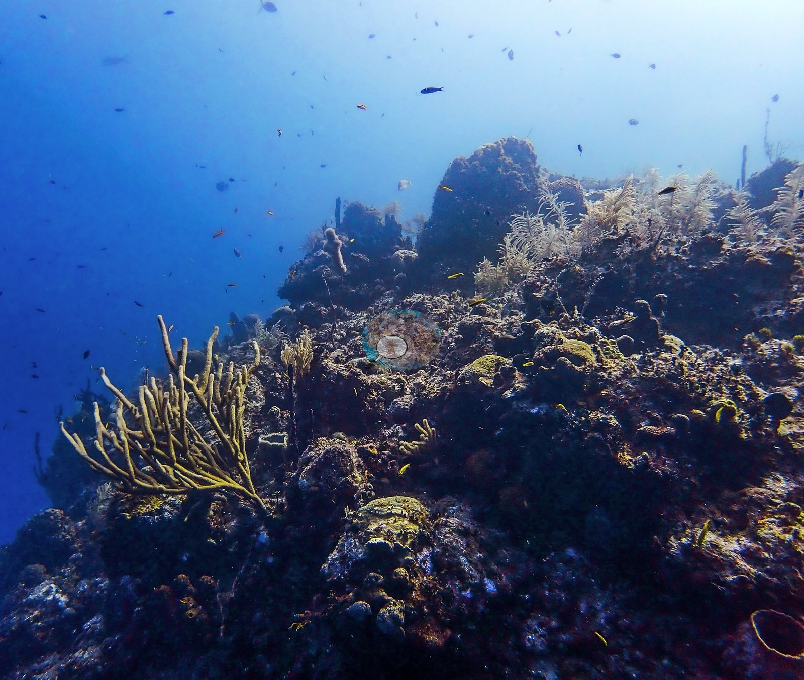
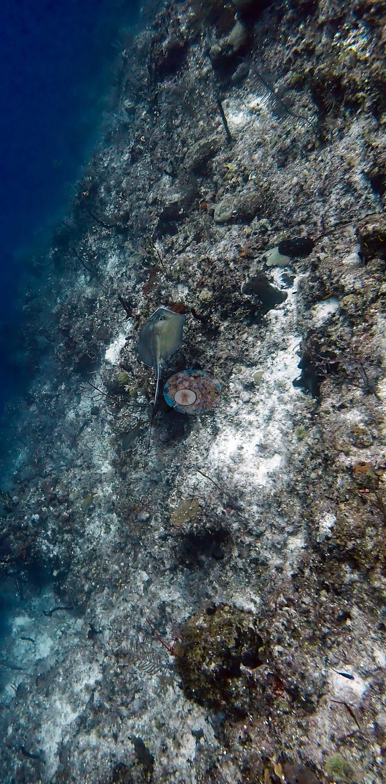
A stingray lay on the pale hardground of the slope.
Comparisons with other data
No prior survey data from this site. If you would like to share yours, please email us.
Dive record
G Spot was dived three times from the Turks & Caicos Explorer II liveaboard on 3 August 2022 as trip dives 18-20, entering at 14:00 for 58 minutes (maximum 27.7 m, average 16.2 m, 28.3°C), at 16:33 for 60 minutes (maximum 19.5 m, average 13.7 m, 28.9°C), and at 20:02 for a 54-minute night dive (maximum 17.7 m, average 12.8 m, 28.9°C).
CV model comparison
More info
A few colony-focused photos raise the mean; the median is the typical photo. No computer-vision method yet estimates coral cover accurately on new images, so treat this as indicative rather than a measurement; it is revised as the methods improve.More info
Other rows are for comparison only and are never averaged. No diver transect exists for this trip, so agreement between rows is not accuracy.| Method | Hard-coral cover (%) |
|---|---|
| CoralSCOP edited | 16.2 |
| Claude (edited photos) | 4.6 |
See a more detailed, stand-alone version of this table.
Dive history
| Date | Time in | Max depth (m) | Bottom time (min) |
|---|---|---|---|
| 2022-08-03 | 14:00 | 27.7 | 58 |
| 2022-08-03 | 16:33 | 19.5 | 60 |
| 2022-08-03 | 20:02 | 17.7 | 54 |
Data & links
All images from Coral Reef Diagnostics. Data are from Coral Reef Diagnostics and NOAA Coral Reef Watch.
© Coral Reef Diagnostics.