
Turks and Caicos - Eel Garden

Part of the regional summary: Turks and Caicos Islands
More info
Turks and Caicos (NOAA CRW virtual station) · Bahamian ecoregion mean: 9.1 degree heating weeksLow-relief pavement of scattered star, brain, and plate corals off Providenciales' Northwest Point, cut by sand channels and patrolled by Caribbean reef sharks. The main story is coral health: an active white tissue-loss front was spreading across several star corals, some of which had lost a third to two-thirds of their tissue, and a few colonies were bleached.
Five independent survey stations shown with the program’s logo — click one to see how far it is from this site.
Four other CRD dive sites within 5 km shown in orange — click a marker to open its page.
20 of the 31 photographs on this page are shown beside the text that discusses them under "Site description" below.
Site description
Setting
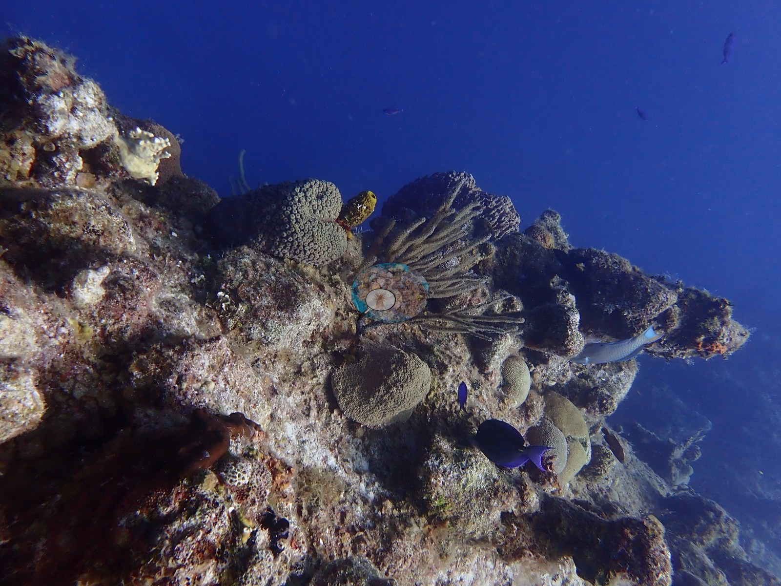
Eel Garden sits on the shallow Northwest Point shelf off Providenciales. Two frames look down a near-vertical undercut face (e.g., Image 21, Image 34).
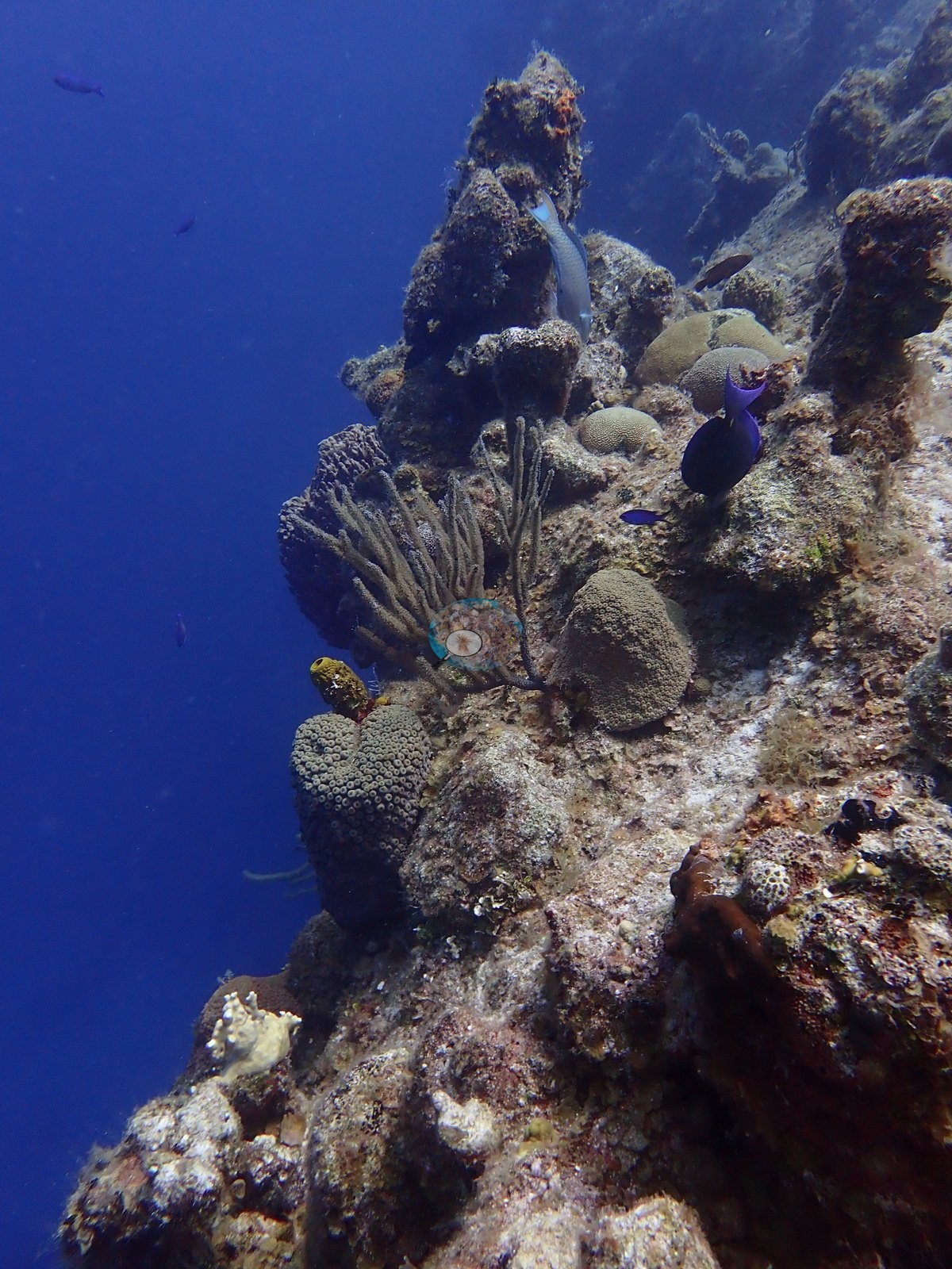
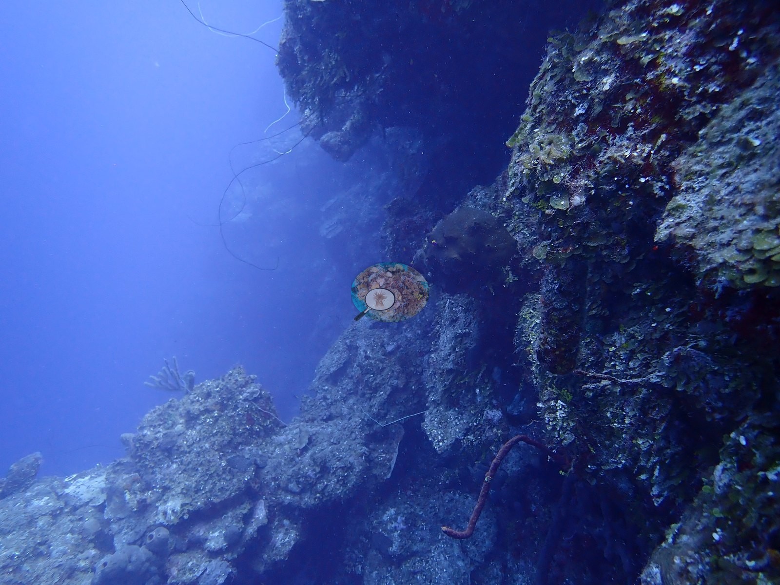
Visibility was excellent under open sun.
General benthic features
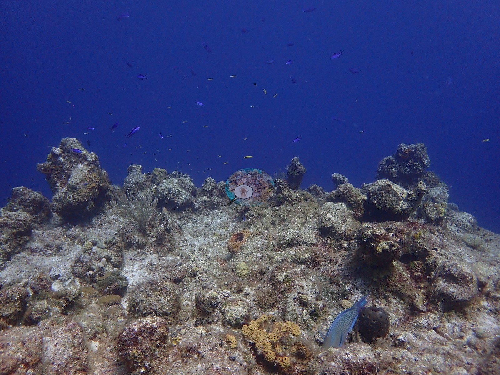
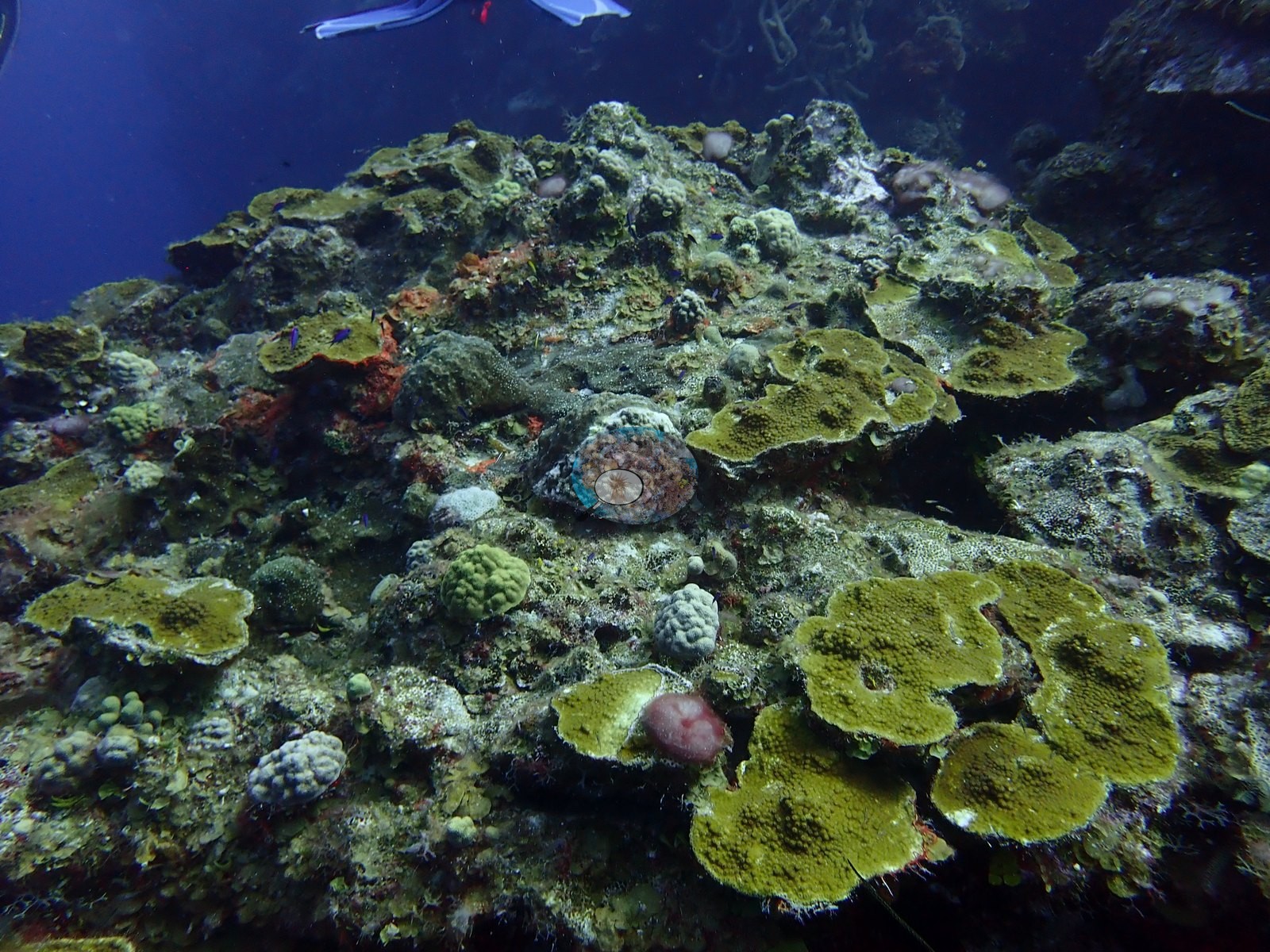
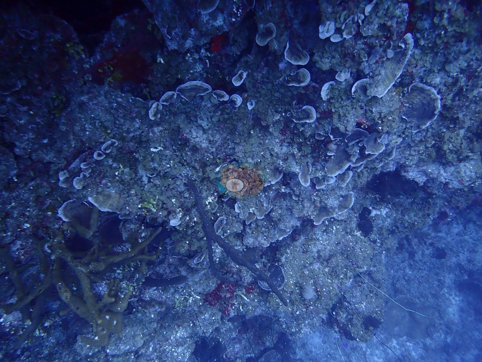
Frame by frame it reads as low-relief pavement, not wall: wide shots show a flat-topped ridge of coralline- and turf-crusted limestone, small scattered heads, open sand, and rubble between them, and much dead, algal-filmed rock on the reef top (e.g., Image 1, Image 3).
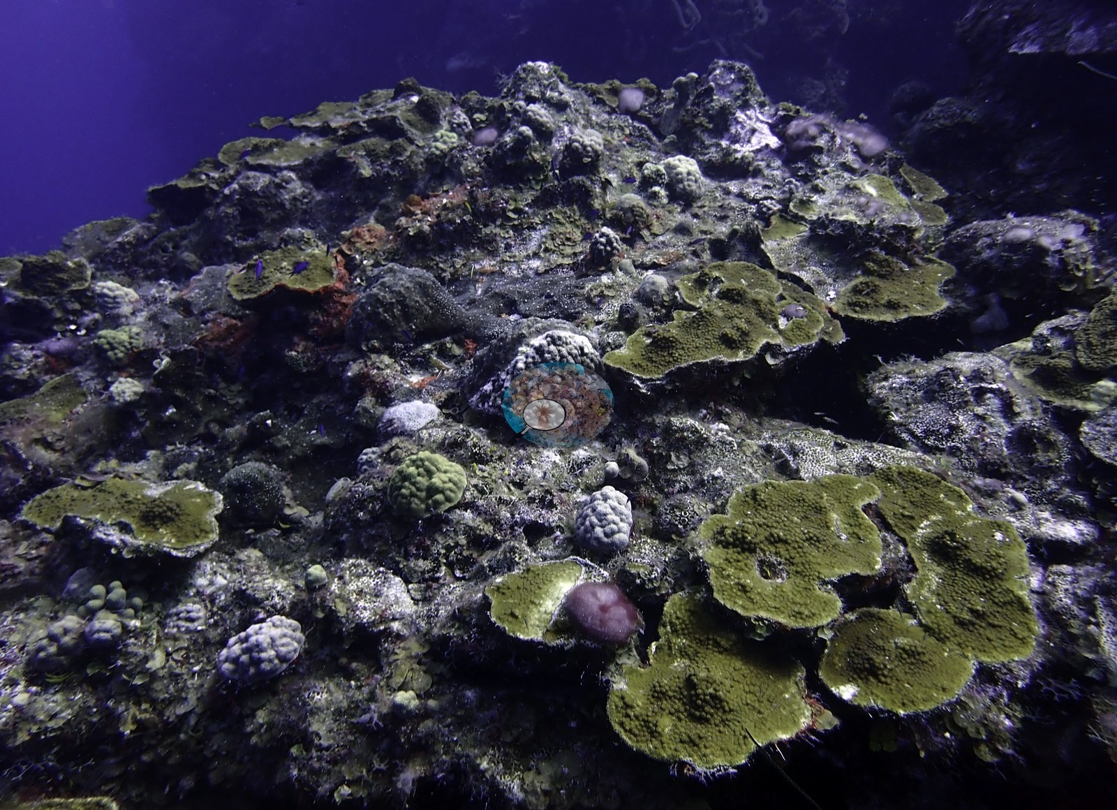
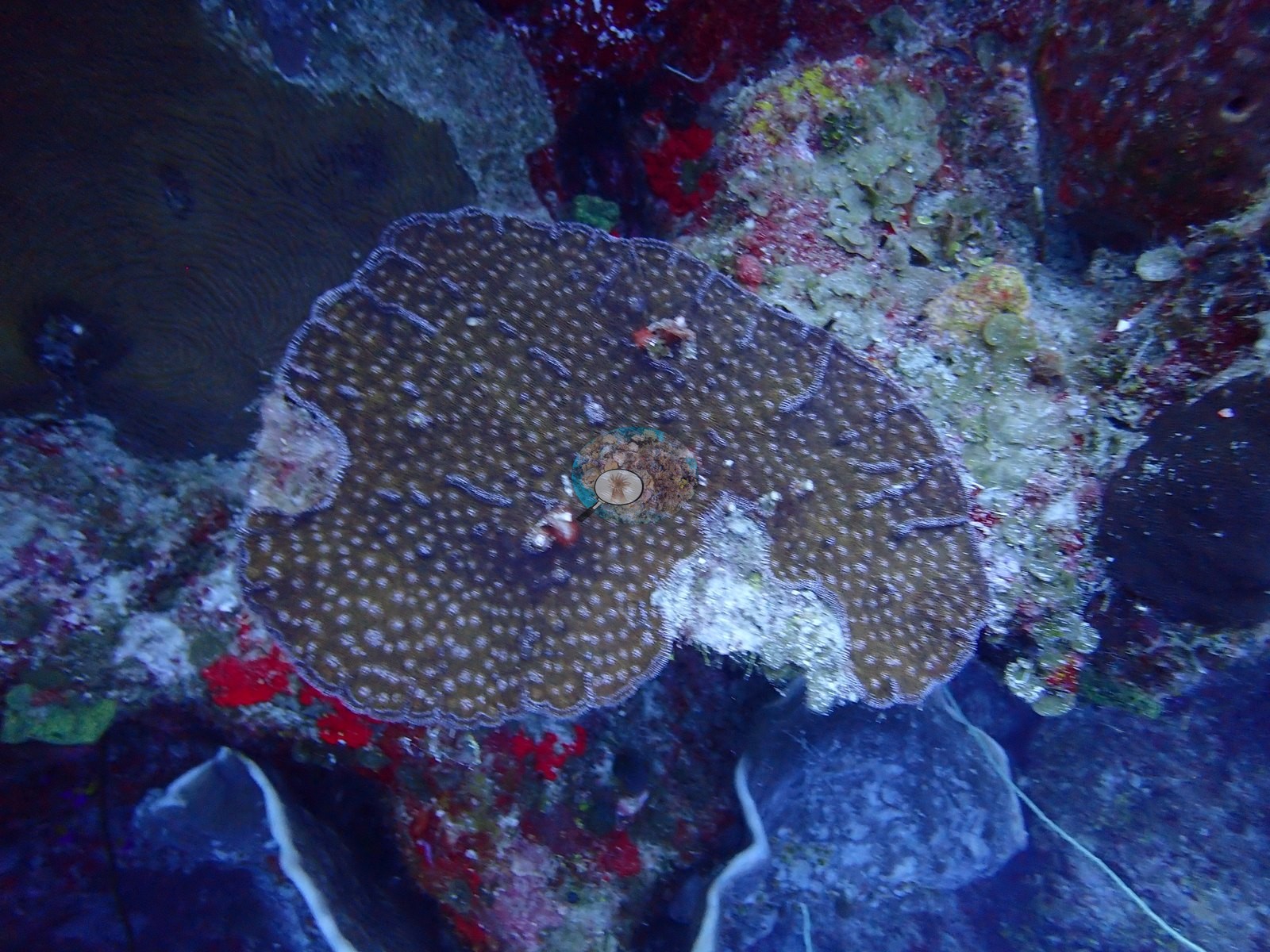
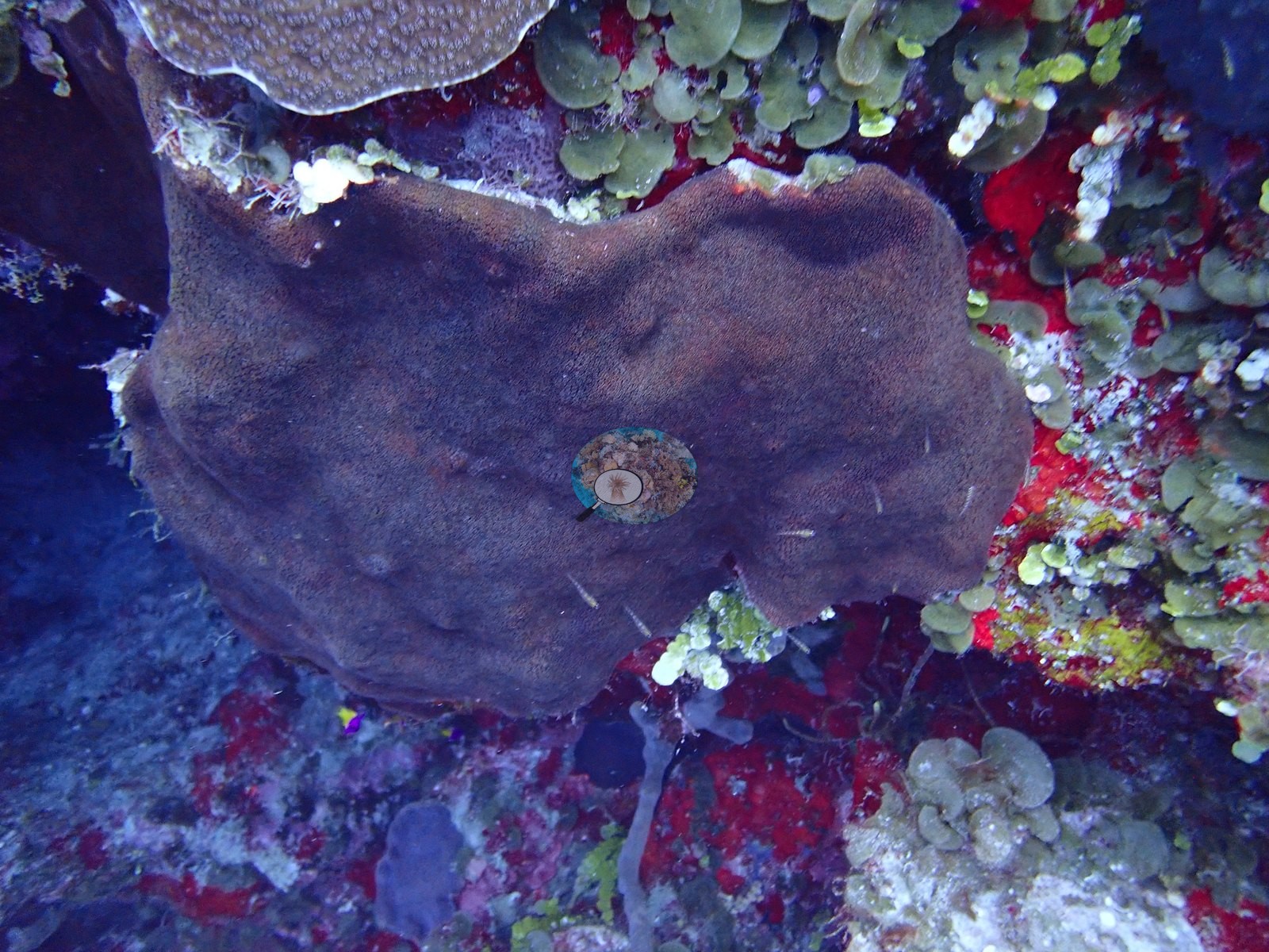
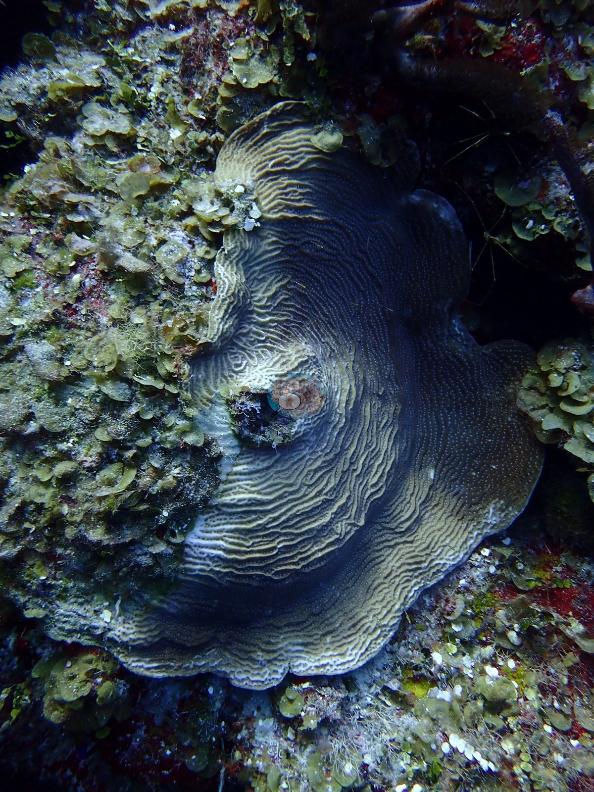
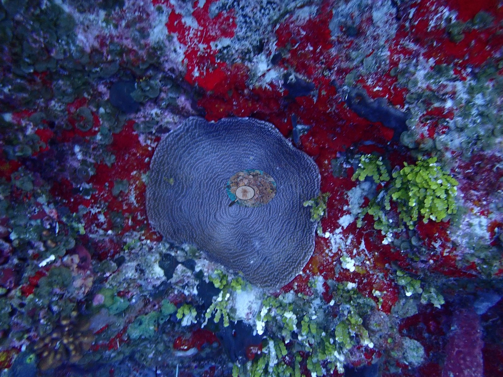
Every coral photographed was massive, plating, or encrusting; no branching acroporid appeared. Recurring subjects were sheet-like plating Orbicella up to a meter across, domed and columnar Montastraea cavernosa with large, widely spaced corallites (one head with orange-red tissue, another a thin plate), dinner-plate Agaricia, small mustard-colored Porites astreoides mounds, a meandroid brain coral of the Colpophyllia/Pseudodiploria type, and one solitary disc coral consistent with Scolymia (e.g., Image 5, Image 9, Image 11, Image 15, Image 25).
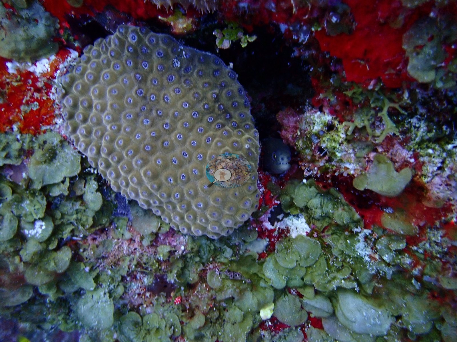
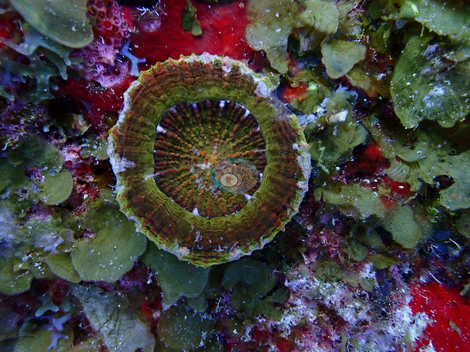
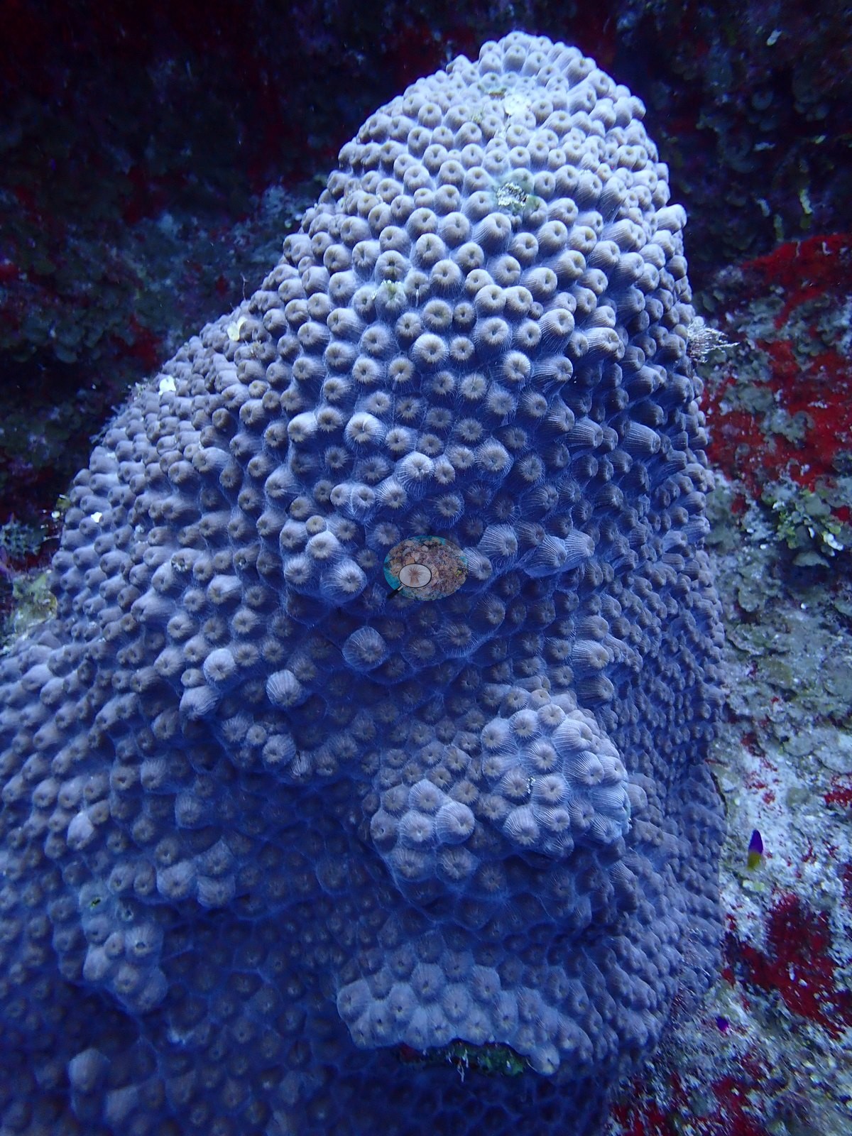
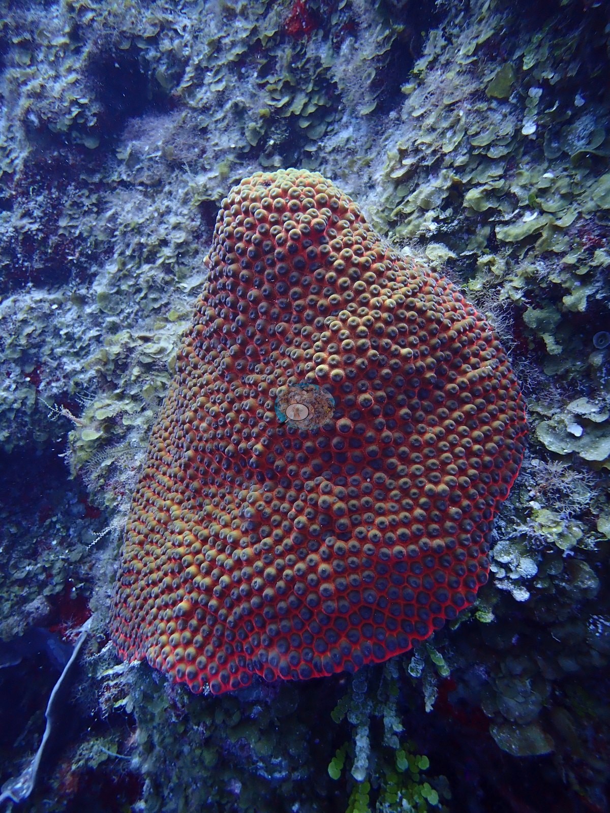
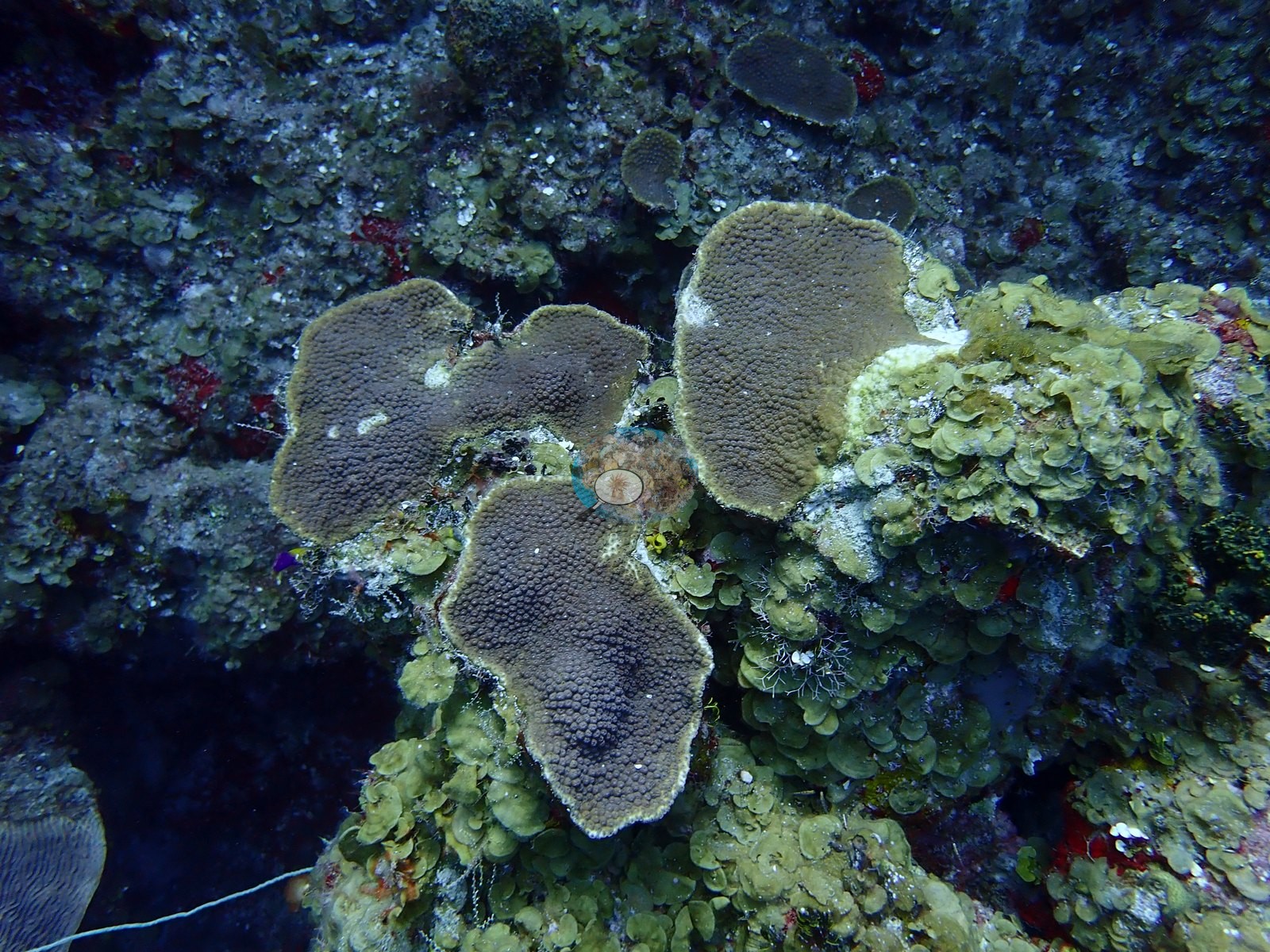
Dictyota-type macroalgae and Halimeda filled the interstices, with coralline algae and vivid red encrusting sponge on the pavement; steeper ground held azure vase and yellow tube sponges, red rope sponge, and gorgonians (e.g., Image 7, Image 18).
Coral cover
- Reference: Claude CV point count (this site's photos)
- Coral cover: 20% — a blind Claude computer-vision point count of 21 of Anderson's photographs (12 edited and 9 unedited originals, because edited versions of most of one dive's photos do not exist; the mean of the two dives' means; 20 points per photo; water, fish, and obstructions excluded). Other computer-vision methods are listed in the method table.
Stressors
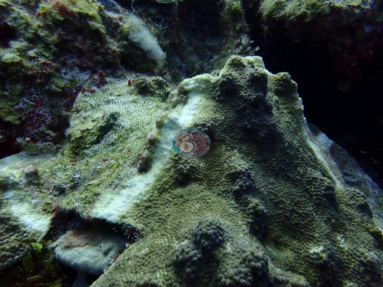
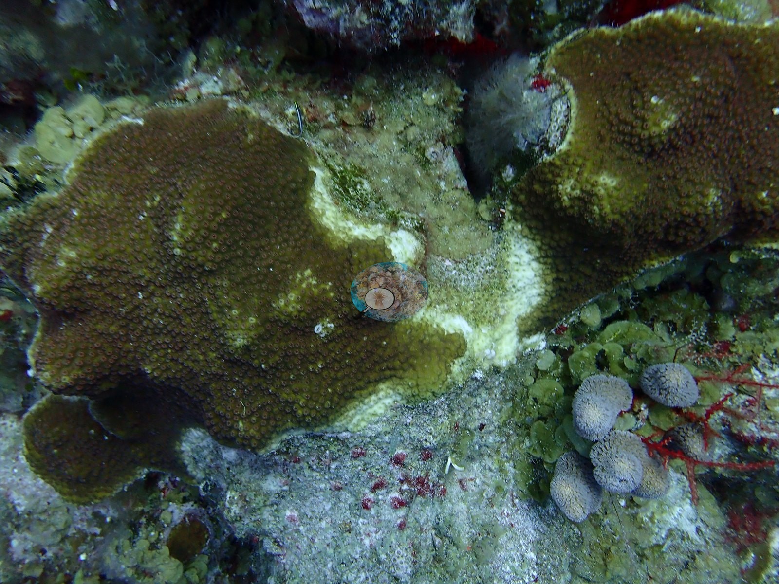
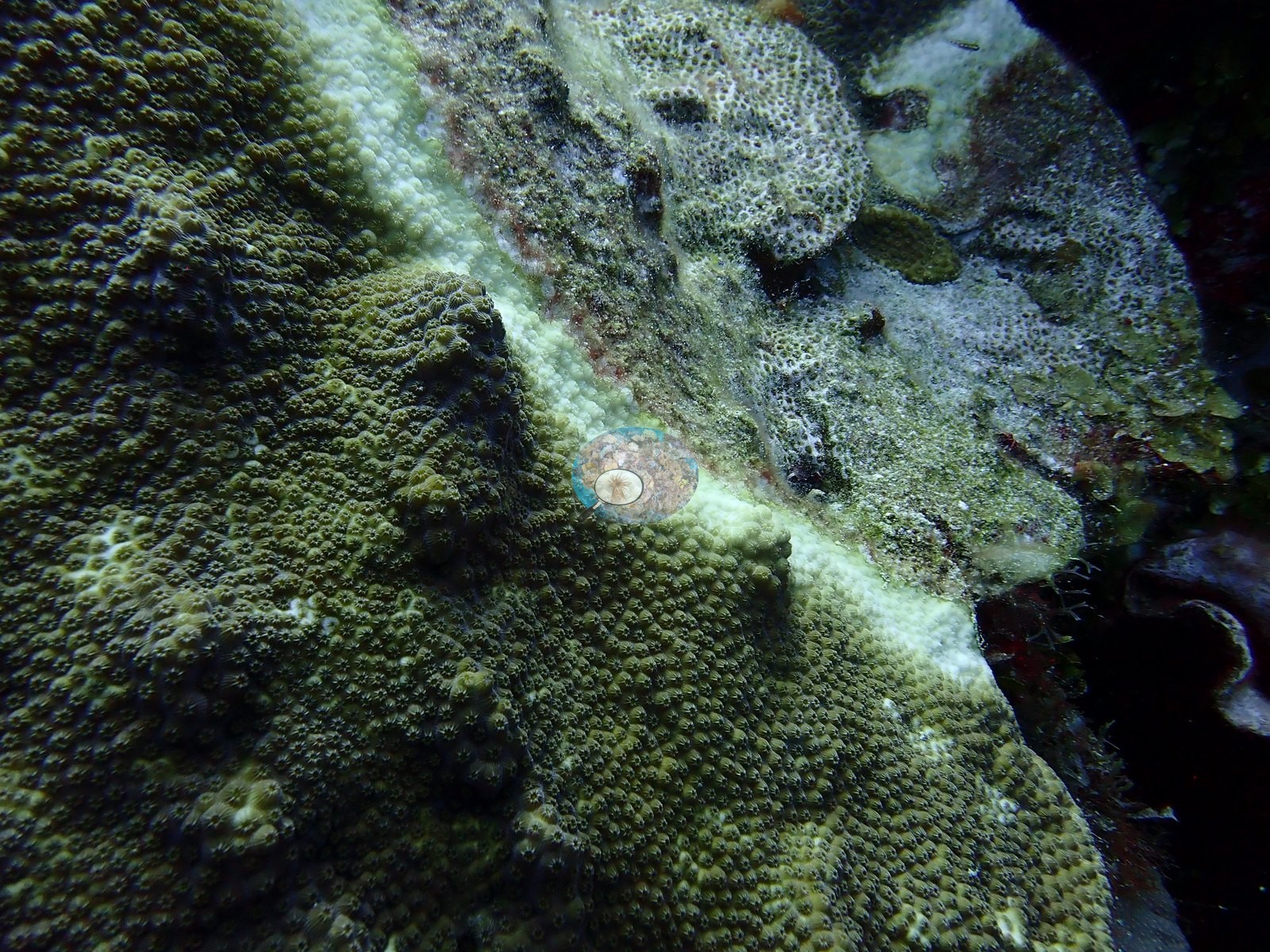
Condition is the story. Ten frames were shot as disease documentation and all show one lesion type: a sharp white band of freshly bared skeleton advancing across pigmented Orbicella and Montastraea tissue, the skeleton behind the front already filmed in turf and sediment (e.g., Image 6, Image 19, Image 20).
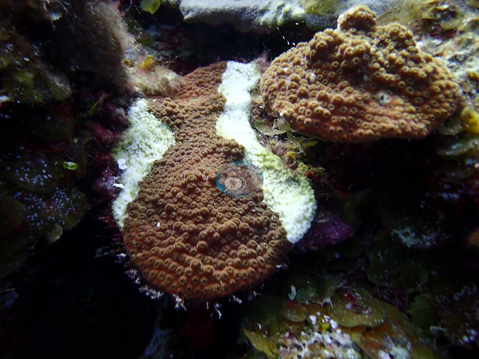
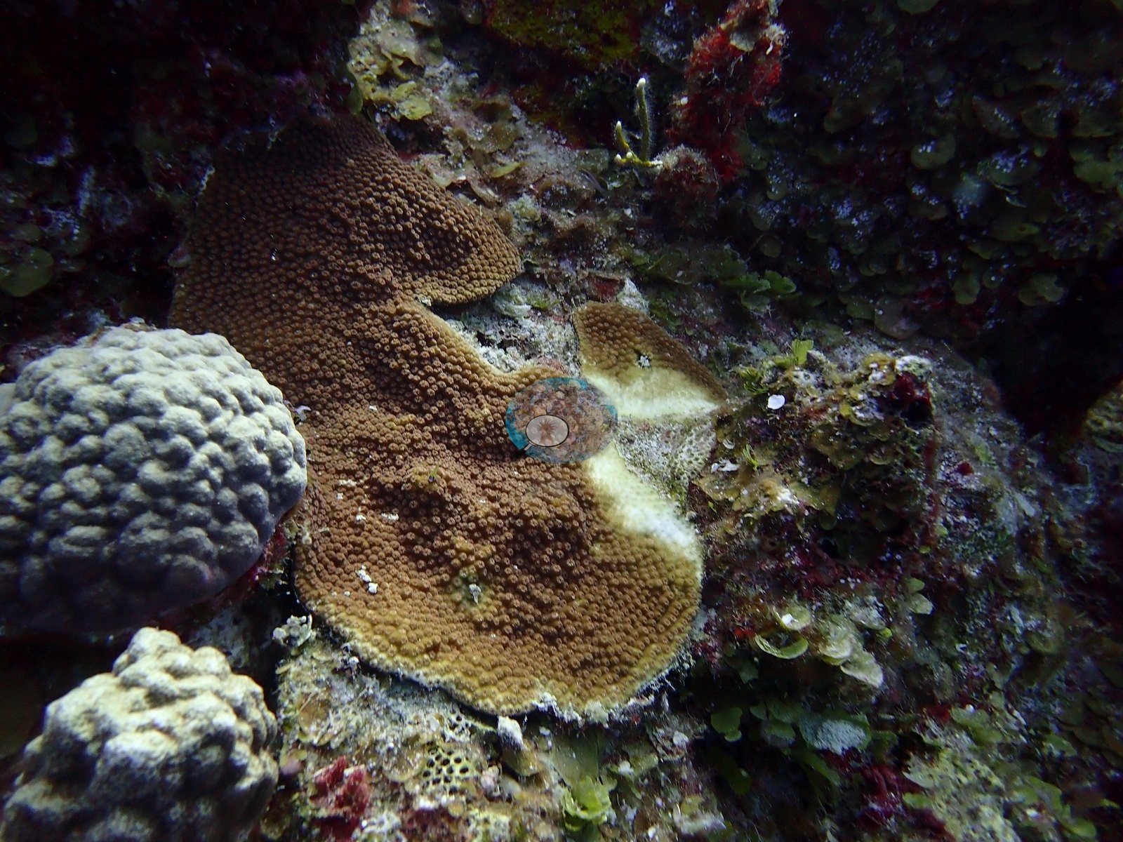
Several colonies had lost roughly a third to two-thirds of their tissue (e.g., Image 4, Image 10).
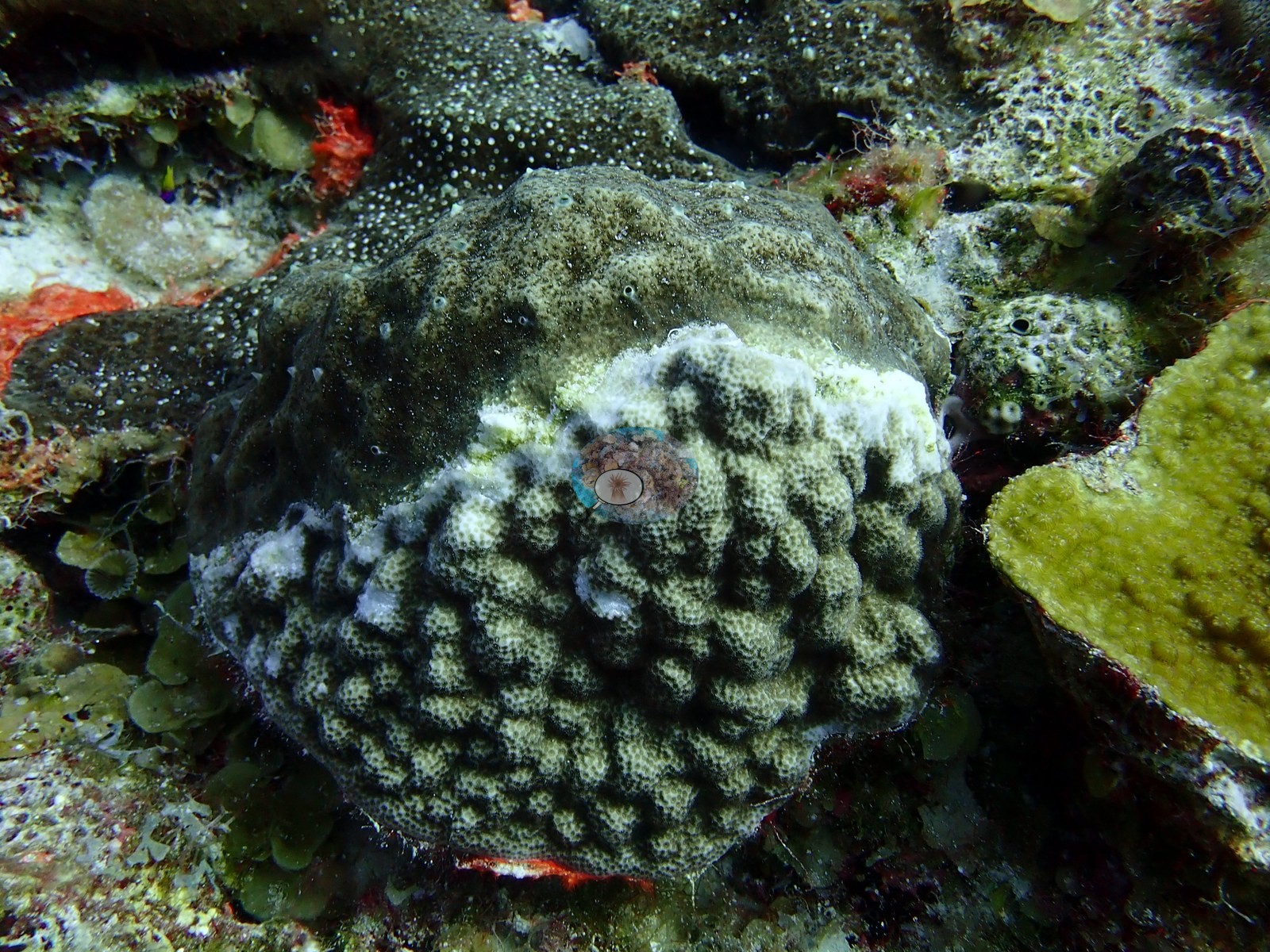
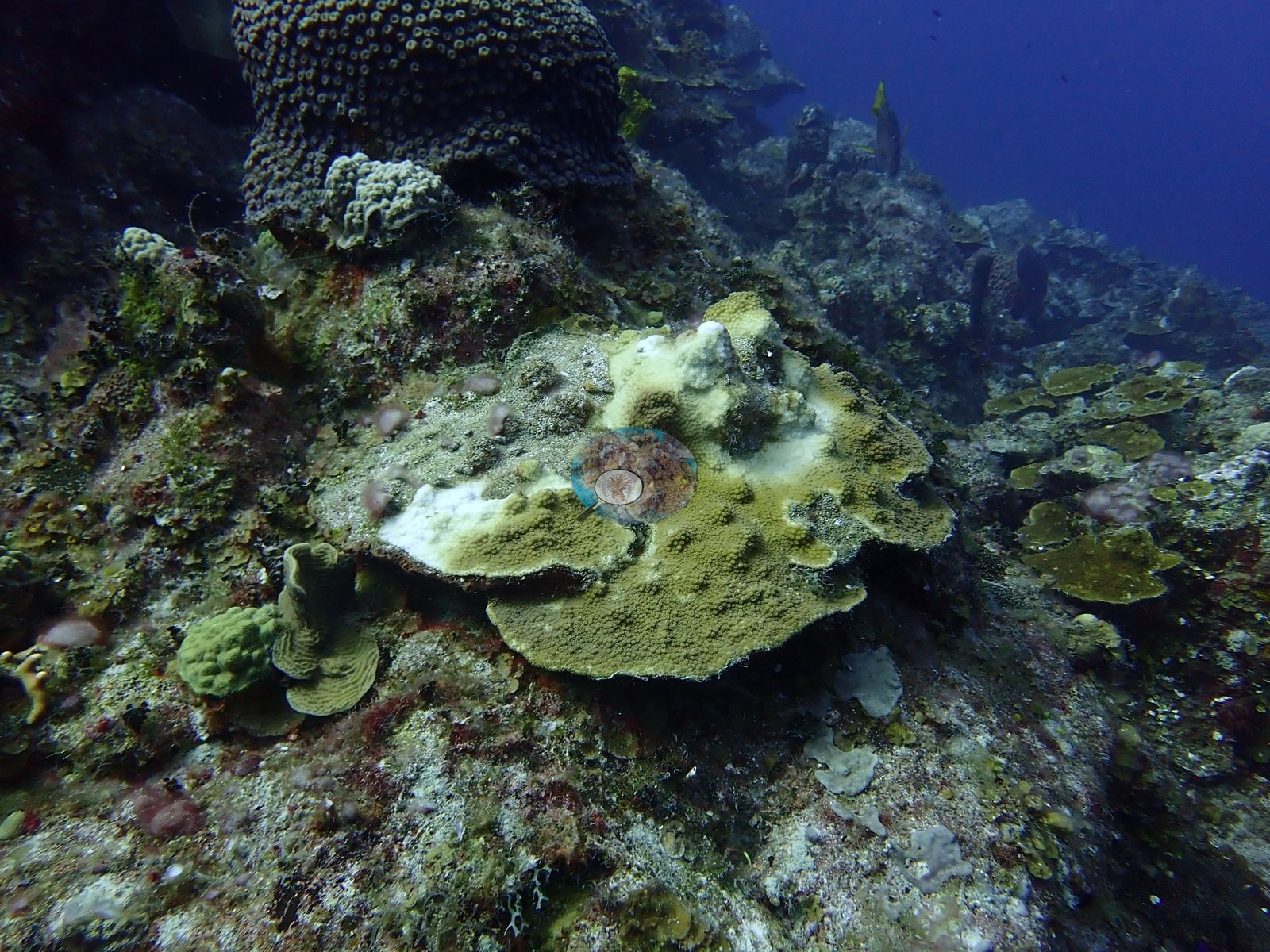
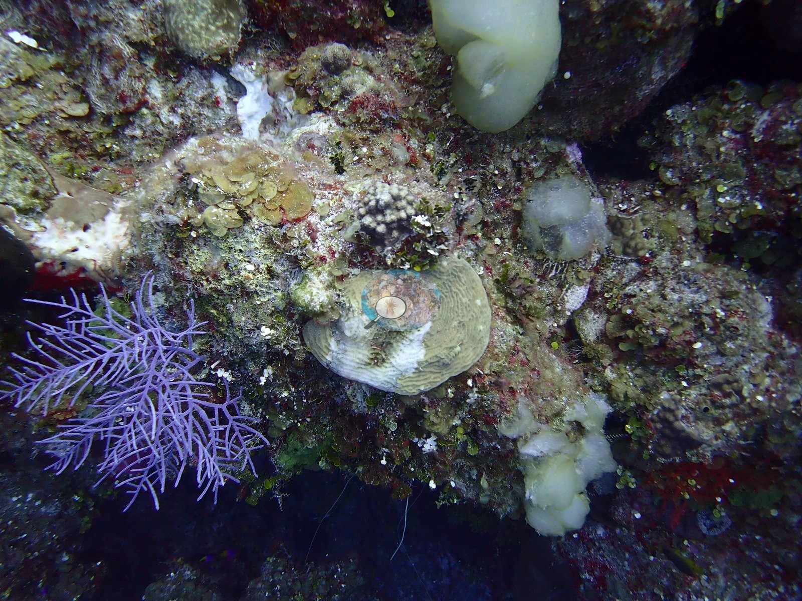
A separate colony was half stark white with polyp structure intact - bleached, not dead (e.g., Image 24).
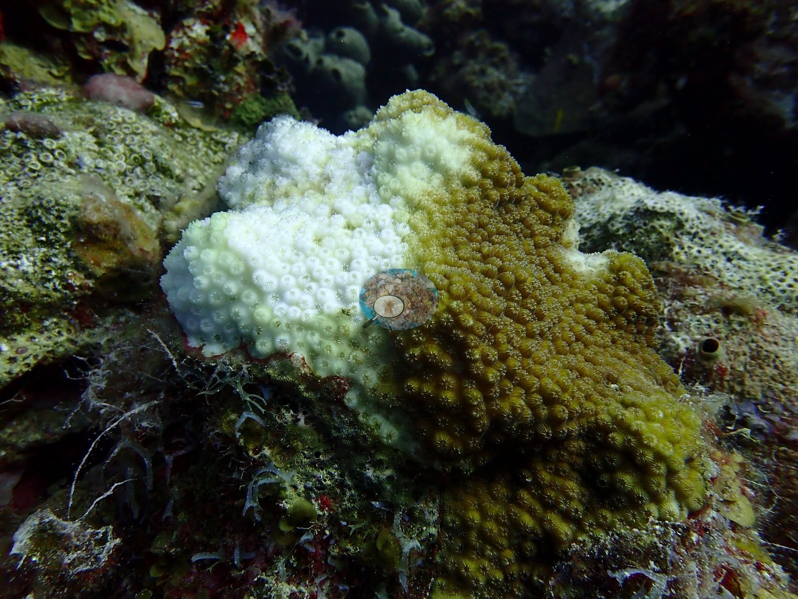
The frames establish an active tissue-loss front but cannot settle the agent. No corallivores evident.
Fish and other fauna
Fauna was thin: Caribbean reef sharks (Carcharhinus perezi) in four blue-water frames - one banking over a sand chute between coral heads, one cruising a broad rubble-and-pavement flat in hazier water - plus midwater creole-wrasse- and chromis-type fish and one parrotfish (e.g., Image 12, Image 27, Image 29).
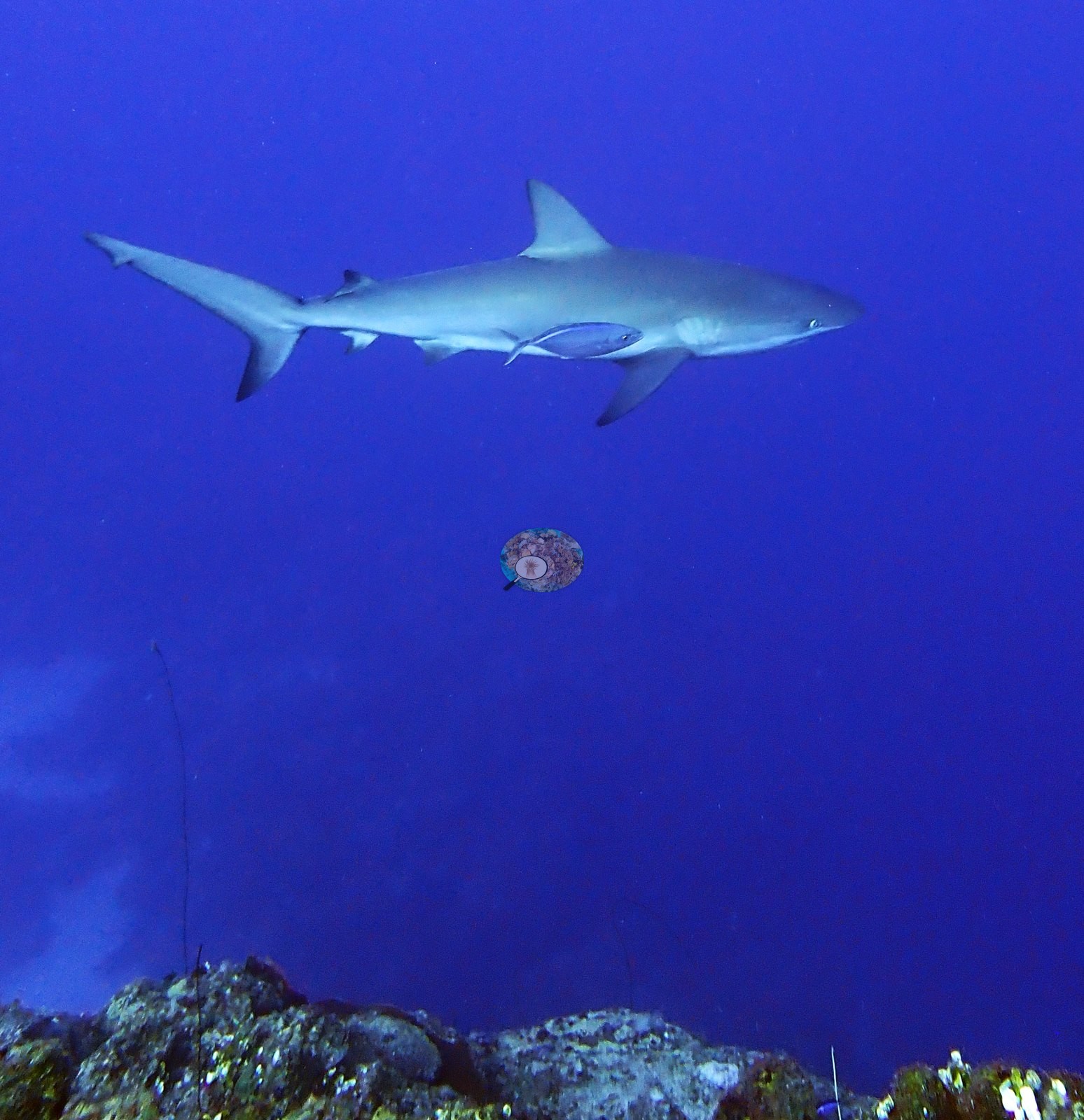
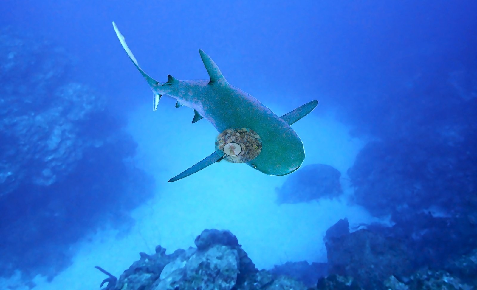
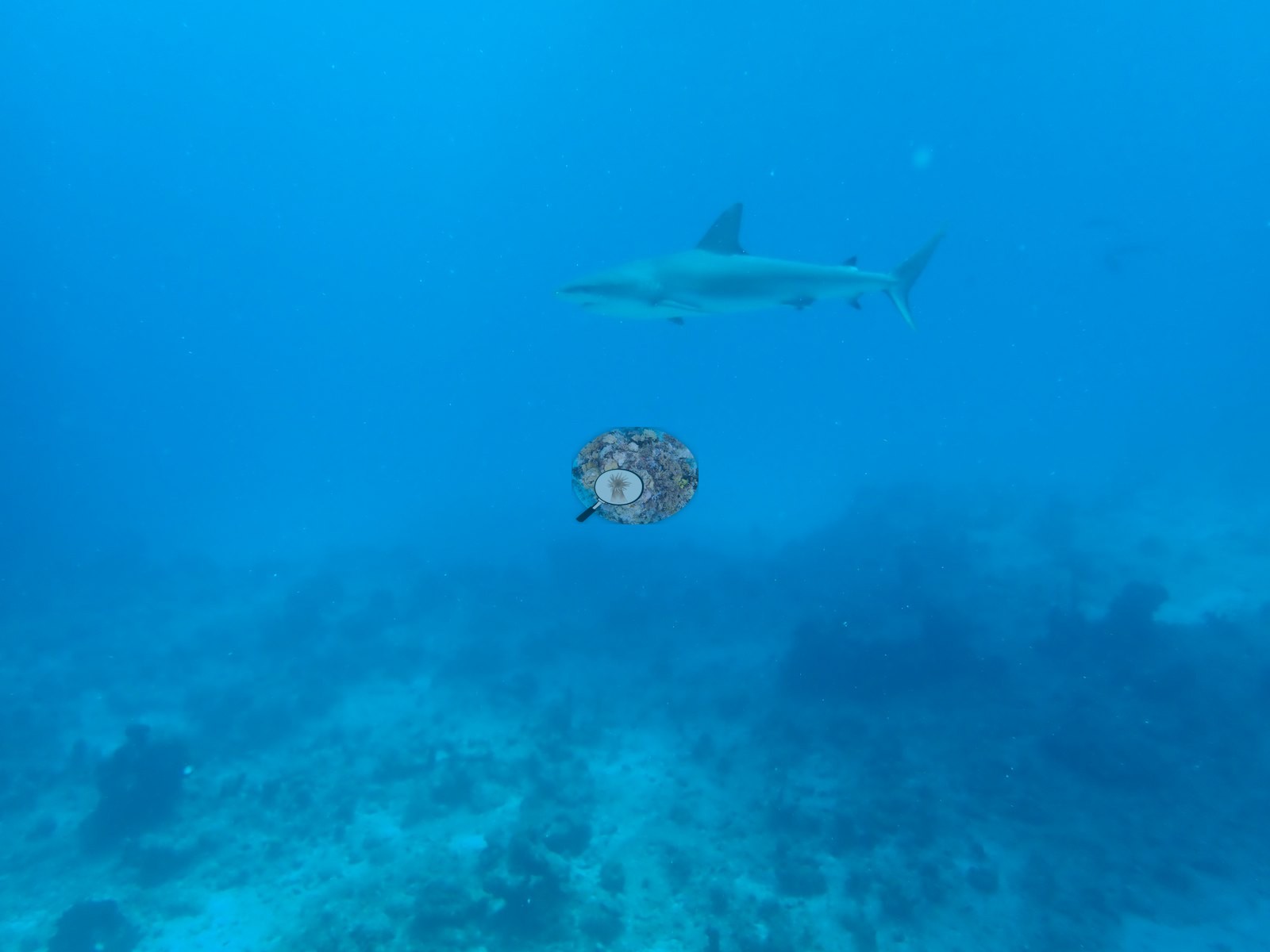
No garden eels appear in any reviewed frame.
Comparisons with other data
Eel Garden (Northwest Point / Columbus Landfall Marine Park, Providenciales) was dived from the Turks & Caicos Explorer II liveaboard on 31 July 2022 (dives 1-2).
Dive record
Two dives on 2022-07-31 (09:09, 11:18; max 27.4 m, mean 15.5 m, 28.3 C) produced a set weighted toward coral condition over scenery.
CV model comparison
More info
A few low-cover photos (sand, rubble or open bottom) pull the mean down; the median is the typical photo. No computer-vision method yet estimates coral cover accurately on new images, so treat this as indicative rather than a measurement; it is revised as the methods improve.More info
Other rows are for comparison only and are never averaged. No diver transect exists for this trip, so agreement between rows is not accuracy.| Method | Hard-coral cover (%) |
|---|---|
| CoralSCOP edited | 37.2 |
| Claude | 19.6 |
| Reef Check 2007 (same site) | 16.9 |
See a more detailed, stand-alone version of this table.
Dive history
| Date | Time in | Max depth (m) | Bottom time (min) |
|---|---|---|---|
| 2022-07-31 | 09:09 | 27.4 | 54 |
| 2022-07-31 | 11:18 | 26.2 | 62 |
Independent surveys nearby
| Agency / program | Year(s) | Stations / distance | Link |
|---|---|---|---|
| Reef Check | 2005–2007 | 4 stations, 0.00–1.12 km | Records ↓ |
| XL Catlin Seaview Survey | 2013 | 1 station, 1.22 km | Records ↓ |
 Coral Reef Diagnostics
Within 5 km, 5 independent survey stations recorded hard coral cover in 5 records between 2005 and 2013. The most recent nearby survey is from 2013, so these values predate recent heat stress. This site's own estimate (20%) is indistinguishable from the range of these surveys (2.9–17%): the 3.0-point gap is inside the ±7 percentage-point noise between methods; the methods differ, so the comparison is context, not a like-for-like test.
Collected by other programs using different methods (Reef Check uses point-intercept transects; the XL Catlin Seaview Survey uses photo-transects with automated image annotation), so these are context for the figures above, not a like-for-like comparison. Where a station was surveyed more than once the range is shown. Station names are not dive-site names.
| Agency | Site / location | Date | Hard coral cover (%) | Distance | Link |
|---|---|---|---|---|---|
| Reef Check | Chimney | 2005 | 6.2% | 0.43 km | — |
| Reef Check | Black Coral Forest | 2005 | 5.6% | 0.86 km | — |
| Reef Check | Eel Garden | 2007 | 17% | 0.00 km | — |
| Reef Check | Shark Hotel | 2007 | 10% | 1.12 km | — |
| XL Catlin Seaview Survey | transect 24044 | 2013 | 2.9% | 1.22 km | doi:10.14264/uql.2019.930 |
Data & links
All images from Coral Reef Diagnostics. Data are from Coral Reef Diagnostics and the organizations named in the data sources above.
© Coral Reef Diagnostics.