
Turks and Caicos - Coral Stairway

Part of the regional summary: Turks and Caicos Islands
More info
Turks and Caicos (NOAA CRW virtual station) · Bahamian ecoregion mean: 9.1 degree heating weeksCoral Stairway, off Northwest Point, Providenciales, is a wall where brain and plating corals climb the face in terraced, step-like tiers, visited by hawksbill turtles and Caribbean reef sharks. It also carries a lot of standing dead coral, including whole brain corals reduced to skeleton, and active tissue loss on several colonies; numbered permanent monitoring tags show the reef is formally surveyed.
Five independent survey stations shown with the program’s logo — click one to see how far it is from this site.
Four other CRD dive sites within 5 km shown in orange — click a marker to open its page.
37 of the 47 photographs on this page are shown beside the text that discusses them under "Site description" below.
Site description
Setting
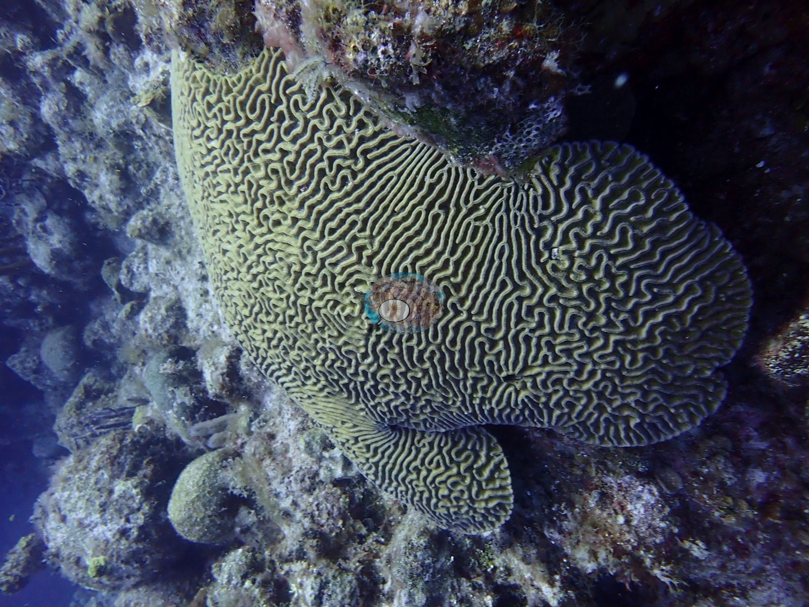
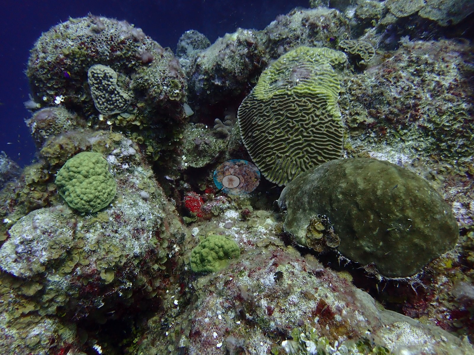
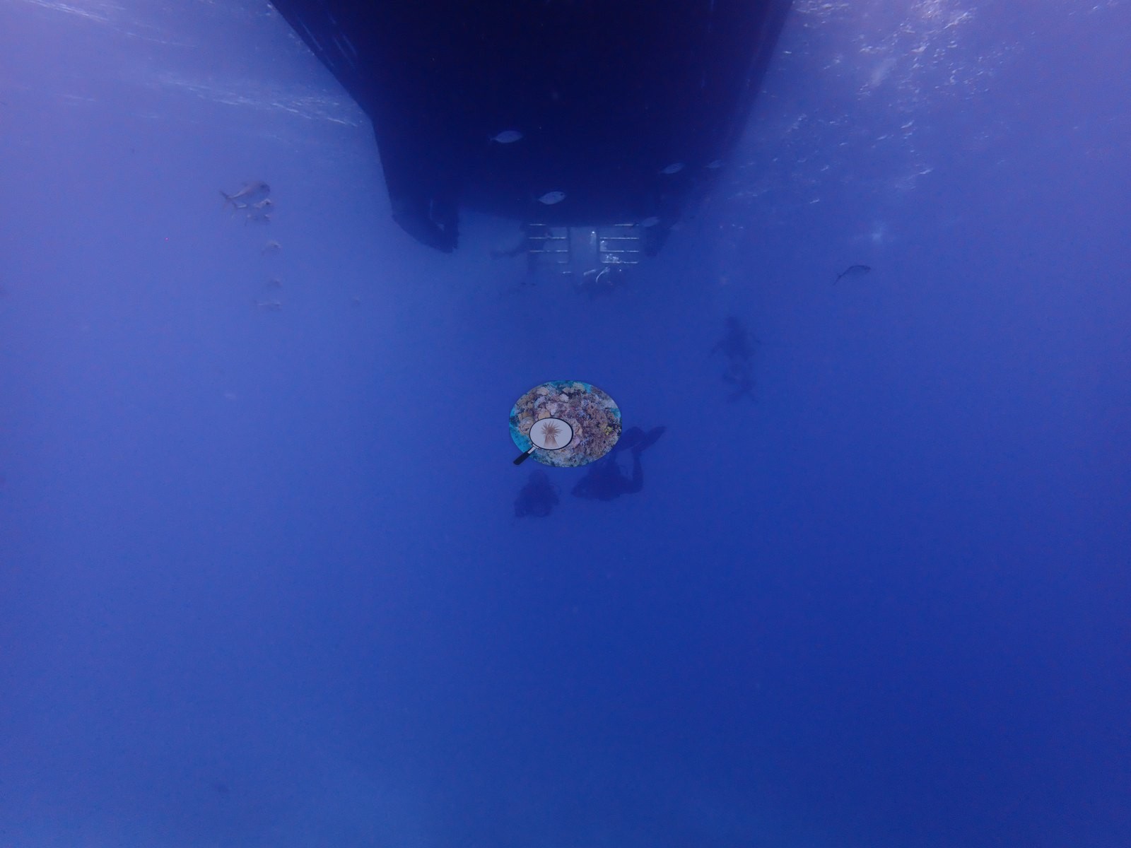
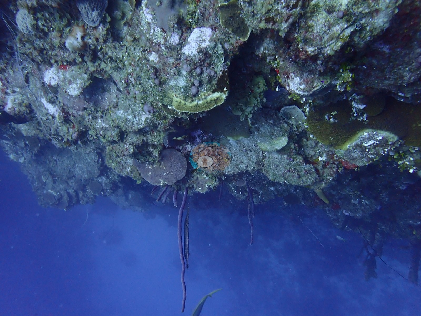
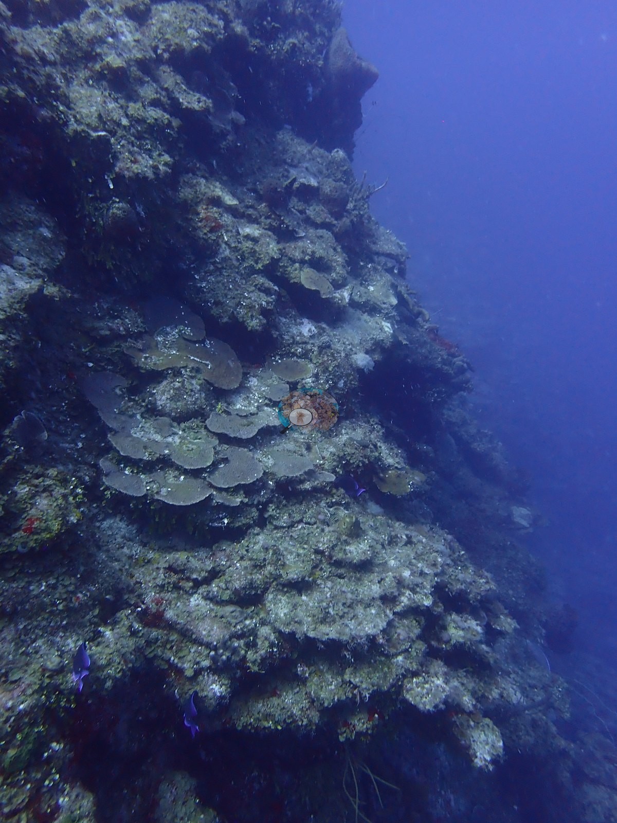
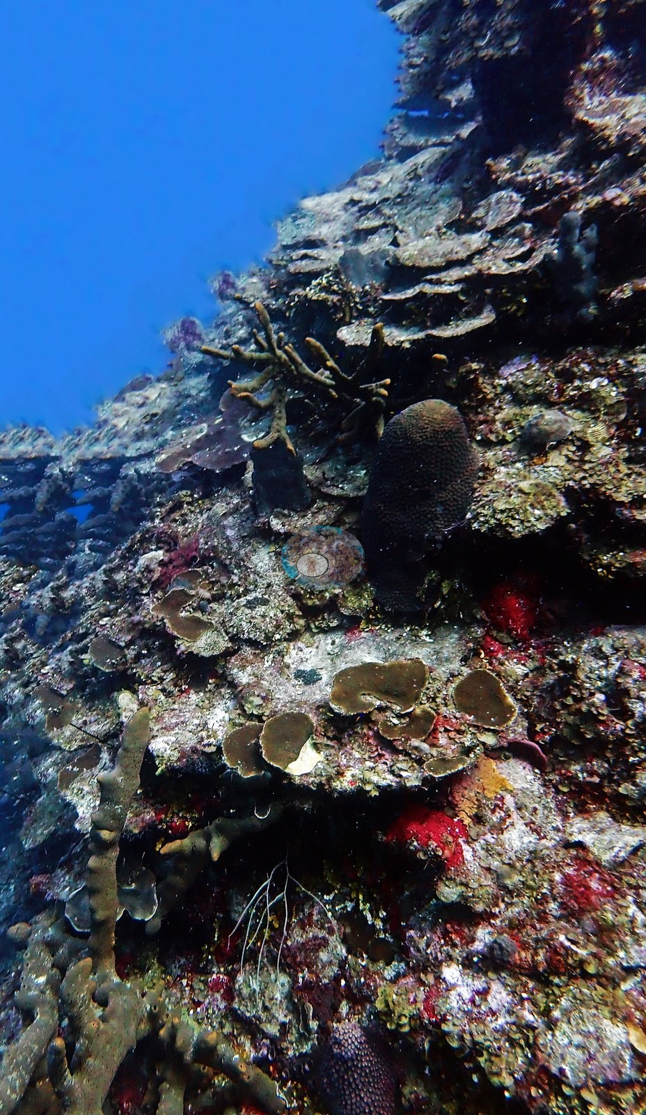
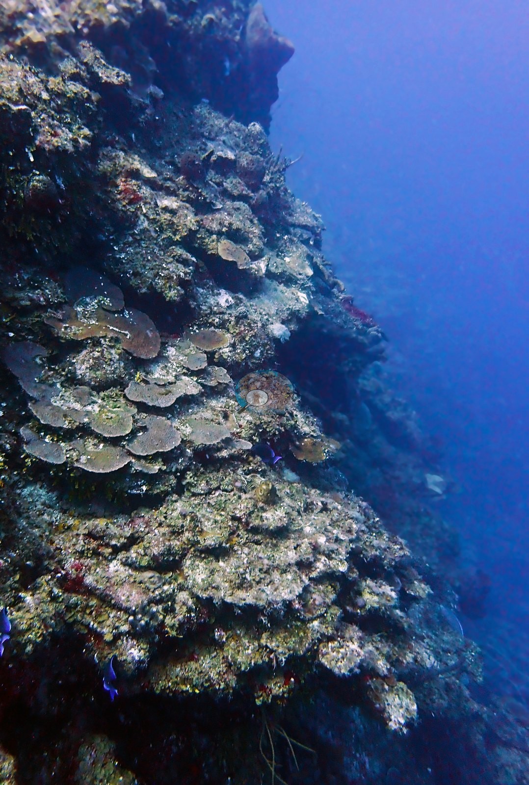
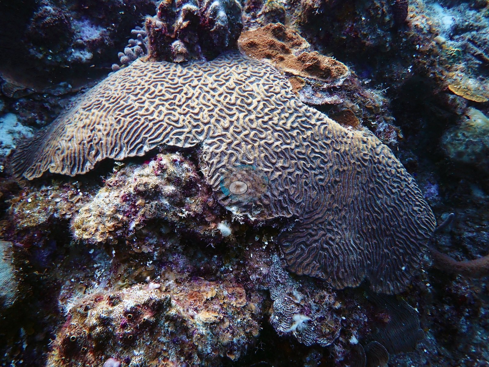
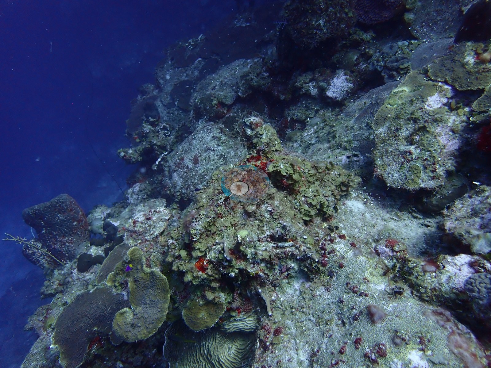
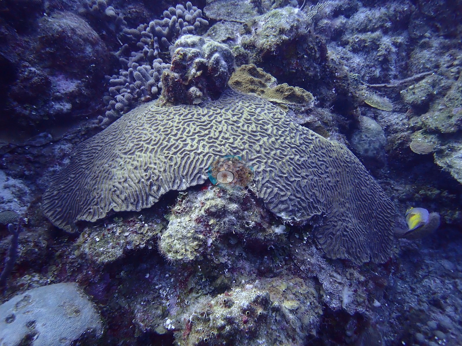
Coral Stairway is a wall site off Northwest Point, Providenciales, in the Columbus Landfall Marine Park, Turks and Caicos, dived twice from the Turks & Caicos Explorer II liveaboard on 2 August 2022 (dives 11 and 12). Symmetrical brain and boulder star corals climb the wall face in terraced, step-like formations, giving the site its name. The photographs bear this out, with plating colonies tiled up the buttresses in shingled tiers and broad brain-coral shelves cantilevered out from the face (e.g., Image 1, Image 27).
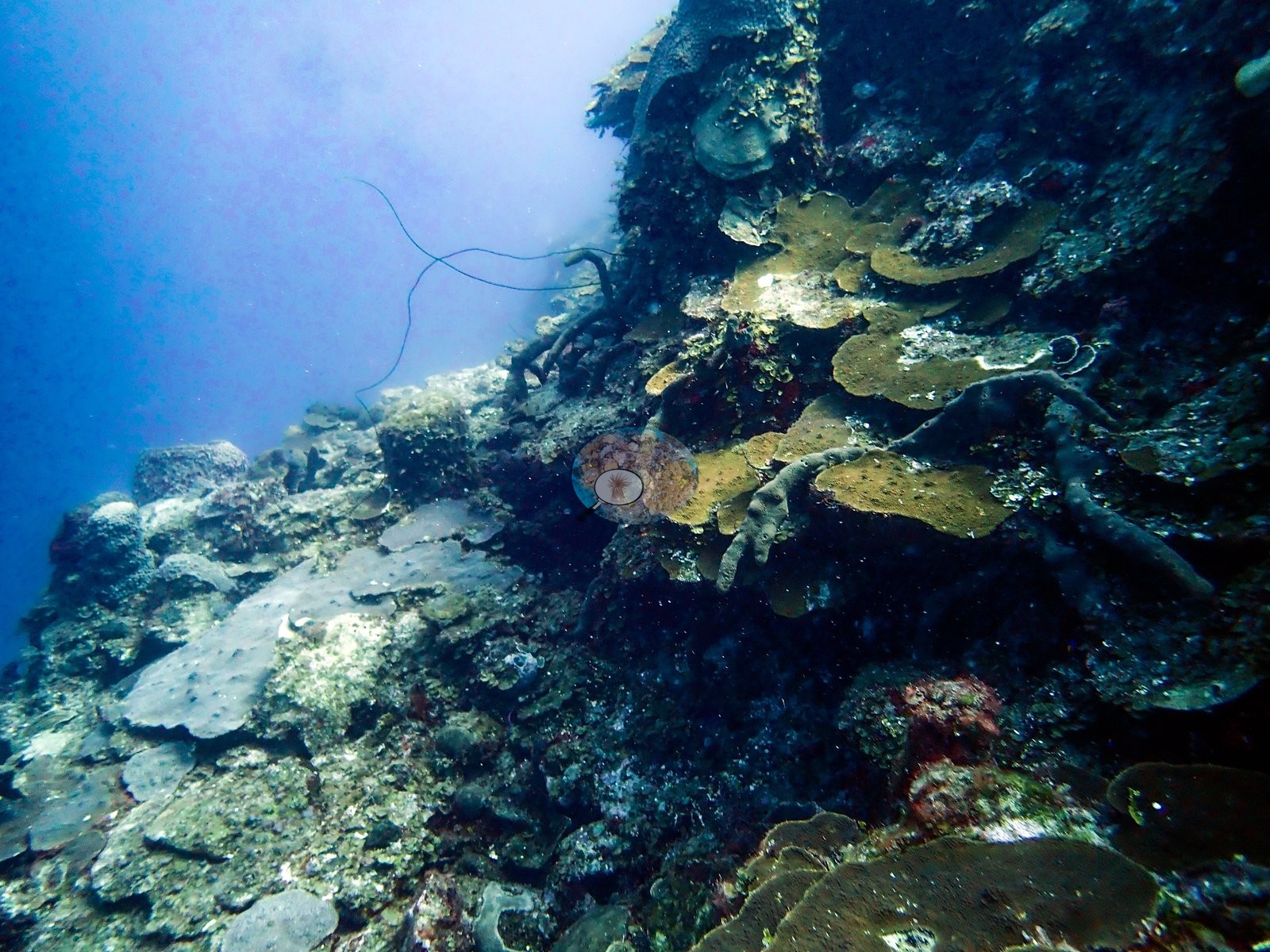
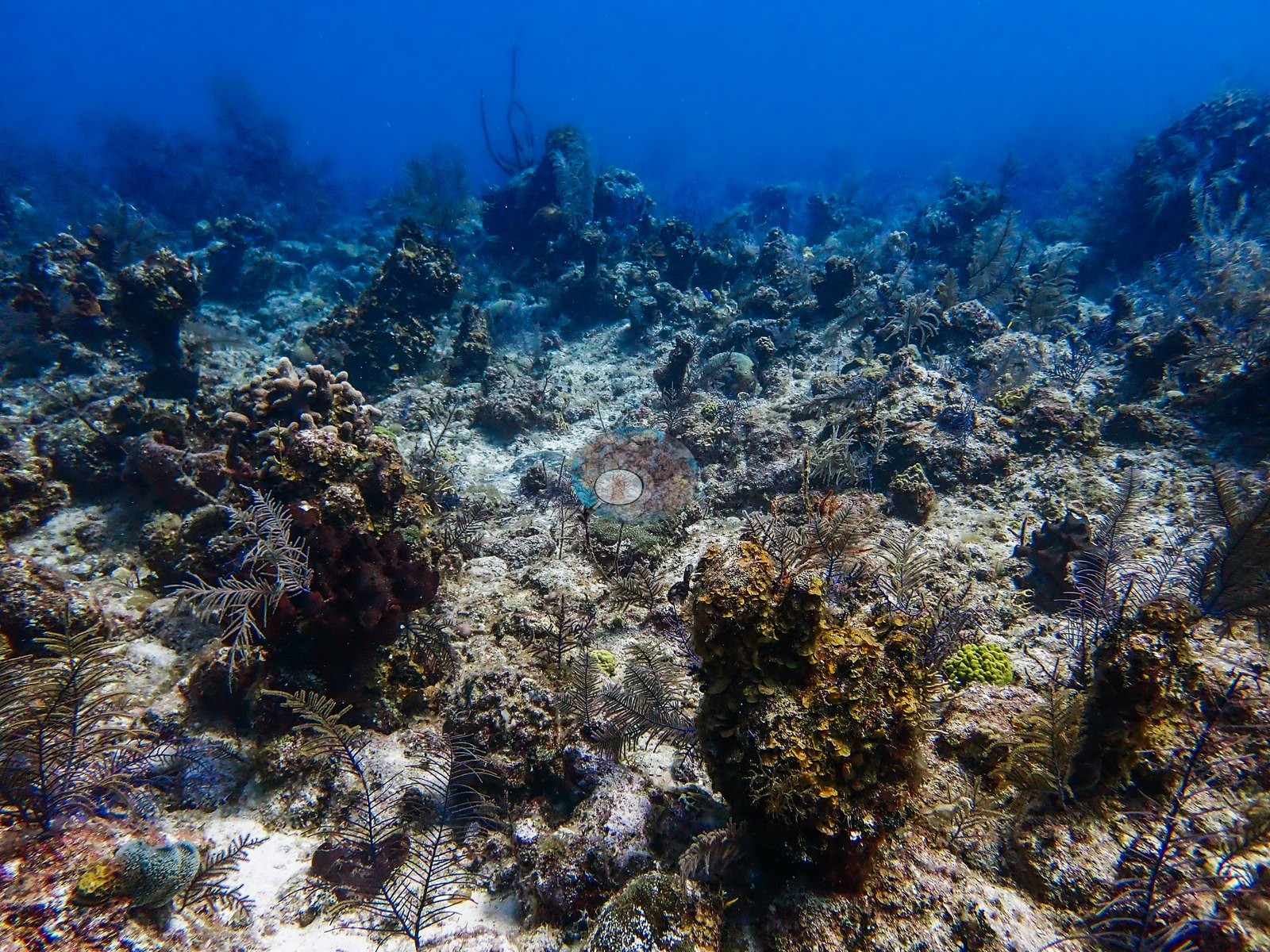
The site combines a near-vertical wall with undercut ledges and a low-relief shelf of pavement, rubble, and scattered heads above it (e.g., Image 18).
General benthic features
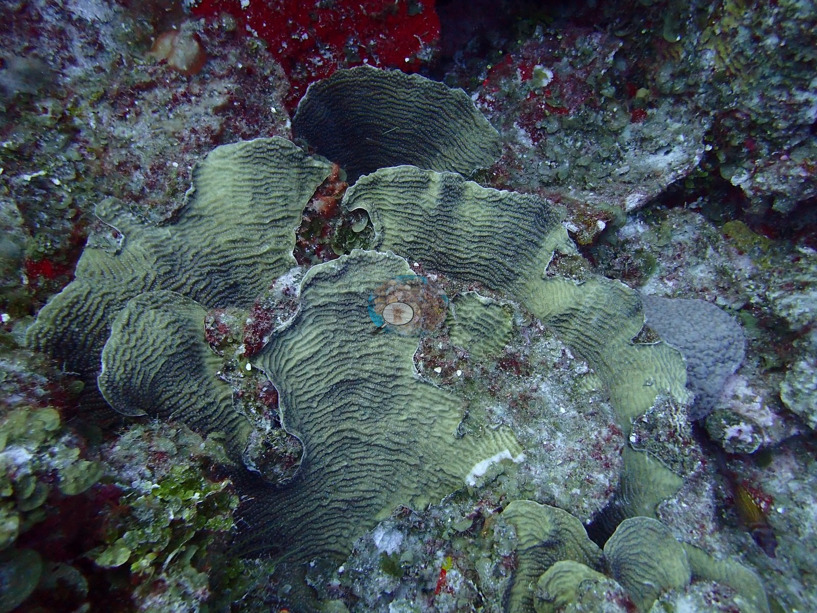
Plating corals in olive, tan, and near-black grew in overlapping tiers, and one rosette of ruffled, ridged plates was in excellent condition with pale growing margins (e.g., Image 48, Image 51).
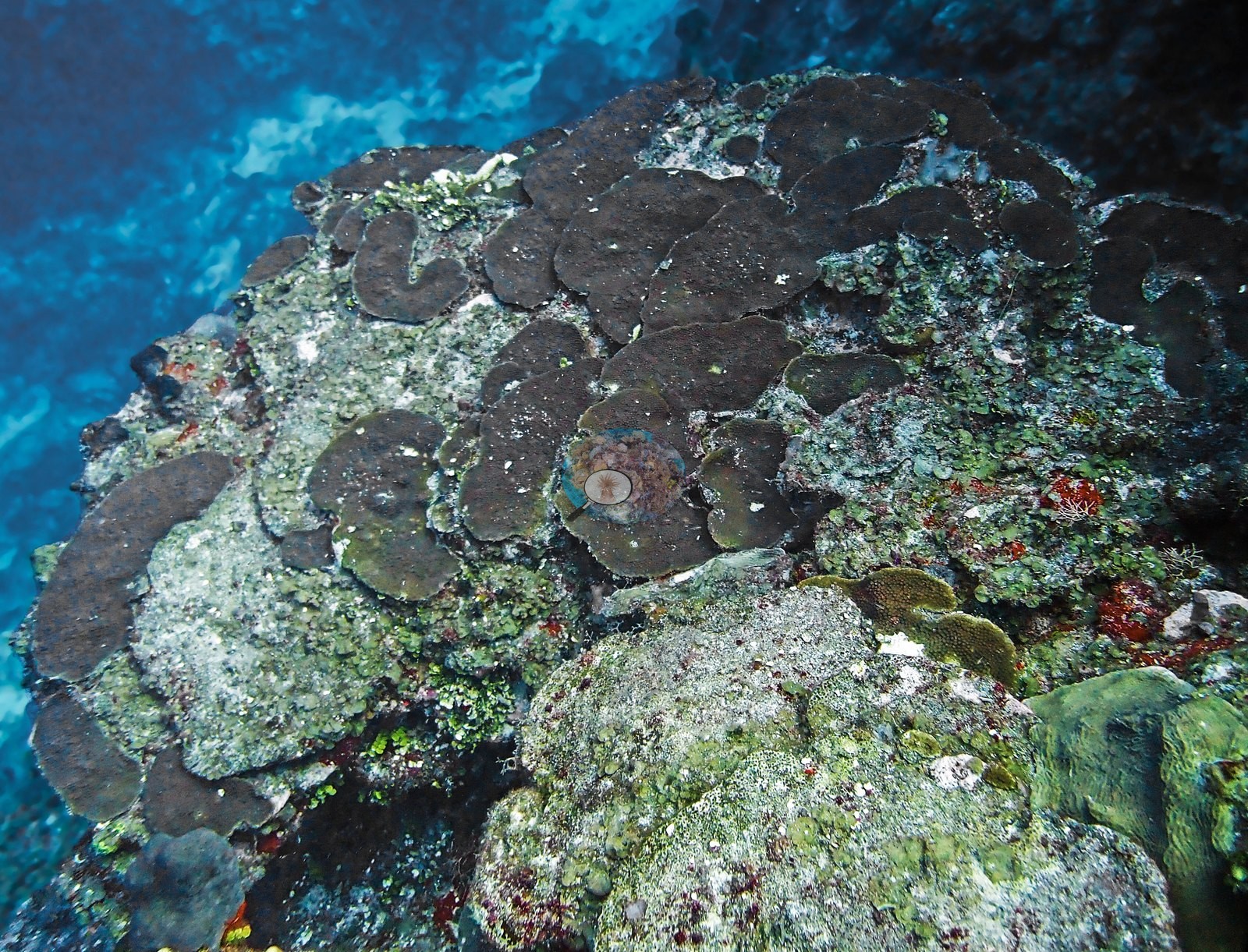
Symmetrical brain corals were the signature massive colonies, including a healthy dome roughly half a meter across on the pavement and a broad, plate-like shelf close to a meter across projecting from the wall (e.g., Image 3, Image 49).
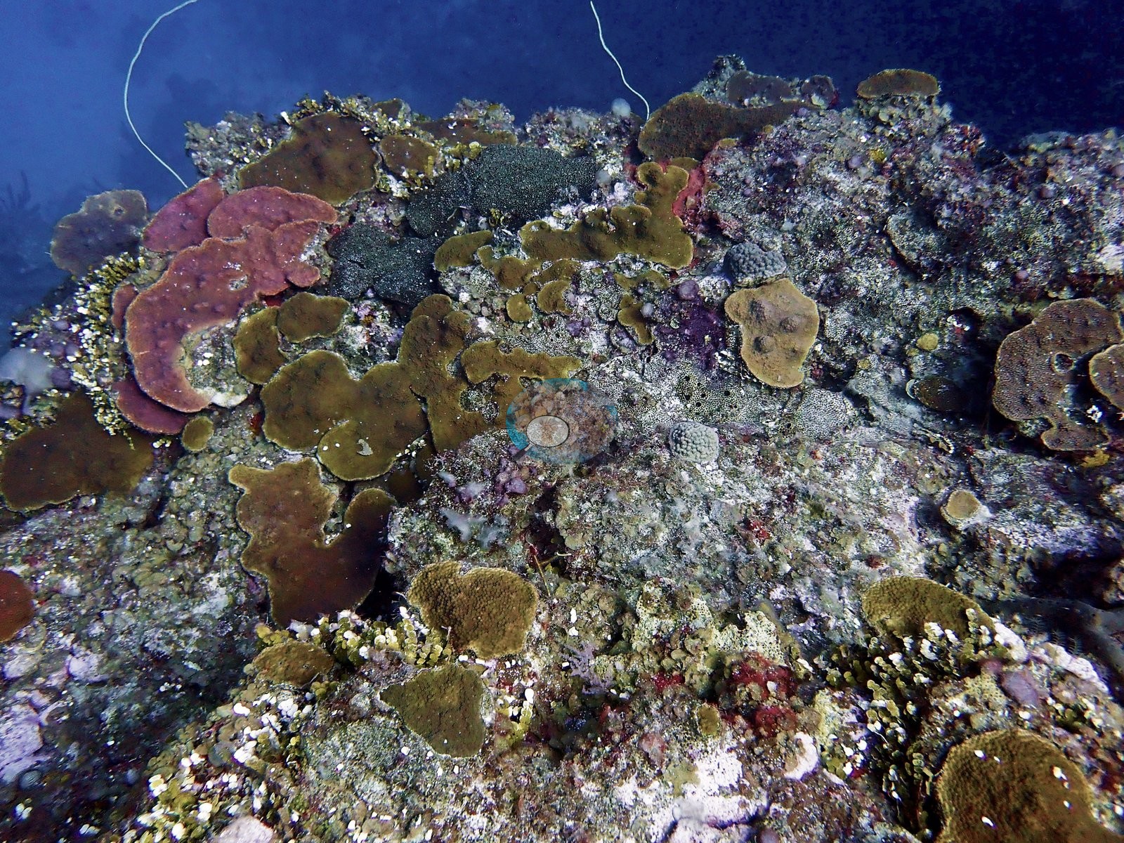
Mixed patches of plating, mounding, and encrusting colonies crowded the upper reef between sponges (e.g., Image 2).
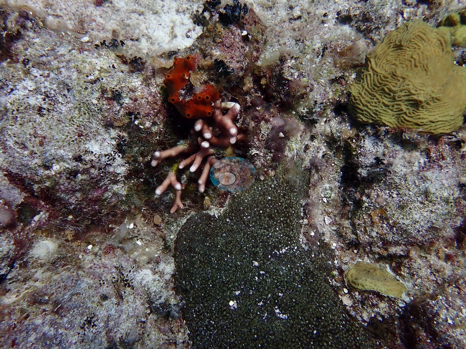
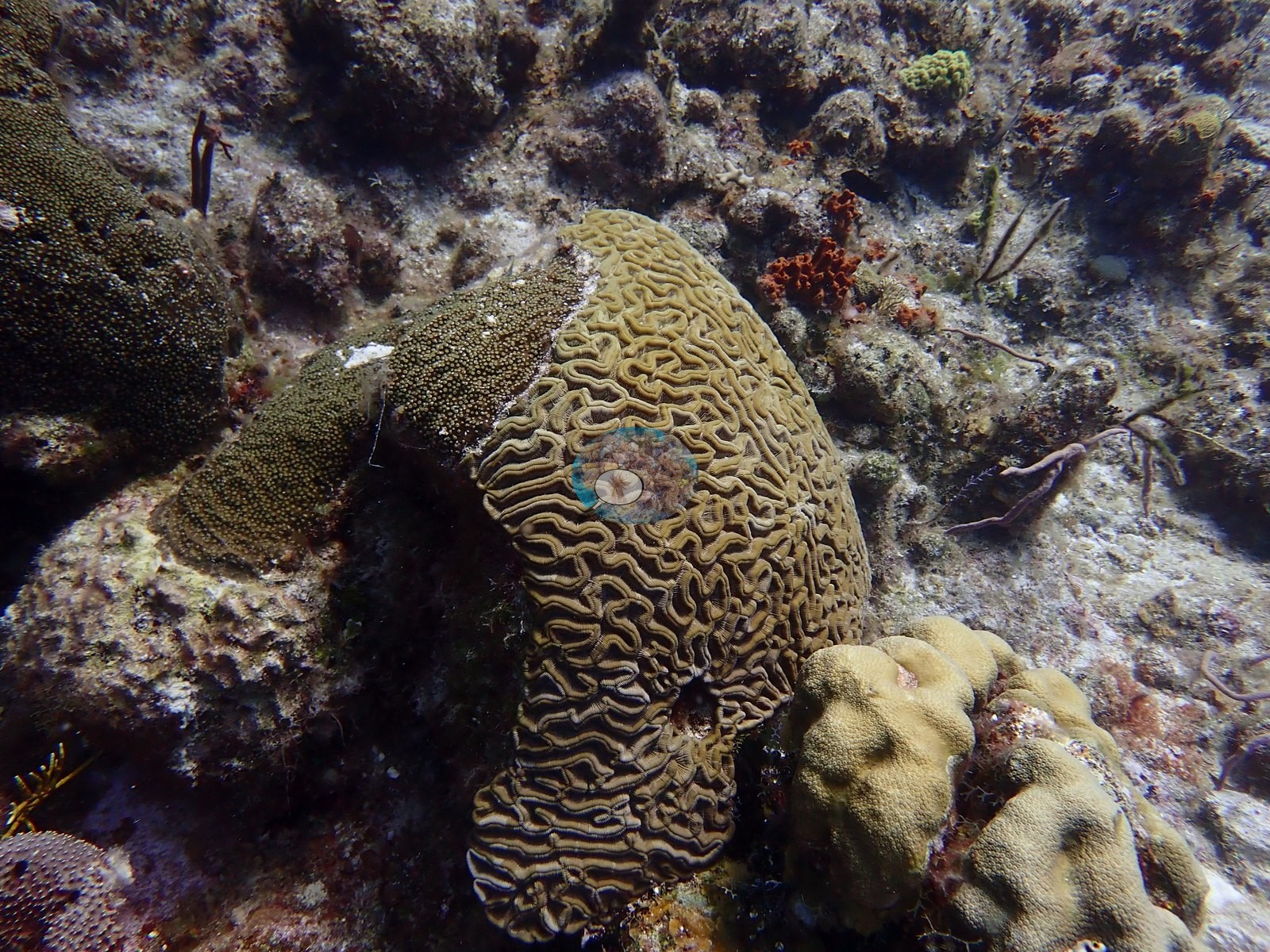
Elsewhere a grooved brain coral grew pressed against a finely textured encrusting colony above a cream, lobed mounding colony (e.g., Image 6).
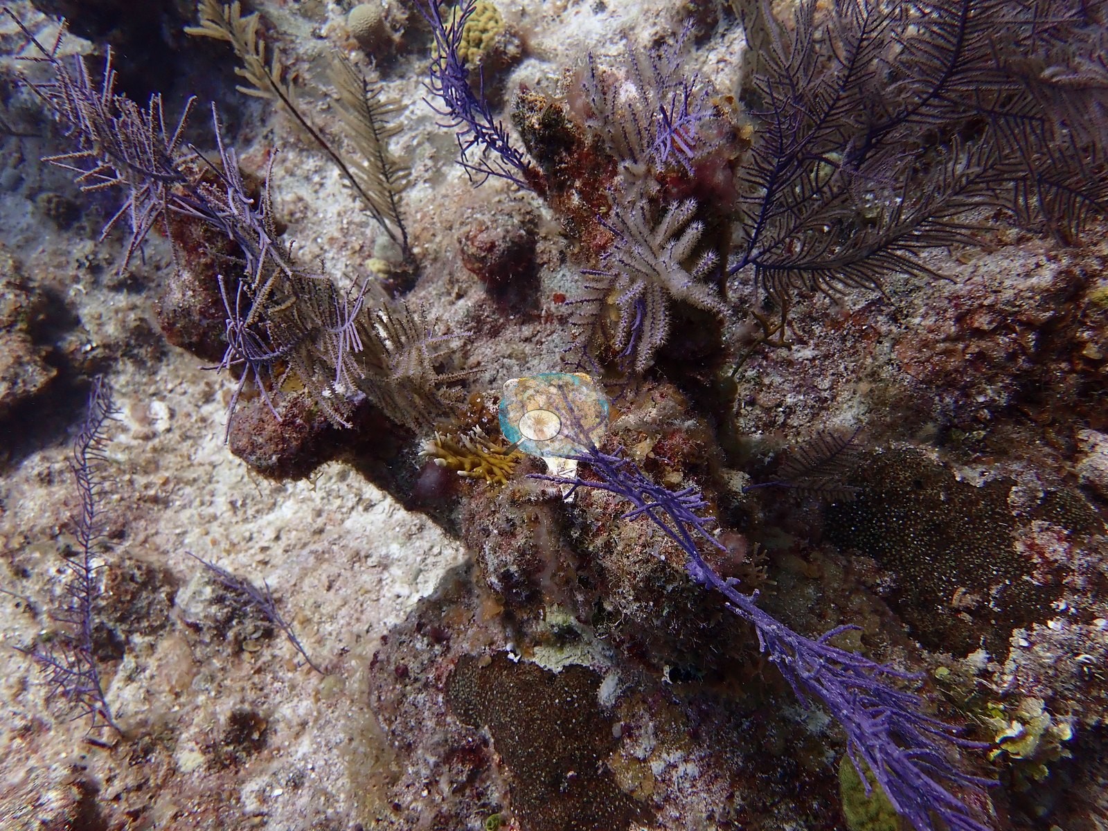
Red encrusting sponge and black coral fill the gaps between the terraces, and sea rods, sea plumes, bushy antipatharians, and barrel sponges round out the community (e.g., Image 11, Image 17).
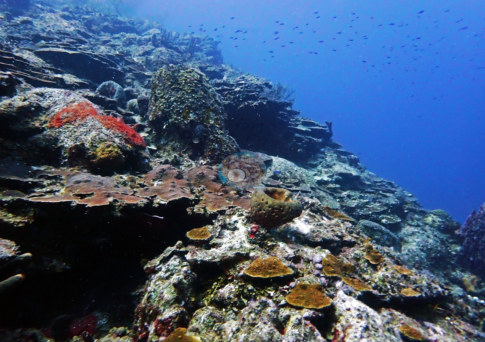
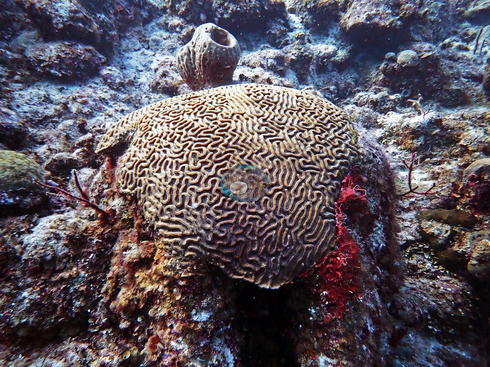
Between and beneath all of this, the dominant surface was turf- and coralline-covered rock and rubble rather than living coral (e.g., Image 26).
Coral cover
- Reference: Claude CV point count (this site's photos)
- Coral cover: 14% — a blind Claude computer-vision point count of 150 of Anderson's edited photographs (the mean of the two dives' means; 20 points per photo; water, fish, and obstructions excluded). Other computer-vision methods are listed in the method table.
Stressors
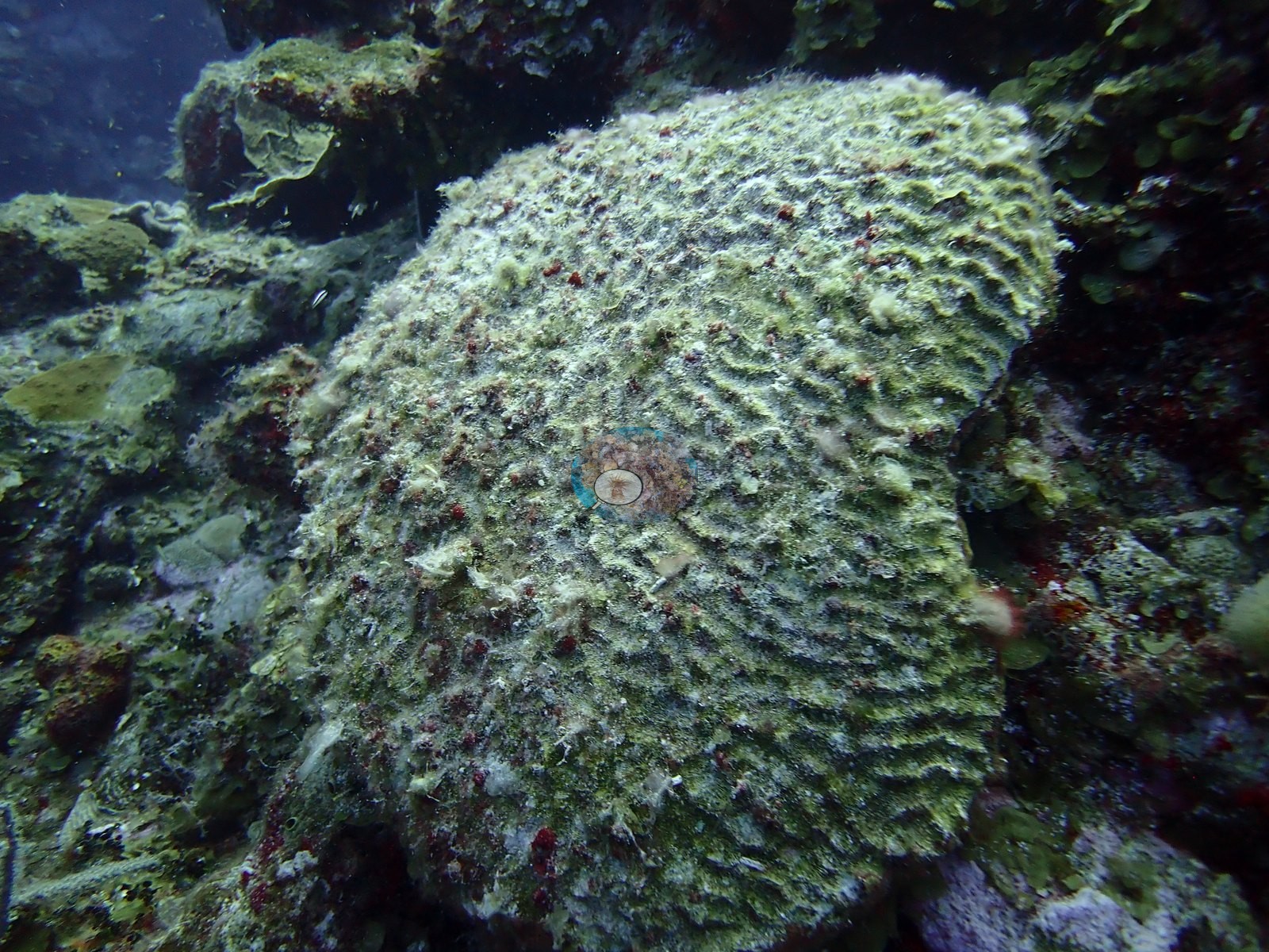
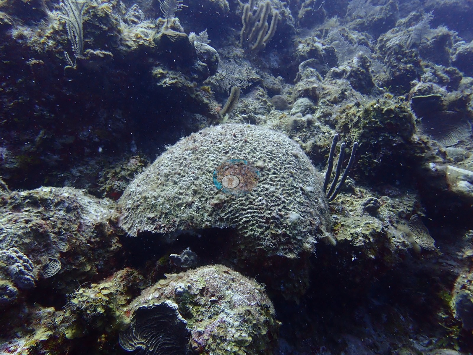
Standing dead coral was abundant and conspicuous, with several massive domes that kept their full colony shape and legible surface pattern while their entire surface was dead and overgrown by turf, coralline algae, and encrusting sponge (e.g., Image 13, Image 46).
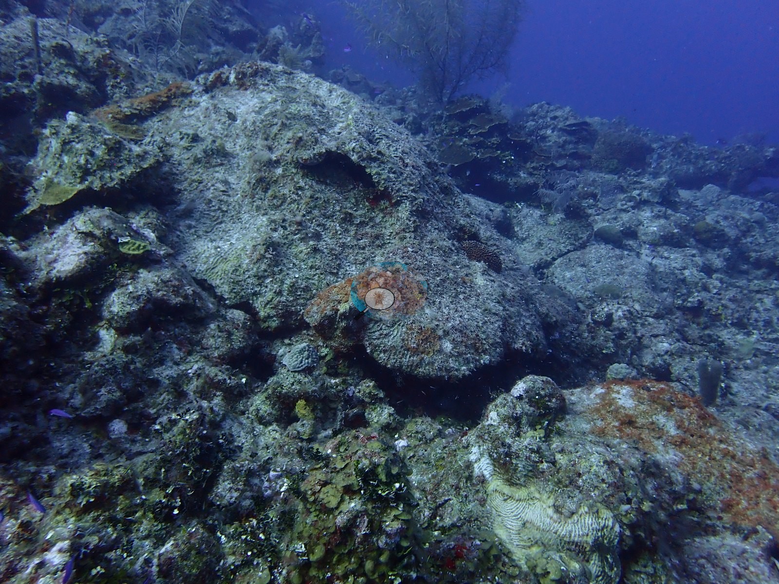
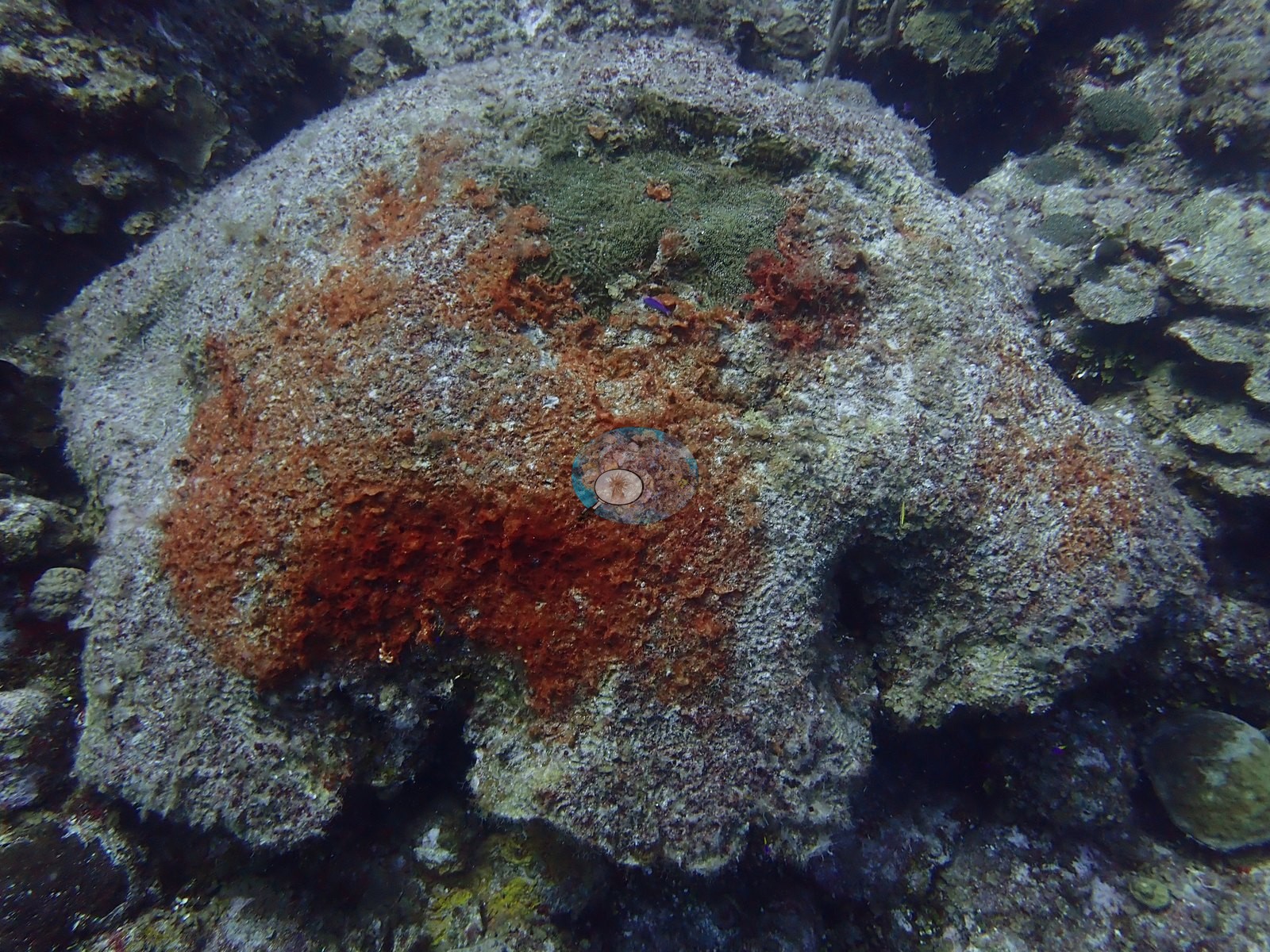
One head was almost wholly dead and blanketed by a large orange-red sponge, keeping only a small green living patch near its apex (e.g., Image 19).
One large brain coral was a complete skeleton, its meanders still perfectly formed under a coat of turf (e.g., Image 5).
Active tissue loss was photographed on at least two colonies, a symmetrical brain coral with a broad band of freshly exposed, stark-white skeleton between sections of living tissue and a mounding colony with the same sharp white front between olive tissue and older turf-covered skeleton (e.g., Image 8, Image 12).
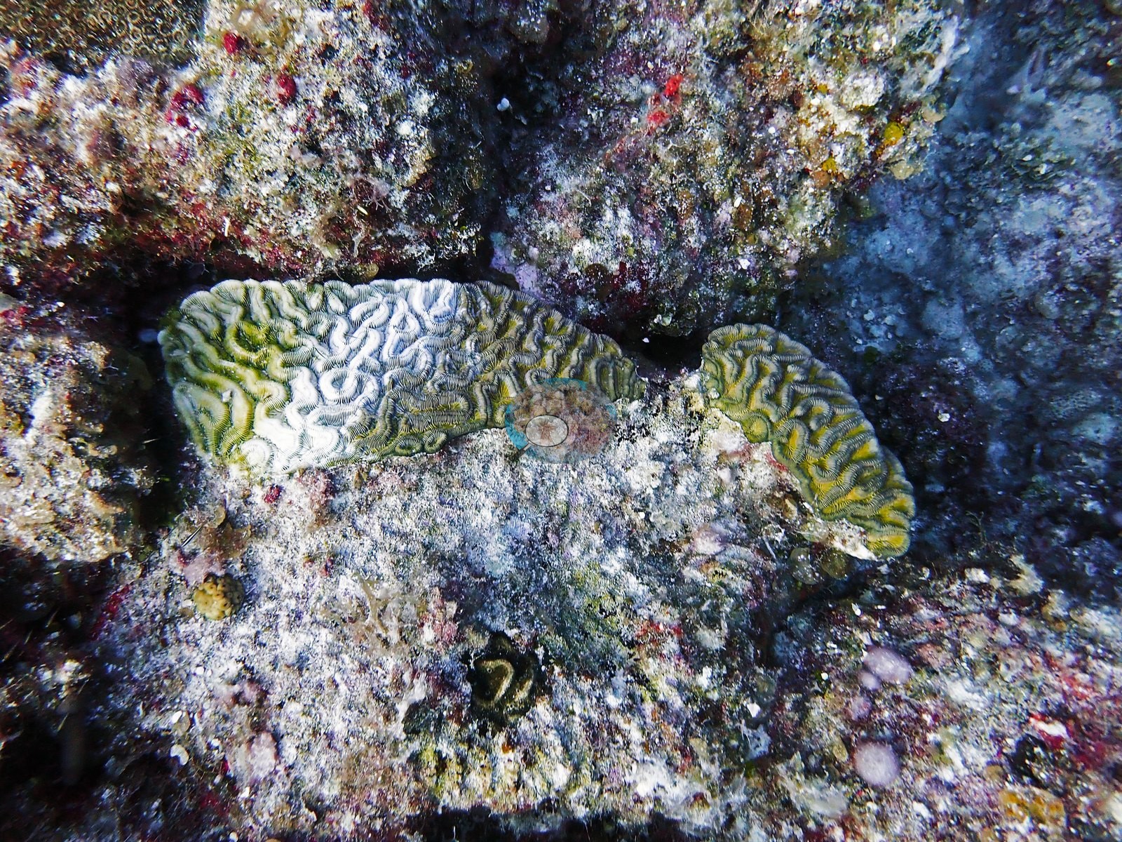
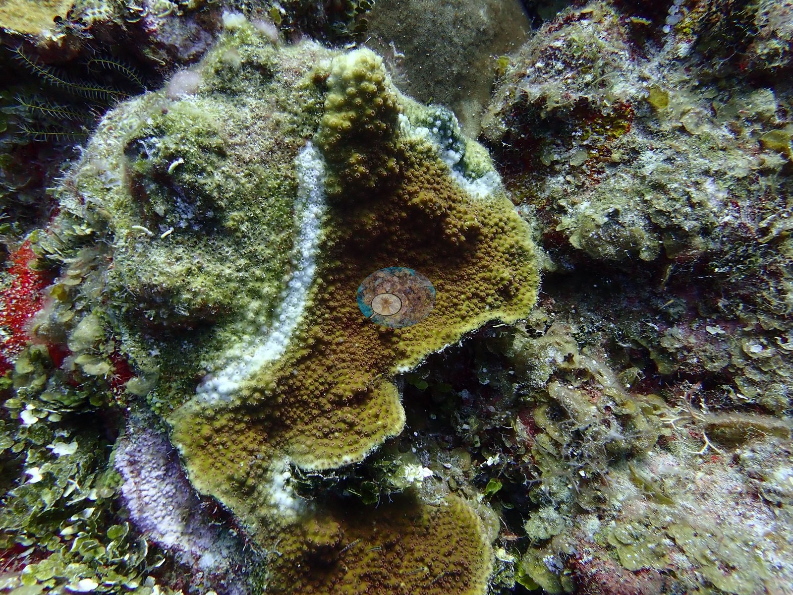
These are observations, not a diagnosis; the appearance is consistent with the tissue-loss diseases active in the Caribbean at the time, but no field diagnosis was made. Partial mortality was common, including plates with white, dead margins, a brain coral half alive and half turf-covered, and a small colony with living tissue at its rim around a dead, sediment-filled center (e.g., Image 7, Image 24, Image 31).
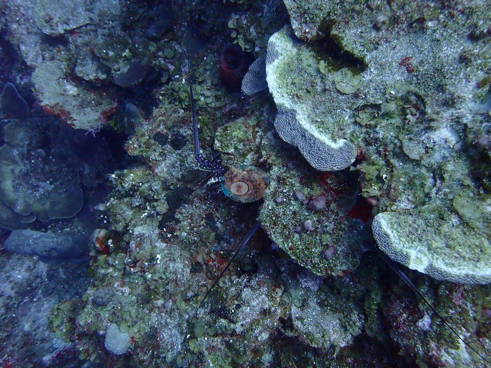
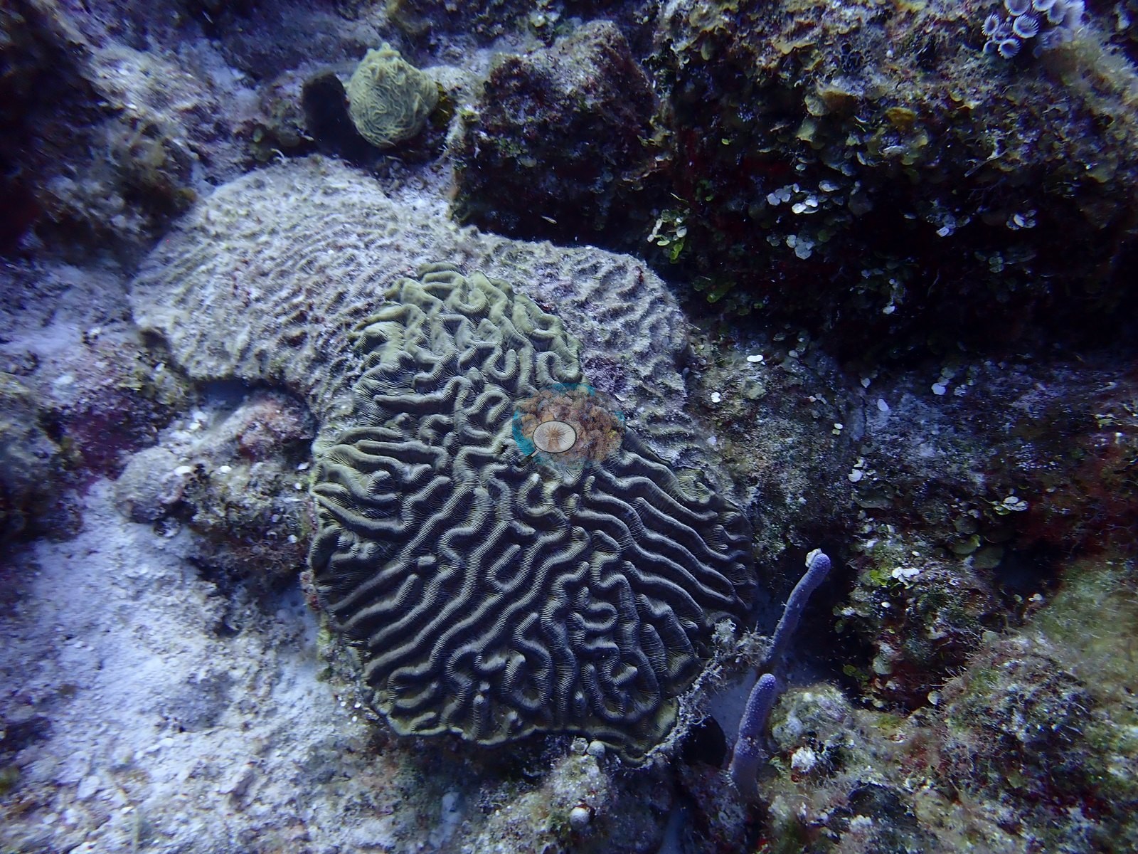
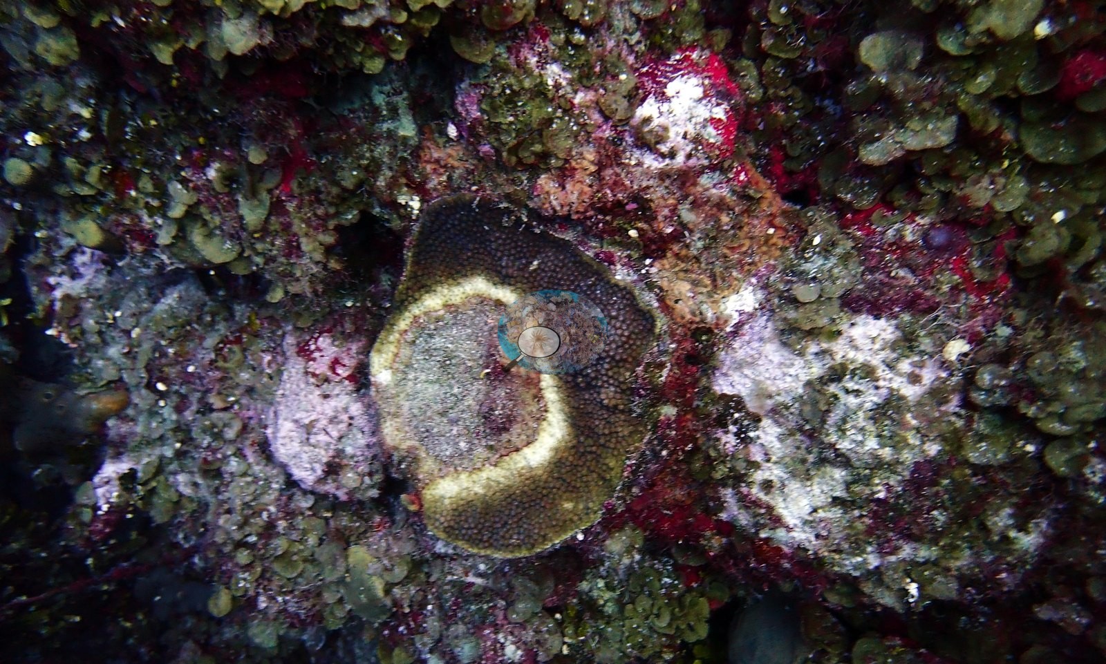
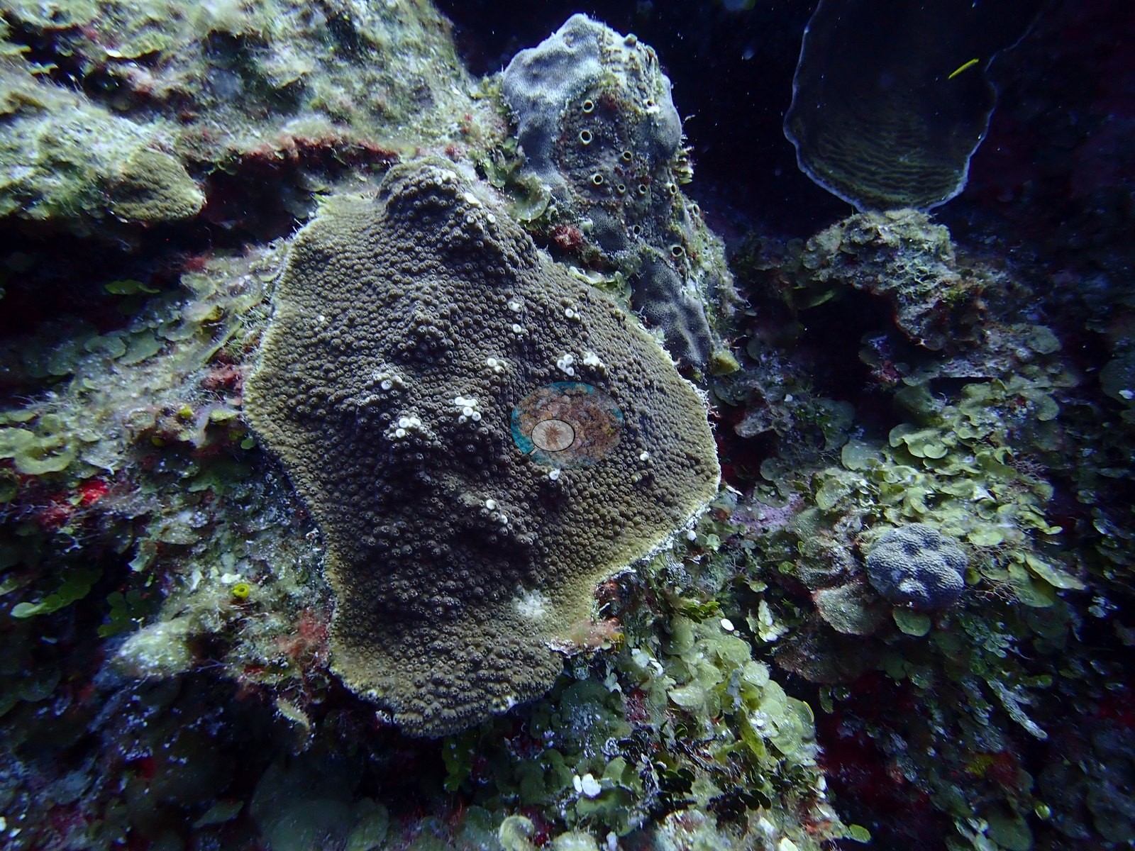
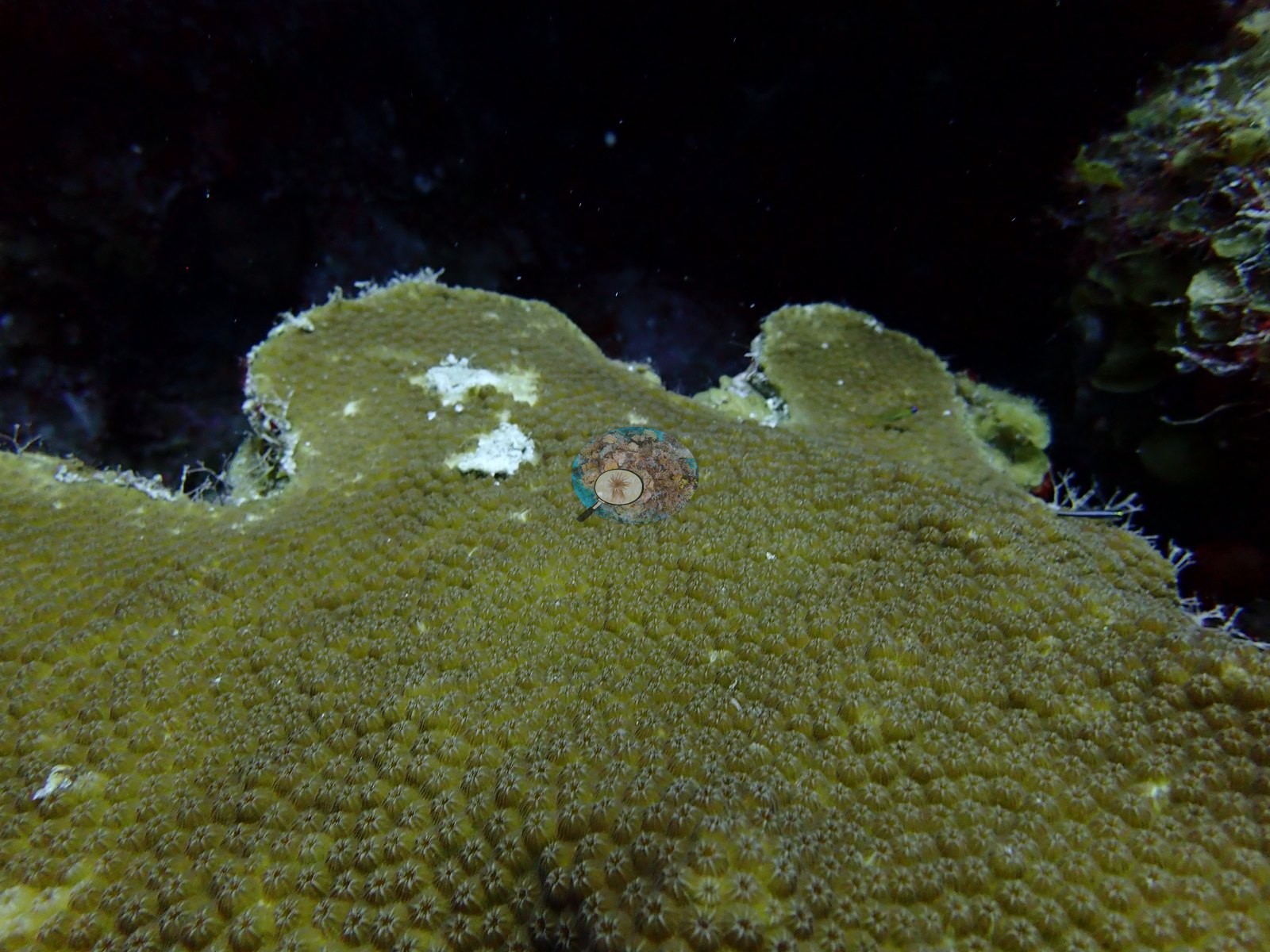
Some living star-coral-type surfaces carried scattered small white spots that could be feeding scars or early lesions, and the photographs do not settle which (e.g., Image 41).
A small, living, staghorn-like branching colony was growing amid a field of dead, white branch skeleton of the same growth form (e.g., Image 30).
No bleaching was recorded on this dive. Typical recent thermal stress in the Bahamian ecoregion is a mean annual maximum of 9.1°C-weeks (Degree Heating Weeks, 2021-2025, NOAA Coral Reef Watch). No corallivores evident.
Fish and other fauna
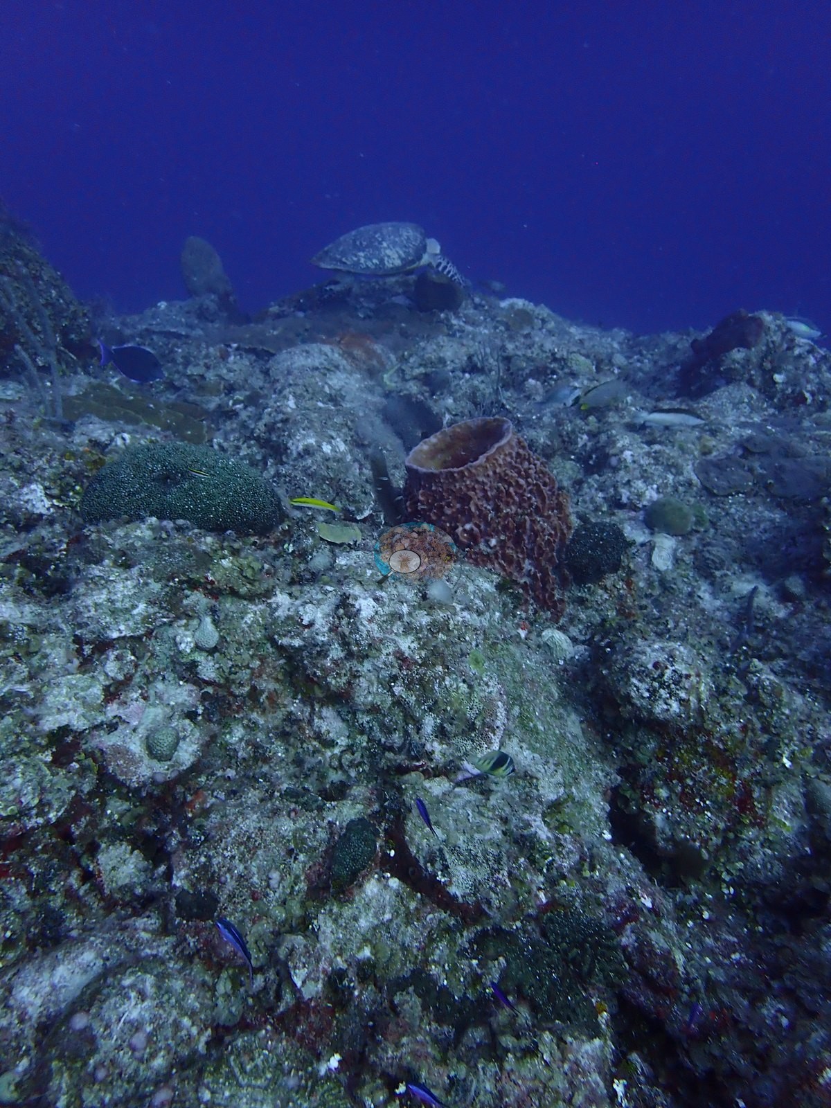
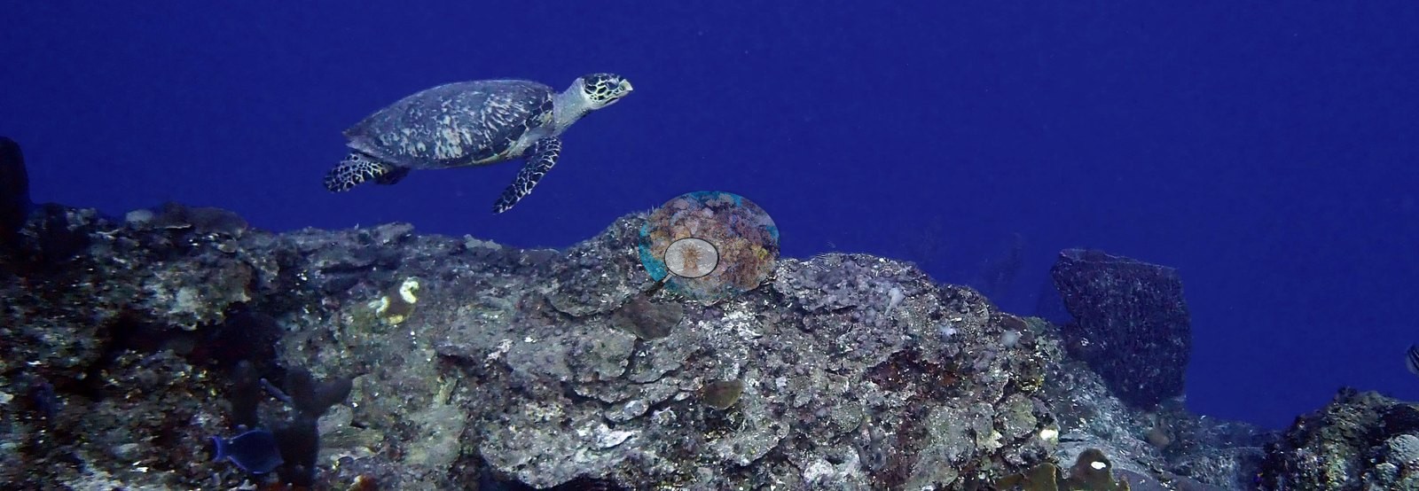
Hawksbill turtles forage on the coral heads, and two were photographed, one resting on the reef top and one cruising over the wall crest (e.g., Image 14, Image 53).
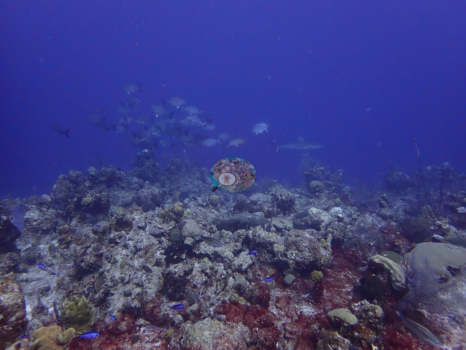
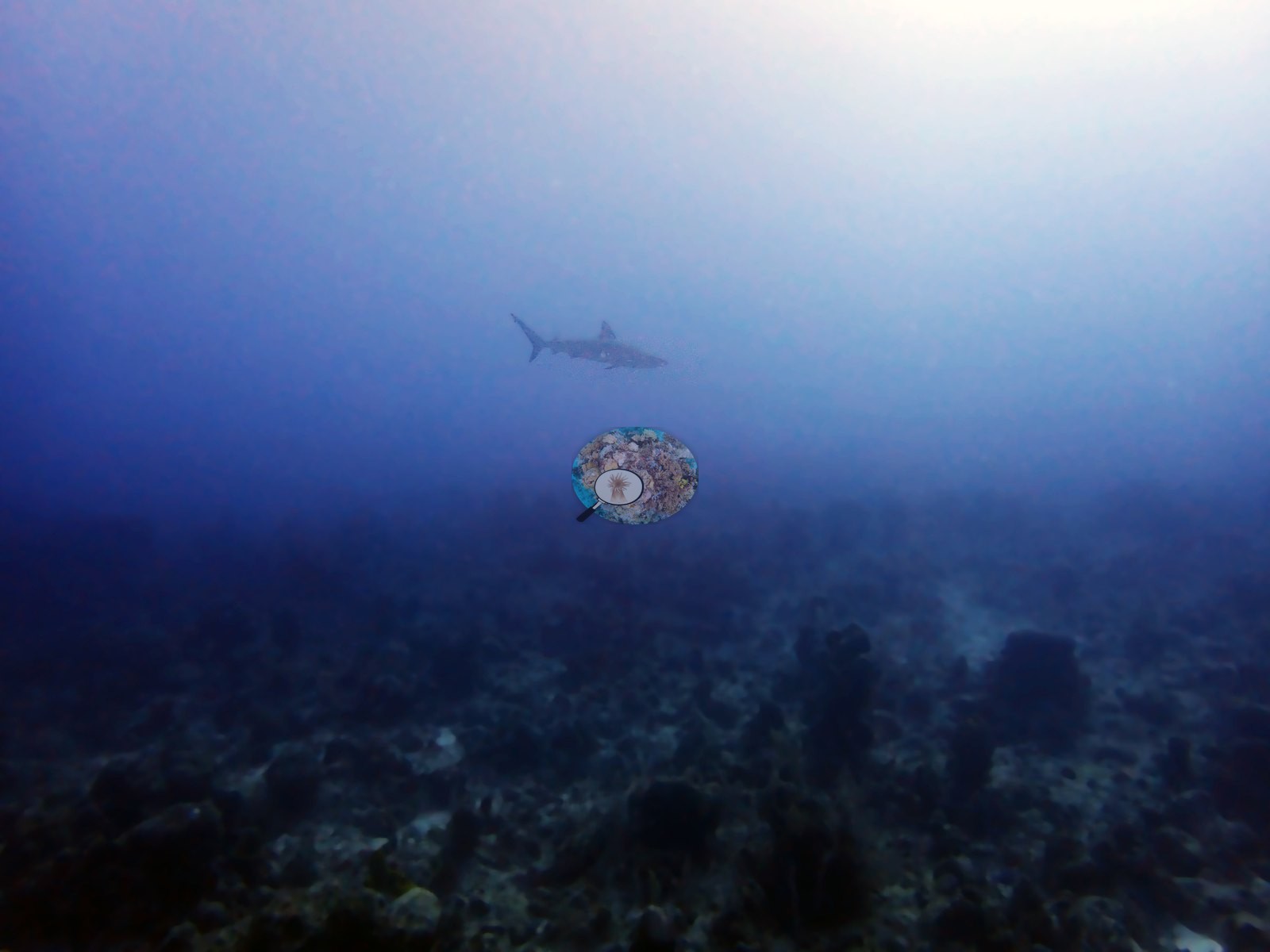
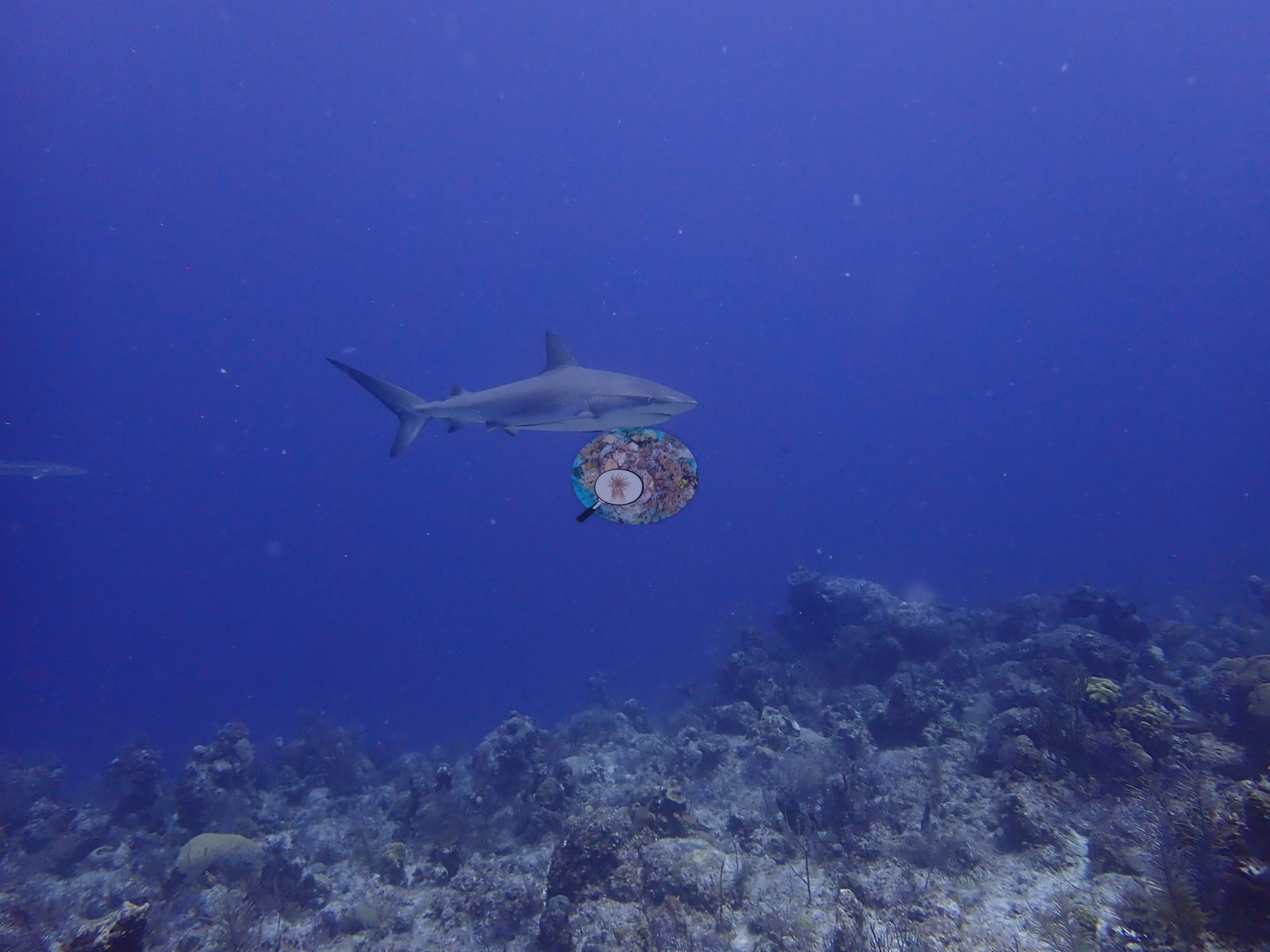
Caribbean reef sharks cruise the wall and appeared in several frames, including one clean pass over the reef (e.g., Image 25, Image 39).
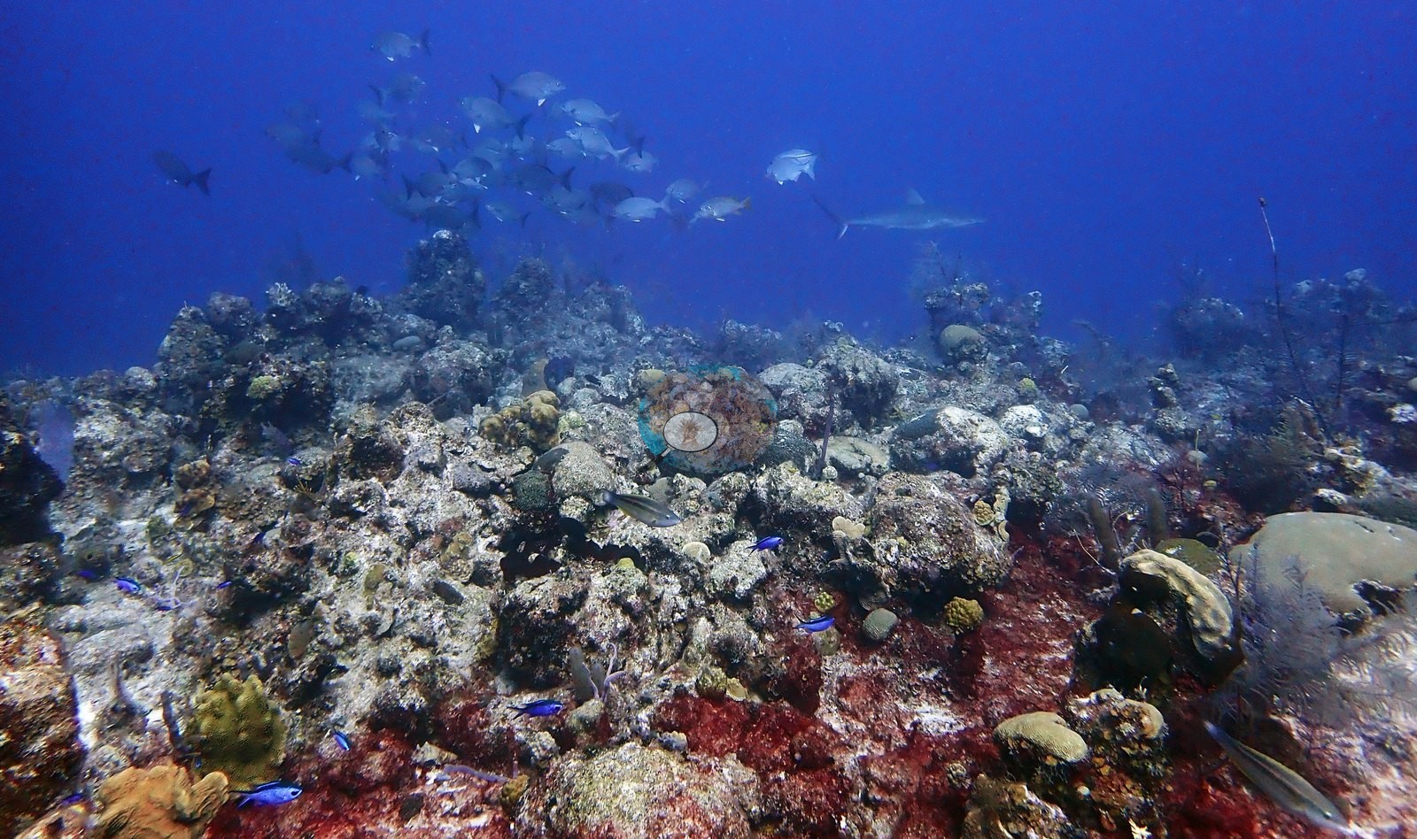
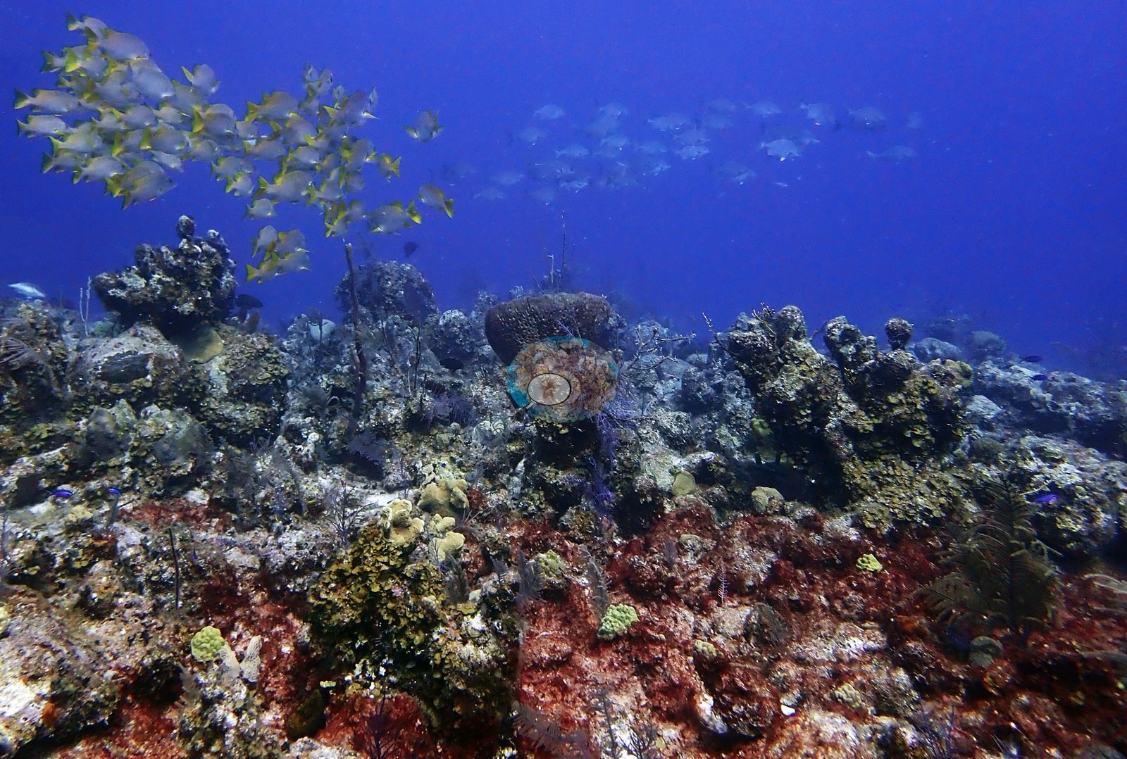
A school of silvery jacks worked the reef edge with a shark behind it, and a school of yellow-striped grunts crossed the reef top (e.g., Image 10, Image 23).
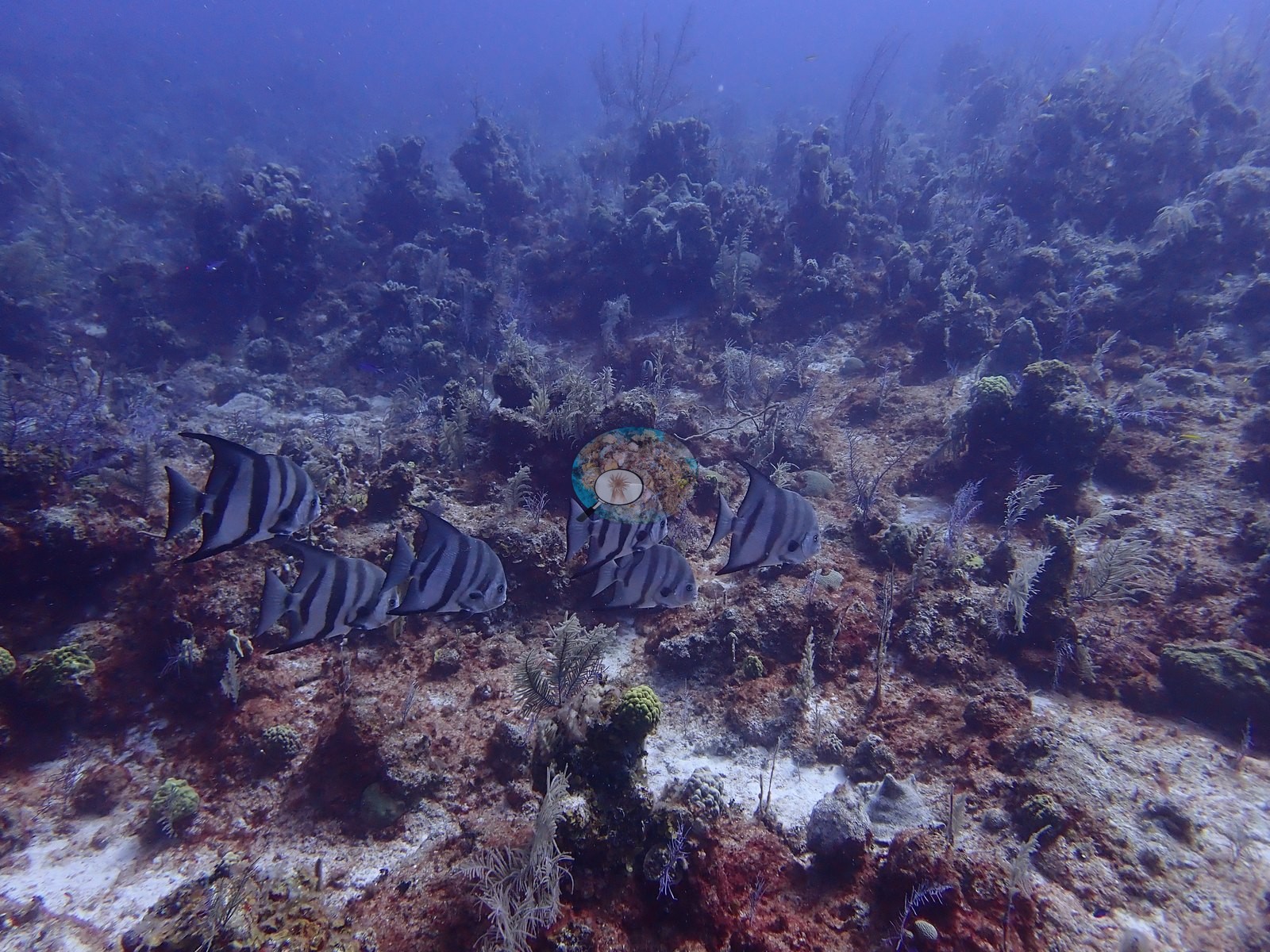
A tight school of about seven black-barred spadefish crossed the flat (e.g., Image 38).
A yellow-and-black angelfish foraged beside a broad brain-coral shelf (e.g., Image 36).
Comparisons with other data
The nearest earlier survey, at Reef Check's Eel Garden station 0.84 km away, recorded 16.9% hard coral in August 2007, 3.3 percentage points above this site's figure.
Dive record
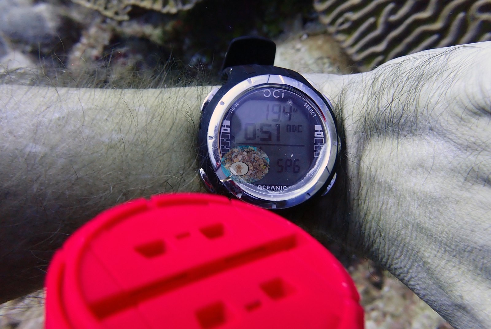
The first dive entered the water at 08:16 and reached 29.9 m over 63 minutes at 28.3°C, and the second entered at 10:47 and reached 31.7 m over 63 minutes at 27.8°C.
Other notes
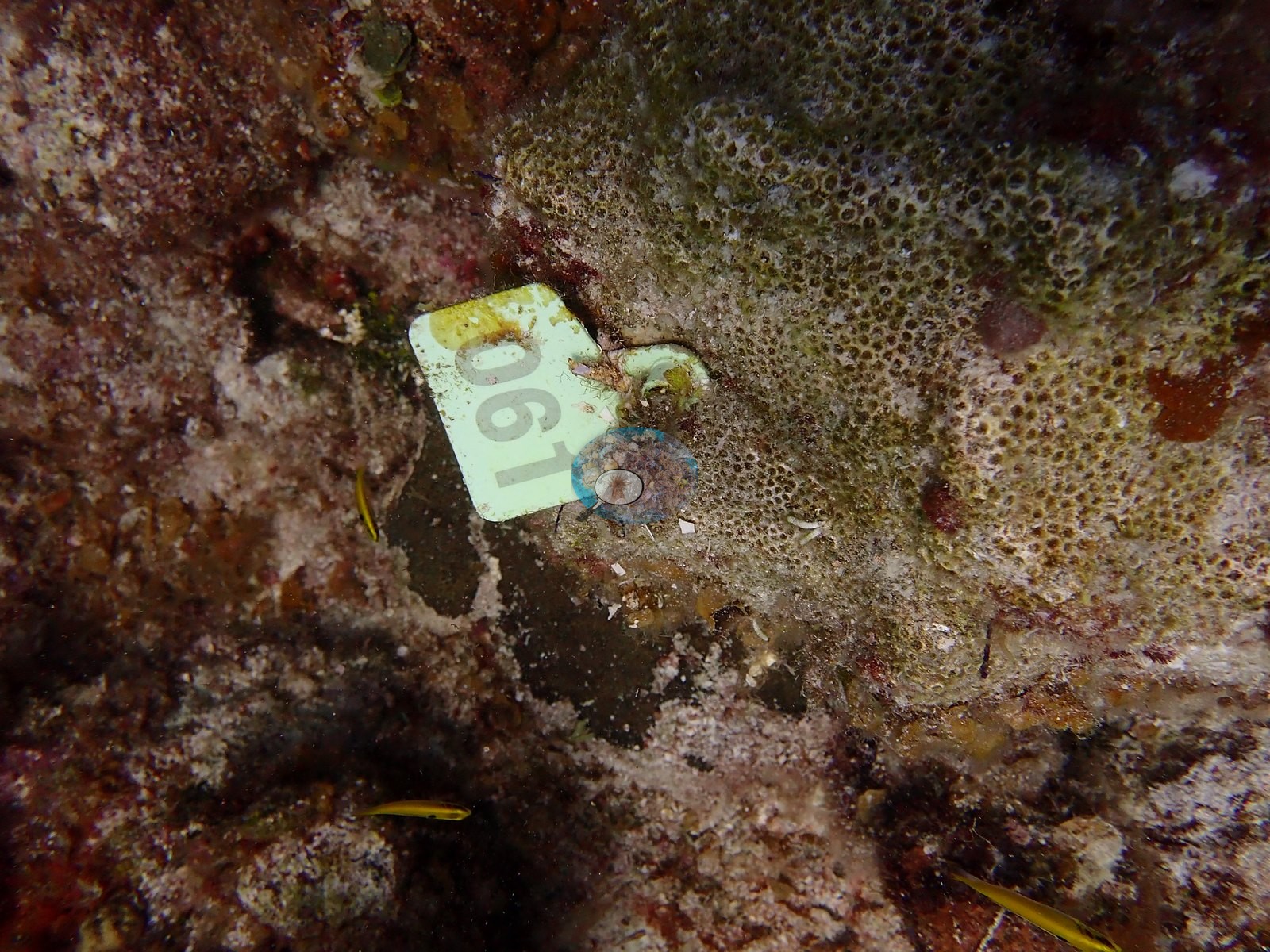
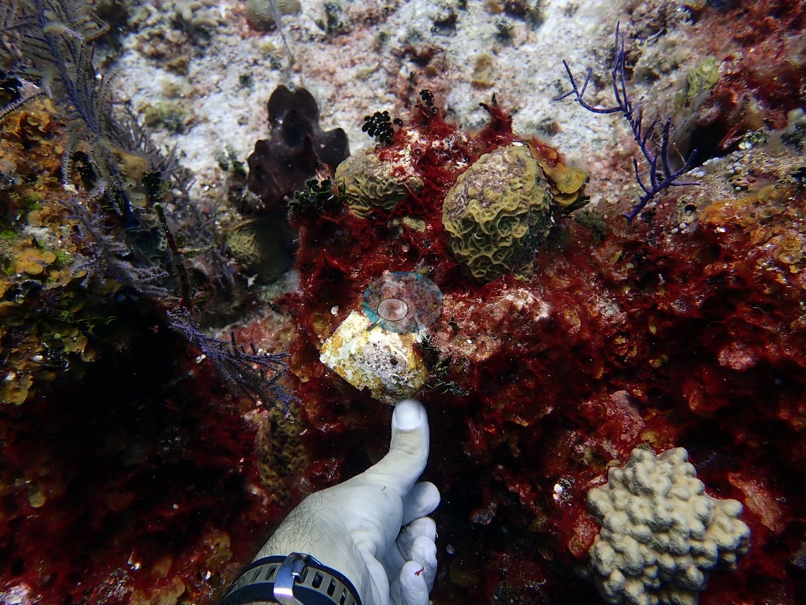
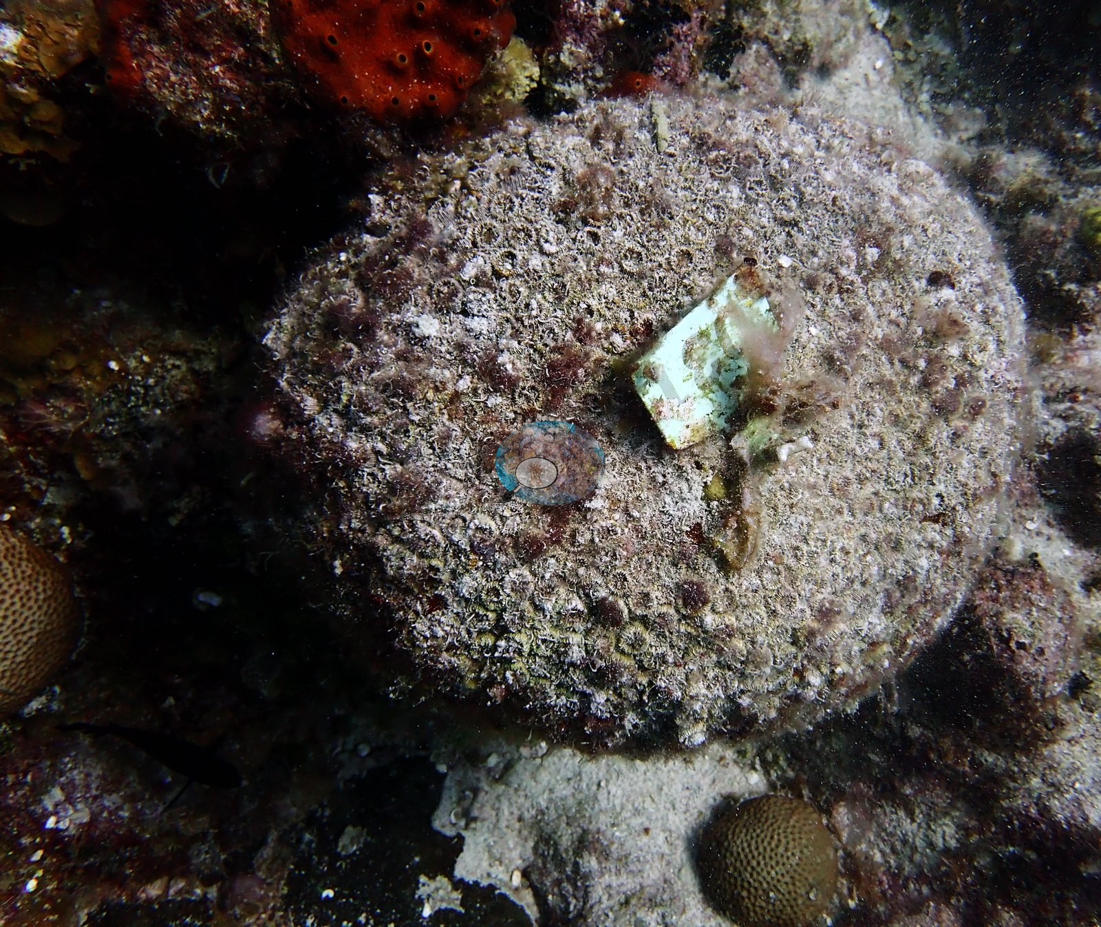
The reef is under formal monitoring, and at least four numbered permanent tags nailed into it were photographed, two reading 003 and 061 and two fouled past reading (e.g., Image 15, Image 20, Image 40, Image 45).
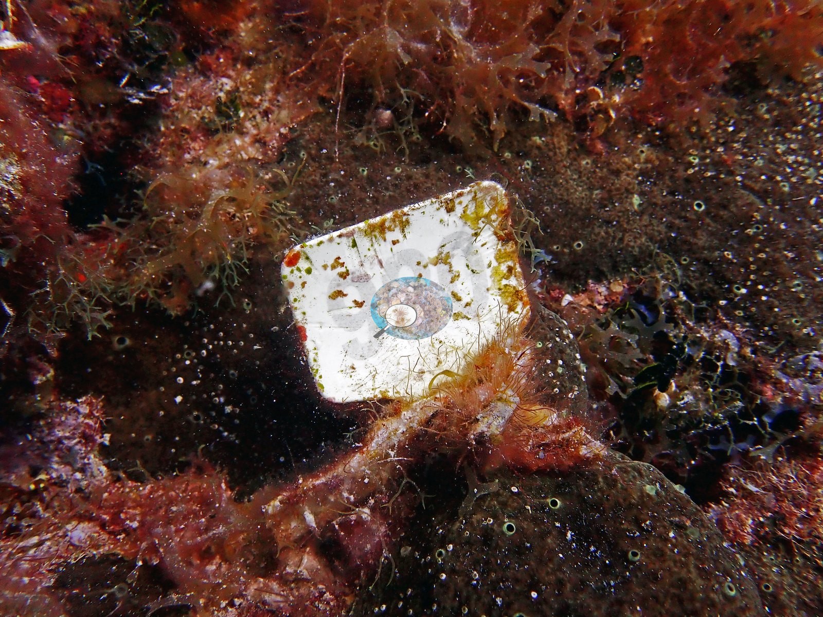
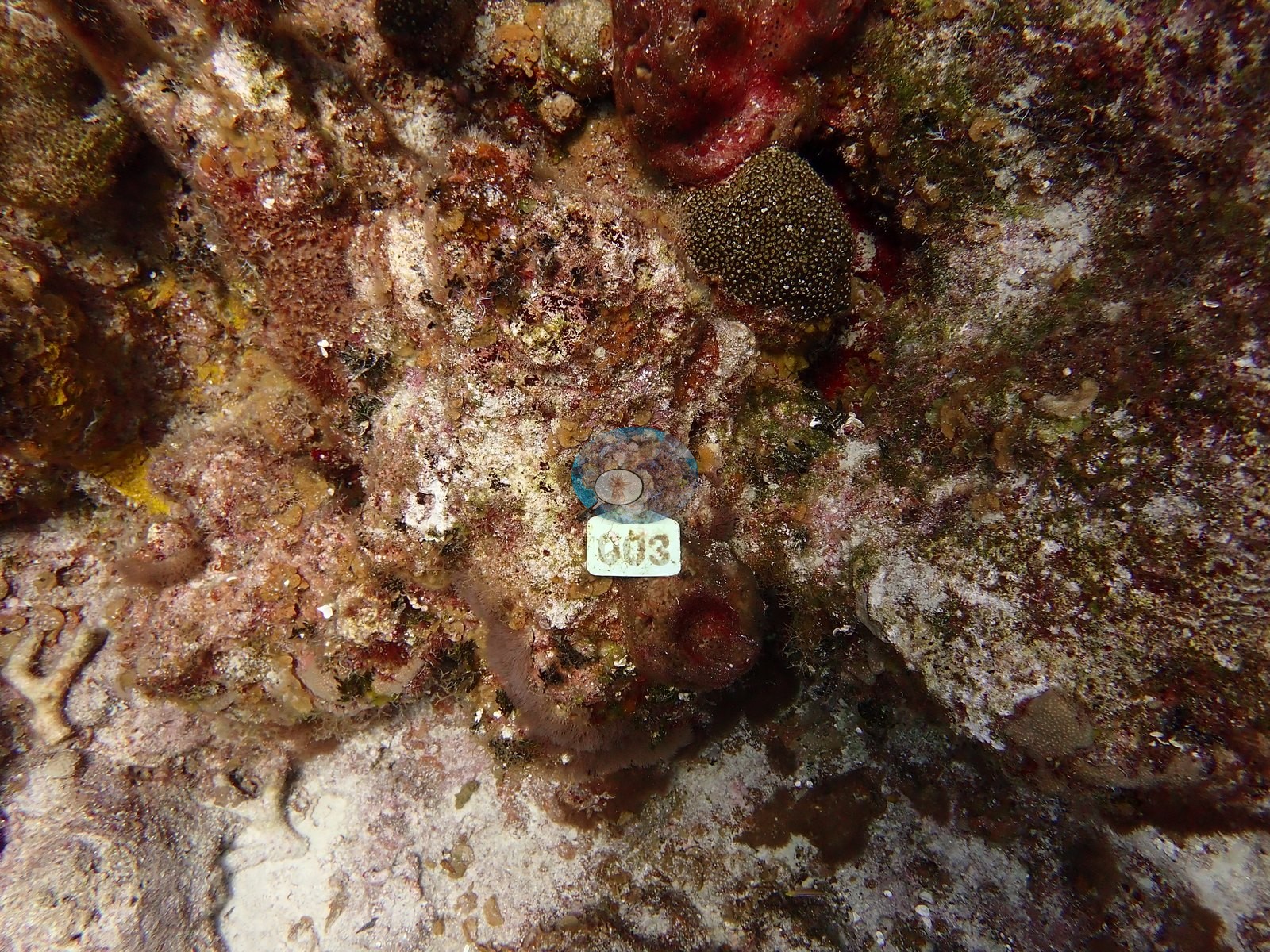
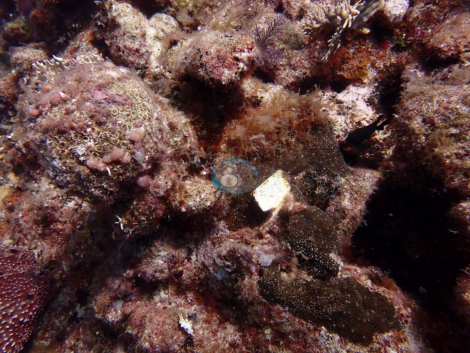
Anderson documented them deliberately, pointing at one with a gloved hand (e.g., Image 16).
One tag is fixed to a massive coral that is now entirely dead (e.g., Image 22).
An independent diver-based dataset probably exists for this reef as a result and would be worth tracking down as a cross-check.
CV model comparison
More info
A few colony-focused photos raise the mean; the median is the typical photo. No computer-vision method yet estimates coral cover accurately on new images, so treat this as indicative rather than a measurement; it is revised as the methods improve.More info
Other rows are for comparison only and are never averaged. No diver transect exists for this trip, so agreement between rows is not accuracy.| Method | Hard-coral cover (%) |
|---|---|
| CoralSCOP edited | 24.4 |
| Claude (edited photos) | 13.6 |
See a more detailed, stand-alone version of this table.
Dive history
| Date | Time in | Max depth (m) | Bottom time (min) |
|---|---|---|---|
| 2022-08-02 | 08:16 | 29.9 | 63 |
| 2022-08-02 | 10:47 | 31.7 | 63 |
Independent surveys nearby
| Agency / program | Year(s) | Stations / distance | Link |
|---|---|---|---|
| Reef Check | 2005–2007 | 4 stations, 0.84–1.89 km | Records ↓ |
| XL Catlin Seaview Survey | 2013 | 1 station, 1.98 km | Records ↓ |
 Coral Reef Diagnostics
Within 5 km, 5 independent survey stations recorded hard coral cover in 5 records between 2005 and 2013. The most recent nearby survey is from 2013, so these values predate recent heat stress. This site's own estimate (14%) sits within the range of these surveys (2.9–17%); the methods differ, so the comparison is context, not a like-for-like test.
Collected by other programs using different methods (Reef Check uses point-intercept transects; the XL Catlin Seaview Survey uses photo-transects with automated image annotation), so these are context for the figures above, not a like-for-like comparison. Where a station was surveyed more than once the range is shown. Station names are not dive-site names.
| Agency | Site / location | Date | Hard coral cover (%) | Distance | Link |
|---|---|---|---|---|---|
| Reef Check | Chimney | 2005 | 6.2% | 1.23 km | — |
| Reef Check | Black Coral Forest | 2005 | 5.6% | 1.64 km | — |
| Reef Check | Eel Garden | 2007 | 17% | 0.84 km | — |
| Reef Check | Shark Hotel | 2007 | 10% | 1.89 km | — |
| XL Catlin Seaview Survey | transect 24044 | 2013 | 2.9% | 1.98 km | doi:10.14264/uql.2019.930 |
Data & links
All images from Coral Reef Diagnostics. Data are from Coral Reef Diagnostics and the organizations named in the data sources above.
© Coral Reef Diagnostics.