
Turks and Caicos - Brandywine

Part of the regional summary: Turks and Caicos Islands
More info
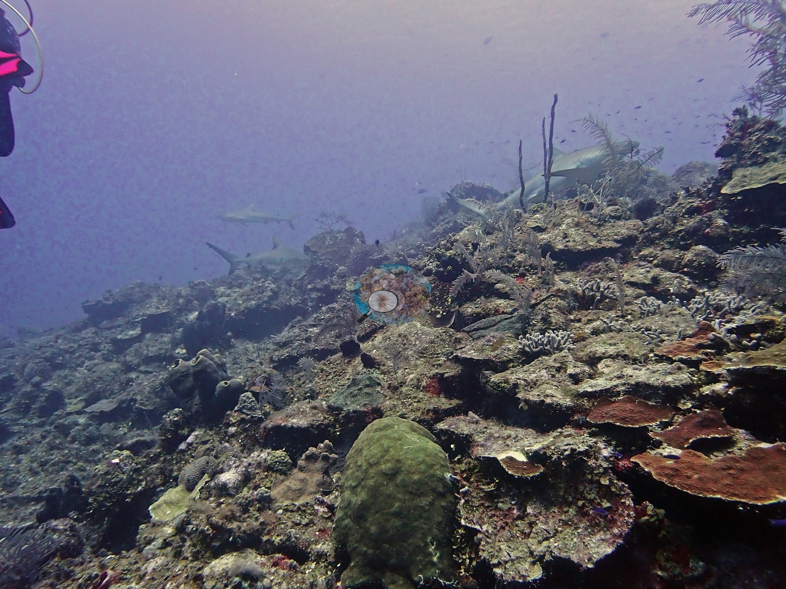
Turks and Caicos (NOAA CRW virtual station) · Bahamian ecoregion mean: 9.1 degree heating weeksBrandywine is a West Caicos wall packed with coral right to the crest, where Caribbean reef sharks stack up along the face, sometimes three at a time, alongside French angelfish, green morays, and a night-hunting octopus. Old dead branching coral litters the pavement, and several colonies show active tissue loss, though bleaching was limited to a single small colony.
Four independent survey stations shown with the program’s logo — click one to see how far it is from this site.
Three other CRD dive sites within 5 km shown in orange — click a marker to open its page.
This page shows 50 of the 53 photographs from this site, including every one the text cites.
31 of the 50 photographs on this page are shown beside the text that discusses them under "Site description" below.
Site description
Setting
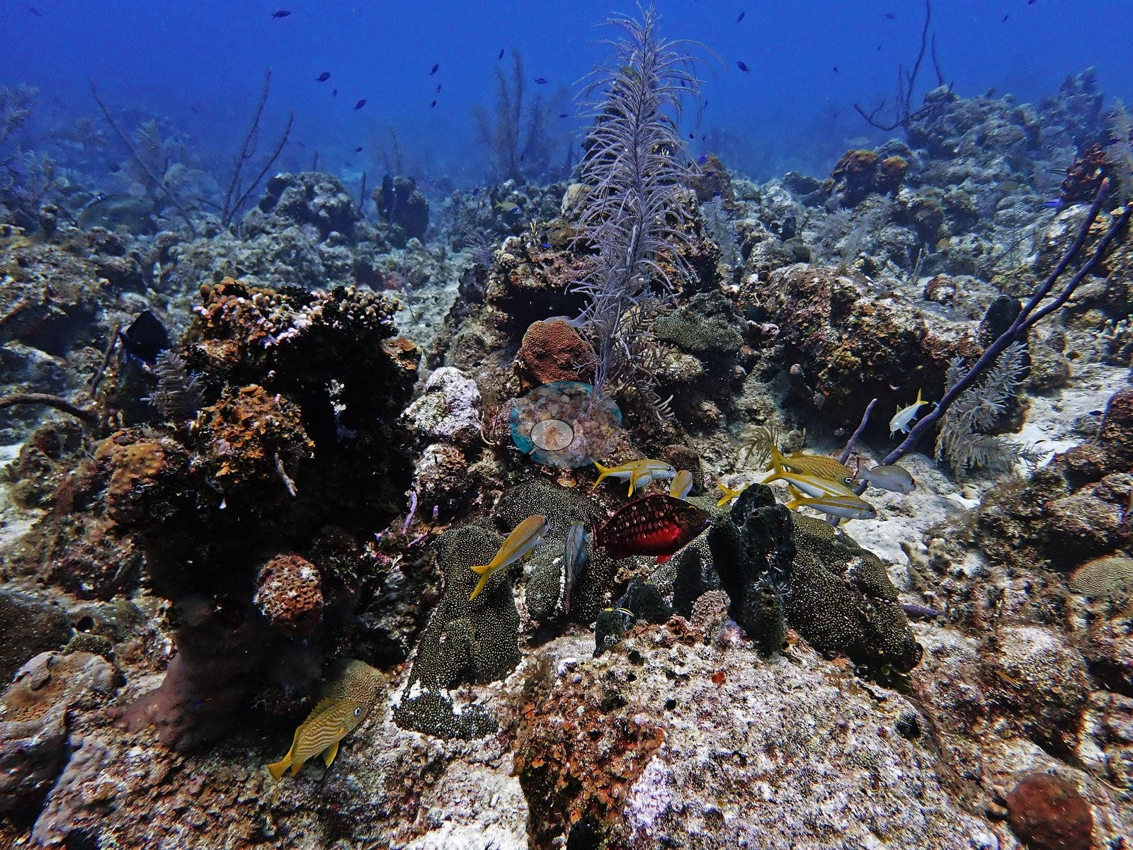
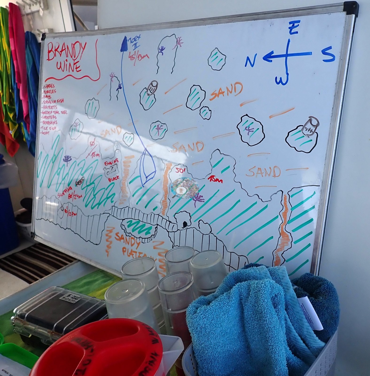
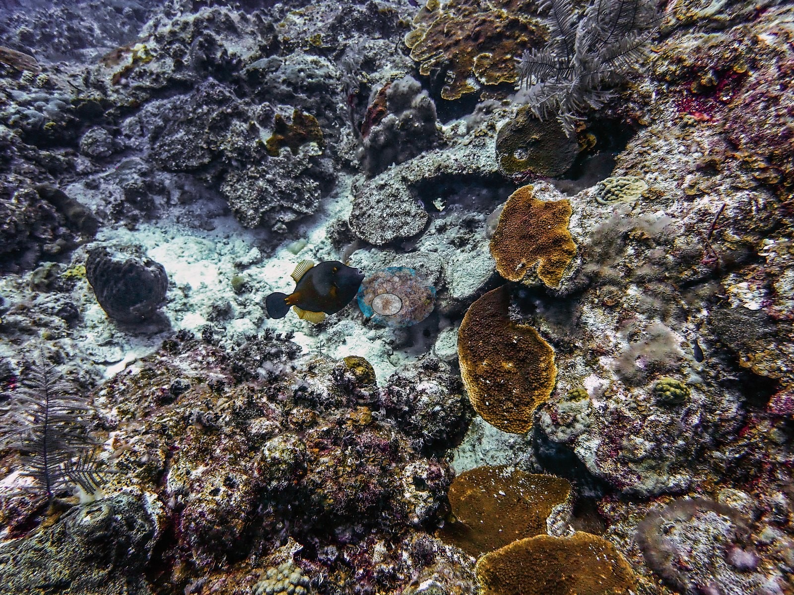
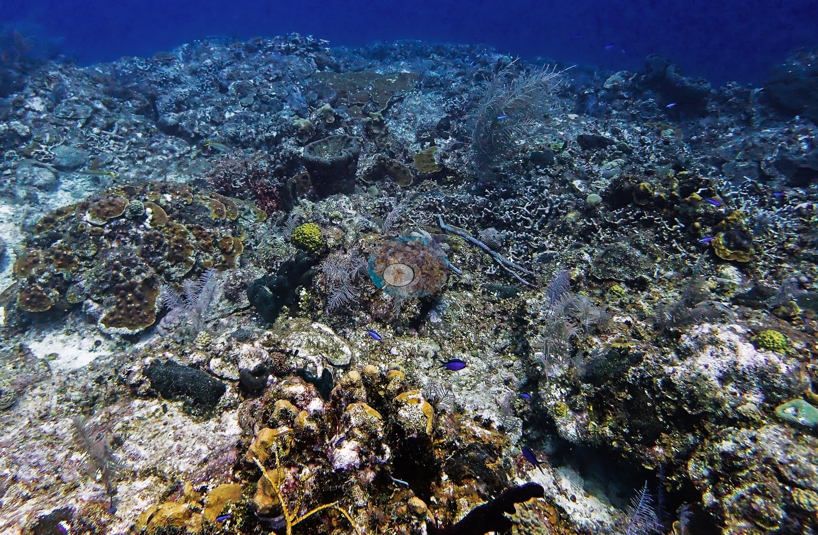
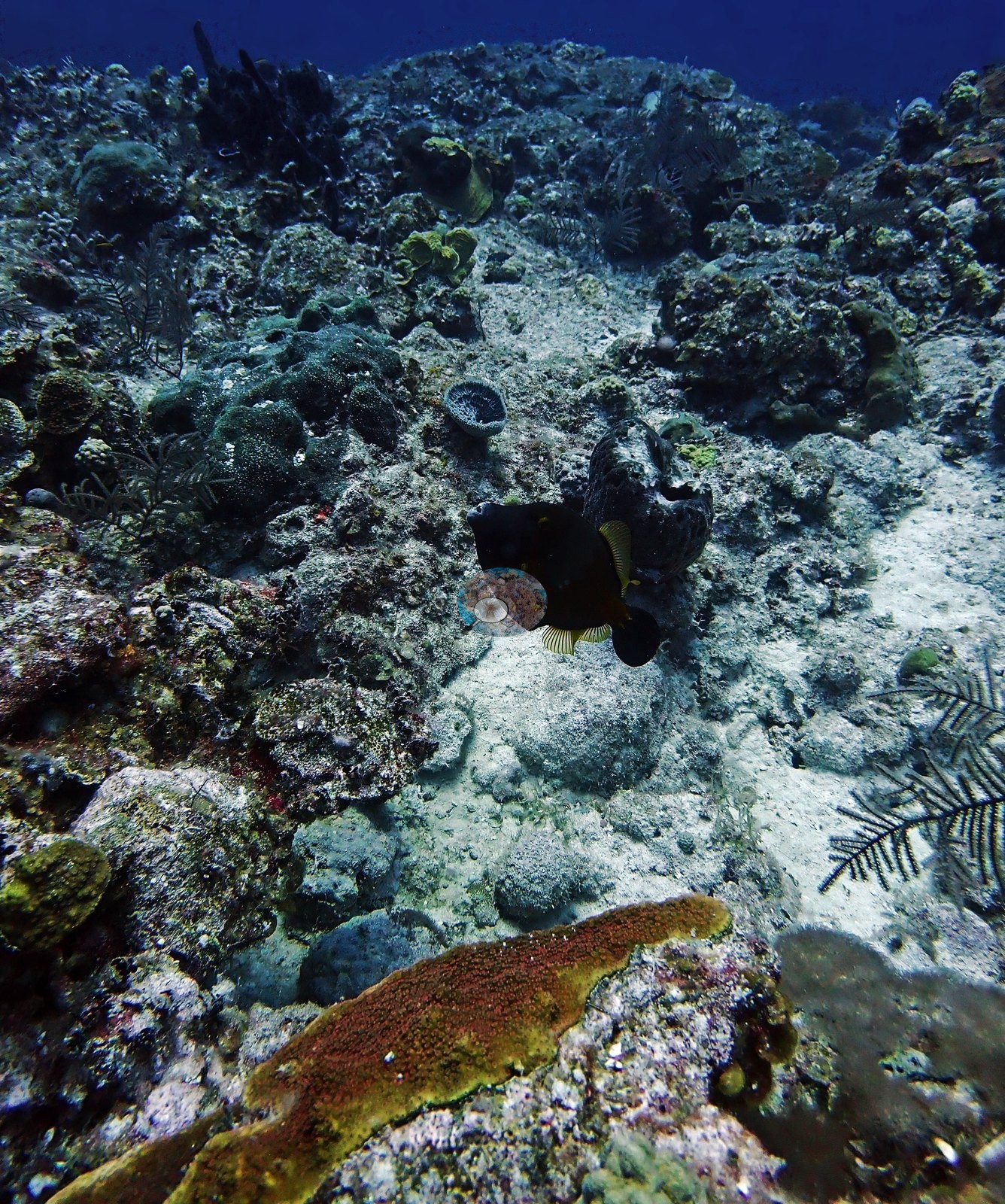
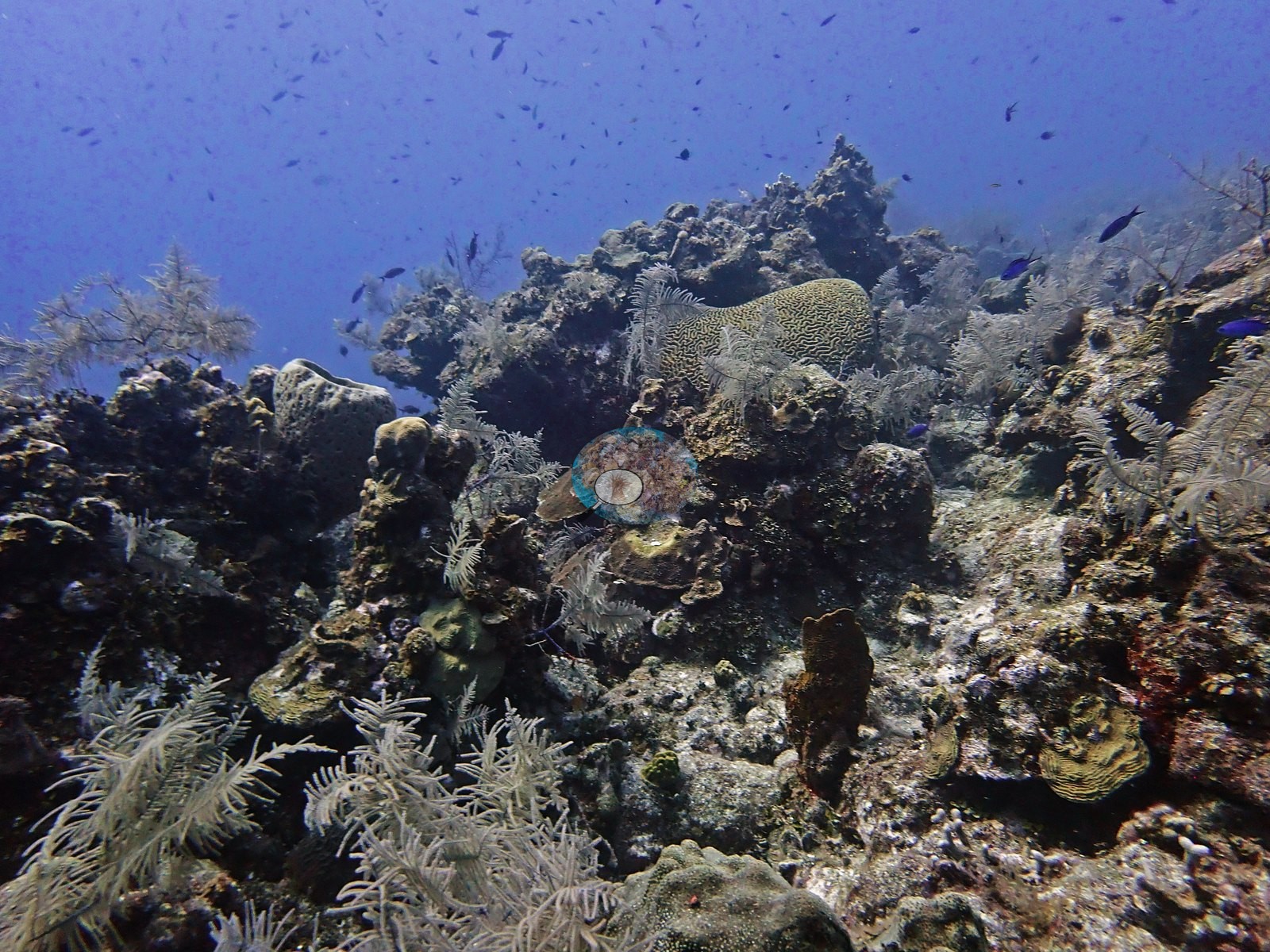
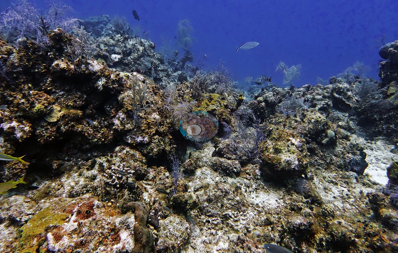
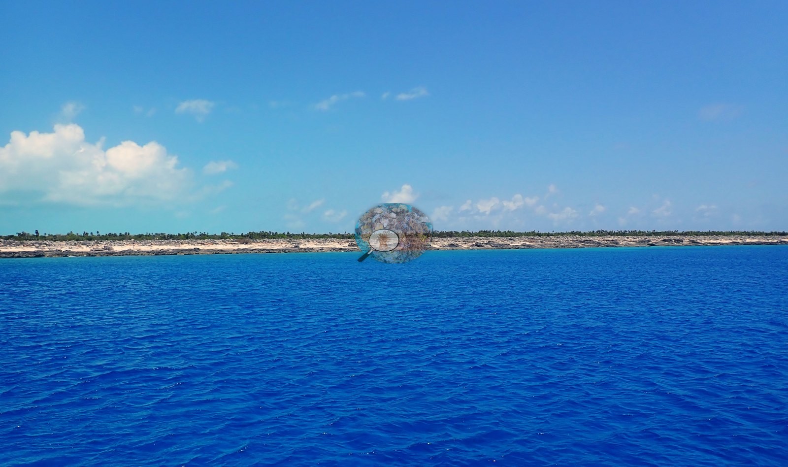
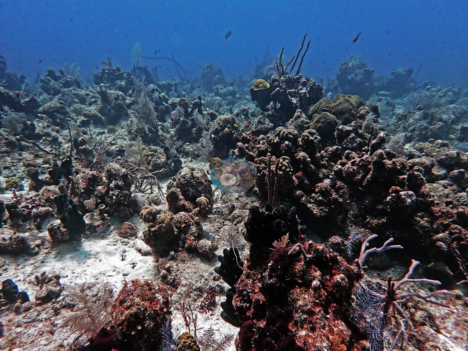
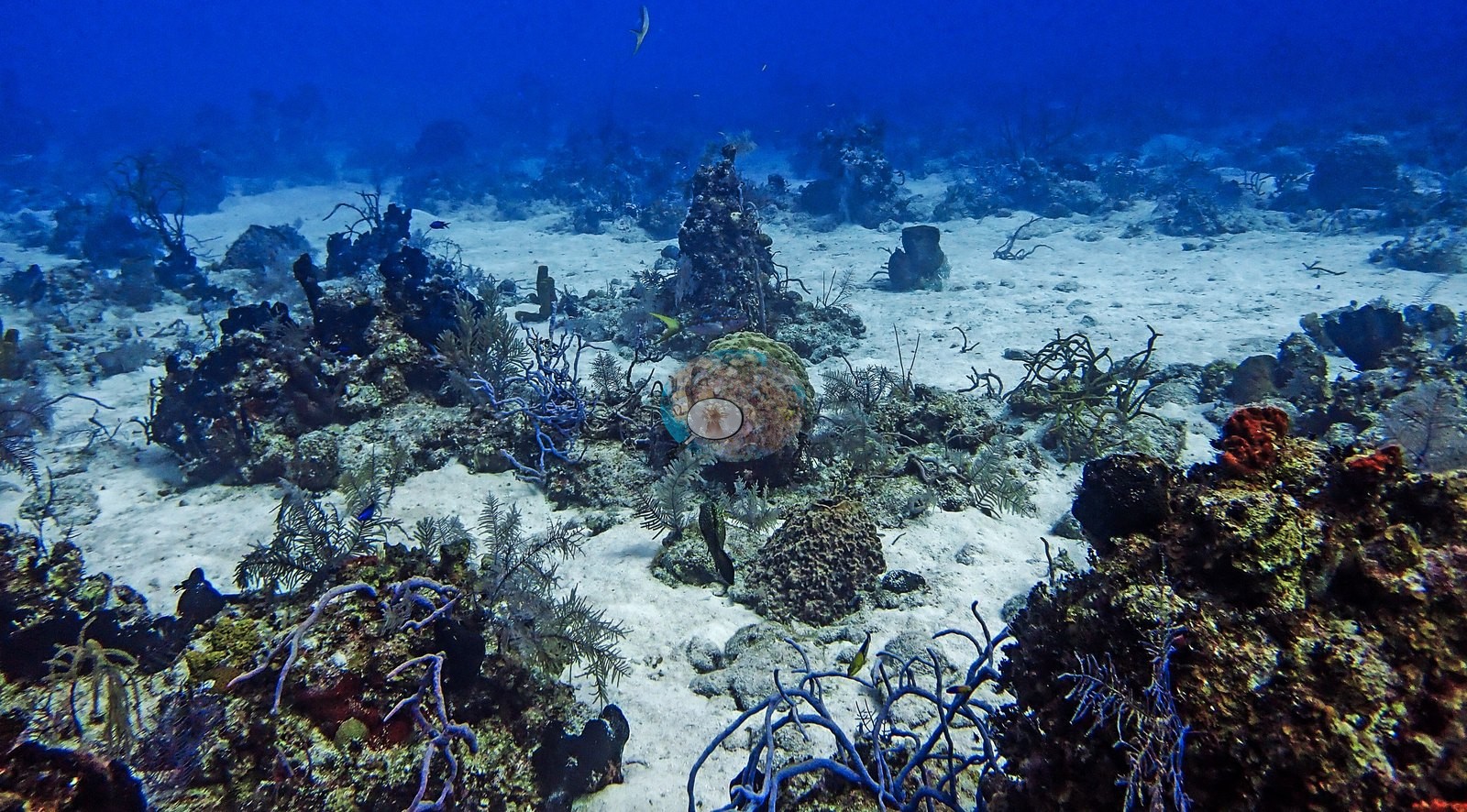
Brandywine is a wall site off West Caicos, Turks and Caicos, dived three times from the Turks & Caicos Explorer II liveaboard on 2 August 2022 (dives 13-15), the last of them after dark. It is a wall where corals grow packed right to the crest (boulder star, brain, and mounding corals with red encrusting sponge and purple sea rods), leaving little bare sand compared to nearby sites. Above the drop-off, low reef spurs run out toward the wall, and at the foot of the reef a white sand plateau holds isolated coral heads, purple sea rods, and sponges (e.g., Image 2, Image 34).
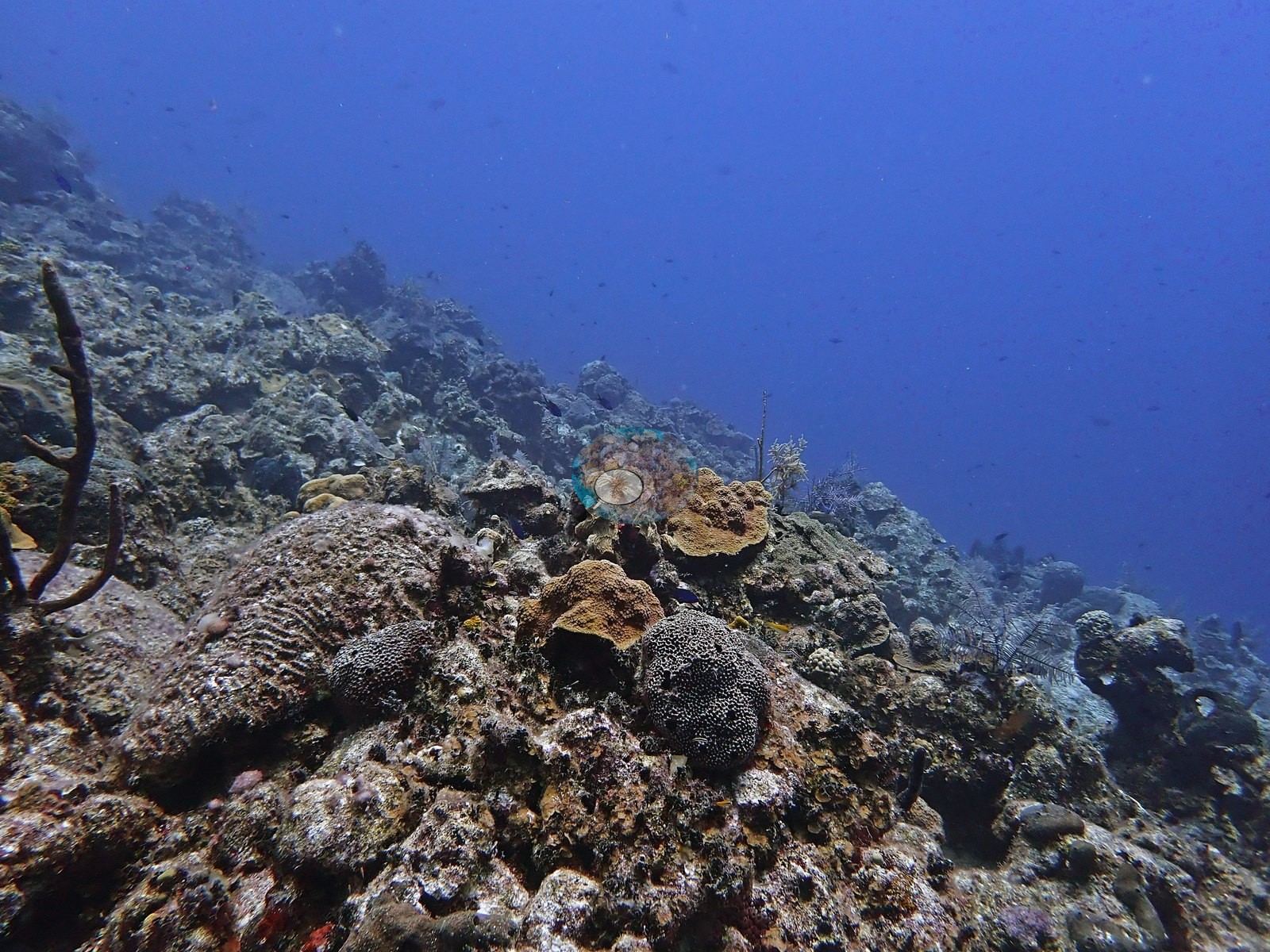
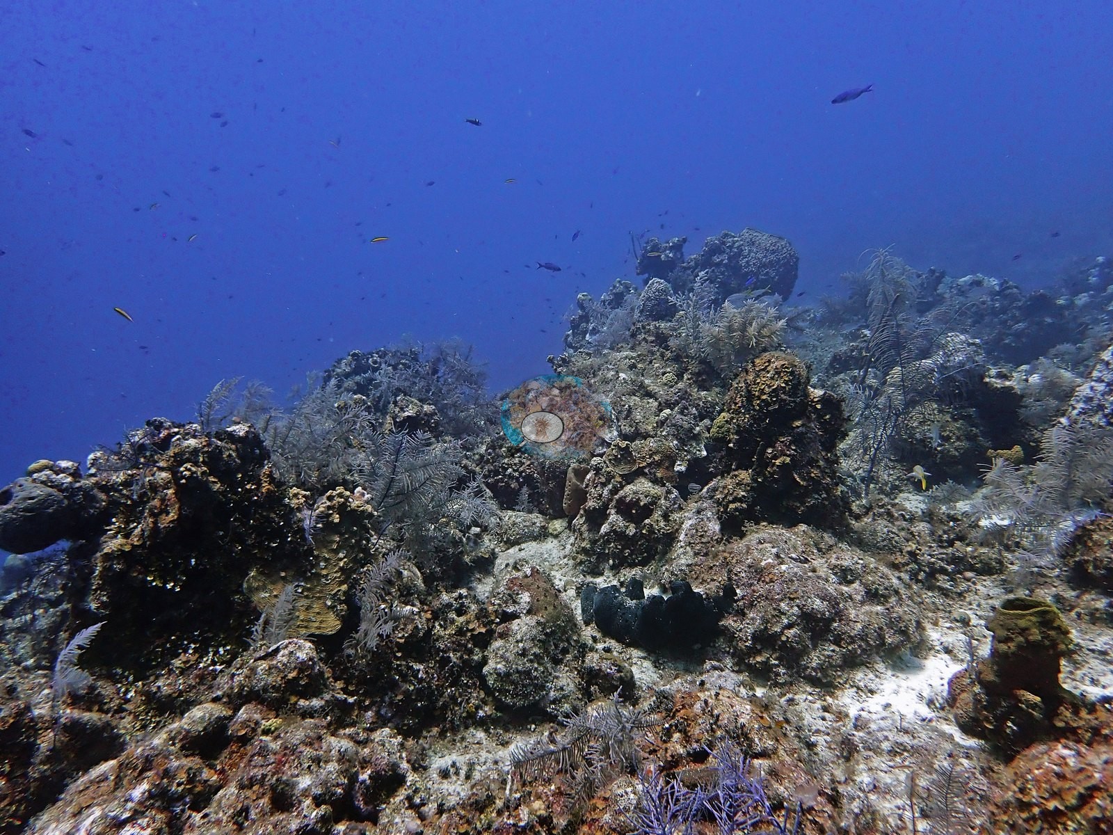
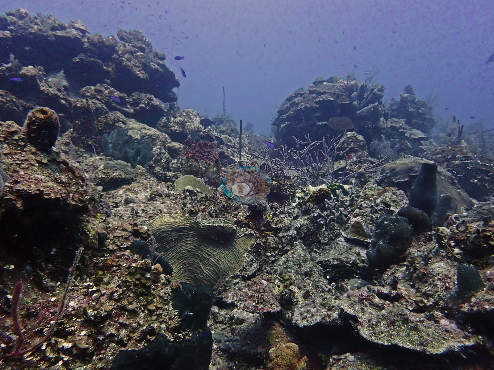
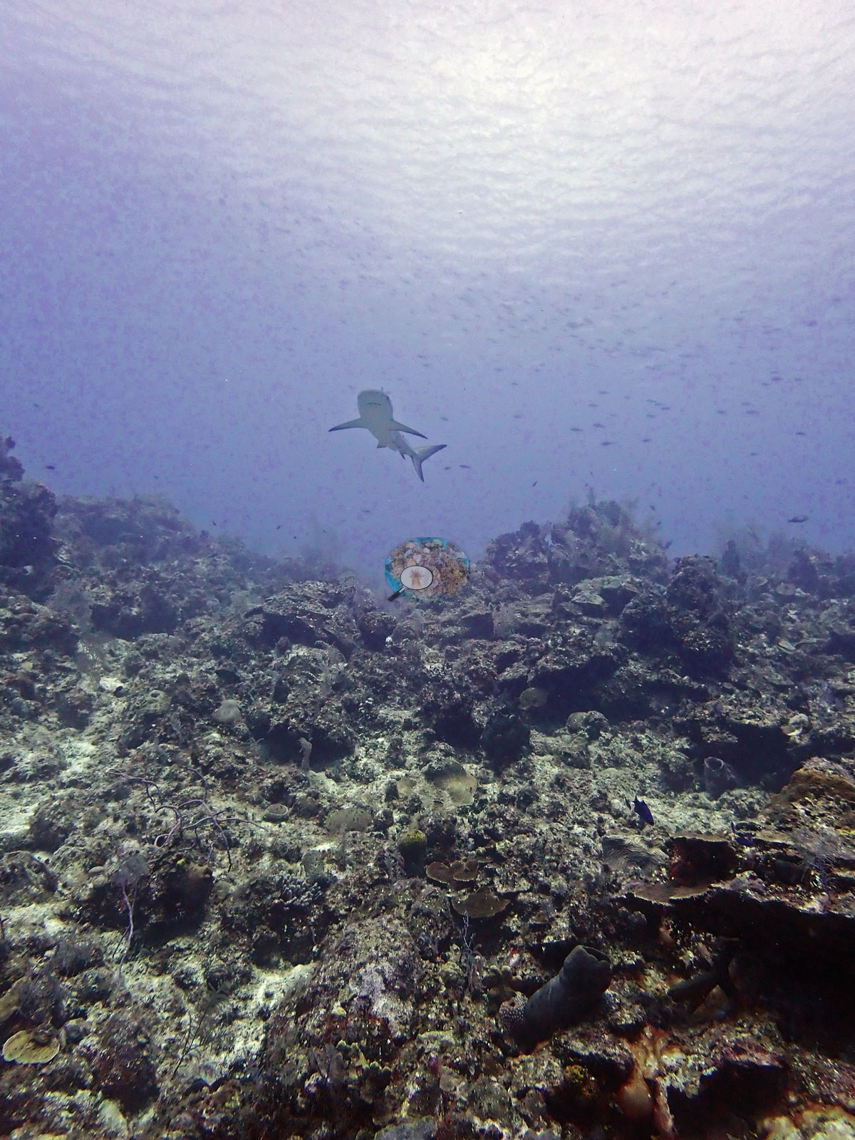
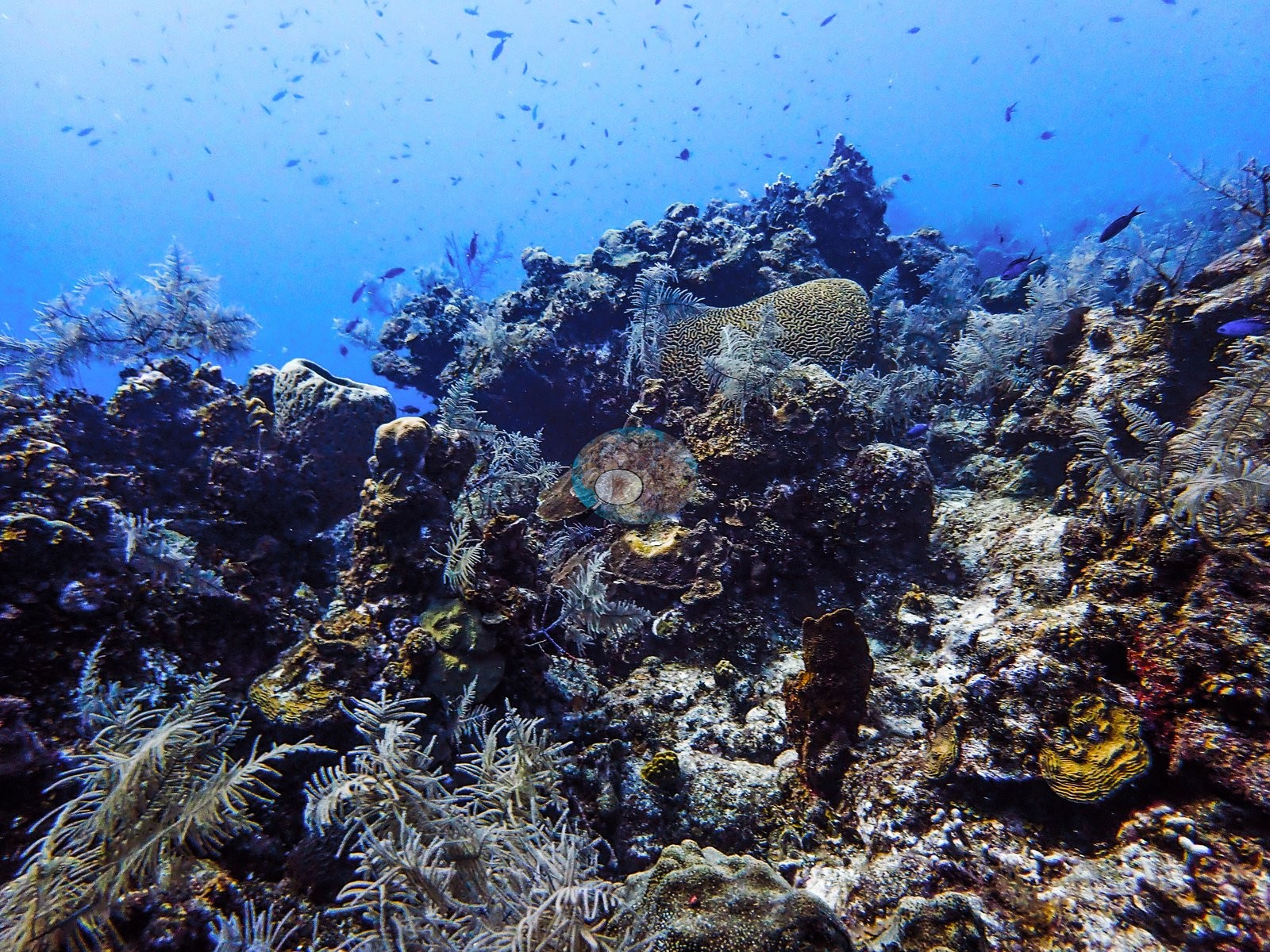
The wall itself is a steep spur-and-buttress face that falls into deep blue water, with living reef continuing over the lip (e.g., Image 8).
General benthic features
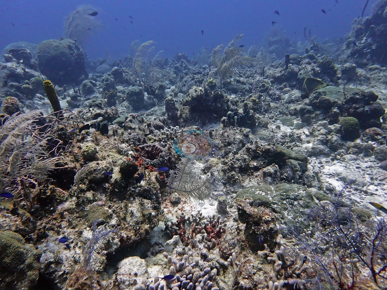
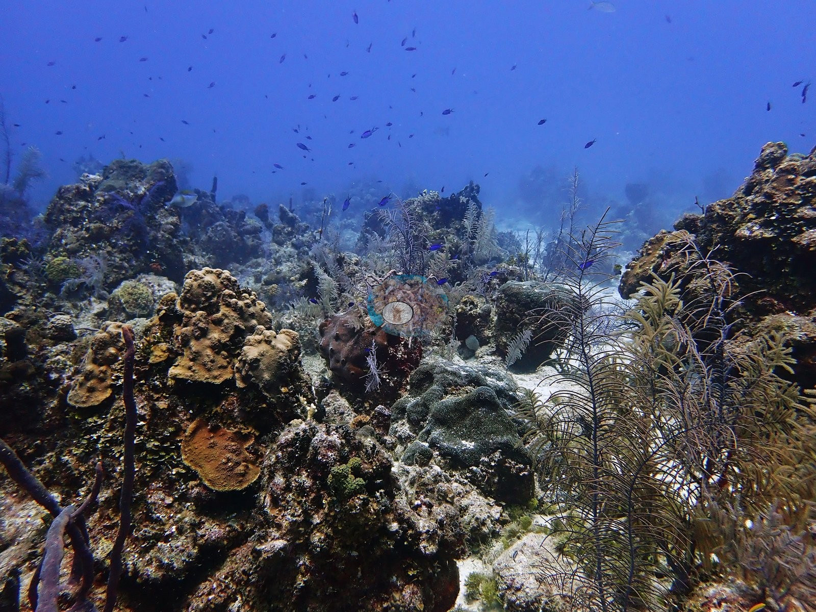
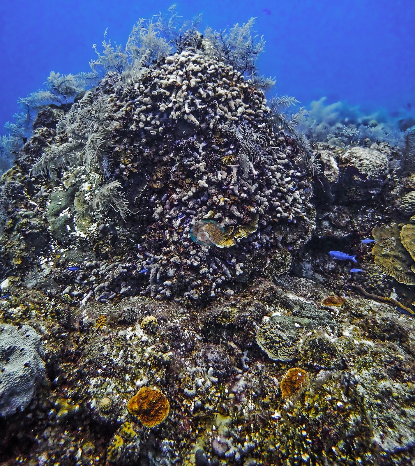
The hardbottom community was a dense mix of sponges, sea plumes, sea rods, and scattered hard corals (e.g., Image 1, Image 3).
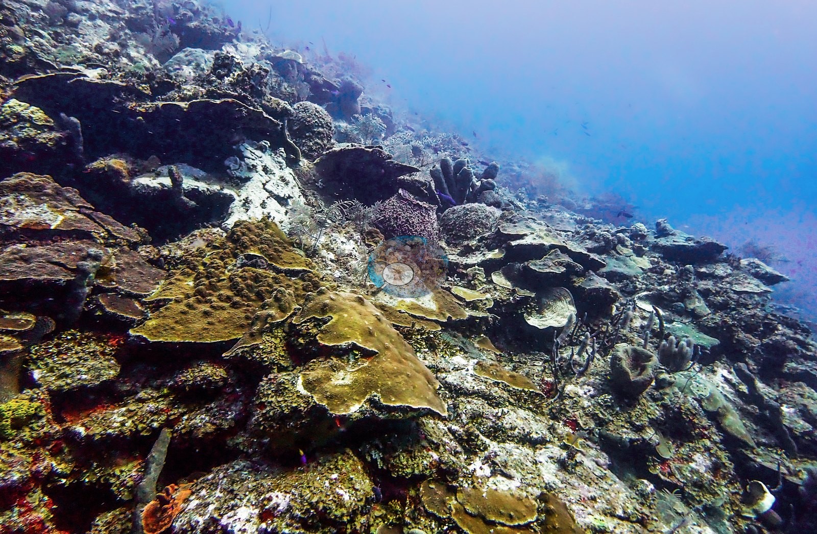
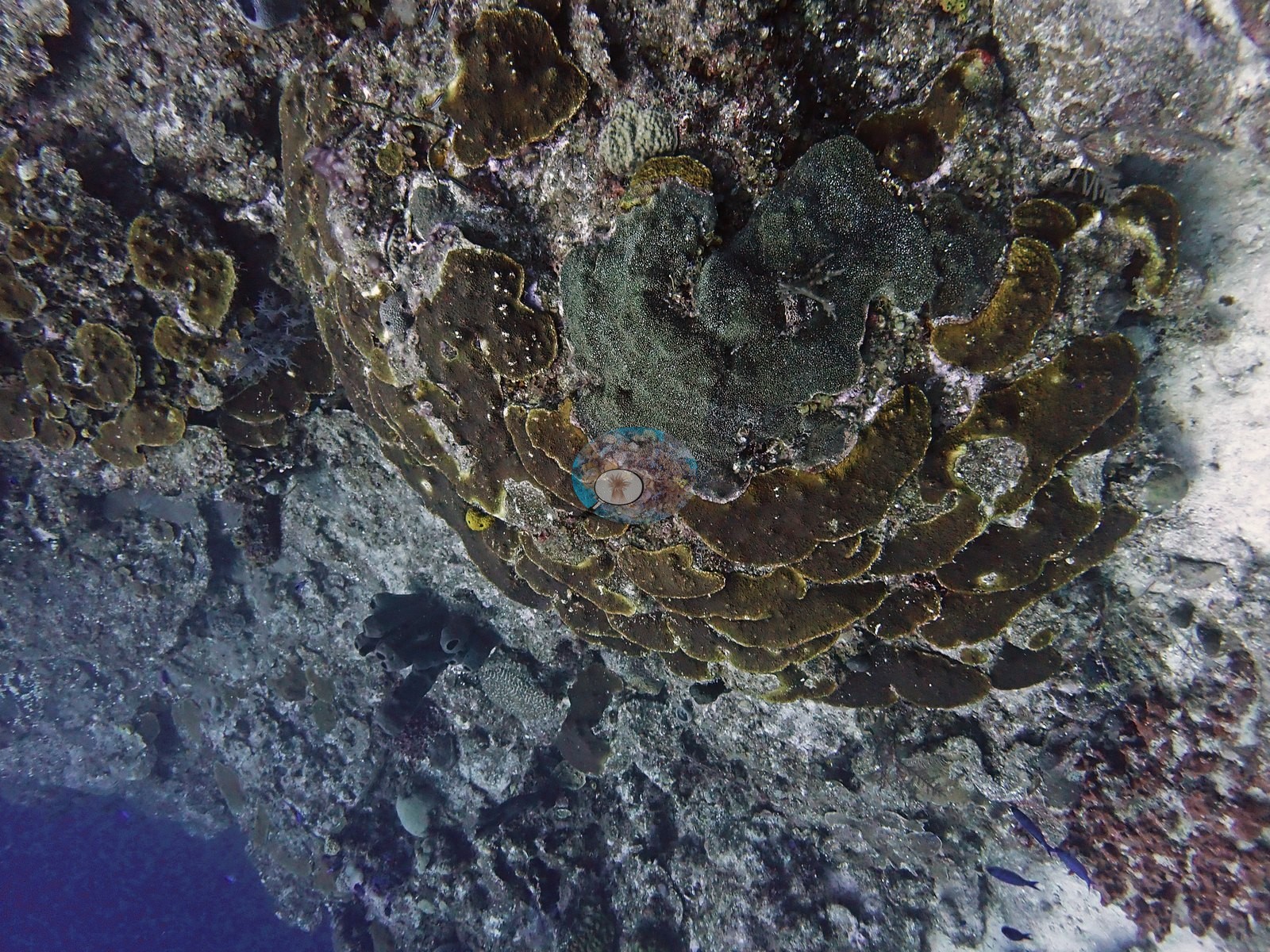
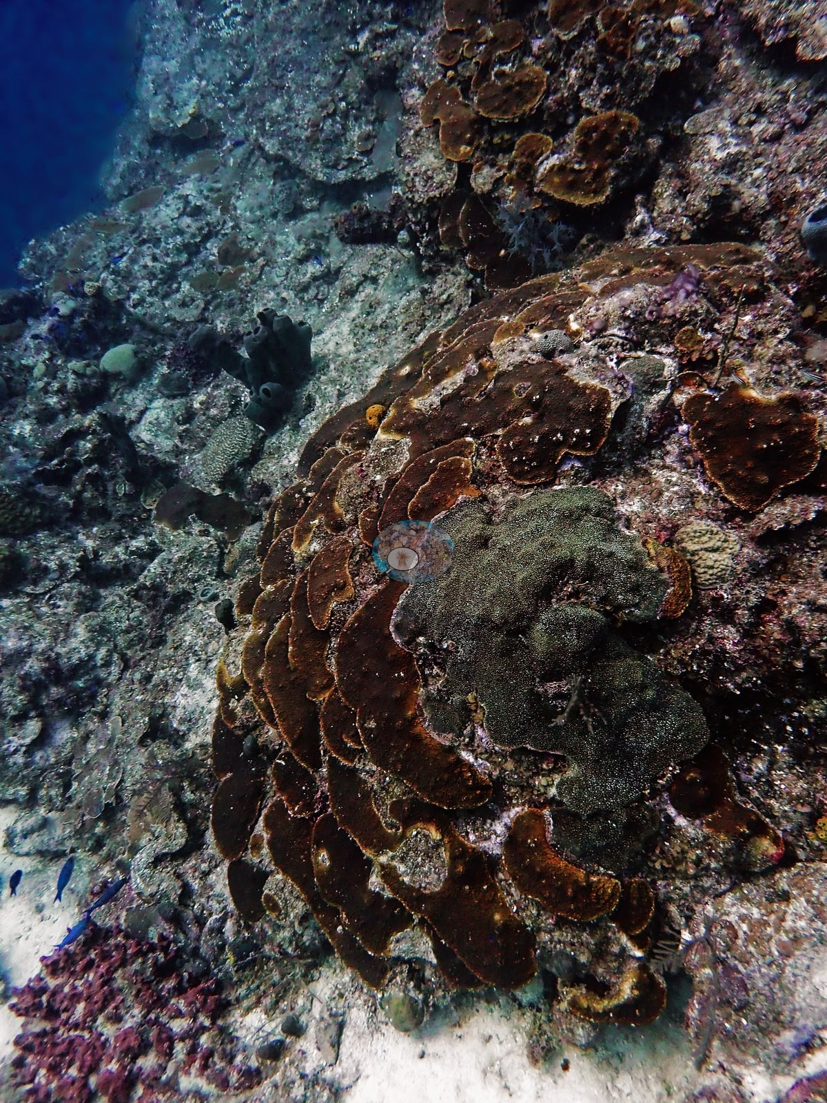
Plating corals were among the most photographed colonies, including large stacked and shingled foliose colonies, some spiraling upward in tiers (e.g., Image 9, Image 40).
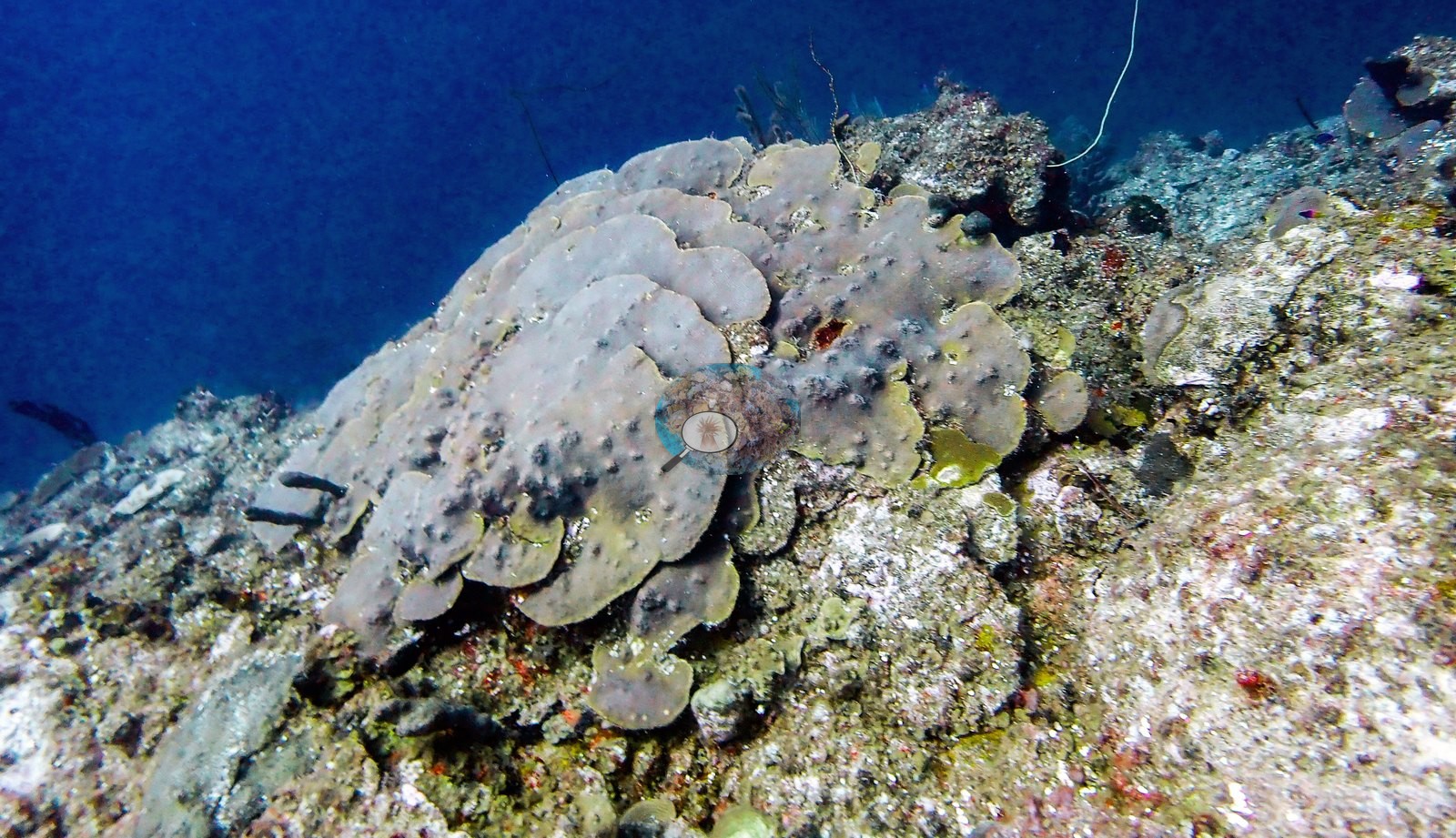
One large lobed plating colony on the wall crest was pale lavender-gray and flecked with dark spots (e.g., Image 18).
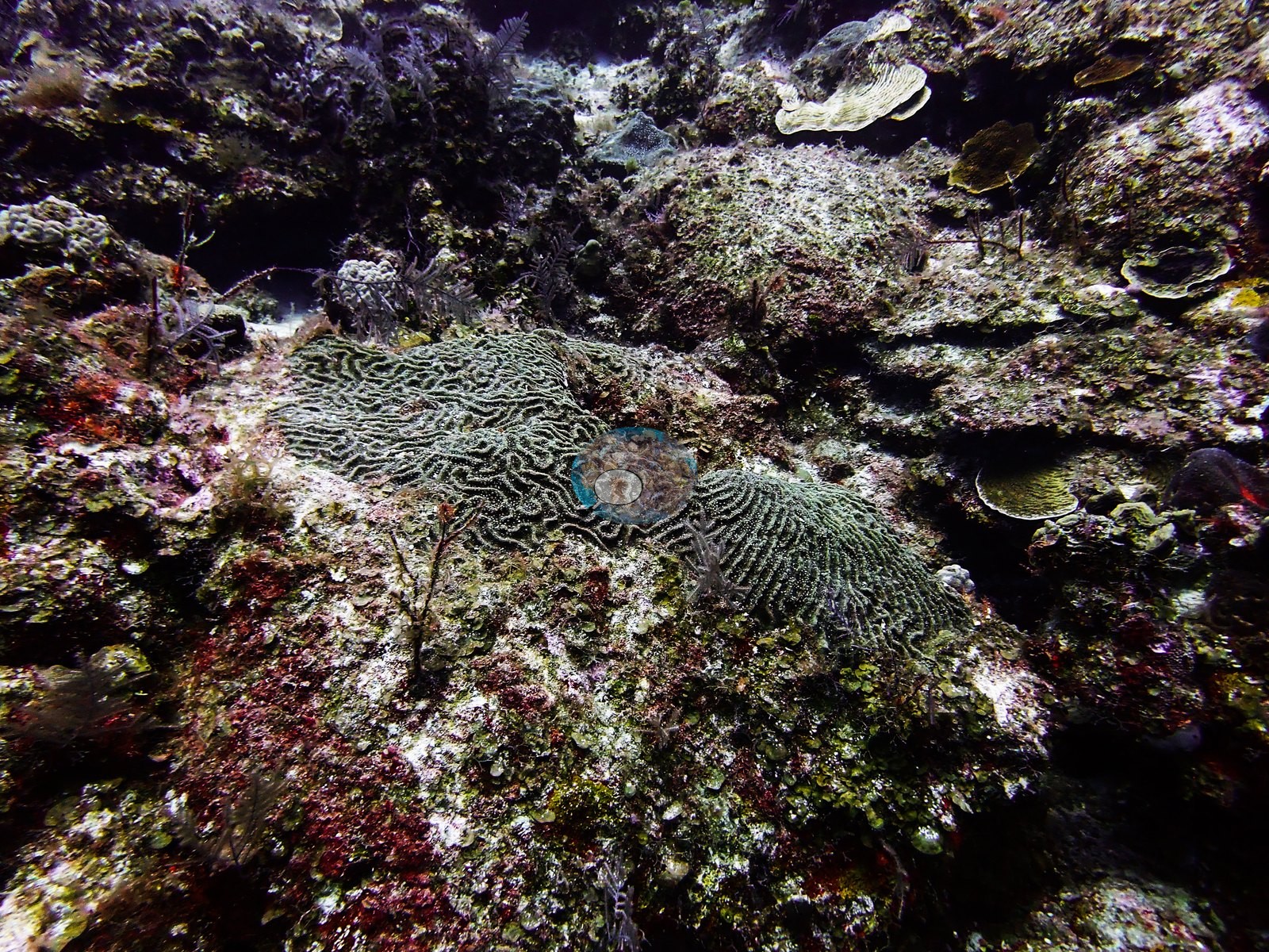
Symmetrical and grooved brain corals sat on the pavement among red encrusting growth (e.g., Image 56).
One knoll was capped by a dense thicket of finger-like branching coral (e.g., Image 22).
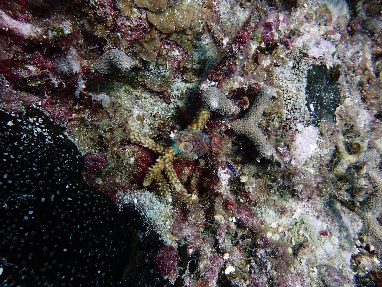
Between colonies, the dominant surface in most benthic frames was eroded pavement mottled with coralline crusts, turf, and red encrusting sponge (e.g., Image 23).
Coral cover
- Reference: Claude CV point count (this site's photos)
- Coral cover: 11% — a blind Claude computer-vision point count of 94 of Anderson's edited photographs (the mean of the two dives' means; 20 points per photo; water, fish, and obstructions excluded). Other computer-vision methods are listed in the method table.
Stressors
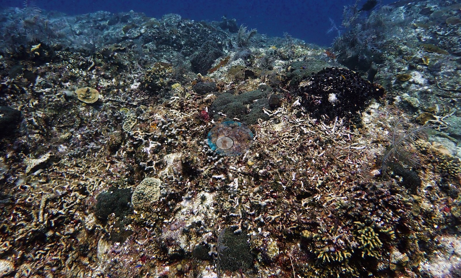
Old mortality was the largest structural signal, with broad stretches of pavement strewn with loose, pale, algae-filmed fragments of dead branching coral that had been fouled long ago rather than freshly killed (e.g., Image 37, Image 55).
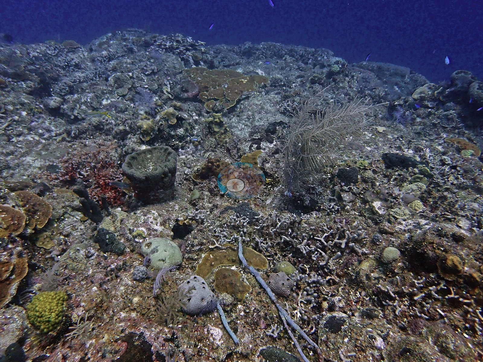
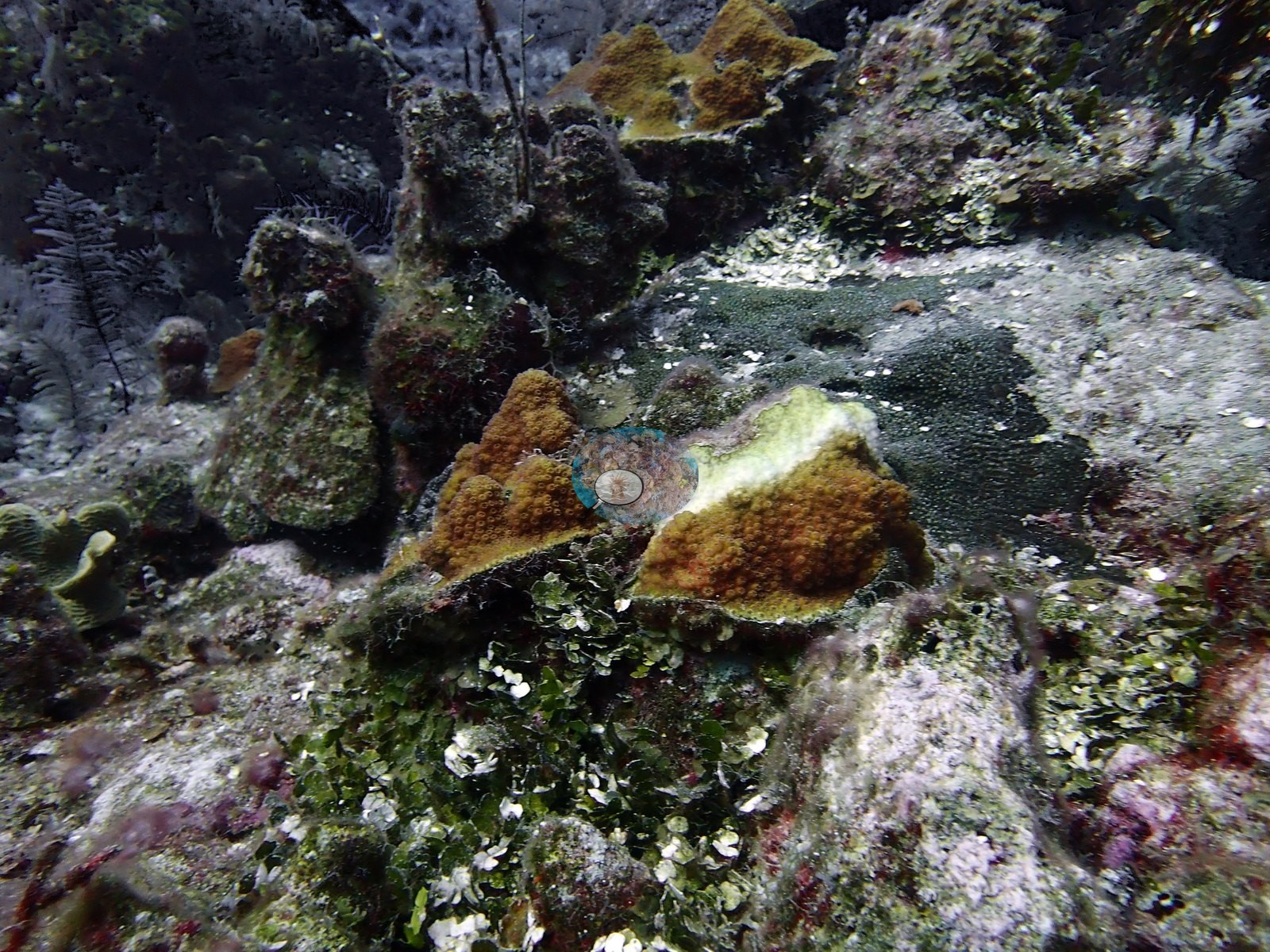
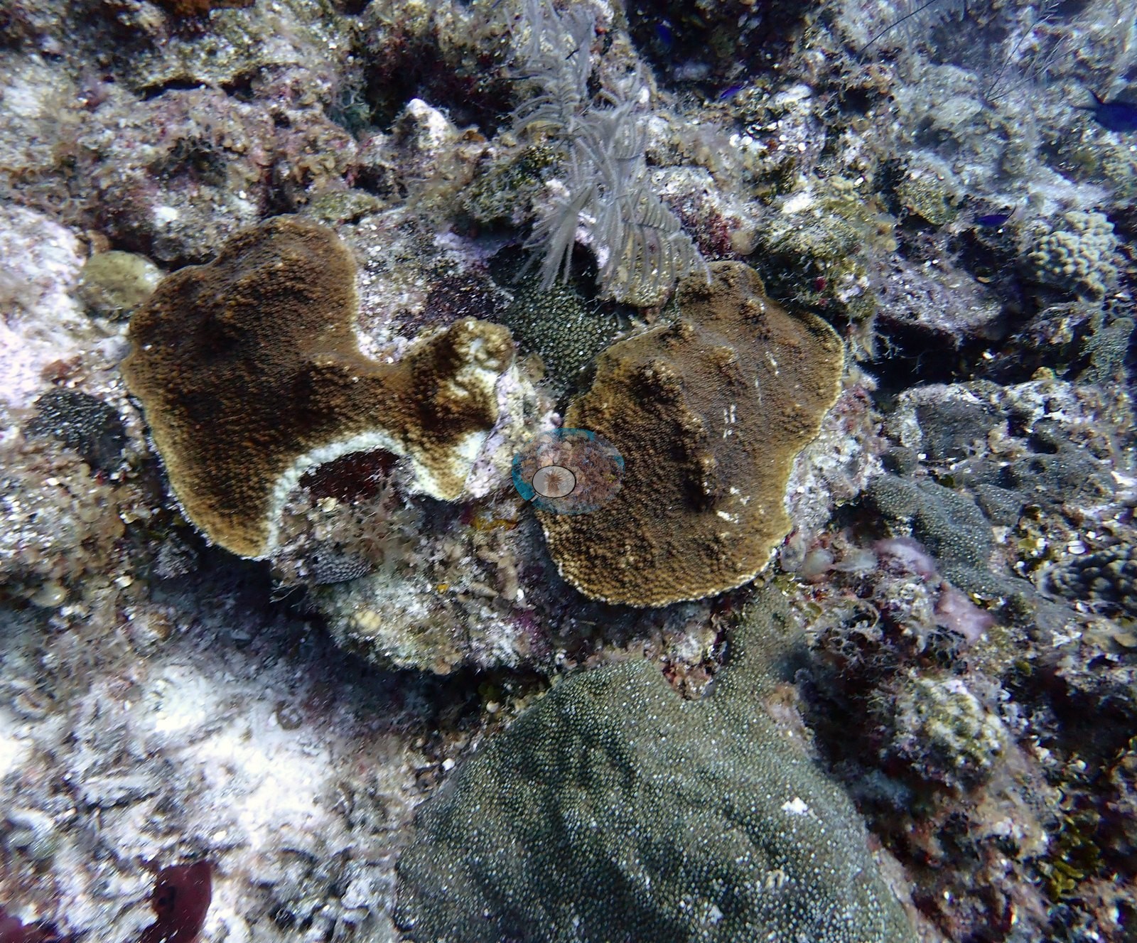
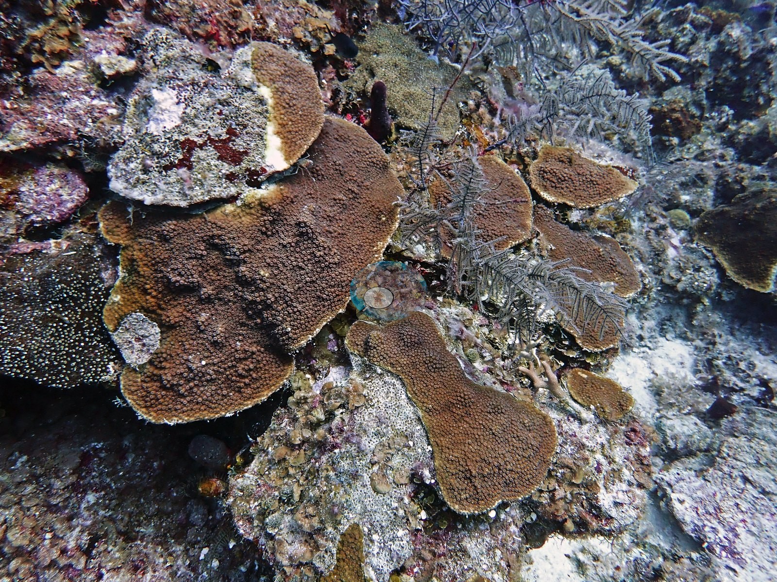
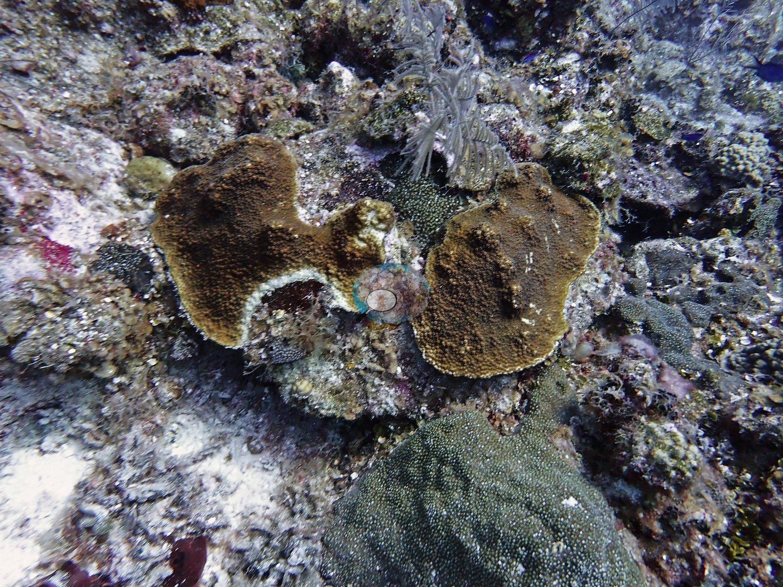
Active tissue loss was photographed on several colonies. Two plating colonies photographed together each showed white, freshly exposed skeleton along one margin with intact brown tissue behind it, and another brown plate had a pale crescent between living tissue and a turf-covered dead patch (e.g., Image 12, Image 25).
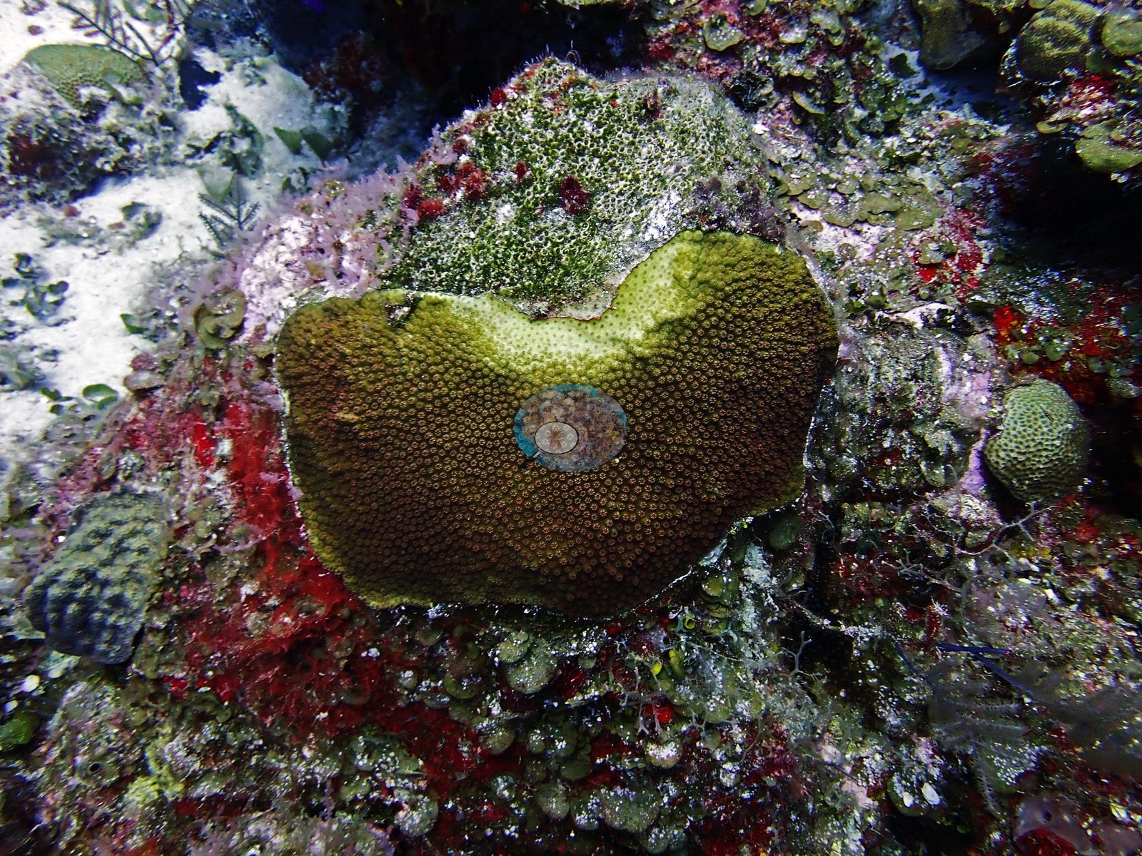
An olive mounding colony had lost its upper portion to turf, with a paler band of tissue along the boundary (e.g., Image 4).
These are recorded as observations; no disease was diagnosed in the field, and lesion identification from photographs alone is not reliable. One small, knobby massive colony, roughly a hand's width across, was completely bleached white against a dark turf background (e.g., Image 10).
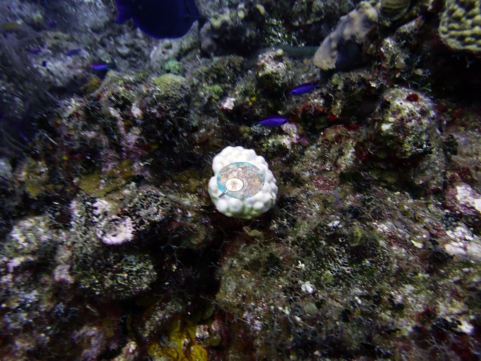
It was a single isolated colony rather than a site-wide signal, and tissue color elsewhere in the set was normal brown, olive, yellow, and green. Typical recent thermal stress in the Bahamian ecoregion is a mean annual maximum of 9.1°C-weeks (Degree Heating Weeks, 2021-2025, NOAA Coral Reef Watch). No corallivores evident.
Fish and other fauna
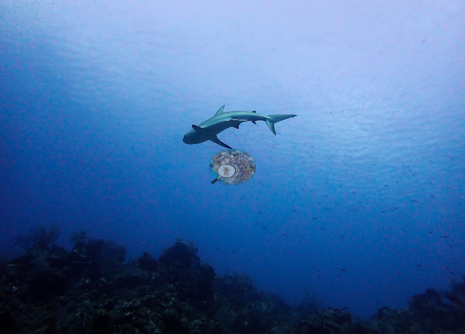
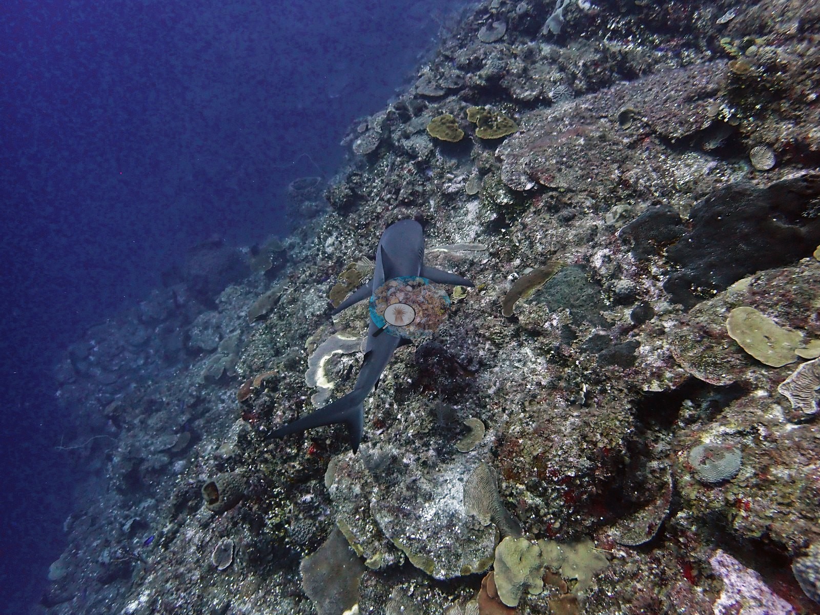
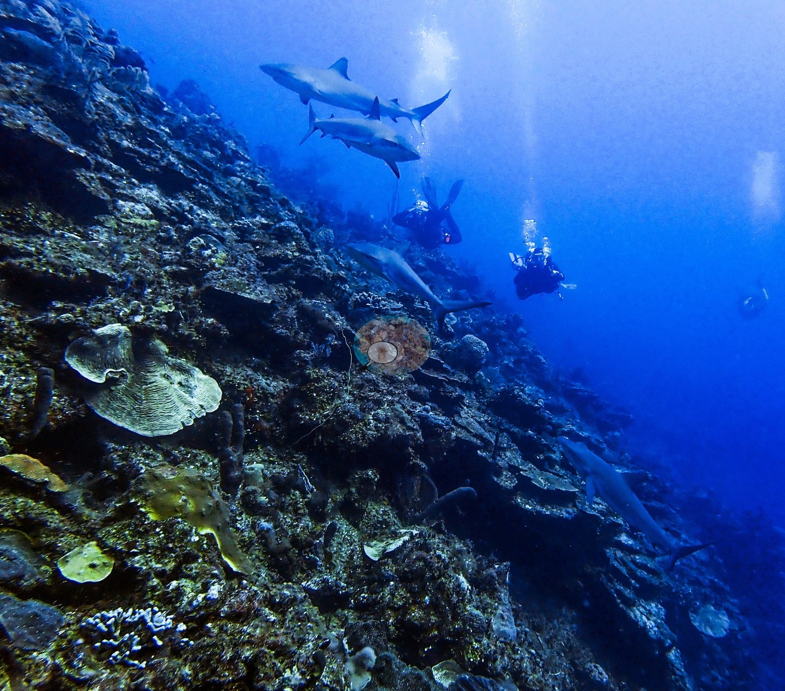
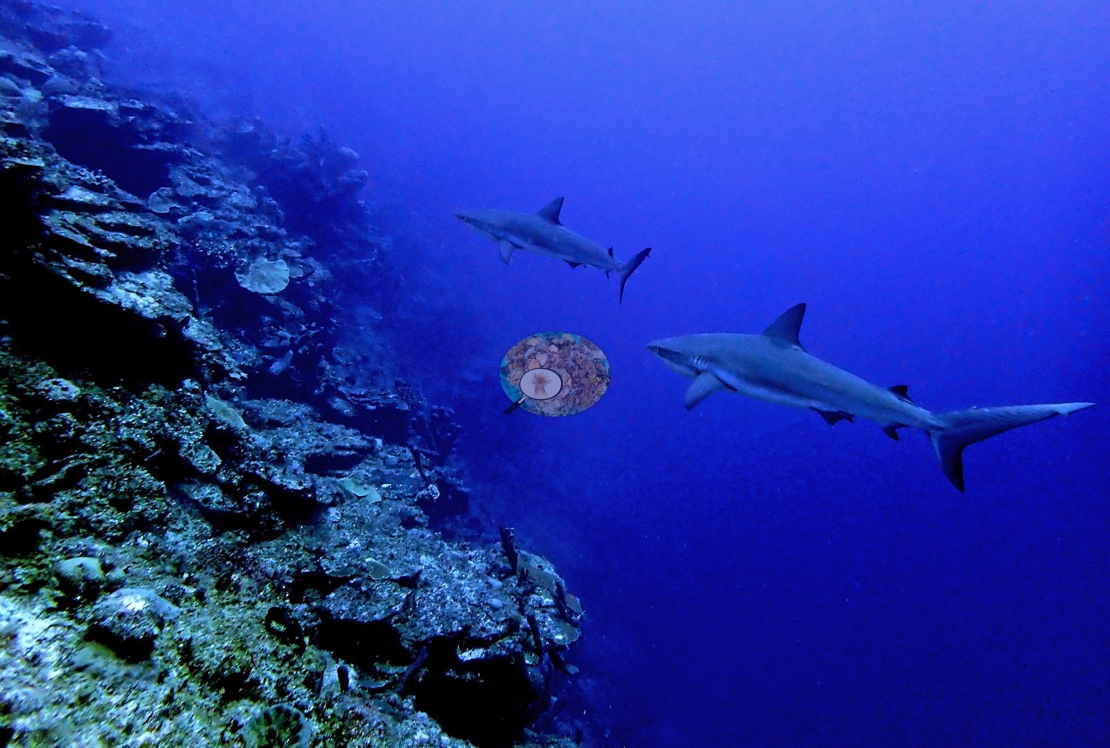
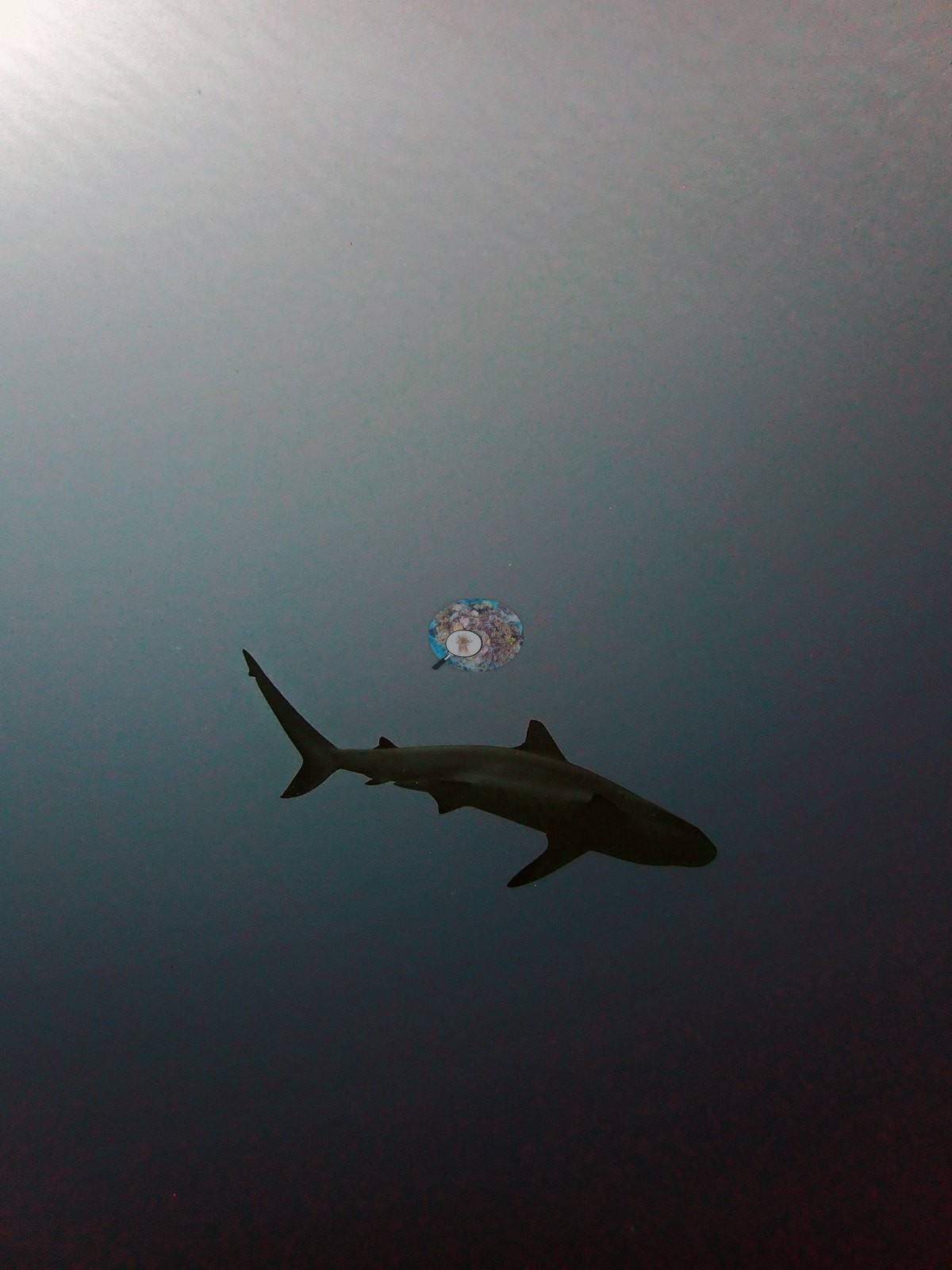
Caribbean reef sharks stack up along the wall face in numbers, and the photographs bear this out, with three animals cruising the wall together, pairs patrolling the drop-off, and single sharks passing close over the reef face (e.g., Image 28, Image 44, Image 54).
Another was silhouetted against the surface (e.g., Image 50).
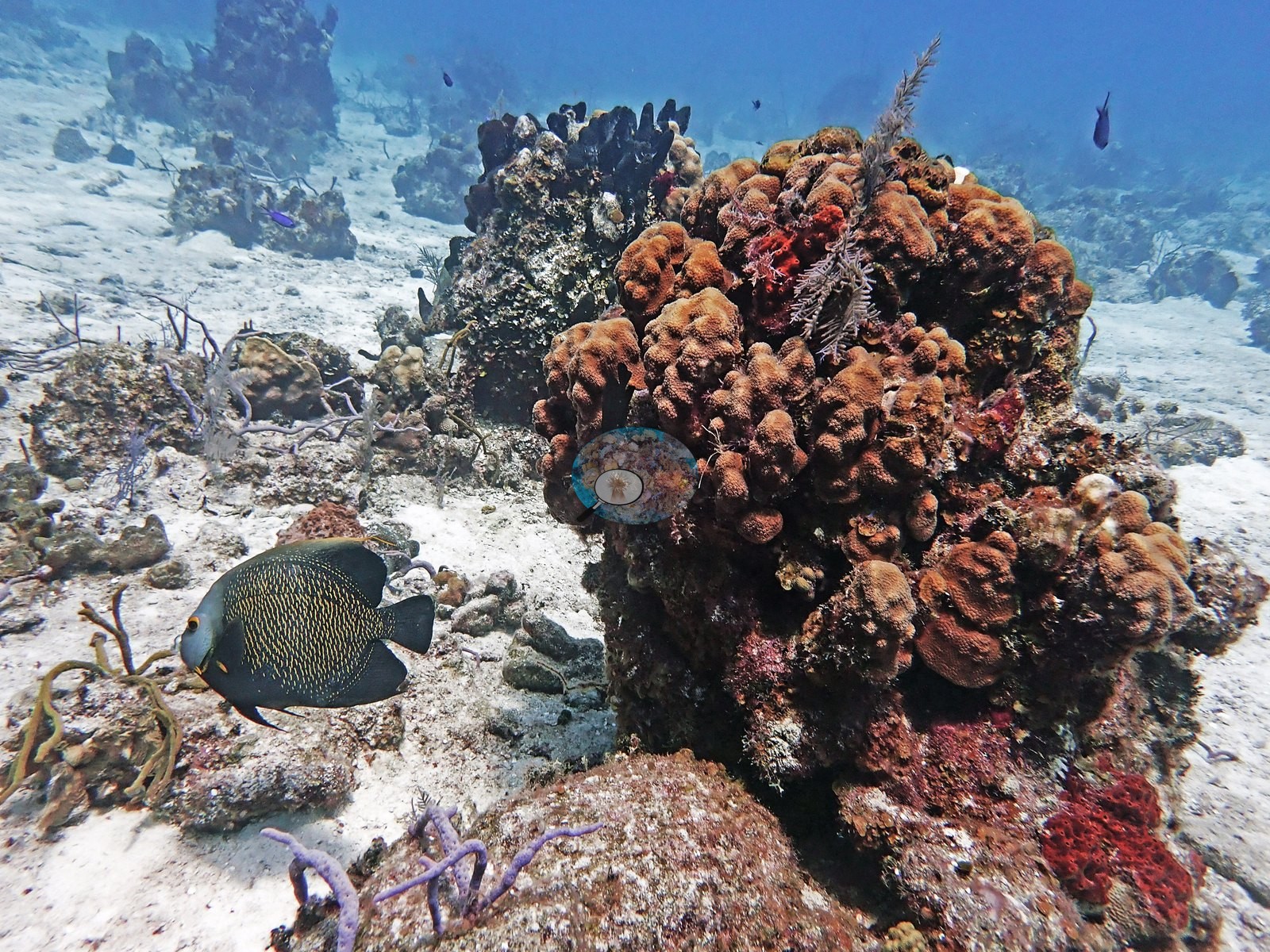
French angelfish and green morays work the reef structure, and a French angelfish was photographed beside a knoll of lobed, orange-brown mounding colonies and purple sea rods on the sand (e.g., Image 13).
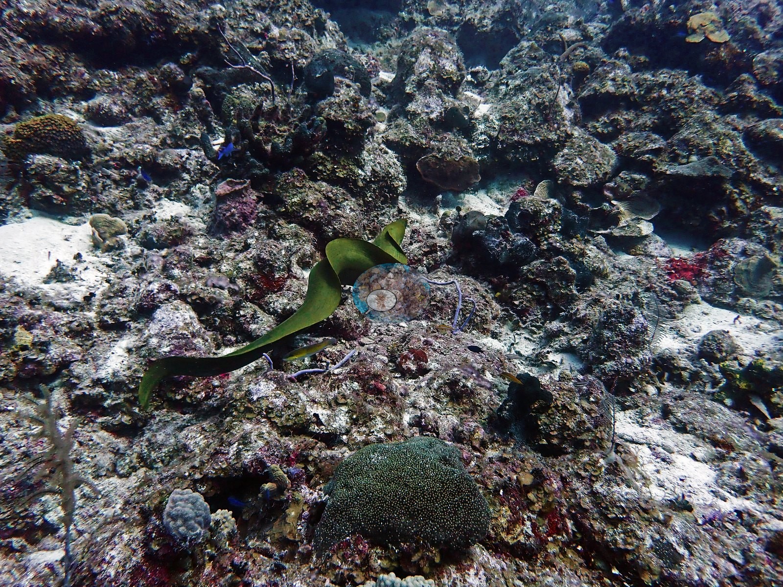
A large green moray was caught swimming free across open pavement in daylight rather than holed up (e.g., Image 46).
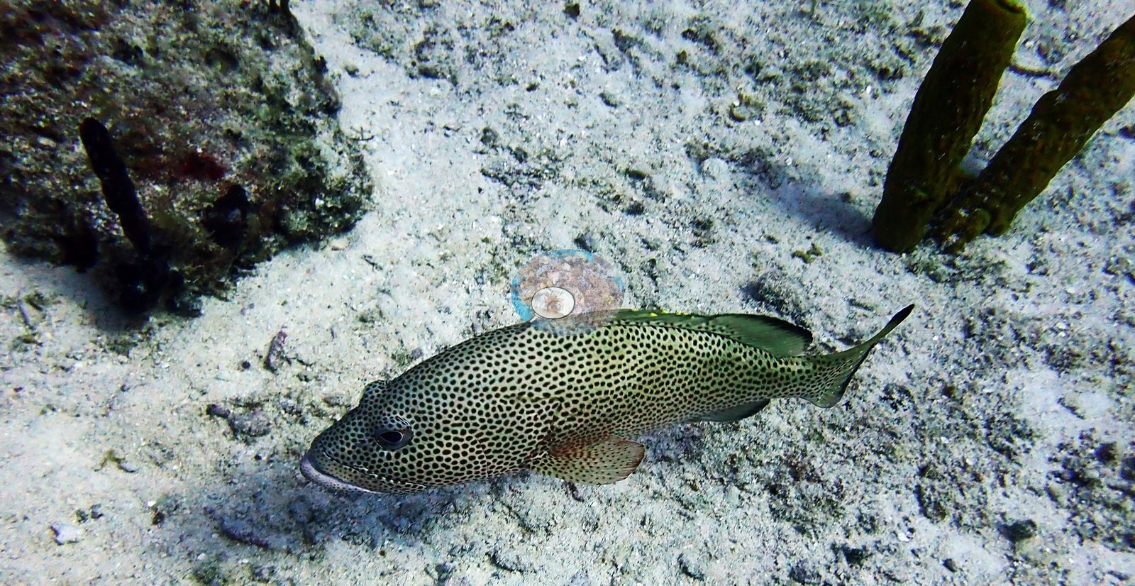
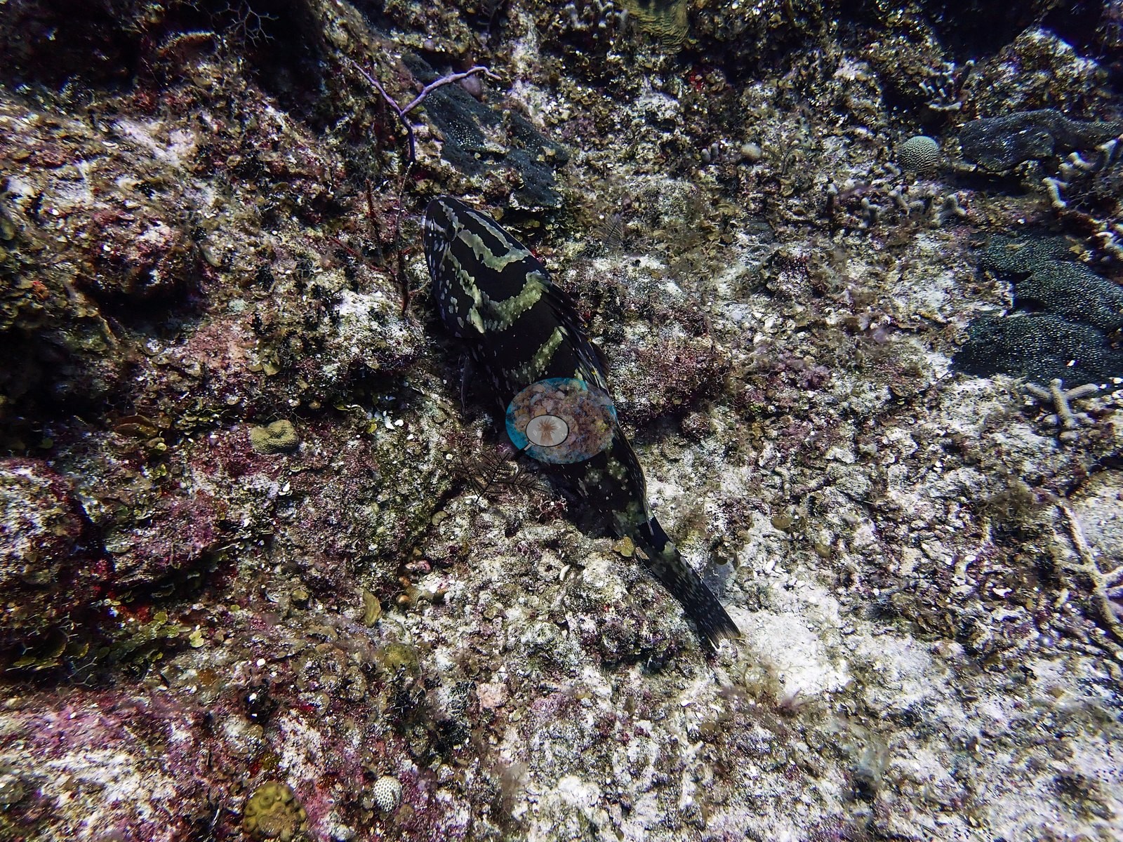
A large grouper with pale saddle blotches on a dark body rested on the pavement, and a heavily black-spotted grouper-type fish sat on open sand between tube sponges (e.g., Image 24, Image 43).
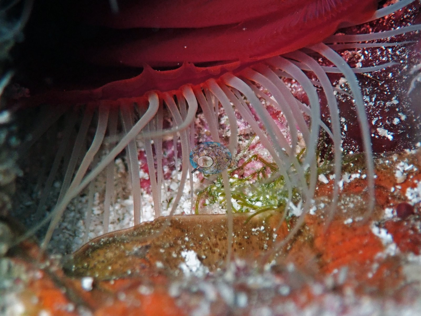
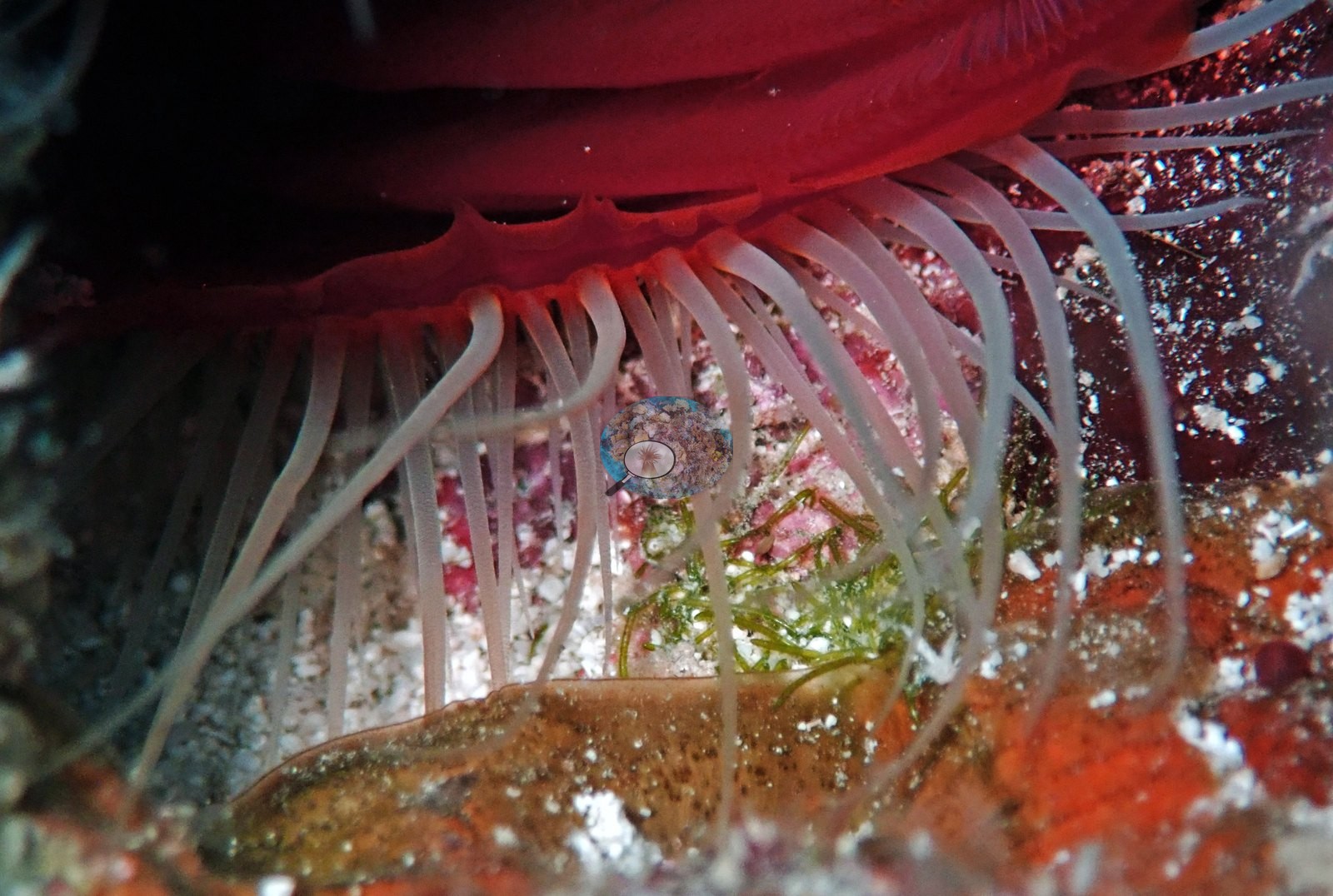
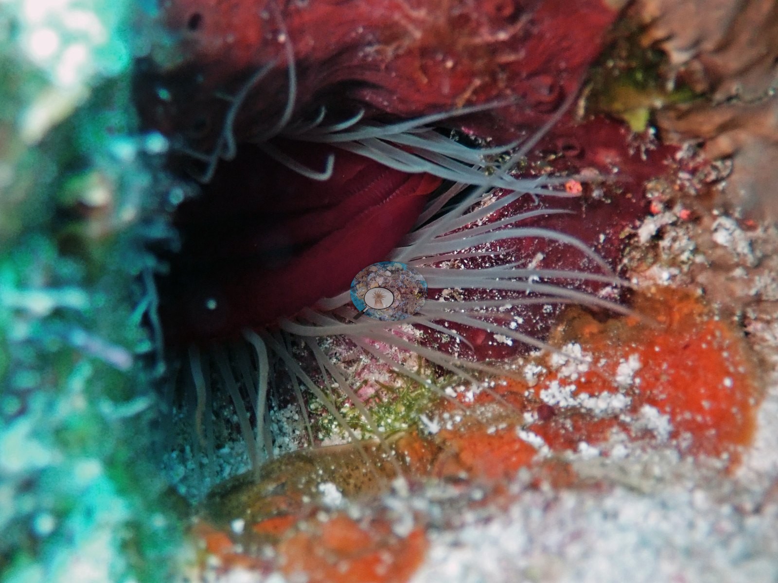
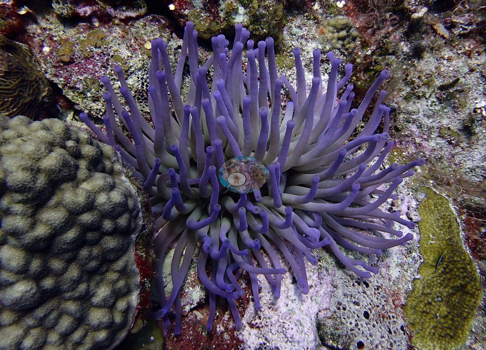
Giant anemones were a recurring subject, including a red-columned individual with pale tentacles shot at very close range and one with lavender-tipped tentacles beside a mounding coral (e.g., Image 7, Image 21).
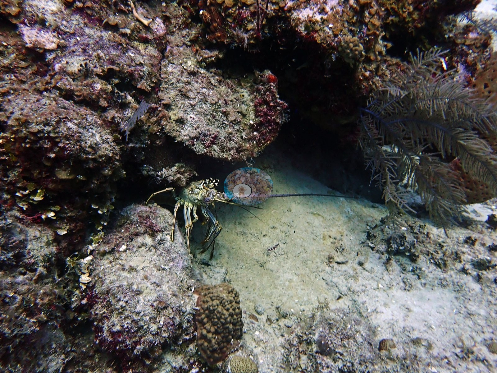
A spiny lobster sheltered under a ledge with its antennae extended (e.g., Image 52).
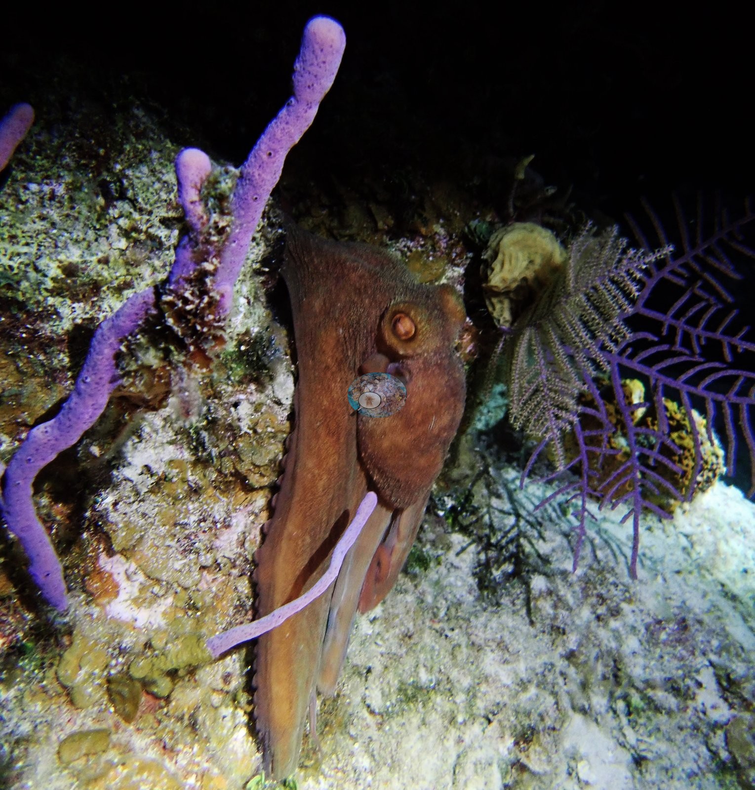
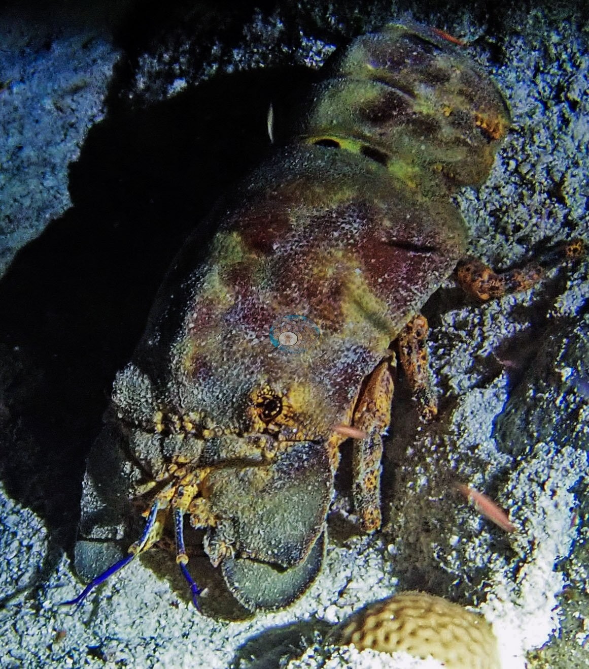
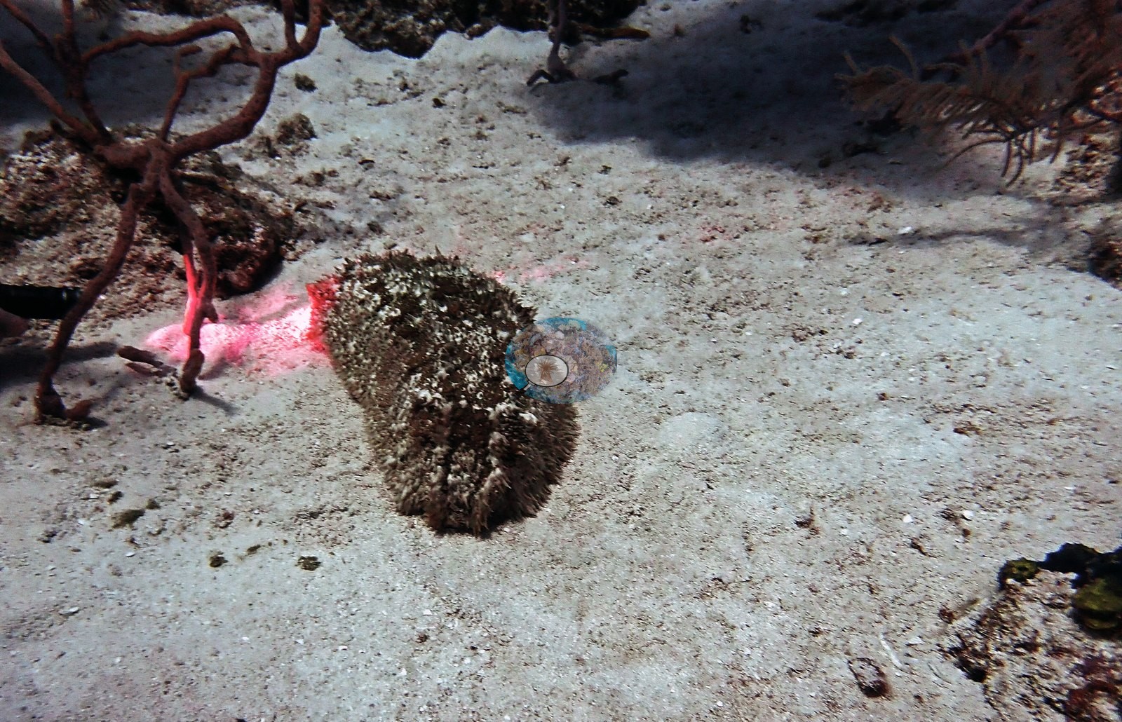
On the night dive, an octopus hunted among purple rope sponges, a slipper lobster crawled in the open, and a large sea cucumber lay on the sand plateau (e.g., Image 5, Image 6, Image 35).
Comparisons with other data
The nearest earlier survey, at Reef Check's Spanish Anchor station 1.17 km away, recorded 20.0% hard coral in August 2007, 8.6 percentage points above this site's figure.
Dive record
The two afternoon dives entered the water at 14:02 and 16:31 and reached 26.2 m and 28.3 m over 64 and 63 minutes, and the night dive entered at 20:08 and reached 17.4 m over 50 minutes, all in 28.3°C water.
CV model comparison
More info
A few colony-focused photos raise the mean; the median is the typical photo. No computer-vision method yet estimates coral cover accurately on new images, so treat this as indicative rather than a measurement; it is revised as the methods improve.More info
Other rows are for comparison only and are never averaged. No diver transect exists for this trip, so agreement between rows is not accuracy.| Method | Hard-coral cover (%) |
|---|---|
| CoralSCOP edited | 19.5 |
| Claude (edited photos) | 11.4 |
See a more detailed, stand-alone version of this table.
Dive history
| Date | Time in | Max depth (m) | Bottom time (min) |
|---|---|---|---|
| 2022-08-02 | 14:02 | 26.2 | 64 |
| 2022-08-02 | 16:31 | 28.3 | 63 |
| 2022-08-02 | 20:08 | 17.4 | 50 |
Independent surveys nearby
| Agency / program | Year(s) | Stations / distance | Link |
|---|---|---|---|
| Reef Check | 2007 | 3 stations, 1.17–3.13 km | Records ↓ |
| XL Catlin Seaview Survey | 2013 | 1 station, 0.50 km | Records ↓ |
 Coral Reef Diagnostics
Within 5 km, 4 independent survey stations recorded hard coral cover in 4 records between 2007 and 2013. The most recent nearby survey is from 2013, so these values predate recent heat stress. This site's own estimate (11%) sits within the range of these surveys (1.9–20%); the methods differ, so the comparison is context, not a like-for-like test.
Collected by other programs using different methods (Reef Check uses point-intercept transects; the XL Catlin Seaview Survey uses photo-transects with automated image annotation), so these are context for the figures above, not a like-for-like comparison. Where a station was surveyed more than once the range is shown. Station names are not dive-site names.
| Agency | Site / location | Date | Hard coral cover (%) | Distance | Link |
|---|---|---|---|---|---|
| Reef Check | Spanish Anchor | 2007 | 20% | 1.17 km | — |
| Reef Check | Boat Cove | 2007 | 17% | 1.96 km | — |
| Reef Check | Elephant Ear Canyon | 2007 | 19% | 3.13 km | — |
| XL Catlin Seaview Survey | transect 24039 | 2013 | 1.9% | 0.50 km | doi:10.14264/uql.2019.930 |
Data & links
- HeatCRD database ↗
- van Woesik and Kratochwill (2024) ↗
- Photo portfolio ↗
- Coral Reef Diagnostics page for this area ↗
All images from Coral Reef Diagnostics. Data are from Coral Reef Diagnostics and the organizations named in the data sources above.
© Coral Reef Diagnostics.