
Turks and Caicos - Boat Cove

Part of the regional summary: Turks and Caicos Islands
More info
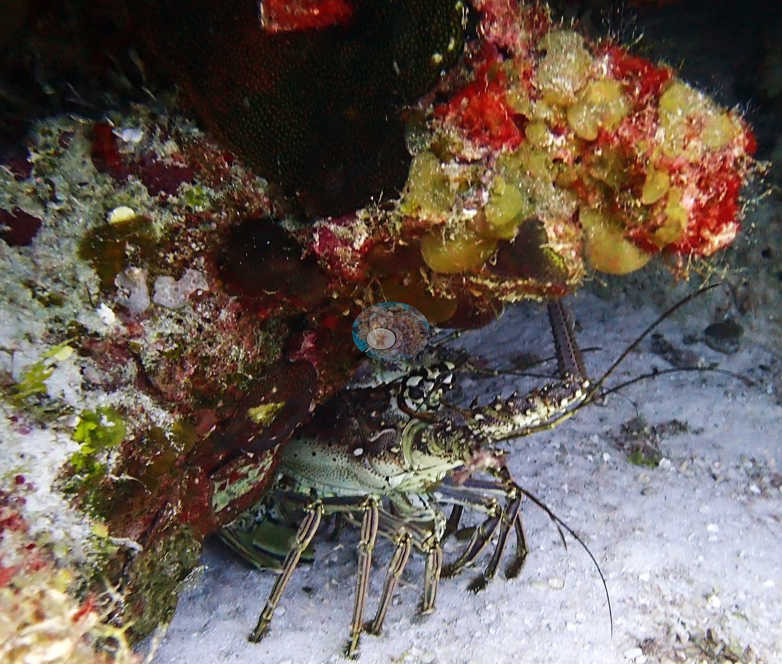
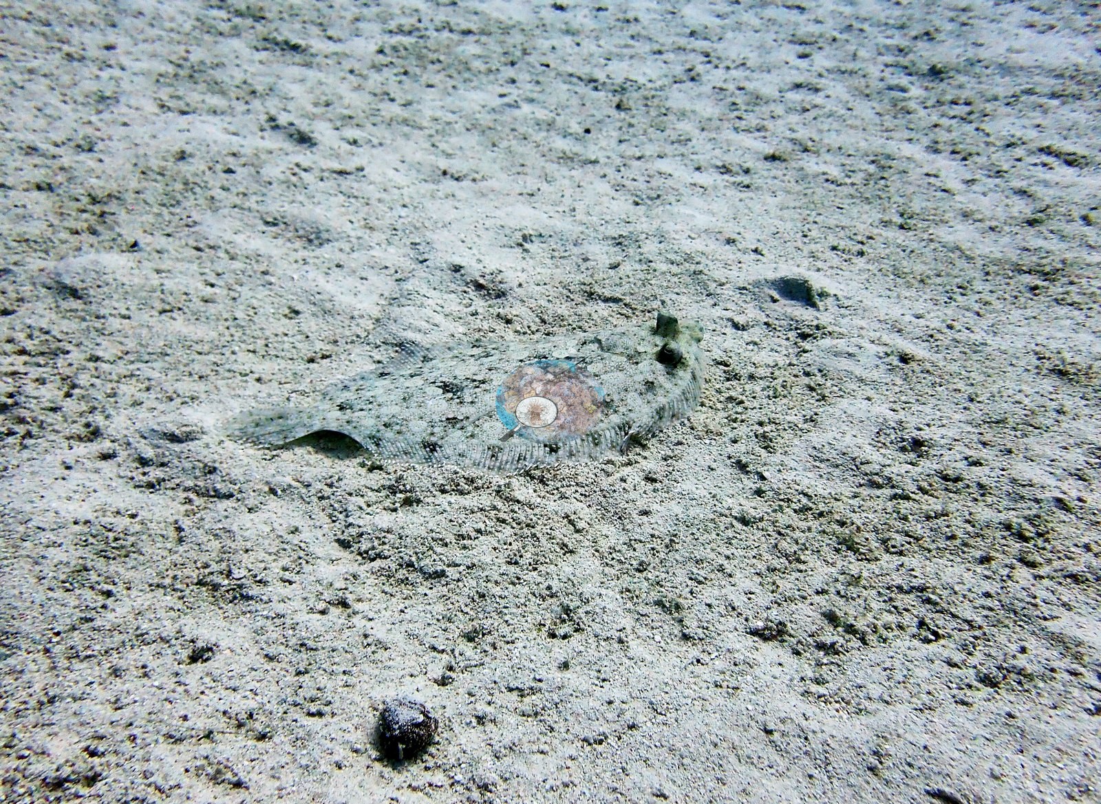
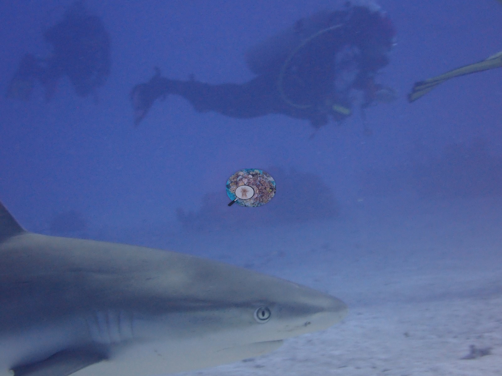
Turks and Caicos (NOAA CRW virtual station) · Bahamian ecoregion mean: 9.1 degree heating weeksBoat Cove, off West Caicos, is a set of coral-and-sponge mounds separated by white sand channels, with big boulder star corals, barrel and elephant-ear sponges, and schools of grunts. A Caribbean reef shark, spiny lobster, flounder, and yellowhead jawfish were seen; many large colonies have dead, turf-covered centers, though no bleaching was evident.
Four independent survey stations shown with the program’s logo — click one to see how far it is from this site.
Three other CRD dive sites within 5 km shown in orange — click a marker to open its page.
18 of the 48 photographs on this page are shown beside the text that discusses them under "Site description" below.
Site description
Setting
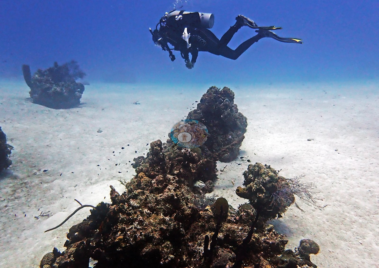
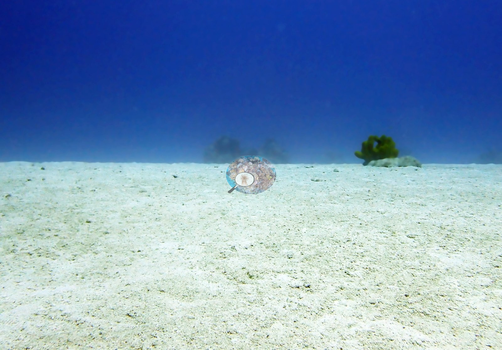
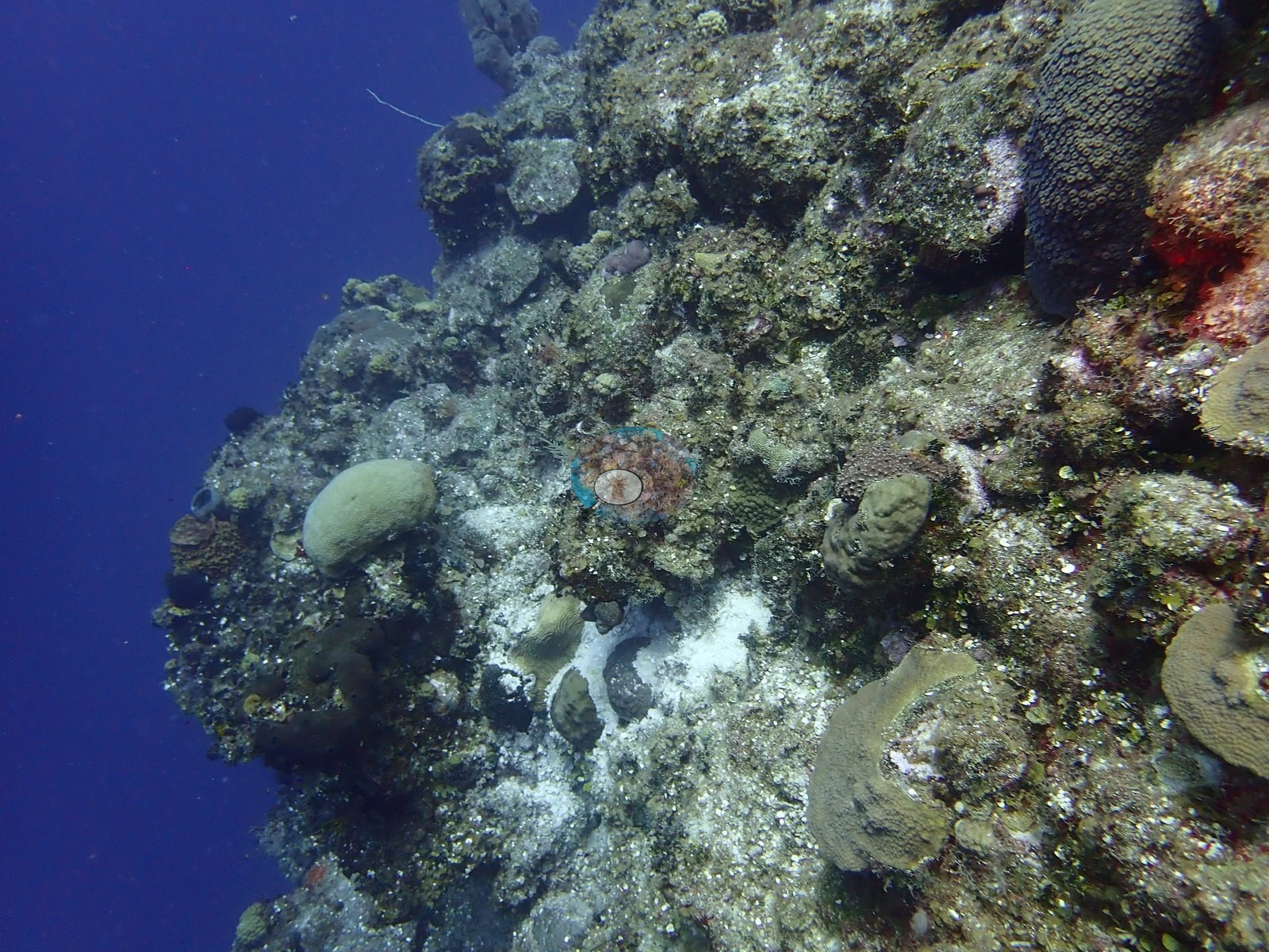
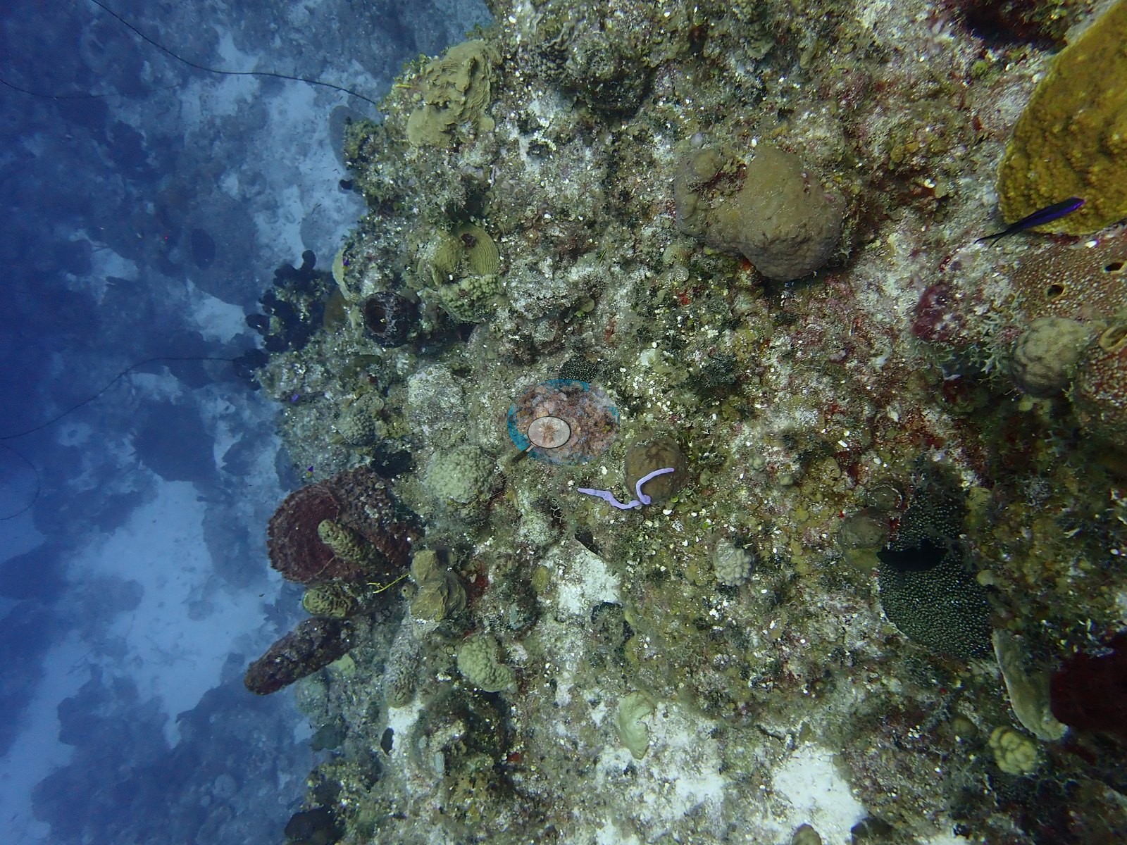
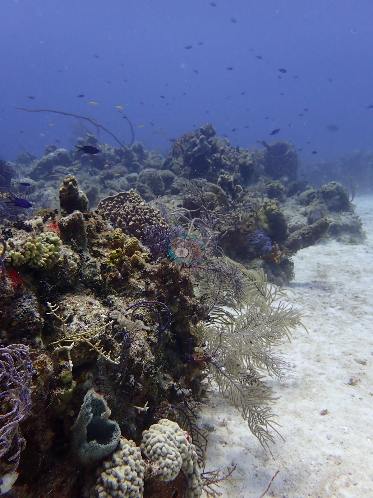
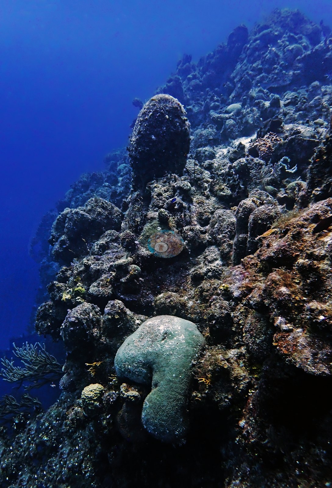
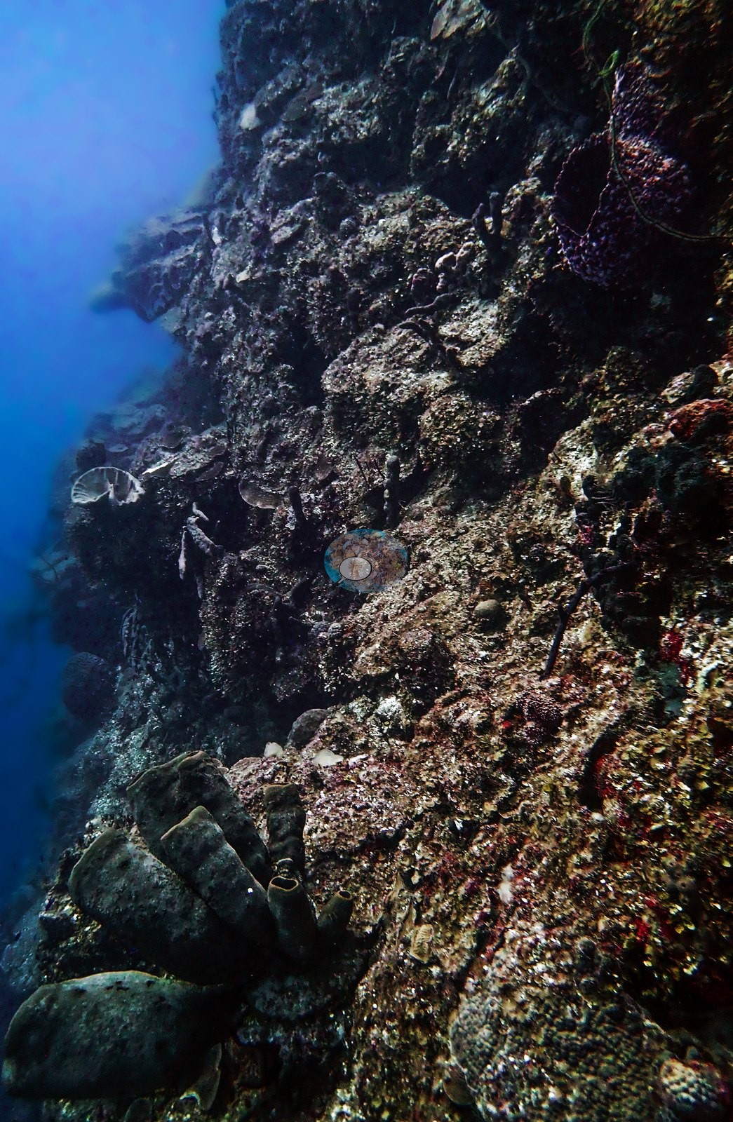
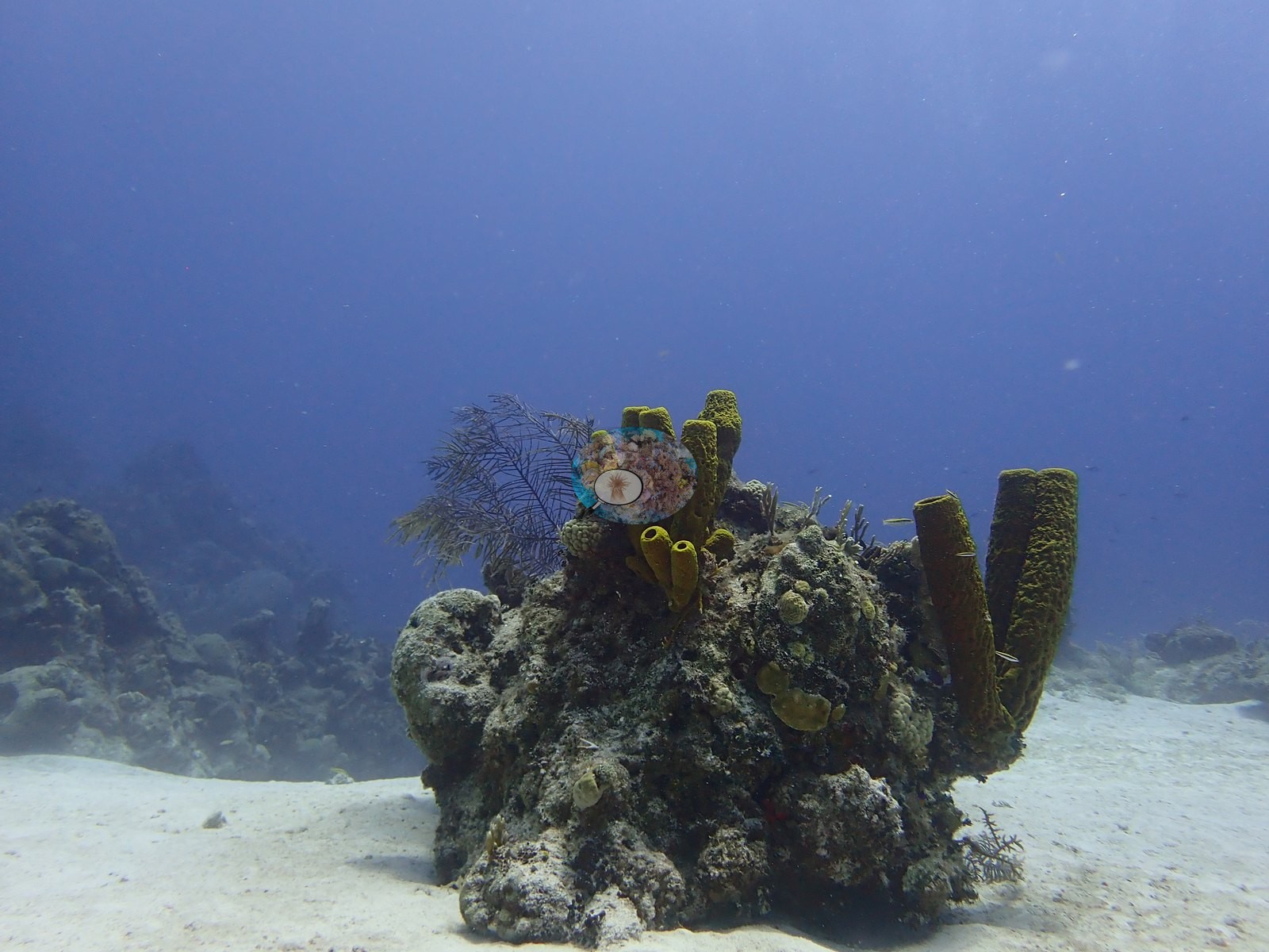
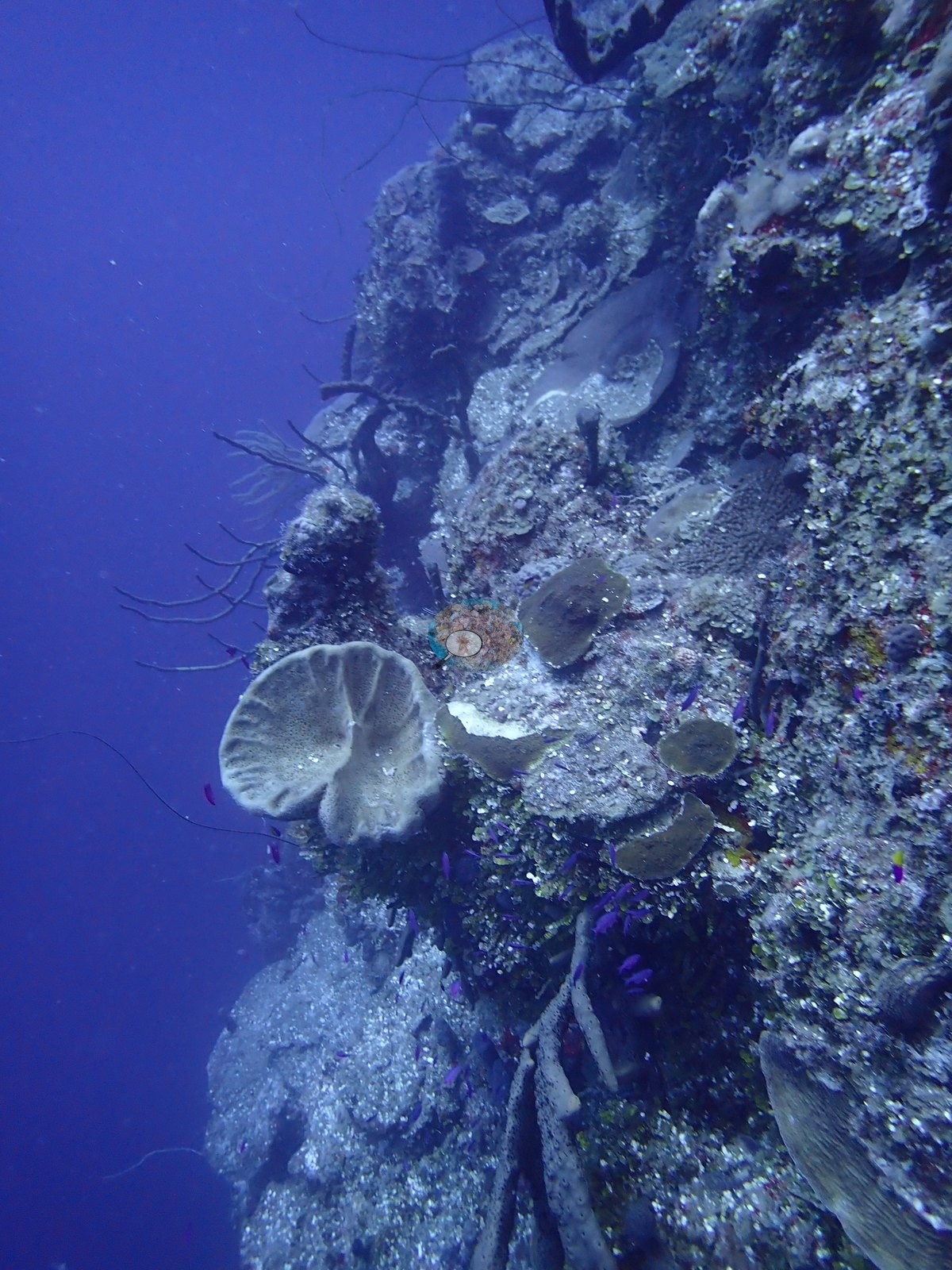
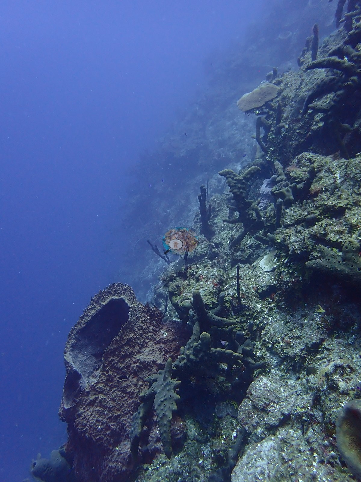
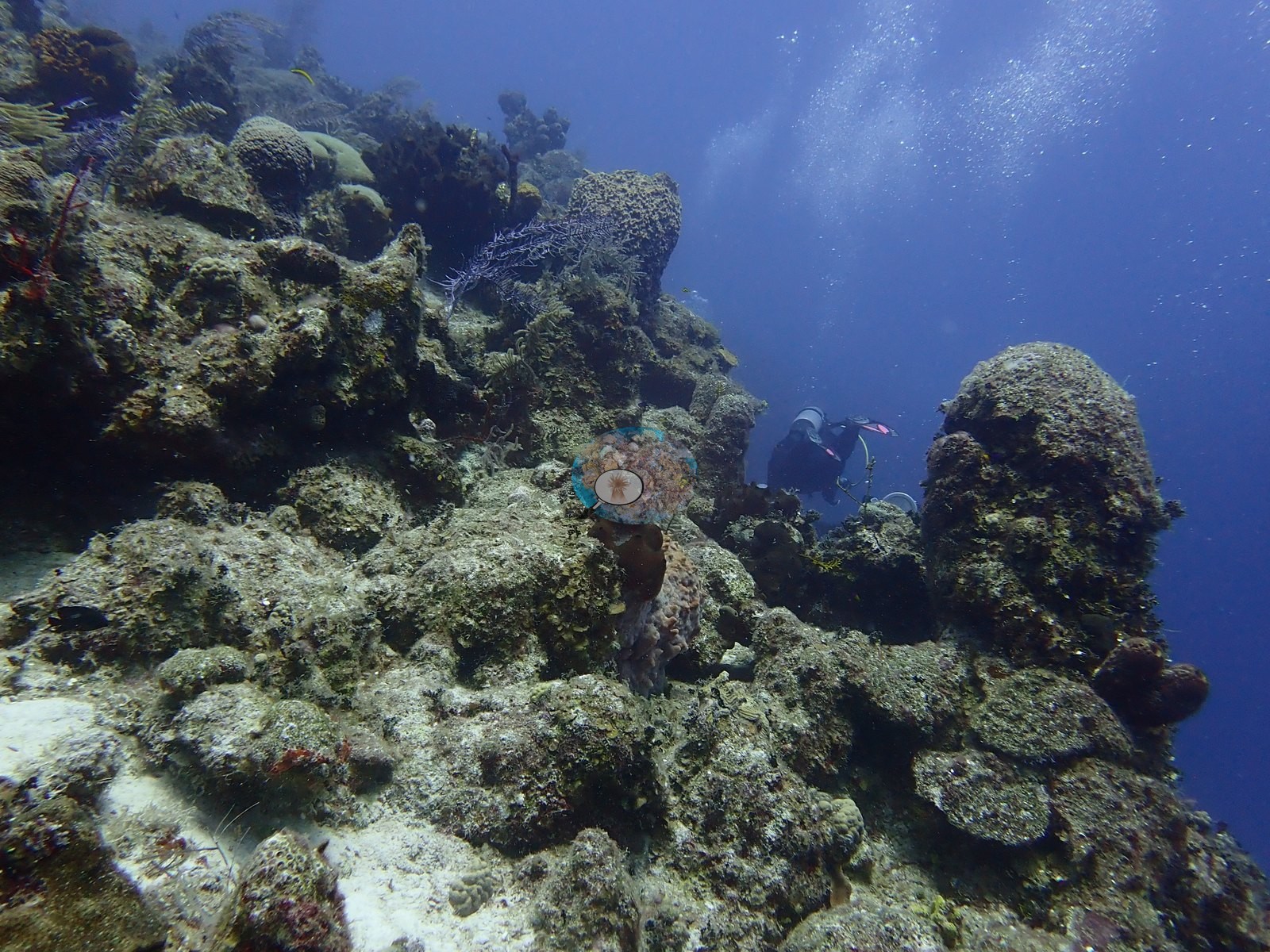
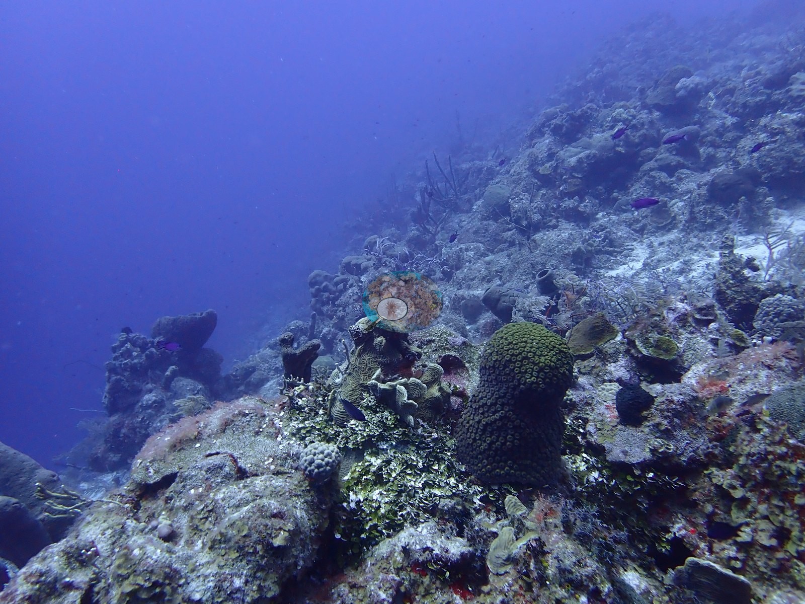
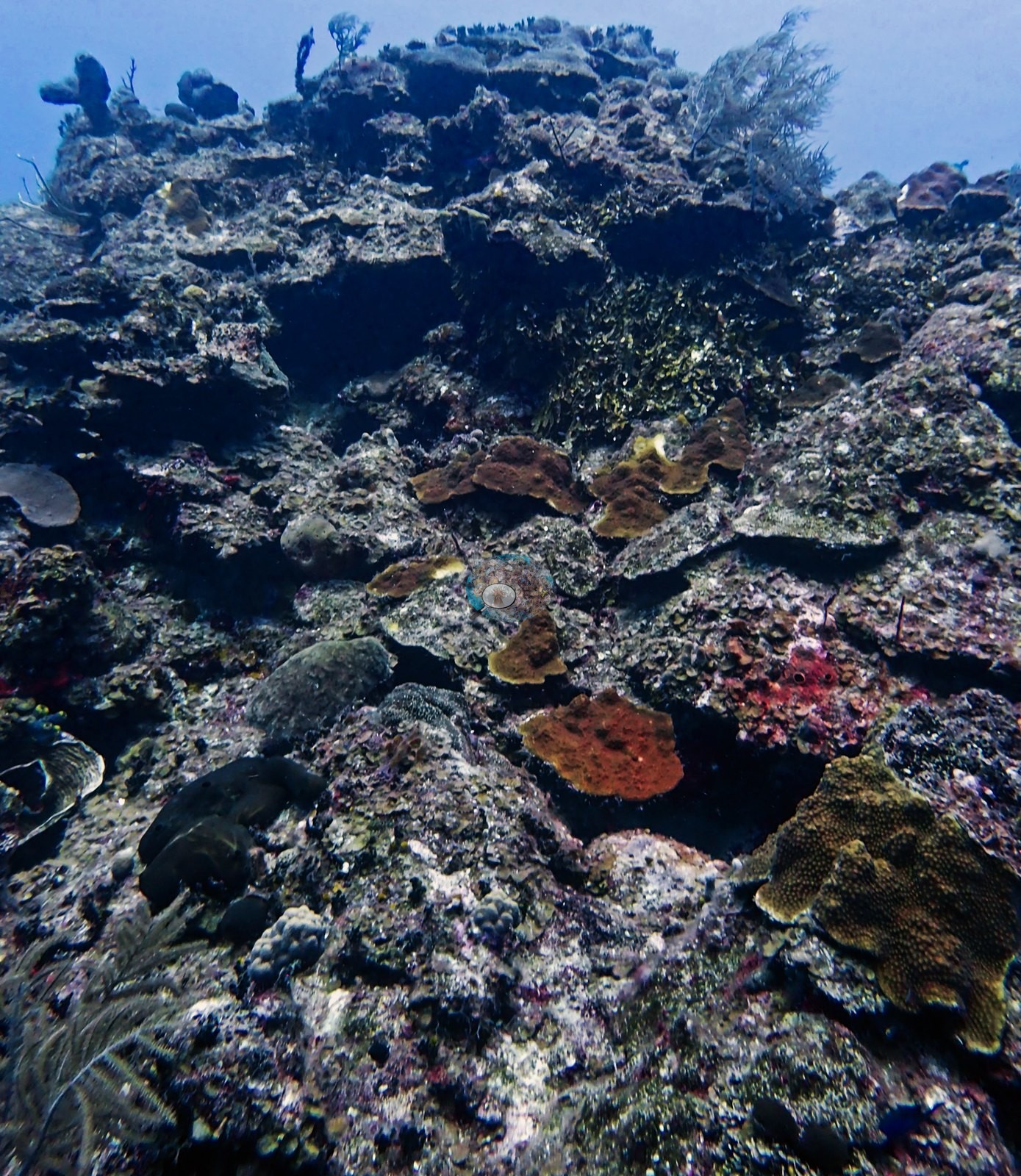
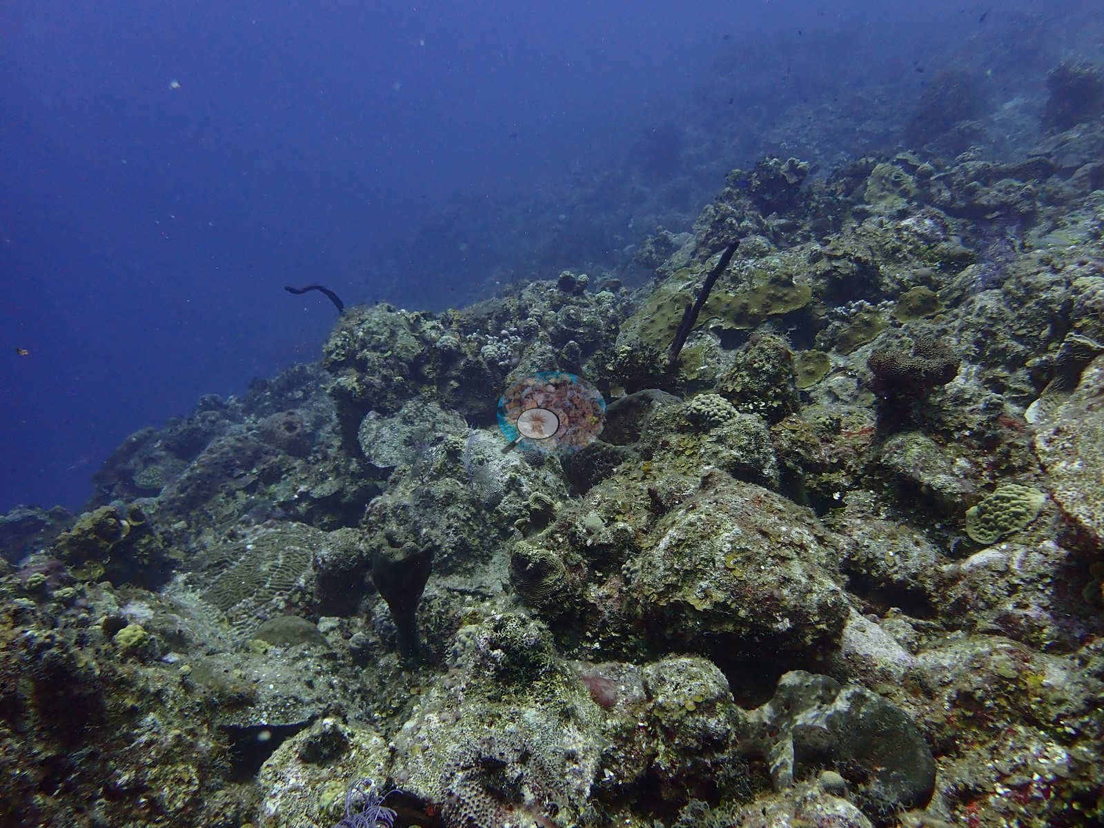
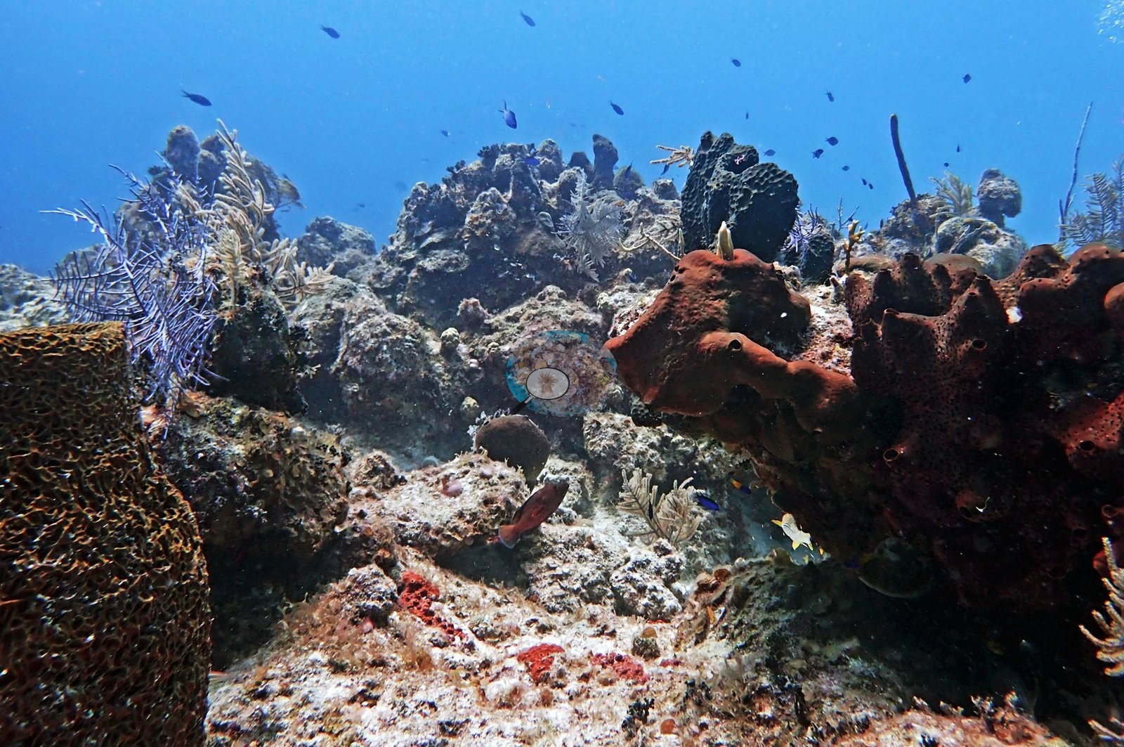
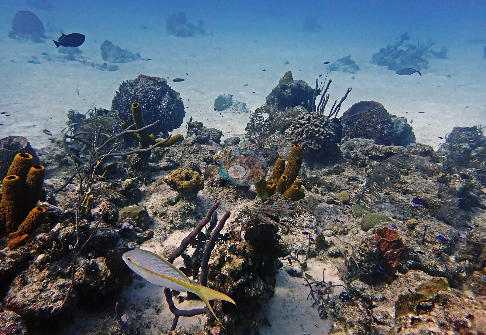
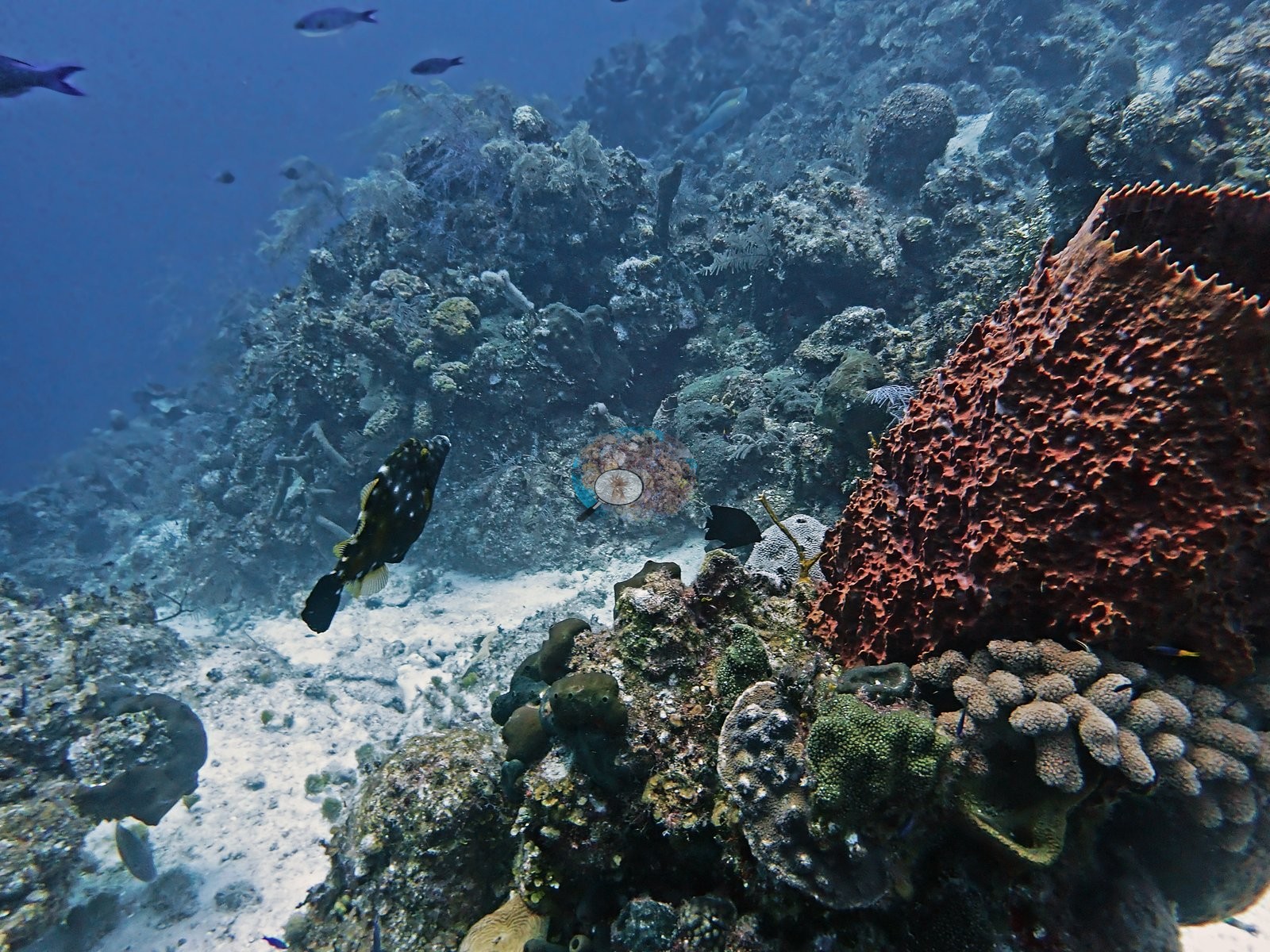
The habitat is a series of coral-and-sponge-encrusted rock mounds and patch reefs separated by white sand channels, rather than a continuous reef front (e.g., Image 2, Image 12).
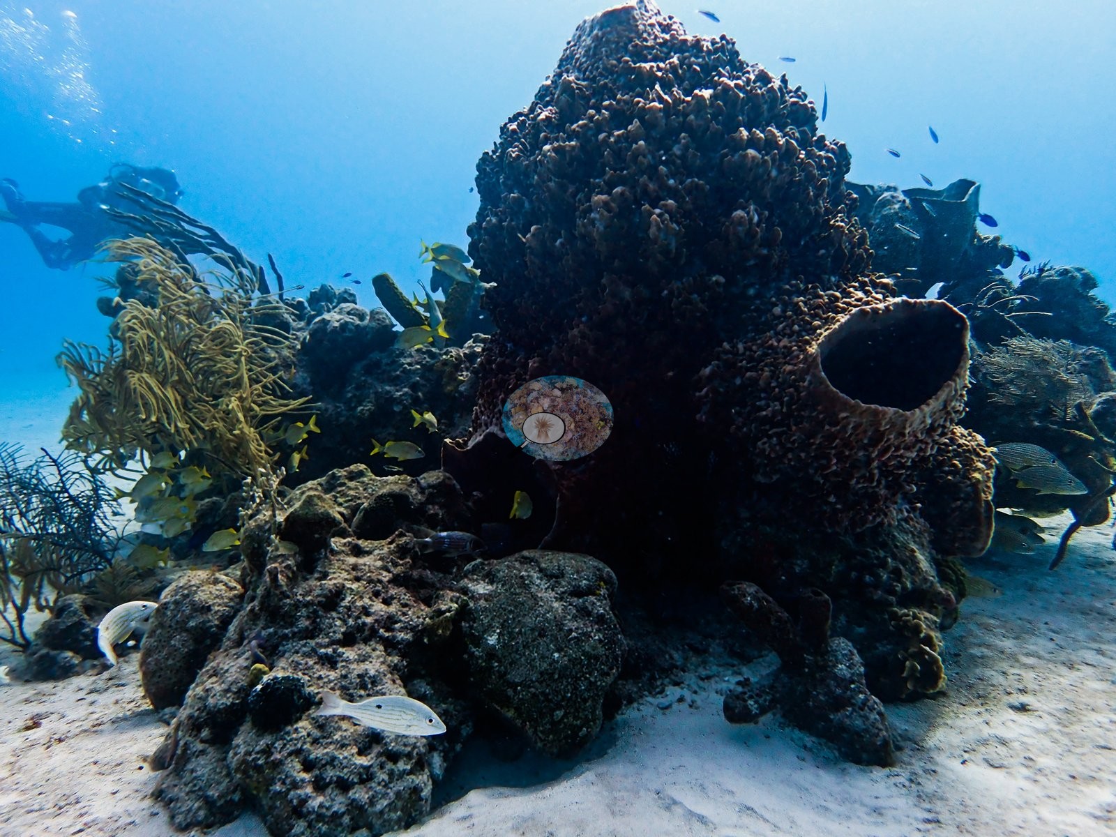
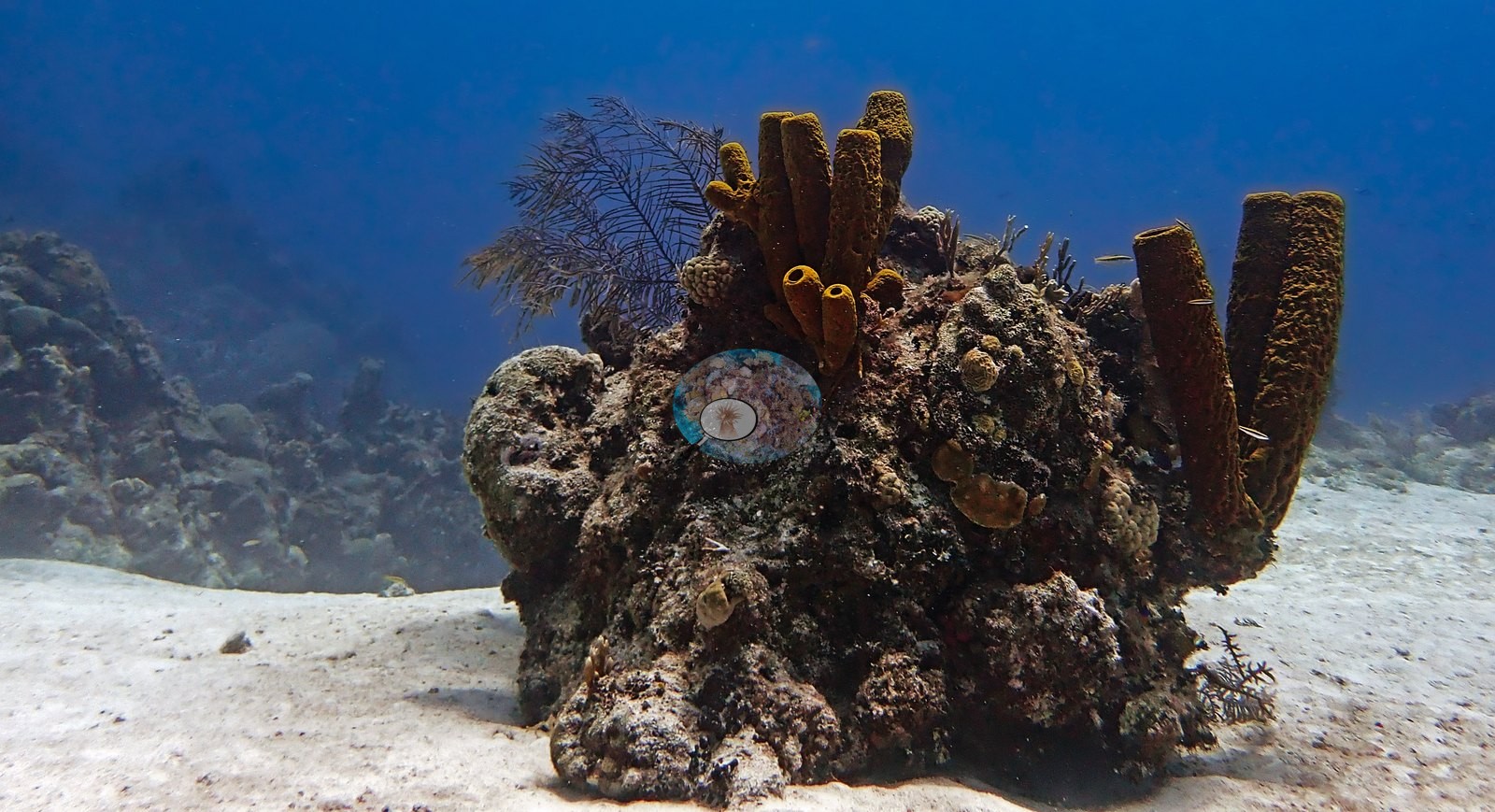
Visibility varied from a hazy blue mid-water background to clear, well-lit close-range framing on the mounds themselves; apparent depth is consistent with the dive log's ~27-29 m maxima (e.g., Image 50).
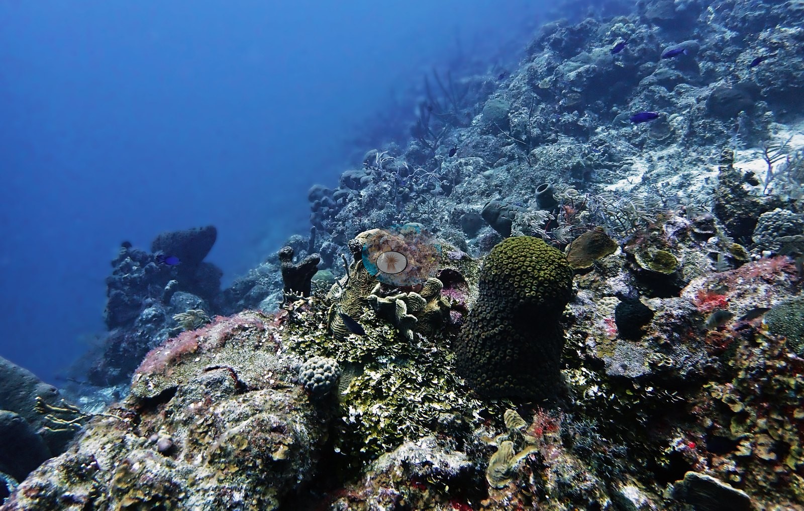
General benthic features
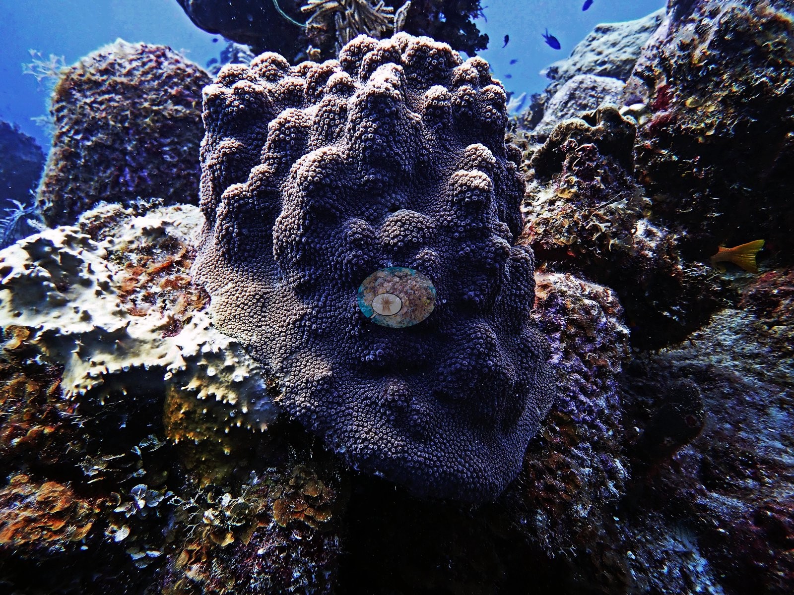
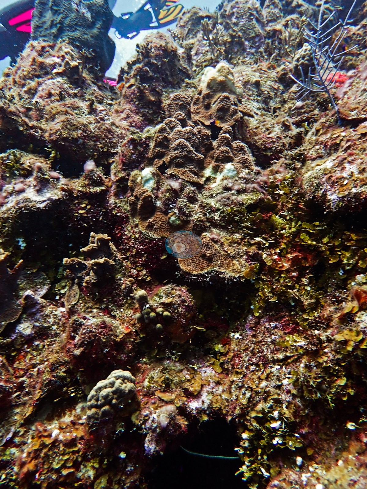
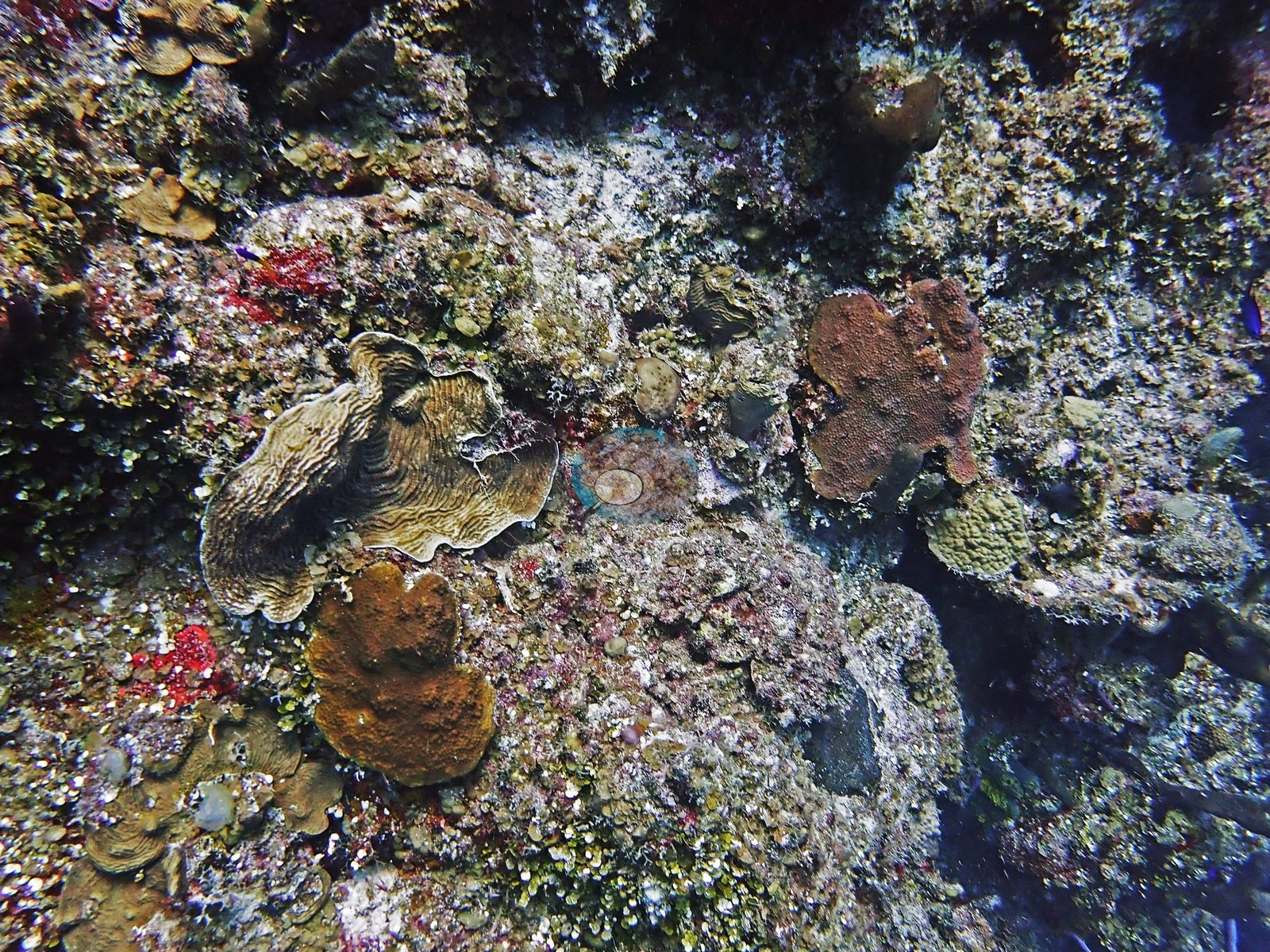
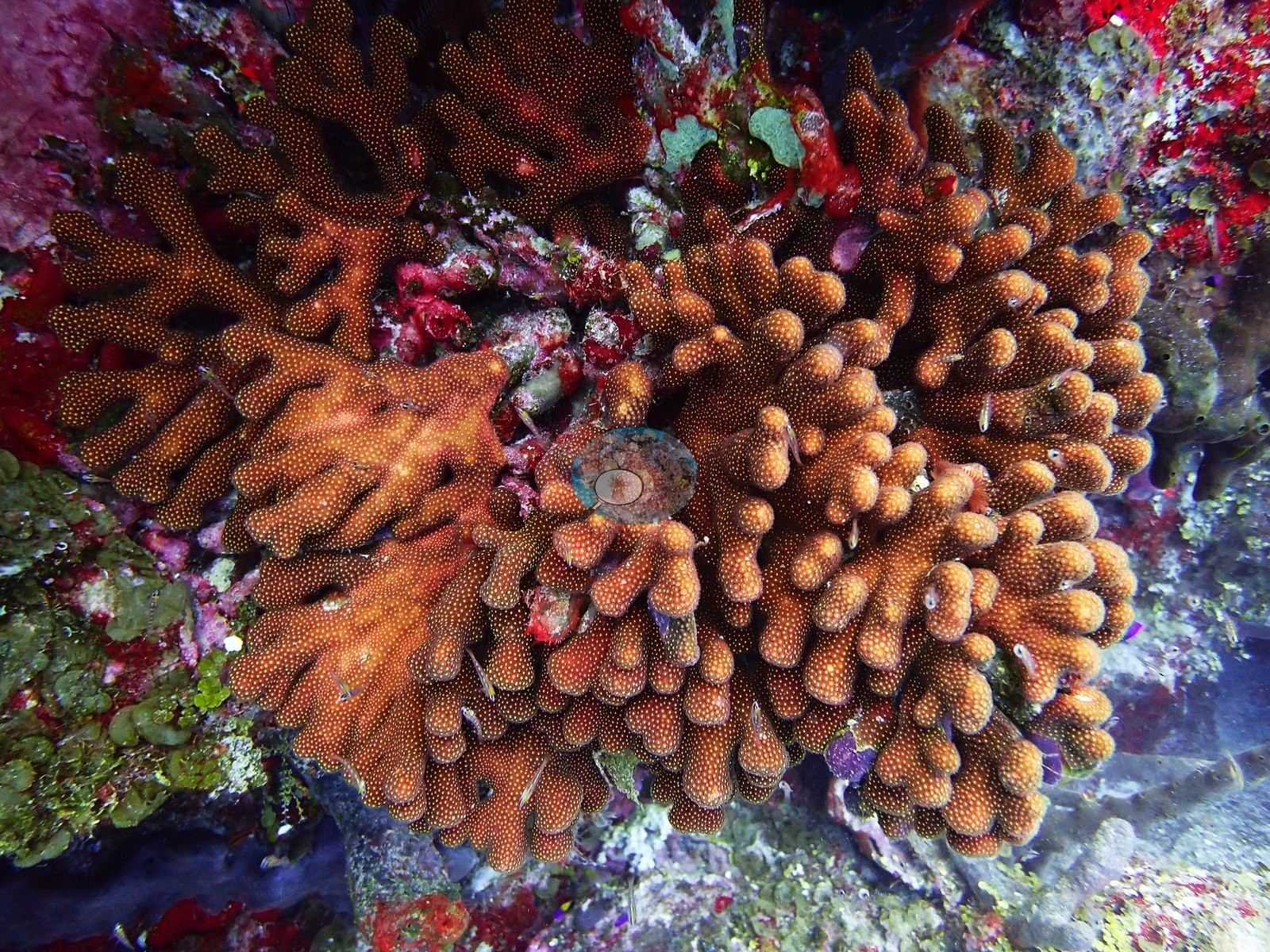
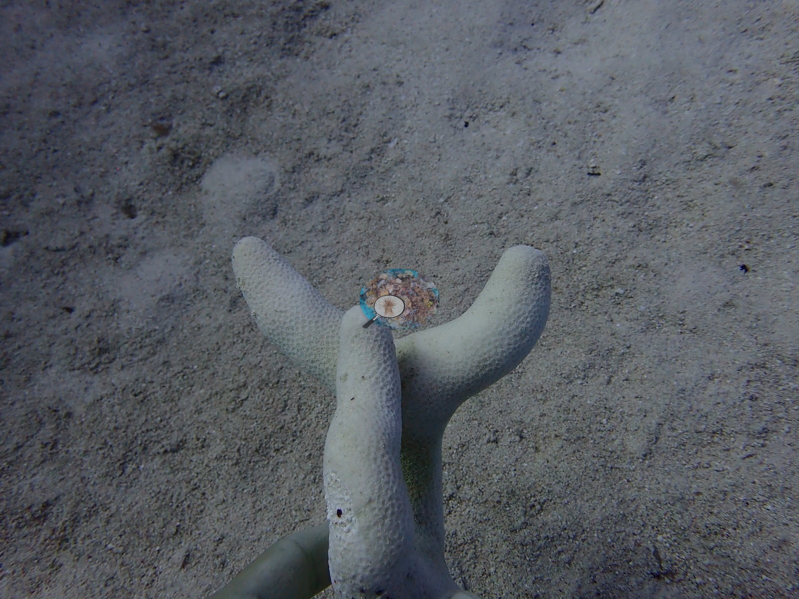
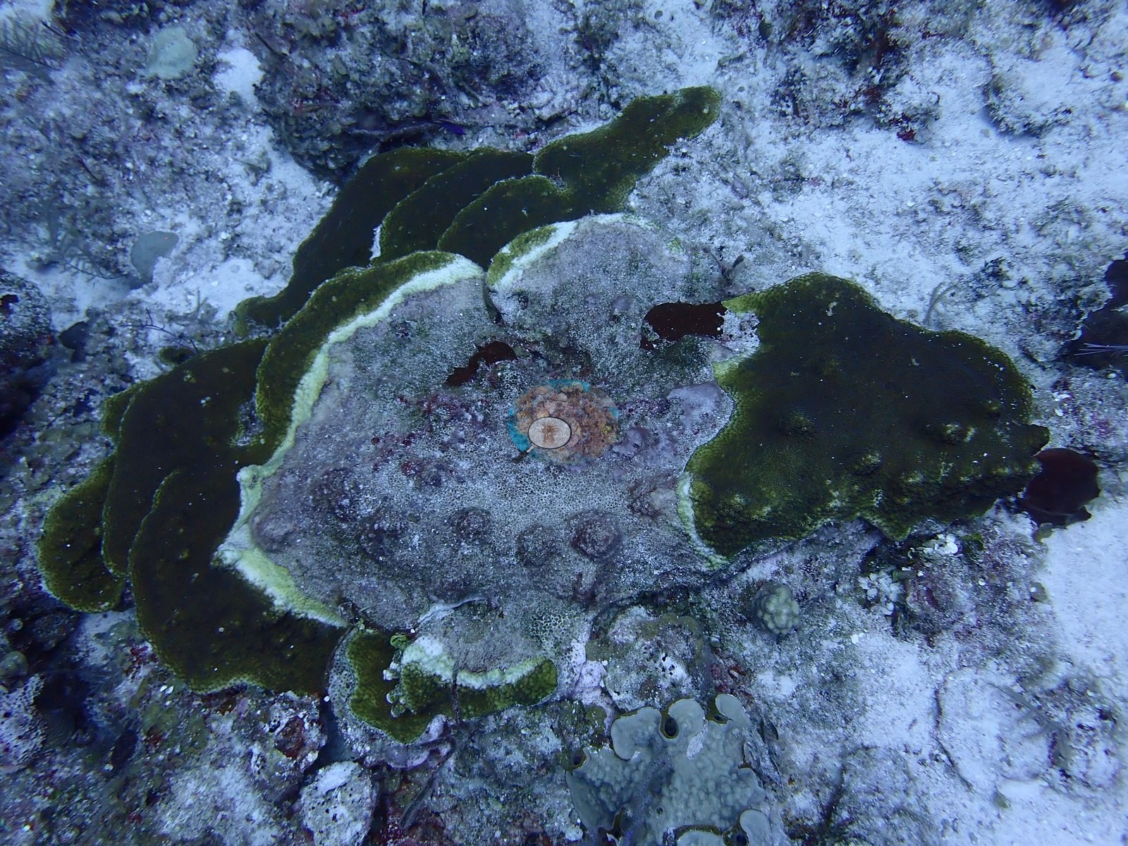
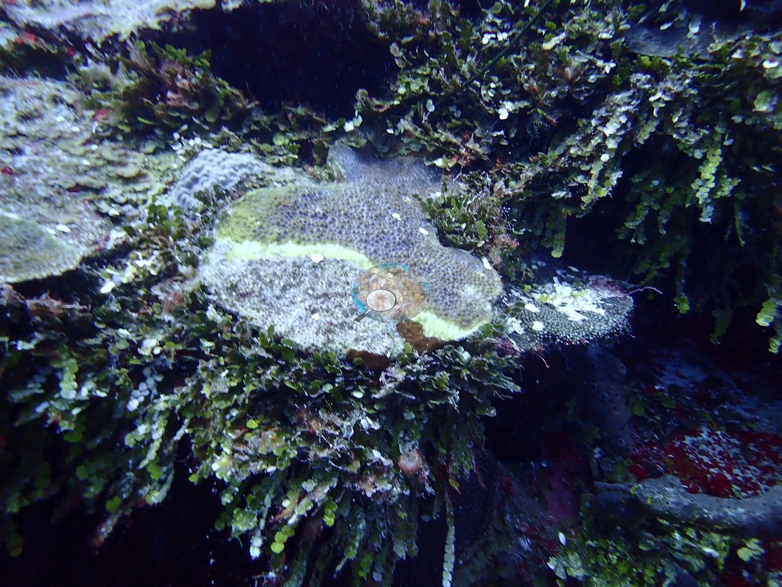
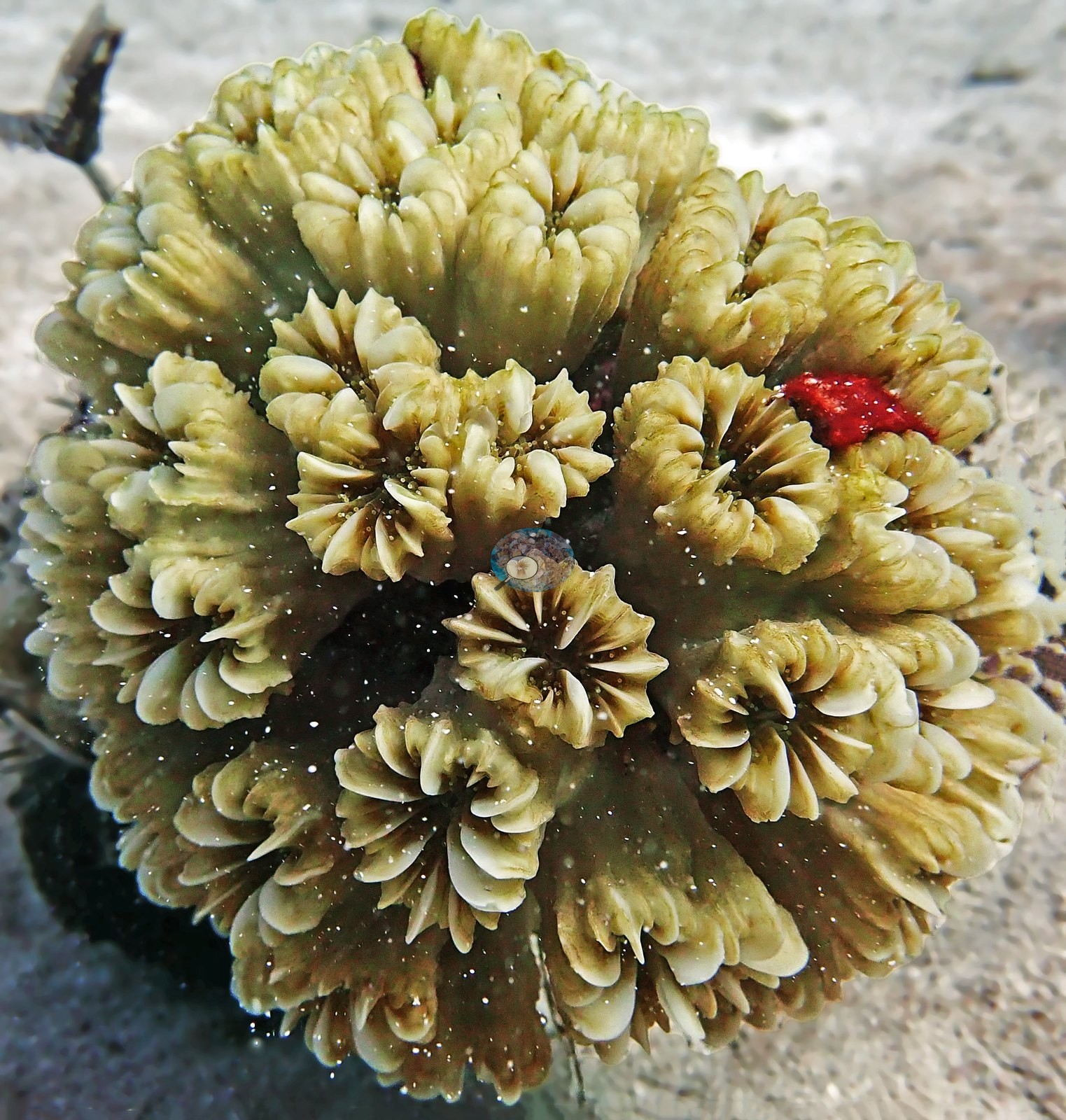
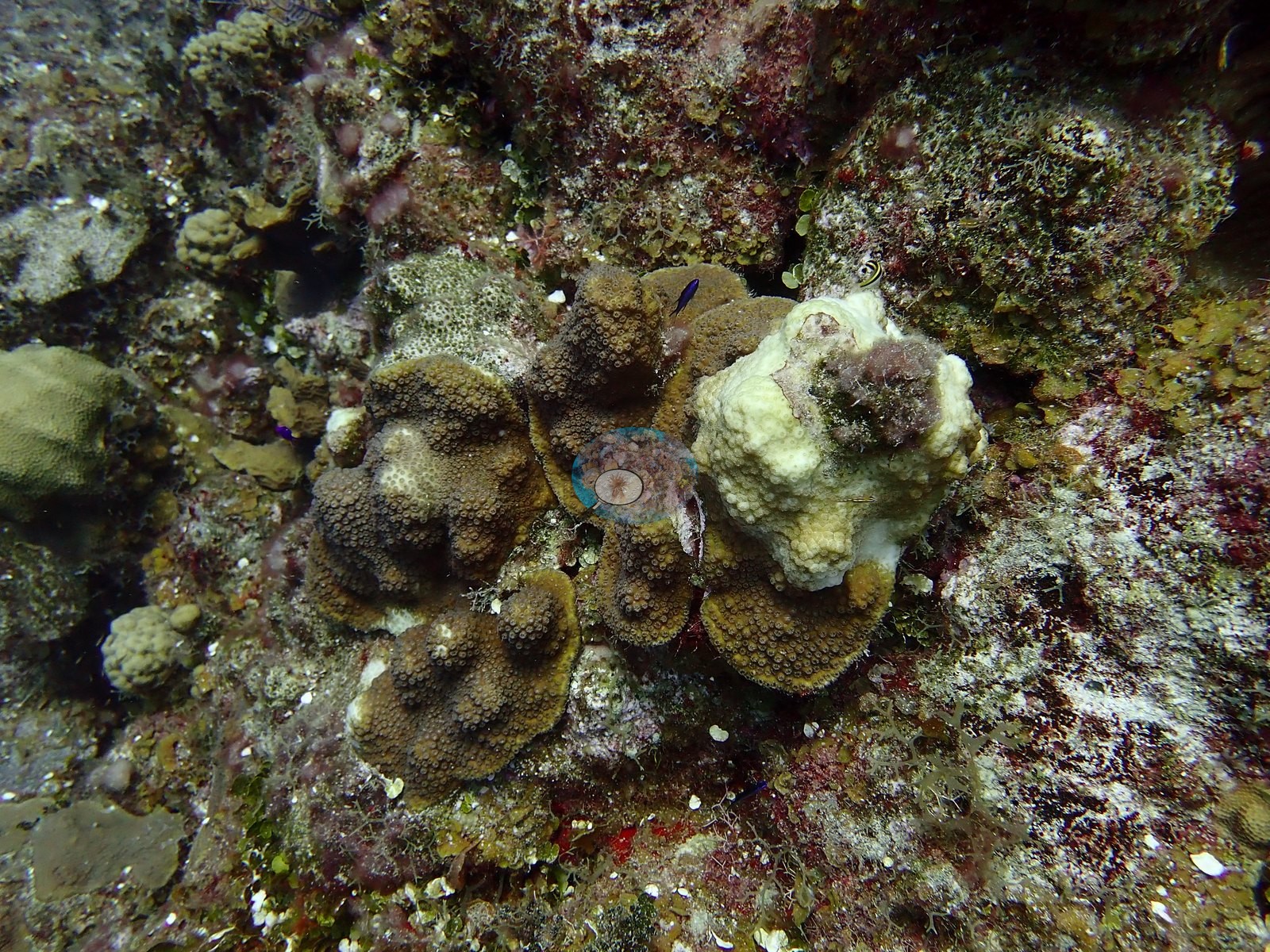
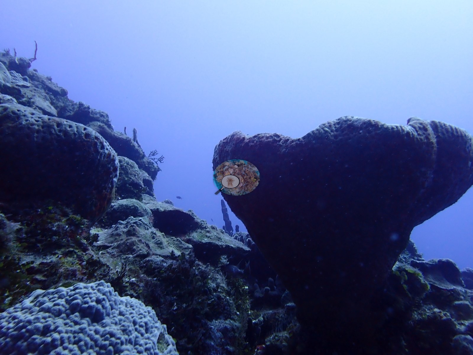
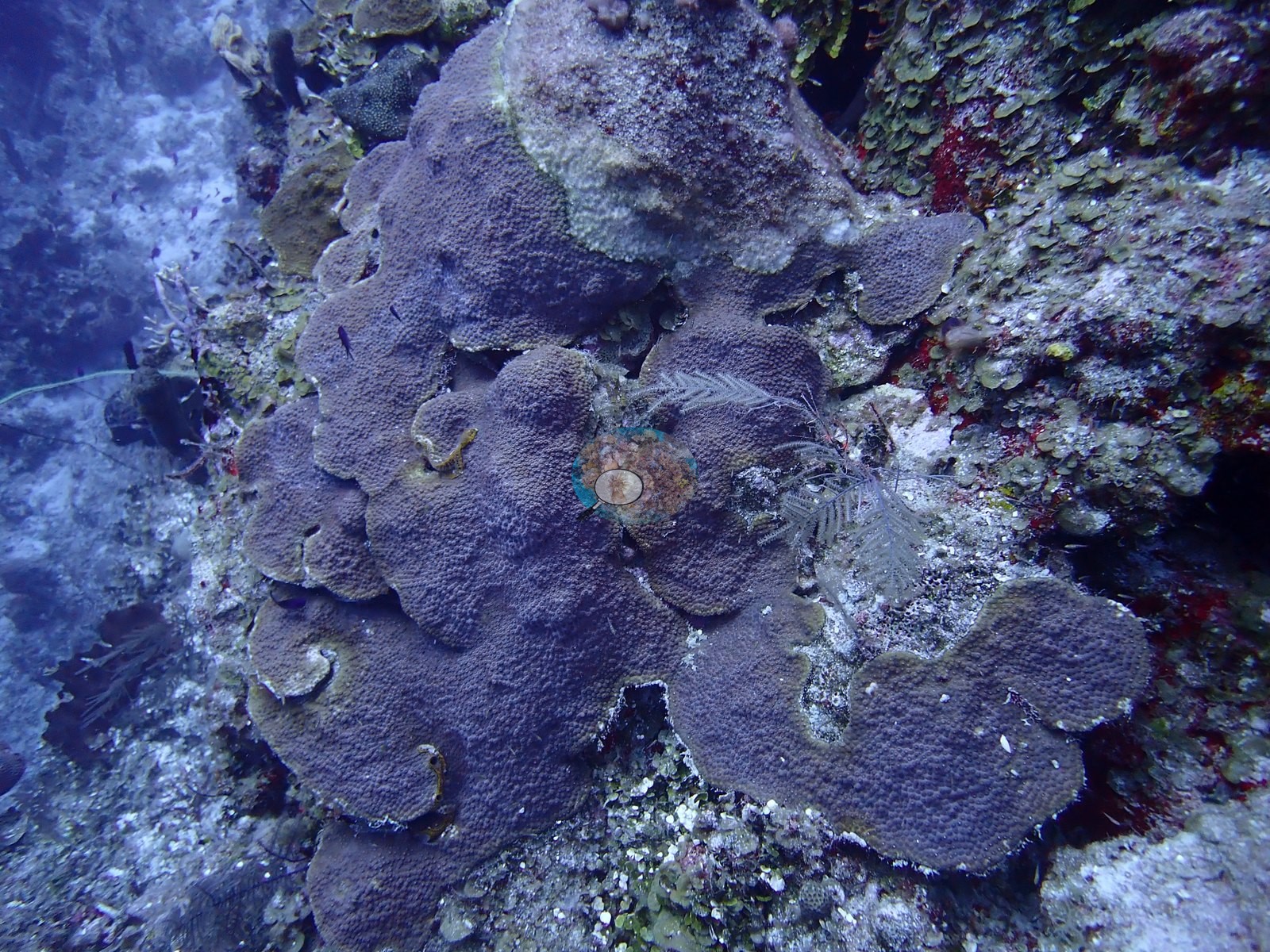
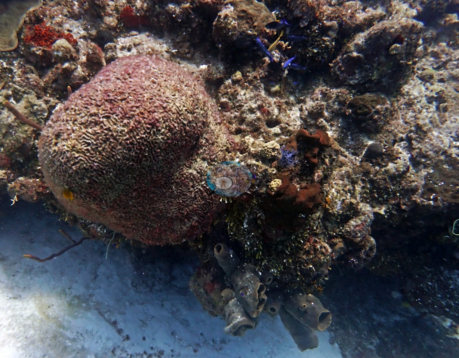
Massive boulder/starlet corals dominate the mounds, including large purple-gray colonies consistent with Orbicella and a ridged brain coral consistent with Pseudodiploria; low finger-coral thickets consistent with Porites porites or Madracis form dense clusters on several mound tops, and lettuce/plate corals with red speckled tissue occupy shaded ledges alongside a small solitary flower-type coral polyp (e.g., Image 4, Image 10, Image 13, Image 31).
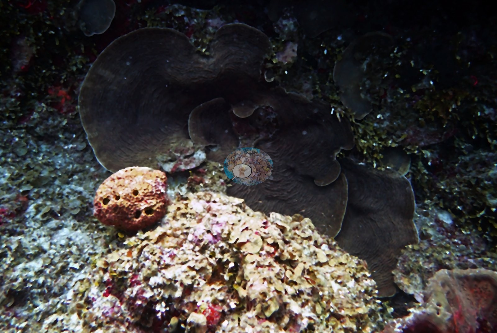
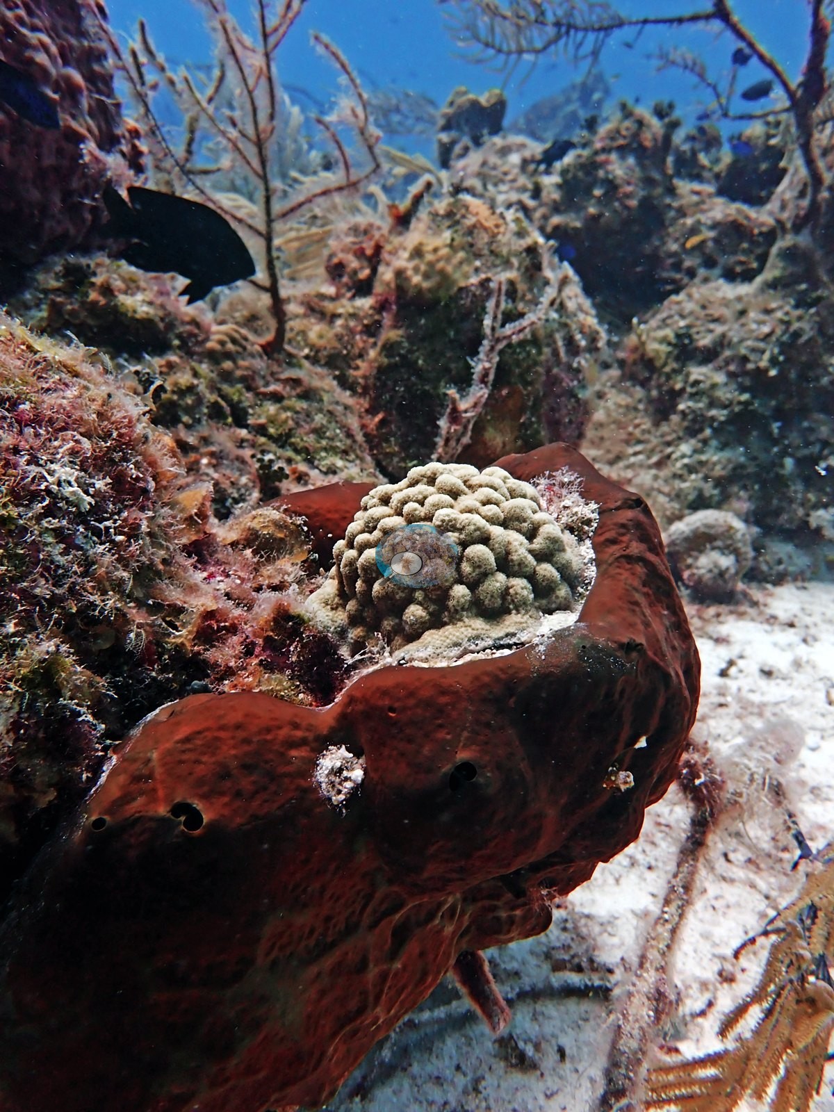
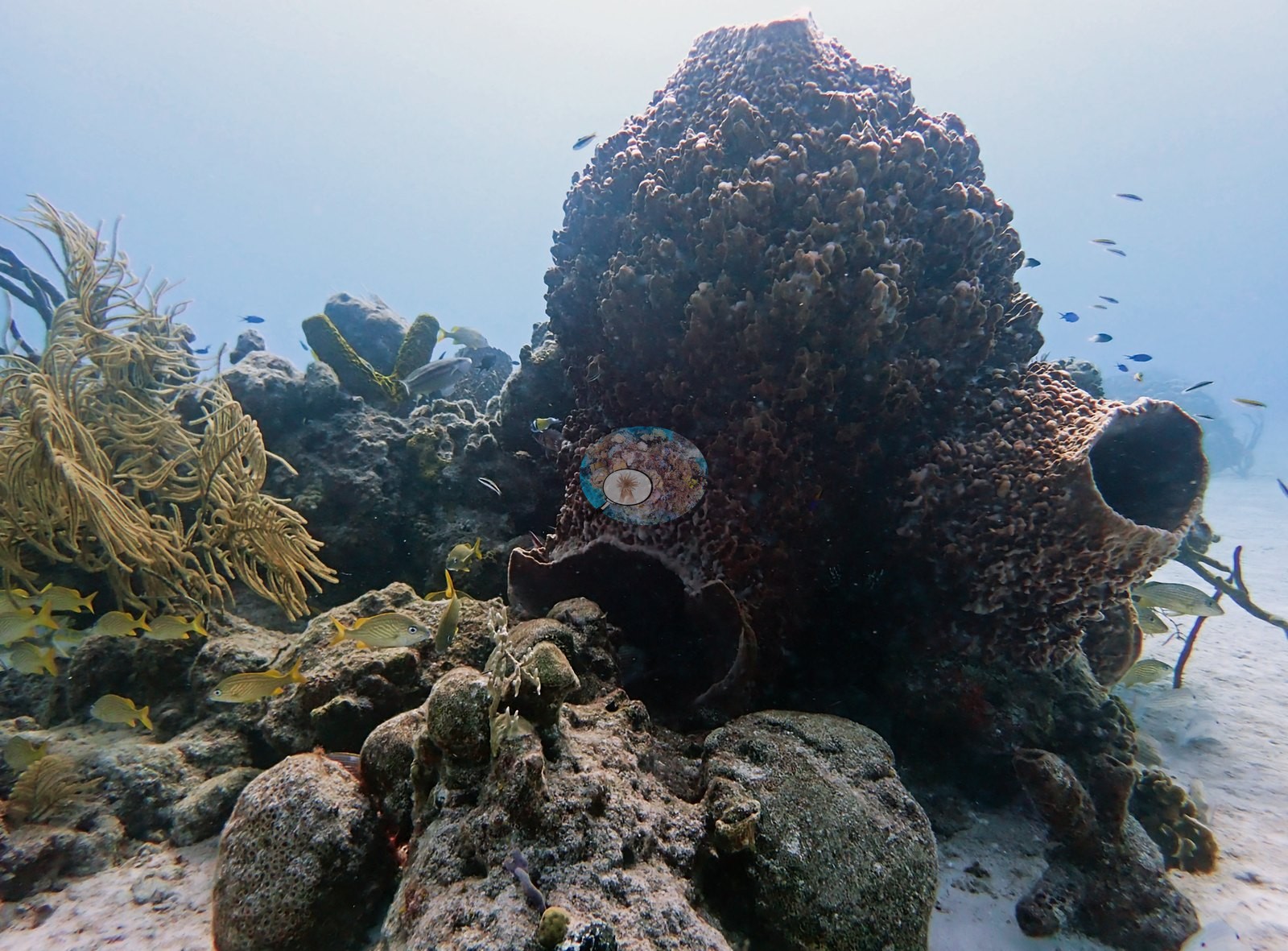
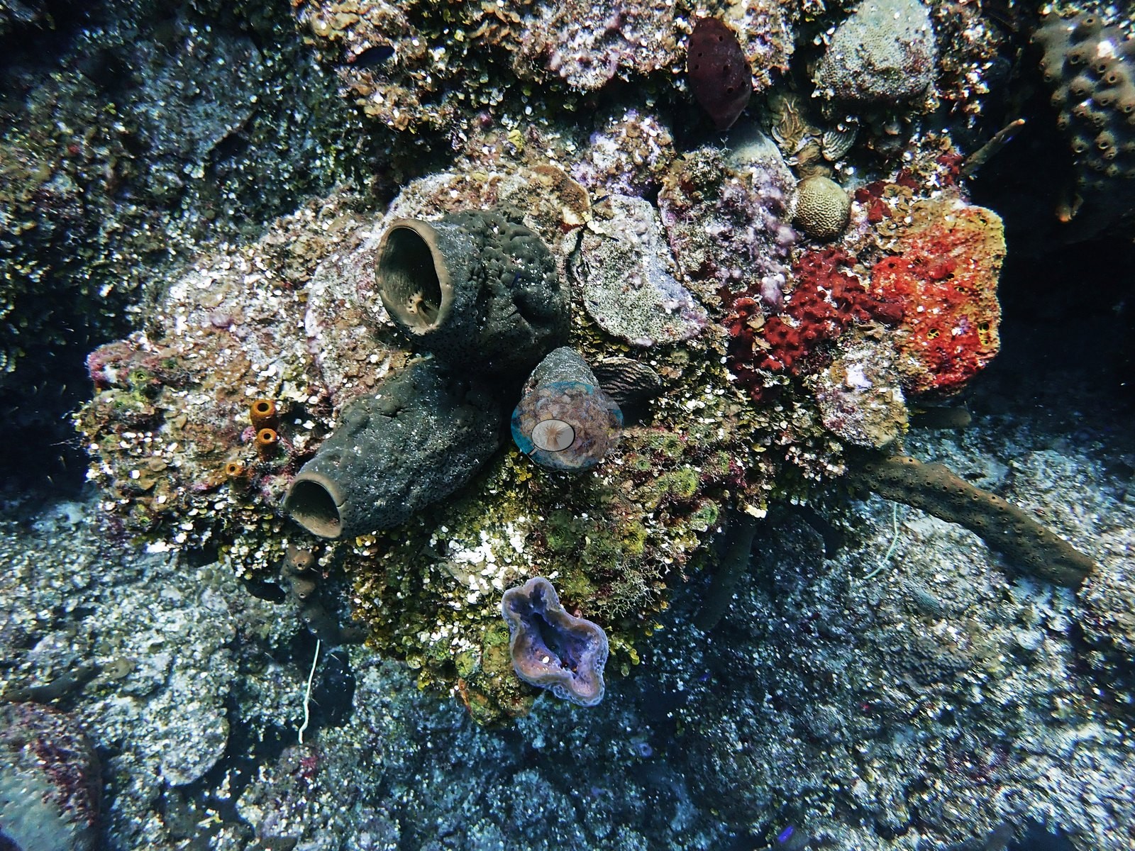
Sponges are abundant and diverse: large dark barrel sponges, an orange elephant-ear sponge, red-orange encrusting sponge crusts, a purple branching rope/candelabrum sponge, a black ball sponge, and clusters of small yellow tube sponges (e.g., Image 1, Image 9, Image 11, Image 14, Image 28).
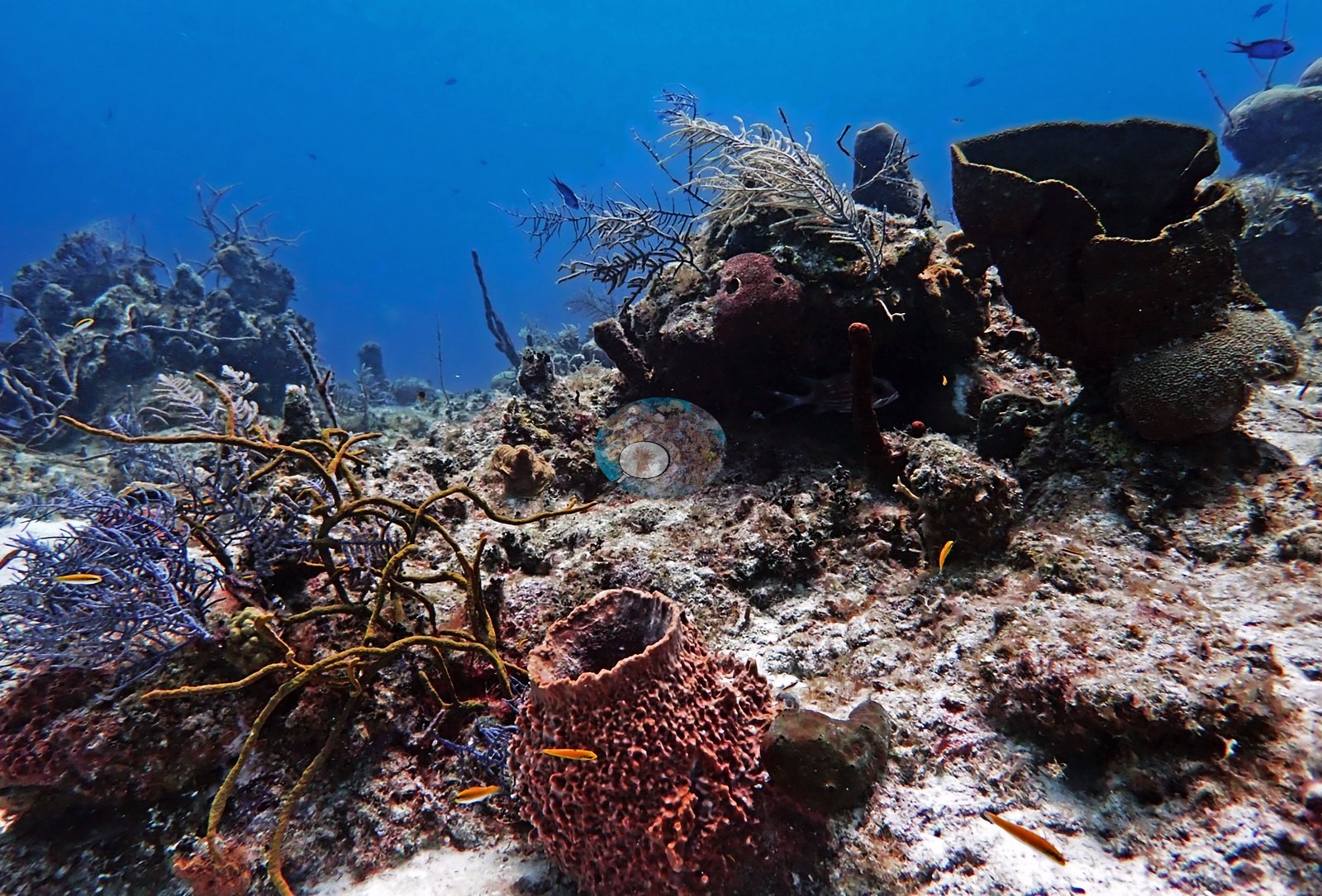
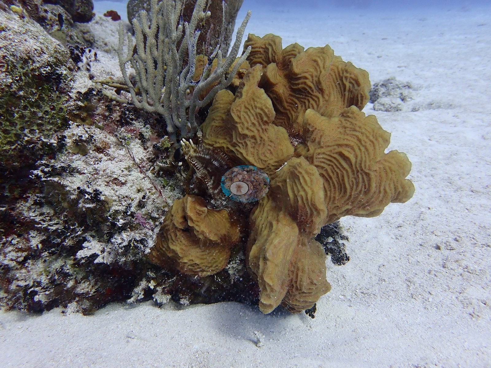
Gorgonians (sea plumes, sea rods, and low sea fans) and feather-duster worms fill the gaps between coral heads (e.g., Image 47).
Coral cover
- Reference: Claude CV point count (this site's photos)
- Coral cover: 11% — a blind Claude computer-vision point count of 74 of Anderson's edited photographs (the mean of the two dives' means; 20 points per photo; water, fish, and obstructions excluded). Other computer-vision methods are listed in the method table.
Stressors
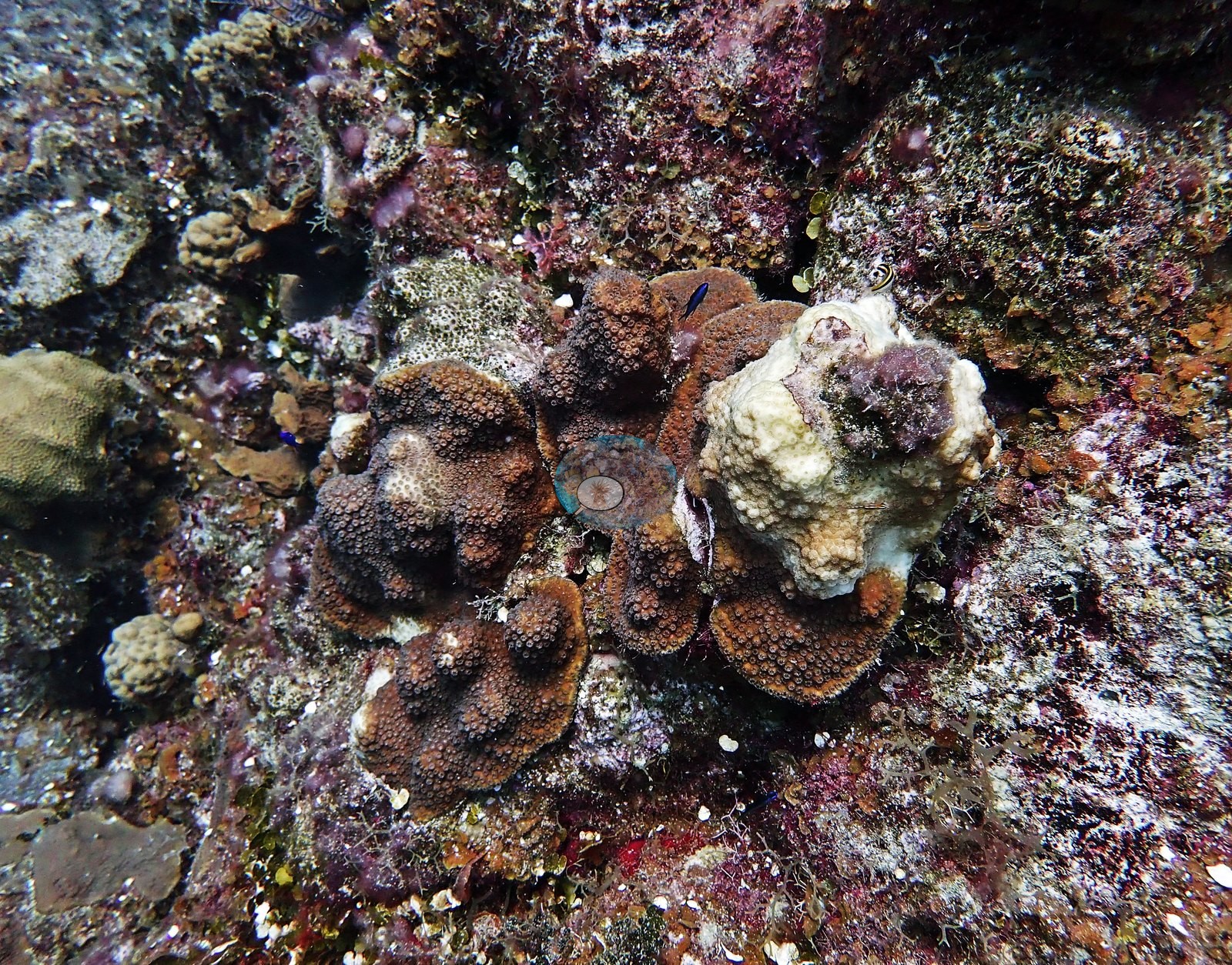
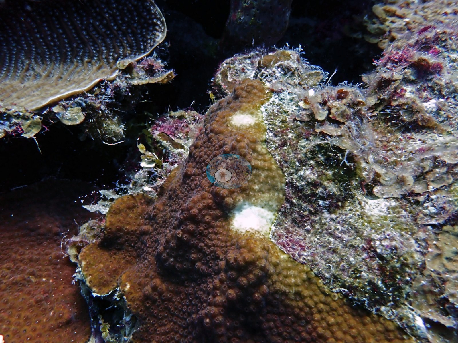
One boulder coral head shows a distinct rounded white patch of bare skeleton amid otherwise healthy brown tissue — this reads as either partial bleaching or an old localized mortality scar rather than active disease and is called out below rather than assumed (e.g., Image 17).
No corallivores, and no widespread bleaching or disease, were seen elsewhere in the sample.
Fish and other fauna
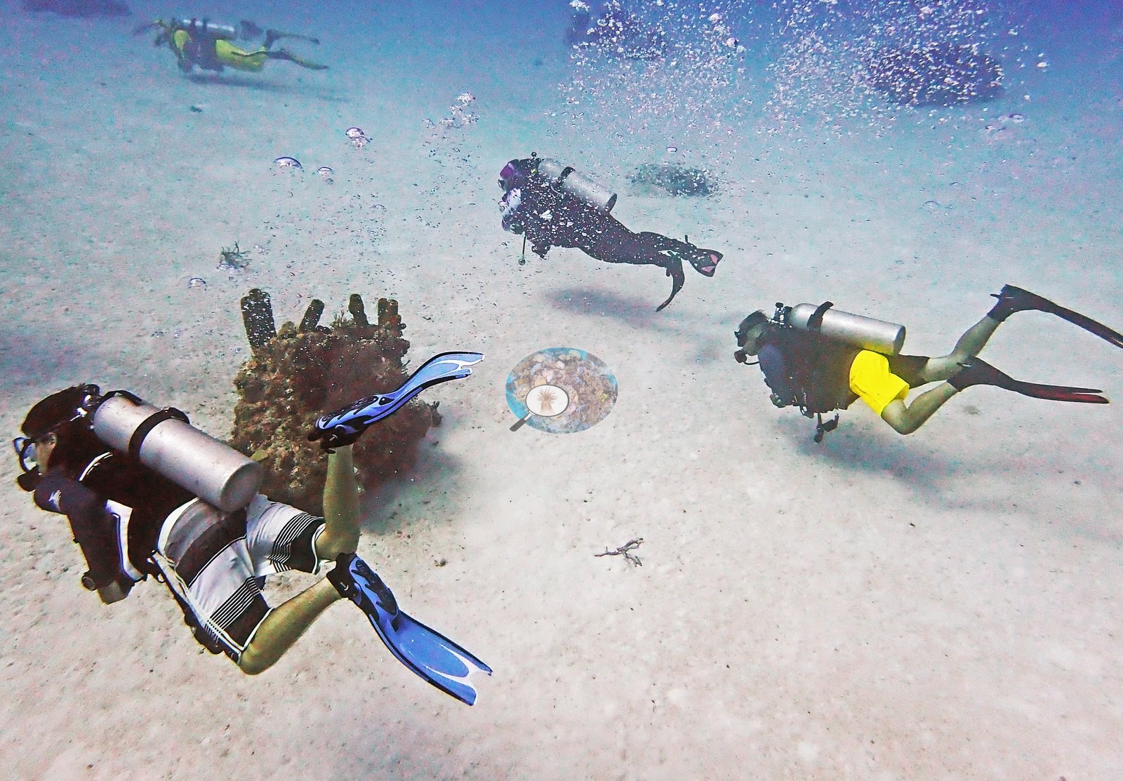
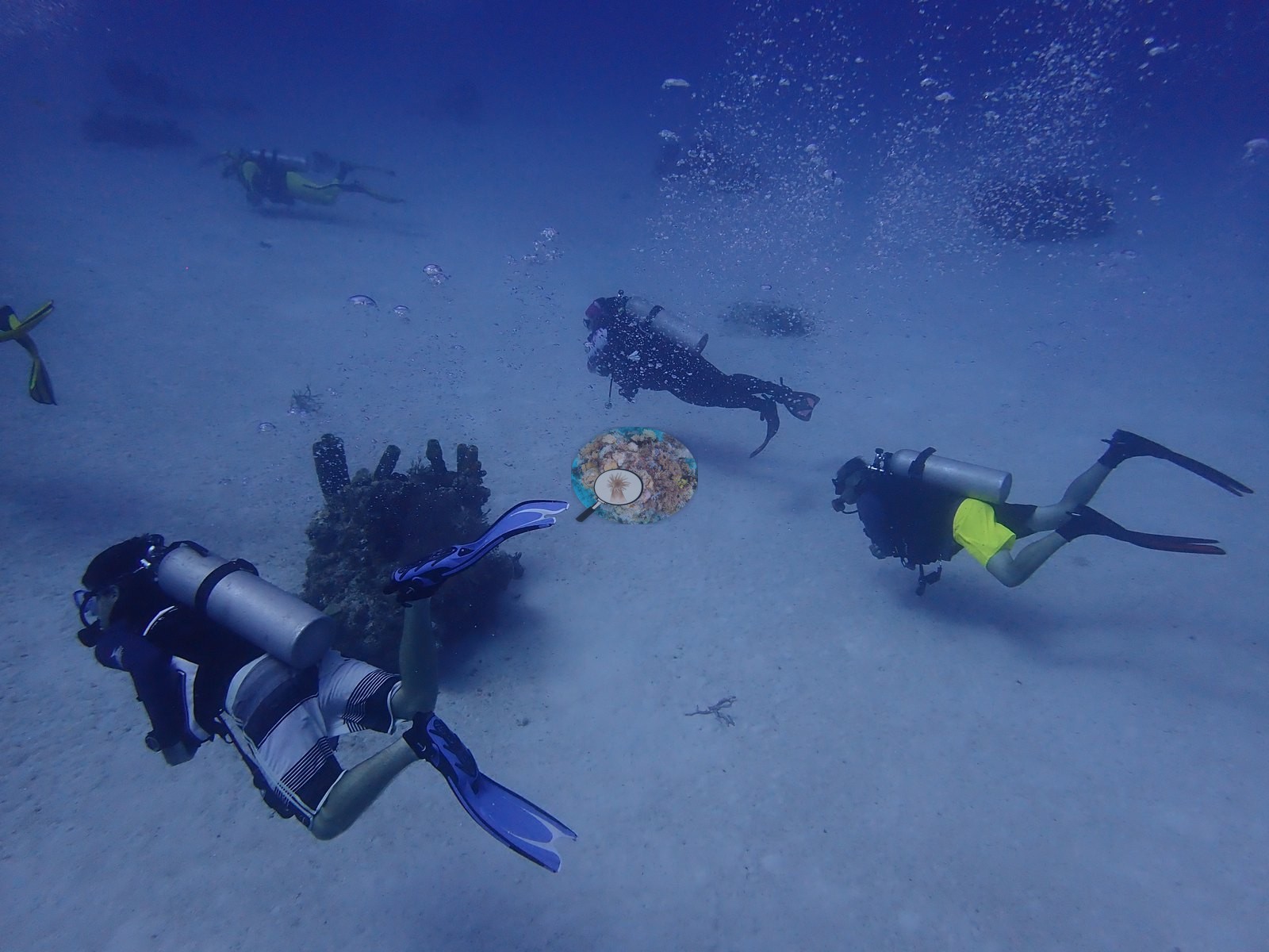
Fauna recorded directly in the frames reviewed: a spiny lobster sheltering at the base of a sponge-coral mound, a Caribbean reef shark cruising over open sand near a descending diver, a well-camouflaged flounder lying flat on the sand, a whitespotted filefish near a barrel sponge, and dense schools of French/bluestriped grunts moving through the coral-and-sponge mounds (e.g., Image 3, Image 7, Image 26, Image 43).
Comparisons with other data
No other surveys have been conducted at this site to date. Within 5 km, four independent stations (Reef Check and XL Catlin Seaview Survey) recorded 1.9–20% hard coral cover between 2007 and 2013; the nearest, Reef Check at Boat Cove, 0.05 km away, read 17% in 2007.
Dive record
West Caicos, Boat Cove — two dives on 2022-08-04 from the Turks & Caicos Explorer II liveaboard.
Other notes
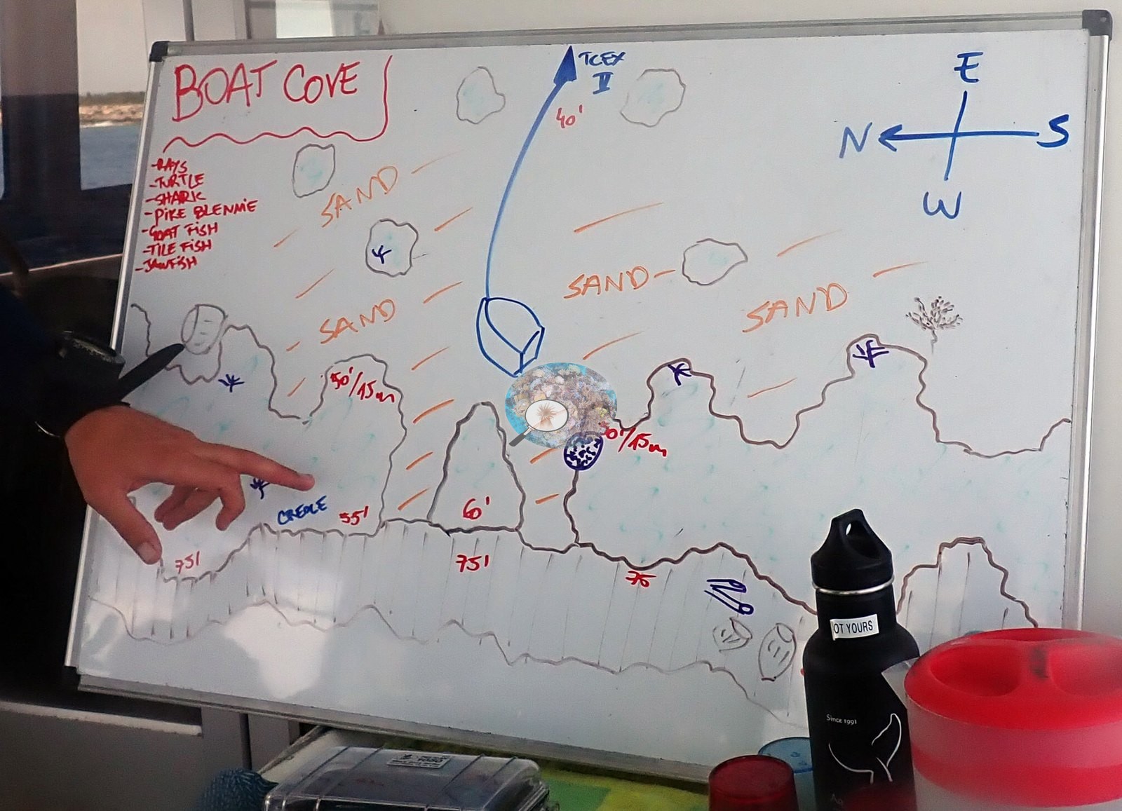
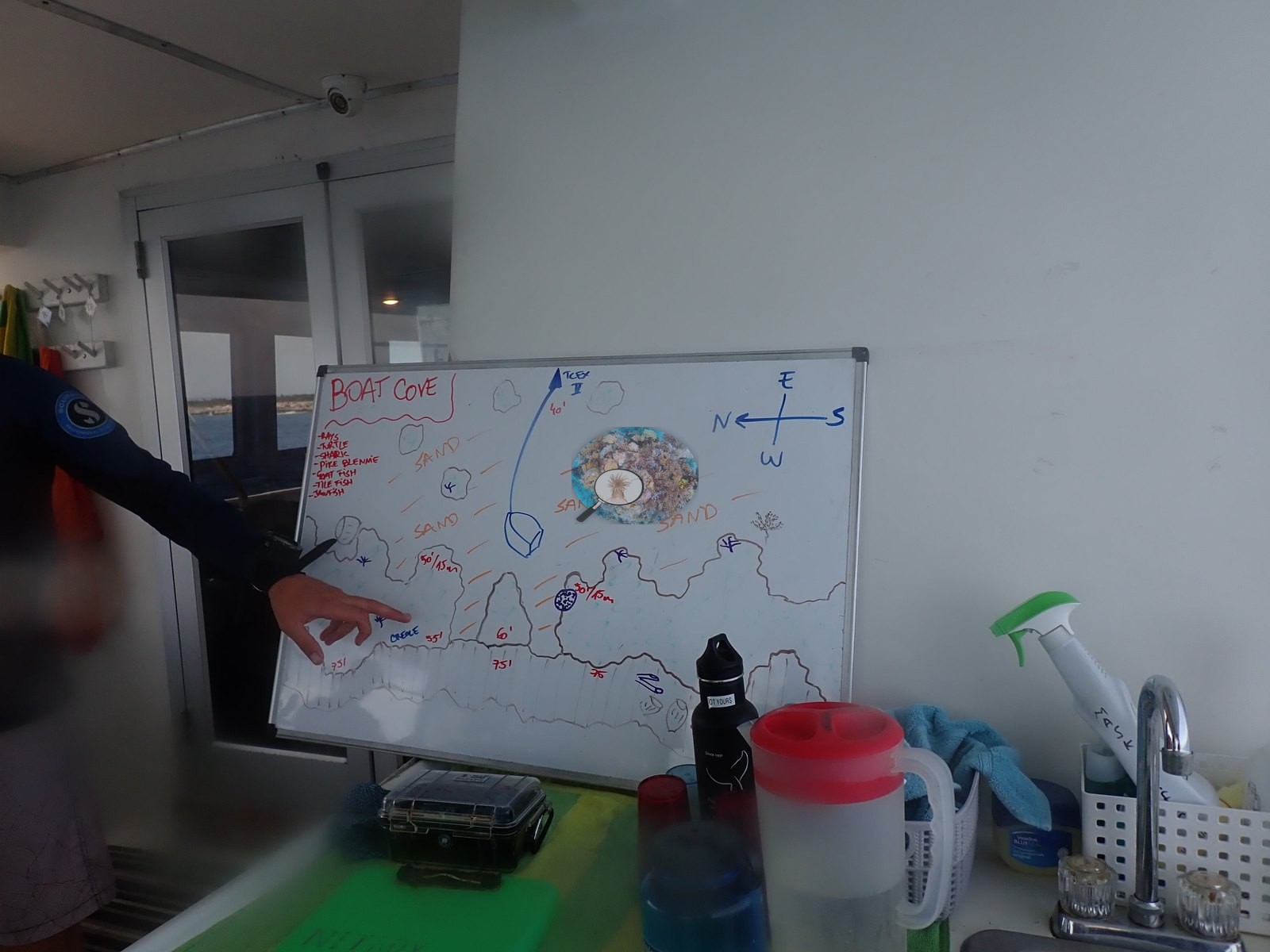
Man-made objects in frame are limited to the divers, their gear, and one close-up of a dive computer worn on the wrist; a pre-dive briefing whiteboard photo (listing expected fauna) is not itself reef content. Massive boulder/starlet corals dominate the mounds, including large purple-gray colonies consistent with Orbicella and a ridged brain coral consistent with Pseudodiploria; low finger-coral thickets consistent with Porites or Madracis form dense clusters on several mound tops, and lettuce/plate corals with red speckled tissue occupy shaded ledges alongside a small solitary flower-type coral polyp (e.g., Image 4, Image 10, Image 13, Image 31).
CV model comparison
More info
A few colony-focused photos raise the mean; the median is the typical photo. No computer-vision method yet estimates coral cover accurately on new images, so treat this as indicative rather than a measurement; it is revised as the methods improve.More info
Other rows are for comparison only and are never averaged. No diver transect exists for this trip, so agreement between rows is not accuracy.| Method | Hard-coral cover (%) |
|---|---|
| CoralSCOP edited | 24.6 |
| Claude (edited photos) | 11.3 |
| Reef Check 2007 (same site) | 16.9 |
See a more detailed, stand-alone version of this table.
Dive history
| Date | Time in | Max depth (m) | Bottom time (min) |
|---|---|---|---|
| 2022-08-04 | 13:59 | 29.0 | 39 |
| 2022-08-04 | 16:33 | 29.0 | 45 |
Independent surveys nearby
| Agency / program | Year(s) | Stations / distance | Link |
|---|---|---|---|
| Reef Check | 2007 | 3 stations, 0.05–3.08 km | Records ↓ |
| XL Catlin Seaview Survey | 2013 | 1 station, 2.42 km | Records ↓ |
 Coral Reef Diagnostics
Within 5 km, 4 independent survey stations recorded hard coral cover in 4 records between 2007 and 2013. The most recent nearby survey is from 2013, so these values predate recent heat stress. This site's own estimate (11%) sits within the range of these surveys (1.9–20%); the methods differ, so the comparison is context, not a like-for-like test.
Collected by other programs using different methods (Reef Check uses point-intercept transects; the XL Catlin Seaview Survey uses photo-transects with automated image annotation), so these are context for the figures above, not a like-for-like comparison. Where a station was surveyed more than once the range is shown. Station names are not dive-site names.
| Agency | Site / location | Date | Hard coral cover (%) | Distance | Link |
|---|---|---|---|---|---|
| Reef Check | Boat Cove | 2007 | 17% | 0.05 km | — |
| Reef Check | Elephant Ear Canyon | 2007 | 19% | 1.21 km | — |
| Reef Check | Spanish Anchor | 2007 | 20% | 3.08 km | — |
| XL Catlin Seaview Survey | transect 24039 | 2013 | 1.9% | 2.42 km | doi:10.14264/uql.2019.930 |
Data & links
All images from Coral Reef Diagnostics. Data are from Coral Reef Diagnostics and the organizations named in the data sources above.
© Coral Reef Diagnostics.