
Tenneco Towers
Part of the regional summary: USA - Southeast Florida
More info
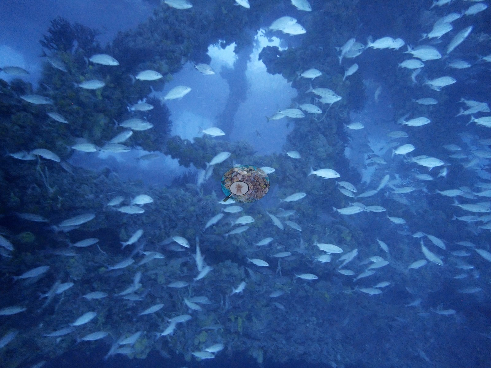
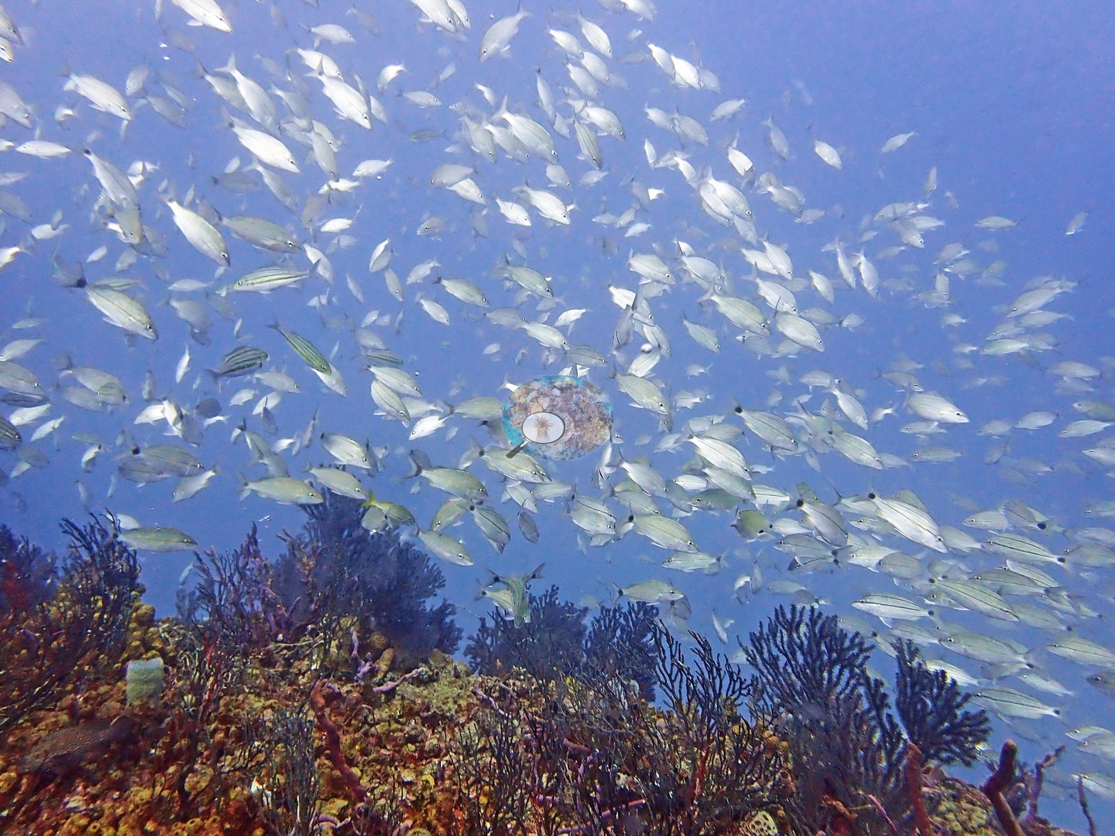
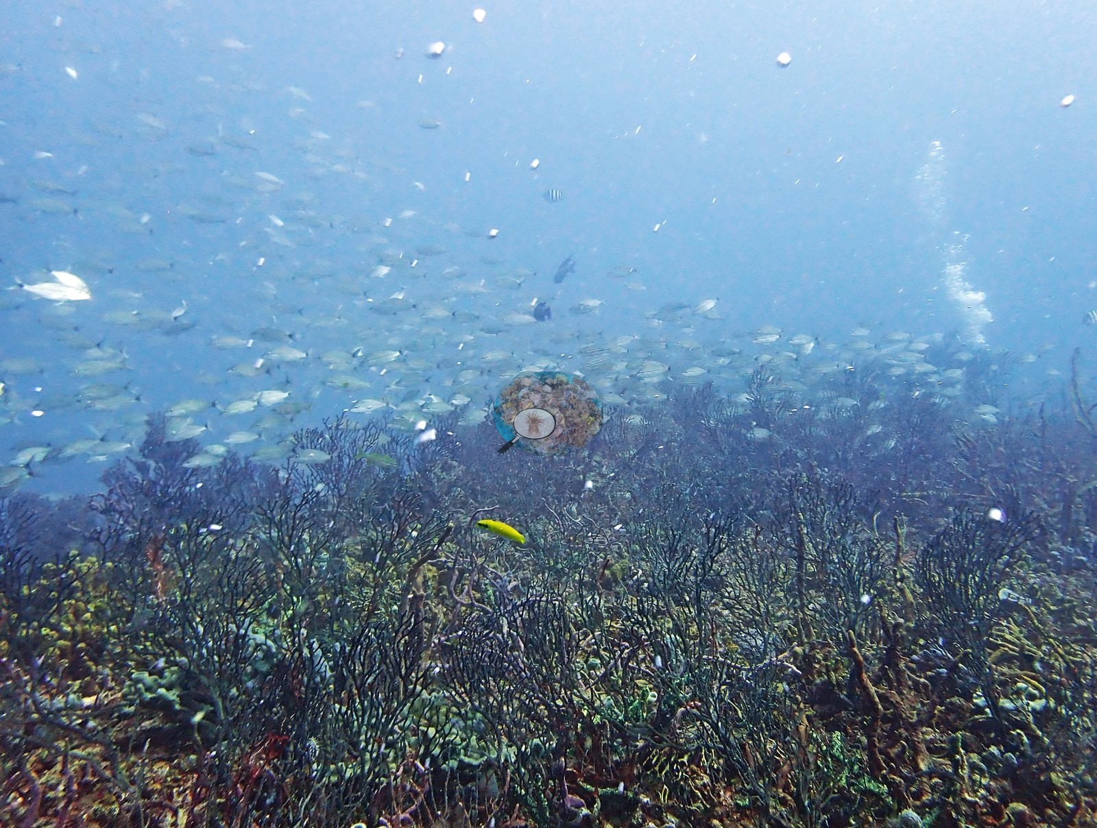
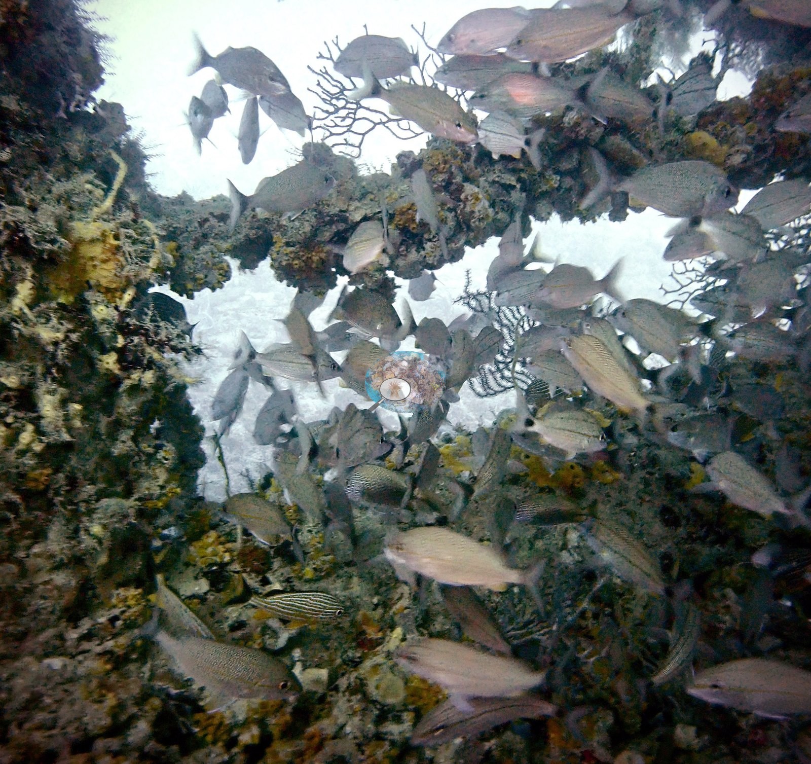
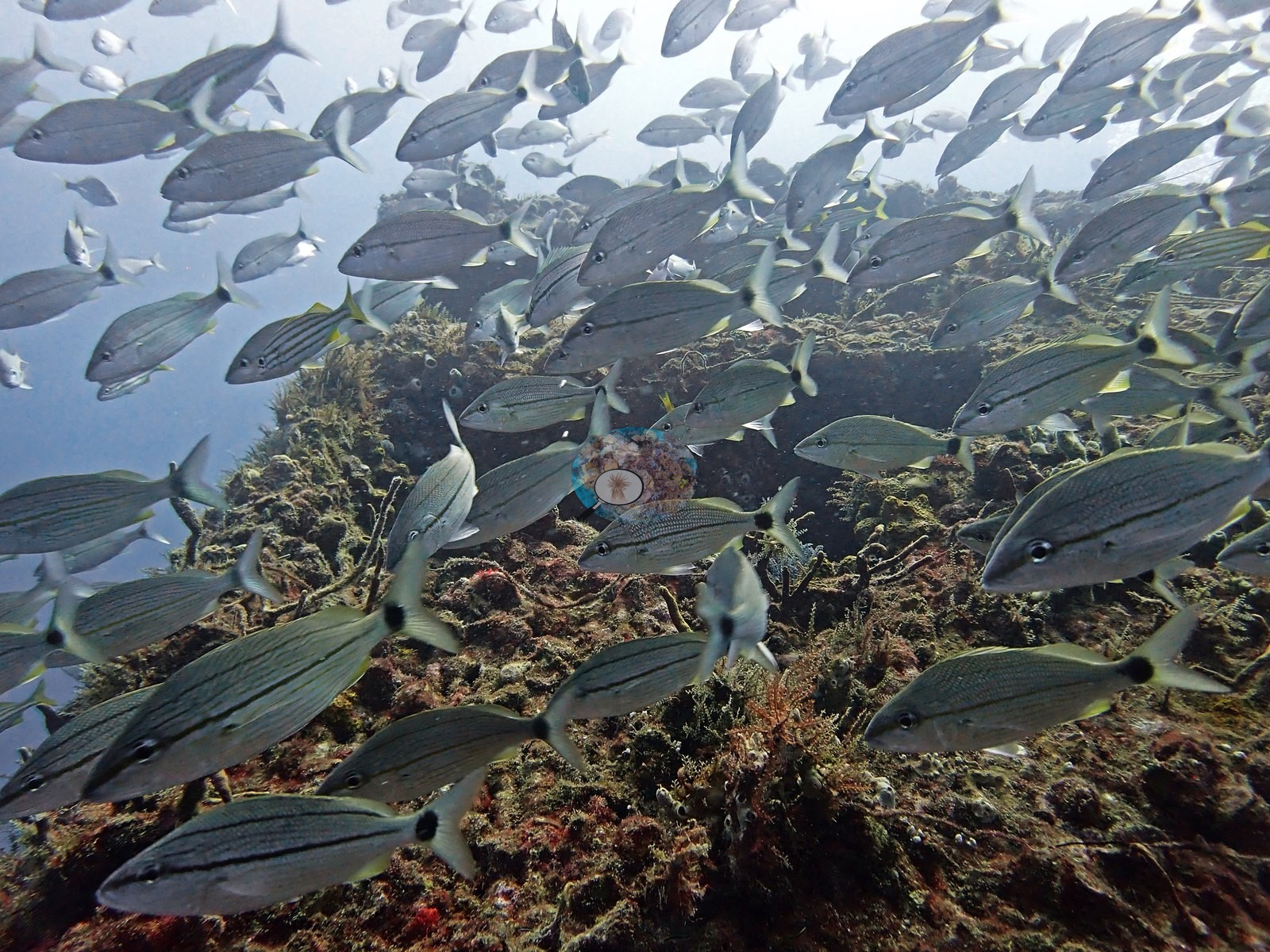
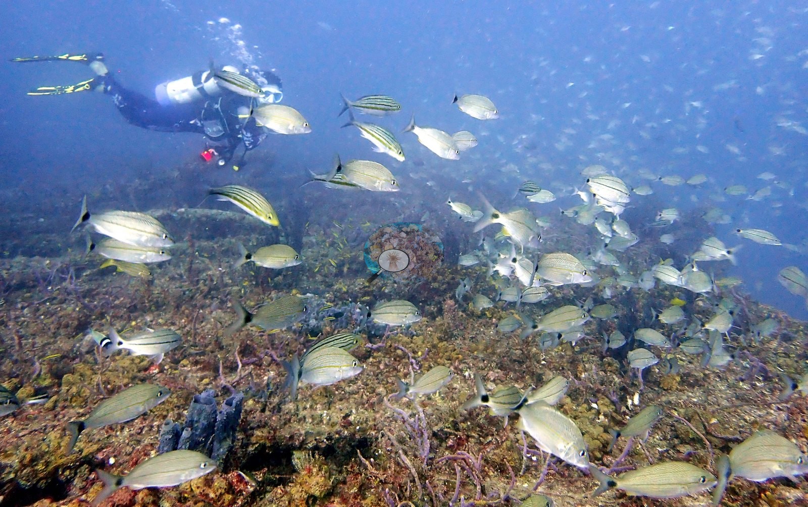
Southeast Florida (NOAA CRW virtual station)Tenneco Towers is a set of decommissioned oil and gas platform sections sunk off southeast Florida as an artificial reef, with steel legs and cross-bracing now coated in sponges, octocorals, and algae. A few stony corals, including a well-grown brain coral, have settled on the steel, but the standout is the fish: dense clouds of baitfish and thick schools of grunts wrapped around the structure.
26 independent survey stations shown with the program’s logo — click one to see how far it is from this site.
This page shows 52 of the 78 photographs from this site, including every one the text cites.
51 of the 52 photographs on this page are shown beside the text that discusses them under "Site description" below.
Site description
Setting
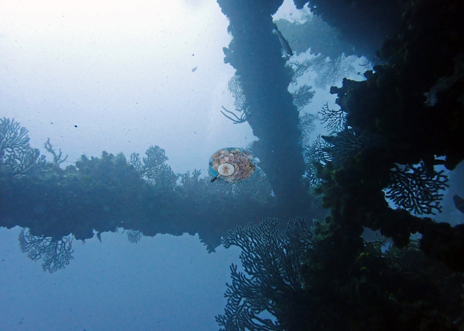
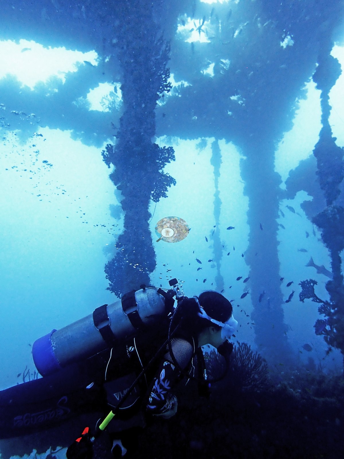
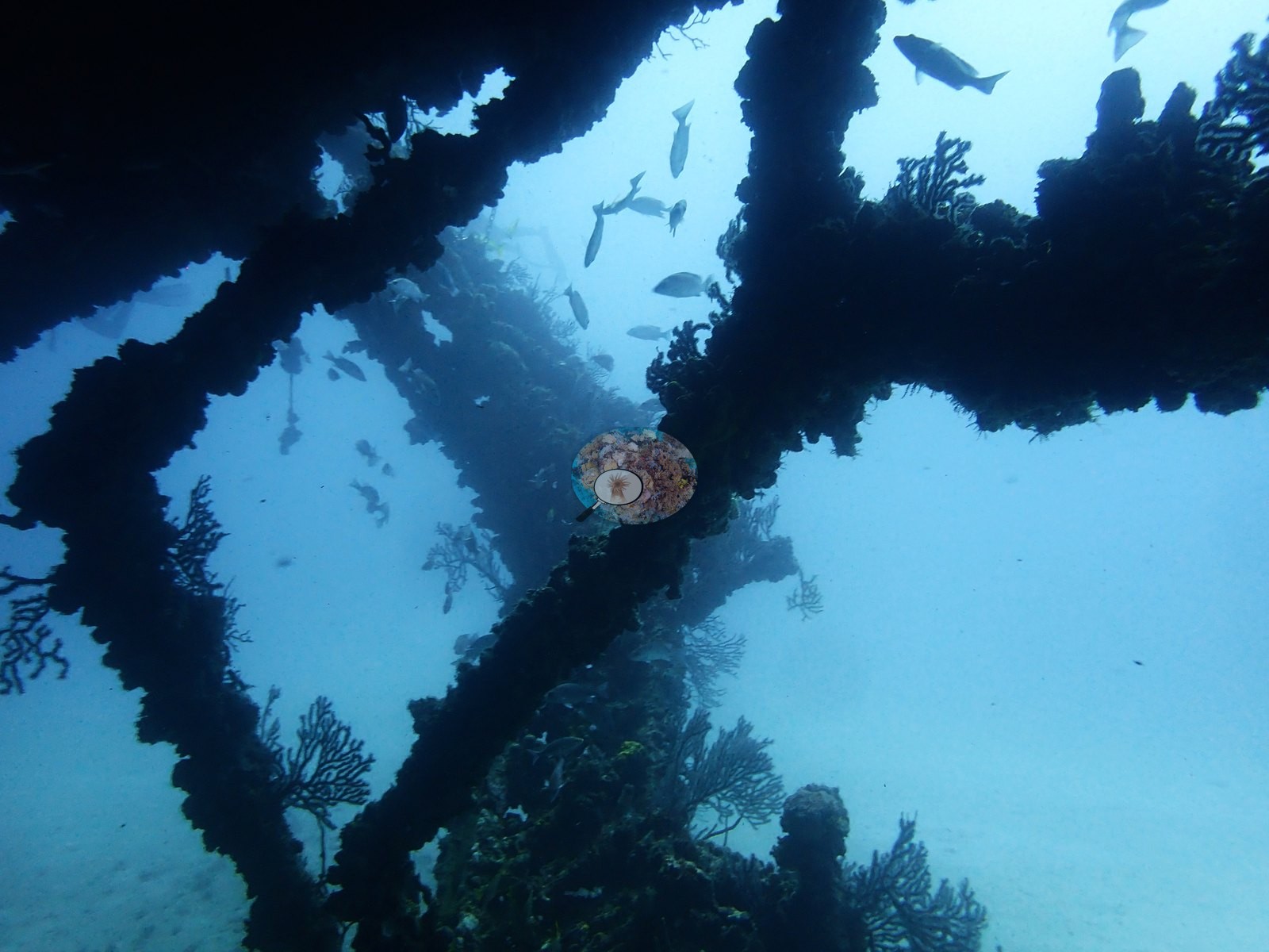
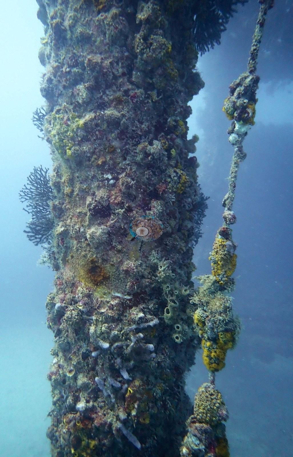
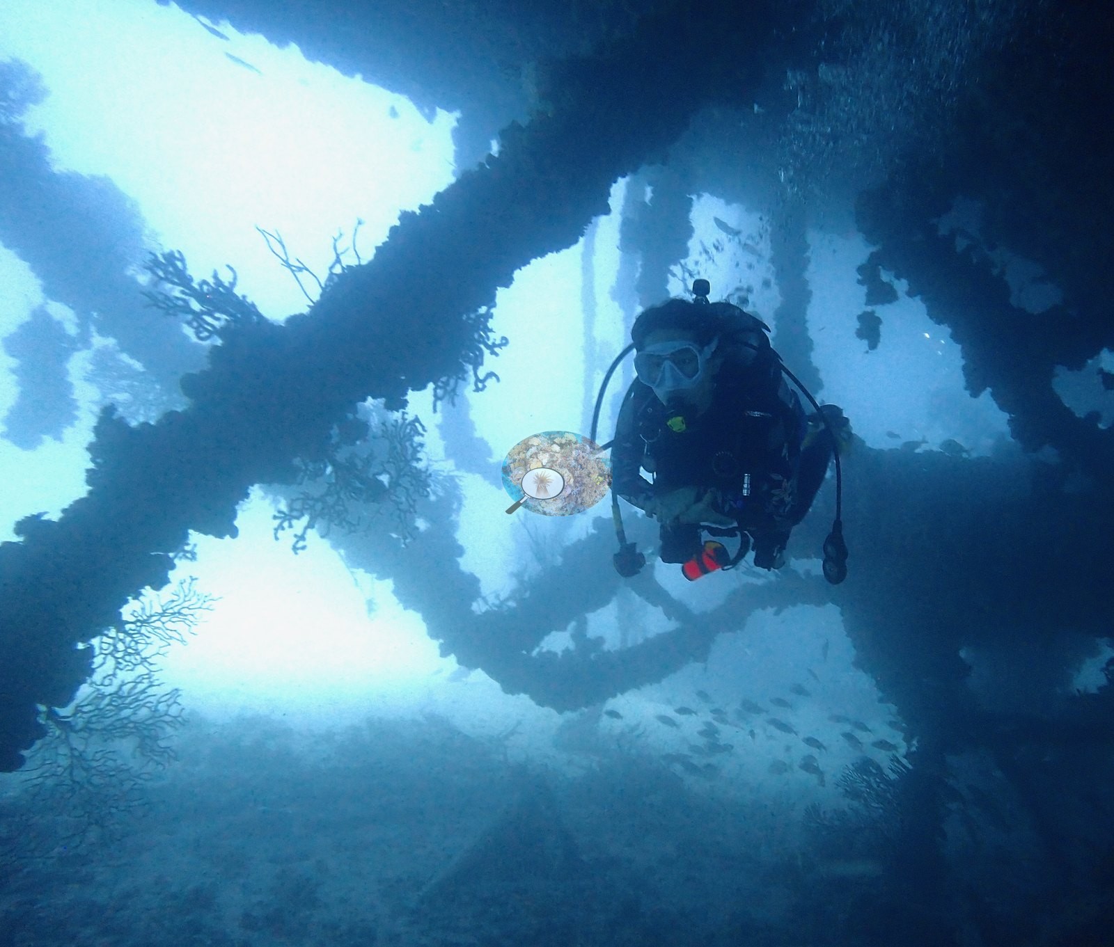
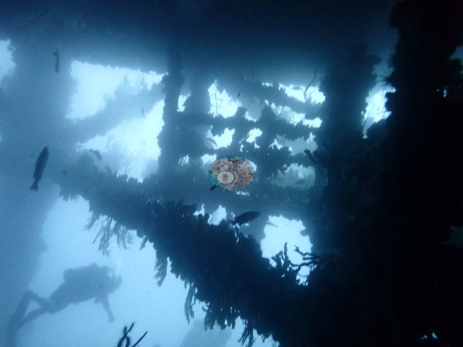
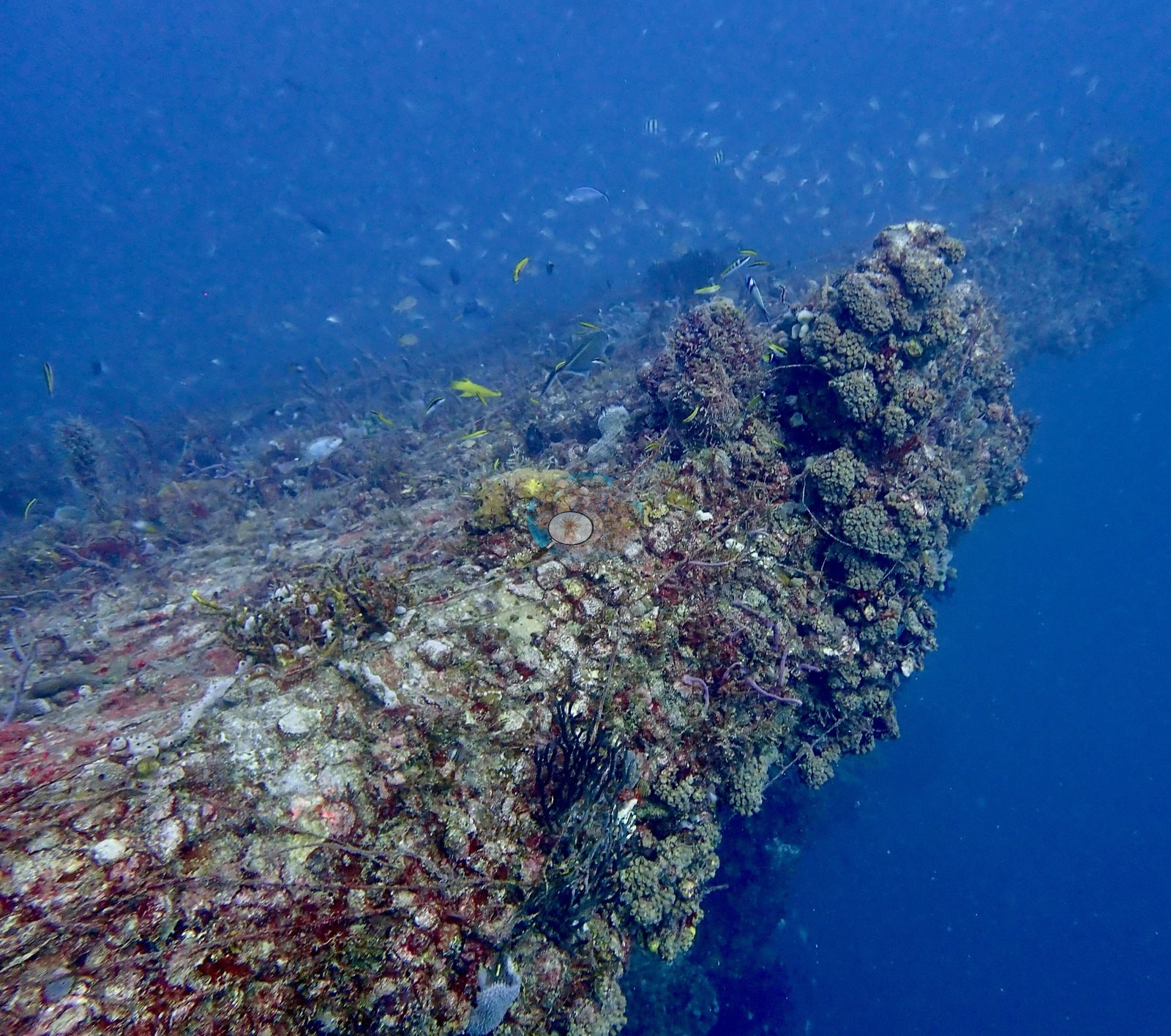
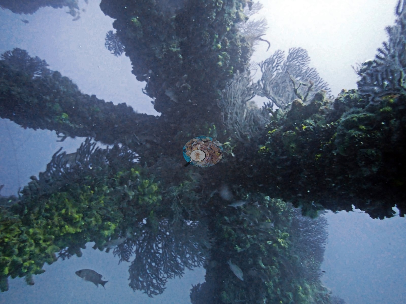
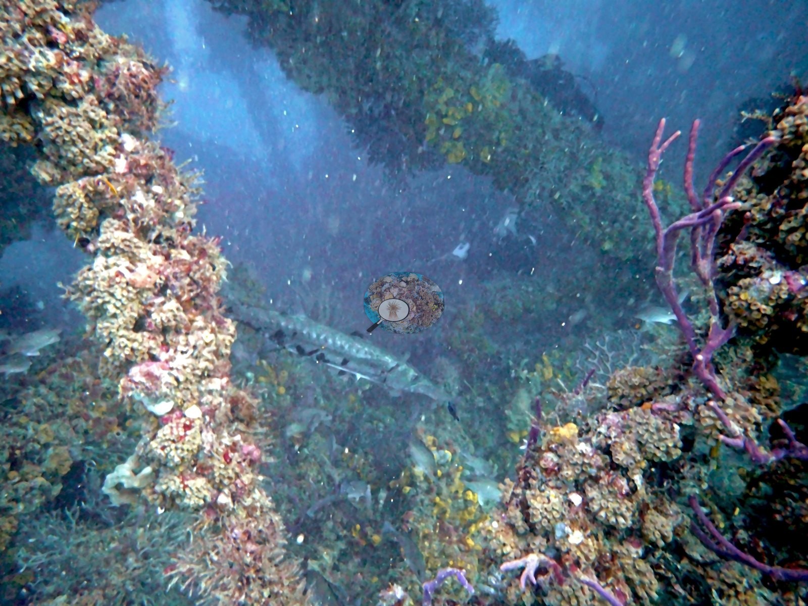
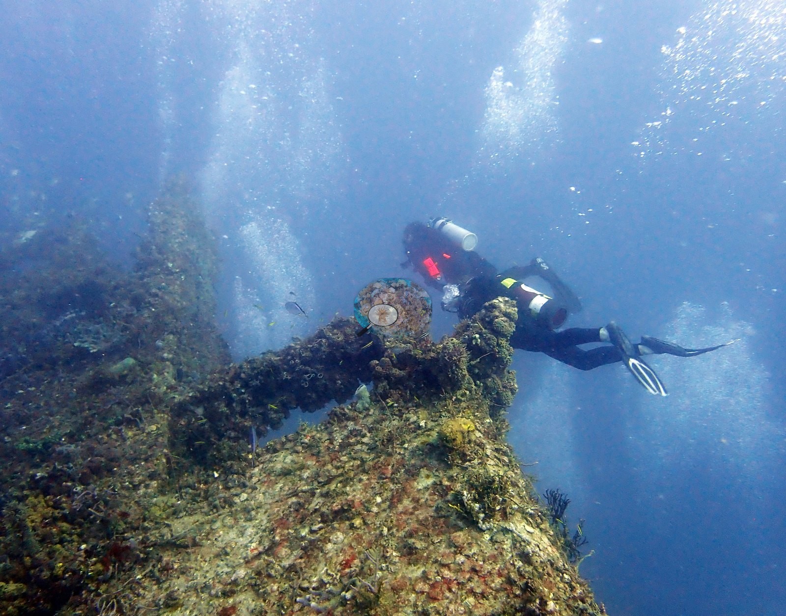
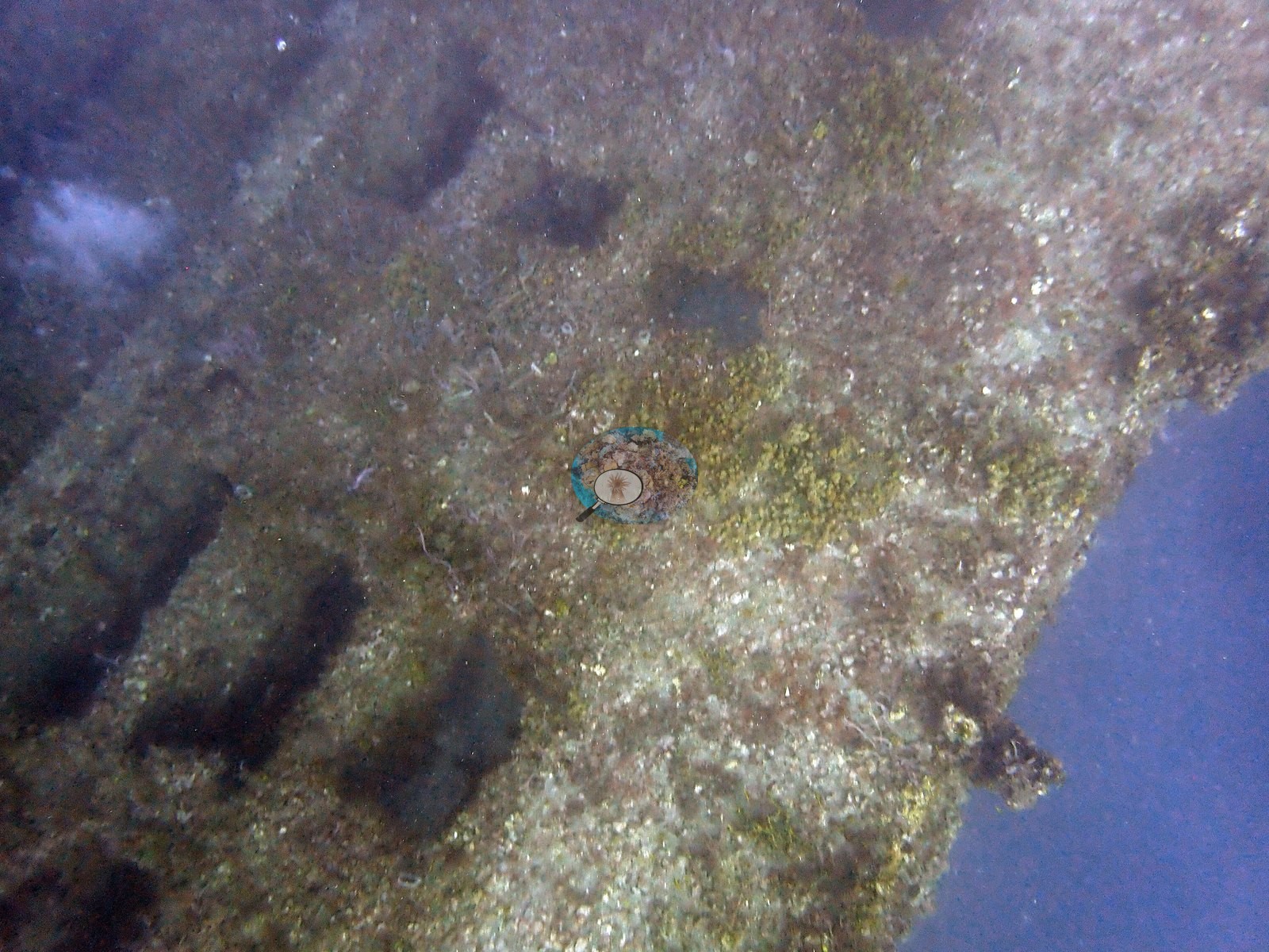
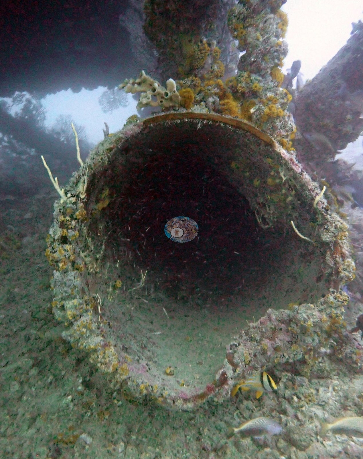
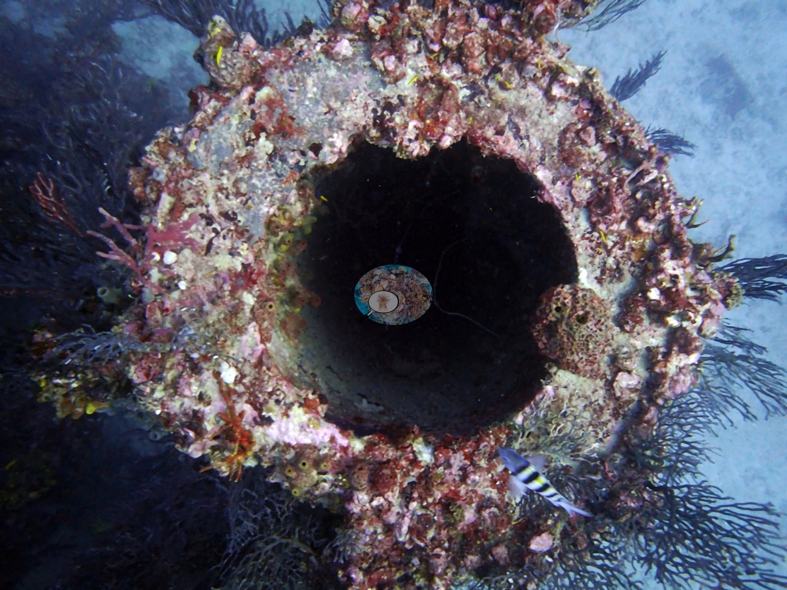
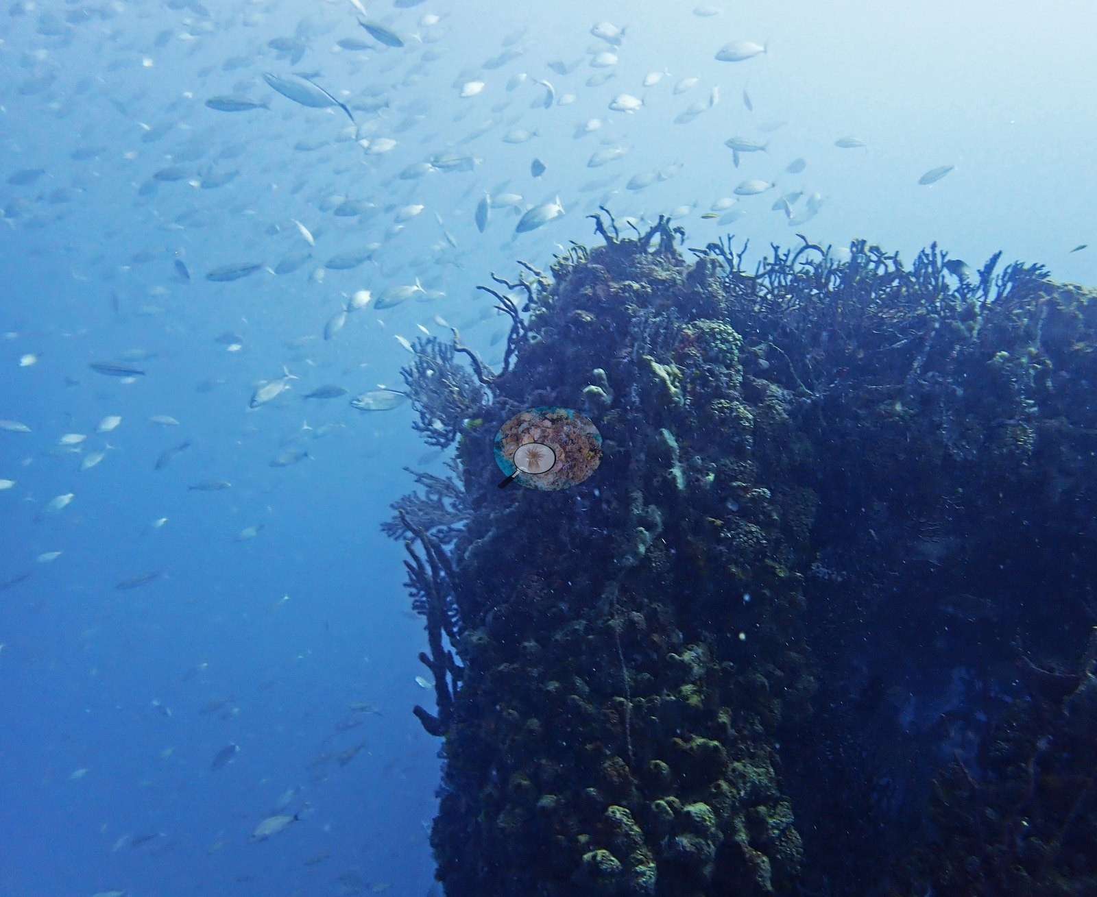
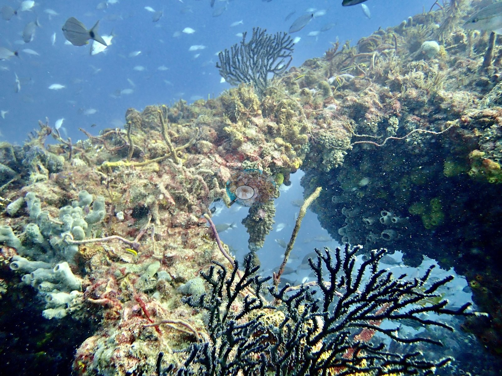
Tenneco Towers is an artificial site: decommissioned oil and gas platform sections deliberately sunk off southeast Florida as an artificial reef. The structure itself is unmistakably man-made in the imagery. Image 43 and Image 48 are the clearest reads of what the site actually is: parallel vertical legs and diagonal cross-bracing standing off the bottom, with divers among them for scale in Image 43. Image 39 shows two encrusted legs side by side; Image 46 a diver swimming beneath a diagonal beam; Image 10 the whole lattice in silhouette with a diver low in frame; Image 4, Image 16, Image 17, and Image 28 are individual encrusted beams. Image 29 settles any doubt — a flat steel plate with bolt holes still visible under a thin skin of growth. Image 11 and Image 38 are open pipe ends, circular apertures fringed with encrusting growth, with Image 38 the better of the two.
General benthic features
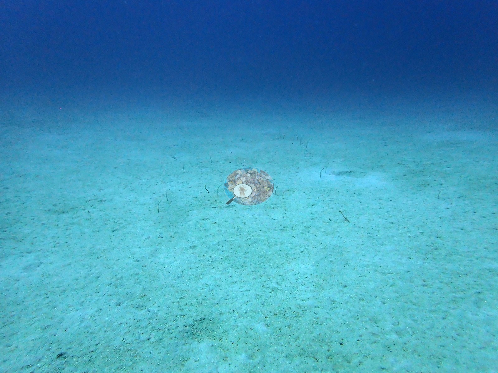
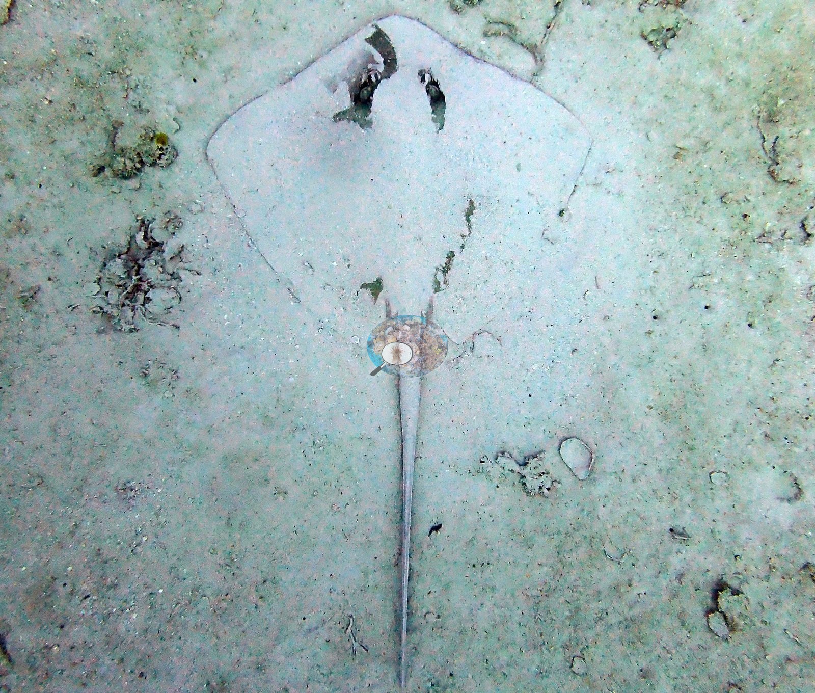
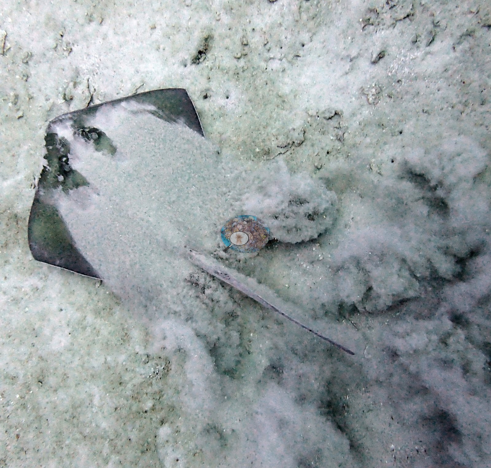
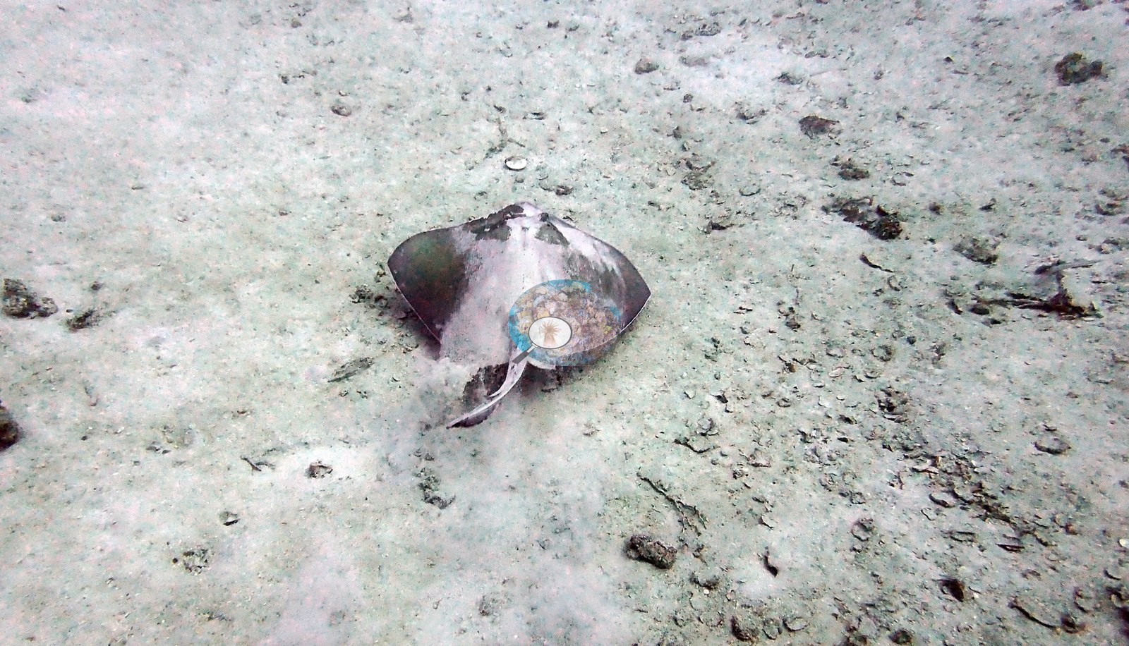
Where the structure meets the seabed the surroundings are plain sand: one frame is an empty sand plain (e.g., Image 47), and three show a southern-stingray-type ray resting on that sand beside the site, partly buried in one of them (e.g., Image 40, Image 41, Image 42).
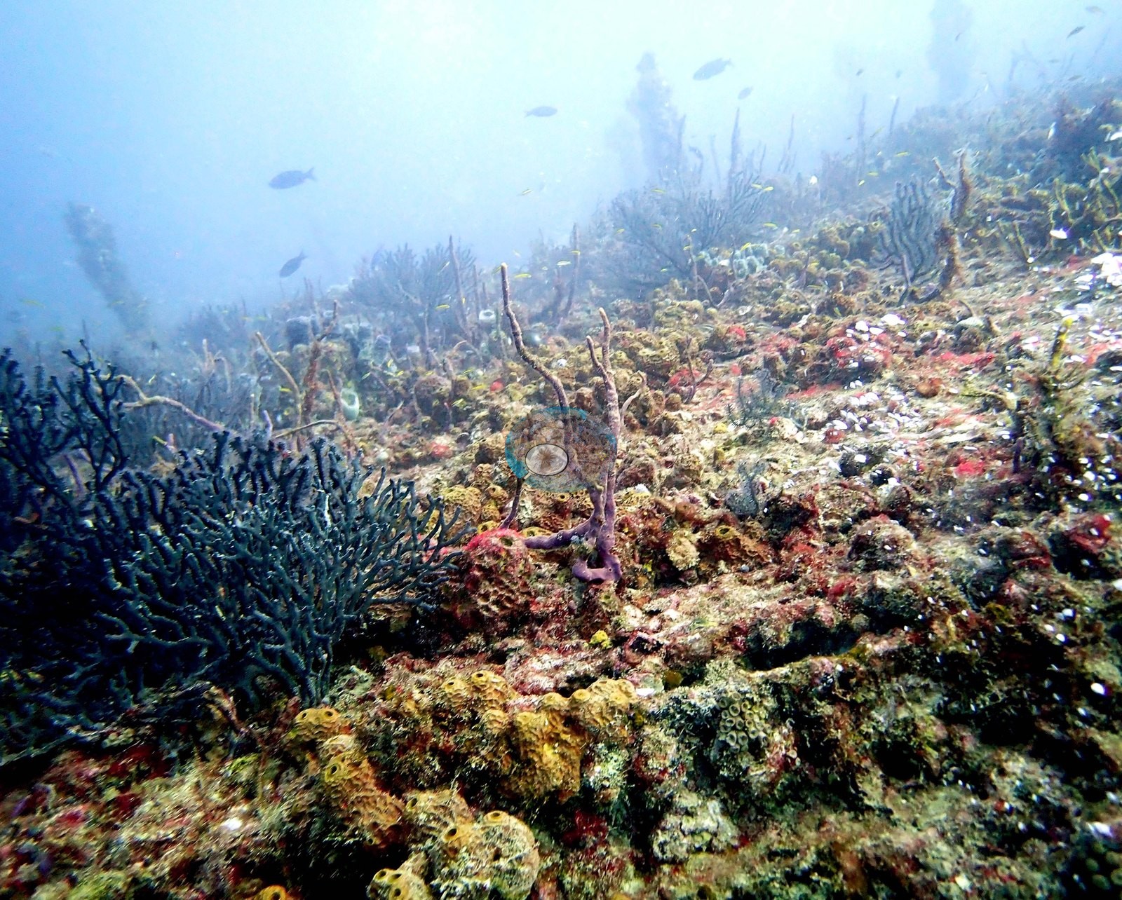
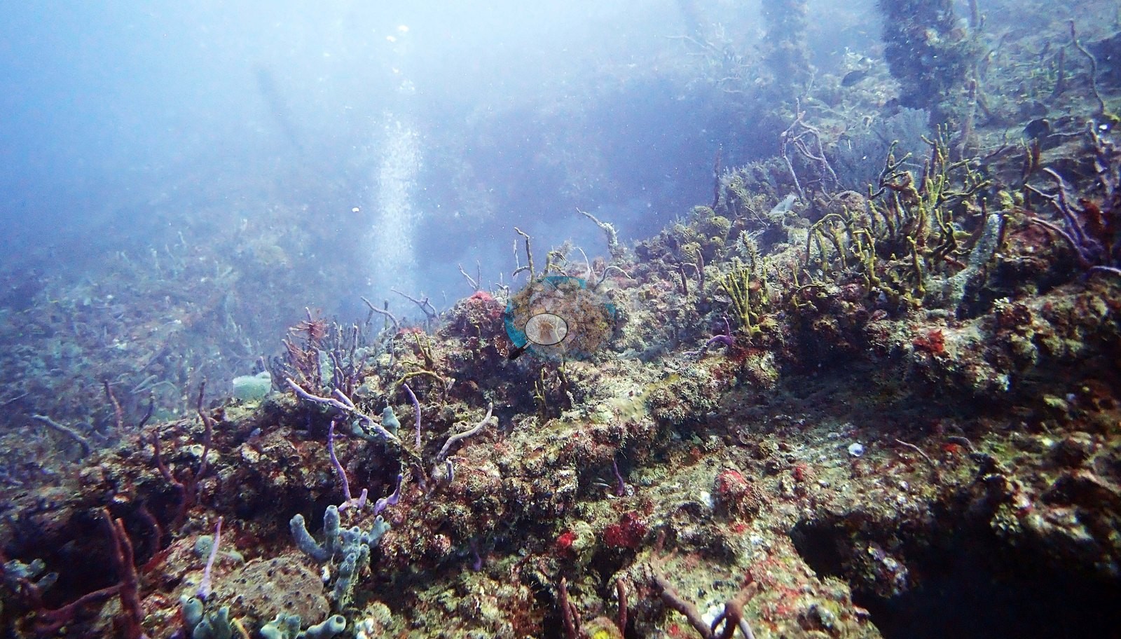
The recruited community on the steel is dominated by sponges, hydroids, algae, and octocorals rather than by reef-building corals. Yellow and orange encrusting and rope sponges are everywhere; Image 61, Image 63, Image 51, and Image 12 are the fullest close frames, with pink and violet rope sponges threading through the yellow encrusting sheets in Image 61 and Image 15.
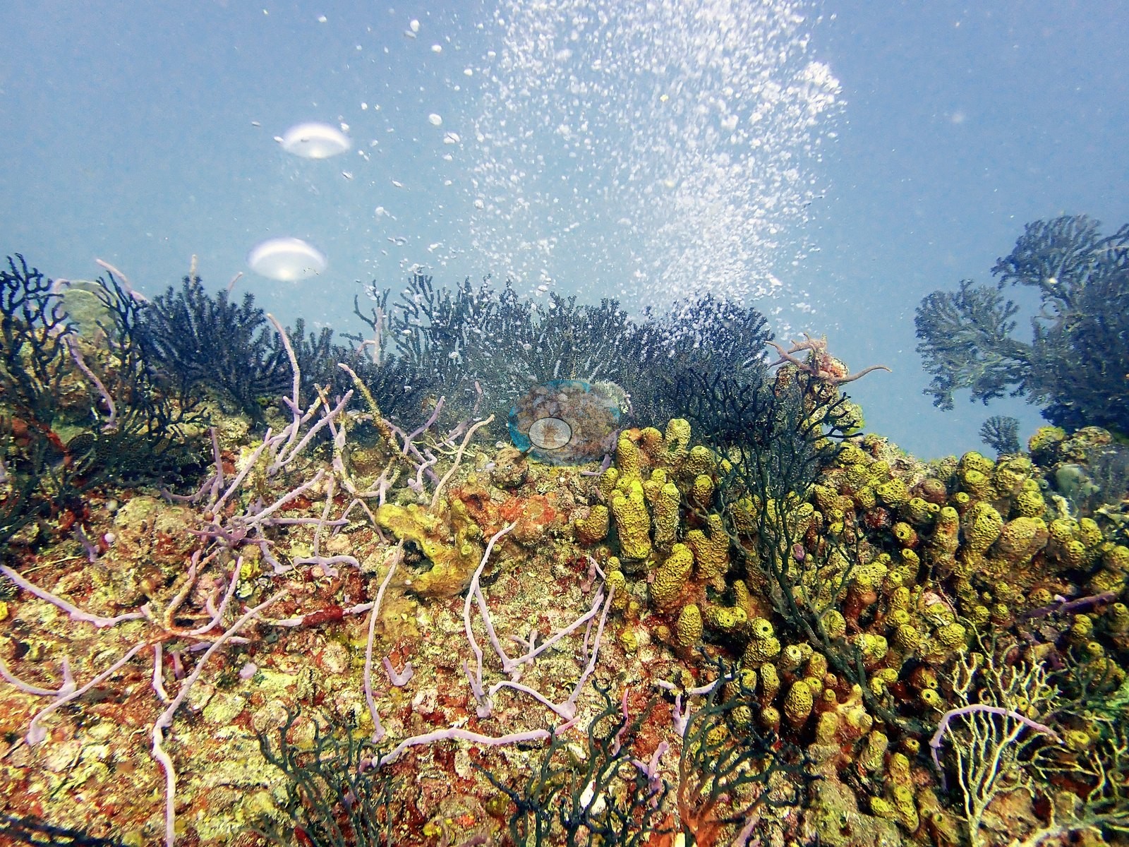
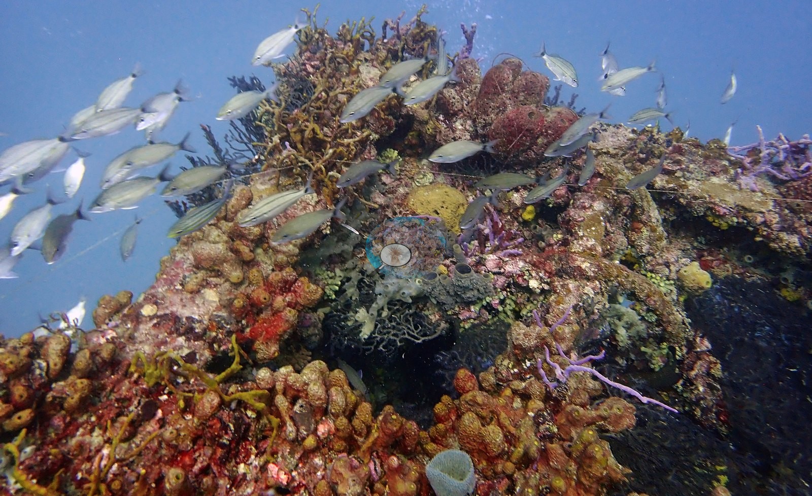
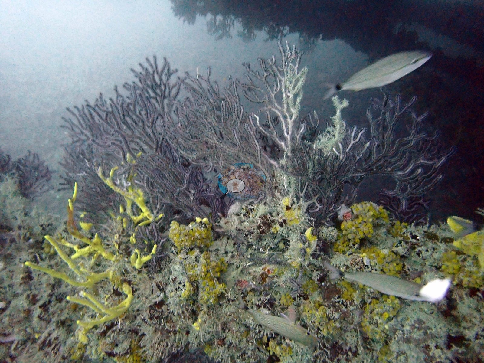
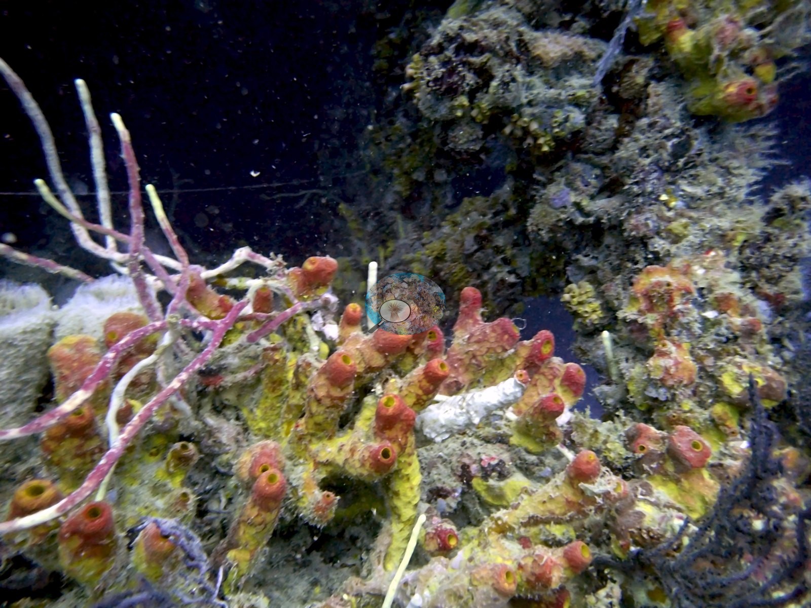
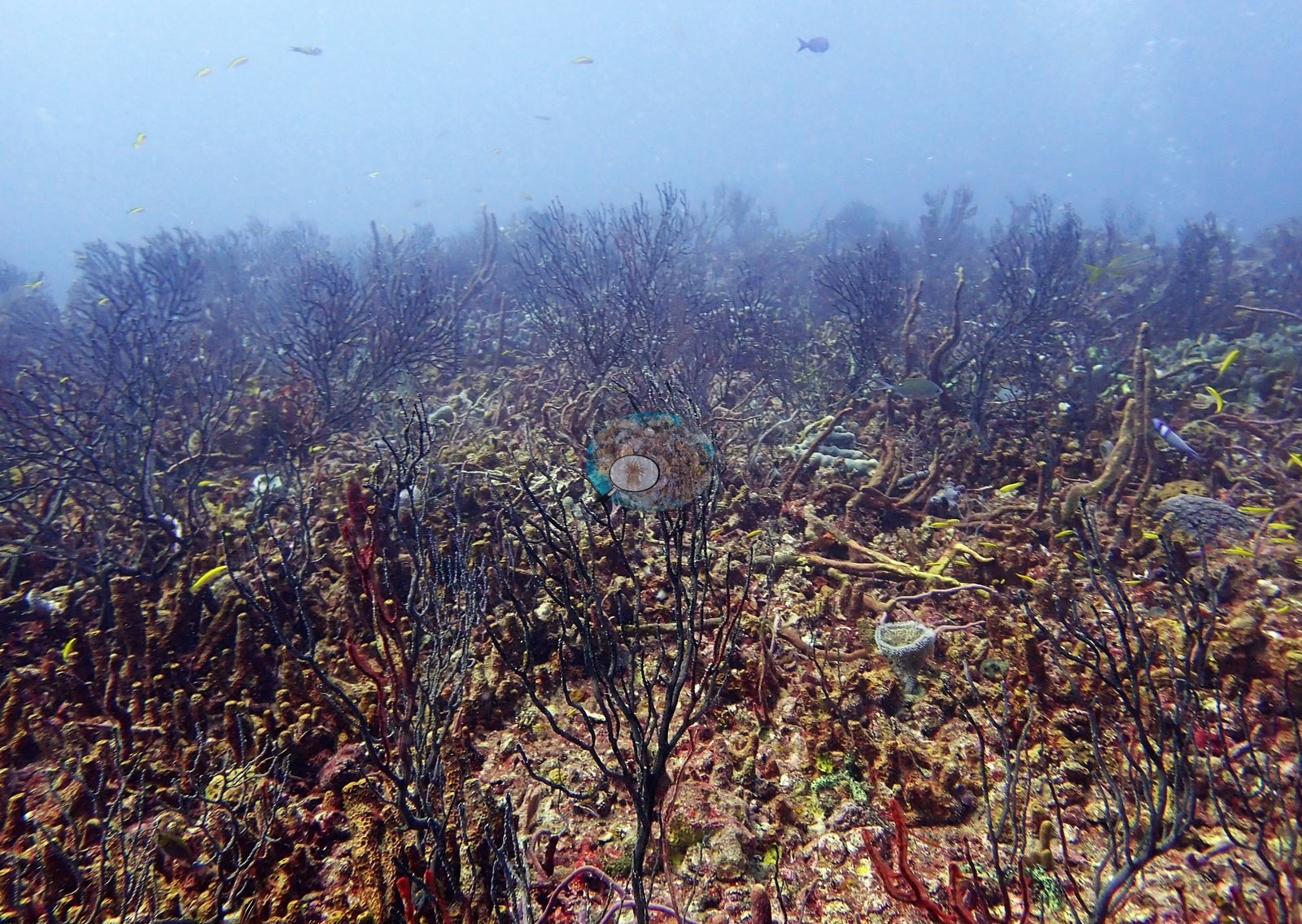
Dark, bushy branching colonies form a near-continuous turf over the horizontal surfaces in Image 58, Image 54, Image 57, Image 22, and Image 18; these are either black corals (Antipathes-type) or dark gorgonians and the frames do not separate the two.
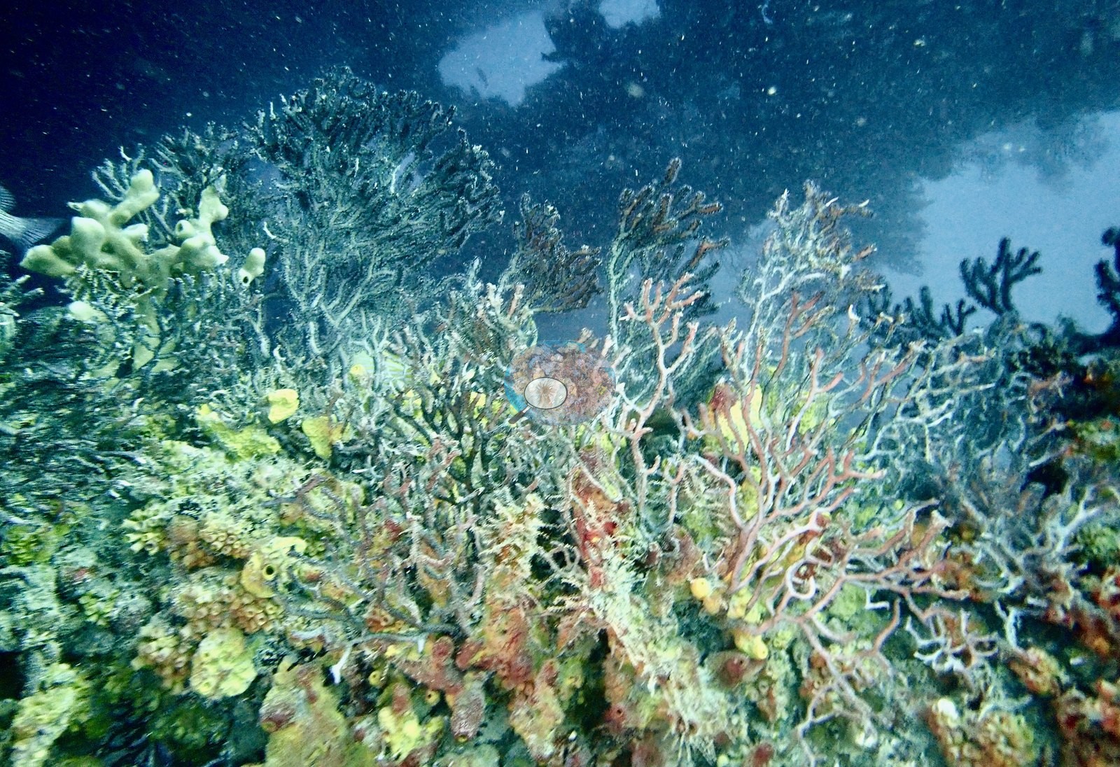
Pale, feathery gorgonian bushes cover the upper surfaces in Image 9 and Image 12.
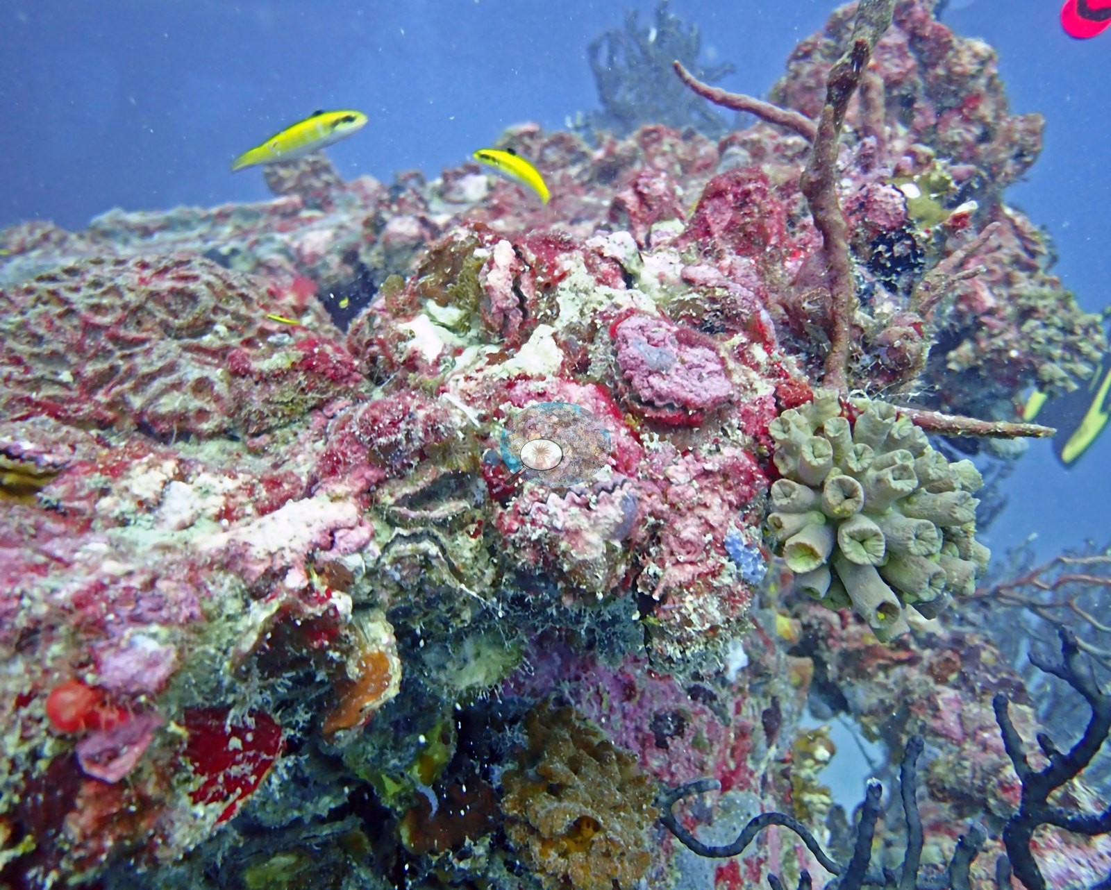
Red crustose coralline algae and red-brown macroalgae coat the flatter horizontal panels in Image 24, Image 25, Image 27, and Image 64. Image 63 and Image 62 are the two frames that best capture the whole assemblage at once: an encrusted ridge of the structure carrying red, yellow, and purple sponges, coralline, algal turf, and octocorals, all on steel.
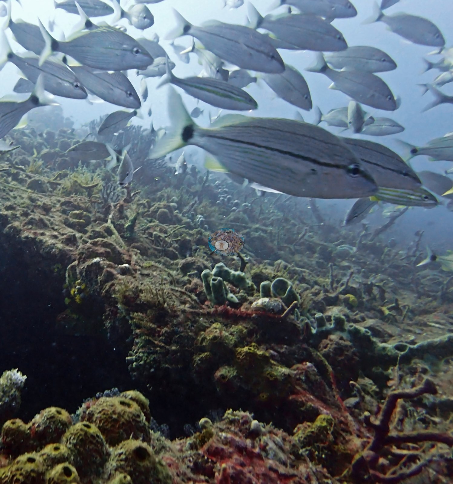
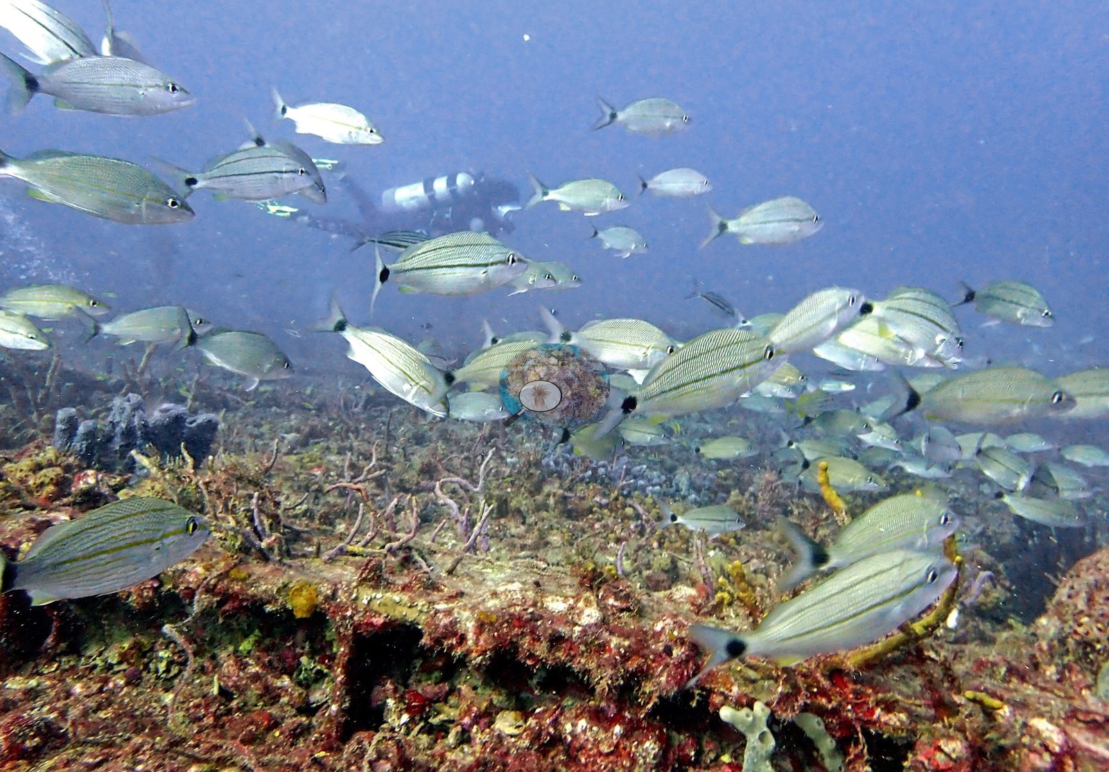
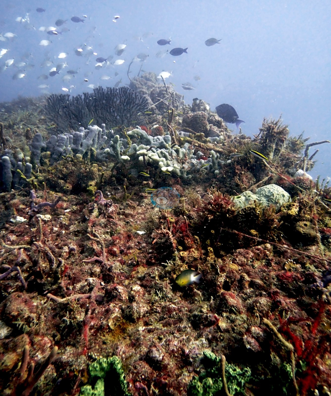
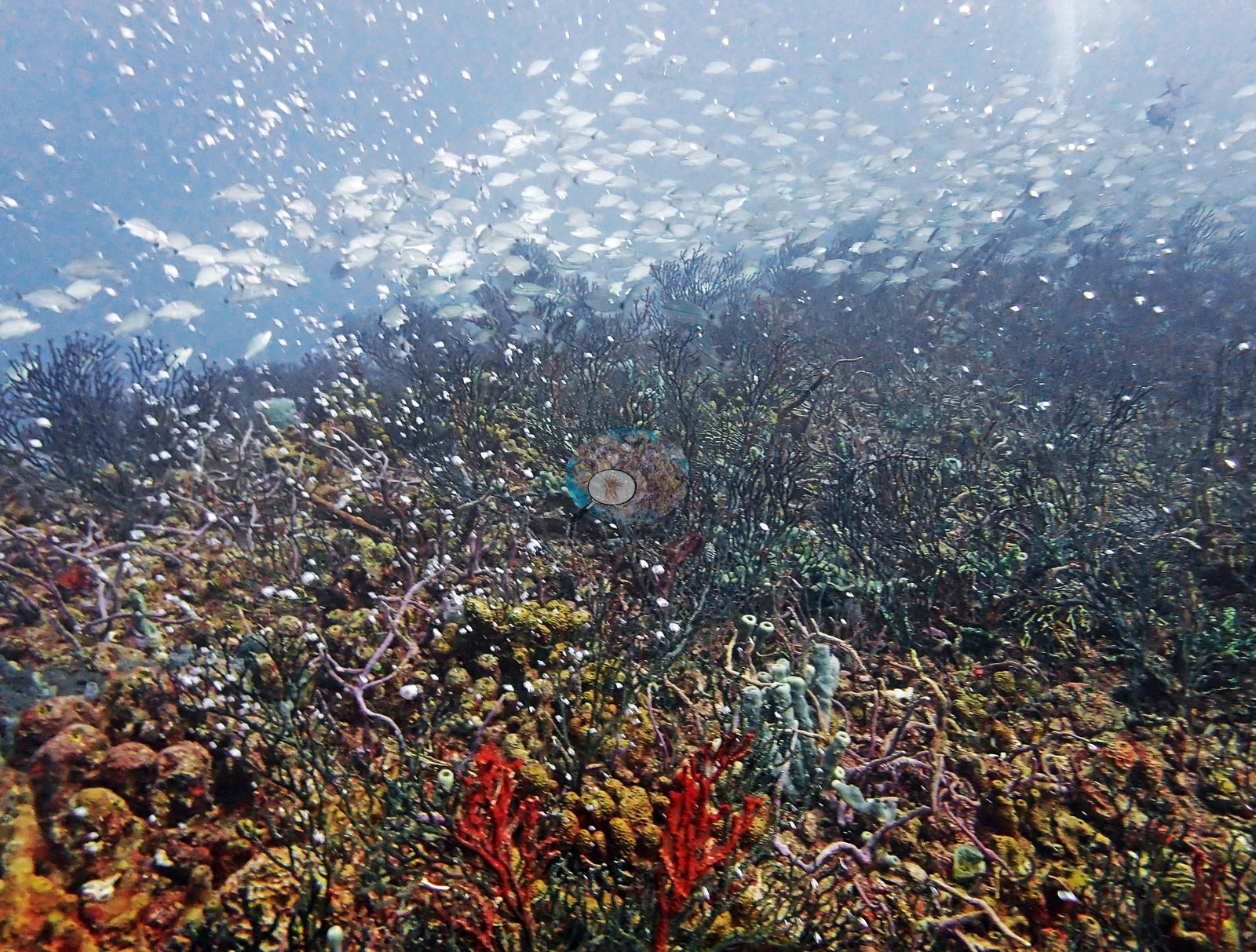
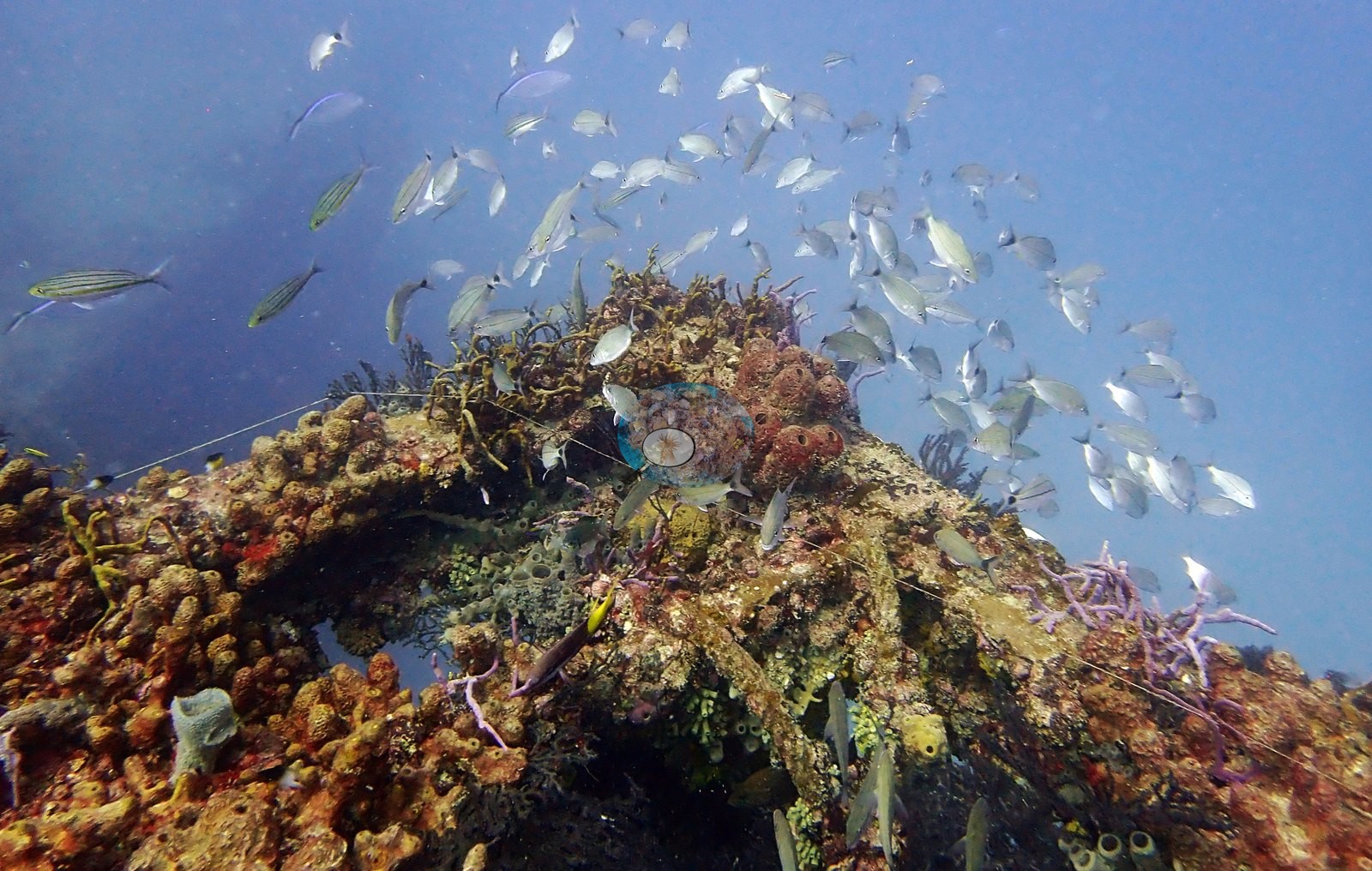
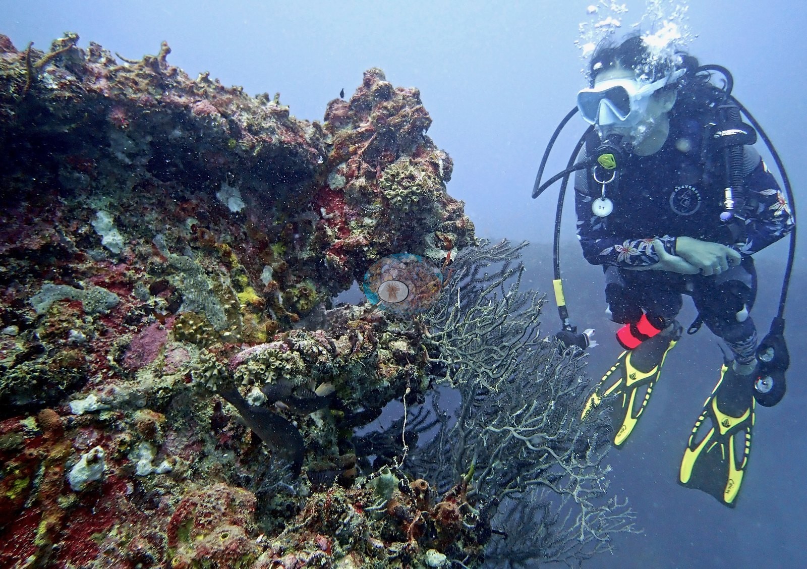
Stony corals are present, but as scattered individual recruits on the structure rather than as reef framework — and this is the most scientifically interesting content in the set. Image 52 shows a well-developed maze-patterned brain coral colony (Pseudodiploria/Diploria growth form; the frame will not separate the species) growing directly on the encrusted substrate, with smaller colonies around it. Image 49 is a low gray-green colony with knobby lobes and clearly visible corallites growing beside a red rope sponge — a stony coral, not identifiable further from this frame. Image 53 is a rounded violet colony with regularly spaced polyps that could be a small stony coral or a zoanthid; the frame does not separate them. Image 51 also carries small cup-coral-like polyps among the coralline.
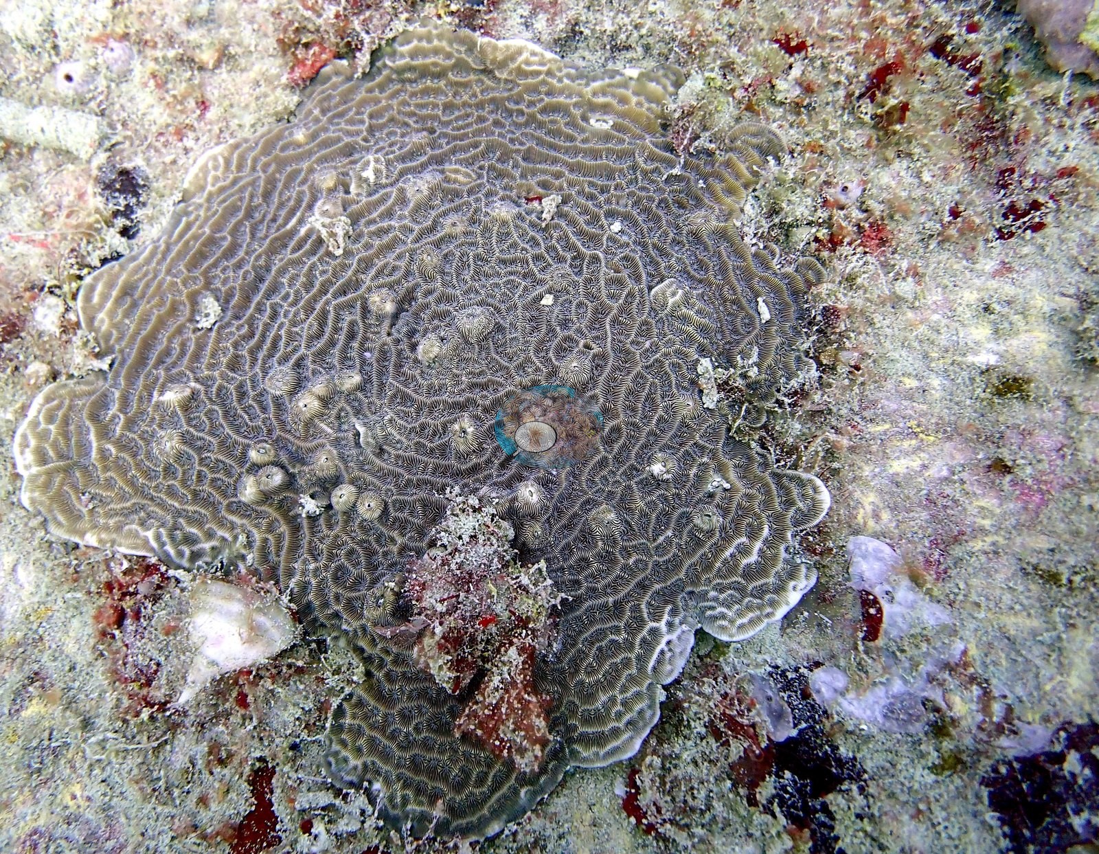
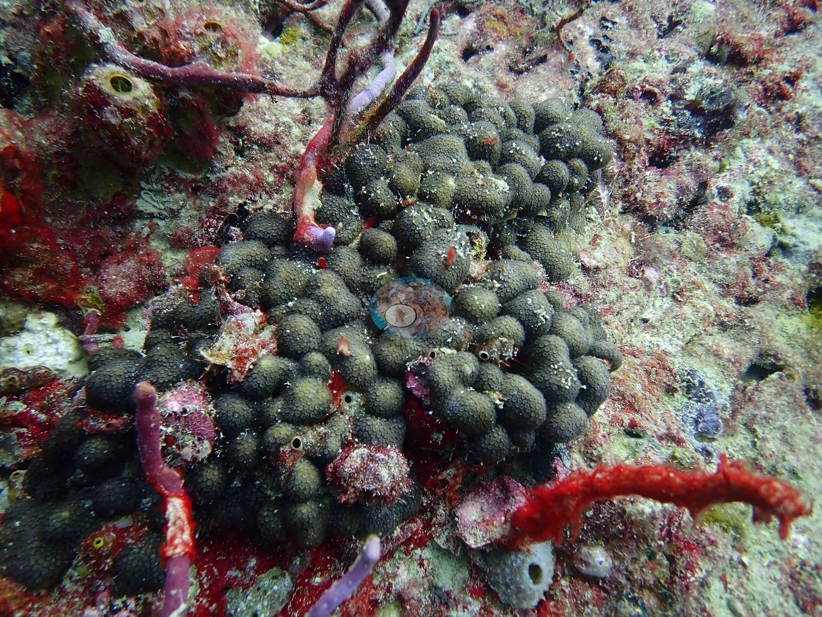
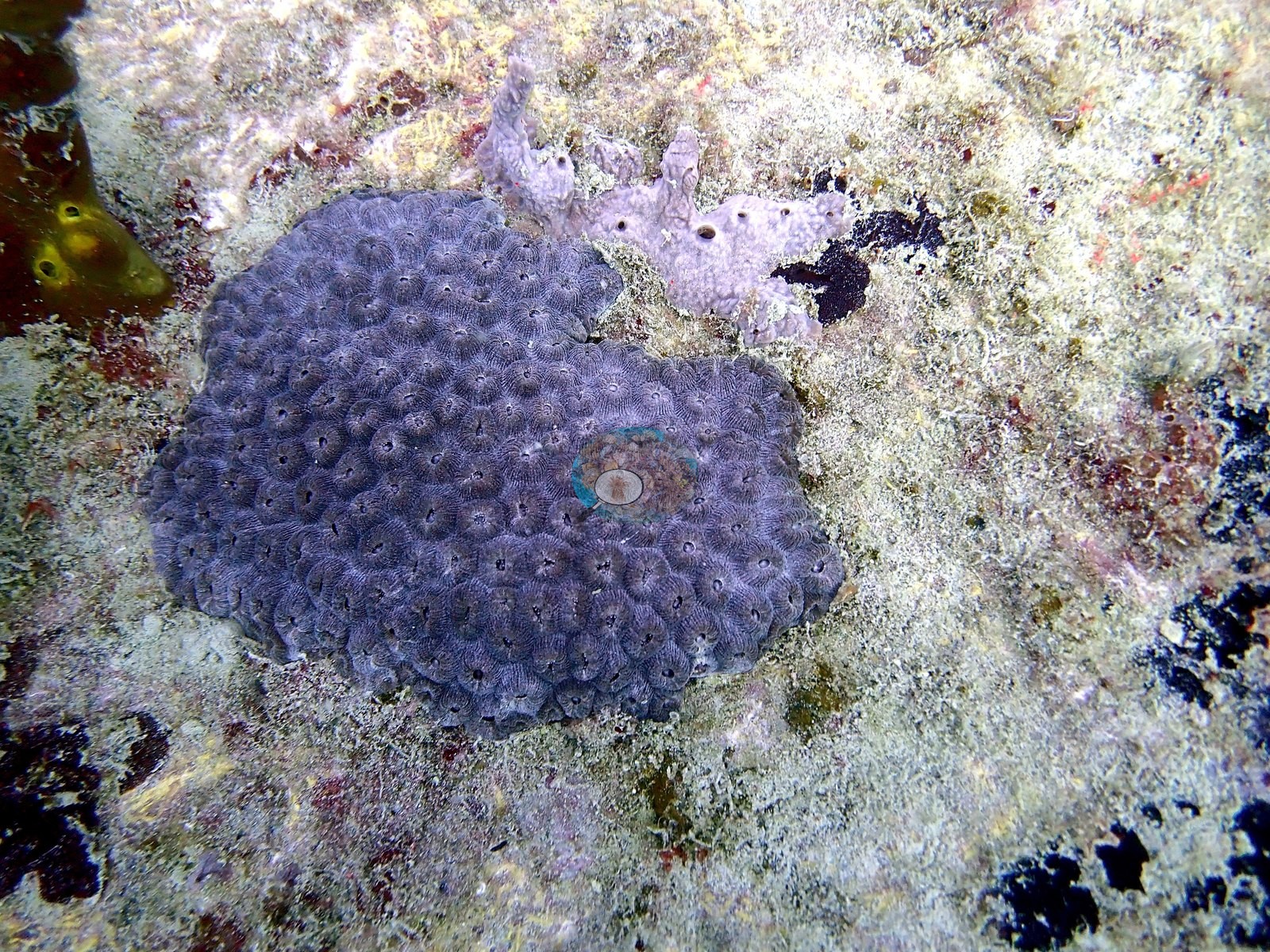
These are recruits, countable as individuals in the frames.
Coral cover
- Reference: Claude CV point count (this site's photos)
- Coral cover: 2.6% — a blind Claude computer-vision point count of 45 of Anderson's photographs (38 unedited originals and 7 edited) (20 points per photo; water, fish, and obstructions excluded).
Fish and other fauna
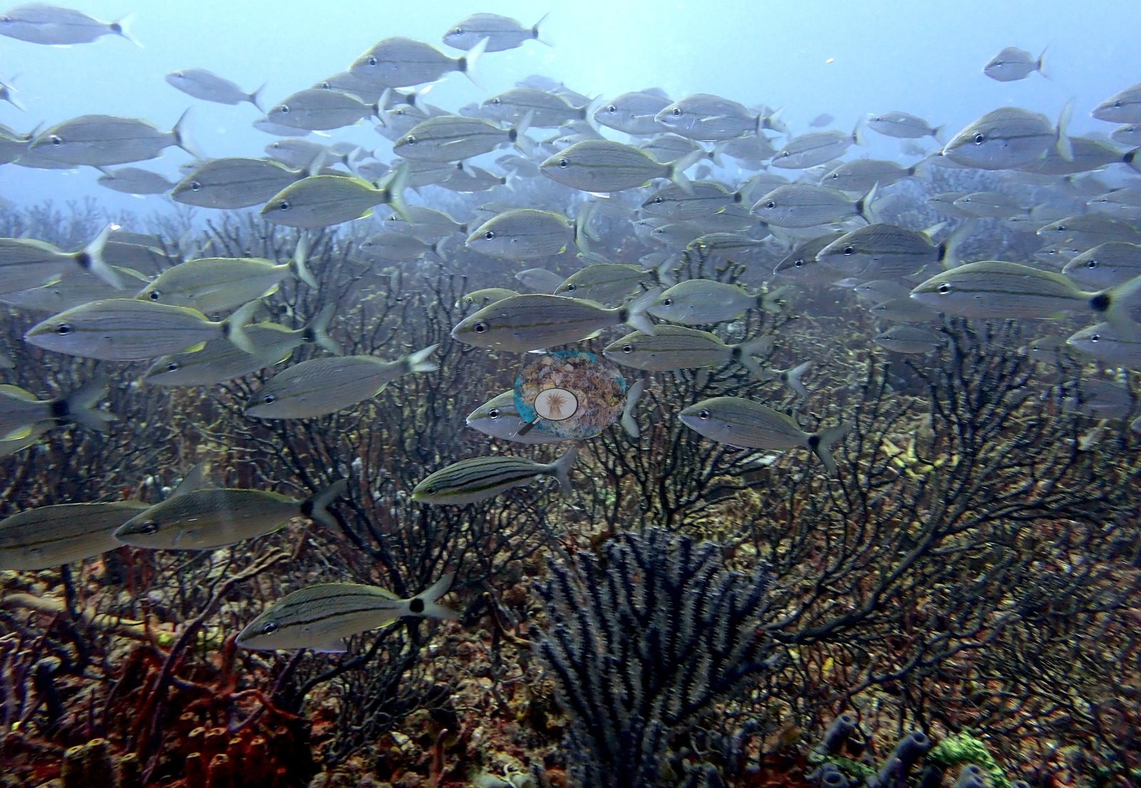
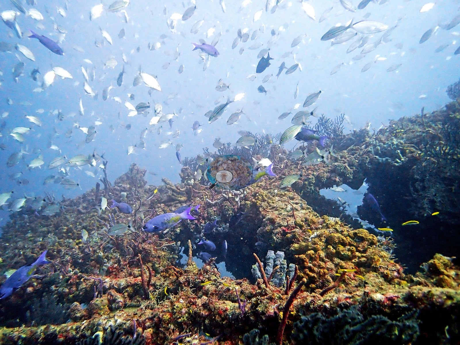
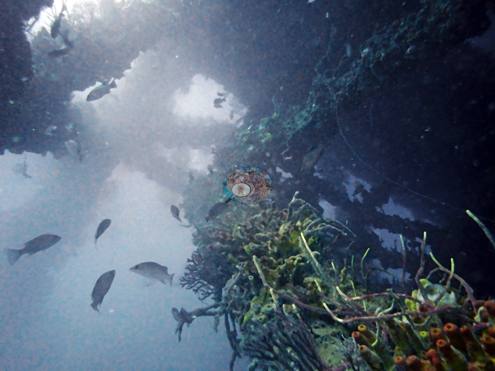
Fish aggregation around the relief is the site's most striking feature and is documented far more heavily than the benthos. Dense clouds of small silvery baitfish — scad or similar — fill the water column in Image 5, Image 21, Image 59, Image 64, and Image 65, in some frames completely obscuring the structure behind them.
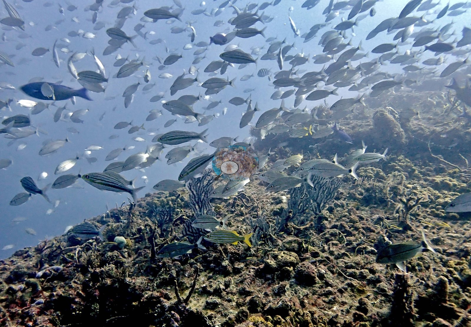
Schooling grunts and tomtates form thick layers hugging the encrusted surfaces in Image 6, Image 23, Image 24, Image 25, Image 26, Image 57, Image 60, and Image 62, with Image 23 and Image 60 the densest.
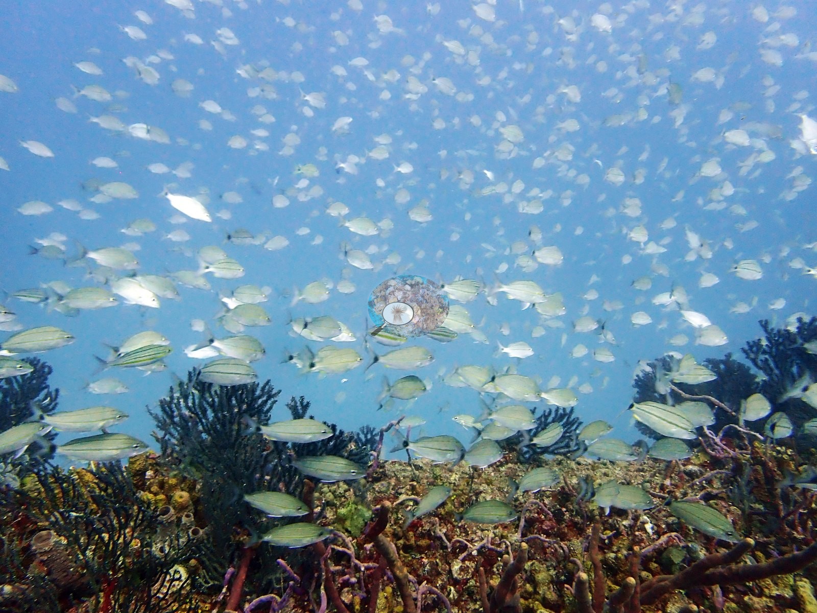
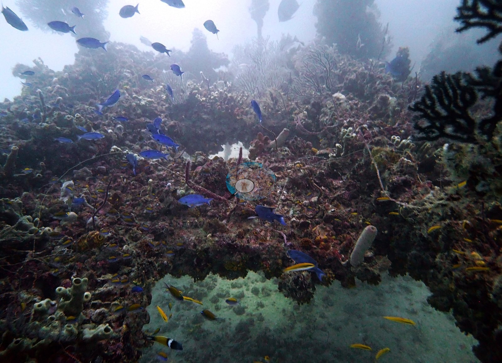
Blue chromis and small reef fish hold station over the upper surfaces in Image 20 and Image 44.
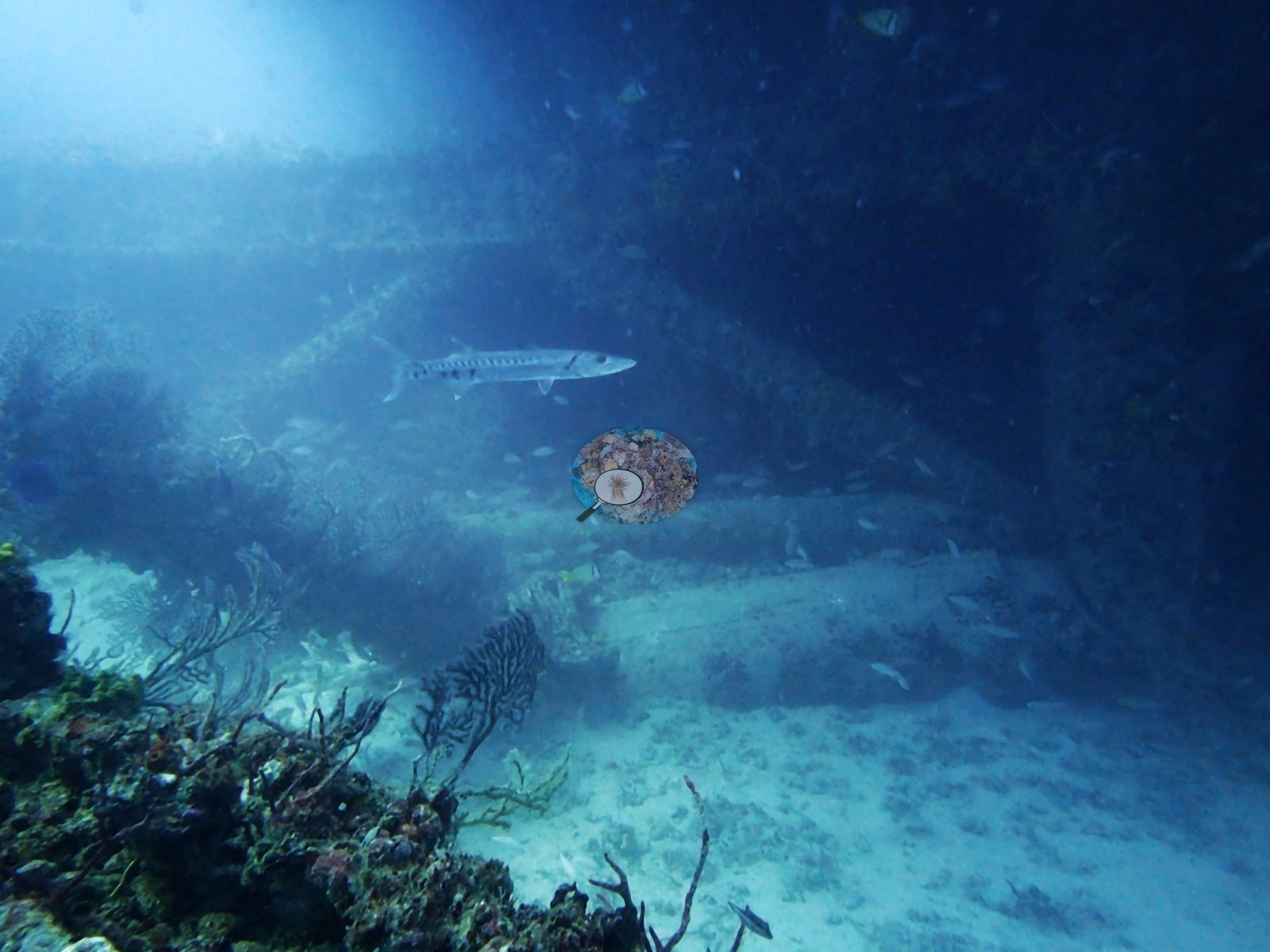
Larger predators are present but sparse: a barracuda hanging in the water alongside the structure in Image 45, and a possible second in Image 17.
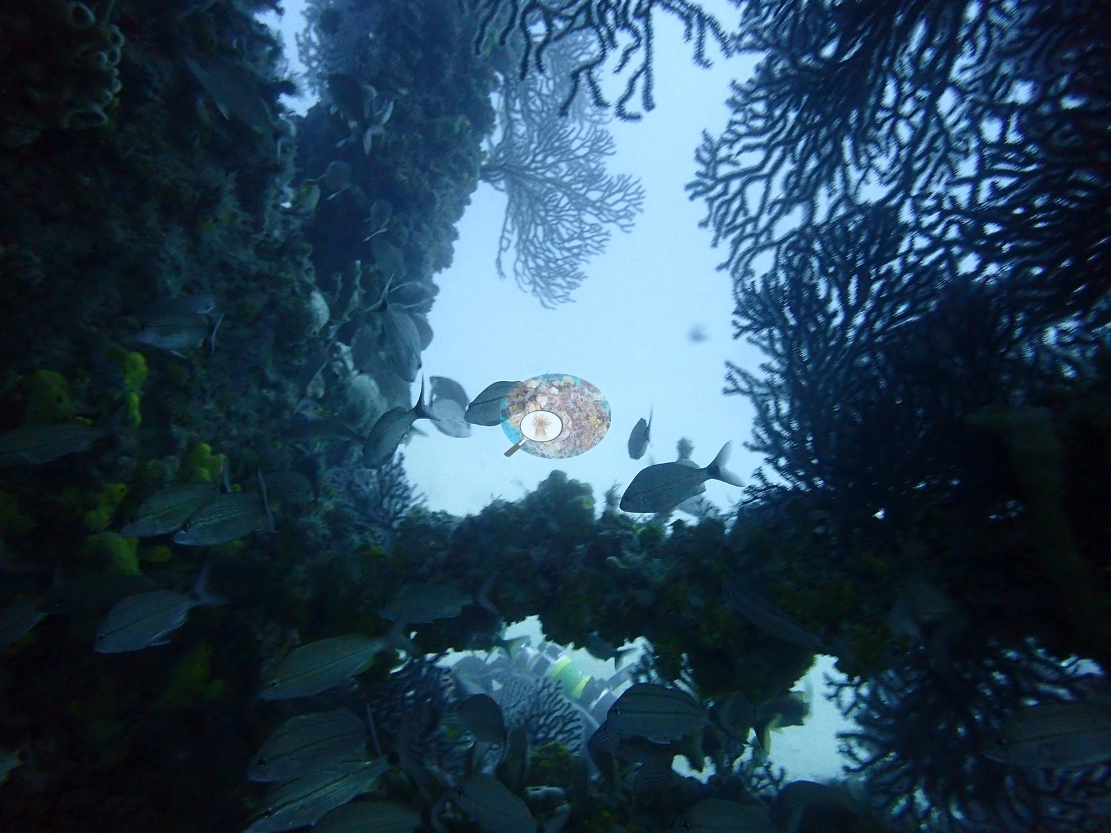
Small fish also occupy the interior spaces of the lattice in Image 7 and Image 14.
Comparisons with other data
We found no other surveys at this site as of 2026. Within 5 km, 26 independent stations recorded station-year means of 0.0–5.4% hard coral cover between 2013 and 2024; the nearest, NOAA NCRMP Florida at SEFCRI PSU 3254-1, 0.84 km away, read 0.0% in 2024.
Dive record
Anderson dived two of the tower sections on 26 February 2022, logged as "Teneco Tower-Middle" (09:20 in, 32.9 m maximum, 29 minutes, 24.7°C average) and "Teneco Tower-shallow" (10:41 in, 30.2 m maximum, 27 minutes, 25.3°C average).
Other notes
The photo set also includes topside frames of the marina and of a CMA CGM container ship transiting the channel before the dive, and frames of divers descending and ascending the line, including a safety stop; these carry no benthic information. One descent frame shows the setting: a boat dive on a fixed line in open water (e.g., Image 30).
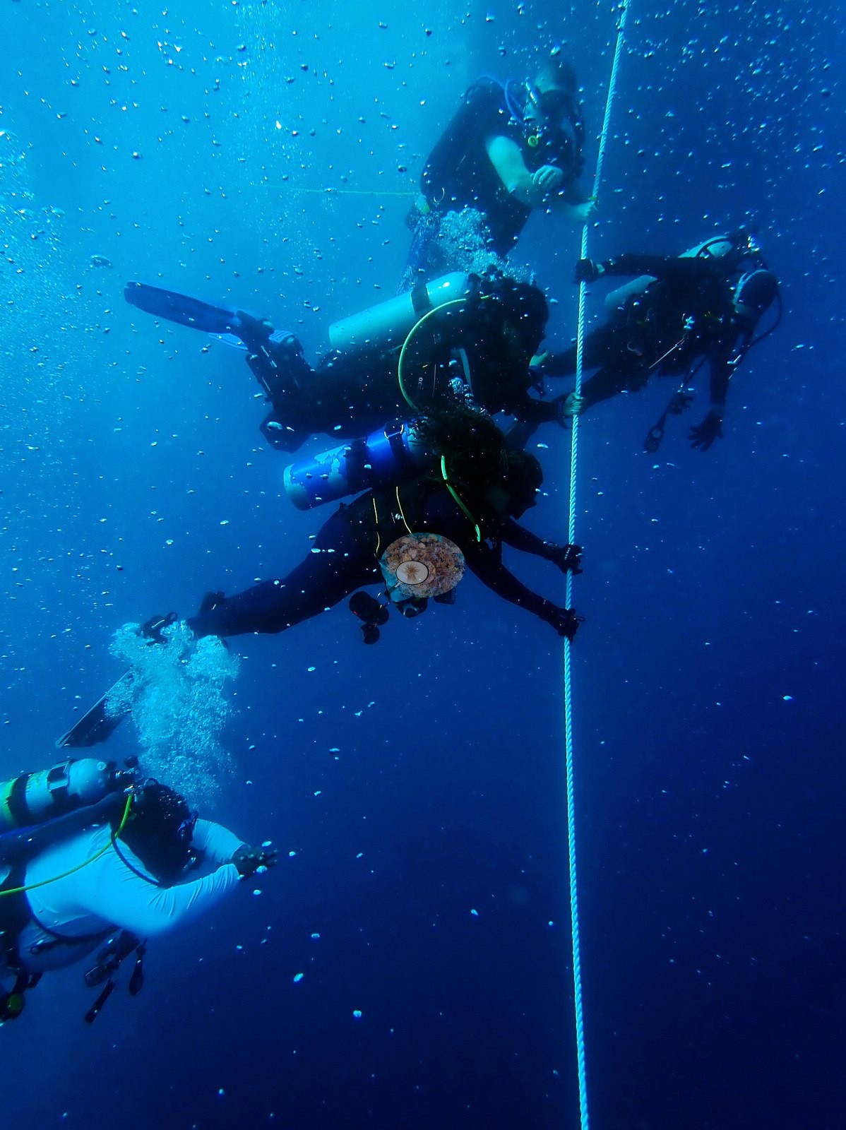
Divers working the structure appear in Image 26, Image 28, Image 43, Image 46, and Image 50.
CV model comparison
More info
A few colony-focused photos raise the mean; the median is the typical photo. No computer-vision method yet estimates coral cover accurately on new images, so treat this as indicative rather than a measurement; it is revised as the methods improve.More info
Other rows are for comparison only and are never averaged. No diver transect exists for these photos, so agreement between rows is not accuracy.| Method | Hard coral cover (%) | Photos (n) ± SE |
|---|---|---|
| CoralSCOP unedited | 13.0 | n = 45 · SE 2.0 |
| Claude | 2.6 | n = 45 · SE 1.2 |
CoralSCOP (unedited photos) reads 13.0%, 10.4 pp above Claude's blind point count (2.6%); the headline stays Claude's blind point count because no transect or manual count exists here.
See a more detailed, stand-alone version of this table.
Dive history
| Date | Time in | Max depth (m) | Bottom time (min) |
|---|---|---|---|
| 2022-02-26 | 09:20 | 32.9 | 29 |
| 2022-02-26 | 10:41 | 30.2 | 27 |
Independent surveys nearby
| Agency / program | Year(s) | Stations / distance | Link |
|---|---|---|---|
| FWC CREMP (Southeast Florida, SECREMP) | 2013–2024 | 8 stations, 2.93–4.43 km | Records ↓ |
| NOAA NCRMP | 2014–2016 | 10 stations, 1.36–4.37 km | Records ↓ |
| NOAA NCRMP Florida | 2024 | 8 stations, 0.84–4.68 km | Records ↓ |
 Coral Reef DiagnosticsYear-average (illustrative only, programs differ)
Within 5 km, 26 independent survey stations recorded hard coral cover in 114 records between 2013 and 2024. Of the 8 stations surveyed in more than one year, 5 declined (by 0.1–2.0 points) and 3 increased (by 0.3–0.6 points) between their first and latest surveys. 8 stations share the longest span (2013–2024); one, Dade County 7 #51 (FWC CREMP (Southeast Florida, SECREMP), 2.93 km away), went from 0.6% in 2013 to 1.2% in 2024. Since 2021, station-year means average 1.1% (range 0.0–3.5%; n = 40 station-years from 40 records). This site's own estimate (2.6%) sits 2.6 points above the recent value up to 2 km away (0.0%), inside the 7-point method-noise floor (inconclusive); the methods differ, so the comparison is context, not a like-for-like test.
Collected by other programs using different methods (NOAA rows come from NOAA monitoring programs (NCRMP, PIFSC, NCCOS), and each row's method is in its hover text; FWC-FWRI uses fixed-station point counts), so these are context for the figures above, not a like-for-like comparison. Where a station was surveyed more than once, the cell shows either the range of its values or, as a single value, the mean of surveys made in one year. Station names are not dive-site names.
Show all 114 independent survey records
| Agency | Site / location | Date | Hard coral cover (%) | Distance | Link |
|---|---|---|---|---|---|
| FWC CREMP (Southeast Florida, SECREMP) | Dade County 7 #51 | 2013–2024 | 0.3–1.2% (12 surveys) | 2.93 km | — |
| FWC CREMP (Southeast Florida, SECREMP) | Dade County 7 #52 | 2013–2024 | 0.0–1.3% (12 surveys) | 2.93 km | — |
| FWC CREMP (Southeast Florida, SECREMP) | Dade County 7 #53 | 2013–2024 | 0.2–0.8% (12 surveys) | 2.93 km | — |
| FWC CREMP (Southeast Florida, SECREMP) | Dade County 7 #54 | 2013–2024 | 0.0–0.7% (12 surveys) | 2.93 km | — |
| FWC CREMP (Southeast Florida, SECREMP) | Dade County 6 #41 | 2013–2024 | 1.0–1.9% (12 surveys) | 4.43 km | — |
| FWC CREMP (Southeast Florida, SECREMP) | Dade County 6 #42 | 2013–2024 | 0.2–3.0% (12 surveys) | 4.43 km | — |
| FWC CREMP (Southeast Florida, SECREMP) | Dade County 6 #43 | 2013–2024 | 2.5–5.1% (12 surveys) | 4.43 km | — |
| FWC CREMP (Southeast Florida, SECREMP) | Dade County 6 #44 | 2013–2024 | 0.5–5.4% (12 surveys) | 4.43 km | — |
| NOAA NCRMP | SEFCRI-17 | 2014 | 5.0% | 2.01 km | — |
| NOAA NCRMP | SEFCRI-46 | 2014 | 5.0% | 2.20 km | — |
| NOAA NCRMP | SEFCRI-16 | 2014 | 3.0% | 3.66 km | — |
| NOAA NCRMP | SEFCRI-101 | 2016 | 2.0% | 1.36 km | — |
| NOAA NCRMP | SEFCRI-100 | 2016 | 2.0% | 1.36 km | — |
| NOAA NCRMP | SEFCRI-103 | 2016 | 1.0% | 2.85 km | — |
| NOAA NCRMP | SEFCRI-102 | 2016 | 3.0% | 3.13 km | — |
| NOAA NCRMP | SEFCRI-124 | 2016 | 1.0% | 3.62 km | — |
| NOAA NCRMP | SEFCRI-64 | 2016 | 1.0% | 4.37 km | — |
| NOAA NCRMP | SEFCRI-63 | 2016 | 4.0% | 4.37 km | — |
| NOAA NCRMP Florida | SEFCRI PSU 3254-1 | 2024 | 0.0% | 0.84 km | NCEI 0306238 |
| NOAA NCRMP Florida | SEFCRI PSU 3168-1 | 2024 | 0.0% | 1.12 km | NCEI 0306238 |
| NOAA NCRMP Florida | SEFCRI PSU 3189-1 | 2024 | 0.0% | 2.44 km | NCEI 0306238 |
| NOAA NCRMP Florida | SEFCRI PSU 3185-1 | 2024 | 0.0% | 2.46 km | NCEI 0306238 |
| NOAA NCRMP Florida | SEFCRI PSU 3174-1 | 2024 | 1.0% | 2.84 km | NCEI 0306238 |
| NOAA NCRMP Florida | SEFCRI PSU 3112-1 | 2024 | 2.0% | 3.58 km | NCEI 0306238 |
| NOAA NCRMP Florida | SEFCRI PSU 3163-1 | 2024 | 2.0% | 4.54 km | NCEI 0306238 |
| NOAA NCRMP Florida | SEFCRI PSU 3126-1 | 2024 | 3.0% | 4.68 km | NCEI 0306238 |
Data & links
All images from Coral Reef Diagnostics. Data are from Coral Reef Diagnostics and the organizations named in the data sources above.
© Coral Reef Diagnostics.