
St. Lucia - Superman's Flight

Part of the regional summary: St. Lucia
More info
Windward Caribbean Islands (NOAA CRW virtual station) · Eastern Caribbean ecoregion mean: 13.1 degree heating weeksA drift dive along the steep underwater base of Petit Piton in the Soufriere Marine Management Area, better known for sponges than coral: meter-wide barrel sponges, tube sponges, and brilliant yellow and orange encrusting sheets, with black-coral whips and gorgonians leaning into the current. Stony corals are only a minor component, but planktivorous fish stream constantly over the drop-off.
Nine independent survey stations shown with the program’s logo — click one to see how far it is from this site.
Two other CRD dive sites within 5 km shown in orange — click a marker to open its page.
5 of the 50 photographs on this page are shown beside the text that discusses them under "Site description" below.

Site description
Setting
Superman's Flight is the drift dive that runs along the submerged base of Petit Piton inside the Soufriere Marine Management Area, and the frames show why it is a photographer's site rather than a coral-cover site.
General benthic features
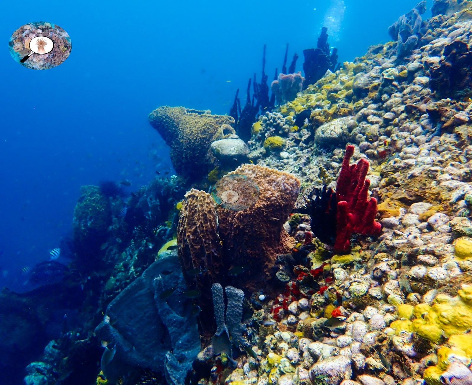
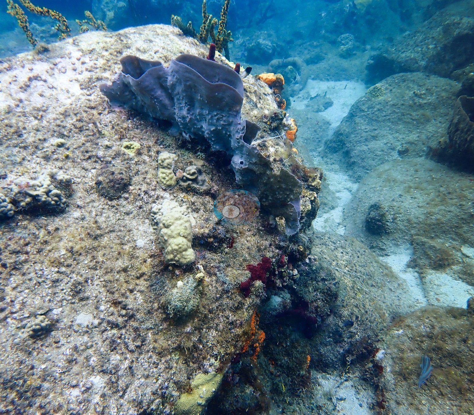
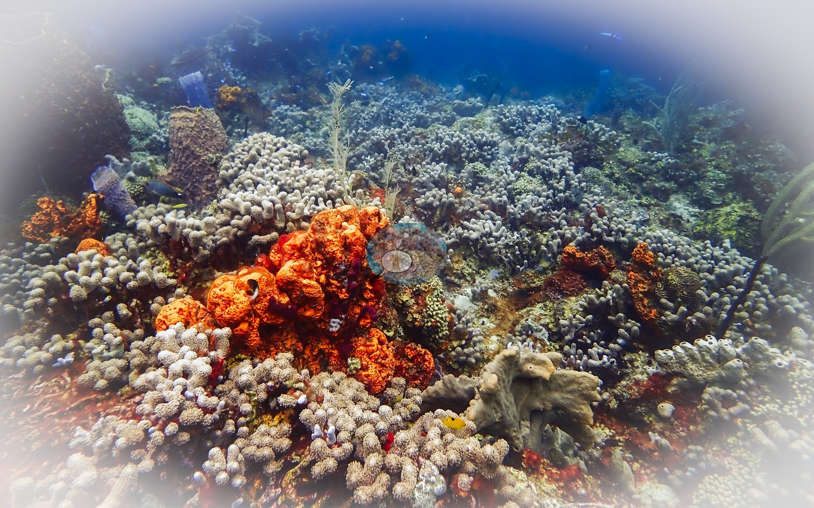
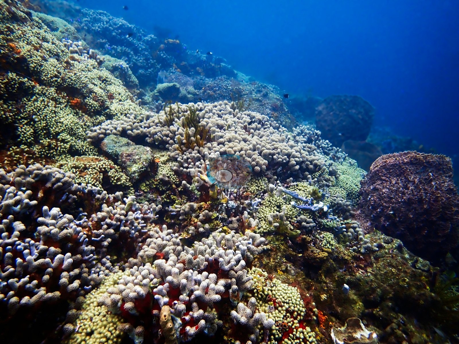
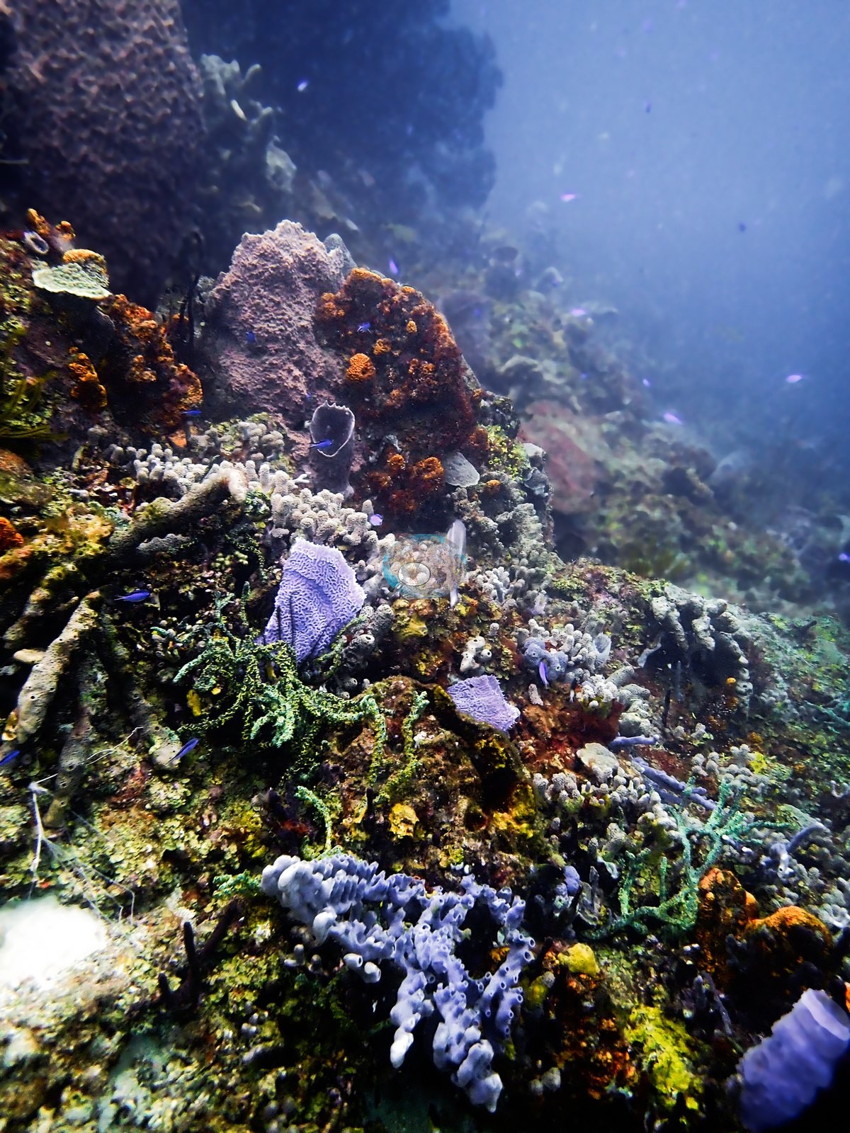
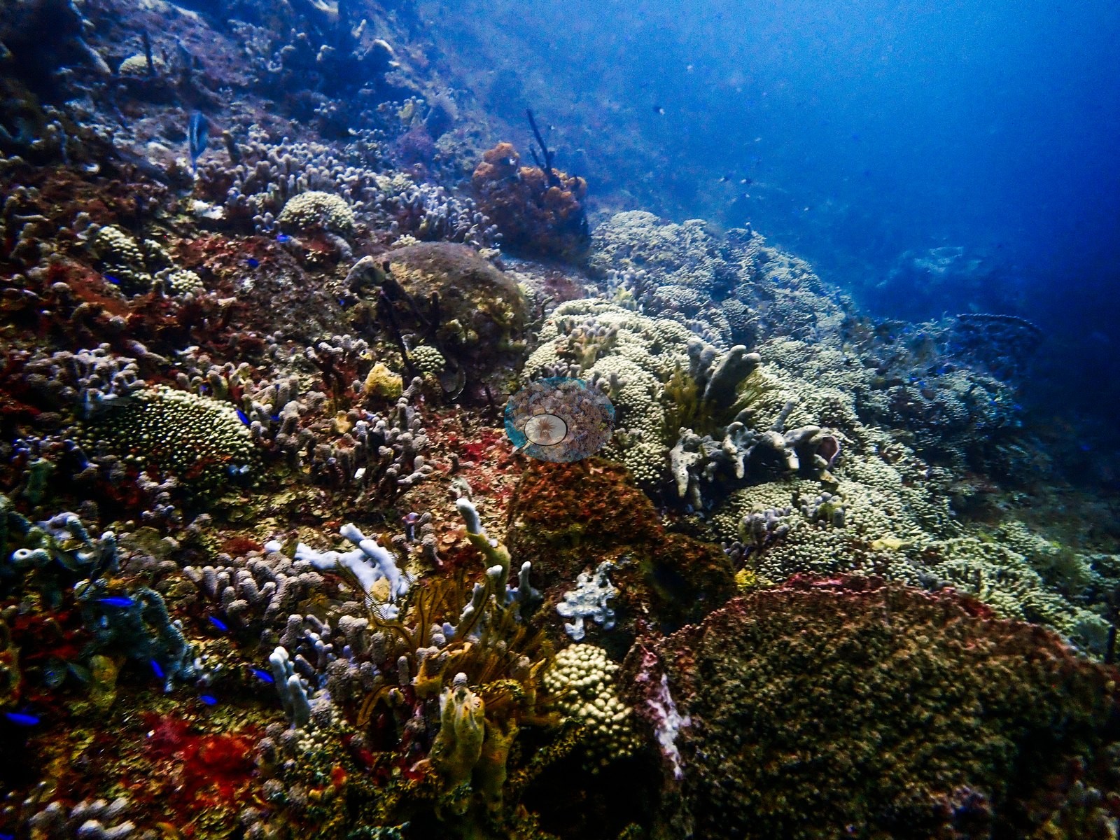
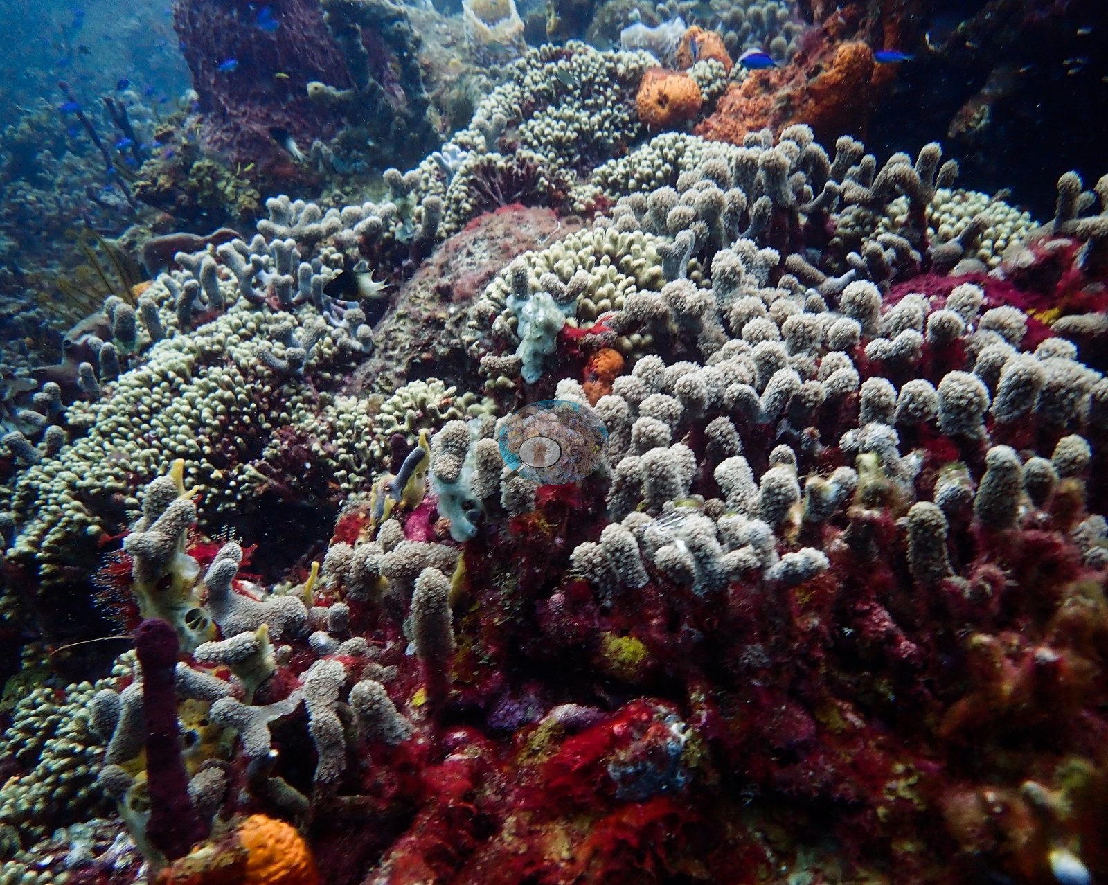
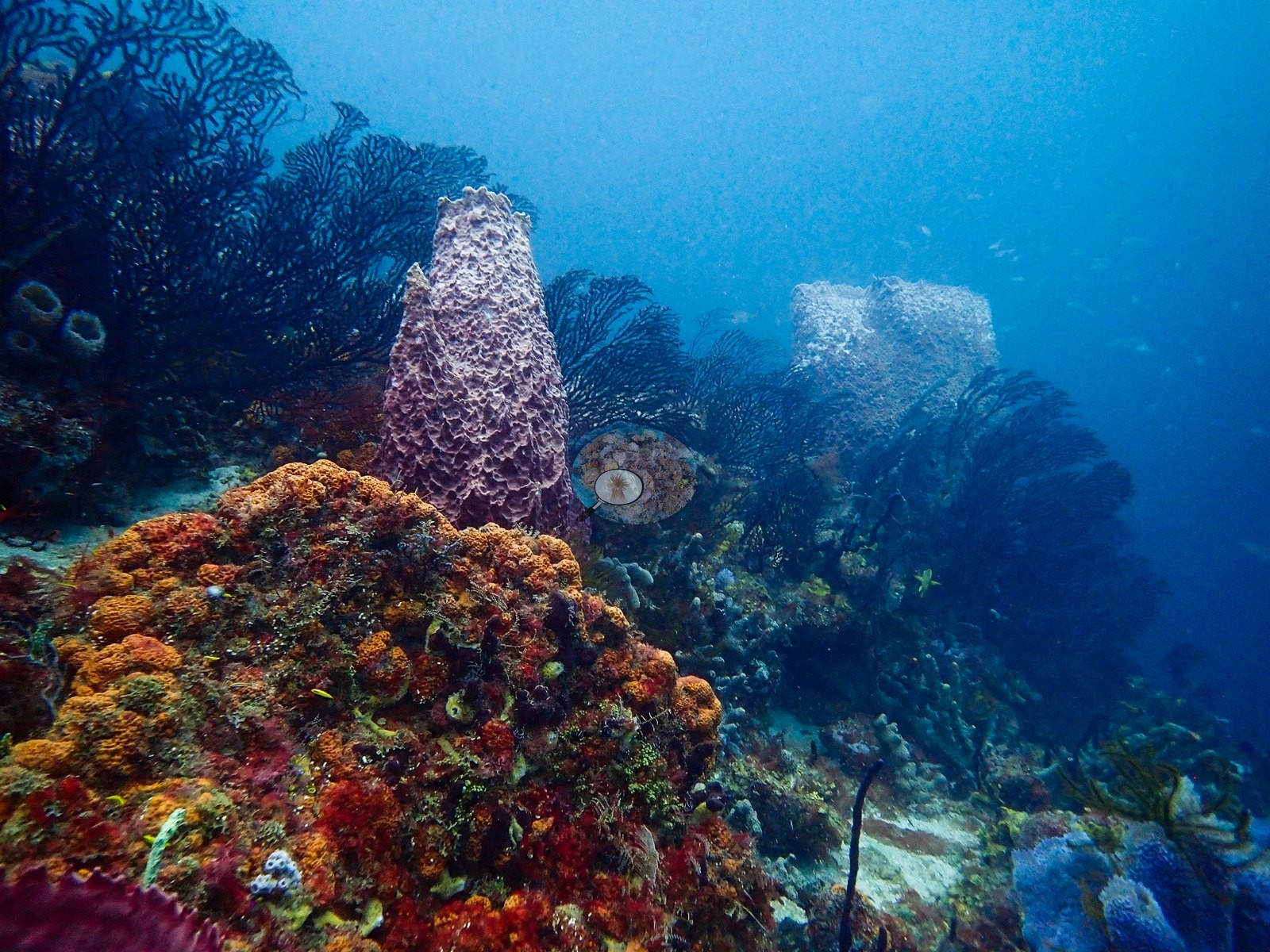
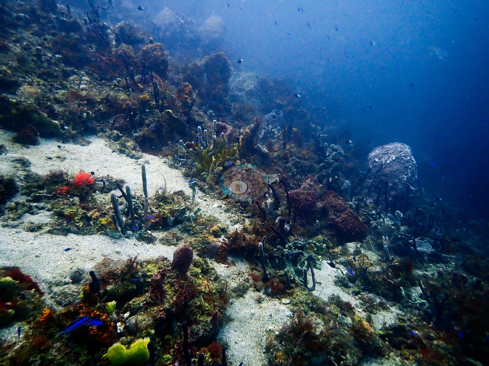
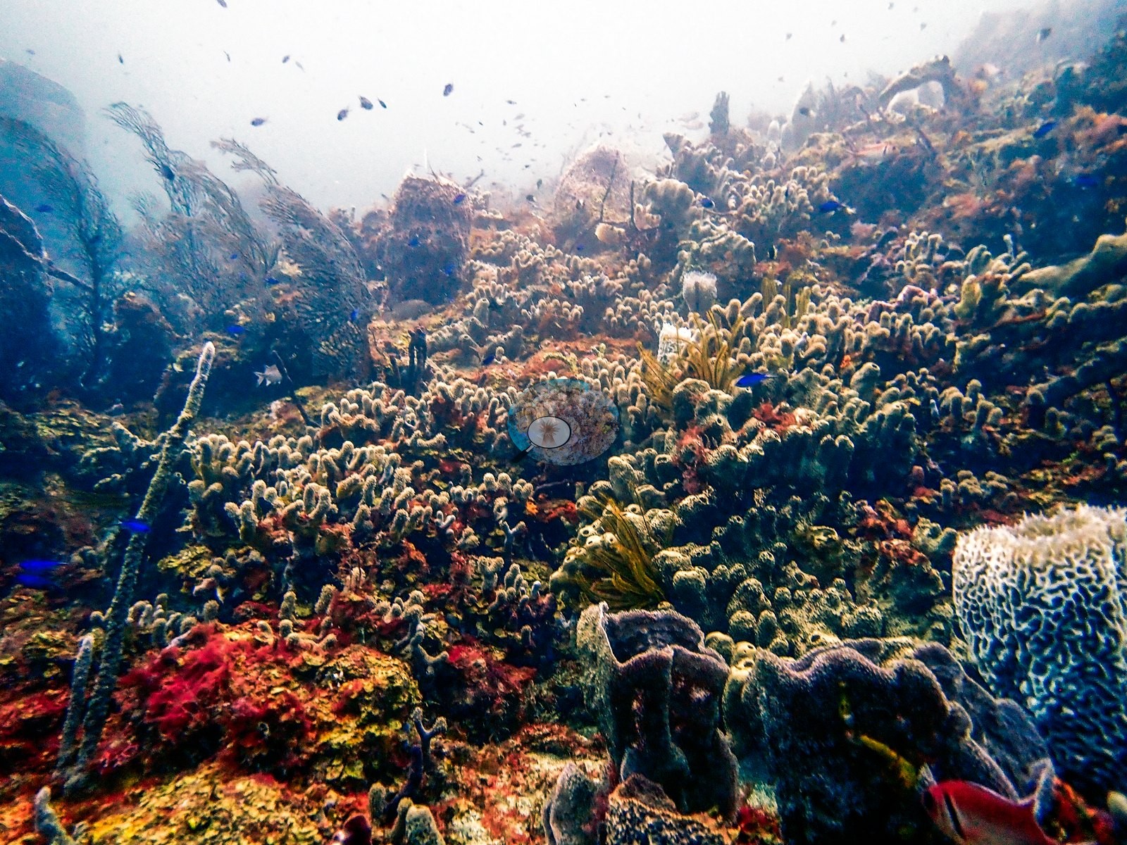
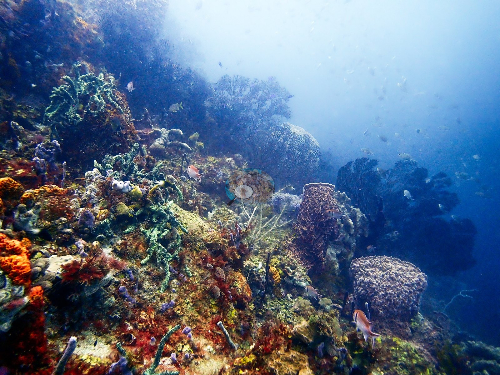
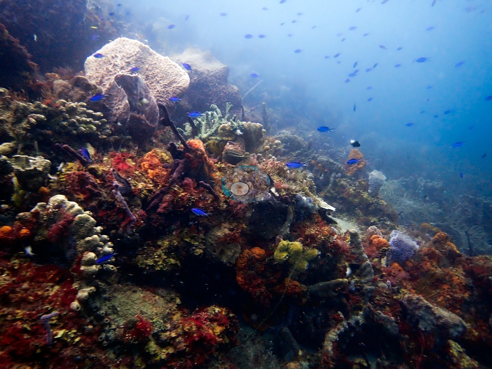
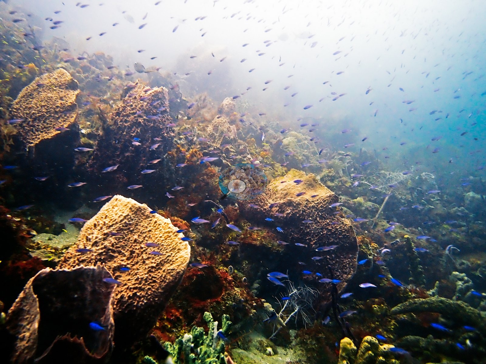
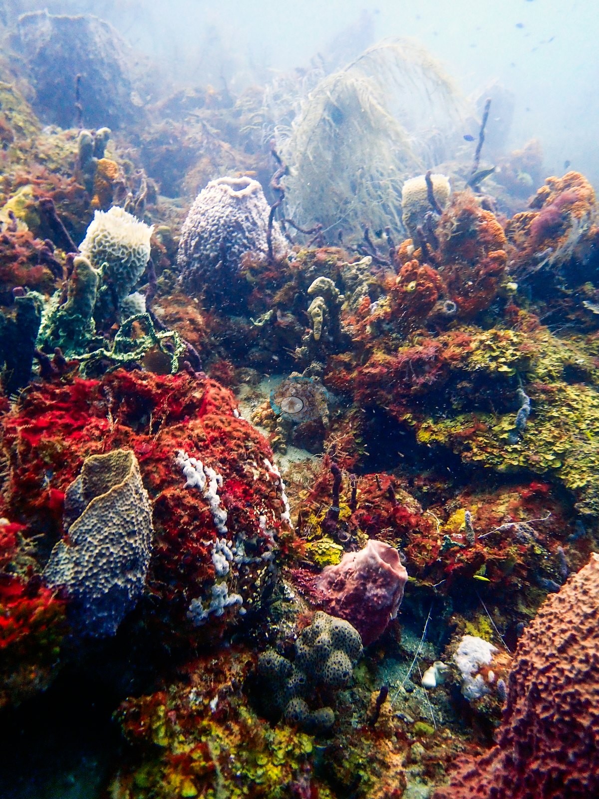
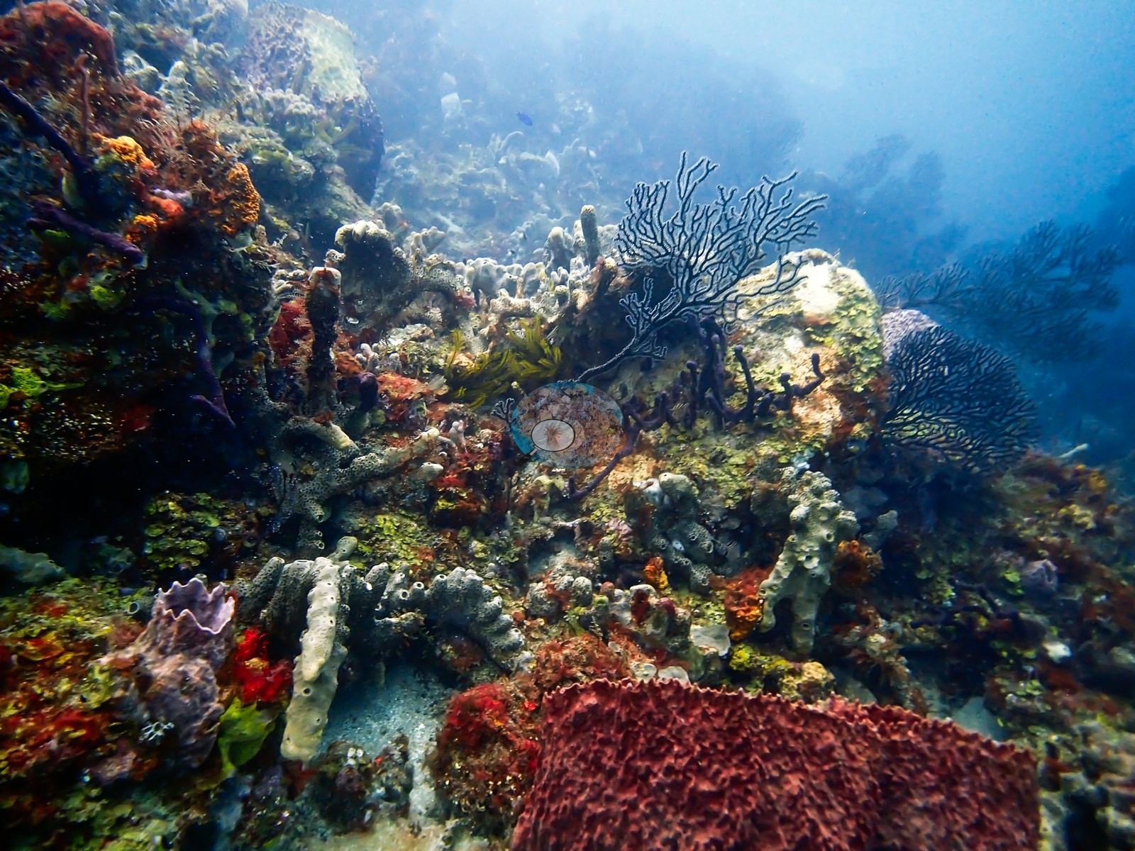
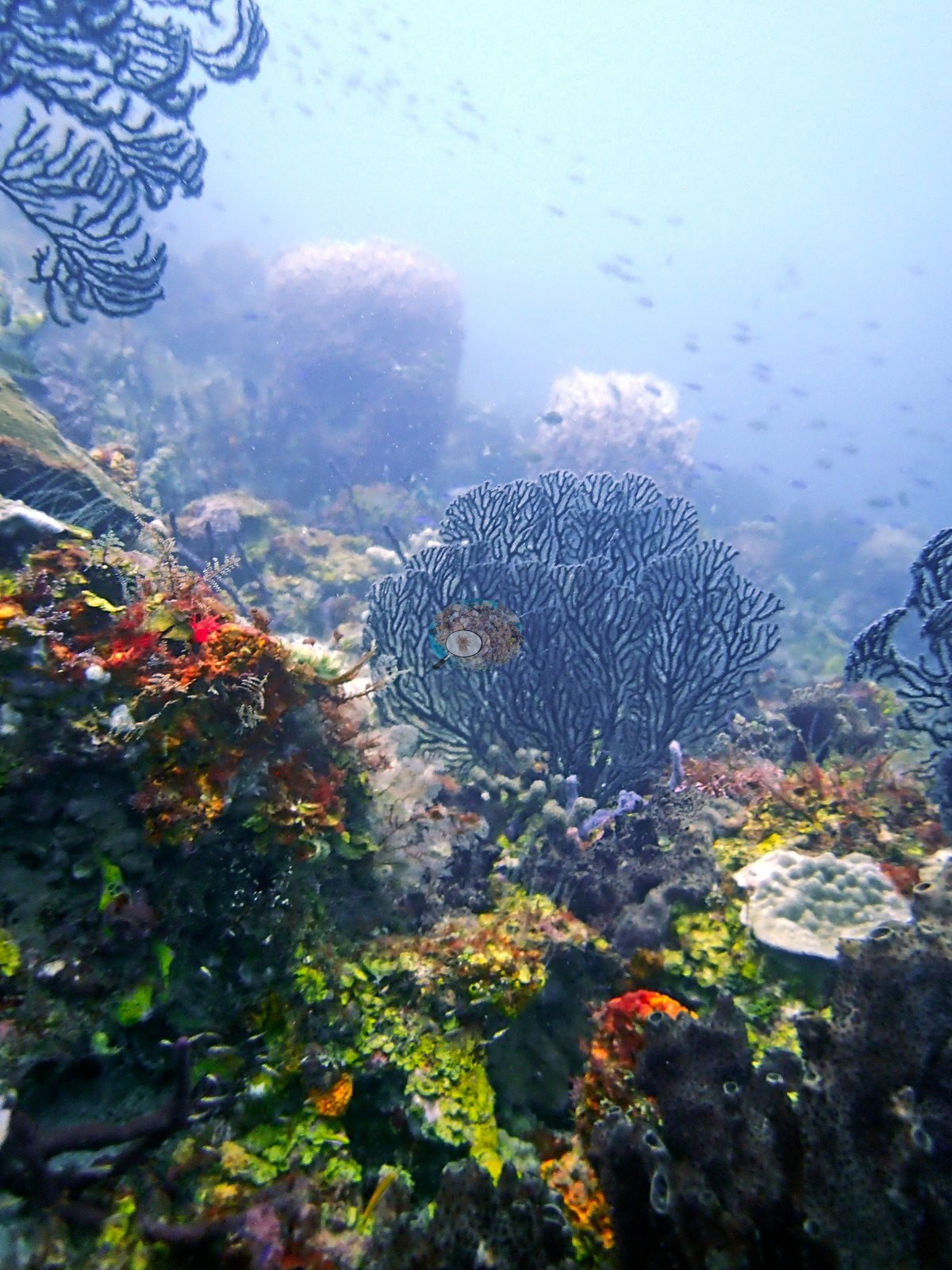
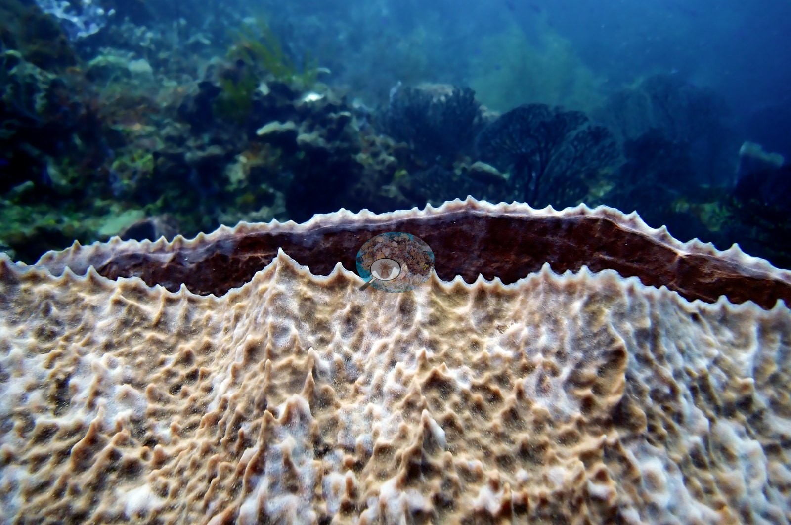
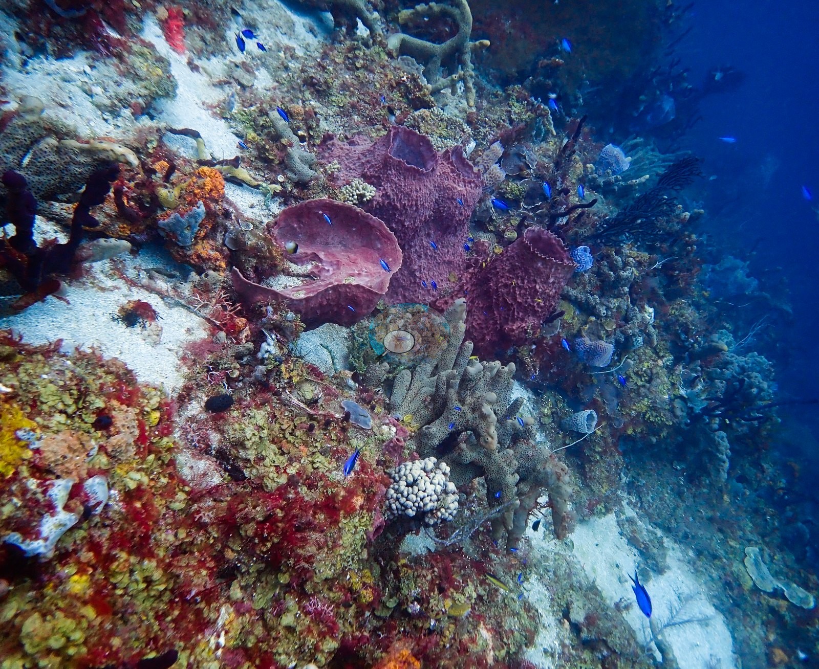
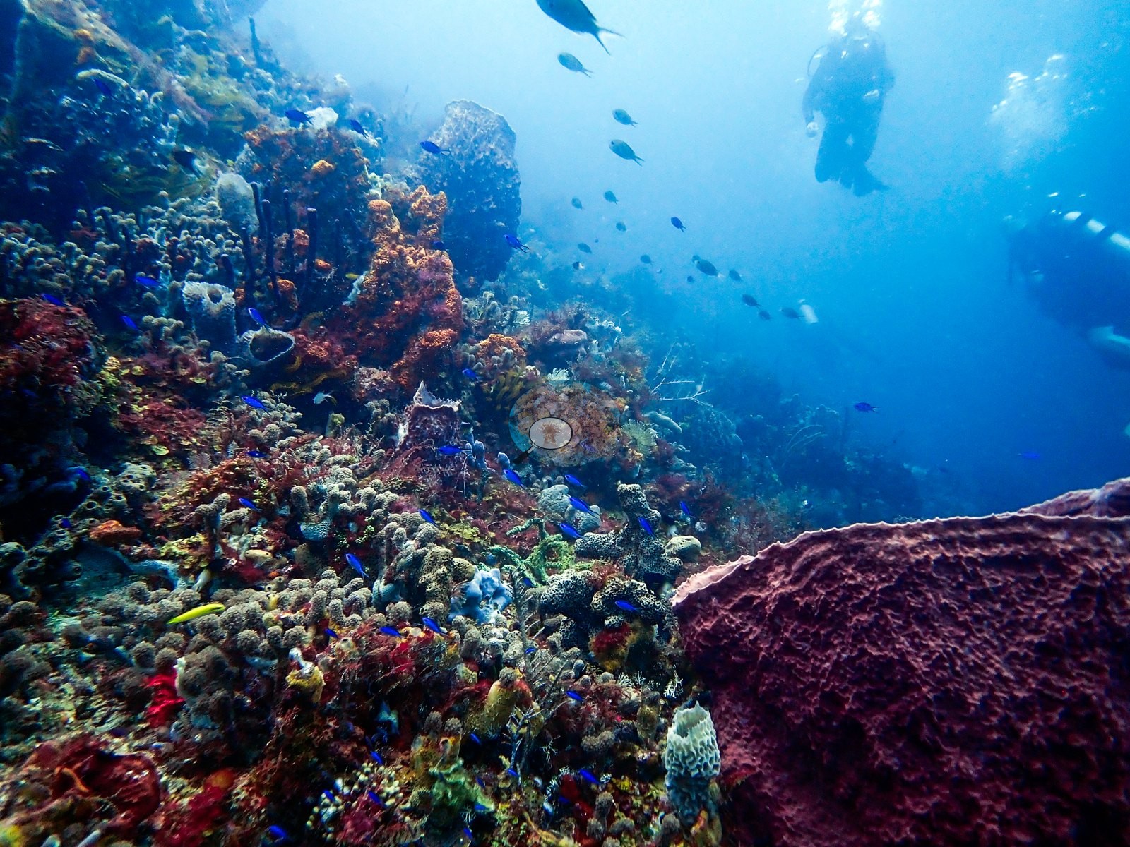
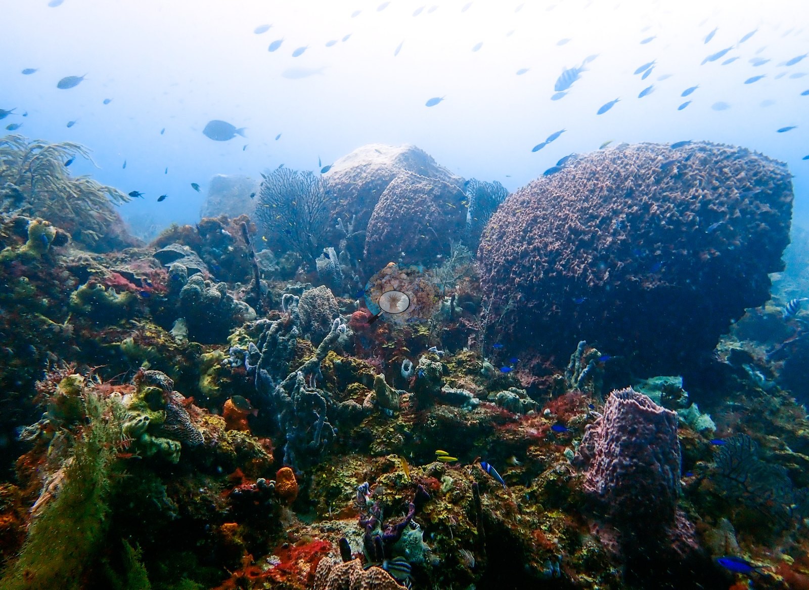
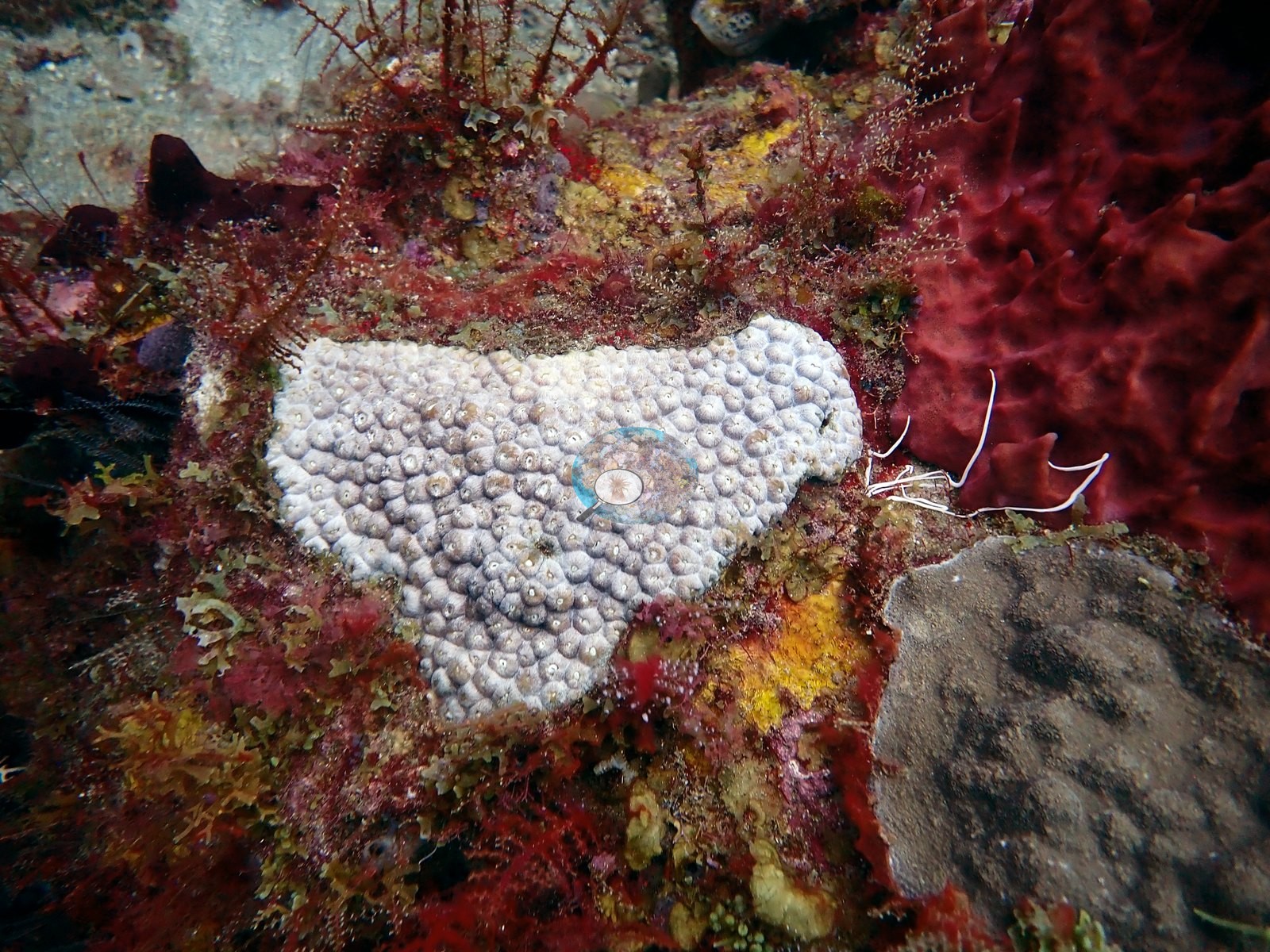
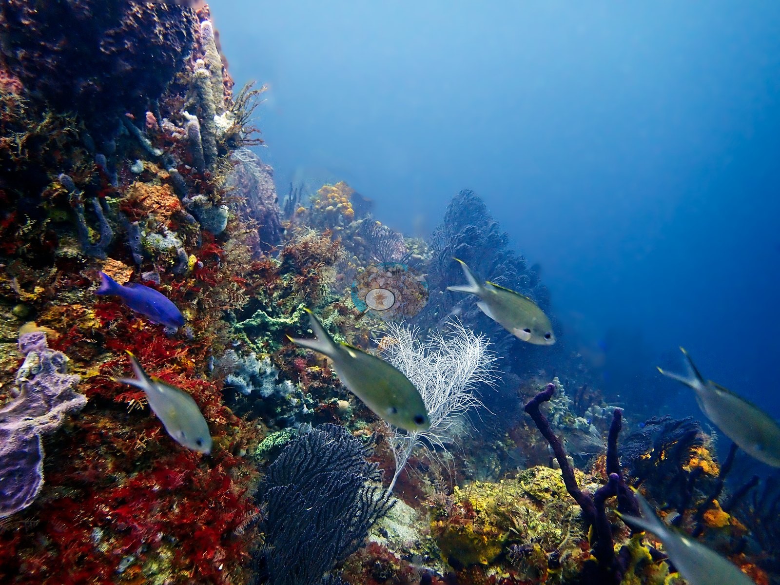
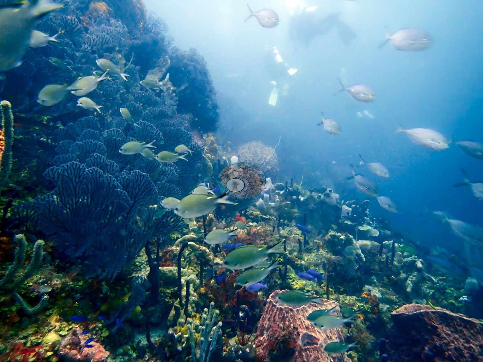
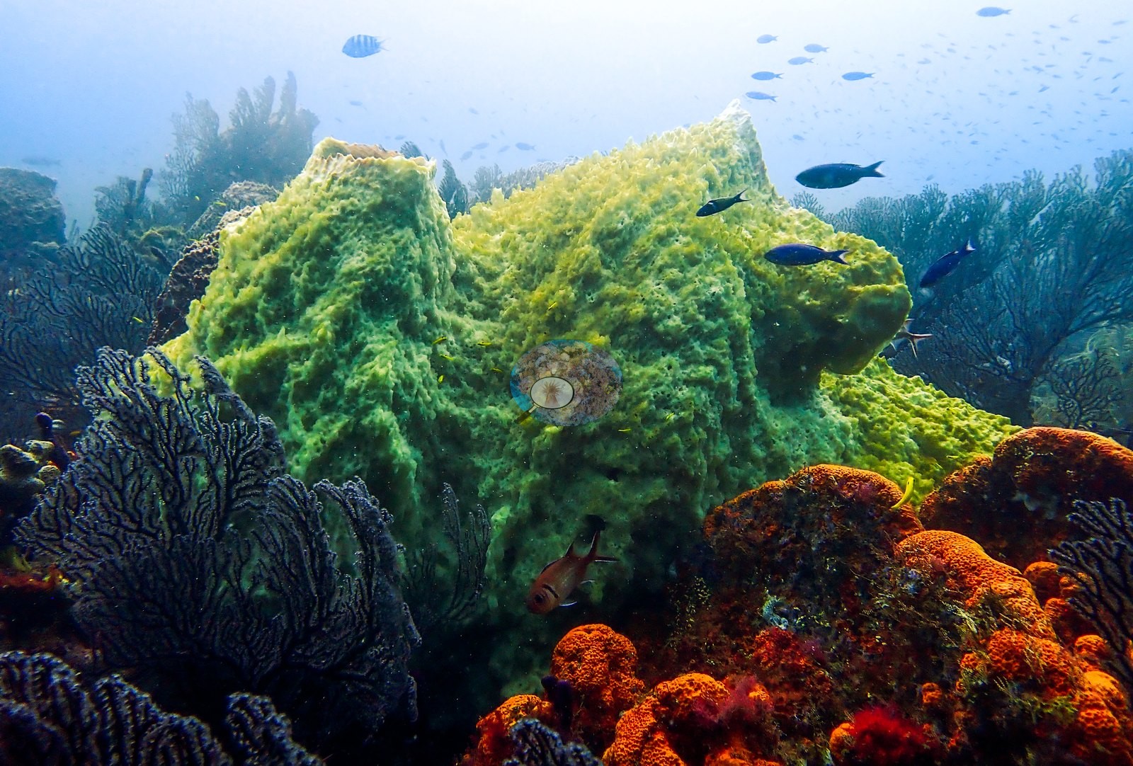
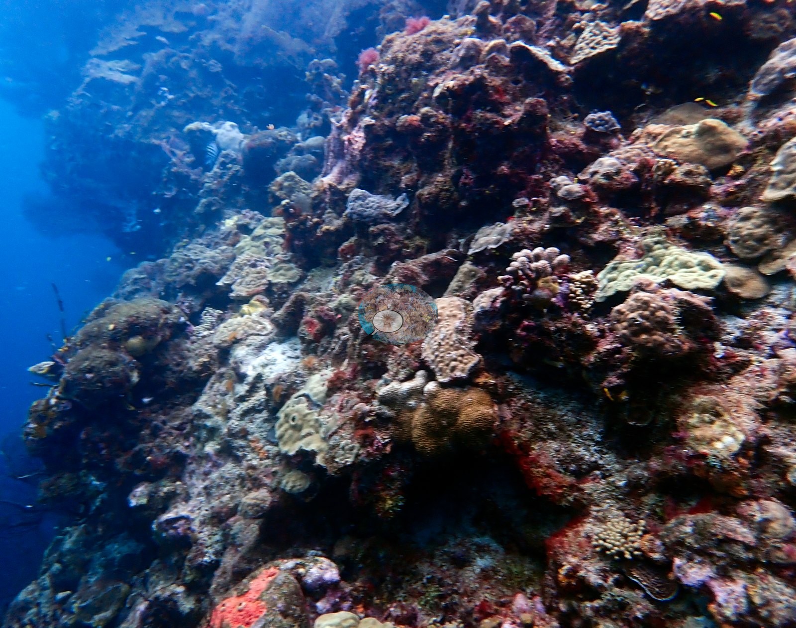
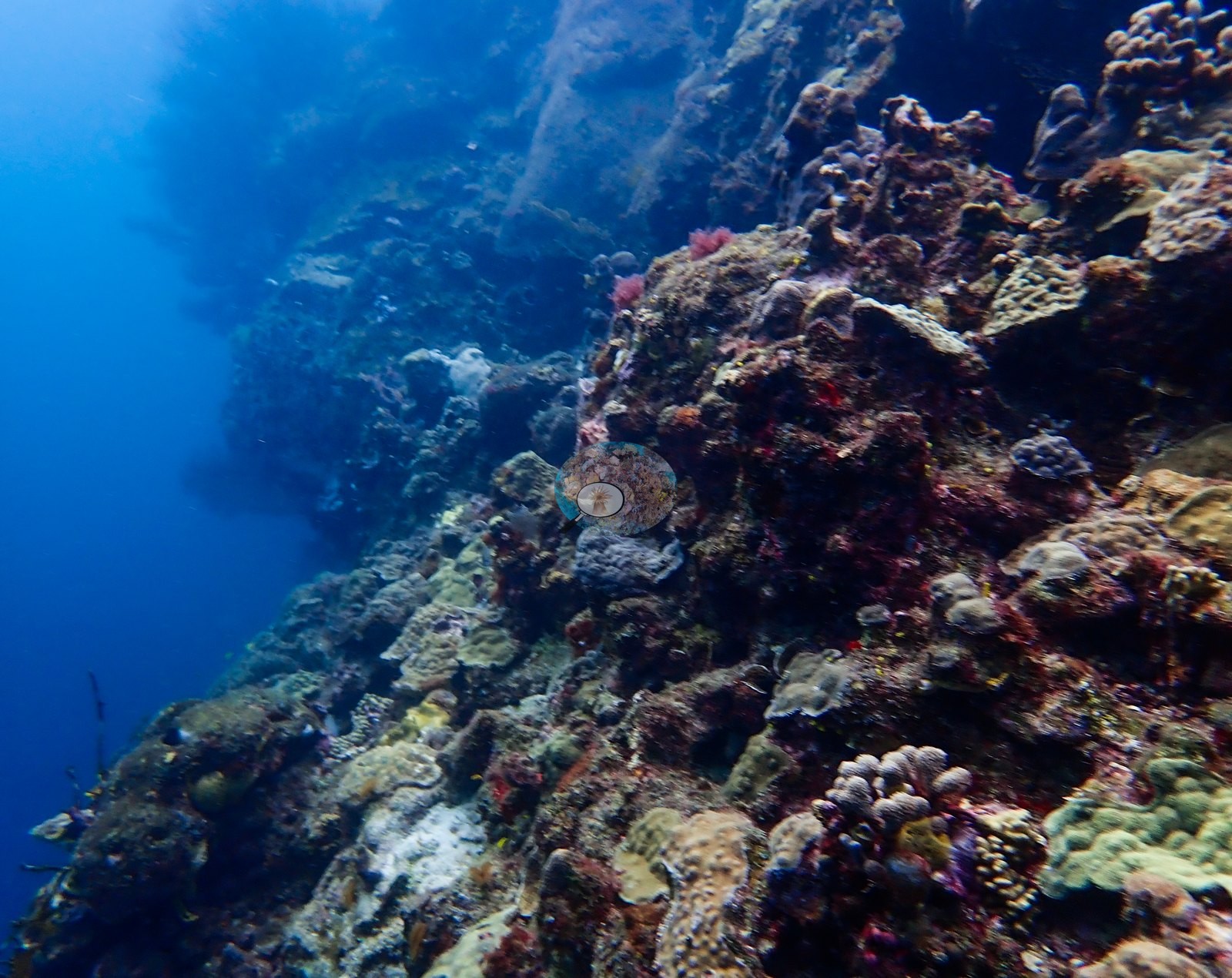
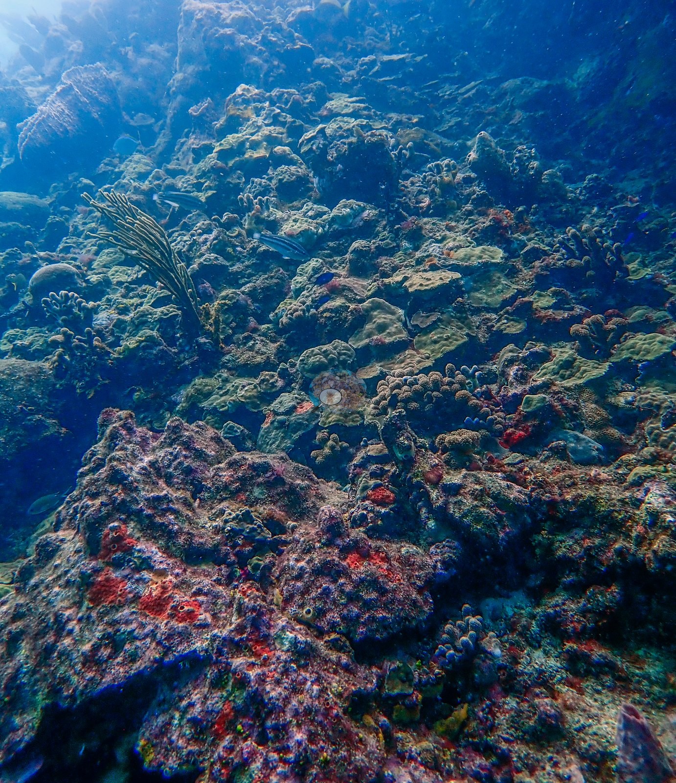
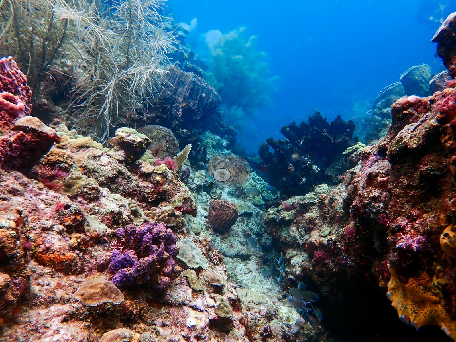
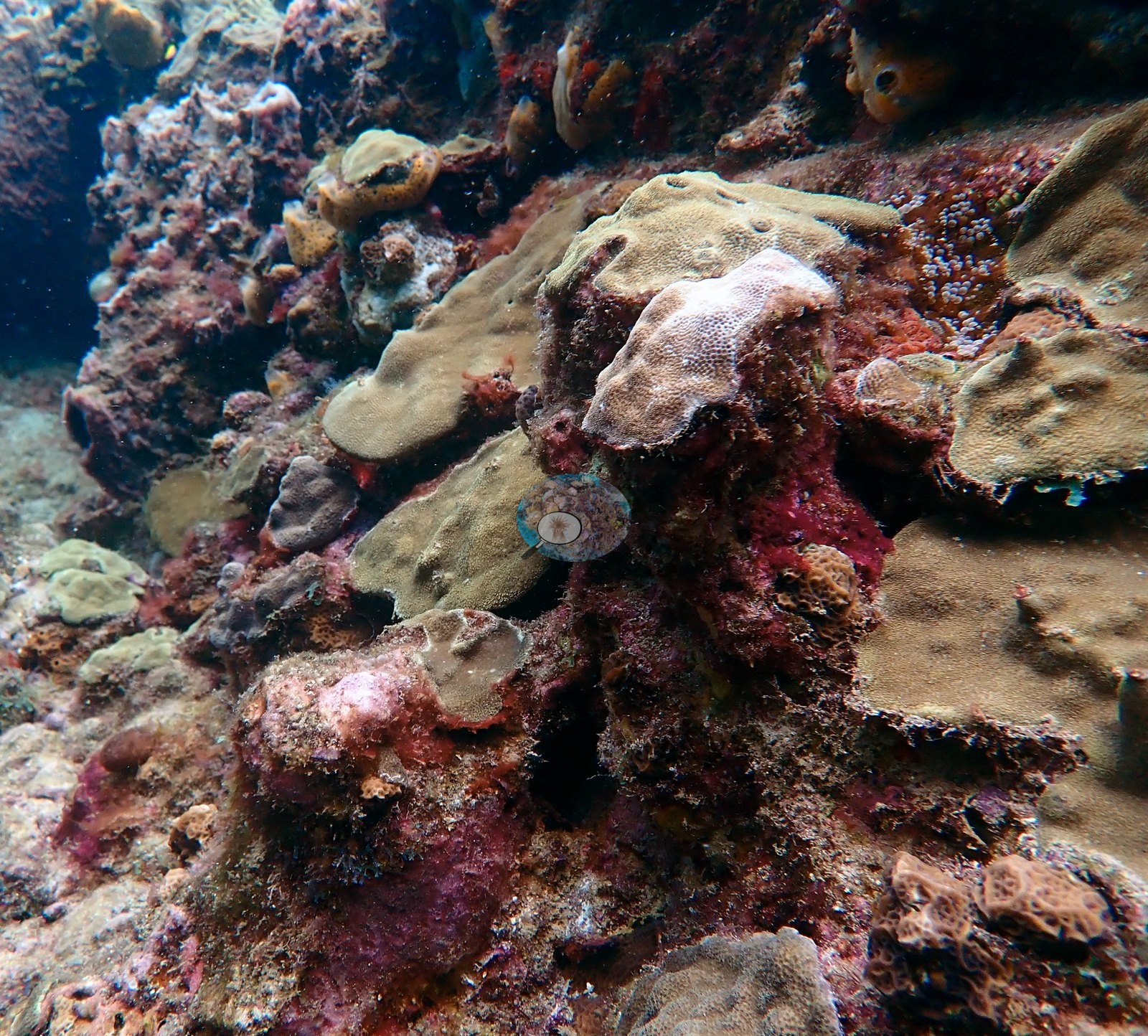
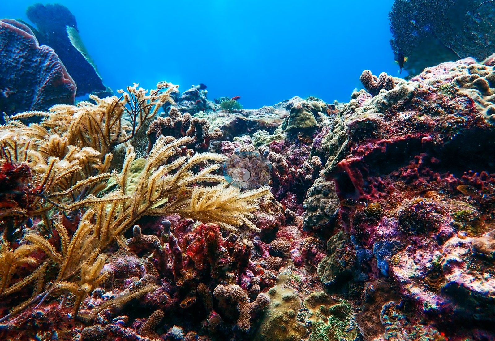
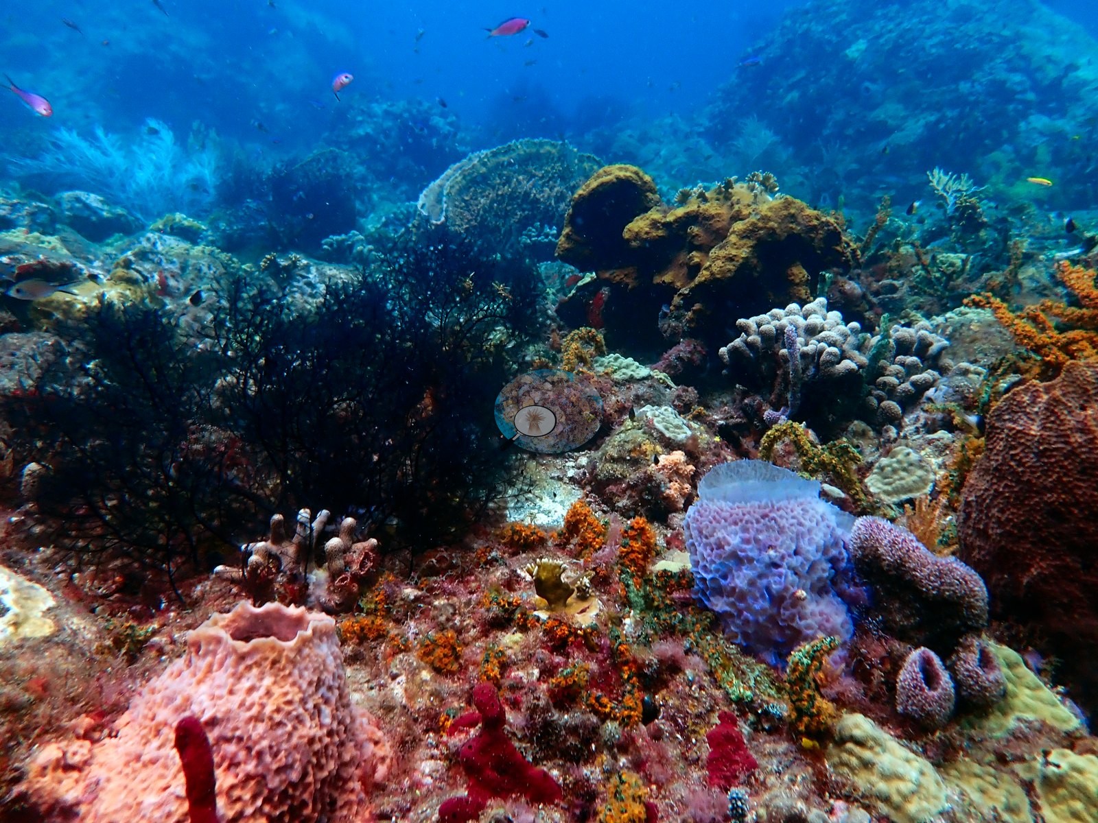
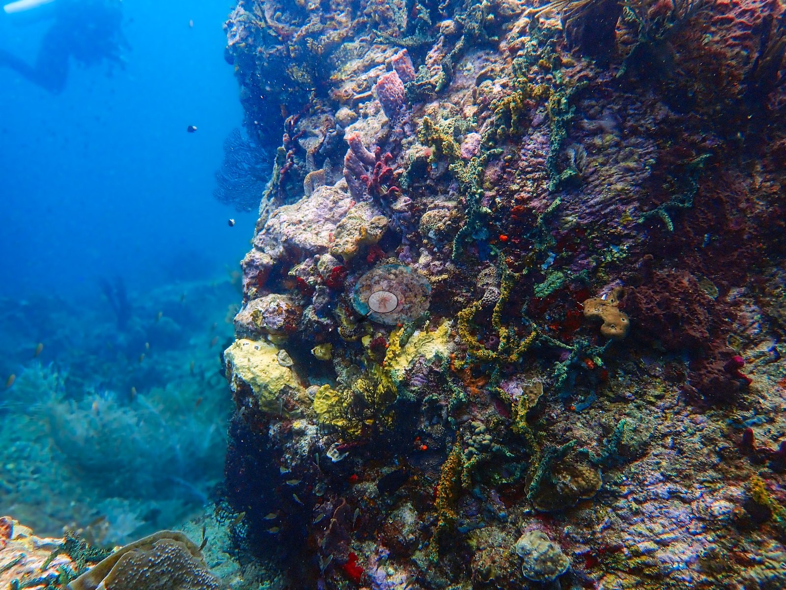
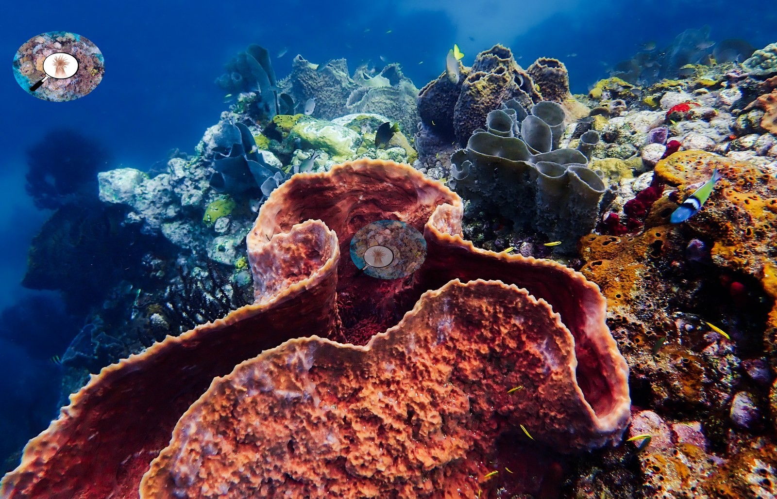
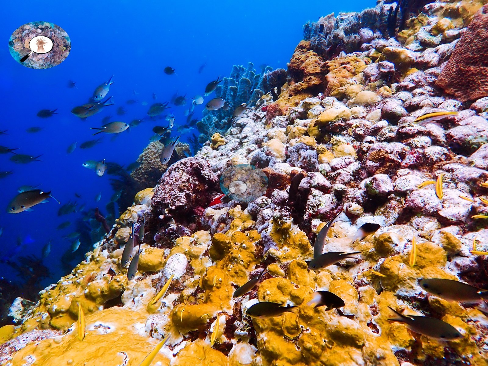
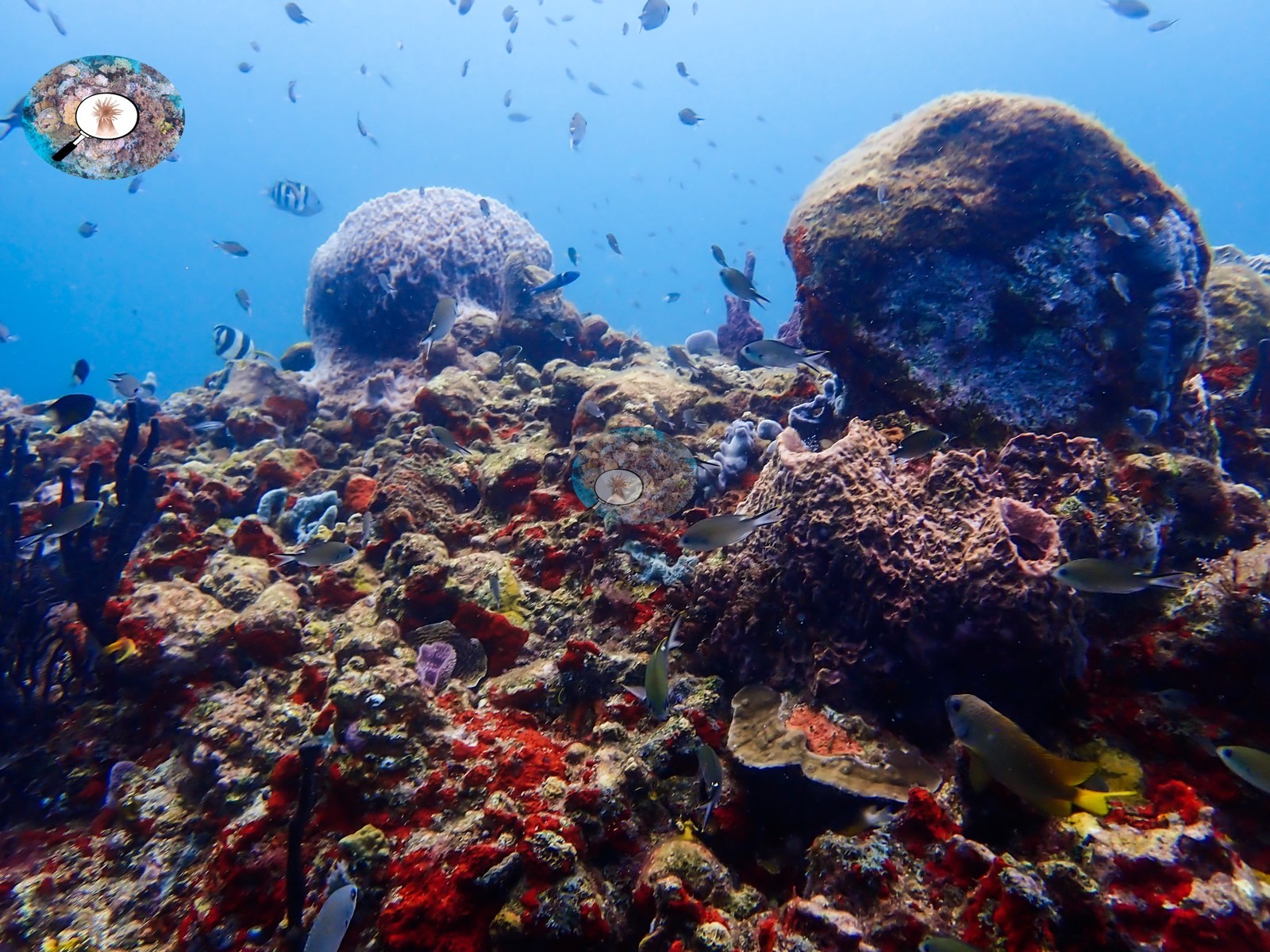
The slope drops steeply into blue water and is upholstered in sponges: meter-wide rose and terracotta barrel sponges standing open-mouthed on the rock (e.g., Image 3, Image 5), gray and lavender tube-sponge clusters, sheets of brilliant yellow and orange encrusting sponge running like paint over whole spurs (e.g., Image 4), plus scarlet, purple, and blue-gray forms tucked between.
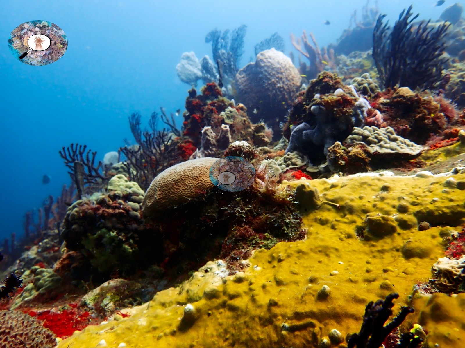
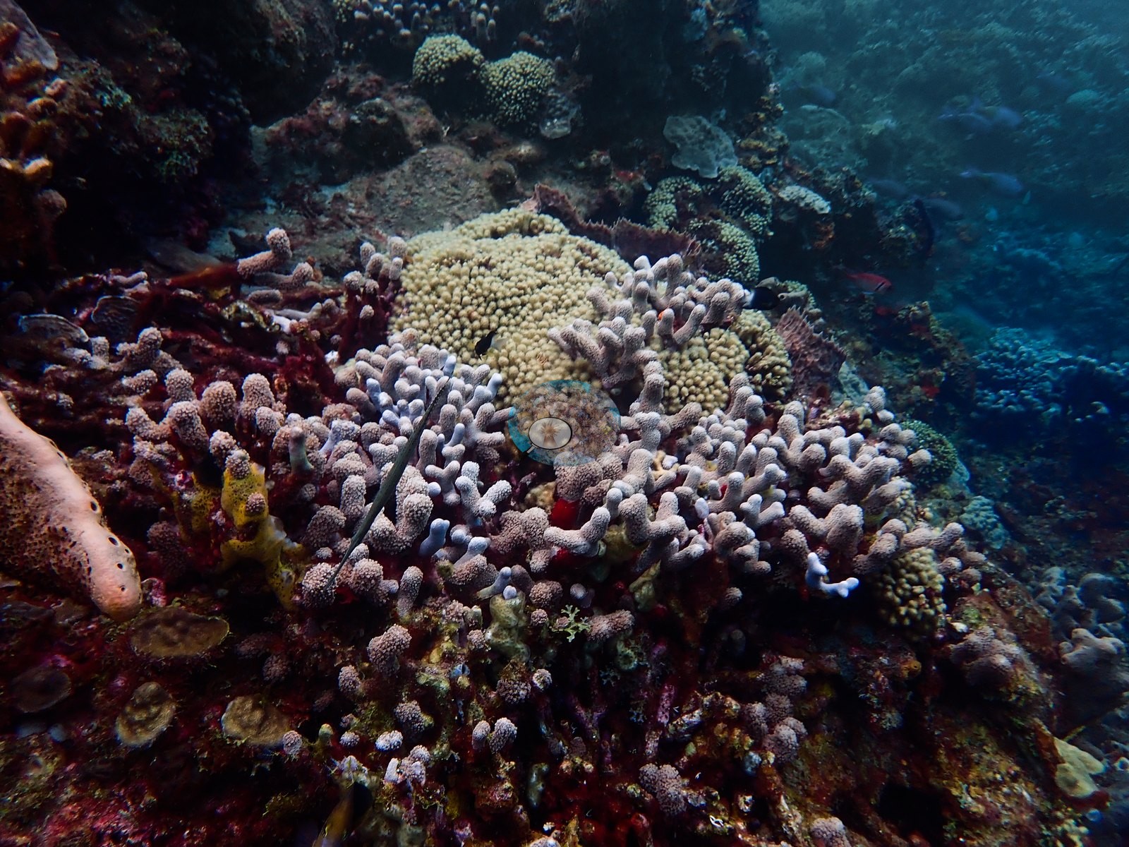
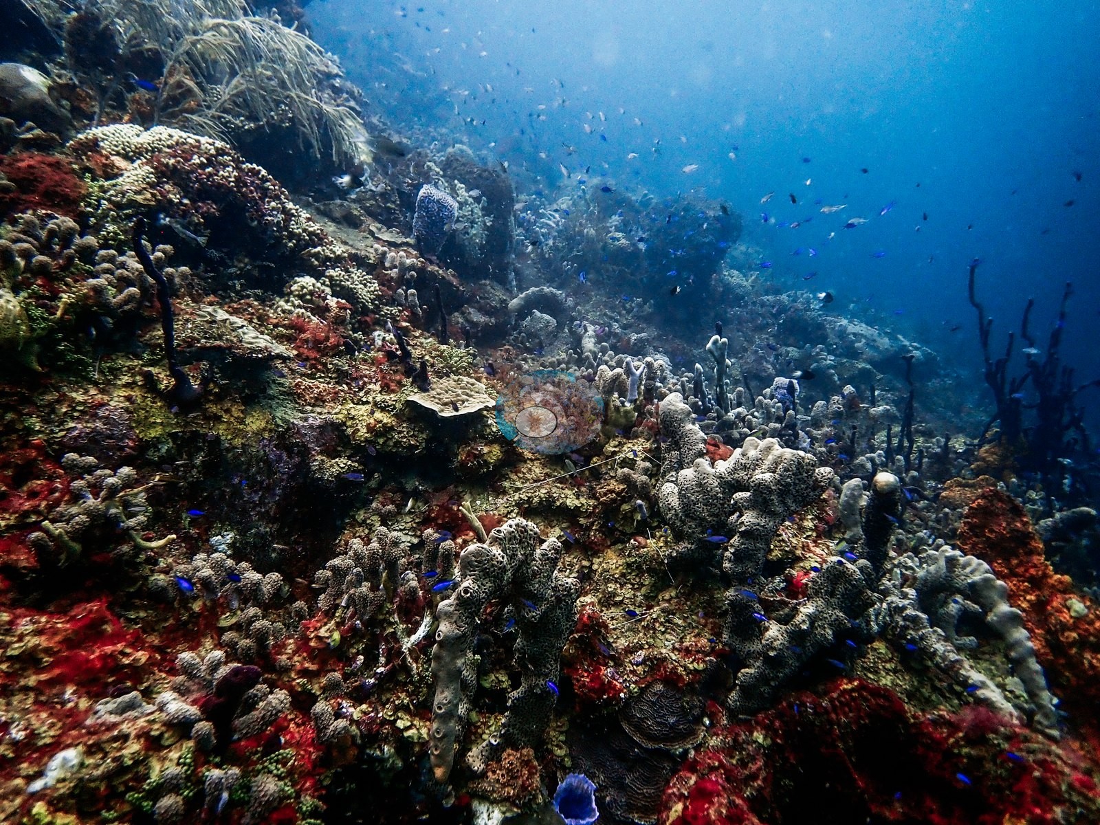
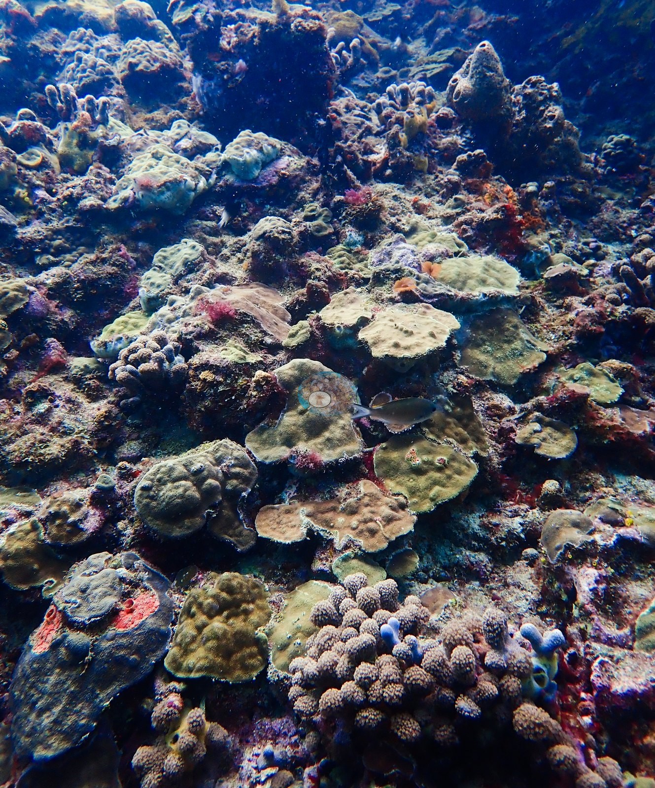
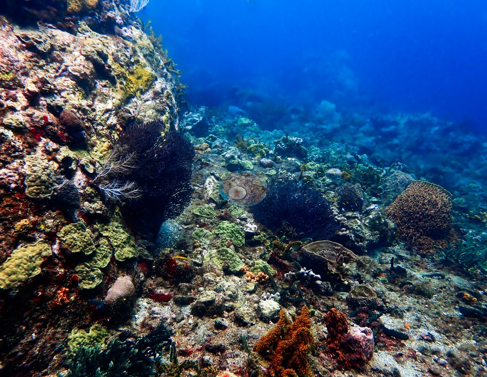
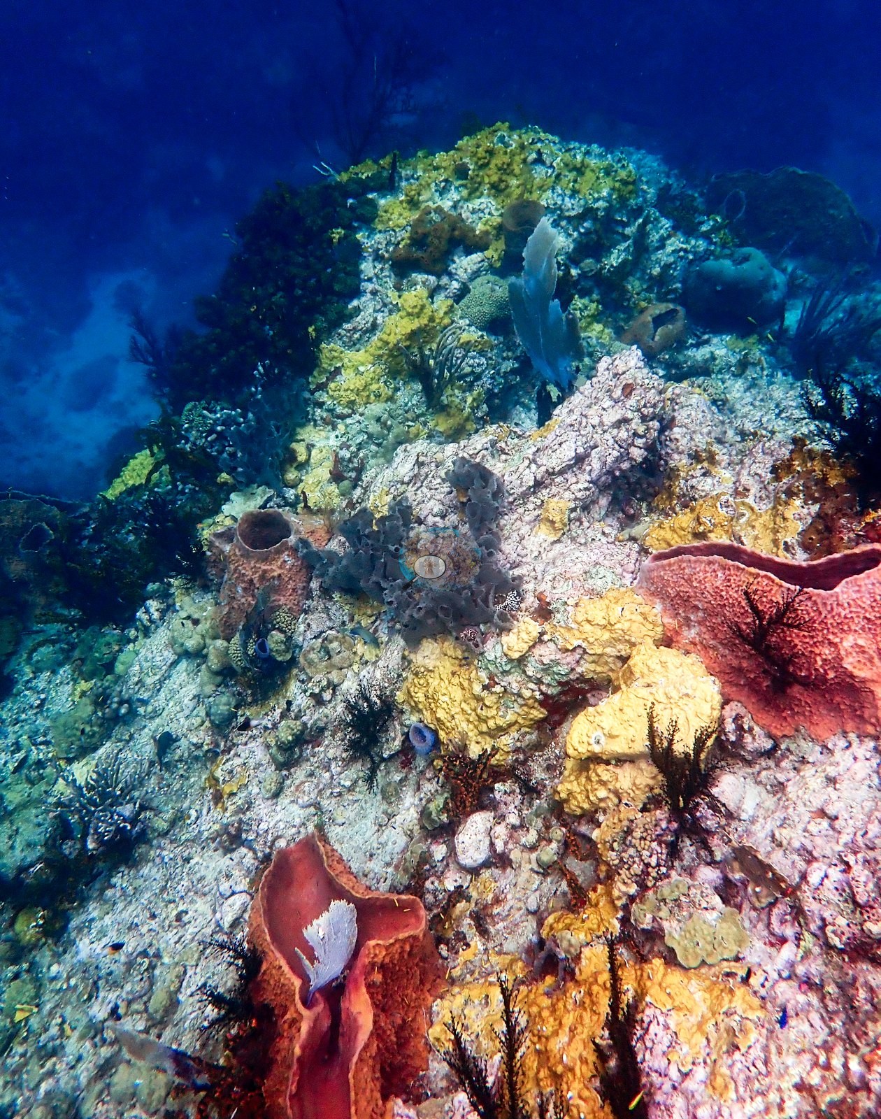
Black-coral wire whips and gorgonians lean out into the current, and the rock between is a mosaic of coralline algae, turf, and encrusting invertebrates (e.g., Image 1).
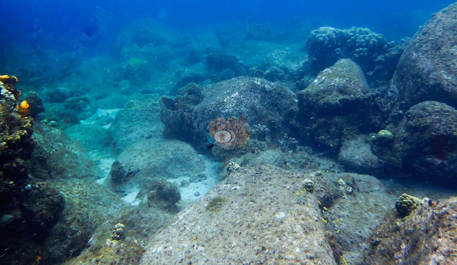
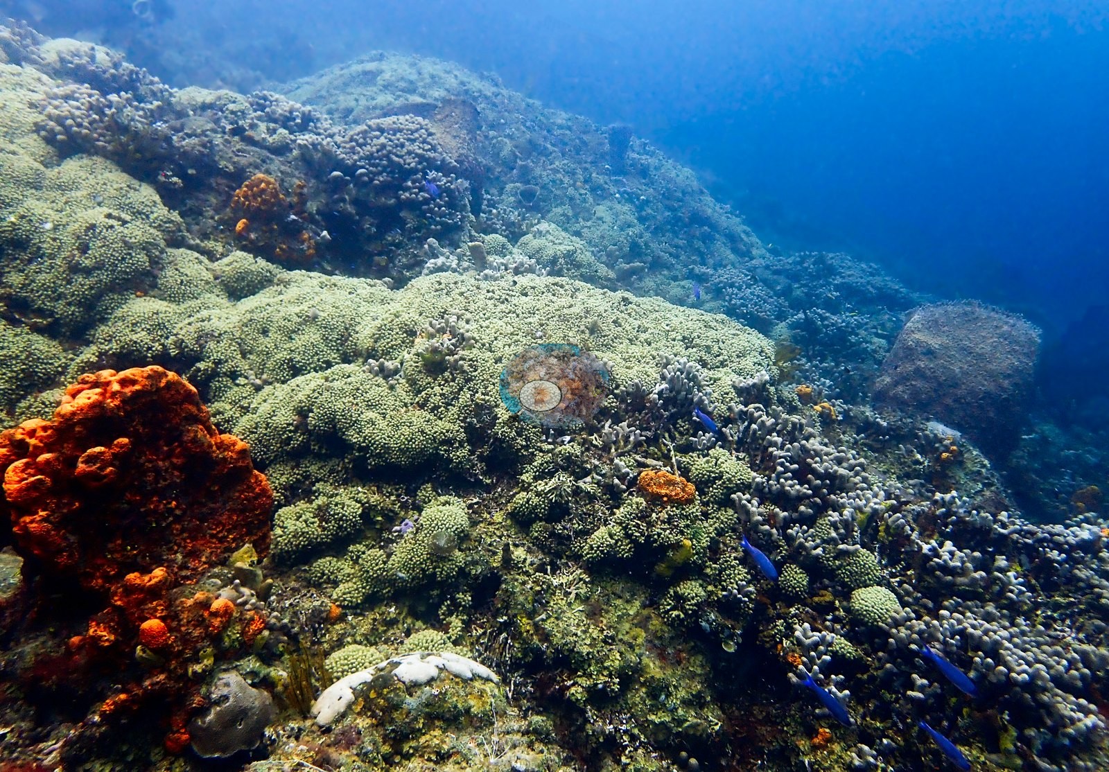
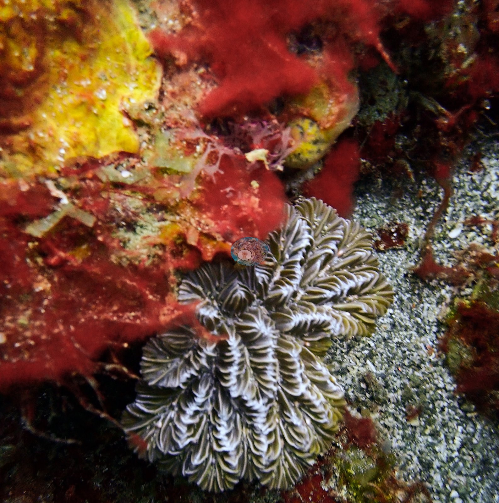
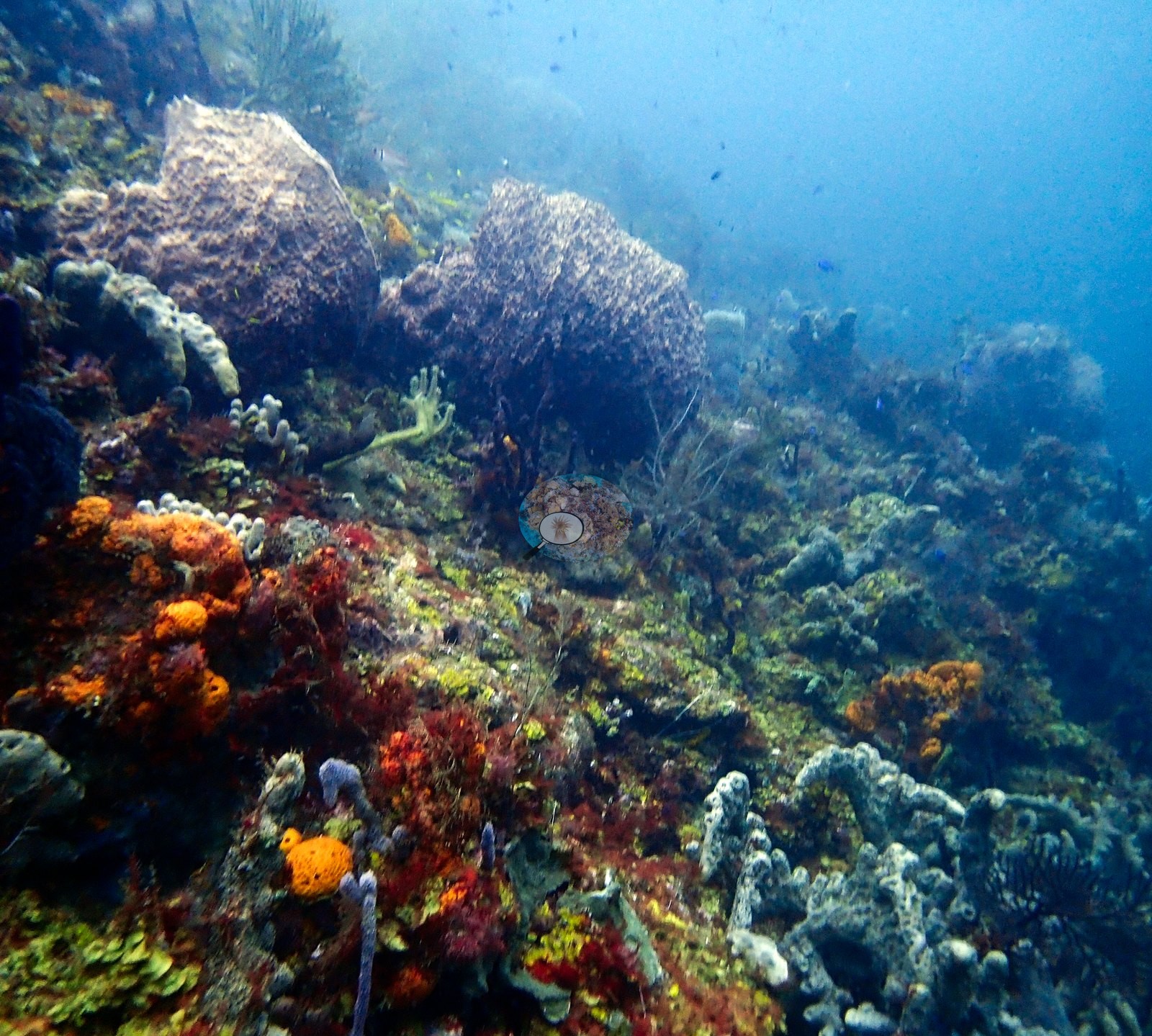
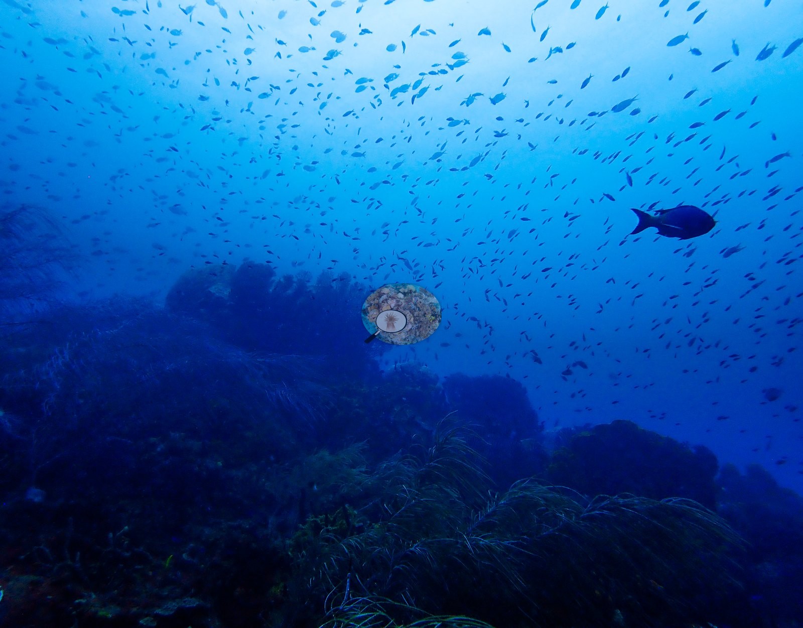
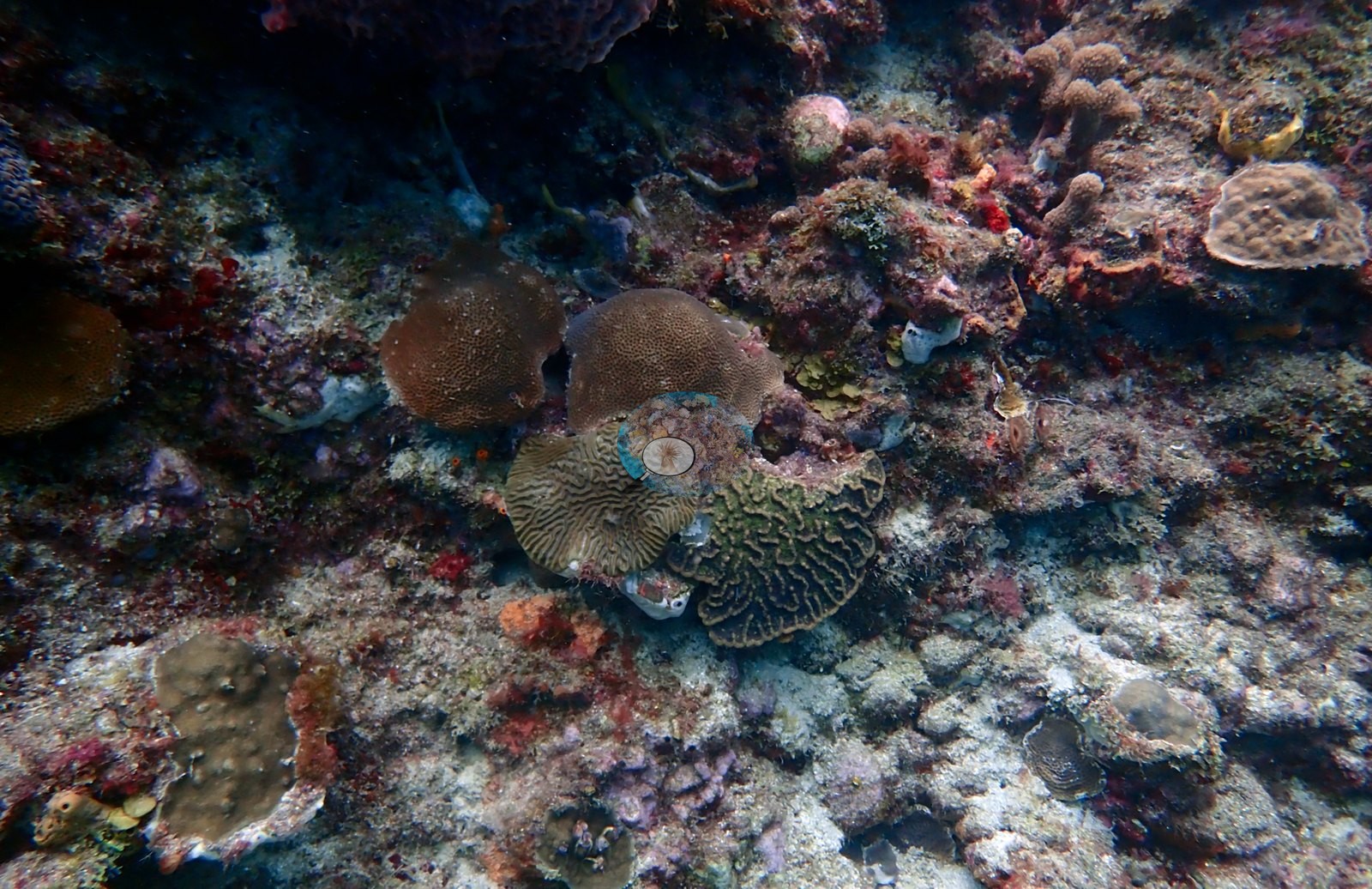
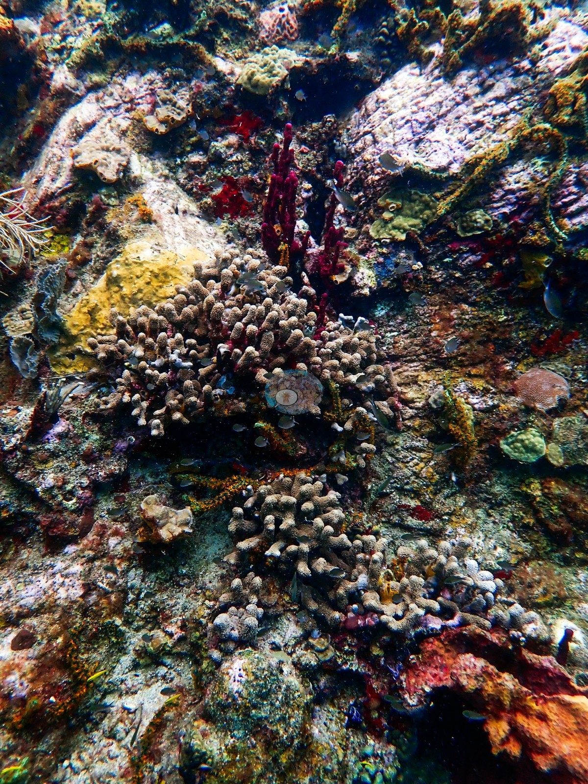
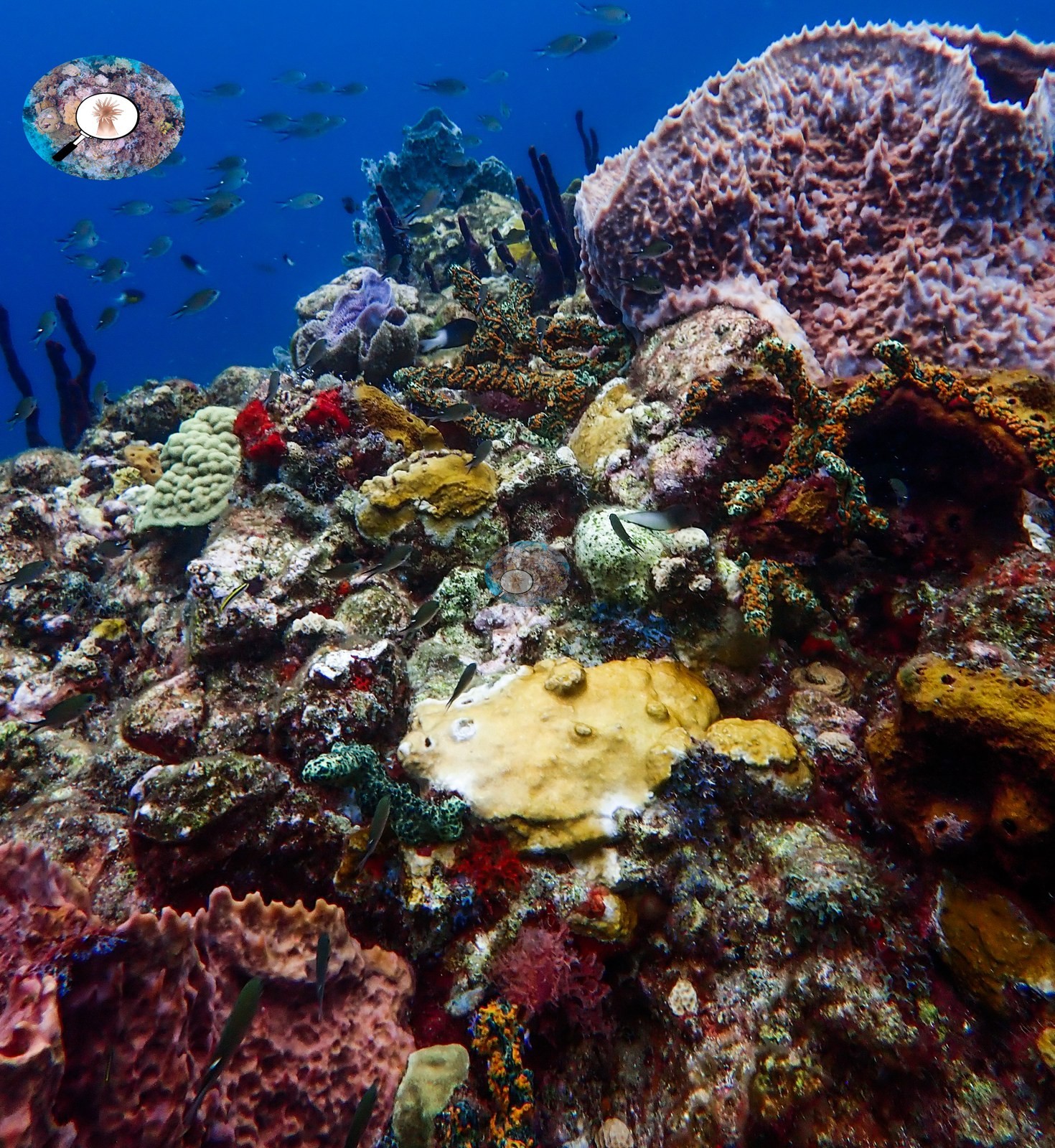
Stony corals are a minor component: small pale brain-type heads, mustard-colored mounding colonies, low plating, and encrusting patches, none of them dominant (e.g., Image 2).
Coral cover
- Reference: Claude CV point count (this site's photos)
- Coral cover: 9.0% — a blind Claude computer-vision point count of 106 of Anderson's edited photographs (20 points per photo; water, fish, and obstructions excluded). Other computer-vision methods are listed in the method table.
Stressors
No corallivores evident.
Fish and other fauna
Fish are abundant and constant - brown chromis and creole-wrasse-type planktivores streaming over the drop-off, wrasses working the slope, among them a terminal-phase bluehead wrasse (e.g., Image 5).
Comparisons with other data
No other surveys have been conducted at this site to date. Within 5 km, nine Reef Check stations recorded 3.8–57% hard coral cover between 1999 and 2014; the nearest, Reef Check at Superman's Flight, 0.42 km away, read 5.0–24% between 2005 and 2010.
CV model comparison
More info
A few colony-focused photos raise the mean; the median is the typical photo. No computer-vision method yet estimates coral cover accurately on new images, so treat this as indicative rather than a measurement; it is revised as the methods improve.More info
Other rows are for comparison only and are never averaged. No diver transect exists for this trip, so agreement between rows is not accuracy.| Method | Hard-coral cover (%) |
|---|---|
| CoralSCOP edited | 30.8 |
| Claude (edited photos) | 9.0 |
See a more detailed, stand-alone version of this table.
Independent surveys nearby
 Coral Reef Diagnostics
Within 5 km, 9 independent survey stations recorded hard coral cover in 85 surveys between 1999 and 2014. Of the 7 stations surveyed in more than one year, 3 declined, 2 increased, and 2 changed by less than 5 percentage points between their first and latest surveys. The longest record, Malgretoute (Reef Check, 0.89 km away), went from 43% in 1999 to 22% in 2010. The most recent nearby survey is from 2014, so these values predate recent heat stress. This site's own estimate (9.0%) sits within the range of these surveys (3.8–57%); the methods differ, so the comparison is context, not a like-for-like test.
Collected by other programs using different methods (Reef Check uses point-intercept transects), so these are context for the figures above, not a like-for-like comparison. Where a station was surveyed more than once the range is shown. Station names are not dive-site names.
| Agency | Site / location | Date | Hard coral cover (%) | Distance |
|---|---|---|---|---|
| Reef Check | Malgretoute | 1999–2010 | 11–43% (16 surveys) | 0.89 km |
| Reef Check | Coral Gardens | 1999–2006 | 5.3–38% (12 surveys) | 1.86 km |
| Reef Check | Anse Chastanet Reef | 1999–2006 | 14–34% (9 surveys) | 3.12 km |
| Reef Check | Turtle Reef | 1999–2006 | 18–57% (5 surveys) | 3.25 km |
| Reef Check | Superman's Flight | 2005–2010 | 5.0–24% (15 surveys) | 0.42 km |
| Reef Check | Rachette Point | 2005–2010 | 8.8–25% (16 surveys) | 3.04 km |
| Reef Check | Rachette Pointe | 2006 | 33% (2 surveys) | 2.89 km |
| Reef Check | Grande Caille | 2008–2014 | 4.6–18% (9 surveys) | 3.57 km |
| Reef Check | Coral Garden | 2014 | 3.8% | 1.98 km |
Data & links
All images from Coral Reef Diagnostics. Data are from Coral Reef Diagnostics and the organizations named in the data sources above.
© Coral Reef Diagnostics.