
St. Lucia - Soufriere Pinnacles

Part of the regional summary: St. Lucia
More info
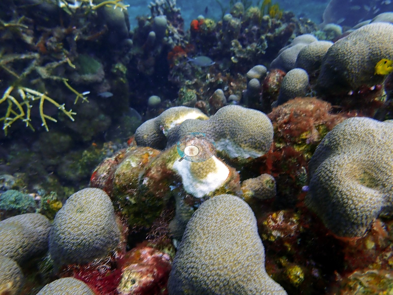
Windward Caribbean Islands (NOAA CRW virtual station) · Eastern Caribbean ecoregion mean: 13.1 degree heating weeksSoufriere Pinnacles, at the foot of Gros Piton, is a high-relief reef of boulders, steep walls, and narrow canyon-like corridors lined with giant barrel sponges and dense sea fans, with a coral-packed ridge swarming with small fish. Several large corals carry fresh white tissue-loss lesions, and old broken staghorn rubble is conspicuous in places.
Nine independent survey stations shown with the program’s logo — click one to see how far it is from this site.
Two other CRD dive sites within 5 km shown in orange — click a marker to open its page.
This page shows 50 of the 54 photographs from this site, including every one the text cites.
21 of the 50 photographs on this page are shown beside the text that discusses them under "Site description" below.
Site description
Setting
Soufrière Pinnacles, at the base of Gros Piton in the Soufrière Marine Management Area, St. Lucia, dived 25 and 26 June 2022. Soufrière Pinnacles is a high-relief rocky reef in which large boulders, coral-covered ridges, and near-vertical faces are separated by sand-floored depressions and narrow passages.
General benthic features
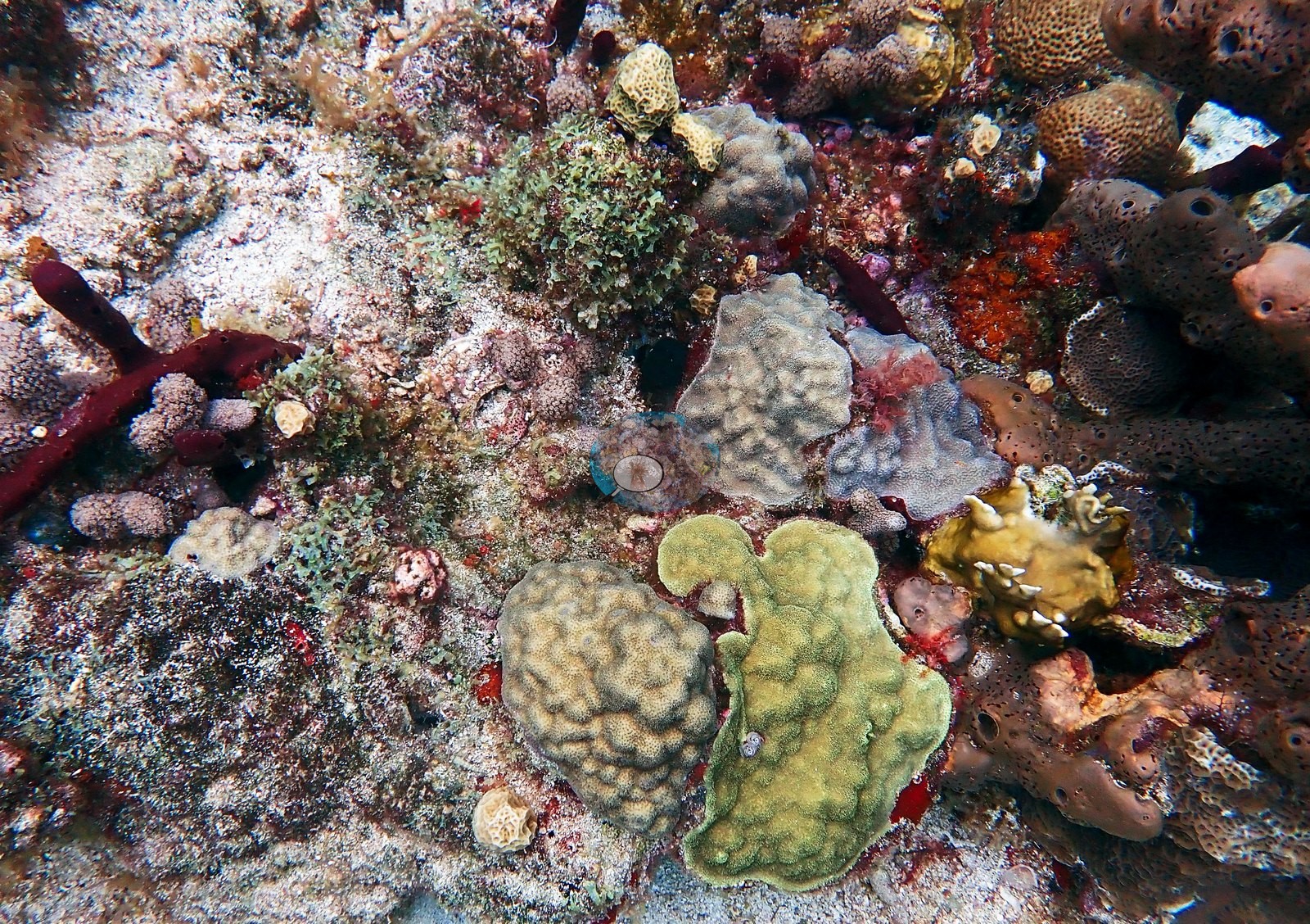
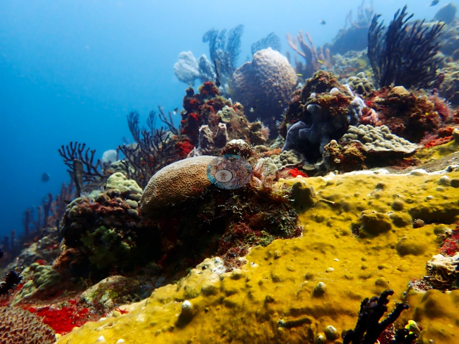
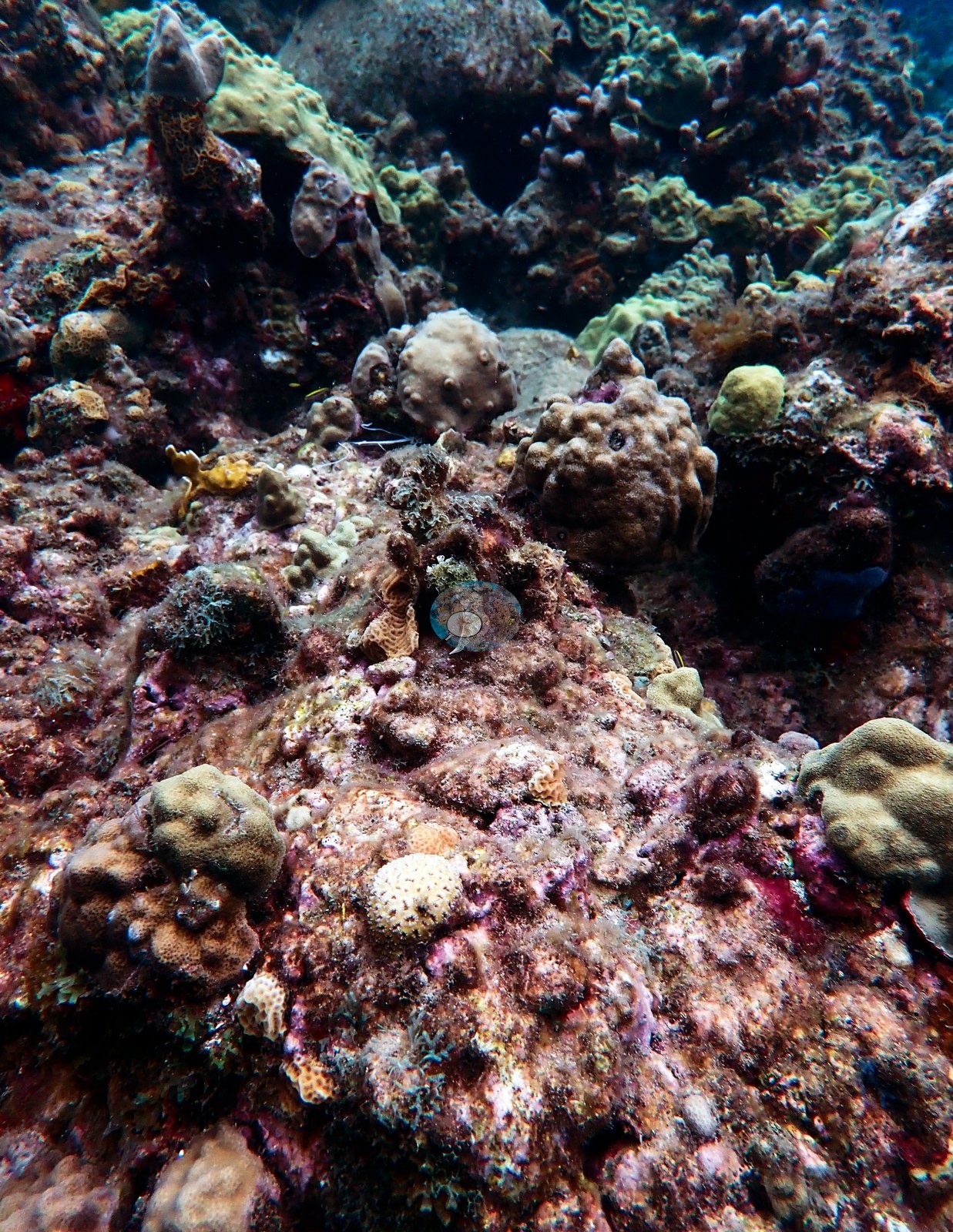
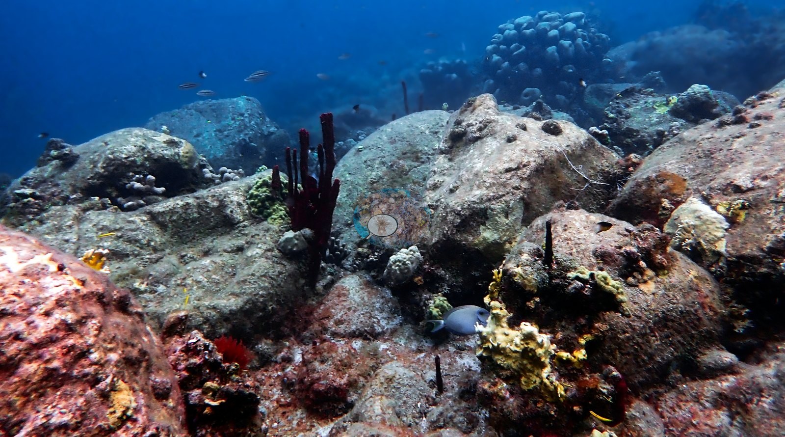
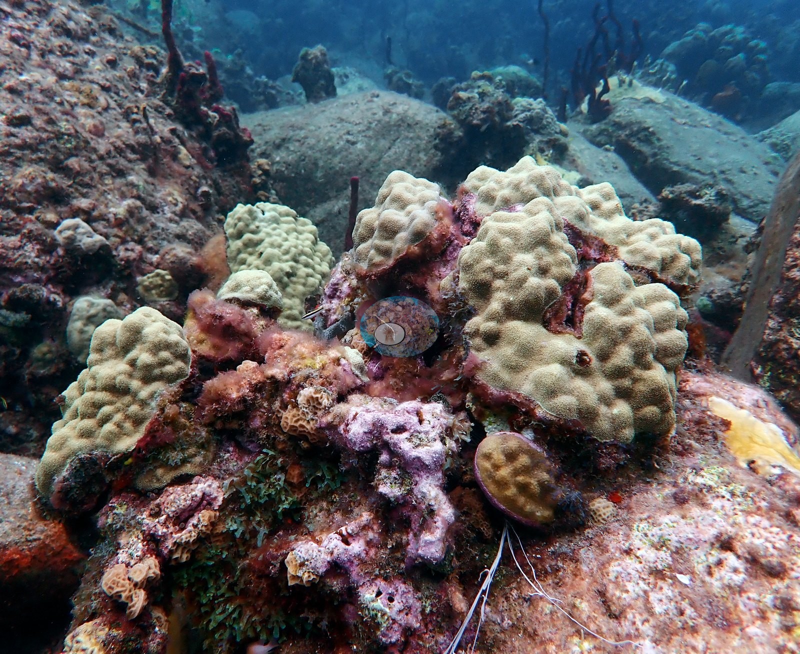
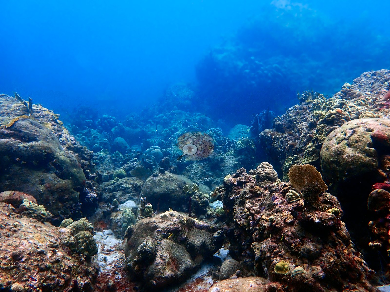
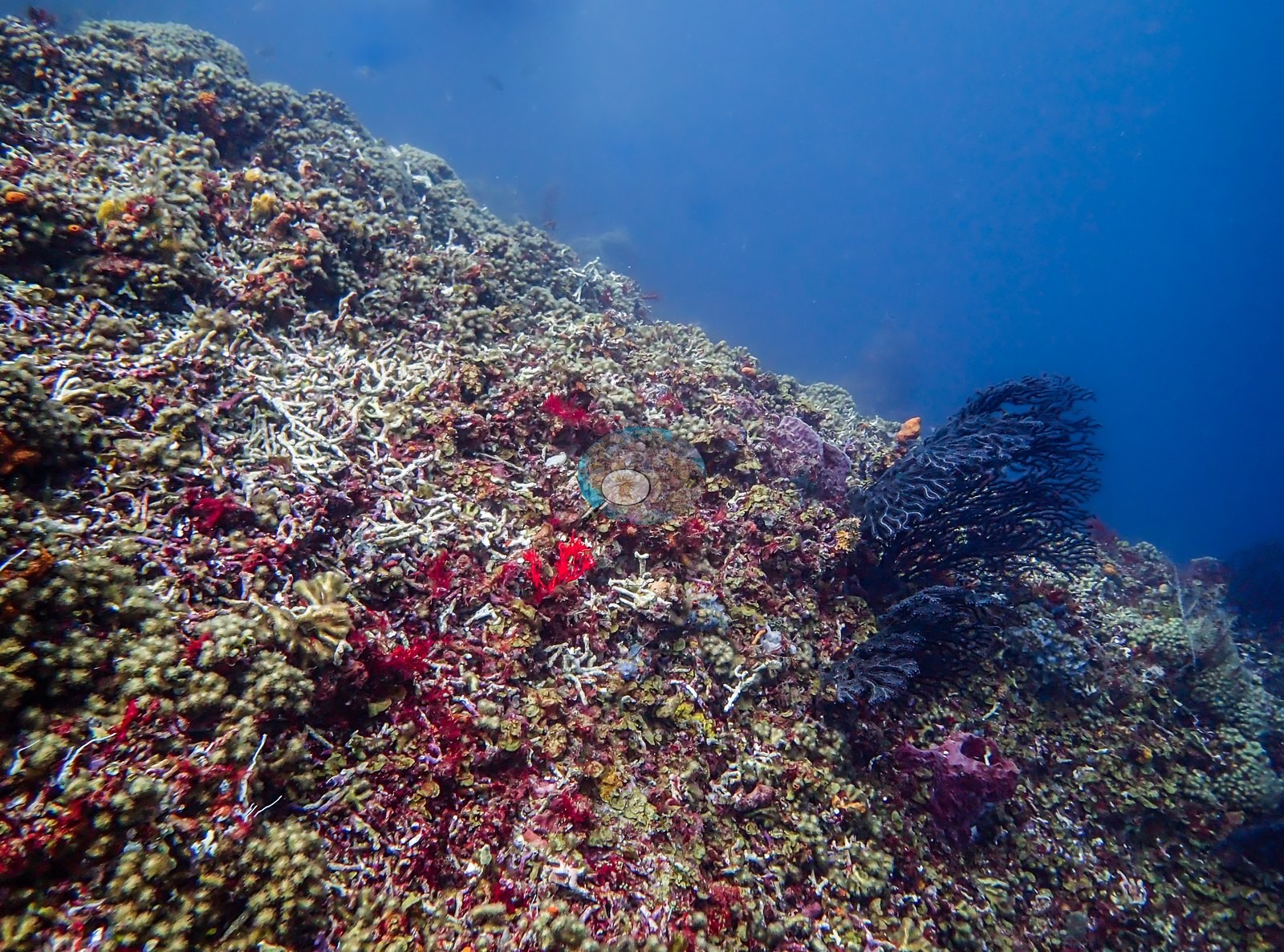
Growth forms visible are compatible with Orbicella, Montastraea, Siderastrea, Porites, Pseudodiploria/Diploria, Colpophyllia, Agaricia, Acropora, and Millepora, with octocorals compatible with Gorgonia, Antillogorgia, and related Caribbean genera. The opening sequence crosses a relatively open boulder field. Large rounded rock surfaces dominate the foreground, with sand and fine sediment collected in the spaces between them. Living coral is initially patchy: small massive, knobby, and encrusting colonies occupy stable high points, while broad areas of rock carry turf, crustose growth, and scattered red, yellow, and purple sponges. Red rope sponges and short sea rods project from the rock, but the overall structure at this end of the sequence is provided more by the underlying boulders than by living coral framework. The clearest landscape frame from this zone shows the reef descending through successive boulders and low coral heads into blue water (e.g., Image 51).
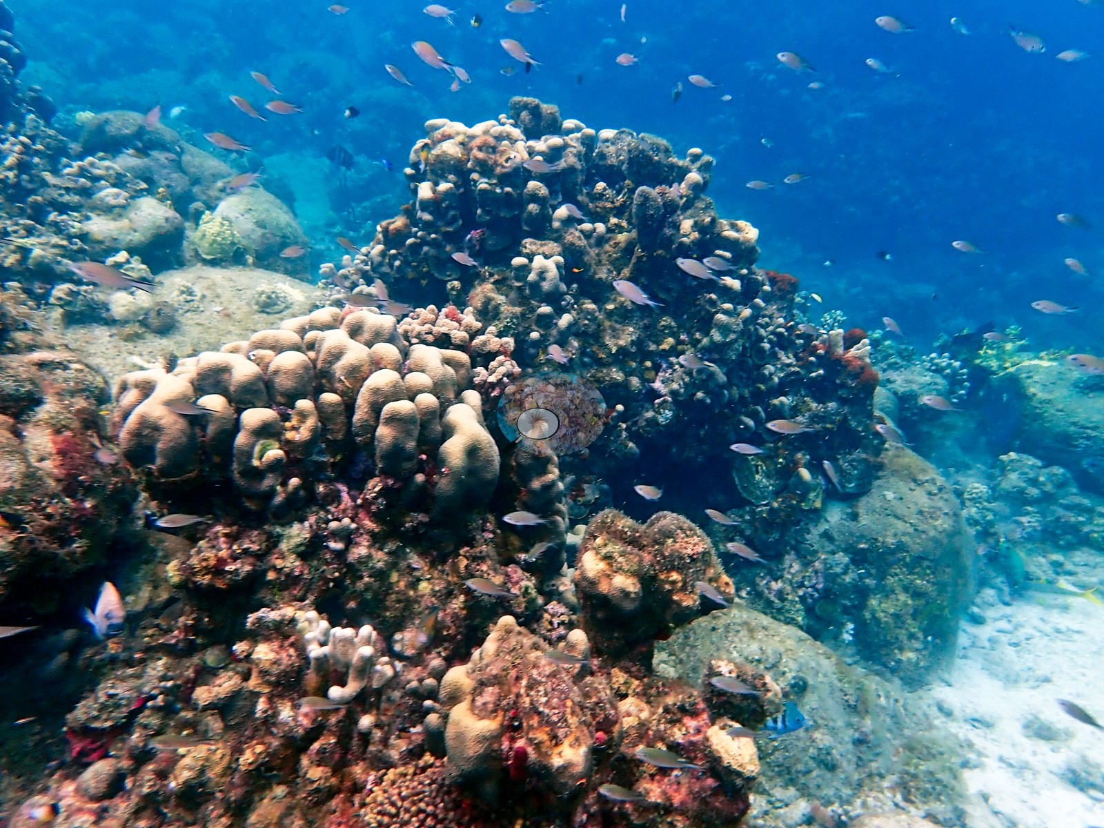
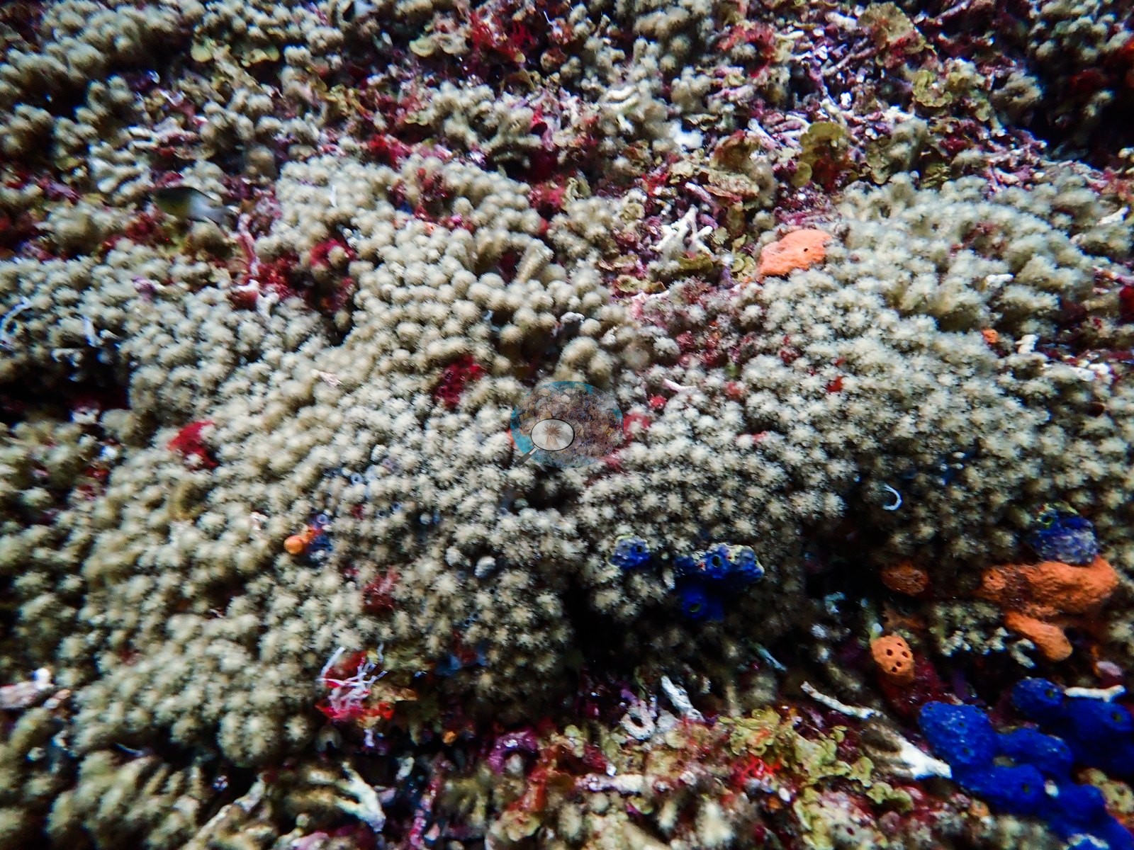
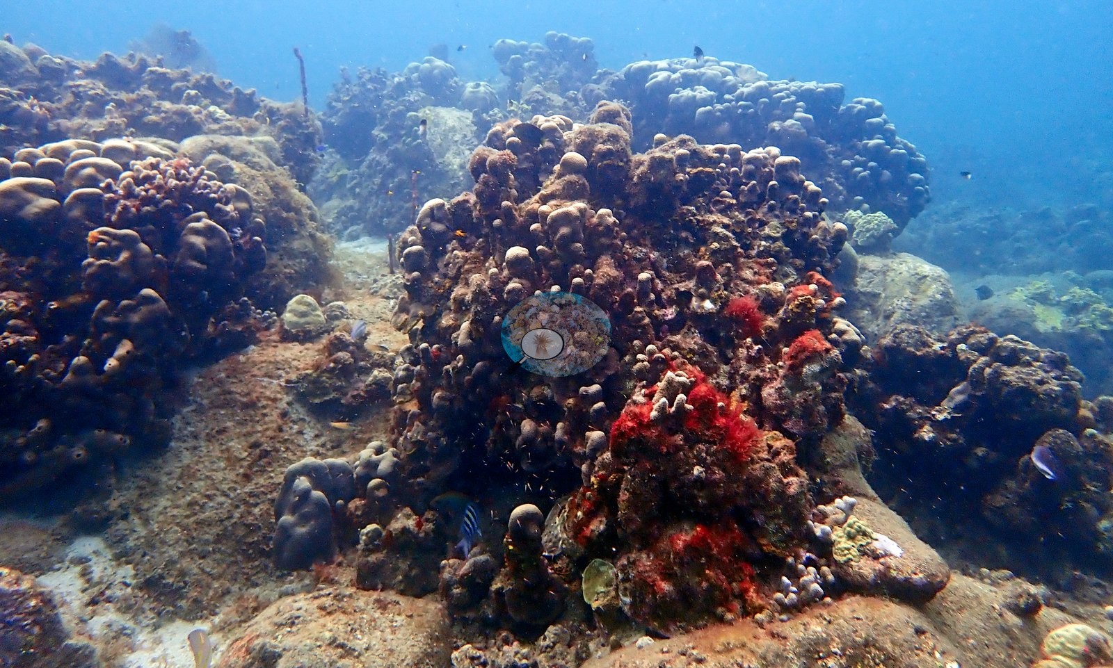
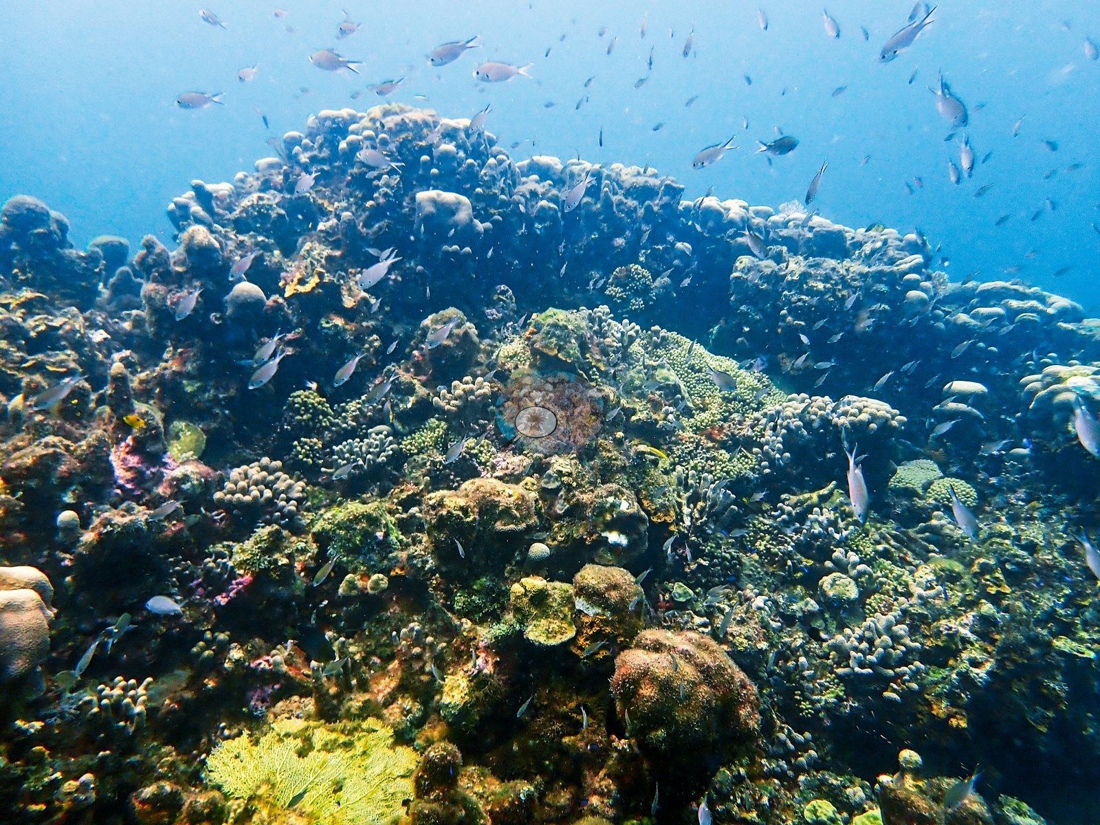
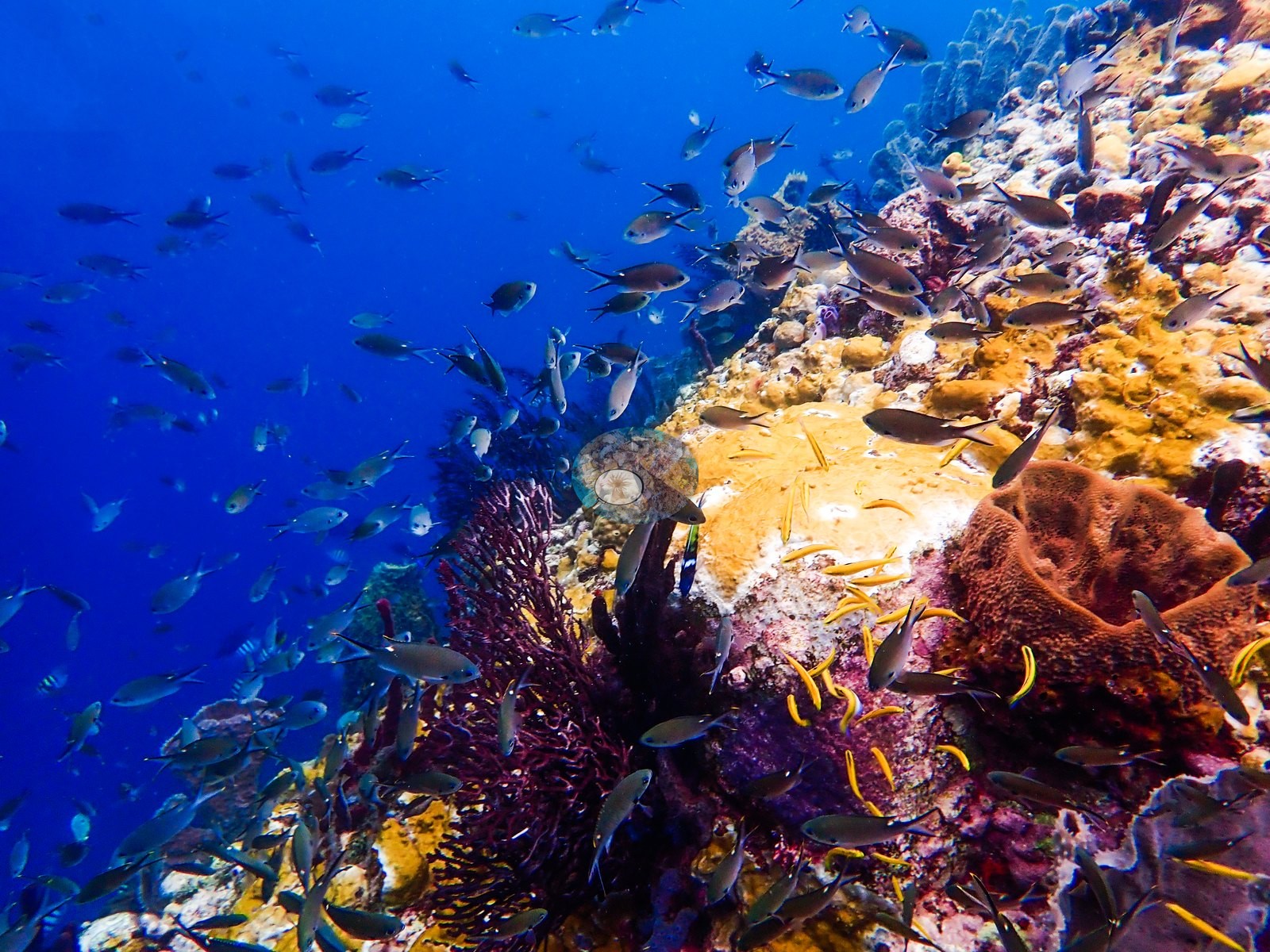
The character changes markedly in the next stretch of frames. Here the reef rises into a densely colonized shoulder dominated by massive and lobate corals, with small plates, encrusting colonies, and branching forms packed into the intervening spaces. One frame defines this zone: a broad coral-covered ridge supports a cloud of small planktivorous fishes, while rounded colonies compatible with Orbicella, Montastraea, or Porites form most of the visible relief (e.g., Image 37).
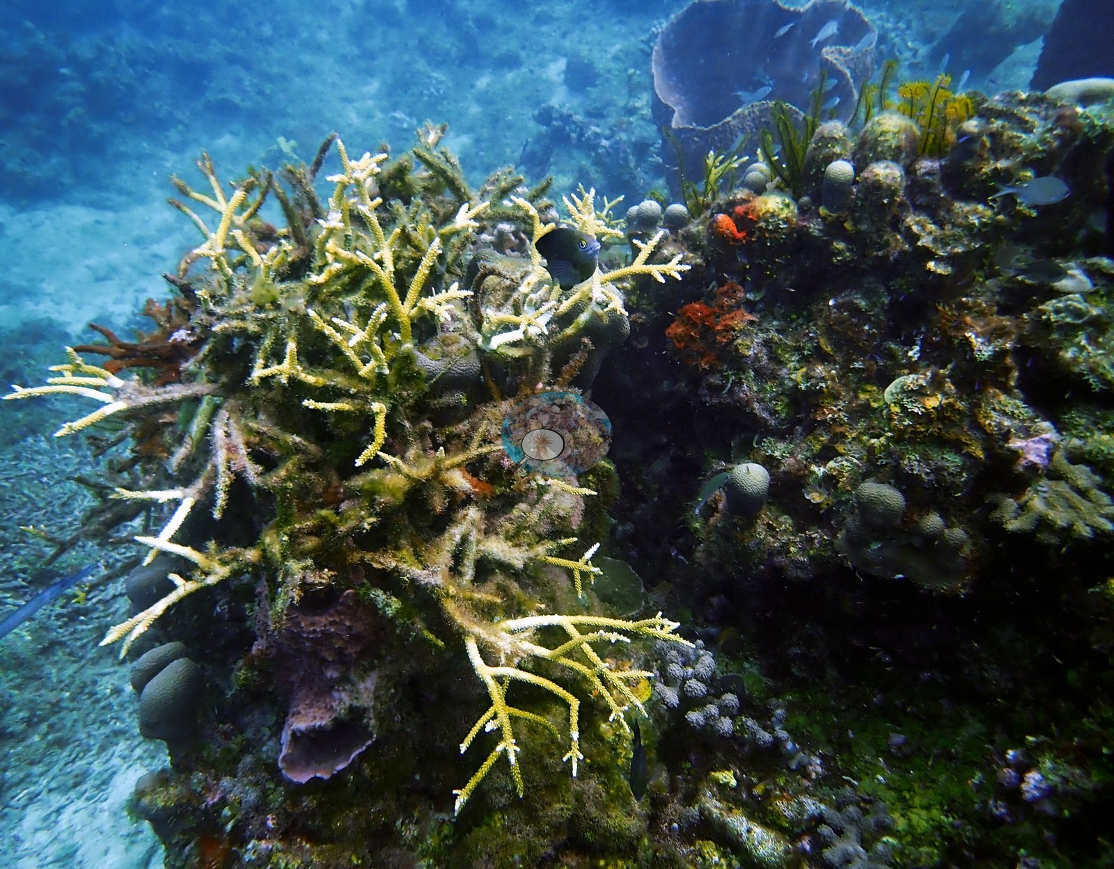
Encrusting and plating corals compatible with Agaricia occur lower on the ridge, accompanied by yellow and orange sponge growth and scattered sea fans. One frame records branching staghorn-like coral compatible with Acropora cervicornis, while another shows an extensive accumulation of broken branching material (e.g., Image 13, Image 20).
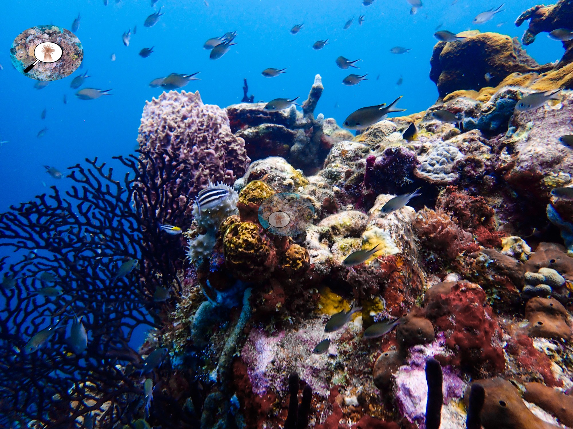
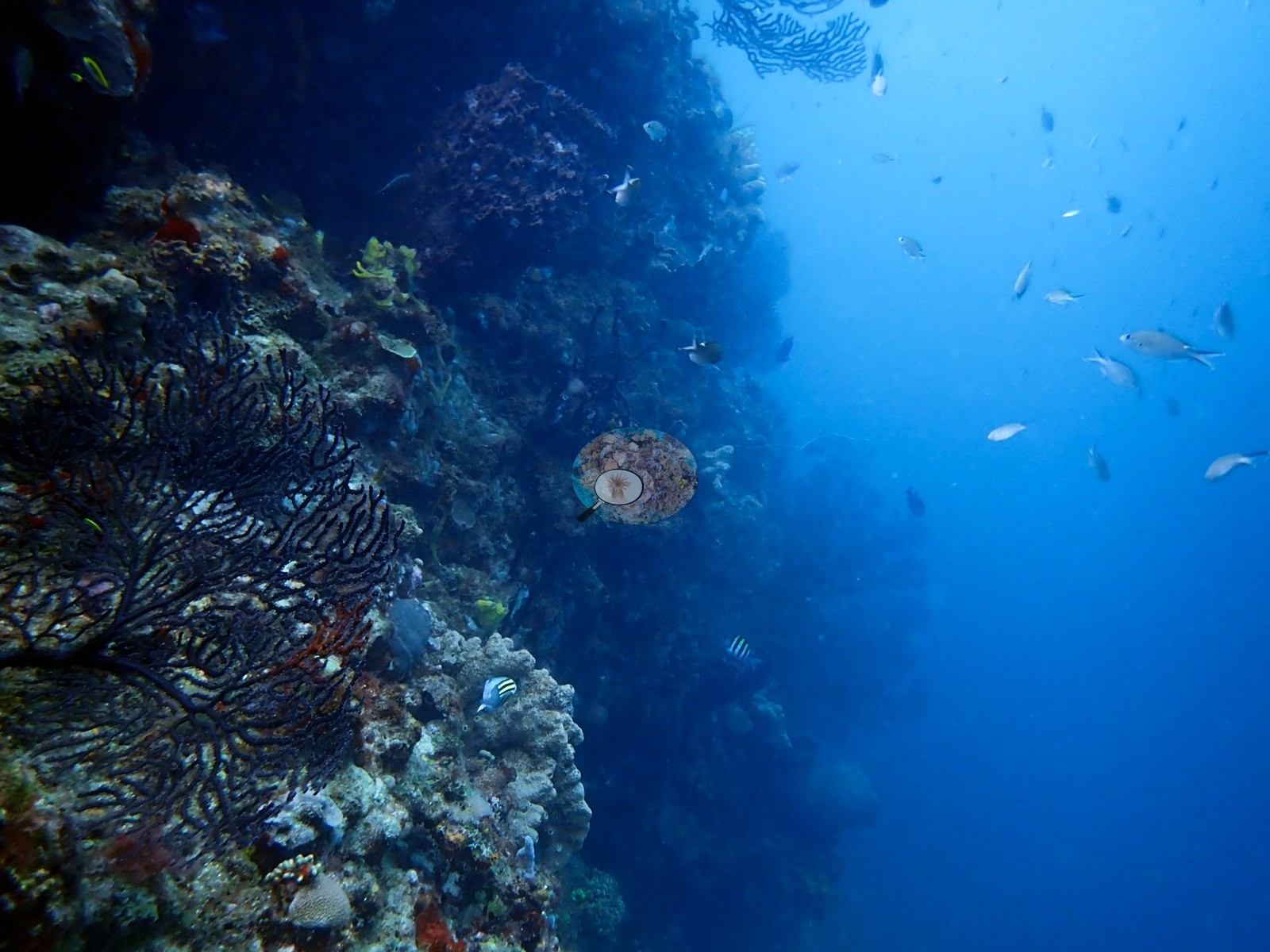
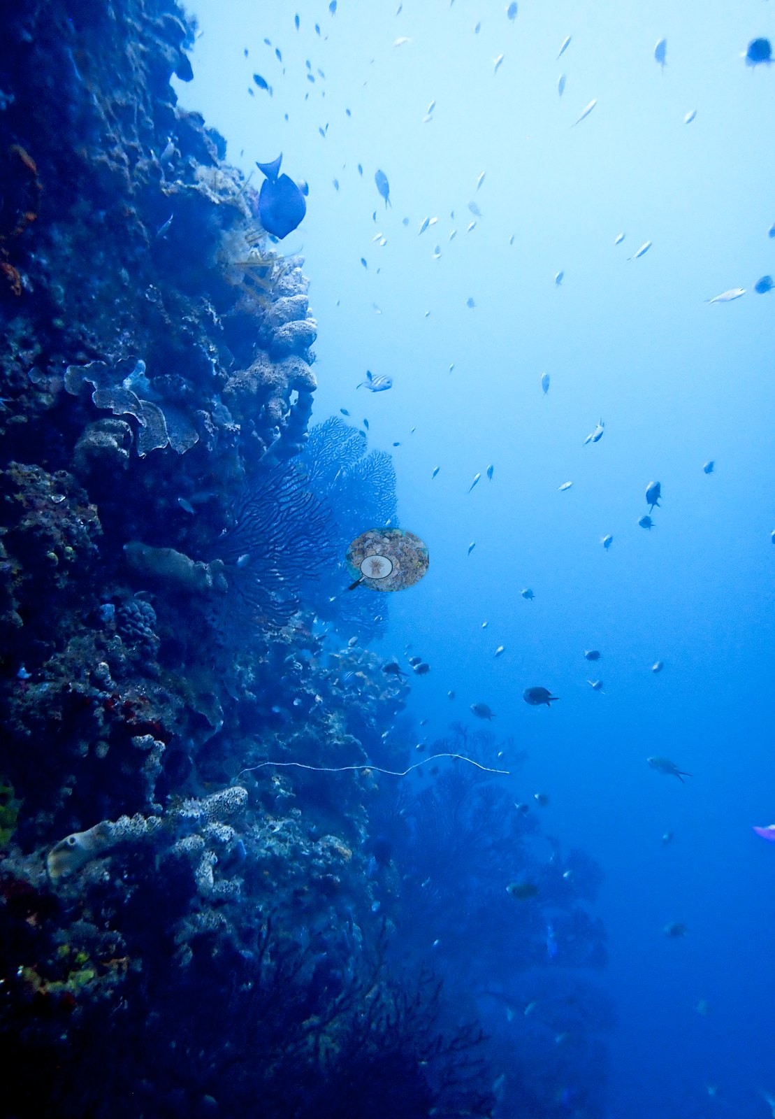
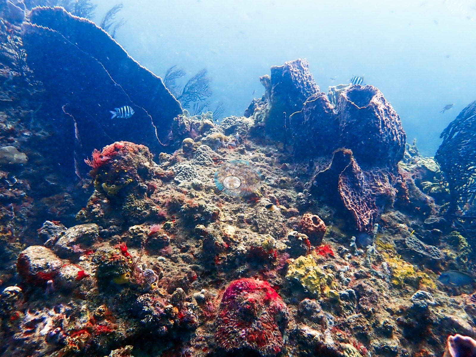
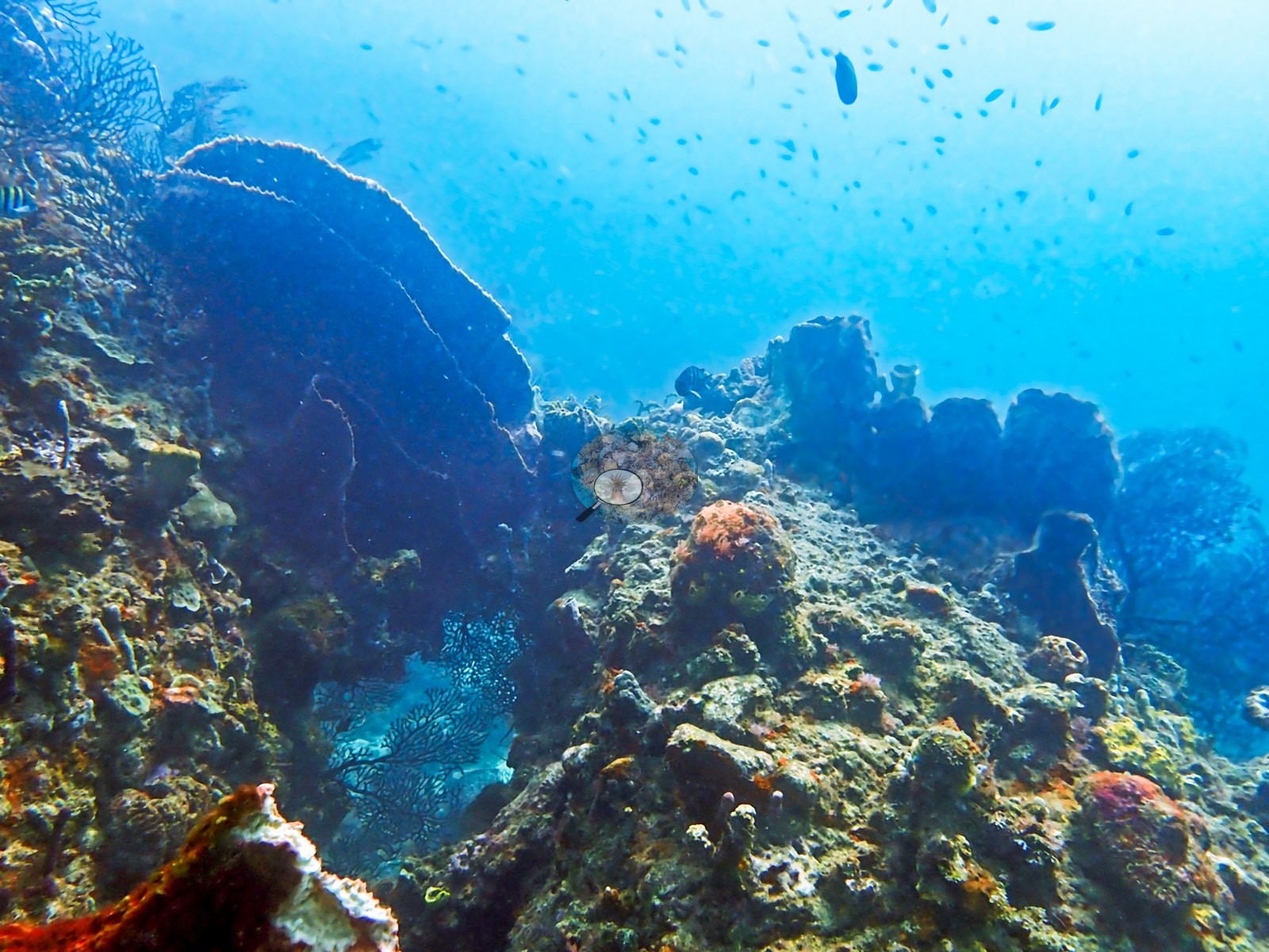
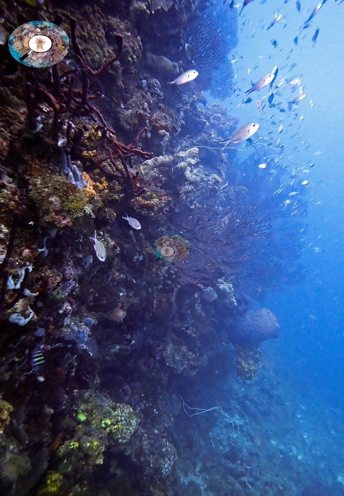
The next sequence reaches the principal high-relief portion of the site. Two frames show a steep reef face falling into darker blue water, with large sea fans projecting from the wall and schools of fish holding off the reef (e.g., Image 1).
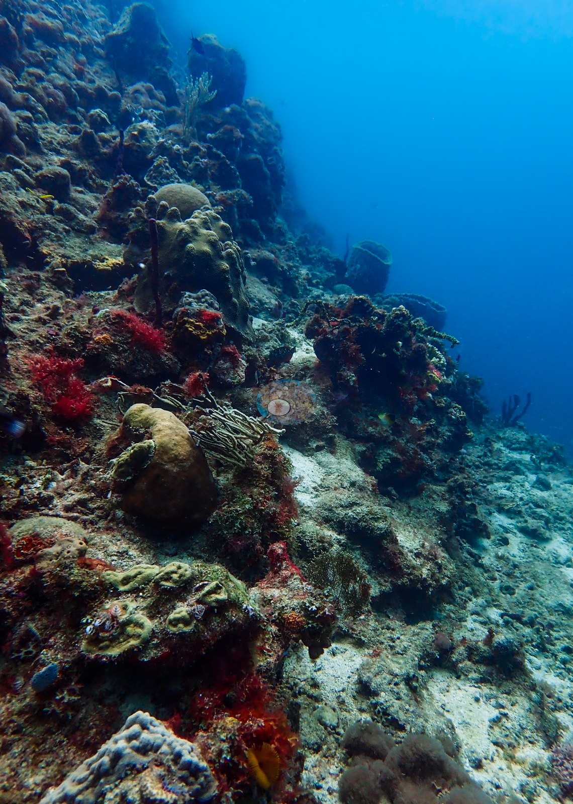
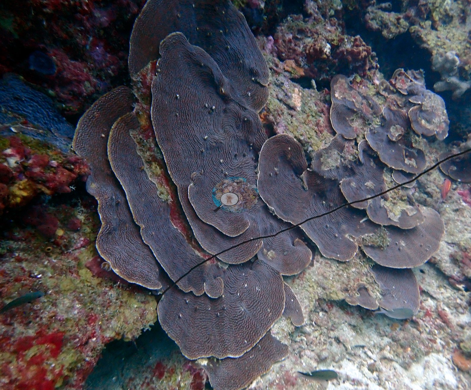
The wall is not uniformly coral-covered: hard corals occupy ledges and projecting surfaces, while gorgonians, sponges, and encrusting organisms dominate many of the steeper or more shaded sections. Plate and foliose corals compatible with Agaricia recur in two consecutive frames (e.g., Image 52, Image 53), including overlapping shelves growing from inclined rock (e.g., Image 53).
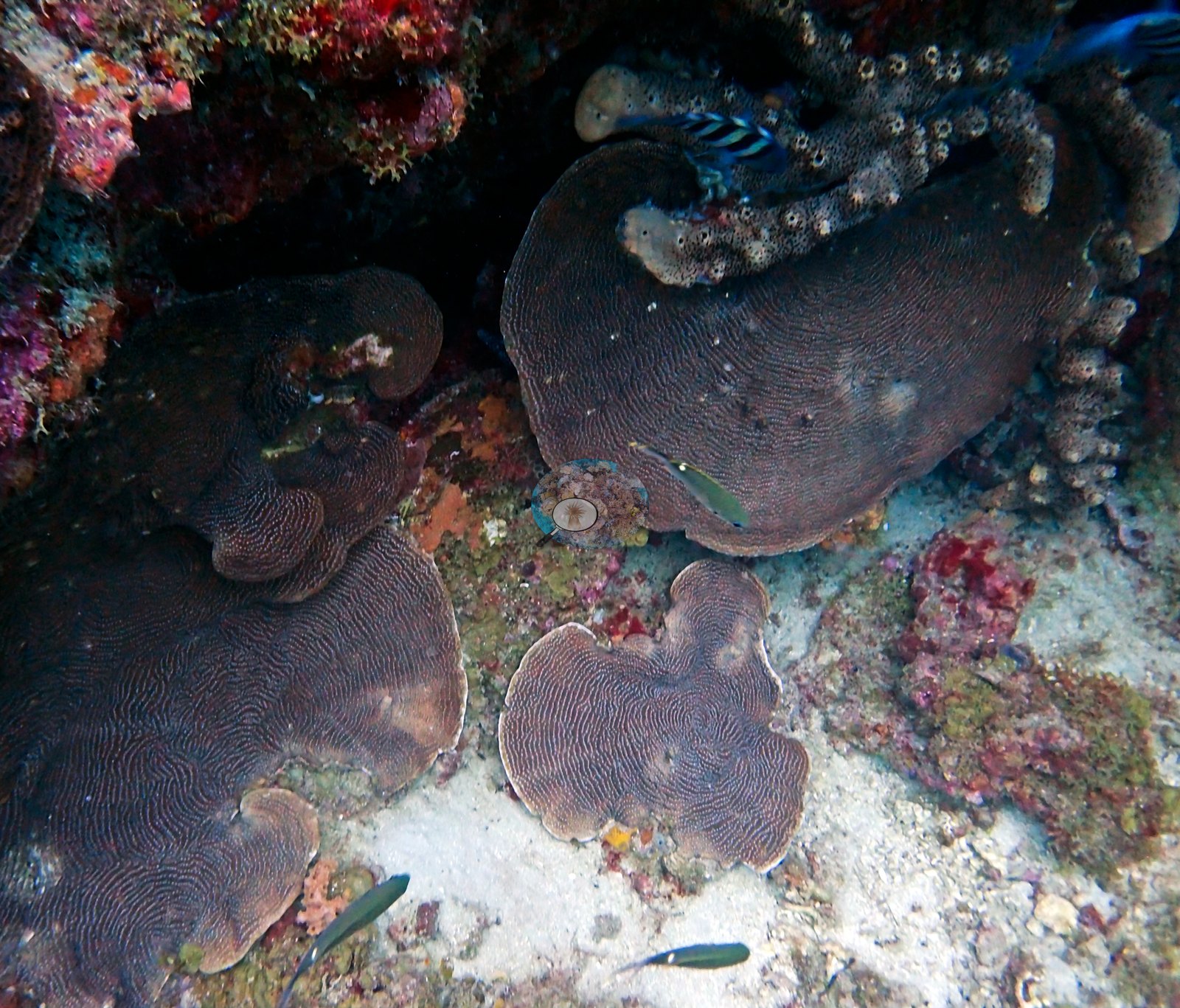
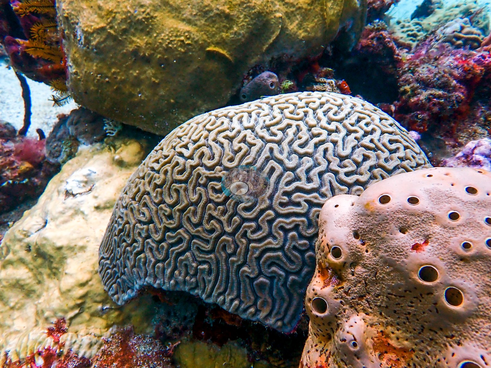
One frame shows a large meandroid brain coral compatible with Colpophyllia or Pseudodiploria (e.g., Image 54).
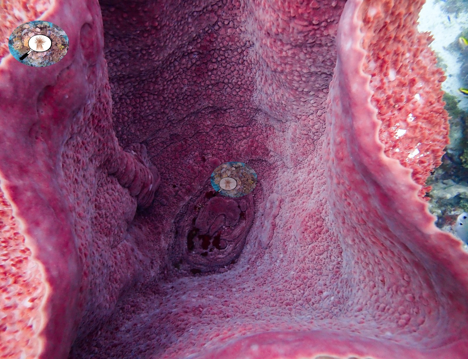
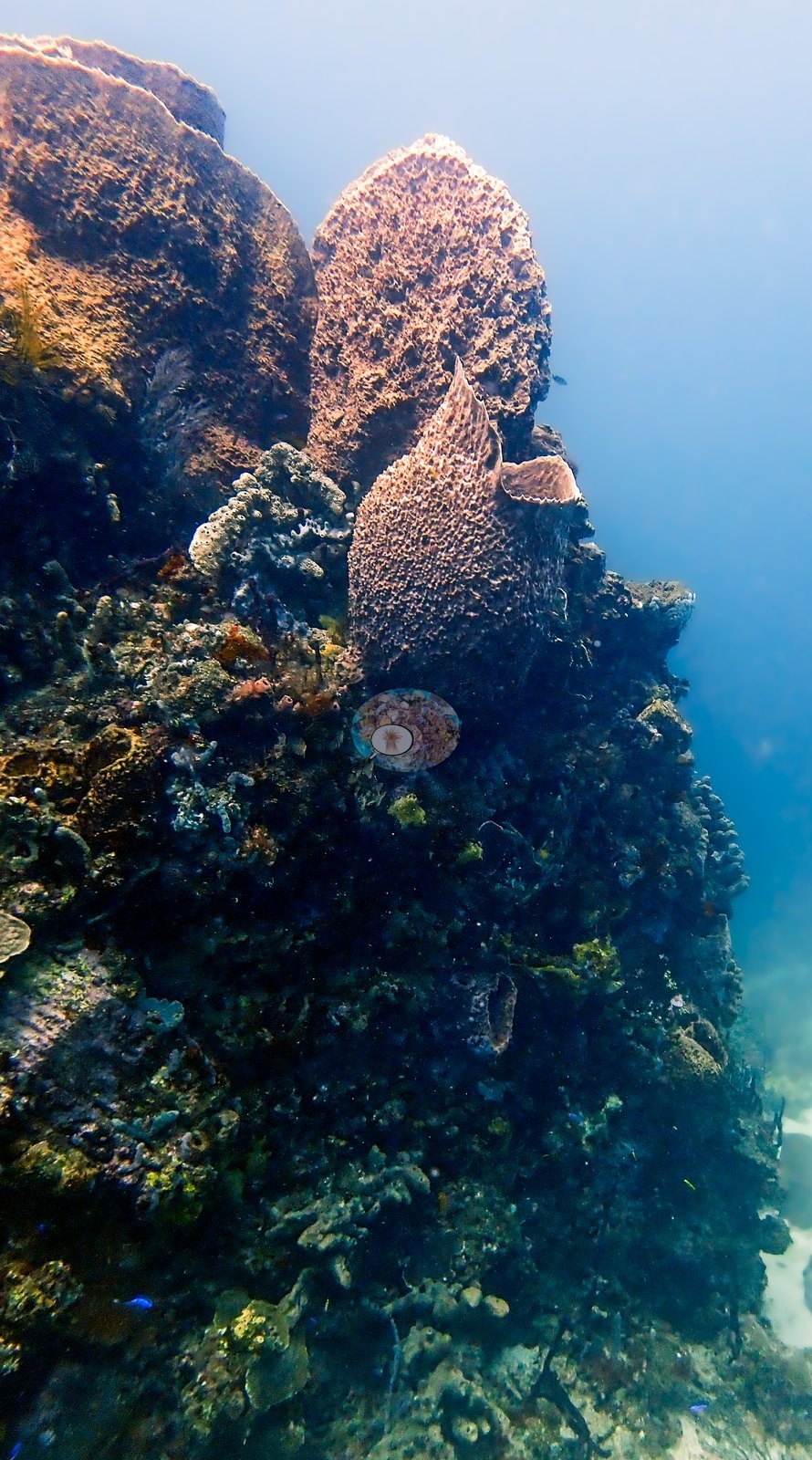
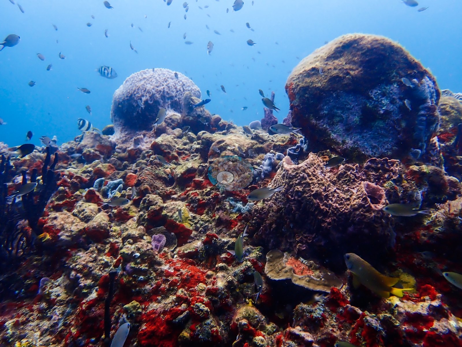
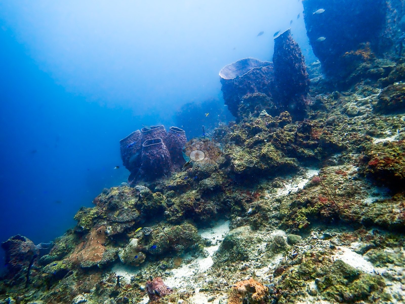
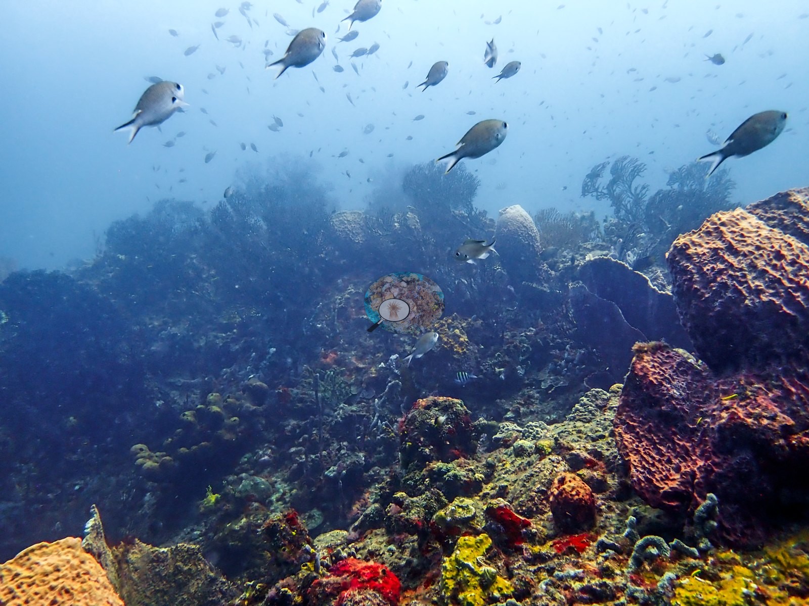
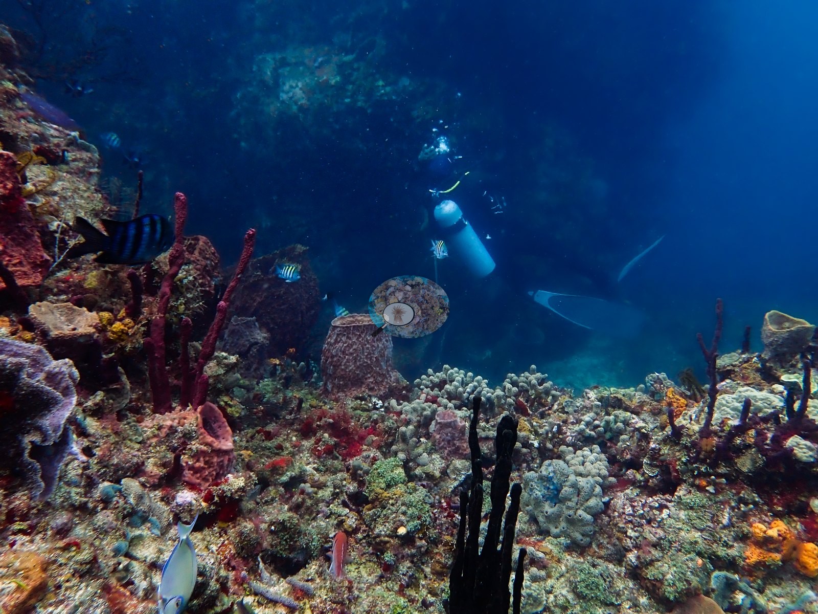
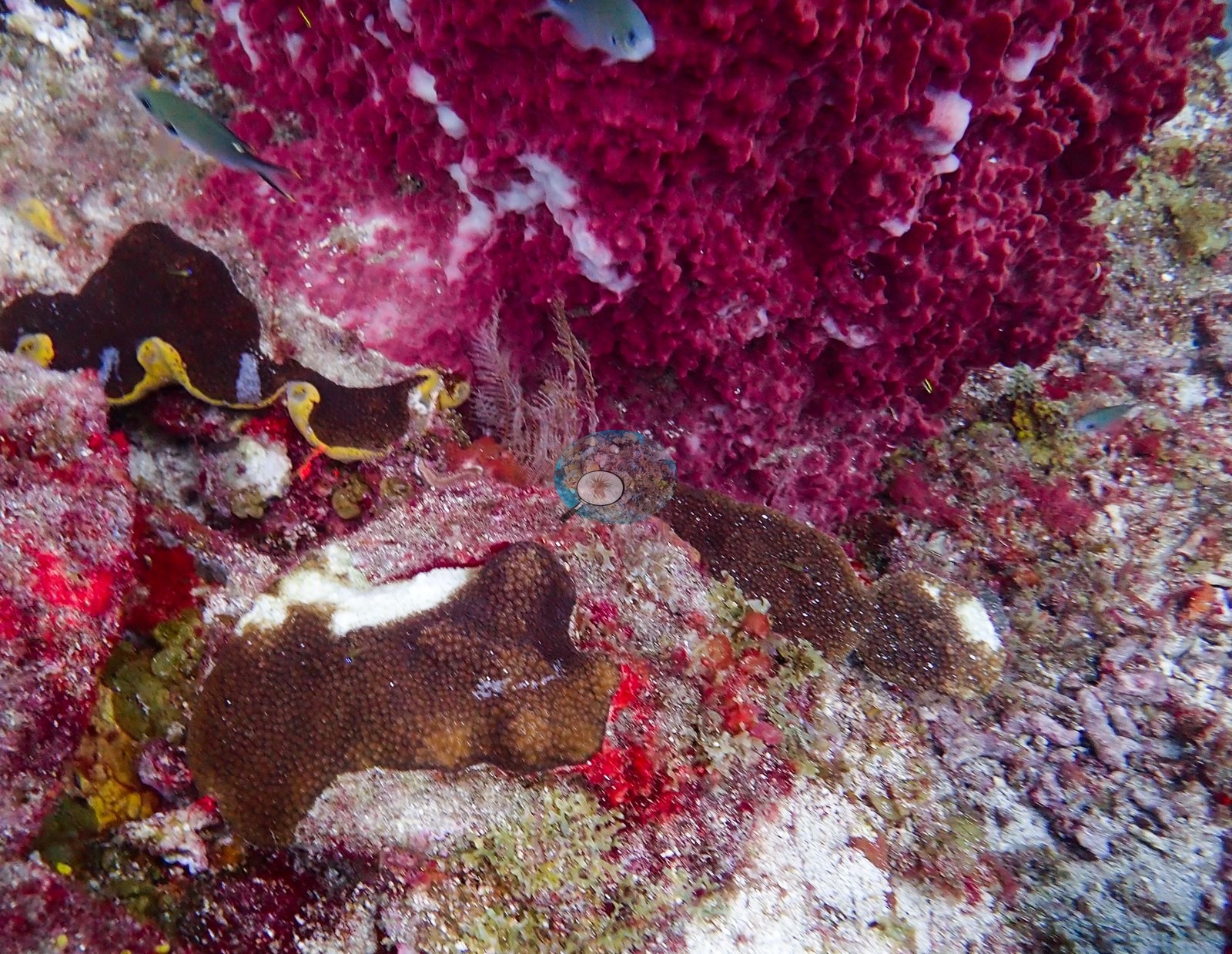
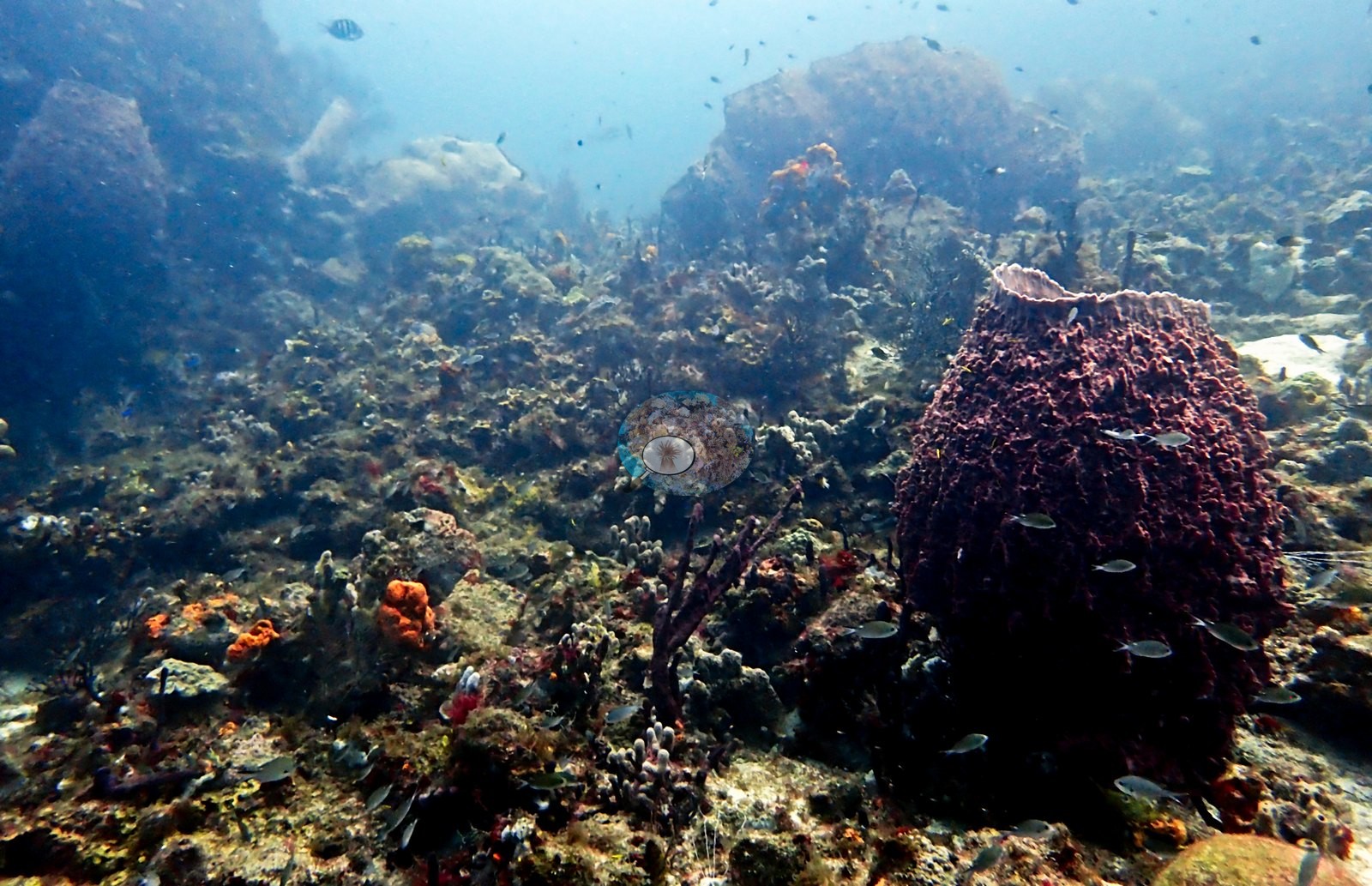
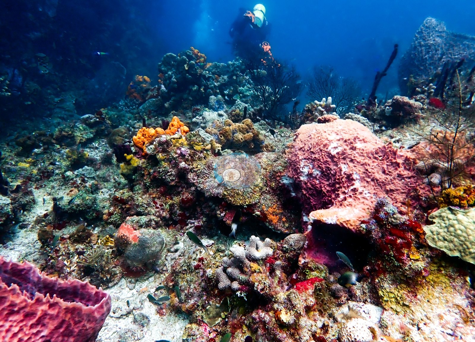
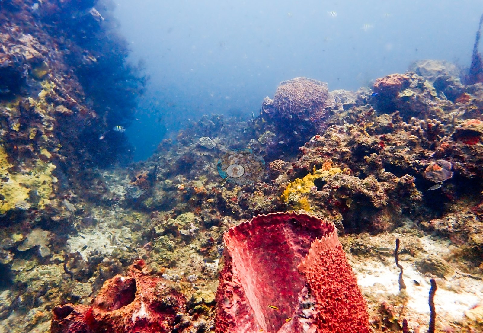
A short run of frames documents a broad summit covered by low, tightly packed colonies and red encrusting growth, with open blue water immediately beyond the crest. The dive then moves into a particularly sponge-rich section. The following stretch contains plate corals, red and purple encrusting sponges, upright tube sponges, and some of the site's most conspicuous giant barrel sponges. A short run of frames shows groups of large reddish-maroon barrels compatible with Xestospongia muta, several large enough to dominate the surrounding benthos, standing among smaller orange sponges, dark sea rods, foliose corals, and patches of sand (e.g., Image 4, Image 5).
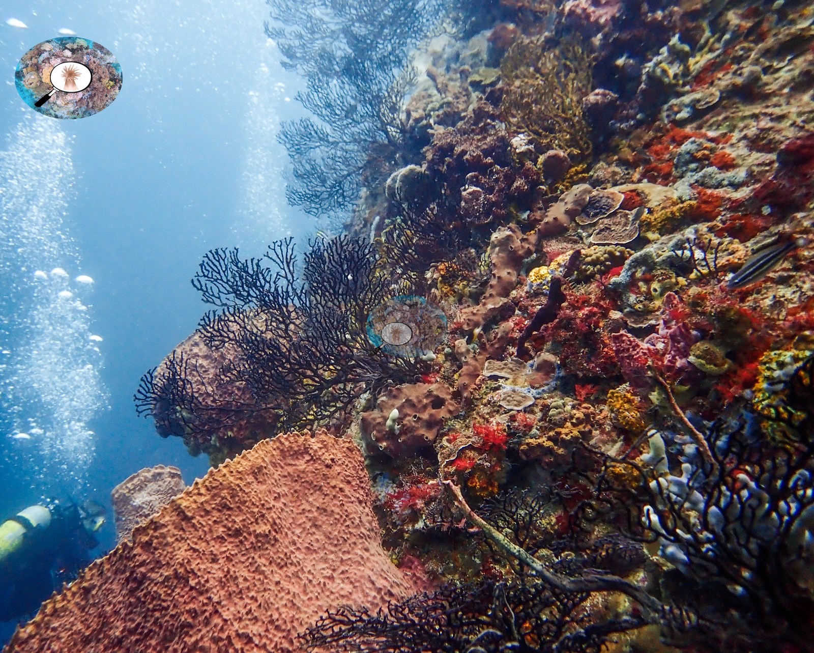
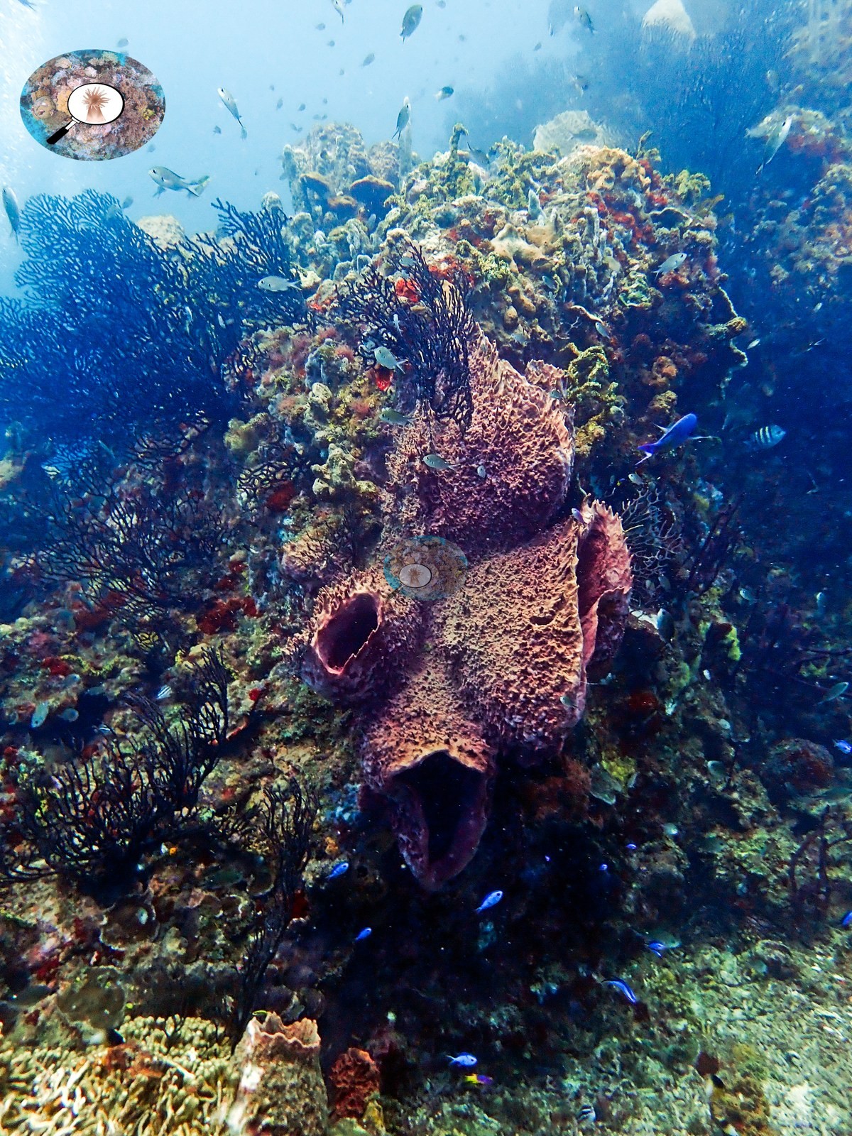
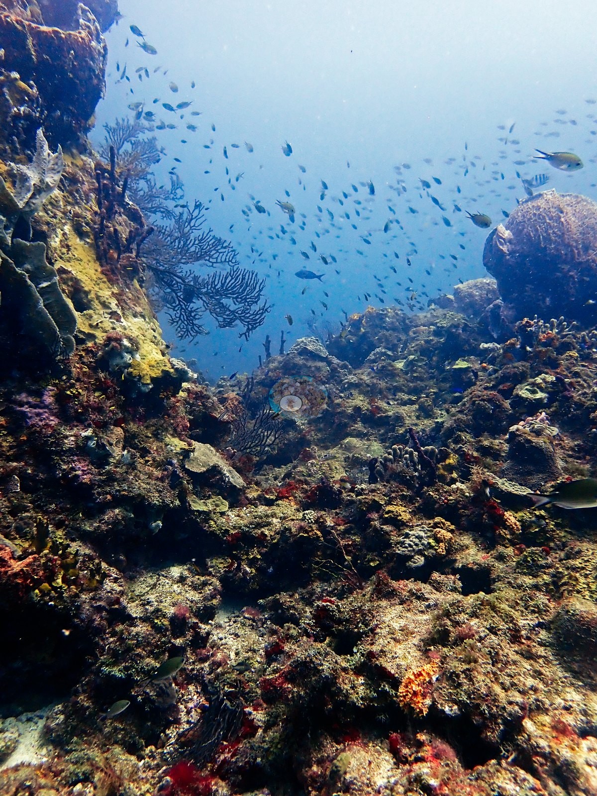
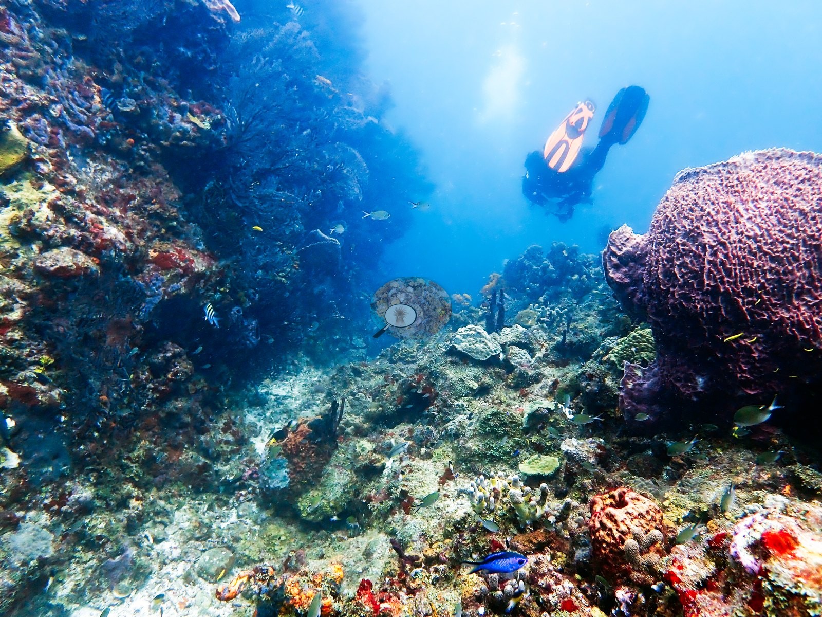
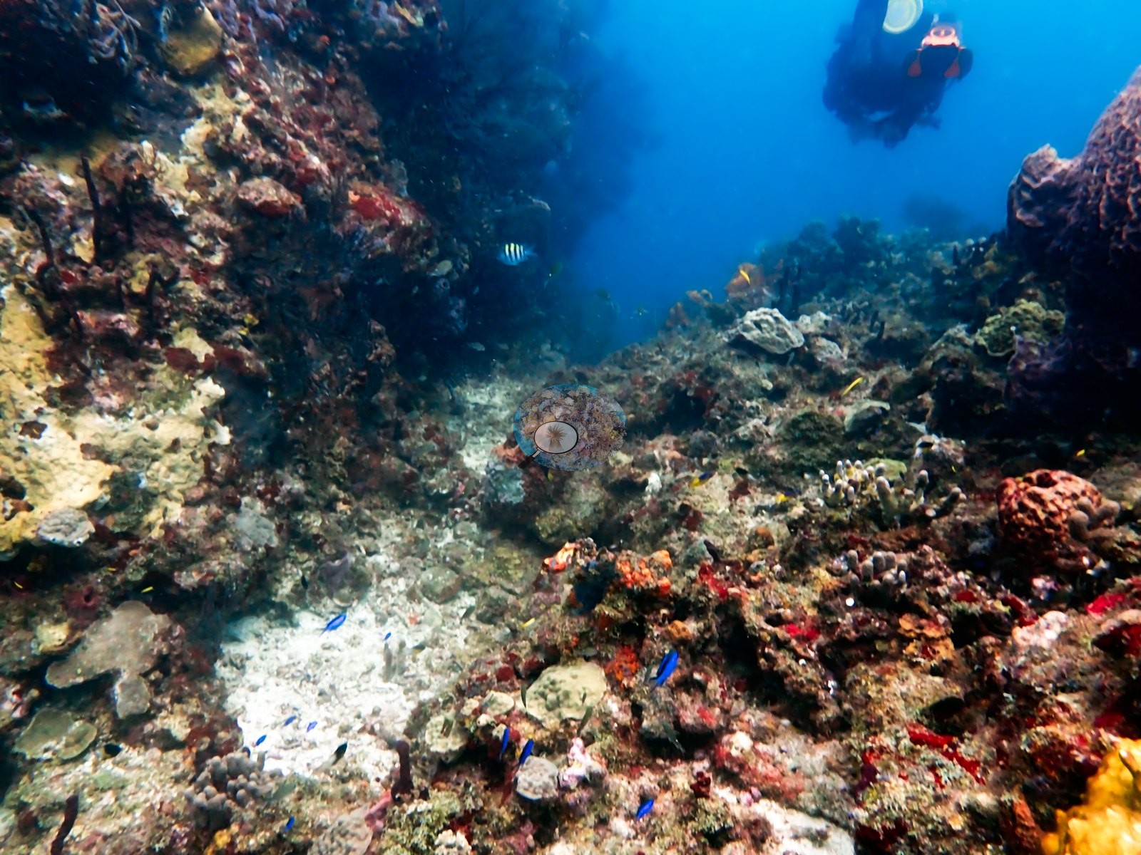
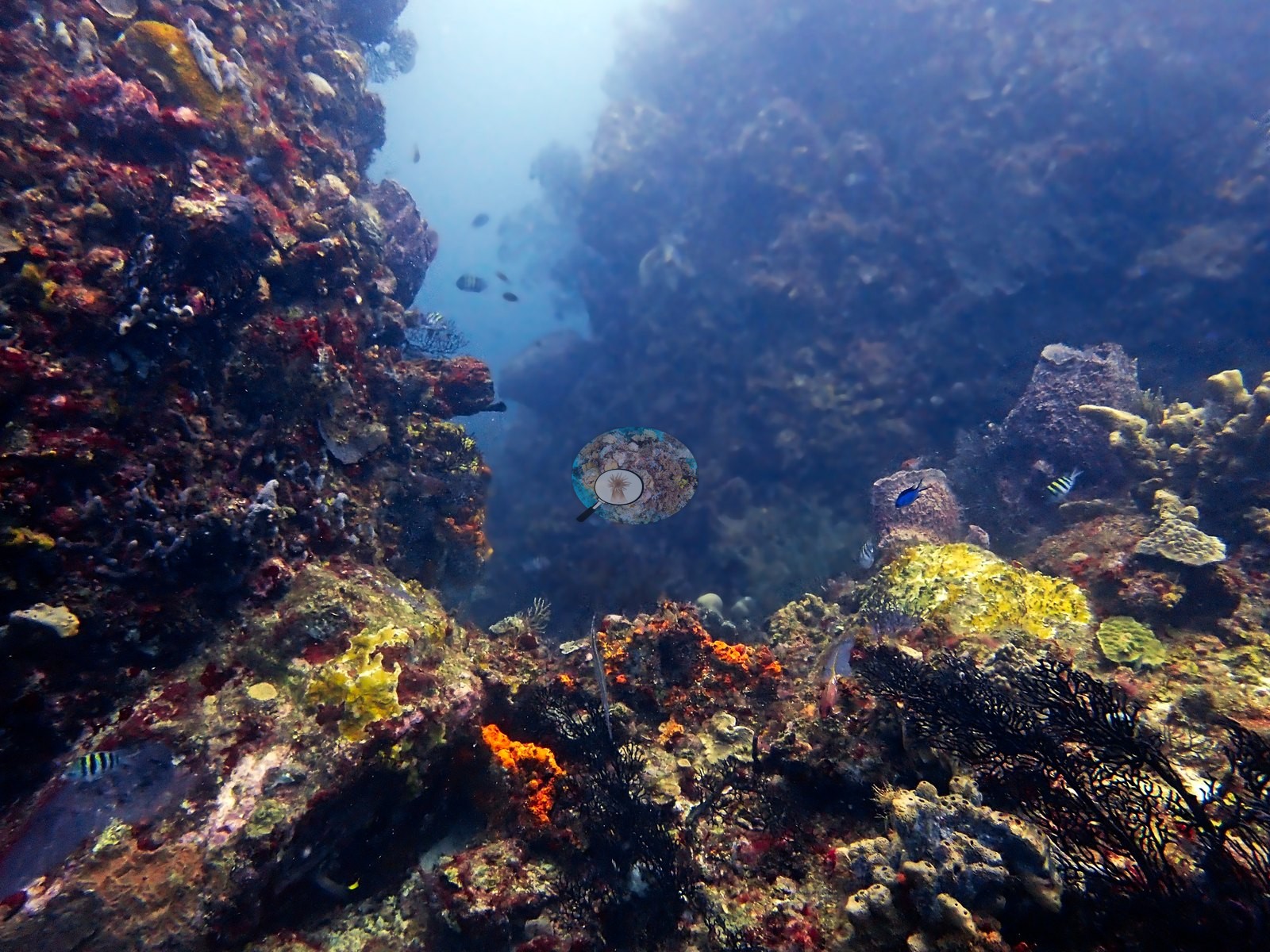
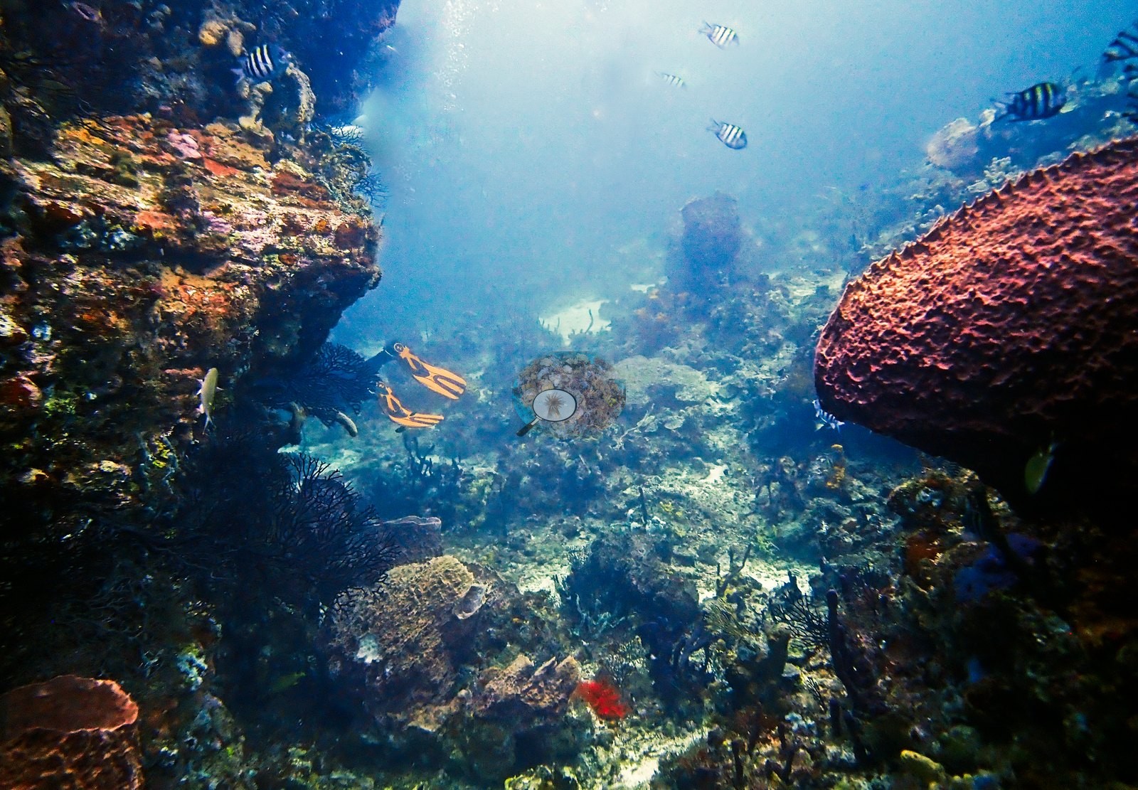
A later stretch documents an alternating sequence of open reef slopes and narrow rocky corridors, with divers visible in several frames for scale. Several views show high rock on both sides and a brighter opening overhead, producing a canyon-like effect; large barrels stand along the corridor margins while sea fans and encrusting sponges occupy the walls (e.g., Image 9, Image 50).
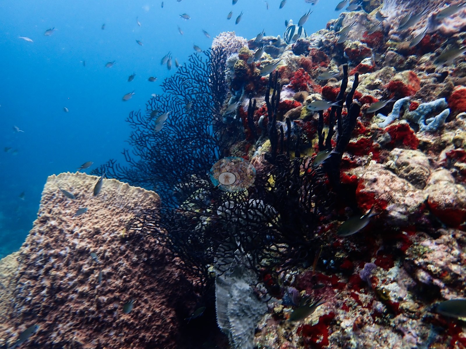
A short run of frames records an especially dense vertical assemblage of overlapping dark sea fans, pale barrel sponges, and yellow encrusting sponge, the gorgonians projecting almost perpendicular to the rock and collectively covering much of the visible face (e.g., Image 28, Image 45).
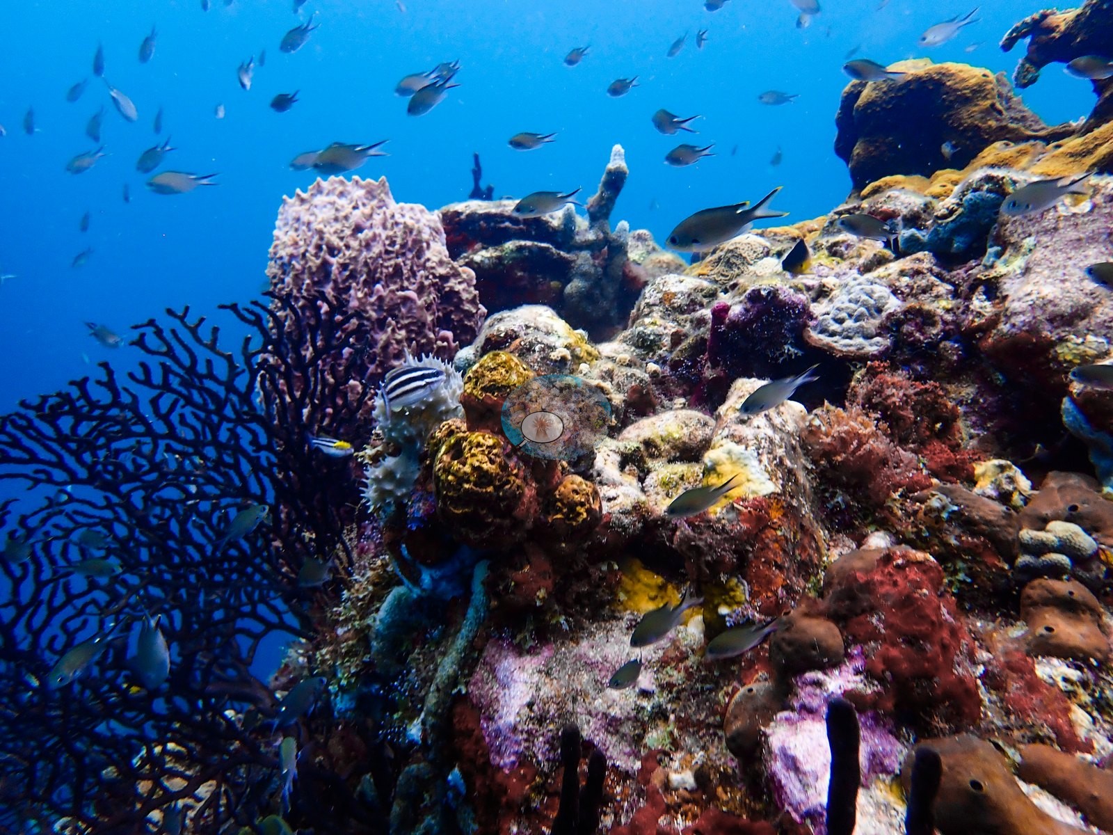
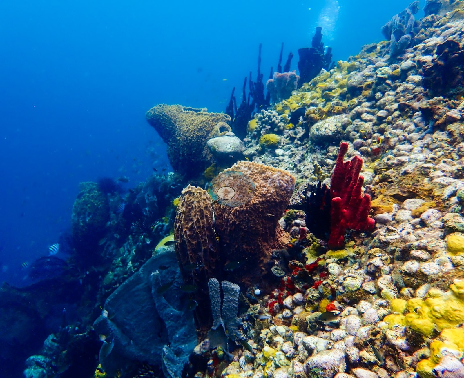
The latter portion of the sequence follows an exposed reef ridge with abundant gorgonians, sponges, and fish. The closing frames are strongly sponge dominated: they show purple tubes, folded gray vase-like sponges, large brown barrels, and extensive yellow encrusting sponge over a pale, knobby substrate (e.g., Image 30, Image 38).
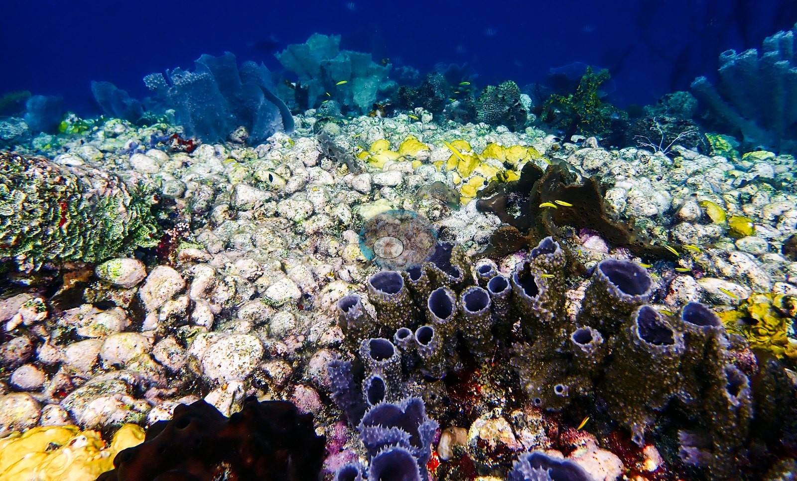
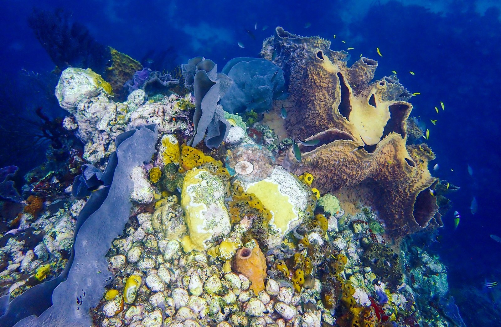
Hard coral cover in these final frames is low compared with the coral-covered ridge earlier in the dive; the visual complexity comes instead from sponges, gorgonians, and the underlying rocky framework. Reef condition. Soufrière Pinnacles retains substantial habitat complexity and a broad Caribbean benthic assemblage, but the photographic record does not support calling it uniformly coral dominated or pristine. Living massive, brain, plating, and branching corals are locally dense, particularly across the ridge and high-relief summit, yet large areas elsewhere consist of exposed rock, turf-covered substrate, sponges, gorgonians, and old coral material. At the same time, the persistence of large coral colonies, extensive gorgonian stands, mature barrel sponges, and dense planktivore schools indicates a functioning, structurally complex reef. The most accurate summary is a heterogeneous reef with locally strong coral development, exceptional sponge and gorgonian cover, abundant small-fish activity, and visible evidence of both older structural loss and more recent localized tissue loss.
Coral cover
- Reference: Claude CV point count (this site's photos)
- Coral cover: 11% — a blind Claude computer-vision point count of 129 of Anderson's edited photographs (20 points per photo; water, fish, and obstructions excluded). Other computer-vision methods are listed in the method table.
Stressors
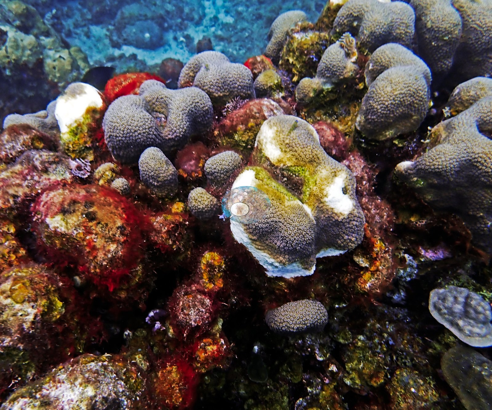
Typical recent thermal stress: mean annual maximum of 13.1°C-weeks (Degree Heating Weeks, 2021-2025, NOAA CRW; Eastern Caribbean ecoregion). Several massive colonies in a short run of ridge frames carry sharply defined white areas surrounded by normally pigmented tissue. These are better described as localized tissue-loss lesions than as whole-colony bleaching: the affected areas are discrete and expose pale skeleton, whereas the remaining tissue retains color. The cause cannot be determined photographically — disease, predation, and physical injury all remain possible, and no single diagnosis should be assigned from these frames. That rubble appears at least partly old and colonized rather than freshly broken, but its age and cause remain unresolved. Localized white lesions occur on several massive colonies and old branching rubble is conspicuous in one frame.
Fish and other fauna
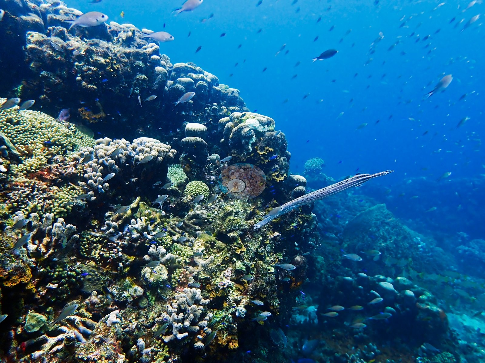
One frame adds a trumpetfish holding parallel to the reef face, while another shows the same high-density coral assemblage beneath a larger school of small fishes (e.g., Image 15, Image 17).
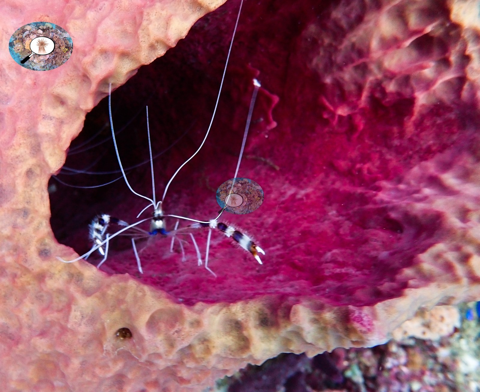
One frame shows a banded coral shrimp compatible with Stenopus hispidus sheltering inside a pink sponge cavity, demonstrating how the large sponge openings function as habitat rather than merely as benthic cover (e.g., Image 2).
Two frames show large numbers of small planktivorous fishes distributed through the water column above sea fans and sponge-covered rock, and density increases further in a later run of frames where mixed schools crowd against the reef face (e.g., Image 15, Image 41).
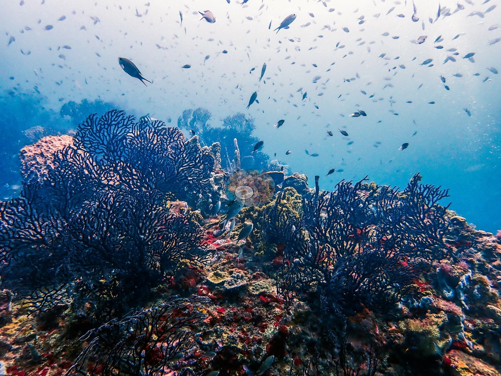
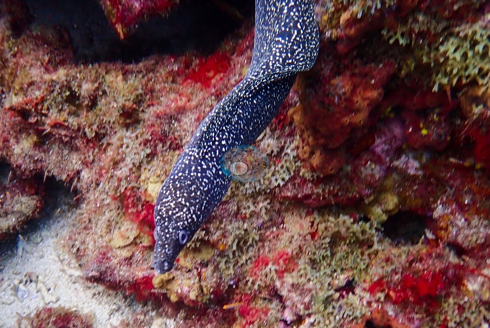
The assemblage appears dominated by chromis or other small damselfishes, with sergeant majors compatible with Abudefduf saxatilis recurring around the wall and gorgonians. Conspicuous fauna includes a spotted moray compatible with Gymnothorax moringa emerging from a crevice, the banded coral shrimp, a trumpetfish, and a sea star among rubble and sponges (e.g., Image 2, Image 17, Image 29).
No shark, ray, turtle, or large pelagic fish is documented in the reviewed sequence. The principal faunal spectacle is the density of small schooling fishes over the exposed crests, particularly in three frames (e.g., Image 15, Image 37, Image 41).
Comparisons with other data
Reef Check positions are approximate and survey names are not site names, so none of these is a measurement of this dive.
Other notes
The same reef carries three names in Anderson's records — Soufrière Pinnacles, Coral Gardens, and Soufriere reefs. All 137 frames from the dive were reviewed.
CV model comparison
More info
A few colony-focused photos raise the mean; the median is the typical photo. No computer-vision method yet estimates coral cover accurately on new images, so treat this as indicative rather than a measurement; it is revised as the methods improve.More info
Other rows are for comparison only and are never averaged. No diver transect exists for this trip, so agreement between rows is not accuracy.| Method | Hard-coral cover (%) |
|---|---|
| CoralSCOP edited | 29.8 |
| Claude (edited photos) | 10.9 |
See a more detailed, stand-alone version of this table.
Independent surveys nearby
 Coral Reef Diagnostics
Within 5 km, 9 independent survey stations recorded hard coral cover in 85 surveys between 1999 and 2014. Of the 7 stations surveyed in more than one year, 3 declined, 2 increased, and 2 changed by less than 5 percentage points between their first and latest surveys. The longest record, Malgretoute (Reef Check, 1.15 km away), went from 43% in 1999 to 22% in 2010. The most recent nearby survey is from 2014, so these values predate recent heat stress. This site's own estimate (11%) sits within the range of these surveys (3.8–57%); the methods differ, so the comparison is context, not a like-for-like test.
Collected by other programs using different methods (Reef Check uses point-intercept transects), so these are context for the figures above, not a like-for-like comparison. Where a station was surveyed more than once the range is shown. Station names are not dive-site names.
| Agency | Site / location | Date | Hard coral cover (%) | Distance |
|---|---|---|---|---|
| Reef Check | Malgretoute | 1999–2010 | 11–43% (16 surveys) | 1.15 km |
| Reef Check | Anse Chastanet Reef | 1999–2006 | 14–34% (9 surveys) | 1.21 km |
| Reef Check | Turtle Reef | 1999–2006 | 18–57% (5 surveys) | 1.33 km |
| Reef Check | Coral Gardens | 1999–2006 | 5.3–38% (12 surveys) | 3.84 km |
| Reef Check | Rachette Point | 2005–2010 | 8.8–25% (16 surveys) | 0.96 km |
| Reef Check | Superman's Flight | 2005–2010 | 5.0–24% (15 surveys) | 1.28 km |
| Reef Check | Rachette Pointe | 2006 | 33% (2 surveys) | 0.82 km |
| Reef Check | Grande Caille | 2008–2014 | 4.6–18% (9 surveys) | 1.60 km |
| Reef Check | Coral Garden | 2014 | 3.8% | 3.94 km |
Data & links
All images from Coral Reef Diagnostics. Data are from Coral Reef Diagnostics and the organizations named in the data sources above.
© Coral Reef Diagnostics.