
St. Lucia - Anse Chastanet snorkel

Part of the regional summary: St. Lucia
More info
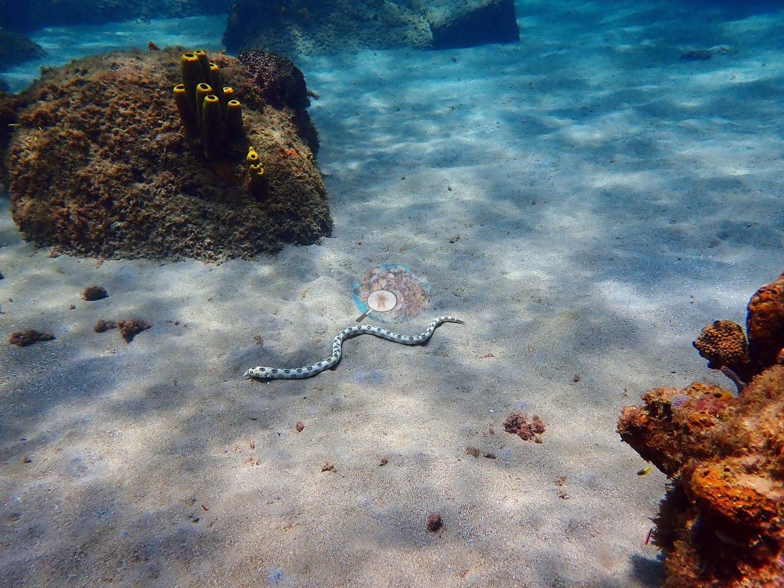
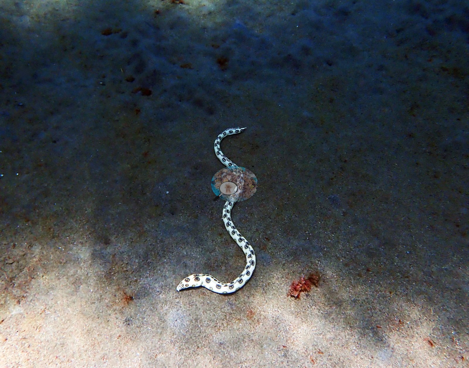
Windward Caribbean Islands (NOAA CRW virtual station) · Eastern Caribbean ecoregion mean: 13.1 degree heating weeksAt Anse Chastanet near Soufriere, the resort jetty is the real coral garden: its pilings are tiled with dinner-plate brain corals, star corals, tube sponges, and Christmas tree worms, far more than the sparse, turf-covered rocky reef nearby. Huge baitfish schools mass among the pilings, and a spotted snake eel out on open sand was the standout find.
Seven independent survey stations shown with the program’s logo — click one to see how far it is from this site.
Two other CRD dive sites within 5 km shown in orange — click a marker to open its page.
25 of the 37 photographs on this page are shown beside the text that discusses them under "Site description" below.
Site description
Setting
Anse Chastanet, on the coast just north of Soufrière, St. Lucia, snorkeled 2022. This site covers the bay's fringing reef and the resort jetty that stands over it.
General benthic features
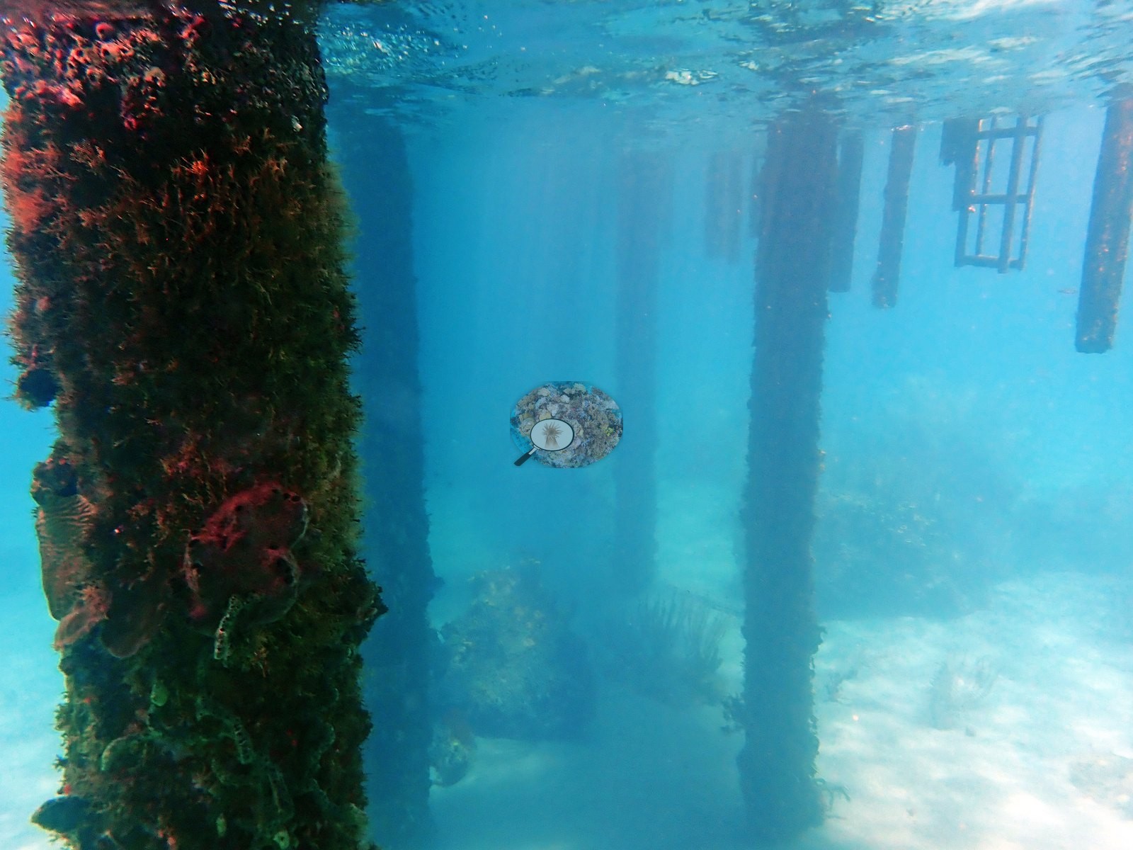
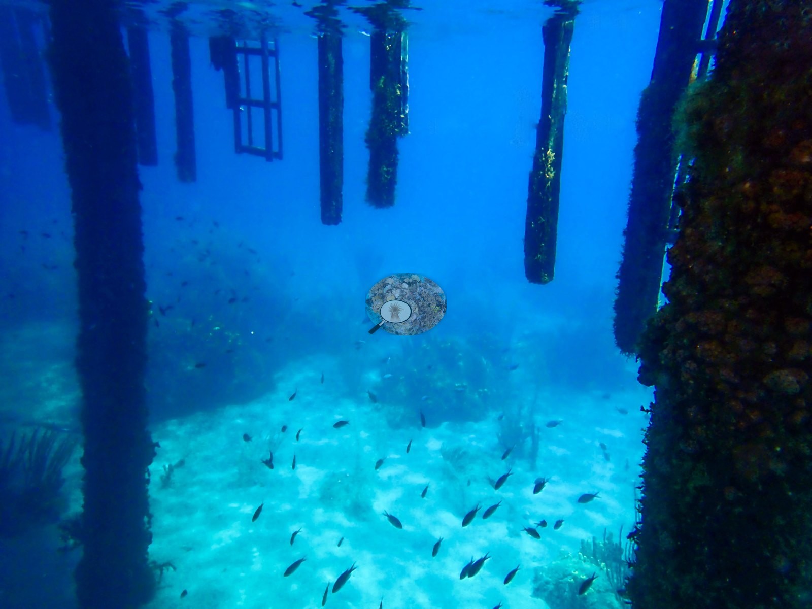
The jetty is the most coral-covered surface at the site (e.g., Image 21).
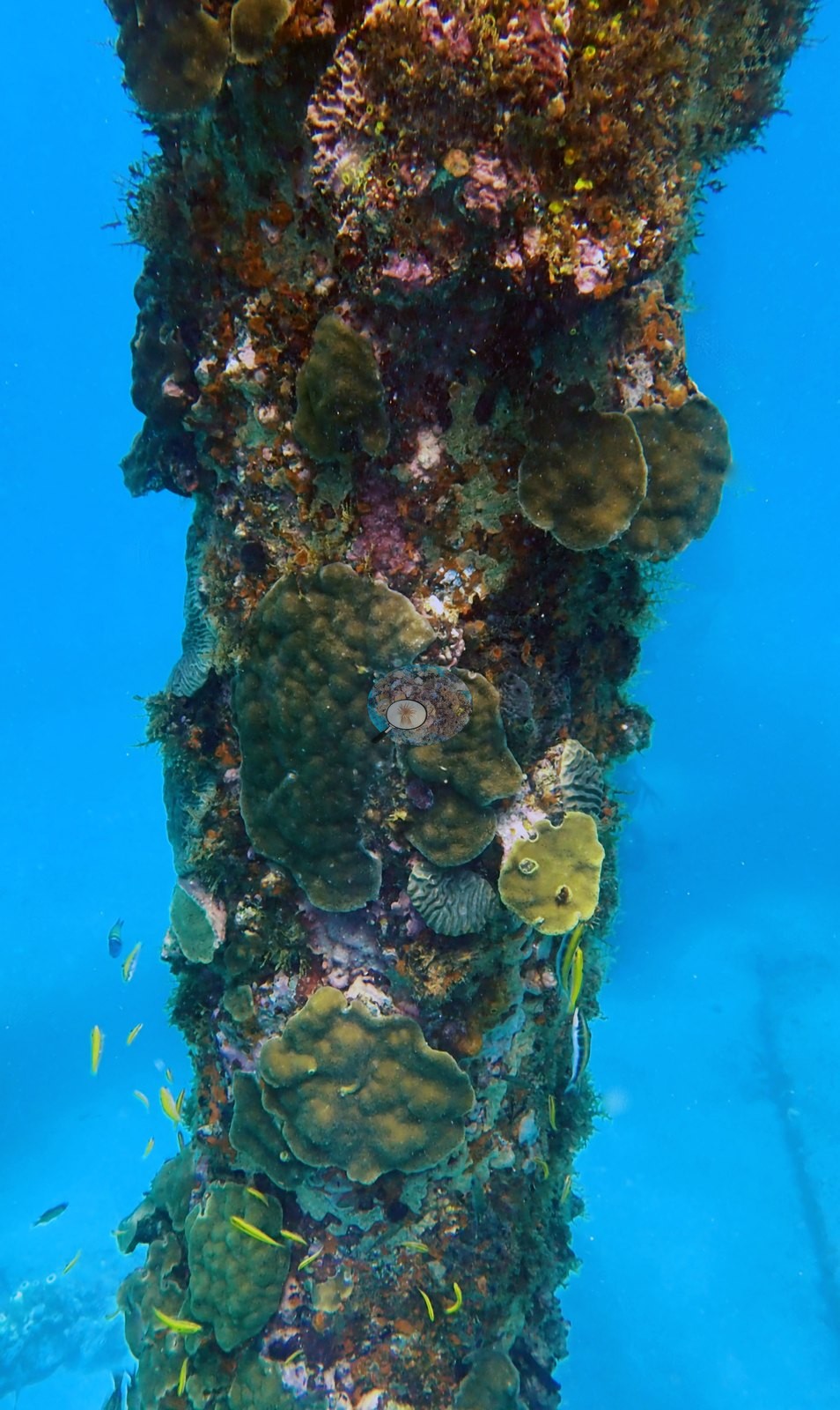
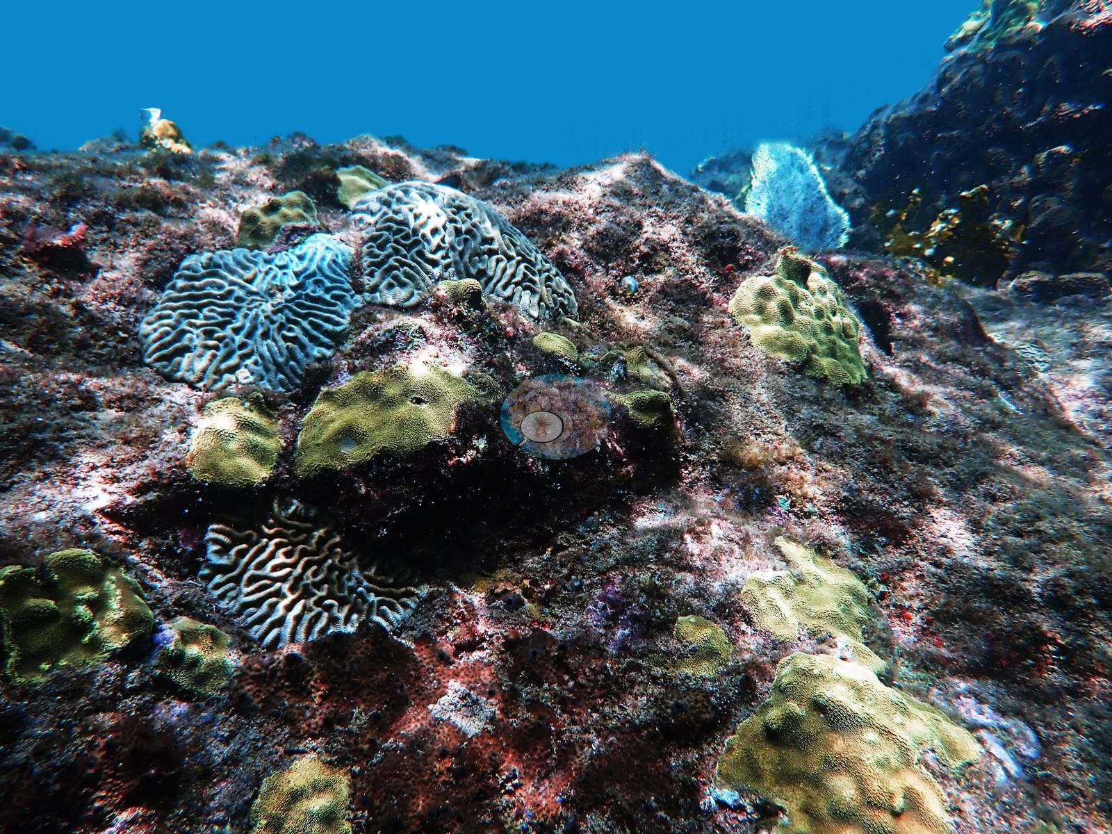
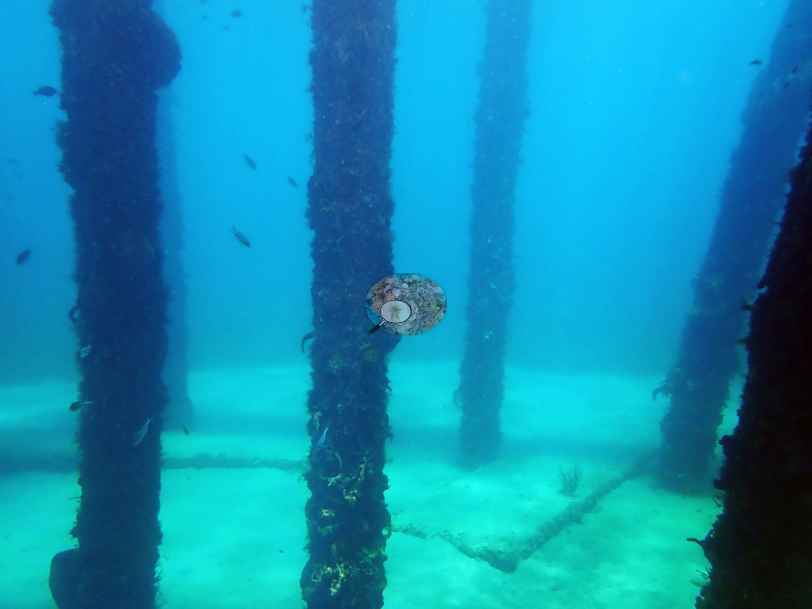
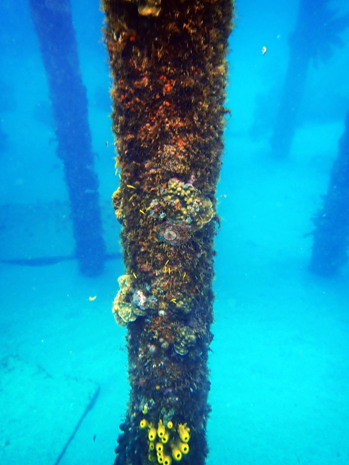
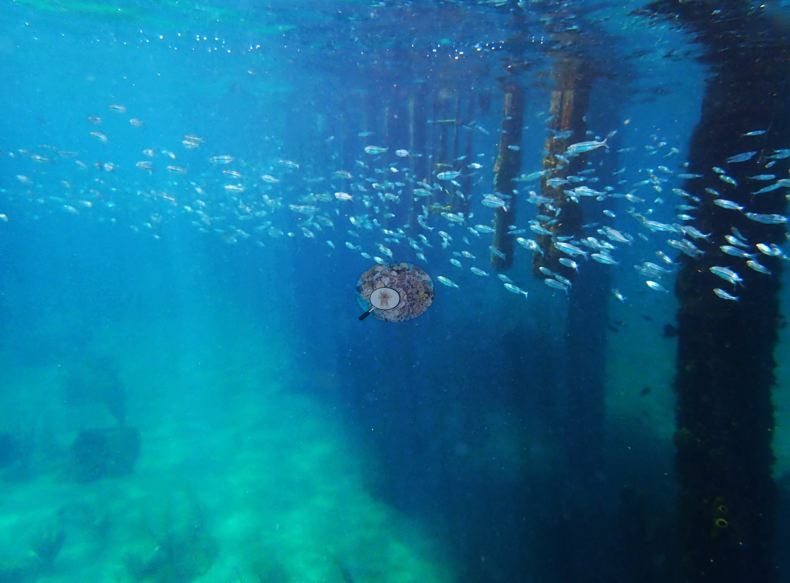
The pilings carry a dense encrusting community that the surrounding seabed does not match: massive and lobate colonies compatible with Orbicella, Porites astreoides, and Montastraea, and repeated meandroid brain corals compatible with Diploria labyrinthiformis and Pseudodiploria — several the size of a dinner plate and growing directly on the wood (e.g., Image 20, Image 22, Image 23, Image 29).
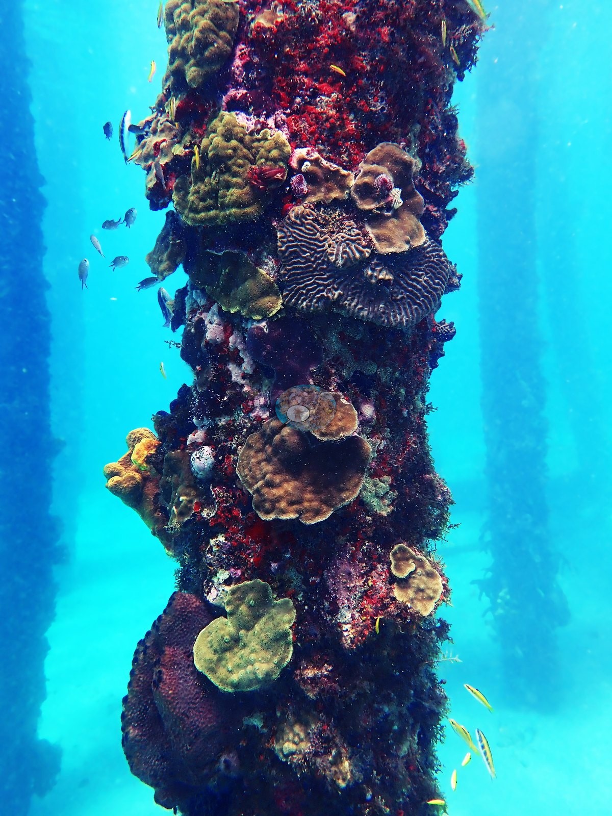
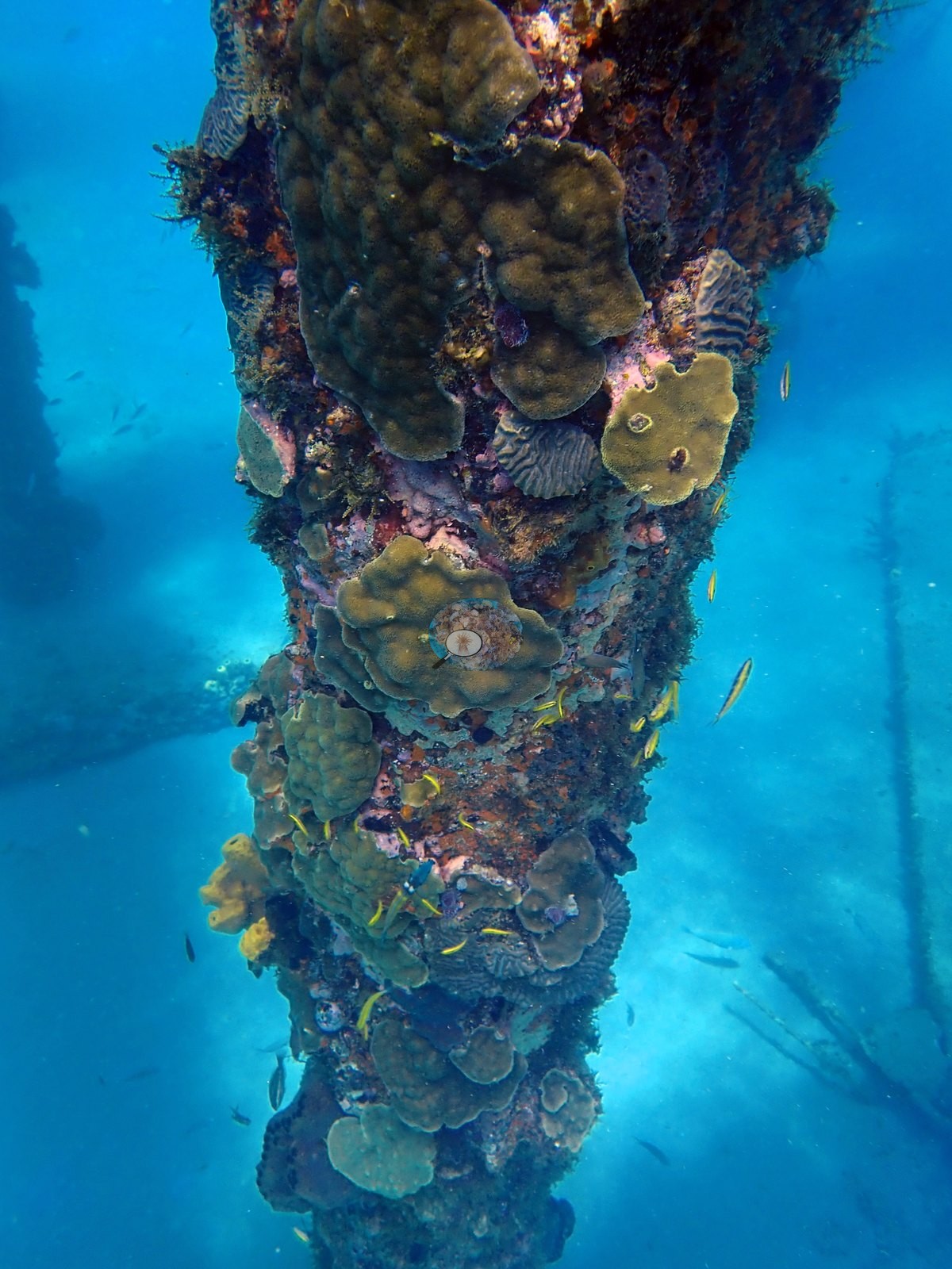
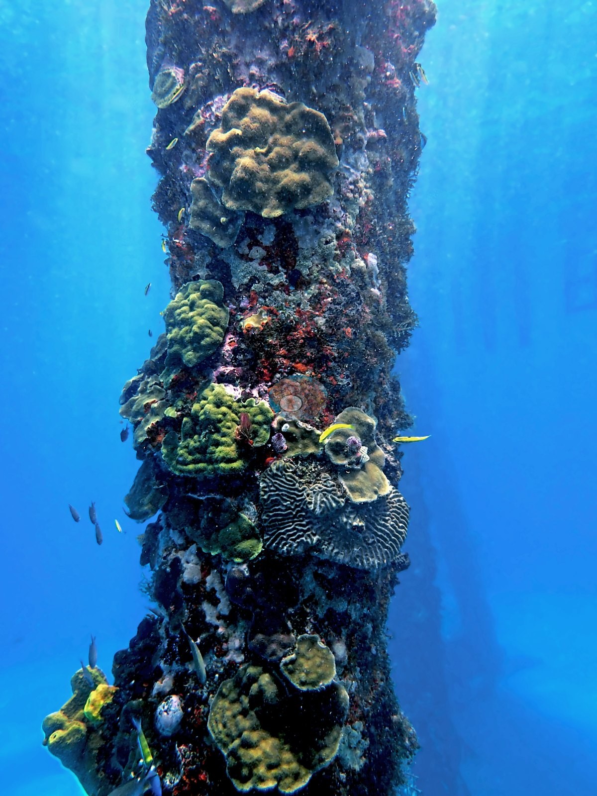
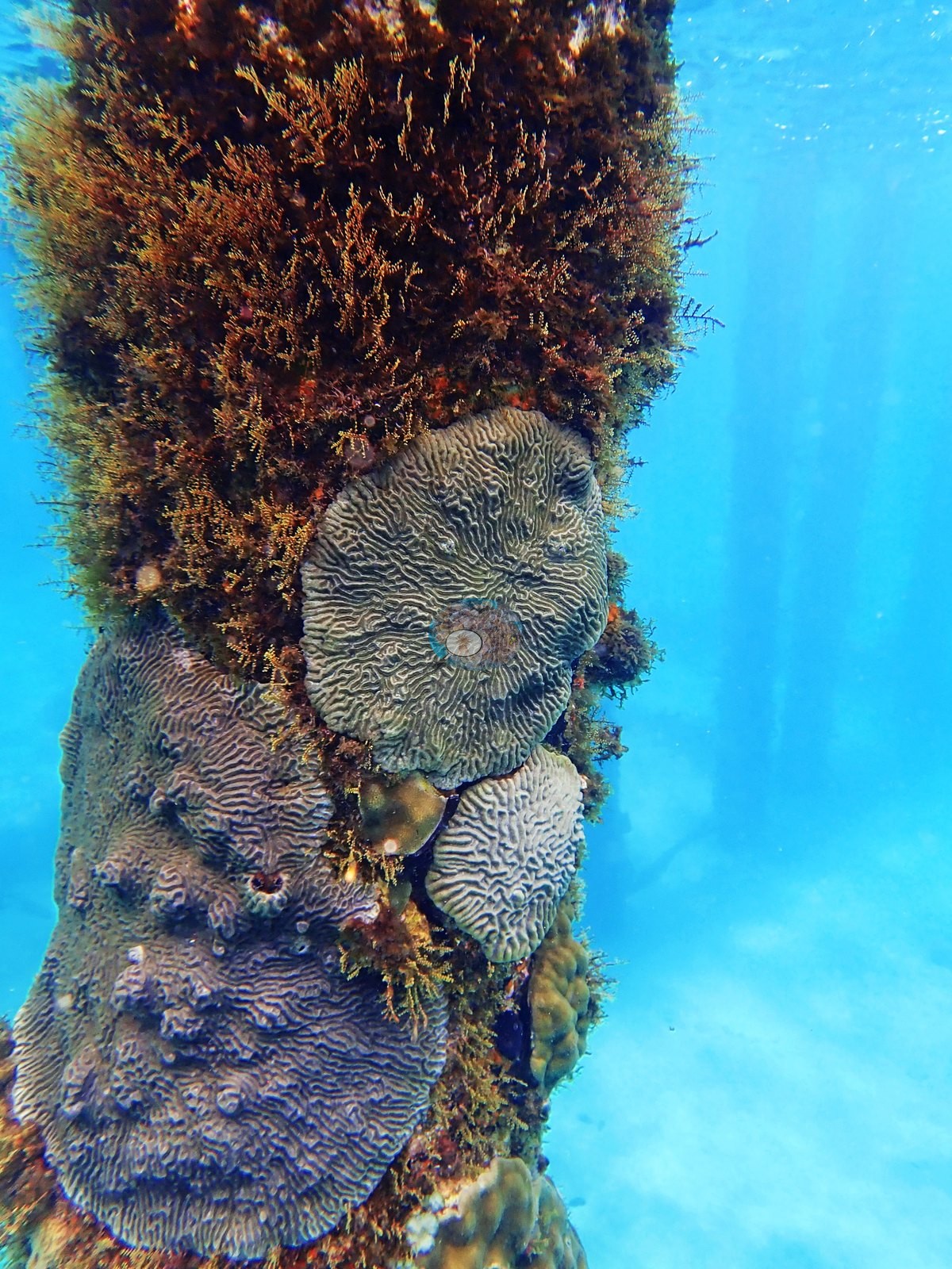
One frame shows a vivid green-and-yellow brain coral mid-piling; two others show gray meandroid colonies stacked one above another; two more show whole columns tiled with olive massive colonies, yellow tube sponges (Aplysina-type), red and purple encrusting sponges, Christmas-tree worms, and pink crustose coralline algae (e.g., Image 27, Image 28, Image 34).
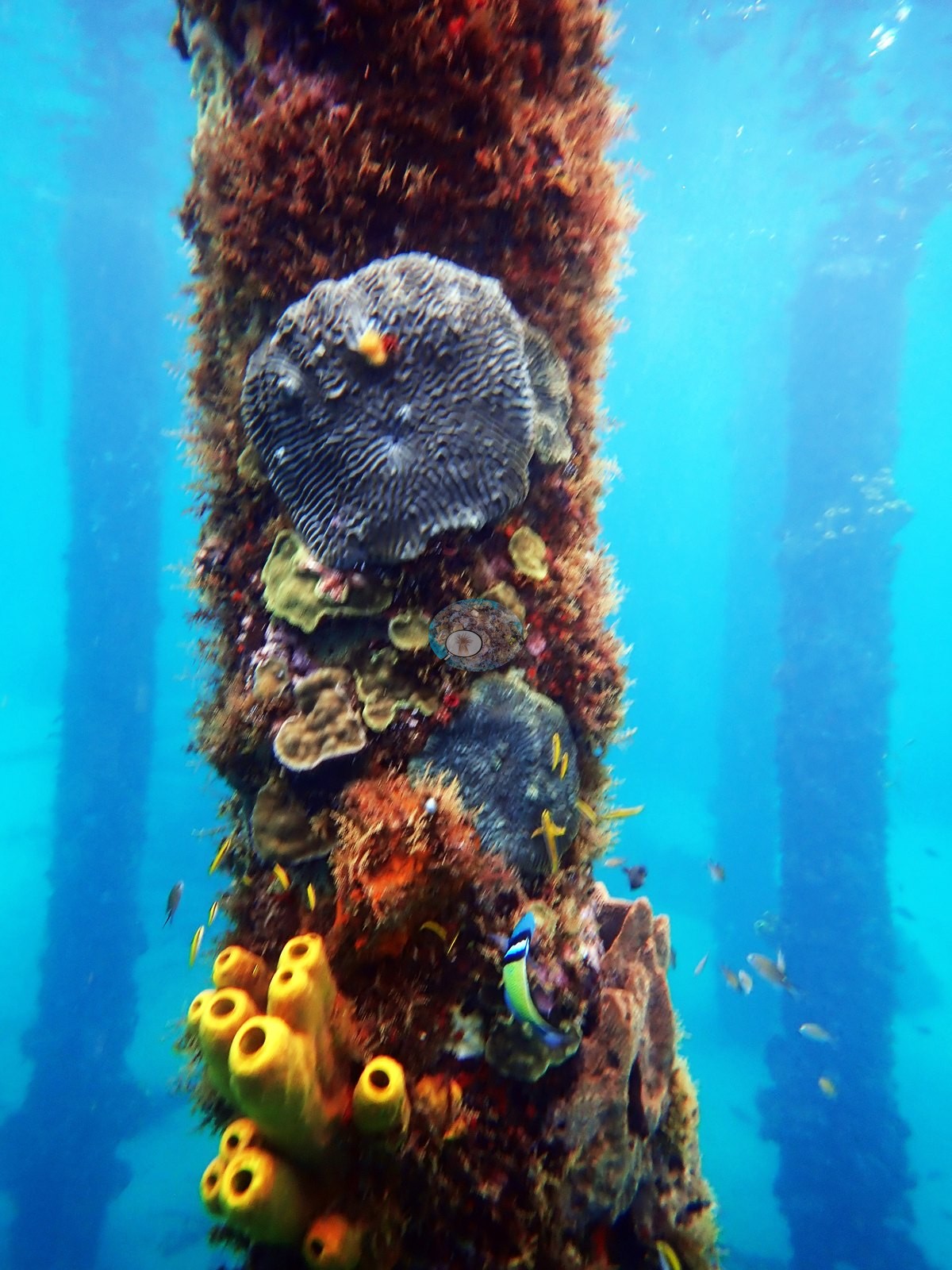
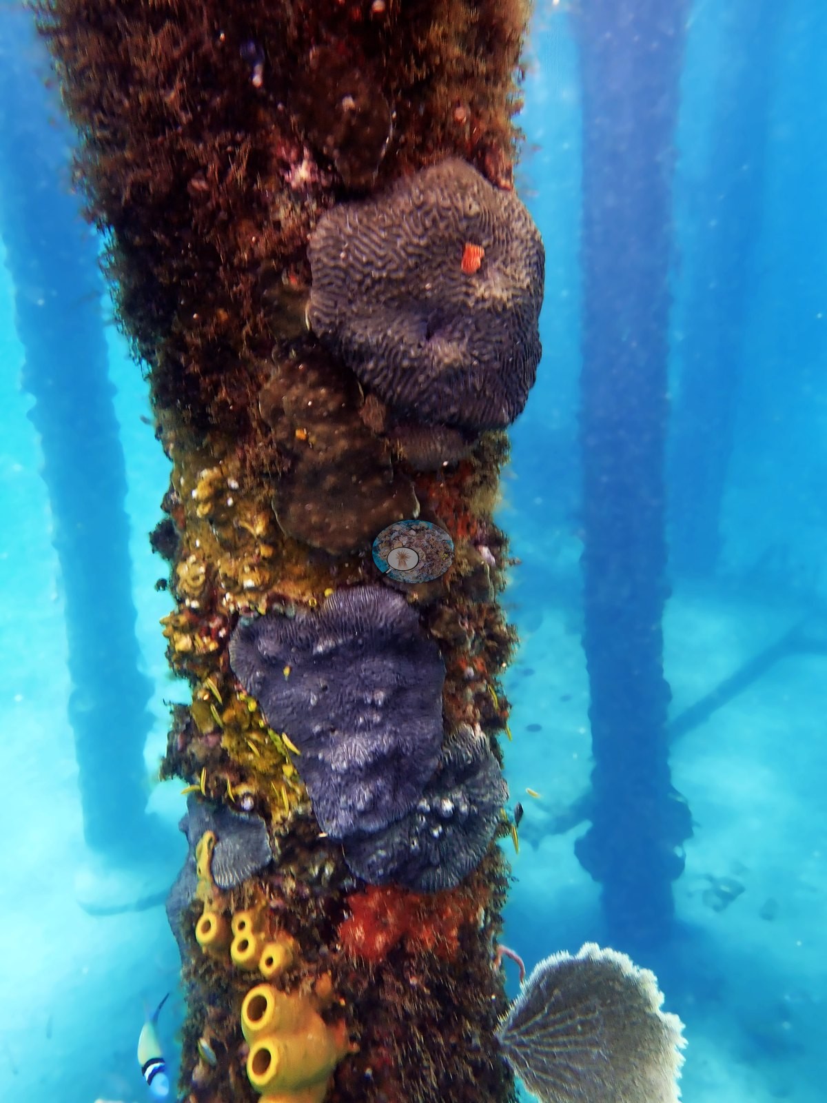
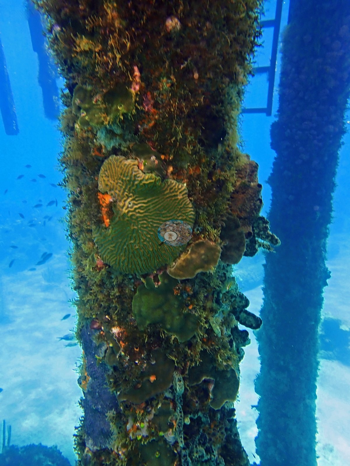
Colonization is uneven between pilings: one frame is mostly turf with only a few small recruits, so the pilings span nearly the full range from bare to heavily settled (e.g., Image 26).
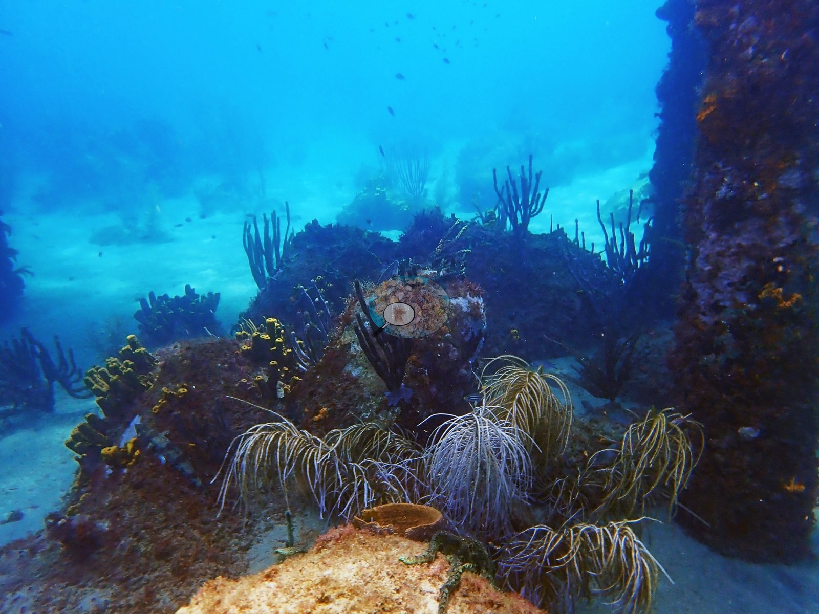
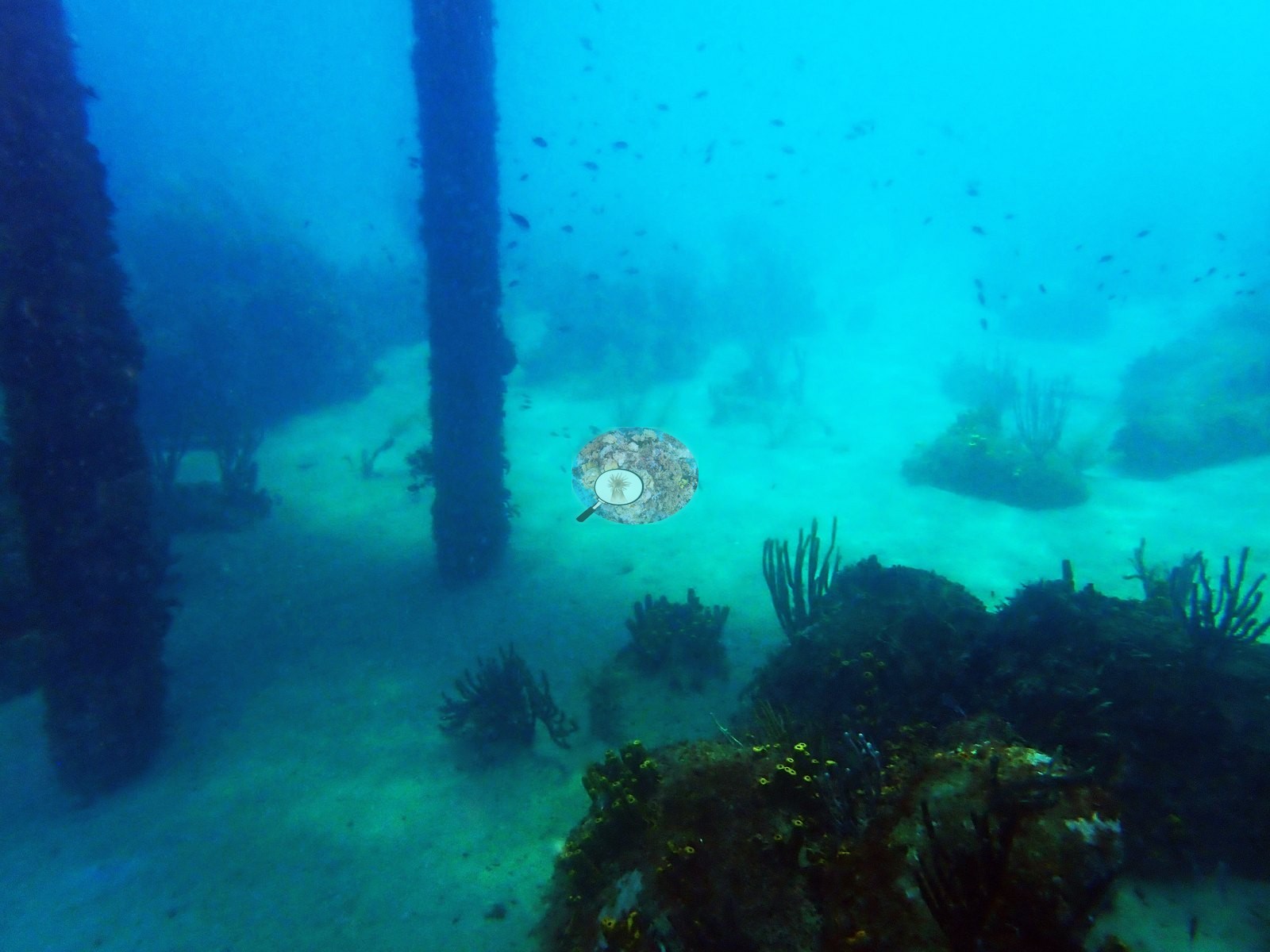
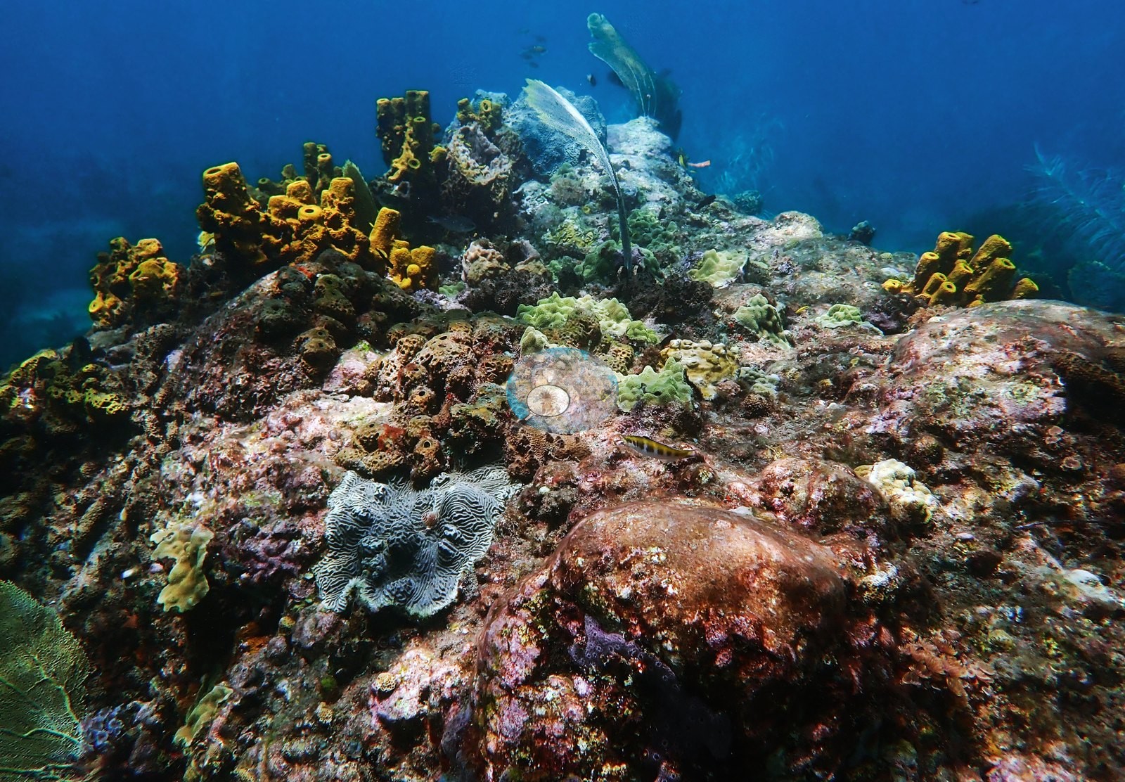
The natural reef is lower-relief and much more sparsely coralline. The rocky knolls are dominated by turf and purple-maroon crustose coralline algae, with hard coral present as small, scattered massive and encrusting colonies rather than continuous framework (e.g., Image 2, Image 17).
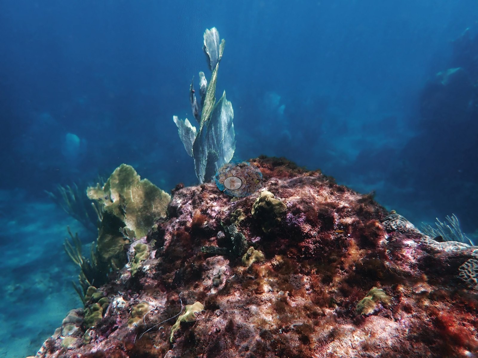
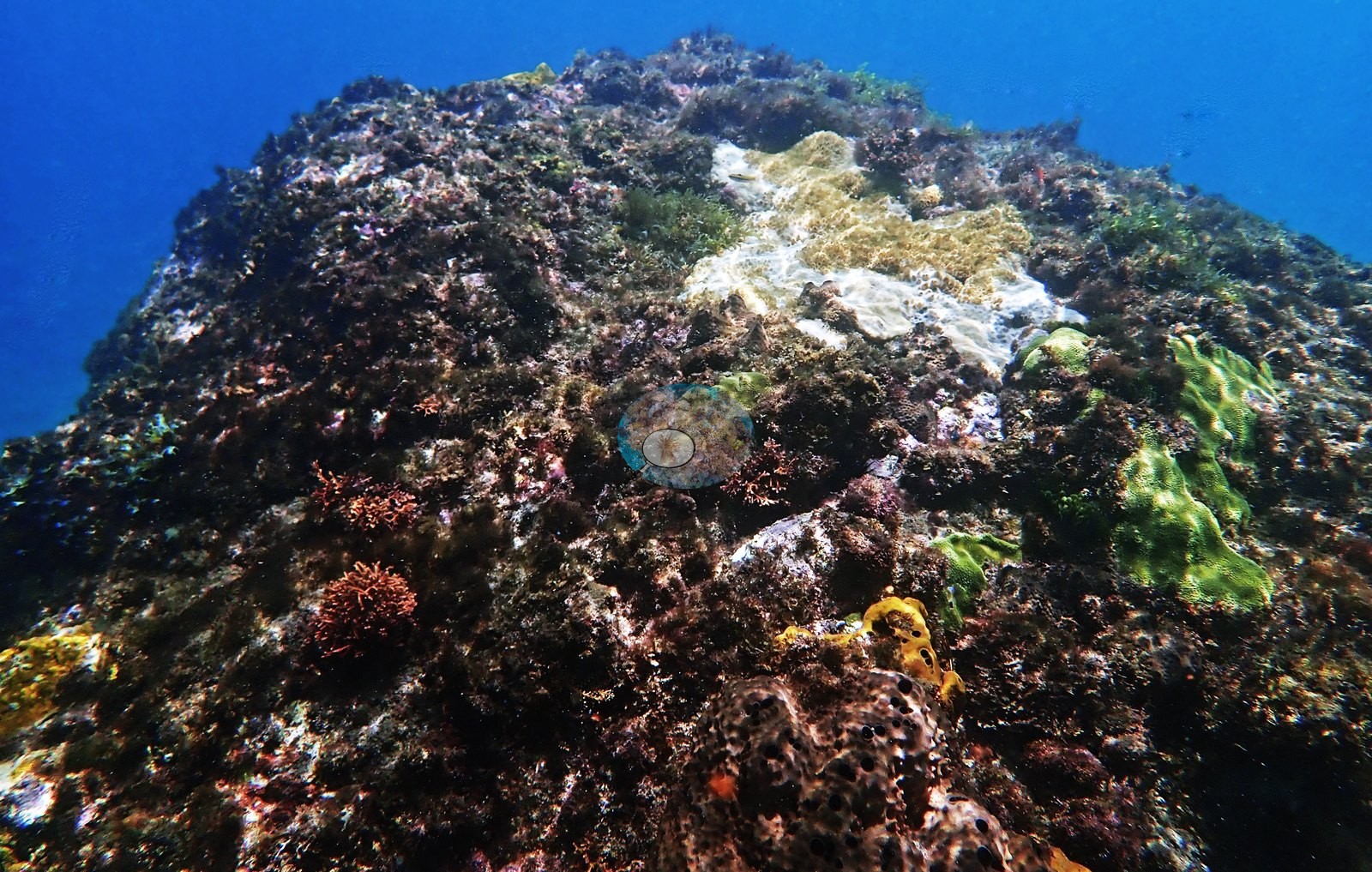
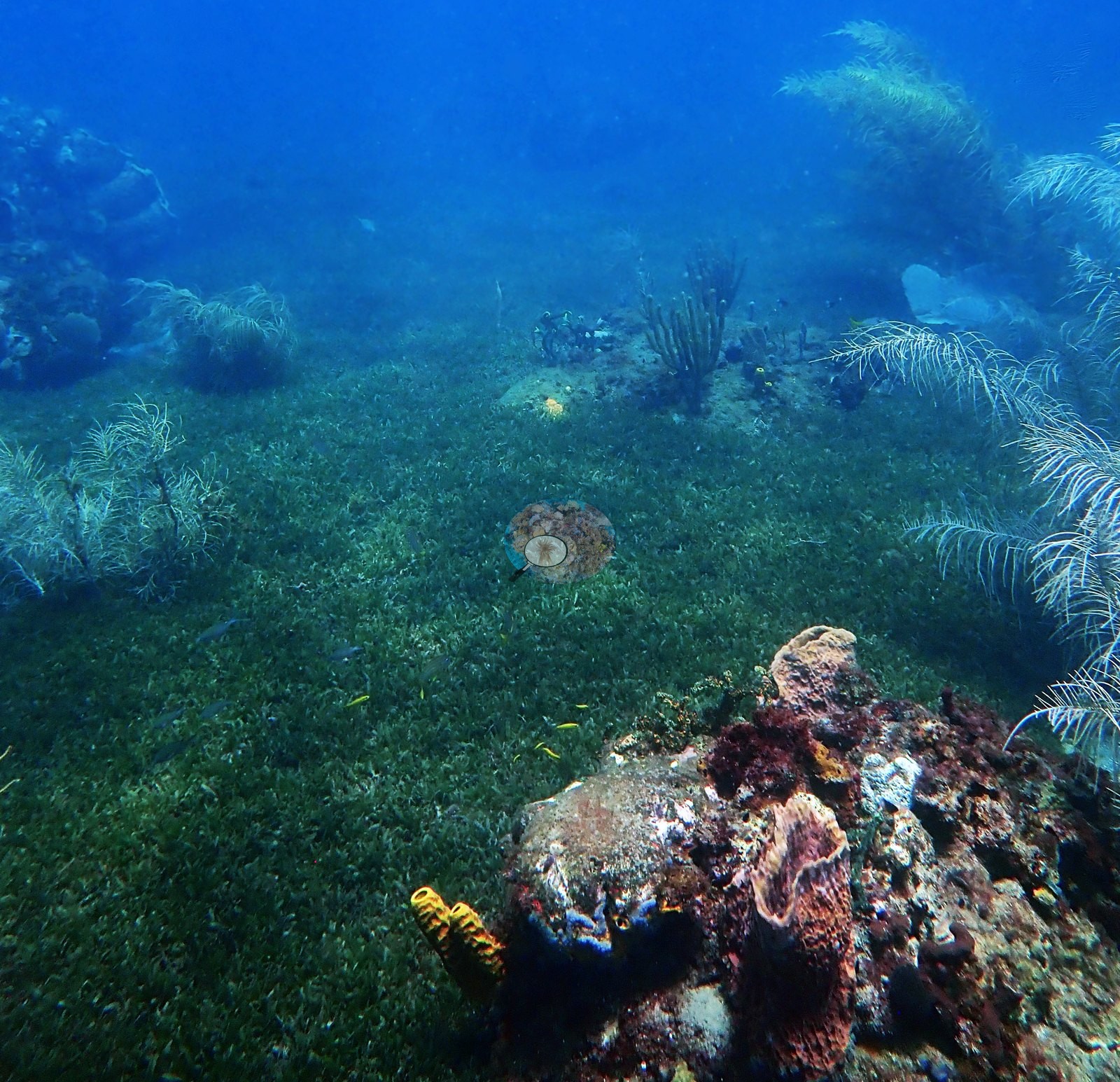
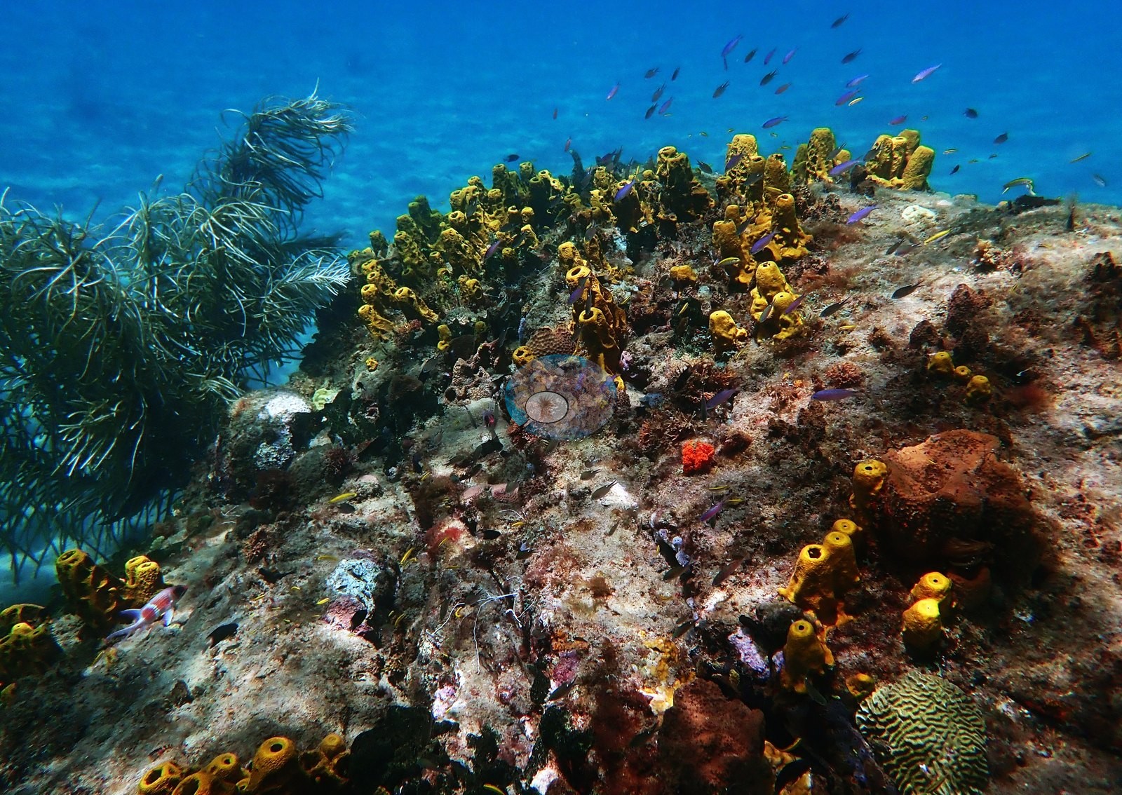
Sponges and octocorals supply most of the visible structure — yellow tube sponges, orange and maroon encrusting forms, barrel sponges, sea rods, and sea plumes, and pale sea fans compatible with Gorgonia ventalina (e.g., Image 3, Image 4, Image 5, Image 6).
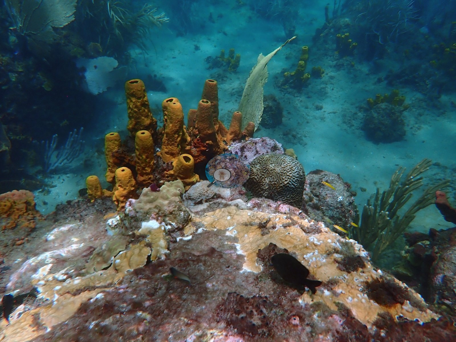
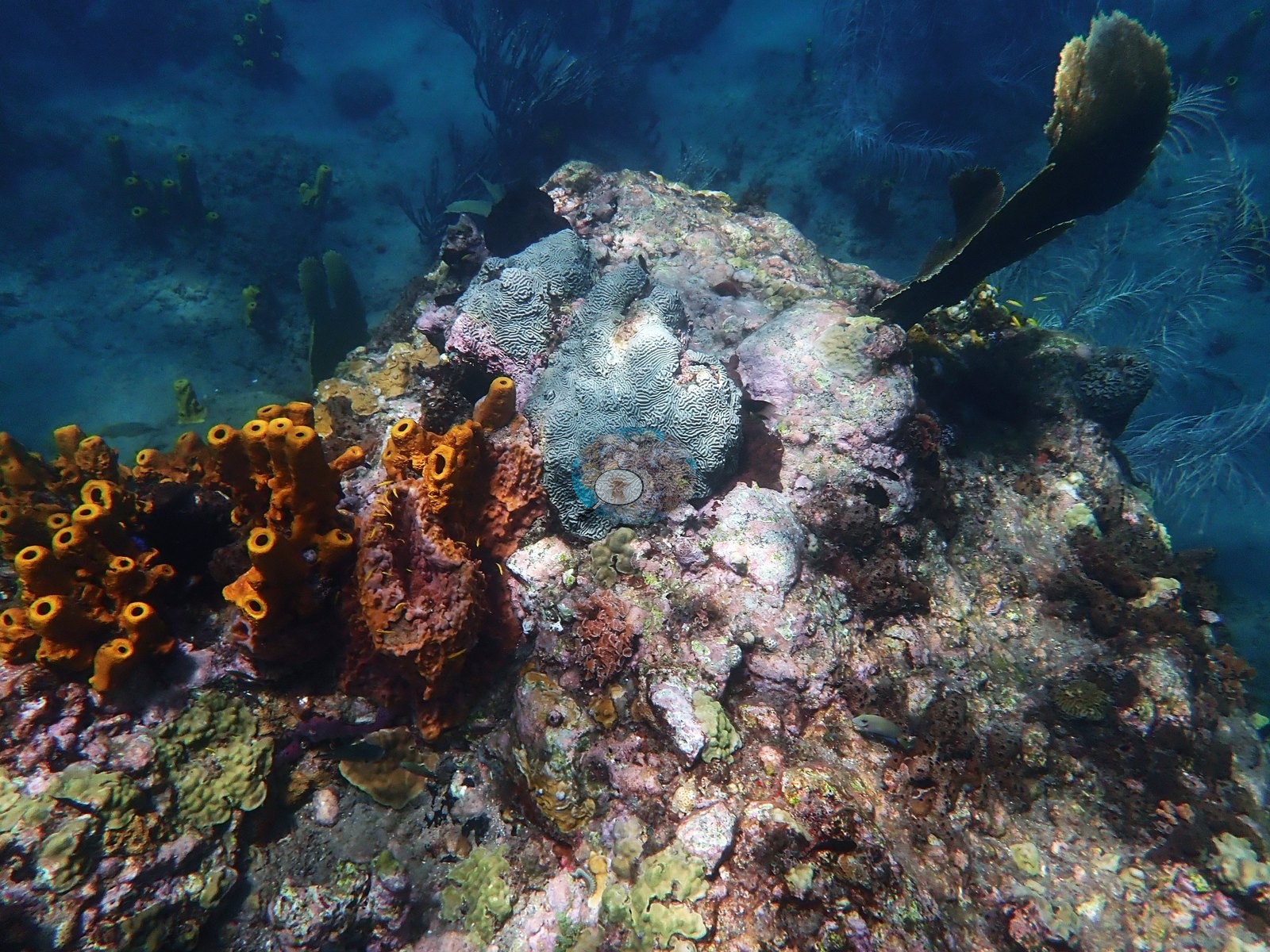
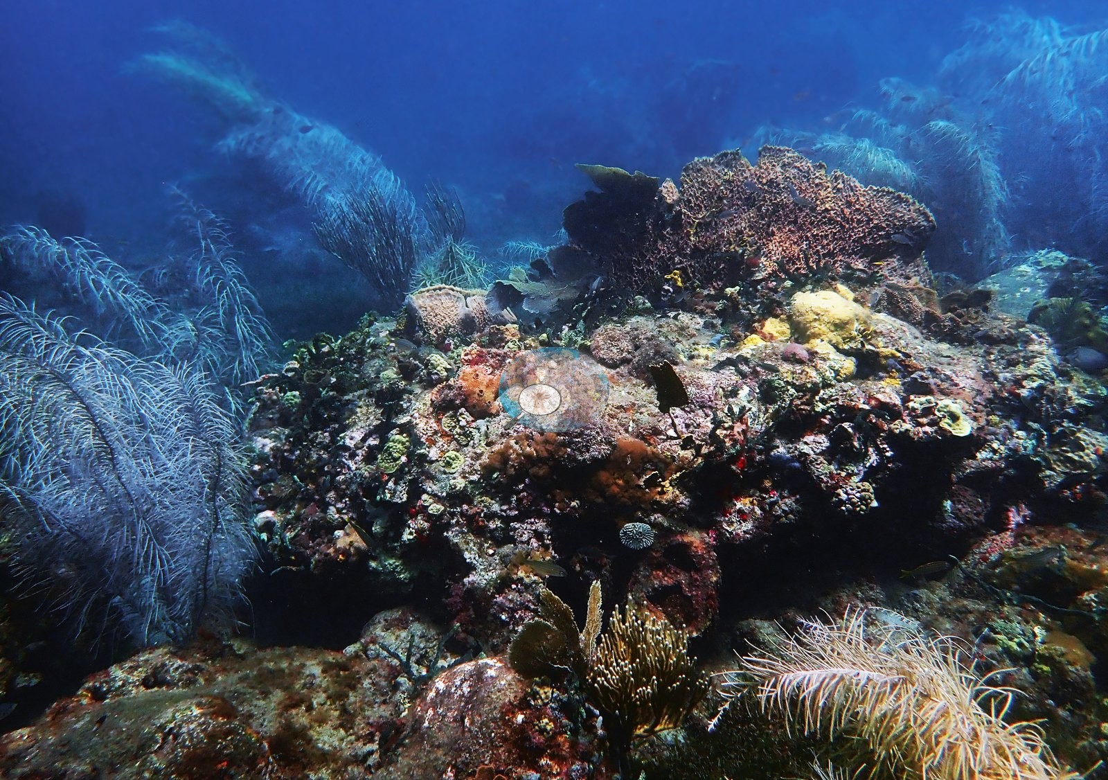
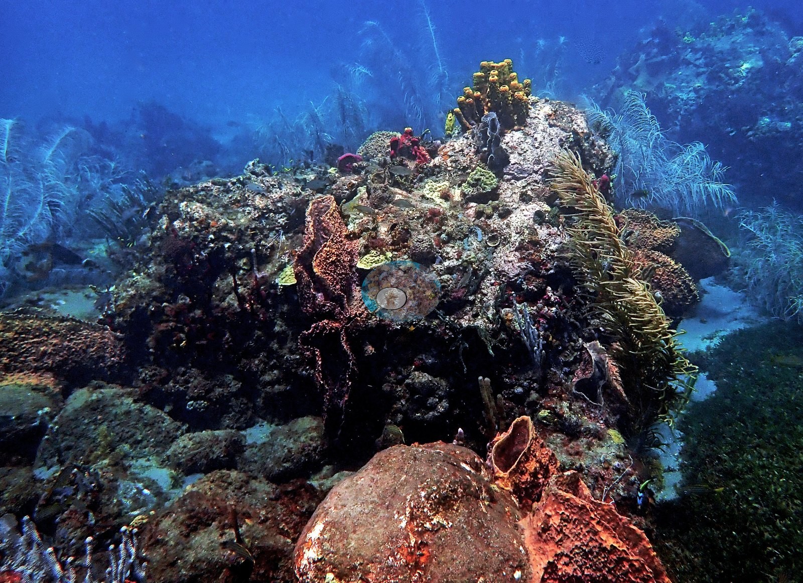
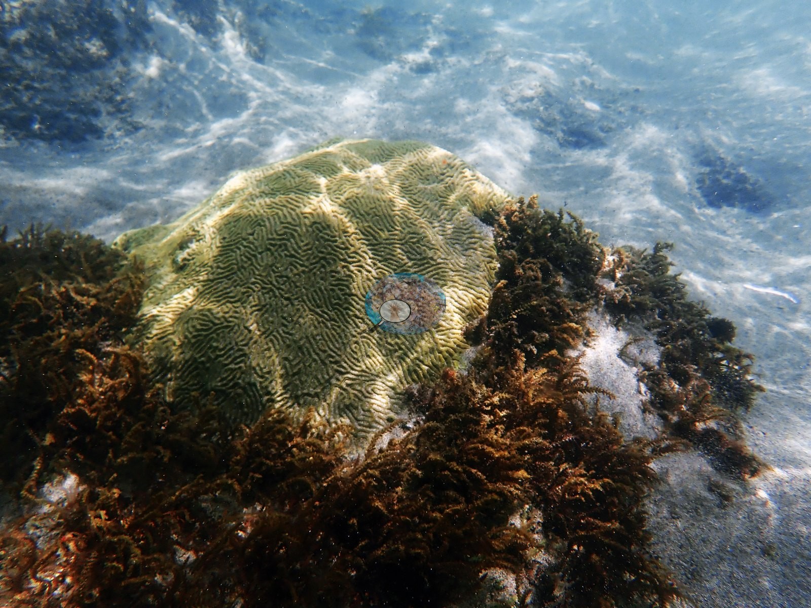
The single most coral-covered natural frame is the wide reef-top view in "great St. Lucia shot", where mustard-yellow massive colonies, a gray brain coral and stands of yellow tube sponge sit together on a rounded boulder ridge (e.g., Image 1).
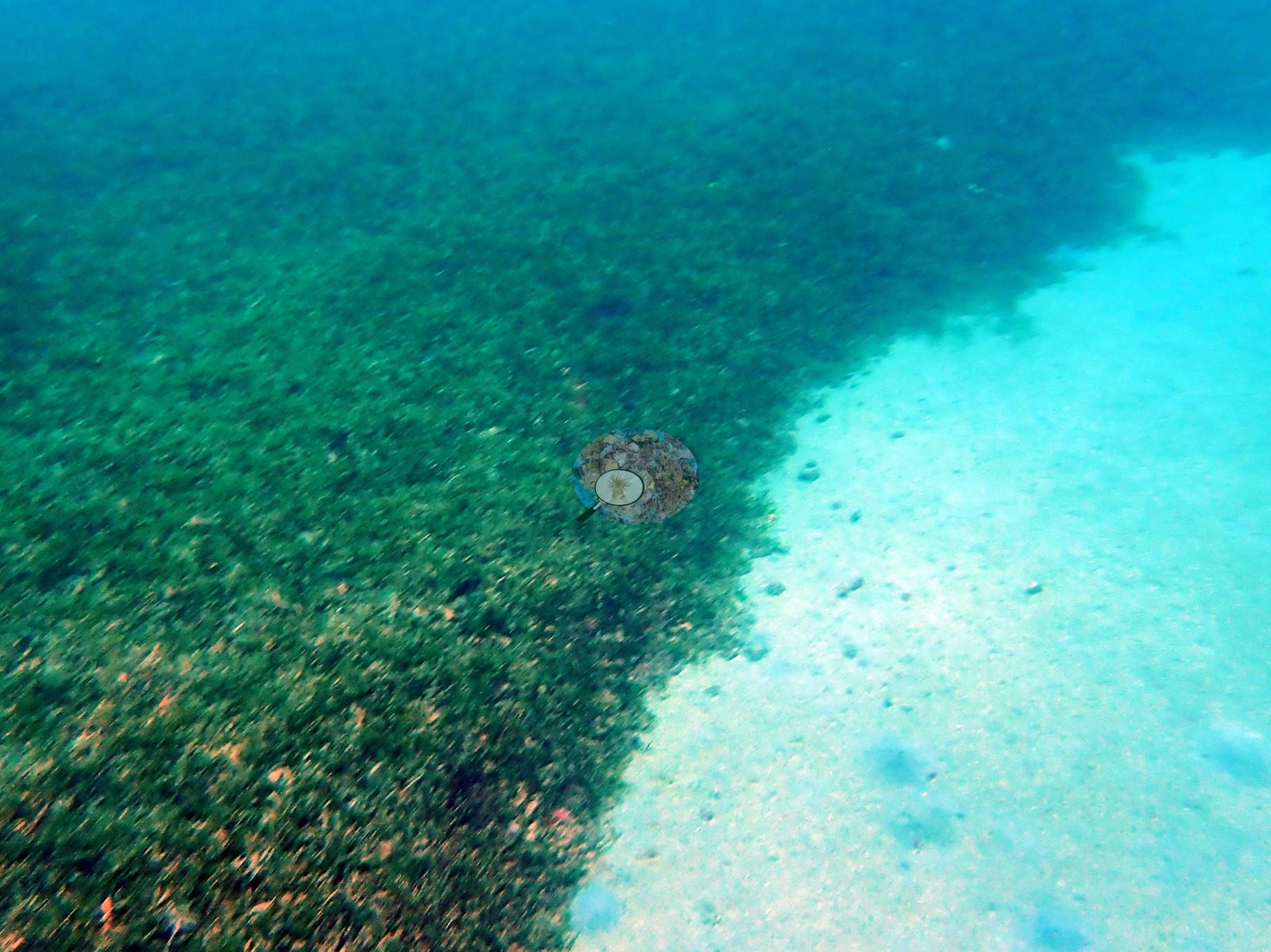
A third of the set is not reef at all. Three frames record conspicuous fleshy macroalgal cover — in one a continuous algal carpet meeting clean sand, and in another a large pale brain coral ringed by brown macroalgae in water shallow enough to show surface ripple (e.g., Image 18, Image 25).
Coral cover
- Reference: Claude CV point count (this site's photos)
- Coral cover: 7.8% — a blind Claude computer-vision point count of 36 of Anderson's edited photographs (20 points per photo; water, fish, and obstructions excluded). Other computer-vision methods are listed in the method table.
Stressors
Condition. Two frames carry sharply defined white patches on otherwise pigmented massive colonies — one in the foreground and the other on the knoll top. These read as localized tissue loss rather than whole-colony bleaching: the pale areas are discrete and expose skeleton while surrounding tissue holds its color. Cause cannot be determined photographically, and disease, predation, and physical injury all remain possible. Several sea fans appear pale, though color in edited frames is not reliable evidence of condition.
Fish and other fauna
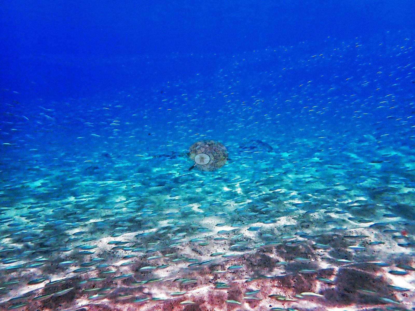
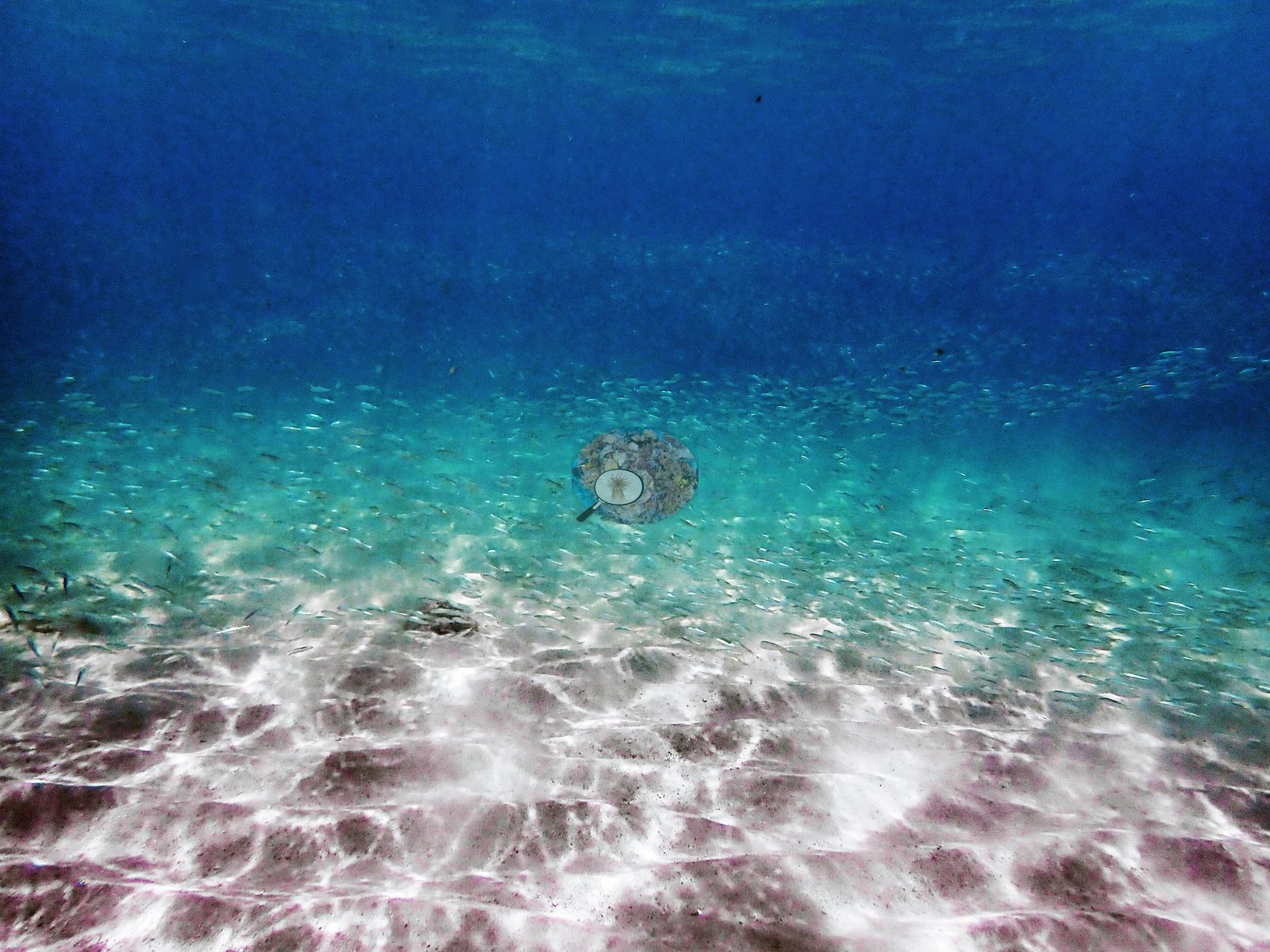
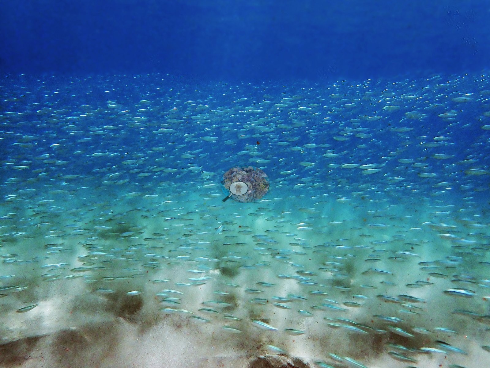
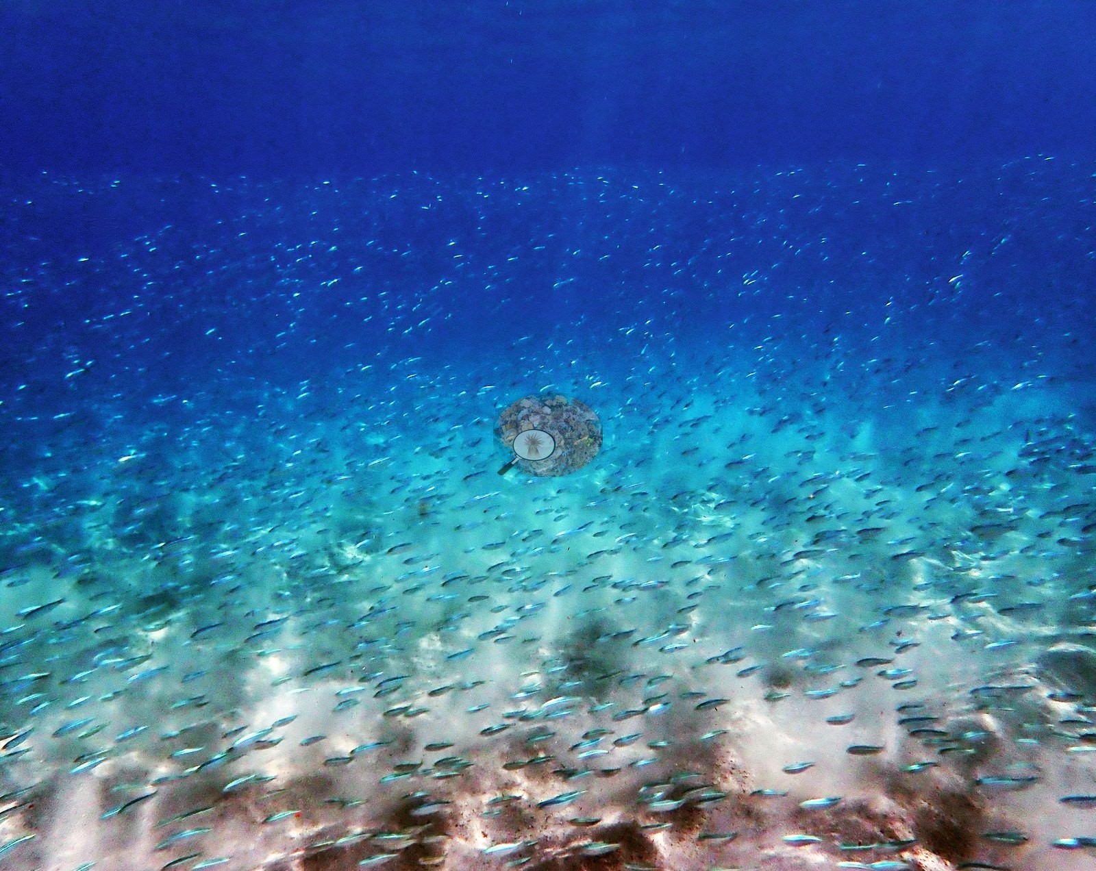
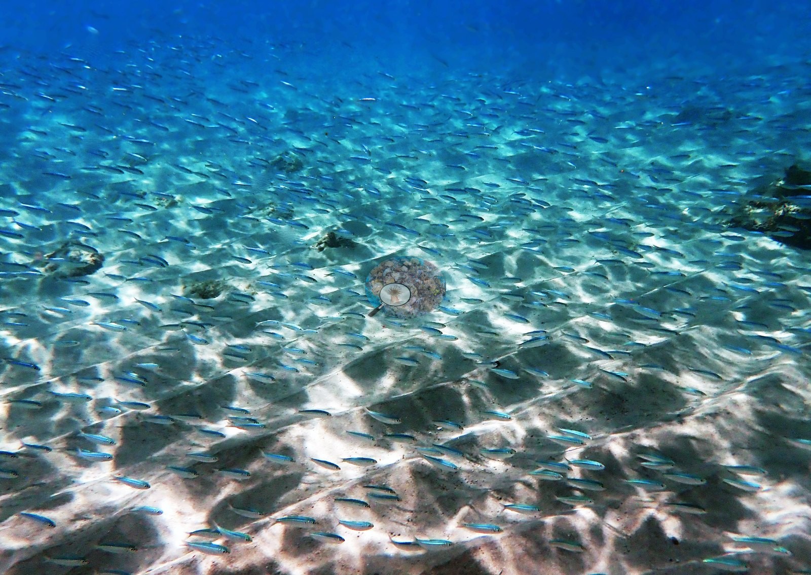
A run of frames shows dense schools of small silver baitfish over rippled white sand, with no benthos in frame; four frames score exactly 0% coral (e.g., Image 9, Image 10, Image 11, Image 14).
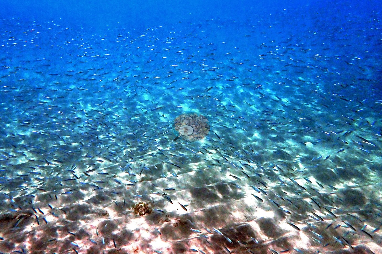
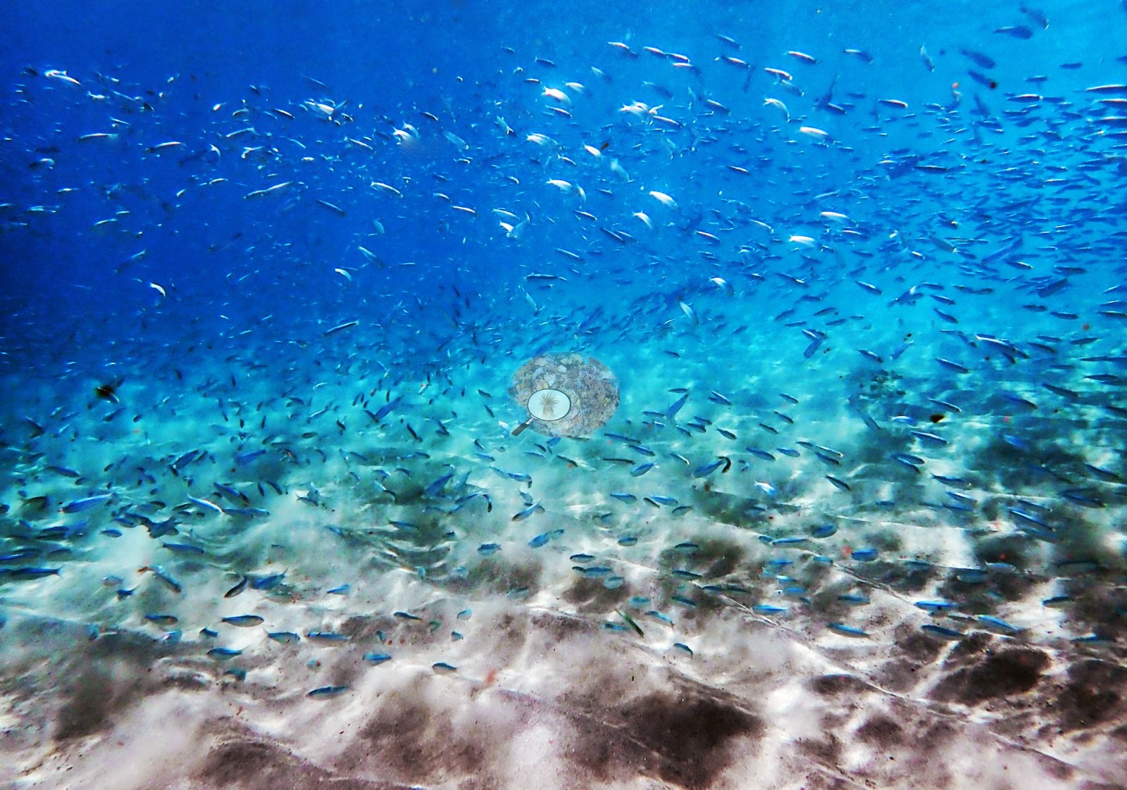
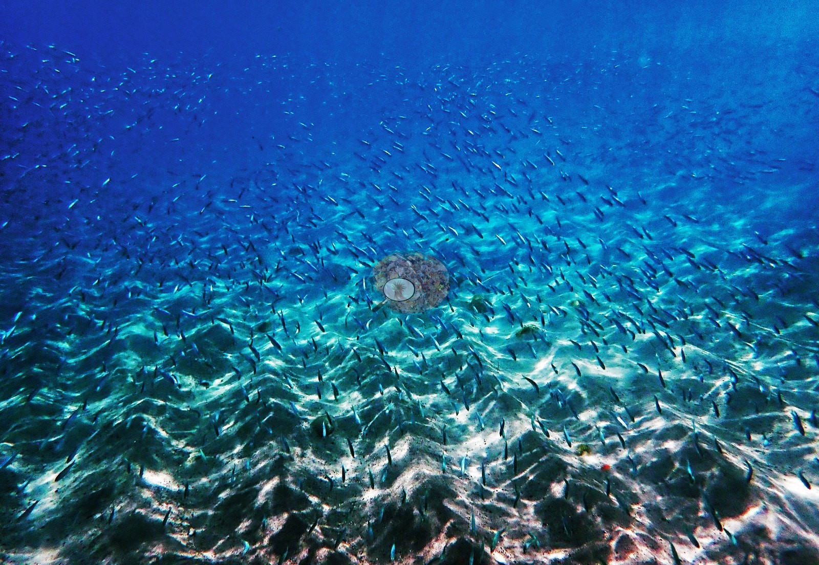
One frame ties the two together, showing the same baitfish massed among the jetty pilings, so the aggregation is a jetty feature rather than an open-water one (e.g., Image 30).
Fauna. The stand-out record is a spotted snake eel compatible with Ophichthus ophis, photographed twice out on open sand — an unusual thing to catch in the open (e.g., Image 31, Image 36).
Otherwise: bluehead wrasse (Thalassoma bifasciatum), brown chromis, sergeant majors, damselfishes, and grunts around the pilings, and the very large baitfish schools already noted. No shark, ray, or turtle appears in the reviewed sequence.
Comparisons with other data
Coral cover — independent survey. Reef Check ran a station named "Anse Chastanet Reef" here, recording 17.1% hard coral across 7 surveys spanning 1999–2006. It is context for the site, not a measurement of this snorkel.
Other notes
All 37 frames from the snorkel were examined individually, and they do not describe one habitat: 14 are of the jetty itself, 11 are natural rocky reef, and 12 are open sand, algal flat or baitfish schooling in midwater. That split matters for every number below.
CV model comparison
More info
A few colony-focused photos raise the mean; the median is the typical photo. No computer-vision method yet estimates coral cover accurately on new images, so treat this as indicative rather than a measurement; it is revised as the methods improve.More info
Other rows are for comparison only and are never averaged. No diver transect exists for this trip, so agreement between rows is not accuracy.| Method | Hard-coral cover (%) |
|---|---|
| Claude (edited photos) | 7.8 |
See a more detailed, stand-alone version of this table.
Independent surveys nearby
 Coral Reef Diagnostics
Within 5 km, 7 independent survey stations recorded hard coral cover in 72 surveys between 1999 and 2014. Of the 6 stations surveyed in more than one year, 2 declined, 2 increased, and 2 changed by less than 5 percentage points between their first and latest surveys. The longest record, Malgretoute (Reef Check, 2.86 km away), went from 43% in 1999 to 22% in 2010. The most recent nearby survey is from 2014, so these values predate recent heat stress. This site's own estimate (7.8%) sits within the range of these surveys (4.6–57%); the methods differ, so the comparison is context, not a like-for-like test.
Collected by other programs using different methods (Reef Check uses point-intercept transects), so these are context for the figures above, not a like-for-like comparison. Where a station was surveyed more than once the range is shown. Station names are not dive-site names.
| Agency | Site / location | Date | Hard coral cover (%) | Distance |
|---|---|---|---|---|
| Reef Check | Anse Chastanet Reef | 1999–2006 | 14–34% (9 surveys) | 0.00 km |
| Reef Check | Turtle Reef | 1999–2006 | 18–57% (5 surveys) | 0.21 km |
| Reef Check | Malgretoute | 1999–2010 | 11–43% (16 surveys) | 2.86 km |
| Reef Check | Rachette Point | 2005–2010 | 8.8–25% (16 surveys) | 1.57 km |
| Reef Check | Superman's Flight | 2005–2010 | 5.0–24% (15 surveys) | 3.28 km |
| Reef Check | Rachette Pointe | 2006 | 33% (2 surveys) | 1.43 km |
| Reef Check | Grande Caille | 2008–2014 | 4.6–18% (9 surveys) | 0.60 km |
Data & links
All images from Coral Reef Diagnostics. Data are from Coral Reef Diagnostics and the organizations named in the data sources above.
© Coral Reef Diagnostics.